
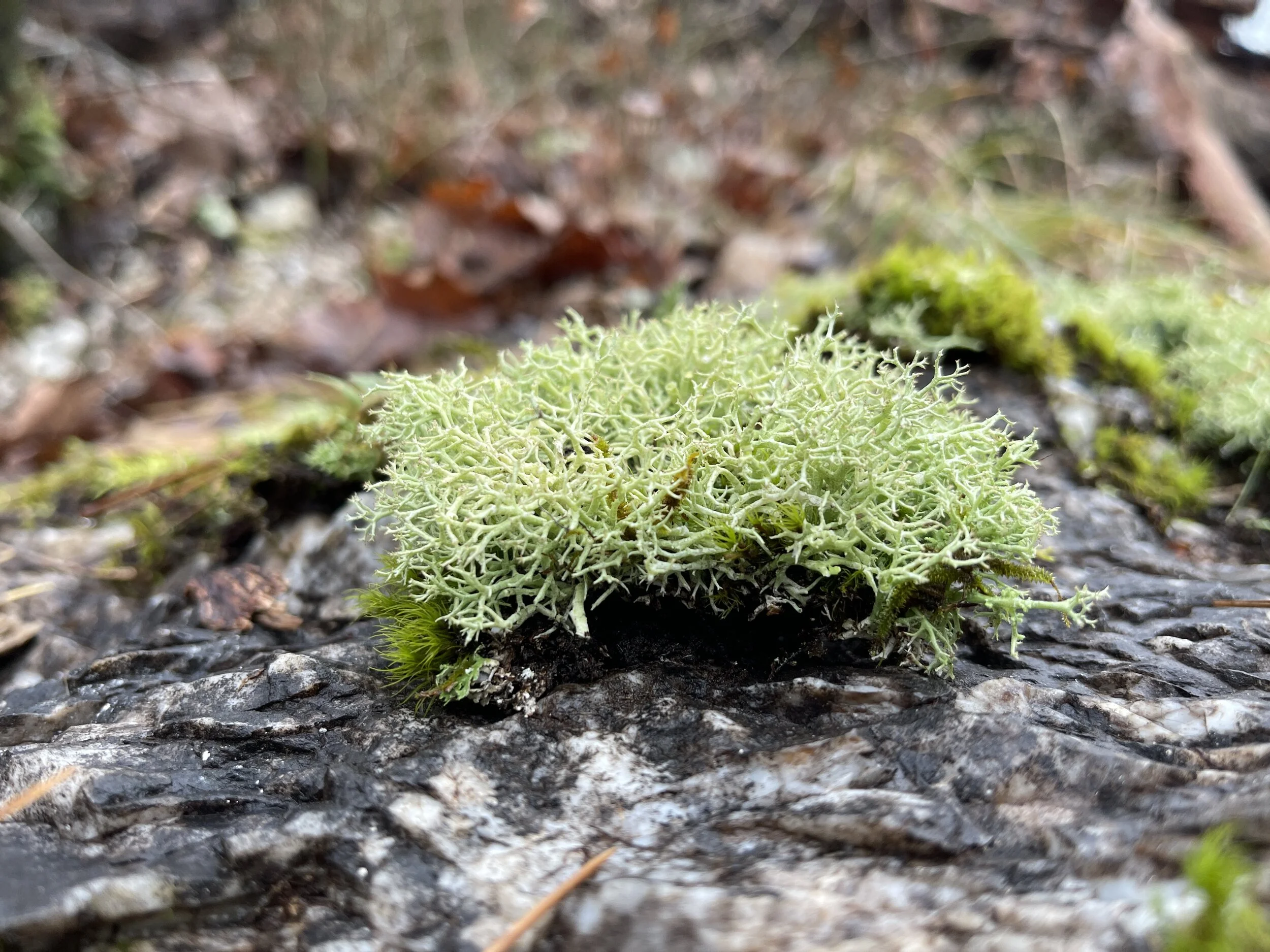
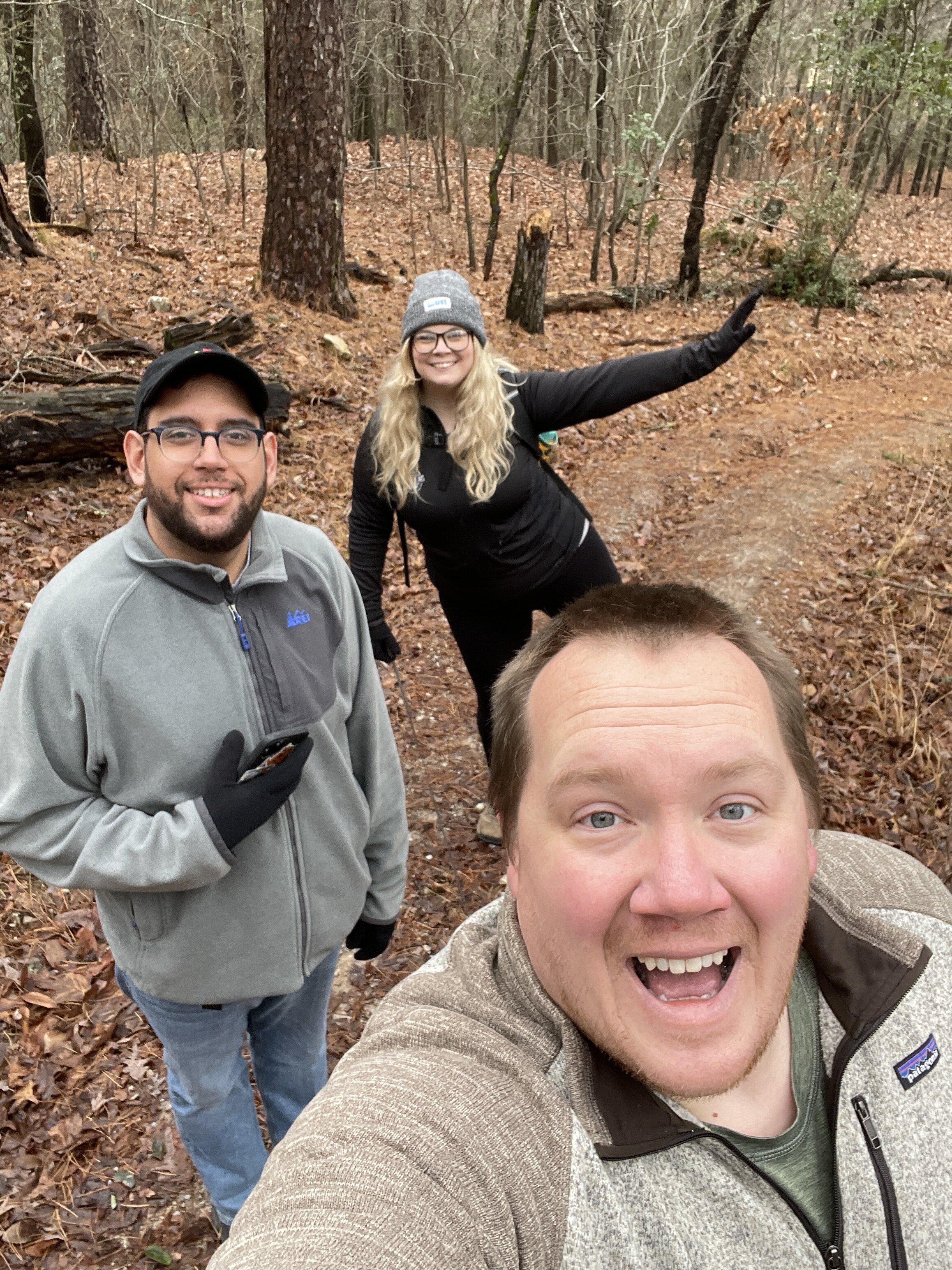
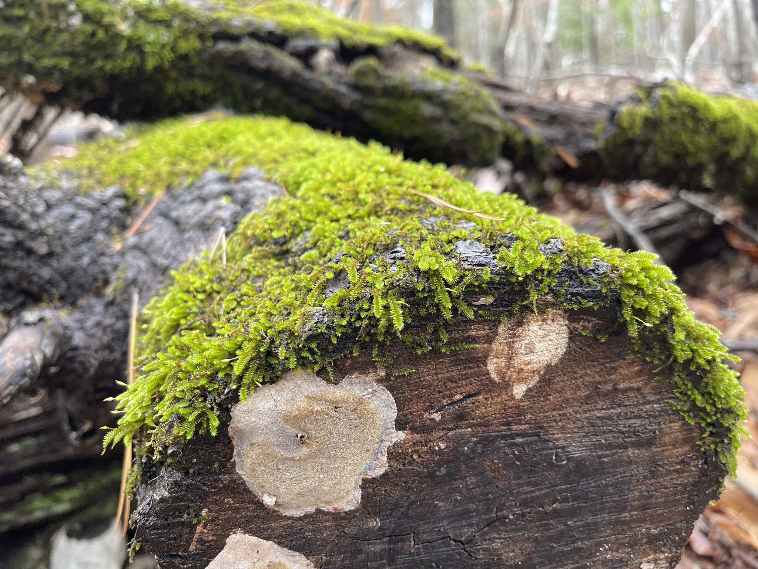
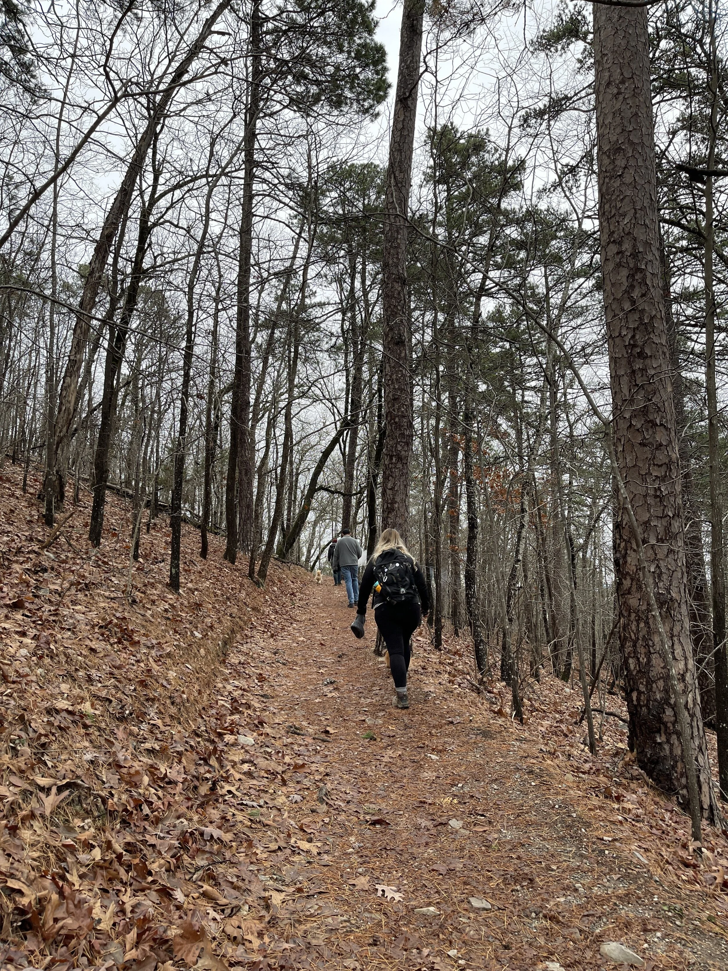
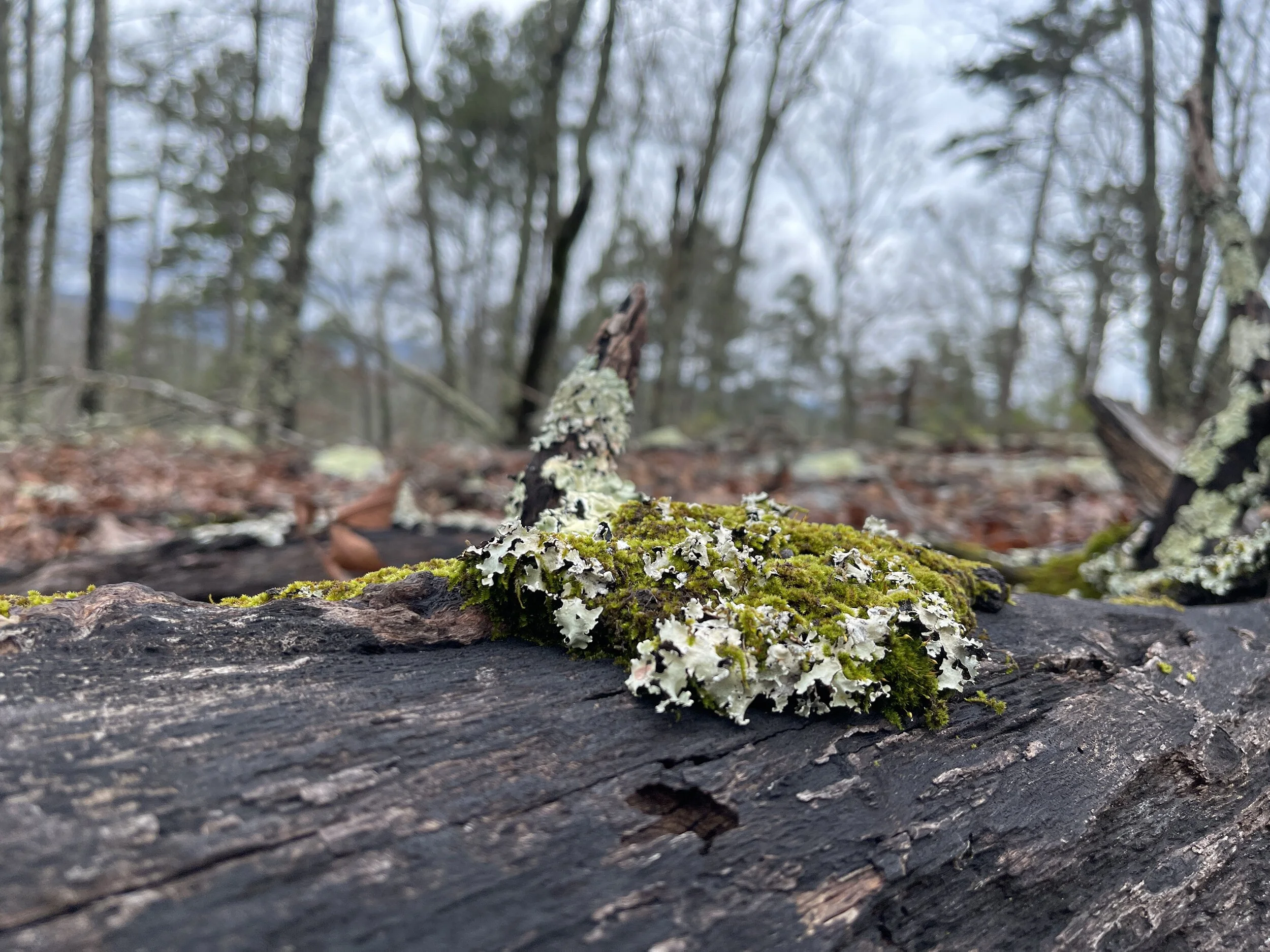
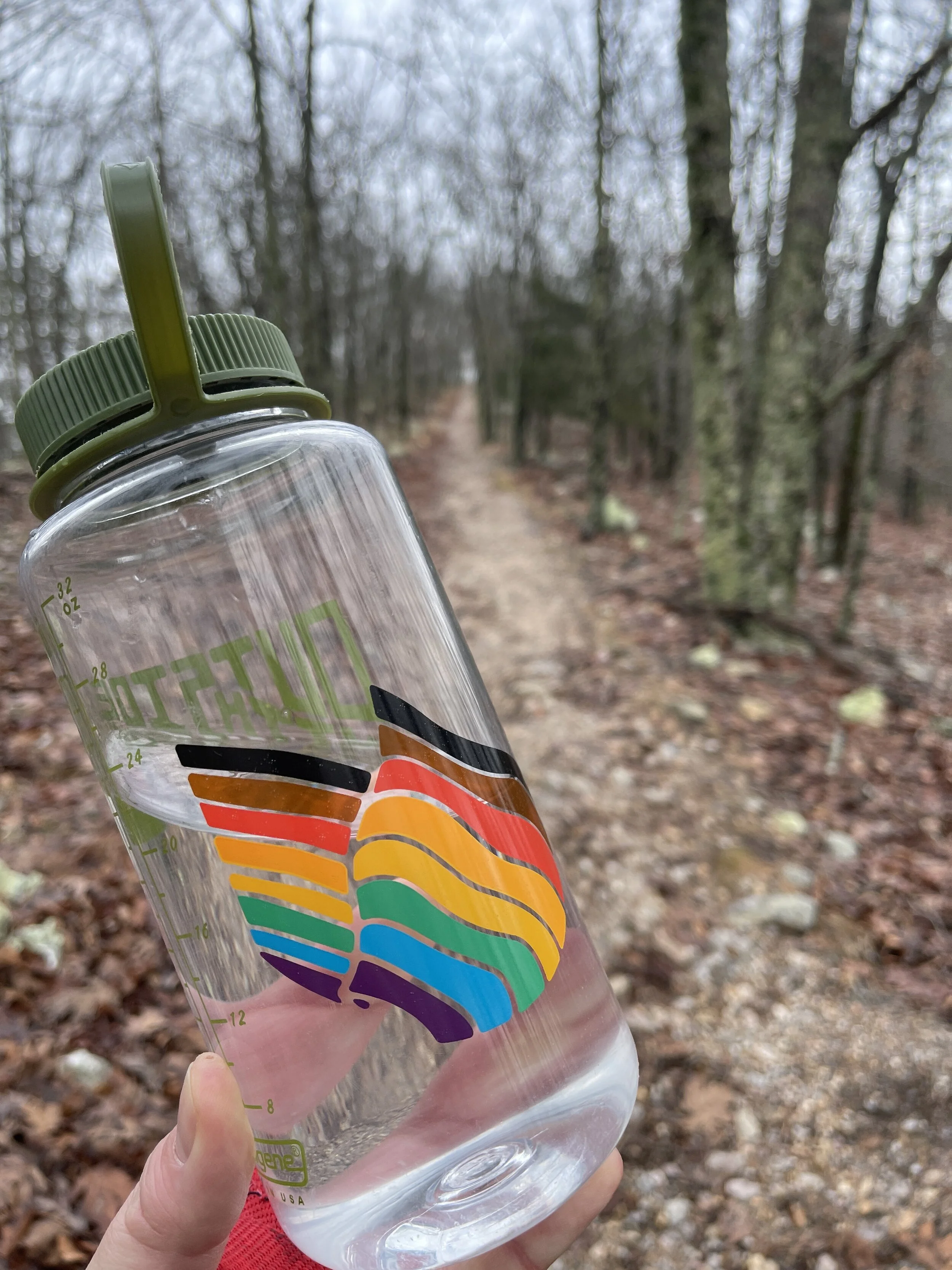
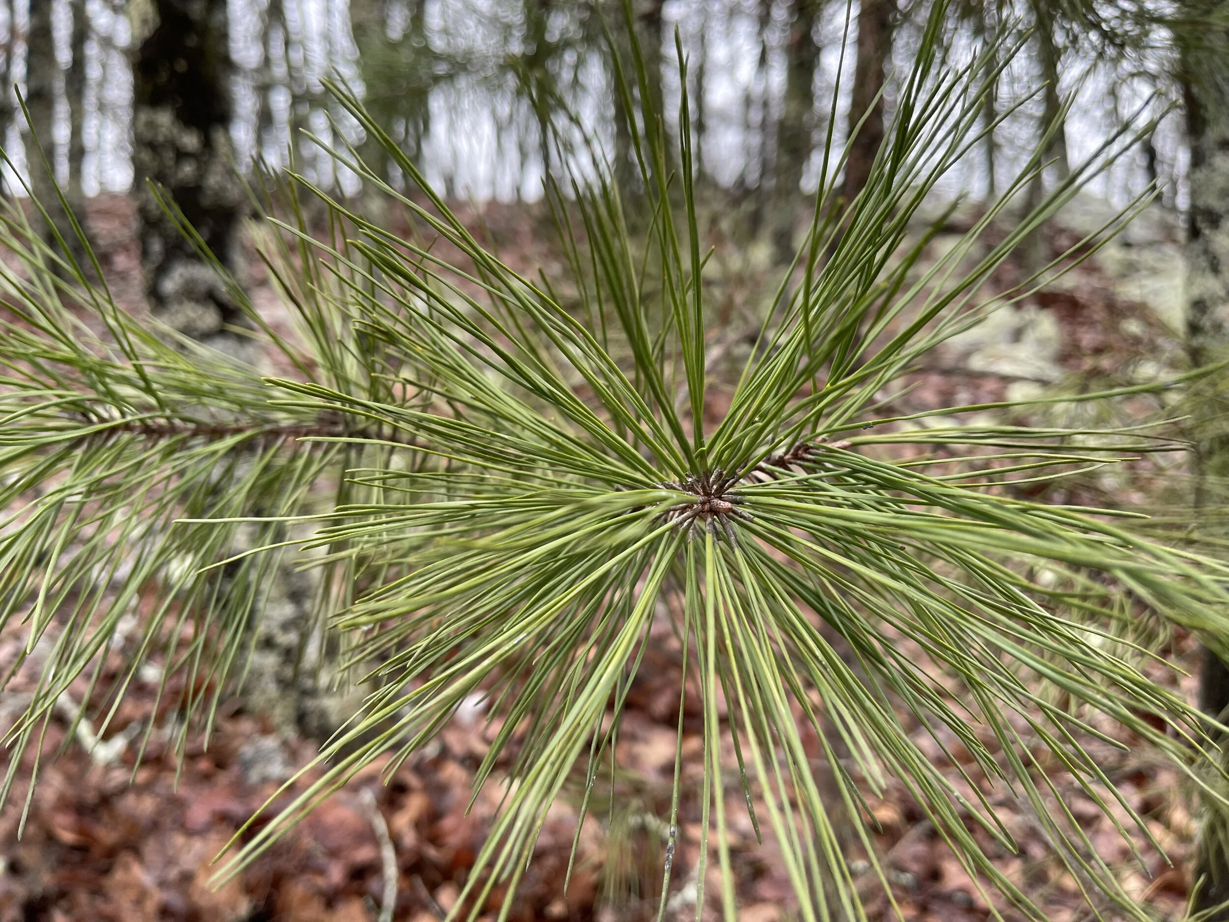
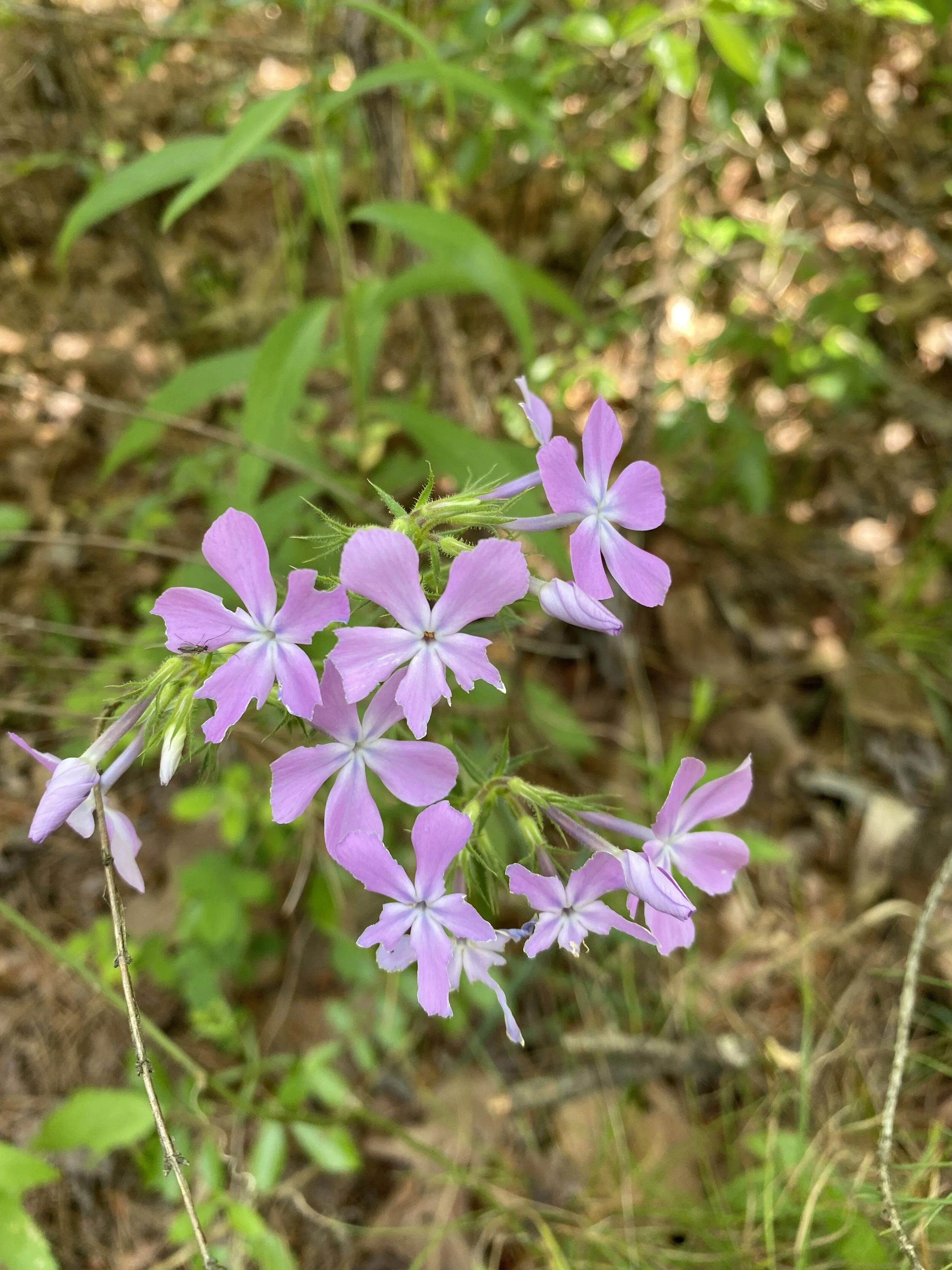
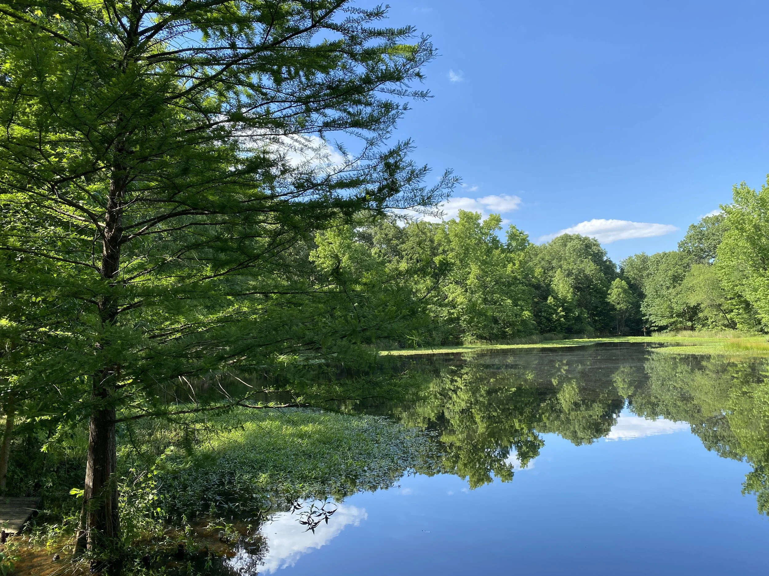
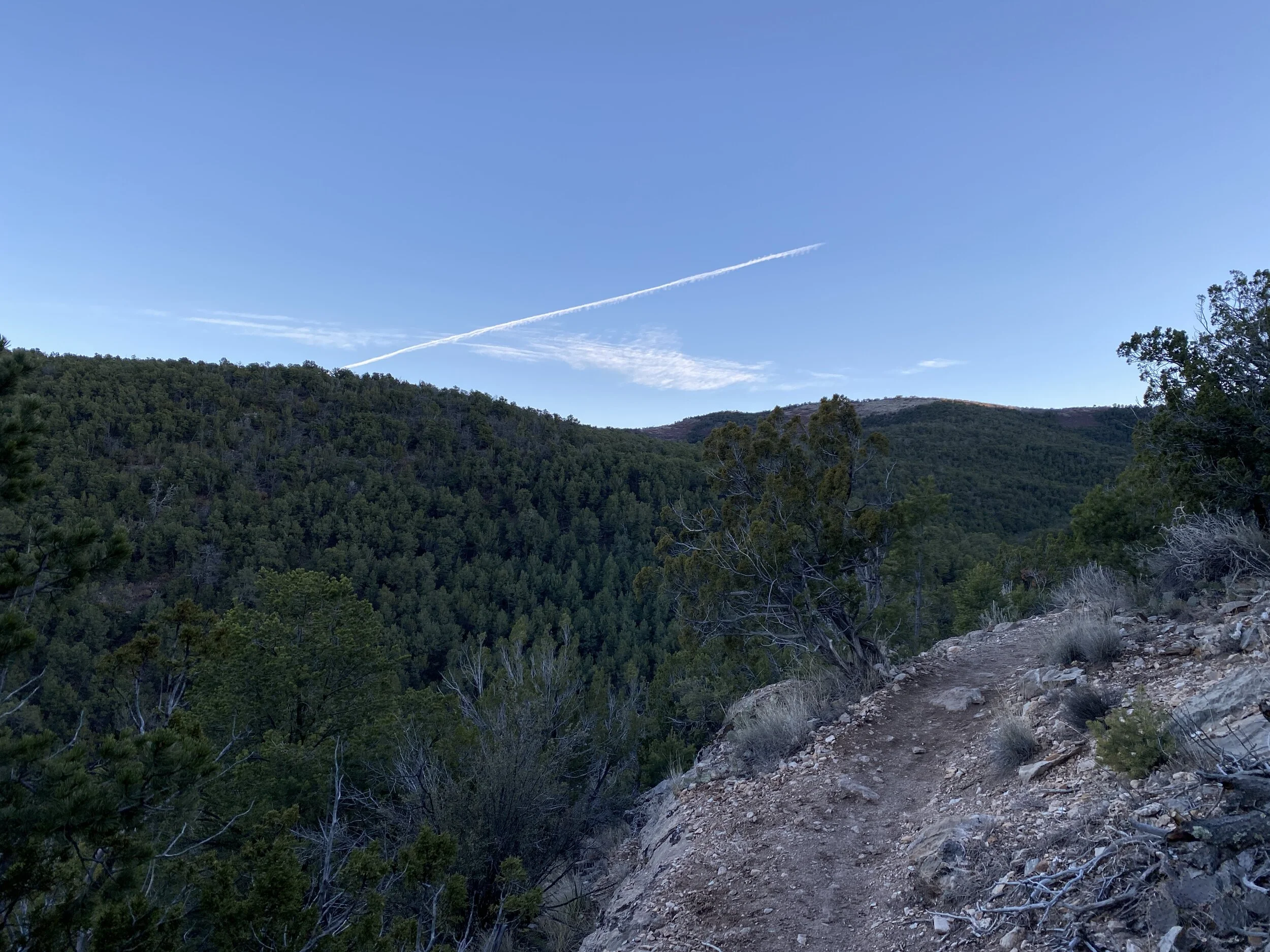
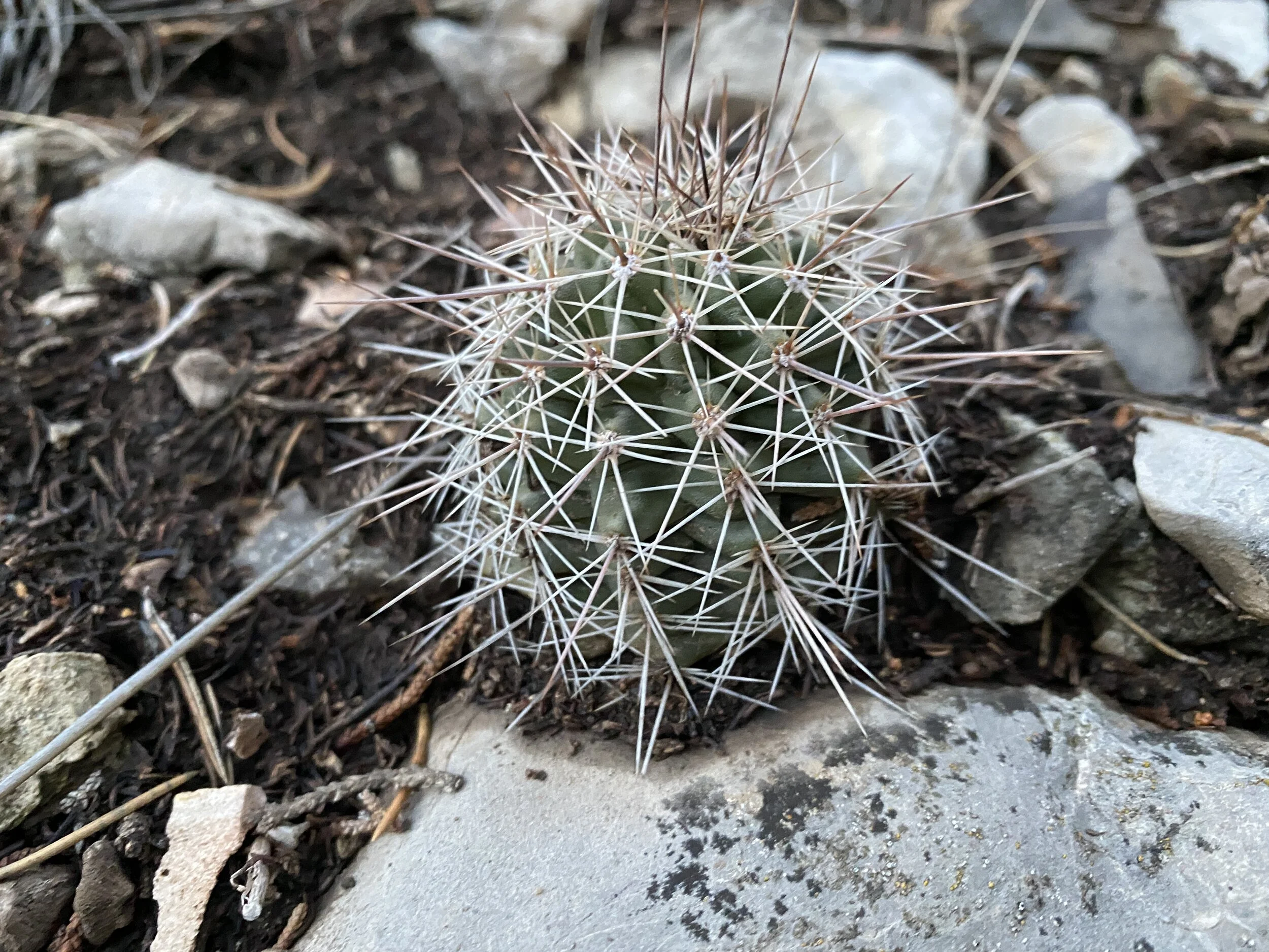
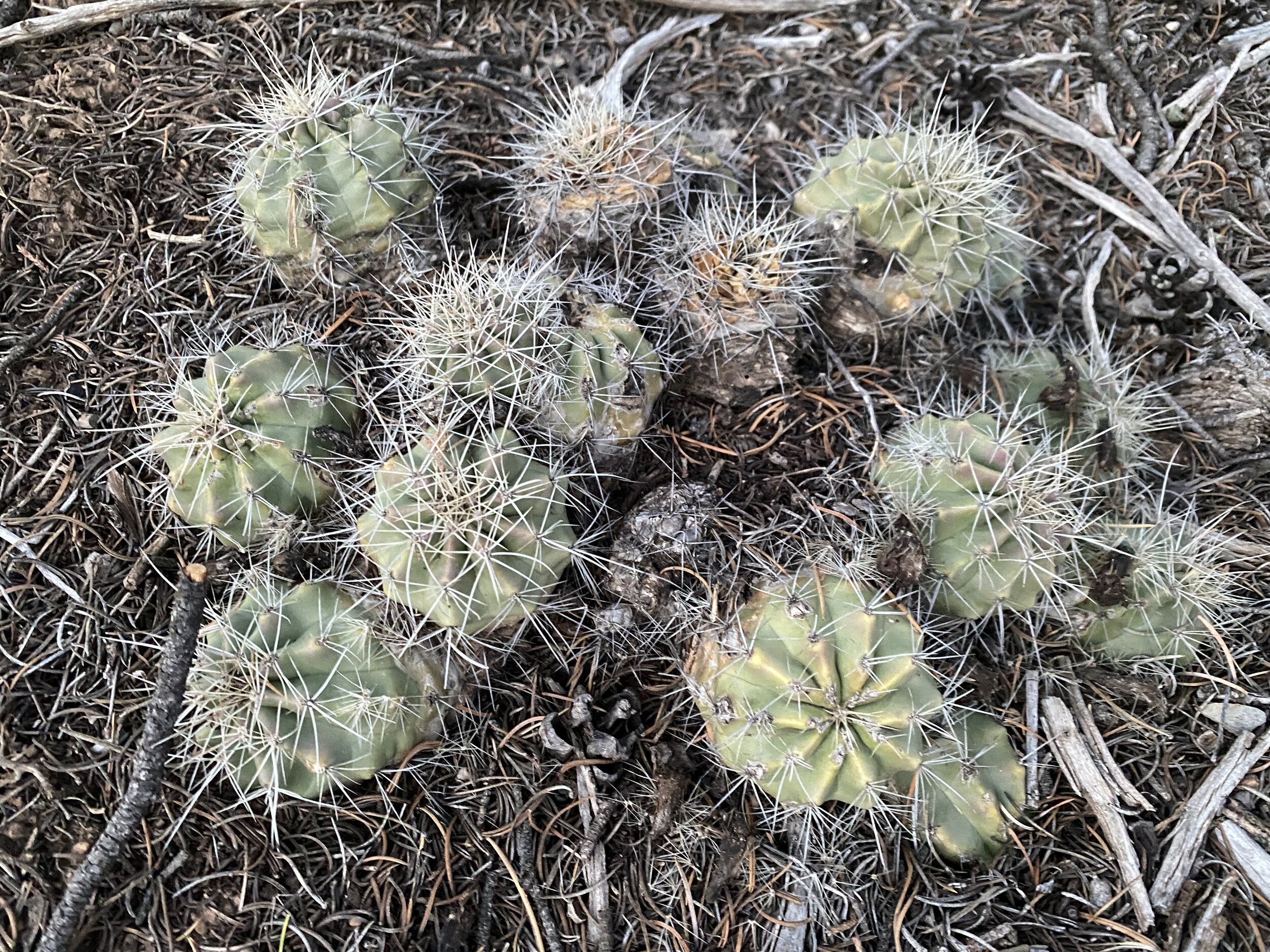
2022 Activities 5-7
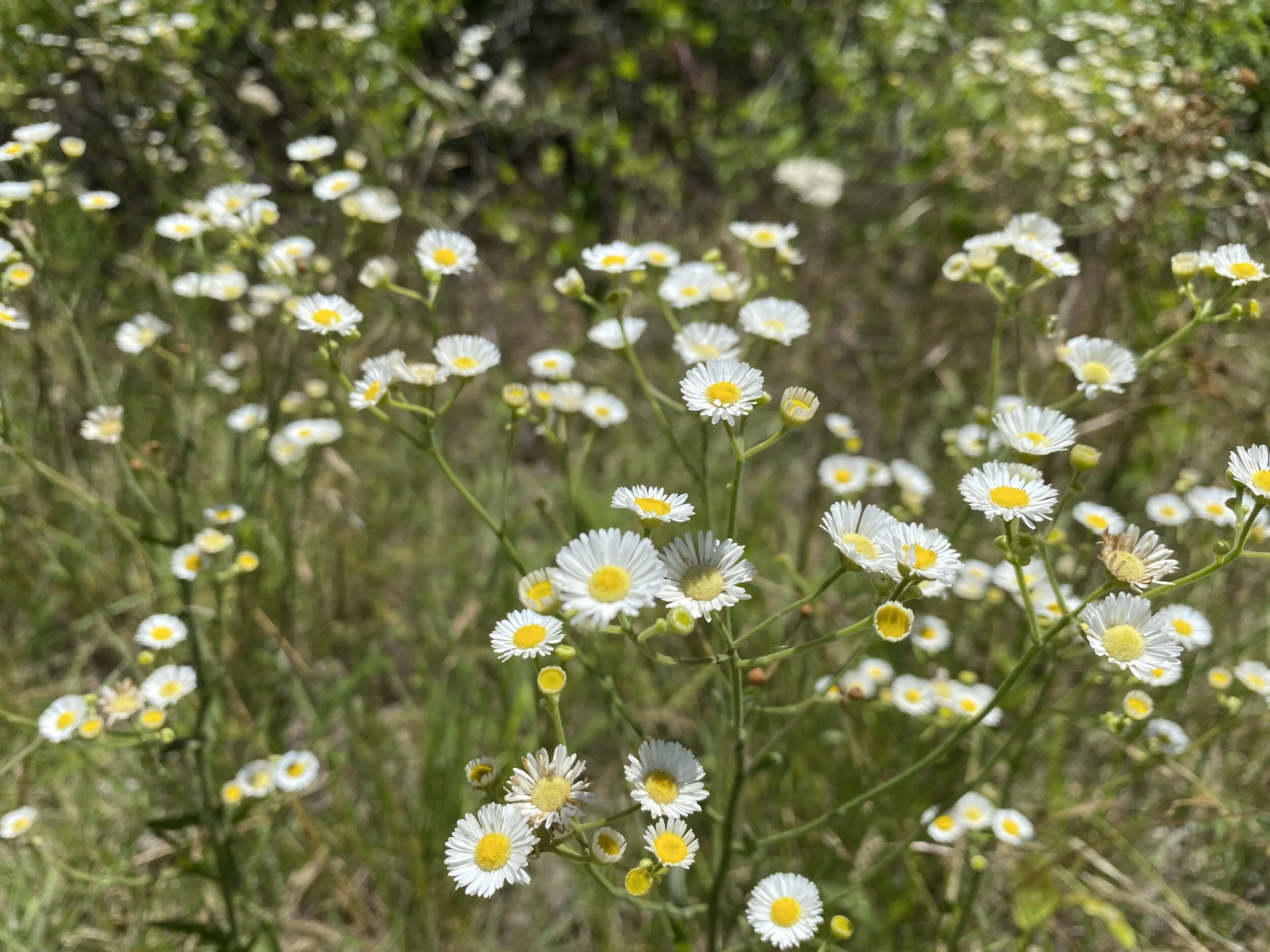
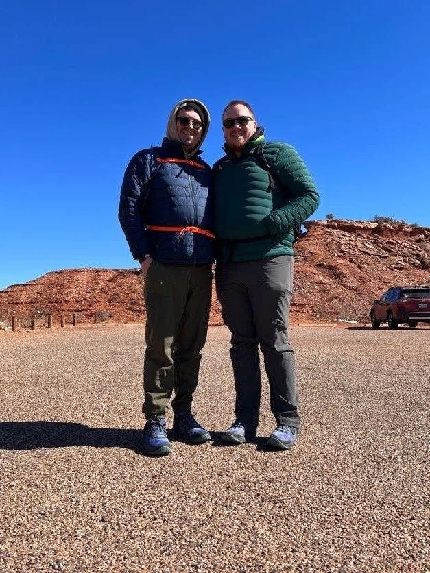
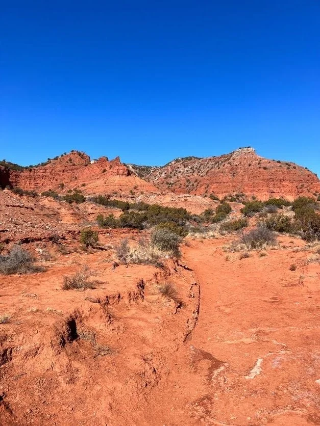
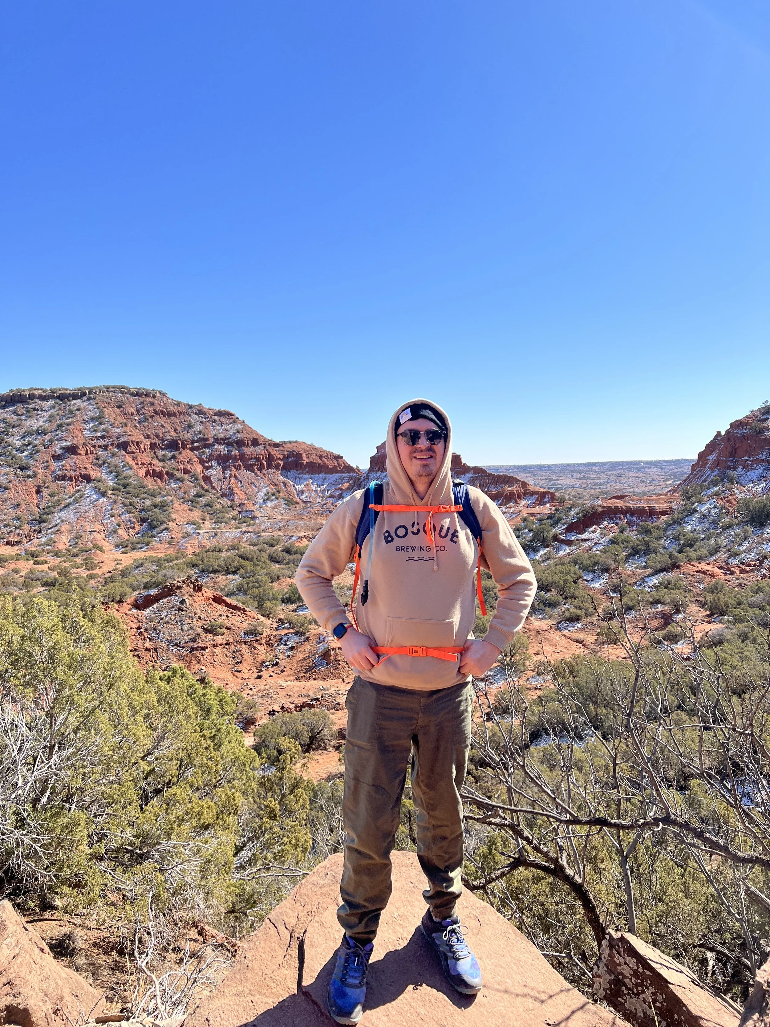
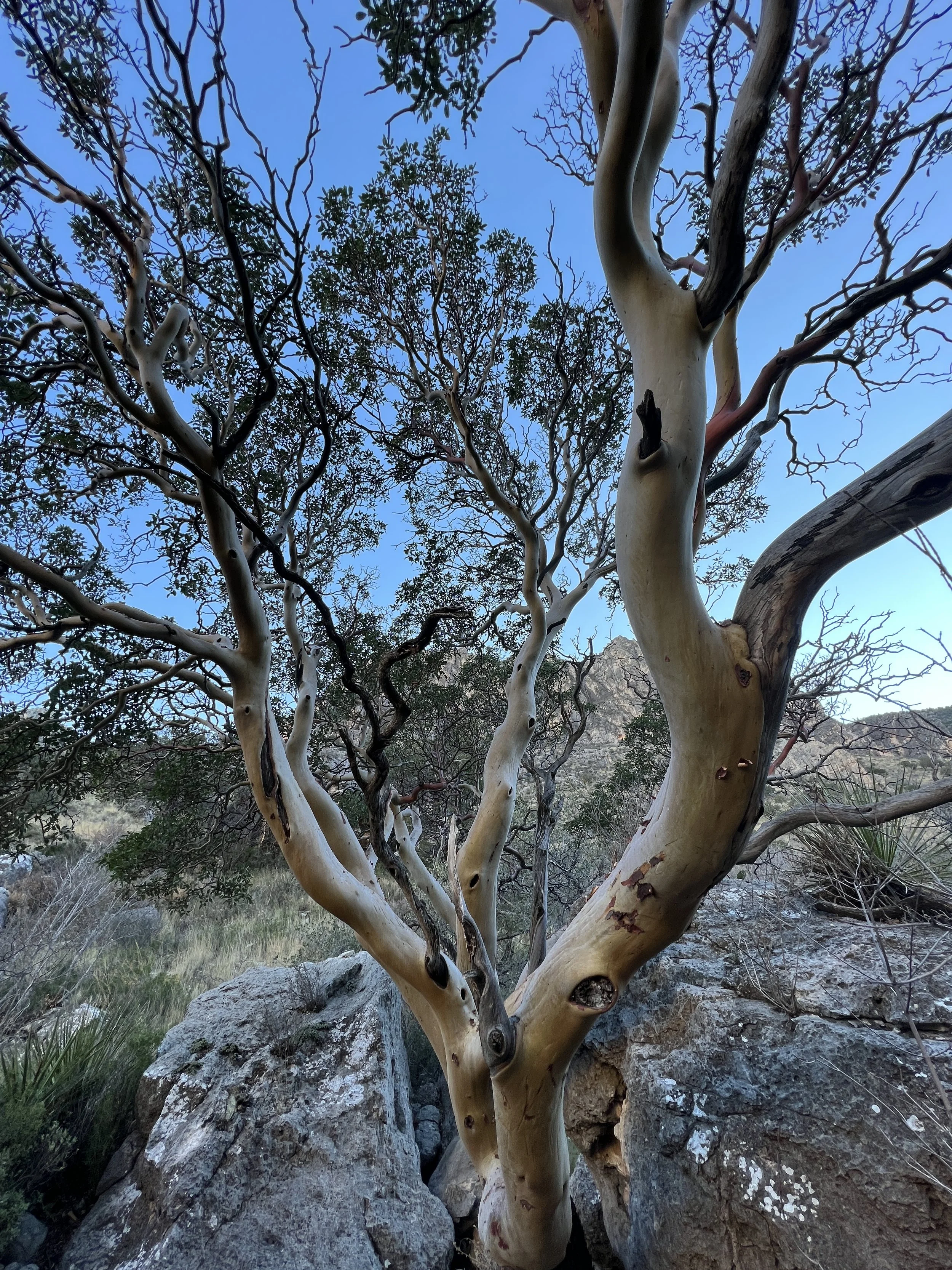
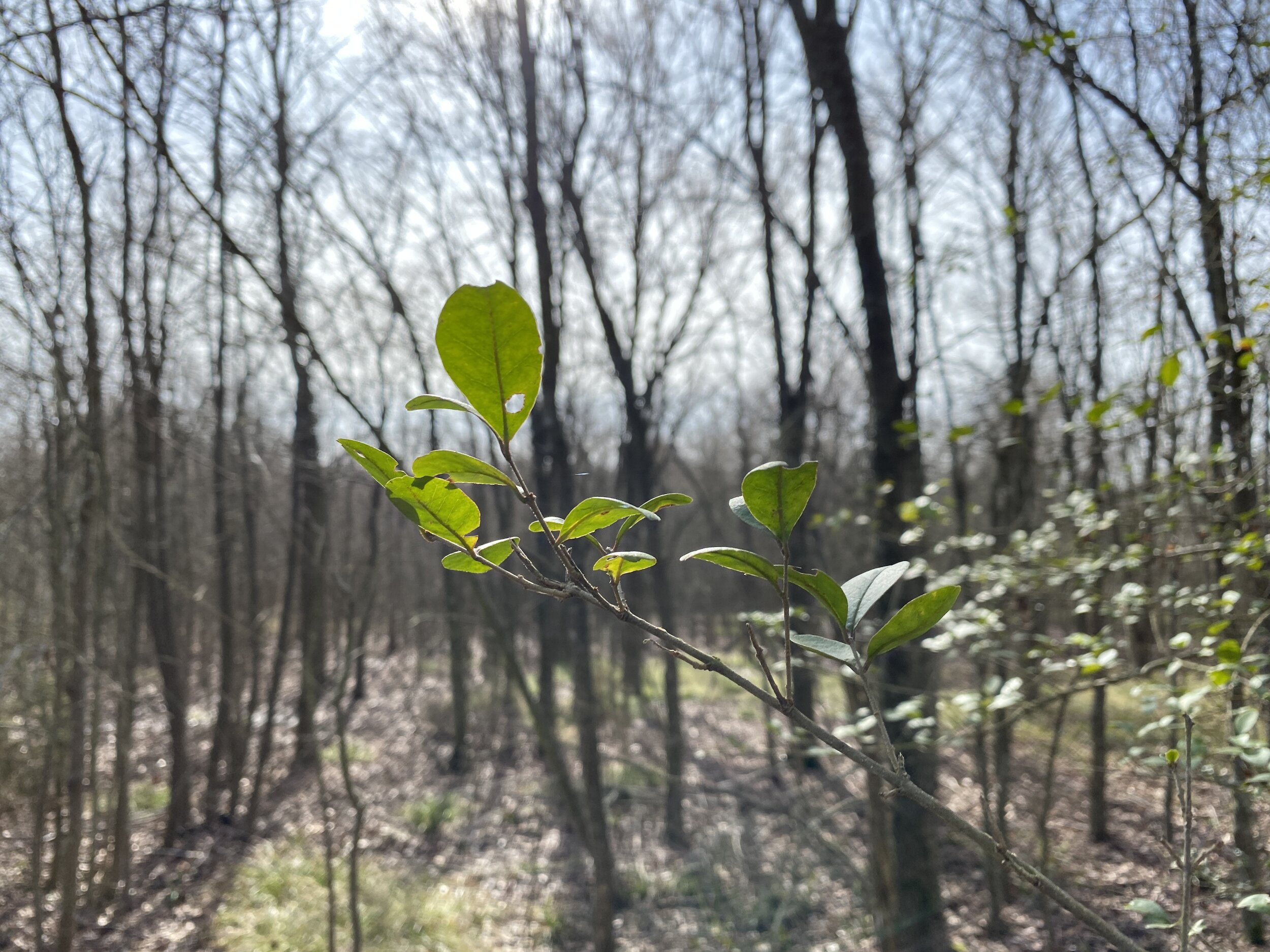
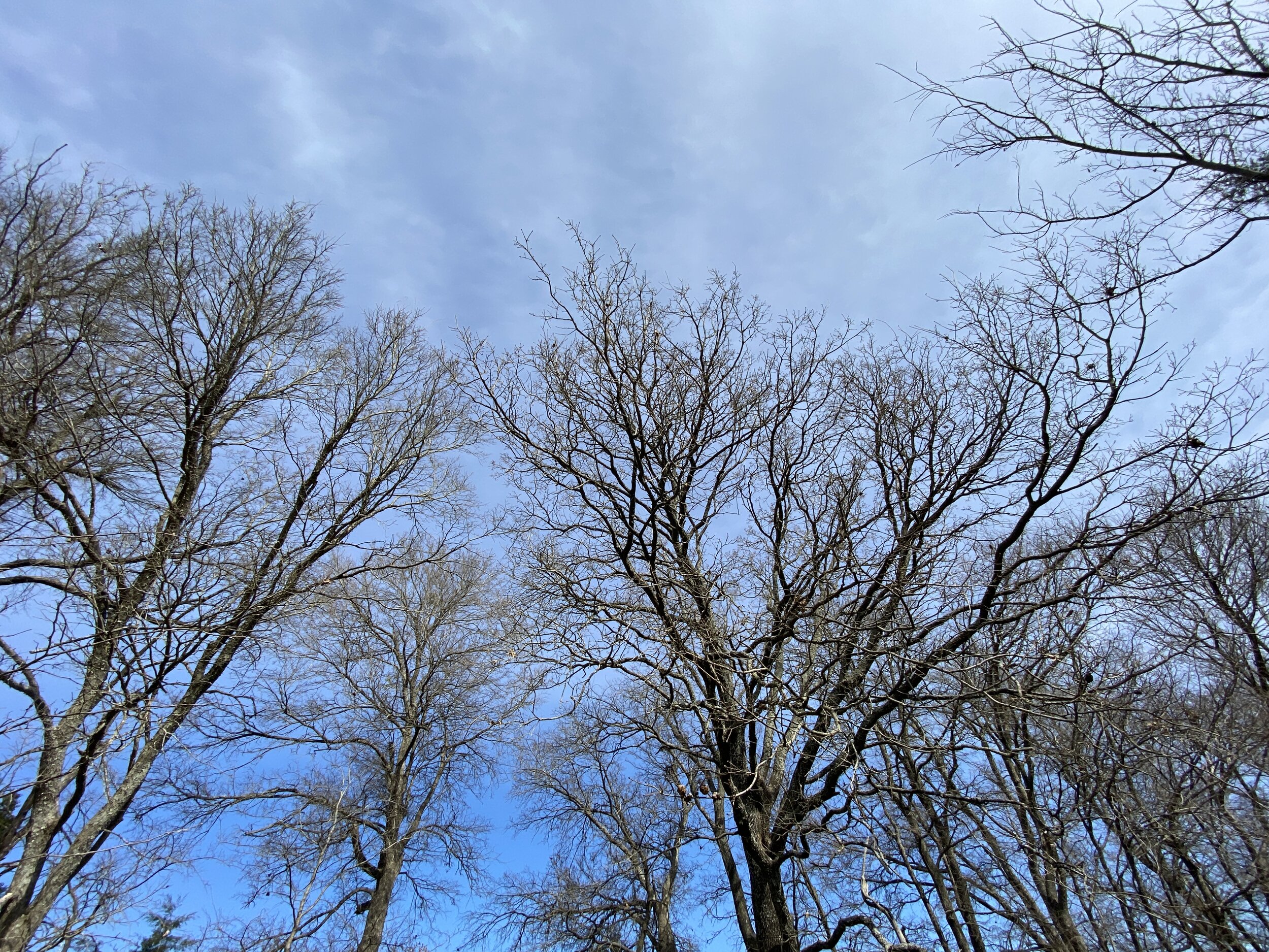
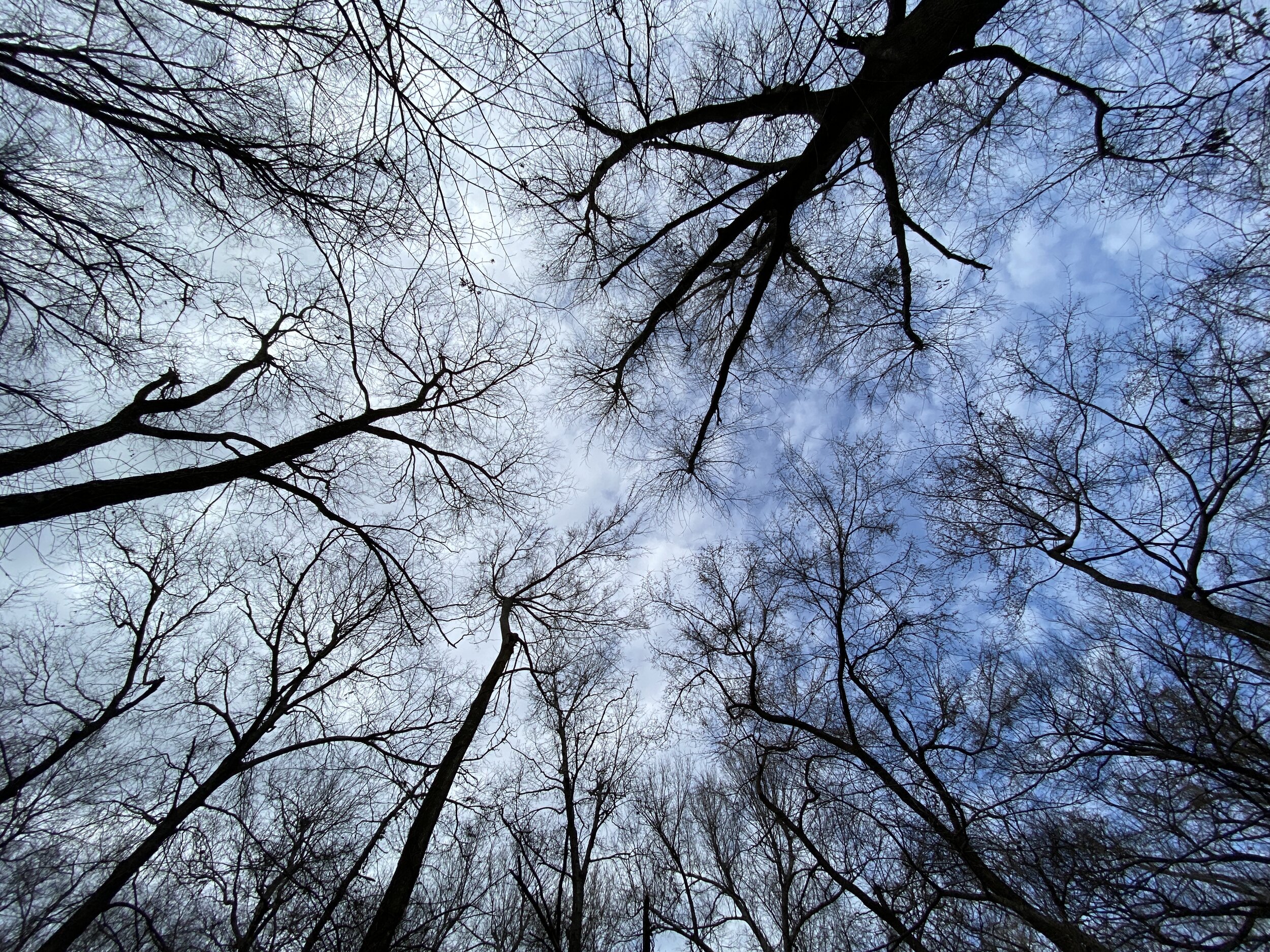
So far, February has been quite good for hiking. A recent trip to Caprock Canyons State Park in Texas gave us two more for the year, with some amazing views along the way. With the end of our time in New Mexico rapidly approaching, we visited White Sands National Park near sunset for one last stroll in the desert before heading to Dallas/Fort Worth. Happy hiking!
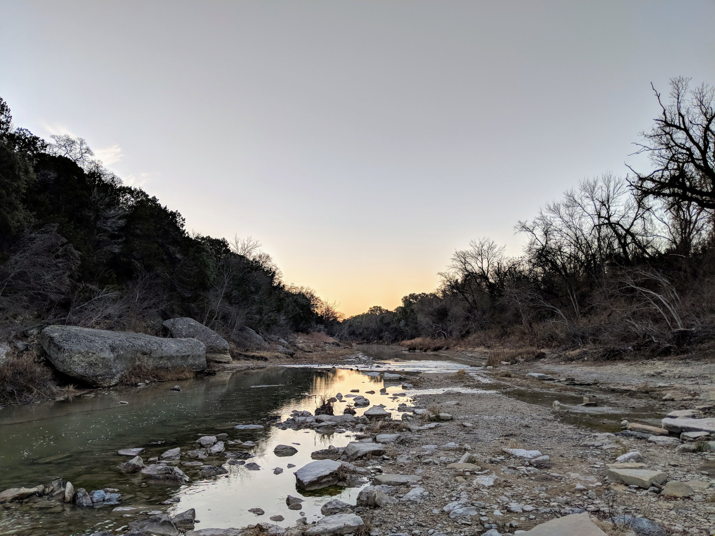
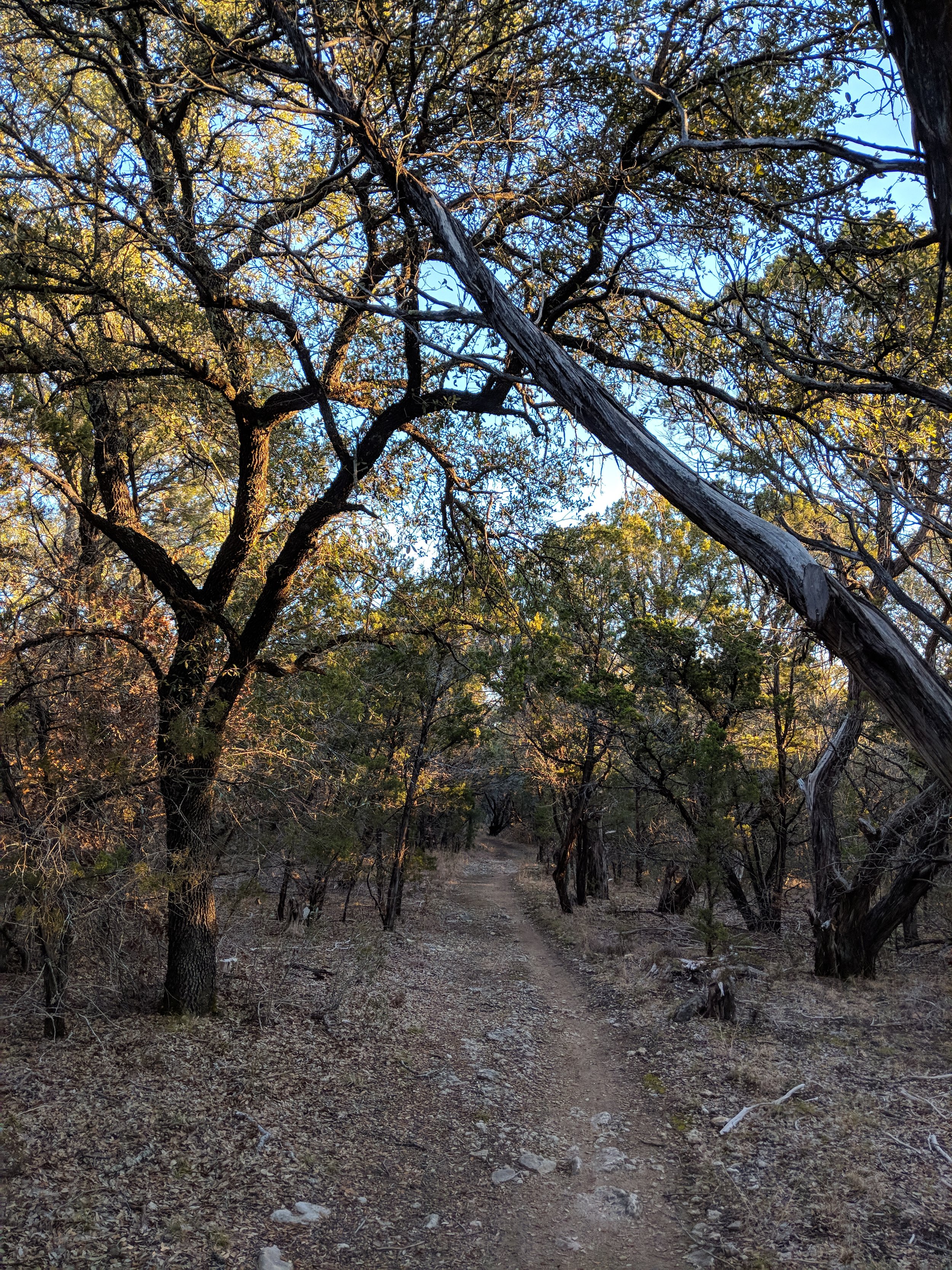
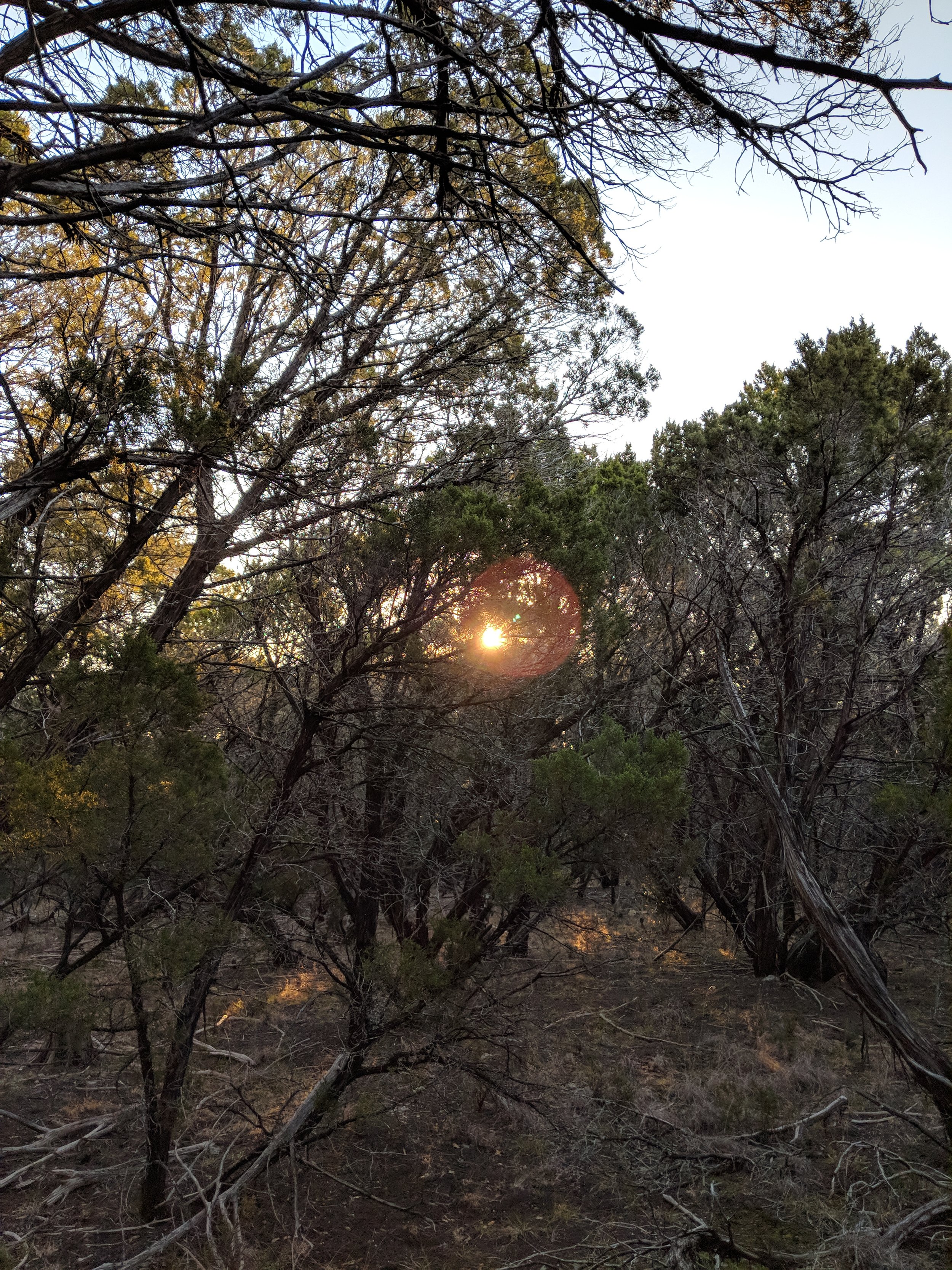
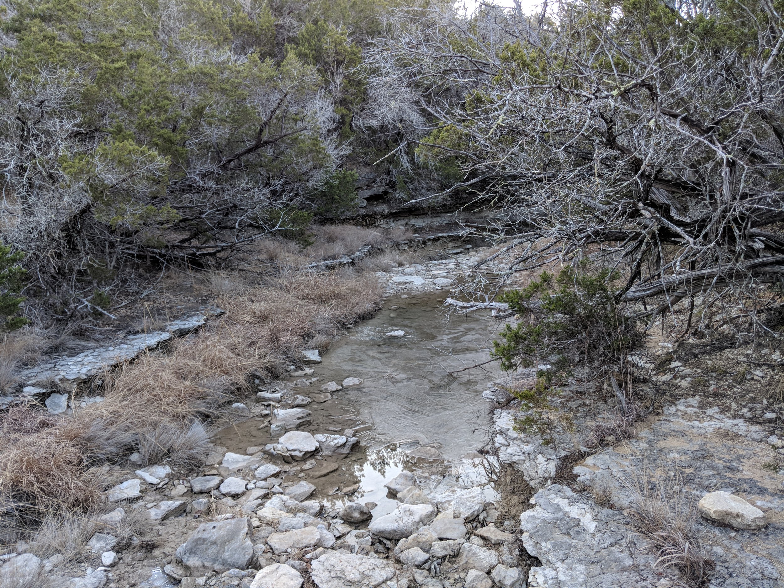
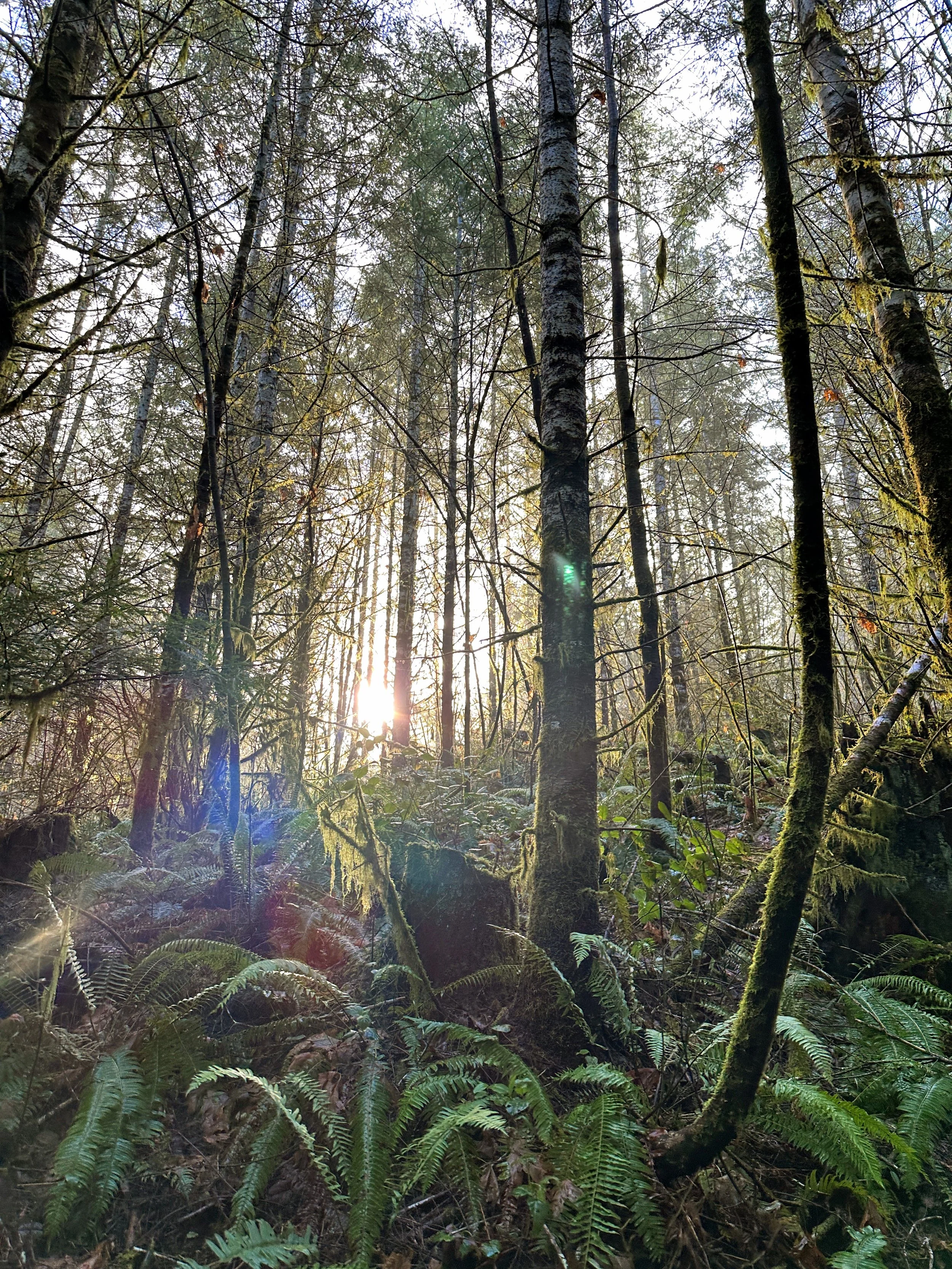
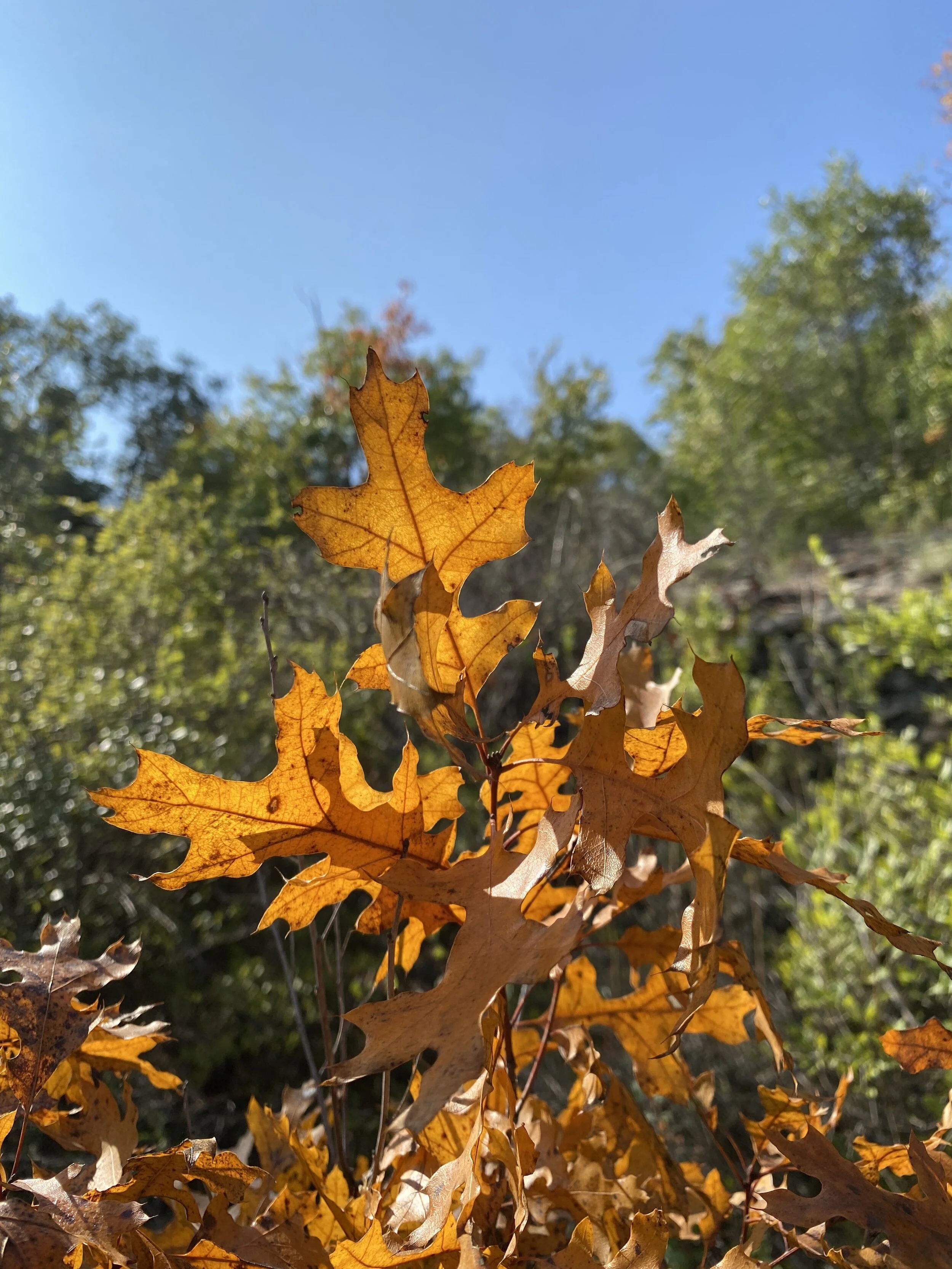
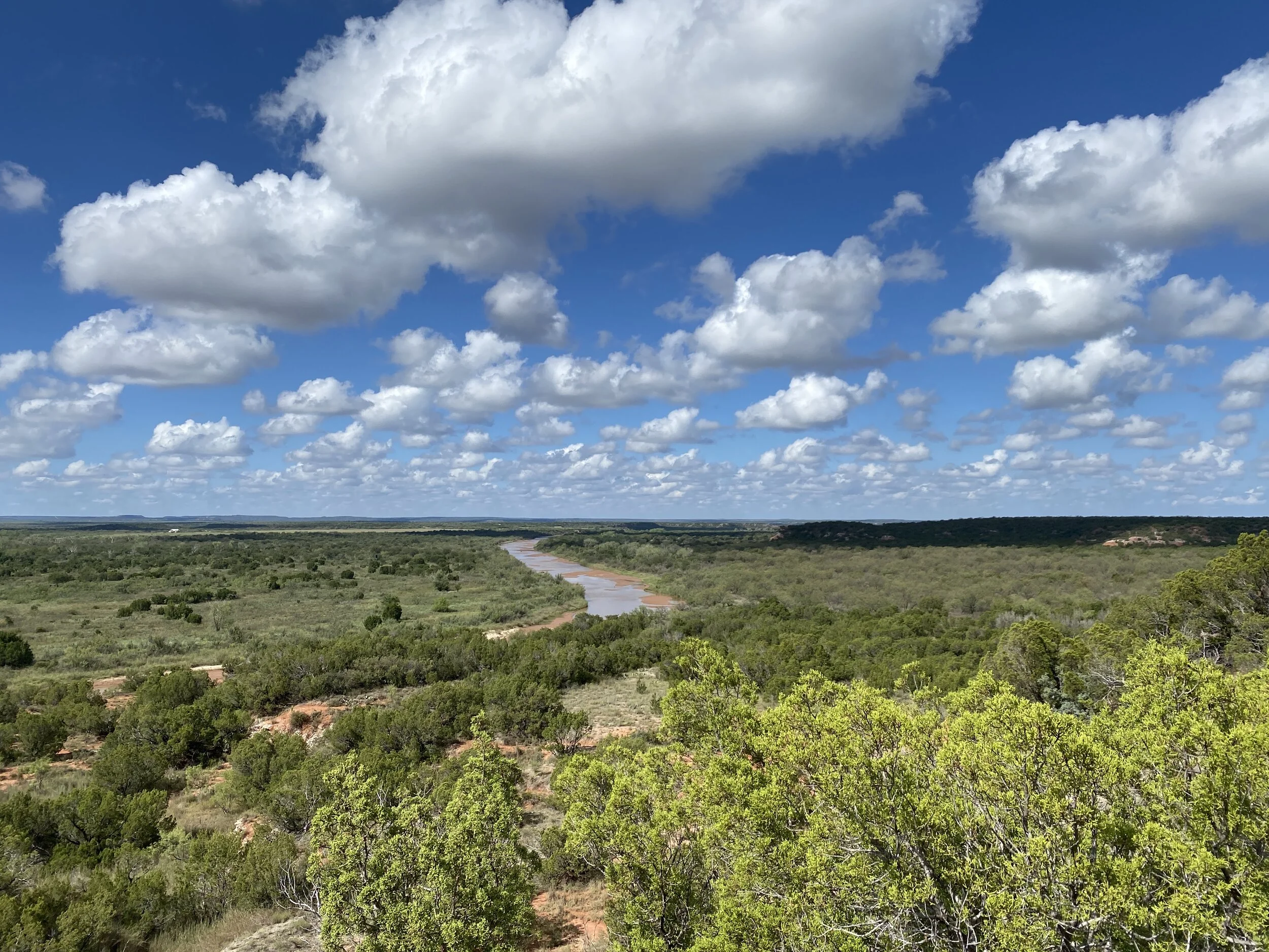
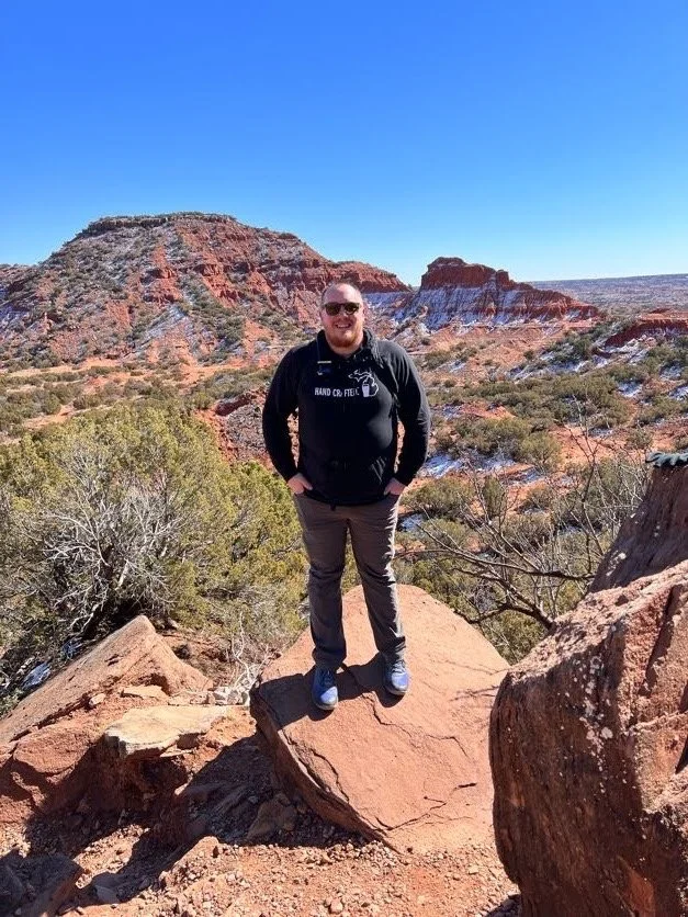
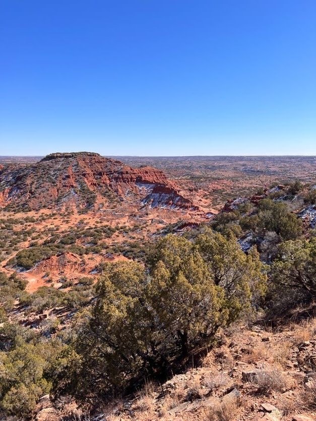
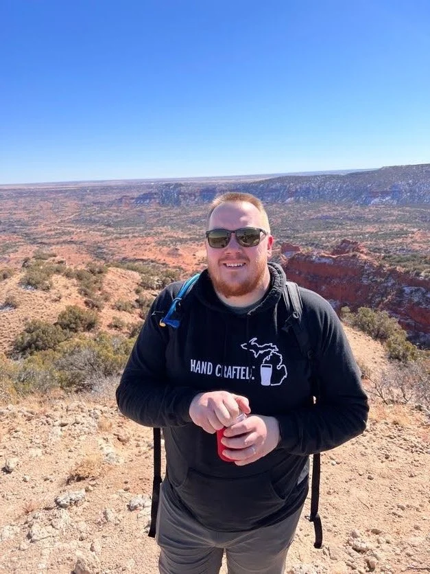
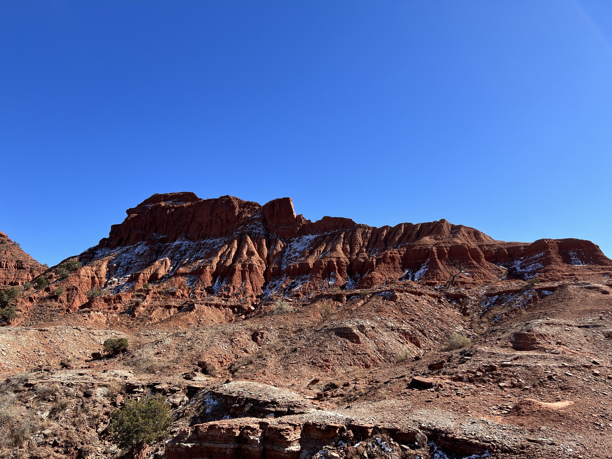
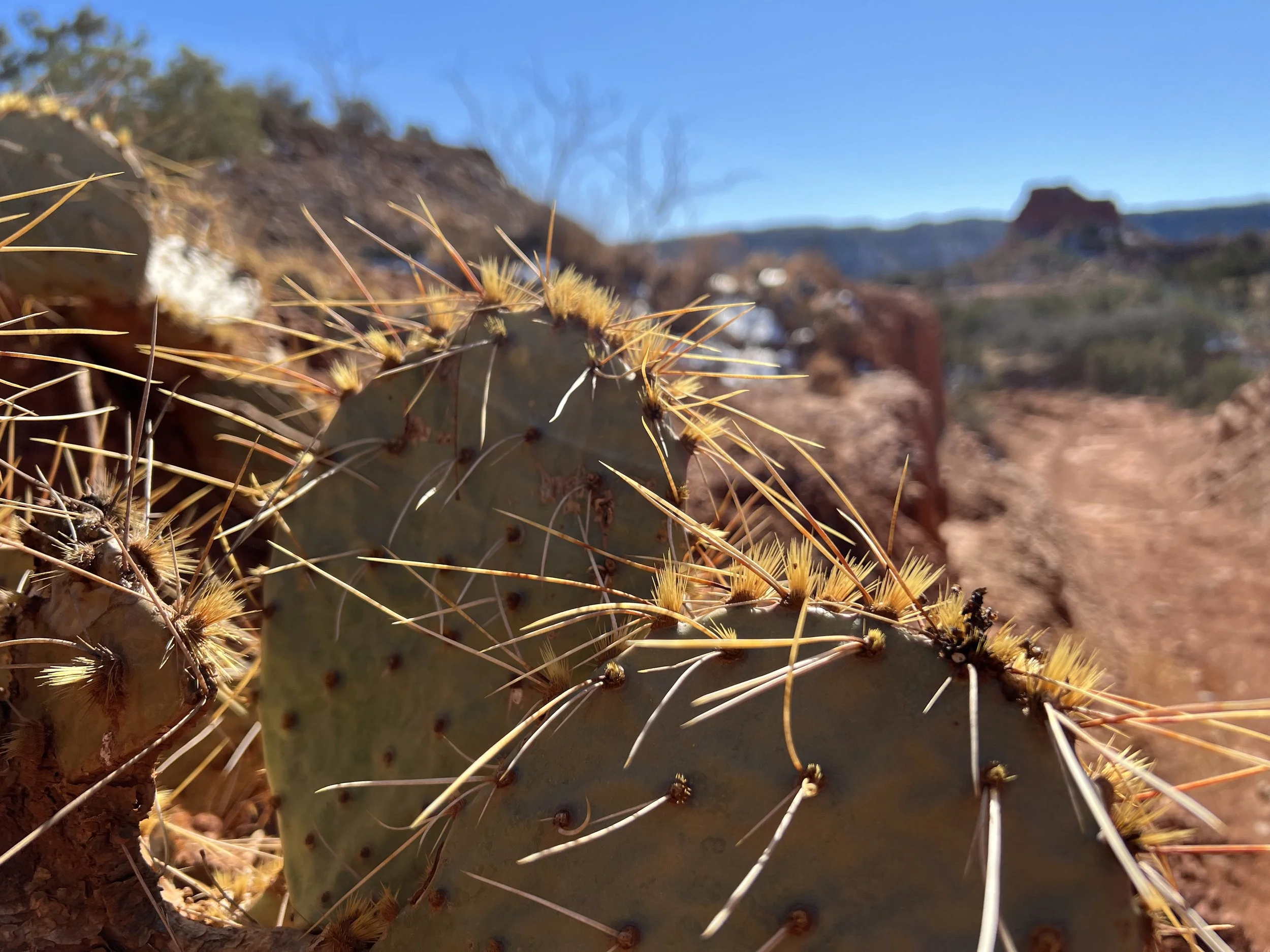
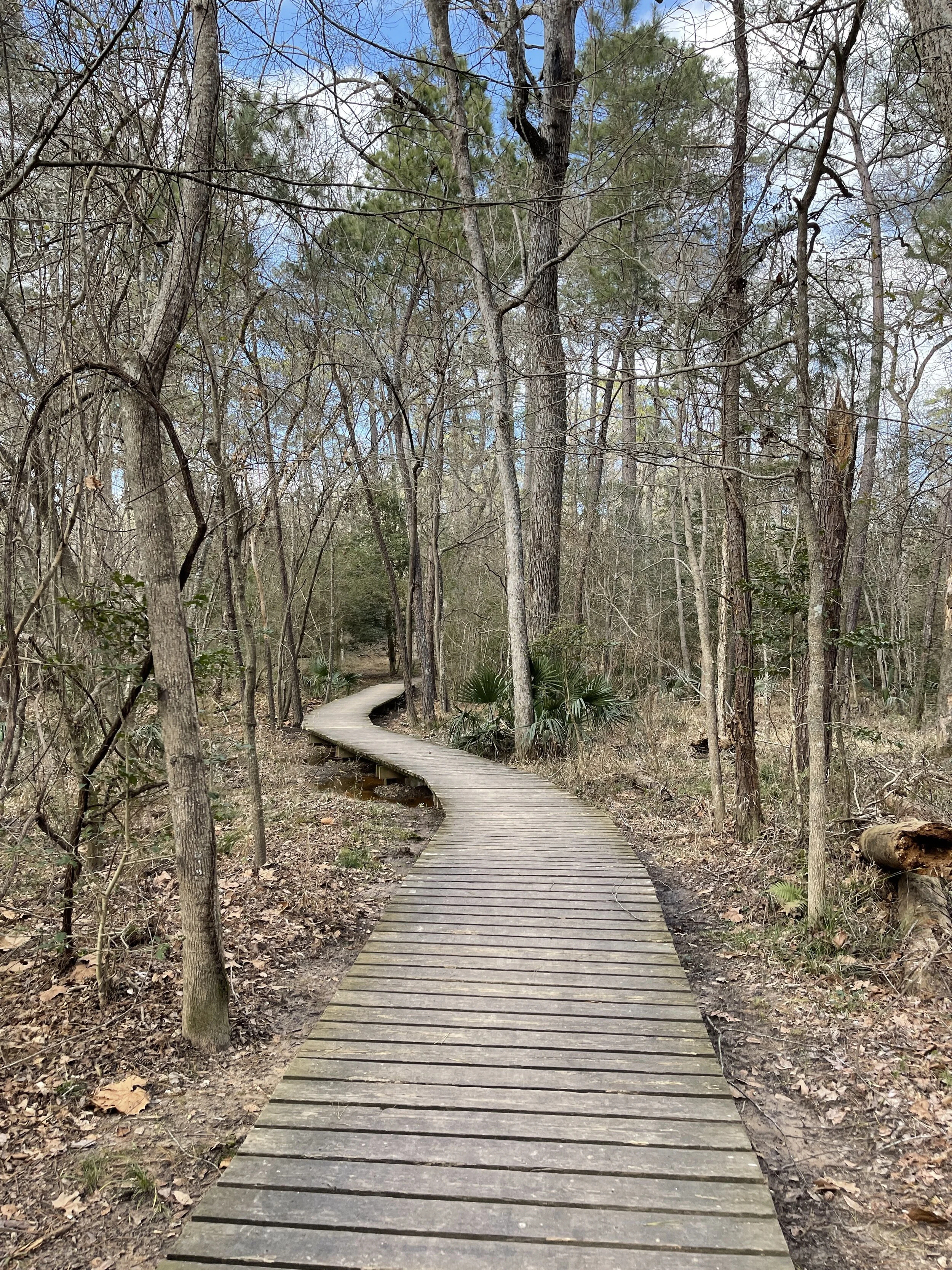
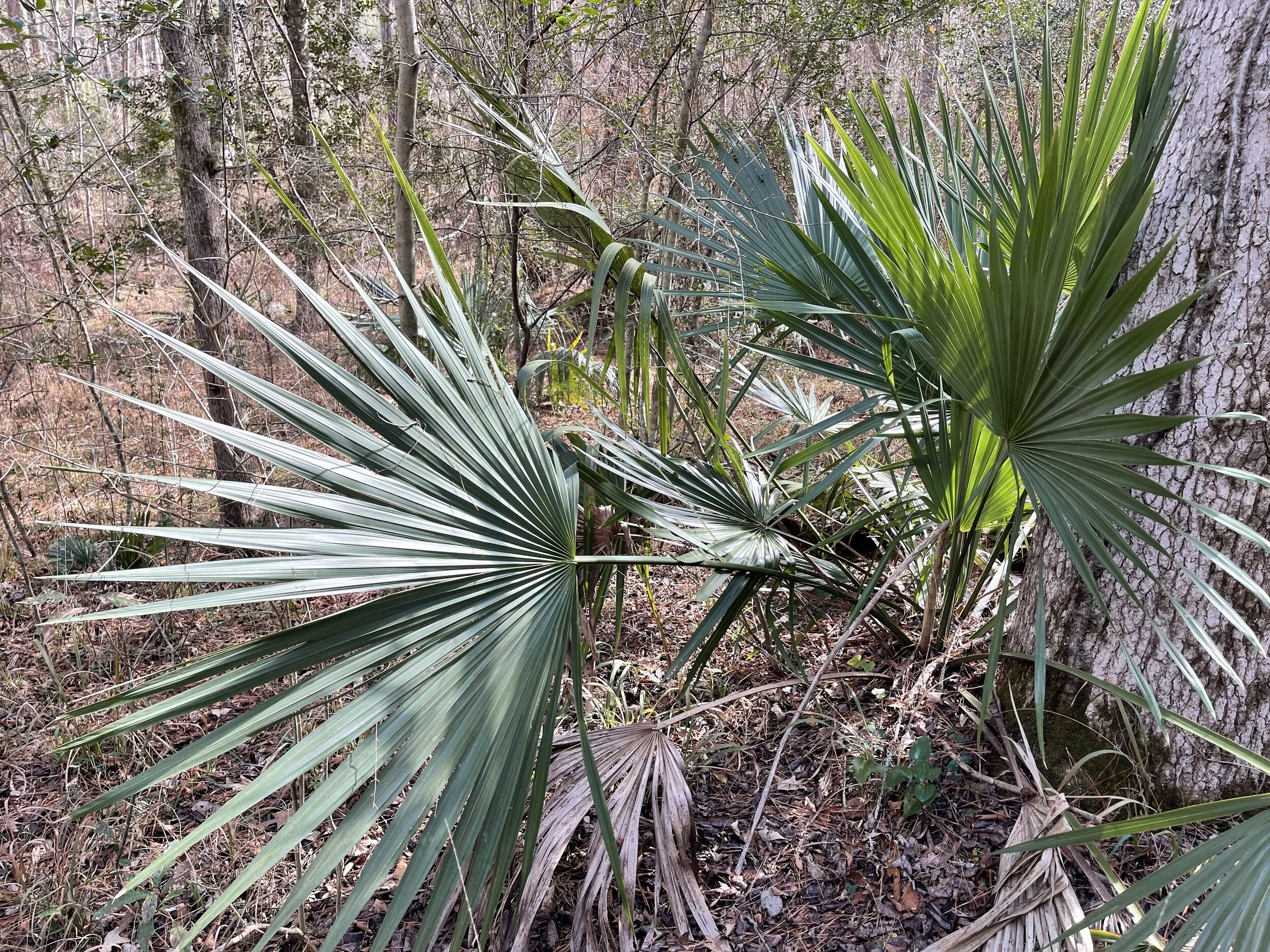
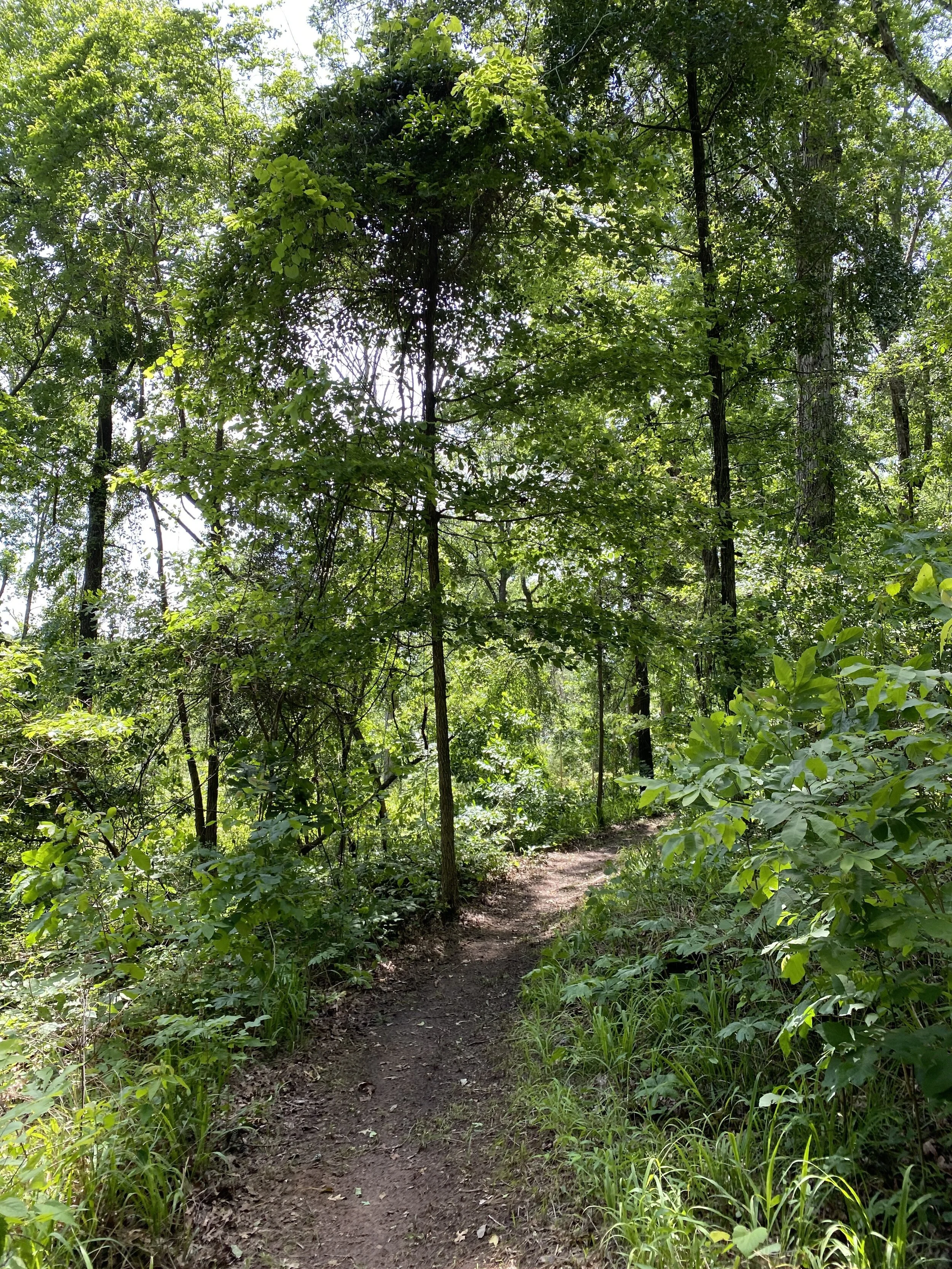
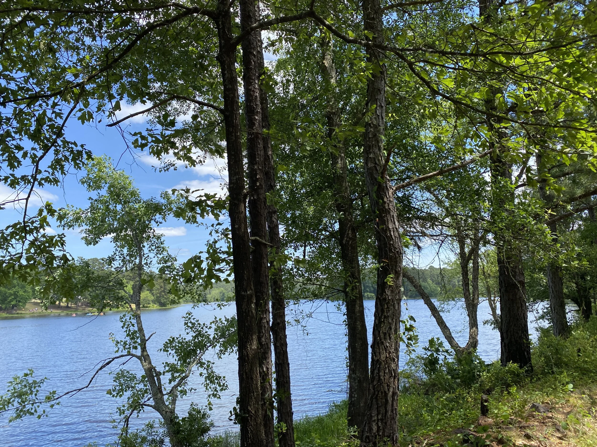
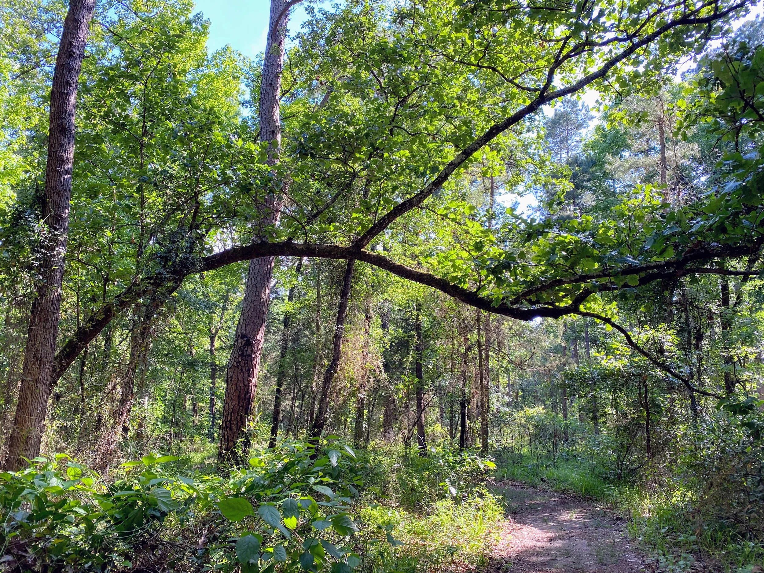
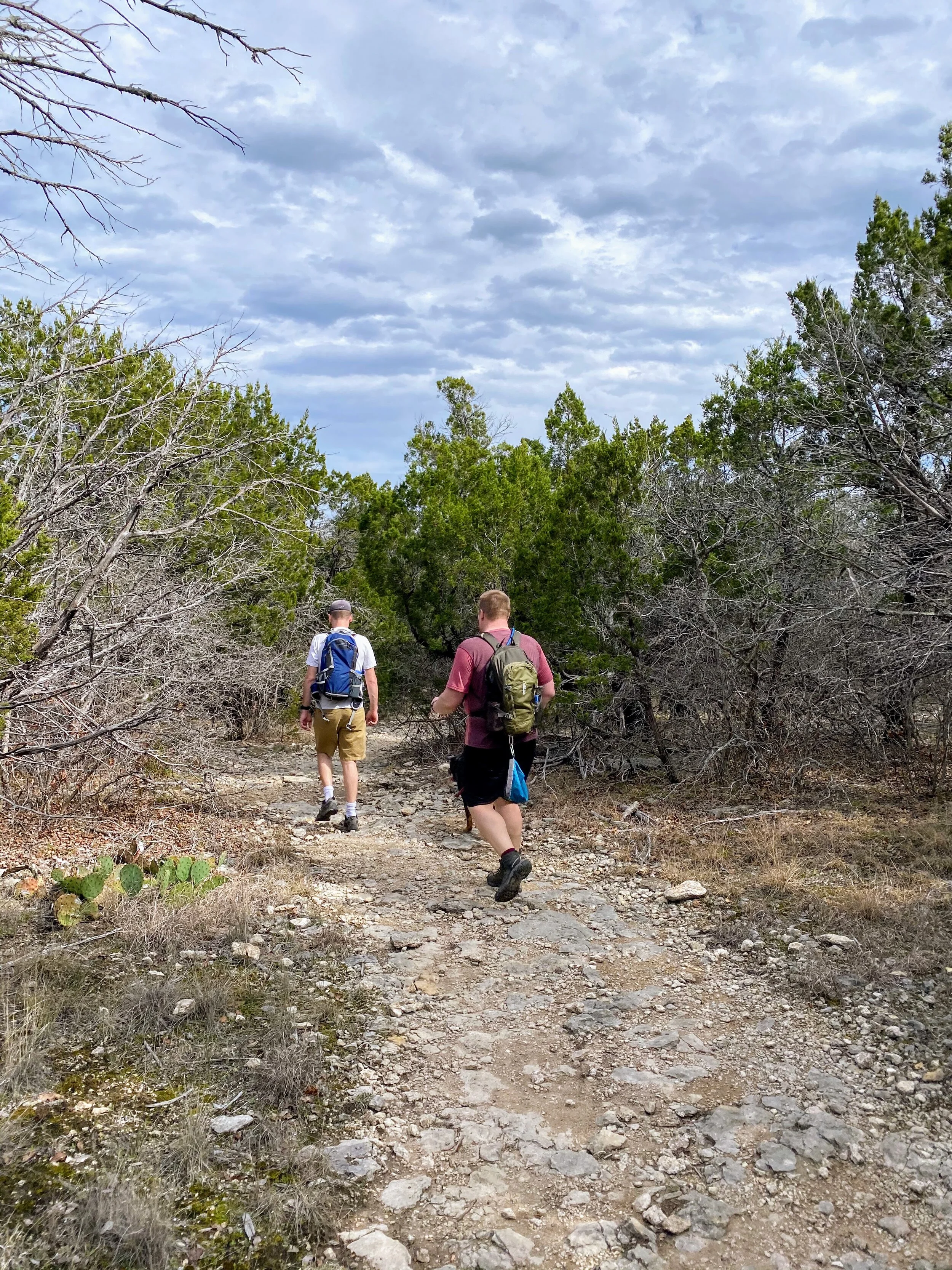
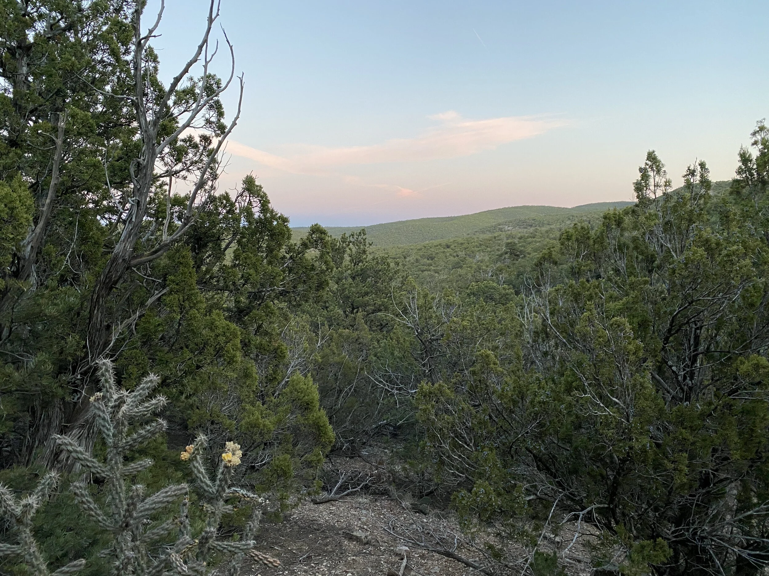
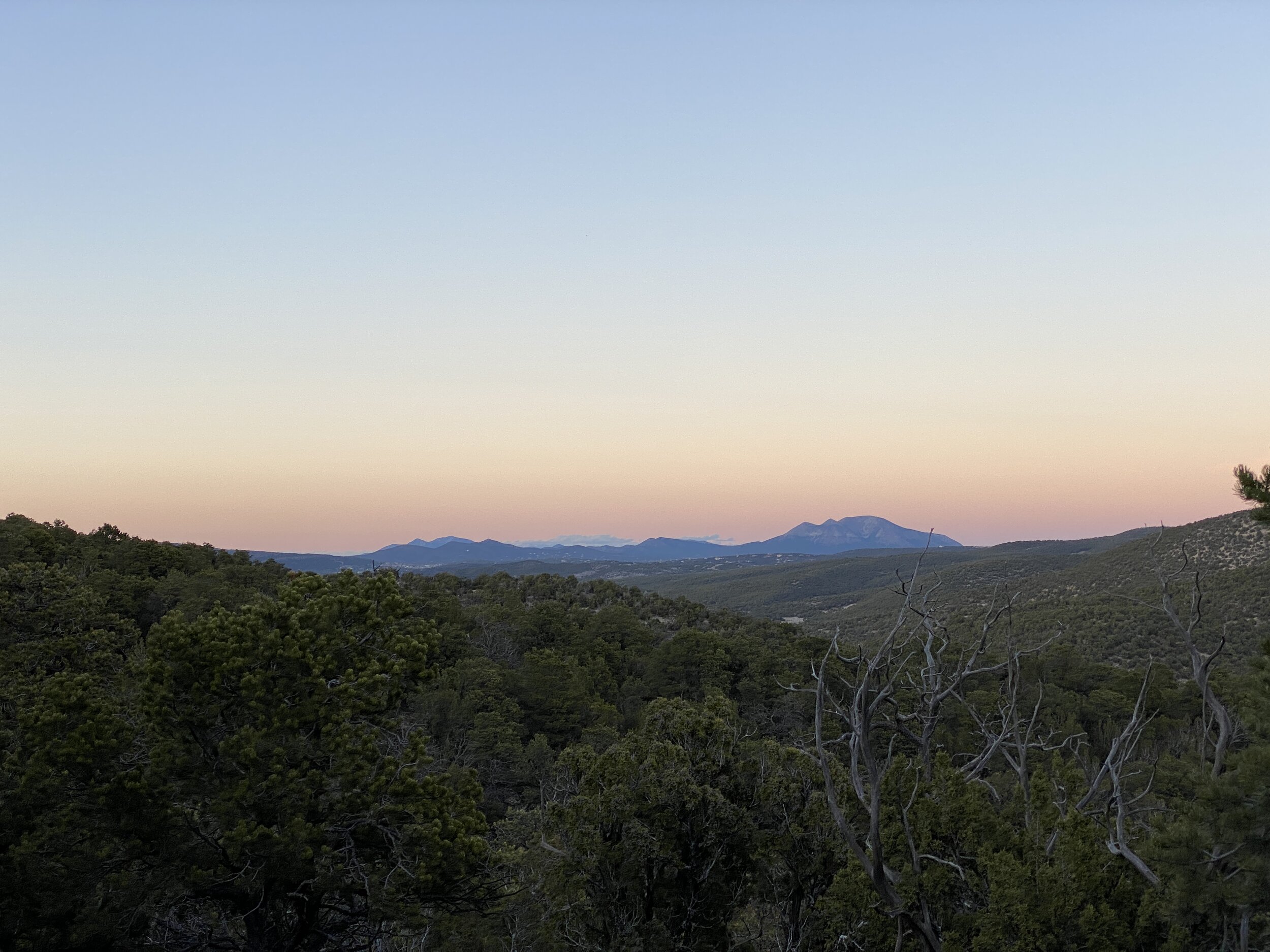
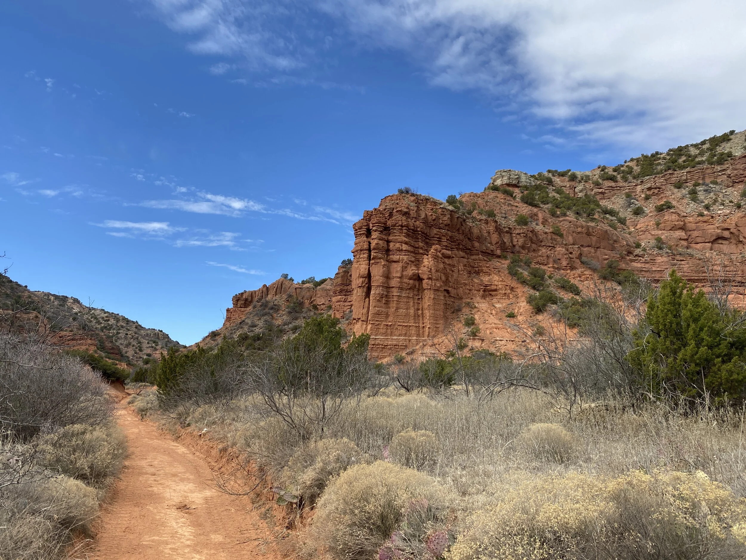
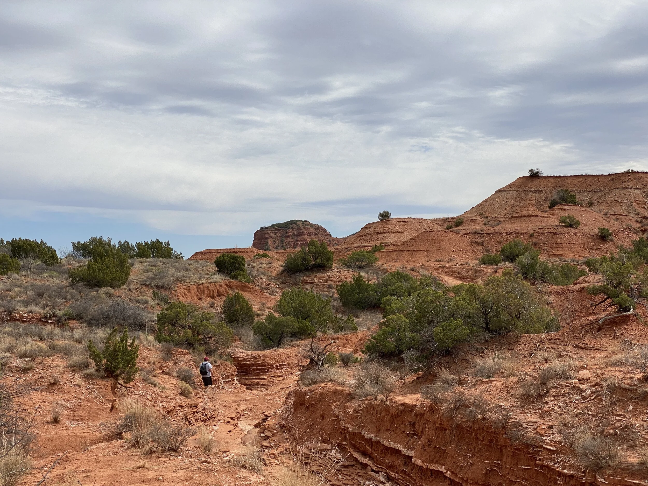
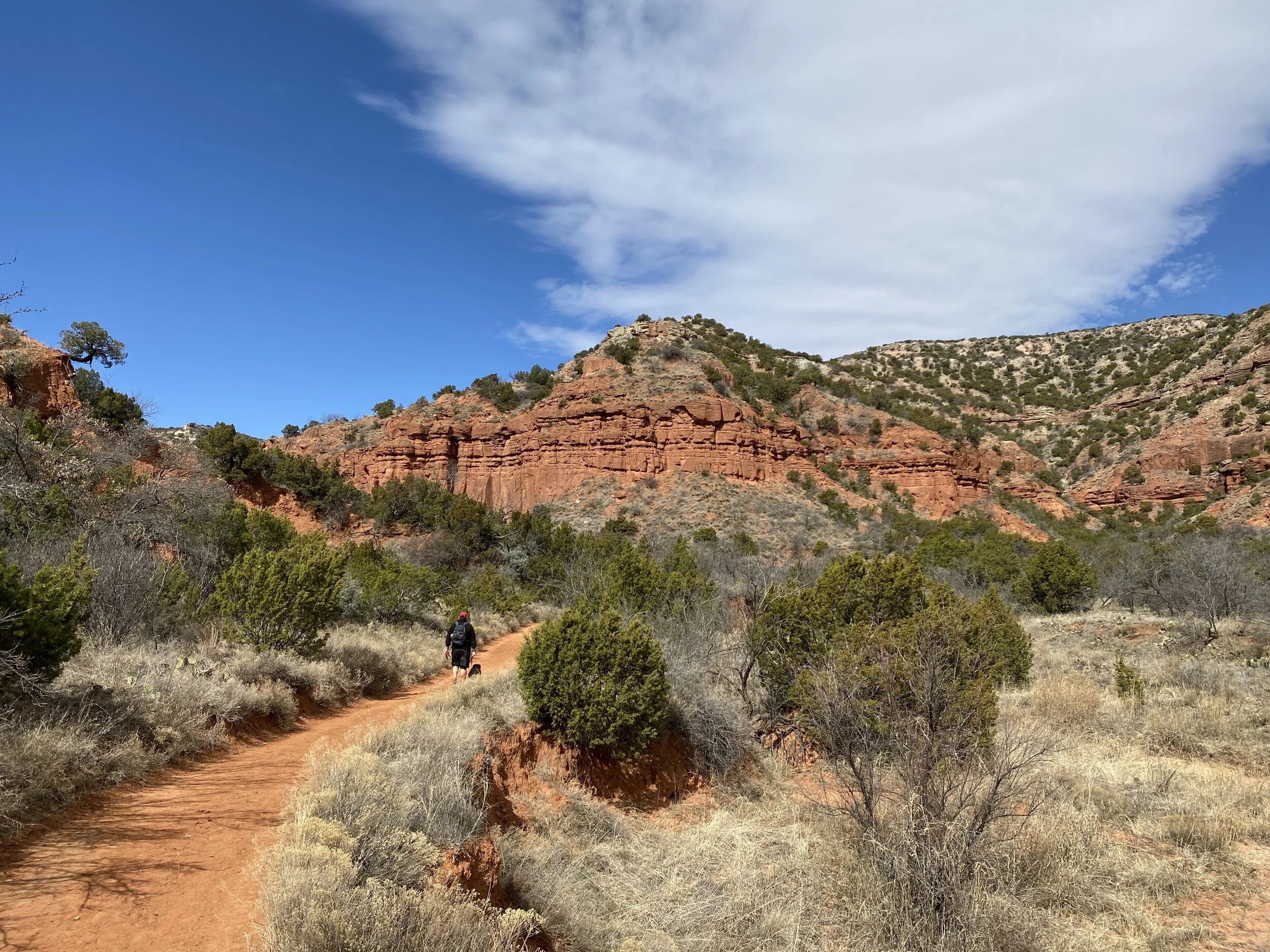
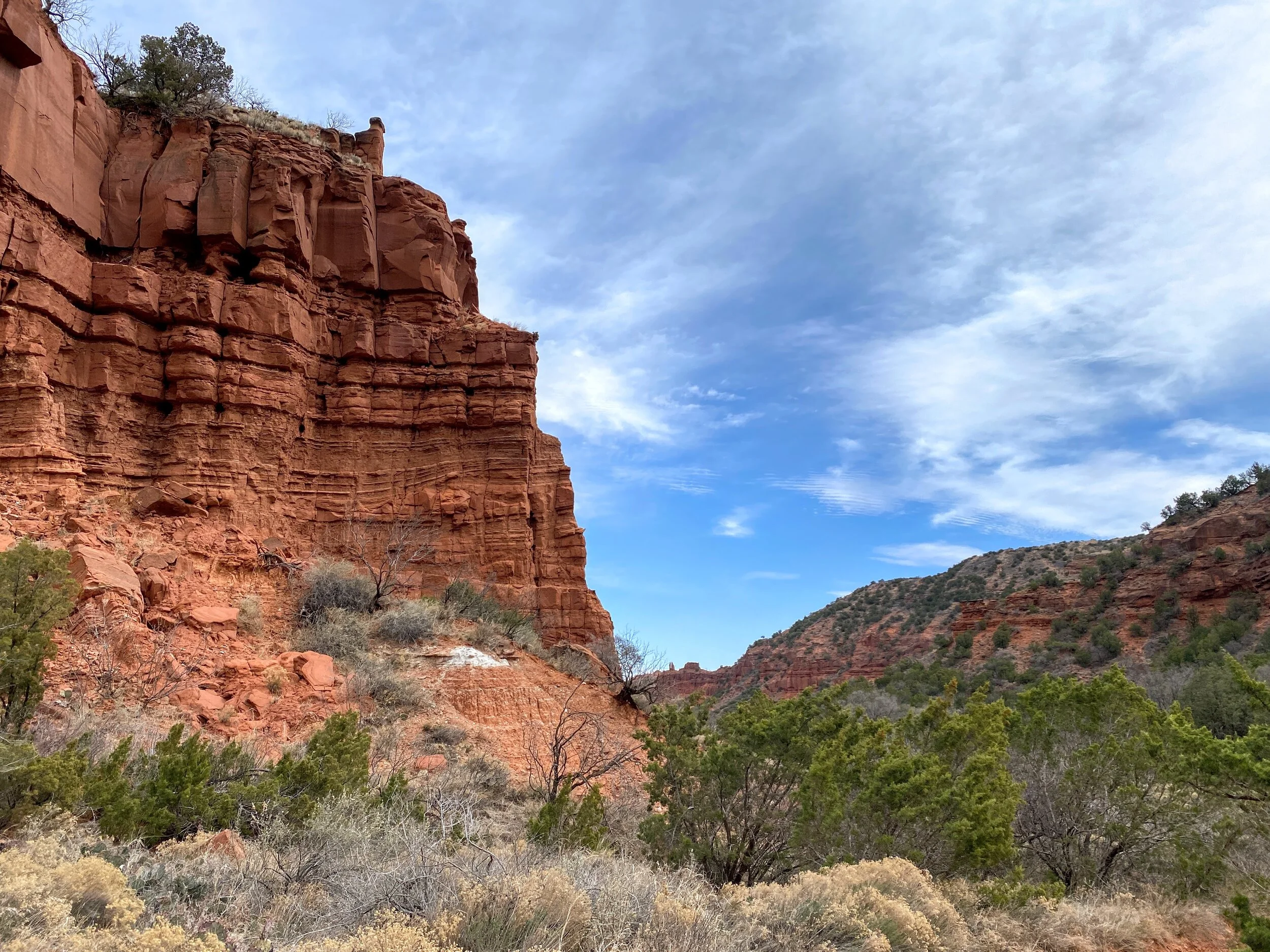
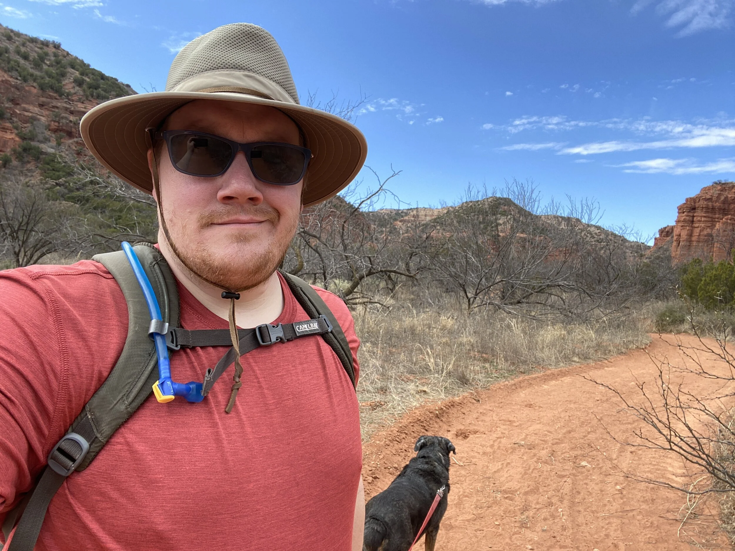
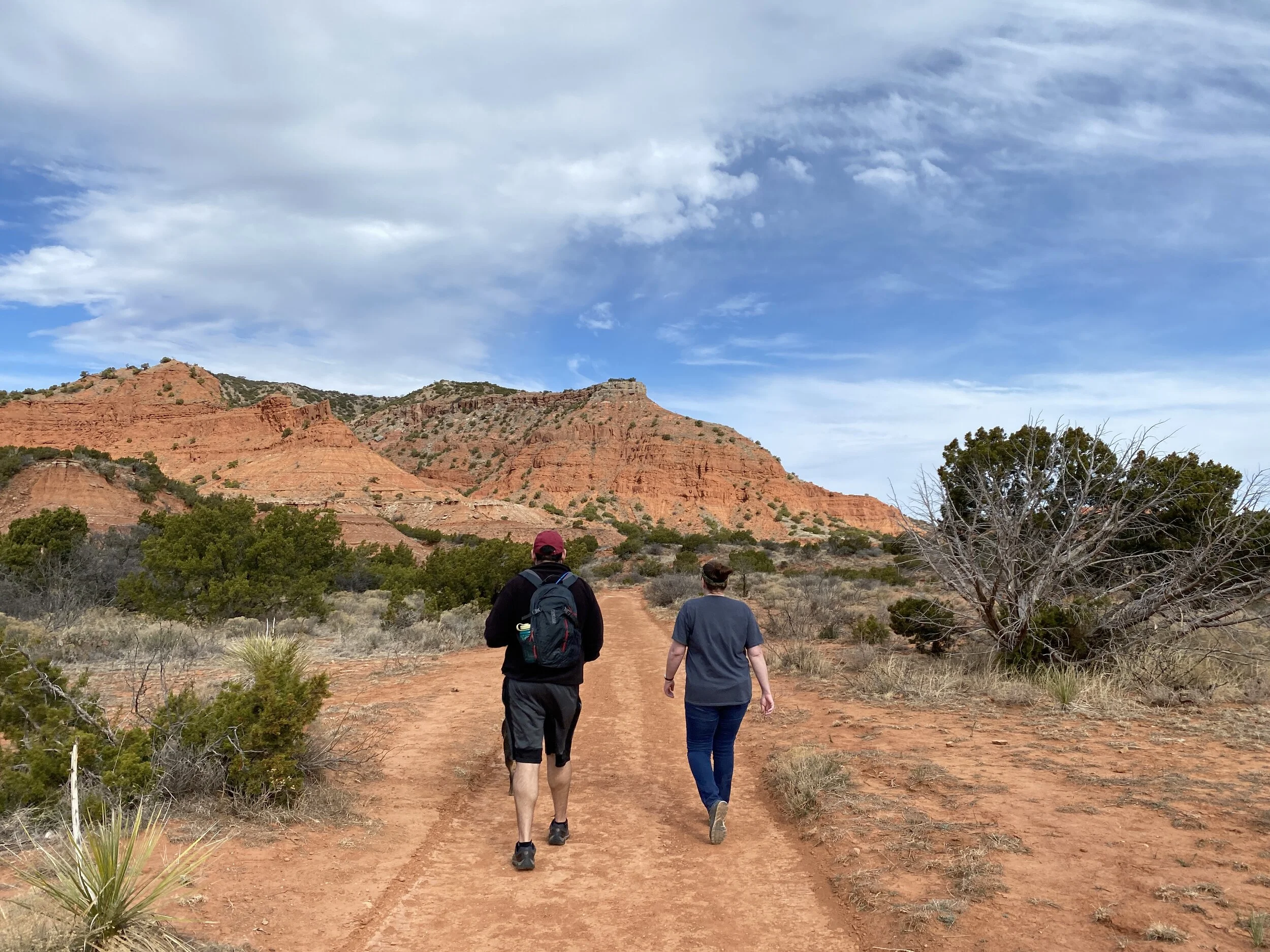
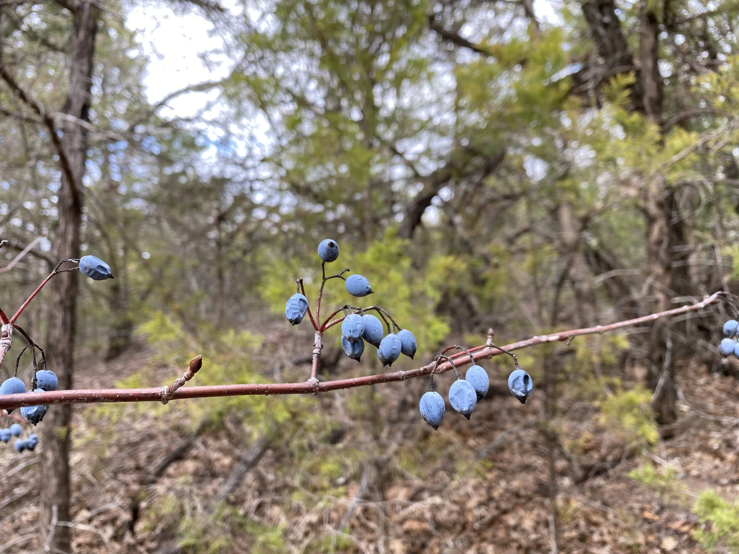
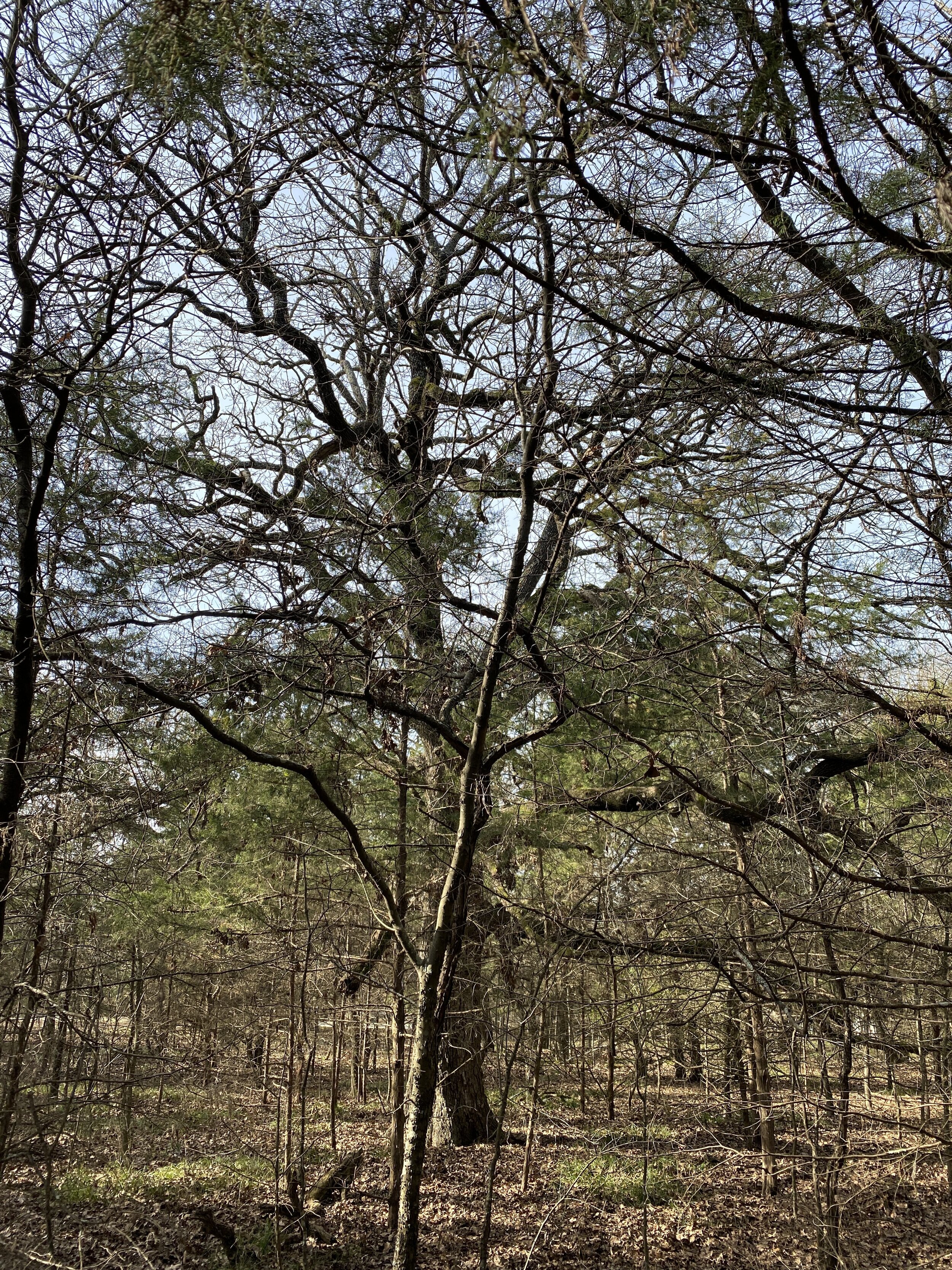
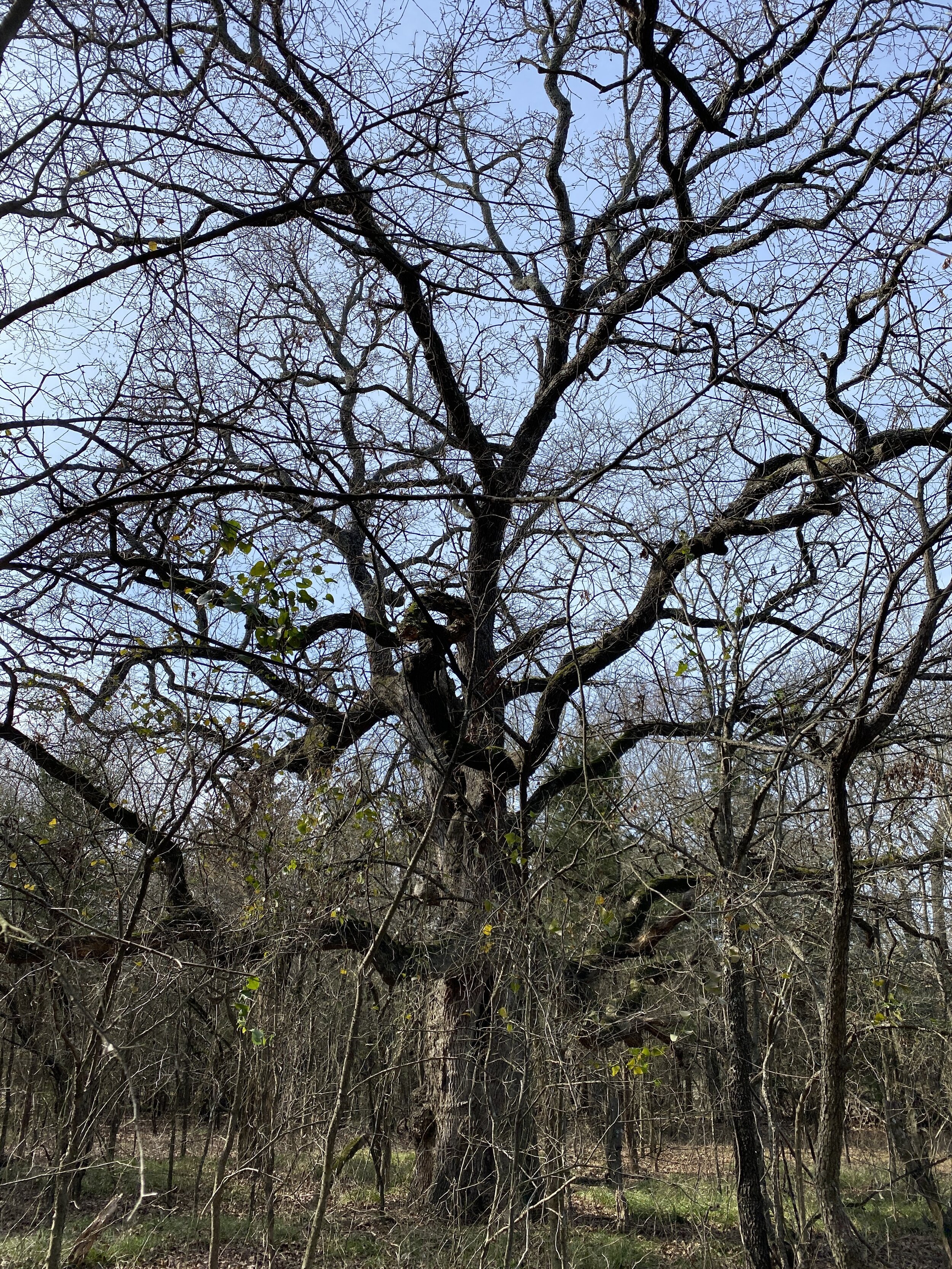
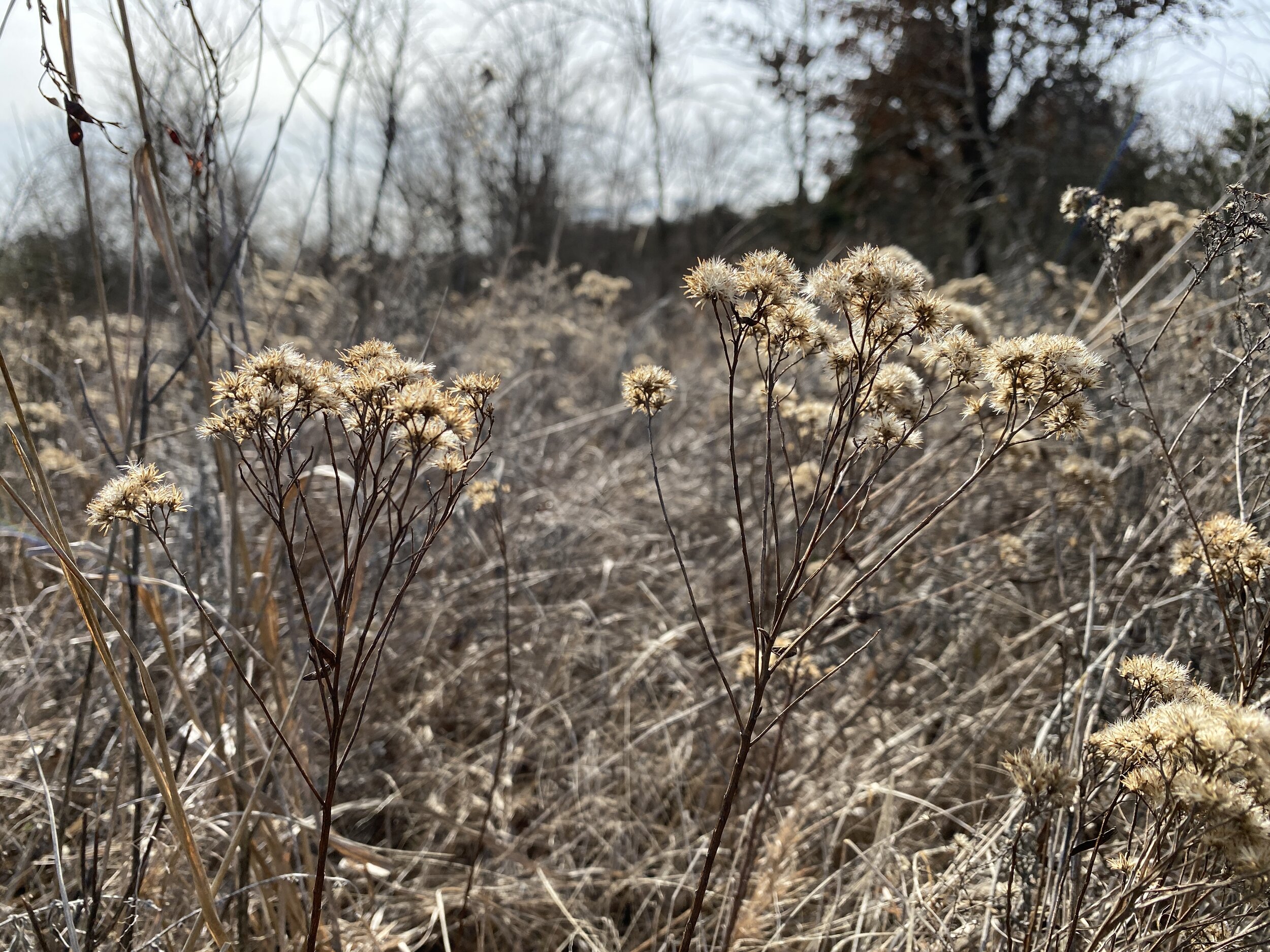
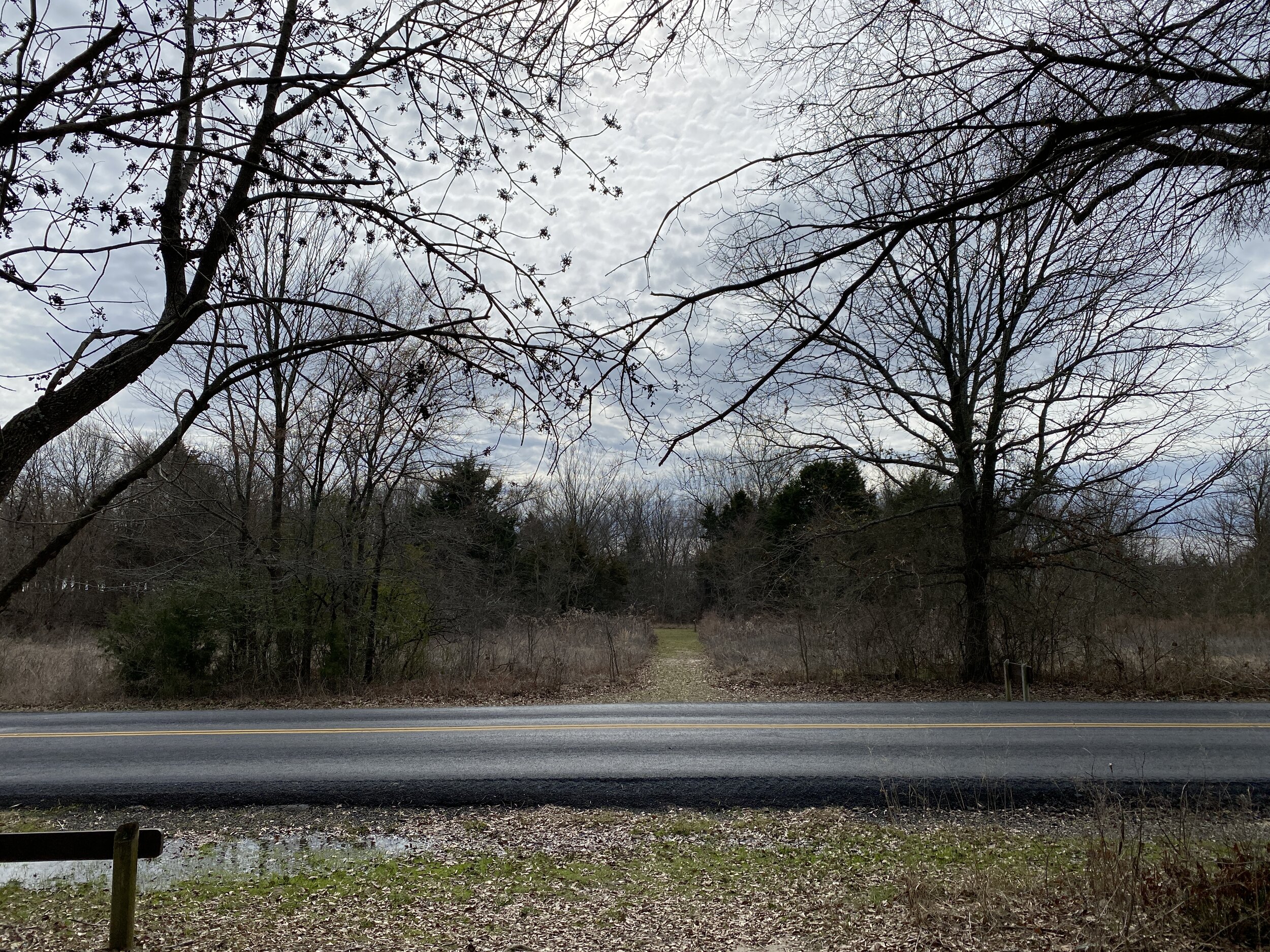
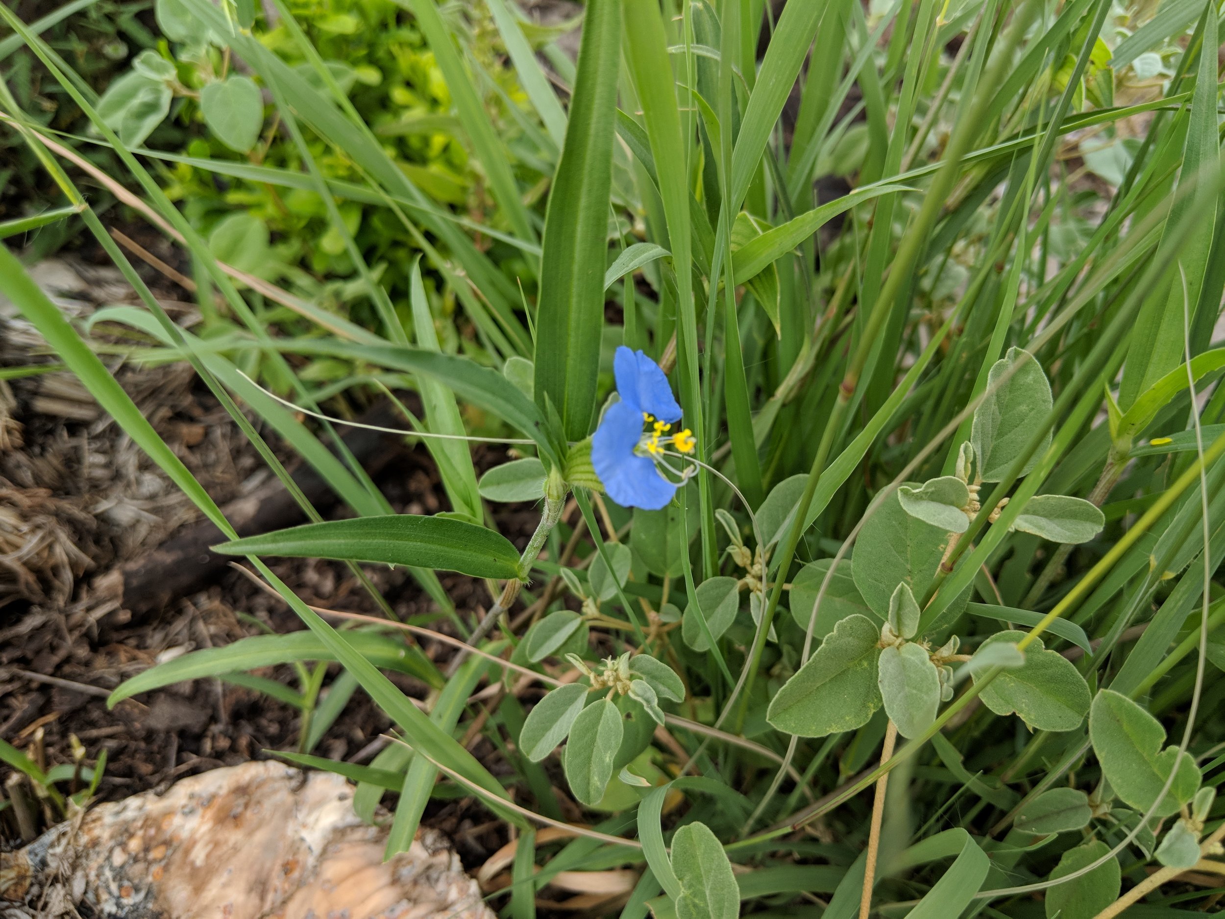
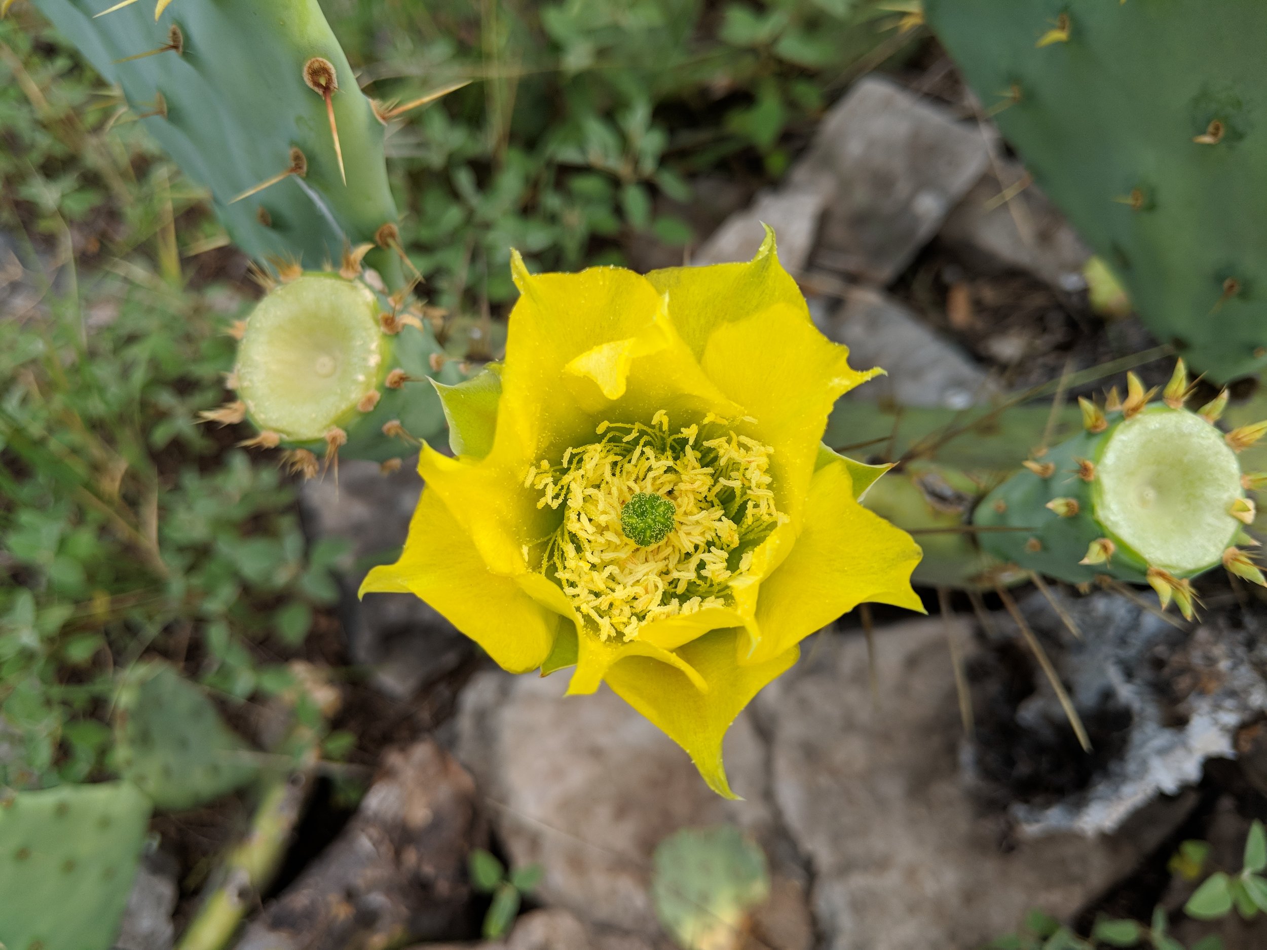
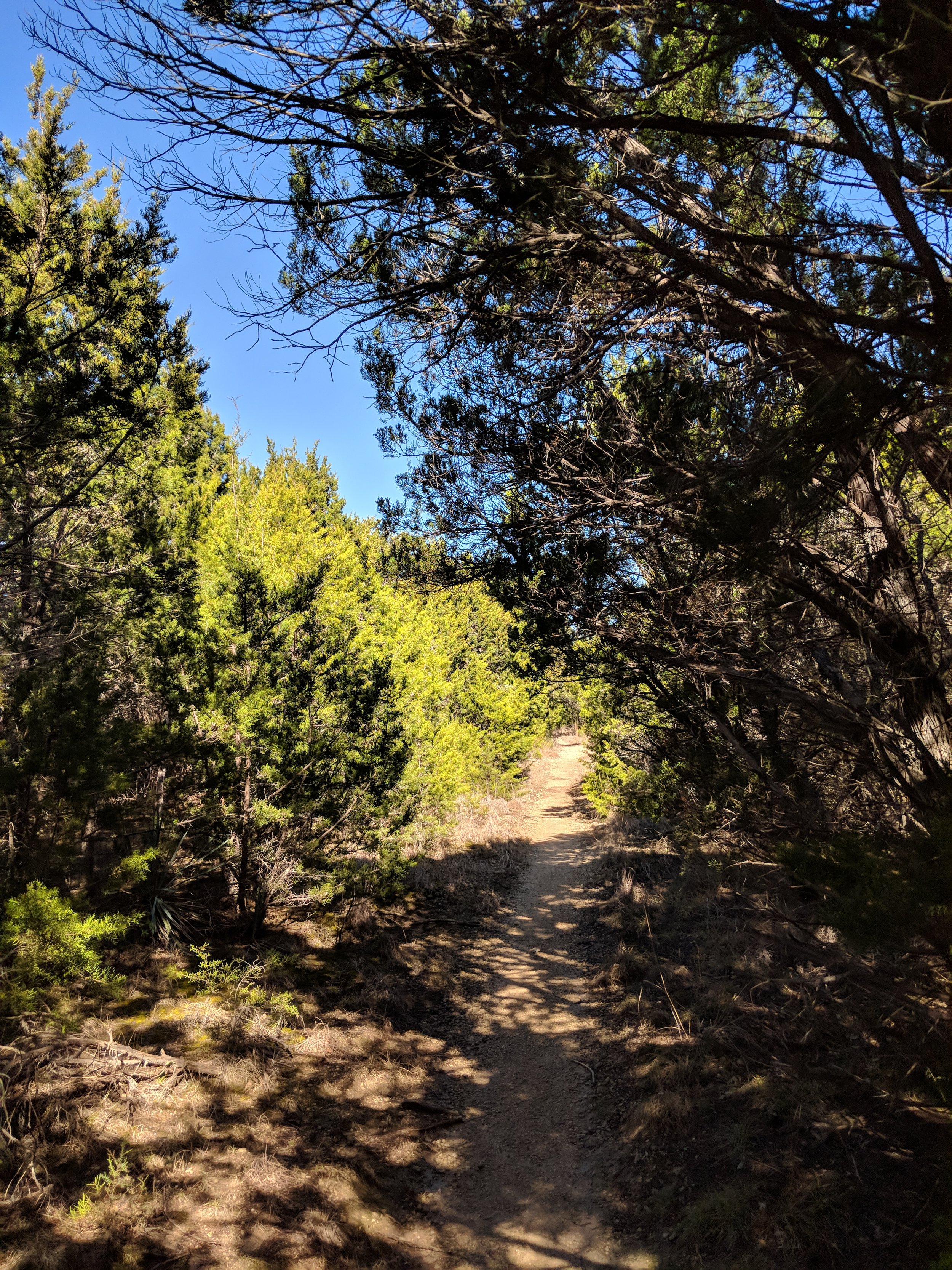
Activity 5/52 - Hike - Caprock Canyons State Park (Quitaque, TX)
Distance/Time: 3.07 miles
Trail: Hanes Ridge Overlook
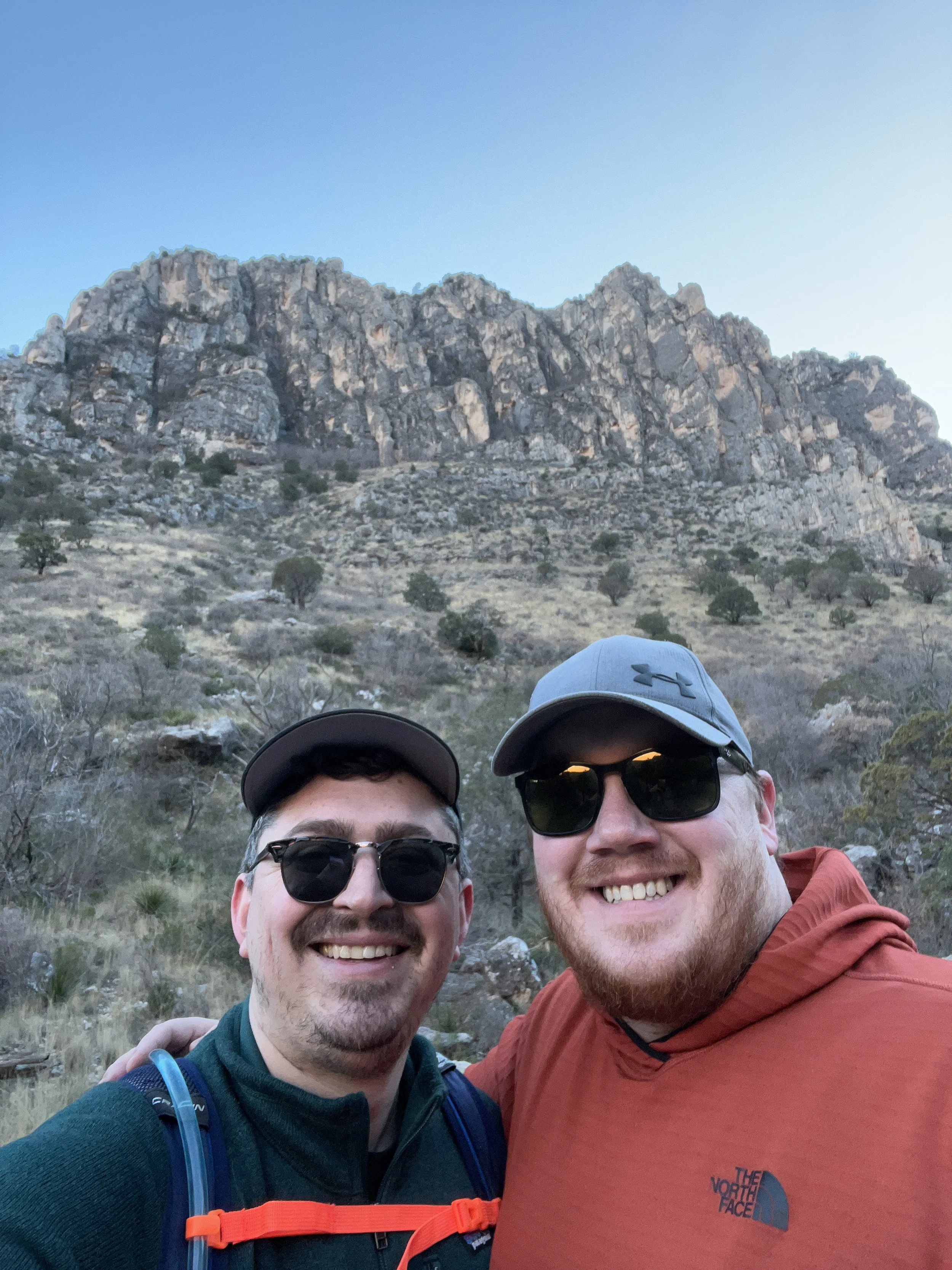
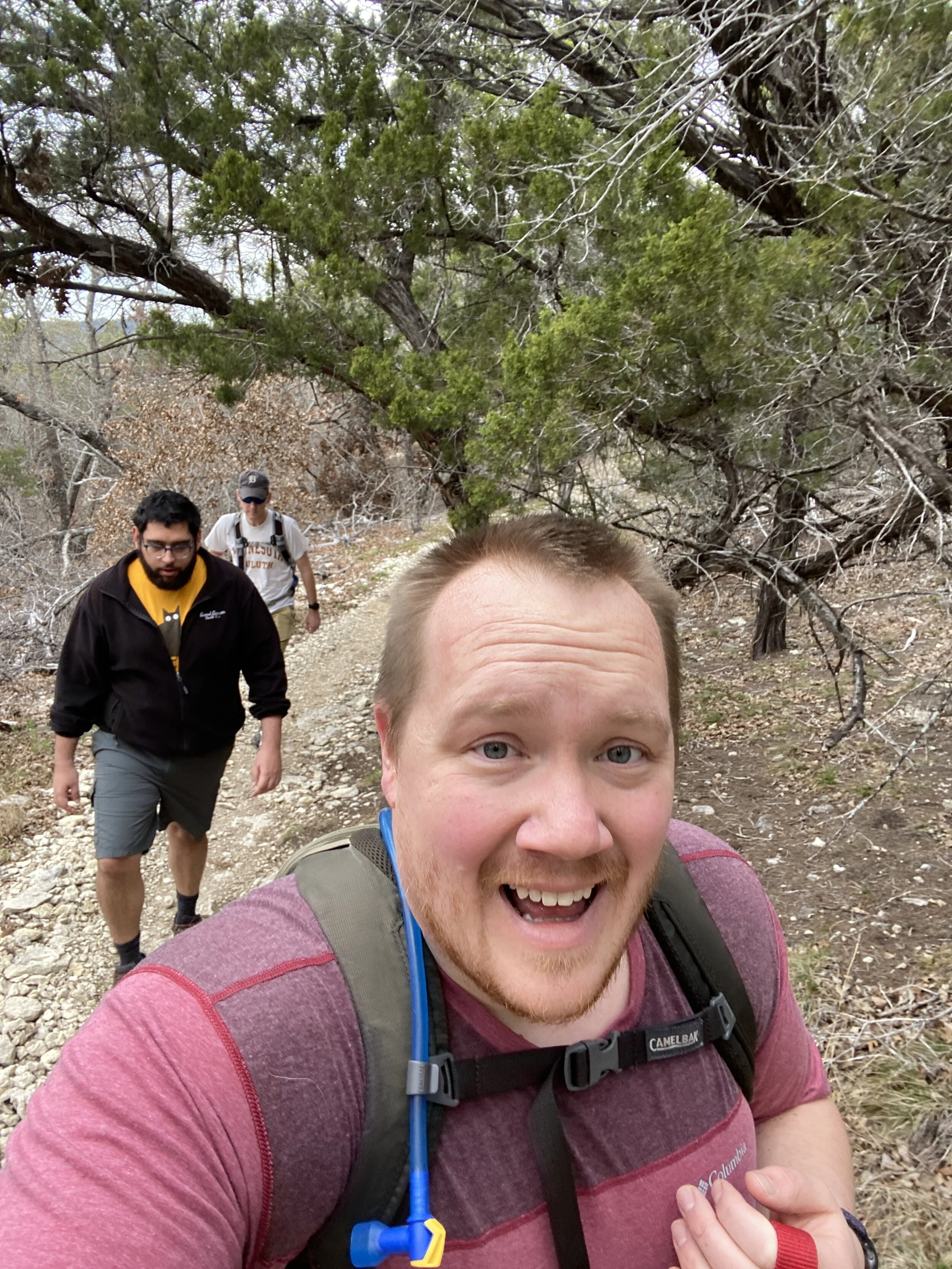
I’ve hiked at Caprock Canyons many times, but I’ve never hiked this trail! It was straight up, about 600 feet, over rocks and dirt. We stopped many times to take in the view, catch our breath, and get a drink. Once up the most steep part, we had an amazing view above the ridges in the park. The hike is worth the effort, I promise.
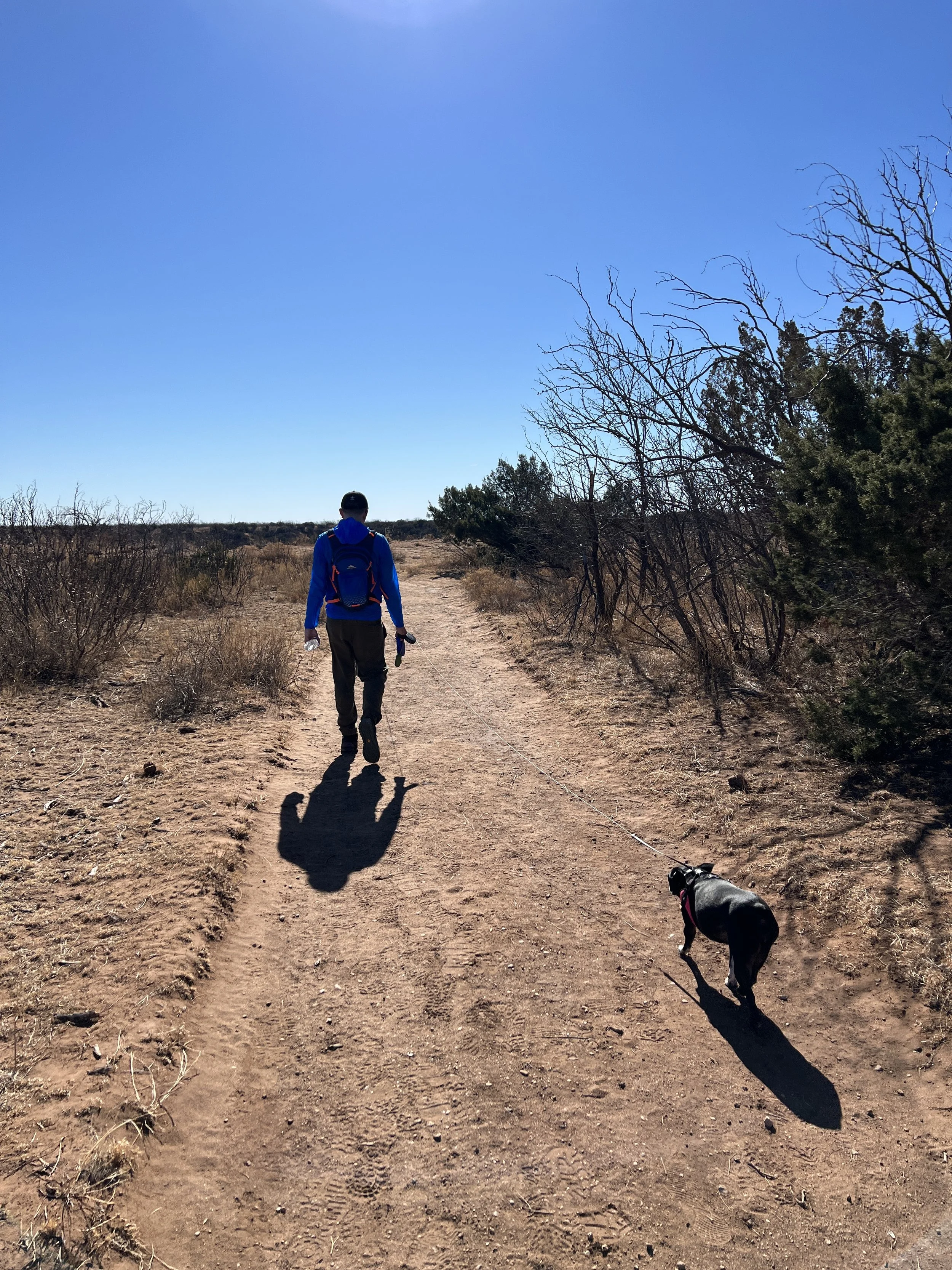
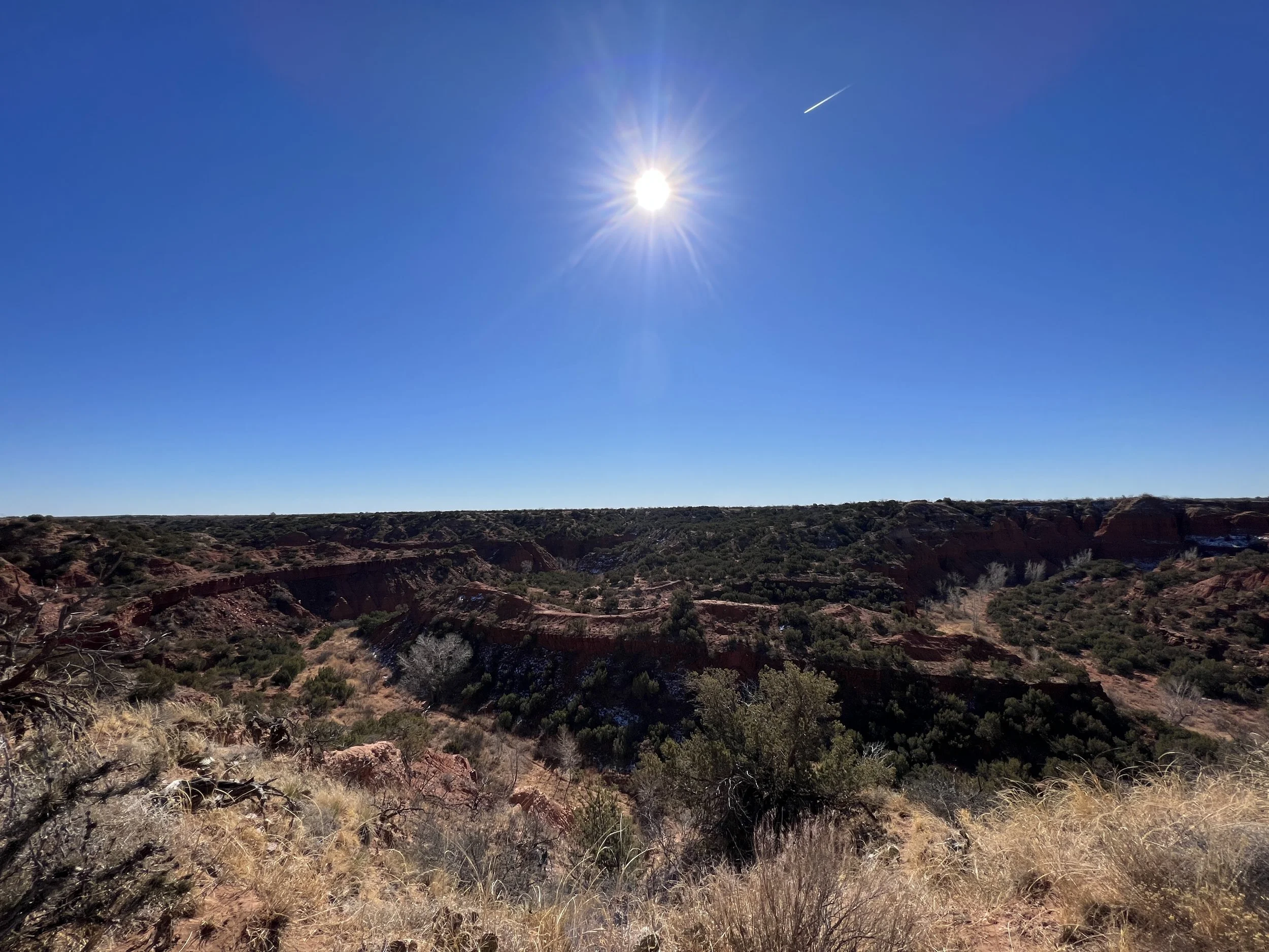
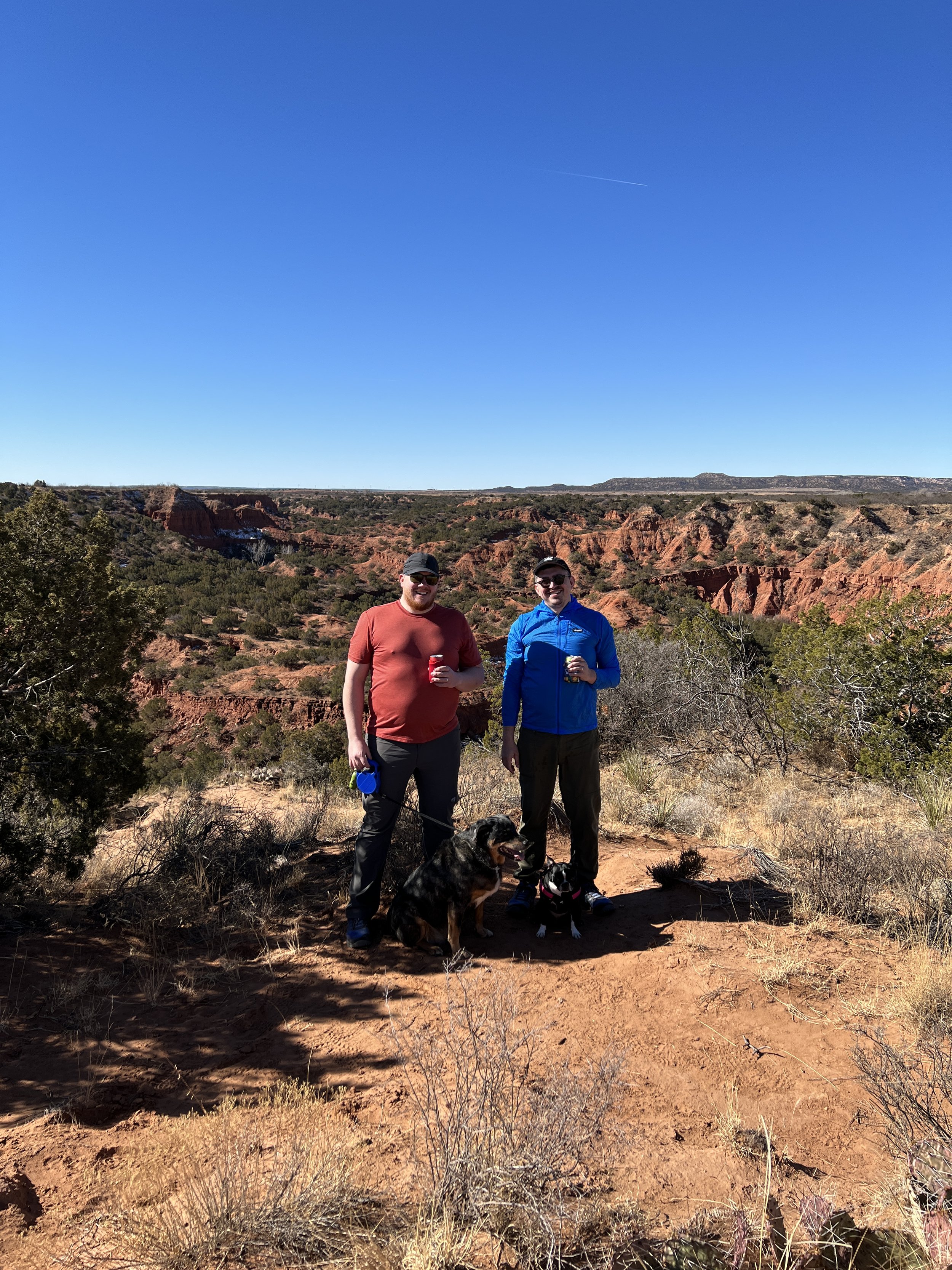
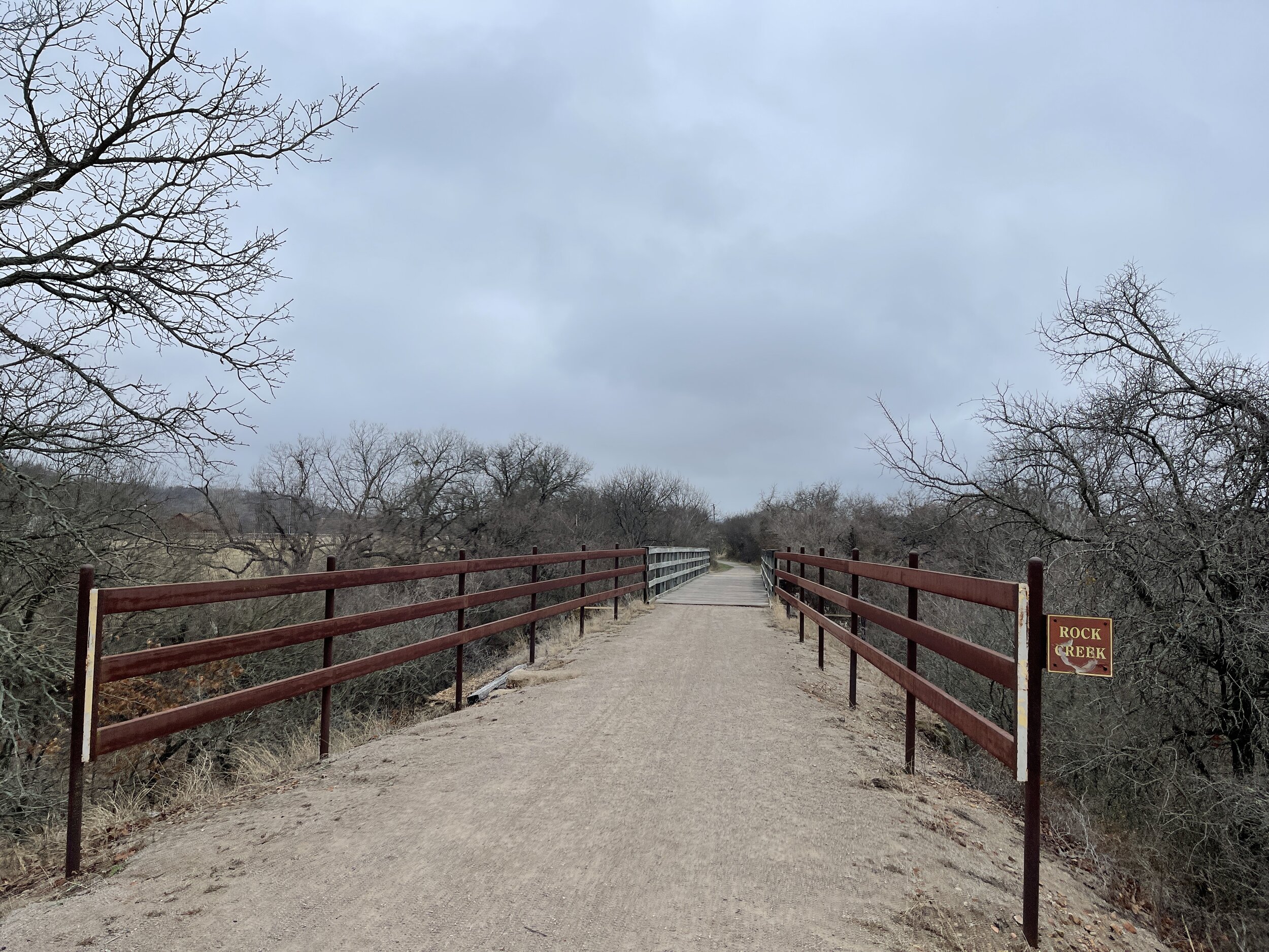
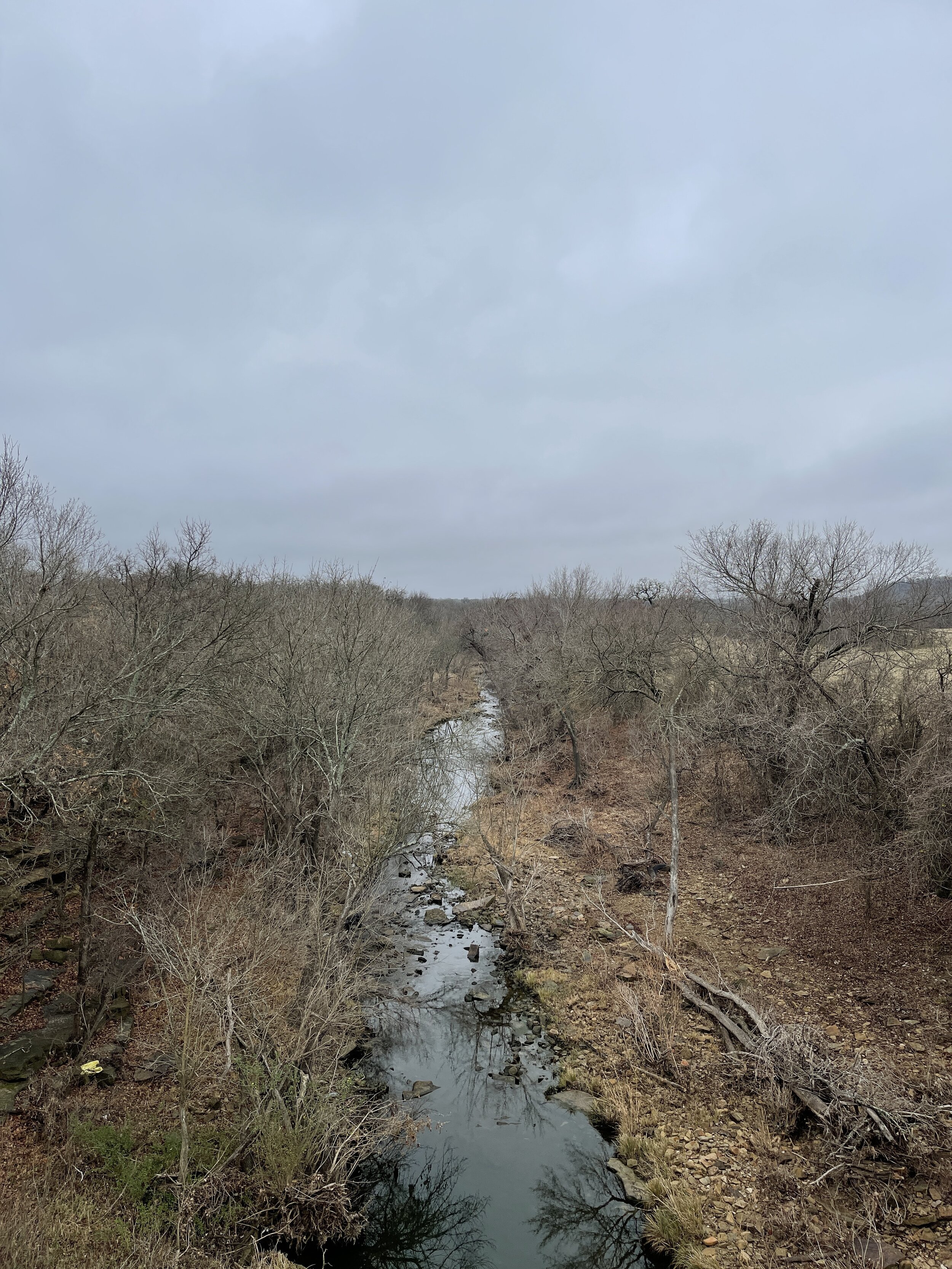
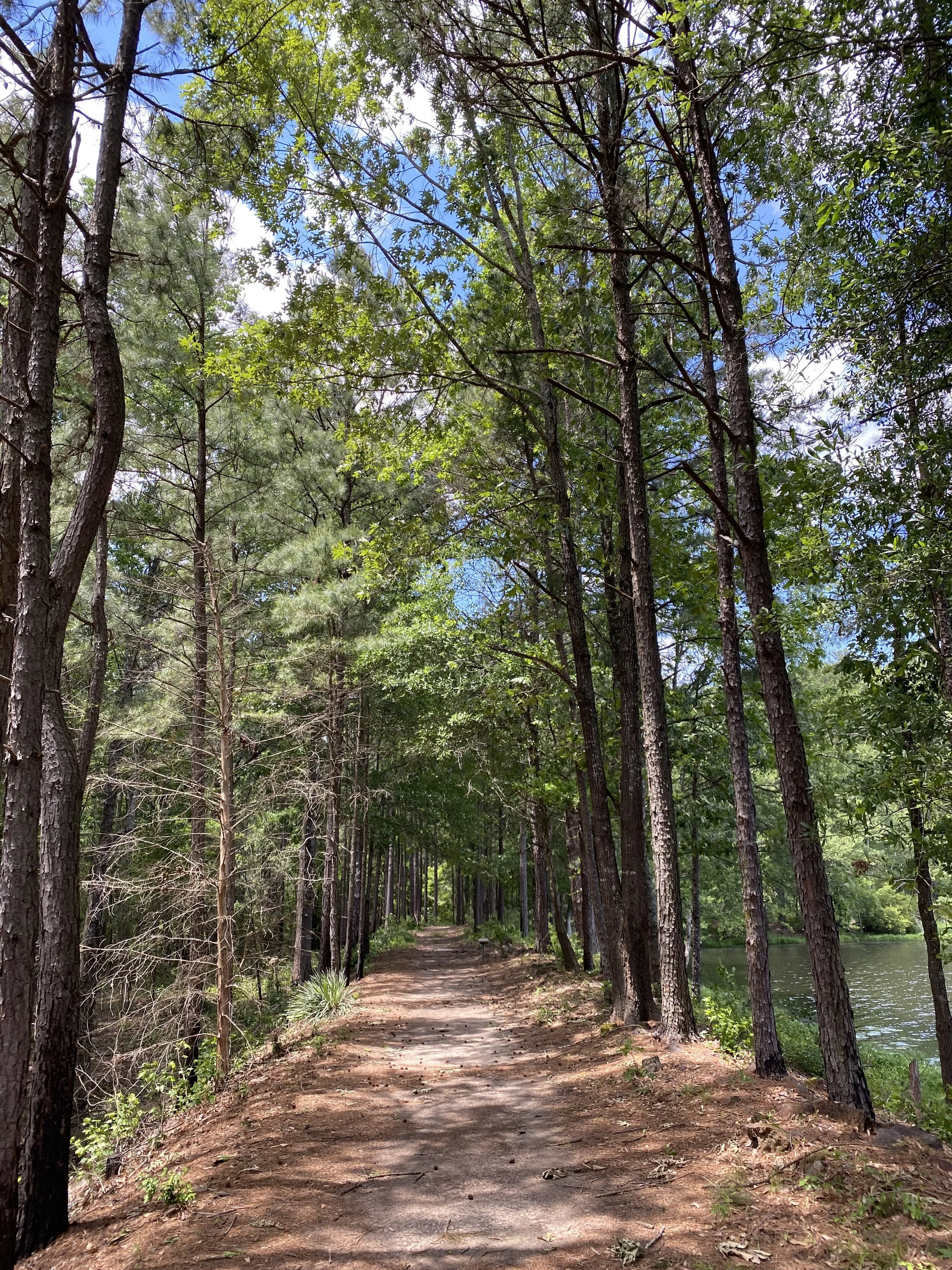
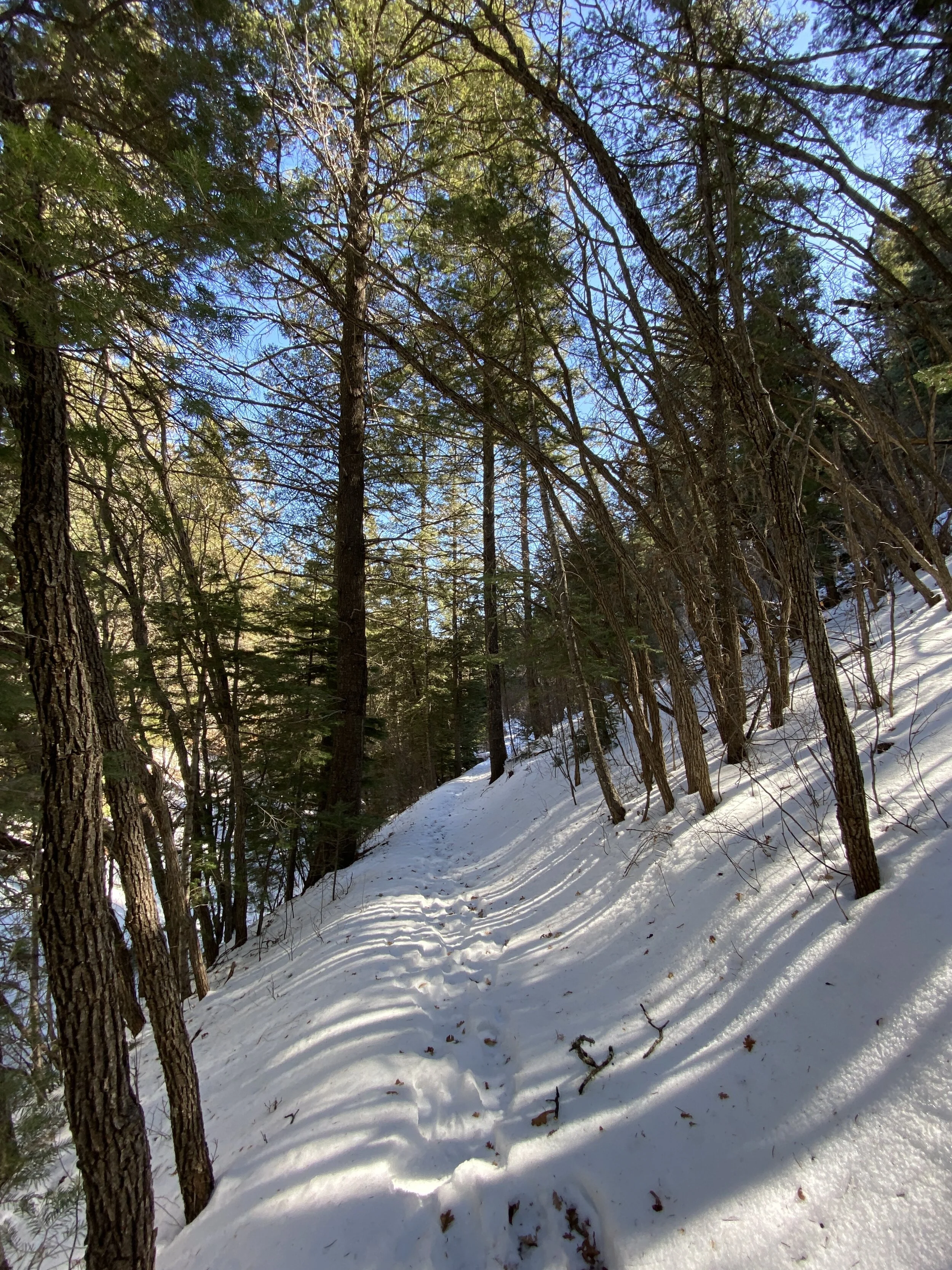
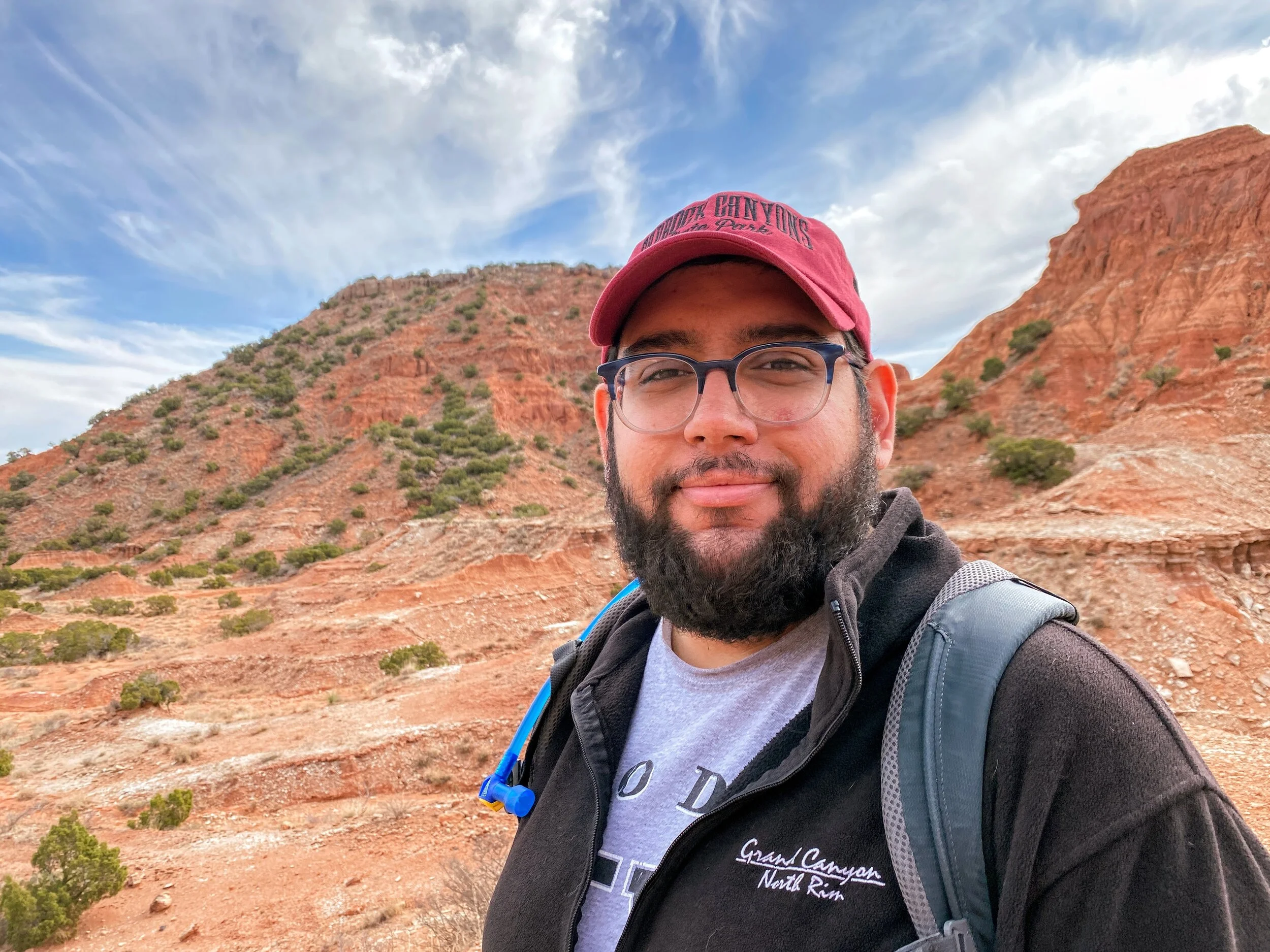
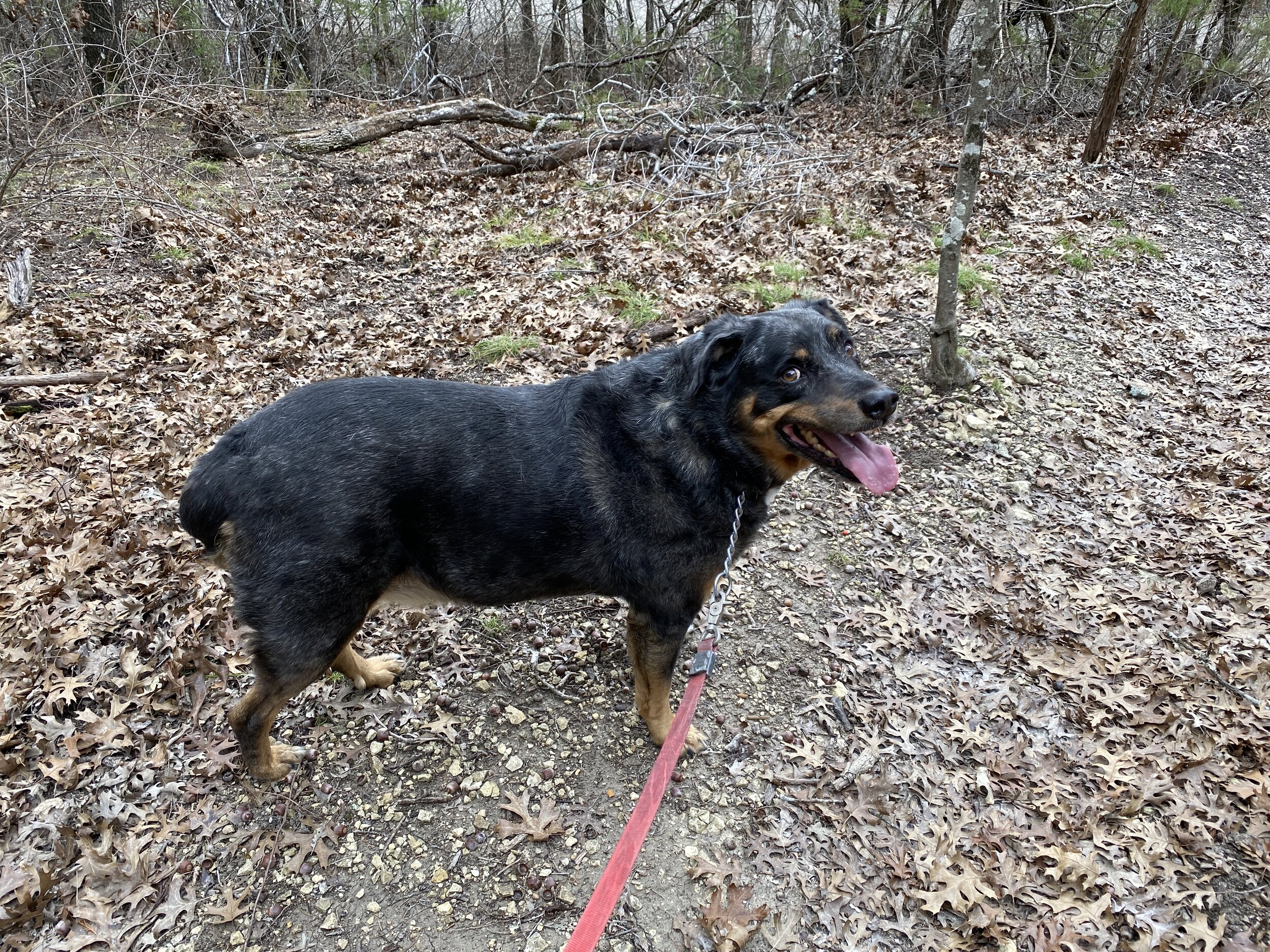
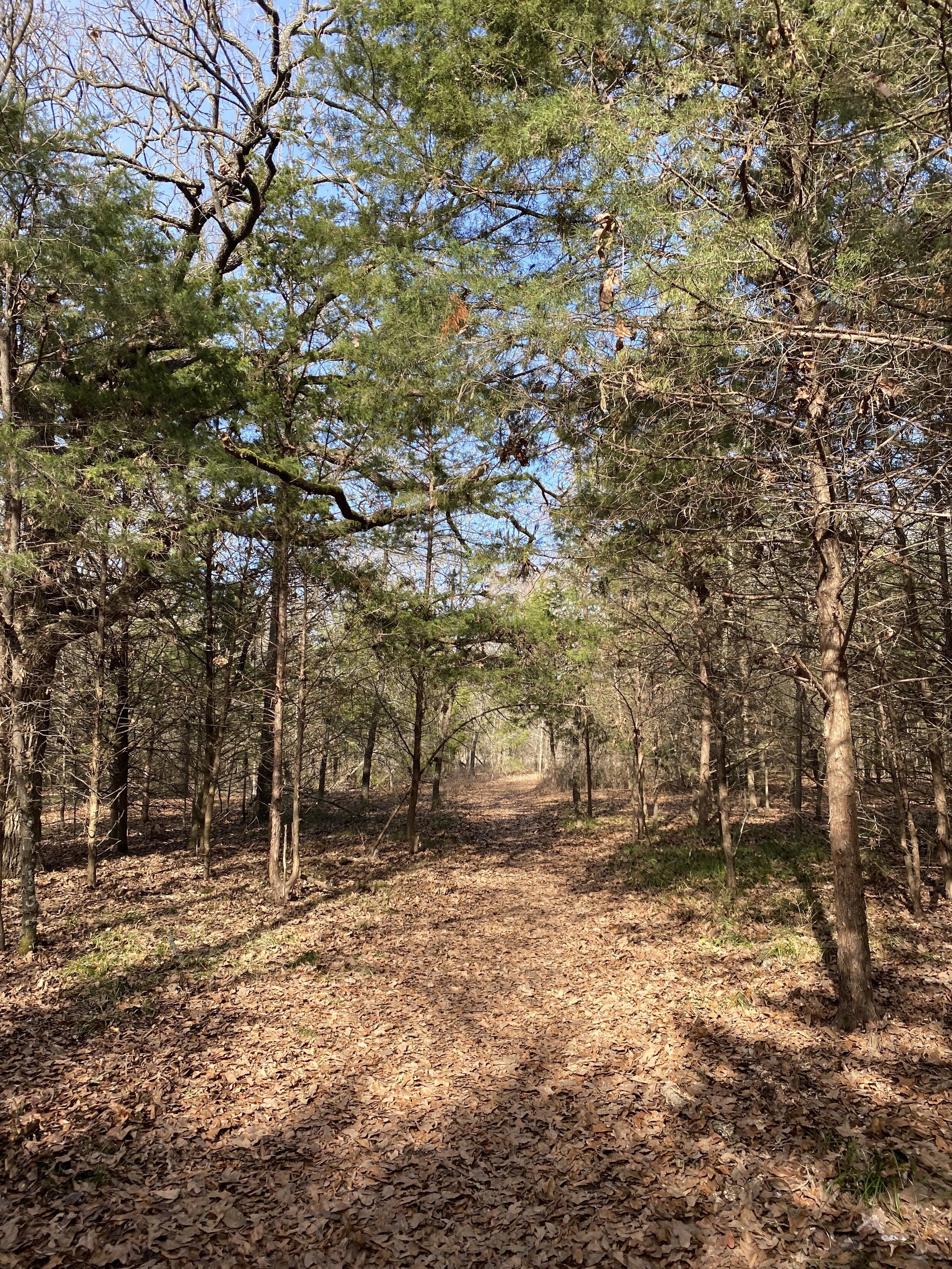
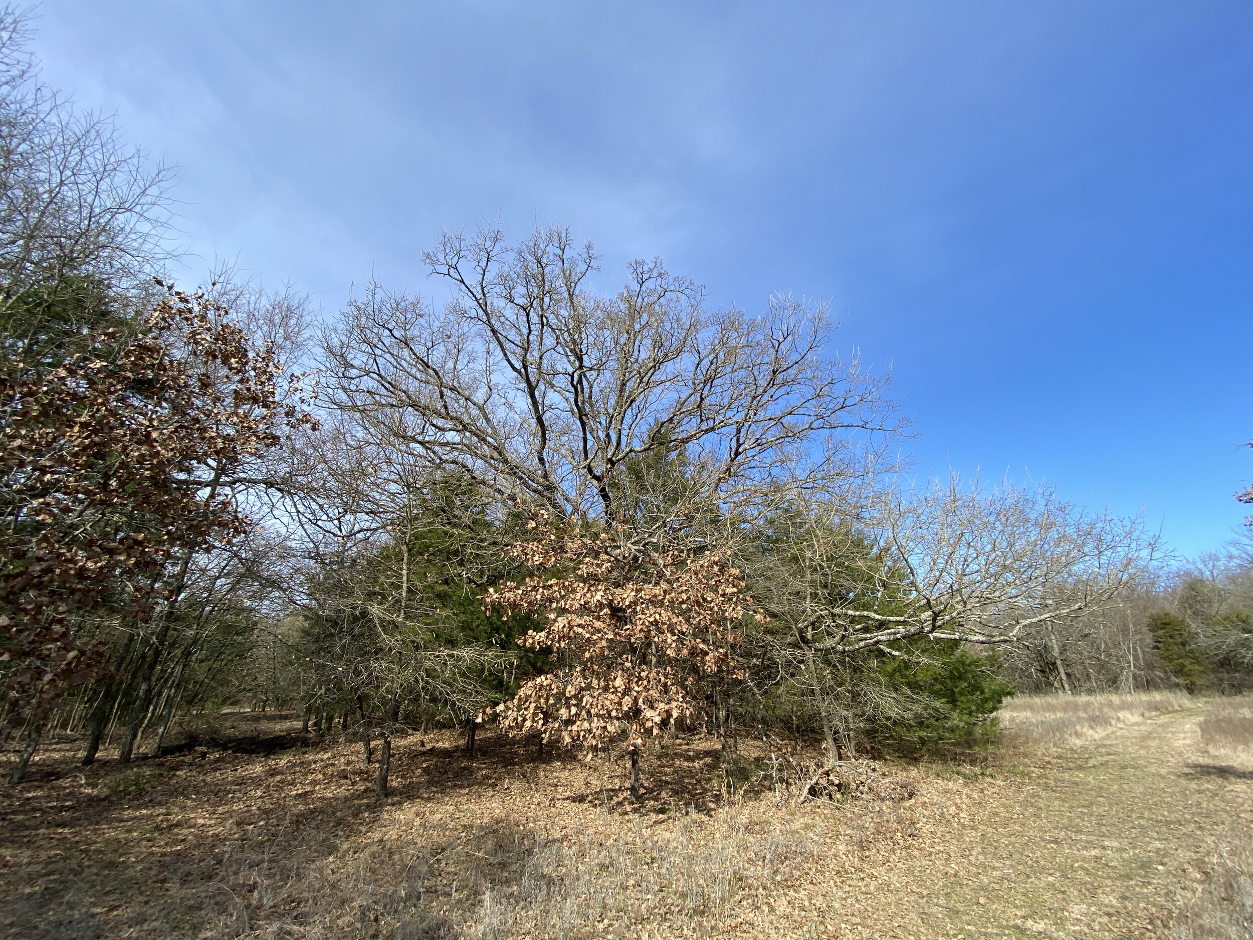
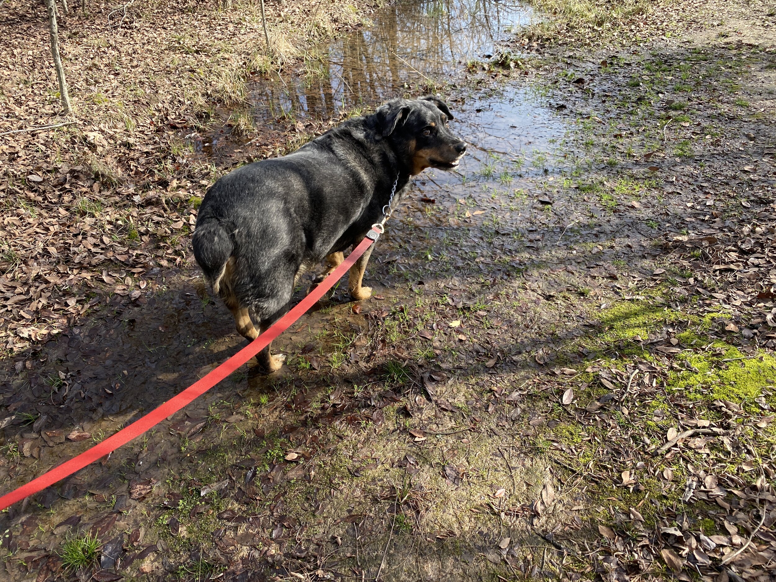
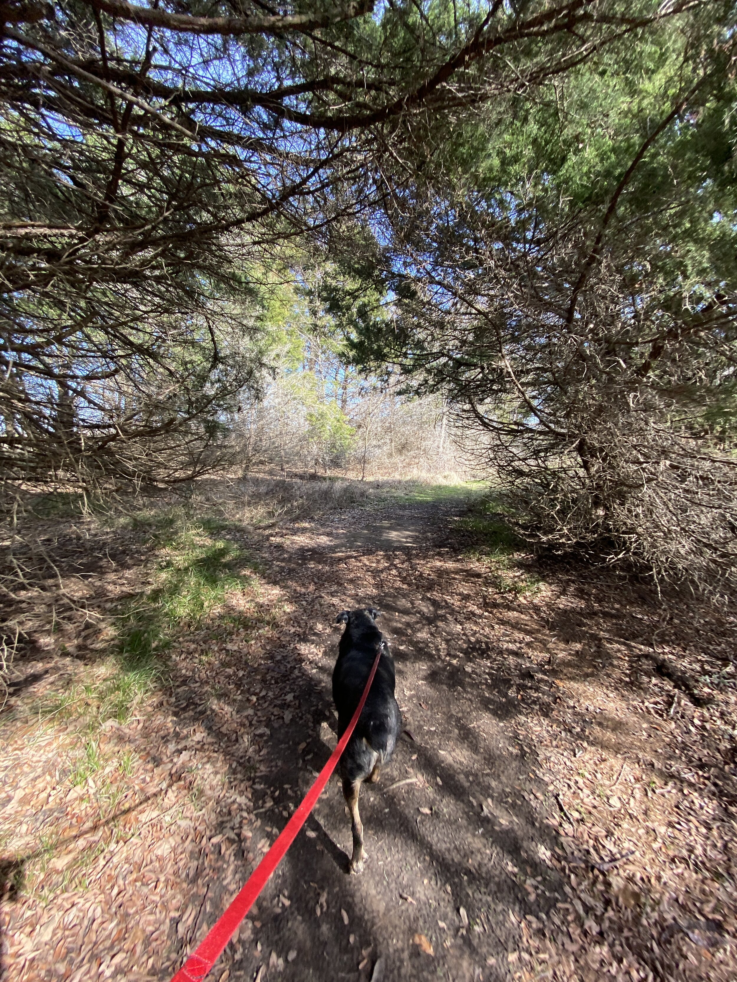
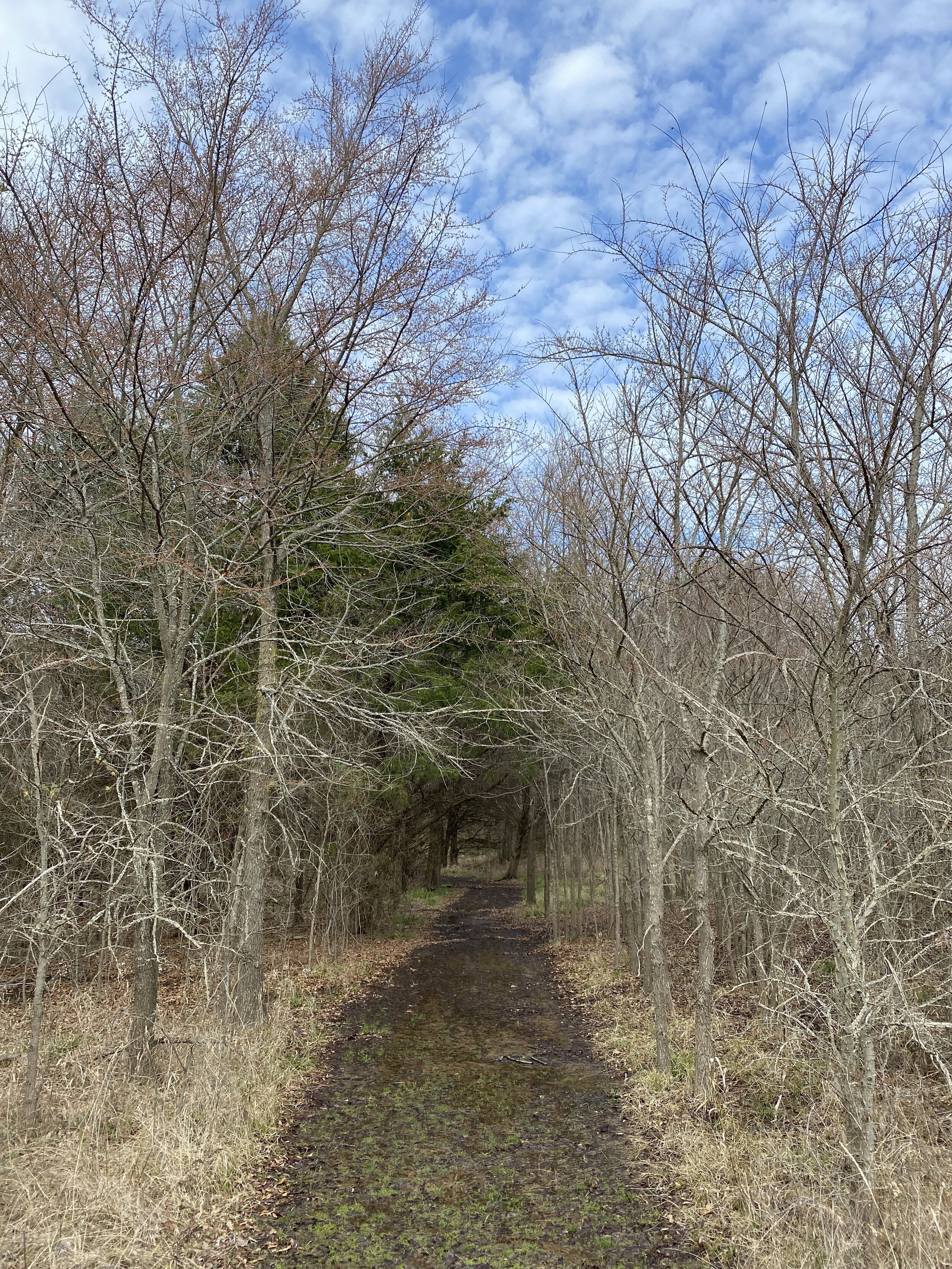
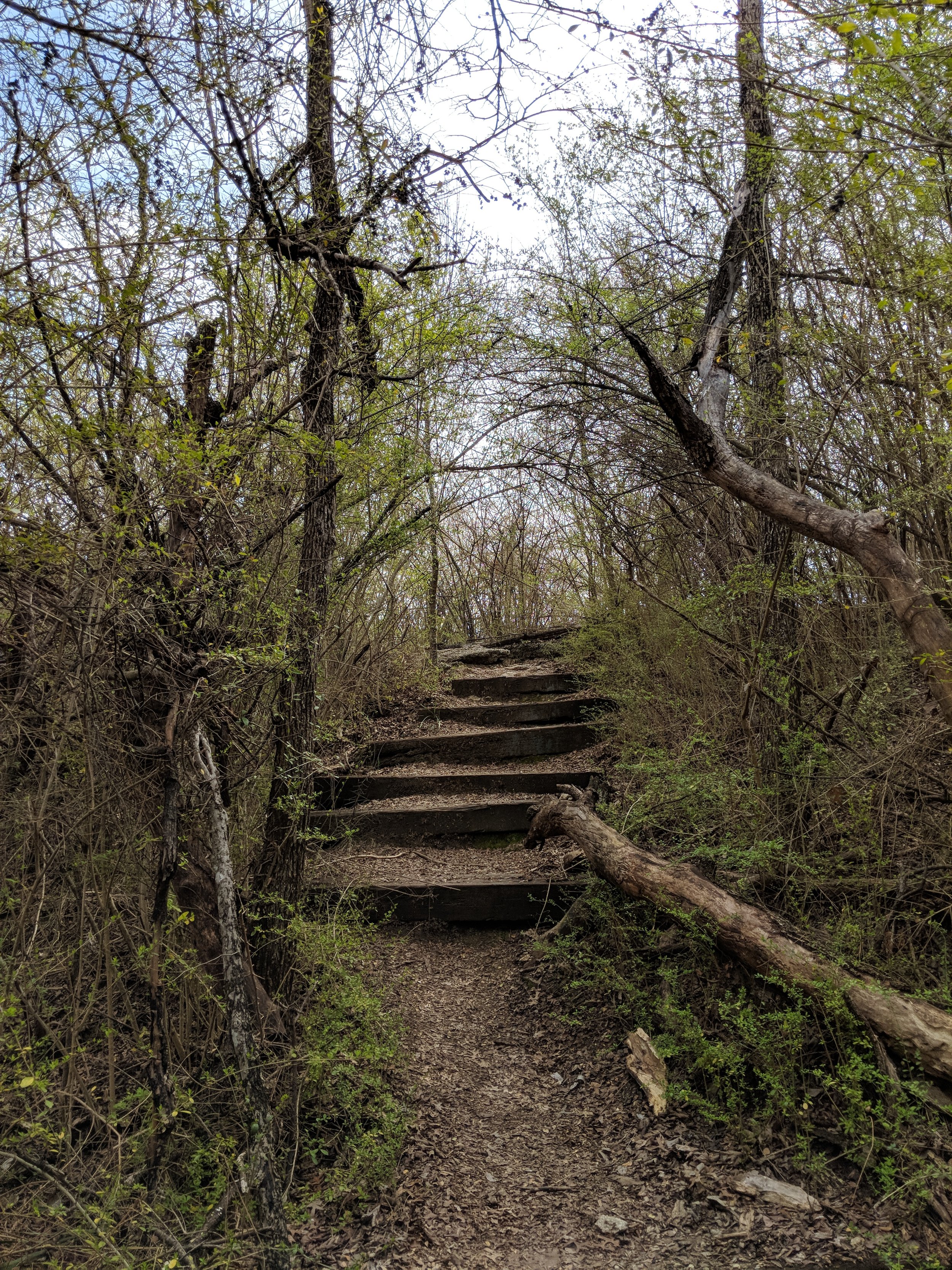
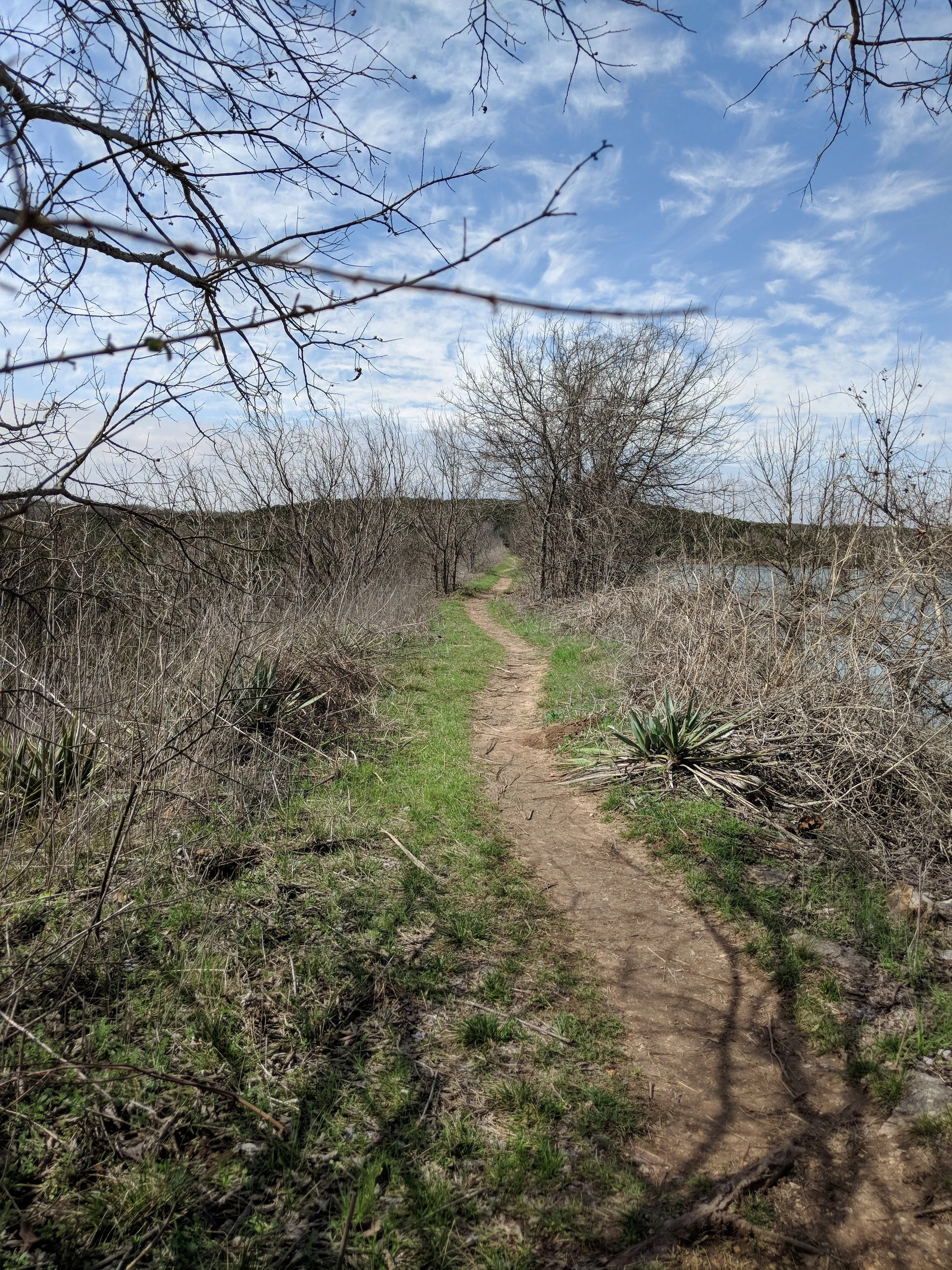
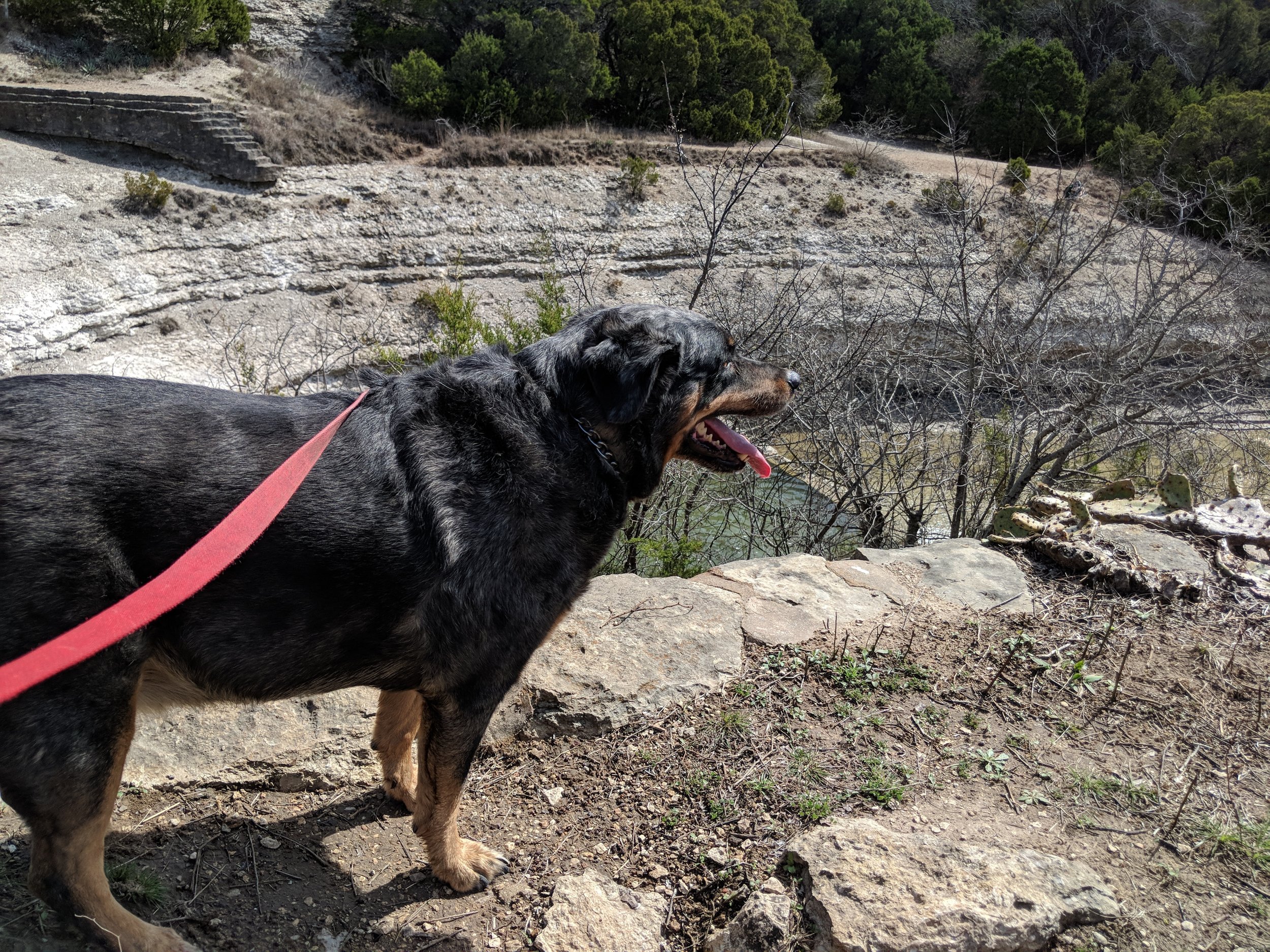
Activity 6/52 - Hike - Caprock Canyons State Park (Quitaque, TX)
Distance/Time: 1.5 miles
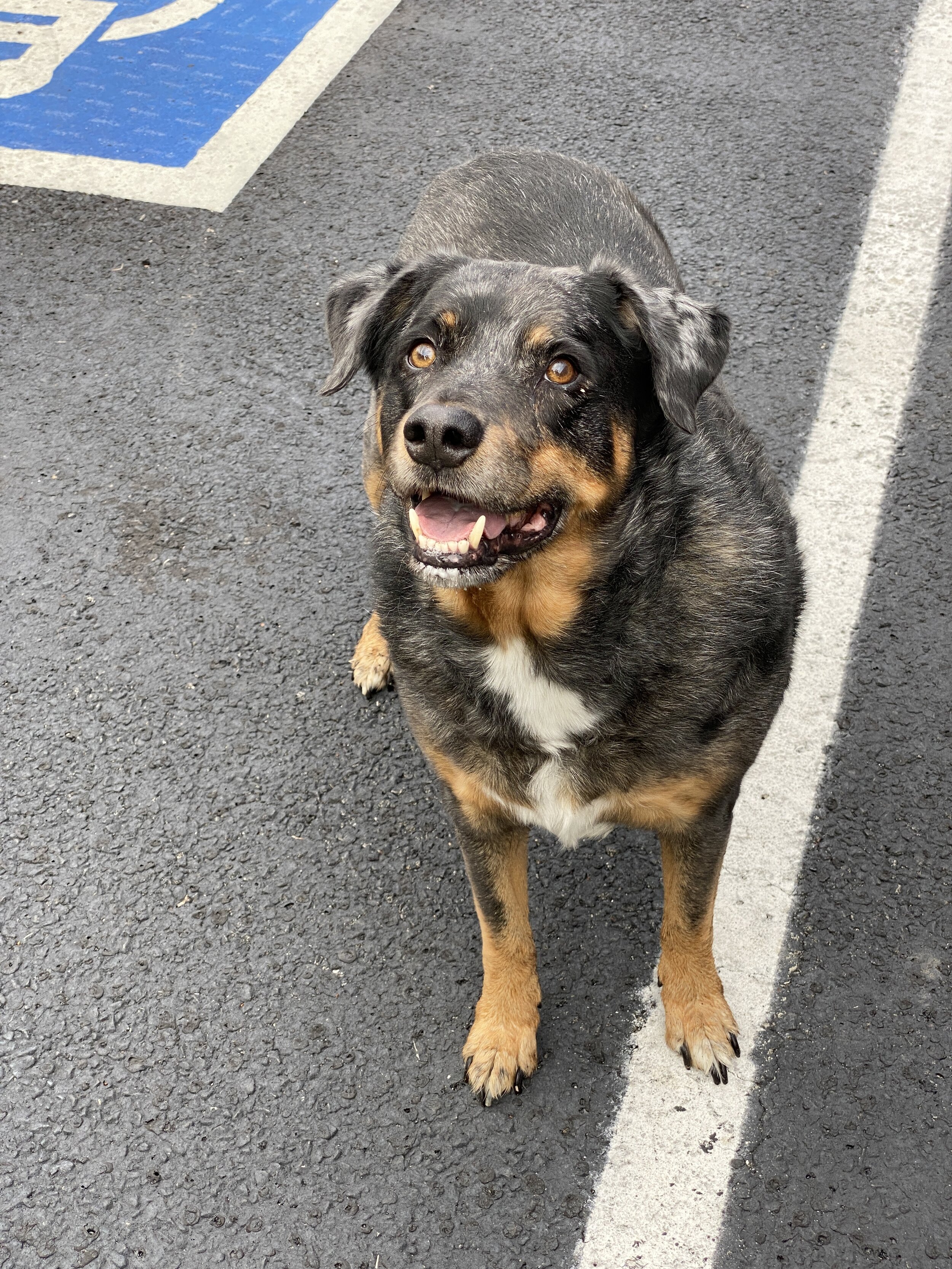
It was Sunday and we were spent from a weekend of hiking, hanging out around the fire, and sleeping during a windy night. We decided after packing up to go with my aunt on a short little hike around the rim on the Canyon Rim Trail. It was a short walk from our campsite to the trail and then a nice little stroll. We took the dogs and a beer and enjoyed the sunshine!

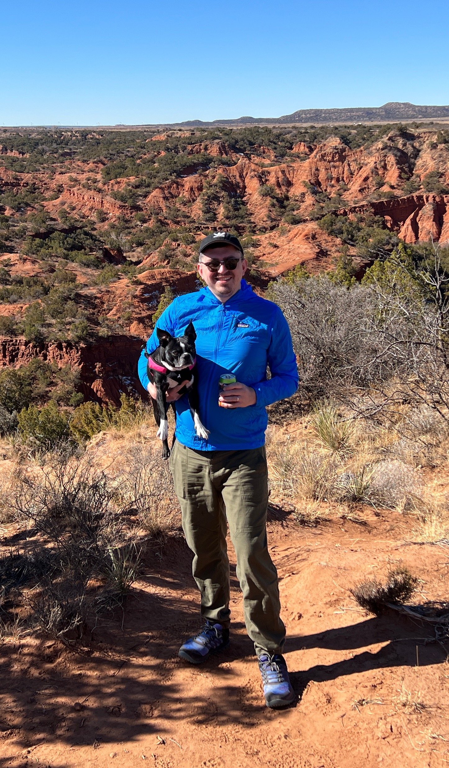
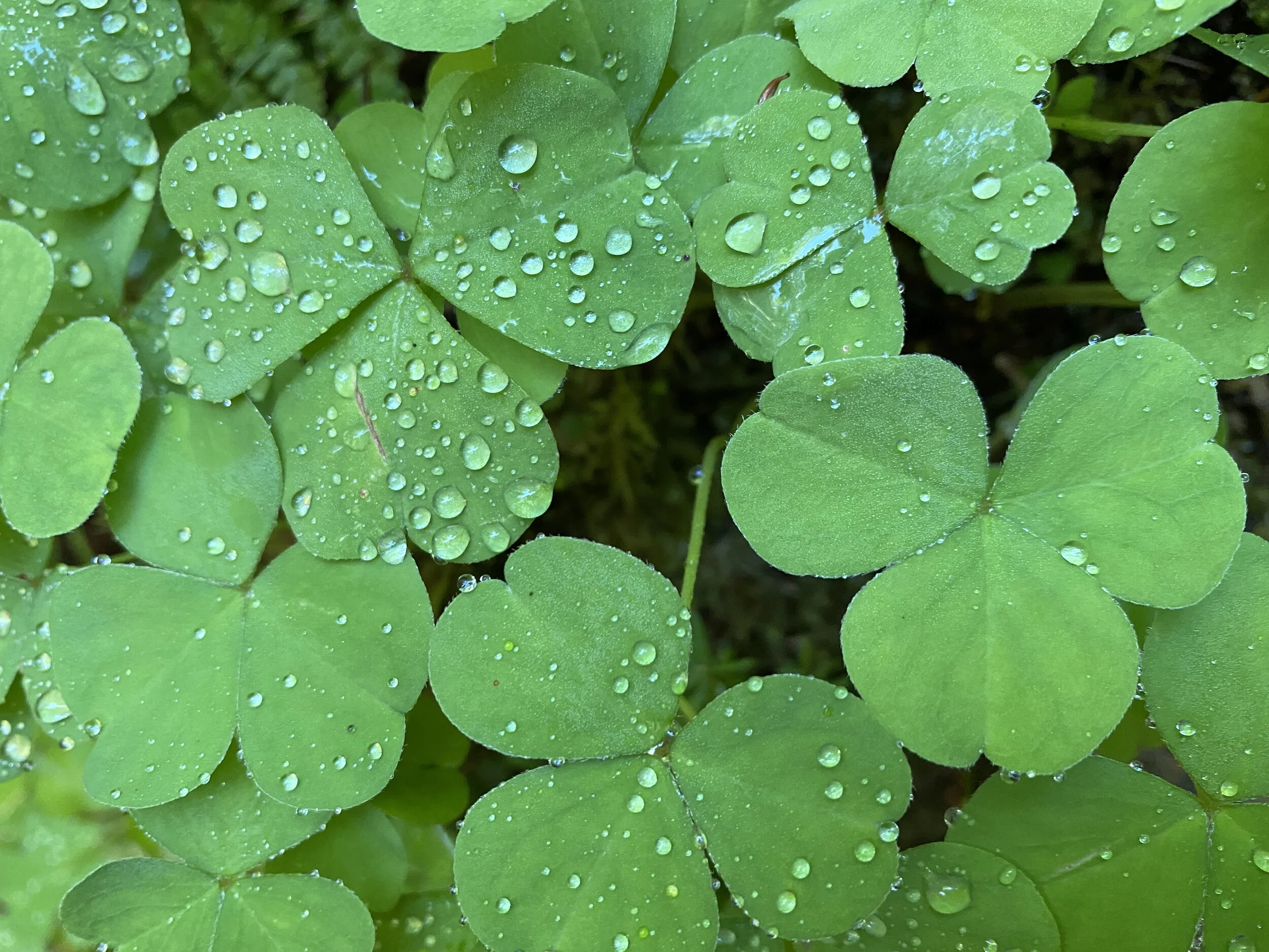
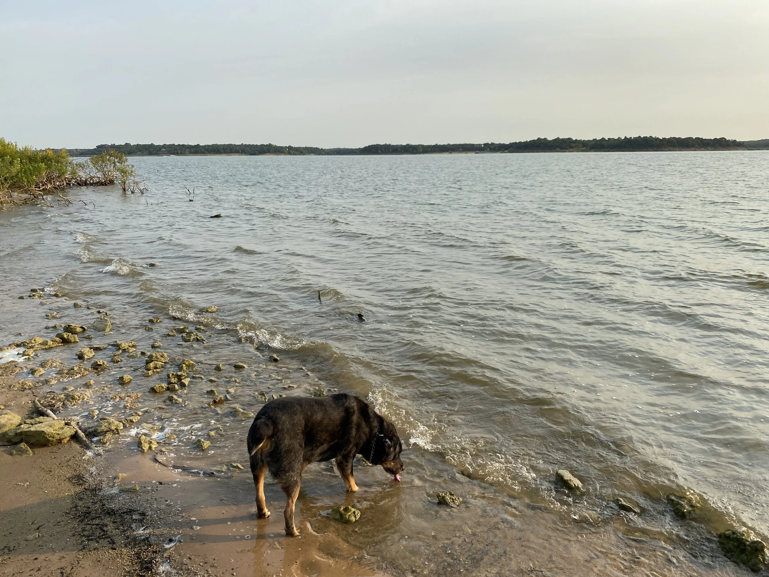
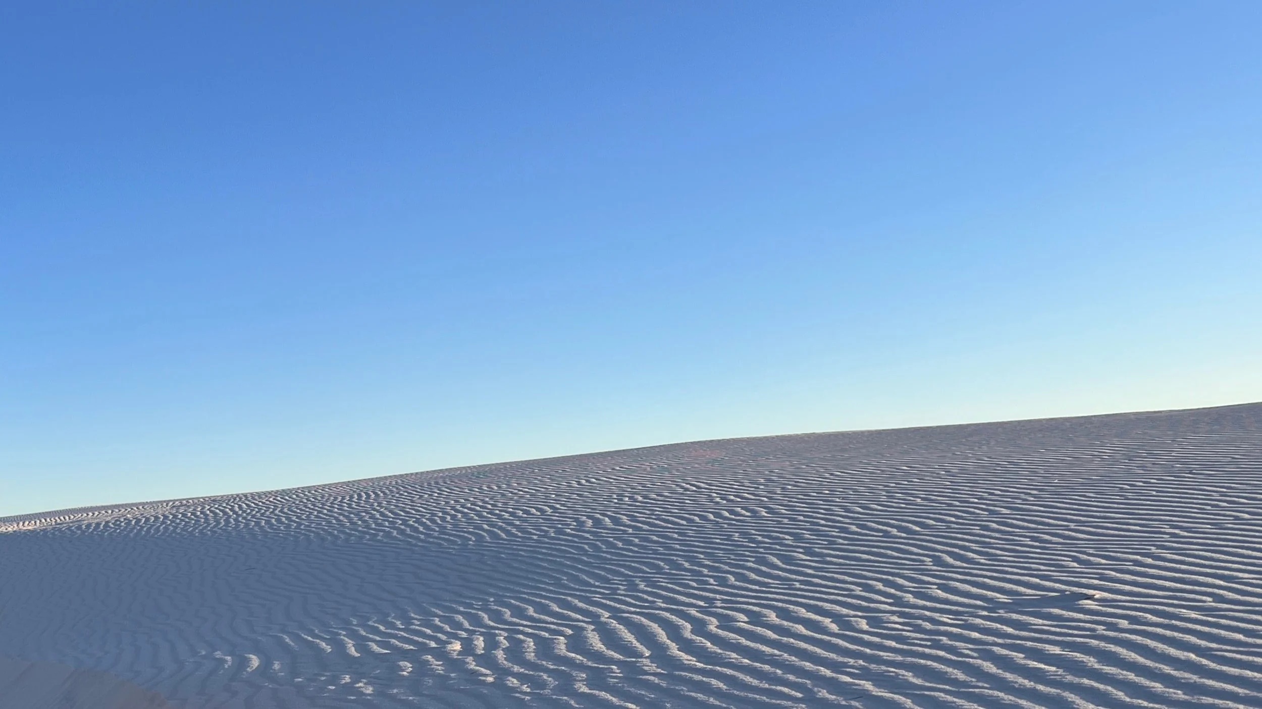
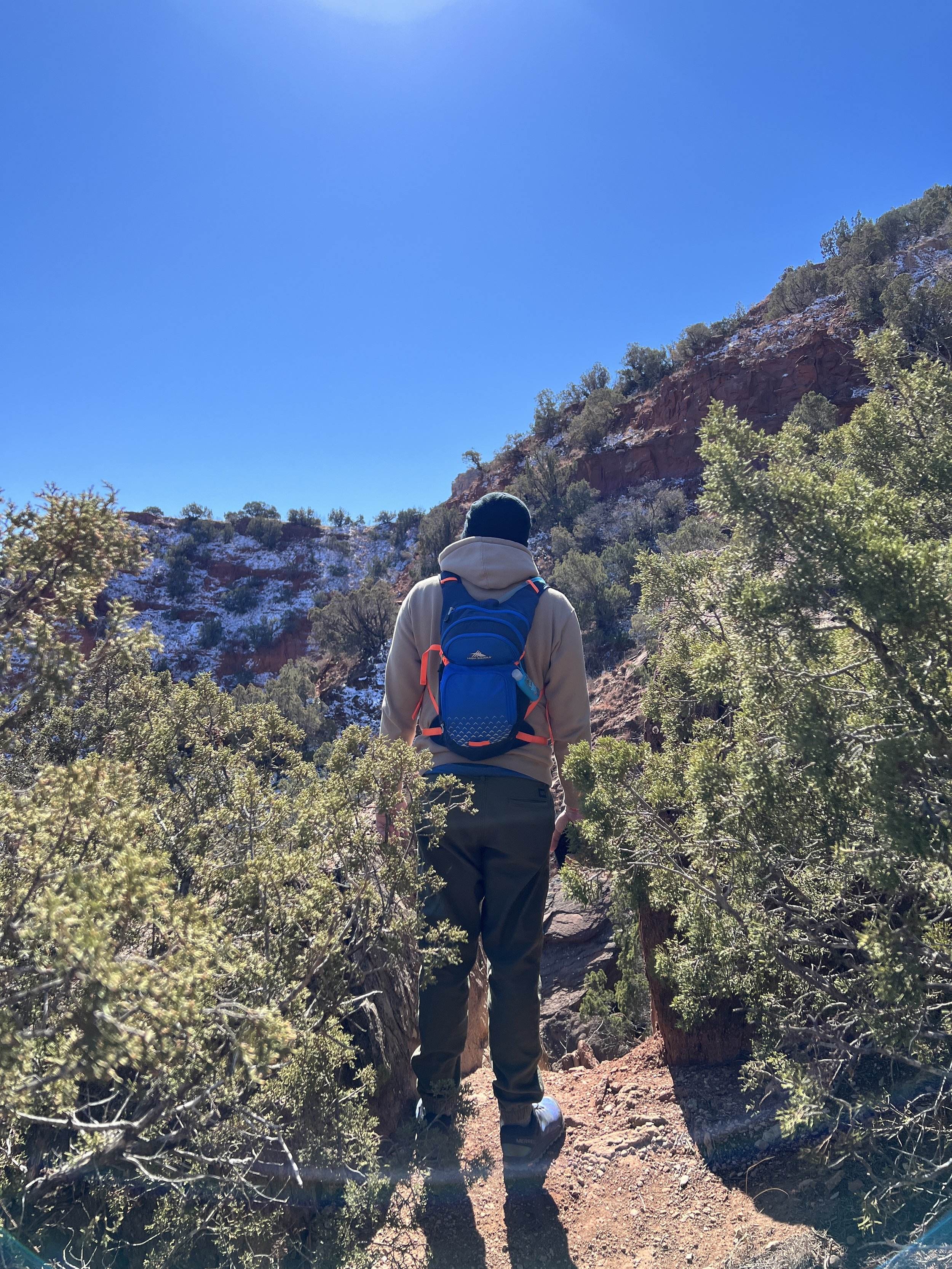
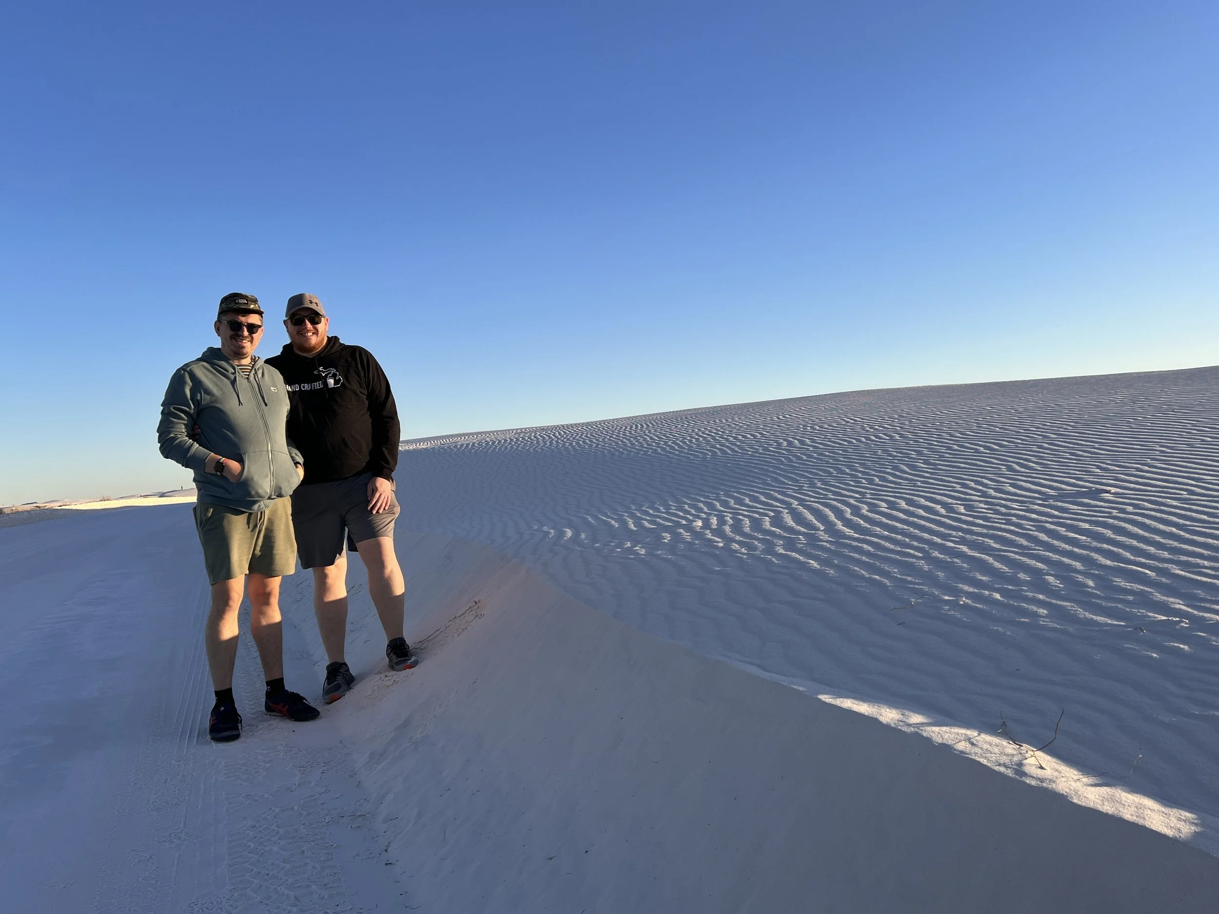
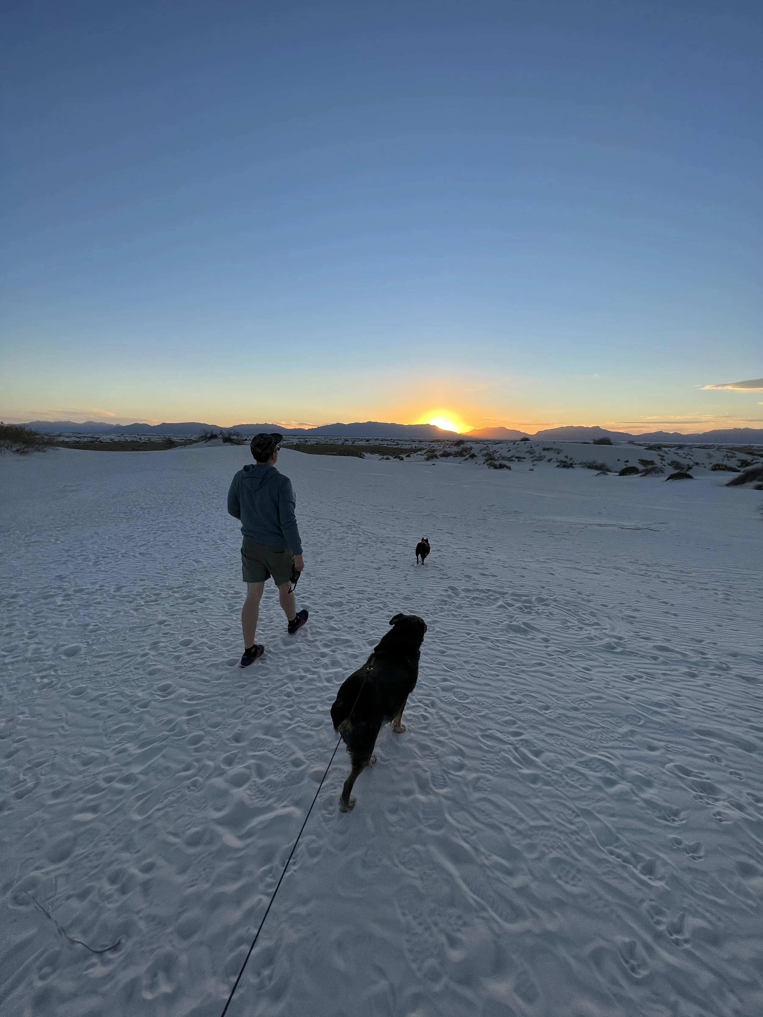
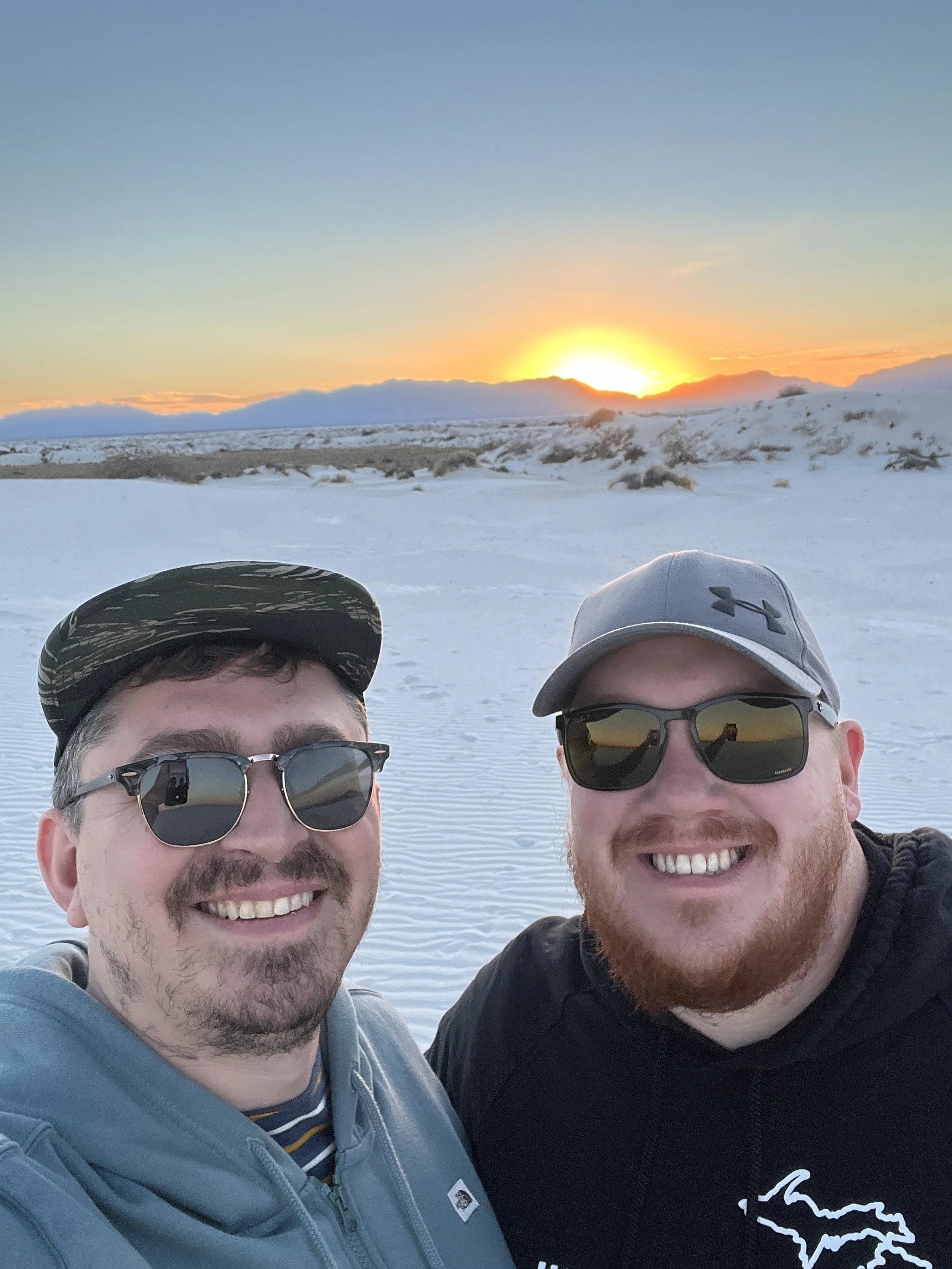
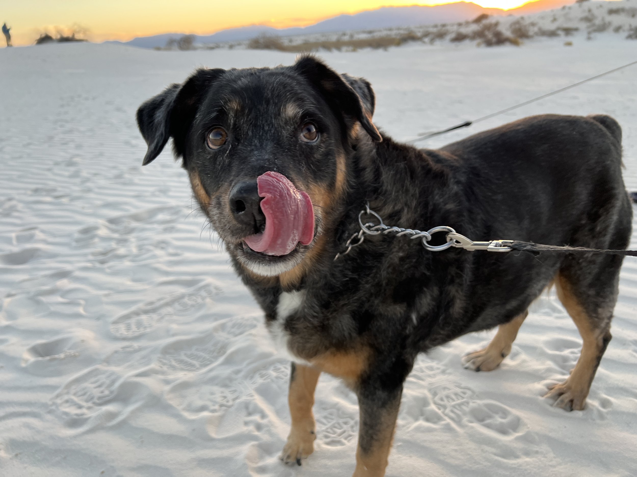
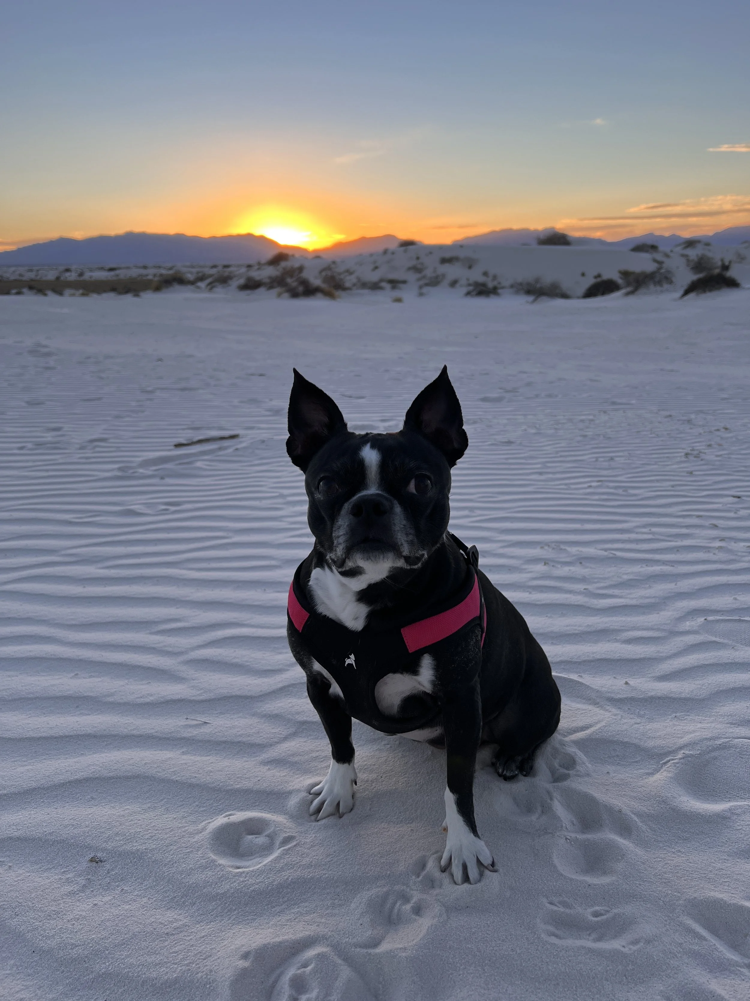
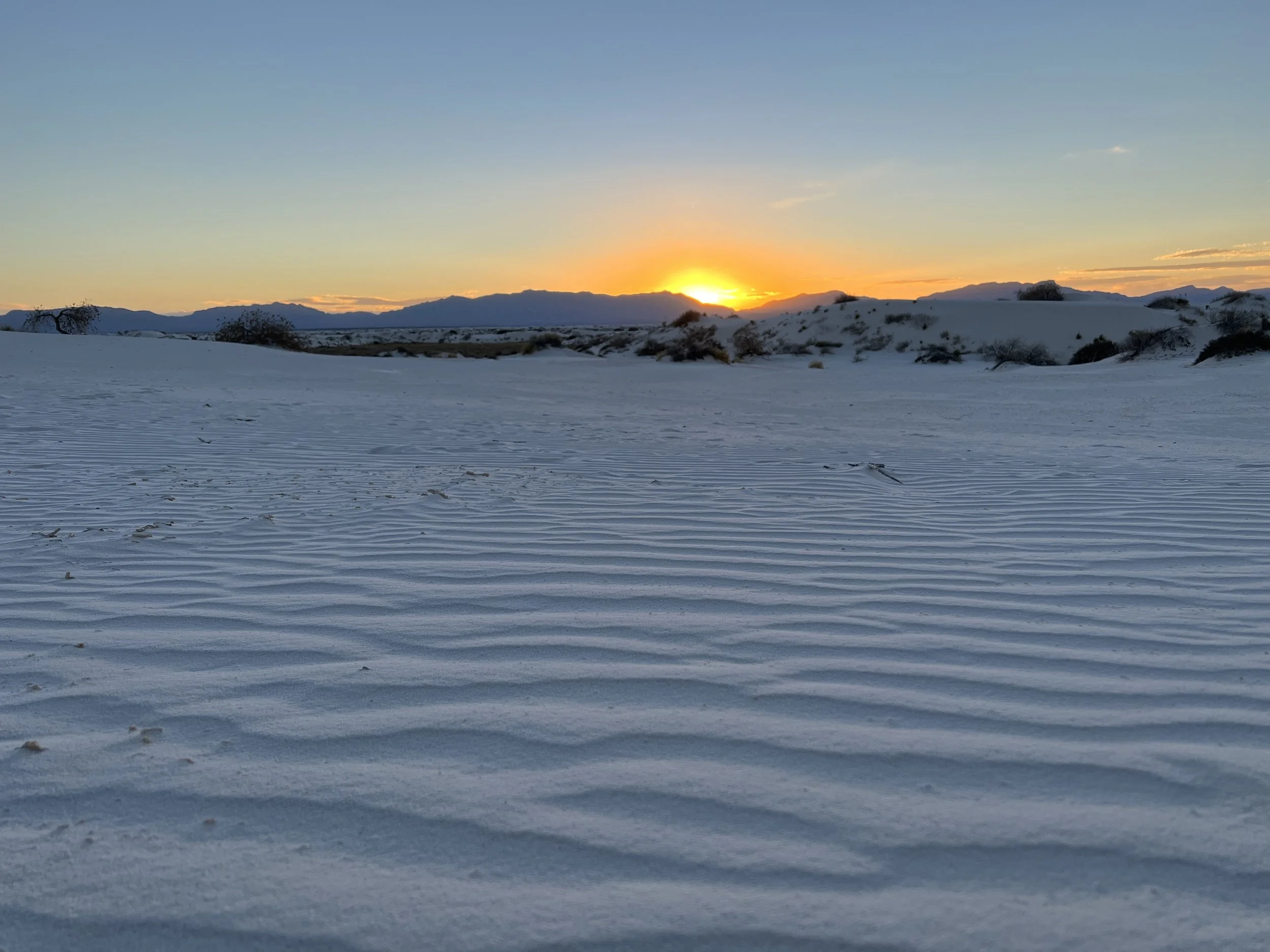
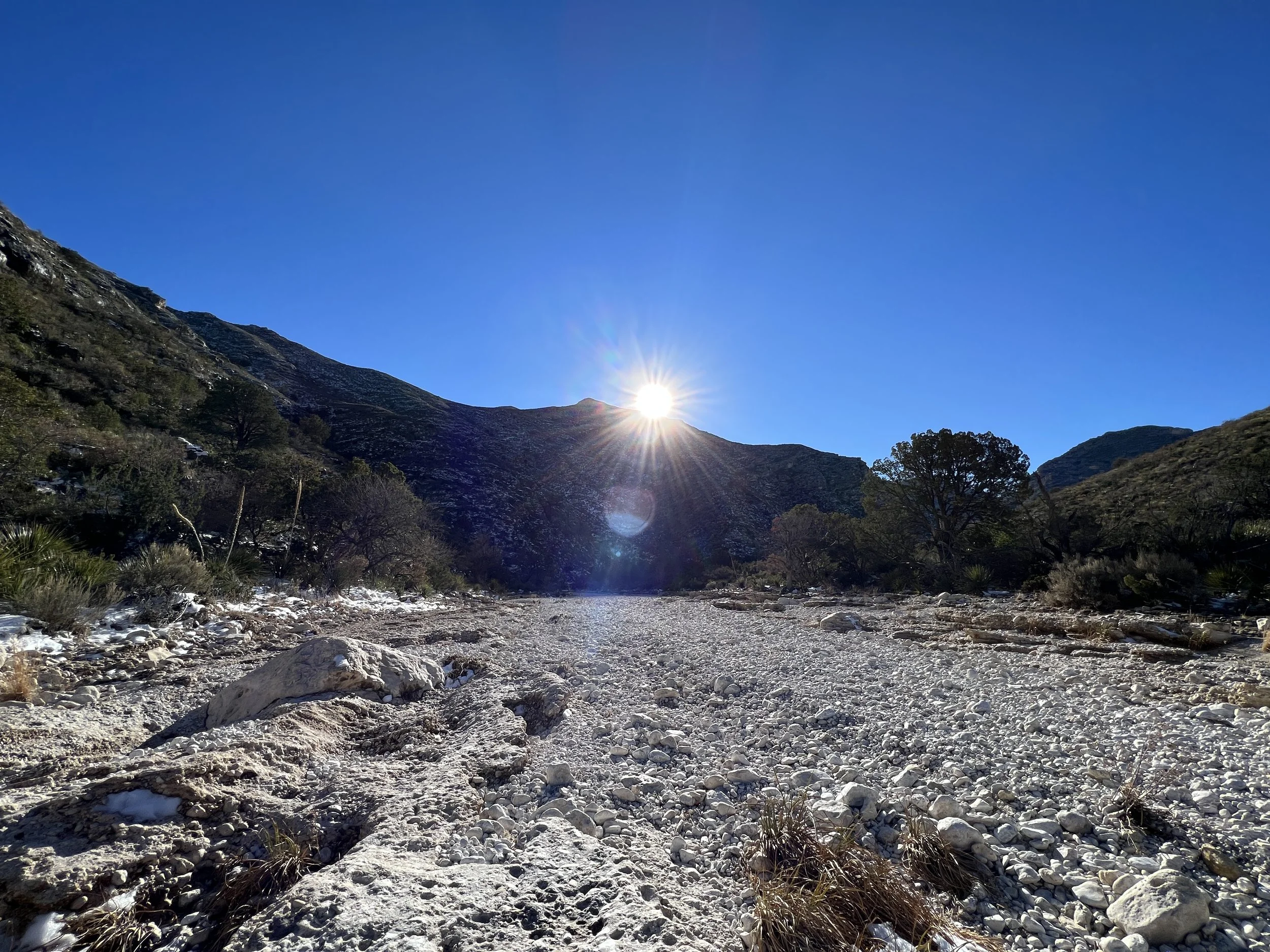
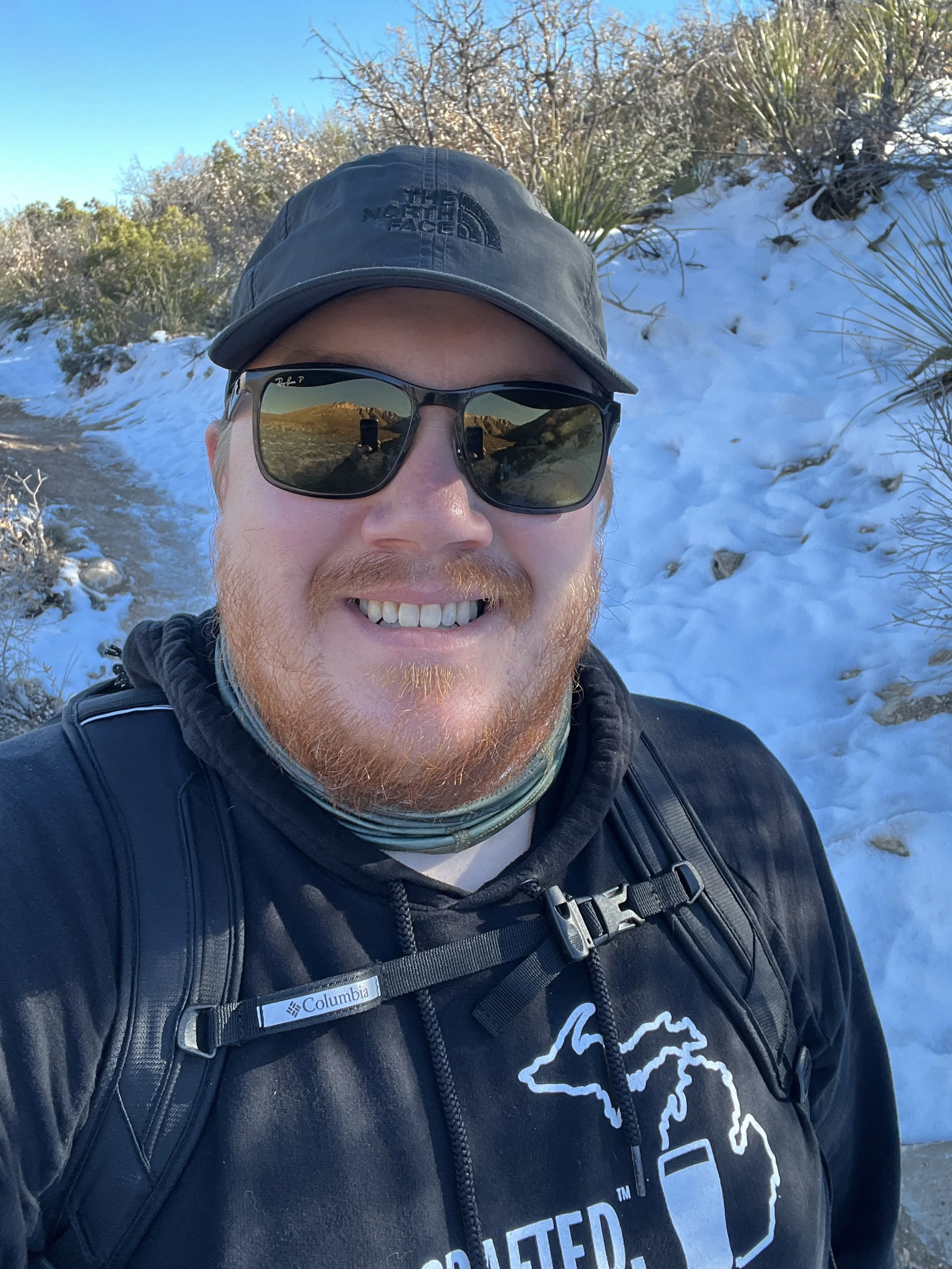
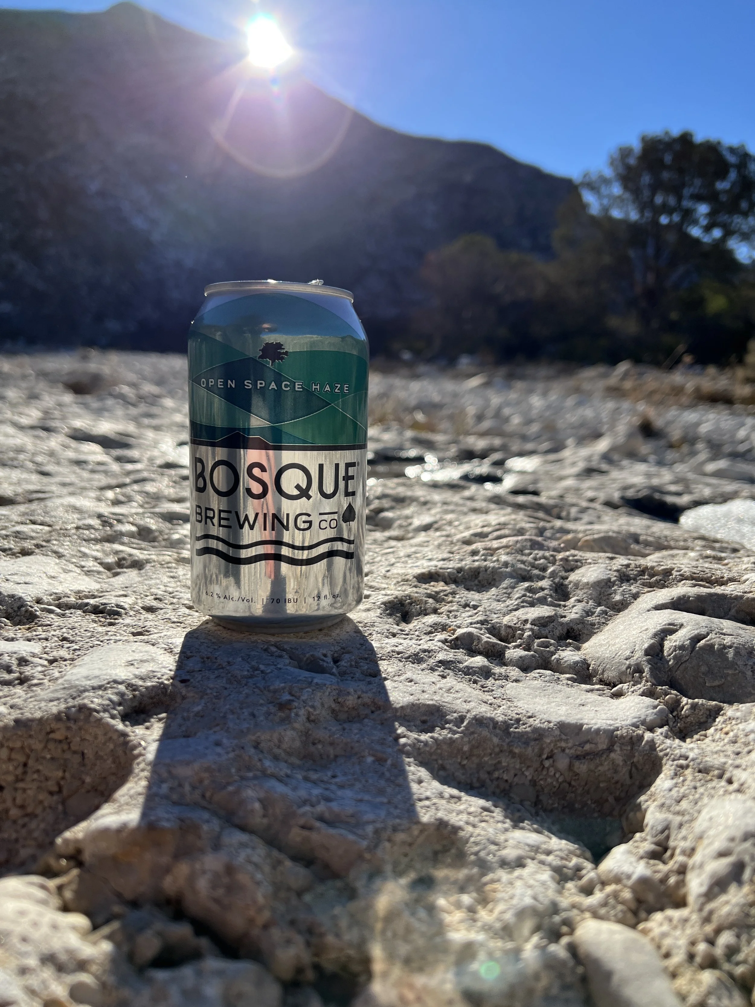
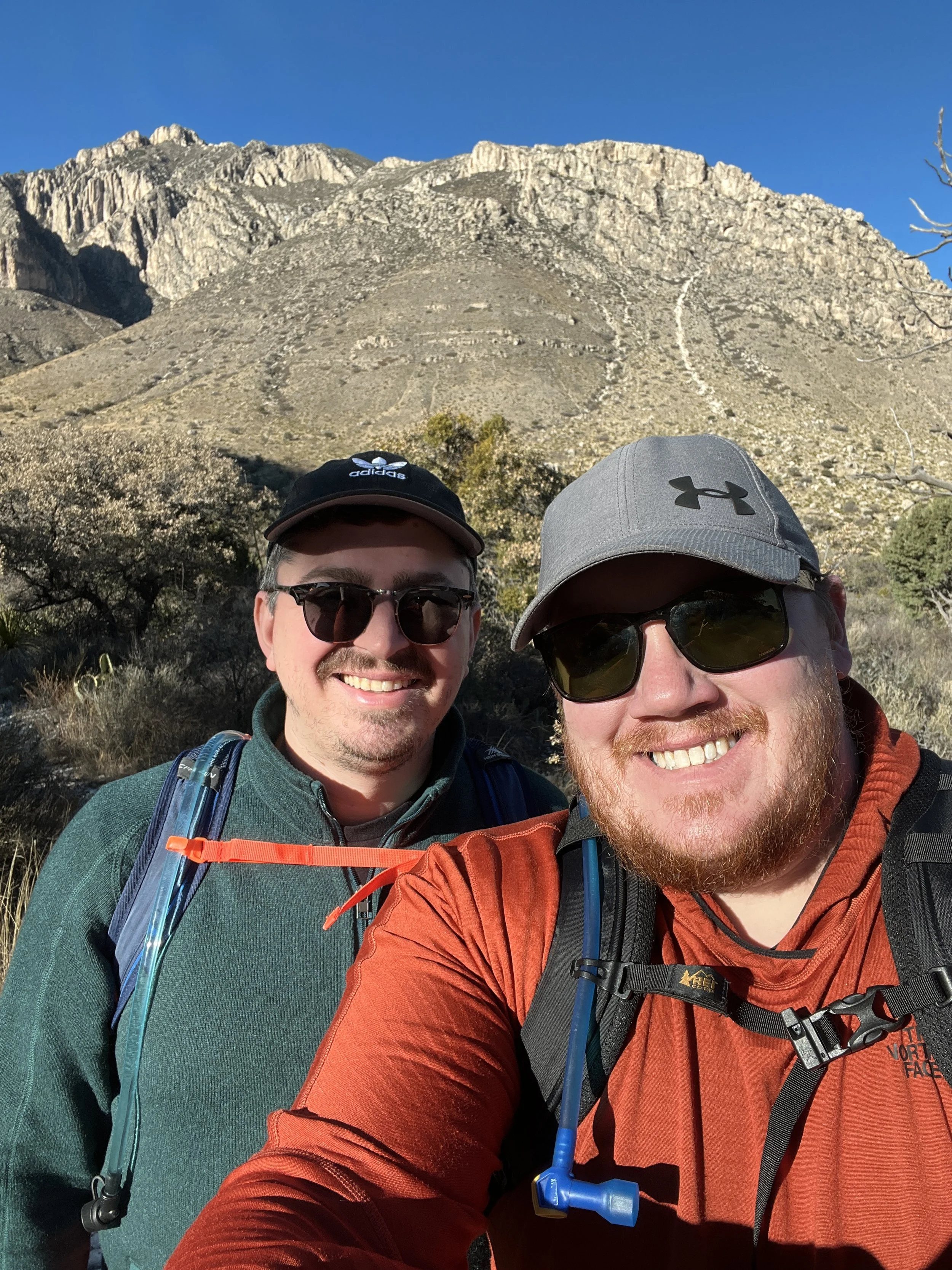
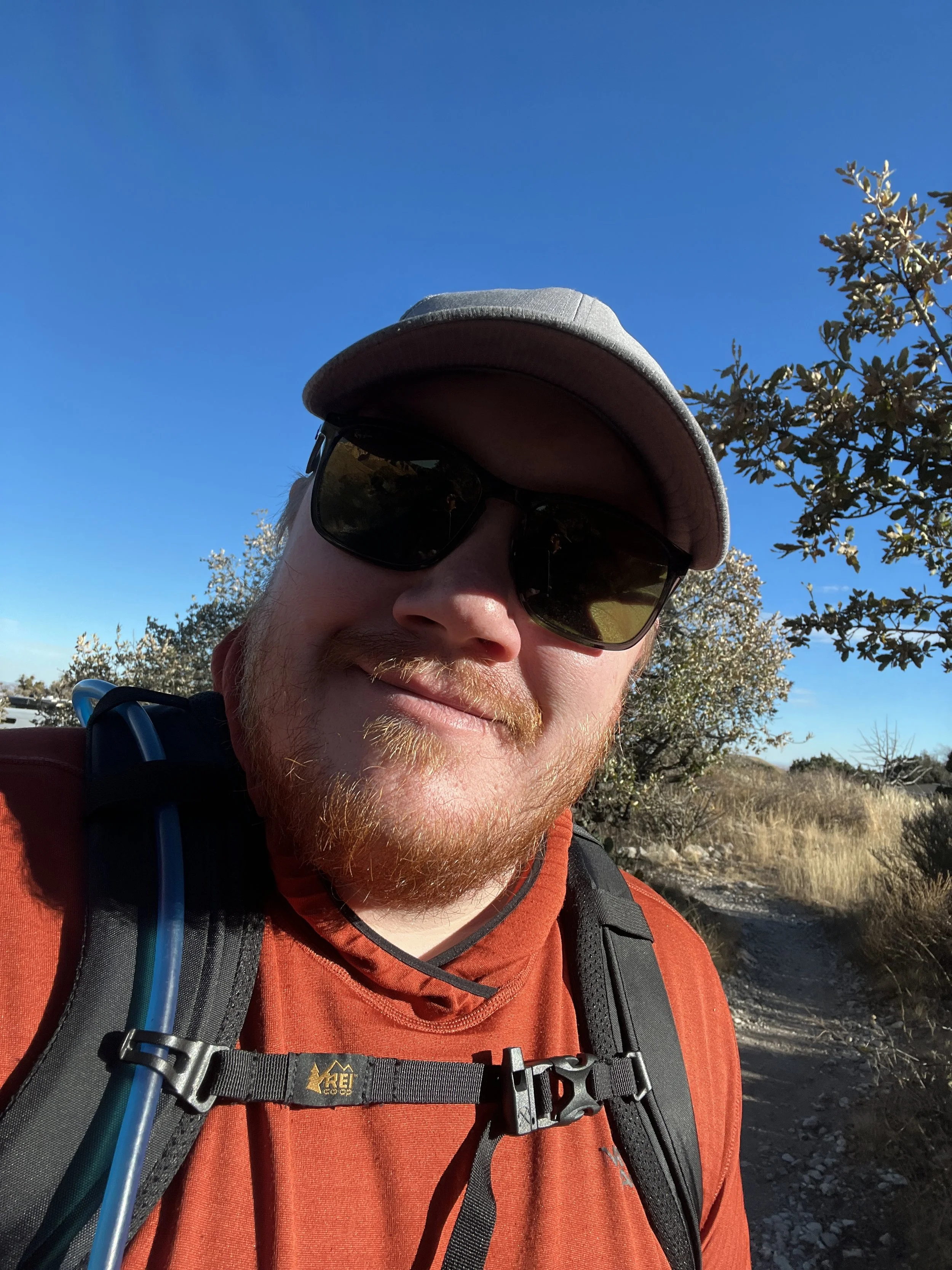
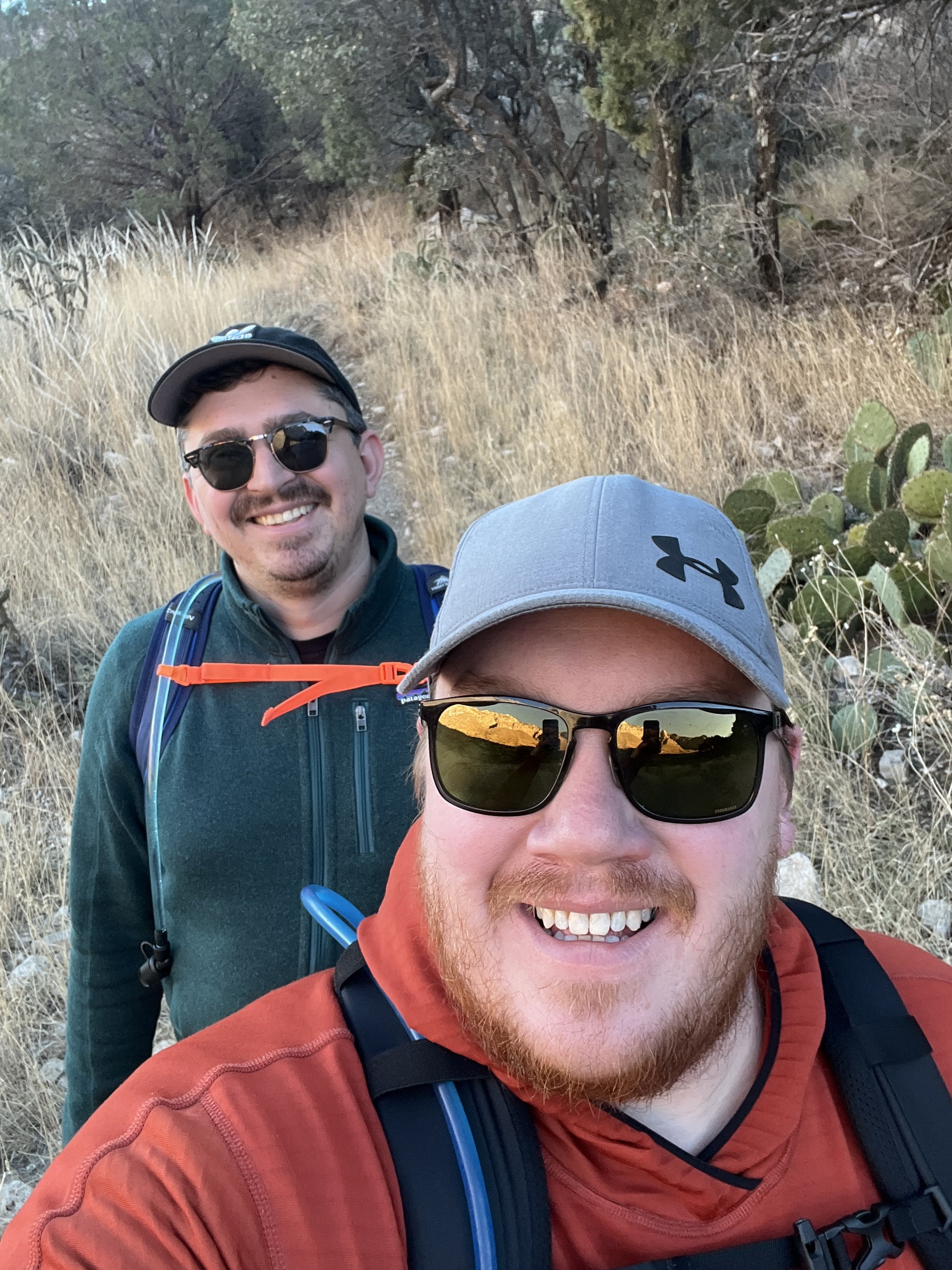
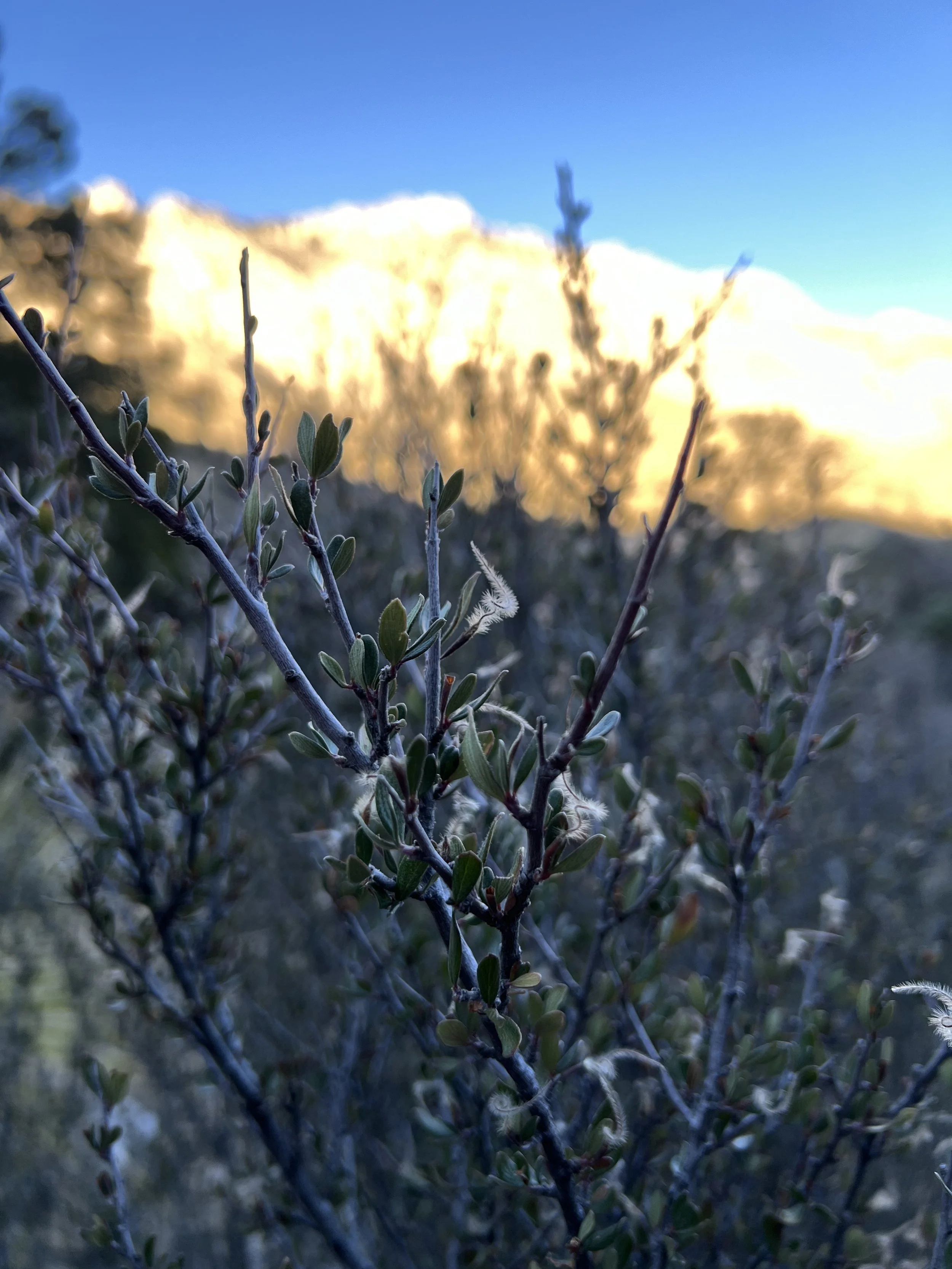
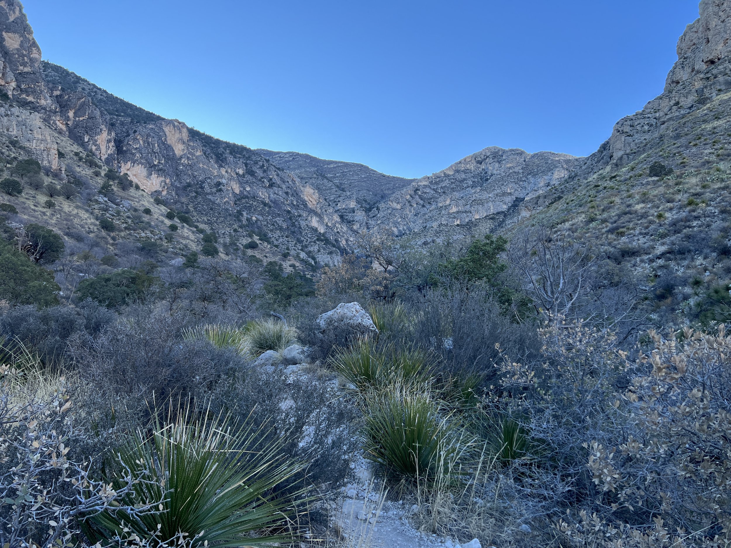
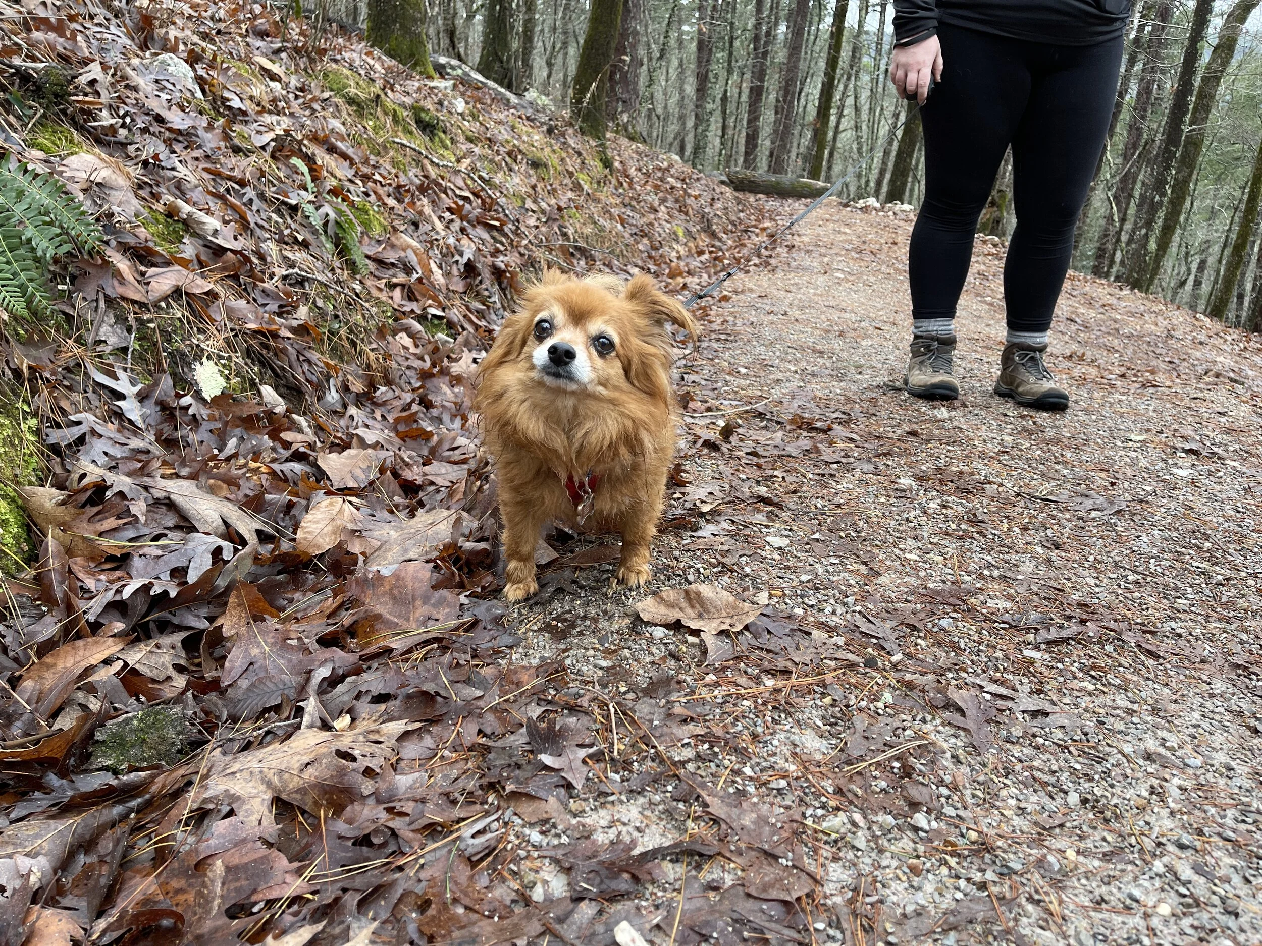
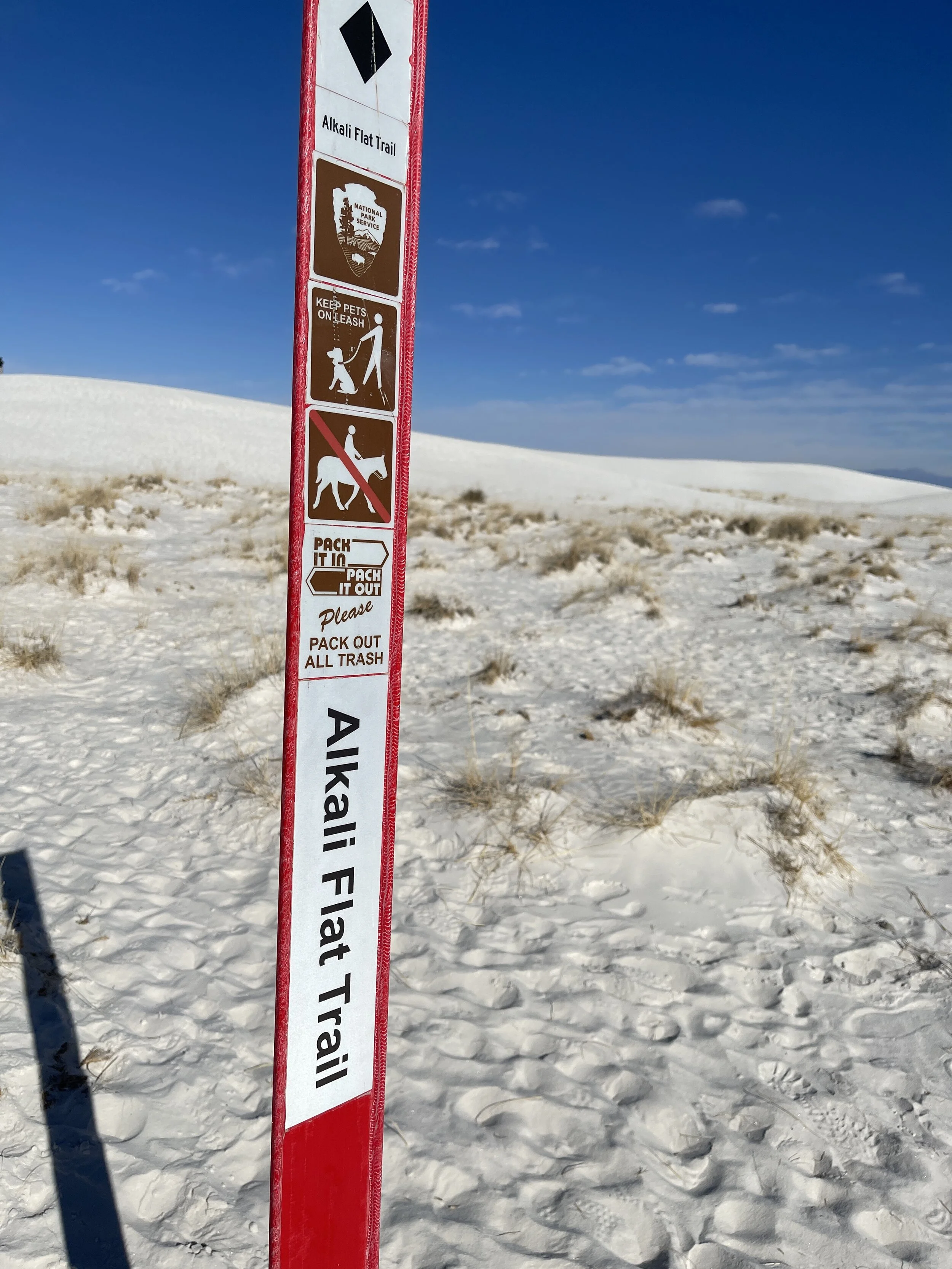
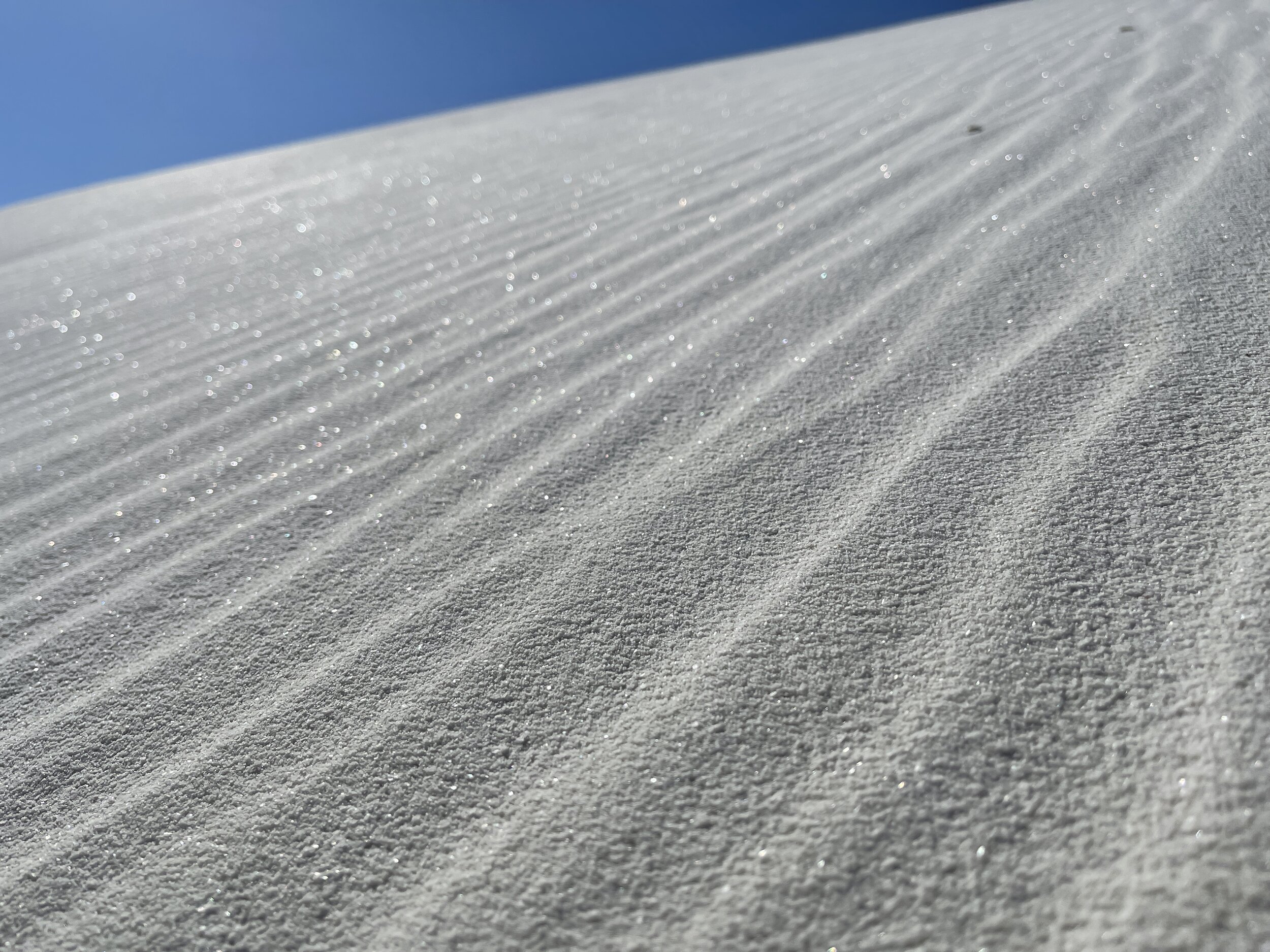
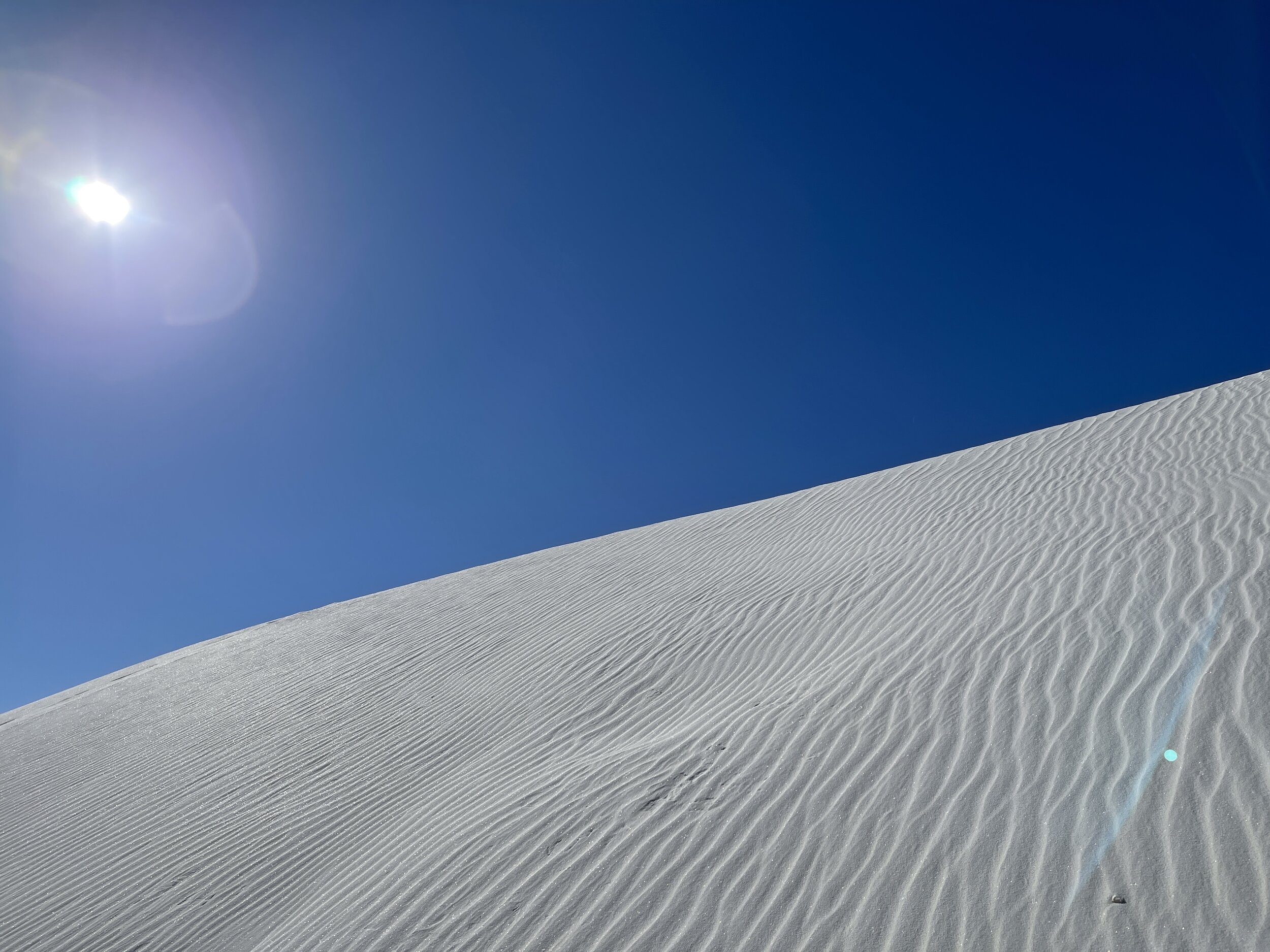
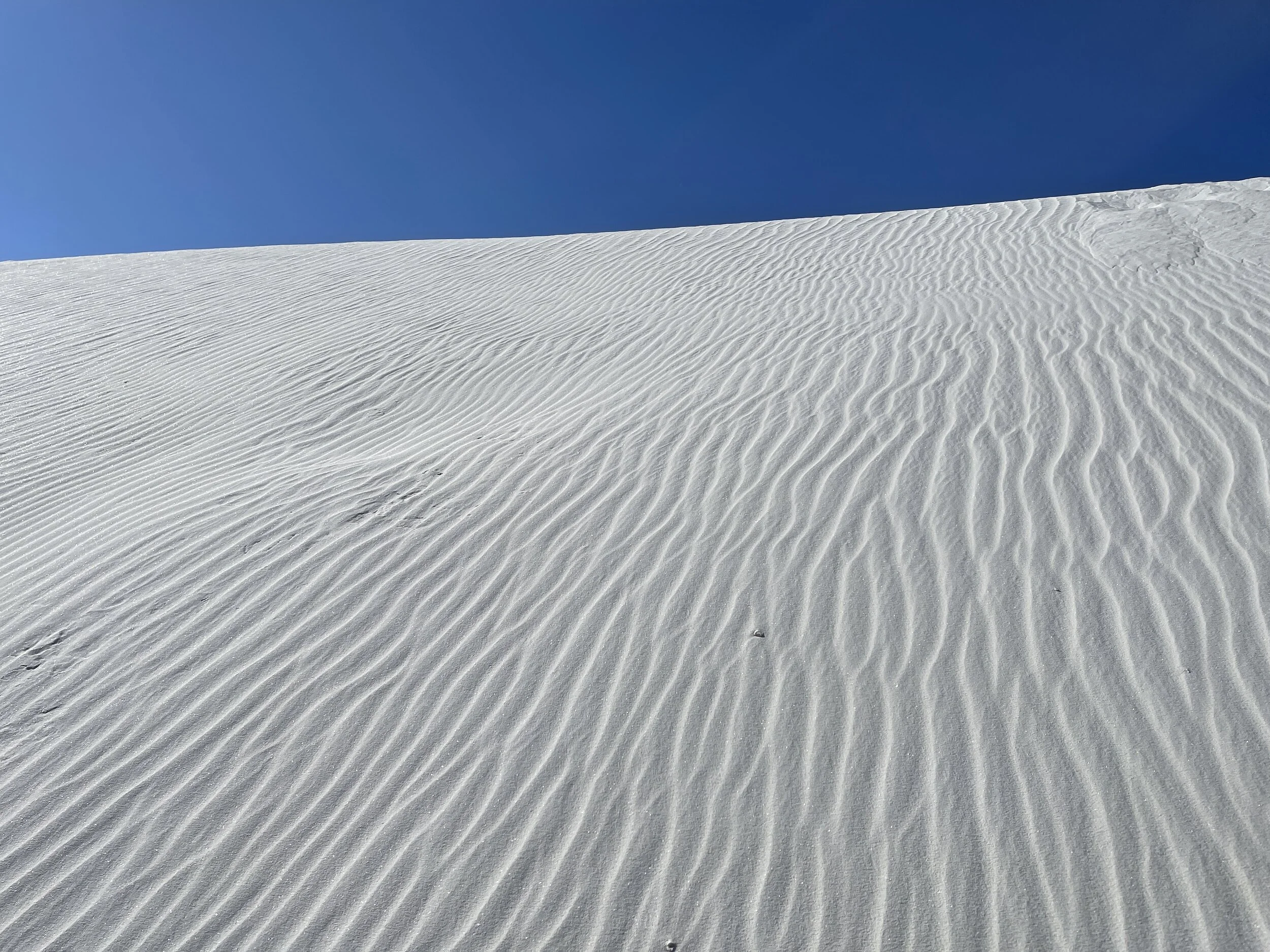
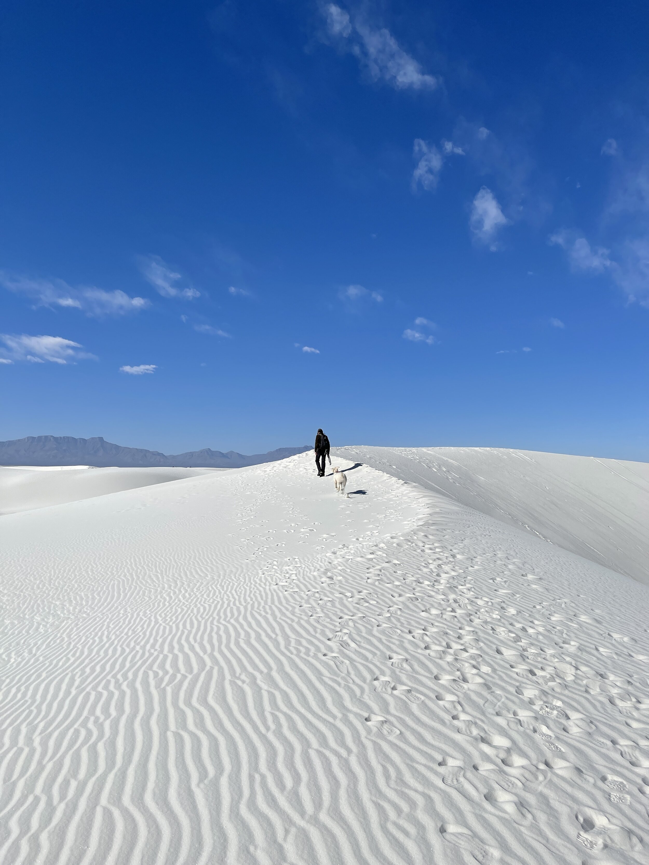
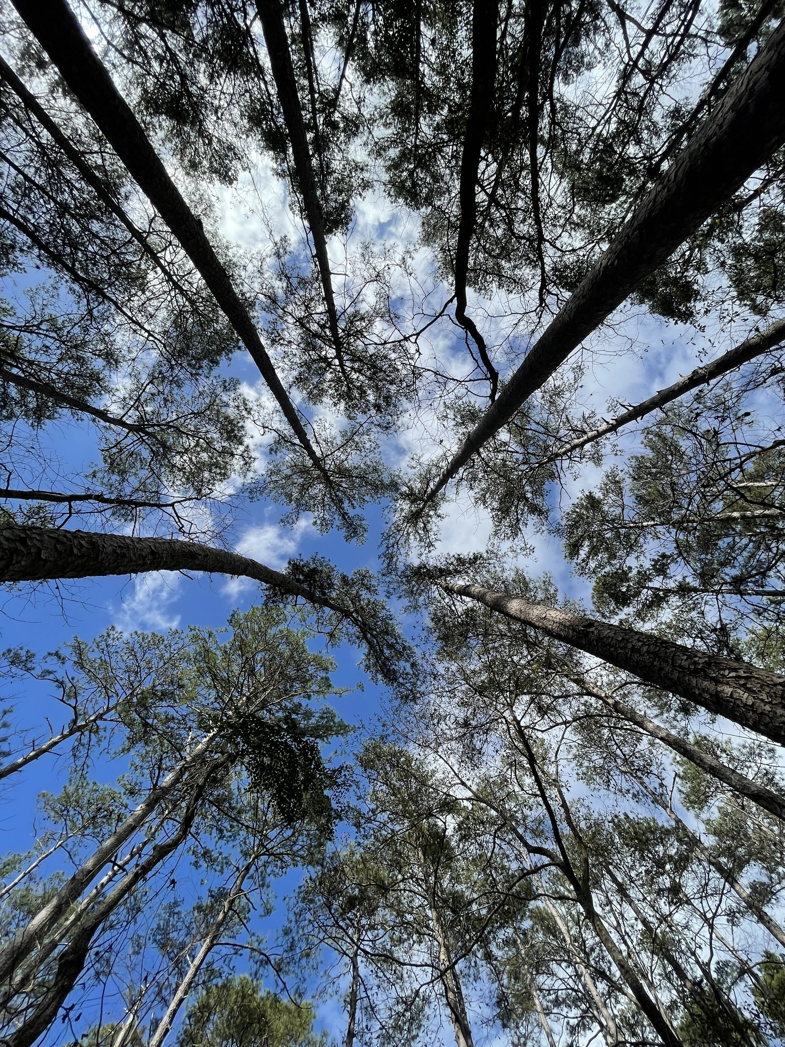
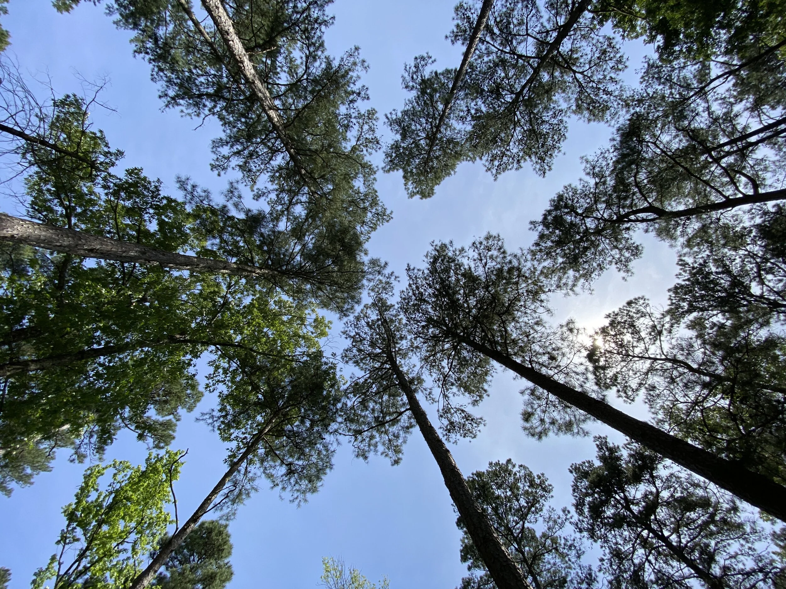
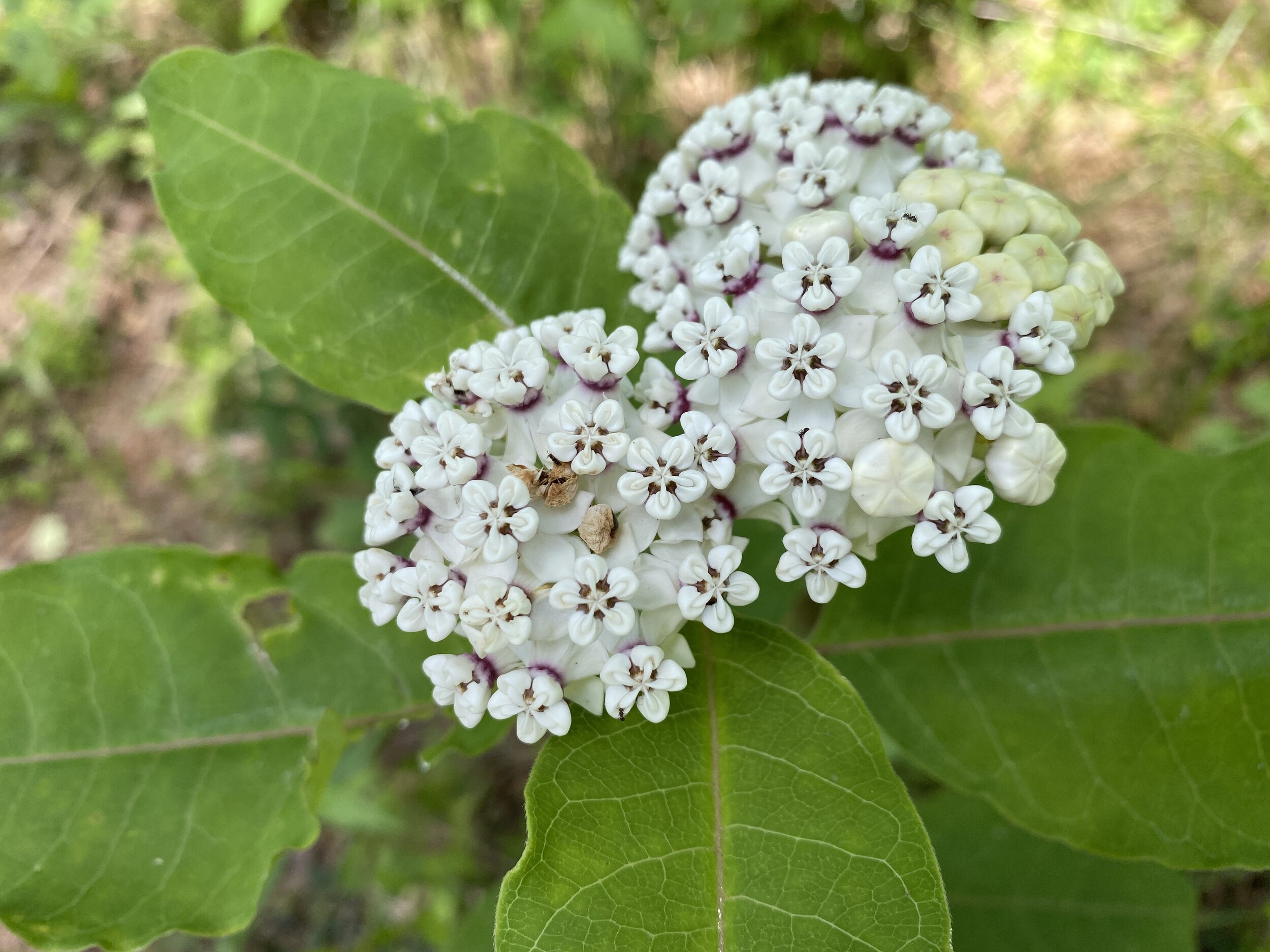
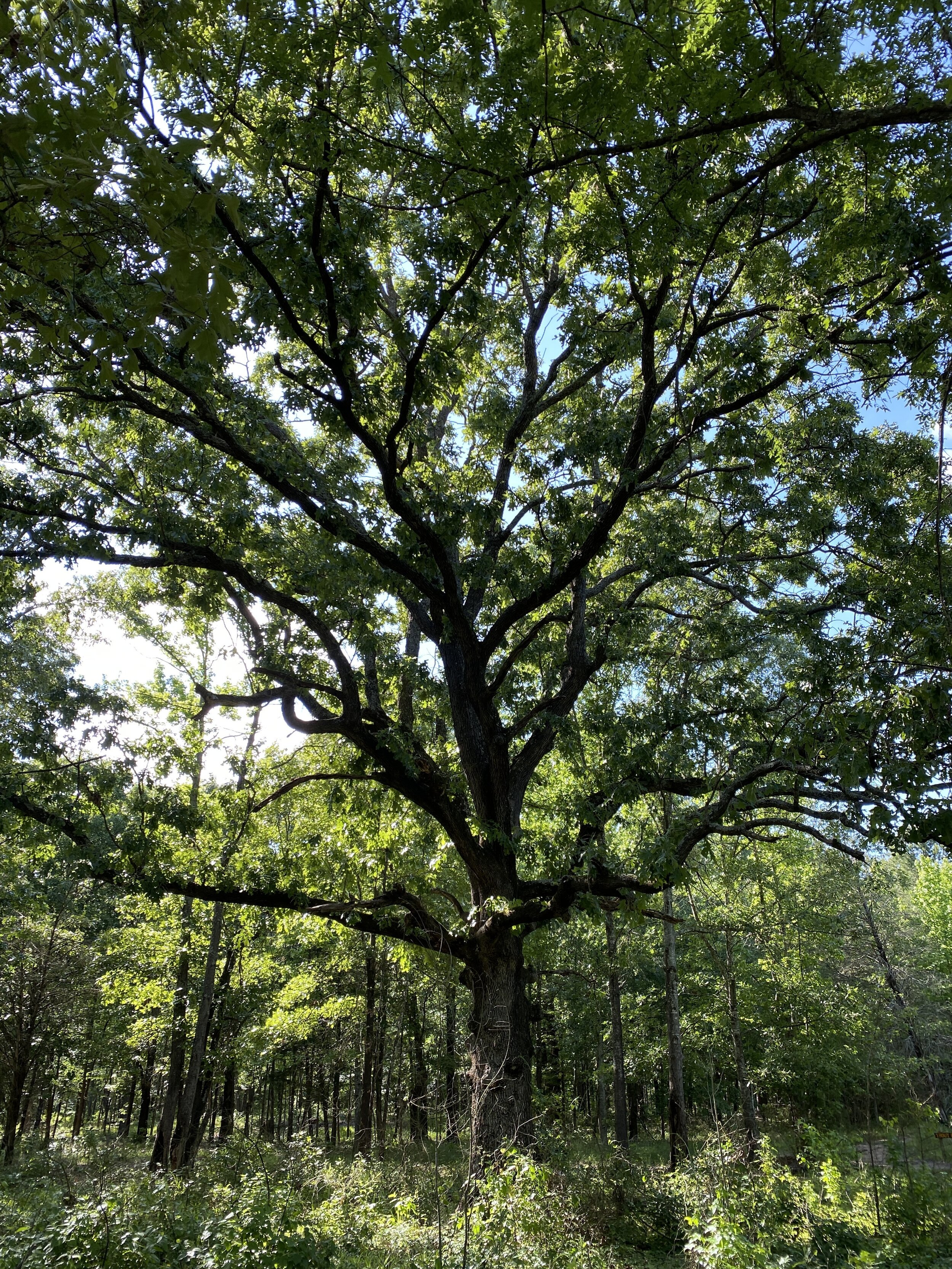
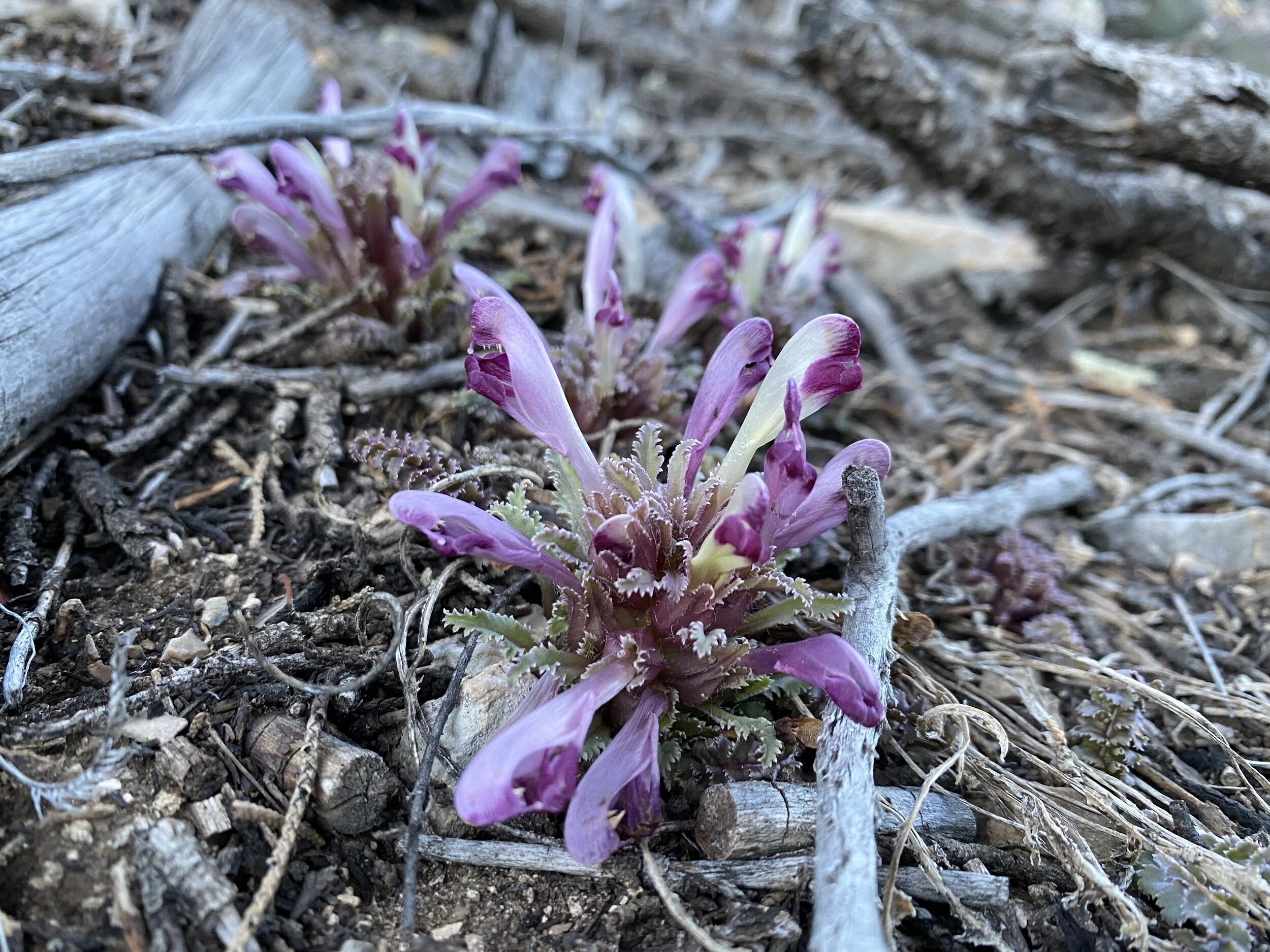
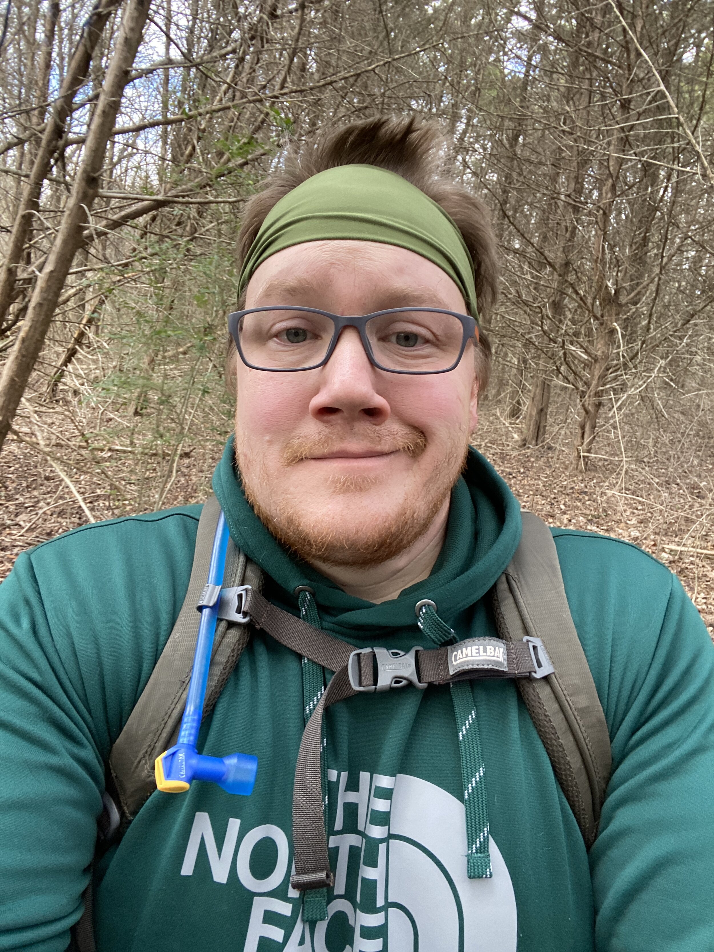
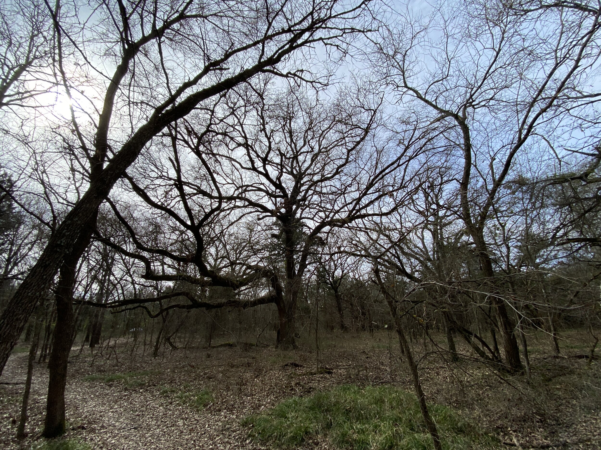
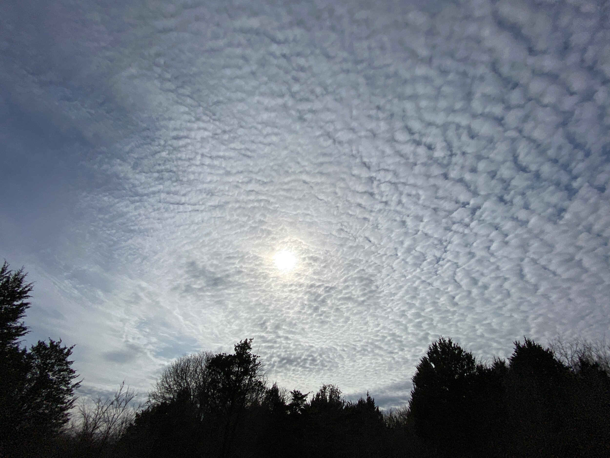
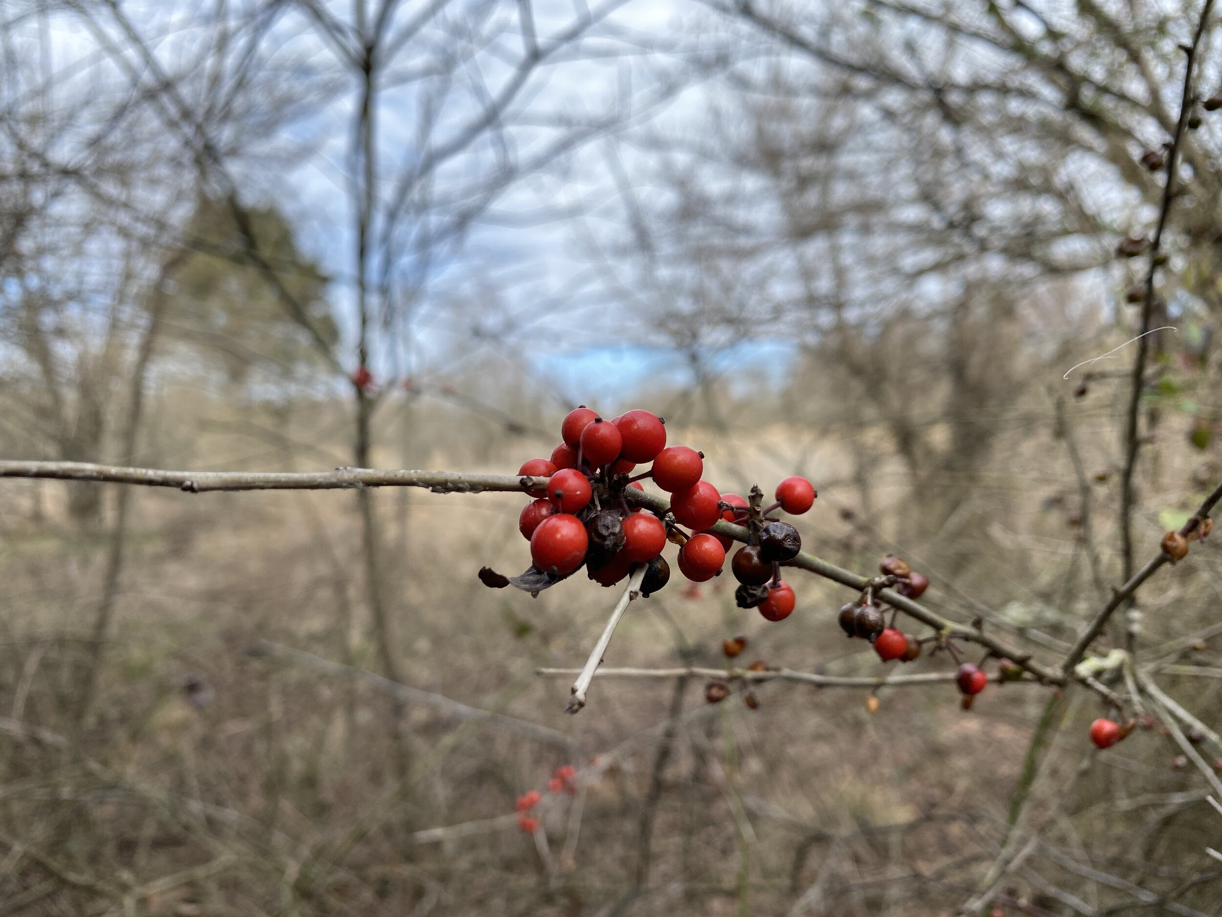
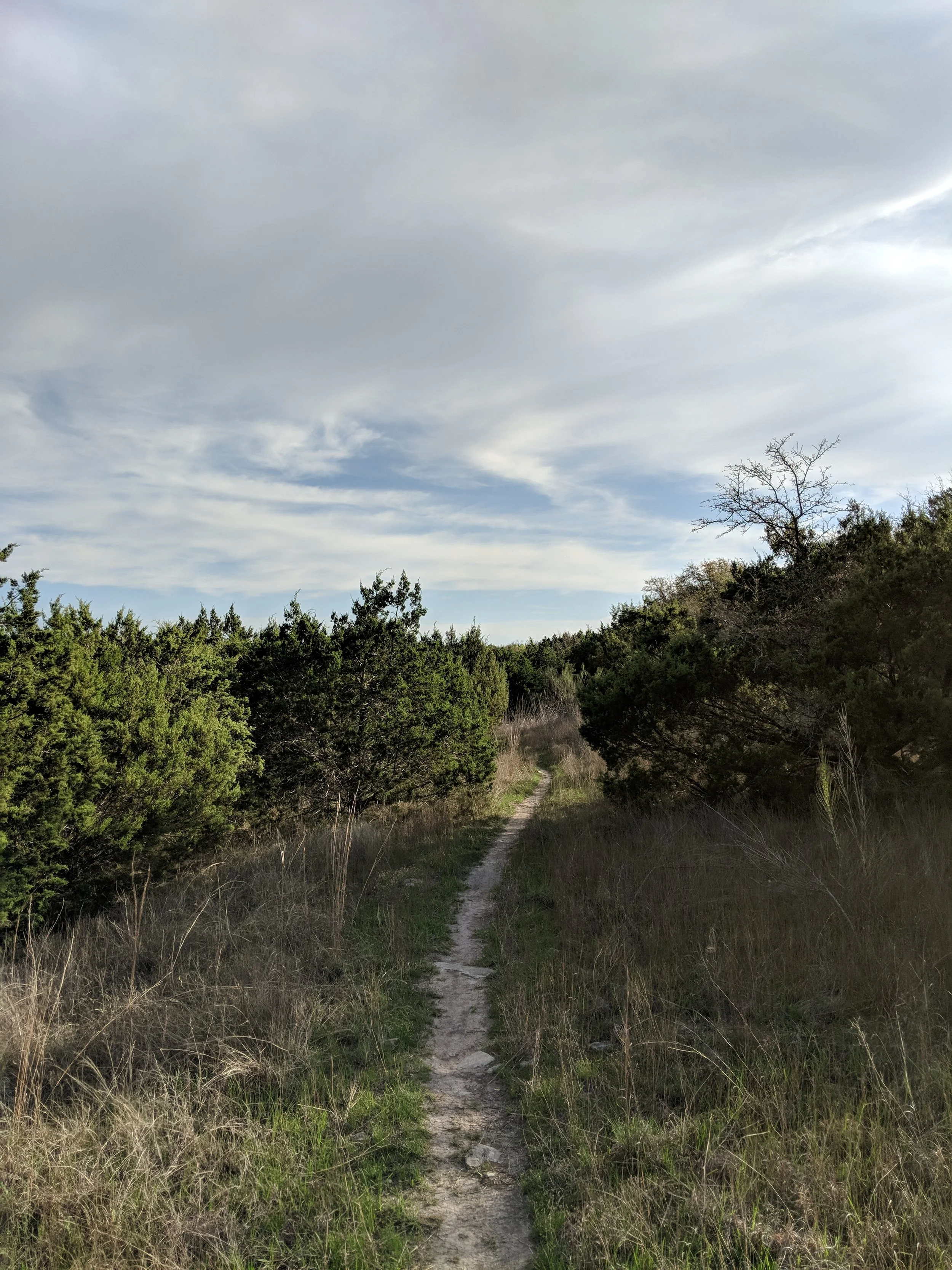
Activity 7/52 - Hike - White Sands NP (Alamogordo, NM)
Distance/Time: 1 mile
On our last weekend in New Mexico, we hit up our third national park together for a sunset hike on the dunes. It was a cute little stroll with the dogs. The amount of people on a Sunday night was a bit shocking, but it was sunset on a holiday weekend.
2022 Activities 3 and 4
The first weekend of February brought us closer to being “on track” for our 52 hike challenge. This coming weekend will bring a few more hikes and then we’ll be mostly good to go moving forward. We visited two nearby national parks and they did not disappoint. Happy hiking!
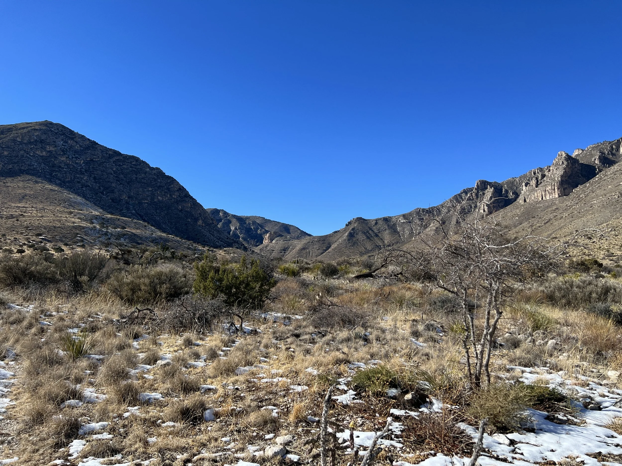
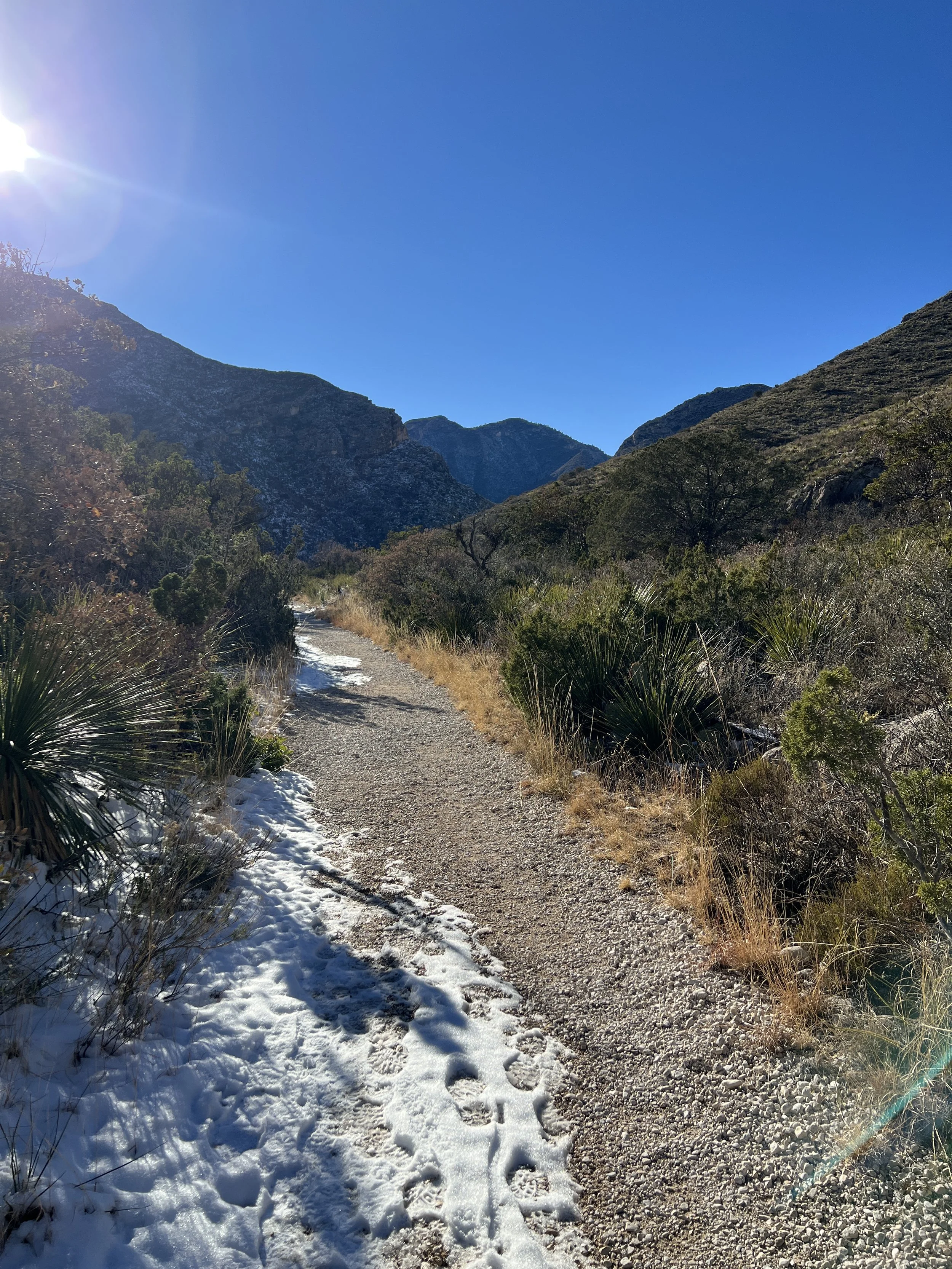
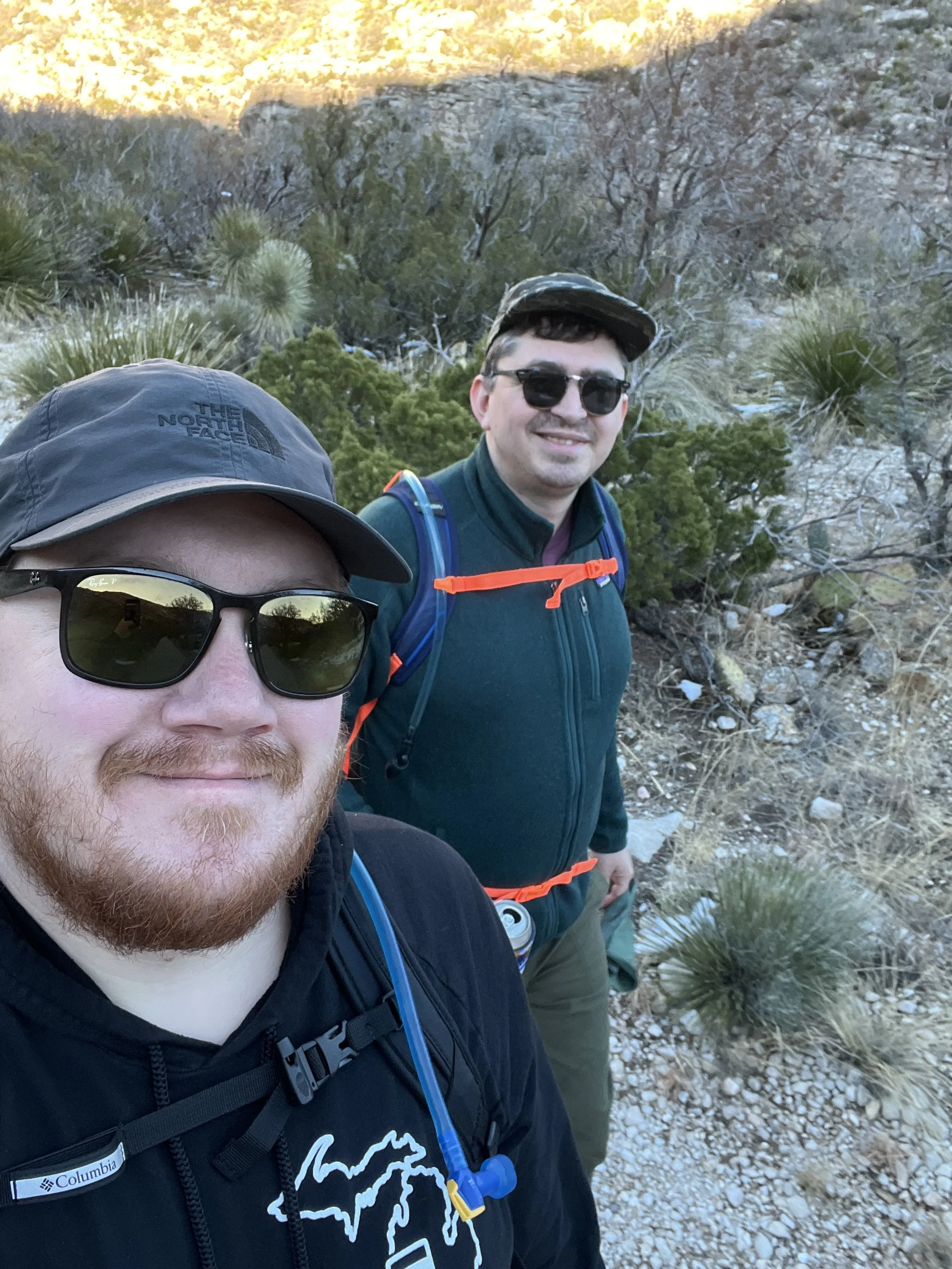
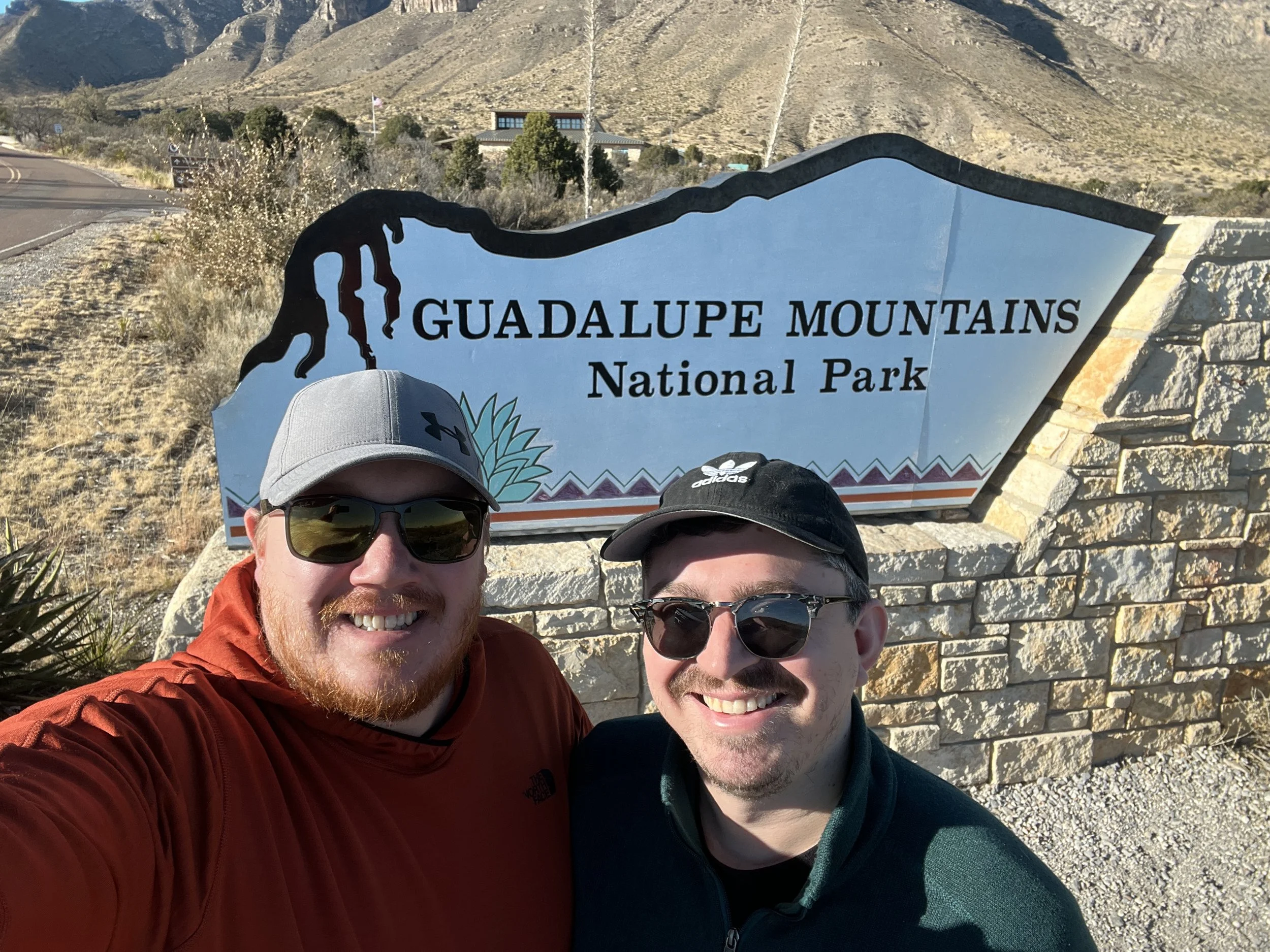
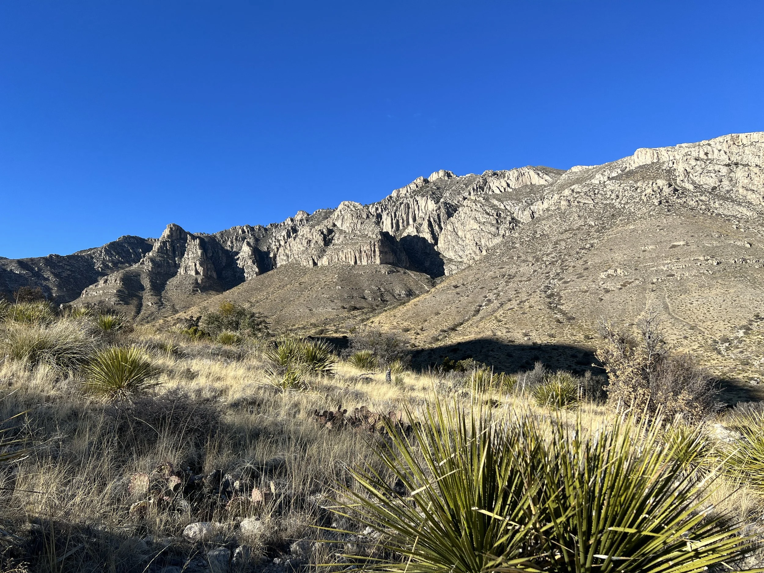
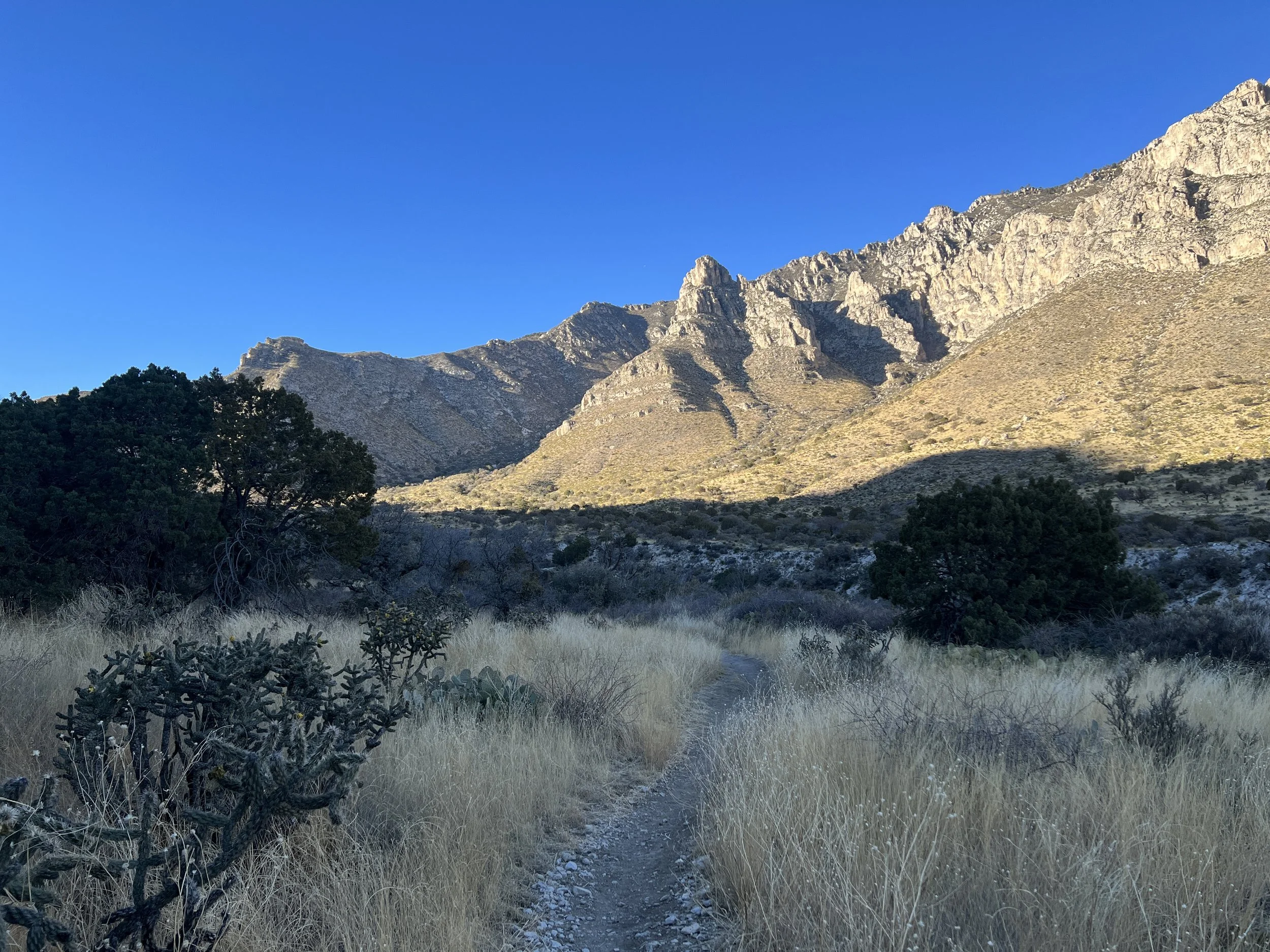
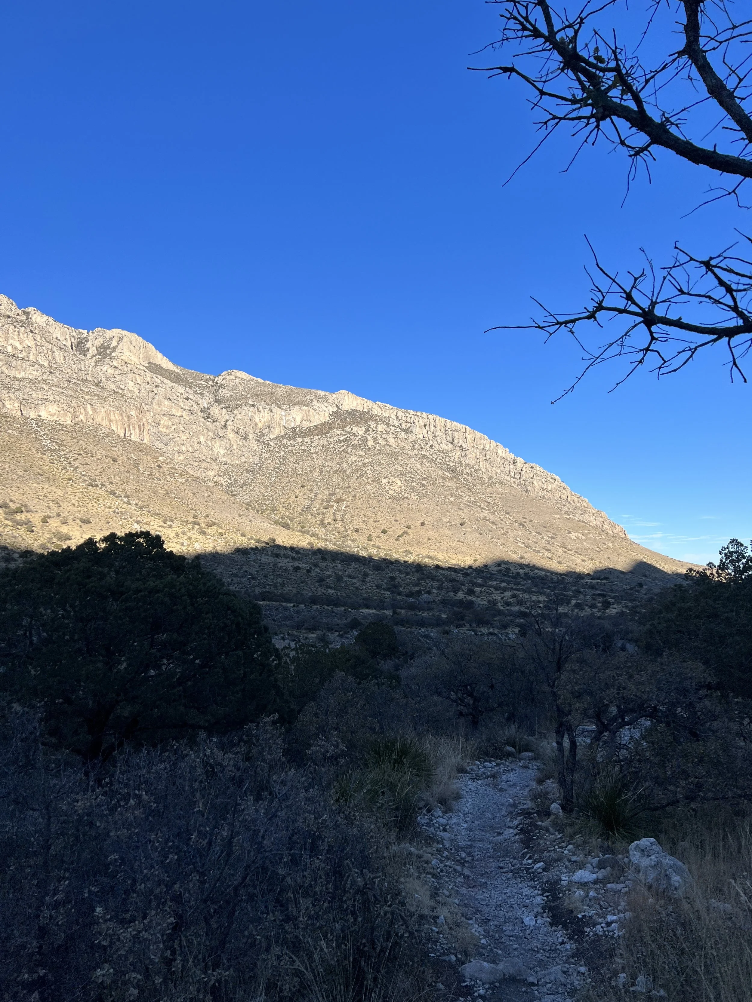
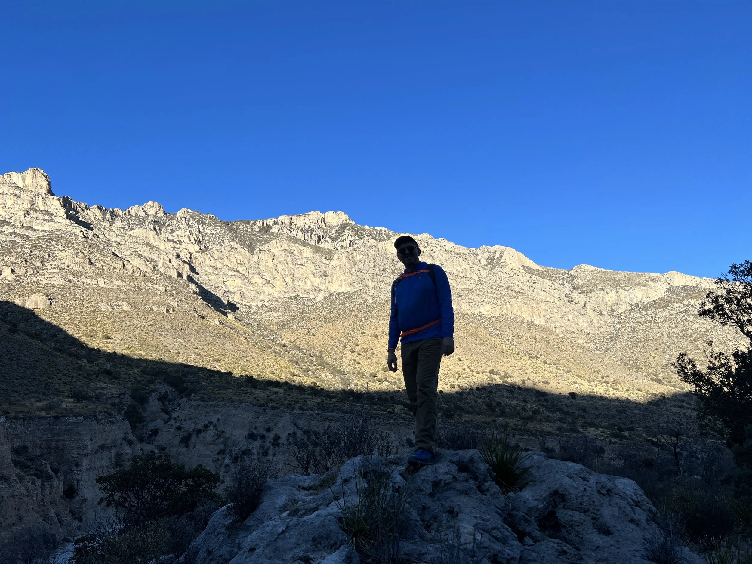
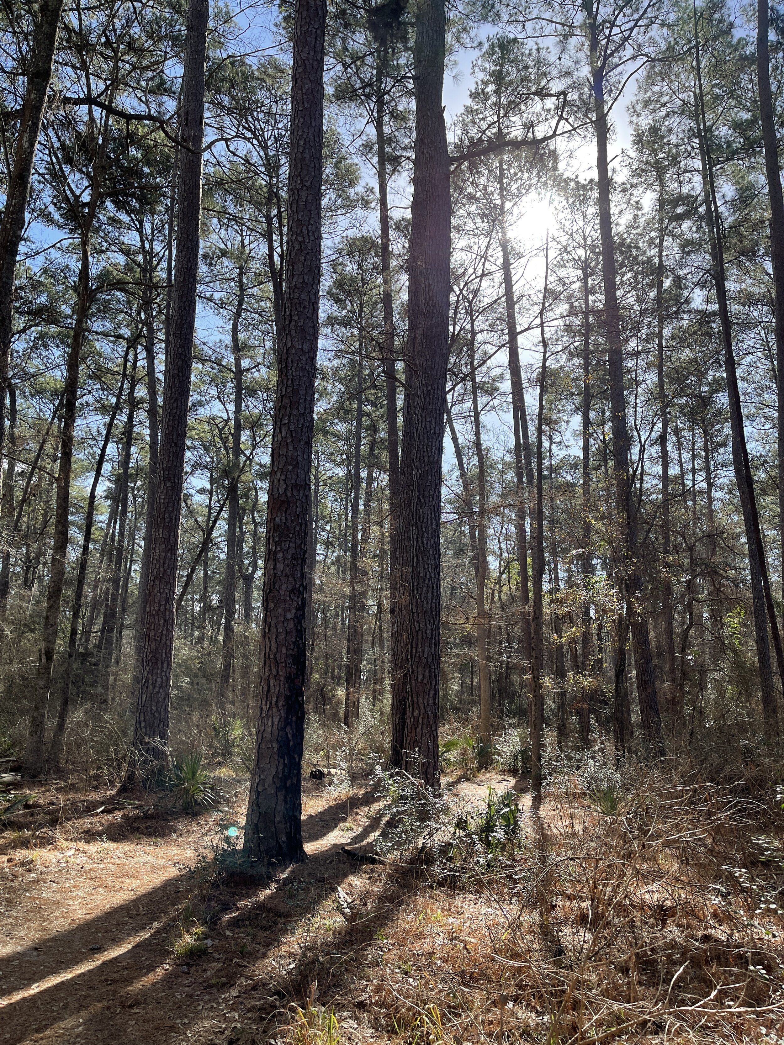
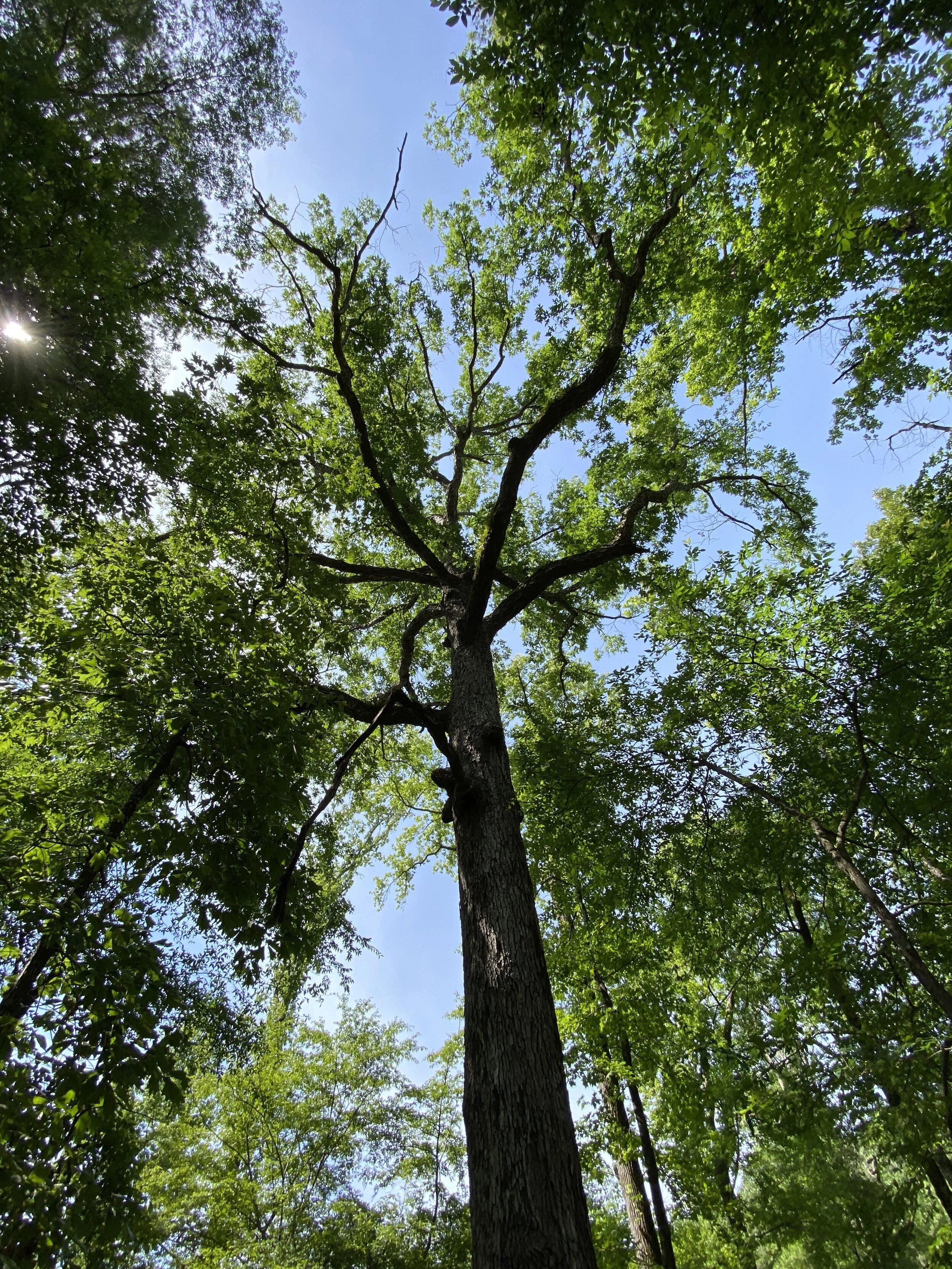
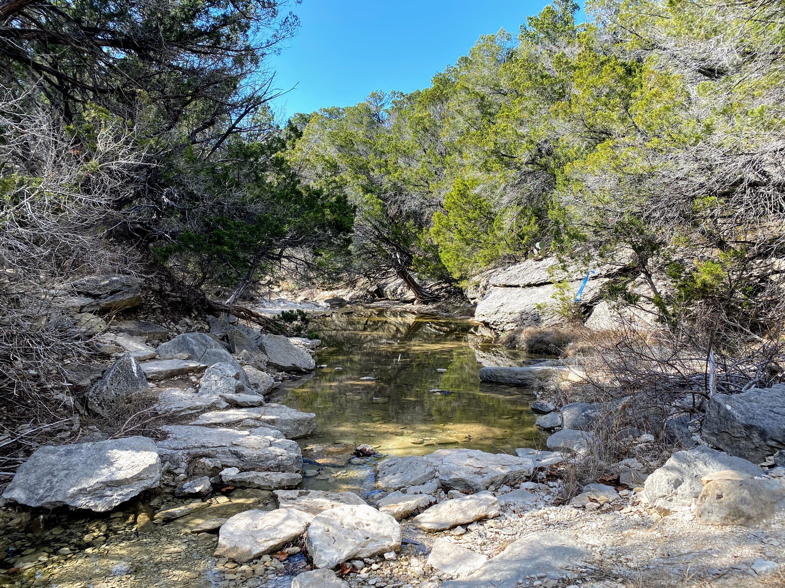
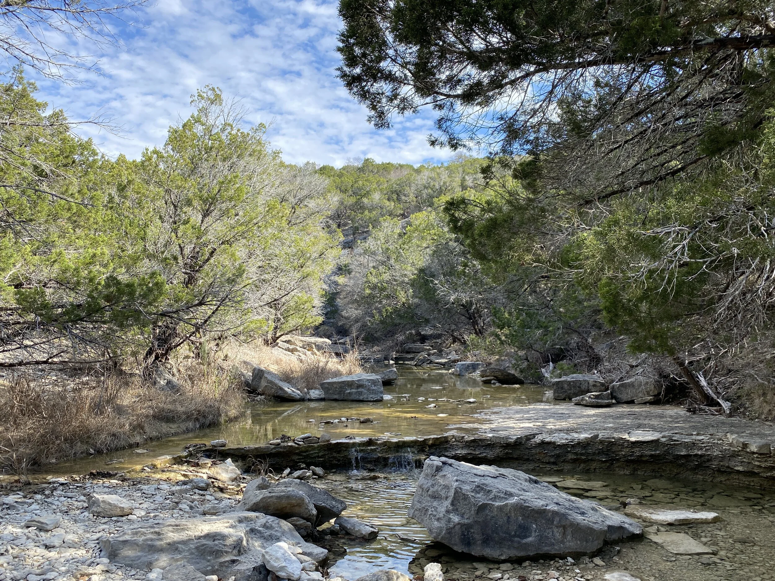
Activity 3/52 - Hike - Guadalupe Mountains NP (Salt Flat, TX)
Distance/Time: 2.34 miles
Trail: McKittrick Canyon
This particular Saturday was a whirlwind. My partner was supposed to be in Indiana, but flights got messed up and he was home. We had reservations for Carlsbad, but missed them and decided to head back to Guadalupe Mountains for another hike. By the time we got there, the day was winding down and McKittrick Canyon gates close at 4:30 pm, so we didn’t have much time to hike. We hiked the trail and stopped at the riverbed for a break in the sunshine. It was a nice little hike, more sunny than last time, and a different view in the canyon. The McKittrick Canyon trail is mild, though we had some icy spots, and mostly flat. It’s suitable for all sorts of hiking experience levels.

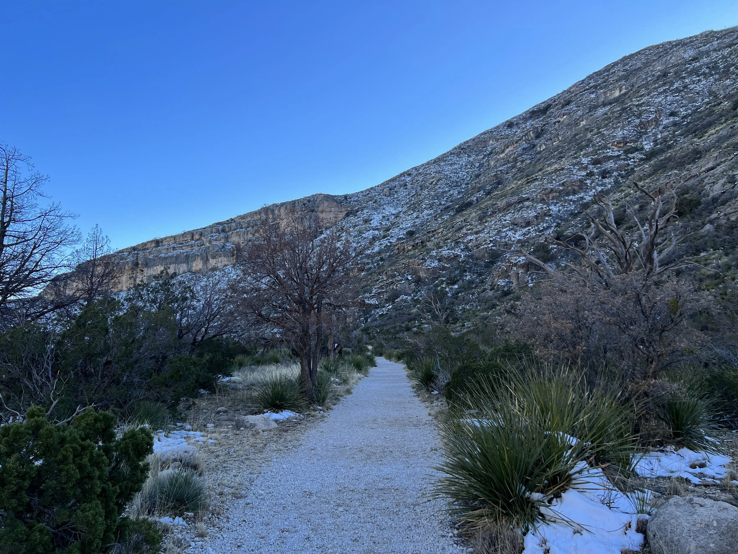
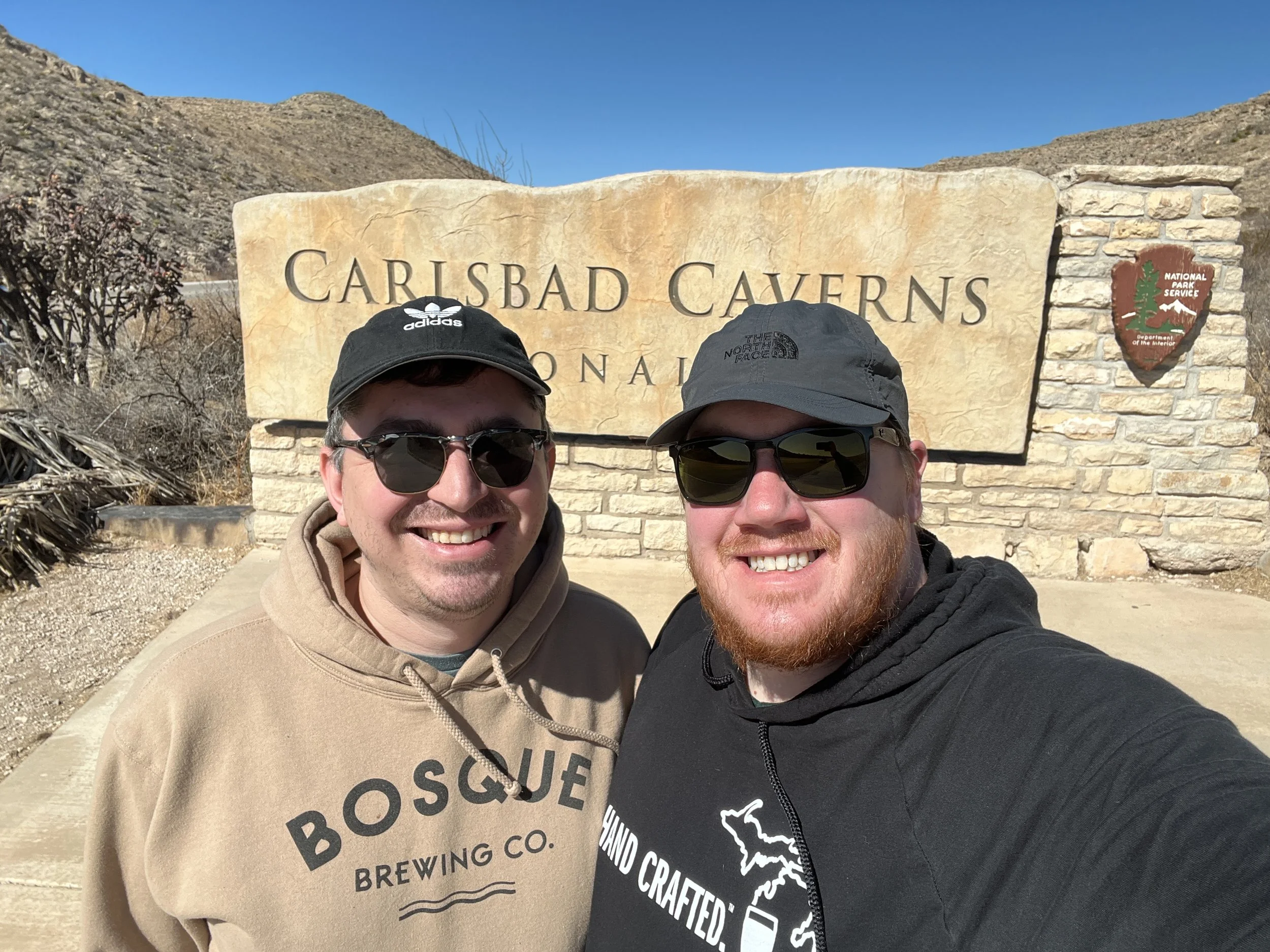
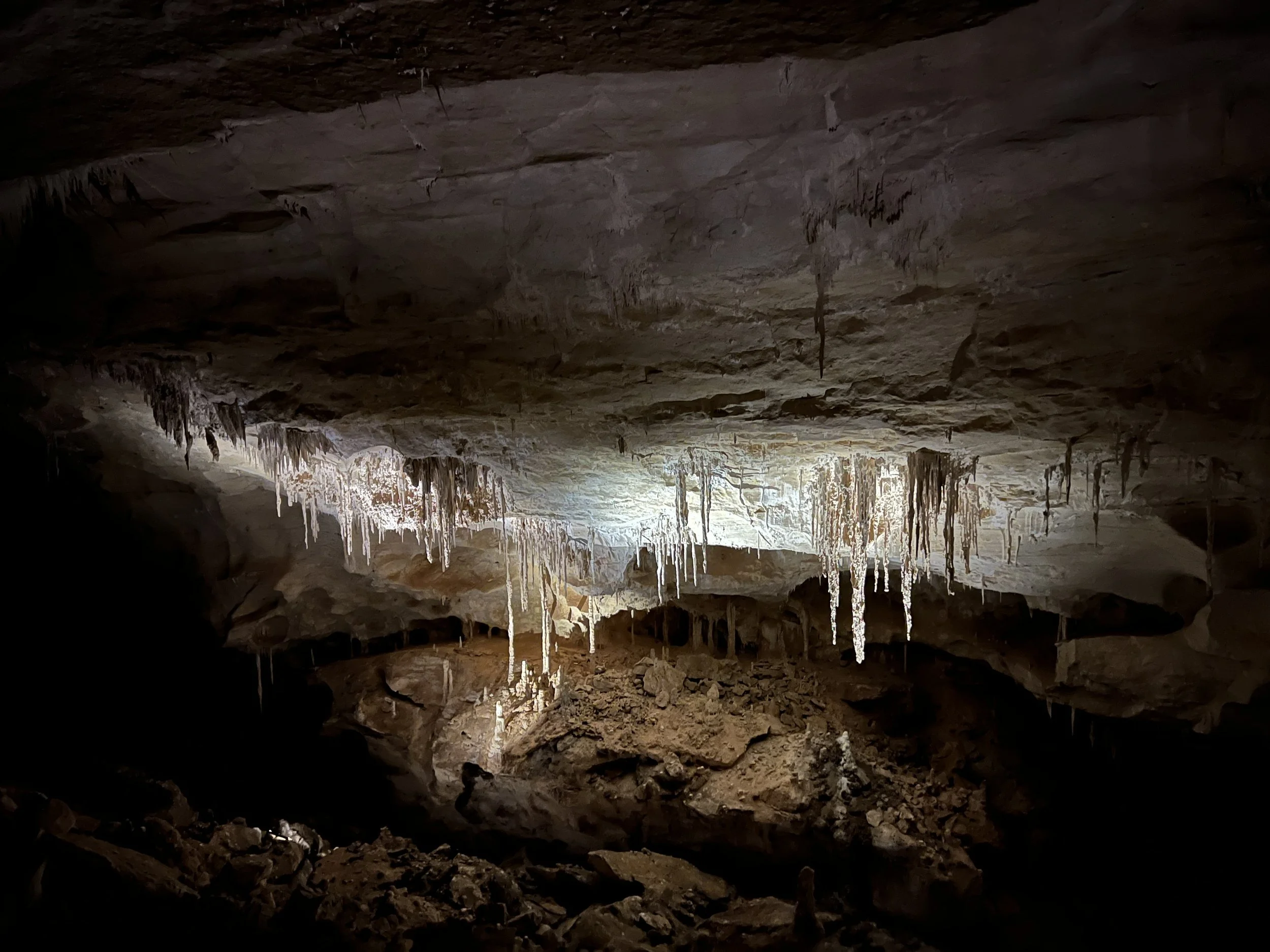
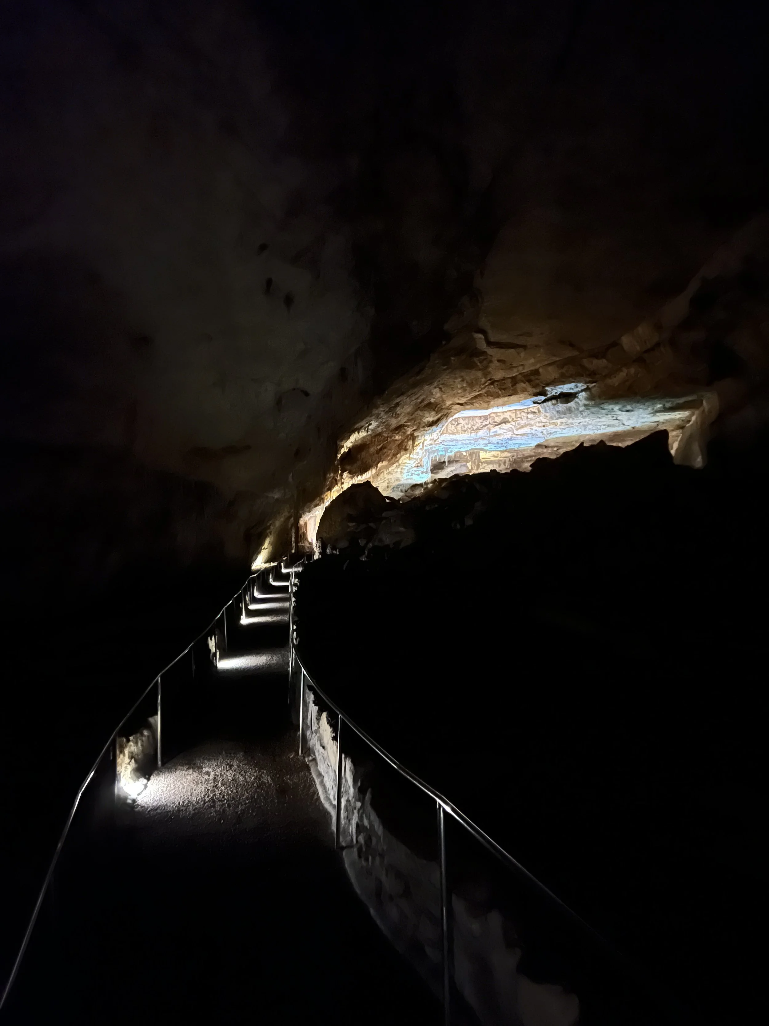
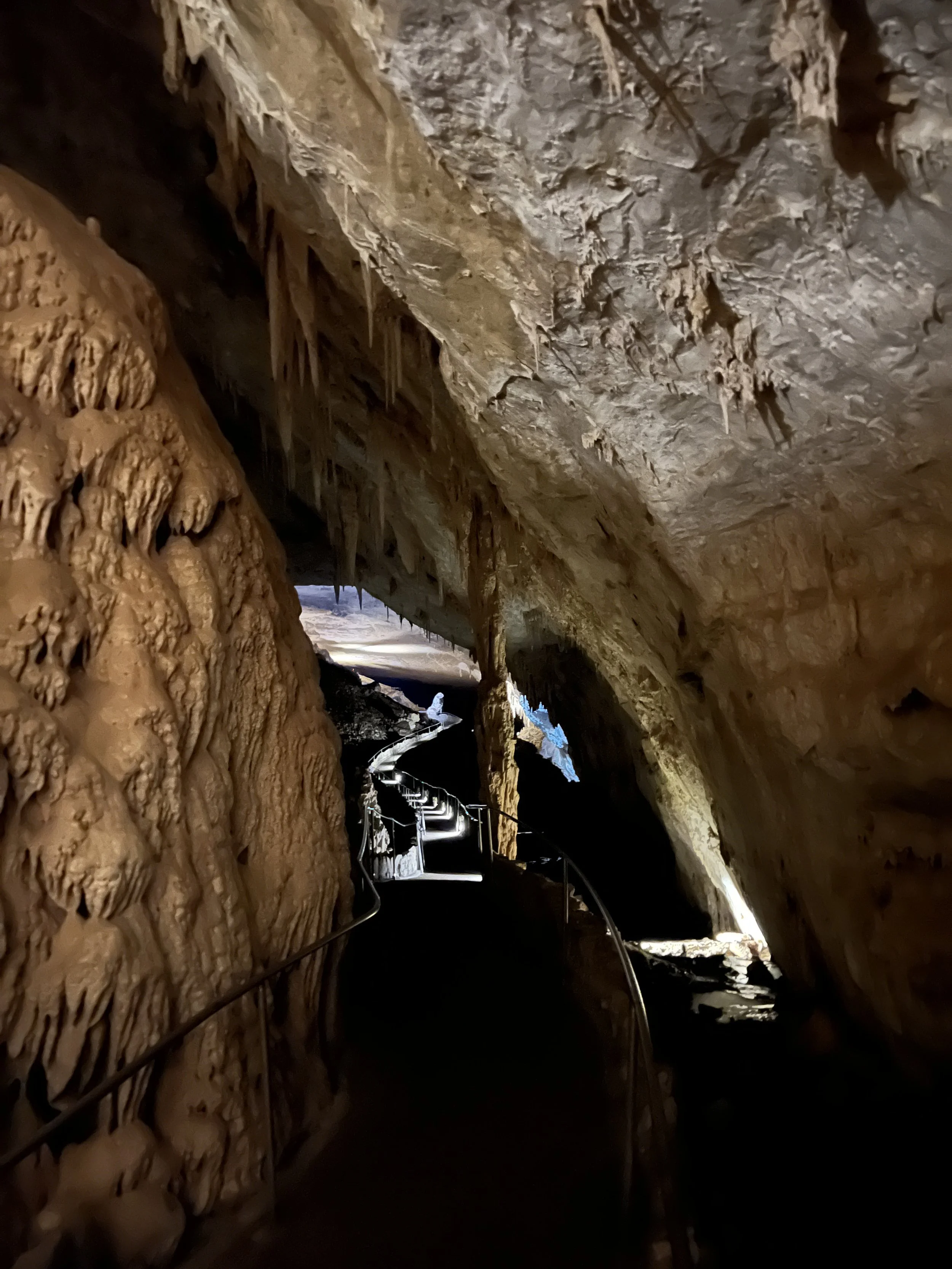
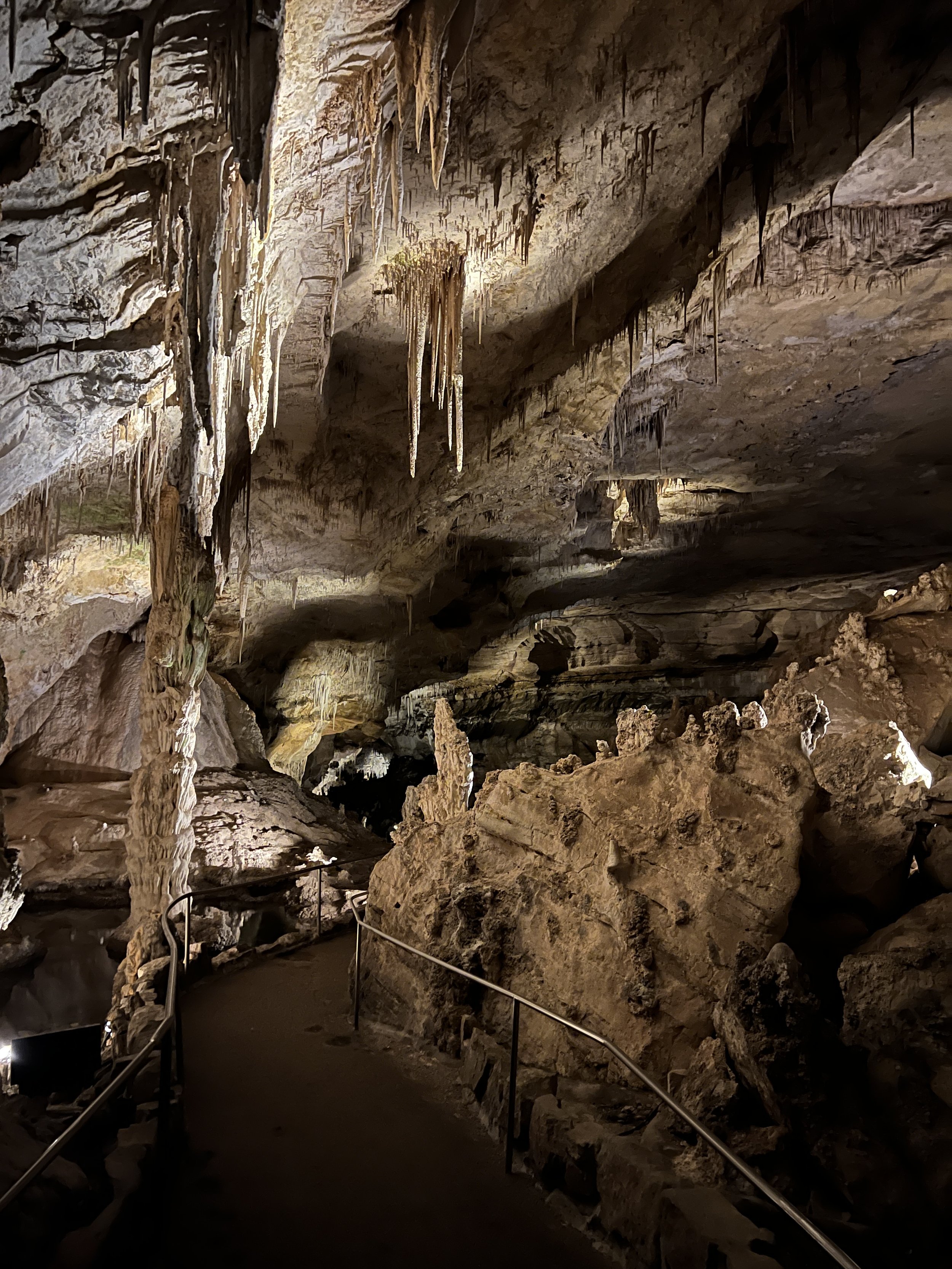
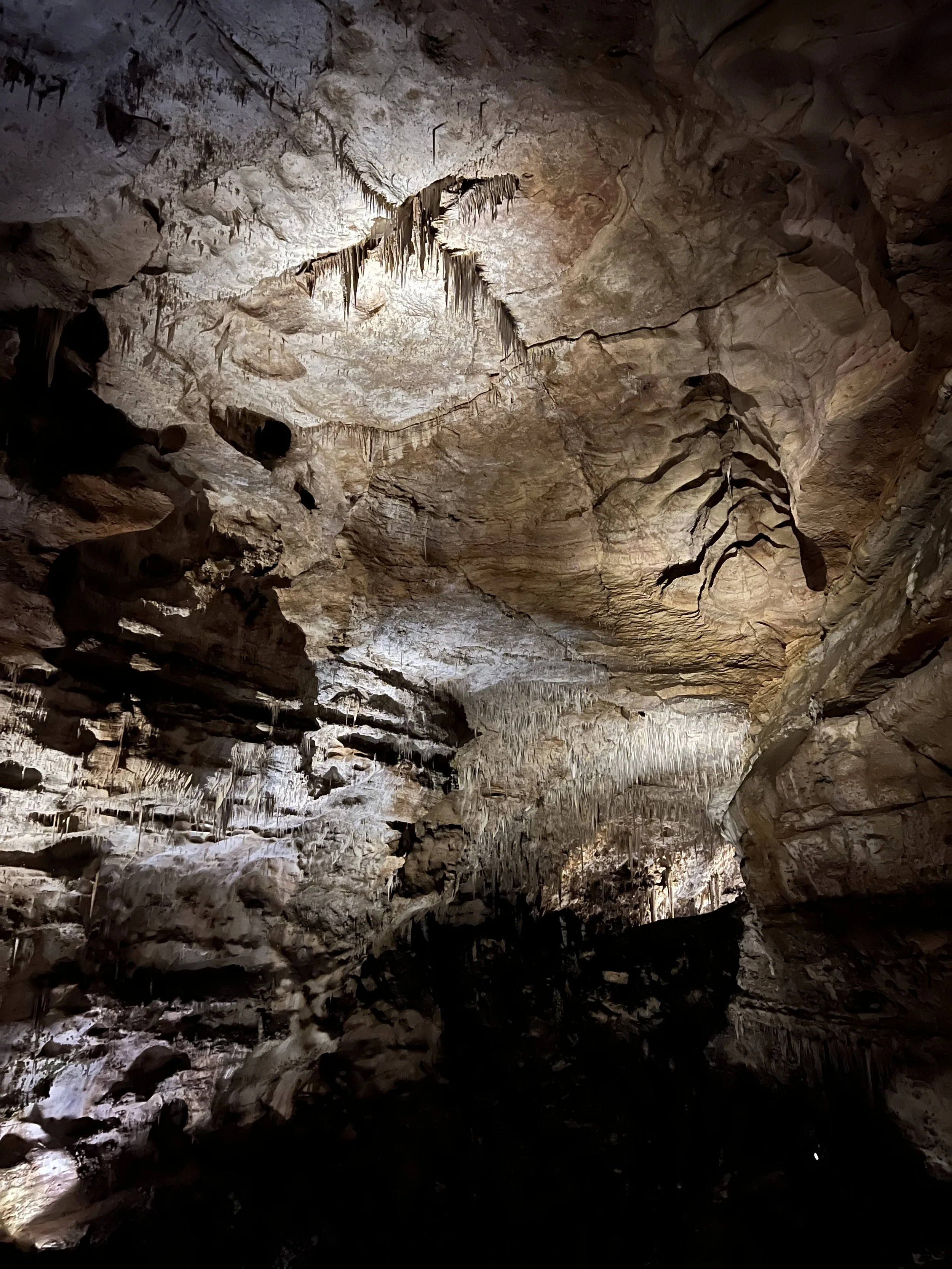
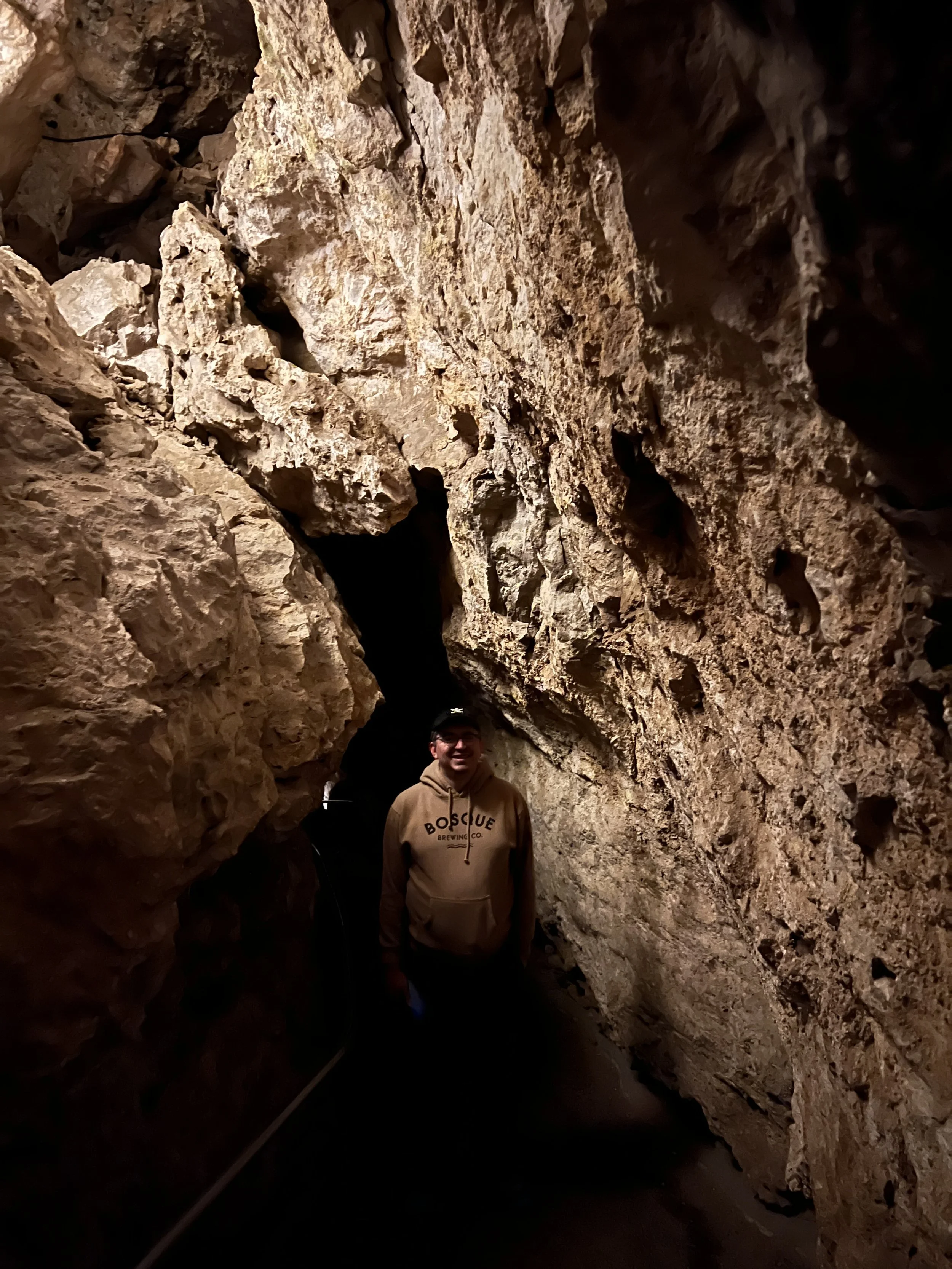
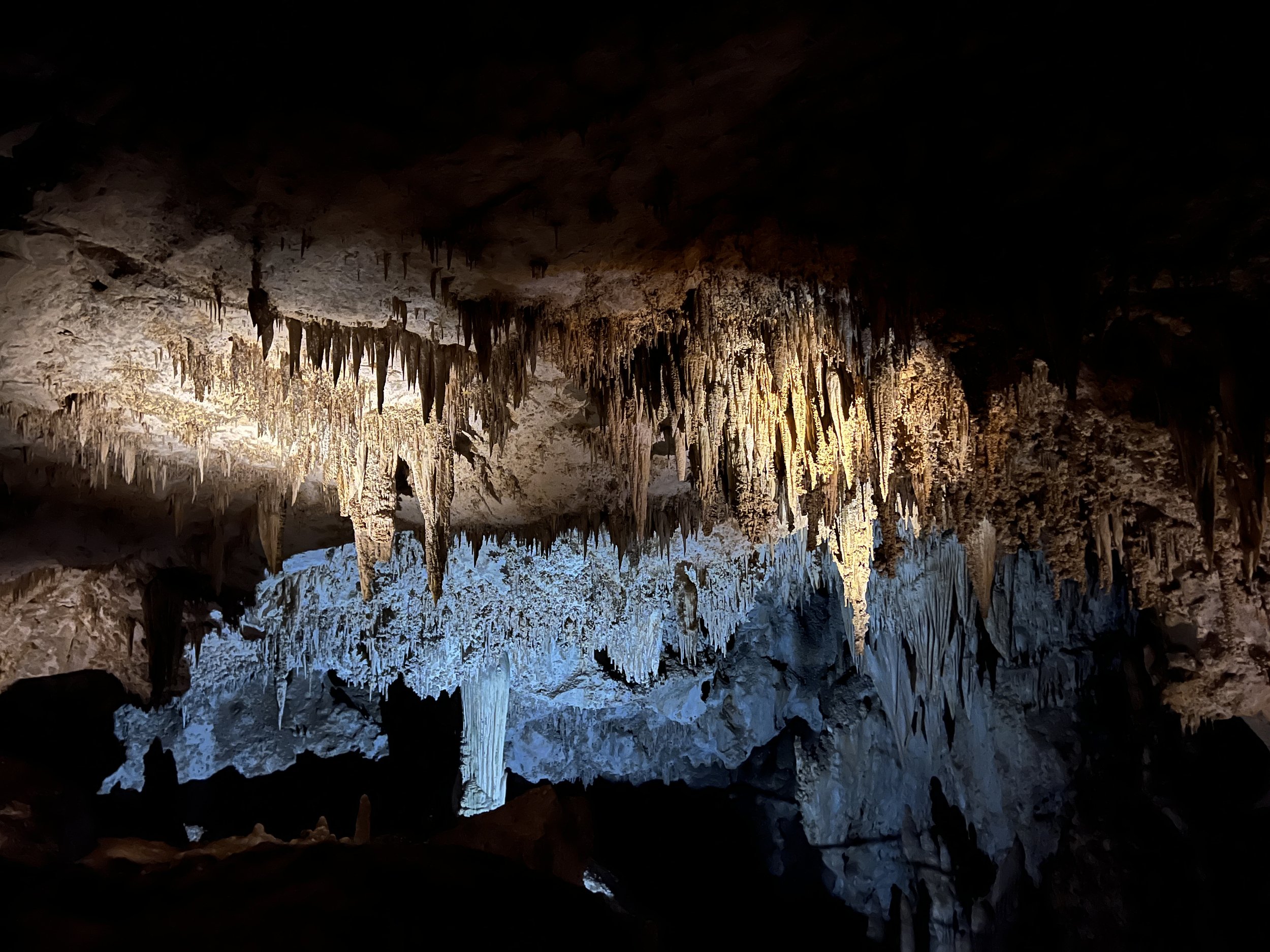
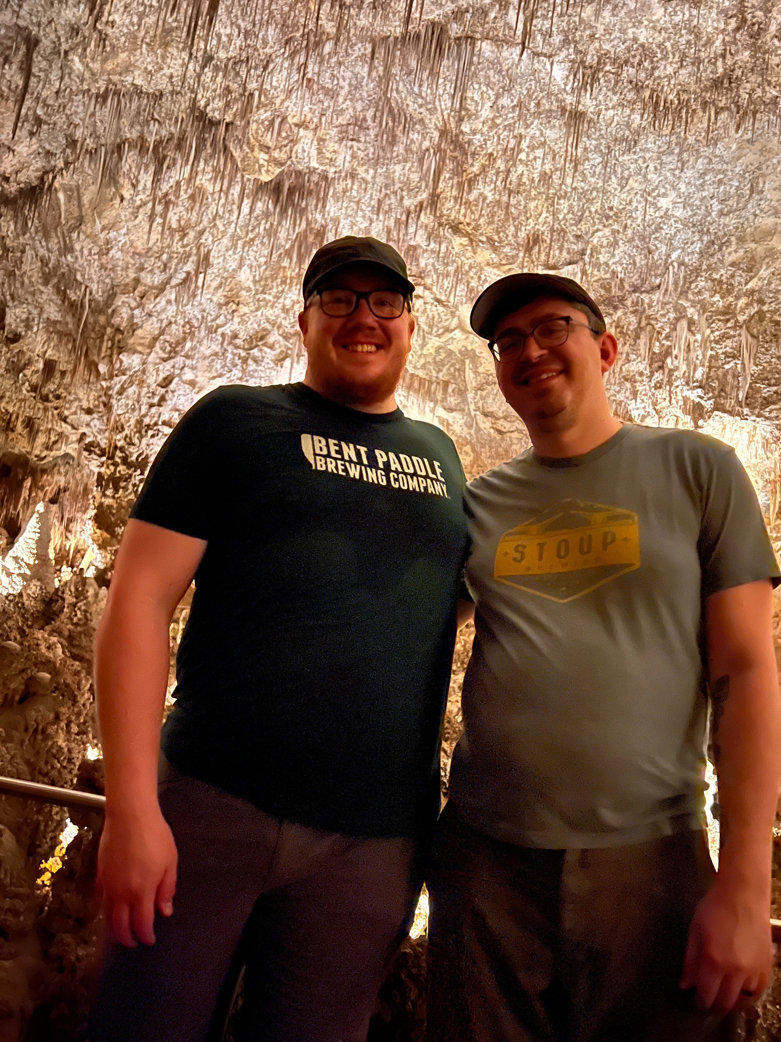
Activity 4/52 - Hike - Carlsbad Caverns NP (Carlsbad, NM)
Distance/Time: 3 miles
We made it to our reservation and walked down the natural entrance. We meandered down, in awe of the formations and just how far we were going in. It was nice to show my partner something I love and something so spectacular. This marks our second national park together as we quest to see them all. Carlsbad Caverns will take a couple of hours to get through, but it’s something new around every corner. Make sure you look up when you’re there, as the stuff on the ceiling can be just as amazing to see. If your knees don’t like downhill, you can enter with the elevator instead of the natural entrance.
2022 Activities 1 and 2
It’s a new year and new set of activities for the 52 hike challenge. This year I will continue having an open mind on what counts as one of the 52 hikes. Paddling, hiking, trail runs, bike rides, and more will count. The goal with my version of the 52 Hike Challenge has always been to get outside and see the world. If the events I participate in do that, I’m good with counting them.
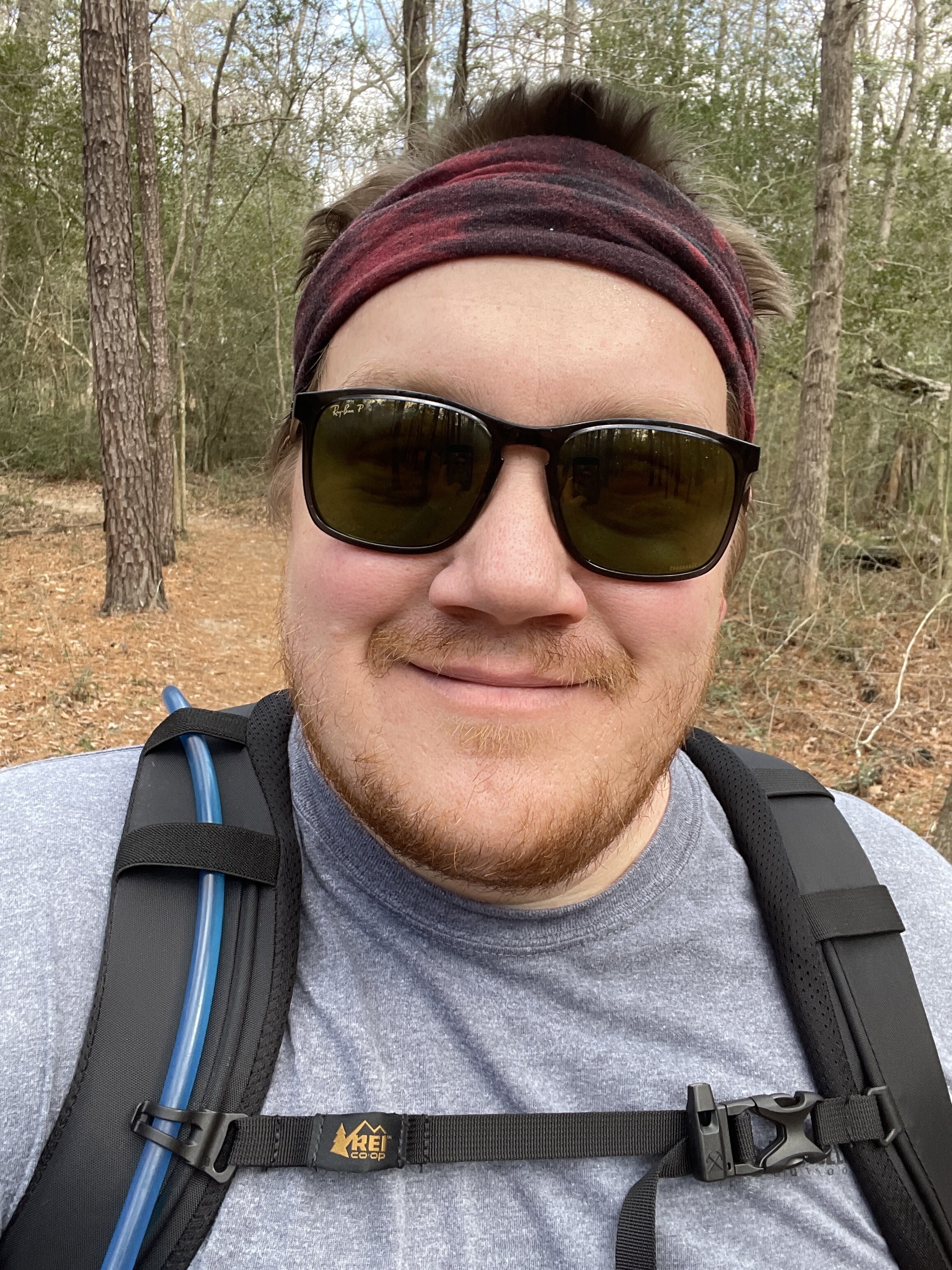
January 2022 included two hikes with my partner Randall. We have plans to complete this challenge together this year and we’re going into February with a plan to adventure even more.
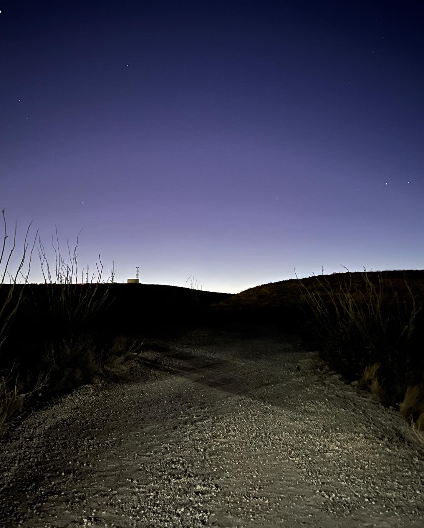
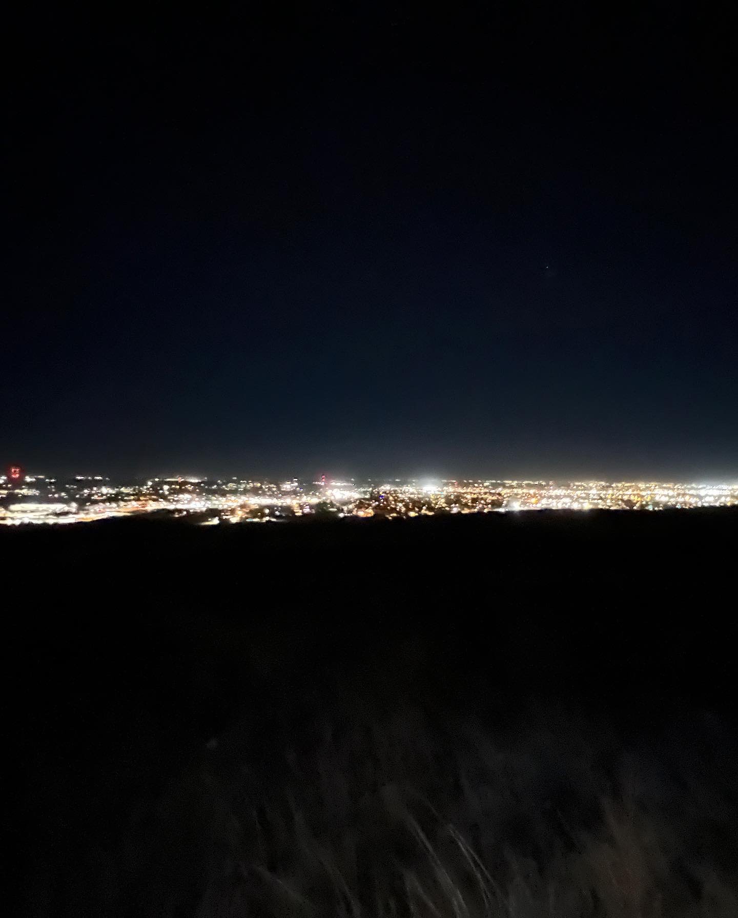
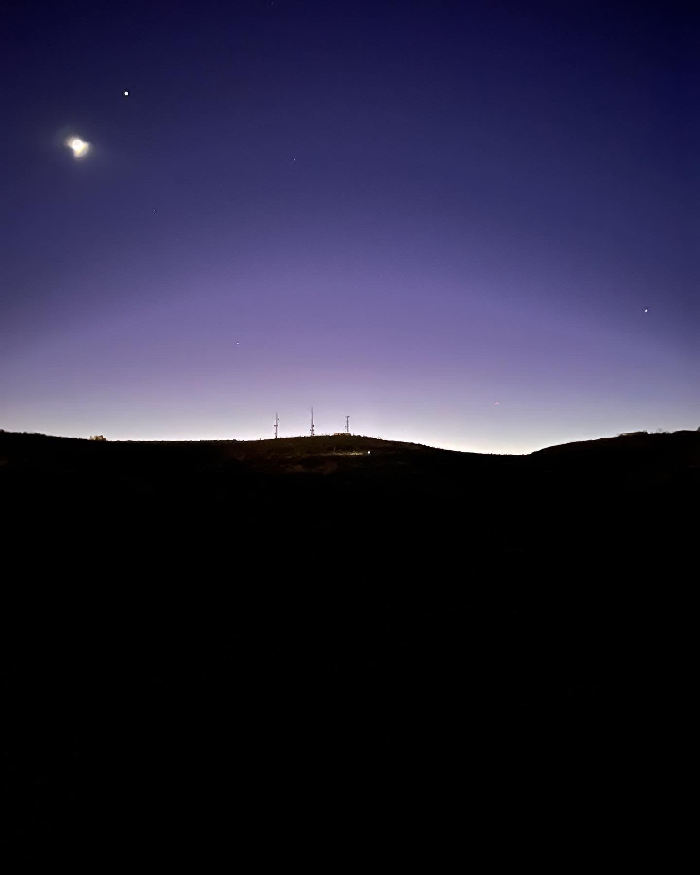
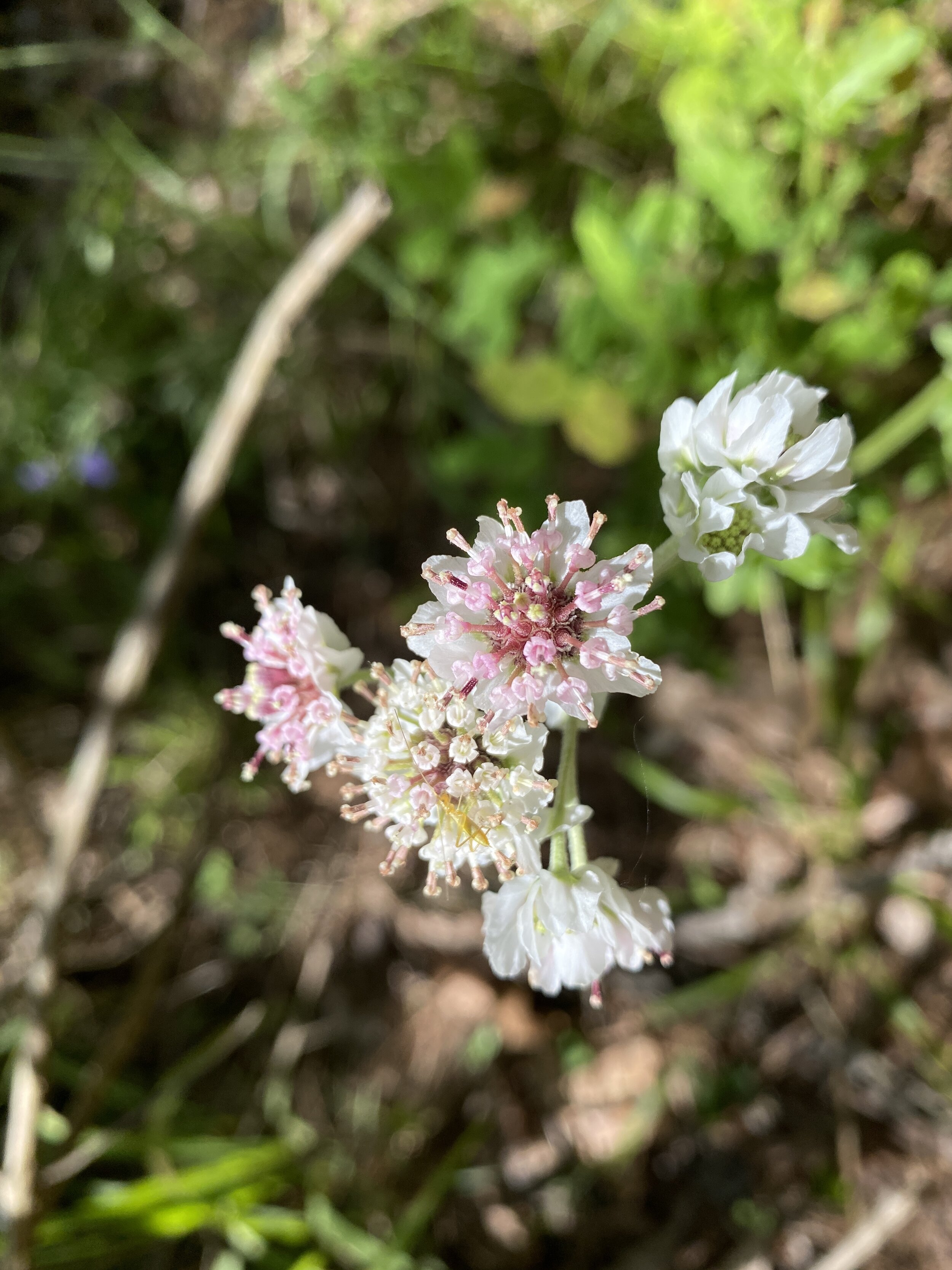
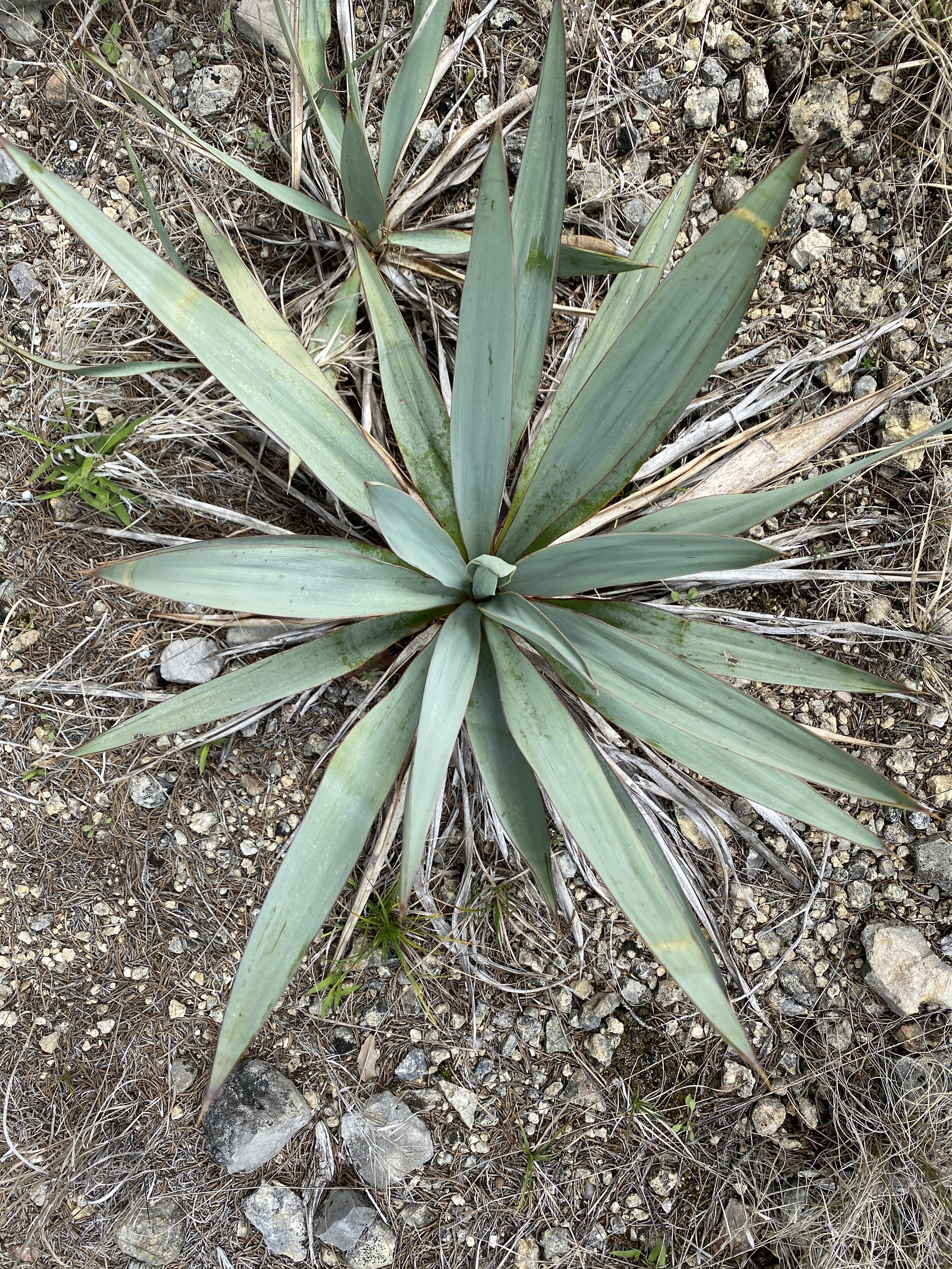
Activity 1/52 - Hike - Ocotillo Nature Trail (Carlsbad, NM)
Distance/Time: 2 miles
This trail is a little gravel path that winds up the hillside and takes you to a high point and view of Carlsbad. We did this trail at night, with the dogs, because of work and whatnot so the view was especially cool. The activity itself was not difficult, but it was dusty and dry. Enjoy some of the photos!
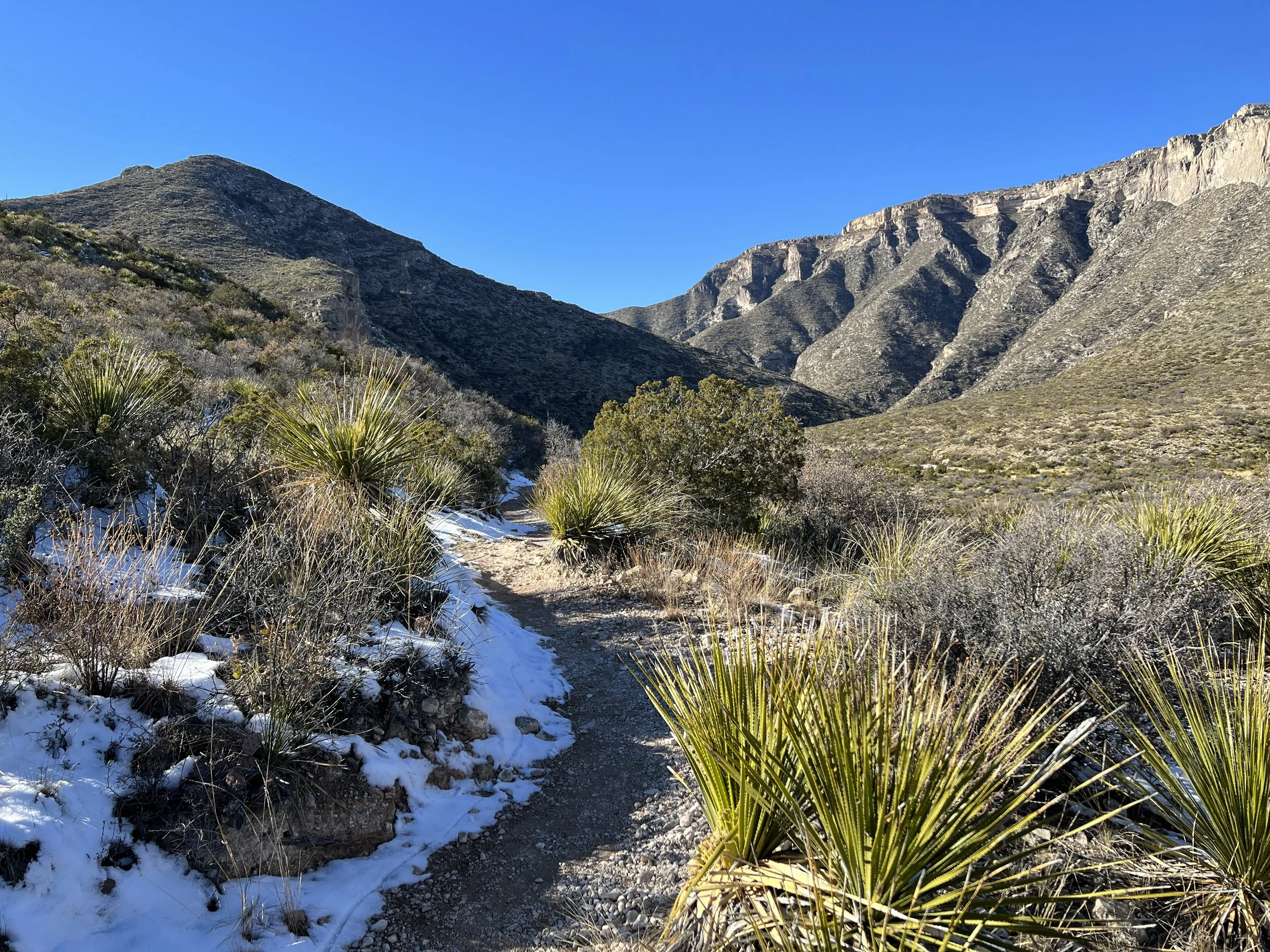
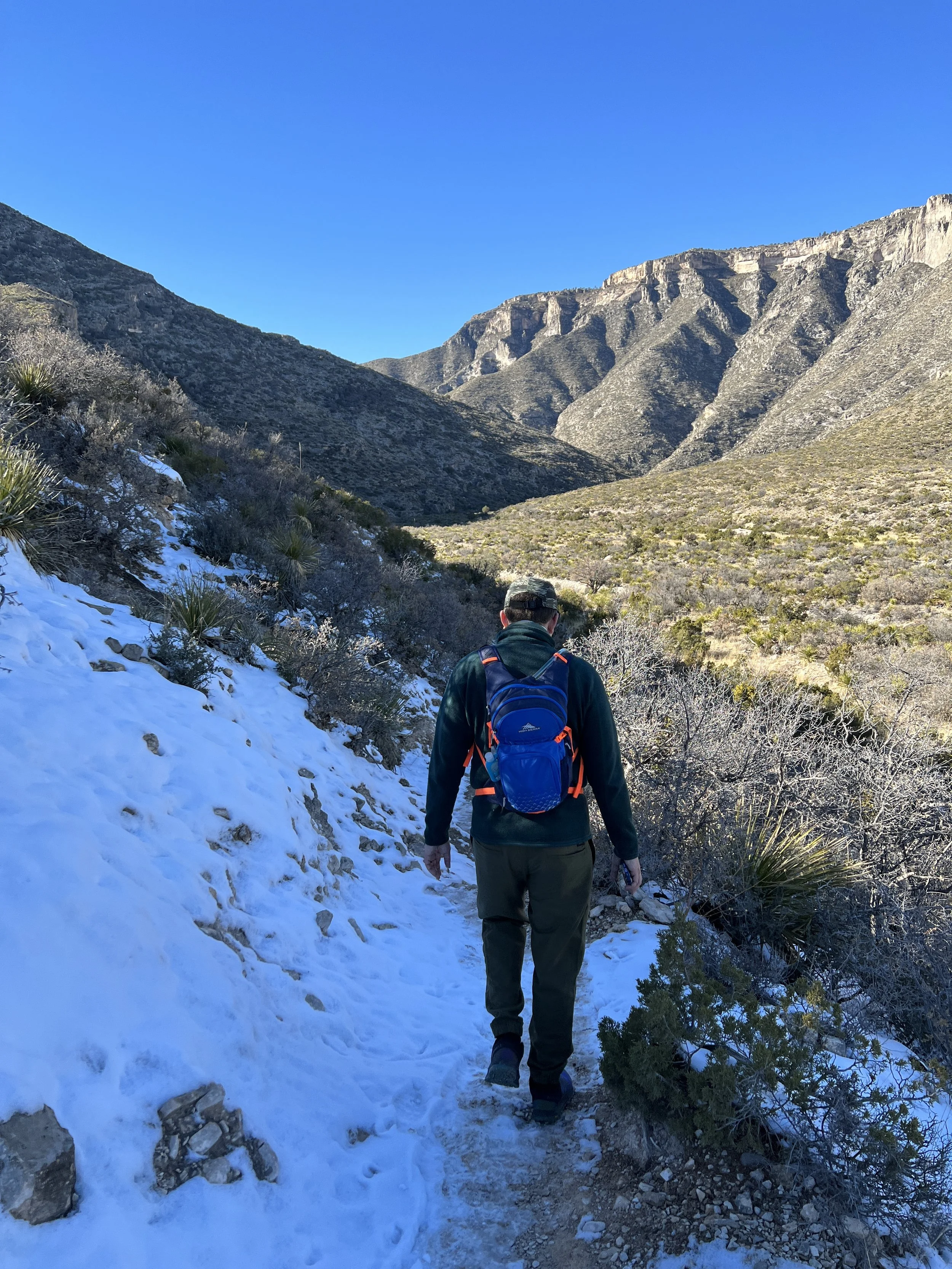
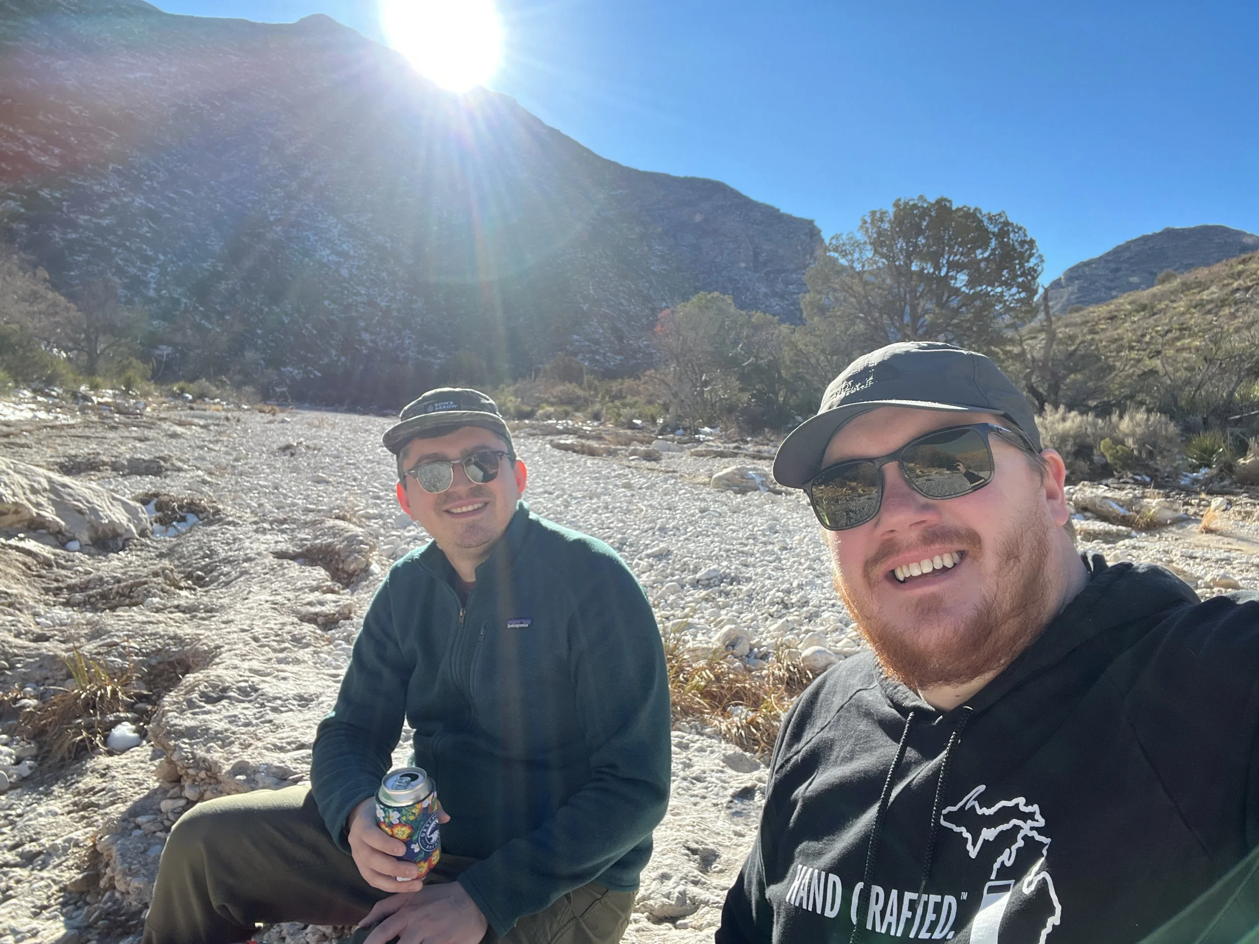
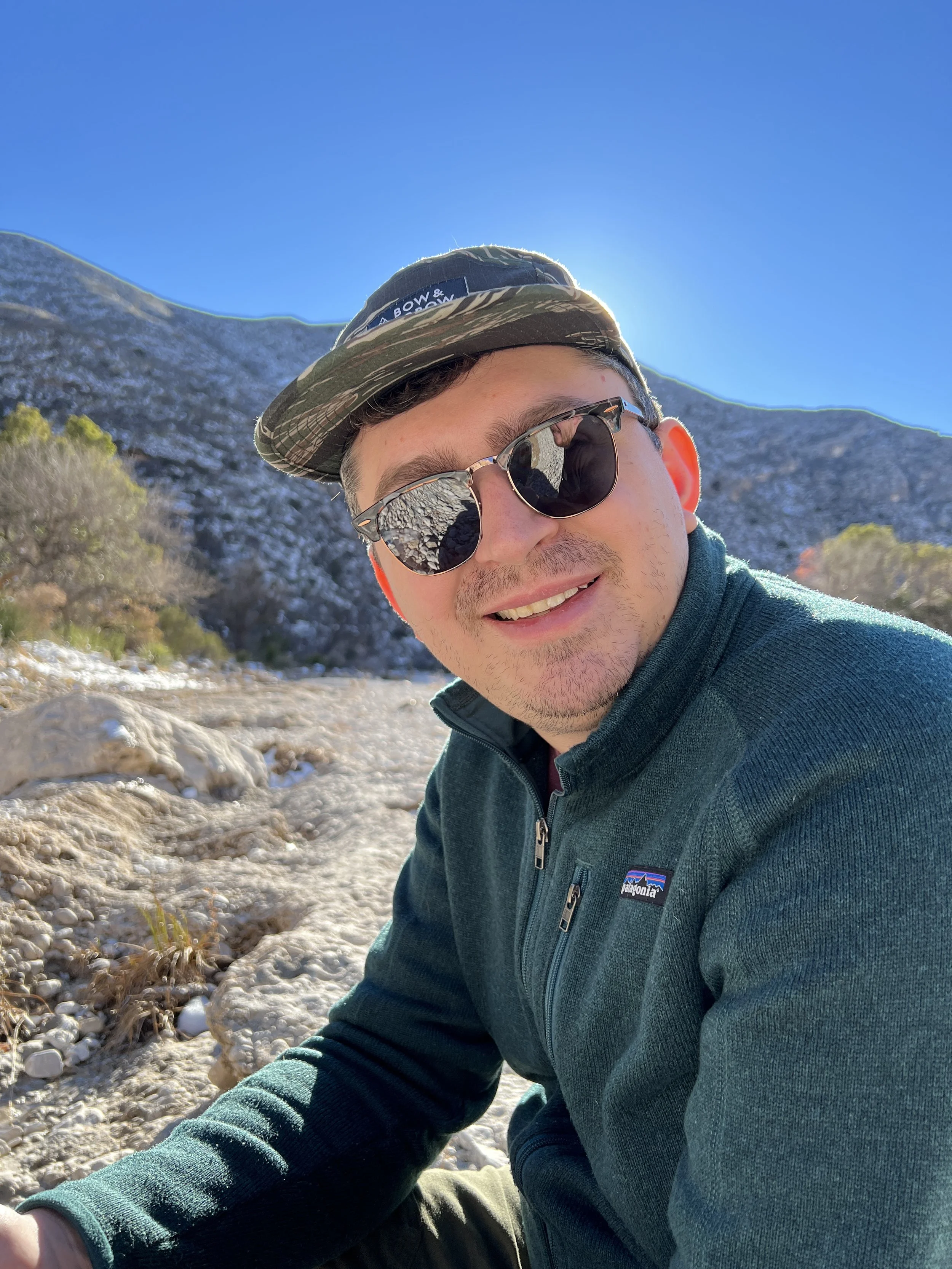
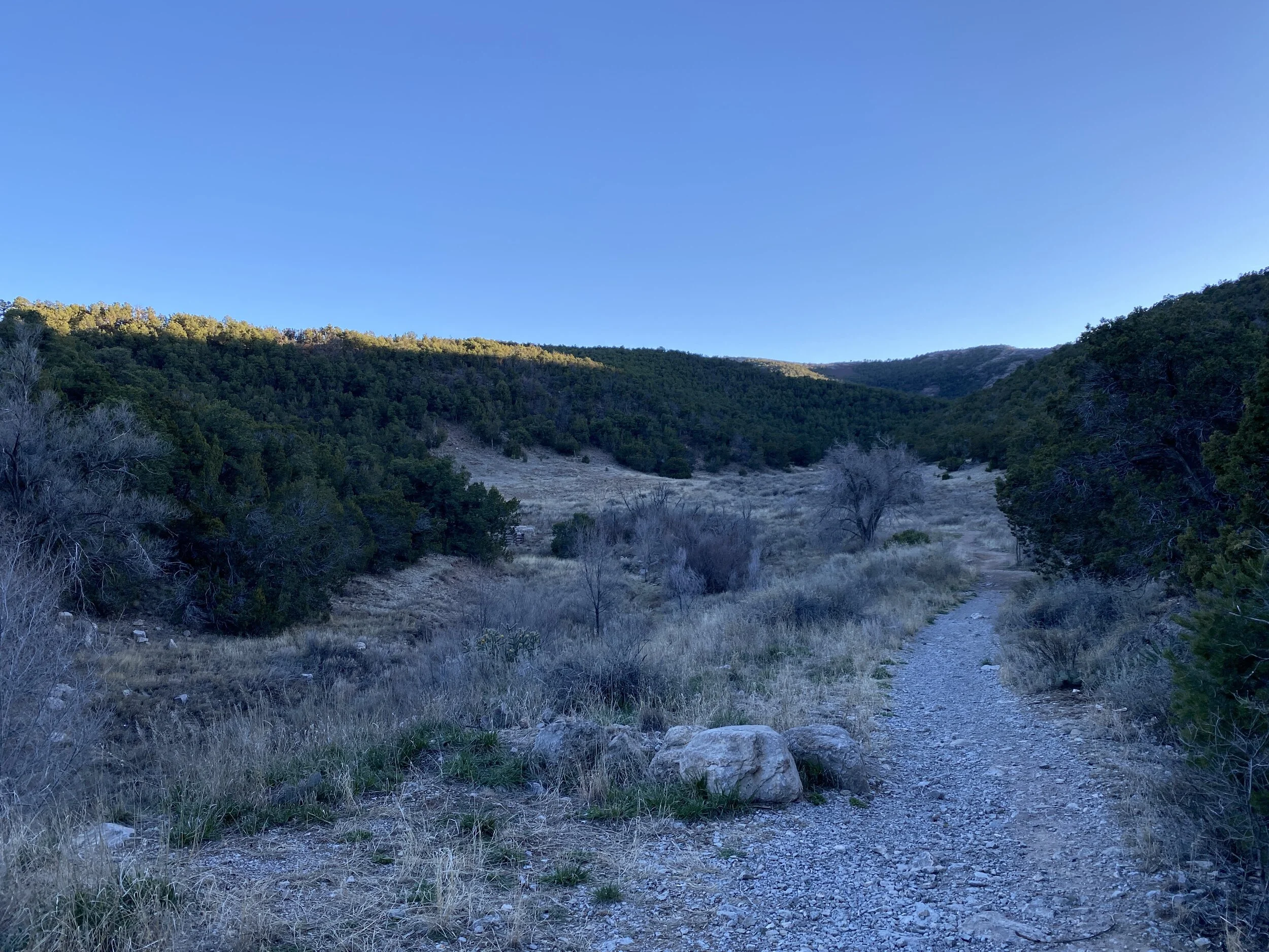
Activity 2/52 - Hike - Guadalupe Mountains National Park (Salt Flat, TX)
Distance/Time: 2.38 miles
This hike started with good intentions, and ended with good plans to return. I think the original thought was to hike through McKittrick Canyon and have a nice picnic at the Pratt Cabin. As we drove, other trails looked more enticing so we shifted our plans to hike the Devil’s Hall trail. We started off, with plenty of snacks and water but only brought sunglasses. The sun was sinking, and the canyon walls made it darker faster. We hiked just over a mile and decided it was getting too dark in sunglasses (we both wear prescription sunglasses) and it was time to just have a snack and head back to the car. This is where we planned to return for this trail, and others, before we leave New Mexico. Flexibility is an important part of adventuring and our safety and enjoyment are top concerns making the decisions to come back easy!
Jan-Feb 2021 Hikes
Here’s a brief write-up of the hikes I’ve taken through February of this year.
Thanks for following along.
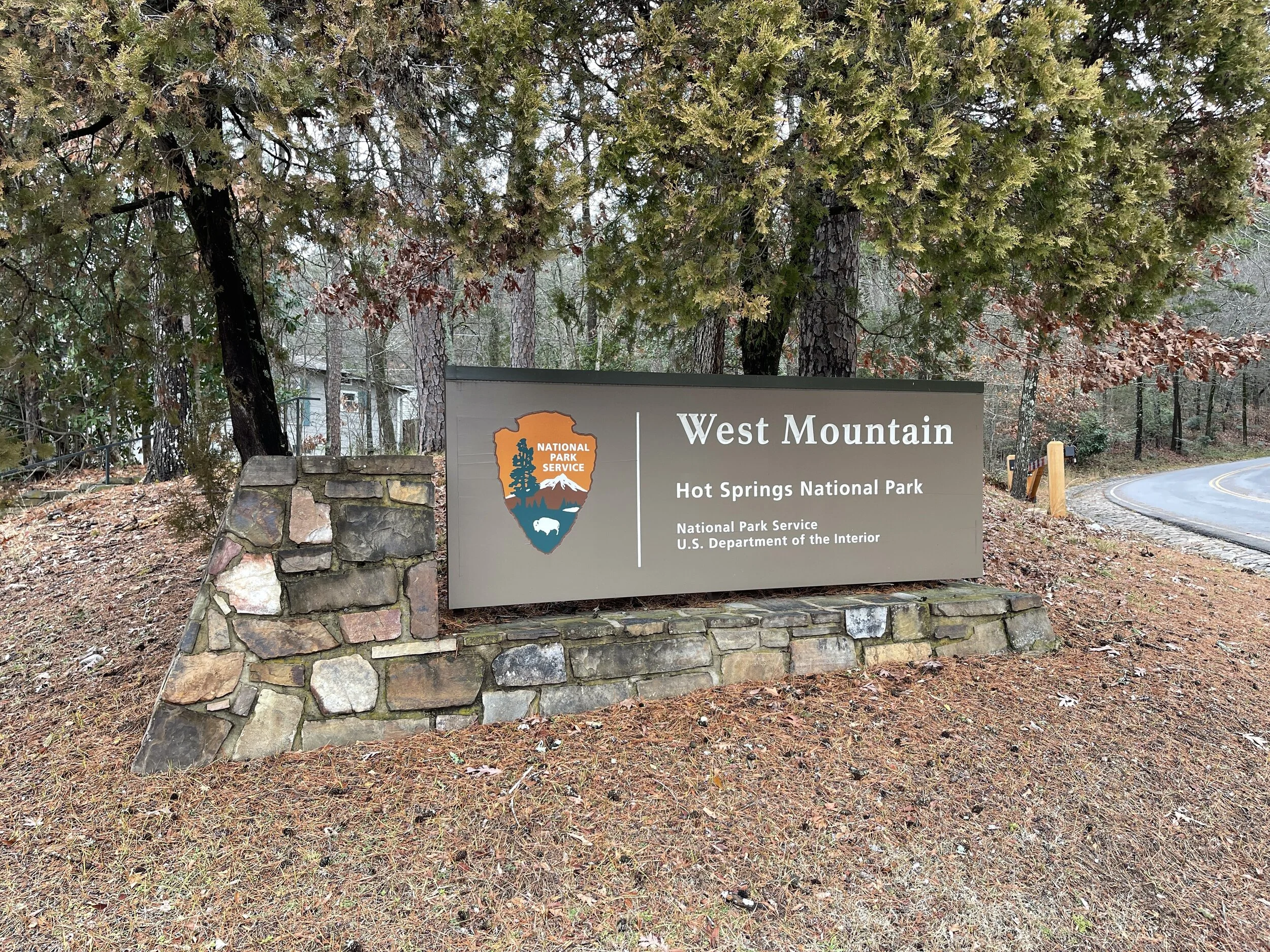
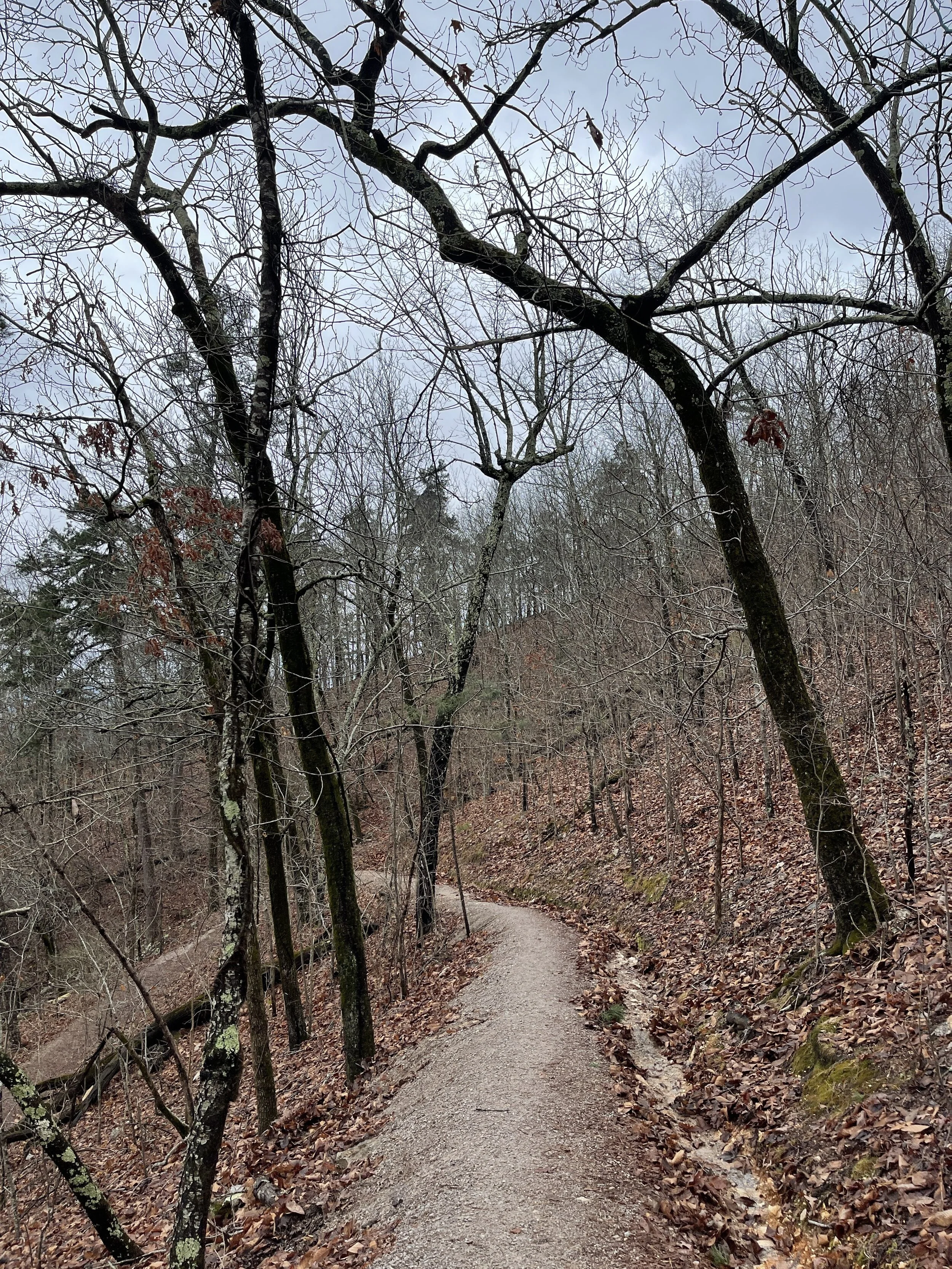
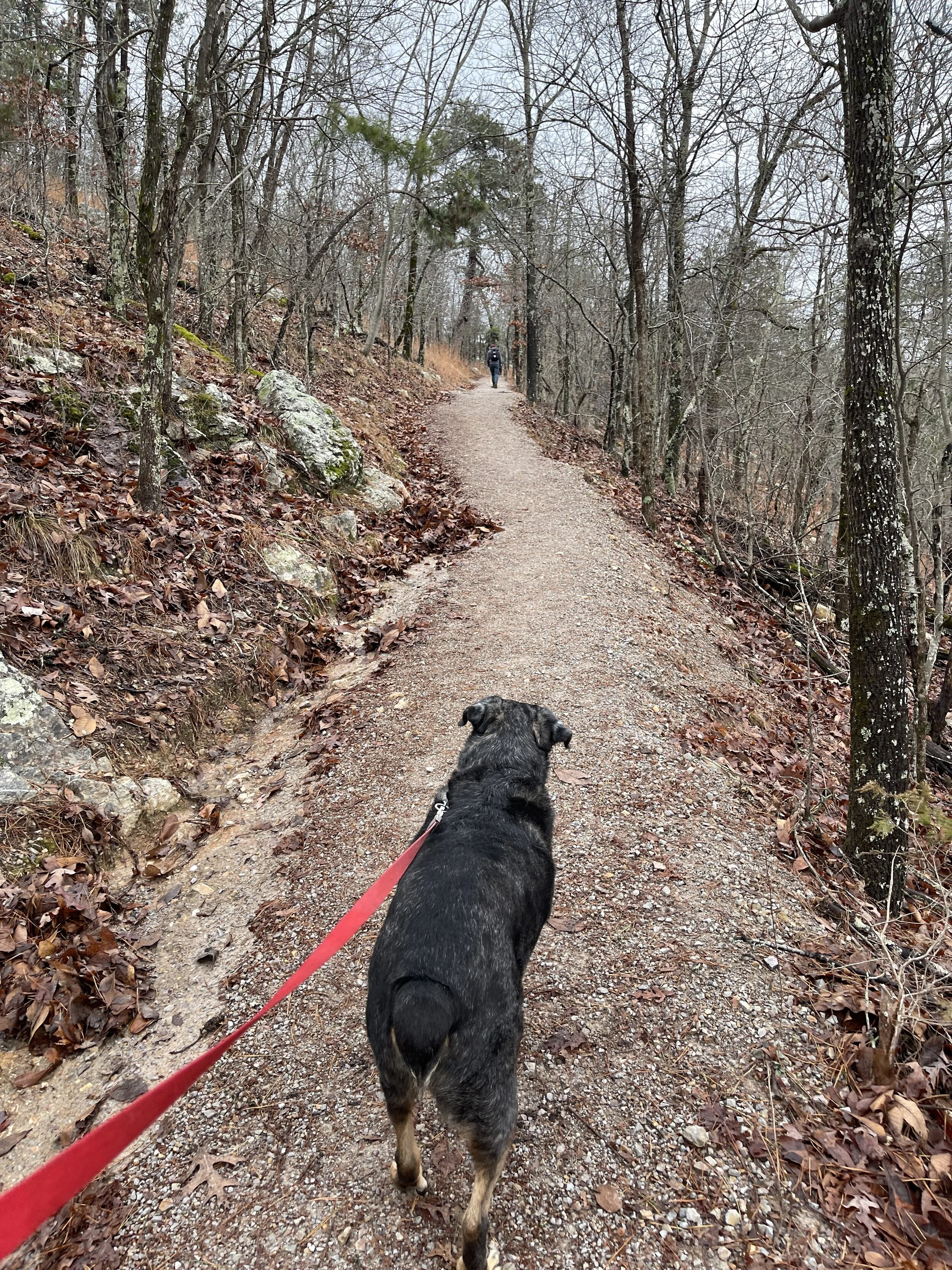
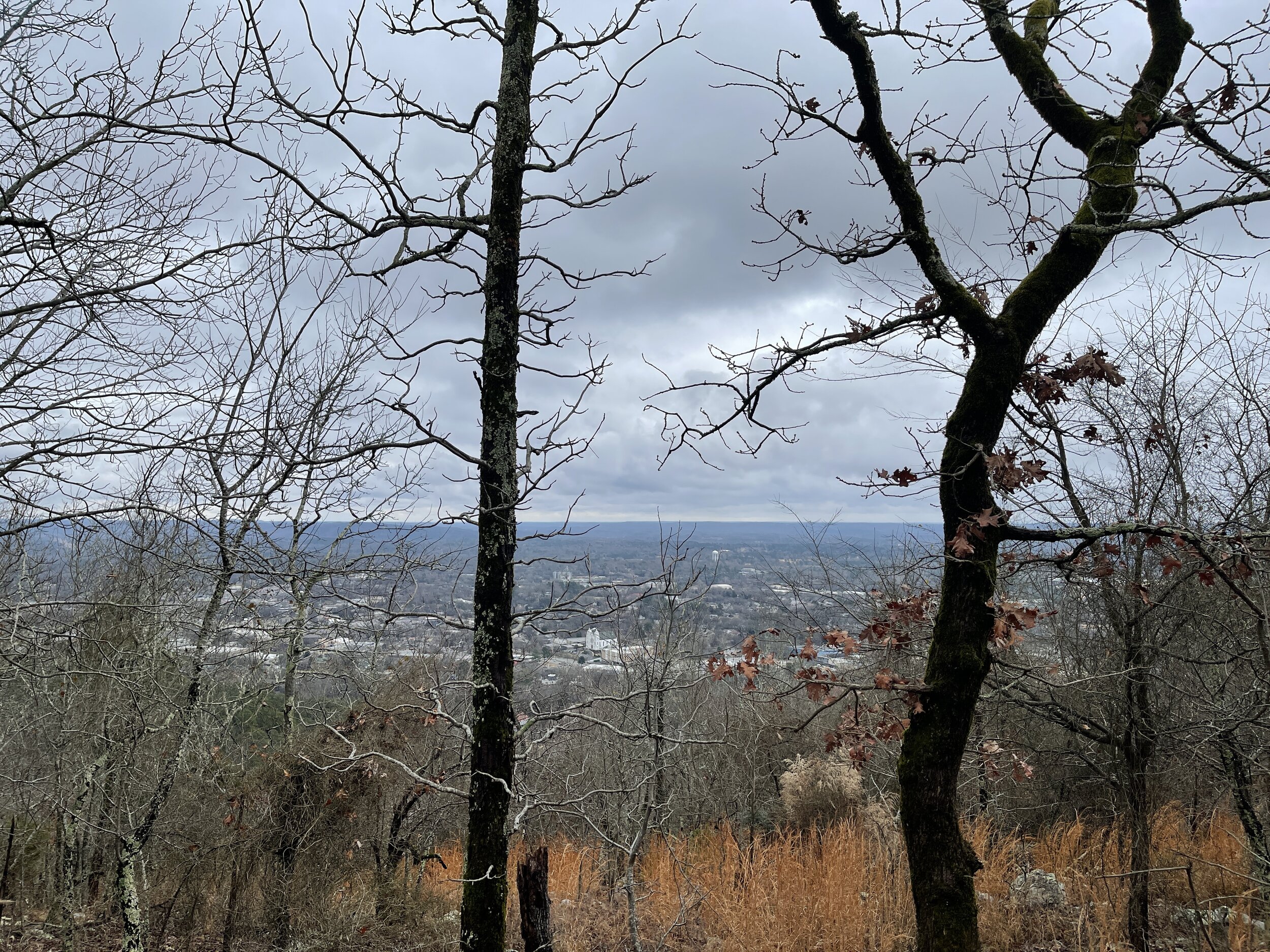
Hike 1 - Hot Springs National Park (Arkansas)
Hiked 3.15 miles with my Eric, Brian, and Jen
West Mountain Trail, Mountain Top
It was rainy, gray, and cool and we brought the dogs
This was my first visit to Hot Springs
0 lbs of trash recovered (very clean)
Hike 2 - Hot Springs National Park (Arkansas)
Hike 5.25 miles with my Brian
Sunset Trail - it was gray and cool and it snowed
We took the the big dogs with us
0 lbs of trash recovered (very clean)
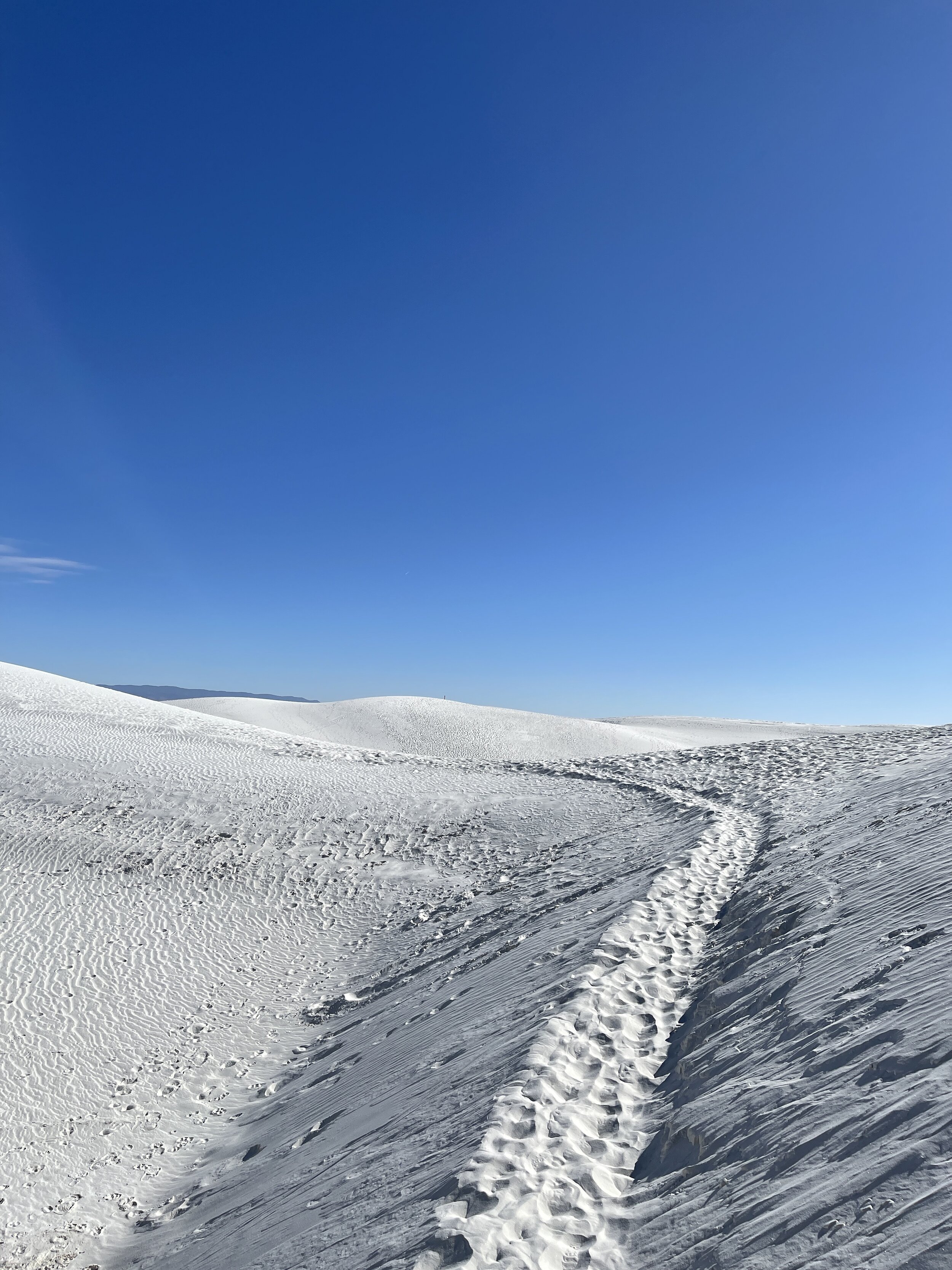
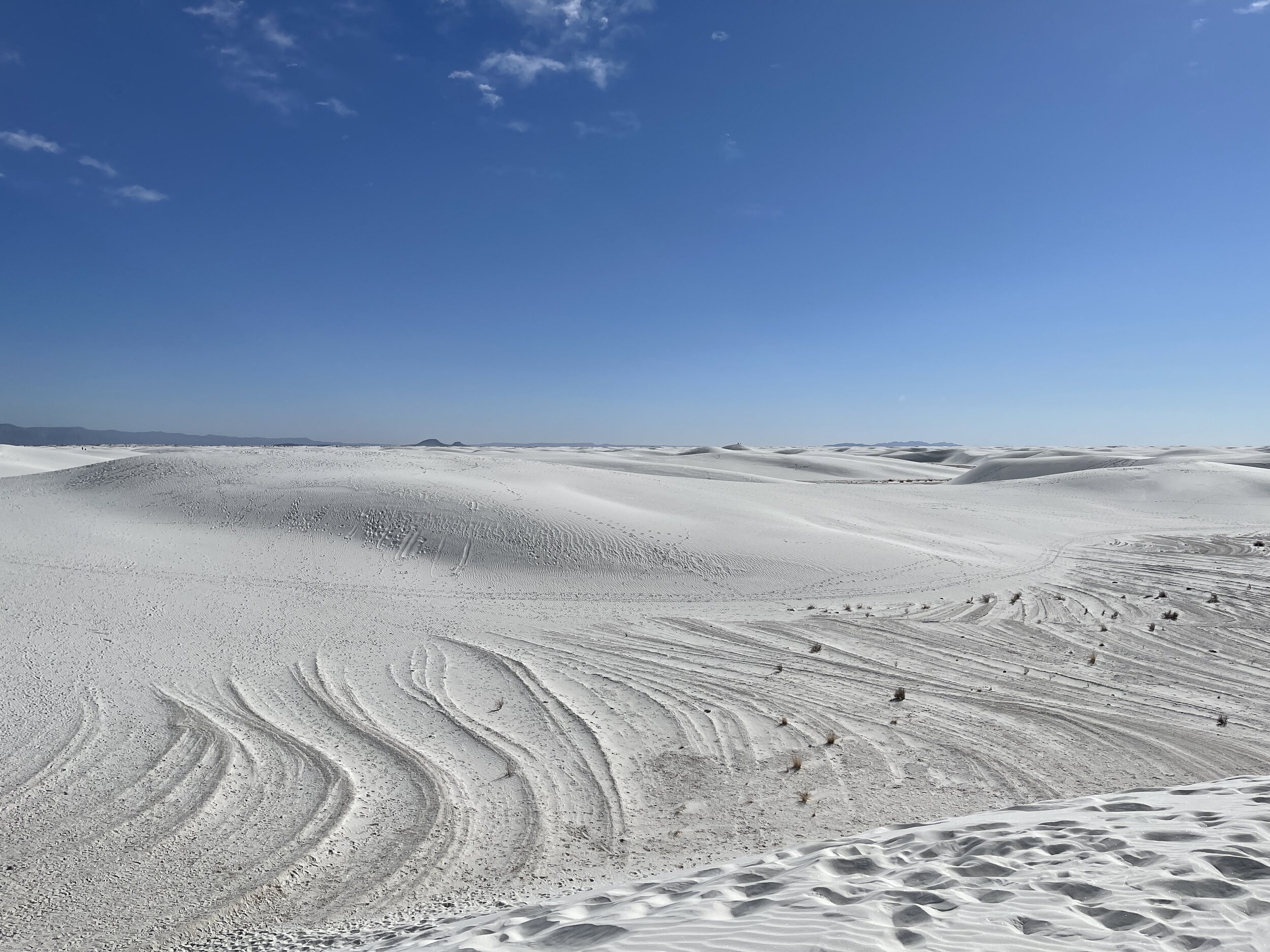
Hike 3 - White Sands National Park (New Mexico)
Hiked 3.25 miles with Mike and Cora (and their doggo)
It was bright and sunny, but not hot
The sand dunes were cool and the illusion of being lost is real
Take plenty of water!
0 lbs of trash recovered (very clean)

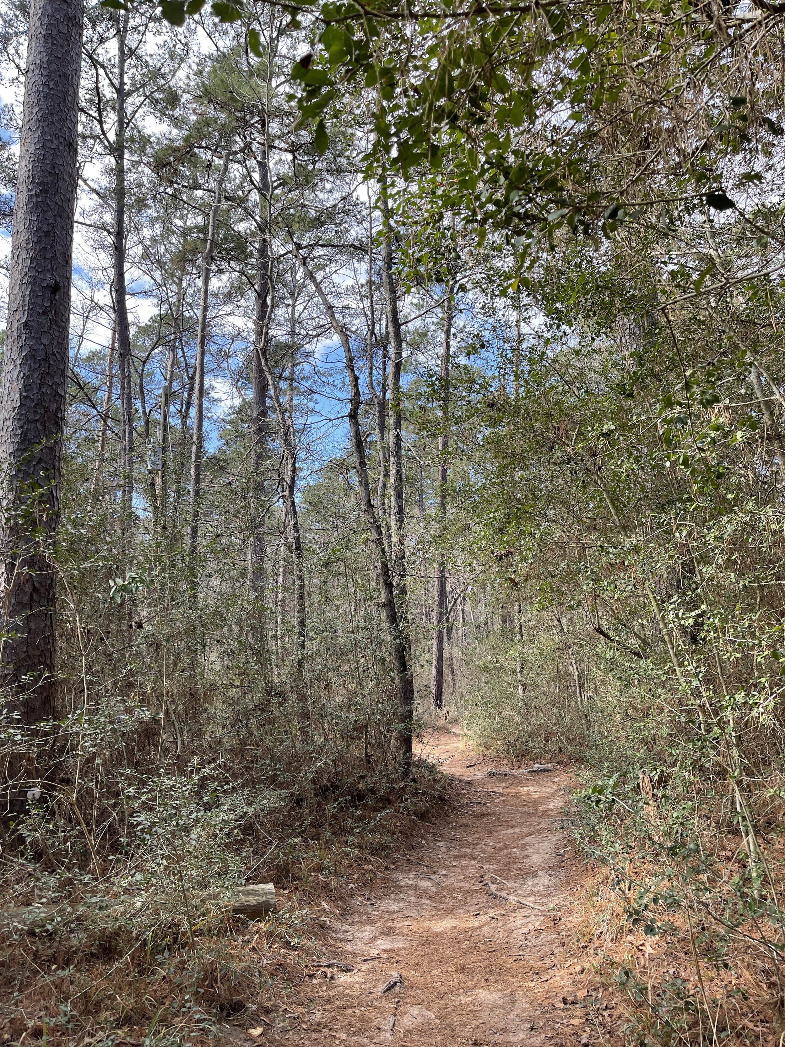
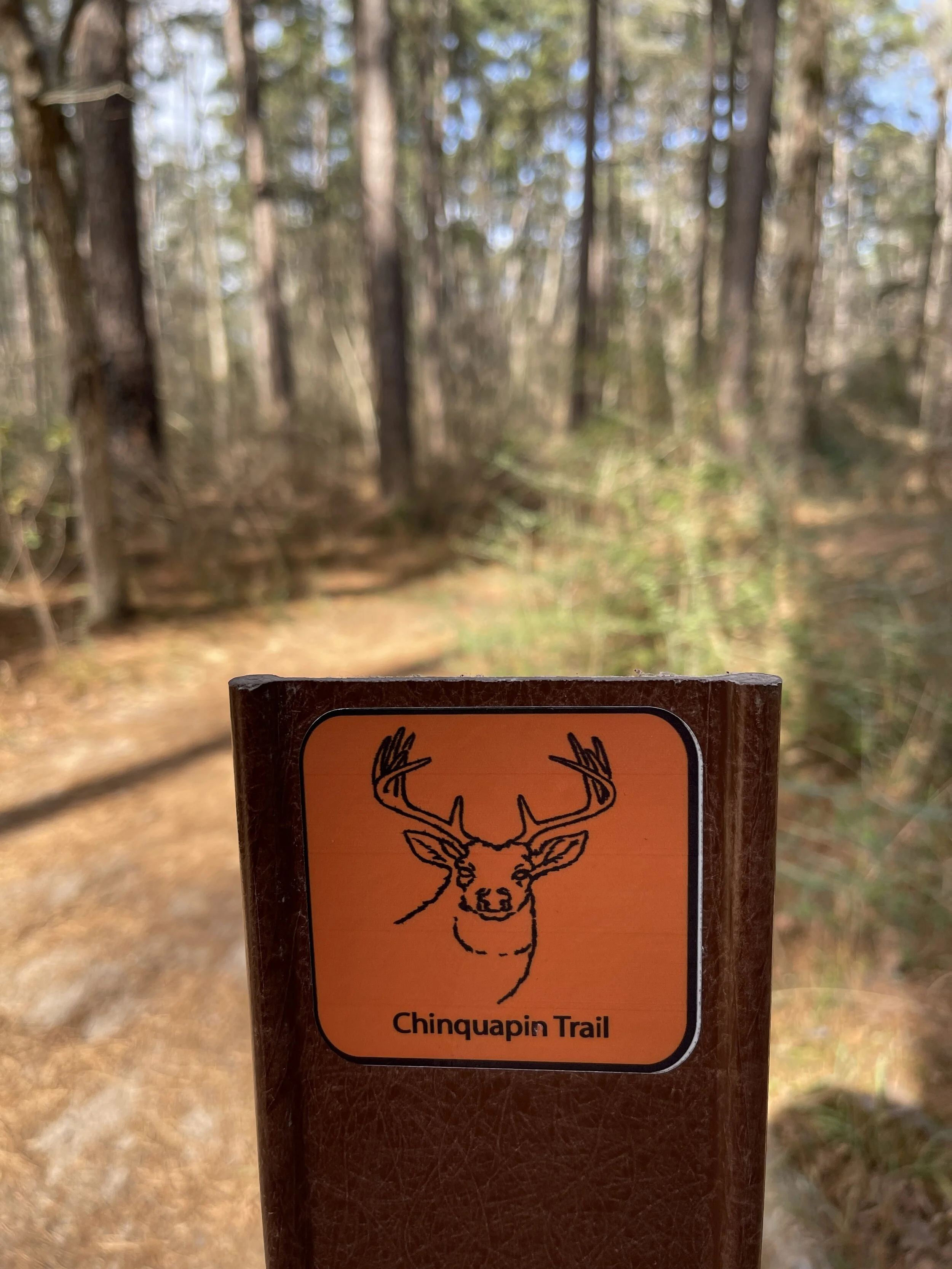
Hike 4 - Huntsville State Park (Texas)
Hiked 7.13 miles on the Chinquapin Trail (solo, no dog)
It was sunny and warm with a good amount of people
The wind through the pines was magical and made me feel truly escaped
0.5 lbs of trash recovered (not a whole lot, mostly wrappers/toilet paper)
Hike 5 - Lake Mineral Wells State Park (Texas)
Hiked 5.24 miles with my aunt on the state trailway system towards Mineral Wells, TX
There was so much trash, I couldnt’ even get it all. This path follows the highway and it’s just not great.
Very noisy and it was borderline rainy
0.5 lbs of trash recovered (so much more, would require more bags and parking closer)

Hikes 9, 10, and 11
I don’t need to explain the global pandemic going on right now - right? Everything - parks, businesses, local trails, schools, etc - have been closed for weeks. Texas decided to slowly allow visitors back in the state parks for day use, at a rate of 25% capacity. It was easy to reserve online, and I saw very few people actually on the trails. Beaches, picnic areas, and parking lots were filled with people not giving a crap about social distancing or small teams. ANYWAY… I enjoyed some new-to-me state parks, quiet trails, and super green forests.
Hike 9: Atlanta State Park
Trail: Hickory Hollow, White Oak Ridge
Date: Saturday, May 9
Distance: 2.89 miles
Distance From Home: 193 miles
Weather: Sunny, warm
Trail Notes: Lush, green, and shaded
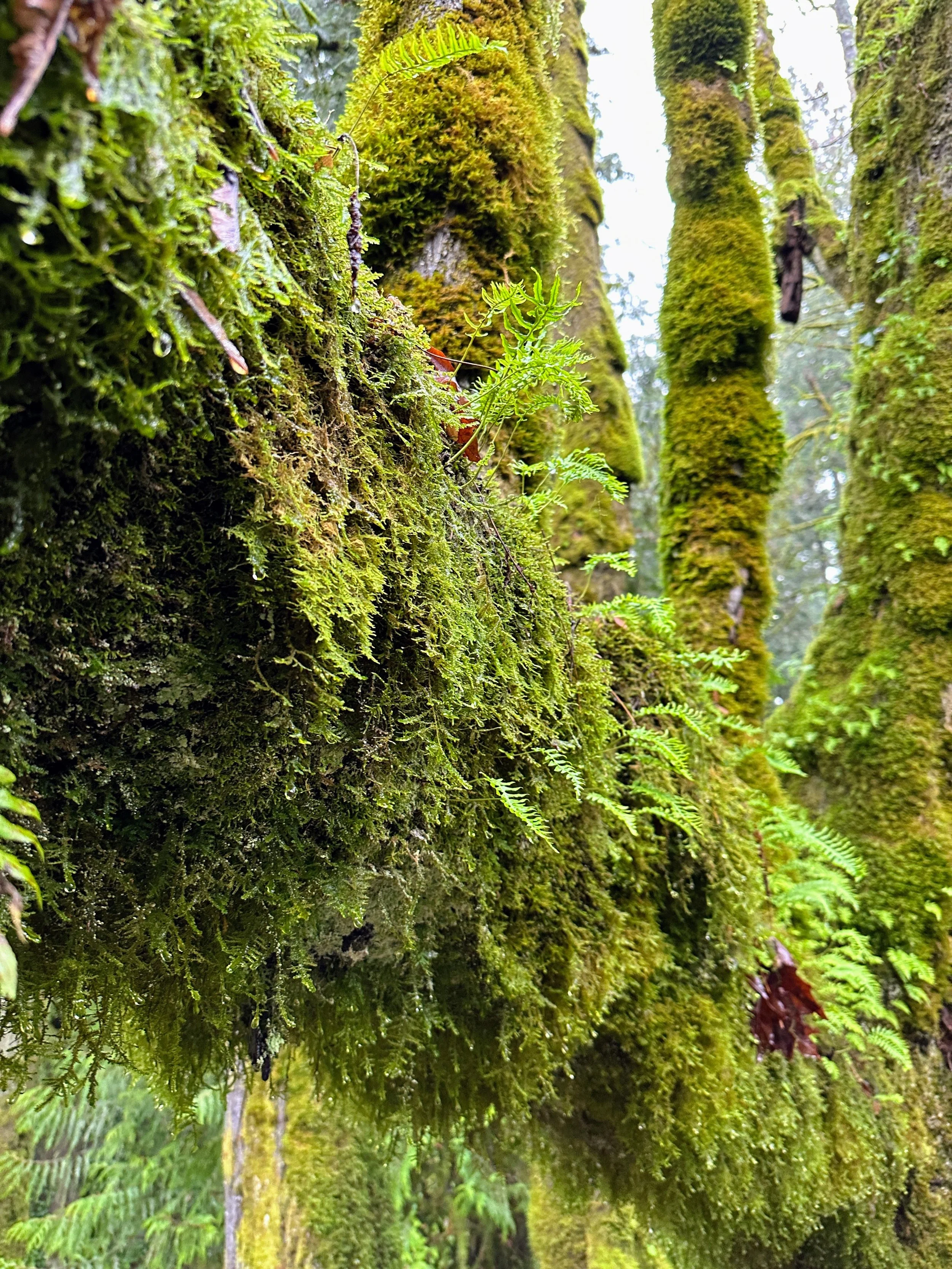
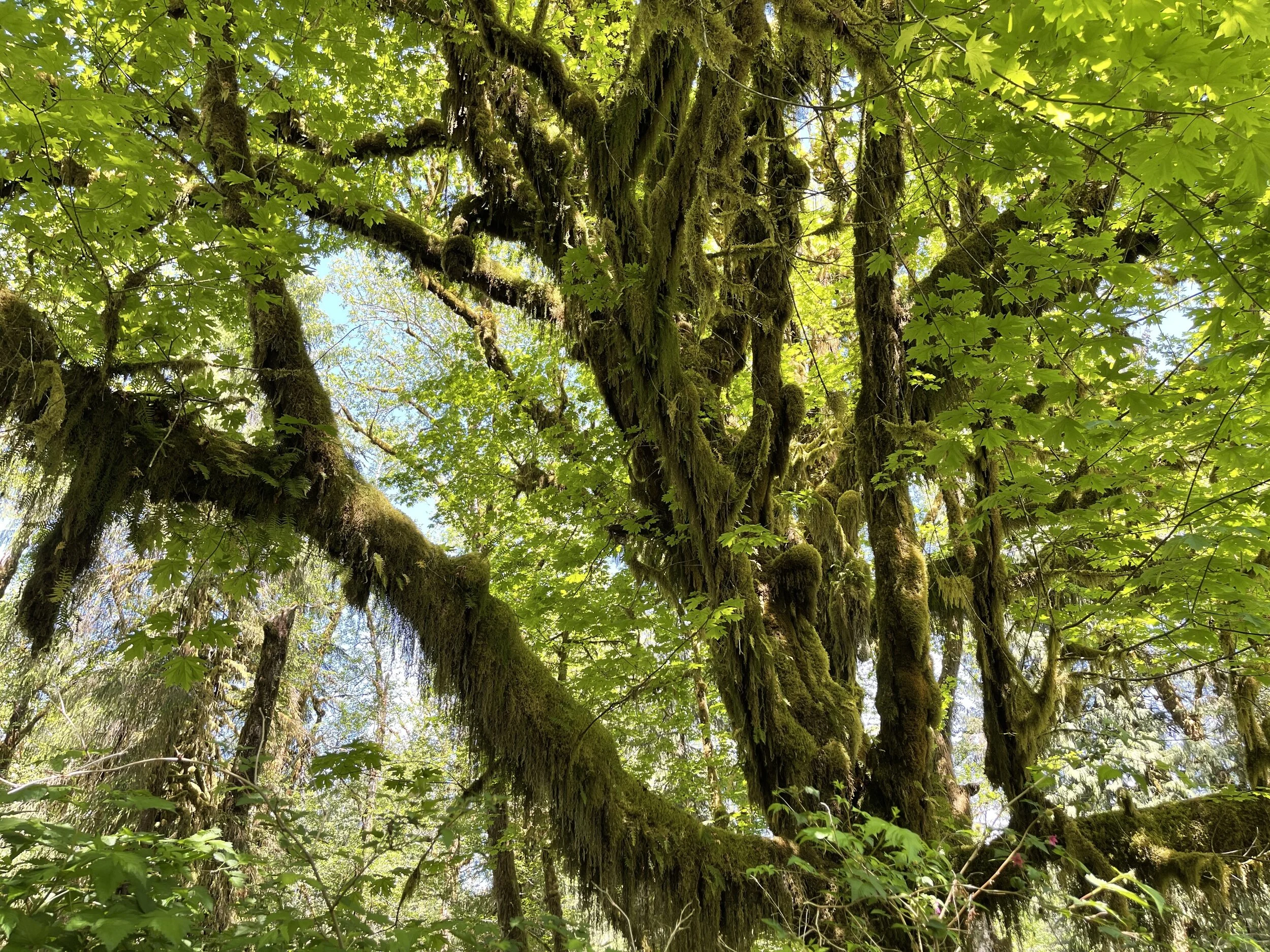
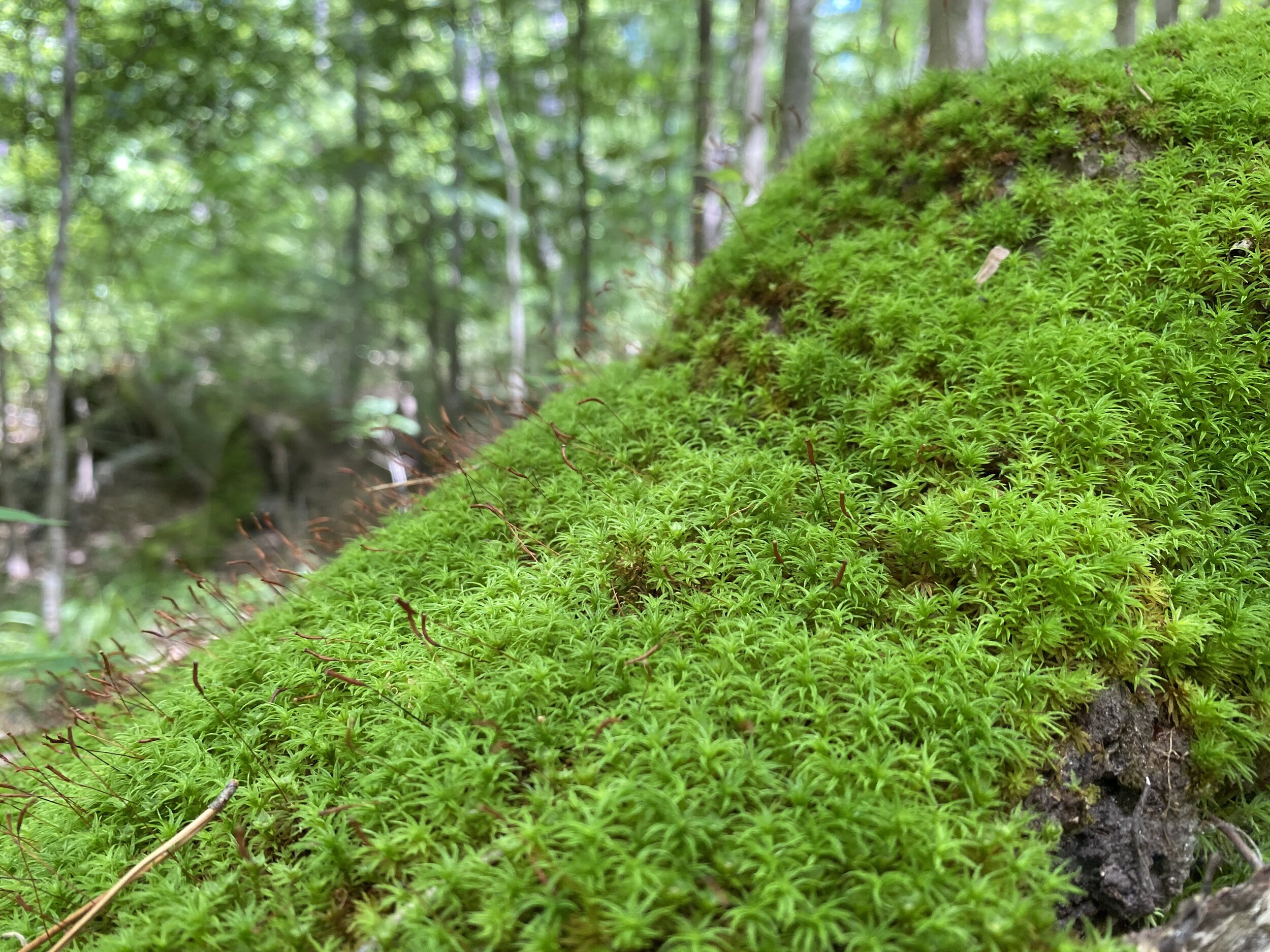
This park is a little gem on the northeast corner of the state that I can’t wait to revisit. The trails were dirt, with some roots, and not many rocks - which is a nice change in Texas. Big trees of pine and oak tower over, casting shade and allow for fern and moss to grow below making this place feel a little more “up north” than other Texas State Parks. If you’ve ever been to Tyler State Park, or any of the other ones on the east side, you’ll find it to be similar. I can’t wait for cooler weather so I can bring the tent and hide out for the weekend.
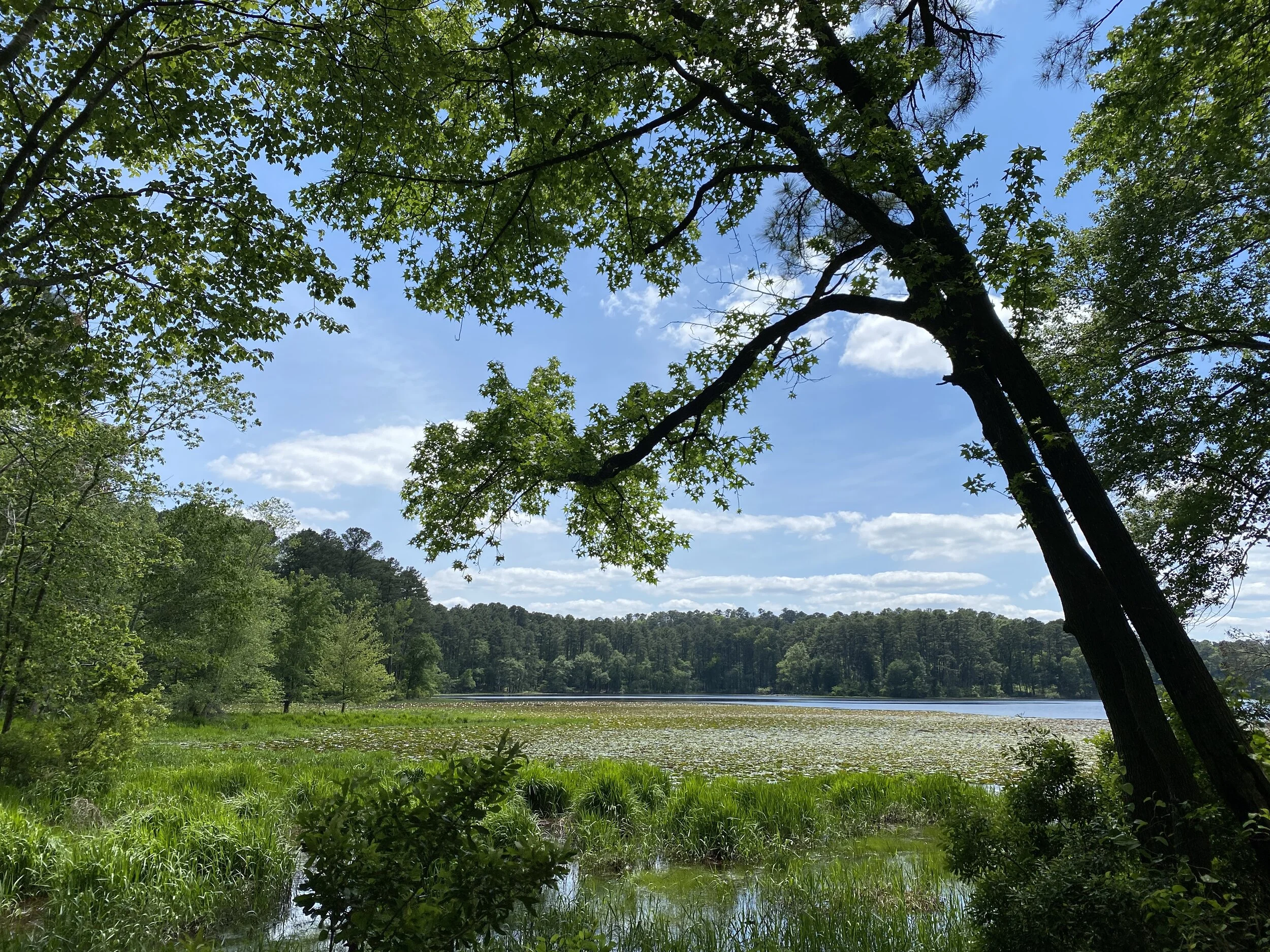
Hike 10: Daingerfield State Park
Trail: Rustling Leaves
Date: Saturday, May 9
Distance: 2.66 miles
Distance From Home: 159 miles
Weather: Sunny, warm
Trail Notes: Gorgeous trail around the lake, wooded/shaded, and fun lake views
Daingerfield is another smaller park packed with gorgeous trees, lake views, and just enough trail distance to get away from the potential crowds. We enjoyed a walk around the lake, which was shaded and very green. The place smelled of pine and that breeze off a lake you sometimes get. This is another park I can’t wait to revisit, and camp a few nights in the fall to see the colors in the trees.

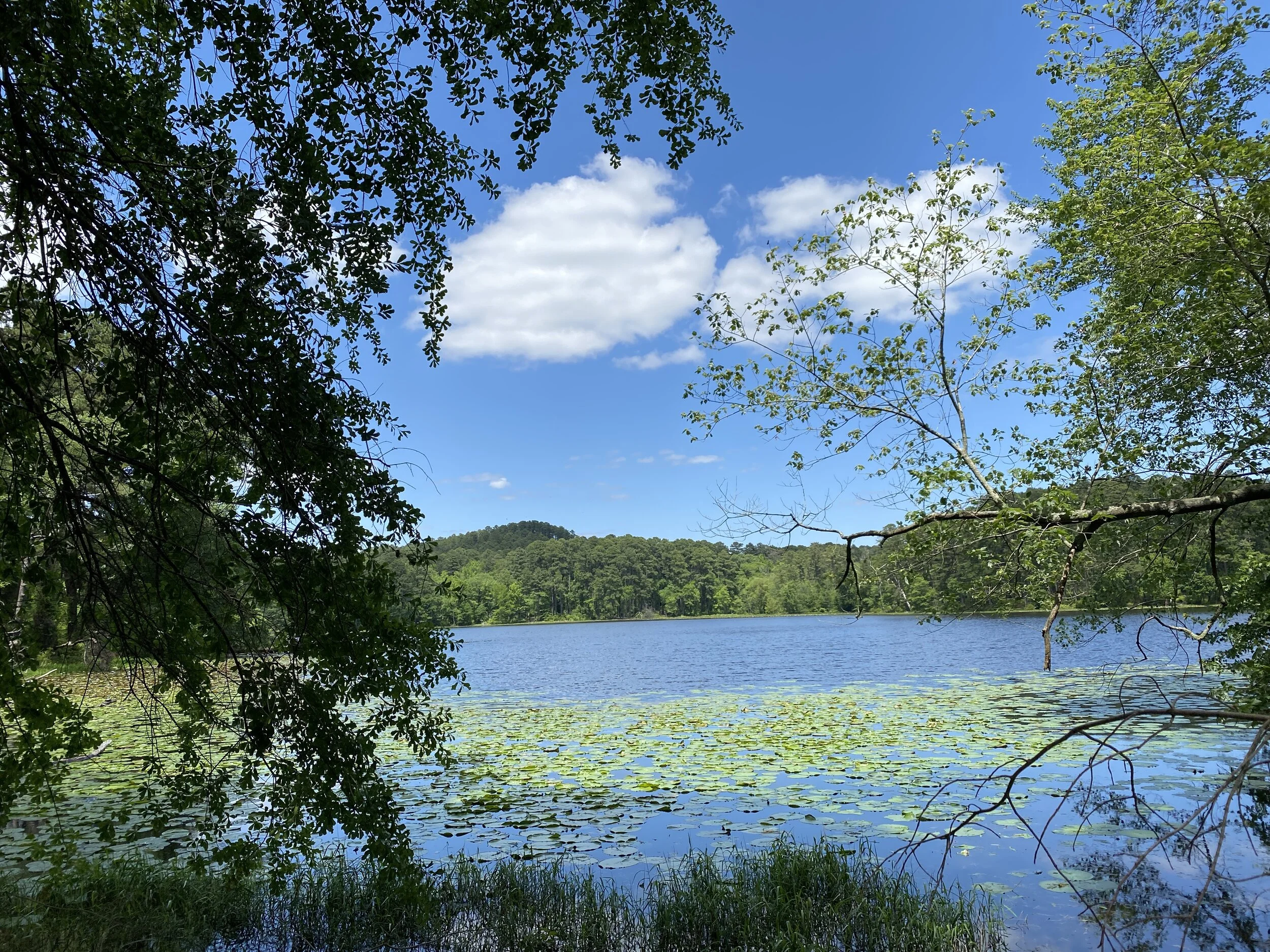
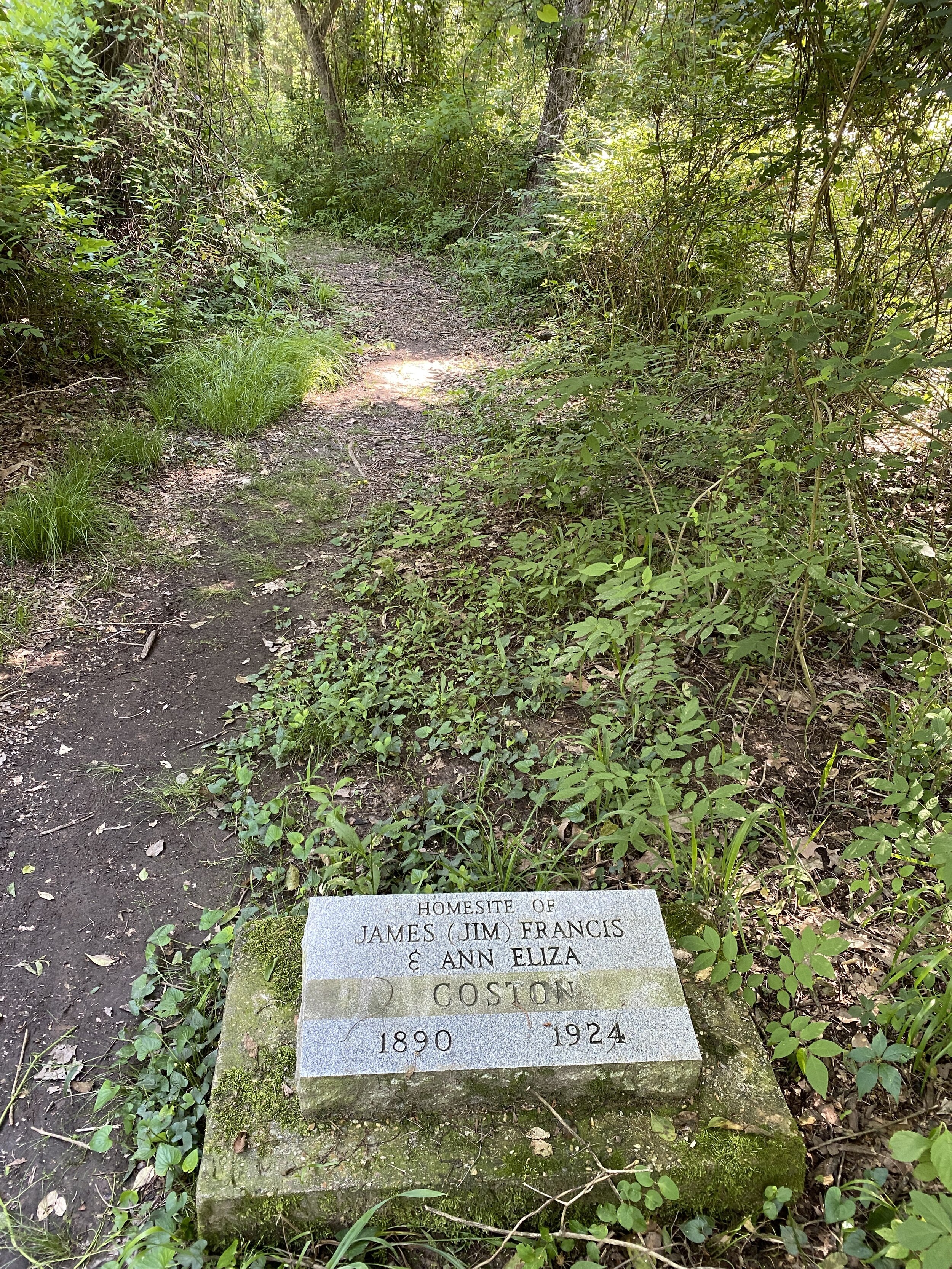
Hike 11: Lake Bob Sandlin State Park
Trail: Dogwood, Homestead
Date: Saturday, May 9
Distance: 4 miles
Distance From Home: 135 miles
Weather: Sunny, warm
Trail Notes: Another fun lake with wooded trails and space to spread out
Our third stop of the day was this little gem, a little closer to home, but still far enough east to have nice pines and lush greenery. This park had more towering trees providing much needed shade as the day warmed up and trails with very few people on them thanks to restricted access. On the Homestead trail, look out for an old grave site - pretty cool! Enjoy the shade or the lake and have a good time at this one.
March Hikes with Mike - 7 and 8
In March, I hiked twice. I graced Cibola National Forest and Dinosaur Valley State Park with my presence and had nice little hikes in each. Check it out.
Hike 7 - Dinosaur Valley State Park - Texas
Trail: Cedar Brake Outer Loop, Rocky Ridge, Black Capped Vireo
Date: Sunday, March 7th
Distance: 6.2 miles
Distance From Home: 75 miles
Weather: Partly Sunny, Windy
Trail Notes: Was a nice day, water was a little high
I needed a good hike and figured it was time to hit the old standby. Dinosaur Valley is always a go-to for a good hike close to the DFW metro area. With me on the journey was Chew the dog, my other half, and my best friend. We did several trails and weaved our way through, avoiding any major crowds which were mostly near the river.

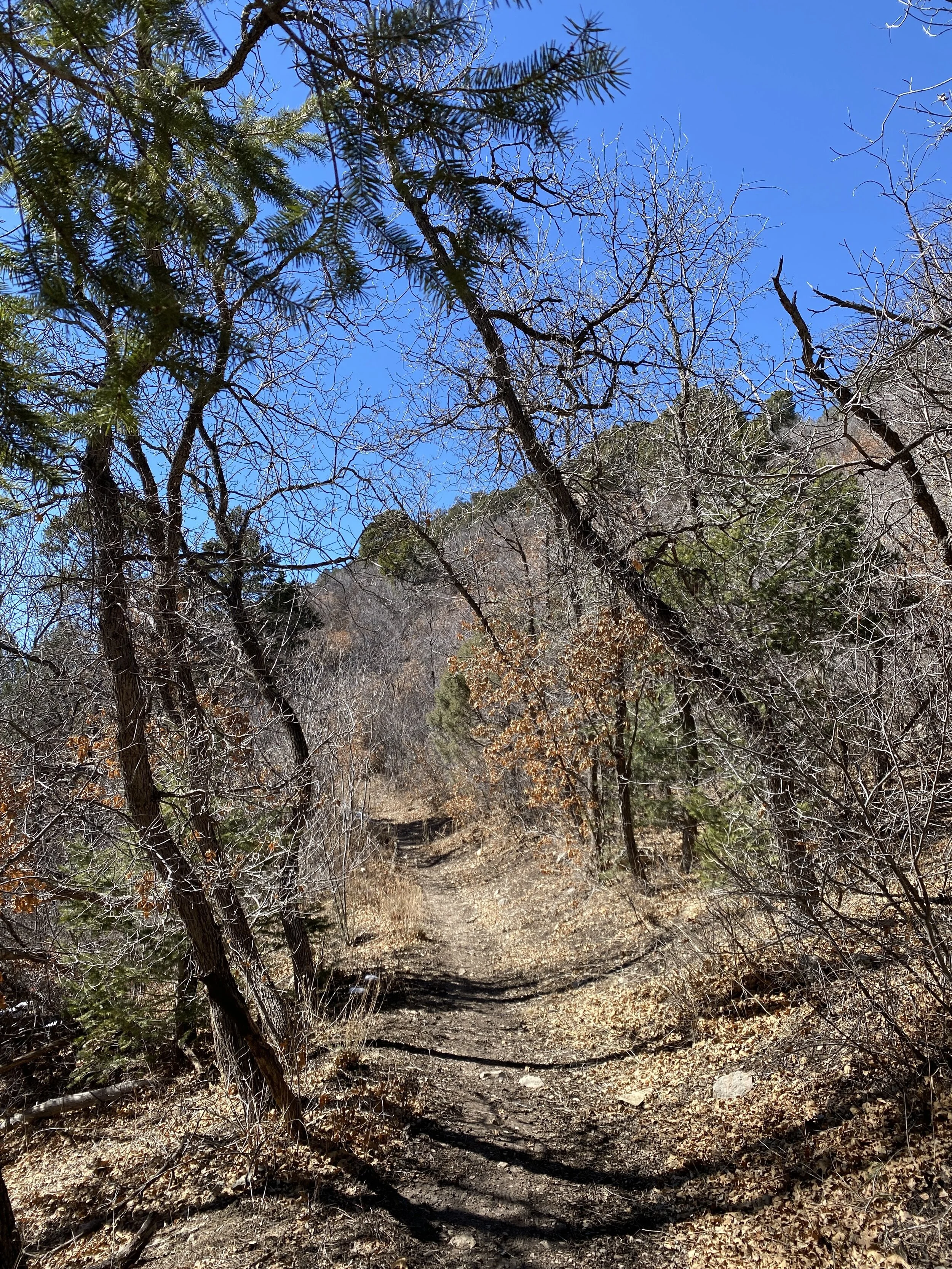
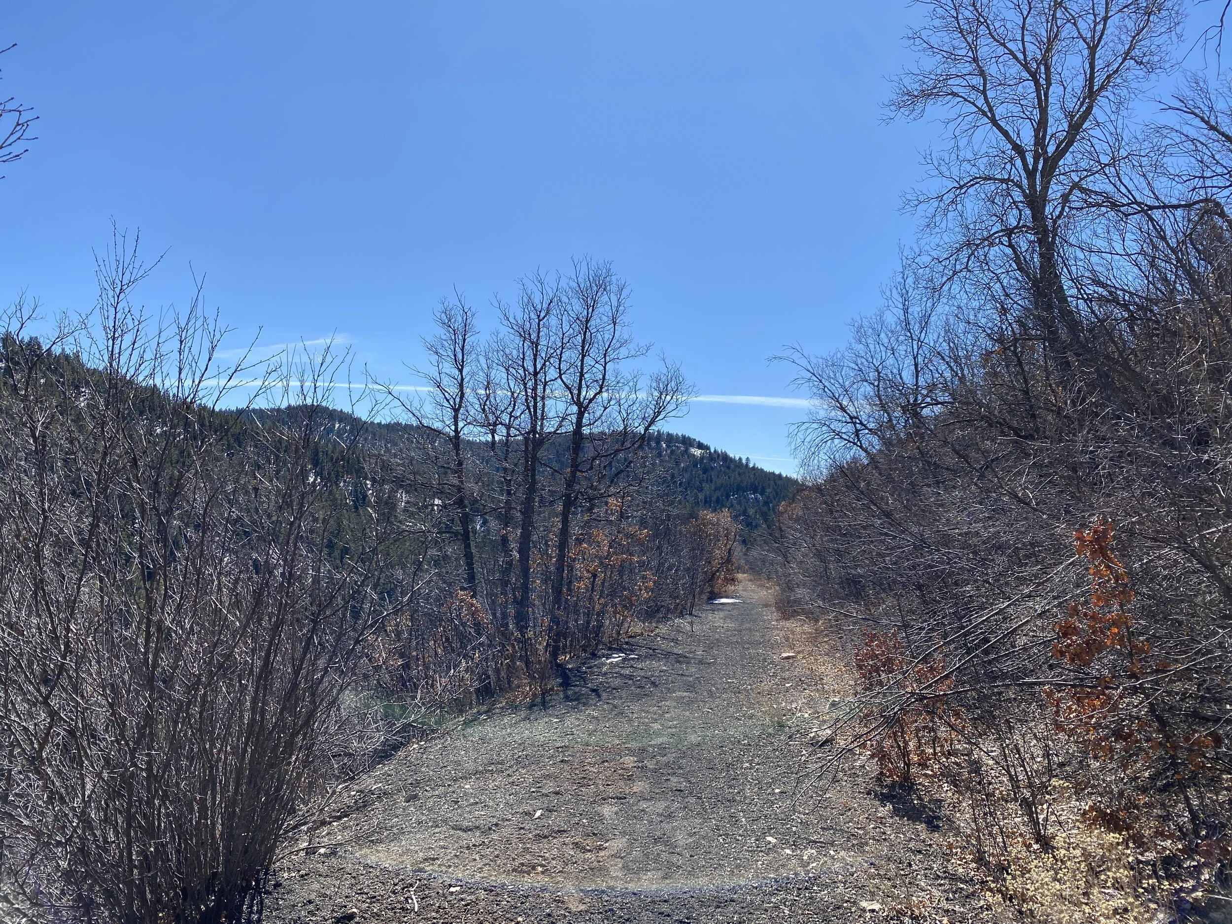
Hike 8 - Tunnel Canyon - New Mexico
Trail: Birdhouse Ridge
Date: Saturday, March 14
Distance: 2.31 miles
Distance From Home: 614 miles
Weather: Sunny, cool
Trail Notes: This was at sundown
A nice little trail system in the Cibola National Forest outside of Albuquerque, NM. I didn’t have a lot of time before dark, and I was on a conference call, so I only did about two miles. I followed the ridge, and if time had permitted, I could have looped back in the canyon. I can’t wait to get back out there to finish this loop and explore other trails in the area.

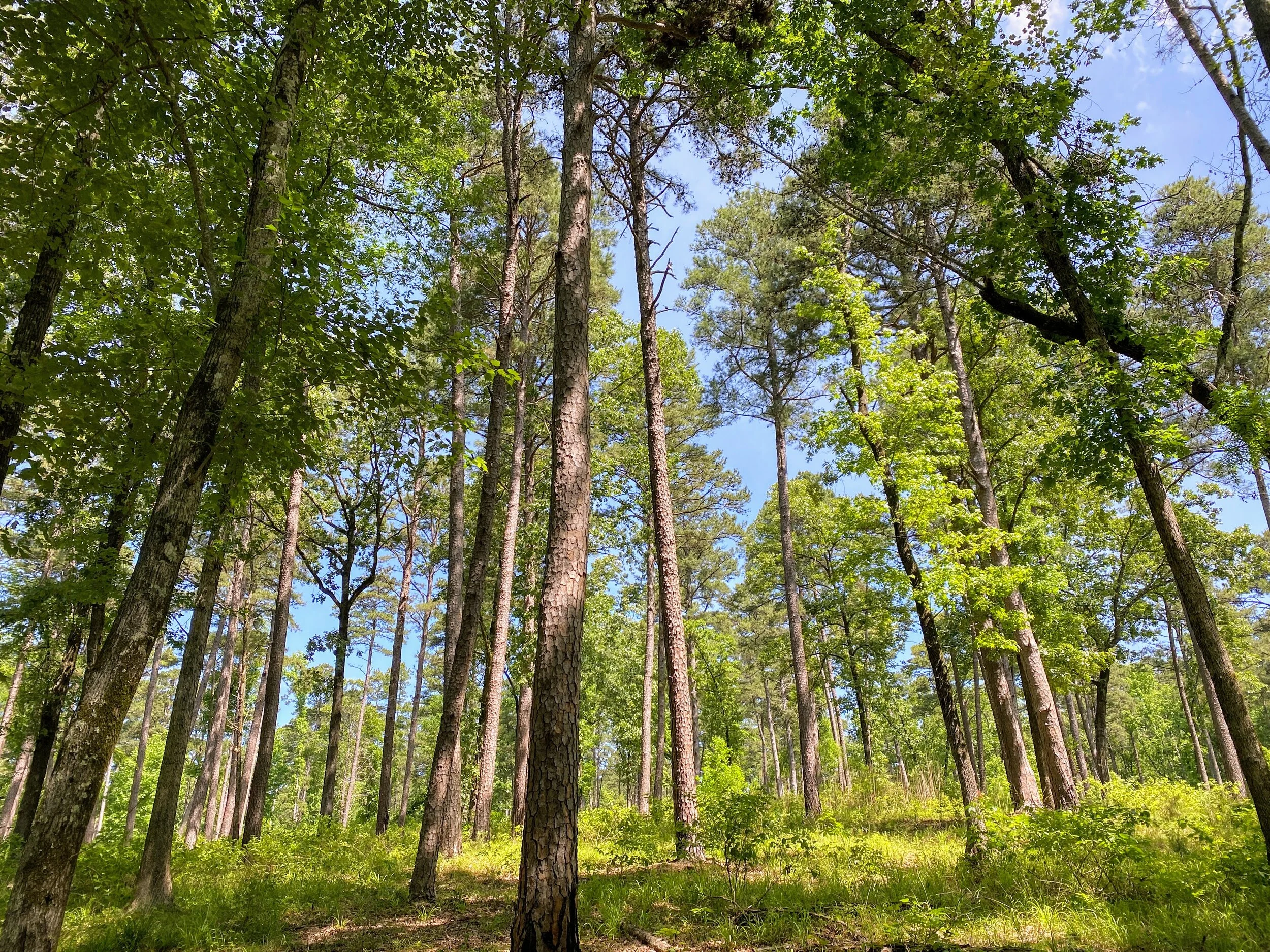
February Hikes with Mike - 5 and 6
In February, I hiked twice. I graced Lincoln National Forest and Caprock Canyons State Park with my presence and had nice little hikes in each. Check it out.
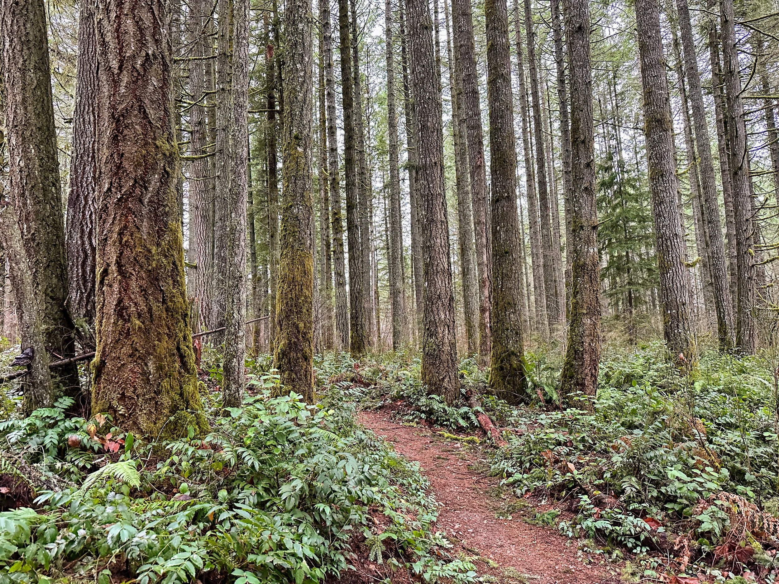
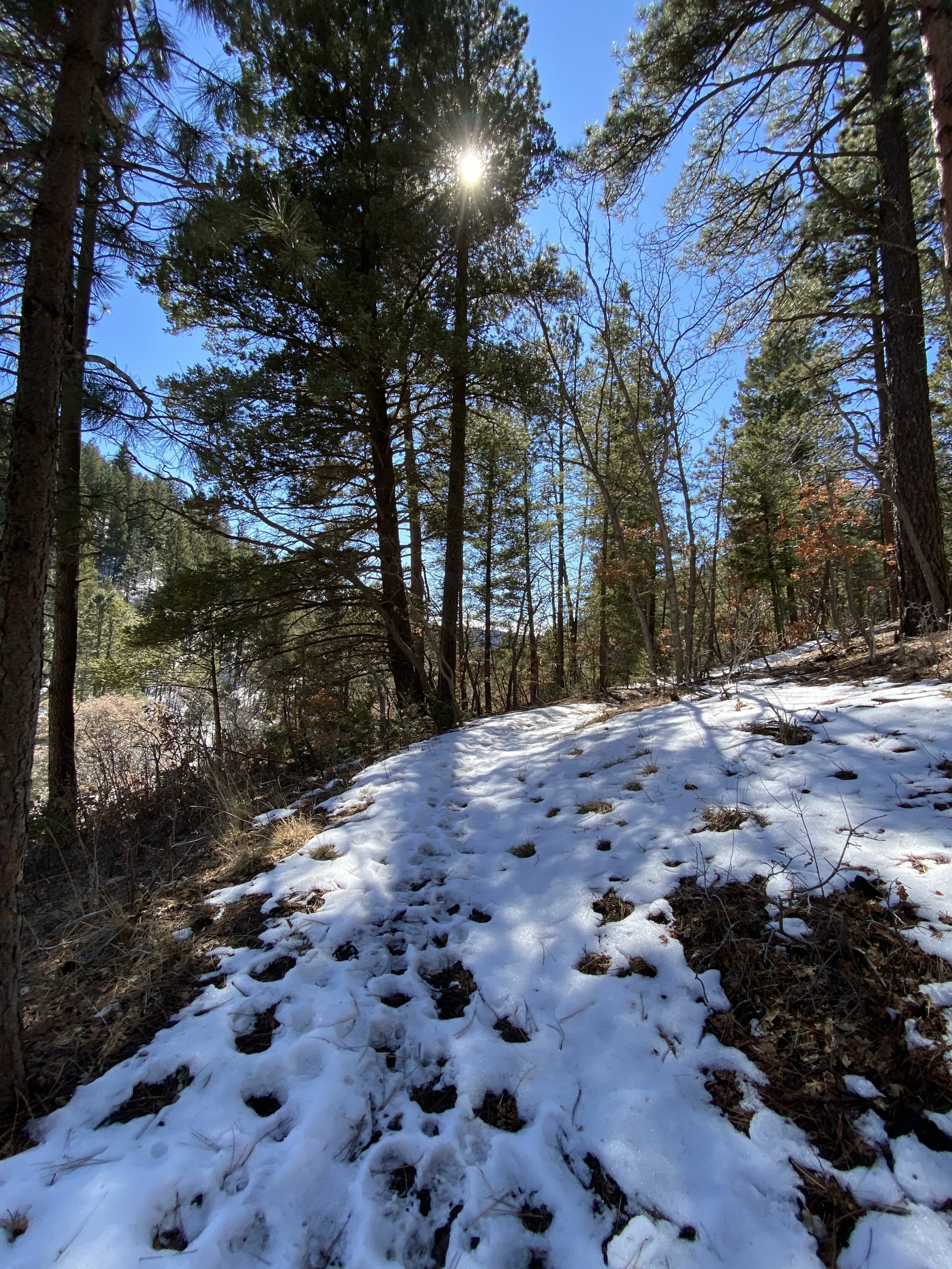
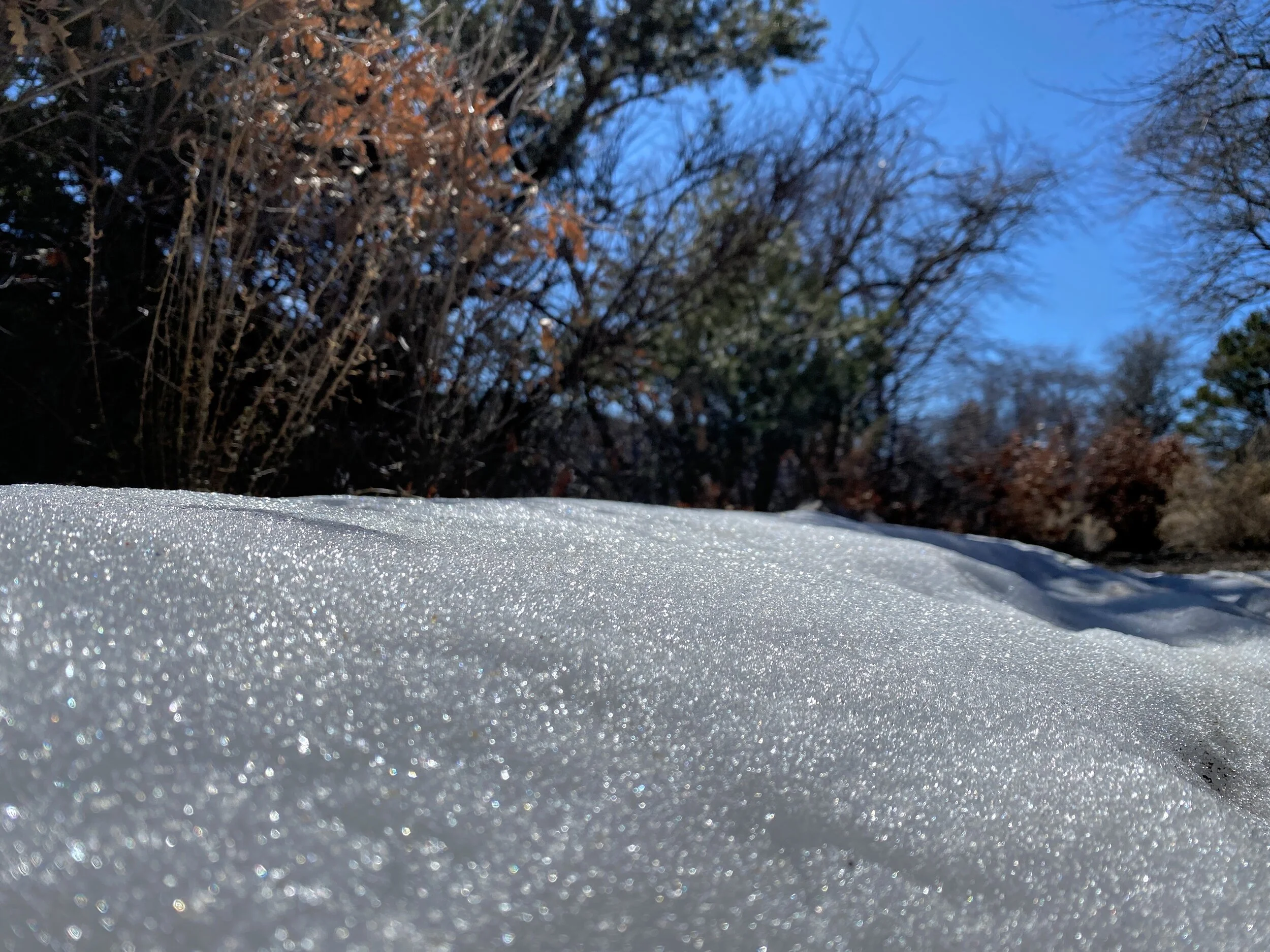
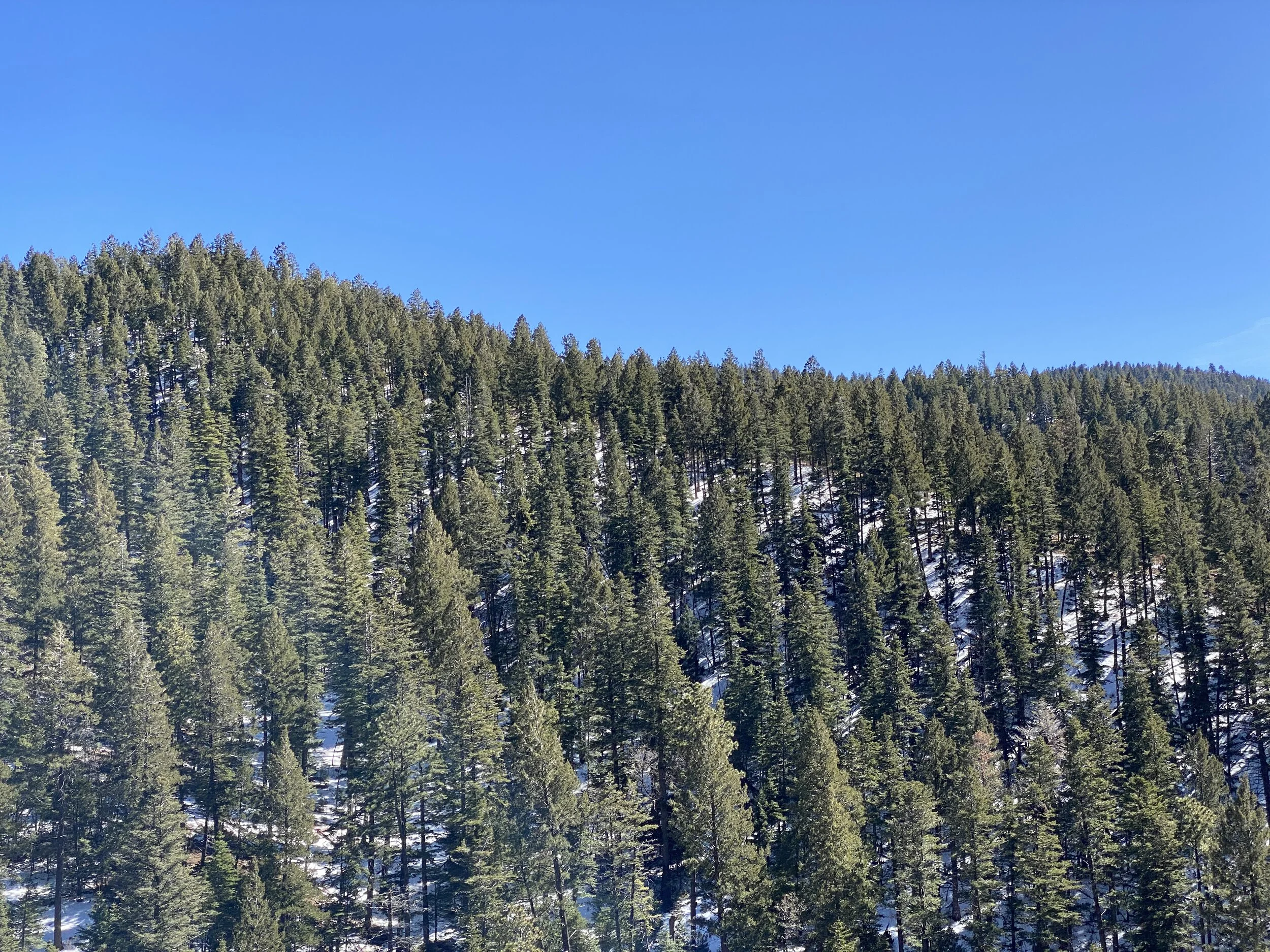
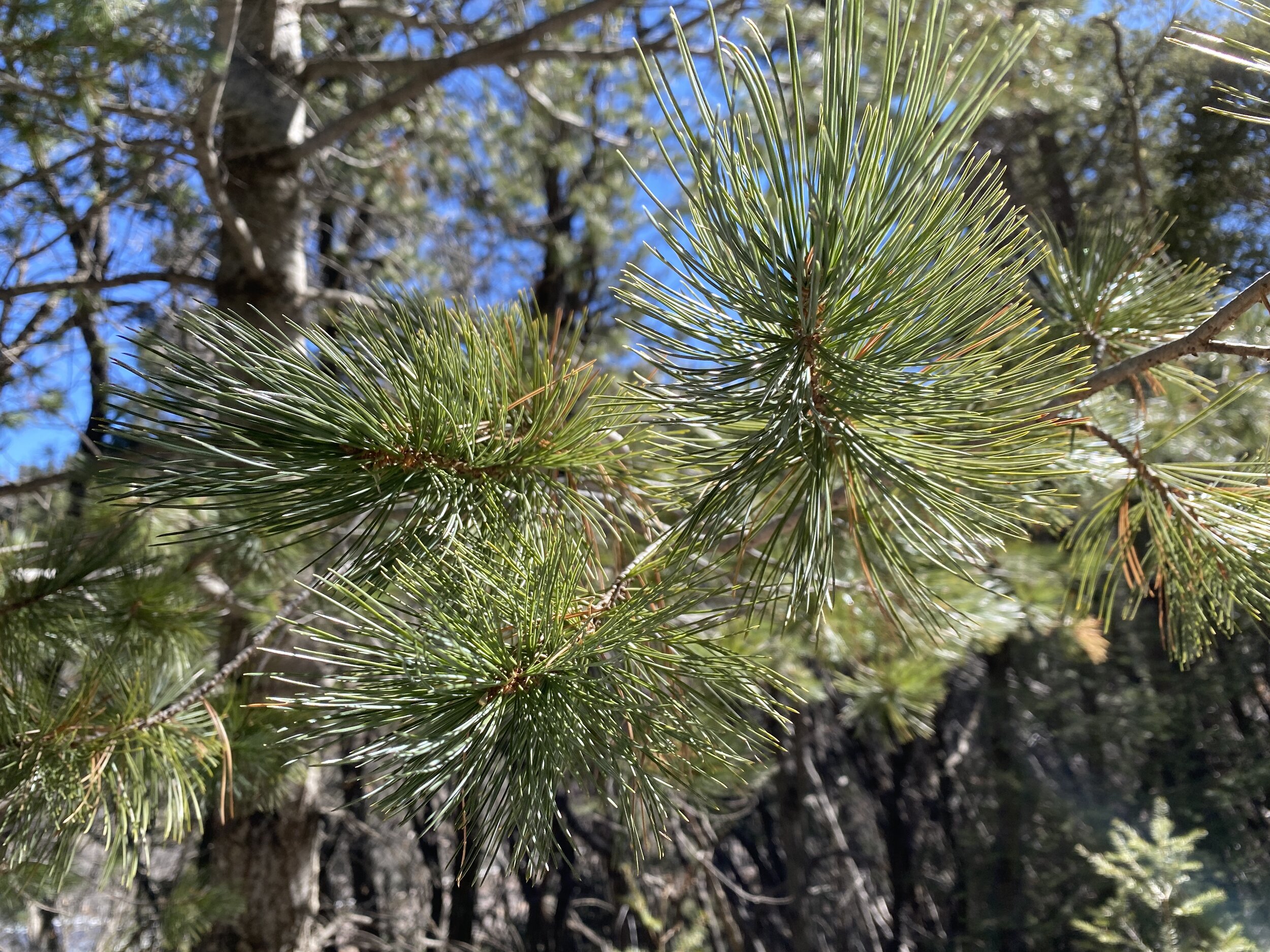
Hike 5 - Lincoln National Forest, New Mexico
Trail: Switchback (just outside of Cloudcroft, NM)
Date: Sunday, Feb 16
Distance: 5.01 miles
Distance From Home: 548 miles
Weather: Mild and Sunny
Trail Notes: Snow in shady areas of trail, mud in the sun
I was in New Mexico for work again, so I decided to take advantage of my surroundings and get a good hike in on a familiar trail. My aunt and I visited this trail last September, but it was completely different this time around. Same great trees and mild incline, but with sparkly bright snow. The snow was not deep enough to require anything more than my hiking boots, but it was prominent enough to fill my heart with joy. I miss regular snow, but apparently only when it’s nice to look at and not deep enough to require snow boots. The trail has a mile slope as it switchbacks along the hillside. It’s at about 8,000 feet, give or take, and follows the highway out of Cloudcroft. There are sweeping views of trees and mountains, but it also feels like a hallway through some big trees. It’s a nice little trail to do if you don’t have all day and want to enjoy some fresh pine scent. It’s not secluded feeling; there is road noise on occasion.
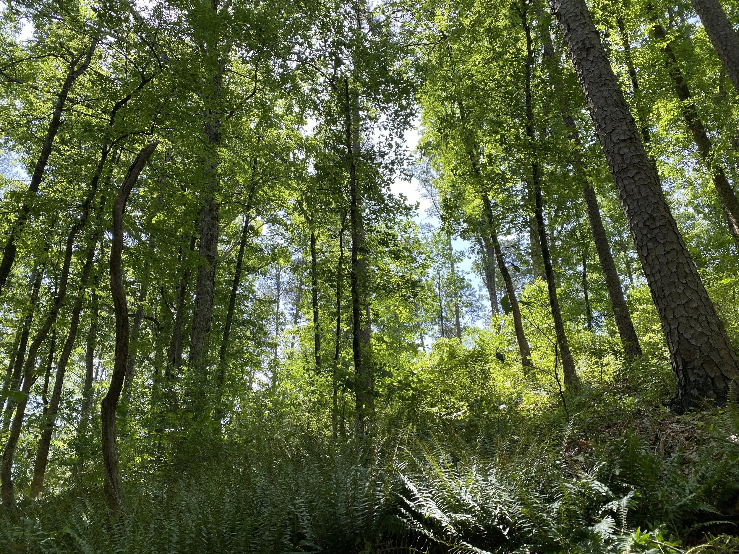
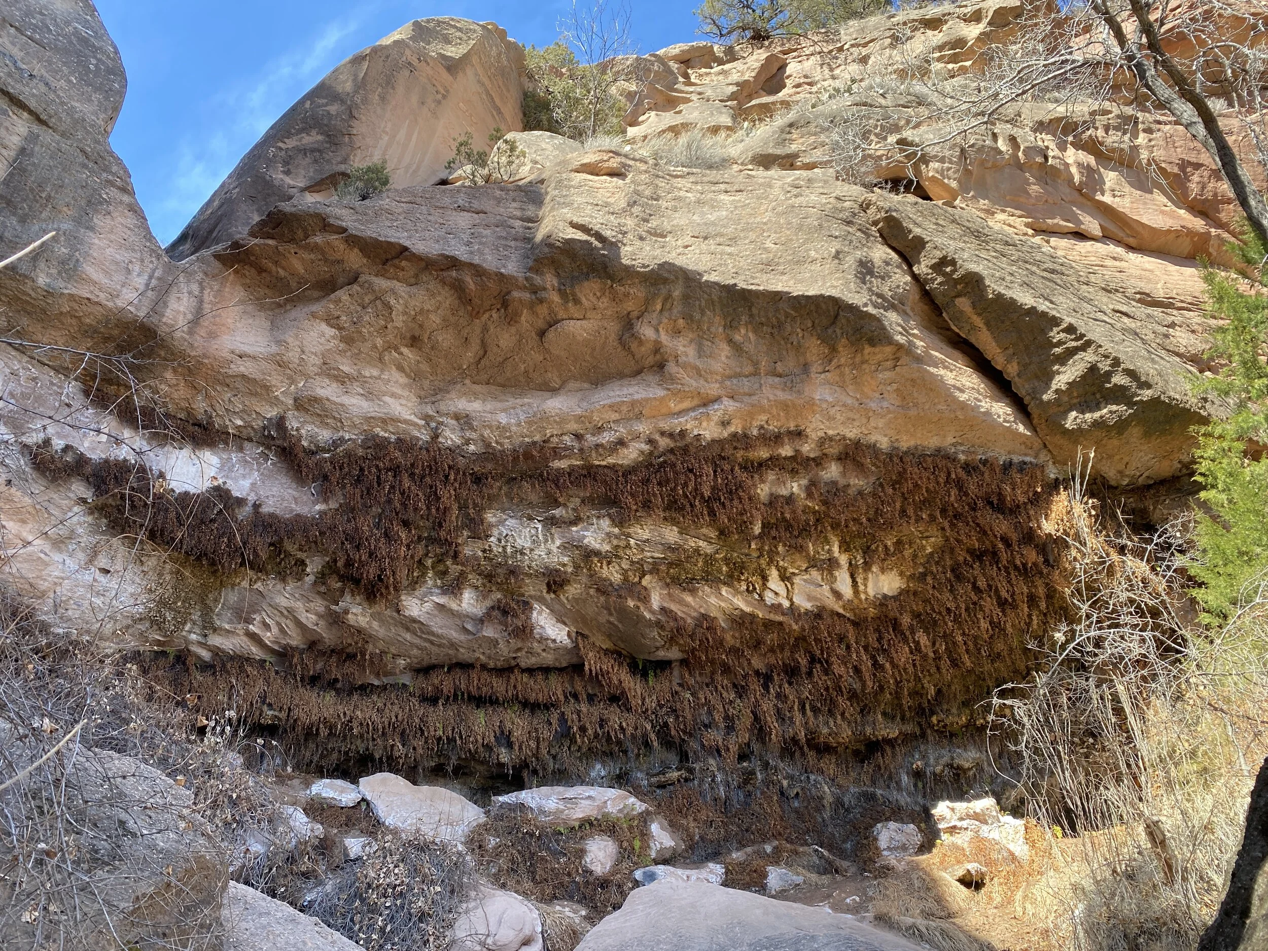
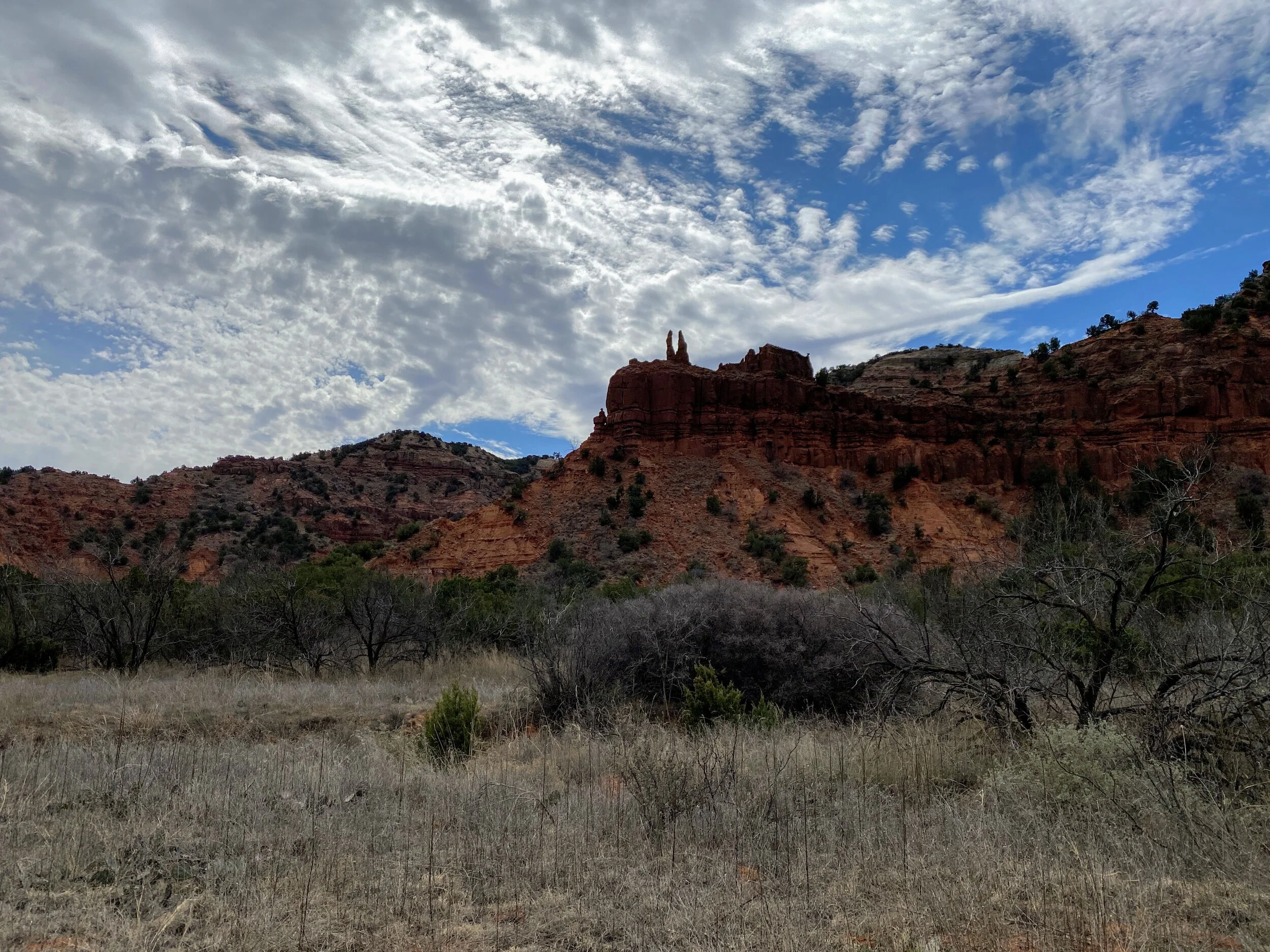
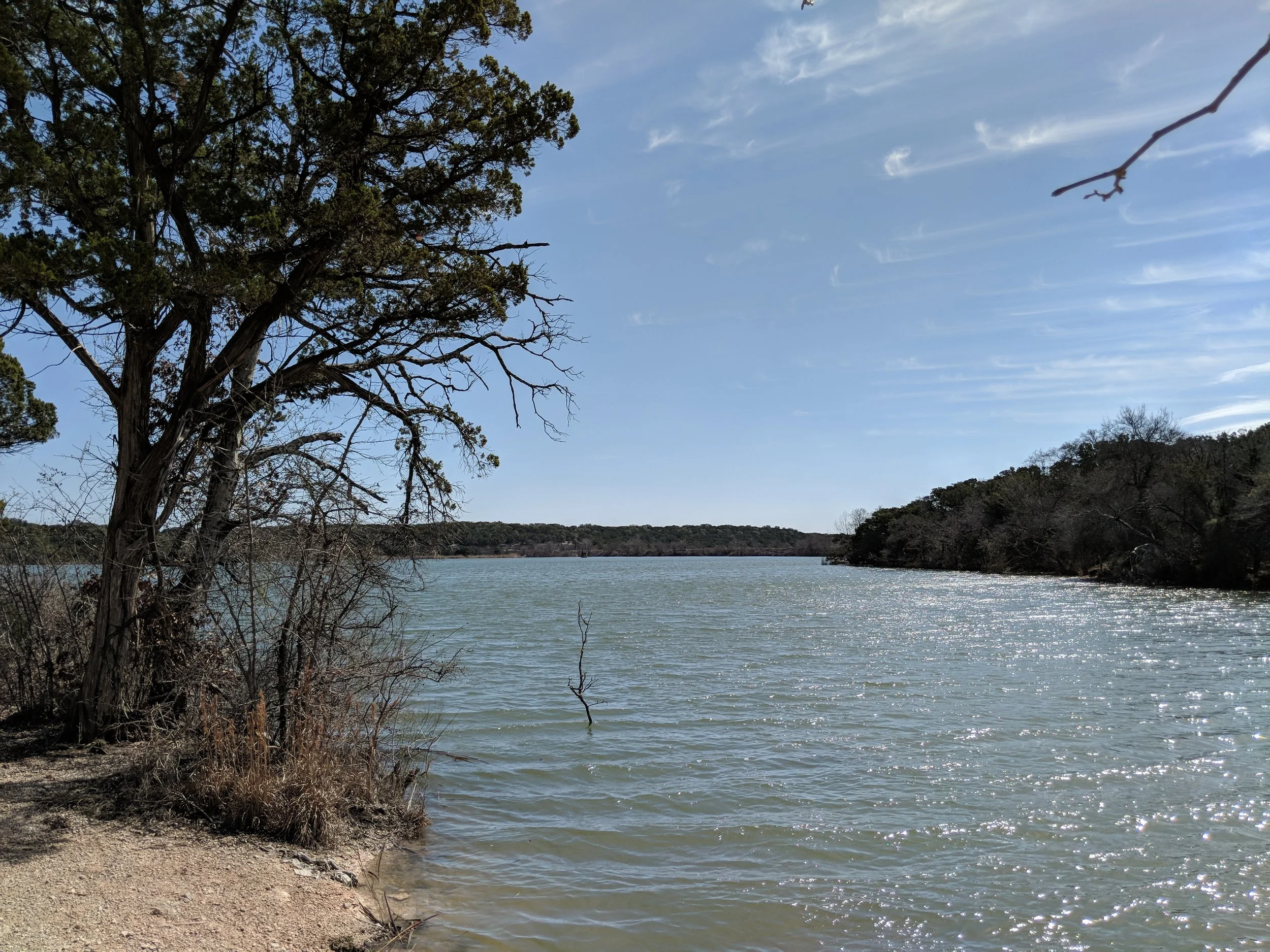
Hike 6 - Caprock Canyons State Park
Trail: North Prong Spur, Upper North Prong
Date: Saturday, February 29
Distance: 7 miles
Distance From Home: 290 miles
Weather: Partly sunny, warm, windy
Trail Notes: The climb to Fern Cave was not exactly what I remembered, but still manageable
We planned a family weekend of camping, hiking, and most importantly campfires. My aunt and uncle hauled their camper out and set up a few days before the weekend, and Eric, Chewy, and I made our way out Friday afternoon. It was windy and sunny, mild, and seemingly perfect for the end of February. We planned to hike Saturday, I wanted to show my aunt Fern Cave and just enjoy the day we all had together. We started out, a little late because a wee bit too much was consumed the night before. The sun stayed behind some clouds most of the day, which was actually a relief for temps. We were doing alright, a little windy but alright, then we hit the final push to get to Fern Cave. It was a little more intense than everyone was used to, but we made it up and then down in only to find they were all brown! I had only been in the fall, so I wasn’t sure if they went brown in the winter and came back to life in the spring? I didn’t know what to expect. Either way, we enjoyed the cool temps but had to get out because some people were monopolizing it with their lunch making (making it stink like fuel) and dogs off leash everywhere. We meandered out and back to the main trail and eventually back to my car. The dog was TIRED, we were mostly spent, and it was definitely time for a cocktail and some dinner.
No matter how many times I visit Caprock Canyons, I always enjoy the trails. It’s one of my go-to locations in Texas and I already can’t wait to get back for another weekend.
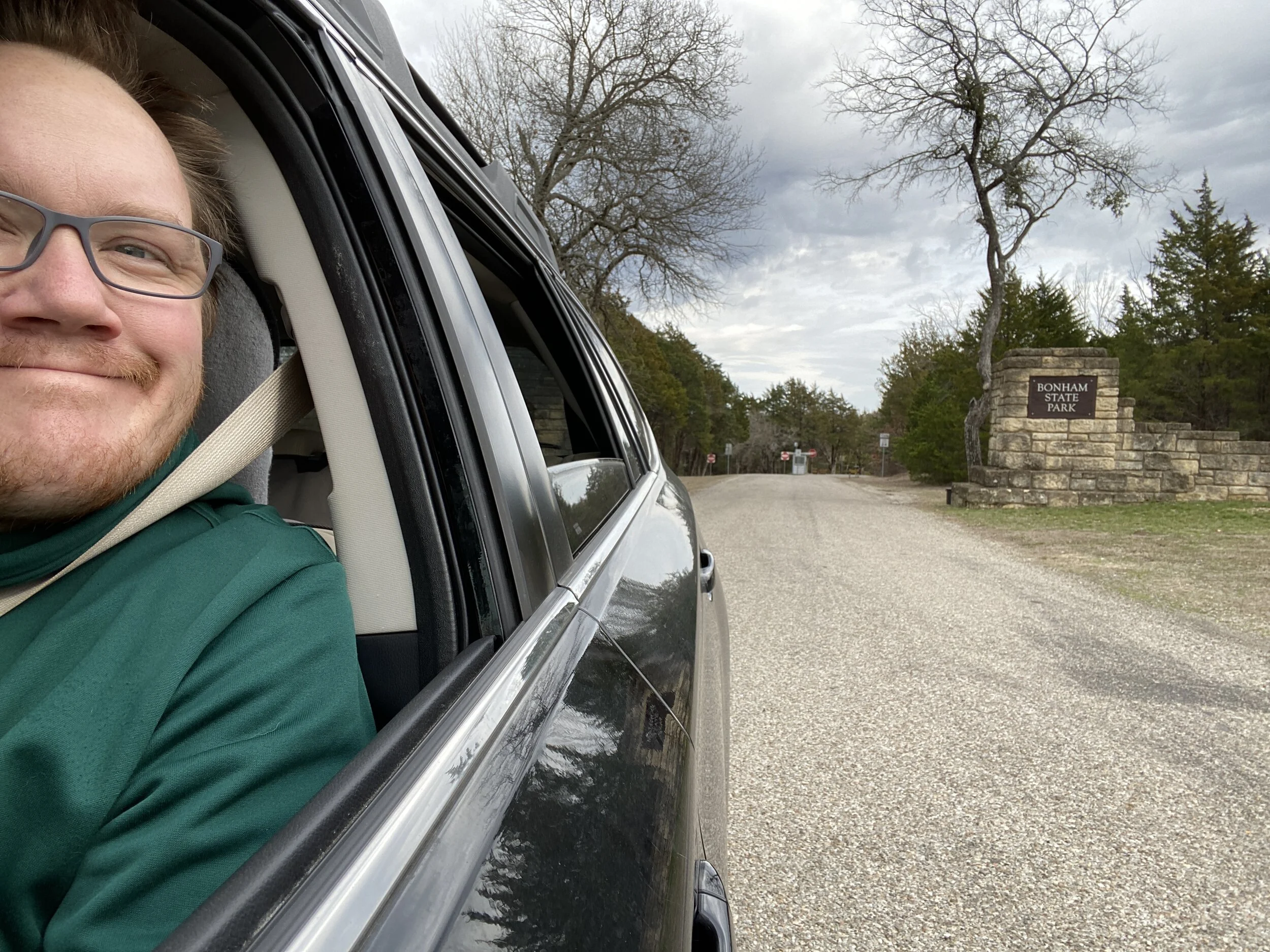
#HIKE4 - Bonham State Park
HIKE 4 - Bonham State Park
Trail: Bois d’Arc, Lake Loop
Date: Saturday, 01/25/2020
Distance: 2 miles
Distance From Home: 82 miles
Weather: Warm, sunny, slight wind
Trail Notes: Trail markings very complicated
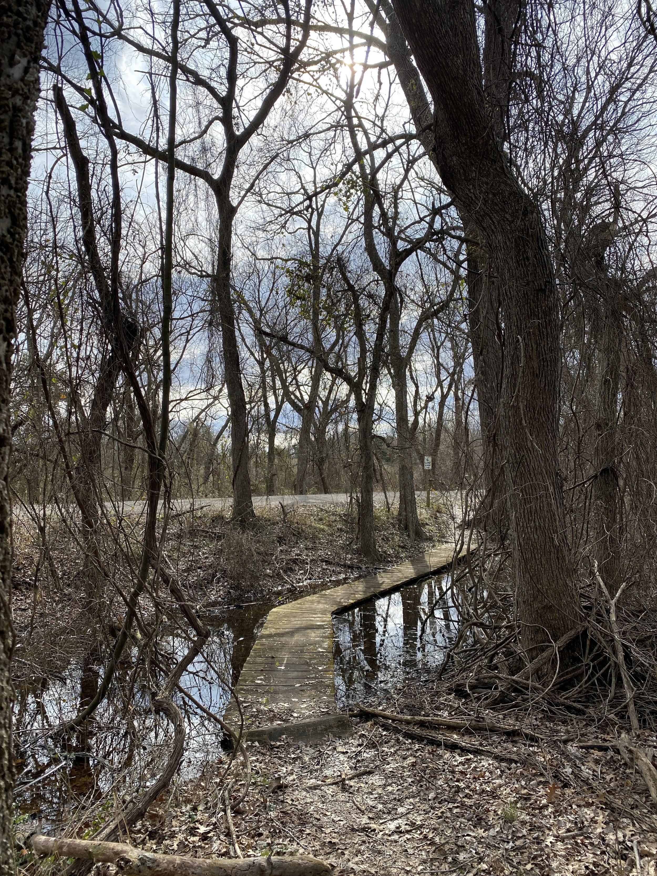
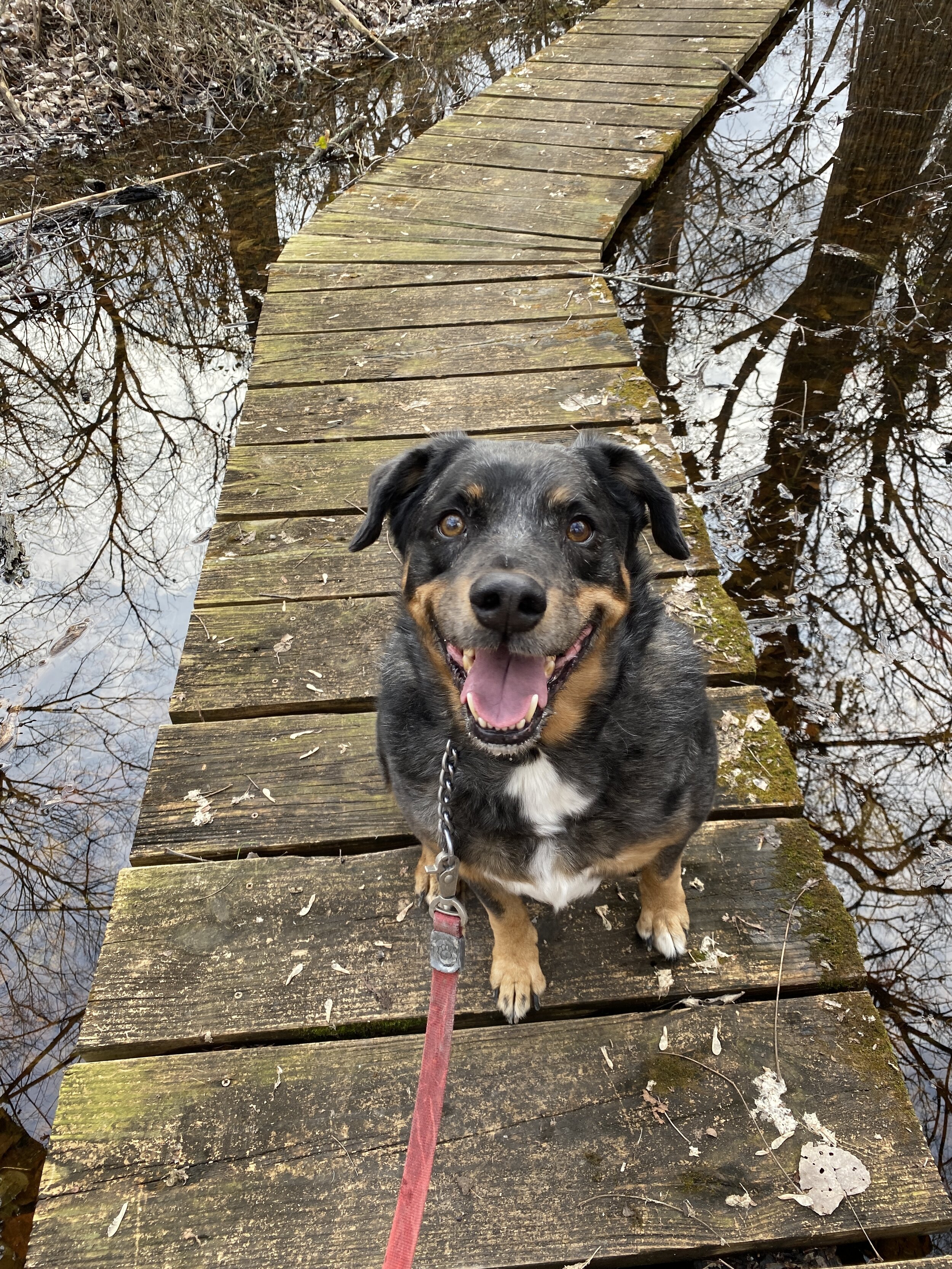
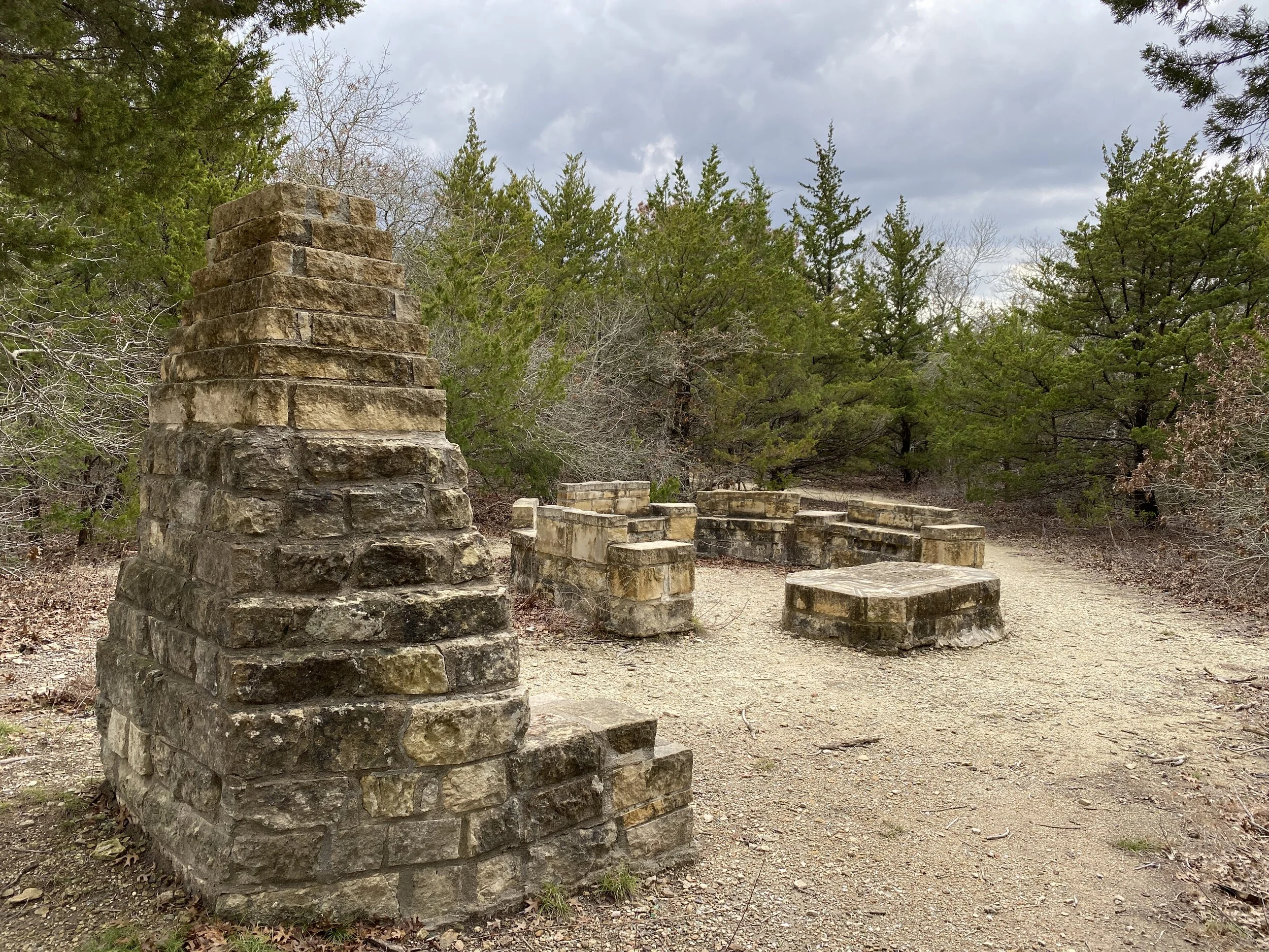
I was on a mission to check off a couple of state parks the weekend of January 25th and this one happened to be on the scenic way home from another one. The sky was mostly gray, with patches of blue and sun, but I wasn’t going to let that bother me. Initially, the sign at the gate said the trails were closed. I figured, I was already hear, so I might as well see if there was a paved path so I could check it off my quest list. The ranger at the front desk told me the trails were closed to mountain bikes, but not feet, so we set out looking for a path through the woods.
Chewy the dog and I started out on the Bois D’Arc trail, but quickly became confused because the signage was all for the mountain bikes and not really at all for hikers. I made my way though the woods and did see the two CCC gathering areas, but not much else. We ended up back on the road and made the executive decision to walk the Lake Loop path. The path wound through the trees and vines and had one lake view and a bridge of a swamp. It was a lovely trail that went around the lake, on and off, with the help of the main road. Two miles was all I could muster, so we headed back to the car and made our way home. The park is fine, the campground is ok, and the terrain is typical. If I lived nearby, I’d surly visit this place often, but it’s 80+ miles away and not worth the drive when Dinosaur Valley is the same distance and much more interesting.
If you’re in the area, check it out, if not, maybe just check it out anyway - all of the state parks are worth seeing at least once. Happy trails!

#HIKE3 - Cooper Lake State Park
HIKE 3 - Cooper Lake State Park - Doctor’s Creek Unit
Trail: Cedar Creek Trails (East, West, North, and South)
Date: Saturday, 01/25/2020
Distance: 3 miles
Distance From Home: 106 miles
Weather: Warm, sunny, slight wind
Trail Notes: Very wet and muddy this time of year
I had a Saturday with nothing planned so I thought it would be a perfect day to catch up on hikes in number and also knock off a few state parks on my Texas State Park Quest. It was a perfect morning, cool and sunny, with no scheduled precipitation. I had a late start, but still arrived at the virtually empty park around 11am. I had scoped out the trails online before, so I knew where I wanted to park and where the restrooms were along the way. I like to plan ahead, especially if I’m driving almost two hours to go somewhere.
The trails were really one trail with directional branches to help with organization. The markings were easy to follow and see, and there was little to no confusion. This trail was on Google Maps, the Hiking Project by REI, and the state park map for easy navigation.
It was a wet and muddy day, with most of the trail being quite moist. Winter in Texas is like Spring in Michigan which is okay by me. Chewy the Dog and I splashed through puddles, most only being as deep as my shoe, without a care in the world. The park was quiet, the wind was minimal, and the smells were earthy and fresh. The Cedar Creek Trail may be one of my favorite in a pretty standard state park. Visitors will wander through the forest, prairie openings, and back through the forest. There will be a few views of the lake and even better views of the sky above the trees.
Plan ahead, prepare for wet or muddy feet, and remember to stop and take it all in every now and then.


#hike24 - Dinosaur Valley State Park
Date: July 22, 2018
Location: Dinosaur Valley State Park - Glen Rose, TX
Distance: 4.3 miles
Trails: Cedar Brake Outer Loop (partial), Cedar Ridge
See the trail map HERE
Today's hike at Dinosaur Valley did not include wet feet, cool temps, or many interactions with people. The hike did include nice breezes, solitude, and plenty of sunshine. I had a late start this morning, due to staying up way too late, and I was ready to call the whole thing off. Then, I saw some inspiring words on social media, went for it. It was 7:45 am when I left the house, arriving at the park around 8:30. The temps were just below 90 at this point, but still tolerable with the breeze and shade. As I made my way through my familiar trail, it started to warm up and the flies became more aggressive. By the time I was done, the temp had climbed to nearly 100.
This week I braved the temperature, embraced the sweat, and said screw the bad vibes. I often get in my own way, mentally speaking, about going out for a hike in the summer. It is hot, it is buggy, it is dry, and it is excessively sunny. Today proved that I can survive and adapt, quite easily actually, so it is as if I cleared this road block for future hikes this summer. No more excuses! Sweat wicking shirts, hats, ice cubes in my CamelBak, sunscreen, and bug spray are all I need.
I’m looking forward to next week’s hike, wherever it may be. We are throwing around the idea of going to New Mexico, but the forecast is currently rainy. If you have a suggestion that’s within 10 hours of Dallas/Fort Worth, hit me up! Happy trails!

#hike23 - Dinosaur Valley State Park
Crossing the Paluxy River to start our hike.
Date: July 14, 2018
Location: Dinosaur Valley State Park - Glen Rose, TX
Distance: 5 miles
Trails: Cedar Brake Outer Loop (partial), Denio Creek Warbler Trail. Paluxy River Trail
See the trail map HERE
We started early, my aunt and I, and got to the park about 7:00 A.M. We registered, parked, and started our hike in 79 degree weather with about 79% humidity. At Dinosaur Valley State Park you have to cross the river to get to the good trails, but the Paluxy was only a trickle so we didn't have to get wet this time.
I like hikes with my aunt, or other close friends/family, because you can have those good talks that I'd classify as quality time. We talked, bitched about things, laughed, and overall had a very positive ongoing conversation about life.
The sun climbed higher in the sky, and we started to feel the heat increase while simultaneously feeling perfectly acclimated to the temperature. About halfway through the hike, we encountered some bugs and that was mildly annoying, but no other real issues. I have one horse fly bite, that I didn't even notice until today.
We finished up after five miles, before the real heat hit with a slightly lower humidity, and made our way back to the parking area. We avoided most direct sunlight by picking trails that were shaded by the ridges and scrubby trees thus avoiding excessive exposure. We saw one woman on a mountain bike, but really no one else dared to be out there with us that we could see or hear. Once we arrived back to the parking lot, there were a few more cars, but nowhere near the normal packed lot I'm used to seeing.
Summer hiking, in Texas, is not my favorite and I'm at least a month behind on my quest to hike 52 times in the year with one per week....but I'm not worried. Once the fall hits, I'll have no excuse to hike twice per weekend and maybe even twice per day! I'm longing for the cooler mornings and evenings ahead. Until next time, happy trails!

#hike22 - Barton Creek Greenbelt
Date: June 30, 2018
Location: Barton Creek Greenbelt - Austin, TX
Distance: 5.75 miles
Trails: From the MoPac to Hill of Life & back
It was a humid hike, but so refreshing regardless. I started out counting dogs, people, and bikes but gave up after I reached the Hill of Life. I started at about 7:15 am, with few people and quickly ran into everyone after 8 am at my midpoint. It was a popular trail, but everyone was very friendly and smiley and I just enjoyed it. I got a good feeling on this trail - something I've been longing for - and I am doing my best to be that outgoing-smiley person wherever I go. I know, not every day/every hike/every run/etc is easy or fun, but interacting with people in a positive way can be as simple as smiling, waving, nodding, or saying hello.
The trail was downhill at first, eventually followed along at creek level - which was bone dry, then transitioned into the Hill of Life - which was a LONG, steep hill that should have been called the Hill of Death. Many people were using the hill for training - either walking, running, or biking - I was simply trying not to pass out. My legs went jelly about 3/4 of the way up, so I went back down. On my hike back to my car, I followed a family that was out for a hike together. Seeing an entire family doing something together was encouraging and something I hope to see more frequently.
I was thankful for shade, a partly cloudy sky, and the humidity melting away as the morning moved forward. If you're in Austin, check out the various parts of the greenbelt and happy trails.
Recap: Plenty of cute and REALLY cute dogs, nice people, and plenty of shade.

#hike19 - Dinosaur Valley State Park
"The old standby, always there for me when I need a good hike!"
Date: May 27, 2018
Location: Dinosaur Valley State Park - Glen Rose, TX
Distance: 5.0 miles
Trails: Cedar Brake, Paluxy River
I was visiting my family that lives near Glen Rose and decided I needed a morning hike, at least once, this weekend. I stayed up way too late the night before, but eventually made my way to my cousin's place to pick up her fiancee and we hit the trails.
The parking lot at the entrance was a bit crowded, and the trailhead parking was busy because of group campers but the overall trail experience didn't include seeing more than three people in five miles.
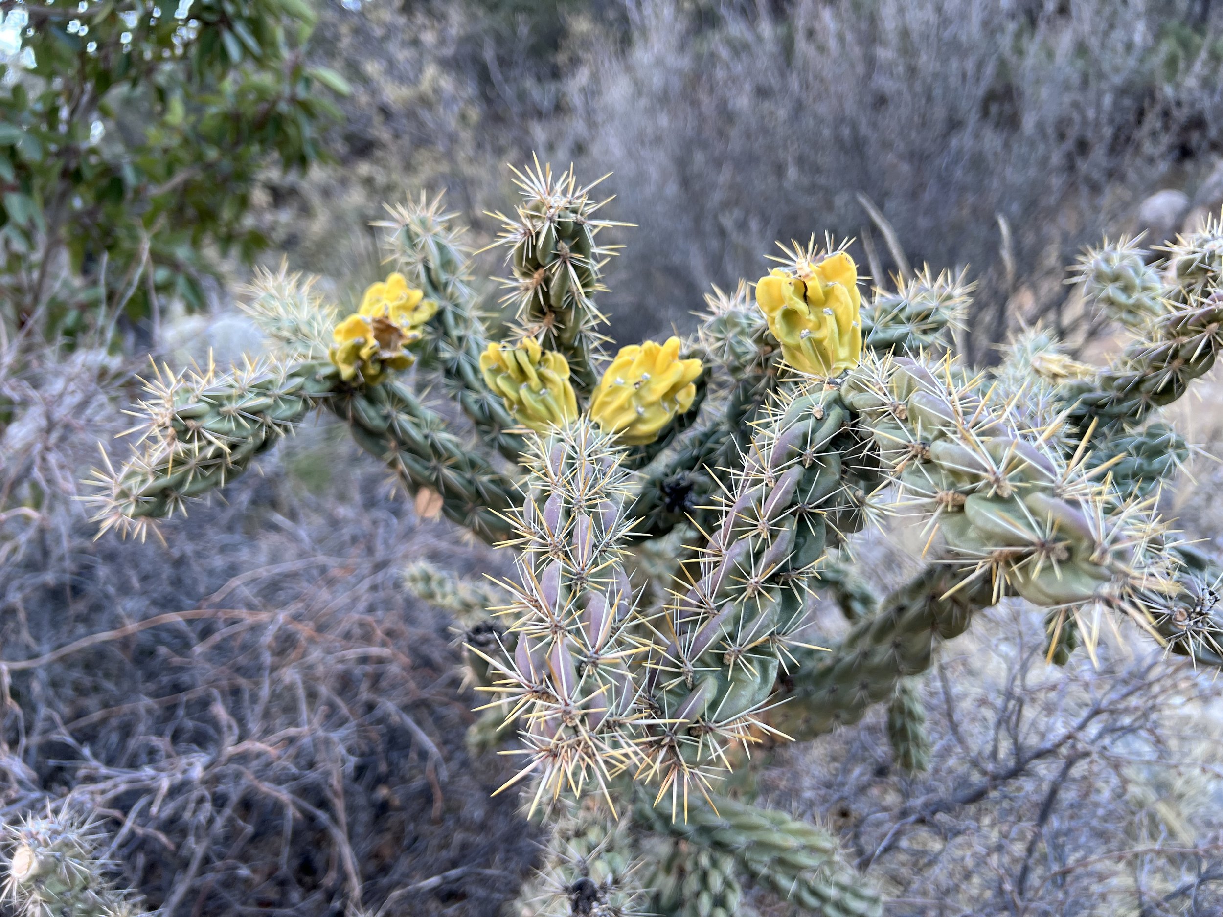
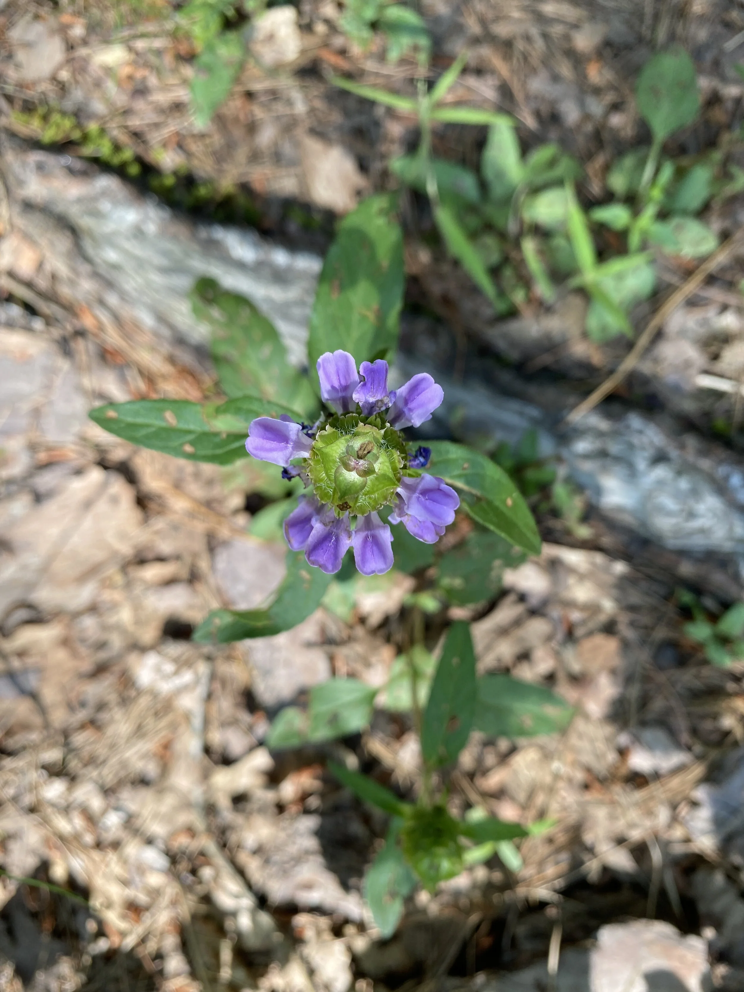
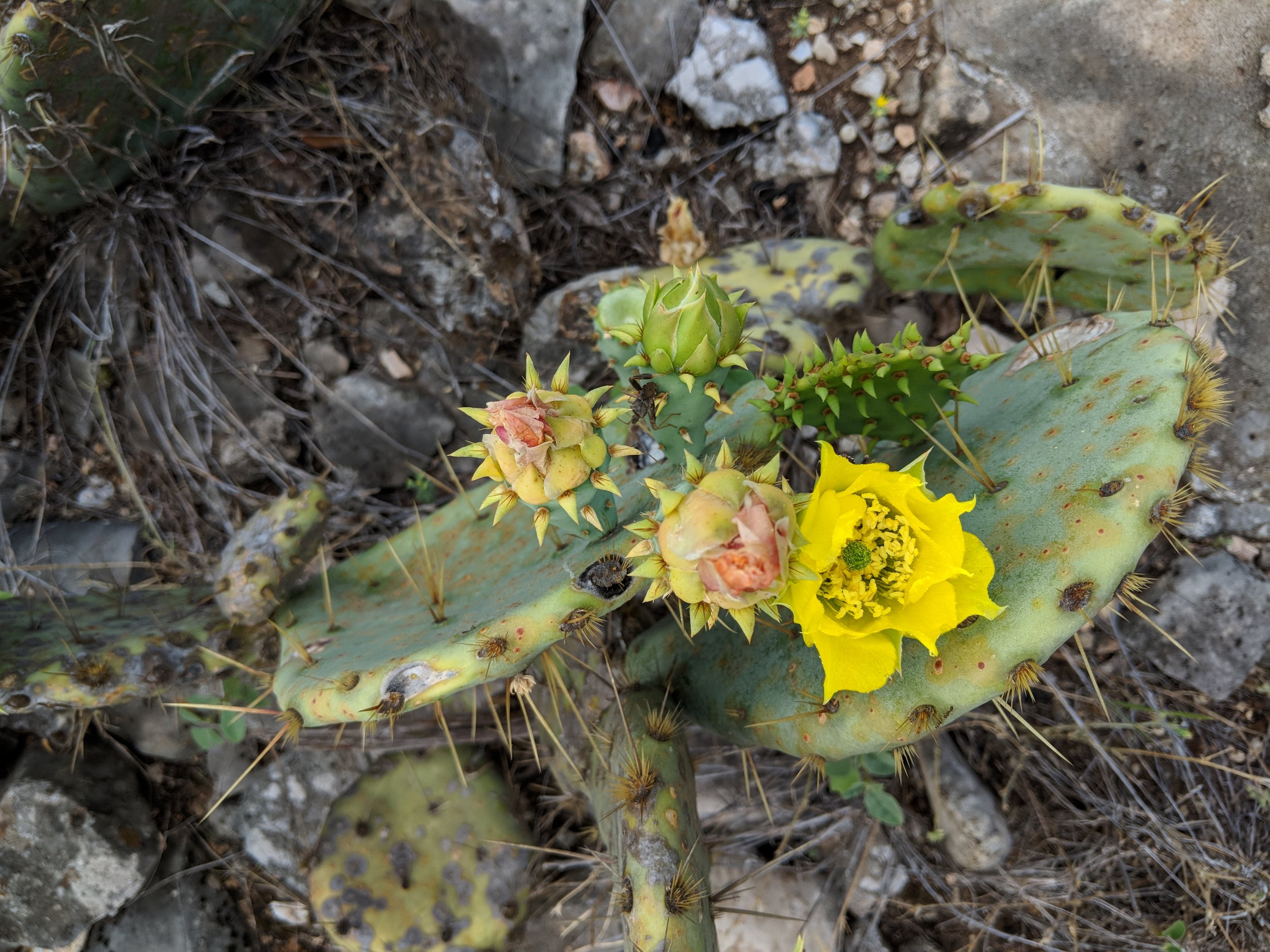
The river was noticeably low and was not too difficult to cross. We started around 8 am, in order to try and get a few miles in before the temps skyrocketed into uncomfortable territory. We saw gorgeous flowers in bloom, cactus flowers, yucca flowers, and of course plenty of insects pollinating. We hiked at a steady pace, had good conversation, and an overall enjoyable morning. This hike was just what my body needed.
Overall, it was a satisfying hike with a new hiking partner. On our way out, the line to get in the park was damn near 50 cars long, so I'm glad we got there when we did. Here's to you, old standby, your views and trails are always worth it to me. Happy trails!

#hike18 - Colorado Bend State Park
"A must see for Texas State Parks - I will return!"
Date: May 19, 2018
Location: Colorado Bend State Park - Bend, TX
Distance: 6.6
Trails: Tie Slide, Gorman Falls, Spicewood Springs (partial)
I had plans to go to Tyler State Park early Saturday morning, but my friend reached out and said her and her family were going to Colorado Bend State Park and that was more appealing because I had always wanted to go there! So, I got up and got ready for a 3am departure, leaving at 3:30 because it's me, and arrived to the park just as the sun was coming up. The parking lot was mostly empty, and the trail was ours. We started our hike as the sun was peeking over the ridge and it made for an excellent introduction to Colorado Bend.
We took the Tie Slide trail to the Colorado River overlook and the views did not disappoint. The trail was rocky but the views of the river make up for any hardships encountered by the group.
From there we made plans to head to Gorman Falls, the legendary falls within the park as springs cascade down a rock wall into the Colorado. The hike was pretty mild until the falls and then it's a steep descent down the rocks (with some handrails to help) to the falls viewing area.
Going down these rocks was a bit slick, from daily use, but the ropes were sturdy and offered a solid point of contact. I found the climb back to the trail much easier than going down, but I always prefer uphill vs. downhill hiking because I feel more accomplished at the top. Anyway, it was a fun little stretch to get to the magical and lush Gorman Falls.
The falls start at the top from a spring and trickle down a rock face that is constantly changing shape. The rock face is covered in moss, ferns and other vegetation. The view of the waterfall can be somewhat obstructed by the trees growing, so the photos don't do this place any justice. If you have the means and ability, visit in person and you will not be disappointed. It's a real treat.
There is a main viewing deck and you can get a glimpse of the falls from the trail on the way down and that's where I chose to take photos. There are signs saying it's a sensitive ecosystem, designed to keep people out of the water and from disturbing the falls. I don't care enough about pictures, as it is burned in my memory, so I respected the signs and you should too by staying in designated areas.
From the falls, back to the parking lot, we were surrounded by meadows of wildflowers at every turn. The cactus flowers were blooming and the bees were buzzing everywhere - busy at work! What a great day to be alive in Colorado Bend State Park.
I have plans to return, either early in the morning again or this fall/winter season. I want to hike every trail here, as they all looked like they offered great views and fun challenges.
As always, happy trails and enjoy a few more photos - wildflowers and part of our hiking group.

Me, my friend Amanda, and her niece's friend.
#hike11 - Dinosaur Valley State Park
Date: March 24, 2018
Location: Dinosaur Valley State Park - Glen Rose, TX
Distance: 9.1 miles
Trails: Paluxy River & Cedar Brake Outer Loop (here's the map)
Previous Hike(s): January 2018
I woke up at 5am on a Saturday for a hike because I love to do it THAT much. Personally, I love to start the day in the dark because as the light comes I feel as though the world is waking up with me. Other perks about starting early include less traffic, less people, and it opens the day up for more opportunities to enjoy the outdoors.
I got to the park as the sun was coming over the ridge, about 7:30am. I was shocked to arrive and see a parking lot 75% full of cars, but soon realized it was some special camping event and it was overflow or something. Other than a lady power walking along the river, I didn't have company on the trail until about mile five, and it was only a few people at first but towards the end there were groups and groups of people crossing the river and starting the trail.
I saw one bunny and more spiders than I can count. It was nice in the winter, with less spiders, but they are back and webbing across the trails like crazy. Most spiders I encountered were harmless, but the webs always feel a little weird when you don't see them and walk through.
Takeaways:
- As I often suggest, start early. In Texas (and other warm places) it's cooler, less crowded, and often worth it for the sunrise alone.
- If you're becoming familiar with a place, and it's a small/moderate loop trail, go the opposite way and you may see things differently.
I did my video summary, as usual, but I didn't have the phone mounted. Enjoy the shaky video and happy trails!

#hike9 - Fort Worth Nature Center & Refuge
Date: March 10, 2018
Location: Fort Worth Nature Center & Refuge - Fort Worth, TX
Distance: 4.7 miles
Trails: Canyon Ridge Trail
My friend Megan met up with me and we went out to the Nature Center to hike it up on Saturday morning hike number nine. It was a mild morning with partial sun, and not a huge crowd to start out, which is always a good sign. I love the Canyon Ridge Trail for the hills and the views, but today it was even better with new leaves and flowers for spring. We spent the 4.7 miles, there and back, discussing life and reminiscing about recent events - time flew by. I always enjoy hiking with friends or family, so if anyone wants to connect out on the trail, hit me up! By the end of our time, it was a pleasant 75 degrees and the sun was shining down.
Things to know about the Fort Worth Nature Center & Refuge/Canyon Ridge Trail:
- Get there early if you'd like to start your hike with fewer people. If you don't mind crowds, wait it out for a later start. We started at 8:30 with two cars in the lot and ended with people parking down the road at 10:30-11.
- There are plenty of other trails, but Canyon Ridge offers a variety of things from old building ruins to views of Lake Worth to minor elevation changes that challenge your legs.
- It is $5/person to get in, and they DO accept credit/debit cards.
Fun story: We were at this old rest shelter, and saw another one down a trail (probably not Leave No Trace) so we delicately went to check it out...only to find tons of wasps. I ran so fast away, there was no time for photos or to make sure Megan was okay - she was. We avoided any bodily harm and had a good laugh about it once we stopped running.


I hope you all got outside this weekend if you wanted, and if not, hopefully soon! Enjoy your week and happy trails!

#hike8 - Cleburne State Park
Date: March 3, 2018
Location: Cleburne State Park - Cleburne, TX
Distance: 6 ish miles
Trails: Fossil Ridge, Coyote Run, Limestone Ridge, White Tail Hollow, Lake trails
I was lucky this weekend - my family was camping somewhere and my aunt wanted to hike. I jump at the chance to hike with someone, so I drove down to Cleburne State Park and we hit the trails Saturday morning. I had been there before in 2017, but we did a little more than I did my first time and I saw a different side of the of the park.
We decided to do the rim around the park, a series of trails that went along the fence line. We started out near the entrance and went about a mile up then decided to hike down the shoreline of Cedar Lake and across the old CCC dam to the spillway. Since my aunt was camping, we walked back to the car along the west side of the spillway and then drove back to the campsite to refresh our water supply. We walked from the campsite to the Coyote Run trail head and then hiked down the east side of the lake to the scenic lookout, and back to the camp. This part of the hike was new to me and was surprisingly hilly and shaded, which was nice. I still managed to get a sunburn on my neck and arms, so always wear your sunscreen. Near the spillway I spotted a guy across the way and I thought it was a #parkchat/#gearmeout/#hikerchat friend, and sure enough at the bottom of the hill I run into Mr. Gibby himself. It is a real treat to run into familiar faces and something I hope happens more often.
Some Cleburne State Park takeaways:
- It is quite hilly, gentle hills, but hilly... be prepared!
- Walking along the lake is good for refreshing breezes, so keep that in mind
- If you wait til late spring you'll see tons of flowers


State parks keep me sane here in Texas, and I'm forever thankful for them. I renewed my annual pass on Saturday so I'm good to go again through 2019 and I highly recommend the annual state park pass here in Texas if you're a frequent visitor or bring a car full of people with you each time.
See you on the trails!


#hike2 - Tyler State Park
Date: January 13, 2018
Location: Tyler State Park - Tyler, TX
Distance: 8.41 miles
Trails: B, C, and D Loops
This morning was not agreeing with me, and I'm a morning person, but I finally hit the road about 8AM and made it to the park about 10AM. I parked in the lot where the mountain bikers park, loaded up, and headed out. To get to Loop B, you start on Loop A which is the designated mountain bike track. I started down the trails on the east side, which weaves through the woods and takes you back towards the north end of the park.
Loop B felt like the longest trail, it probably was, with Loop C being the shortest. Loop D was the most interesting as far as terrain, and was somewhere around 2.1 miles. Loop C had a few issues with trail marking, so I did a little backtracking but eventually made it to the right path. All paths went through the woods which consisted of mostly pine and oak and weaved through ravines. There were several creek crossings, all with footbridges or something man-made to assist.
Tyler State Park Tidbits:
- There are a lot of trails to take on and they're all pretty well marked with Loop C being the only area I had a little difficulty finding any marking or beaten down path
- The trails I did are for hiking and biking and offer plenty of space to get out of the way of one another.
- I went on a Saturday morning and I was surprised it wasn't very busy - could have been the colder weather?
- The pines are gorgeous and regal blanketing the trails helping you stay quieter to take it all in even more.
Walking through the pines made me feel like I was in Michigan. I found myself stopping, looking up while listening to the wind through the needles the way I would near Lake Huron or Lake Michigan. The woods was very quiet, with few people and outside noises, making it an ideal hike for pondering things. If it weren't for the yucca (or whatever it is) that grows in the sunlight, I would have never known I was still in Texas. Enjoy a few photos from the hike and happy hiking to you!


#hike1 - Dinosaur Valley State Park
Date: January 6, 2018
Location: Dinosaur Valley State Park - Glen Rose, TX
Distance: 9.55 miles
Trails: Cedar Brake Outer Loop, Paluxy River
I arrived at the park early, before the staff arrived, and checked in. I left home in shorts, because it was nearly 40 degrees at home, but it was only 25 at the park so I had to change into the pants I brought along. I was the only car in the parking lot upon arrive, and was one of ten when I left. The crowds for this park don't usually show up until about 8-9 am, making early morning hikes fairly quiet and peaceful. I made it 7.5 miles in before seeing anyone, but then it was more people than I could count. For the first hike of the year, I wanted to "go big" with a longer hike. I visited this park four times last year and did the same few trails each visit so this hike was also about exploring a part of the park I hadn't hiked in 2017. Seeing new-to-me trails and the furthest corners of the park boundaries satisfied the need for a little adventure within.
I spent the majority of this hike reflecting on the hikes of 2017 and warming my hands. Like an idiot, I didn't really plan well for the temperatures, despite my constant preaching of preparedness. Halfway through the hike, I remembered having gloves in my pack and that was a great relief. As I warmed my hands, I pondered what worked well last year and what I need to adjust to make the 2018 hikes even better. Dinosaur Valley is becoming my new go-to park simply because I love the terrain and proximity to my family's home - can accomplish a visit and get a hike in. All in all, it was a challenging and robust start to my hikes for 2018.
Dinosaur Valley State Park Tidbits:
- almost all trails require crossing the Paluxy River - always check trail conditions on the park's Facebook page before heading out
- the park has varied terrain - be sure to check out the trail map for more information
- many trails are shaded, thought plenty have sunny portions so always bring enough water and wear sun protection
- tourist attractions such as dinosaur track viewing areas and other dinosaur related businesses outside park boundaries exist for family fun before or after your hike
- crowds are limited in cooler months, and earlier in the morning - I always try to get there around 7 am to enjoy some solitude
Here are some photos from the hike, enjoy and happy hiking!