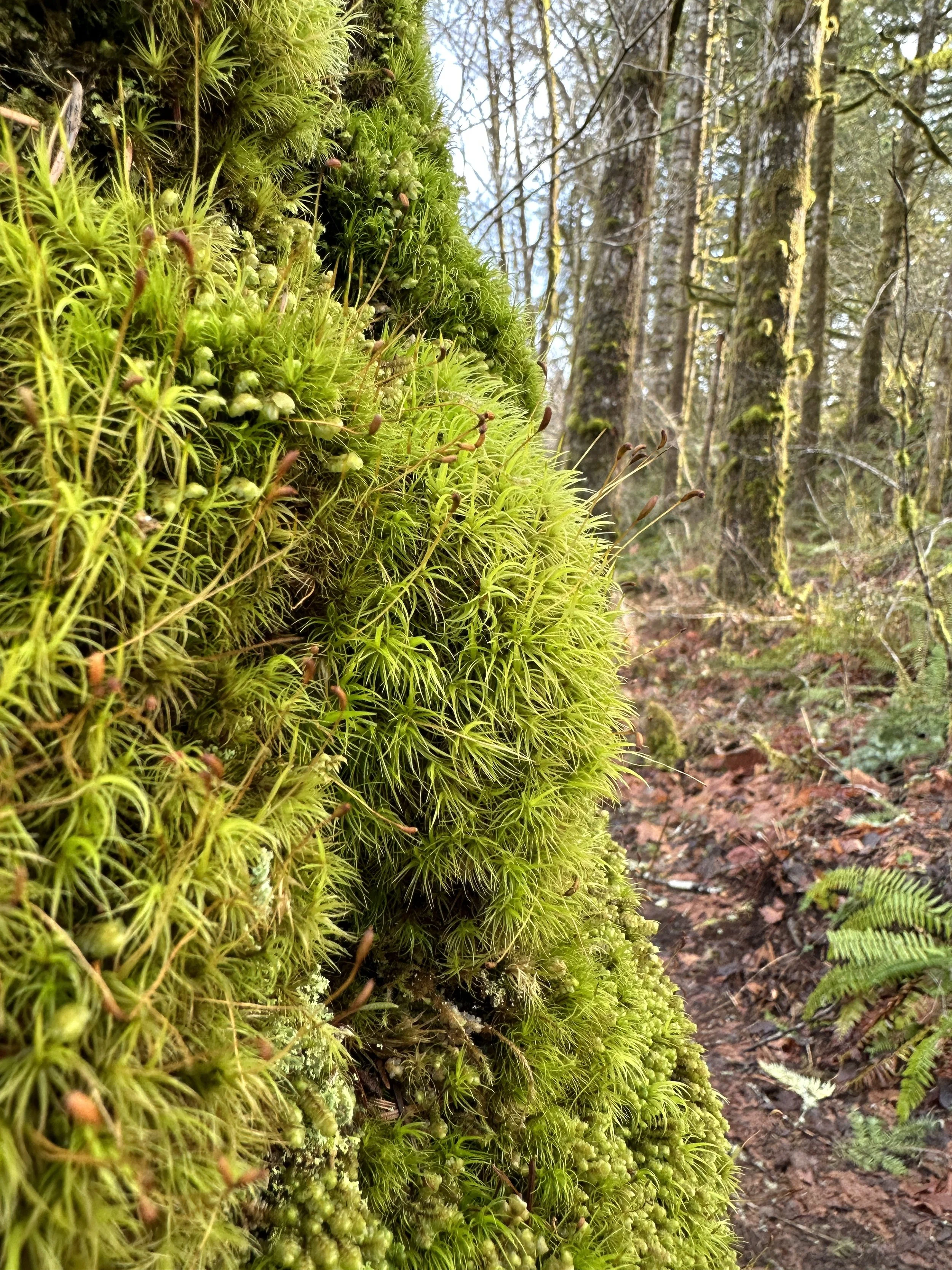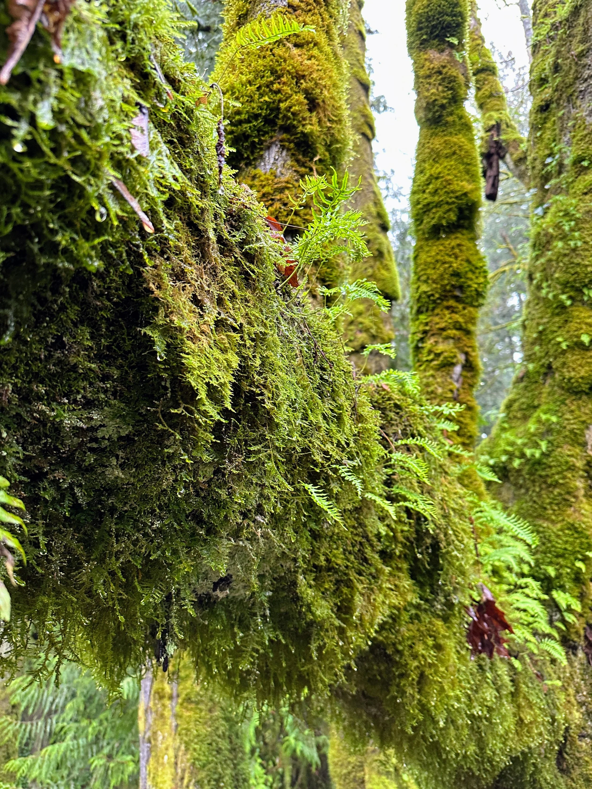

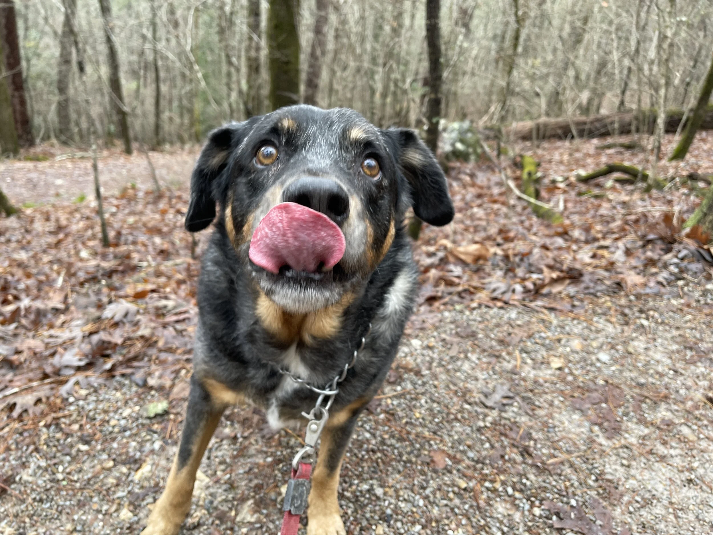
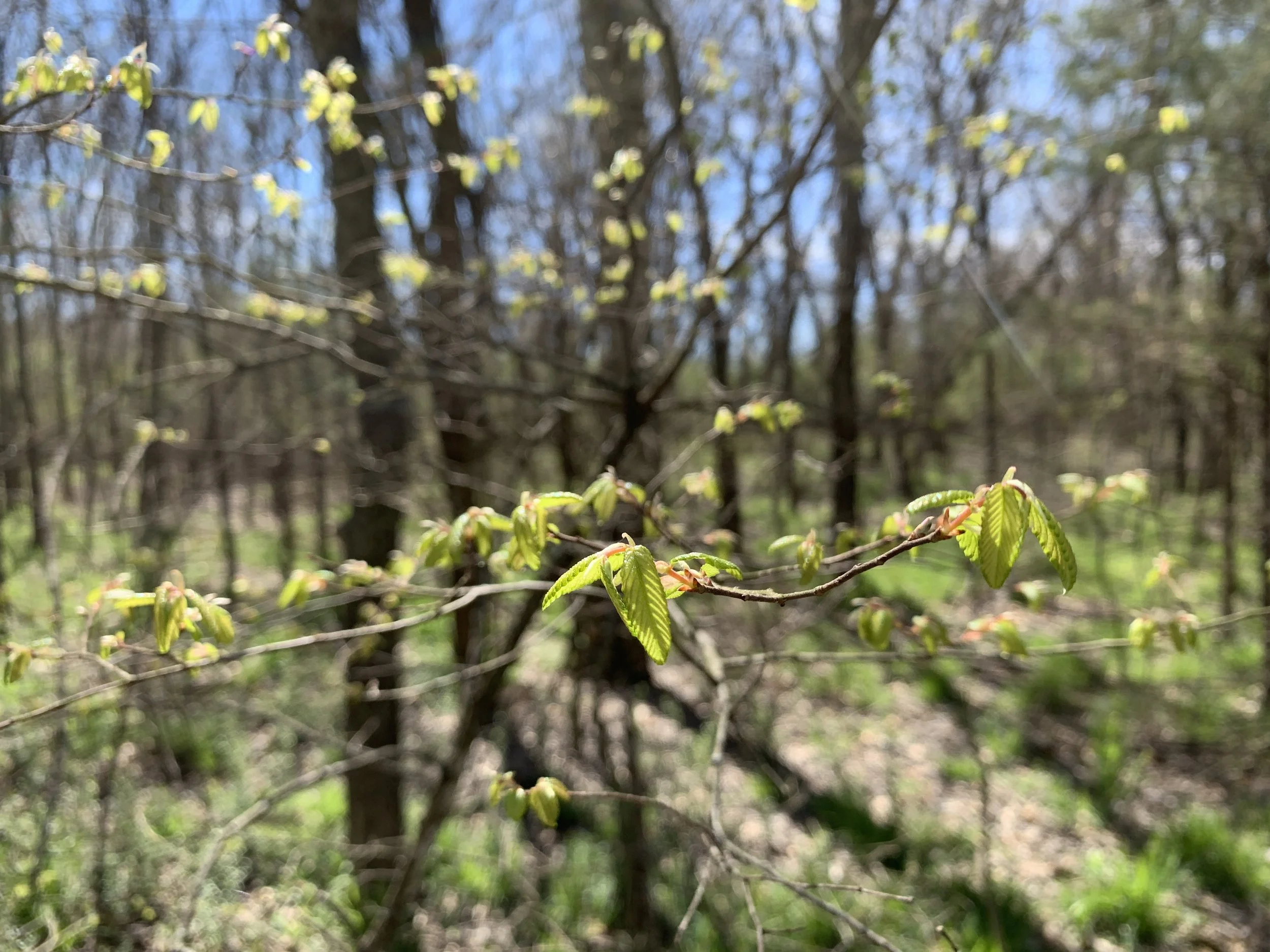
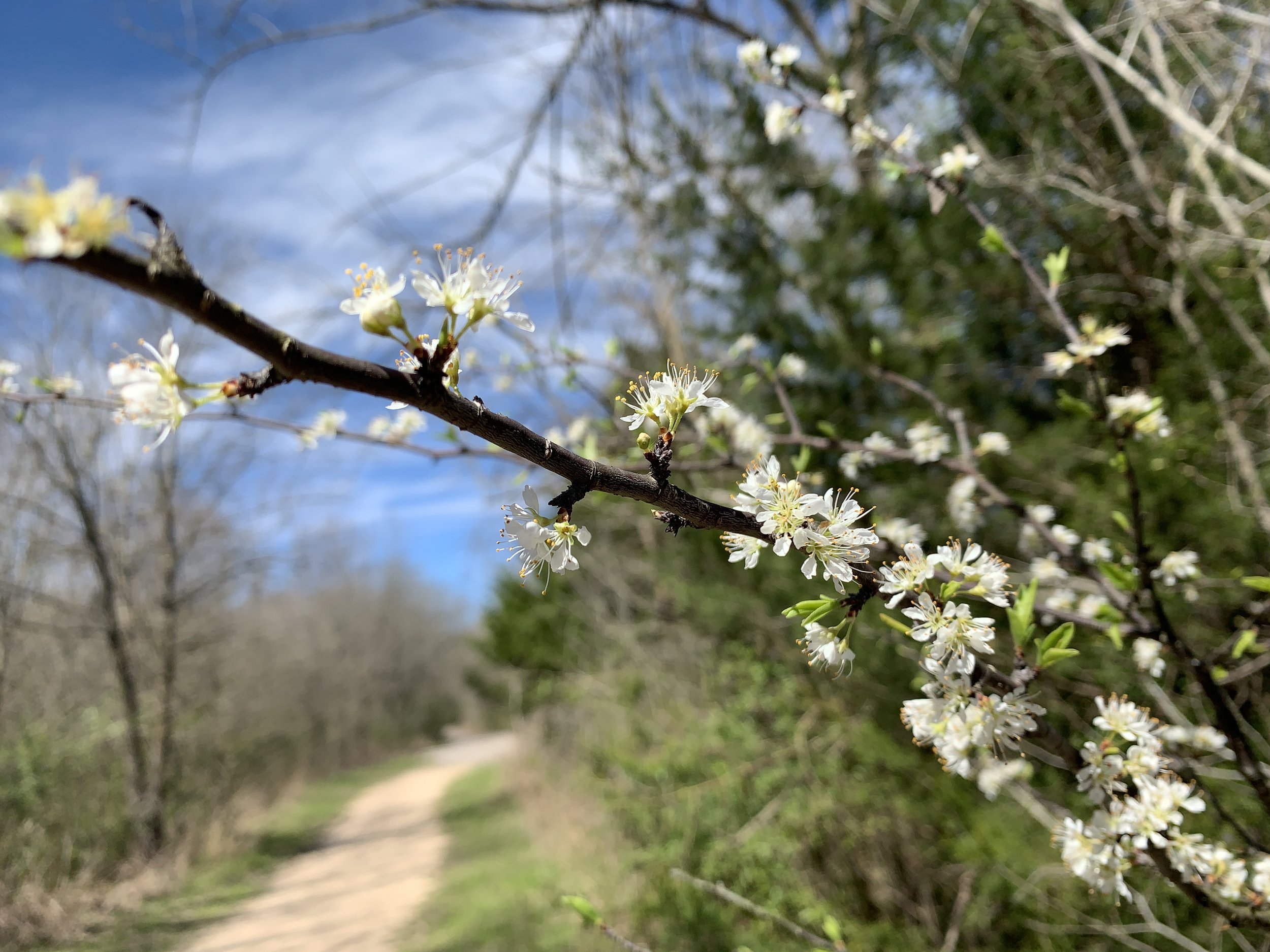
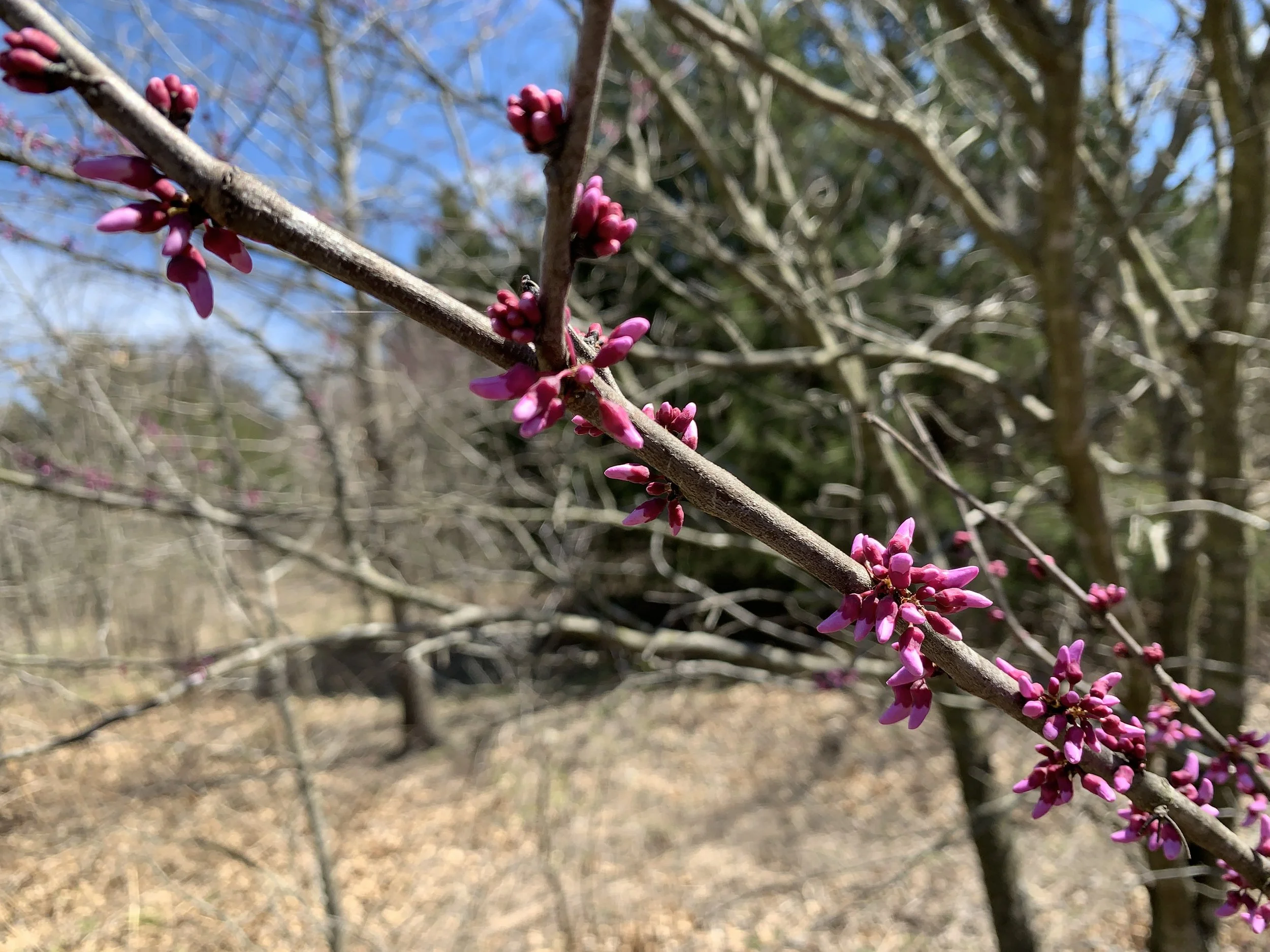
2022 Activities 5-7
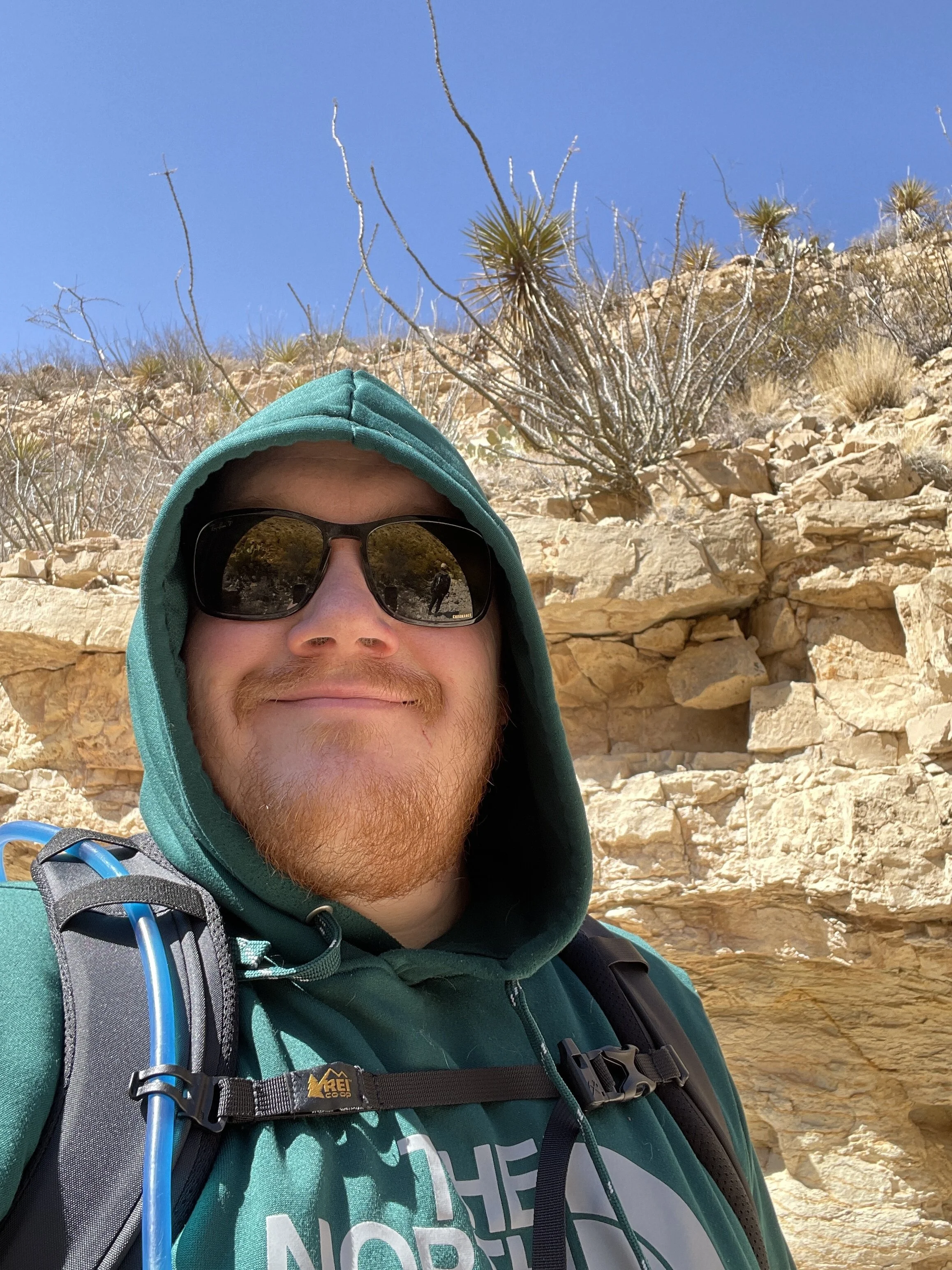
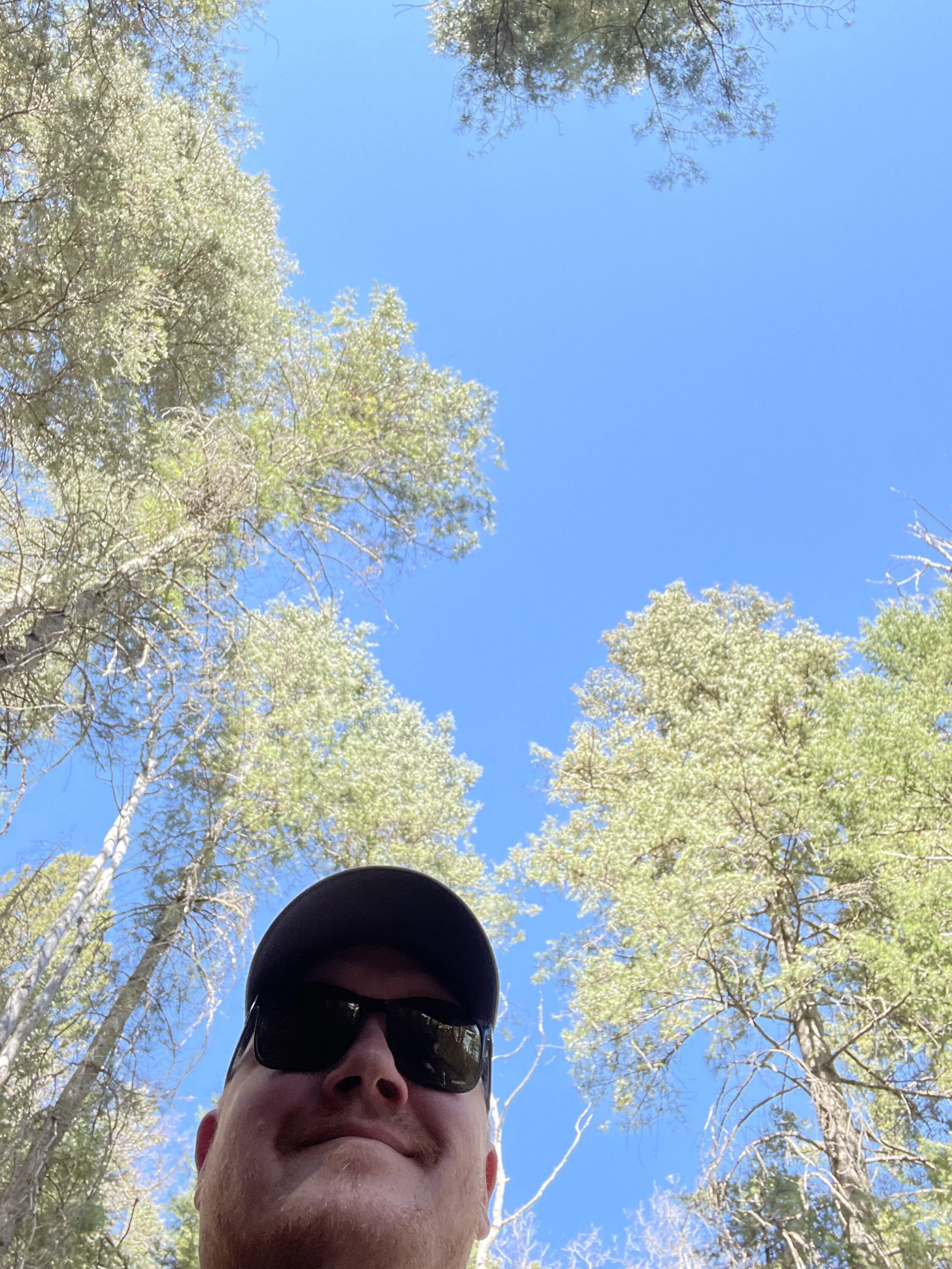
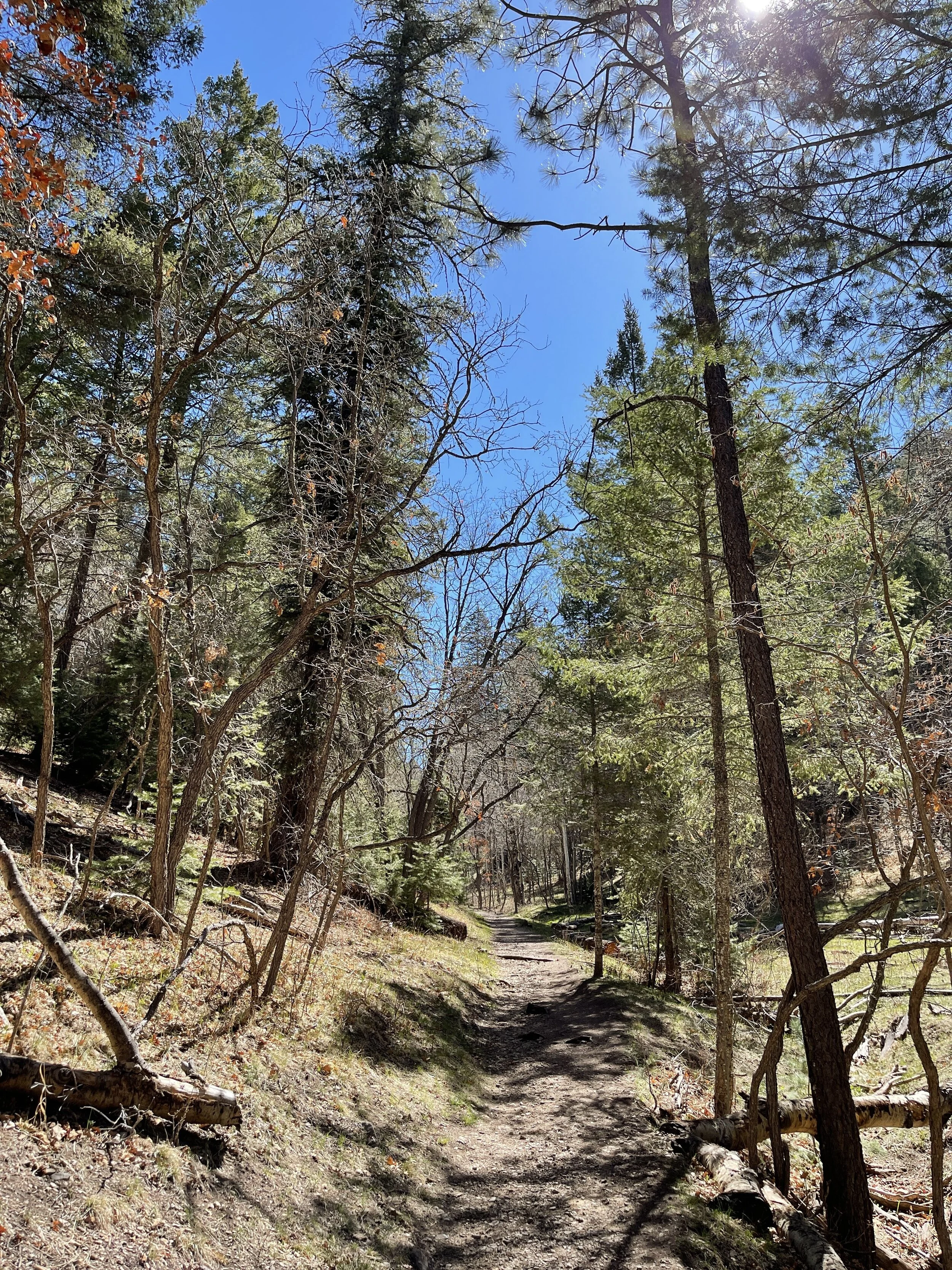
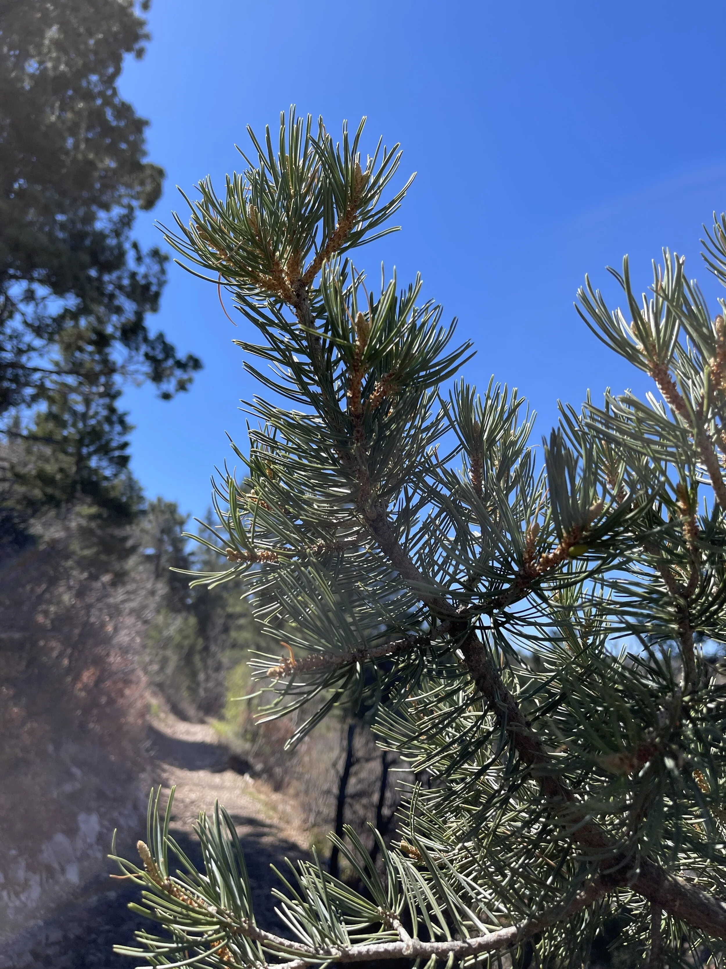
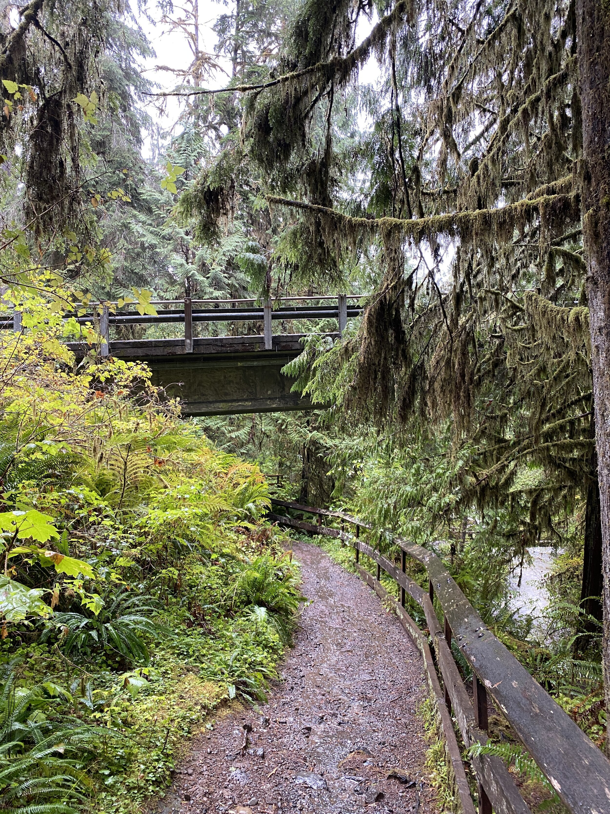
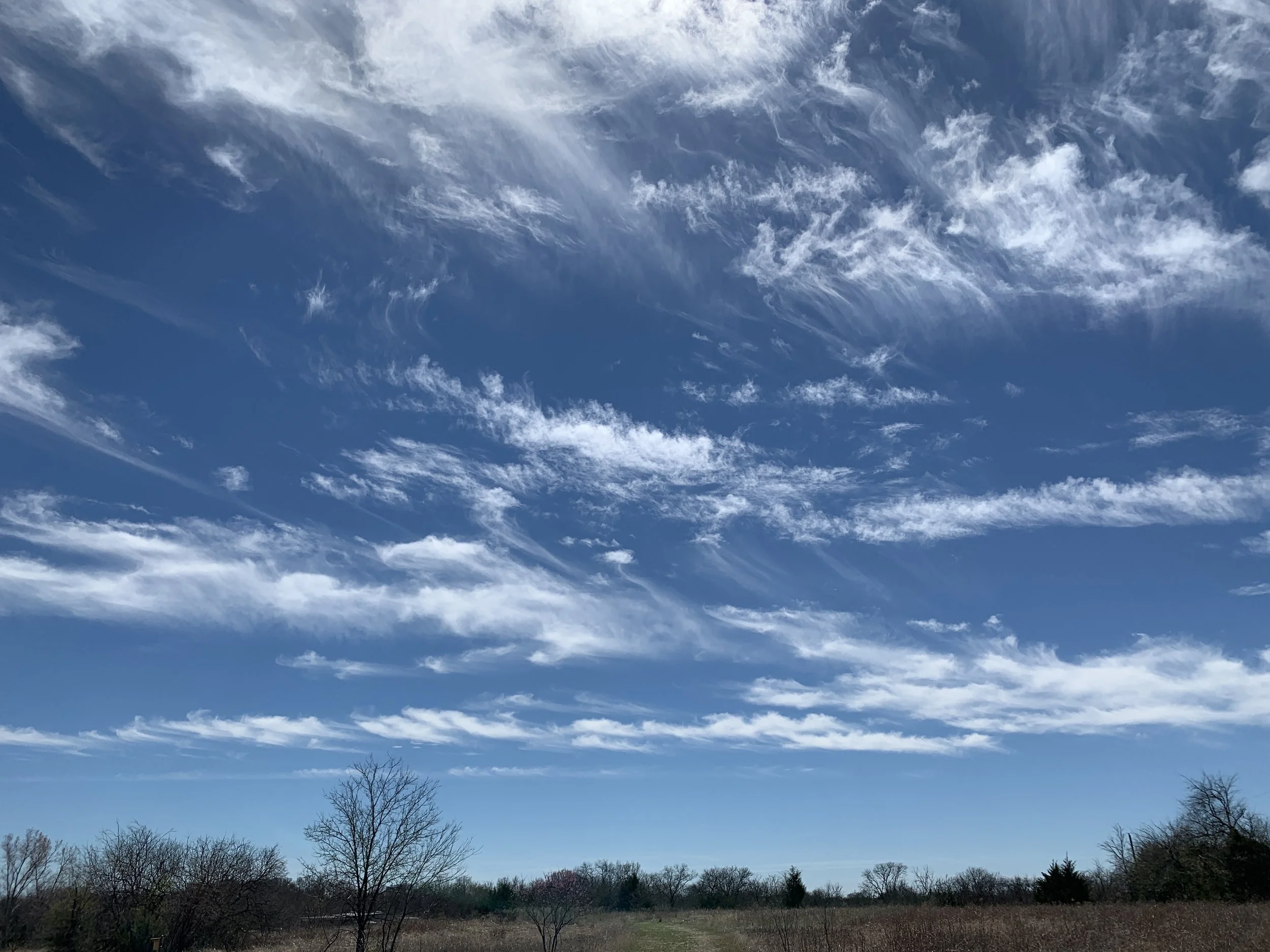
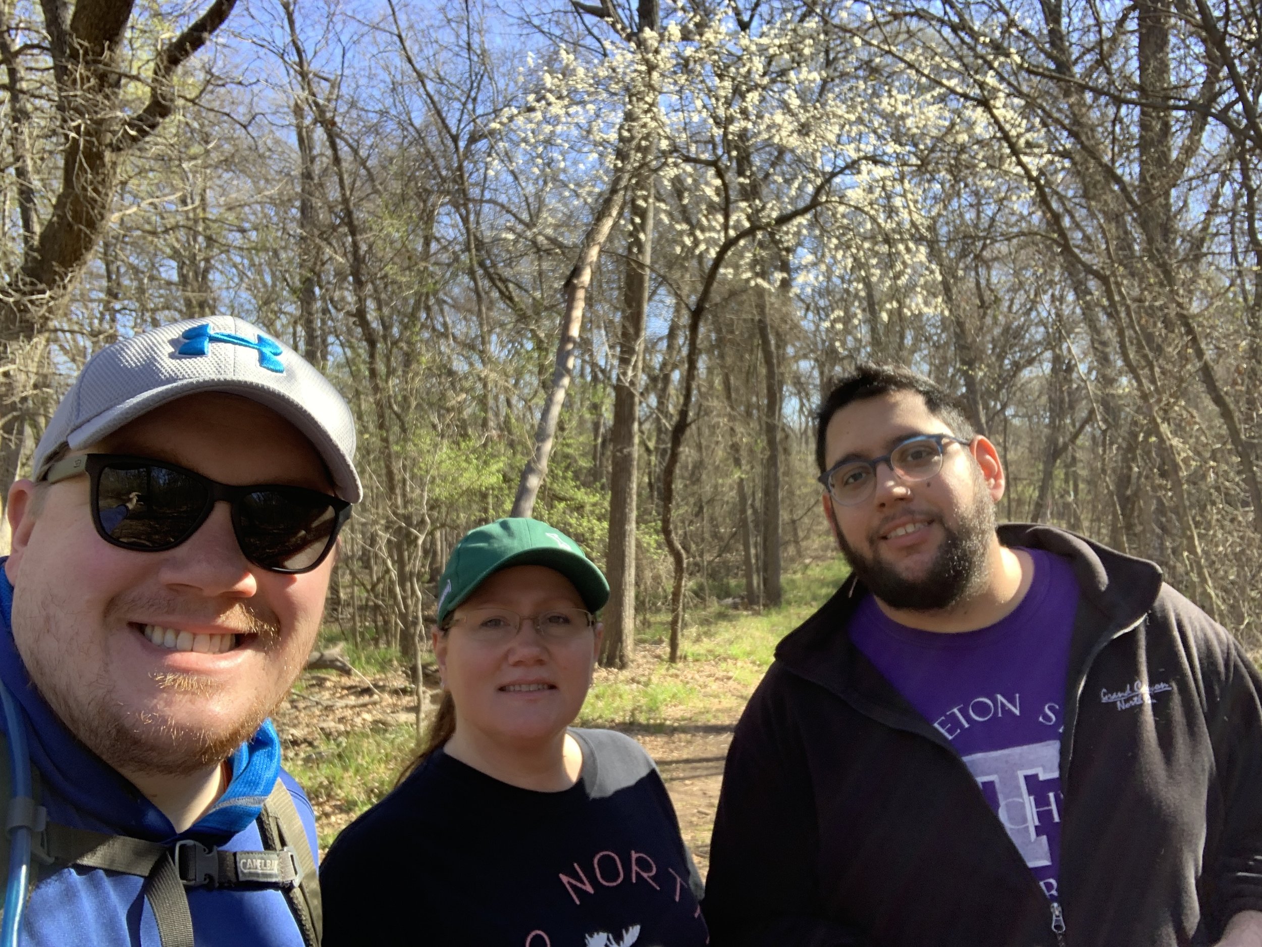
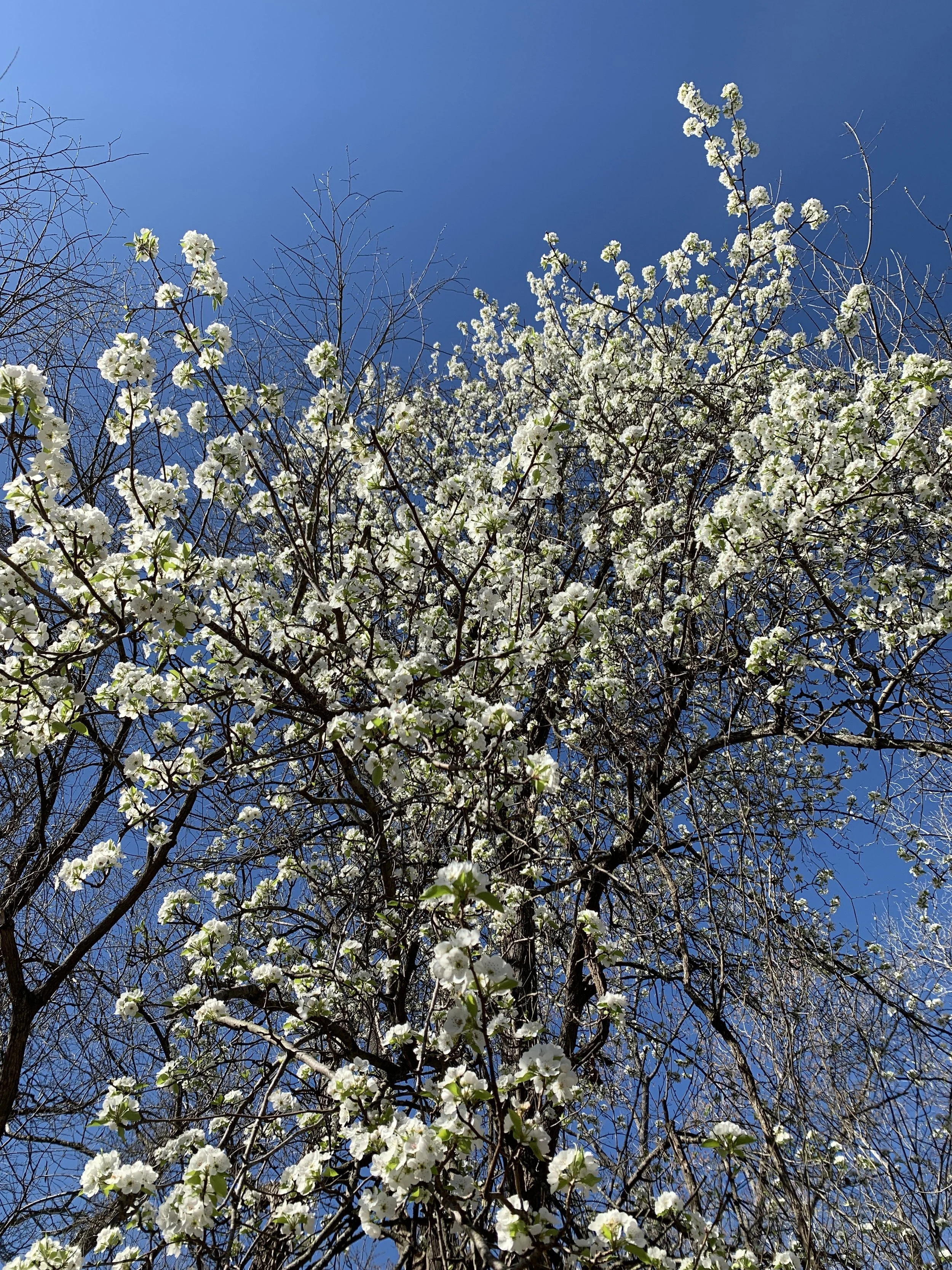
So far, February has been quite good for hiking. A recent trip to Caprock Canyons State Park in Texas gave us two more for the year, with some amazing views along the way. With the end of our time in New Mexico rapidly approaching, we visited White Sands National Park near sunset for one last stroll in the desert before heading to Dallas/Fort Worth. Happy hiking!
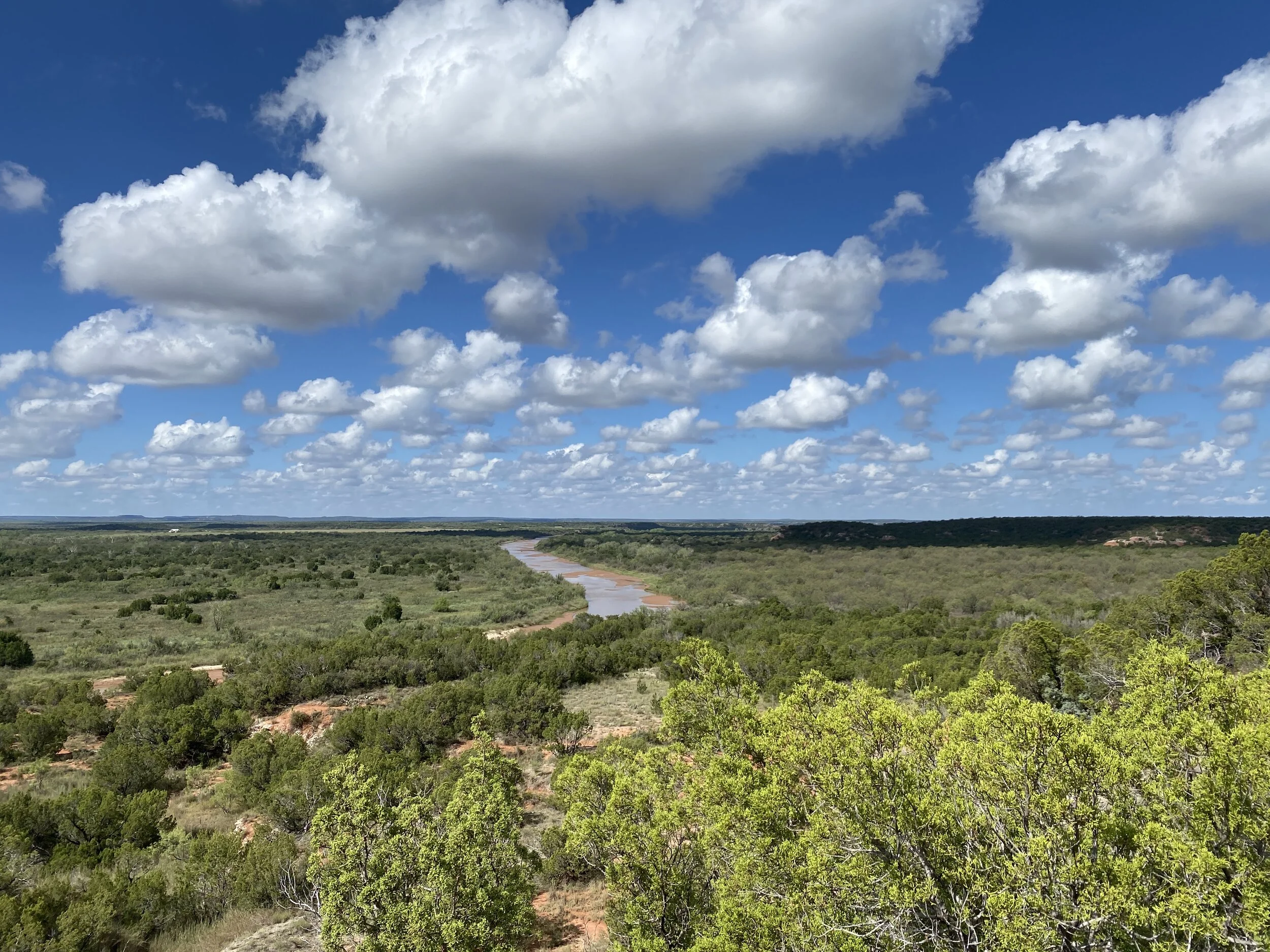
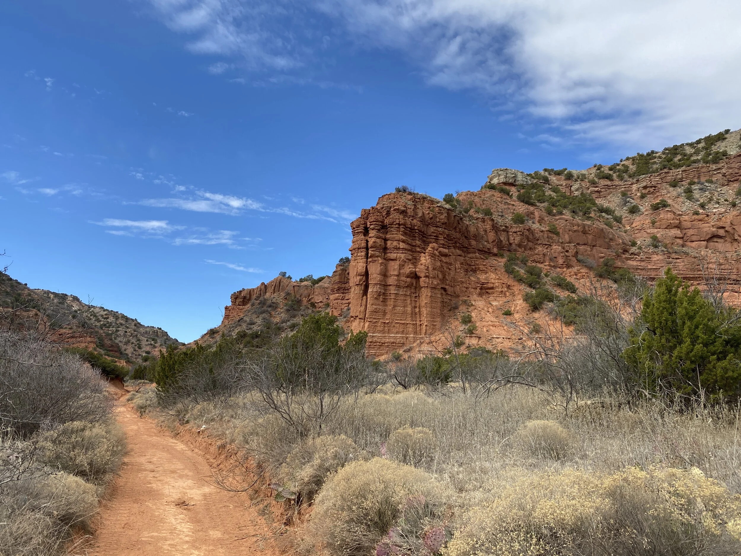
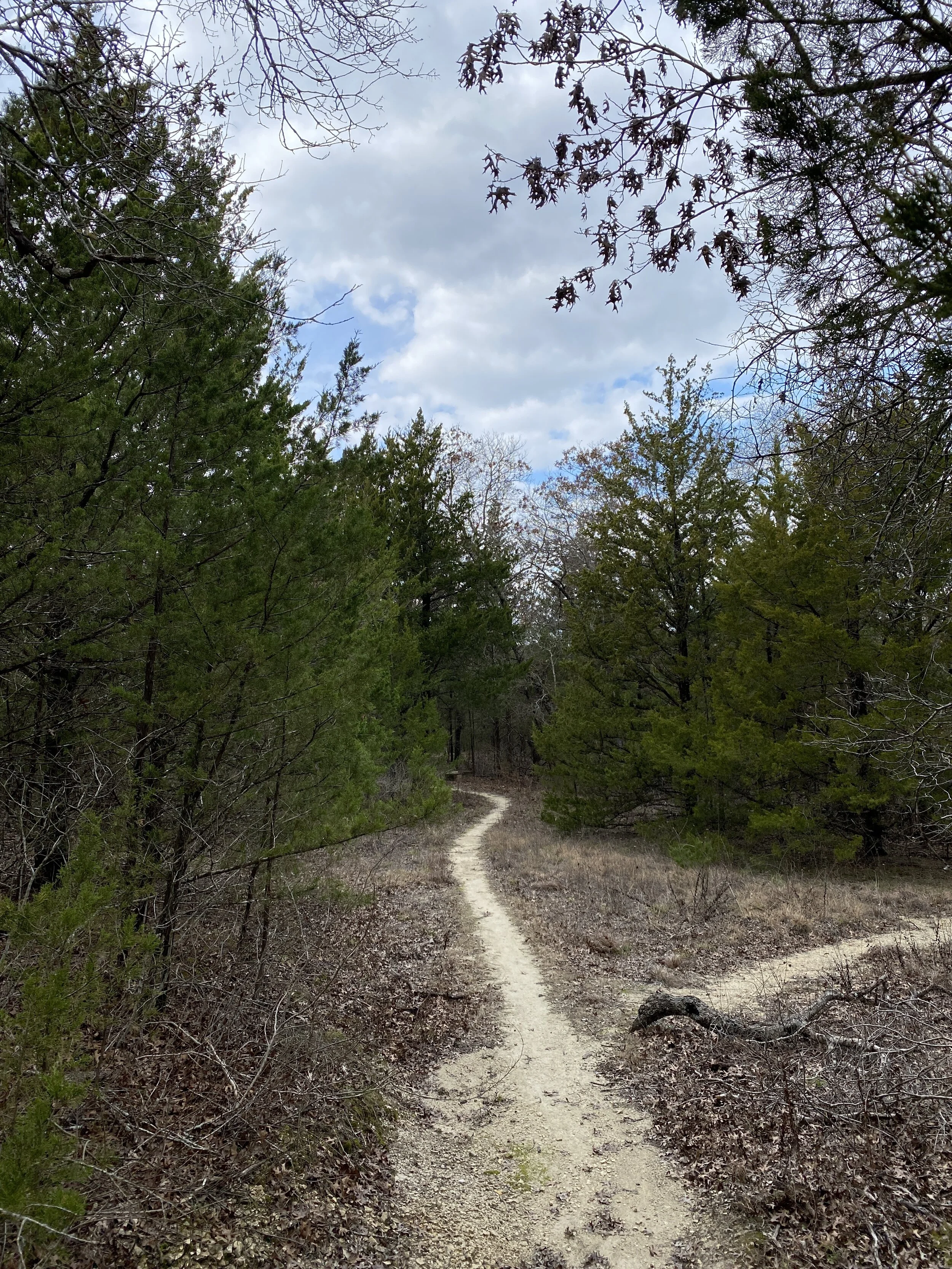
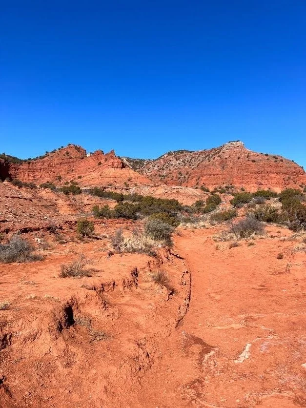
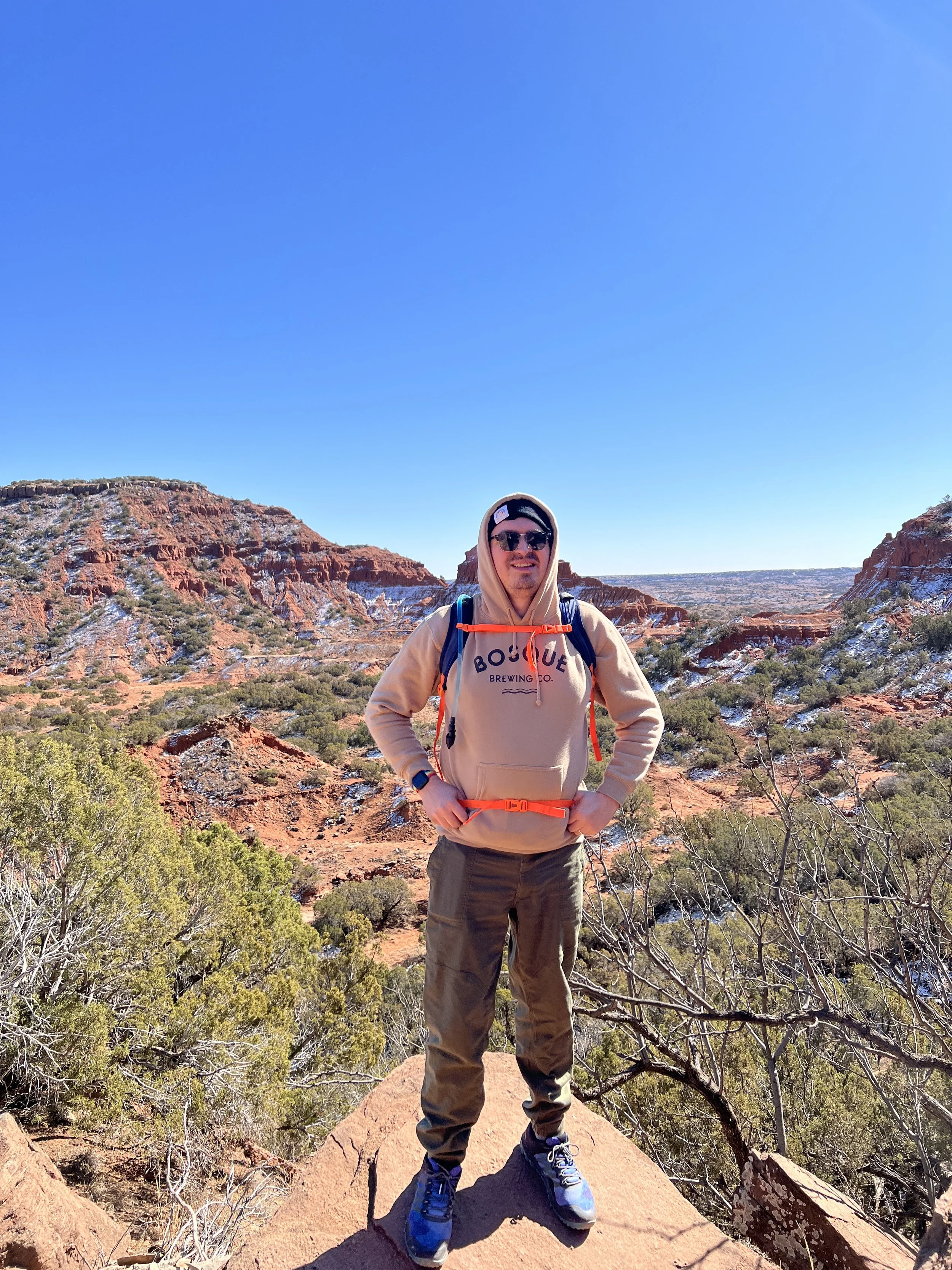
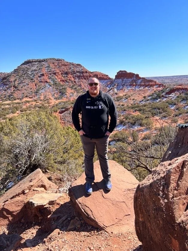
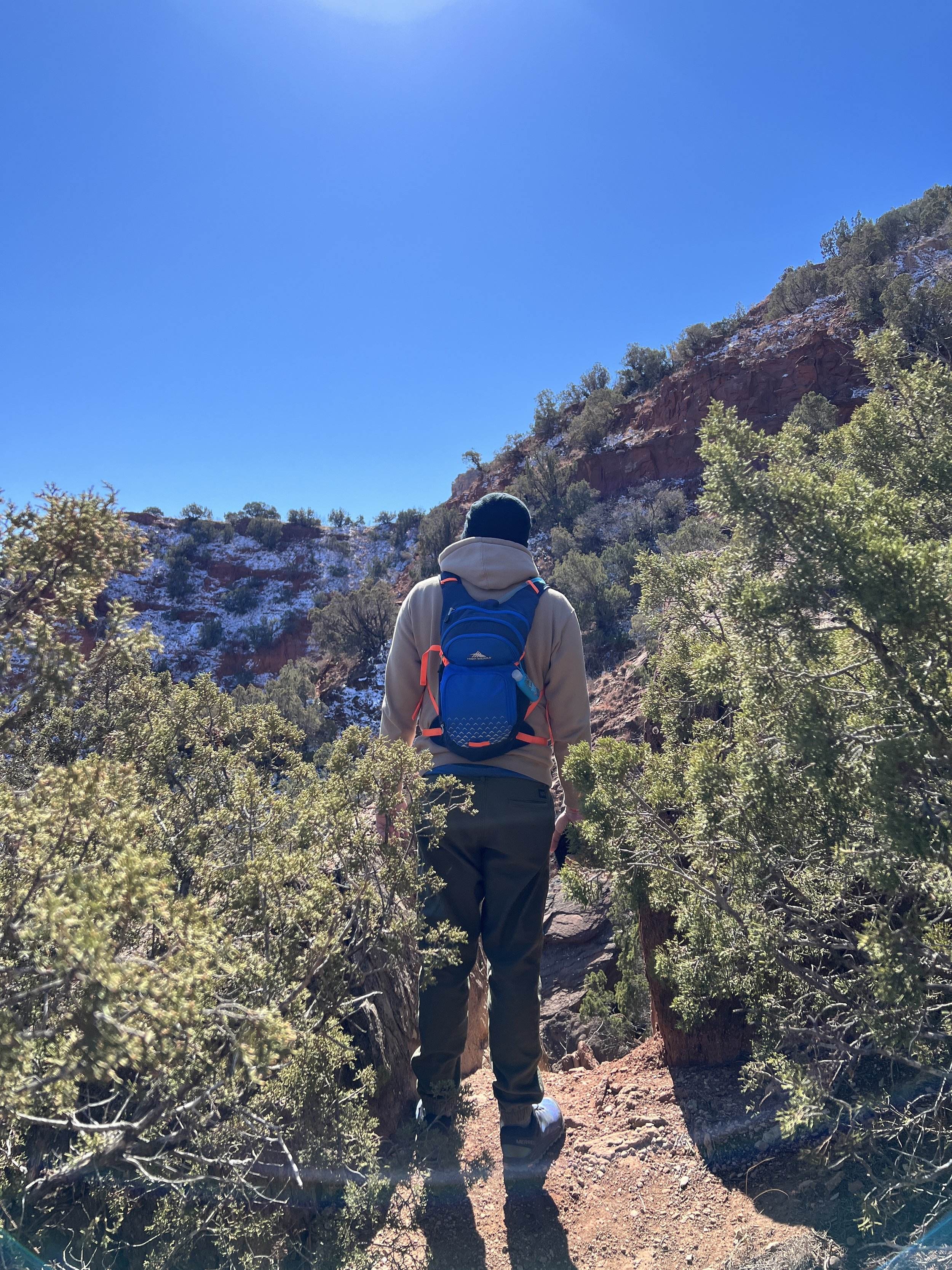
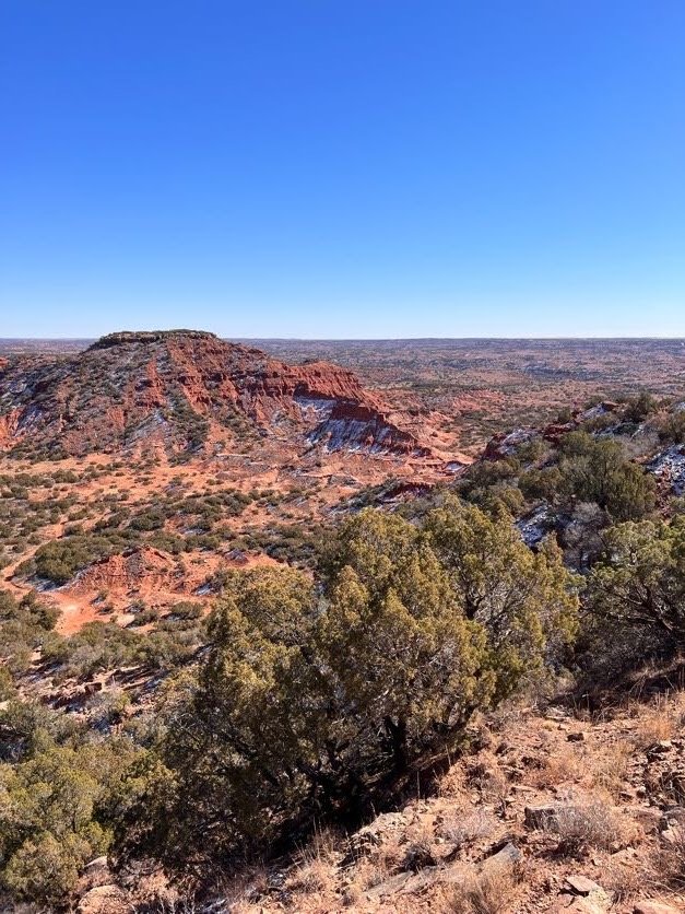
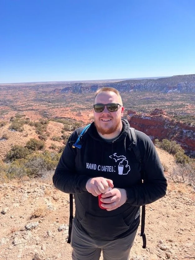
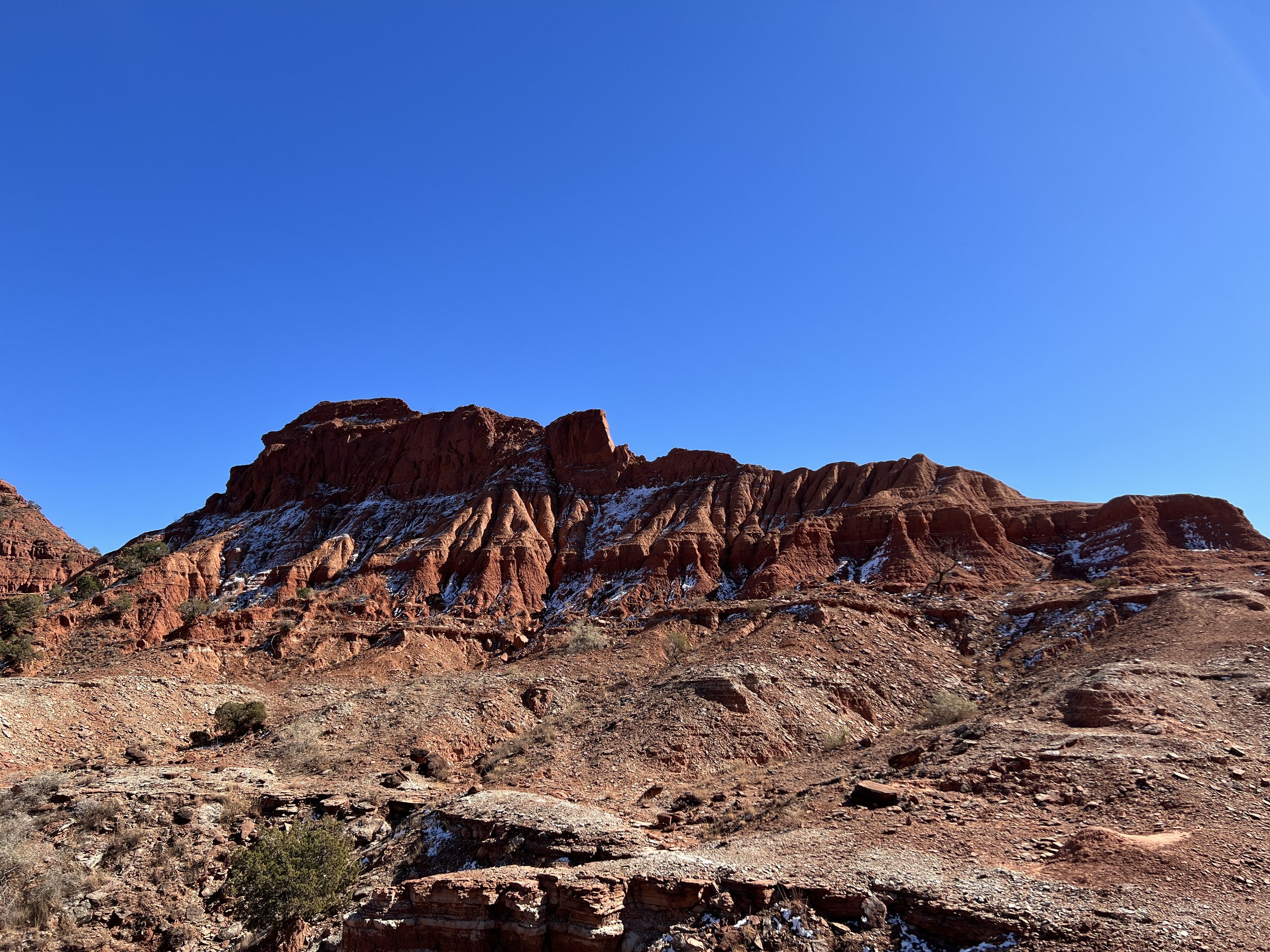
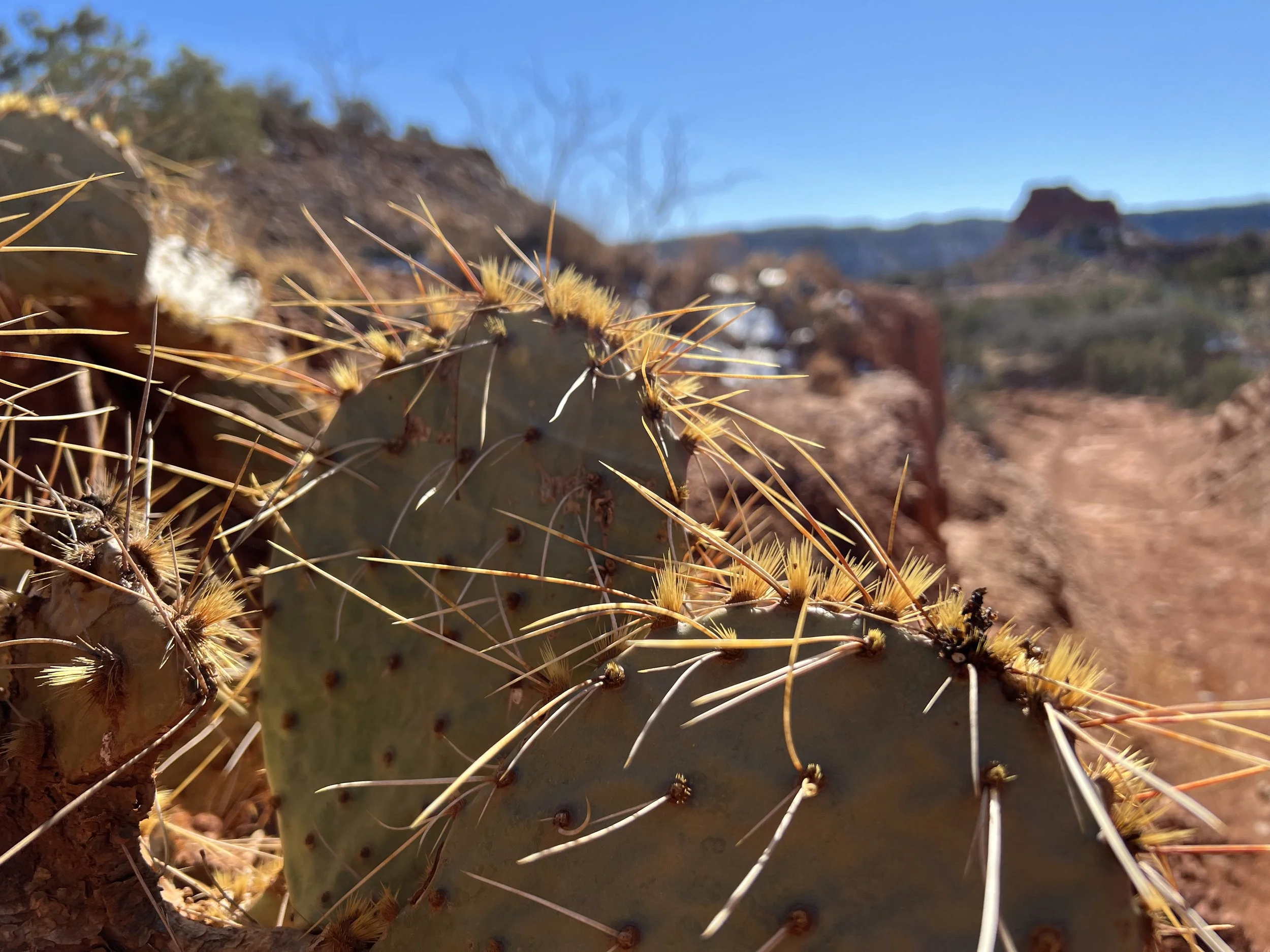
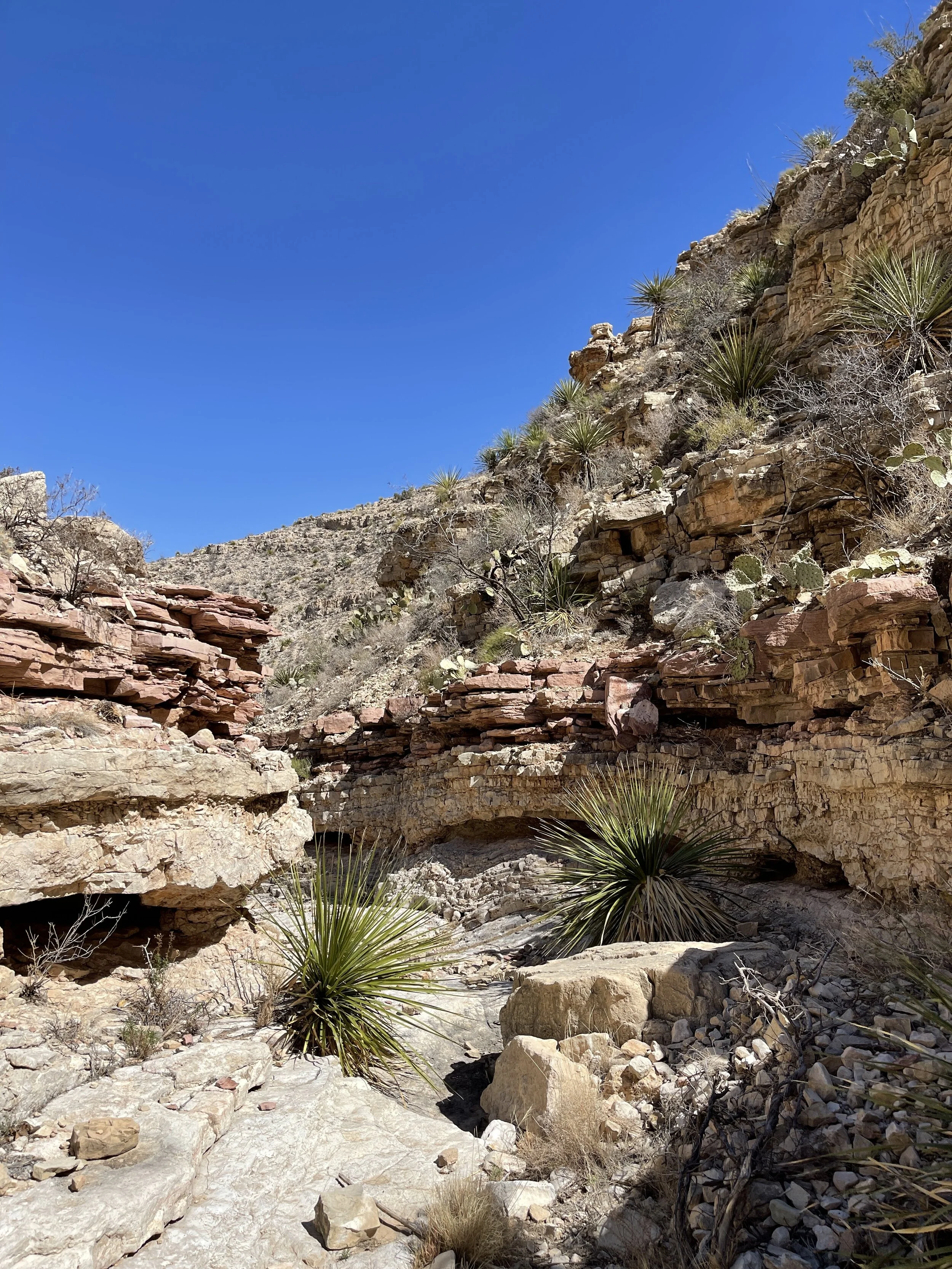
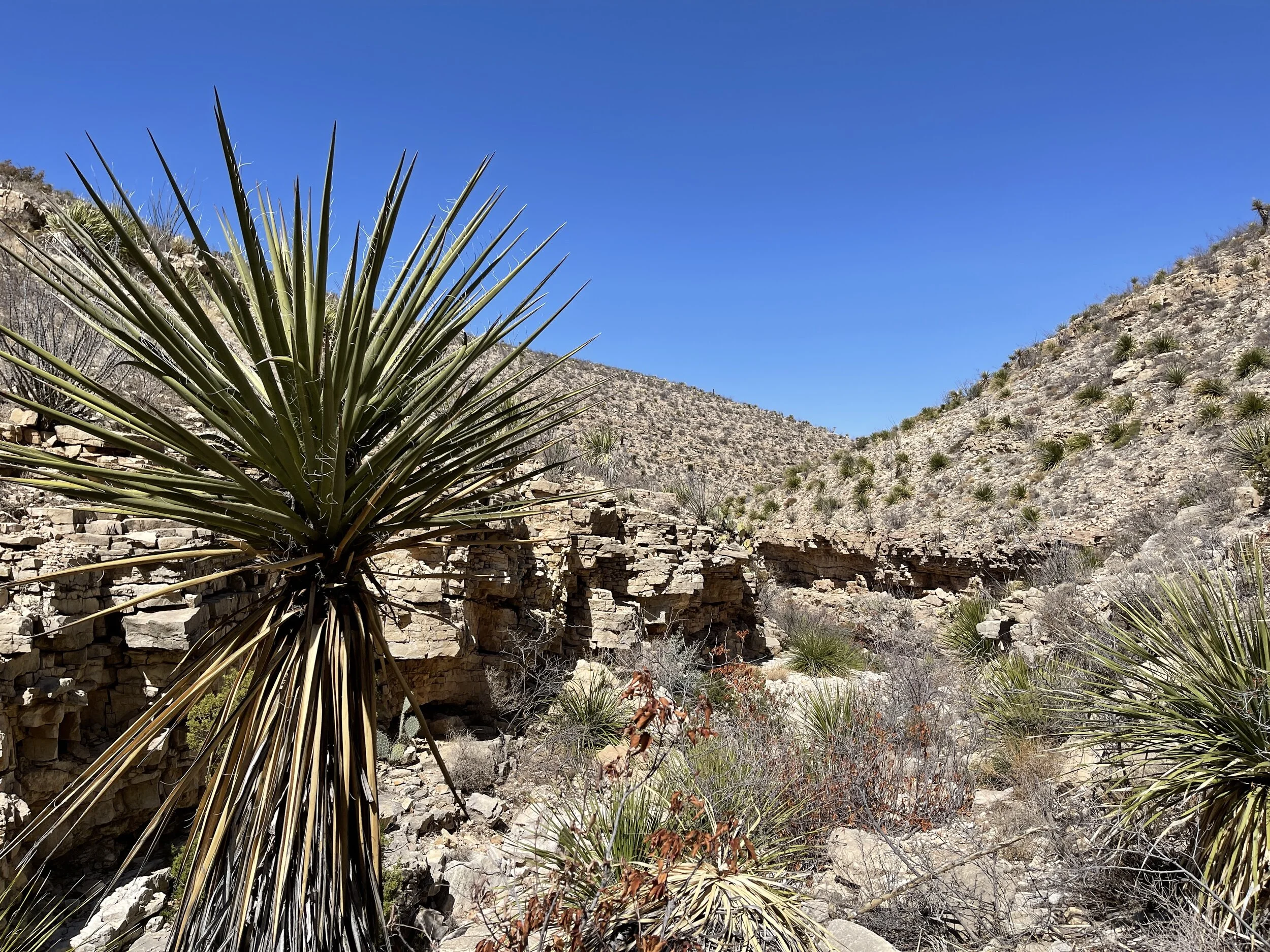
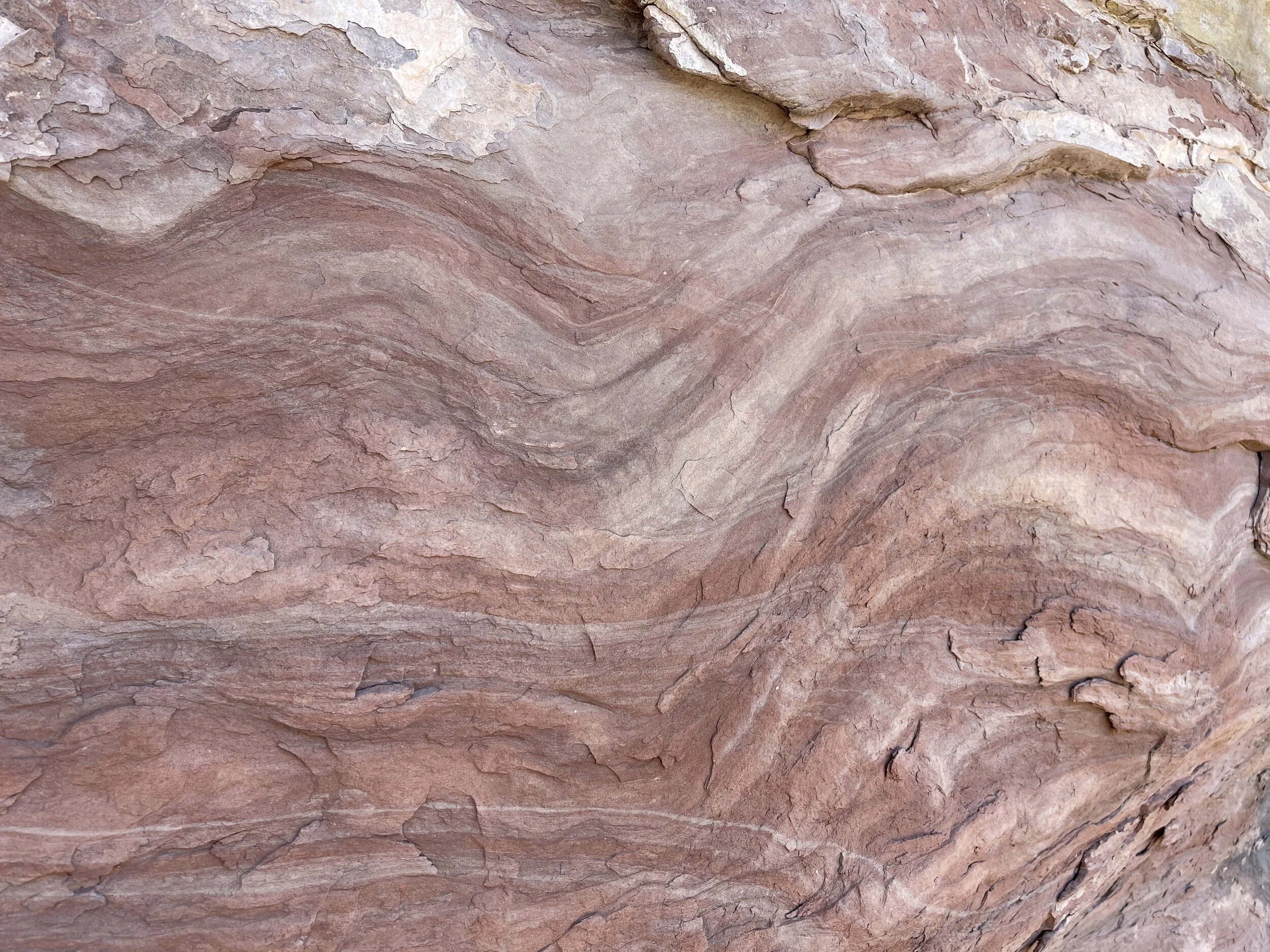
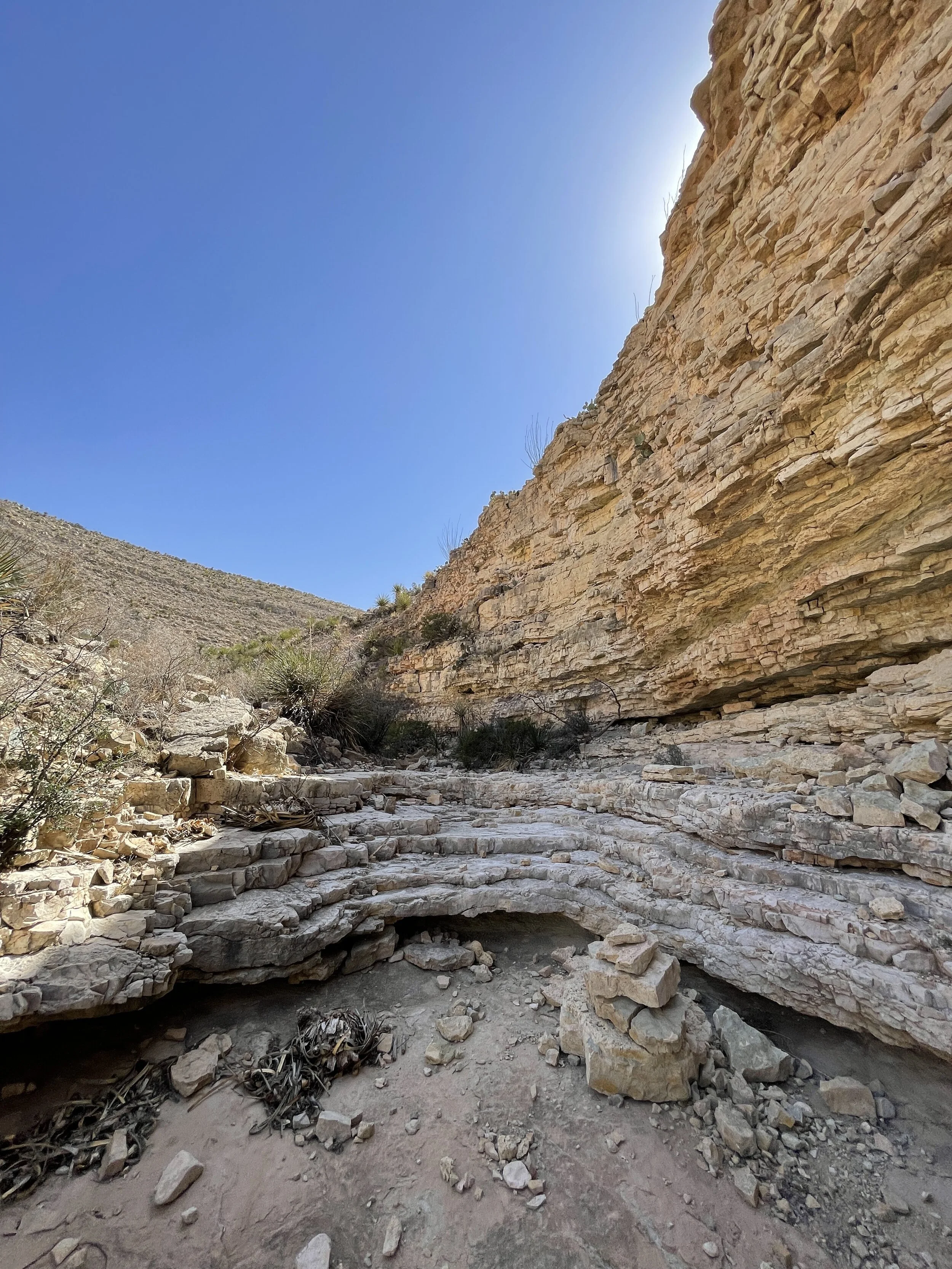
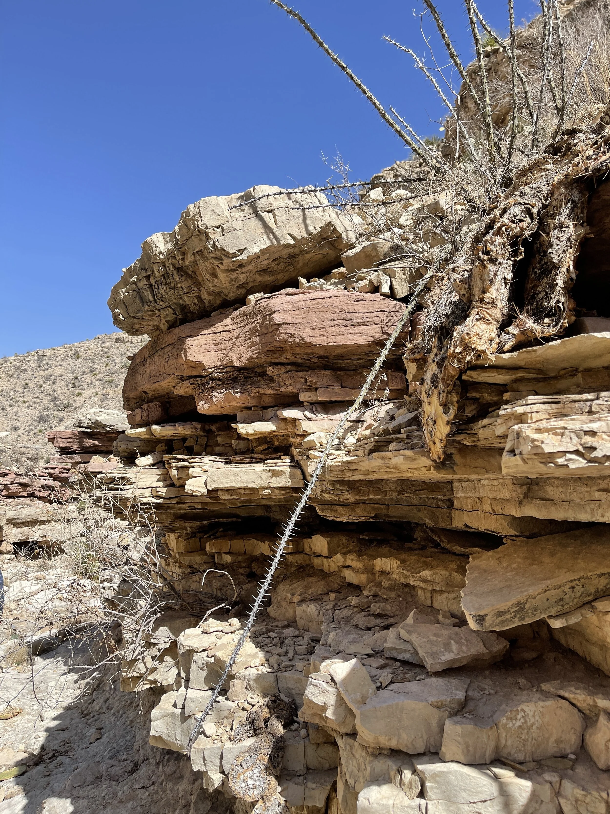
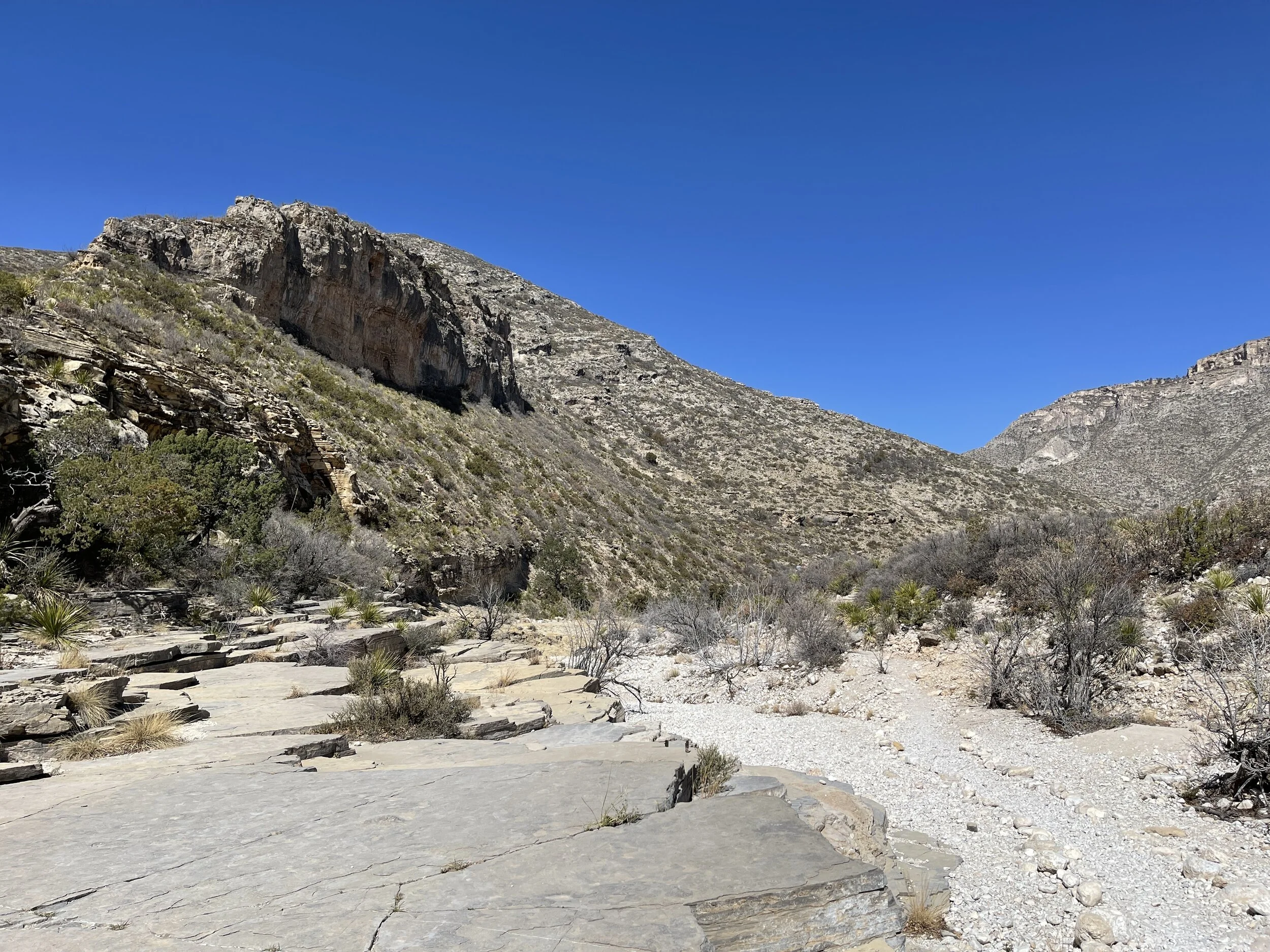
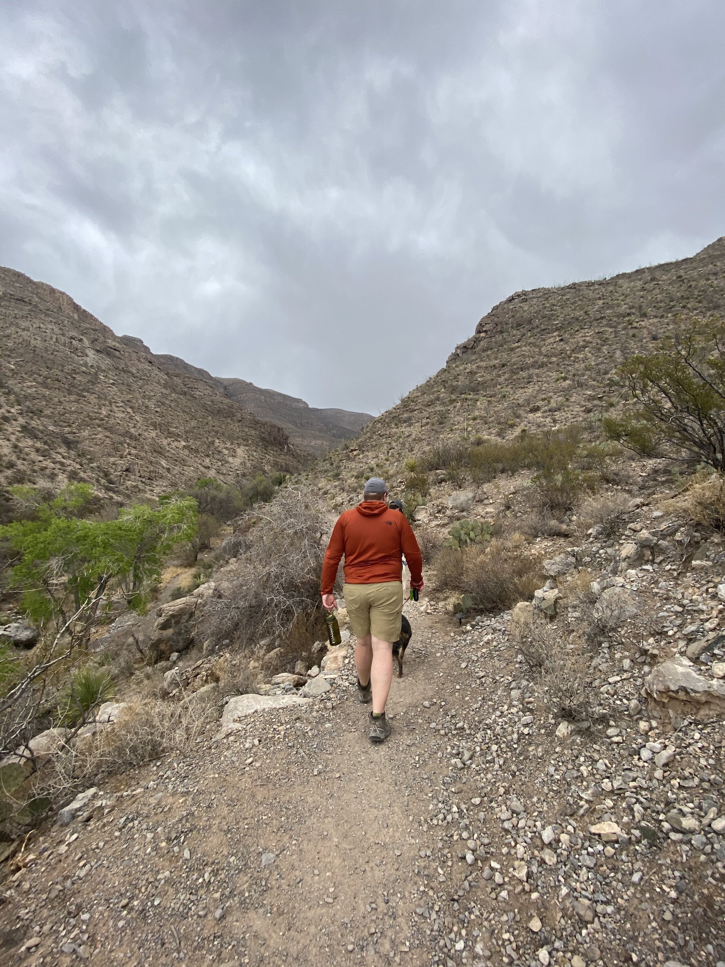
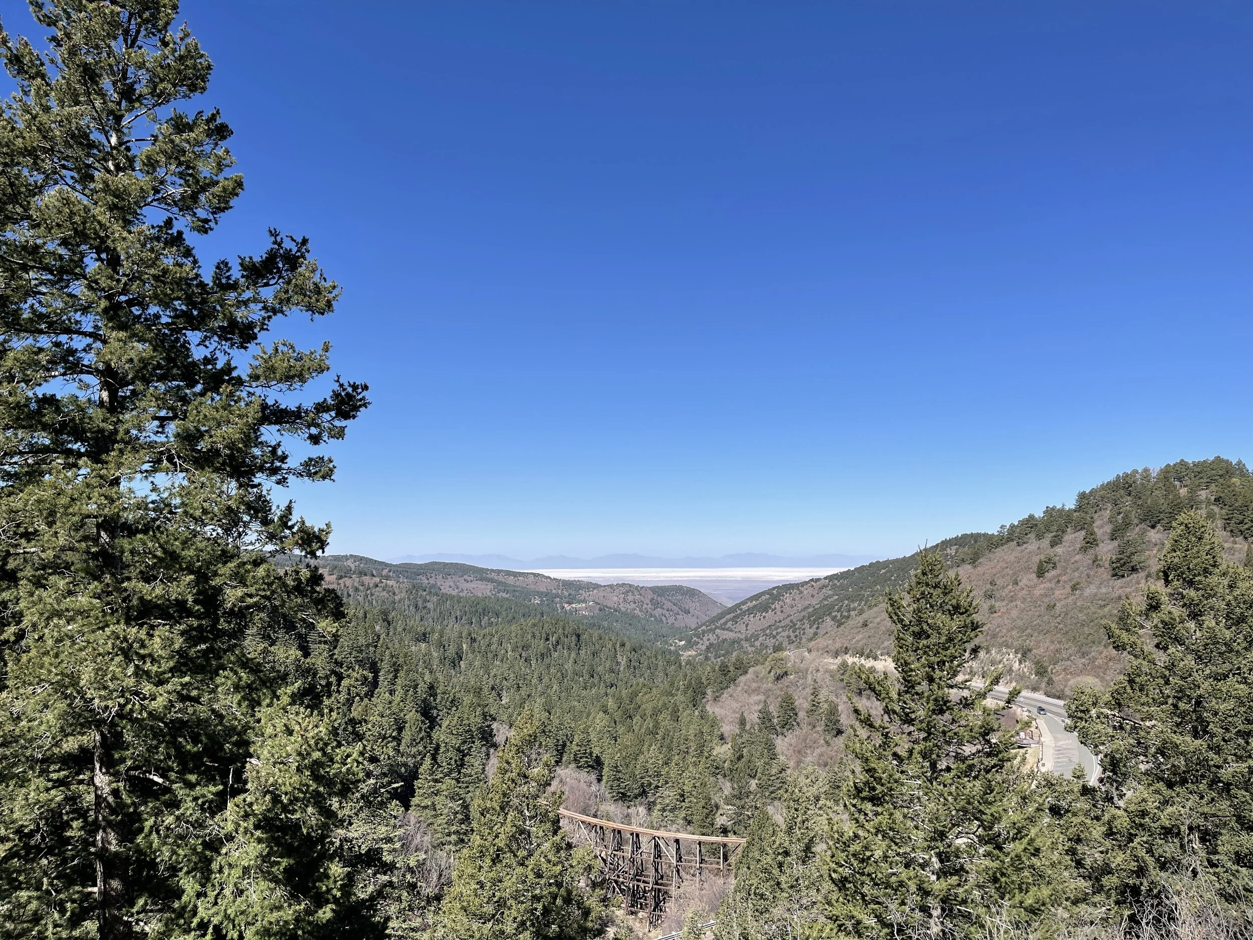
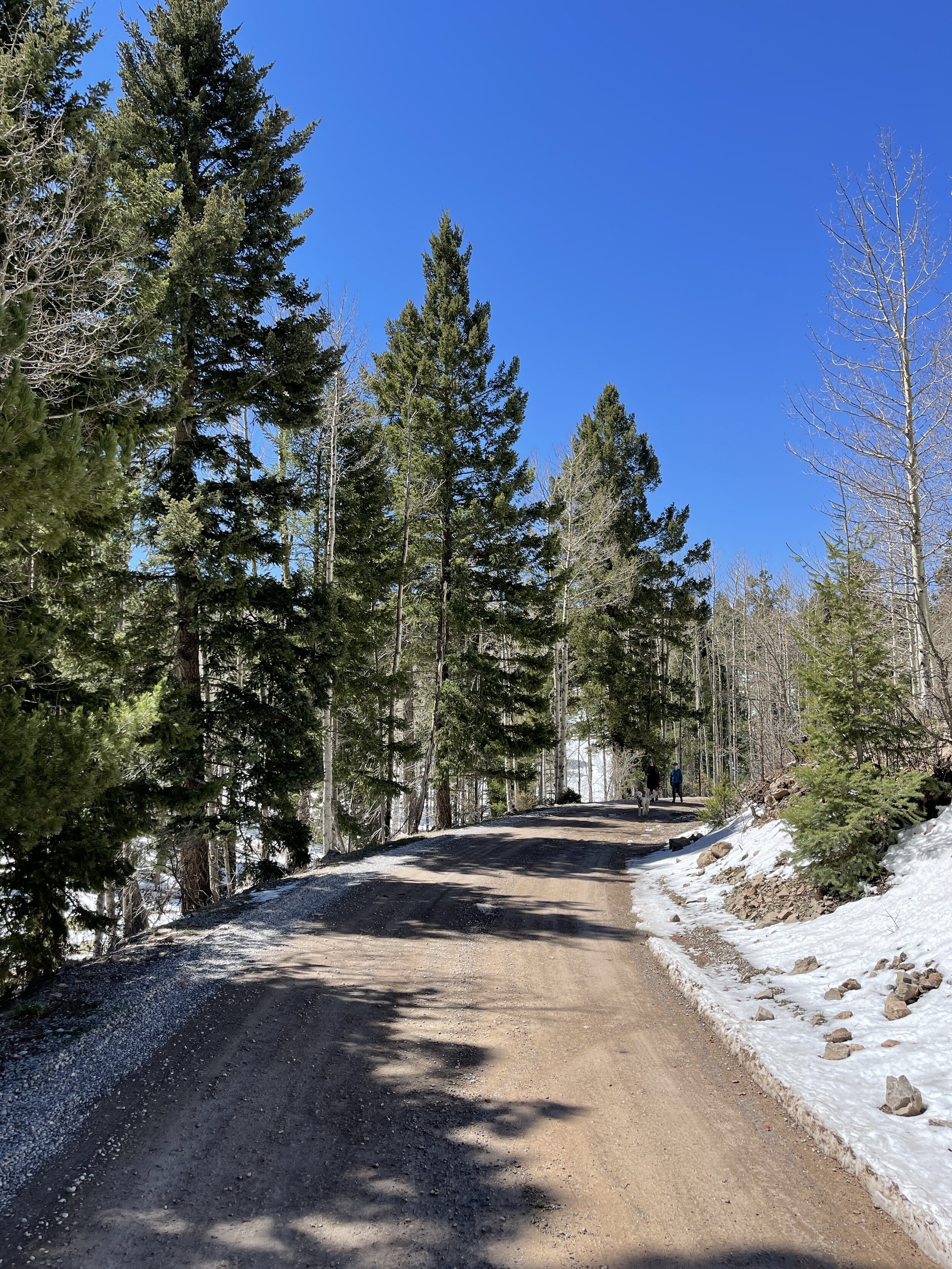
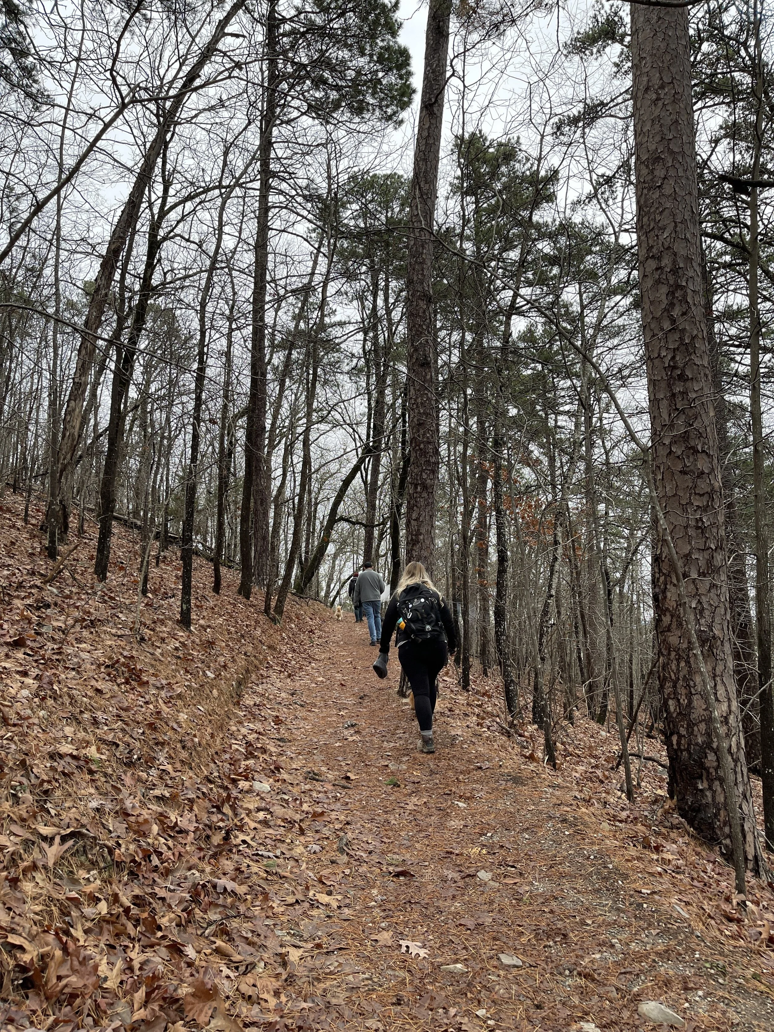
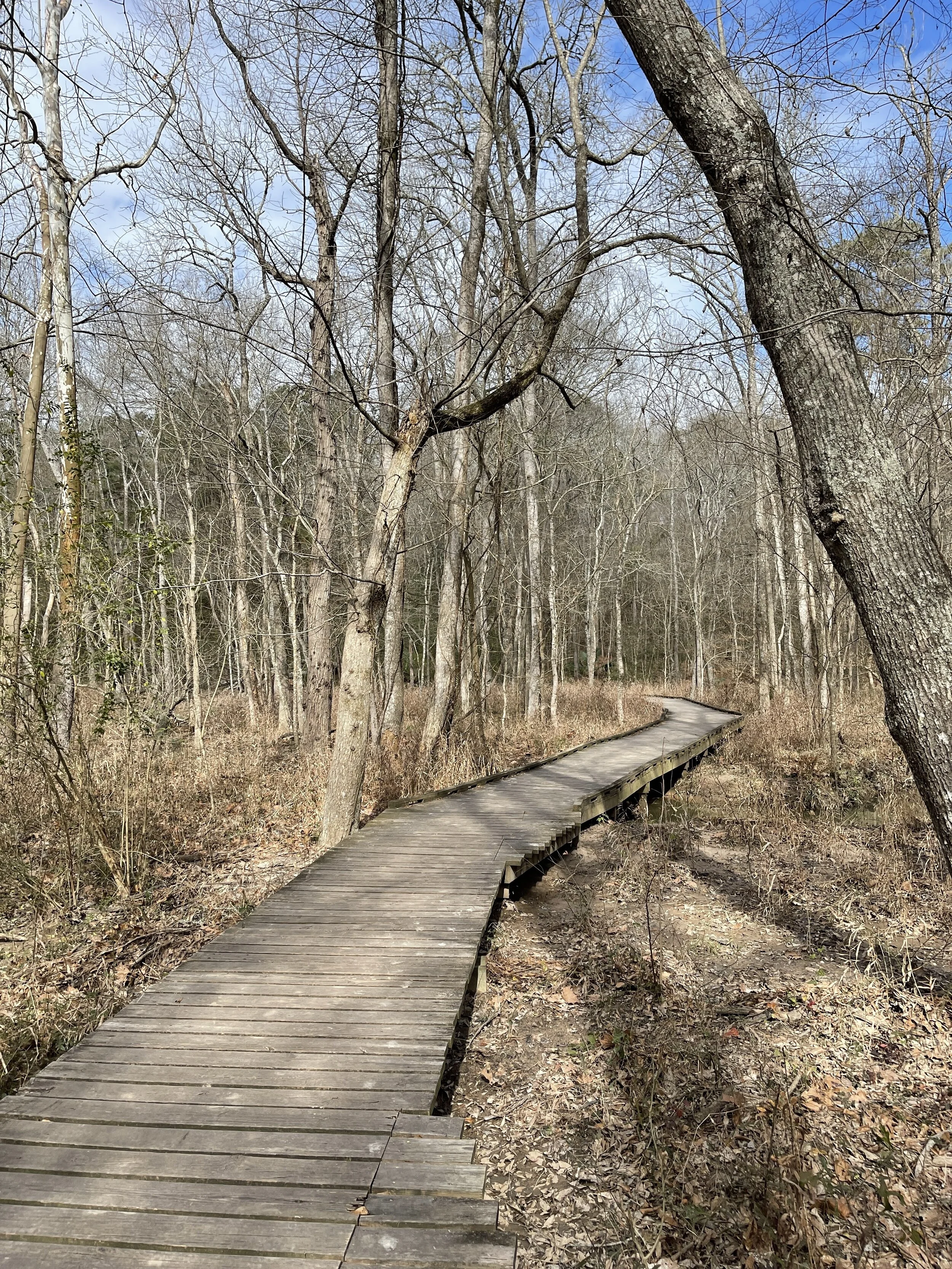
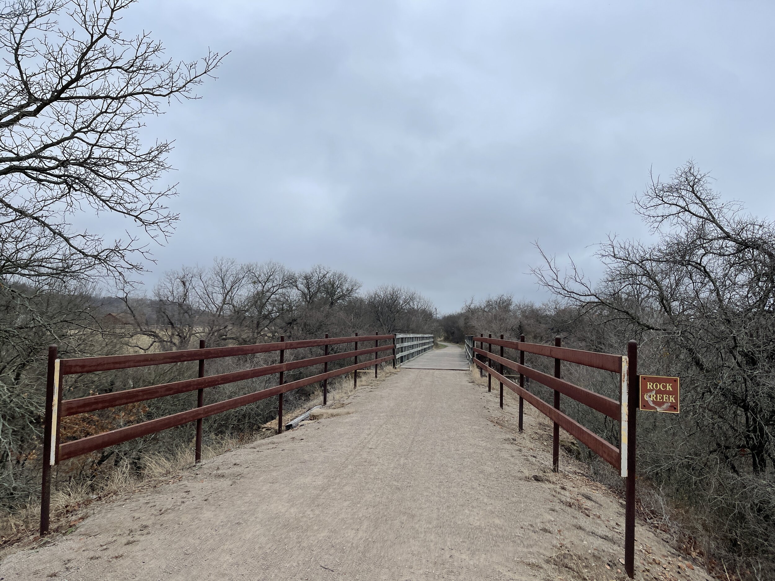
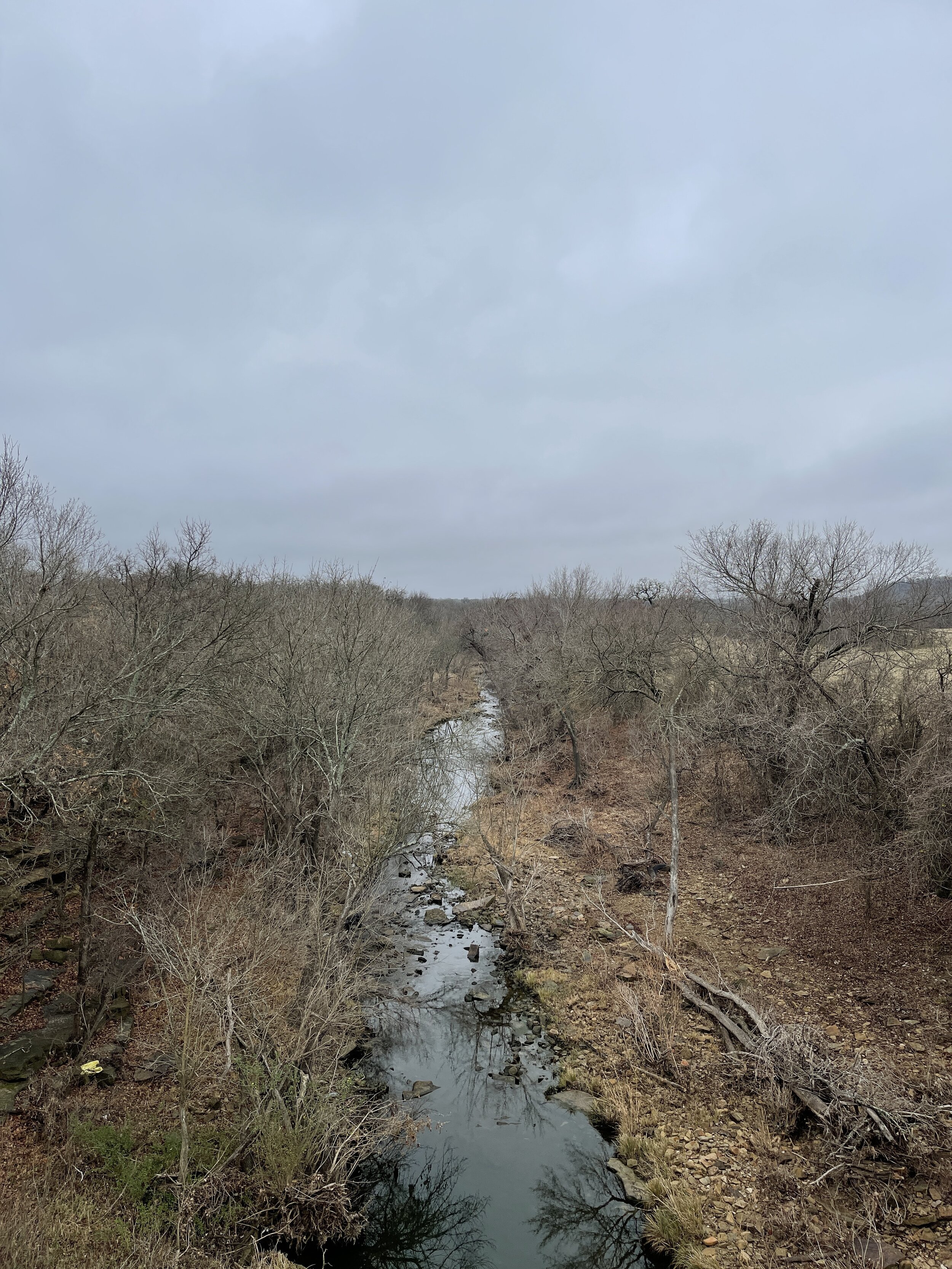
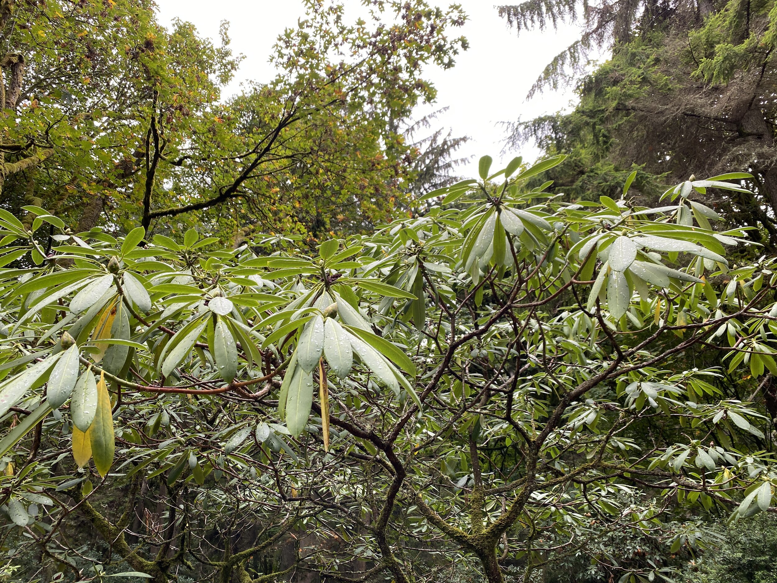
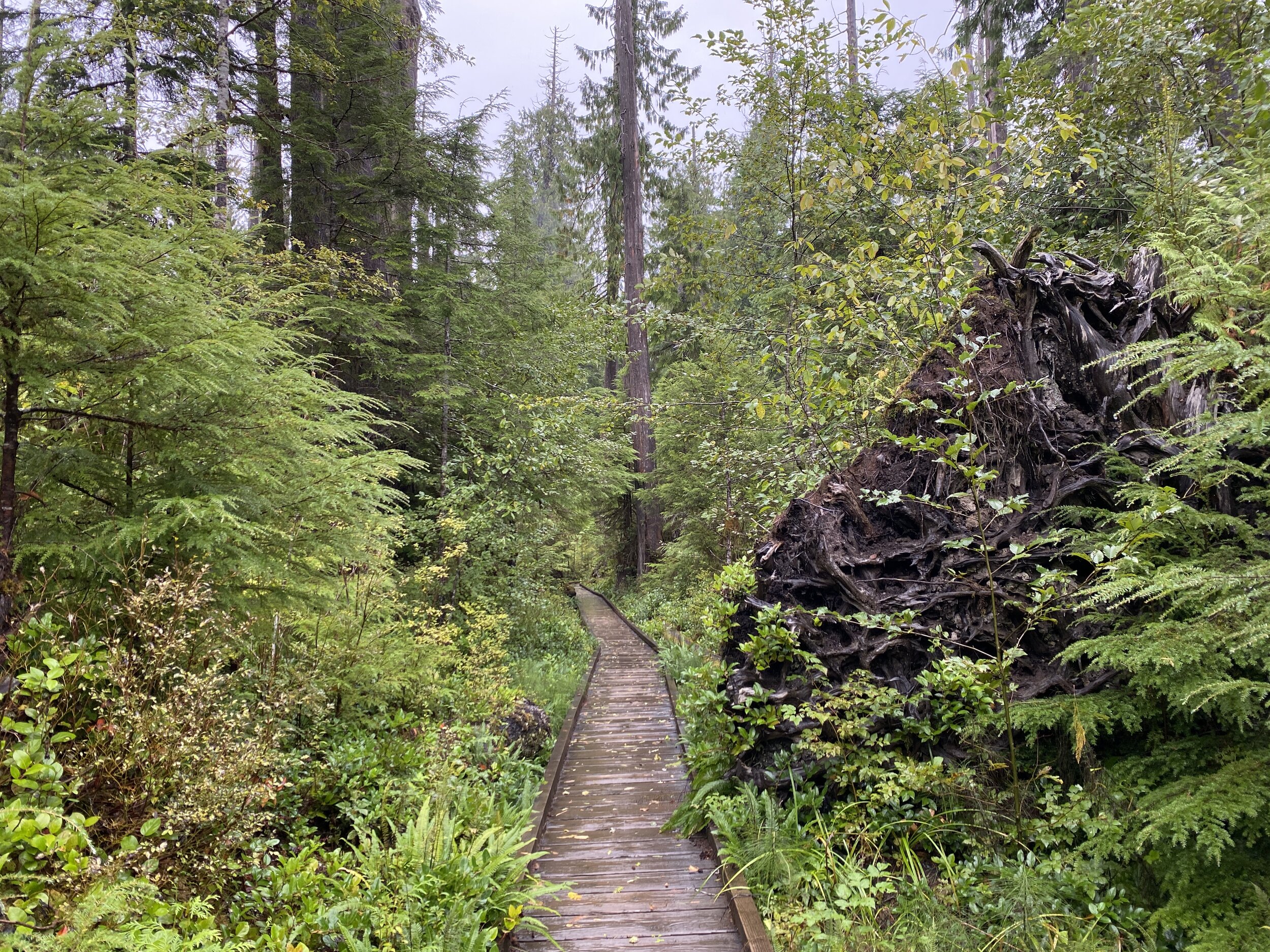
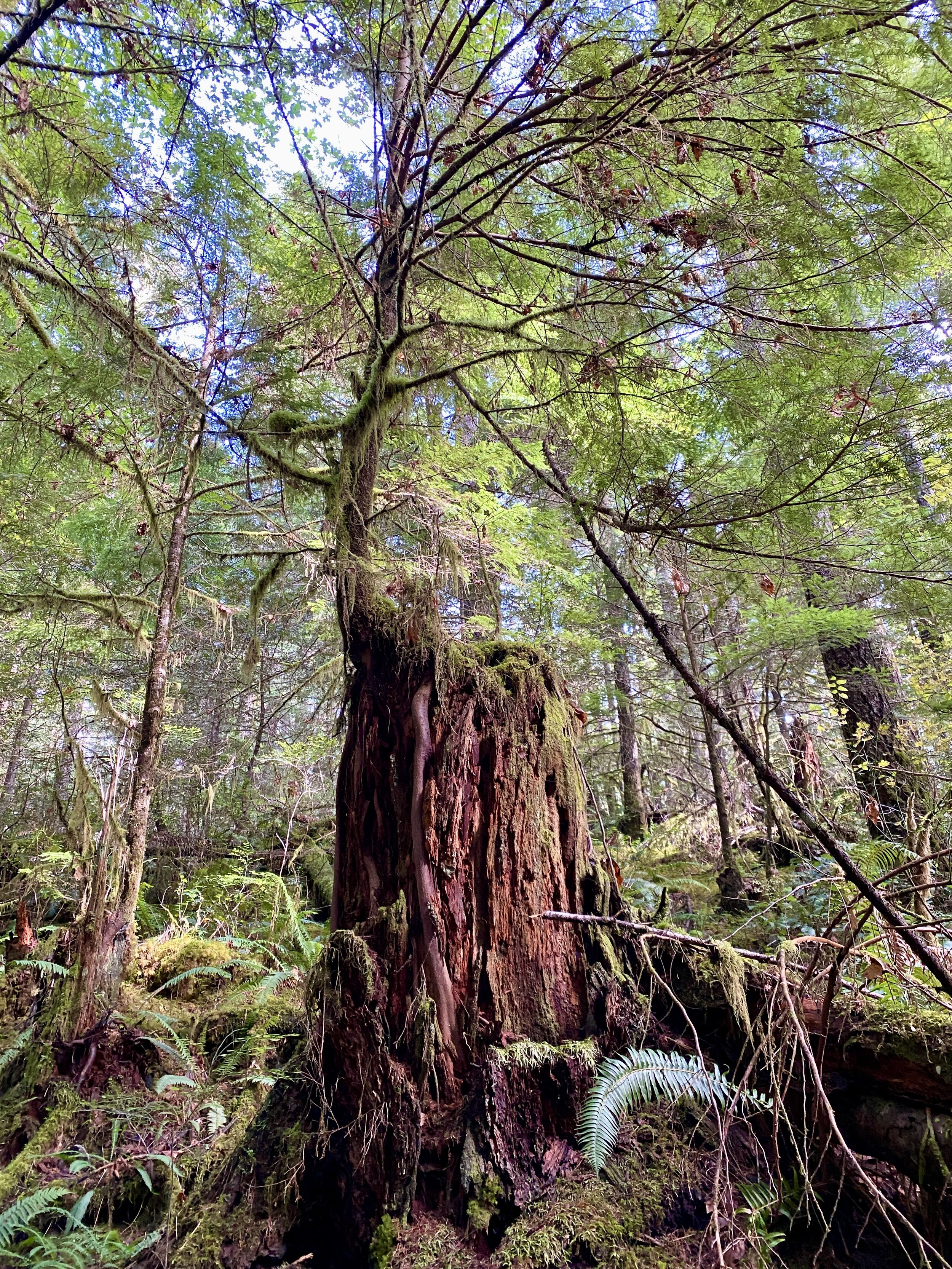
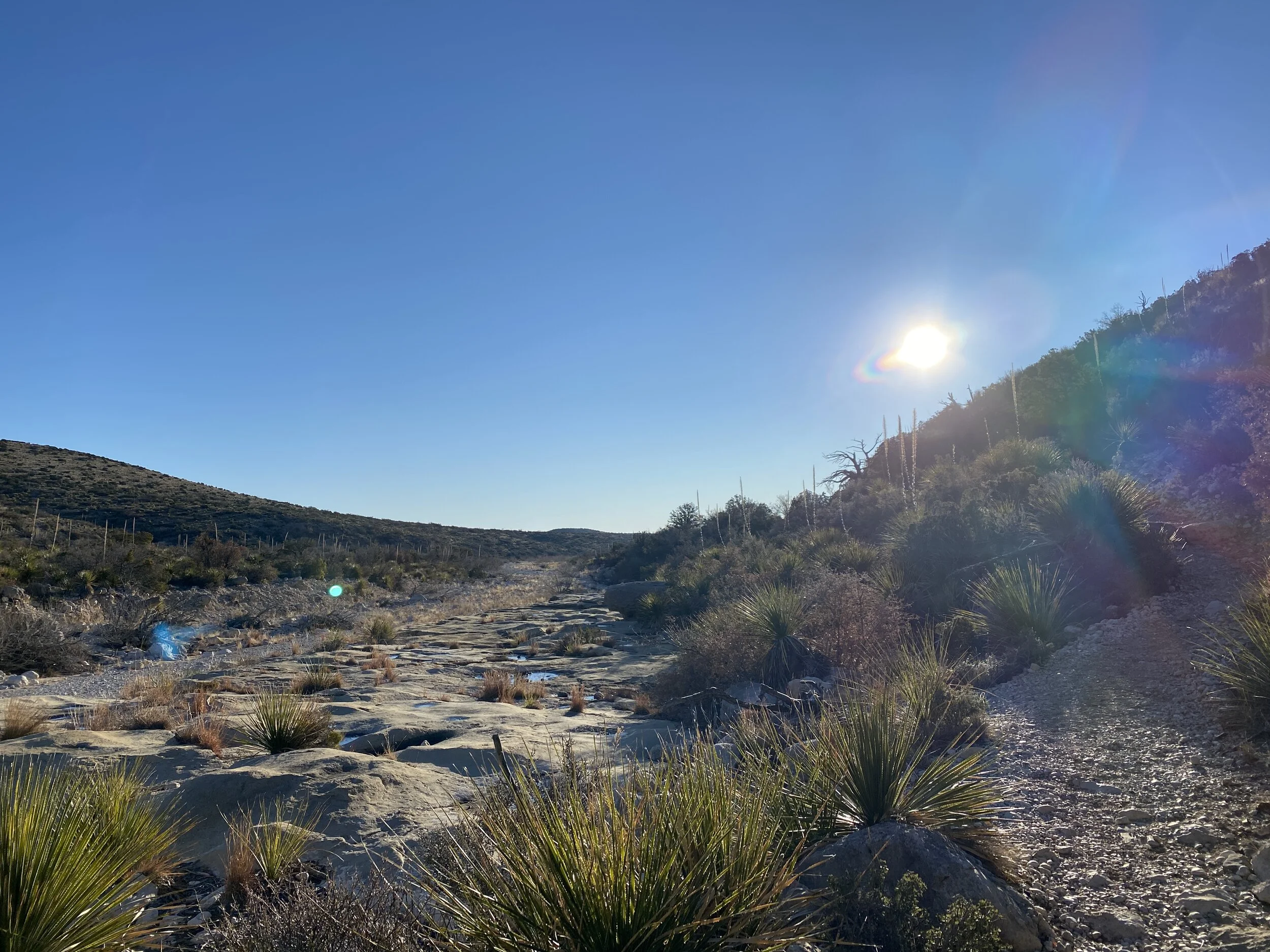
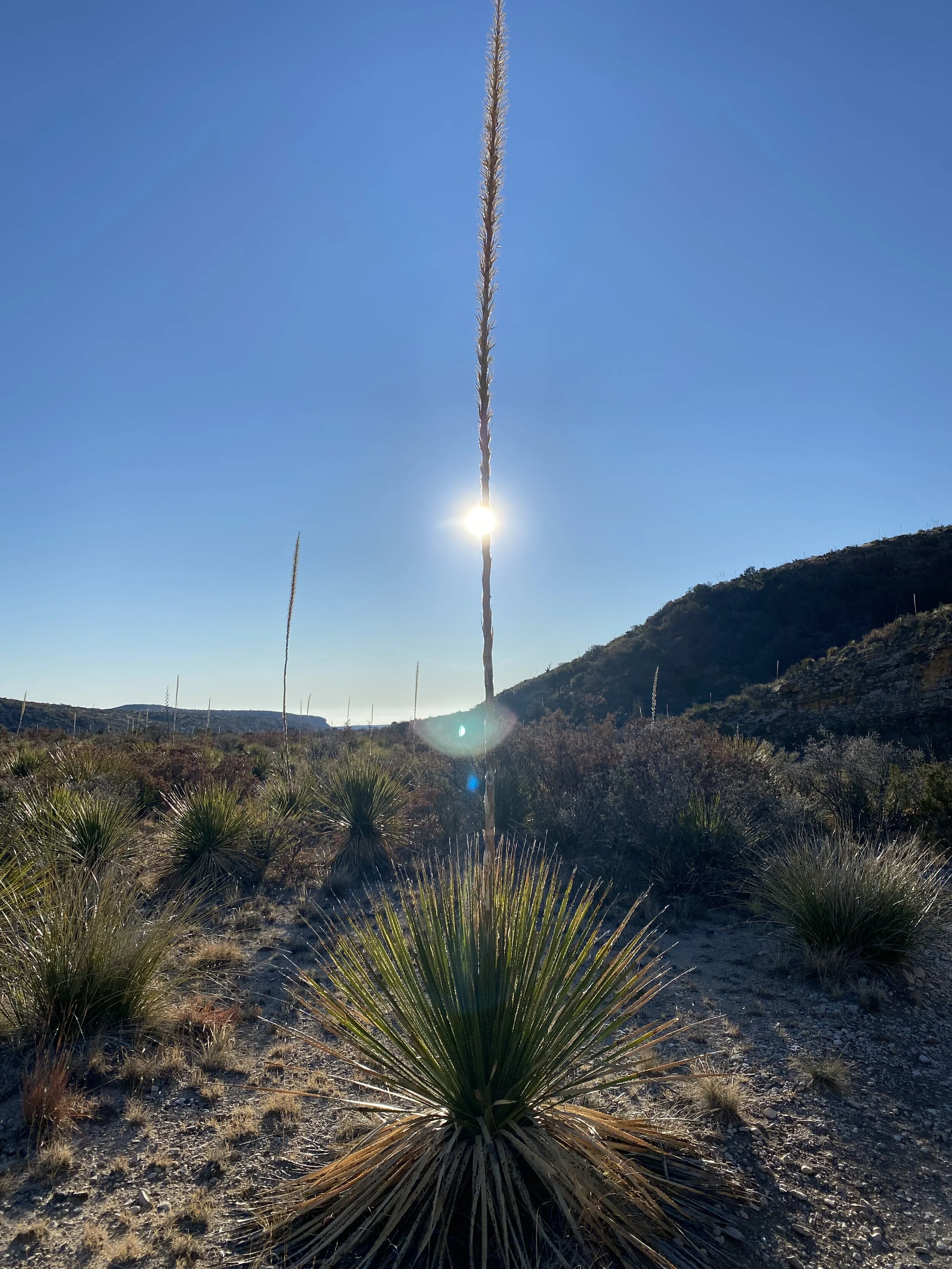
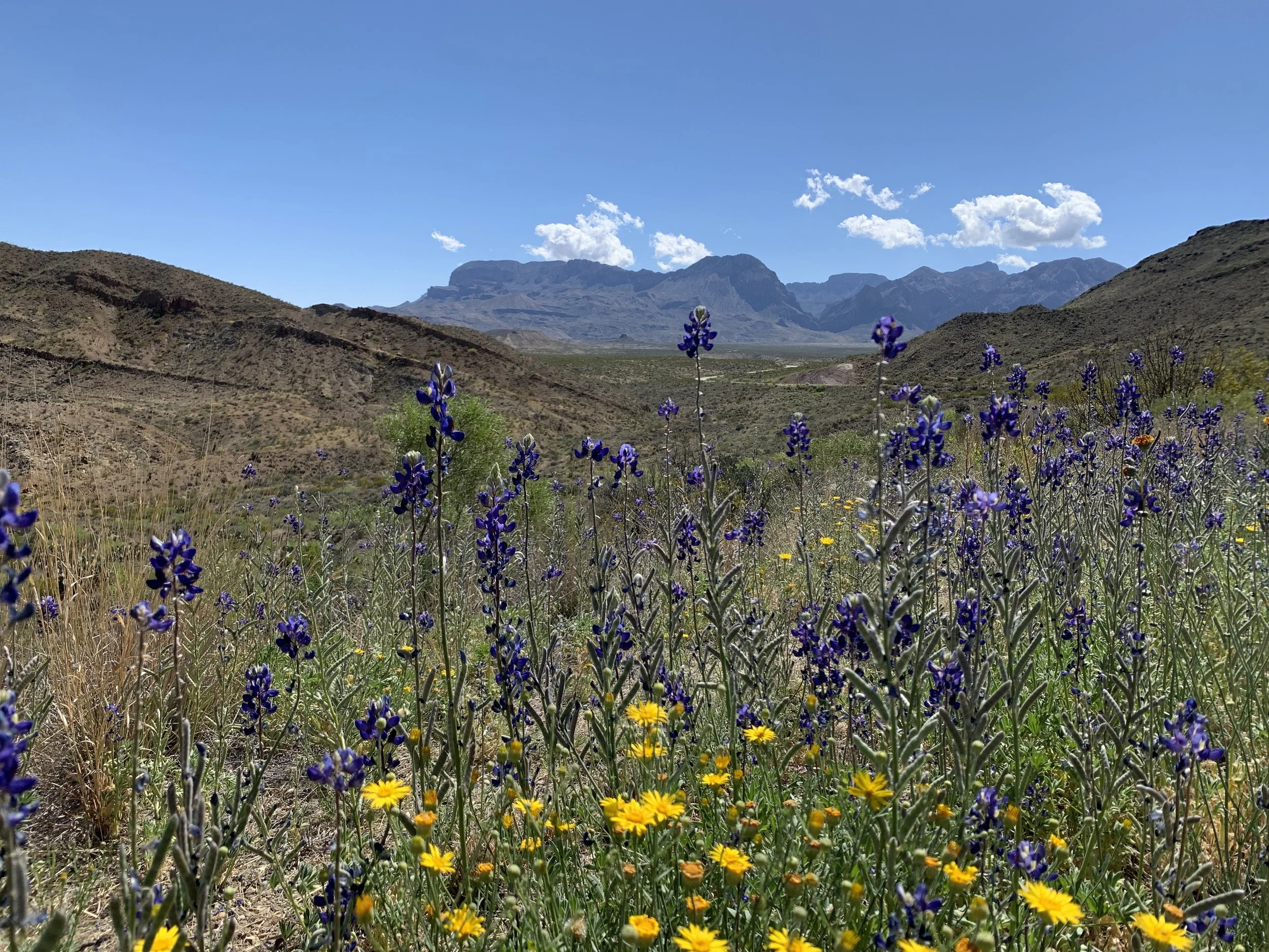
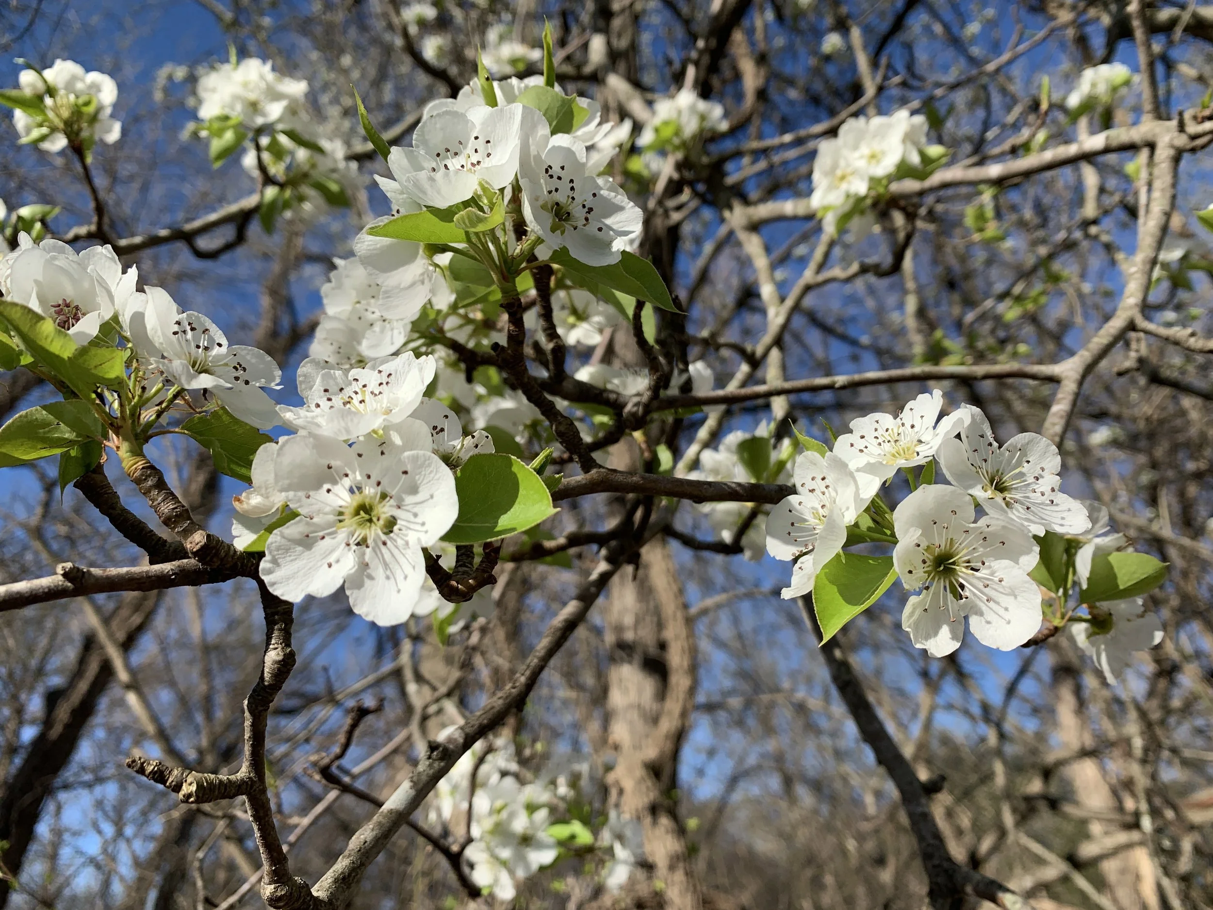
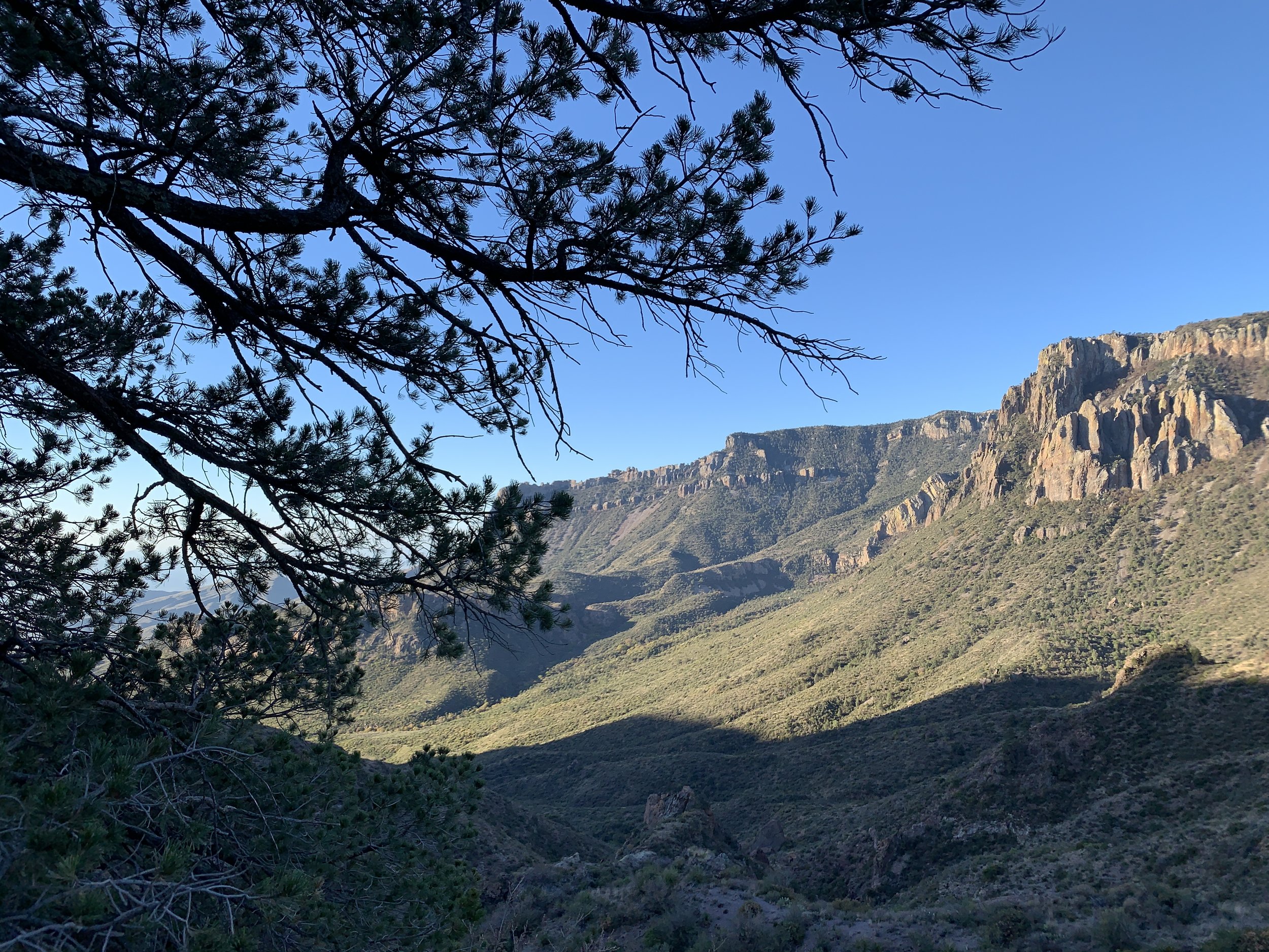
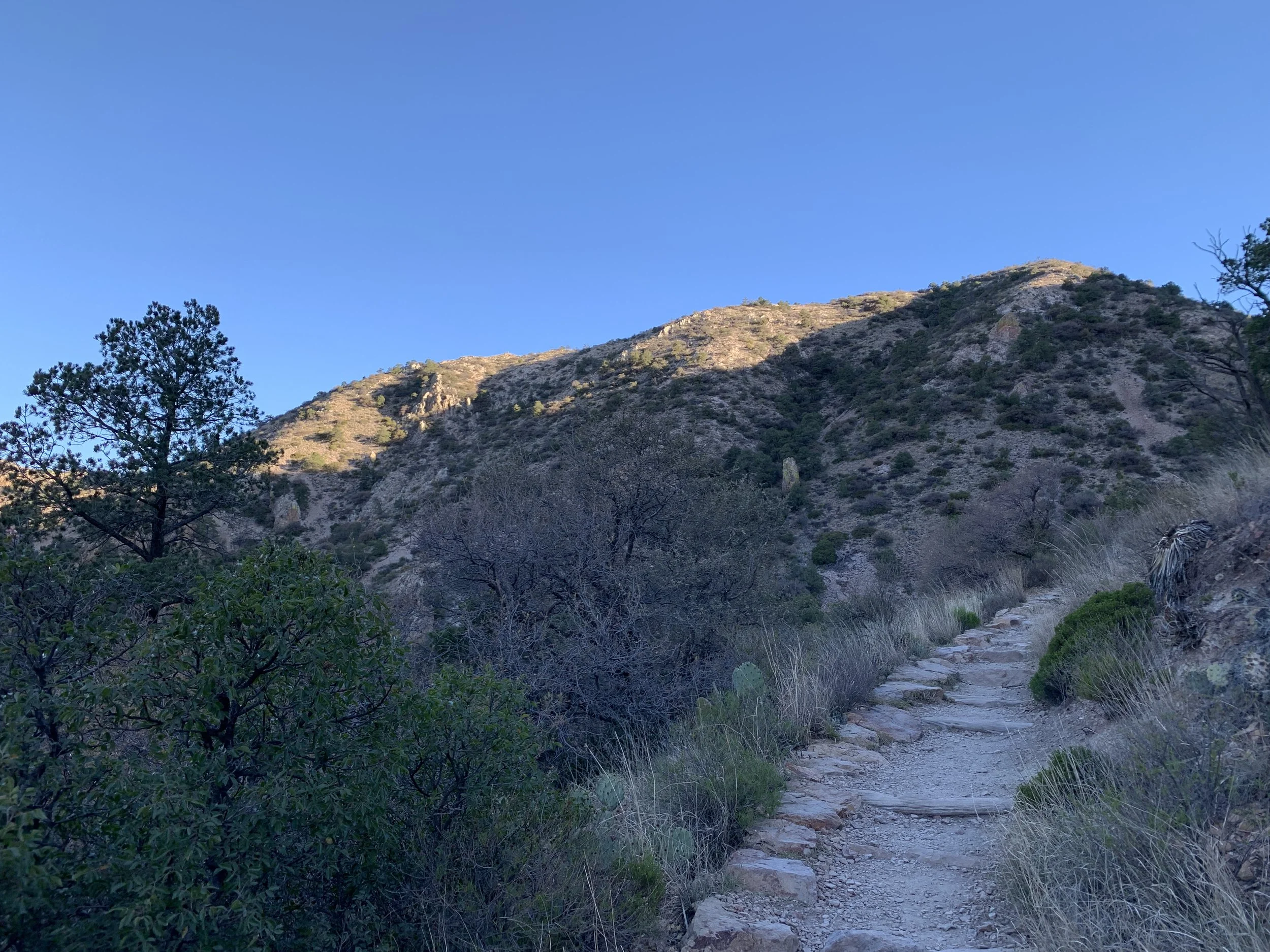
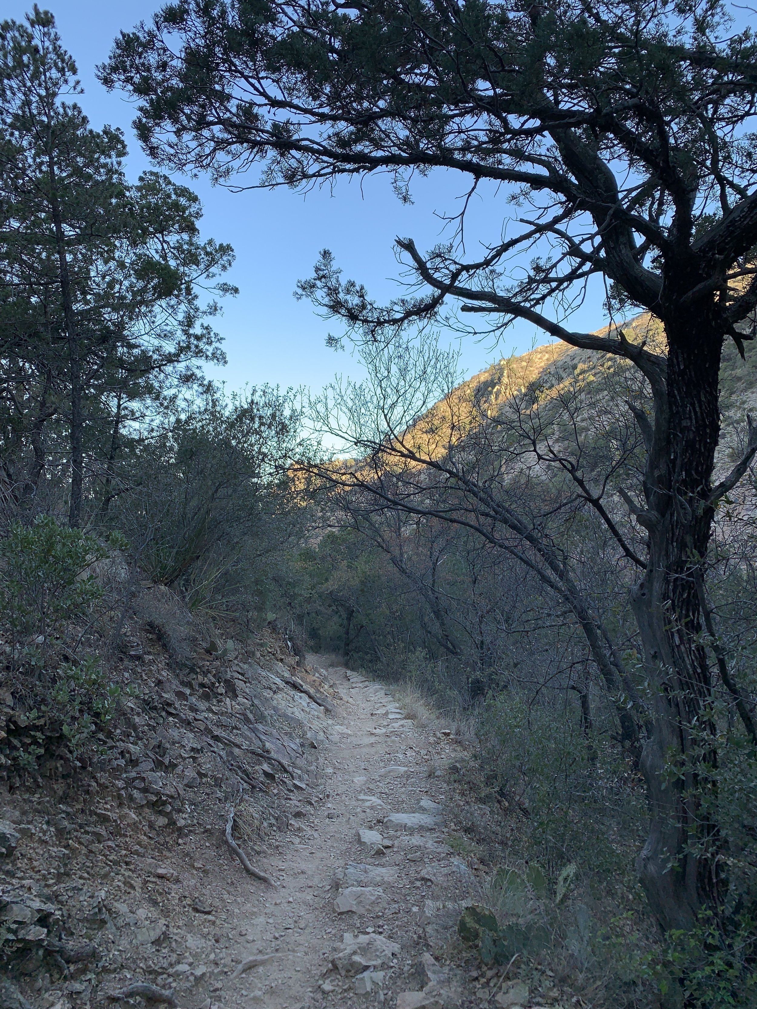
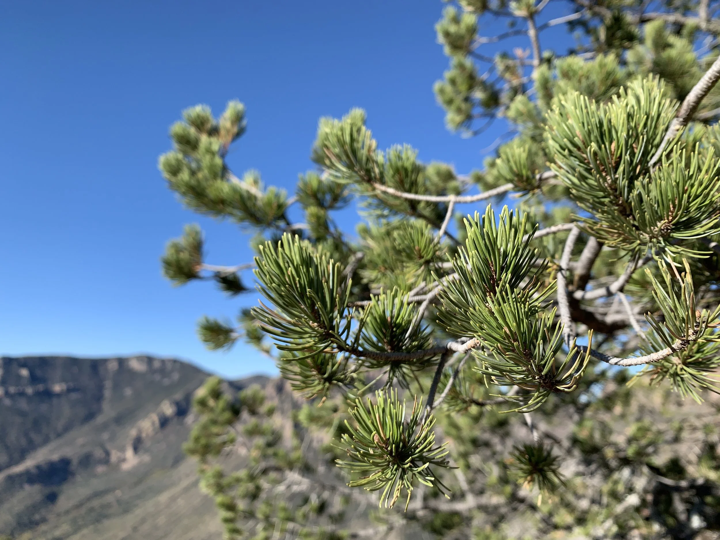
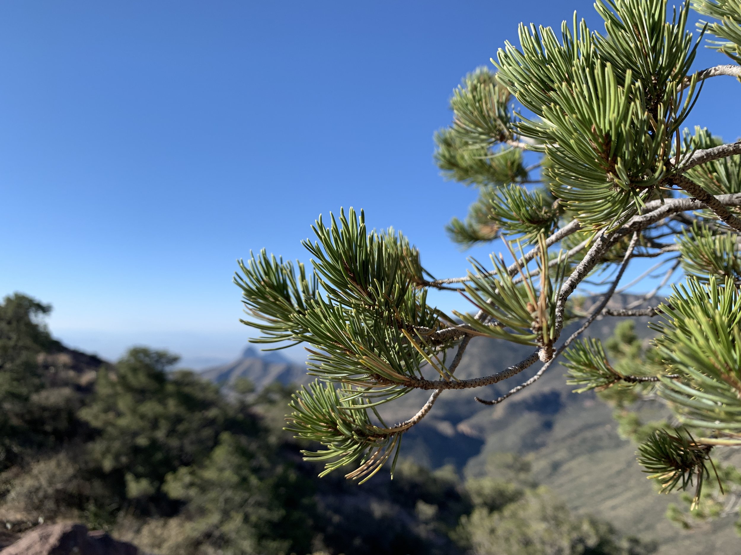
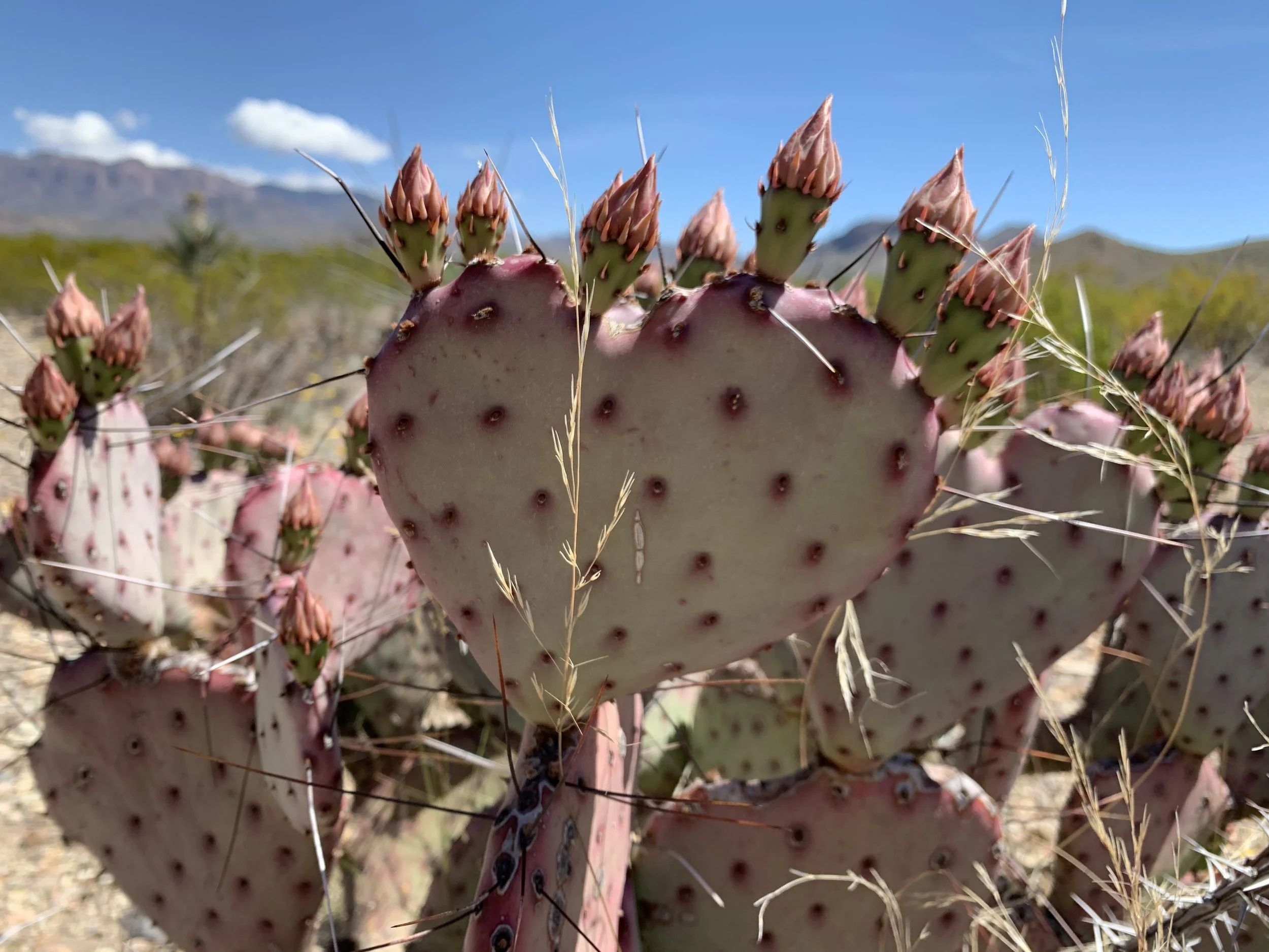
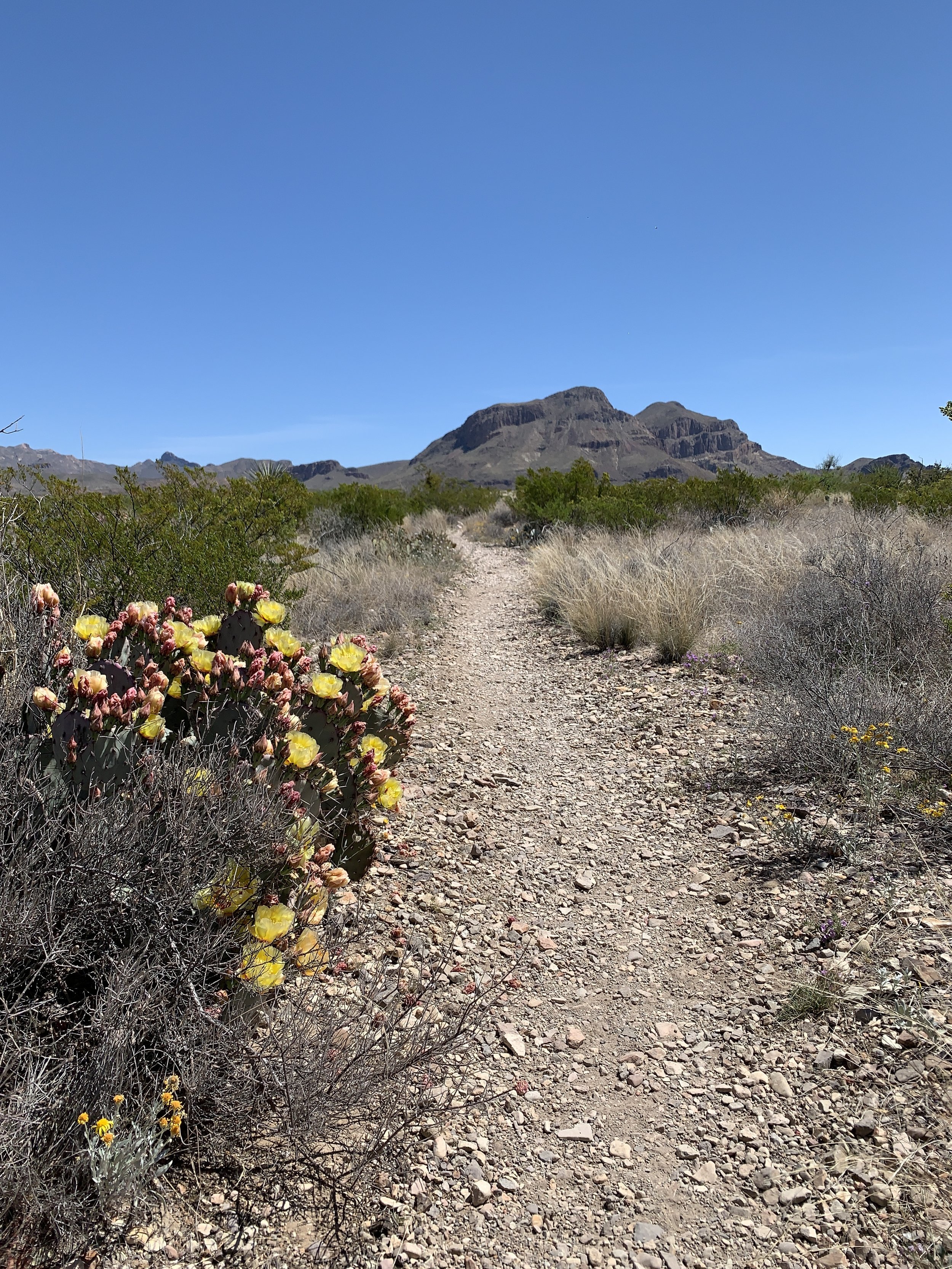
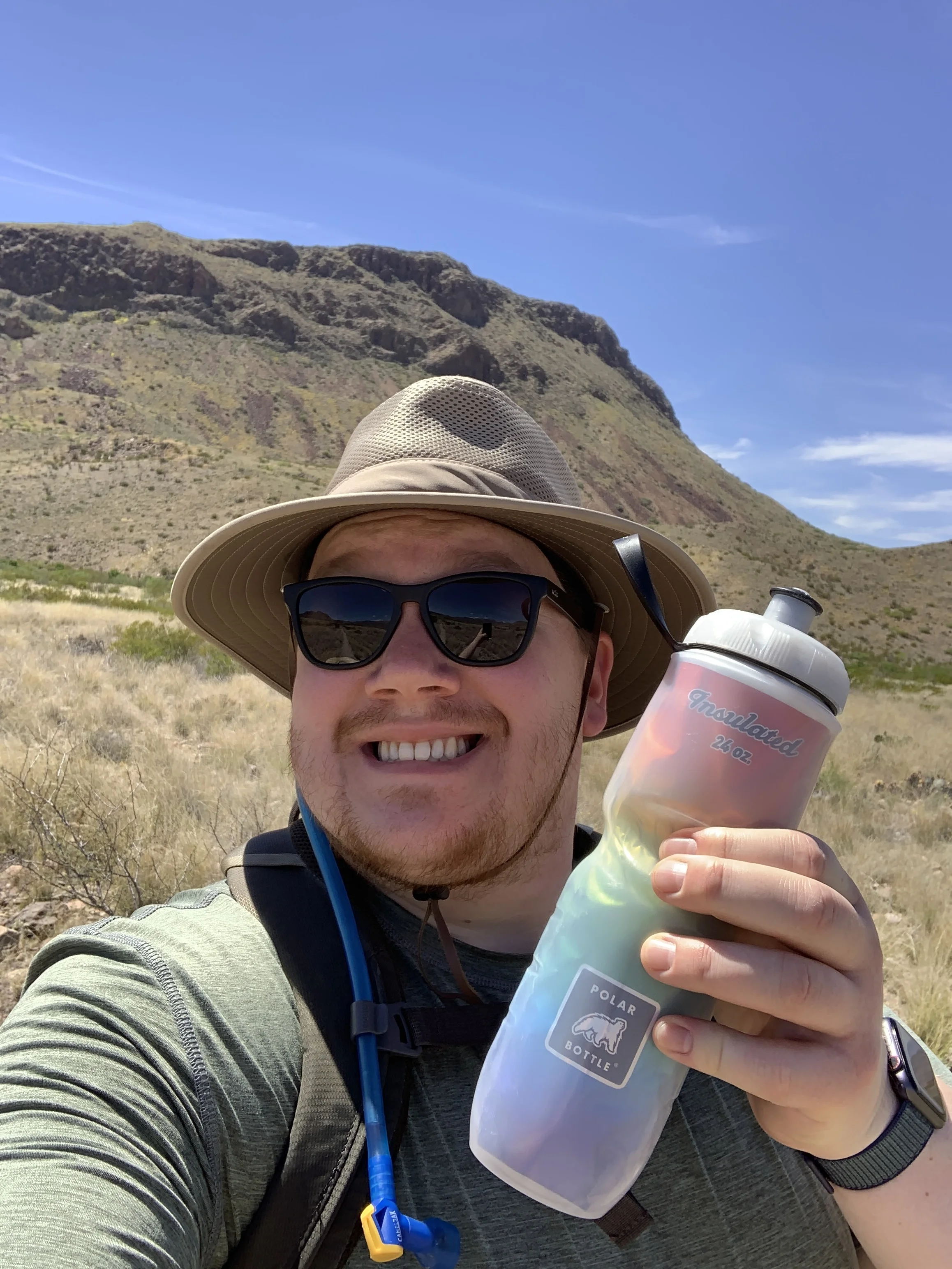
Activity 5/52 - Hike - Caprock Canyons State Park (Quitaque, TX)
Distance/Time: 3.07 miles
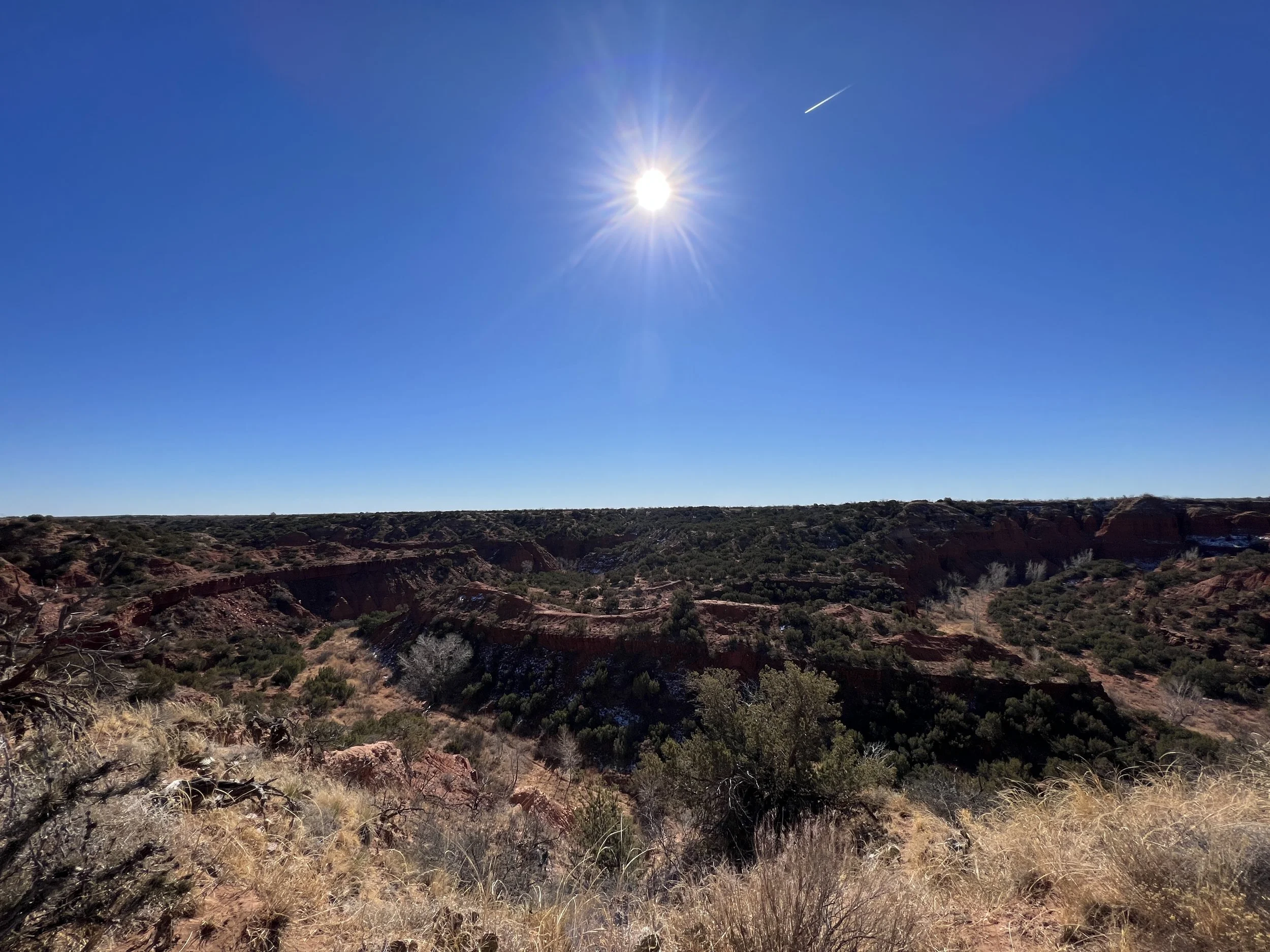
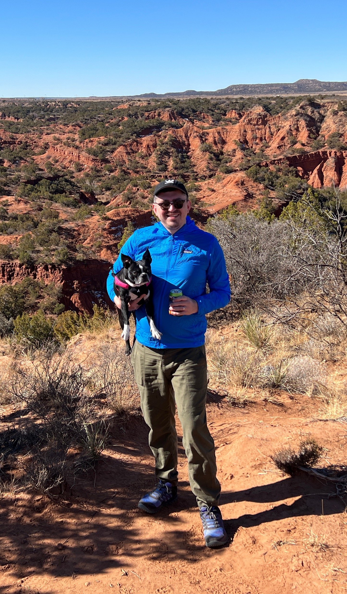
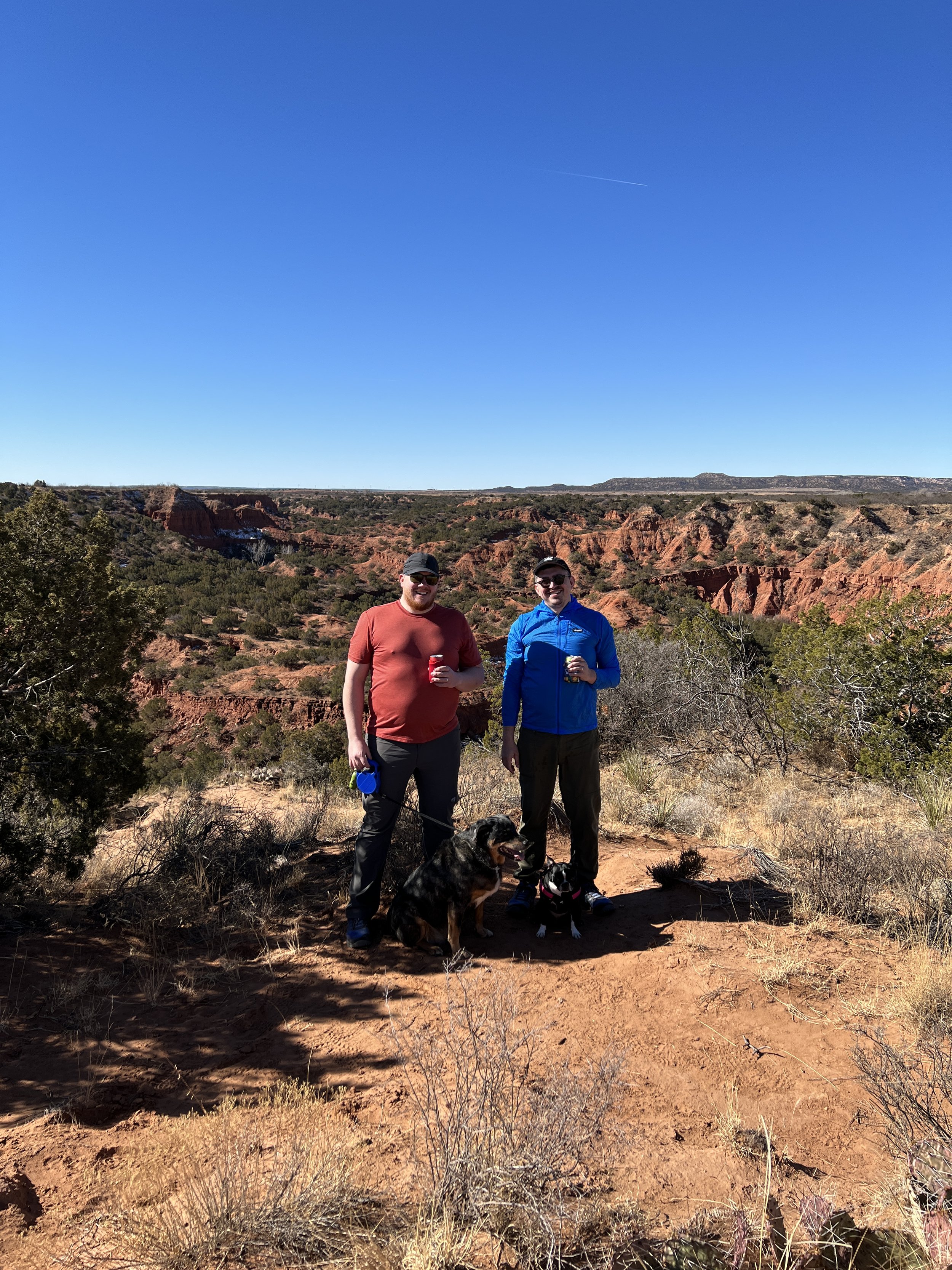
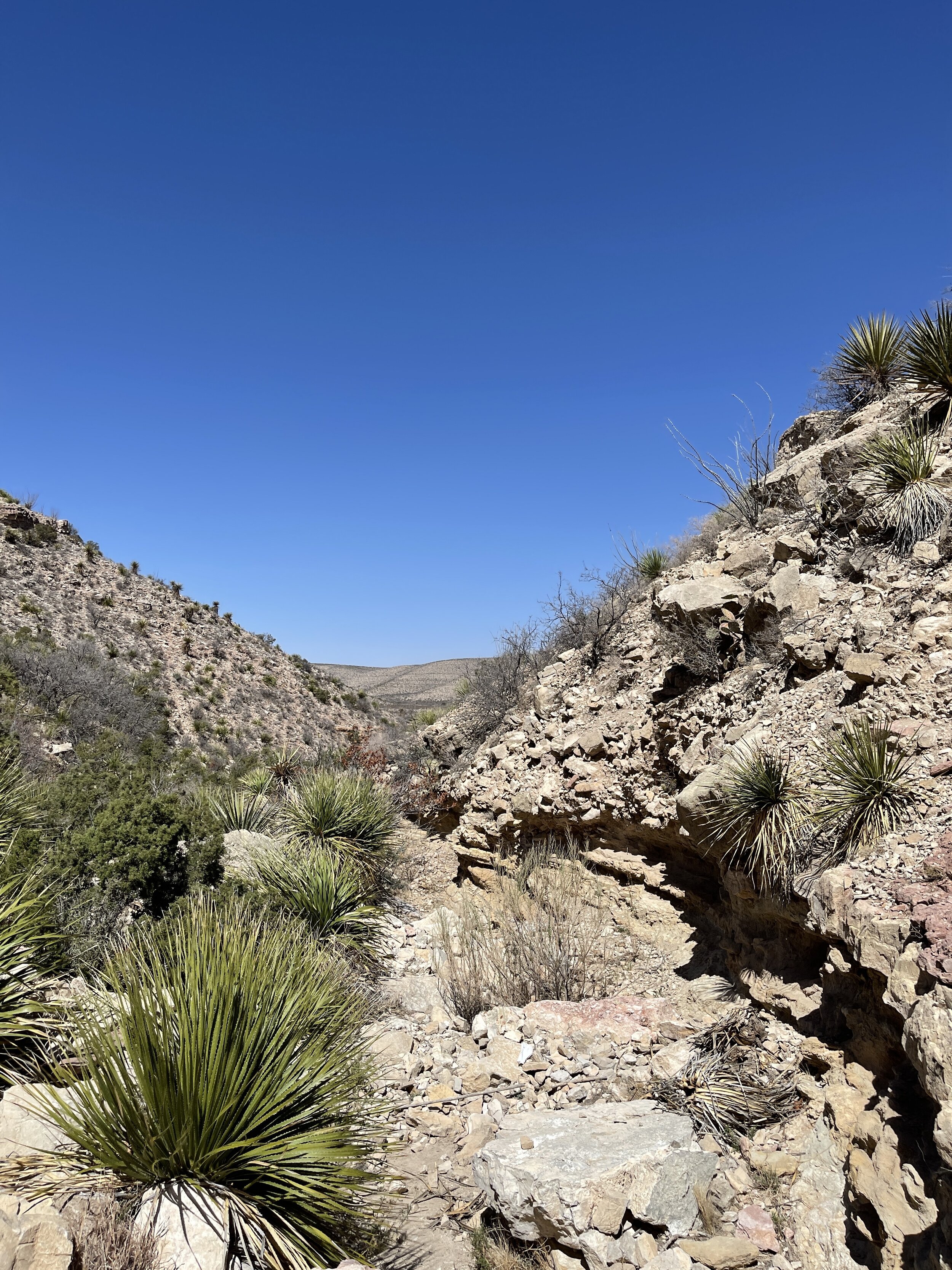
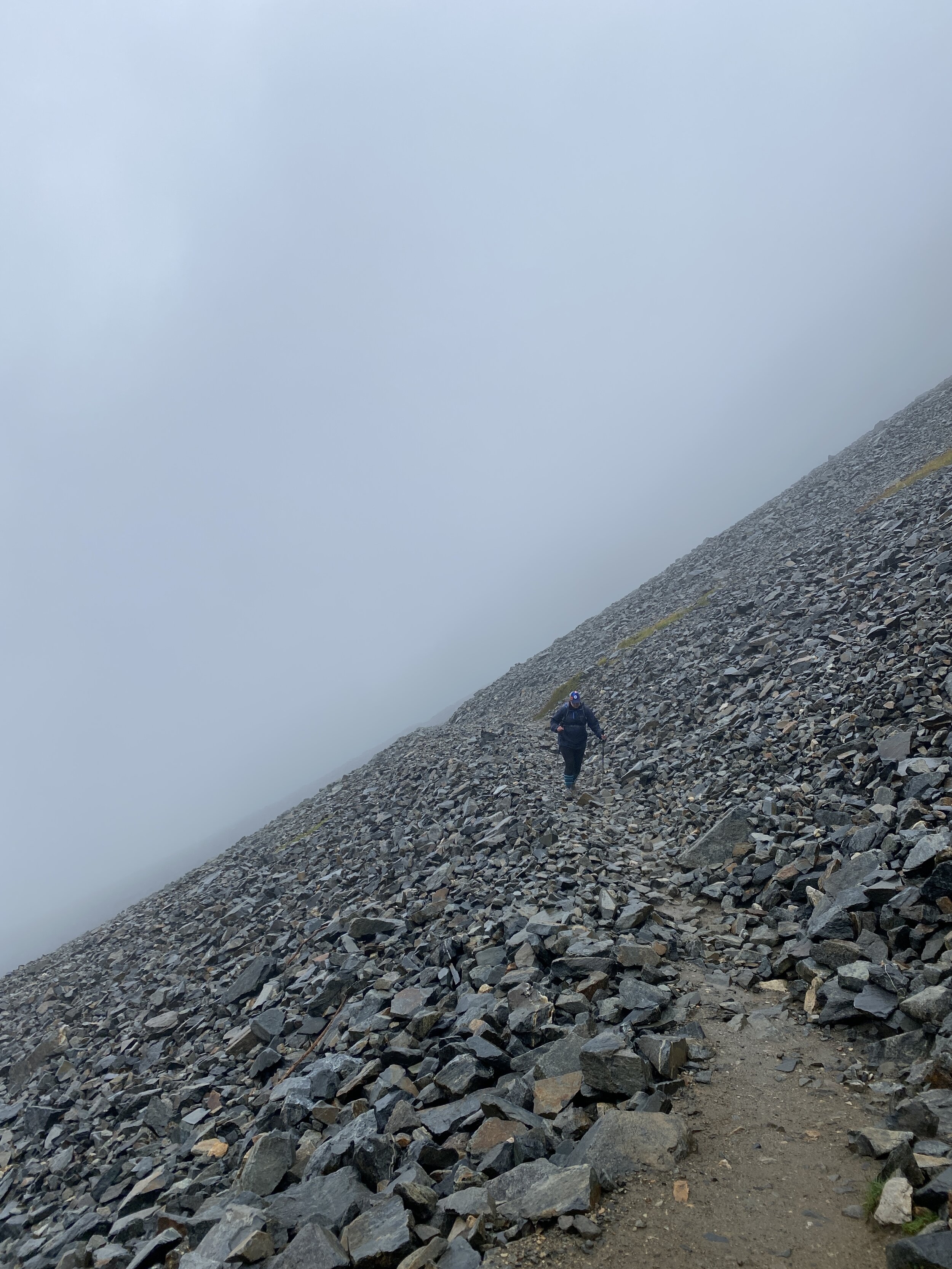
Trail: Hanes Ridge Overlook
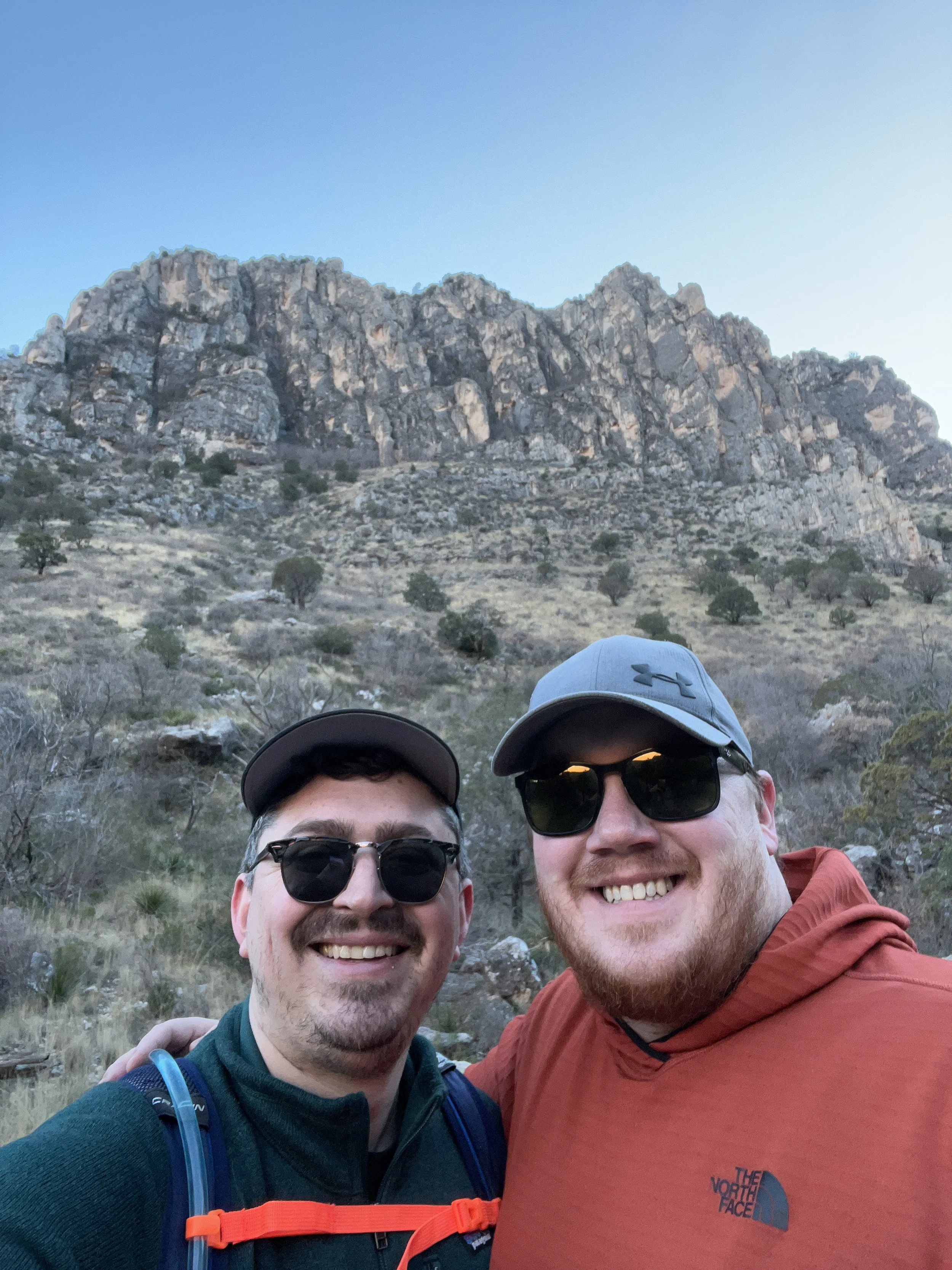
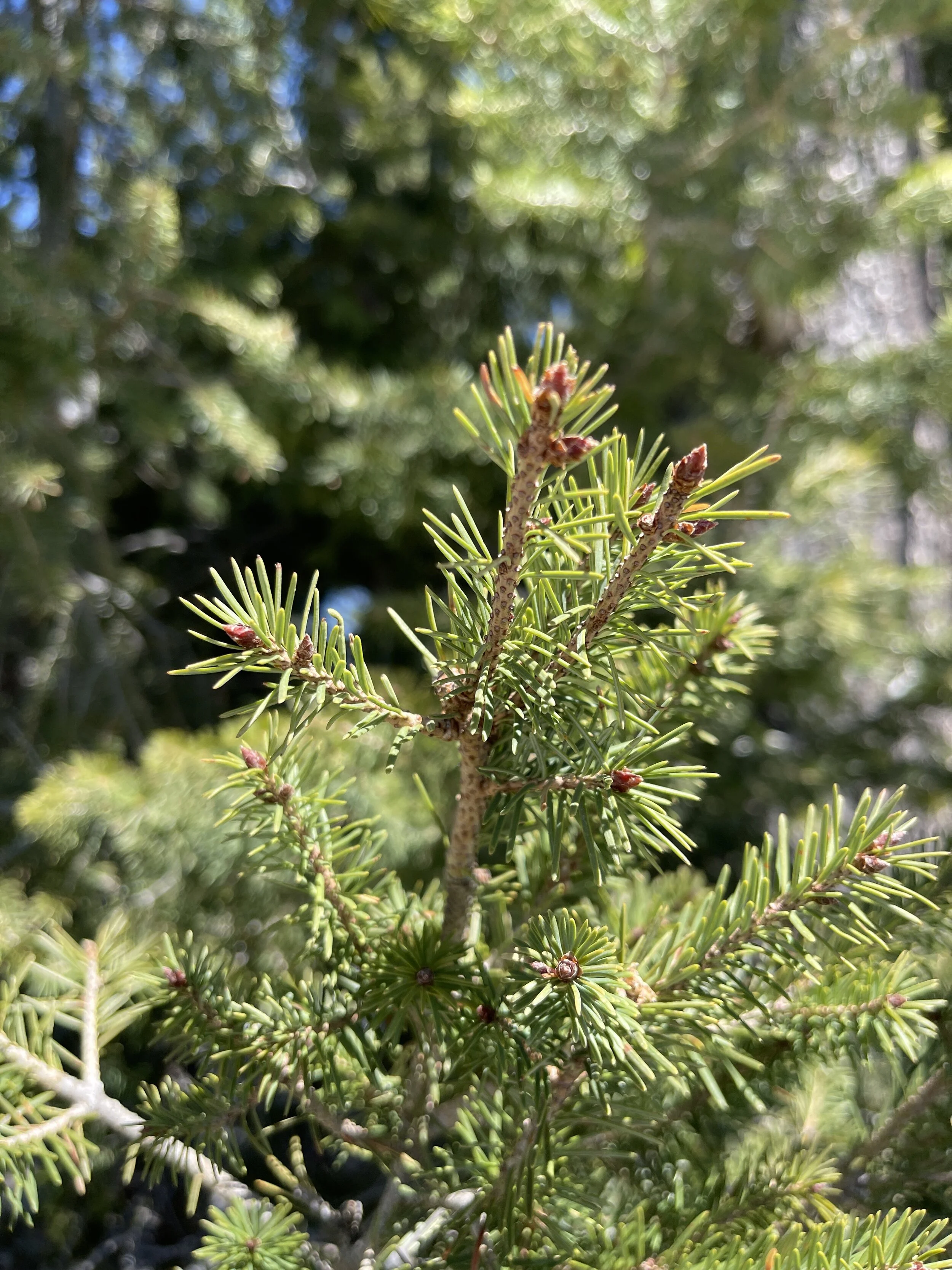
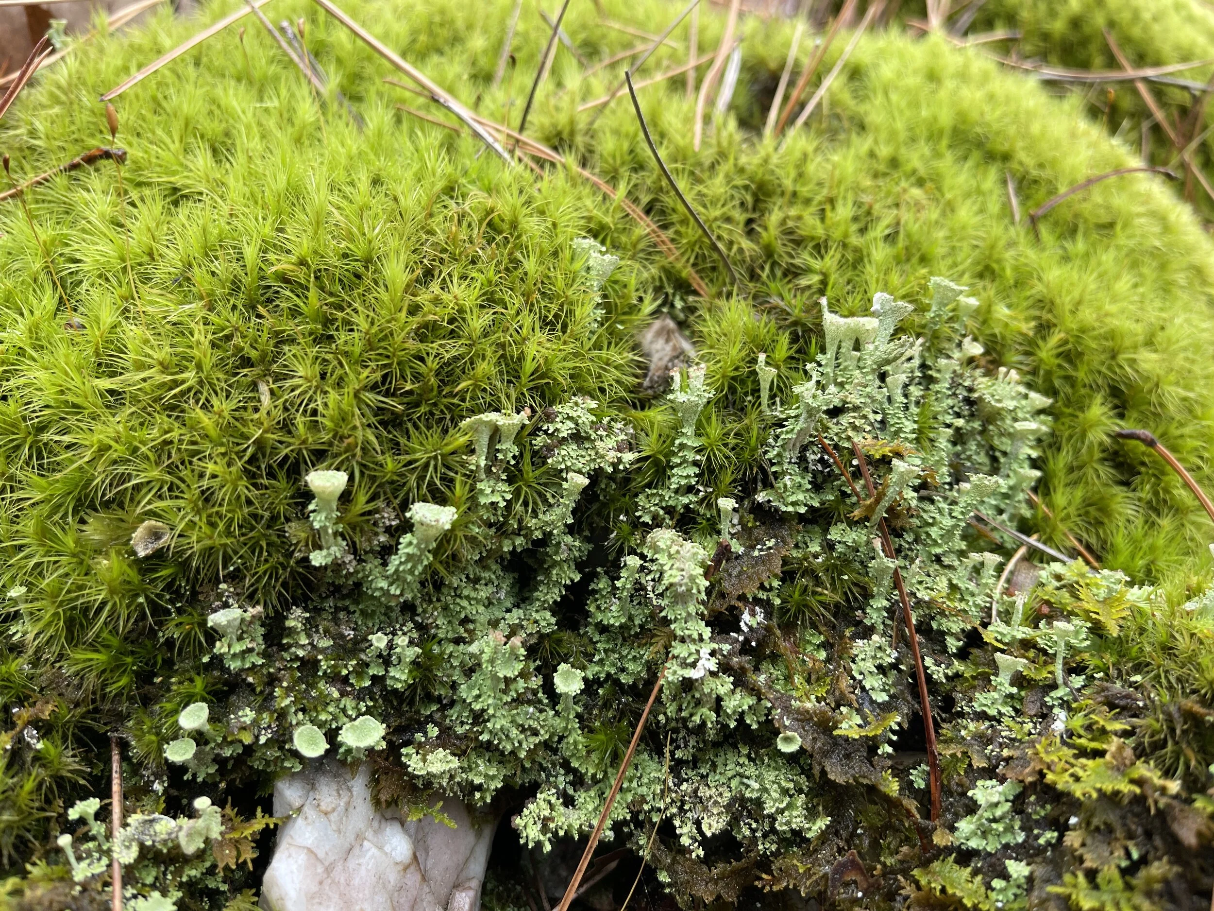
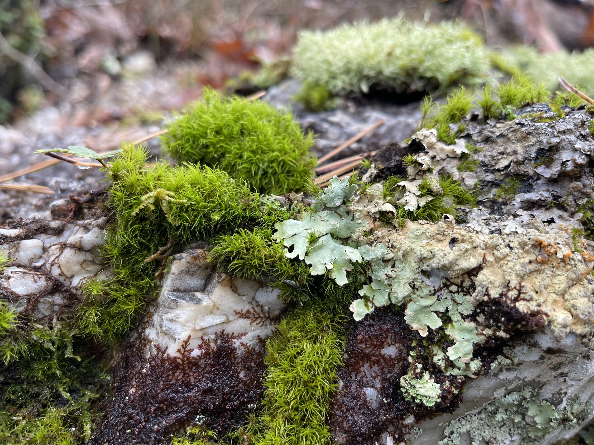
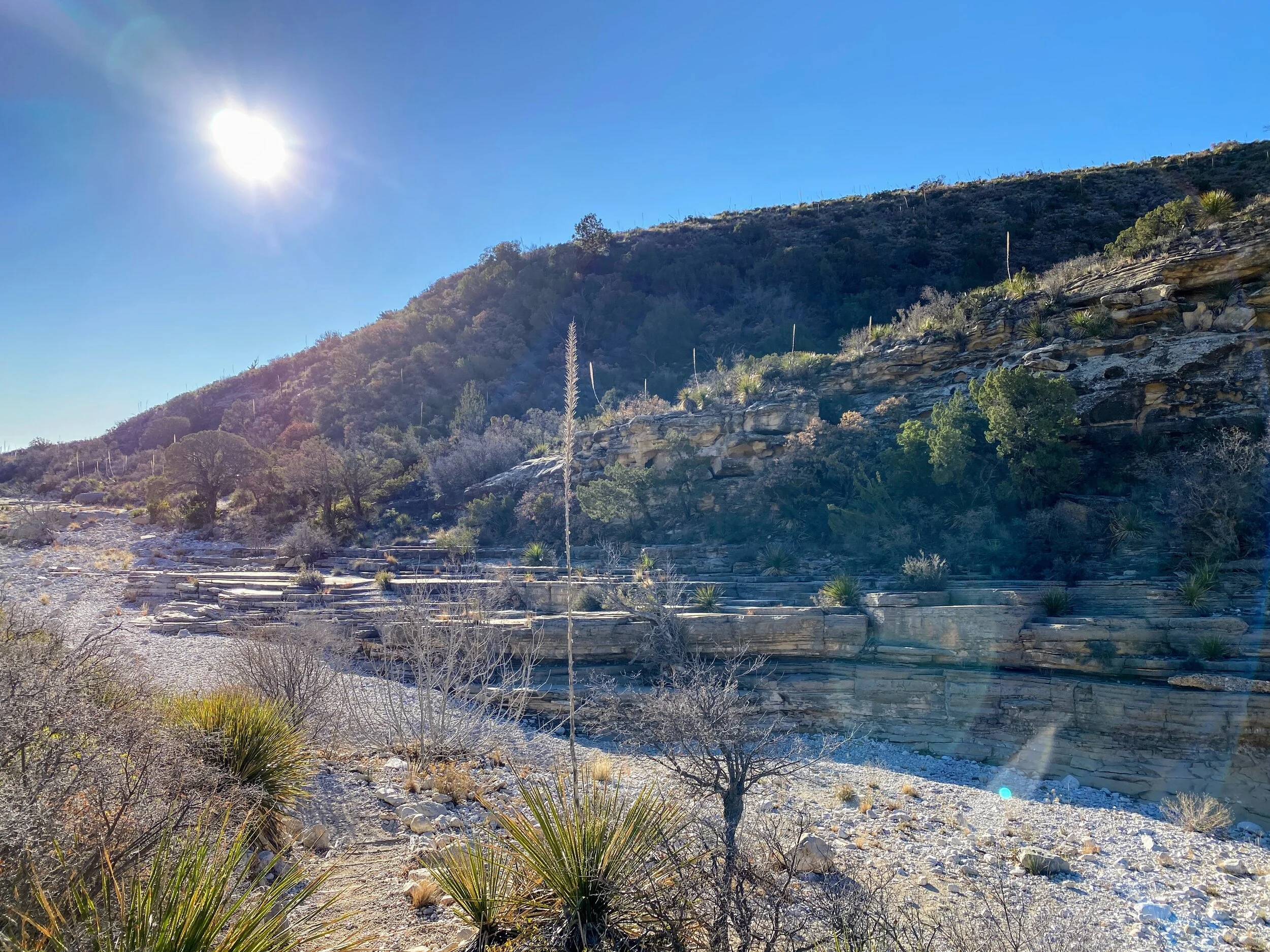
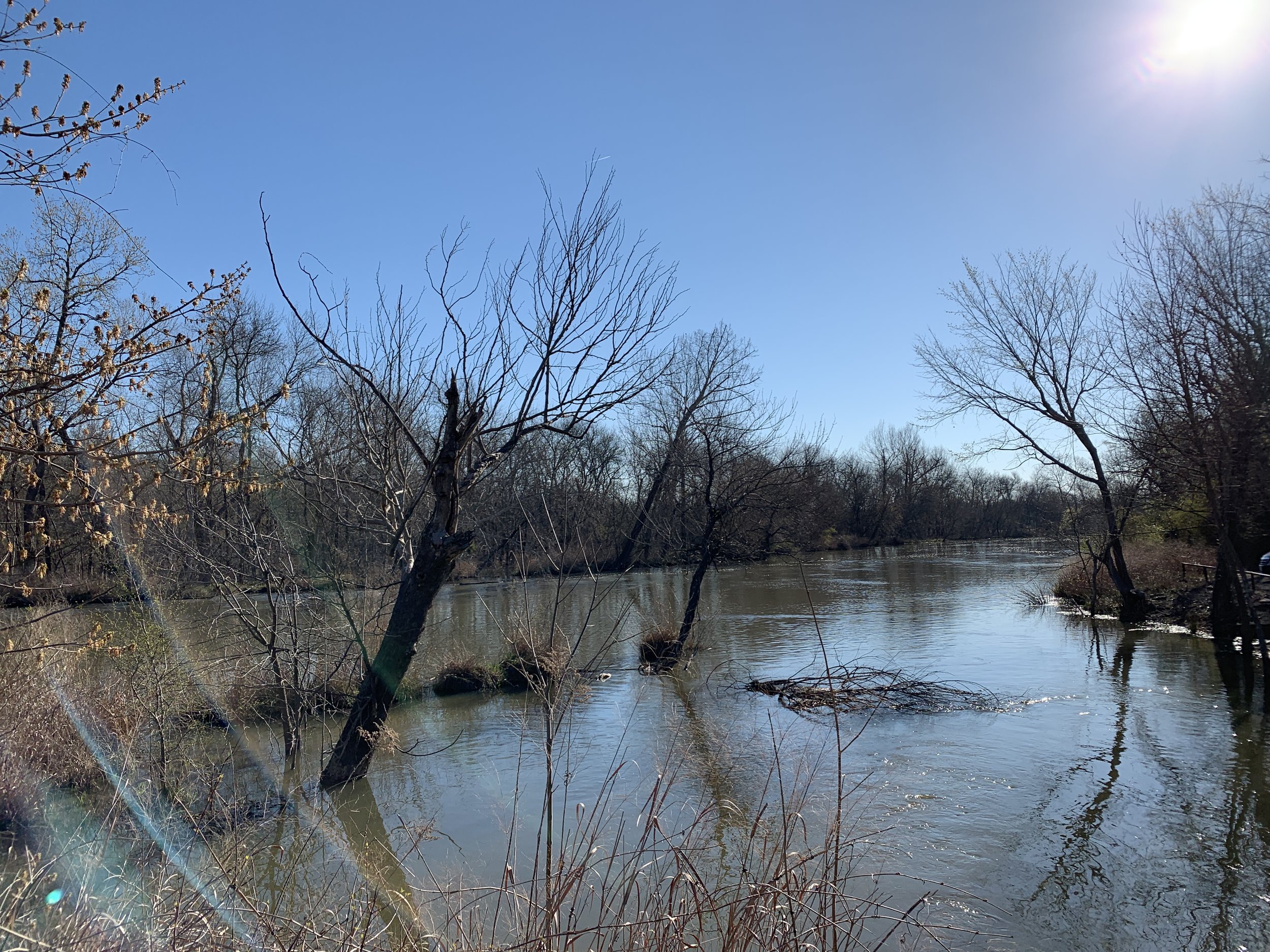
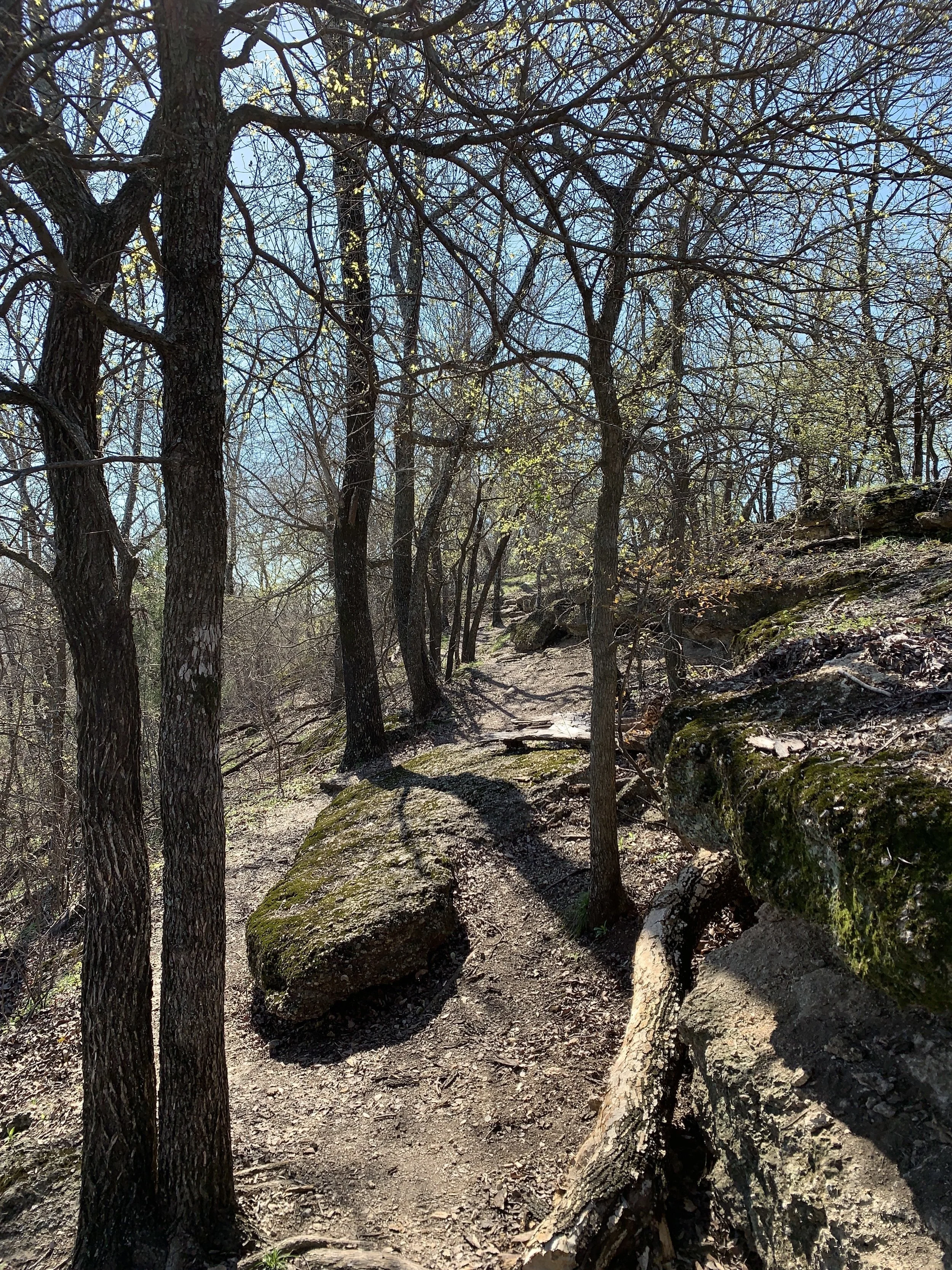
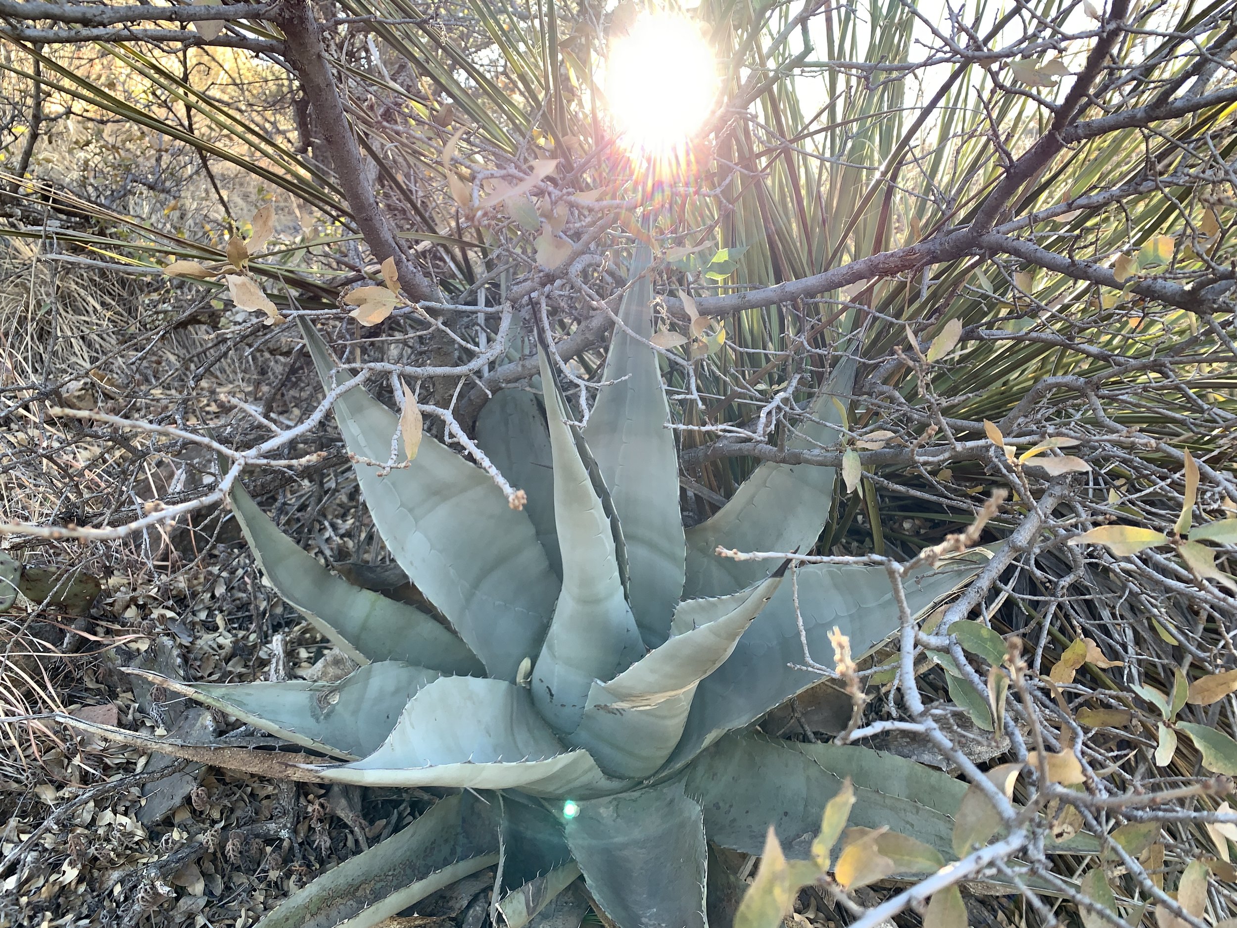
I’ve hiked at Caprock Canyons many times, but I’ve never hiked this trail! It was straight up, about 600 feet, over rocks and dirt. We stopped many times to take in the view, catch our breath, and get a drink. Once up the most steep part, we had an amazing view above the ridges in the park. The hike is worth the effort, I promise.
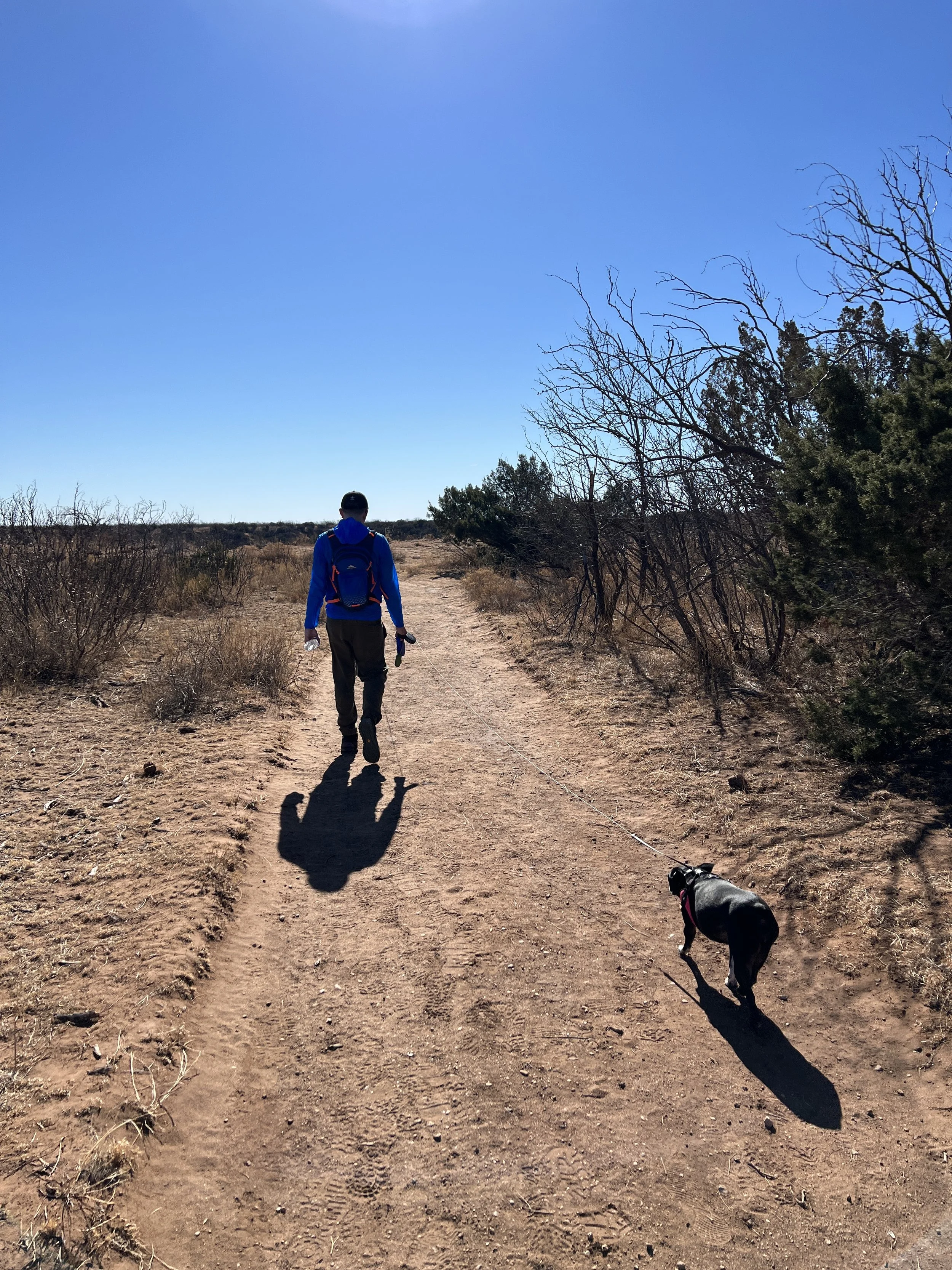
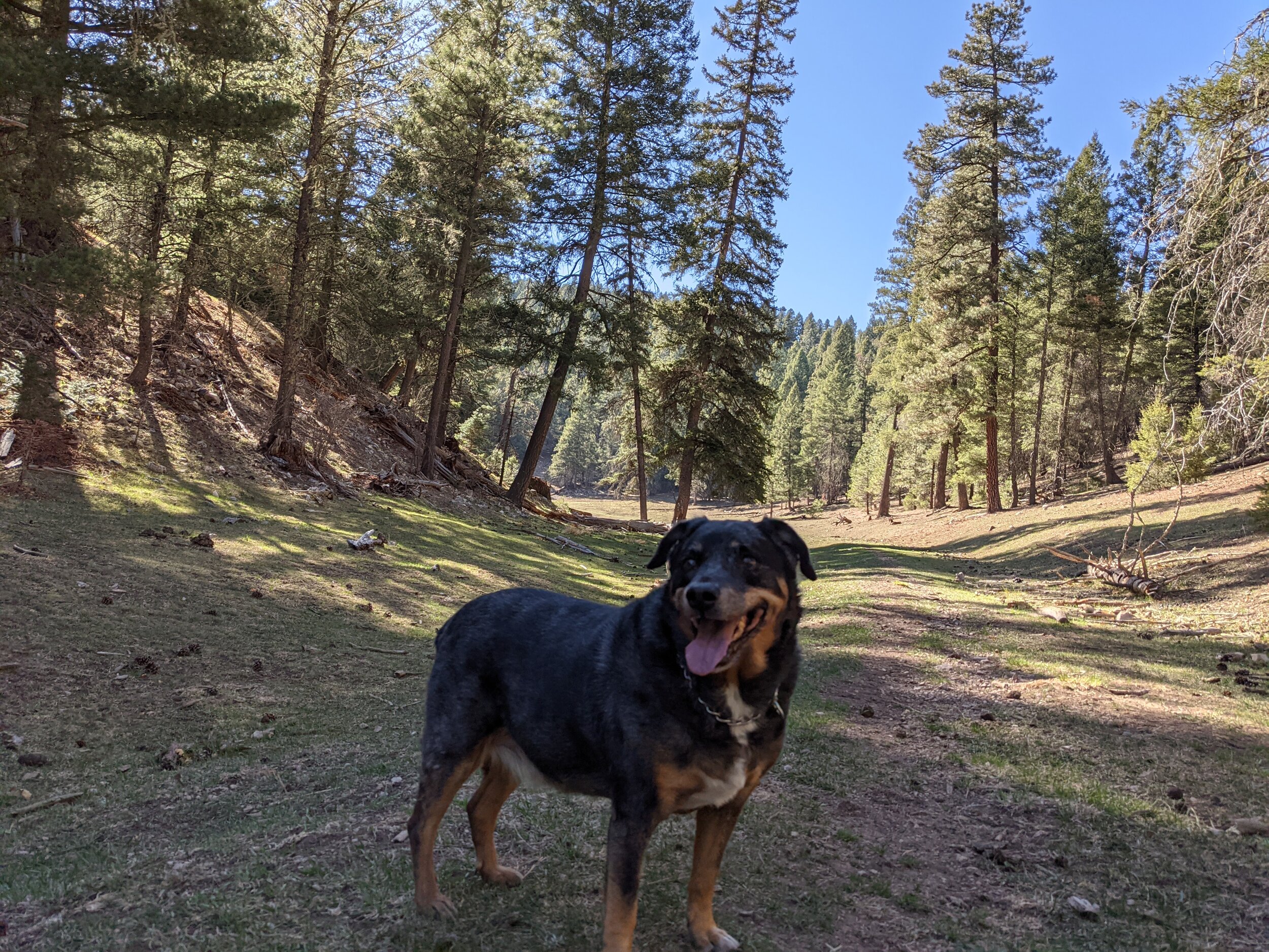
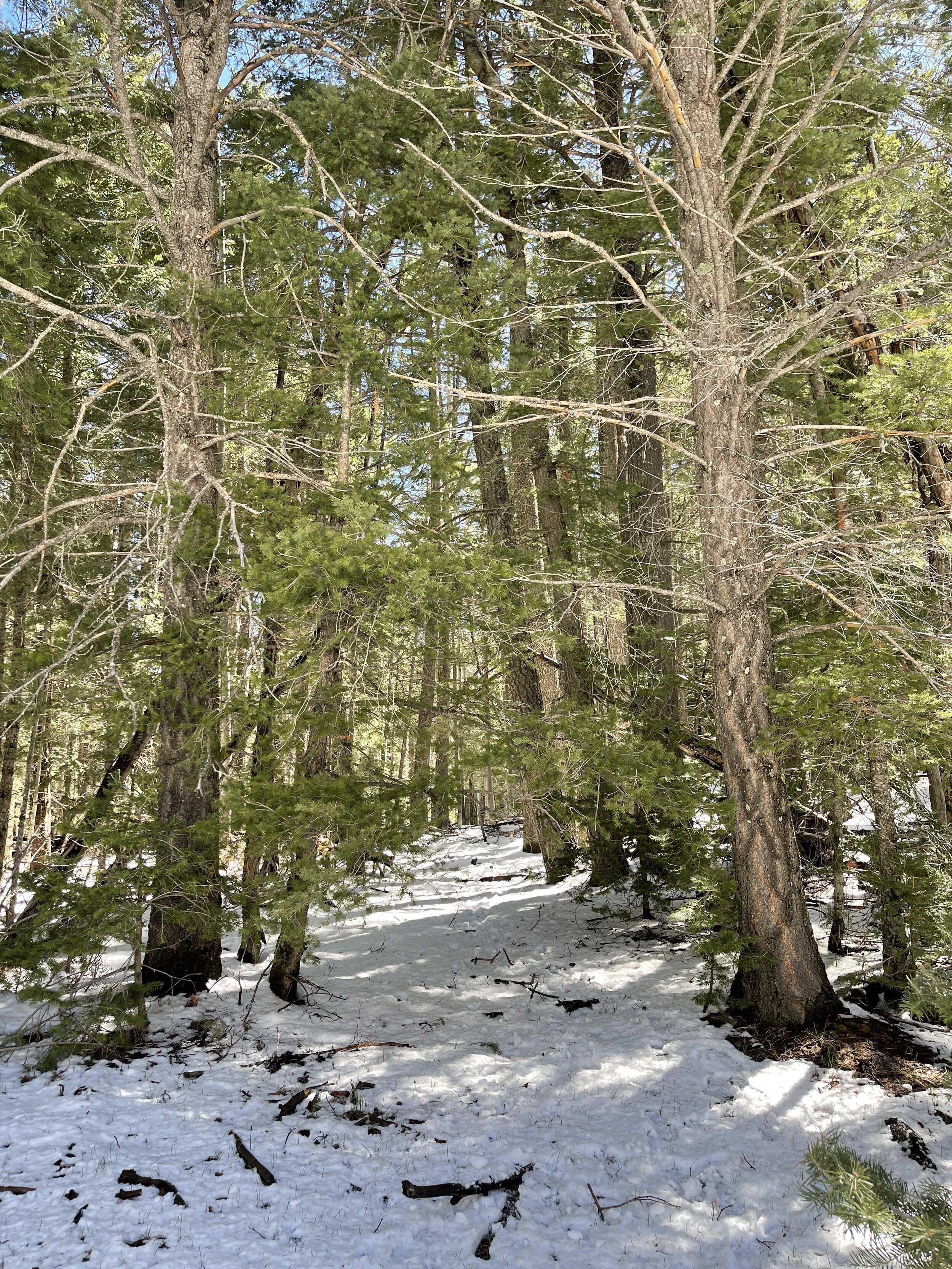
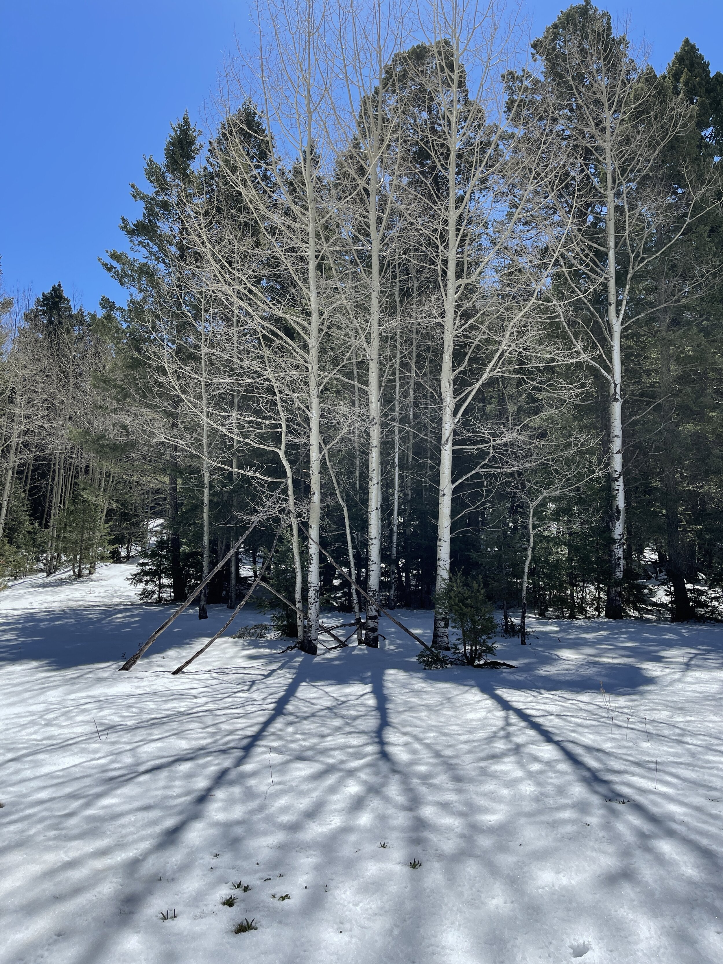
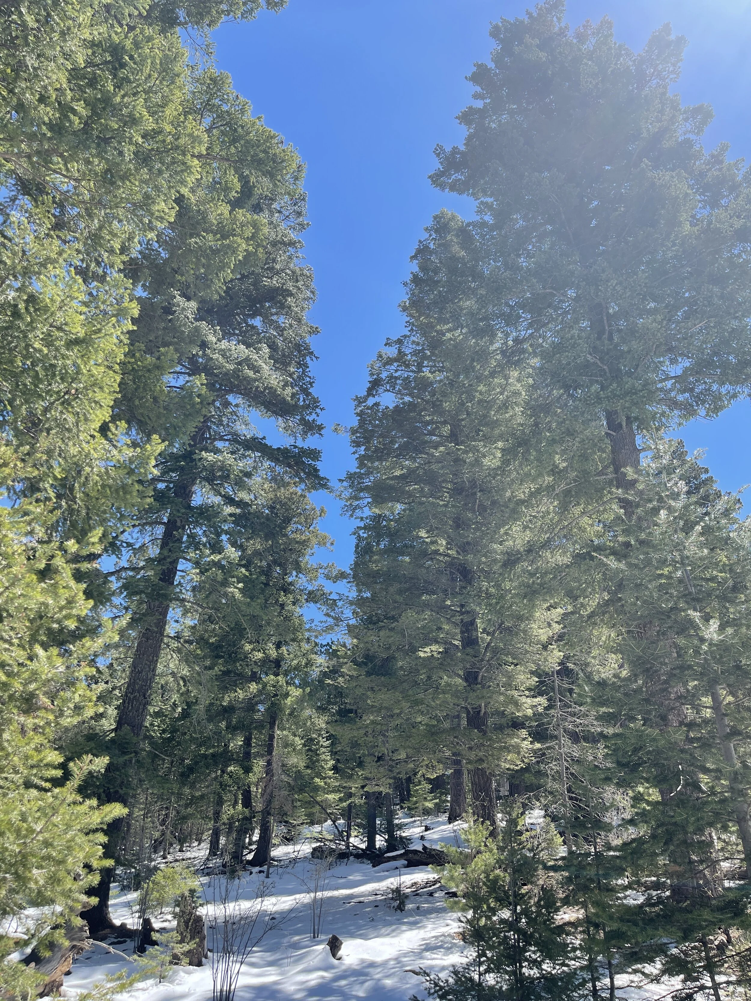
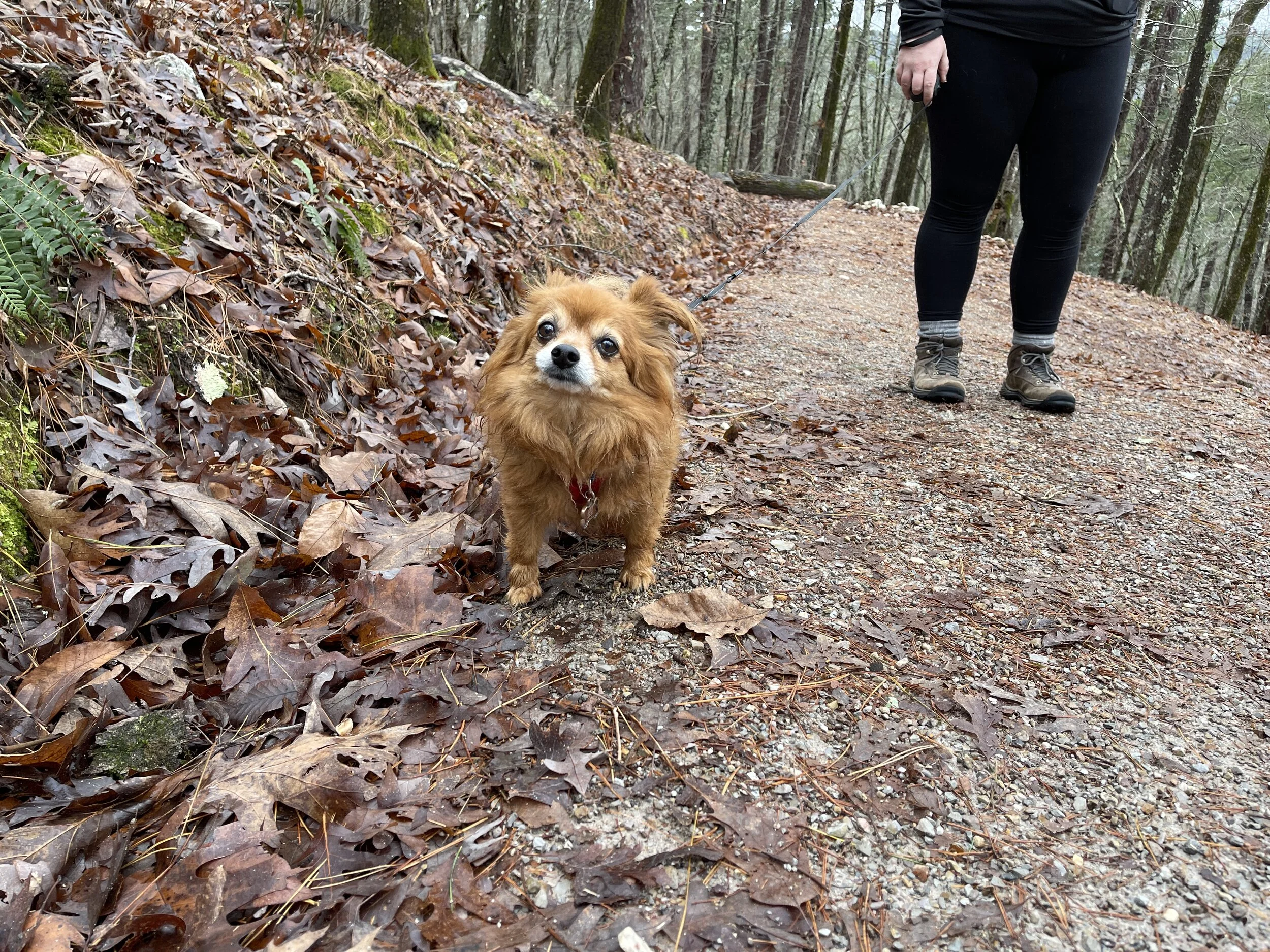
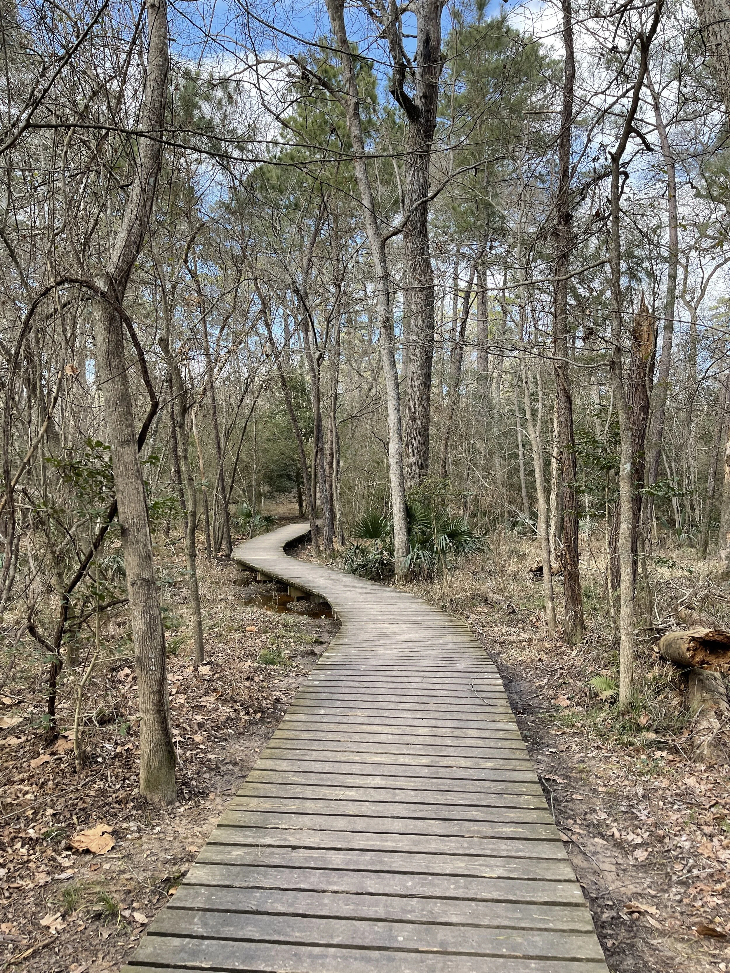
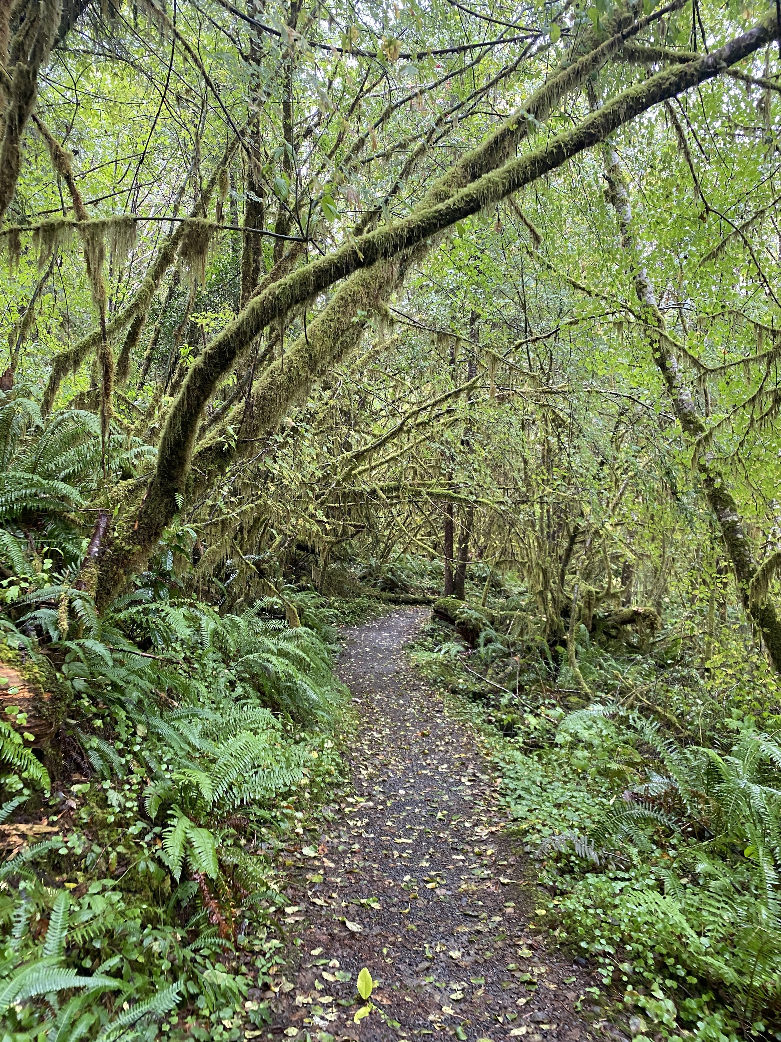
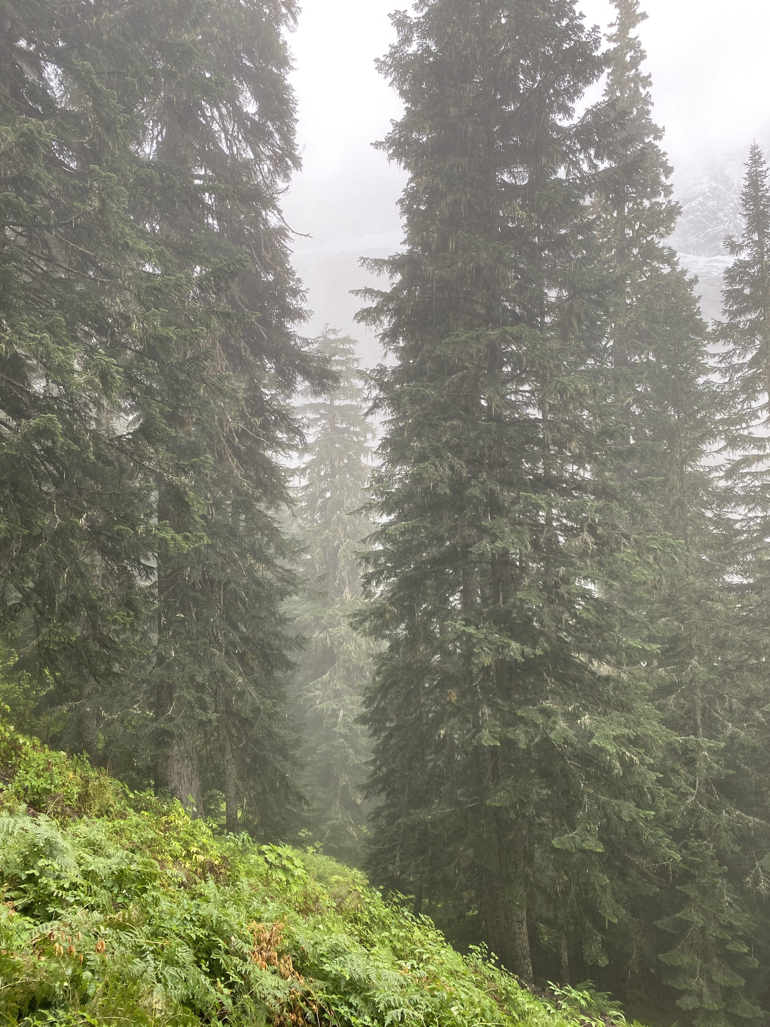
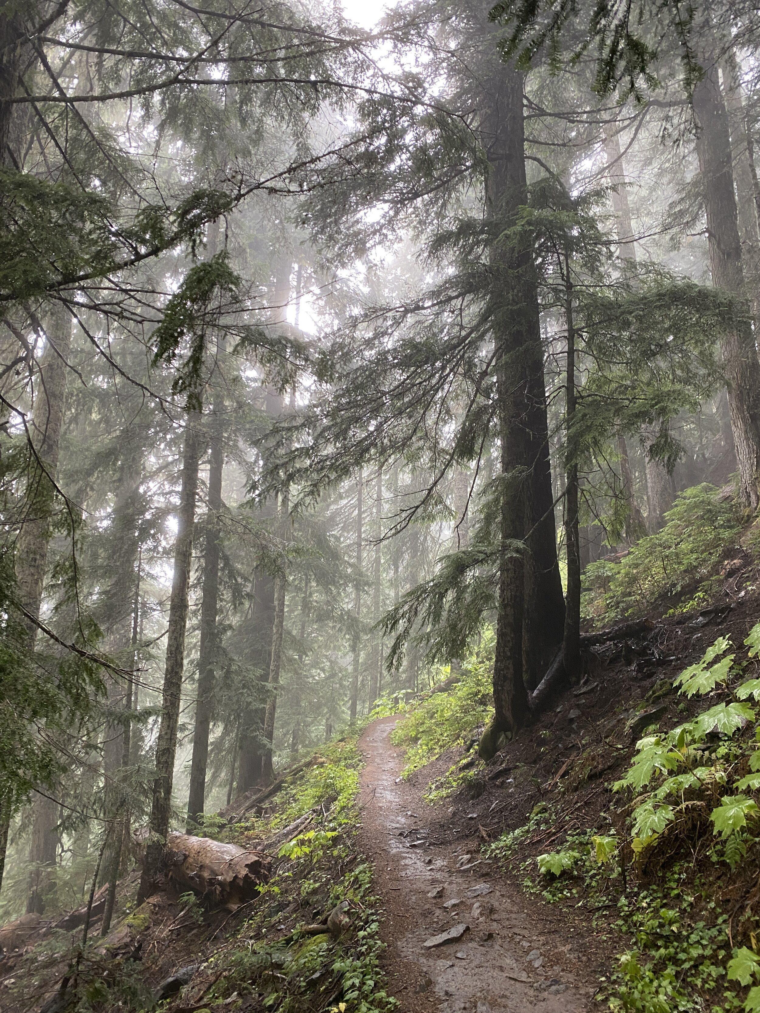
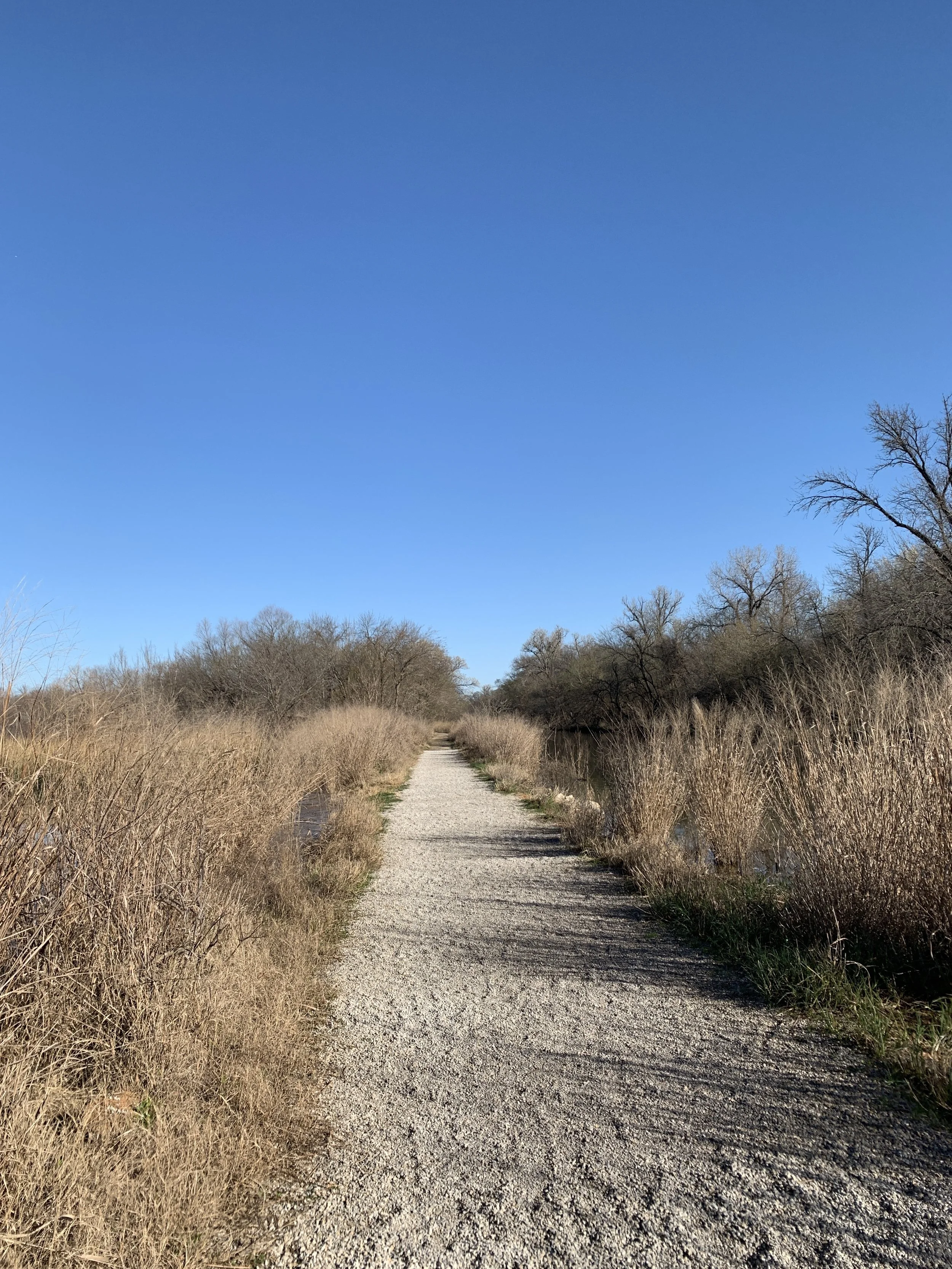
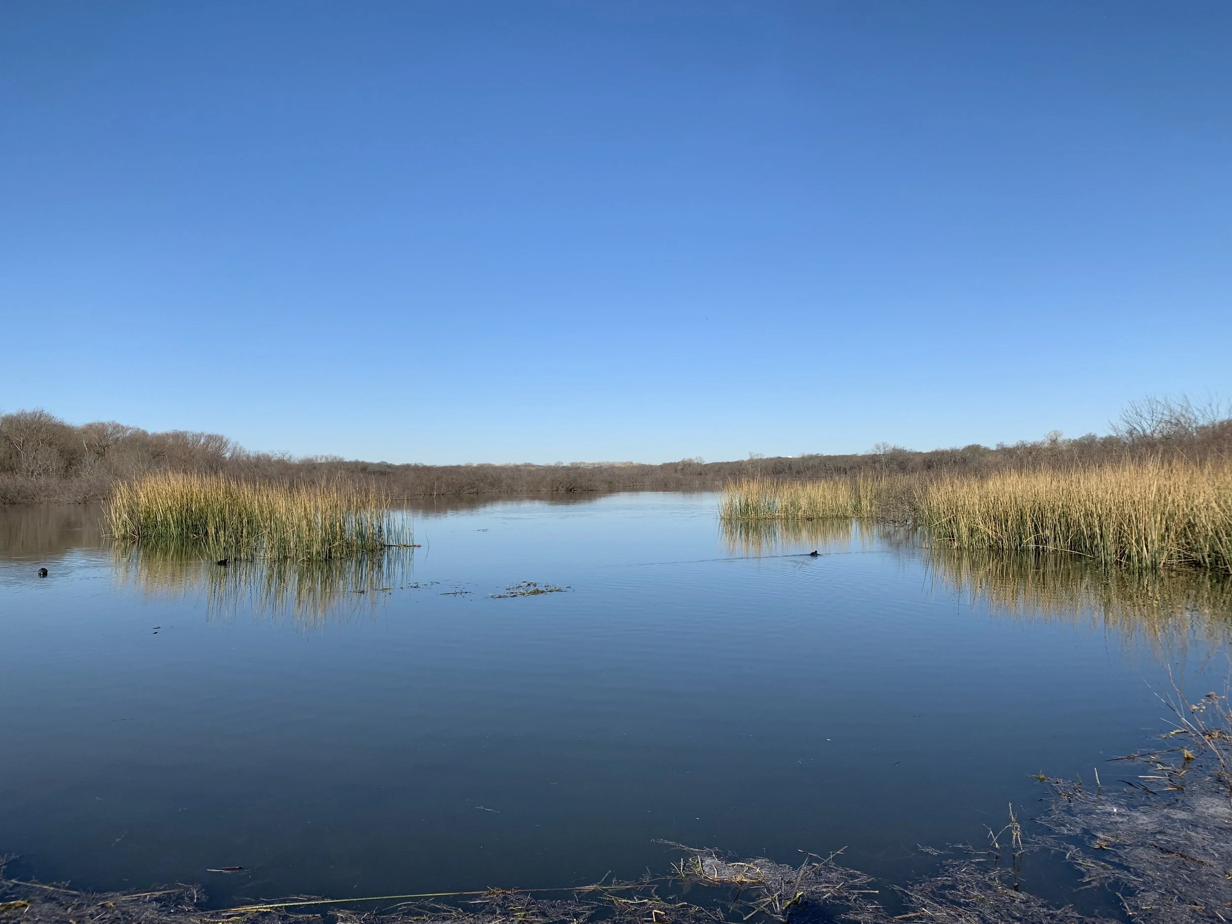
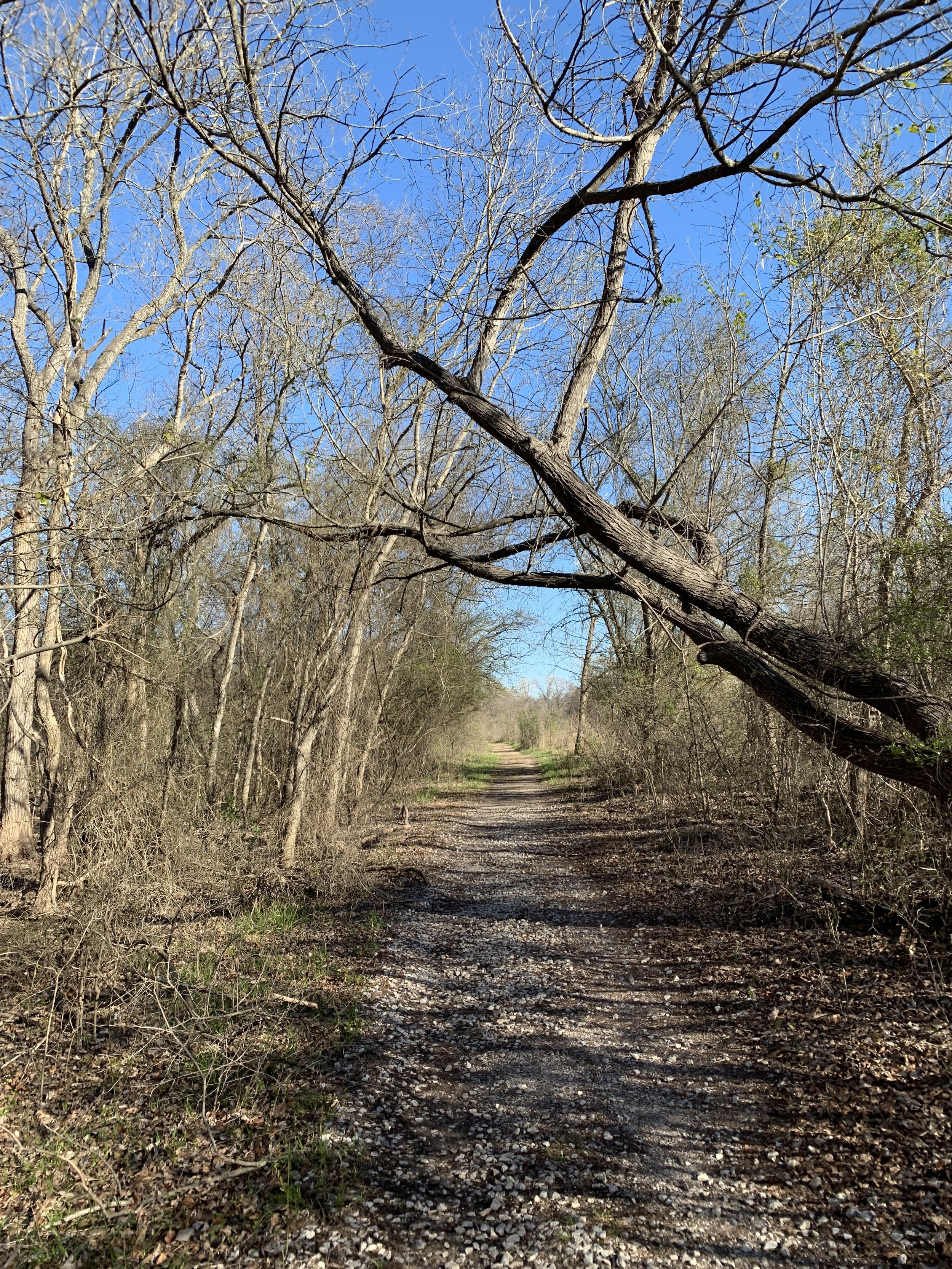
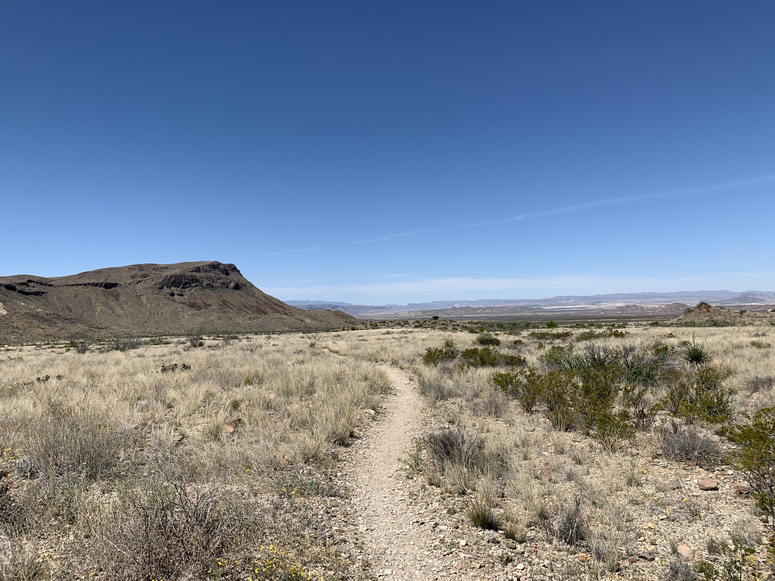
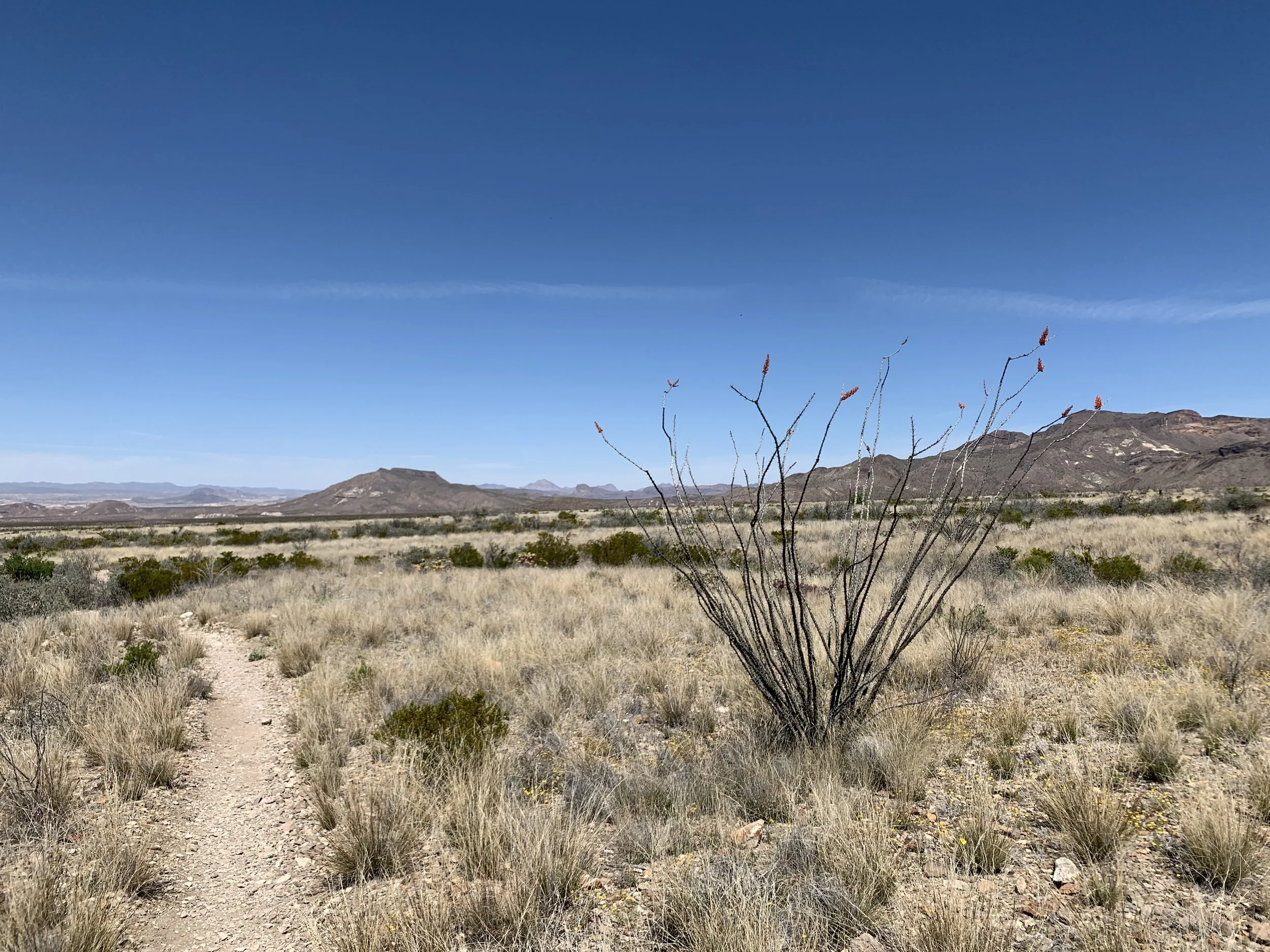
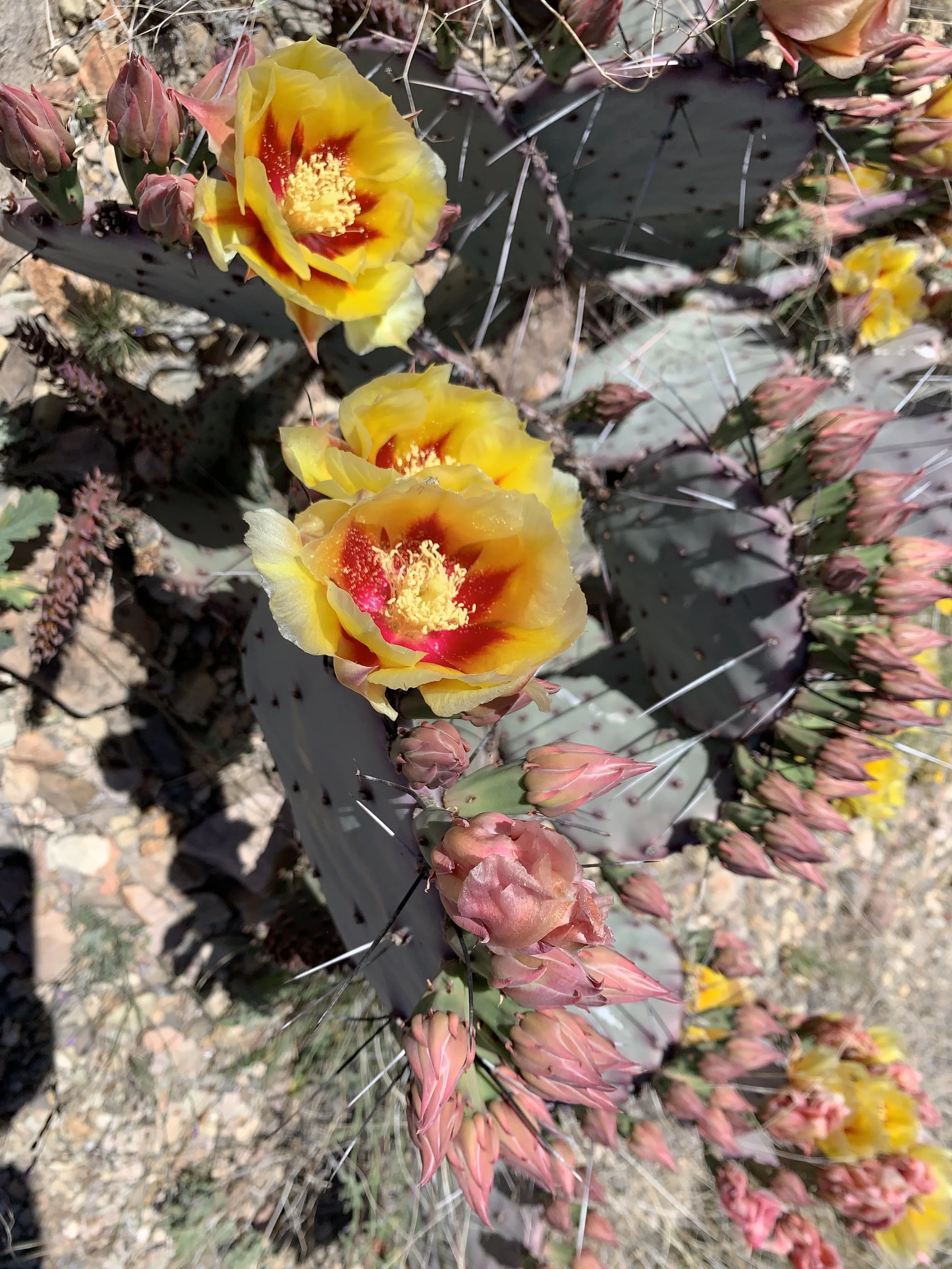
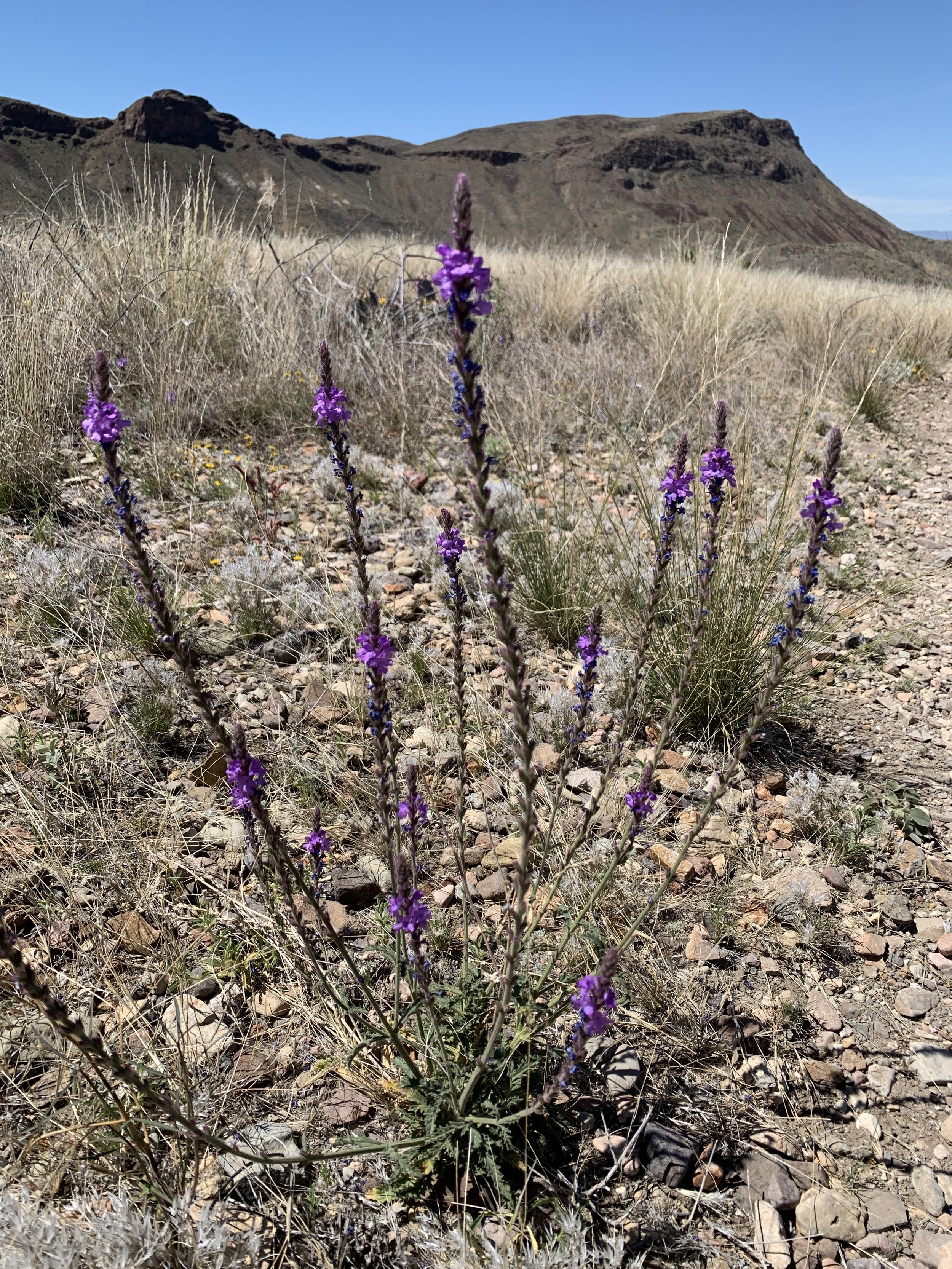
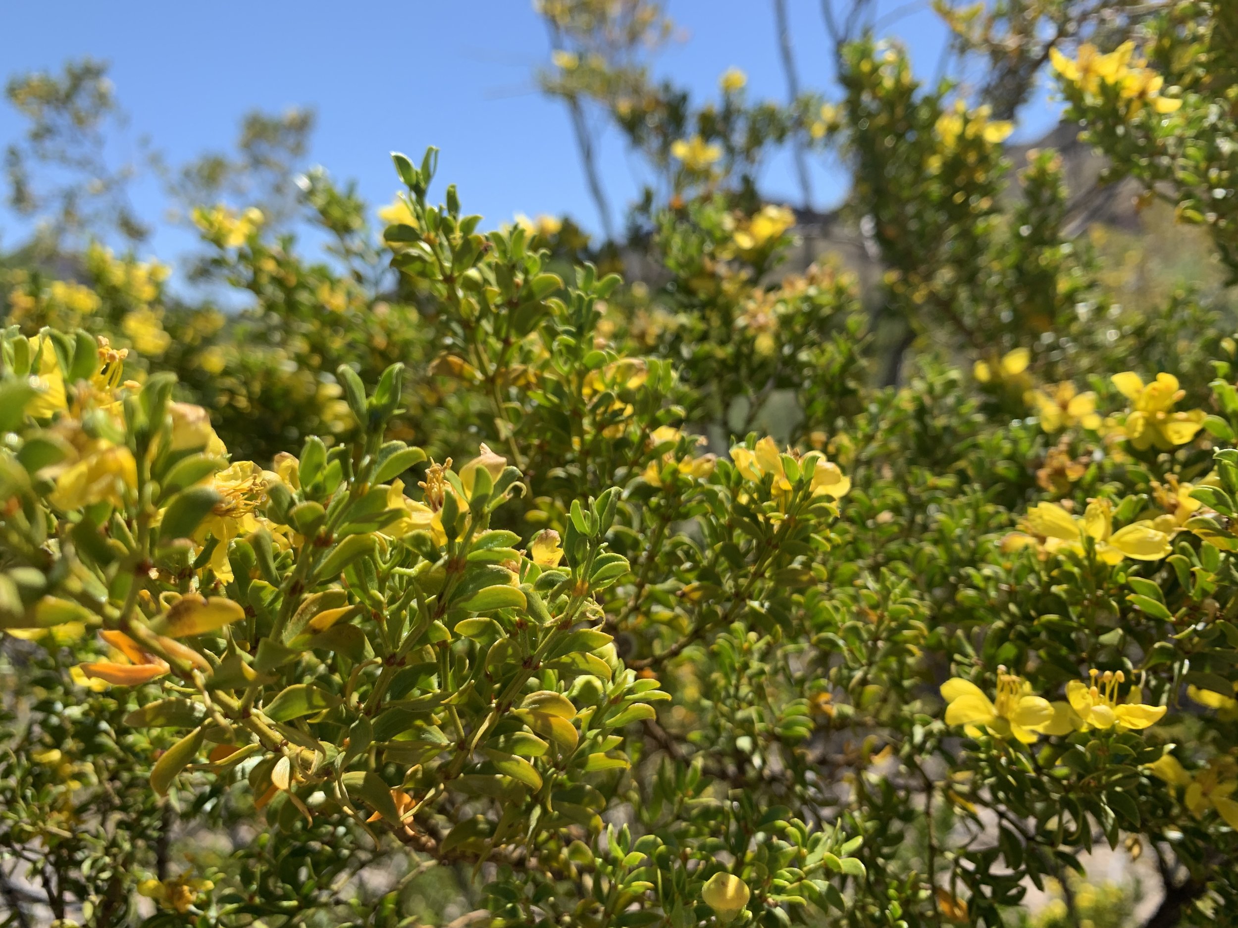
Activity 6/52 - Hike - Caprock Canyons State Park (Quitaque, TX)
Distance/Time: 1.5 miles
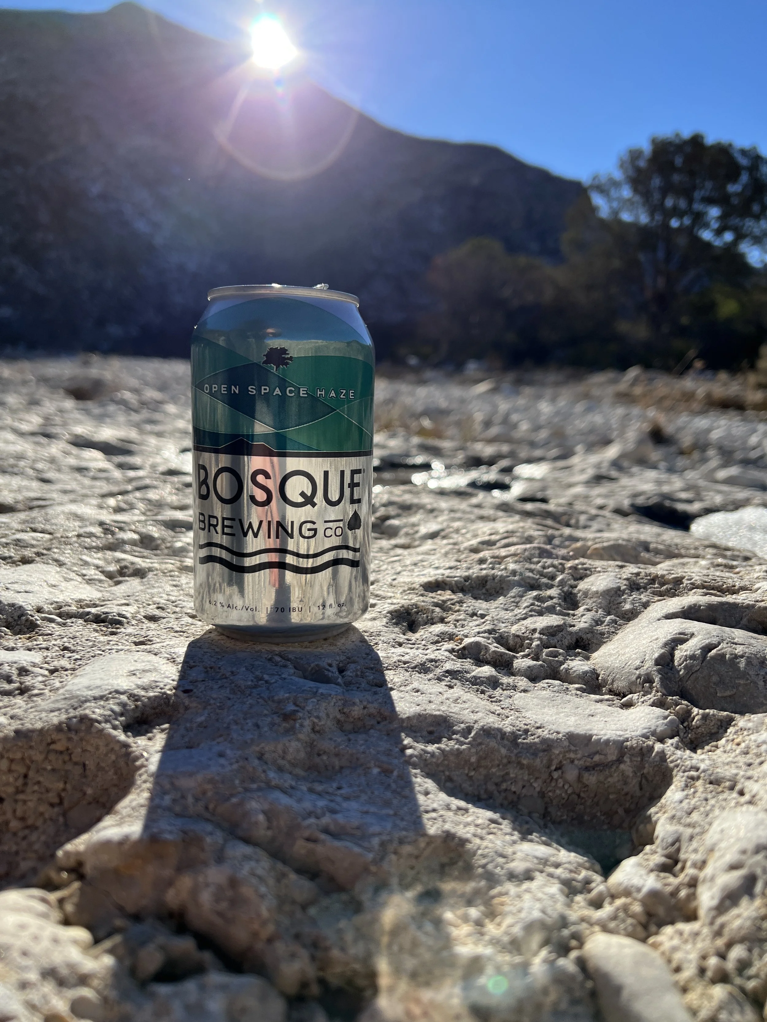
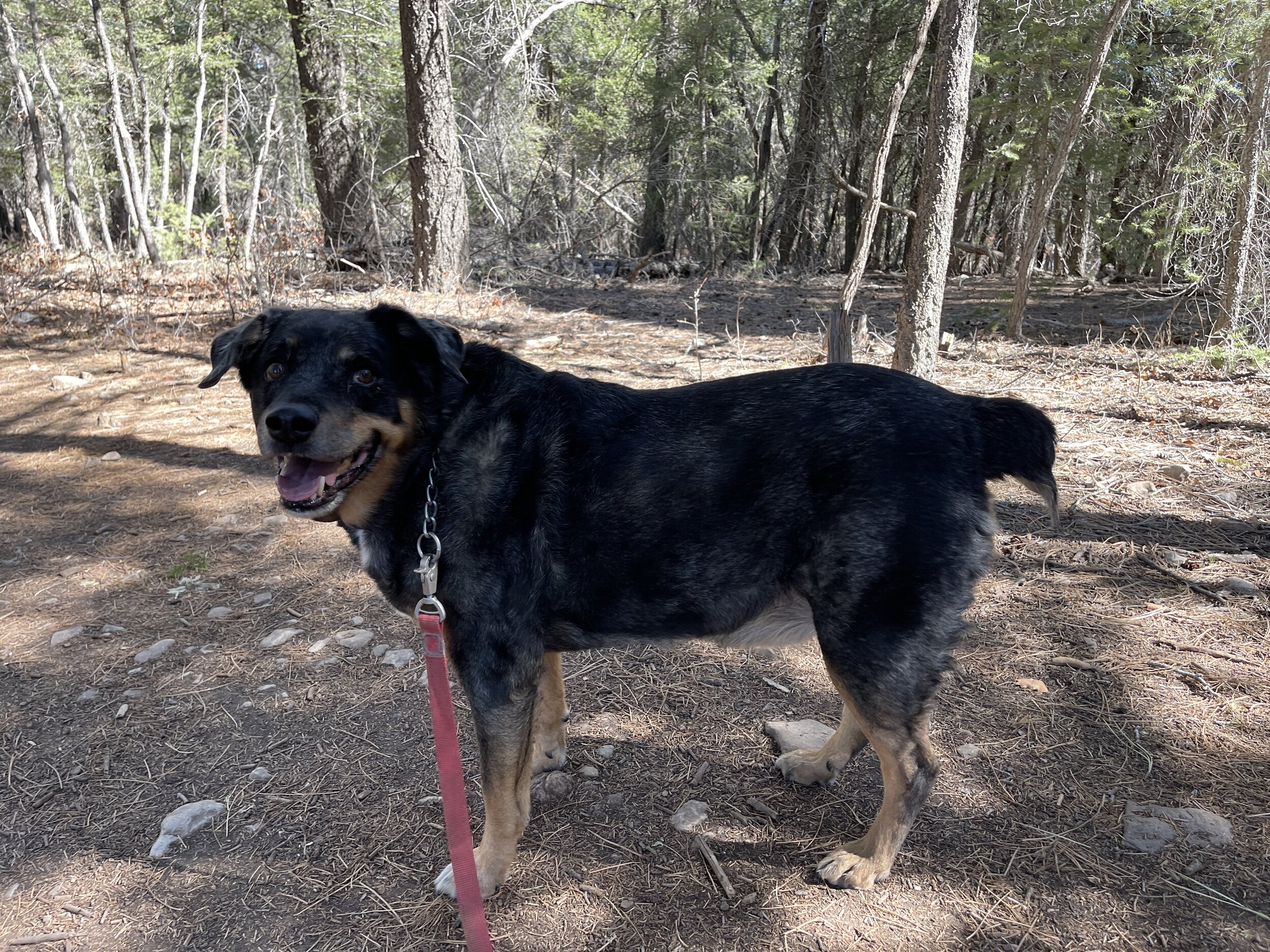
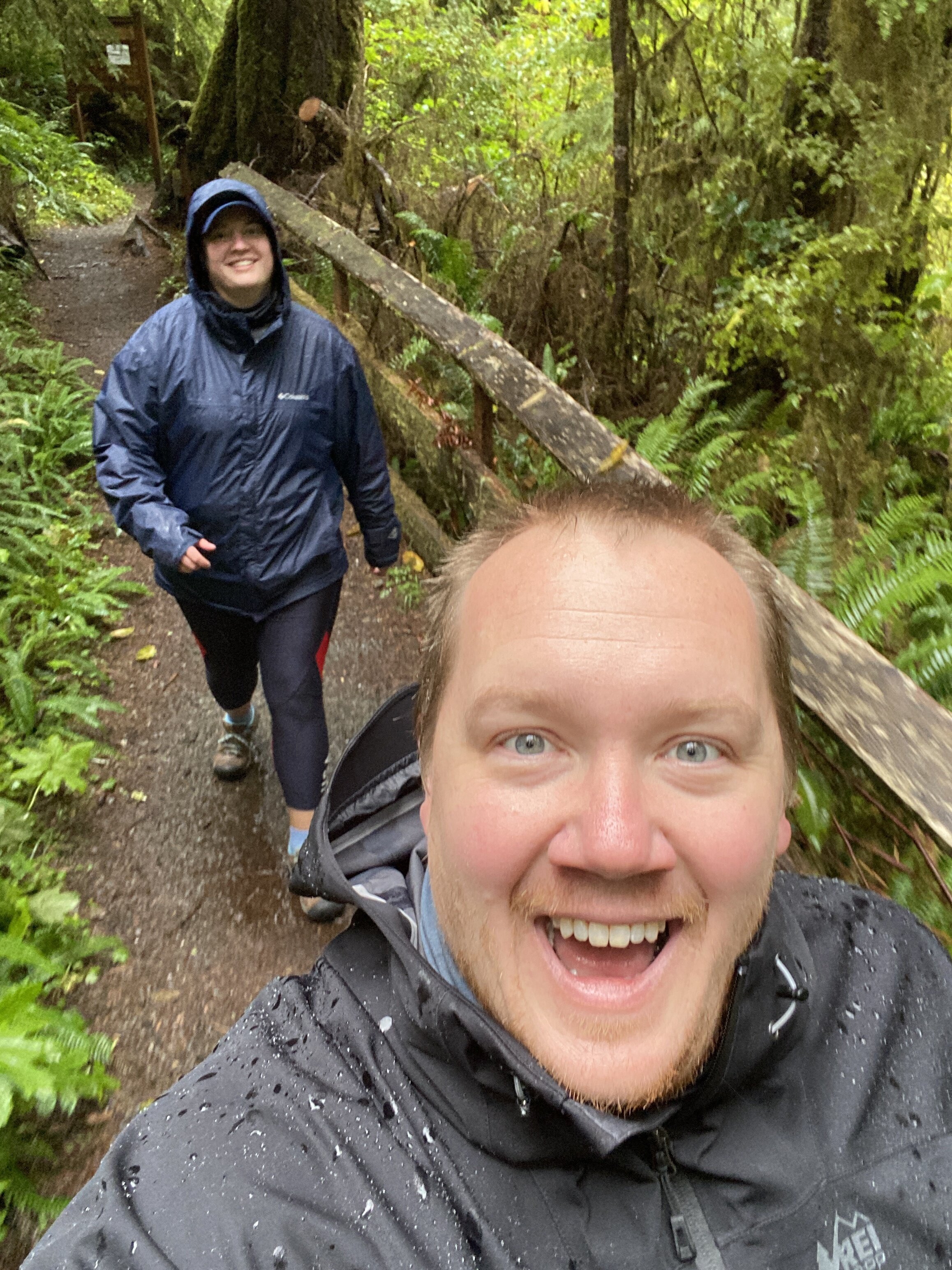
It was Sunday and we were spent from a weekend of hiking, hanging out around the fire, and sleeping during a windy night. We decided after packing up to go with my aunt on a short little hike around the rim on the Canyon Rim Trail. It was a short walk from our campsite to the trail and then a nice little stroll. We took the dogs and a beer and enjoyed the sunshine!

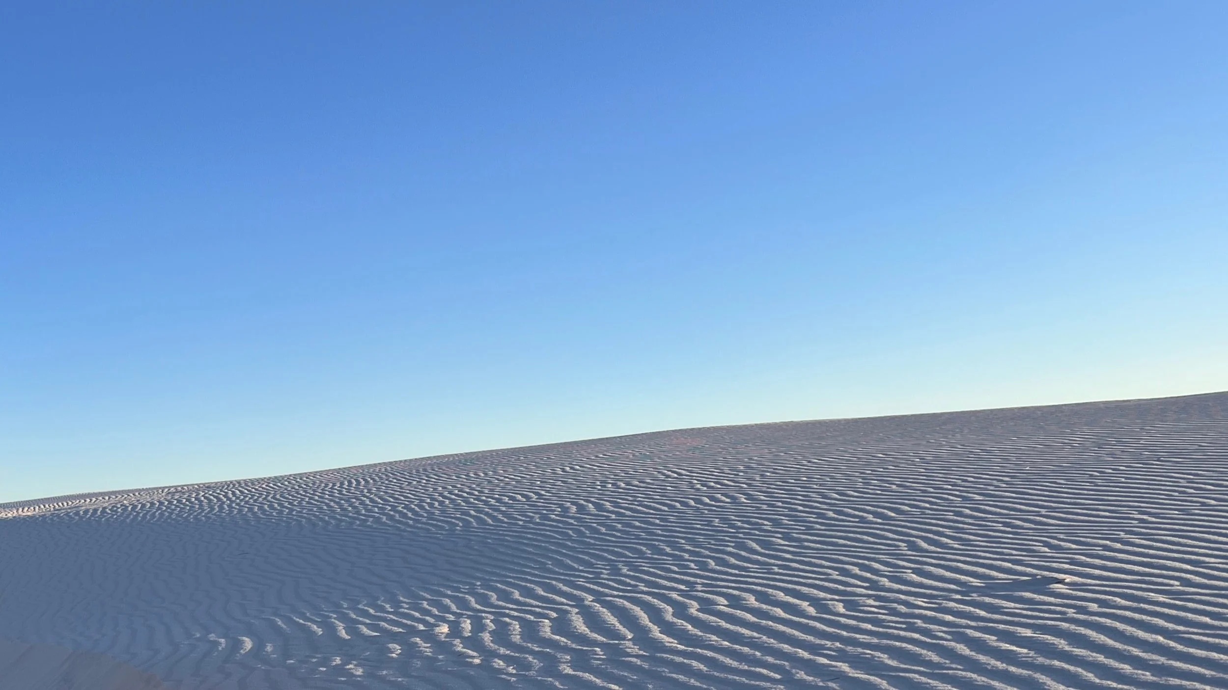
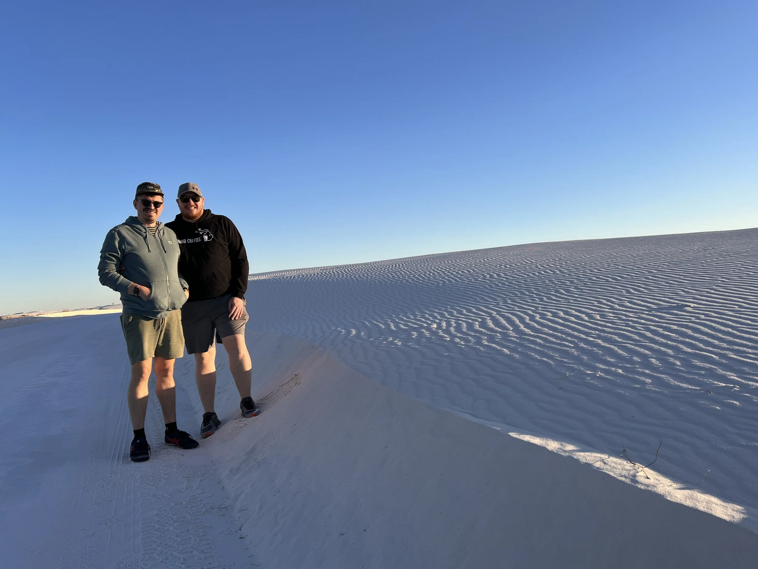
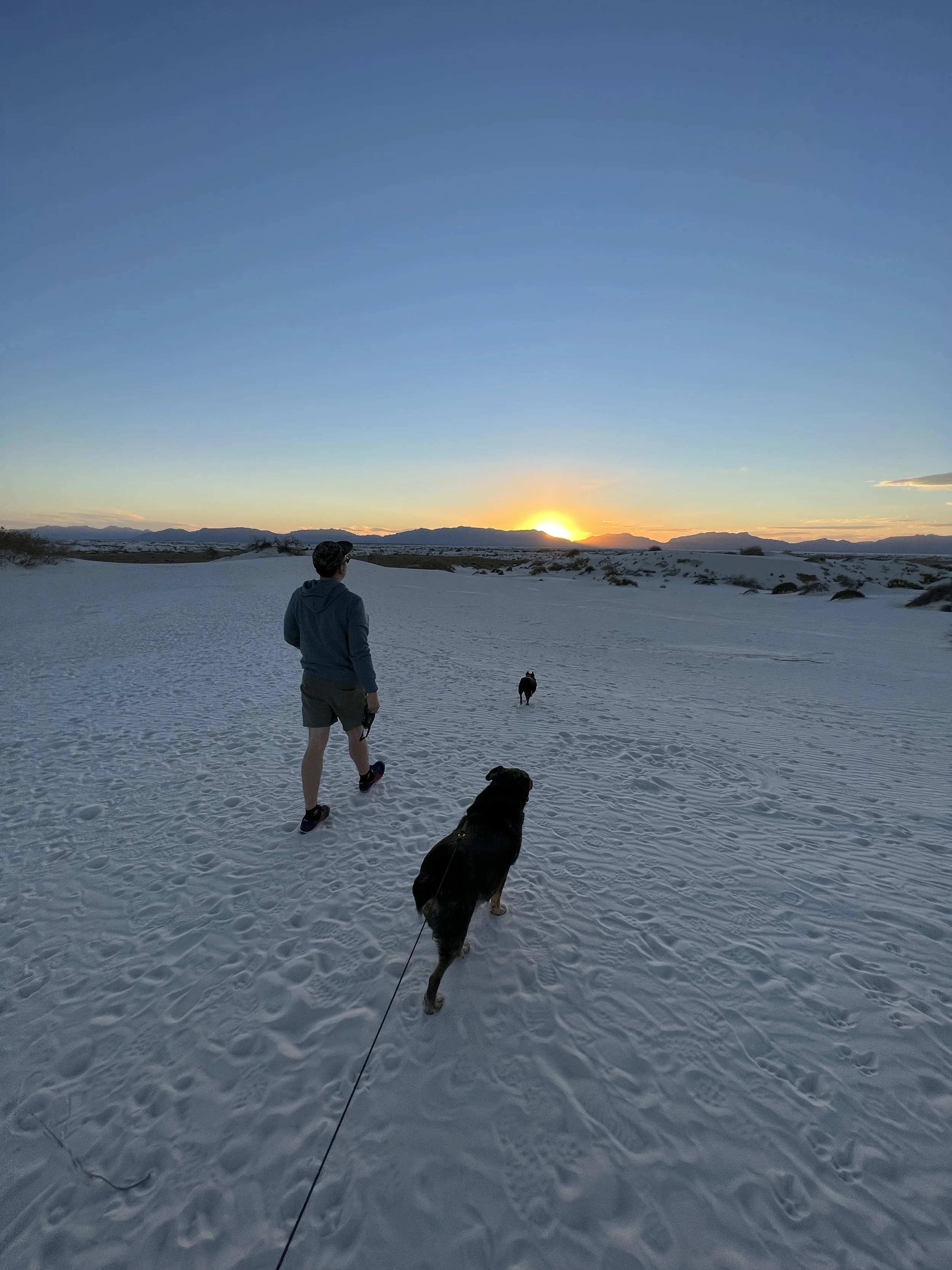
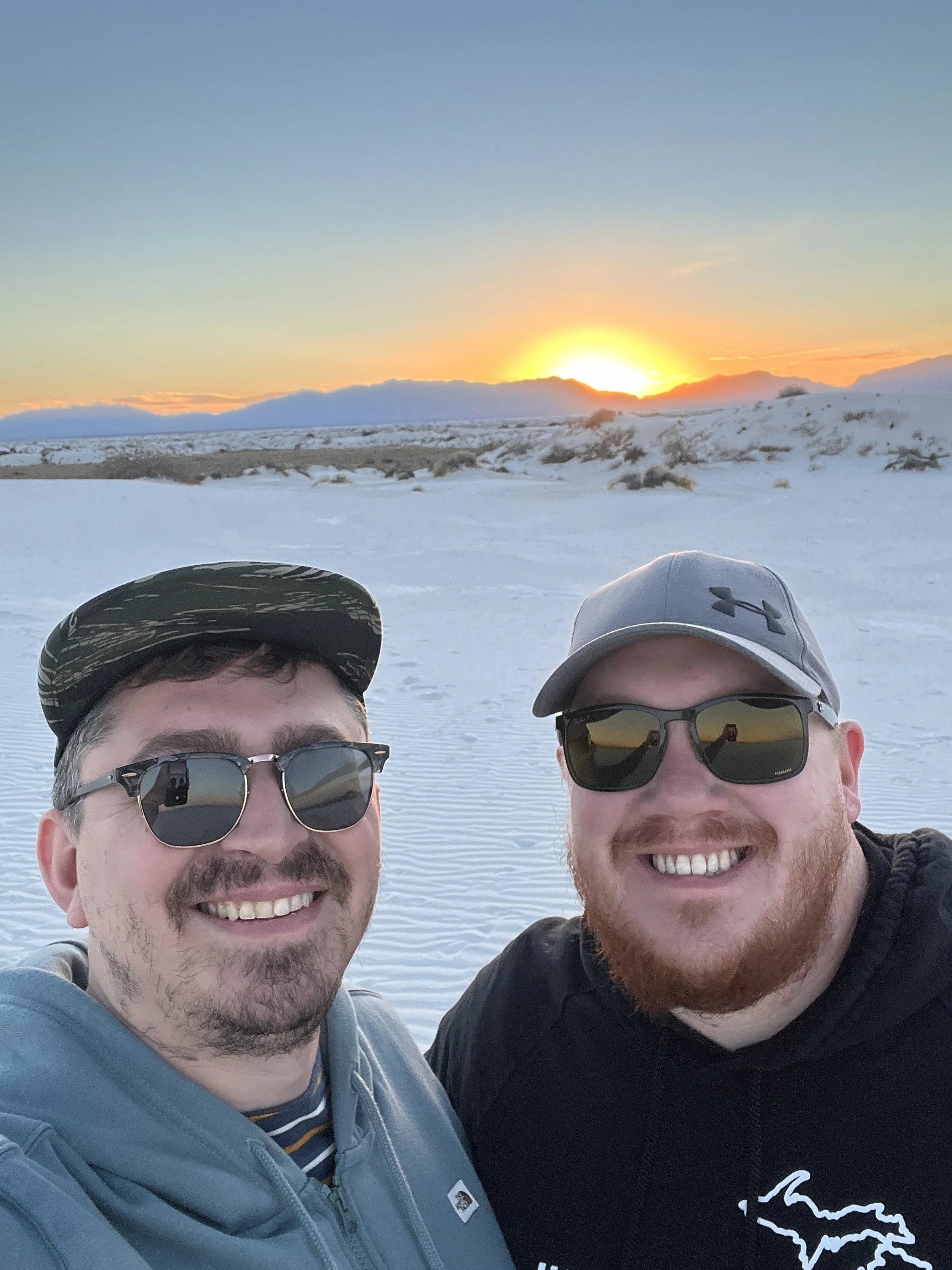
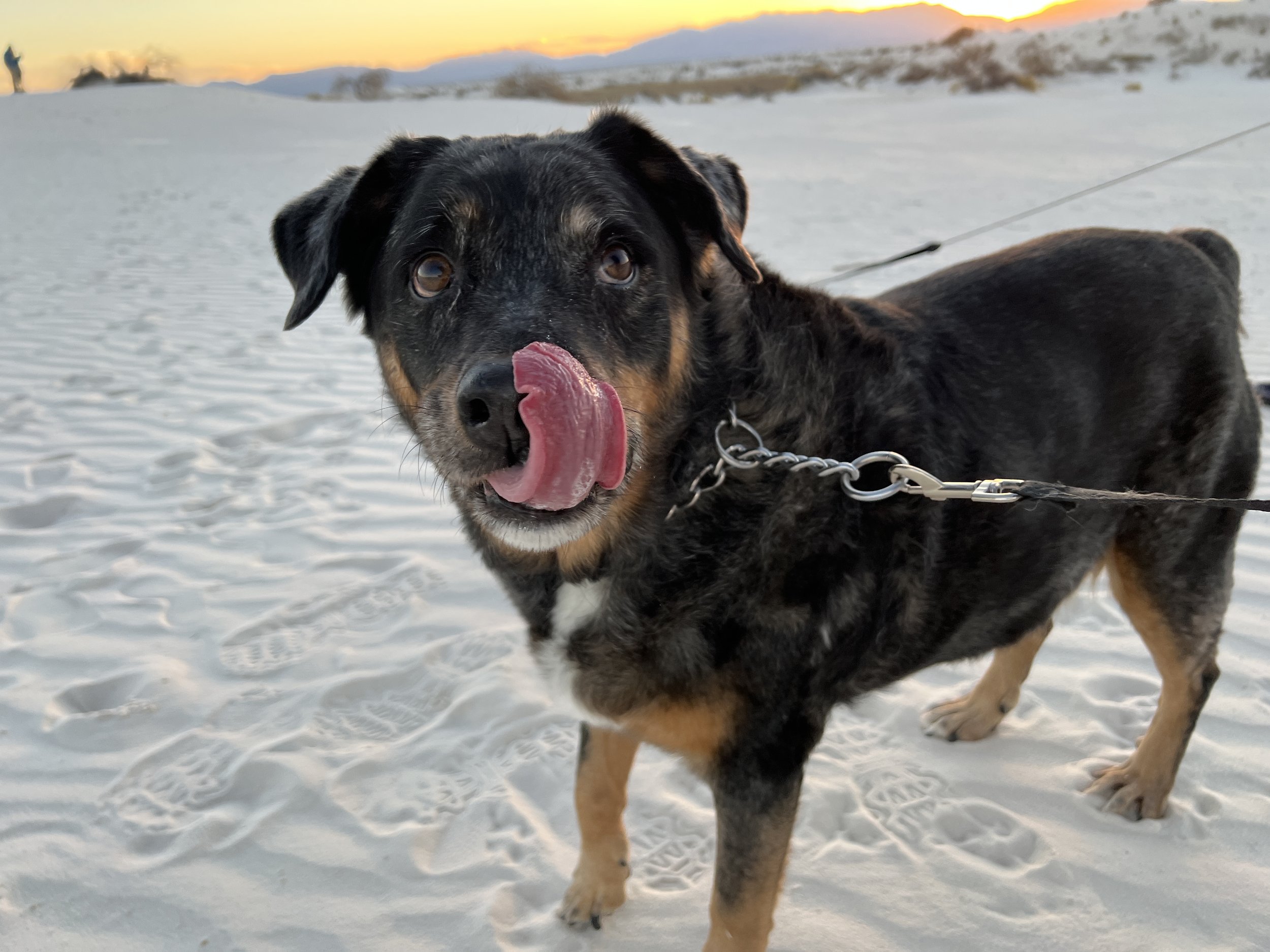
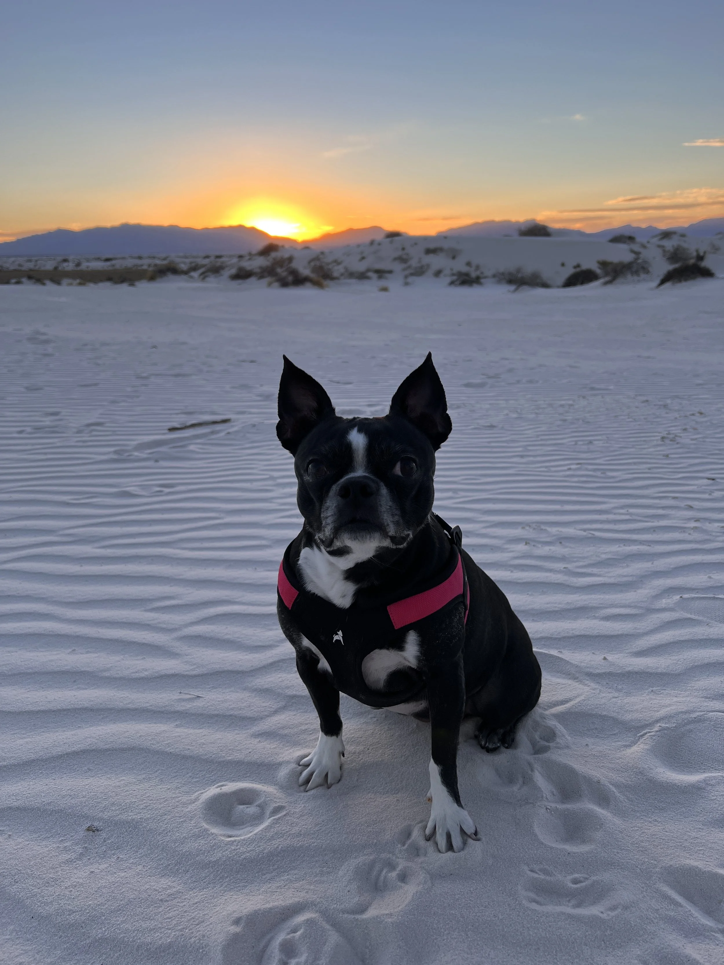
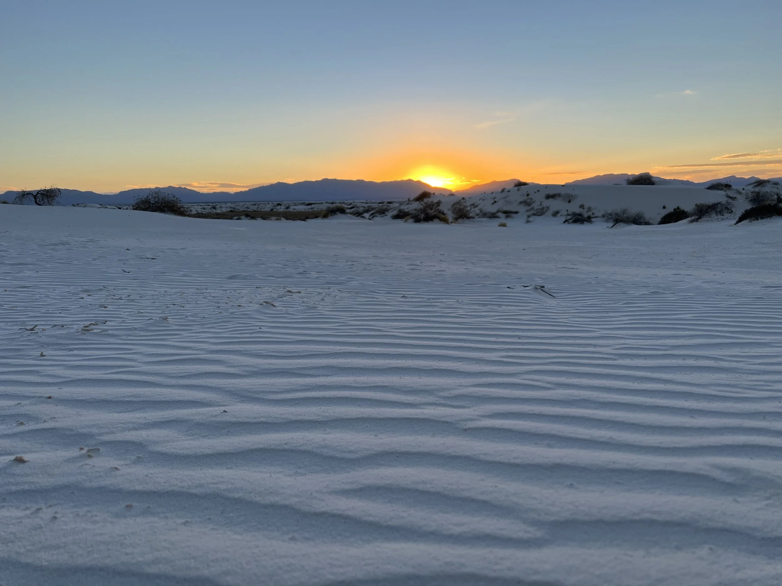
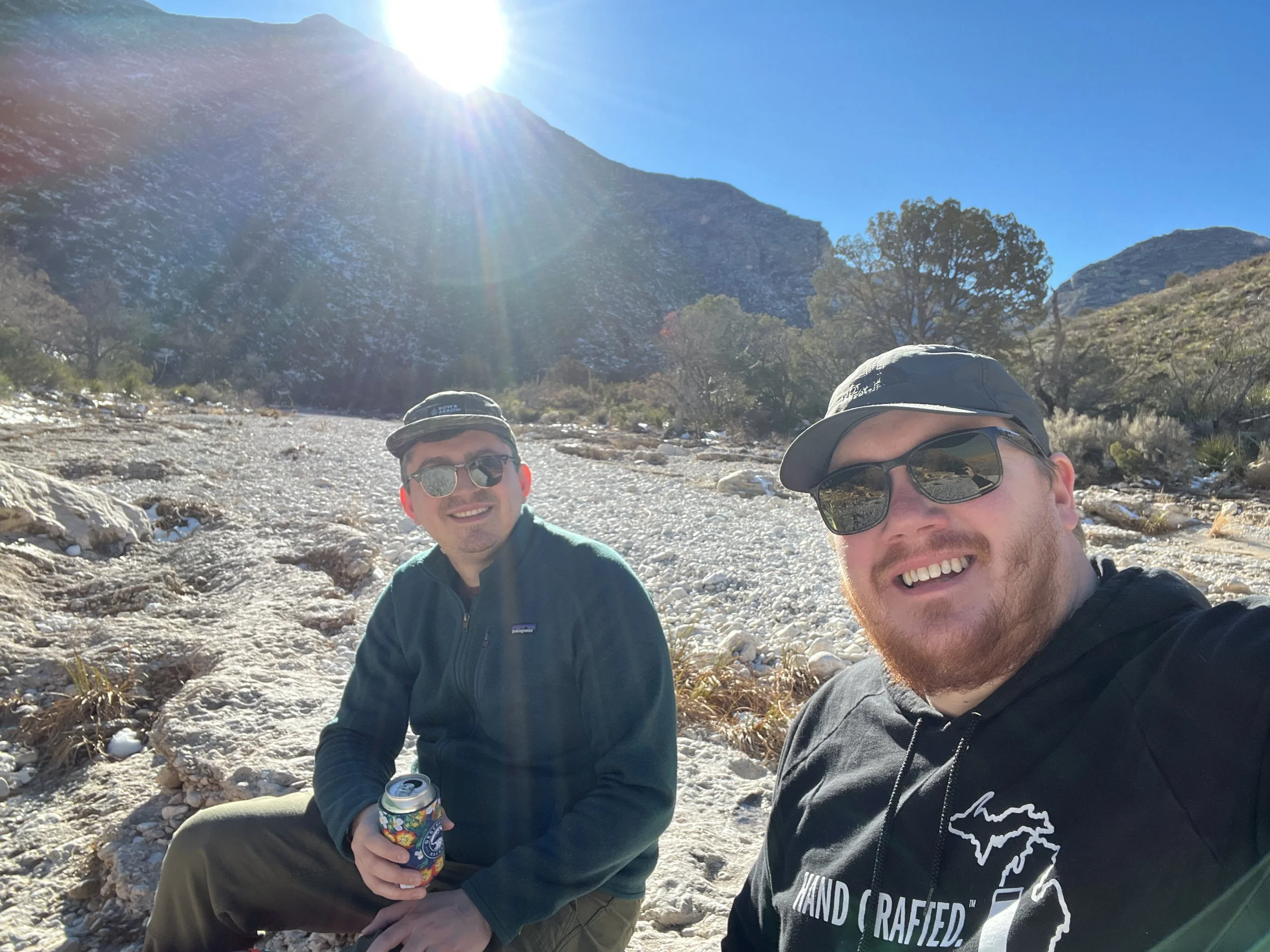
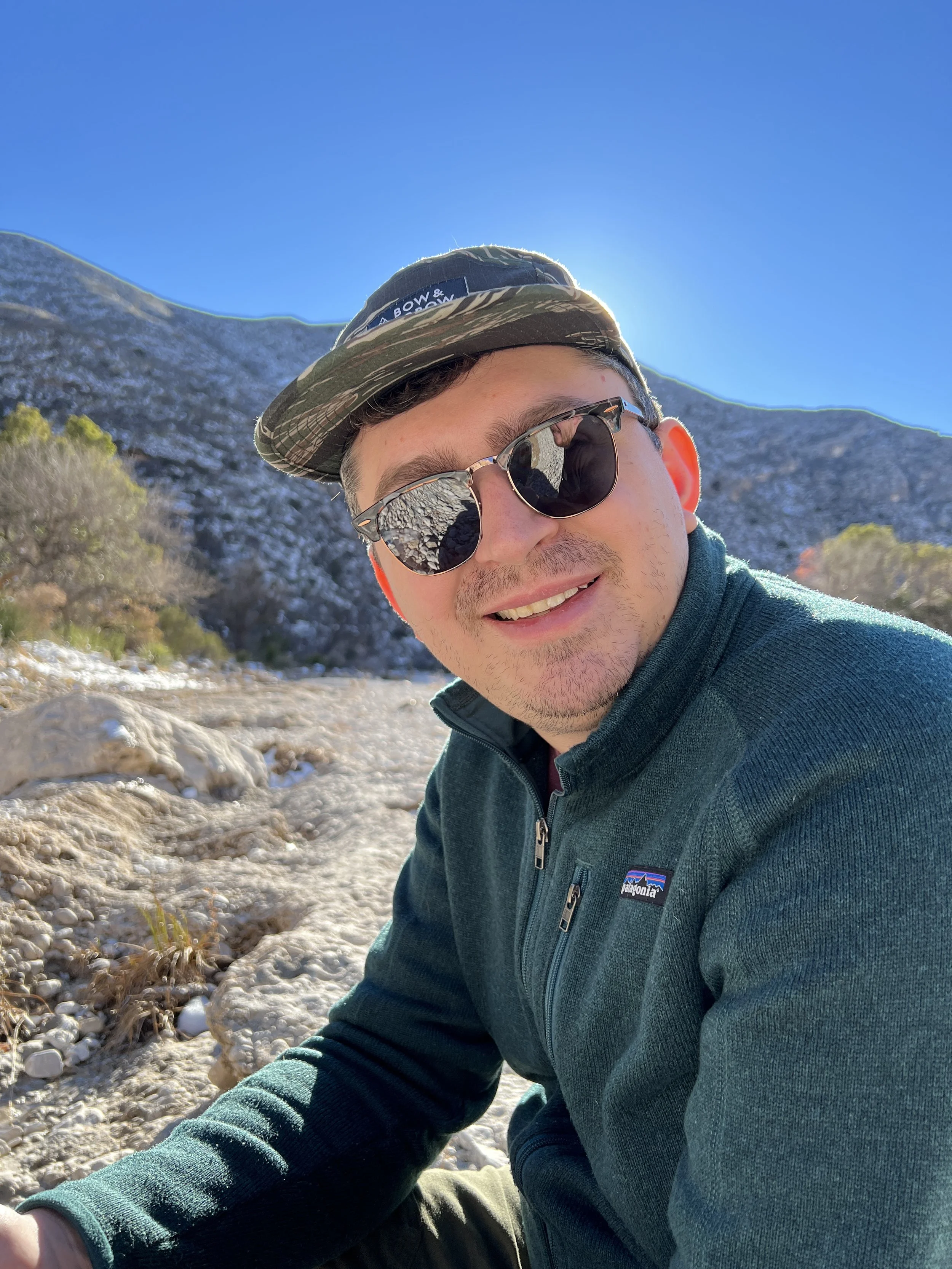
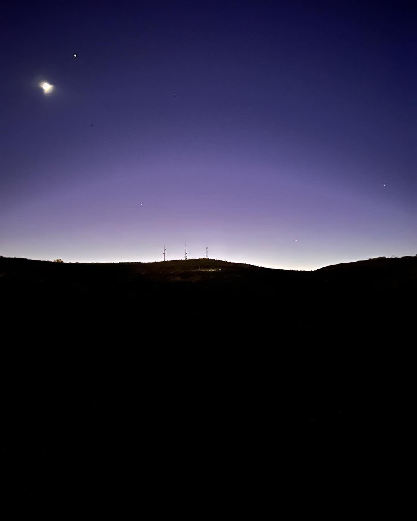
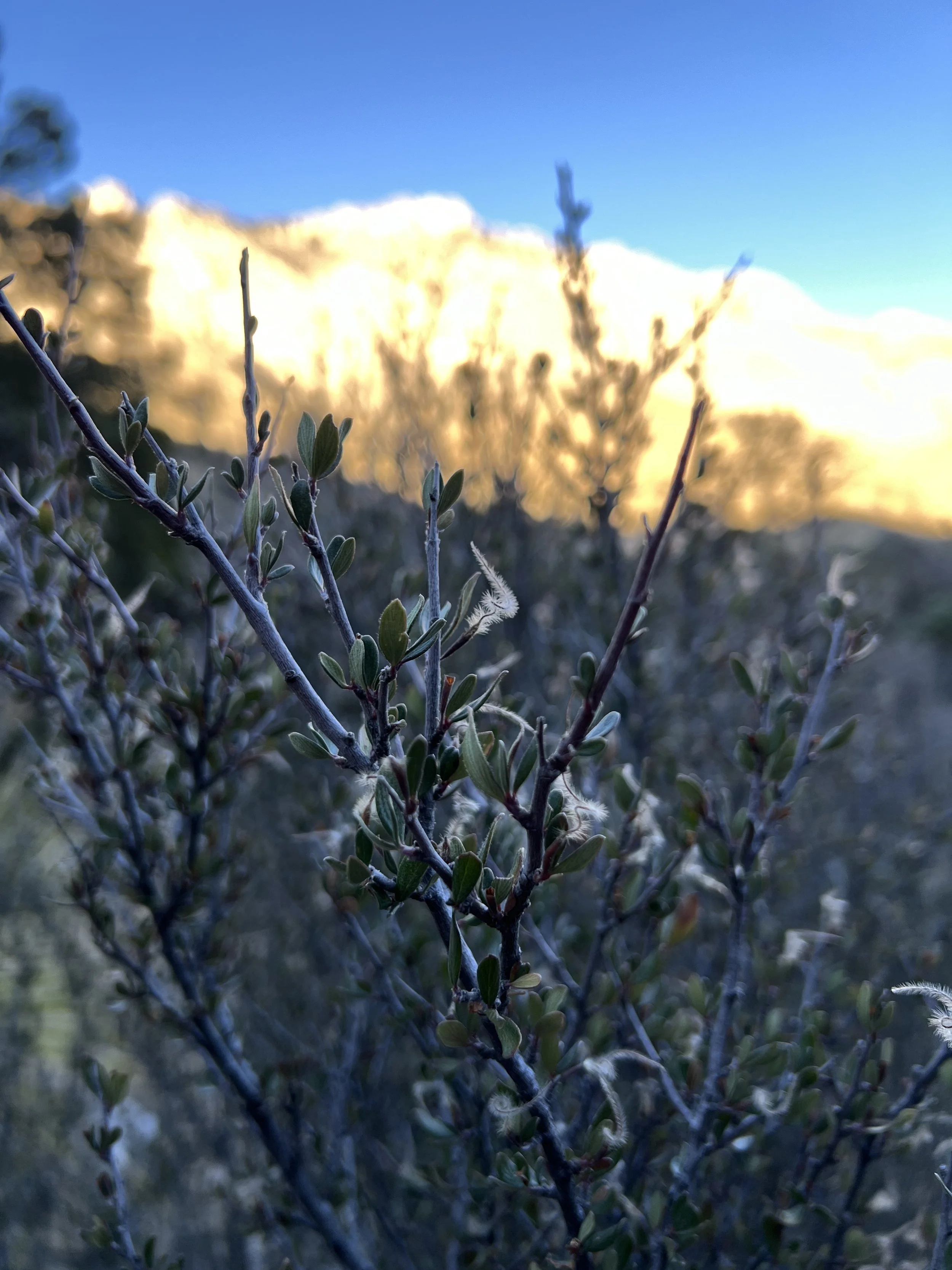
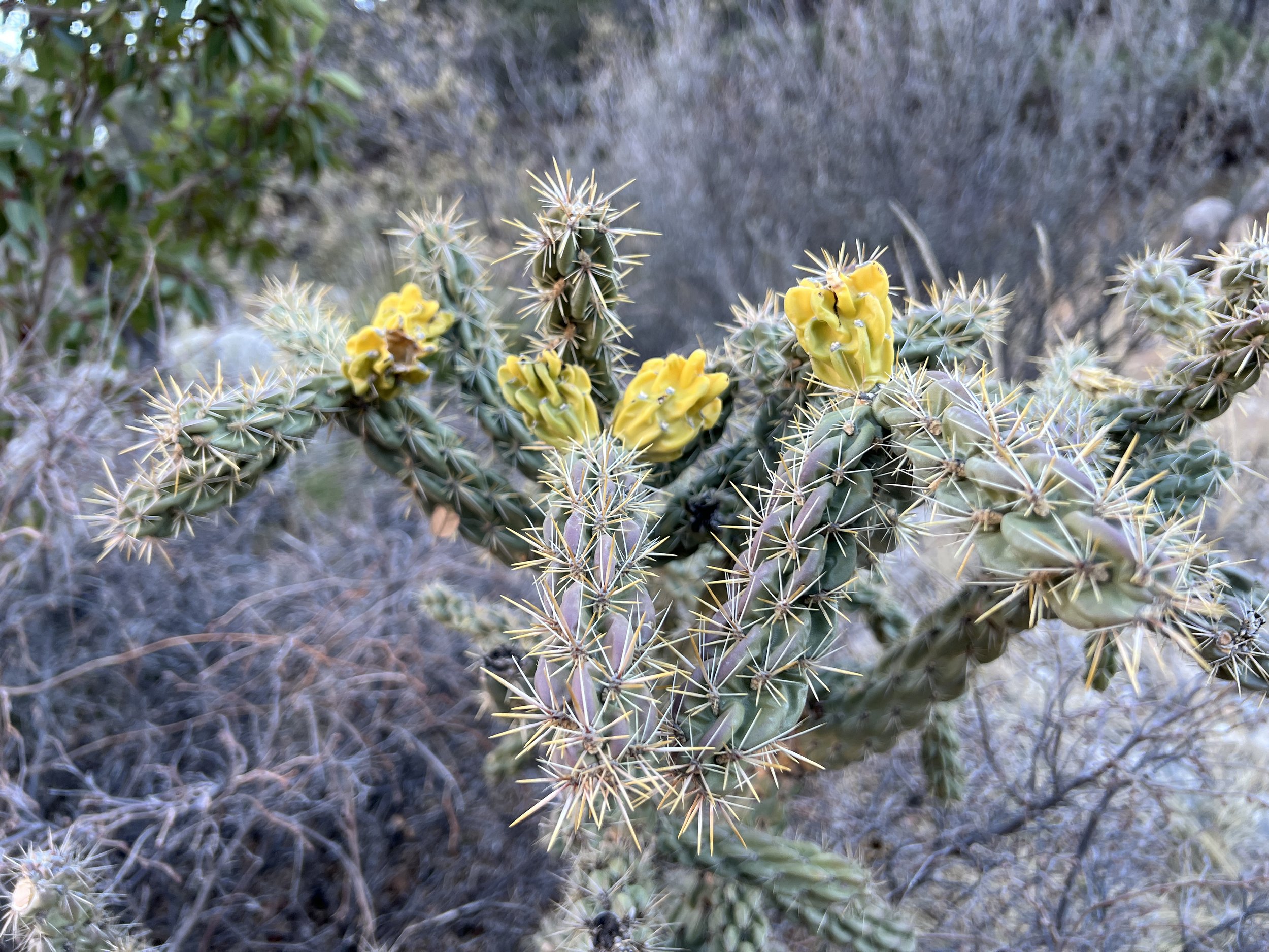
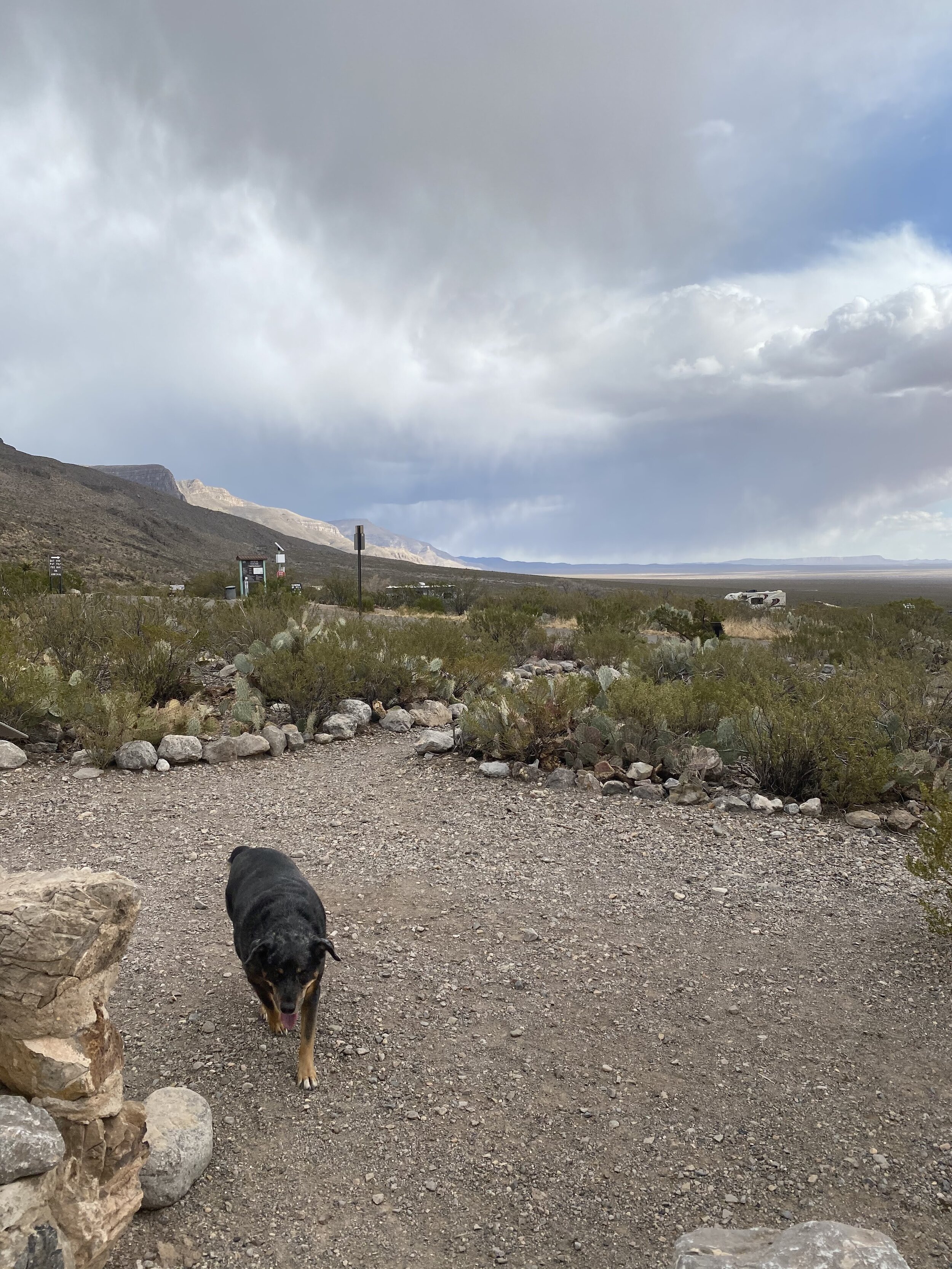
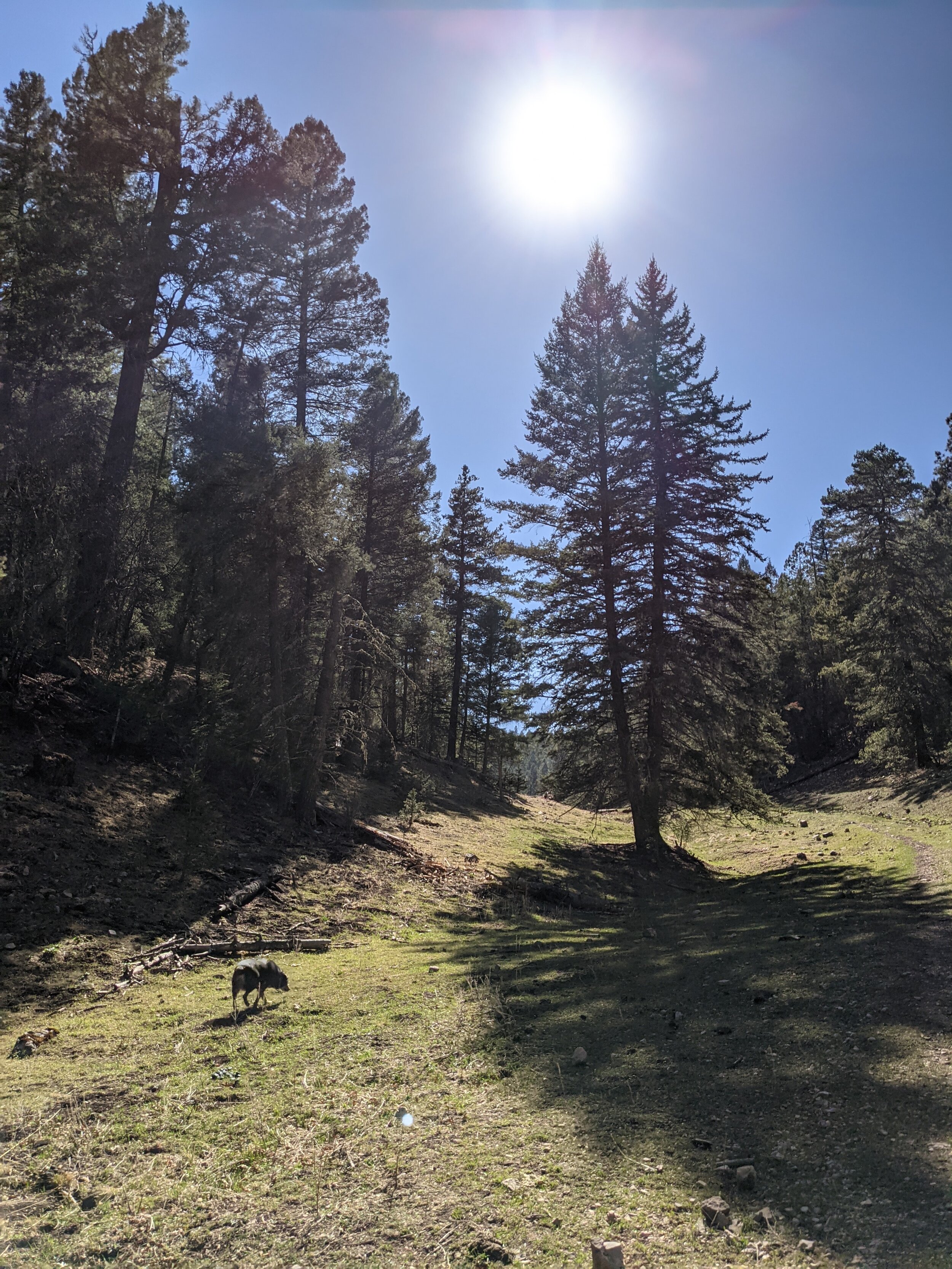
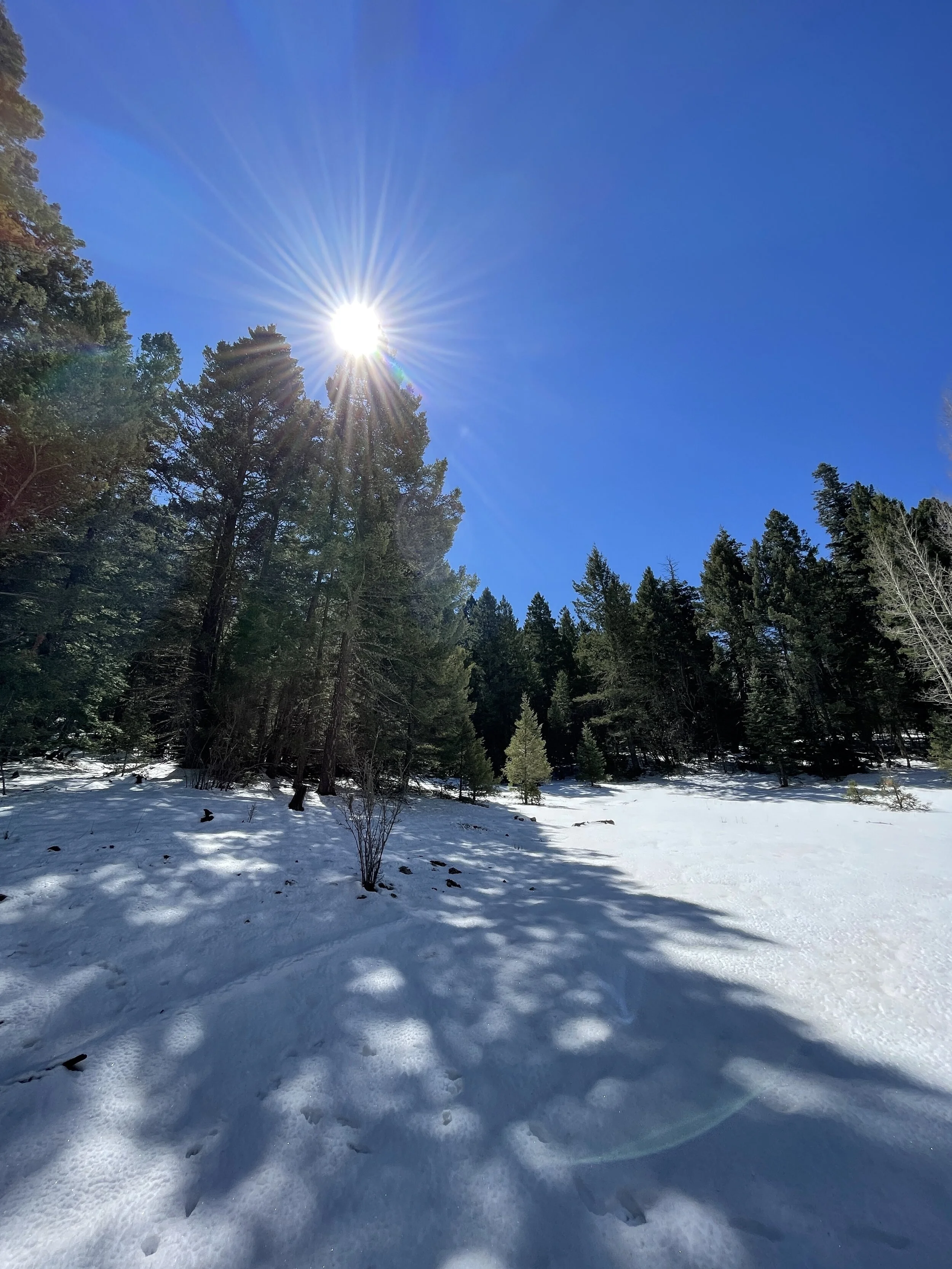
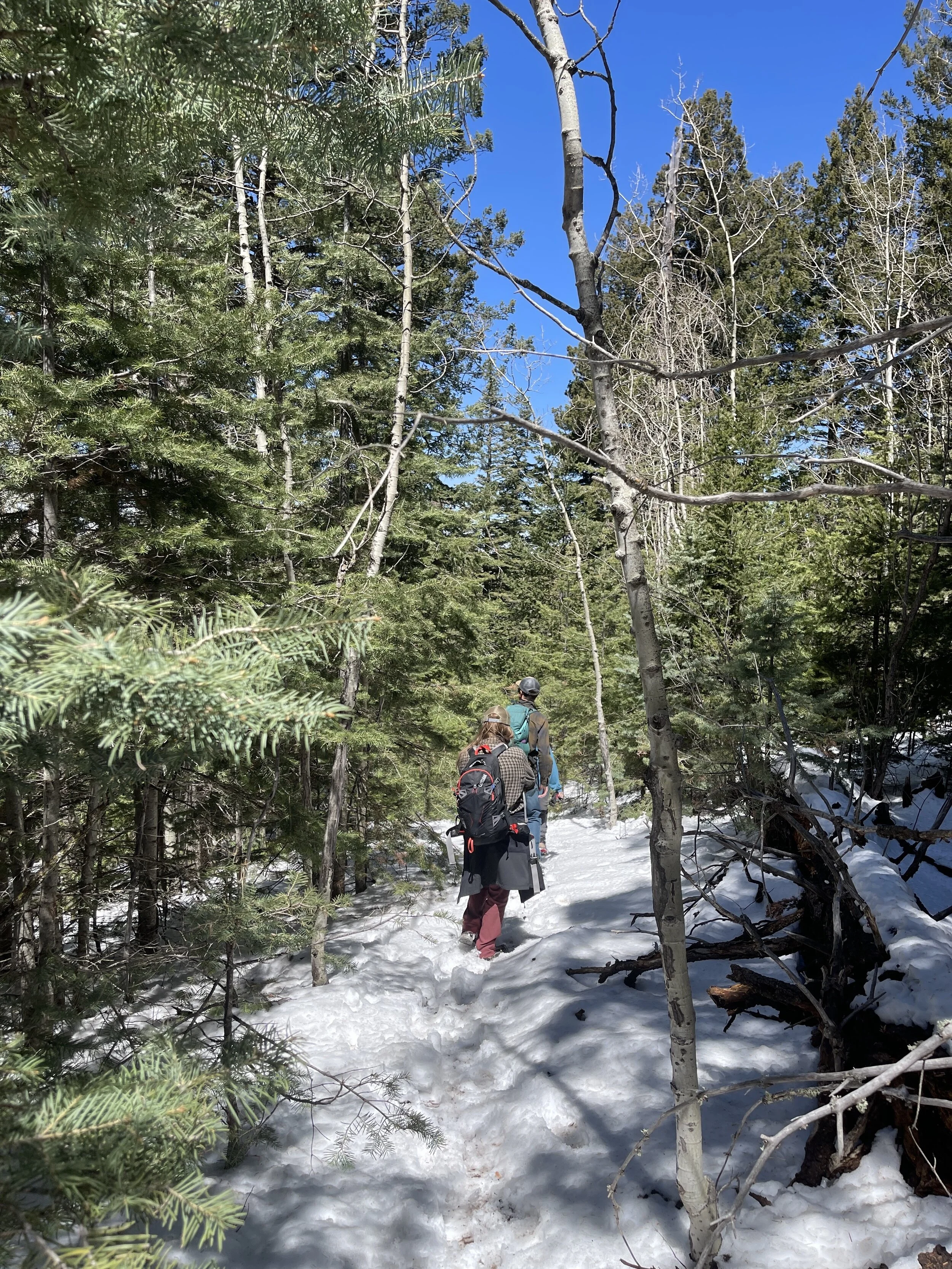
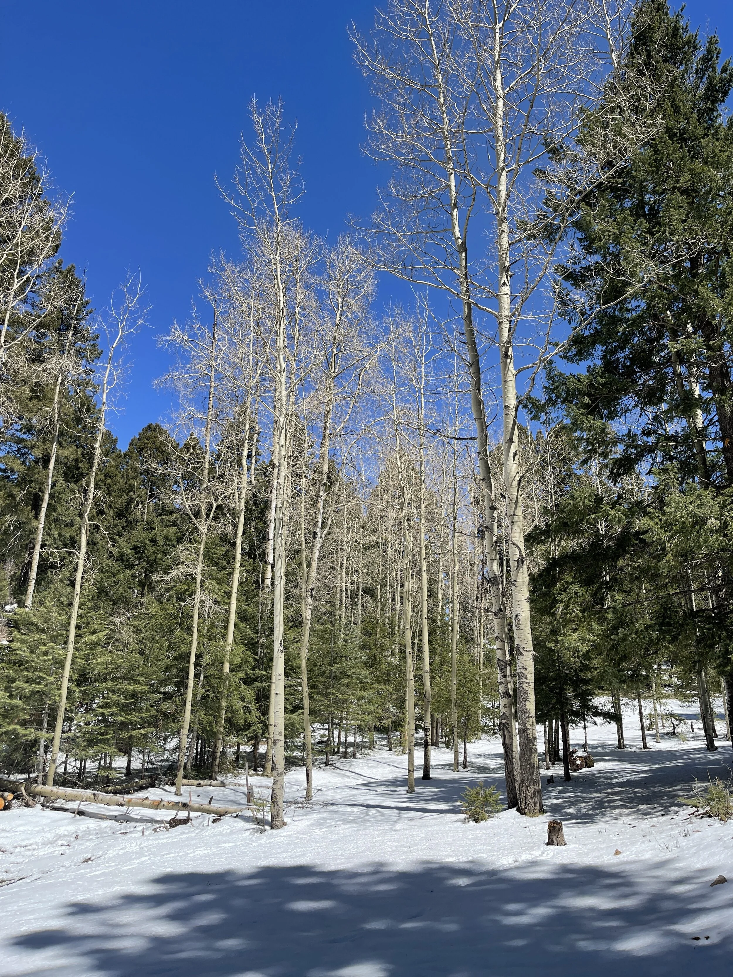
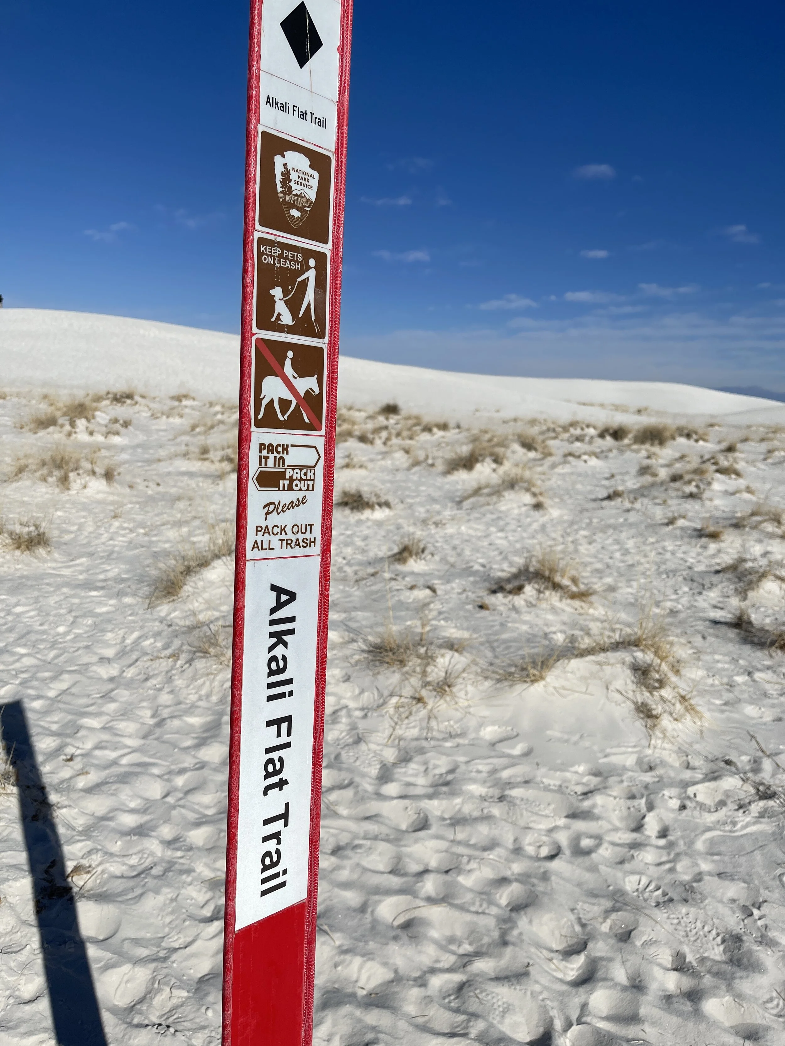
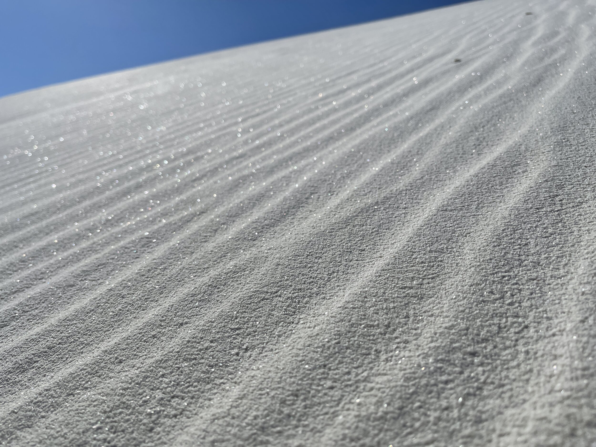
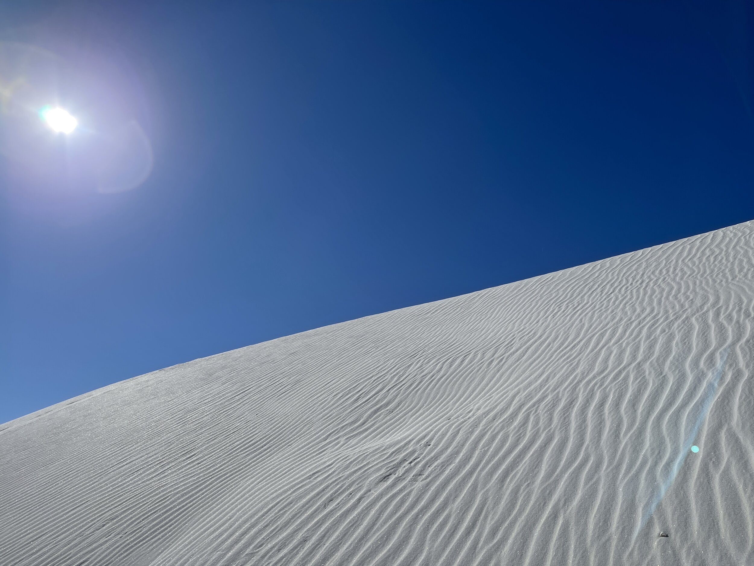
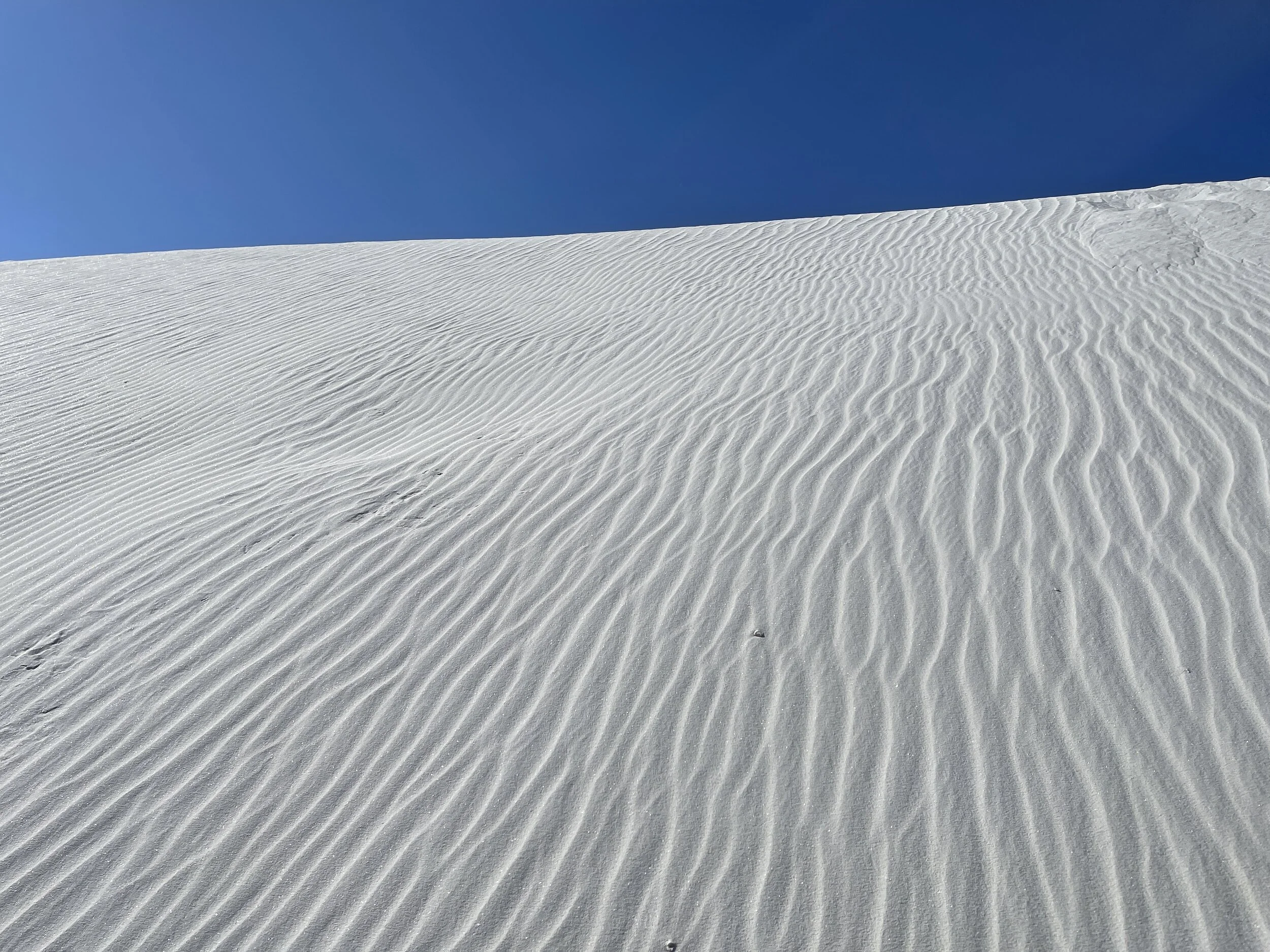
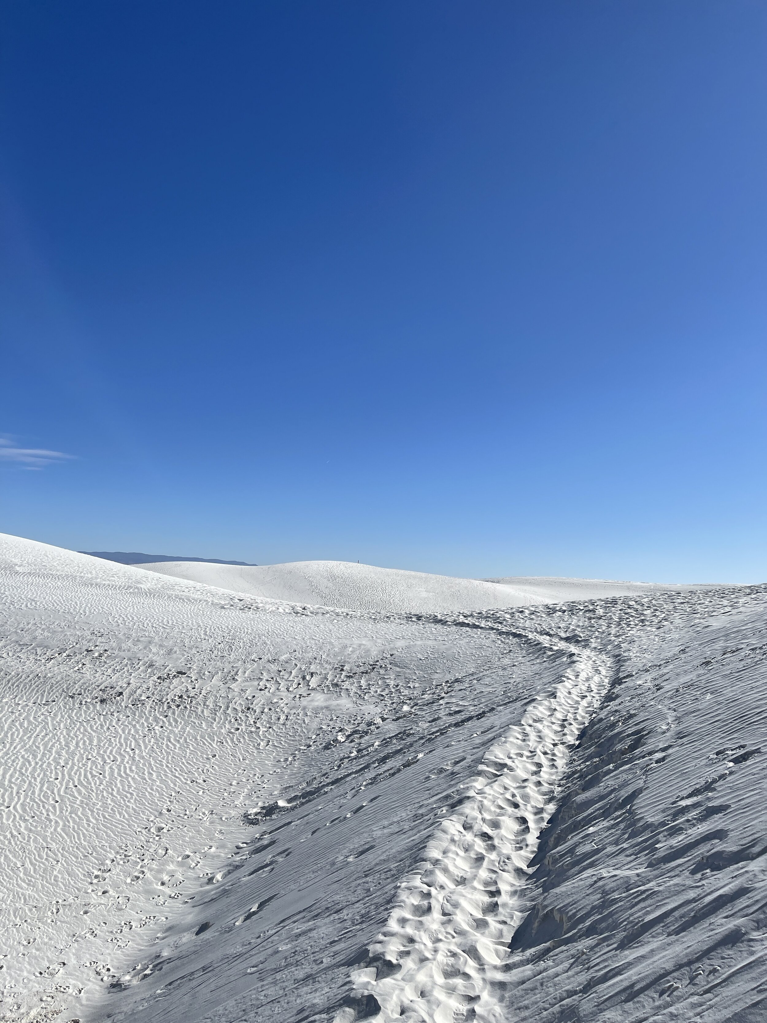
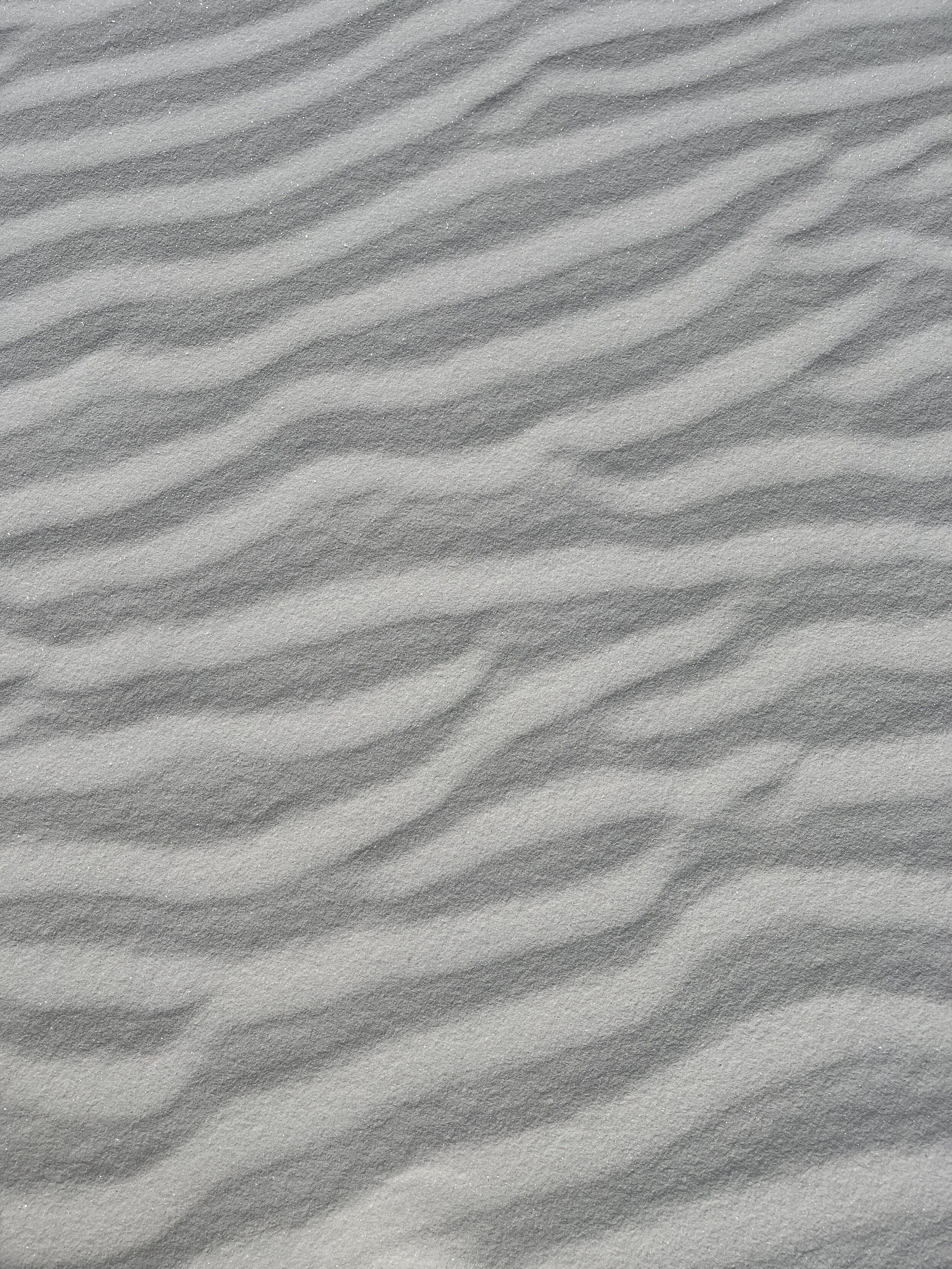
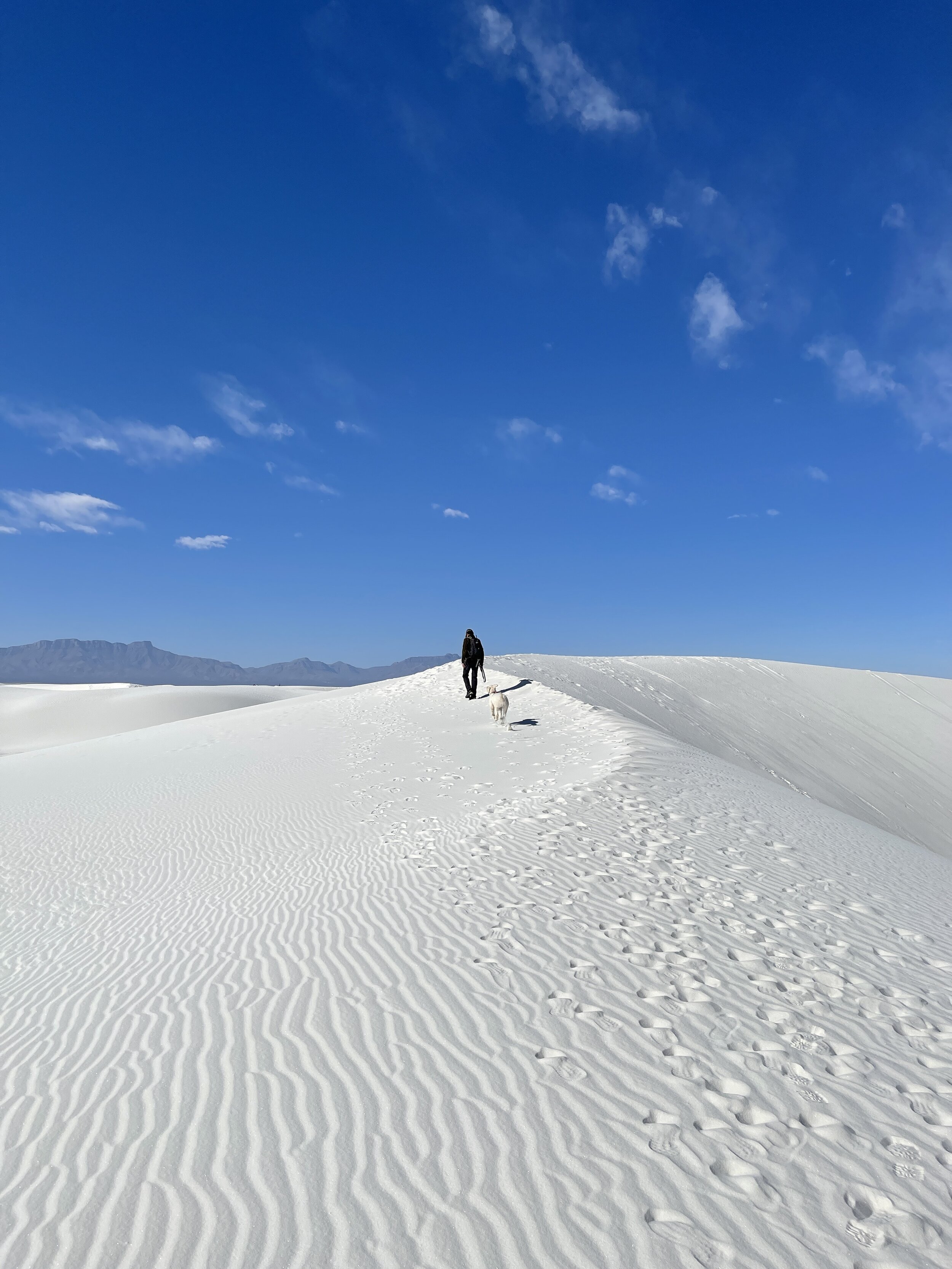
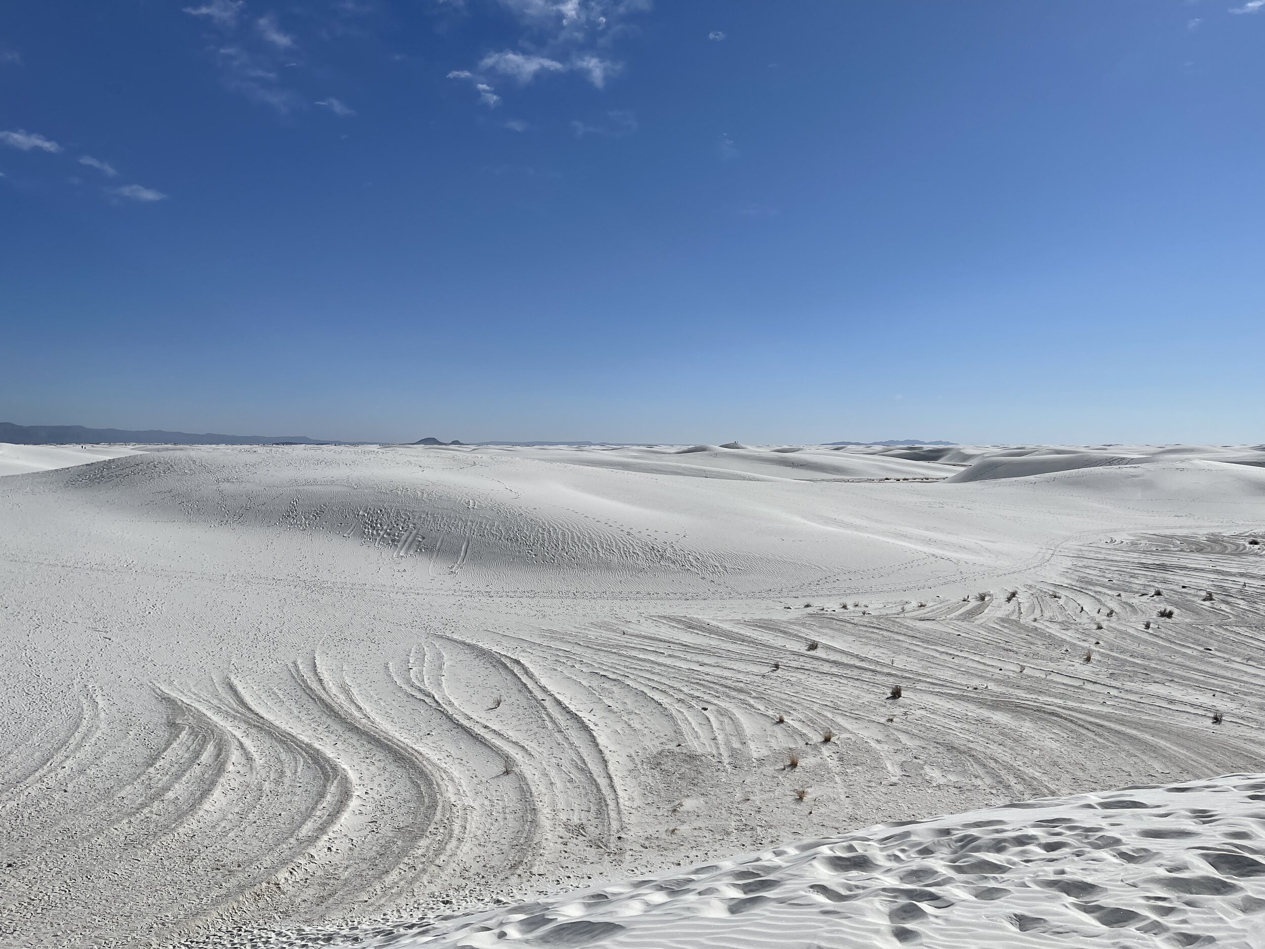
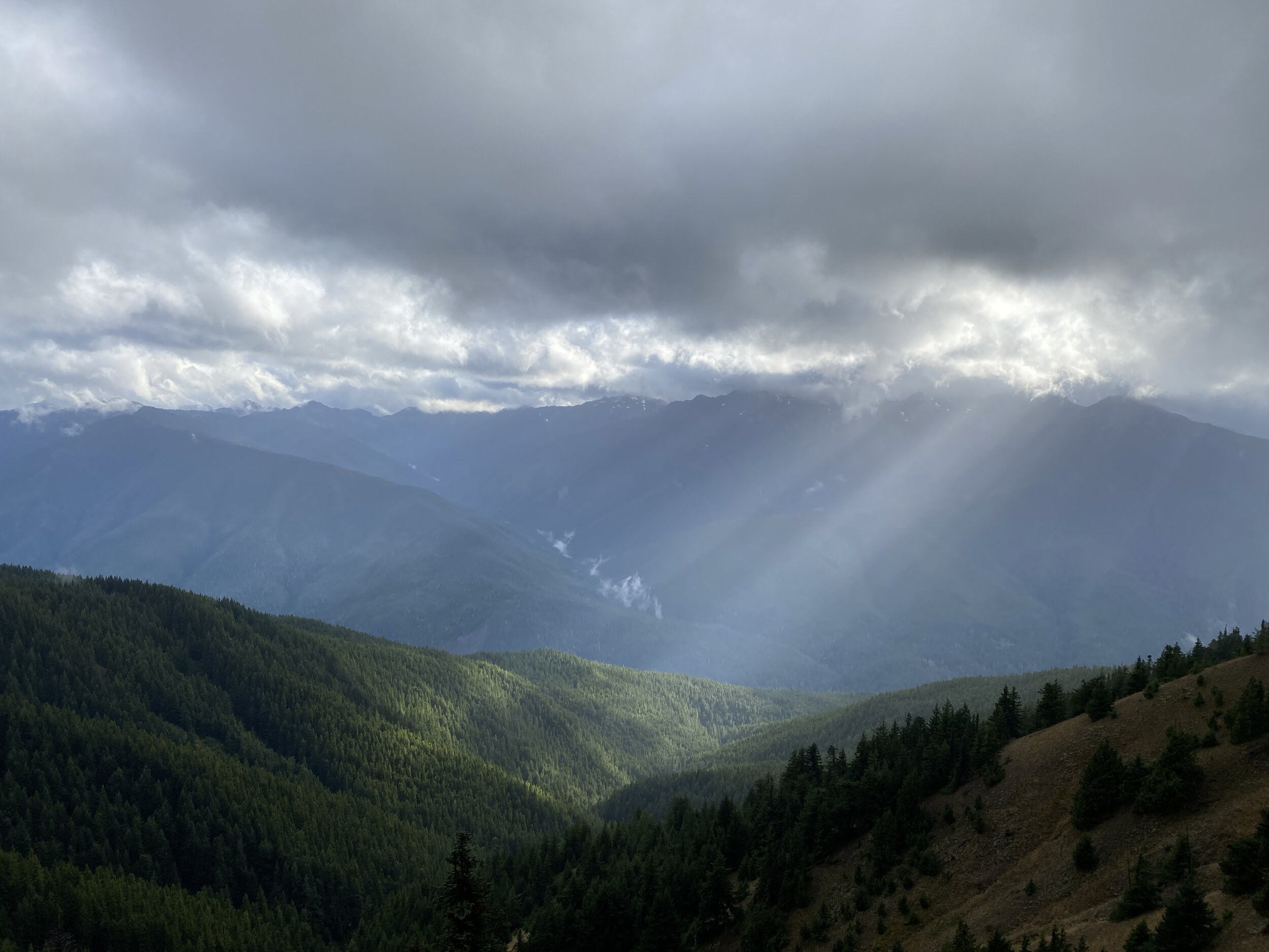
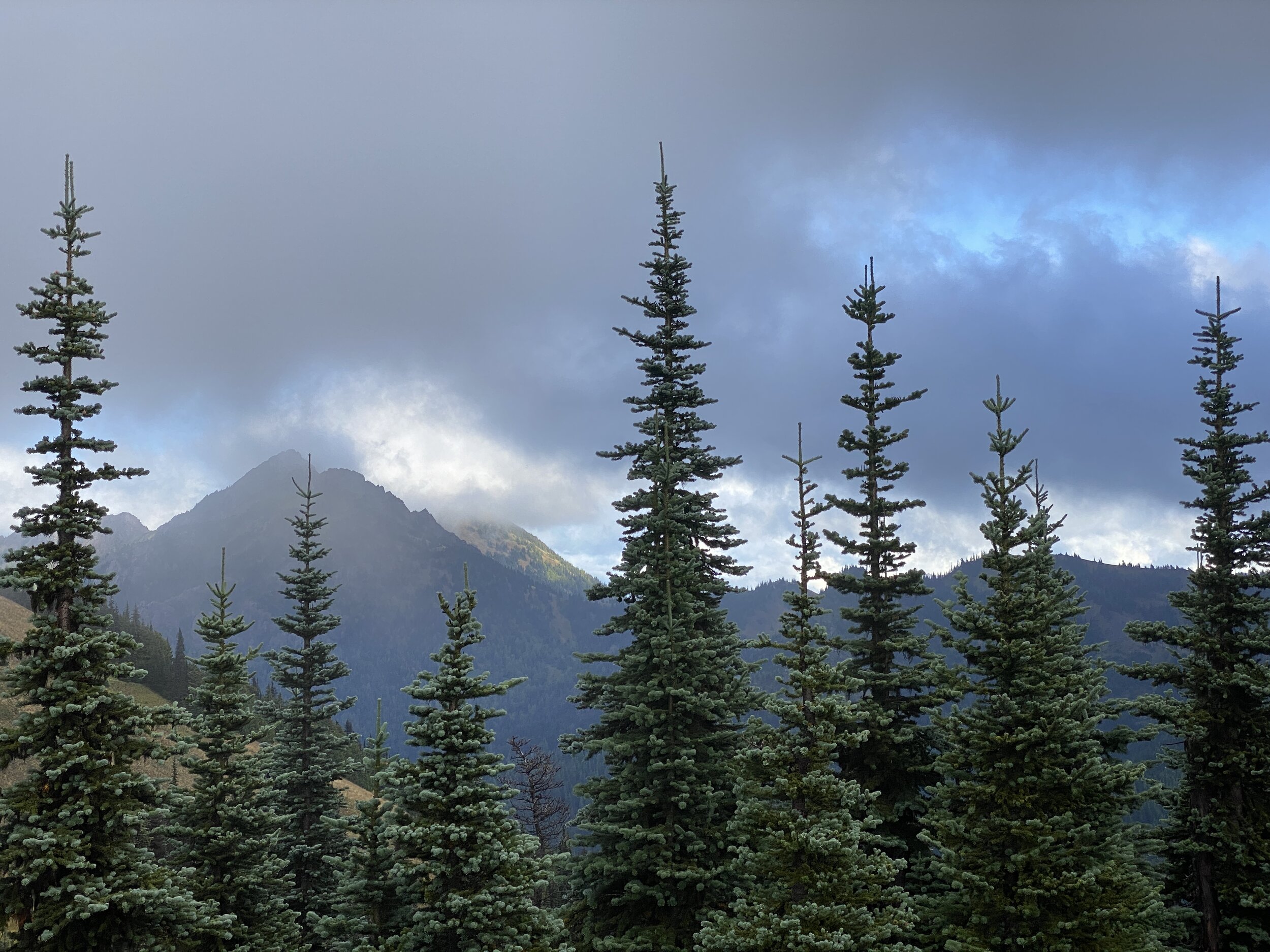
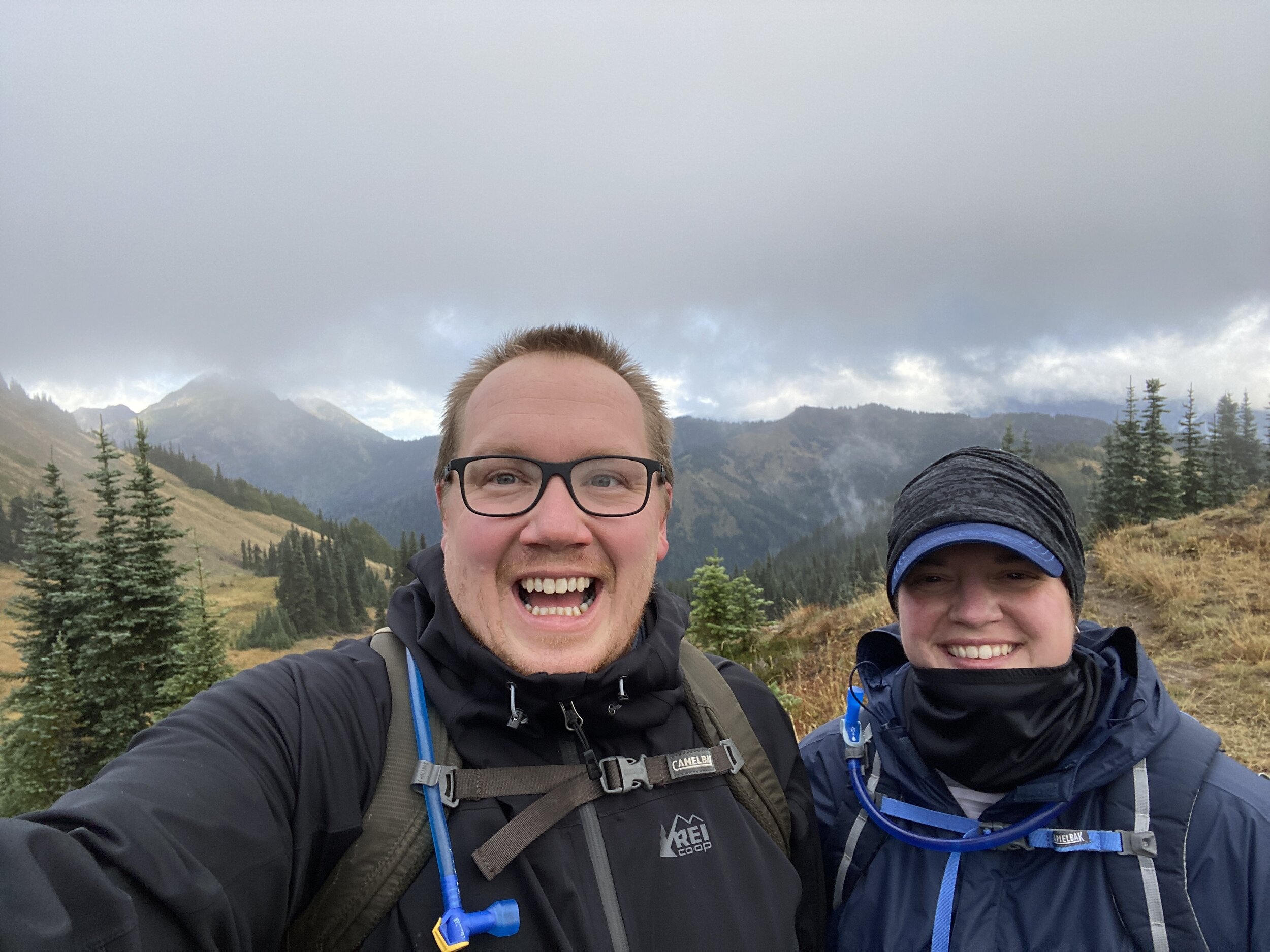
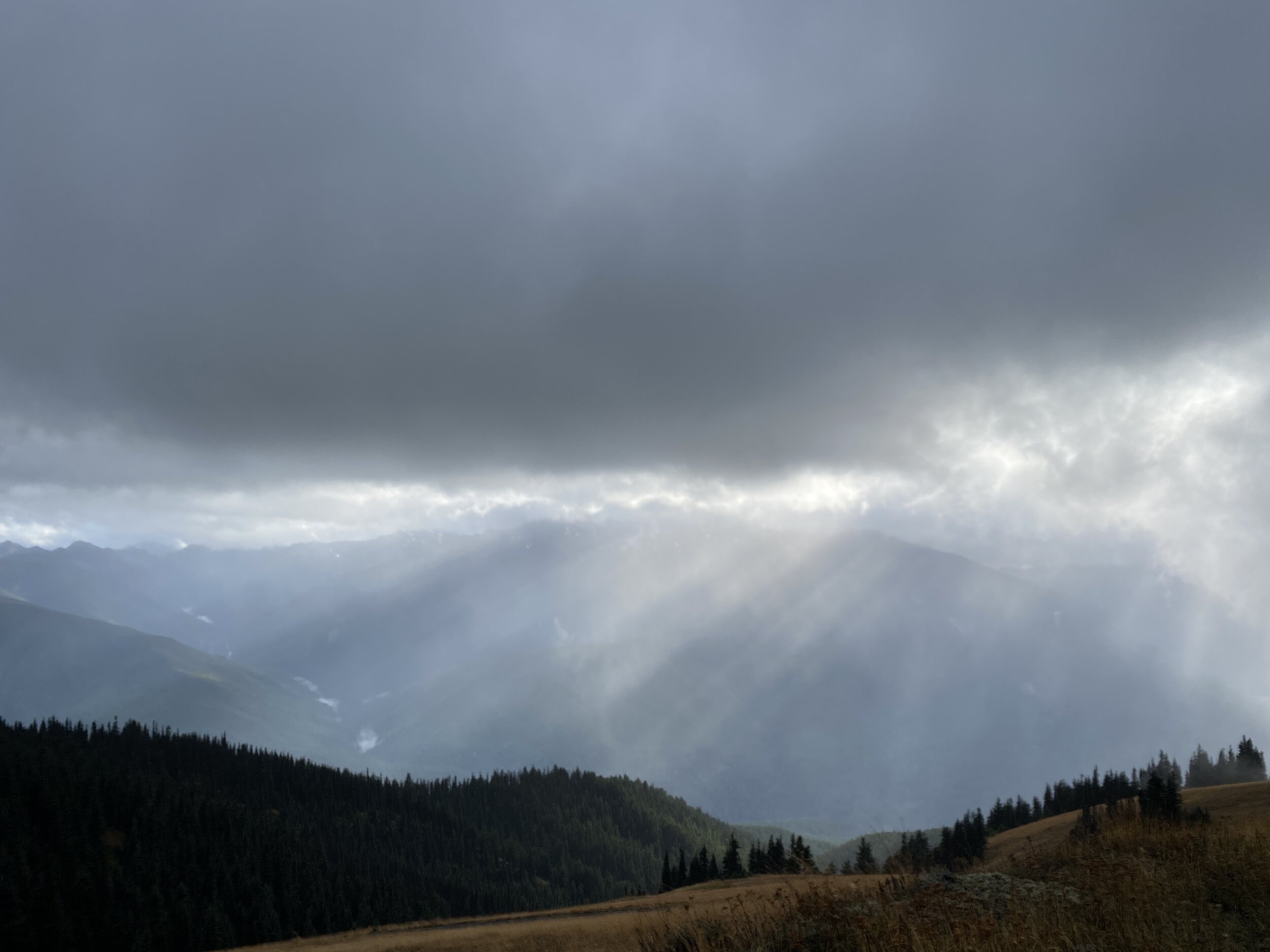
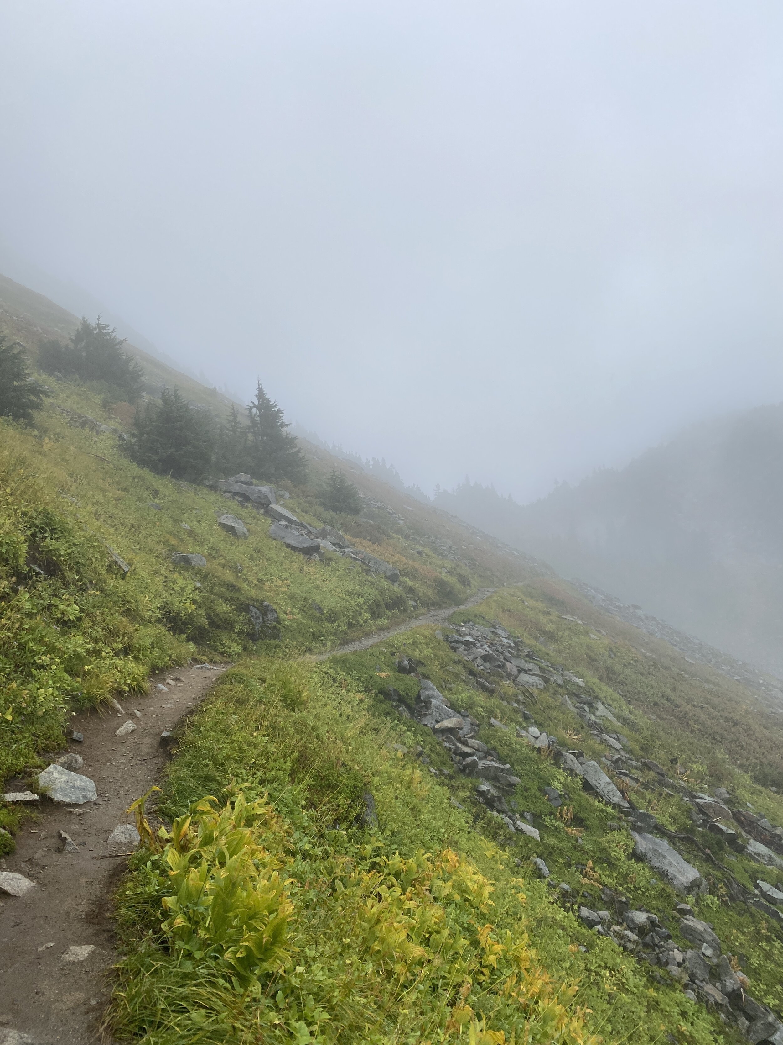
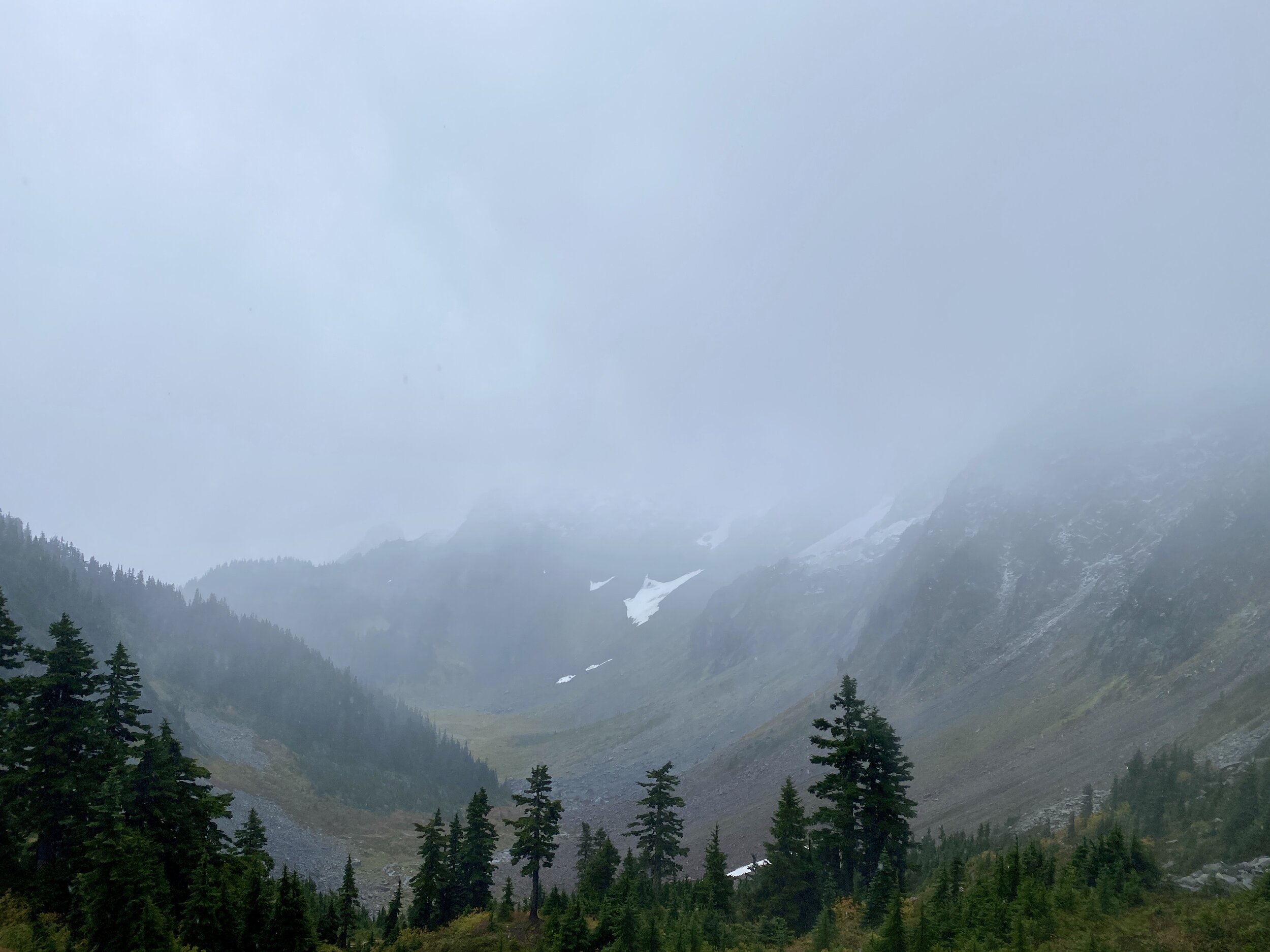
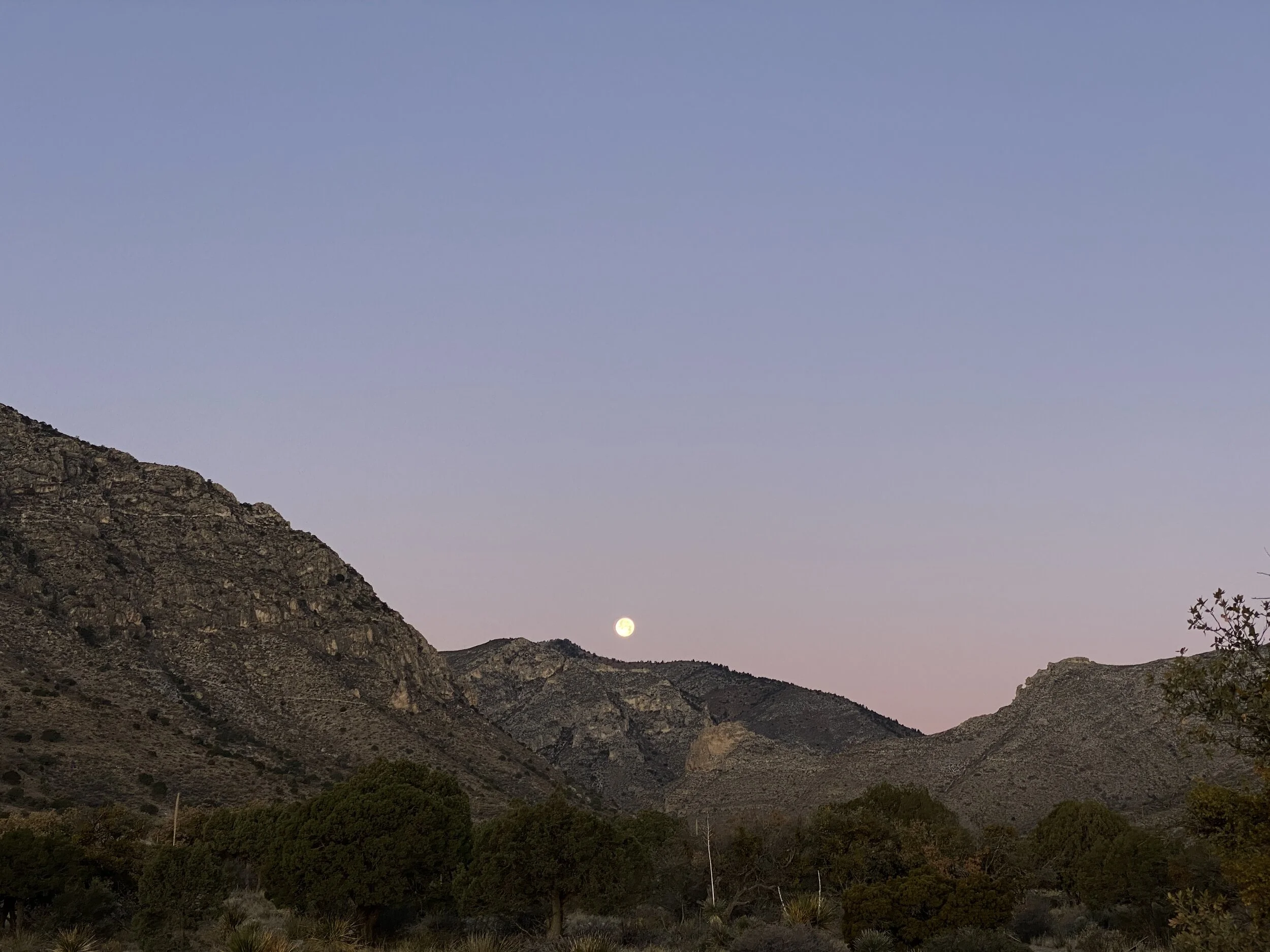
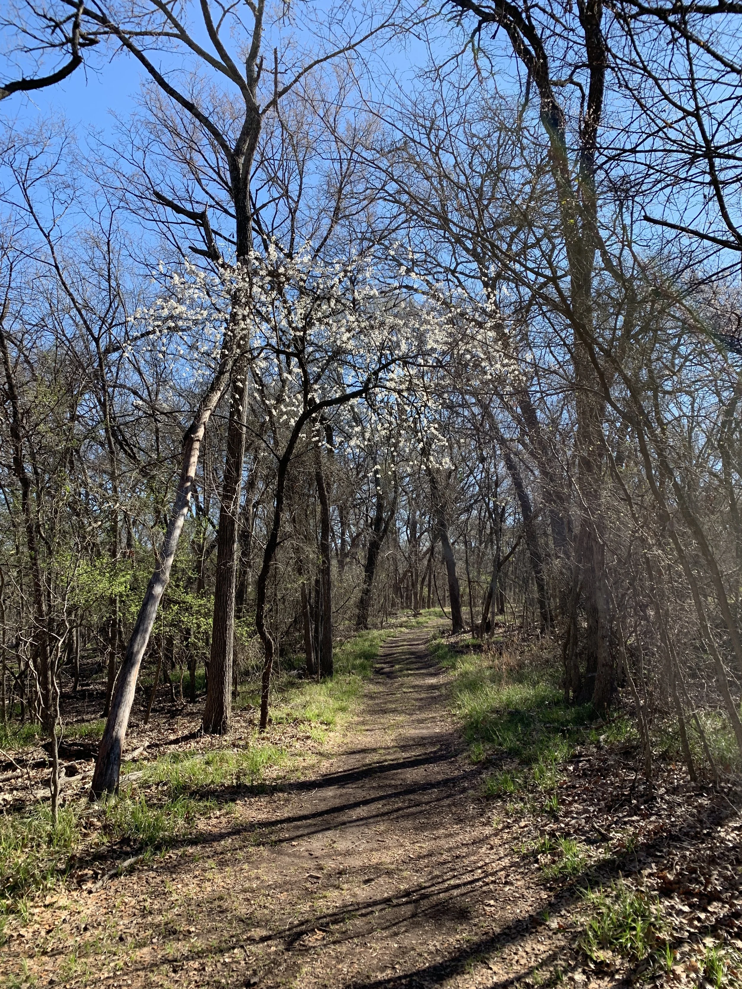
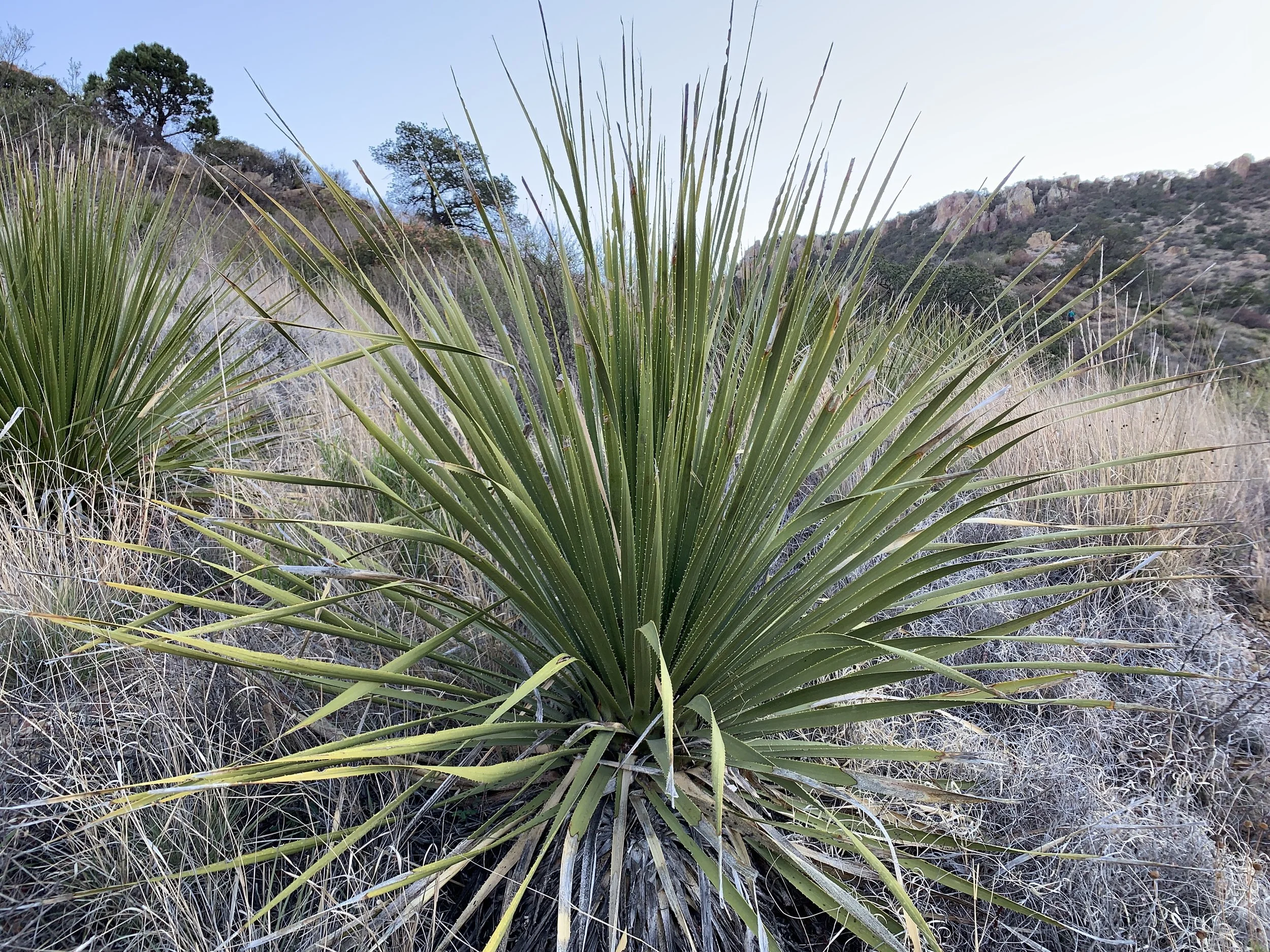
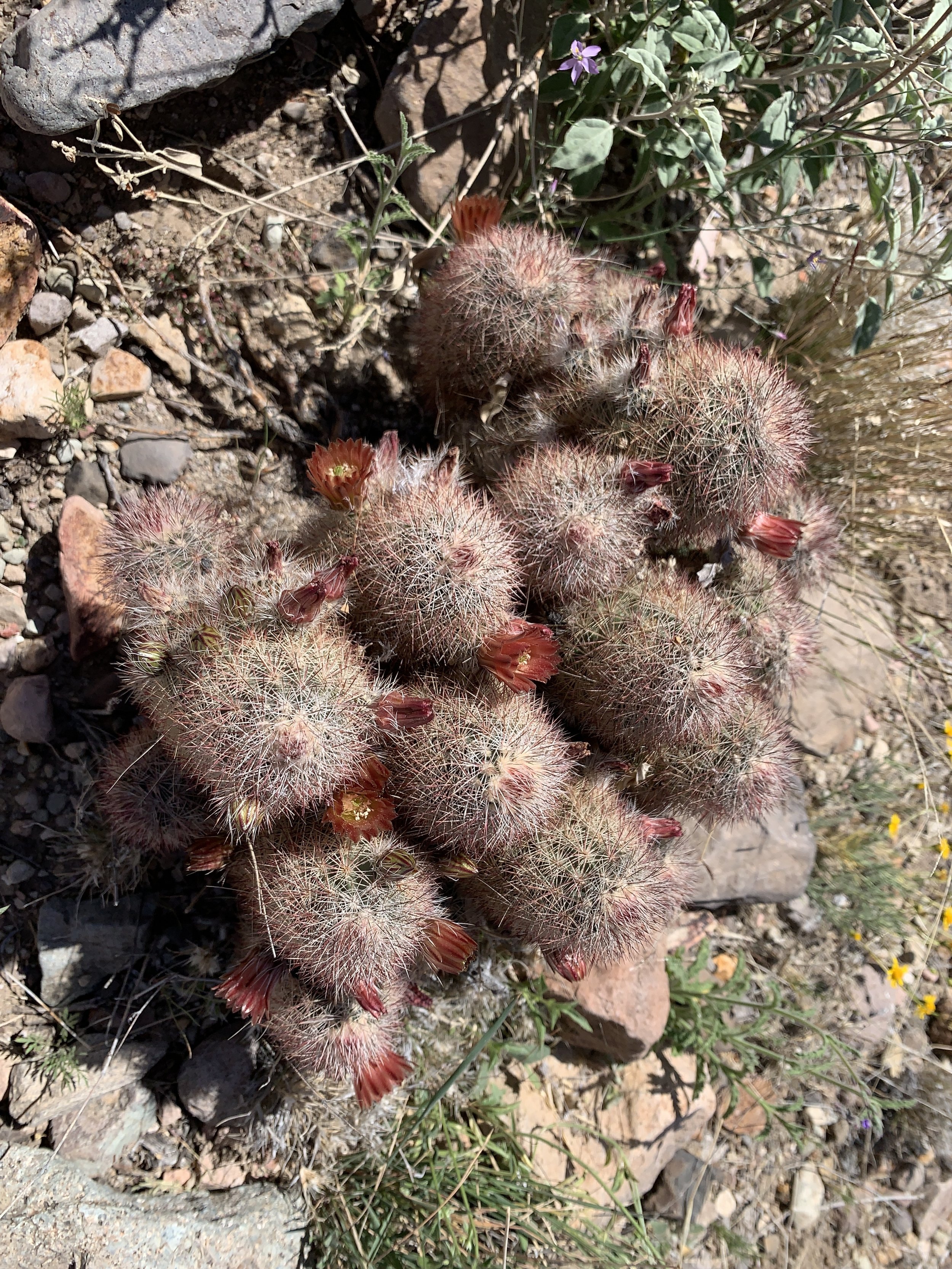
Activity 7/52 - Hike - White Sands NP (Alamogordo, NM)
Distance/Time: 1 mile
On our last weekend in New Mexico, we hit up our third national park together for a sunset hike on the dunes. It was a cute little stroll with the dogs. The amount of people on a Sunday night was a bit shocking, but it was sunset on a holiday weekend.
2022 Activities 3 and 4
The first weekend of February brought us closer to being “on track” for our 52 hike challenge. This coming weekend will bring a few more hikes and then we’ll be mostly good to go moving forward. We visited two nearby national parks and they did not disappoint. Happy hiking!
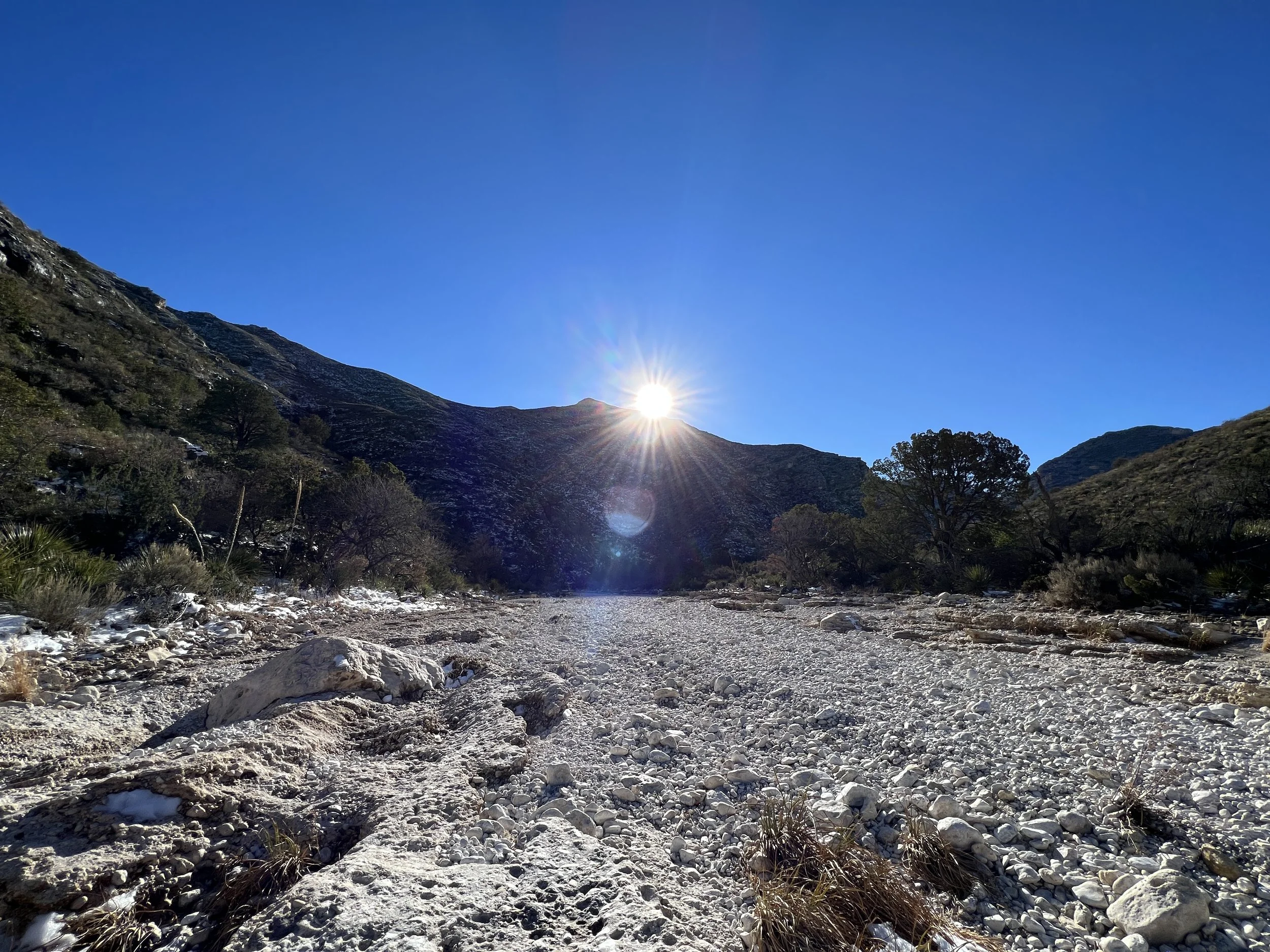
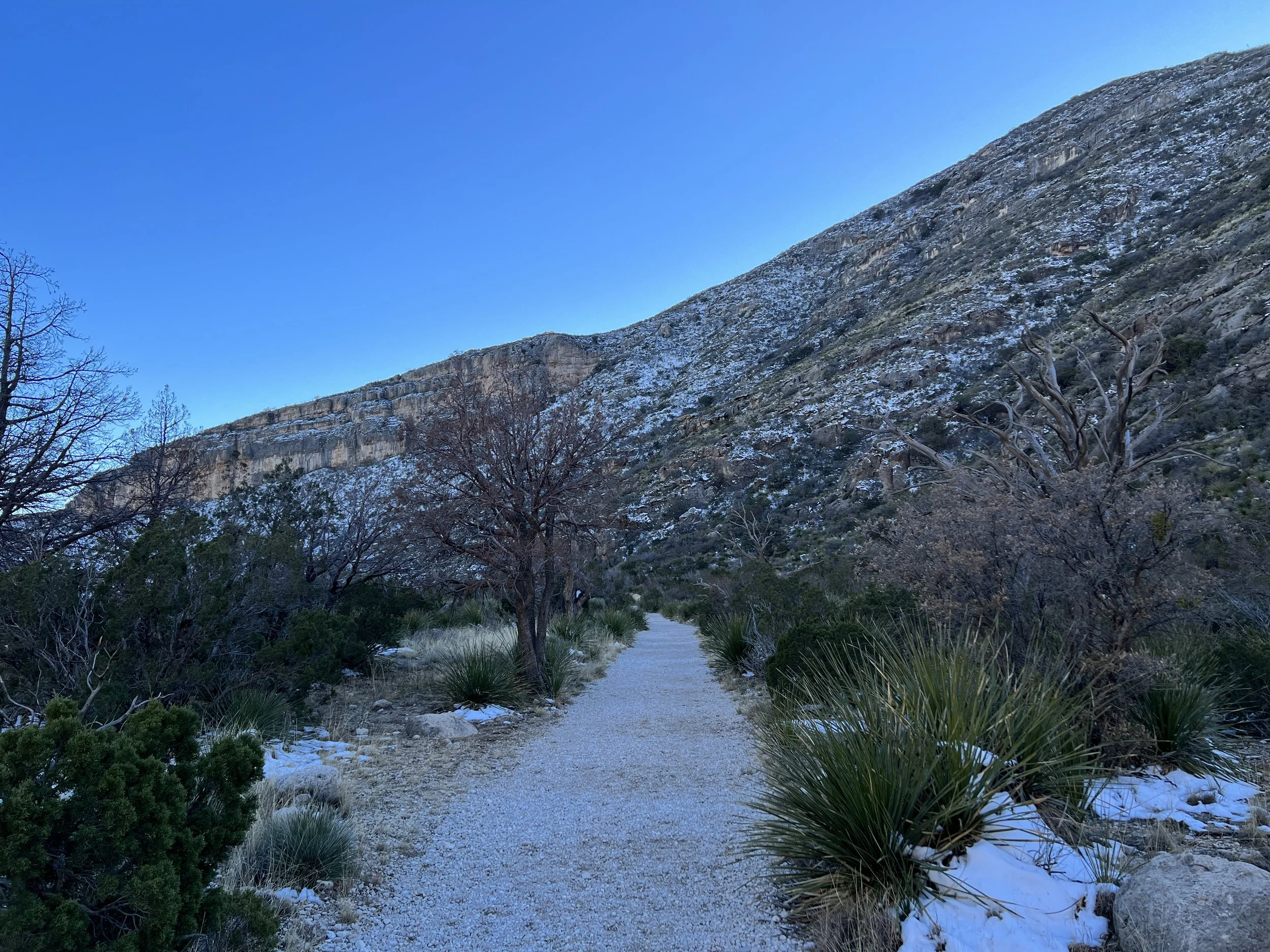
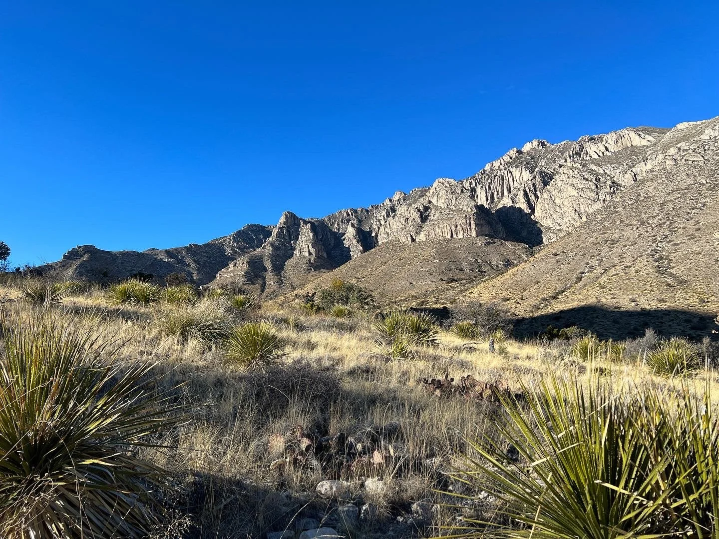
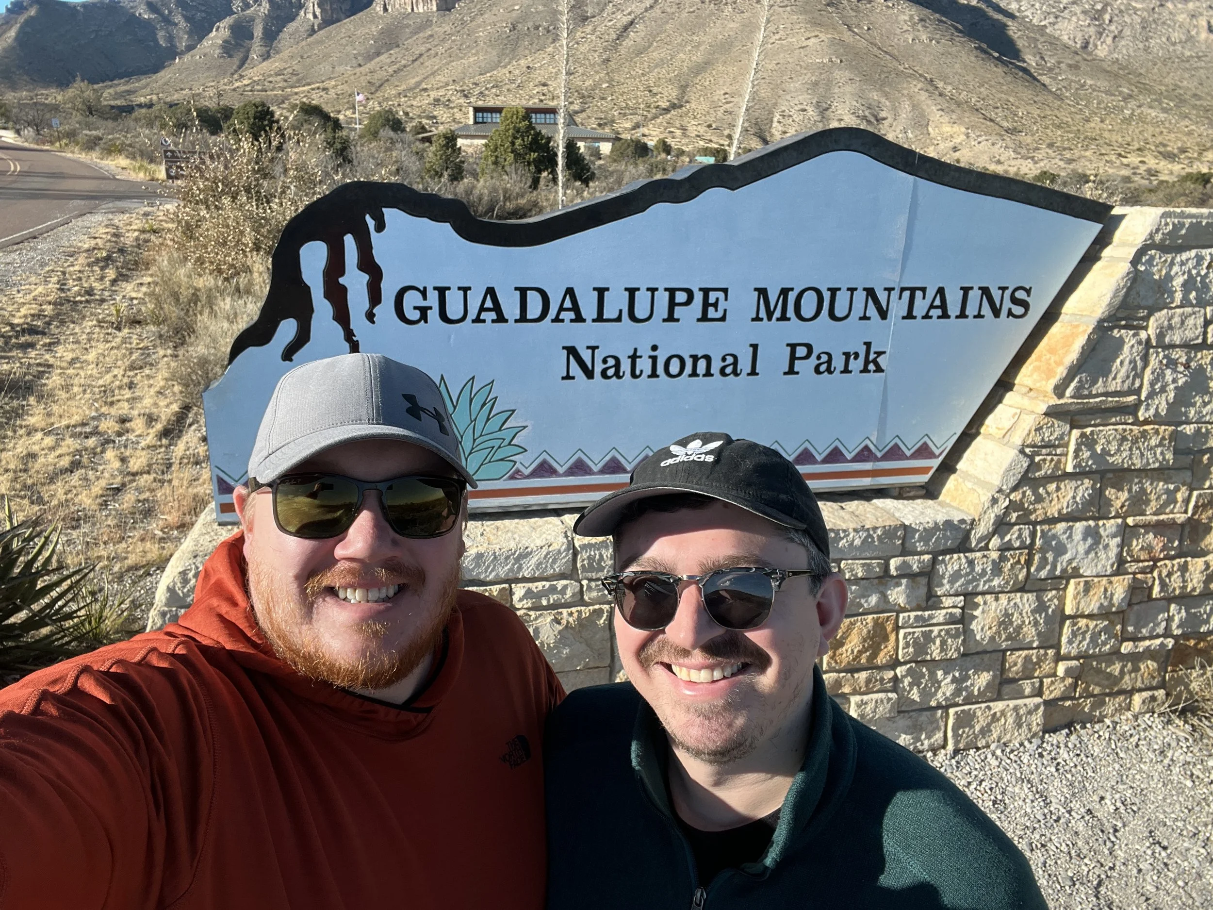
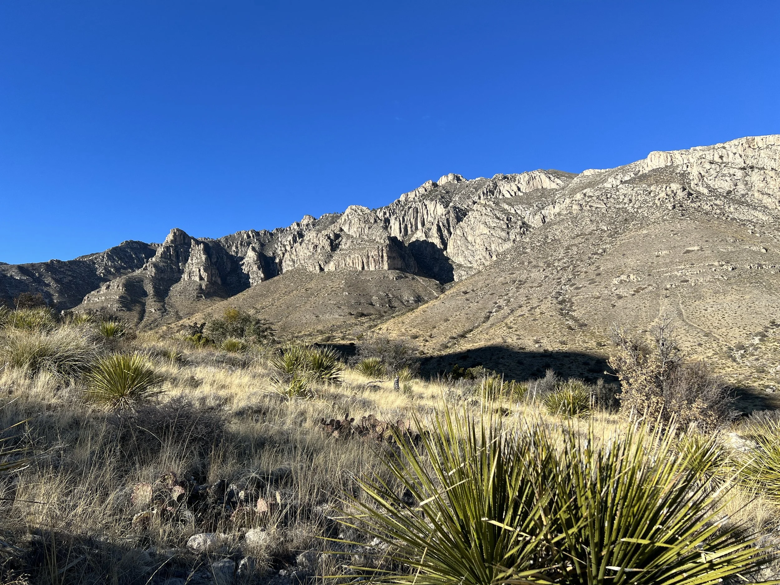
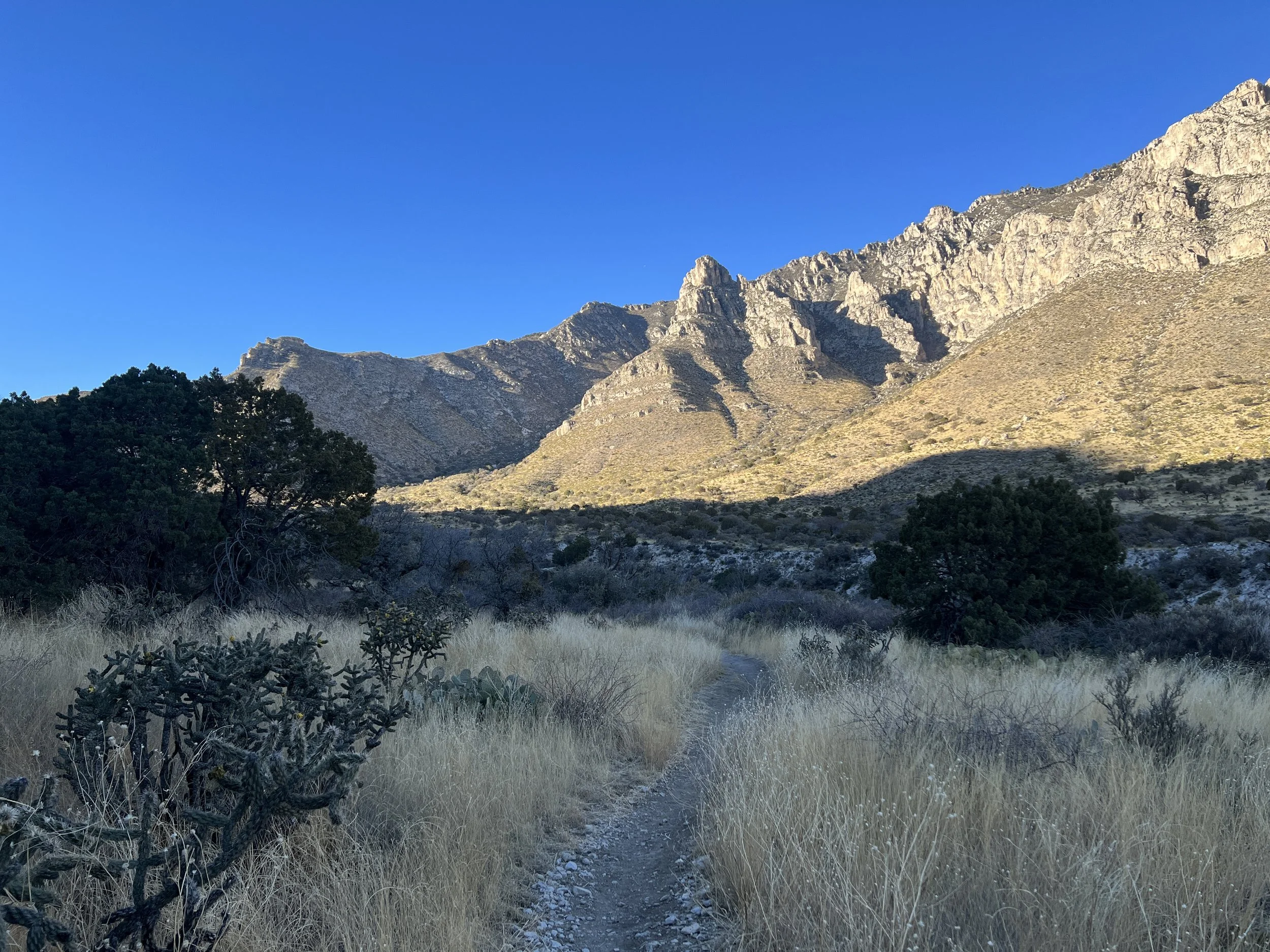
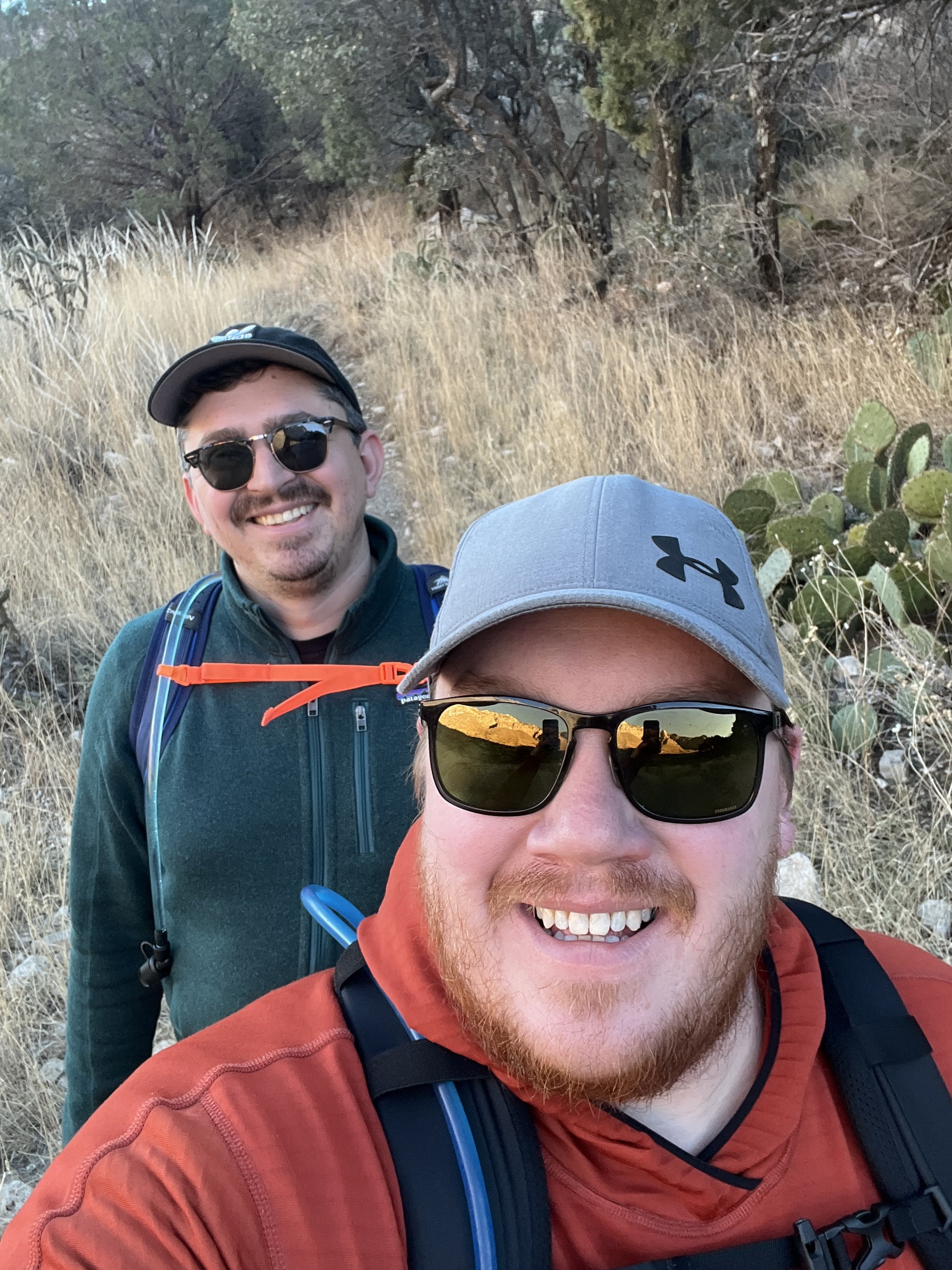
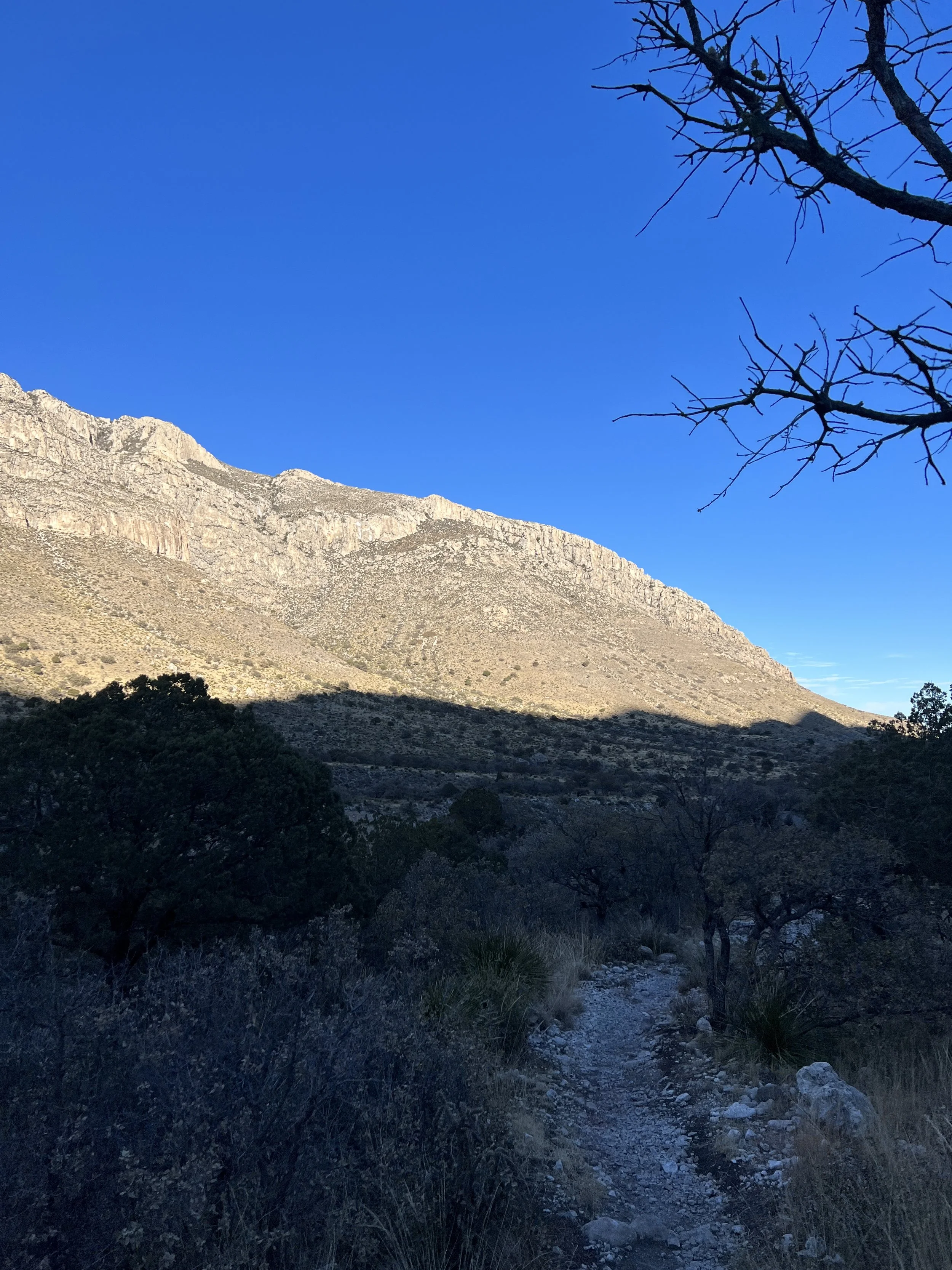
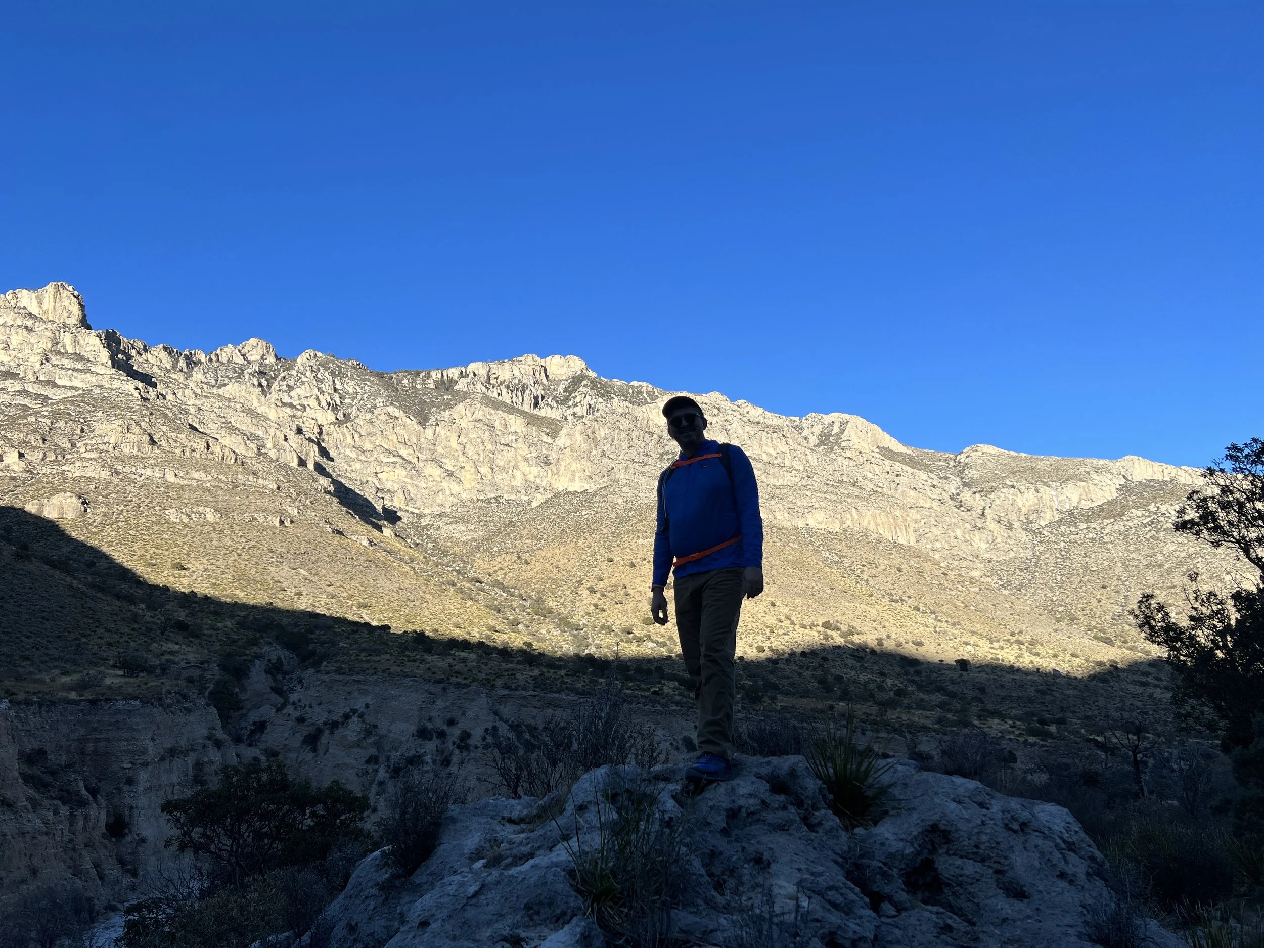
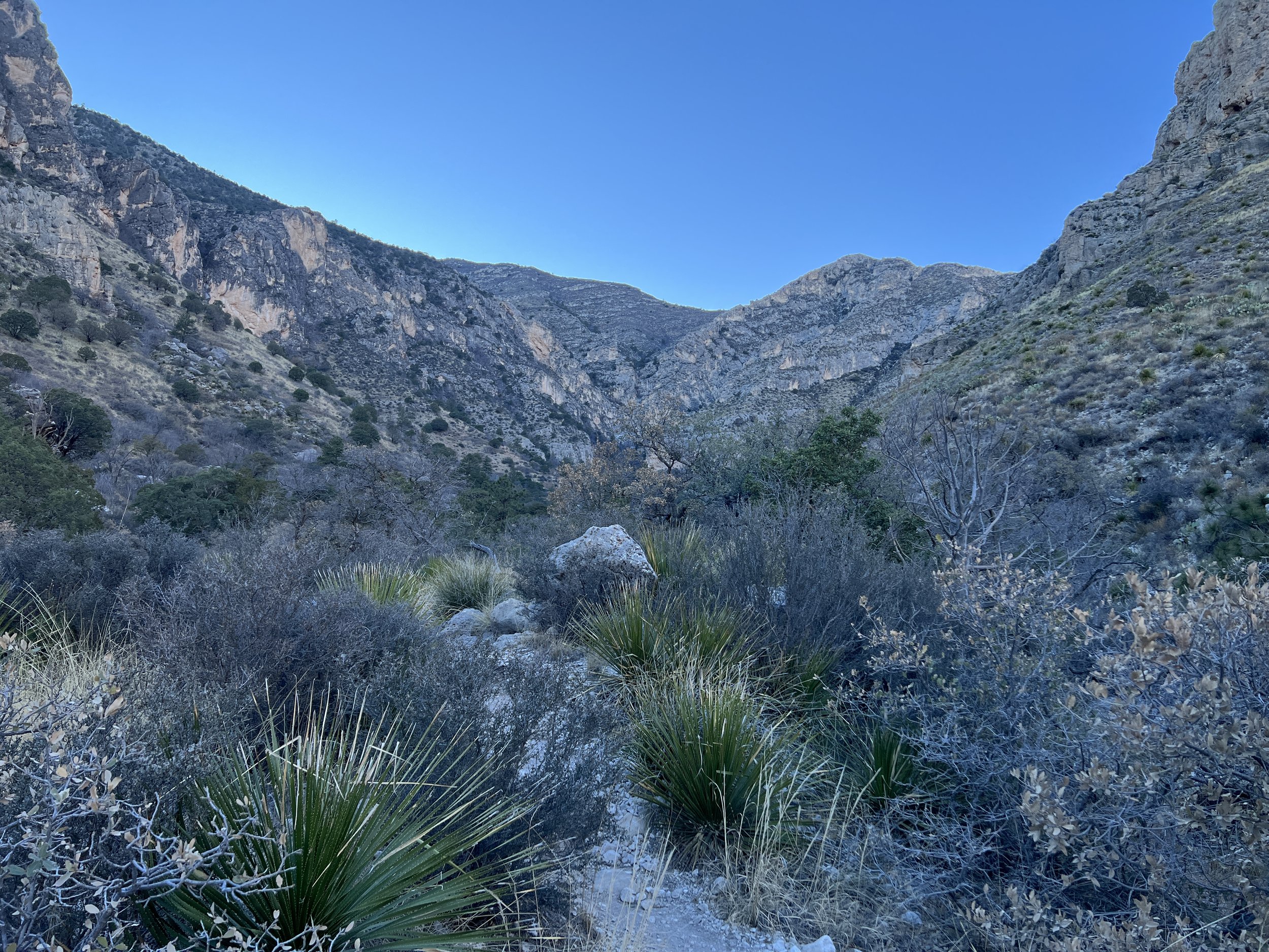
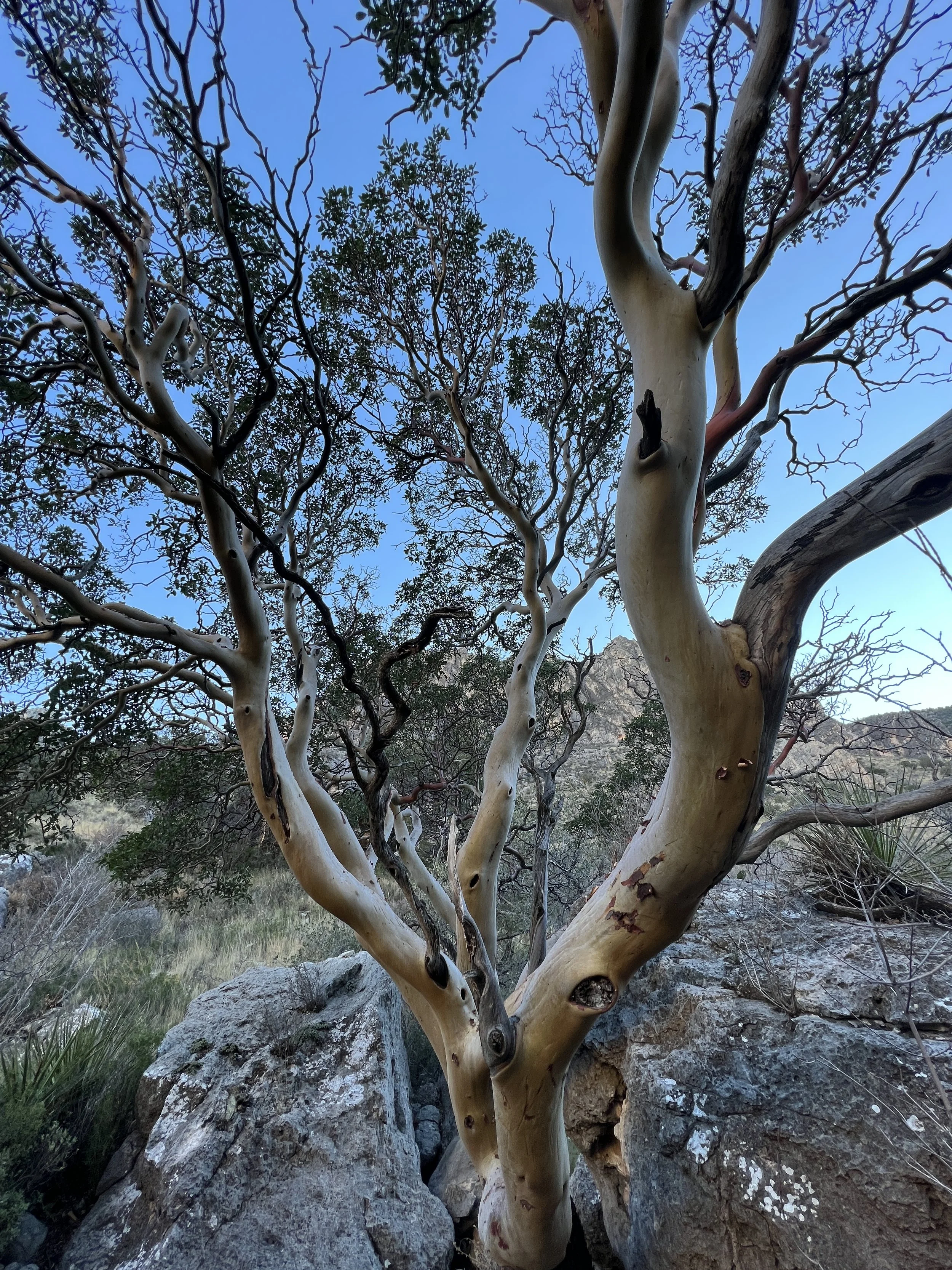
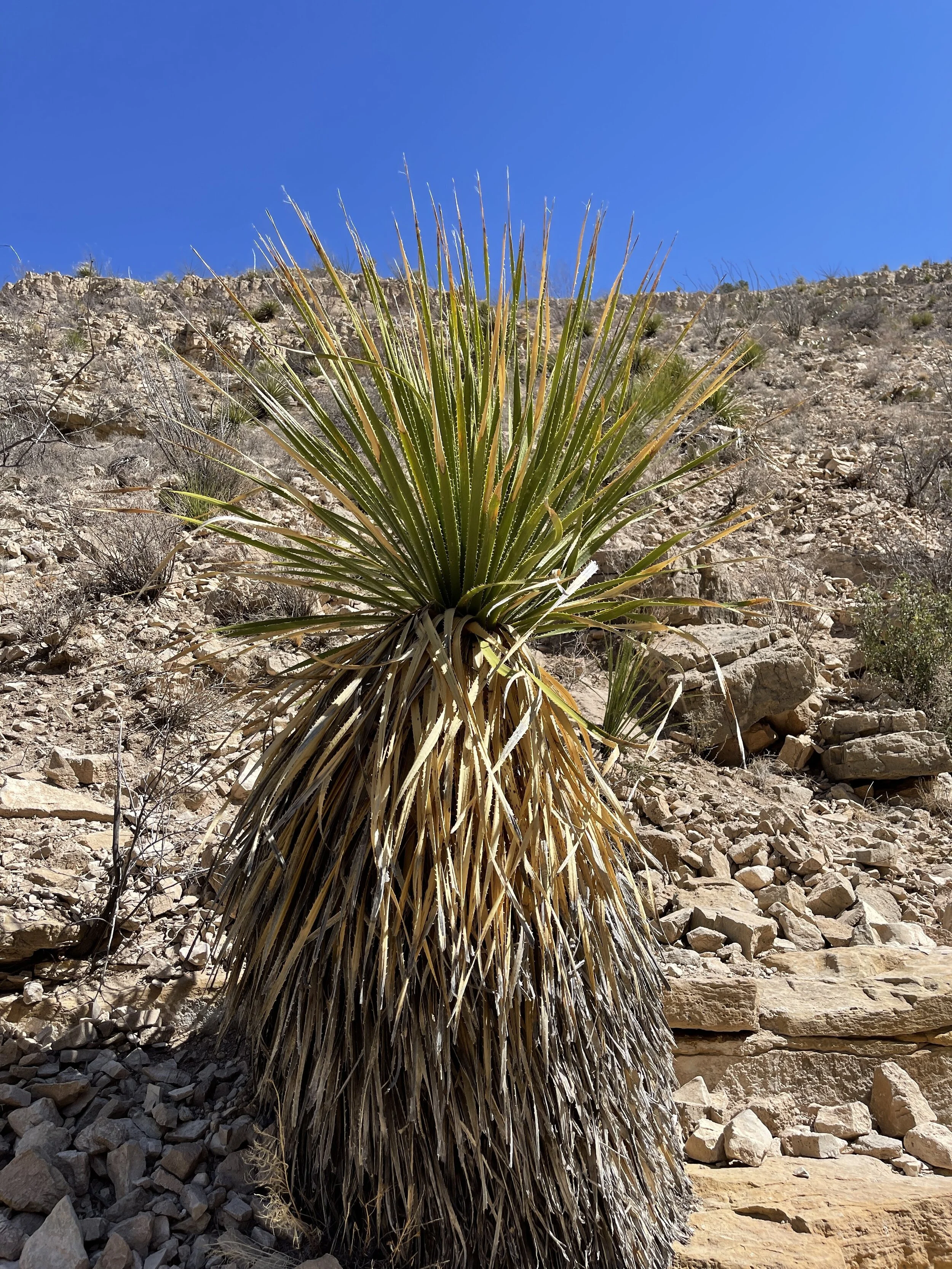
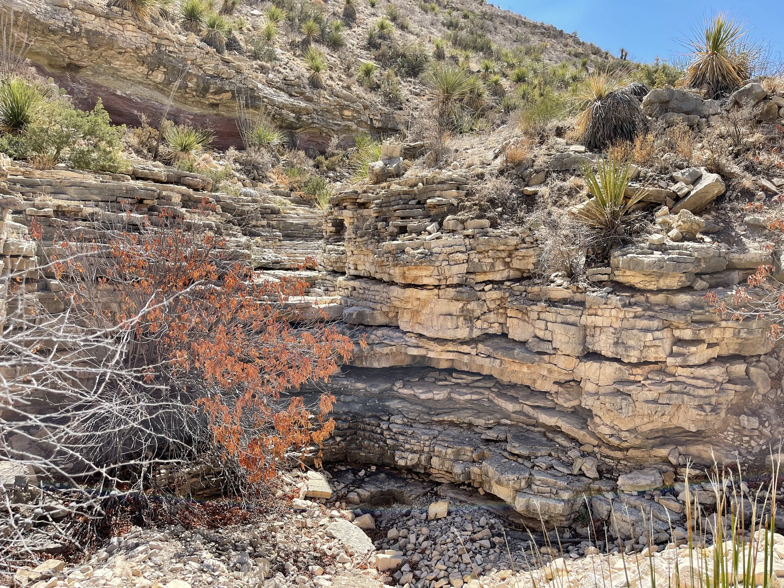
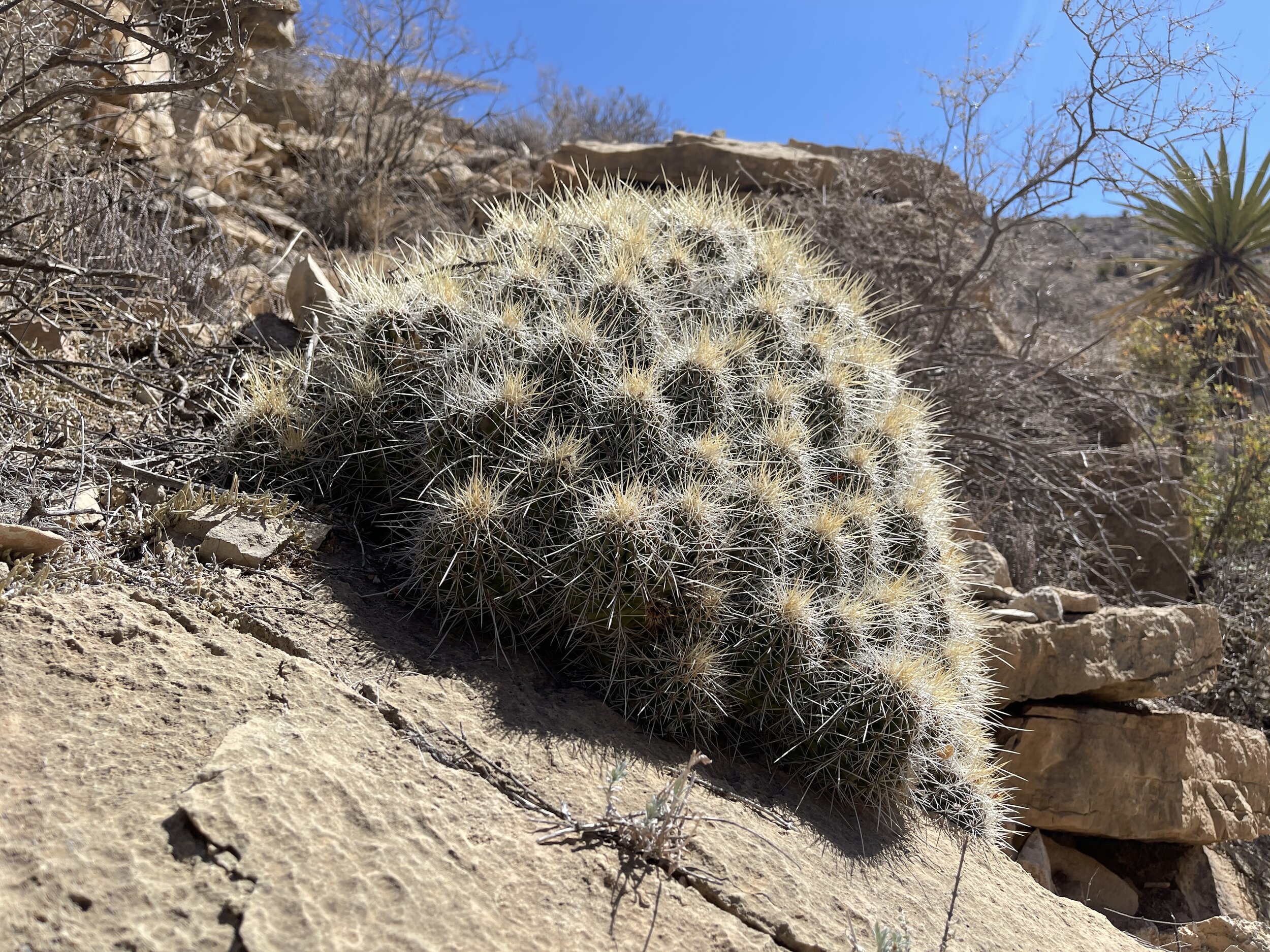
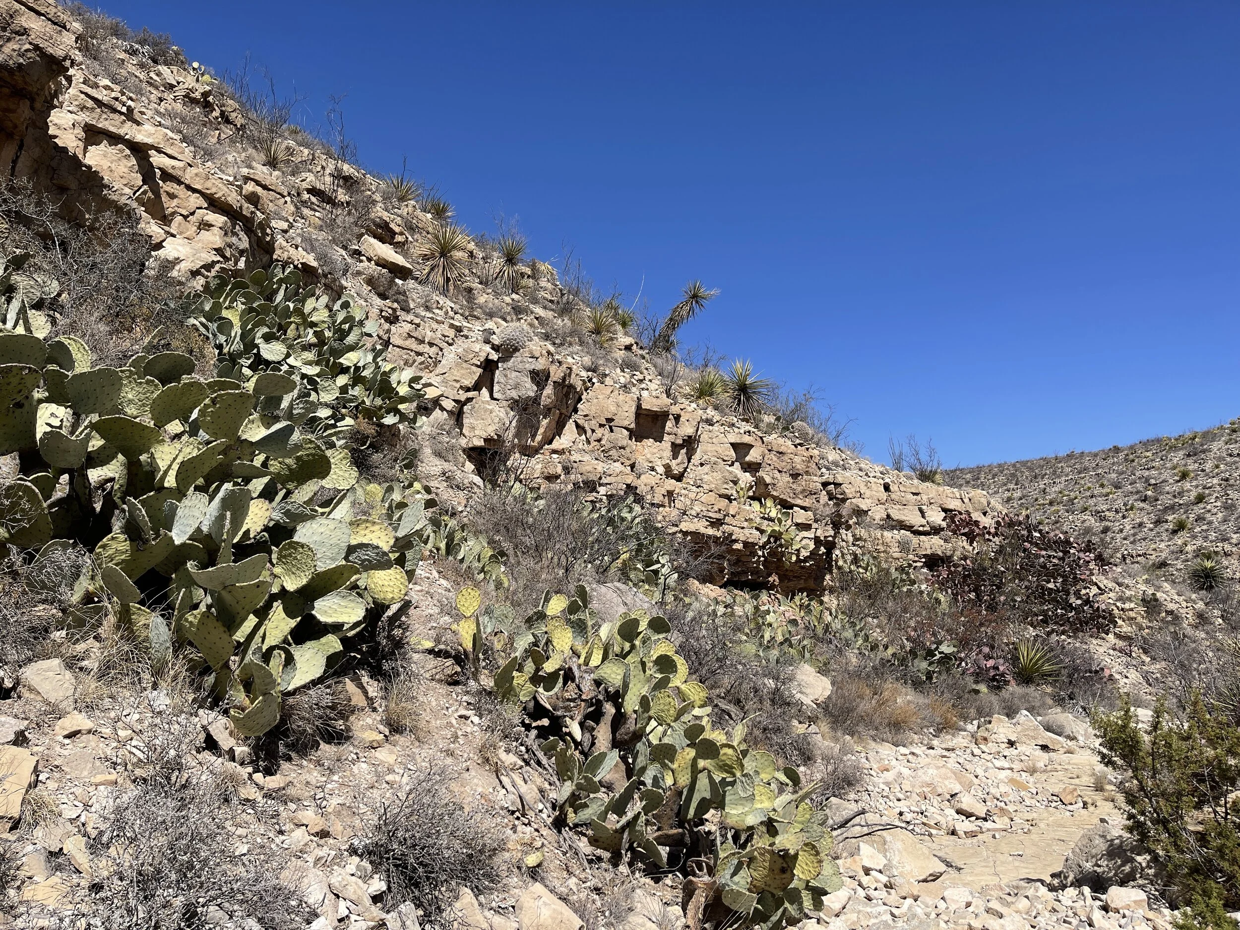
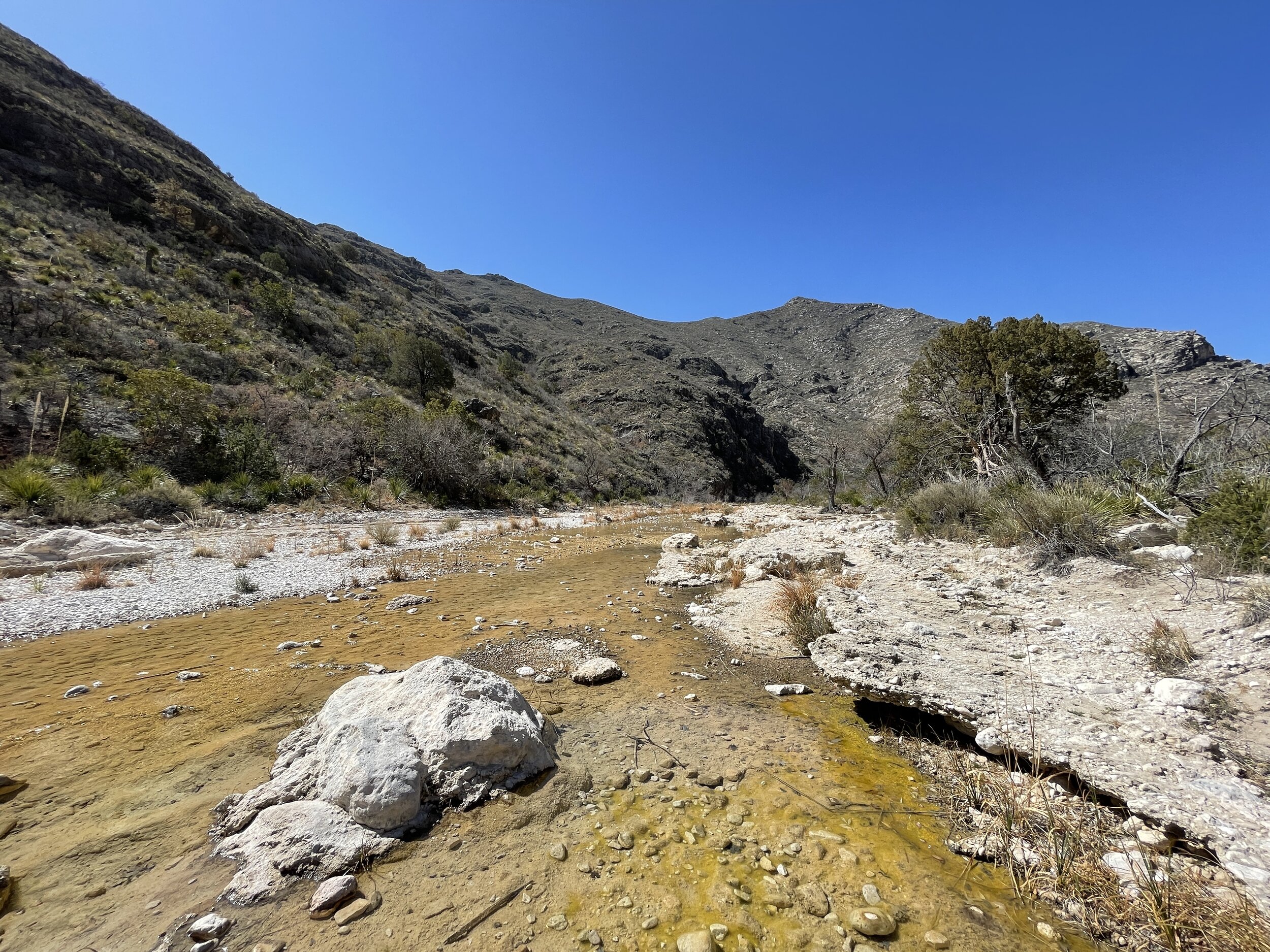
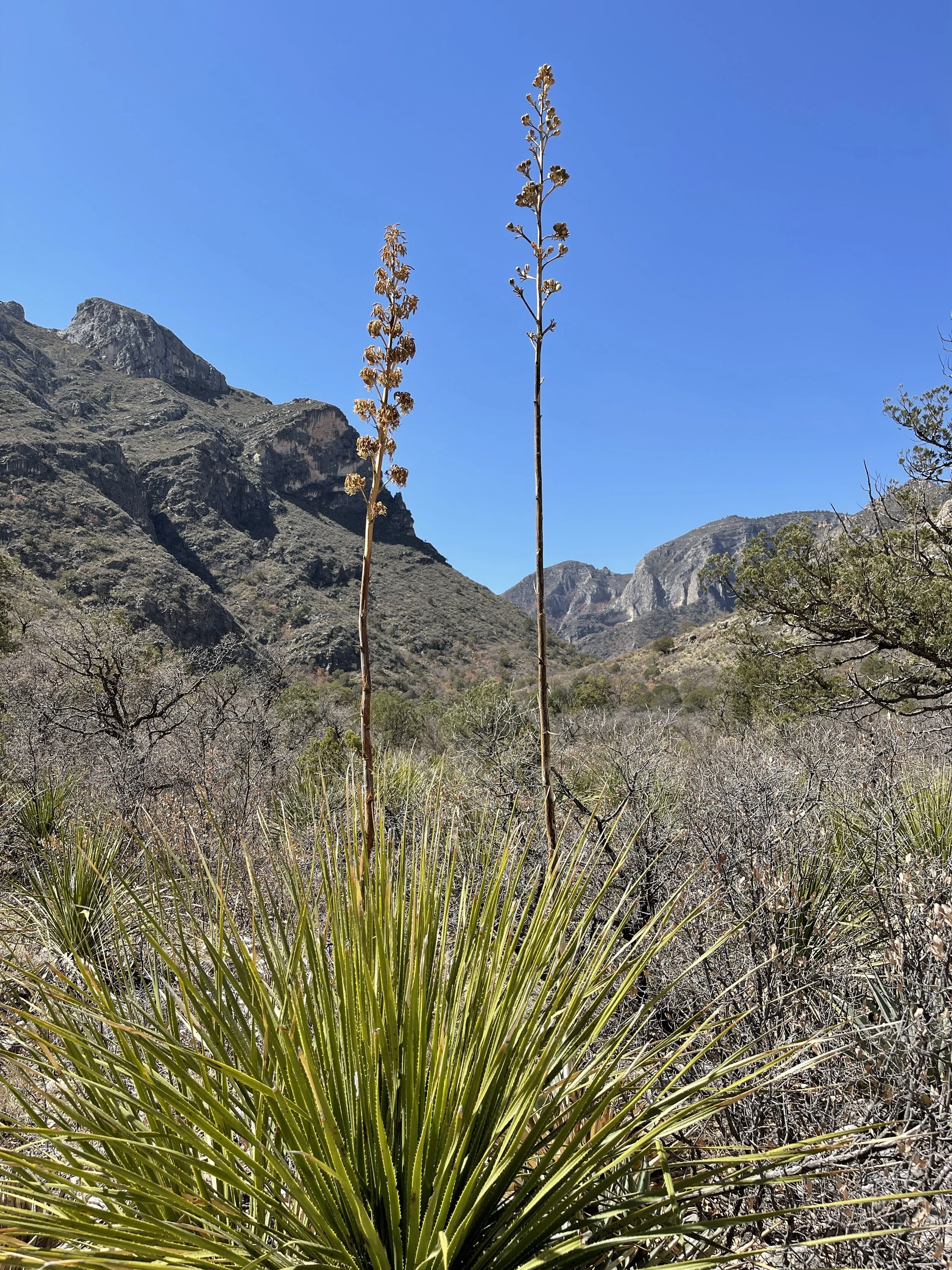
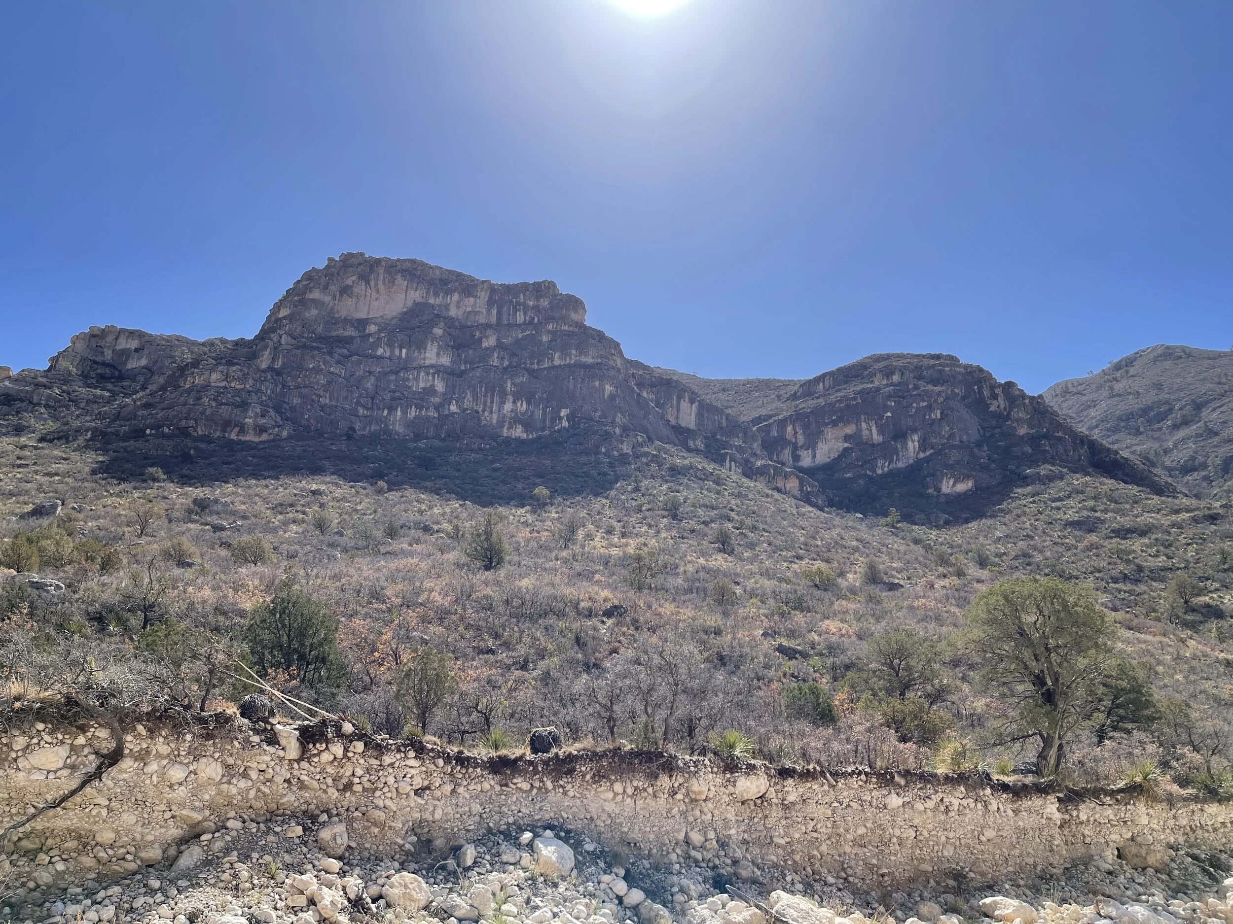
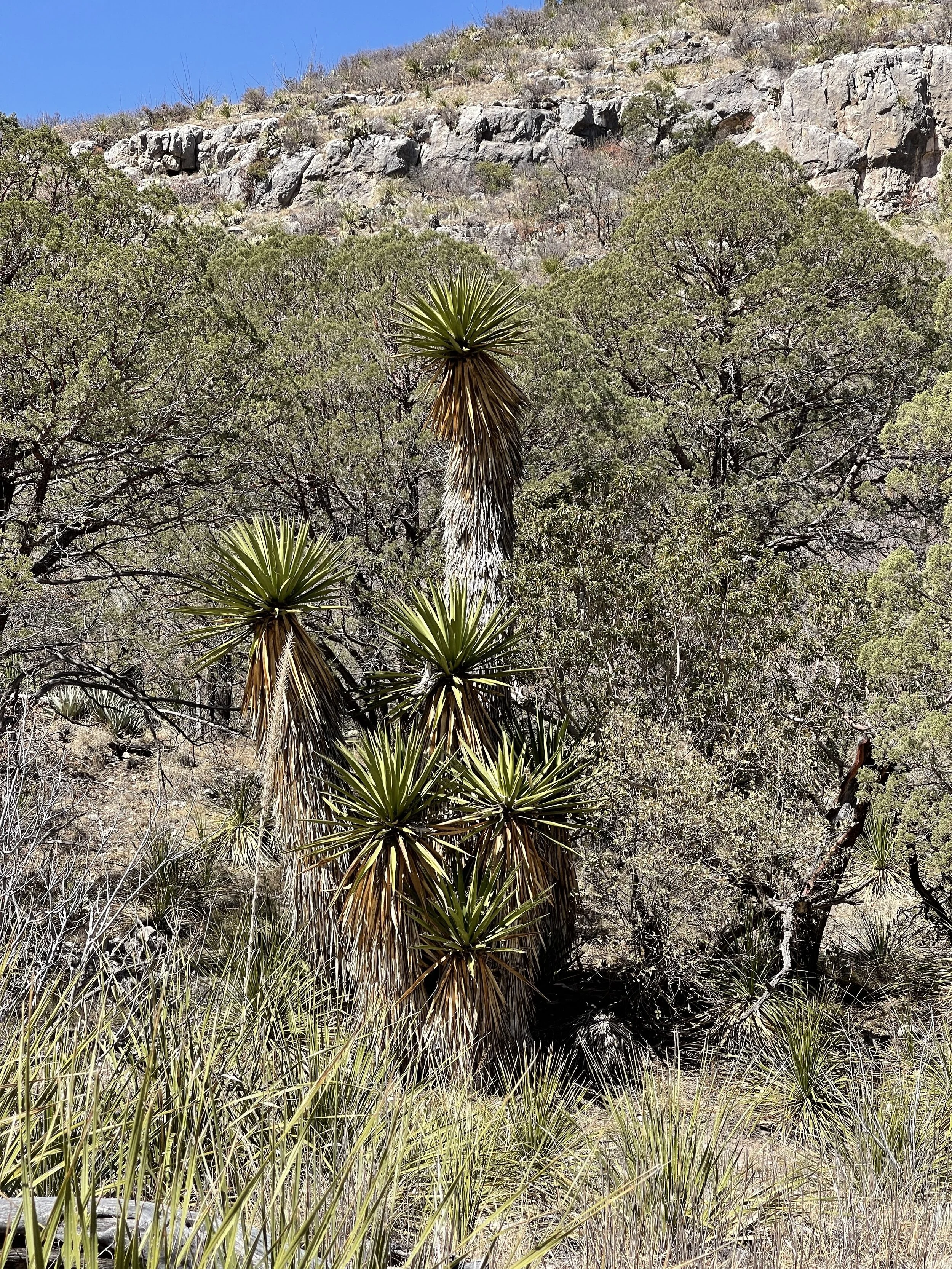
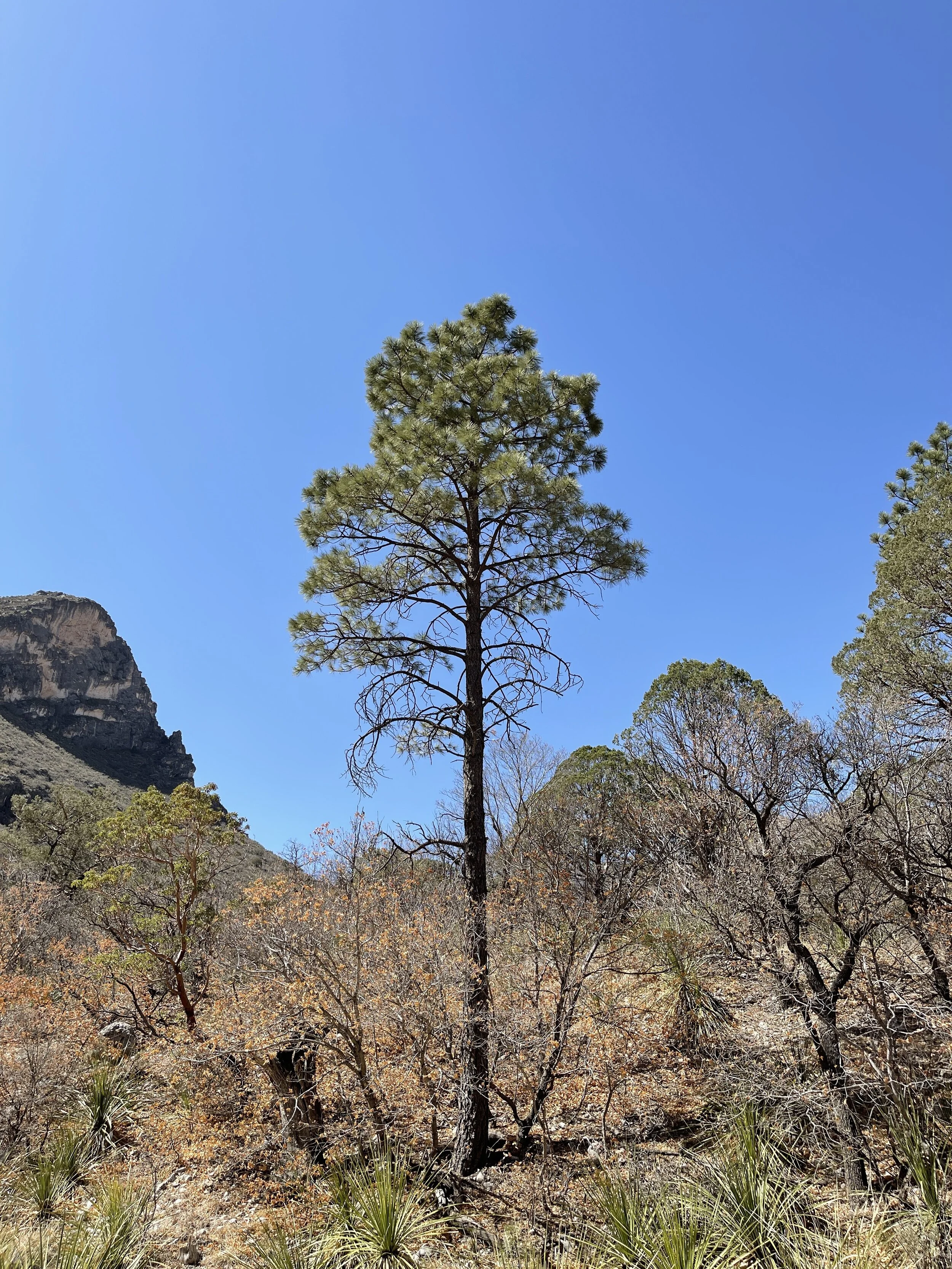
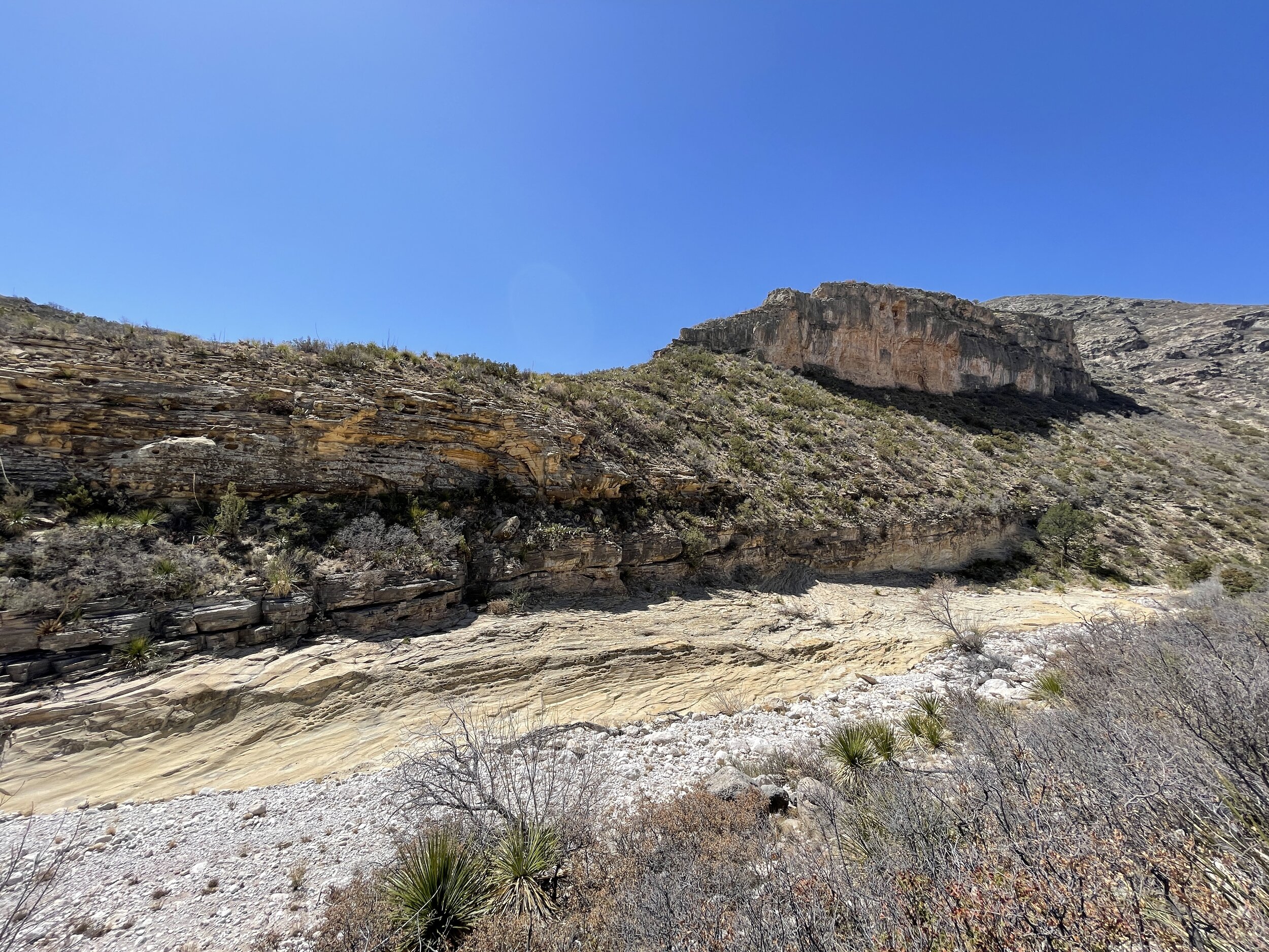
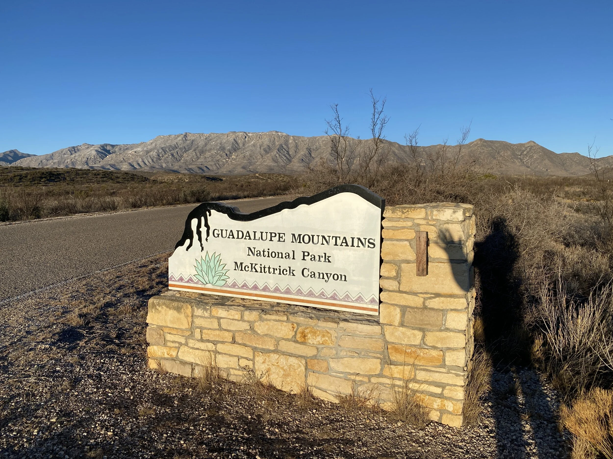
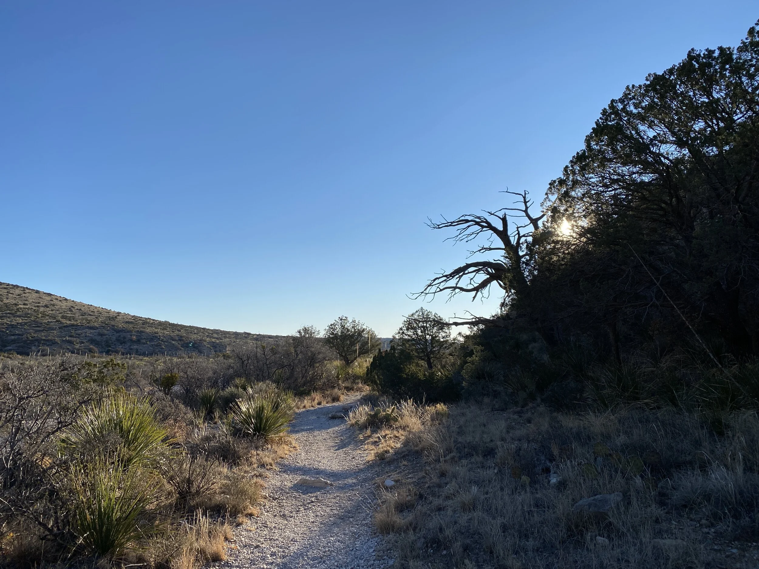
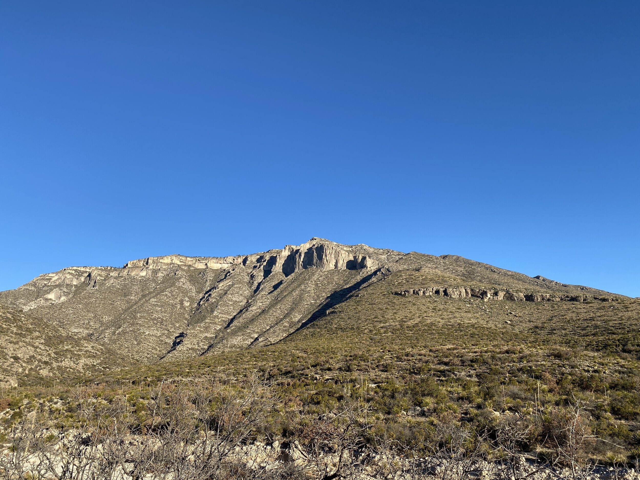
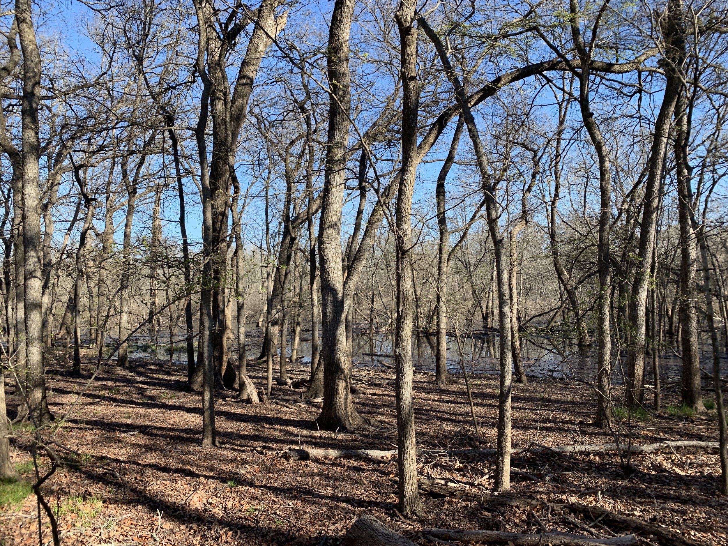
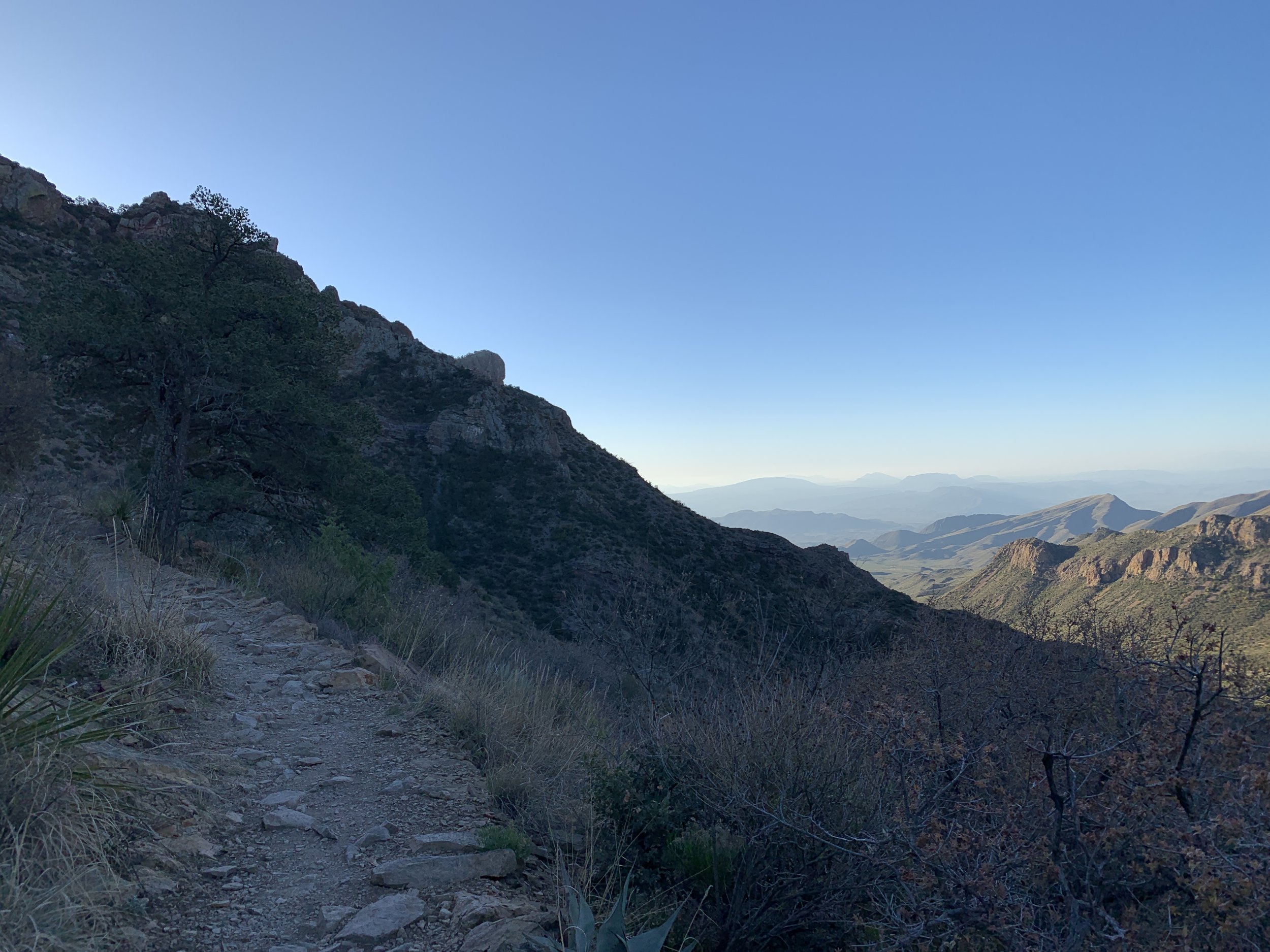
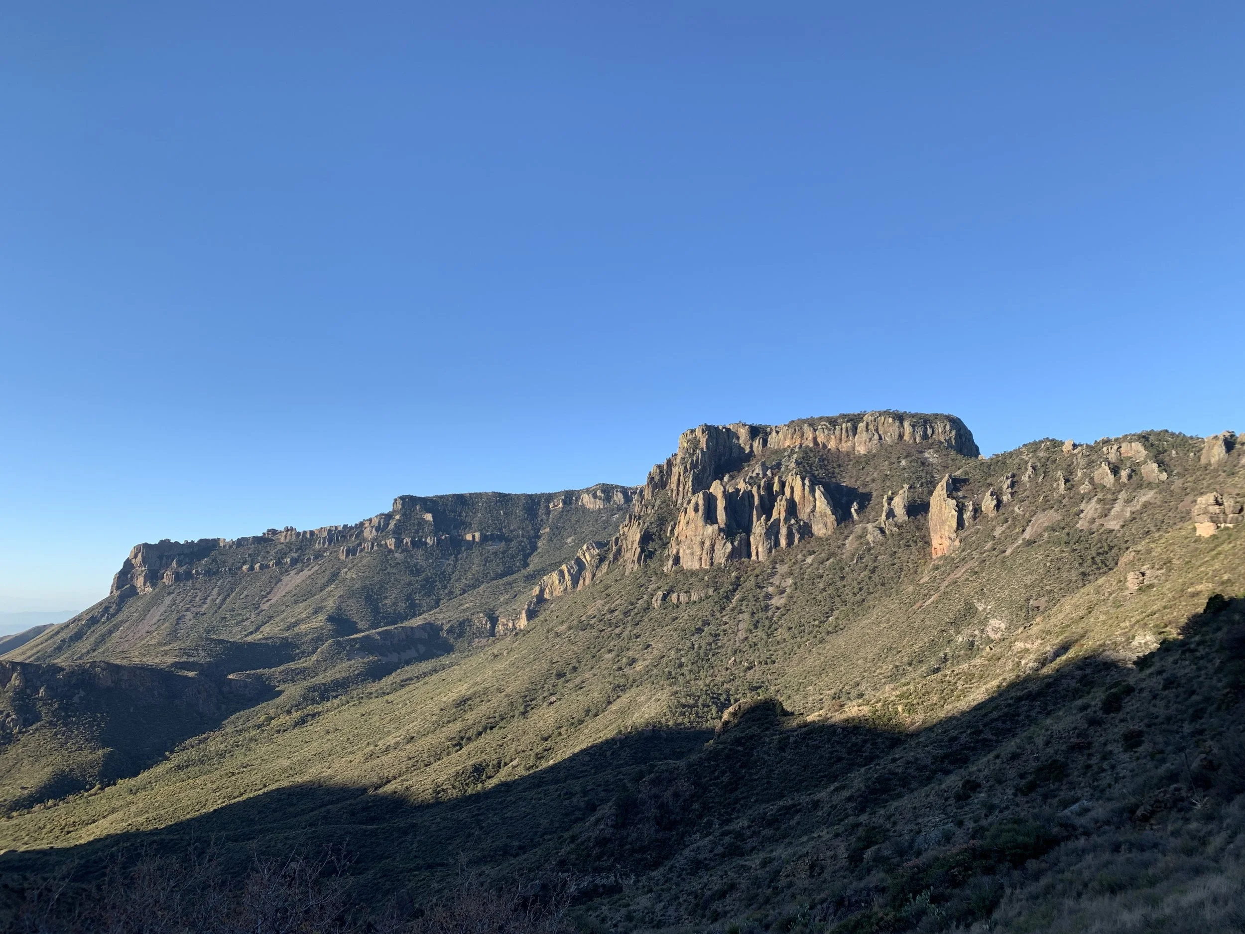
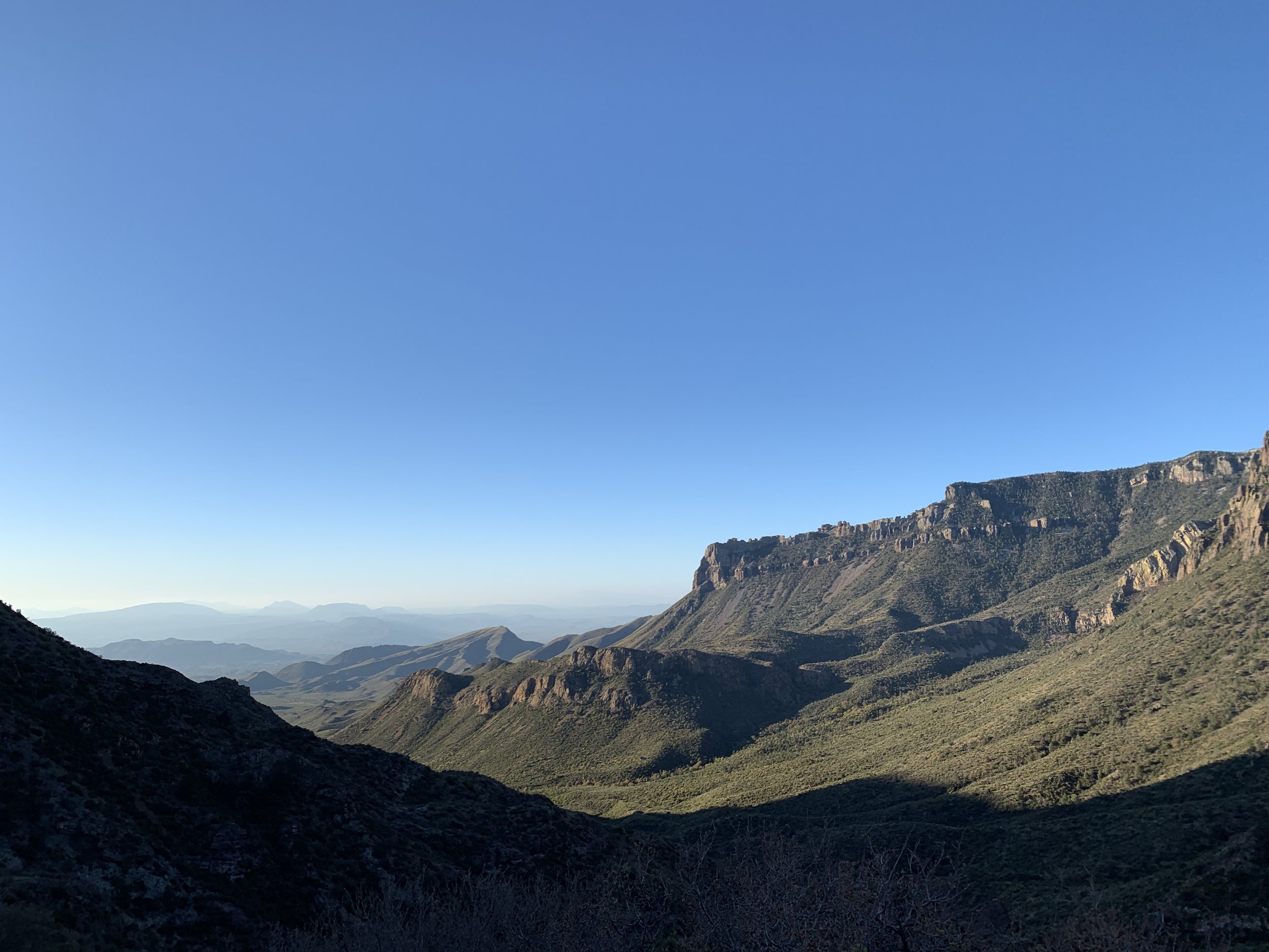
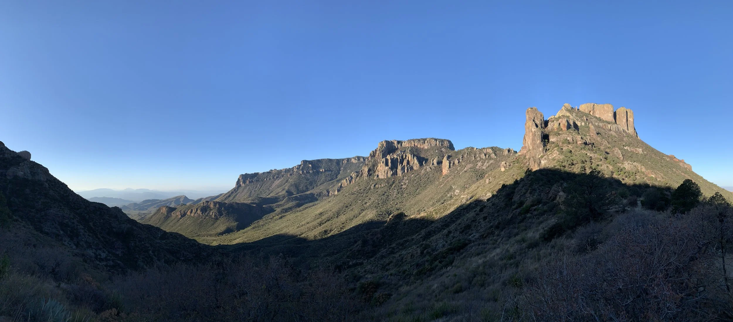
Activity 3/52 - Hike - Guadalupe Mountains NP (Salt Flat, TX)
Distance/Time: 2.34 miles
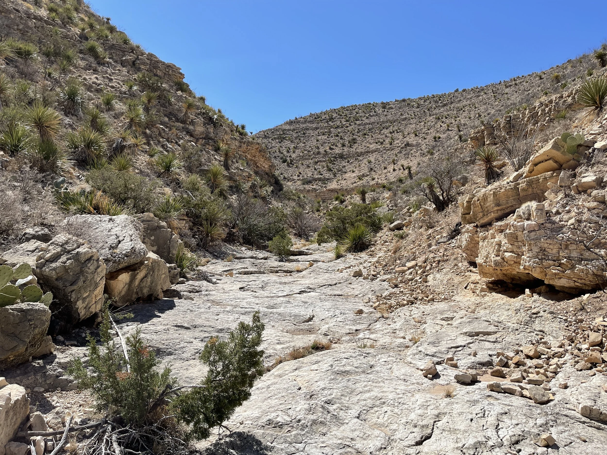
Trail: McKittrick Canyon
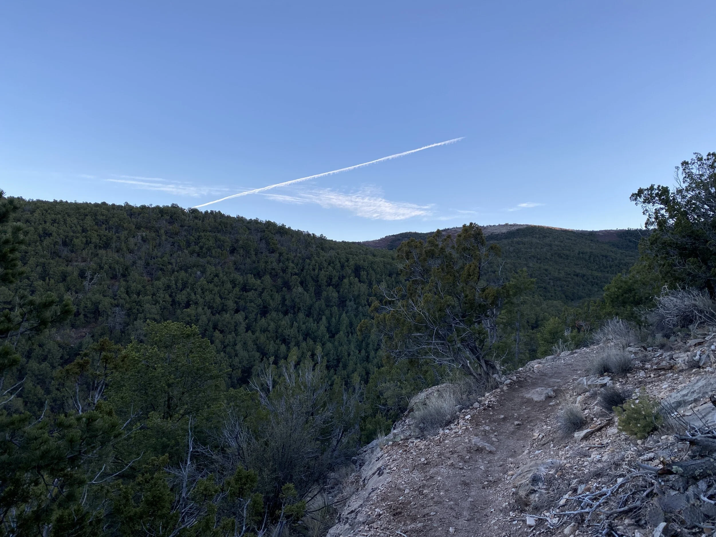
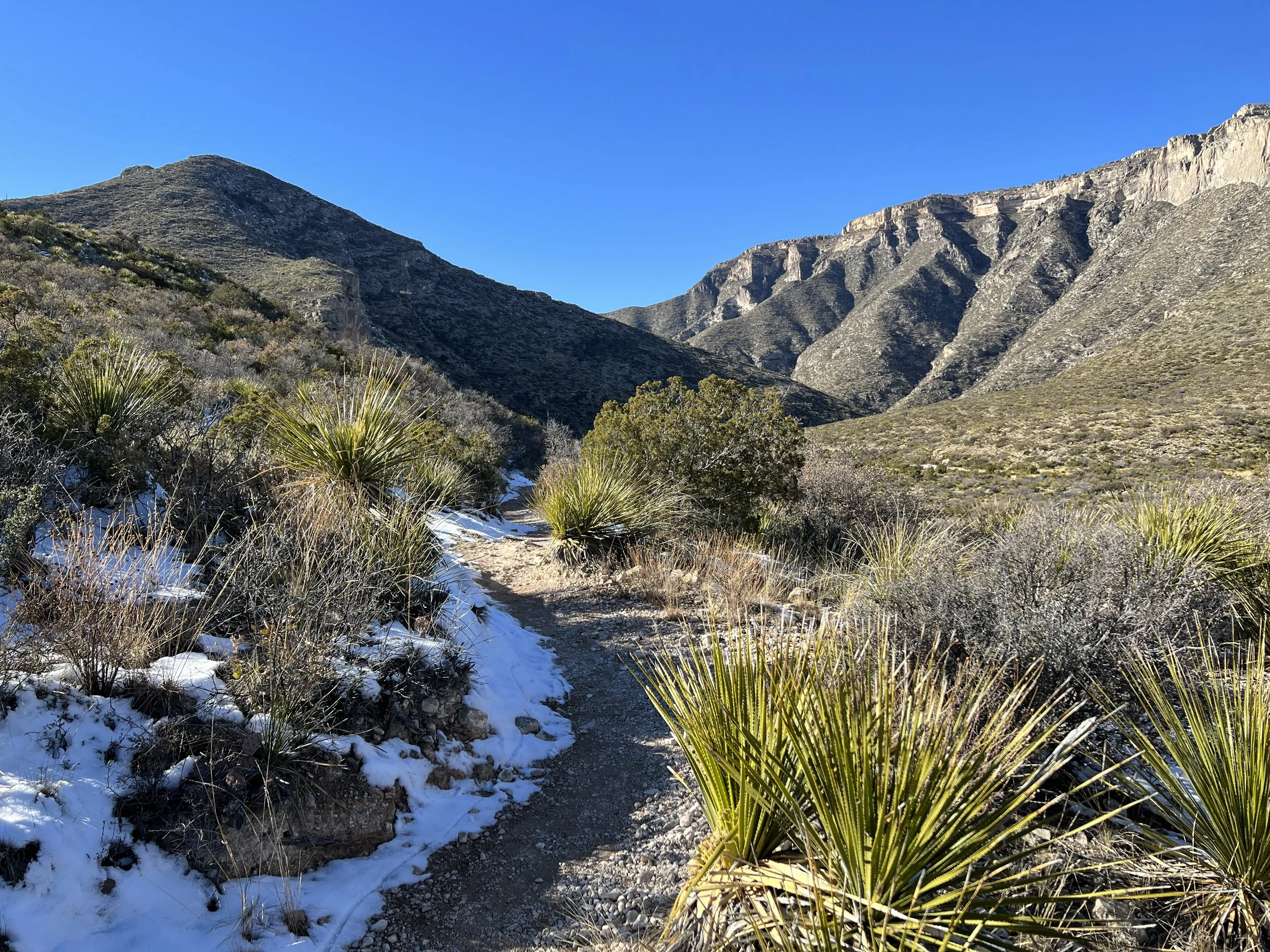
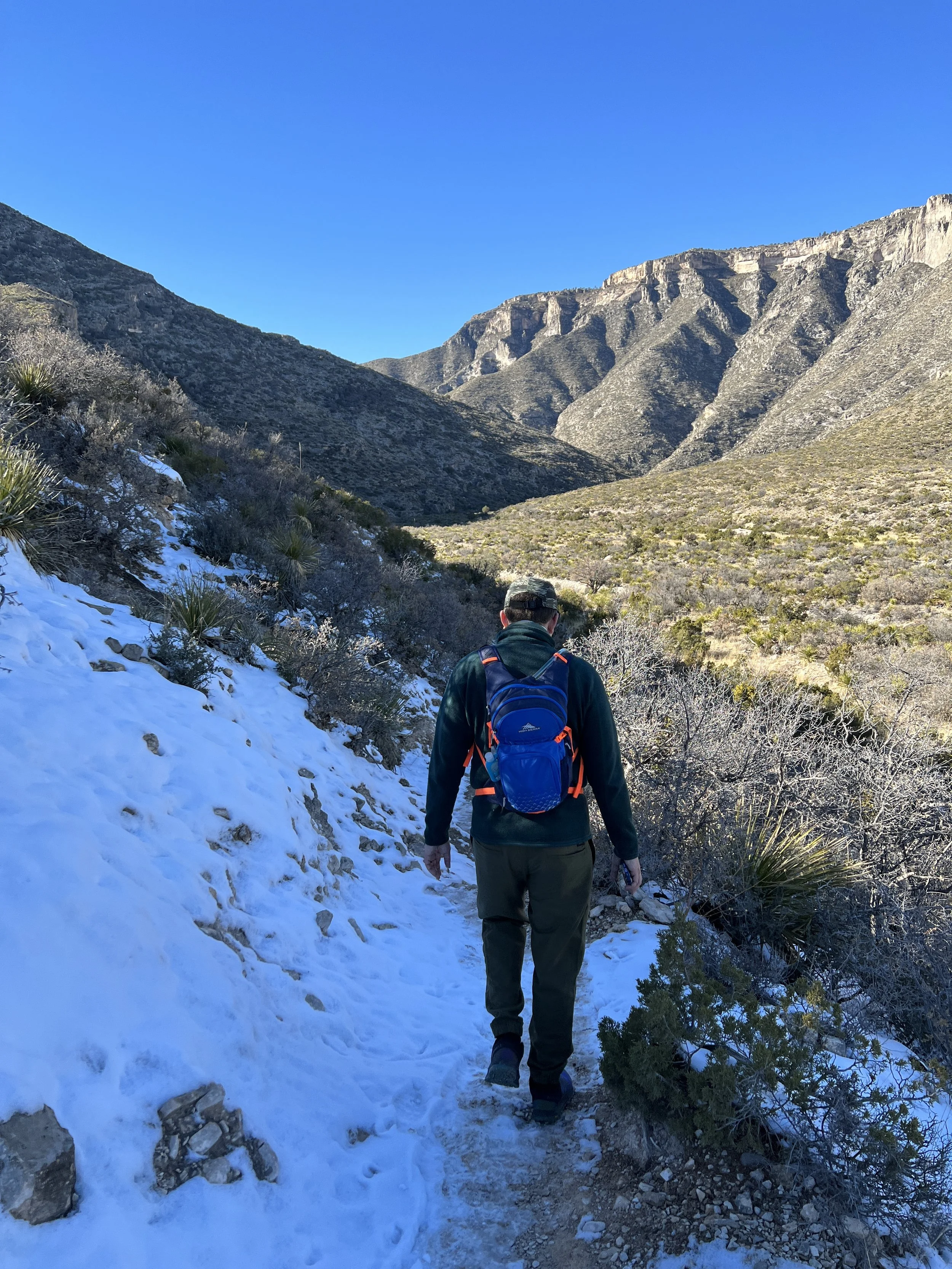
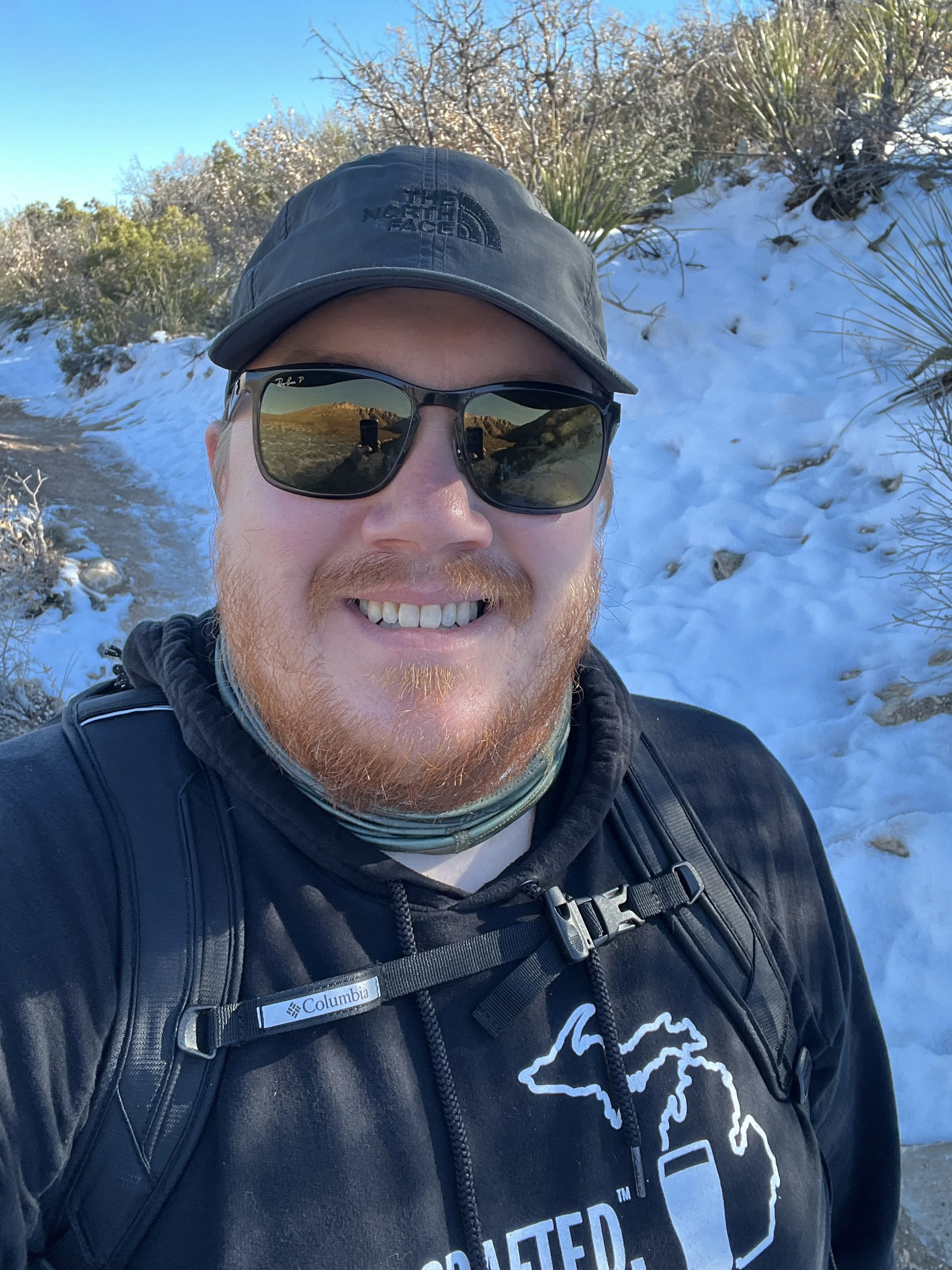
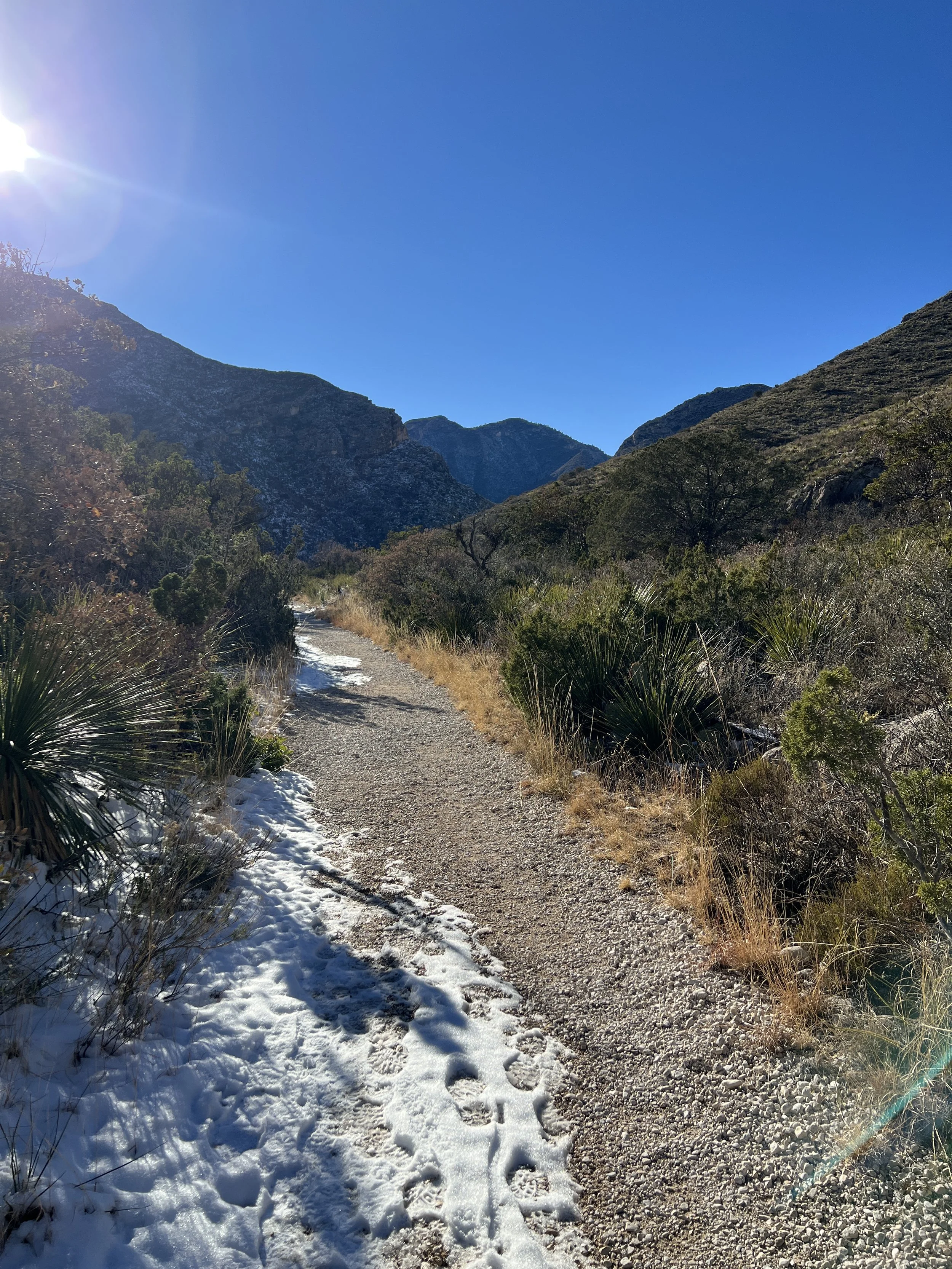
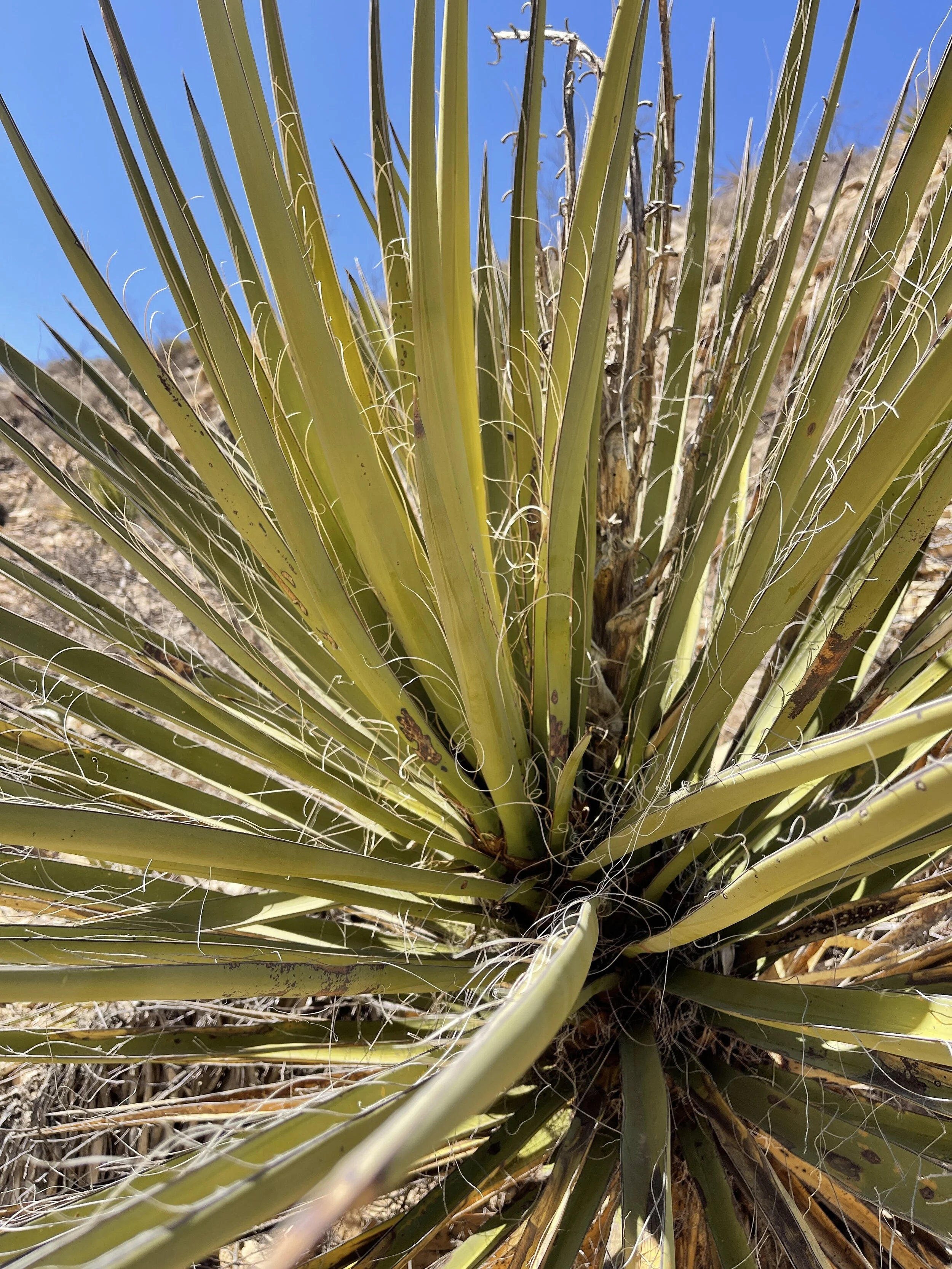
This particular Saturday was a whirlwind. My partner was supposed to be in Indiana, but flights got messed up and he was home. We had reservations for Carlsbad, but missed them and decided to head back to Guadalupe Mountains for another hike. By the time we got there, the day was winding down and McKittrick Canyon gates close at 4:30 pm, so we didn’t have much time to hike. We hiked the trail and stopped at the riverbed for a break in the sunshine. It was a nice little hike, more sunny than last time, and a different view in the canyon. The McKittrick Canyon trail is mild, though we had some icy spots, and mostly flat. It’s suitable for all sorts of hiking experience levels.

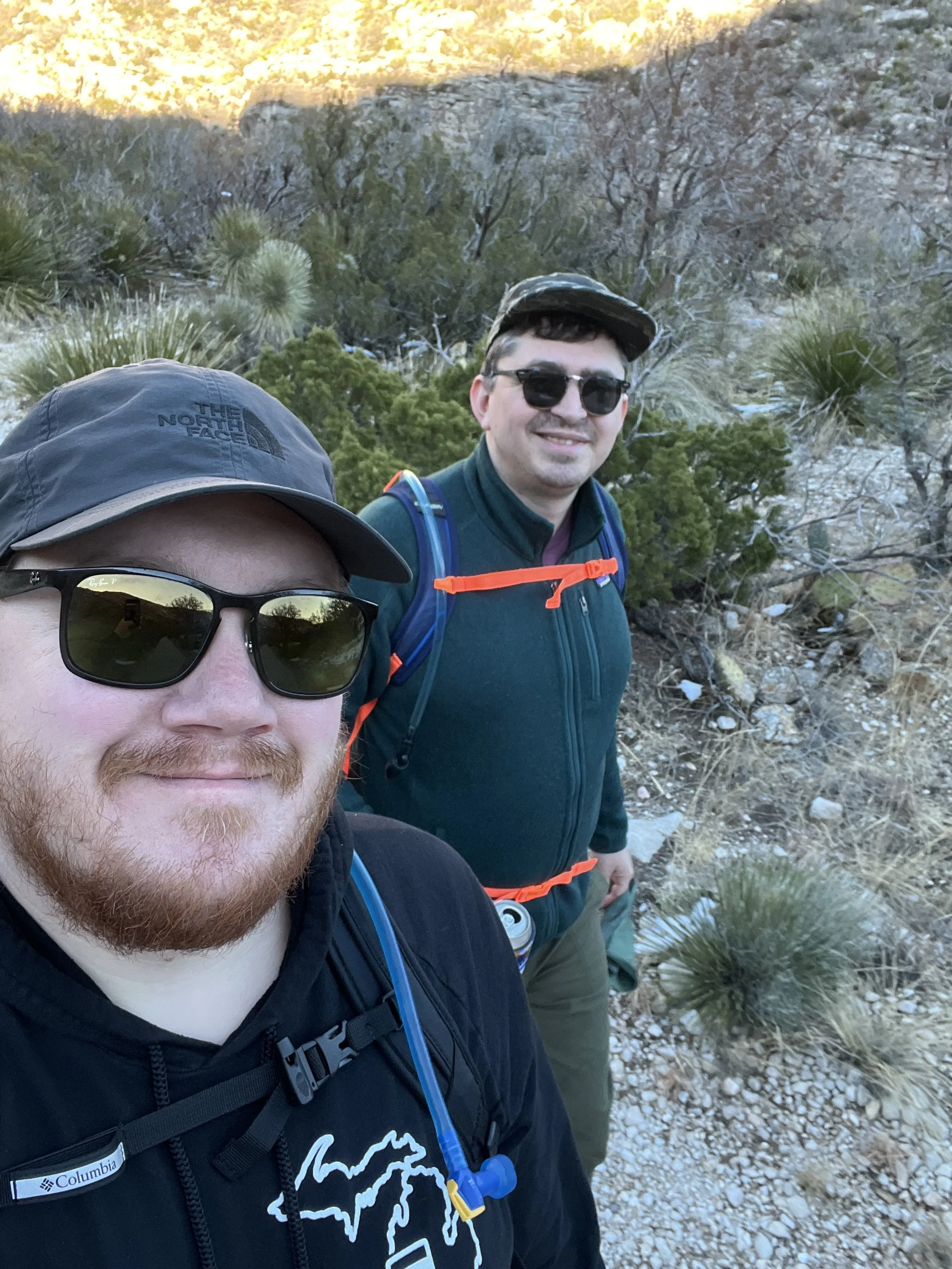
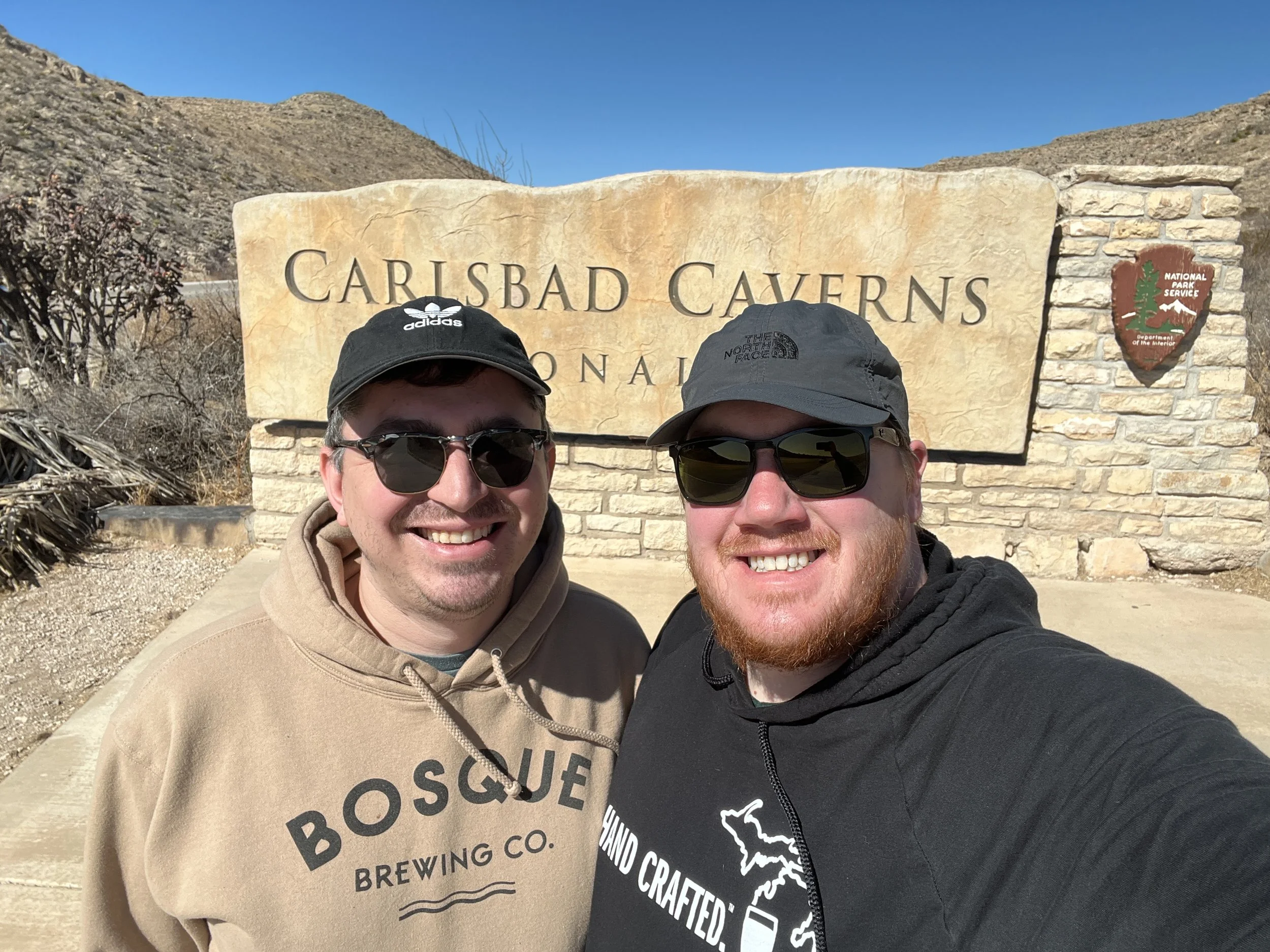
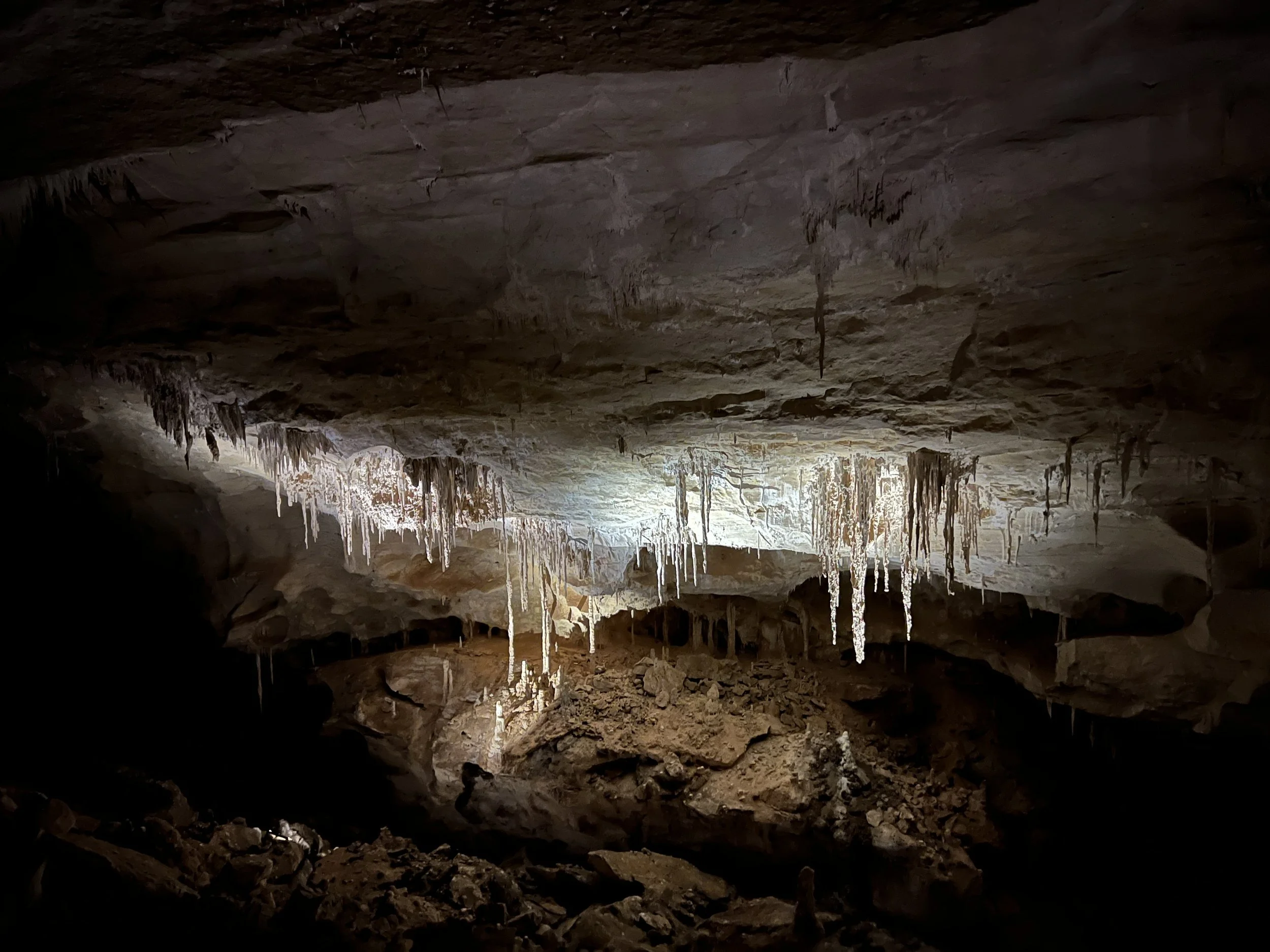
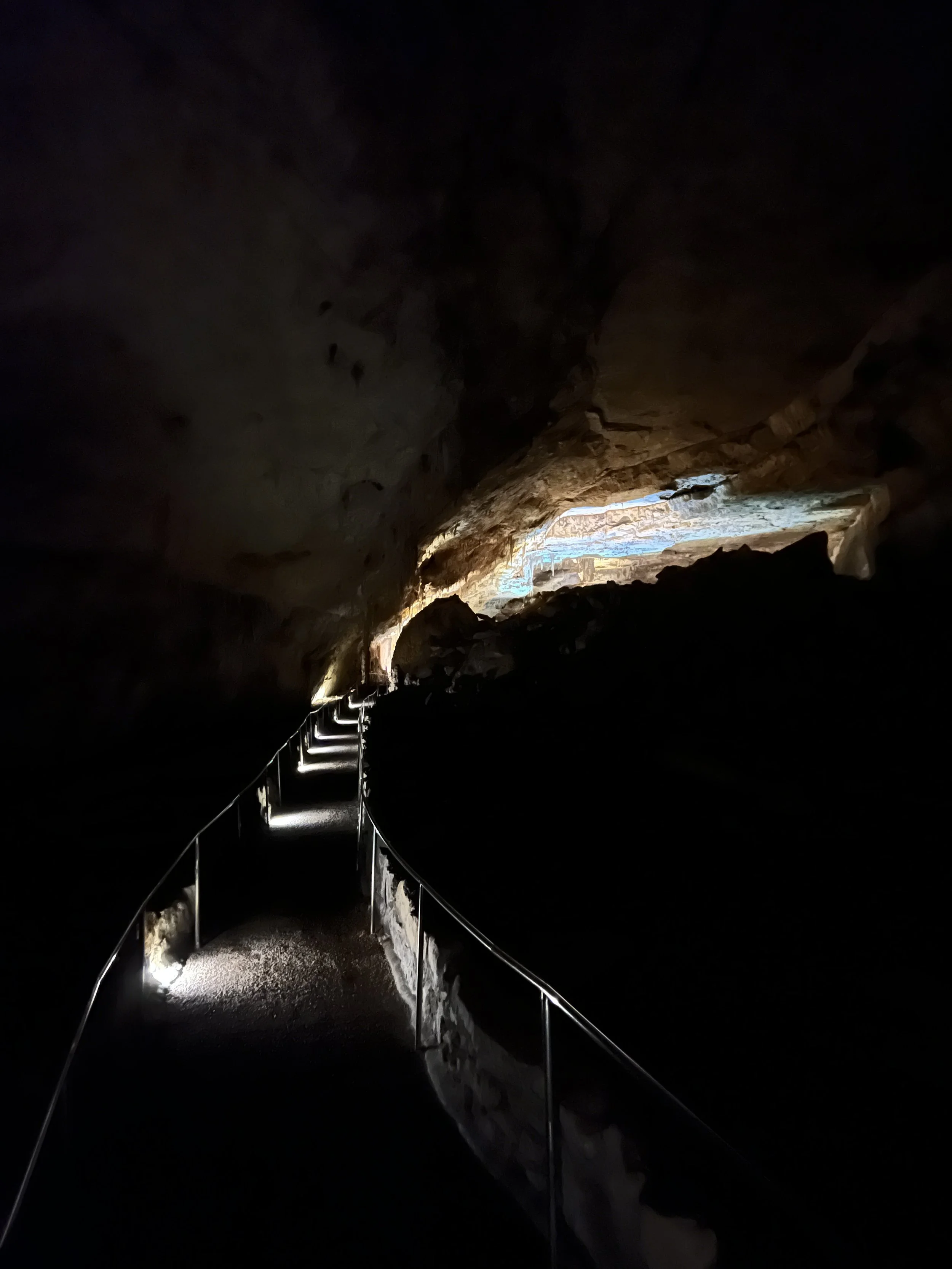
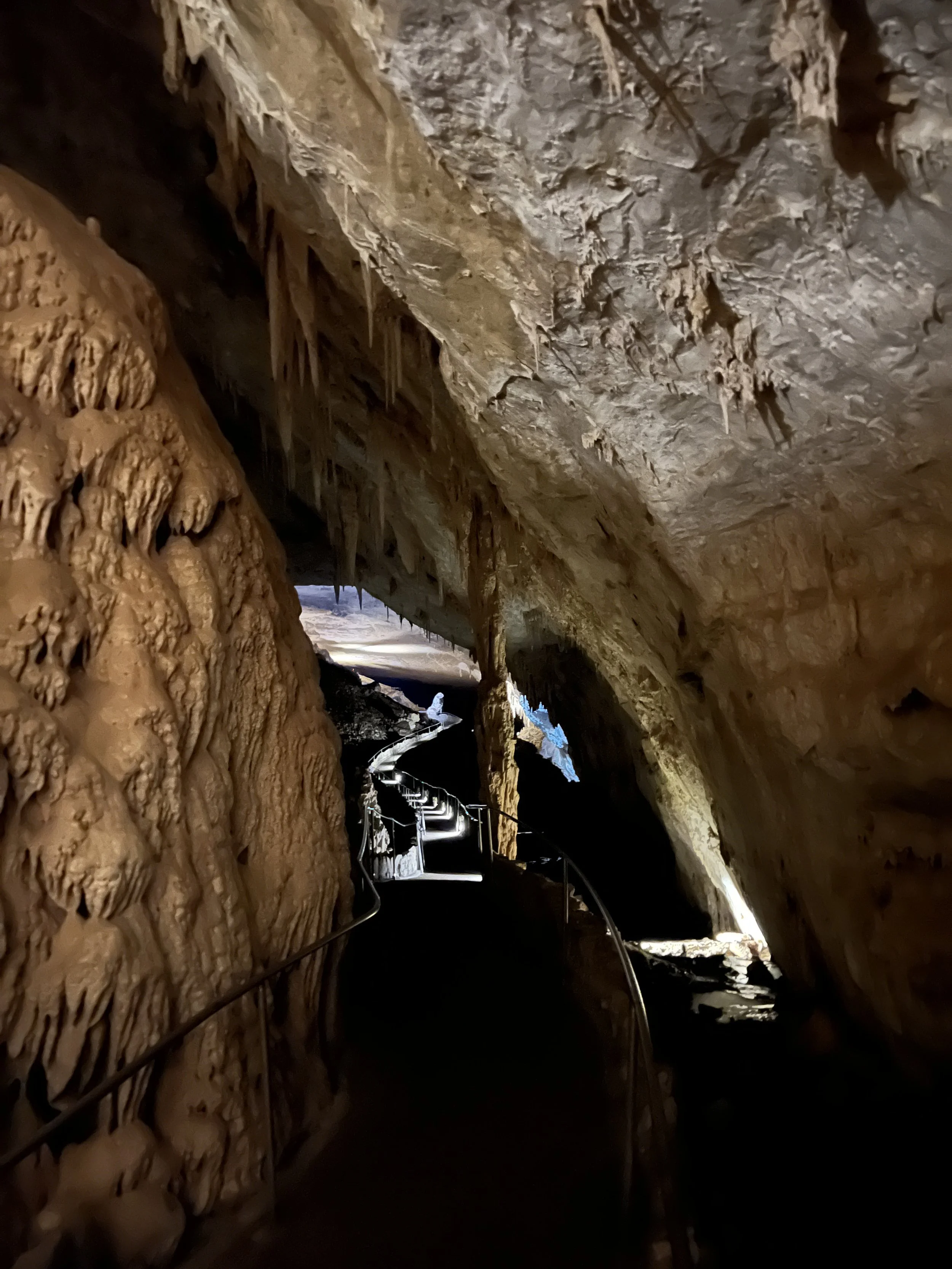
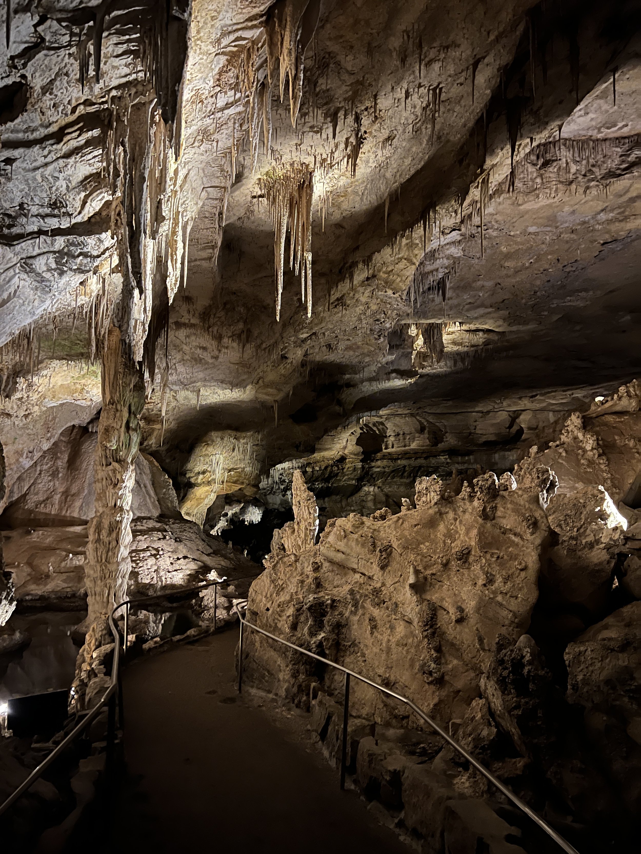
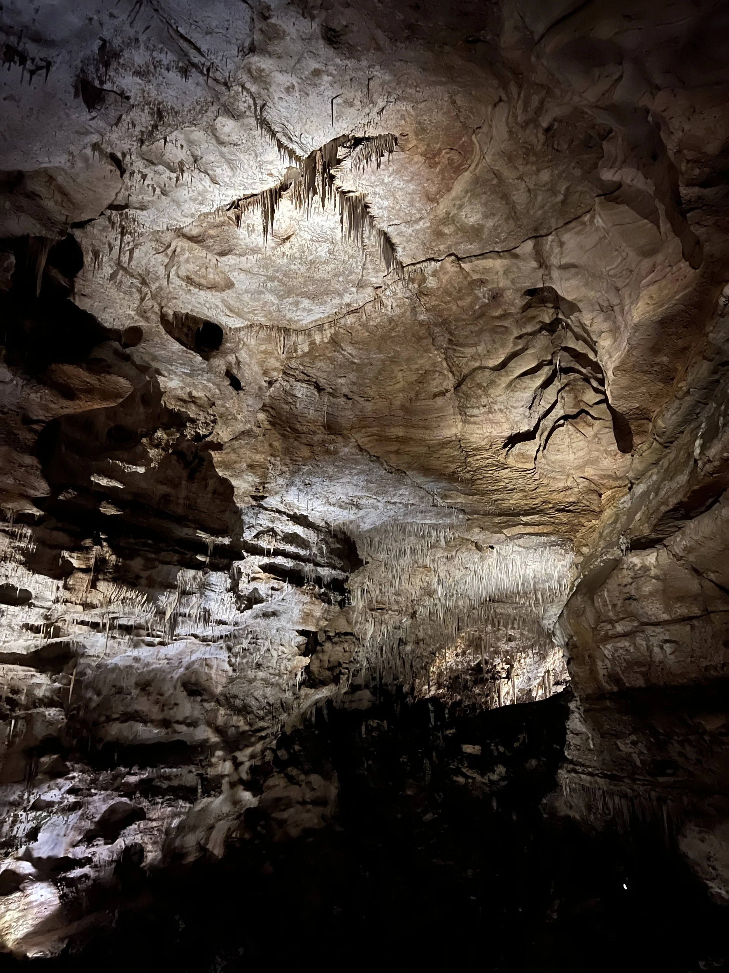
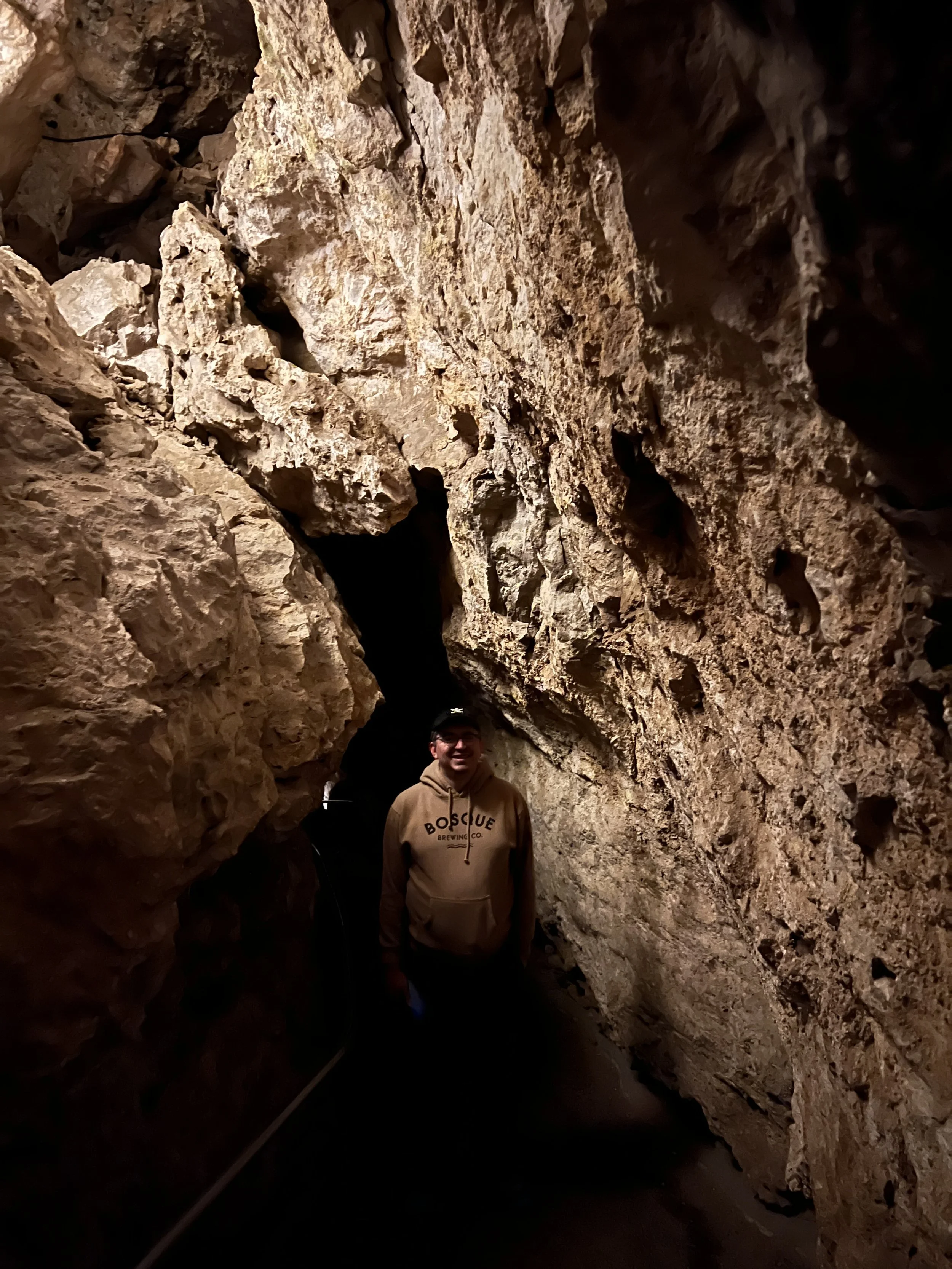
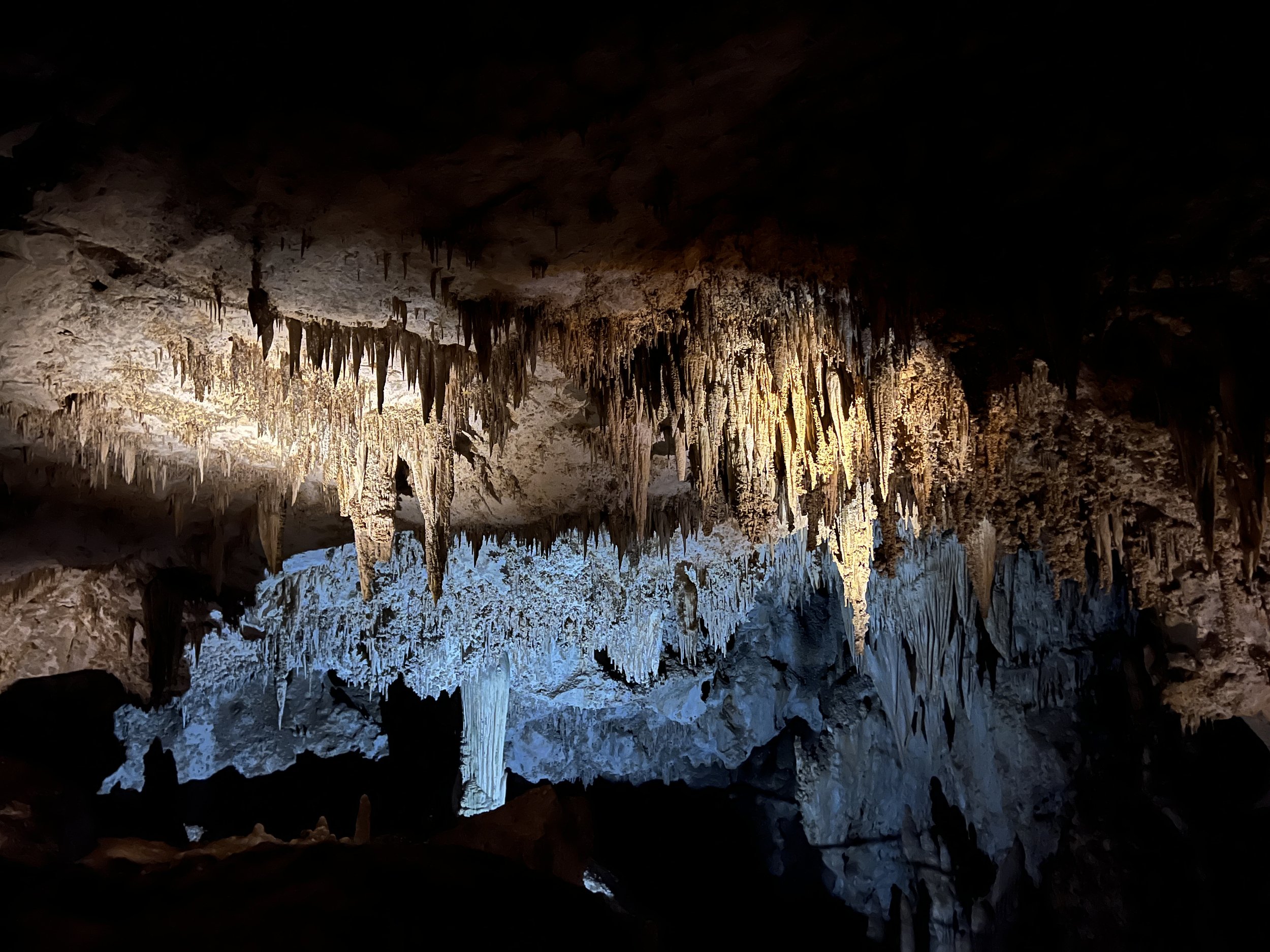
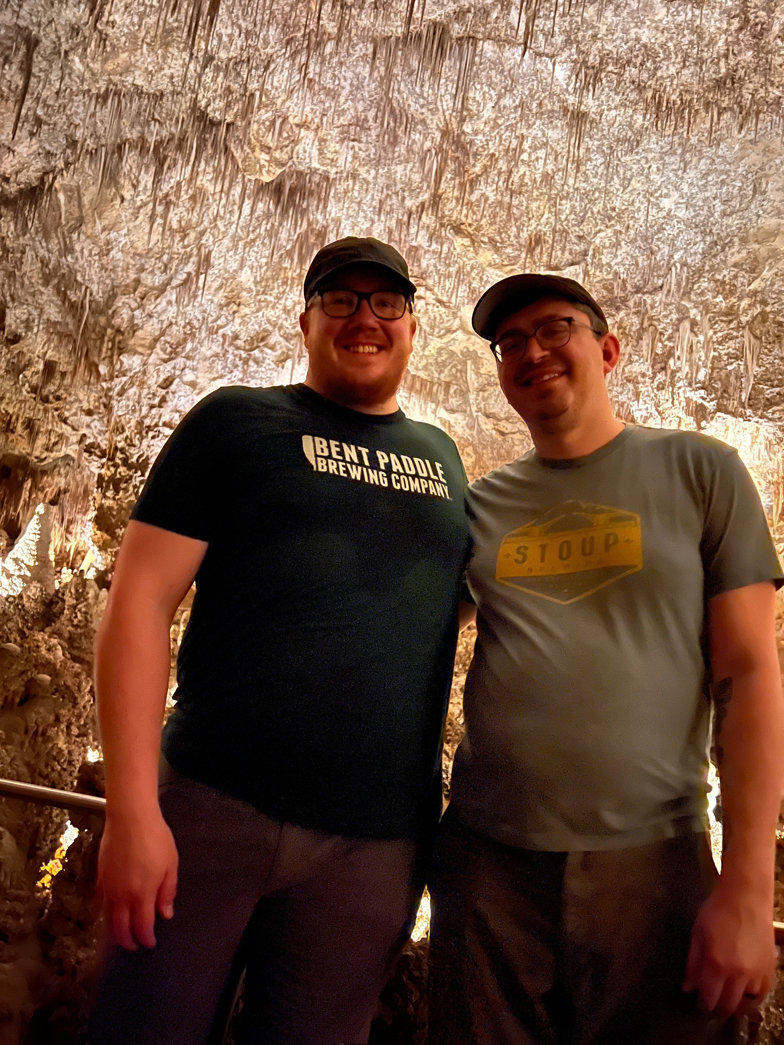
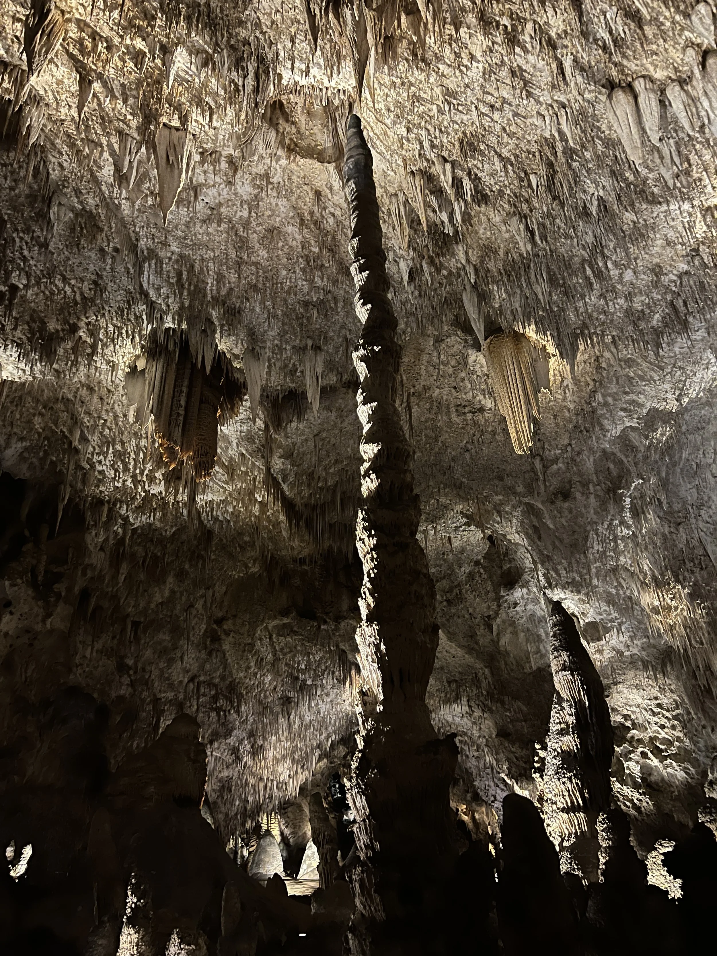
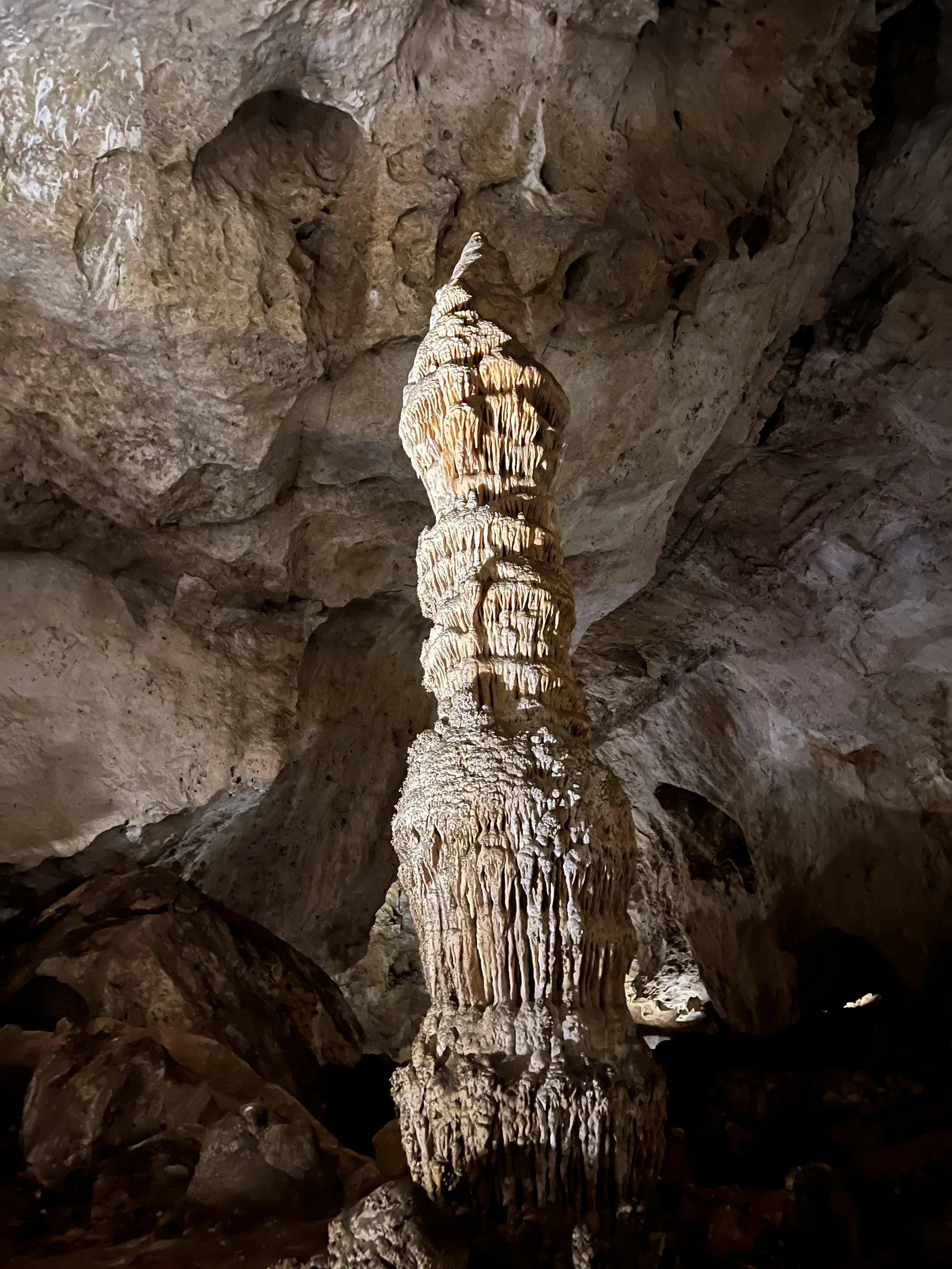
Activity 4/52 - Hike - Carlsbad Caverns NP (Carlsbad, NM)
Distance/Time: 3 miles
We made it to our reservation and walked down the natural entrance. We meandered down, in awe of the formations and just how far we were going in. It was nice to show my partner something I love and something so spectacular. This marks our second national park together as we quest to see them all. Carlsbad Caverns will take a couple of hours to get through, but it’s something new around every corner. Make sure you look up when you’re there, as the stuff on the ceiling can be just as amazing to see. If your knees don’t like downhill, you can enter with the elevator instead of the natural entrance.
2022 Activities 1 and 2
It’s a new year and new set of activities for the 52 hike challenge. This year I will continue having an open mind on what counts as one of the 52 hikes. Paddling, hiking, trail runs, bike rides, and more will count. The goal with my version of the 52 Hike Challenge has always been to get outside and see the world. If the events I participate in do that, I’m good with counting them.
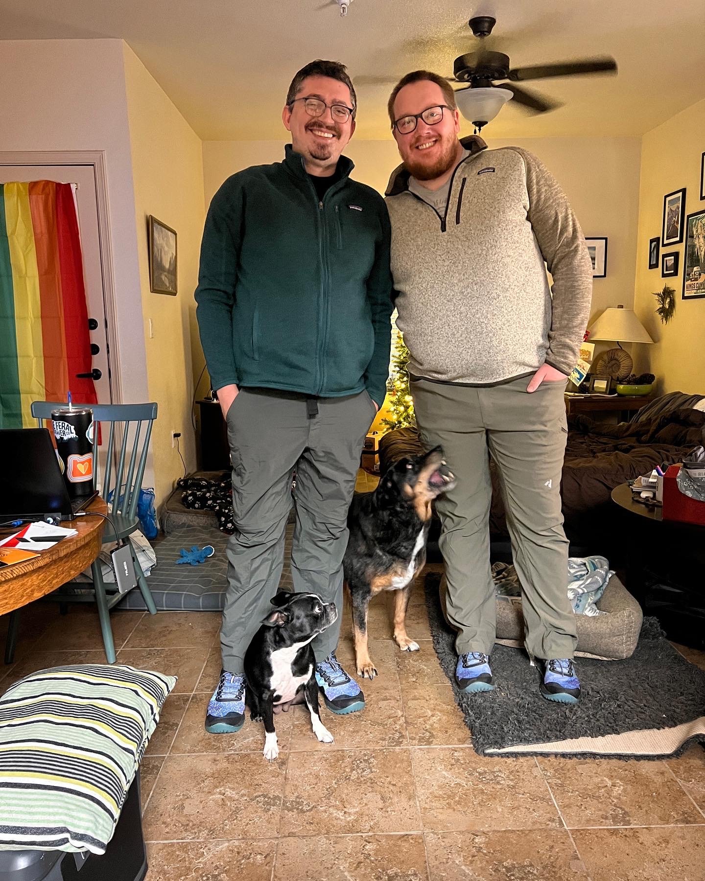
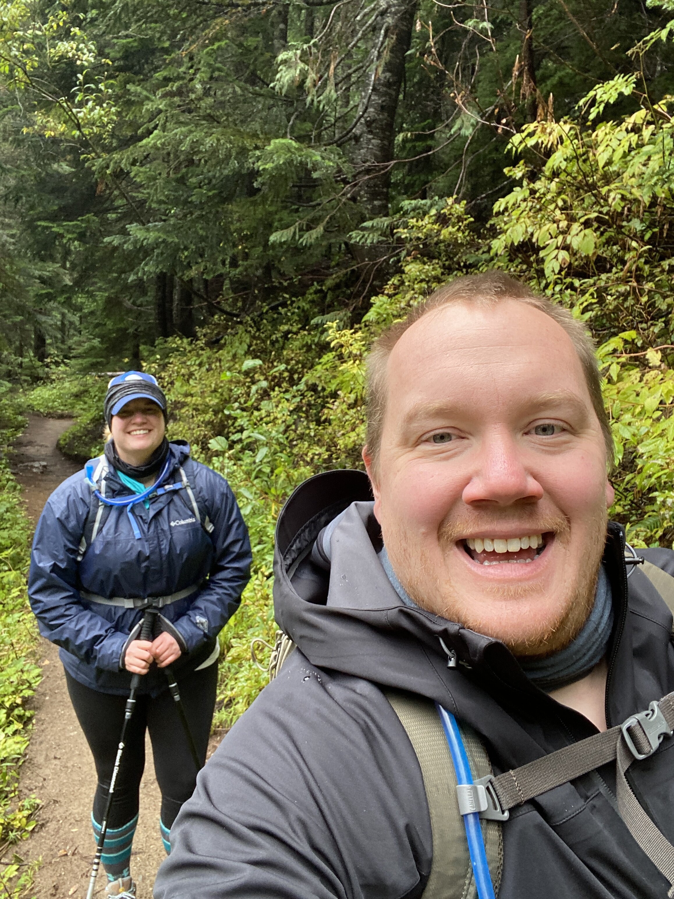
January 2022 included two hikes with my partner Randall. We have plans to complete this challenge together this year and we’re going into February with a plan to adventure even more.
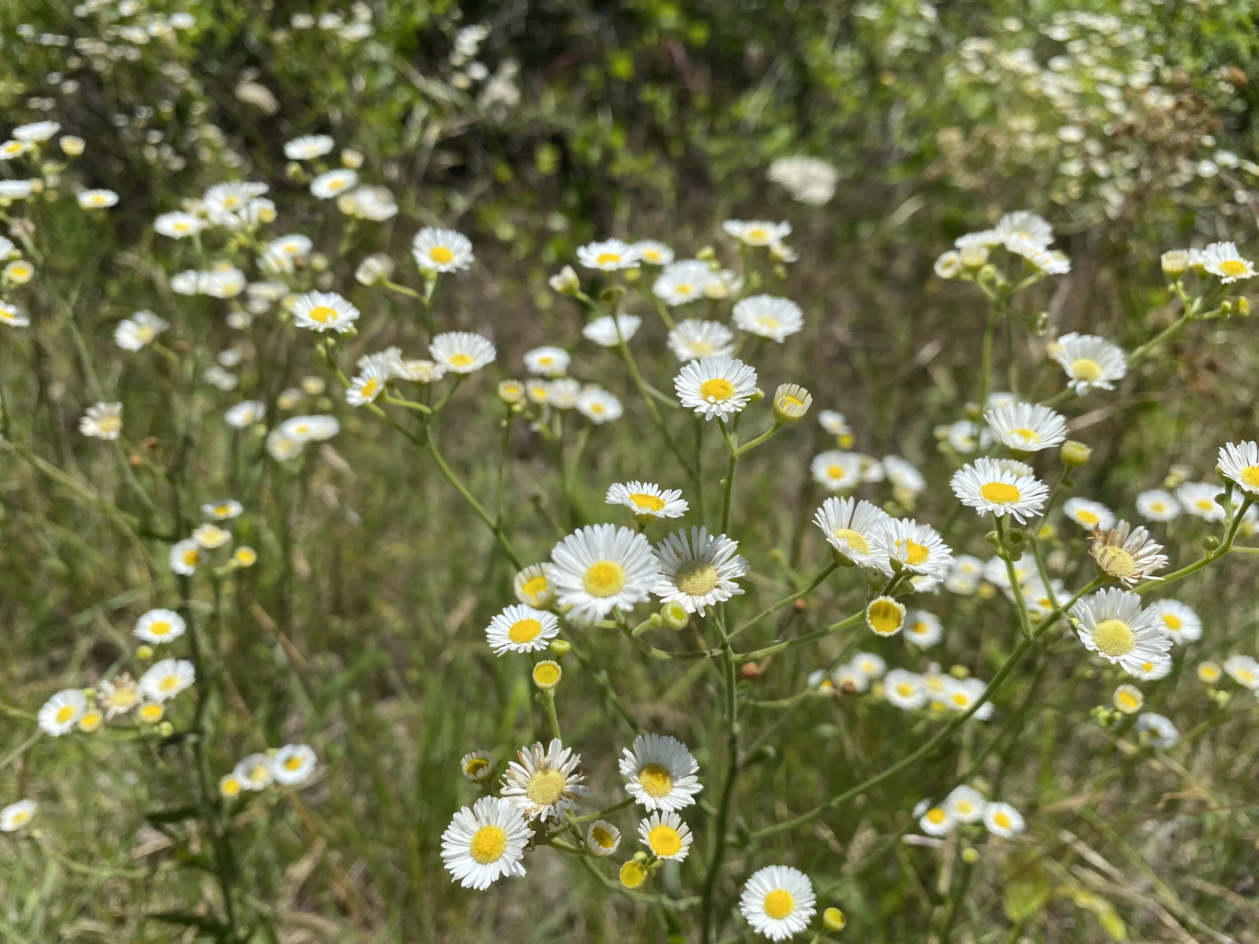
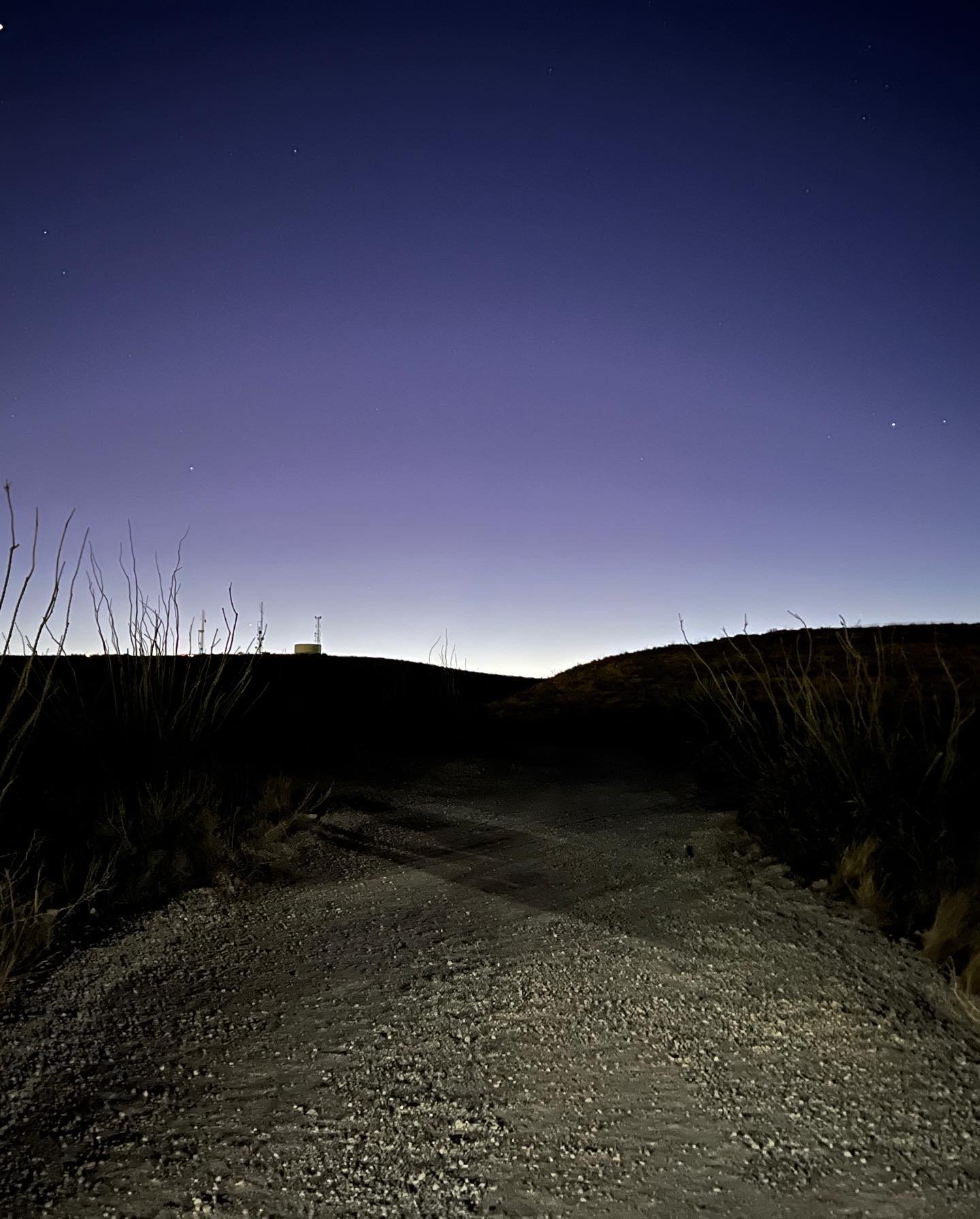
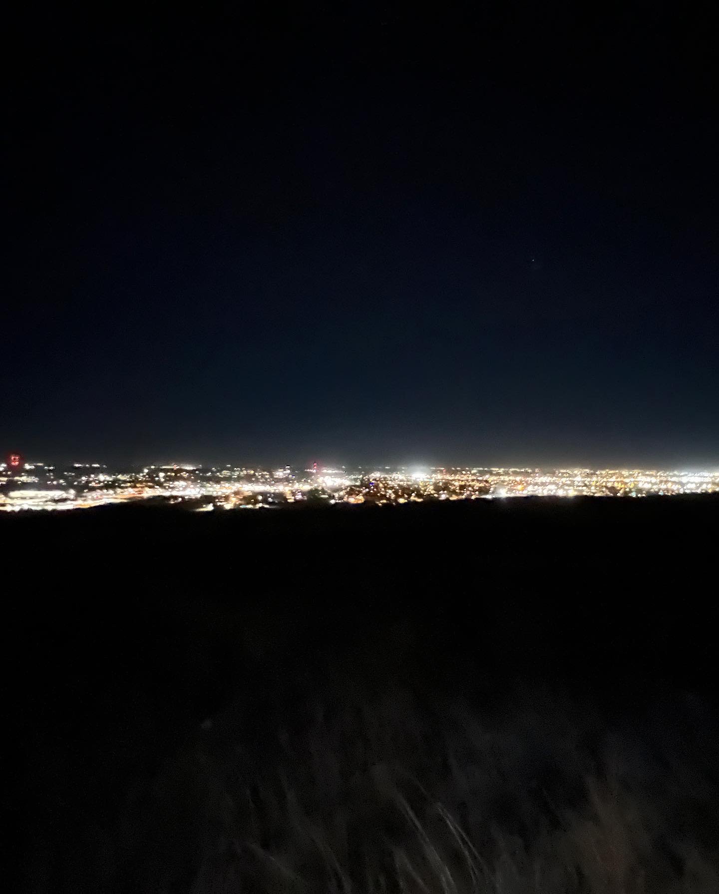
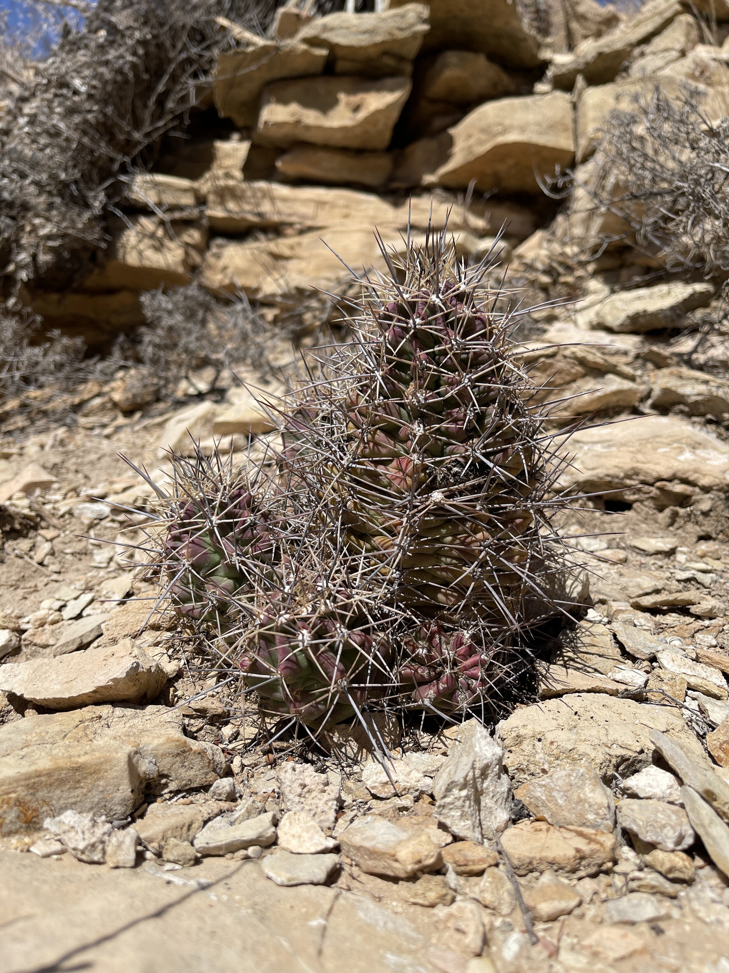
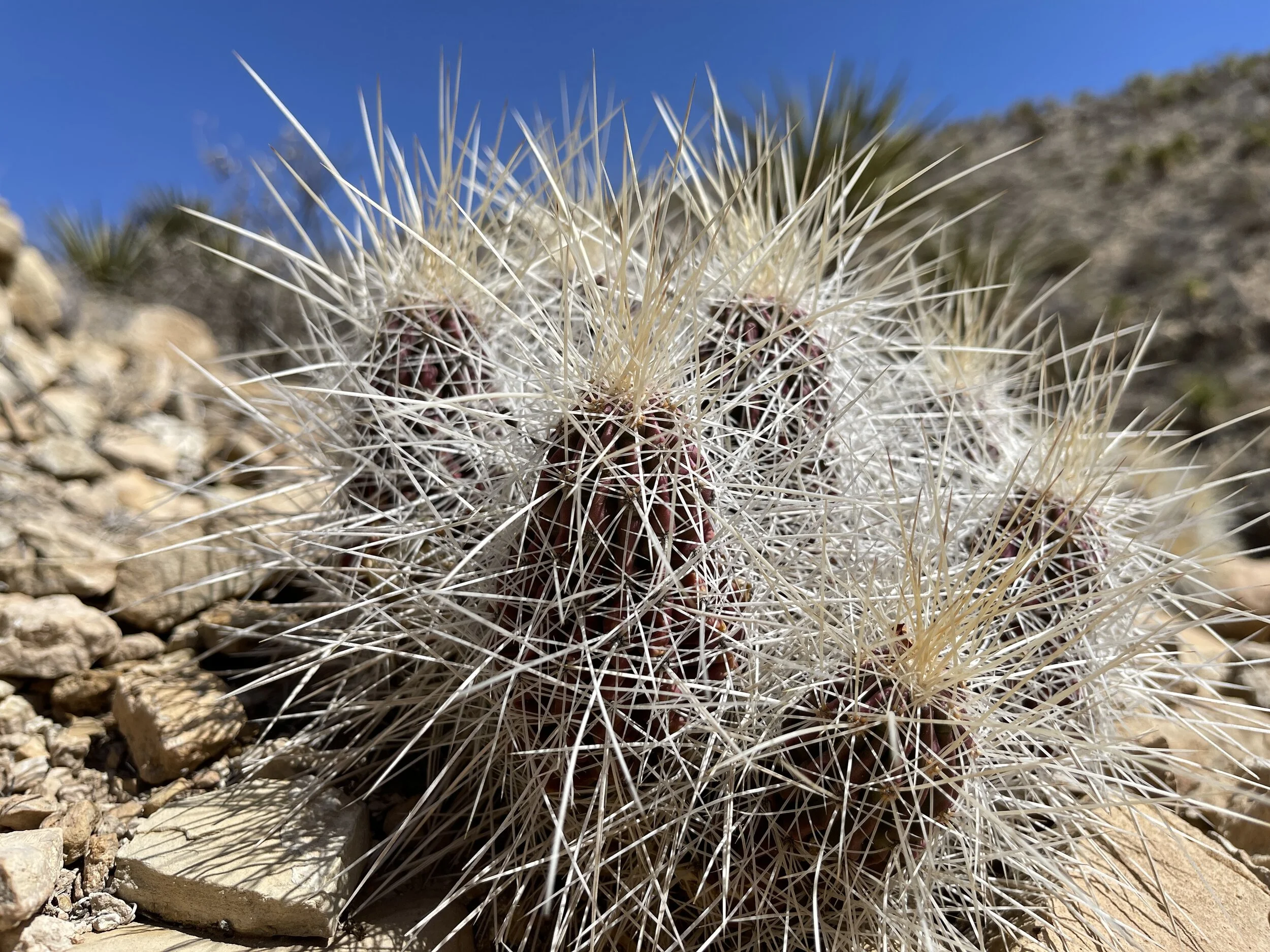
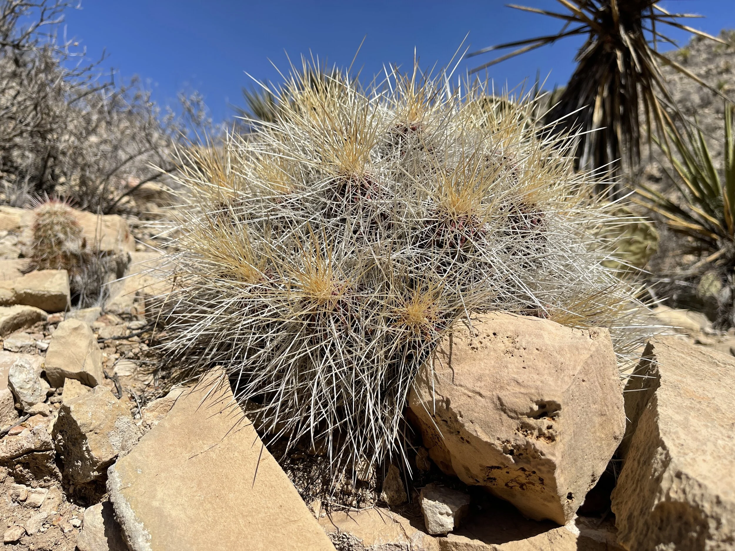
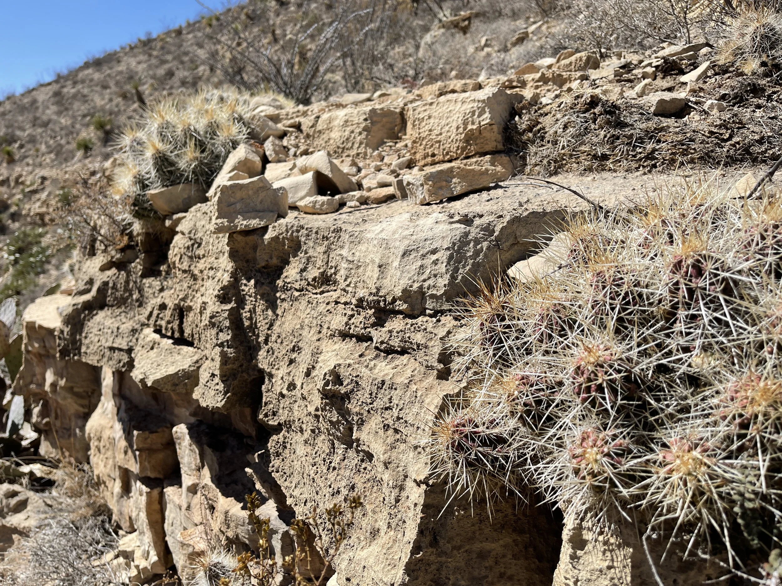
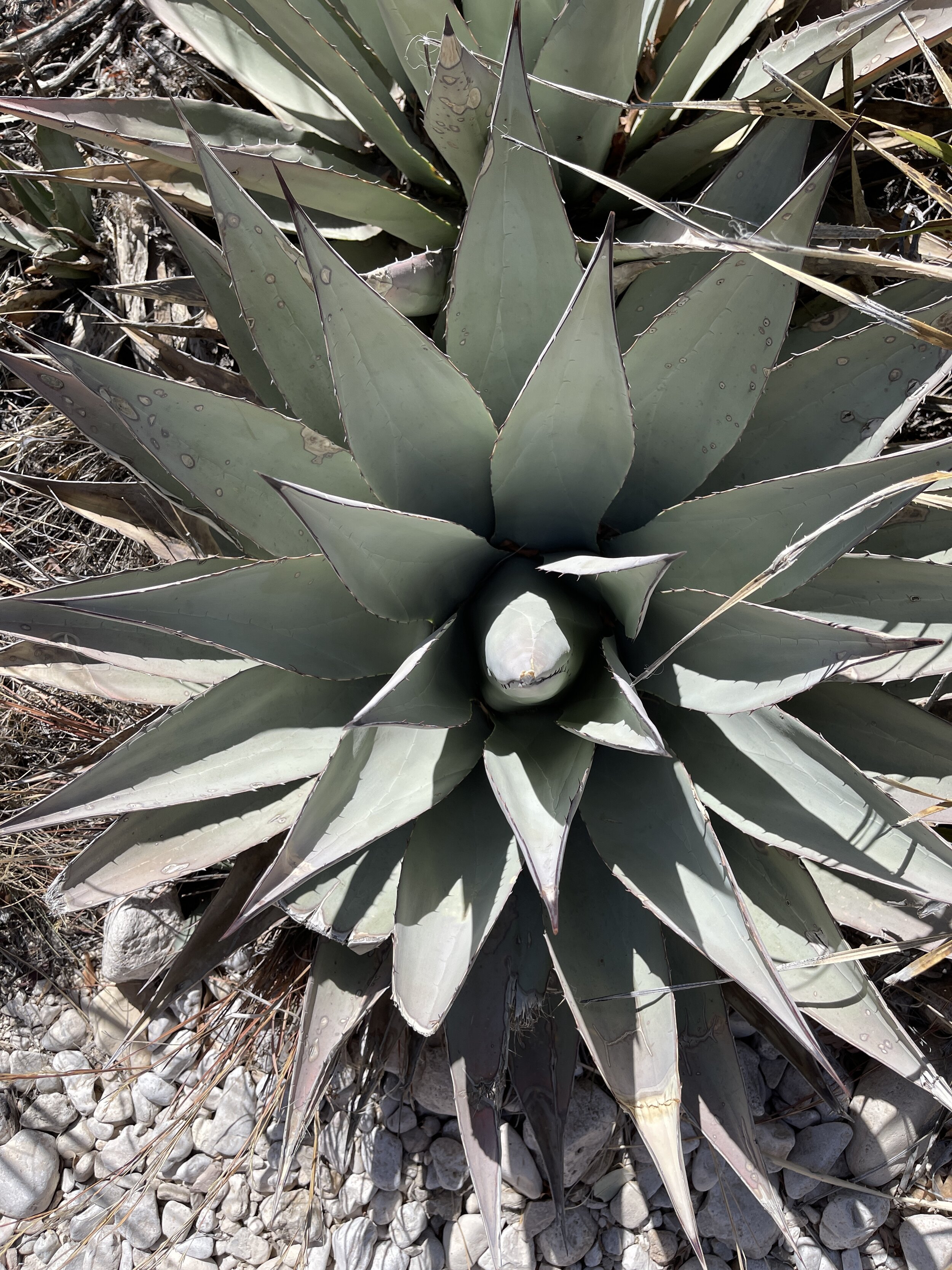
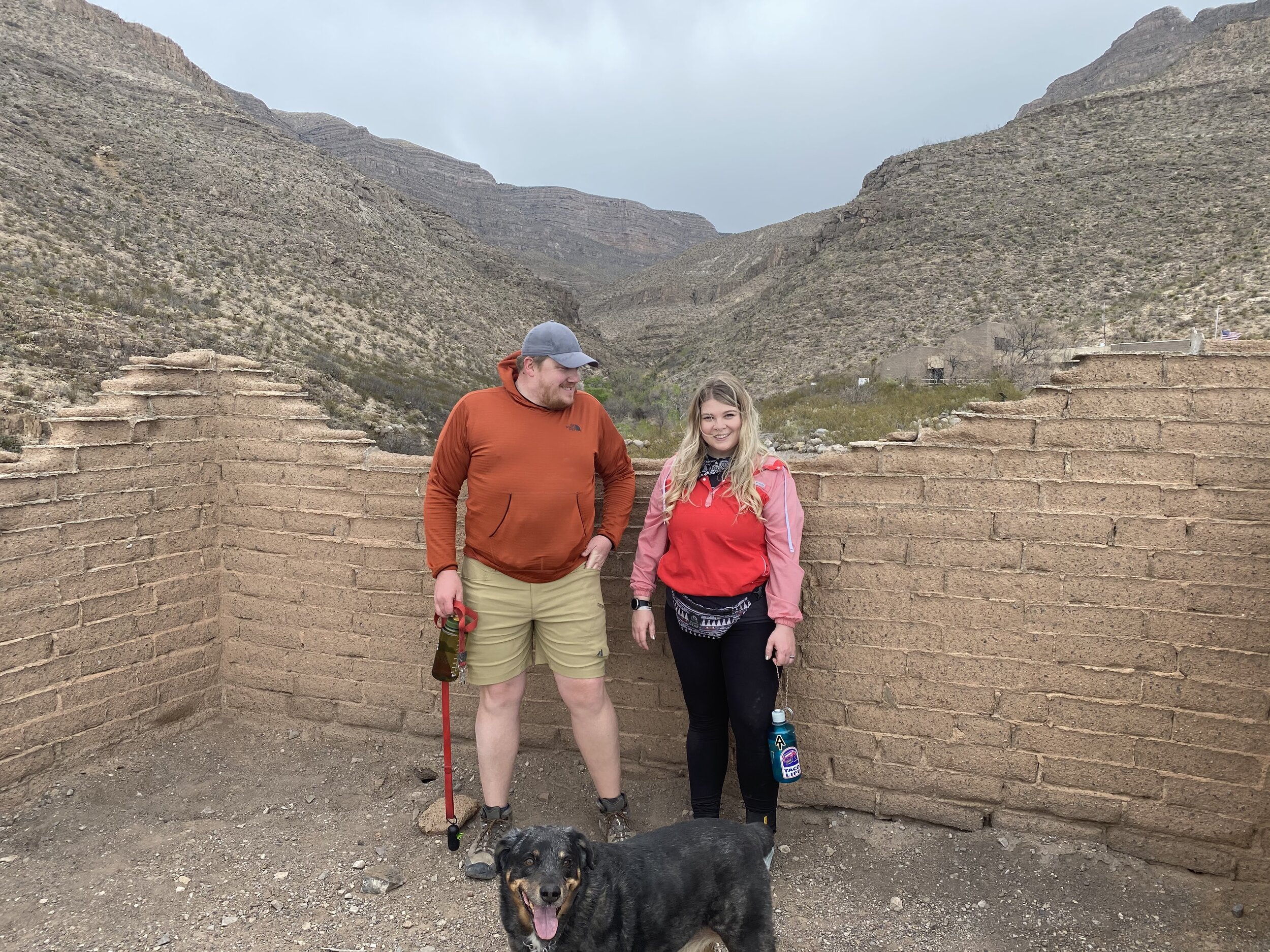
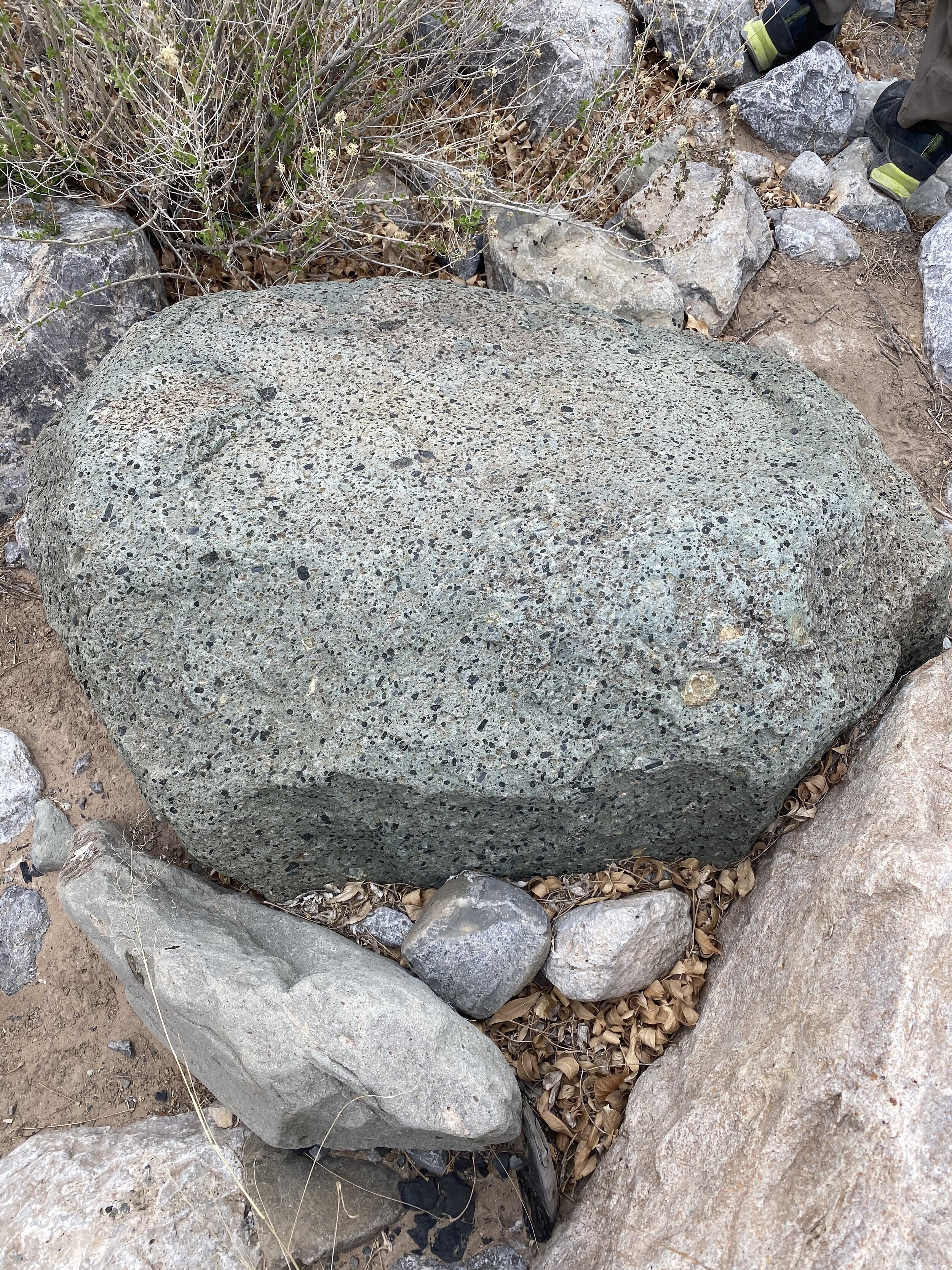
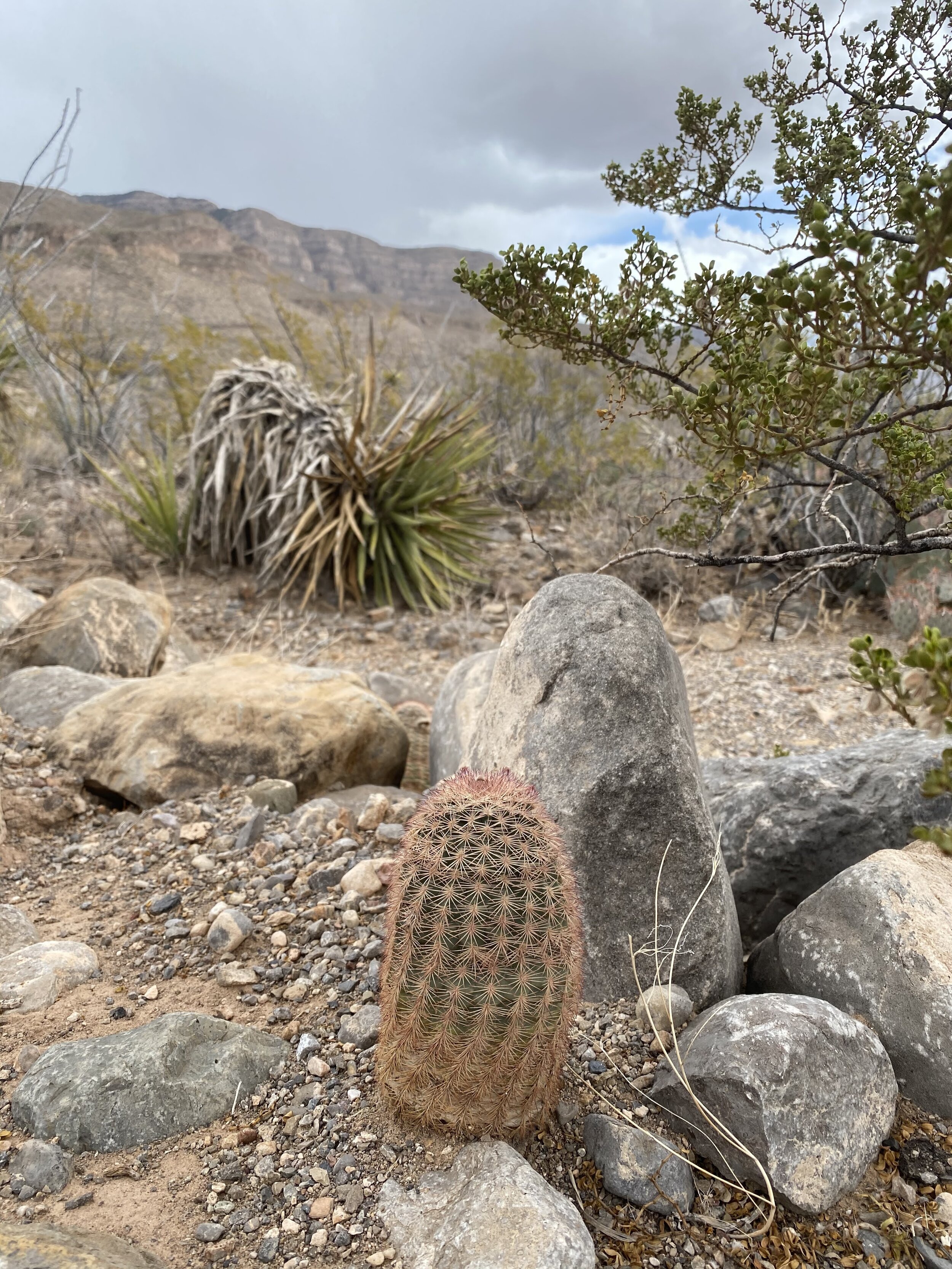
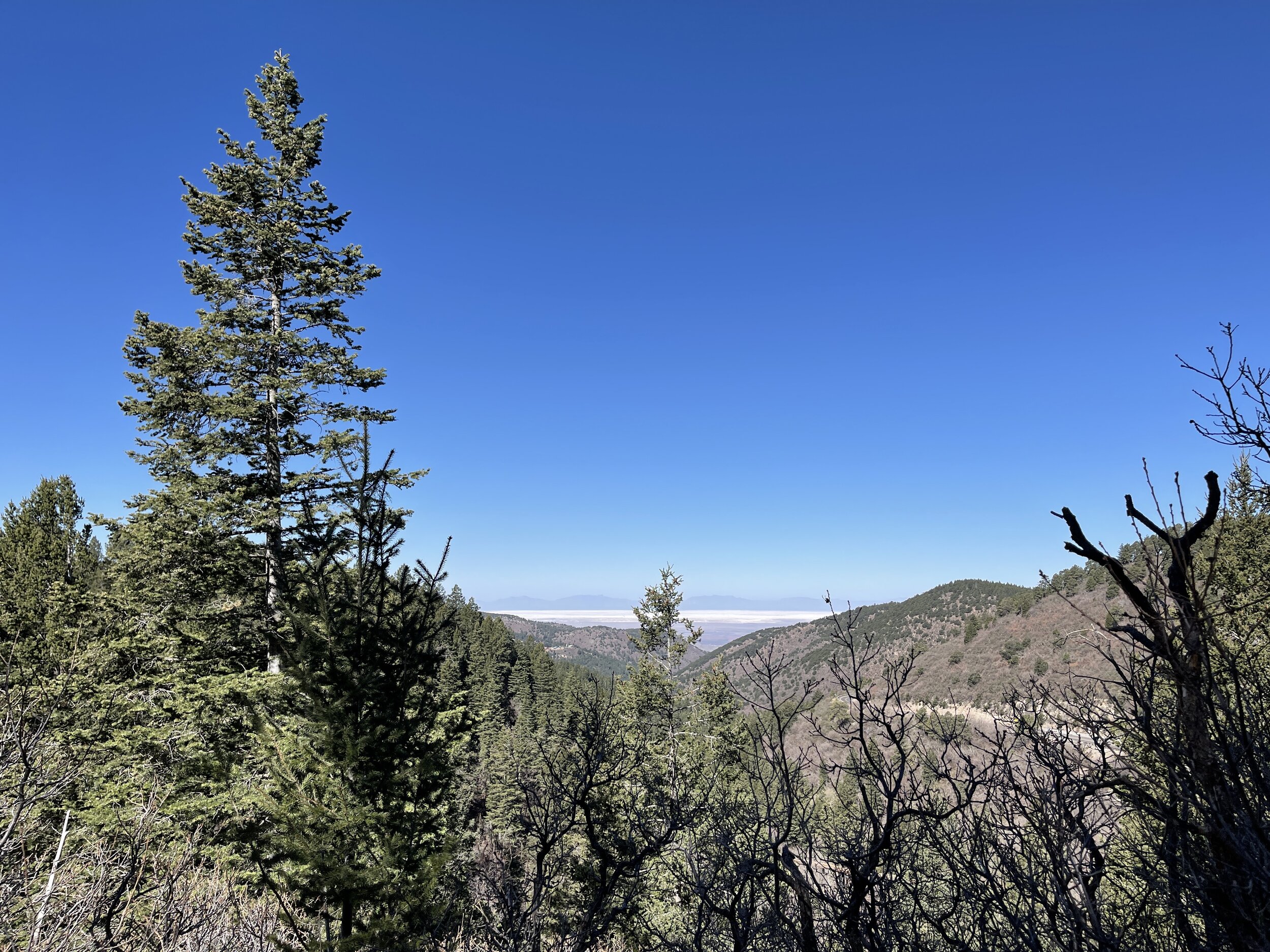
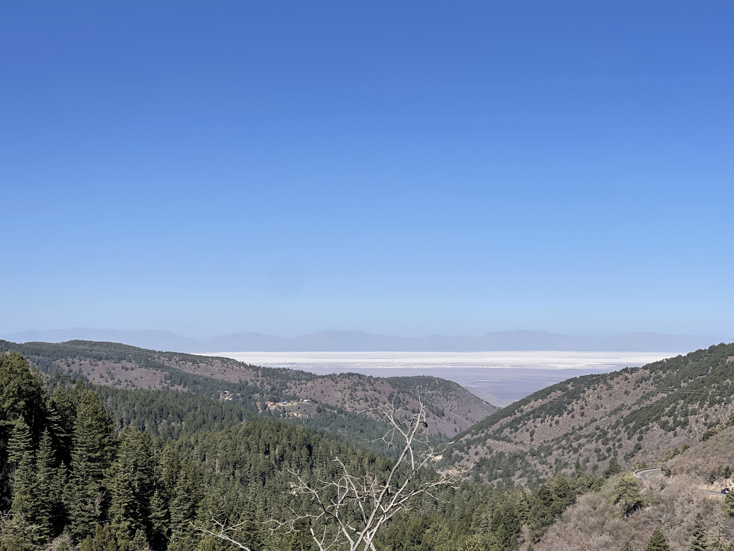
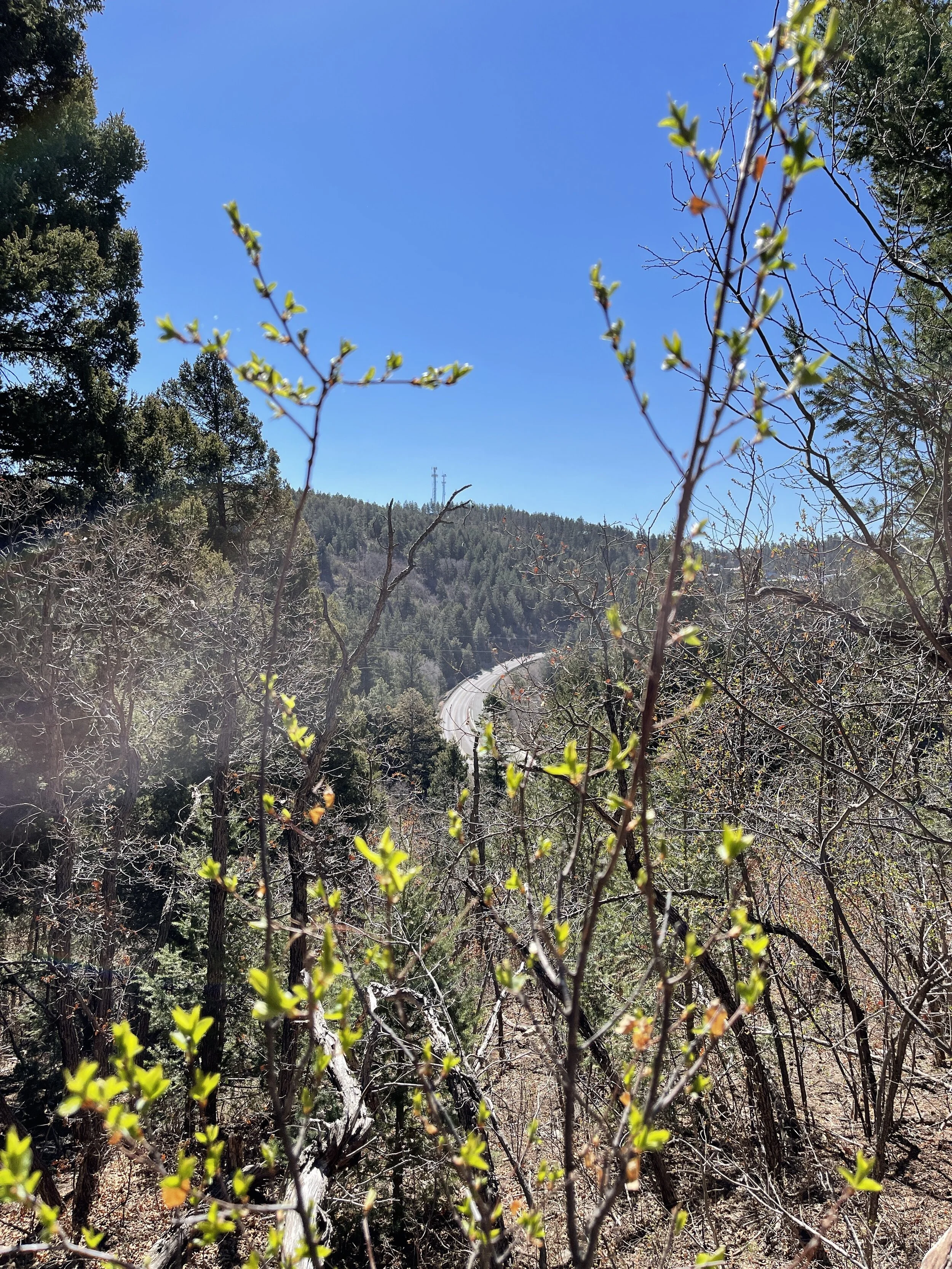
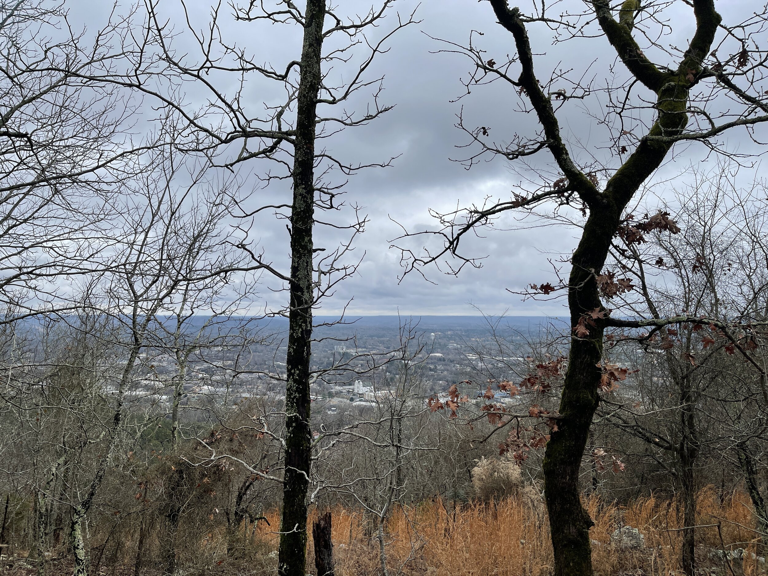
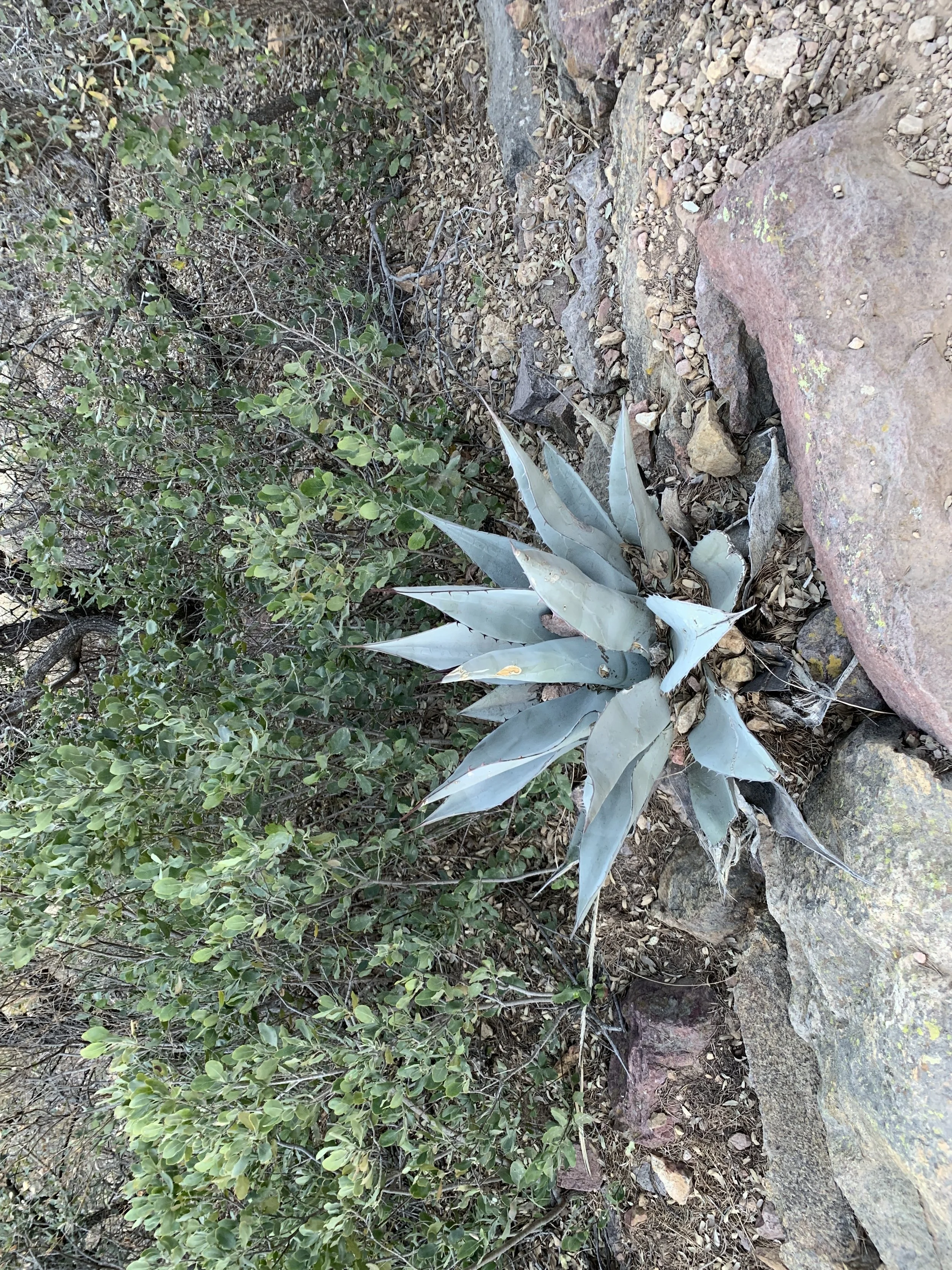
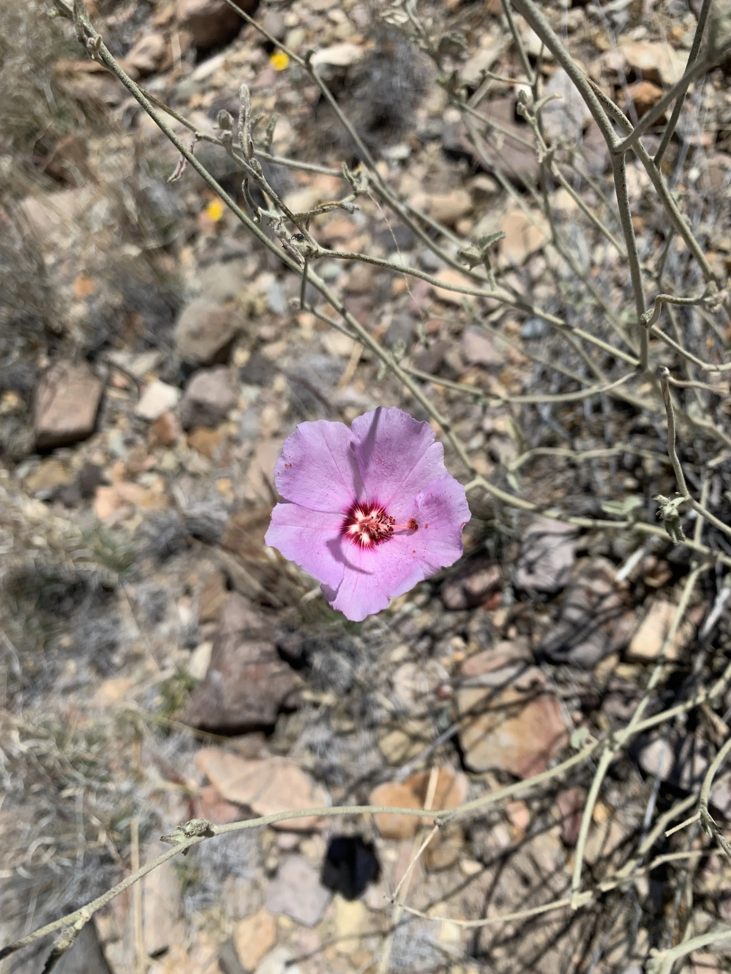
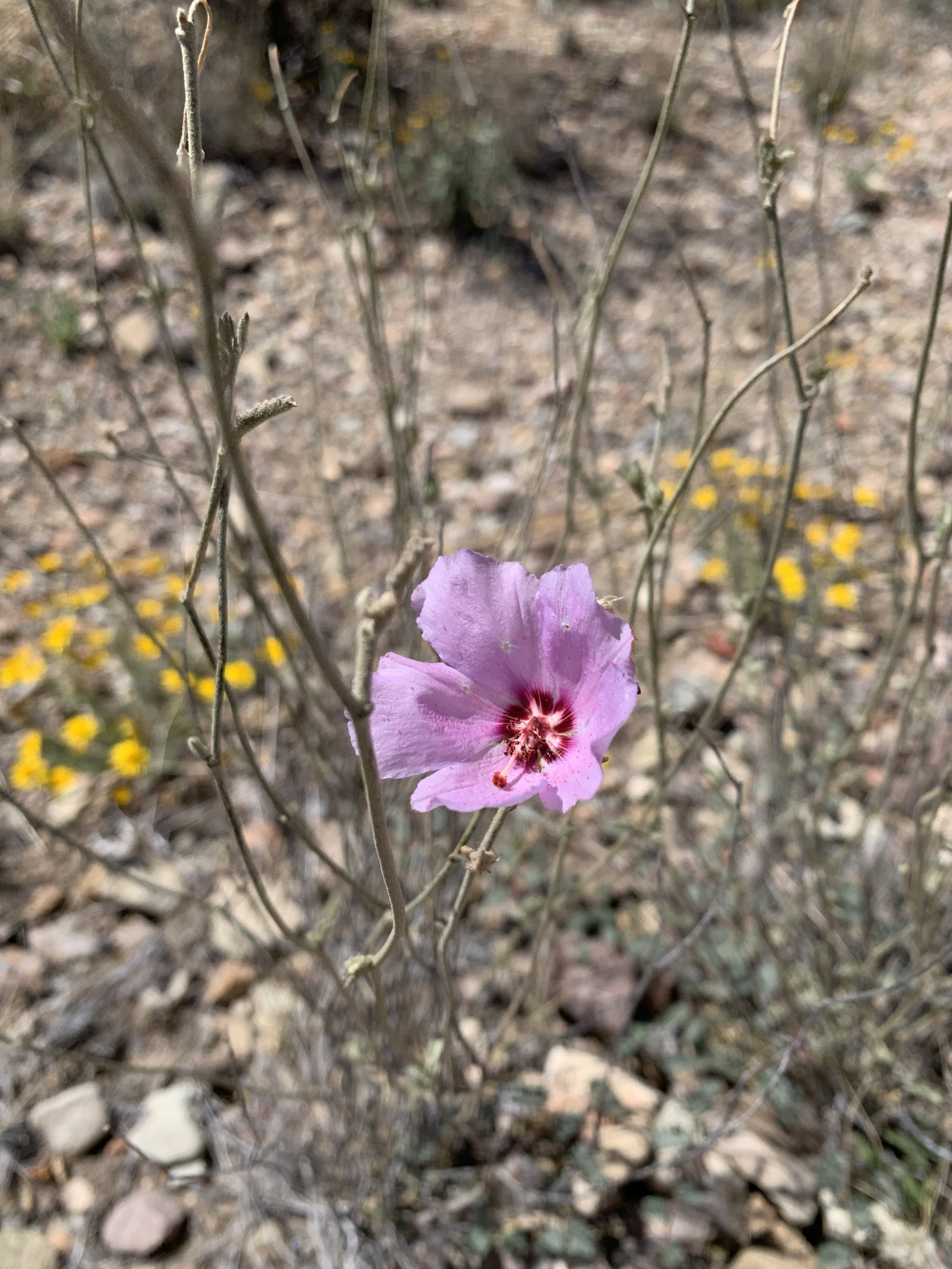
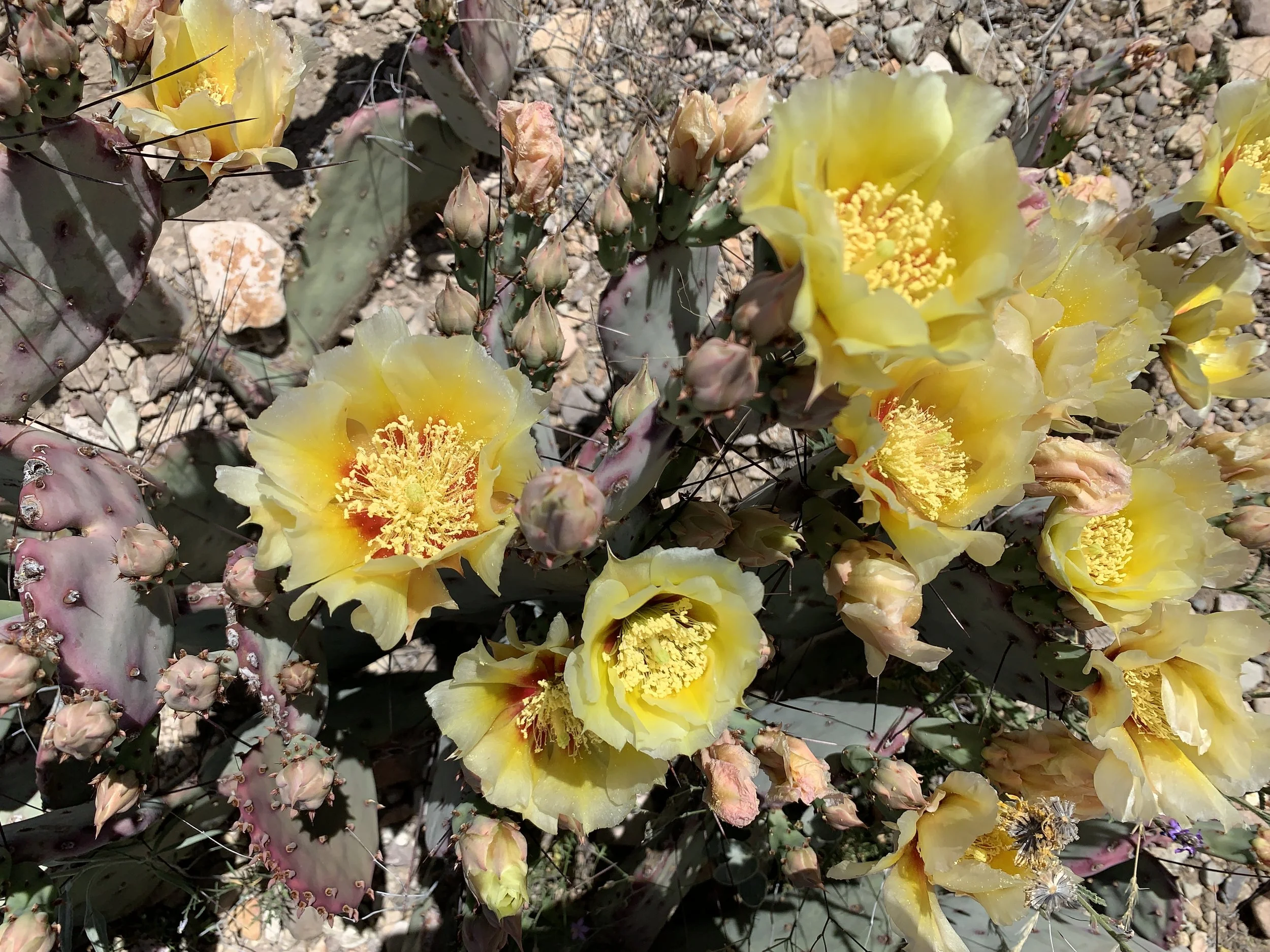
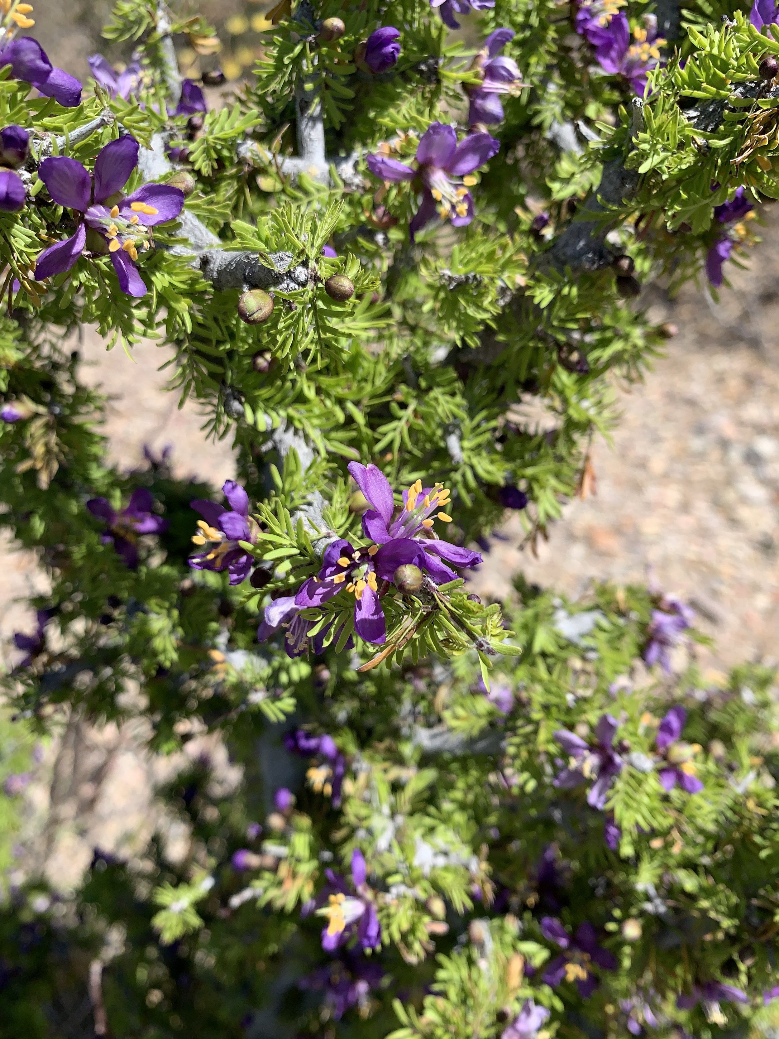
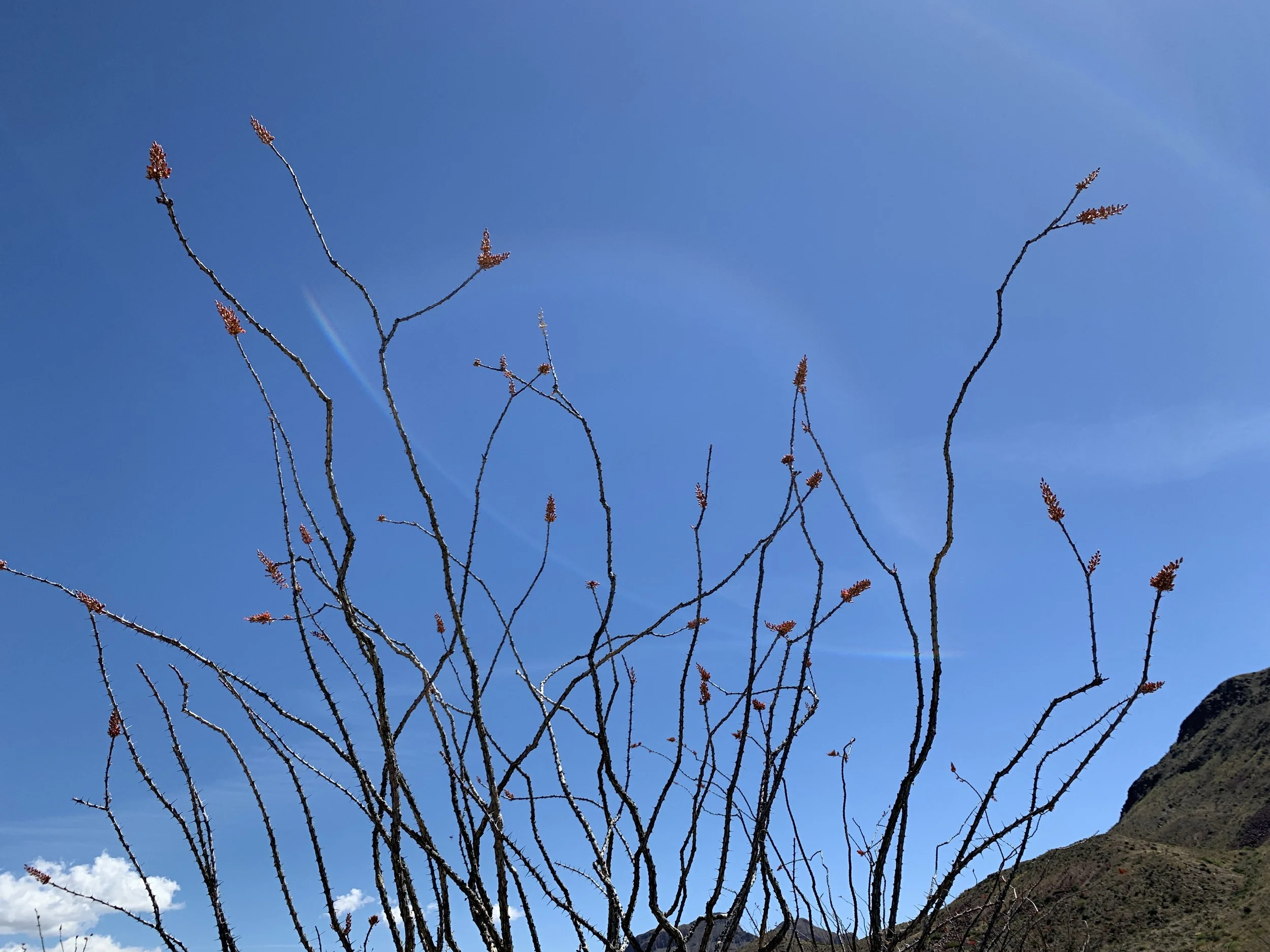
Activity 1/52 - Hike - Ocotillo Nature Trail (Carlsbad, NM)
Distance/Time: 2 miles
This trail is a little gravel path that winds up the hillside and takes you to a high point and view of Carlsbad. We did this trail at night, with the dogs, because of work and whatnot so the view was especially cool. The activity itself was not difficult, but it was dusty and dry. Enjoy some of the photos!
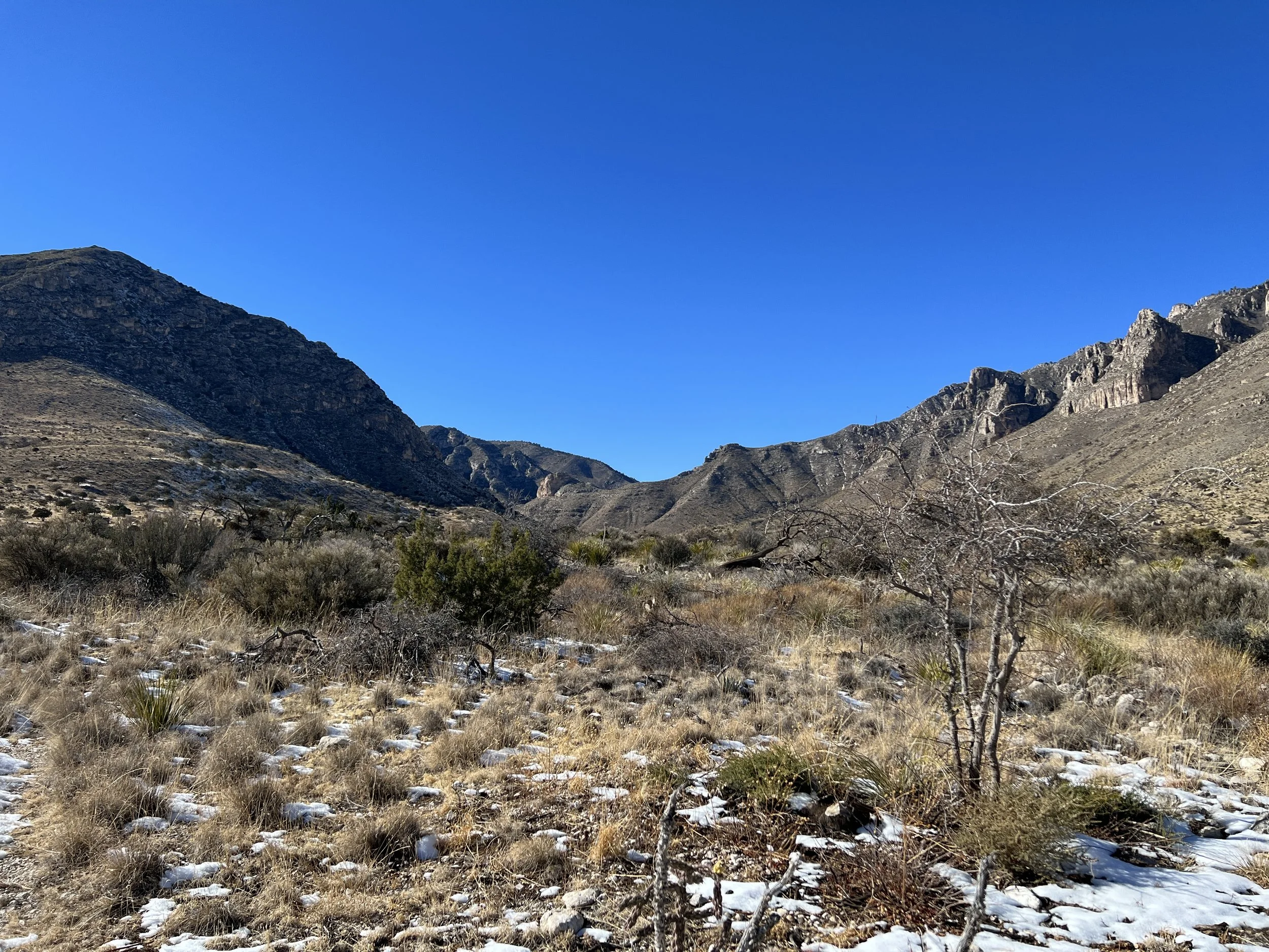
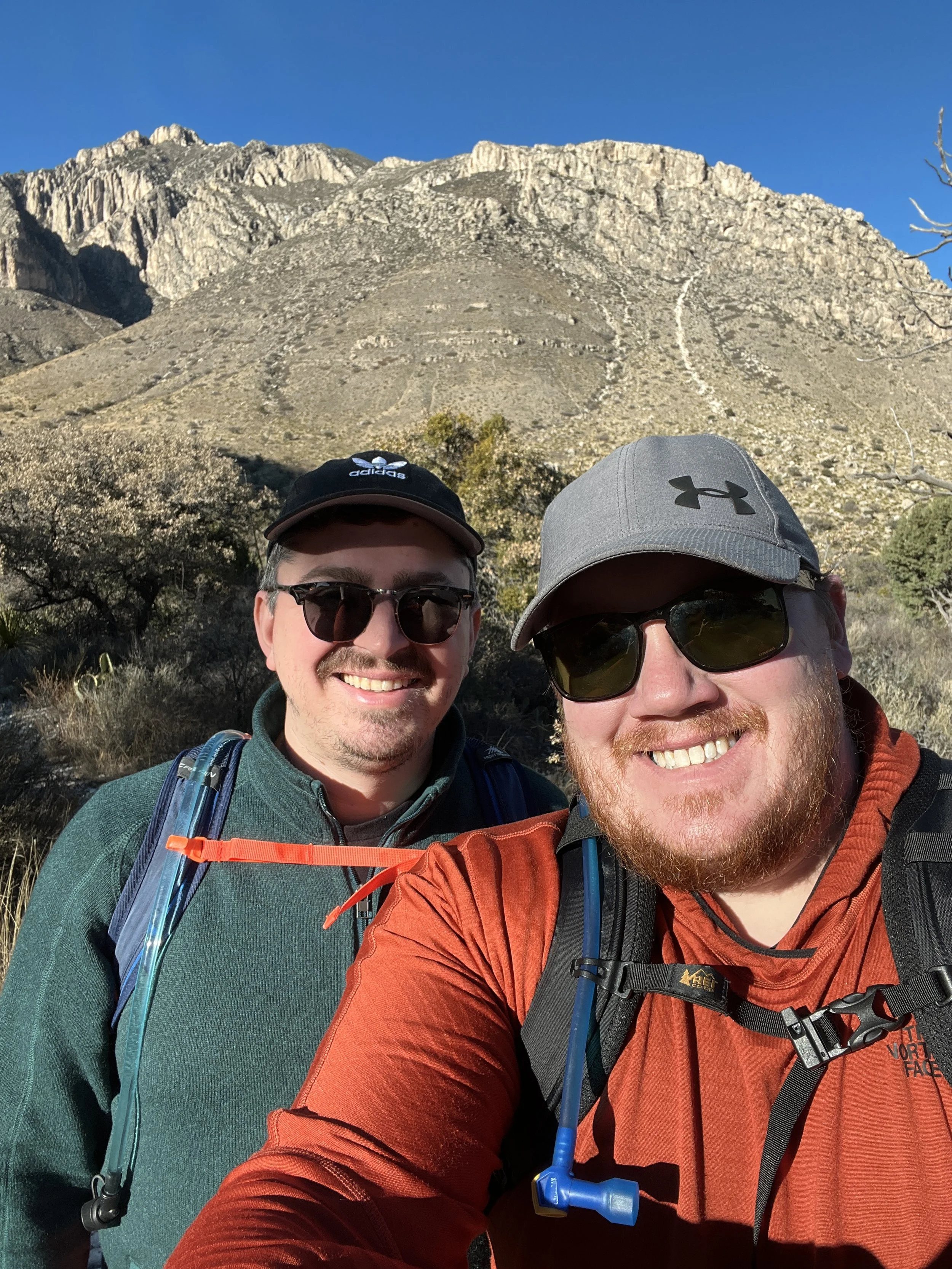
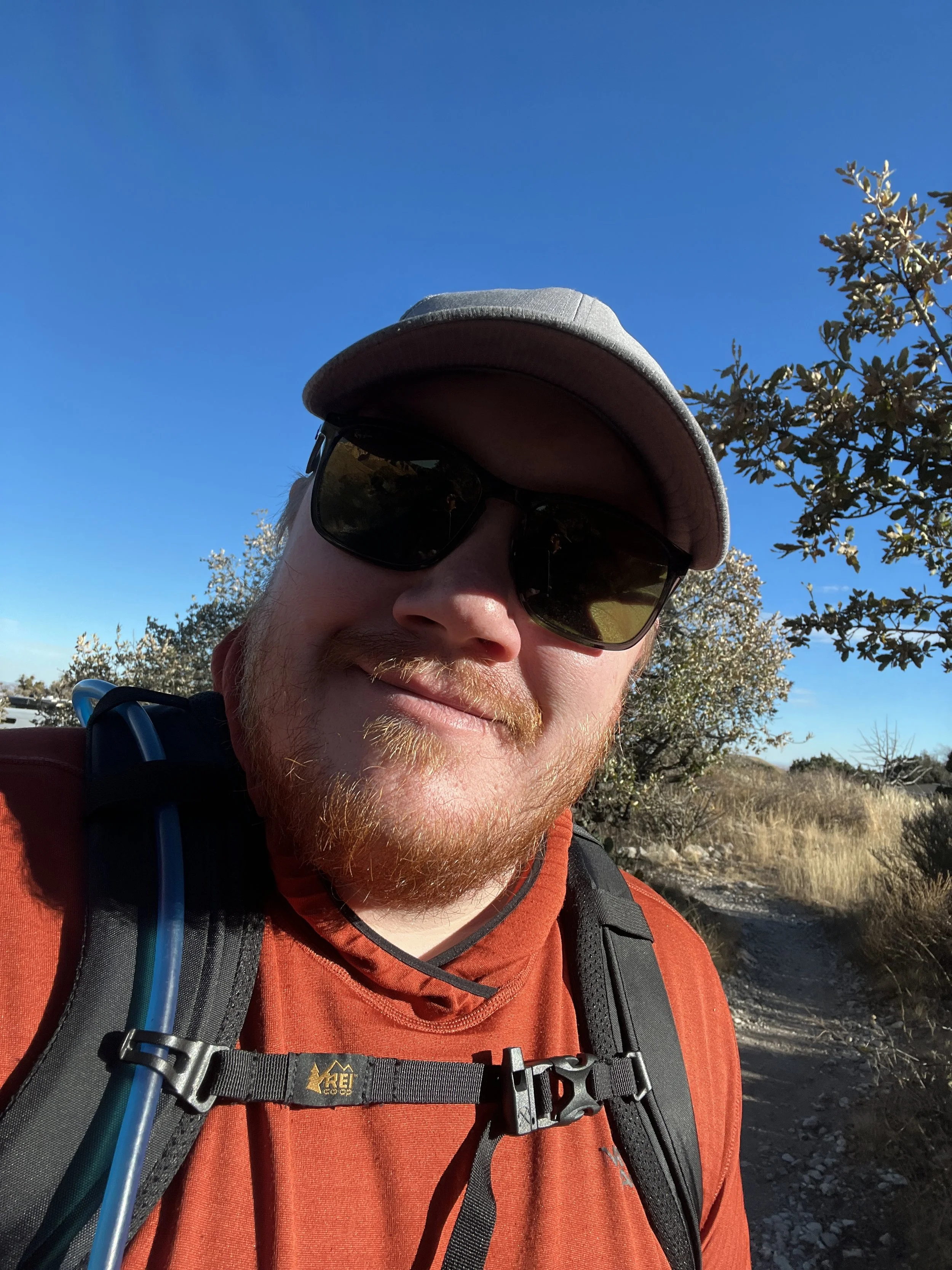
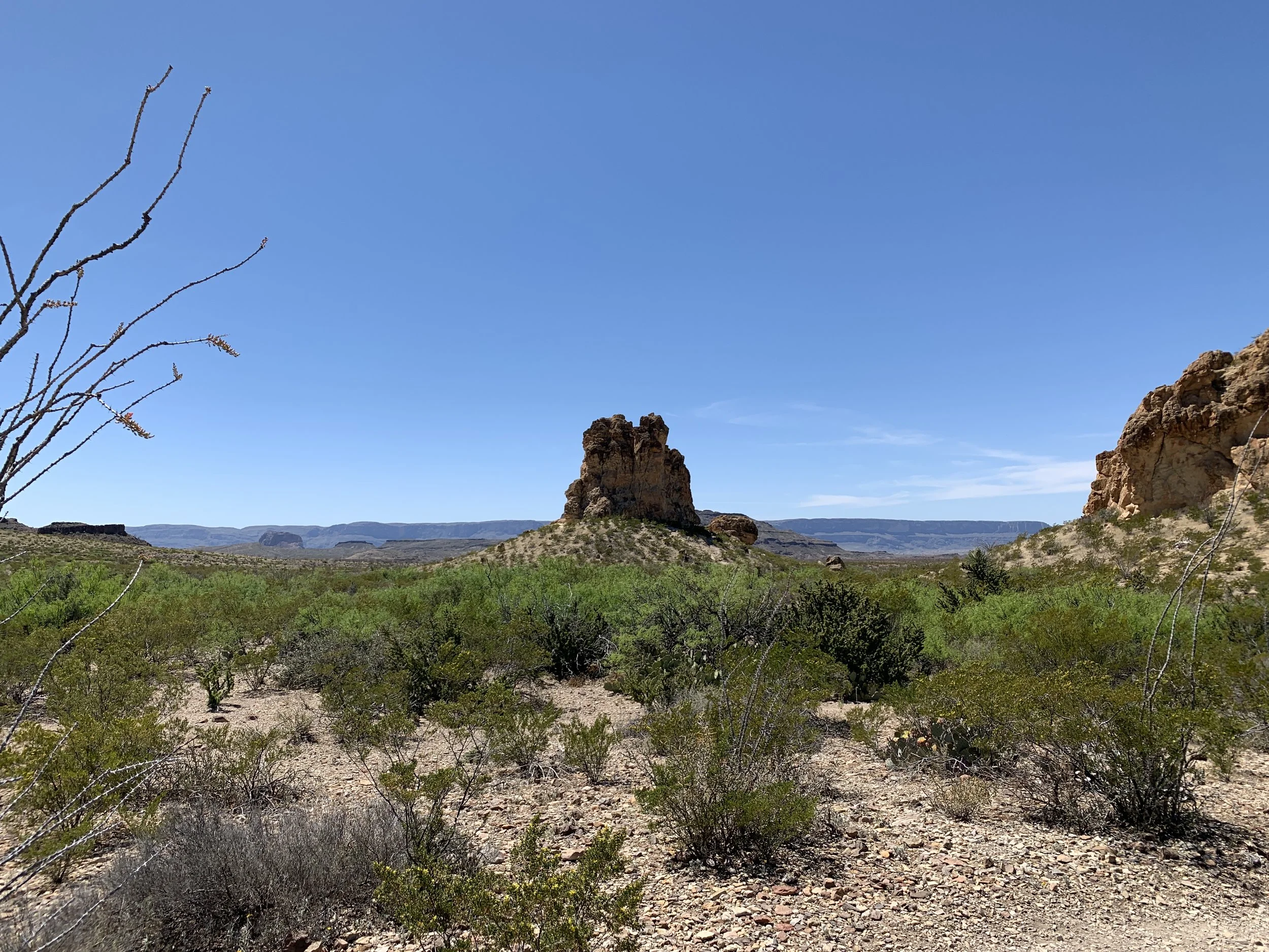
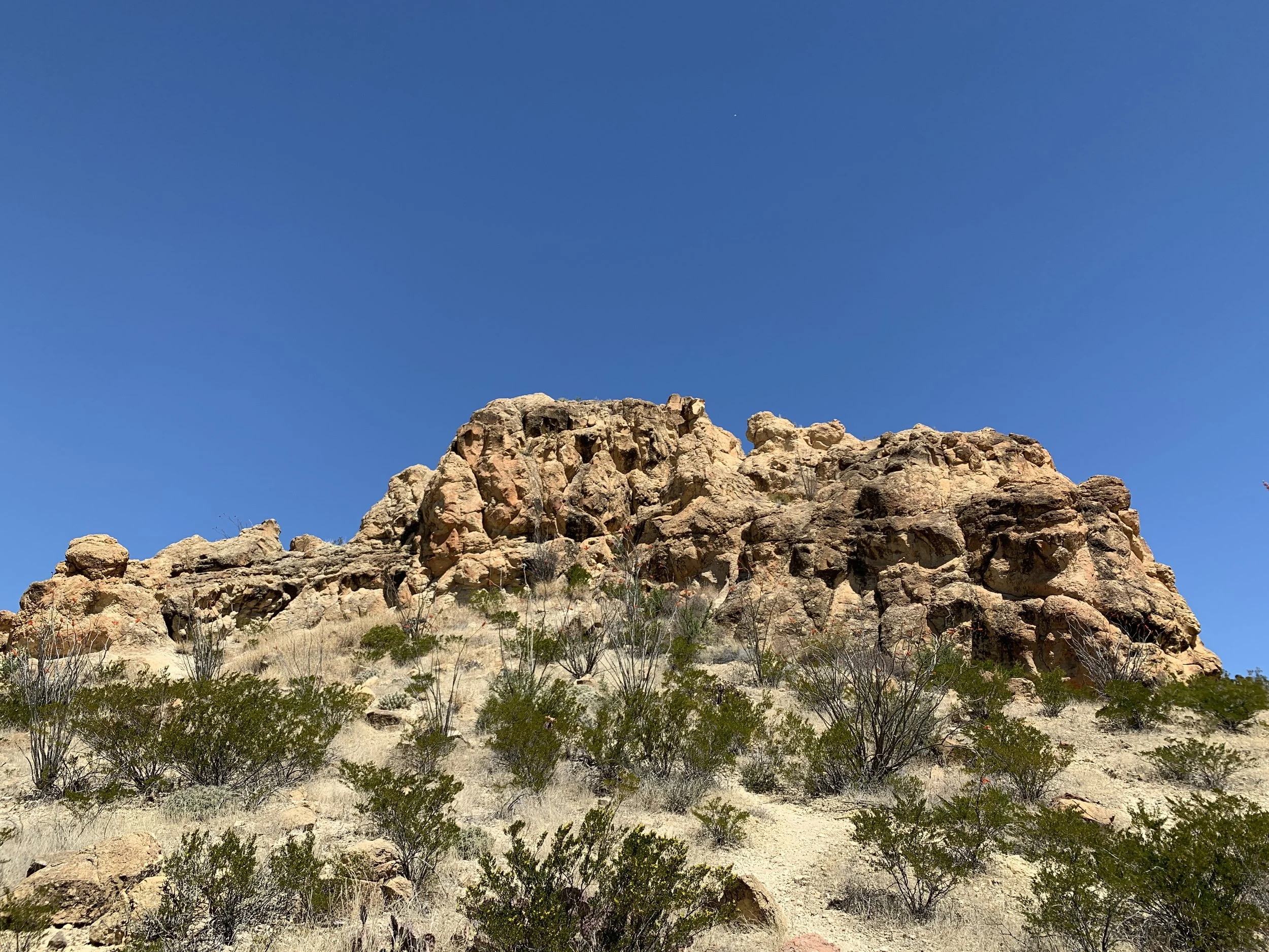
Activity 2/52 - Hike - Guadalupe Mountains National Park (Salt Flat, TX)
Distance/Time: 2.38 miles
This hike started with good intentions, and ended with good plans to return. I think the original thought was to hike through McKittrick Canyon and have a nice picnic at the Pratt Cabin. As we drove, other trails looked more enticing so we shifted our plans to hike the Devil’s Hall trail. We started off, with plenty of snacks and water but only brought sunglasses. The sun was sinking, and the canyon walls made it darker faster. We hiked just over a mile and decided it was getting too dark in sunglasses (we both wear prescription sunglasses) and it was time to just have a snack and head back to the car. This is where we planned to return for this trail, and others, before we leave New Mexico. Flexibility is an important part of adventuring and our safety and enjoyment are top concerns making the decisions to come back easy!
March-April 2021 Hikes
Here’s a glimpse of my hikes through May 1, 2021. Thanks for following along. I’m sharing brief, less wordy summaries and more photos. To me, it’s all about the experience and the photos capture it better than my words can in this format. Happy hiking!
Hike 6 - Lincoln National Forest (no specific location)
Found a small canyon on the side of the road
Explored about a mile in the canyon, walking through a dry creek bed
Discovered plenty of desert plants and fun rocks
Enjoyed a break from the extreme wind in the area (thanks canyon)
Hike 7 - Guadalupe Mountains National Park
Hiked through McKittrick Canyon to Pratt Cabin
The trail is well marked and visible; it’s mostly gravel
Pratt Cabin has shady pines and good views
Take plenty of water and wear a hat!
There are many trail options, but this particular hike is perfect for someone looking for a pretty, quick, and easy day hike
Hike 8 - Oliver Lee State Park
This was less of a formal hike and more of a little romp with the dogs along the creek
The park has a big trial that goes much higher, we just weren’t quite feeling it
Camping and hiking with great views of vastness in New Mexico
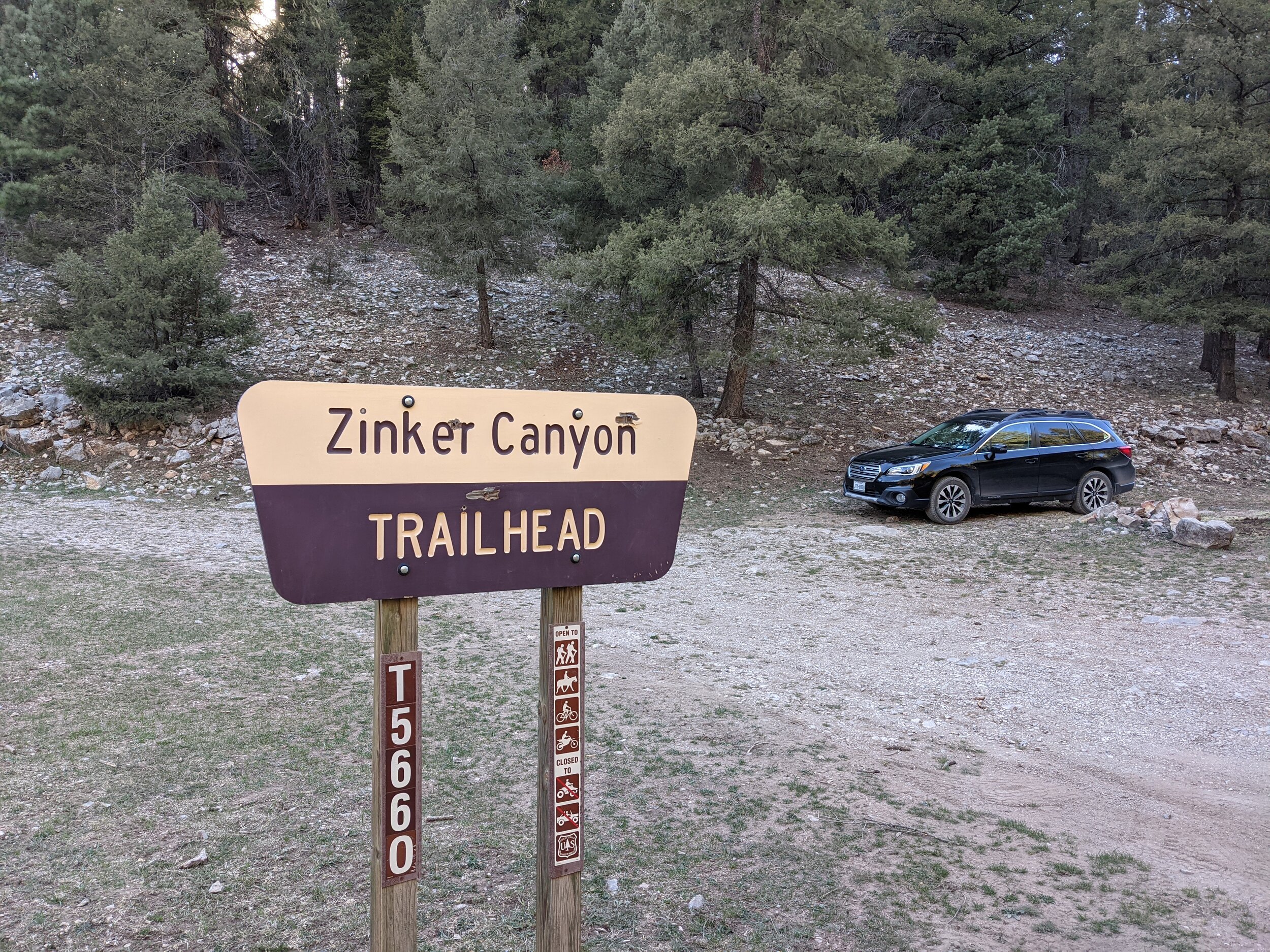
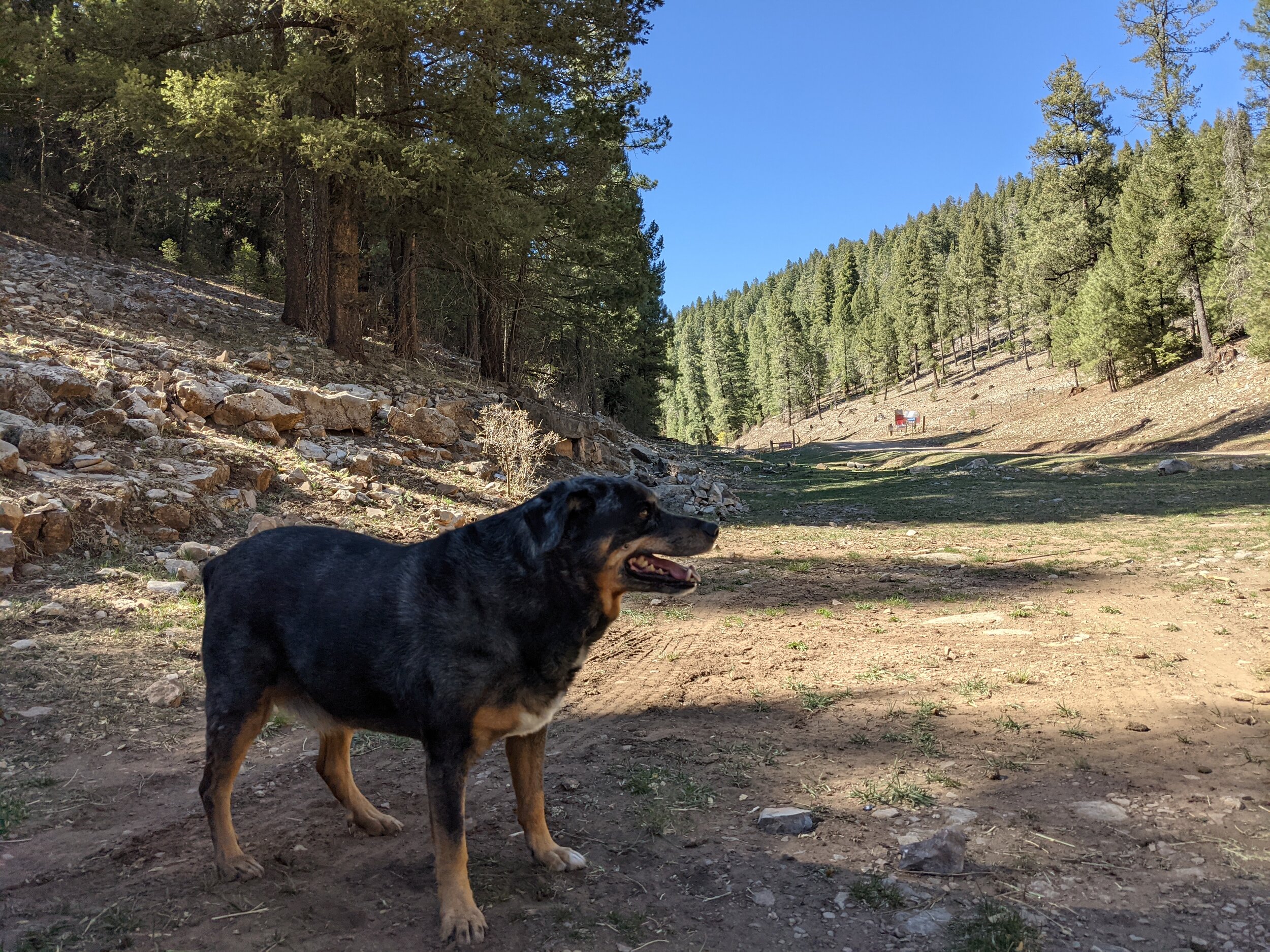
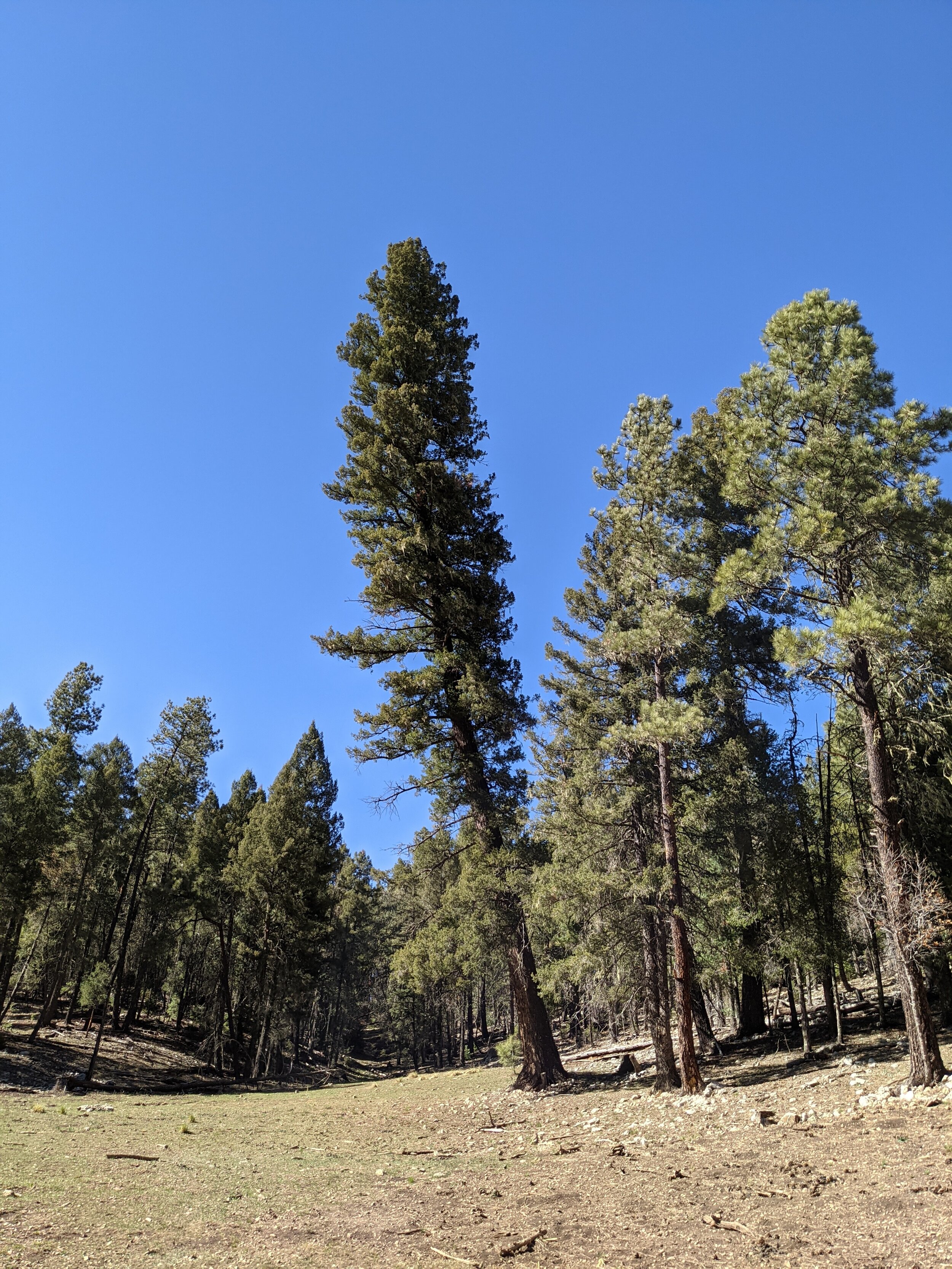
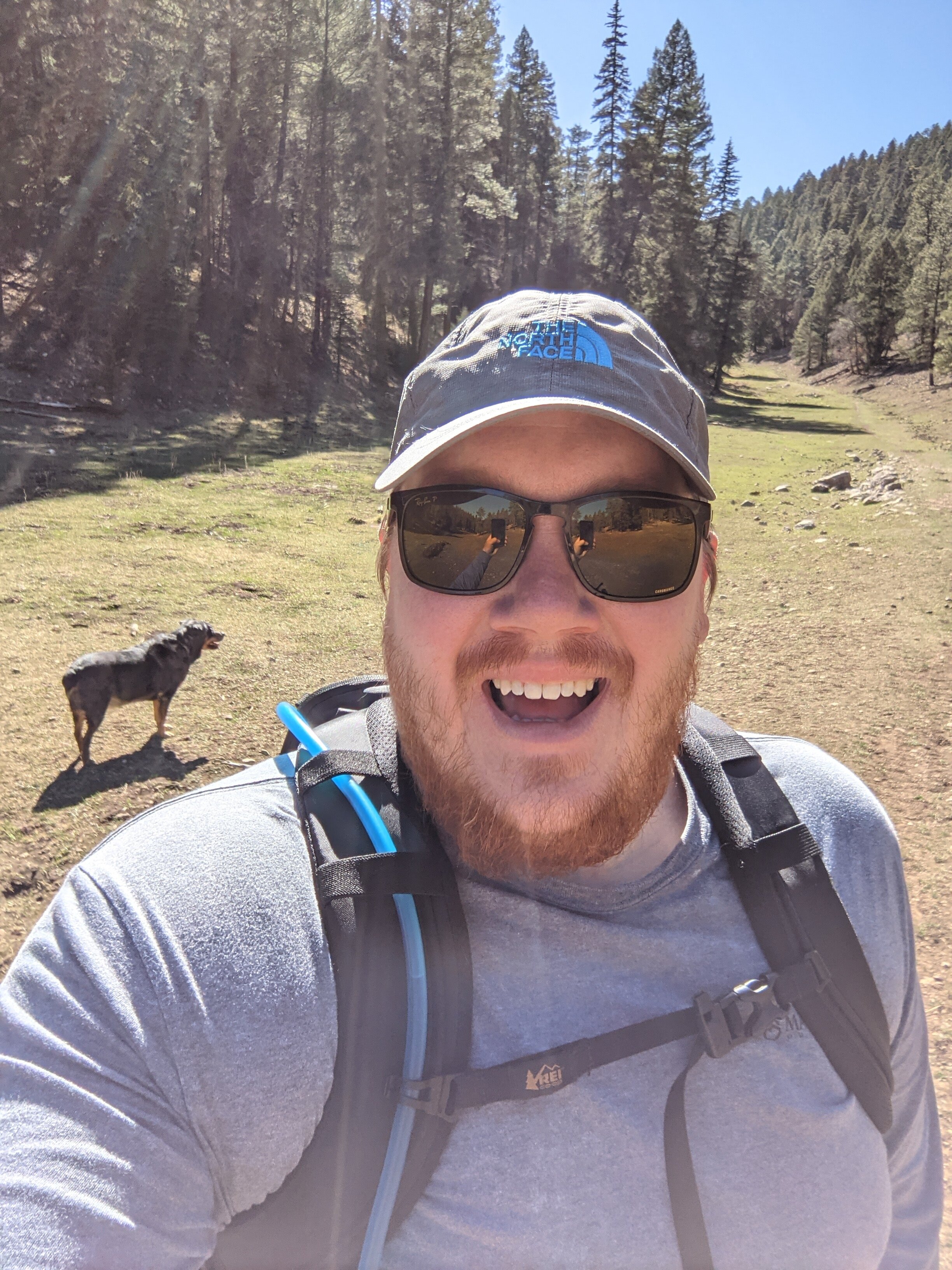
Hike 9 - Lincoln National Forest (Zinker Canyon)
This canyon is a sunny, tree-lined path up in elevation (it’s gradual)
I went in the evening, and the golden sun just made it feel like magic
So many big trees along the way
Definitely elk territory; we ran up on some and turned back
Multi-use trails - so be courteous to one another
Dog friendly and kind of secluded, hardly anyone out in that area


Hike 10 - Lincoln National Forest (Osha Trail)
Easy to get to, just west of Cloudcroft, NM
The trail is rocky, but not too bad and good for dogs
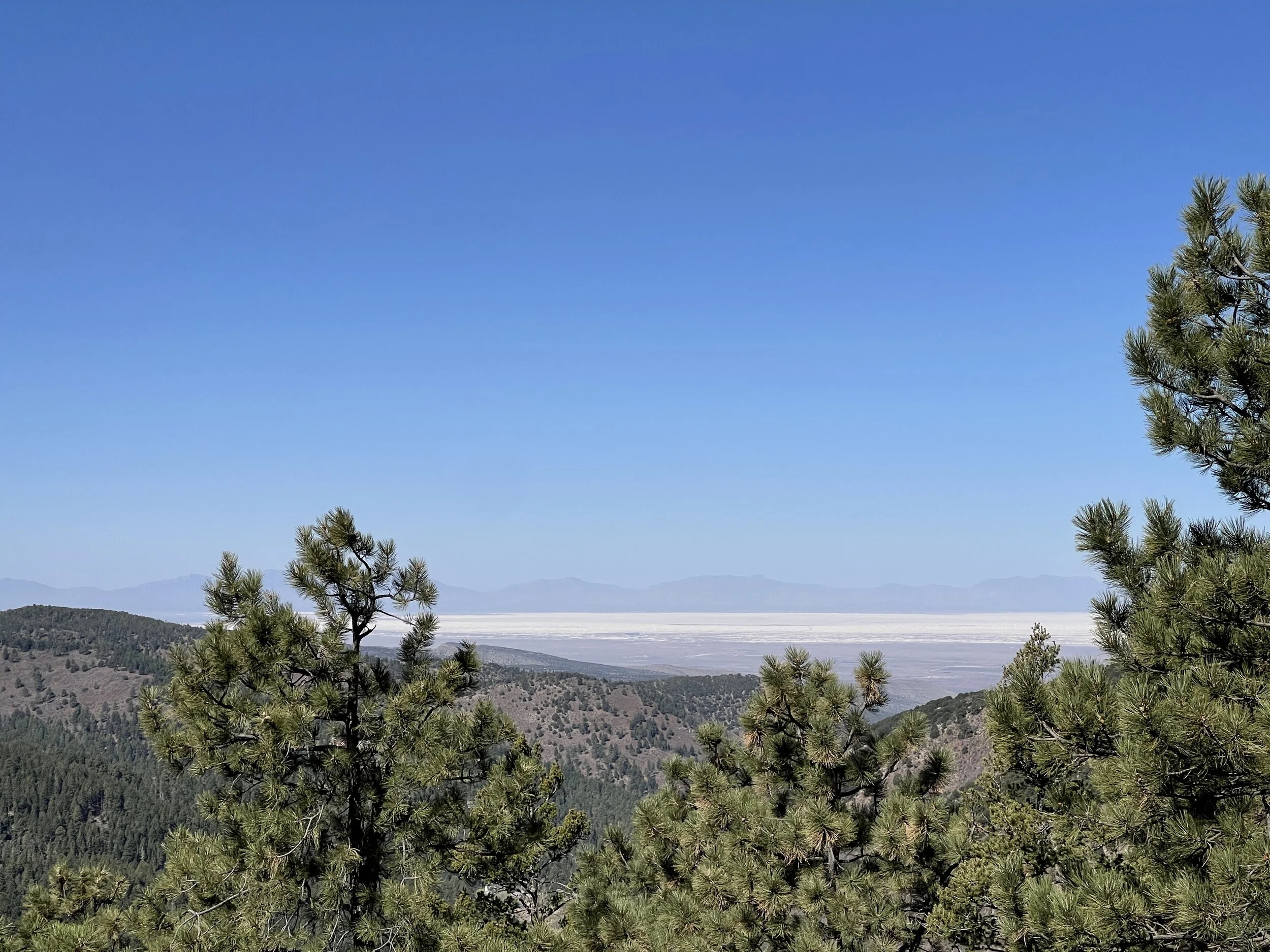
There is shade and some open spots with great views of White Sands
A great day hike if you’re headed to Cloudcroft and want to get a little exercise
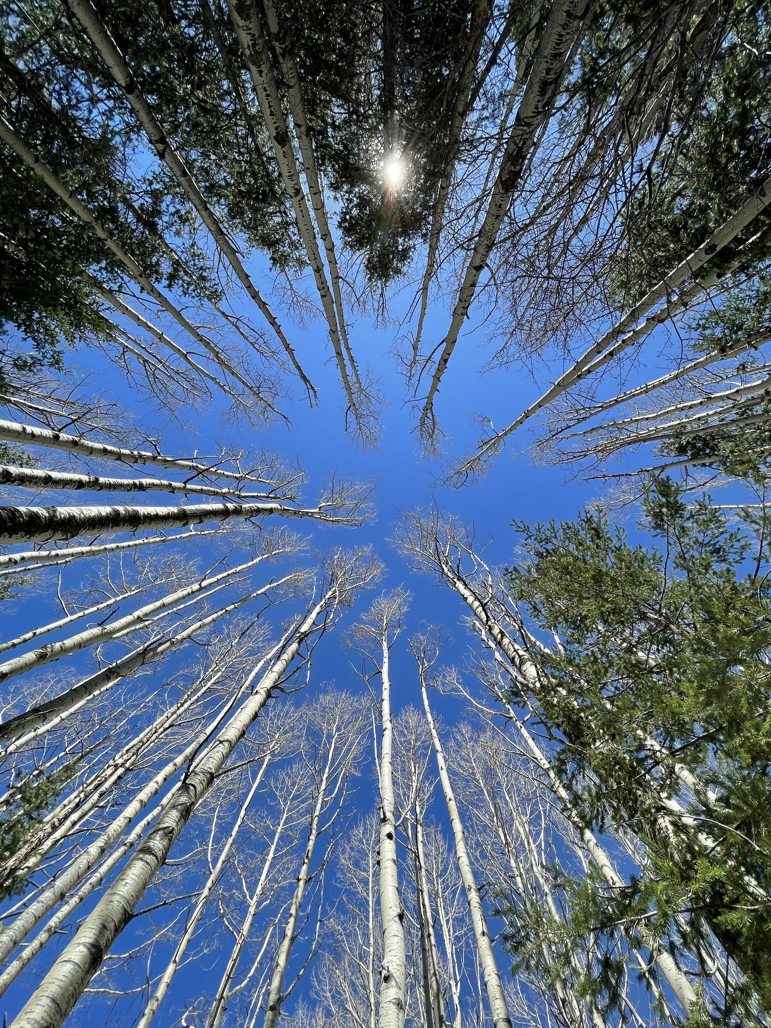
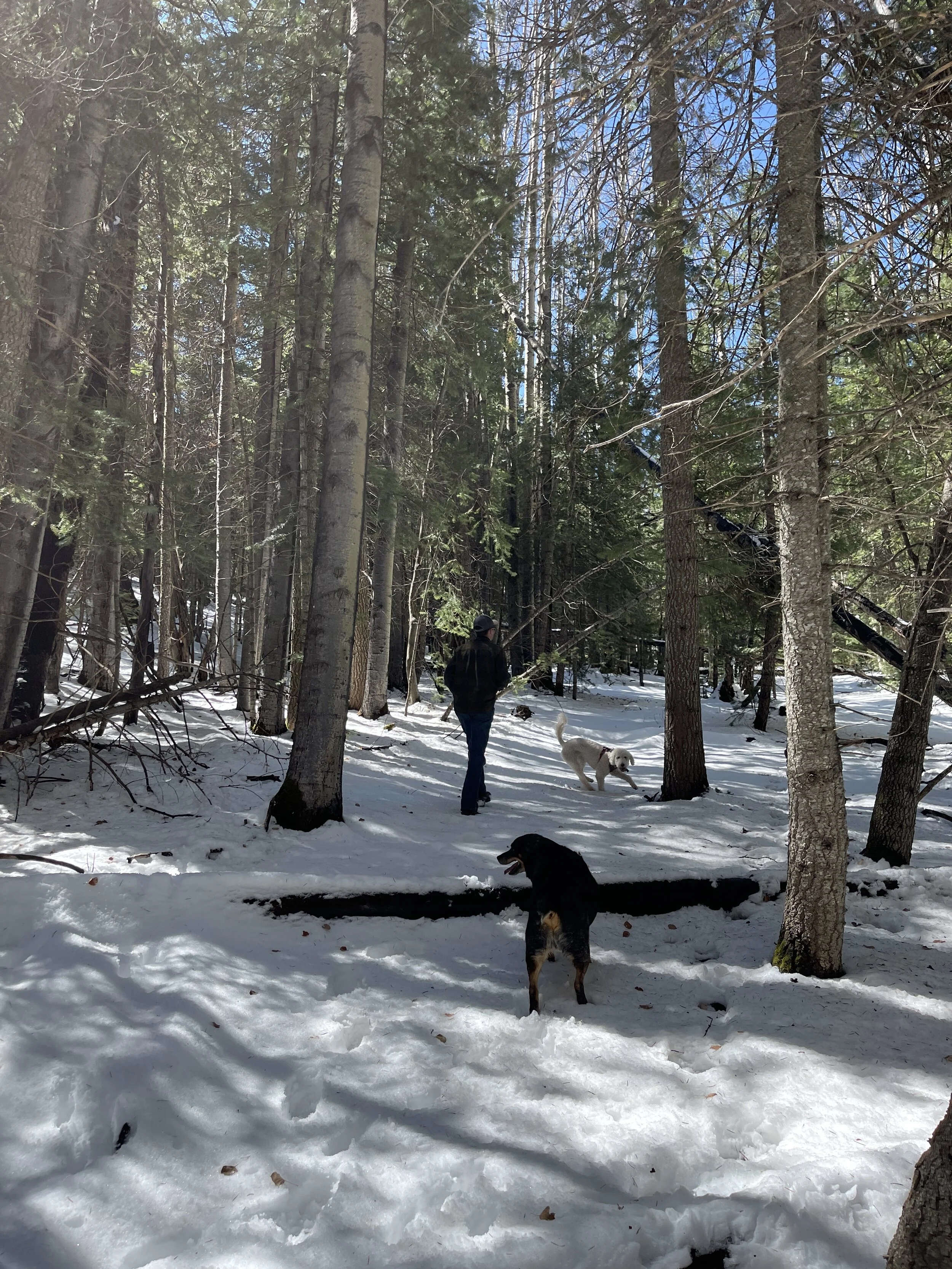
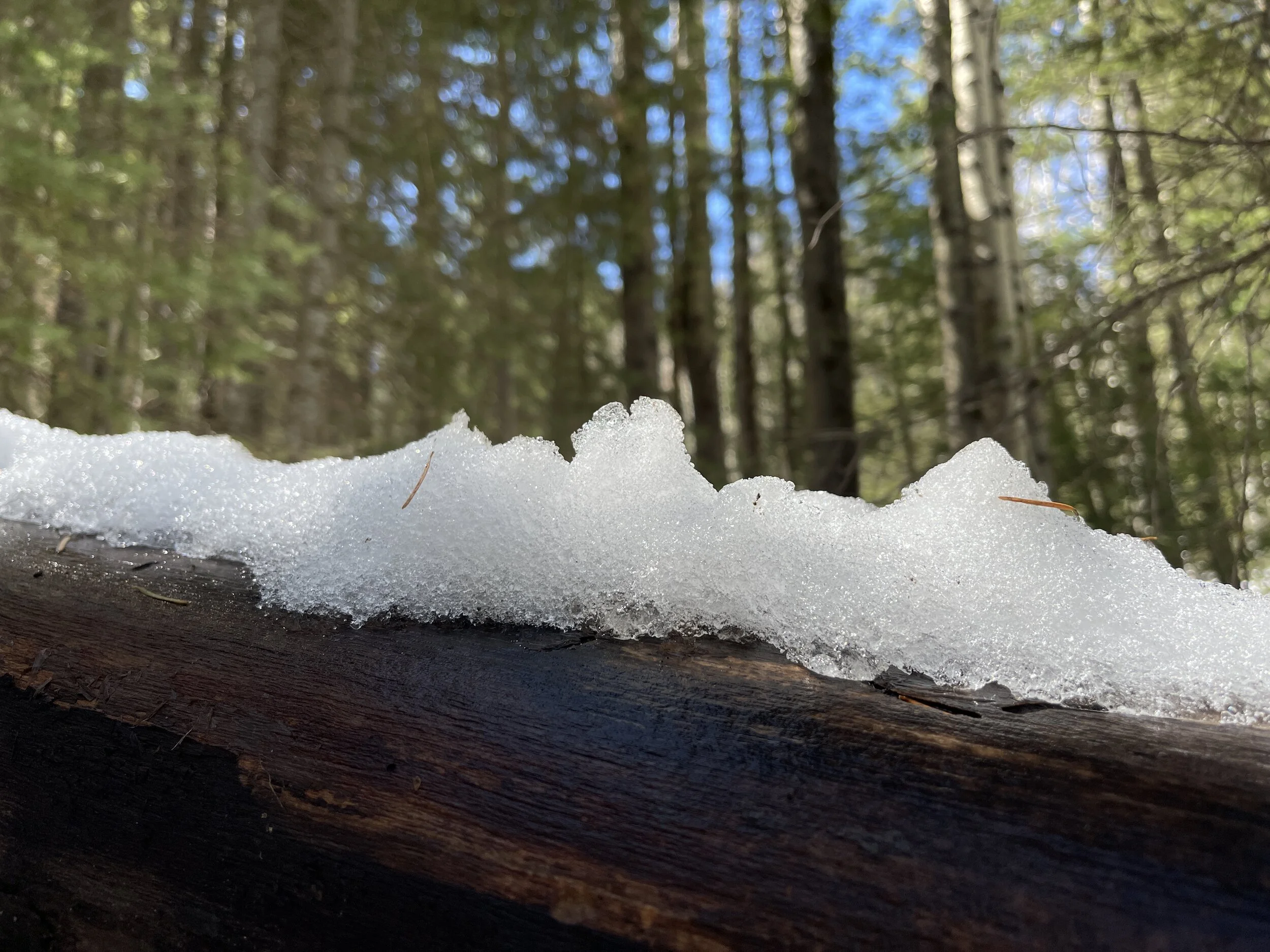
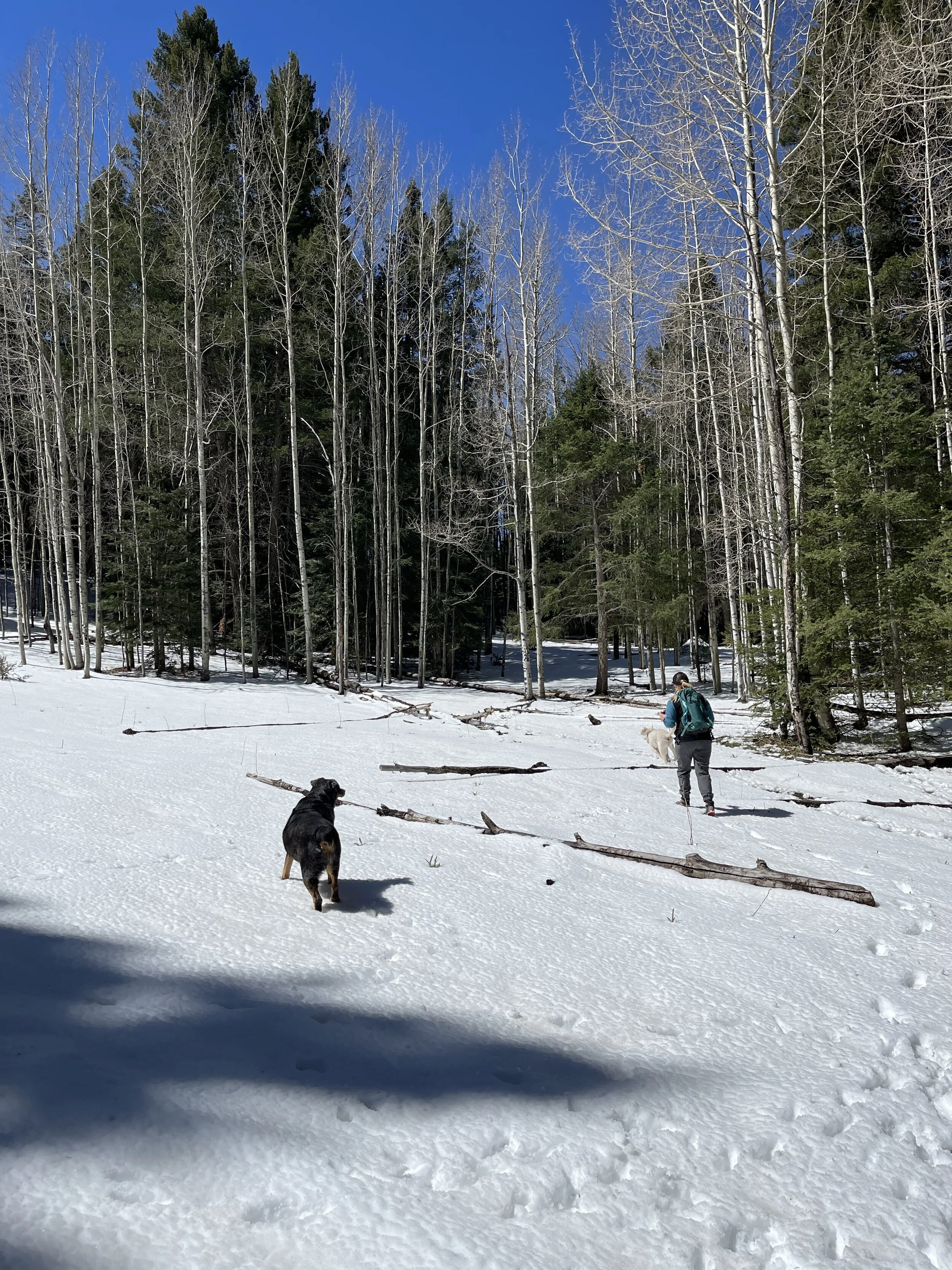
Hike 11 - Lincoln National Forest (Upper Karr Canyon)
This hike was more of a stroll through a snowy forest than following a trail
We had a few inches of fresh snow, blue skies, and sunshine
The trees were tall and plentiful, as were the moments of enjoyment
There may have been a trail, but I’m not sure, and don’t care (I know there are marked trails in the area)
Can’t beat a cool, crisp day in the forest
This would be a great place to escape the desert heat below in the summer time and is dog friendly
Jan-Feb 2021 Hikes
Here’s a brief write-up of the hikes I’ve taken through February of this year.
Thanks for following along.
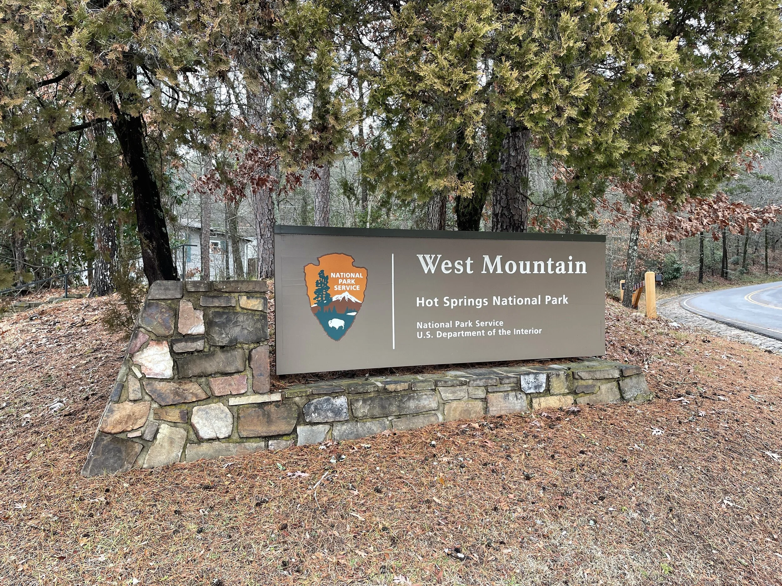
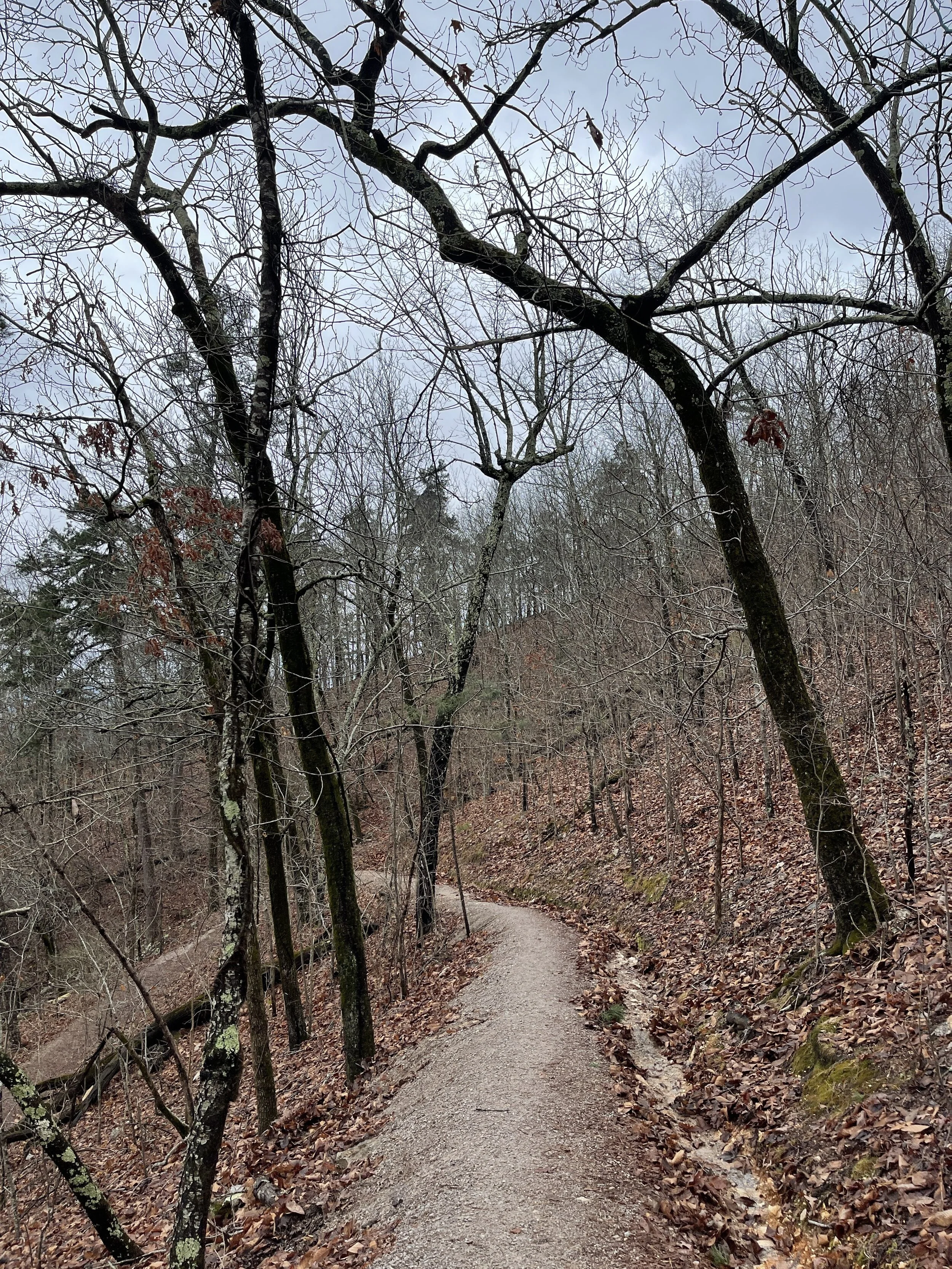
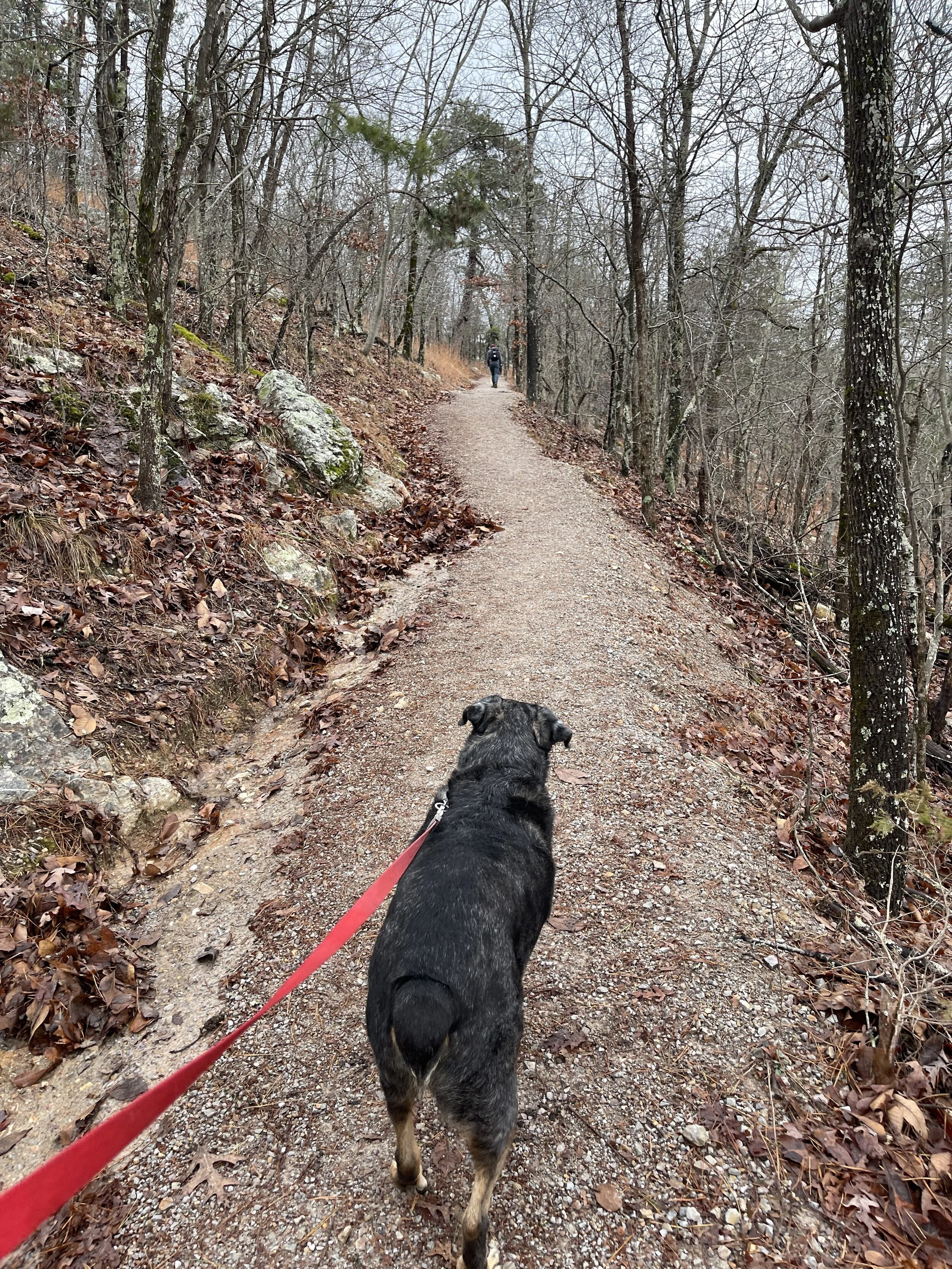
Hike 1 - Hot Springs National Park (Arkansas)
Hiked 3.15 miles with my Eric, Brian, and Jen
West Mountain Trail, Mountain Top
It was rainy, gray, and cool and we brought the dogs
This was my first visit to Hot Springs
0 lbs of trash recovered (very clean)
Hike 2 - Hot Springs National Park (Arkansas)
Hike 5.25 miles with my Brian
Sunset Trail - it was gray and cool and it snowed
We took the the big dogs with us
0 lbs of trash recovered (very clean)
Hike 3 - White Sands National Park (New Mexico)
Hiked 3.25 miles with Mike and Cora (and their doggo)
It was bright and sunny, but not hot
The sand dunes were cool and the illusion of being lost is real
Take plenty of water!
0 lbs of trash recovered (very clean)
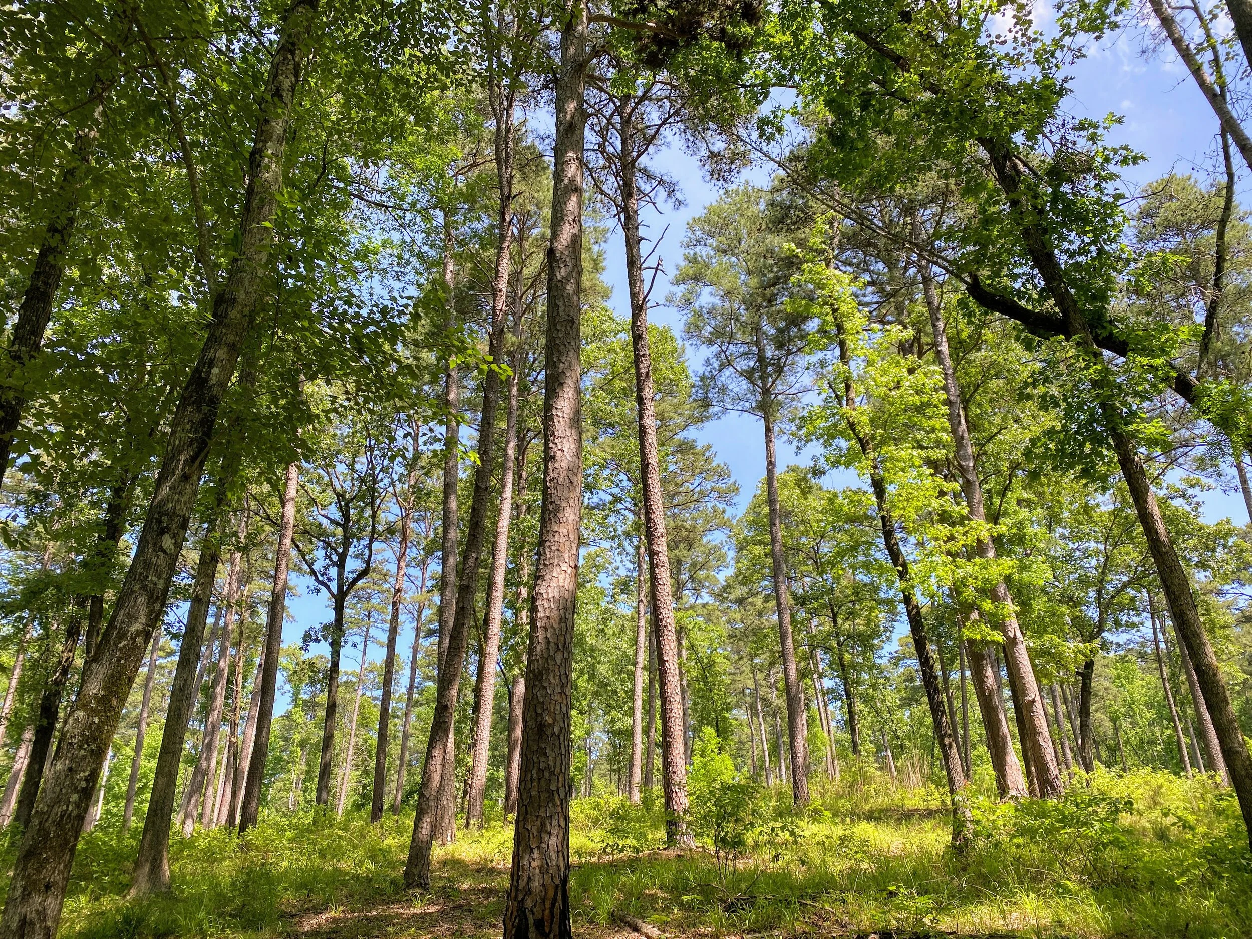
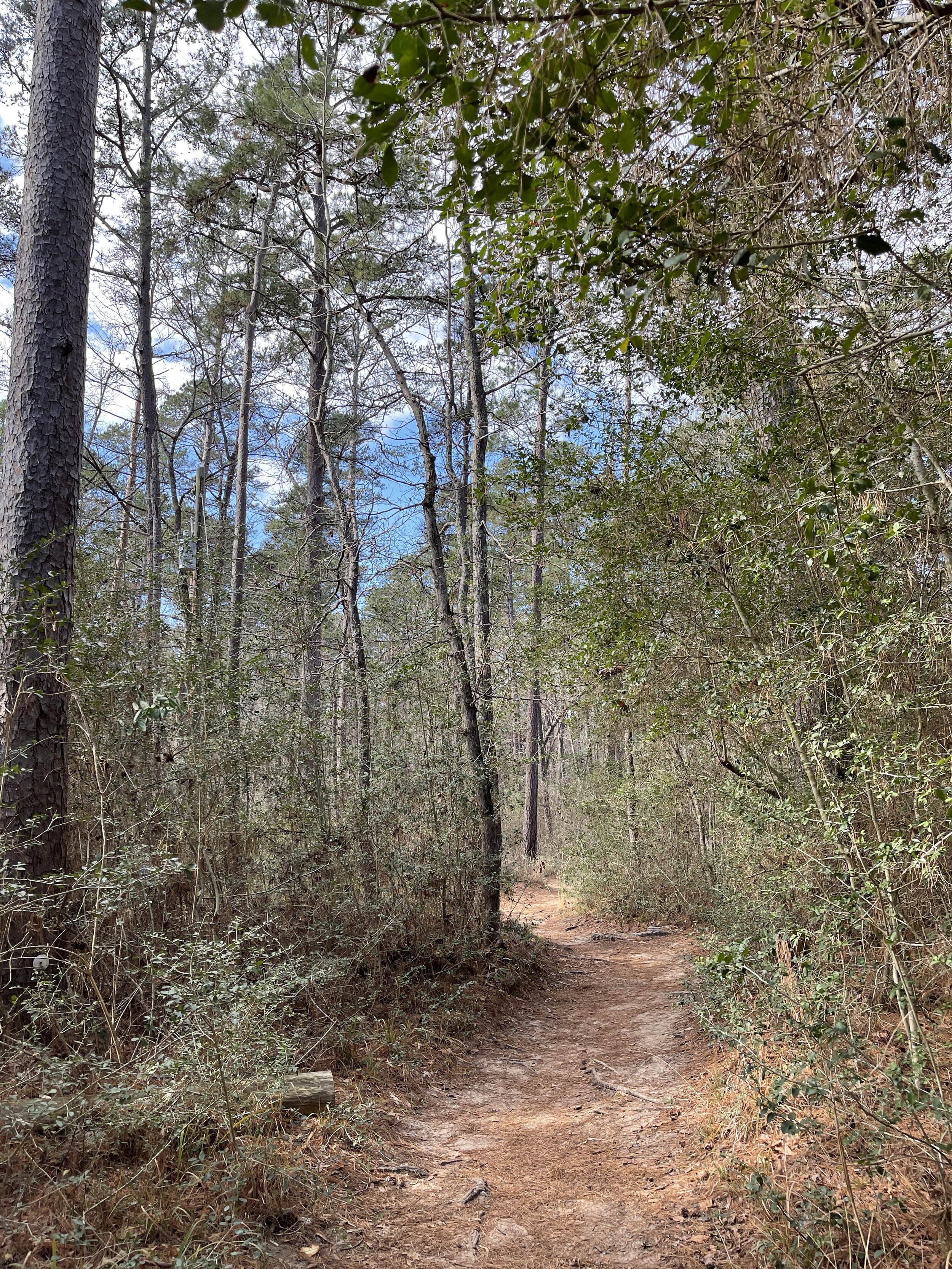
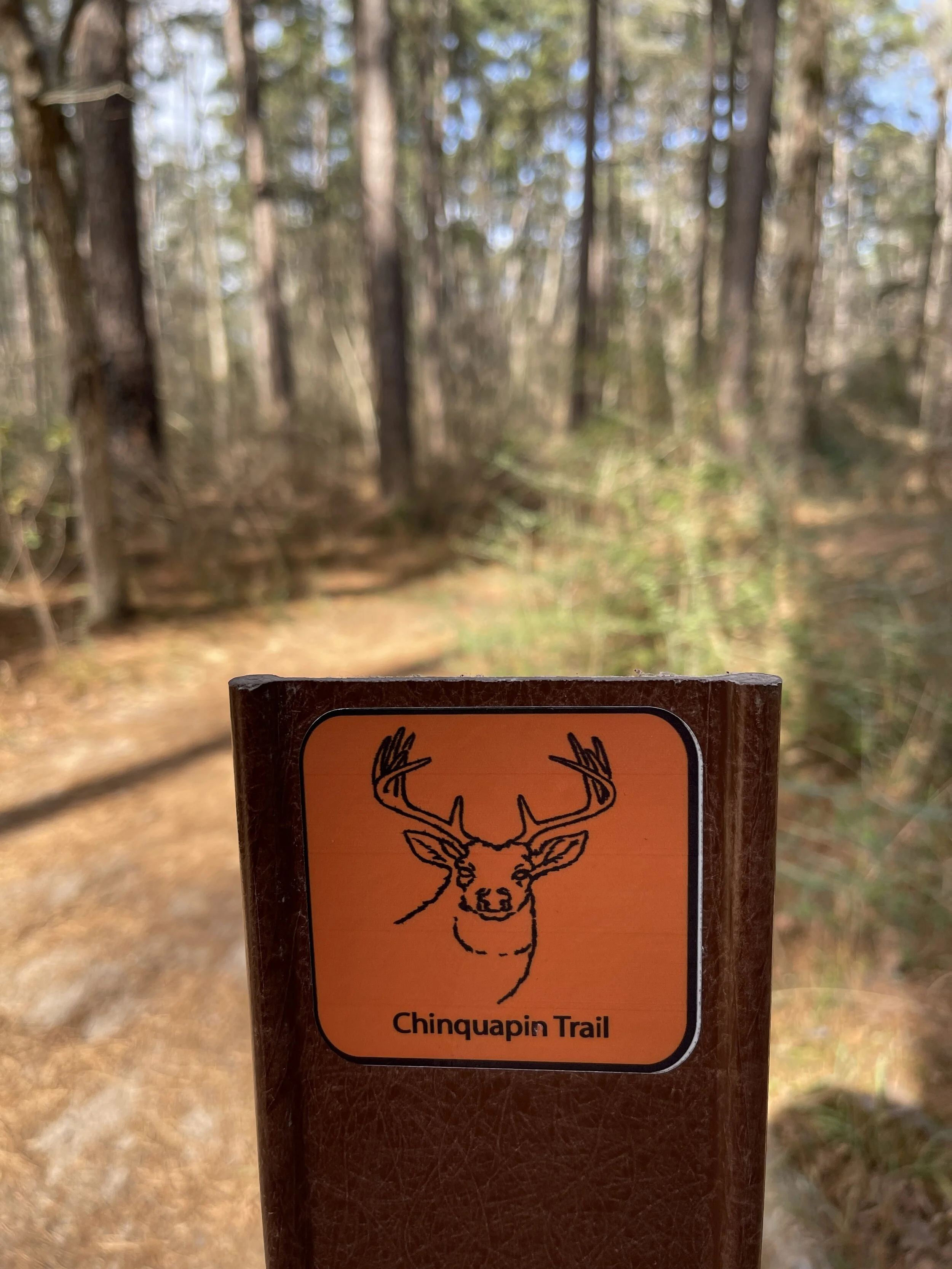
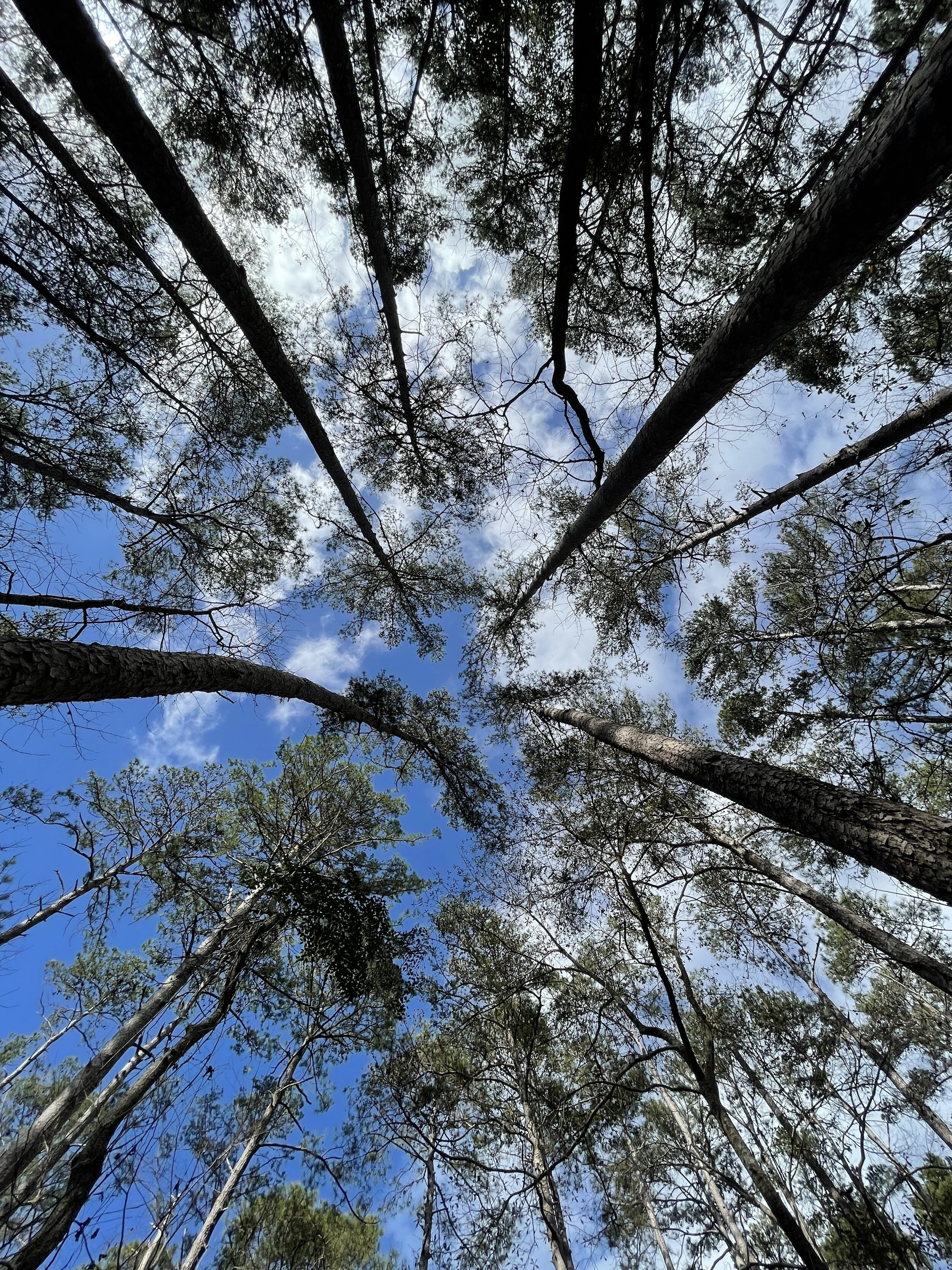
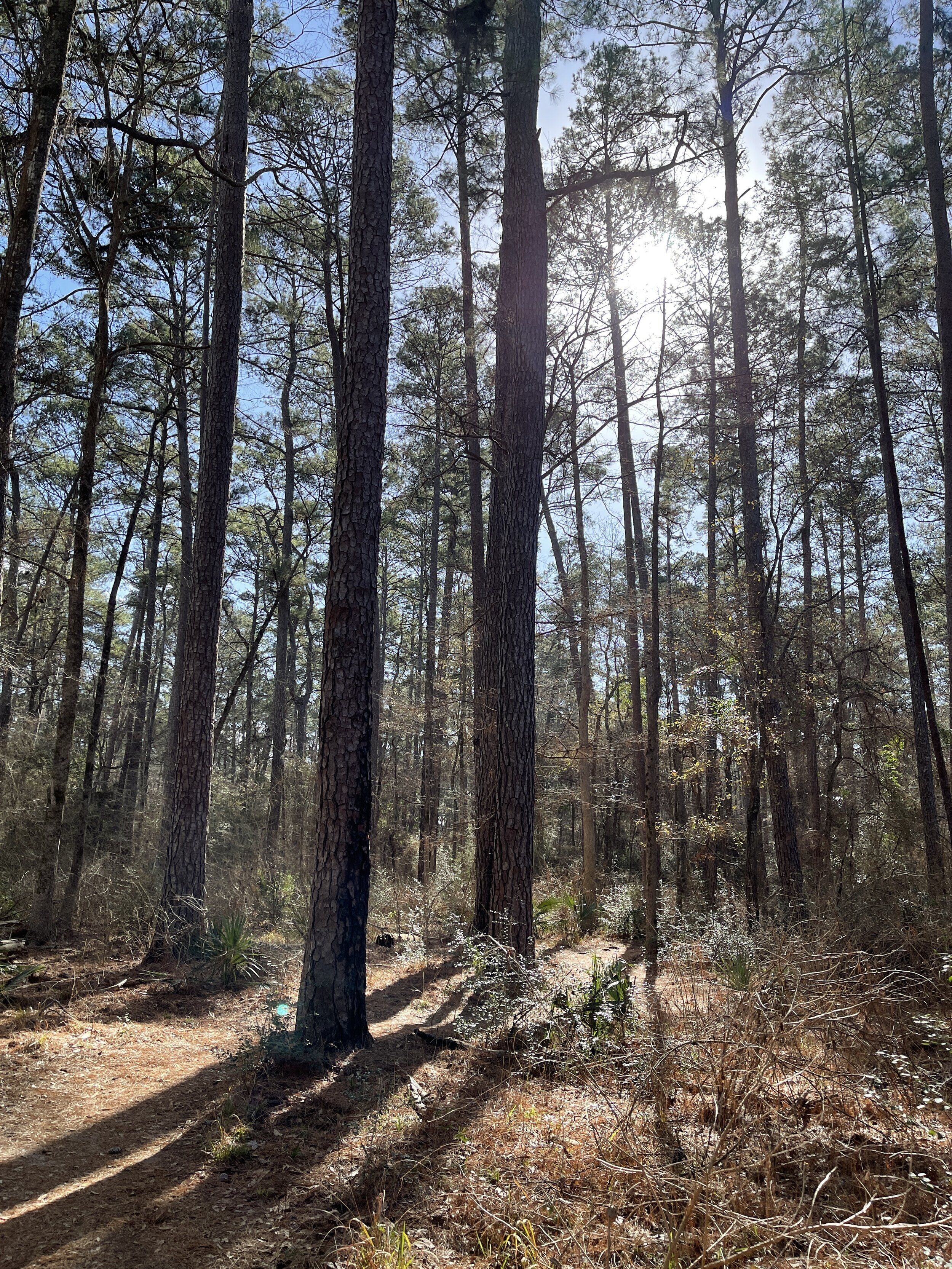
Hike 4 - Huntsville State Park (Texas)
Hiked 7.13 miles on the Chinquapin Trail (solo, no dog)
It was sunny and warm with a good amount of people
The wind through the pines was magical and made me feel truly escaped
0.5 lbs of trash recovered (not a whole lot, mostly wrappers/toilet paper)
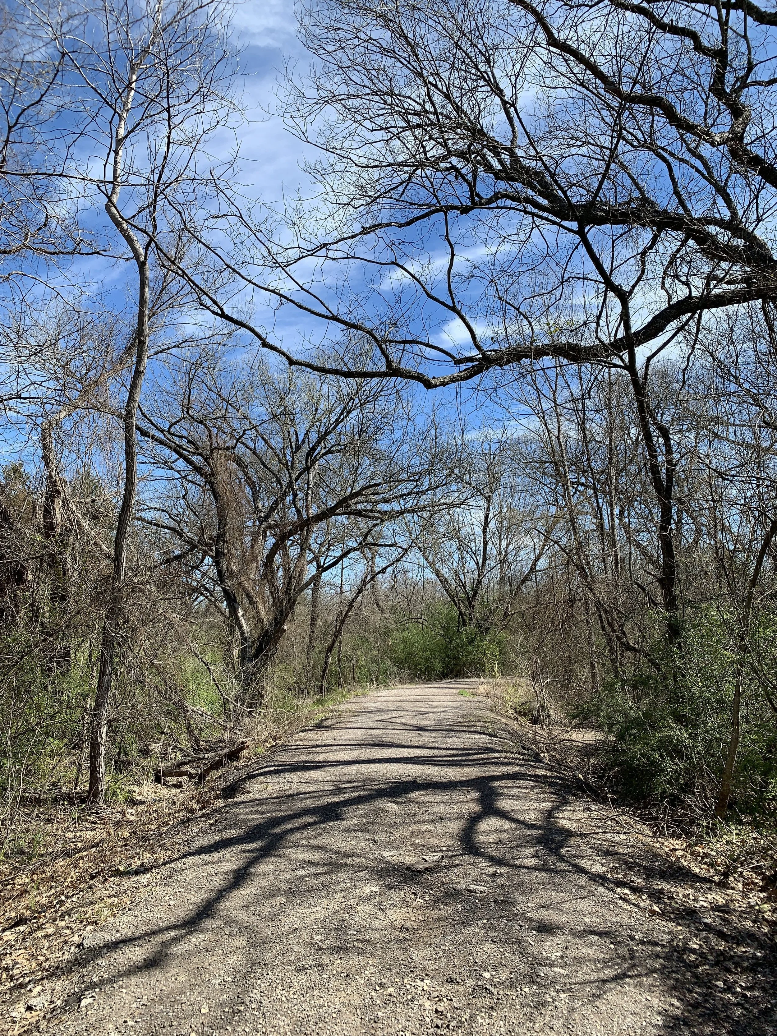
Hike 5 - Lake Mineral Wells State Park (Texas)
Hiked 5.24 miles with my aunt on the state trailway system towards Mineral Wells, TX
There was so much trash, I couldnt’ even get it all. This path follows the highway and it’s just not great.
Very noisy and it was borderline rainy
0.5 lbs of trash recovered (so much more, would require more bags and parking closer)


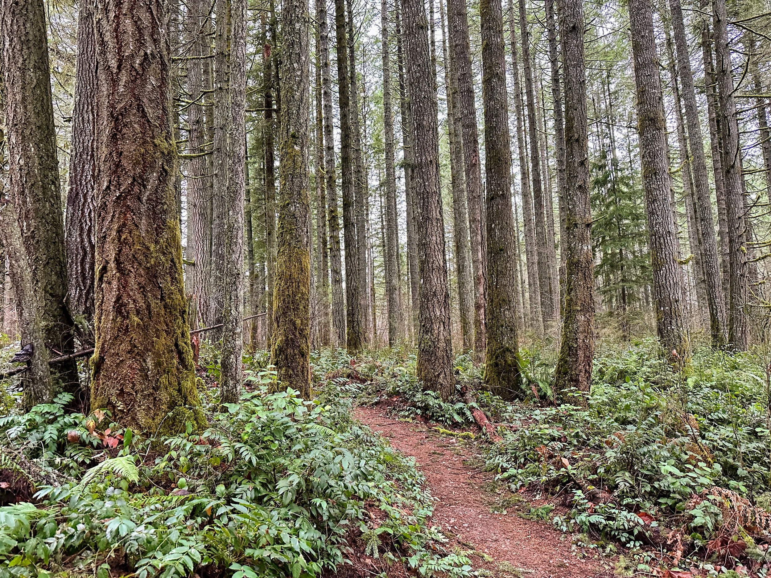
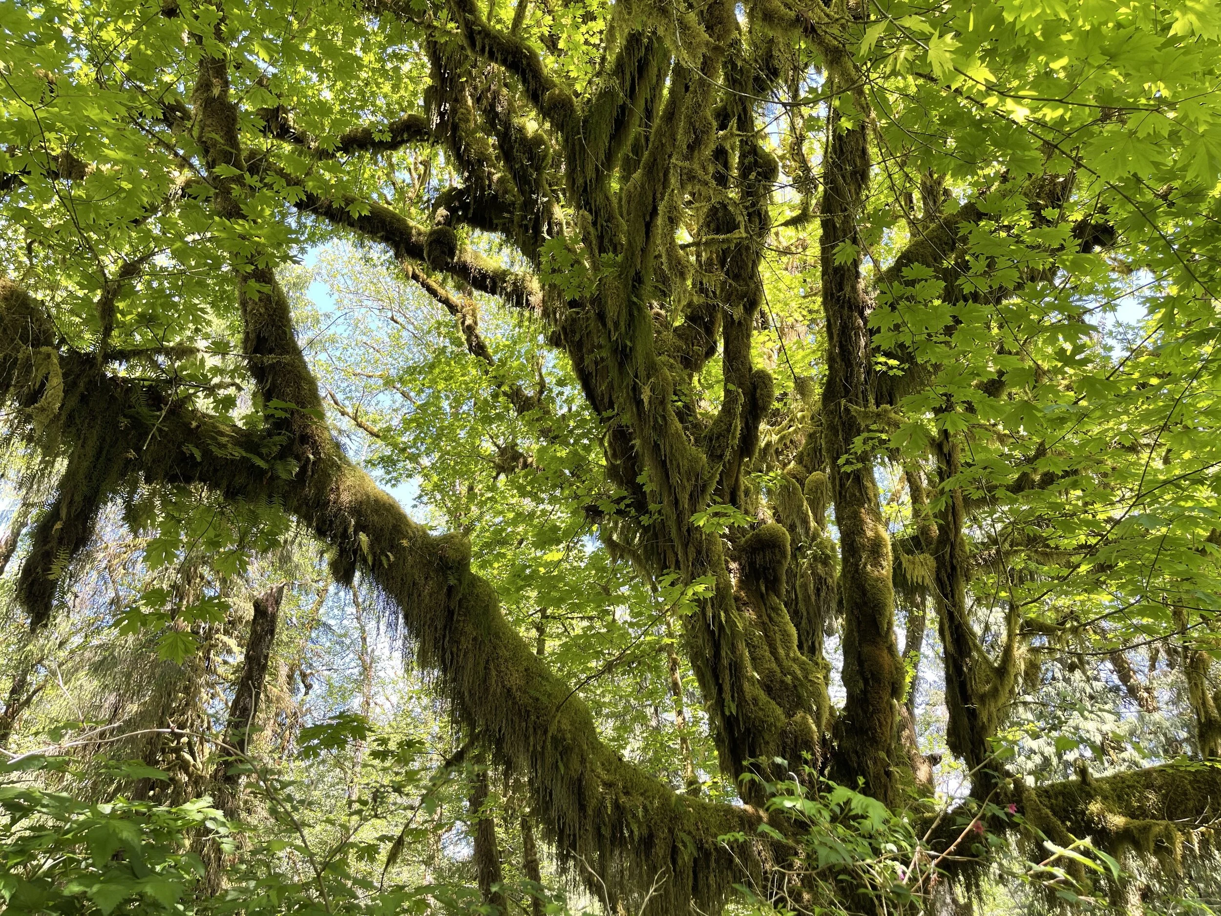
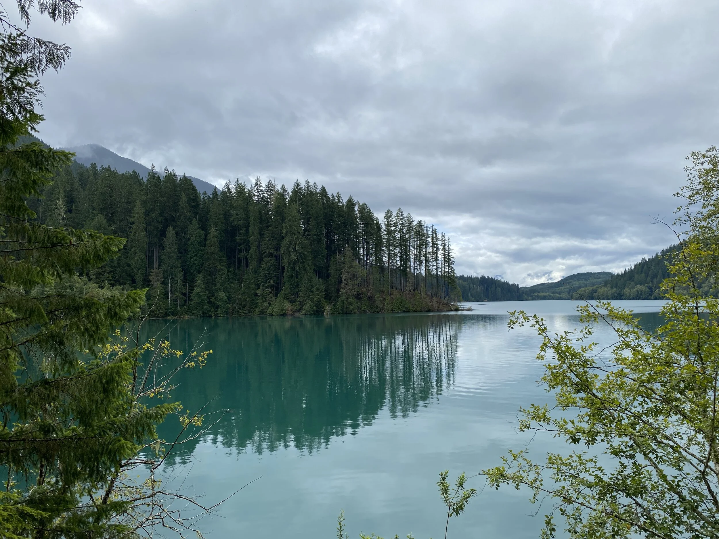
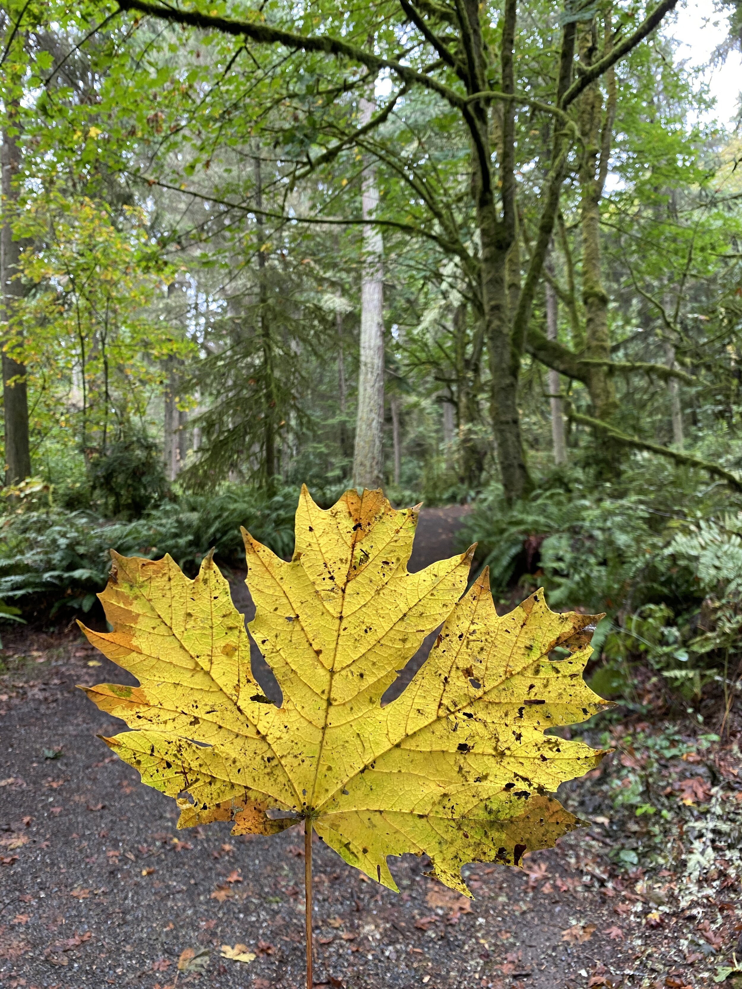
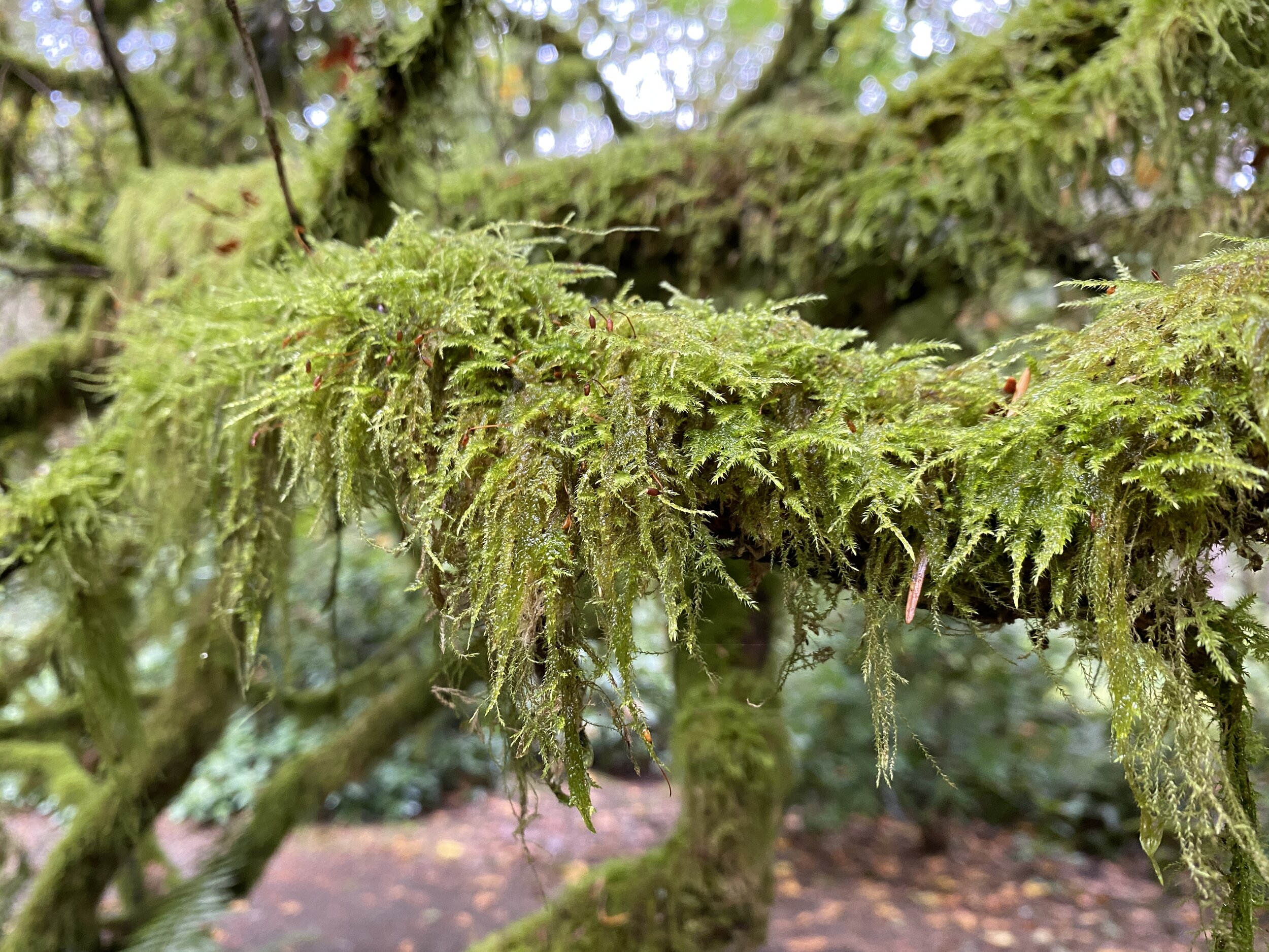
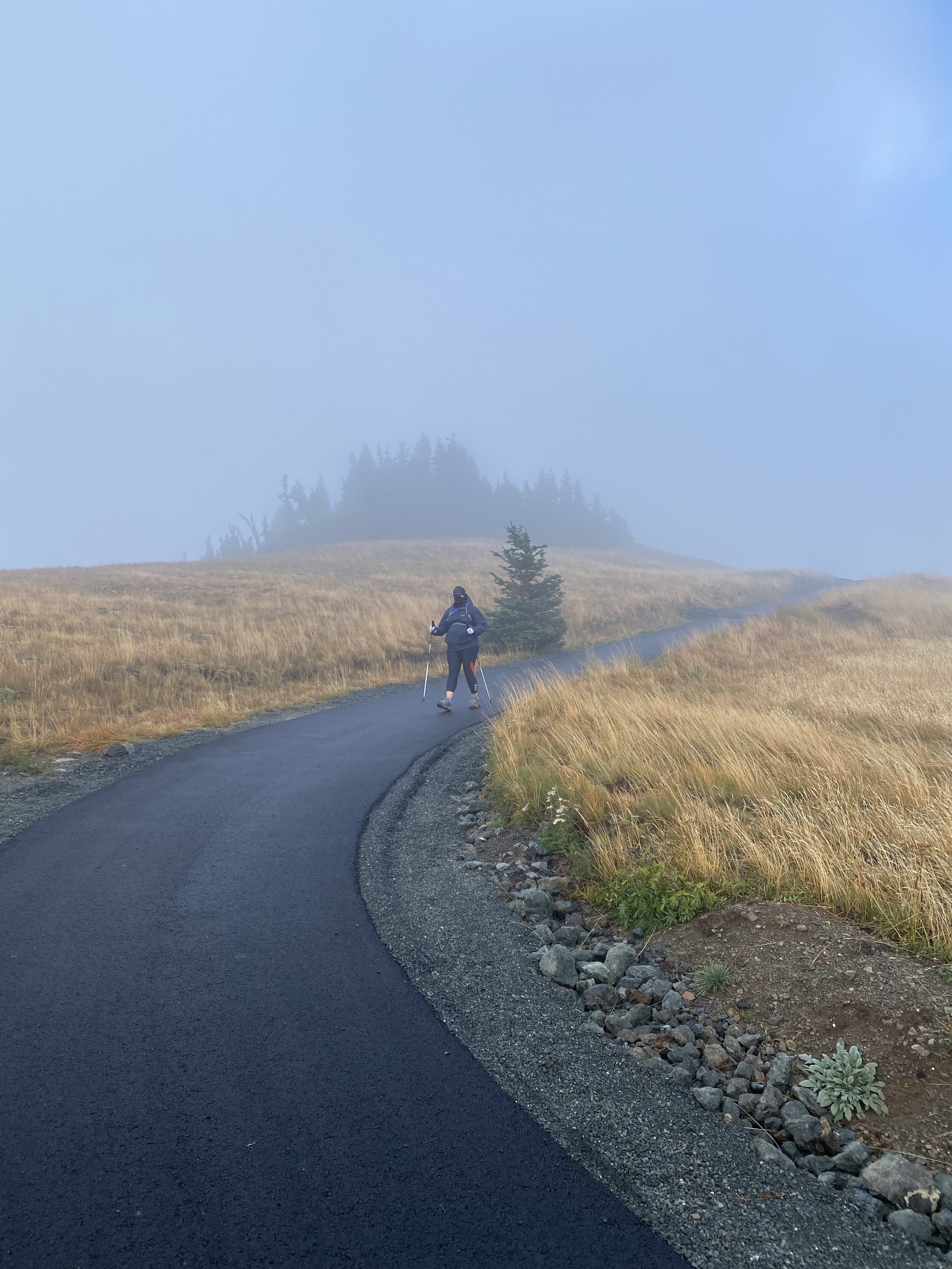
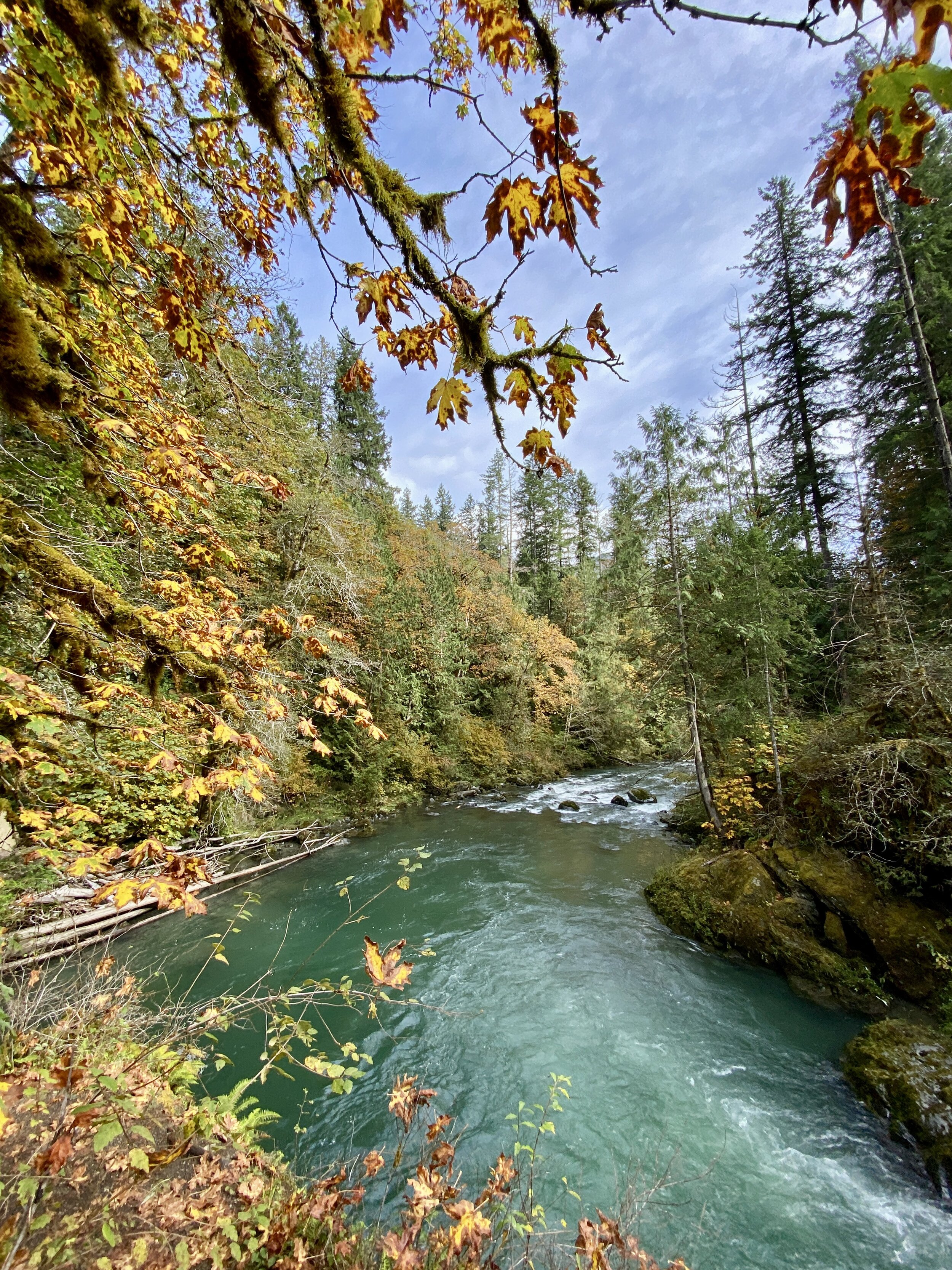
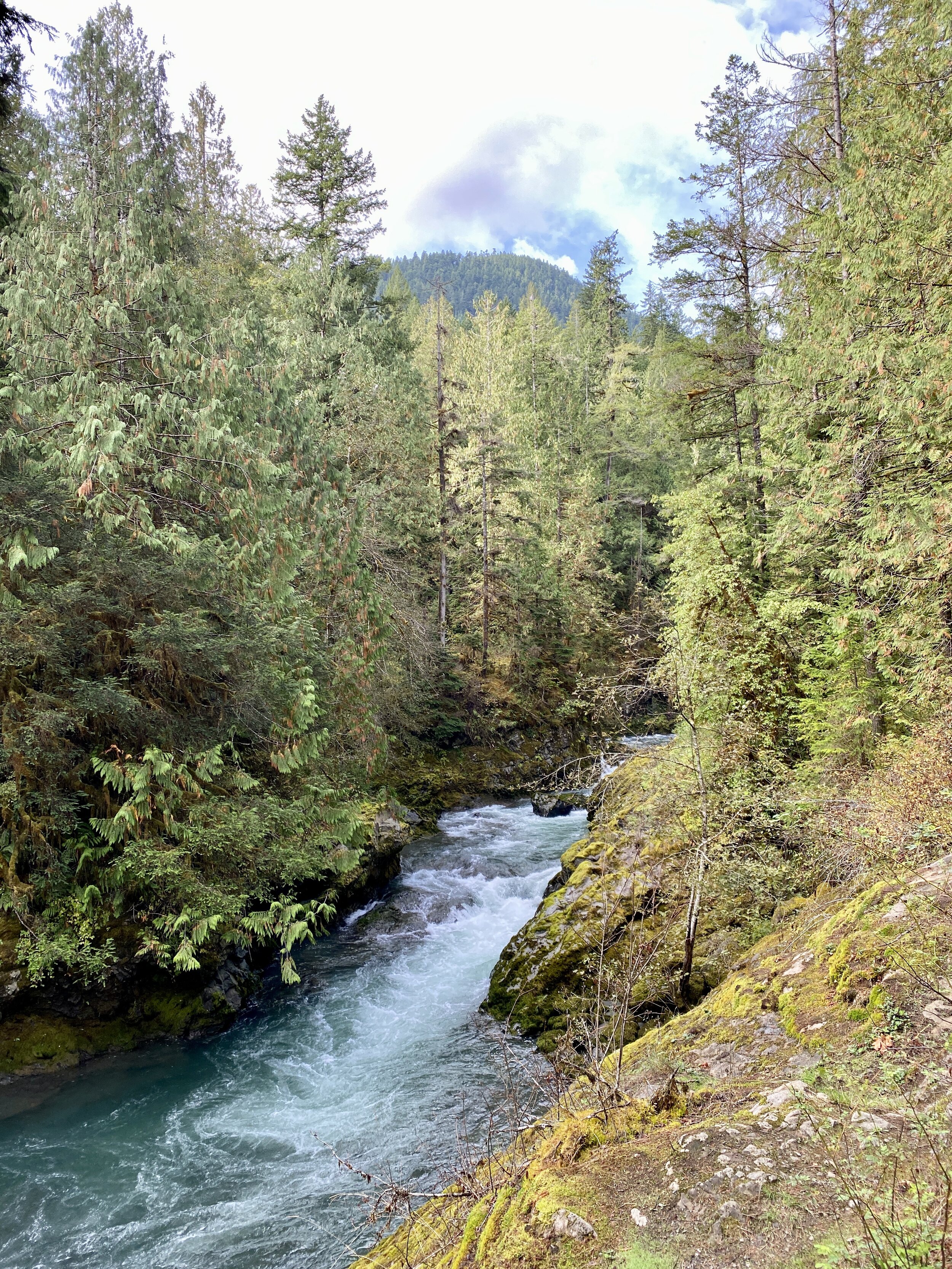
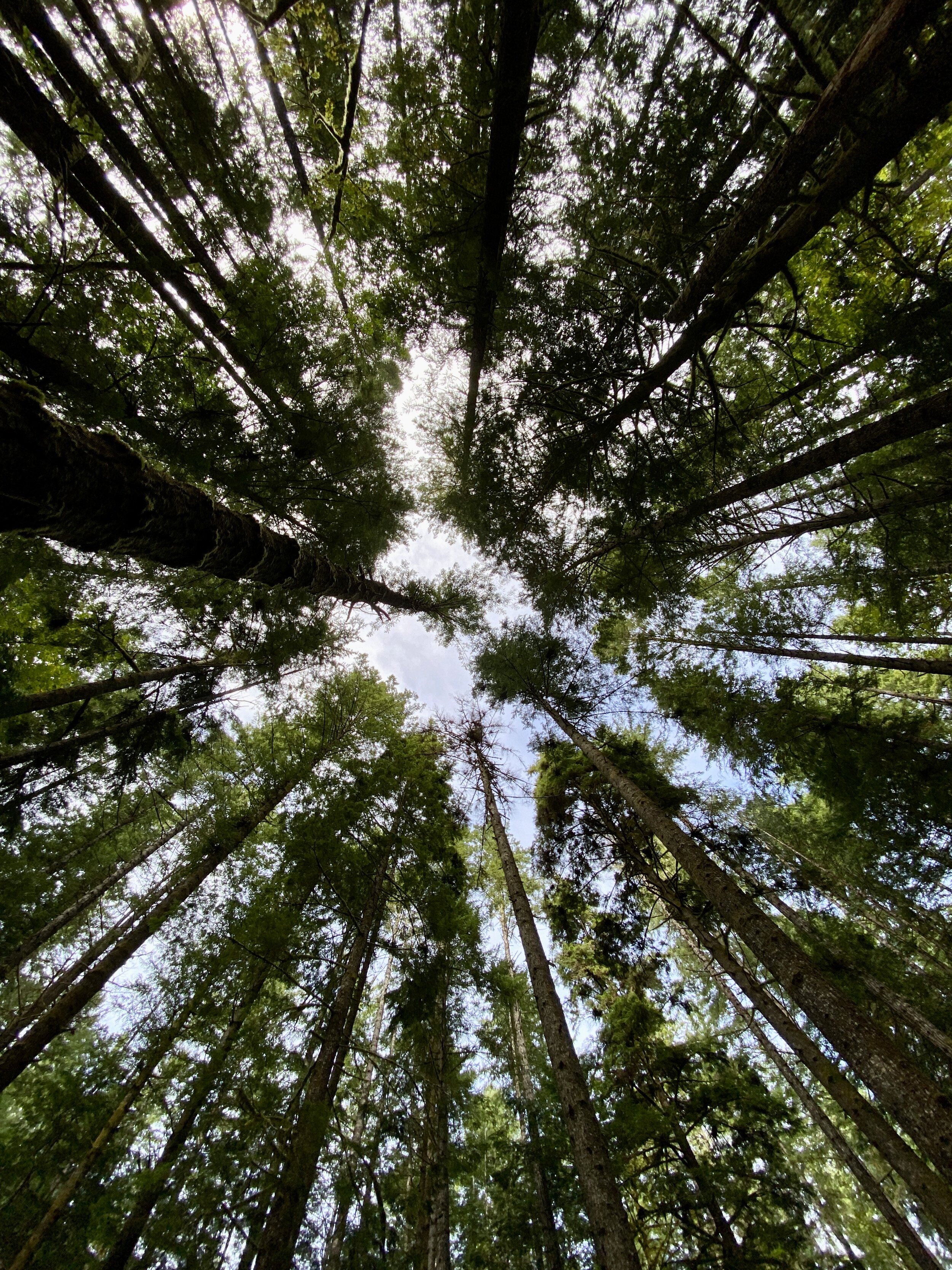
Hikes 28-32 - Washington Hikes
Enjoy some photos from a few of my hikes in 2020. Washington is my favorite place, and I was lucky to get five hikes in while there in September.
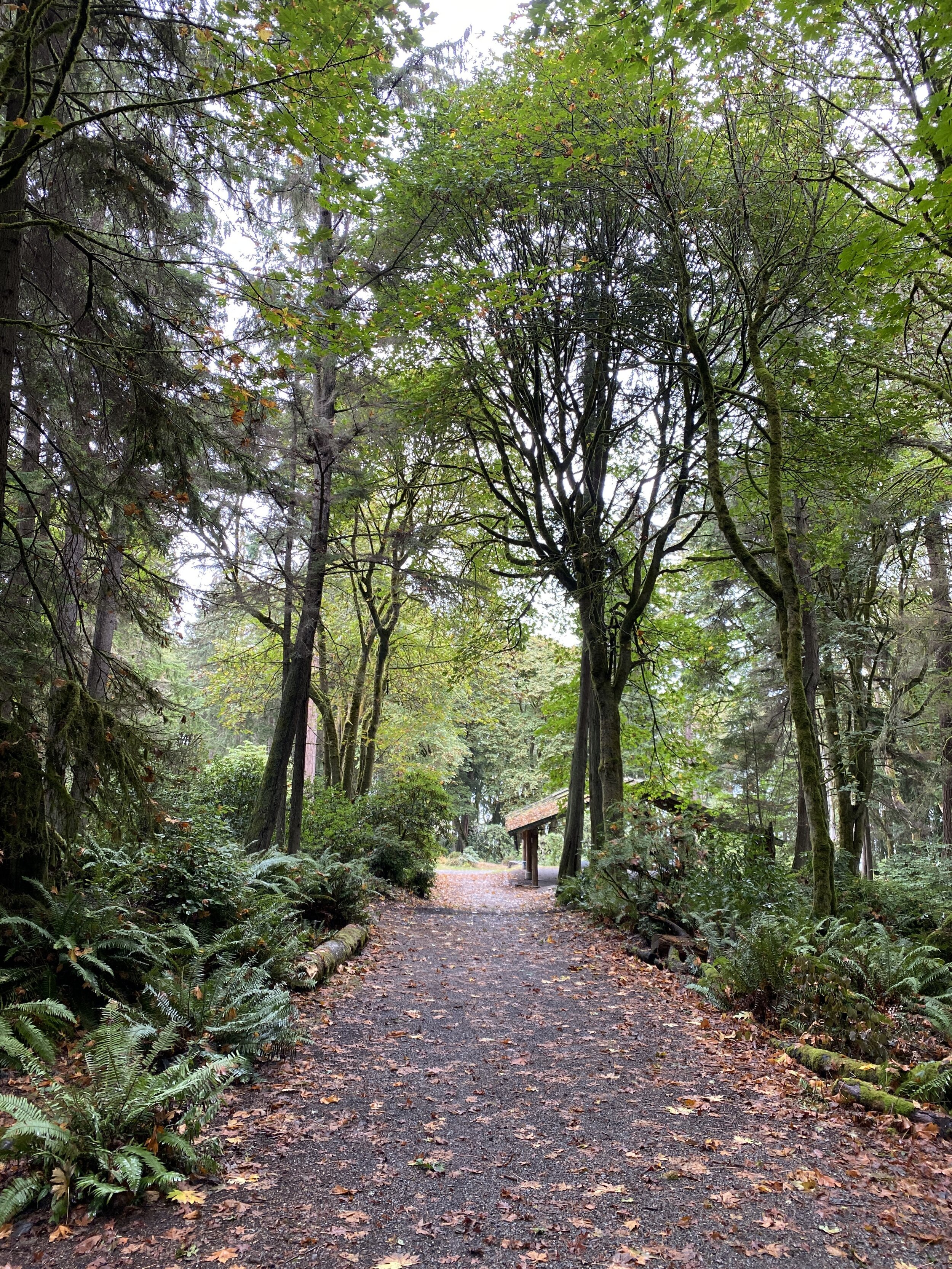
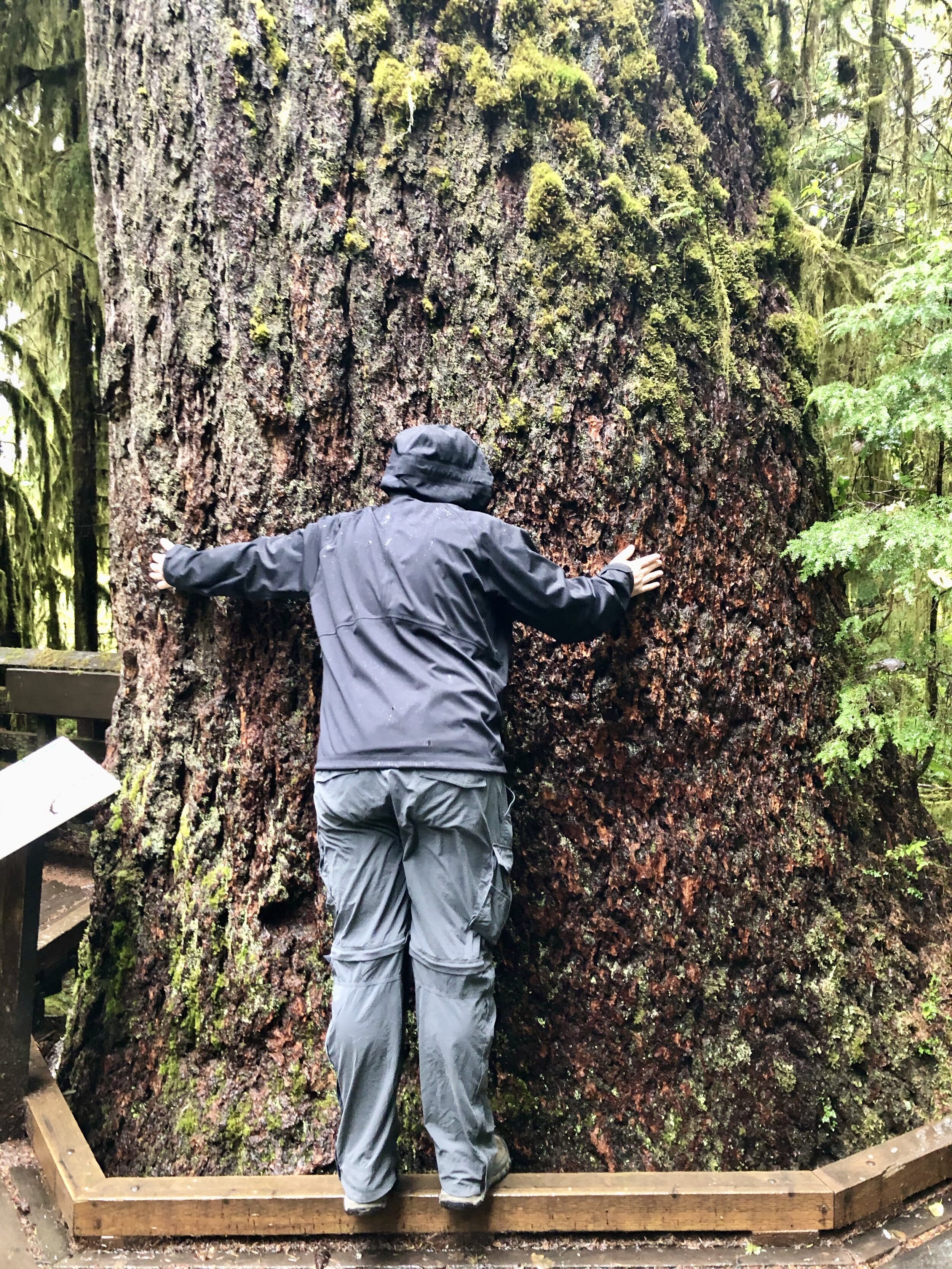
Hike 28 - Point Defiance Park in Tacoma, WA (link)
September 24, 2020
I had heard of this park because some people I know in the PNW run here on occasion. My friend and I took a causal, rainy hike of about three miles through the trees in this wonderful city park. Can you imagine having a city park with tall trees, miles of trails, and lush greenery? Living in Texas has me fantasizing about places like this and I’m so thankful we found this park and had a good time. People kept their distance, masks were worn when necessary, and it was a lovely hike overall.
Hike 29 - Quinault Loop National Recreation Trail #854 (link)
September 25, 2020
Technically, I did part of this trail earlier in the year, but only part of it so I feel comfortable using it as a “unique” trail because I did the latter 80% of it. Along this trail we saw a baby snake, lots of greenery, and some big trees. It was a lovely hike that was a bit muddy, and confusing at one of the intersections. We ended up taking a turn that took us to the road in a place we did not expect. All was fine, and we just hiked back along the roadway.
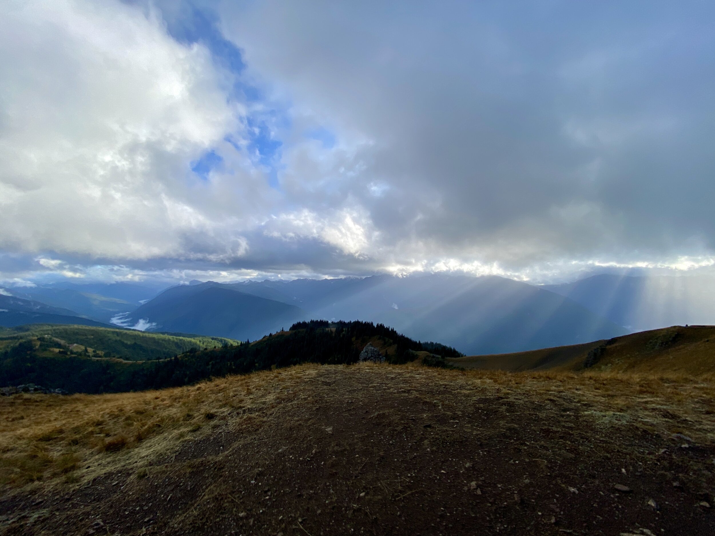
Hike 30 - Hurricane Hill at Hurricane Ridge (link)
September 25, 2020
Paved trails are not my normal trails, but this one was the exception. I have a “no paved trail” policy, so I did take the offshoot at the end with no pavement to ensure I touched a little dirt on this glorious and windy hike. The trail is paved from the parking lot to the top, and it’s uphill the whole way. Fluffy spruce trees line the initial ascent and act as a windbreak and air freshener. Seriously, the freshest pine scent hits you and it’s so good. Take it easy, take breaks to enjoy the views, and don’t forget that the whole way back is downhill and can be hell on your knees!
Hike 31 - Cascade Pass (link)
September 26, 2020
This hike is one of my favorites of all time, and I got to do it again with the friend who recommended it to me last year. I was hoping we’d hike up to have a view, but there was only sleet and clouds. I saw more this time, through the clouds, but still not the views you see on the internet. The trail itself is steadily uphill, with endless switchbacks. On this particular day, the trial was muddy which made each step a little more calculated.
Hike 32 - Ranger Hole Trailhead (link)
September 27, 2020
If you’re looking for a quick little hike, down to the river, this is a great one. It starts in a gorgeous forest, where the sunlight can stream through, and ends along the Duckabush River. It’s a steady downhill trail to the river, but once there it is quite relaxing. Giant rocks offer places to sit along the bank, to listen to water rush by. I had the pleasure of watching broadleaf maple leaves fall gently down to the ground while there, in such a magical way.


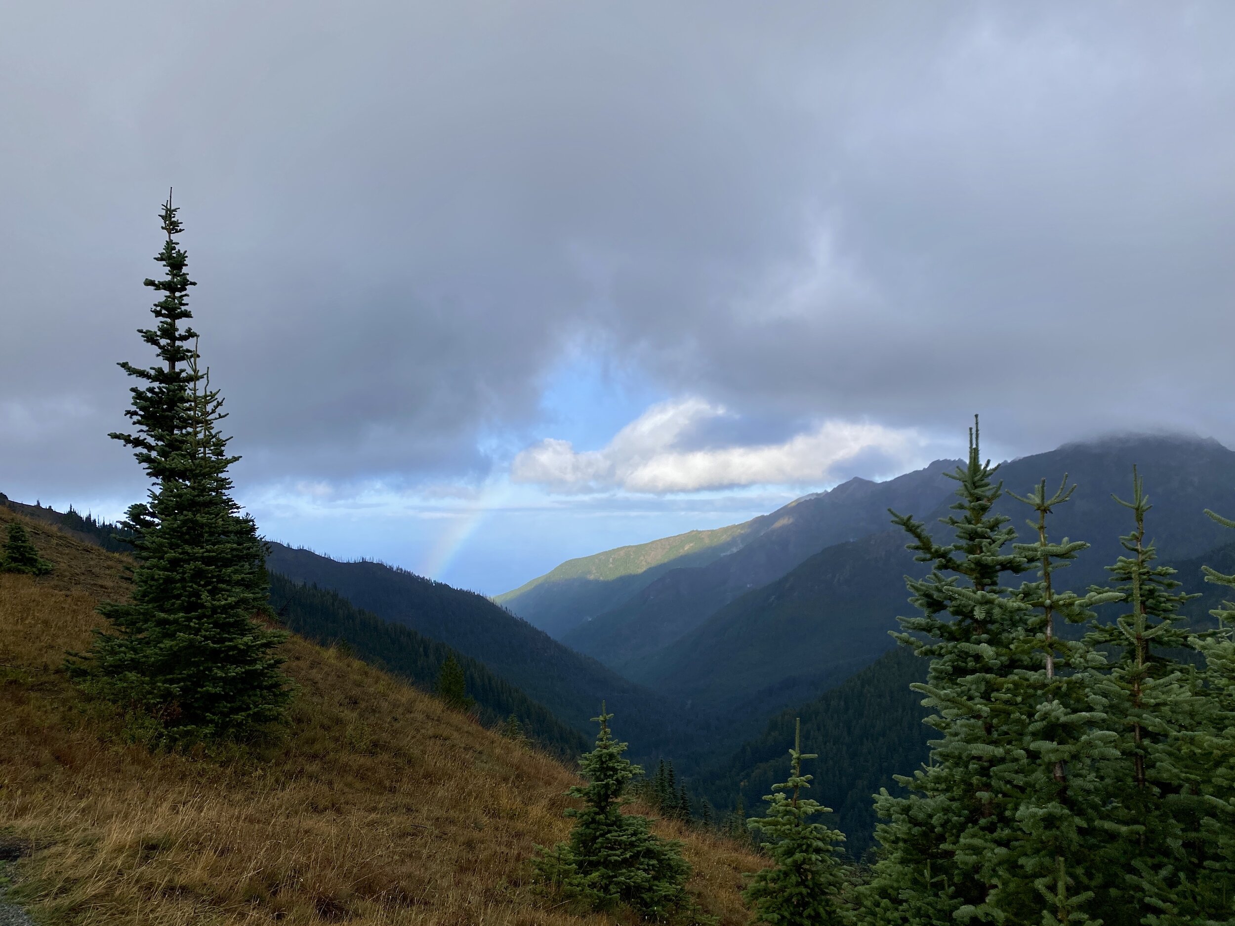
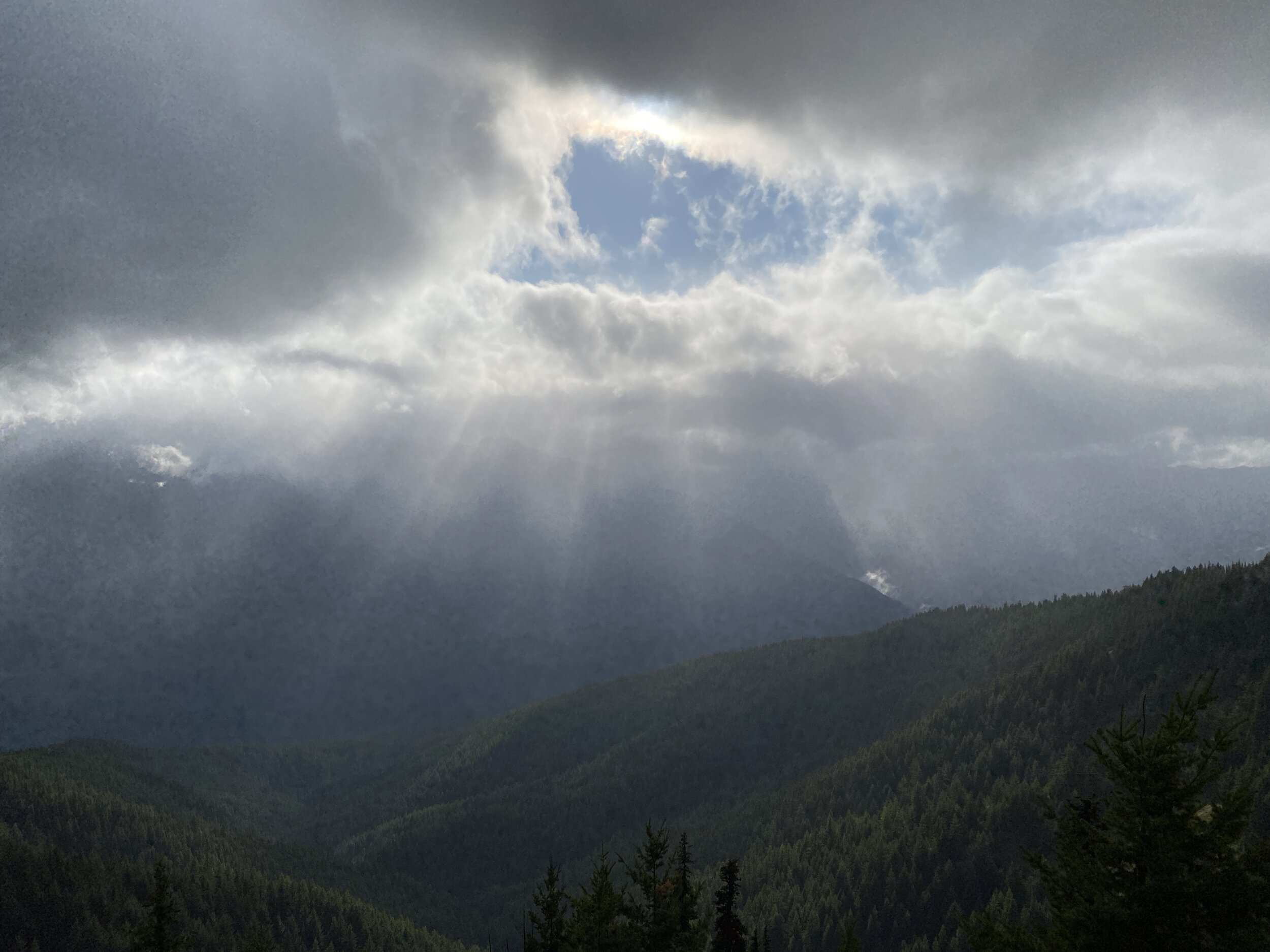
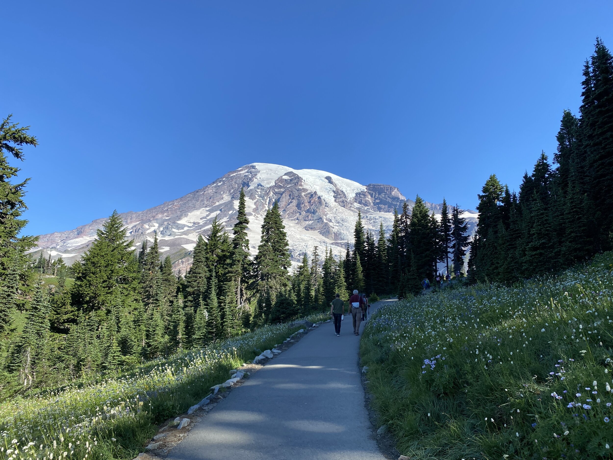
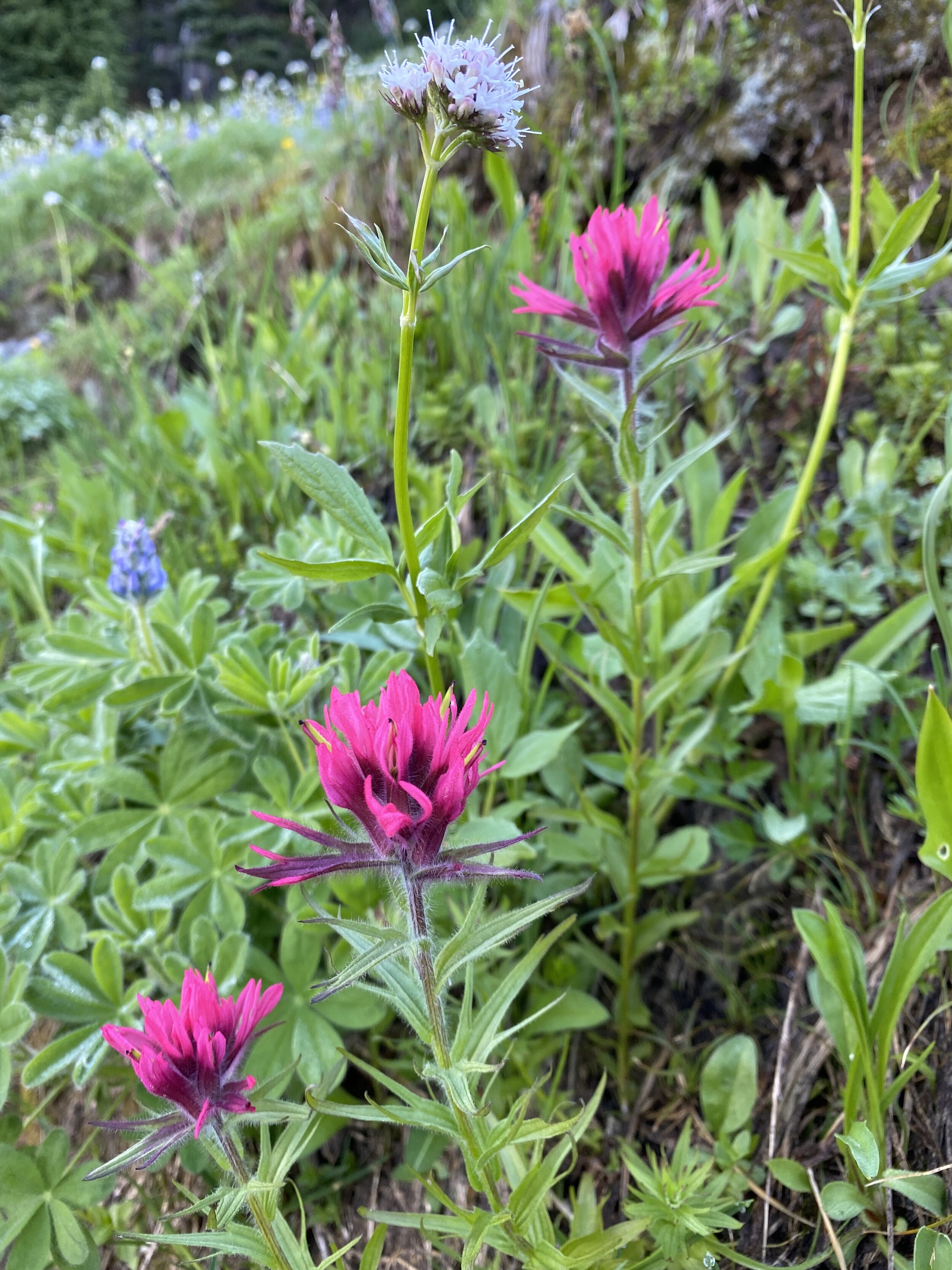
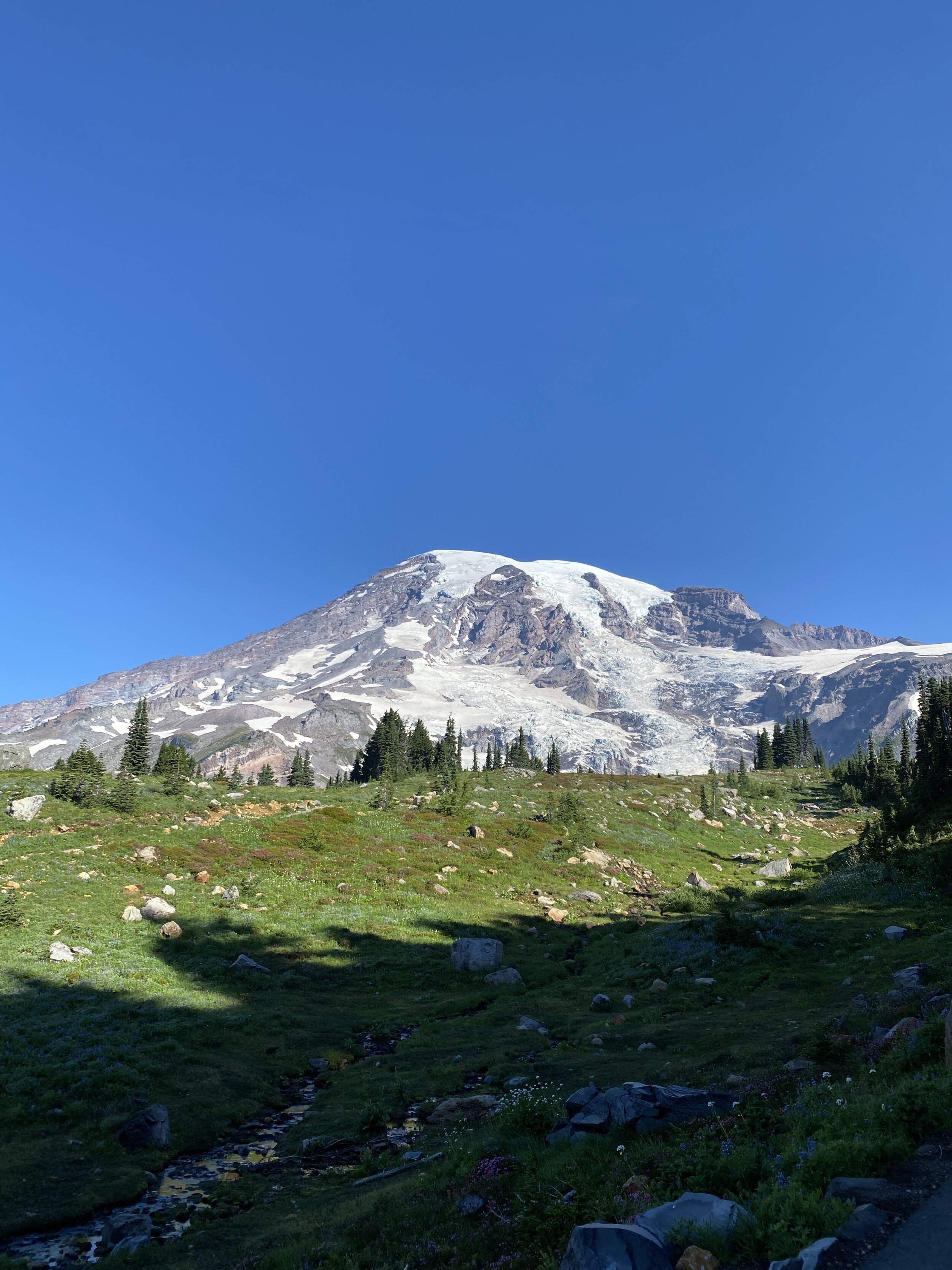
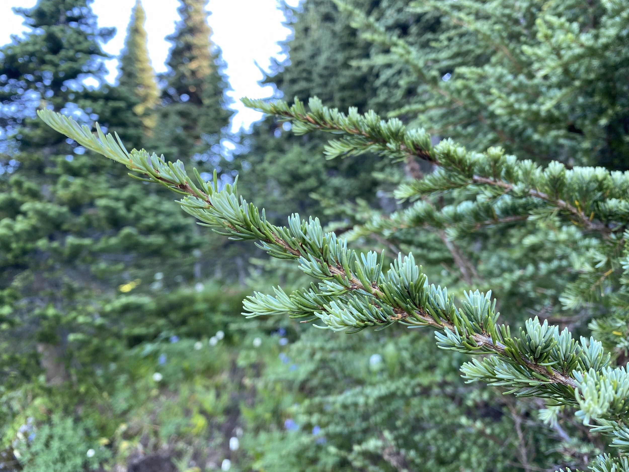
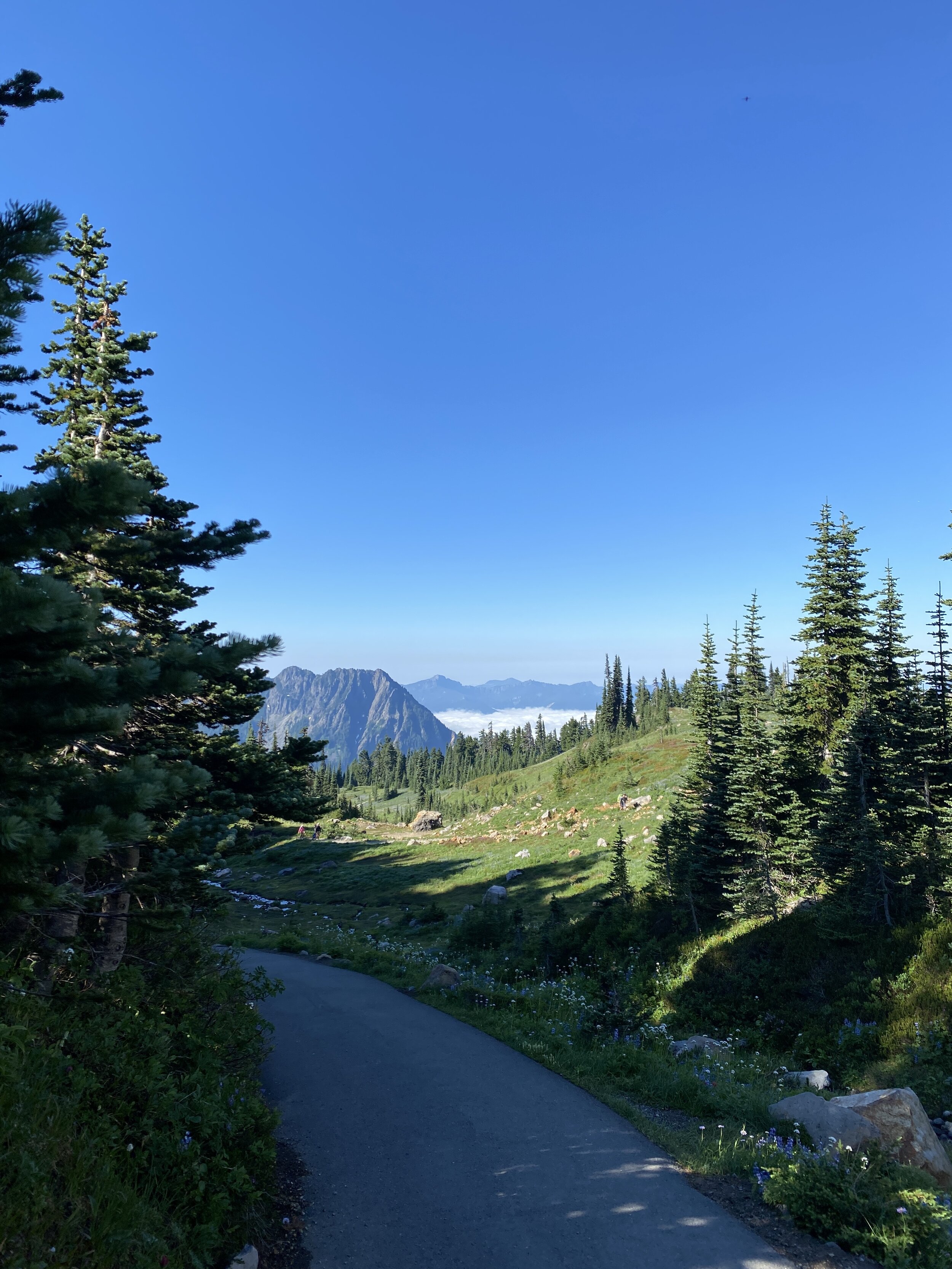
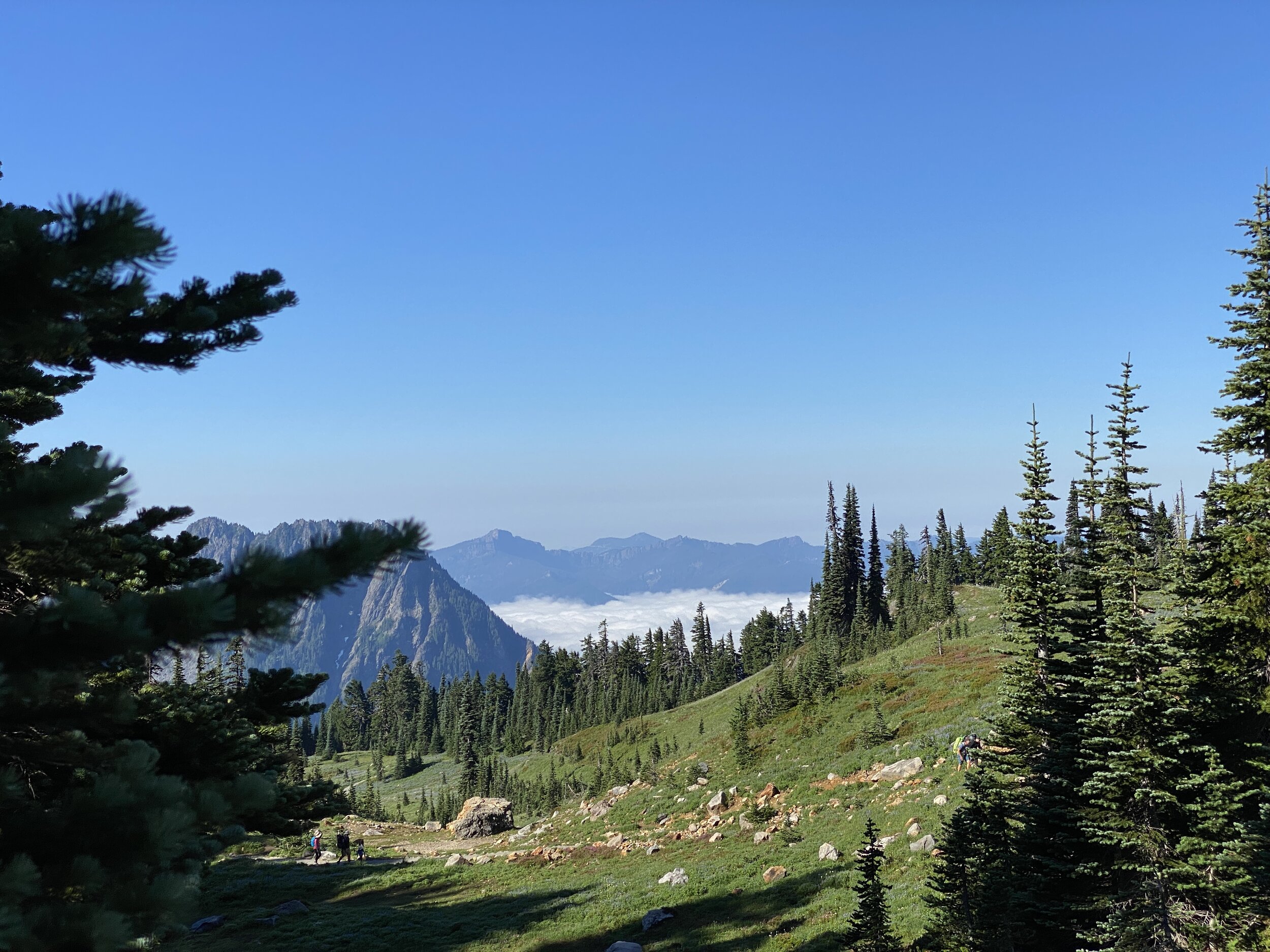
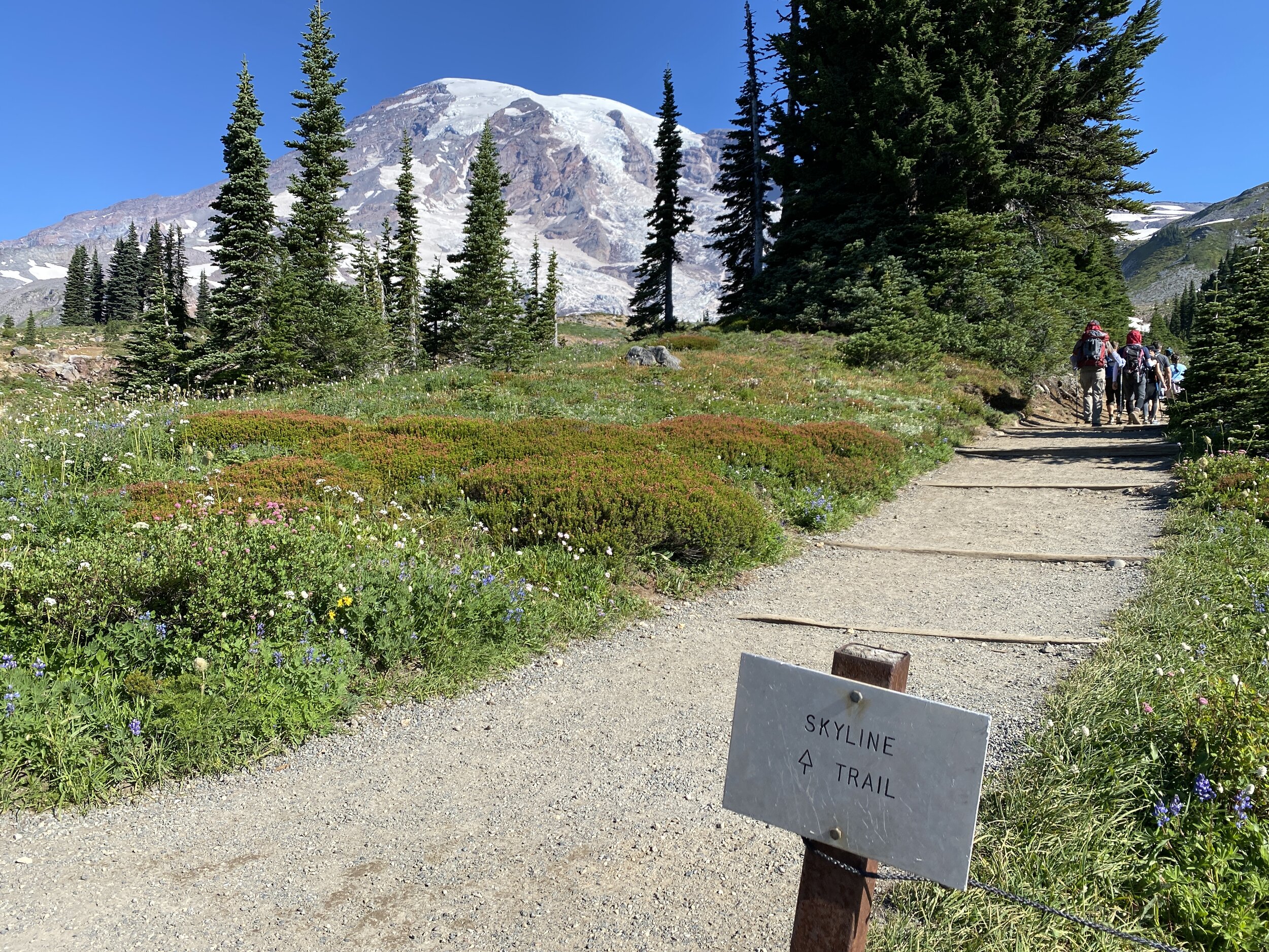
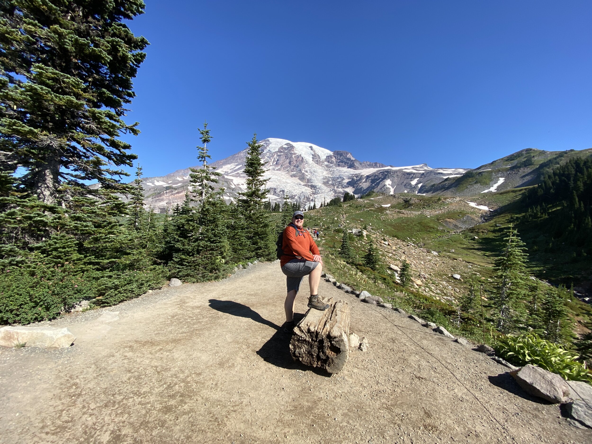
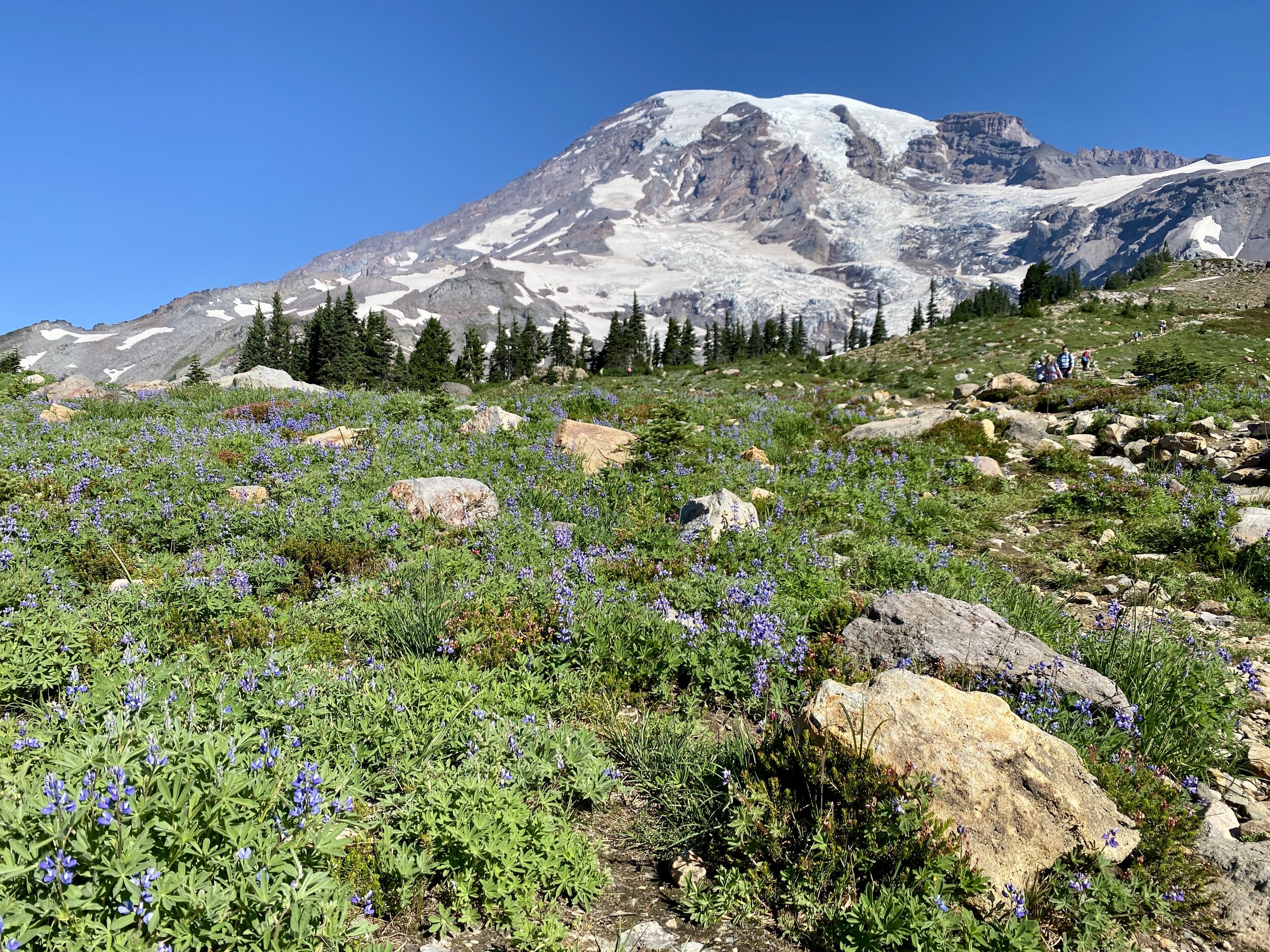
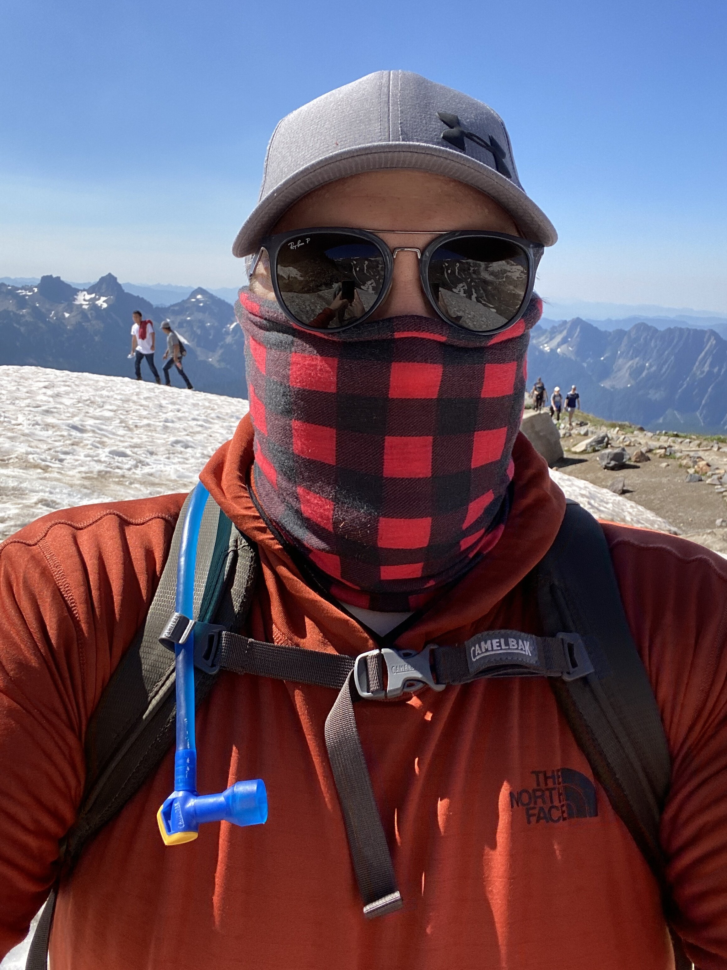
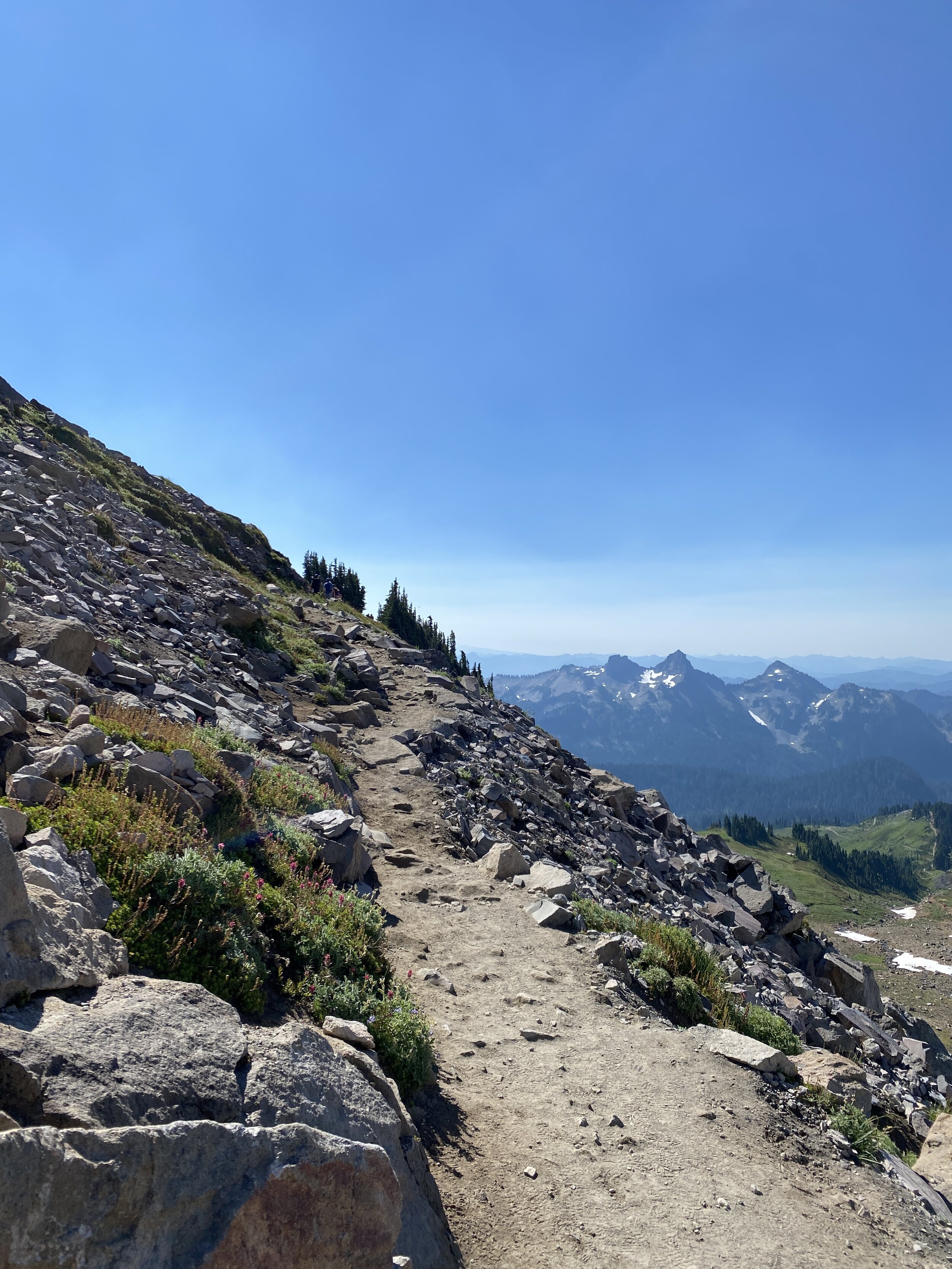
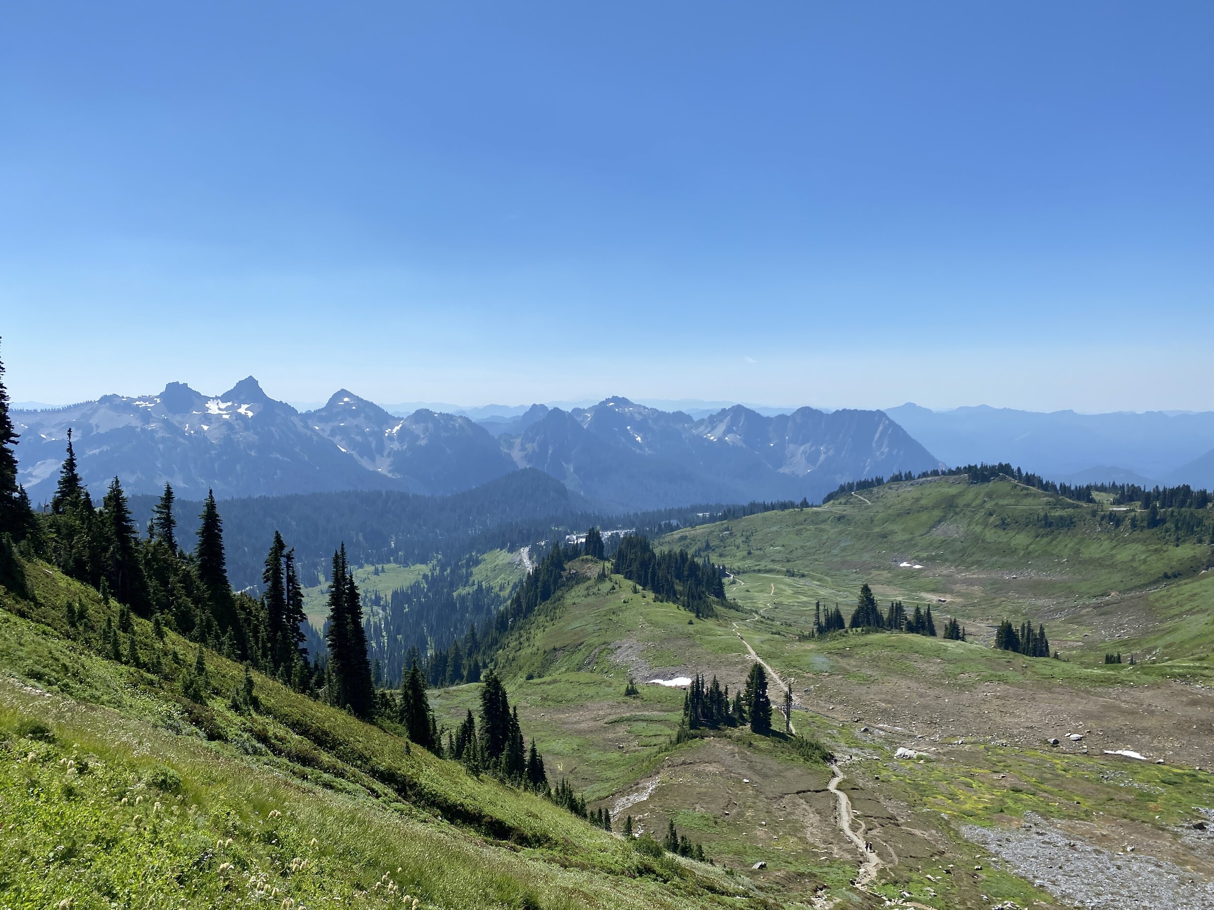
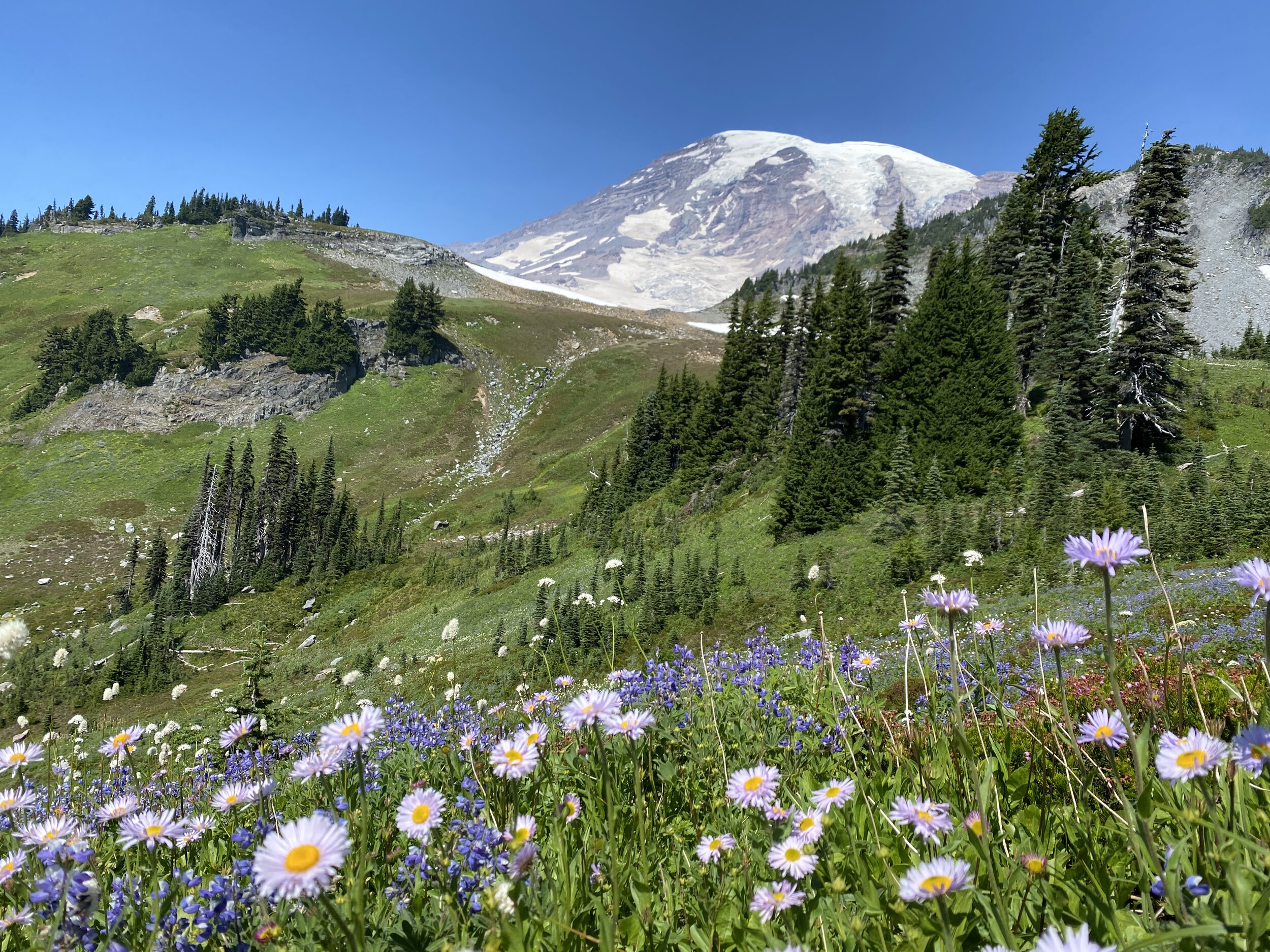
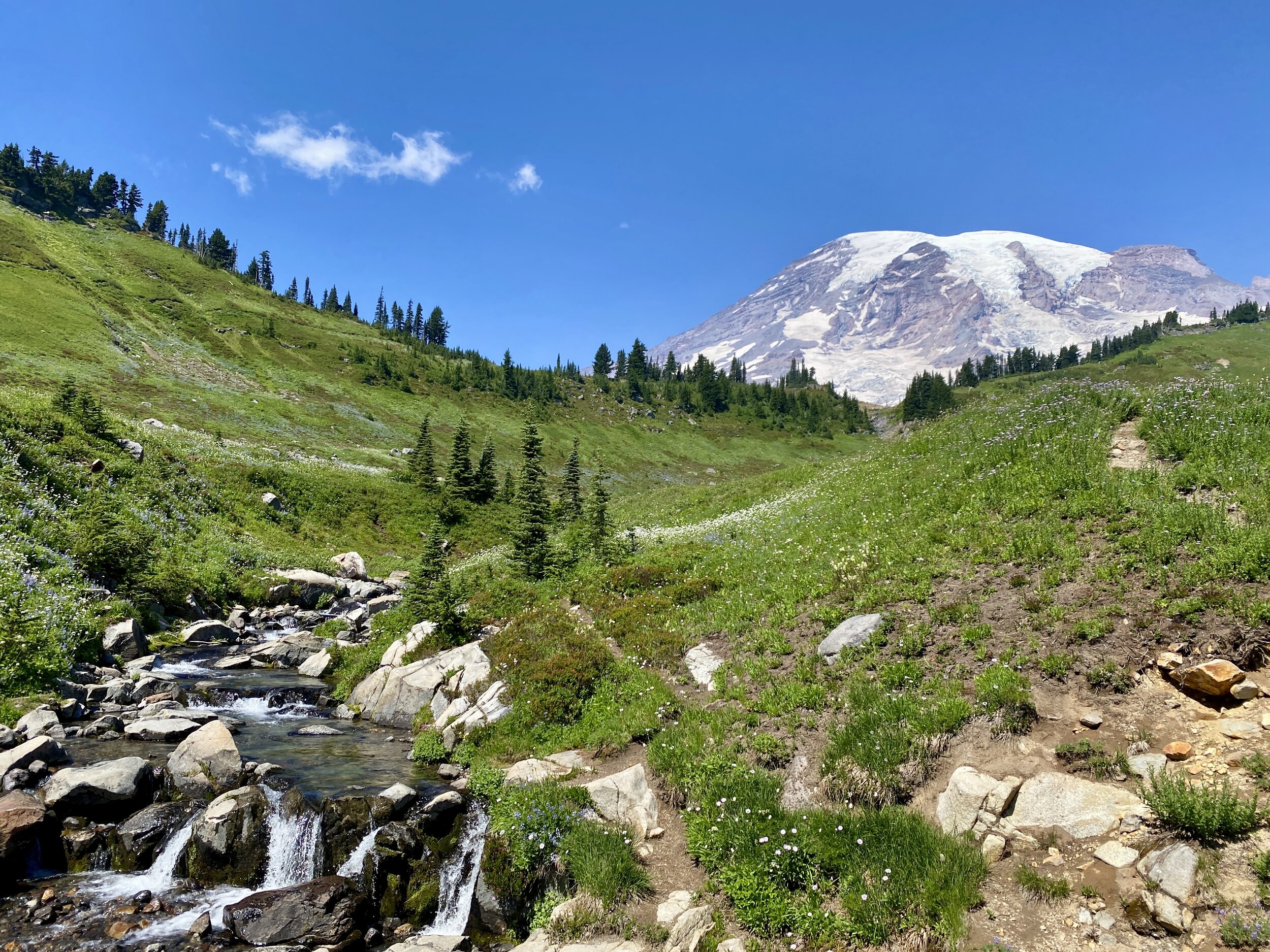
#hike24 - Skyline Trail (Mt. Rainier NP)
I don’t even know how to begin with describing this hike… amazing? Too generic. I don’t know. Hang in there with me.
I had the opportunity to do this one with a new friend a couple of years ago, and didn’t. Talk about regrets. I should have. There was no pandemic and far less people on the trail. I was fearful… I was tired from a poor night’s sleep… I was embarrassed because I’d probably be huffing and puffing the whole way up. Cut to a week or so ago, when I was back and facing the same trail. I hadn’t slept well again, but was not fearful or afraid of judgment this time. I am in a MUCH better headspace about the outdoors now than I ever was and I we had a sunny, late summer day to do the Skyline Trail.
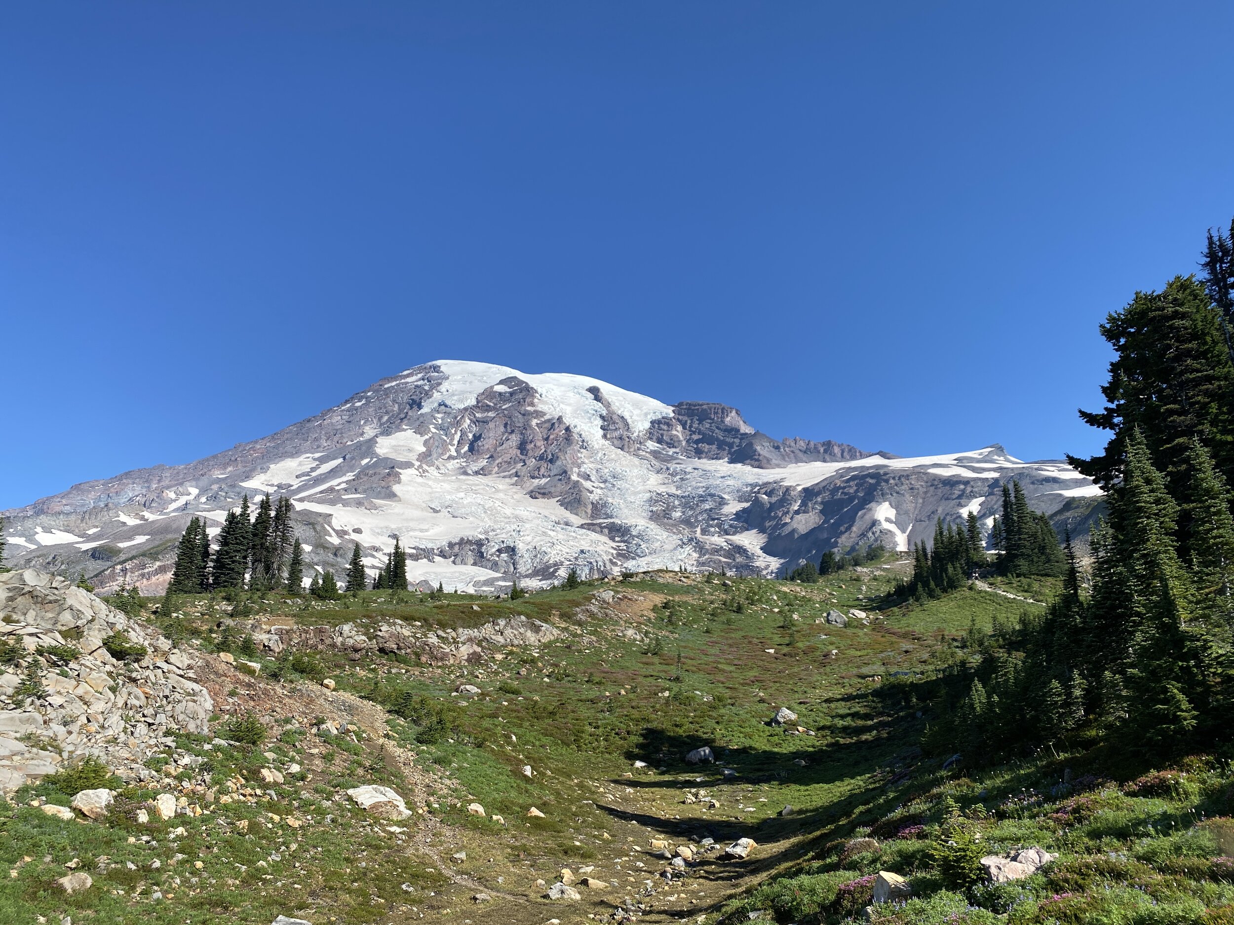
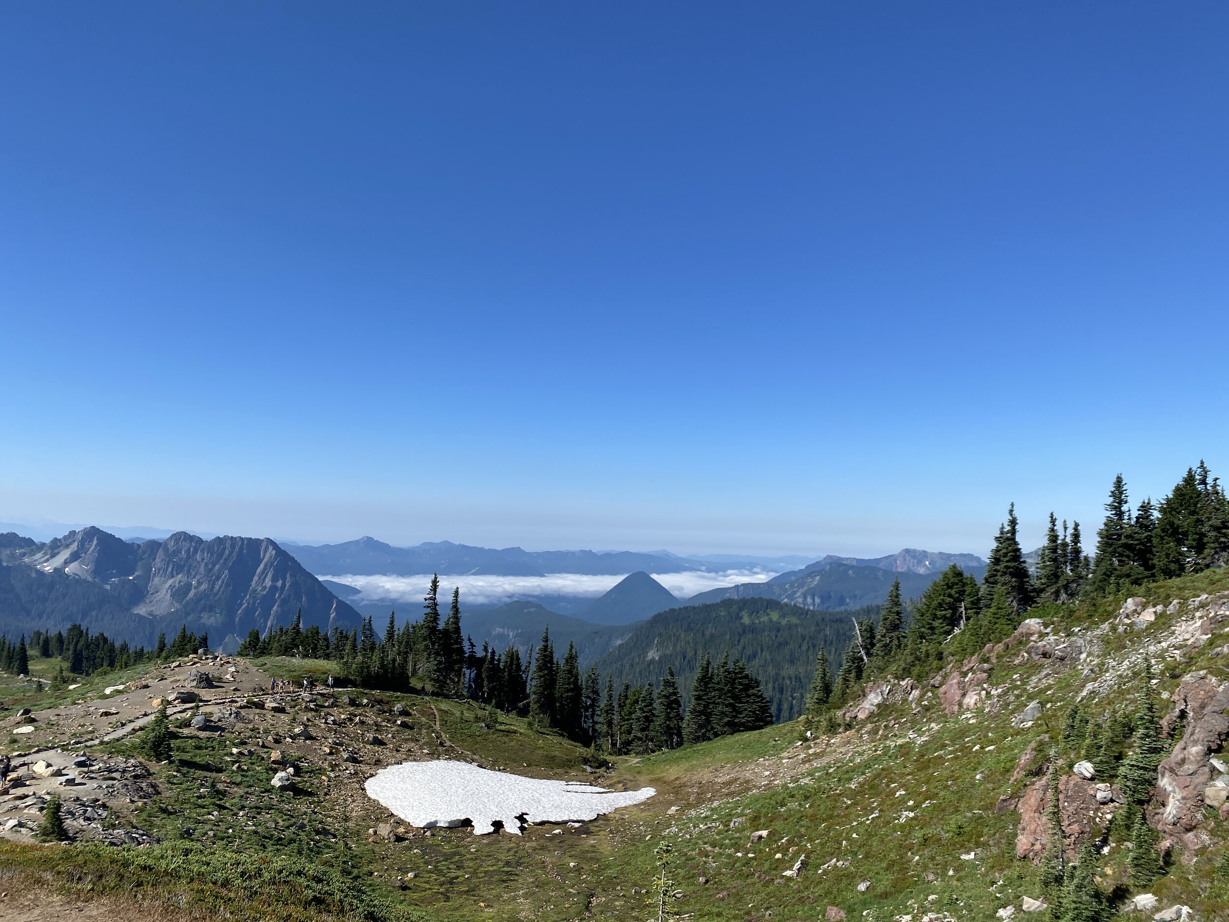
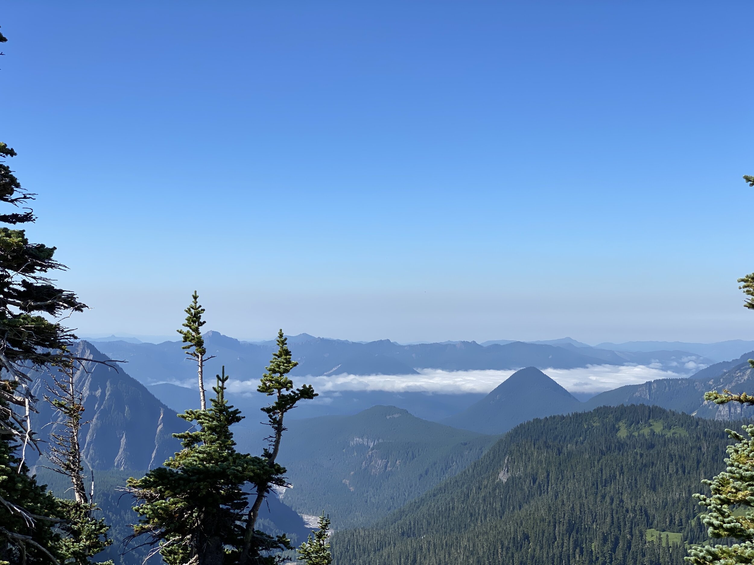
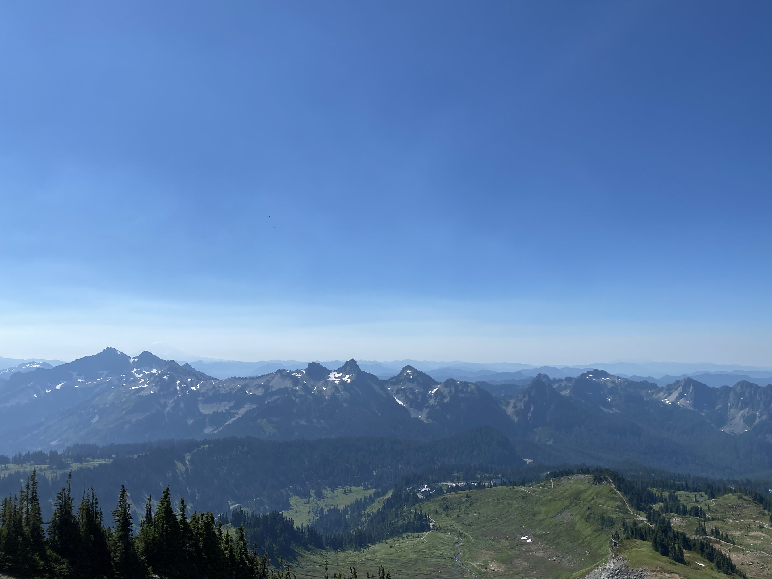
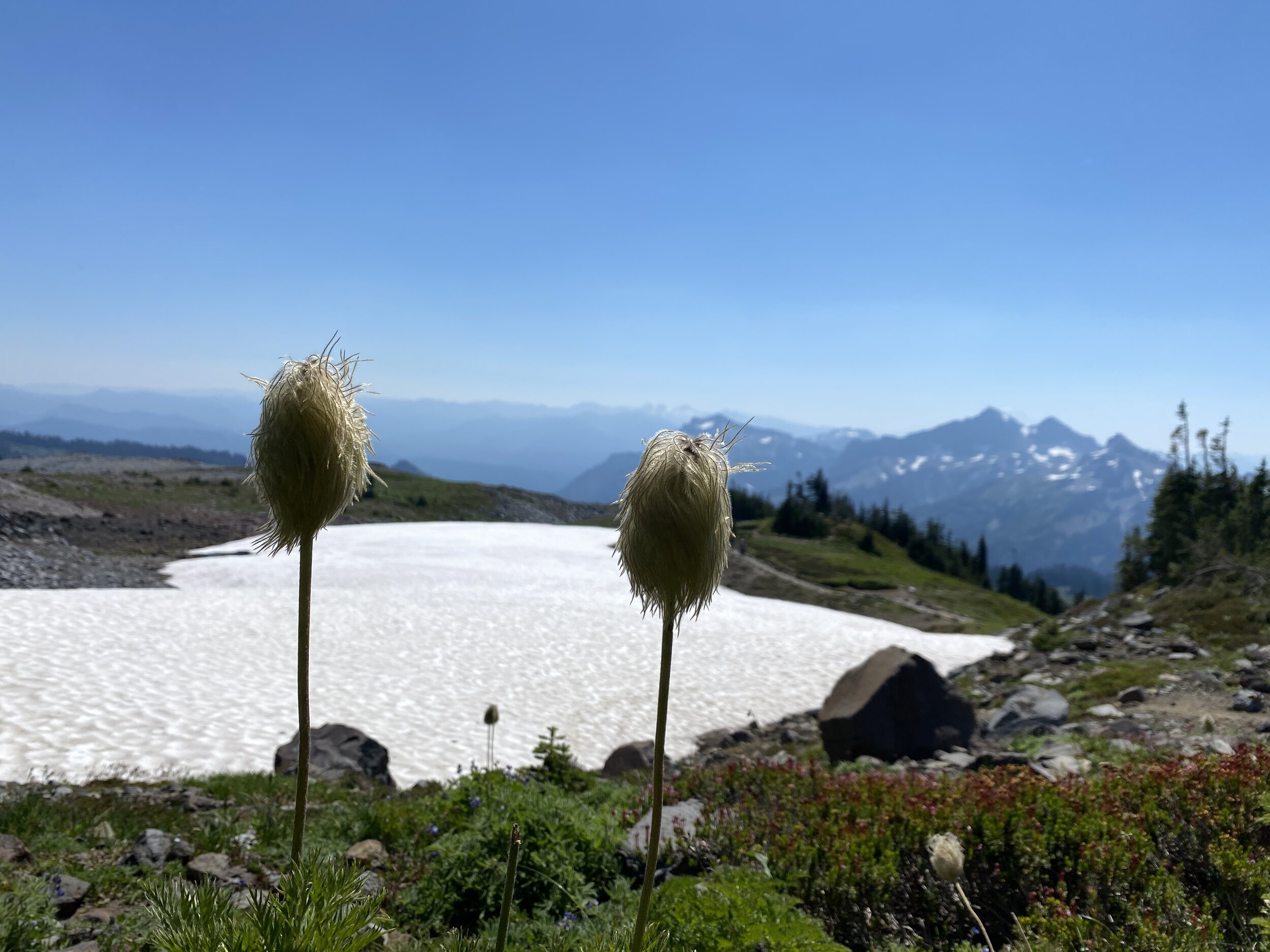
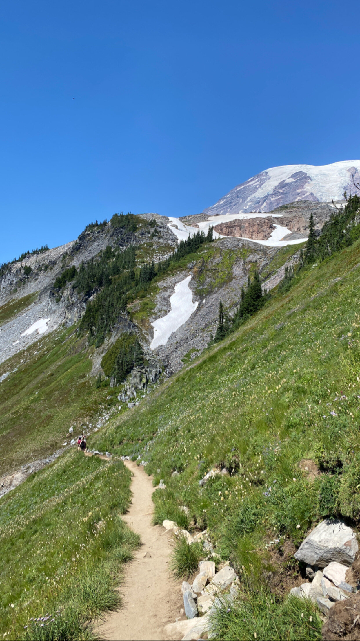
Jen and I had already spent many days together - hiking through the Olympic area and North Cascades area. We were ready for another big one and this trail fulfilled so much it was overwhelming in the best way. You start on a paved path up, and I mean UP. It was pretty crowded for the circumstances, as was the visitor center, but we were not giving up. We had masks, liters of water, snacks, and sunglasses. Onward we moved, or upward rather, until we hit the end of the pavement. From there, it is dirt with a few snowy patches. We kept climbing - up up up up up. We hit a mile, it was the slowest mile I’ve ever walked but who the hell cares? The views were beyond my comprehension. Each time we stopped to catch our breath or take a drink, we had a new view of the same thing. It was incredible. The path was lined with wildflowers until it was too rocky, and eventually we made it to the top of this particular trail. You could see Mt. Adams in the distance and it looked spectacular.
We began the descent, which led us over some rocky areas and into a set of switchbacks through a mountain meadow. I can not even begin to describe the smell of that meadow - honey sweet but also fresh? It was the best smelling meadow I’ve ever experienced - thanks to all the glorious wildflowers and grasses. The way down was the other half of the loop and offered even better views of the ones we thought we loved going up. Eventually, we made it back to a paved path and the visitor center. I don’t know if we processed the experience - I know I am still sitting here daydreaming about it and reliving every moment of it.
We drove through the park, towards the Stevens Canyon exit, and stopped at a shaded turnout for lunch. We didn’t have a view of Mt. Rainier, but I could still see it in my mind as if I could reach out and touch it. What a wild and amazing time on a trail that really wasn’t the worst thing in the world - just made us huff and puff a little. Honestly, I’d recommend this to anyone. The diversity on the trail - people of all walks of life were doing it and enjoying it.
Lesson: Always do the trail; you may not get a second chance like I did.
Distance: 5.44 miles, 1600-1700 ft of elevation change
Highlights: sweet smelling meadows, great views of things other than Rainier, and snow packs
Watch out for: the edge, slippery snow packs or melt, the crowds (you’ll want to take your time and just kinda either flow with or wait for large groups to pass)
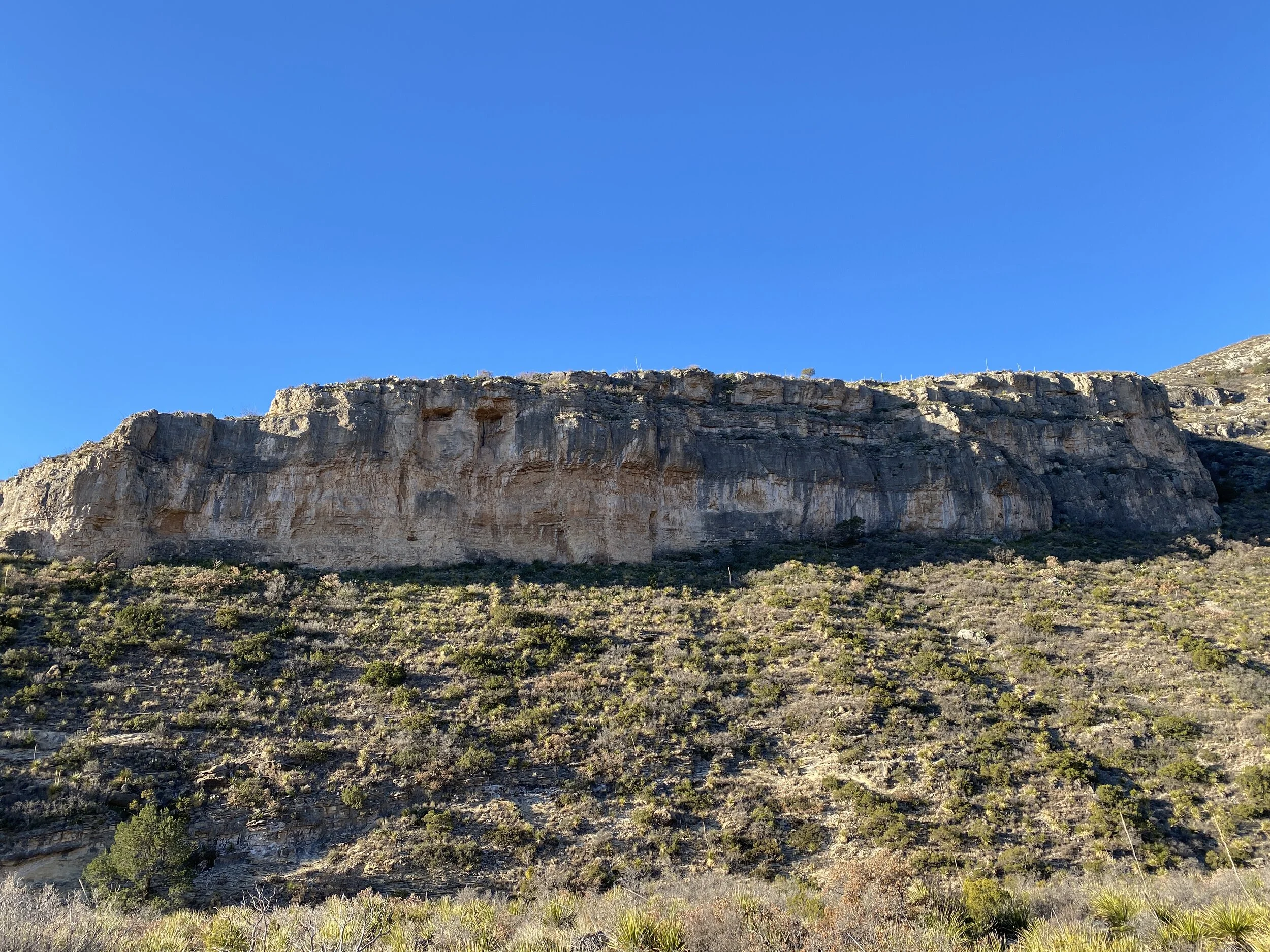
#HIKE1 - Guadalupe Mountains Nat. Park
HIKE 1 - Guadalupe Mountains National Park
Trail: McKittrick Canyon Trail
Date: Saturday, 01/11/2020
Distance: 2.05 miles
Distance From Home: 493 miles
Weather: Cold (below freezing), windy, but sunny
Trail Notes: The trail meanders through the canyon, with very little gain in the first mile anyway. Great views and tons of cool desert plant life
I’m in New Mexico for work, and I’m only an hour and a half from Guadalupe Mountains National Park. I finally had a break in the project, and I needed to reduce my stress with a hike, so I took a Saturday morning and headed to the park.
I woke up early on and drove down to the park for sunrise. I forgot it was a full moon, so that was just icing on the cake for the early morning drive. I arrived at the Pine Springs visitor’s center at about 6:45 local time. The sun was due up about 7:00 so I started the Piney Nature Walk. As the sun peeked over the distant ridge, I made my way back to the car. I have been sick since arriving in New Mexico, so I was congested and not feeling like an all-day hike so I went back up to McKittrick Canyon. The gate was open, so I made my way to the trailhead. I figured I’d walk a little and then turn around. I was the only one there and the sun was beaming down. The wind was less severe in the canyon and I was having a much more enjoyable experience. I had a puffy, a hoodie, and a t-shirt for layers and I was nice and cozy.
After my hike, I went back to the Pine Springs visitor’s center to look inside and buy my magnet. I walked through and learned about the geology and wildlife. I’m excited to mark it off my list, but even more excited to plan a return visit with camping!
Have you been to Guadalupe Mountains National Park? What are your favorite trails and campsites? Leave a comment and let me know! Happy trails my friends!


2019 #hike8 #hike9 #hike10 & #hike11 - March Recap
Because I was drowning in work and also lazy AF, I decided to piece the March 2019 hikes together. I hope to hike some more out in West Texas - maybe Big Bend, hopefully Guadalupe Mountains, and a definitely a few state parks. If you want to hike together, hit me up!
Hike 8 - Clear Creek Heritage Nature Center - Denton, TX
3.35 miles, solo hike, enjoyed
Flooded trails and very few people
Clear, beautiful weather - cool and sunny
Met some great people and had great chats about local hikes

Hike 9 - Fort Worth Nature Center & Refuge - Fort Worth, TX
4.35 miles, group hike, enjoyed
Nice hike with my other half and aunt
Beautiful sunny day, not too crowded
Spring was starting
Hike 10 - Big Bend National Park: Lost Mine Trail - Big Bend National Park, TX
4.96 miles, solo hike, thoroughly enjoyed
Excellent views, great terrain variety, wonderful elevation gain
Beautiful trail plants
Crowded as the morning changed to afternoon
Get there early to avoid the sun, also!


Hike 11 - Big Bend National Park: Chimney Trail - Big Bend National Park, TX
4.82 miles, solo hike, great canyon views
Gorgeous desert wildflowers and plant life
Wonderful, expansive views
Very sunny, wear sunscreen! It’s very exposed, avoid if too hot.
Not buys at all.


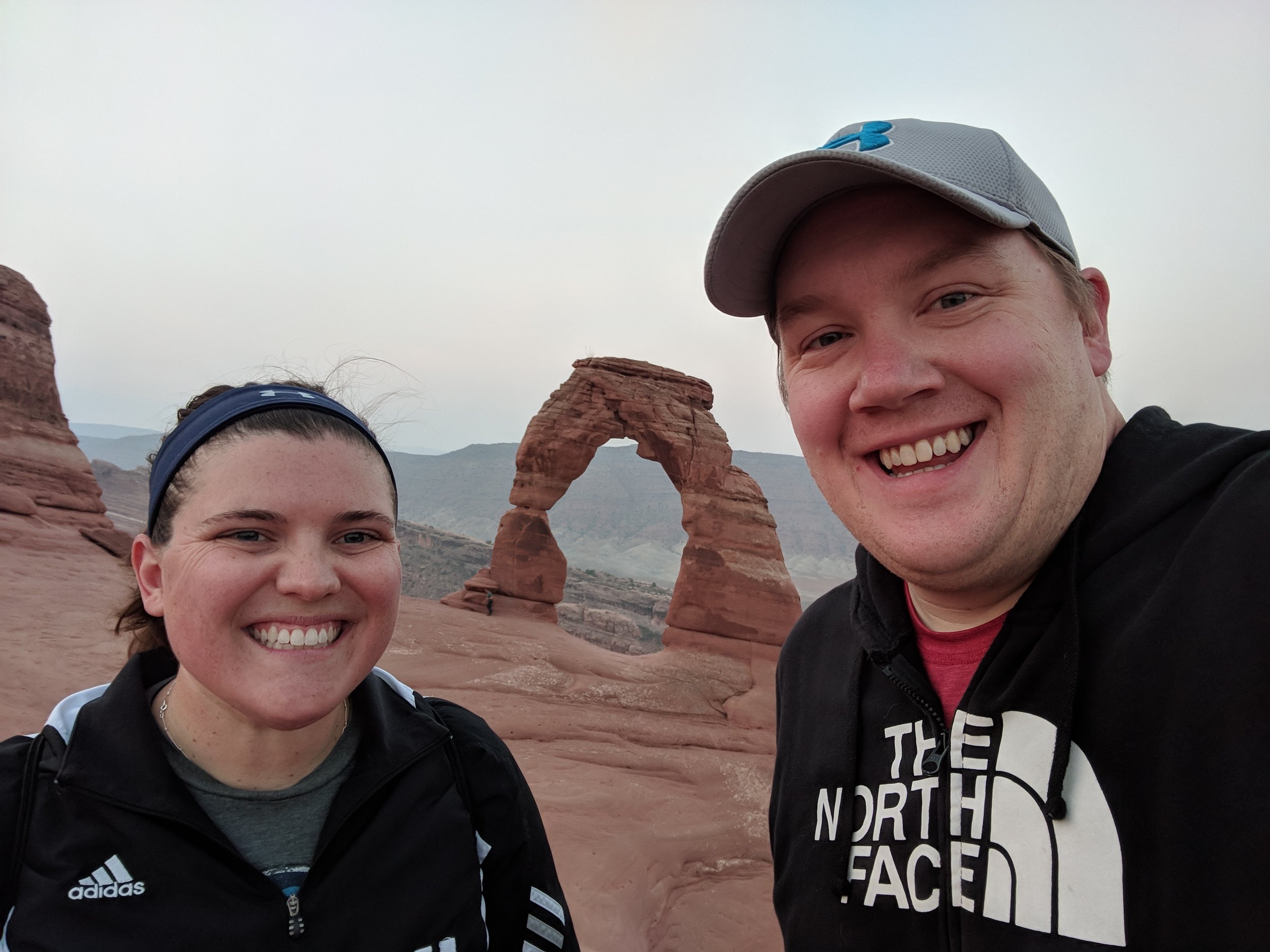
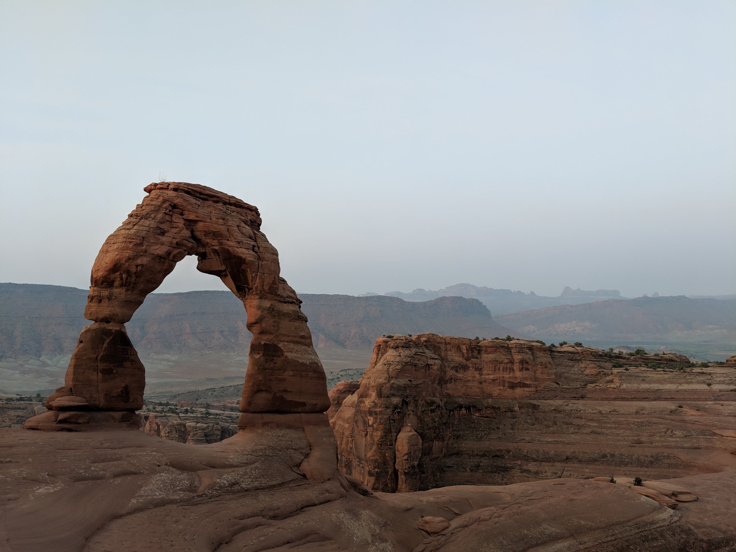
#hike27 & #hike28 - Arches National Park

Date: August 18-19, 2018
Location: Arches National Park - Moab, UT
Distance: 5 miles / 3 miles
Trails: Various trails to various arches / Delicate Arch
A revitalization on a grand scale... These days really perked me up and revitalized my desire to hike and explore.
My BFF Molly and I met in Salt Lake City and drove to Moab for the weekend. We spent Saturday and Sunday exploring Arches National Park, it was her first time, and we covered some major ground.
Arches we explored:
- Double Arch
- North Window
- South Window
- Turret Arch
- Sand Dune Arch
- Delicate Arch
- Landscape Arch
- Broken Arch
- Tapestry Arch
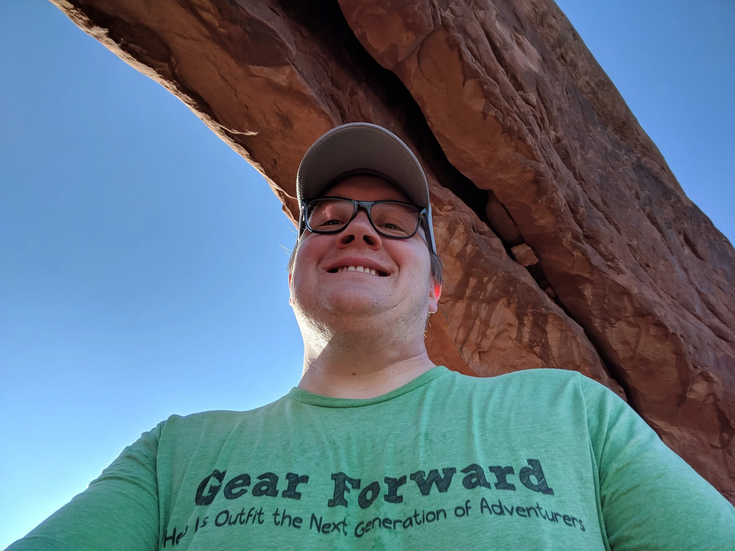
Sand Dune Arch is in a cavern on the right side of this rock formation.


We stopped at all major viewpoints and saw all the major sights! I don't need to get into detail about the trails, because I'll include some photos! But here is a map of the park to get an idea of where we went: Arches Guide
The real icing on the cake was our morning hike to Delicate Arch. Originally, we woke up at 4am on Saturday and got all ready to go, but it was raining so hard so we decided to get breakfast instead and try again Sunday. After an awesome breakfast at the Moab Diner, we had a great day of hiking and driving around the park and even drove to the Needles District of Canyonlands National Park. Sunday morning, we were back up at 4am and at the trailhead shortly after. We were one of the first people there and also one of the first people up to Delicate Arch. The hike up was intense and one of the coolest things I've ever done. We had our headlamps and I had a map, but they had installed trail signs which made it really easy to stay on track. It was basically uphill the entire way and crossing the rock surfaces was easier than I had thought. We made it to the top just as the light of day was showing and we were the second group up, despite following close behind another group that must have taken an alternative route.
Once at the top, we opted to stay away from the arch itself for a little while and plenty of other people swarmed it as they came up. We went down after the sun was up to get some photos with it and it was as wonderful as I remember it from 2010. Oh yeah, this was my second time hiking to Delicate Arch but I have very little recollection of the first time except from photos.
The trek back down was beyond amazing. Hiking up in the dark is surreal, because you don't know what surrounds you, but seeing it as you go back and piecing it all together is such a crazy mind bending experience. The views on the way down were expansive and gorgeous and the overall hike was pretty easy. We got back to a parking lot and even ran into people from Kalamazoo, Michigan where my BFF Molly is from. We gave them some pointers about the hike and shared a friendly chat before saying goodbye to Arches for this trip. If you are capable, and I think anyone that gets out and hikes is, do the hike to Delicate Arch.
My tips for the Delicate Arch hike
The ledge on the last bit of trail up to Delicate Arch
- go early, and I mean before sunrise (take a headlamp)
- take snacks, duh
- maybe take coffee in a thermos, I regret not doing this
- take your turn for a photo w/ the arch, but don't hog the arch and respect each other up there
- take a friend, if you're into that
- walk around the bowl and get different angles, once up there you'll know what I mean
- be careful, much of the trail is on the rocks but part of it is a ledge
- take plenty of water, a hat, sunscreen, etc. (especially if not going early)
- take some time to enjoy the views from all angles and on the way down
- follow the signs!