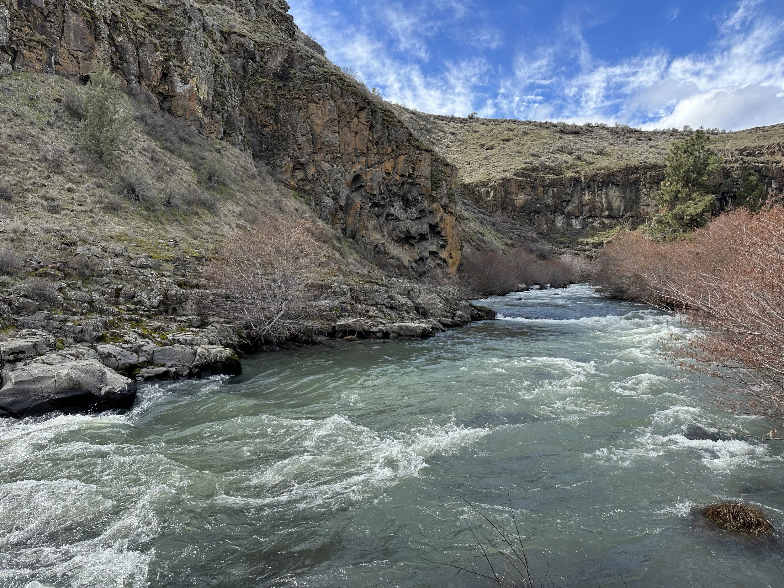

Hike 1 of 2025
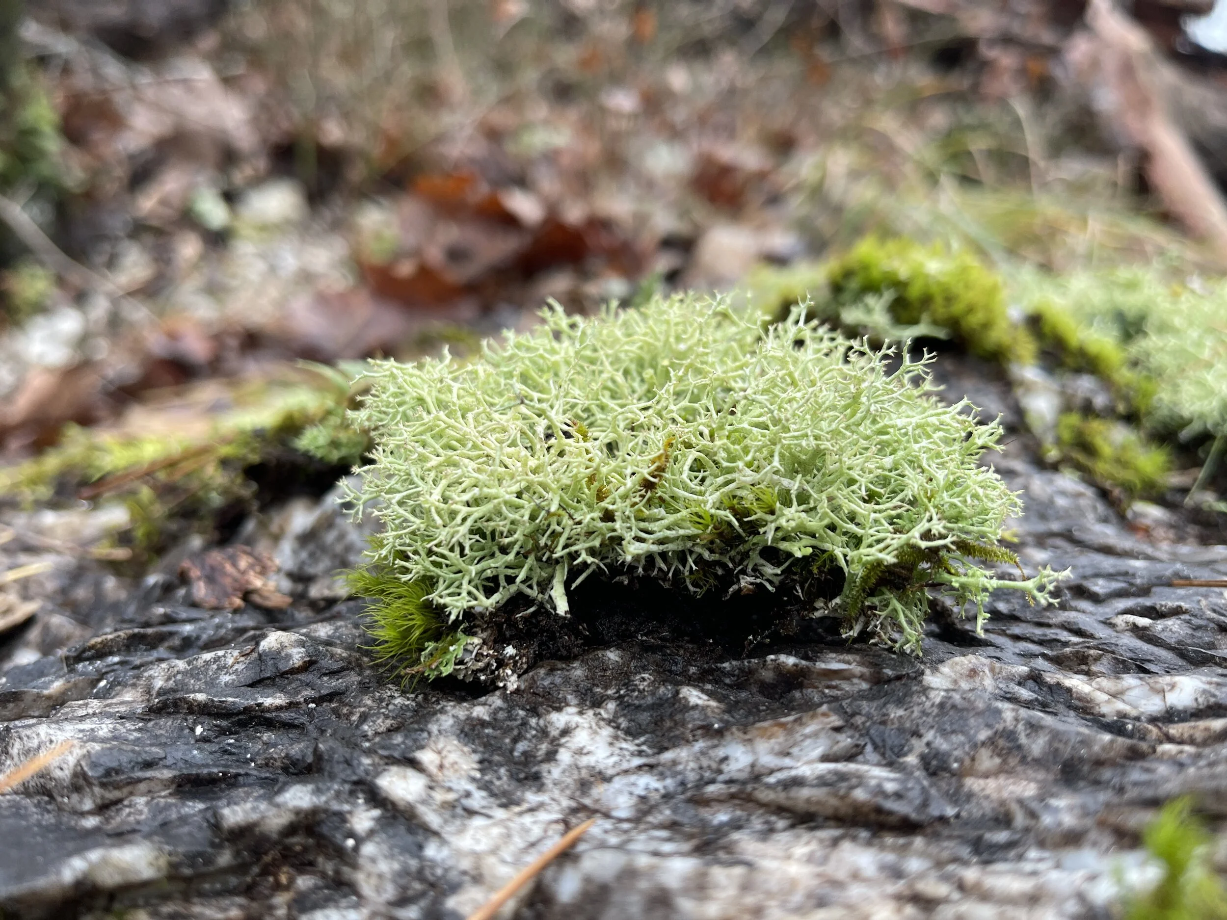
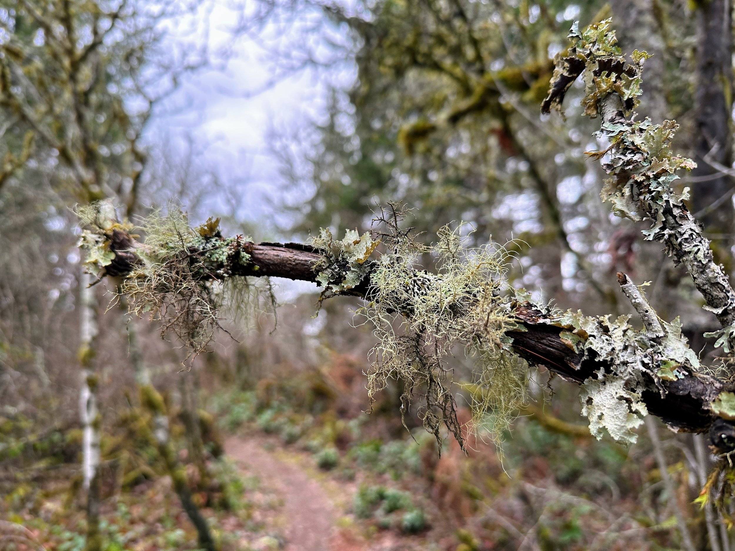
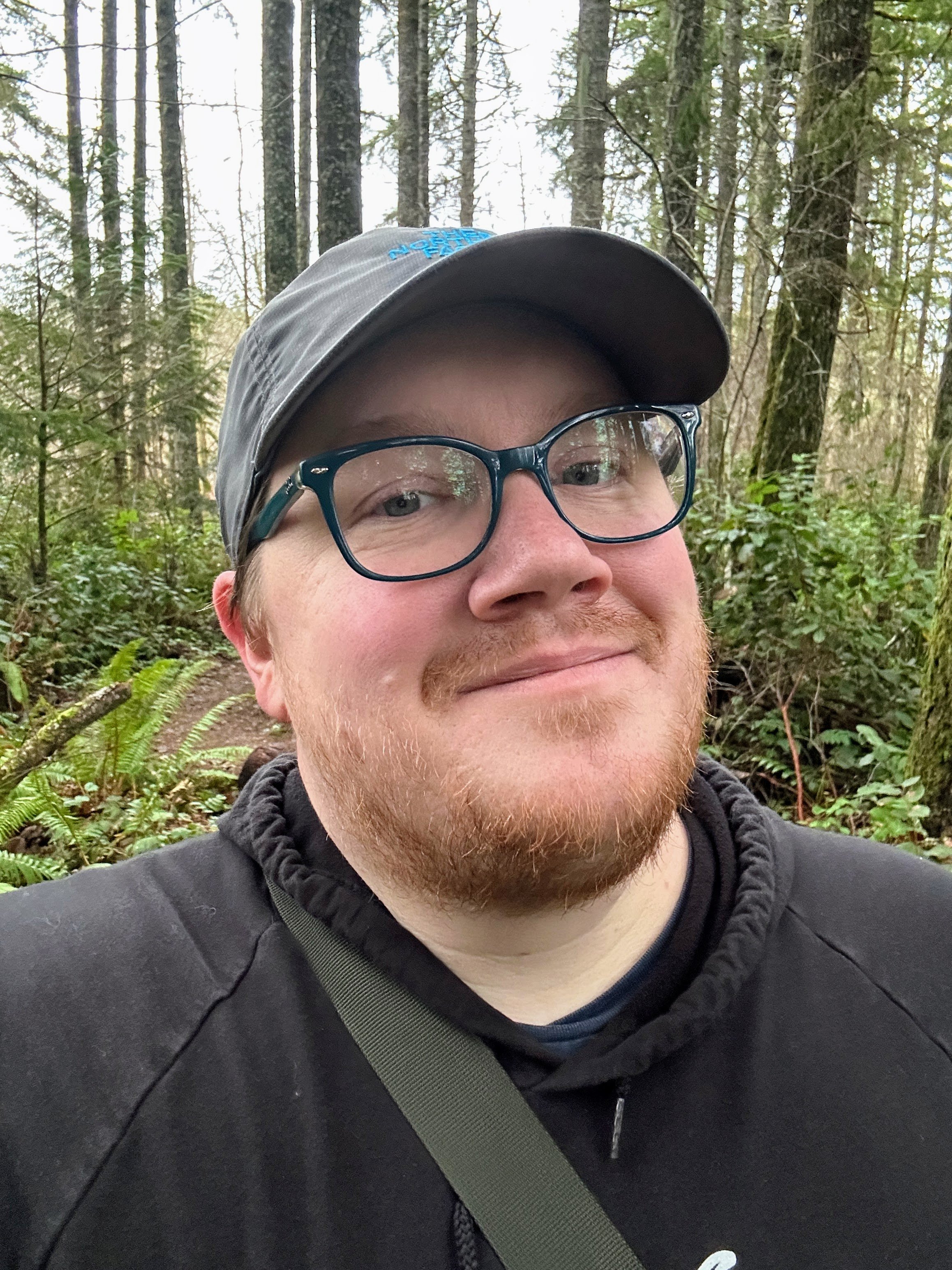
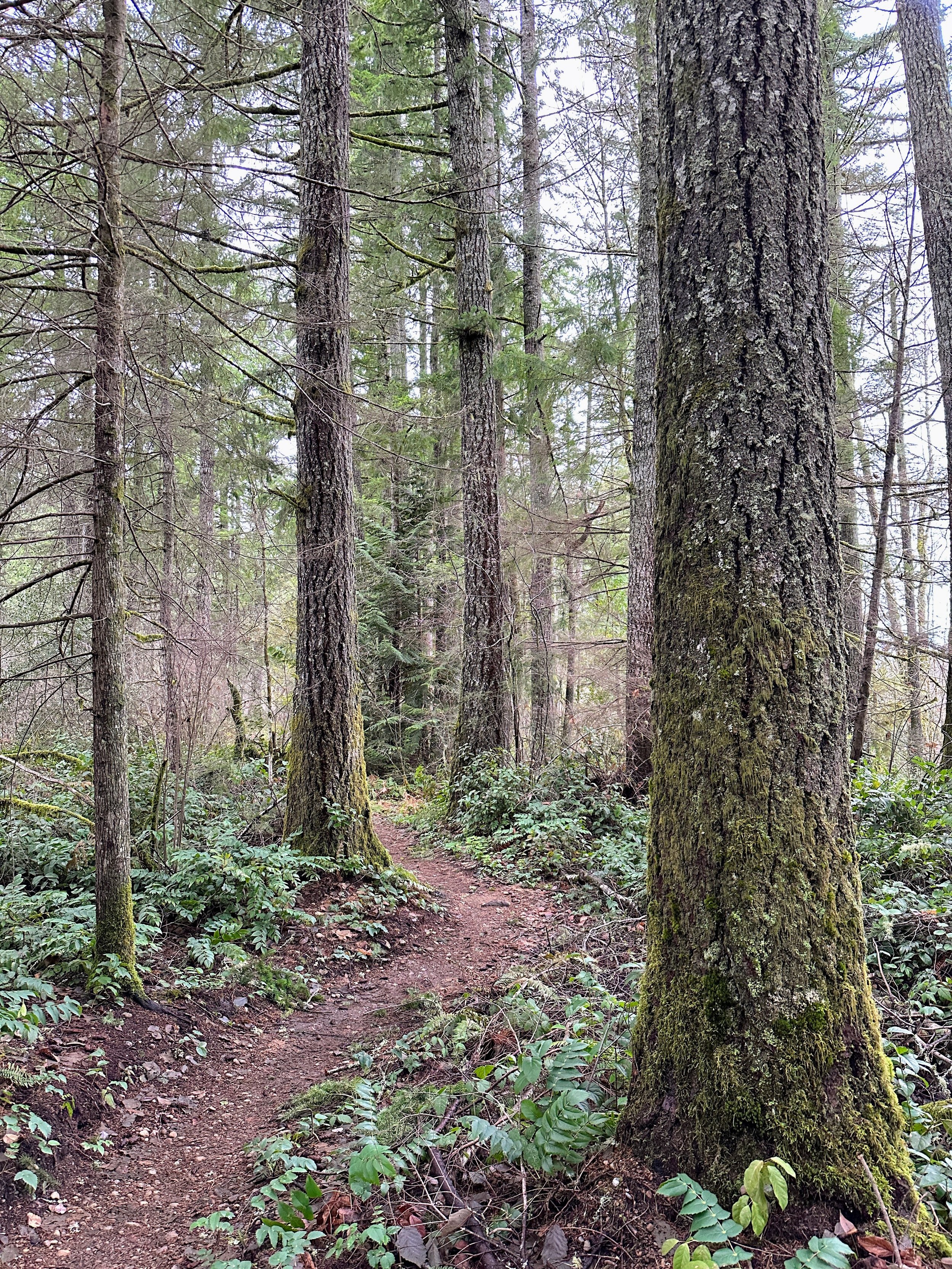
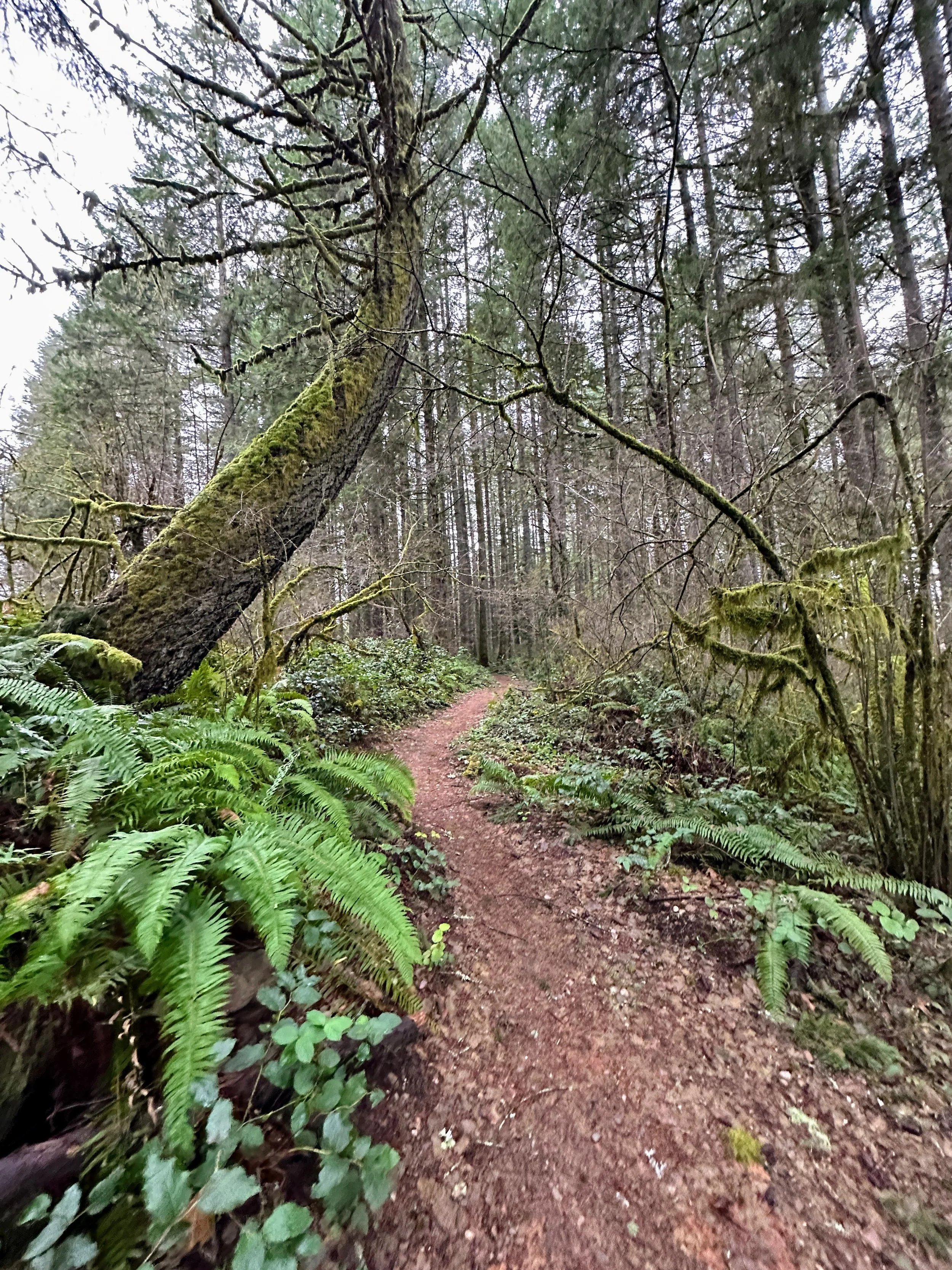
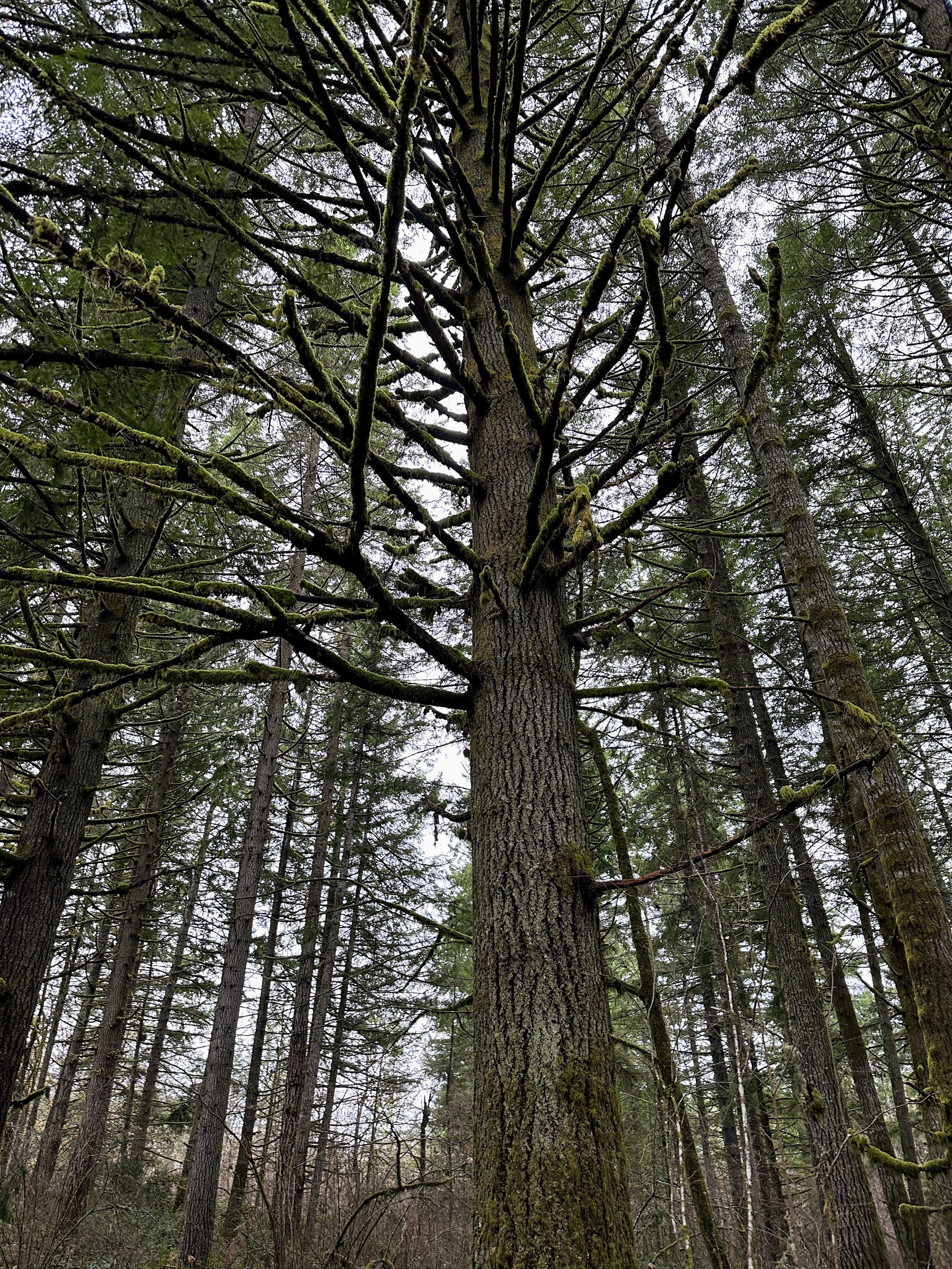
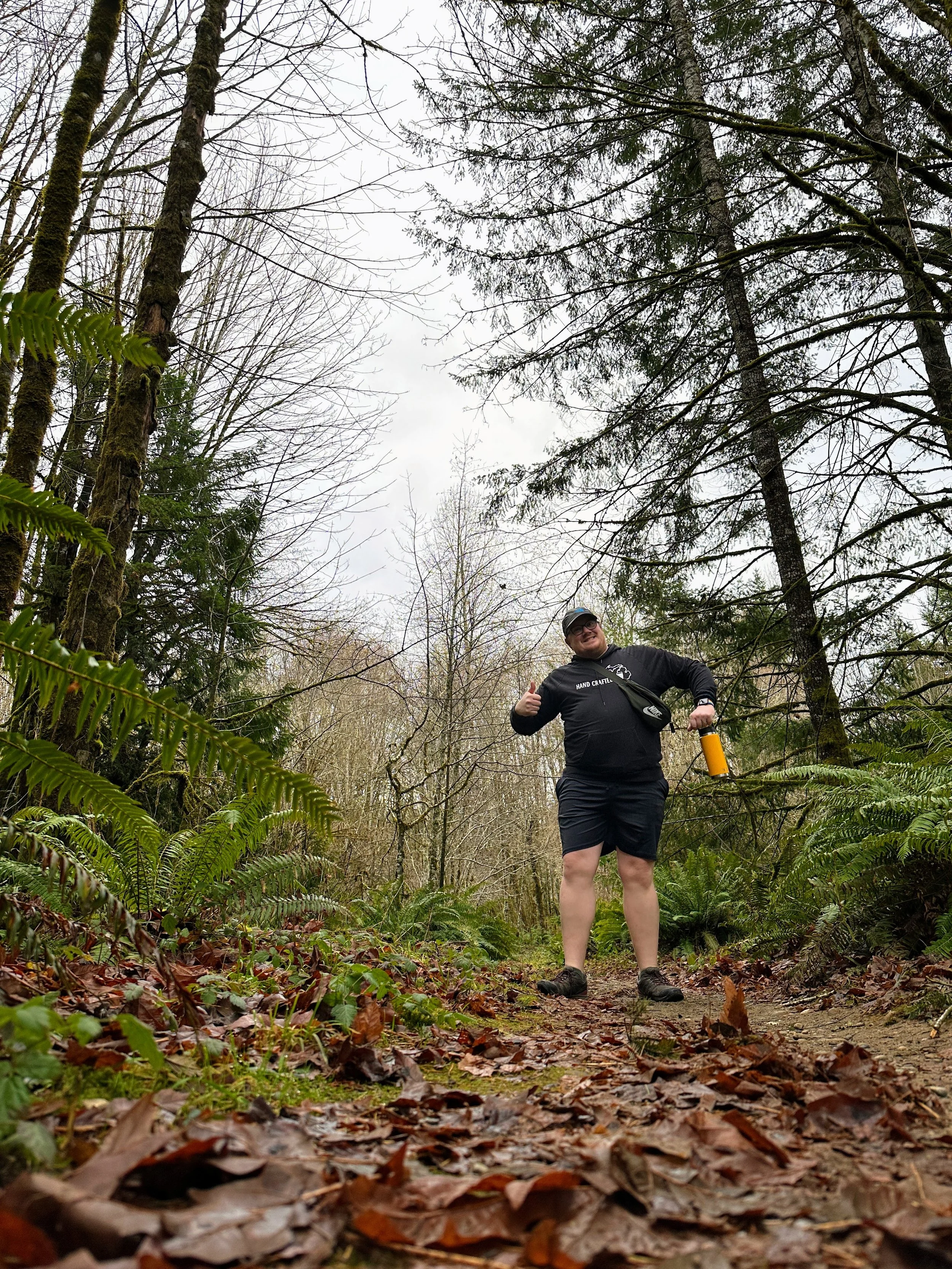
Today I started the 2025 52 Hike Challenge with a short, creekside stroll. The trail was flat; it was just about a mile in and out. There are so many other trails at this park, so I’m excited it’s so close to home for a revisit.
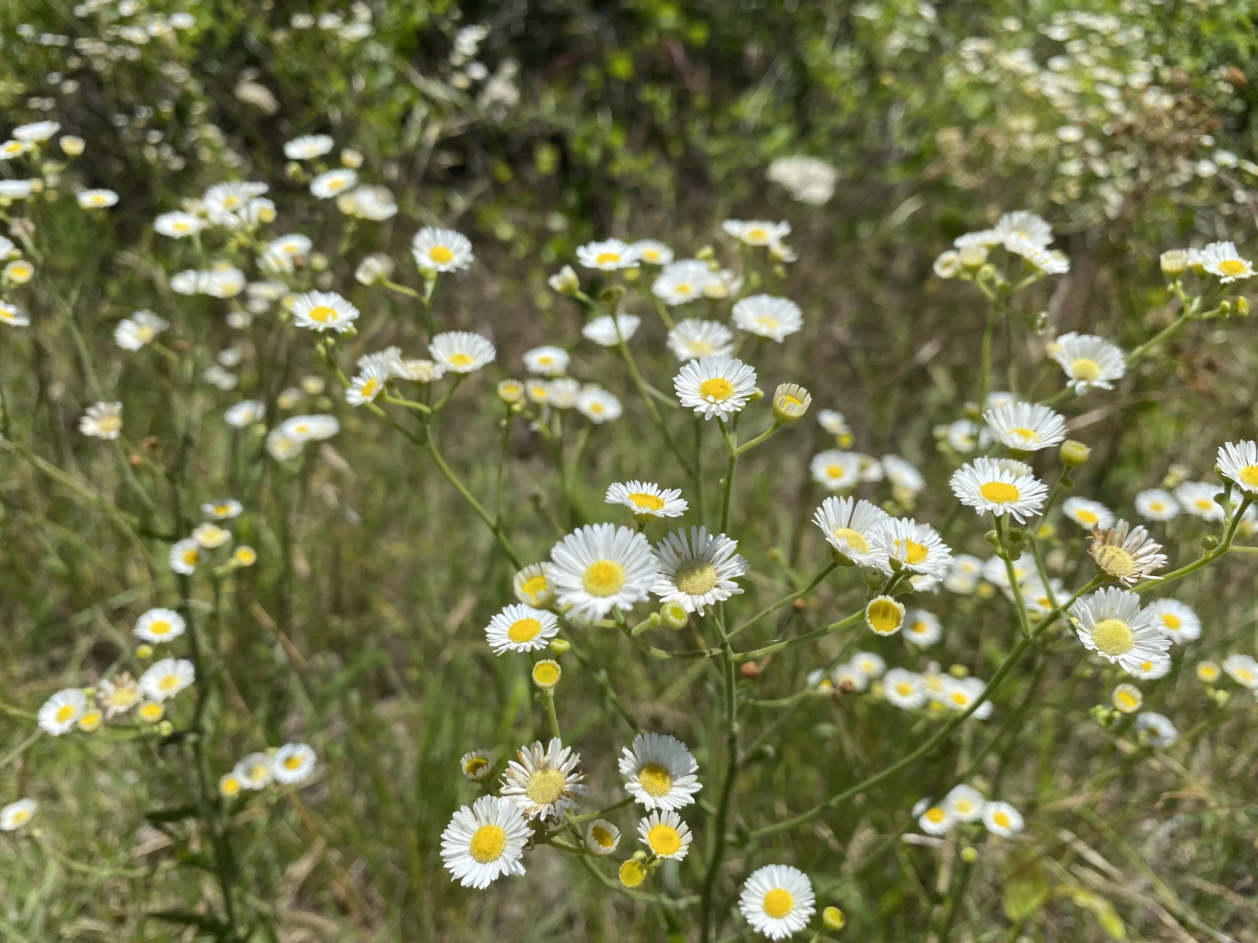
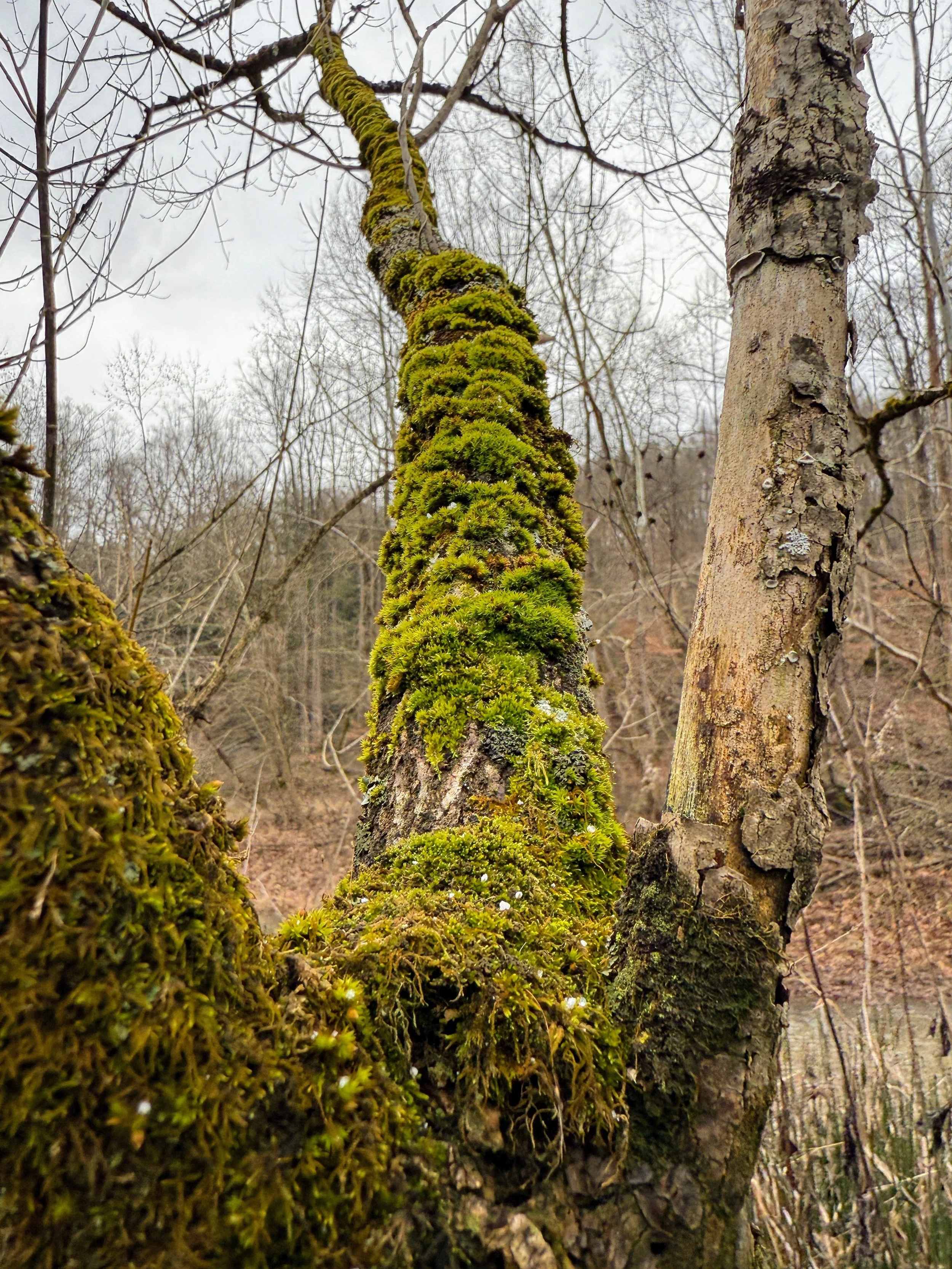
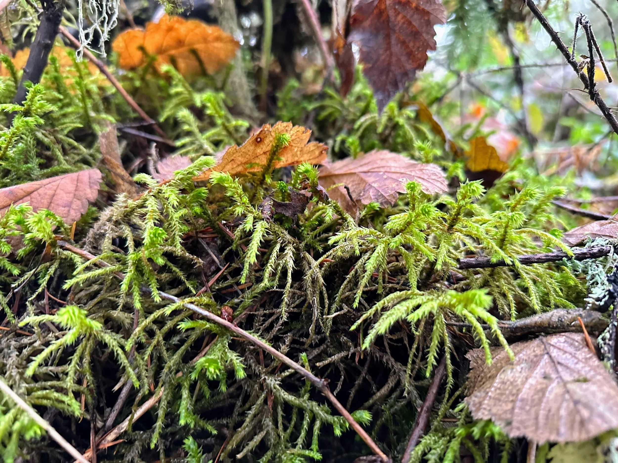
It was snowing, the sky was gray, and the air was COLD. I was wearing my shorts and hoodie and having the time of my life. The trees were bare, except for the couple of beech trees I saw in the woods, and the winter air felt appropriately brisk.
This was a great way to start the year. I met myself where I am, slightly unmotivated and a little out of shape. I walked a mile, and I’m okay with just a mile. It wasn’t strenuous, it wasn’t out of this world but it was freeing to my mind and made my body feel SO GOOD. HIKE YOUR OWN HIKE this year.


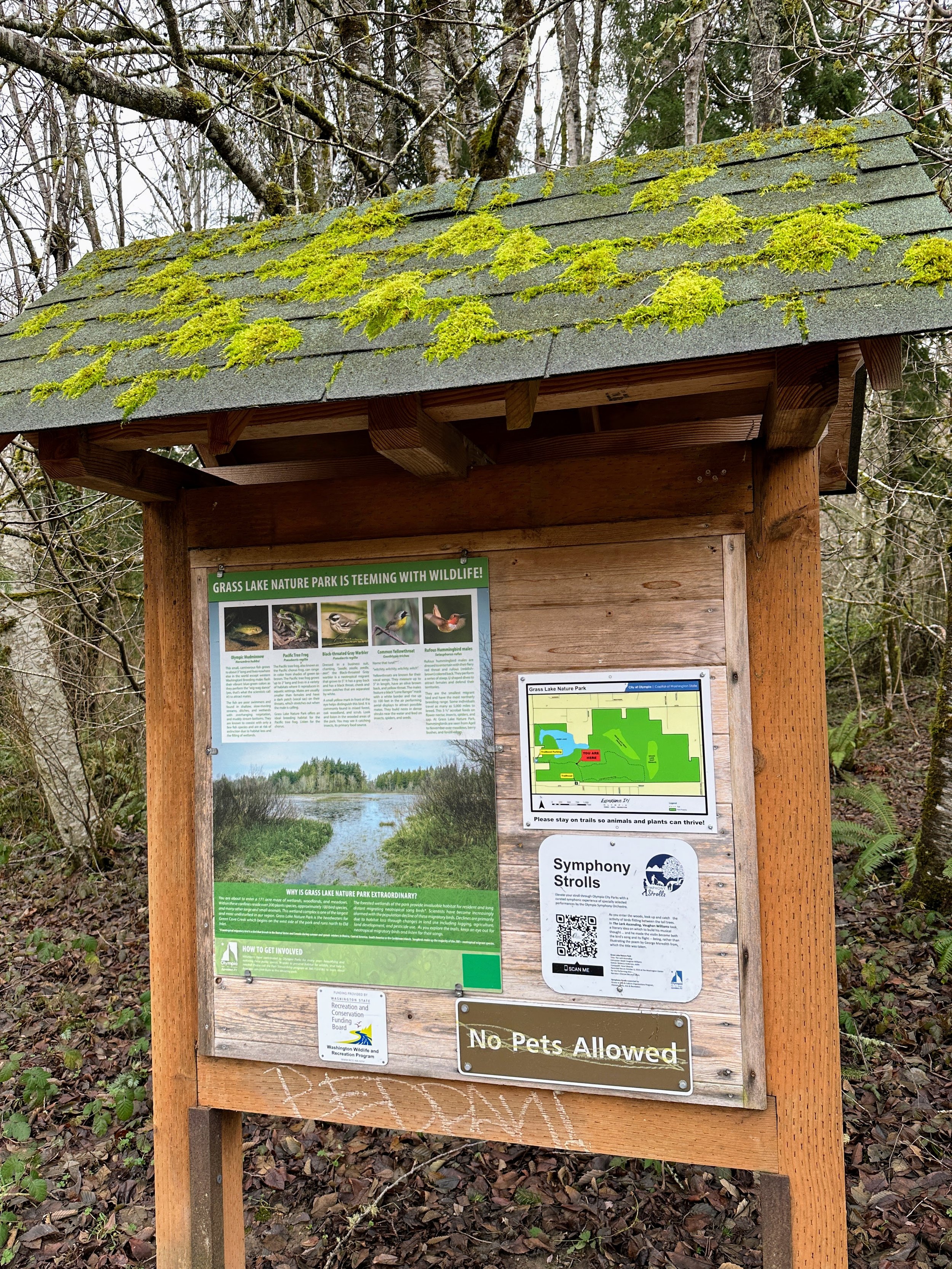
2023 Hike 1 - Grass Lake Nature Reserve
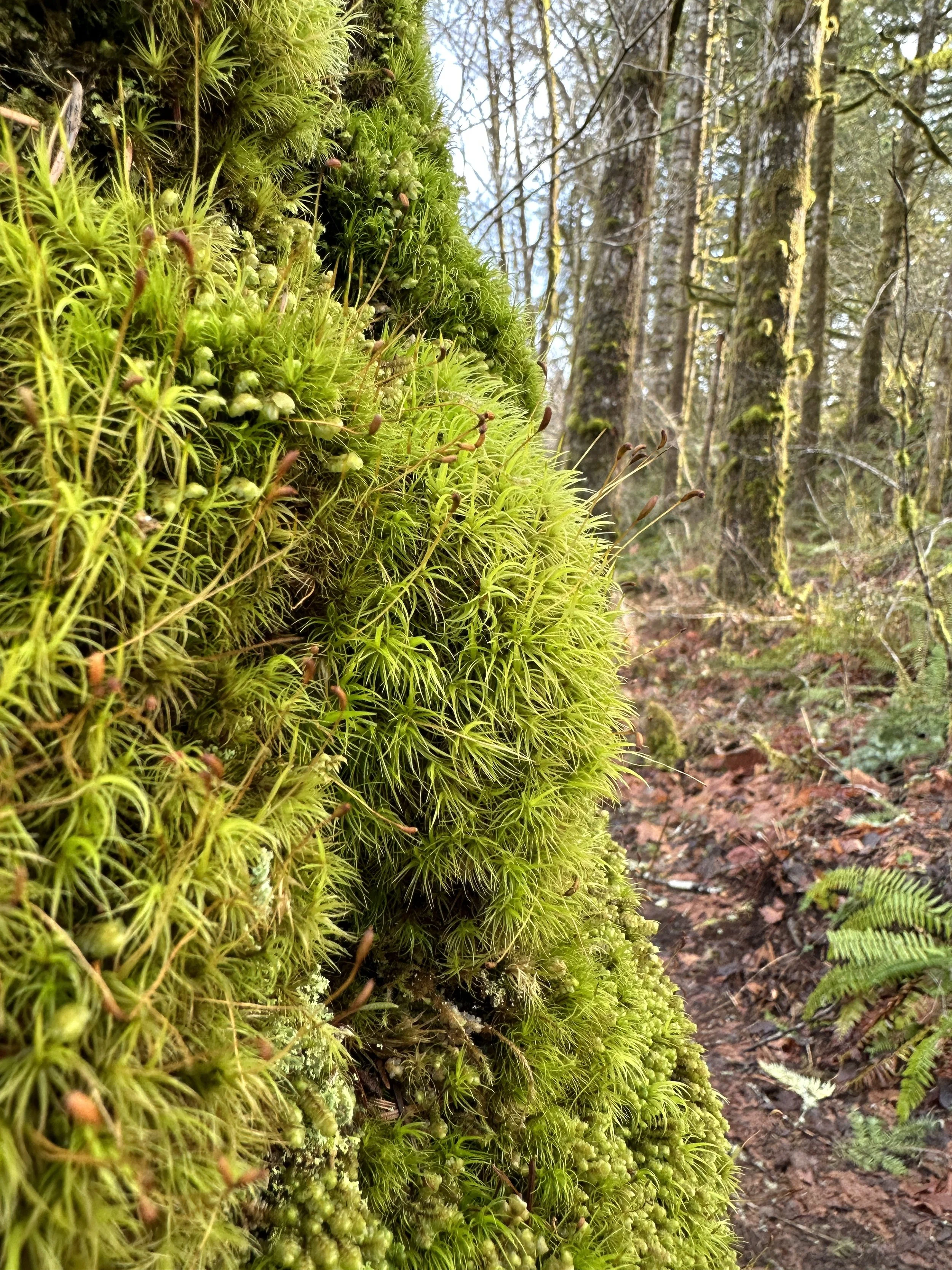
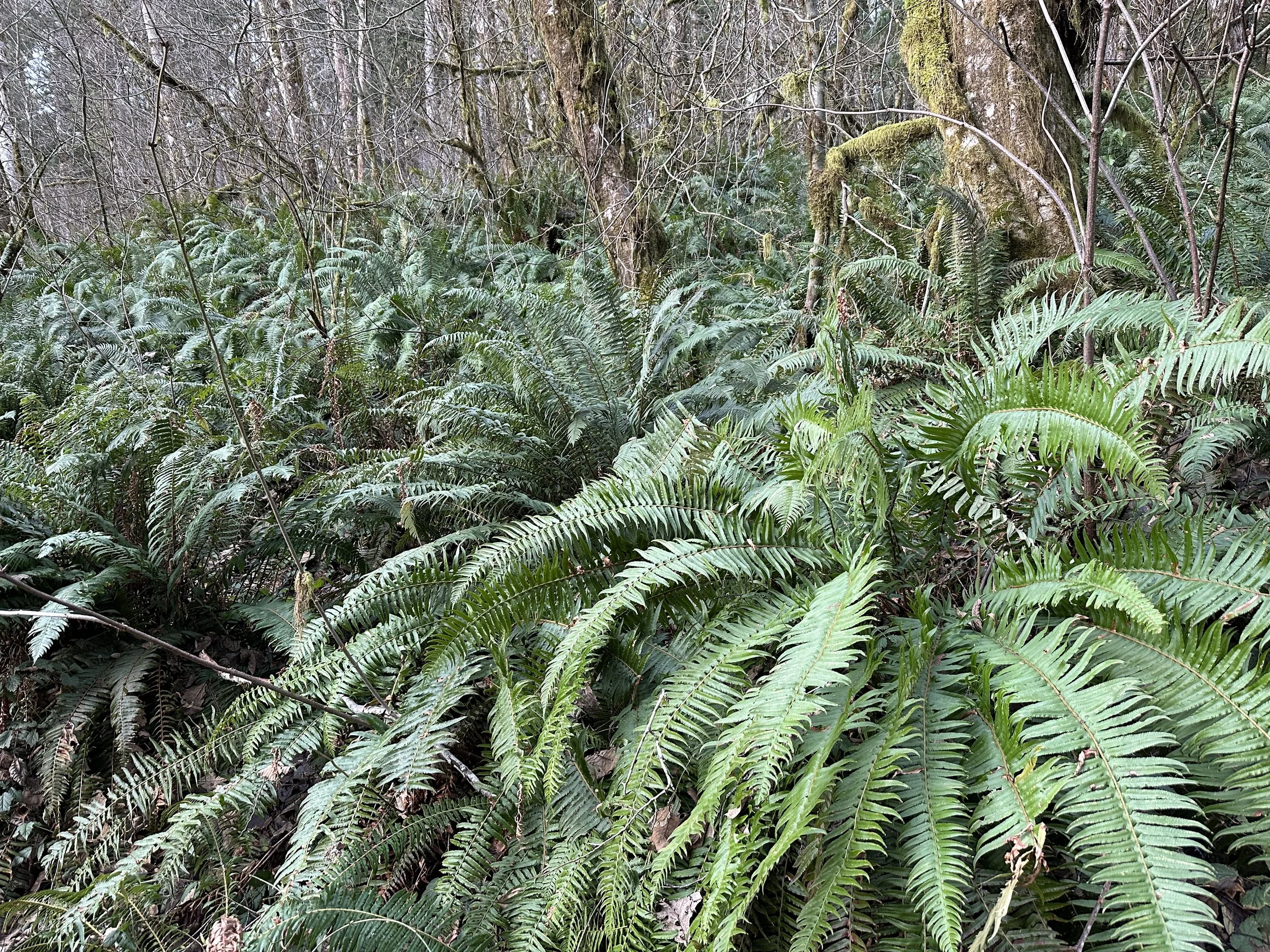
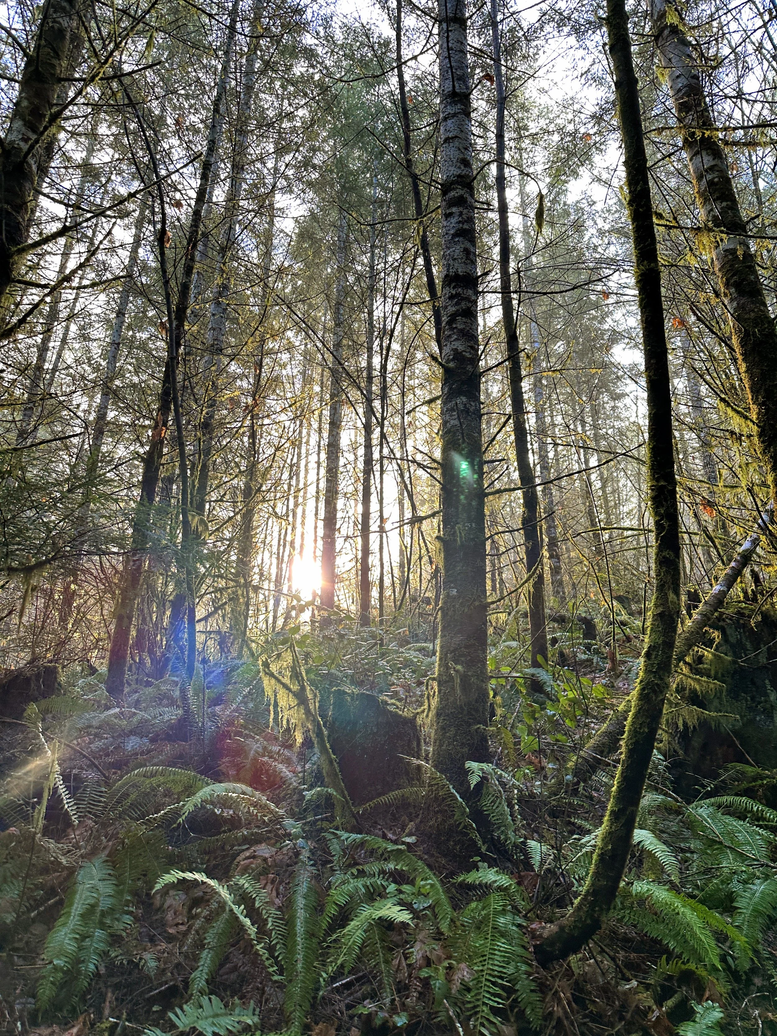
Hike 1 - 52 Hikes With Mike
Grass Lake Nature Park - Olympia, WA
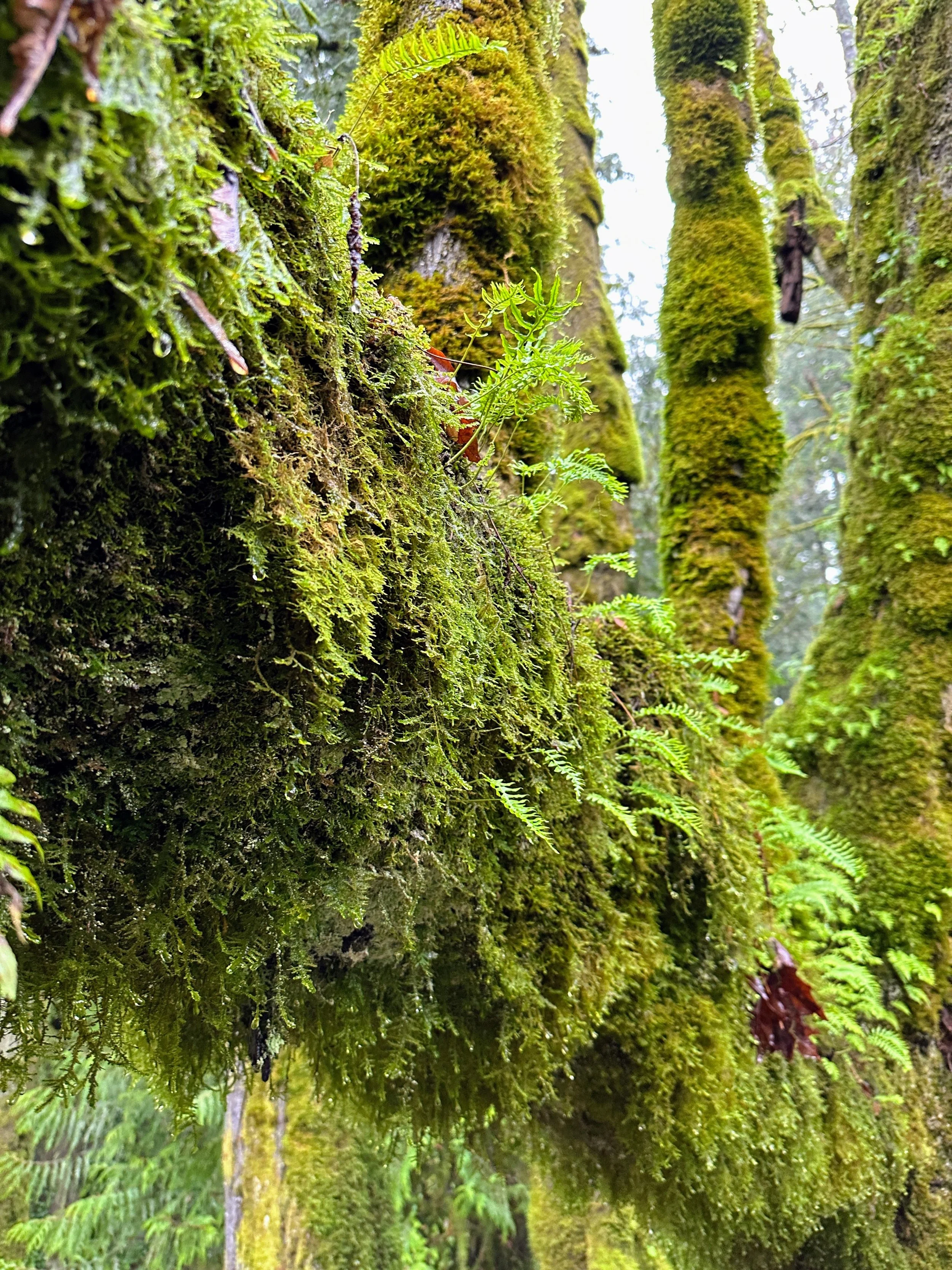
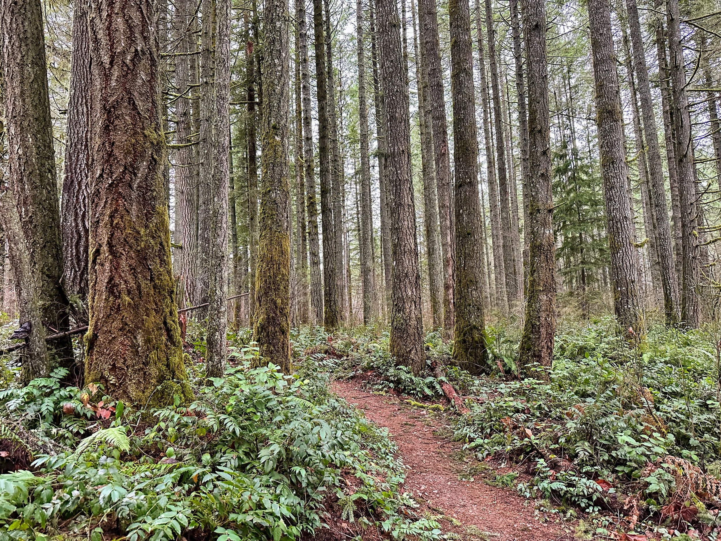
This is my first day hike for 2023 and my first hike for the 2023 52 Hikes With Mike challenge. It felt good to get out and even better knowing I have a cute little trail within walking distance of my house. There’s not a lot to say about this trail - it’s short loop, in the neighborhood forest, and it’s pretty flat. It’s great for a variety of people because it’s not complicated or difficult. Today the trail smelled fresh and the ferns were flourishing. I encountered three people and walked about two miles total, including the walk to the trail from my house. The total elevation change throughout was about 110 feet - so very minimal. If you’re in Olympia and want a quick little walk to clear your head, this isn’t too bad. Pets are not allowed on this trail but there are plenty of other places in Olympia to take them. Happy hiking my friends!

2022 Activities 5-7
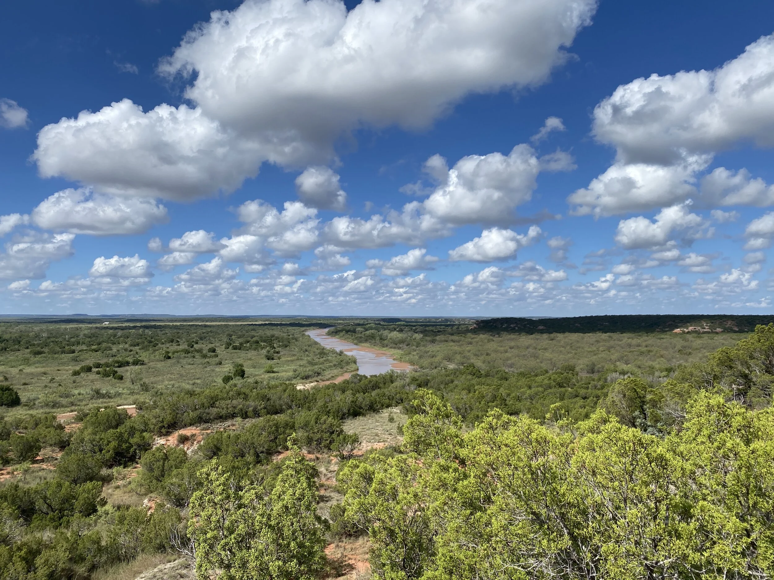
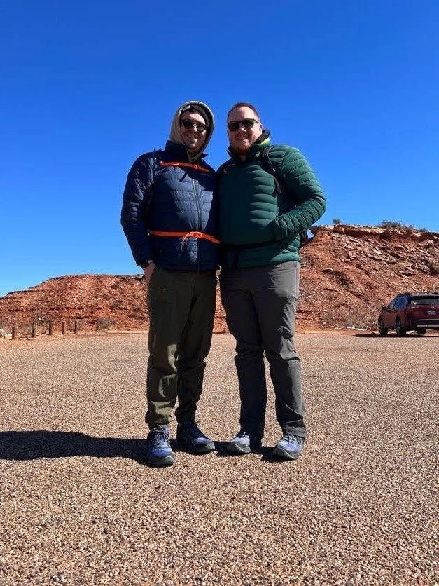
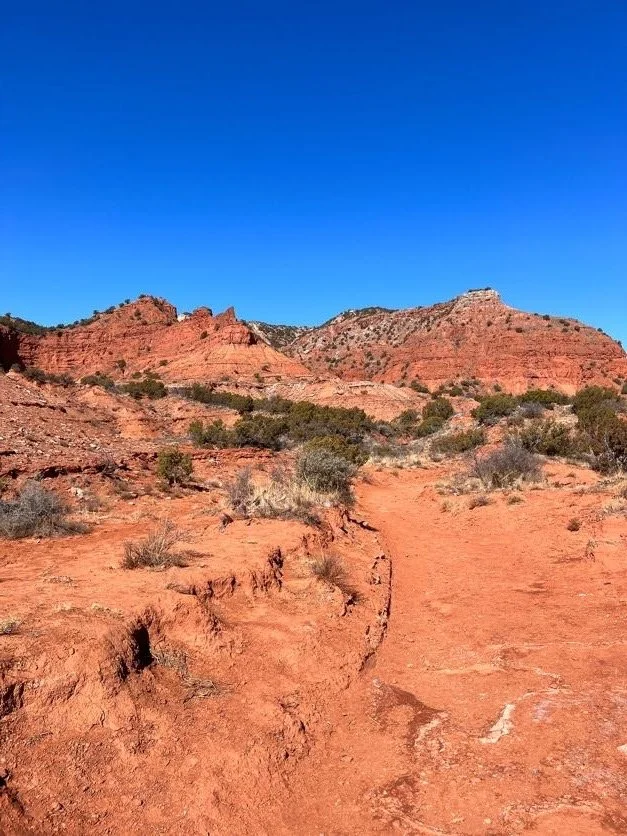
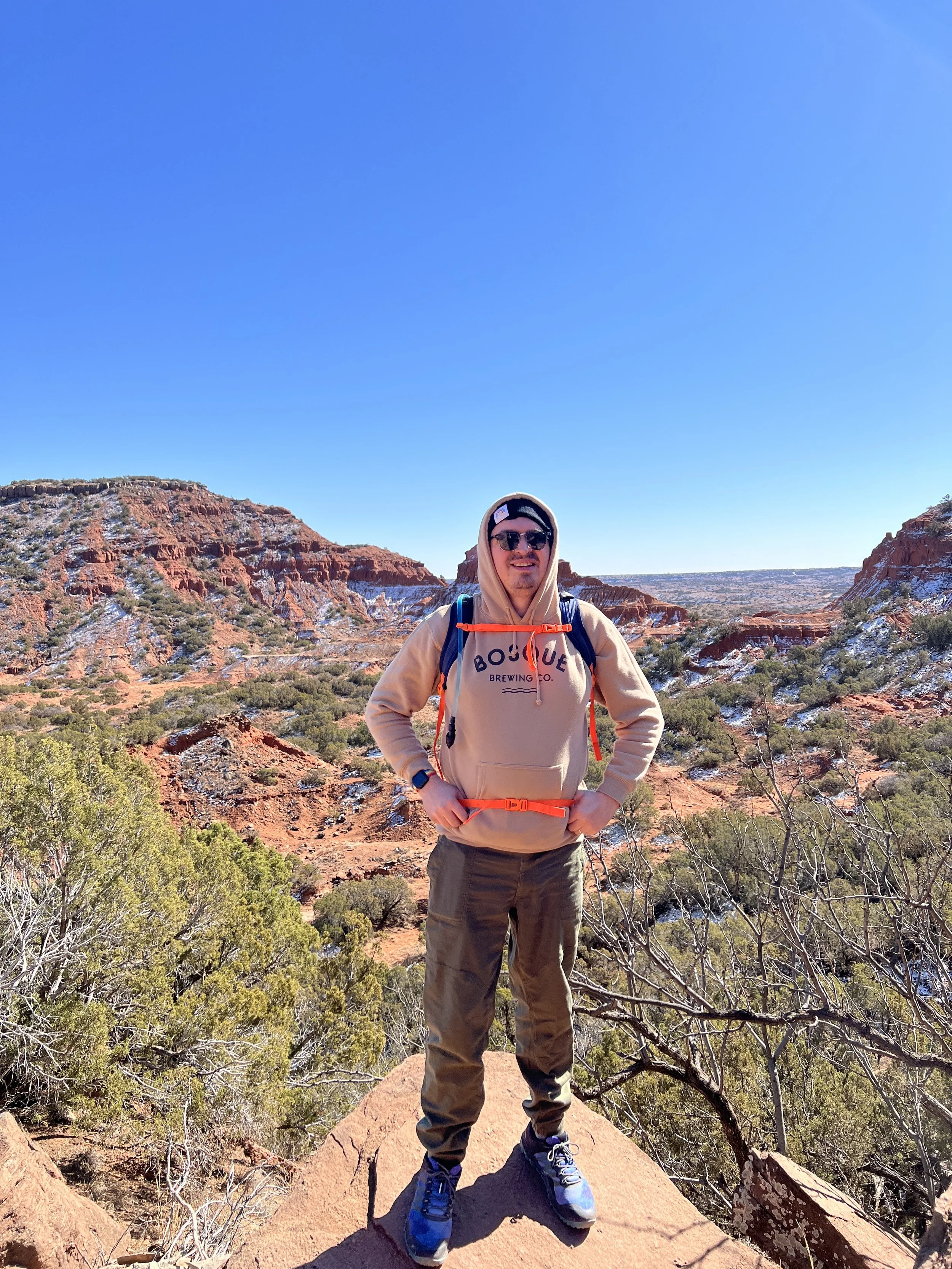
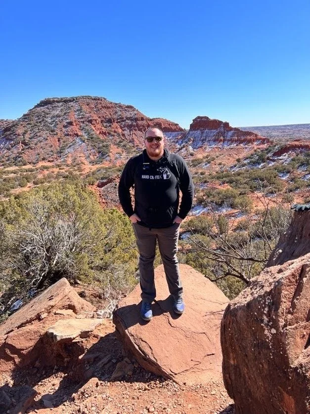
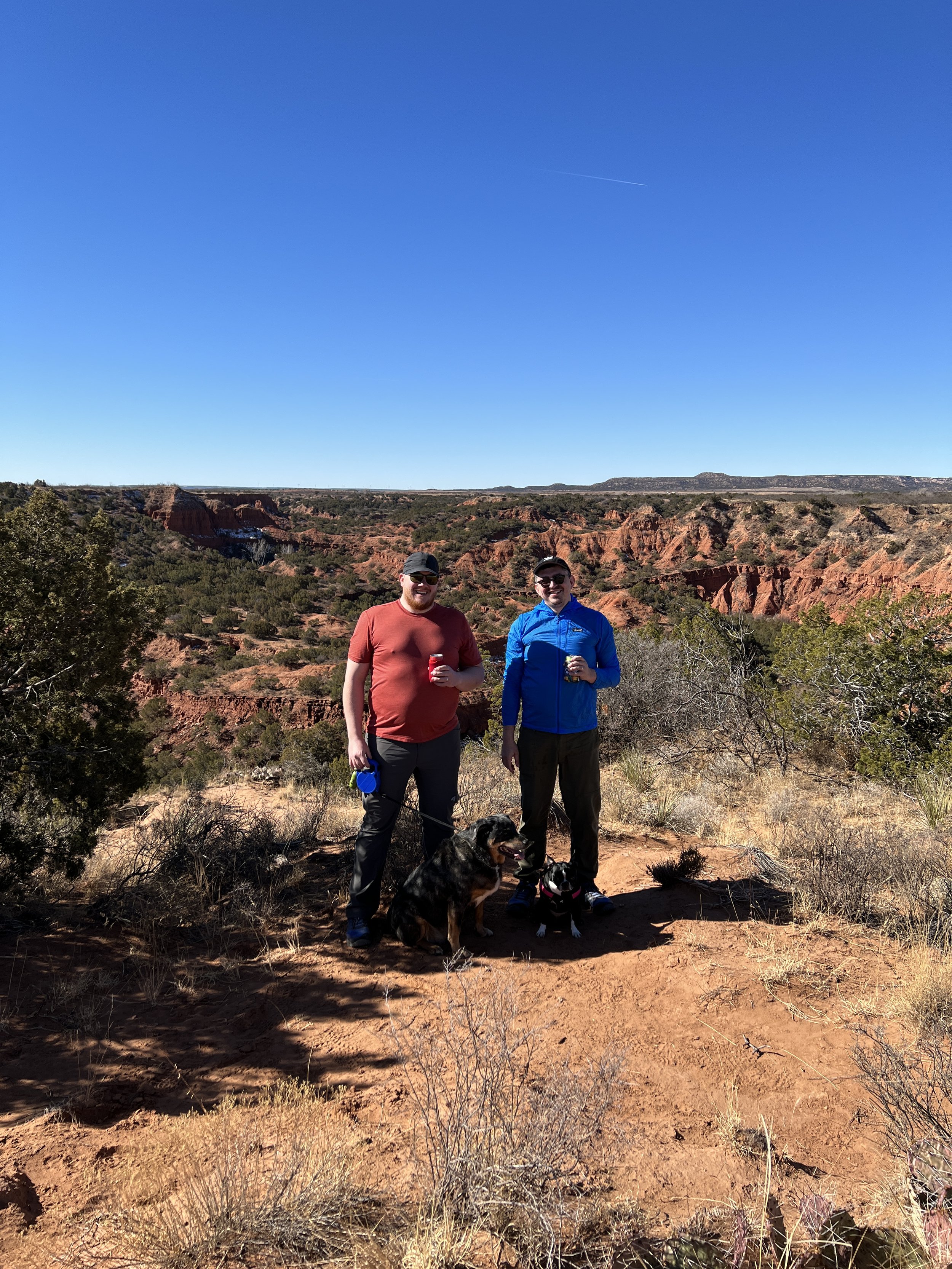
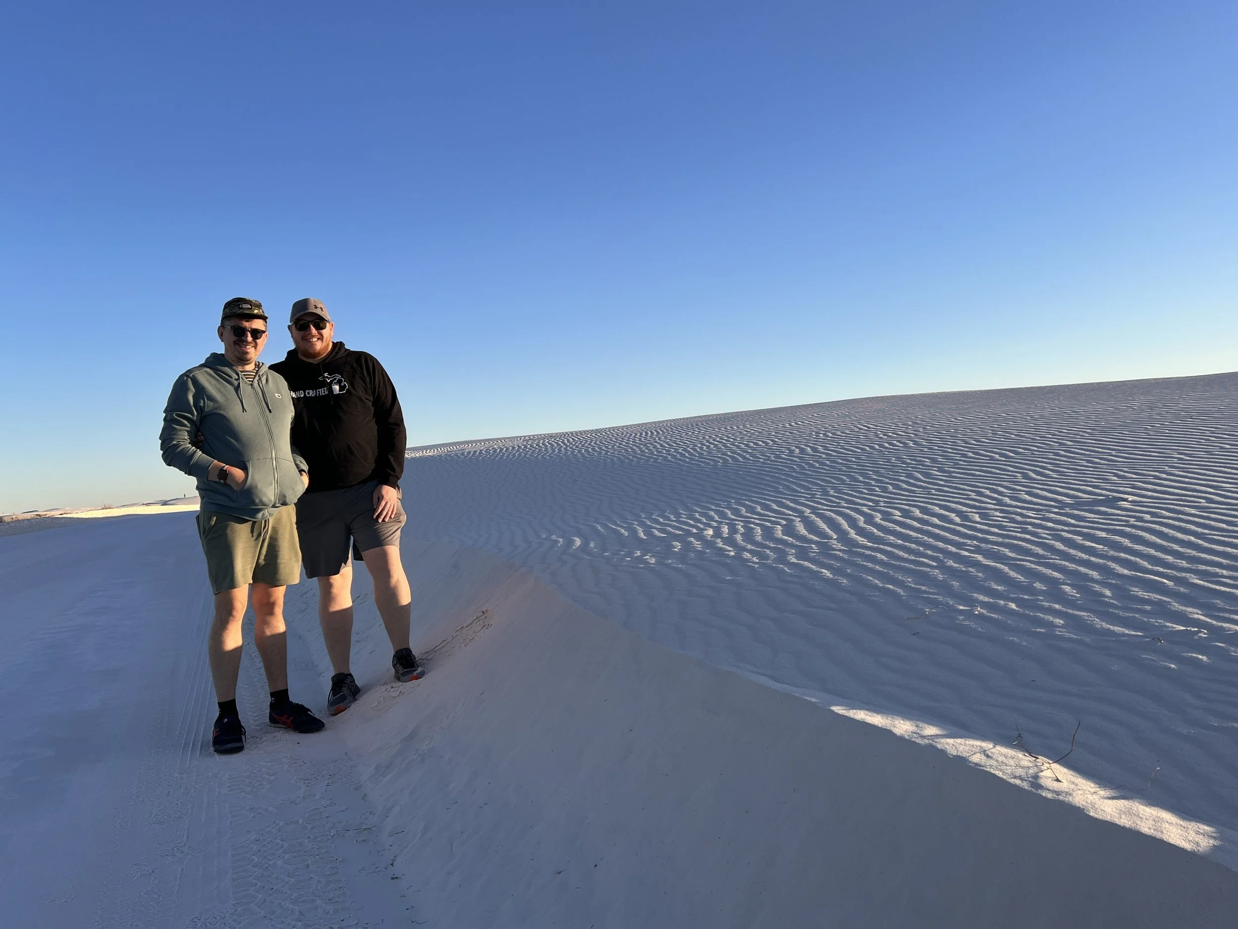
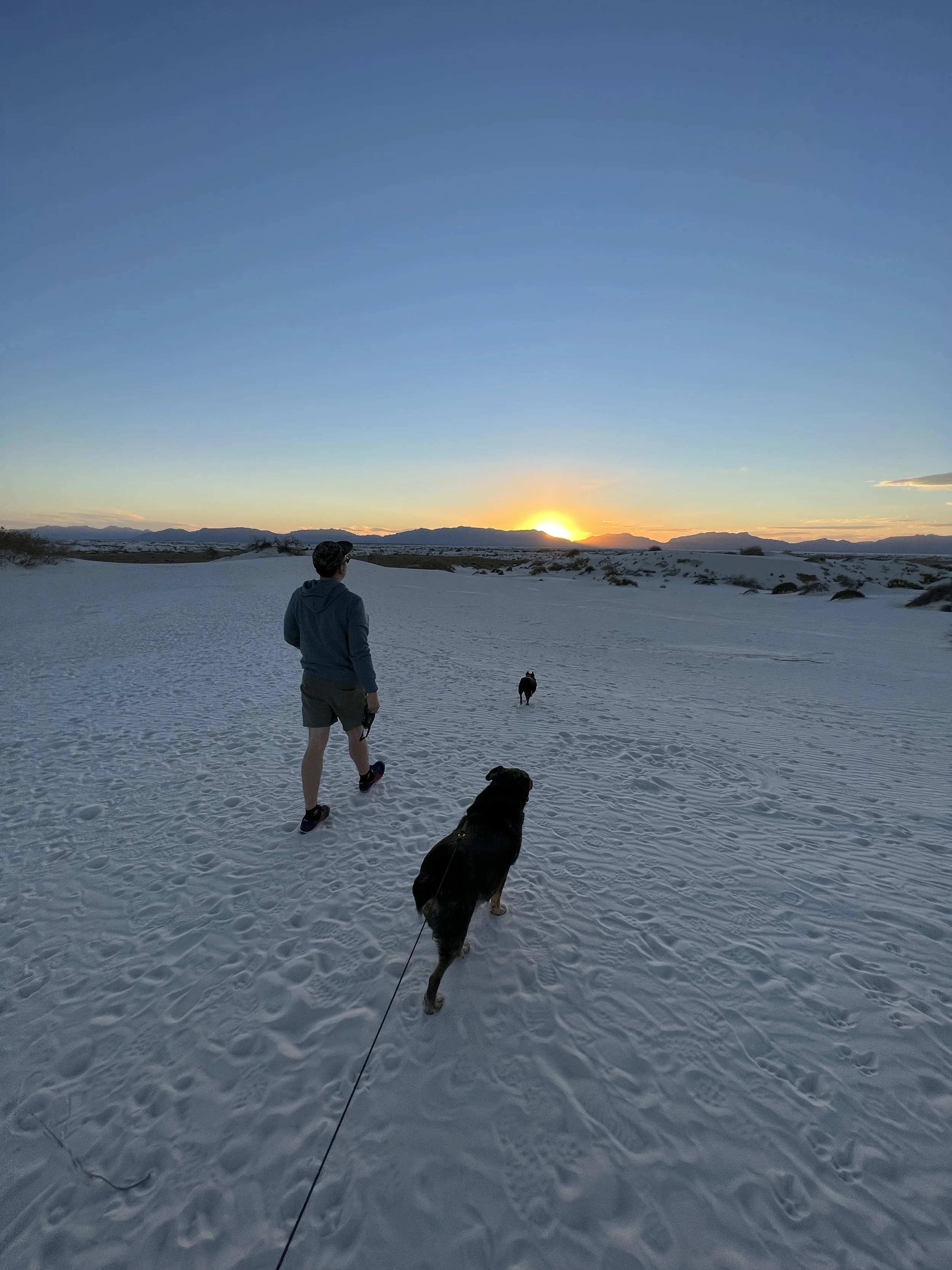
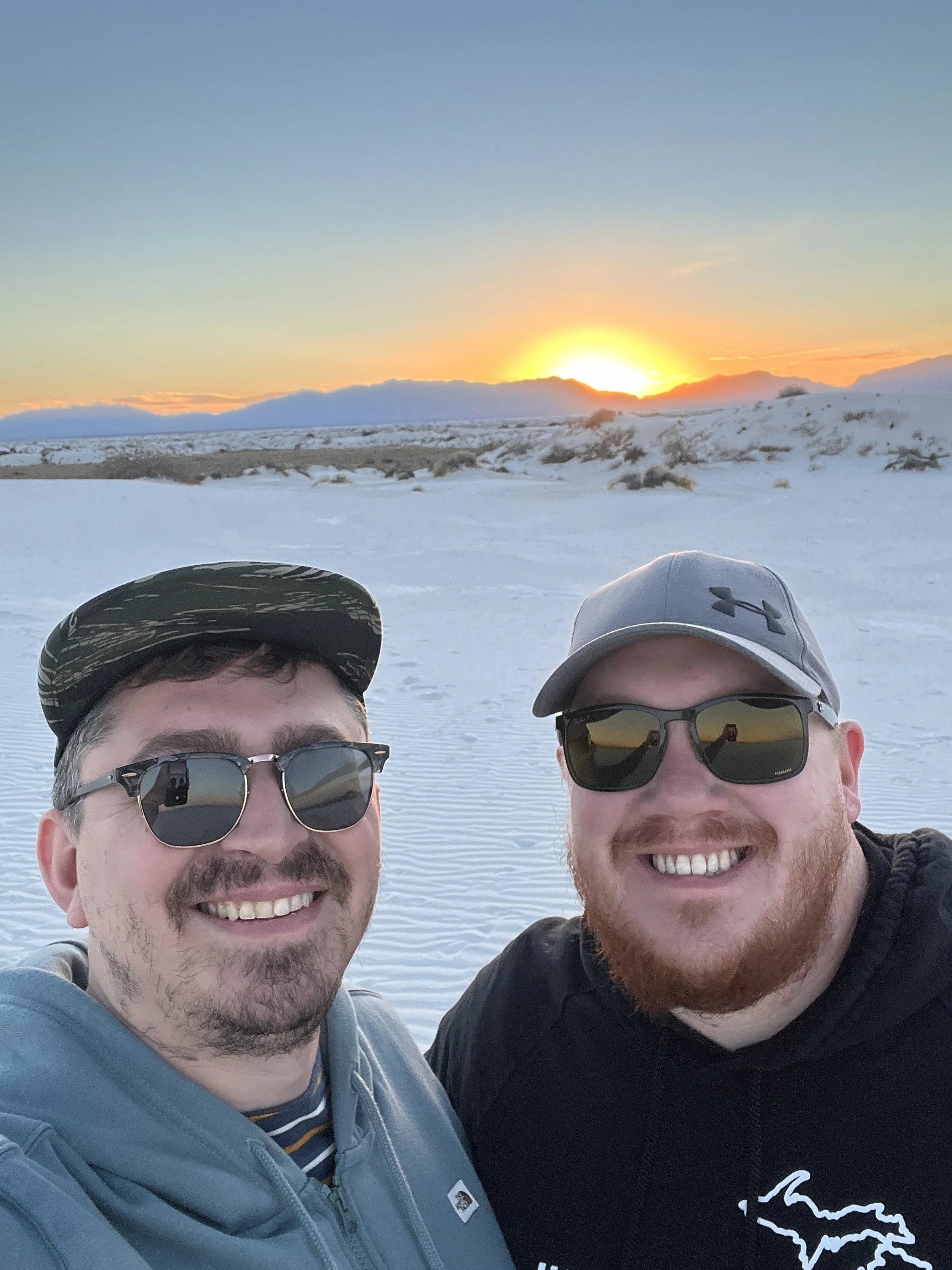
So far, February has been quite good for hiking. A recent trip to Caprock Canyons State Park in Texas gave us two more for the year, with some amazing views along the way. With the end of our time in New Mexico rapidly approaching, we visited White Sands National Park near sunset for one last stroll in the desert before heading to Dallas/Fort Worth. Happy hiking!
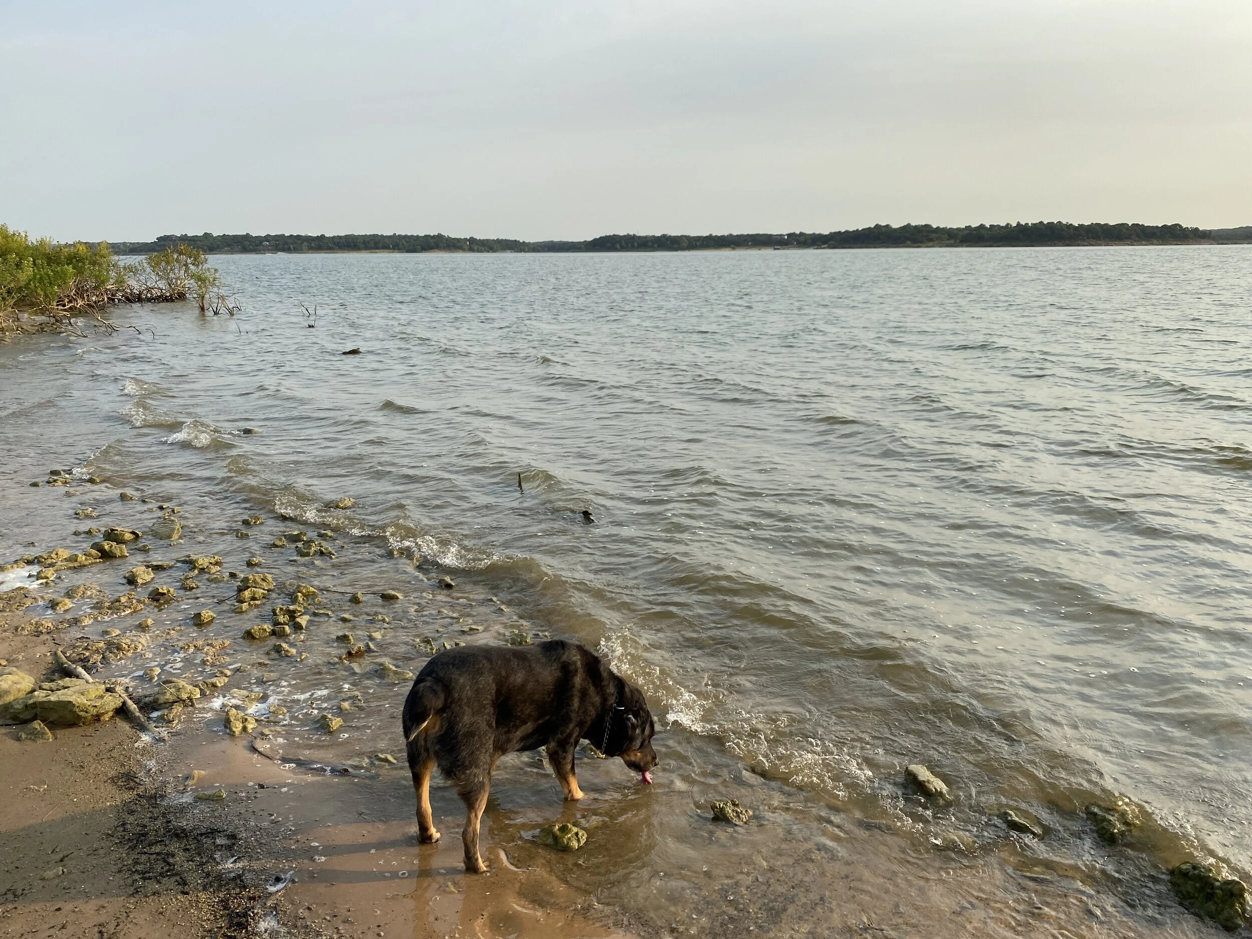
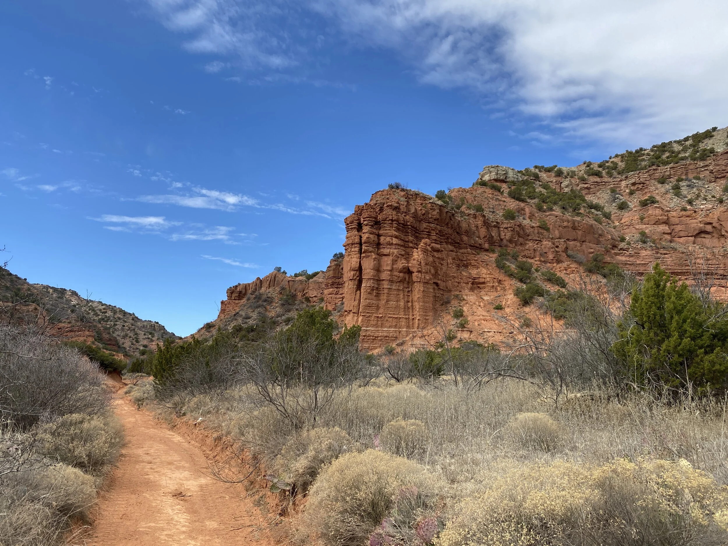
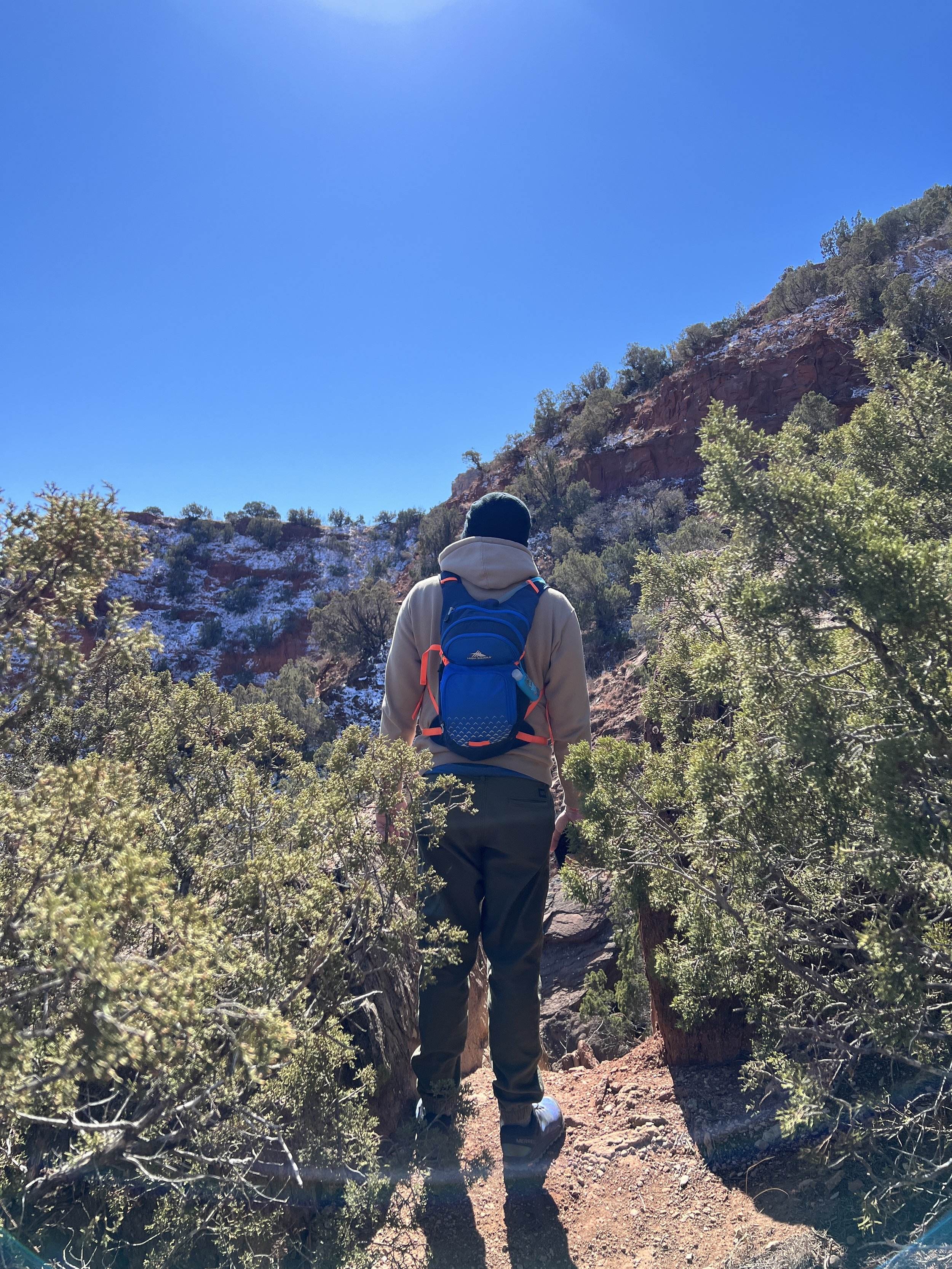
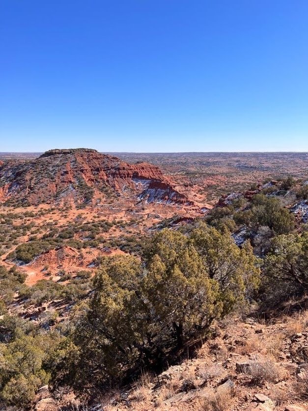
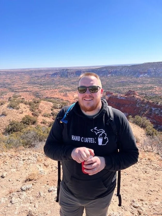
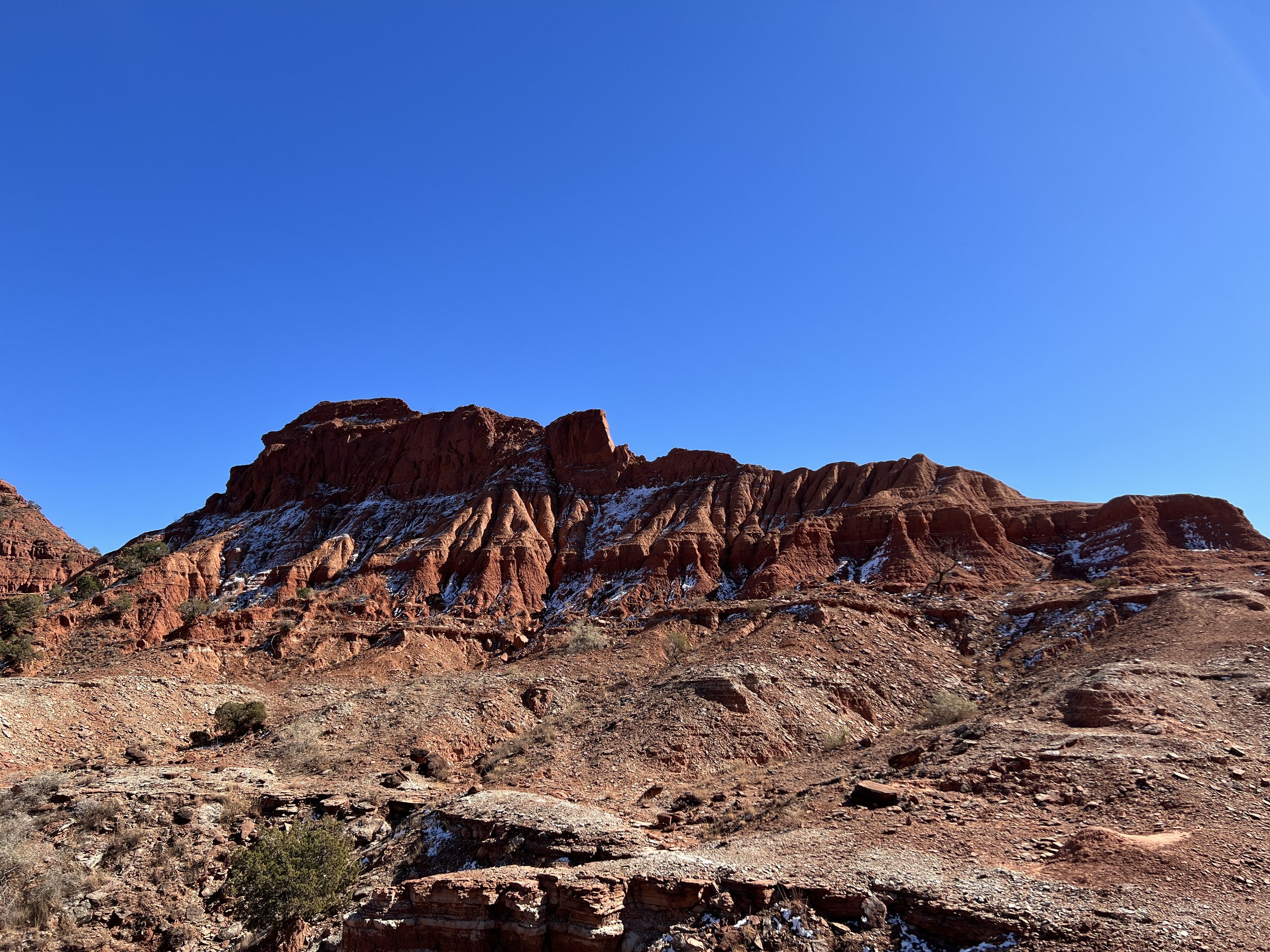
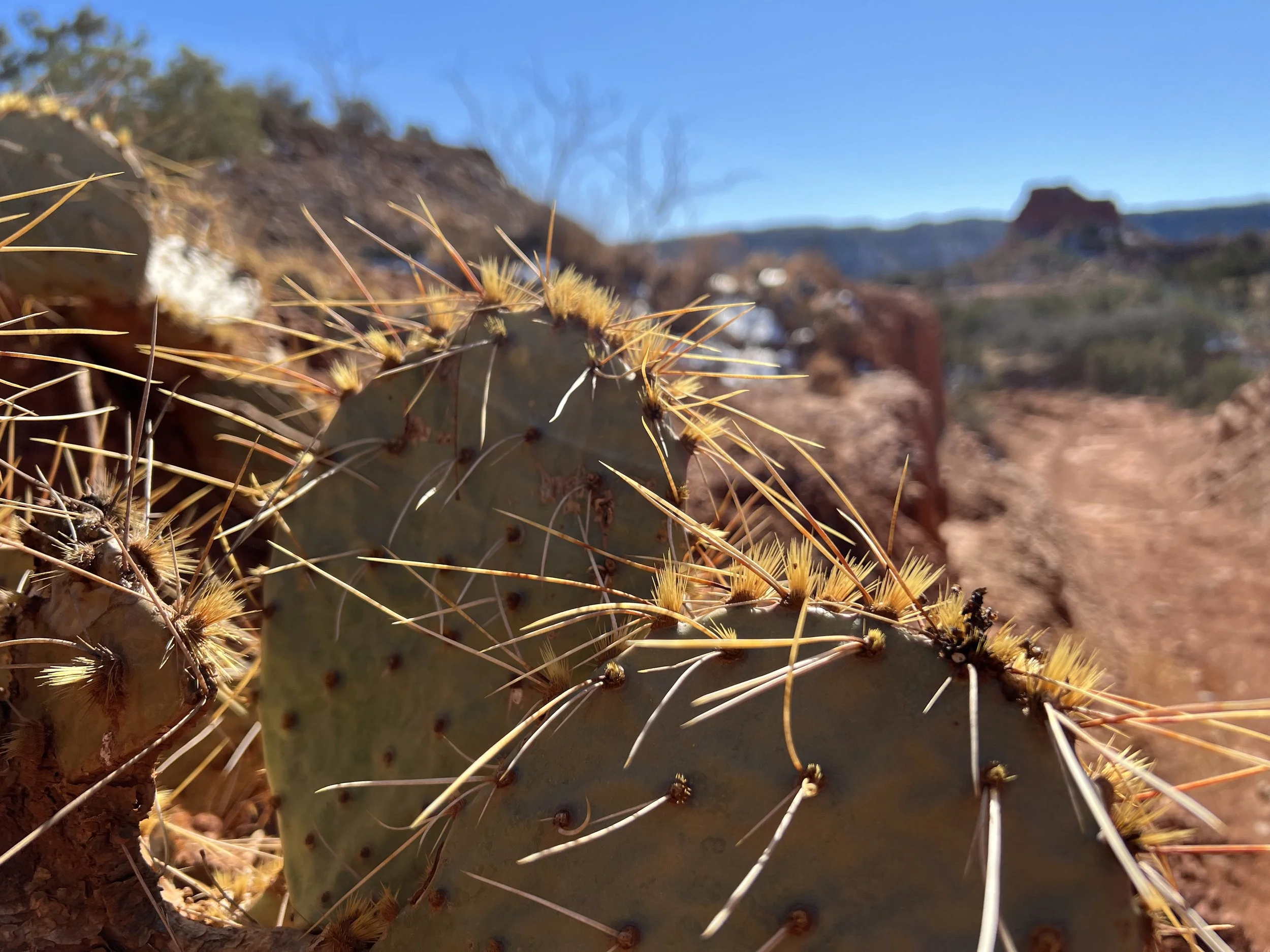
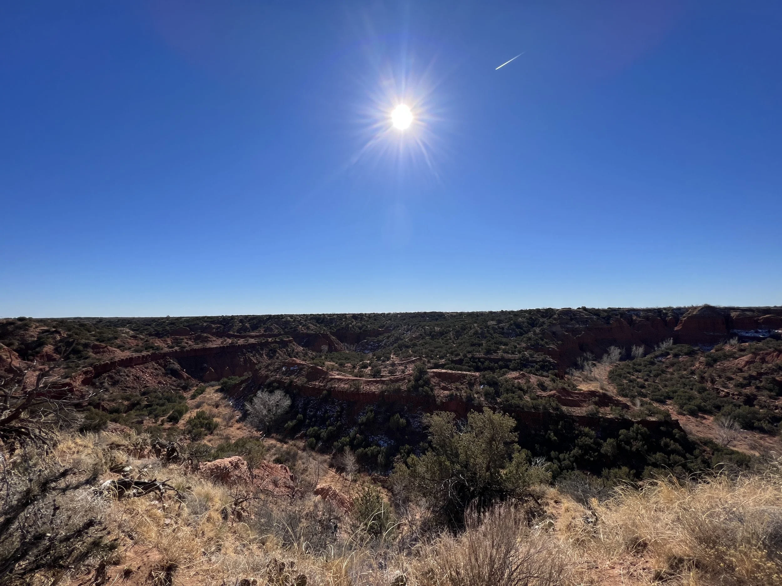
Activity 5/52 - Hike - Caprock Canyons State Park (Quitaque, TX)
Distance/Time: 3.07 miles
Trail: Hanes Ridge Overlook
I’ve hiked at Caprock Canyons many times, but I’ve never hiked this trail! It was straight up, about 600 feet, over rocks and dirt. We stopped many times to take in the view, catch our breath, and get a drink. Once up the most steep part, we had an amazing view above the ridges in the park. The hike is worth the effort, I promise.
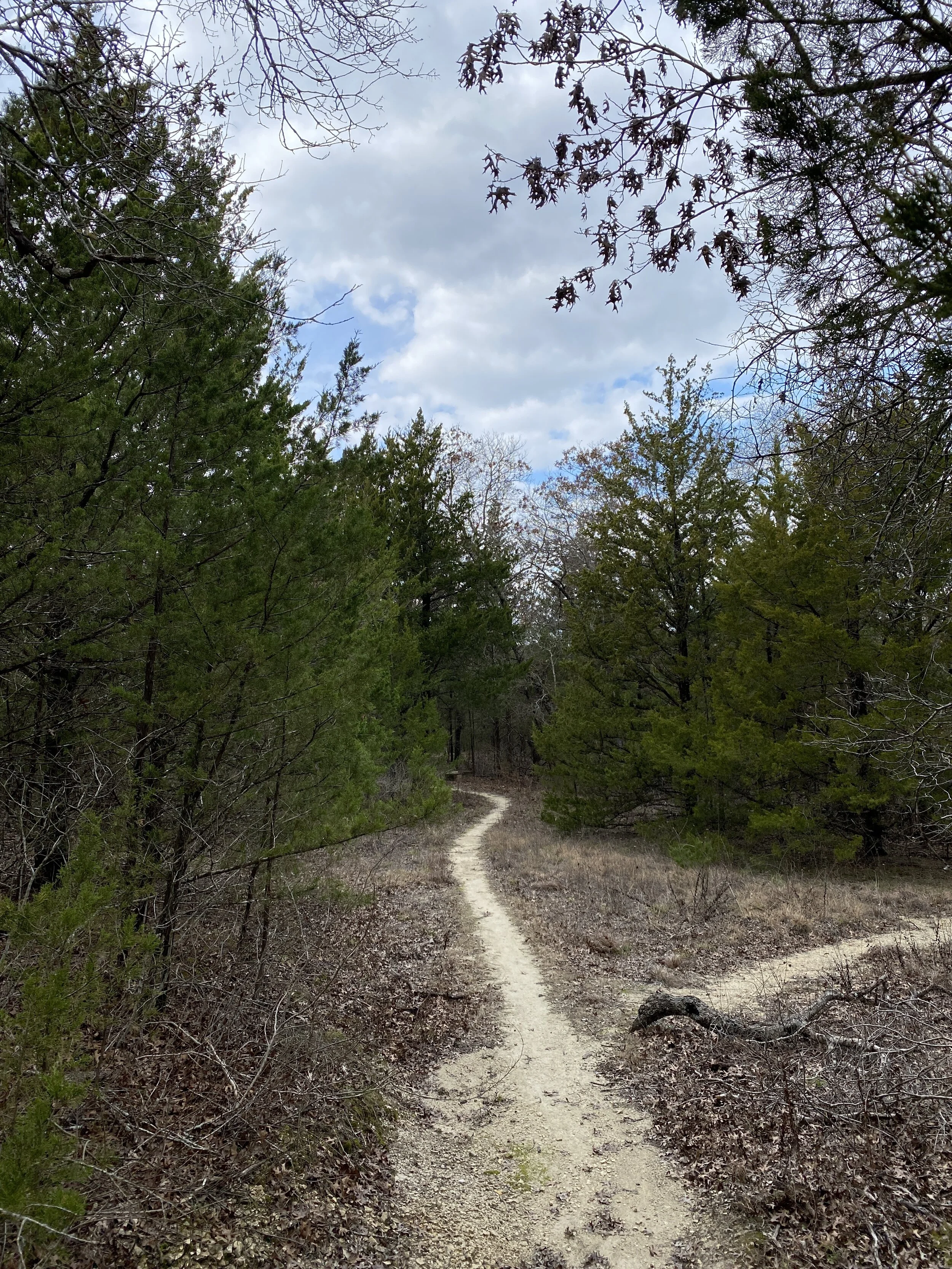
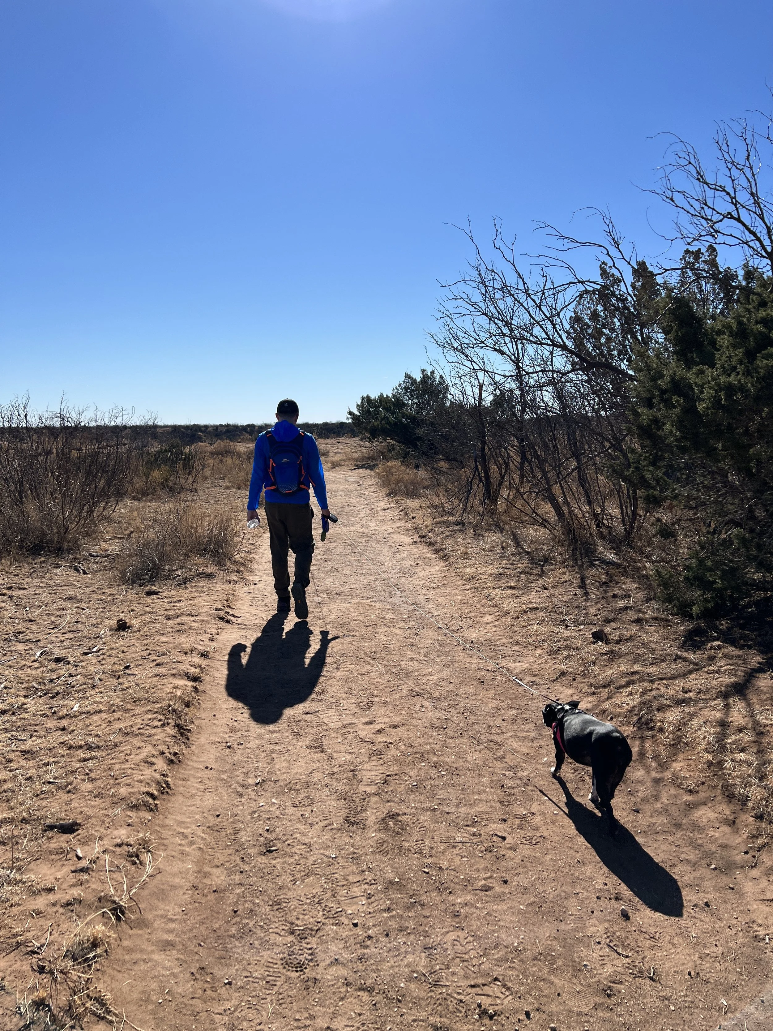
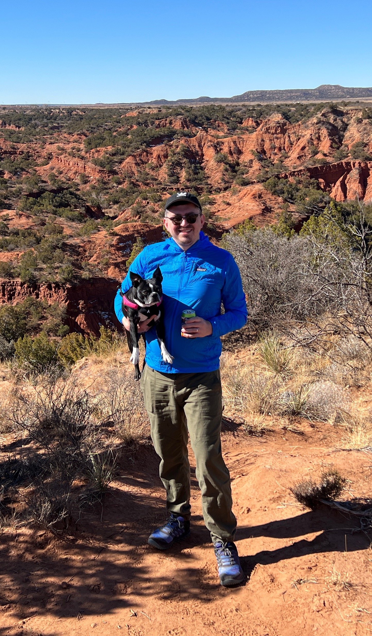
Activity 6/52 - Hike - Caprock Canyons State Park (Quitaque, TX)
Distance/Time: 1.5 miles
It was Sunday and we were spent from a weekend of hiking, hanging out around the fire, and sleeping during a windy night. We decided after packing up to go with my aunt on a short little hike around the rim on the Canyon Rim Trail. It was a short walk from our campsite to the trail and then a nice little stroll. We took the dogs and a beer and enjoyed the sunshine!

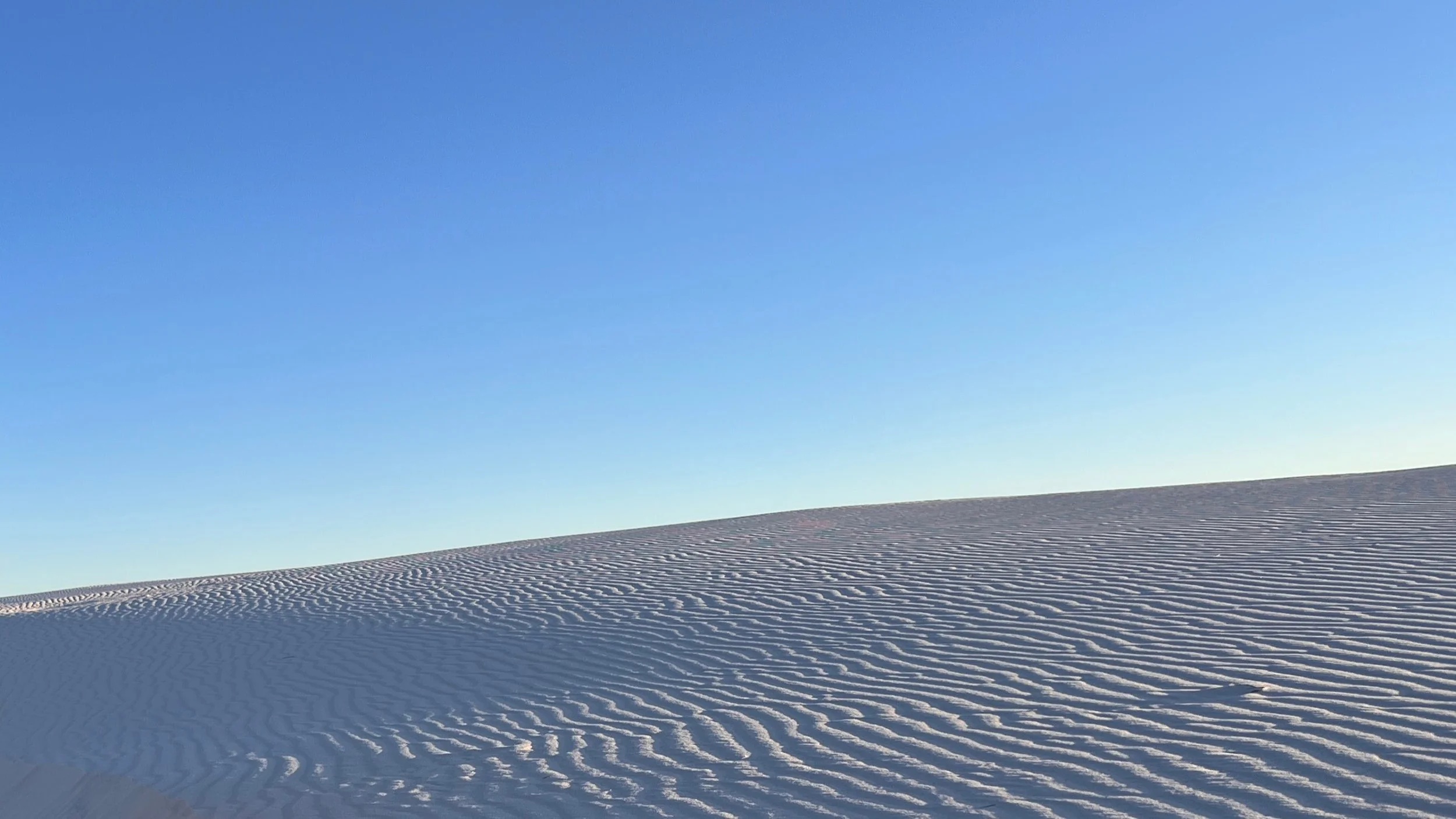
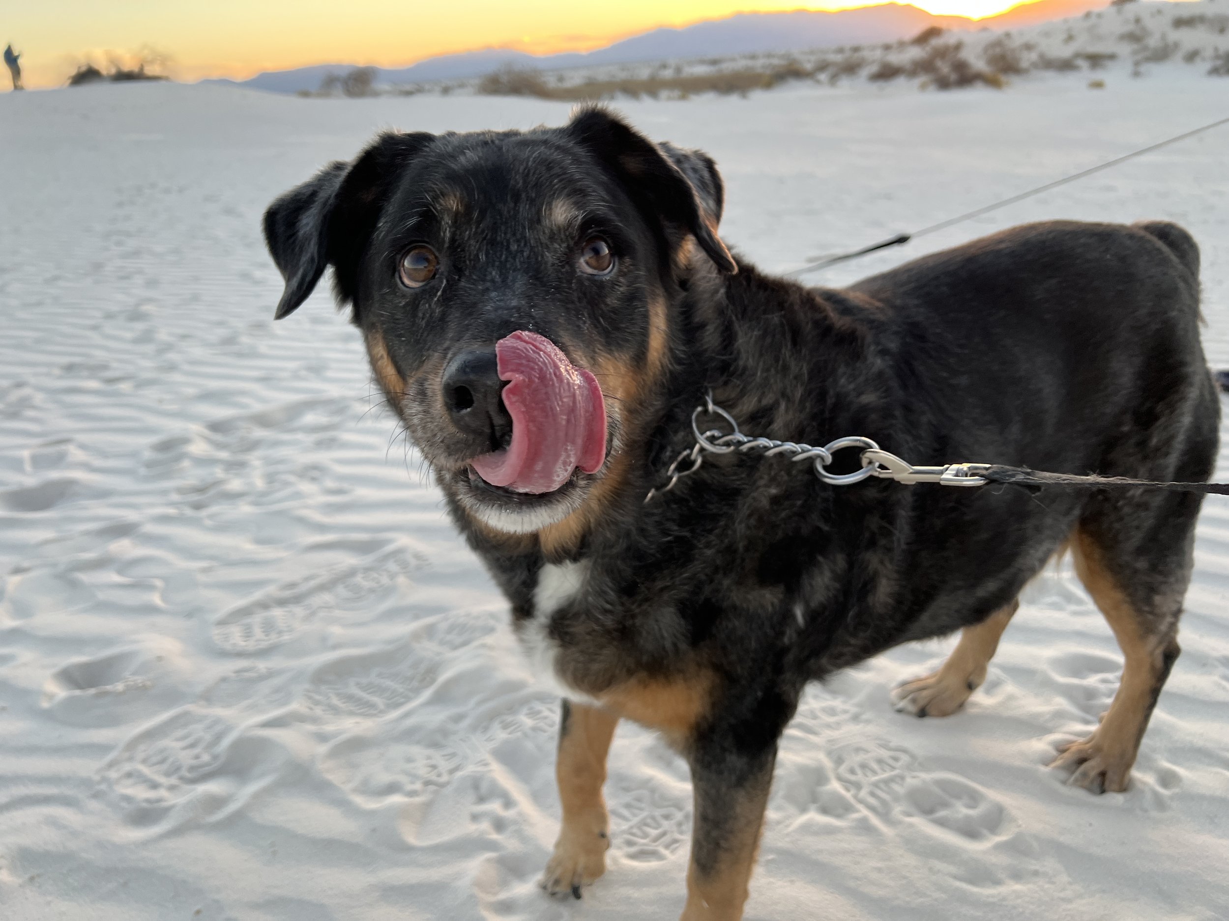
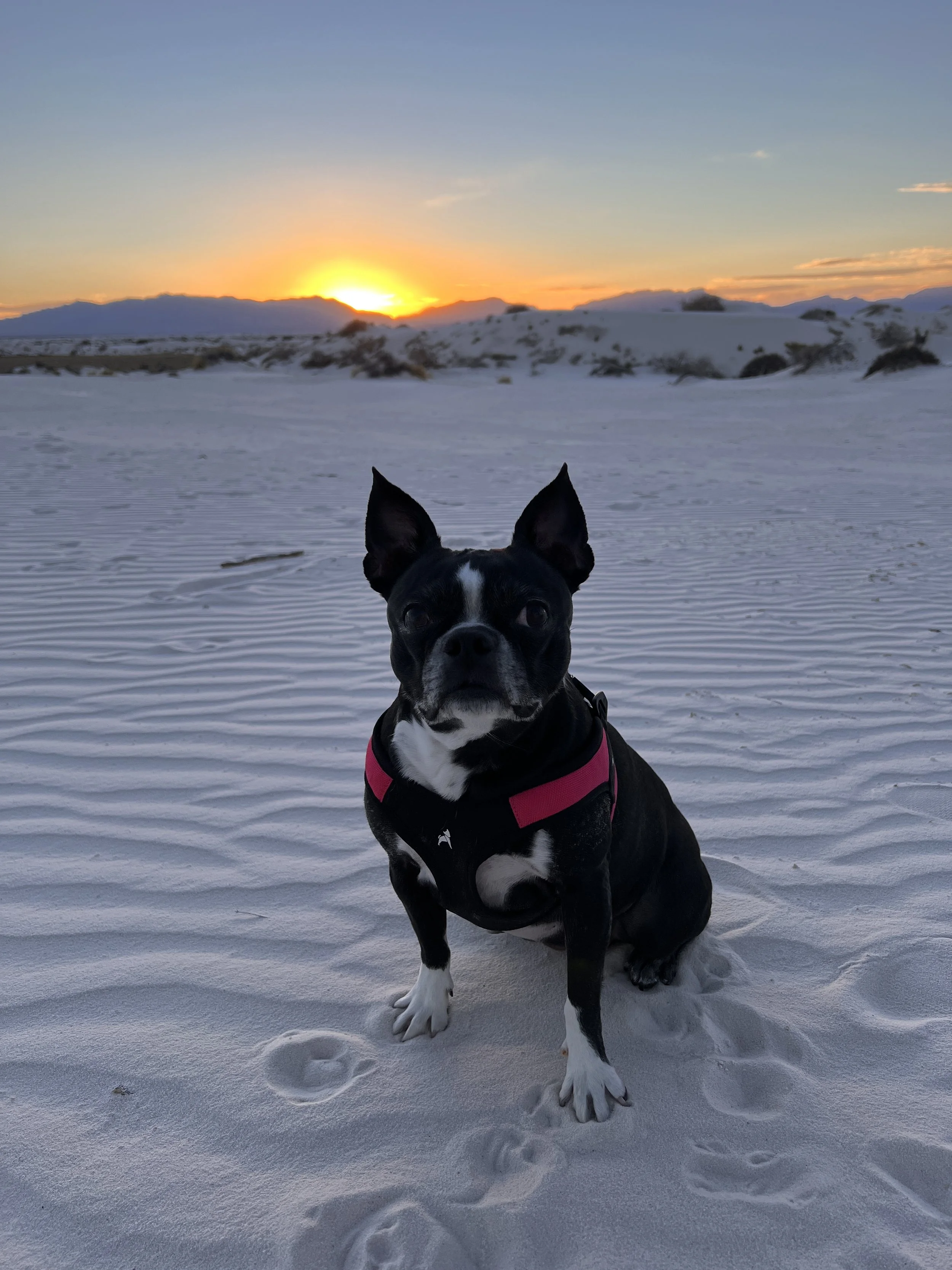
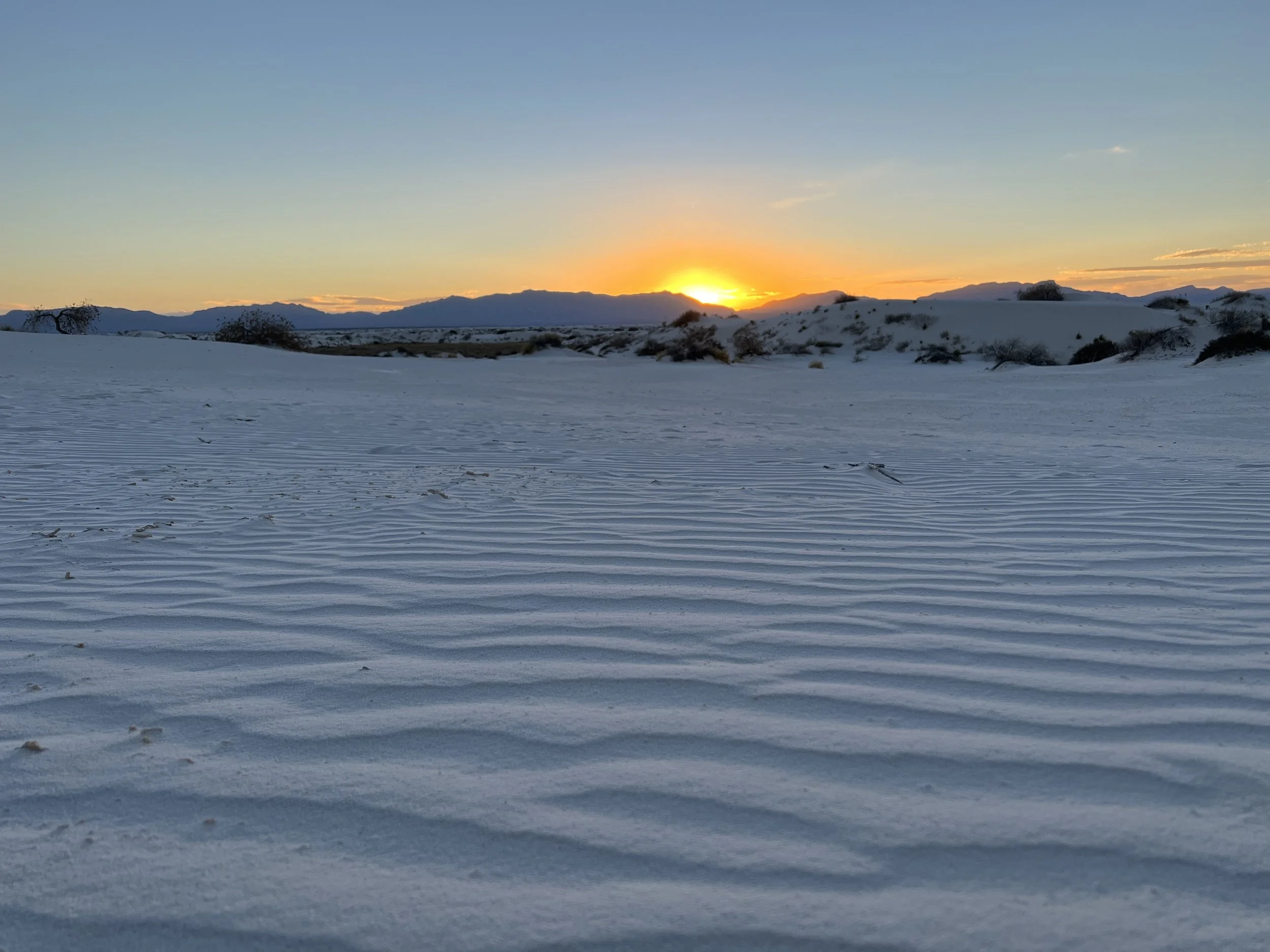
Activity 7/52 - Hike - White Sands NP (Alamogordo, NM)
Distance/Time: 1 mile
On our last weekend in New Mexico, we hit up our third national park together for a sunset hike on the dunes. It was a cute little stroll with the dogs. The amount of people on a Sunday night was a bit shocking, but it was sunset on a holiday weekend.
2022 Activities 3 and 4
The first weekend of February brought us closer to being “on track” for our 52 hike challenge. This coming weekend will bring a few more hikes and then we’ll be mostly good to go moving forward. We visited two nearby national parks and they did not disappoint. Happy hiking!
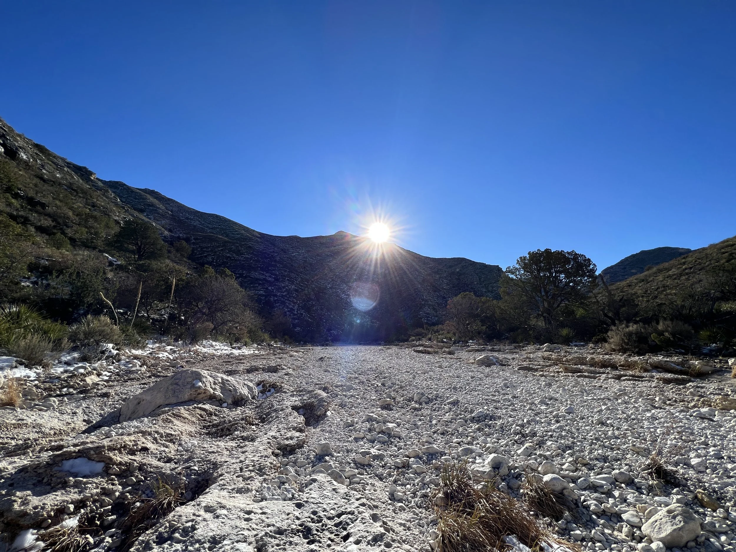
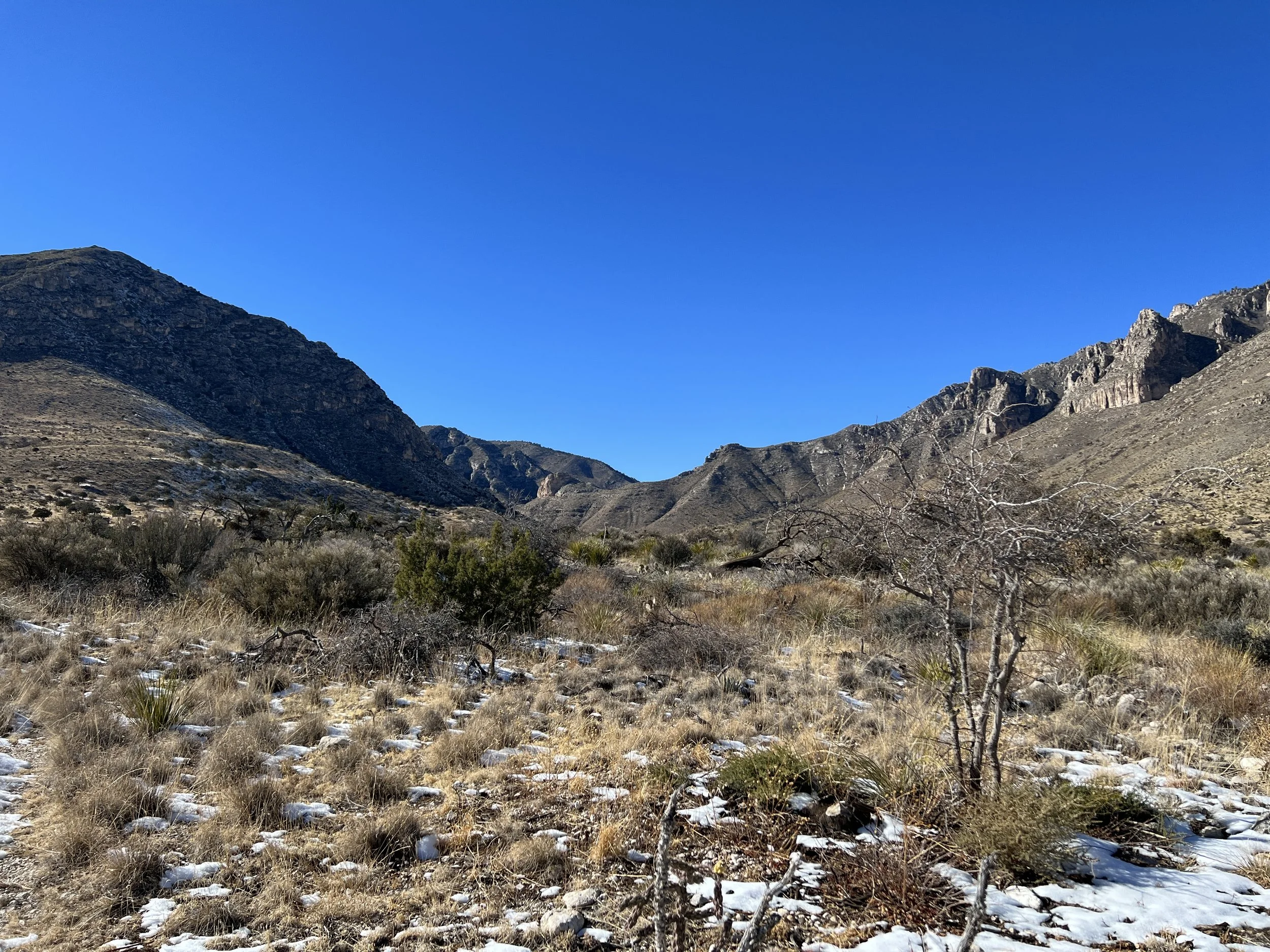
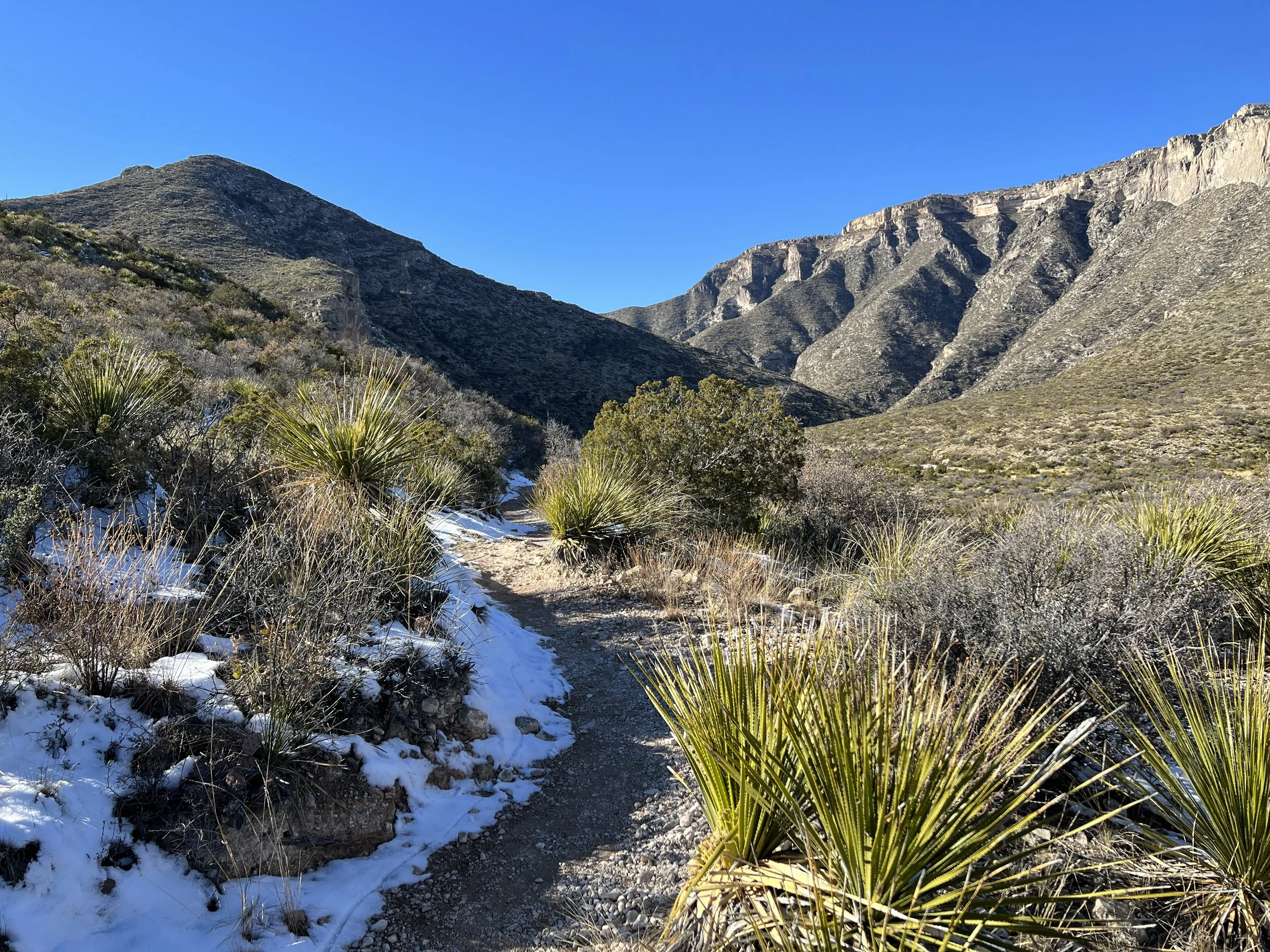
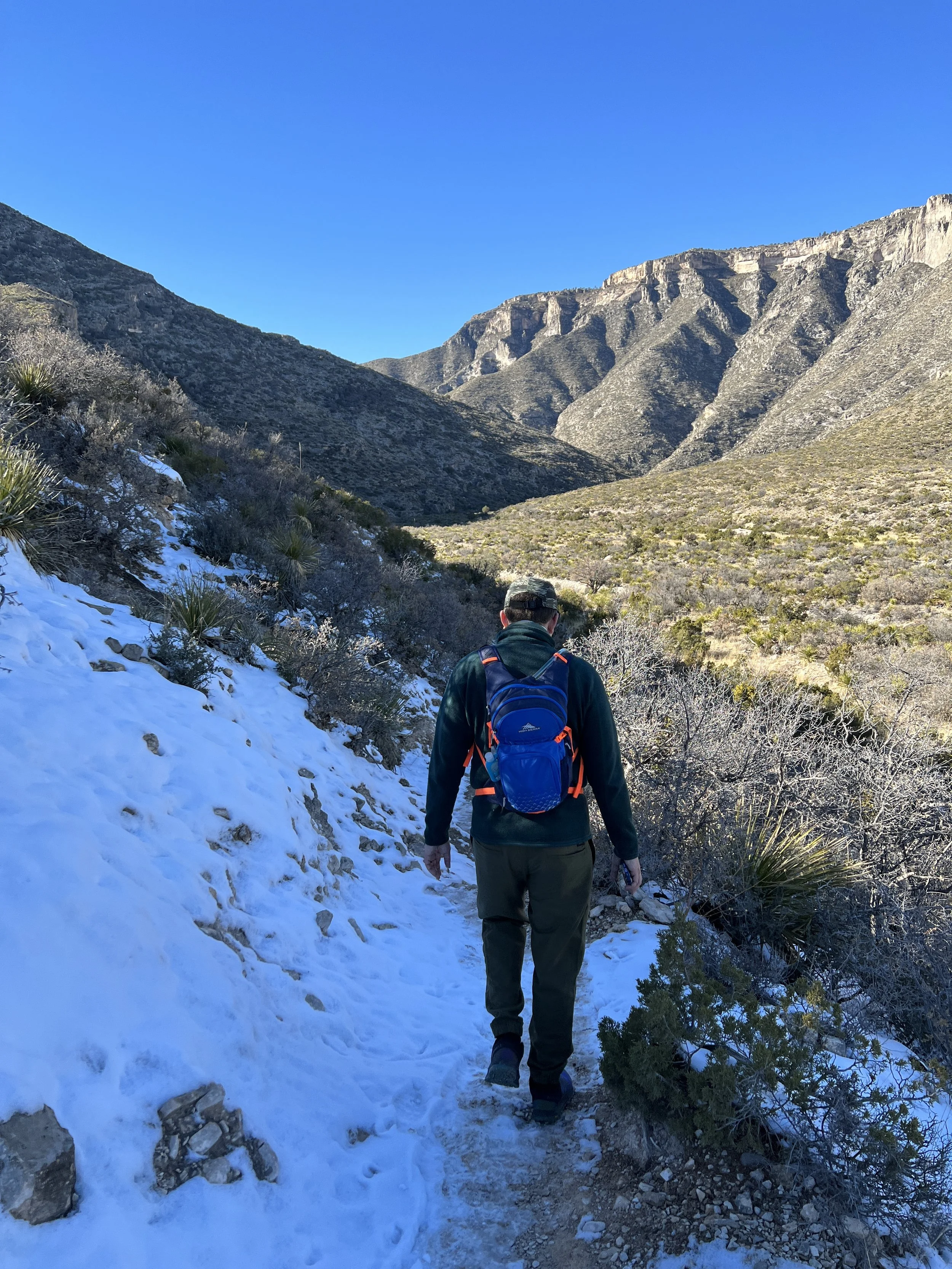
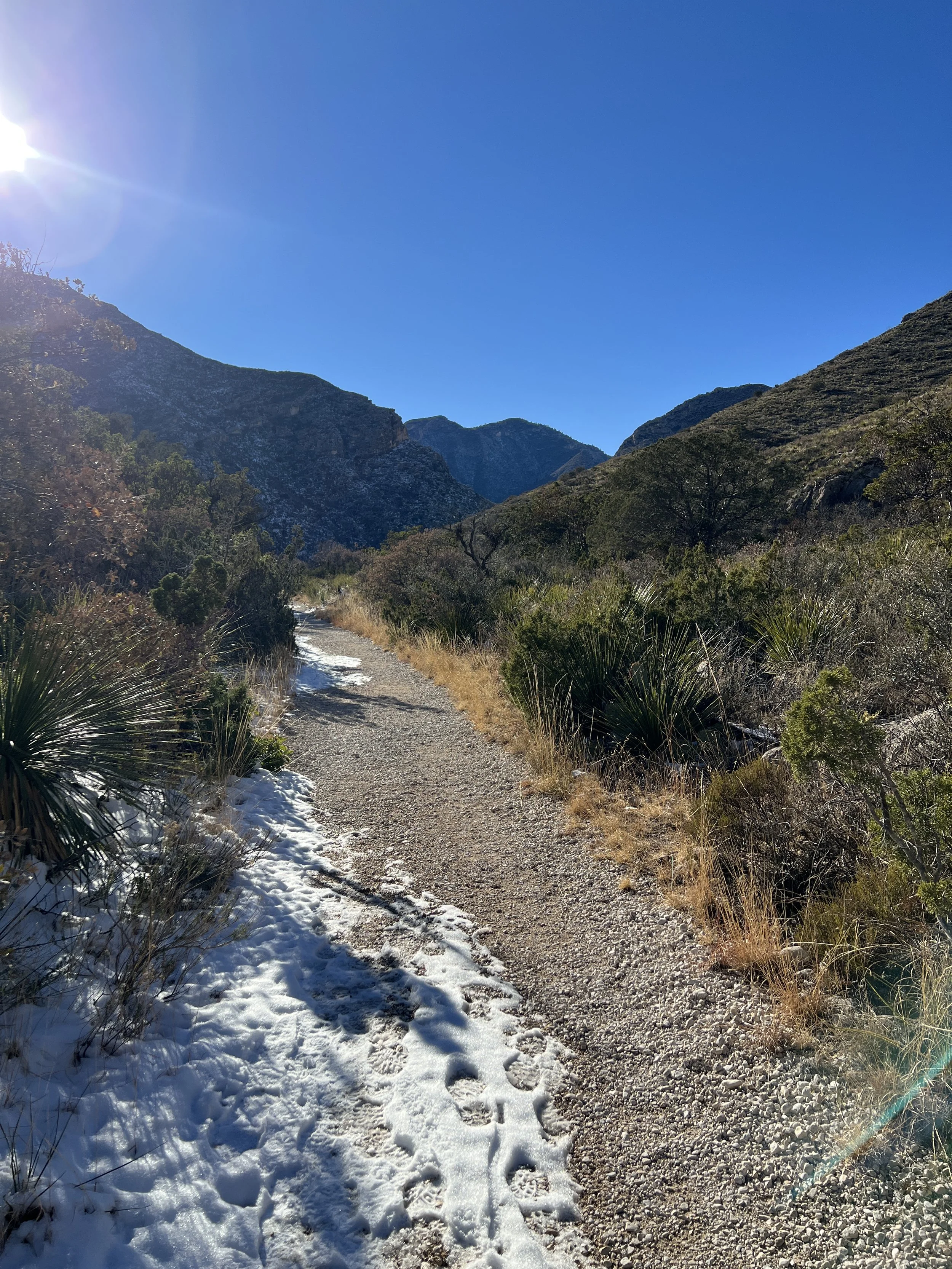
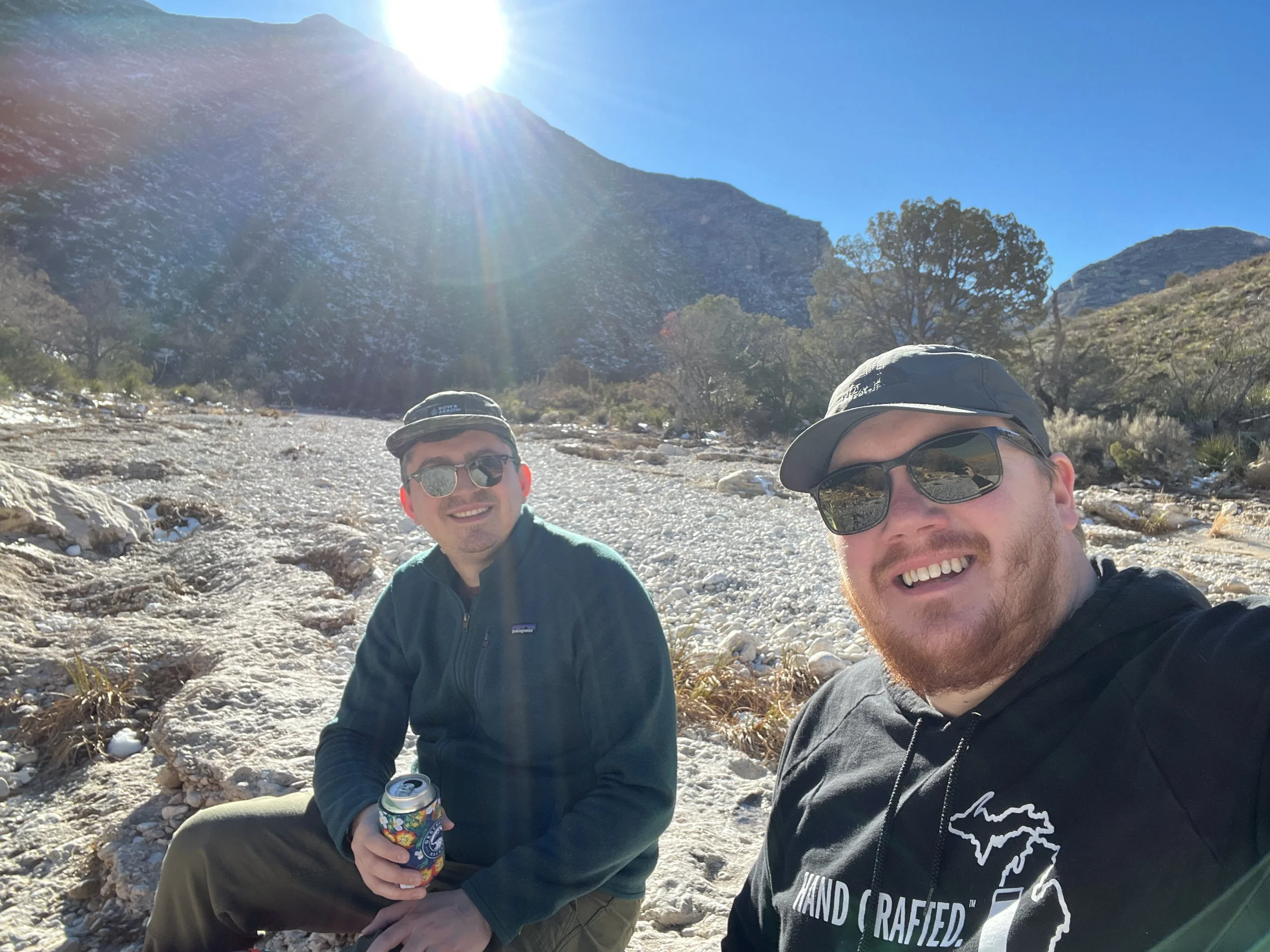
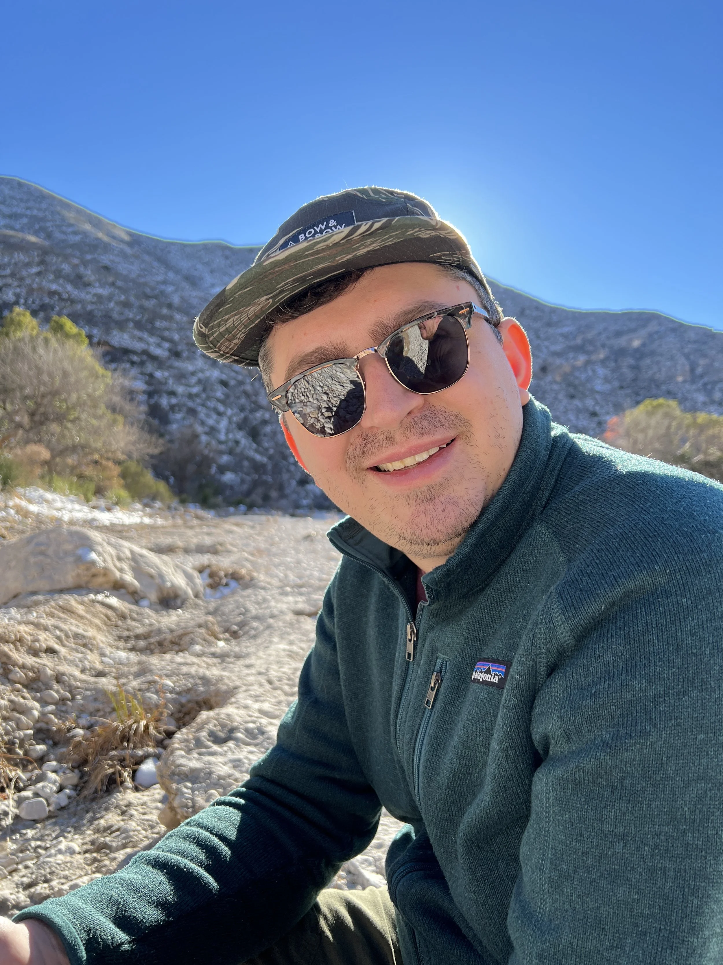
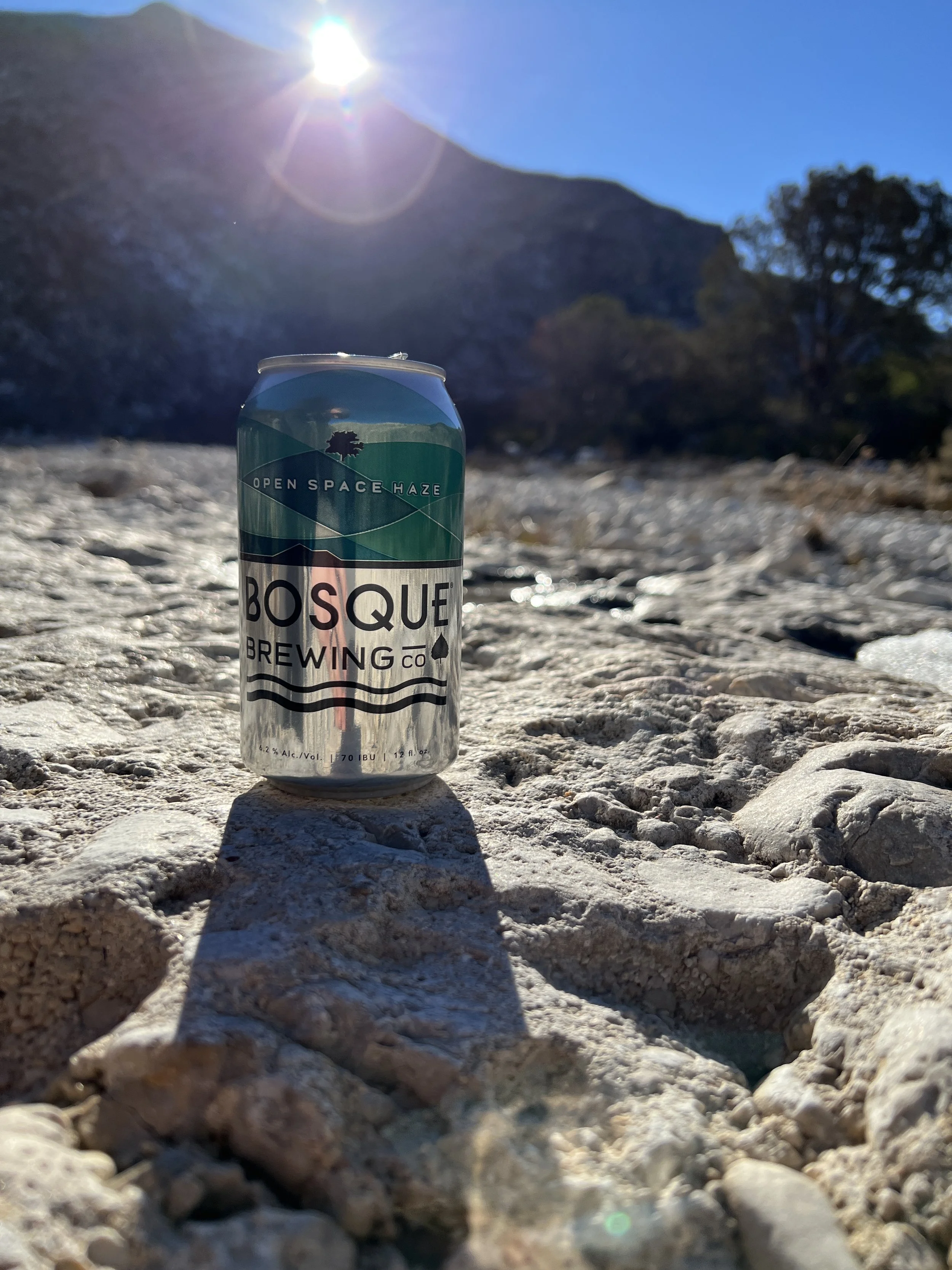
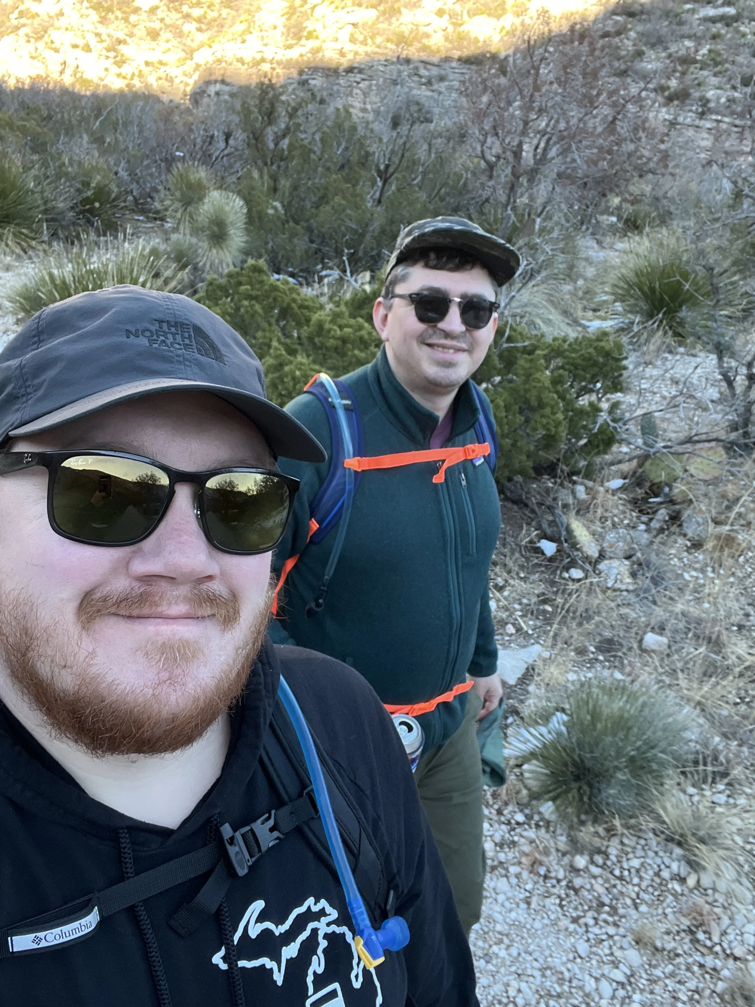
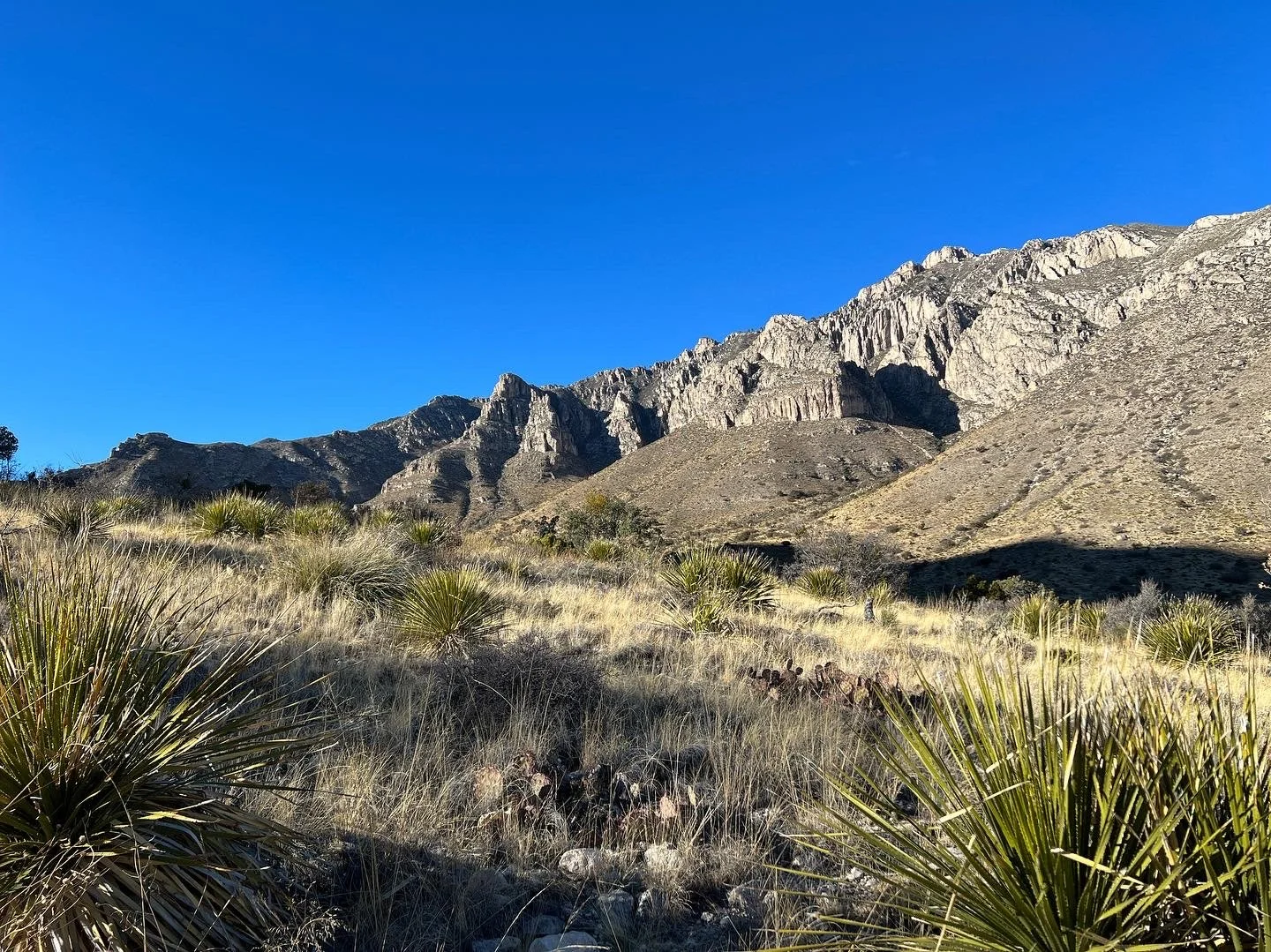
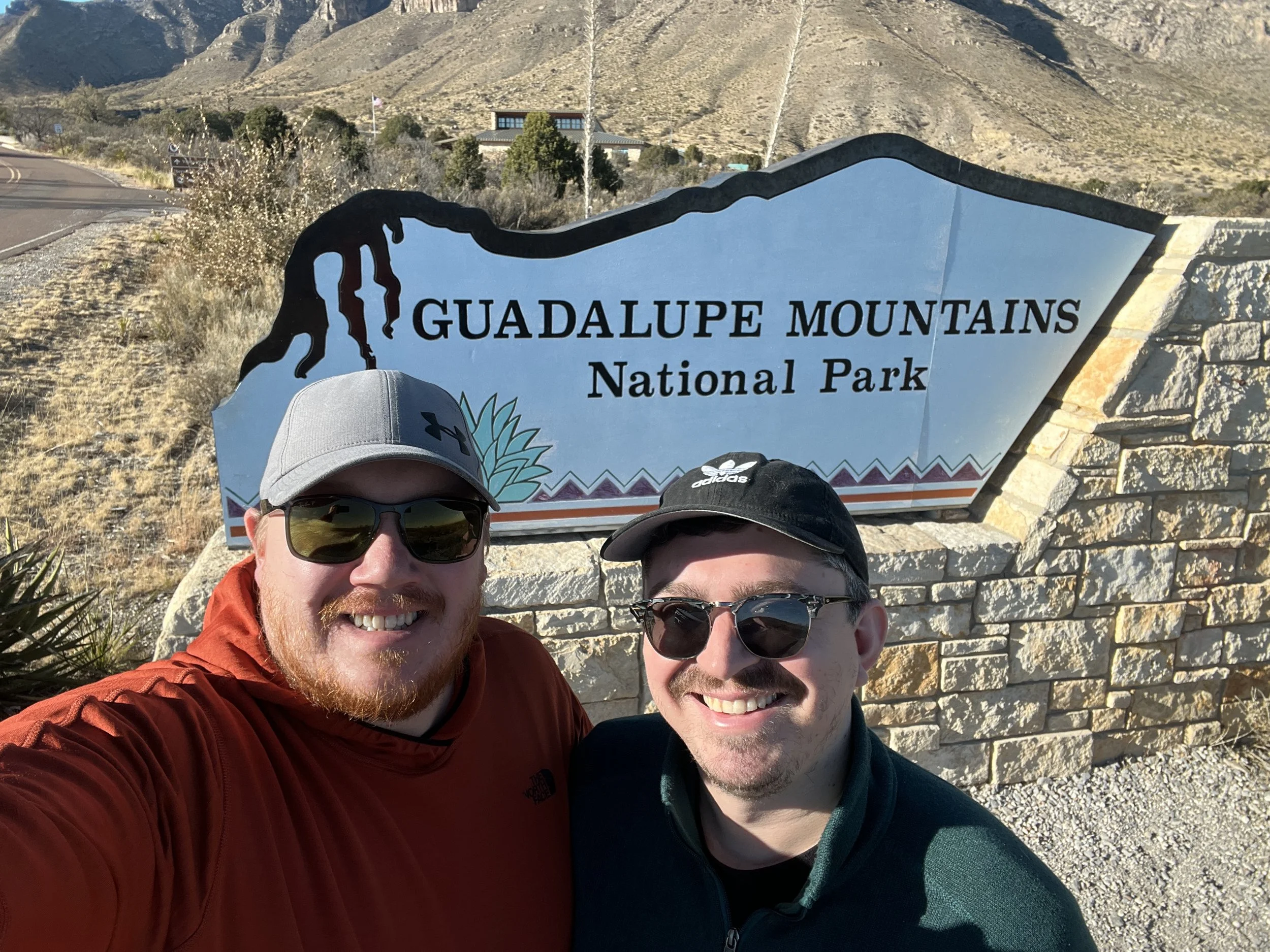
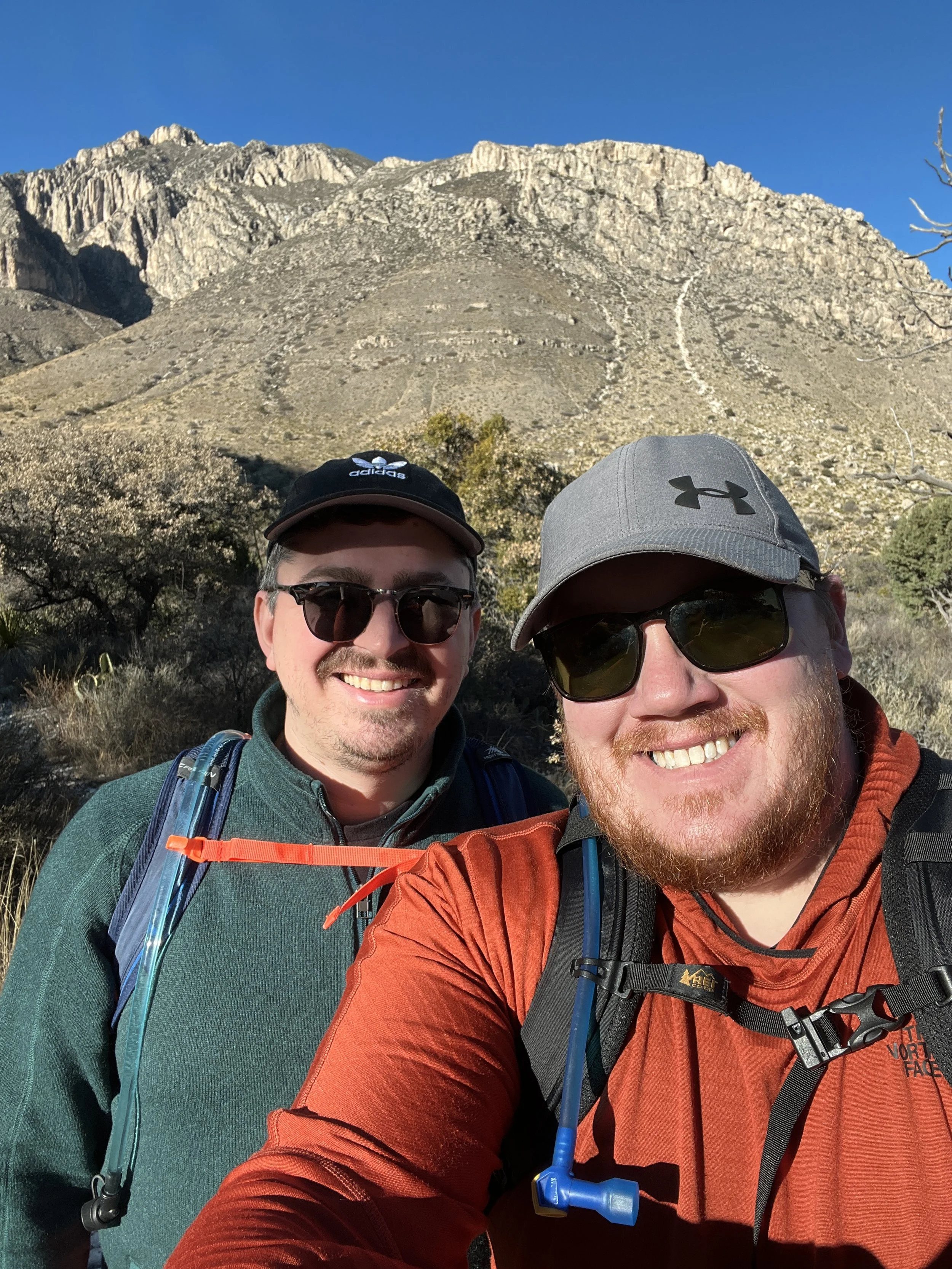
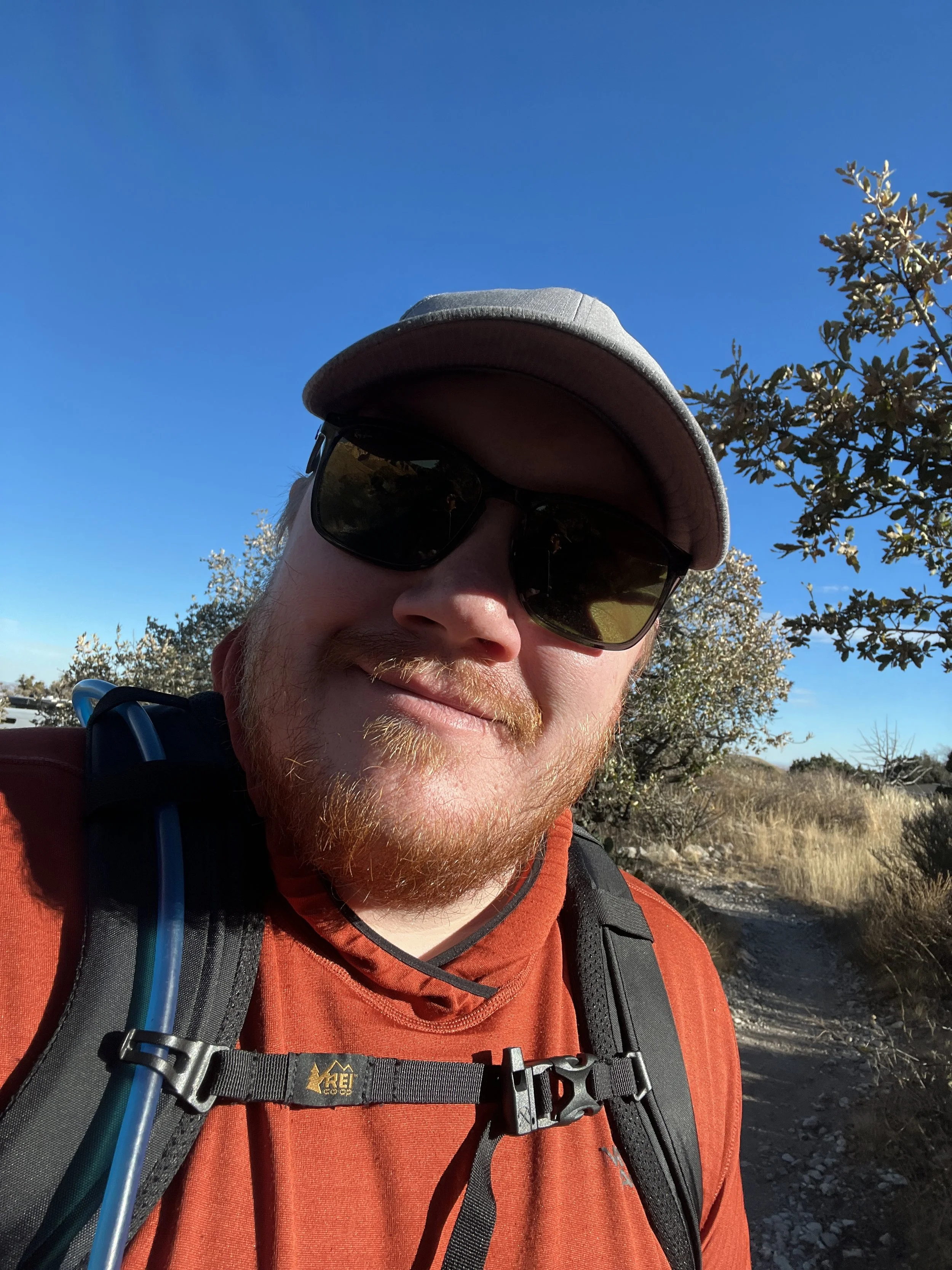
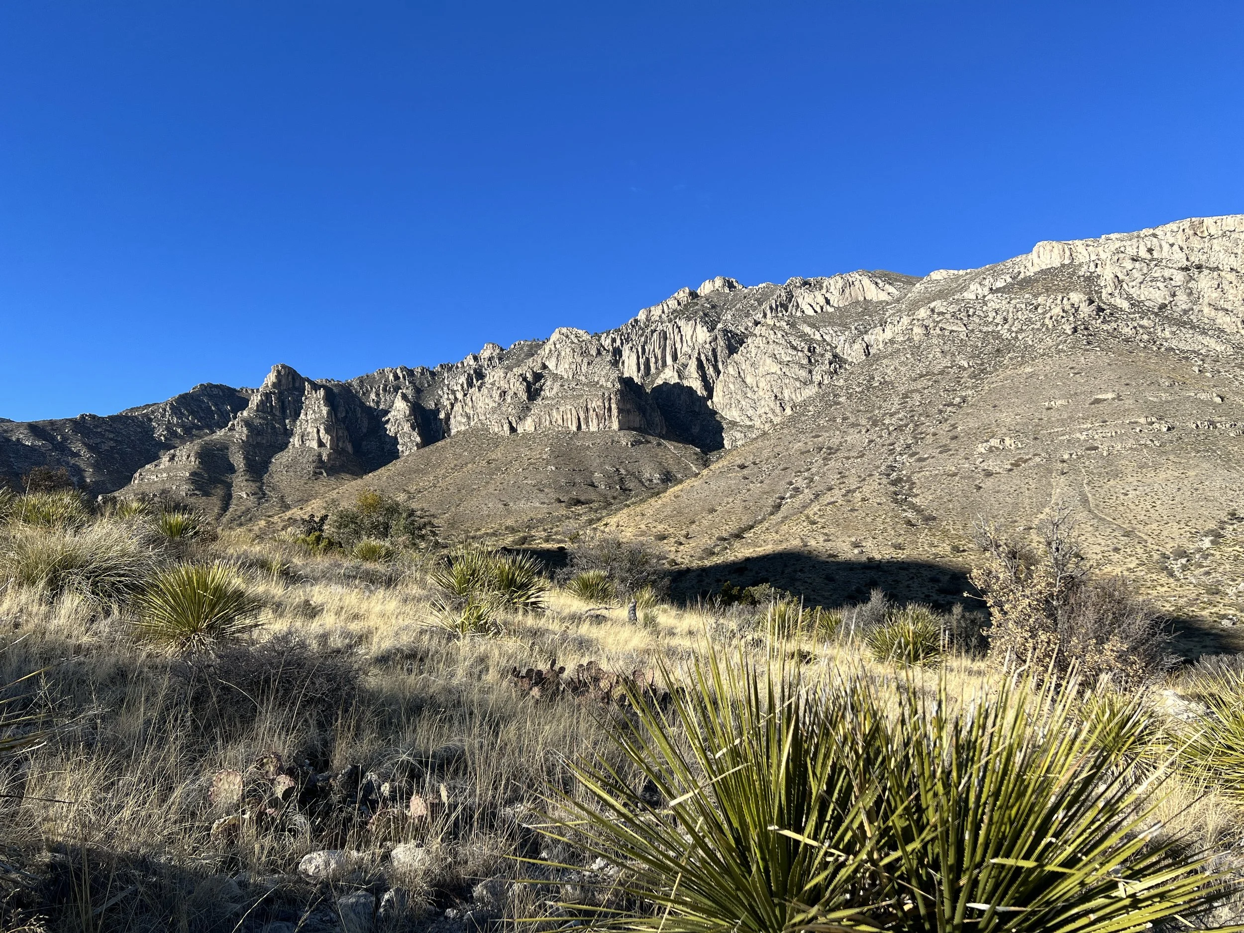
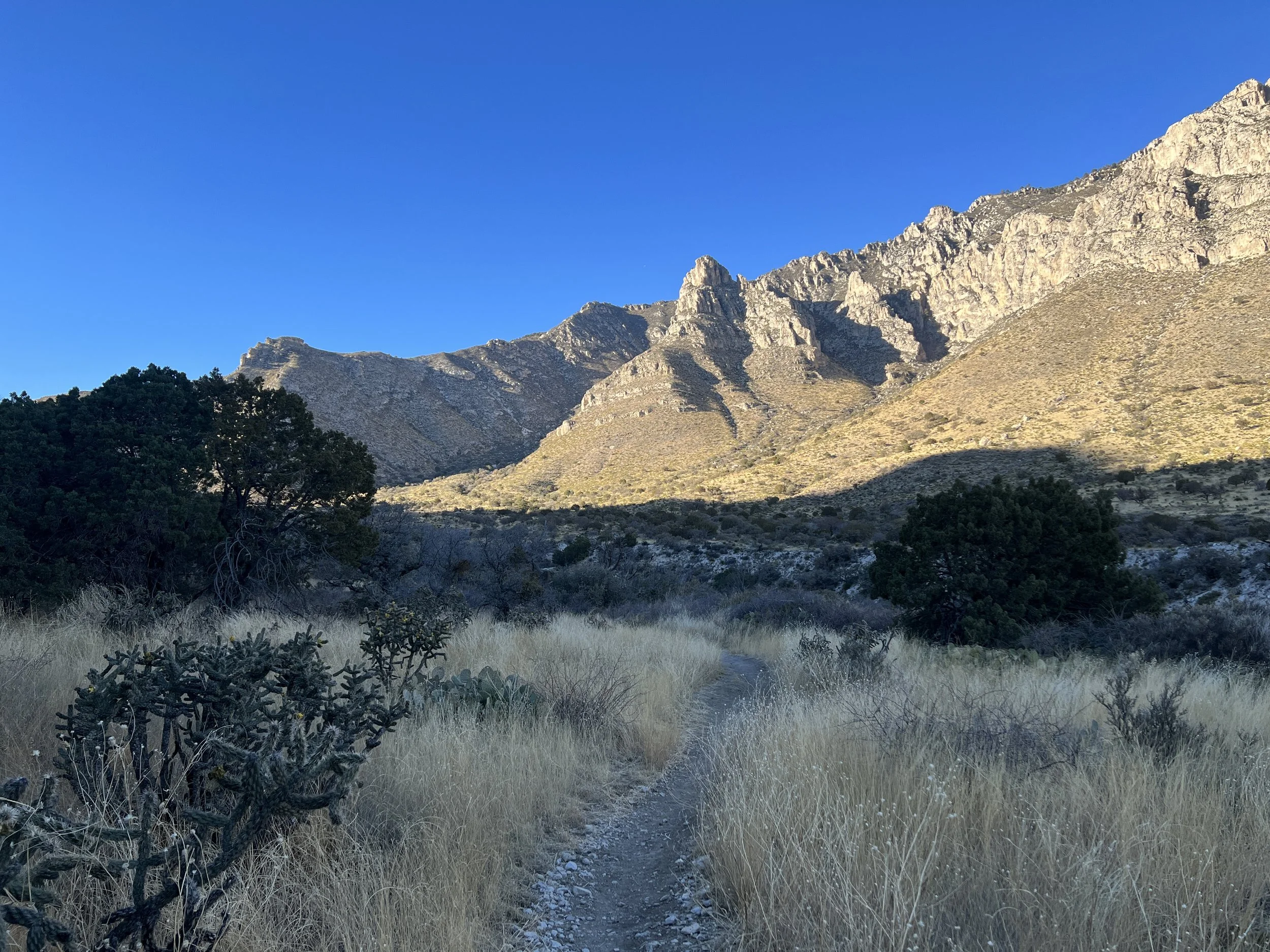
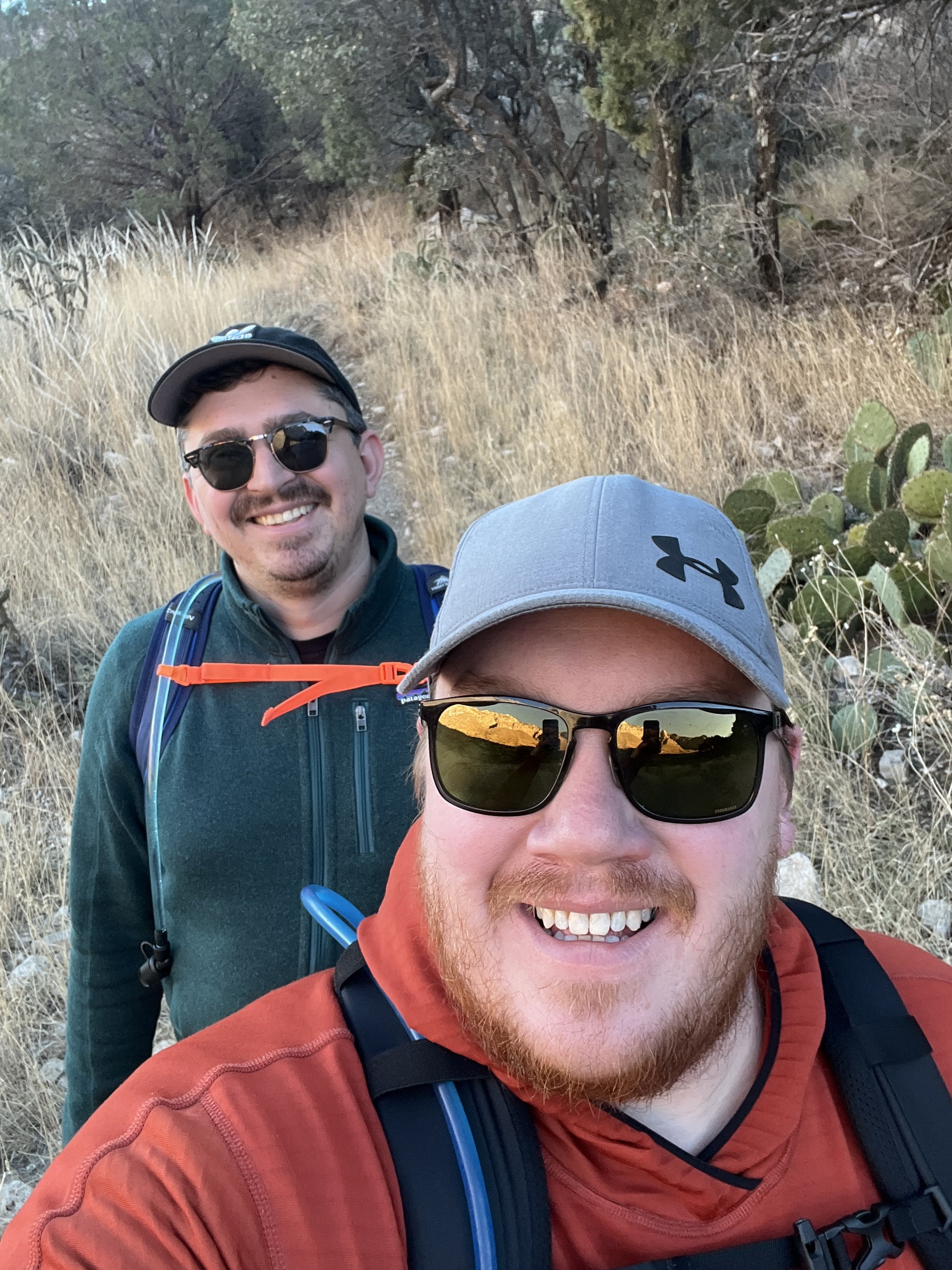
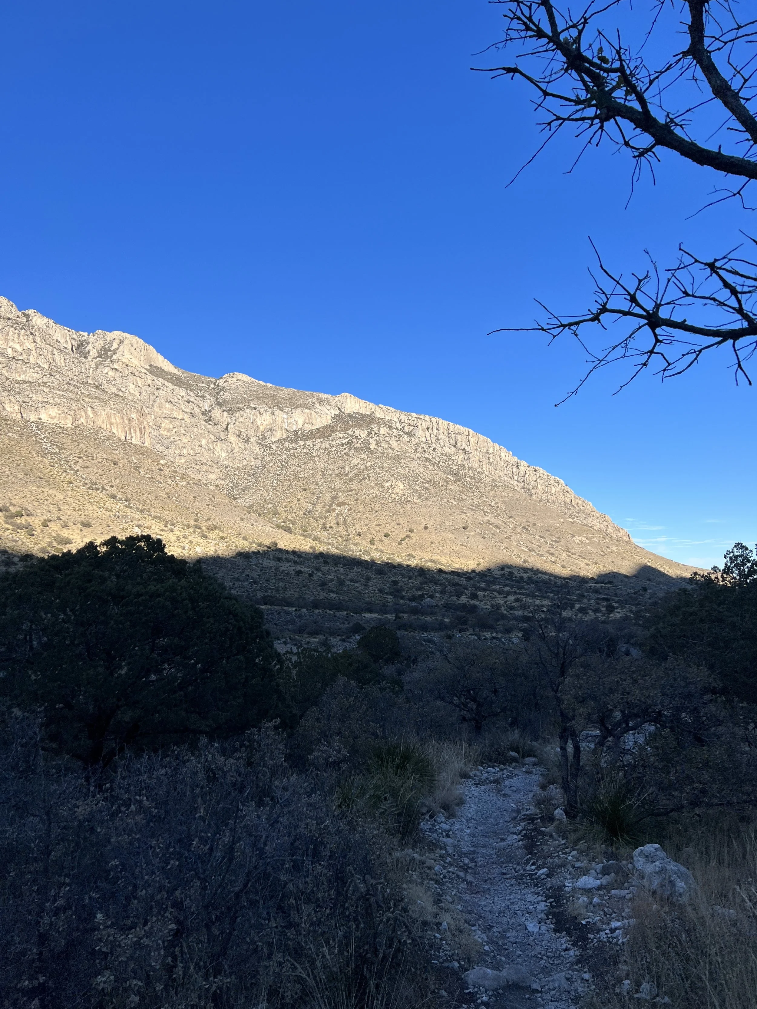
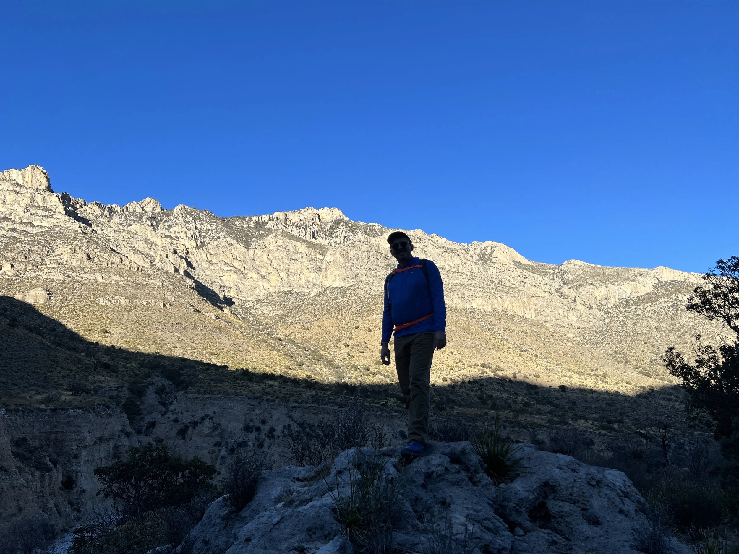
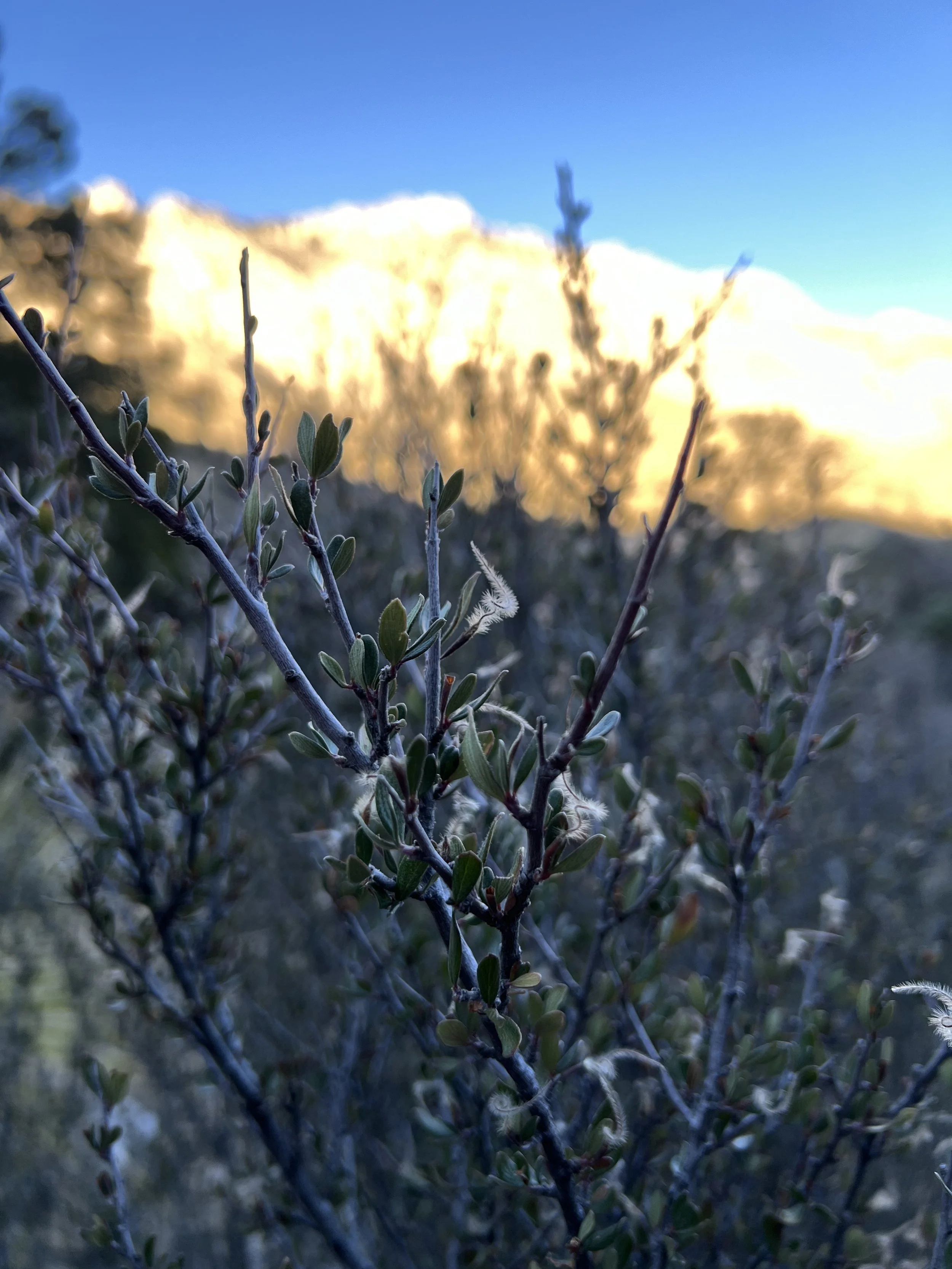
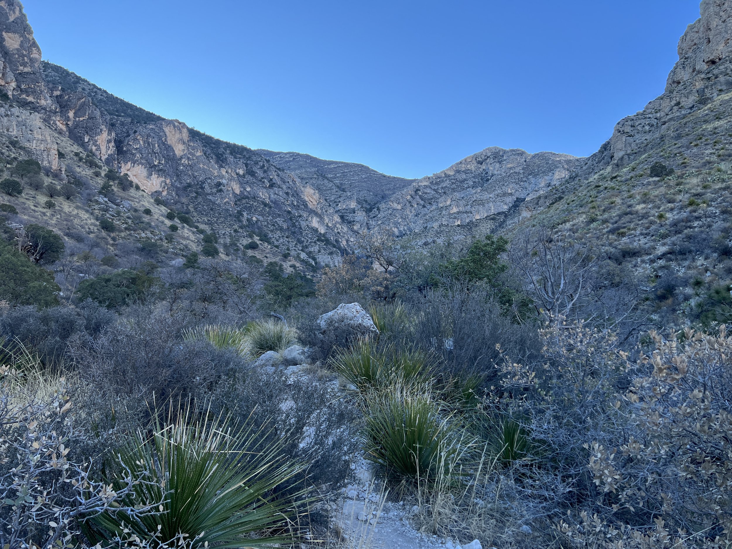
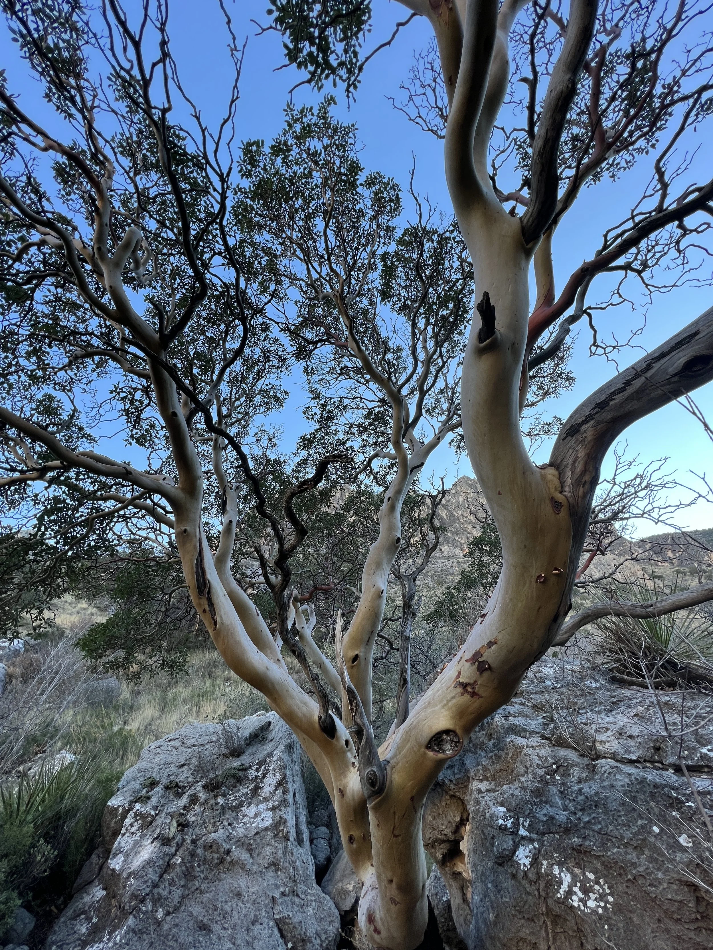
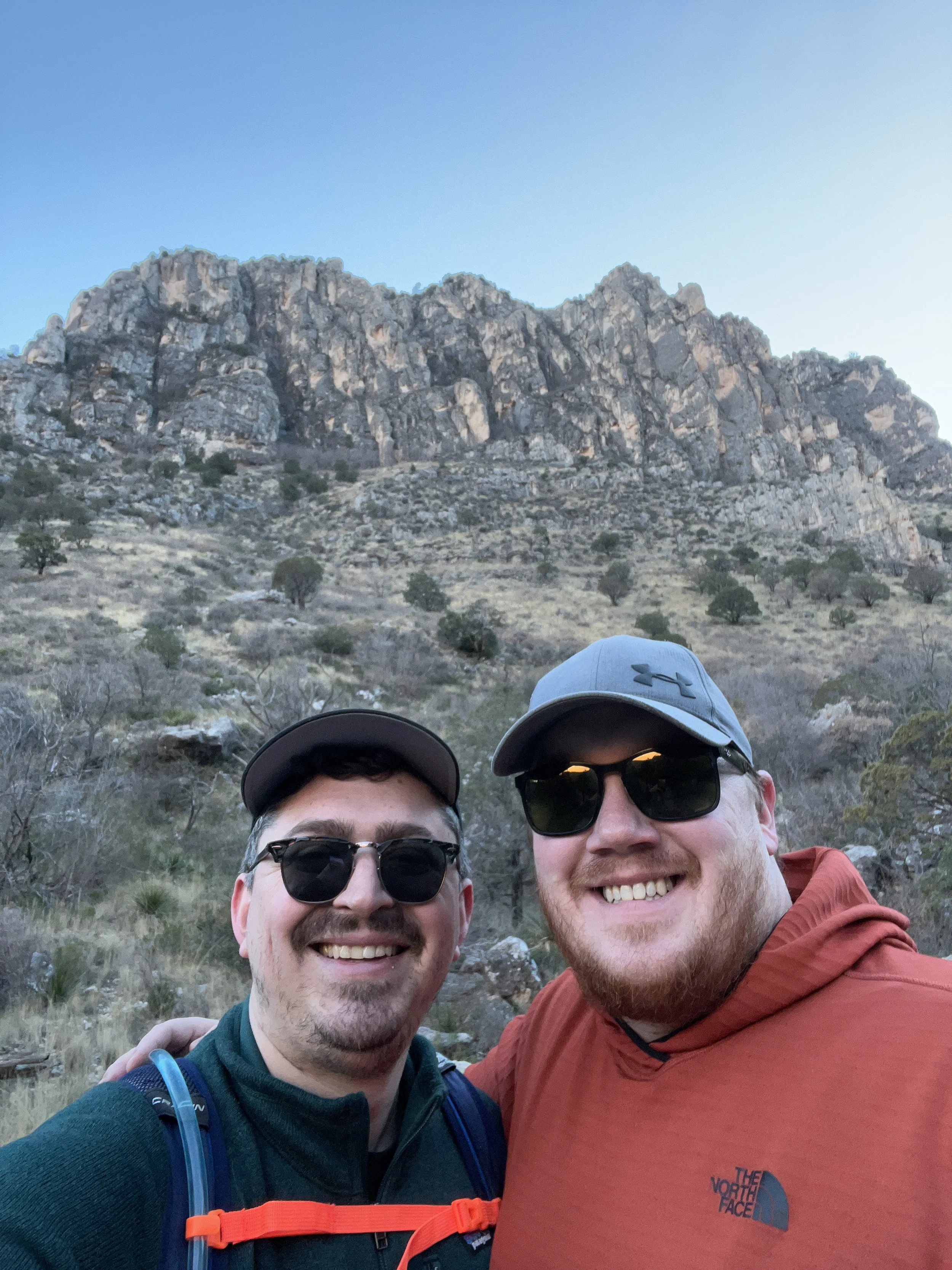
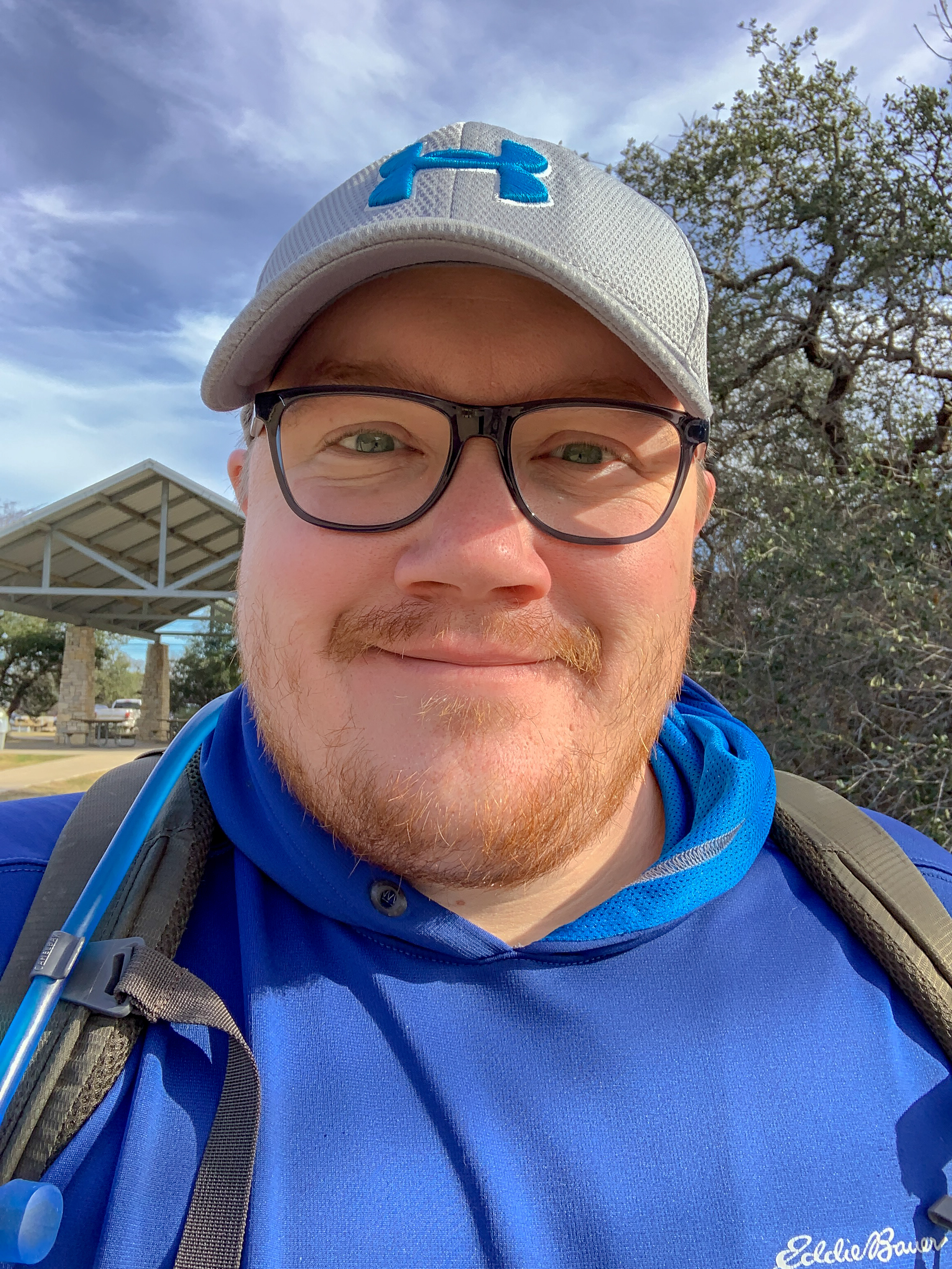
Activity 3/52 - Hike - Guadalupe Mountains NP (Salt Flat, TX)
Distance/Time: 2.34 miles
Trail: McKittrick Canyon
This particular Saturday was a whirlwind. My partner was supposed to be in Indiana, but flights got messed up and he was home. We had reservations for Carlsbad, but missed them and decided to head back to Guadalupe Mountains for another hike. By the time we got there, the day was winding down and McKittrick Canyon gates close at 4:30 pm, so we didn’t have much time to hike. We hiked the trail and stopped at the riverbed for a break in the sunshine. It was a nice little hike, more sunny than last time, and a different view in the canyon. The McKittrick Canyon trail is mild, though we had some icy spots, and mostly flat. It’s suitable for all sorts of hiking experience levels.

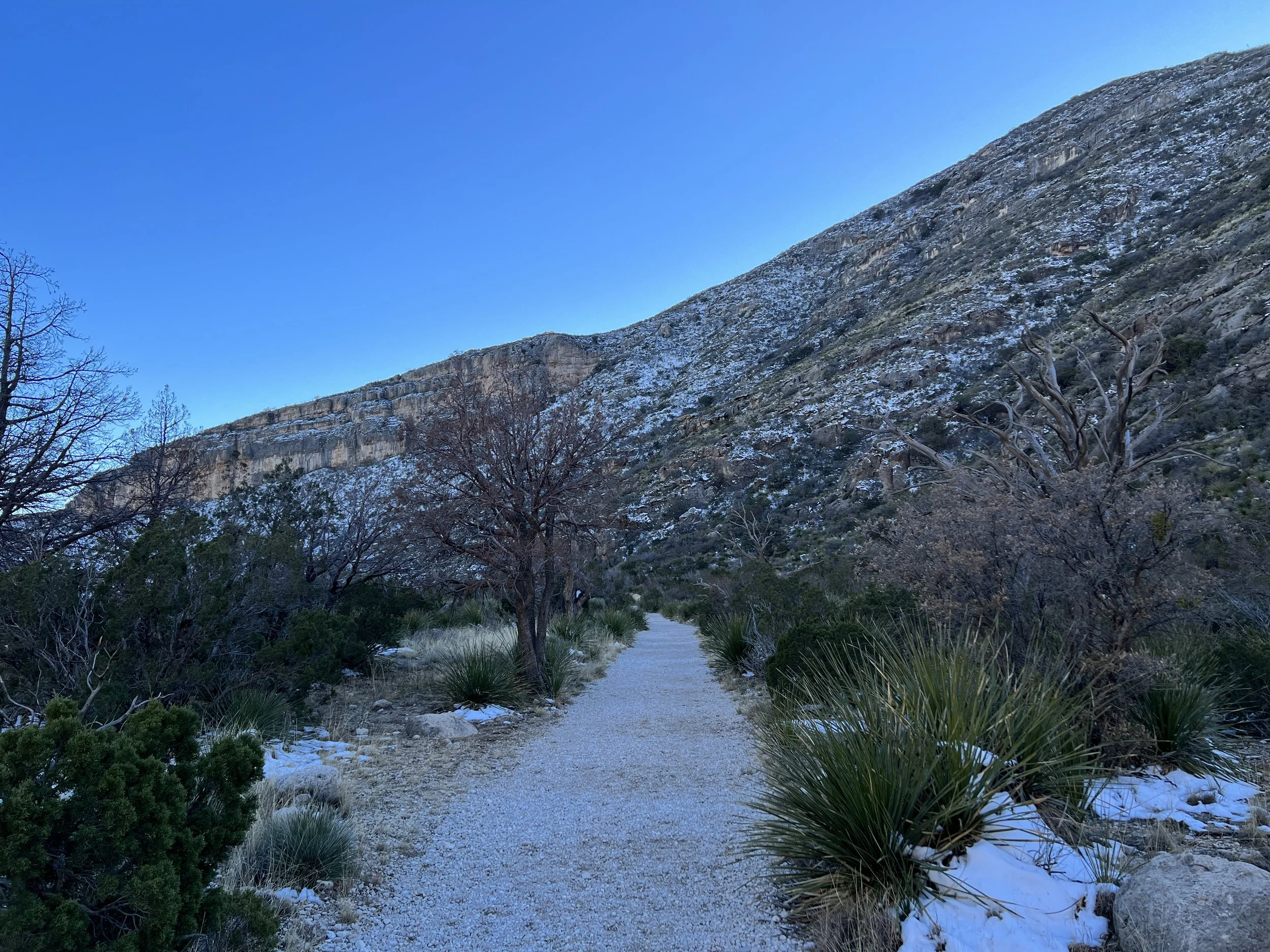
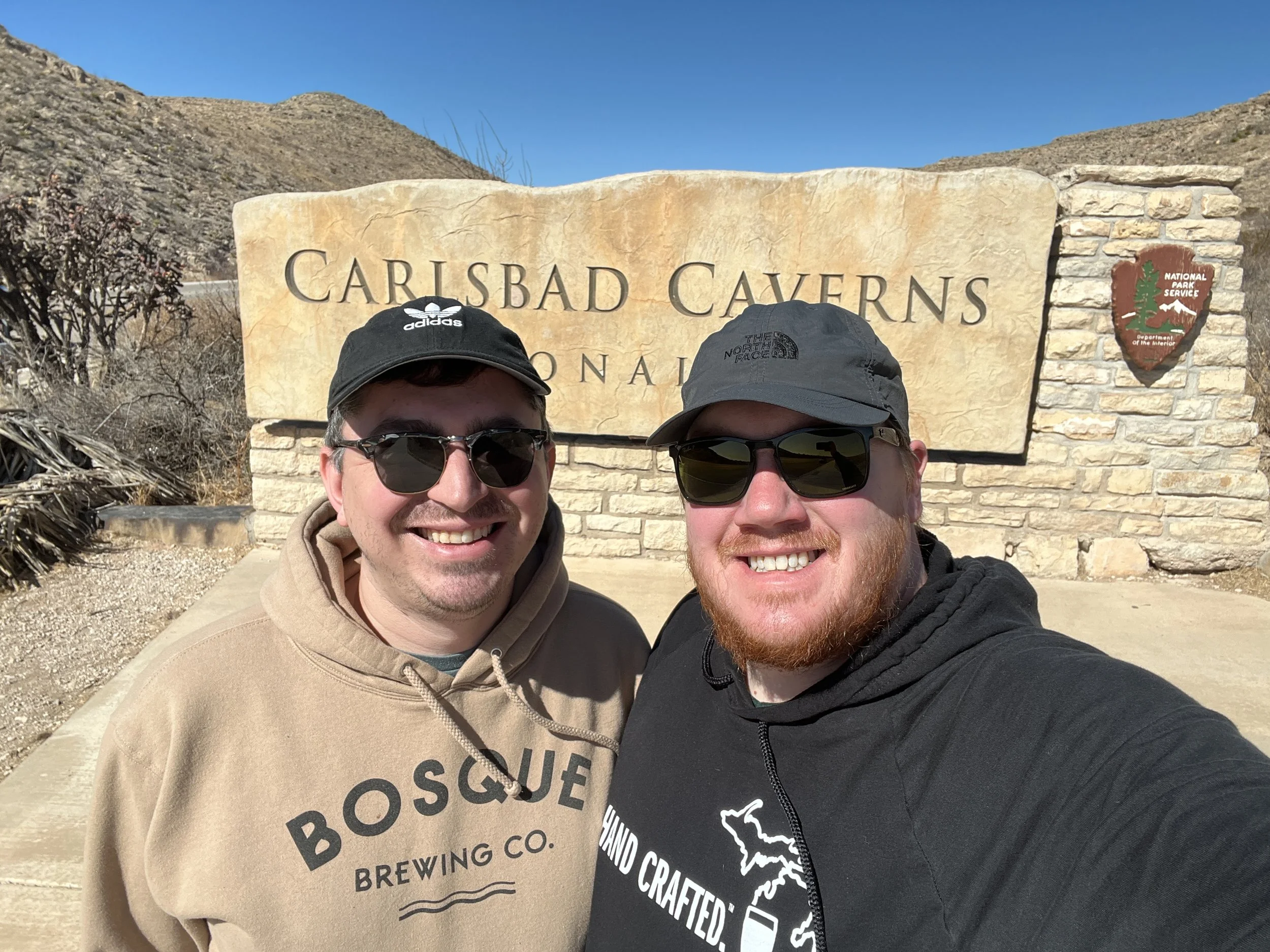
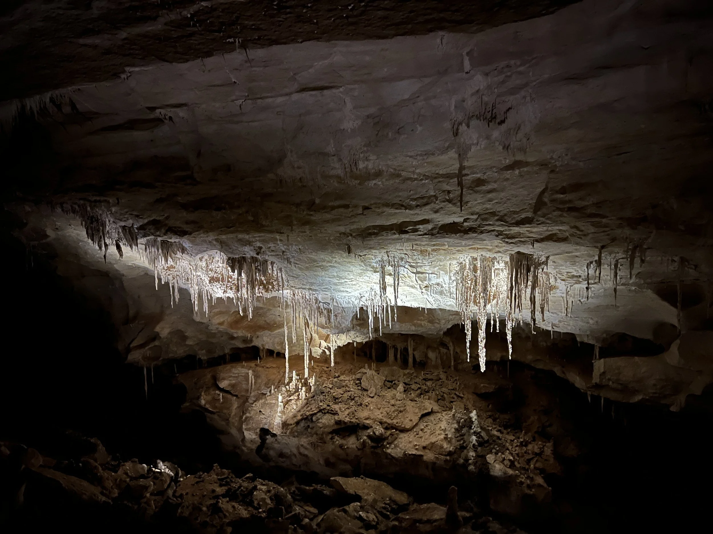
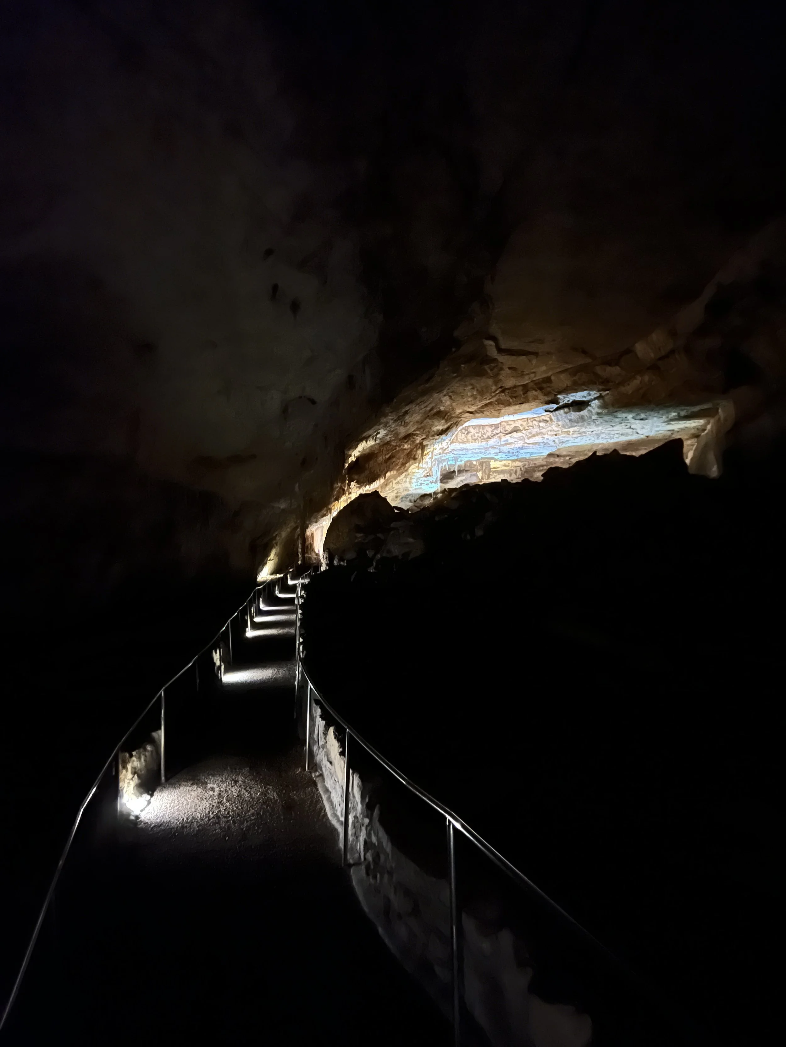
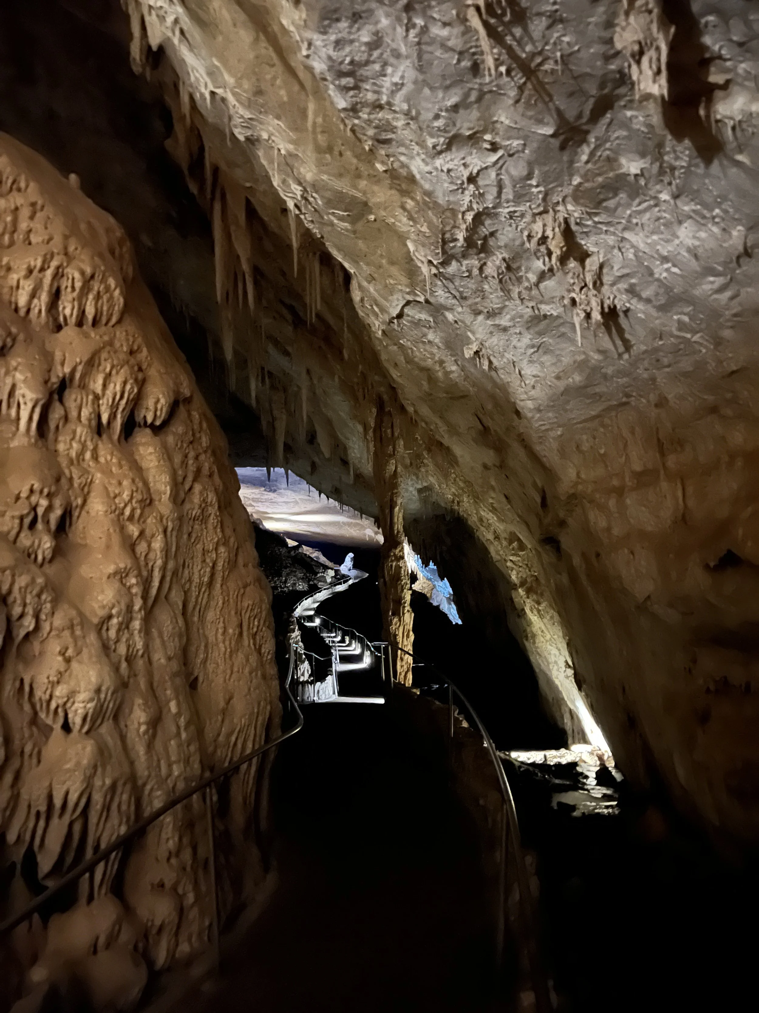
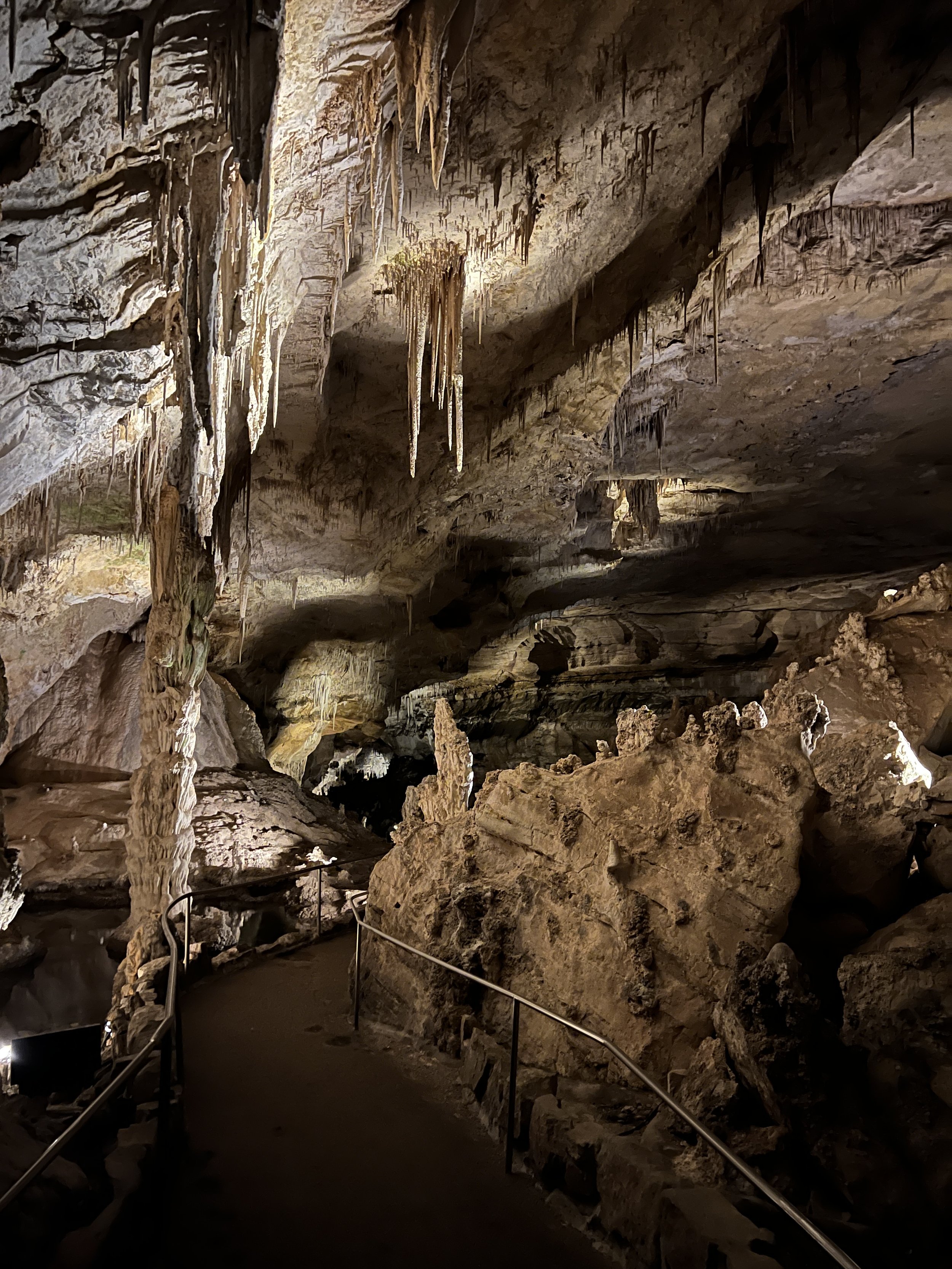
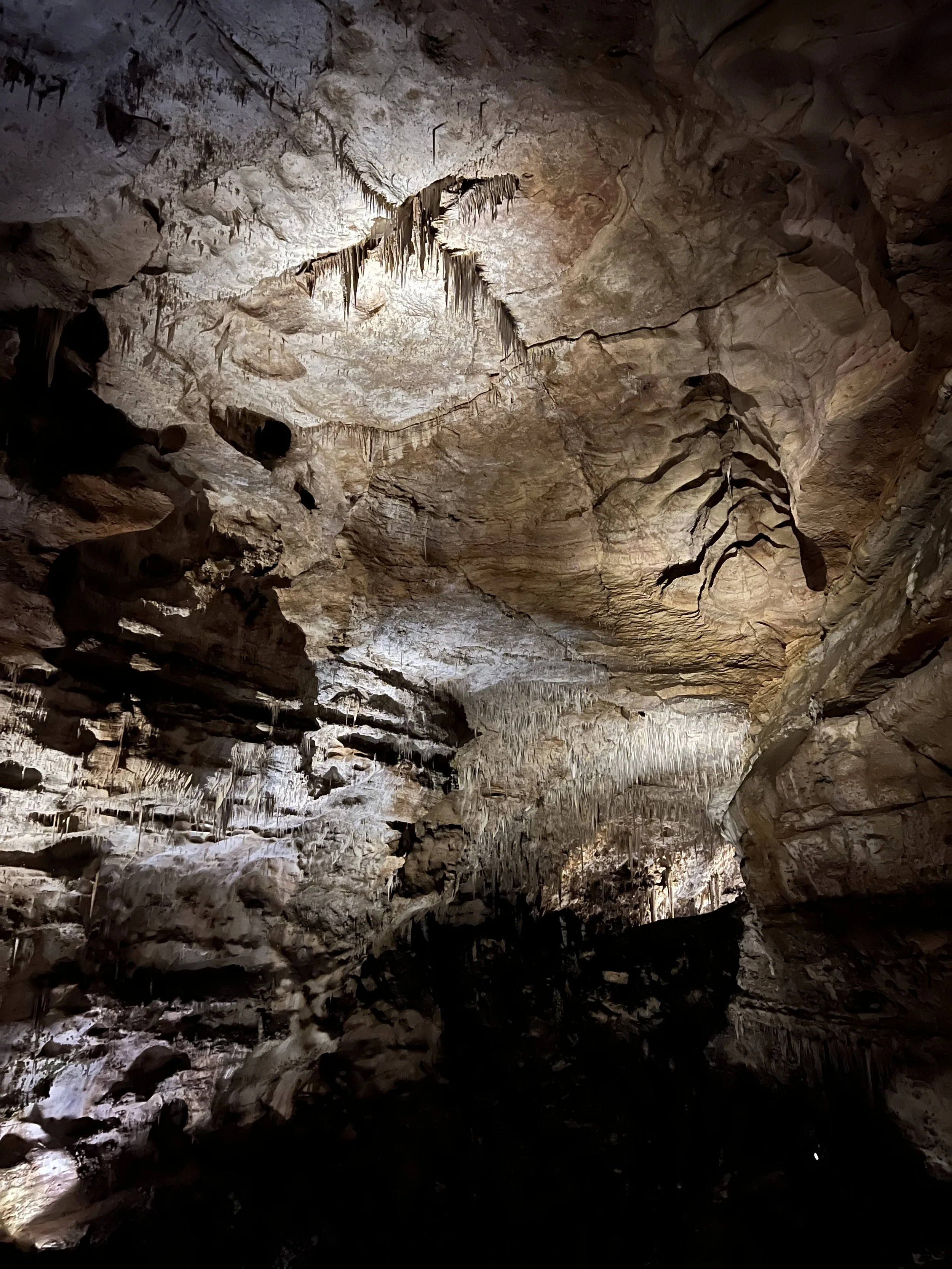
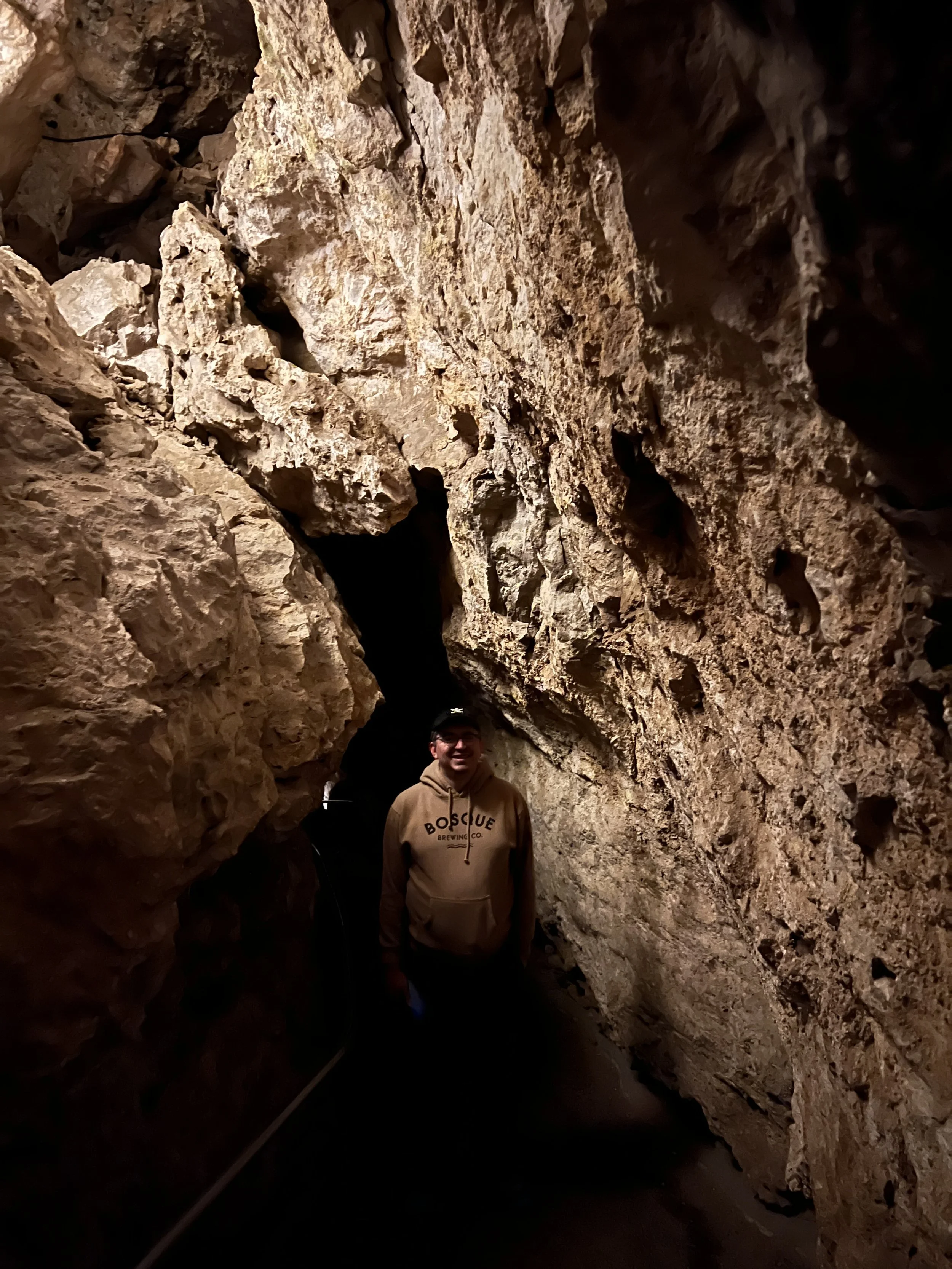
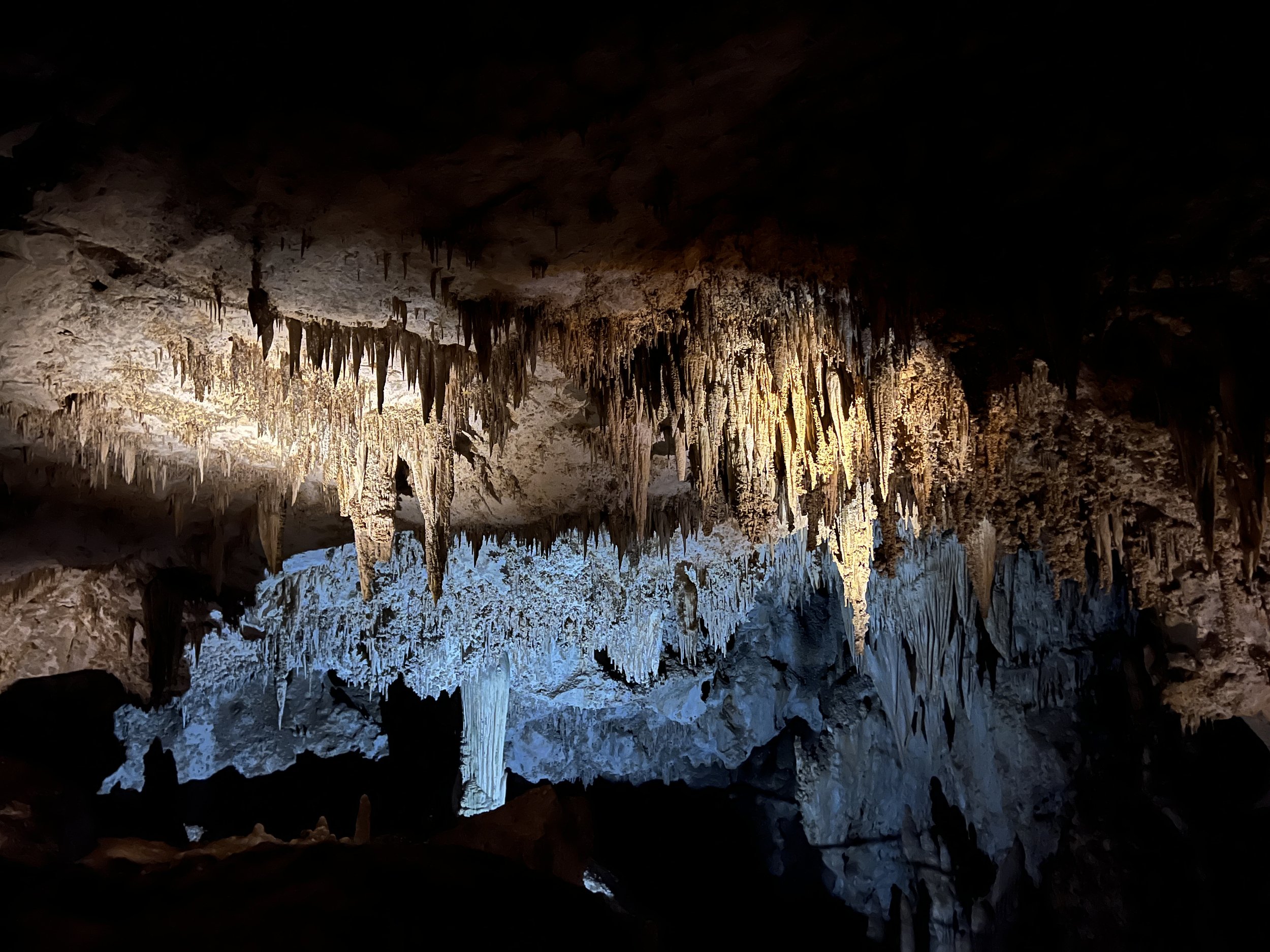
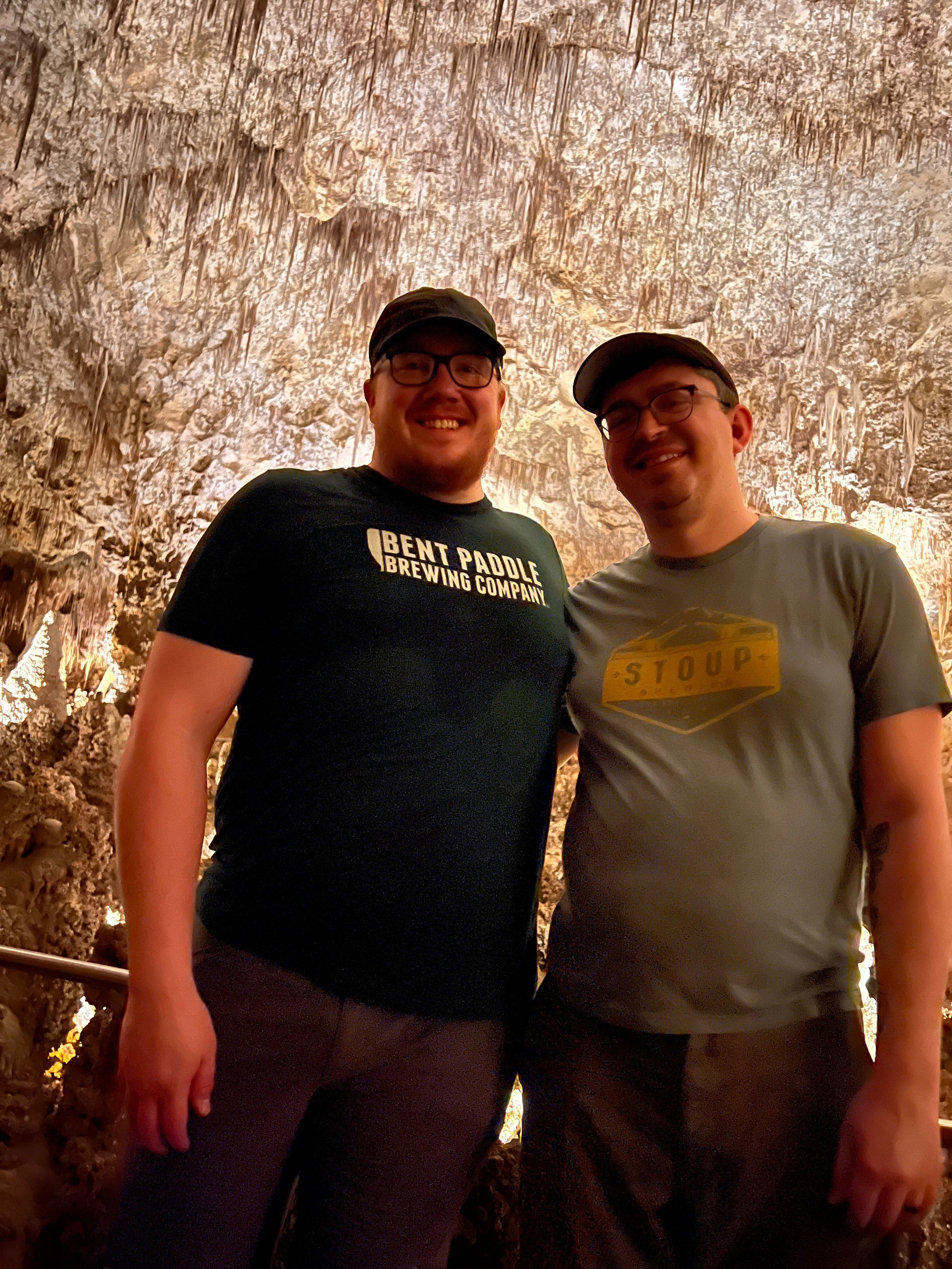
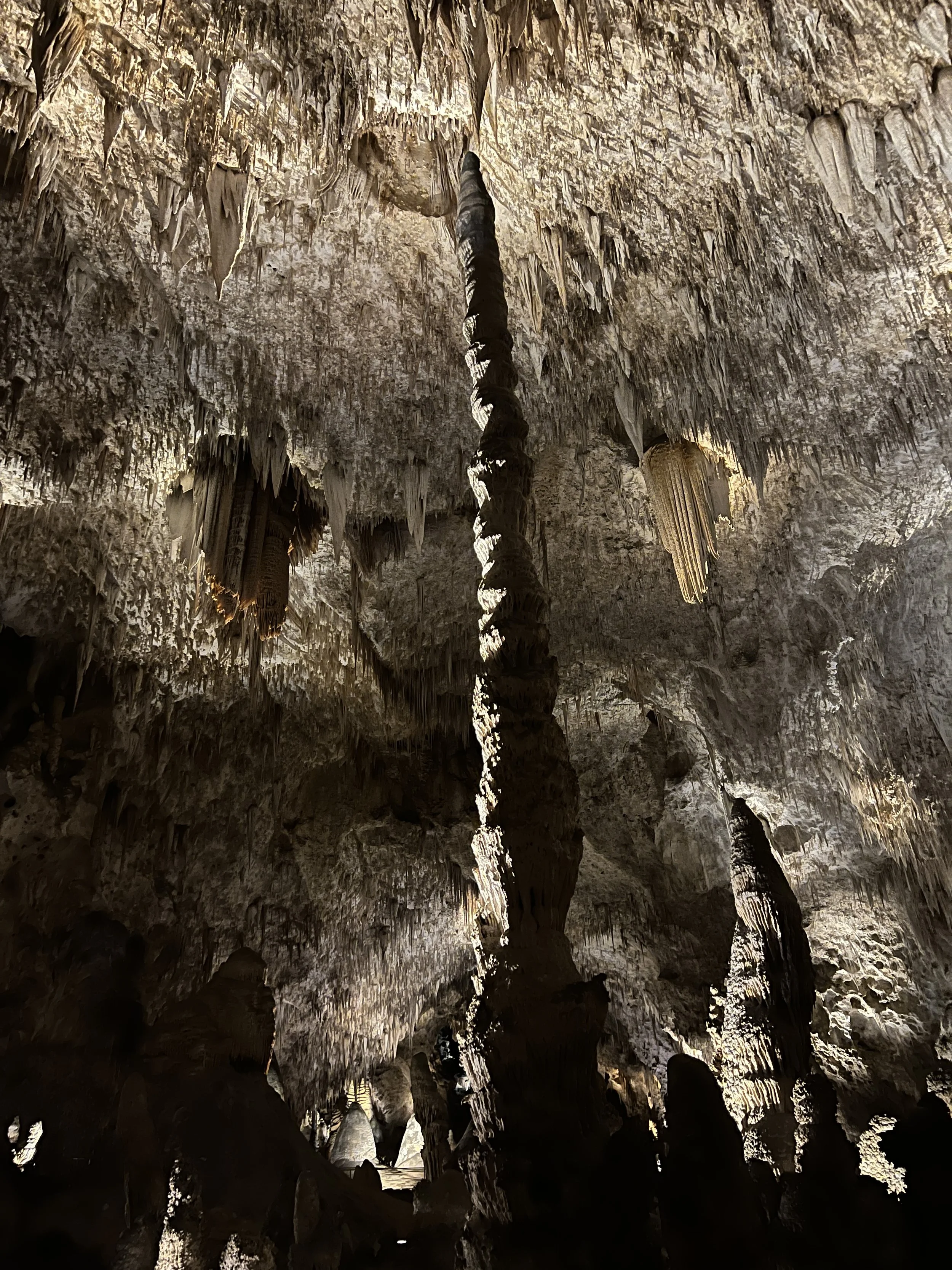
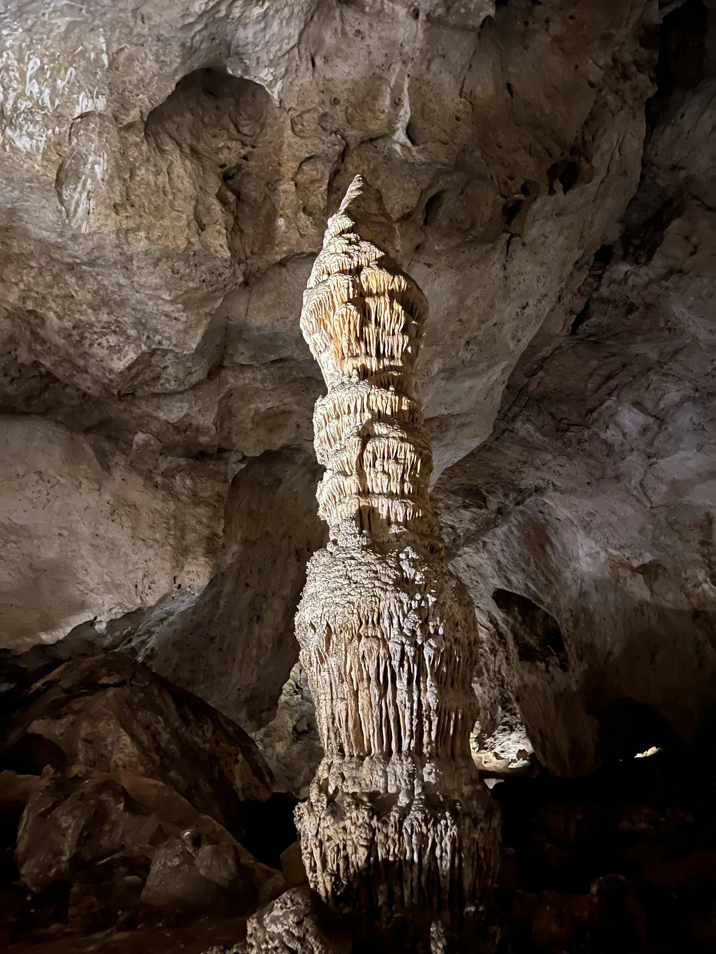
Activity 4/52 - Hike - Carlsbad Caverns NP (Carlsbad, NM)
Distance/Time: 3 miles
We made it to our reservation and walked down the natural entrance. We meandered down, in awe of the formations and just how far we were going in. It was nice to show my partner something I love and something so spectacular. This marks our second national park together as we quest to see them all. Carlsbad Caverns will take a couple of hours to get through, but it’s something new around every corner. Make sure you look up when you’re there, as the stuff on the ceiling can be just as amazing to see. If your knees don’t like downhill, you can enter with the elevator instead of the natural entrance.
2022 Activities 1 and 2
It’s a new year and new set of activities for the 52 hike challenge. This year I will continue having an open mind on what counts as one of the 52 hikes. Paddling, hiking, trail runs, bike rides, and more will count. The goal with my version of the 52 Hike Challenge has always been to get outside and see the world. If the events I participate in do that, I’m good with counting them.
January 2022 included two hikes with my partner Randall. We have plans to complete this challenge together this year and we’re going into February with a plan to adventure even more.
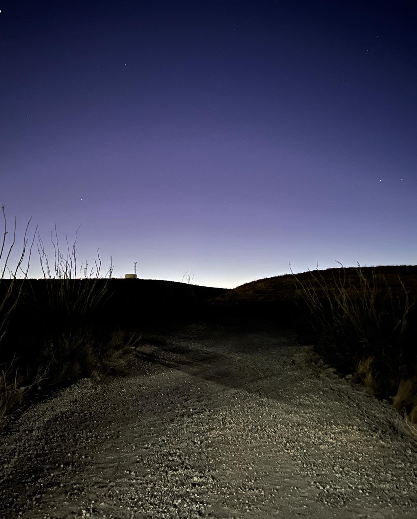
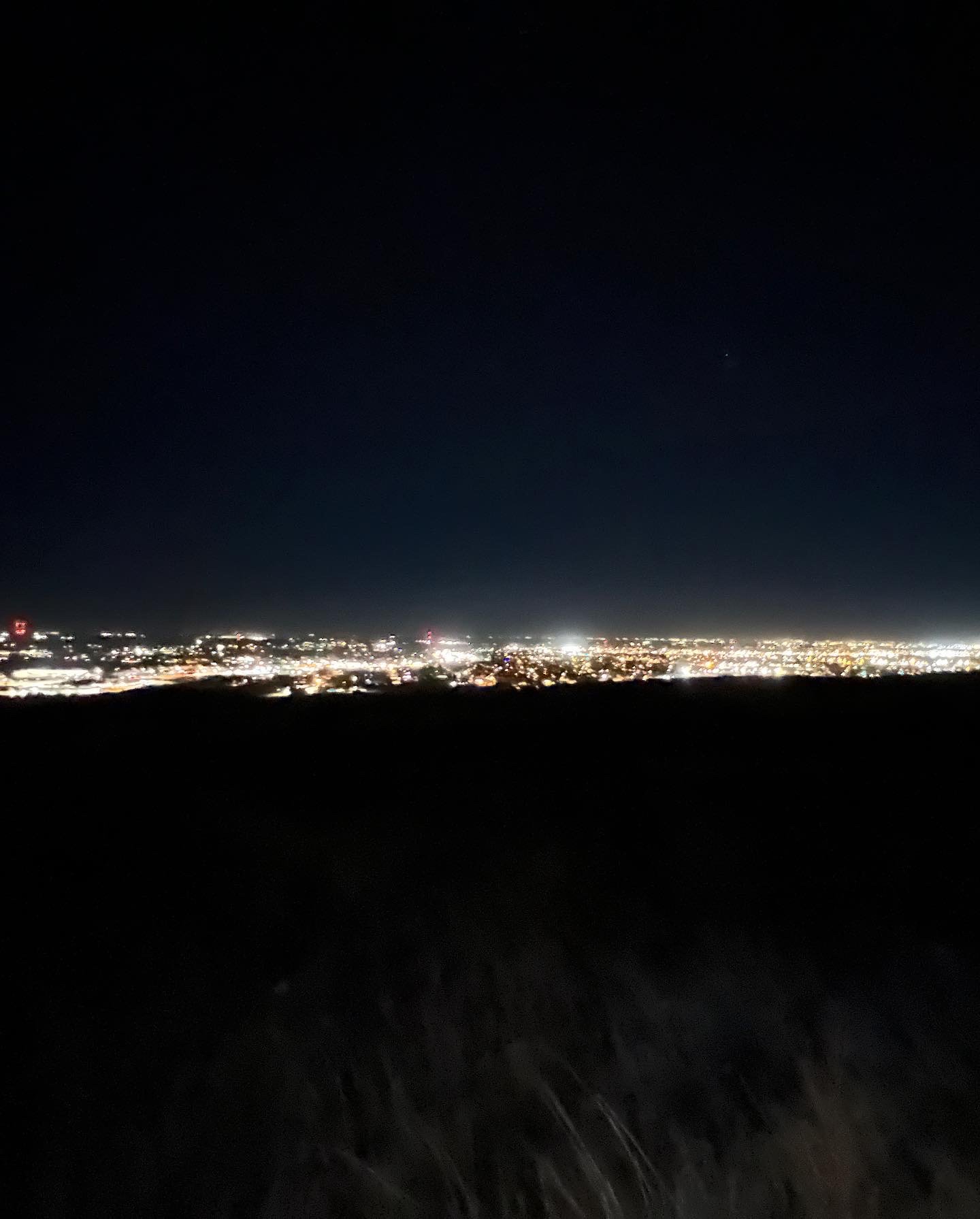
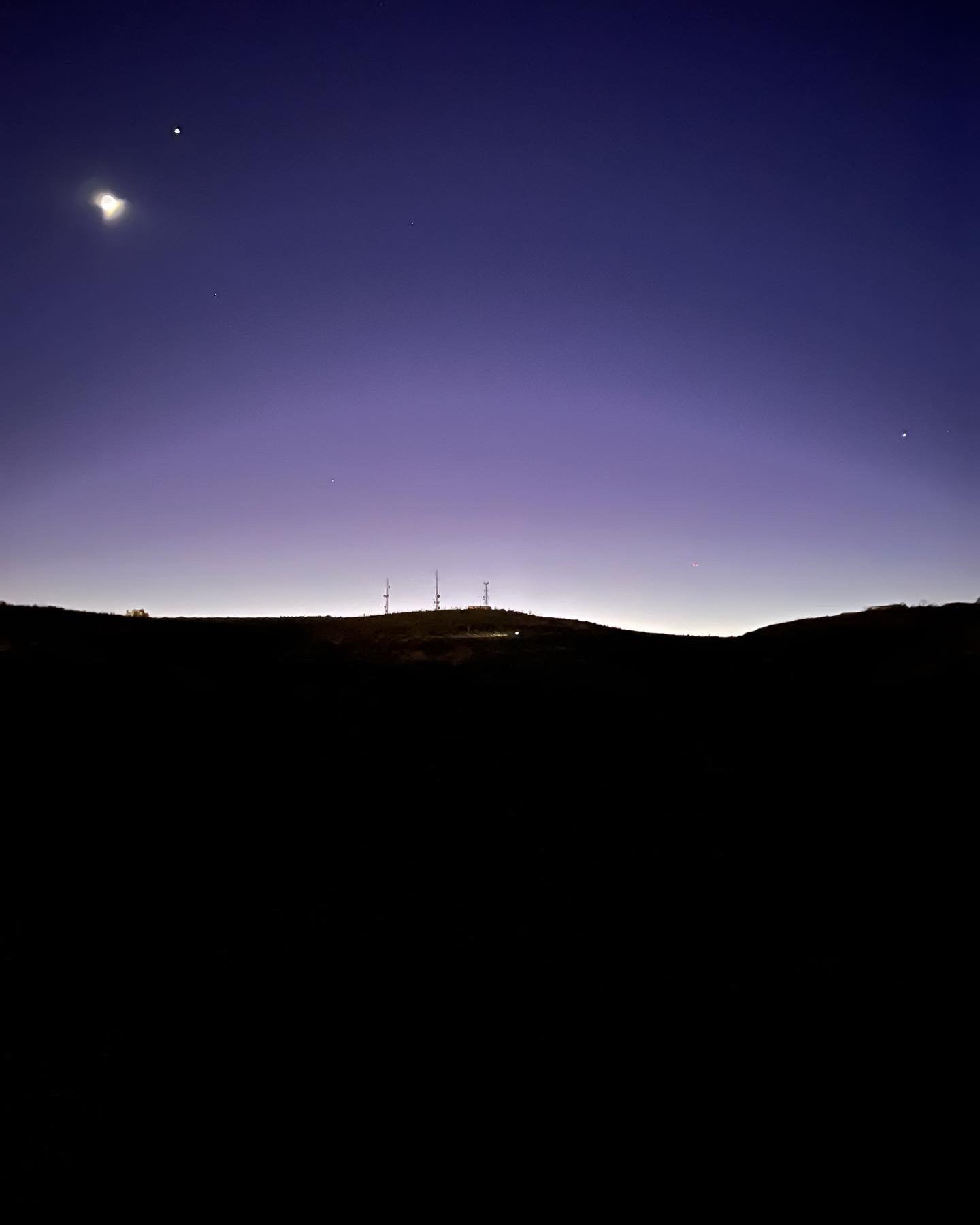
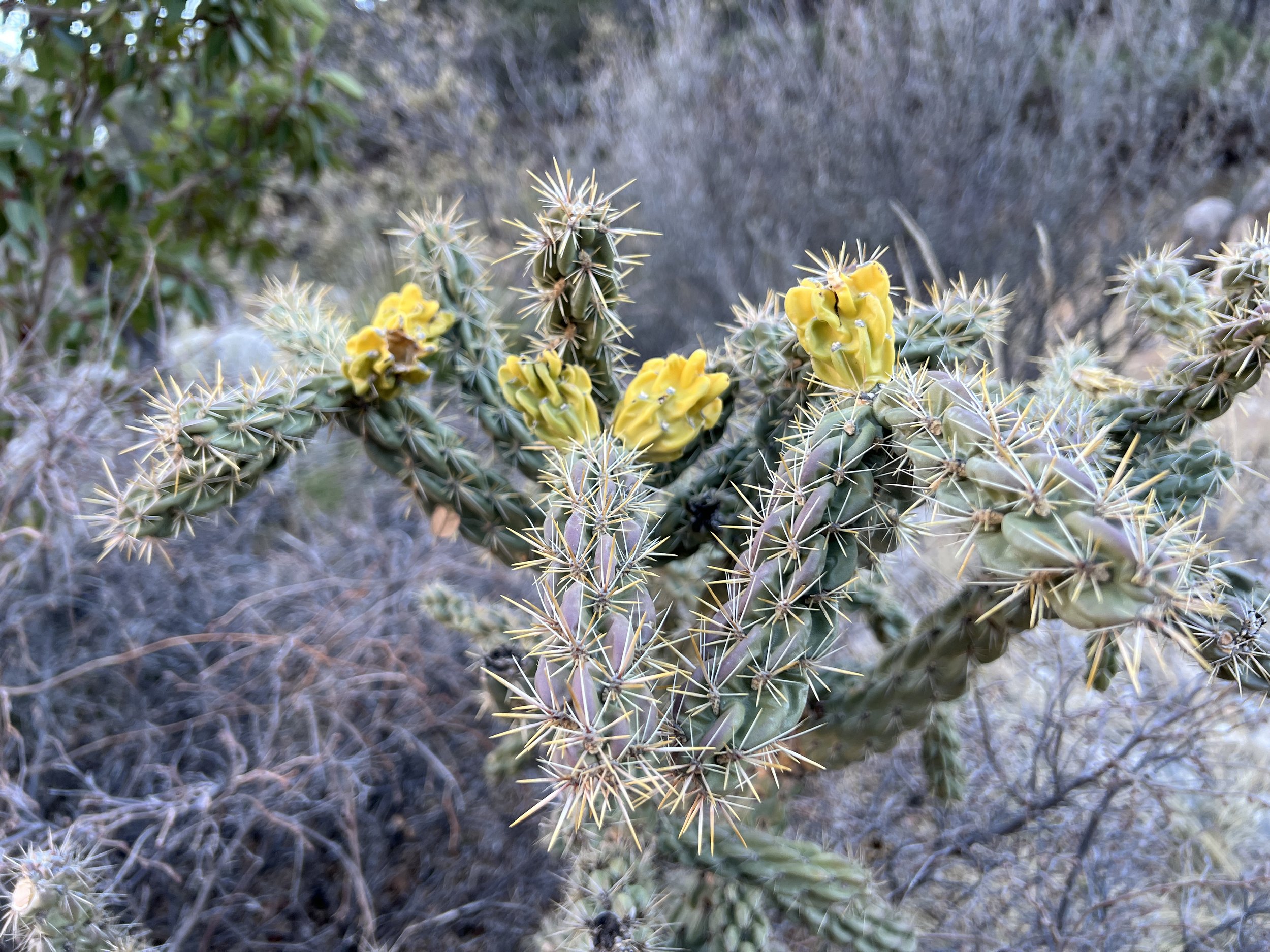
Activity 1/52 - Hike - Ocotillo Nature Trail (Carlsbad, NM)
Distance/Time: 2 miles
This trail is a little gravel path that winds up the hillside and takes you to a high point and view of Carlsbad. We did this trail at night, with the dogs, because of work and whatnot so the view was especially cool. The activity itself was not difficult, but it was dusty and dry. Enjoy some of the photos!
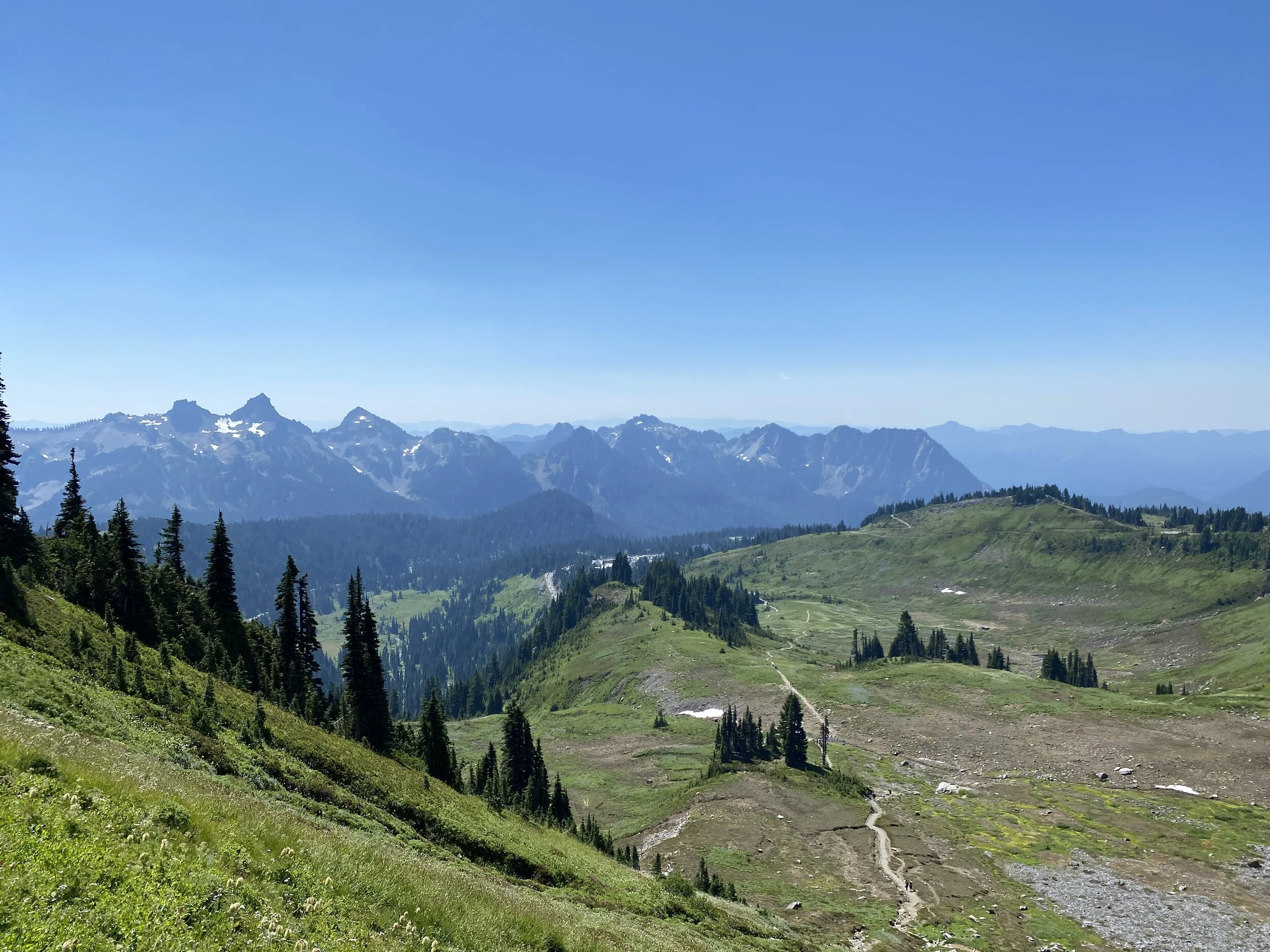
Activity 2/52 - Hike - Guadalupe Mountains National Park (Salt Flat, TX)
Distance/Time: 2.38 miles
This hike started with good intentions, and ended with good plans to return. I think the original thought was to hike through McKittrick Canyon and have a nice picnic at the Pratt Cabin. As we drove, other trails looked more enticing so we shifted our plans to hike the Devil’s Hall trail. We started off, with plenty of snacks and water but only brought sunglasses. The sun was sinking, and the canyon walls made it darker faster. We hiked just over a mile and decided it was getting too dark in sunglasses (we both wear prescription sunglasses) and it was time to just have a snack and head back to the car. This is where we planned to return for this trail, and others, before we leave New Mexico. Flexibility is an important part of adventuring and our safety and enjoyment are top concerns making the decisions to come back easy!

2019 #hike2 - Eagle Mountain Park
My old standby…
Quick Stats
Date: Sunday, January 6, 2019
Location: Eagle Mountain Park - NW Fort Worth, TX
Distance: 5.1 miles
Trails: Main trail, Shoreline trail, S Shoreline Trail
Miles from Home: 27
Weather: Mostly Sunny, Mid-50s
Equipment: Apple Watch, iPhone, Olympus TG-5 camera

Highlights
Beautiful day and many miles of trails
Variety in elevation - nothing like the mountains, but much better than just flat
Most of the muddy creek crossings had stones for jumping
Horses and pets are not allowed, which keeps the trails clean and less rutted
Low Points
People have created many side trails, use your head and stick to the main ones
There is some oil & gas machinery near one of the trails, it can be annoying/smelly
Very muddy but not impassible
I call this place my old standby because if everything else falls through, I can always come here! The trails have variety, the lake always provides a breeze, and the terrain is more challenge than common flat trails in the area. There are always people at the park, so be warned that if you want peace go before 8 am. Today I strolled in around 10 am, much later than normal for me, and I saw plenty more people because of it. Most people were friendly, though, and all were covered in mud. Some runners had legs caked in the gray dirt all the way up to their knees.
Many runners use this place a circuit of sorts and I passed by one guy so many times it just caused me to laugh out loud the last time. I was strolling along at a moderate pace and he was running by over and over.
This park suffers from major trail offshoots and overfull trash cans at the parking lot. Today, the cans weren’t quite as bad as normal, but the mud had people making tons of new trails. I lost count of all the offshoots, but did my best to stay on path and follow Leave No Trace guidelines. Go through, not around. Getting muddy can be half the fun of a good hike! I will always recommend this place to anyone looking around DFW metro area, and that opinion hasn’t changed today. Go check it out if you want a fun, varied hike/run/casual stroll. Be warned, it’s a little muddy today but you’ll be rewarded with trickling drainage streams bubble along the way.
Before & After


2019 #hike1 - Shoreline Trail at Lake Lewisville
It is outside and it is dirt, so it counts.
Quick Stats
Date: January 5, 2019
Location: Shoreline Trail (starting at Stewart Park in The Colony, TX)
Distance: 3.7 Miles
Trails: Shoreline Trail is only one trail
Miles from Home: 26
Weather: Sunny and mid-40s
Equipment: Apple Watch, iPhone, Olympus TG-5 camera

Highlights
Only a few people out and about meant I had the place mostly to myself
Nice gravel path with very little clay
Nice bridges over the really swampy drains
Dogs are allowed and there were plenty of dogs along the way in yards
Low Points
Very populated areas, would be more suited for daily walks than a “hike”
Noisy - road noise, people doing yard work, etc.
Very muddy and flooded in parts due to neighborhood drainage
This is a great trail for neighborhood locals needing a good run or to walk their dogs. This was not a hiking trial, by my standards. I enjoyed the stroll, regardless of what this trail was, but did miss the seclusion other urban parks in the area offer. I saw several birds including mallards, cardinals, and blue jays. I’d recommend this to any local inhabitant within a few miles, but I will not likely be driving 26 miles for this one again. The point in which I turned around due to flooding was the point where the trail was furthest from neighborhoods, so there is some potential for a more secluded walk that I just didn’t get to experience today.
The actual walking/hiking revealed that I’ve been way too lazy for way too long. I noticed it back in Alaska too, and I’m glad to be getting outside again. This trail technically the “hike with a body of water” in the 52 Hike Challenge Adventure Series, but I intend to aim higher for this one. Until the next one, happy trails!
Before & After


#hike1 - Dinosaur Valley State Park
Date: January 6, 2018
Location: Dinosaur Valley State Park - Glen Rose, TX
Distance: 9.55 miles
Trails: Cedar Brake Outer Loop, Paluxy River
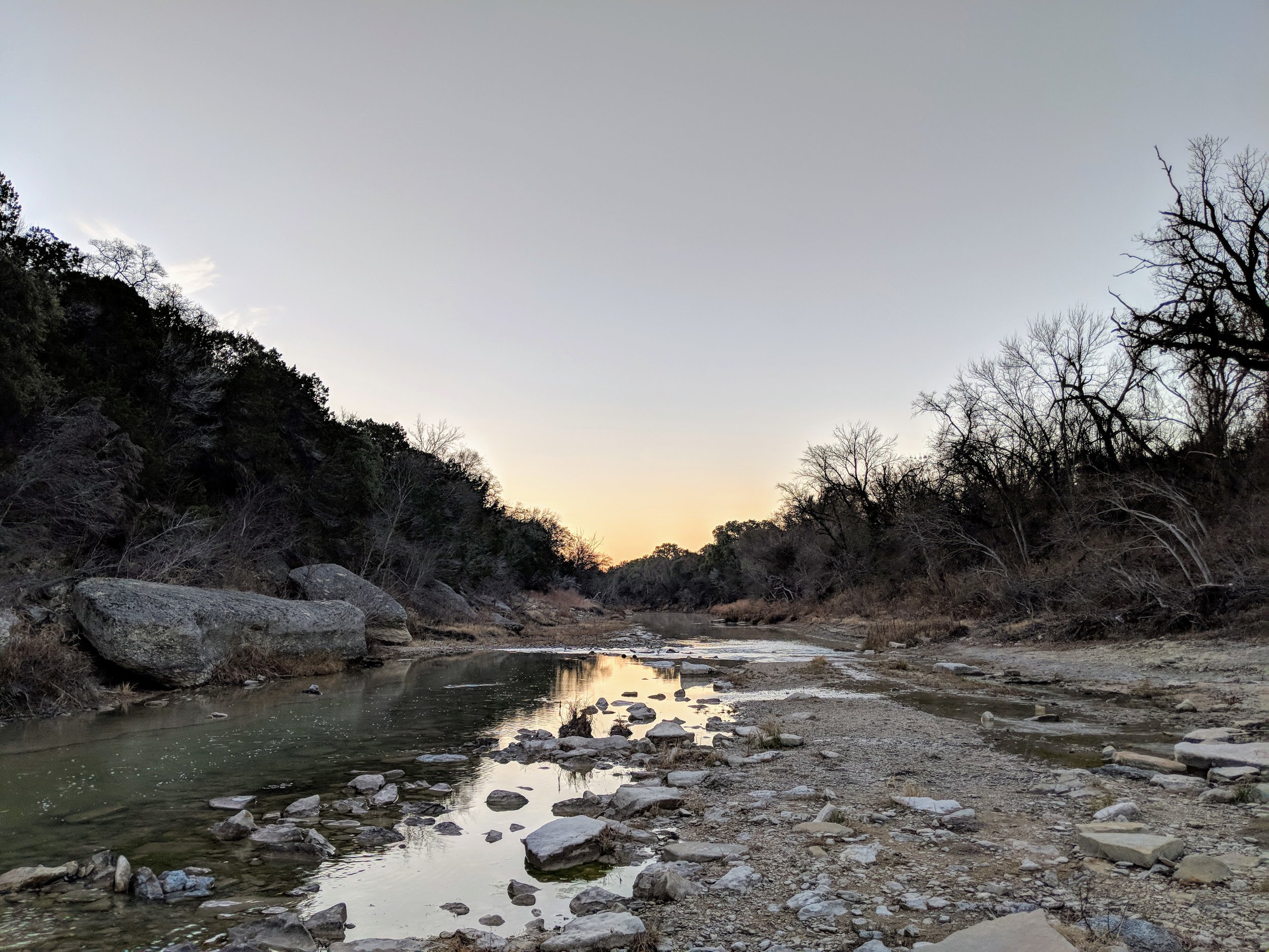
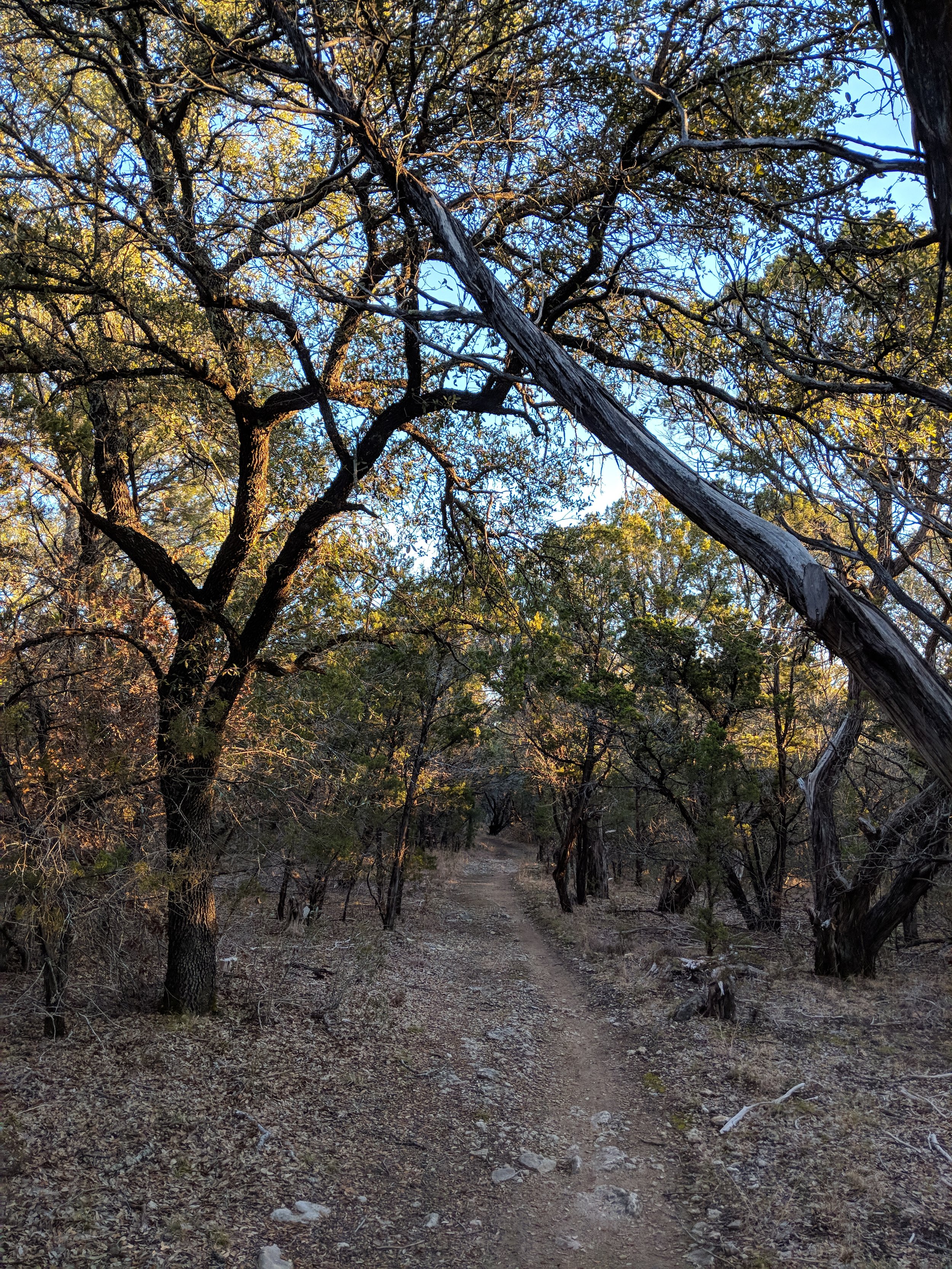
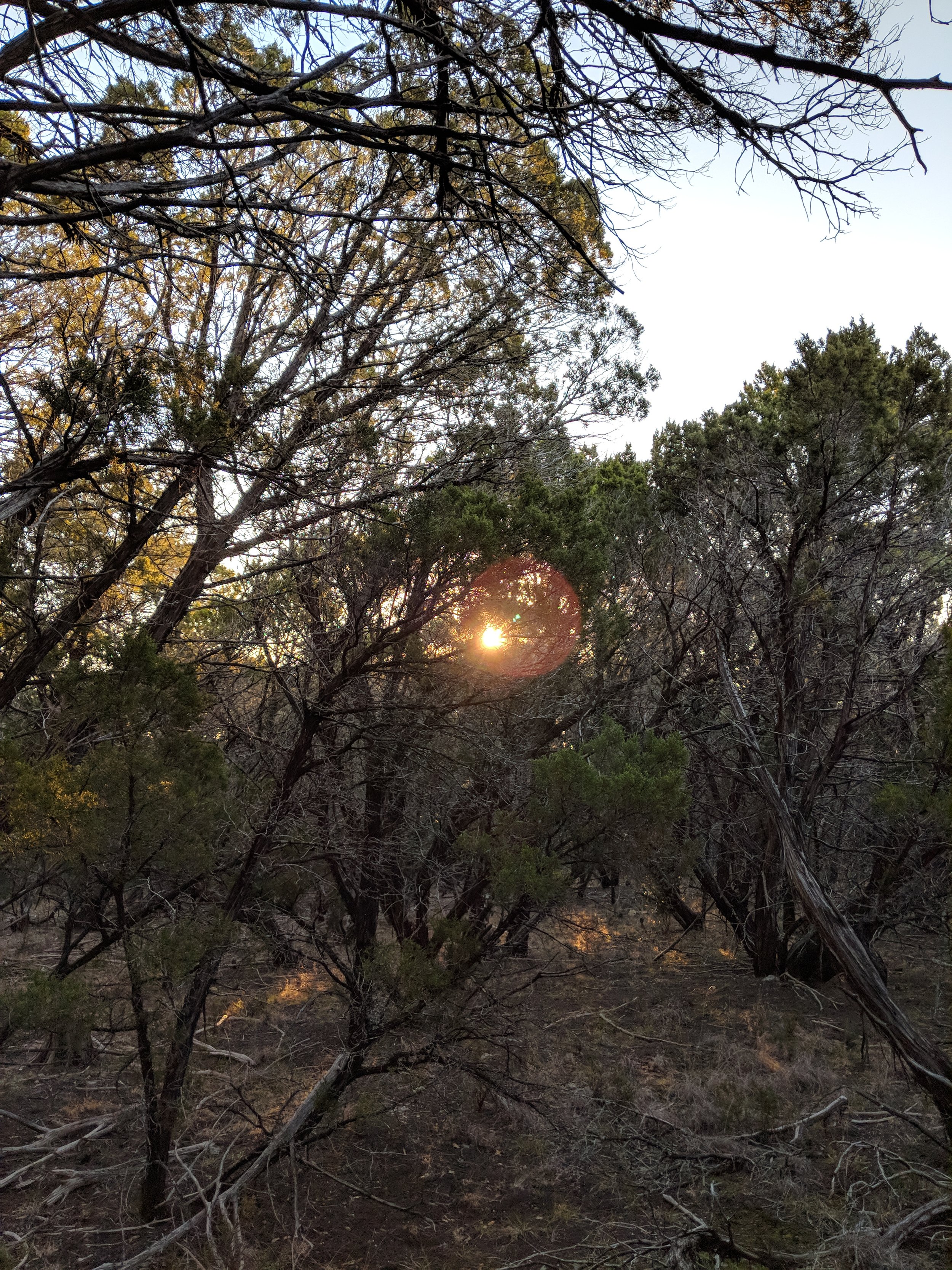
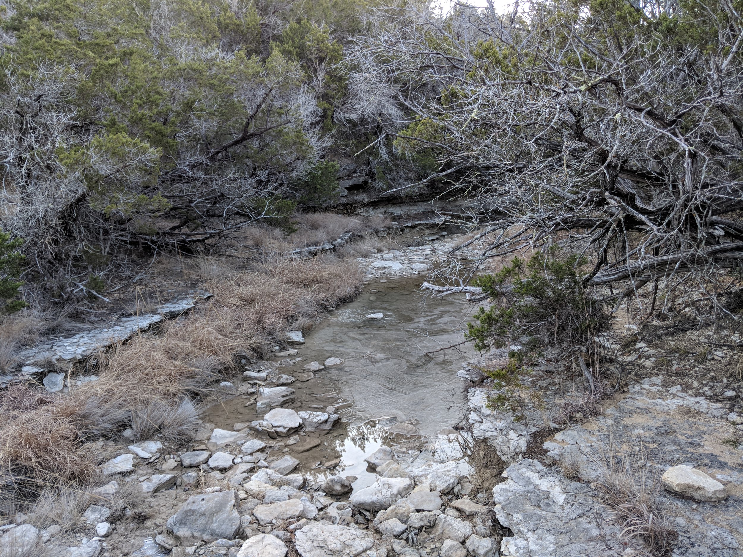
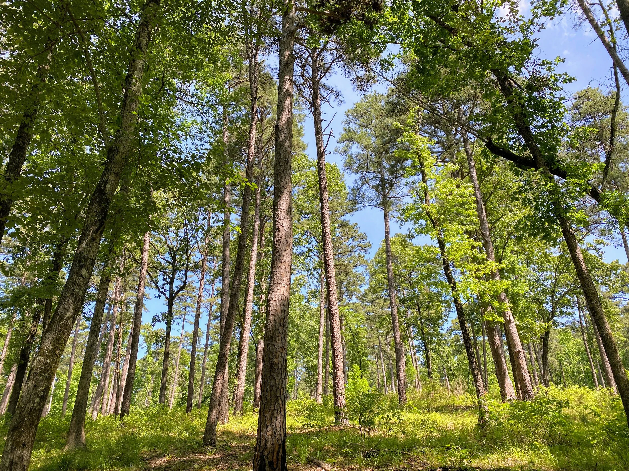
I arrived at the park early, before the staff arrived, and checked in. I left home in shorts, because it was nearly 40 degrees at home, but it was only 25 at the park so I had to change into the pants I brought along. I was the only car in the parking lot upon arrive, and was one of ten when I left. The crowds for this park don't usually show up until about 8-9 am, making early morning hikes fairly quiet and peaceful. I made it 7.5 miles in before seeing anyone, but then it was more people than I could count. For the first hike of the year, I wanted to "go big" with a longer hike. I visited this park four times last year and did the same few trails each visit so this hike was also about exploring a part of the park I hadn't hiked in 2017. Seeing new-to-me trails and the furthest corners of the park boundaries satisfied the need for a little adventure within.
I spent the majority of this hike reflecting on the hikes of 2017 and warming my hands. Like an idiot, I didn't really plan well for the temperatures, despite my constant preaching of preparedness. Halfway through the hike, I remembered having gloves in my pack and that was a great relief. As I warmed my hands, I pondered what worked well last year and what I need to adjust to make the 2018 hikes even better. Dinosaur Valley is becoming my new go-to park simply because I love the terrain and proximity to my family's home - can accomplish a visit and get a hike in. All in all, it was a challenging and robust start to my hikes for 2018.
Dinosaur Valley State Park Tidbits:
- almost all trails require crossing the Paluxy River - always check trail conditions on the park's Facebook page before heading out
- the park has varied terrain - be sure to check out the trail map for more information
- many trails are shaded, thought plenty have sunny portions so always bring enough water and wear sun protection
- tourist attractions such as dinosaur track viewing areas and other dinosaur related businesses outside park boundaries exist for family fun before or after your hike
- crowds are limited in cooler months, and earlier in the morning - I always try to get there around 7 am to enjoy some solitude
Here are some photos from the hike, enjoy and happy hiking!