

#hike22 - Barton Creek Greenbelt
Date: June 30, 2018
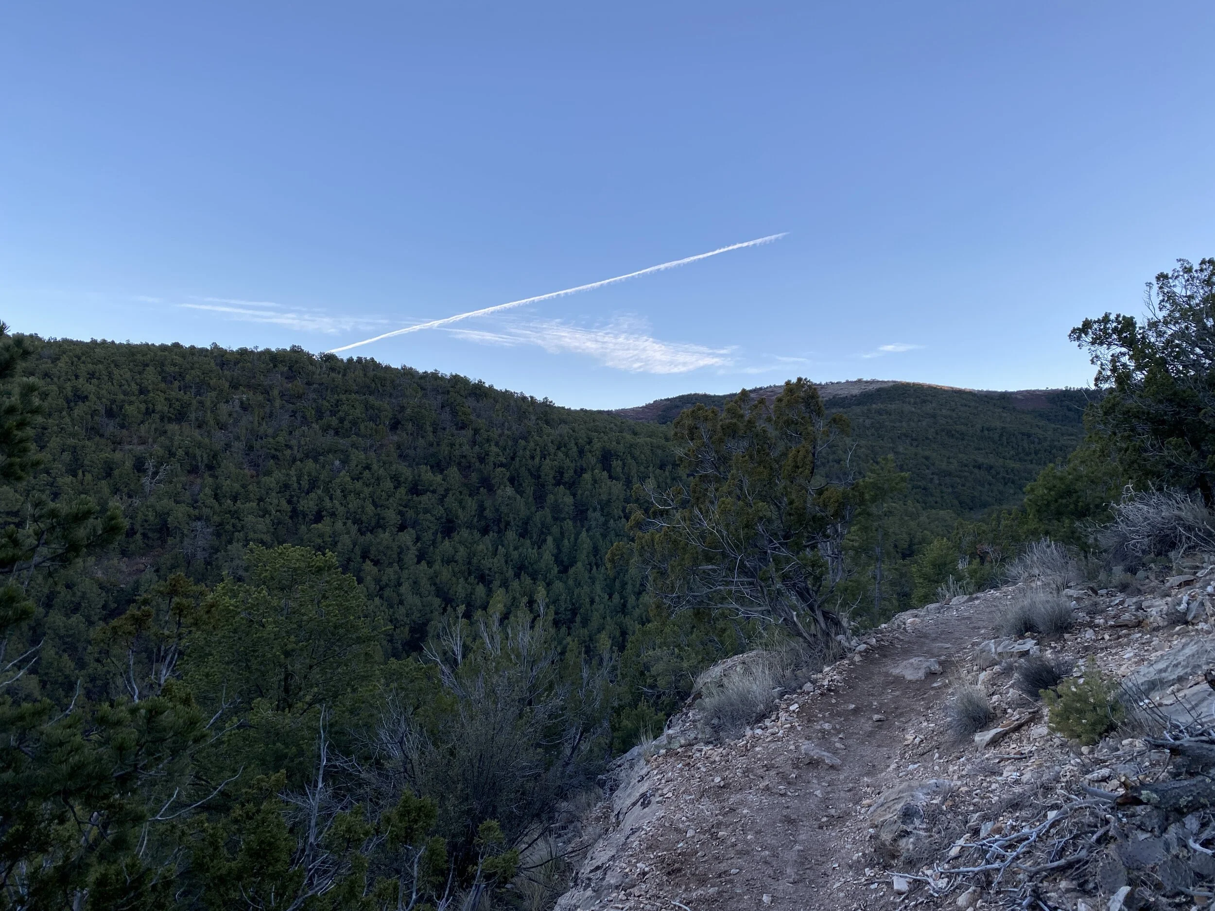
Location: Barton Creek Greenbelt - Austin, TX
Distance: 5.75 miles
Trails: From the MoPac to Hill of Life & back
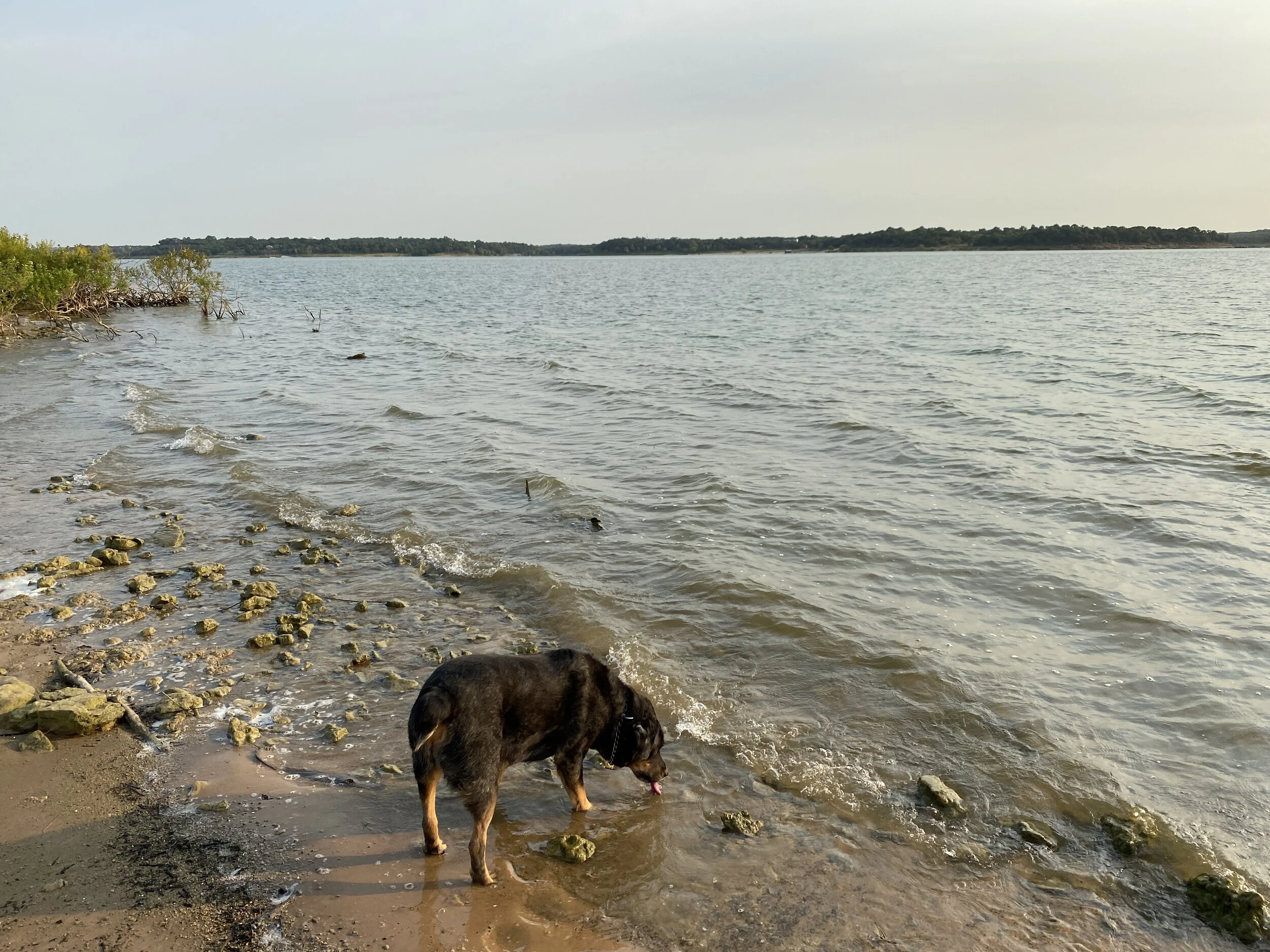
It was a humid hike, but so refreshing regardless. I started out counting dogs, people, and bikes but gave up after I reached the Hill of Life. I started at about 7:15 am, with few people and quickly ran into everyone after 8 am at my midpoint. It was a popular trail, but everyone was very friendly and smiley and I just enjoyed it. I got a good feeling on this trail - something I've been longing for - and I am doing my best to be that outgoing-smiley person wherever I go. I know, not every day/every hike/every run/etc is easy or fun, but interacting with people in a positive way can be as simple as smiling, waving, nodding, or saying hello.
The trail was downhill at first, eventually followed along at creek level - which was bone dry, then transitioned into the Hill of Life - which was a LONG, steep hill that should have been called the Hill of Death. Many people were using the hill for training - either walking, running, or biking - I was simply trying not to pass out. My legs went jelly about 3/4 of the way up, so I went back down. On my hike back to my car, I followed a family that was out for a hike together. Seeing an entire family doing something together was encouraging and something I hope to see more frequently.
I was thankful for shade, a partly cloudy sky, and the humidity melting away as the morning moved forward. If you're in Austin, check out the various parts of the greenbelt and happy trails.
Recap: Plenty of cute and REALLY cute dogs, nice people, and plenty of shade.

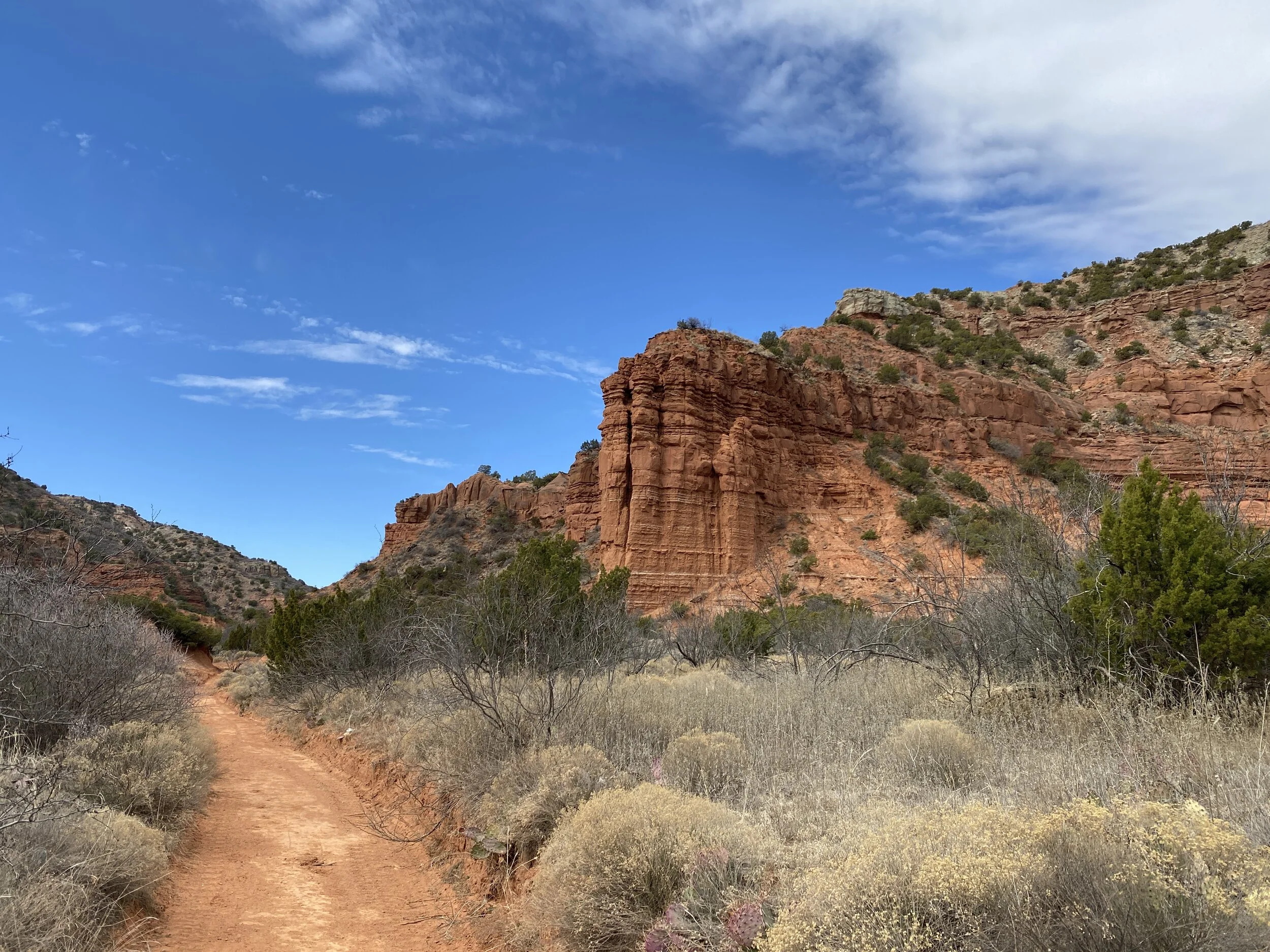
#hike12 - Olympic National Park (inland hikes)
Date: March 30, 2018/April 1, 2018
Location: Olympic National Park - Washington
Distance: 8 miles
Trails: Marymere Falls, Mt. Storm King, Sol Duc, Maple Glade, Hall of Mosses
WHAT A HIKE. Hike 12 encompassed several trails from my weekend away on the Olympic Peninsula in Northwest Washington. For this, I'm taking all the little hikes I did over two days and counting them as one for record keeping purposes, as many were at just about a mile. It's amazing - as I look back at previous hikes, they were longer but much less impressive. A mile on the Olympic can blow your mind.
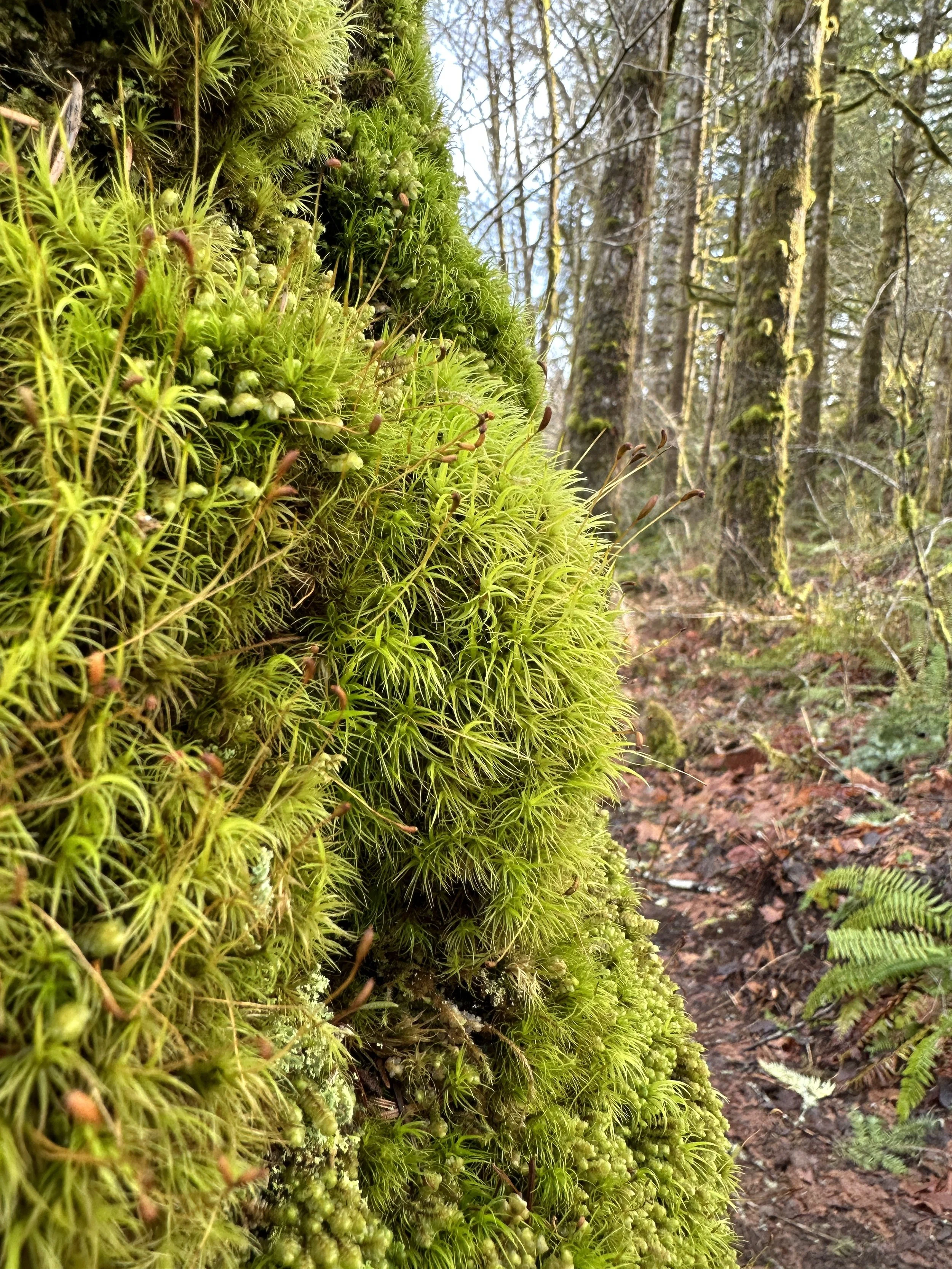
Marymere Falls: This trail started at the Storm King Ranger Station and goes through a tunnel, under US-101, and follows the river back to a couple of bridges and some stairs to a waterfall viewing area. The sound of rushing water, the bright green undergrowth, and the moss covered logs all accompany you along the path. Take your time, take it all in.
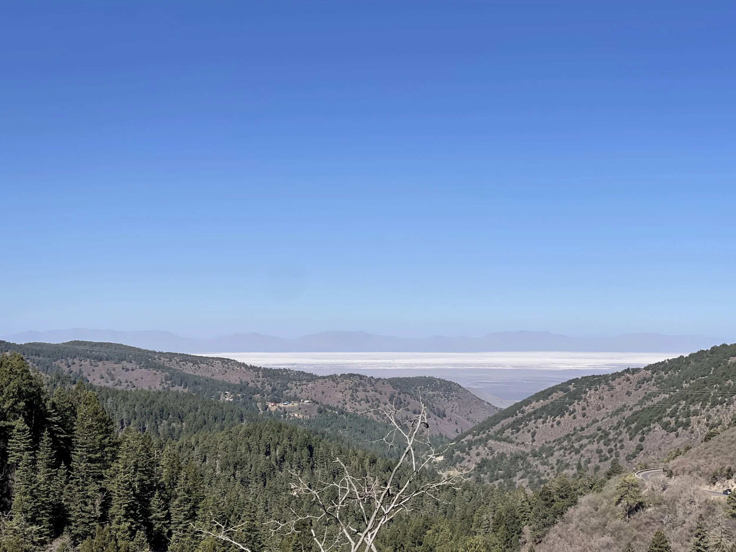
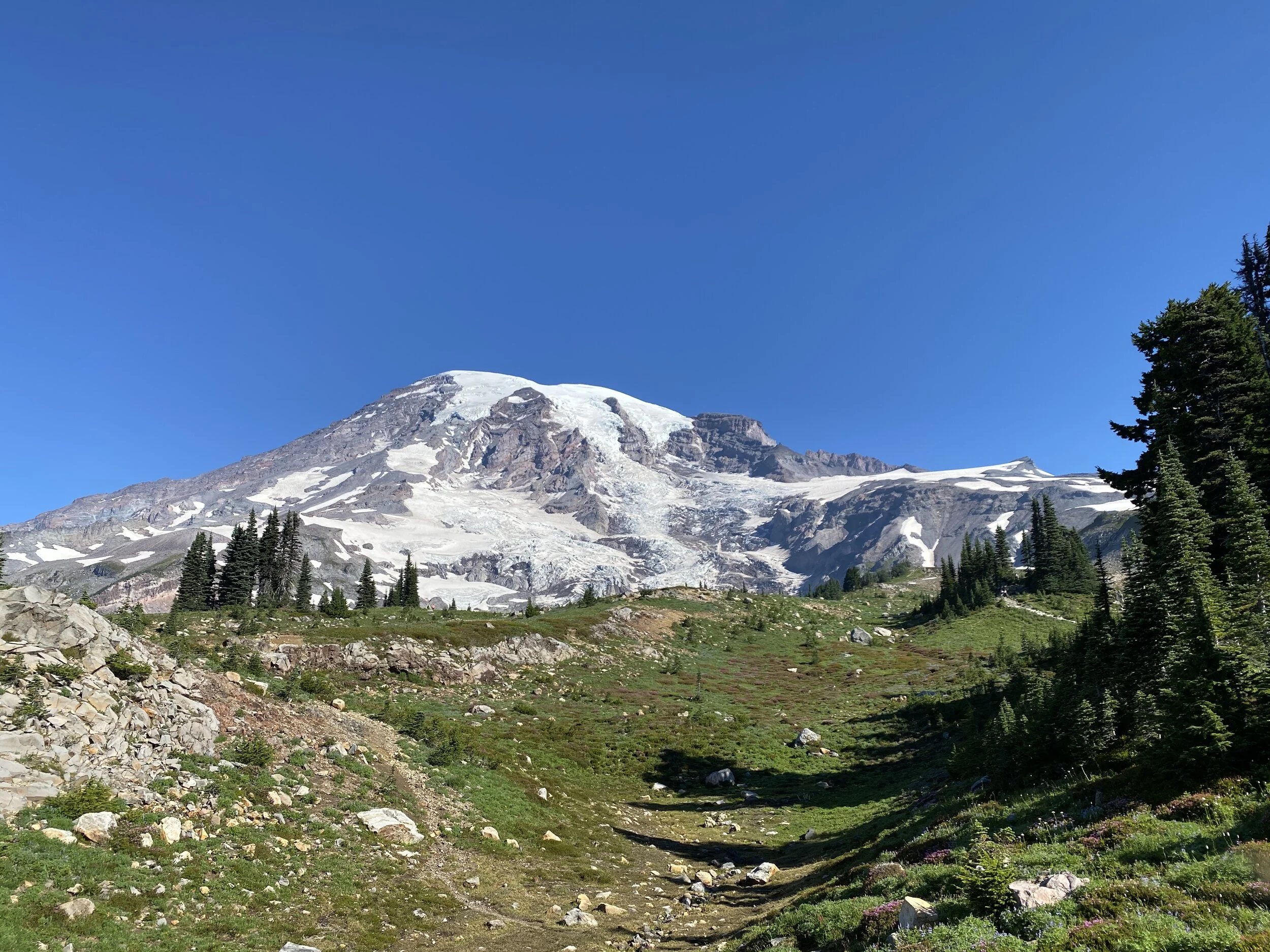
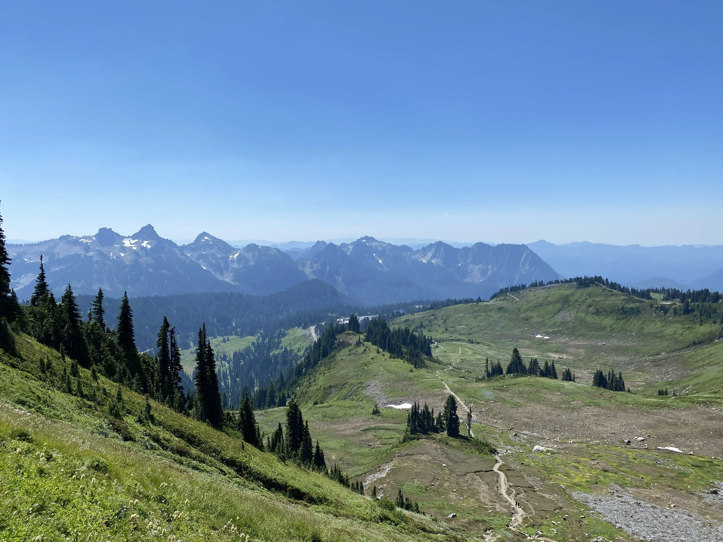
Mt. Storm King: This trail branches off of the Marymere Falls path and goes straight up! I climbed about 17-1800 feet in 1.4 miles, and I didn't make it to the very top due to wind and lack of confidence. BUT, I did make it up past the marked trail and had excellent views. If you don't mind heights or just love hills, this is the trail for you. It begins with sweeping switchbacks and transitions to more straightforward and steep trails.
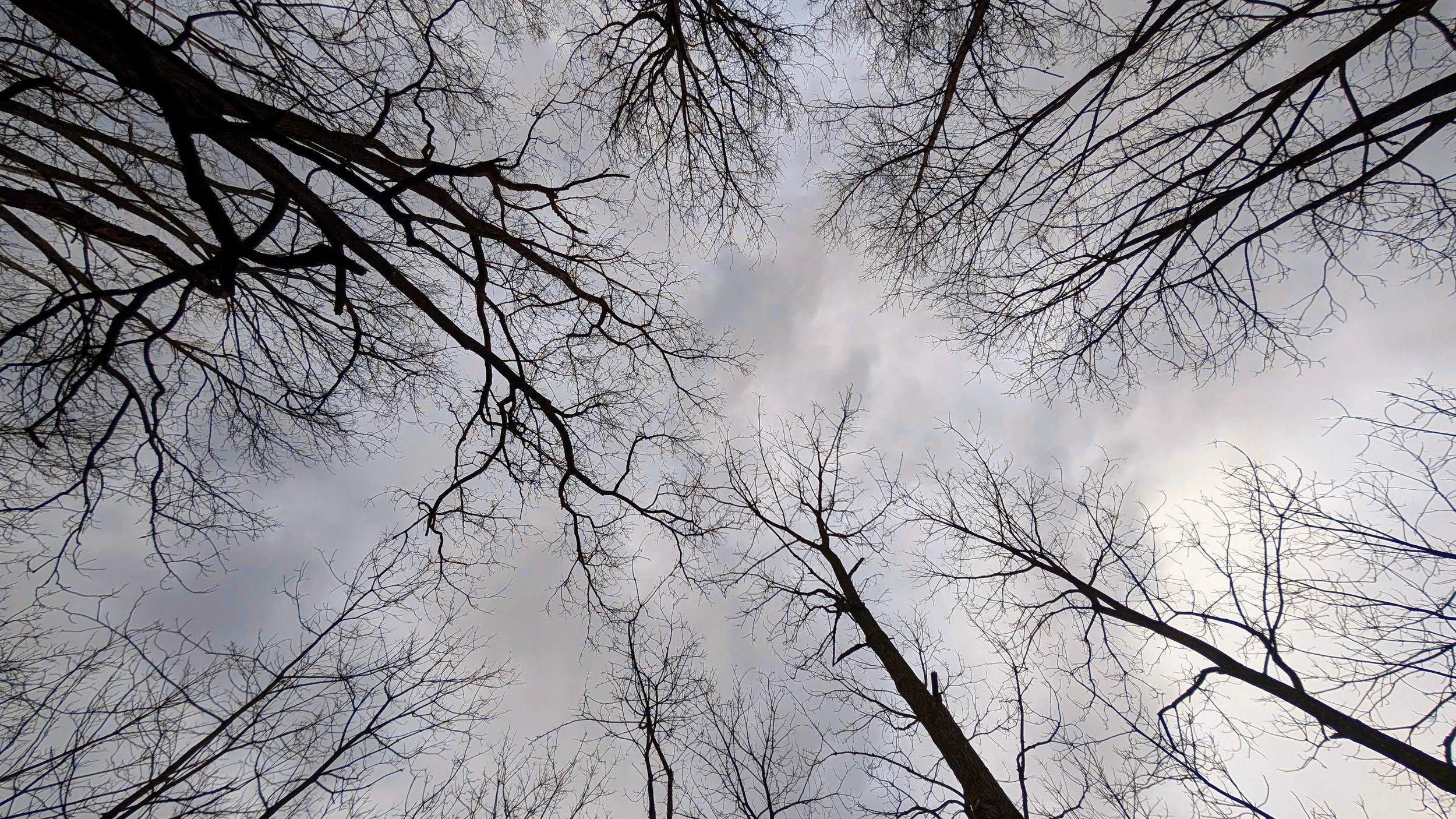
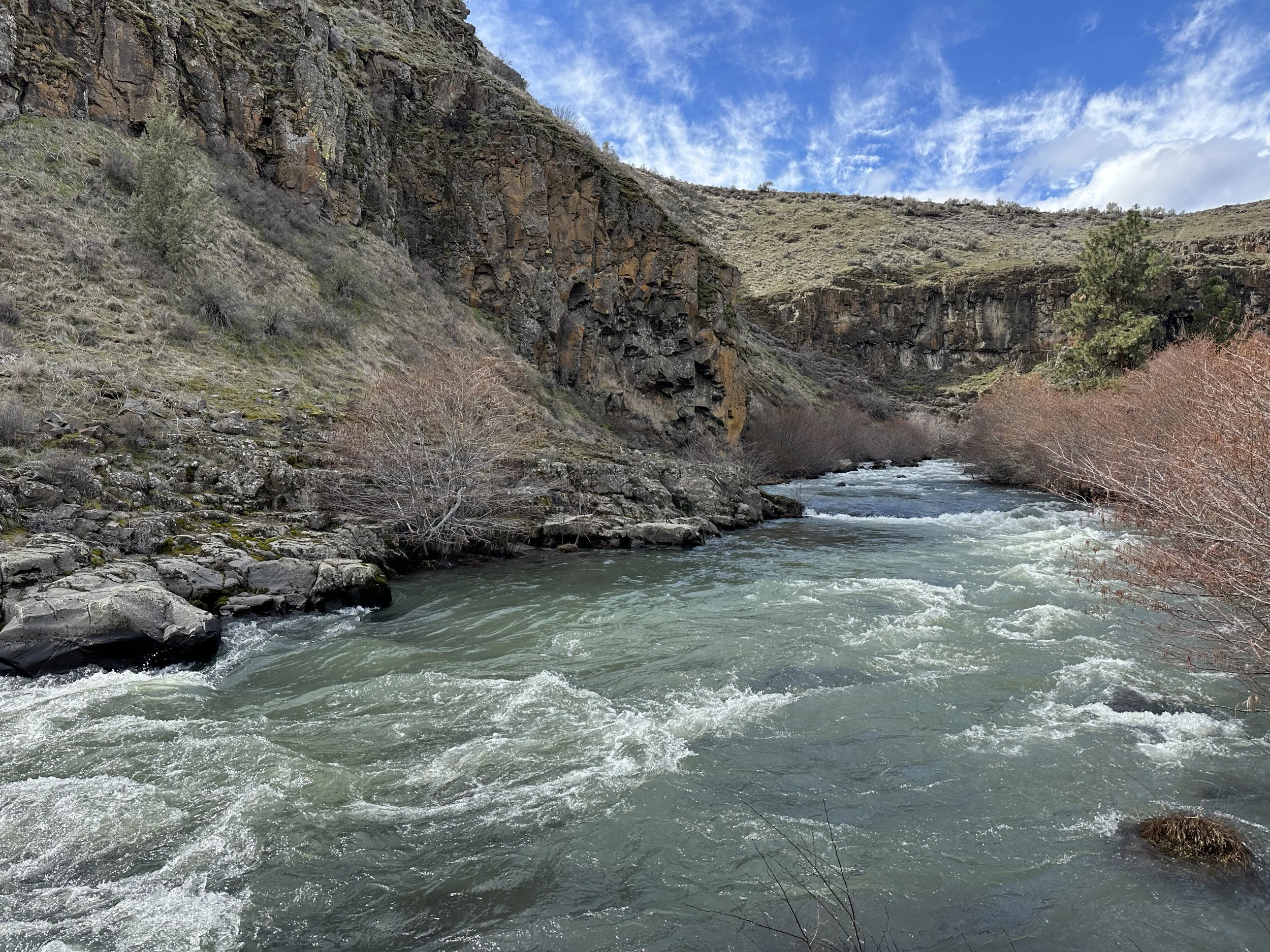
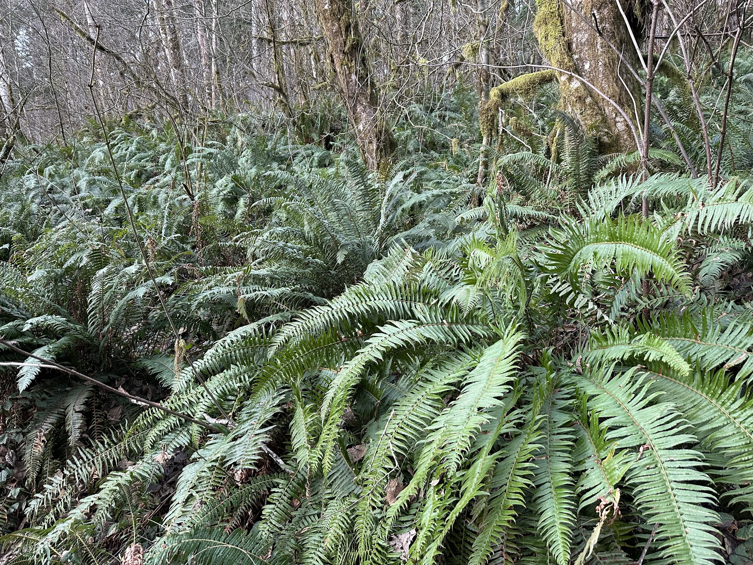
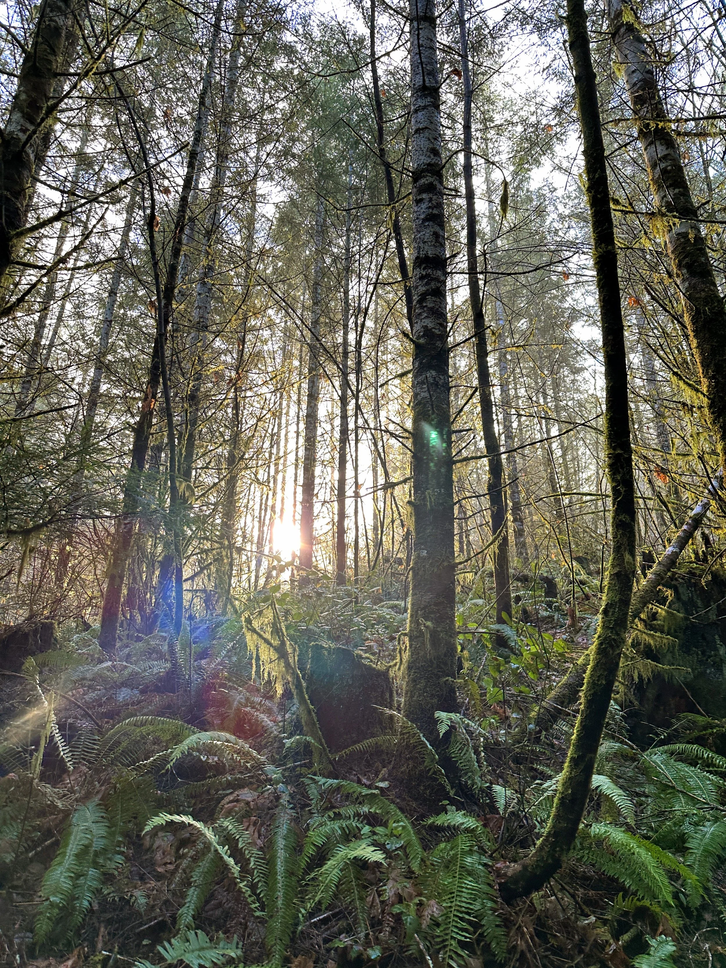
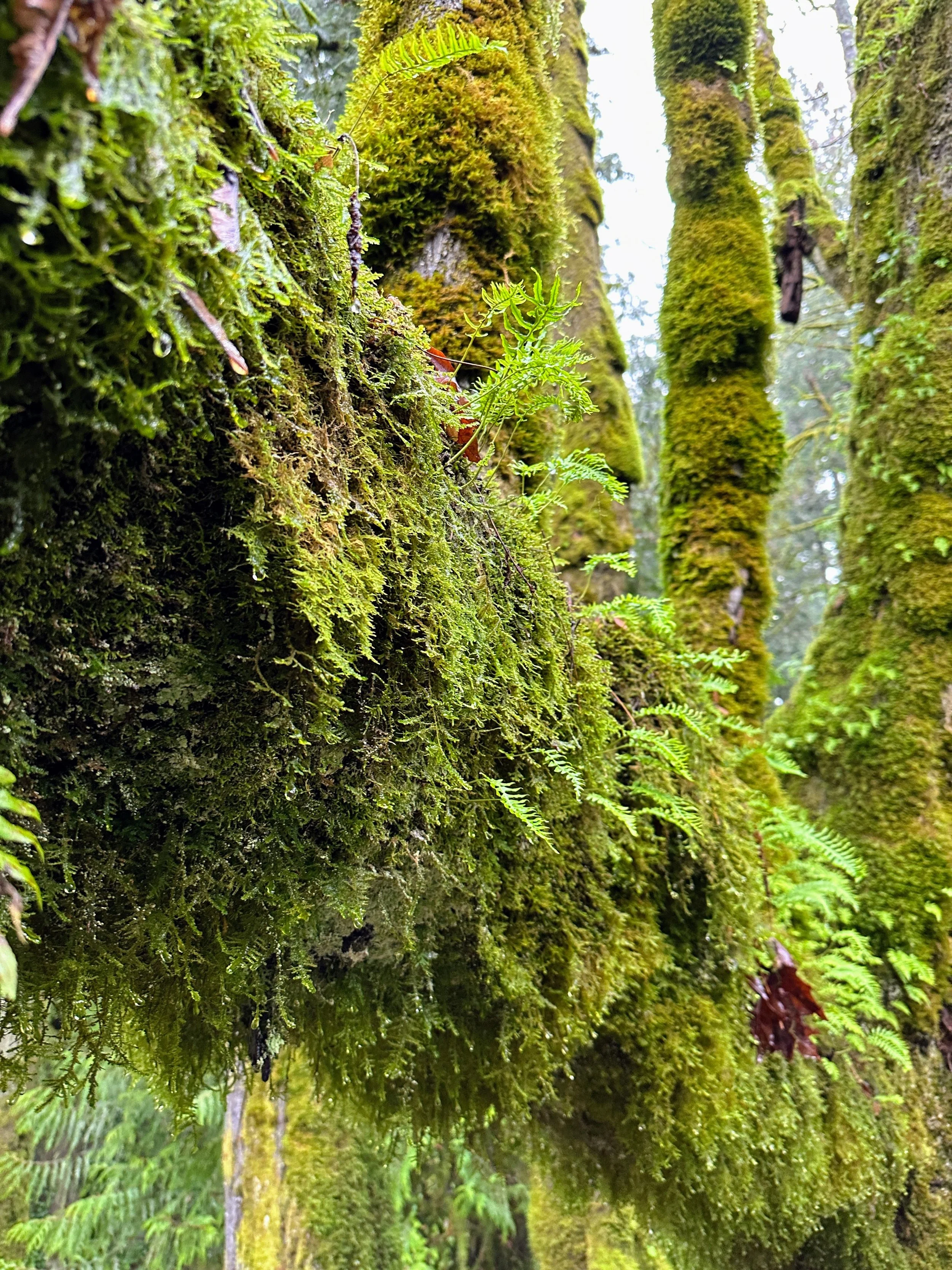
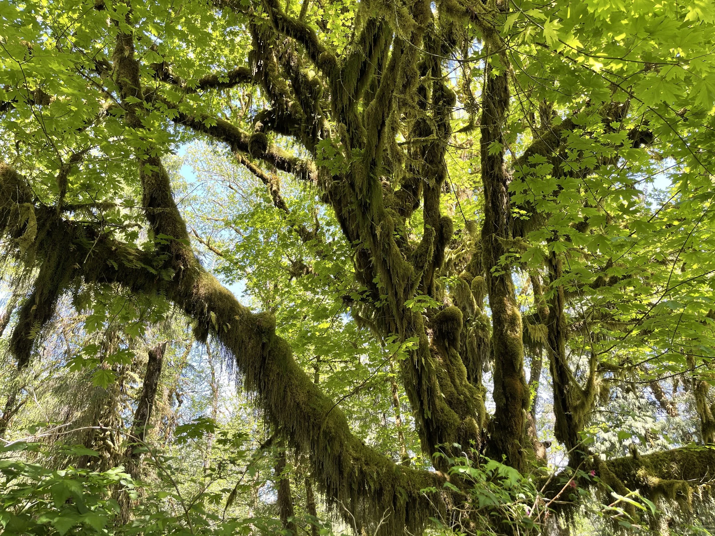
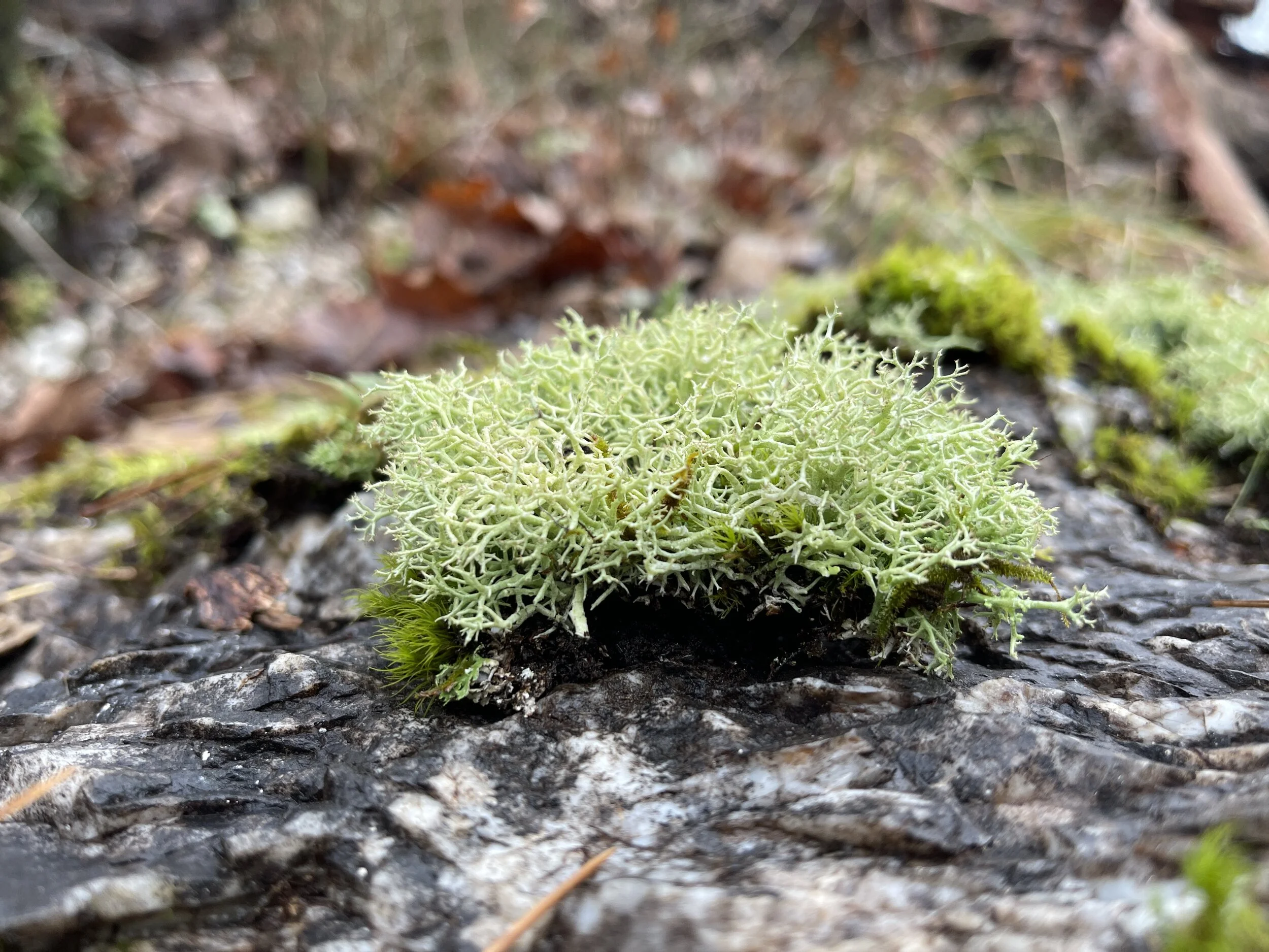
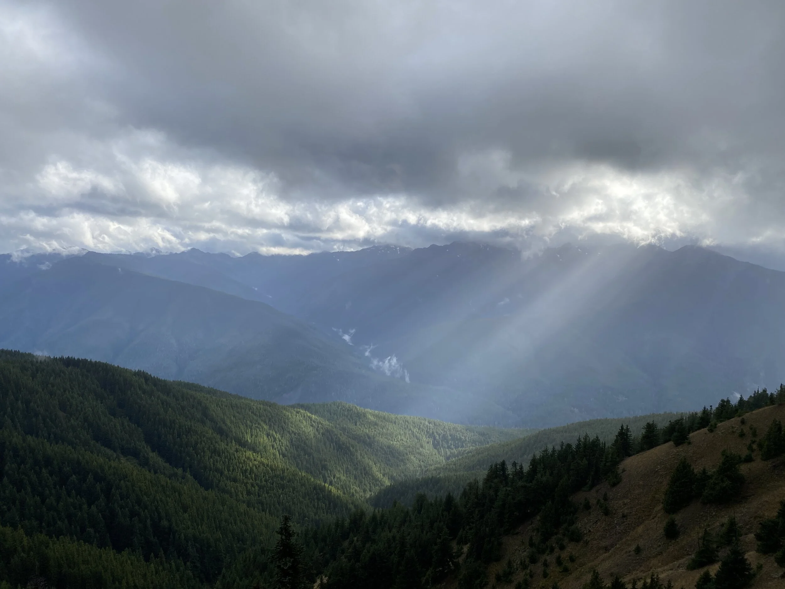
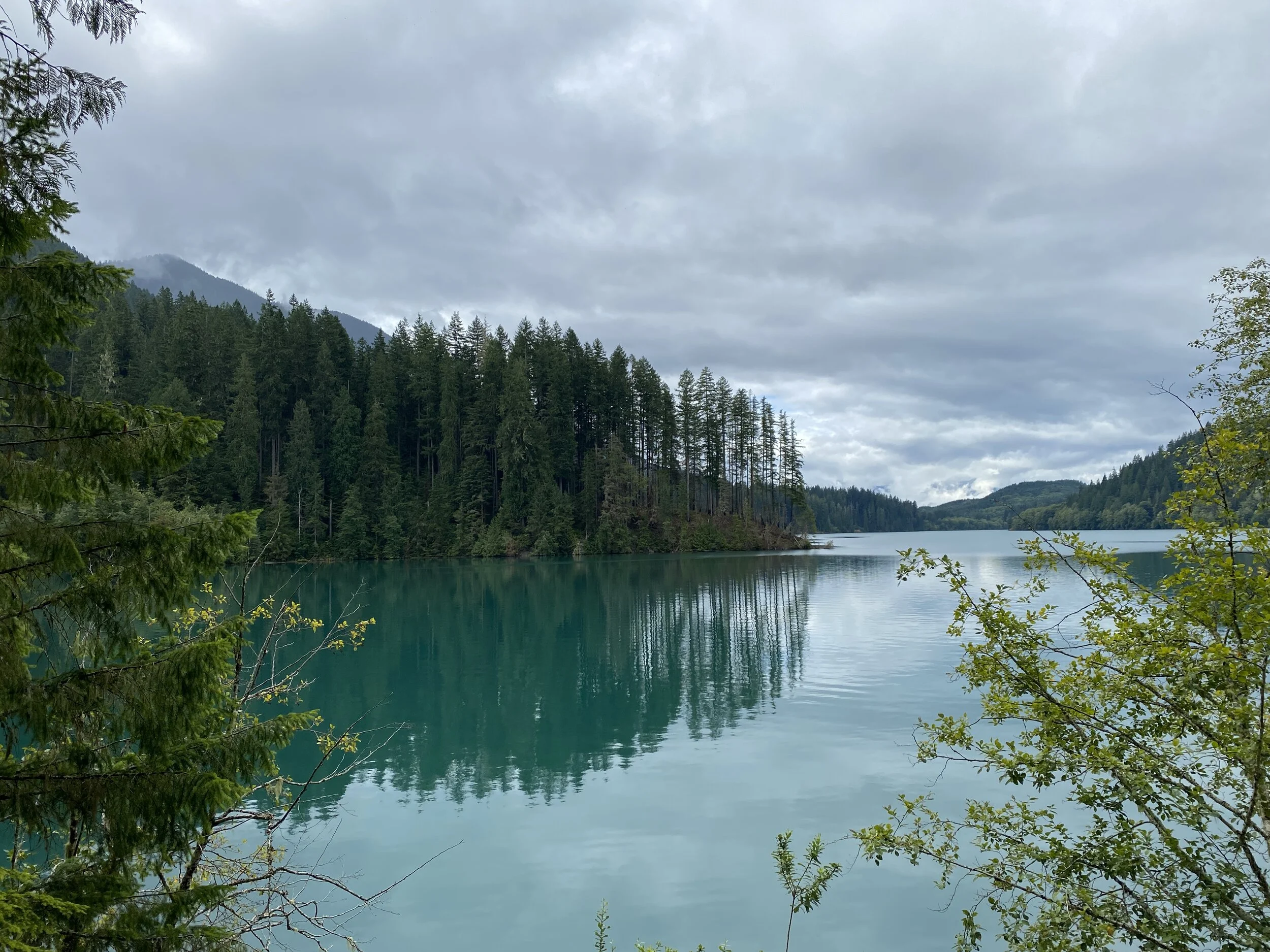
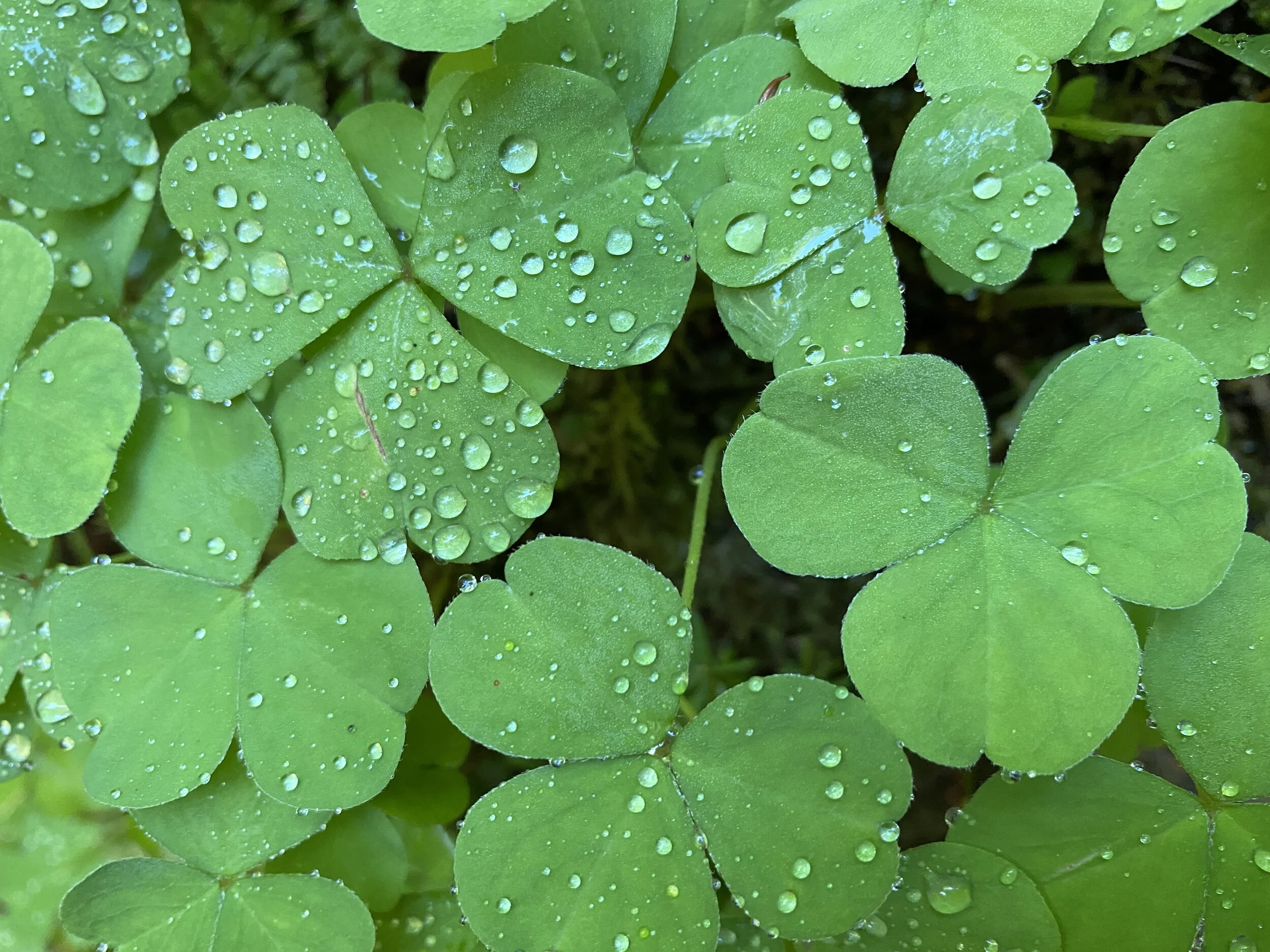
Sol Duc, Hall of Mosses, and Maple Glade: These trails are rainforest hikes! The Quinault Rainforest area houses the Maple Glade and by far my favorite.
Trail to Sol Duc Falls
Tree growing out of a tree - Quinault Rainforest North Shore
Maple Glade - Quinault Rainforest
Mossy limbs in the Hoh Rainforest
Some vegetation contrast - Quinault Rainforest
The time spent in these areas was magical. I have never felt so grounded and free-spirited all at once. If you get a chance to hike in the Pacific Northwest, DO IT! Sending everyone happy trails ahead.

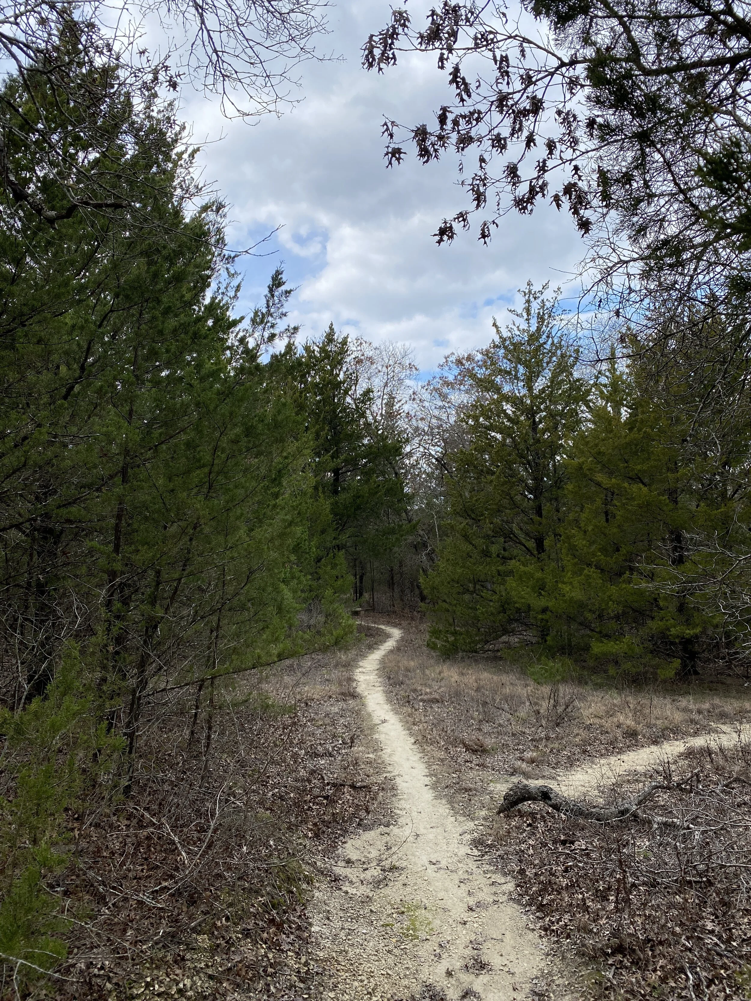
#hike2 - Tyler State Park
Date: January 13, 2018
Location: Tyler State Park - Tyler, TX
Distance: 8.41 miles
Trails: B, C, and D Loops
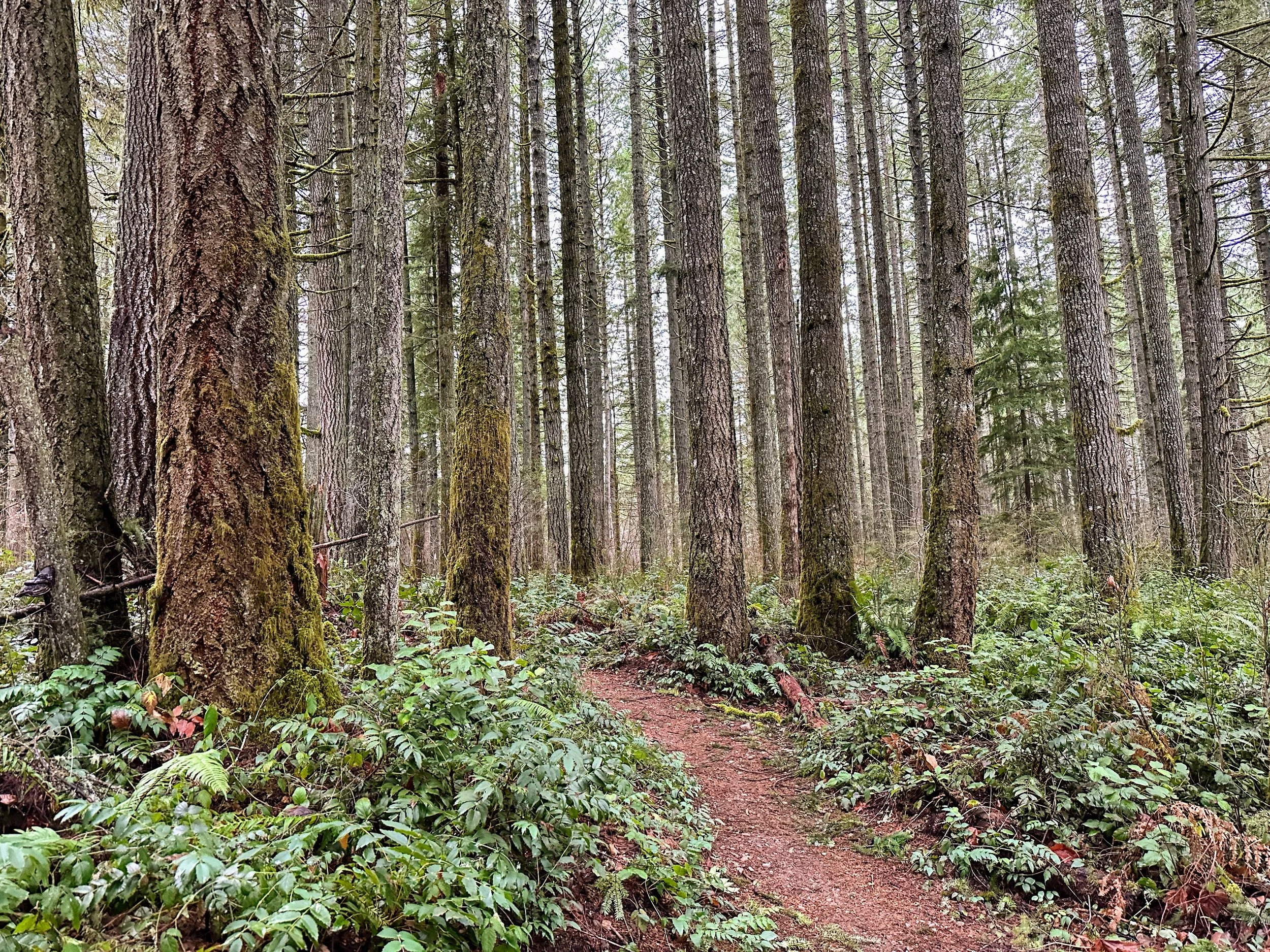
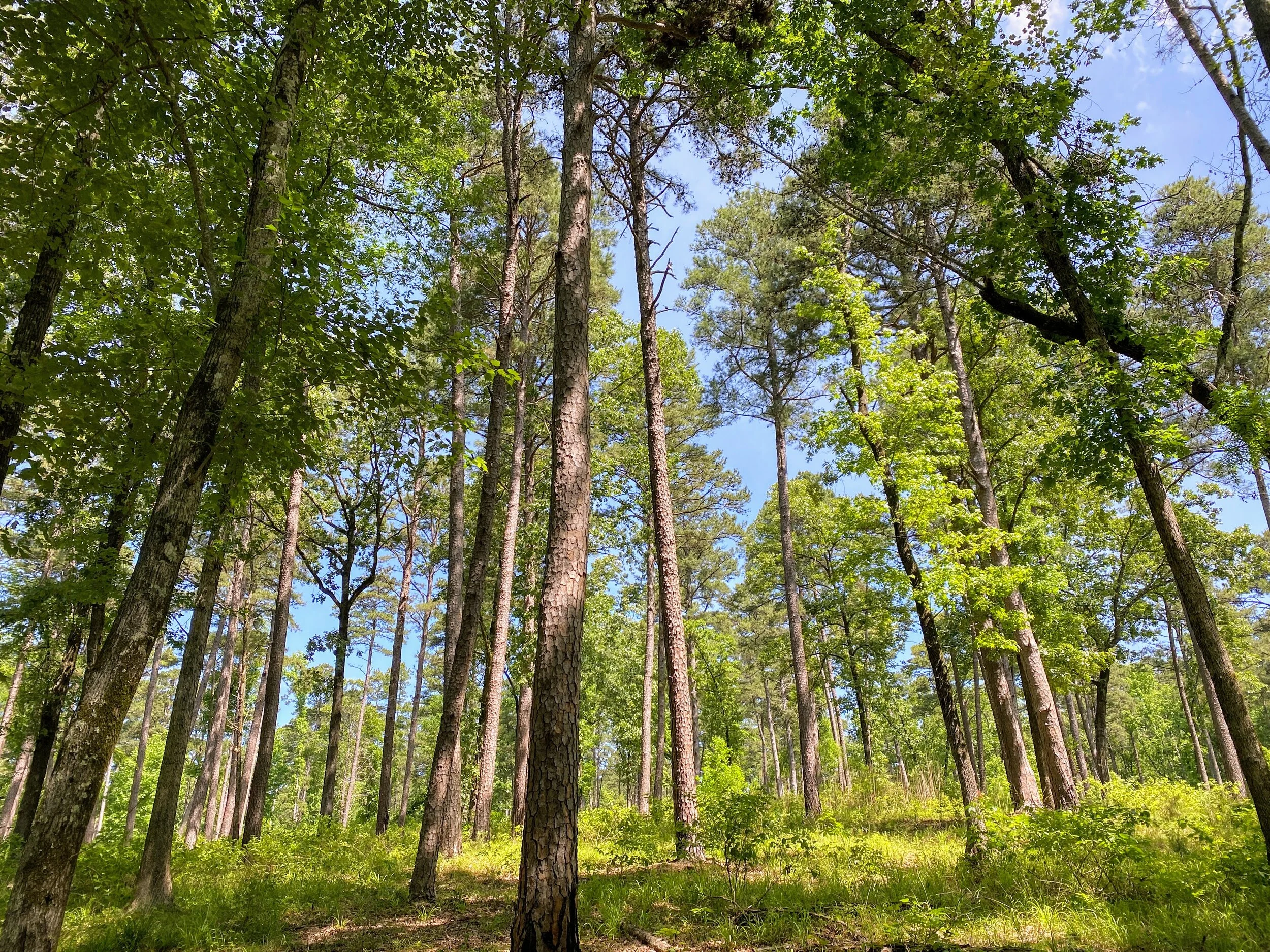
This morning was not agreeing with me, and I'm a morning person, but I finally hit the road about 8AM and made it to the park about 10AM. I parked in the lot where the mountain bikers park, loaded up, and headed out. To get to Loop B, you start on Loop A which is the designated mountain bike track. I started down the trails on the east side, which weaves through the woods and takes you back towards the north end of the park.
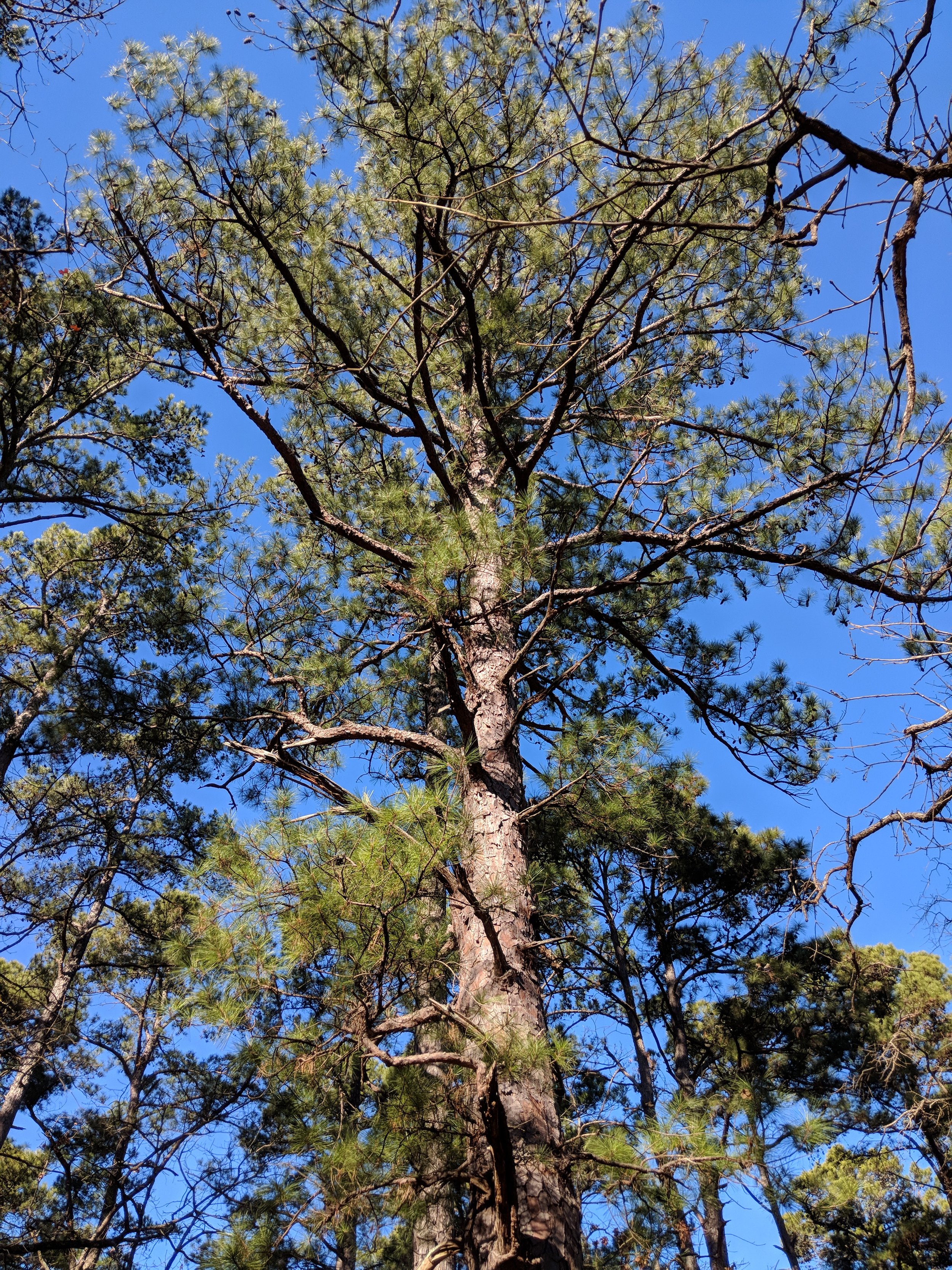
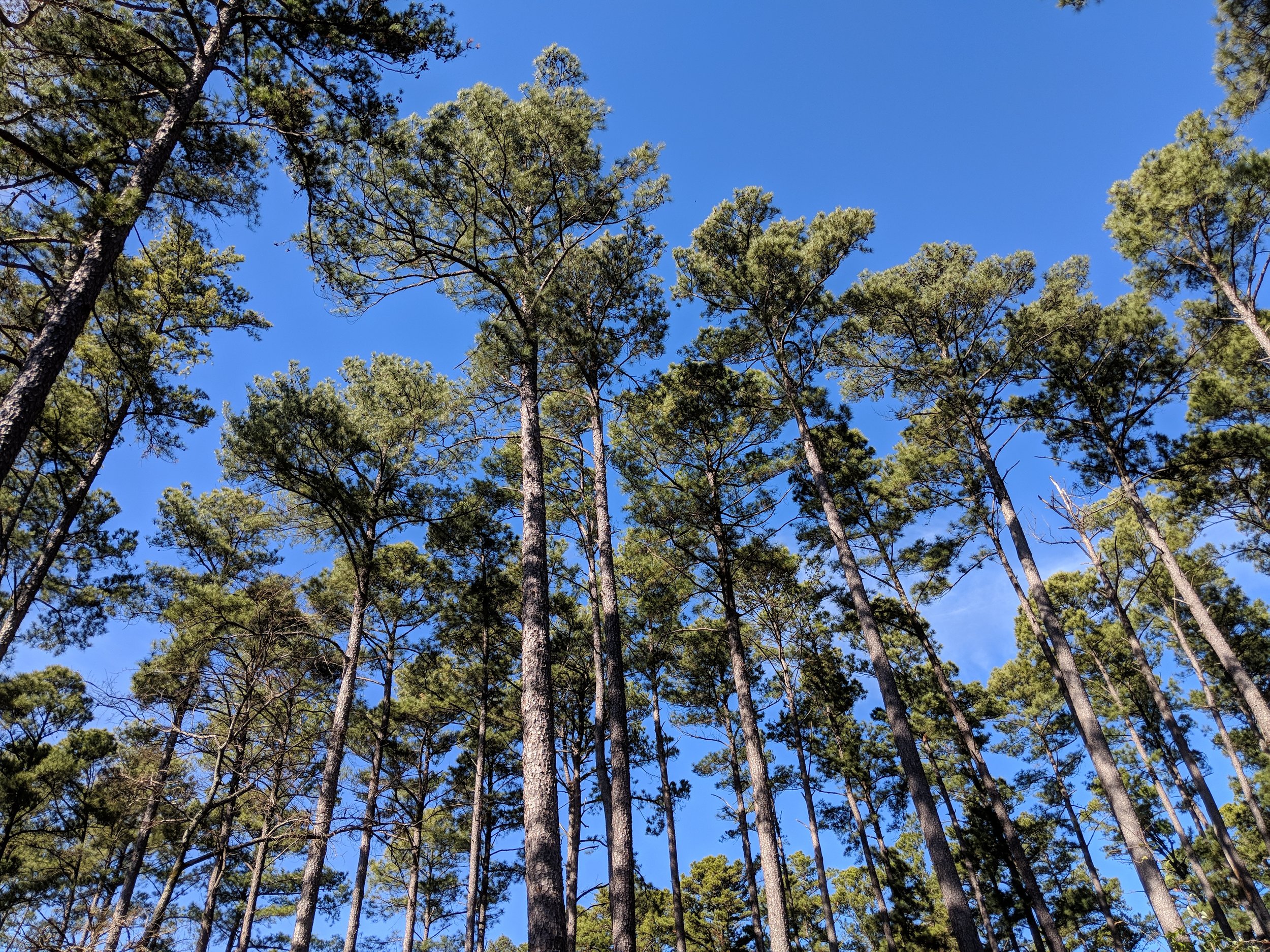
Loop B felt like the longest trail, it probably was, with Loop C being the shortest. Loop D was the most interesting as far as terrain, and was somewhere around 2.1 miles. Loop C had a few issues with trail marking, so I did a little backtracking but eventually made it to the right path. All paths went through the woods which consisted of mostly pine and oak and weaved through ravines. There were several creek crossings, all with footbridges or something man-made to assist.
Tyler State Park Tidbits:
- There are a lot of trails to take on and they're all pretty well marked with Loop C being the only area I had a little difficulty finding any marking or beaten down path
- The trails I did are for hiking and biking and offer plenty of space to get out of the way of one another.
- I went on a Saturday morning and I was surprised it wasn't very busy - could have been the colder weather?
- The pines are gorgeous and regal blanketing the trails helping you stay quieter to take it all in even more.
Walking through the pines made me feel like I was in Michigan. I found myself stopping, looking up while listening to the wind through the needles the way I would near Lake Huron or Lake Michigan. The woods was very quiet, with few people and outside noises, making it an ideal hike for pondering things. If it weren't for the yucca (or whatever it is) that grows in the sunlight, I would have never known I was still in Texas. Enjoy a few photos from the hike and happy hiking to you!


#52hikechallenge2017 - Looking back and moving forward
Happy New Year. It's 2018, and that means at least 52 more hikes from me. I finished the final three hikes of 2017 sick as a dog, and the final two in the bitter cold of a harsh winter in Northern Michigan. I'm alive, still sick, but working on the plans for the next 52. Here are a few stats from 2017:
Total mileage: about 212
Solo hikes: 19 (which means 33 were with other people)
Canine companion hikes: 25
Unique locations: 29
Number of hikes I truly enjoyed: 46
Number of States (including my own): 9
Number of NPS Units: 4
Number of State Parks: 10
The few hikes I didn't enjoy were most likely due to trails/parks being closed, having a busy weekend, the infrequent feeling that this was more of an obligation than fun, and/or plain old laziness. The mission of this challenge was to get me out on a trail and to encourage me to find new places - which it did. I have a new understanding of the natural areas in Dallas-Fort Worth, as well as the State of Texas that makes living here much more tolerable.
Looking forward to 2018 and the hikes ahead, I want to increase my total mileage and explore a bit more out of my comfort zone. I'm going to shoot for 400 miles in hopes of getting there, but I will not beat myself up for anything above 300. Currently, I'm making plans to find longer trails and/or places with more trails so I can get an average of 5-7 miles per outing. I am looking forward to expanding my knowledge of parks in Texas as well as the surrounding states like New Mexico, Oklahoma, and Arkansas. I'm hopeful for trips to Washington, Alaska, and Michigan. I'd love to include Utah again as well as California and Oregon, but we'll see as the year unfolds how funding and timing go.
Here's to the new year, new trails, and new experiences all over again.