#hike24 - Skyline Trail (Mt. Rainier NP)

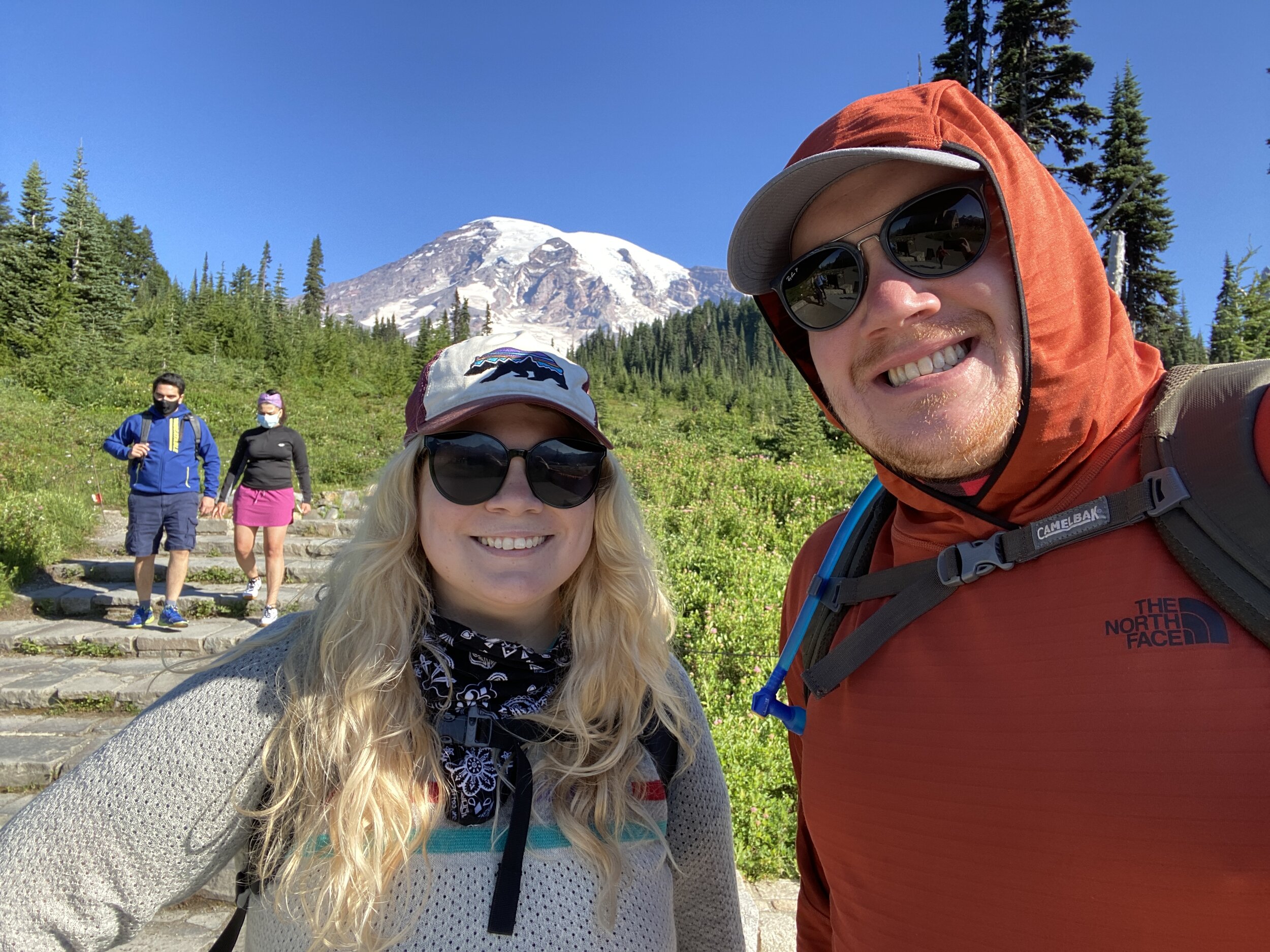
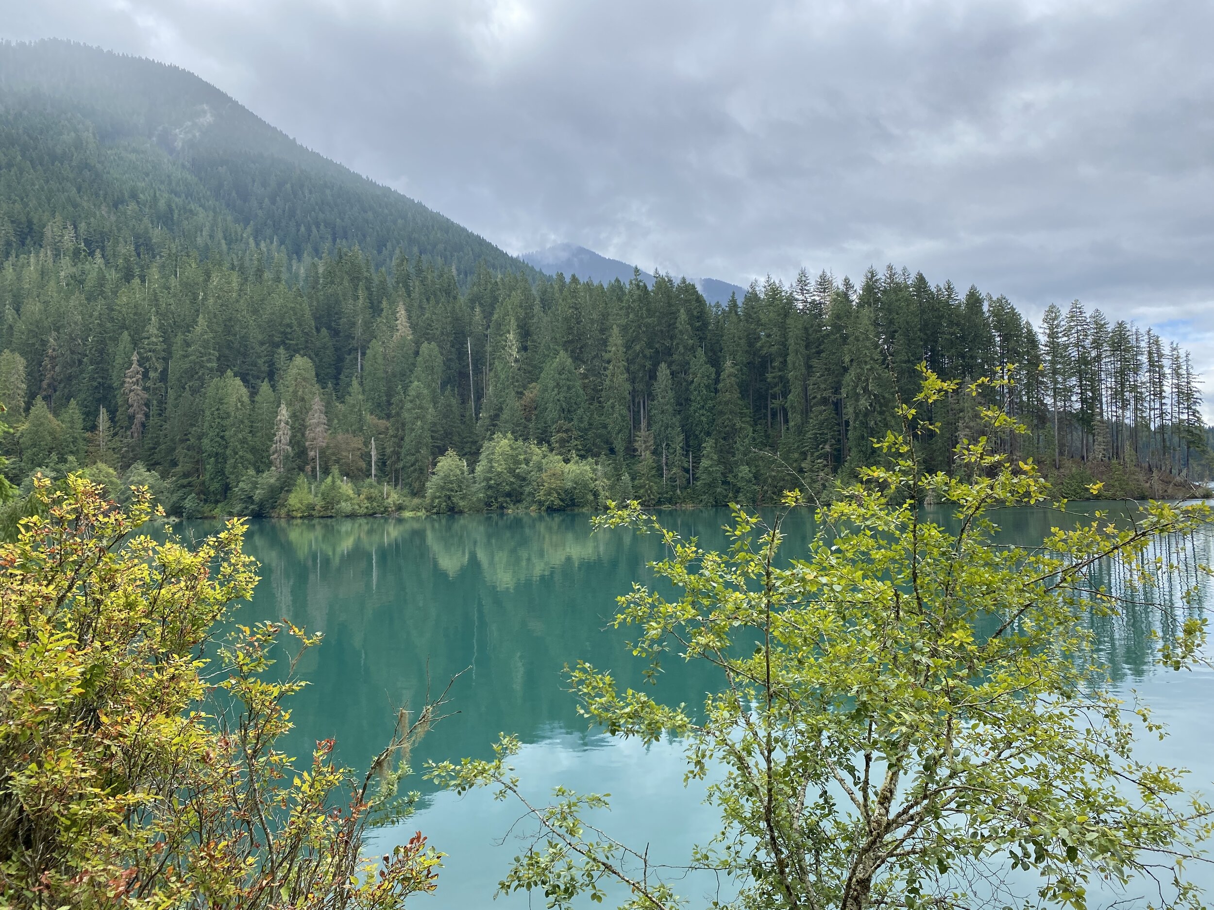
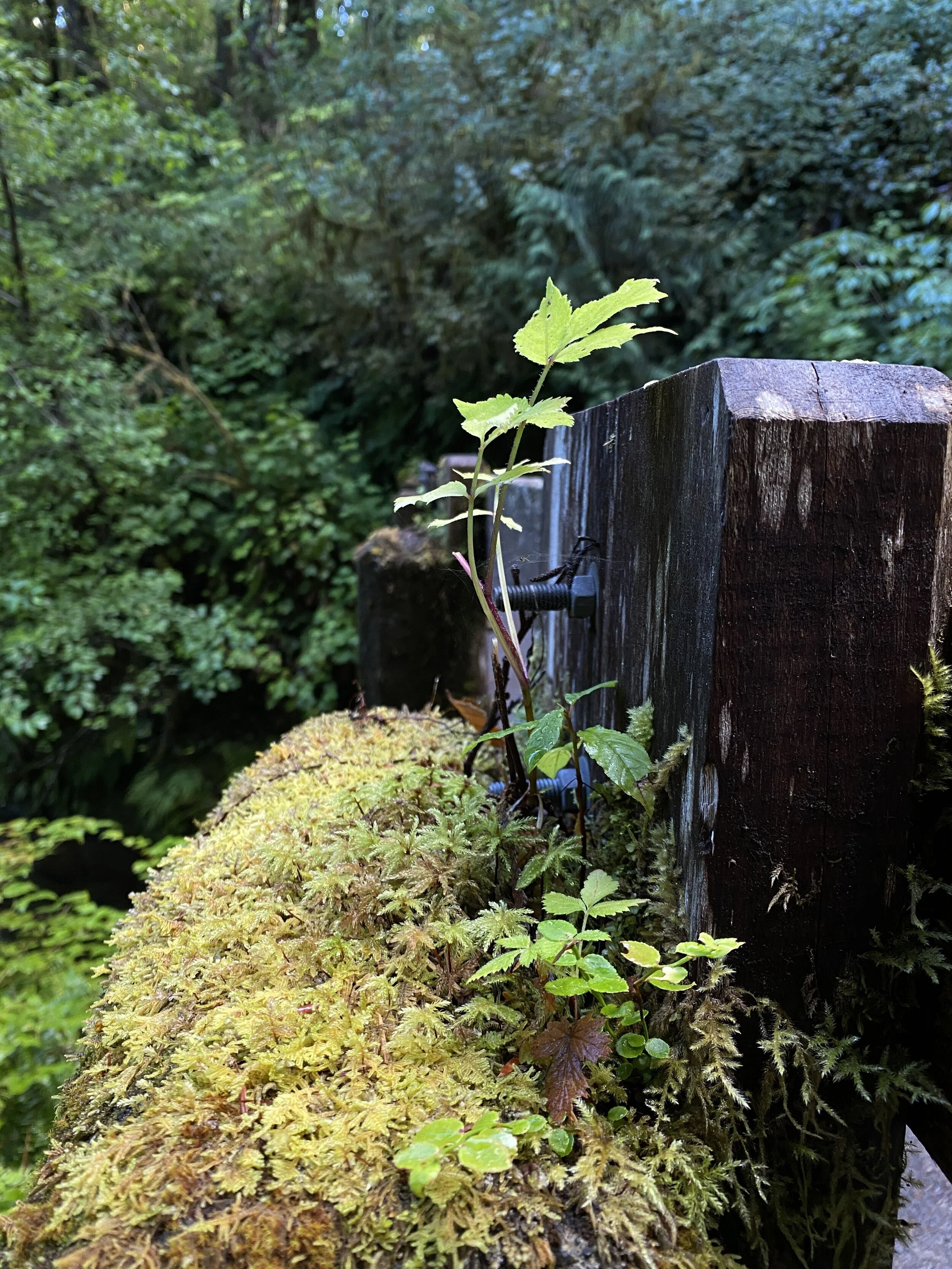
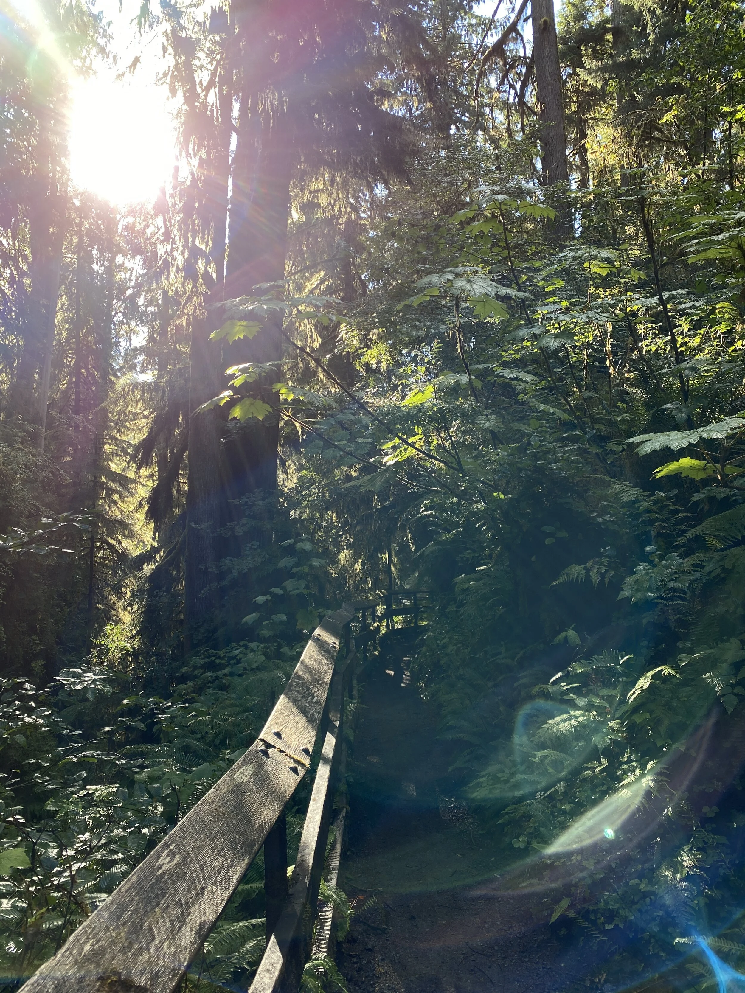
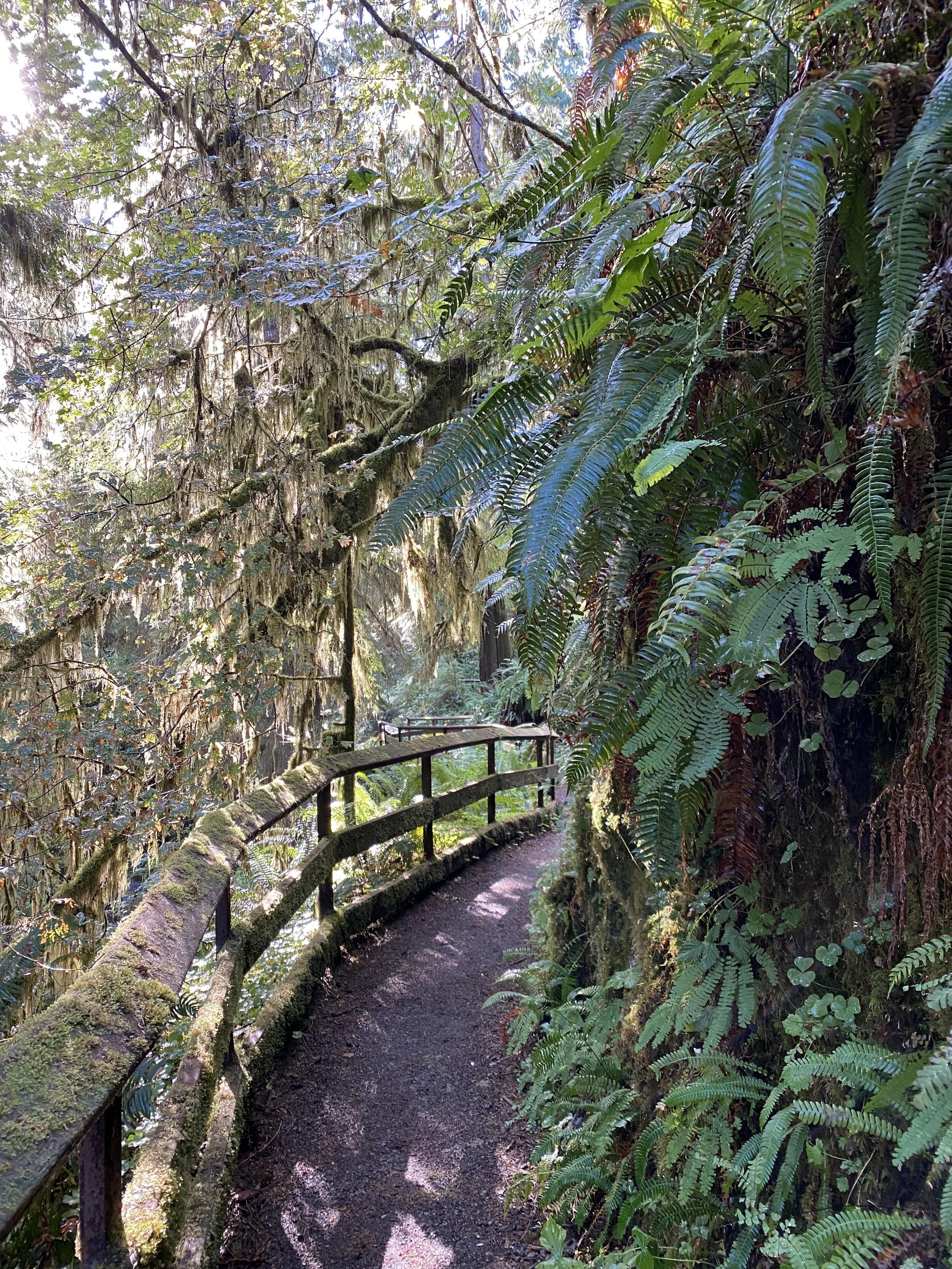
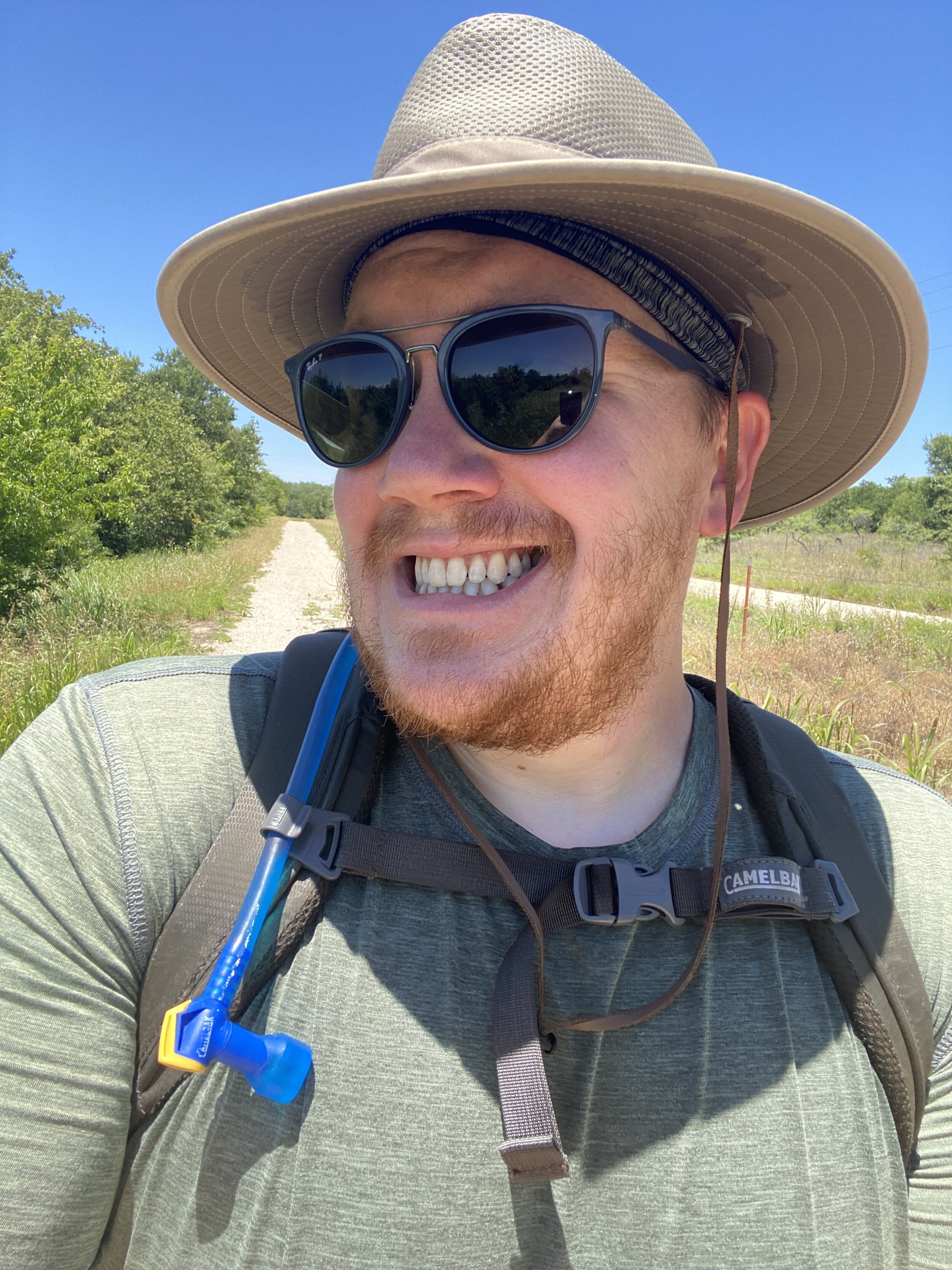
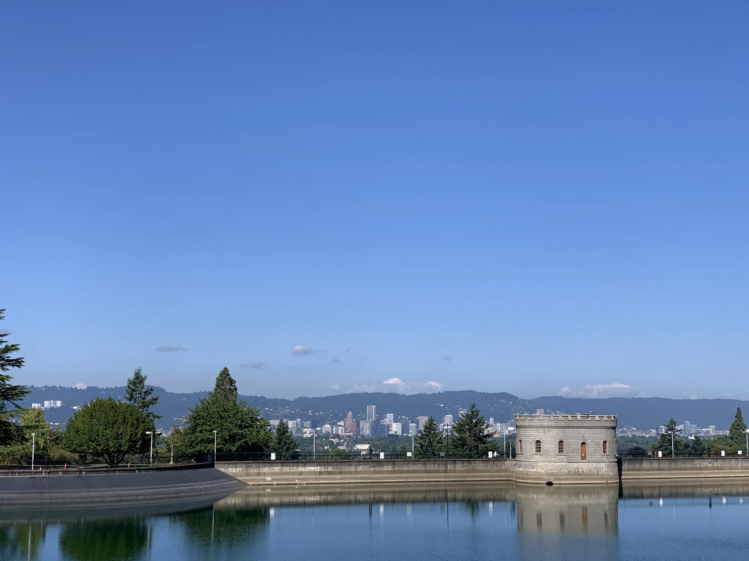
I don’t even know how to begin with describing this hike… amazing? Too generic. I don’t know. Hang in there with me.

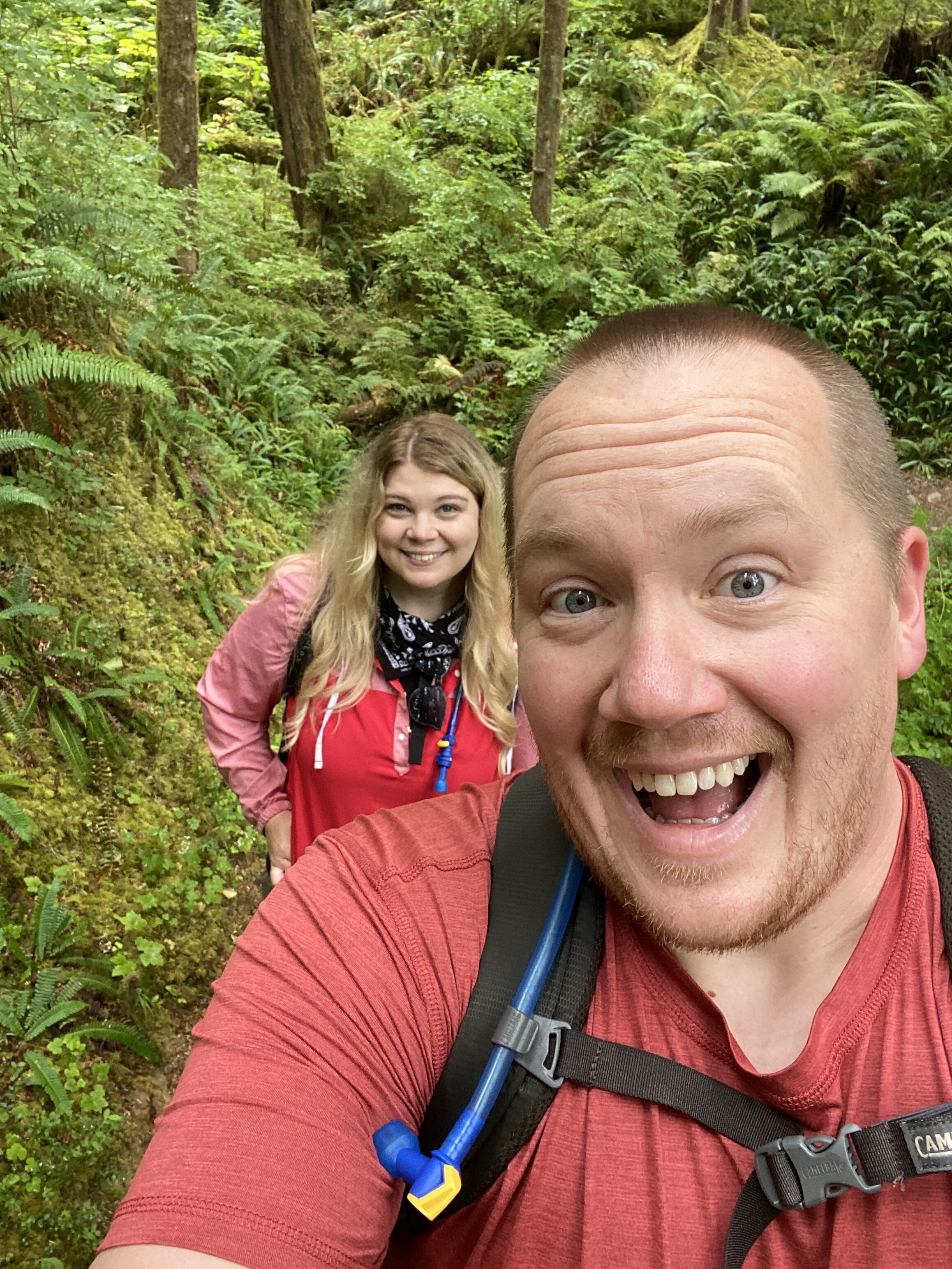
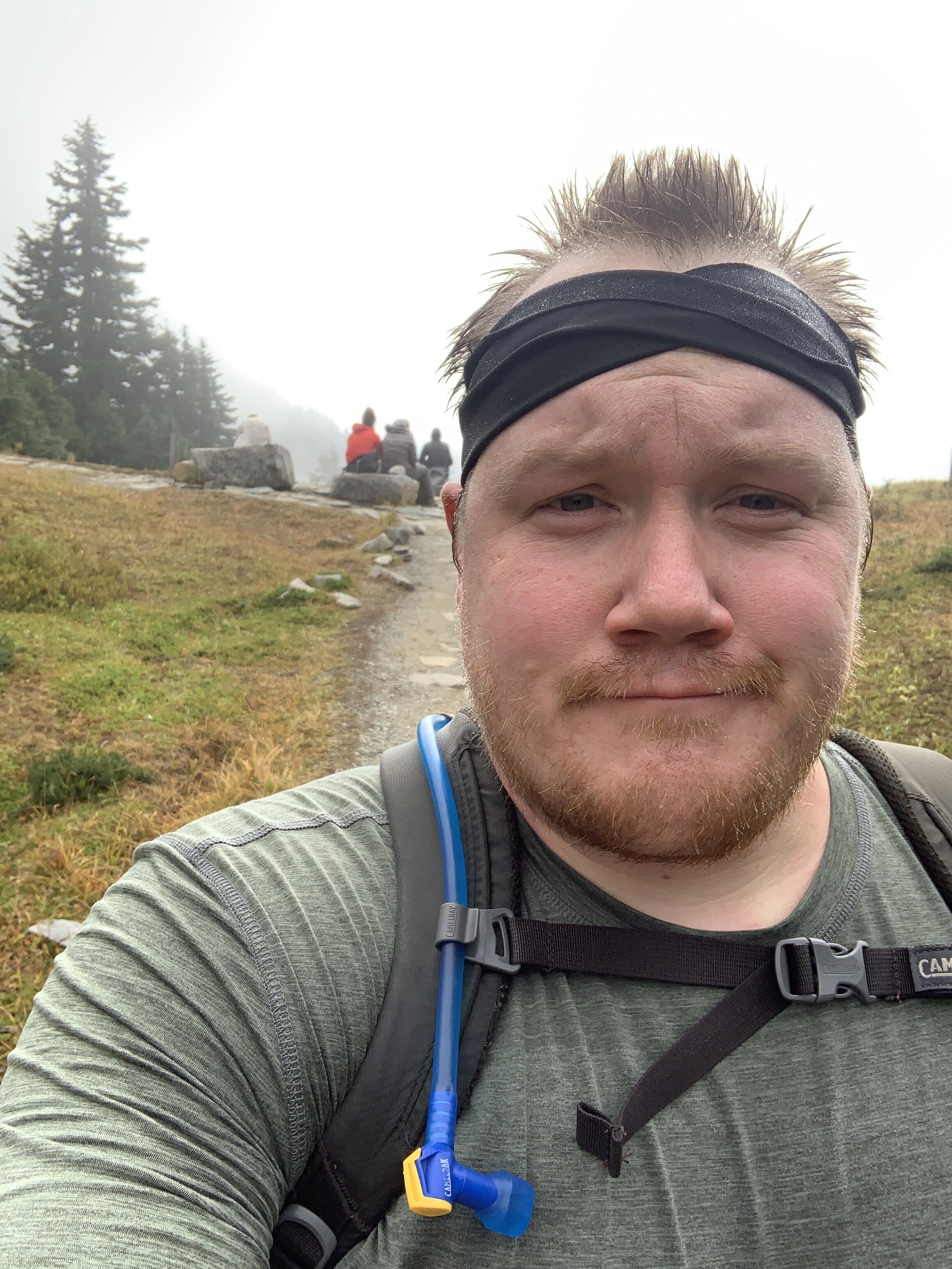
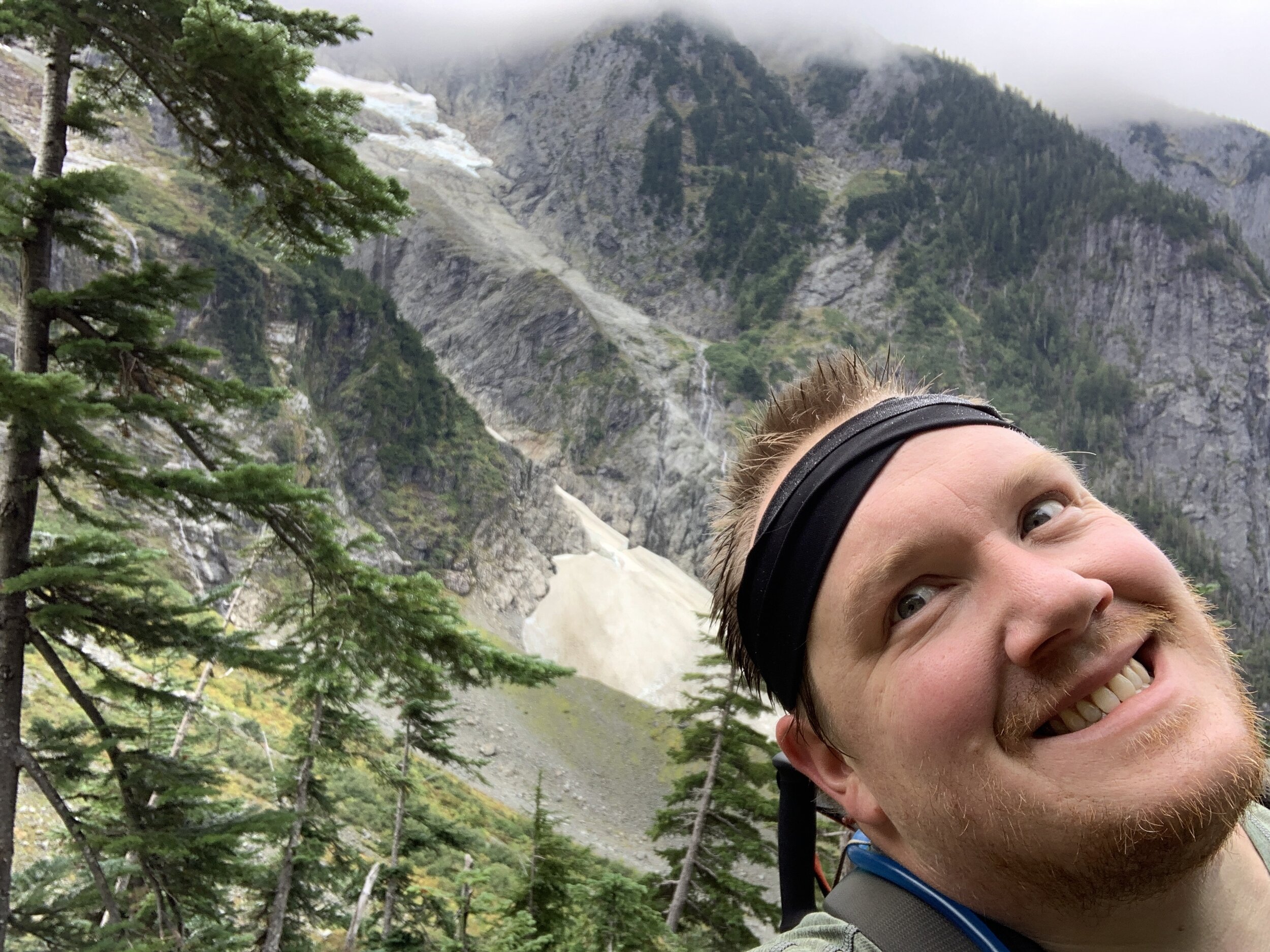
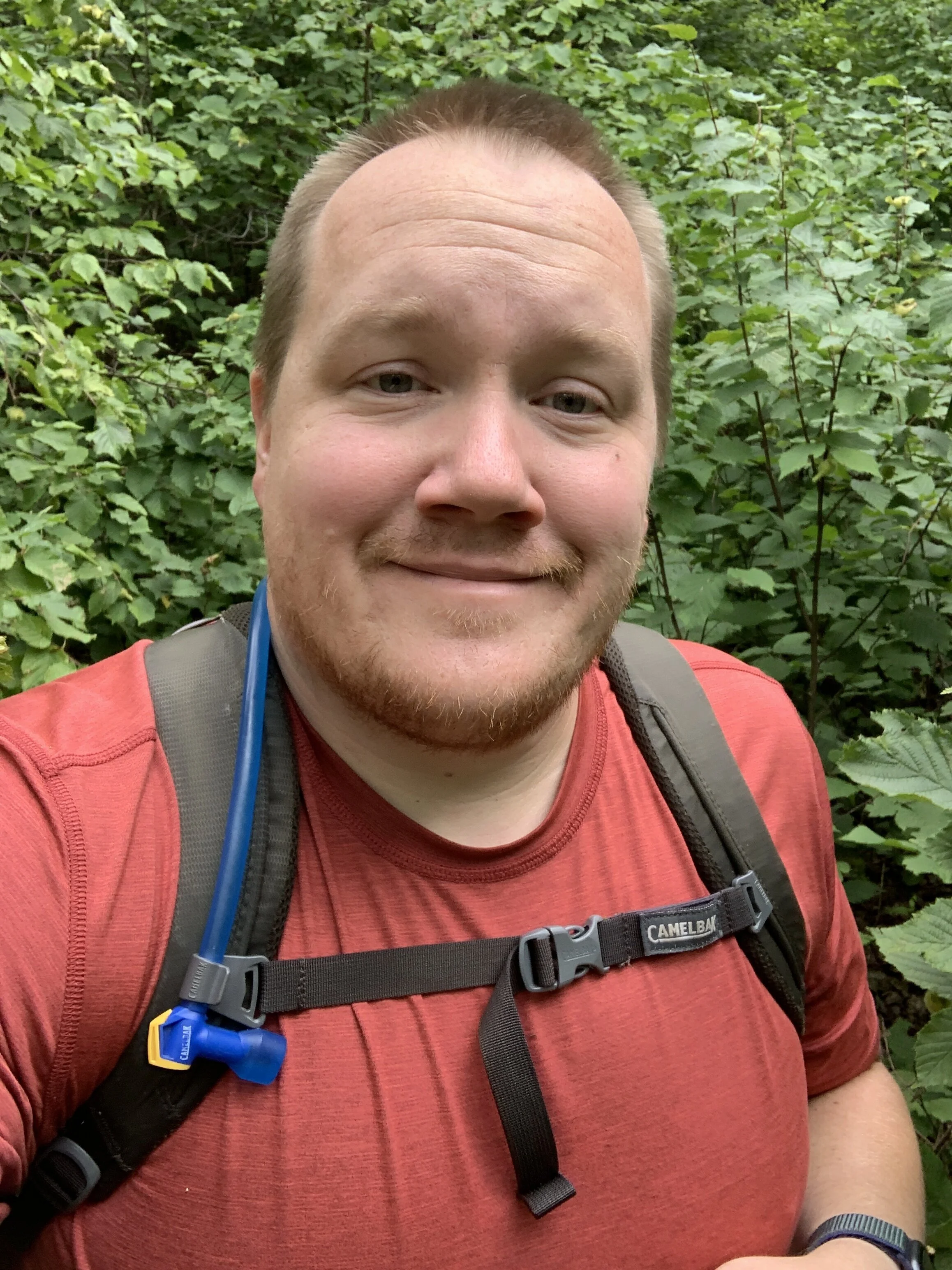
I had the opportunity to do this one with a new friend a couple of years ago, and didn’t. Talk about regrets. I should have. There was no pandemic and far less people on the trail. I was fearful… I was tired from a poor night’s sleep… I was embarrassed because I’d probably be huffing and puffing the whole way up. Cut to a week or so ago, when I was back and facing the same trail. I hadn’t slept well again, but was not fearful or afraid of judgment this time. I am in a MUCH better headspace about the outdoors now than I ever was and I we had a sunny, late summer day to do the Skyline Trail.

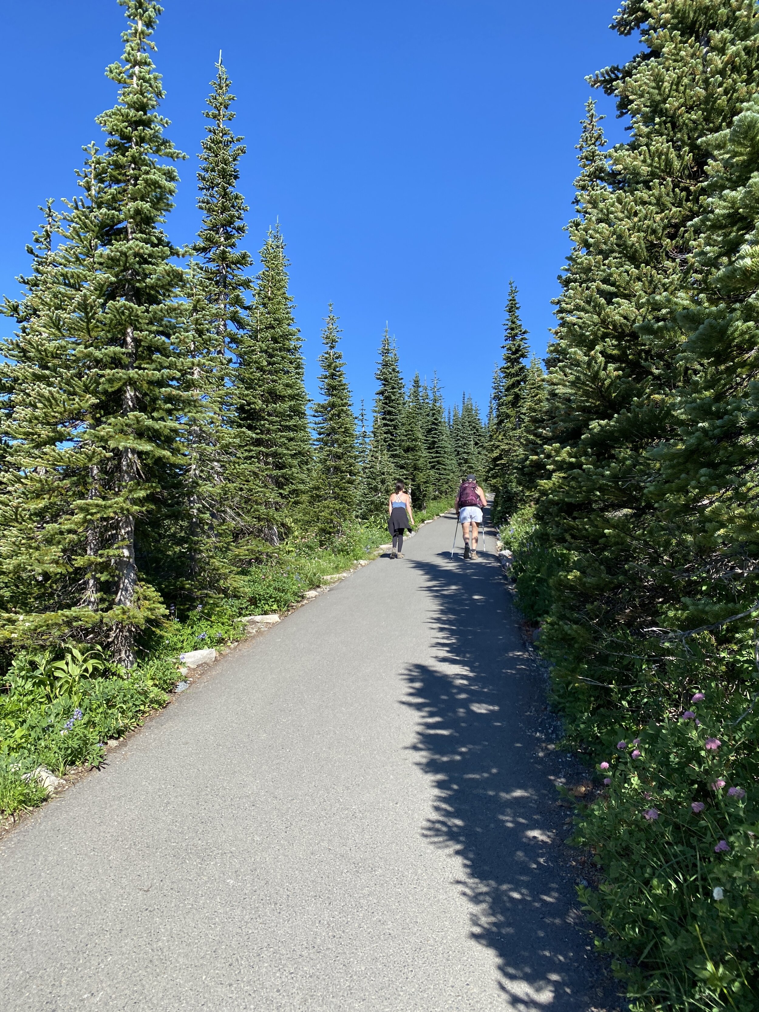
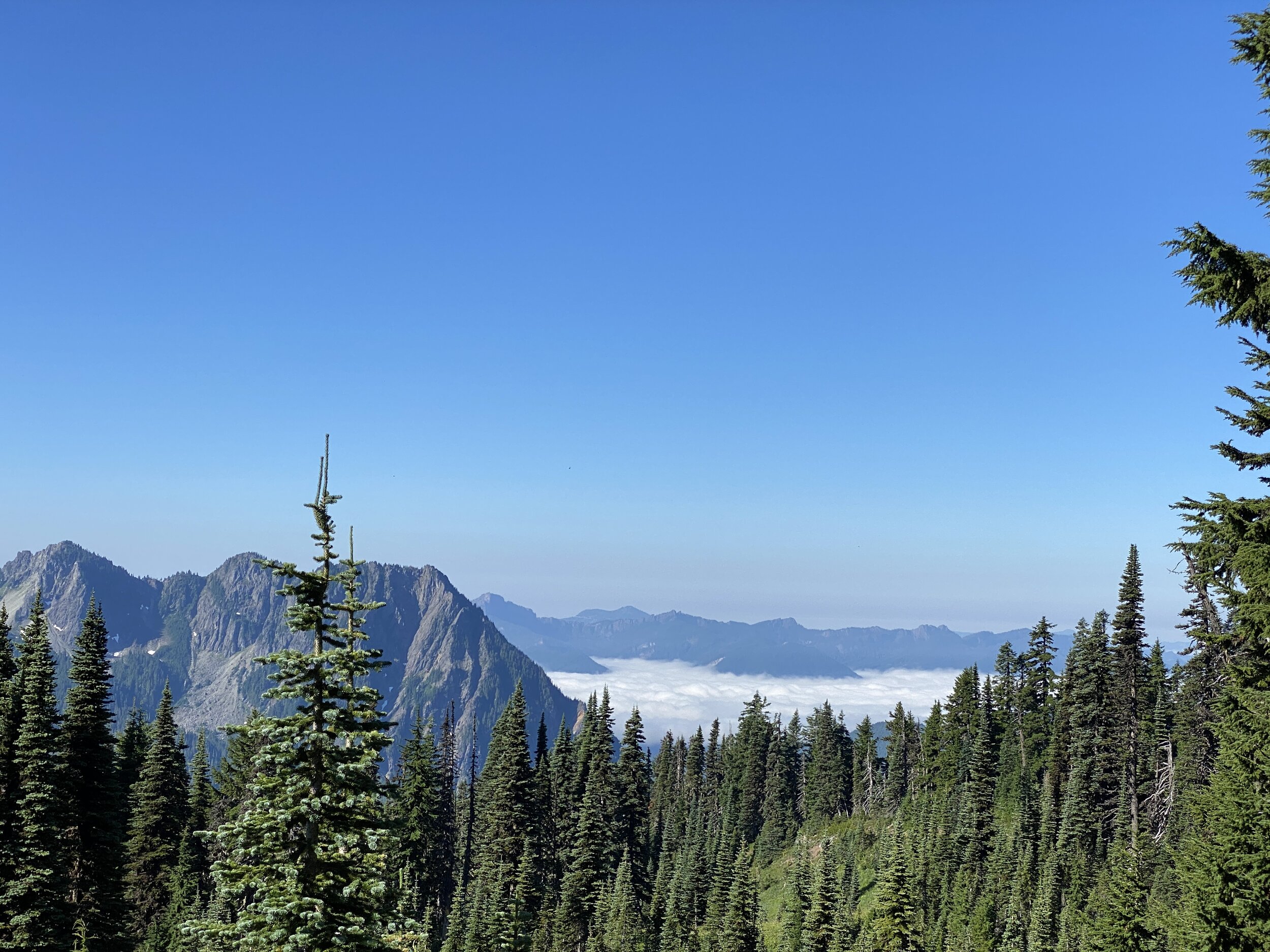
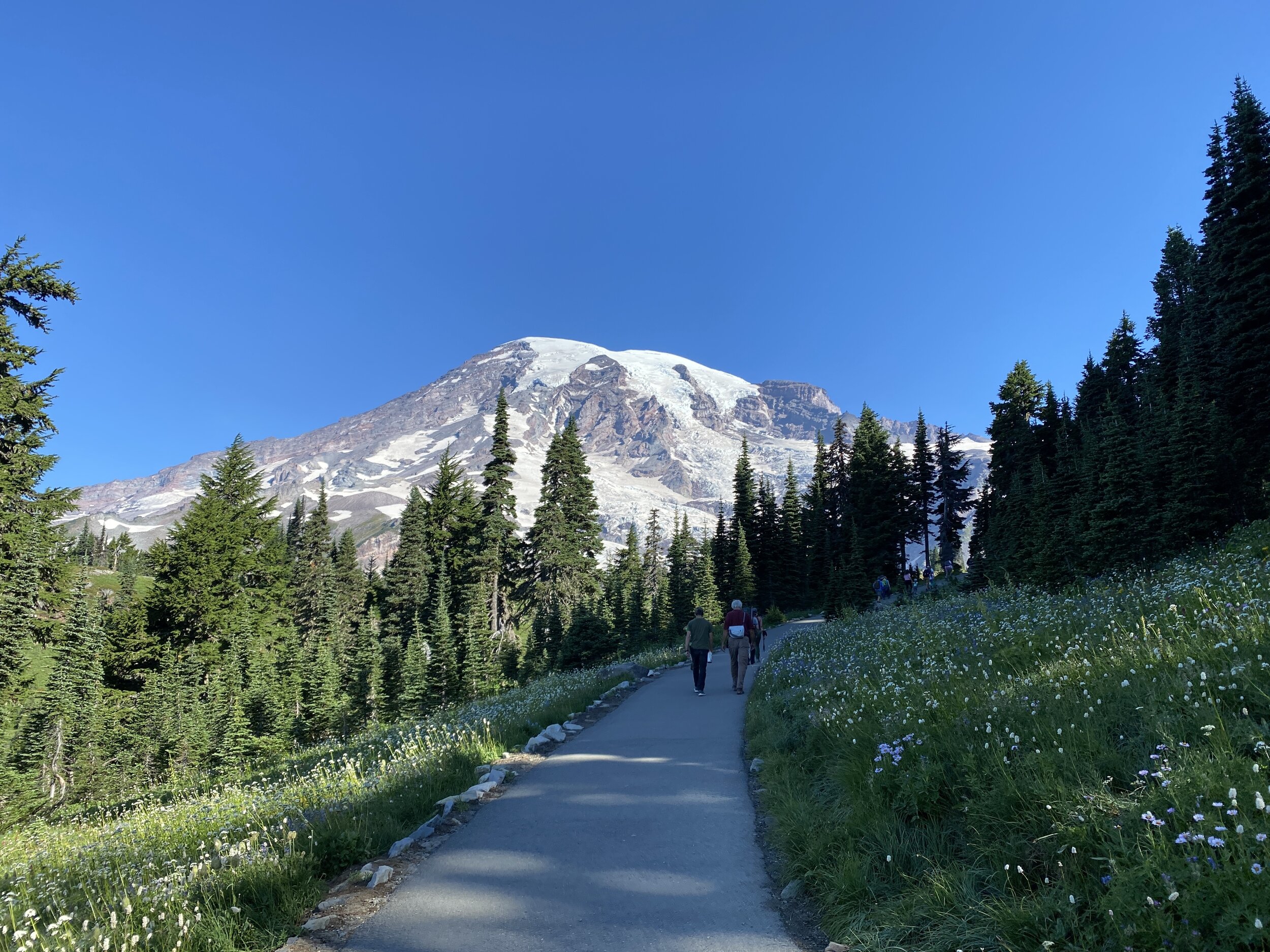
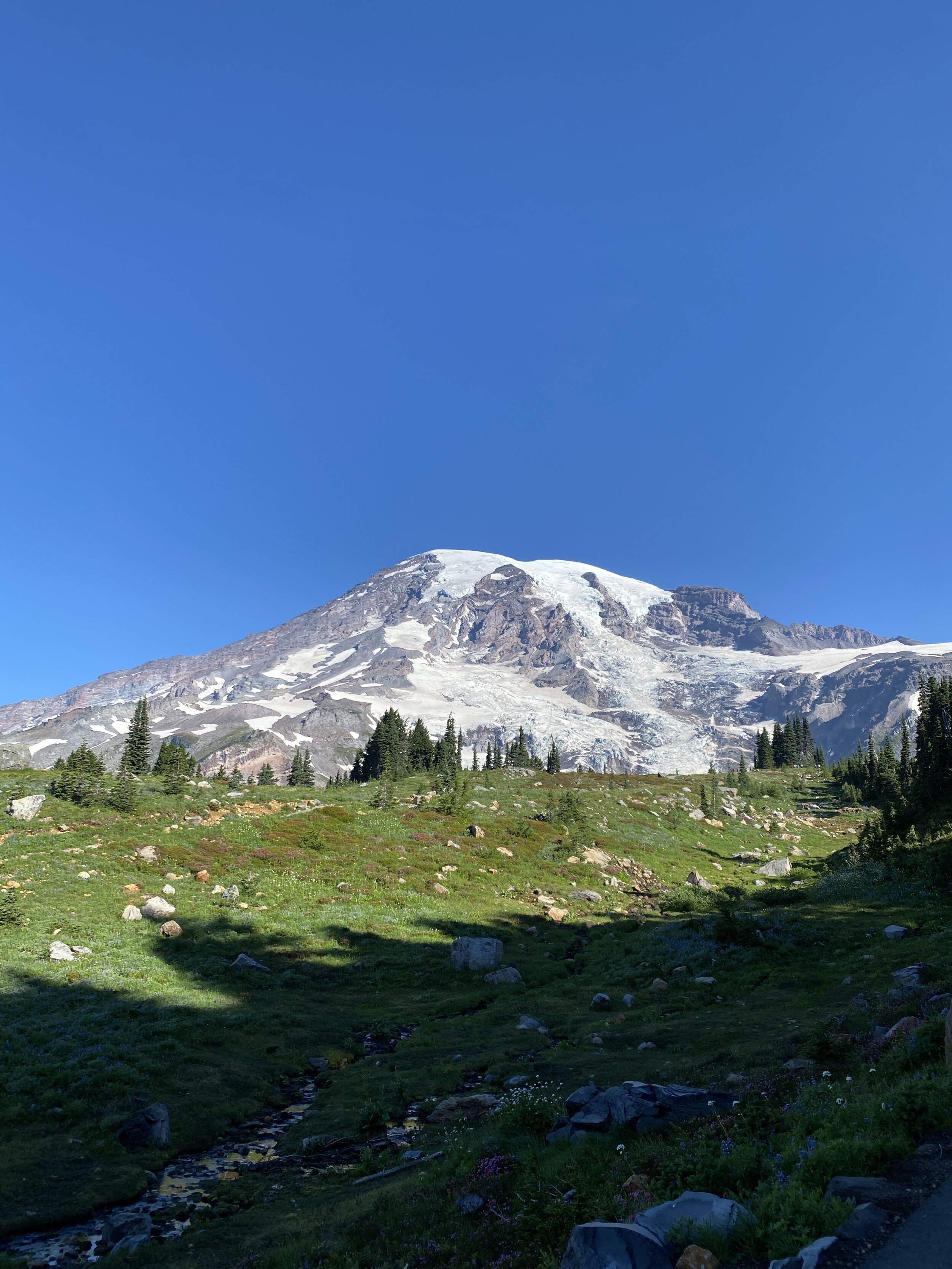
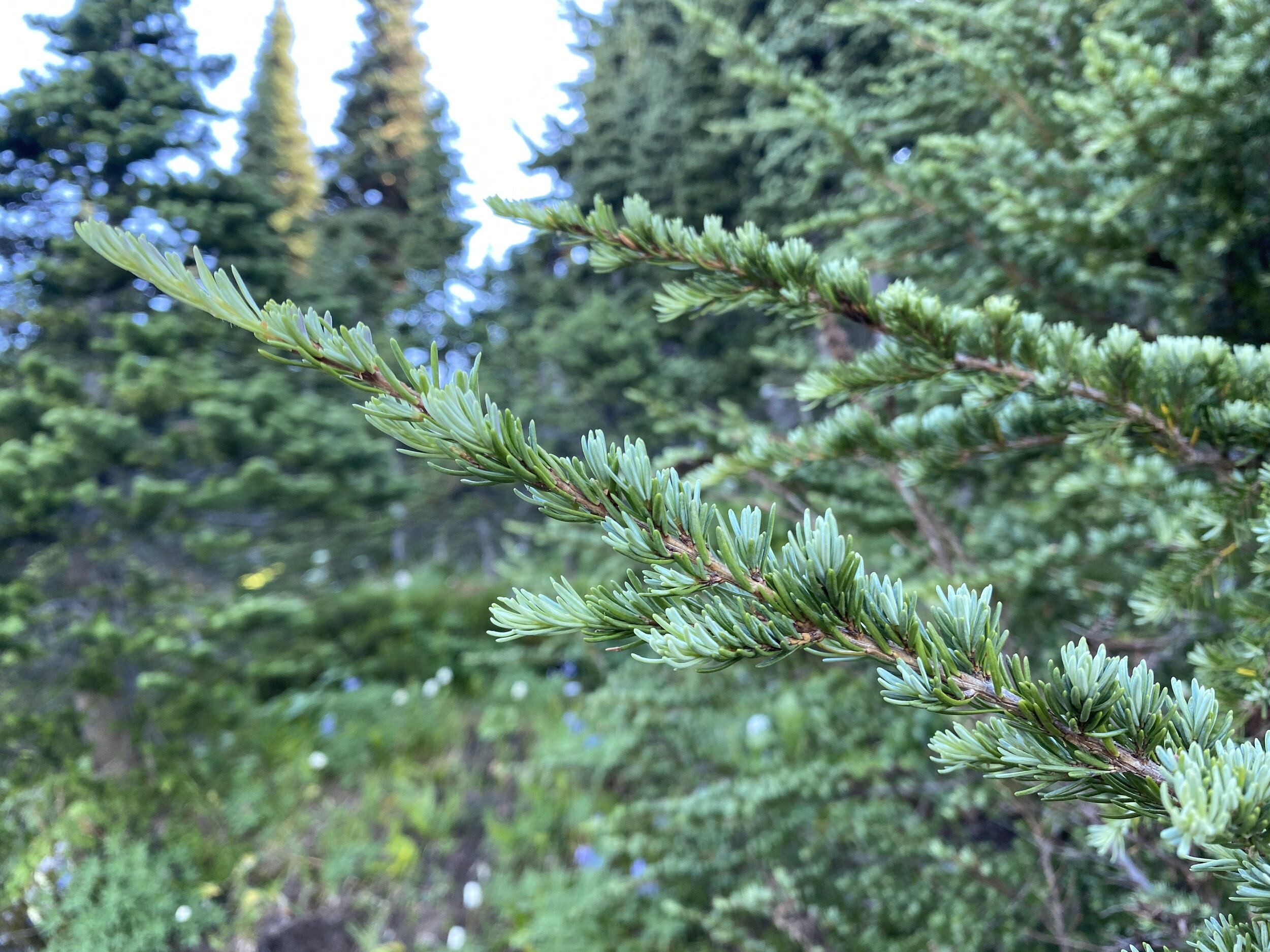
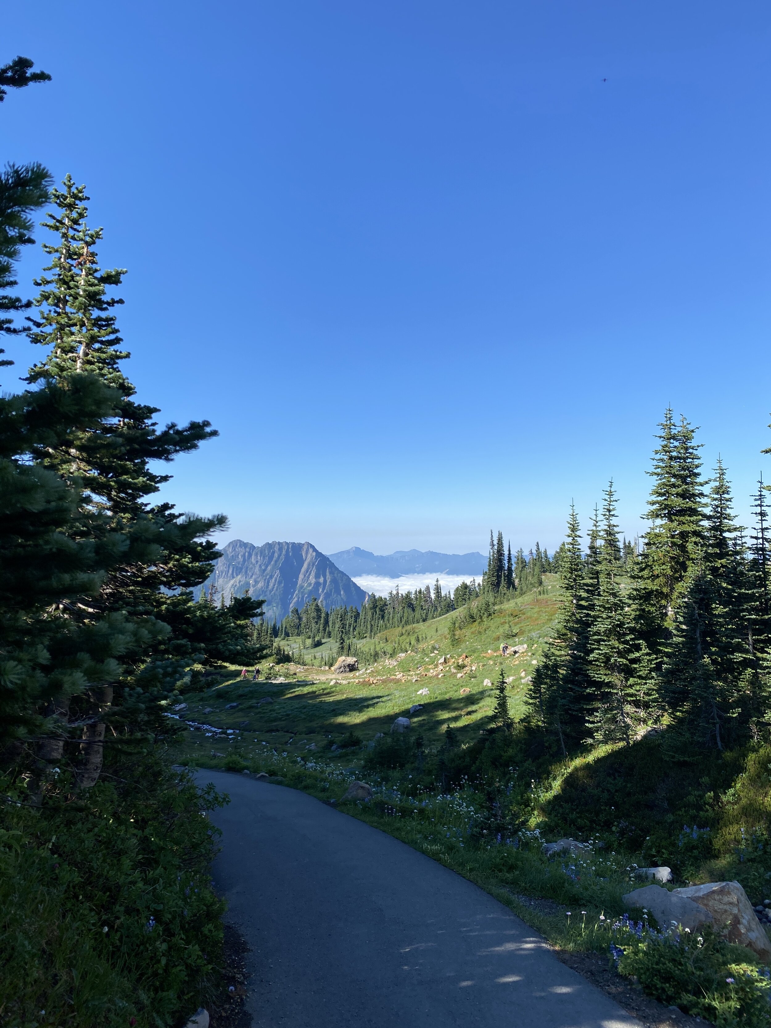
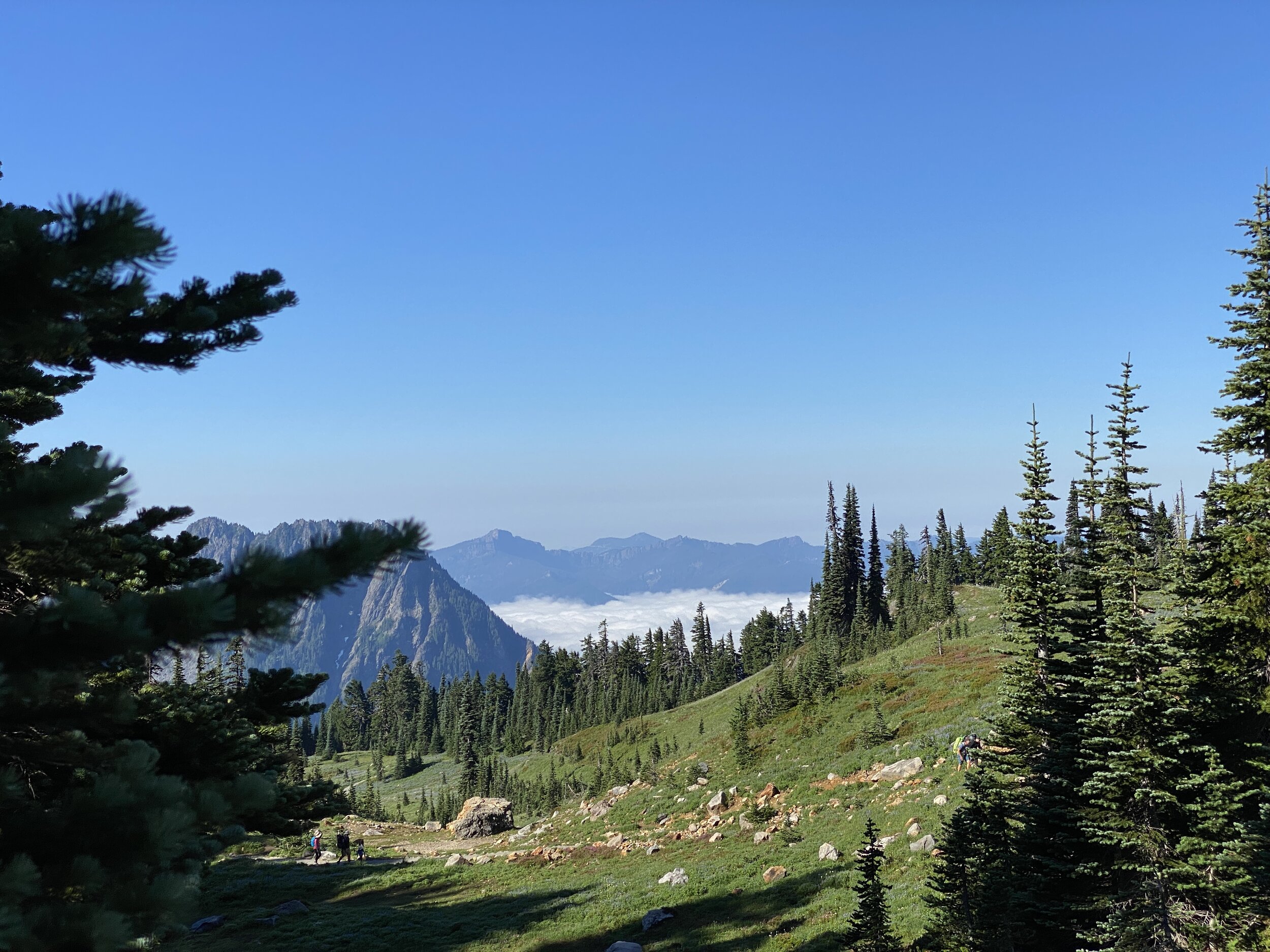
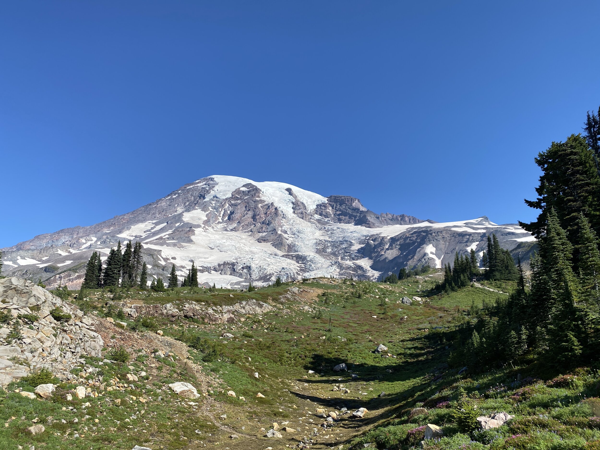
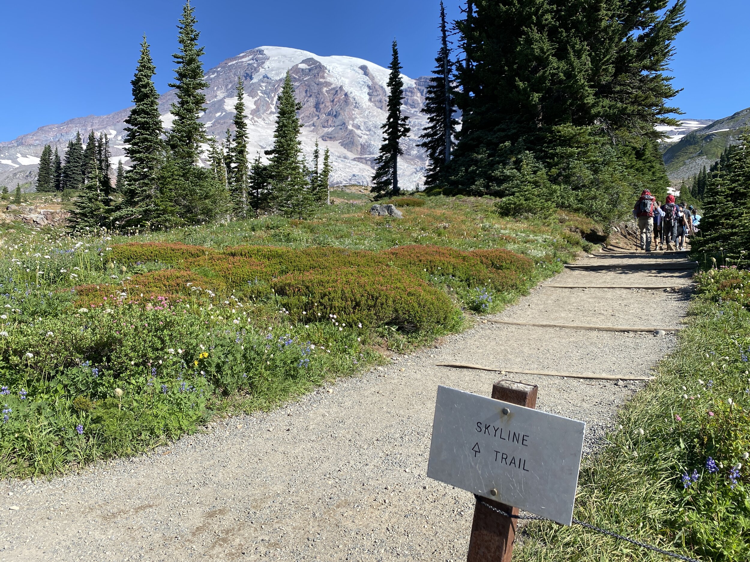
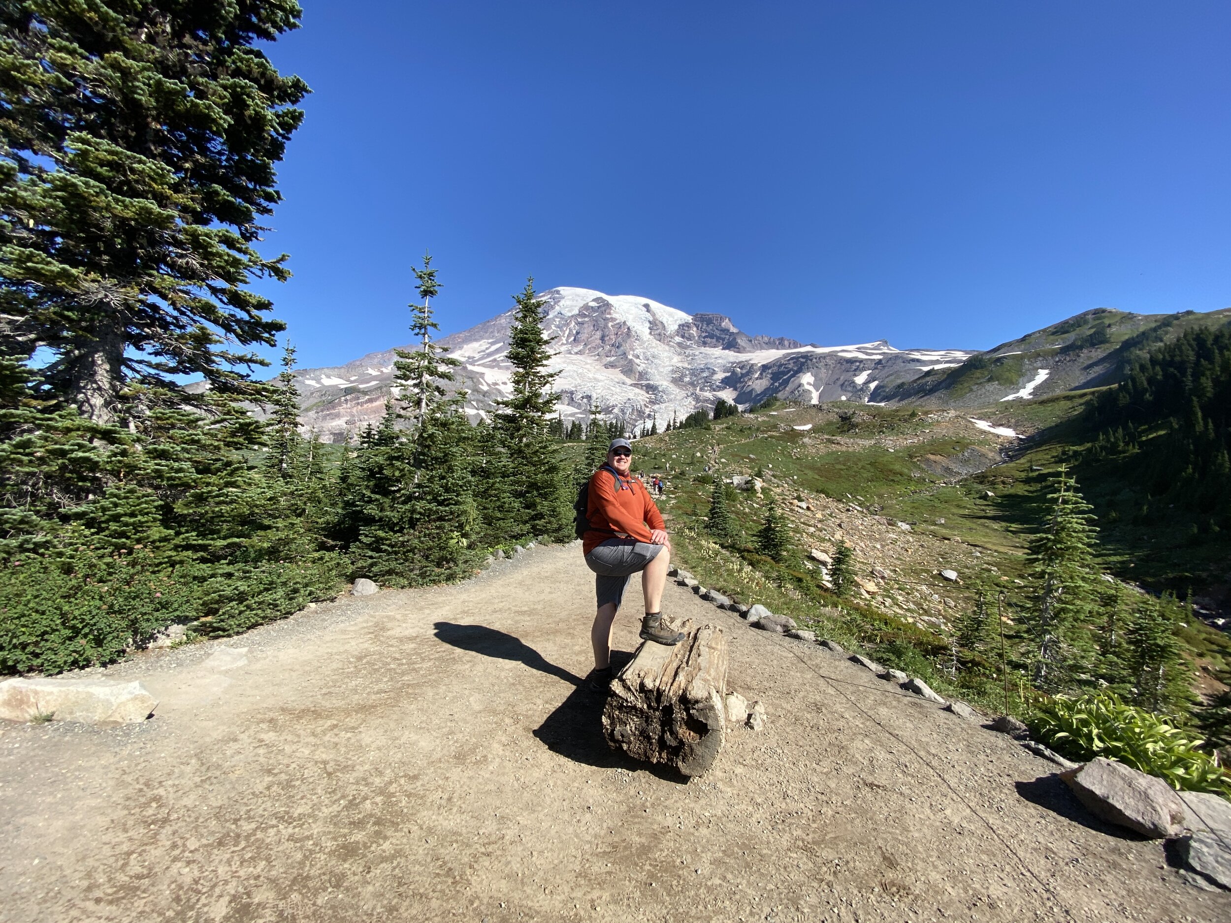
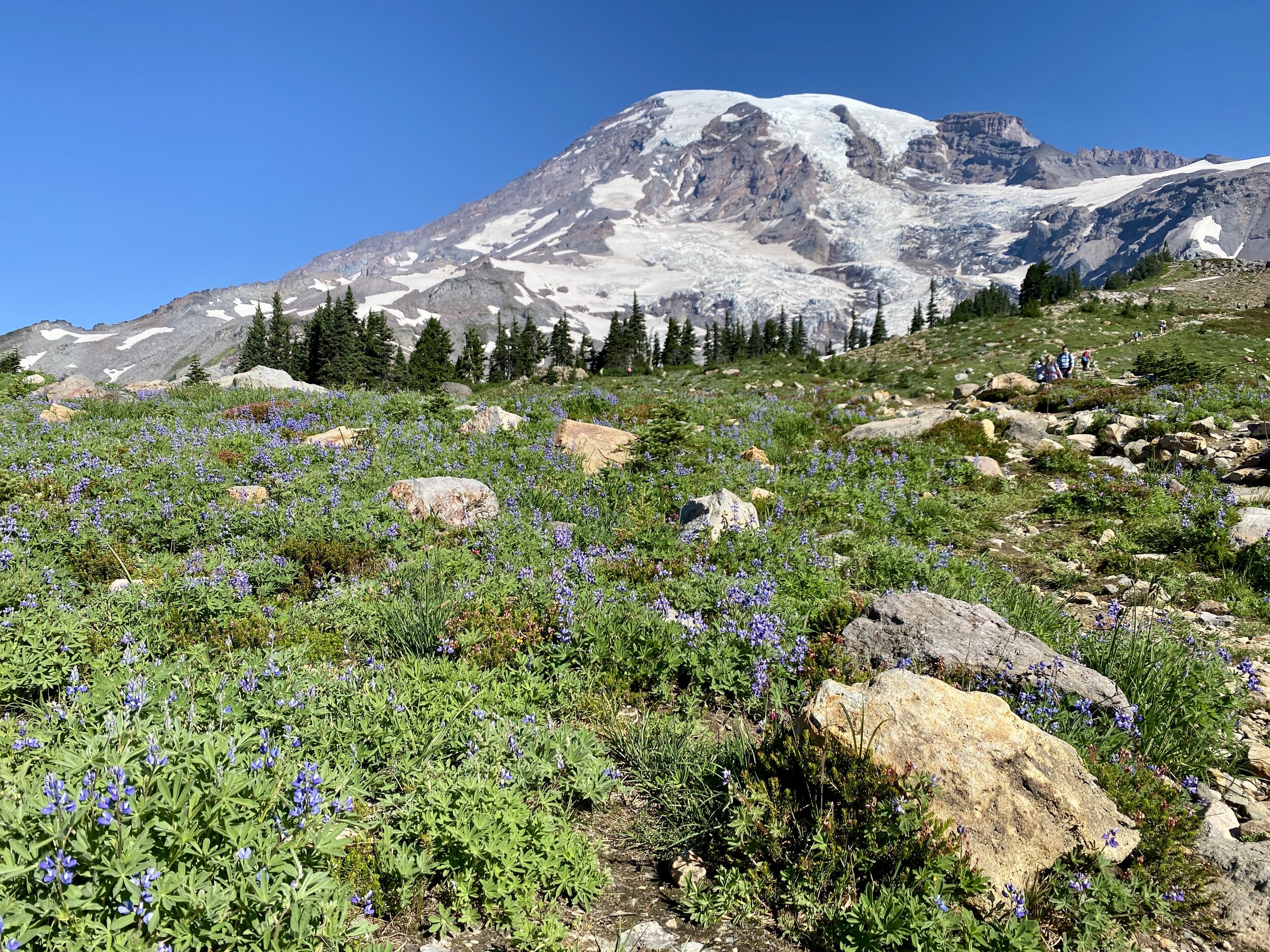
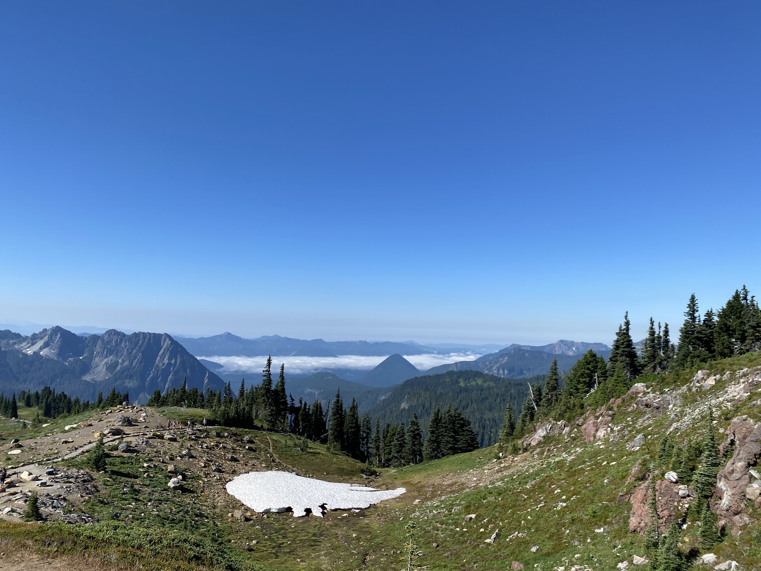
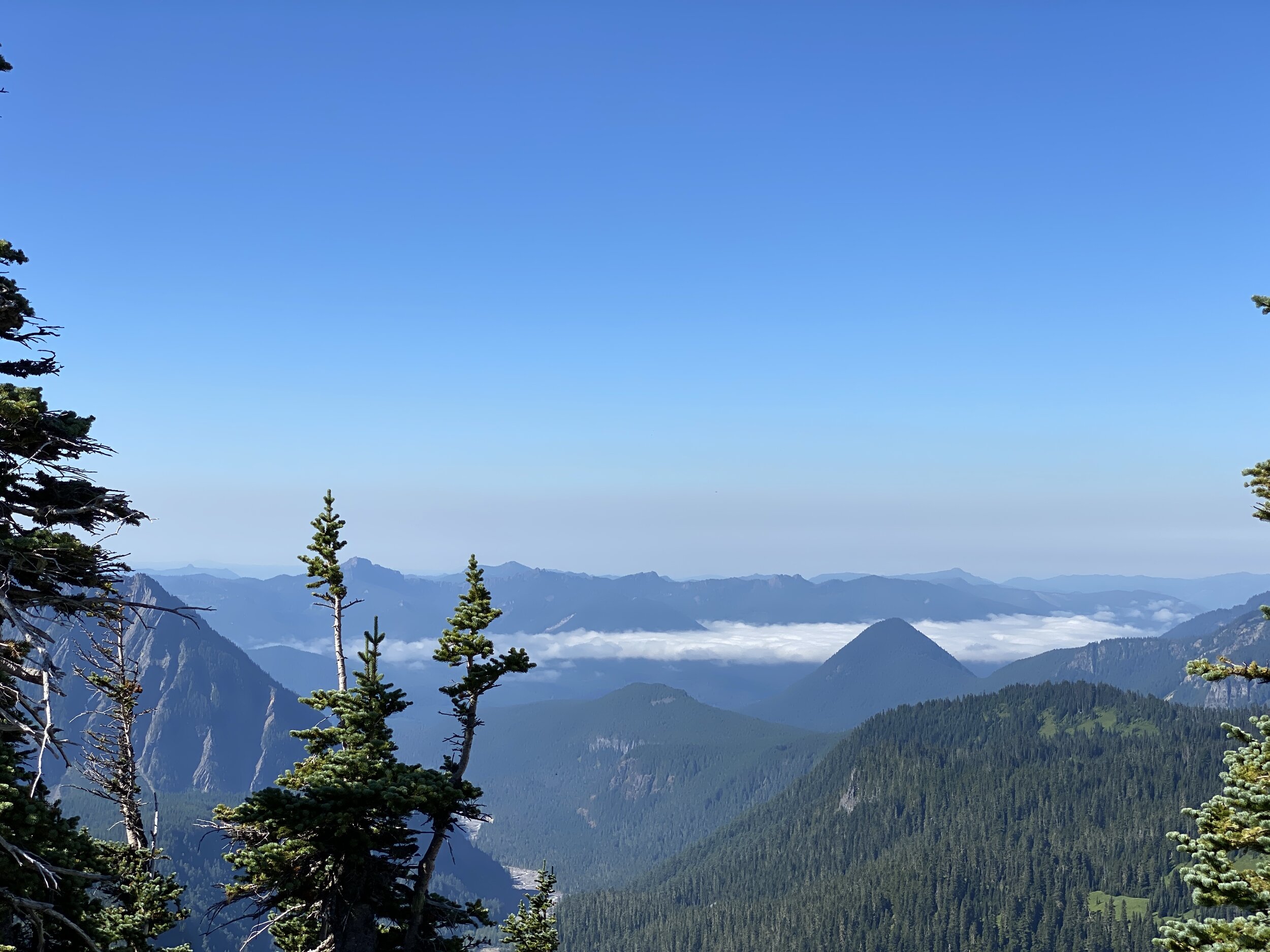
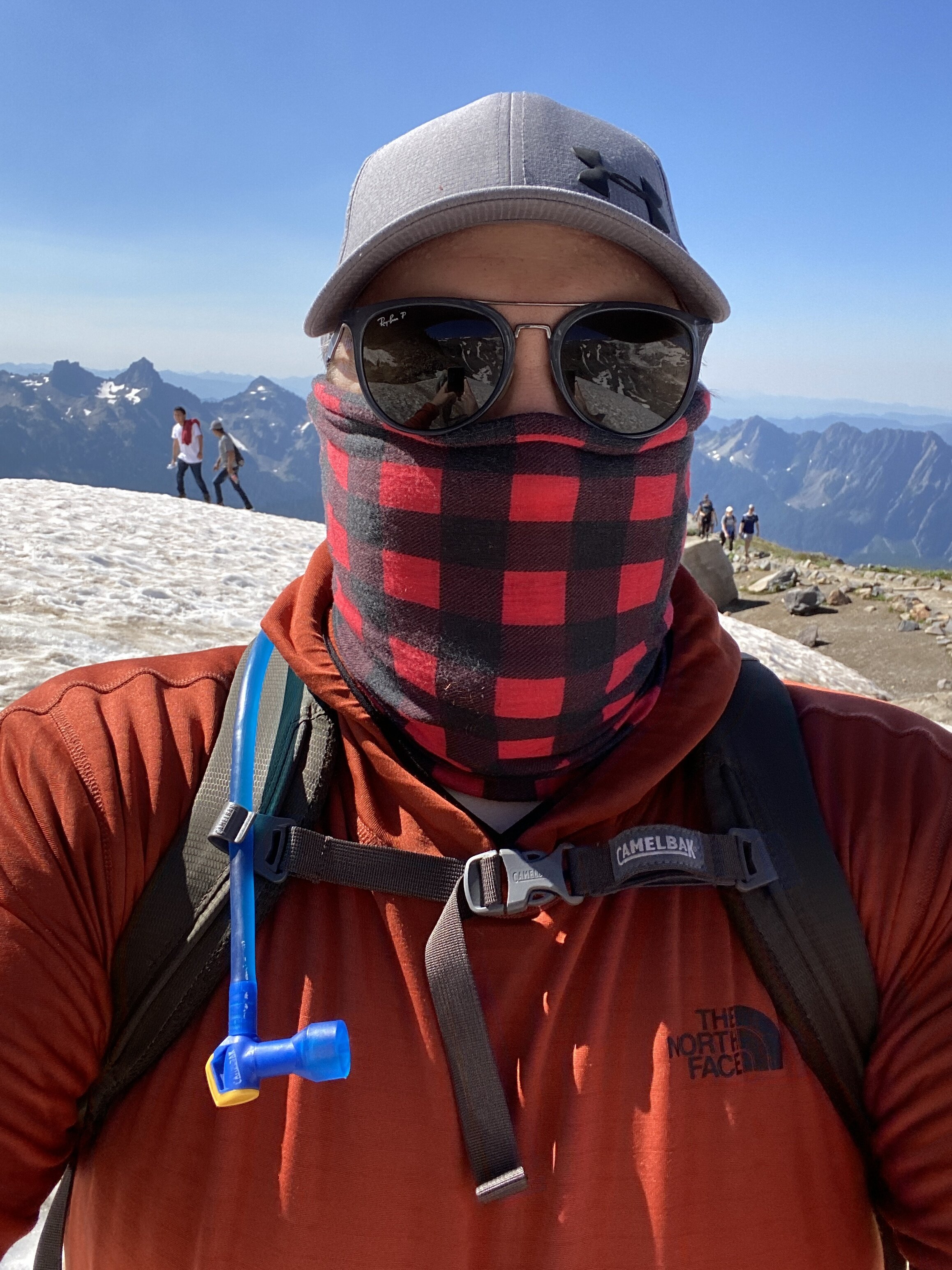
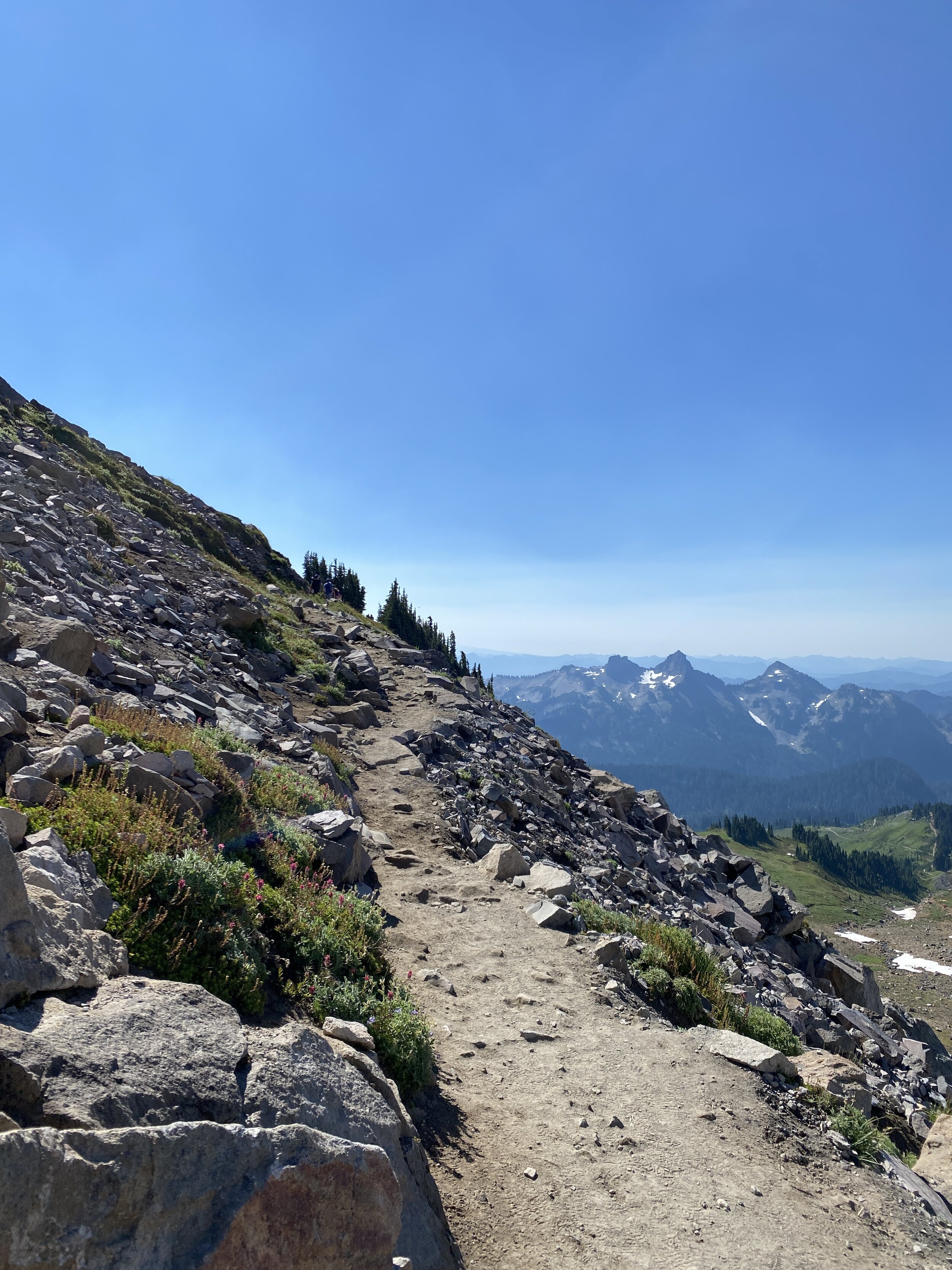
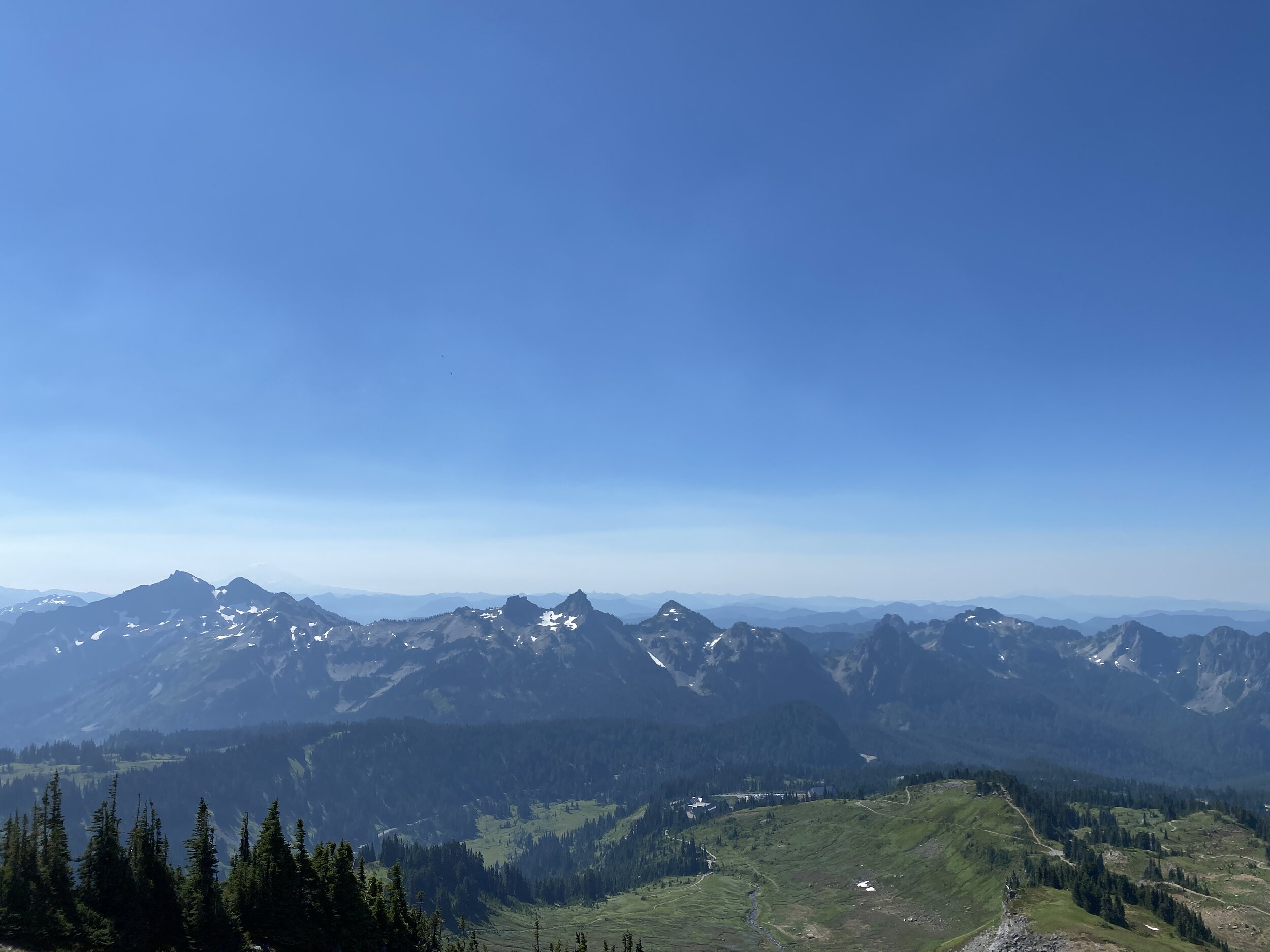
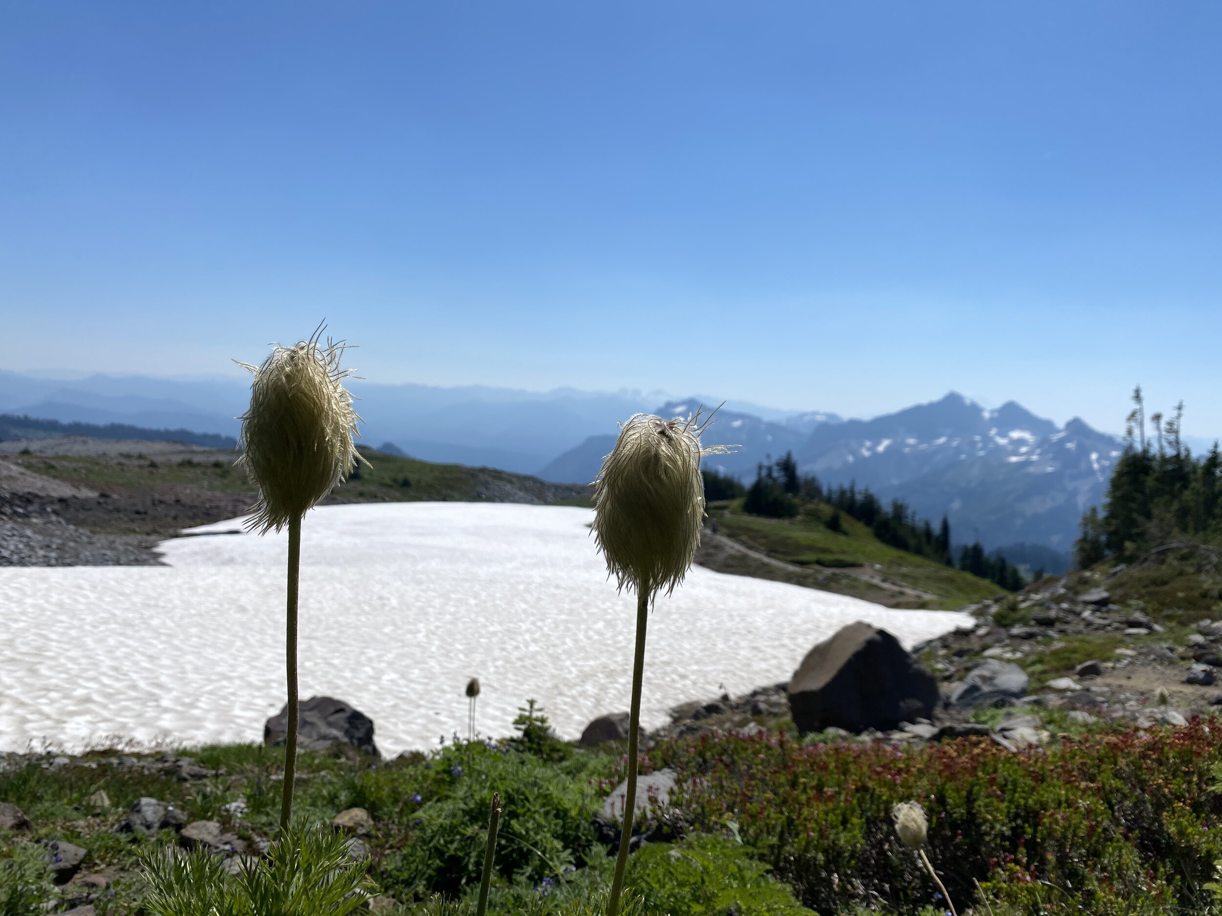
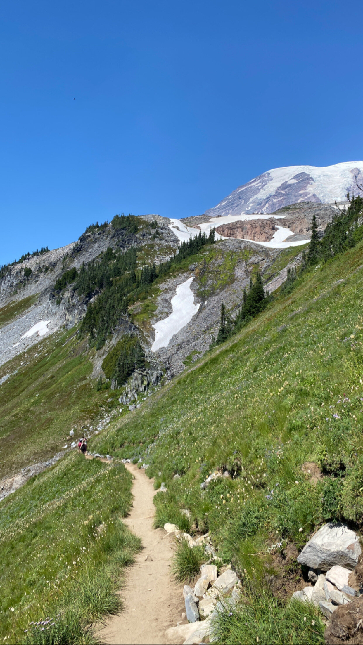
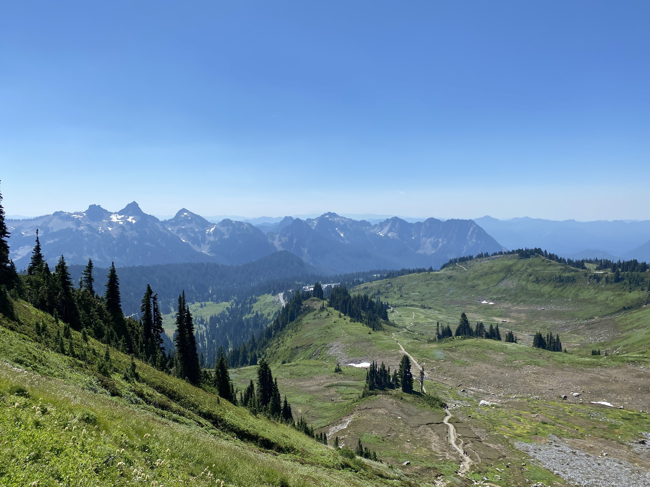
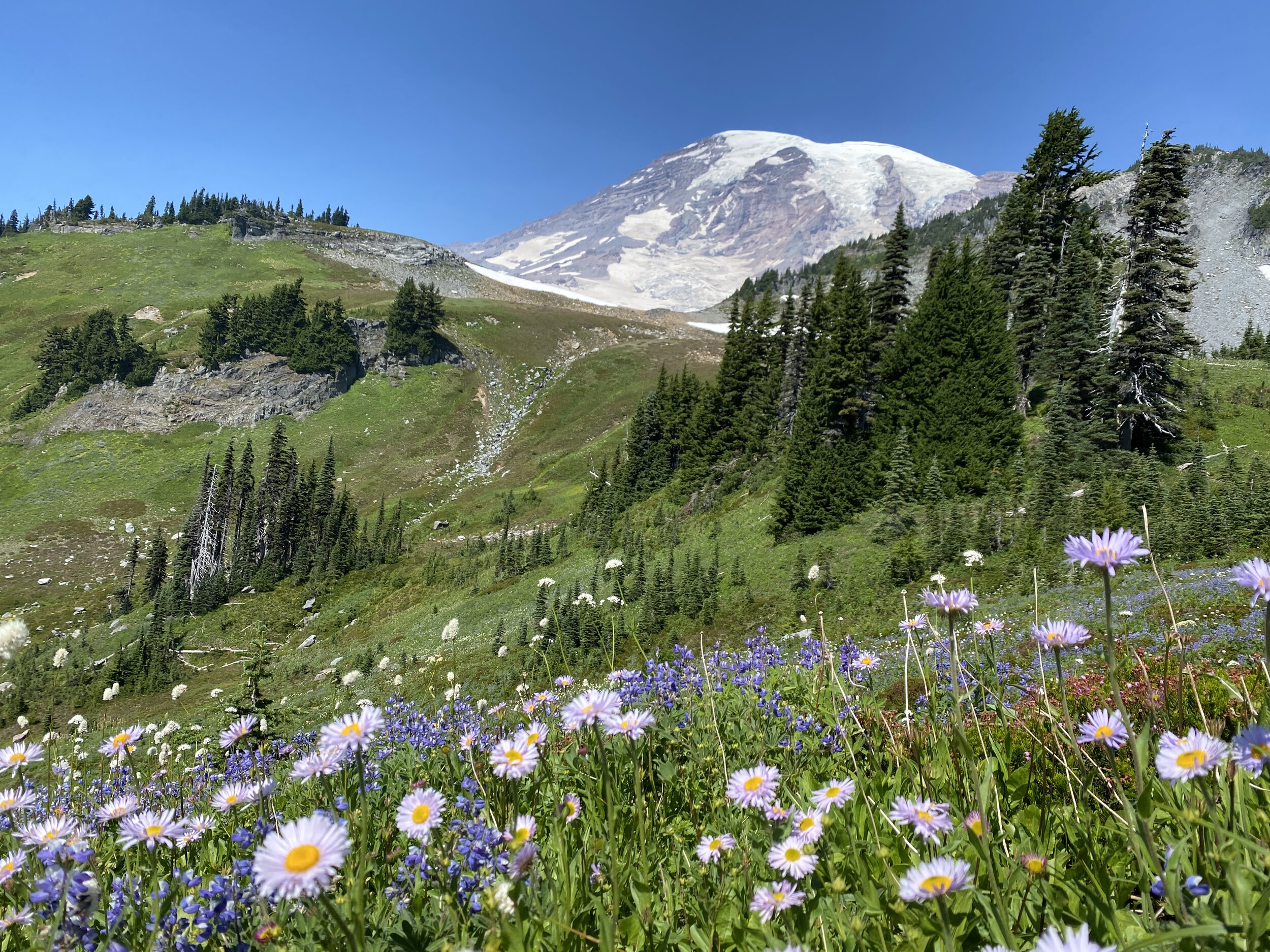
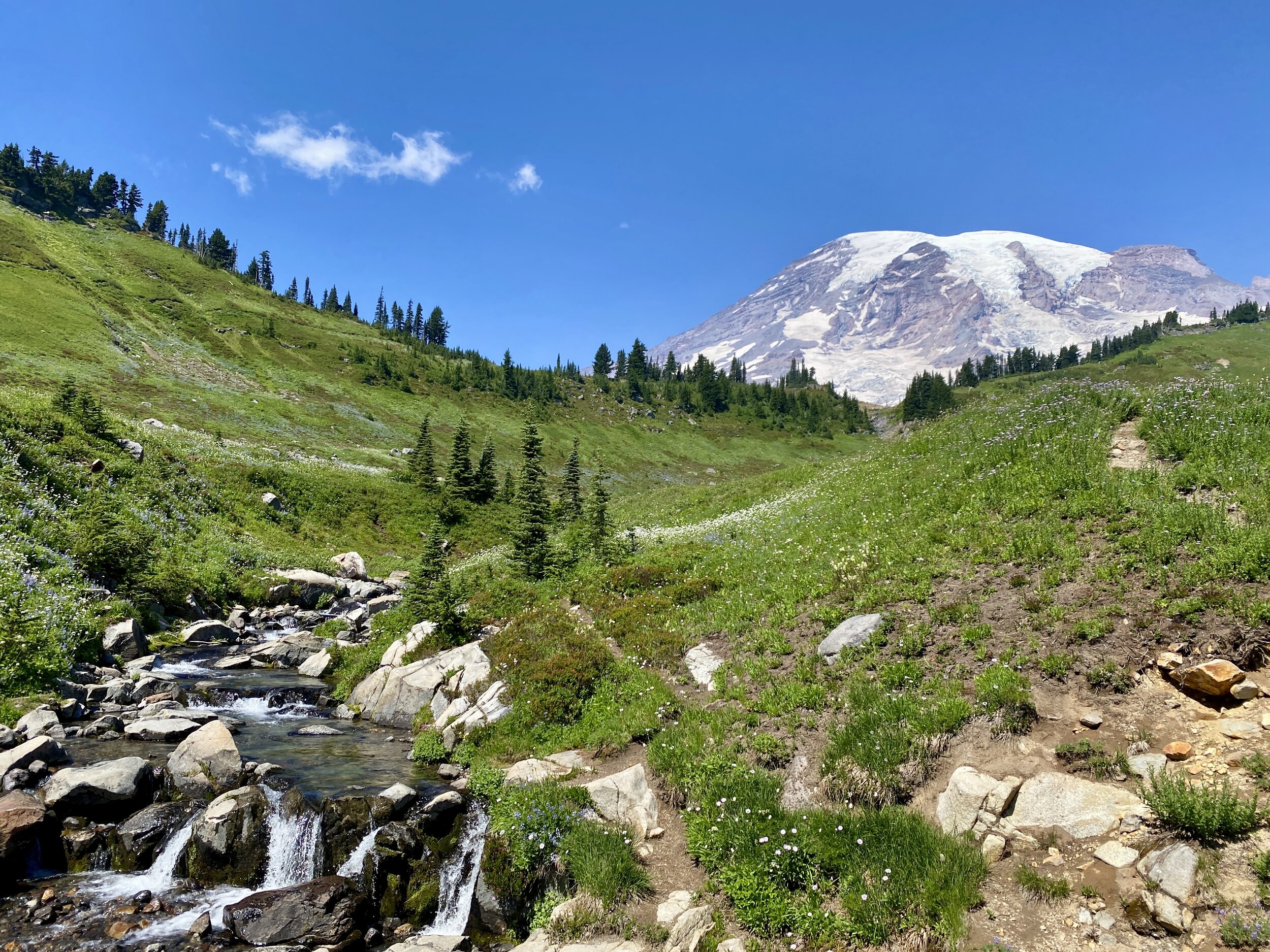
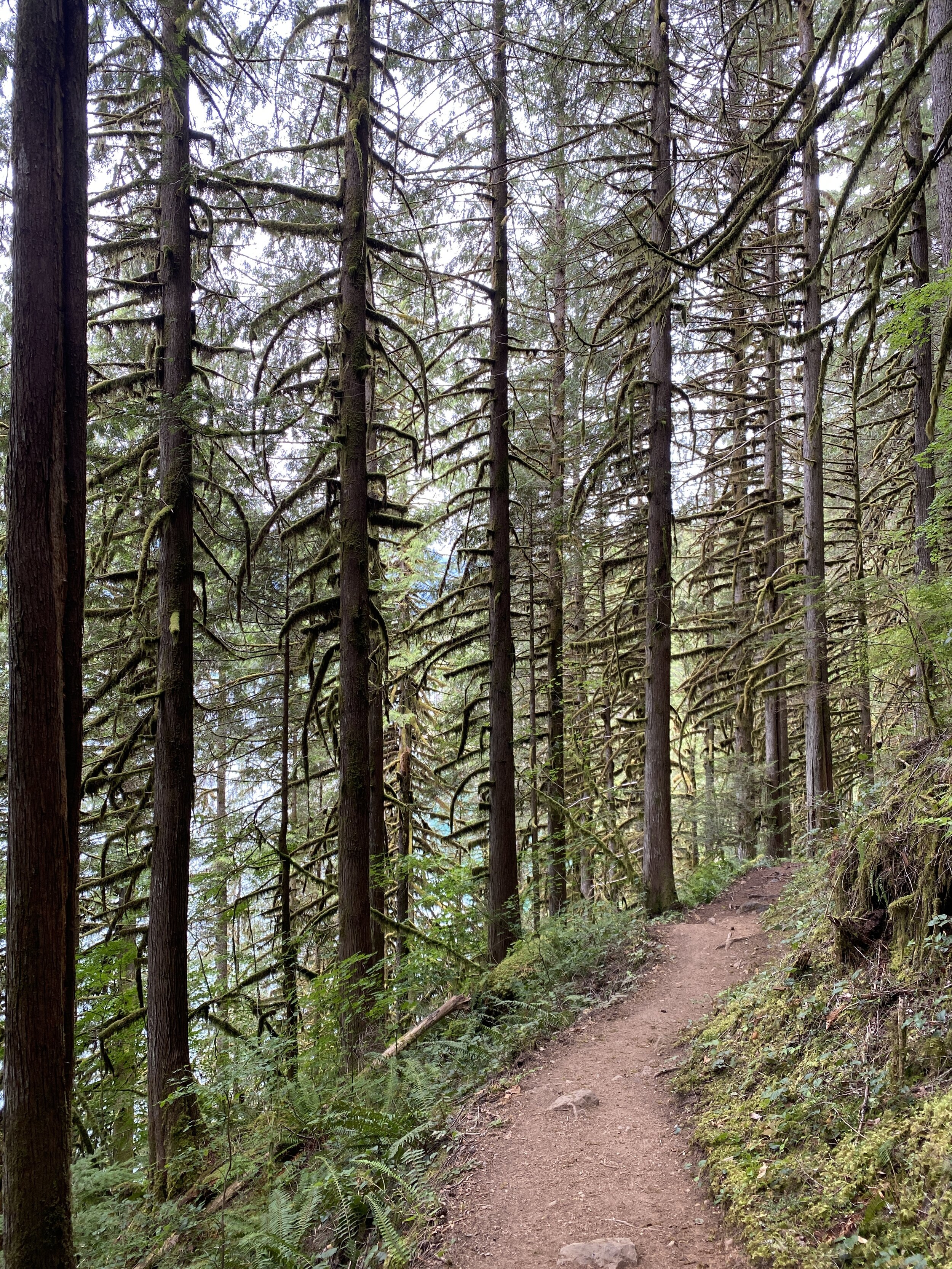
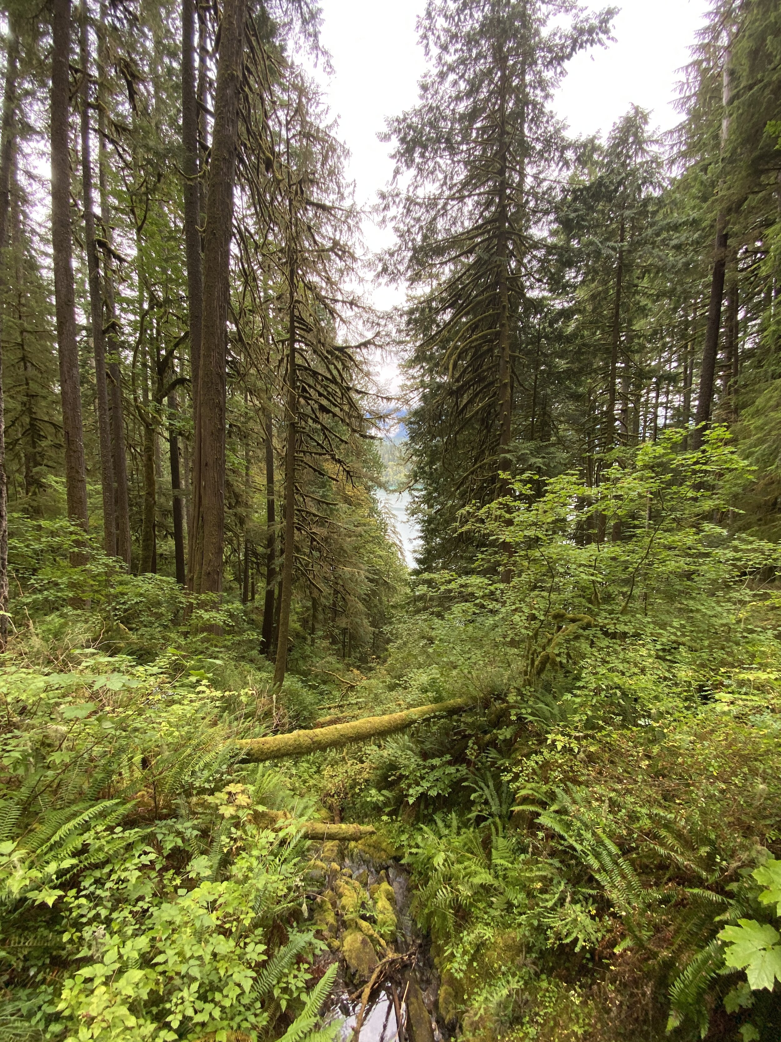
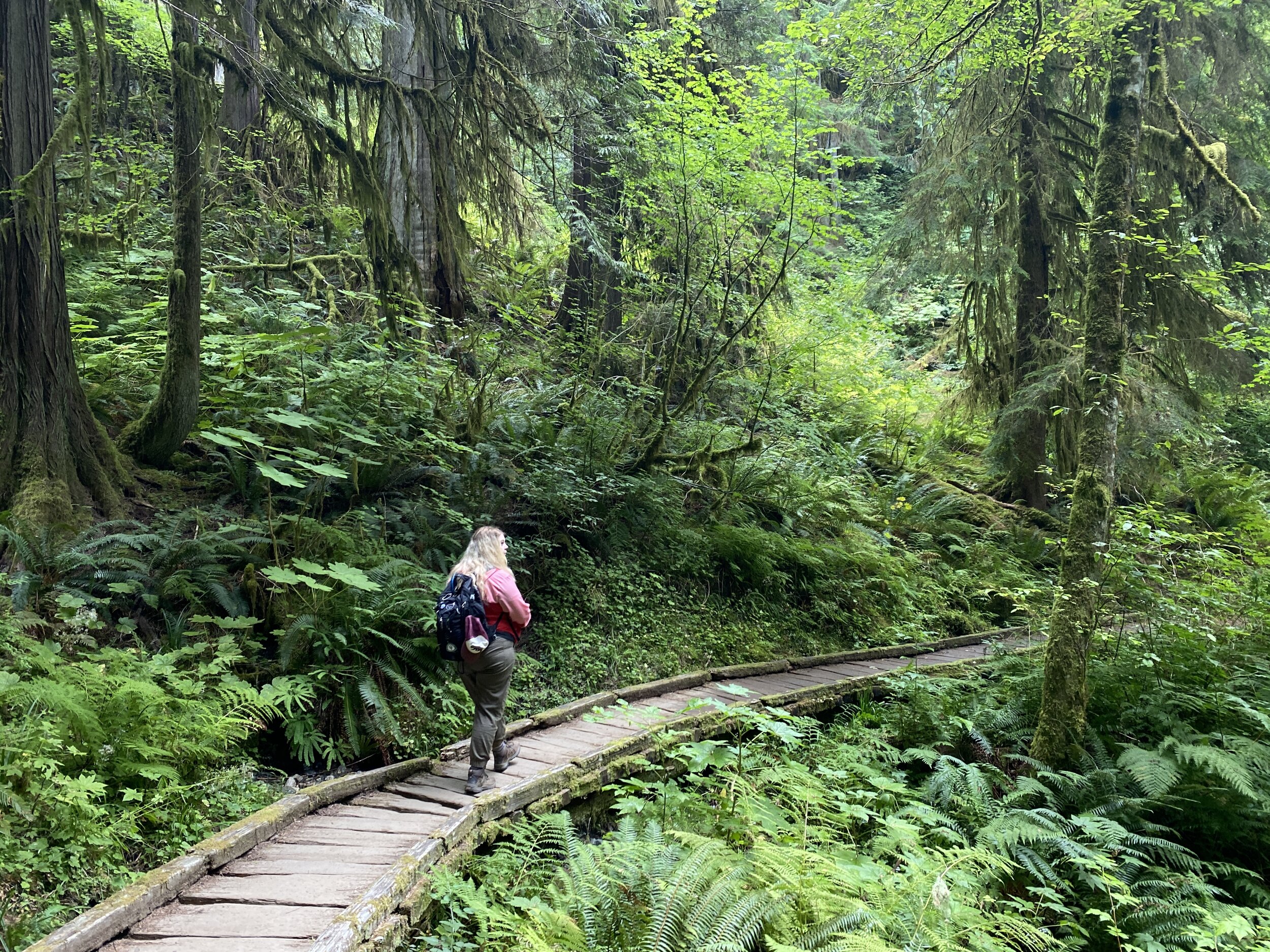
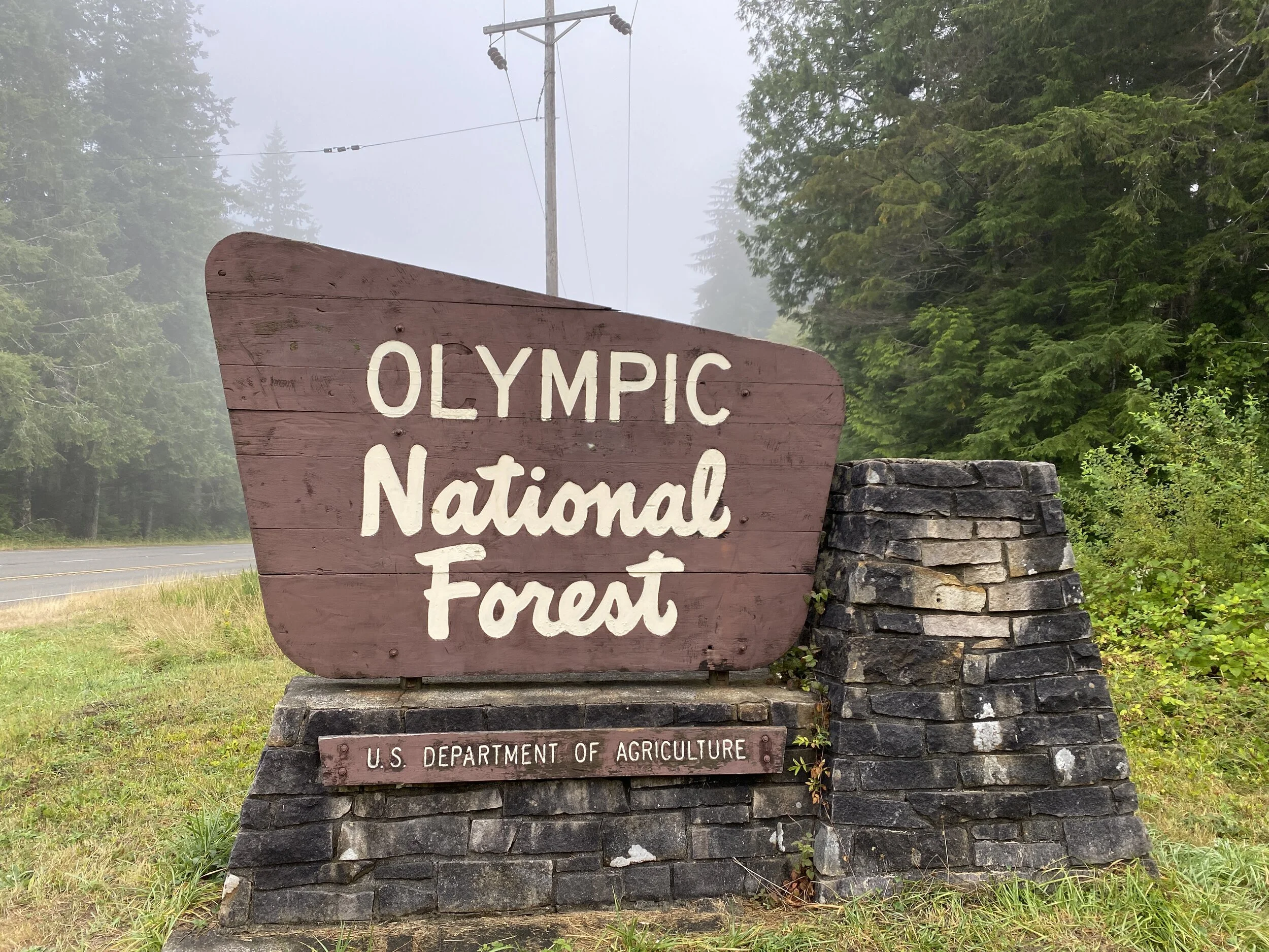
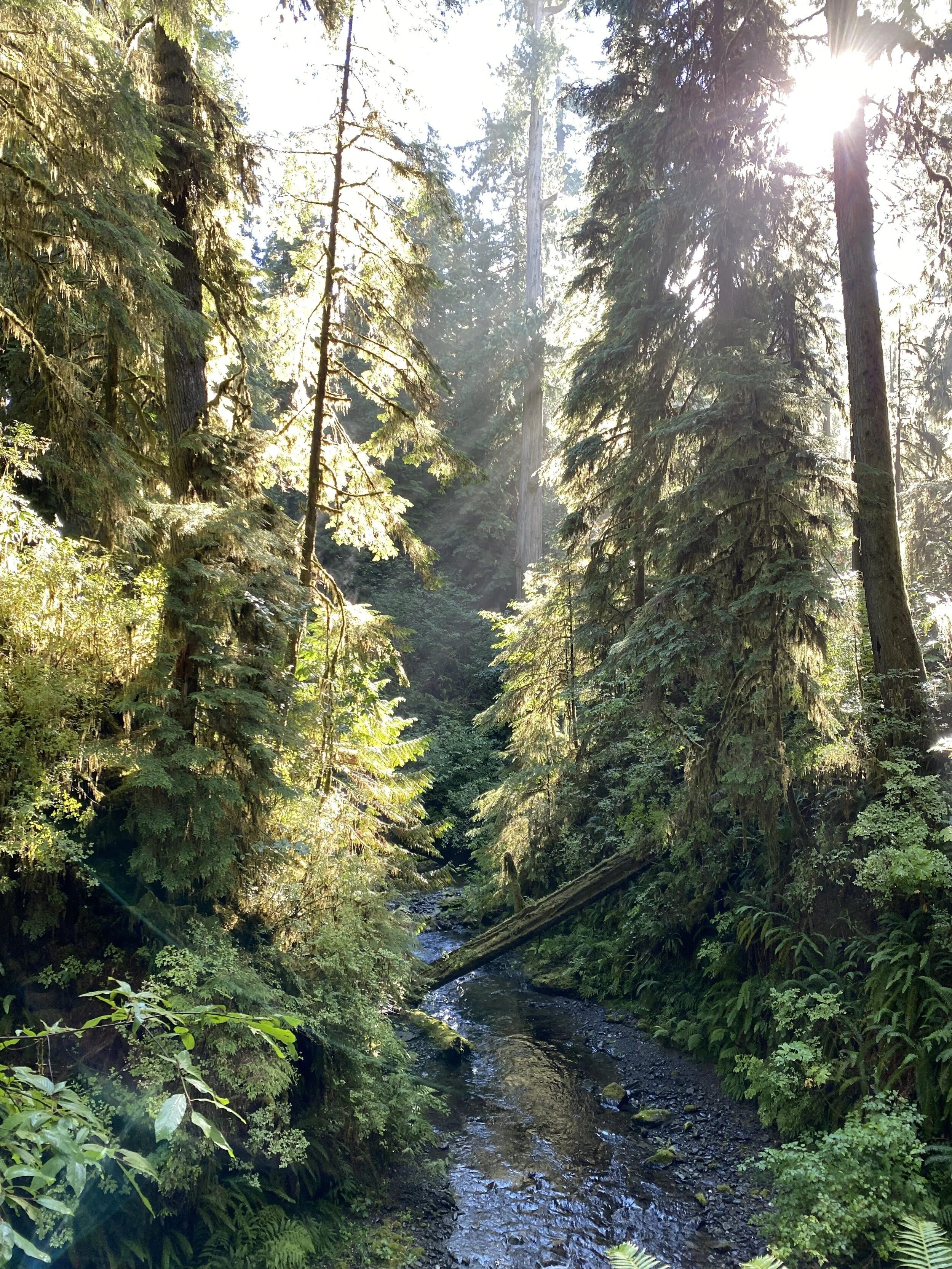
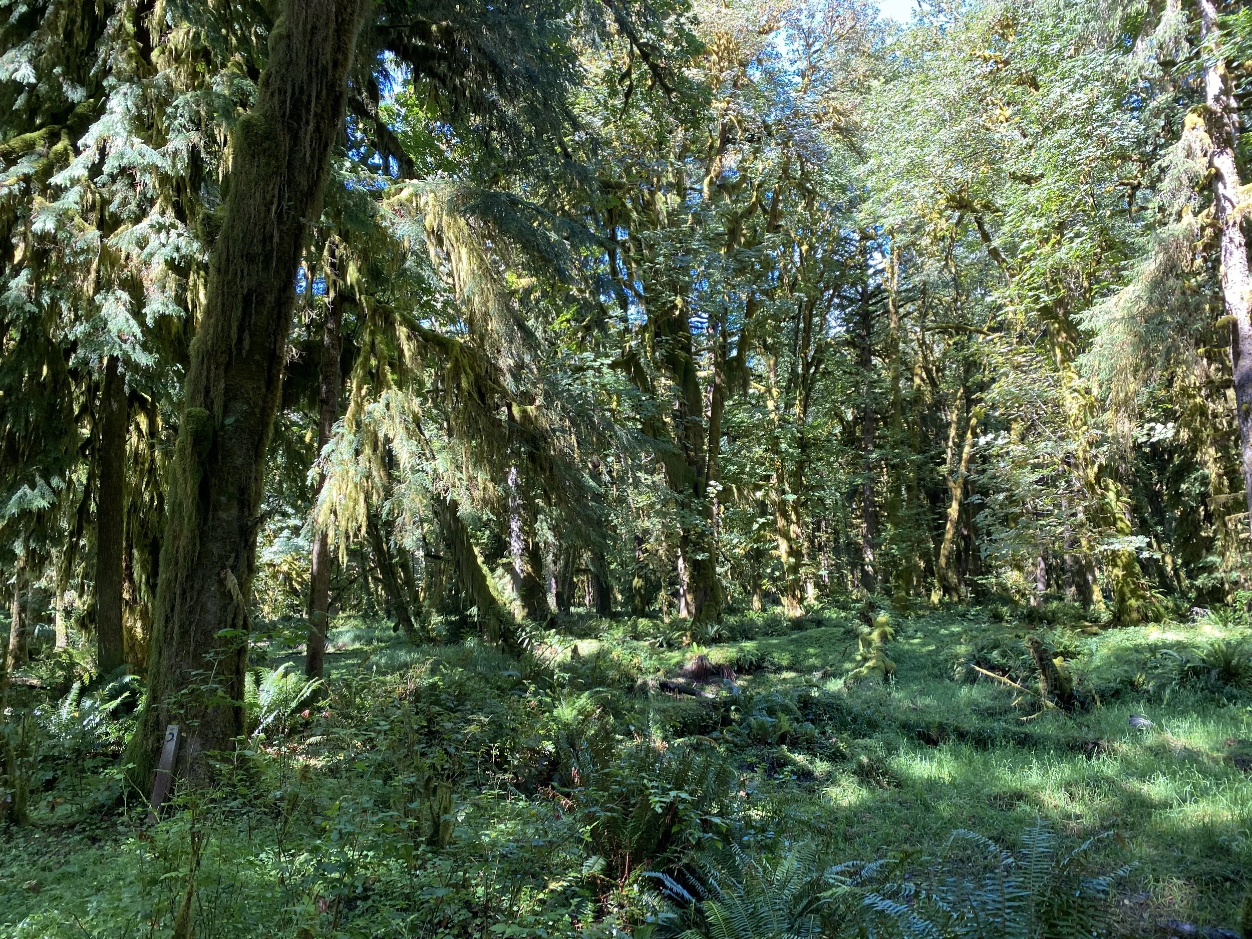
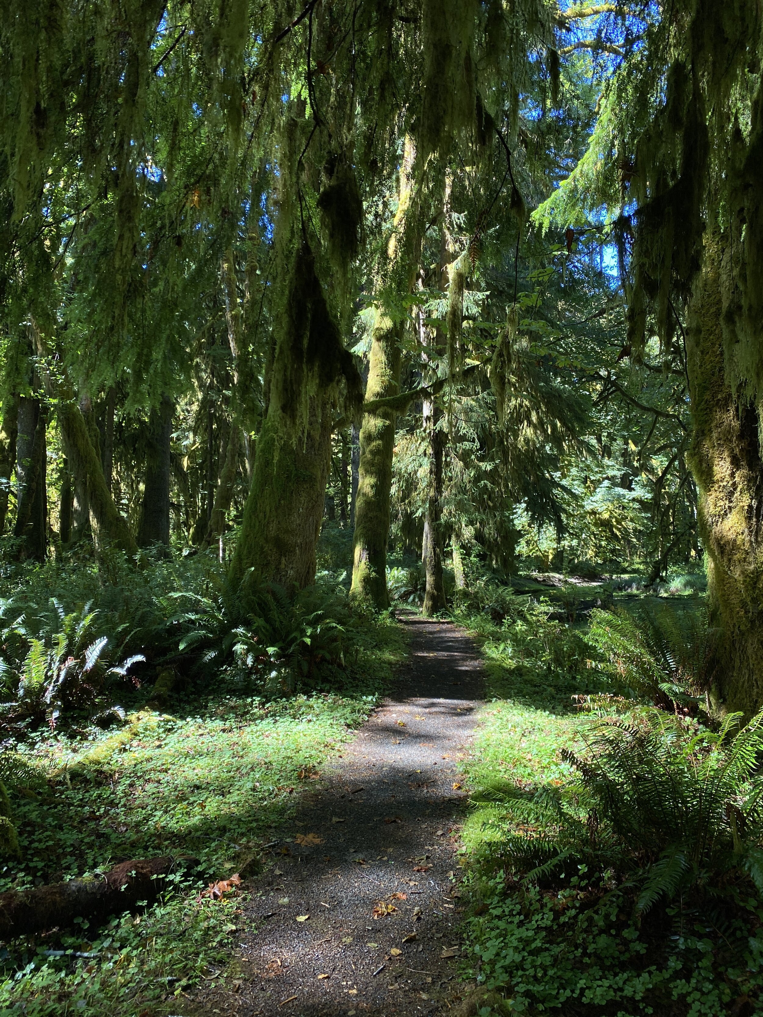
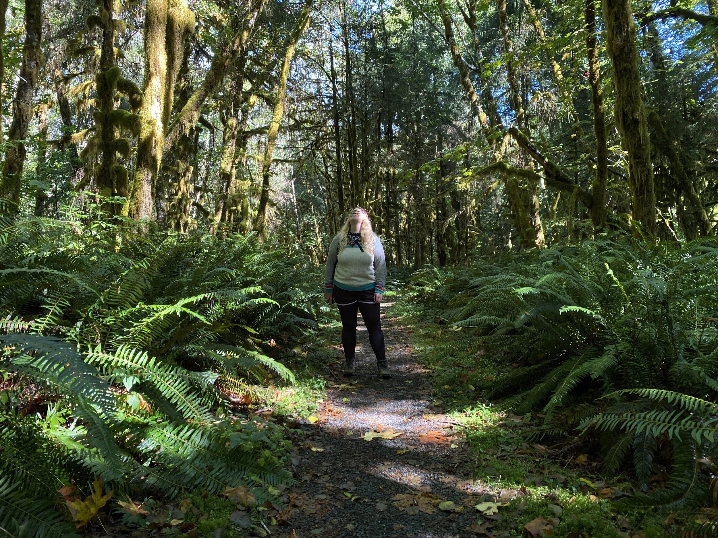
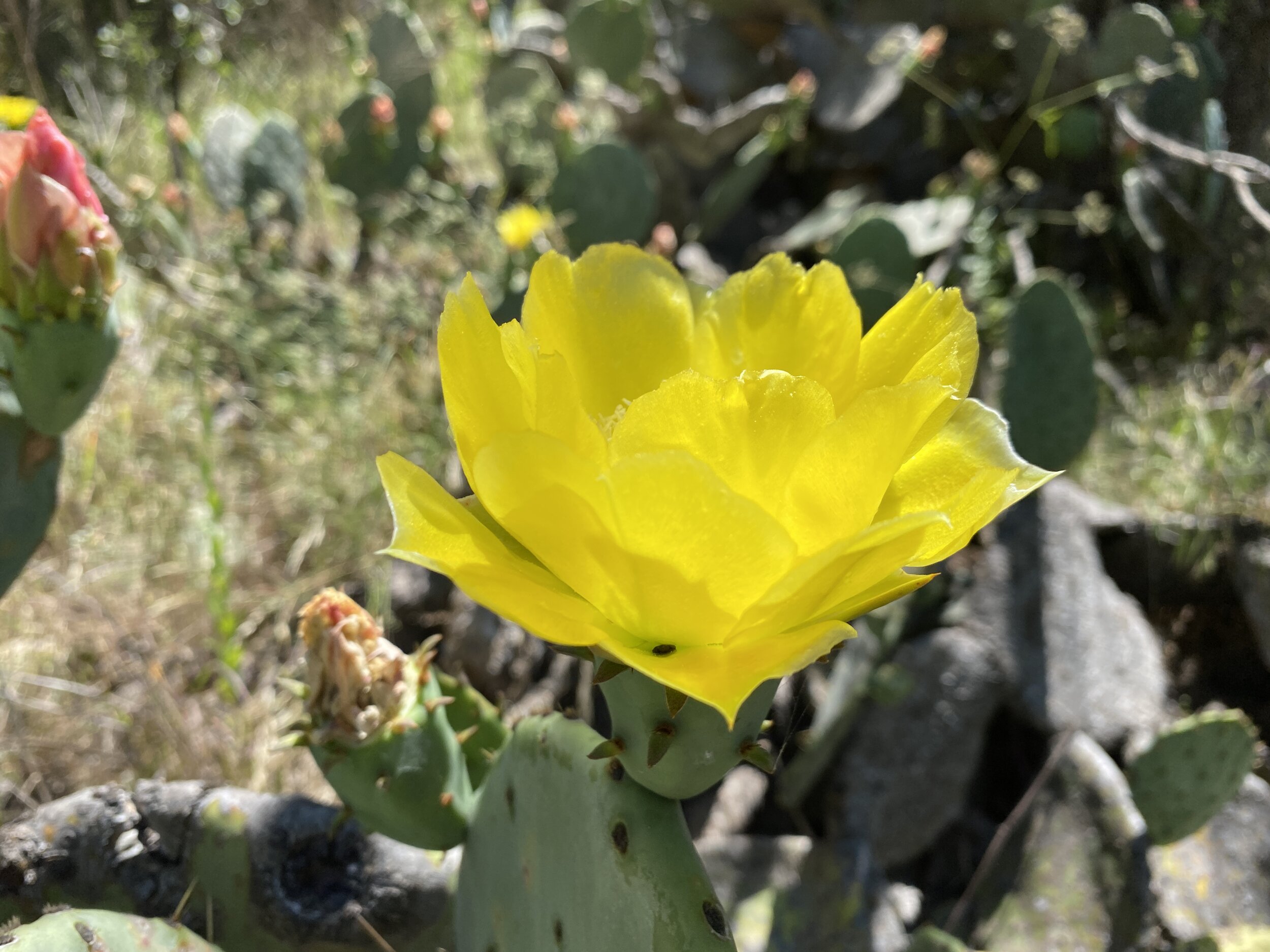
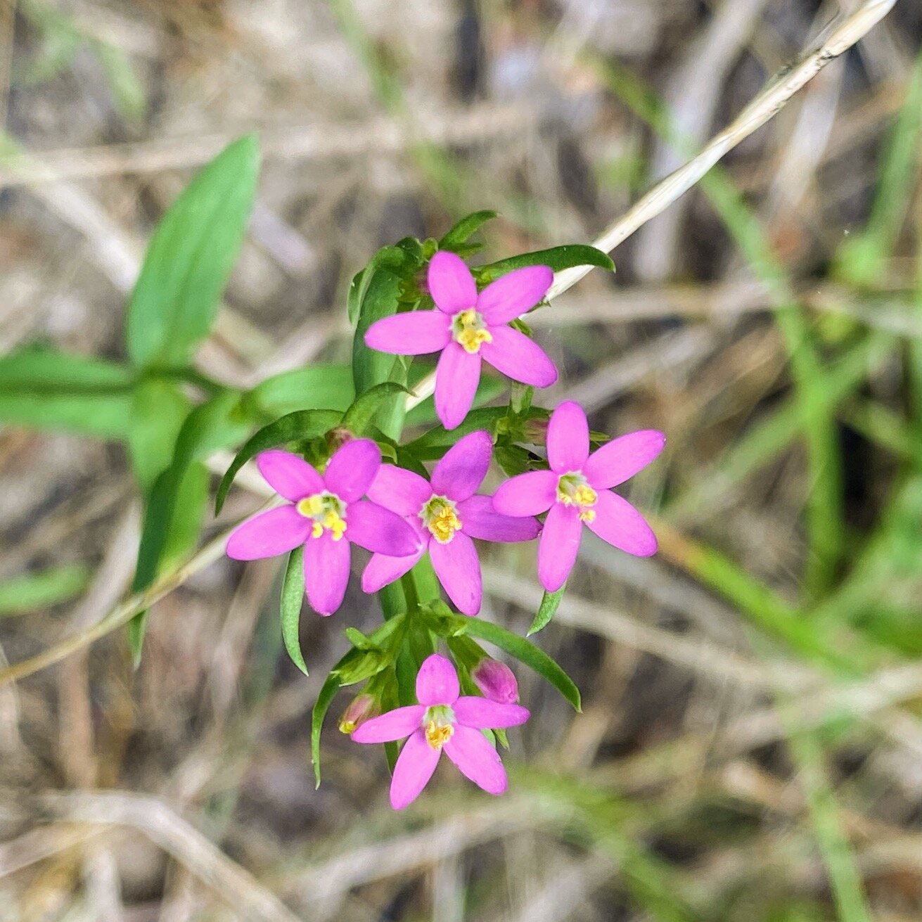
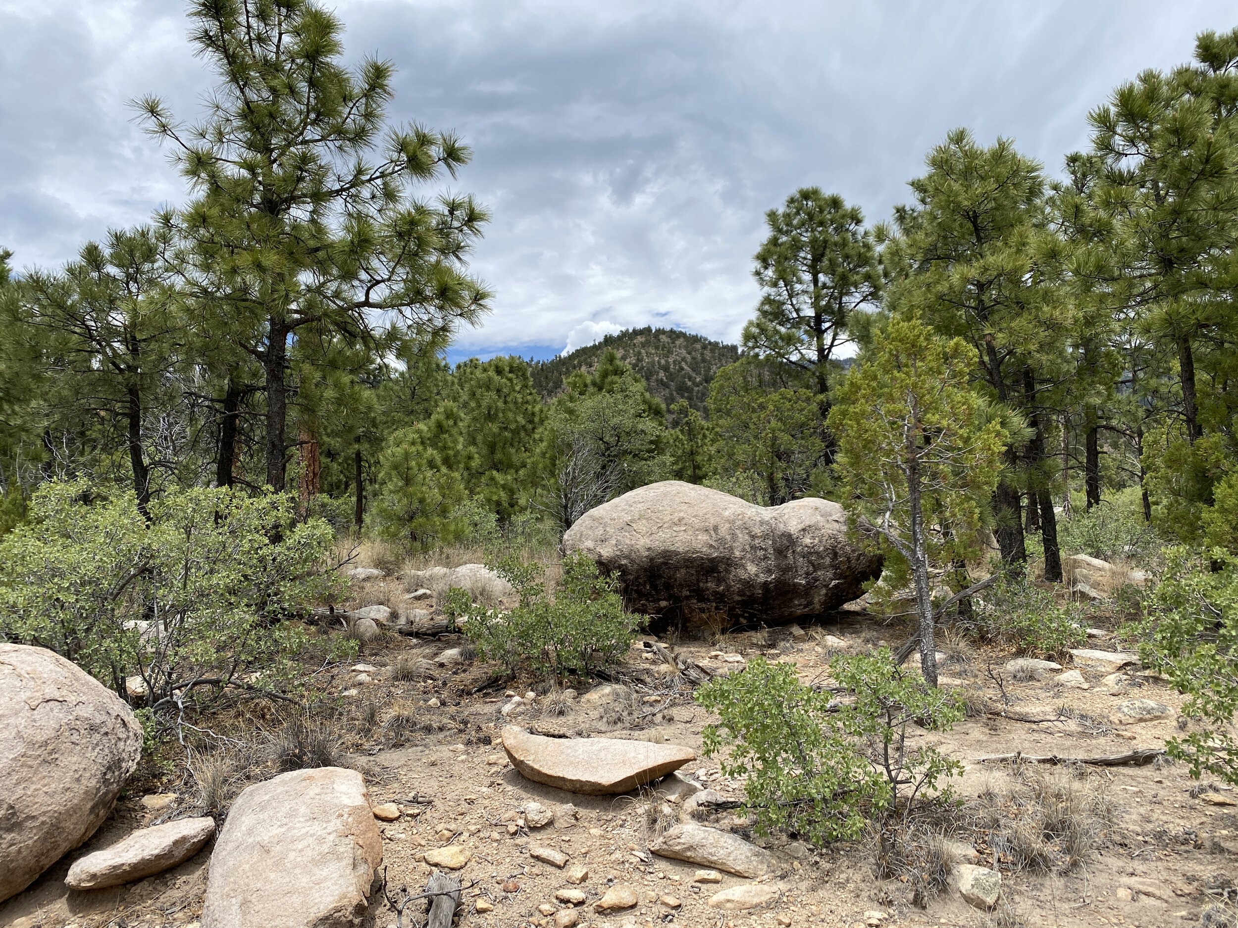
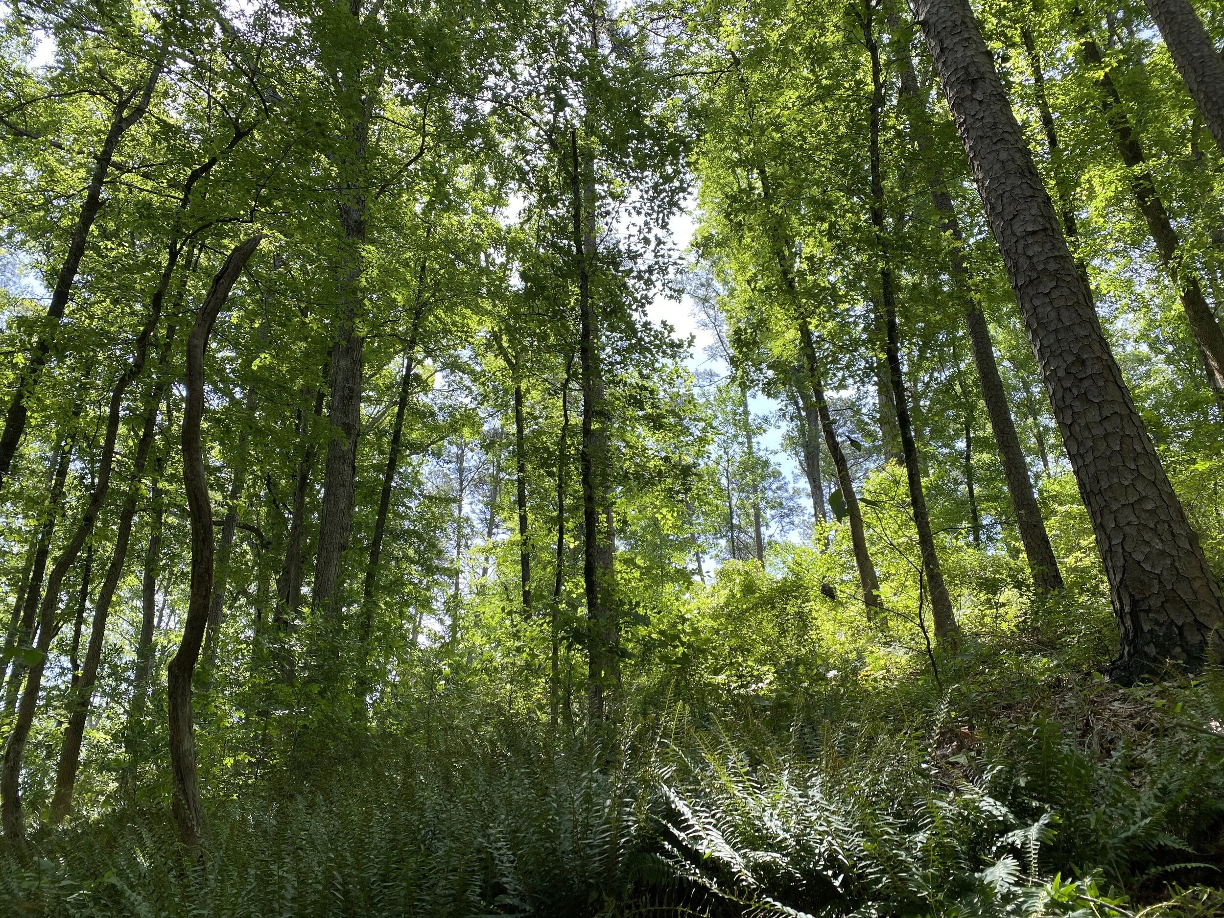
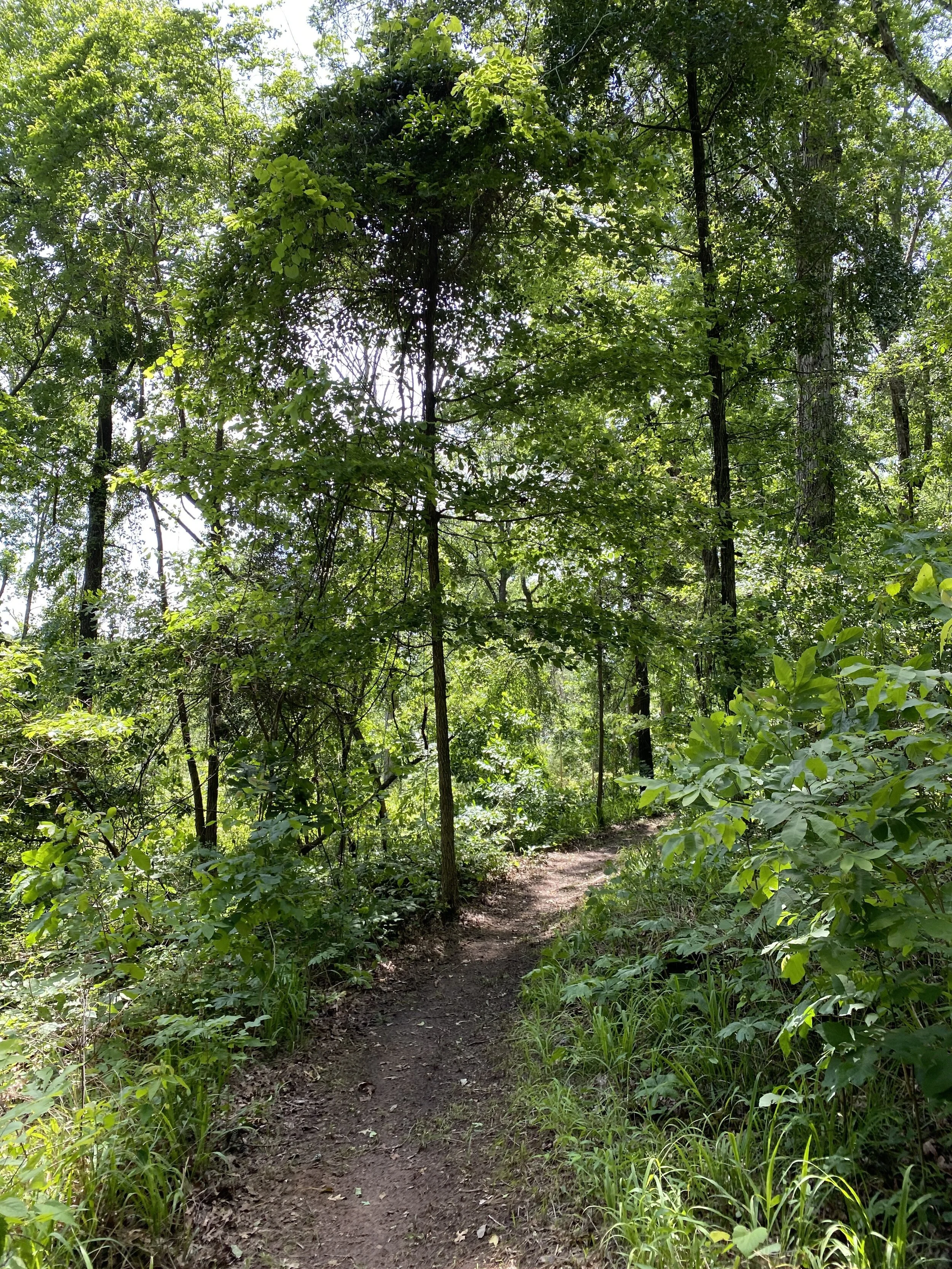
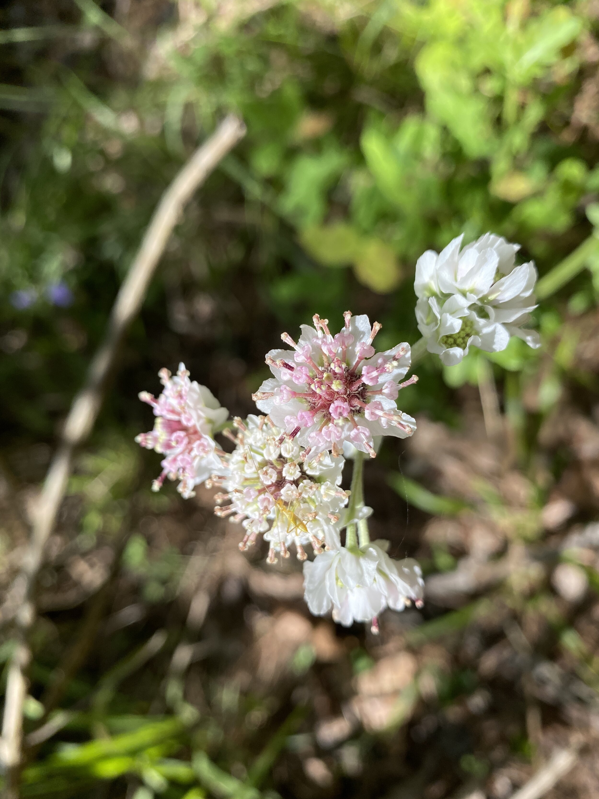
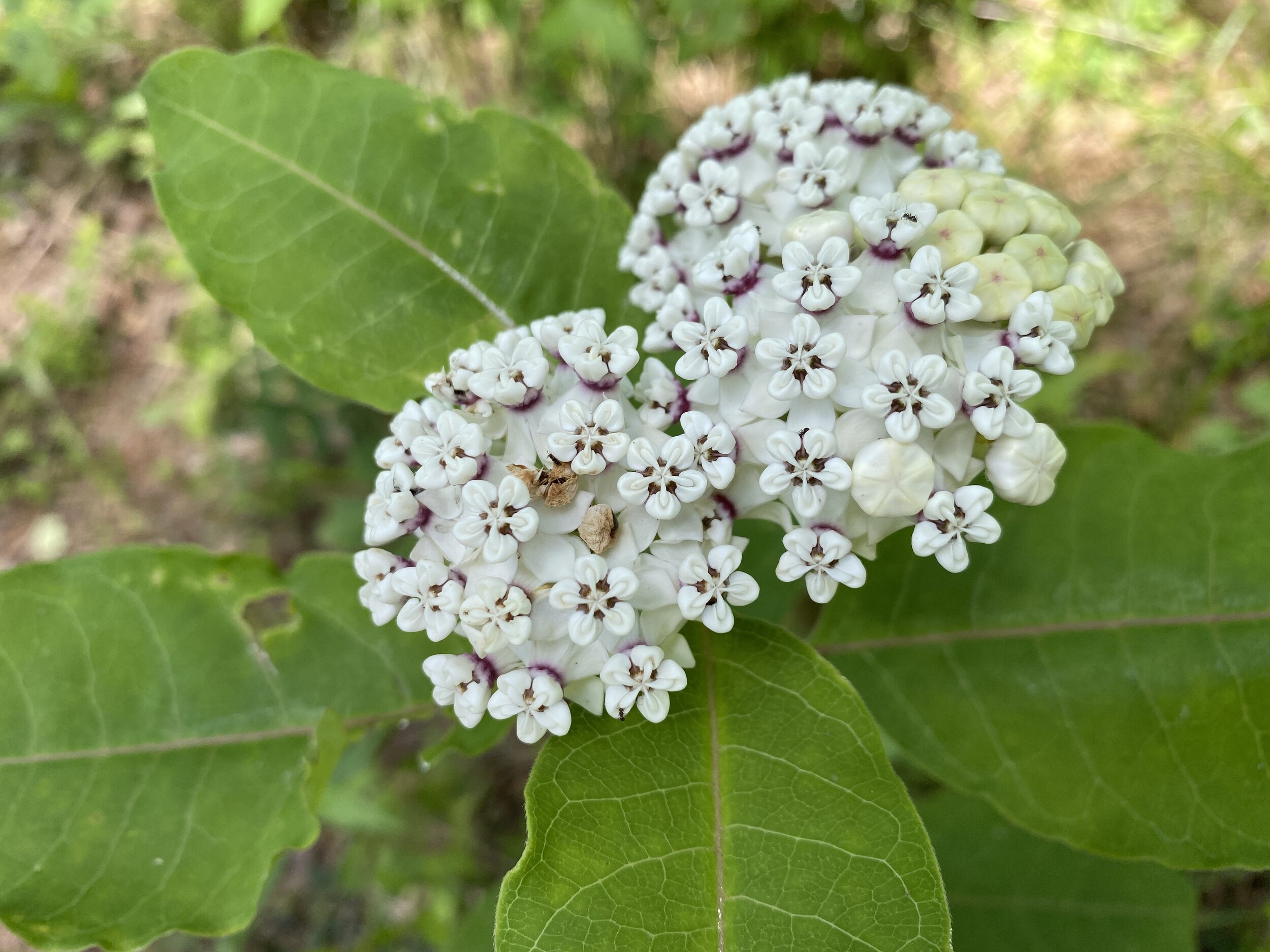
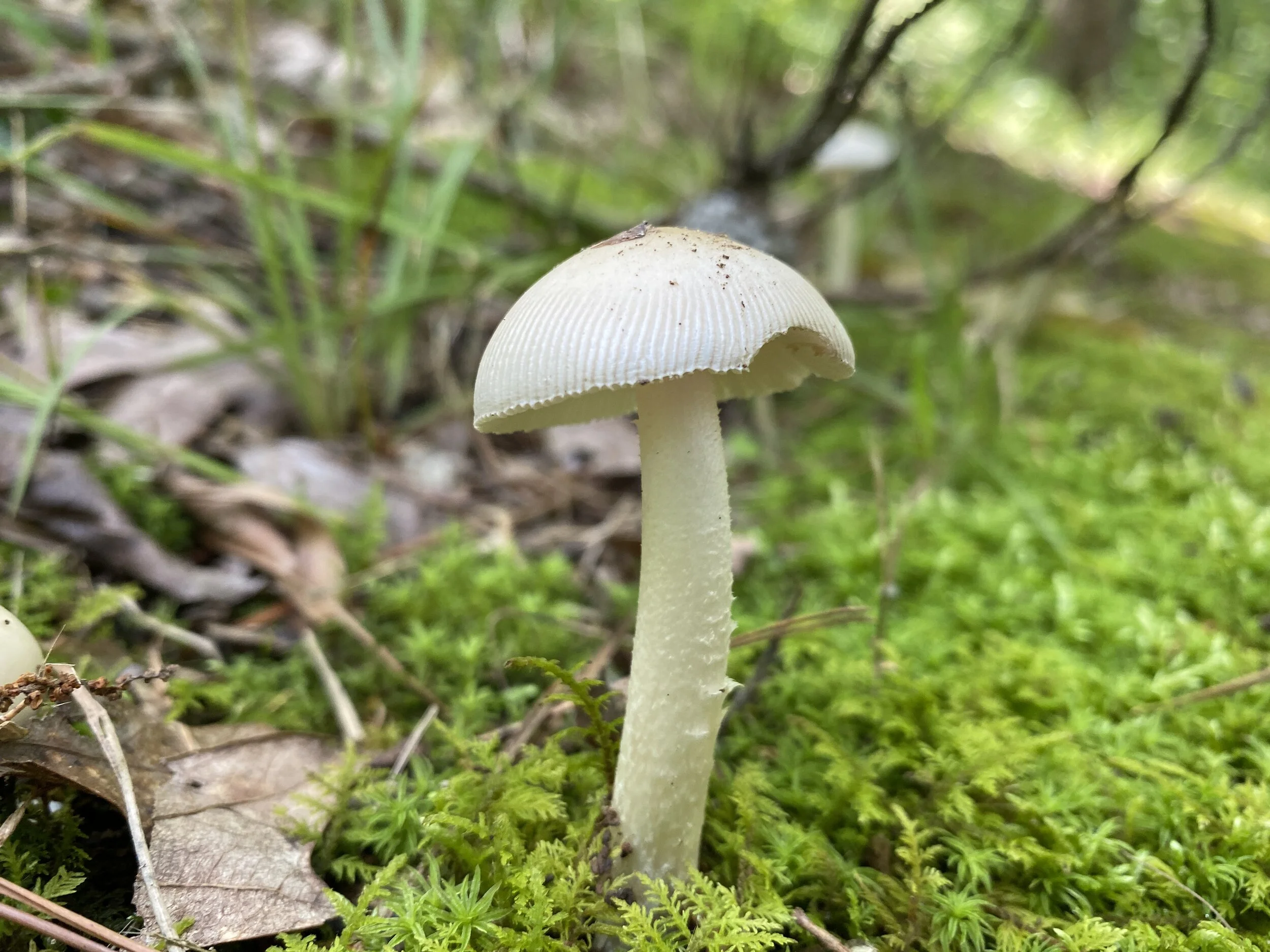
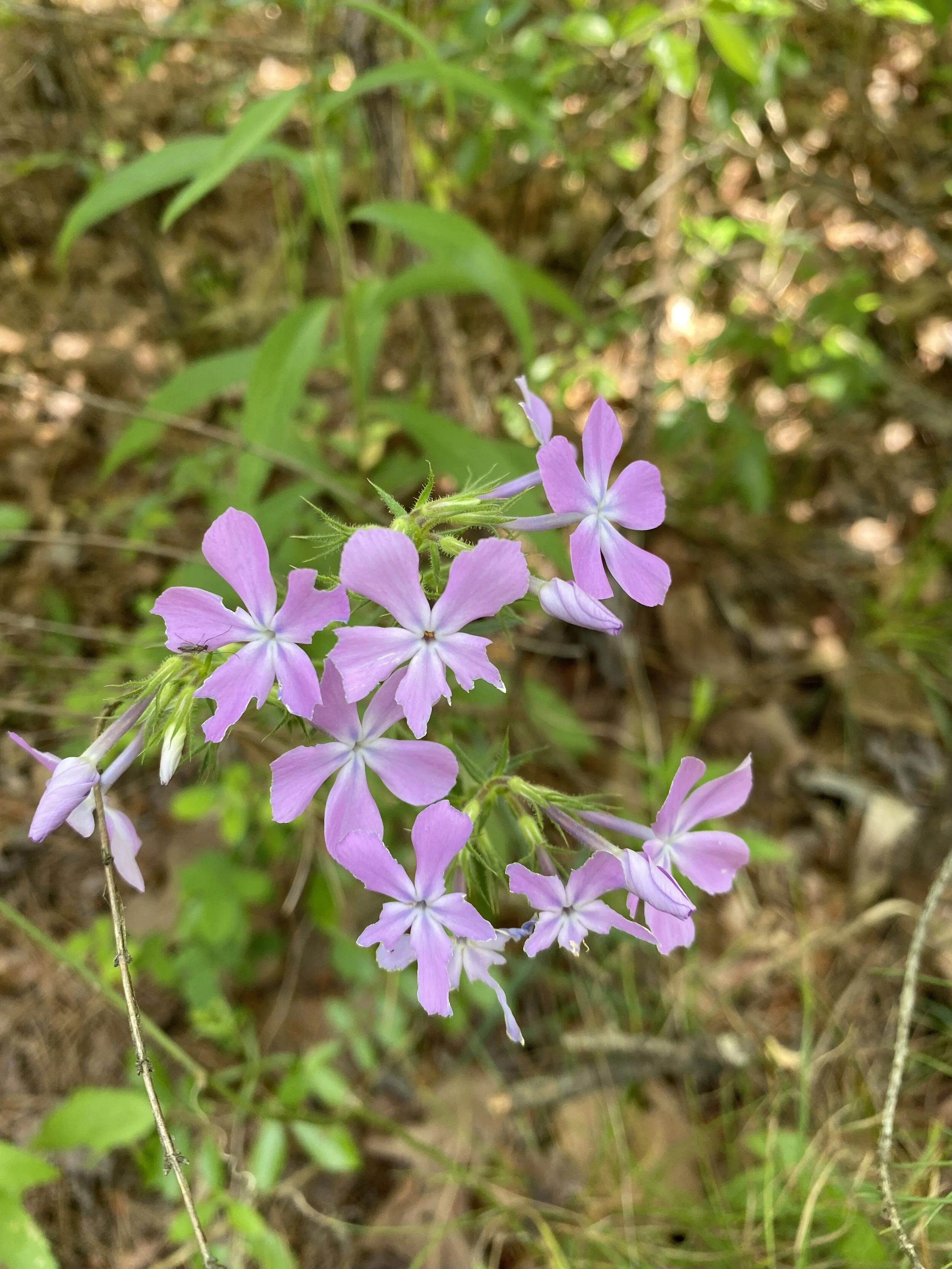
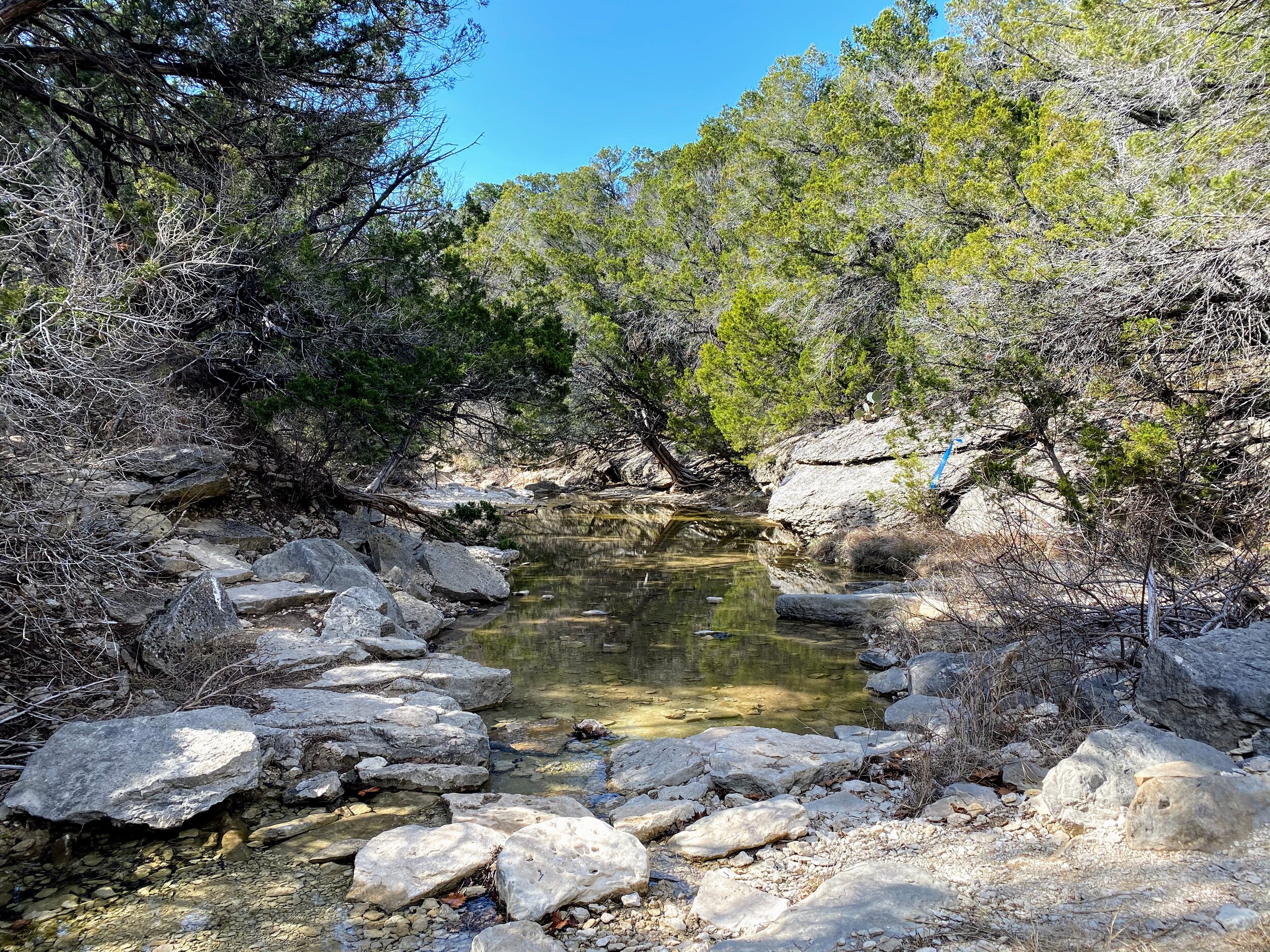
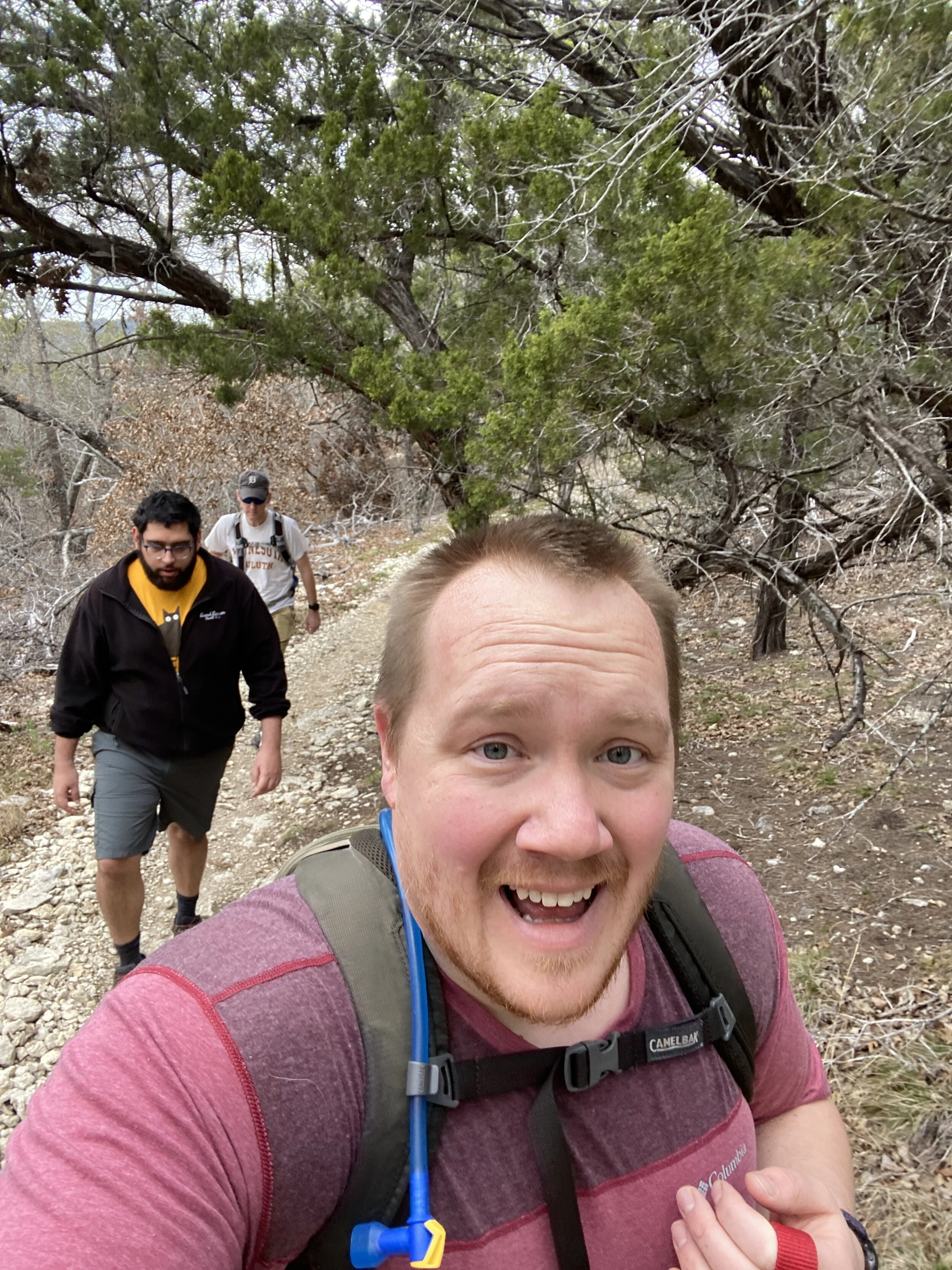
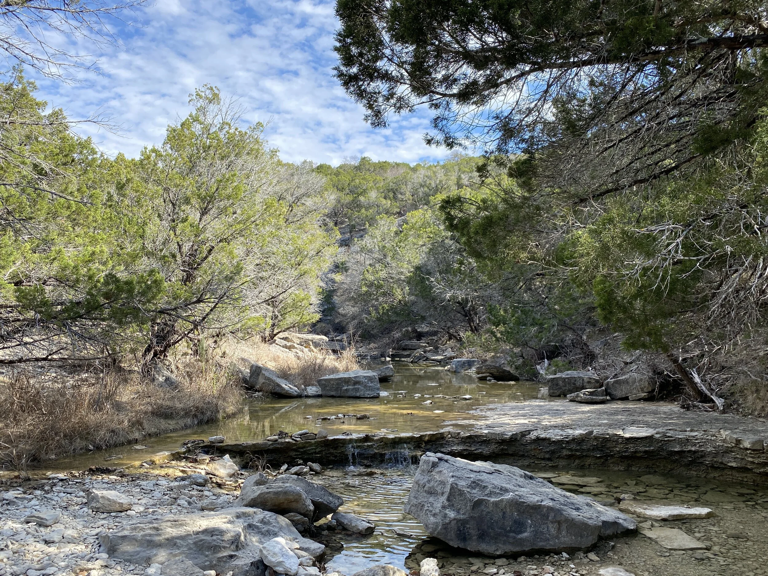
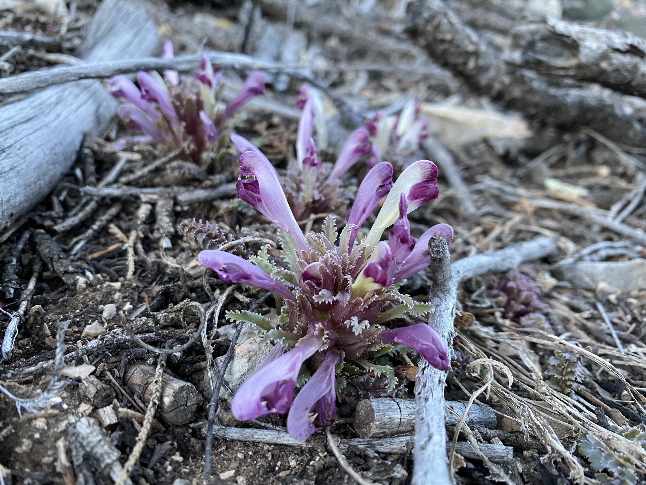
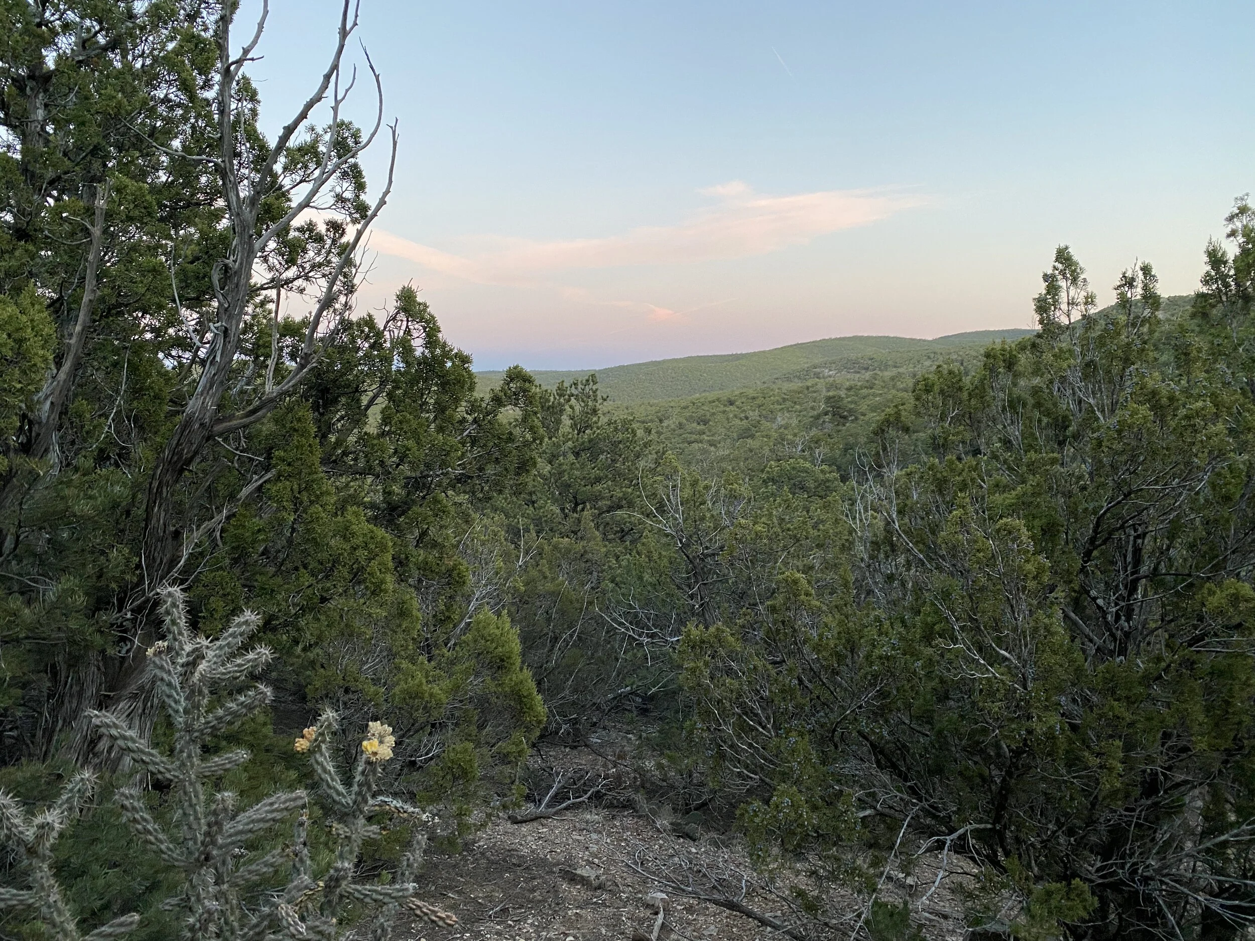
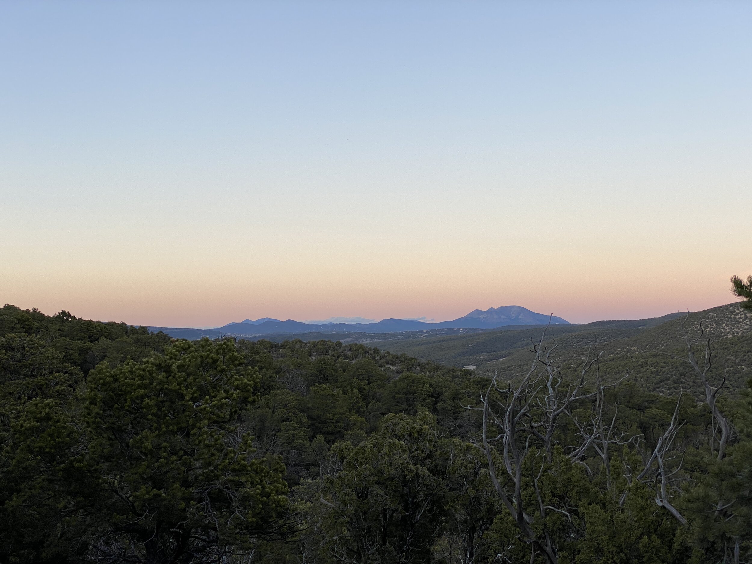
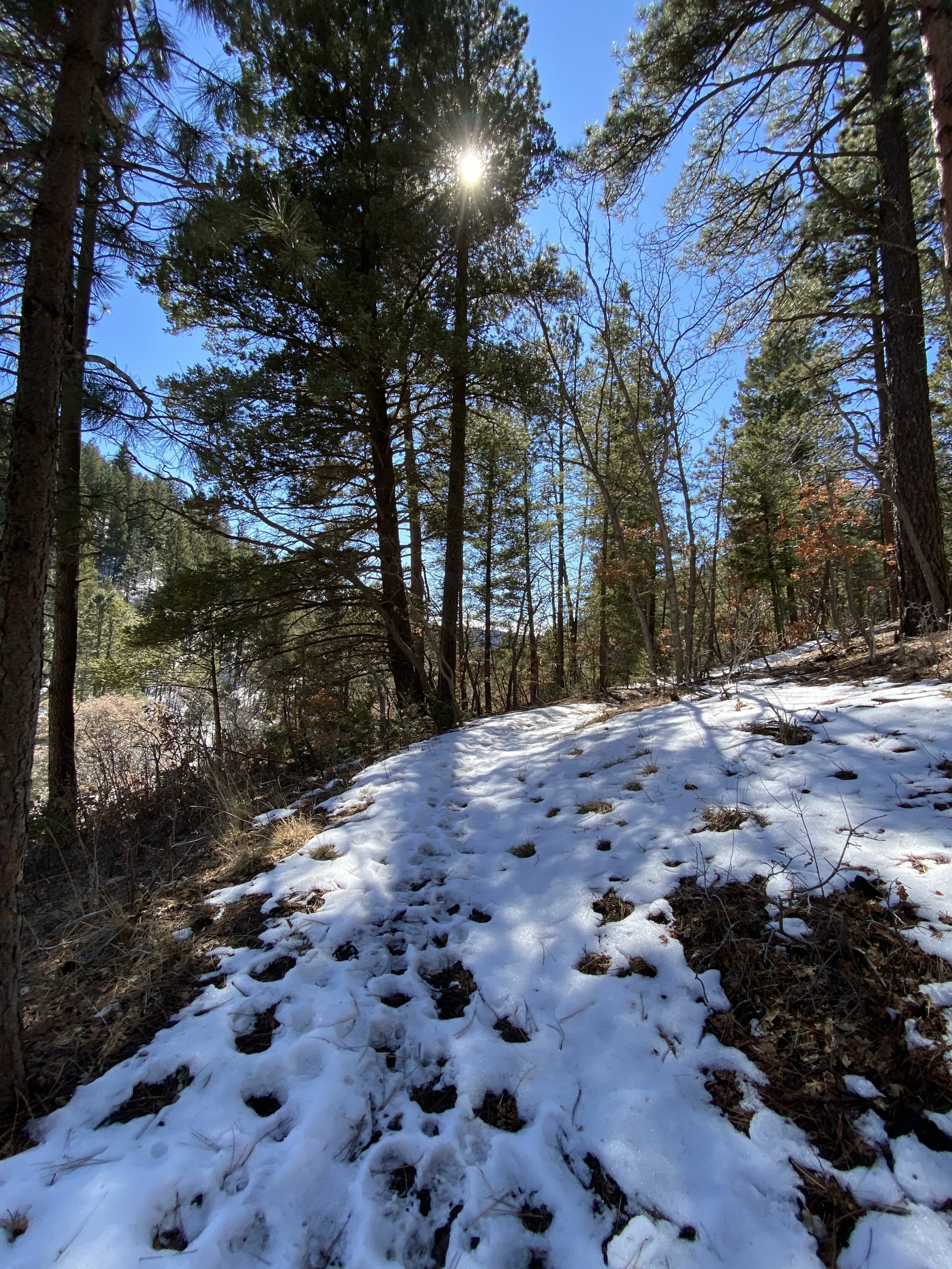
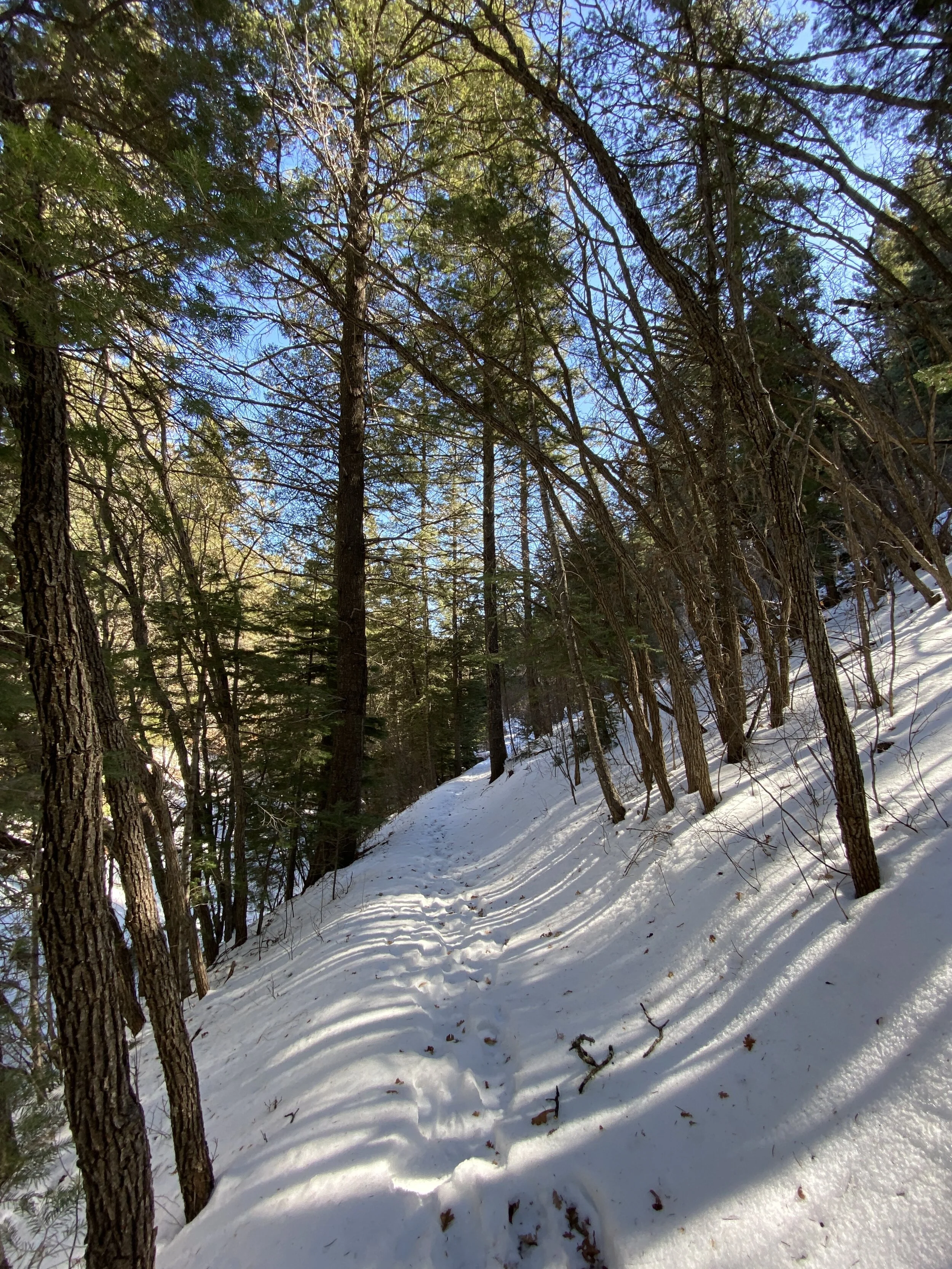
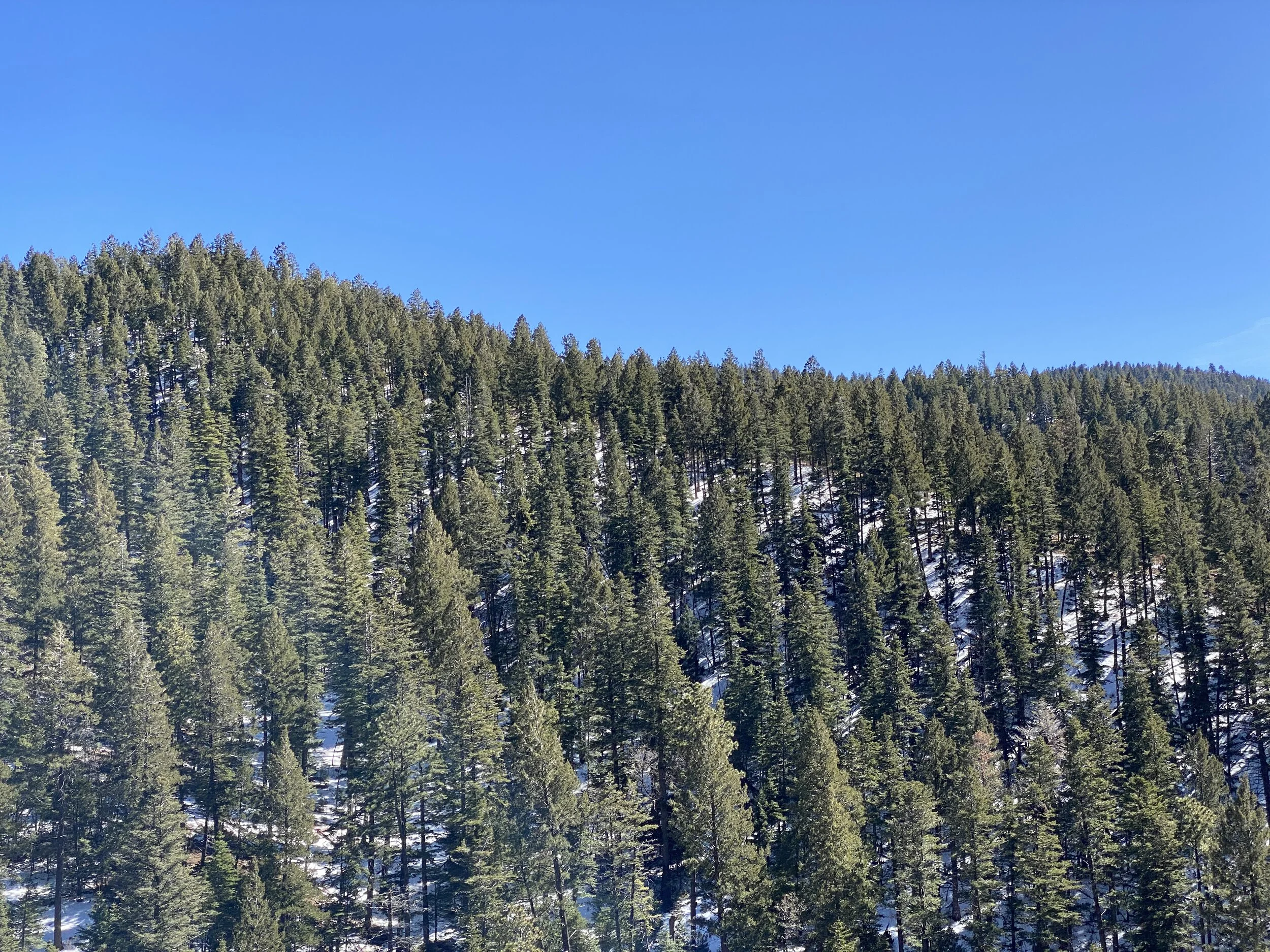
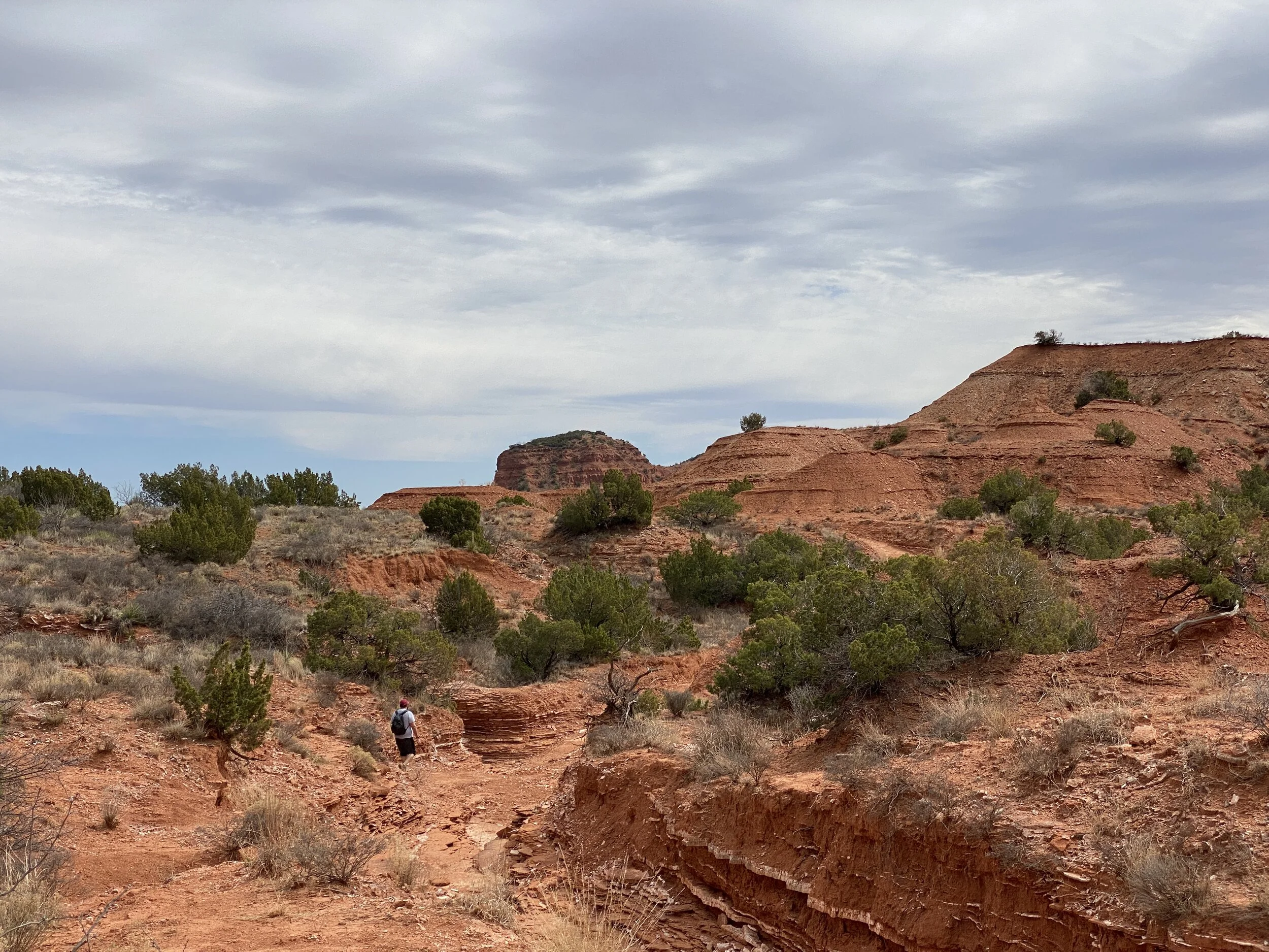
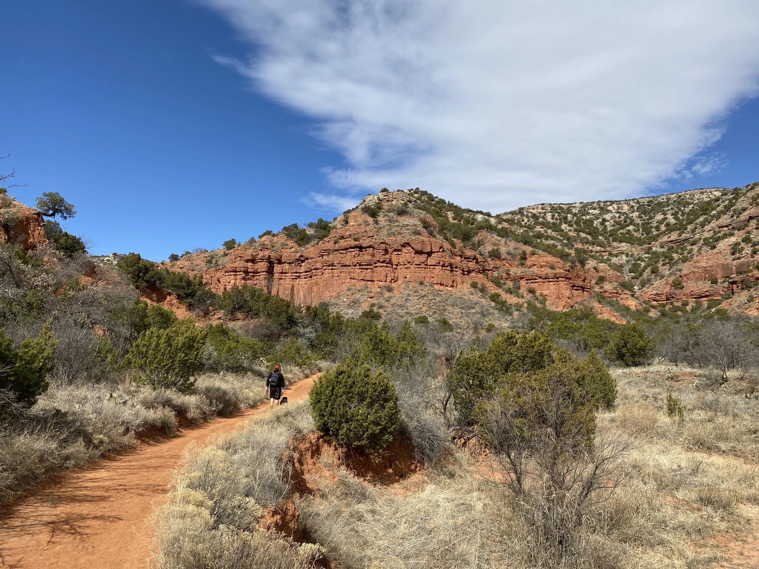
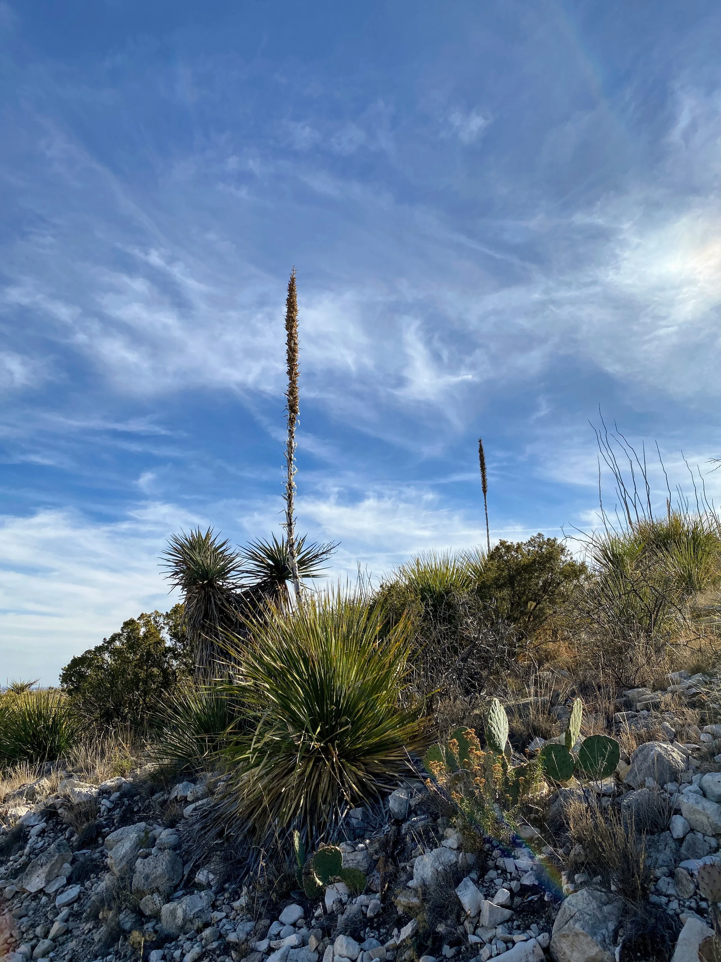
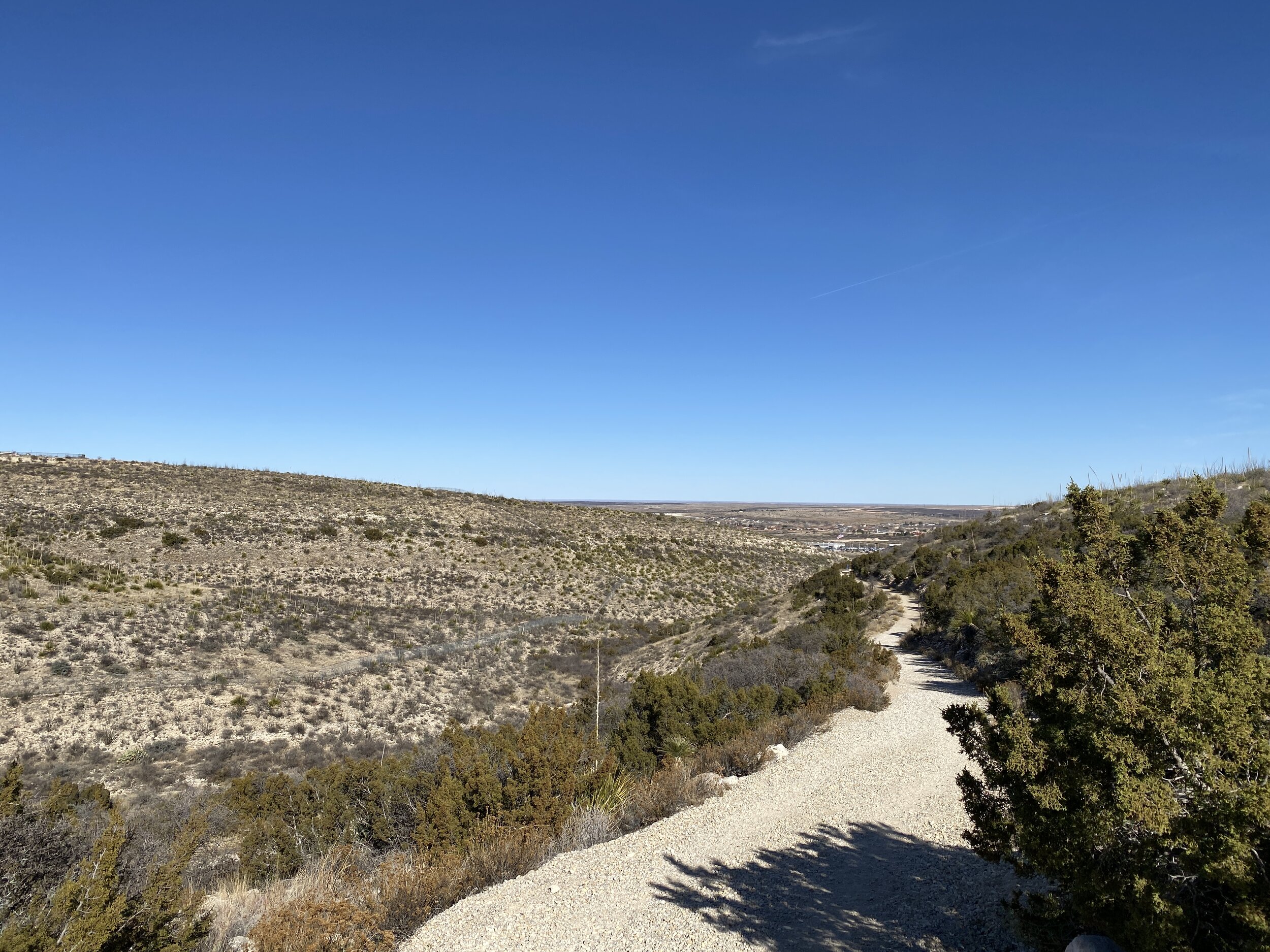
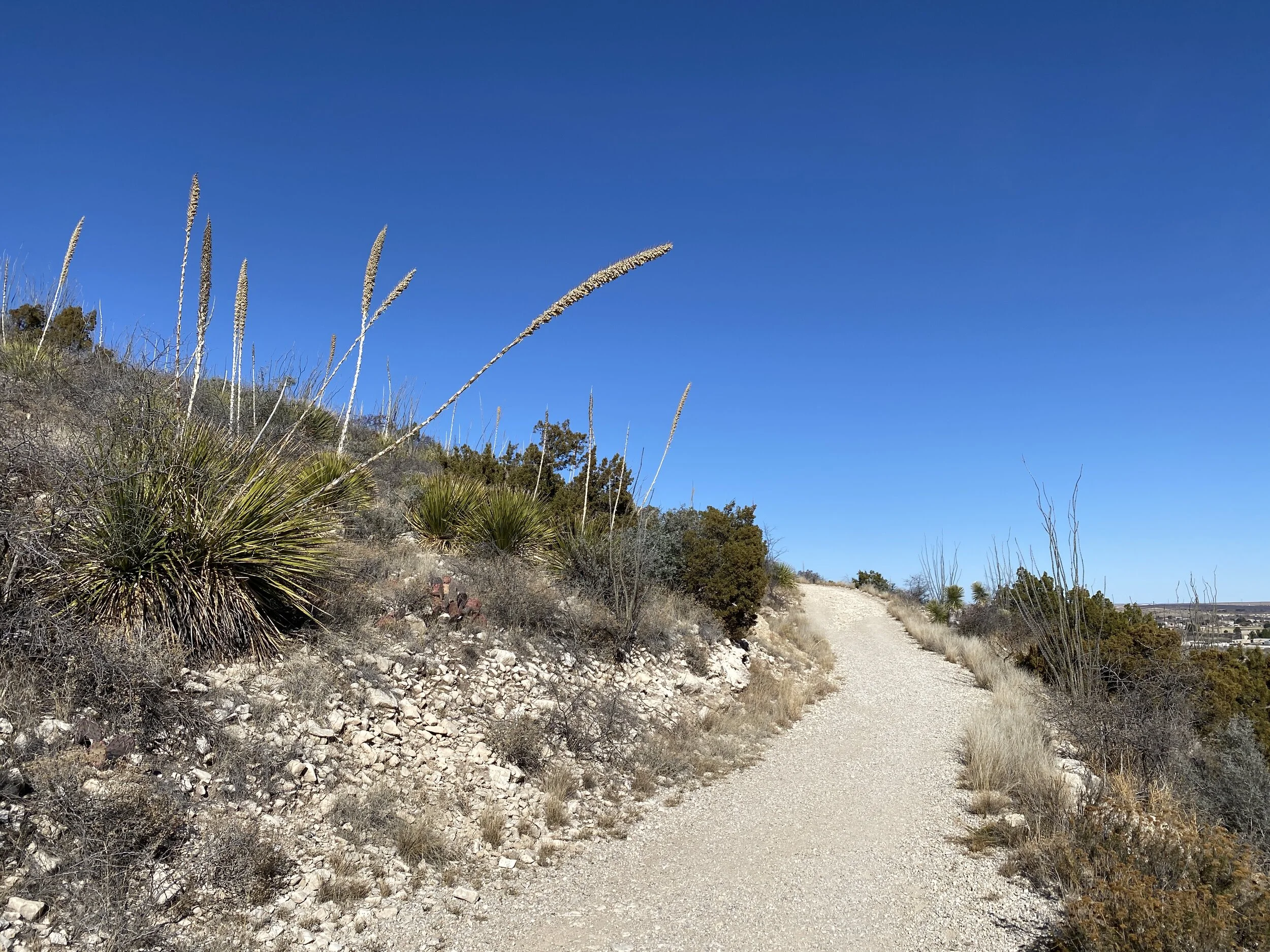
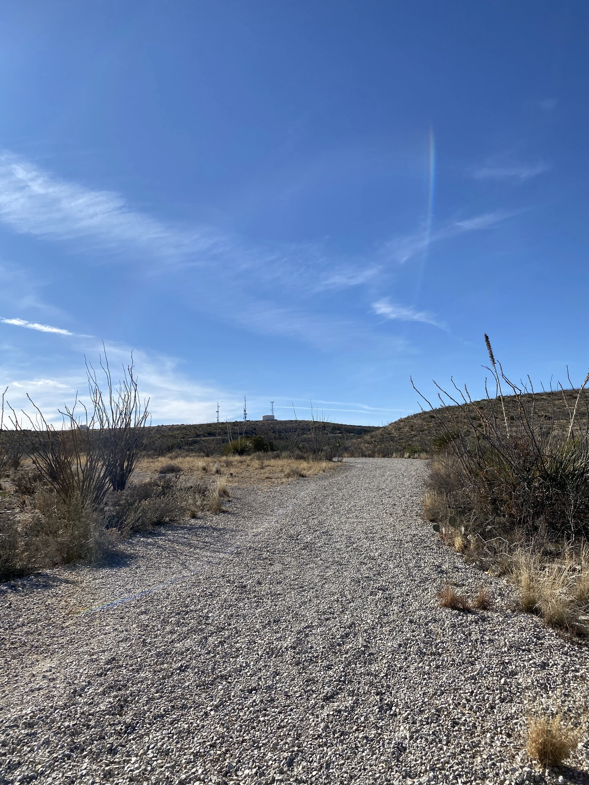
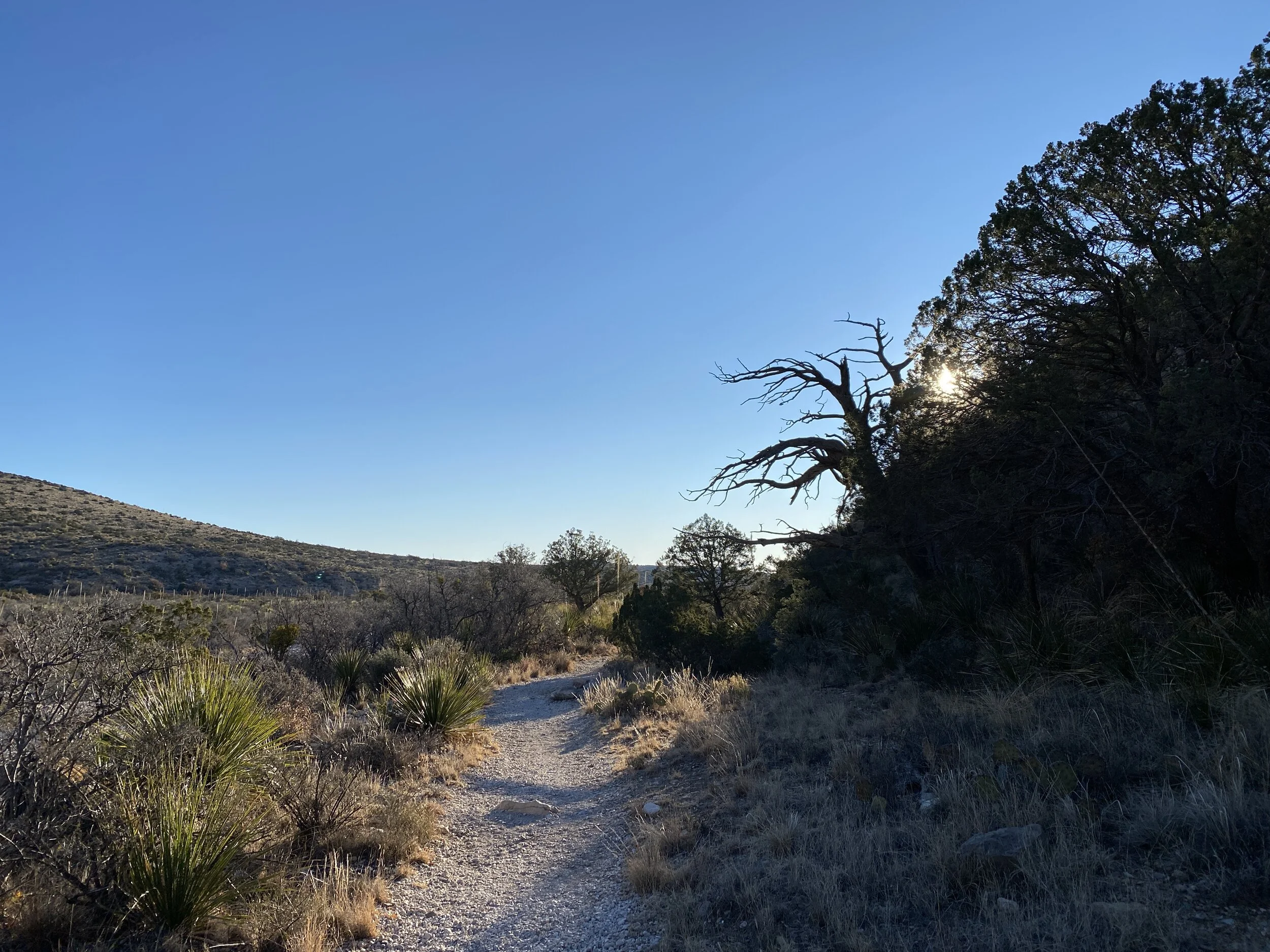
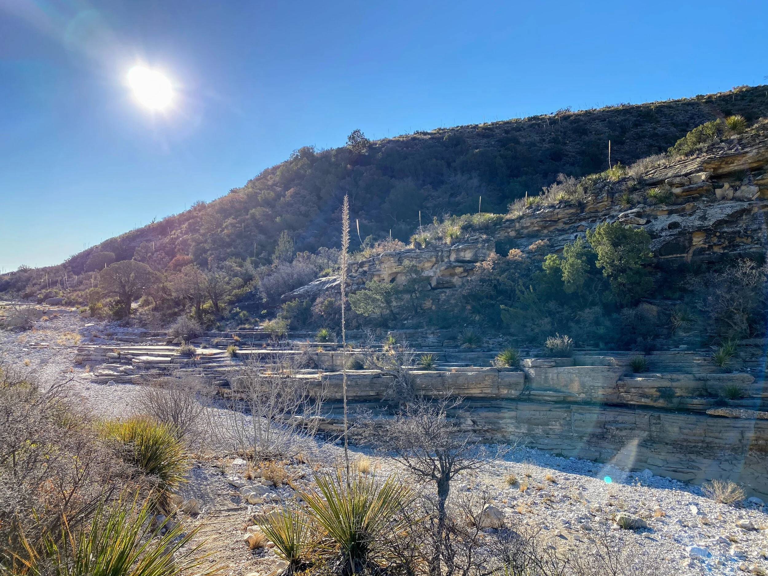
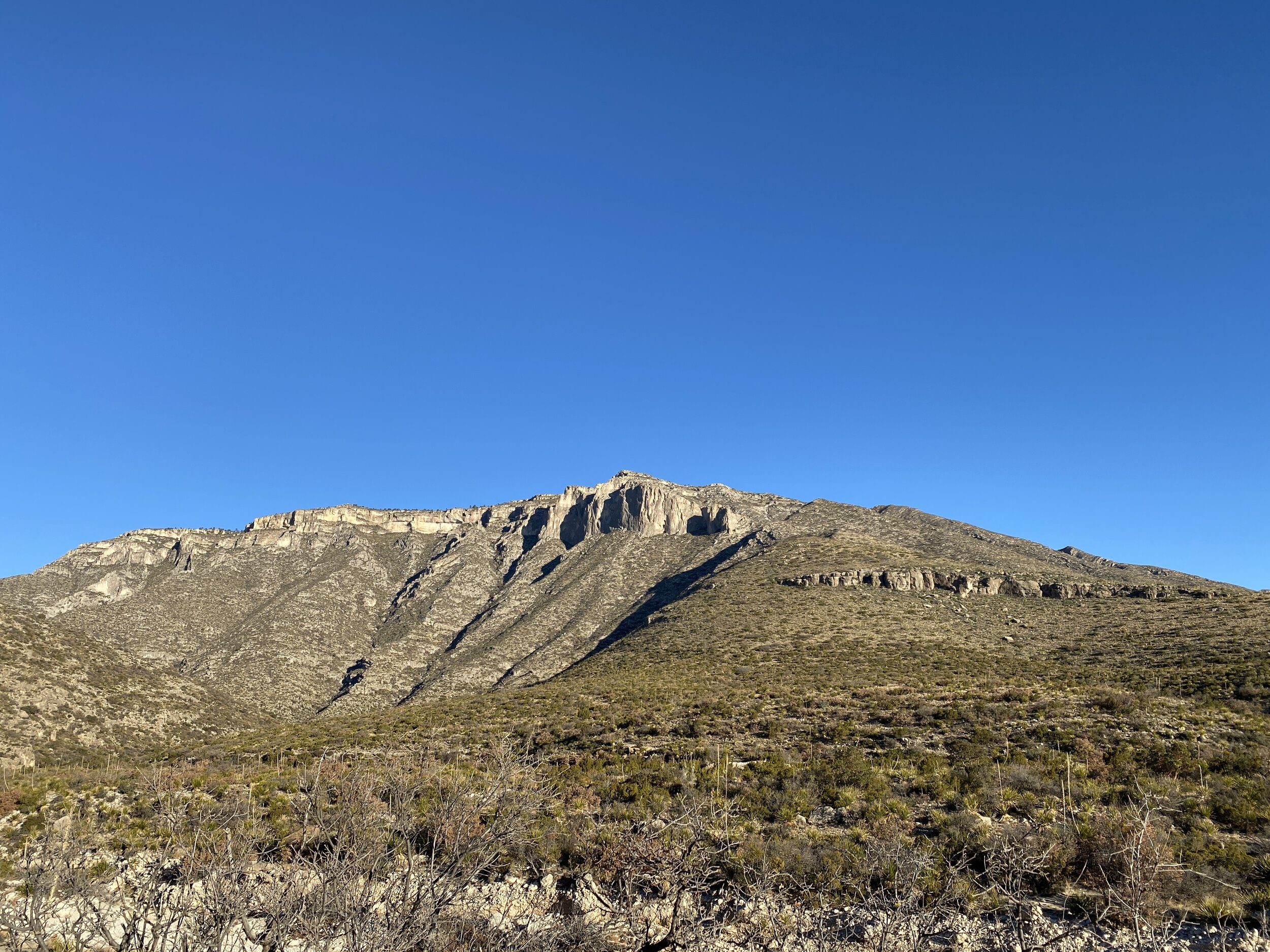
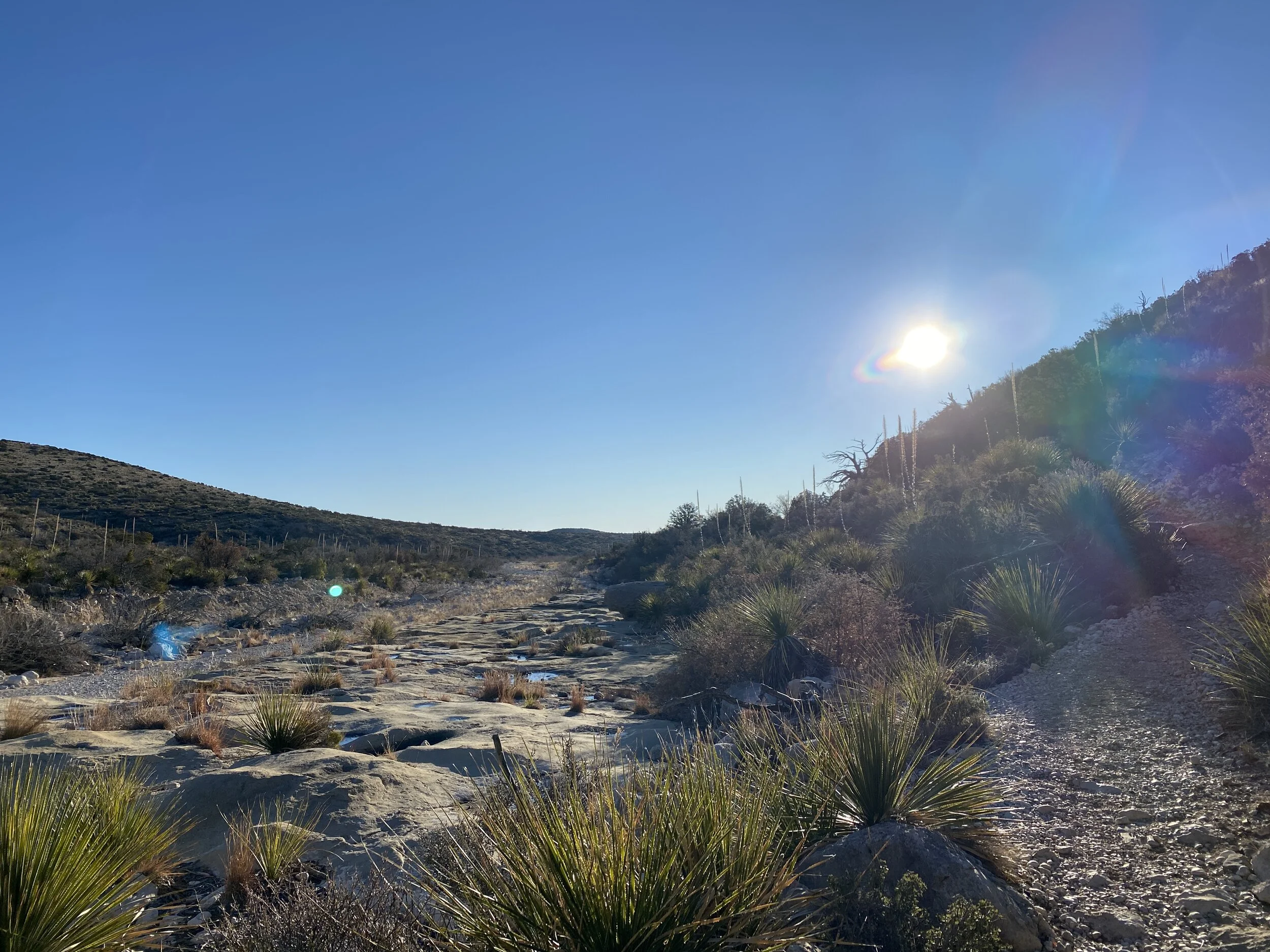
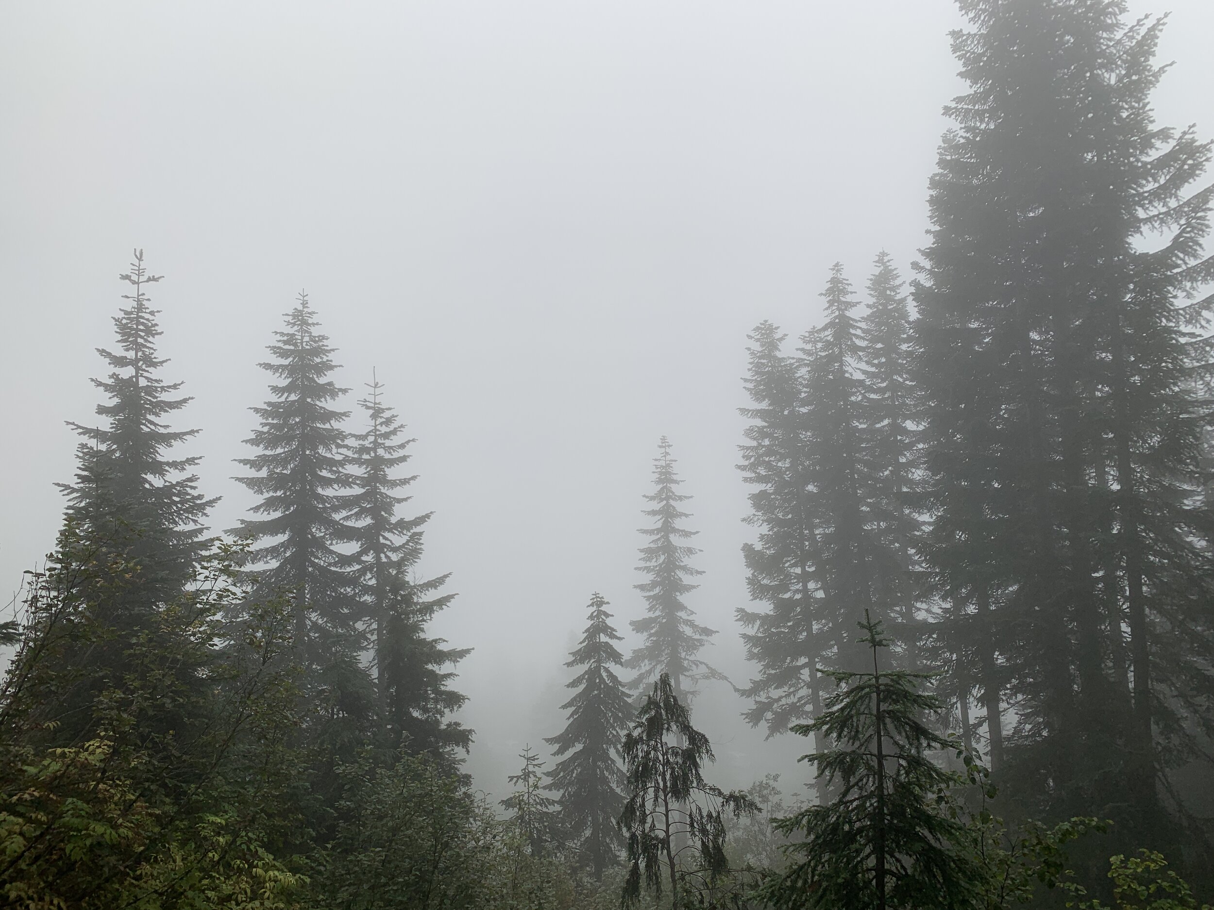
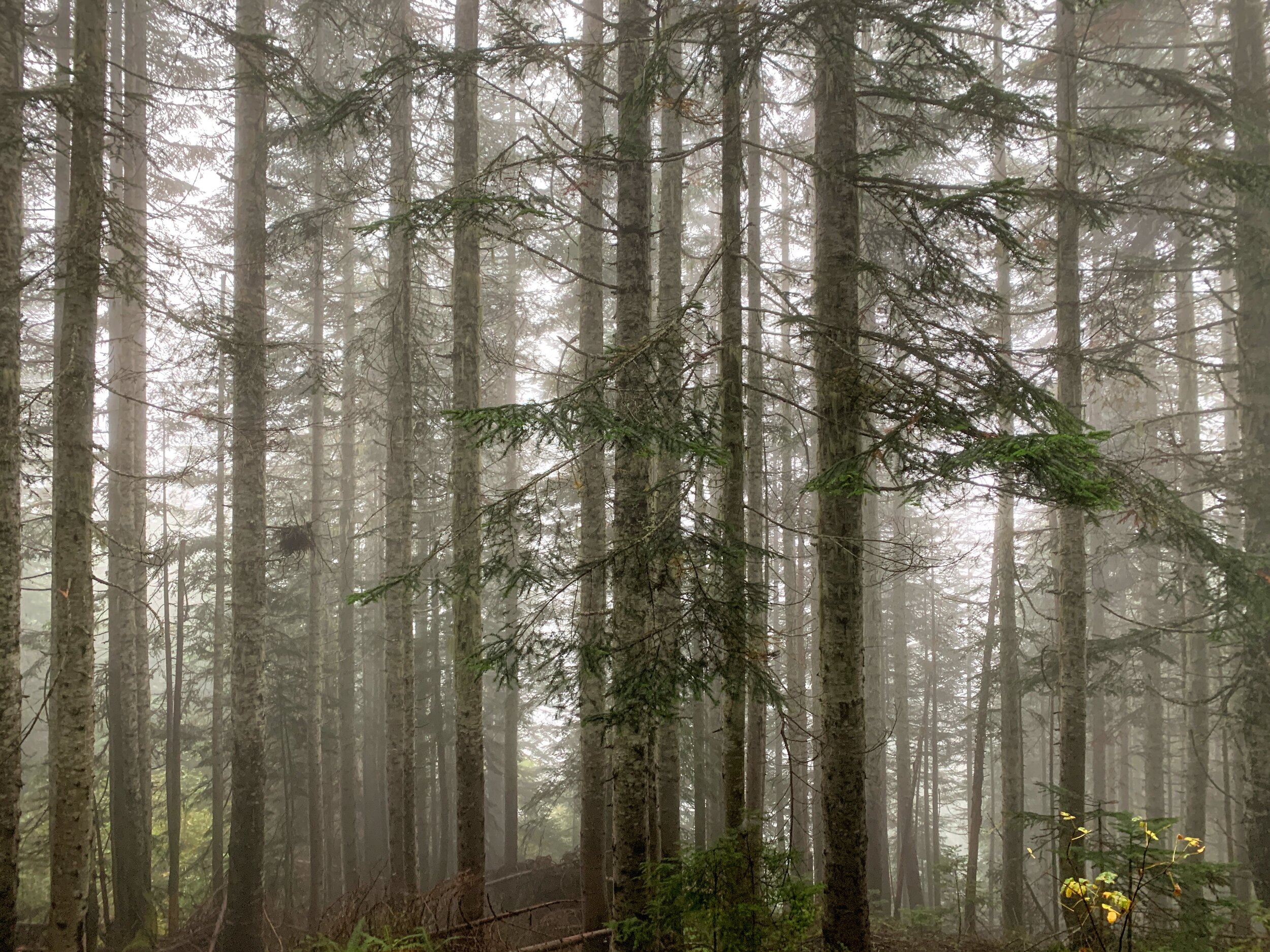
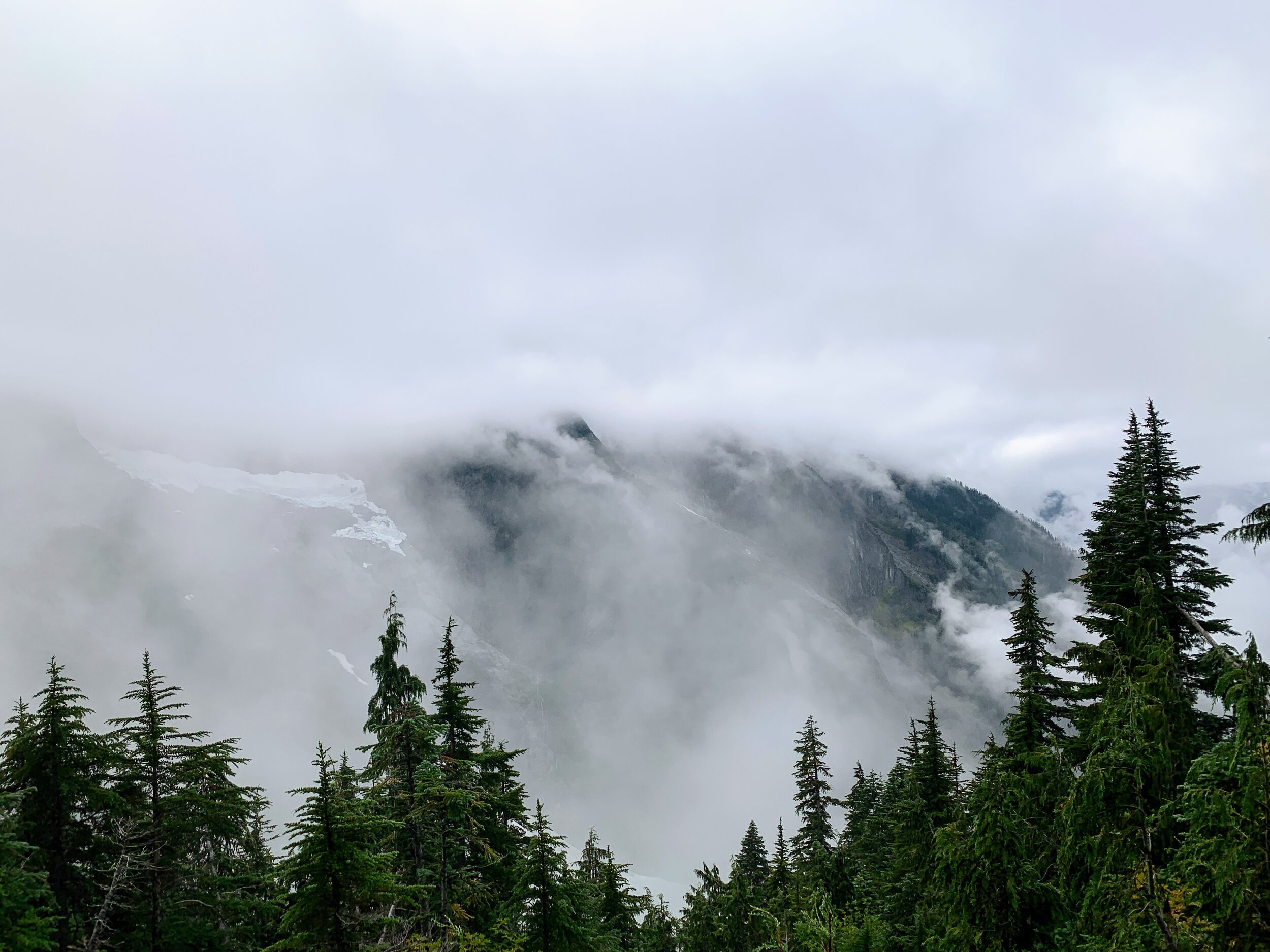
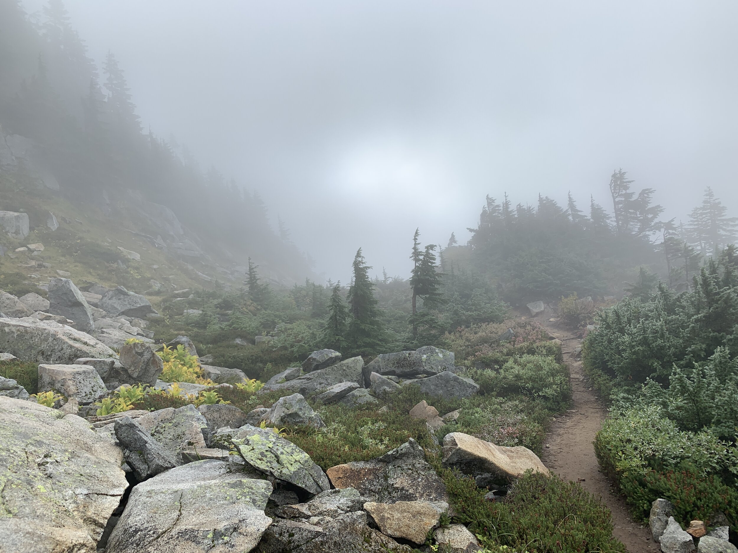
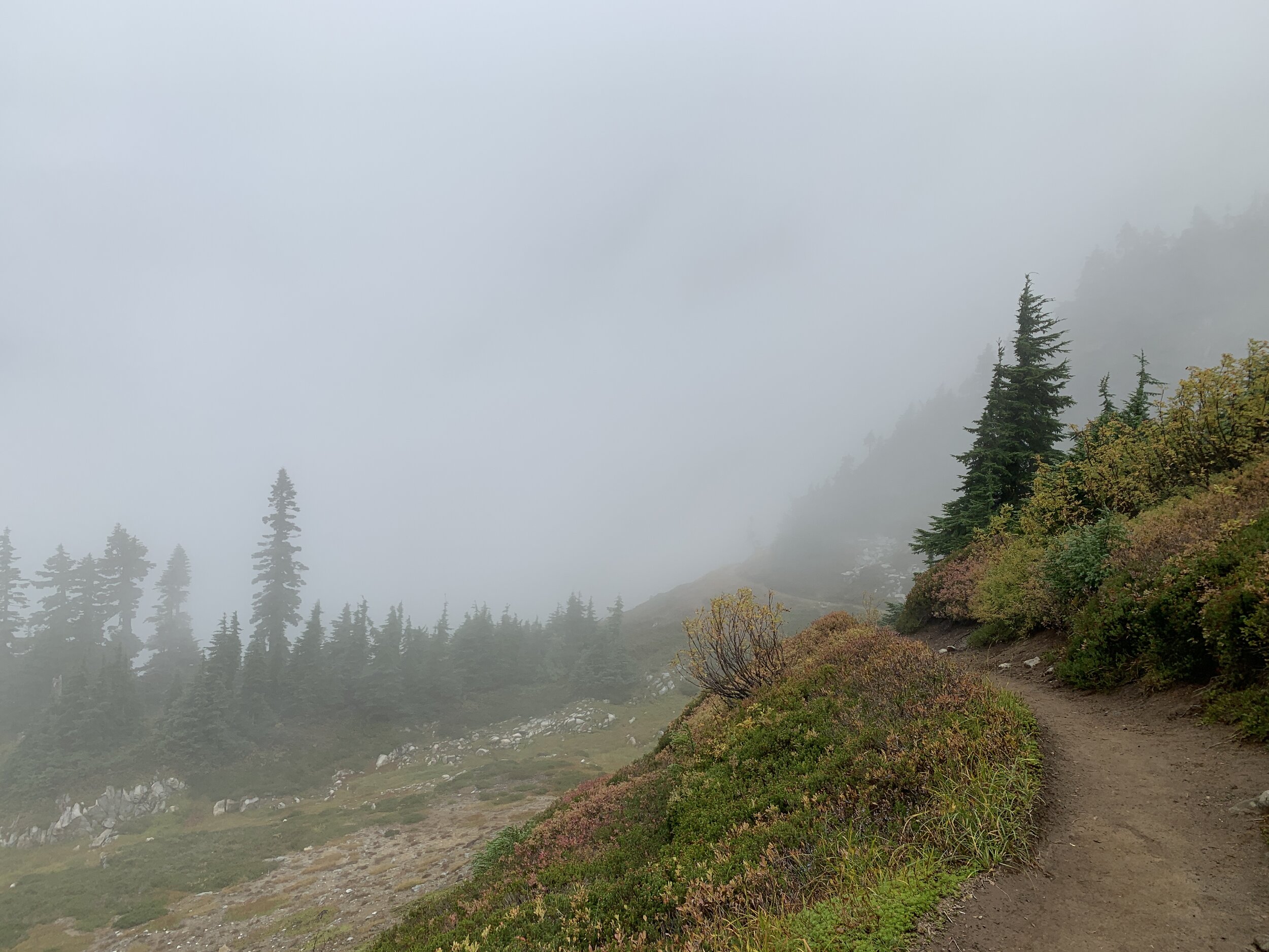
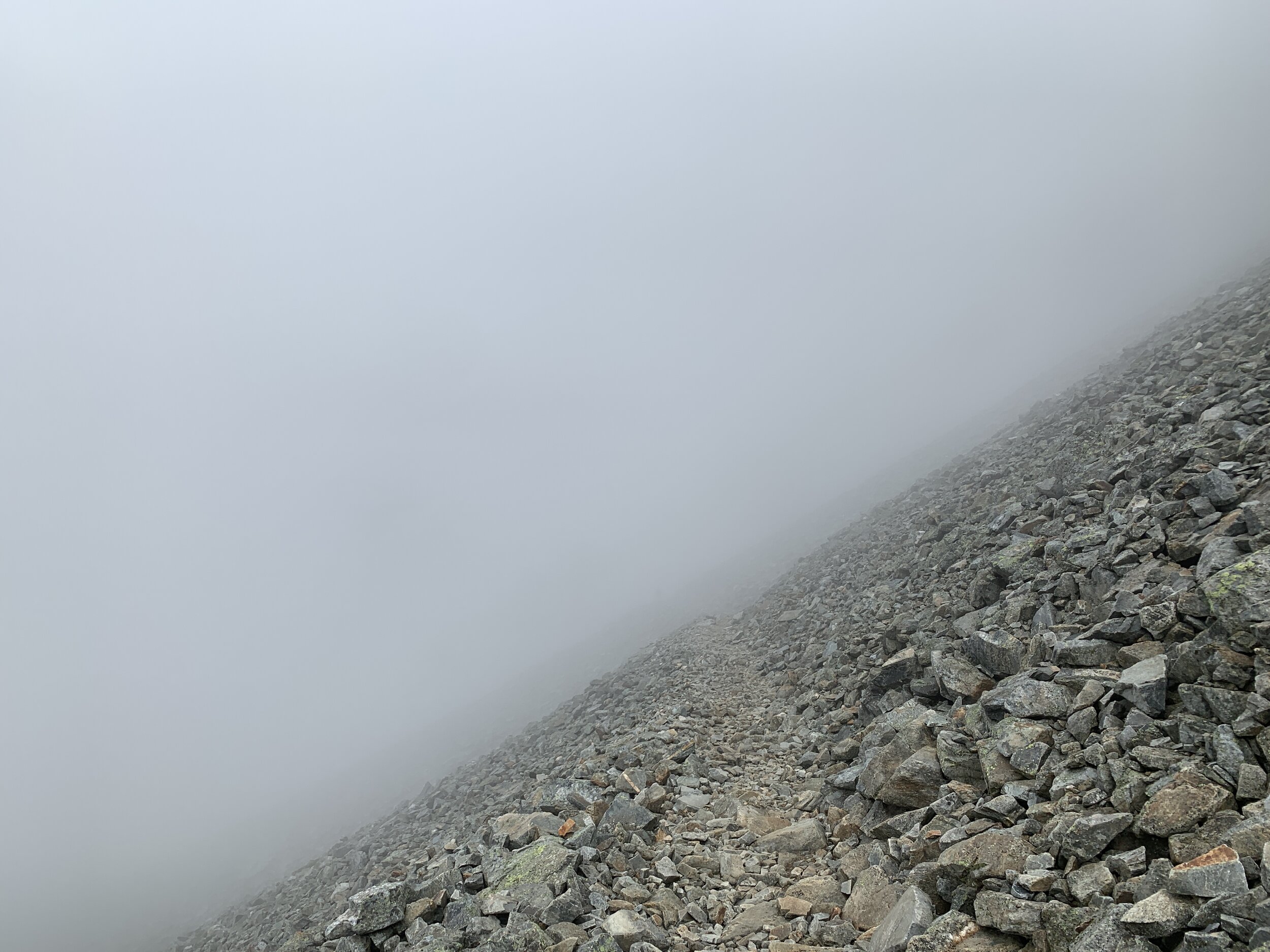
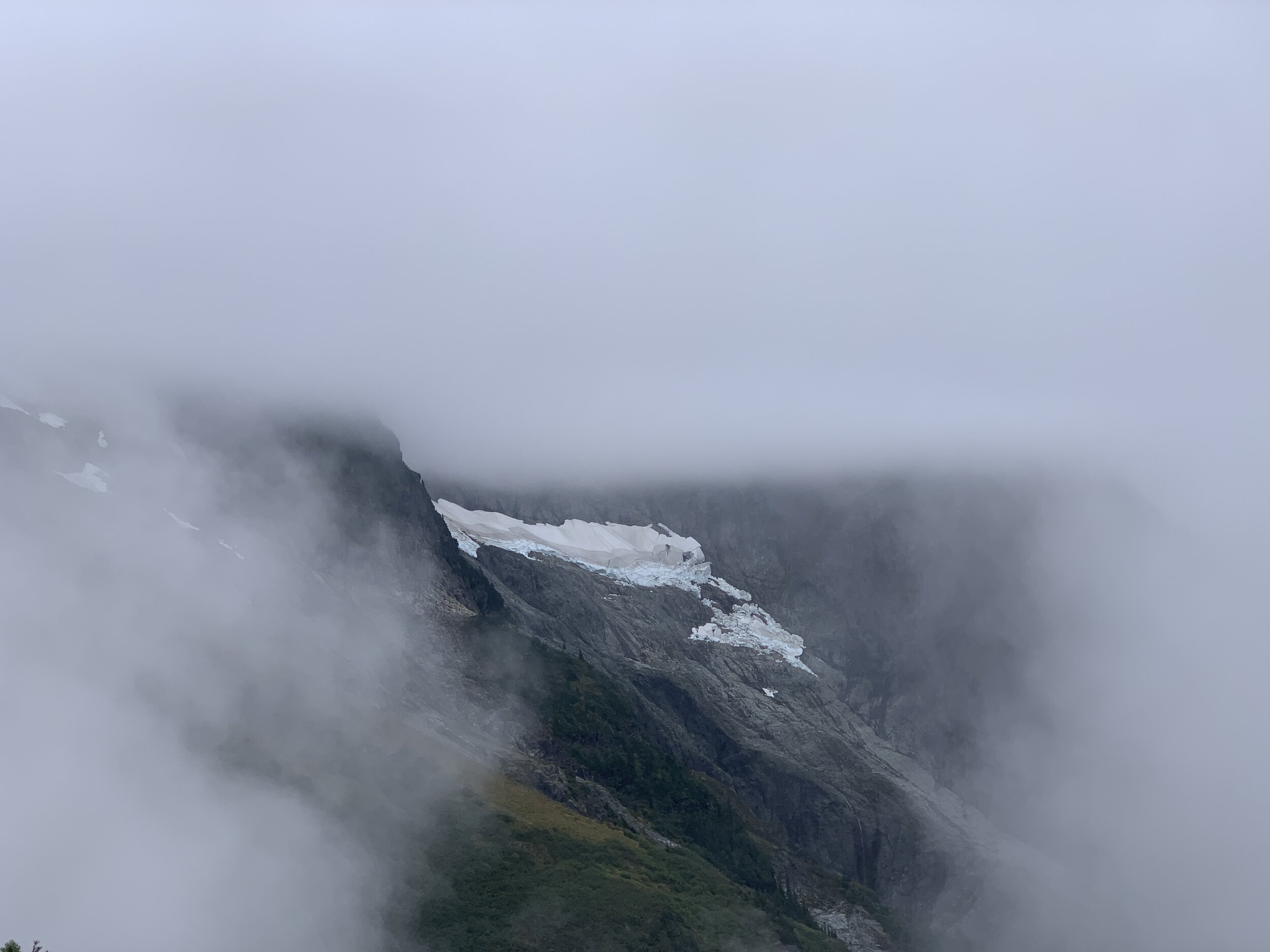
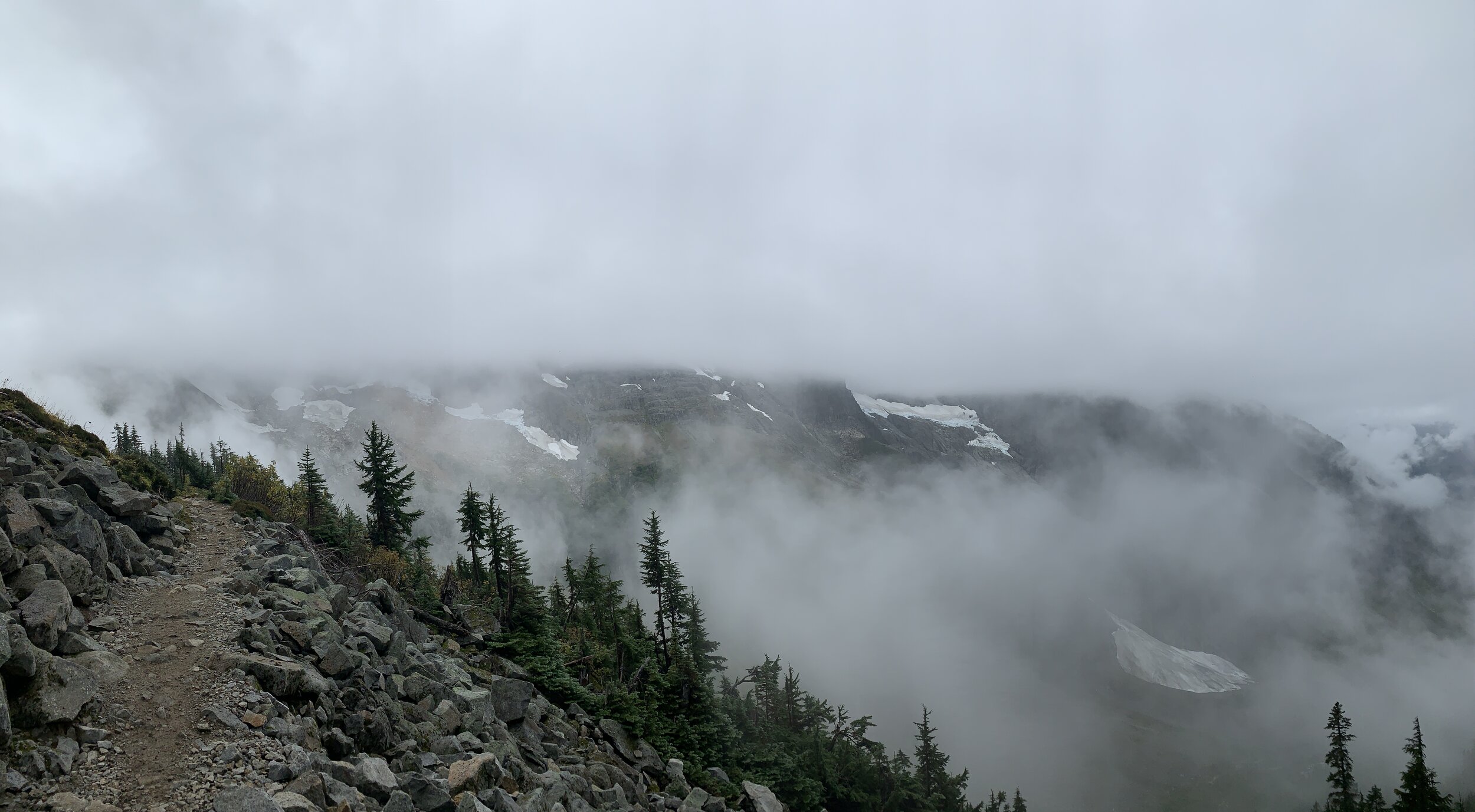
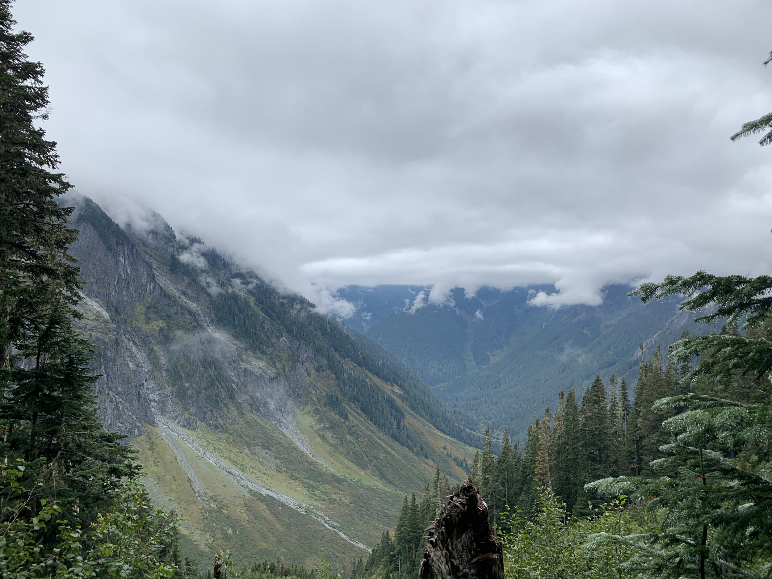
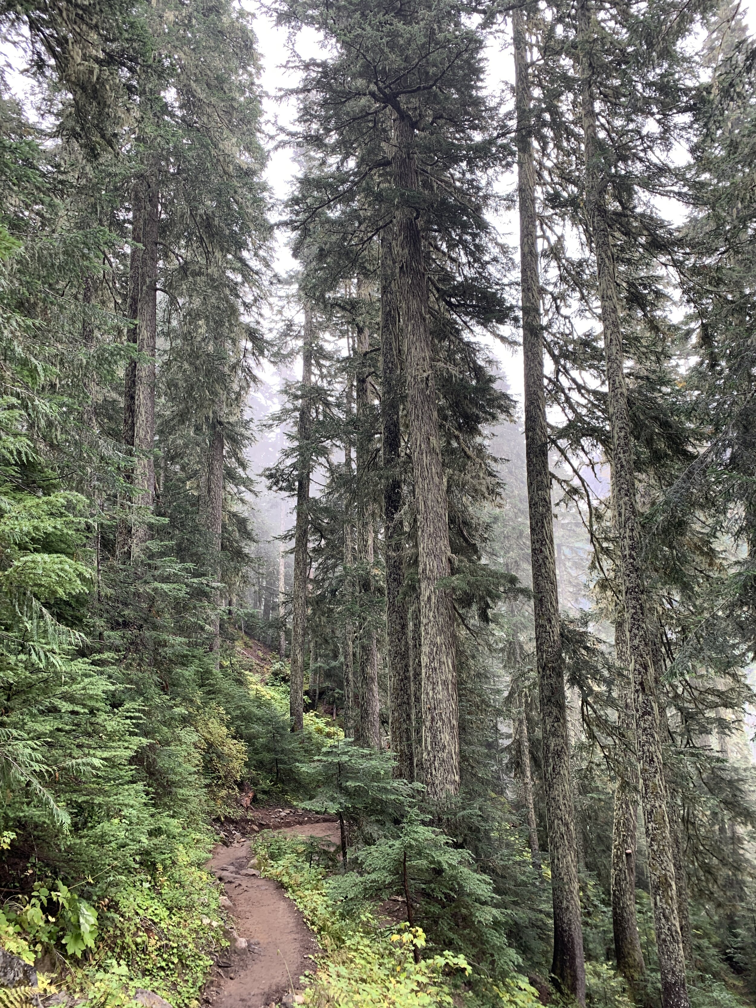
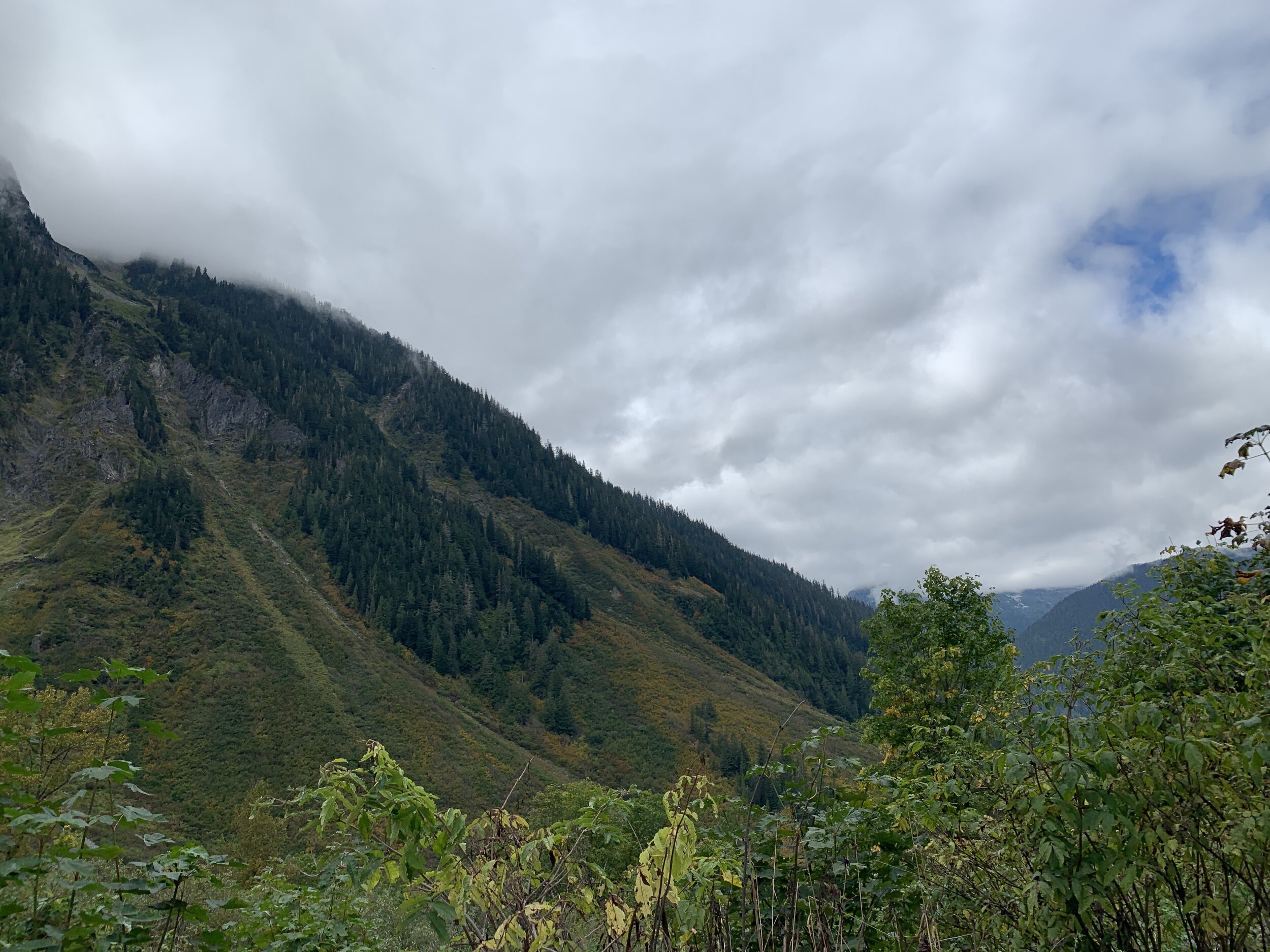
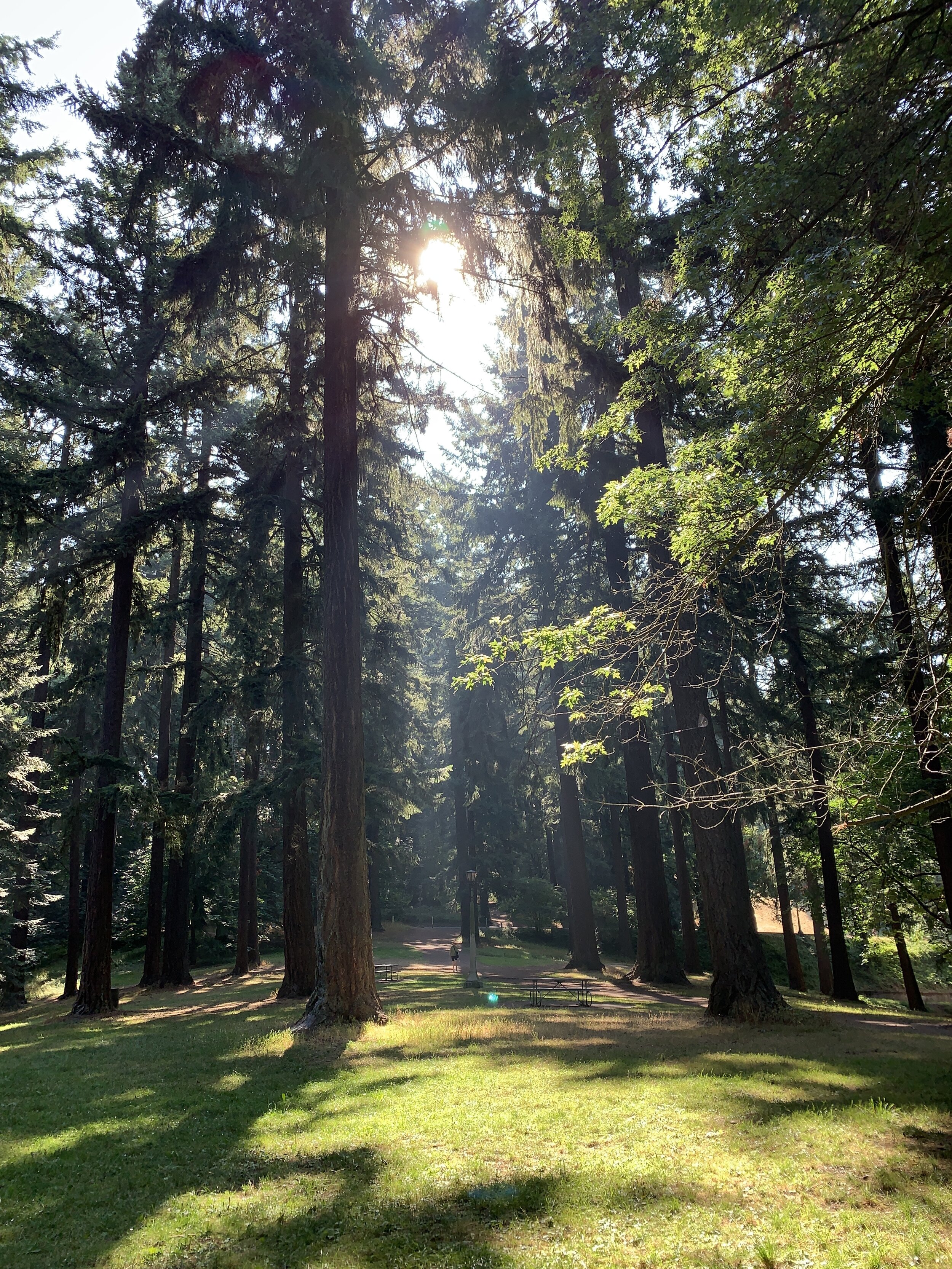
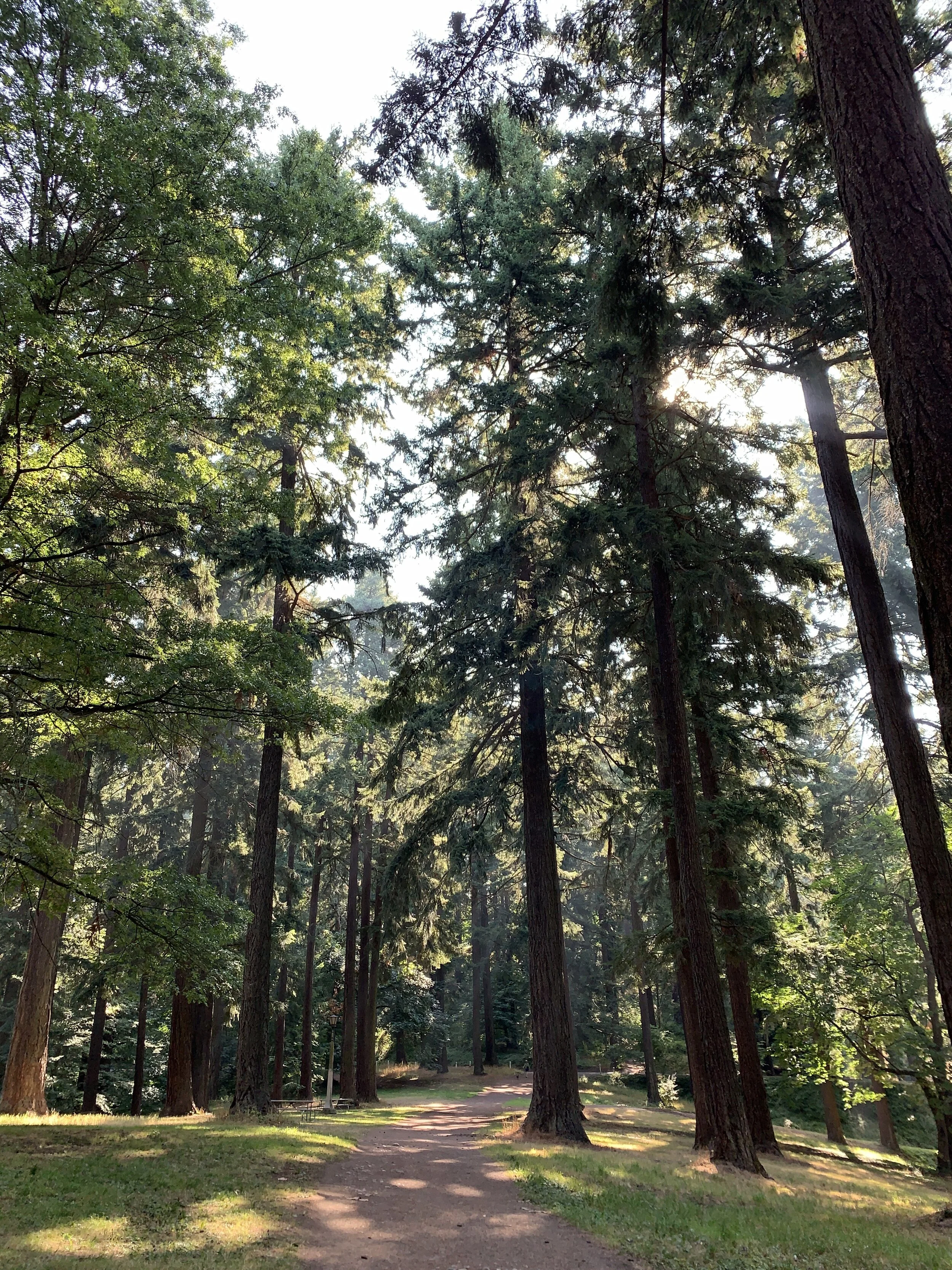
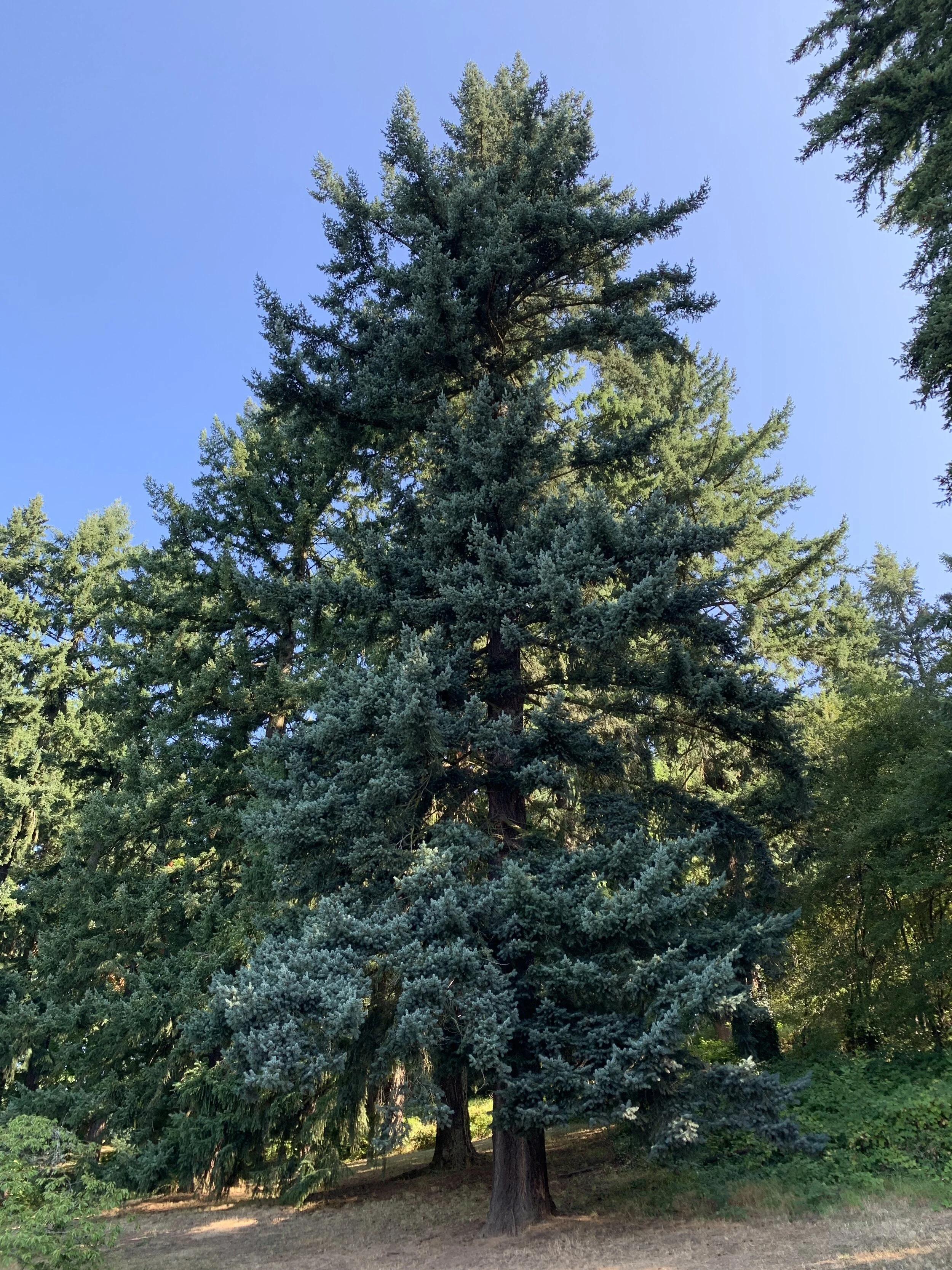
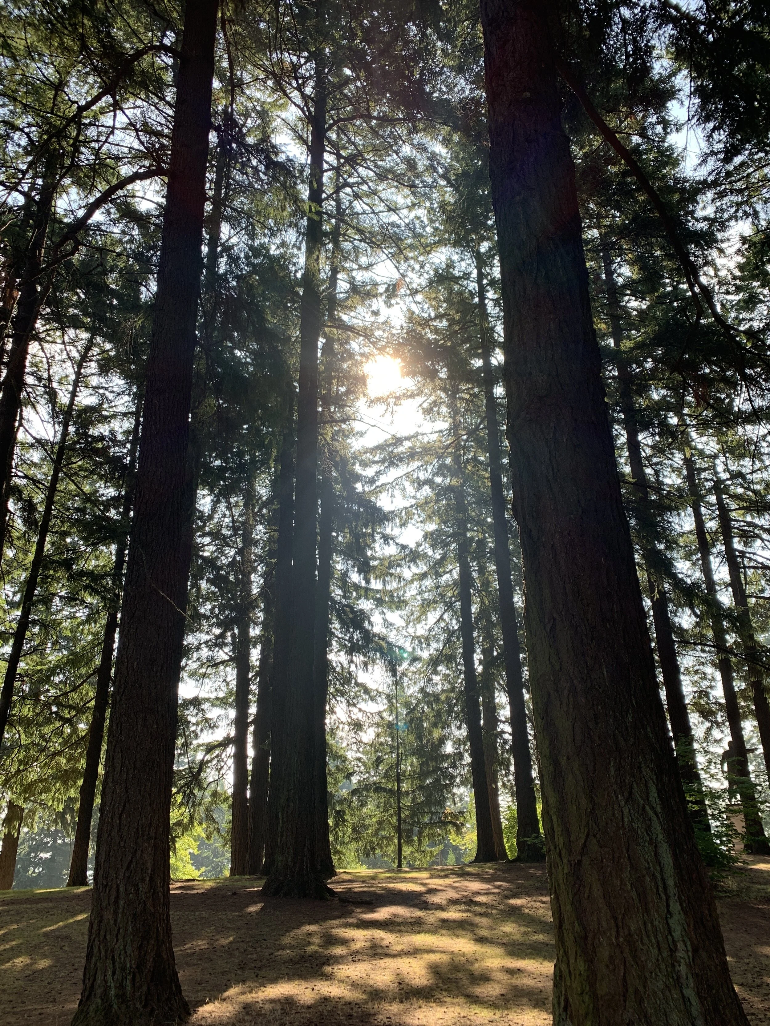
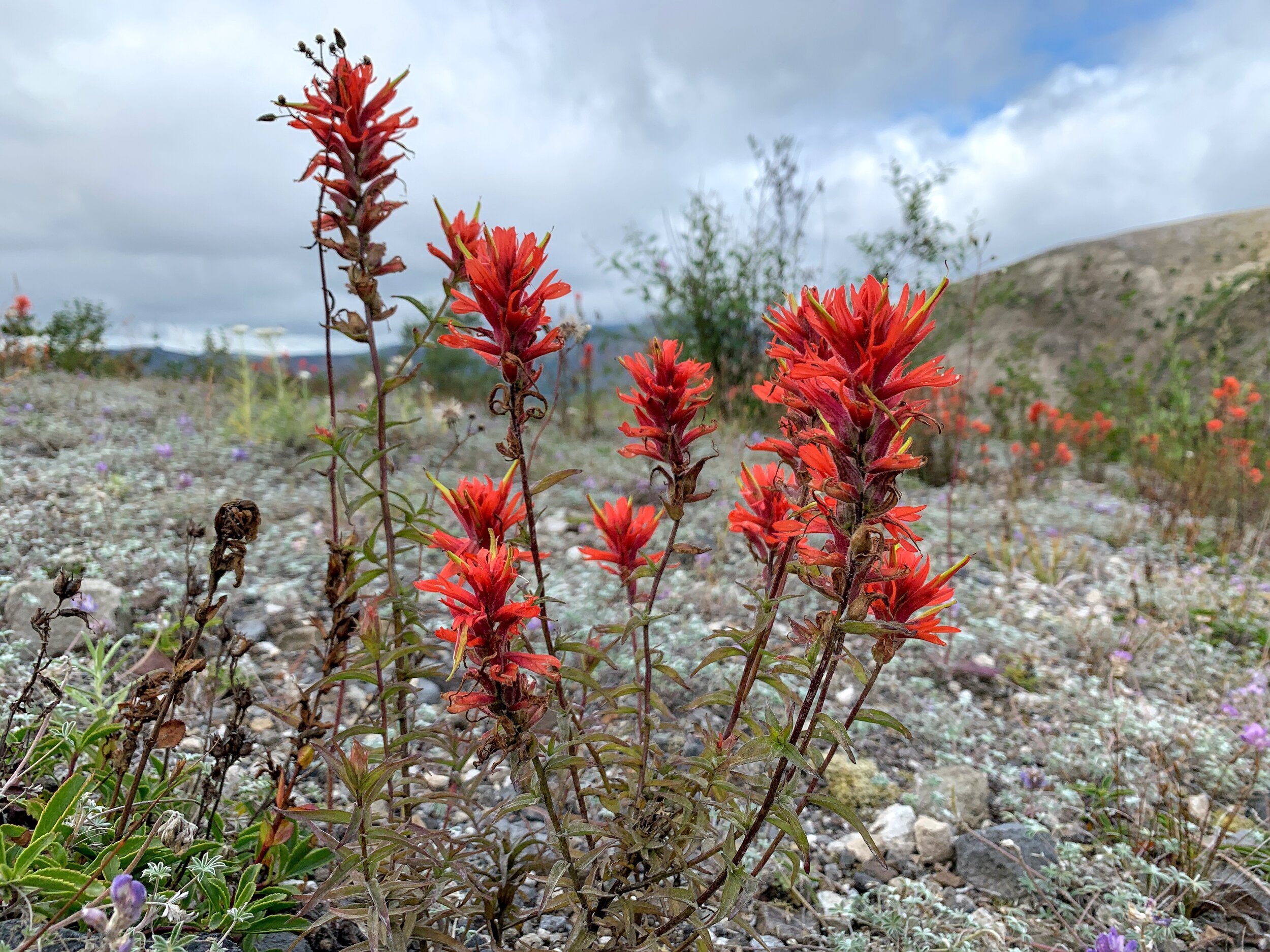
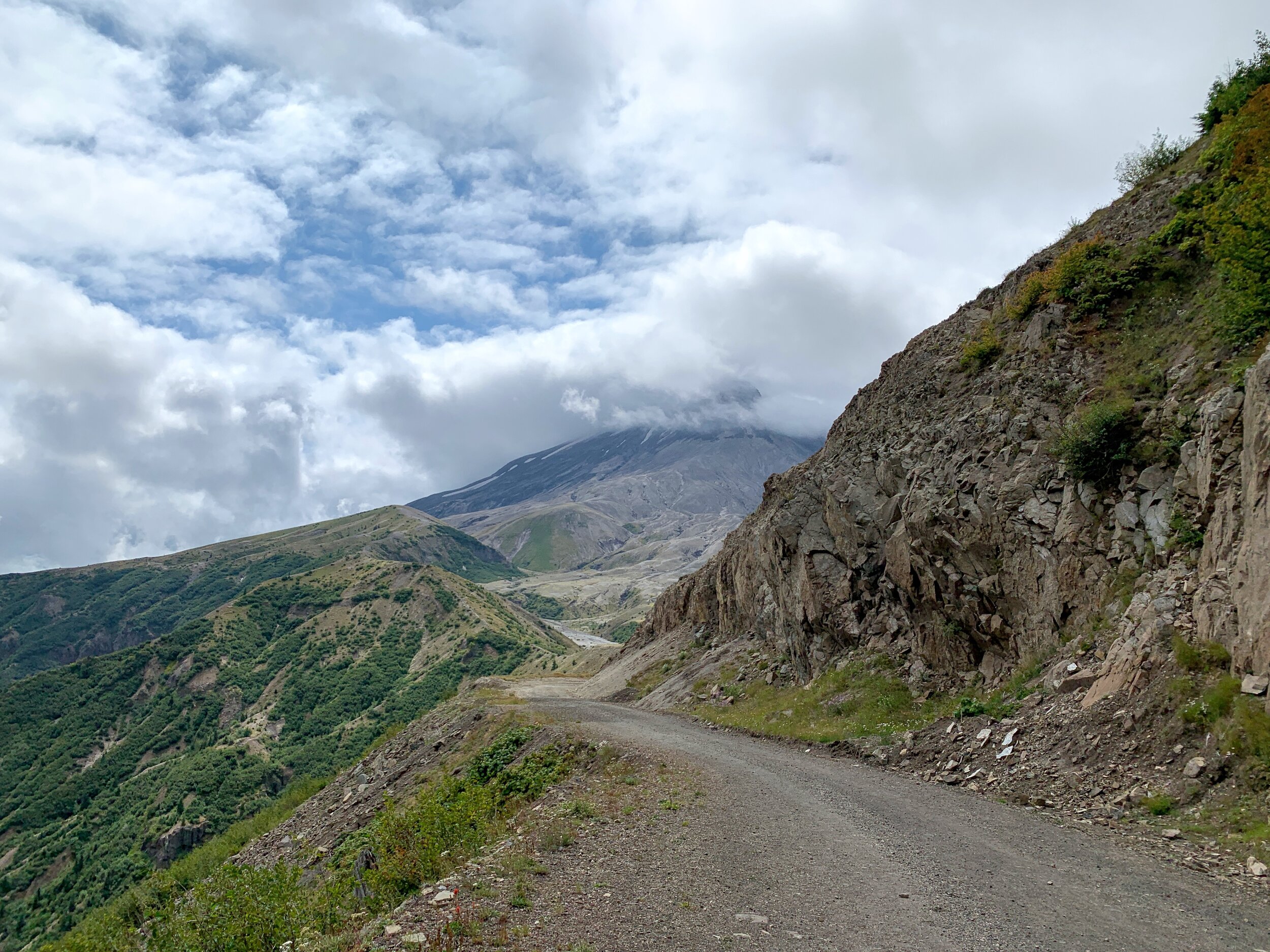
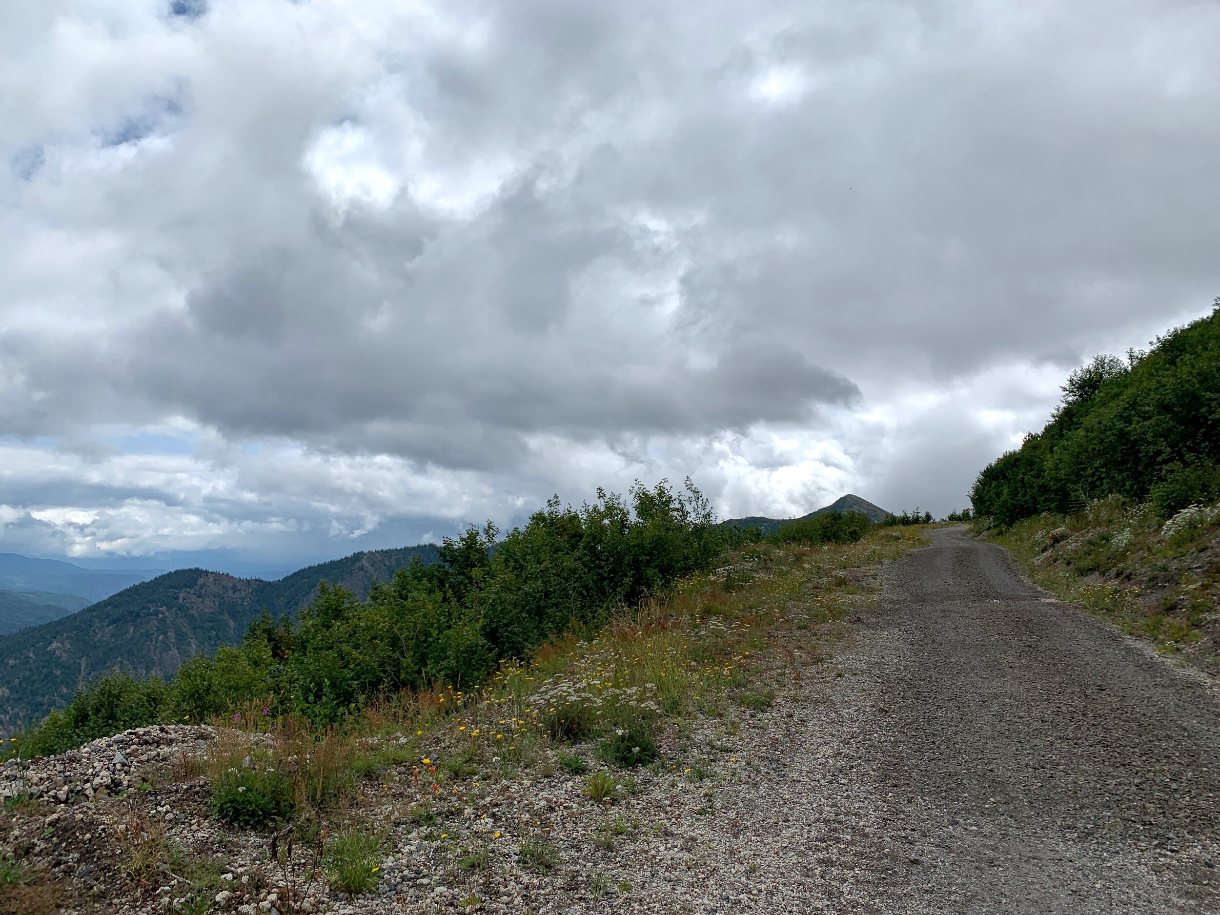
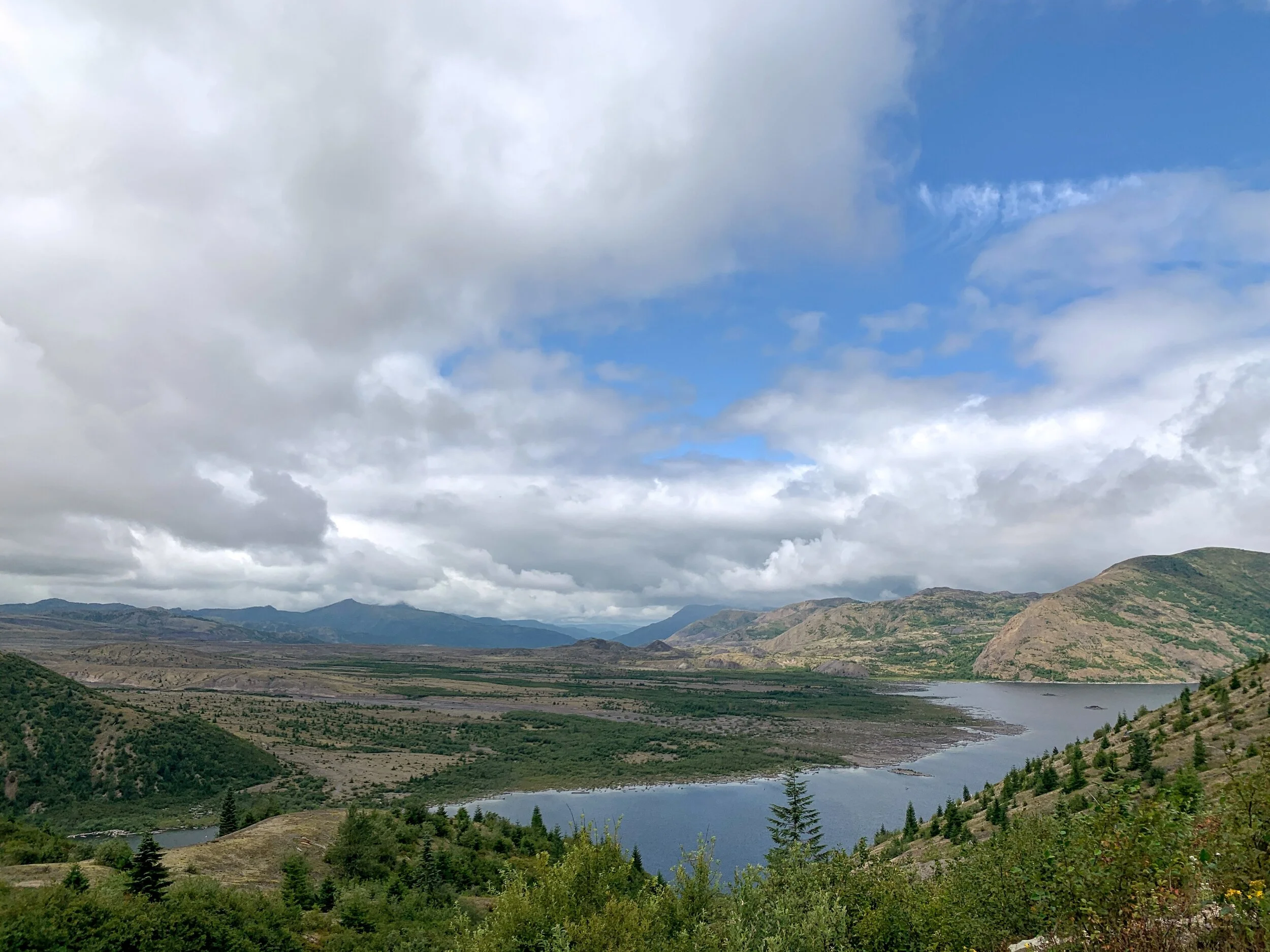
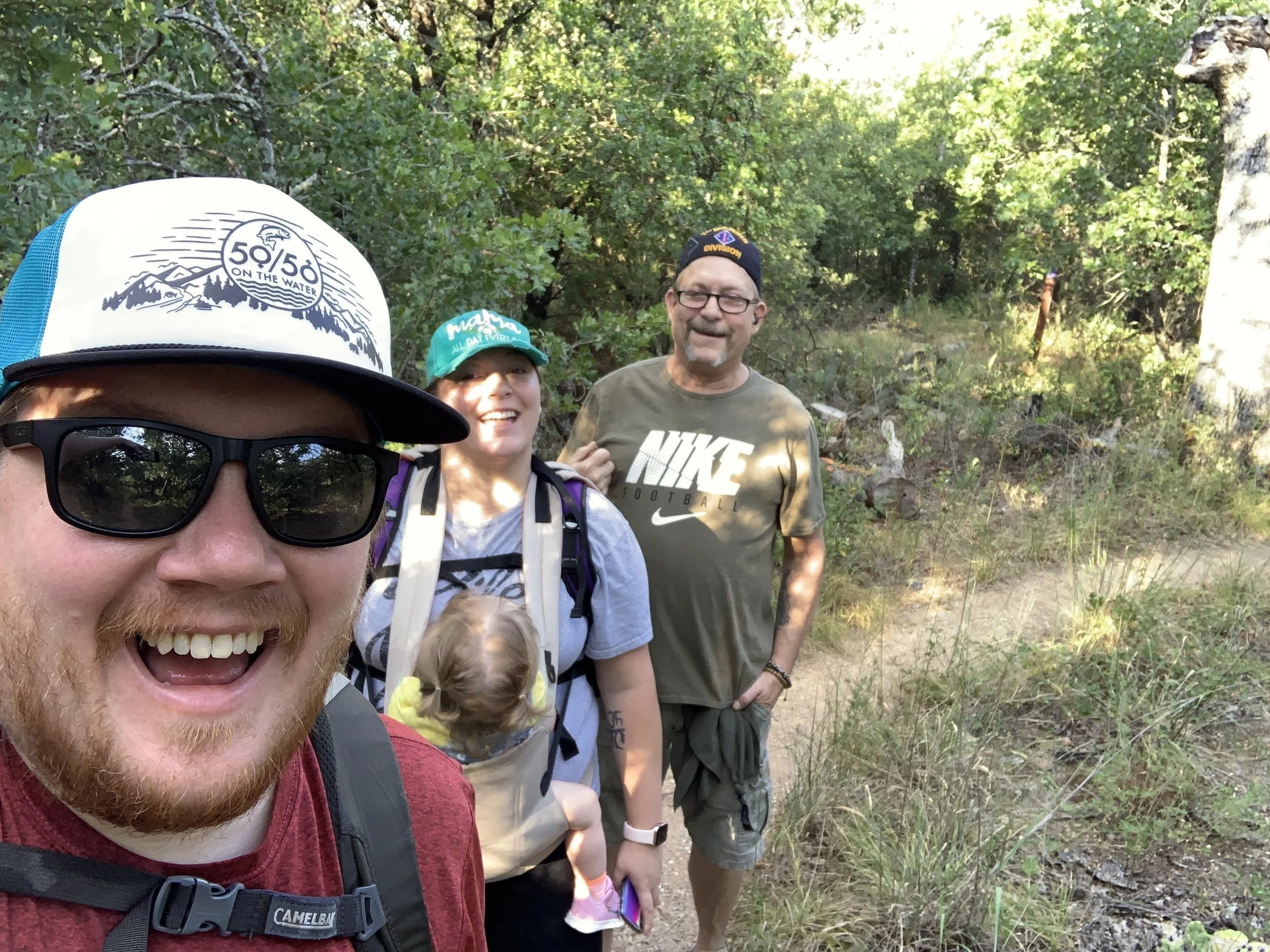
Jen and I had already spent many days together - hiking through the Olympic area and North Cascades area. We were ready for another big one and this trail fulfilled so much it was overwhelming in the best way. You start on a paved path up, and I mean UP. It was pretty crowded for the circumstances, as was the visitor center, but we were not giving up. We had masks, liters of water, snacks, and sunglasses. Onward we moved, or upward rather, until we hit the end of the pavement. From there, it is dirt with a few snowy patches. We kept climbing - up up up up up. We hit a mile, it was the slowest mile I’ve ever walked but who the hell cares? The views were beyond my comprehension. Each time we stopped to catch our breath or take a drink, we had a new view of the same thing. It was incredible. The path was lined with wildflowers until it was too rocky, and eventually we made it to the top of this particular trail. You could see Mt. Adams in the distance and it looked spectacular.

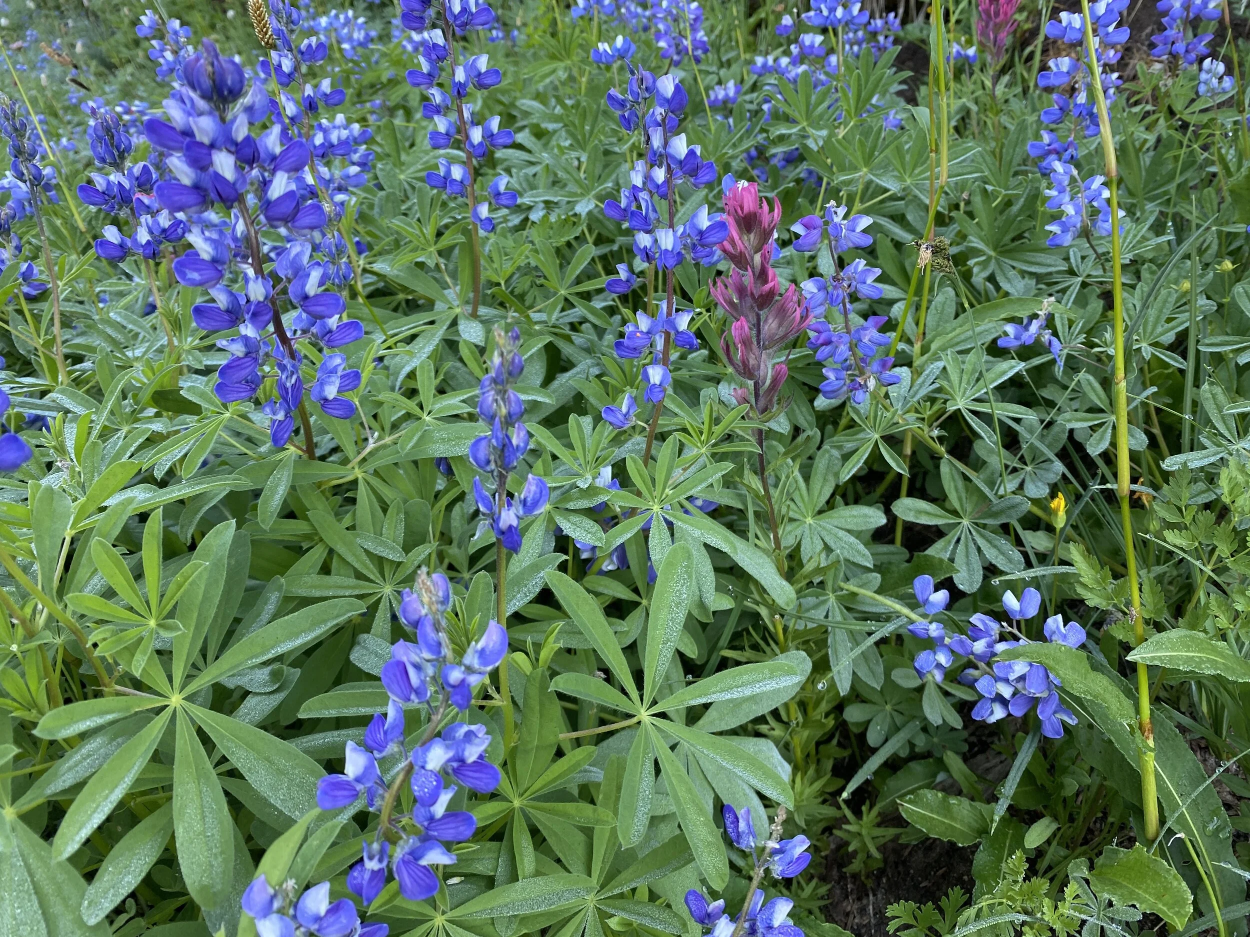
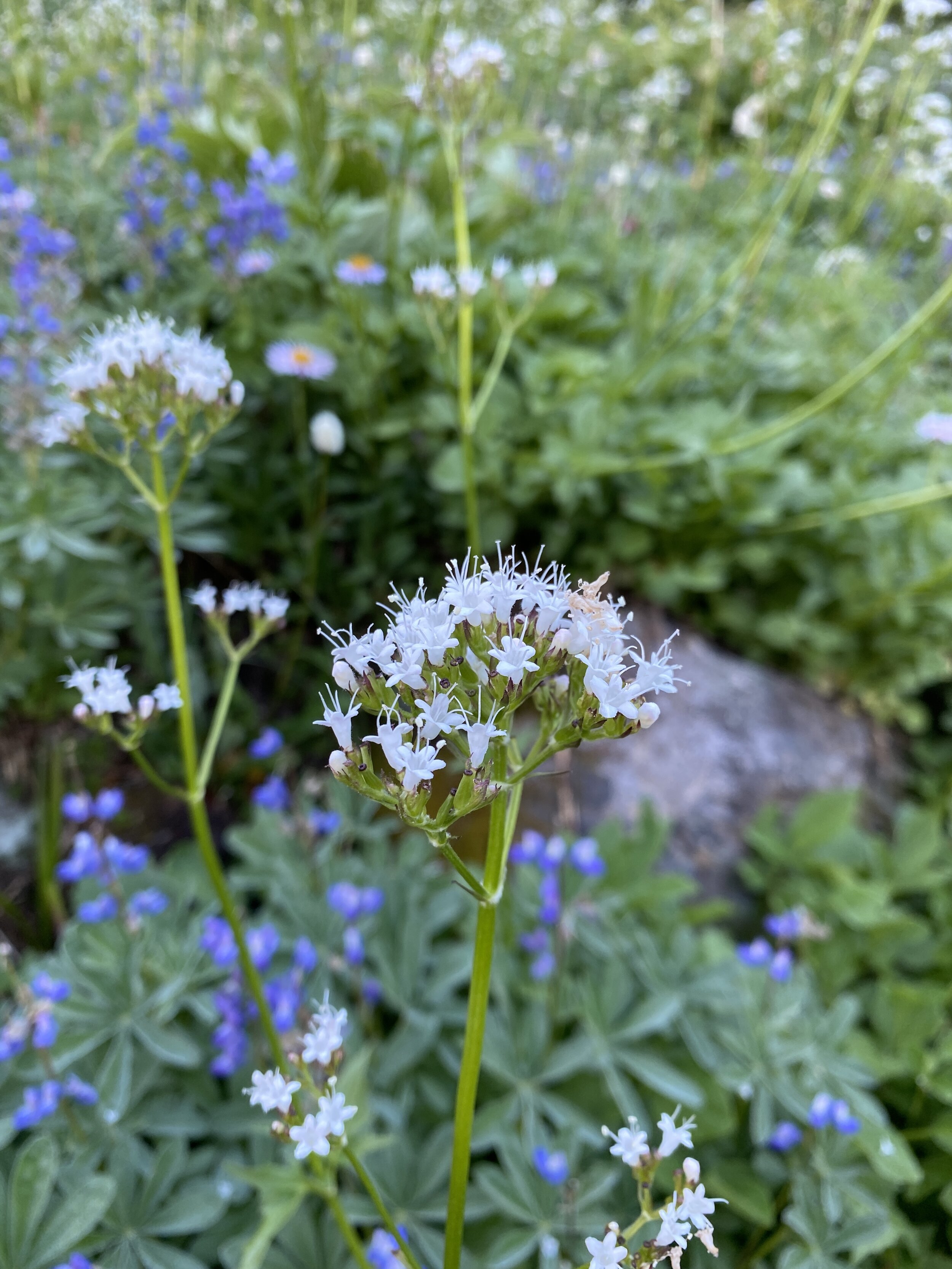
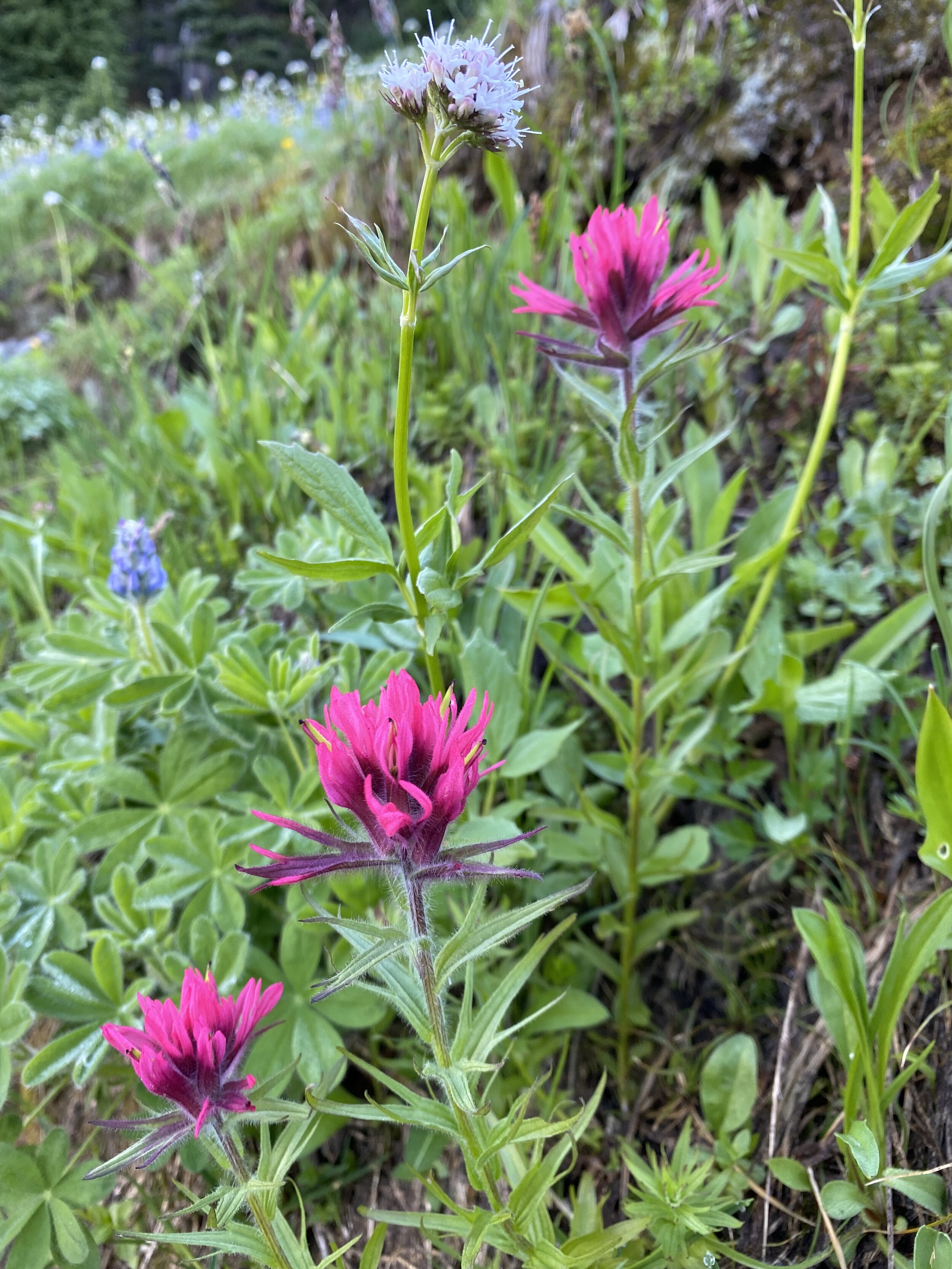
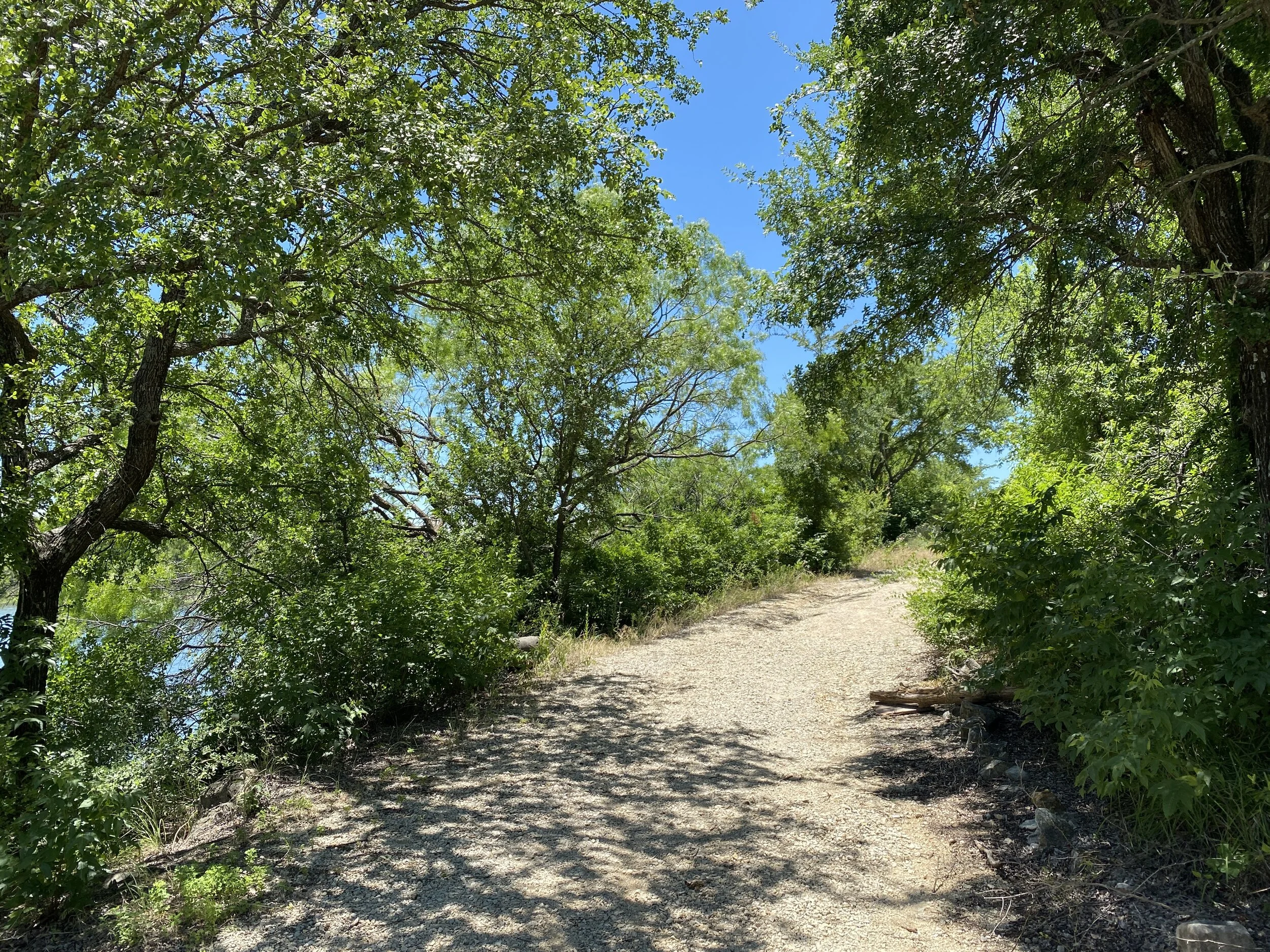
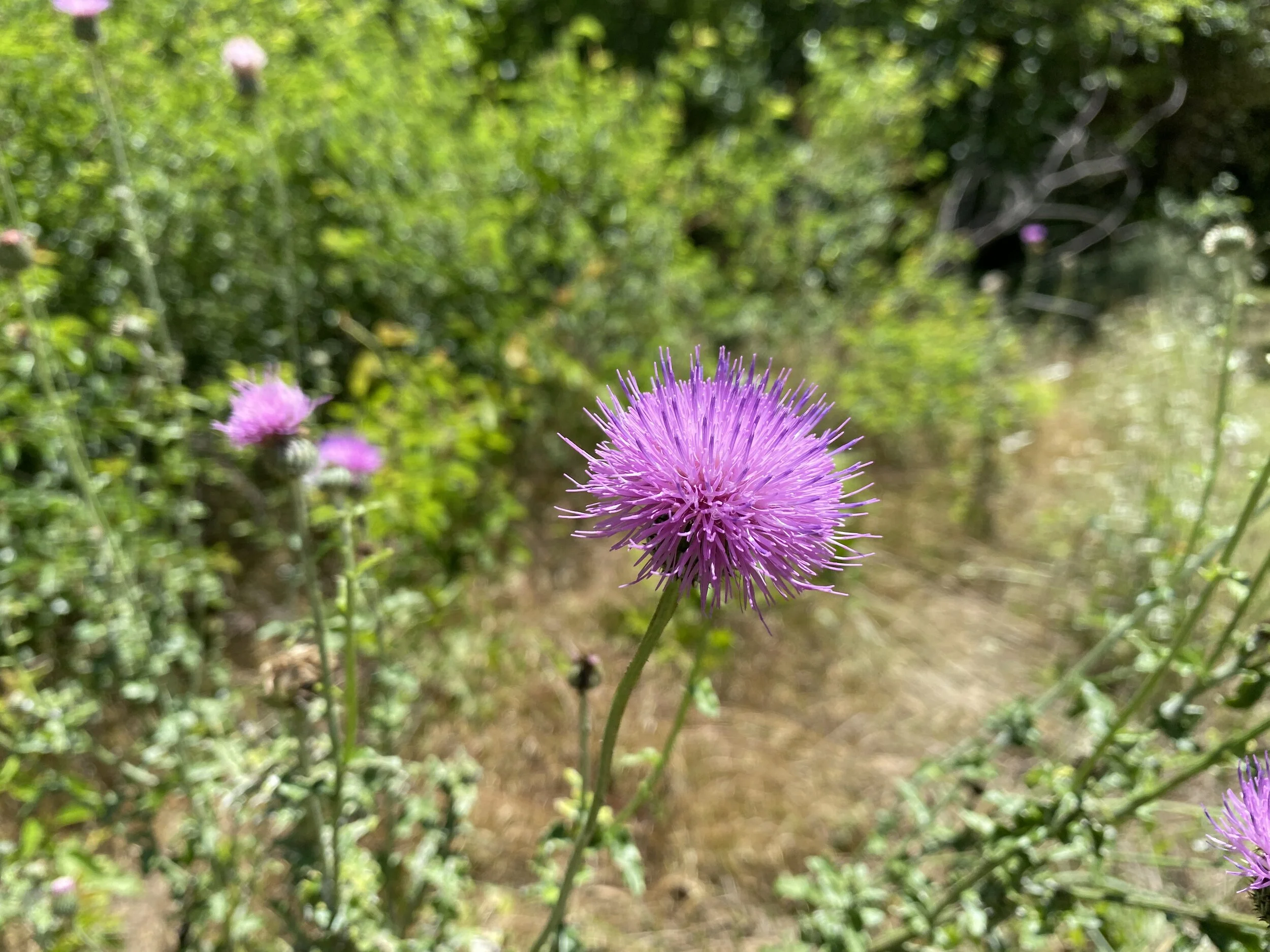
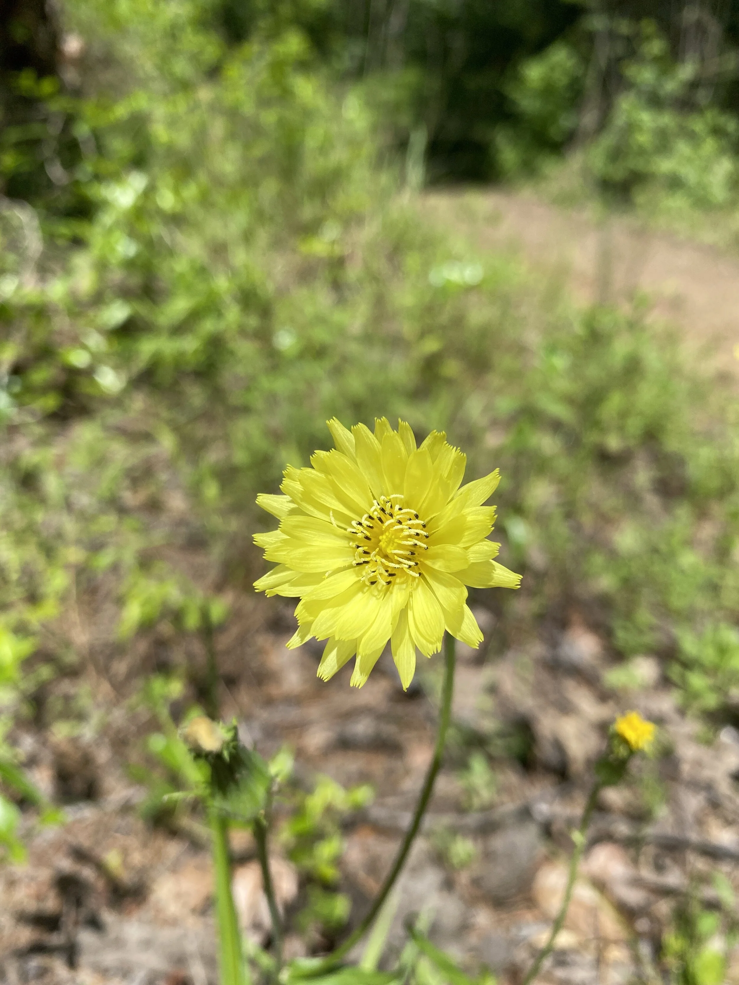
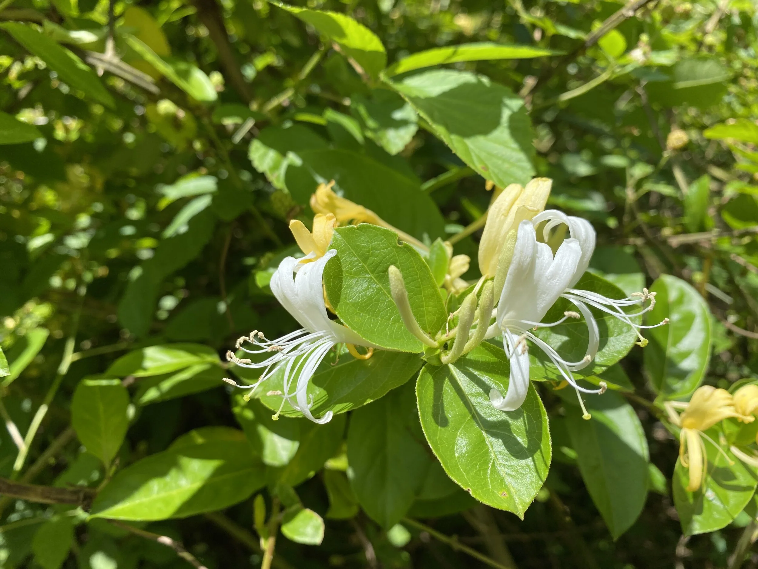
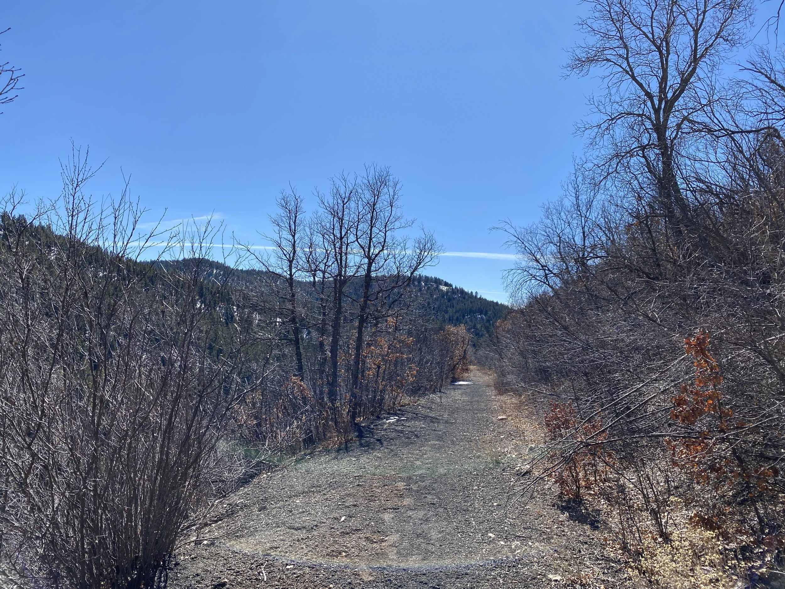
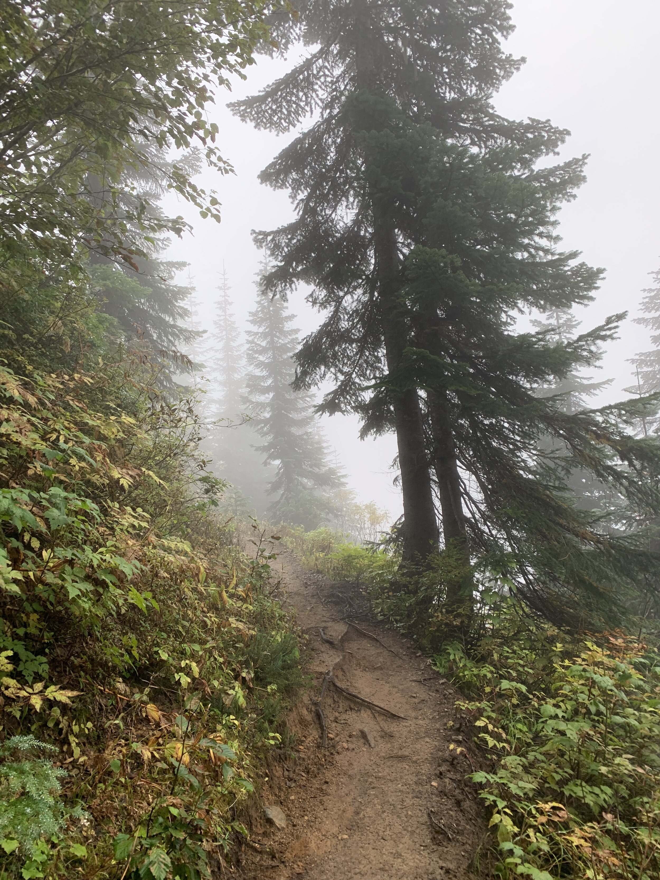
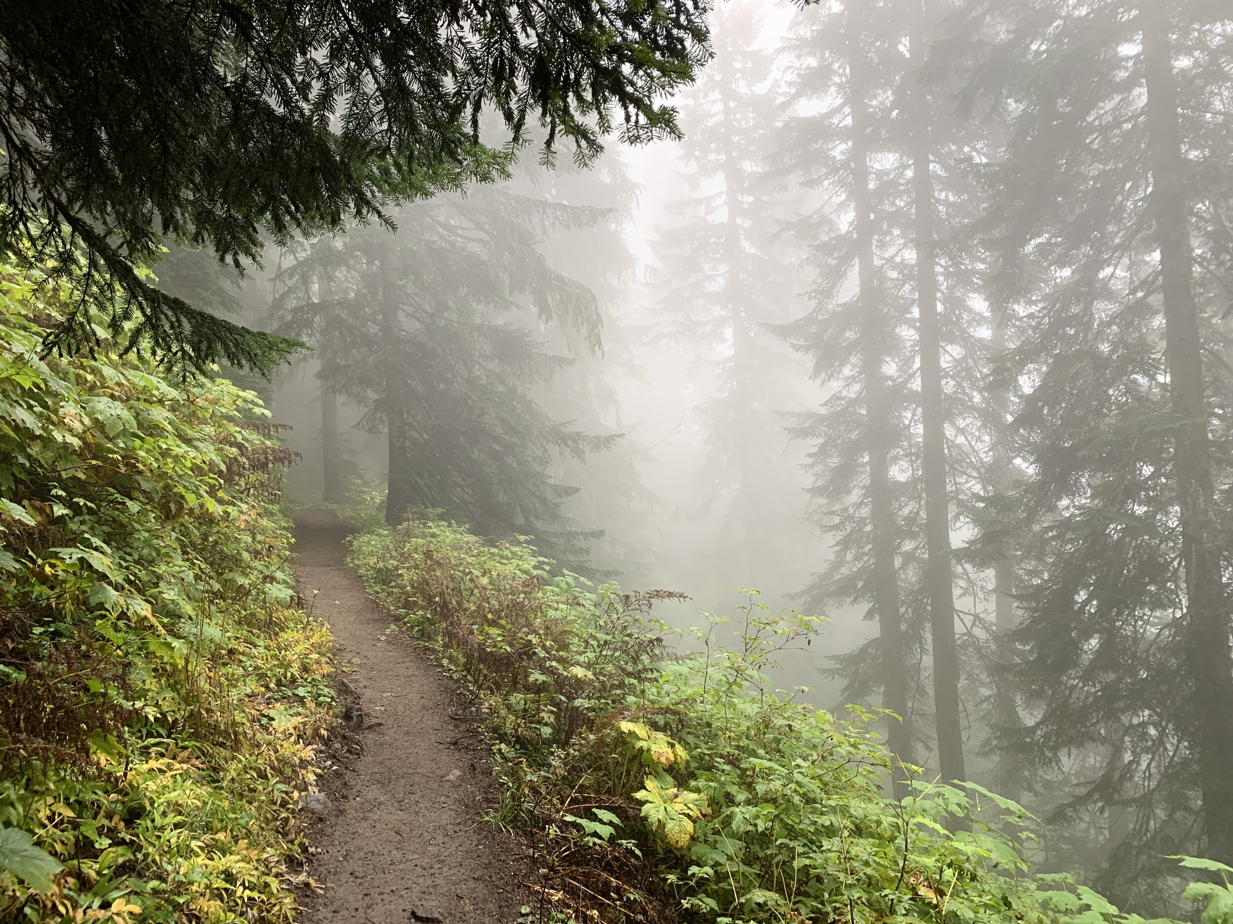
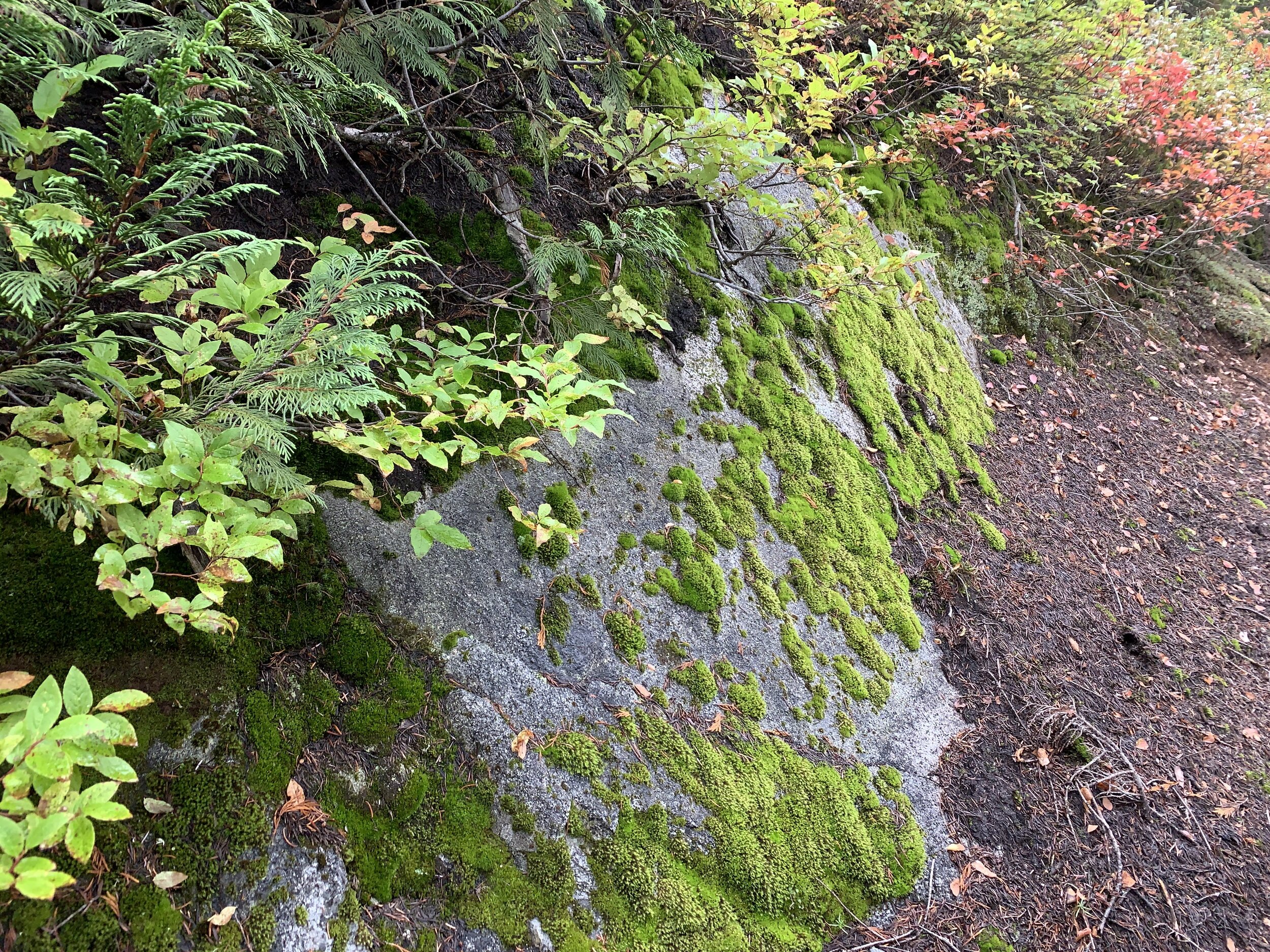
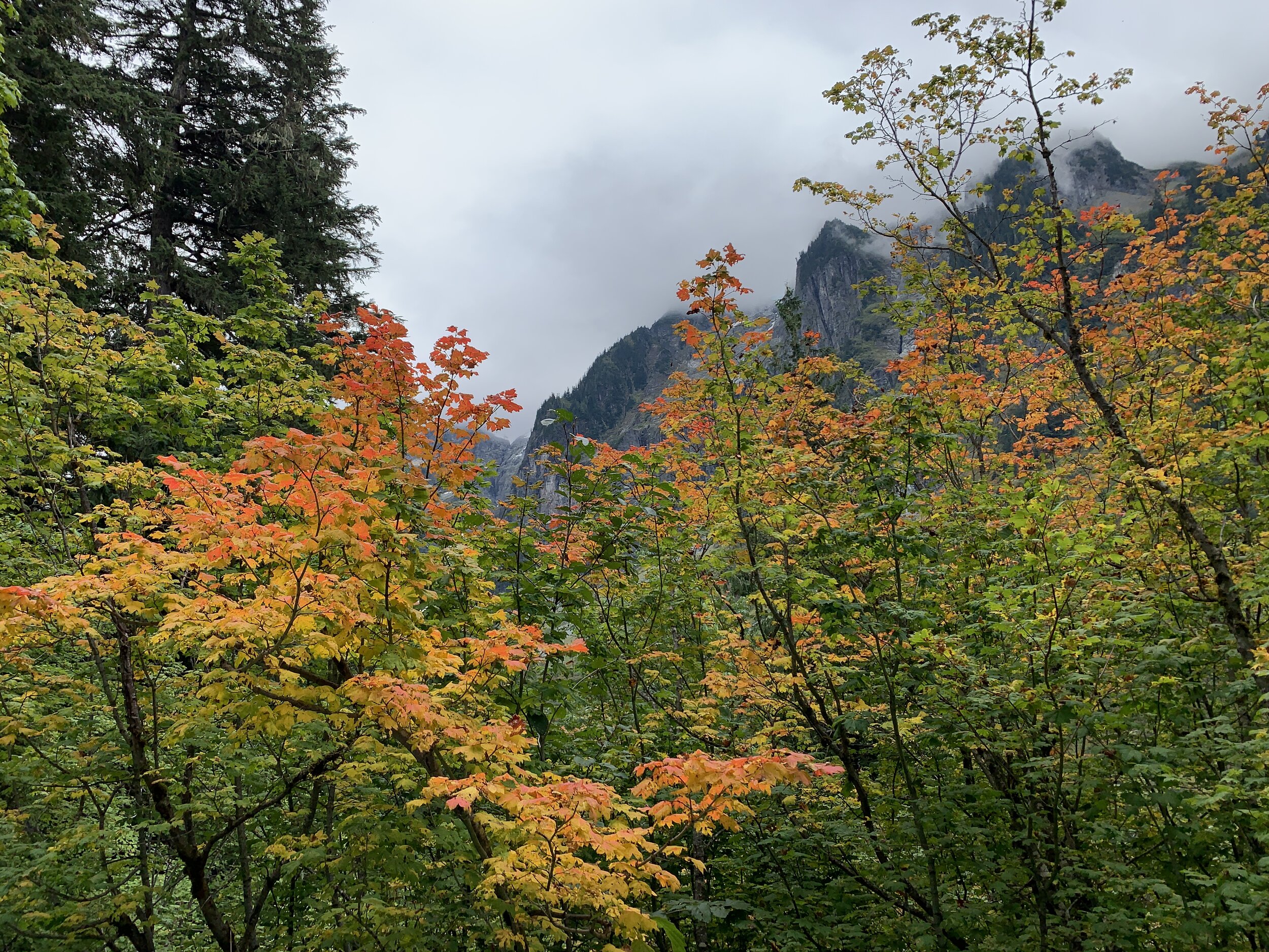
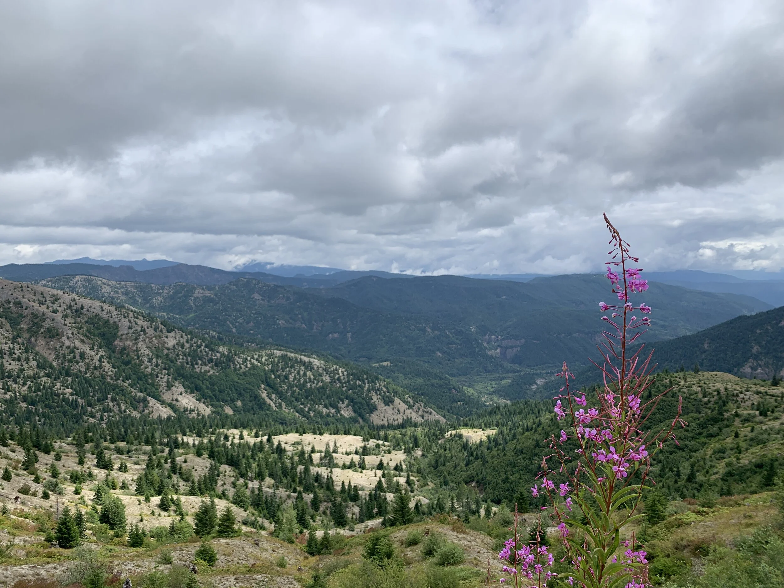
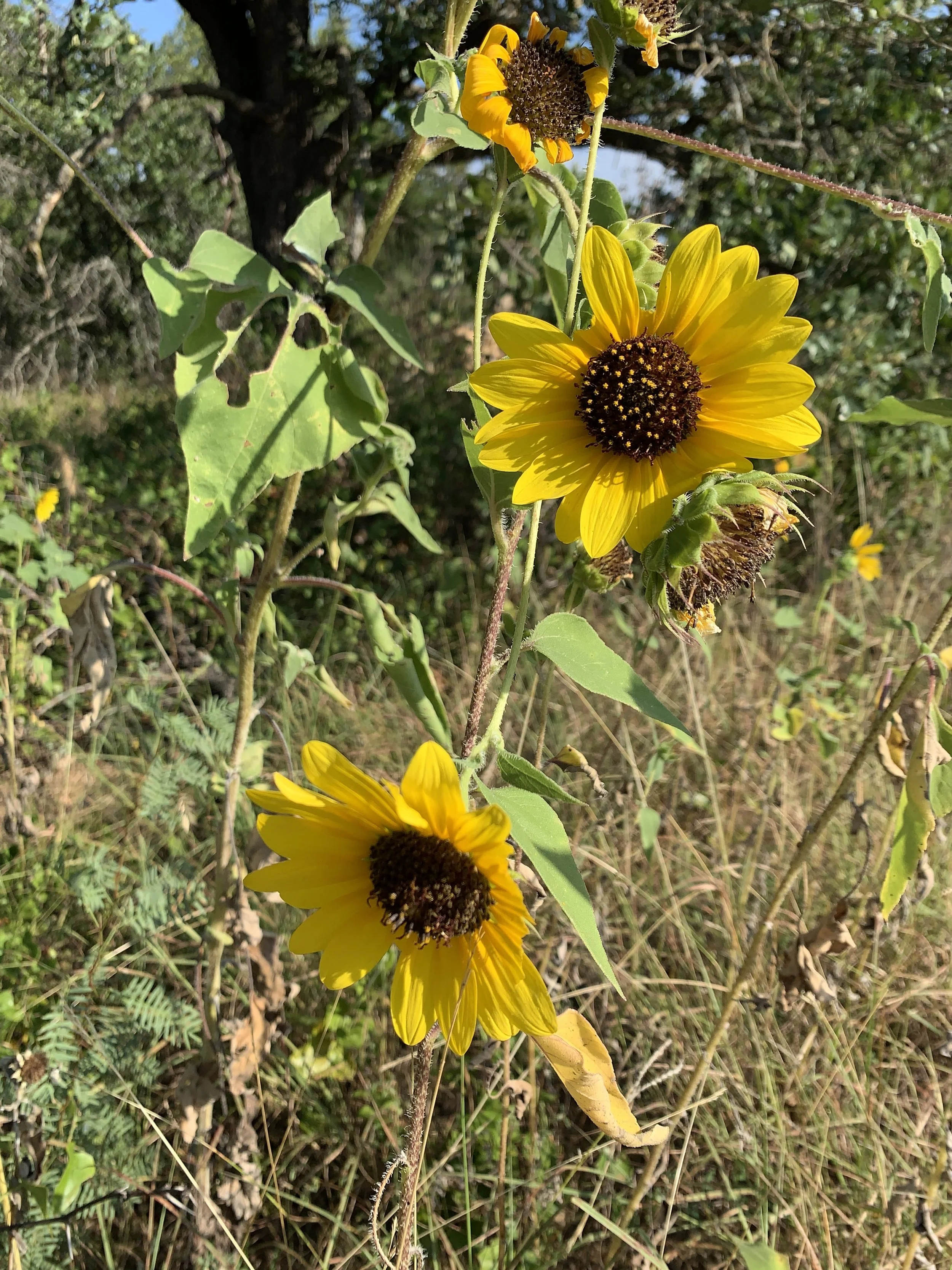
We began the descent, which led us over some rocky areas and into a set of switchbacks through a mountain meadow. I can not even begin to describe the smell of that meadow - honey sweet but also fresh? It was the best smelling meadow I’ve ever experienced - thanks to all the glorious wildflowers and grasses. The way down was the other half of the loop and offered even better views of the ones we thought we loved going up. Eventually, we made it back to a paved path and the visitor center. I don’t know if we processed the experience - I know I am still sitting here daydreaming about it and reliving every moment of it.

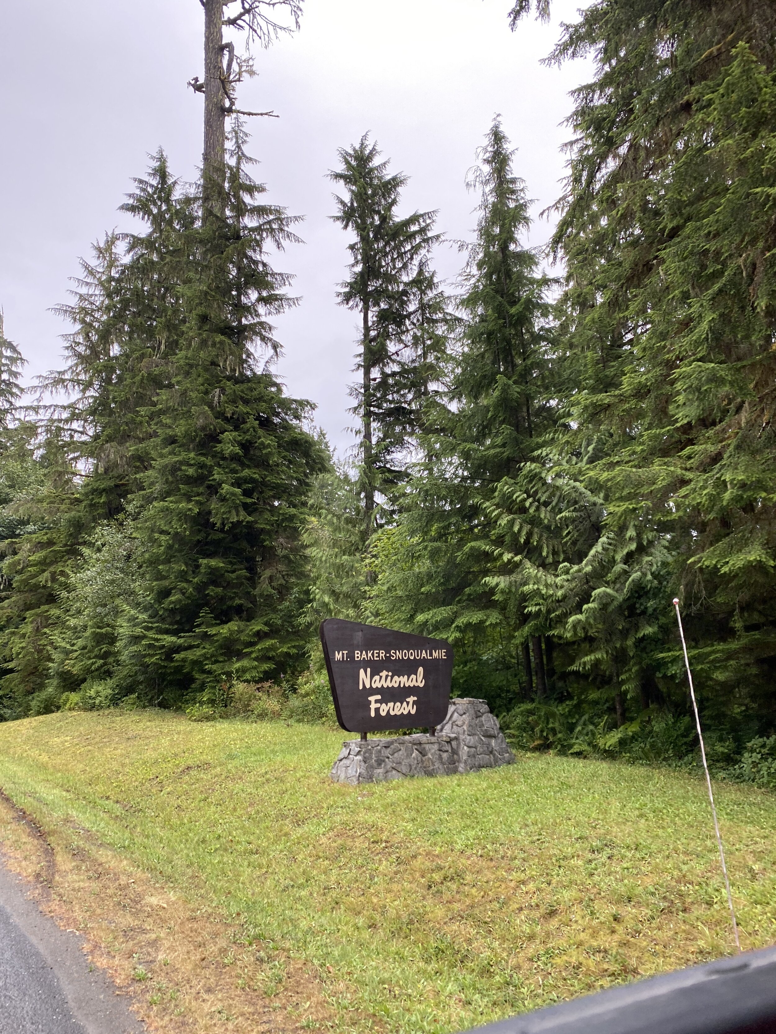
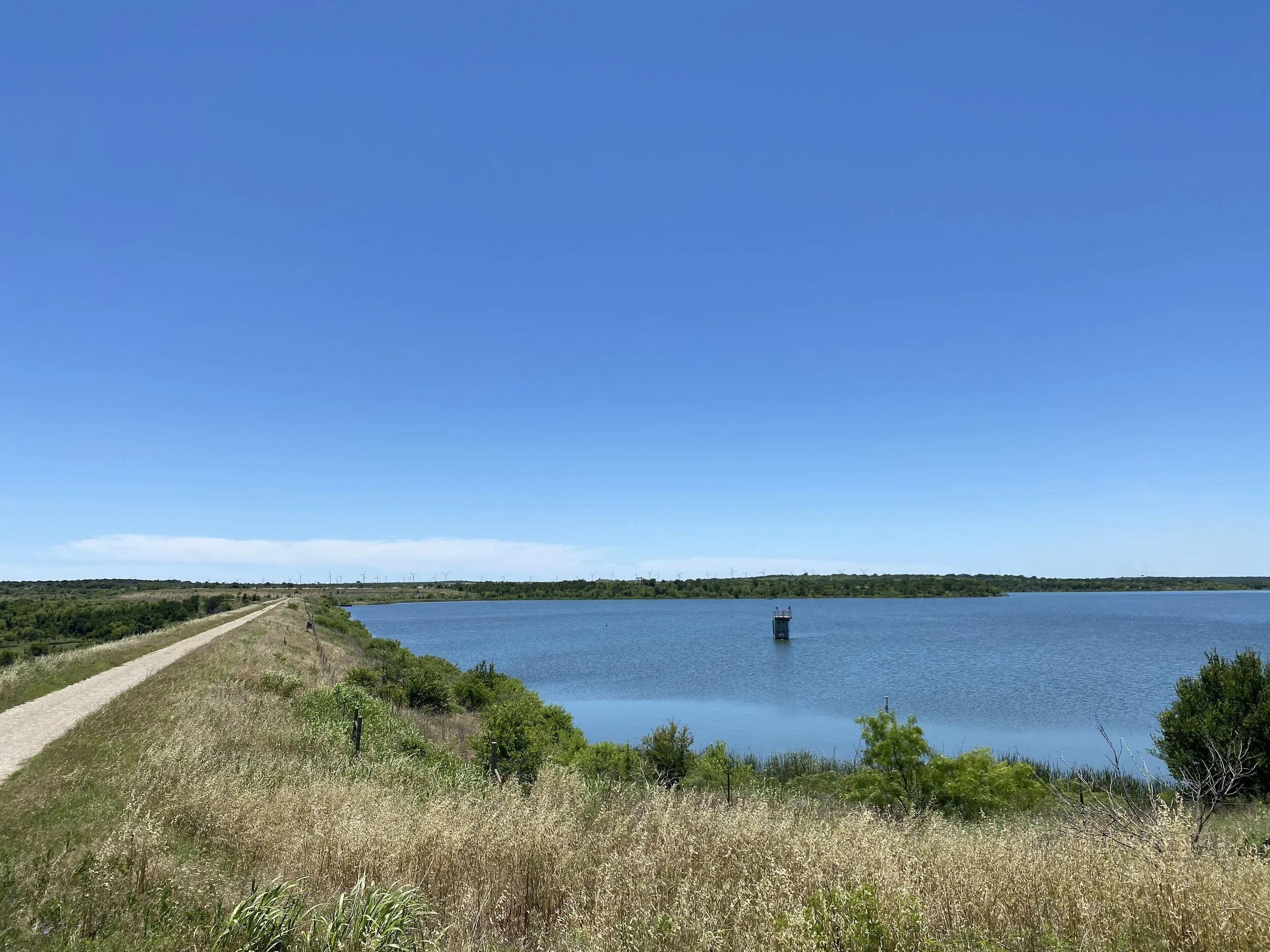
We drove through the park, towards the Stevens Canyon exit, and stopped at a shaded turnout for lunch. We didn’t have a view of Mt. Rainier, but I could still see it in my mind as if I could reach out and touch it. What a wild and amazing time on a trail that really wasn’t the worst thing in the world - just made us huff and puff a little. Honestly, I’d recommend this to anyone. The diversity on the trail - people of all walks of life were doing it and enjoying it.

Lesson: Always do the trail; you may not get a second chance like I did.

Distance: 5.44 miles, 1600-1700 ft of elevation change

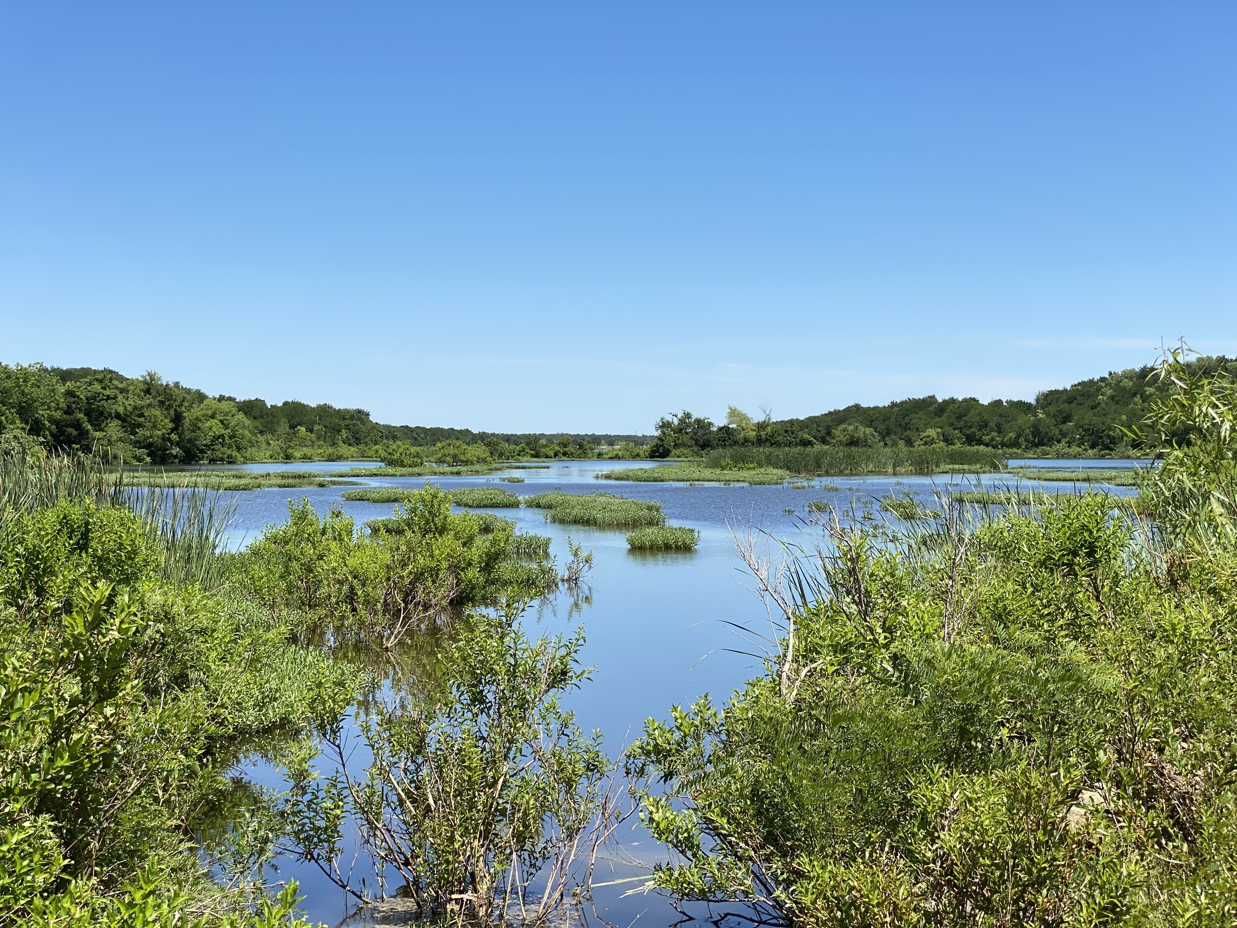
Highlights: sweet smelling meadows, great views of things other than Rainier, and snow packs

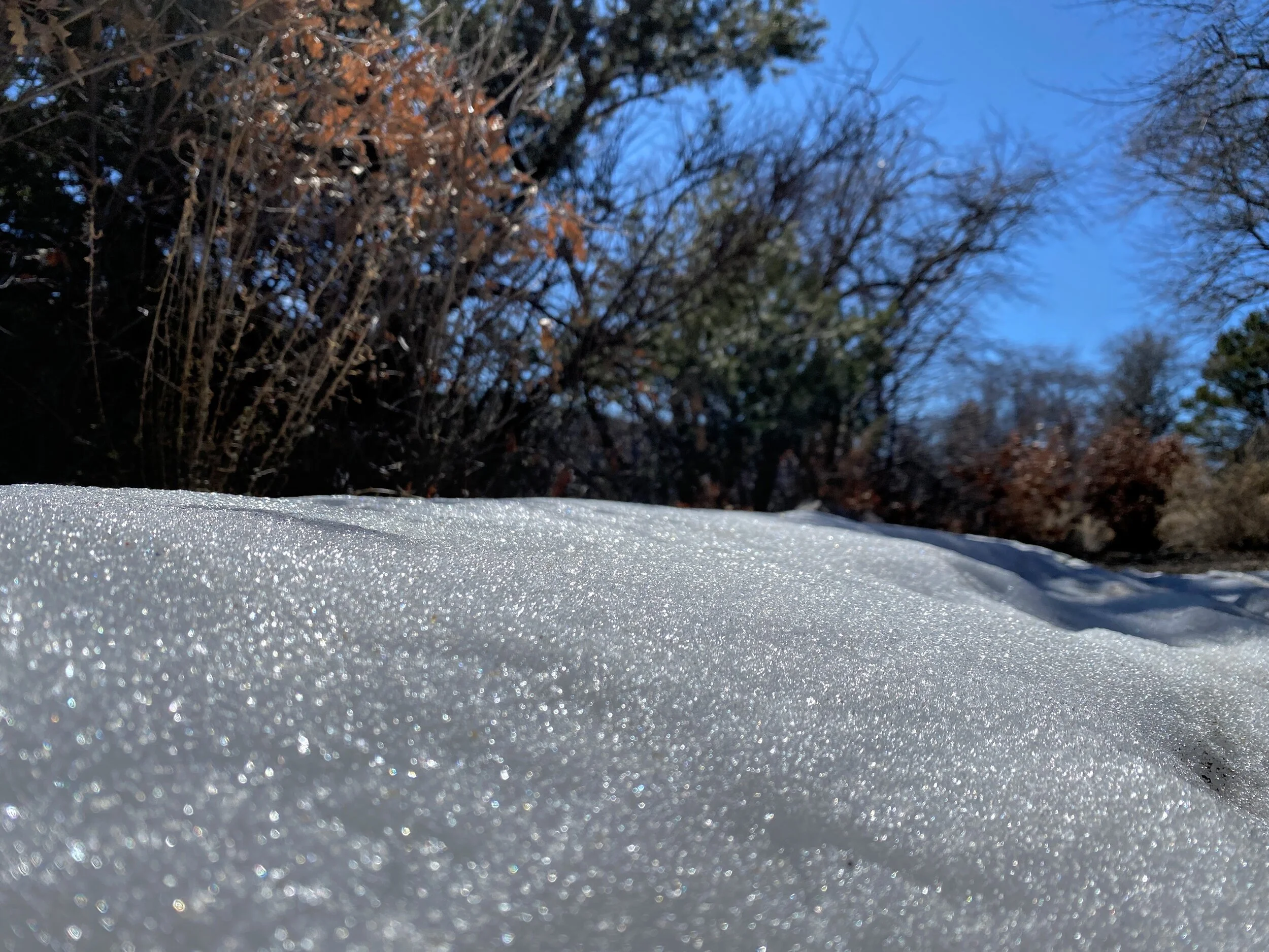
Watch out for: the edge, slippery snow packs or melt, the crowds (you’ll want to take your time and just kinda either flow with or wait for large groups to pass)

#hike22 - Baker Lake Trail (Mt. Baker-Snoqualmie National Forest)

On our way to see the scenic bits of the North Cascades, we made a little stop to hike through the Mt. Baker-Snoqualmie National Forest. This hike was a true treat - offering all the aspects one could wish for in the Pacific Northwest. We had turquoise water, big trees, earthy smells, and spongy ground. My friend Jen (JennyTheTrailhead) and I did about 4 miles.

Highlights: The drive from Washington 20 to the trailhead is insanely beautiful, you get to drive across a dam which feels illegal but is not, and there are magical views at every turn

Things to watch for: Parking may be limited, so follow the rules when you’re there. Slow down, take it in.

Enjoy some photos from our hike north on the trail and back to the car.


#hike23 - Olympic National Park & Forest

I decided to take a walk in the forest and I found pure joy and happiness.

This particular hike included the Quinault Rain Forest trail, a stroll through the Maple Glade Rain Forest trail, and a quick exploration of the Kestner Homestead trail.

Hands down, Quinault is my favorite Rain Forest area of the Olympic Peninsula. Yeah, the Hoh is gorgeous too, and everywhere else is fine, but this is my jam. The walk was magical, and with my good friend Jenny The Trailhead. We soaked in the sunshine through the trees, listened to the streams and falls, and breathed deeply in the loamy smell of the northwest.

Enjoy some photos from a magical day of exploring the Olympic National Park and Forest areas in Washington state.

Mileage: Somewhere near 2-3? I didn’t track this hike

Highlights: Seeing all of the lush greenery, sun through the trees, the fresh air

Watch out for: Busy trailheads at Sol Duc Falls

#hike21 - Along Grapevine Lake

We went early and walked through the sand for about 2 miles along the lake north of Southlake, TX. It’s an okay path, with a sandy base and recent trimming. We started at the Walnut Grove area and had lake views but not much tree cover until about a mile in. There was only one other car in the parking lot, and only one other guy met in passing. The trail looks well used by humans, horses, and dogs alike. It’s worth a look if you want to hike along the lake. The early morning was nice, though hot and humid. The breeze at the parking lot was cooler than the one coming off the lake, which is something I’m not used to being from the Great Lakes.

Not the longest hike, or the best, but it was a nice change to the Sunday morning routine. I am always a sunrise guy, so it was nice to see the morning sun over a lake.

Hikes 12-20 (I'm bad at this)

I’ve hiked 20 times in 2020… woah, that’s cool? The hikes have been documented on socials, but not here. I’m going to keep it brief, but share some of my favorite photos. I’m not quite on track for 2020, but I feel like I’ll still make my mark if I keep exploring the rest of the year. I hope you’re able to get out - in some way or another - during this weird and wild year. Happy hiking!

Hike 12: Possum Kingdom State Park, 2.14 miles, sunny and okay

The trails were short, but offered great views. It’s a great little park for camping, but will not as a hiking destination.

Hike 13: Fort Richardson State Park, Historic Site & Lost Creek Reservoir State Trailway, 12.1 miles, sunny and hot

There is a historical fort, a long path from one section of the park to the other, and a lake with a breeze eventually. There isn’t much for shade, but the trail was nice.

Hike 14: Caddo Lake State Park, 2.05 miles, gorgeous trees and bayou

If you enjoy a bayou with cypress trees and a shaded trail through big trees, this place is for you! The trails were short, but went through the gorgeous forest.

Hike 15: Martin Creek Lake State Park, 4.2 miles, sunny and breezy

Family friendly is the best way to describe this place. The trails are fun, with plenty of shade and some good views of the lake. The trails go through the woods and wind throughout the park.

Hike 16: Lincoln National Forest, 4.7 miles, sunny with views of the weather moving in

Hiked a forest service trail up a hill, about 1000 feet with some friends. This area has plenty of places to explore and many rocks to be discovered.

Hike 17: Cleburne State Park, 3.86 miles, hot and sunny

I went with some friends for a hike and a swim. We did some trails that I’ve done before, and had some great views along the spillway.

Hike 18 : Mother Neff State Park, 2.9 miles, hot and steamy

Mini cave, CCC towers, and other foresty features are highlights along this trail. Be sure to go up the lookout tower and get a view of the treetops?

Hike 19: Meridian State Park, 2.87 miles, hot and steamy

The trails around the lake and through the forest have a lot to offer as far as views and shaded walking. They are well marked and have great places for little picnics. Watch out for spiders!

Hike 20: Lake Whitney State Park, 2.2 miles, HOT and sunny

These trails, the only two in the park, are kind of like Possum Kingdom… people don’t go here for the trails. One is through the woods, ish, and the other is in the wide open. The Towash Forest trail does lead to a semi-private beach area that looked far enough removed for more relaxed swimming.

Hikes 9, 10, and 11

I don’t need to explain the global pandemic going on right now - right? Everything - parks, businesses, local trails, schools, etc - have been closed for weeks. Texas decided to slowly allow visitors back in the state parks for day use, at a rate of 25% capacity. It was easy to reserve online, and I saw very few people actually on the trails. Beaches, picnic areas, and parking lots were filled with people not giving a crap about social distancing or small teams. ANYWAY… I enjoyed some new-to-me state parks, quiet trails, and super green forests.


Hike 9: Atlanta State Park

Trail: Hickory Hollow, White Oak Ridge

Date: Saturday, May 9

Distance: 2.89 miles

Distance From Home: 193 miles

Weather: Sunny, warm

Trail Notes: Lush, green, and shaded

This park is a little gem on the northeast corner of the state that I can’t wait to revisit. The trails were dirt, with some roots, and not many rocks - which is a nice change in Texas. Big trees of pine and oak tower over, casting shade and allow for fern and moss to grow below making this place feel a little more “up north” than other Texas State Parks. If you’ve ever been to Tyler State Park, or any of the other ones on the east side, you’ll find it to be similar. I can’t wait for cooler weather so I can bring the tent and hide out for the weekend.


Hike 10: Daingerfield State Park

Trail: Rustling Leaves

Date: Saturday, May 9

Distance: 2.66 miles

Distance From Home: 159 miles

Weather: Sunny, warm

Trail Notes: Gorgeous trail around the lake, wooded/shaded, and fun lake views

Daingerfield is another smaller park packed with gorgeous trees, lake views, and just enough trail distance to get away from the potential crowds. We enjoyed a walk around the lake, which was shaded and very green. The place smelled of pine and that breeze off a lake you sometimes get. This is another park I can’t wait to revisit, and camp a few nights in the fall to see the colors in the trees.


Hike 11: Lake Bob Sandlin State Park

Trail: Dogwood, Homestead

Date: Saturday, May 9

Distance: 4 miles

Distance From Home: 135 miles

Weather: Sunny, warm

Trail Notes: Another fun lake with wooded trails and space to spread out

Our third stop of the day was this little gem, a little closer to home, but still far enough east to have nice pines and lush greenery. This park had more towering trees providing much needed shade as the day warmed up and trails with very few people on them thanks to restricted access. On the Homestead trail, look out for an old grave site - pretty cool! Enjoy the shade or the lake and have a good time at this one.

March Hikes with Mike - 7 and 8

In March, I hiked twice. I graced Cibola National Forest and Dinosaur Valley State Park with my presence and had nice little hikes in each. Check it out.

Hike 7 - Dinosaur Valley State Park - Texas

Trail: Cedar Brake Outer Loop, Rocky Ridge, Black Capped Vireo

Date: Sunday, March 7th

Distance: 6.2 miles

Distance From Home: 75 miles

Weather: Partly Sunny, Windy

Trail Notes: Was a nice day, water was a little high

I needed a good hike and figured it was time to hit the old standby. Dinosaur Valley is always a go-to for a good hike close to the DFW metro area. With me on the journey was Chew the dog, my other half, and my best friend. We did several trails and weaved our way through, avoiding any major crowds which were mostly near the river.


Hike 8 - Tunnel Canyon - New Mexico

Trail: Birdhouse Ridge

Date: Saturday, March 14

Distance: 2.31 miles

Distance From Home: 614 miles

Weather: Sunny, cool

Trail Notes: This was at sundown

A nice little trail system in the Cibola National Forest outside of Albuquerque, NM. I didn’t have a lot of time before dark, and I was on a conference call, so I only did about two miles. I followed the ridge, and if time had permitted, I could have looped back in the canyon. I can’t wait to get back out there to finish this loop and explore other trails in the area.

February Hikes with Mike - 5 and 6

In February, I hiked twice. I graced Lincoln National Forest and Caprock Canyons State Park with my presence and had nice little hikes in each. Check it out.

Hike 5 - Lincoln National Forest, New Mexico

Trail: Switchback (just outside of Cloudcroft, NM)

Date: Sunday, Feb 16

Distance: 5.01 miles

Distance From Home: 548 miles

Weather: Mild and Sunny

Trail Notes: Snow in shady areas of trail, mud in the sun

I was in New Mexico for work again, so I decided to take advantage of my surroundings and get a good hike in on a familiar trail. My aunt and I visited this trail last September, but it was completely different this time around. Same great trees and mild incline, but with sparkly bright snow. The snow was not deep enough to require anything more than my hiking boots, but it was prominent enough to fill my heart with joy. I miss regular snow, but apparently only when it’s nice to look at and not deep enough to require snow boots. The trail has a mile slope as it switchbacks along the hillside. It’s at about 8,000 feet, give or take, and follows the highway out of Cloudcroft. There are sweeping views of trees and mountains, but it also feels like a hallway through some big trees. It’s a nice little trail to do if you don’t have all day and want to enjoy some fresh pine scent. It’s not secluded feeling; there is road noise on occasion.


Hike 6 - Caprock Canyons State Park

Trail: North Prong Spur, Upper North Prong

Date: Saturday, February 29

Distance: 7 miles

Distance From Home: 290 miles

Weather: Partly sunny, warm, windy

Trail Notes: The climb to Fern Cave was not exactly what I remembered, but still manageable

We planned a family weekend of camping, hiking, and most importantly campfires. My aunt and uncle hauled their camper out and set up a few days before the weekend, and Eric, Chewy, and I made our way out Friday afternoon. It was windy and sunny, mild, and seemingly perfect for the end of February. We planned to hike Saturday, I wanted to show my aunt Fern Cave and just enjoy the day we all had together. We started out, a little late because a wee bit too much was consumed the night before. The sun stayed behind some clouds most of the day, which was actually a relief for temps. We were doing alright, a little windy but alright, then we hit the final push to get to Fern Cave. It was a little more intense than everyone was used to, but we made it up and then down in only to find they were all brown! I had only been in the fall, so I wasn’t sure if they went brown in the winter and came back to life in the spring? I didn’t know what to expect. Either way, we enjoyed the cool temps but had to get out because some people were monopolizing it with their lunch making (making it stink like fuel) and dogs off leash everywhere. We meandered out and back to the main trail and eventually back to my car. The dog was TIRED, we were mostly spent, and it was definitely time for a cocktail and some dinner.

No matter how many times I visit Caprock Canyons, I always enjoy the trails. It’s one of my go-to locations in Texas and I already can’t wait to get back for another weekend.

#HIKE4 - Bonham State Park

HIKE 4 - Bonham State Park

Trail: Bois d’Arc, Lake Loop

Date: Saturday, 01/25/2020

Distance: 2 miles

Distance From Home: 82 miles

Weather: Warm, sunny, slight wind

Trail Notes: Trail markings very complicated

I was on a mission to check off a couple of state parks the weekend of January 25th and this one happened to be on the scenic way home from another one. The sky was mostly gray, with patches of blue and sun, but I wasn’t going to let that bother me. Initially, the sign at the gate said the trails were closed. I figured, I was already hear, so I might as well see if there was a paved path so I could check it off my quest list. The ranger at the front desk told me the trails were closed to mountain bikes, but not feet, so we set out looking for a path through the woods.

Chewy the dog and I started out on the Bois D’Arc trail, but quickly became confused because the signage was all for the mountain bikes and not really at all for hikers. I made my way though the woods and did see the two CCC gathering areas, but not much else. We ended up back on the road and made the executive decision to walk the Lake Loop path. The path wound through the trees and vines and had one lake view and a bridge of a swamp. It was a lovely trail that went around the lake, on and off, with the help of the main road. Two miles was all I could muster, so we headed back to the car and made our way home. The park is fine, the campground is ok, and the terrain is typical. If I lived nearby, I’d surly visit this place often, but it’s 80+ miles away and not worth the drive when Dinosaur Valley is the same distance and much more interesting.

If you’re in the area, check it out, if not, maybe just check it out anyway - all of the state parks are worth seeing at least once. Happy trails!

#HIKE3 - Cooper Lake State Park

HIKE 3 - Cooper Lake State Park - Doctor’s Creek Unit

Trail: Cedar Creek Trails (East, West, North, and South)

Date: Saturday, 01/25/2020

Distance: 3 miles

Distance From Home: 106 miles

Weather: Warm, sunny, slight wind

Trail Notes: Very wet and muddy this time of year

I had a Saturday with nothing planned so I thought it would be a perfect day to catch up on hikes in number and also knock off a few state parks on my Texas State Park Quest. It was a perfect morning, cool and sunny, with no scheduled precipitation. I had a late start, but still arrived at the virtually empty park around 11am. I had scoped out the trails online before, so I knew where I wanted to park and where the restrooms were along the way. I like to plan ahead, especially if I’m driving almost two hours to go somewhere.

The trails were really one trail with directional branches to help with organization. The markings were easy to follow and see, and there was little to no confusion. This trail was on Google Maps, the Hiking Project by REI, and the state park map for easy navigation.

It was a wet and muddy day, with most of the trail being quite moist. Winter in Texas is like Spring in Michigan which is okay by me. Chewy the Dog and I splashed through puddles, most only being as deep as my shoe, without a care in the world. The park was quiet, the wind was minimal, and the smells were earthy and fresh. The Cedar Creek Trail may be one of my favorite in a pretty standard state park. Visitors will wander through the forest, prairie openings, and back through the forest. There will be a few views of the lake and even better views of the sky above the trees.

Plan ahead, prepare for wet or muddy feet, and remember to stop and take it all in every now and then.

#HIKE2 - Ocotillo Hills Nature Trail

HIKE 2 - Ocotillo Hills Nature Trail, Carlsbad, NM

Trail: Occotillo Hills Nature Trail

Date: Sunday, 01/12/2020

Distance: 2.06 miles

Distance From Home: 445 miles

Weather: Warm, sunny, slight wind

Trail Notes: it’s one mile, so two there and back, and either all uphill or all downhill


I’m in New Mexico for work, and I had reached a point where I needed a break on a Sunday afternoon. I drove the half hour to Carlsbad, but didn’t have a lot of time so just did a local nature trail. Turns out, this one was perfect for the hour I had to hike! It was 1 mile from trailhead to trailhead; I parked at the lower level at New Mexico State Carlsbad.

The trail meanders through the hills along side of the Living Desert State Park and Zoo. Once about halfway up, you can really see the city below. Once about three quarters of the way up, you get a full view and it’s quite spectacular for a little local nature trail. As the trail name suggests, it is lined with ocotillo and other desert plants. Pair those plants with a blue sky and you have the perfect hike.

This trail has no shade, but is great on days with mild temps and sunshine. Once summer hits, it may be a little warm, though I don’t know the area climate that well. If this trail were in my backyard, I’d use it to train for mountain running by doing many miles.

I hope you find a nice local trail wherever you are and take advantage of your surroundings. Happy hiking!

#HIKE1 - Guadalupe Mountains Nat. Park

HIKE 1 - Guadalupe Mountains National Park

Trail: McKittrick Canyon Trail

Date: Saturday, 01/11/2020

Distance: 2.05 miles

Distance From Home: 493 miles

Weather: Cold (below freezing), windy, but sunny

Trail Notes: The trail meanders through the canyon, with very little gain in the first mile anyway. Great views and tons of cool desert plant life


IMG_1365.JPG

I’m in New Mexico for work, and I’m only an hour and a half from Guadalupe Mountains National Park. I finally had a break in the project, and I needed to reduce my stress with a hike, so I took a Saturday morning and headed to the park.

IMG_1343.JPG
IMG_1357.JPG

I woke up early on and drove down to the park for sunrise. I forgot it was a full moon, so that was just icing on the cake for the early morning drive. I arrived at the Pine Springs visitor’s center at about 6:45 local time. The sun was due up about 7:00 so I started the Piney Nature Walk. As the sun peeked over the distant ridge, I made my way back to the car. I have been sick since arriving in New Mexico, so I was congested and not feeling like an all-day hike so I went back up to McKittrick Canyon. The gate was open, so I made my way to the trailhead. I figured I’d walk a little and then turn around. I was the only one there and the sun was beaming down. The wind was less severe in the canyon and I was having a much more enjoyable experience. I had a puffy, a hoodie, and a t-shirt for layers and I was nice and cozy.

After my hike, I went back to the Pine Springs visitor’s center to look inside and buy my magnet. I walked through and learned about the geology and wildlife. I’m excited to mark it off my list, but even more excited to plan a return visit with camping!

Have you been to Guadalupe Mountains National Park? What are your favorite trails and campsites? Leave a comment and let me know! Happy trails my friends!


Final Hikes of 2019

I did a little hiking towards the end of the year, but still didn’t make it to my goals of 52 hikes or hitting every adventure series bullet point. I’ve fallen short two years in a row now , but I’m not giving up. I’m starting fresh, again, and with the best intentions for 2020. The point of 52 Hikes With Mike is to encourage getting out and doing the damn thing, not JUST the numbers or the miles. (this is what I’m telling myself)

Hike 25 - Highland Park Trailhead - Trinity Trail (DFW Metro)

  • Group hike with REI DFW

  • 4.07 miles, pretty mild and flat

  • Enjoyable conversations, but no lasting connections

Hike 26 - Purtis Creek State Park

  • Hiked with my other half and Chewy the Dog

  • 4.85 miles, through the woods

  • Fall, crisp, sunny, felt good

  • Nice little park tucked away just outside of DFW

Hike 27, 28, and 29 - State Park Quest

  • Big Spring State Park - hiked the nature trail, about .67 miles. Cute little park with a nice paved loop and a little nature path and GREAT views of the nothingness around it

  • Lake Colorado City State Park - hiked the Cactus trail along the lake. About a mile of it, tiny hills and nice lake views.

  • Abilene State Park - did a mile on the Spring Nature trail. This park was an instant favorite with plenty of paths through the woods.

Overall 2019 Stats

  • 136.02 miles of hiking

  • Unique trails for EVERY hike

  • Longest hike was about 10 miles, shortest was .67

  • About 45 miles less than 2018

  • Hikes averaged just over 4.5 miles each

  • 16 solo hikes, 13 with a friend, and 3 with the dog

  • Hiked in 7 states: Texas, New Mexico, Arizona, Oregon, Washington, Minnesota, Illinois

  • Visited 11 state parks and 3 NPS sites

The goal this year is to avoid getting bogged down again by work stress. When work got tough in 2019, I didn’t want to do anything but stay home and veg out. This year, I plan to channel all of my work related rage and stress into hiking, road trips, and camping. Adventure is out there and I have a few quests to finish which could really help me get some unique hikes.

#hike24 - North Cascades National Park

HIKE 24 - My Favorite Hike of 2019

Date: Saturday, September 21, 2019

Location: North Cascades National Park

Distance: 7.45 miles

Trails: Cascade Pass

Miles from Home: 2,158

Weather: Cloudy, foggy, cool

The Motivation

My favorite band was playing in Seattle, a mere six weeks after I was in the area for my first trail race, so I looked for cheap flights and made another trip to the Northwest happen. Because I was going to be in town all weekend, I needed to figure out some stuff to do. My concert was in the Ballard Neighborhood, on the north side of Seattle, so I figured why not drive another two to three hours to visit a piece of public lands I’ve had on my list forever.

I researched trails and viewpoints and all of the normal trip stuff, but my friend suggested I go hike to Cascade Pass. The trail was seemingly popular and didn't require an all-day climb, so I was definitely on board. Through further research, I read that people loved it for the views. Actually, most trails in the area promised great views when the weather cooperated.

I got in on a late, and delayed, flight to SeaTac and made my way up to where I was staying in Ballard. It was nearly 1 am when I finally settled in and laid in bed. I set my alarm for 4:45 am and quickly passed out. I woke up, slowly dragged my but out the door, walked the couple blocks to my rental, and promptly hit the road. With my snacks in hand and a quick stop for coffee, I made my way up I-5 ready for adventure. The light started to creep in as I was heading east on State Route 530. Google Maps routed me this way, and I’m glad for it because I found a brewery to stop by on my way home.

Getting to the Trailhead

The sun was coming up of the distant mountains, the fog was thick, but there was a bit of morning glory every now and then. I made it to the North Cascades Highway, and followed it to Marblemount before veering off to Cascade River Road. My friend didn’t mention much about the drive to the trailhead, so I didn’t know what to expect. It was a long and winding road through the forest and around the mountains. It was about an hour trek down this road that just got bumpier and more curvy, but it was gorgeous. Nothing, for me anyway, beats driving through a forest and along a river with foggy mountains in the background.

Eventually, I made it to the trailhead parking area. It was a big area, and was nearly full with visitors. The fog was so thick, I could only see through the parking lot and nothing much beyond any car. I could make out some trees, but it was a wall of white. I checked out the map and posted information, and debated going back and finding a different trail. A little bummed, I hiked anyway. I started the trail, and without any grand views, fell in love with the trail. The fog consumed me, and it was beautiful. The whole 1,700 feet up was foggy. Giant, lush trees in the fog. It was magical, mysterious, eerie, and had me positively high on life. I quickly got over the fact that I wasn’t going to have any “traditional” views of the mountains, and soaked in the foggy trees and what slivers I did see when clouds parted. As I climbed, and it was quite a climb for this flat-lander, some of the fog thinned out. I started to see rock faces and snow.

What Goes Up, Must Come Down

At the pass, it was windy and foggy. I didn’t see much of anything beyond the white clouds. I turned around, after a quick snack, and headed back. As I made my way down, the clouds started to thin out and the mountains became more prominent. I was getting completely different views at every turn, from glaciers to mountains to finally seeing just how far up and on the edge I was.  There were significantly more people going up now, and I enjoyed smiling and chatting with them on my way down. At one point I was between two sets of people going up when we all heard a loud crack. We stopped, looked out through the thinning clouds but didn’t see anything. The one couple said it was a glacier cracking, but it must have been on the opposite side of the hill, because we saw nothing. It was such a neat sound and experience, regardless if it lacked a visual representation.

Going down was obviously faster than going up, and I even ran on some of the straight paths to keep it flowing. I’d say 95% of the people I encountered were super friendly and wanted to talk about the conditions ahead for them. I love being able to share what I saw and experienced and connect with people on the trail. By the time I made it to the car, the parking lot was a completely different place. It was surrounded by mountains instead of clouds and it felt so much smaller. My drive back to the main road was different too. I caught views through the valley and saw some fall color popping against the rock faces.

This trail is probably my favorite of any trail I’ve hiked. It had everything I wanted and it left me wanting more.  These are the combination of emotions I'm looking for in a hike and the reason I keep going out for more.  Leave me a comment with somewhere like this for you!

#hike23 - Lincoln National Forest

HIKE 23

Date: Saturday, September 14, 2019

Location: Lincoln National Forest, Cloudcroft, New Mexico

Distance: 4.43 miles

Trails: Switchback Trail

Miles from Home: 549

Weather: Cloudy, cool, breezy

My aunt and I decided we needed to go on a trip together and it needed to include big pines, mountains, and seclusion from the masses. We found ourselves in Cloudcroft, which is apparently a ski town in the winter, but offers affordable accommodations in September. Our goal with this trip was to have drinks, catch up, hike, adventure, and escape the heat/humidity of Texas. We did all of the things, but I’m going to focus on the hike. The Lincoln National Forest is massive, with PLENTY of amazing places to hike. Since we had driven over seven hours to Cloudcroft, we wanted to hike as near to our cabin as possible. We chose the Switchback Trail because it promised a view and it had a cool bridge over US-82.

Road noise is one prominent feature on this particular trail, but that was expected when hiking along a US highway through the mountains. It was not overly bothersome, but remained noticeable for a while. The trail itself was quite easy, with mild inclines and hills. It was shaded, smelled of fresh pine, and did eventually offer fun views. Once off the ridge, the trail splits and there are options for ATVs and mountain bikes. We encountered both, with the ATV riders being much more considerate of the two. Always stay alert and remember even if hikers have the right of way, you can still be run over.

We lucked out with the weather - only cloudy, no real rain while on the trail. Mid-September seemed to be a quiet time in the area, and just before any big fall colors. Aspens were beginning to change, but only subtly. If you’re looking for that pop, wait a couple of weeks. (Probably now, if you’re reading this at date of publish) I can’t wait to get back to the area and explore some more of the trails and take in more great pine aroma!

COOL THINGS on the SWTICHBACK TRAIL

  • there’s a tunnel to get back to the Bailey Trail parking lot

  • lots of pine variety

  • cool, forested mountain views

  • a bridge crossing US-82

#hike22 - Border Route Trail

HIKE 22

Date: Monday, August 21, 2019

Location: Border Route Trail, Cook County, Minnesota

Distance: 5.76

Trails: Border Route Trail

Miles from Home: 1282

Weather: Sunny to partly cloudy, cool, windy

I try to get up to Minnesota at least once a year, but this year I got to visit twice! The first time was in February, which is one of my favorite times of year up there, and a recap of that adventure can be found HERE. This time, I took a week off in late August, hopped in my buddy’s truck, and hauled ass north. My friend Kevin has family and a cabin up there and since I’ve known him forever I claim the family and am welcomed to visit the cabin as often as possible. We had tasks to accomplish, as we always do when visiting the cabin, but I also suggested a little hike on the Border Route Trail.

We had cool weather with sporadic rain, but did not worry too much about this little hike. Our plan was to keep it simple, hike for a few miles and turn back. We took lunch, a couple of trail beers, and our hammocks to enjoy at the halfway point.

The trail started with a little climb, through some trees and then continued to climb for a couple of miles. We eventually found ourselves on a ridge and peeking through the trees to Canada. The trail was overgrown in spots, flanked by huge pines in others, and a little muddy in the low spots. I’d like to get on the BRT again and hike the other direction a little bit or even further along beyond our turnaround point.

#hike21 - Mt. Tabor Park

HIKE 21

Date: Monday, August 12, 2019

Location: Mt. Tabor Park, Portland, OR

Distance: 6.21

Trails: All trails and fire roads, roadways to park

Miles from Home: 1,994

Weather: Sunny, mild, breezy

I hadn’t seen my oldest, most best friend in years, so I meandered down to Portland on my recent trip to the Northwest. I got a cute little basement room nearby, and her and I hiked and explored for the better part of 2 days-ish. One of the most urban, yet not, hikes I’ve done was at Mt. Tabor Park on the SE side of Portland and I got to do it with someone who knows the park very well. This park is/was my friend’s go-to for daily fitness and I can see why - the hills were alive.

With the hills (within city limits) are huge trees, great views of downtown, and miles of trails both paved and natural surface. We crisscrossed the entire hill, an old volcano (that’s two for this trip) and put on just over 6 miles with the short walk to the park from her house.

If I lived in the Southeast neighborhood, I’d visit this place every chance I could. Enjoy some photos from the trip and if you’re in Portland and looking for an urban yet wooded hike, visit Mt. Tabor Park.

#hike20 - Mount Saint Helens Volcanic National Monument

HIKE 20

Date: Sunday, August 11, 2019

Location: Mount Saint Helens Volcanic National Monument - Amboy, WA

Distance: 5.74 miles

Trails: Windy

Miles from Home: 2,098

Weather: Sunny, cool, cloudy, rainy, windy

I’ve wanted to visit Mt. Saint Helens since grade school, since learning about the eruption I imagine, and the dream finally (kind of) came true. I took the advice of a friend and went to Windy Ridge and hiked from there up along the side of the destruction zone. It was a gray and cloudy day, mostly, so I was limited to what I got to see but it was all quite intense overall.

The hike followed the old road and went gently over some hills, on the ridge, so it was not a ton of elevation gain or strenuous areas. The ridge was beautiful, with green trees in the valley and rain filled clouds above. The views of Mt. Saint Helens came and went, but the views of the destruction zone were always clear. I saw where the lava flowed and the lake below. What a place. I can’t wait to go back and see it from another angle.

#hike19 - Little Backyard Adventure - Olympia, WA

HIKE 19

Date: Saturday, August 10, 2019

Location: LBA Park, Olympia, WA

Distance: 3.6 miles

Trails: The LBA loop

Miles from Home: 2,105

Weather: Cloudy, cool, moist


IMG_7581.jpg

I signed up for this trail race on a whim, thinking “why not?” back in May. August came pretty quickly and I did not train enough for this race, but I still met my goal of hitting about a 15 minute mile - which is not a big deal for many, but is for me. As the temperatures wind down here in Texas, I’ll run more outdoors. For now, I’m still on a treadmill.

The LBA Park is operated by the City of Olympia, which is a wonderful town south of Seattle filled with amazing city parks, great food, and excellent beer. I arrived in the area on the Friday evening before the race and went to the the REI to meet the organizers and pick up my number. I was issued 101, for which I was pleased, and enjoyed meeting Mathias in person after interacting online for quite some time. If you ever get a chance to interact with the guys from The Outdoor Society, do it! They are both great and put on one hell of a trail race extravaganza.

After the REI visit and packet pickup, I went to the LBA park and walked some of the trails out there. I am not usually one to prepare too much for anything, but I wanted to get a walk in anyway and figured why not explore the trails I’d be running on tomorrow.

The trails are soft, with roots, and lined with plenty of lush foliage. The morning of the race was foggy, misty, and very moist. It had rained overnight but the trails weren’t muddy, but the whole place felt wet and very Pacific Northwest. It was perfect. The smells were fresh and everything just felt right.

I started the race strong, doing a quick (for me) first mile but I started to lose steam. I found a running buddy, who was running her first race, and we kind of stayed together for the second mile or so and it was great. We talked as we alternated between hiking fast and running. I soon felt that I was going too slow and wouldn’t hit my 15 minute mile goal, so I had to run more. I really surprised myself in how long I could run, and how much easier it was in a forest on a natural trail versus the treadmill I was using back home.

I made it up a big hill, interacted with some of the friendliest people, and finished the race well before some people in my group. I was pleased.

48513628132_6b710dc267_o.jpg

Takeaways

  • Trail runners are a good group of people, despite my preconceived notions of runners in general

  • Trail running is SO much easier than running on a treadmill - at least to me it was (maybe just more enjoyable?)

  • I can do it, I just need to stick to it

Highlights

  • Running in trees

  • Camaraderie among runners

  • Doing something out of my comfort zone completely

  • Running as an enjoyable activity

  • Meeting new people and a person I’ve admired from afar

  • Visiting the PNW

#hike18 - Lake Mineral Wells State Park & Trailway

HIKE 18

Date: Sunday, July 28, 2019

Location: Lake Mineral Wells State Park & Trailway - Mineral Wells, TX

Distance: 4.21 miles

Trails: Cross Timbers Green and Black

Miles from Home: 62.9

Weather: Hot, Sunny, Humid, Breezy

Lake Mineral Wells is an old standby for me, but I hadn’t visited yet this year. My friend Nikki, her daughter, and her father joined me on this hike and it was just a wonderful little Sunday morning. We set out at 8AM in hopes to avoid some of the heat coming by noon and successfully finished without perishing.

These two particular Cross Timbers trails are open to hiking, horses, and biking. We saw a few horses on our way out, but only encountered a few hikers overall. Most of these trails are in the open, so we didn’t have much for shade but did find solace from the sun occasionally. Nikki was commenting on how grown up the trees and bushes/grasses were compared to the last time she was there, which is true. It’s crazy what a good couple of rainy seasons will do!

If you’re looking for some trails suitable for the entire family, with options for a little more adventure, this is the place to go. Grab the kids, grab some friends/family, and get on out. Go early, avoid the heat, or go late. Either way, get out and enjoy.