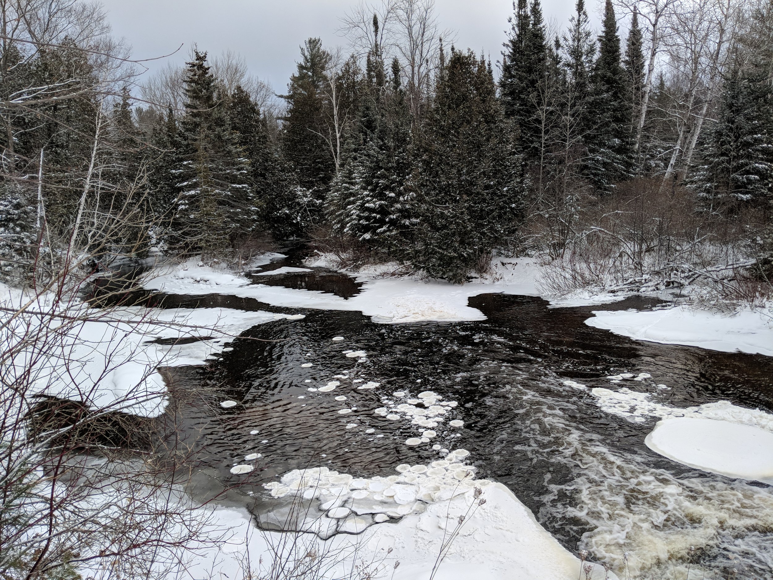
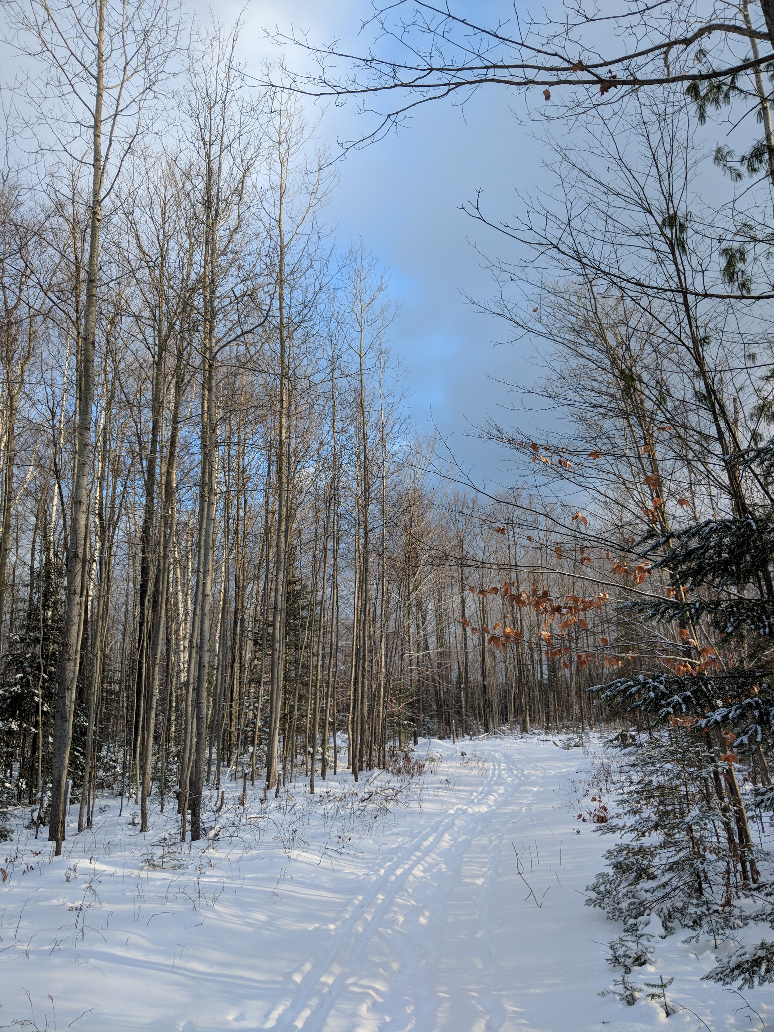
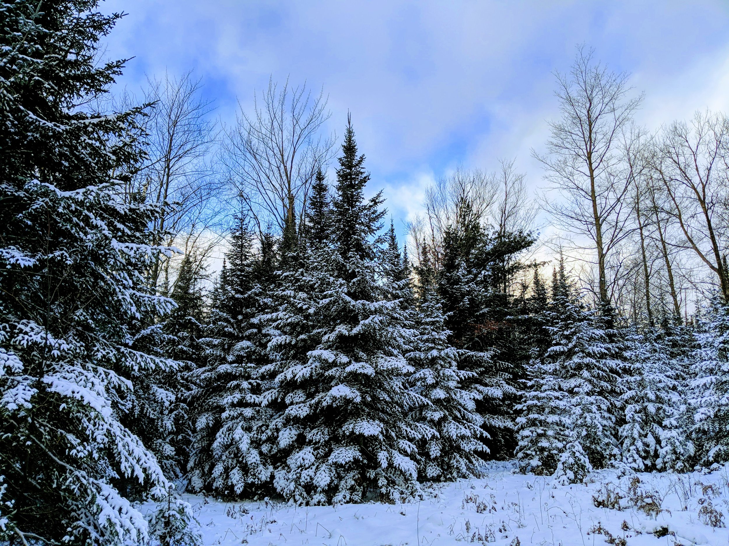
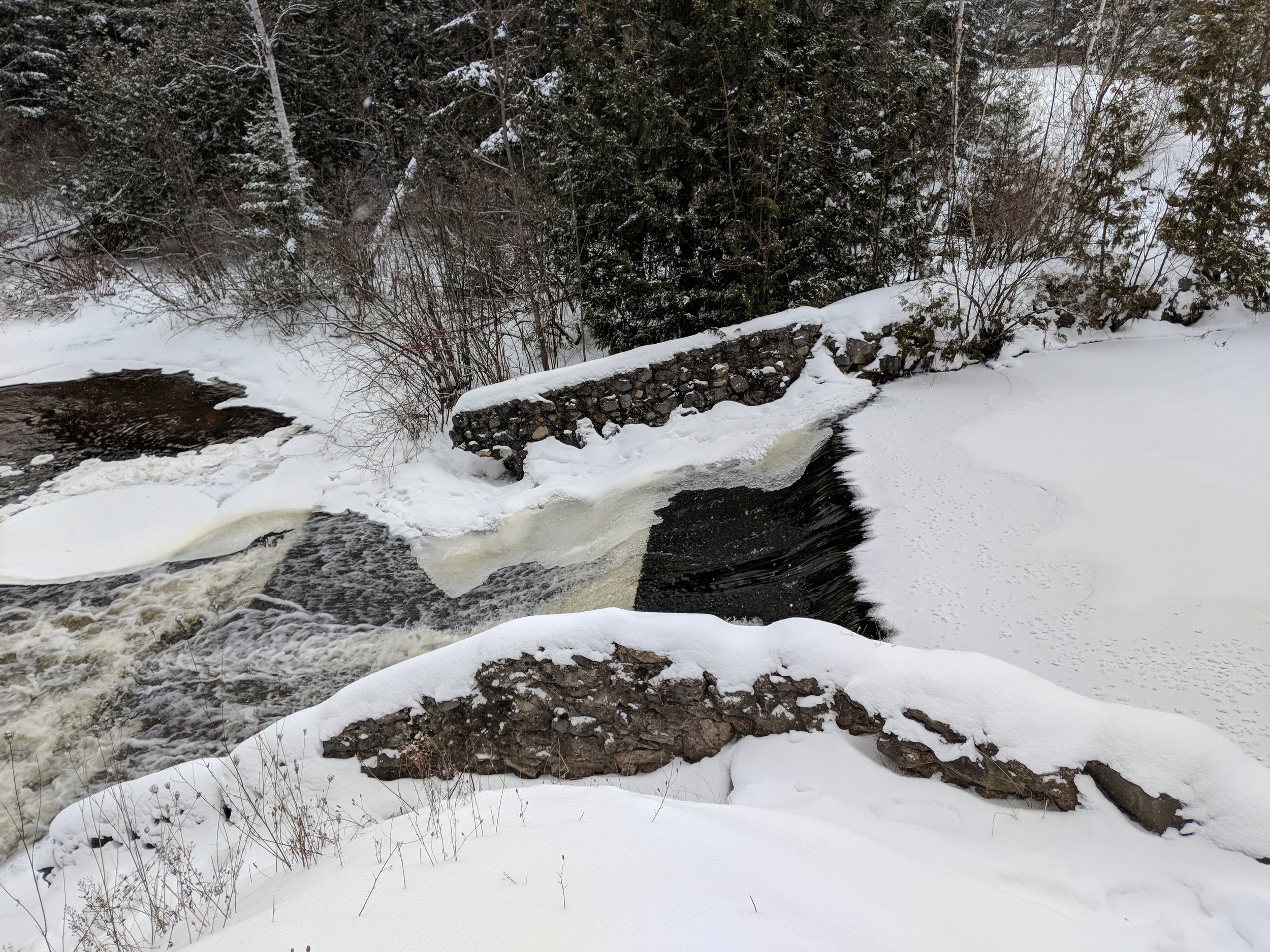
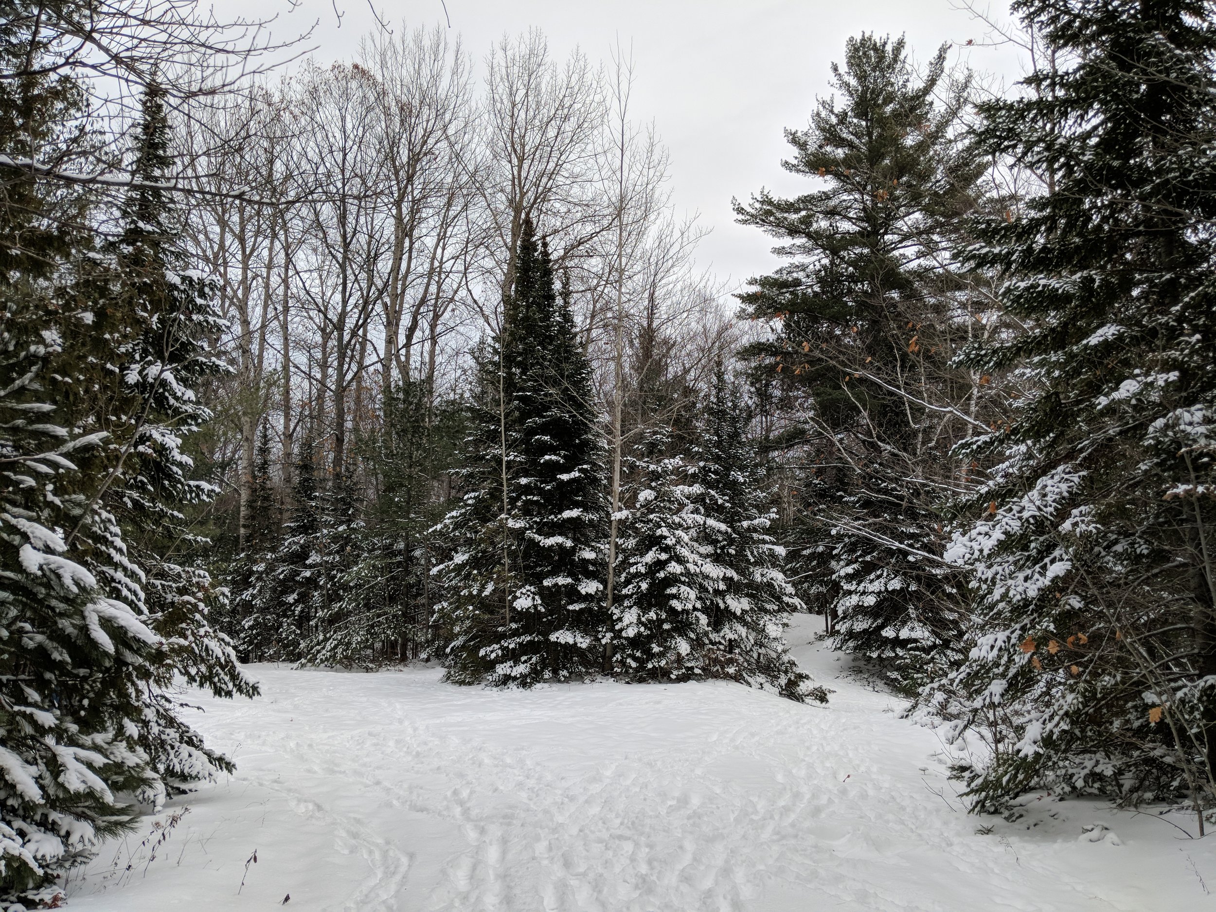
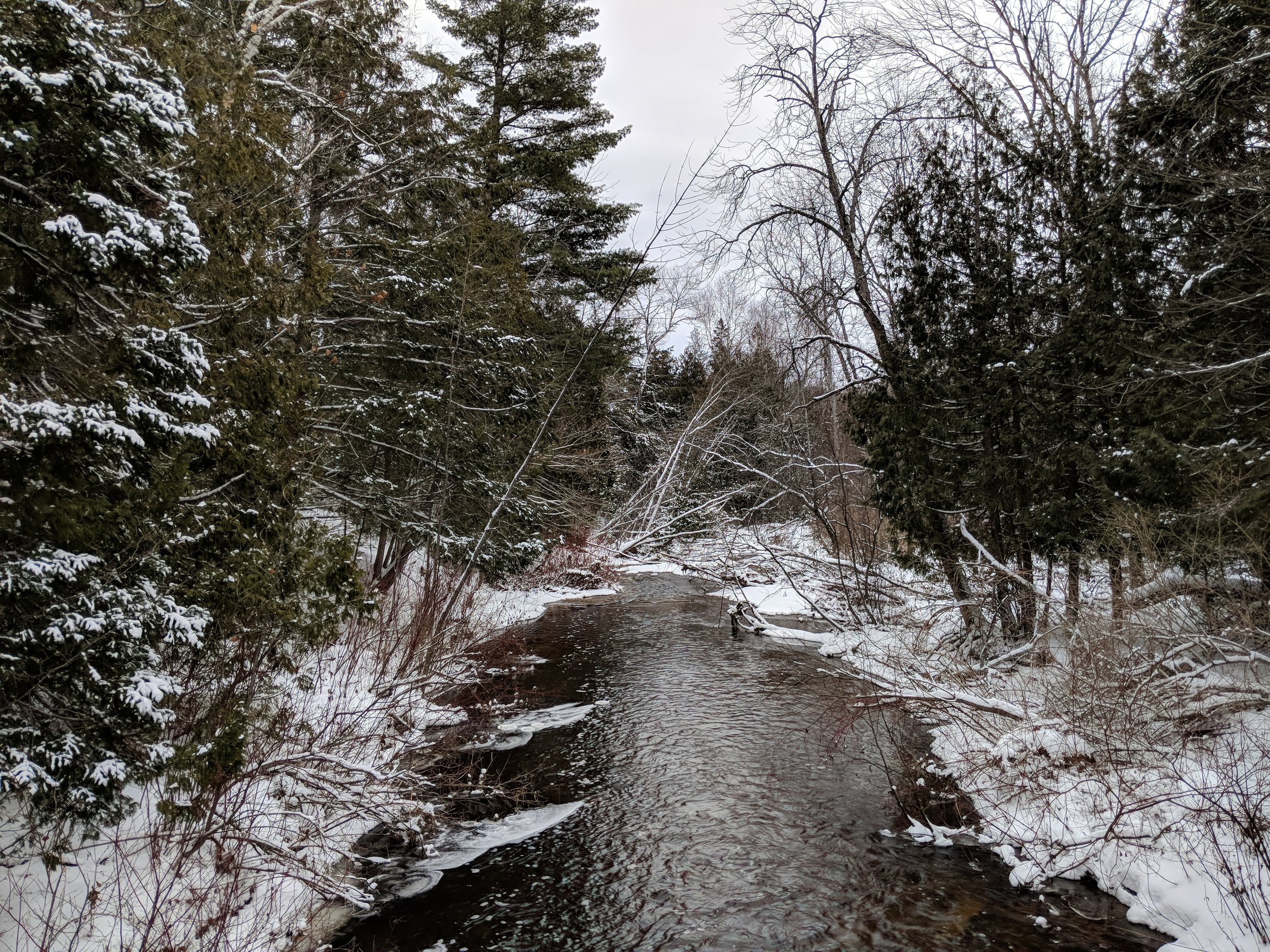
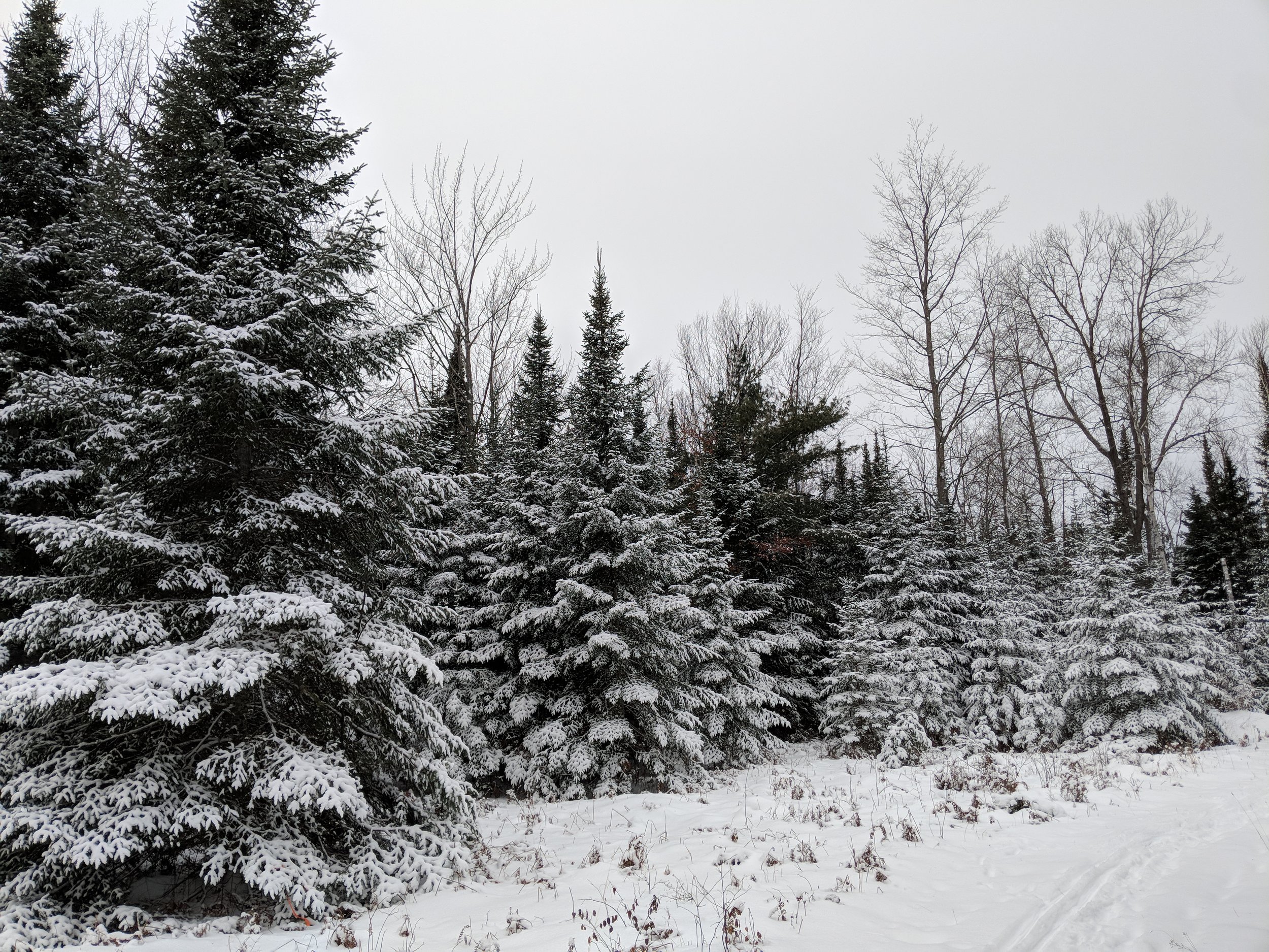
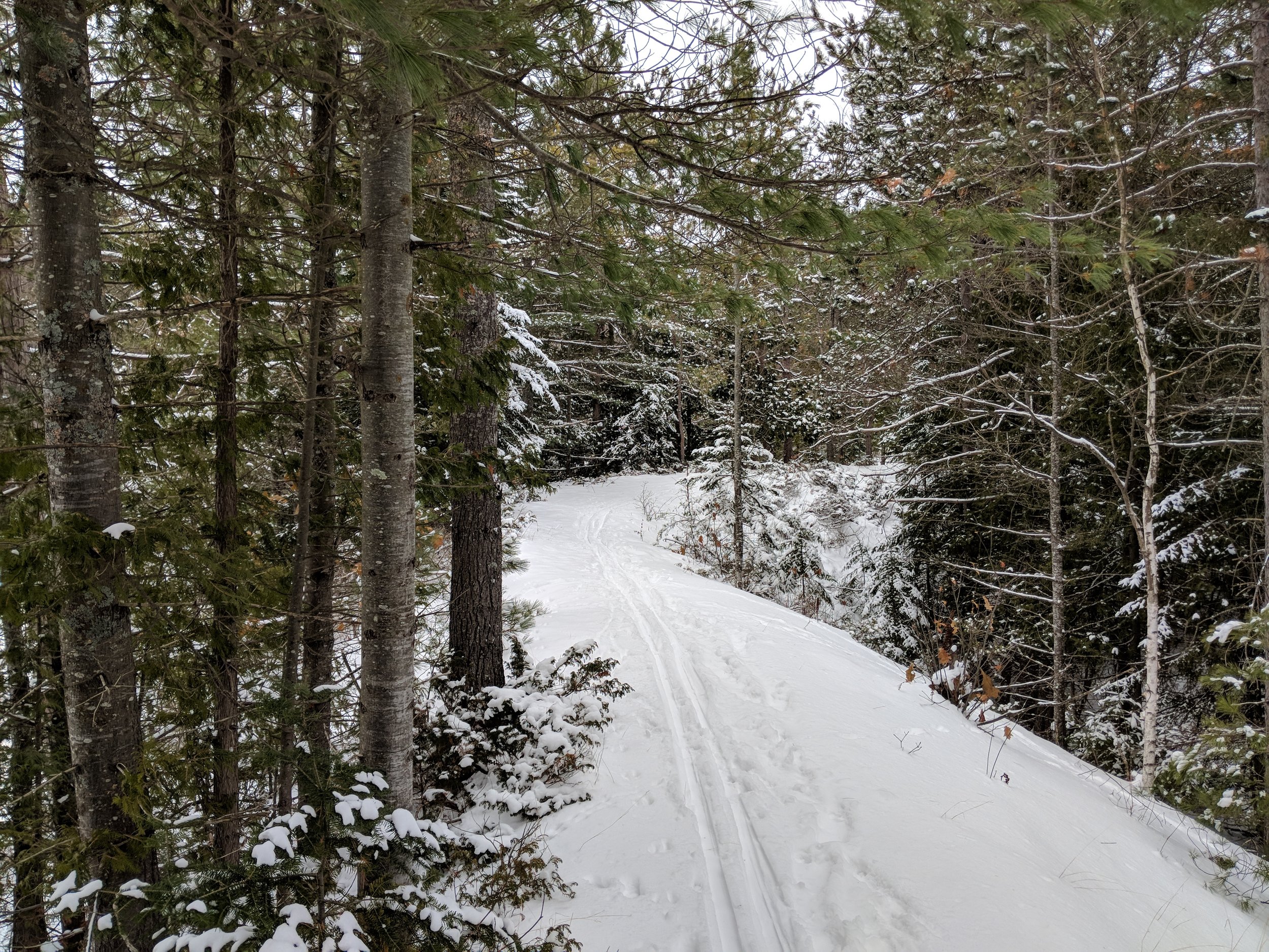
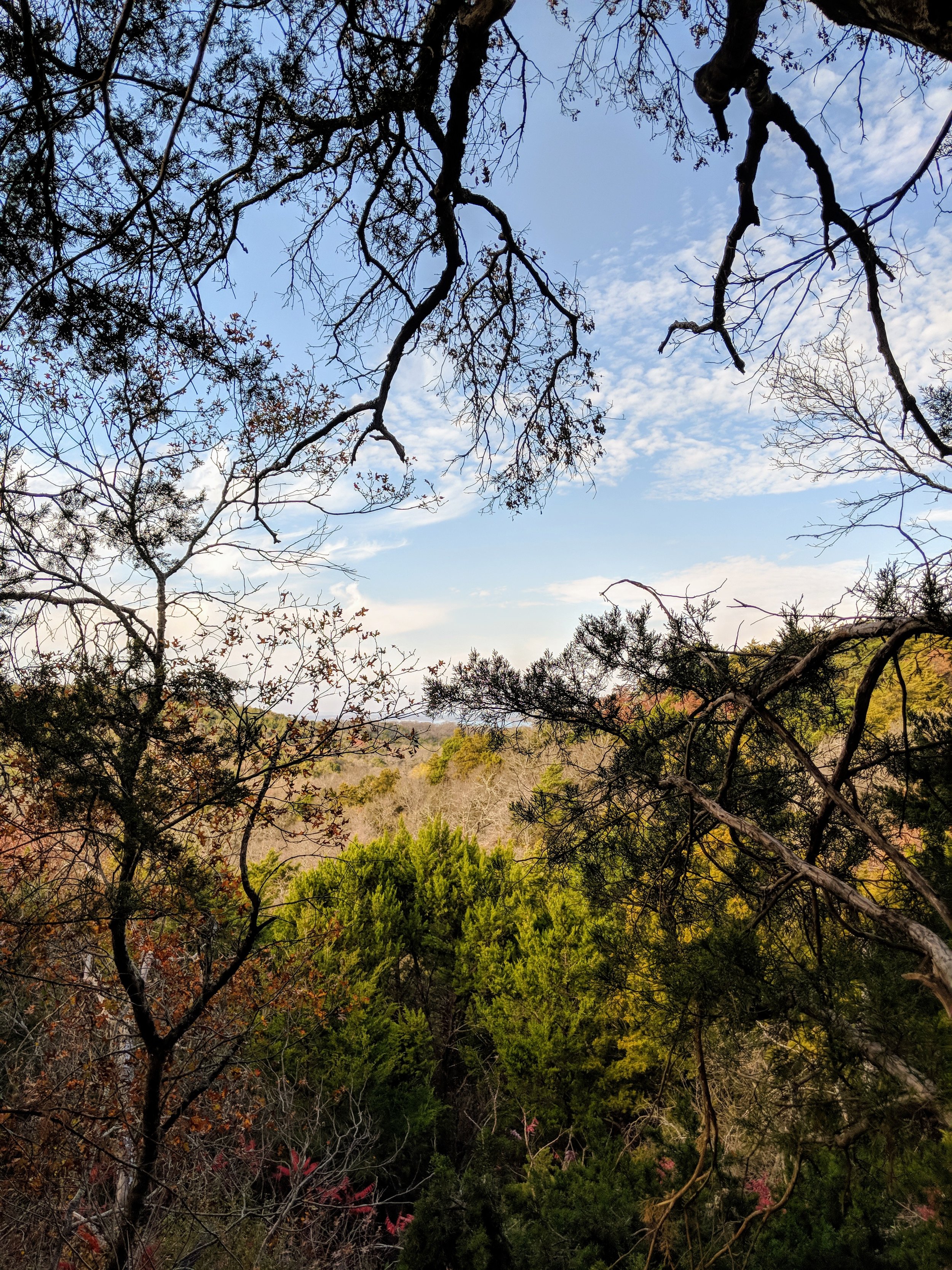
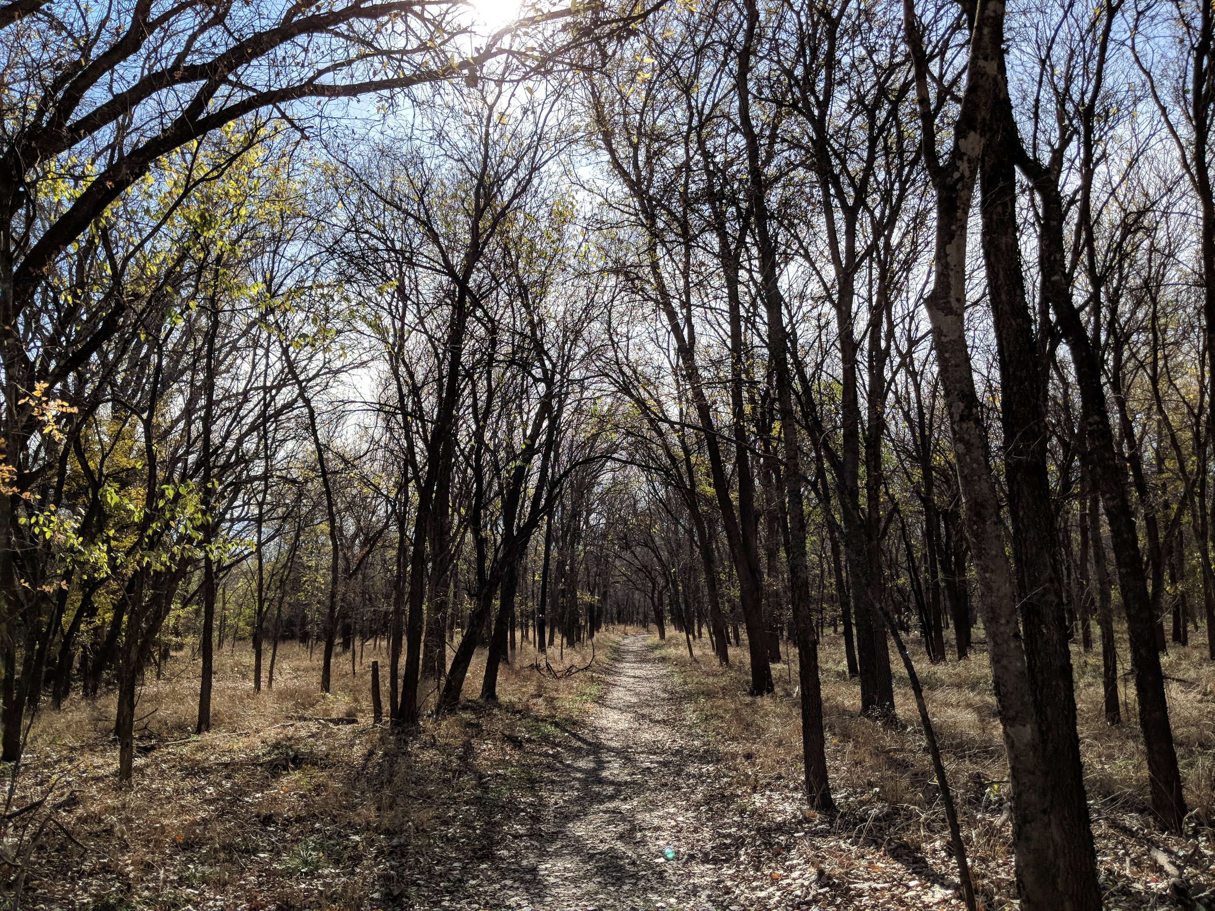
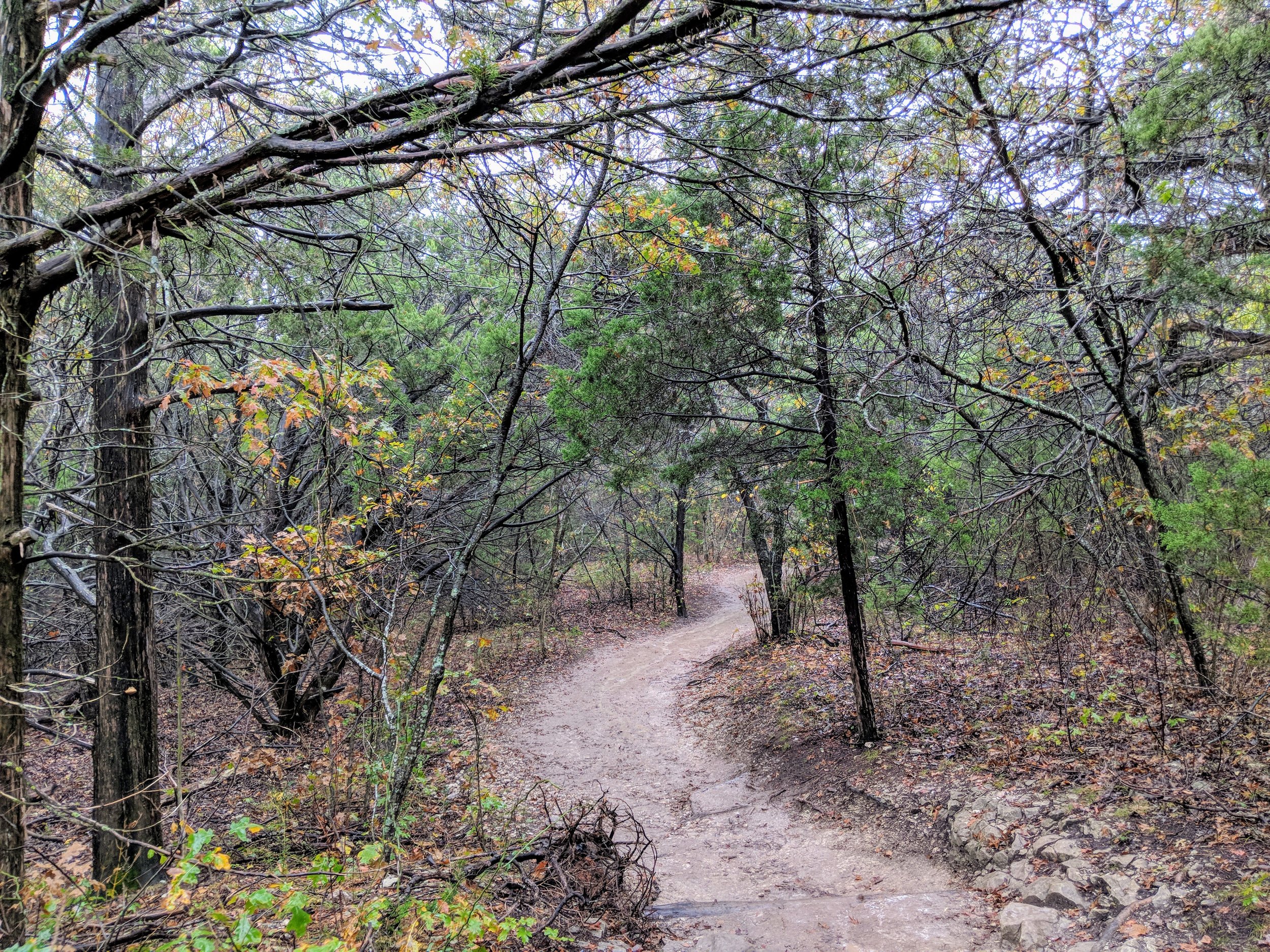
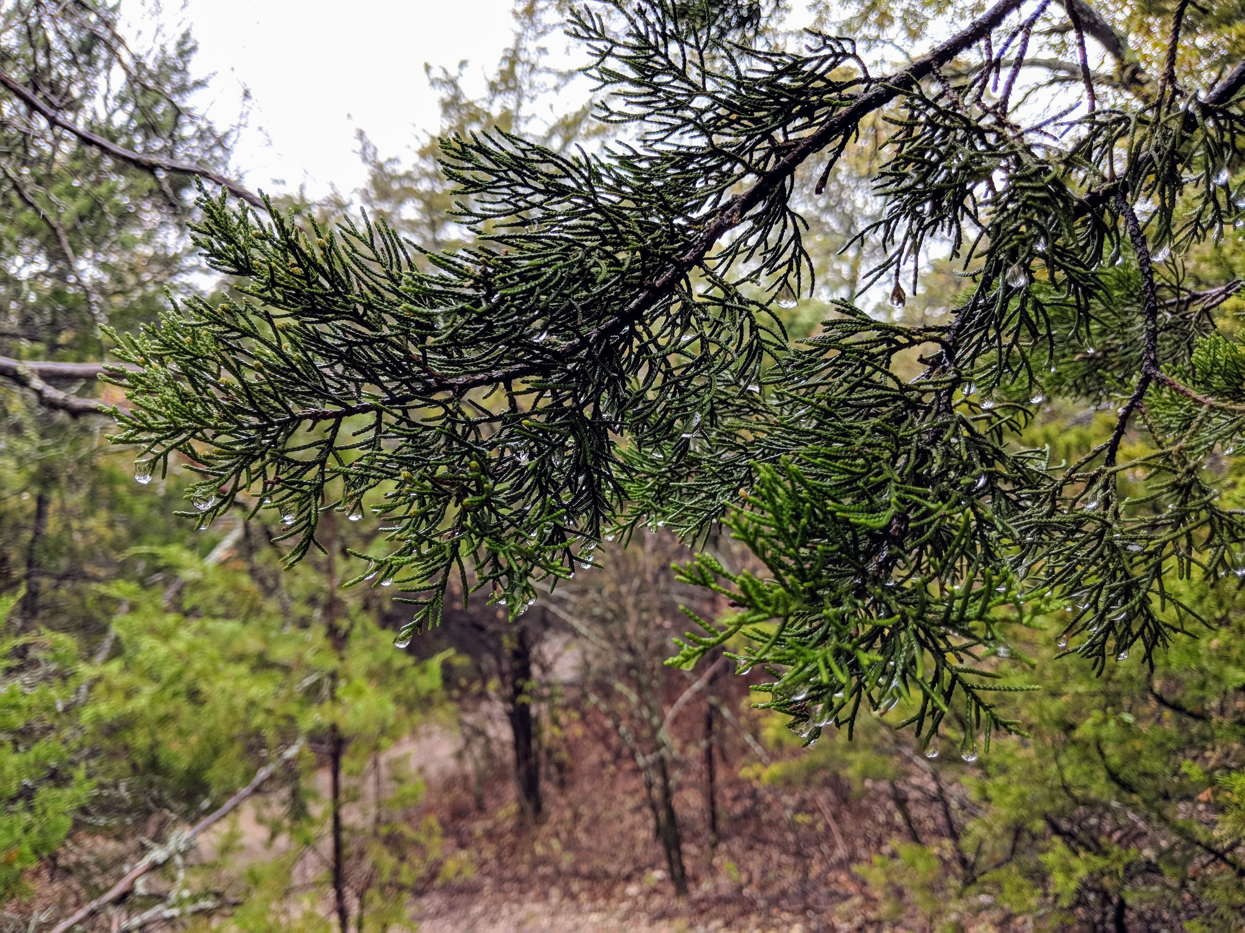
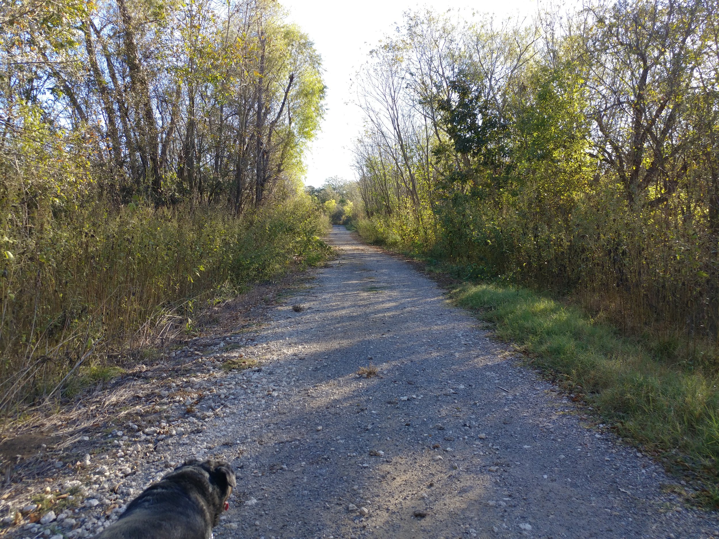
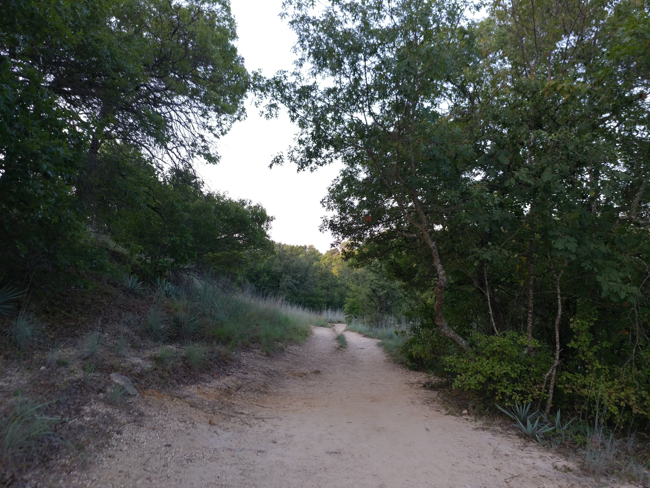
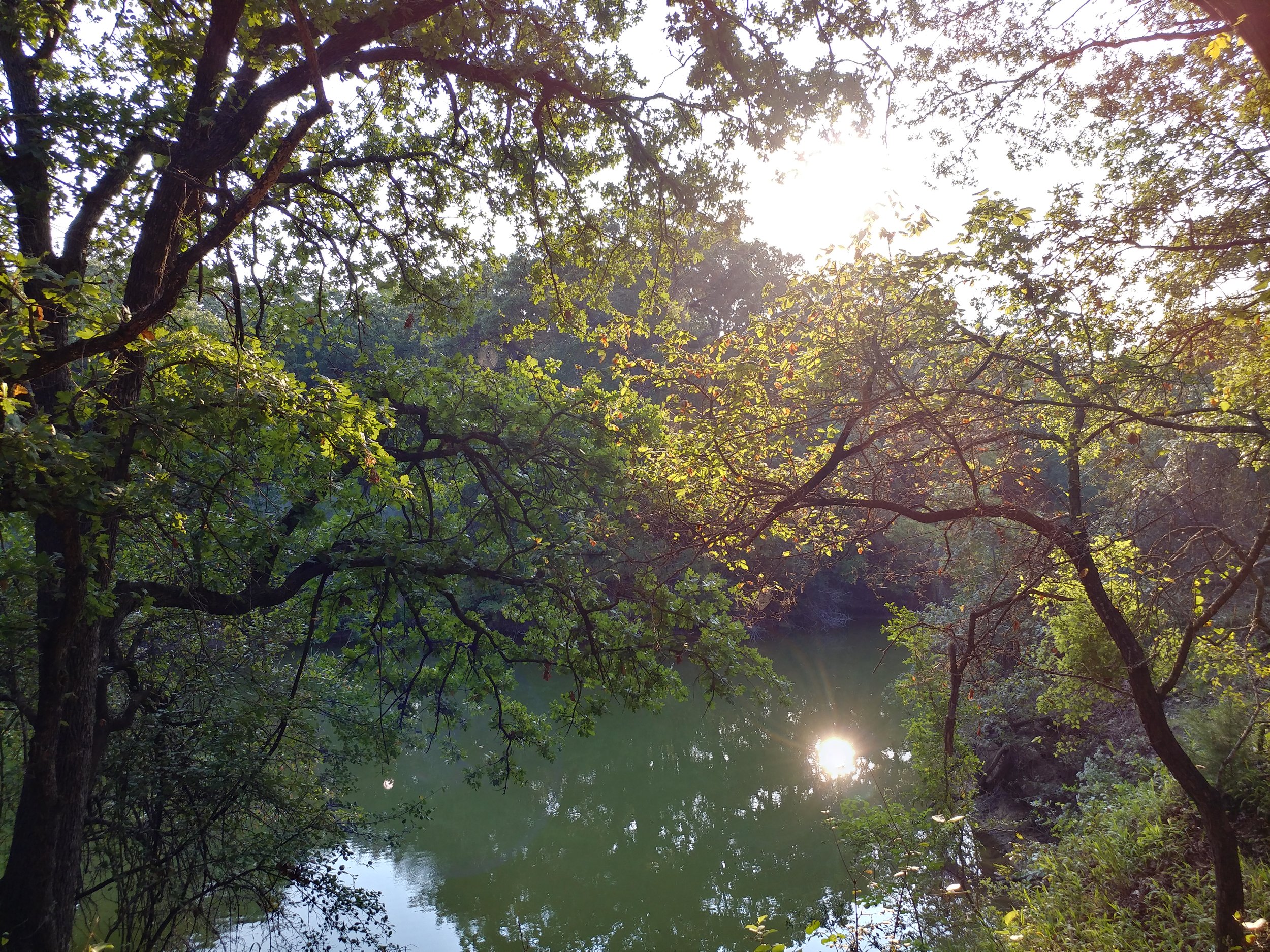
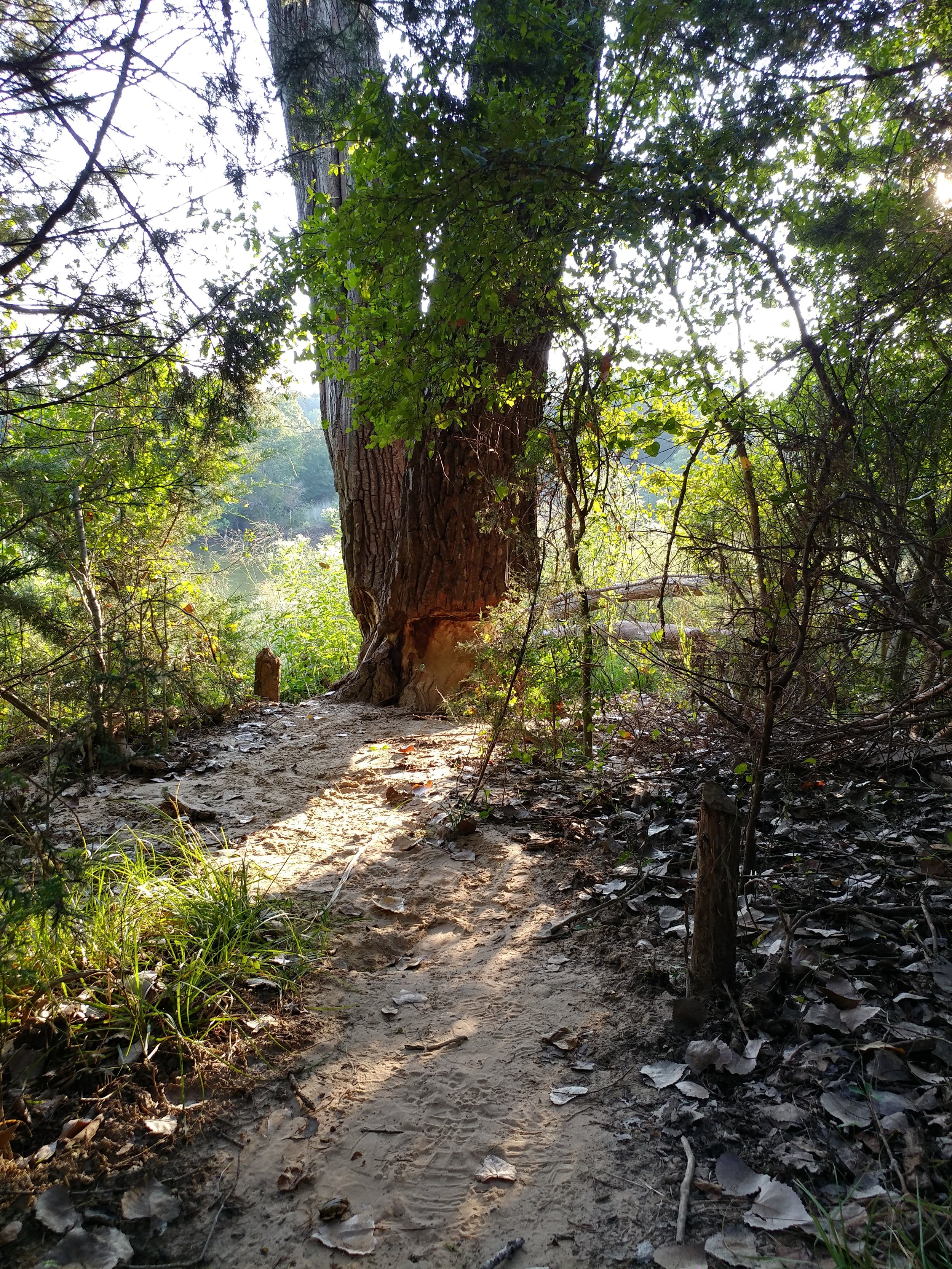
#hike52 - Herman Vogler Conservation Area
Location: Herman Vogler Conservation Area – Rogers City, MI Date: 12/27/17
Distance: 2 miles
The blizzard in the Upper Peninsula really killed any plans to travel safely up there to see Tahquamenon Falls. So, I went back to the place down the road from my family's home and took the dogs on a longer hike, further back, to fulfill the final hike for the year. It was near zero degrees, snowing, and I broke trail on half of this trek today. All in all, it was the perfect way to end the challenge for the year and encourage me for the new year. I'm battling a major head cold and so 2 miles was more than enough for my wheezing, congestion, and head pain. Here are some photos! Cheers to 2018!
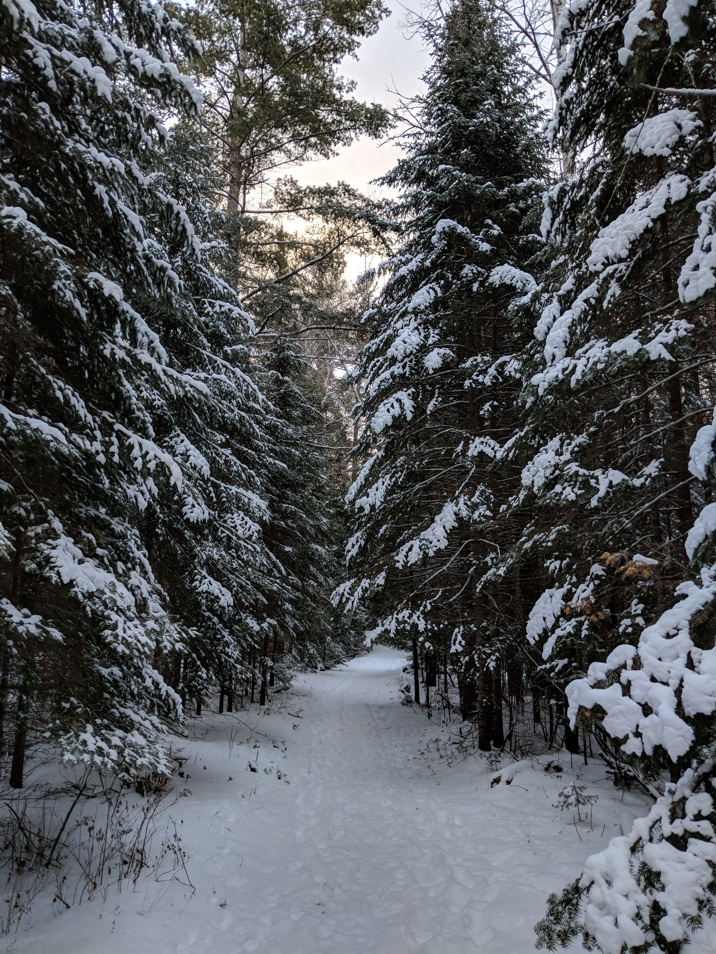

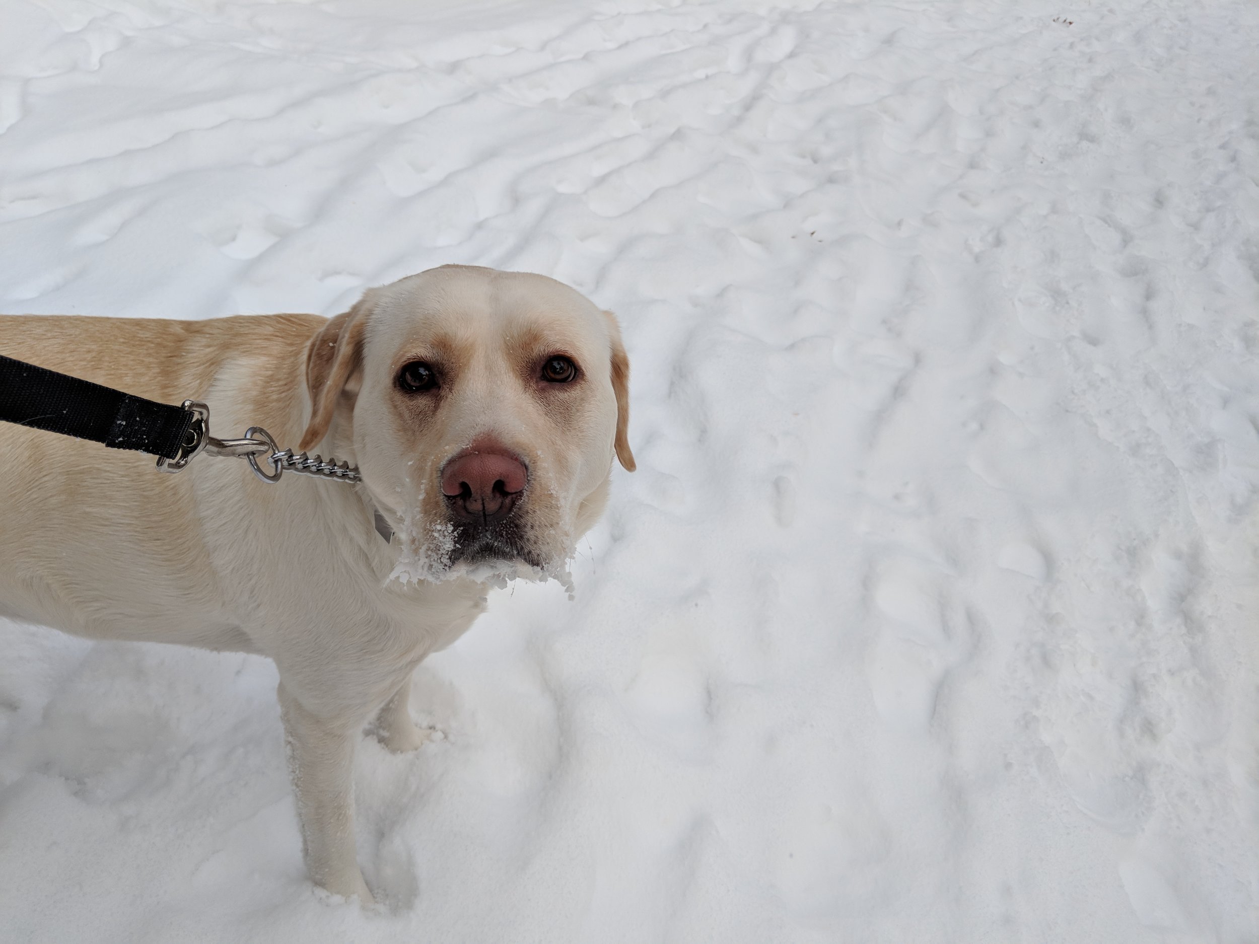
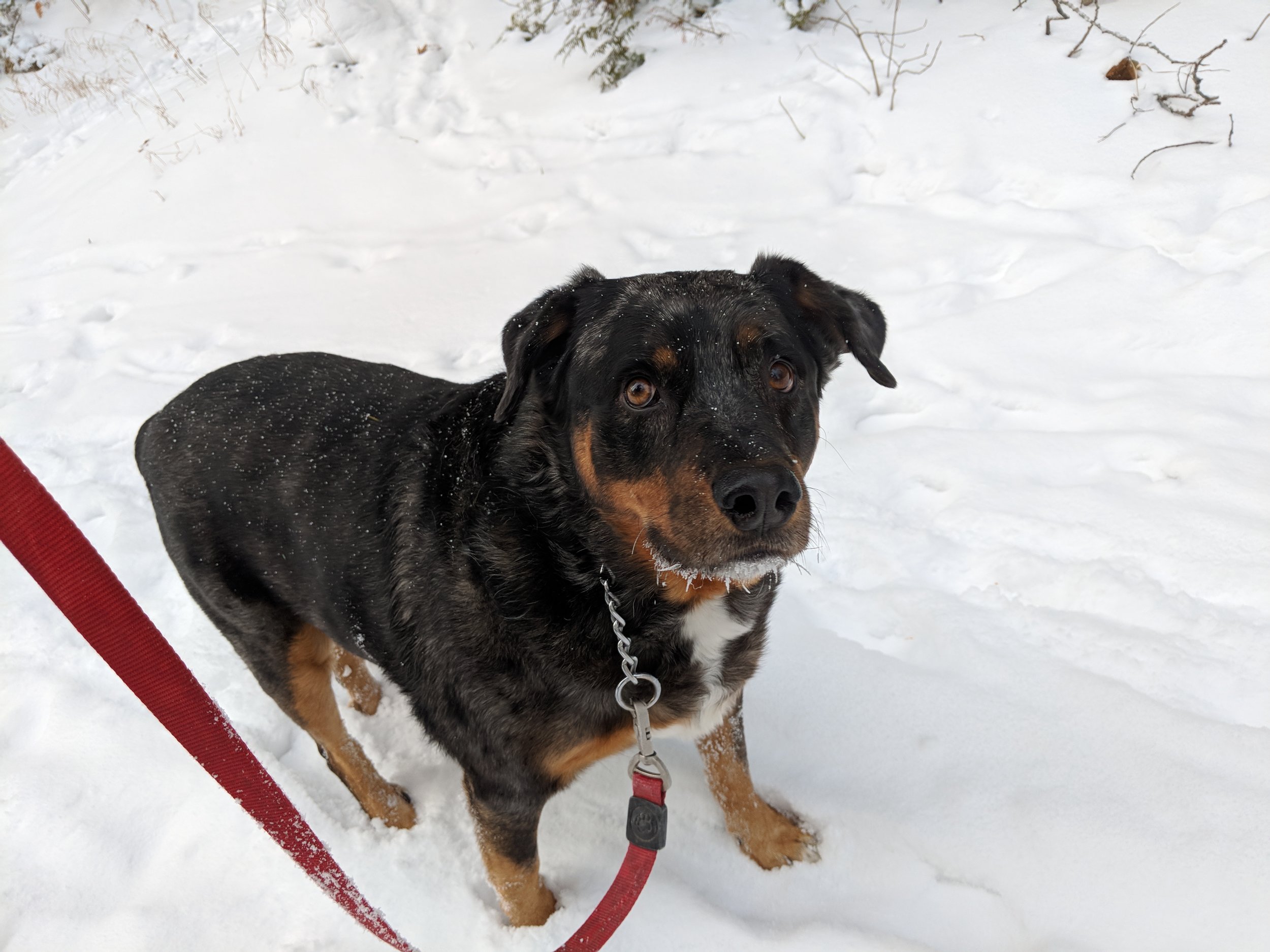
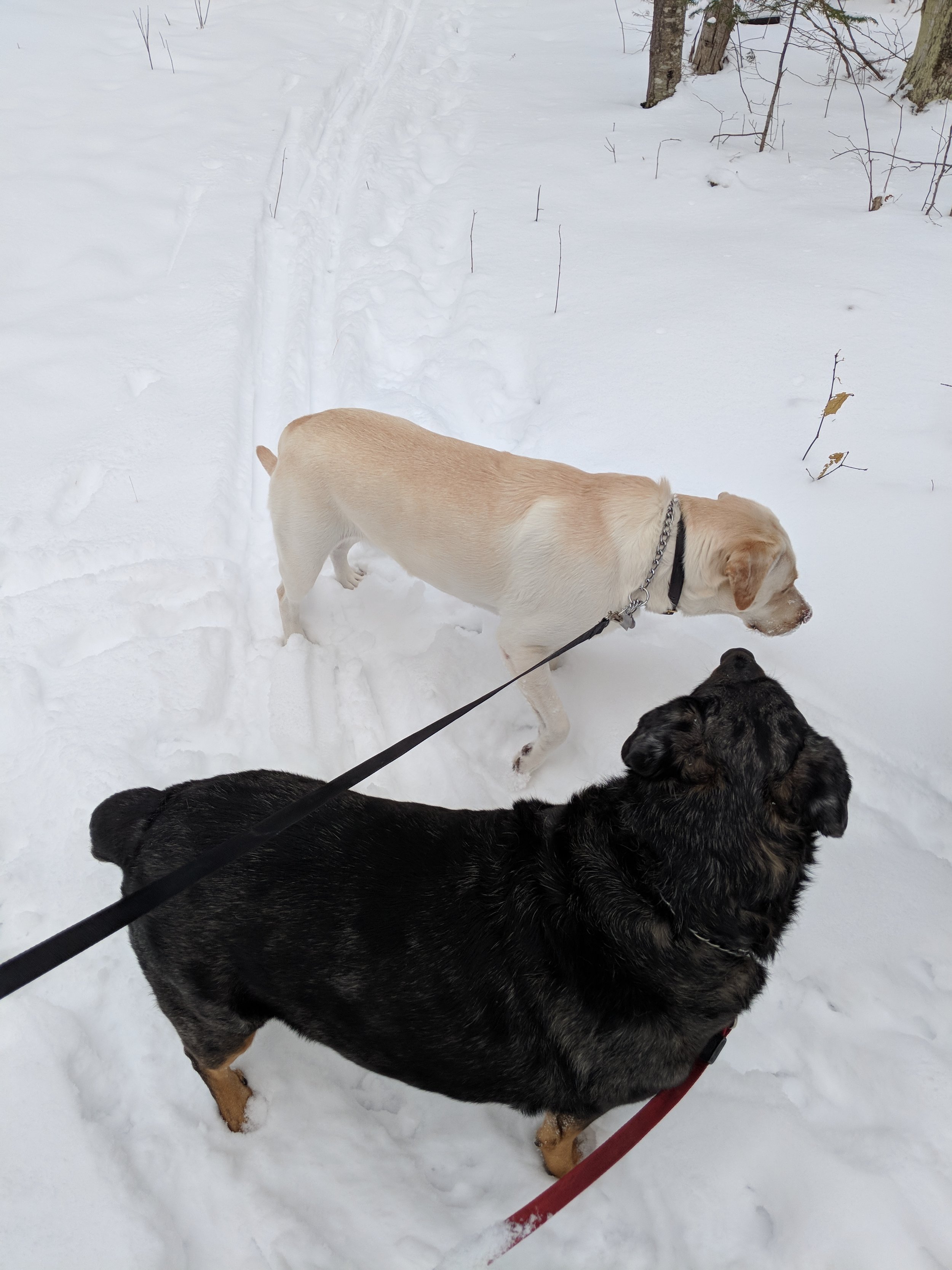
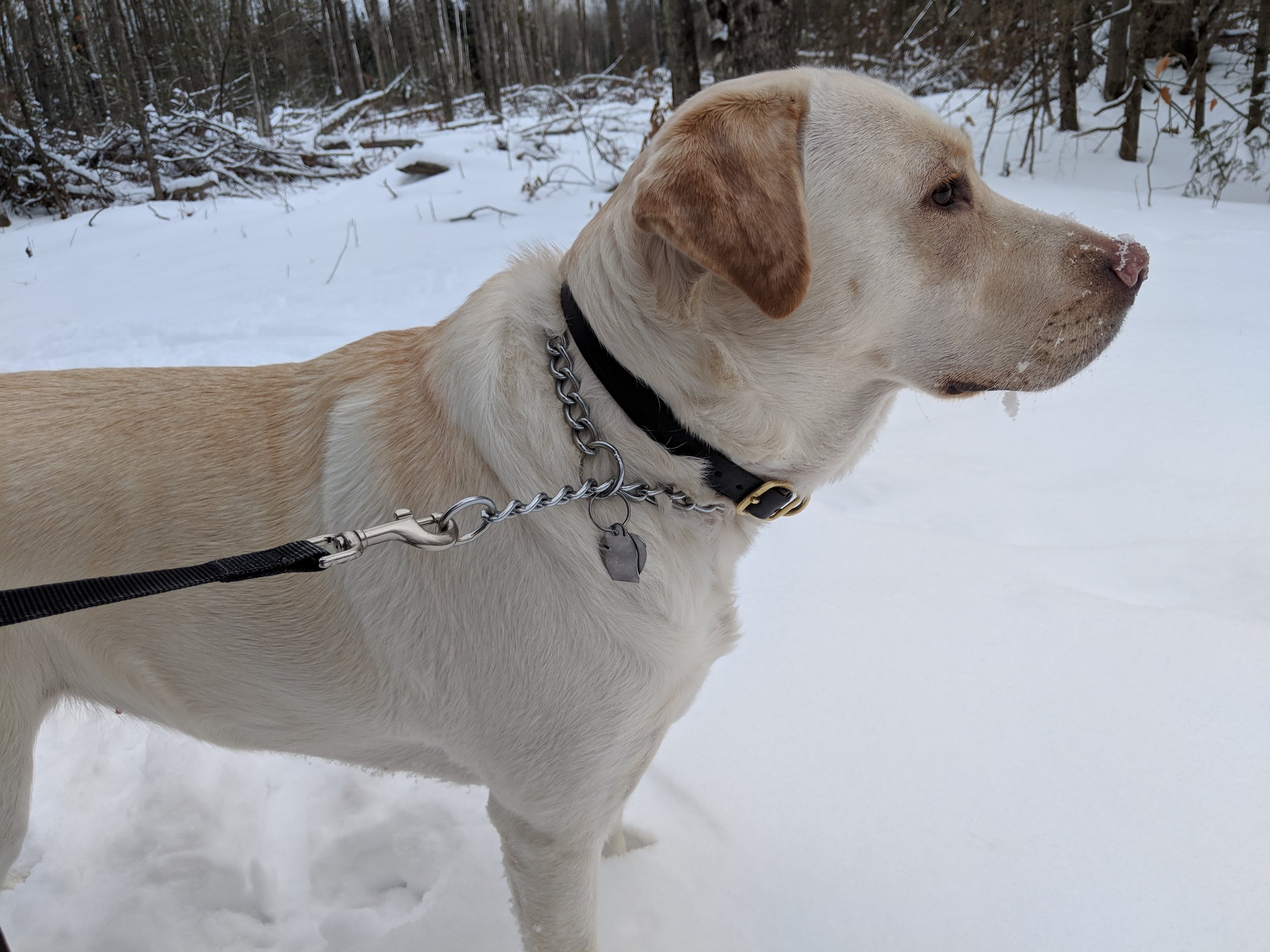
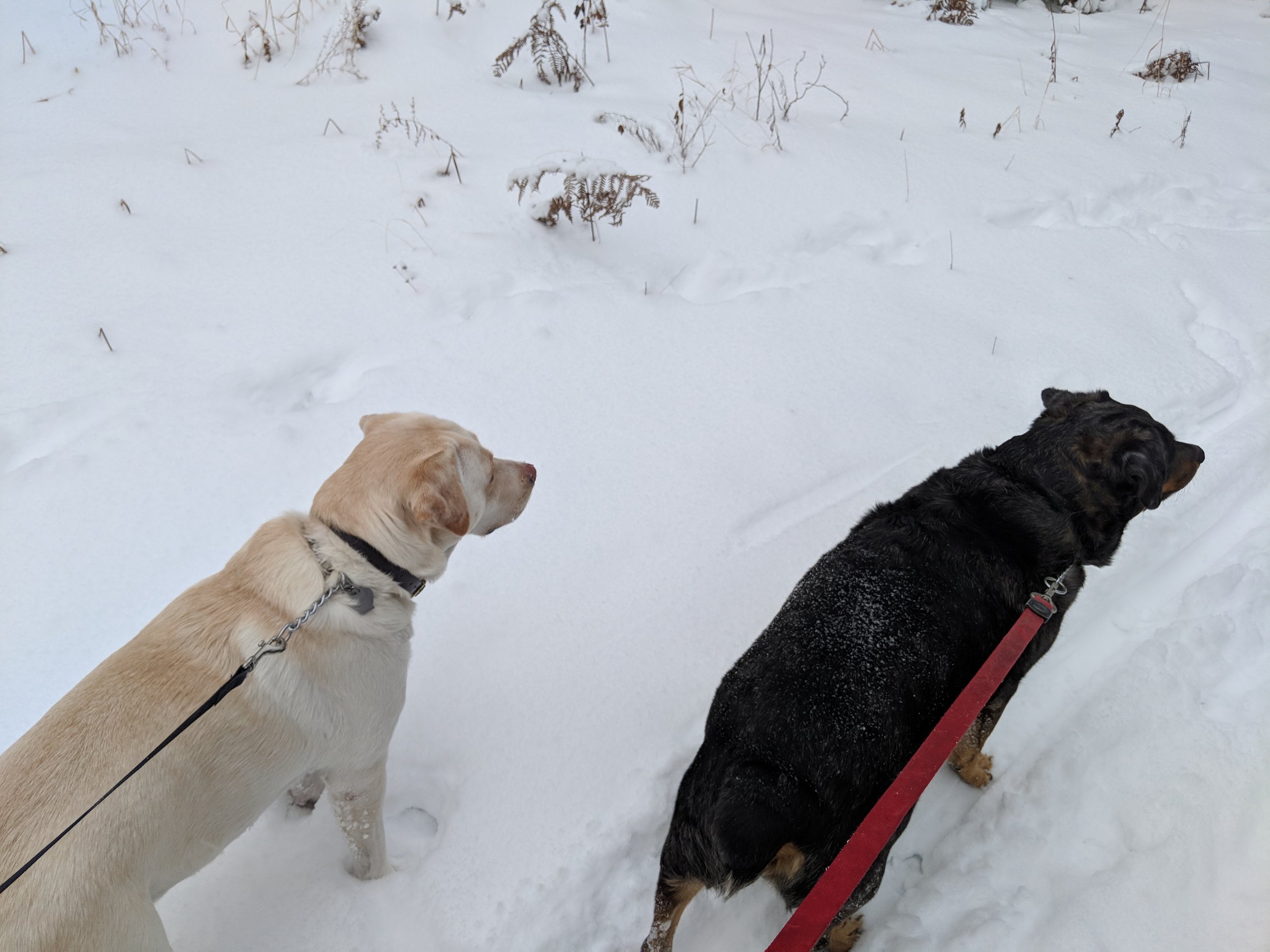
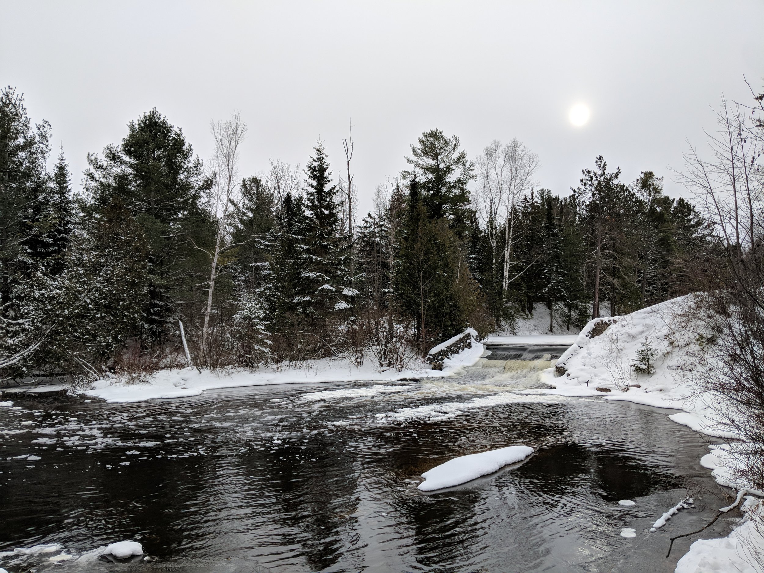
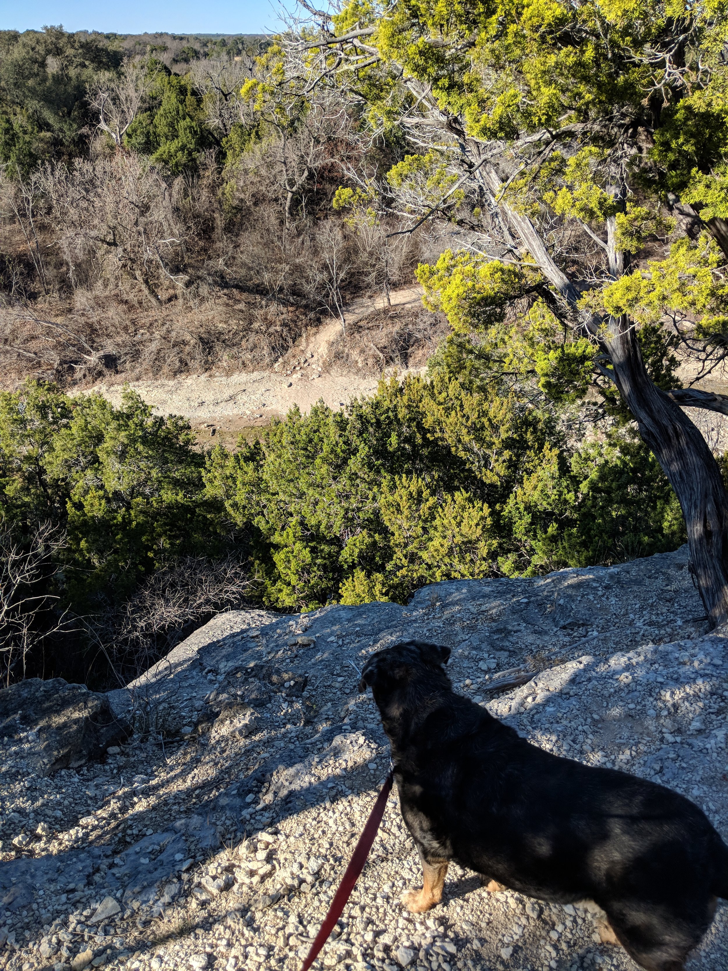
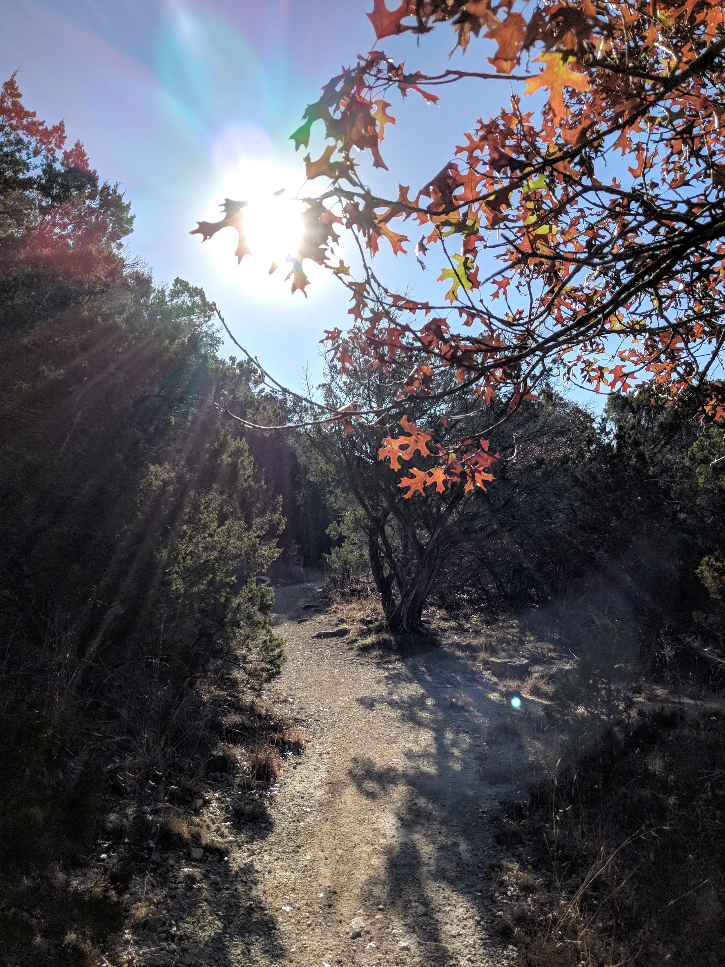
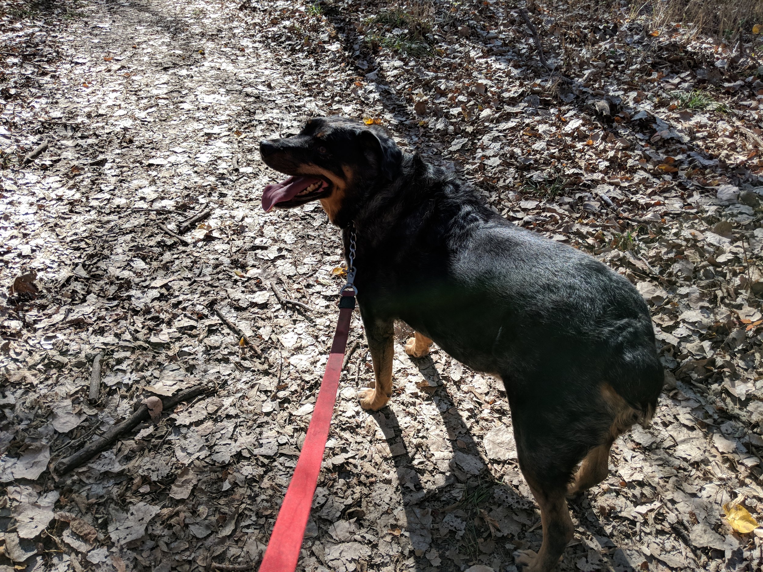
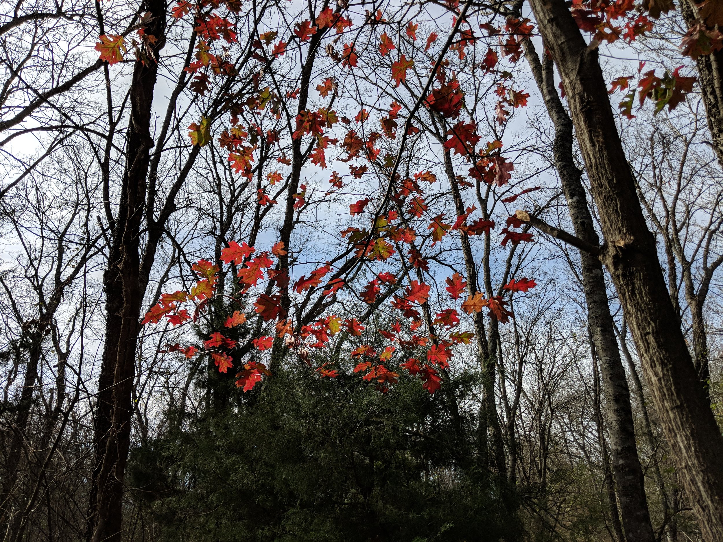
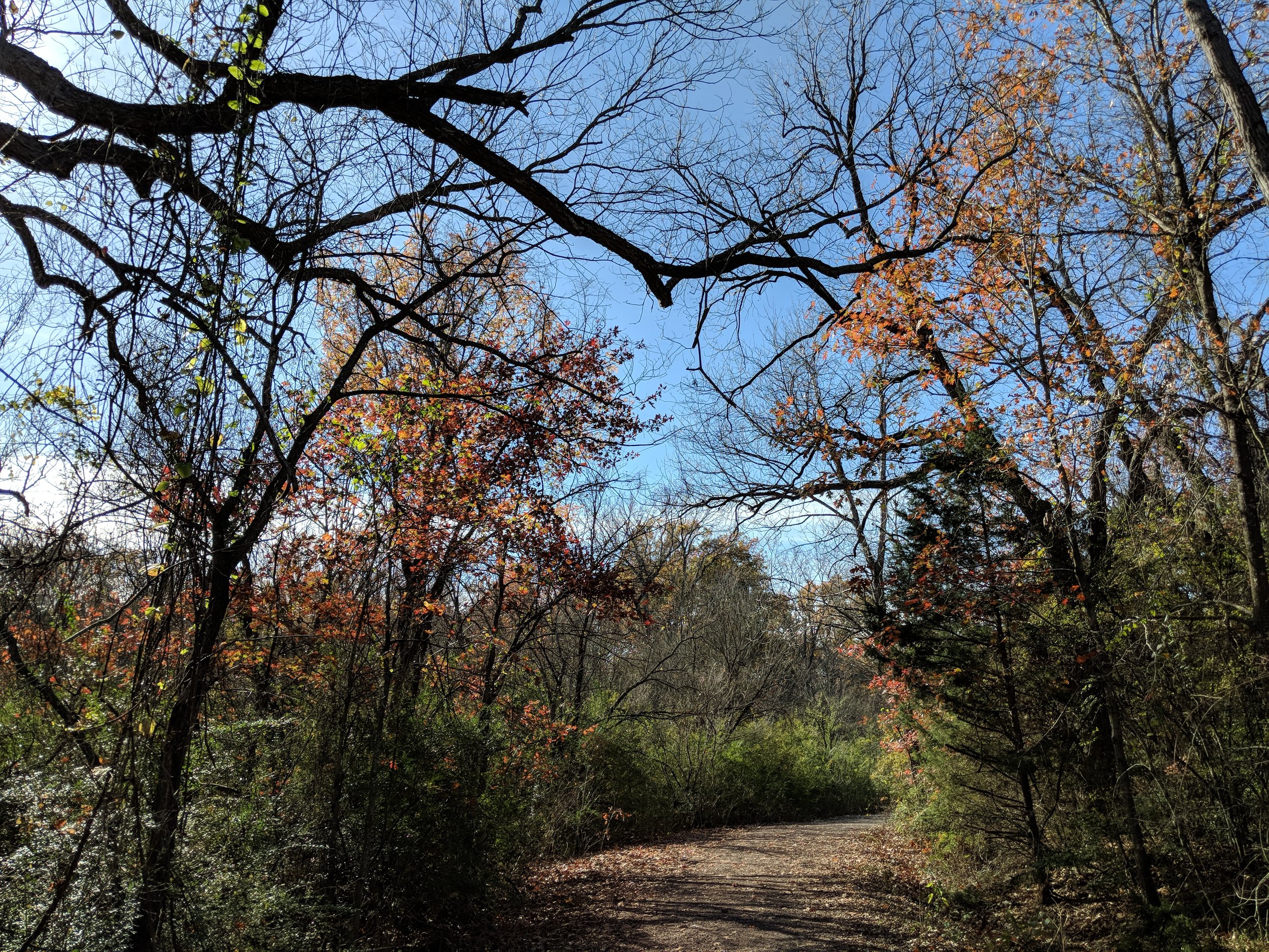
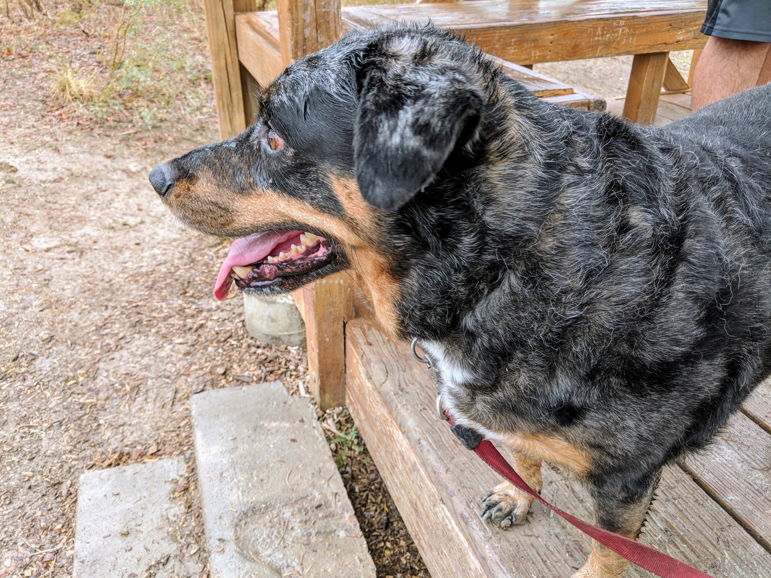
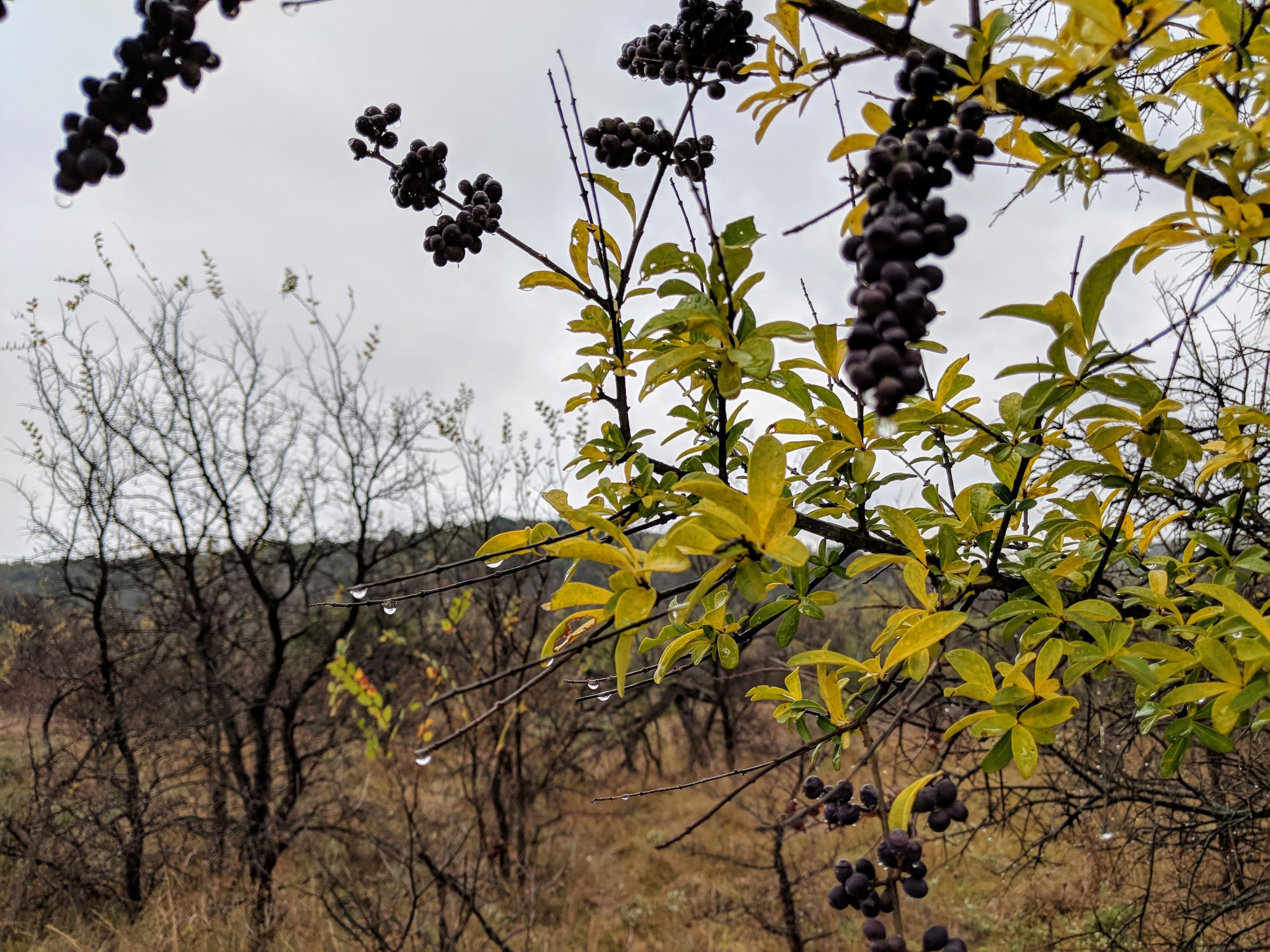
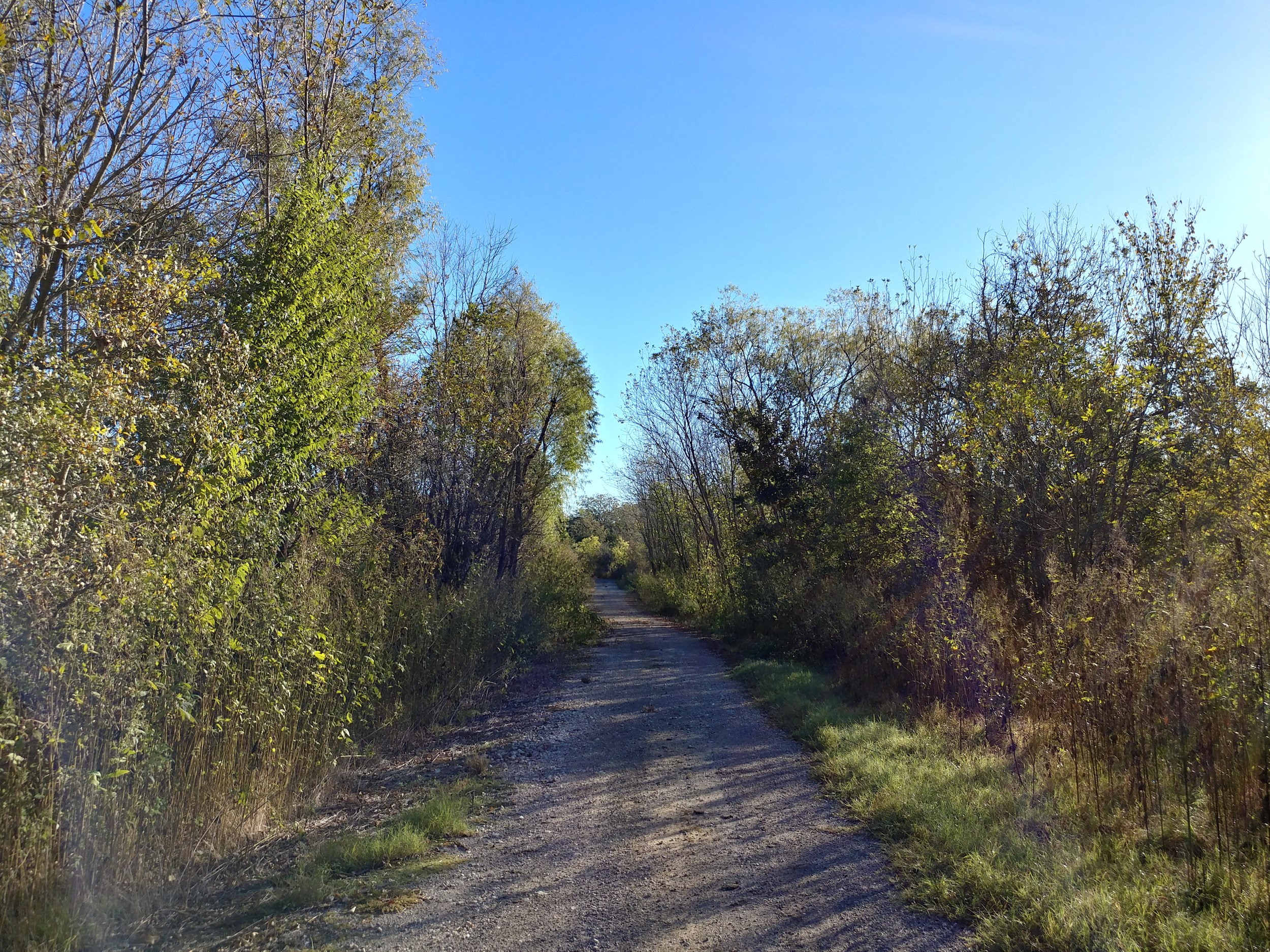
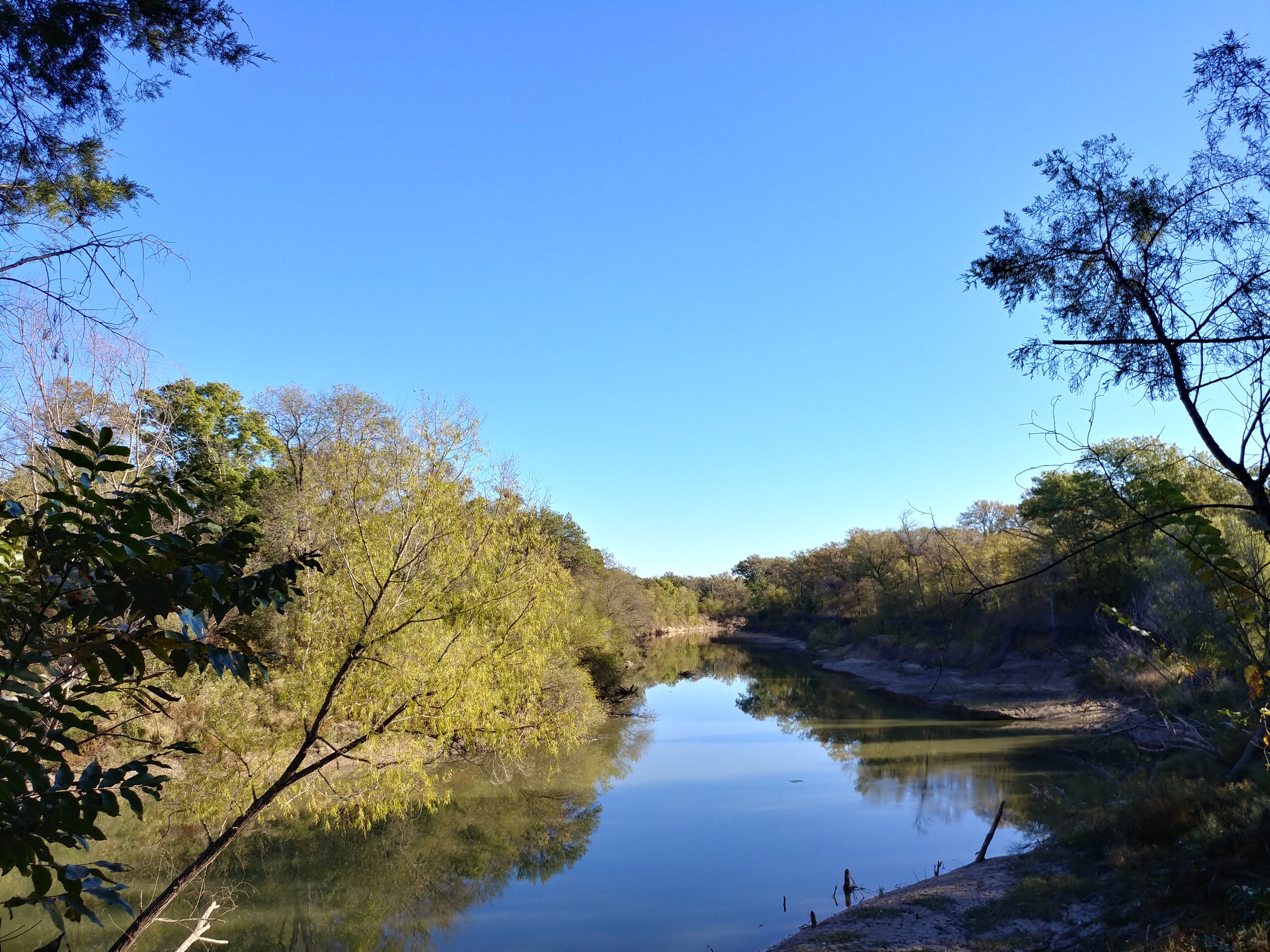
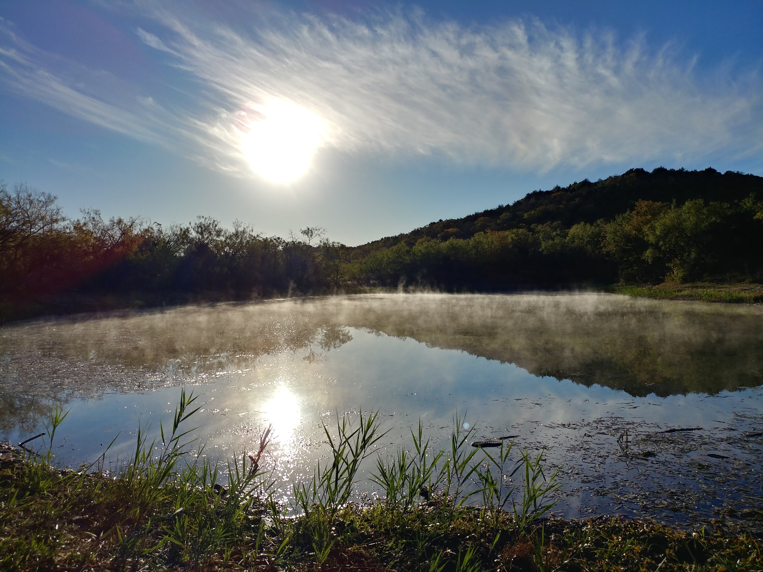
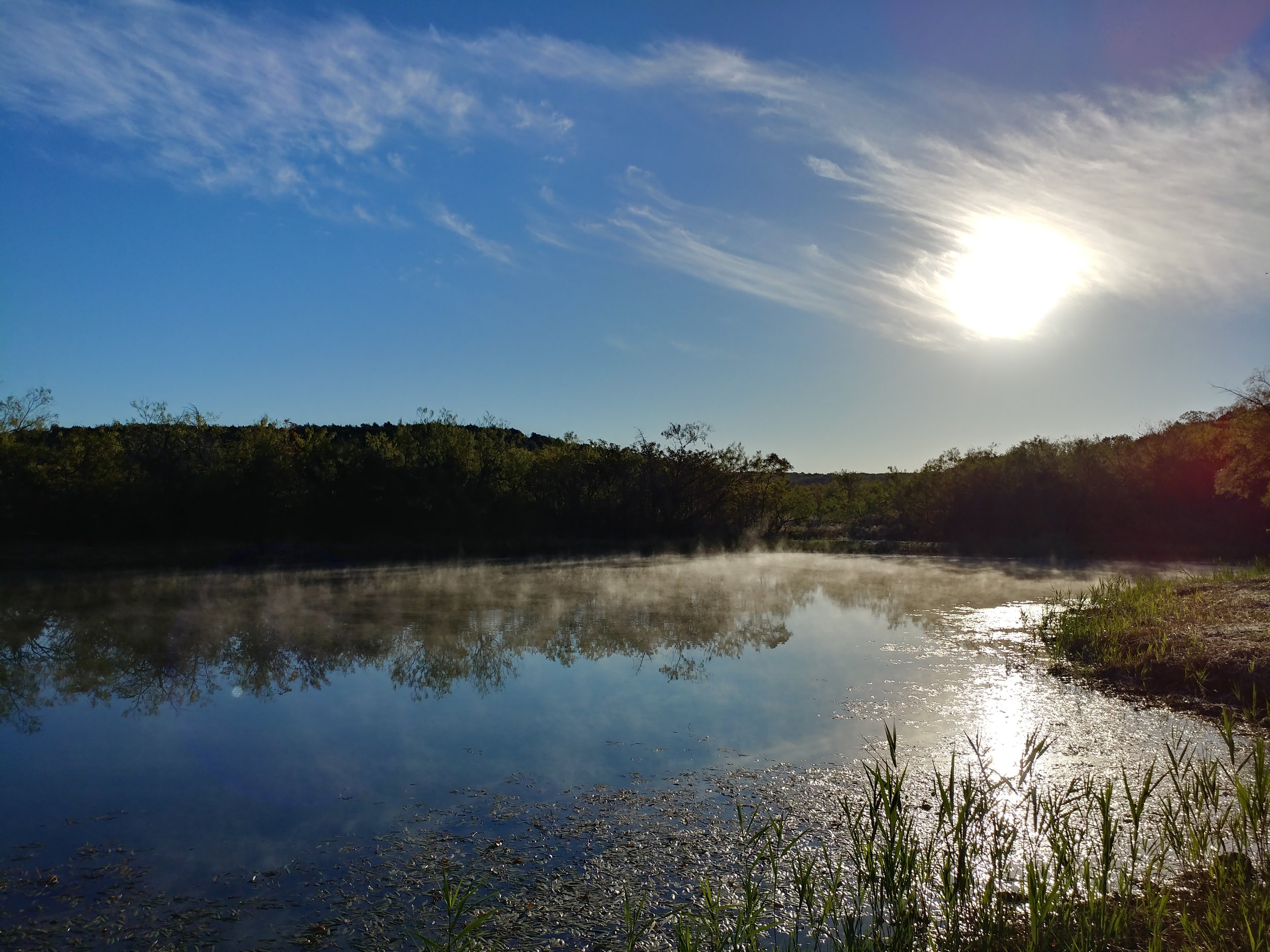
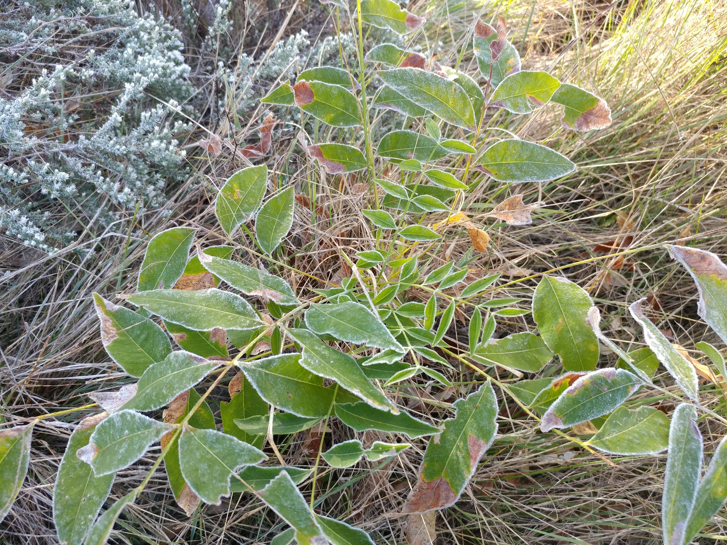
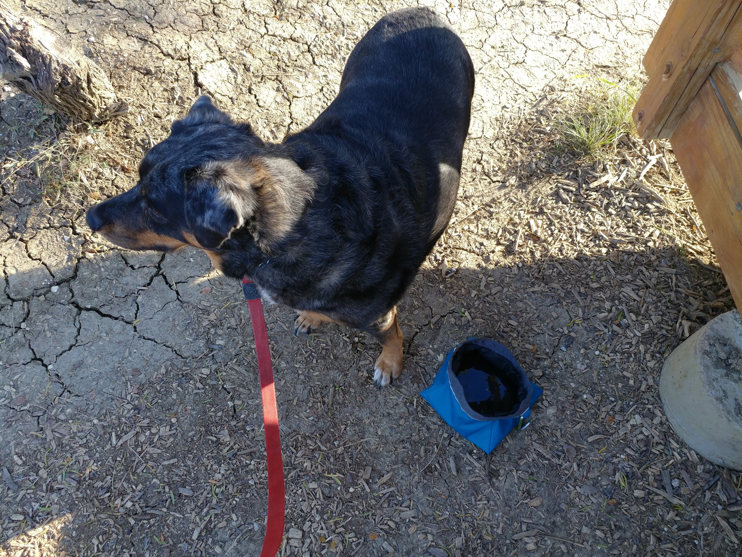
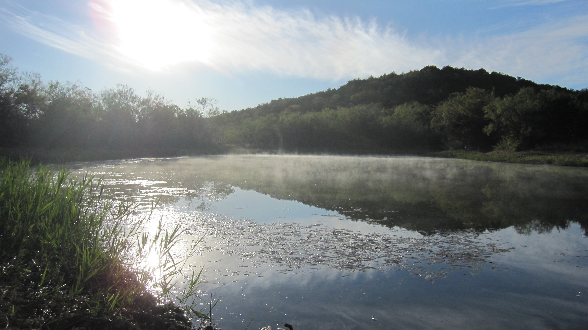
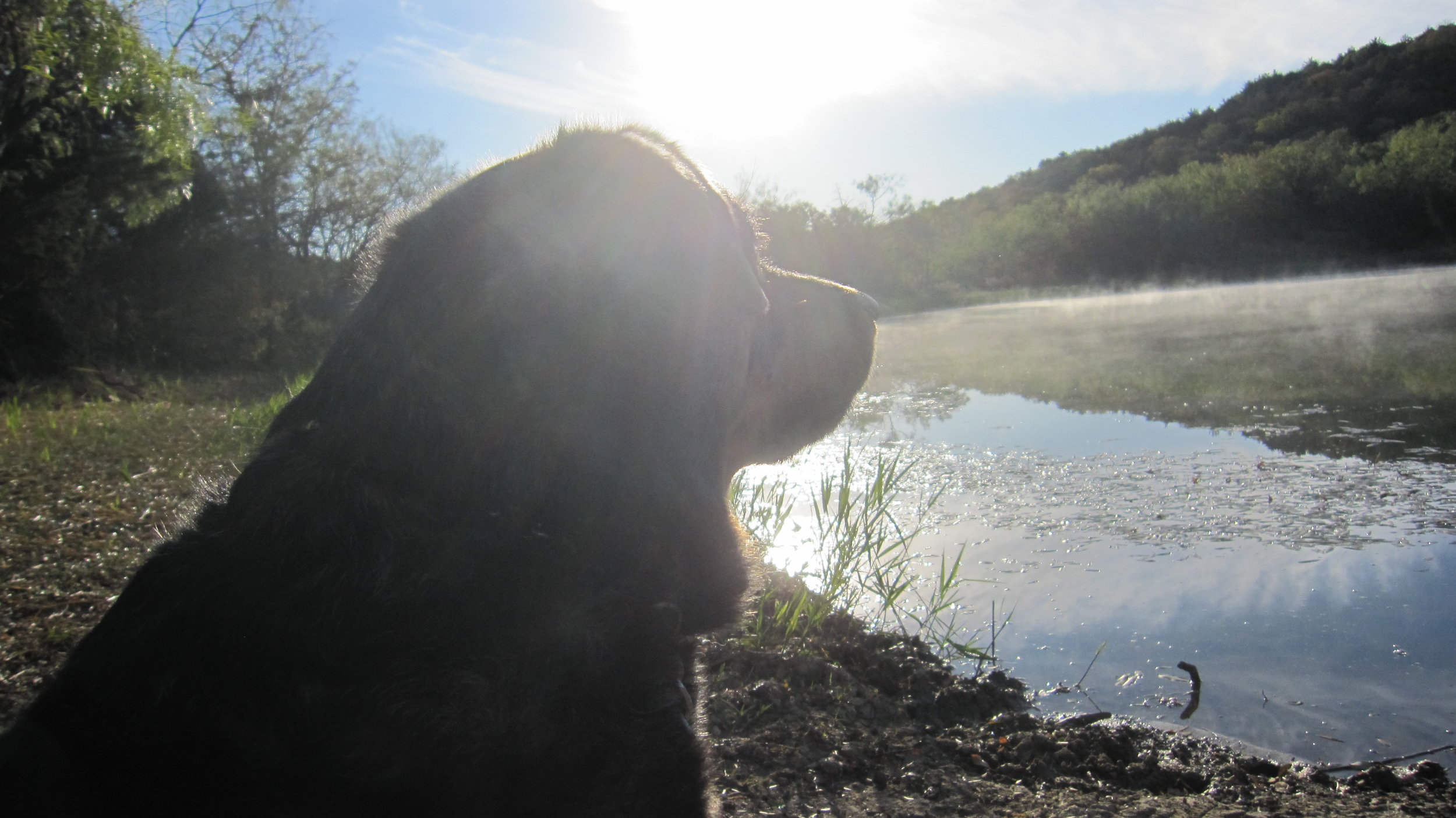
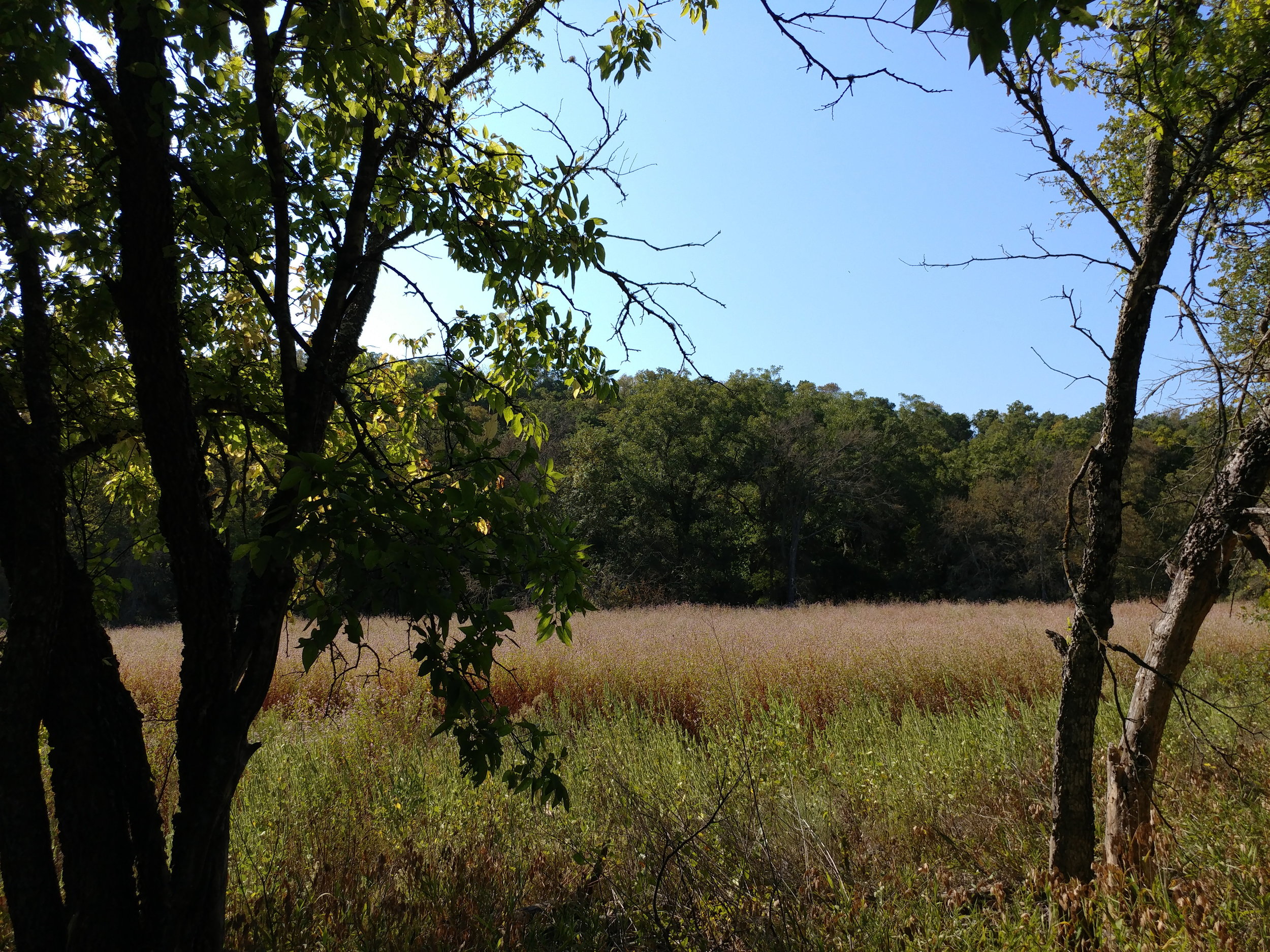
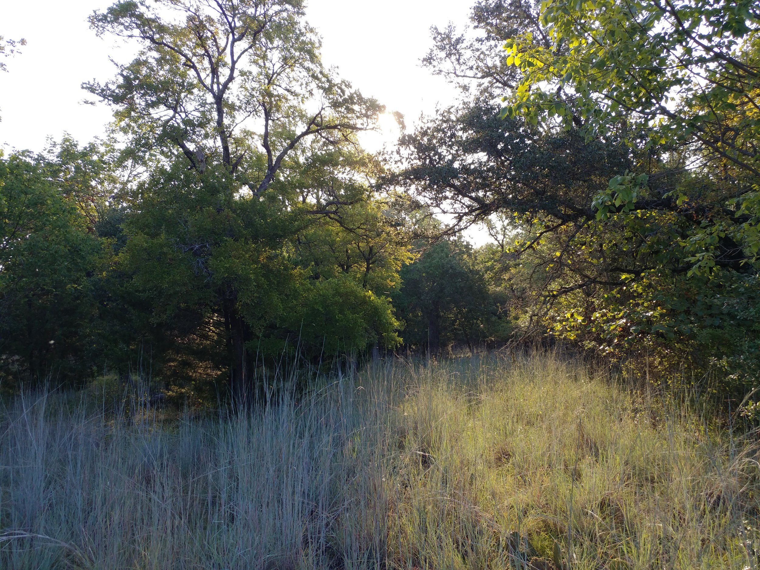
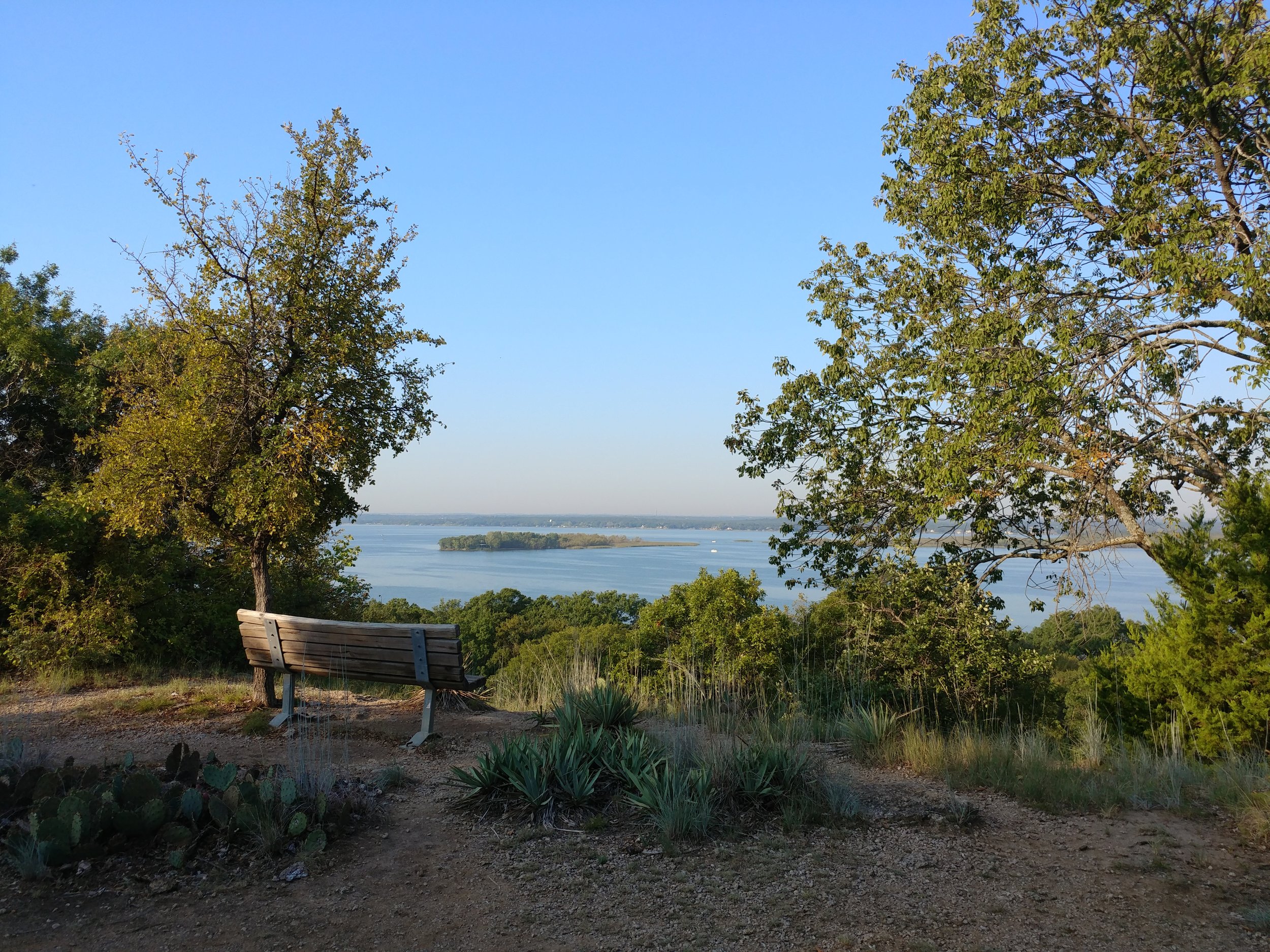
#hike51 - Herman Vogler Conservation Area
Location: Herman Vogler Conservation Area - Rogers City, MI Date: 12/24/17
Distance: 1.2 miles
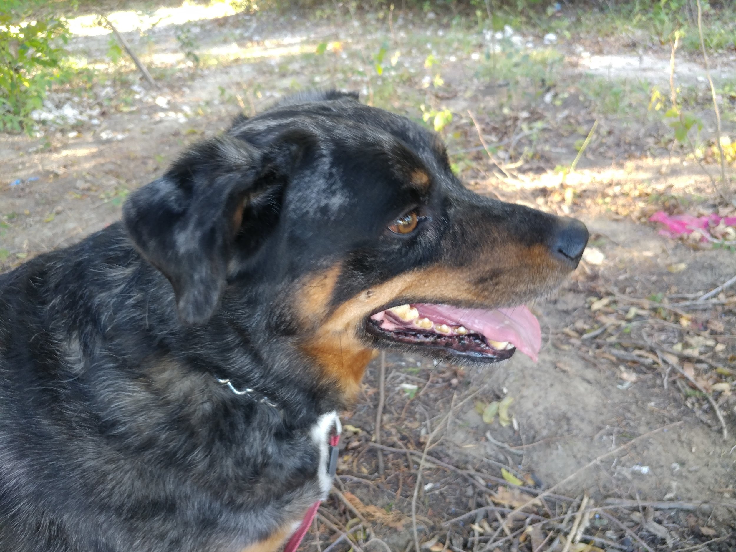
Took the dogs and went to the trails! We didn't know what conditions to expect, but there was only about 6 inches of snow on the hiking trails. The temperature was hovering near 20F, but the woods cut any wind right down making it feel a lot nicer on the face. These are the trails I did as a kid with my grandma and whatever dog we had then, so it was a special hike today to relive those memories. In the winter, we'd cross country ski here too, and seeing the tracks from others today was nice. All in all, not a very long hike, but a lot to take in and it was good breathing to cold, northern air! Hiking in winter boots is much less comfortable than hikers, just for the record Chewy the dog had to share the spotlight with Callie, my grandparent's dog on the trail today.
.
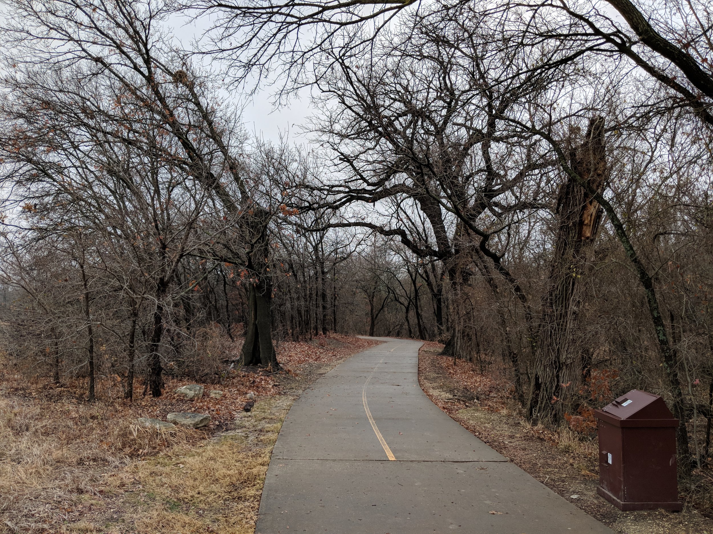
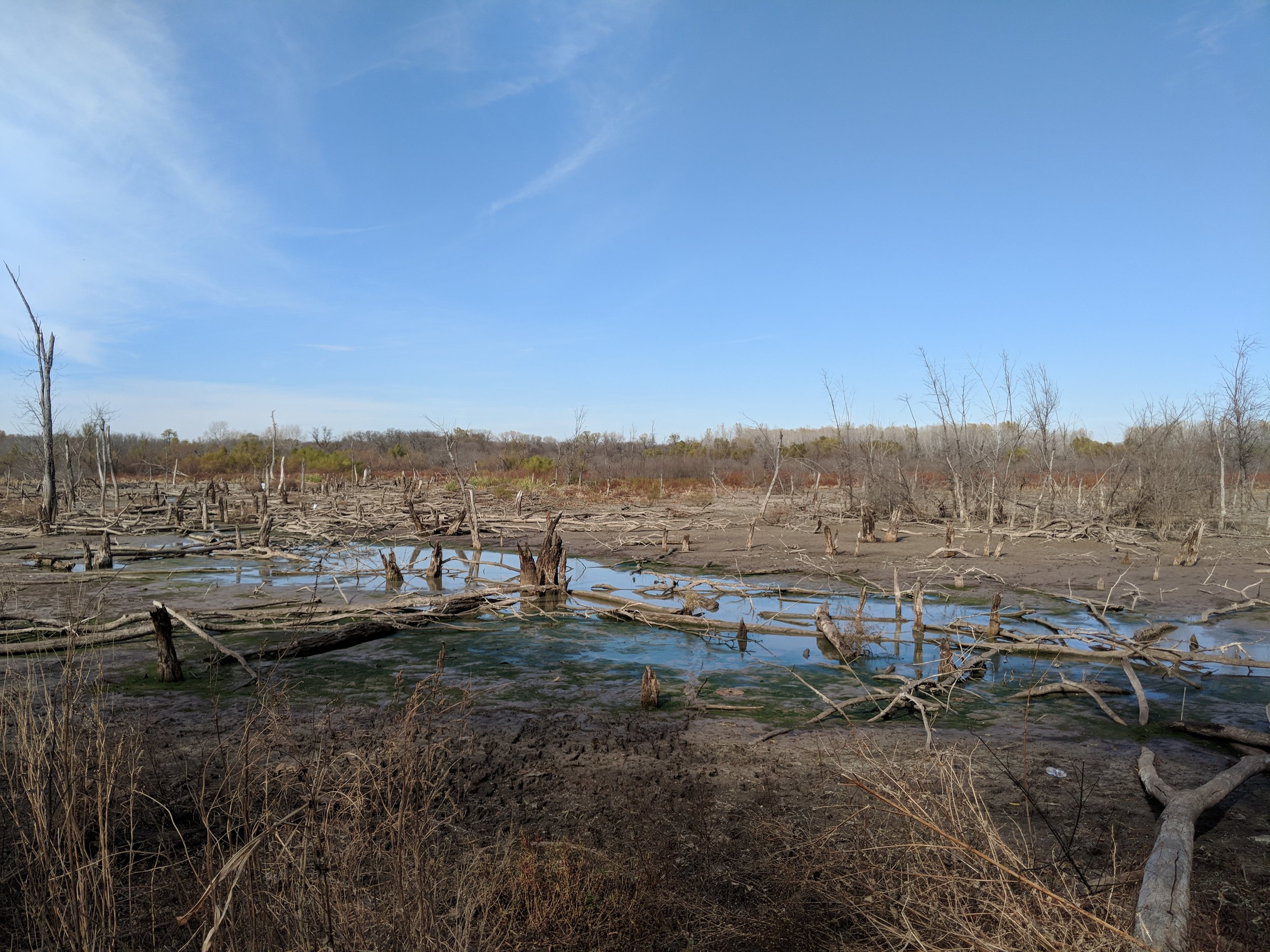
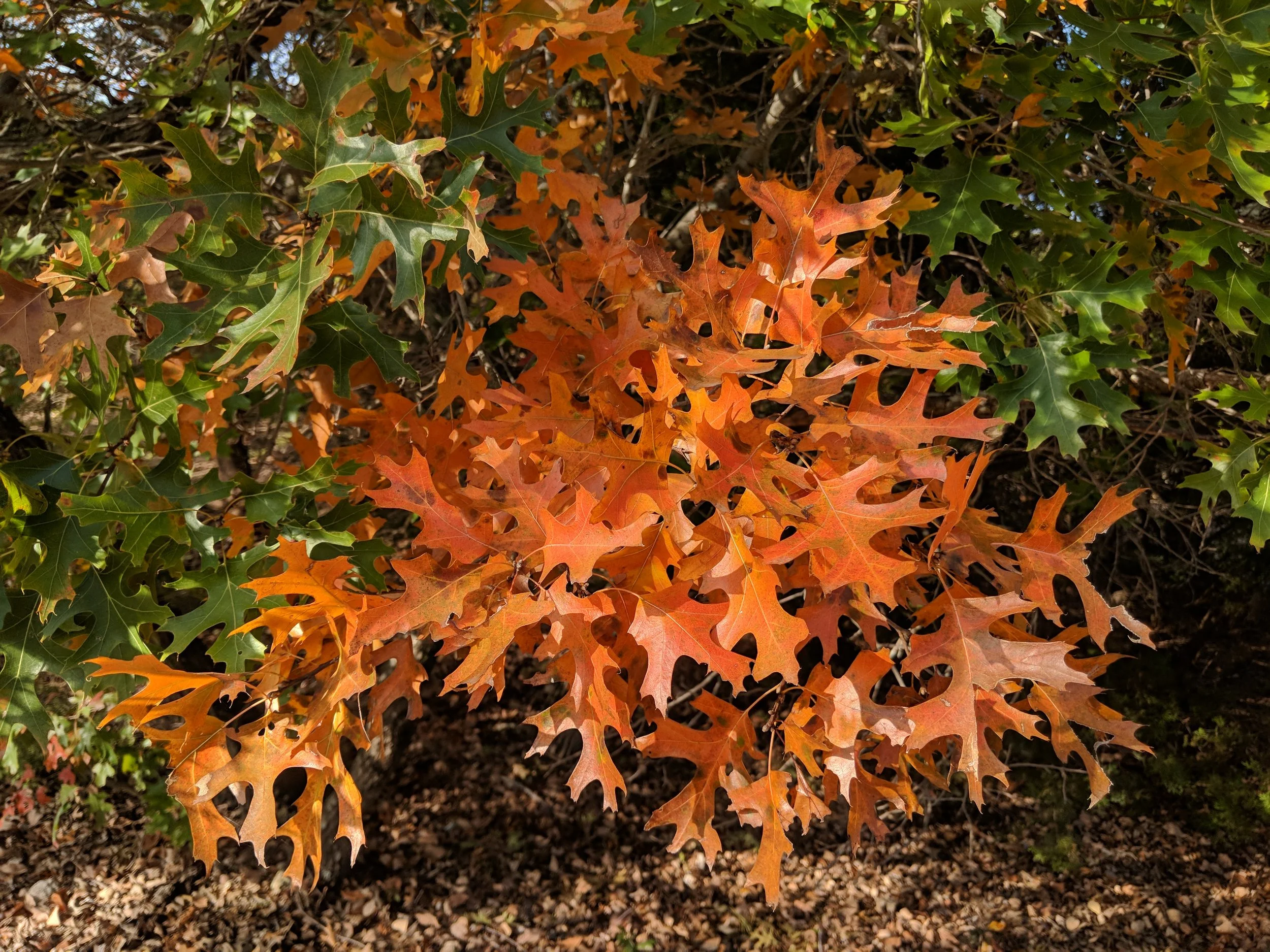
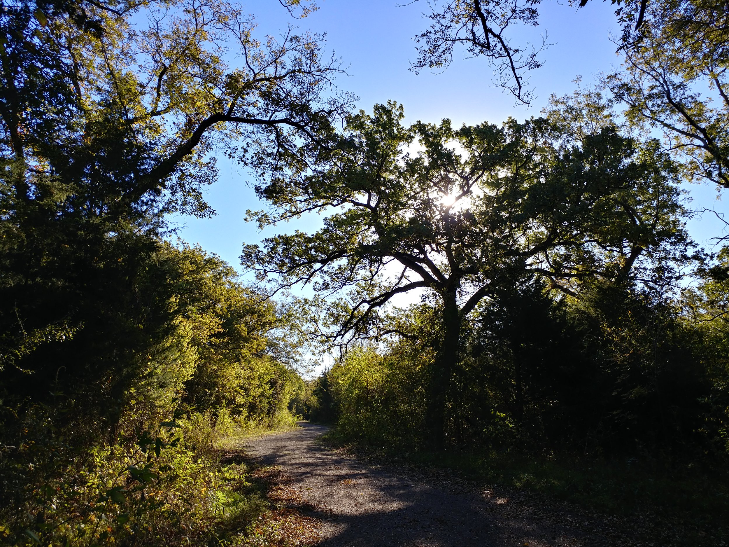
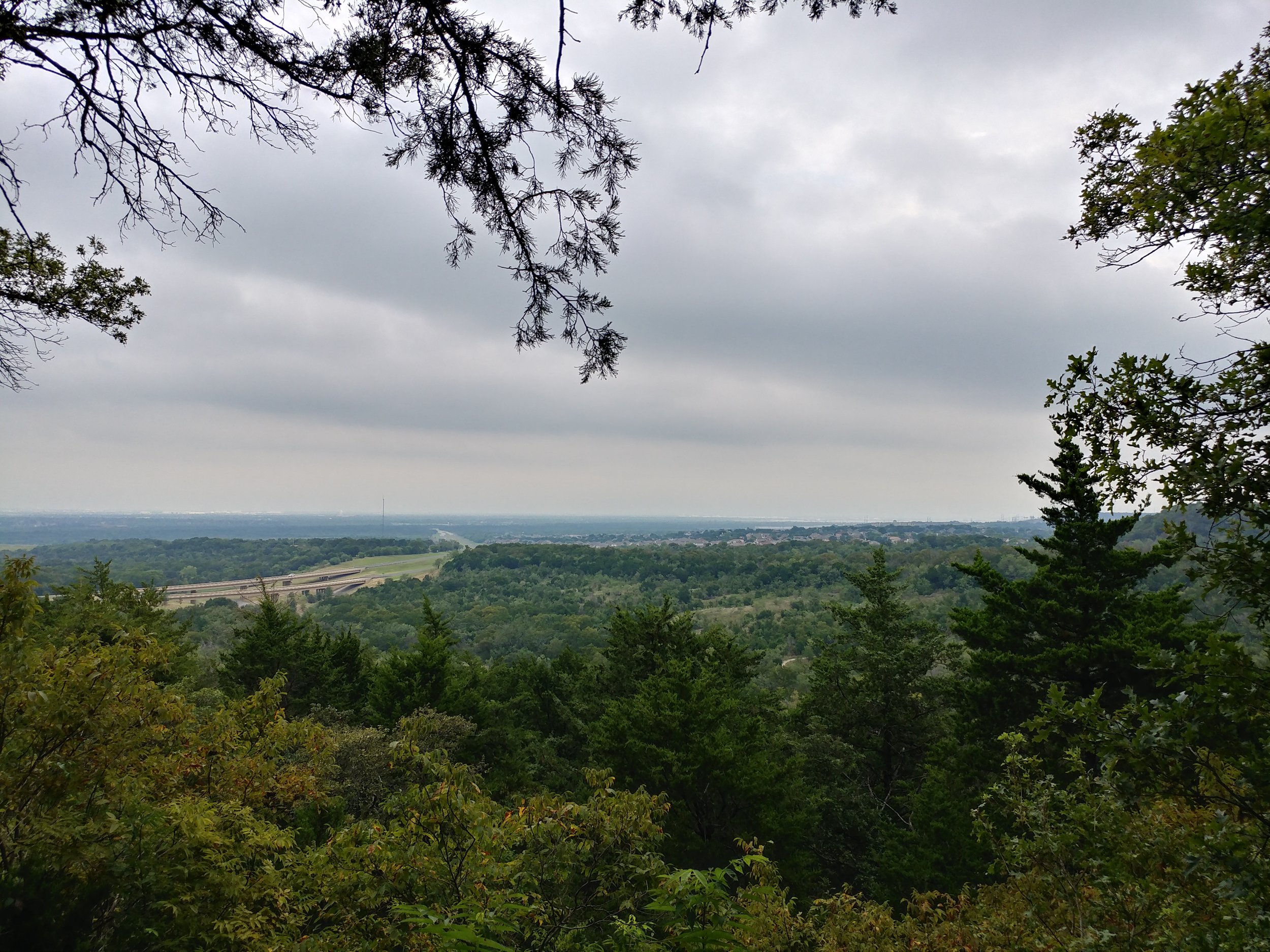
#hike50 - Arbor Hills Nature Preserve
Location: Arbor Hills Nature Preserve Date: 12/20/17
Distance: 1.5
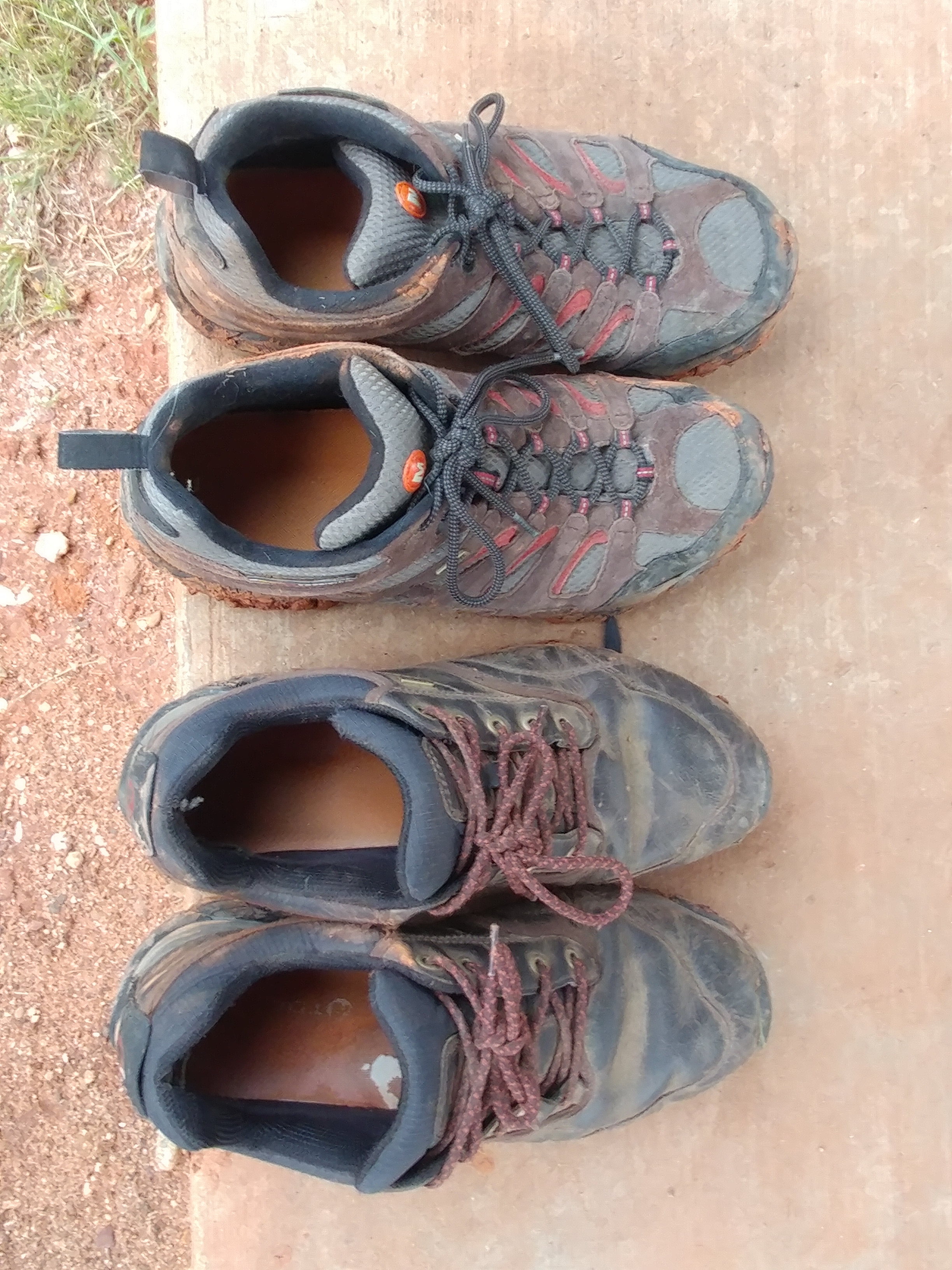
I'm recovering from the stomach flu and thought this would be a nice easy hike. It was, but I wasn't strong enough to go very far. The trails are a mix of paved paths and natural surface. Yesterday was an extremely wet day so all of the natural surface trails were muddy, a clay type mud that cakes on your shoes. I should have taken photos of my shoes, they were coated in with mud, leaves, and more mud. We didn't get very far, but it was nice to get outside and take in some fresh air.

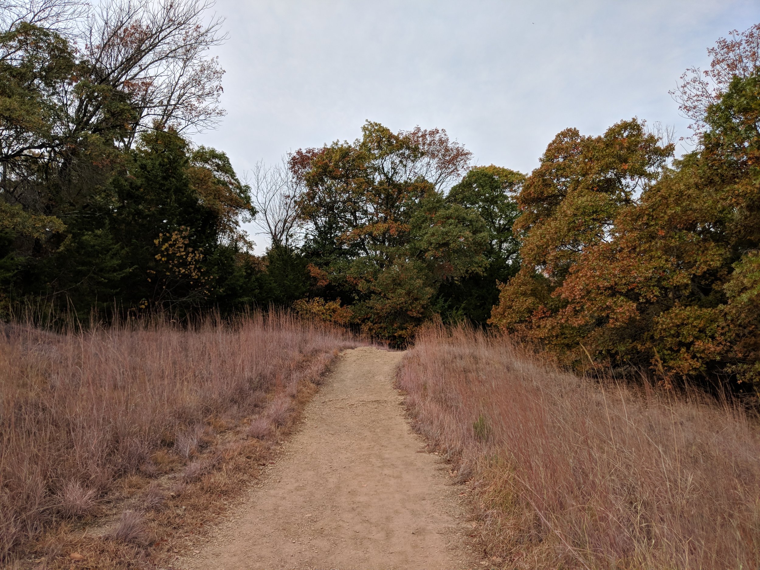
#hike49 - Fort Worth Nature Center & Refuge
Location: Fort Worth Nature Center & Refuge Date: 12/17/17
Distance: 7.6
Trails: Canyon Ridge & part of Greer Island
Today, in one word, was FANTASTIC. I set out to do two hikes today, but it didn't happen and I've never been more okay with it. I set out at the FWNC&R not knowing what to expect, and what I got was fantastic. Yesterday was a day of rain, into the night, and today was the recovery. The air was a bit heavy, in a good way, and the temps were below 50. The smells of this trail were loamy, earthy, and quintessential fall/winter. I was transported today, to somewhere else. Parts of this trail felt like Michigan or Oregon, while others were very much Texas. I was just so pleased. I encountered only 4 people on my out, and 9 on my way back. Today was cool, full of good smells, and scenic.
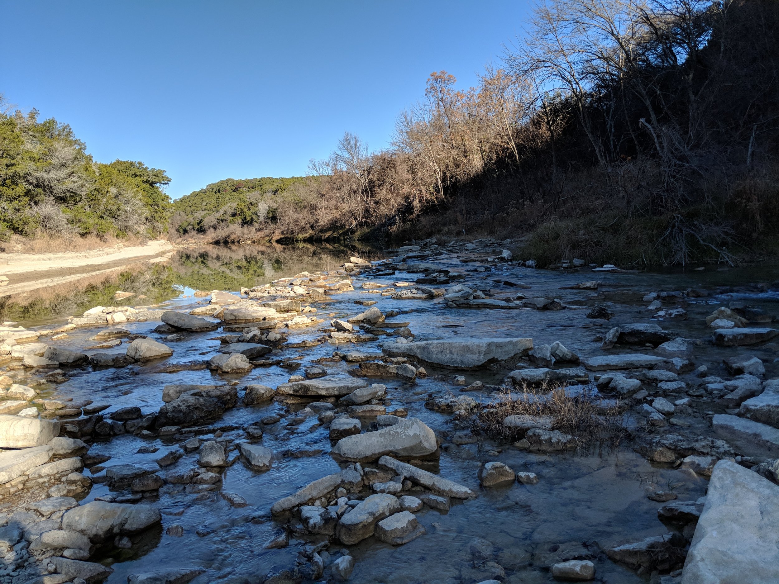
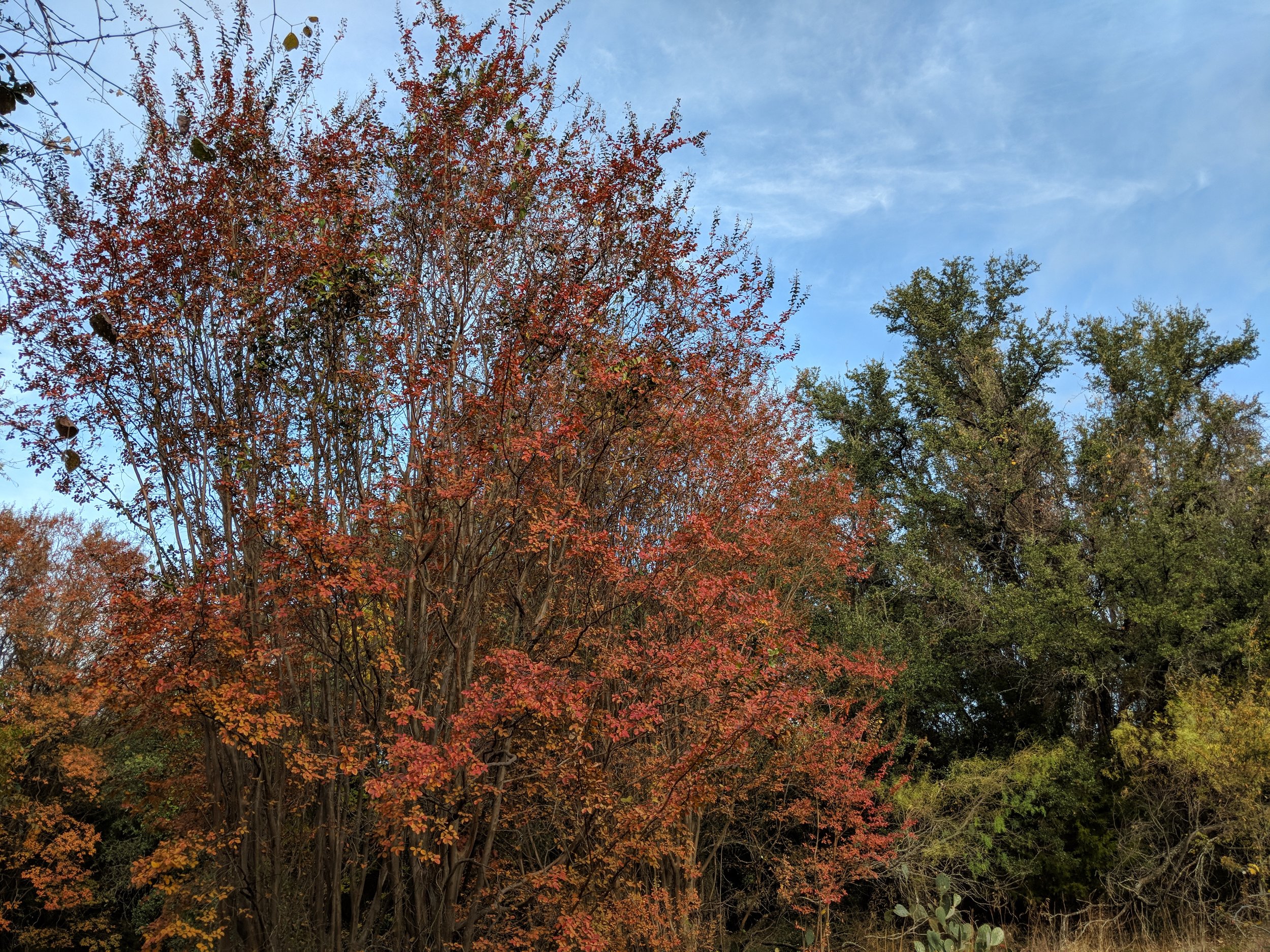
#hike48 - Dinosaur Valley State Park
Location: Dinosaur Valley State Park Date: 12/9/17
Distance: 4 miles
Trails: Some of Cedar Brake Outer Loop, Rocky Ridge
Chewy the Dog and I headed south to Dinosaur Valley State Park to get some quality hiking in. They had done a prescribed burn the previous two days, so much of the grasses were scorched and the smell of campfire lingered in the air. We got to the trailhead parking lot and found only ONE other car - what a great start. From the trailhead, we crossed the river as usual, and headed out along the Cedar Brake Outer Loop. We connected to the Rocky Ridge trail and then back to the river crossing/trailhead. It was a beautiful, cool morning with temps no higher than 50. The sun was out, the hills provided enough challenge, and we only encountered a couple of people. My attitude about hiking has been relatively negative as of late so this was a really nice reinvigorating moment. I can't wait to get back out to a trail.

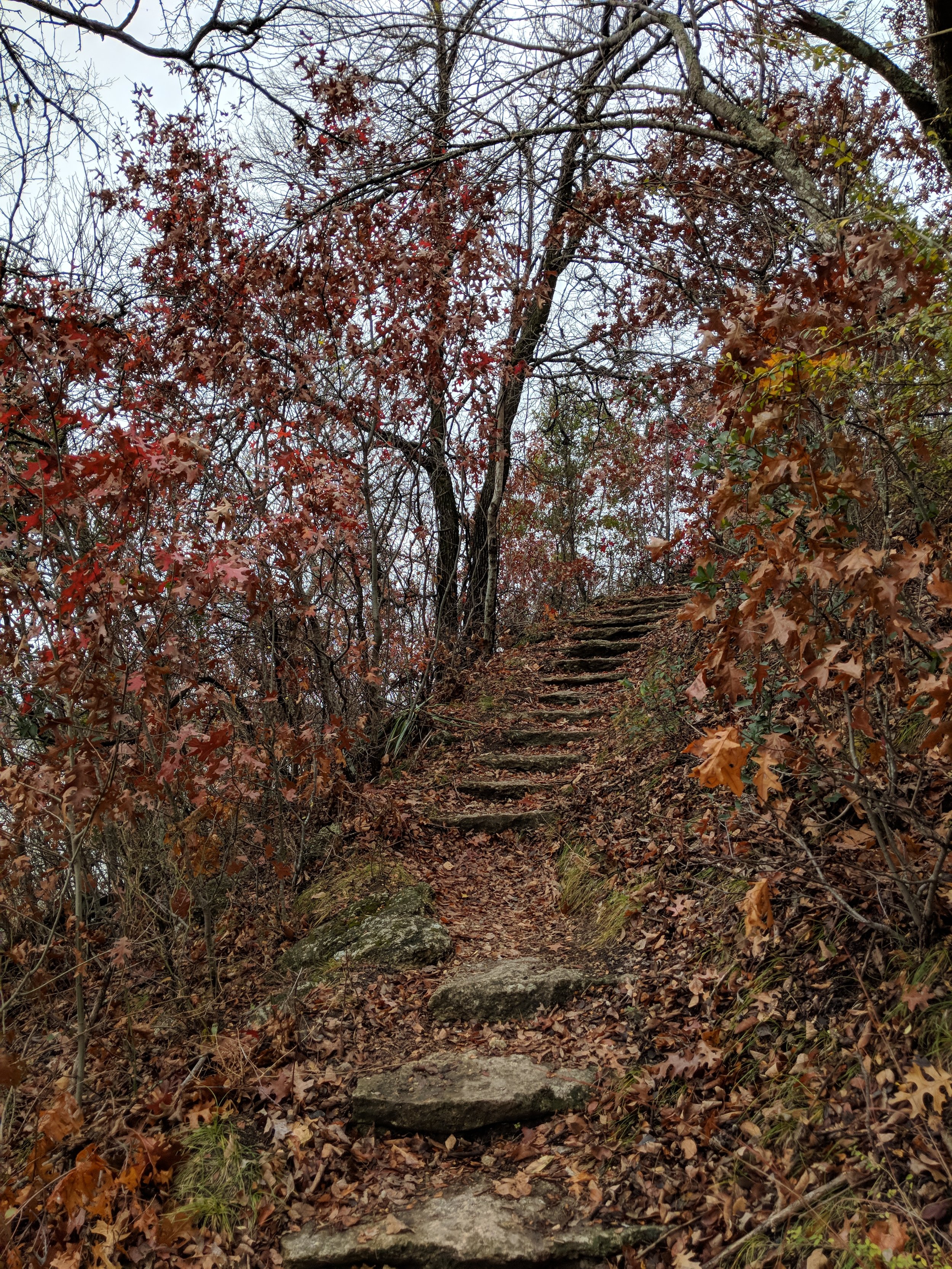
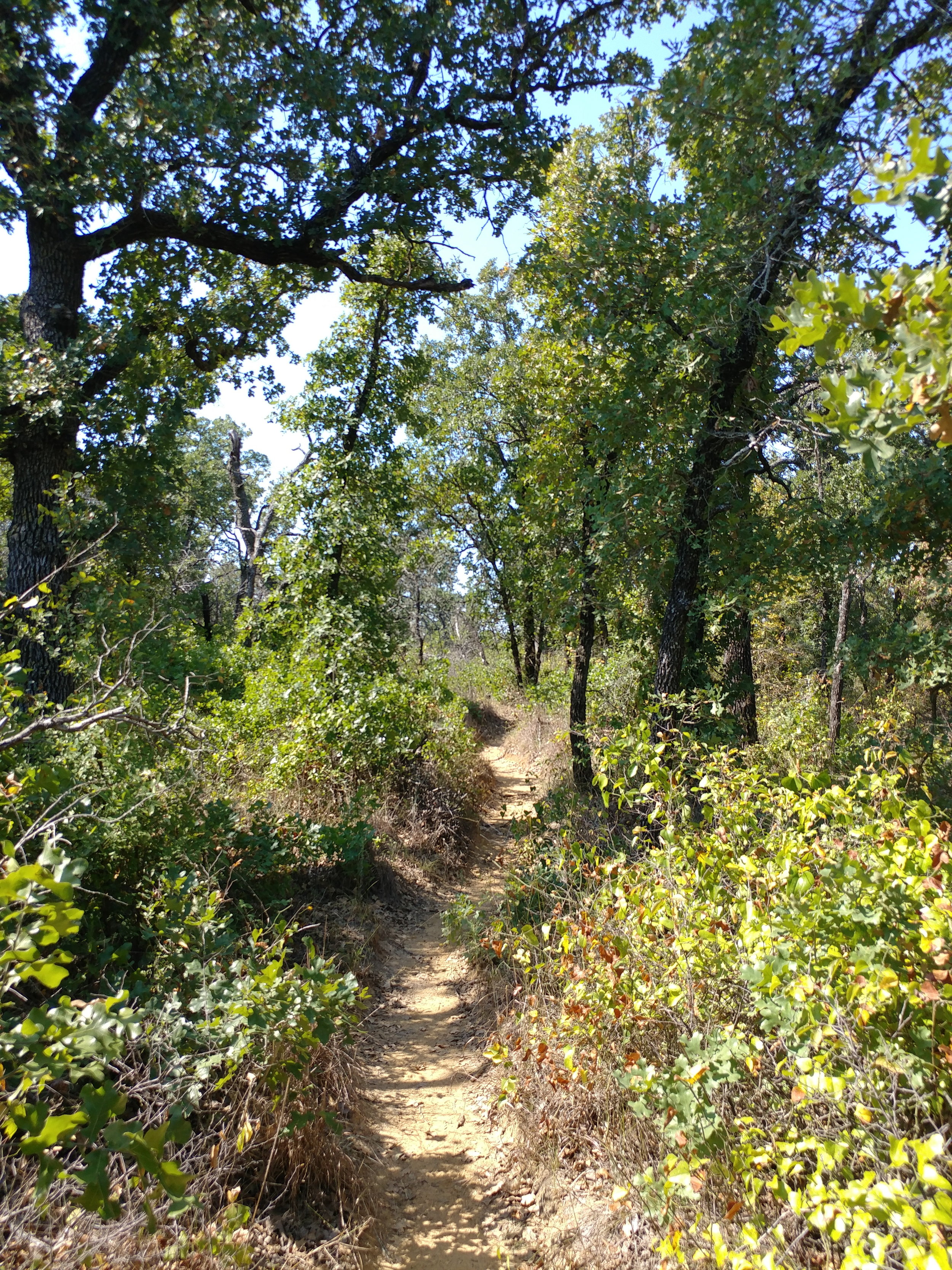
#hike47 - Cedar Ridge Preserve
Location: Cedar Ridge Preserve Date: 12/3/17
Distance: 2.4 miles
I've been having a real internal struggle with getting out to the trail lately and I don't like it one bit. Aside from moderately busy weekends, household chores, and shorter days, I am so anxious about going hiking and it's all-consuming on weekend mornings when I have the time to go. But, thanks to Chewy the Dog, I got my self together and we went to the ole standby for some nature time. It was busy, so busy, and it was overwhelming at first but leveled off. There were a lot of dogs, a lot of people, and a lot of trail runners.
I was going to do the Fossil Valley Trail with a mix of others, but in my desperation to get out of the way of the trail running folks, I turned without looking where I was turning and went down the Cedar Brake trail. Cedar Brake is my favorite one there, it's the most woodsy and further from the highways so there is less noise, so this was a happy accident. I started to get lost in the trees and the way the light was dancing on the ground when it peeked through the clouds. My body was happy to get exercise and my brain was happy to get a tiny break - though most of the hike was thinking about things and stopping to take notes about those things.
Here's to you, old standby, not too far and usually not too busy...I started WAY too late in the morning. I'm still ONE hike behind, which I really need to make up - either this weekend or next.
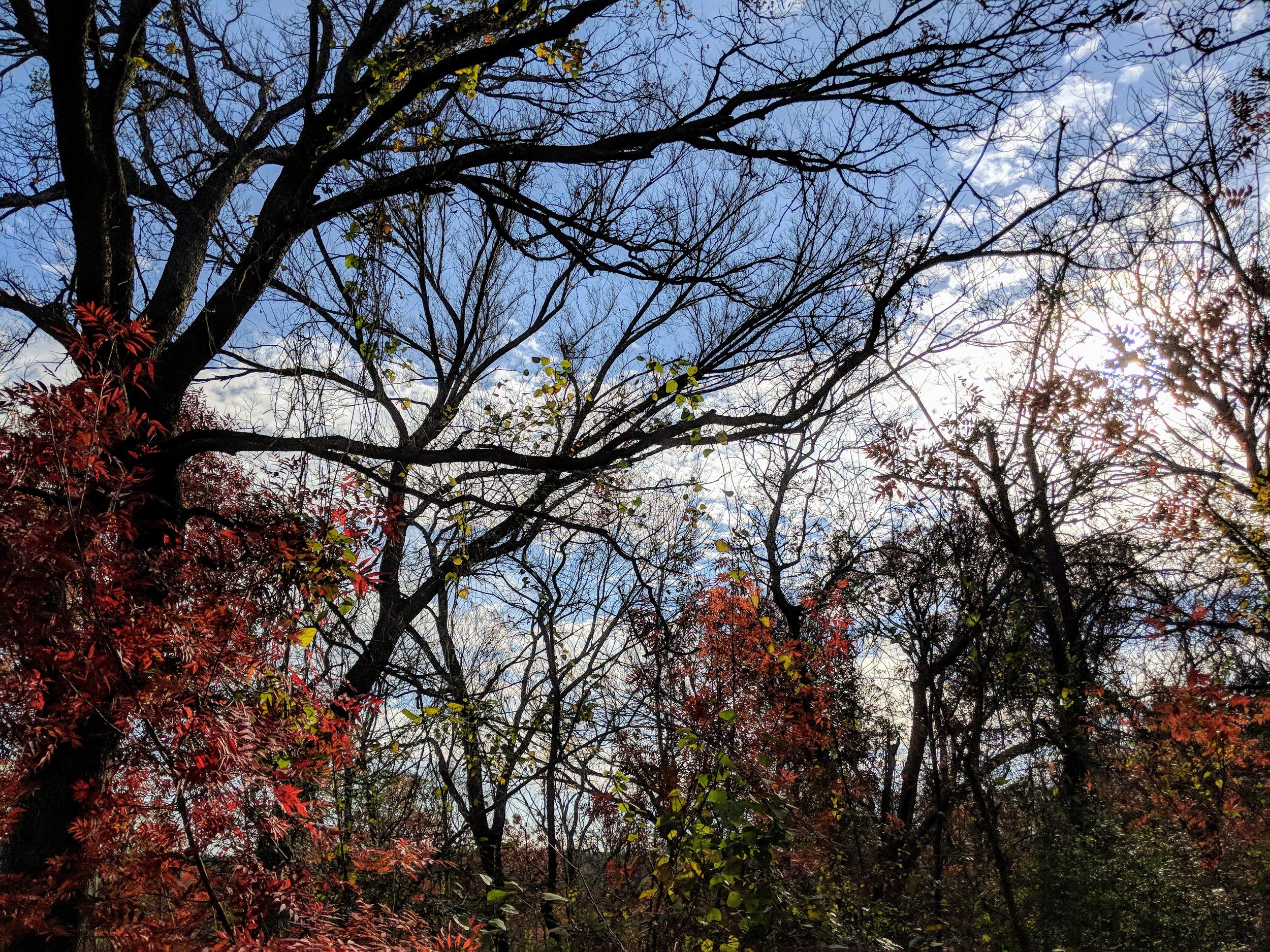
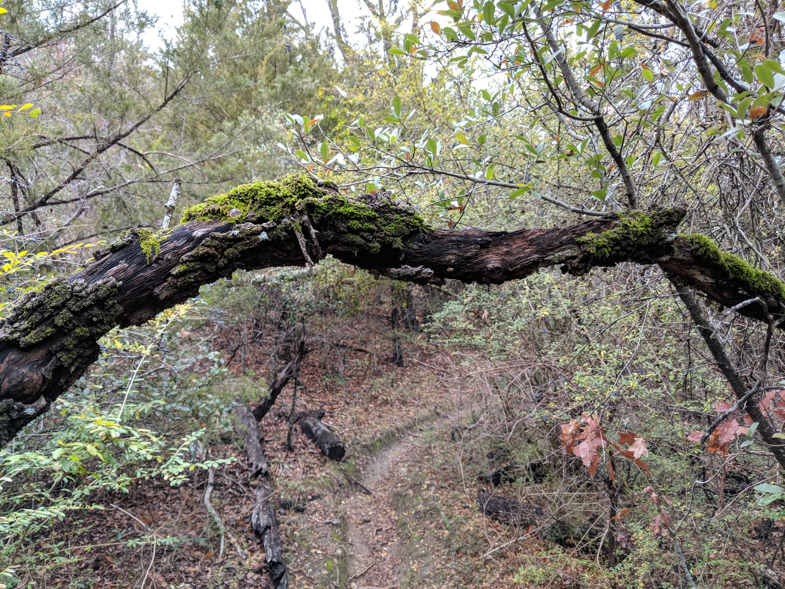
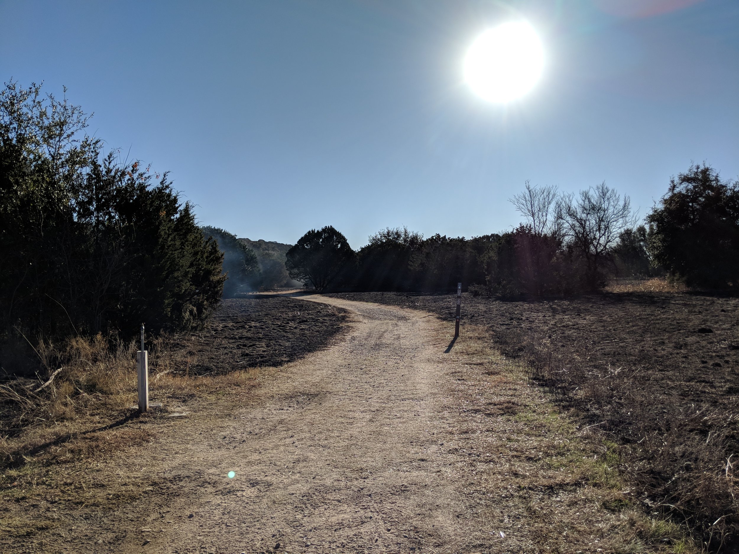
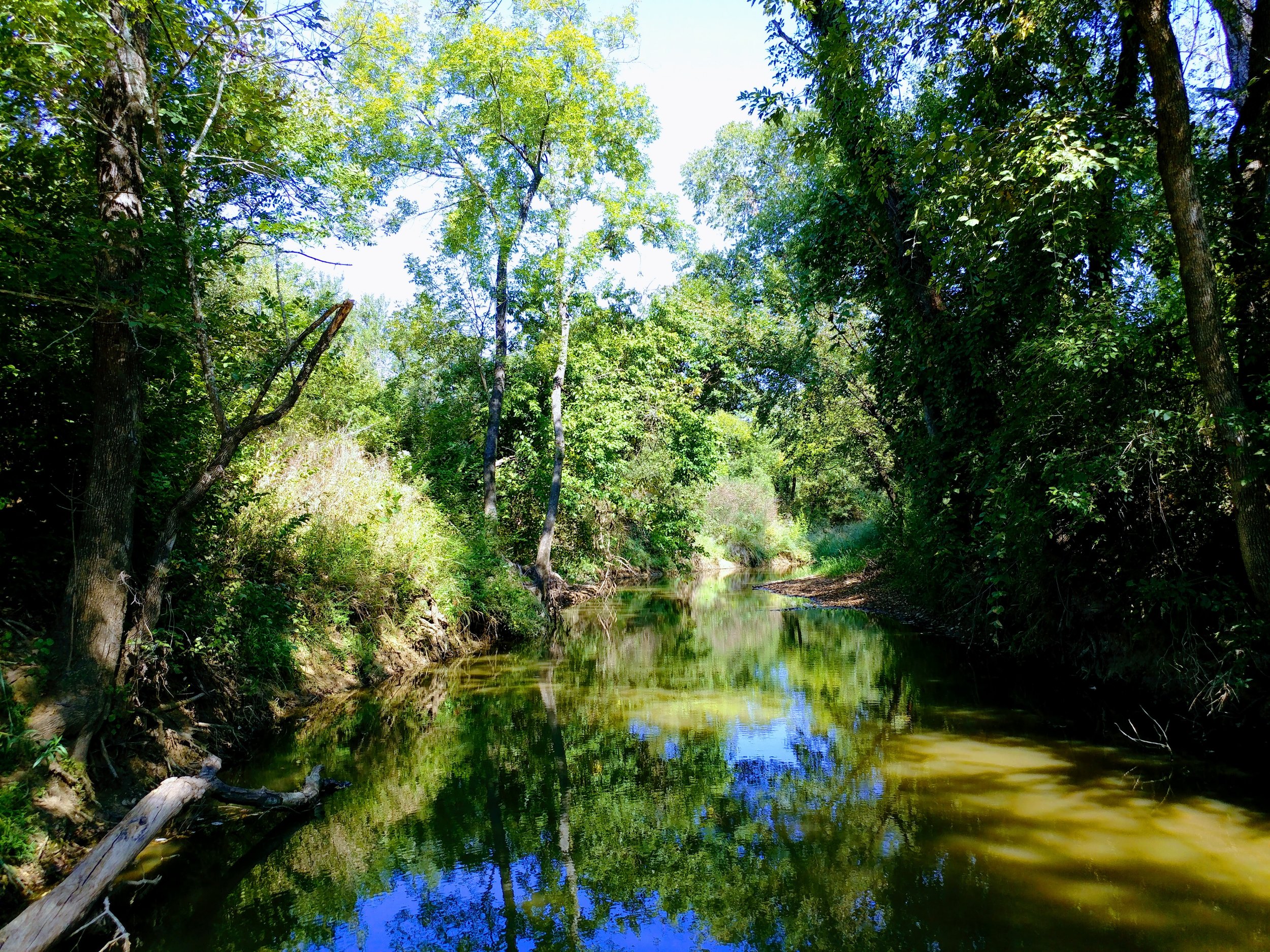
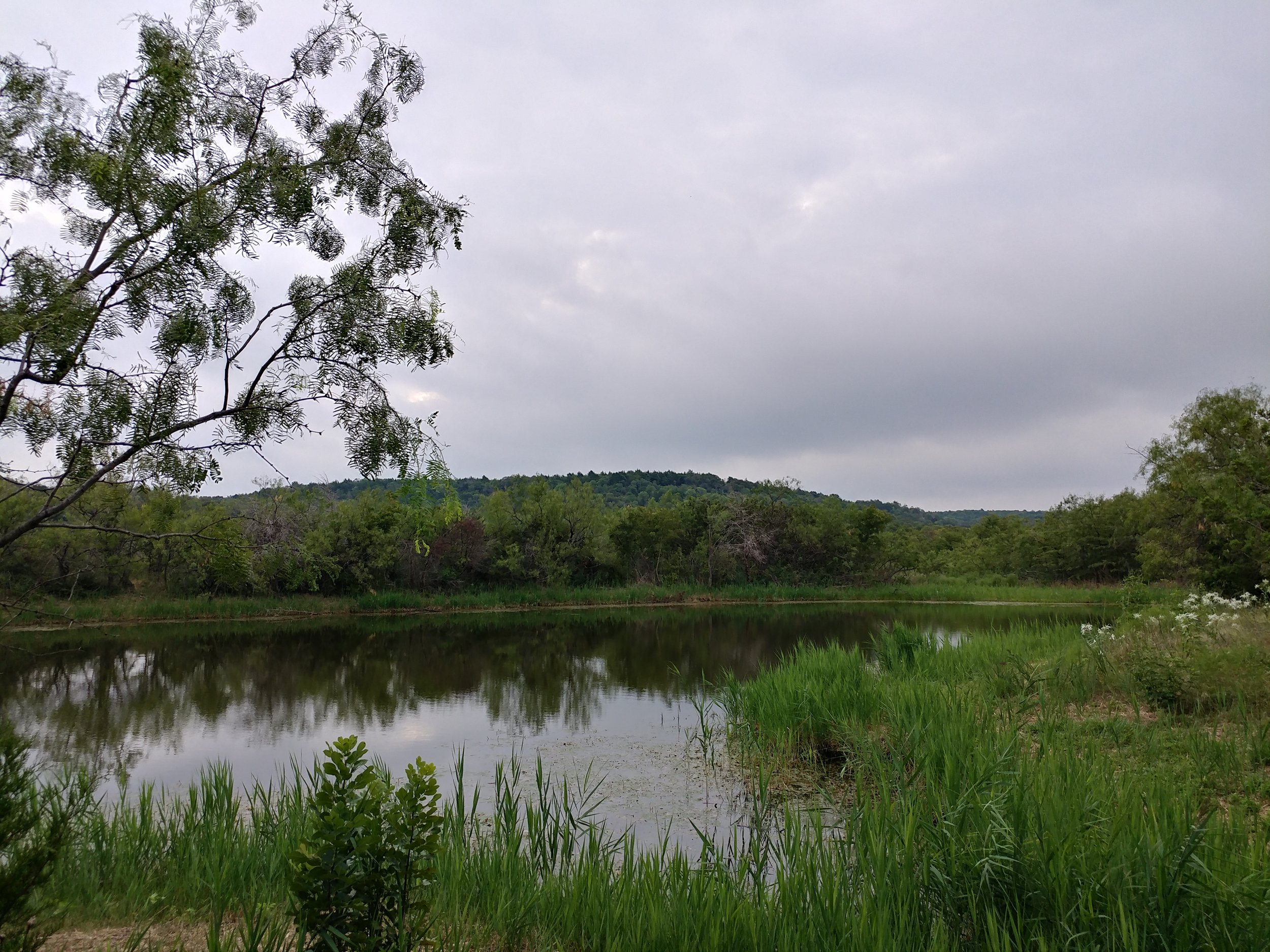
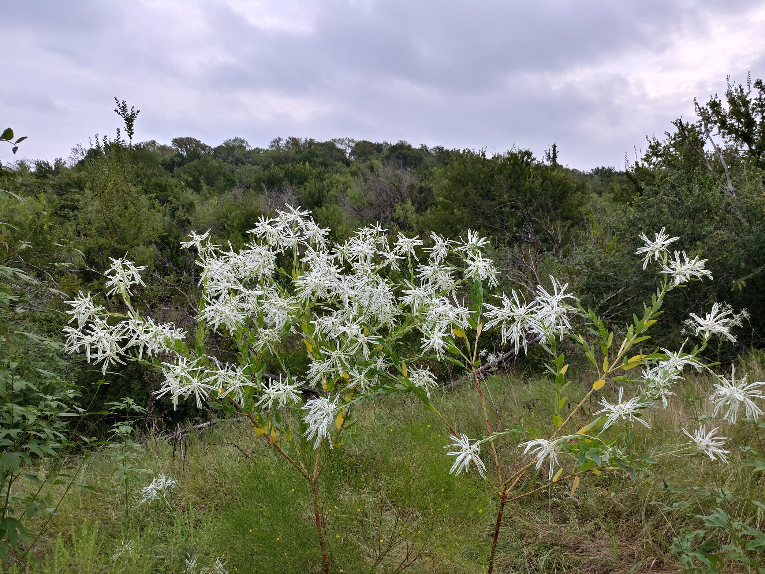
#hike46 - Clear Creek Natural Heritage Center
Location: Clear Creek Natural Heritage Center Date: 11/26/2017
Distance: 3.0 miles
Decided to head up to the Clear Creek trail today north of Dallas-Fort Worth for a change of pace and it was well worth it. The trail wasn't too busy and it was the perfect day to be outside. The weekend got away from me with various things that came up so today was much needed. I'm a week behind on my hikes, but will be making that up over the next couple of weeks, pending any OTHER random happenings.
Today's adventure took us down the Wetlands trail, the Bois d'Arc Loop, and back via the High Trail. Here are some photos. Happy Hiking.


#hike45 - Cedar Ridge Preserve
Location: Cedar Ridge Preserve Date: 11/12/2017
Distance: 2.1 miles
I had been avoiding going hiking all weekend - despite needed to get moving. It was a gray, rainy morning but that wasn't going to stop us. We went to Cedar Ridge and it was damp. The rain picked up as we arrived, which was fine. The trail was slick, but passable, and there weren't that many people out. It was quick hike, but a solid couple of trails as usual. So glad Cedar Ridge is so close.
Rainy, misty, wet hikes are officially my thing. I am ready for winter!


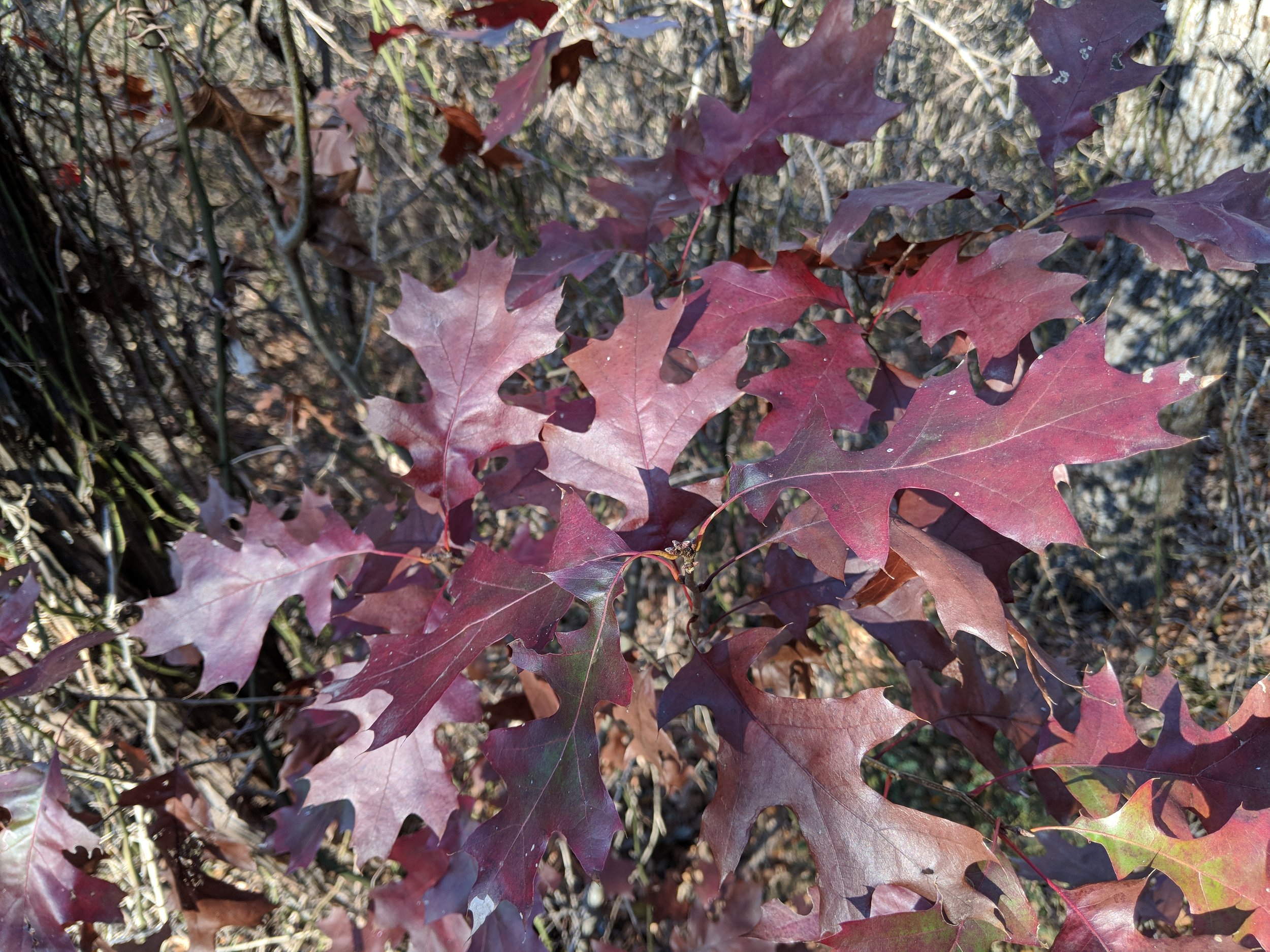
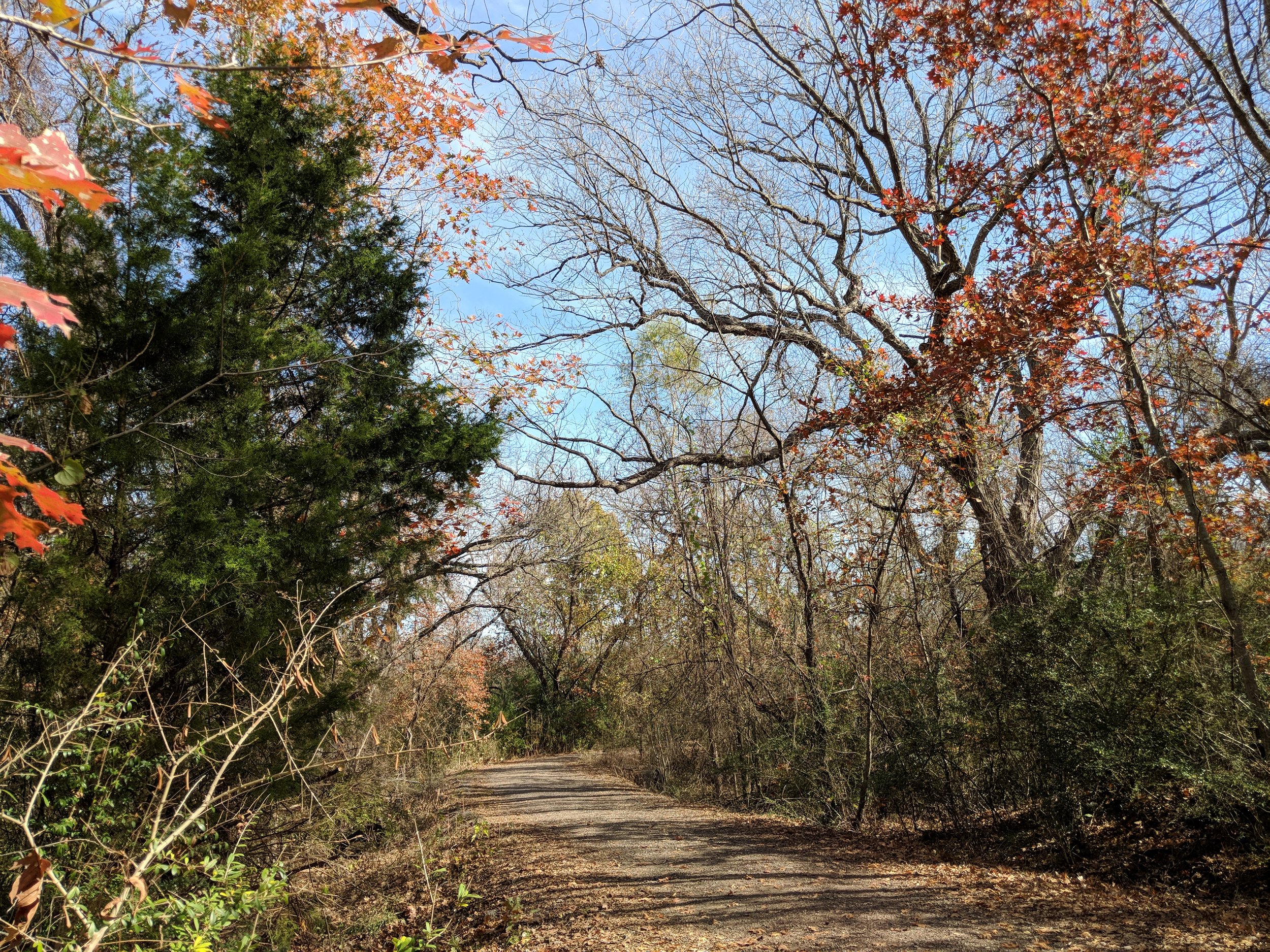
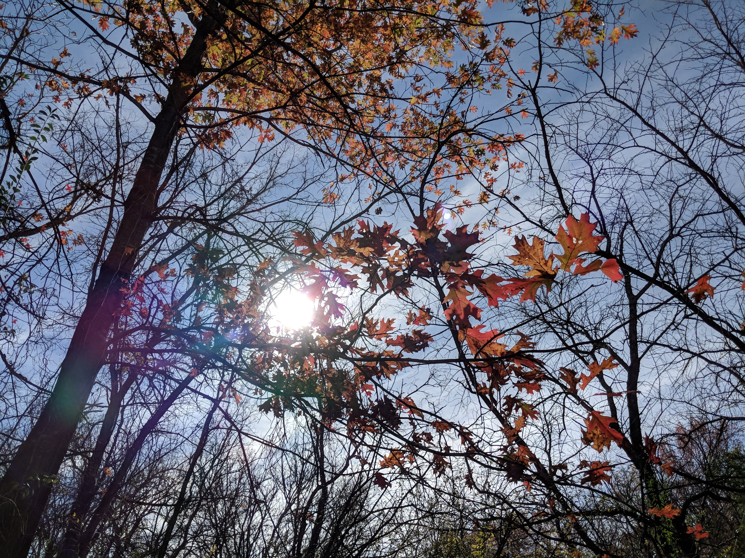
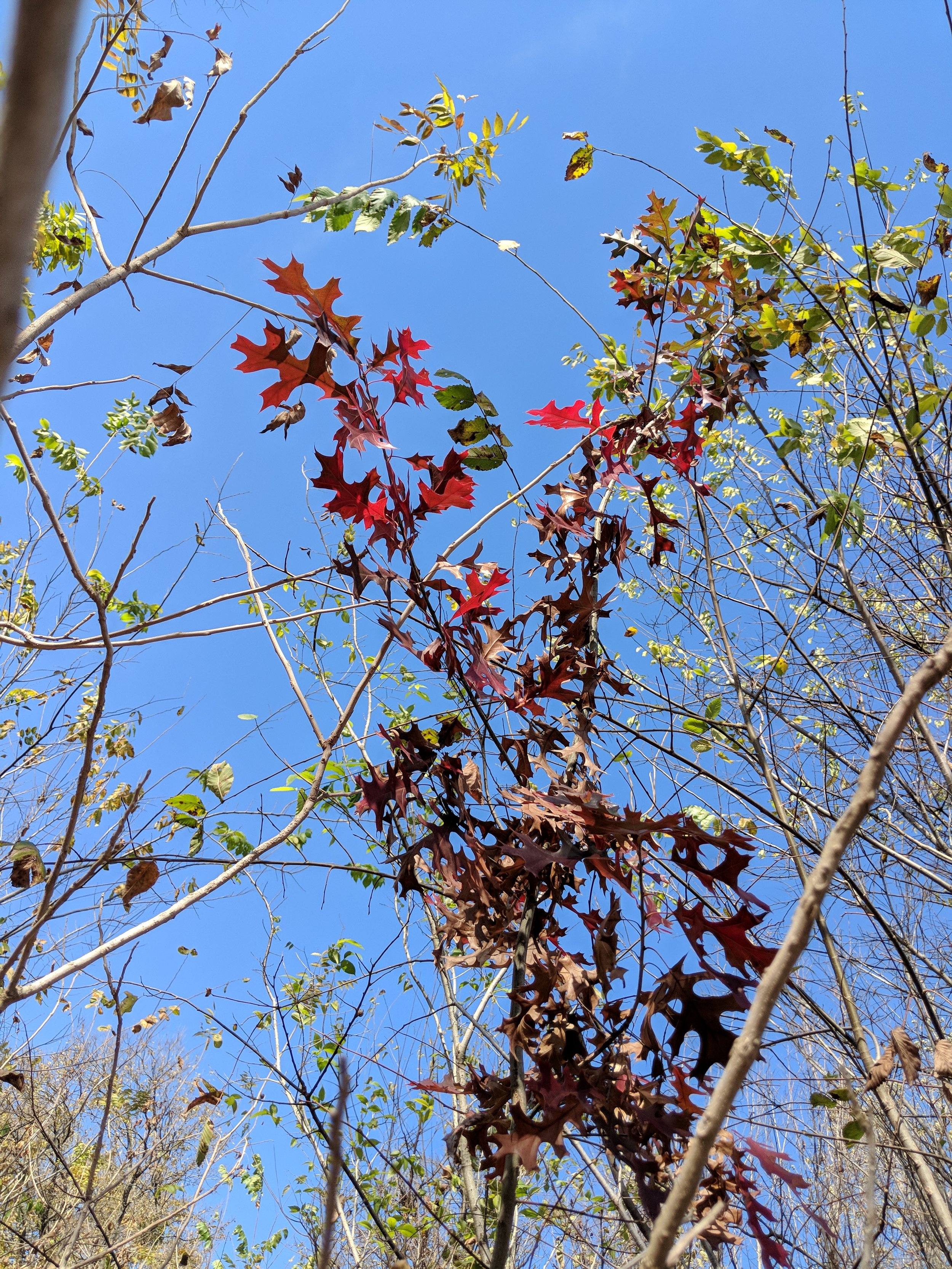
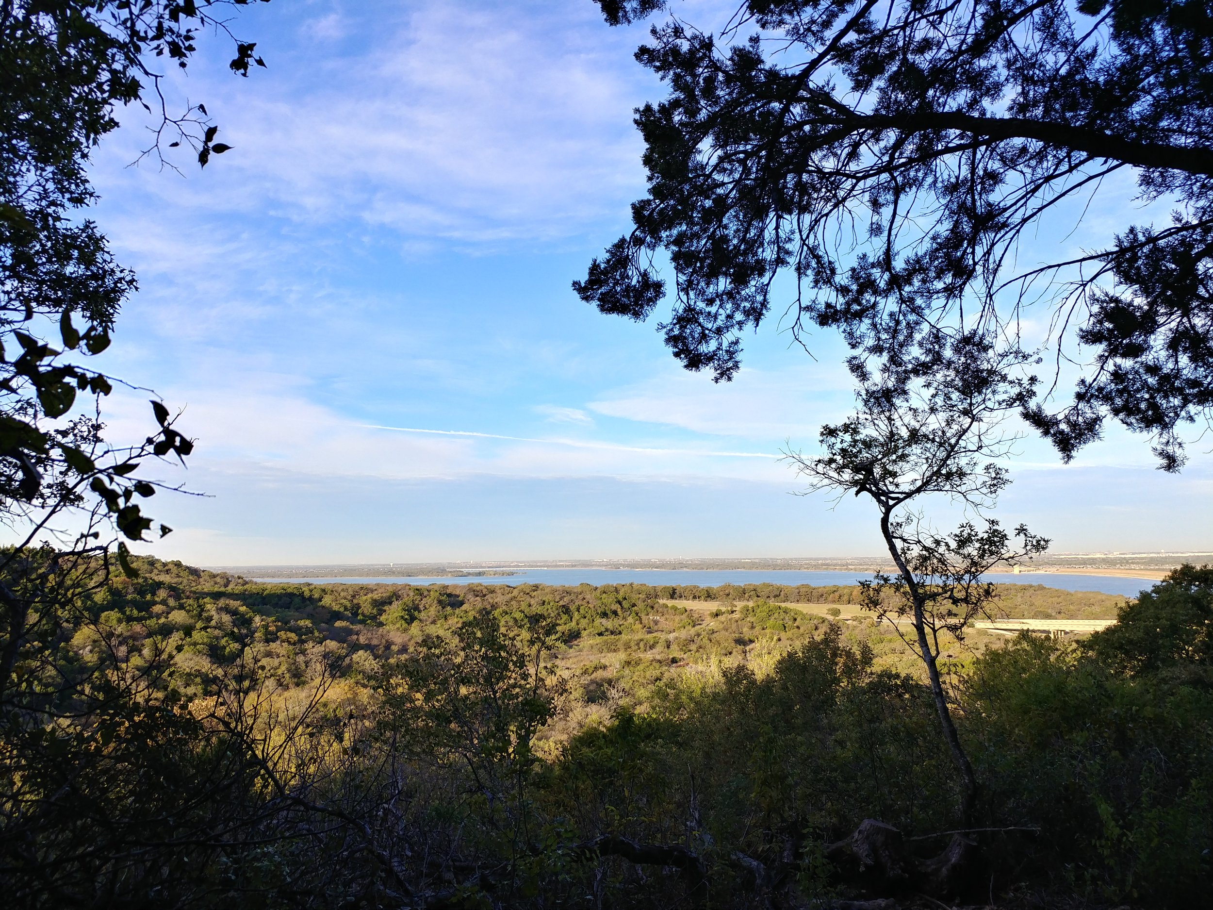
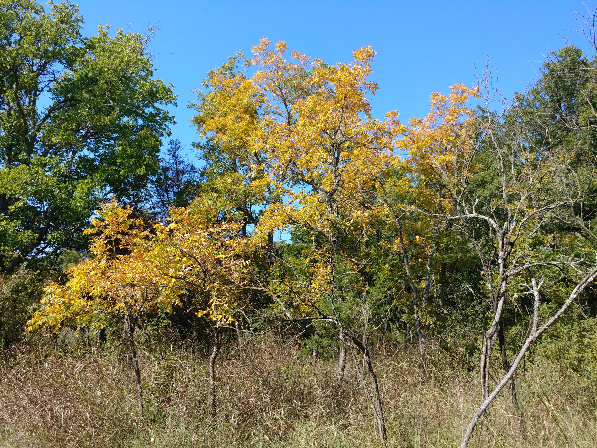
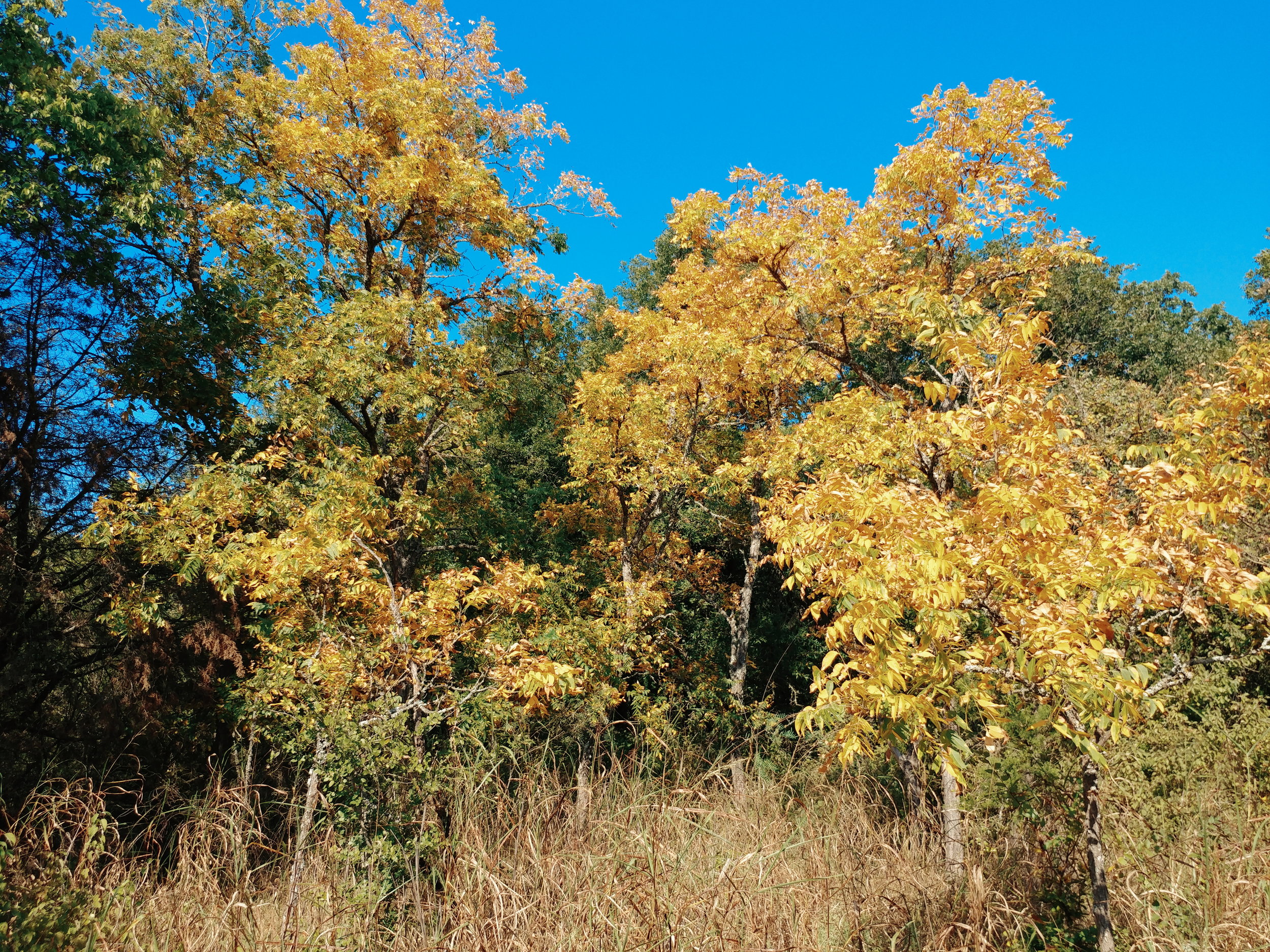
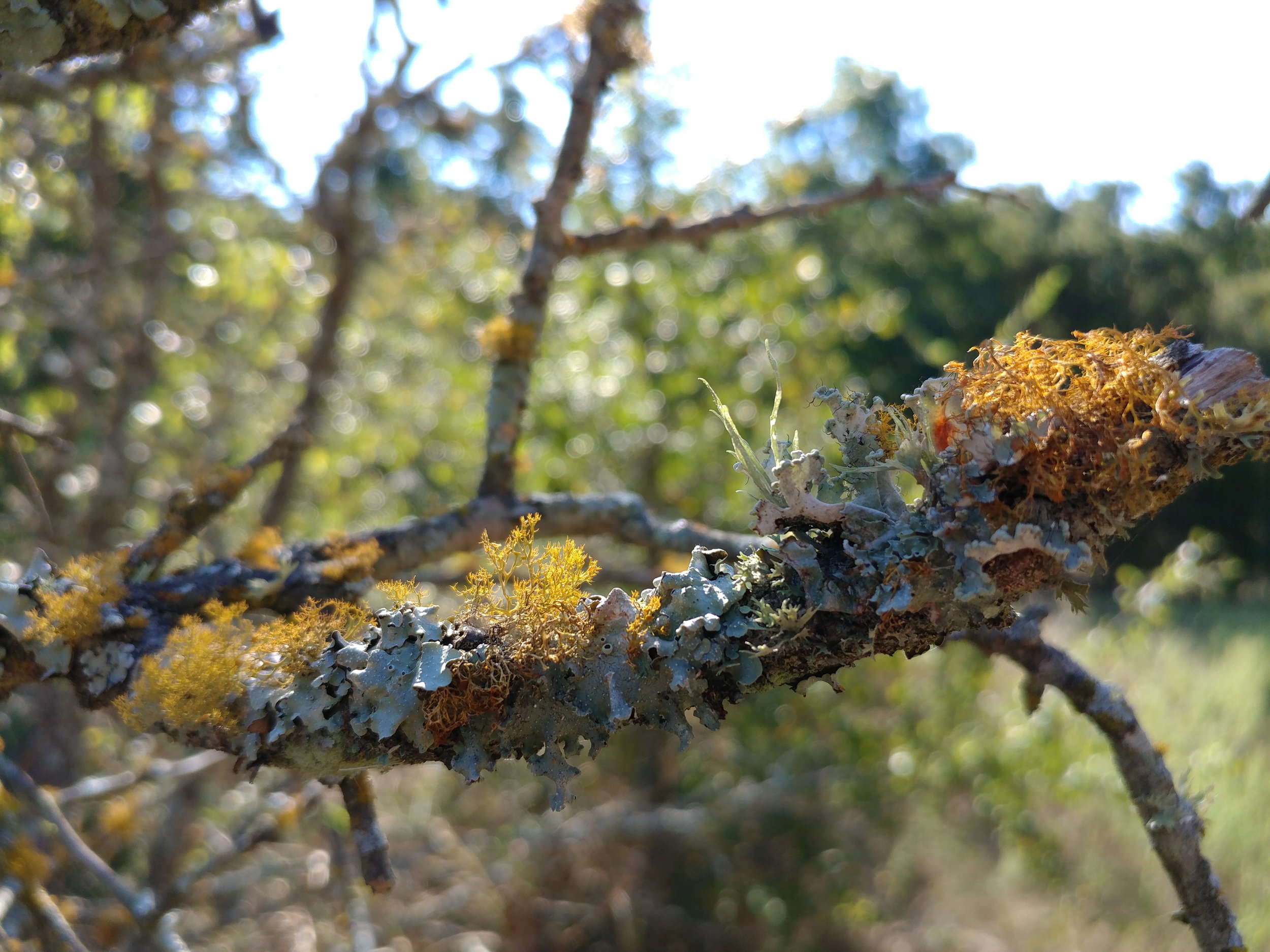
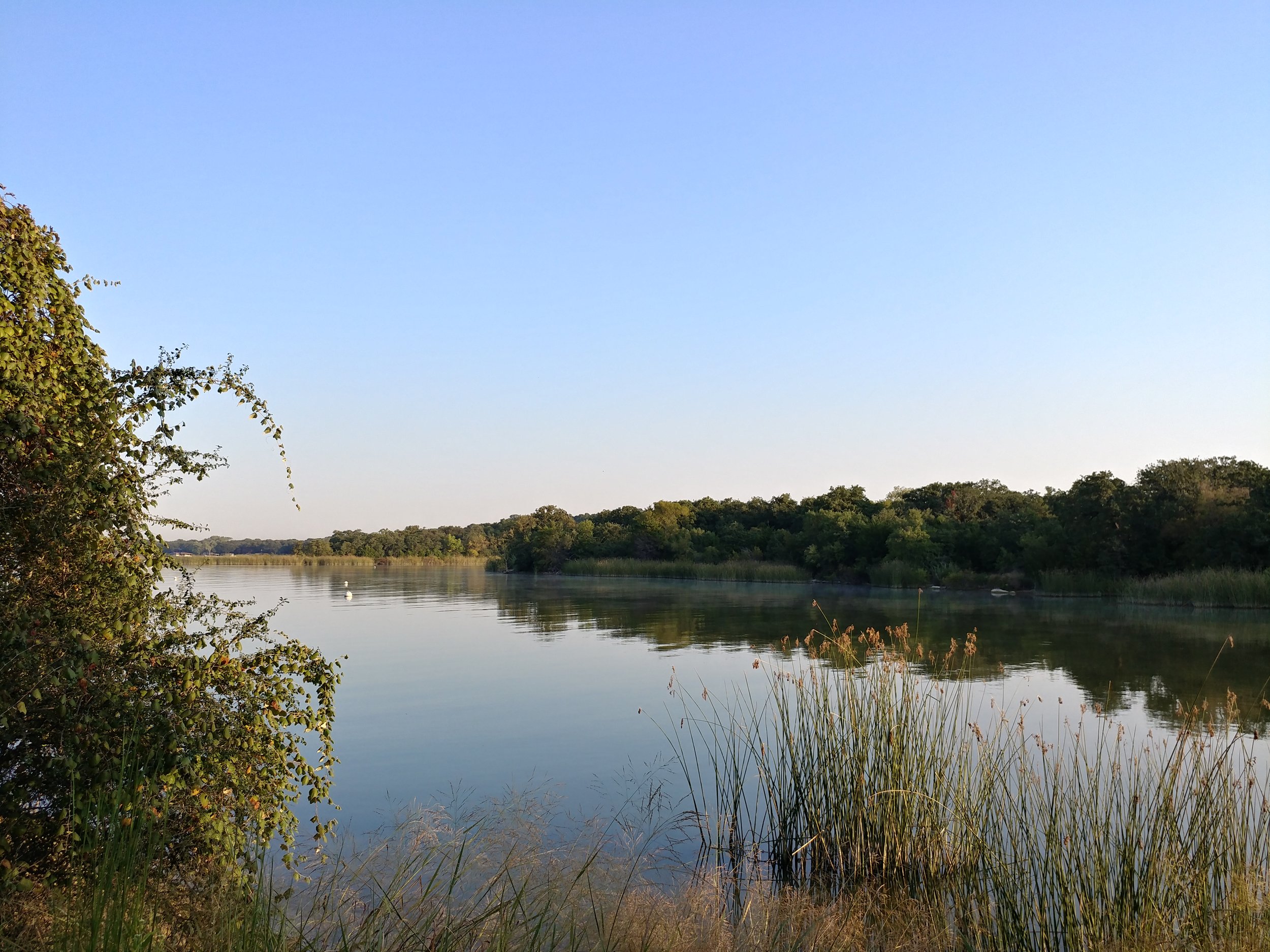
#hike44 - Eagle Mountain Park
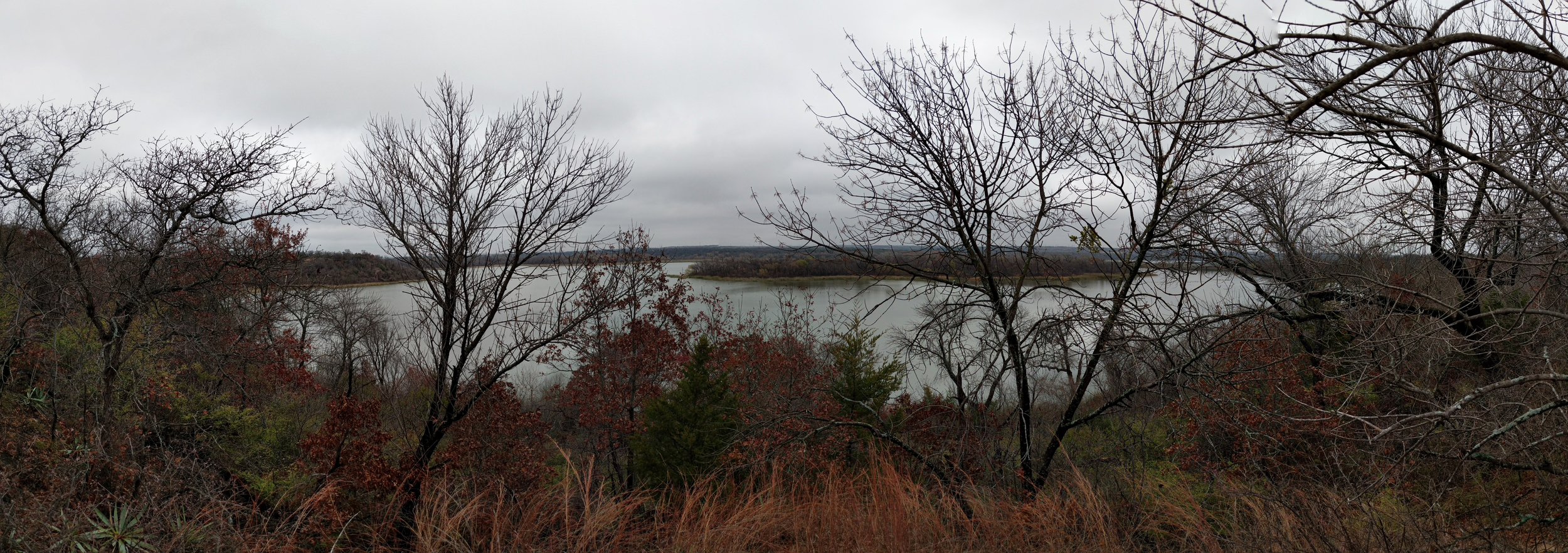
Location: Eagle Mountain Park on Eagle Mountain Lake (NW Fort Worth, TX) Date: 11/5/2017
Distance: 5 miles
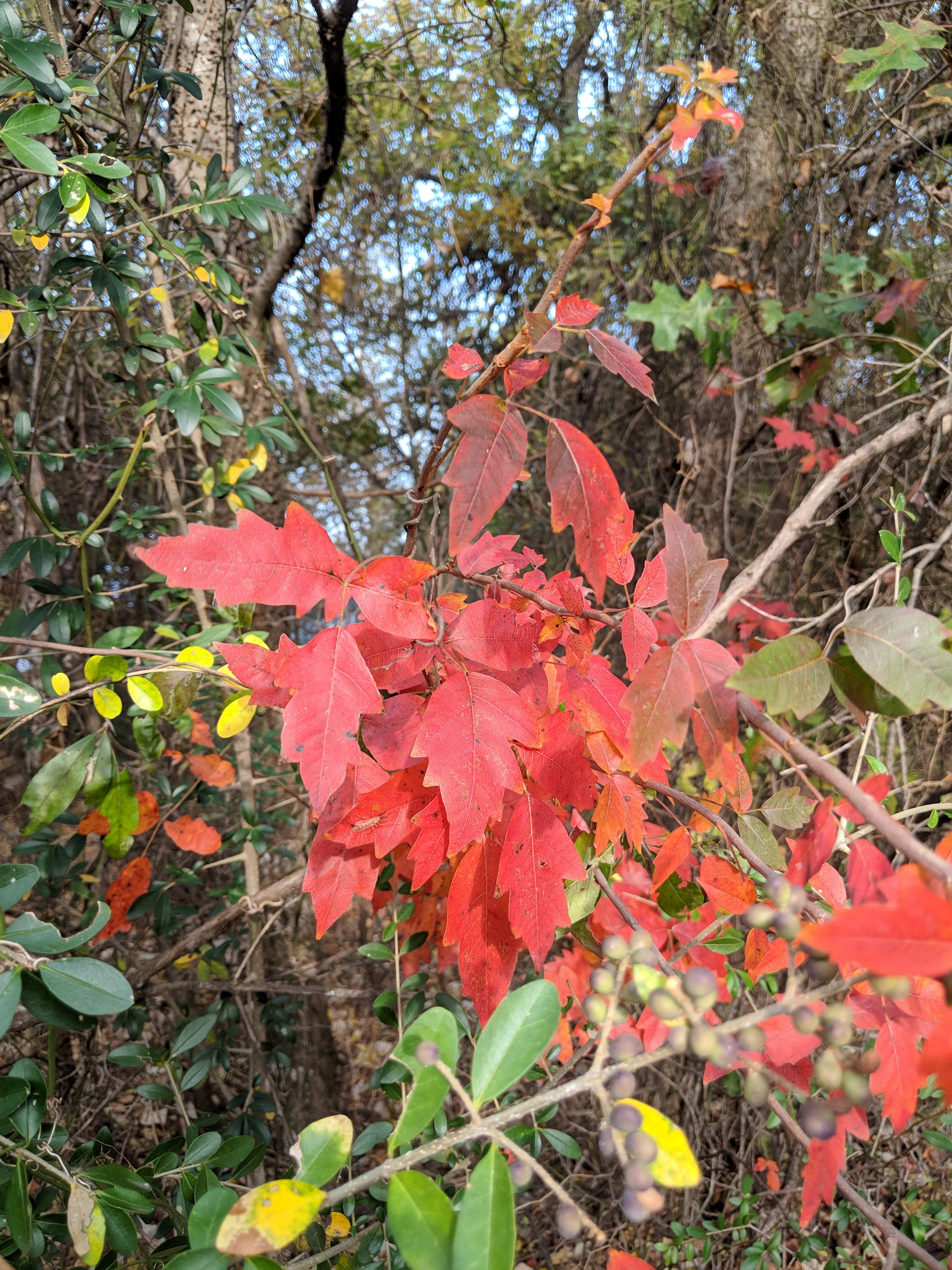
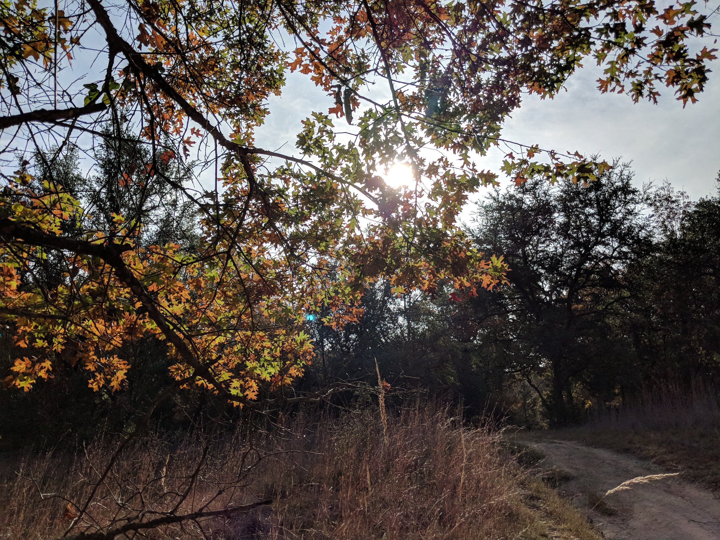
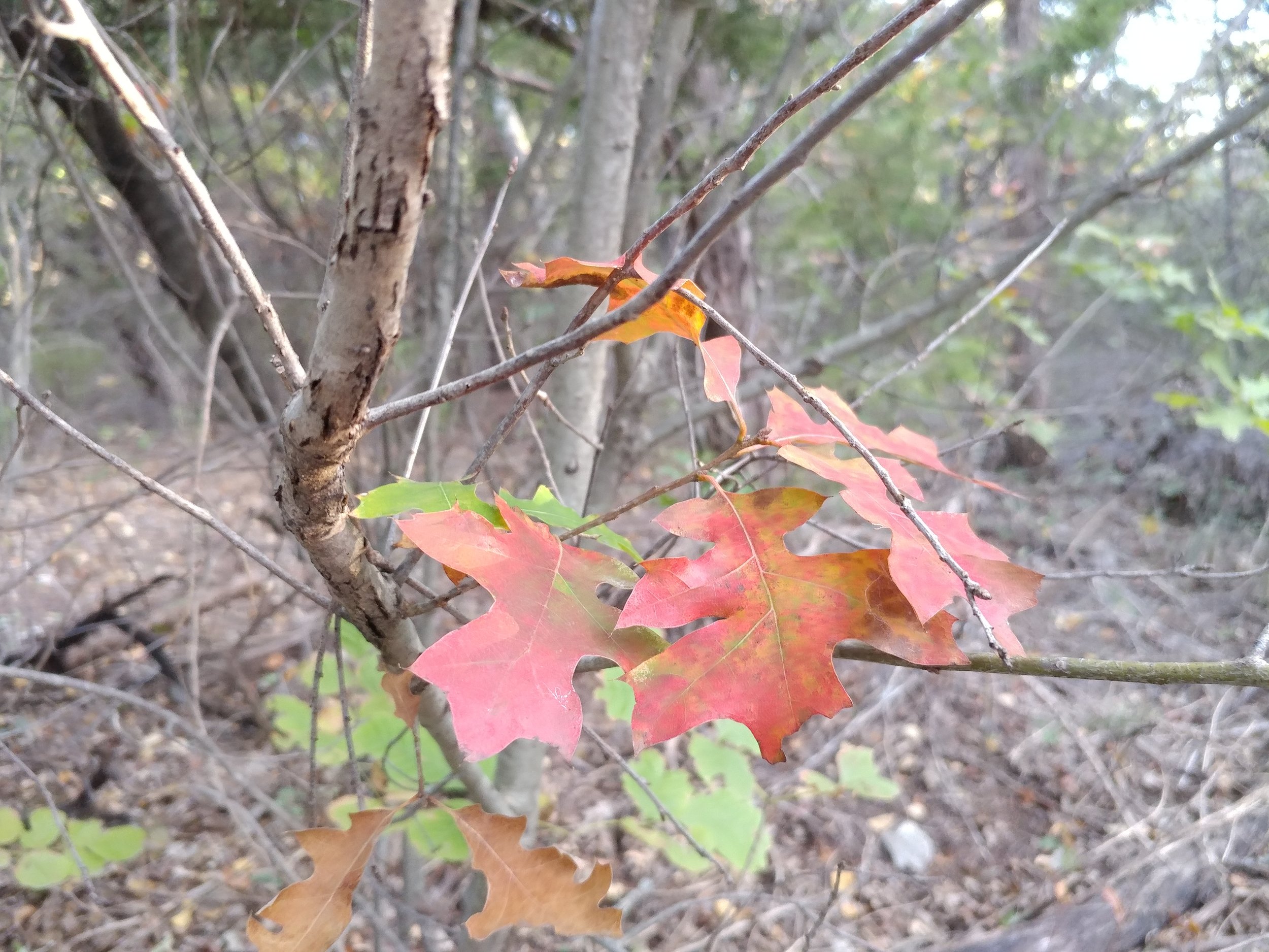
Today was a special hike because the fall colors finally started to show! I grew up in Michigan, with fall being that magical time of year when the leaves changed and the weather got cooler. Things are a little different here in North Texas, as the temps are still high but the leaves have started to turn. Beautiful oranges, golds, yellows, purples, and reds mixed with the usual greens. The views from the higher elevations were beautiful and the entire hike was filled with that autumn peacefulness. The blue grass has turned a majestic purple-red, almost unreal, and the oaks vary from orange to red. Everything had a touch of morning glow, so that helped too.
We did the main loop, and followed the shoreline and caught a nice breeze from the lake. Along the way we saw an armadillo, several deer, squirrels, a field mouse, and a murder of crows. I love sharing this place with others and today I went with my friend Nikki, who's gone before, and my other half who hasn't. We had a nice big lunch after and it was just a great way to start this week ahead. Happy hiking everyone!
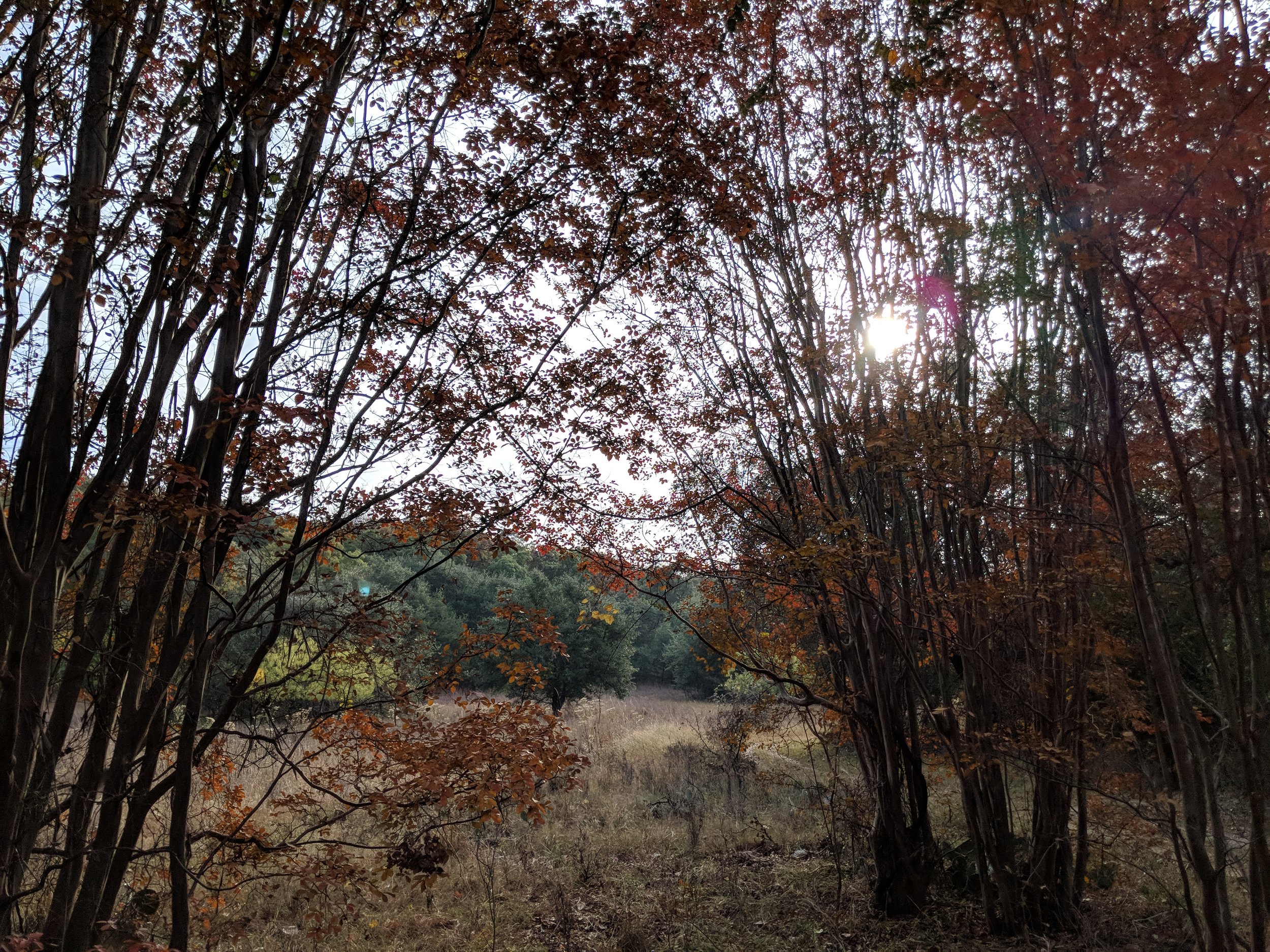

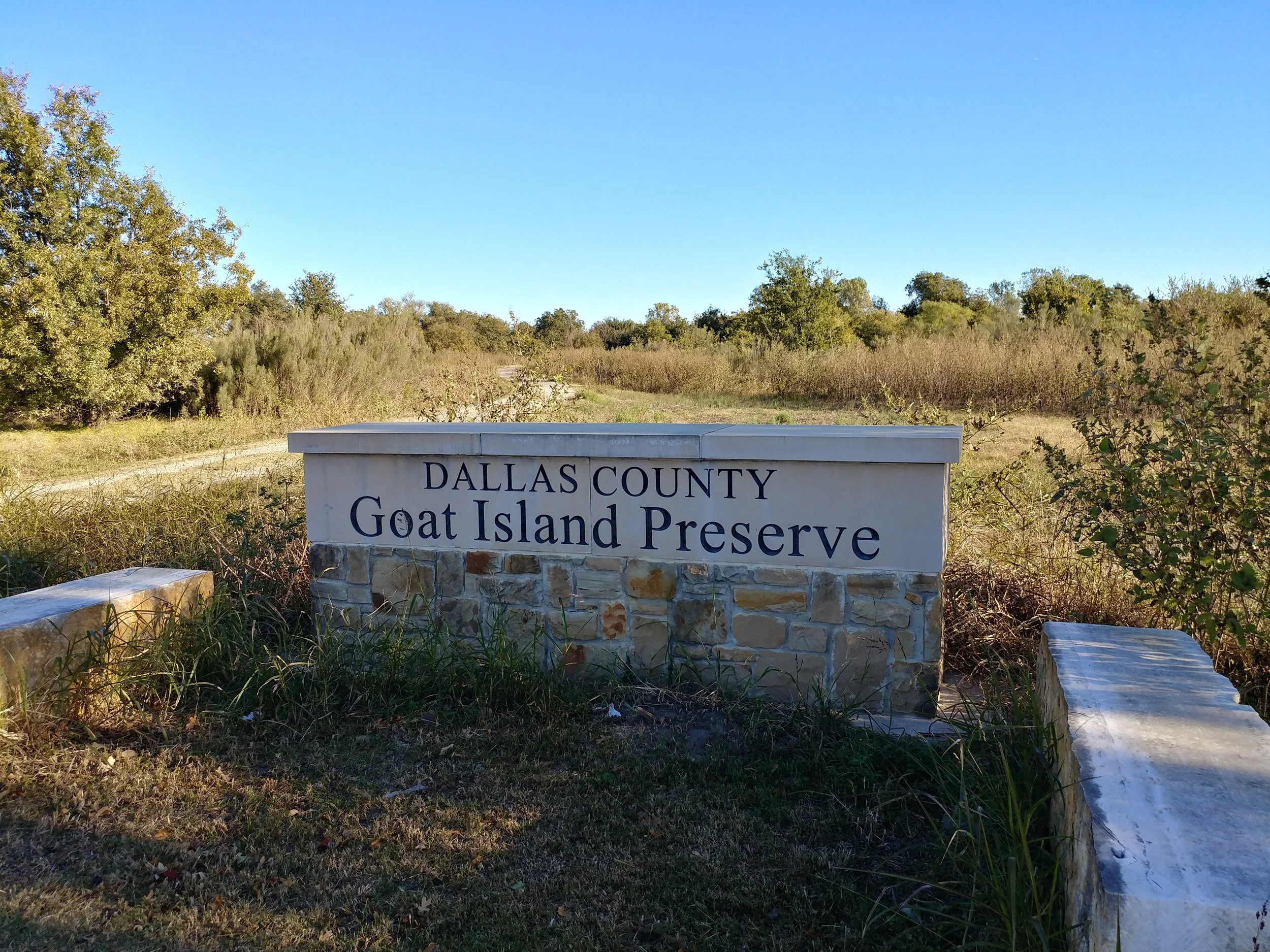
#hike43 - Goat Island Preserve
Location: Goat Island Preserve - Dallas County Date: 10/29/2017
Distance: 3.1 miles
Was sick of the same old places, so we tried something new that I had forgotten about in Dallas County. Goat Island Preserve is a neat little place along the Trinity River. Today we walked down what appears to be an old access road for the locks and dams along the river. There are a ton of off-shoots for mountain biking per DORBA. It was an easy walk with plenty of opportunities to trek through the woods. This was a nice way to enjoy a Sunday morning. We arrived to an empty lot and only passed three people on their horses on the way out. Happy hiking!

#hike42 - Cedar Ridge Preserve
Location: Cedar Ridge Preserve Date: 10/28/2017
Distance: 2.25 miles
Today Chewy the Dog and I went to Cedar Ridge. I was going to go somewhere dogs weren't allowed, but he gave me the look when I was leaving that I couldn't ignore. We walked to Cattail Pond, a little past and then back up the Escarpment Trail. All in all, an easy and peaceful hike. I felt refreshed and relaxed during and after the hike. It was a brisk 37 degrees this morning, with it getting as low as 30. There were quite a few people there, as usual, probably due to the cooler temps. This is a make up hike for last week, I'll go again either later or tomorrow for this week's. Here are some pics from our stroll. Happy Hiking.
#hike41 - Cedar Mountain Nature Preserve
Location: Dogwood Canyon Audubon Center Date: 10/15/2017
Distance: 1 mile
Had a busy weekend, so went out to the old standby. Walked the path with the dog and my other half. Nothing too exciting, but it was around 5 so the tops of the trees were looking Golden with sunshine. There was a sign along the trail warning of poison oak being prominent and to watch out for copperheads. Ah, Texas, snakes and spiders galore!
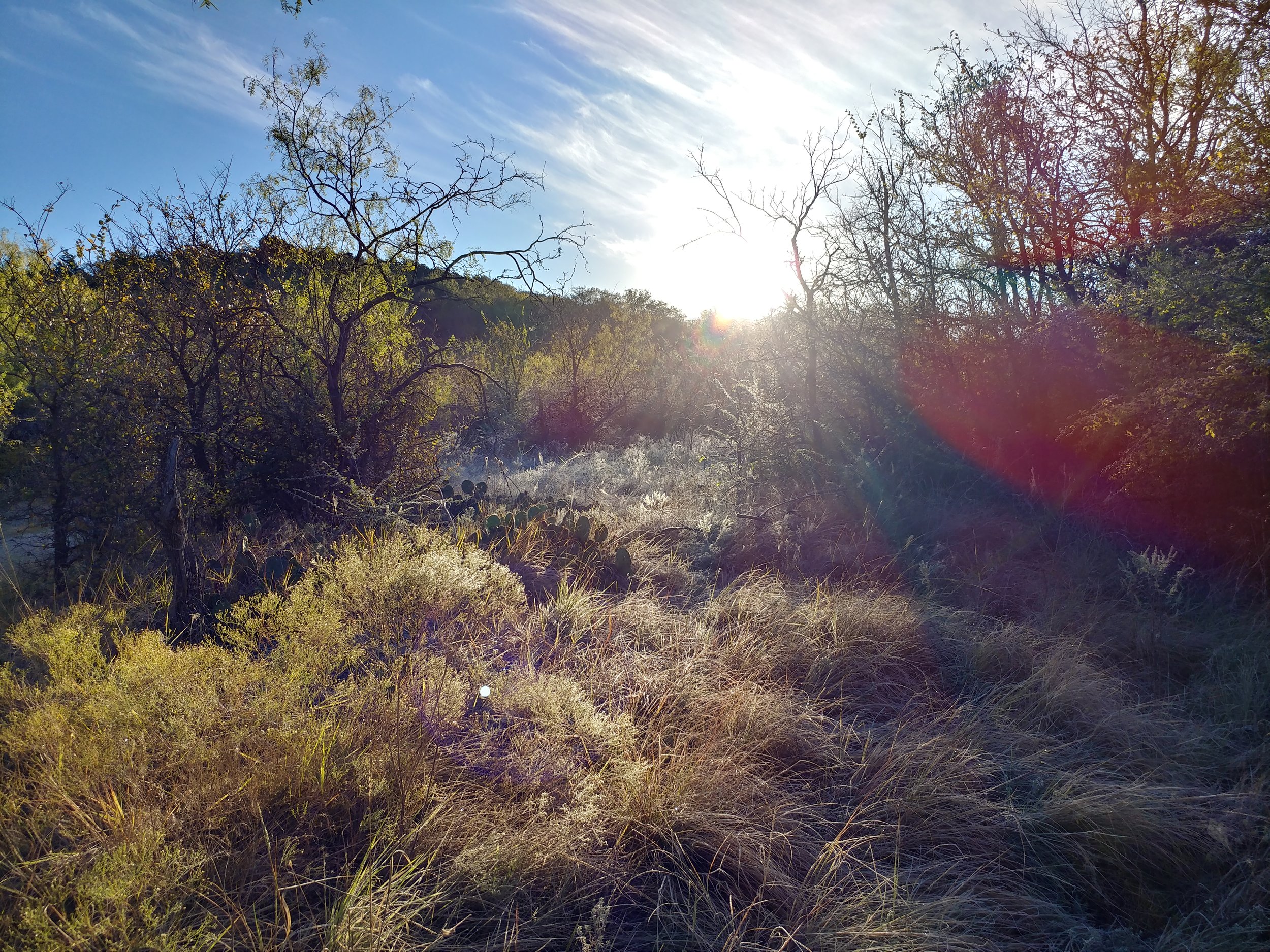
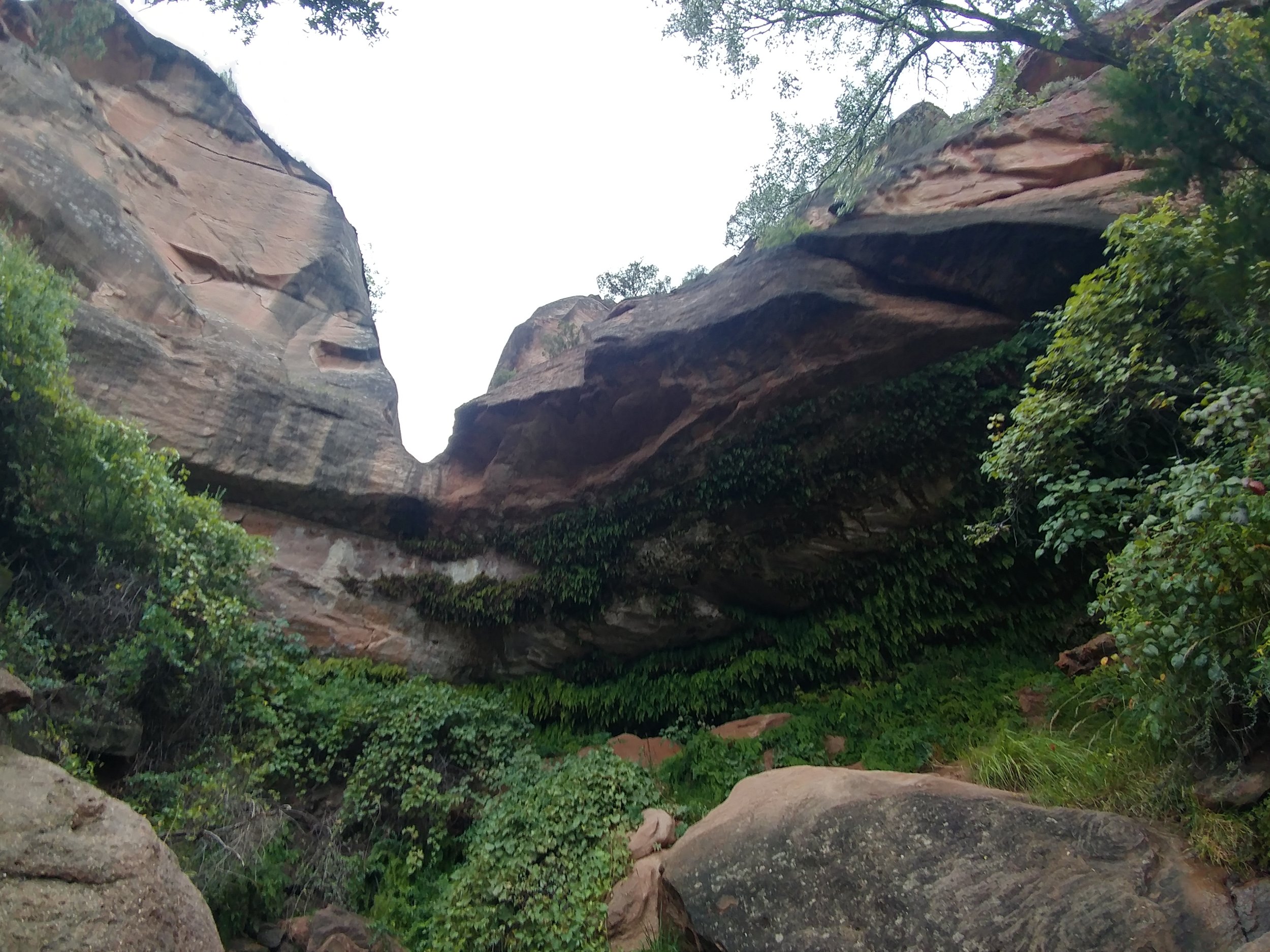
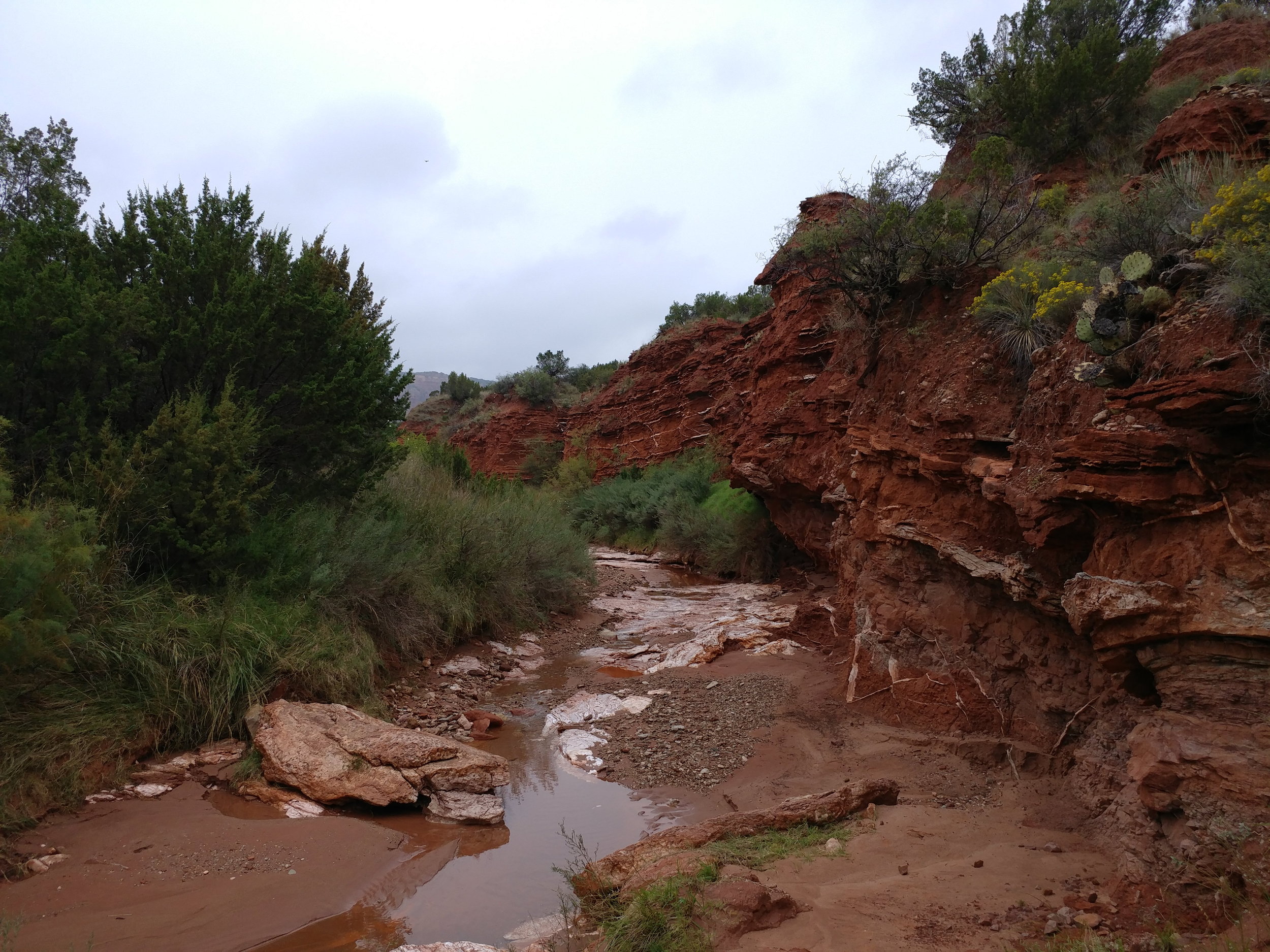
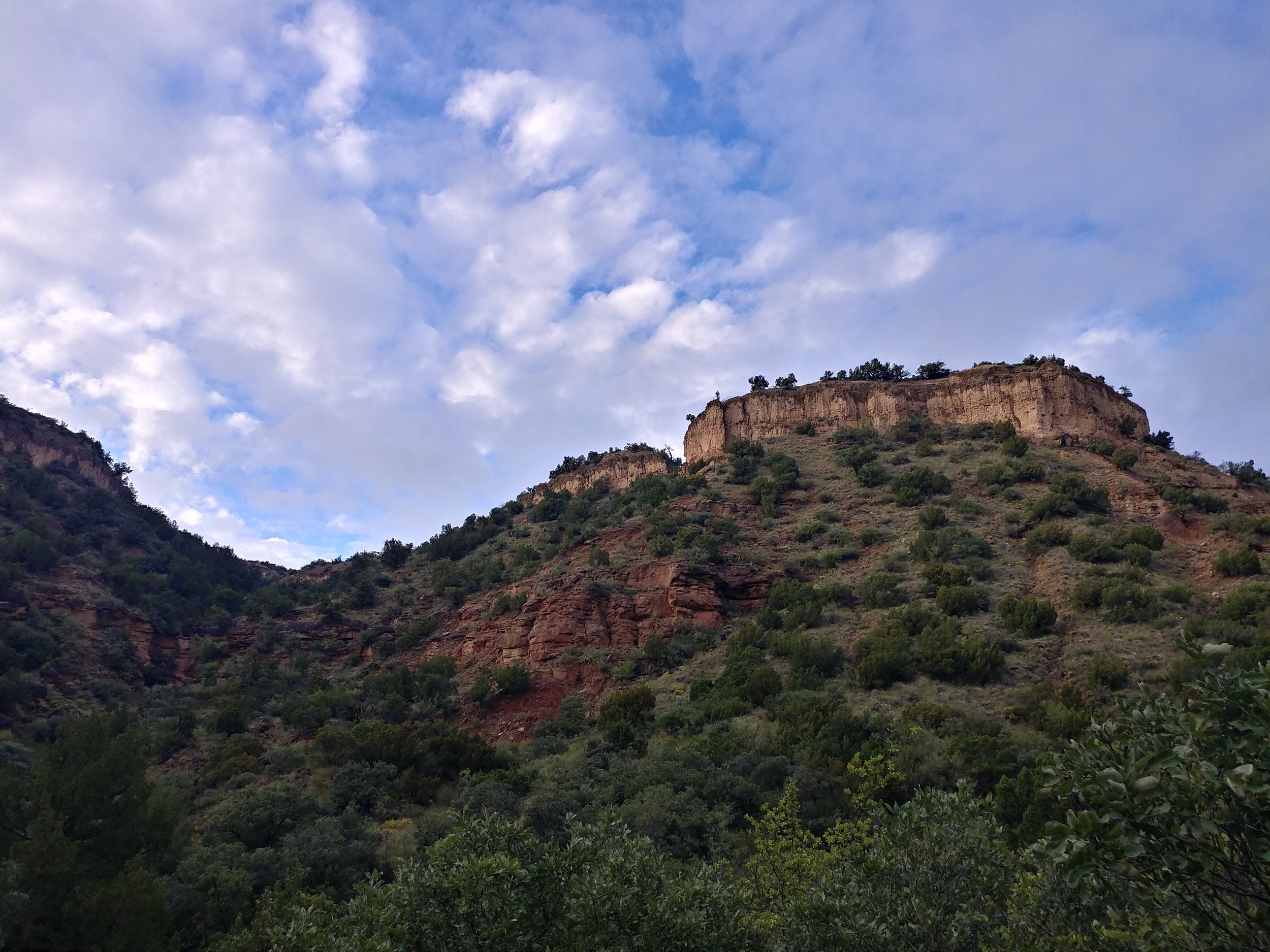
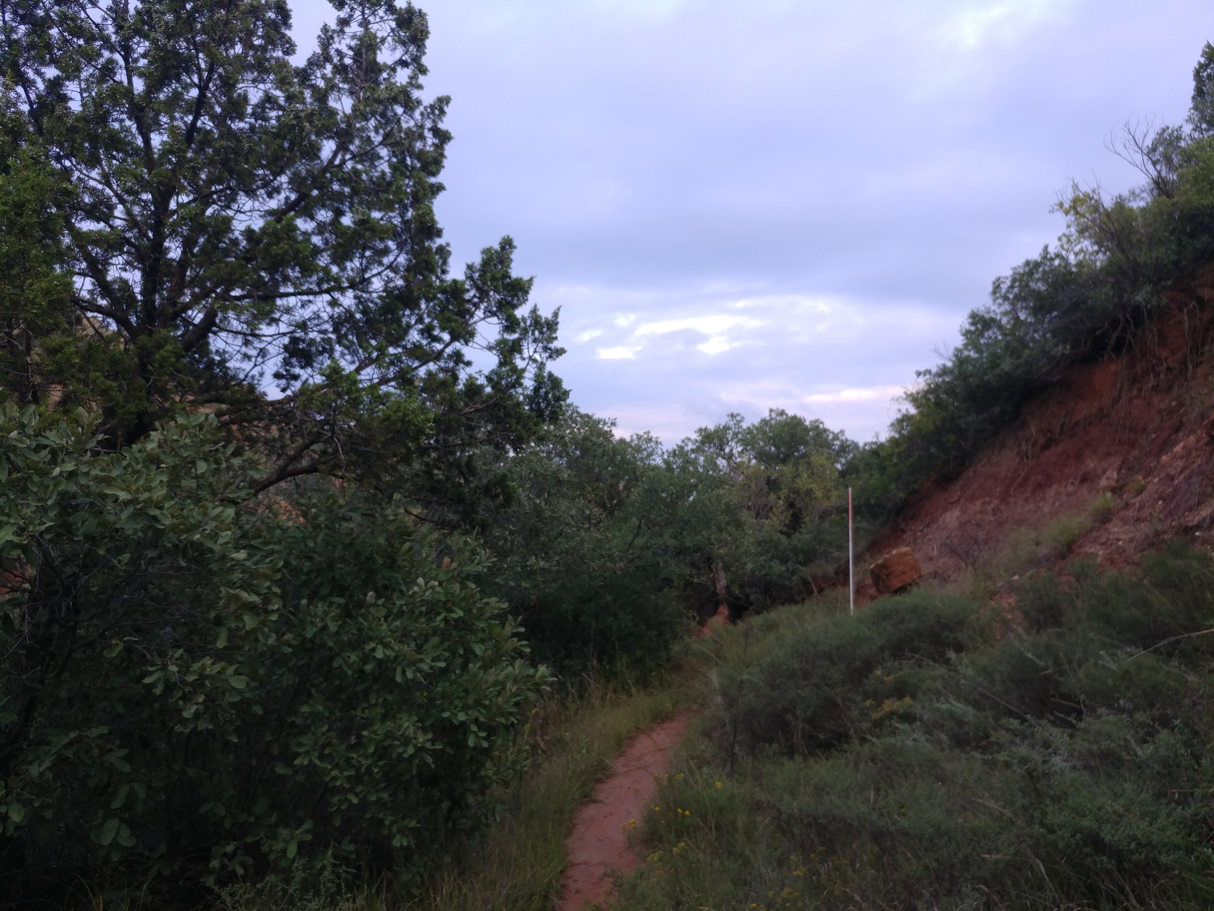
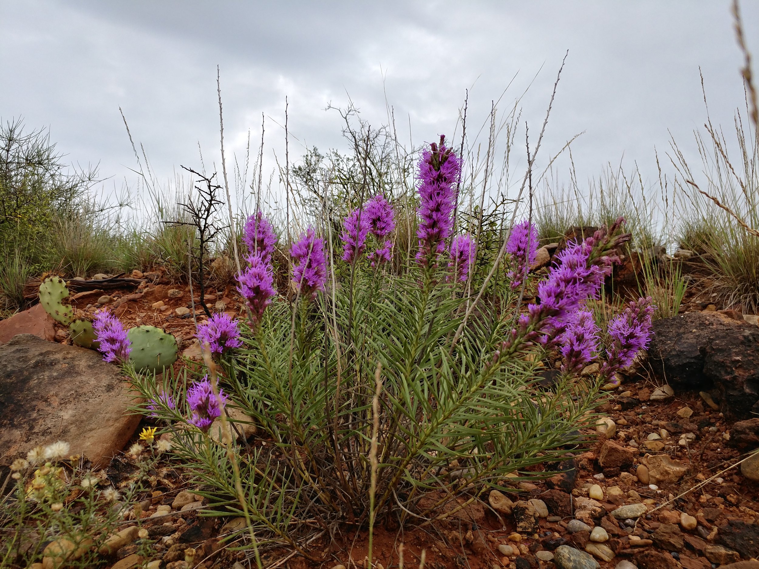
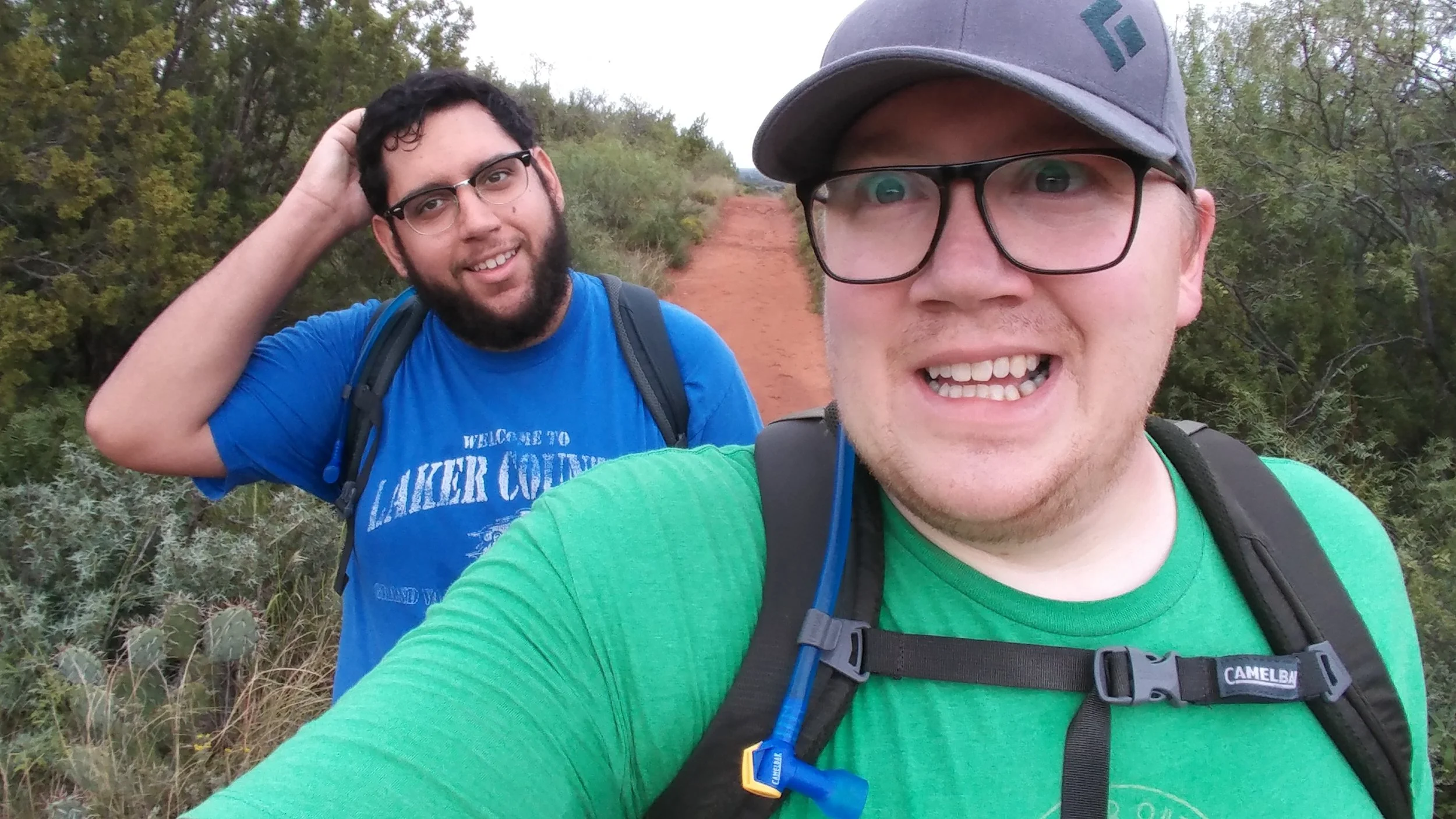
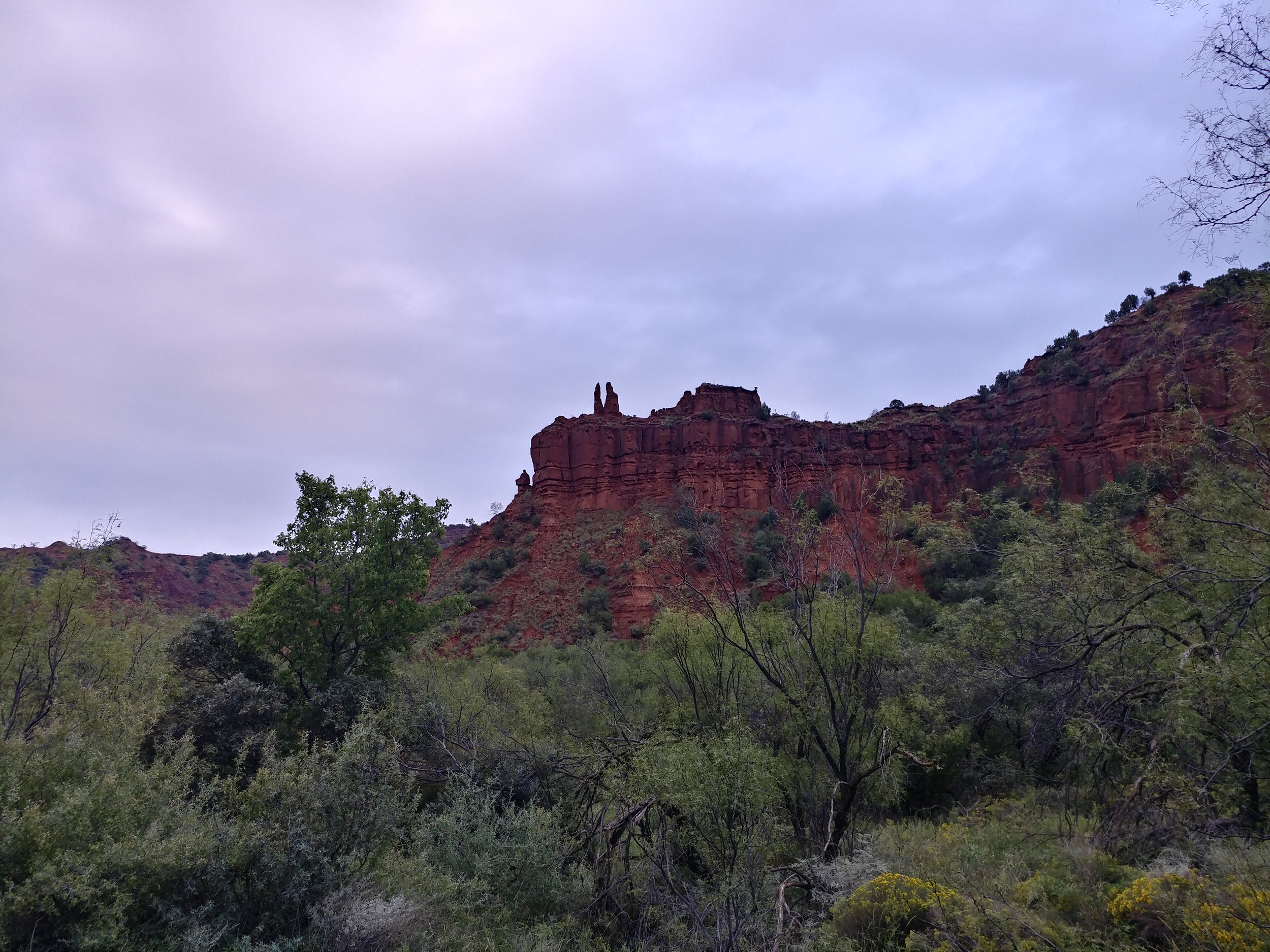
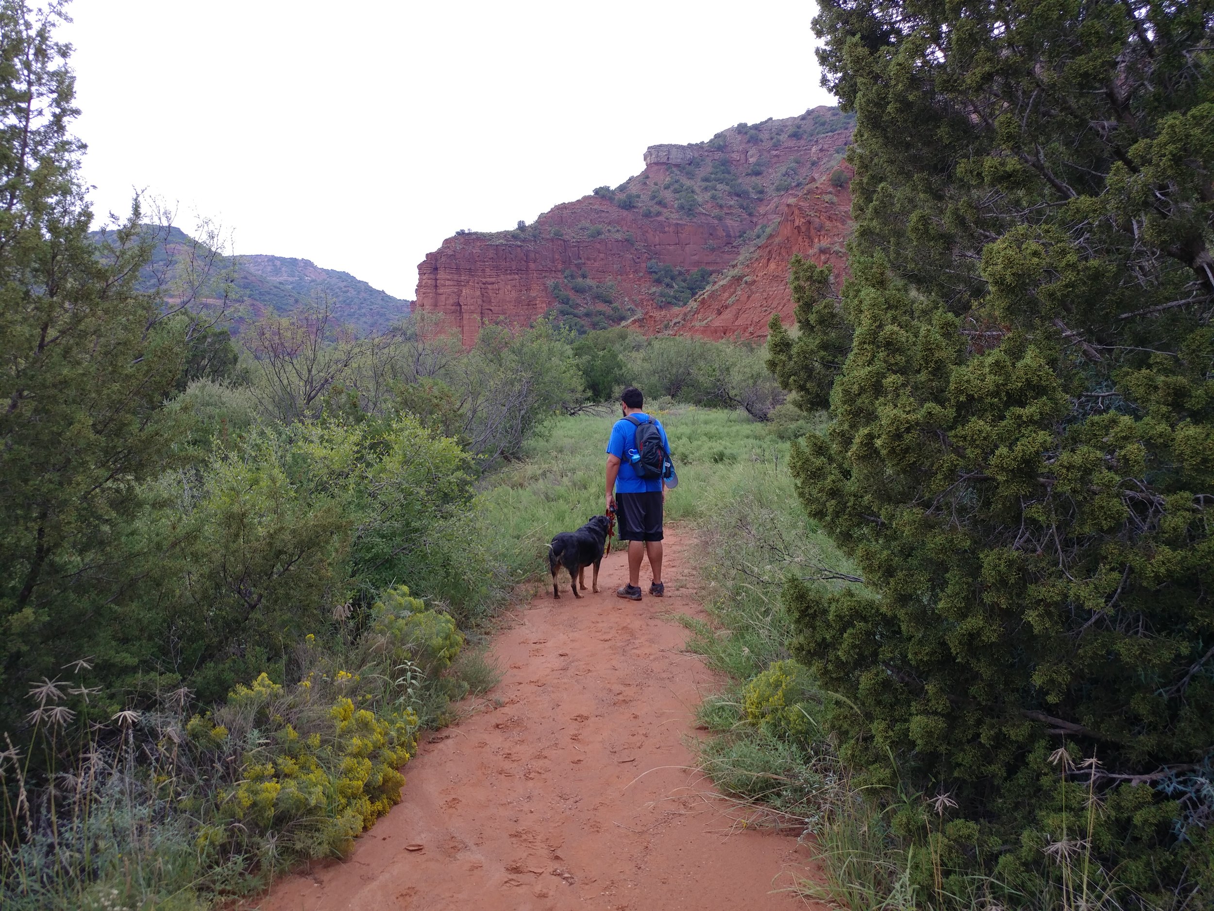
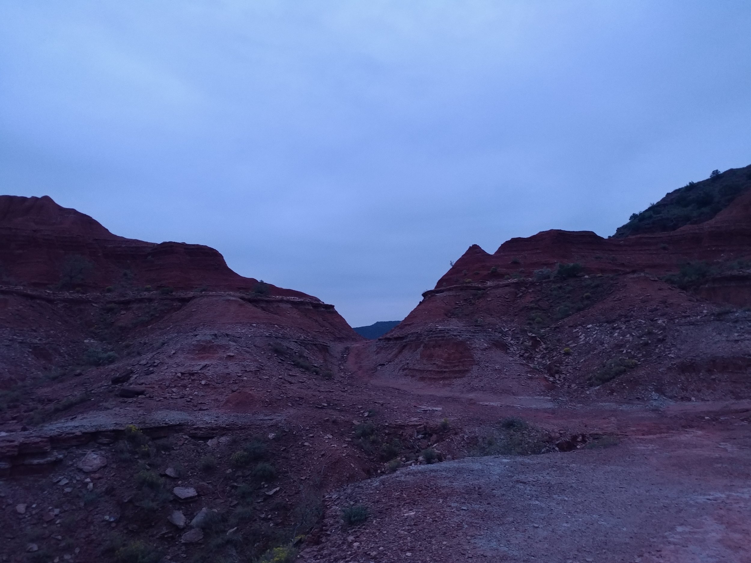
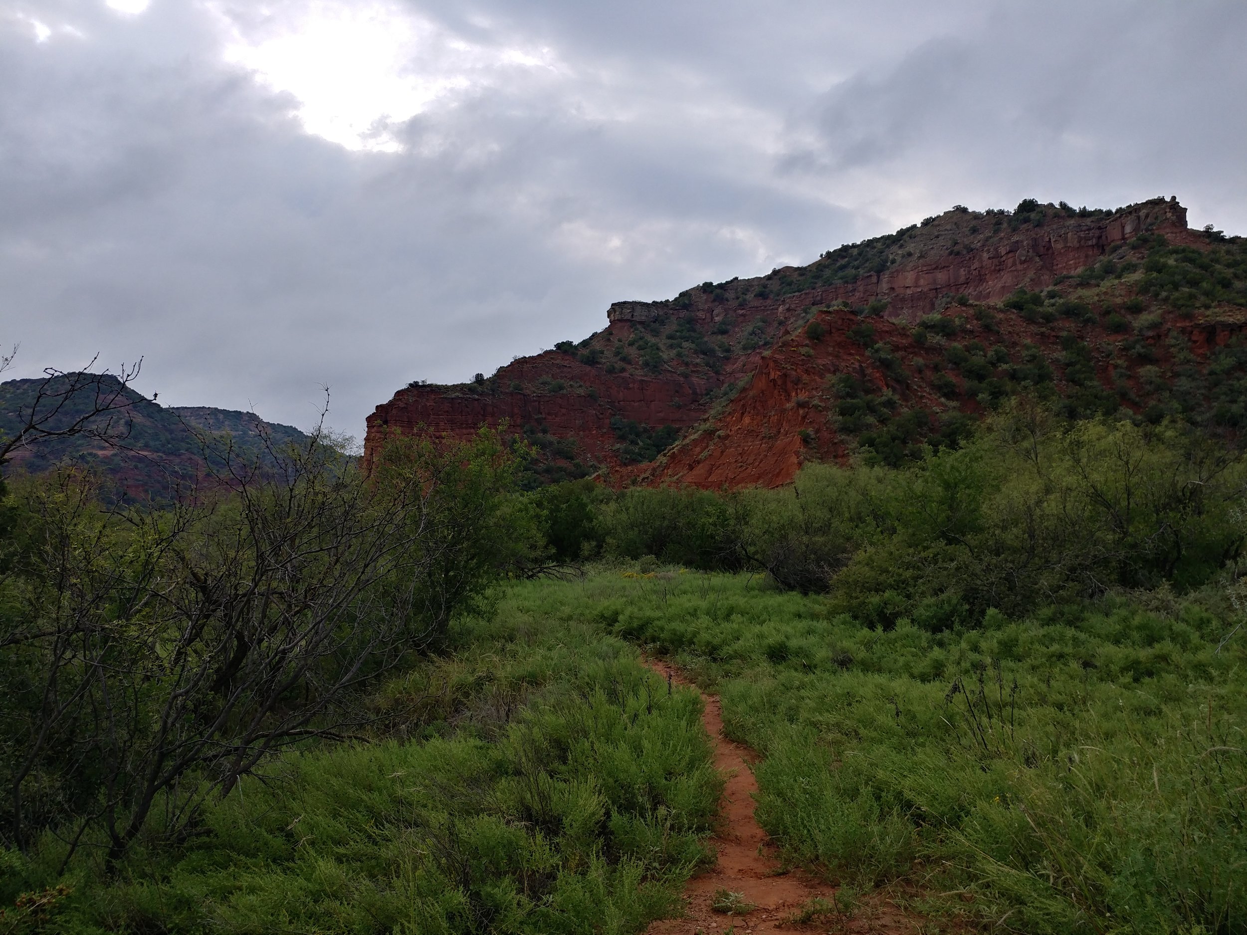
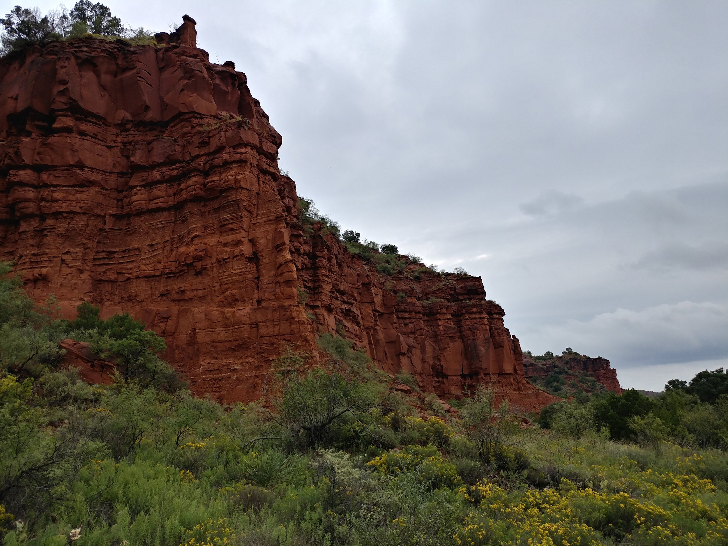
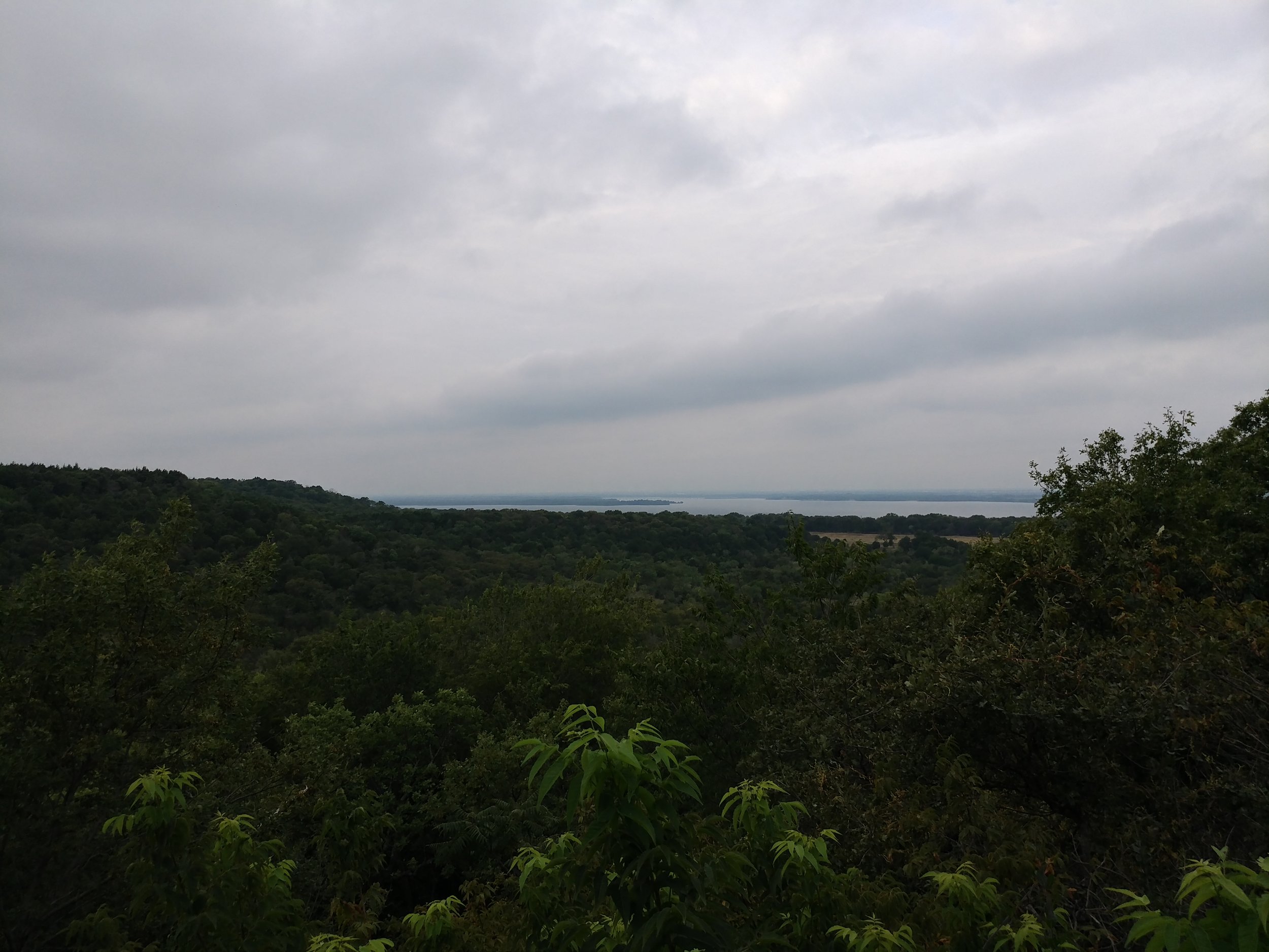
#hike39 - Caprock Canyons State Park
Location: Caprock Canyons State Park Date: 9/30/17
Distance: 9 miles
Trails: Main highlights were Canyon Loop and Upper Canyon (did some walking down random stream beds, along the roadway, etc)
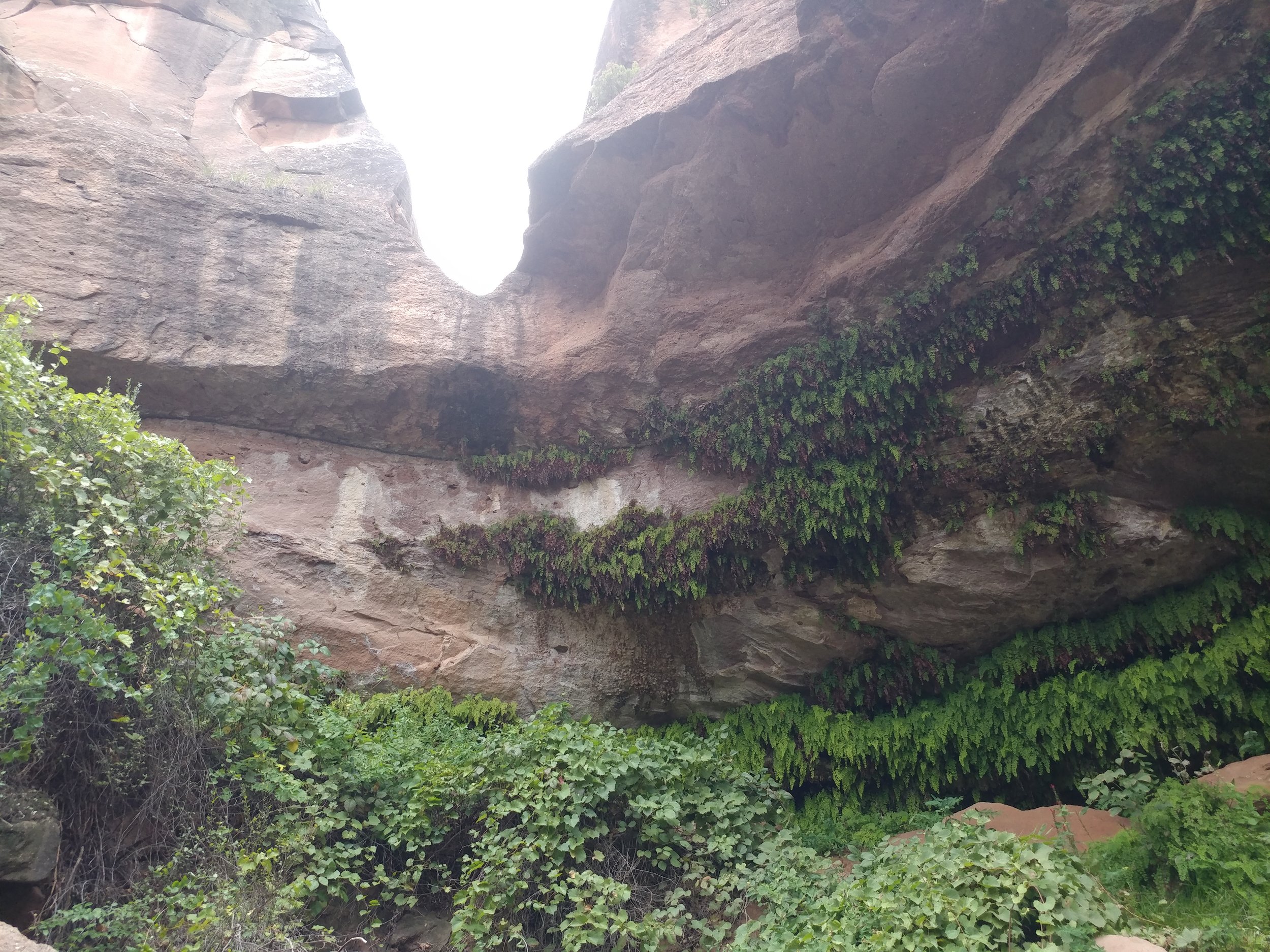
It was gray and misty, mild humidity, and cool in temperature. We set out from the campground down to a desert stream bed to see if it would lead to where we needed to go. Long story short, the stream bed did not take us where we wanted to go so we made our way back to camp and out to the road and onward to the trailhead parking lot - about a mile or so. Started on the Canyon Loop trail, which was familiar from our spring trek, and headed around to the Upper Canyon trail. We followed the Upper Canyon trail to the northeast corner of the park to a spot called Fern Cave. We passed two women hiking out of Fern Cave and they said it was spectacular. As we headed down the steep rocks into the cave, we realized they weren't kidding. The natural spring and temperature control create the perfect habitat for these ferns to grow. I've included a photo from 3/4 of the way down the descent:
The dog enjoyed fresh, cool water, and then we made our way out. We ran into a couple that was camping near us - and their dogs - and chatted for a second before heading back the way we came. We passed the women we saw earlier, they were enjoying a snack break, and we carried on. We get almost two miles down - to the point where we almost turn right on the Canyon Loop trail, and we are stopped because there is a huge bison on the trail. The bison was rolling in the clay when he wasn't staring us down. The women catch up, we brainstorm, and try a few options for getting around him as you aren't supposed to get too close or interact. We finally find a path through the woods - or overgrown brush really - that get us far enough around him to be safe-ish. The bison did start coming off trail towards where we were, but we just booked it as quickly as we could to put distance between us. The last mile-mile and a half was spent processing a situation I would have never guessed would happen. A lesson learned is always be prepared - it may have not been a bear or mountain lion, but a bison could be deadly if he charges.
By far, my most memorable hike yet. Here are some photos:
Hike 39 of 52
Total Miles: 174.5
Total solo hikes so far: 13/39
Total companion hikes so far: 27/39
Total hikes w/ the dog: 14/39
Total unique locations: 24/39
Total number of hikes fully enjoyed: 36/39
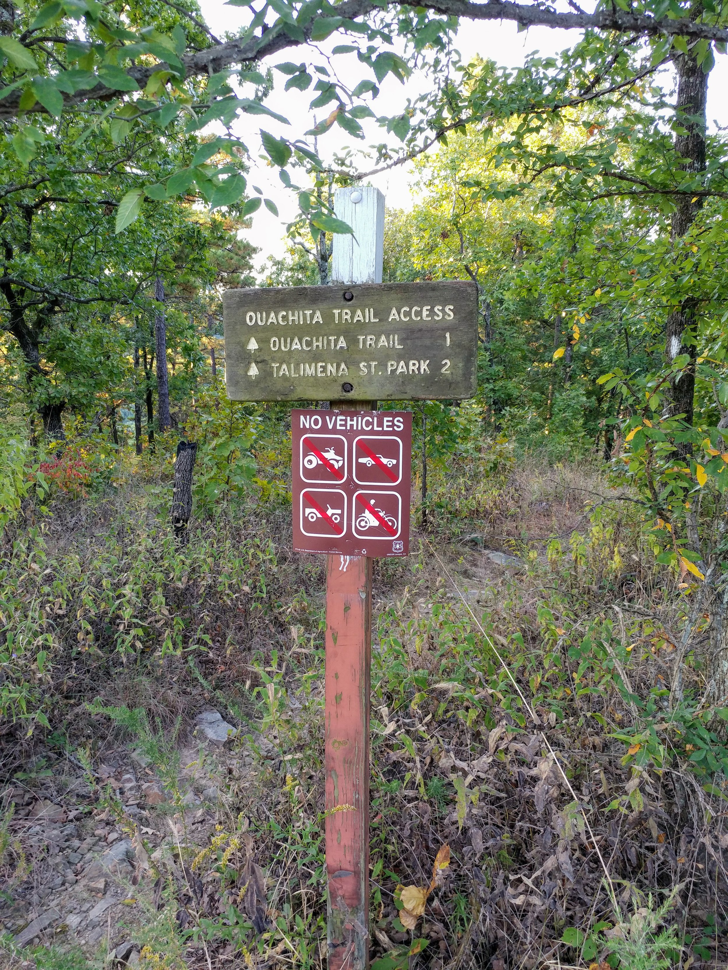
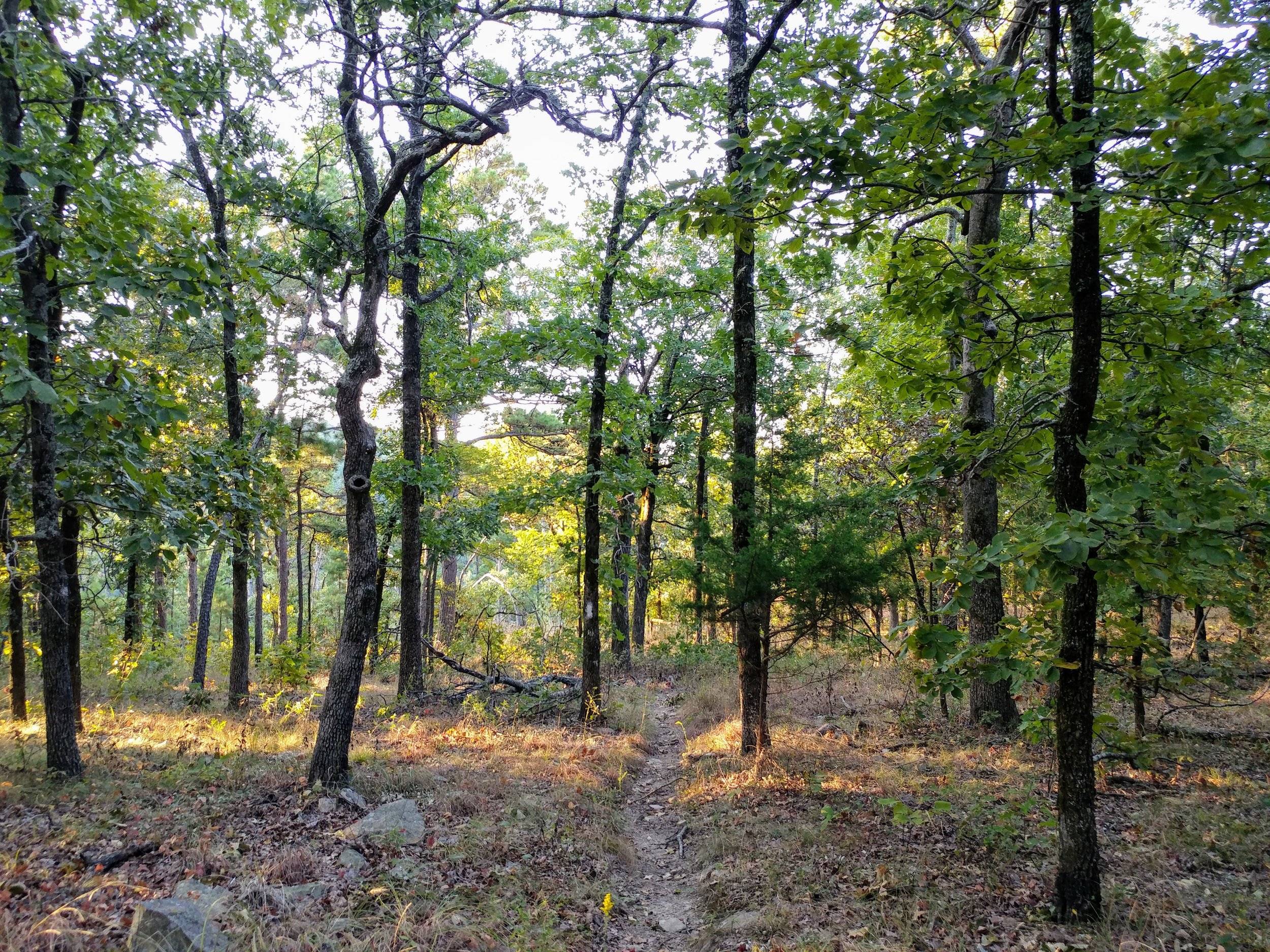
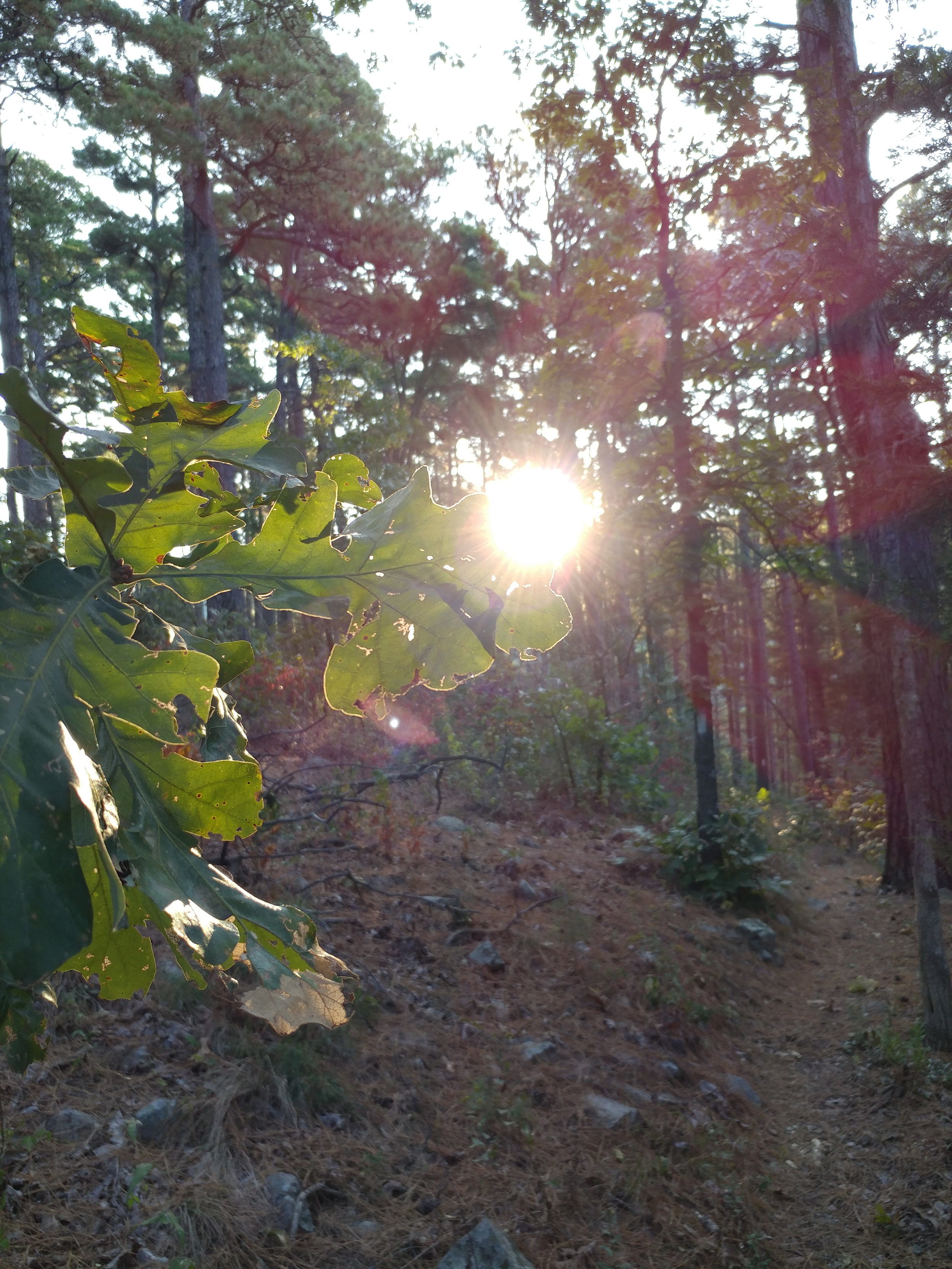
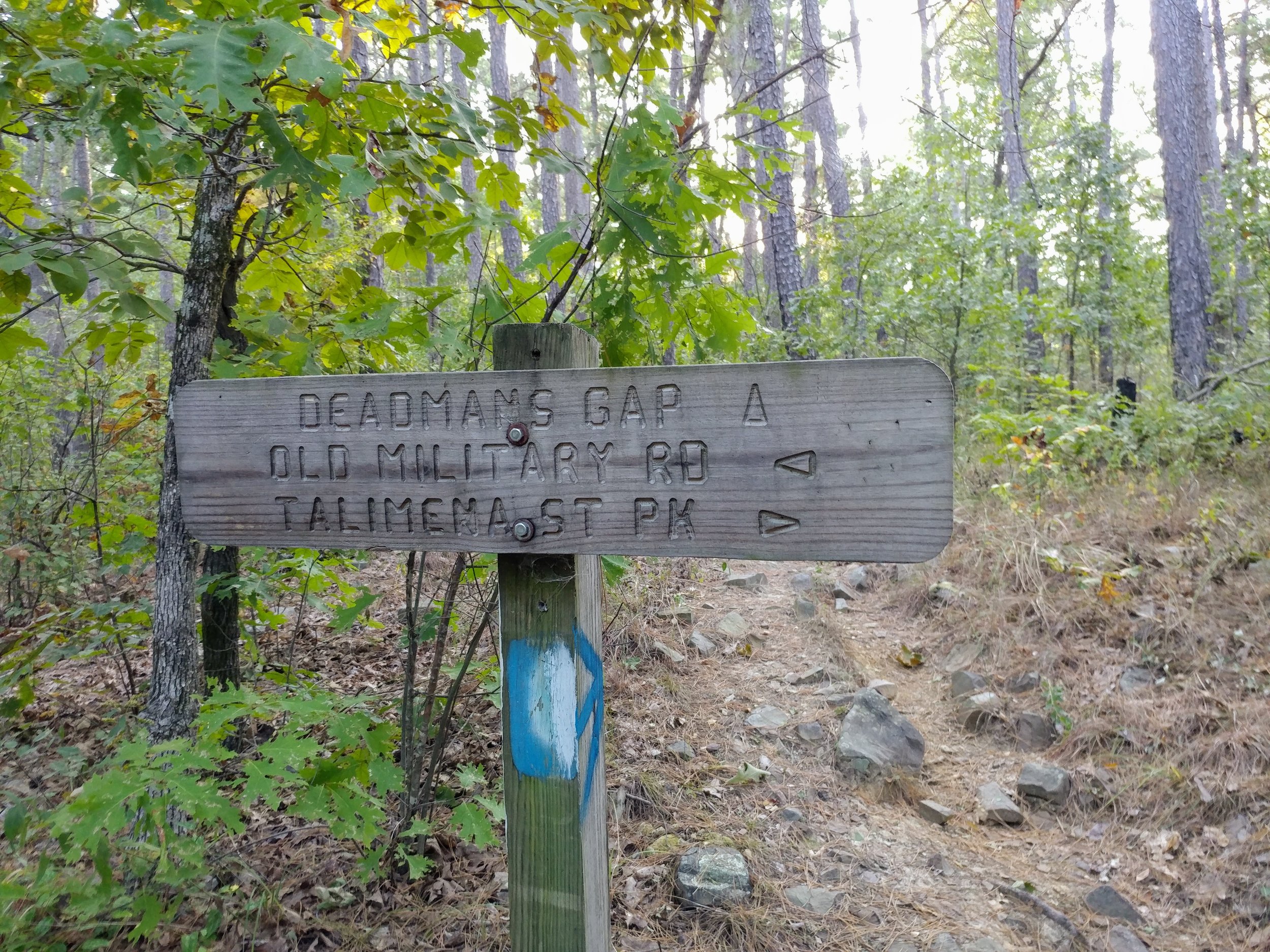
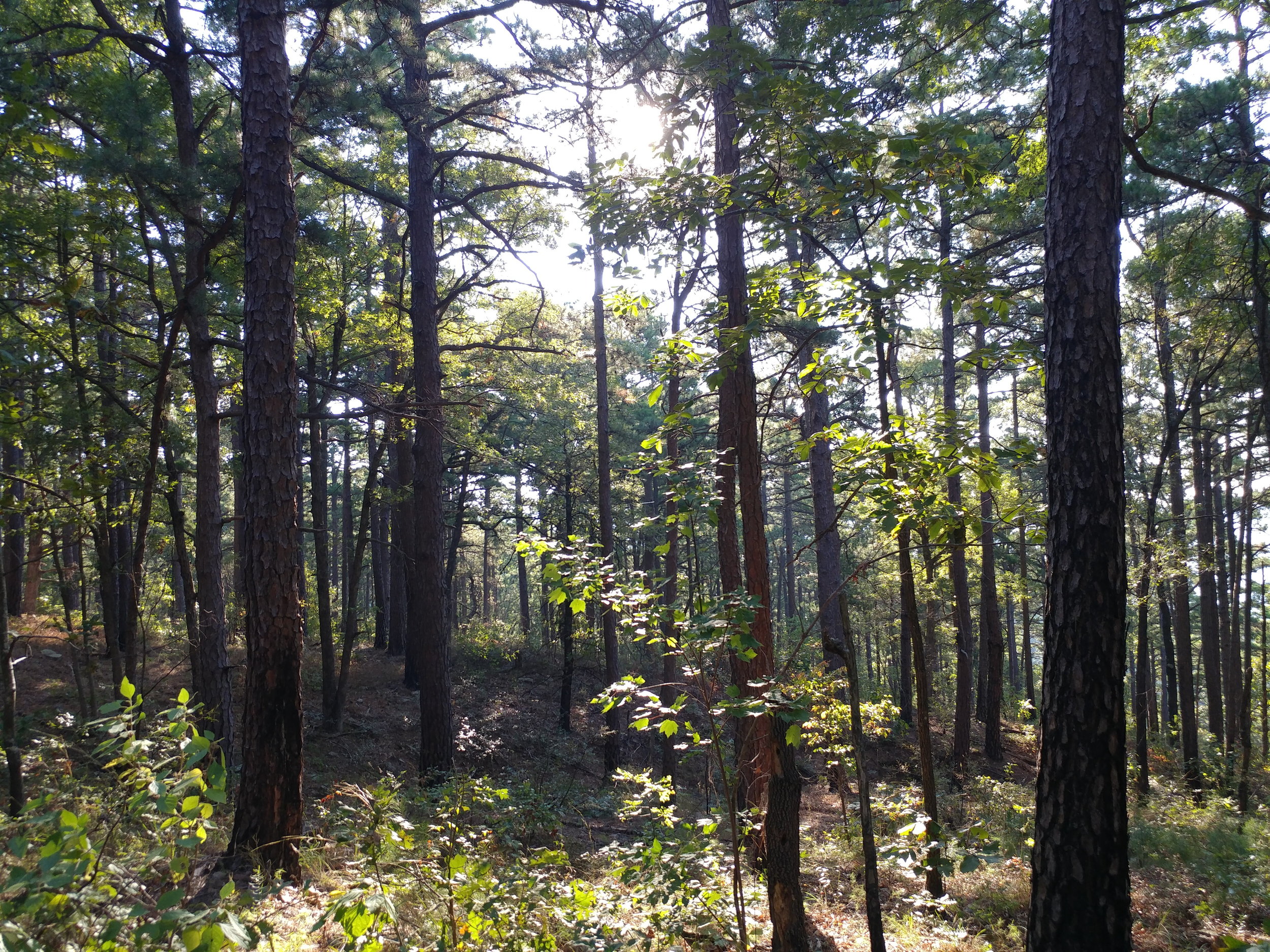
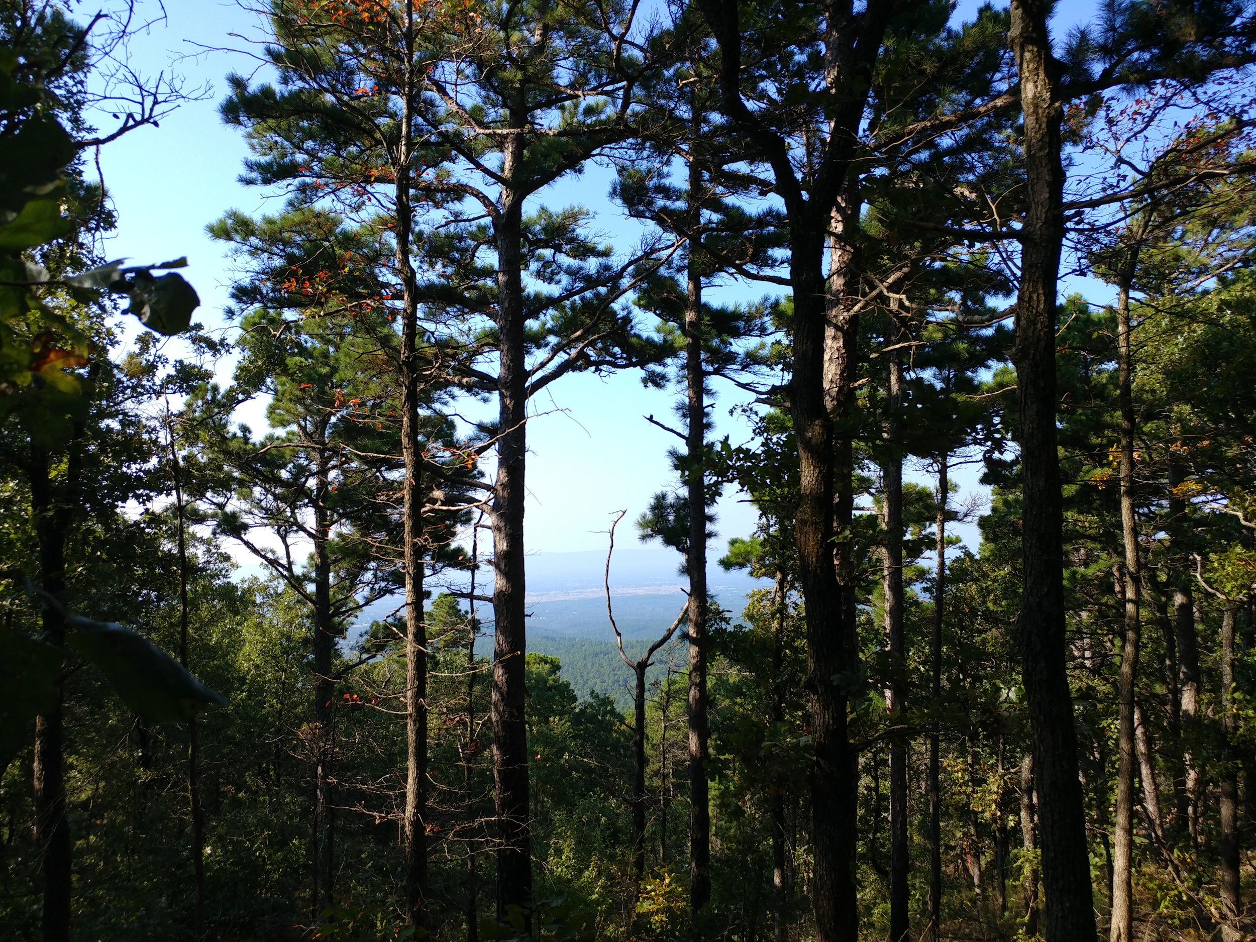
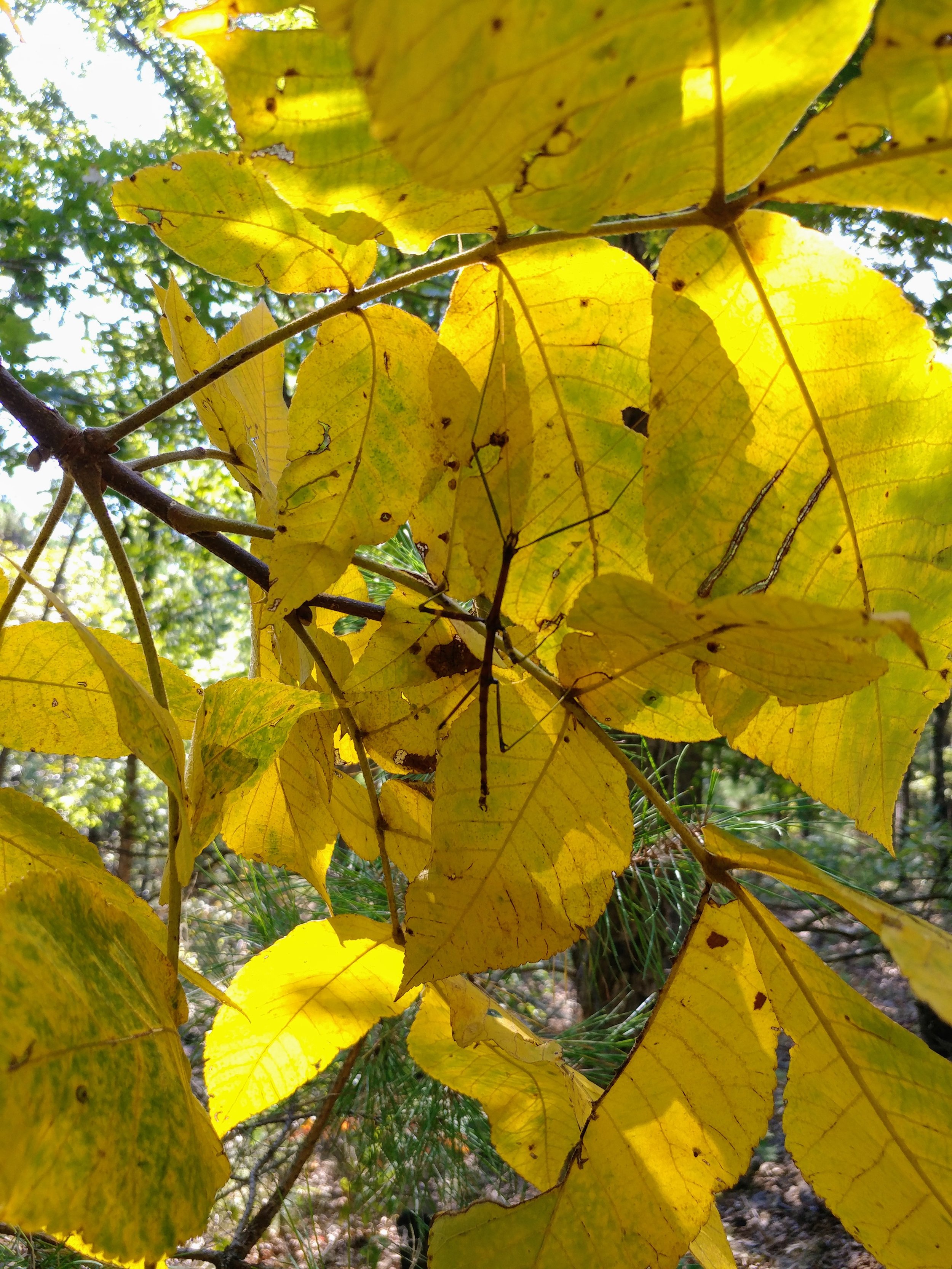
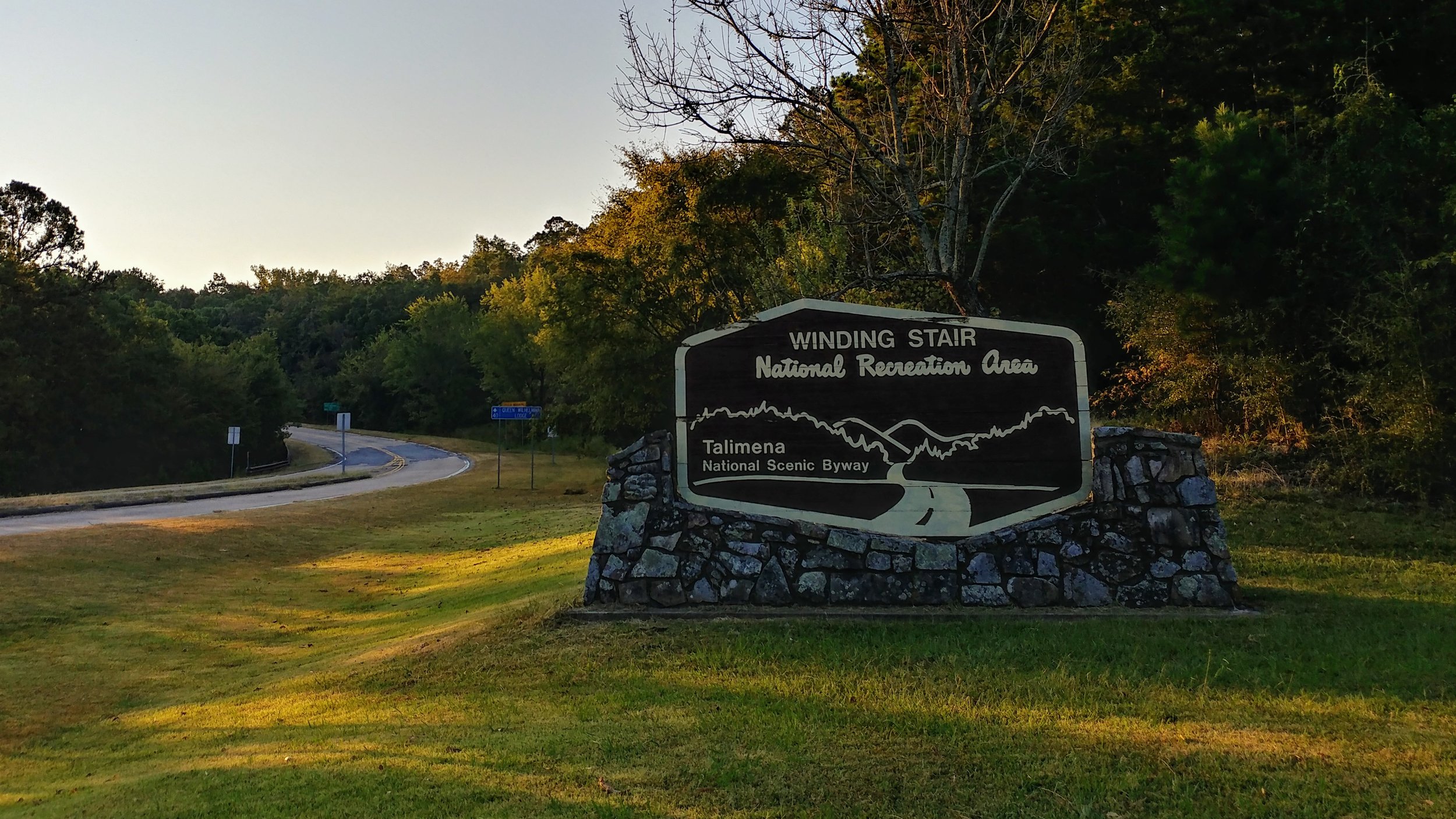
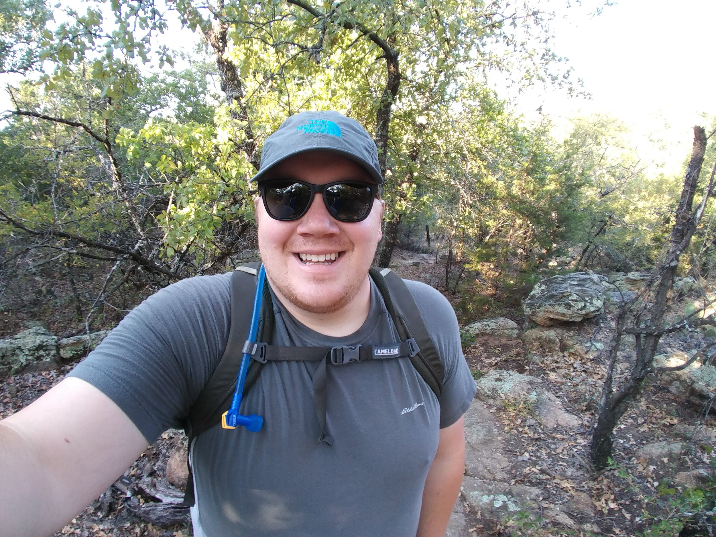
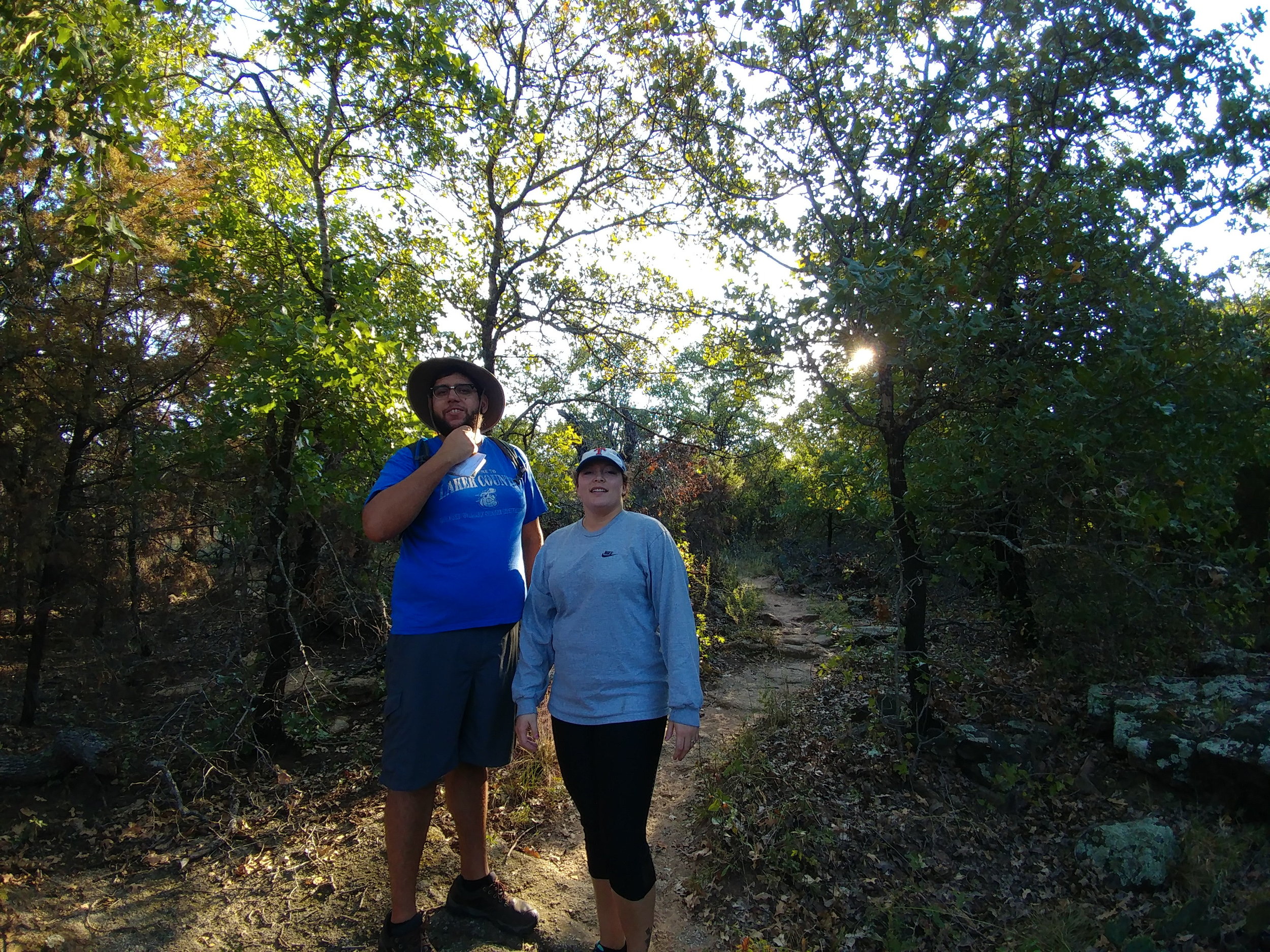
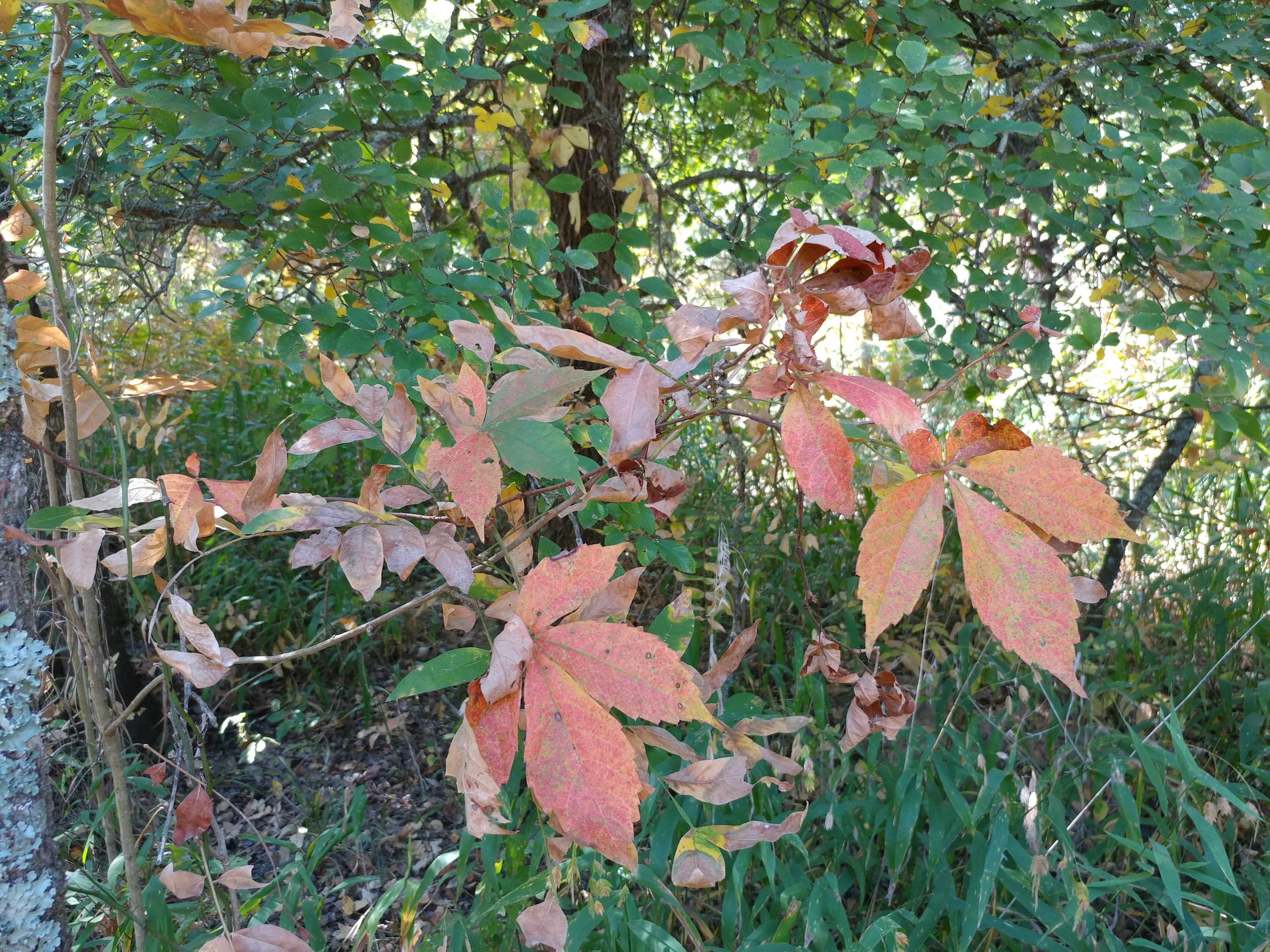
#hike38 - Ouachita National Forest
Location: Ouachita National Forest Date: 9/23/17
Distance: 7.73
Trails: Old Military Trail to Ouachita National Recreation Trail
I woke up at 3, left by 3:30 and made it to the trail by 7:45. I had a few stops along the way, but finally got there! The drive was fantastic - no traffic, pink sunrise over Oklahoma hills, and no traffic...ha.
I parked at the Old Military Picnic area and took the Old Military Trail south. It started off heading downhill via some large switchbacks. After about a mile, it met up with the Ouachita Trail. I headed east and went for couple of miles to Potato Hill Vista. The trail was mostly up-hill to Potato Hill. From there, I went a bit more east but turned around as the bugs and my legs were annoying.
I encountered probably fifty big spiders and their webs, walking sticks, horse flies, and various jumping insects. By far, out of 38 hikes, the most annoying for bugs. The terrain was one of the most challenging for me, as I live in Texas and our trails are mostly flat. On my return trip, I encountered 10 people - which was much less than expected.
The forest consists of a mix between mostly oak and pine. The pines are always a treat. I would like to go back and hike a bit more when it cools down a bit more and bugs go dormant. Highly recommend this trail for anyone in TX-OK-AR area.

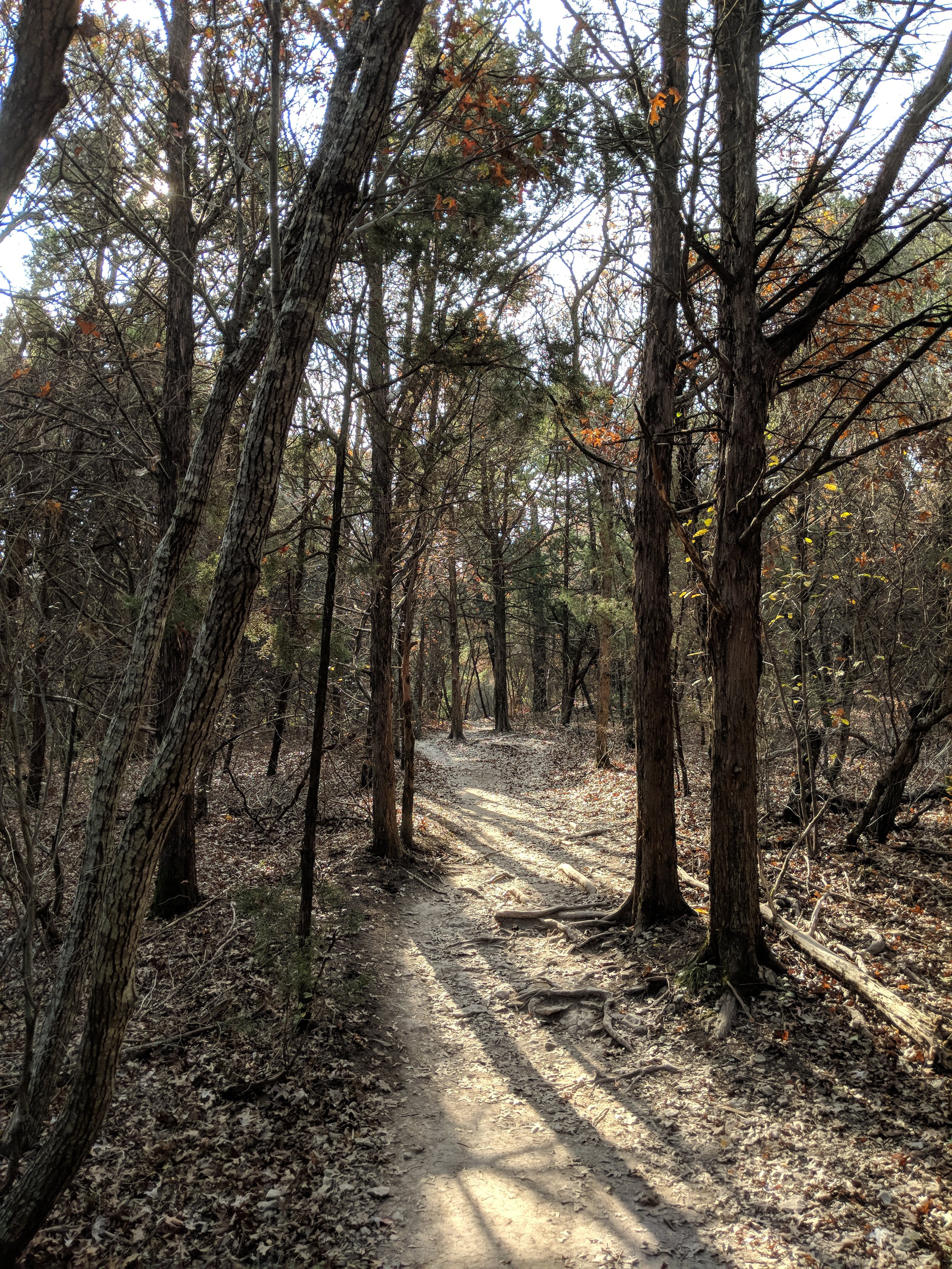
#hike37 - Lake Mineral Wells State Park & Trailway
Location: Lake Mineral Wells State Park Date: 9/16/17
Distance: 6.62 miles
Trails: Primitive Camping Trail; Cross Timber Orange, Green, Yellow, Maroon, and Black
Here's a trail map for reference: Lake Mineral Wells Trail Map
We - Eric, Nikki, and myself - arrived around 8:30 am. We set off without a real plan, but knew we wanted to get back to the large elm tree near the end of the yellow trail. We started on the purple route, which gives great views of the lake and then takes you through the woods to the mixed use equestrian trails. We eventually made our way around to the yellow trail. We came to the old elm and it appeared to have died, I'm currently looking into the situation. From there, we took the orange trail back to the purple/green/black trail overlap and encountered a lot of sand. At one river crossing, we spotted three water snakes and they started coming our direction, so we booked it out of there to avoid any confrontation. After miles of breaking through spider webs as the first to hit the trail, we finally passed packs of people heading out as we came in - perfect timing and worth the webs. Enjoy some photos, below!
#hike36 - Eagle Mountain Park
Location: Eagle Mountain Park on Eagle Mountain Lake (NW Fort Worth, TX) Date: 9/9/17
Distance: 5.11 miles
Trails: All south of the parking area
I was excited to show my friend this park - as I knew she'd appreciate it. I know it's a repeat of a last week's, but I just couldn't resist with limited time this weekend. We hiked the Main Park Trail, South Overlook Trail, Overlook Trail, and the Shoreline Trail. Starting at 7:30 offered great morning light and kept the amount of people to minimum.

#hike35 - Eagle Mountain Park
*It's not a real mountain, but the trail does offer a few good views of the lake. Location: Eagle Mountain Park on Eagle Mountain Lake (NW Fort Worth, TX)
Date: 9/4/17
Distance: 8.17 miles
Trails: All of them
Eagle Mountain Lake has some grand homes on the west side and this nice park tucked in on the east side. The park has about 8 miles of trails, give or take a few, and they're quite nice. There are many hills, expansive views, and the trails are generally well maintained. The paths are marked with color coded posts and there are plenty of maps throughout to guide you through. I got there early, thankfully, because as I was wrapping up everyone and their brother was unloading and starting their day. I found many quiet spots, cleared my head, and got some good exercise too. The Shoreline trail is very peaceful with the sounds of wind through leaves and waves gently hitting the land. Starting before 8 AM, I found most areas to be well shaded until about 9-10 AM.

A little more than halfway through...
 I'm more than halfway through, now, and I'm pretty excited to still feel so alive and motivated. I am thrilled to continue to discover the trails in Texas as well as a few new ones around the great USA.
As someone that has never ran more than a mile, really didn't hike too actively until almost 30, and didn't really know what a balanced diet was until recently, I feel I'm on the right path and doing well. I'm not downplaying my experiences, but I know there is always room to grow. I'm somewhere in the middle of figuring it all out - just as I'm somewhere in the middle of this challenge.
I keep saying I want to increase my hiking lengths, and I will. BUT, today, I learned I also want attack more hills and build some strength. Damn, it felt good to tackle the hills today - such a high. Within the week, I am going to start training for a 5K - to some that isn't much, but to me it'll be a real test. I want to be able to run the whole thing and feel that high at the end. I guess we'll see how that goes. I'm not quite at the point of wanting to join a gym or anything, but I am ready to run. I've been walking all year, more so before the Texas summer, and I am ready to go a little faster.
I dream of mountains. I don't have a lot of experience at high altitudes or with massive elevation gains, but I am not ever going to shy away from the opportunity to try it out. I know whenever I get the chance, I'll be soaked with sweat and have jelly legs but I'll have accomplished something new. SO, bring on the mountains. I'm working on developing a new challenge for next year that may involve mountains - to encourage a little push outside of my comfort zone and a little push outside of Texas.
All in all, I'm excited for the upcoming 18 or so hikes left in the challenge. I am hoping a couple of them will be in Michigan, at least one in Washington, and maybe a few in National Parks.
To conclude this little blurb, I write in this blog as kind of way to recall what I've done. I know it's not highly organized or polished and it doesn't follow a great format - but it's more for me to use as a way to trigger memories. I am seriously happy if anyone enjoys it and I hope it really does inspire someone out there, but don't be too critical of it as a whole. Thanks!
Happy hiking!
#hike34 - Cedar Ridge Preserve
Good morning! My hike this morning started early and ended strong. I set out to do the 8 mile DORBA loop at Cedar Hill State Park, but their trails were closed and were not marked on the website or social media - eye roll. Cedar Ridge is always a favorite and I wasn't even mad that I had the pleasure of hitting those trails. I actually remembered a trash bag too so I could collect the crap left behind by others. What a great morning. I beat the rain, by about an hour, and it was worth the early morning on a Sunday. Location: Cedar Ridge Preserve - Dallas, TX
Date: 8/27/2017
Distance: 4.2 miles (though, Google said 4.78 which I think was a stretch)
Trails: Cedar Brake, Fossil Valley, Cattail Pond
I set out to do all the hills I could find, and I did. I did the Cedar Brake trail which goes up and down, did the Fossil Valley because I knew it had a steep one, and same with Cattail Pond back to the parking lot. I really needed a day like this - to get my butt back in the groove of things.

Happy hiking!
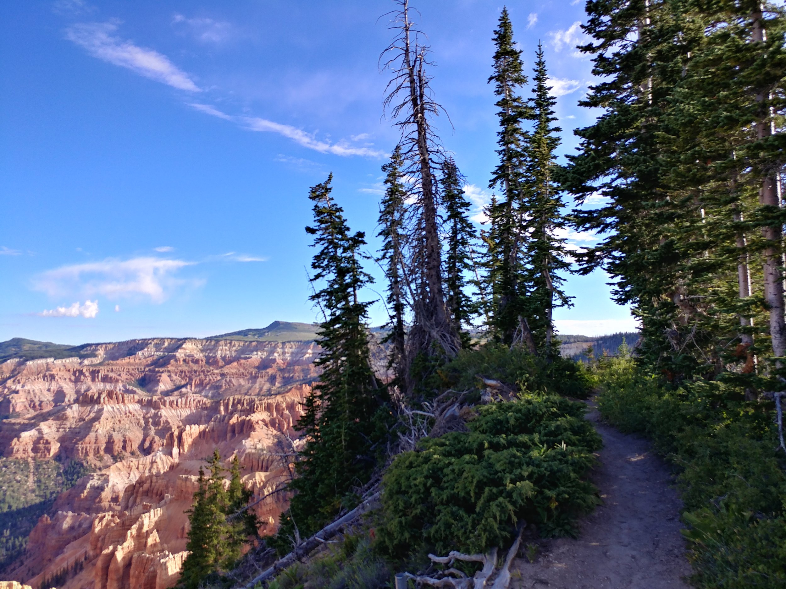
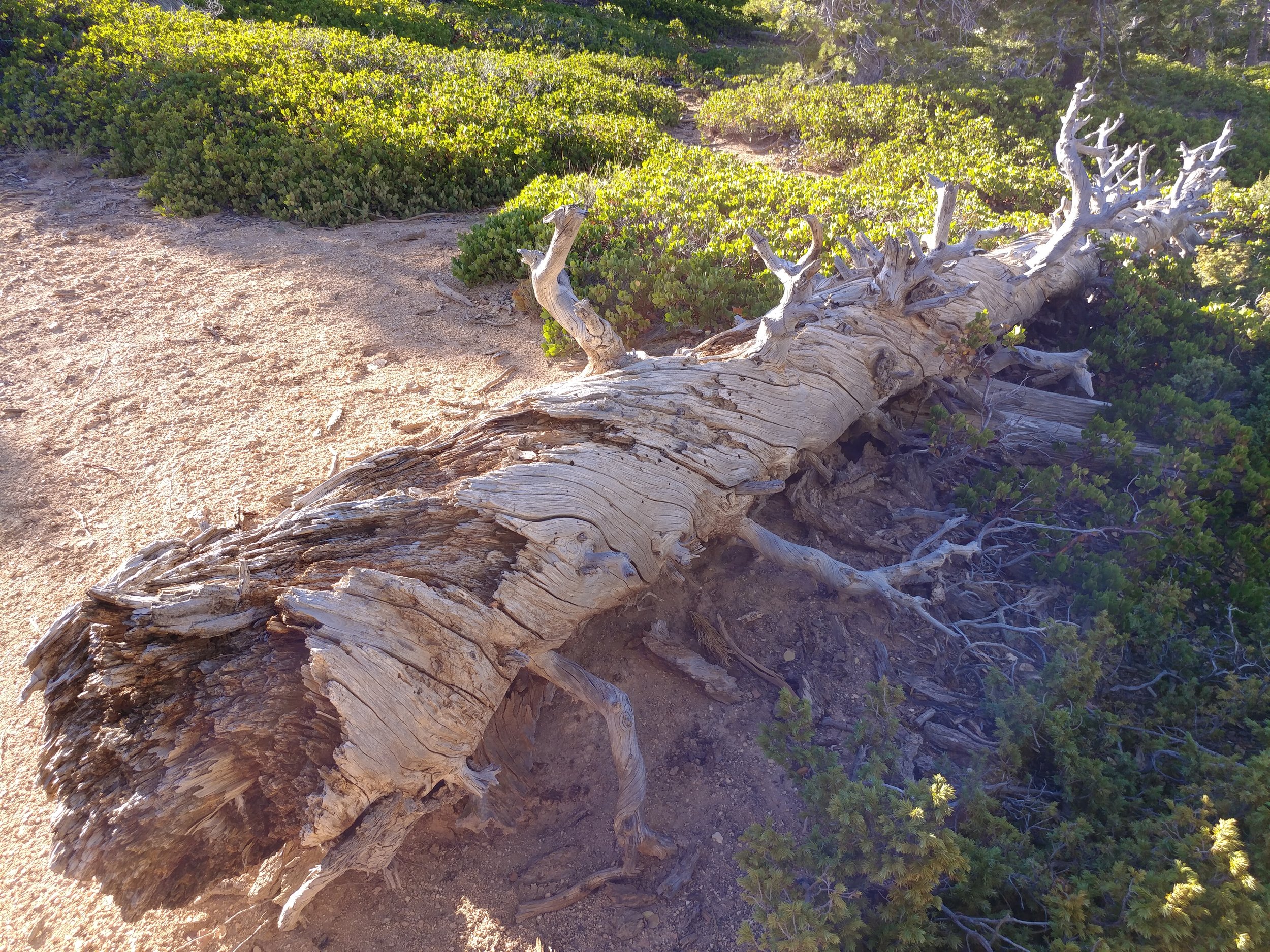
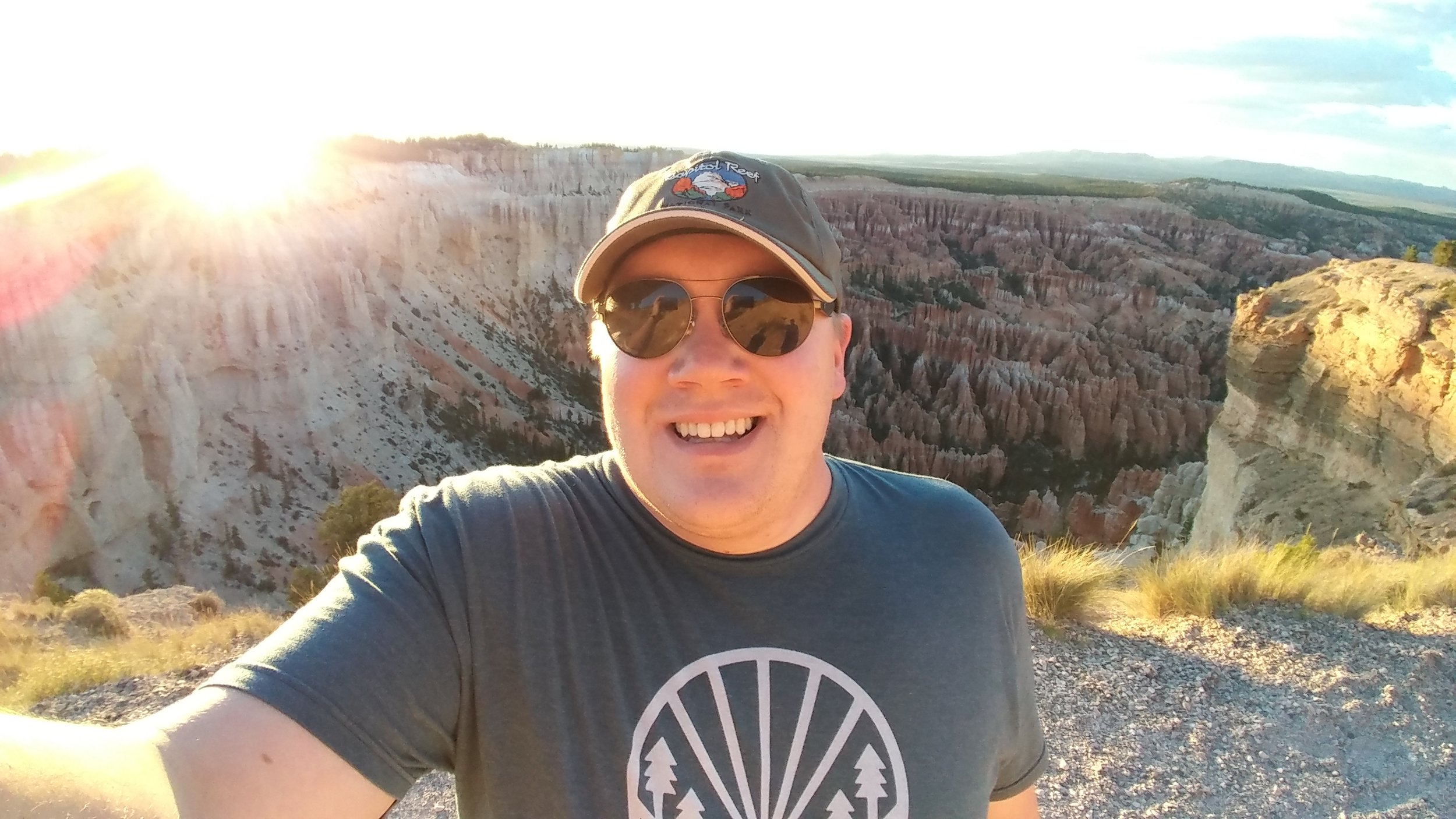
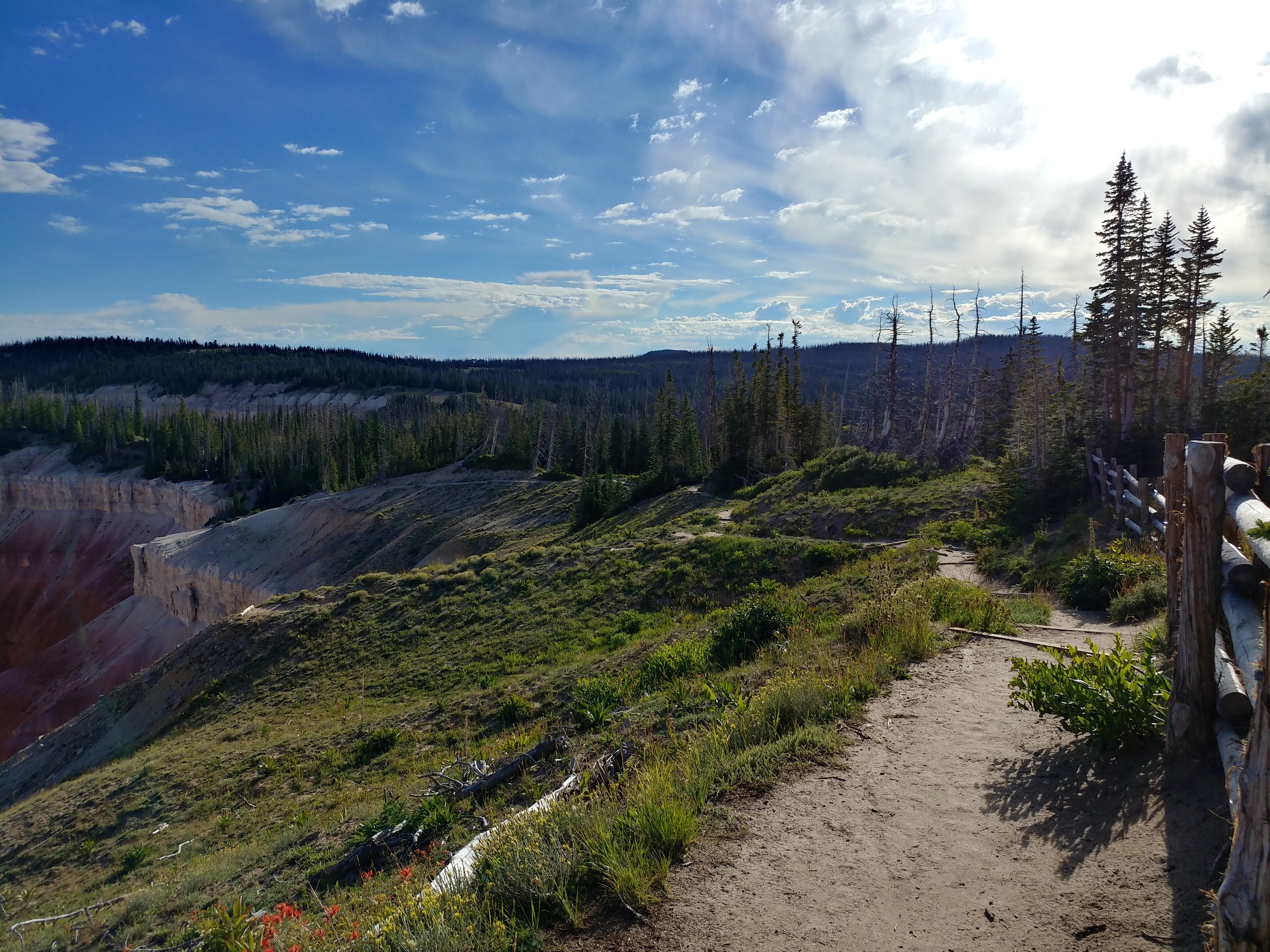
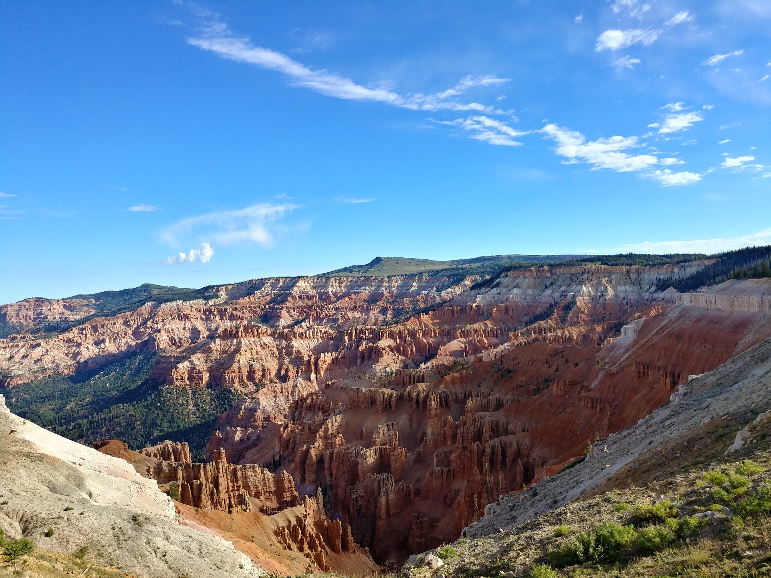
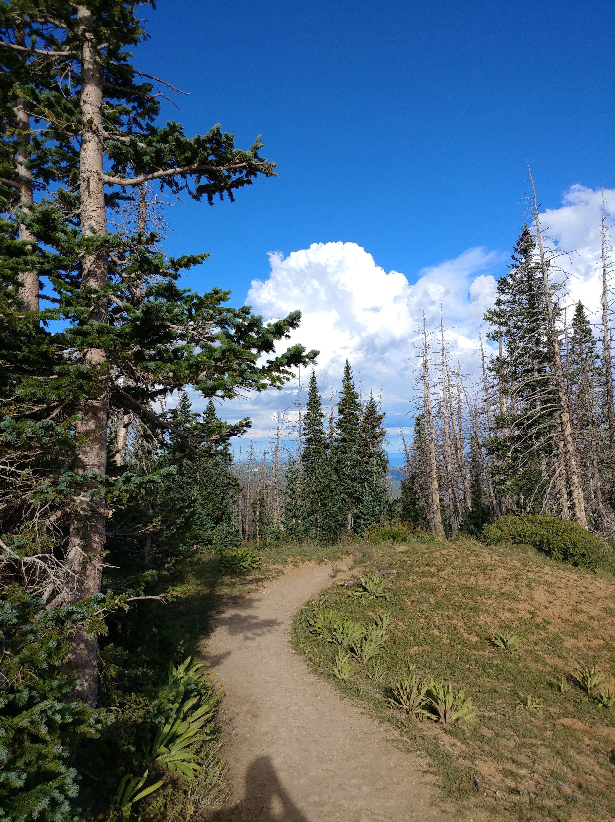
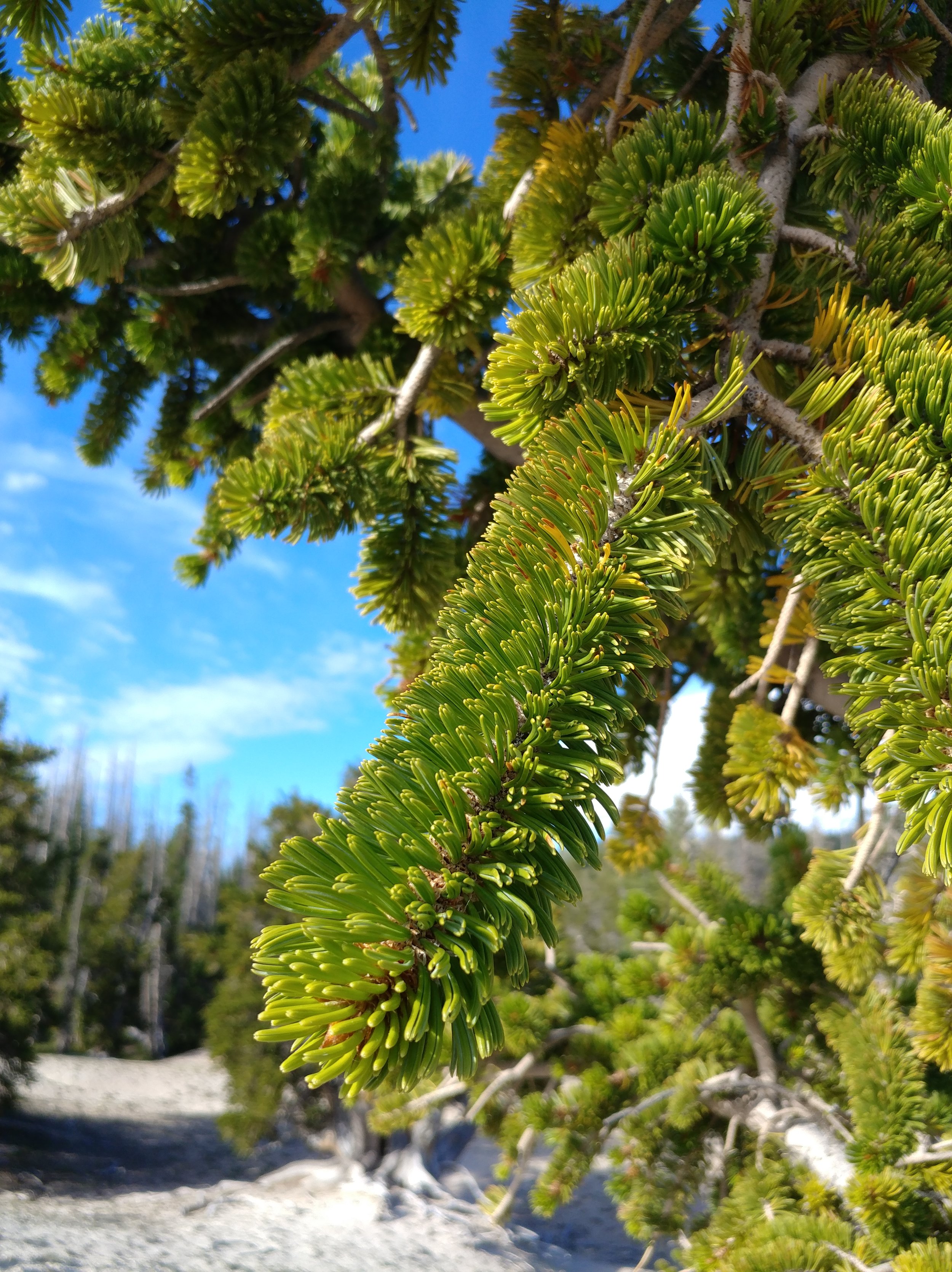
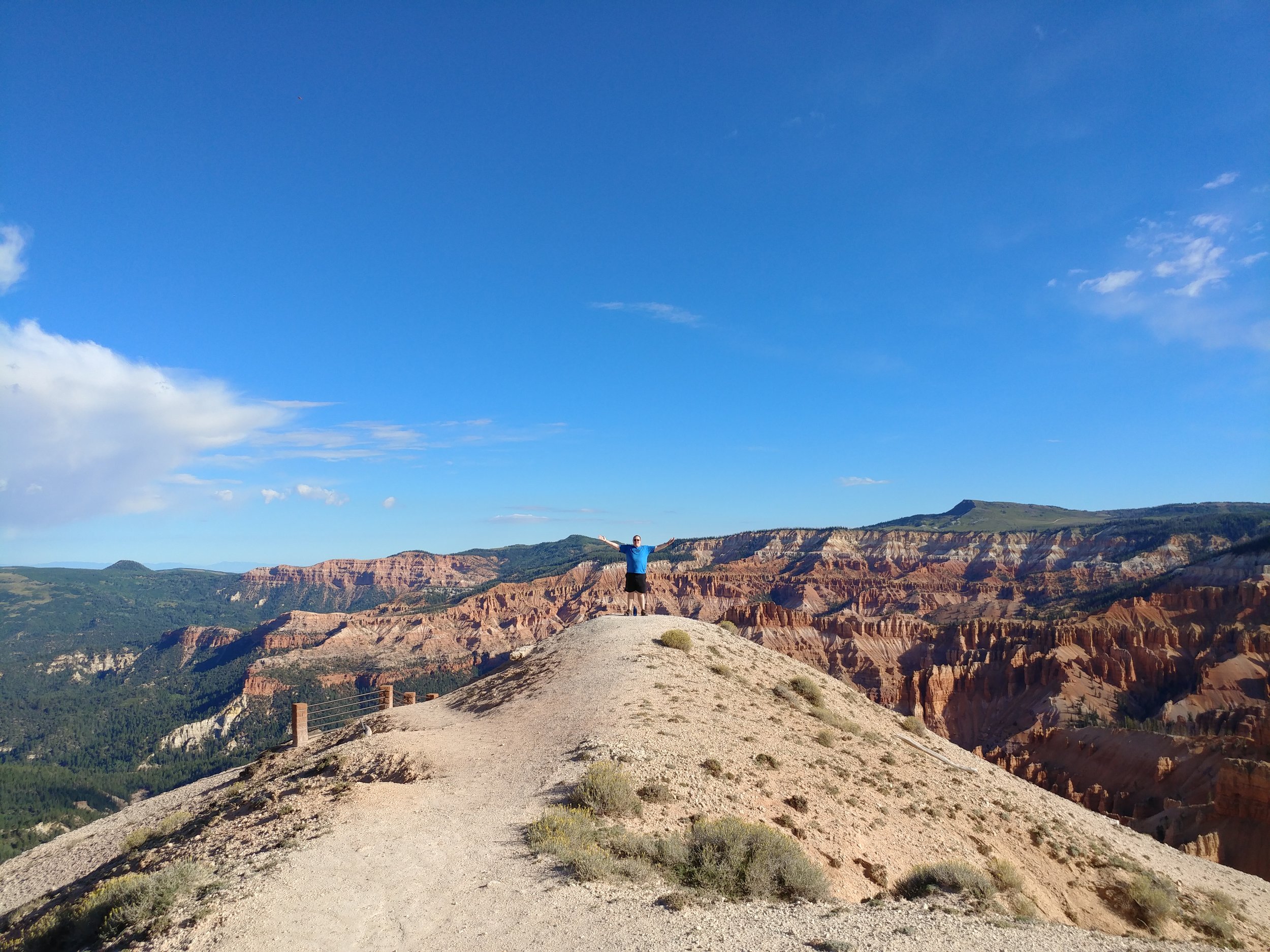
#hike33 - Bryce Canyon NP & Cedar Breaks NM
I'm actually documenting two hikes for this one, as they were within 18 hours of each other. Hike 33a: Bryce Canyon National Park - Bristlecone Loop - 1 mile (8/20/2017)
Hike 33b: Cedar Breaks National Monument - the hike to Spectra Point - 2 miles (8/21/2017)
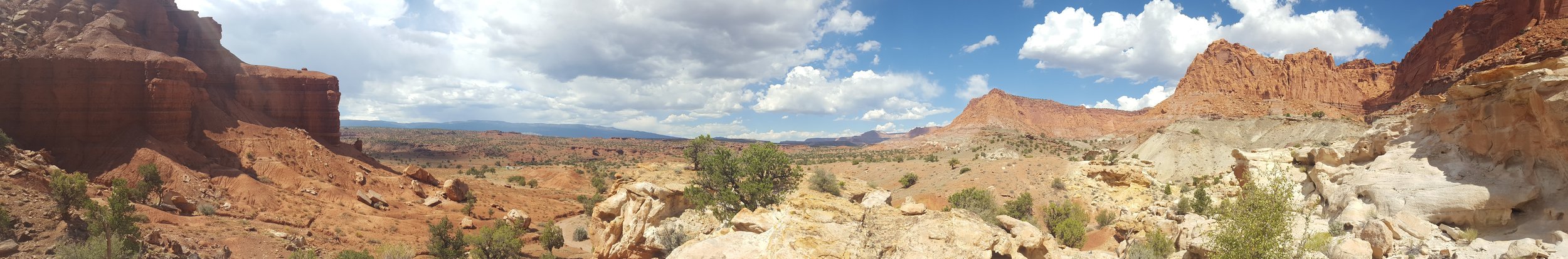
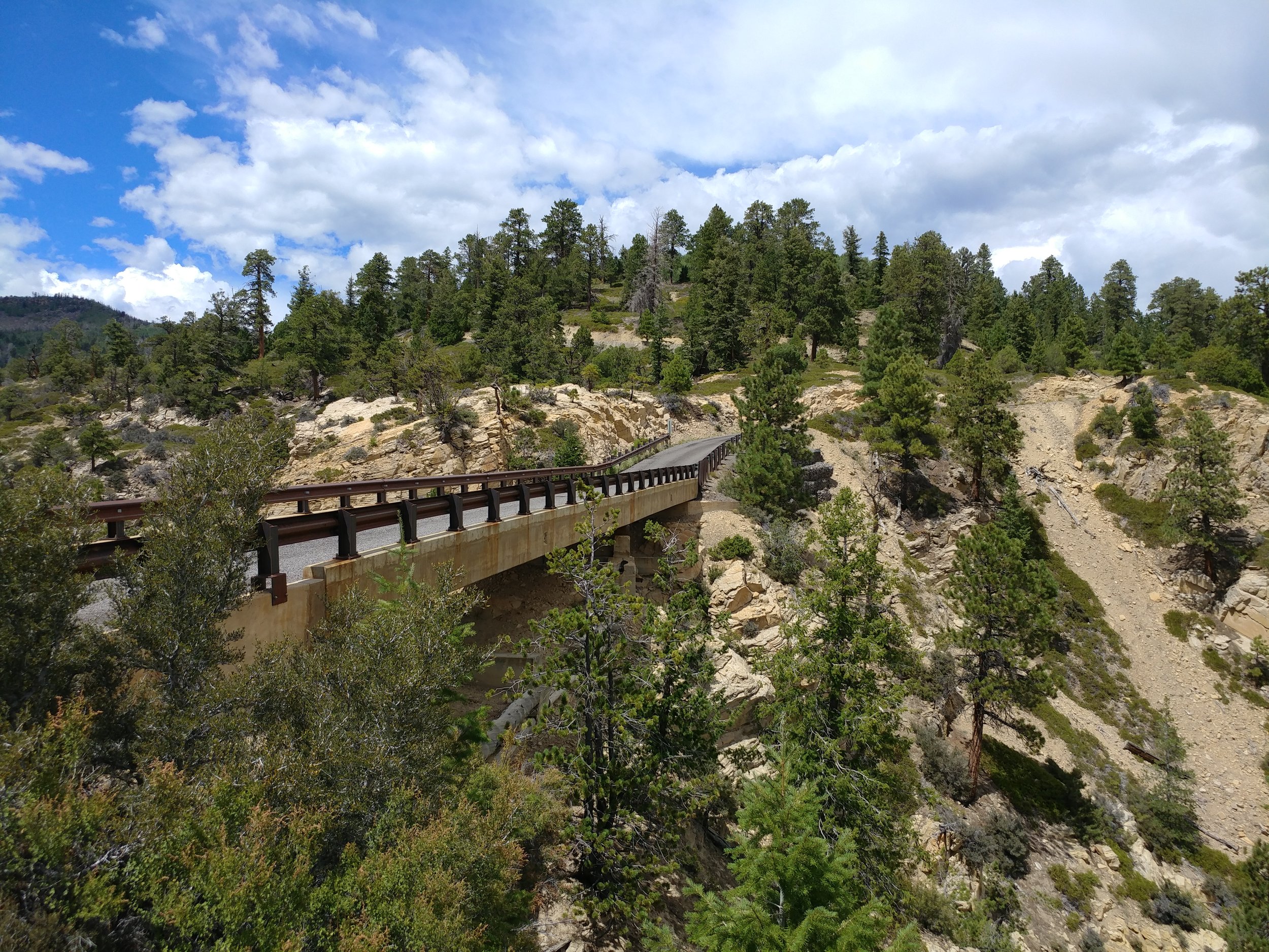
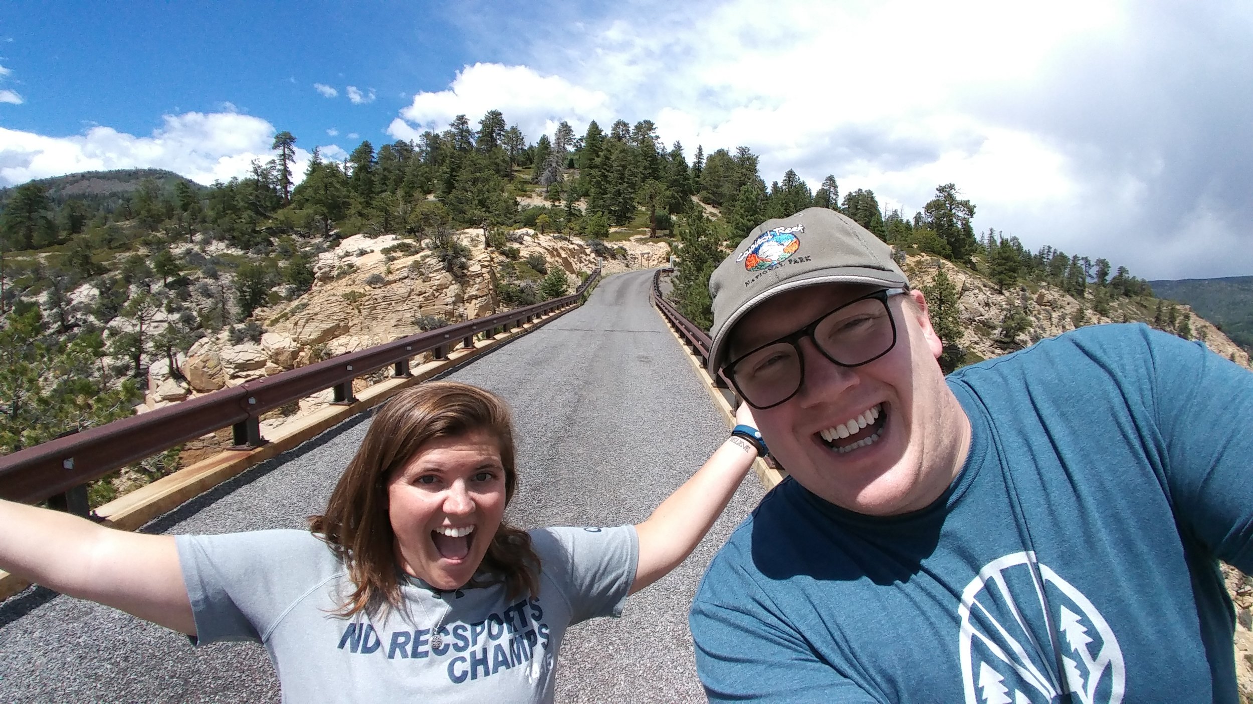
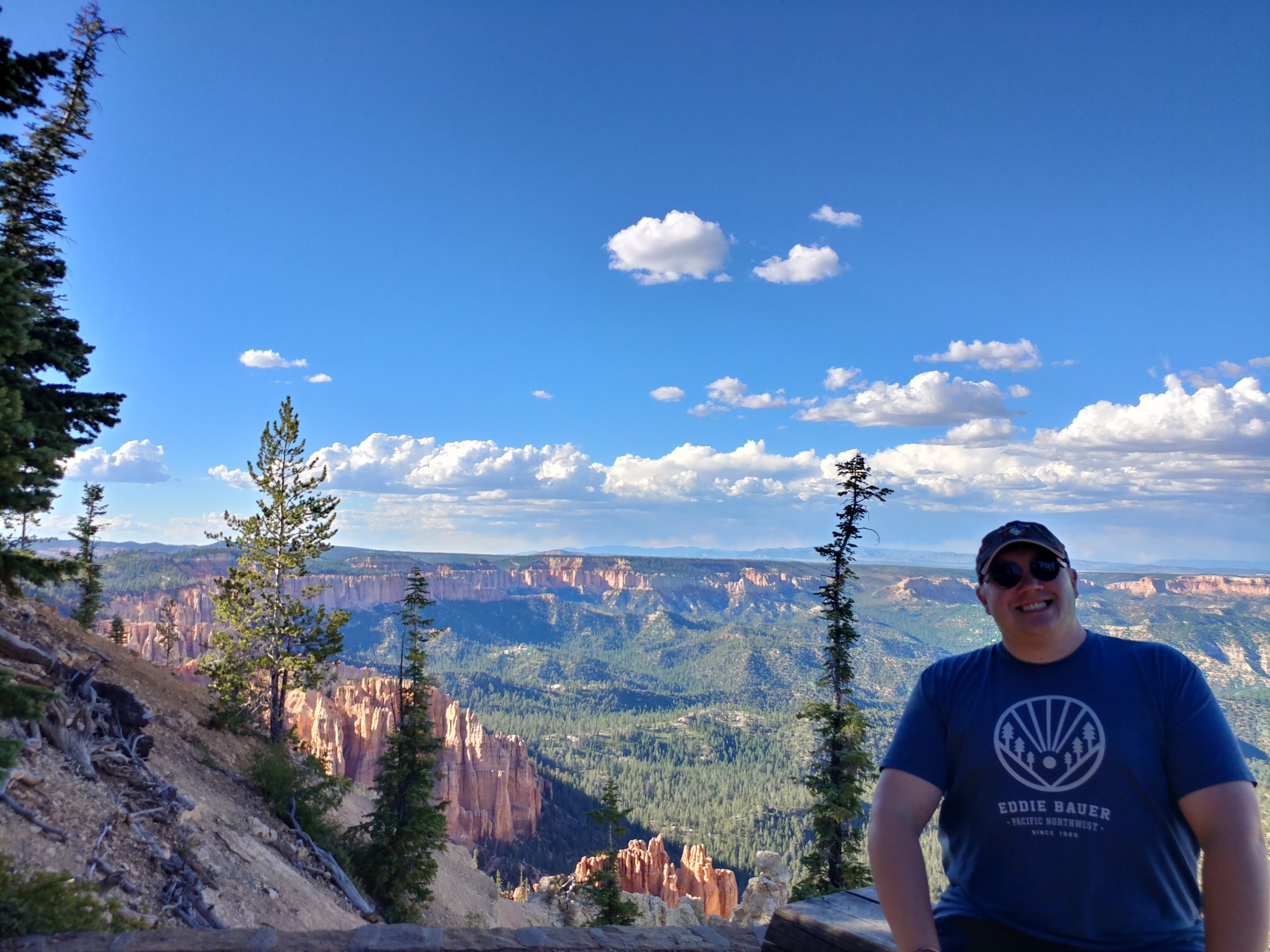
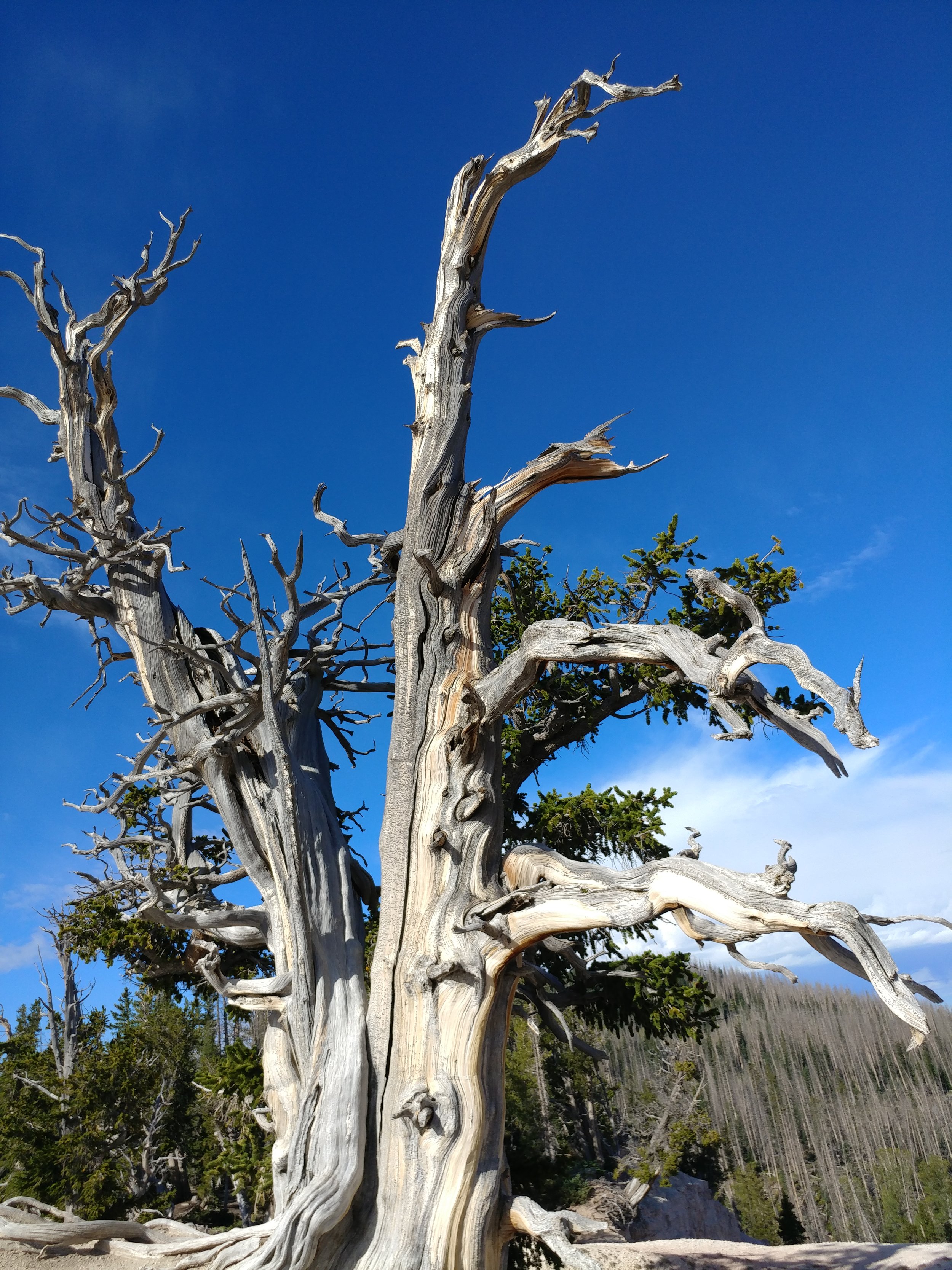
I had planned a solo scenic trip to Utah, and then my BFF decided she could join me! I was pumped, as I knew she'd appreciate it all as much as I did. We both flew in to Salt Lake Friday, managed to get dinner and a hotel and rested up for morning. Saturday, we woke up early, as it is our nature, and headed south. Our first stop was Capital Reef National Park. We did a partial hike at Chimney Rock, stopped at the visitor center, and absorbed the views from a few viewpoints. We took the scenic Hwy 12 byway onward to US Forest Service RD 153 to Hells Backbone. The drive was on a narrow road through the hills and forest to a spot that took our breath away. Once there, the narrow bridge spanning a deep groove through the rock was intense. *Pictures are just placeholders - there to trigger the memory* From Hells Backbone, we moved on towards Bryce Canyon. I had been to BC once, in the winter of 2010, so I was anxious to see it in the summer - and go all the way in to the park. Upon arrival, we headed directly to mile marker 18 at Rainbow Point. Our hike here would be the Bristlecone Loop. We walked on the edge, ish, and read about the pines. We were in awe. Amazing to stare out, and think about all of this coming to be. We moved down to other points, via car, and got out at most of them. The sun was setting and we made it back to Bryce & Inspiration points just as the light was running out The clouds were puffy and there was rain in the distance. All in all, we didn't hike much, but the bits we did at each point were enough to make your blood rush, your brain stop, and your eyes widen.
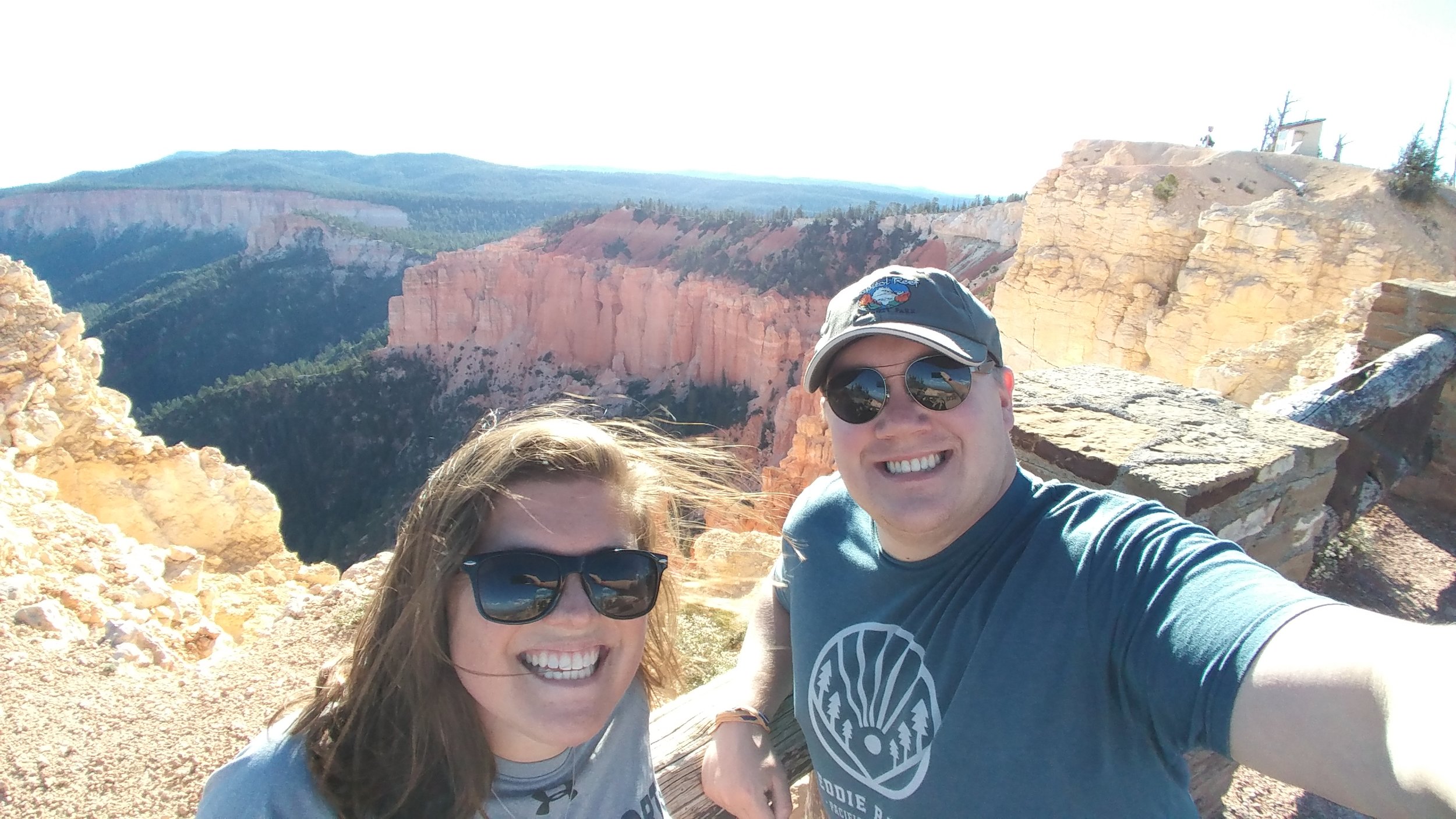
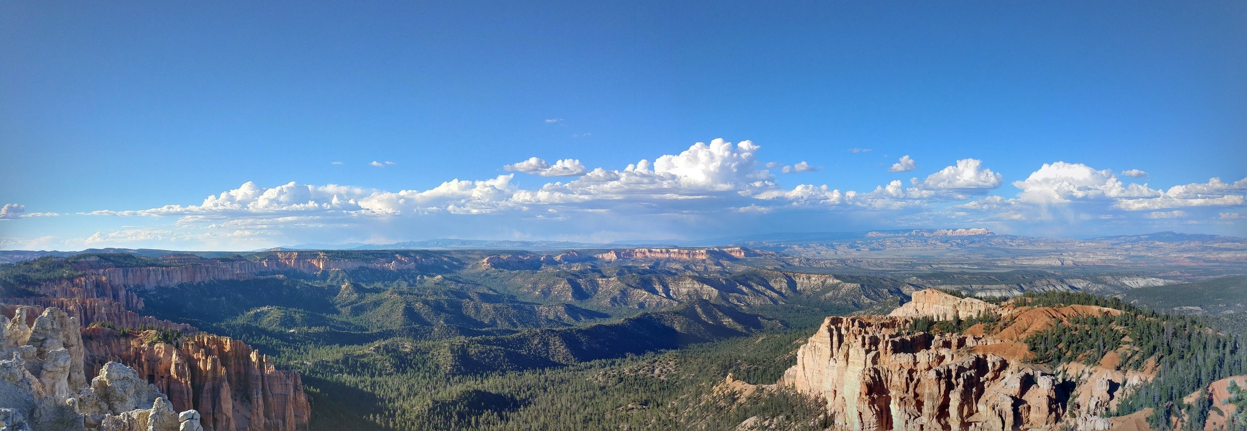
The second part of this hike was a morning hike, just after sunrise, at Cedar Breaks National Monument. THIS PLACE... I've wanted to go here for a while now, and I want to get back already. Our first stop was the ranger station, and Point Supreme. There was a rainbow in the distance, and it was one of the most magical scenes of my life. From the height, hoodoos, and sunlight, I was in total awe. We started off on the Sunset trail, but turned around. Went back and did the Spectra Point trail. It was a two mile trek in all, and looked promising. We stepped out on the first part, just over the initial hump in the trail, and I gasped with excitement...we would be walking around the edge of the canyon. This trail gave me a rush, I felt alive. Once at Spectra Point, my heart was racing from the thin air and the excitement. The views were stunning and the big old Bristlecone was inspiring.

All in all, it was a quick trip to Utah and so much was taken in. I am still, a week later, processing everything. I can't wait to get back! Happy hiking.