Uncategorized

#hike18 - Cedar Ridge Preserve

Date: 5/13/2017 Location: Cedar Ridge Preserve

Distance: 3 miles

I hiked 3 miles, without technology.  No phone, camera, or communication device.  What a beautiful hour or two off the grid - including the drive.

I hiked the cattail trail and the cedar brake trail.  For a few minutes, I didn't see anyone then I ran into three separate slow groups.  I really pushed myself and sweated it out.  I looked down at one point and saw someone had scribbled "you're getting healthier" and "keep going" and "the final push!" on the roots of the hillside.  I pushed through the last mile and it felt so good.

It was an hour of therapy.  An hour of self care.  Solo hikes have their benefits.

#hike17 - Dinosaur Valley State Park

Date: April 30, 2017 Time: 12:30

Place: Dinosaur Valley State Park

Distance: 4.5 miles

Today, instead of our regularly scheduled hike, we picked up a friend and my aunt and headed down to Dinosaur Valley State Park in Glen Rose, TX.  It was a very cool 70, it was windy, and the sun was shining.  We did the Black Capped Vireo Trail, Overlook Trail, and the Paluxy Trail.  All in all, the terrain was moderate.  We arrived shortly after a mountain bike race, and had to deal with some of the after effects including a few bikers, and various confusing trail arrows.  We would have loved a warning from the front gate about the mountain bikers, but all in all it wasn't that bad.  The river was flowing, but it was low, so crossing to the trails weren't that bad.  Chewy the dog had a good swim hunting for sticks.

As far as my hikes go, I'm up to just over 86 miles after the hike today!

Trail Map


#hike16 - Lake Tawakoni State Park

Date: April 22, 2017

Time: noon

Place: Lake Tawakoni State Park

Distance: 5.53 miles

It was a dreary and cool day, but the hike couldn't have been better.  My better half invited a friend and we set off to hike every trail!  It rained the night before, so most of the trails were wet, but none were too soaked for our means.  I wouldn't have mountain bikes them, but walking seemed fine and without damage to the trail base.  We encountered so many different mushrooms, mosses, and plants.  We dodged puddles and branches and almost blew away in the wind coming off the lake.  On the Spring Point Trail we found wild blackberries, some even ripe enough to sample.  What a great day!  The only reason we did not do was the White Deer Trail.  All in all, this place was great.  The trails are in the woods with plenty of tree and plant variety to keep it interesting.  The trails give glimpses of the lake and offer many points of interest.  Some parts of the trails are as if you're walking through a tunnel of trees, very neat.  Overall, this hike was relaxing, fun, and perfectly lovely for a gray day!

#hike15 - Barton Creek Greenbelt

Date: April 15, 2017 Time: Morning

Place: Barton Creek Greenbelt

Distance: ~2 miles

This hike was unique in that I went with 10 people!  We hiked along Barton Creek, exploring all the trail off-shoots and getting our feet wet in the creek.  The water was high, and flowing quickly.  The trees were green, the air was mildly humid, and the sun was masked by the clouds.  It was the perfect day, a great start to the morning, and a great addition to a weekend of indulgence.  It's amazing to me that such a lush green area can be located in a city.  Each time I visit Austin, it gets more difficult to leave.  I crave that city/green life balance and you can easily jump from city street to nature very quickly.

We hiked about 2 miles, I'm not exactly sure.  This hike wasn't intense on the fitness, but it was peaceful and centering.

Happy hiking!

#hike14 - Cleburne State Park

Date: April 9, 2017 Time: Midday

Place: Cleburne State Park

Distance: 3 miles

Today's hike was a little shorter than normal, but it wasn't any less beautiful.  We hiked around the While-Tail Hollow trail with a few others that followed the lake.  All in all, we saw the spillway created many years ago by the CCC, some winding trails through the woods, excellent views high and low of the lake, and plenty of spring flowers.  We will likely revisit the park, to camp and hike everything - maybe in the fall.


Happy Hiking!


#hike13 - Lake Mineral Wells State Park

Date: April 8, 2017 Time: Morning

Place: Lake Mineral Wells State Park & Trailway

Distance: 6.7 miles

The trail is transformed since our last visit.  The leaves are out, the flowers are in bloom, and the undergrowth is alive!  What a difference of seasons.  The trail was not too busy, which was nice.  We had great sunshine, mild temps, and a good breeze in a few spots.  We hiked the purple trail to the green/purple trail to the yellow trail - Primitive Camping to various colors of the Cross Timbers trails.  We saw the old elm listed on this trail map, and it was worth the trek!  See the photos below.  It was a lovely day of hiking just under 7 miles - worth the wait, being so wet last weekend probably helped the spring effect this week!

A little more than halfway, we had to cross the river and I think that was Chewy's favorite part...


Happy Hiking!

#hike12 - Caprock Canyons State Park & Trailway

Date: March 25-26, 2017 Time: morning and midday

Place: Caprock Canyons State Park & Trailway

Distance: 14 +/- miles

Trail Map

The new thing we do is this: I'll come home Friday from work, pack, sleep, and then we'll head out in the middle of the night (technically Saturday 1-4am) and go somewhere for a morning hike with the intention of camping for the night.

Early Saturday morning, we left around 3:15 and headed towards Caprock Canyons State Park.  It was a relatively short drive, at just under five hours, and we were there just after sunrise. The first thing you're greeted with at this park is the herd of bison (read about the bison herd here).  Once through that natural slow down, you check in and go on your way.  We went to the Canyon Rim trail first, figuring we'd get some good views and start the day on an easy-moderate level.  The first thing we noticed, after the bison, were the lack of people!  The park wasn't crowded - how nice!  We set off on the trail, getting our views and energizing our bodies for the day.  It was mostly flat at first, winding along above the canyon but at the halfway point we started descending.  It was the perfect time for a change of pace and scenery.  We made it to the crossroads of the Wild Horse trail and made our way pack to where we started.

From there, we talked to a park ranger and learned we could check in before 2pm, which was news to us.  We went, got our camping permit and assignment, and set up camp.  From there we hiked the Eagle Point trail, which is two miles each way.  The trail has expansive views, goes through the middle of the park, and is very exposed - no shade.  We went up and down minor hills, and wound through the desert landscape.  We found a natural bridge, some dried stream beds, and only passed a few people.

Sunday, we woke up and cleaned/packed the camp and headed to our last trail of the weekend.  The Canyon Loop trail is only about 1.3 miles, but connects to several other trails.  We were going to take it and connect to the Upper Canyon trail and go as far as Fern Cave.  We got about .75 miles in and our sunburns from the previous day and the sluggish pace from Chewy the dog indicated we shouldn't go too much further.  We manged another .75 miles but had to turn around.  Chewy the dog was thirsty, tired, and had reached his limit for the weekend.  I was impressed and thankful for his stamina throughout the entire weekend.

Major takeaways:

  • Will need to revisit to go to Fern Cave and a few other trails - maybe in the fall/winter.
  • Need to get a backpack with a water bladder for me alone, plus the other water for Chewy
  • Need to get a collapsible water dish for Chewy - carrying around a conventional one is just extra bulk in the day pack
  • Have to remember more sunscreen & to reapply often
  • Need to remember my adventure hat with a wide, surrounding brim

#hike11 - Cooper Lake State Park

Date: March 18, 2017 Time: 5 pm

Place: Cooper Lake State Park – South Sulphur Unit

Distance: 4.9 miles

Hike 11 was a repeat so I could share this beautiful place with my better half.  The weather was not cooperating with my plans, so Daingerfield will have to be moved to another weekend.  We hiked the Coyote Run trail again and enjoyed the sun setting through the trees.  The weather was warm, humid and partly cloudy.  The bugs were out in full force, and so were the noisy families.  It was less peaceful, but we eventually hiked far enough ahead to enjoy the birds and armadillos.

The white blossoms were dying, but more purple flowers opened since last week.  There were a ton of new yellow flowers, but my camera ate the photos.  Also, these big green plants were fresh this week.  All in all, a lovely trip.

#hike10 - Cooper Lake State Park

Date: March 12, 2017 Time: 9:10 AM

Place: Cooper Lake State Park - South Sulphur Unit

Distance: 4.9 miles

I left a little later than I wanted this morning, but the drive went quickly.  I was flying solo again today, so I was singing and dancing along embarrassingly to all my favorite jams.  I made it there in less time than expected, as no one is out on a Sunday morning.  I saw the sun peek through the clouds on the horizon, and knew it was going to be a good day.

I started off with a stop to Gulls Bluff Day Use Area to see the lake and look at a map.  From there, I found parking and made my way to the Coyote Run trail head.It started off flat, with small trees and quickly wound back into the forest.  Old trees, ravines, new trees, quite a mix.  The air smelled of spring soil - if that makes sense.  It rained all weekend, so it smelled of spring soil and that smell after the rain.  The tiny leaves were opening, flowers in bloom, and birds very active.  I saw two whitetail deer as well as some squirrels.  This trail reminded me of trails in Ozarks or in Michigan - I didn't feel like I was in Texas at all.  The sky was cloudy and the wind cold at the beginning, but the sun came out and it completely changed the way the forest looked.  Light beaming down through leaves and flowers and casting shadows made all the difference.  I went from extremely relaxed and peaceful to even more so but also giddy with joy.  It was one of the best mental experiences of my hikes so far.  Here are a few photos!  Happy hiking!

#hike9 - Cedar Hill State Park

Date: March 4, 2017 Time: 9:20 AM

Place: Cedar Hill State Park

Distance: 8.1 Miles

Solo hiked the DORBA blue loop today, and it was even better than the green loop.  The trail is designed for mountain biking, but allows hikers too.  Bikers go one way, hikers go the opposite.  Some spots along the way are worn into a trough, but it's nothing too major.  I had hiked the green loop which is 3 miles before, but the additional 5 of the blue loop was even more beautiful.  The trail winded, in mountain bike trail fashion, and took me along the lake and through the woods.

Things I learned today:

--Stretching is important --People's voices carry well in the middle of nowhere --Water is important

This  was my longest hike, at 8.1 miles.  I did the hike in 2.25 hours, which is okay.  The hike is labelled as challenging but it isn't as bad as I expected.  This was one of the most rewarding hikes - in terms of pushing my limits and knowing what I can do.  I look forward to pushing the boundaries a bit more and seeing how much further I could go.

Happy hiking!

#hike8 - Lake Mineral Wells State Park & Trailway

Date: February 25, 2017

Time: 10:00 AM

Place: Lake Mineral Wells State Park & Trailway

Distance: 4 miles

Today we did 3 small trails with hopes of going back and camping for a weekend to accomplish them all!

We had sunny skies and 40 degrees Fahrenheit. Little to no wind.

We started on the Primitive Camping Trail, connected to the green Cross Timbers trail, and finished on the black Cross Timbers trail.  The Primitive Camping Trail was by far the most interesting - carved into the hillside along the lake. There had been recent controlled burns and much of the underbrush was charred.  There were very few people out today.


#hike7 - Northern Minnesota

Date: February 17-20, 2017 Place: Northern Minnesota

Distance: 6+ miles

This "hike" was more than a hike - it was a vacation to the wilderness during winter.  My good friend and I left Texas, drove to Duluth, MN.  His aunt lives there, so we stayed there for the night, caught up, and got some rest.  She has a cabin she lets us use near the Canadian border, close to Boundary Water Canoe Area Wilderness, that is off the grid and secluded.  A couple of our Michigan friends met us in Duluth and we set off for this wonderfully disconnected cabin.  This was my fifth trip to the cabin, and the first in the winter.  It was the most adventurous trip yet.

img_0433

Day 1:  We hiked the 1.25 miles down an unused road, across a frozen lake, and up the side of a tall hill to the cabin.  The lake required snowshoes, though once at the hill it was quite difficult as the snow was knee high so it was more climbing.  We each pulled a sled with supplies for the 4 day adventure, some more heavy than others.  It was nearly dark once we reached the cabin, so that was all the adventure for one day.  Along the way, we saw wolf tracks and scat as well as moose tracks.

Day 2:  Awoke, trekked down the hill to see our path and scope out the morning.  Fixed breakfast and then hiked to the top of the peak behind the cabin.  The snow was mostly hip-deep in the woods, and it required a few trail beers once at the top.  This hike is normally moderate in the summer, so it was a bit more challenging with the snow.  Following the hike back, we dug out the fire pit and benches used in summer and made a winter fire.  We got to joking around, and made bets on the thickness of the ice on the lake.  My friend was the lucky one to auger a hole.  Ice was 17.5" near where the dock normally would be, which was reassuring.

Day 3:  We got up, after a late night, and hiked a few miles down to one of the lakes included in the Boundary Waters.  The hike didn't require snowshoes, as it had been warmer than usual and the snow was crusty on top, and took most of the midday.  We trekked about 2 miles each way.  Once to Pine Lake, we relaxed.  We found moose tracks and scat, as well as plenty of wolf tracks along the way.  There was open water, but nothing we couldn't skirt around.  On this final night, we heard the wolves howling the loudest and that is a sound I will never forget.

Day 4: This was our final day, and we had to hustle and clean up the cabin and shut it back up for the rest of winter.  Rain was looming, as temps had hovered around 50 all weekend, so we were trying to get going quickly.  The hike back to the truck didn't seem as brutal as the way to the cabin and we avoided the rain by about 10 minutes.  I used my snowshoes on the way back, while the other guys didn't.  I didn't break through the top crust of snow at all, really.


I'm counting the whole weekend as Hike #7.  This was the most strenuous, adventurous, and beautiful of all the hikes in 2017 to date - and it'll be hard to beat.


Happy hiking!

#hike6 - Palo Duro Canyon State Park

Date: February 11, 2017 Time: 7:50 AM

Place: Lighthouse Trail - Palo Duro Canyon State Park - Canyon, TX

Distance: 6 miles

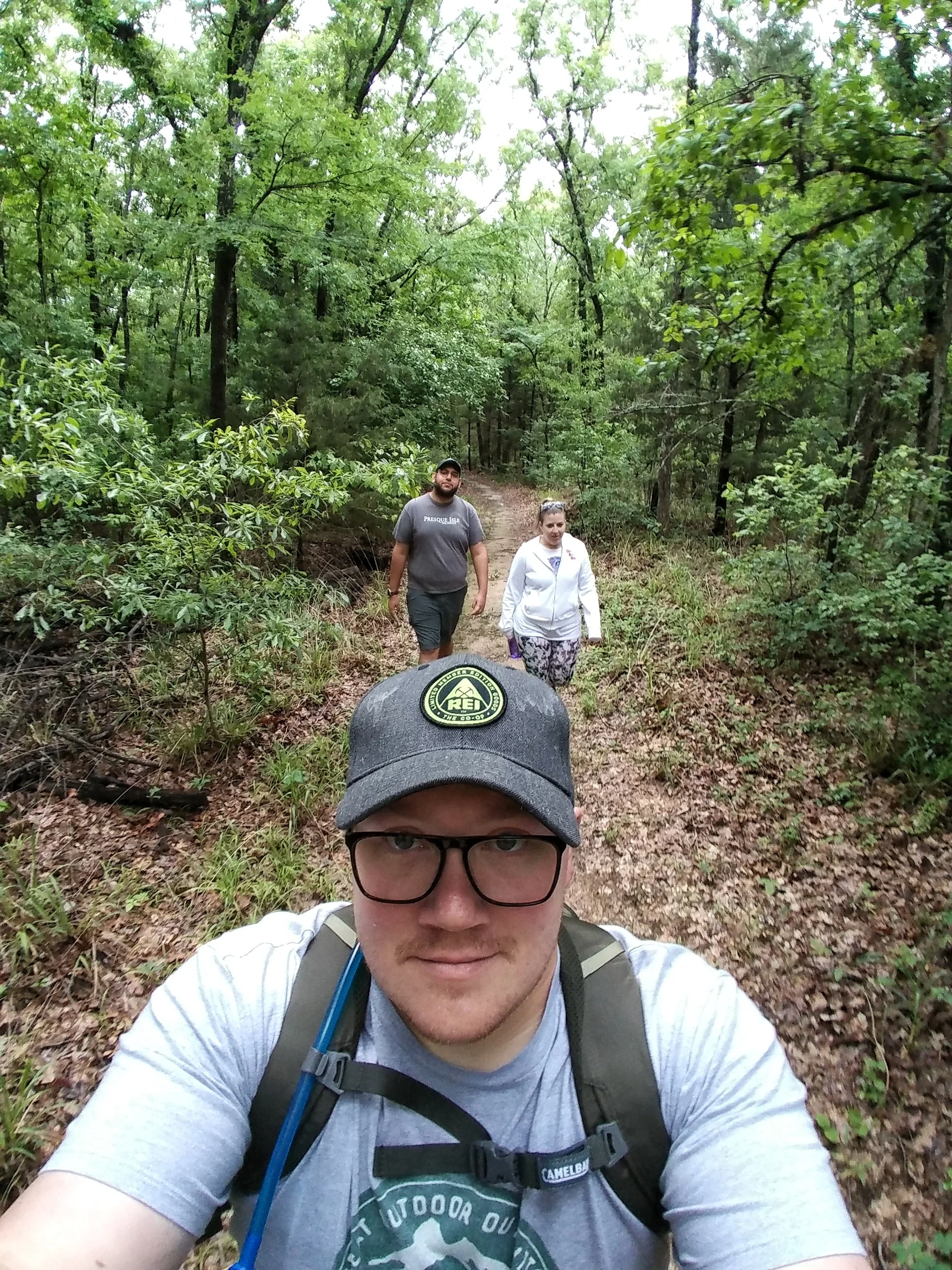
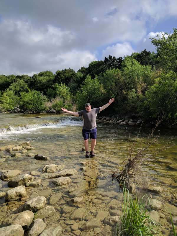
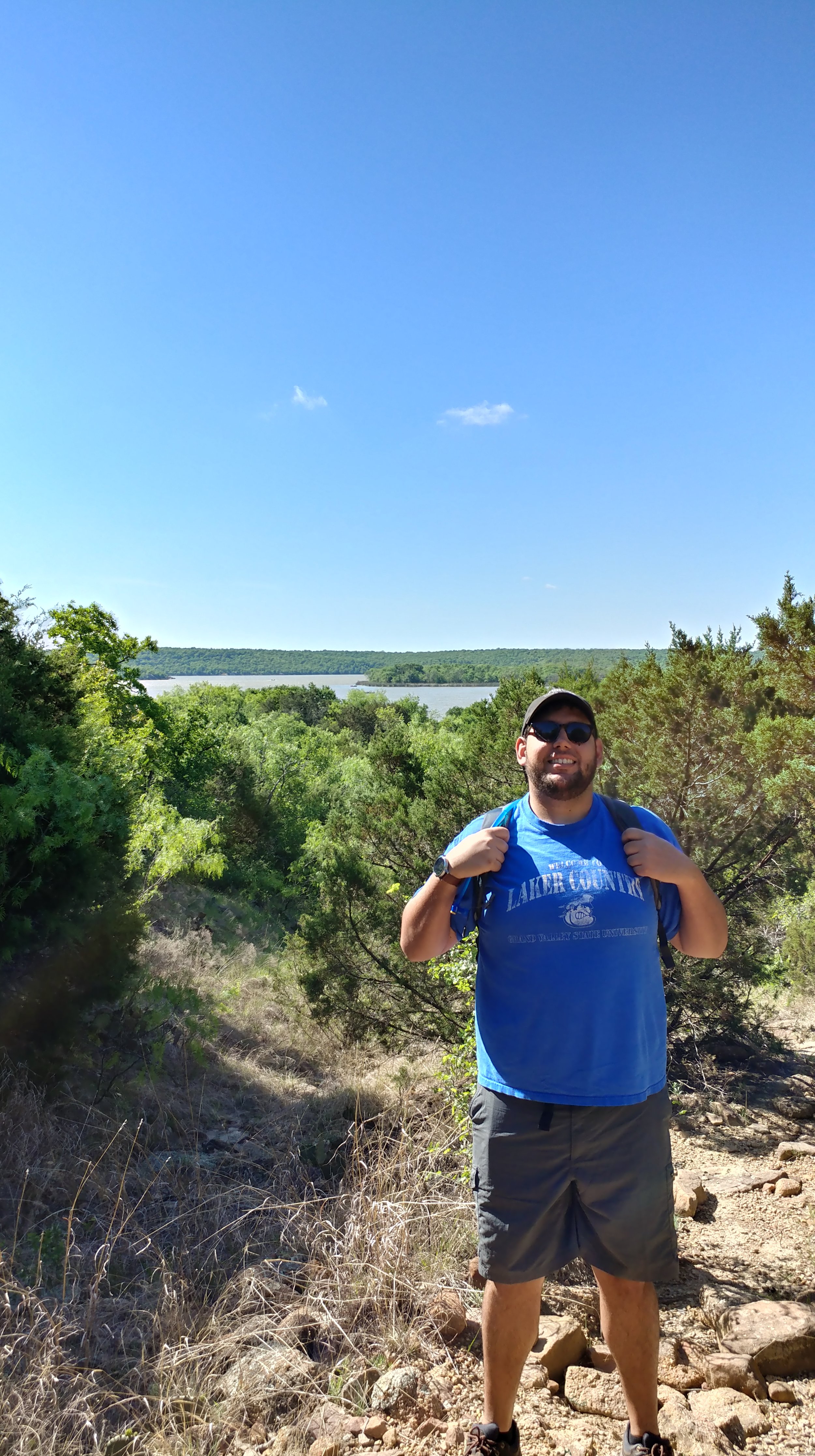
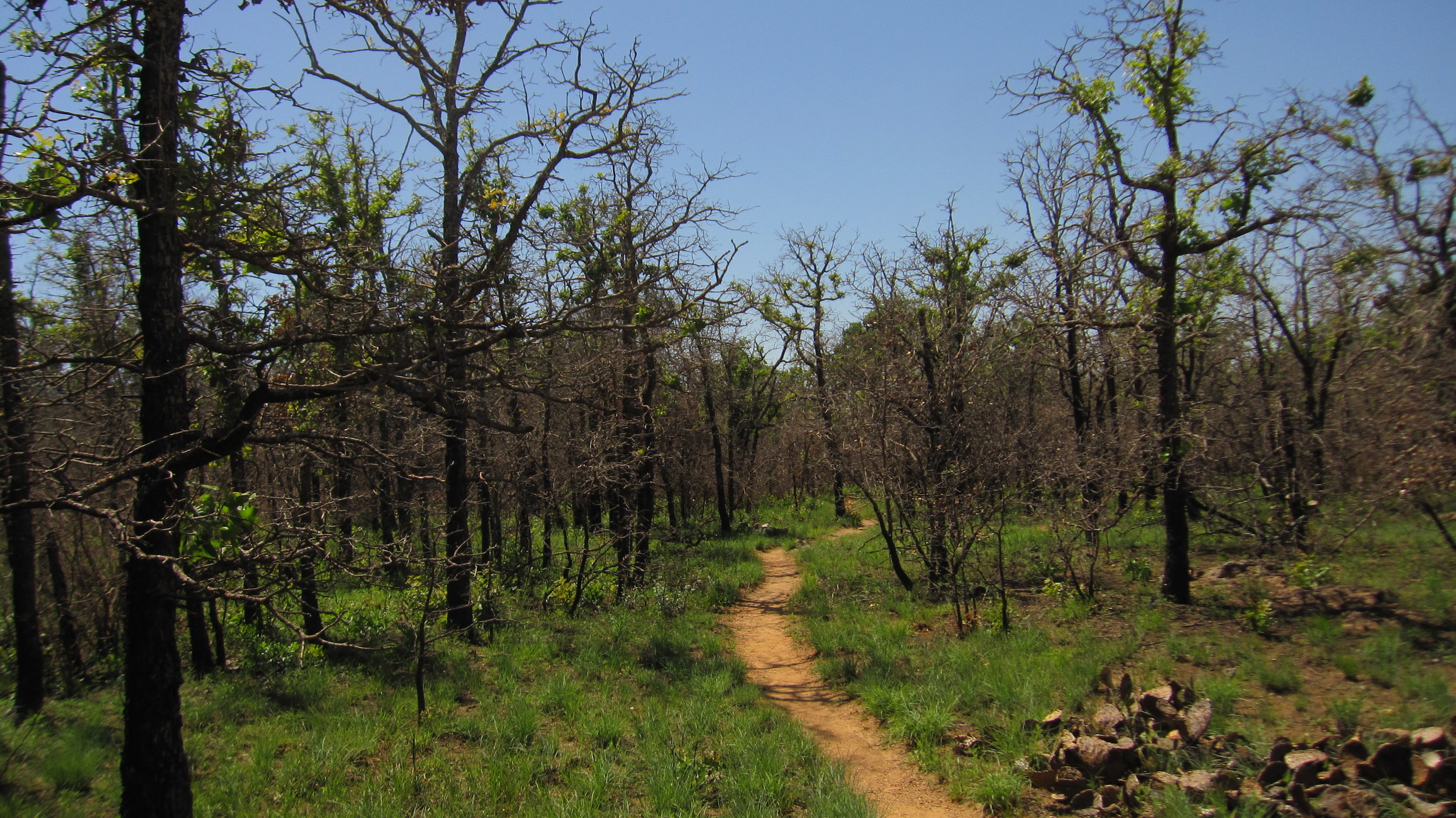
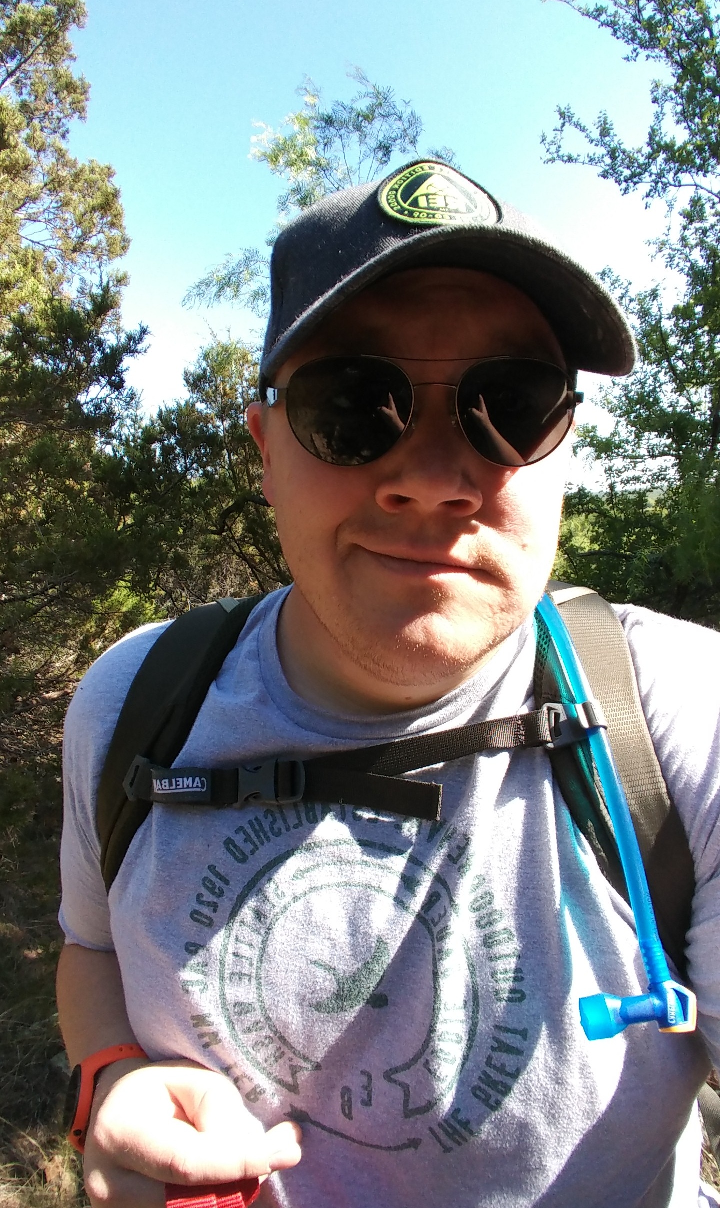
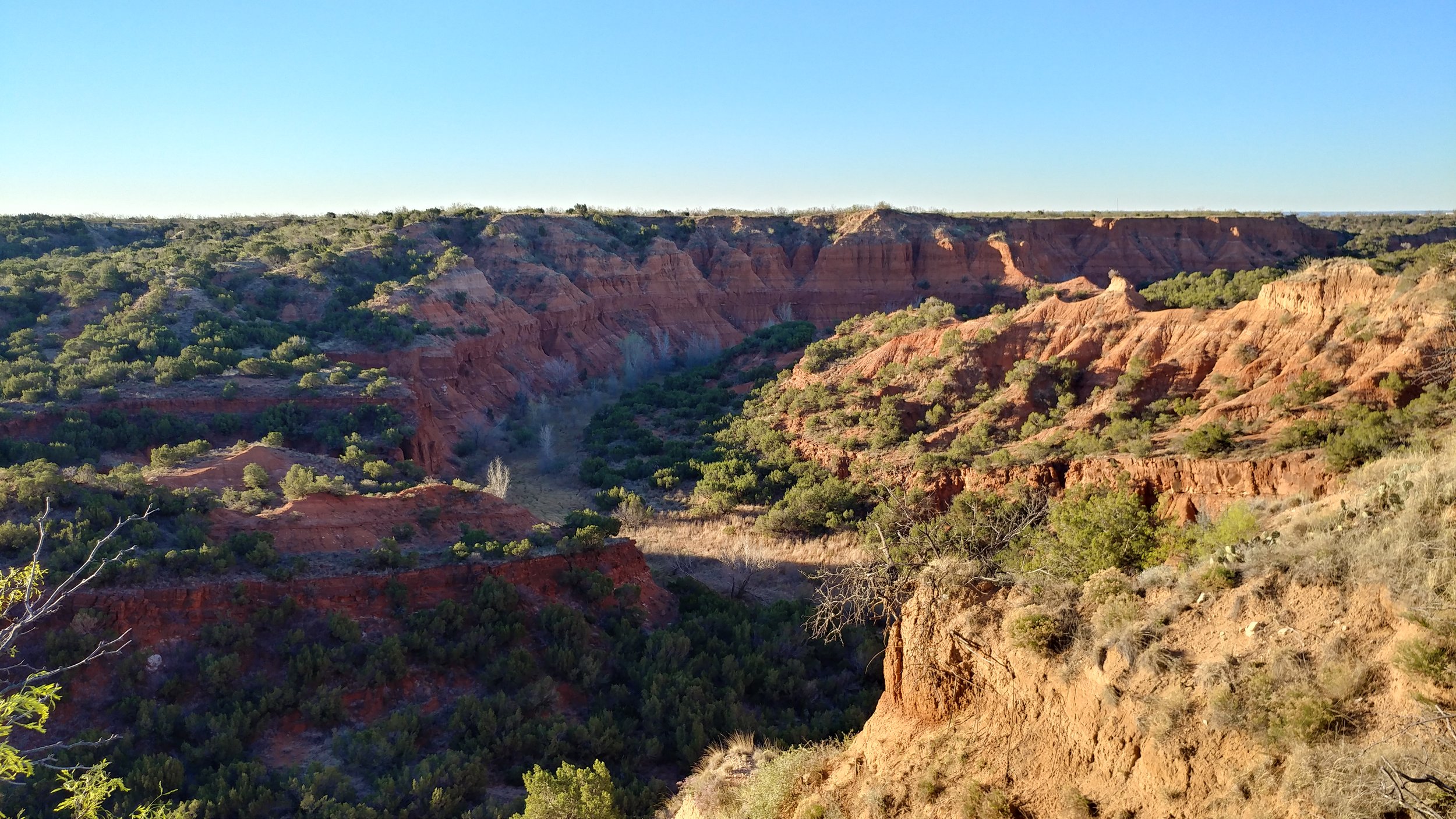
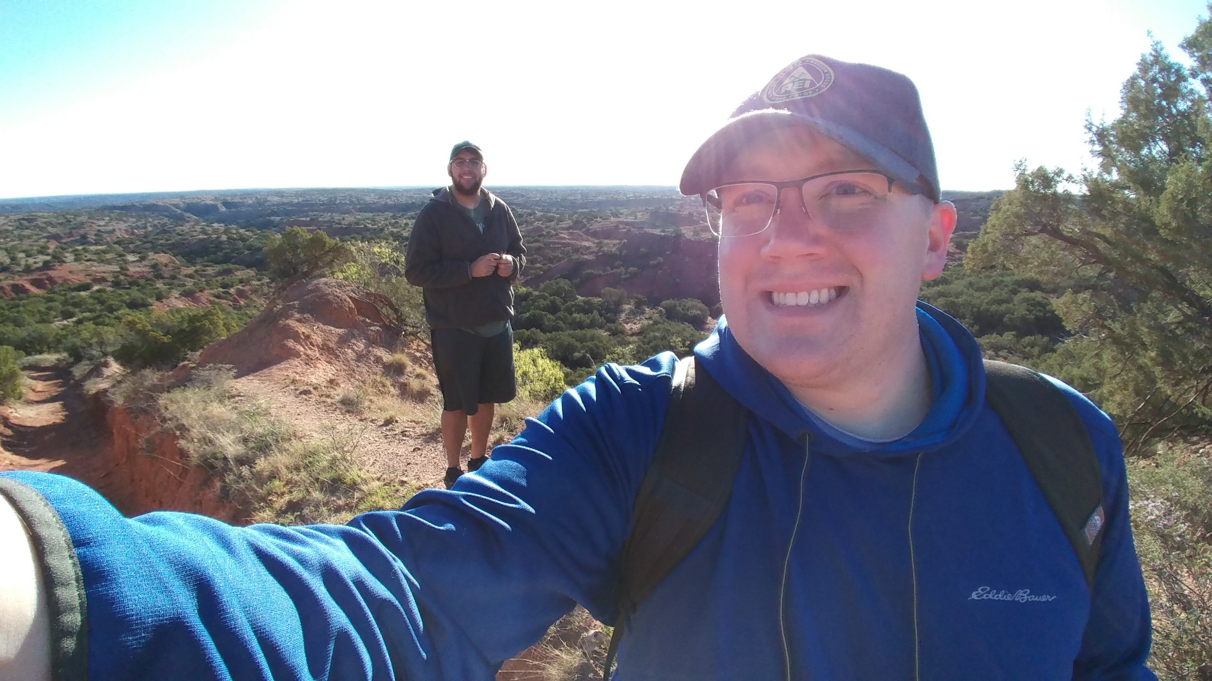
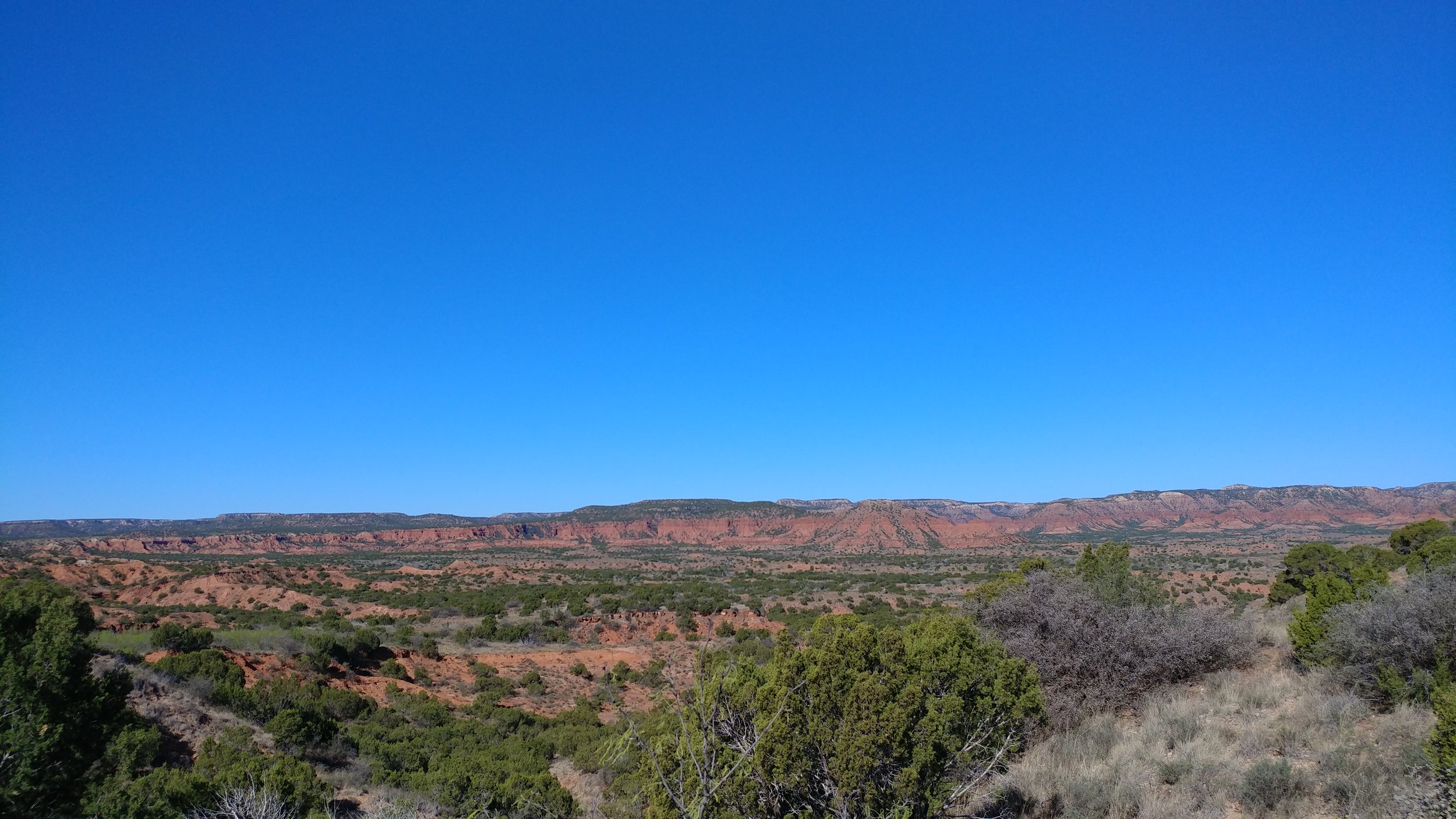
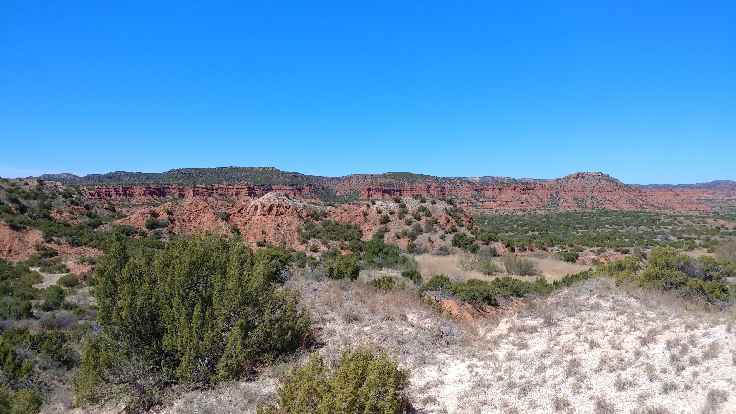
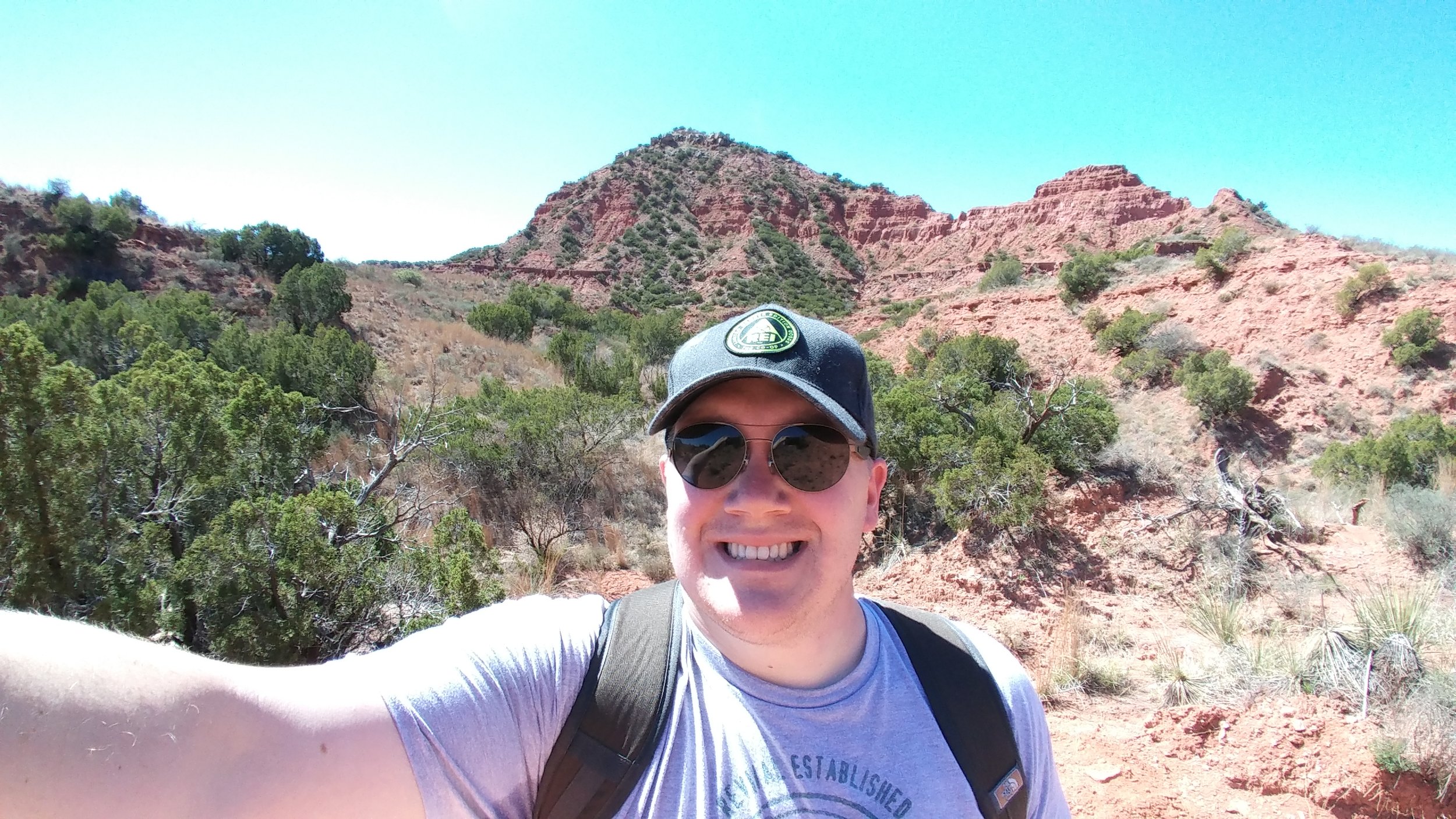
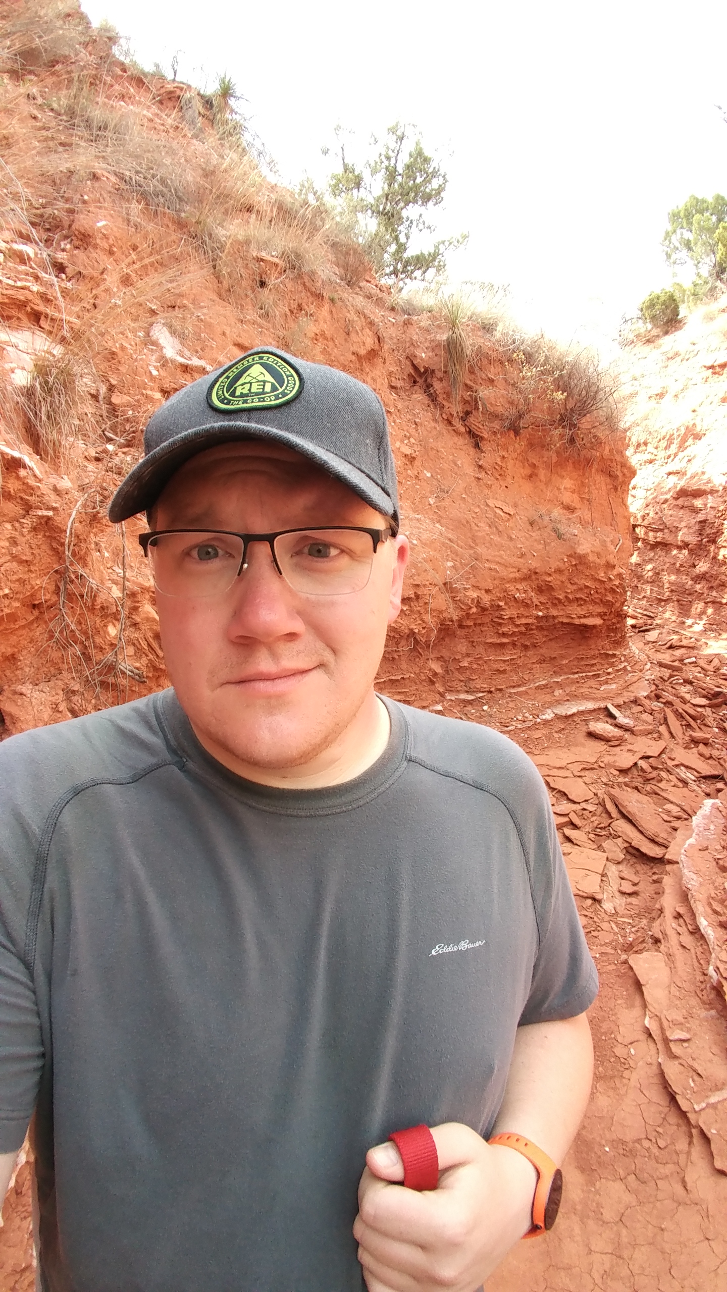
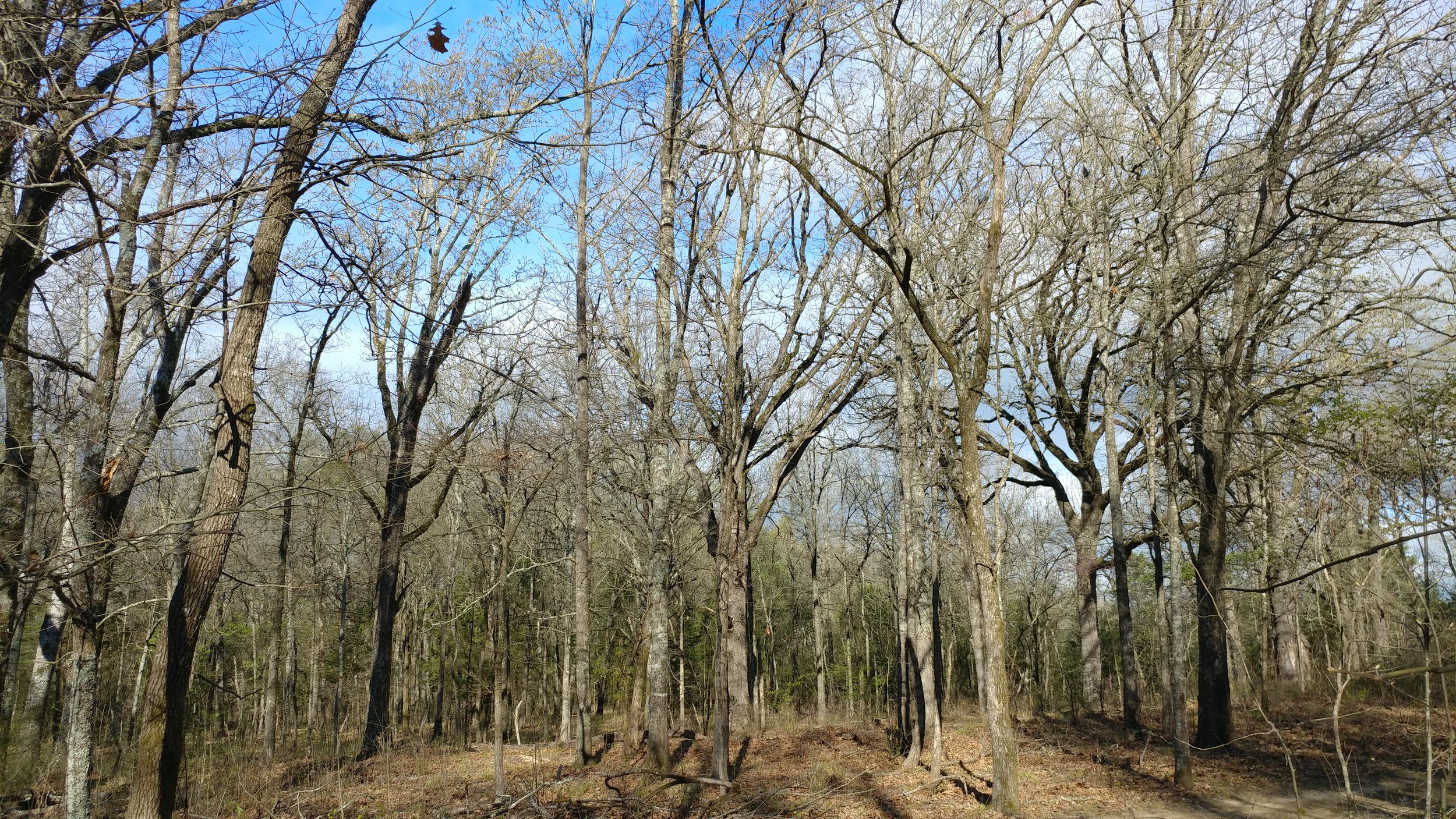
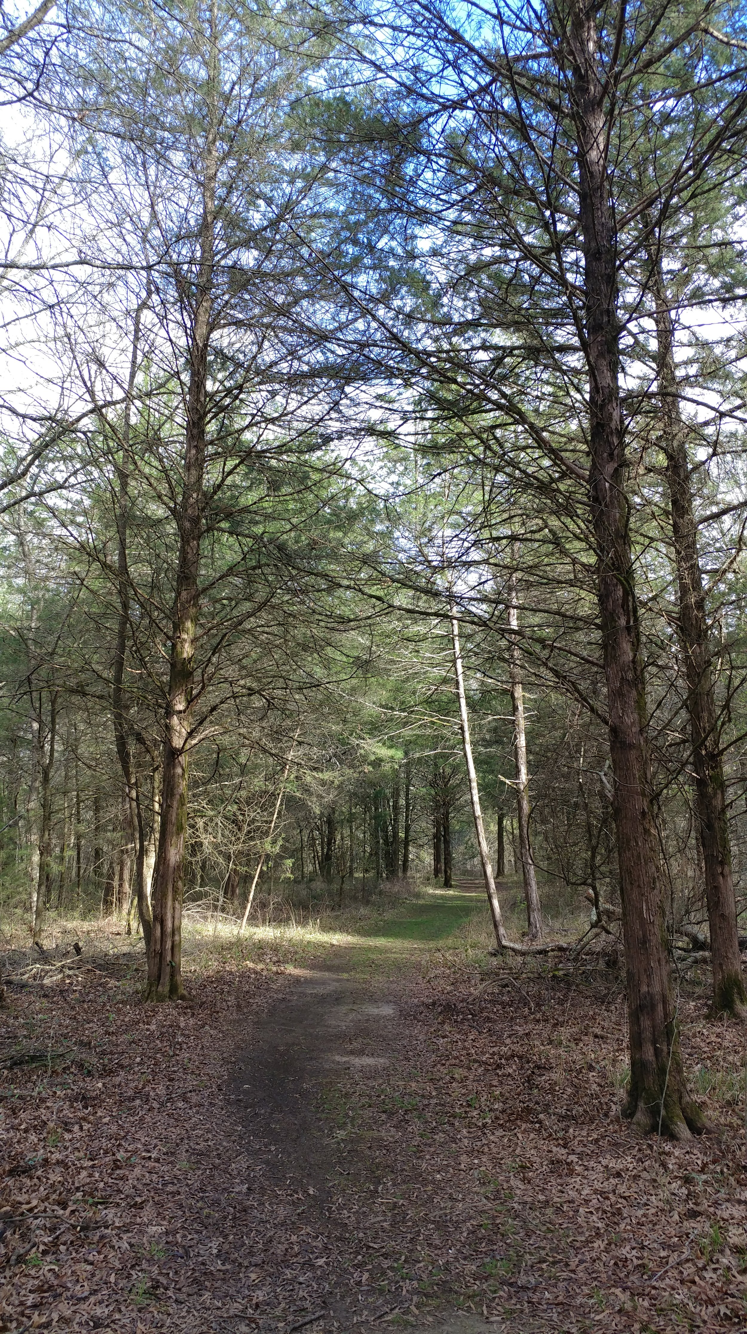
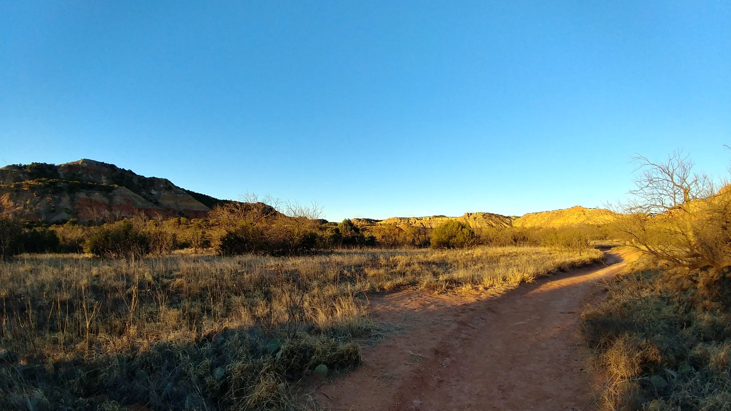
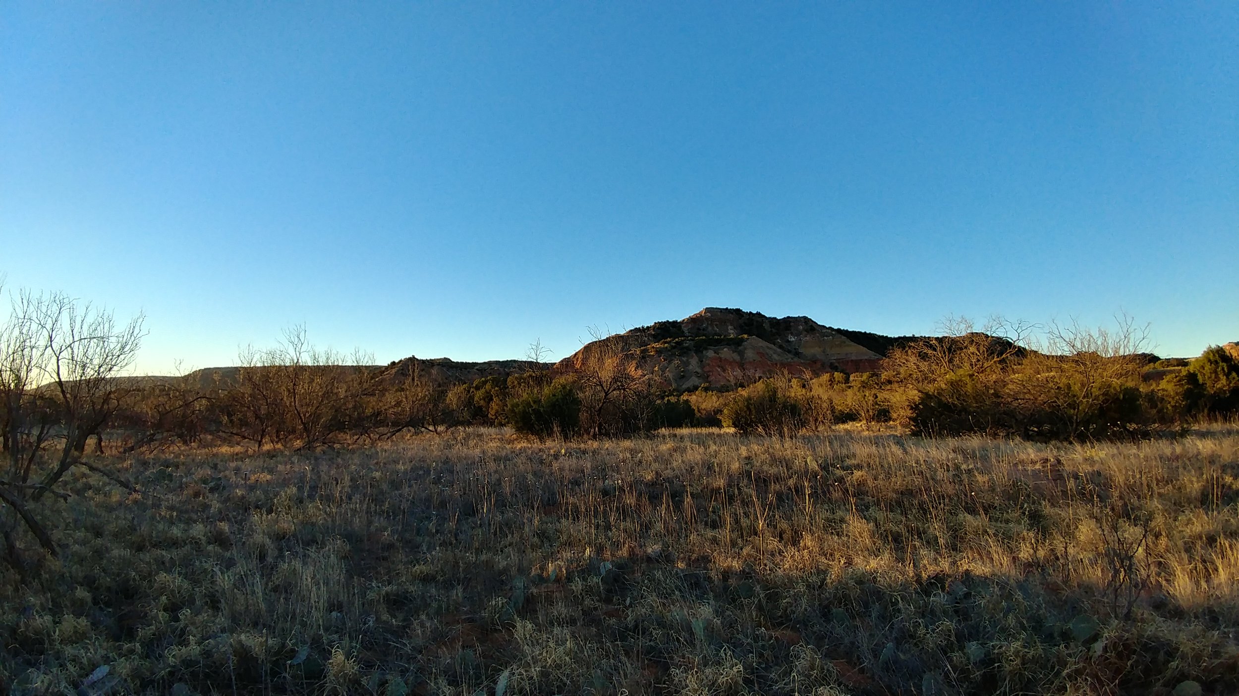
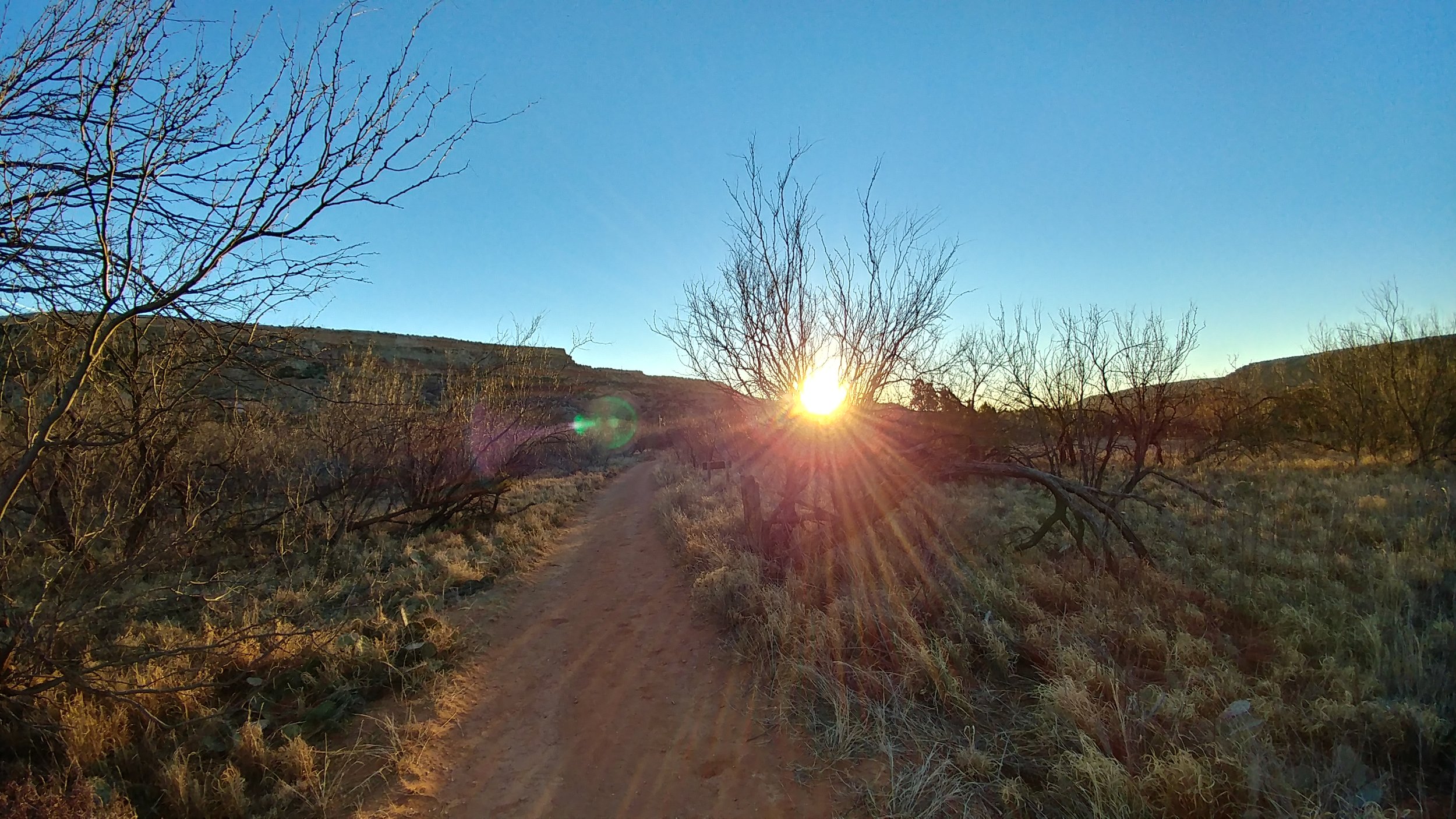
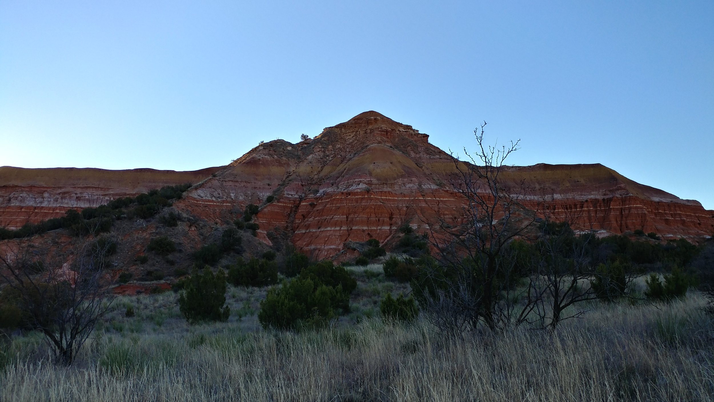
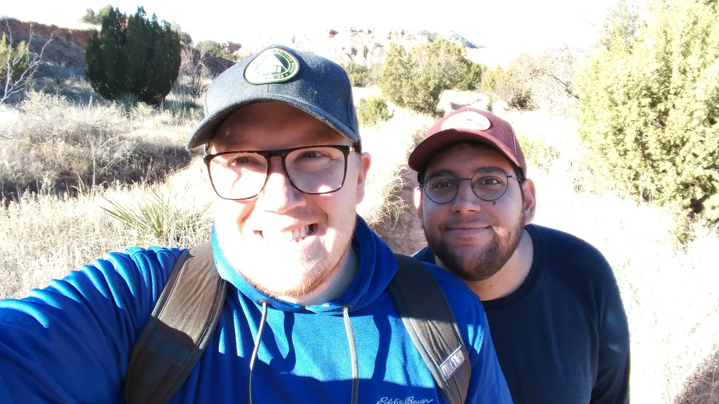
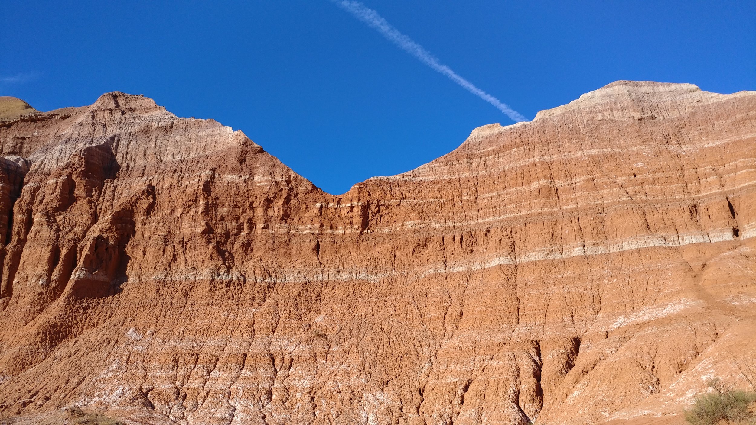
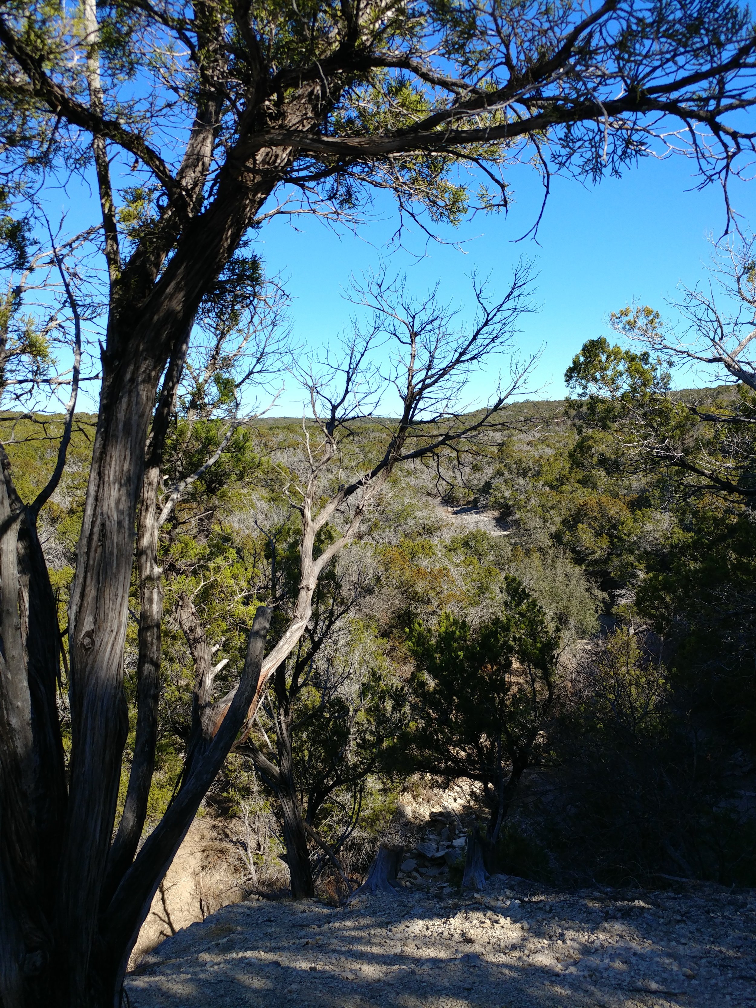
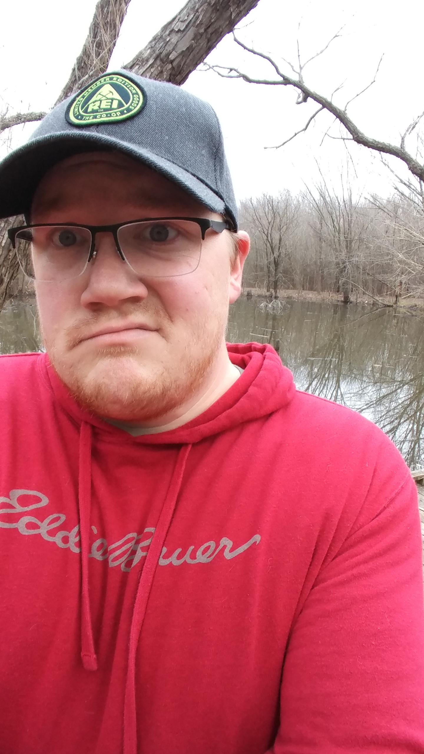
The Lighthouse Trail was the main hike of the weekend.  I decided, on a whim, to pack the camping gear and head west for a night.  I have been wanting to branch out, see new things with this hiking challenge, and I accomplished that goal on Saturday.  I got home from work Thursday, prepped our food and packed our stuff, went to bed.  I awoke Friday and did the work and commute thing, took a nap, and we left around 1:20 AM.  I drove all night and into the morning, arriving at Palo Duro State Park around 7 AM.  The park has been called "The Grand Canyon of Texas" and it was definitely a surprisingly large canyon full of beautiful red rock.  It's nowhere near the size and inspiring beauty of the actual Grand Canyon, but it was a nice change of scenery for this boring, flat panhandle of Texas.

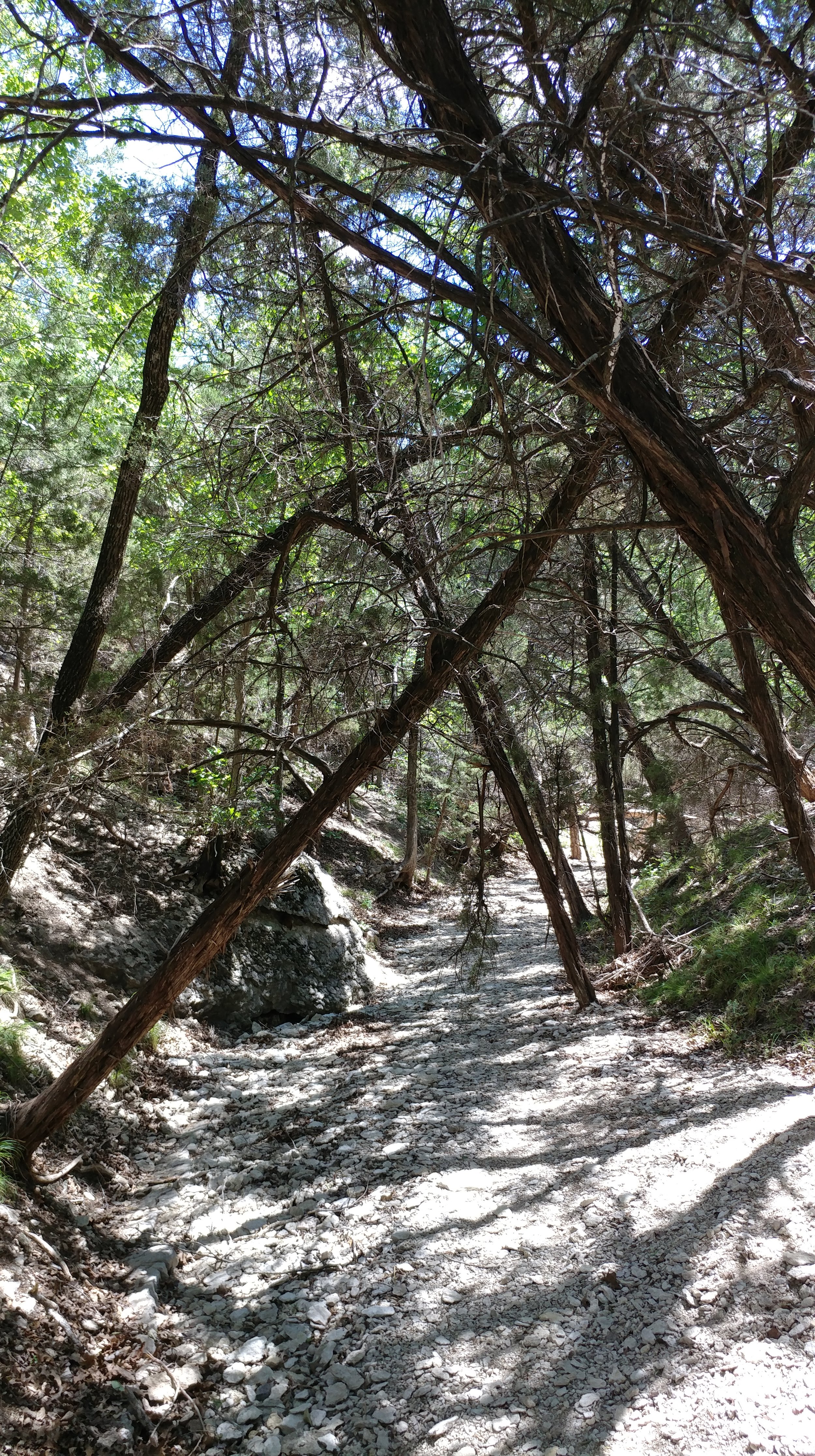
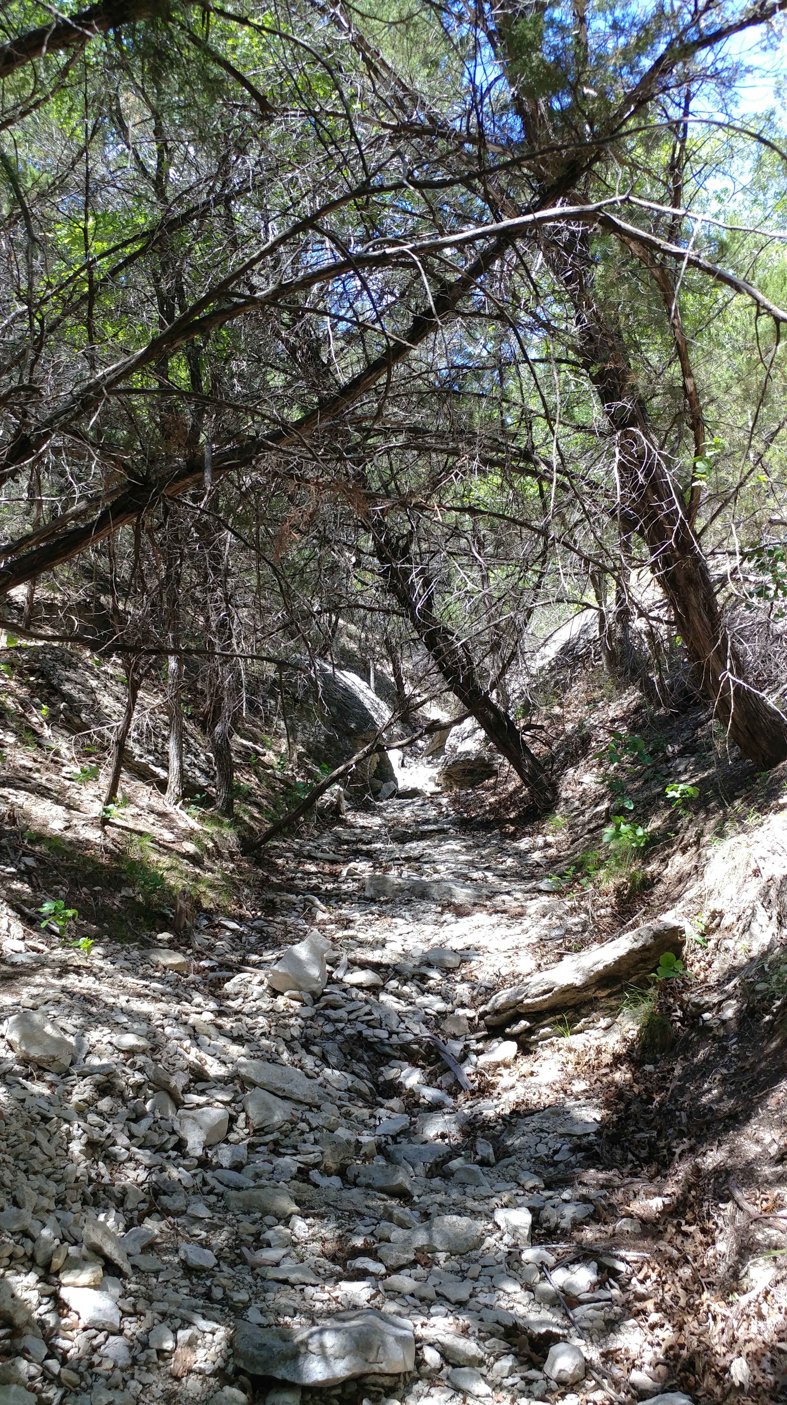
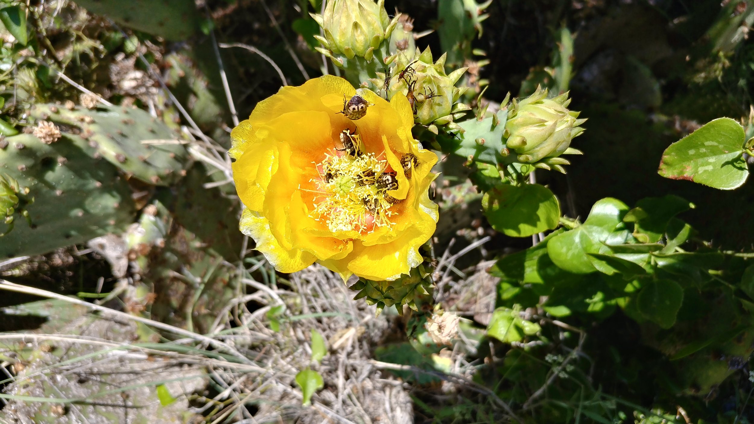
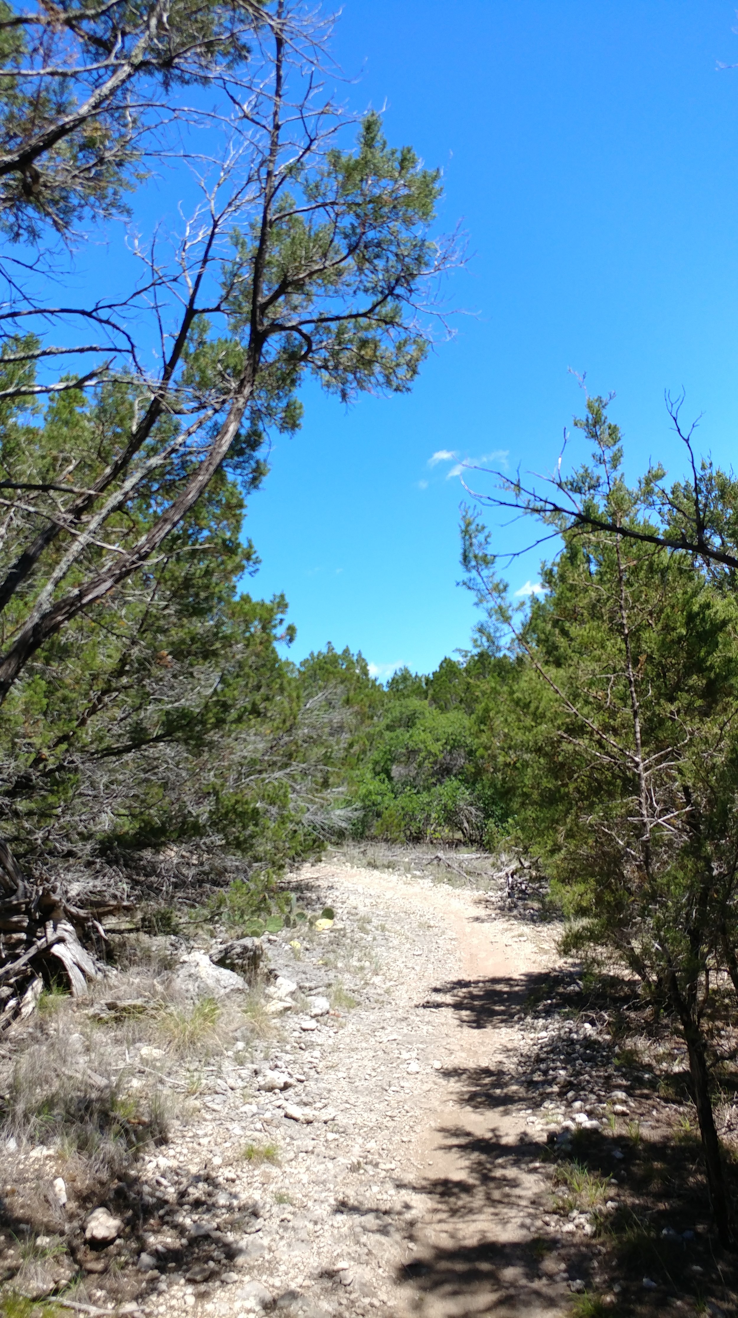
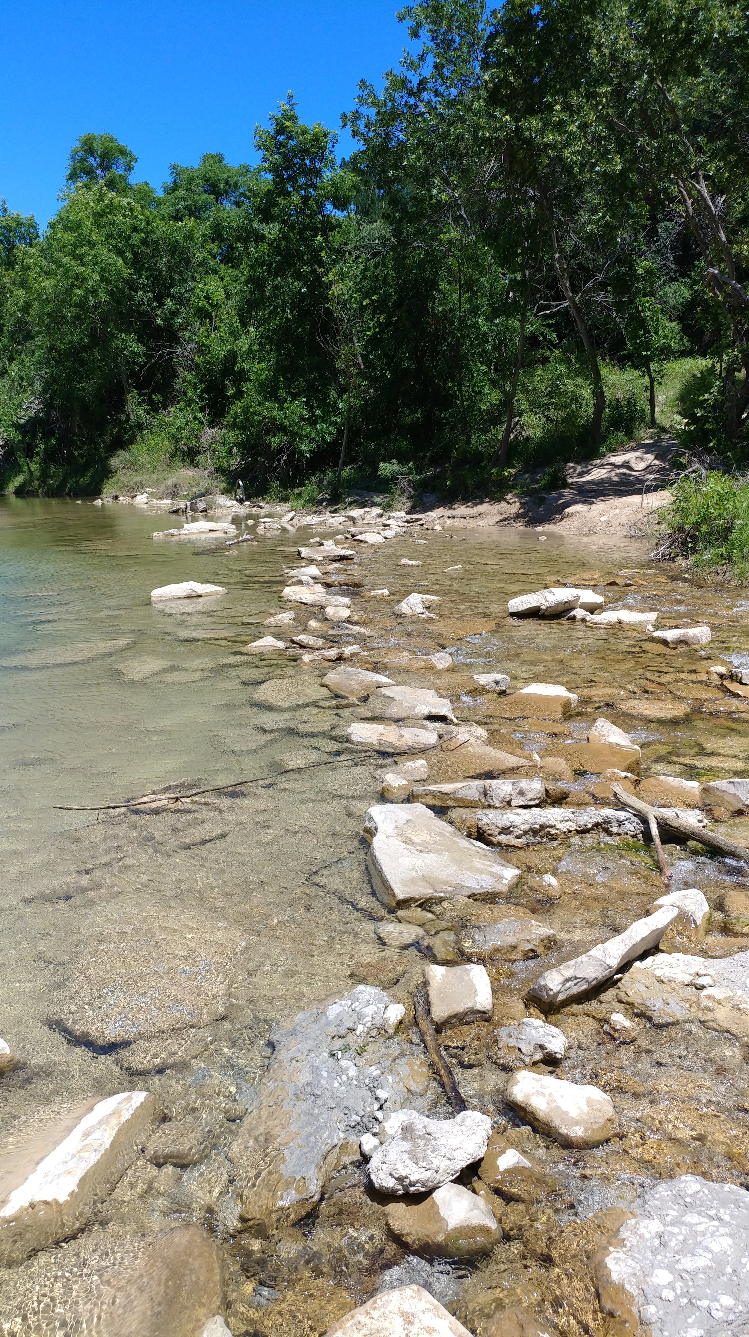
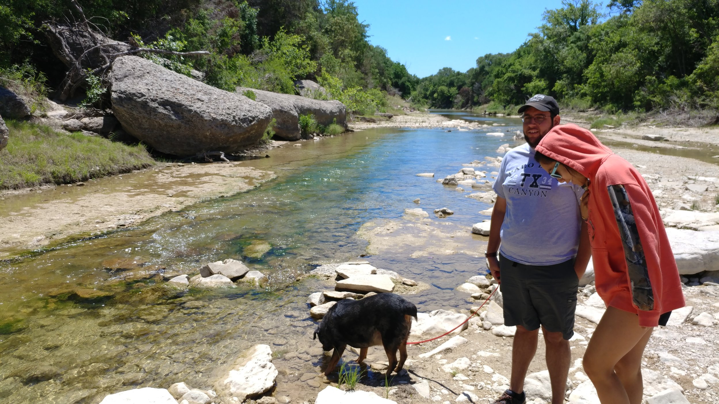
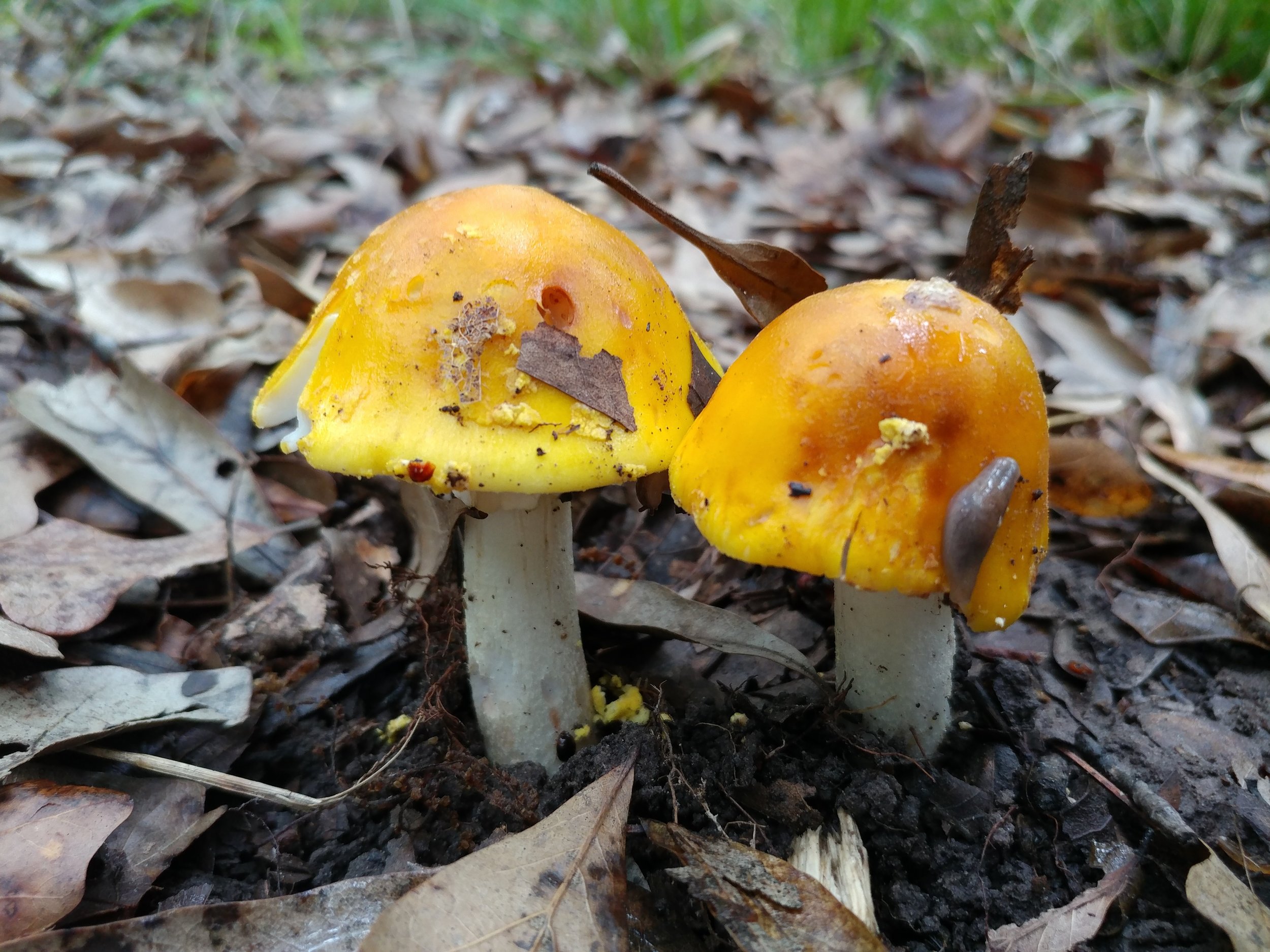
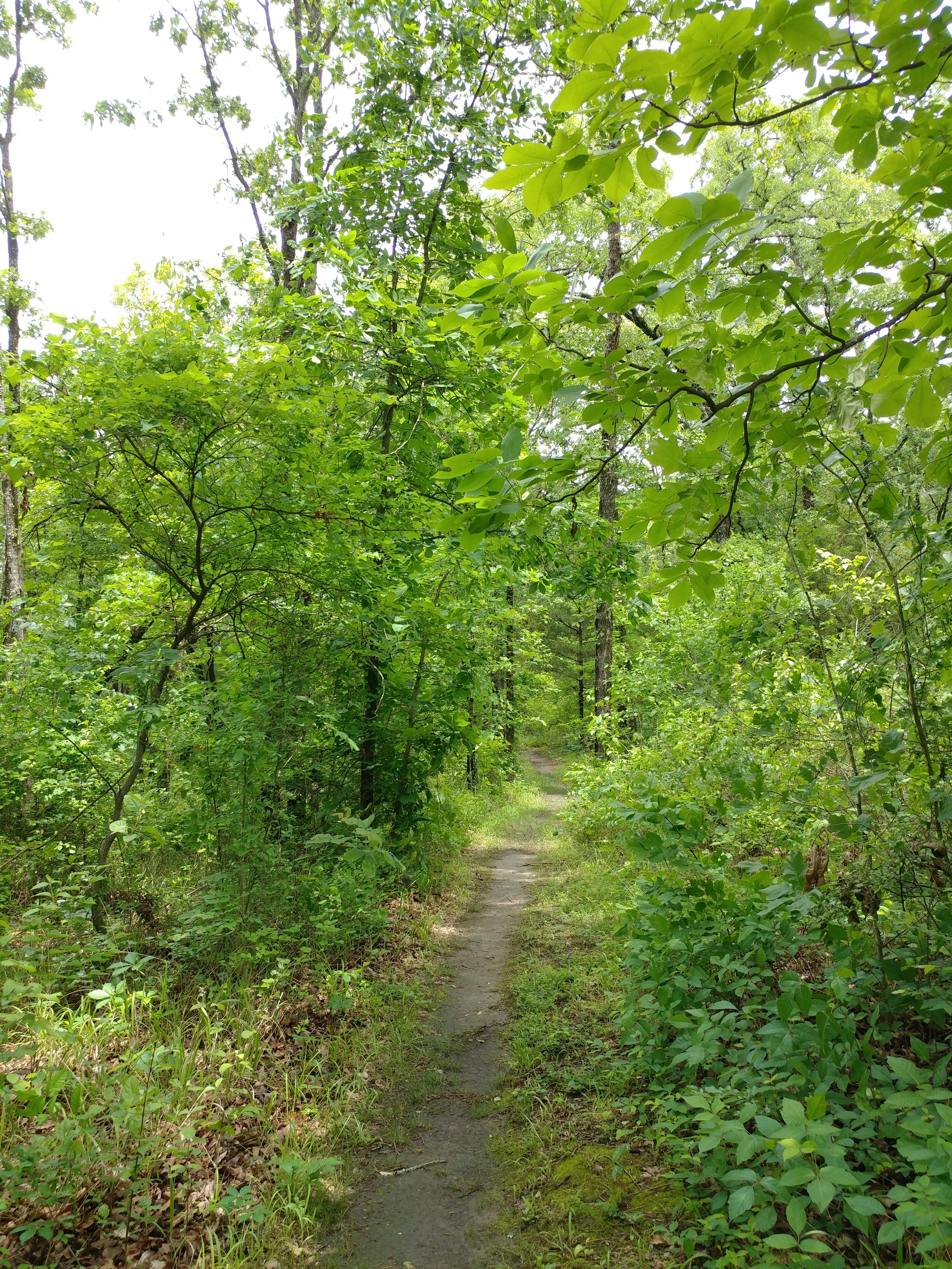
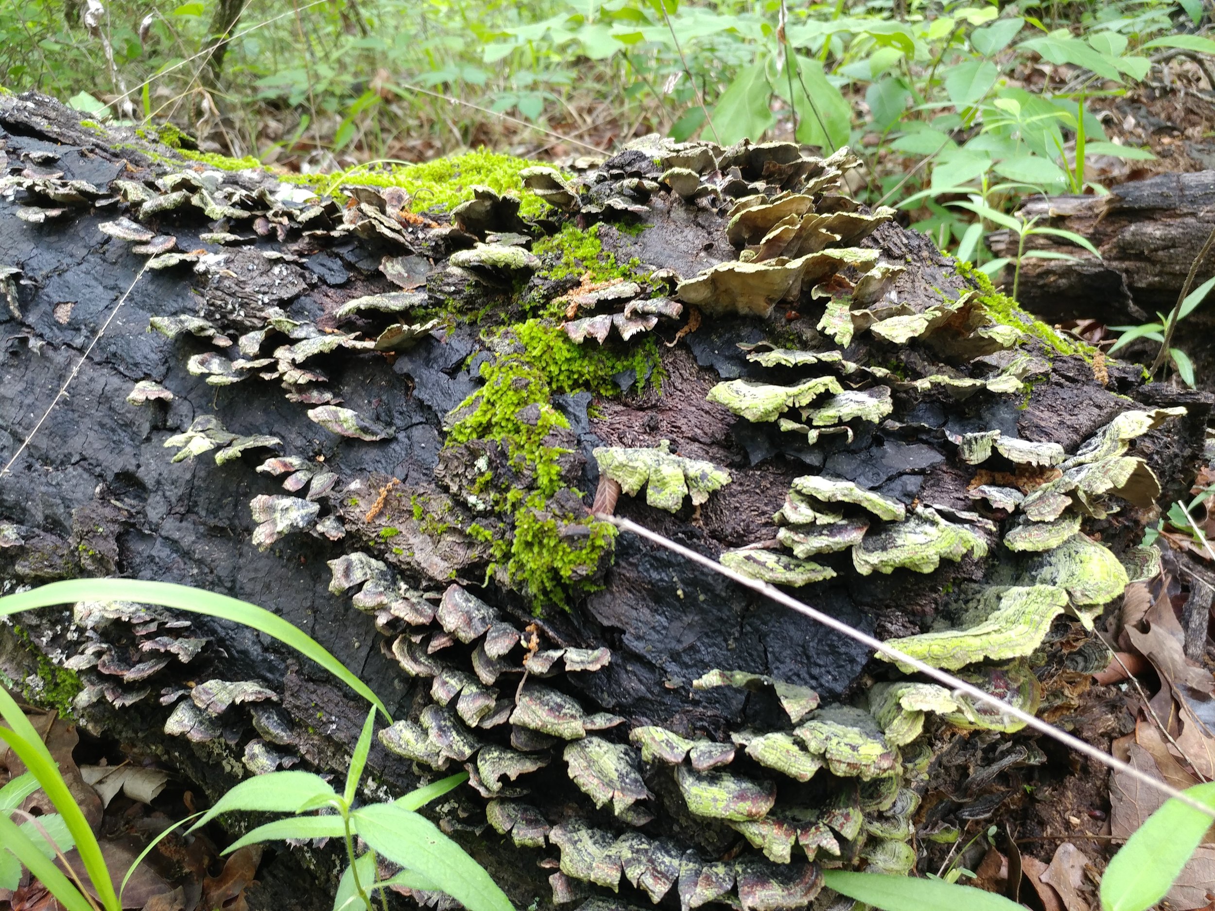
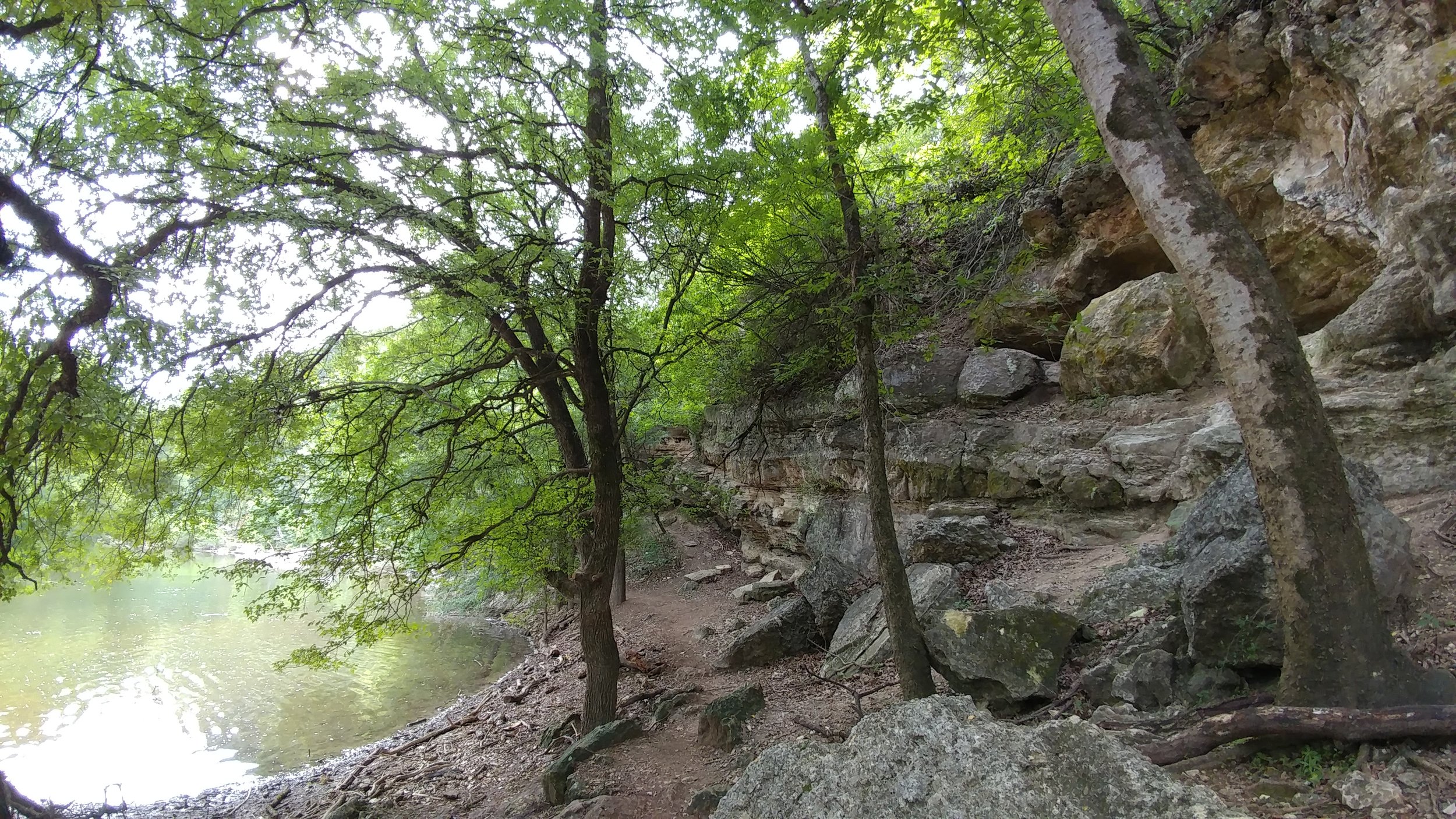
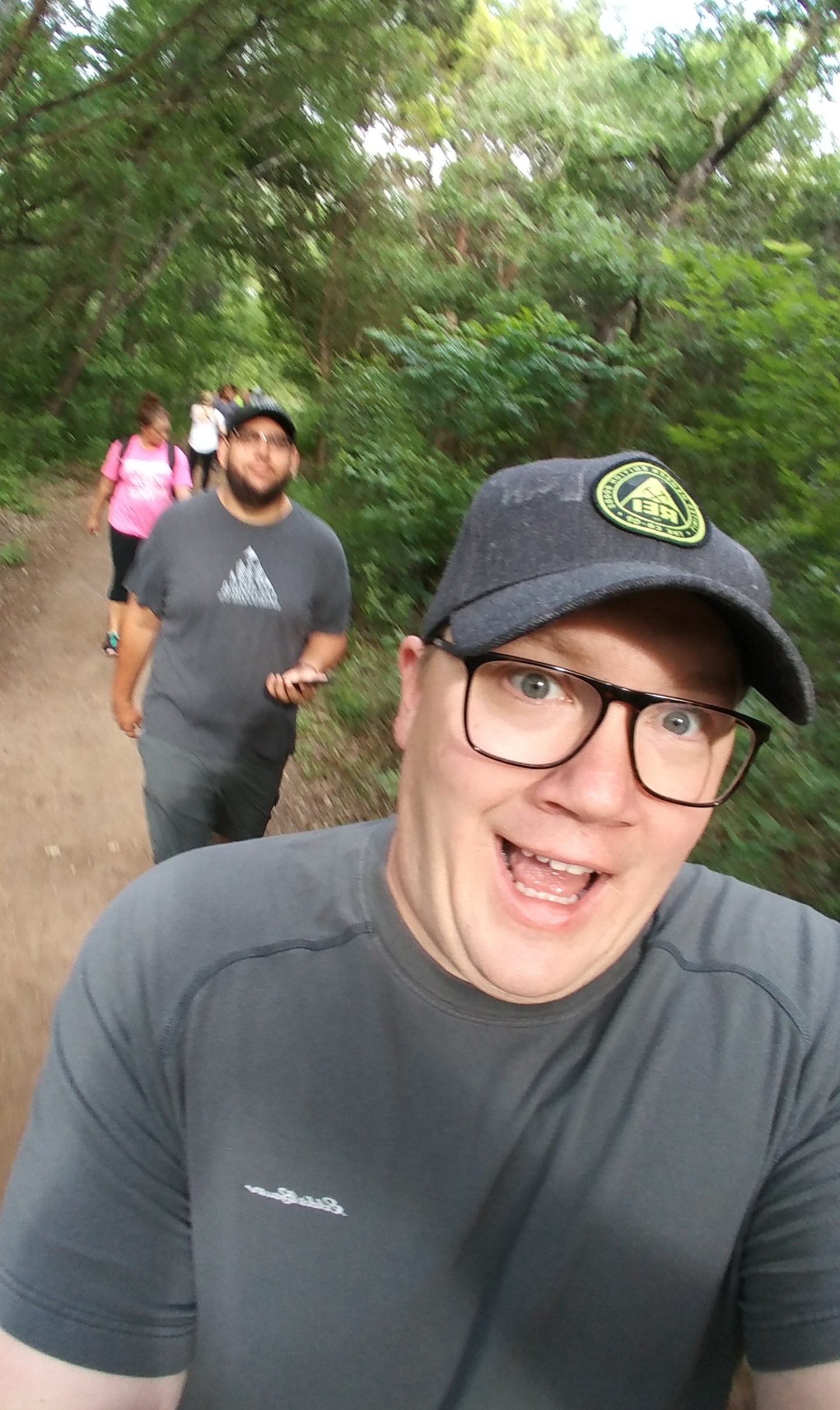
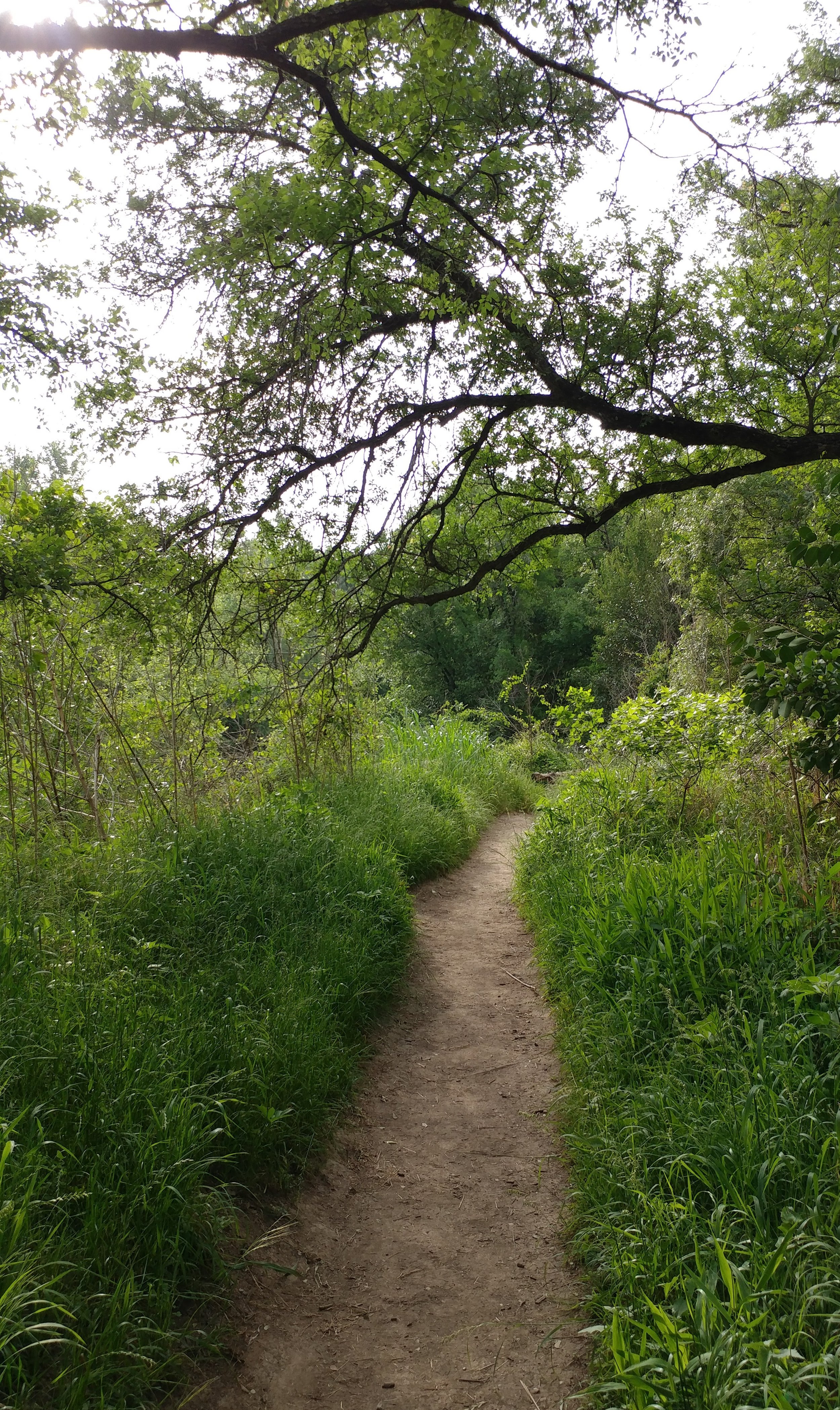
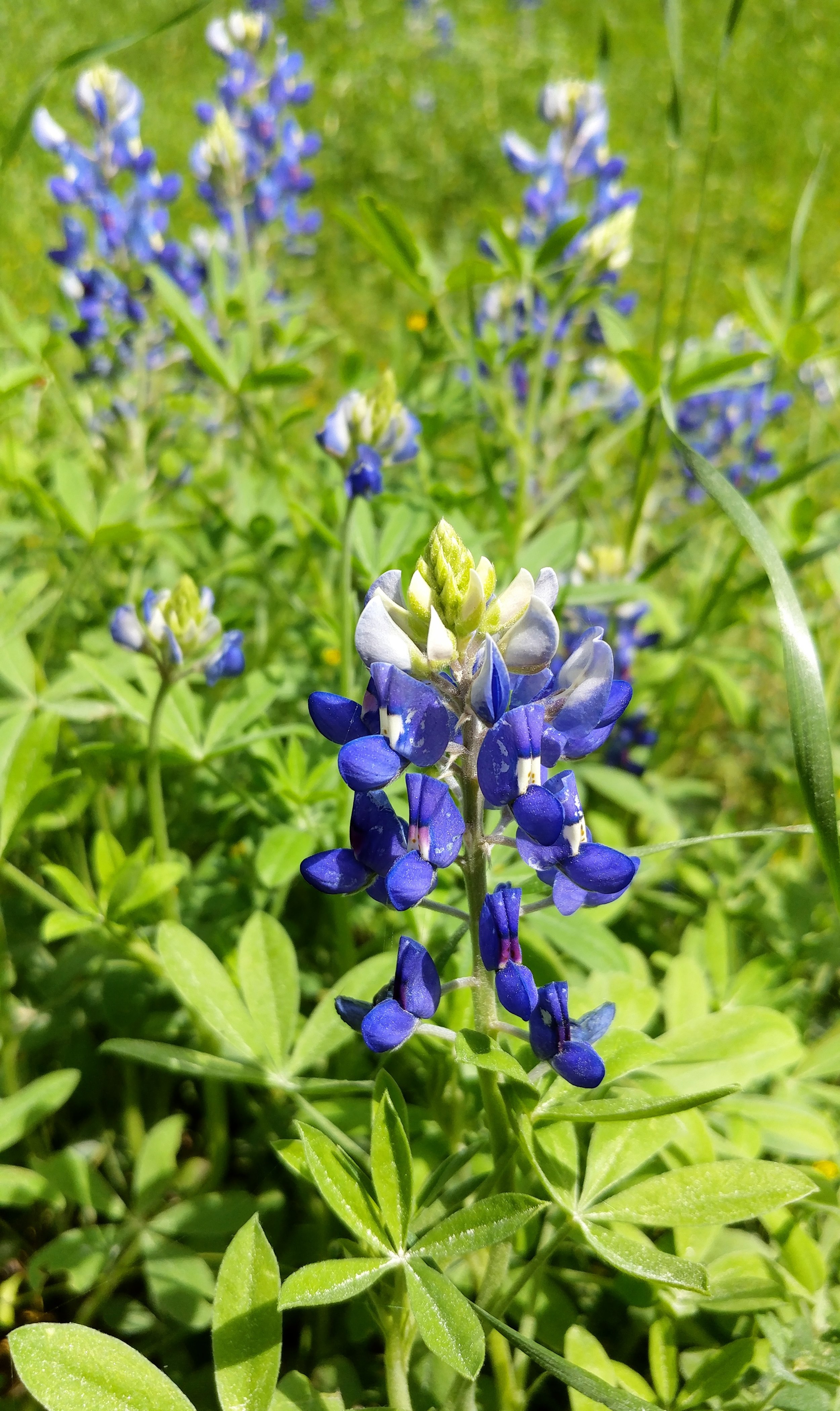
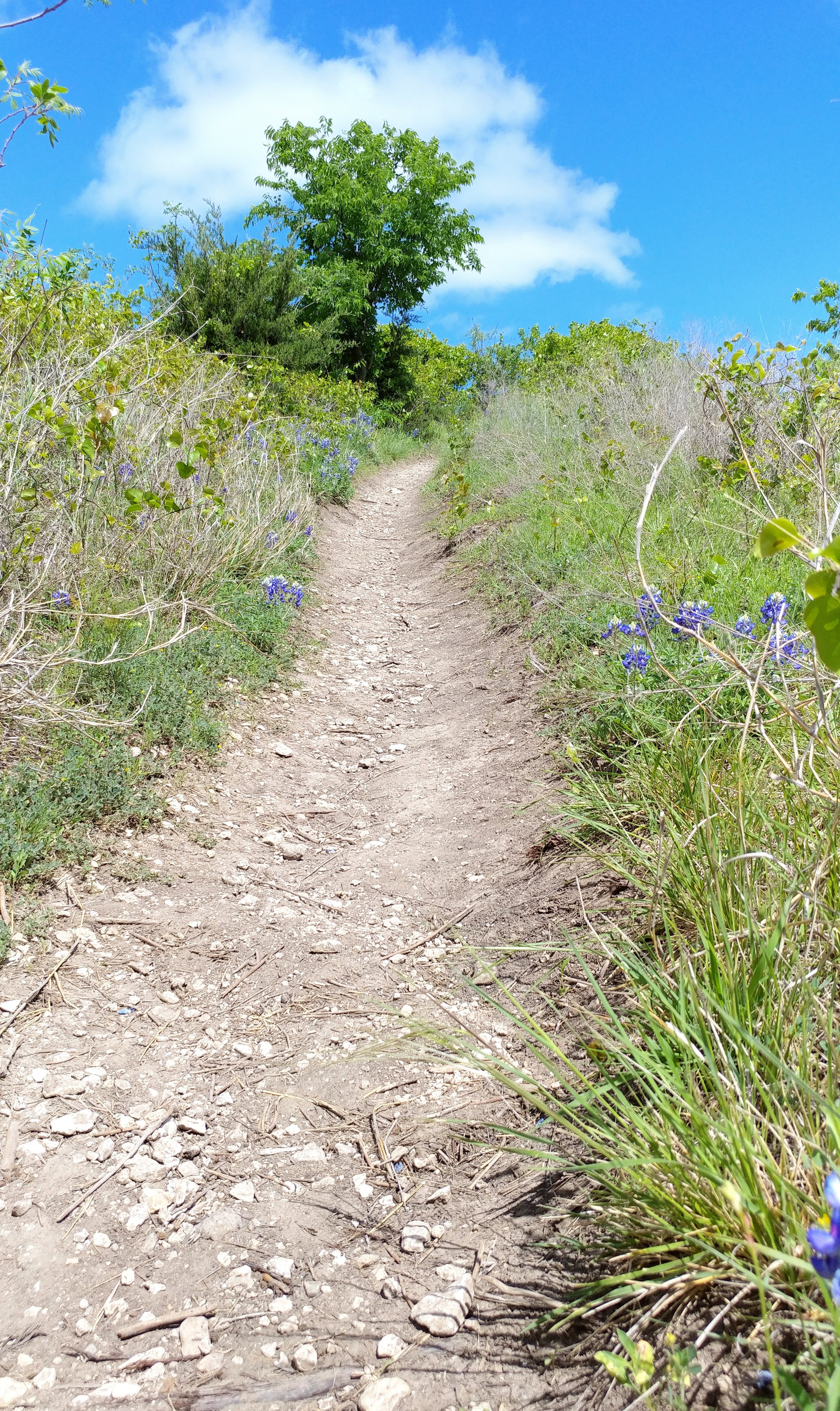
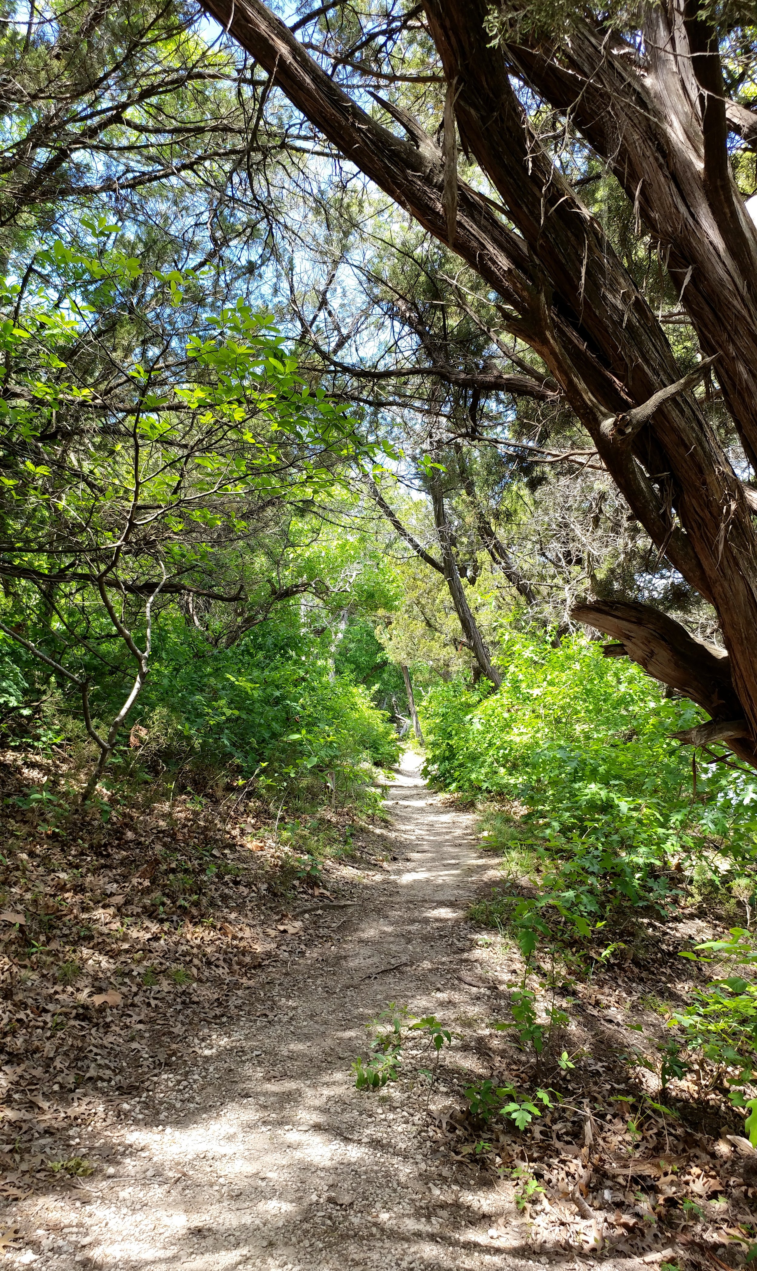
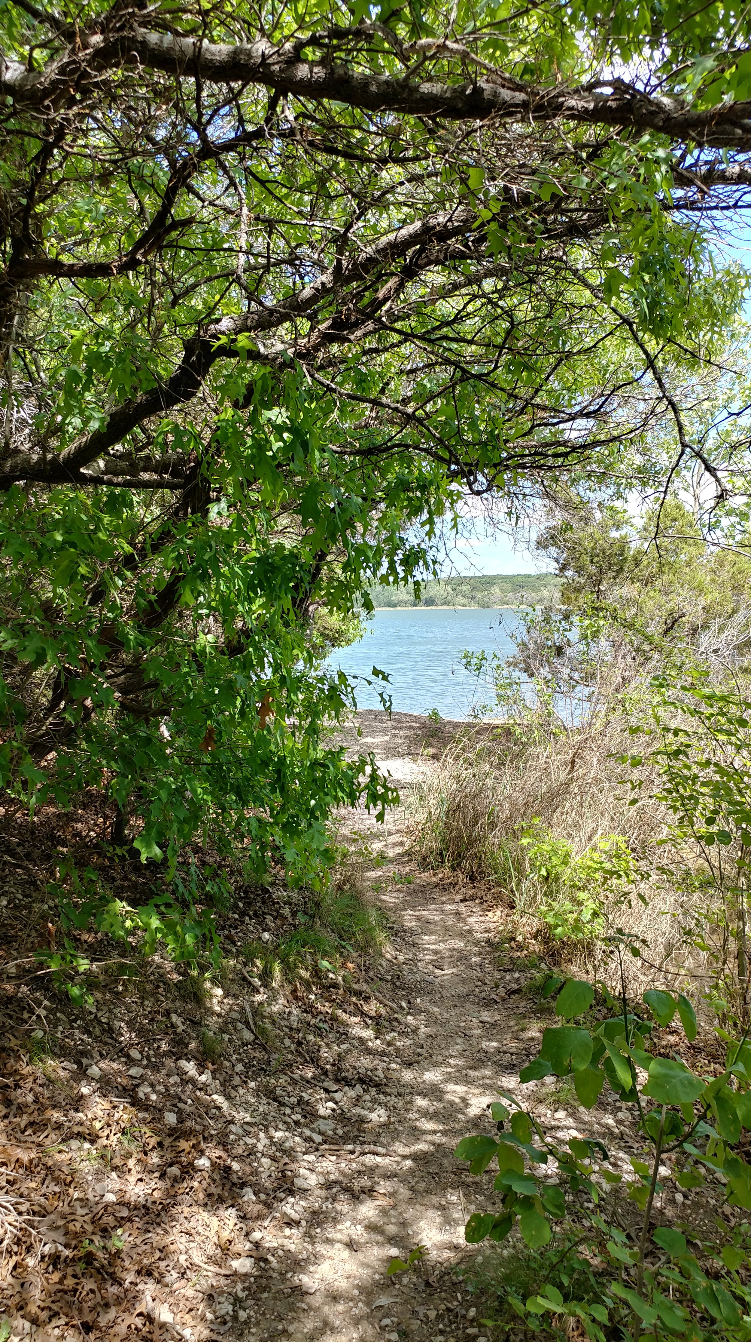
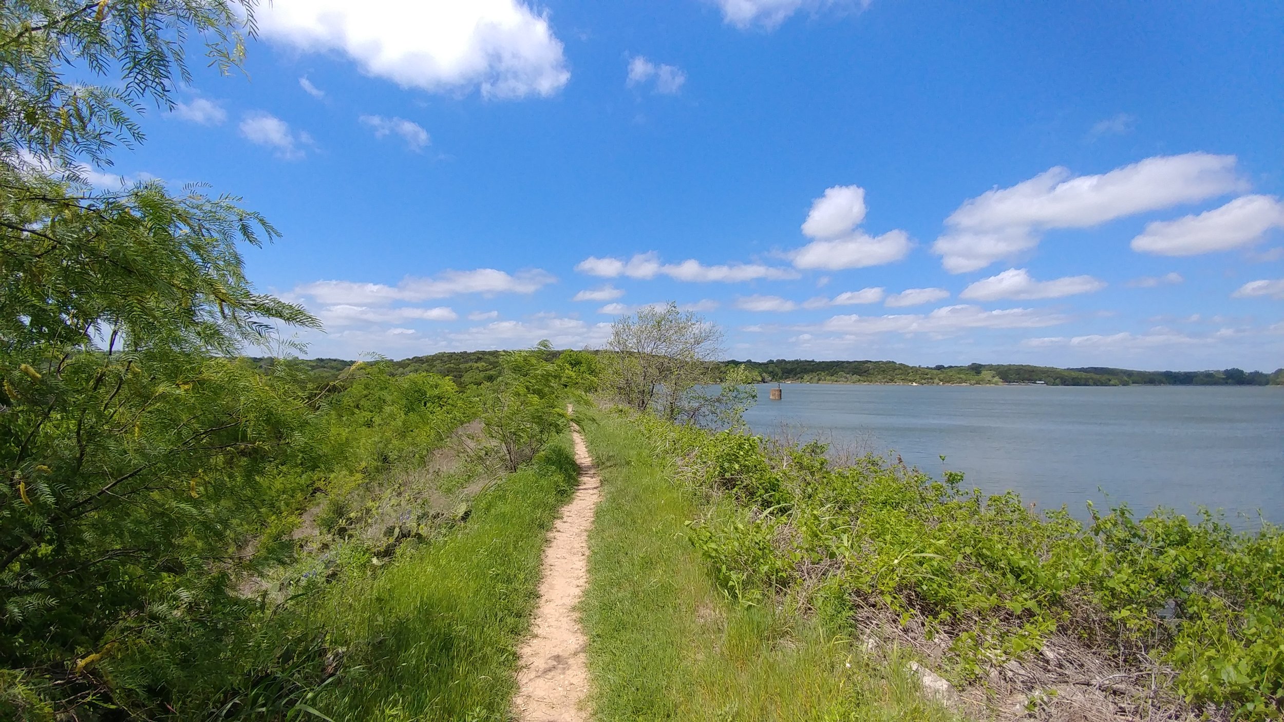
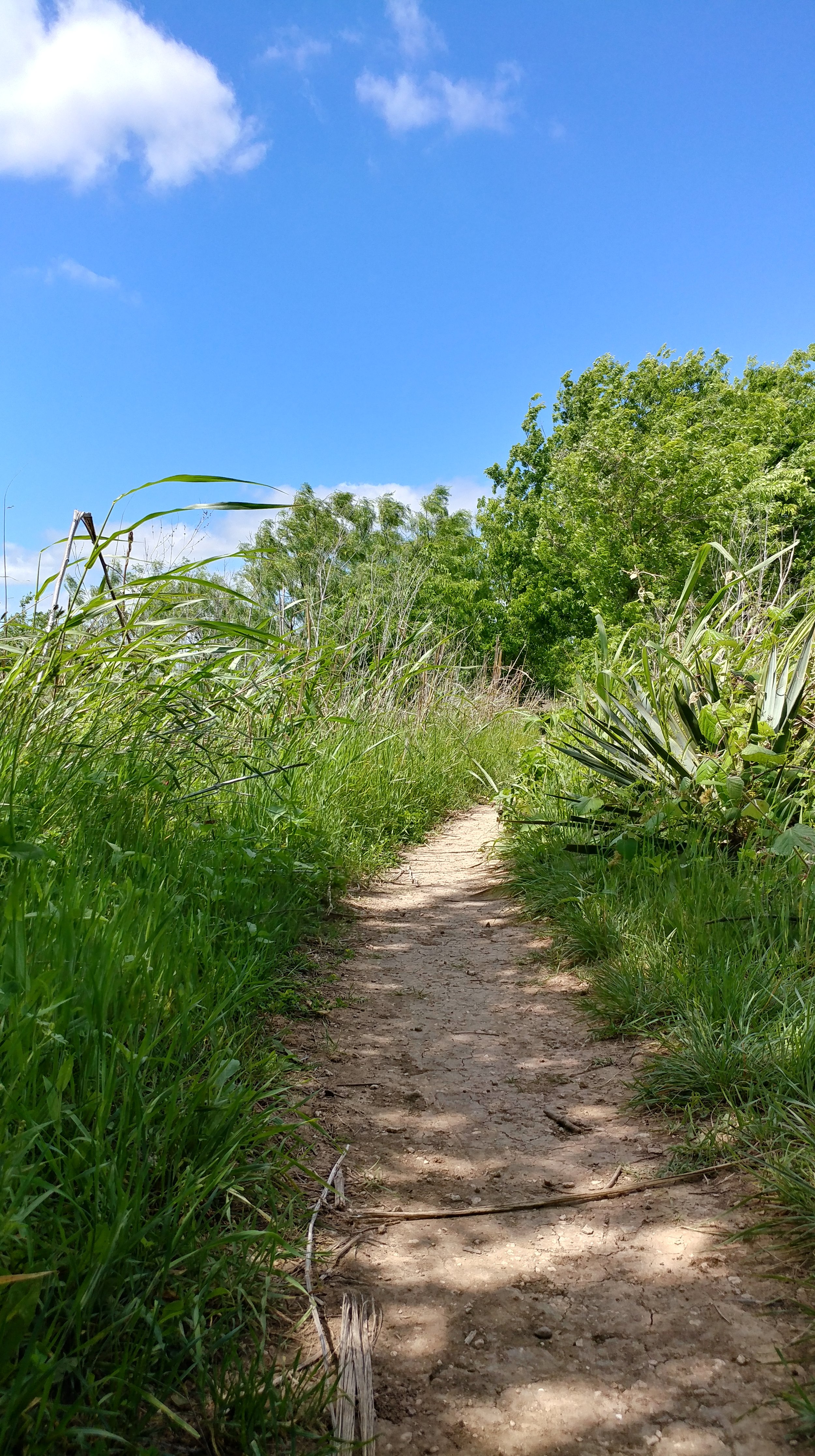
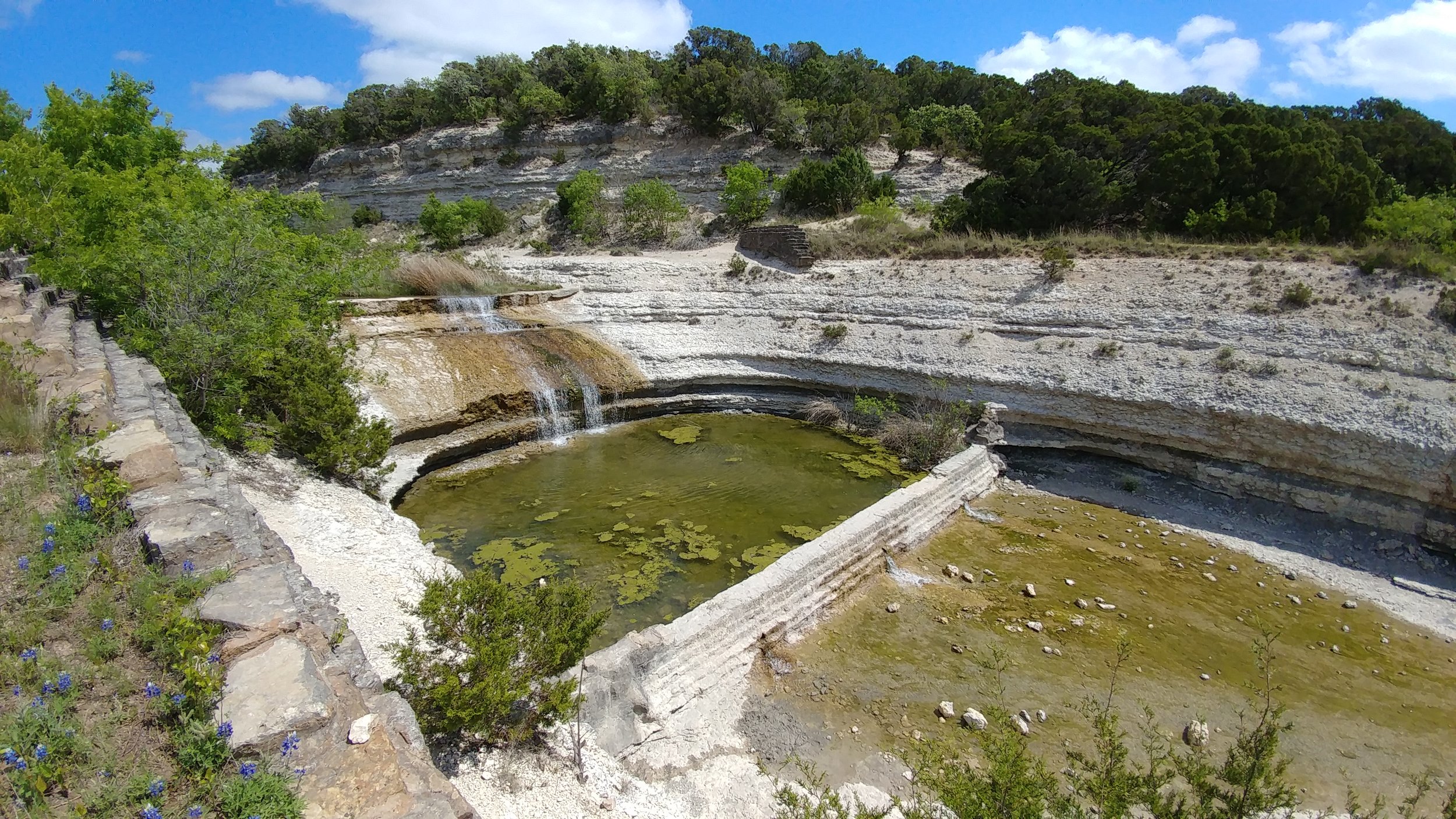
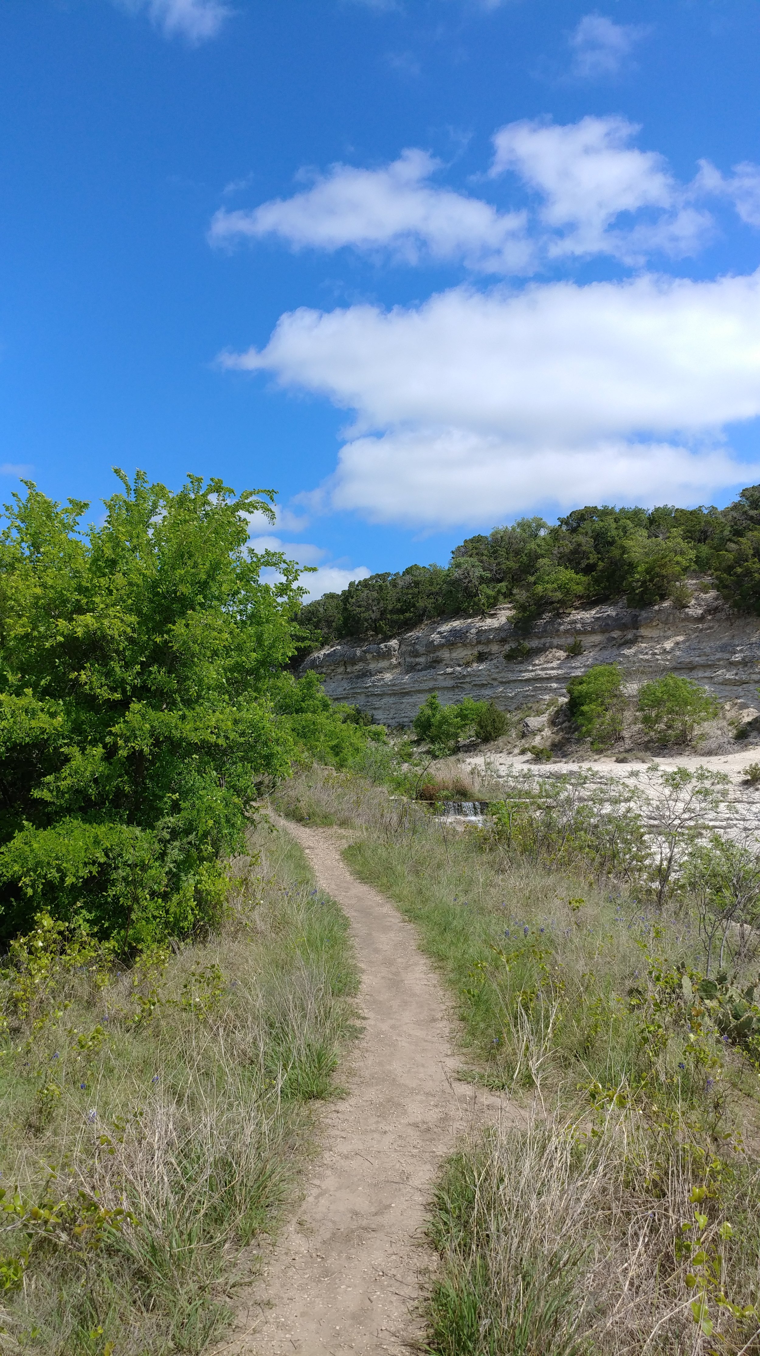
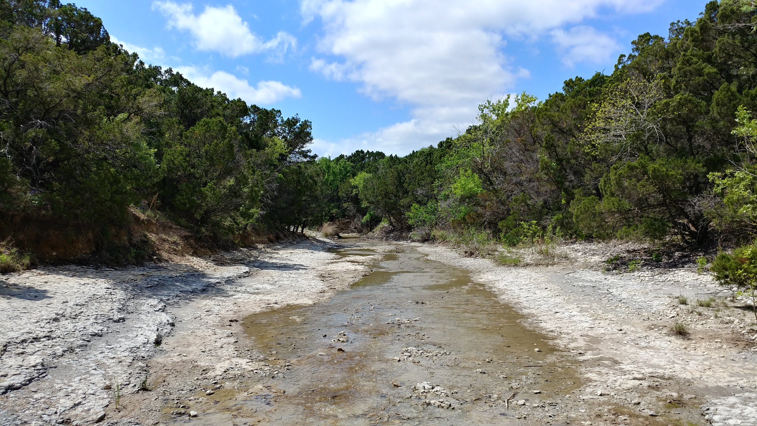
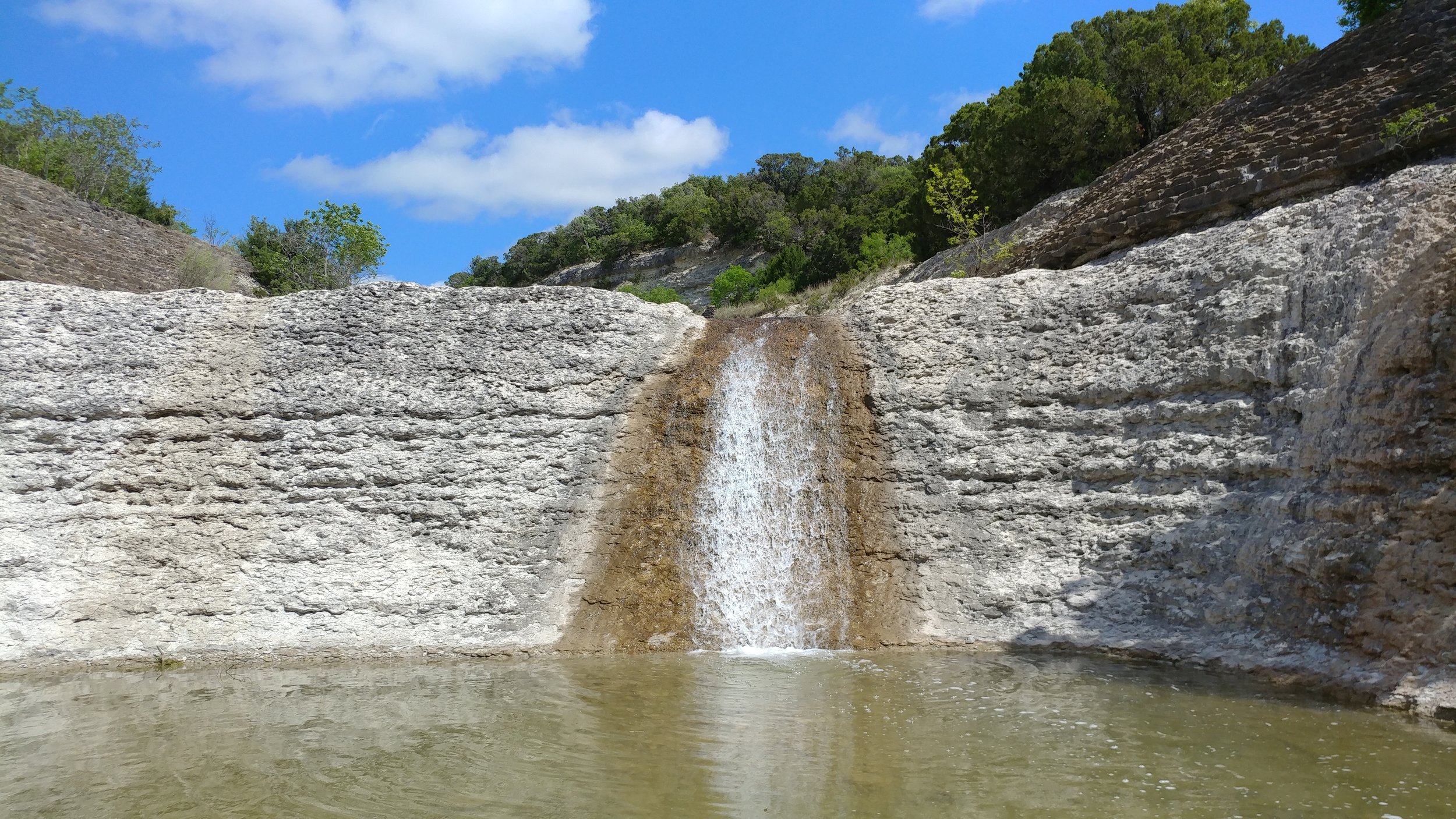
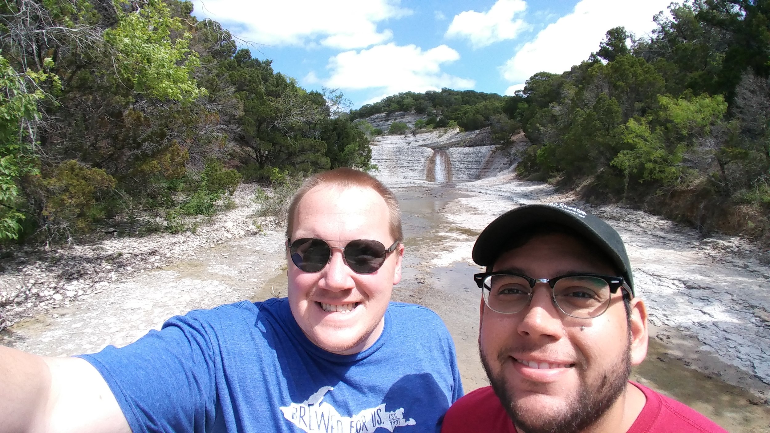
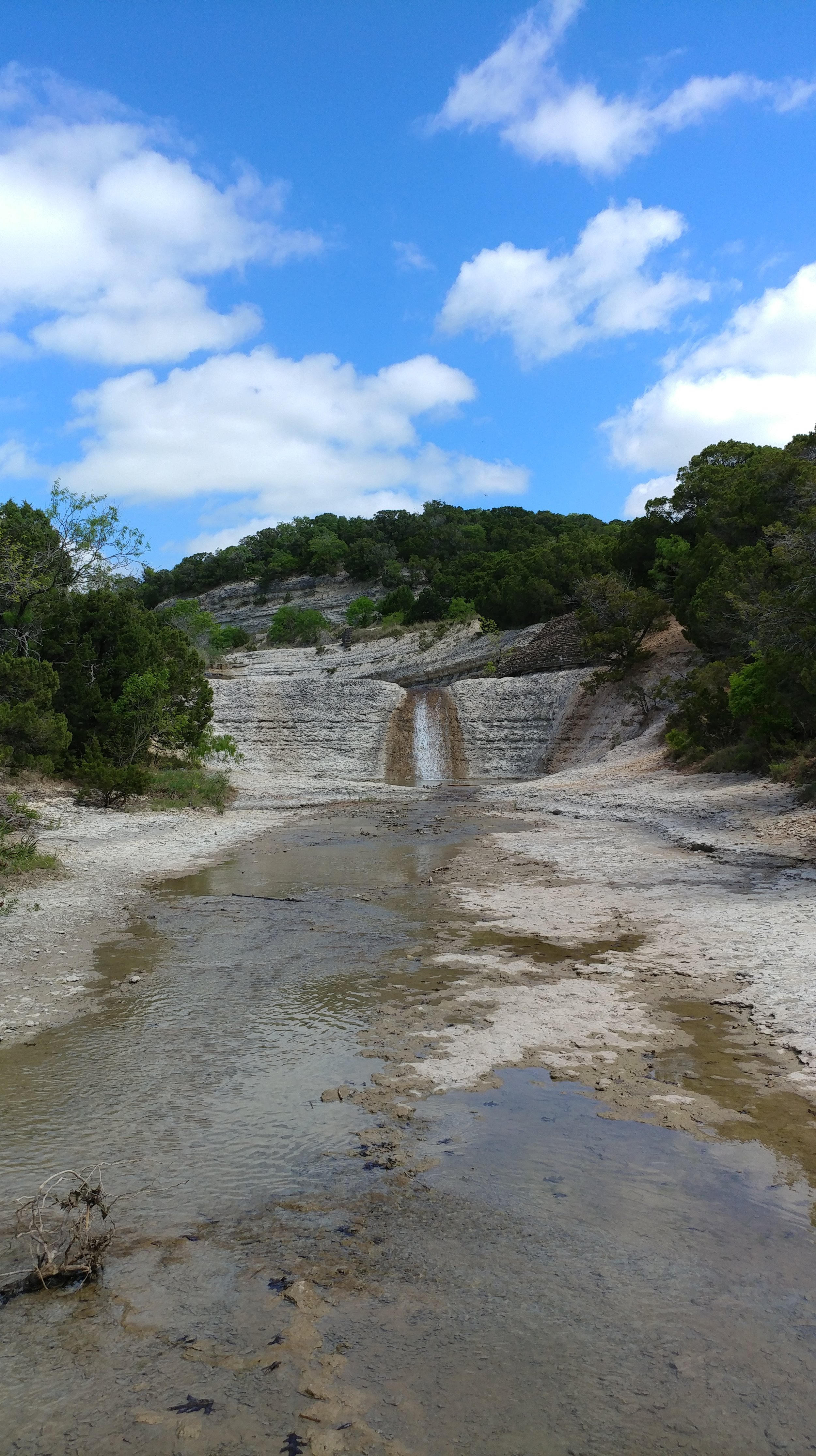
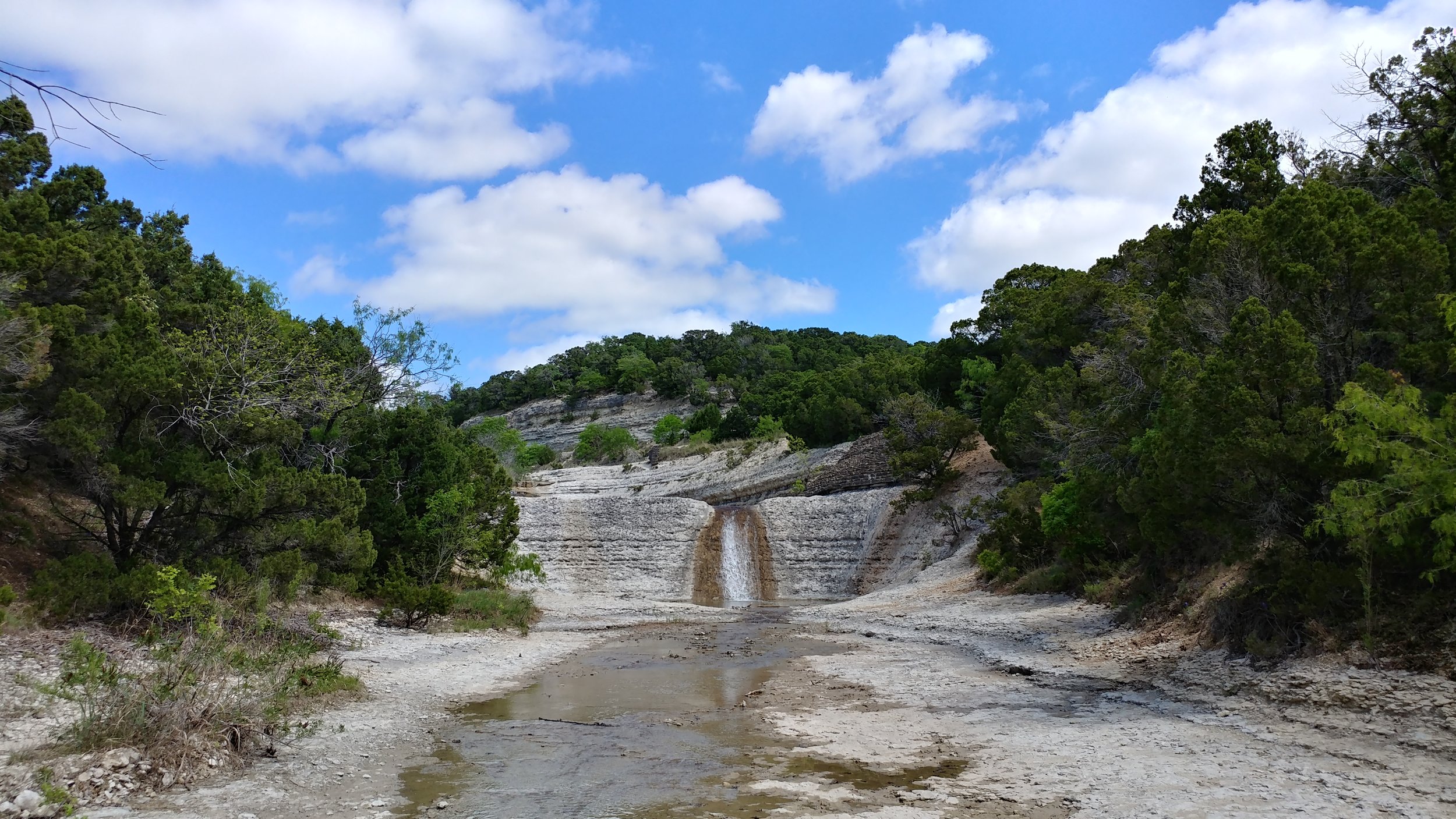
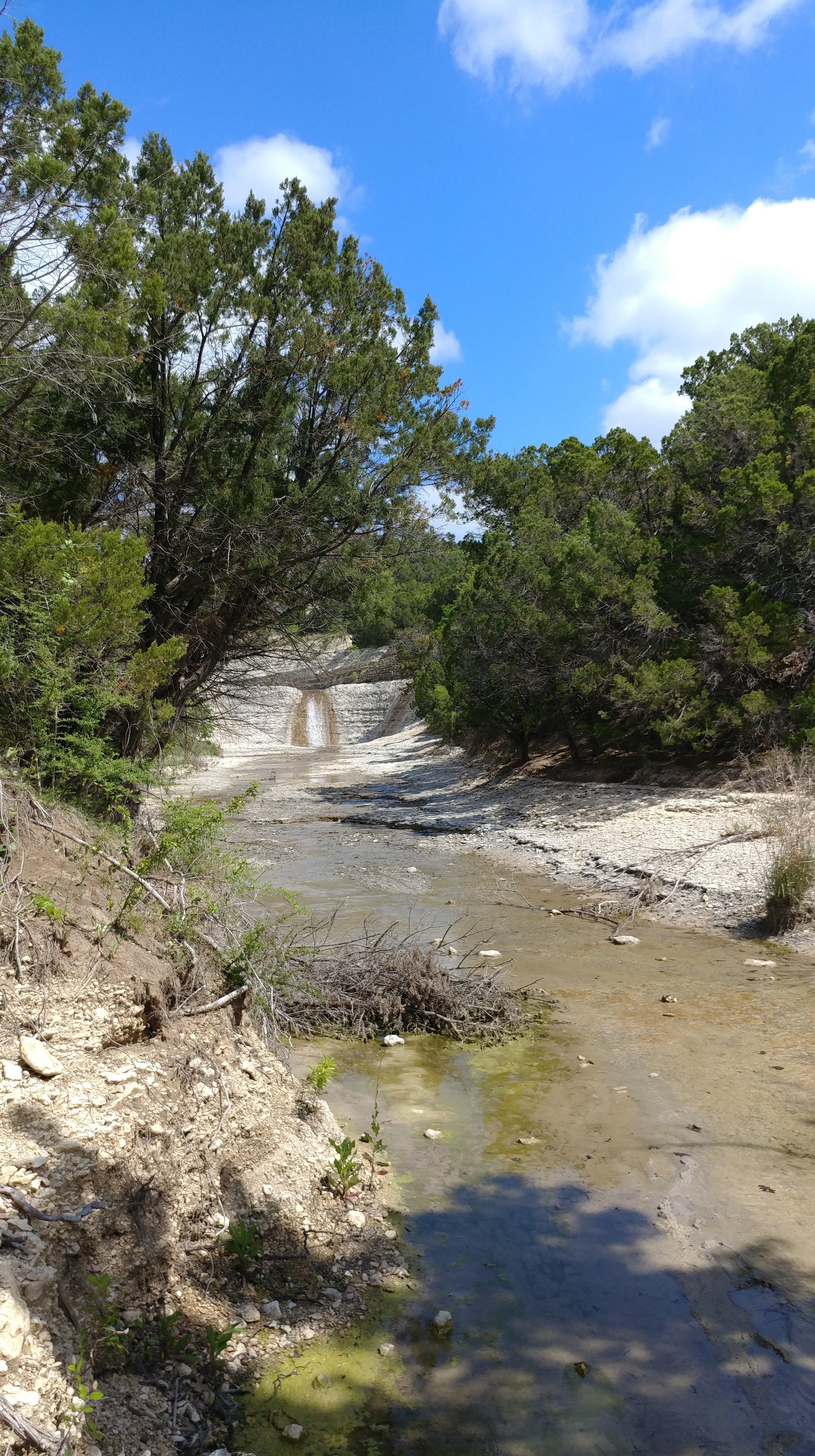
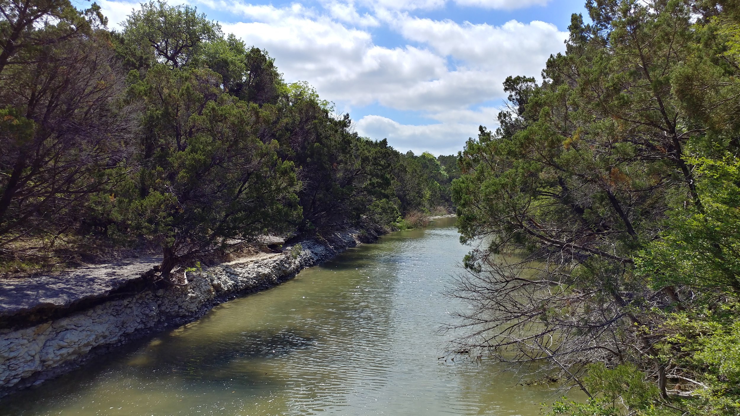
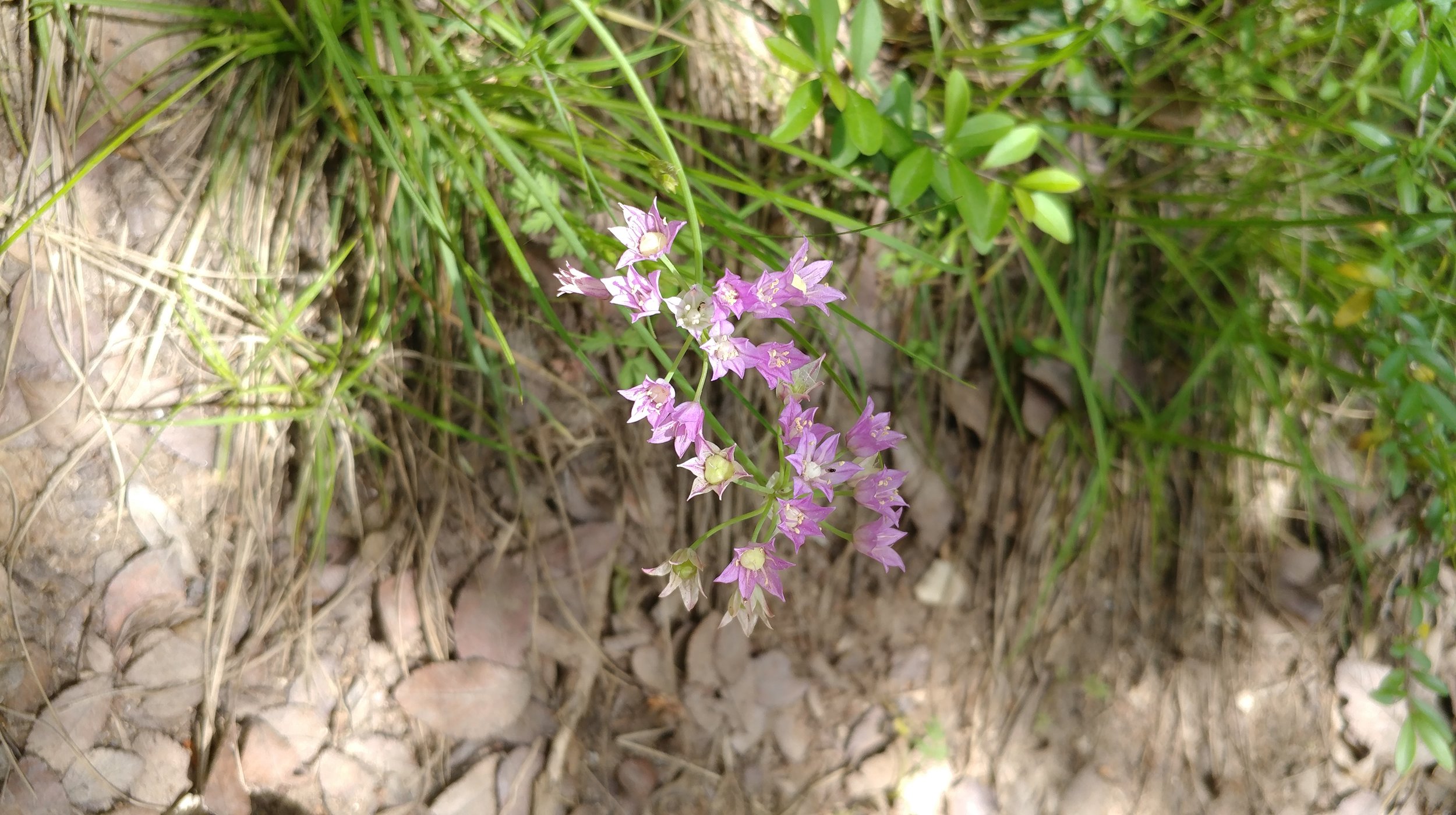
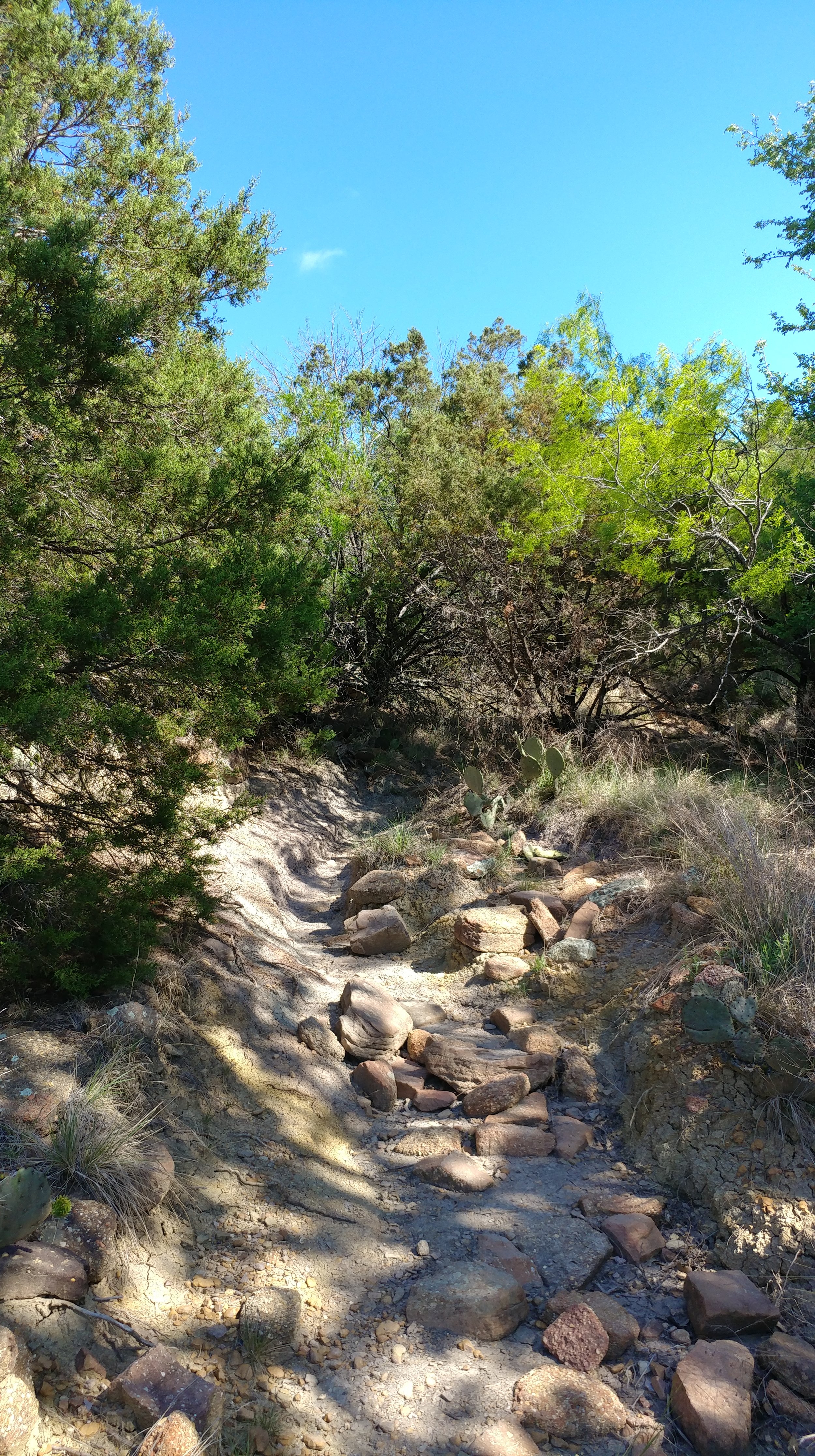
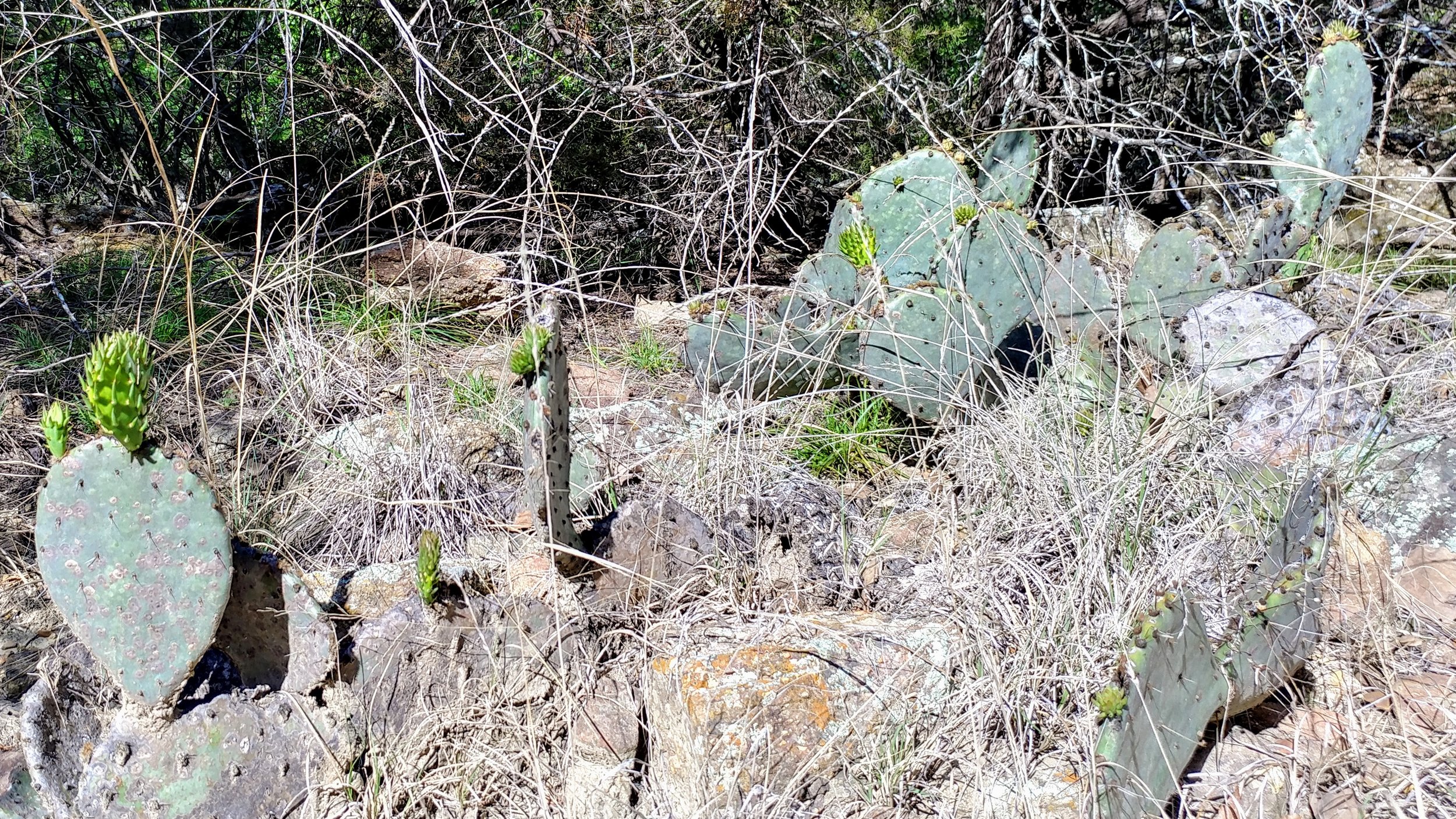
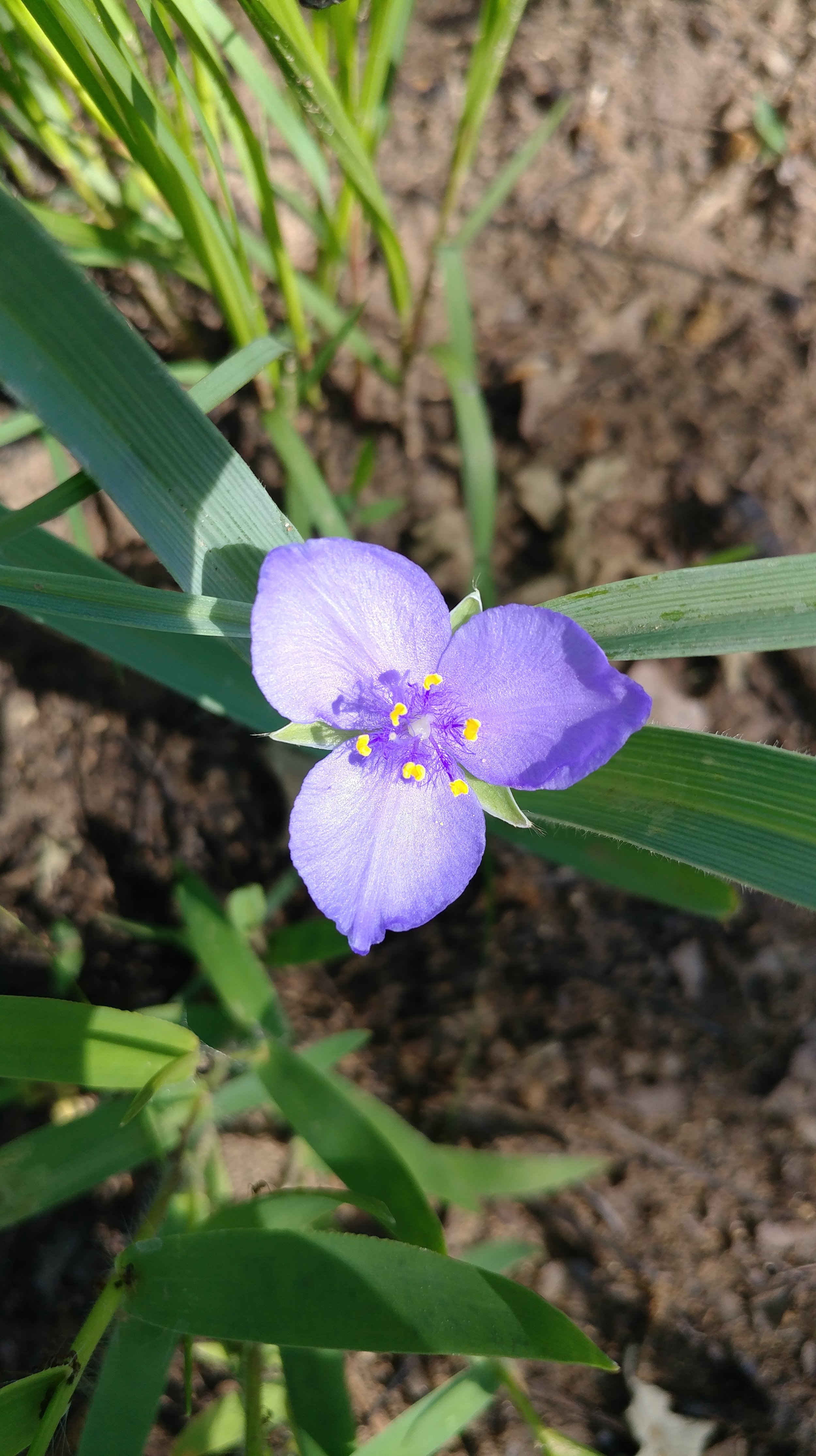
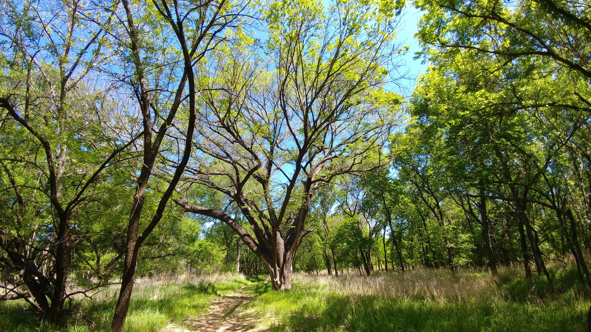
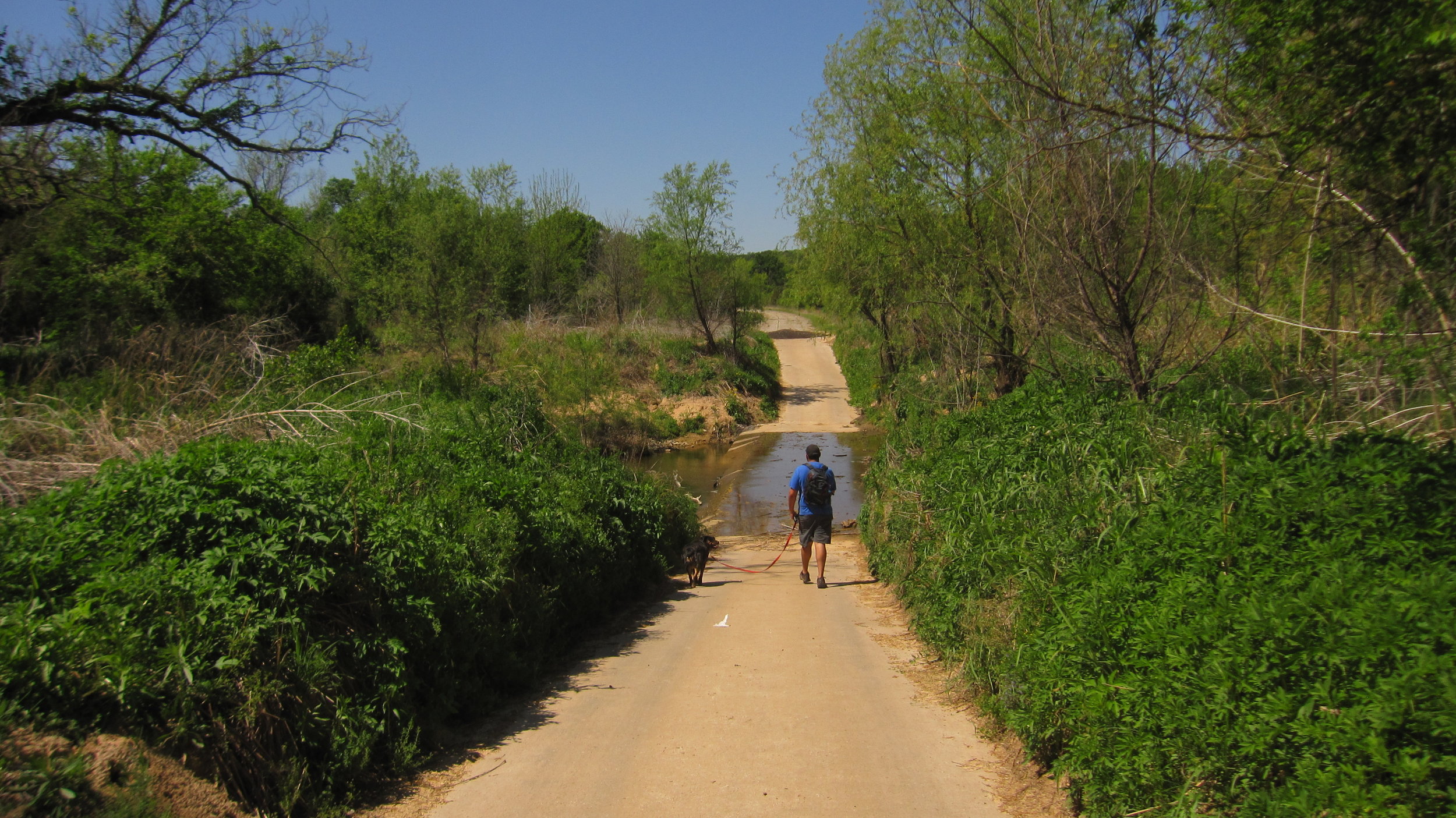
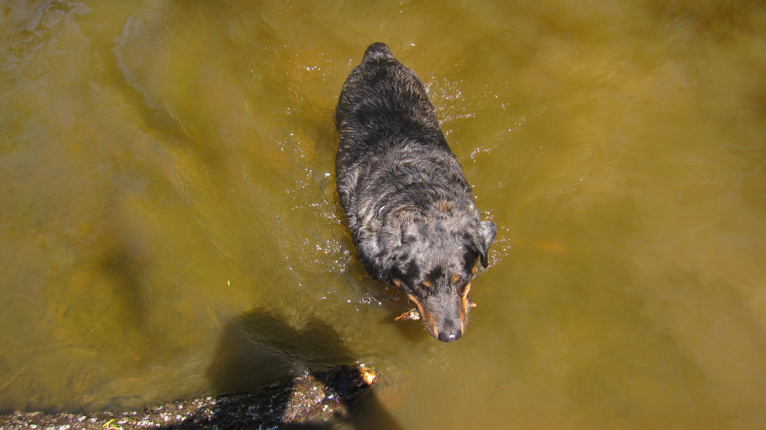
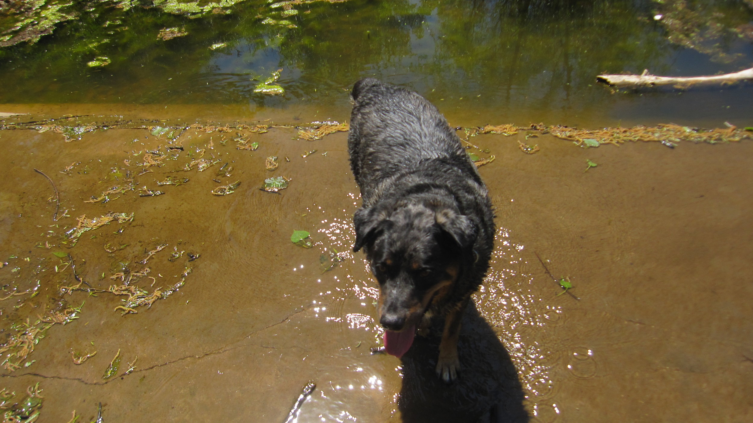
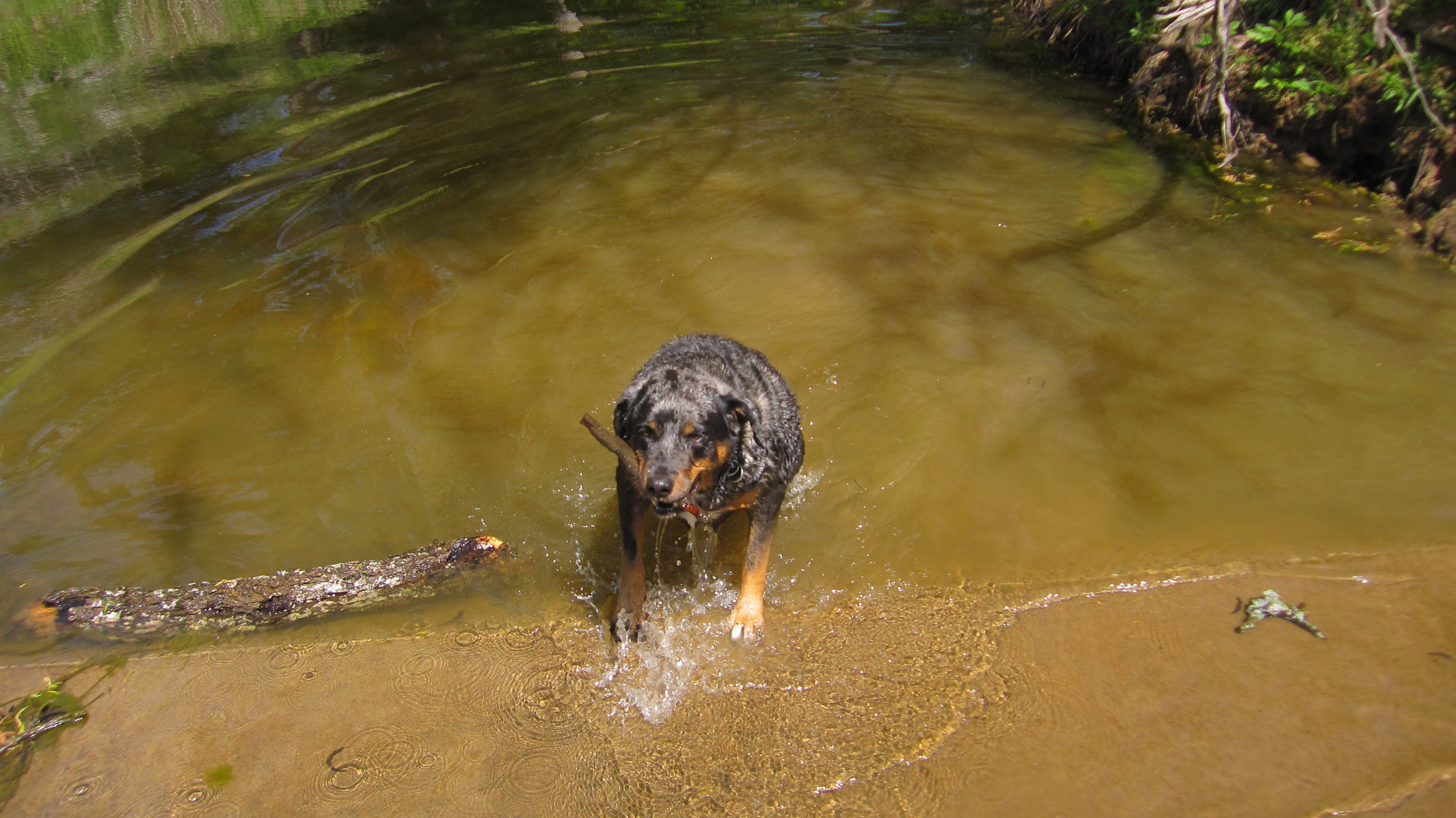
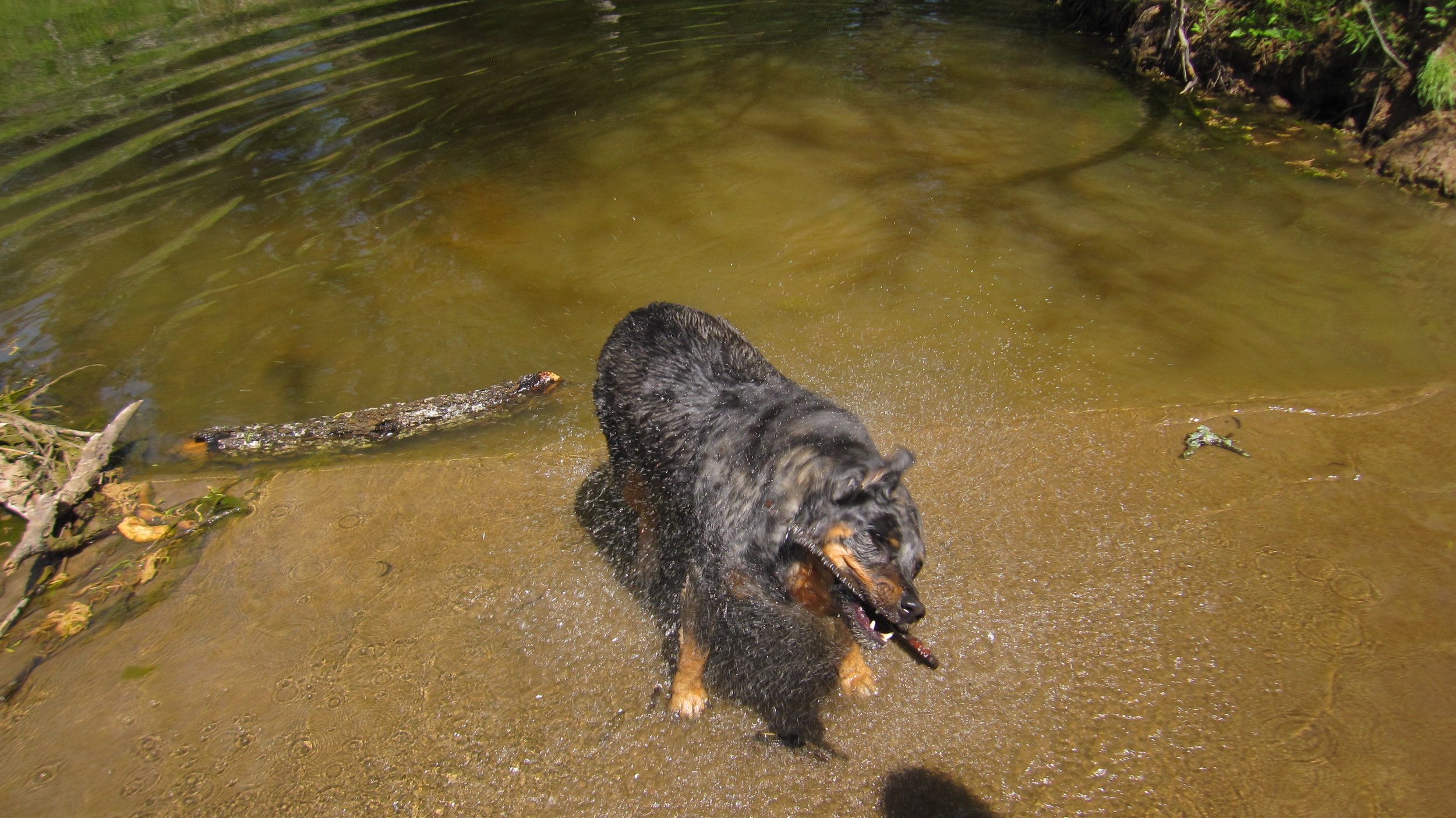
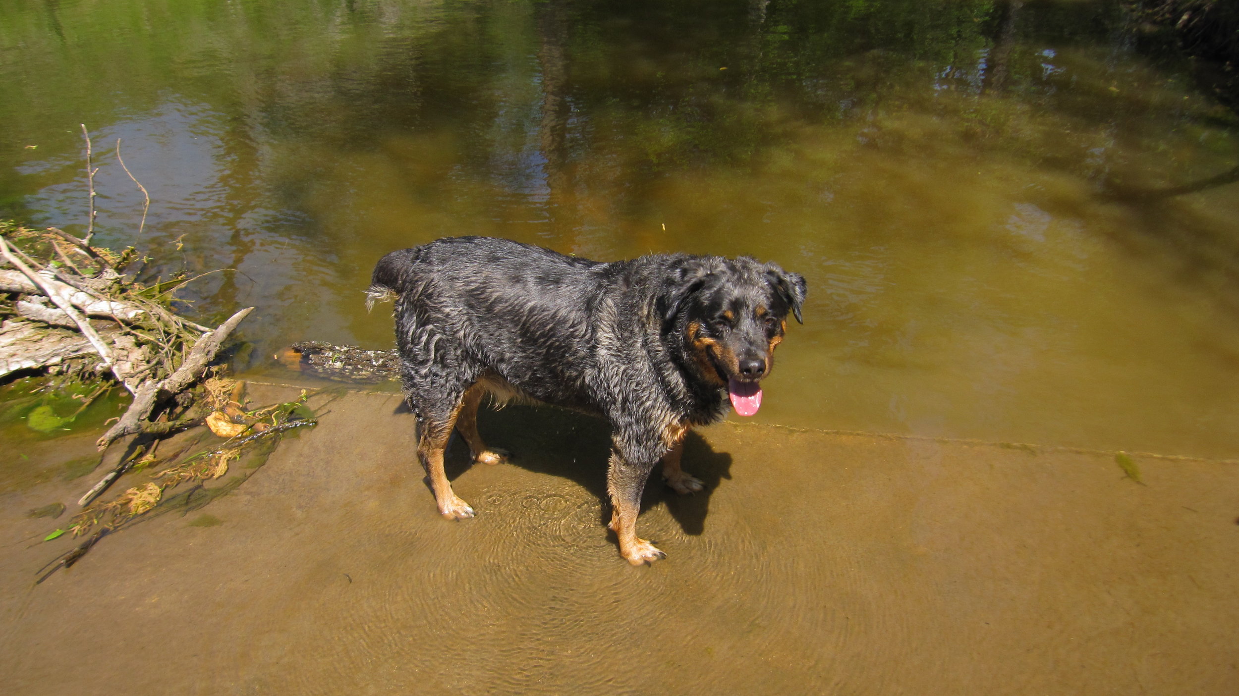
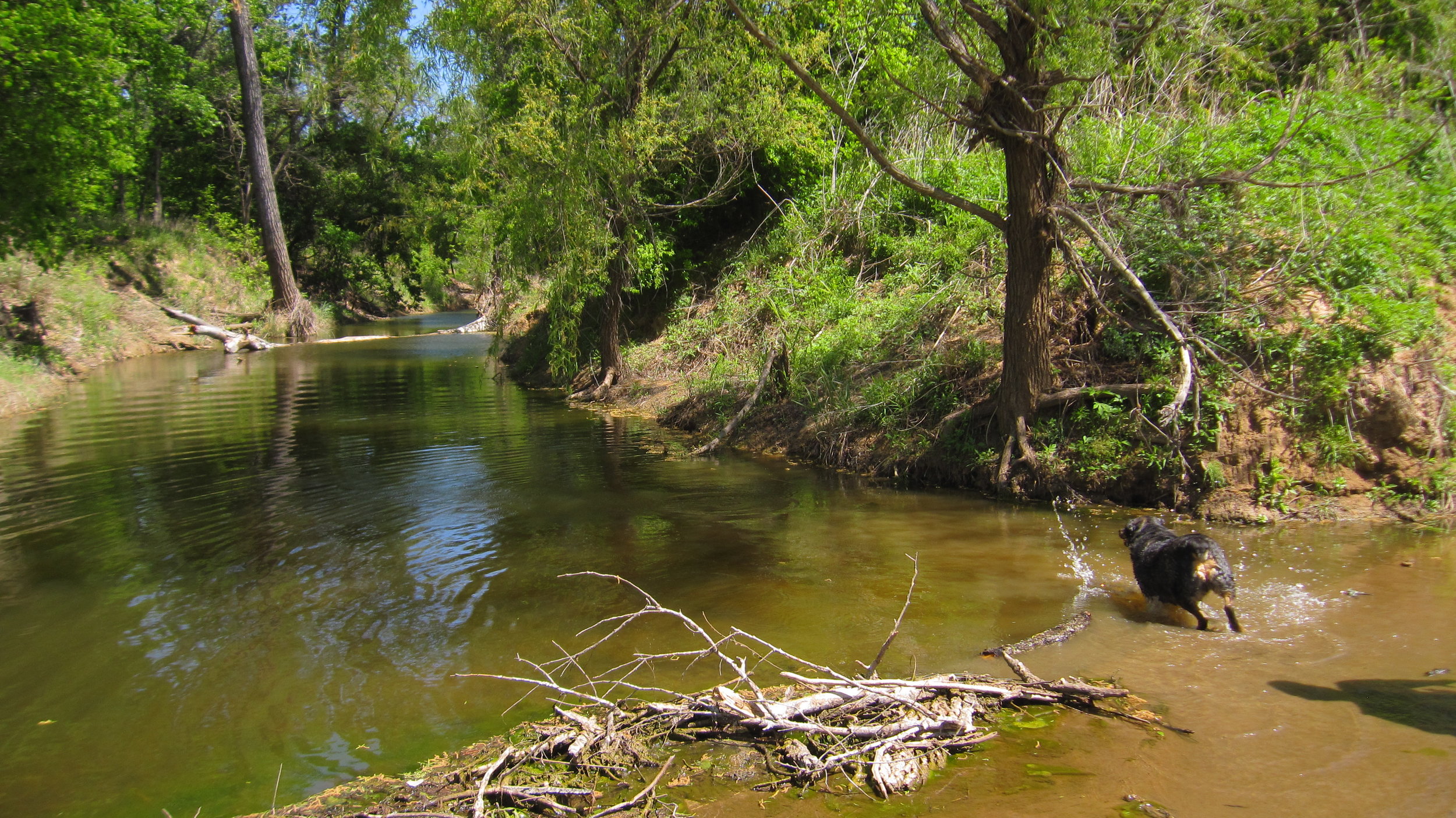
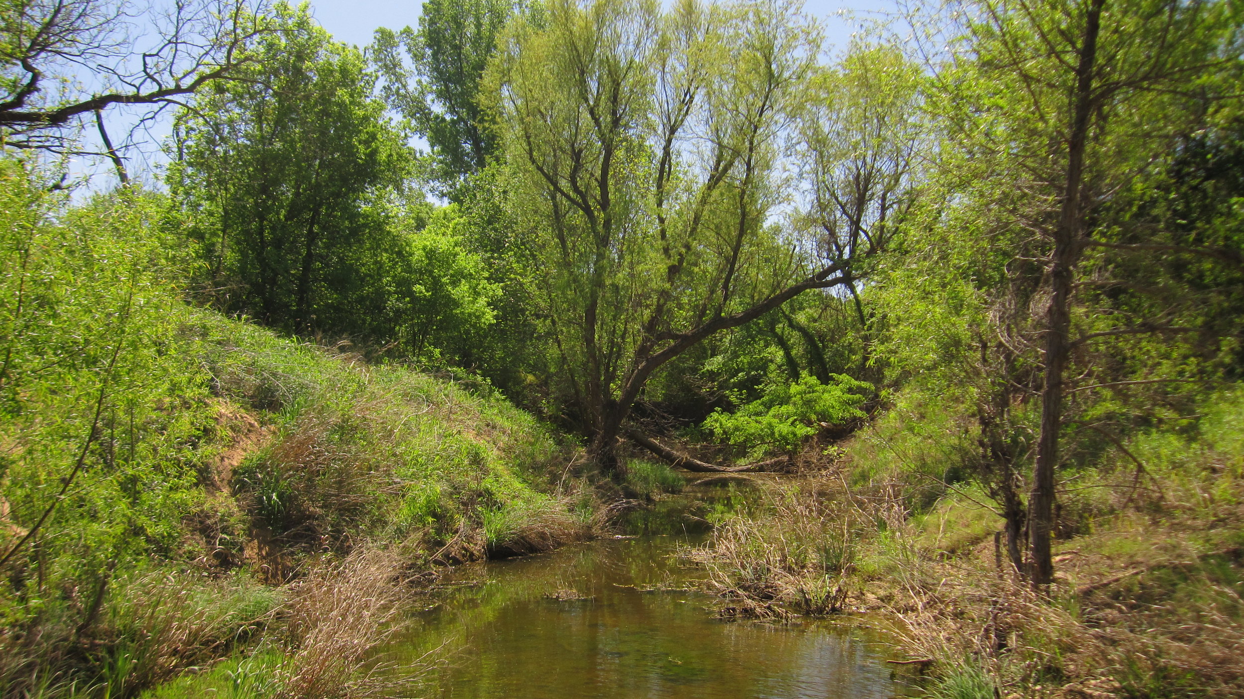
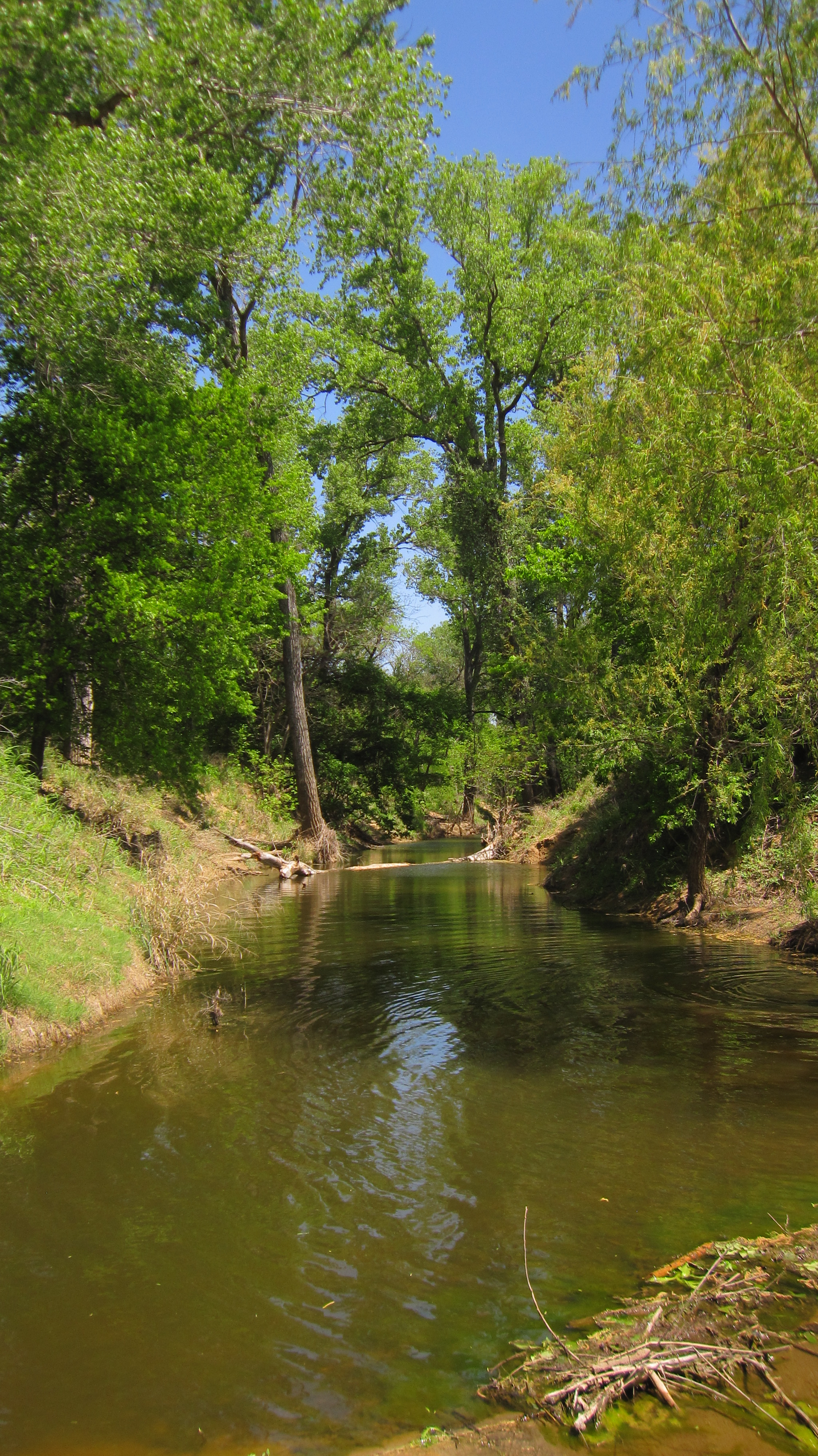
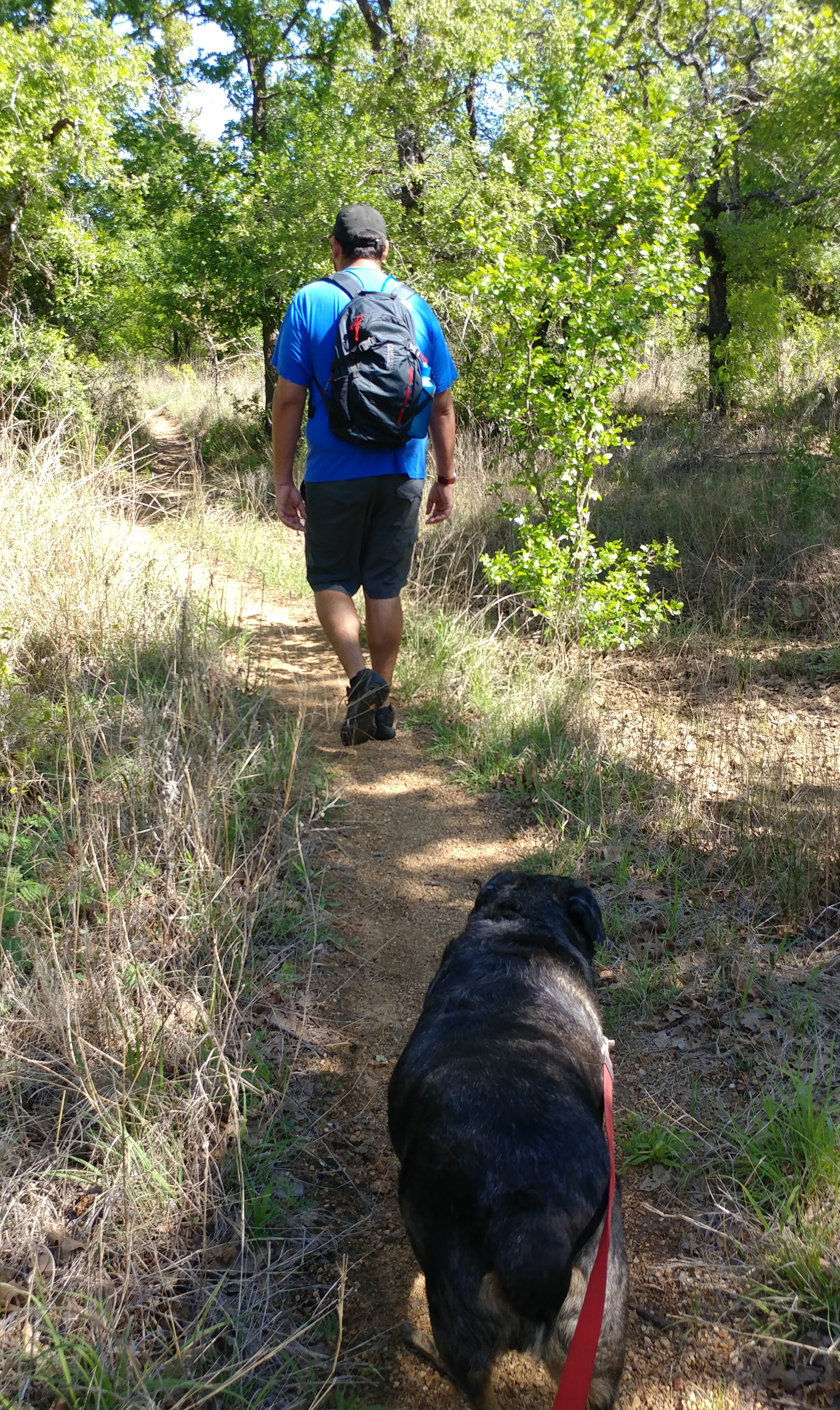
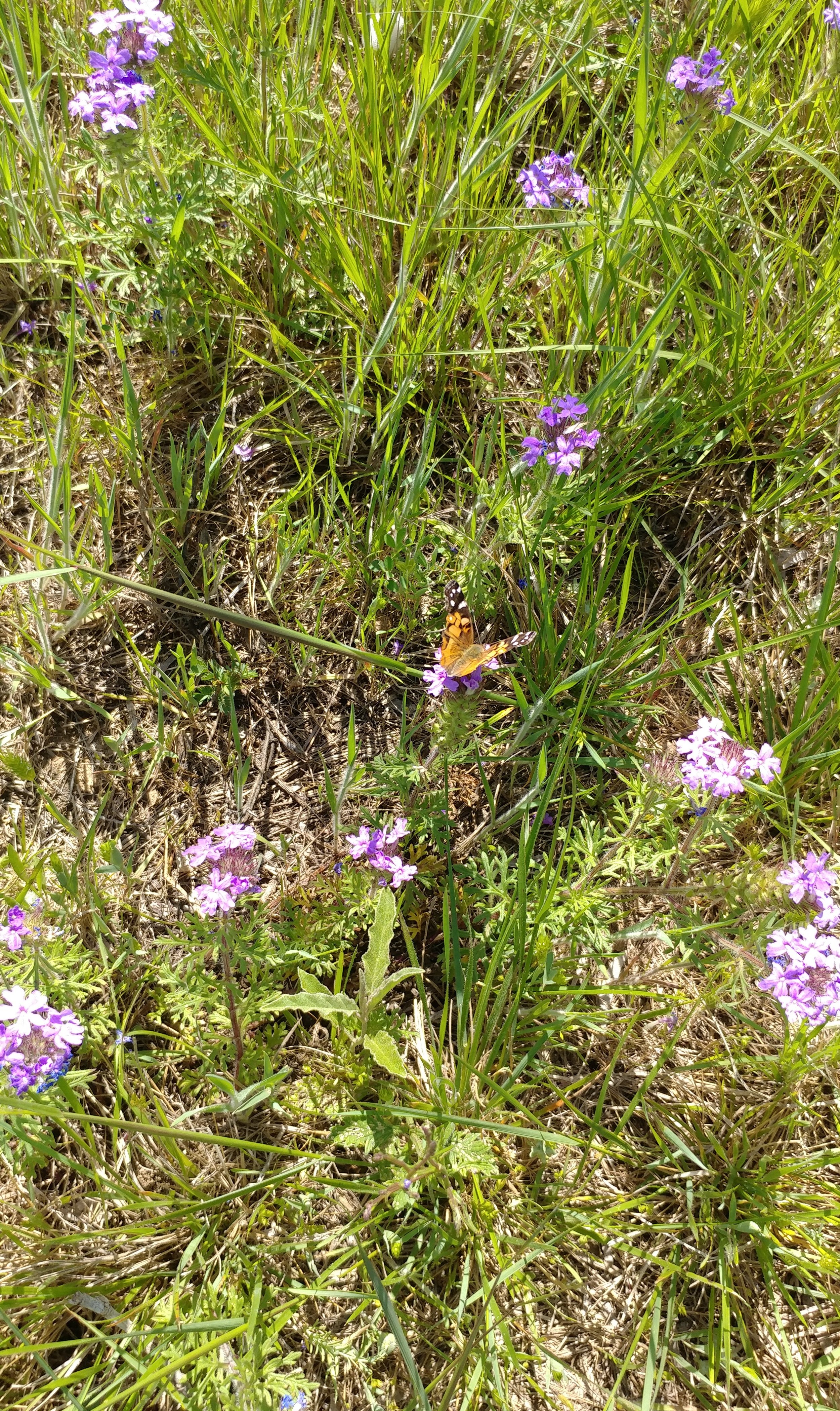
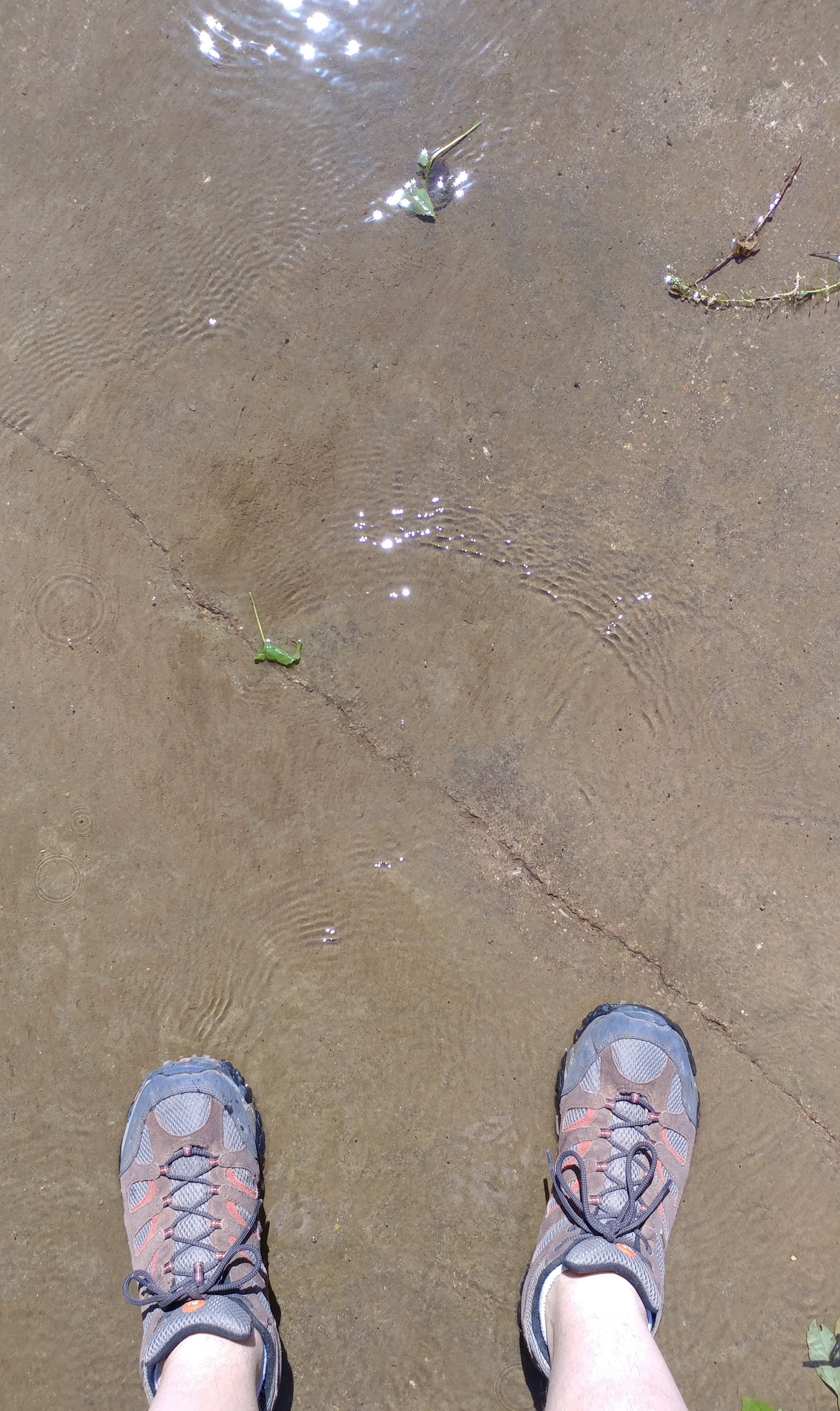
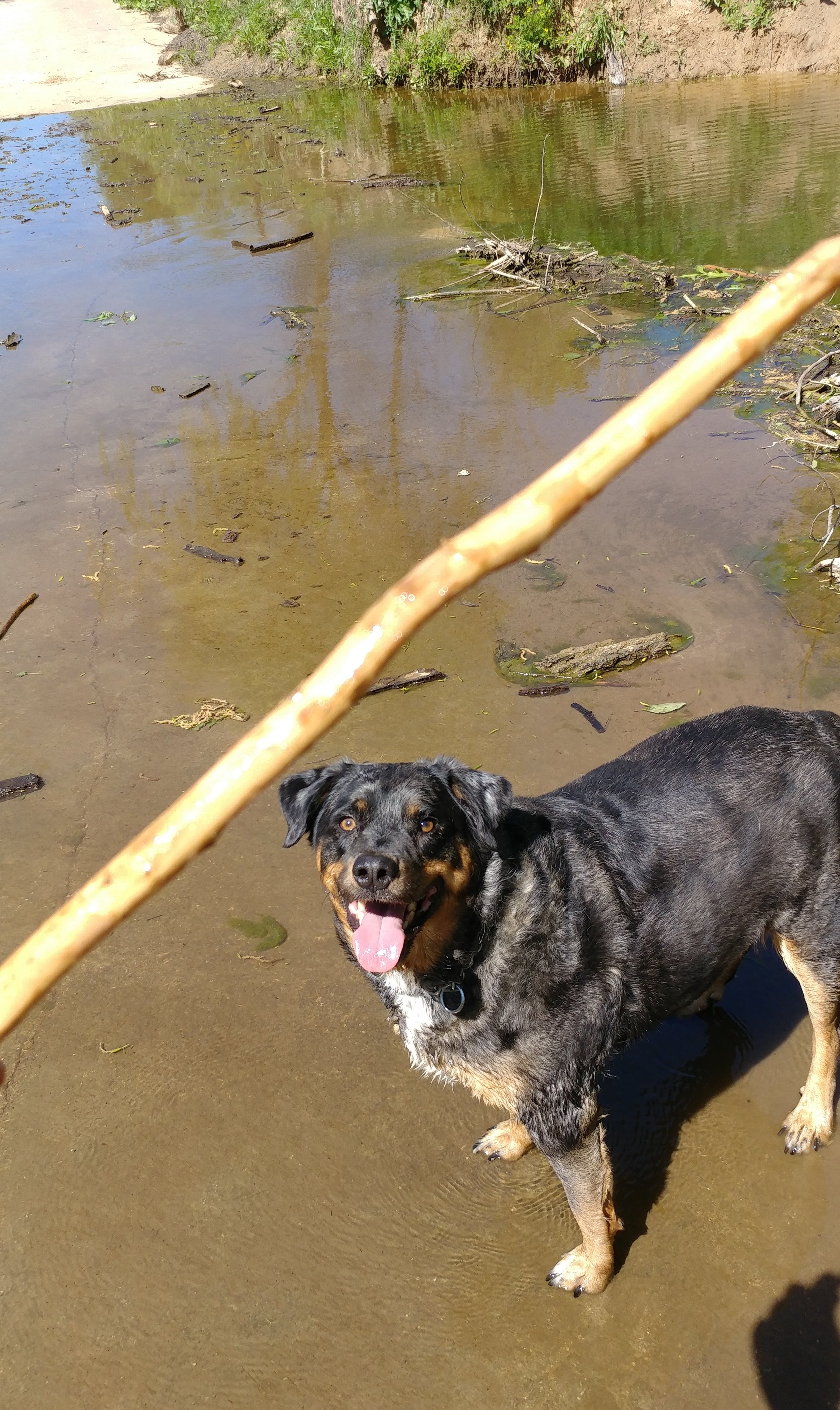
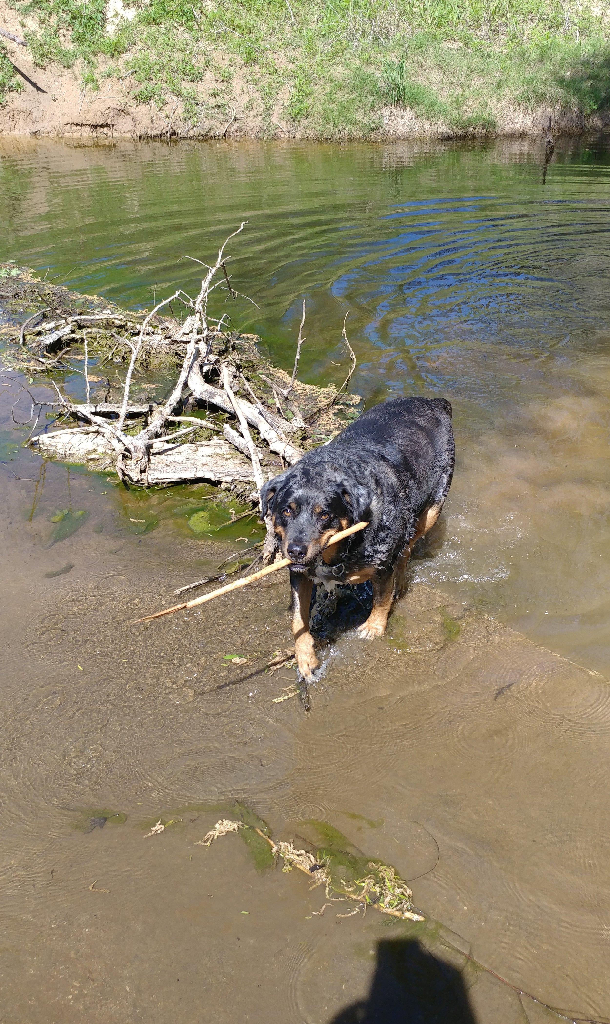
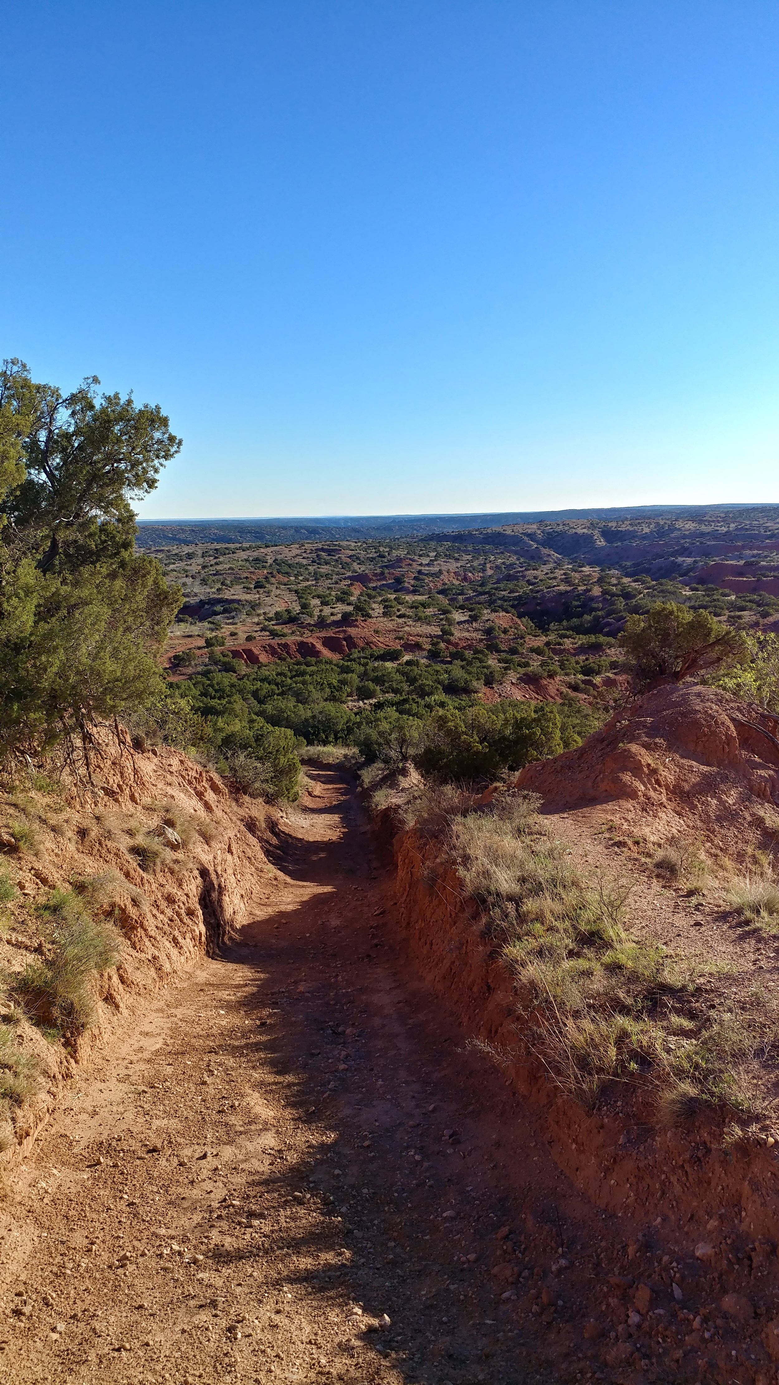
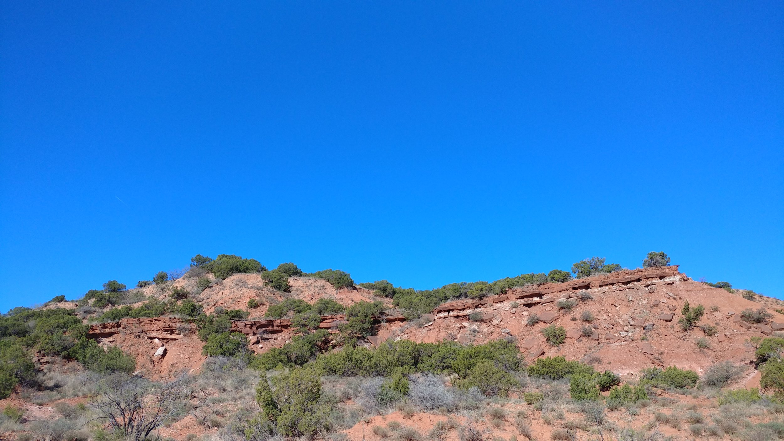
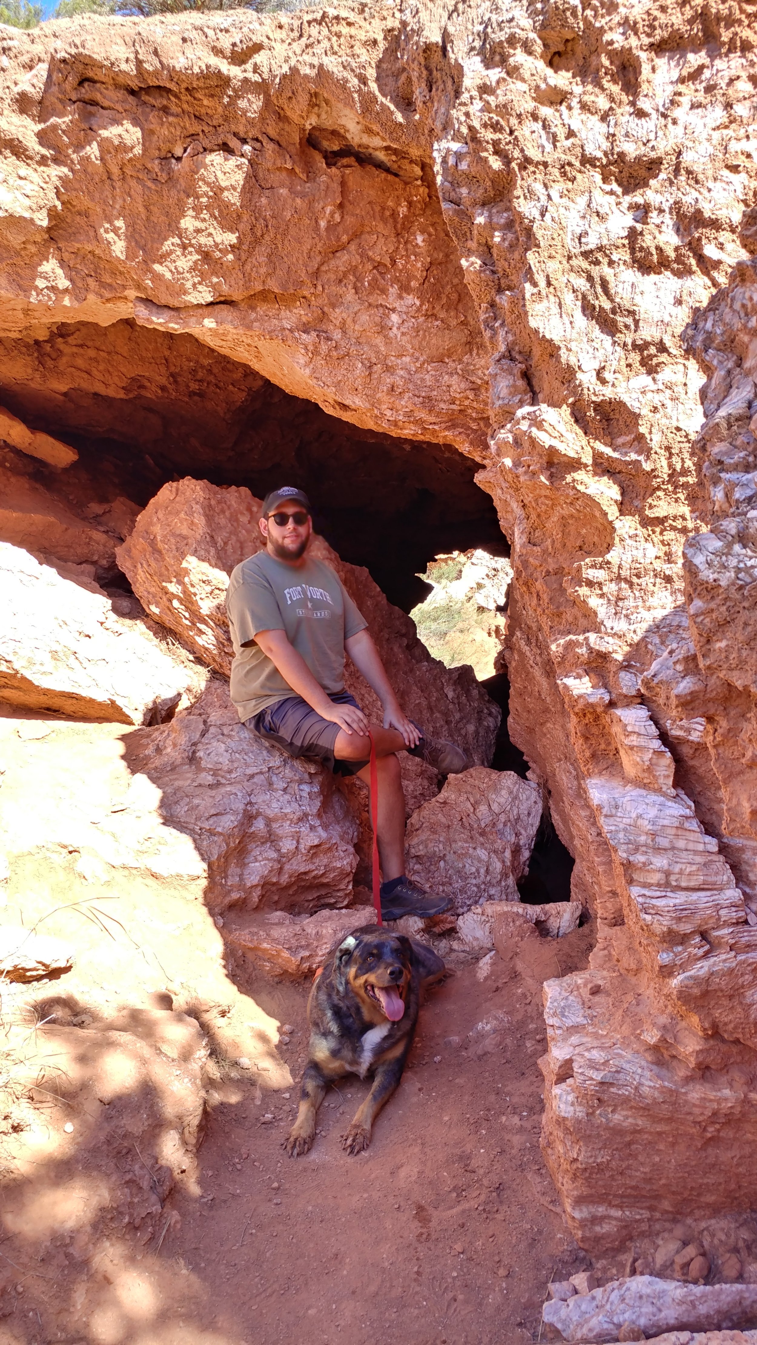
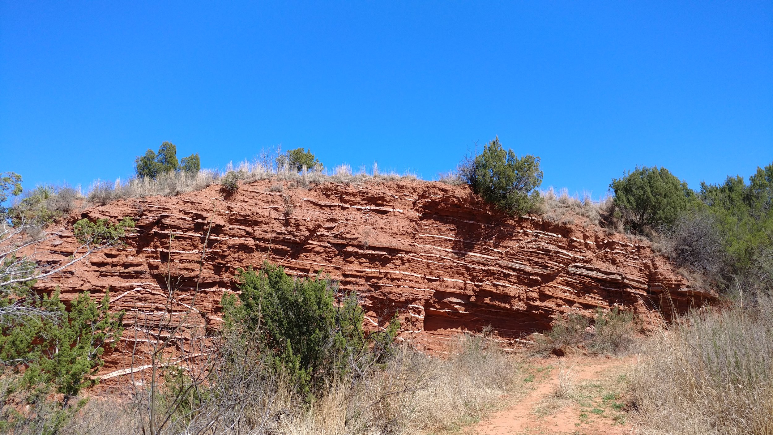
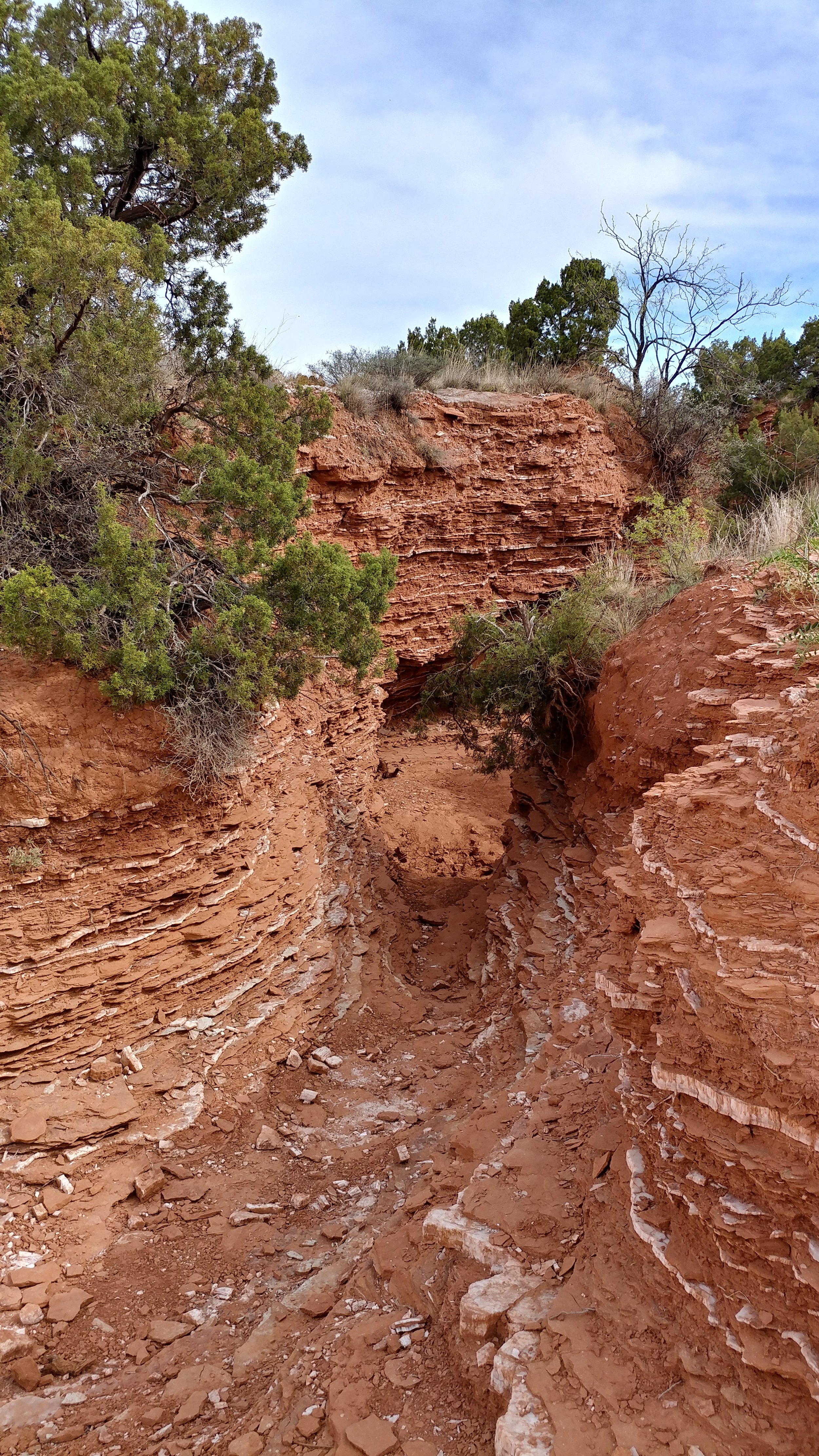
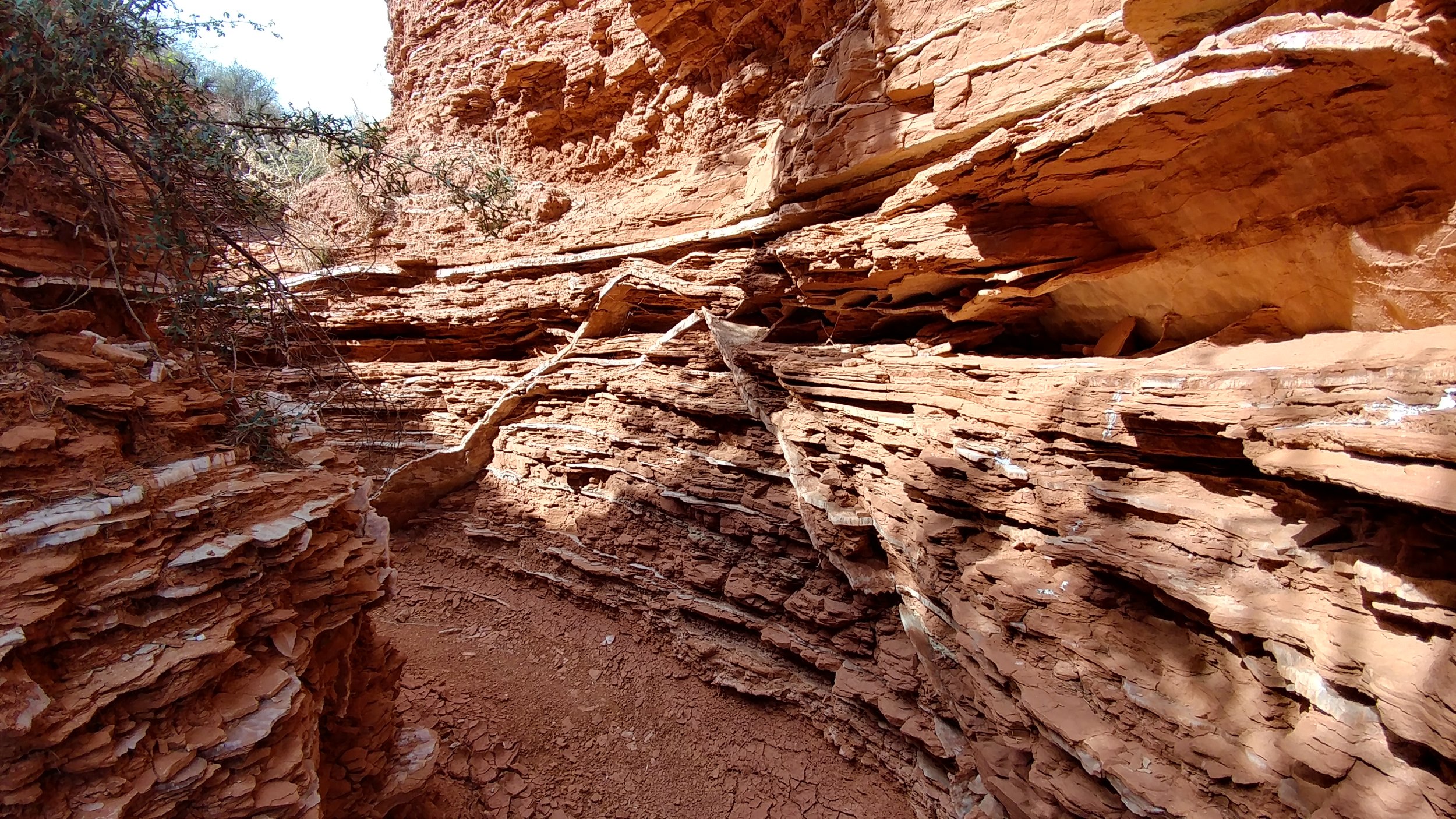
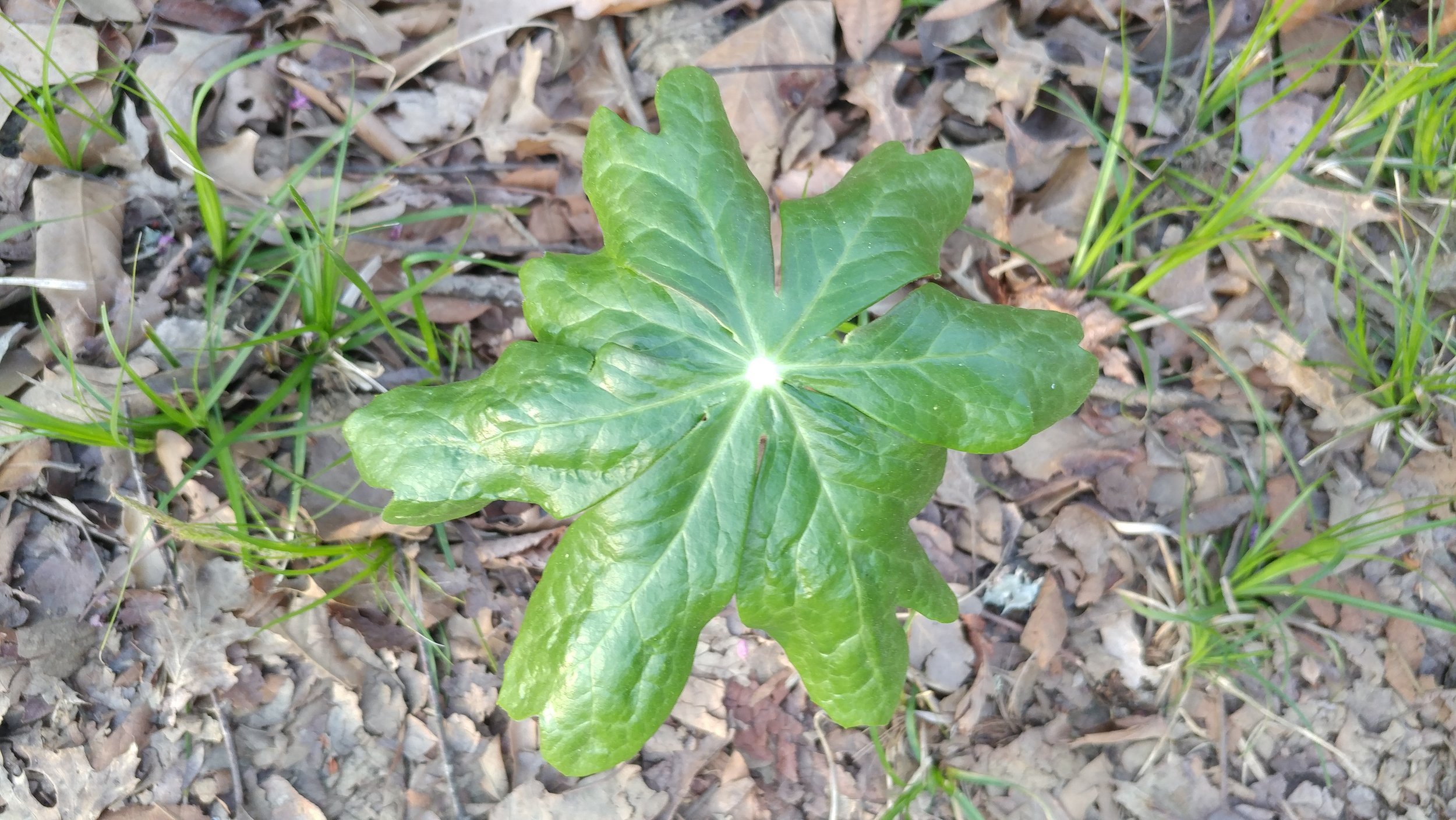
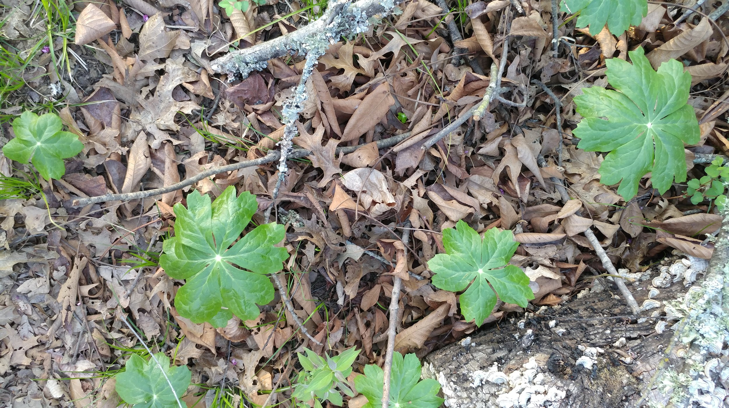
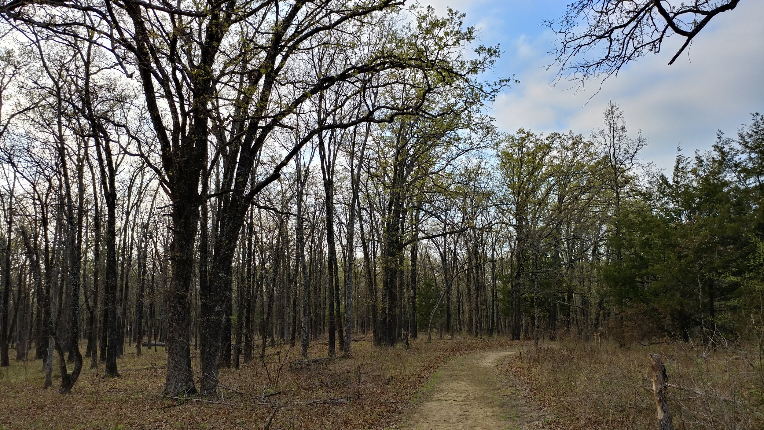
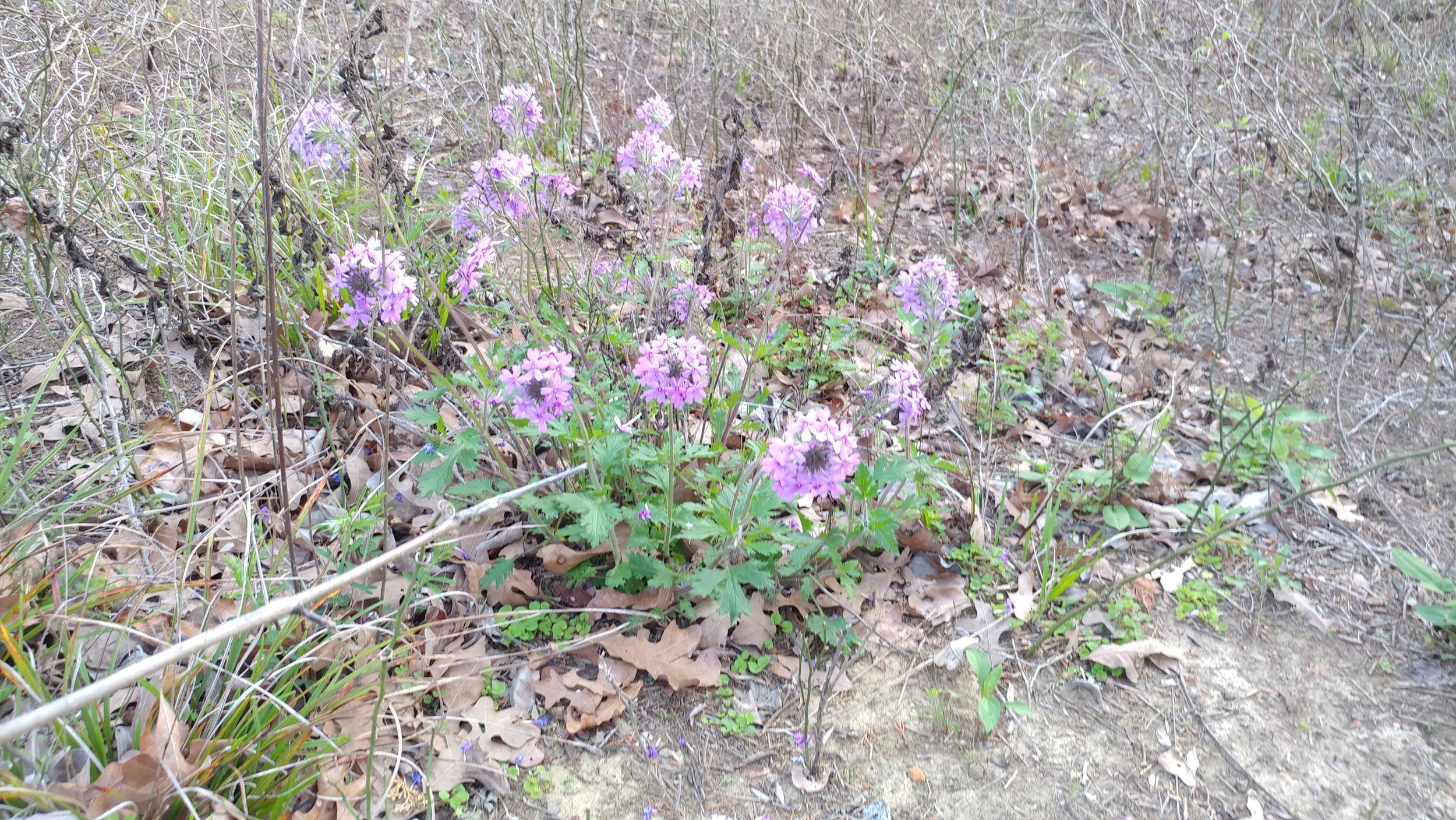
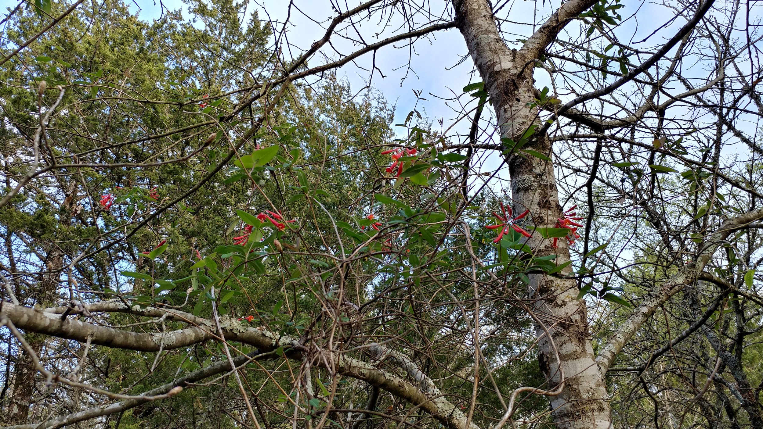
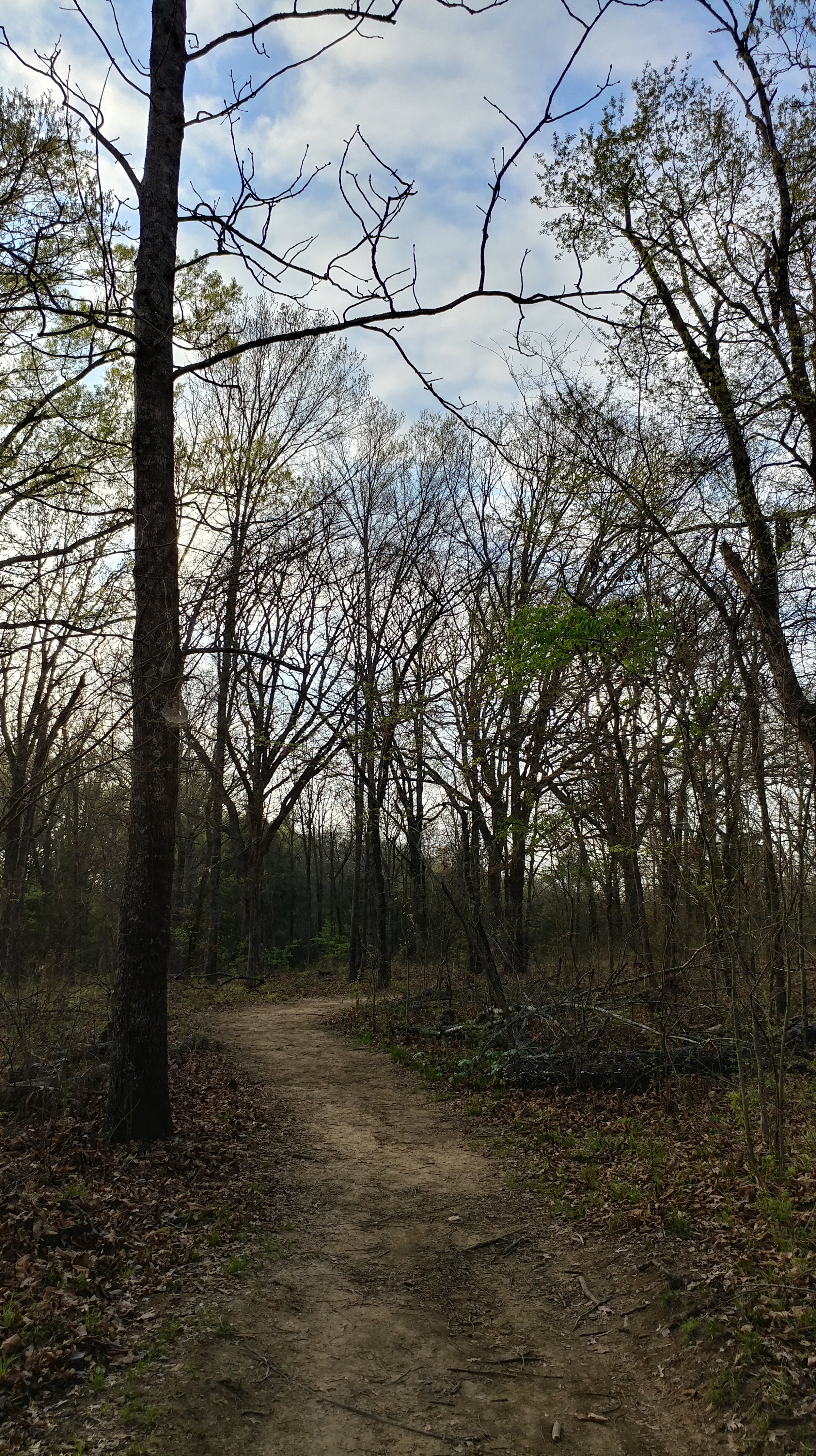
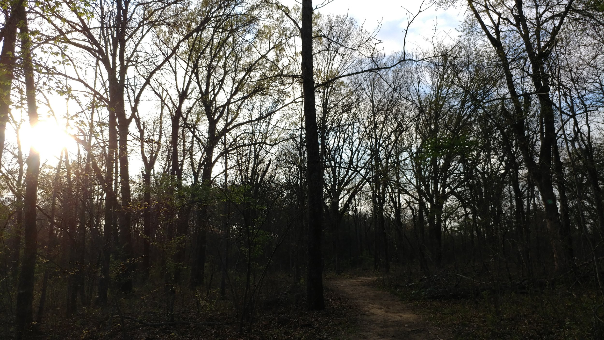
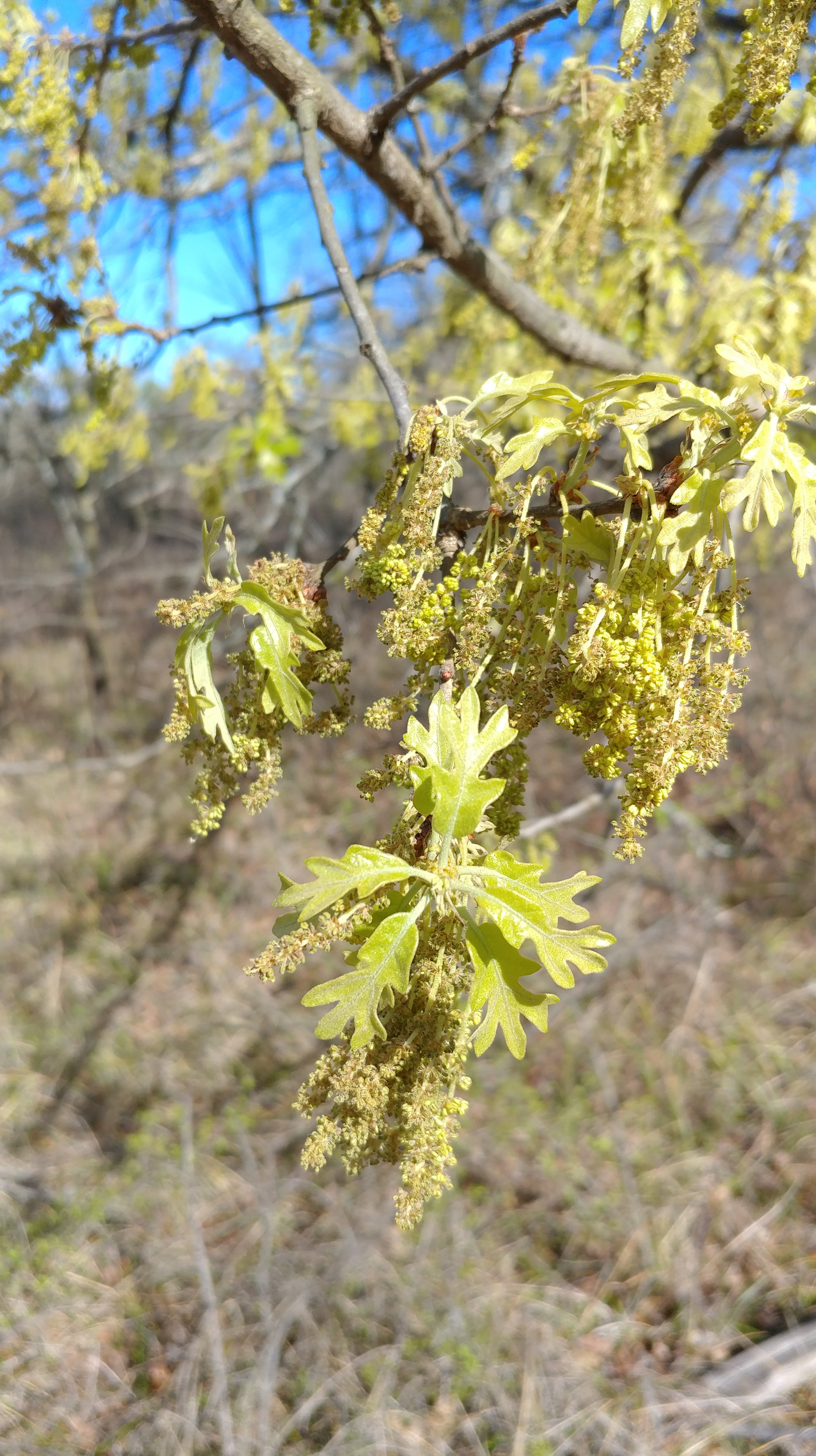
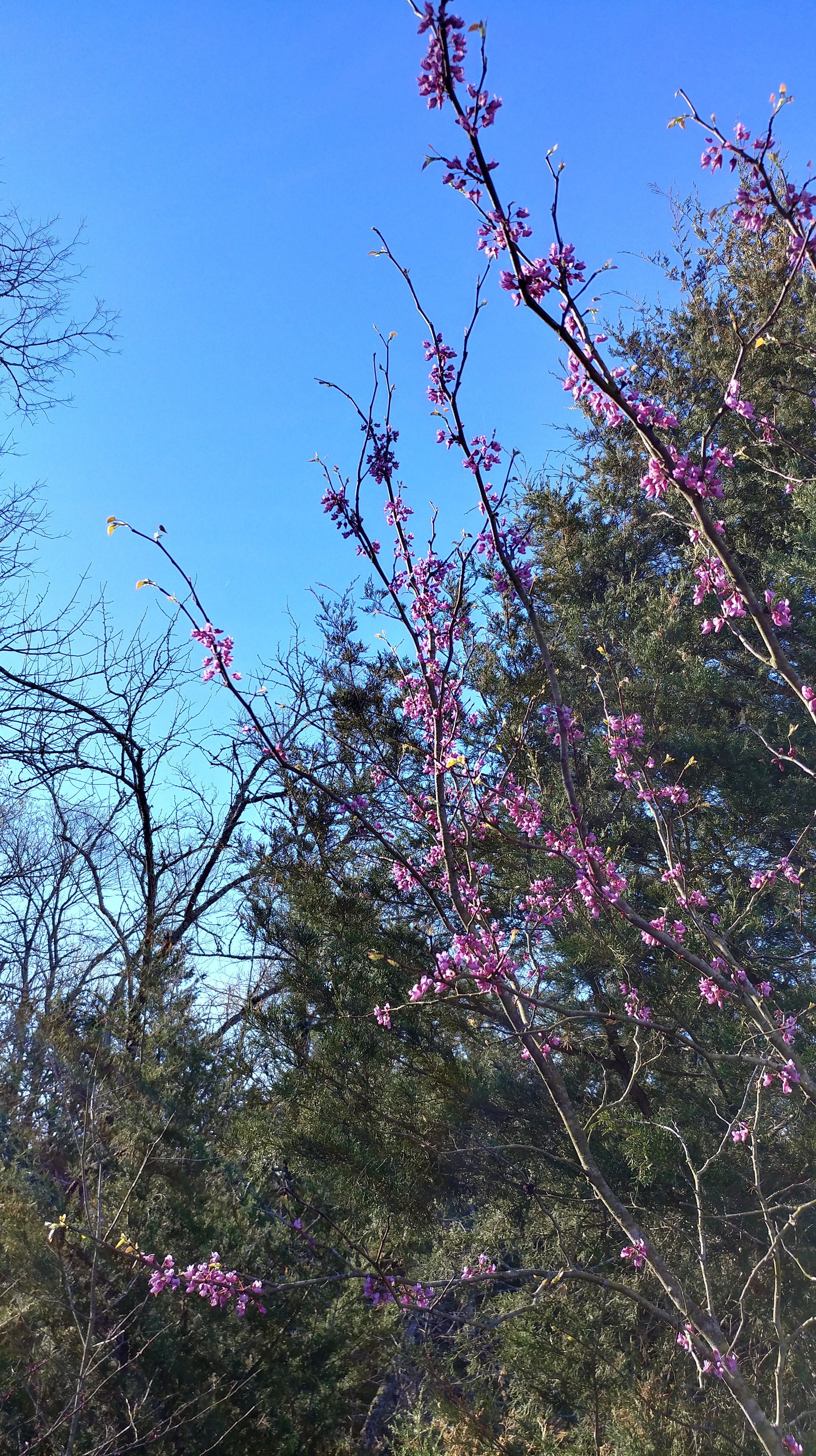
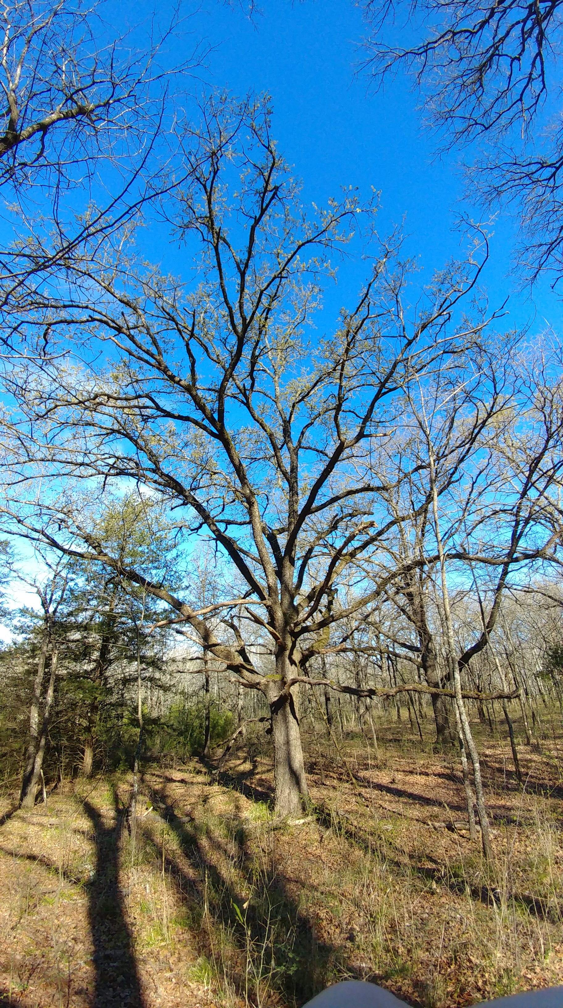
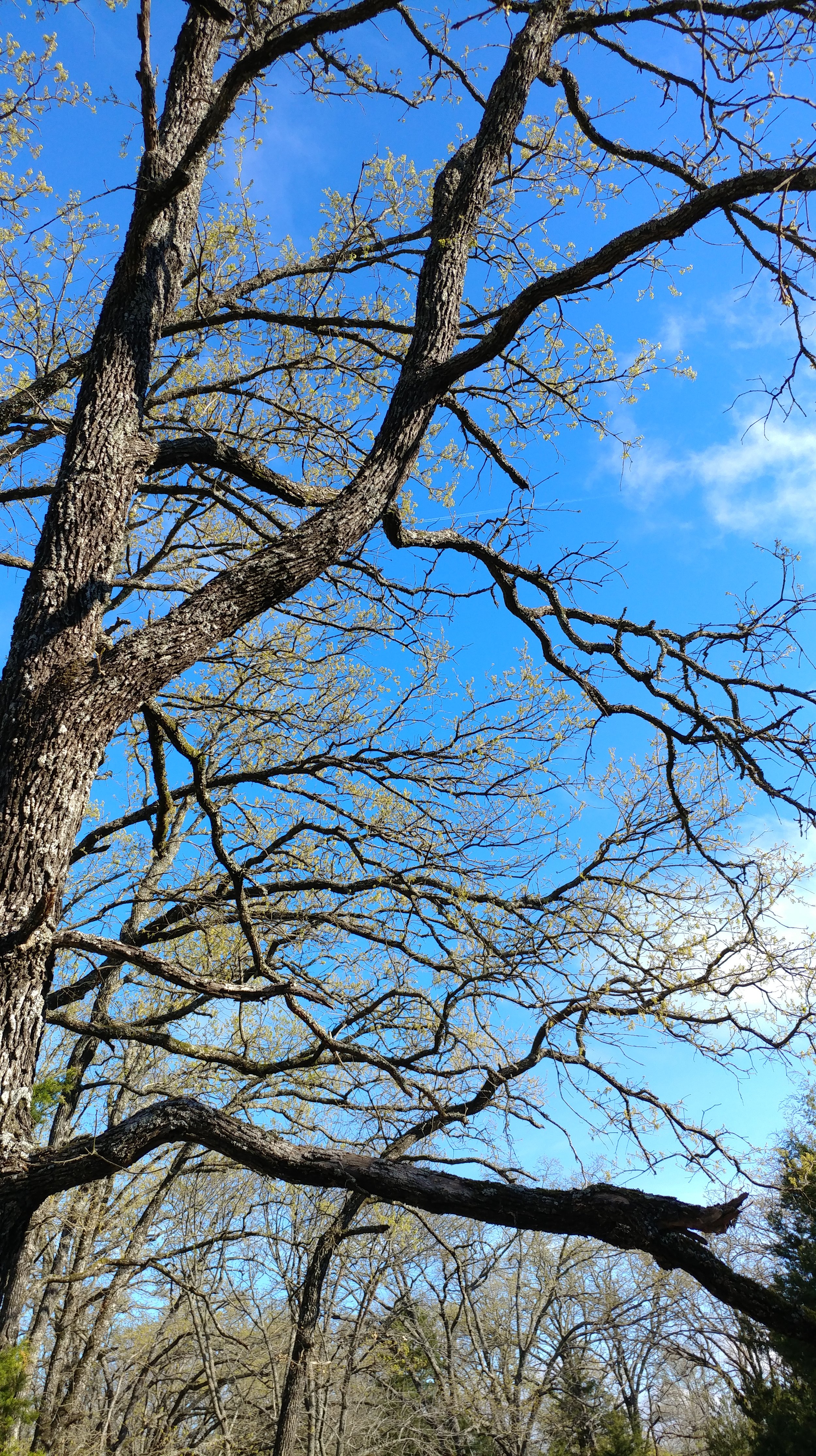
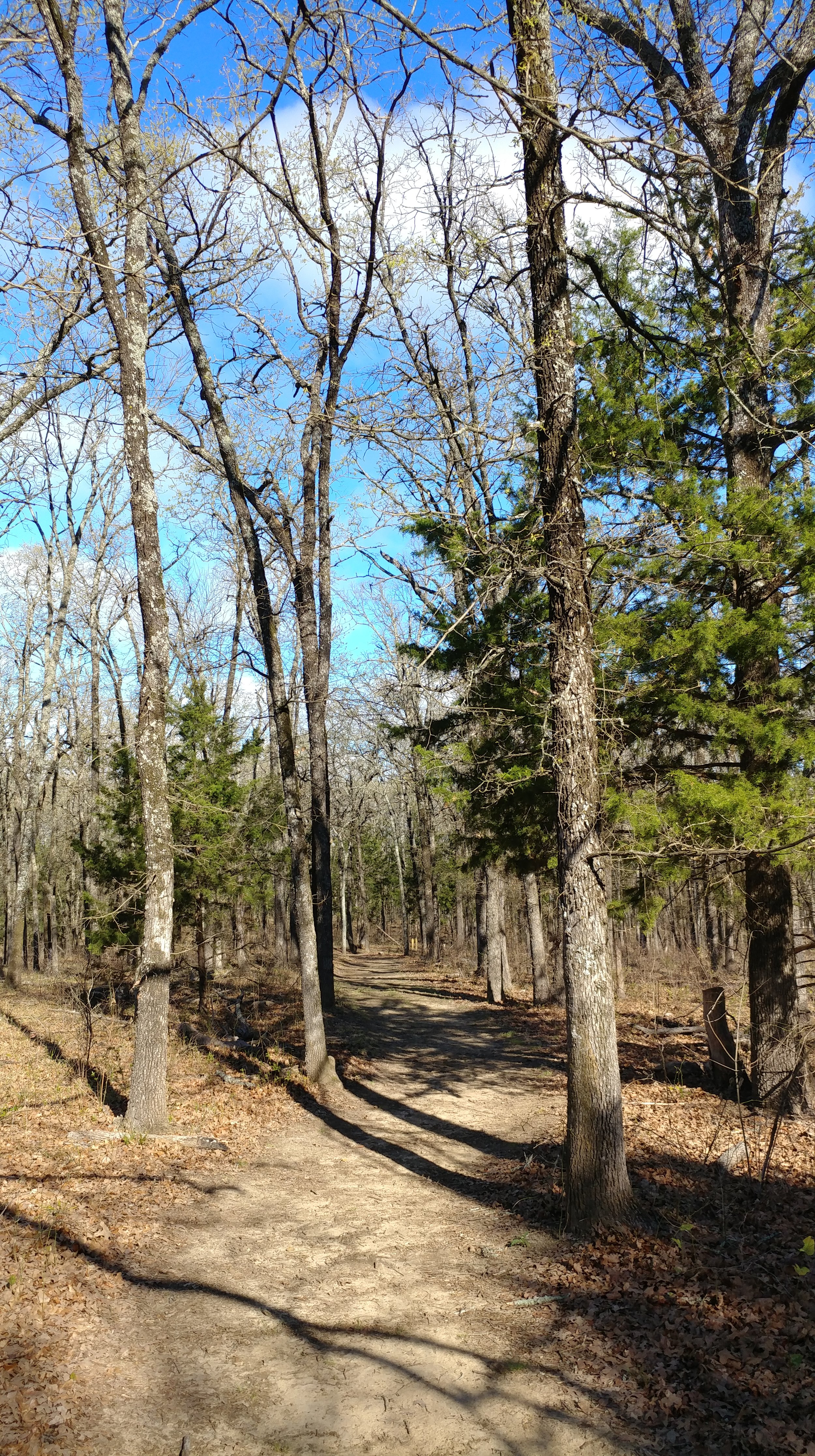
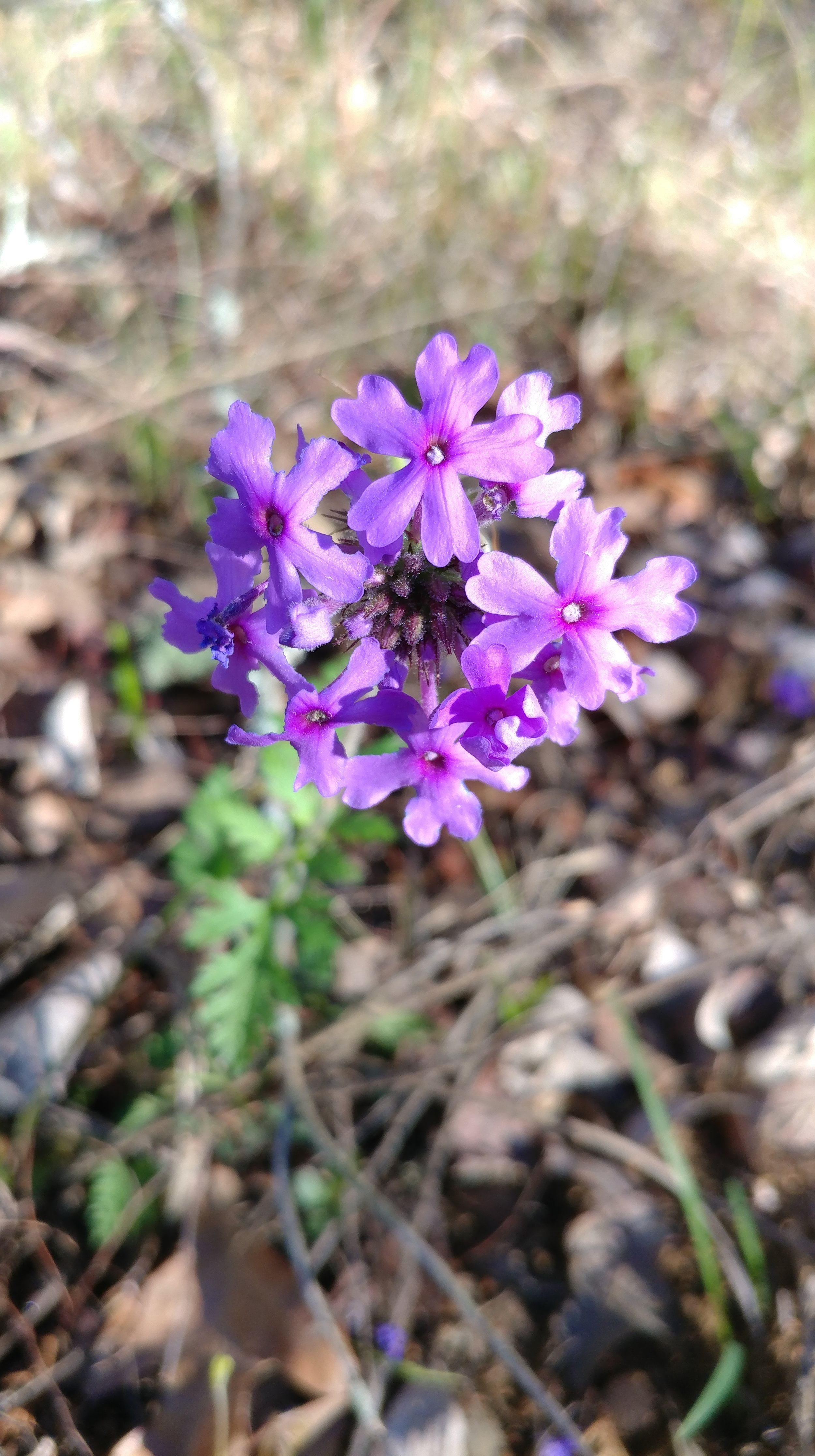
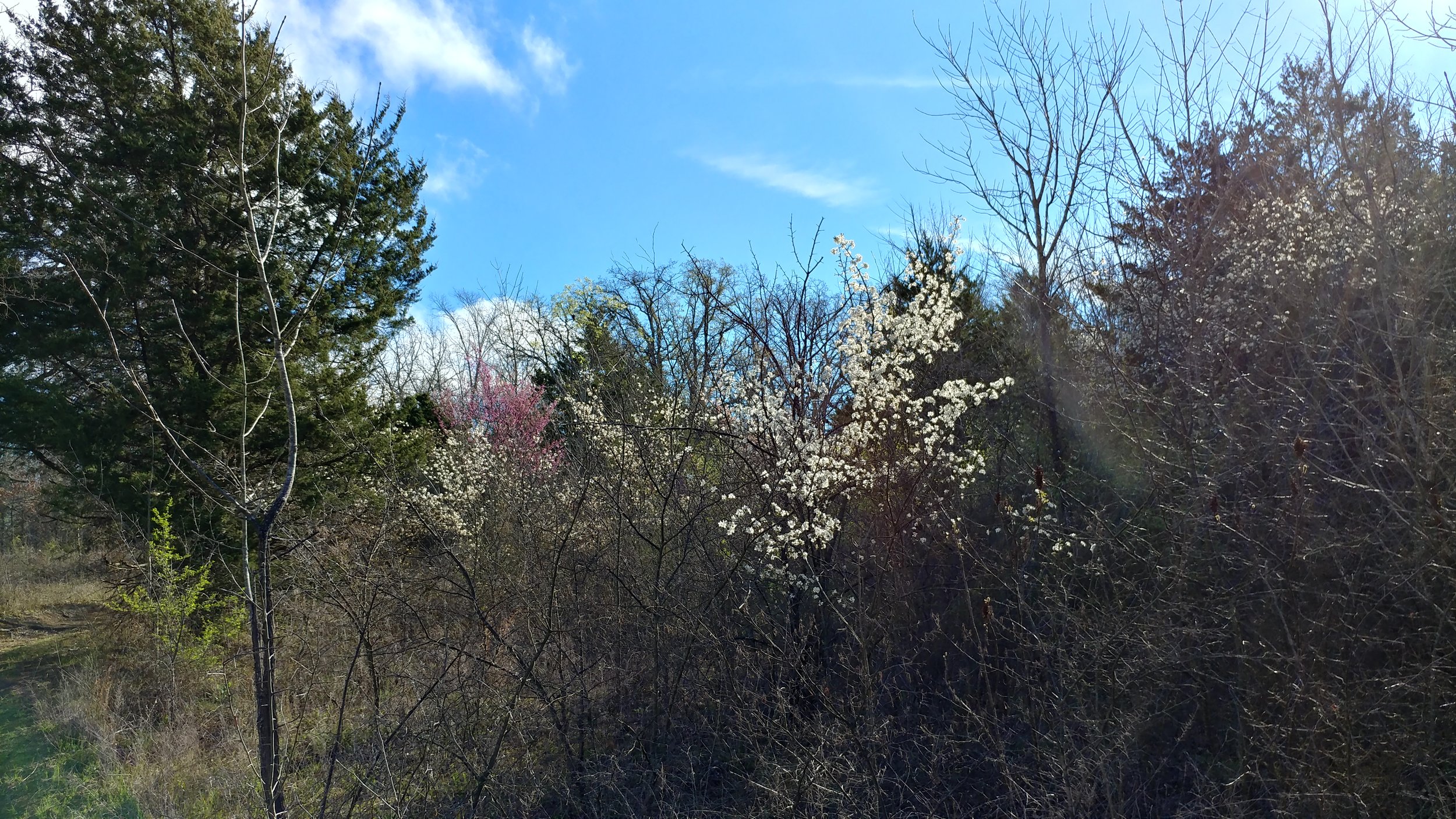
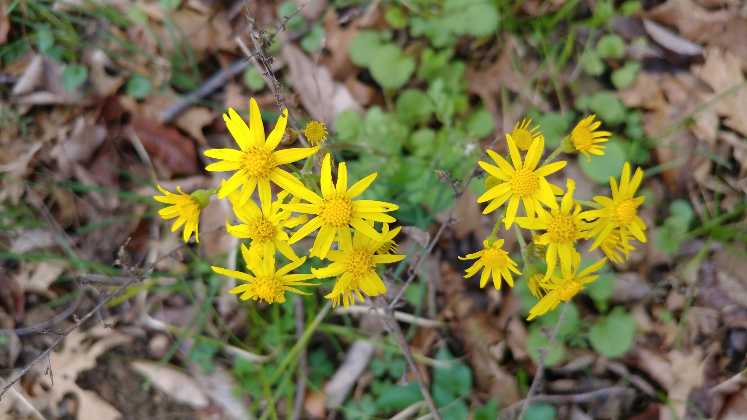
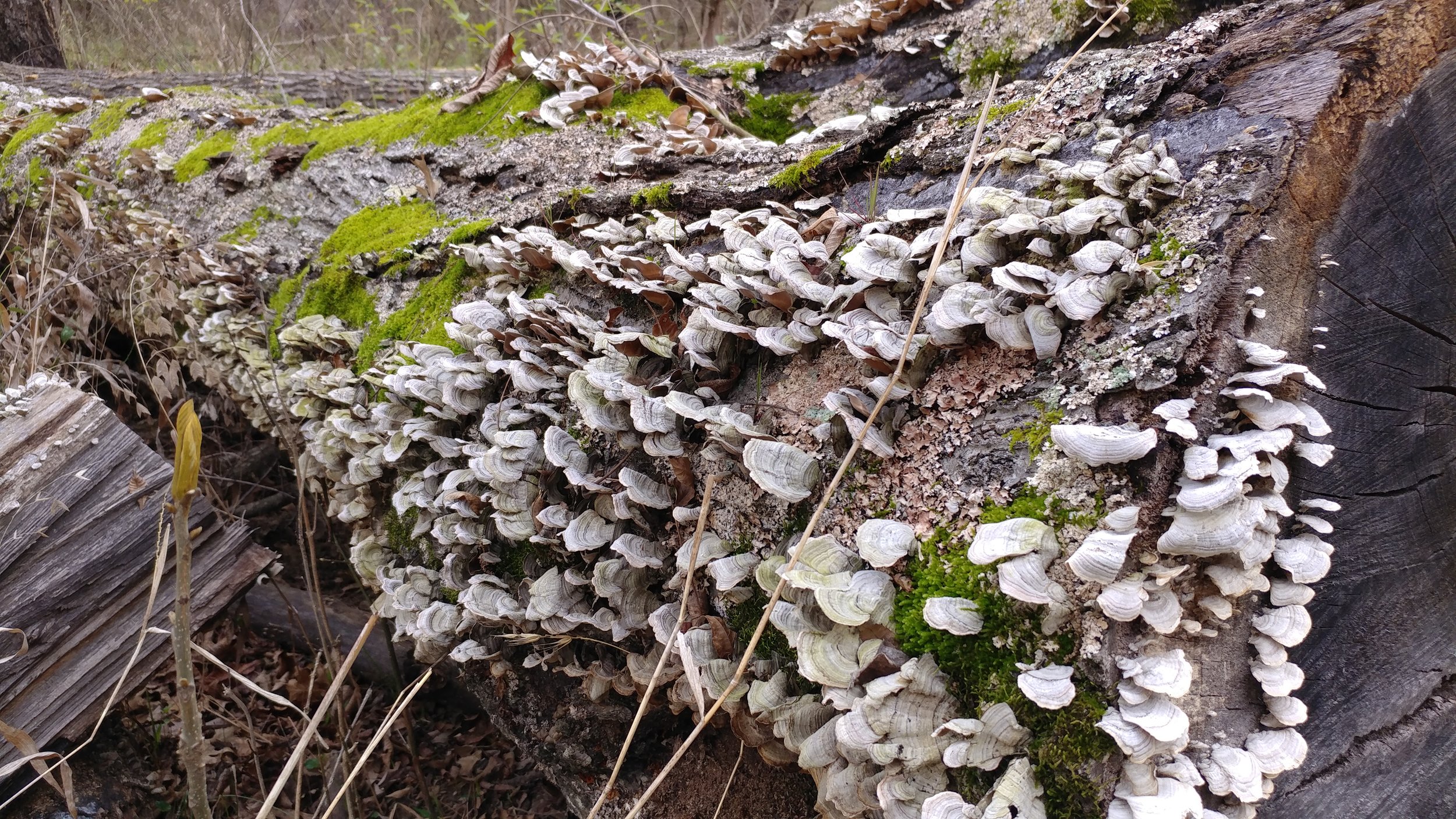
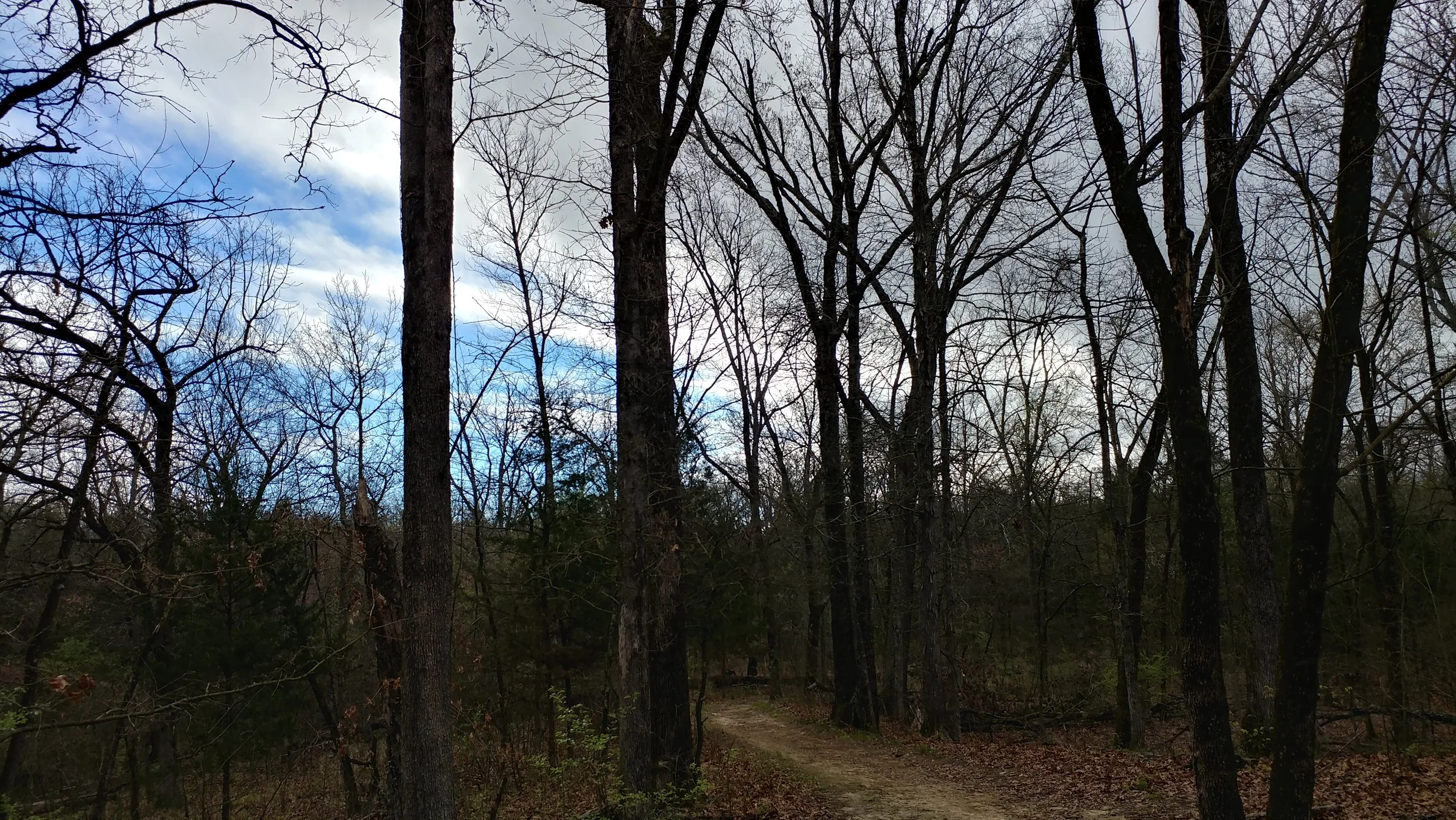
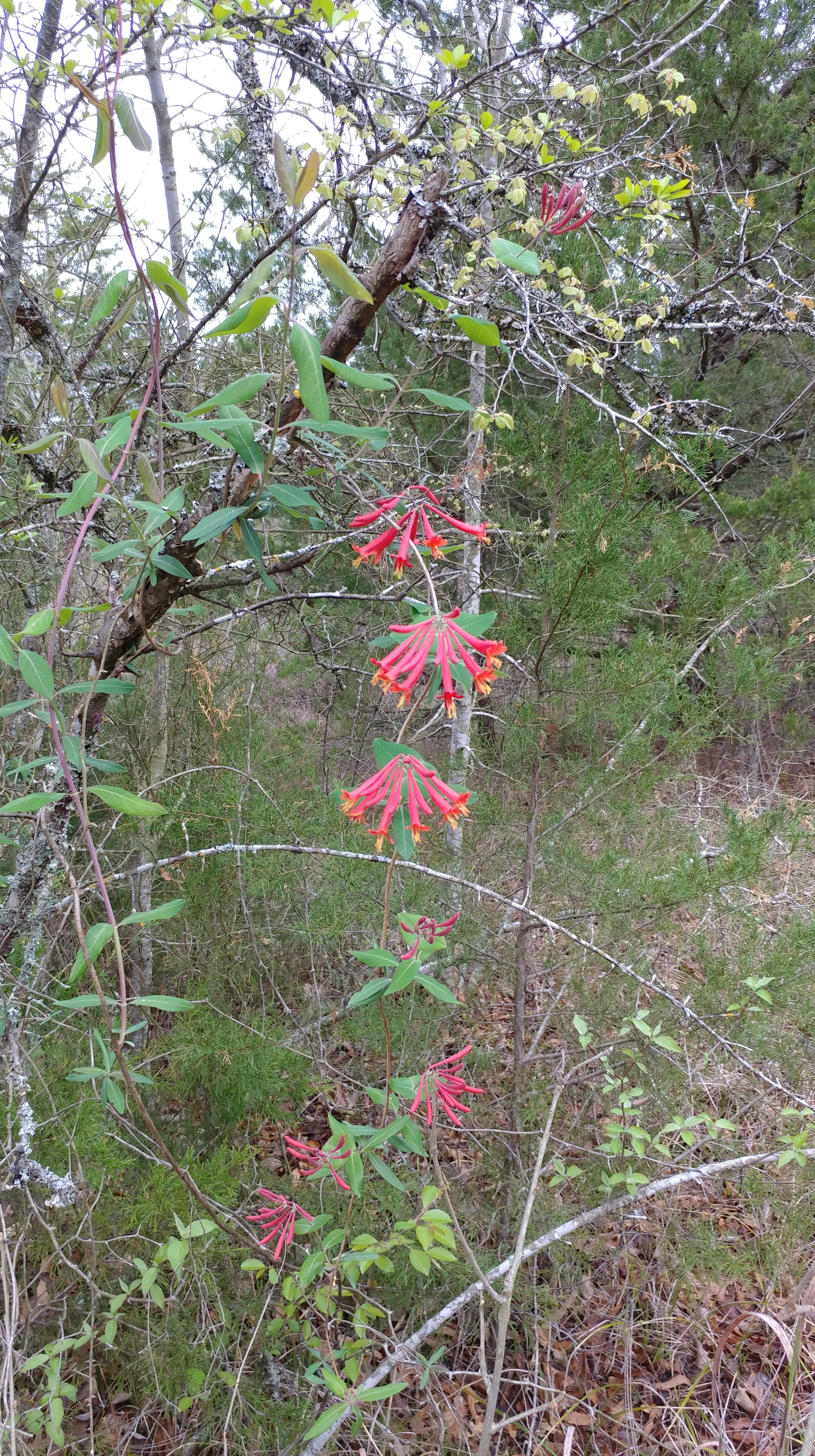
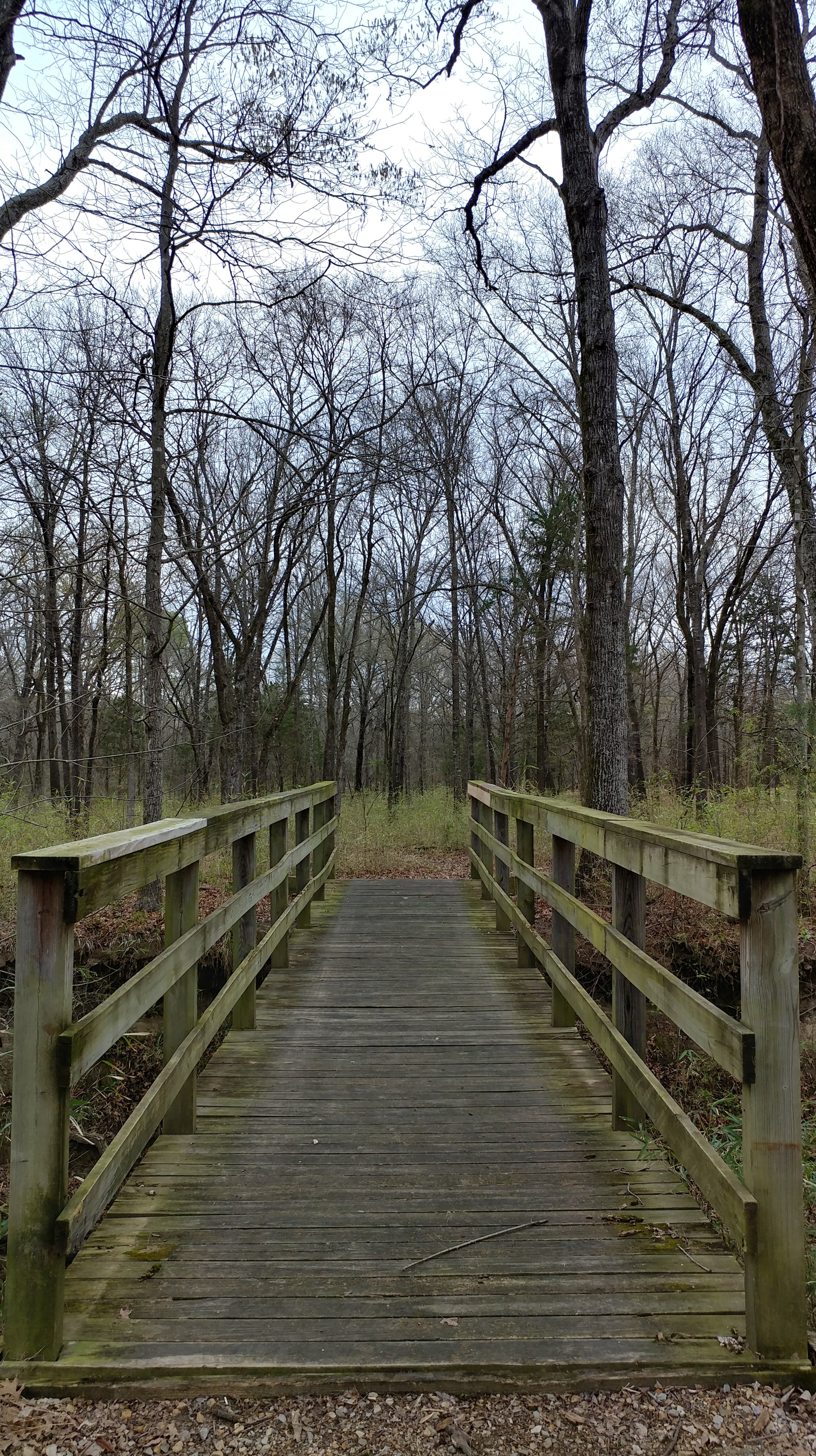
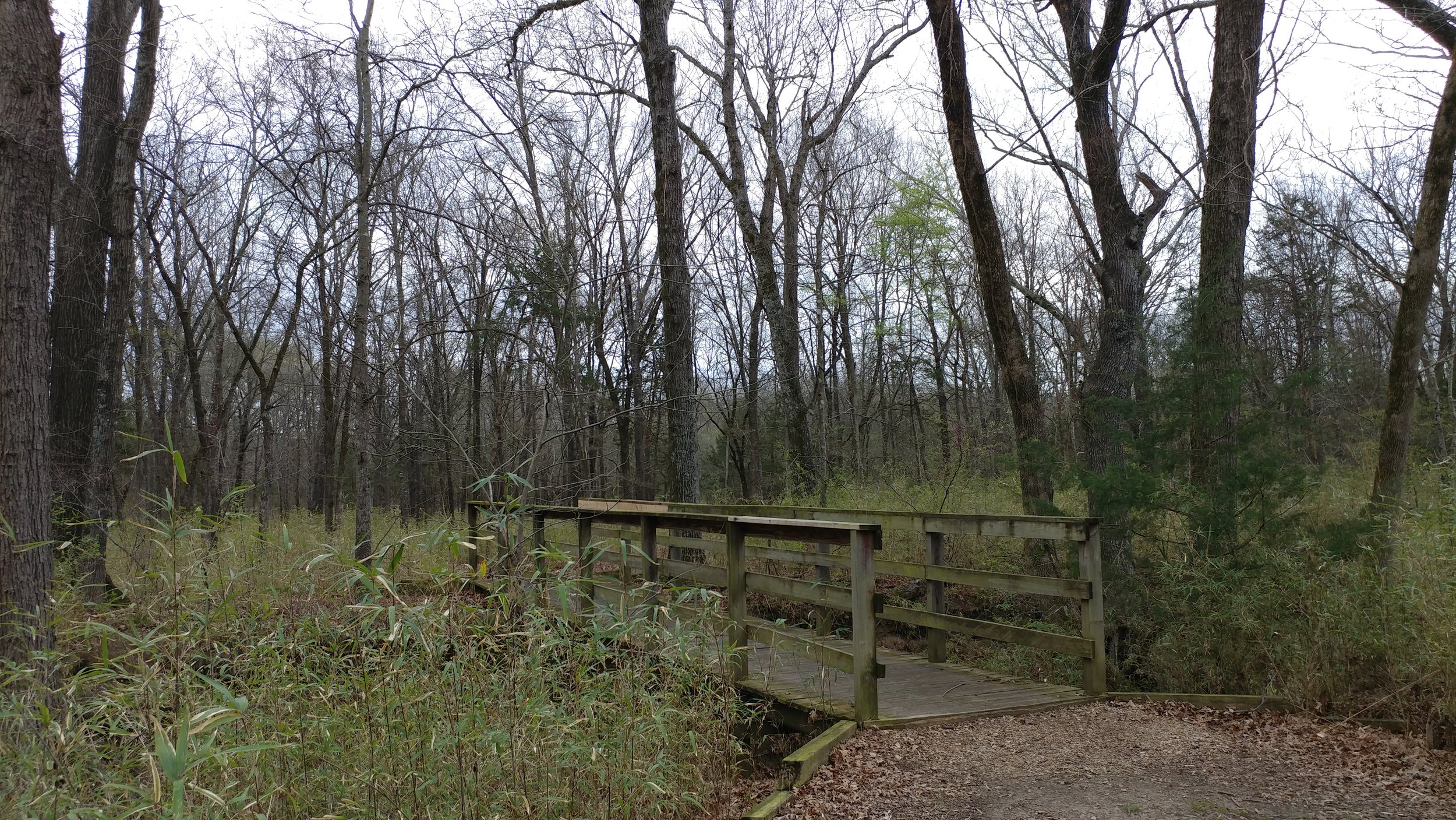
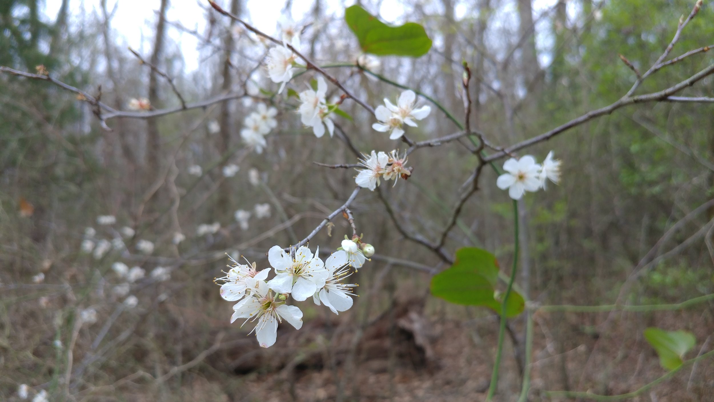
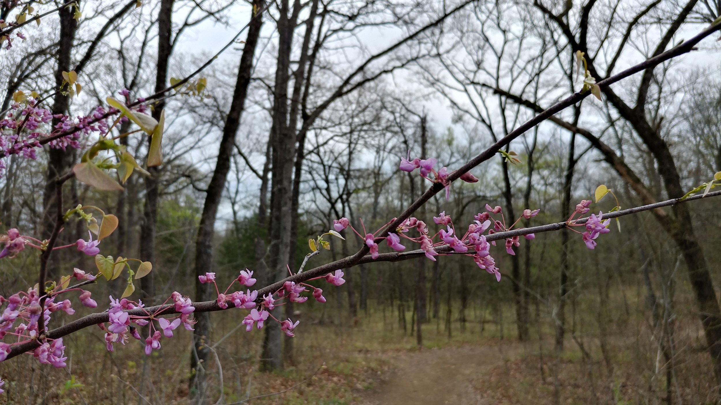
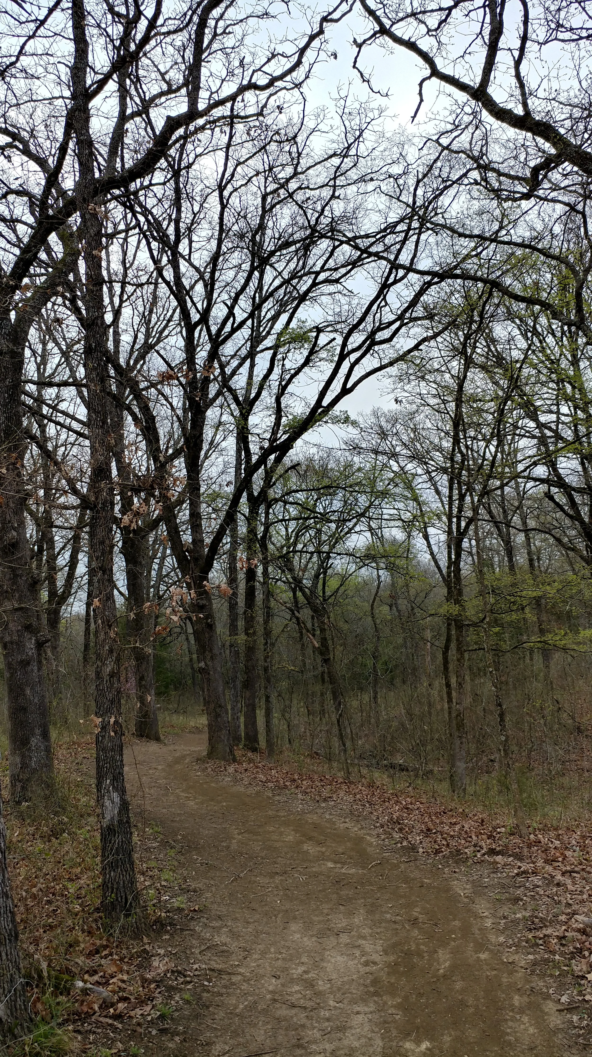
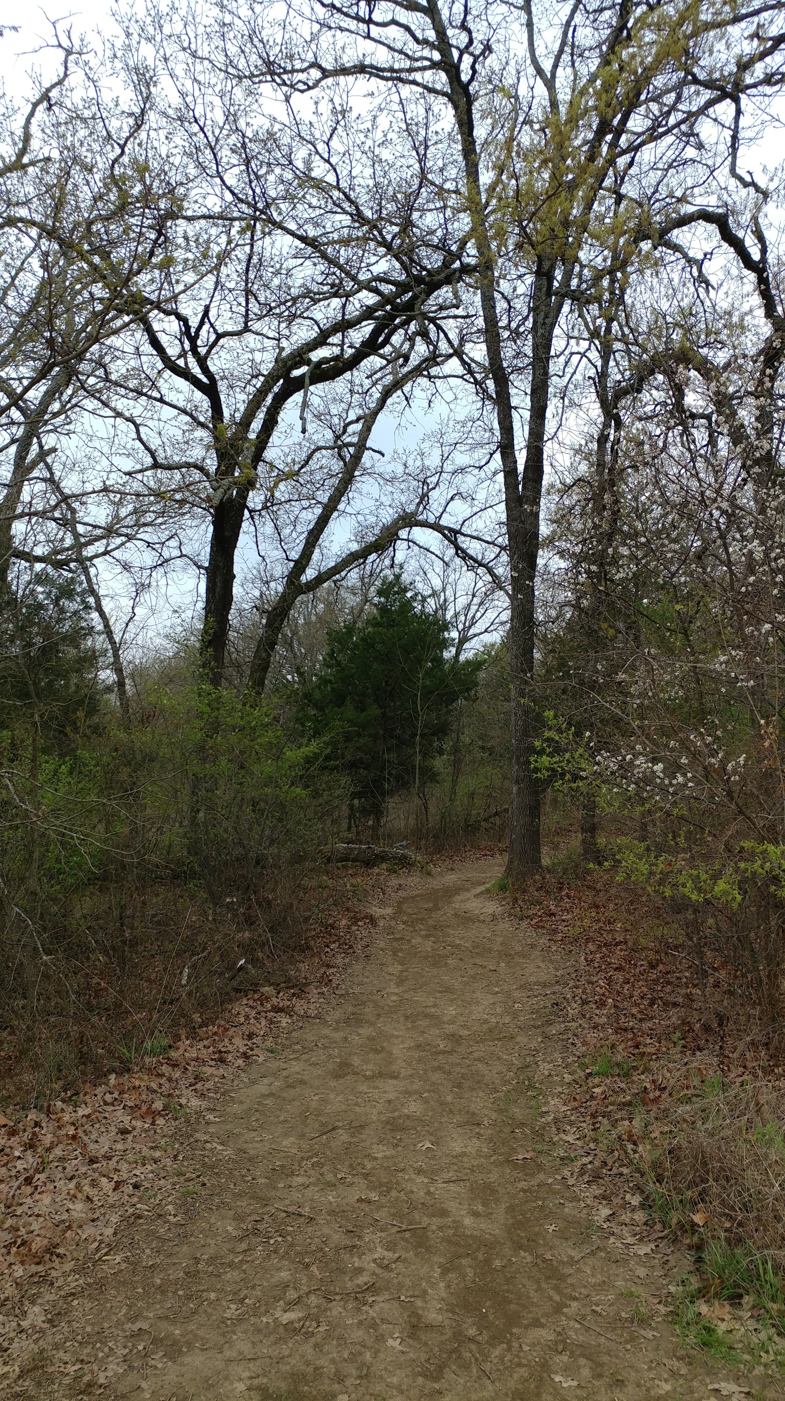
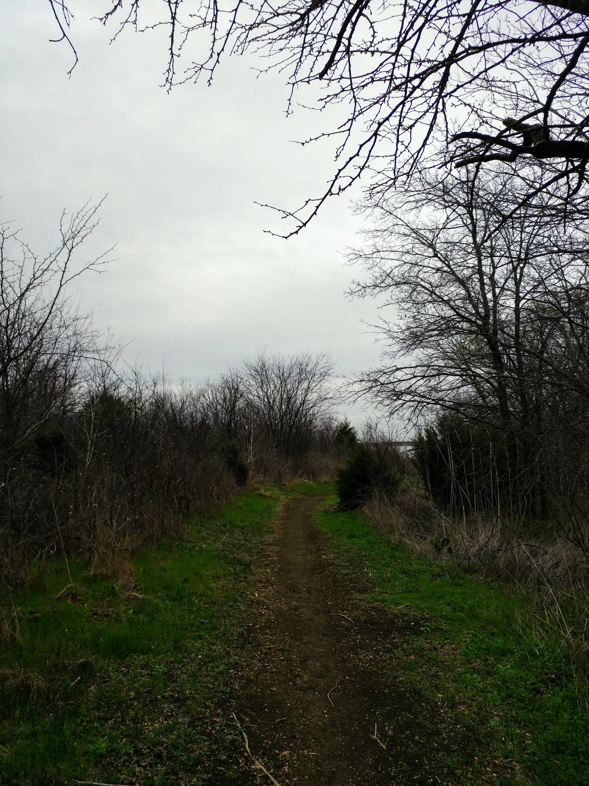
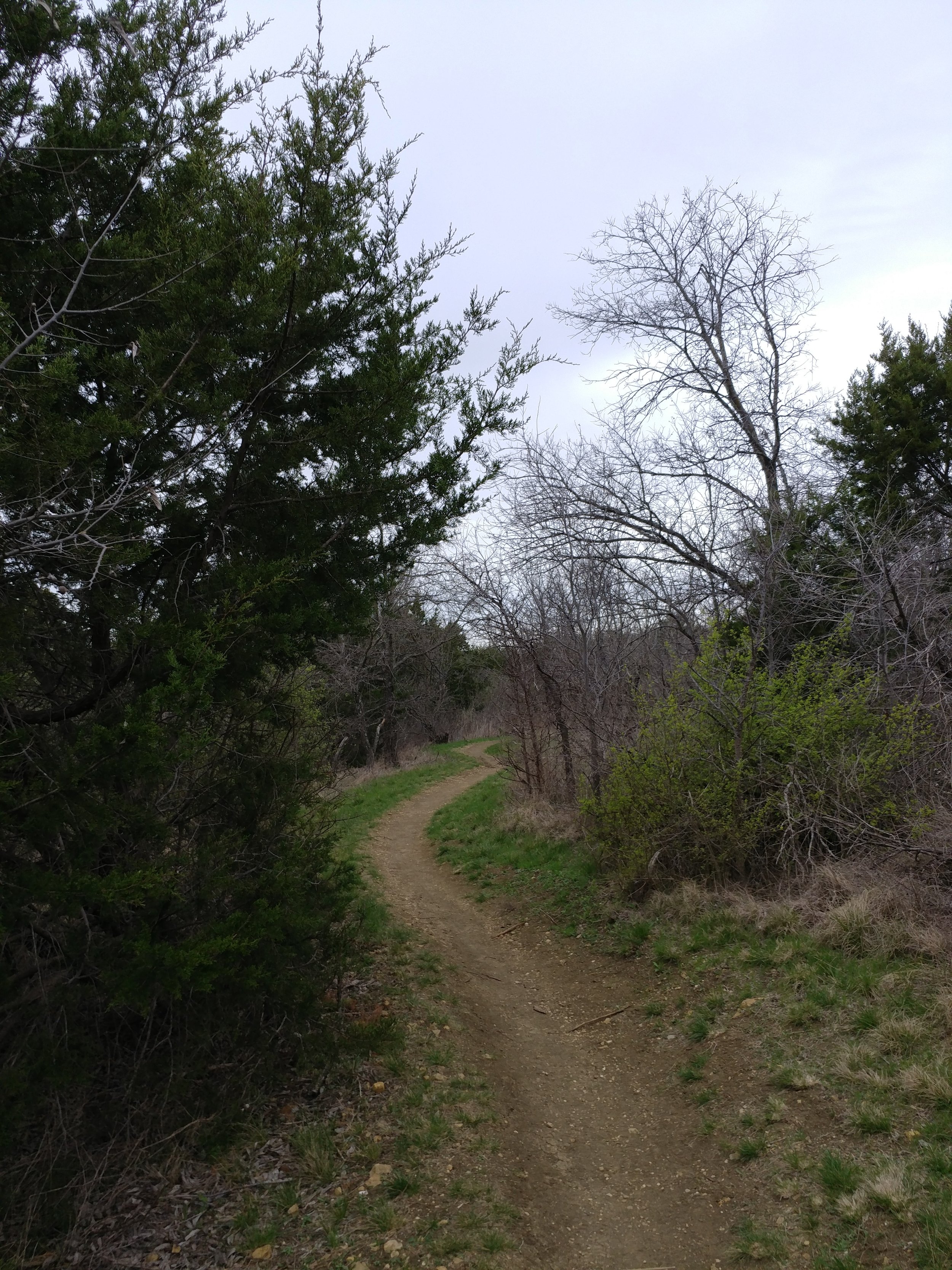
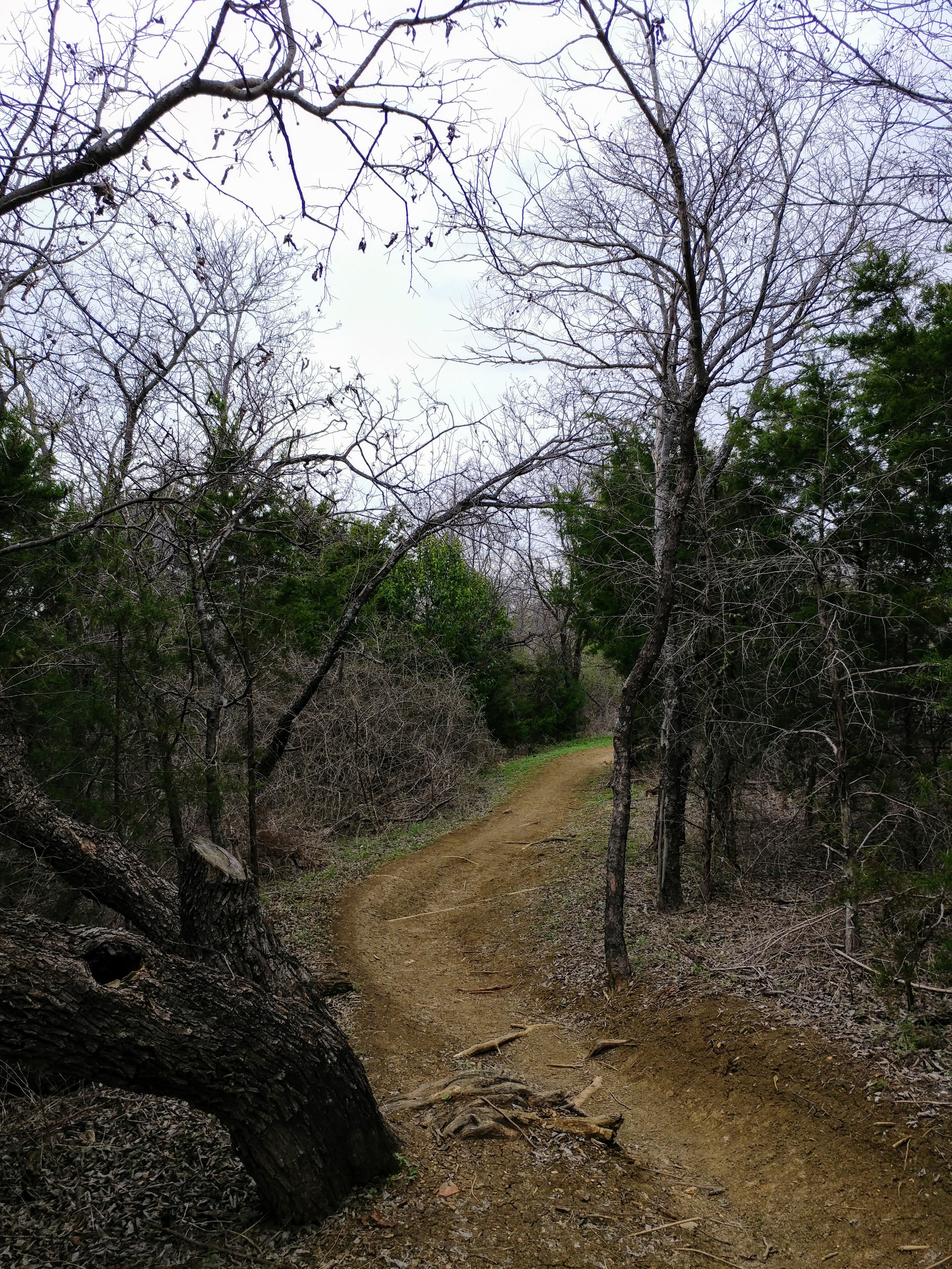
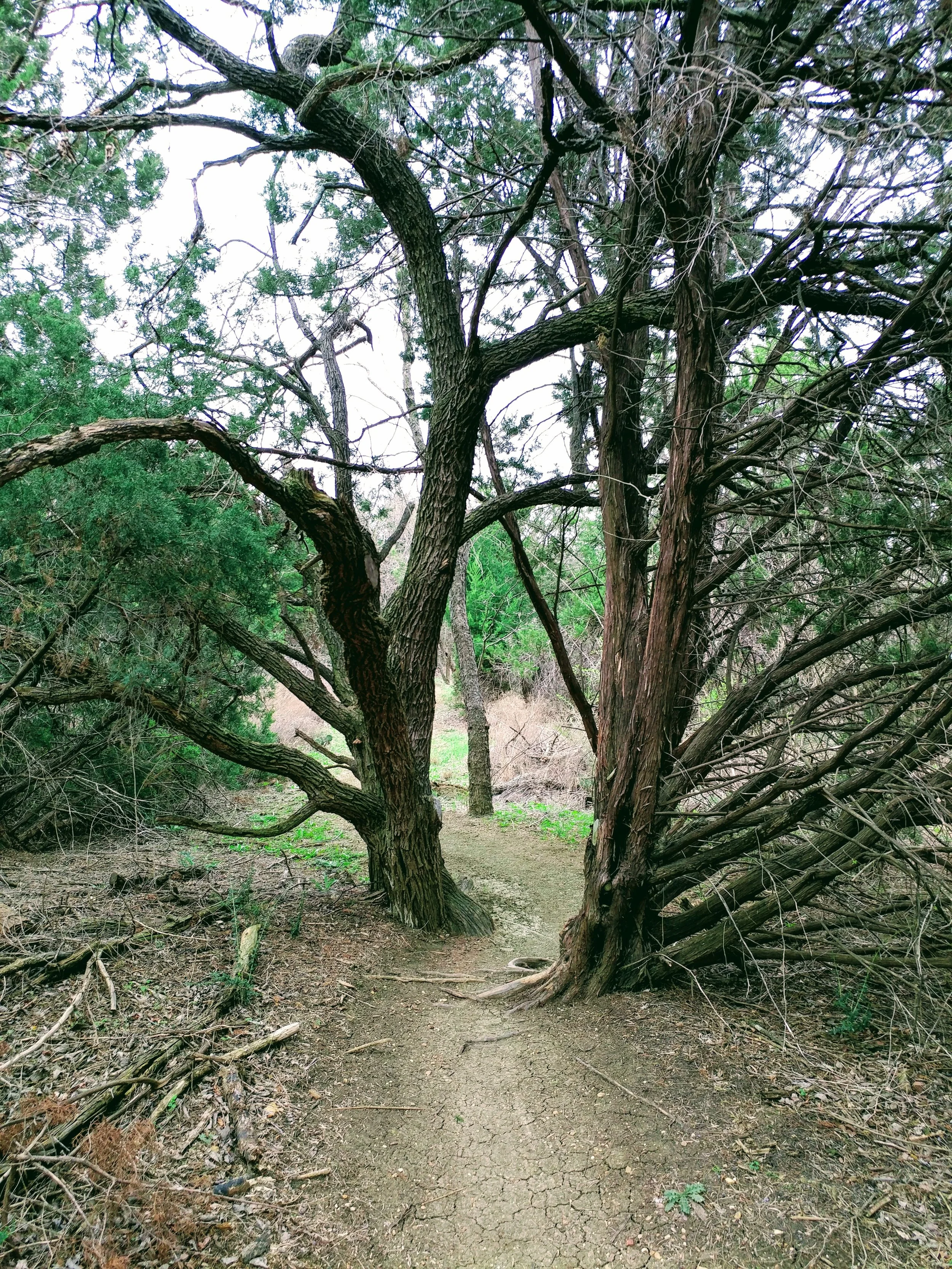
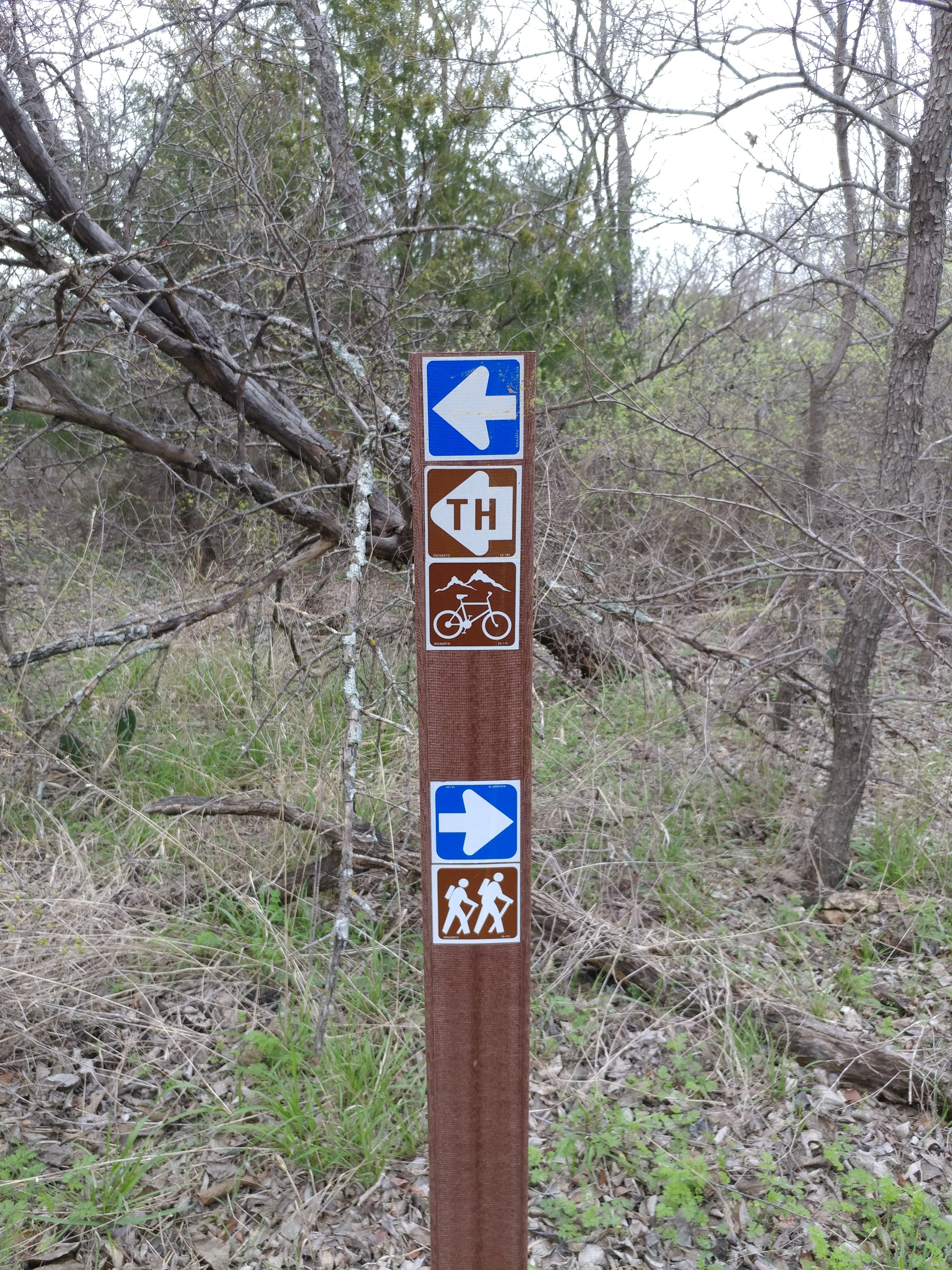
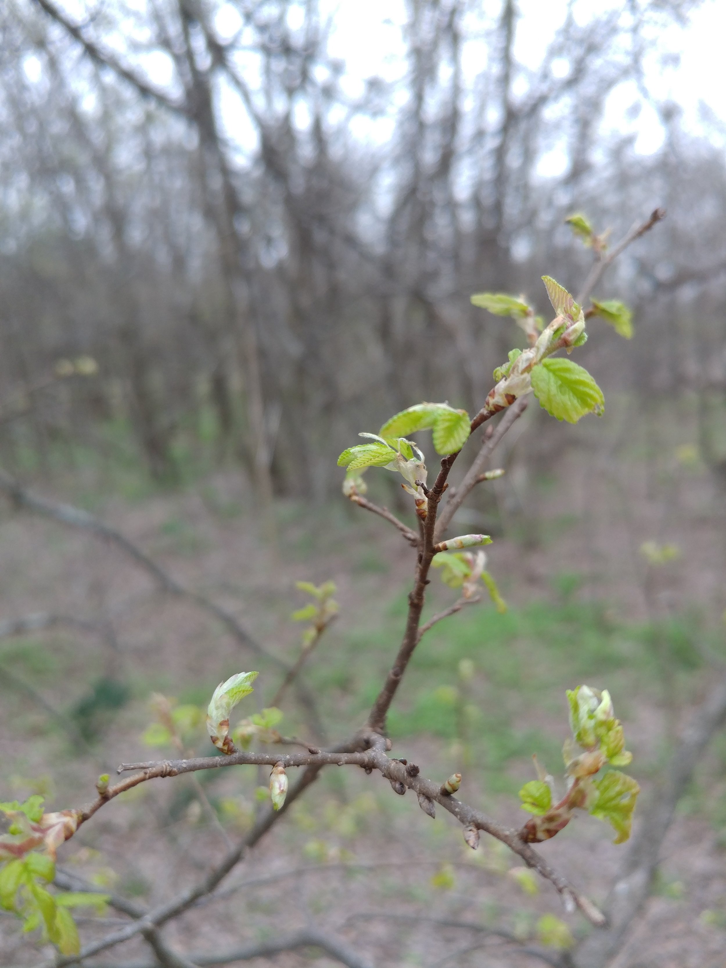
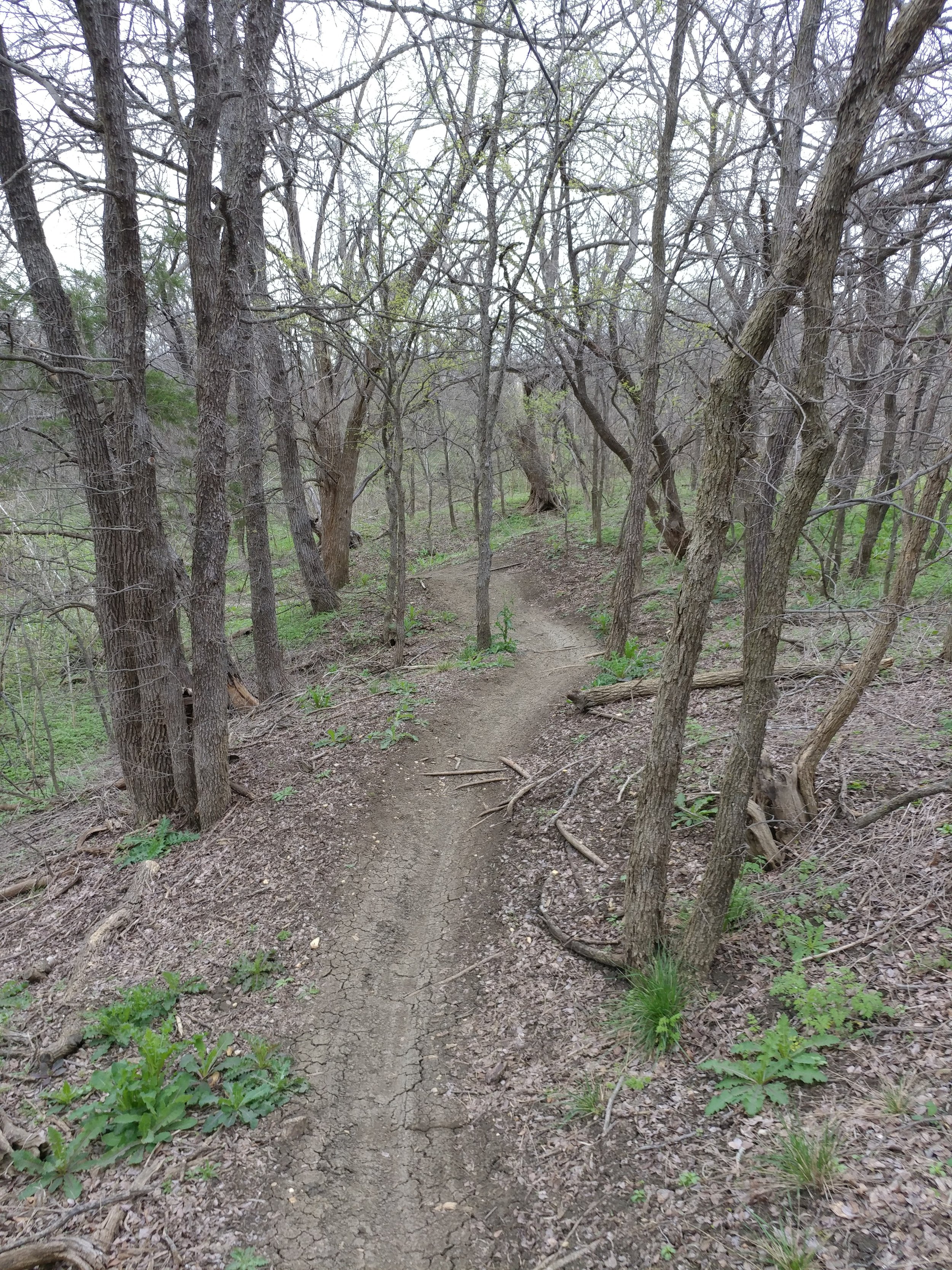
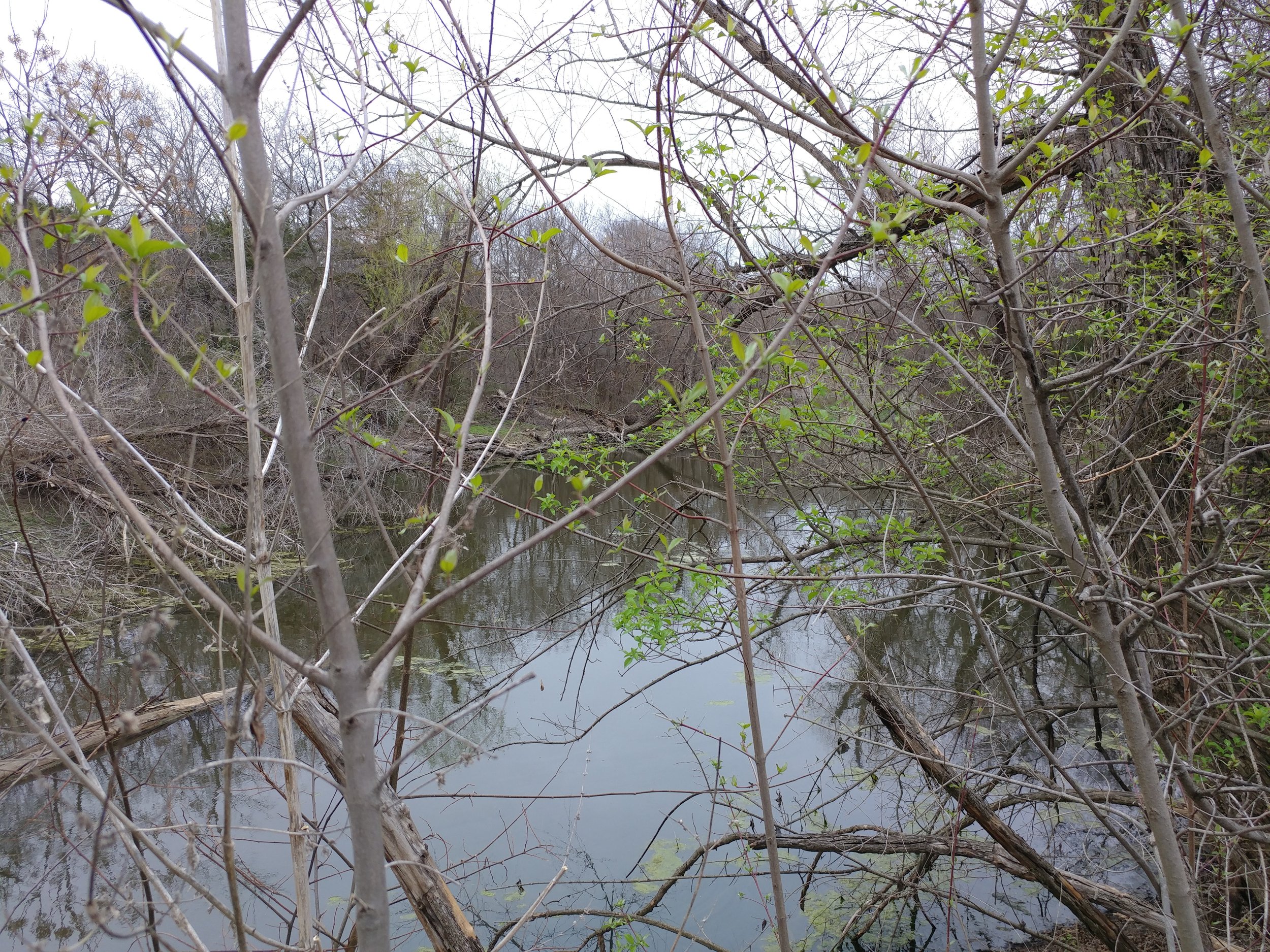
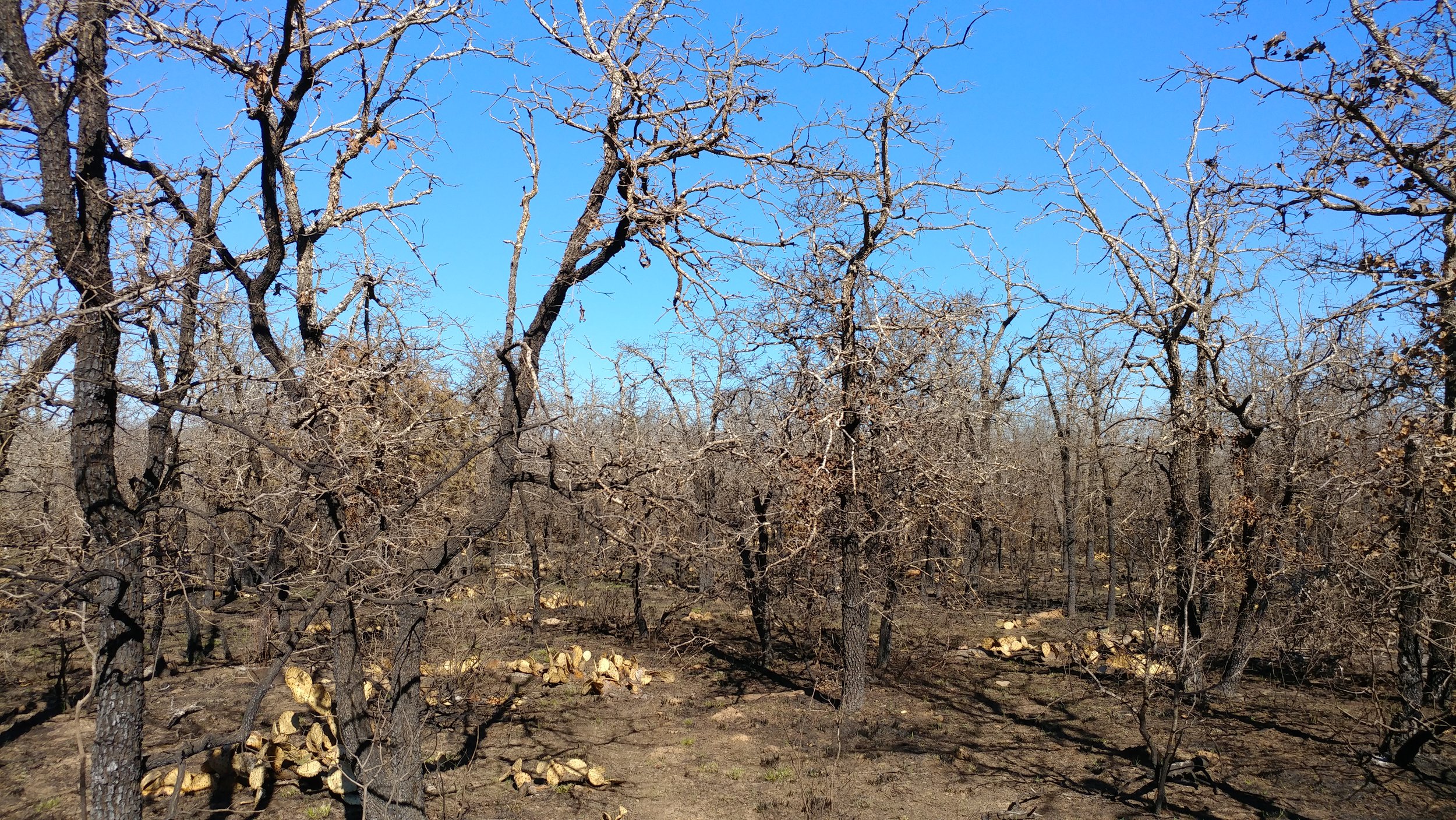
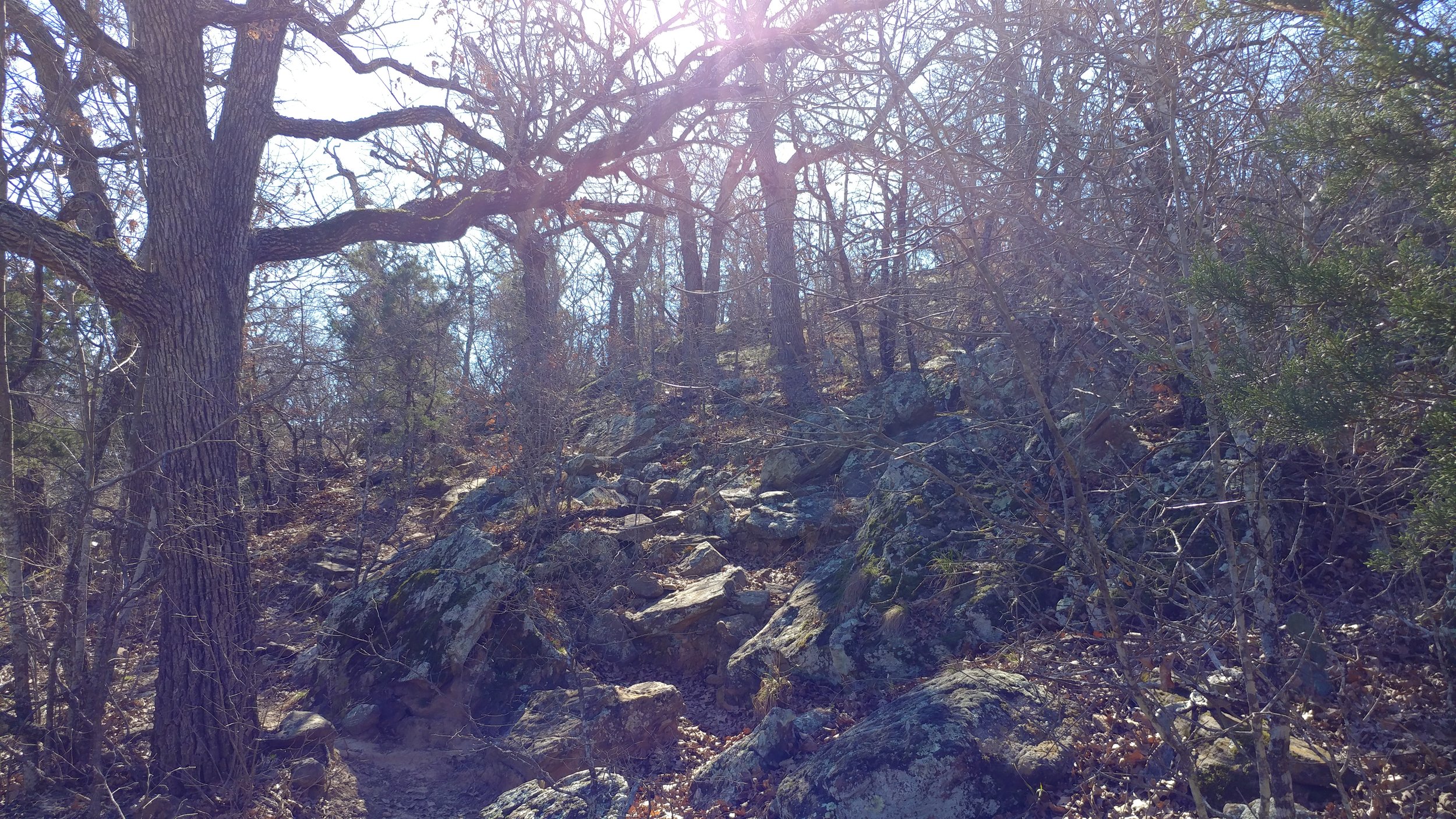
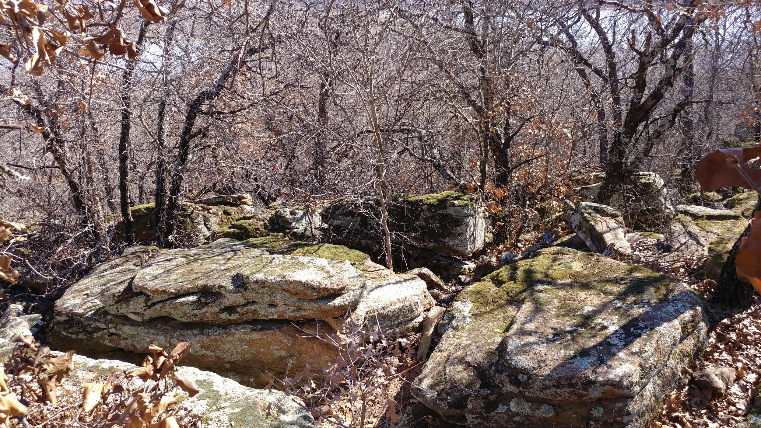
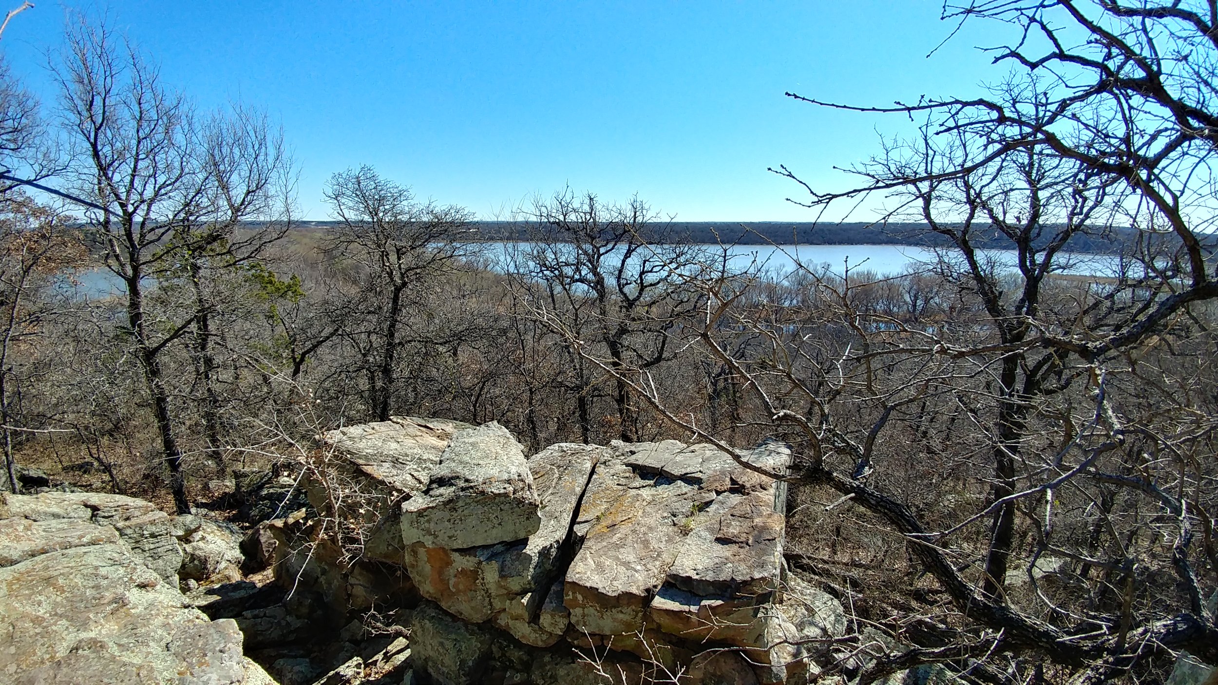
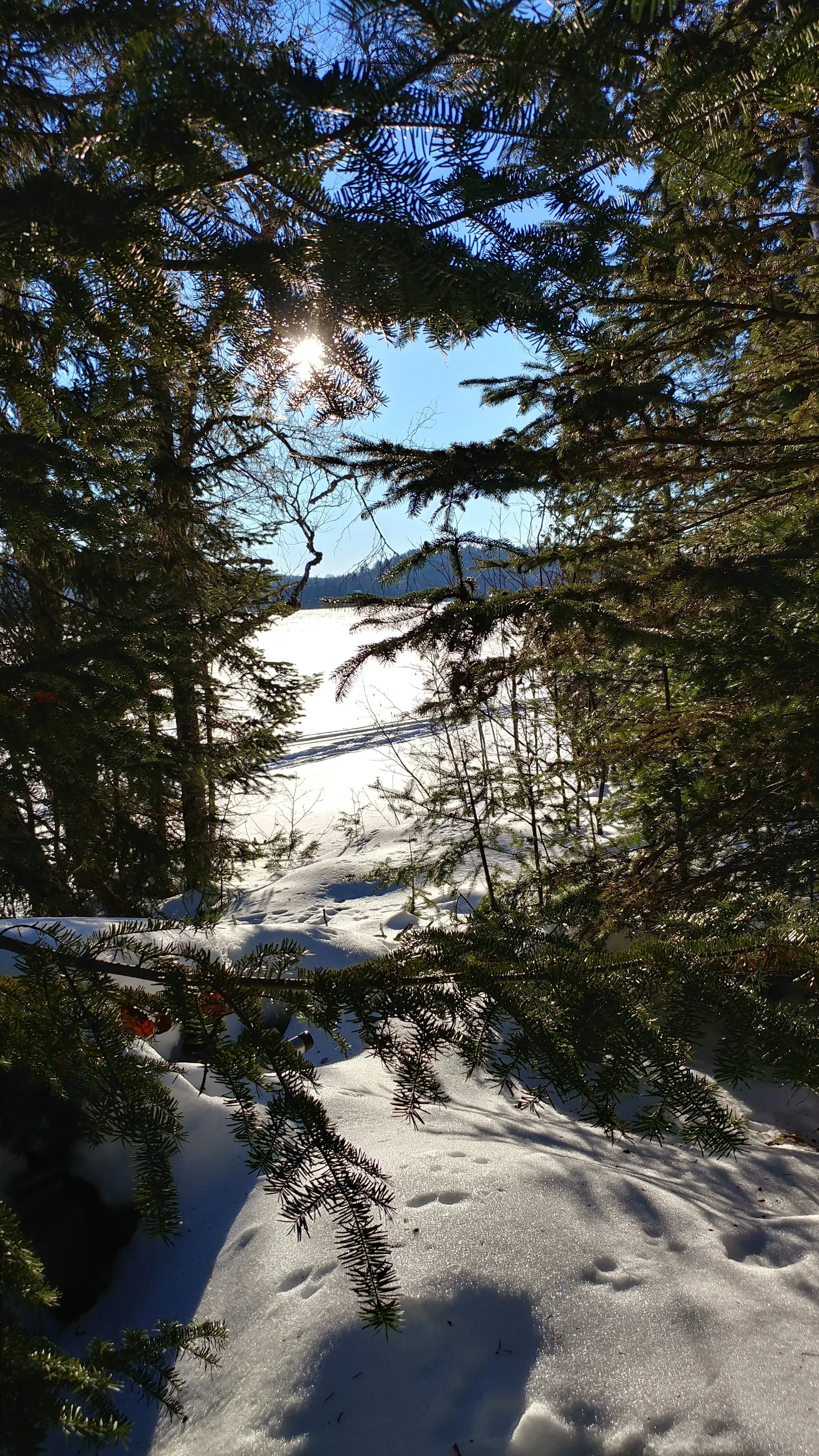
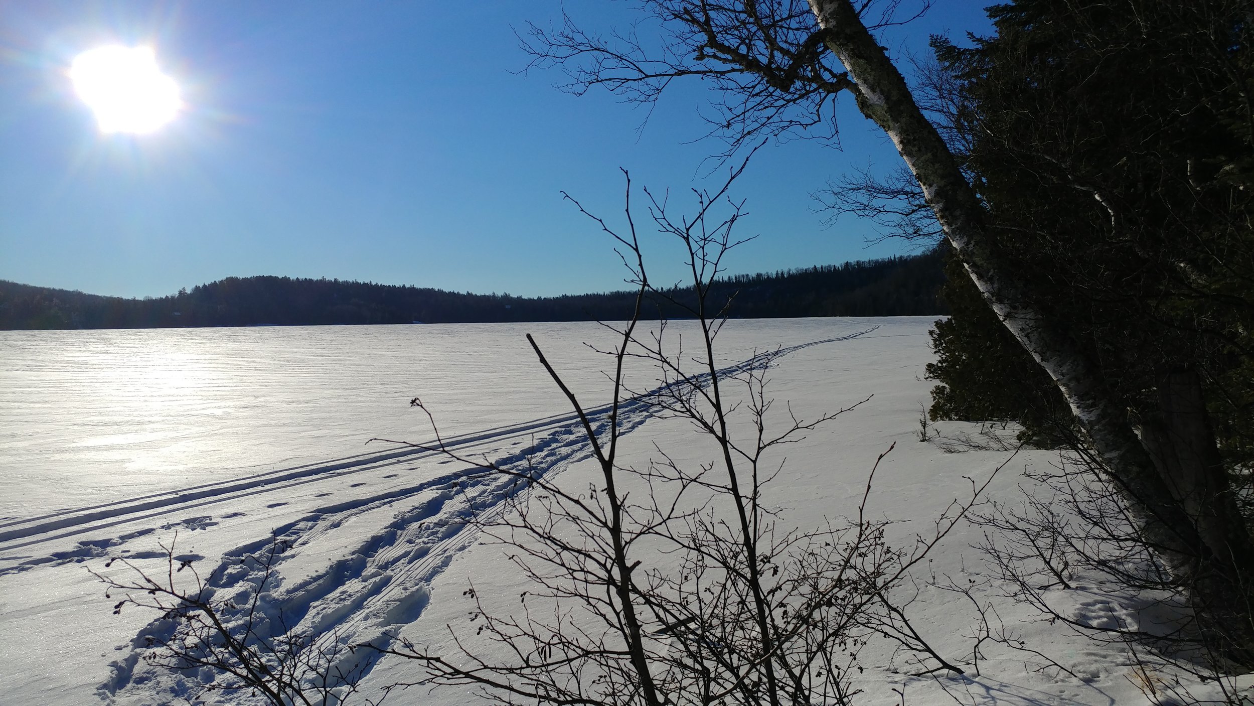
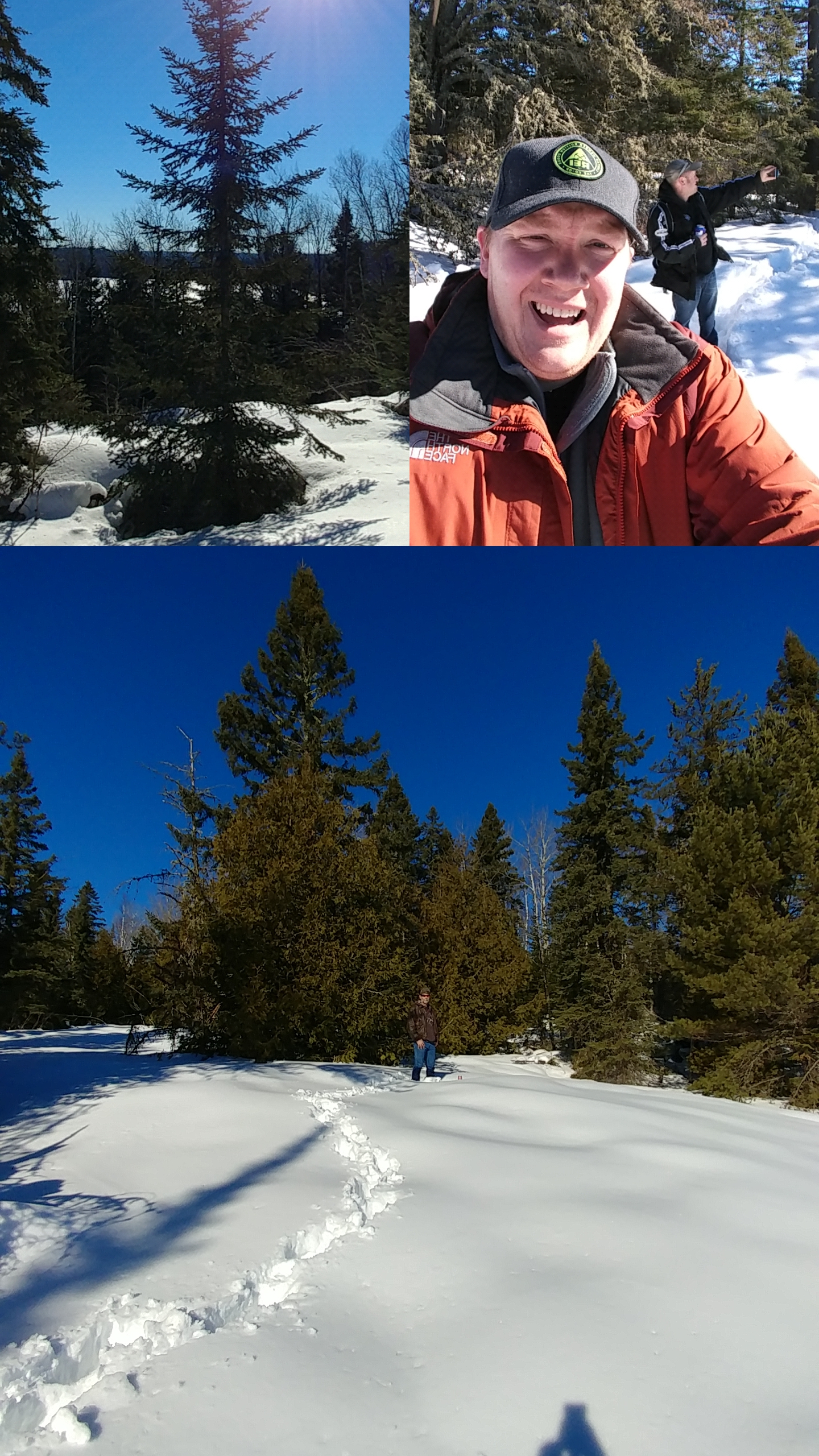
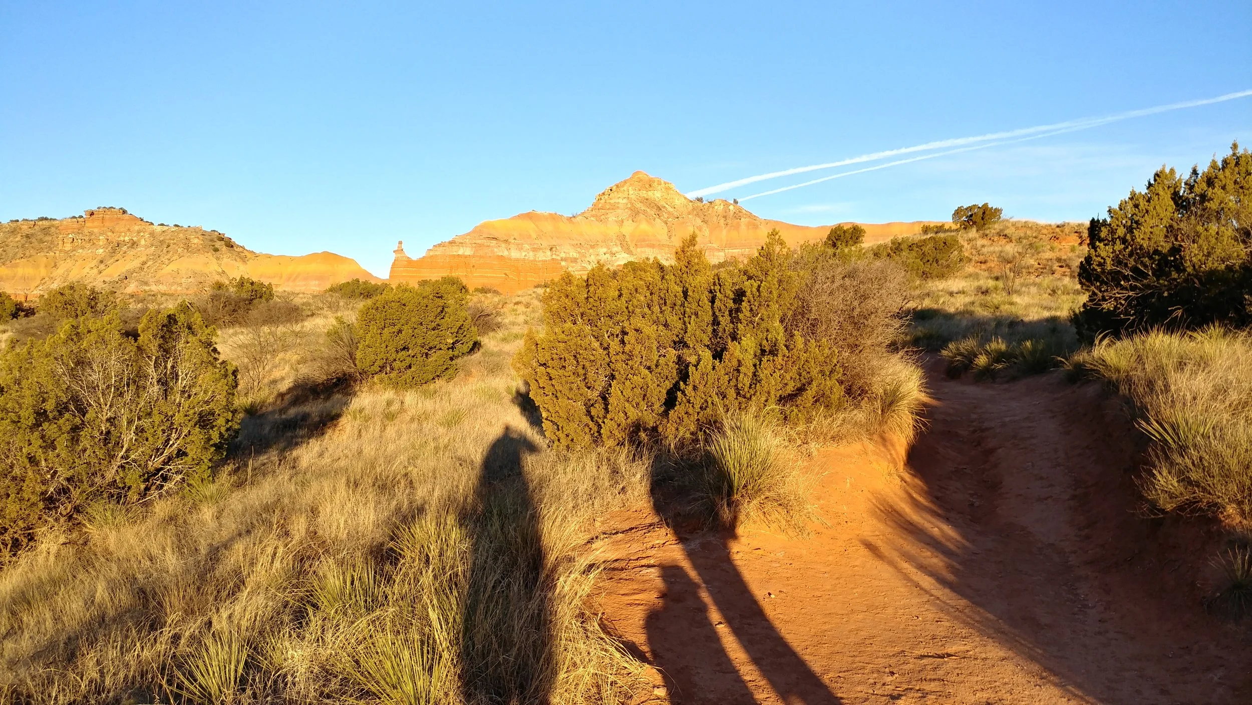
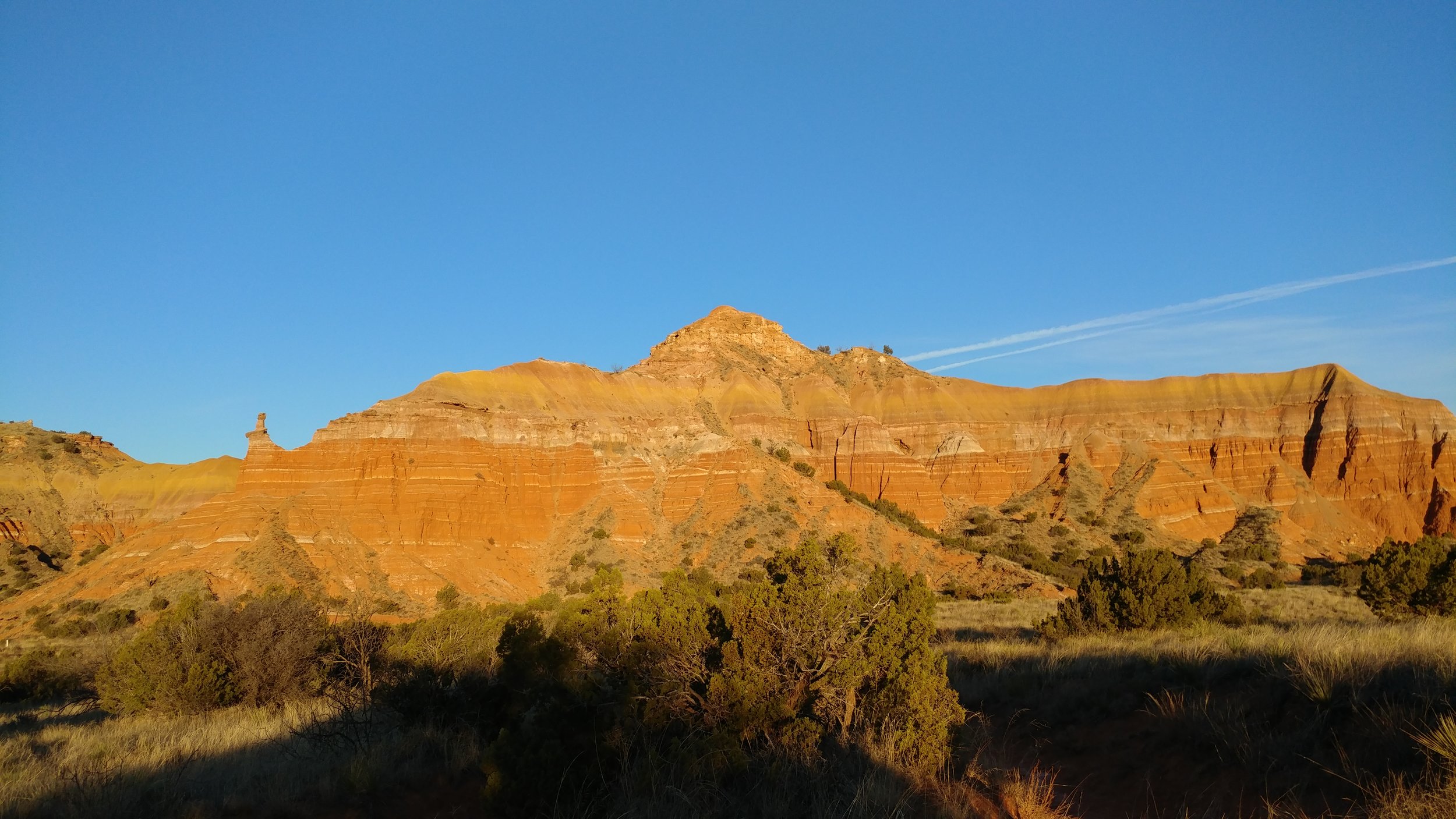
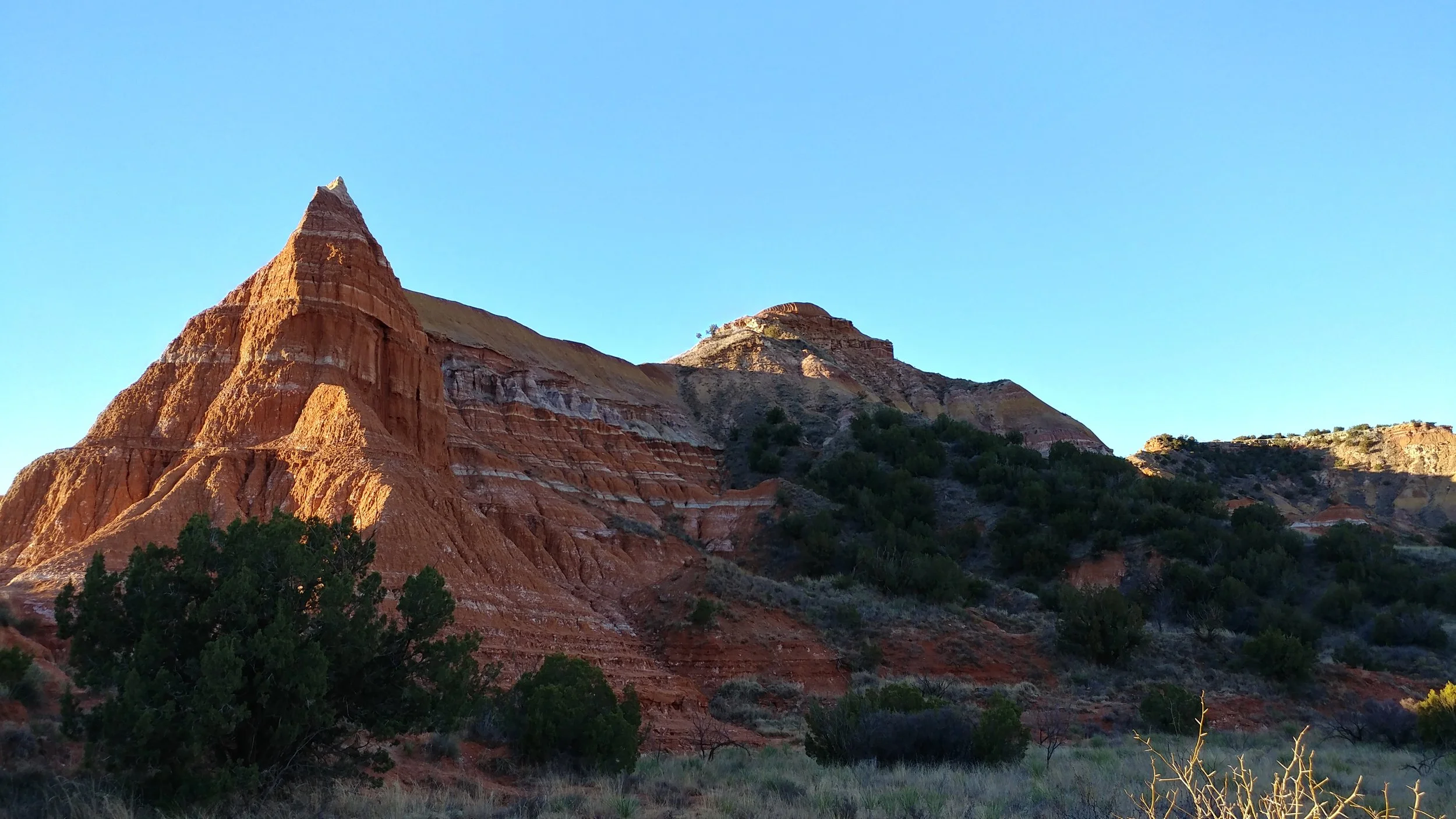
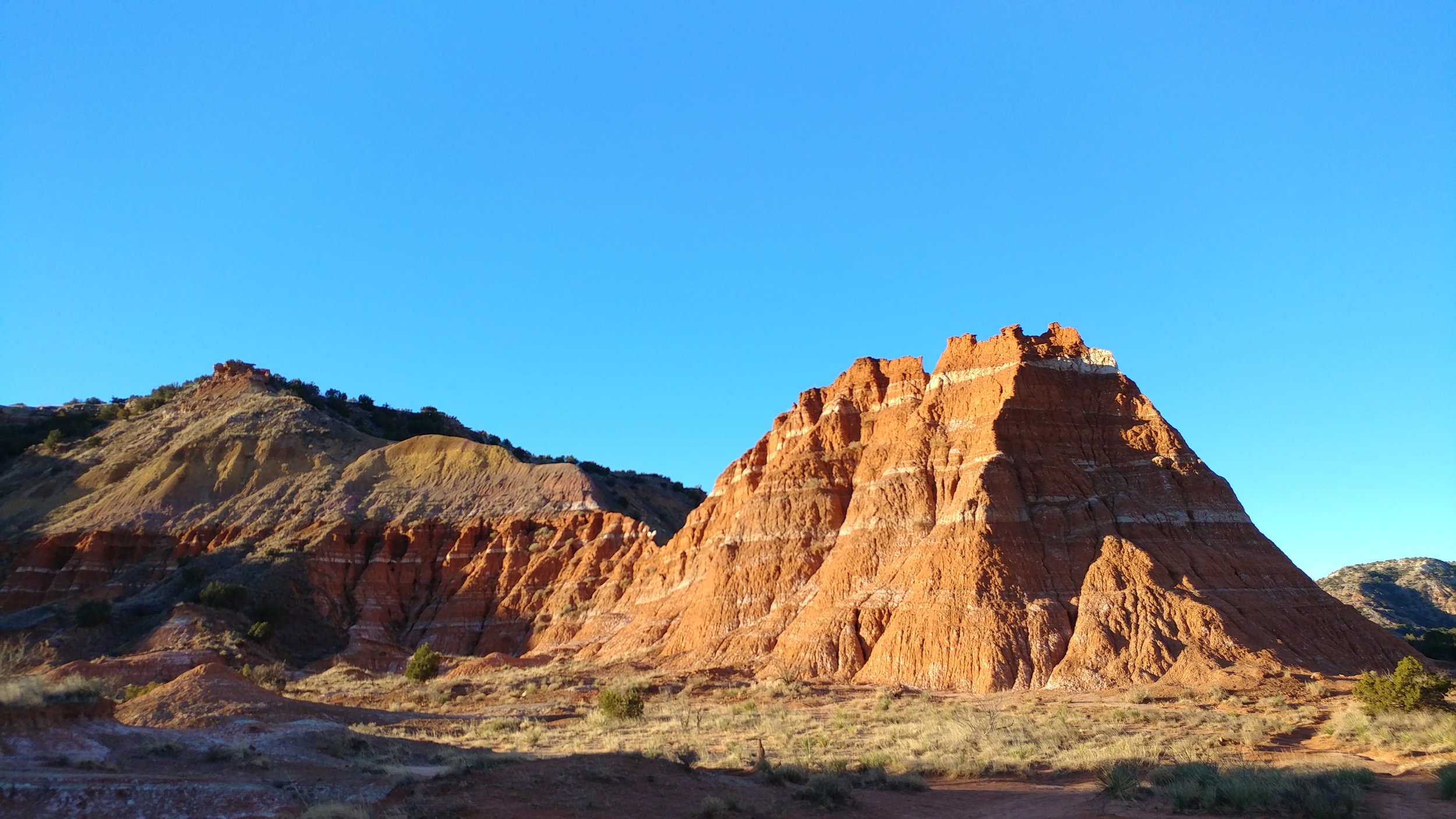
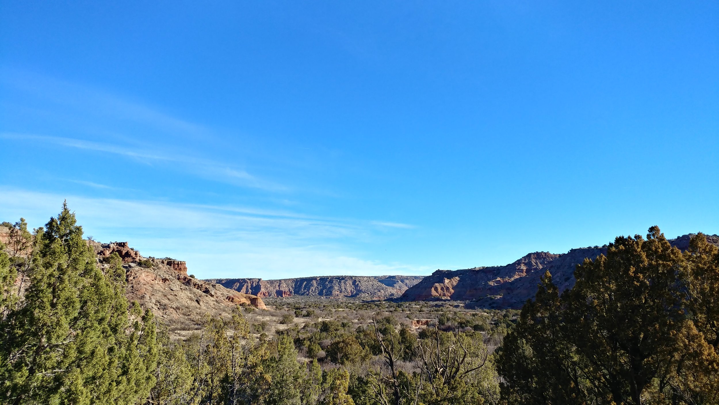
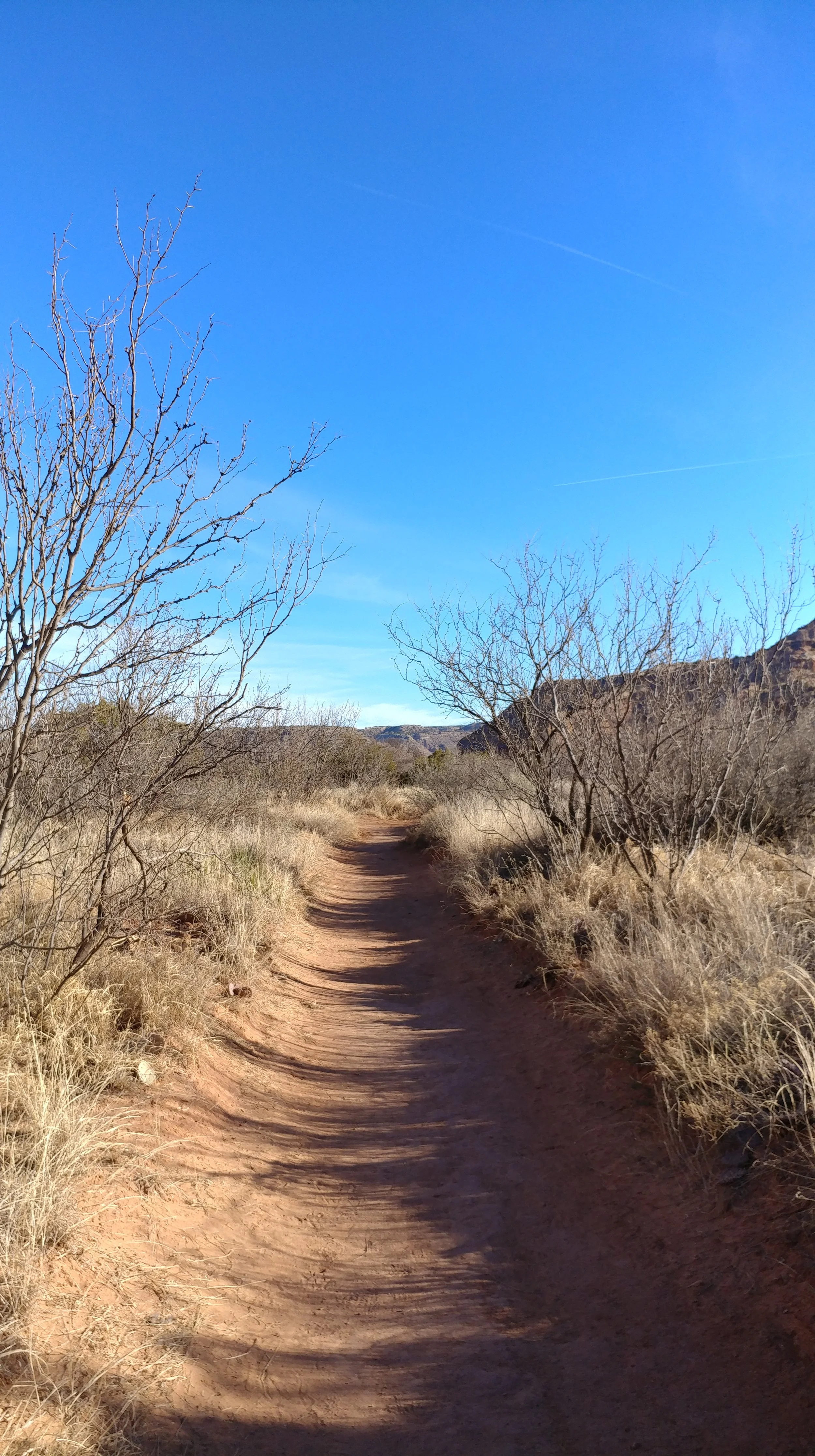
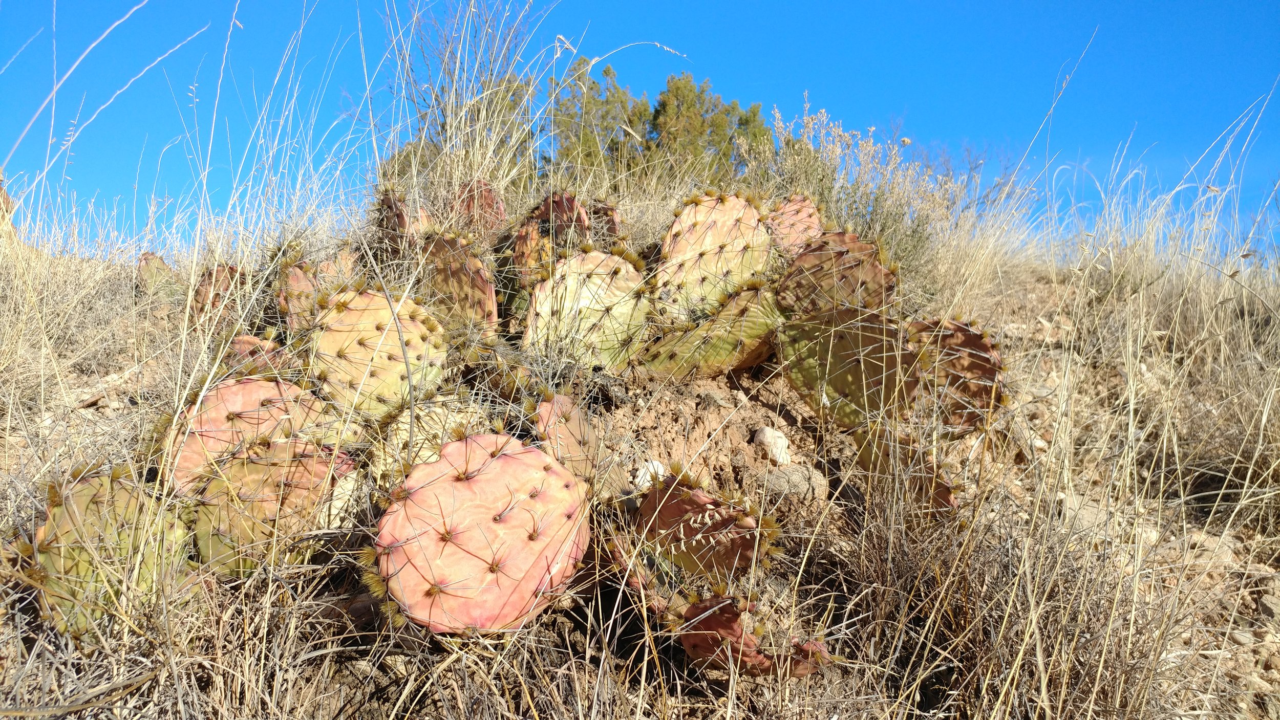
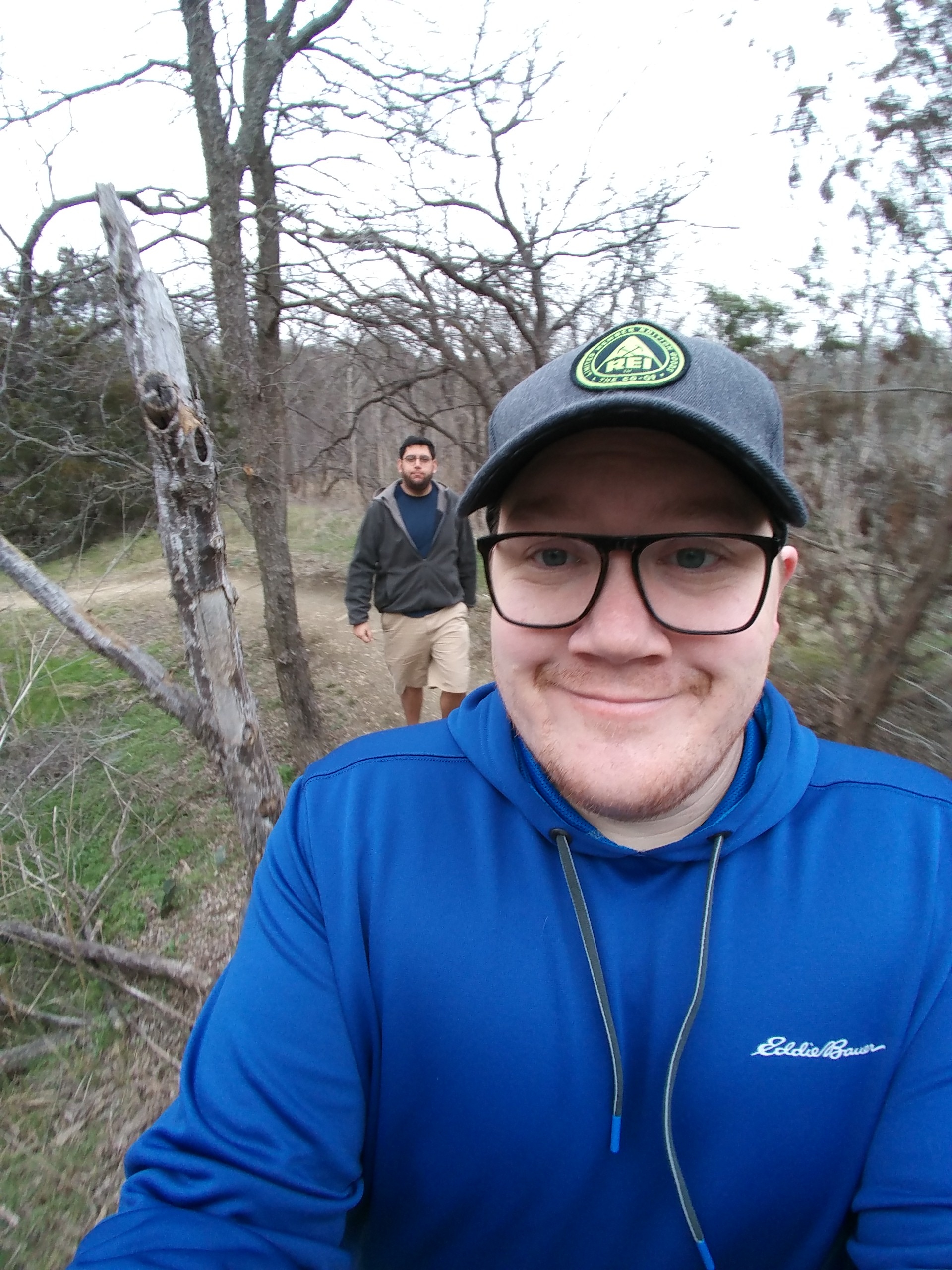
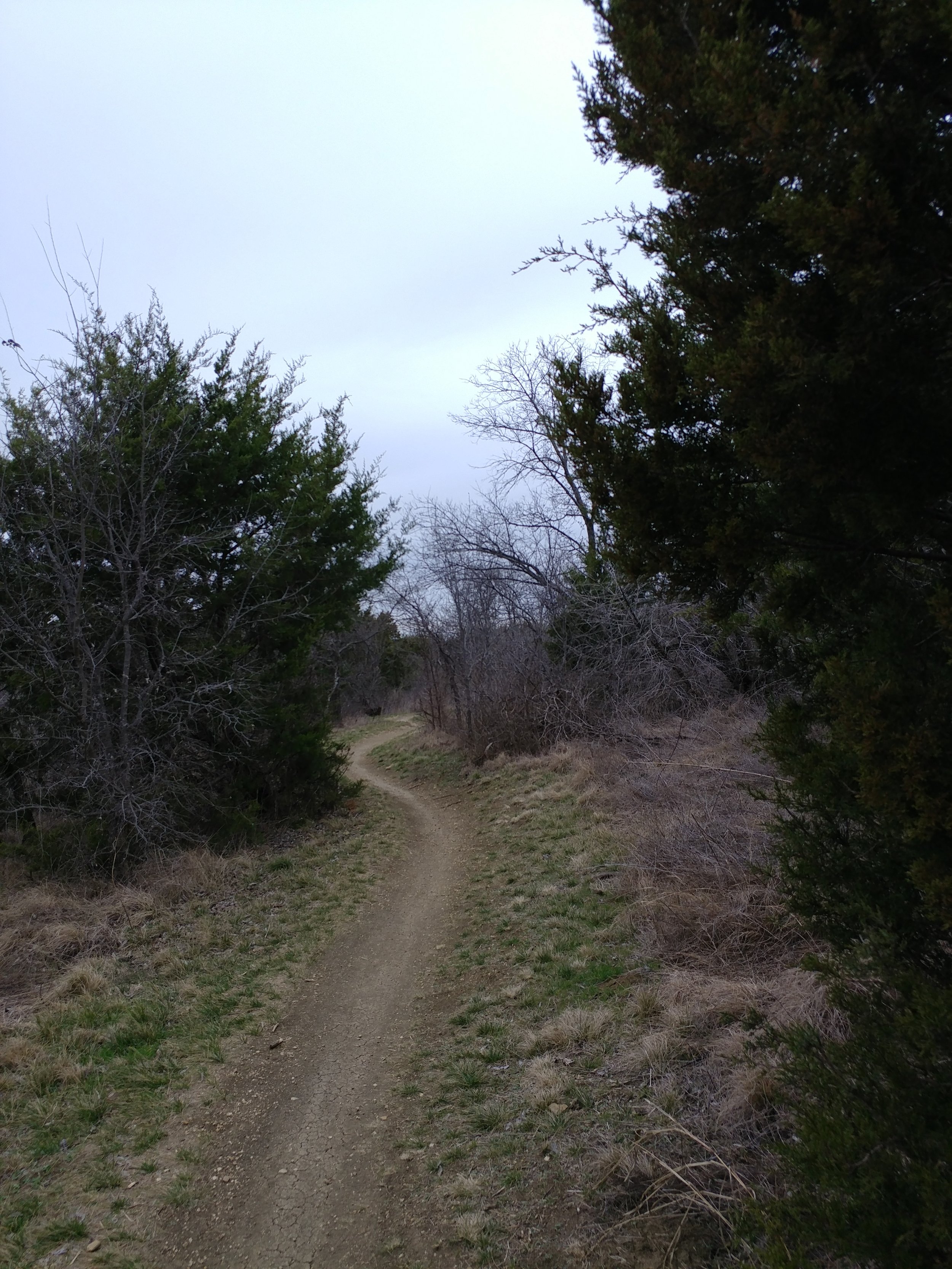
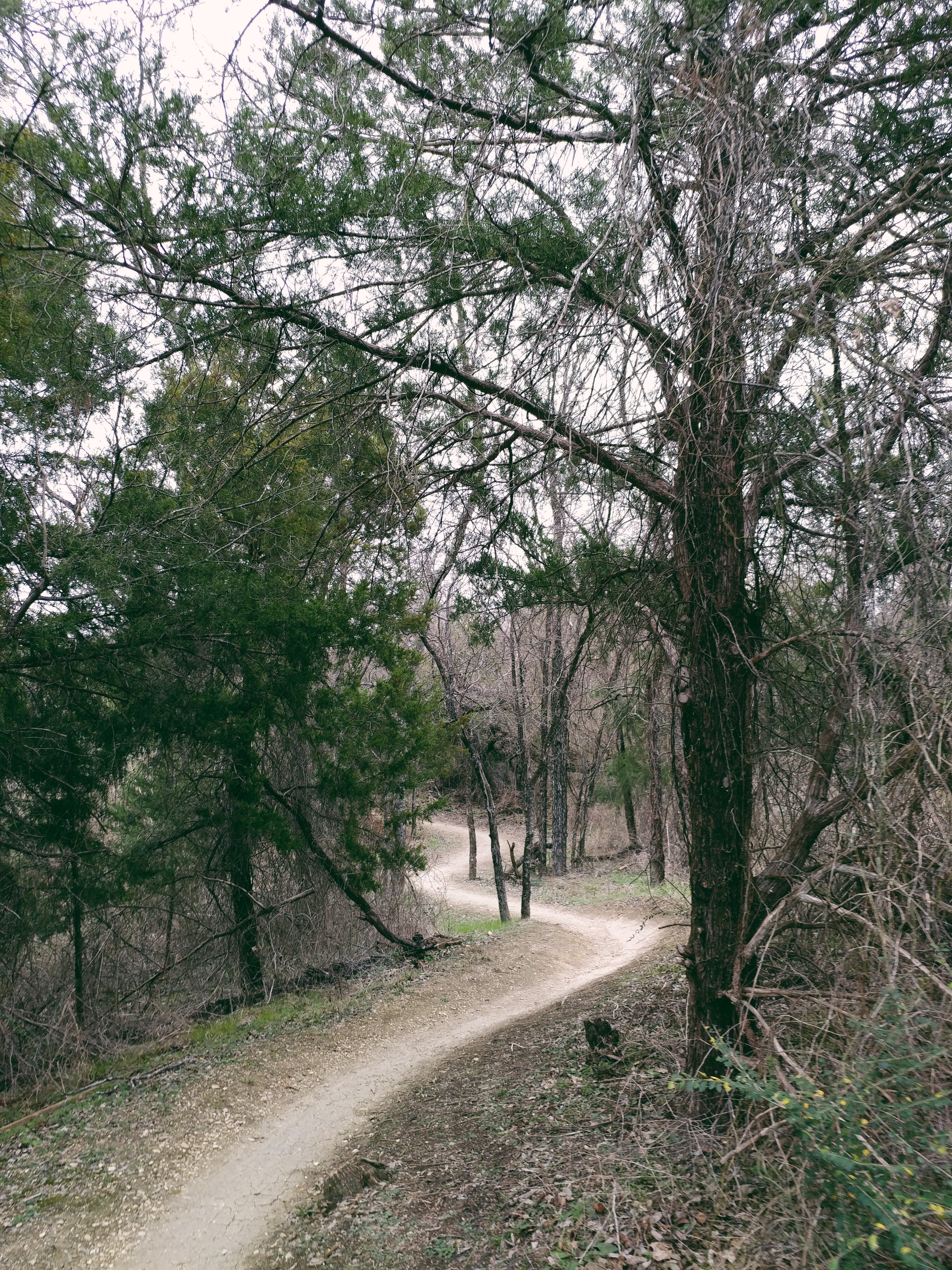
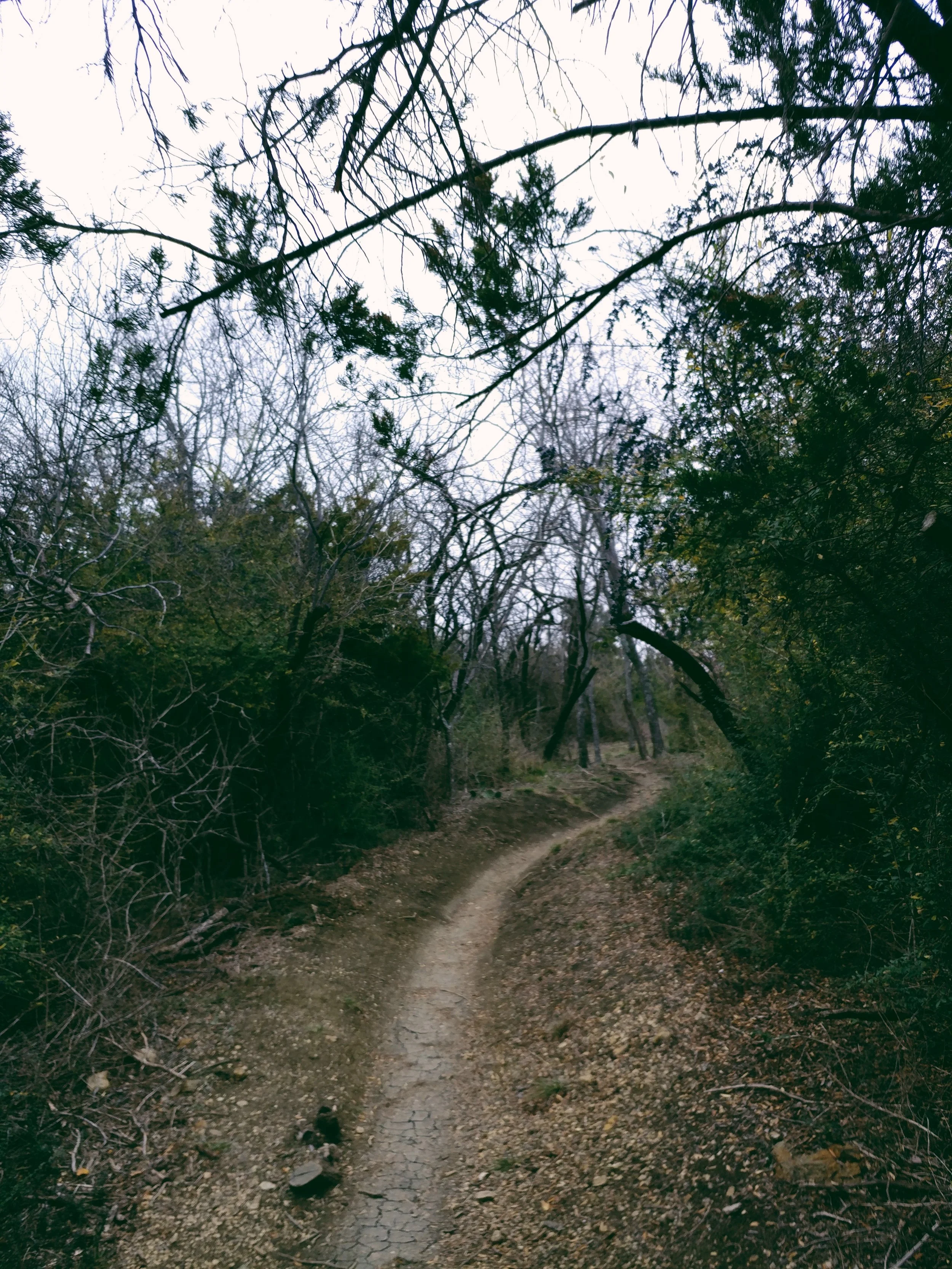
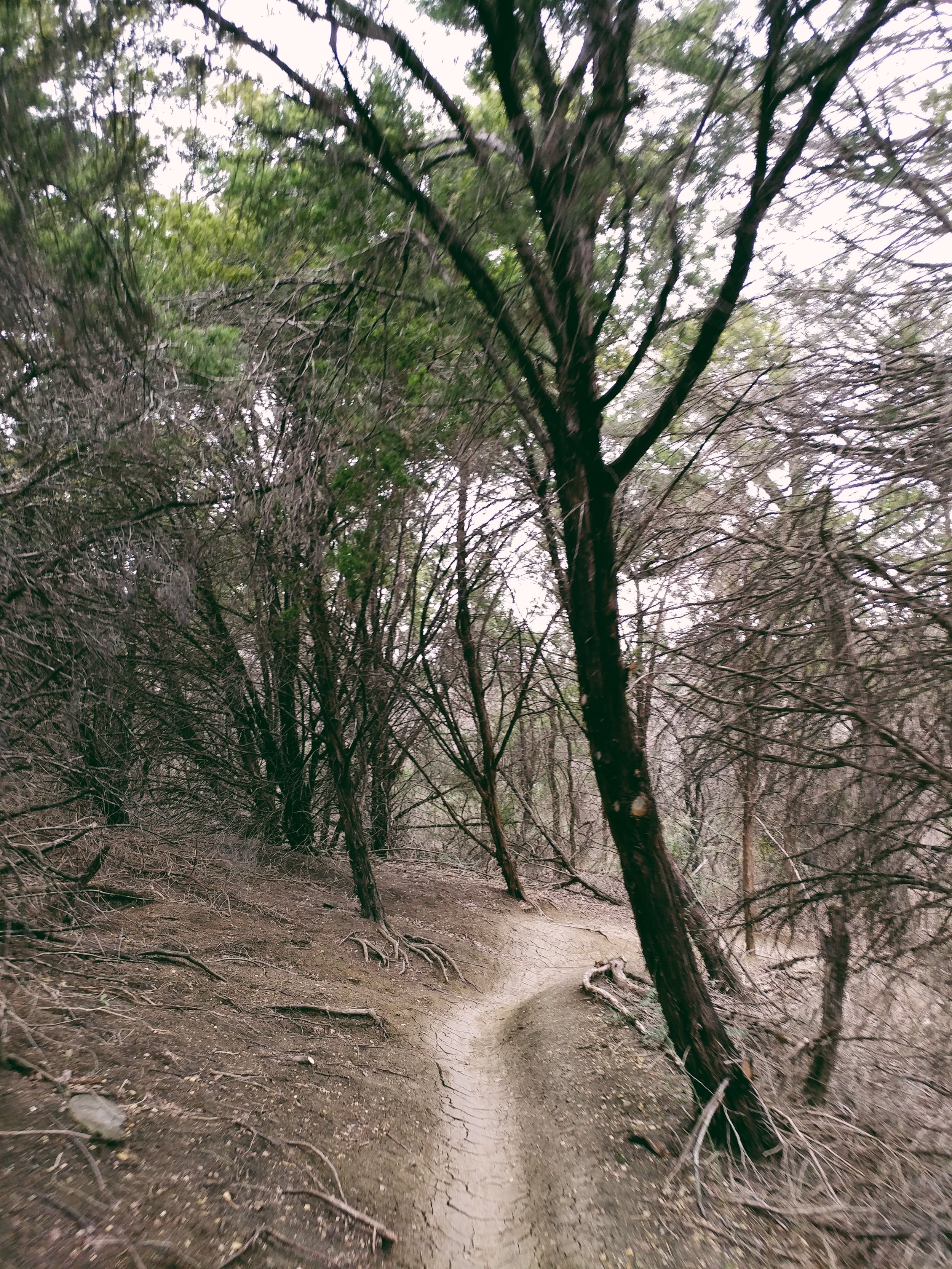
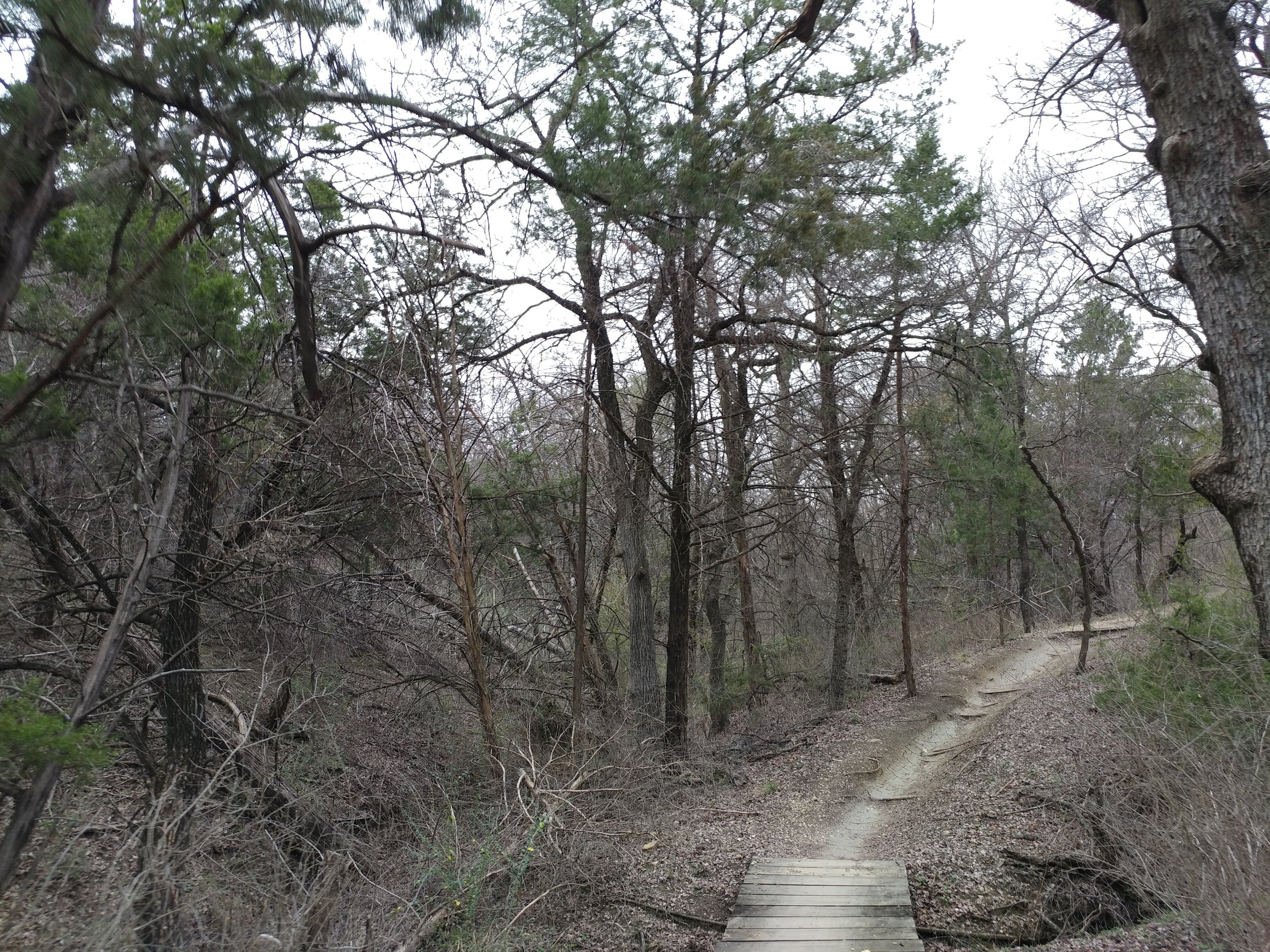
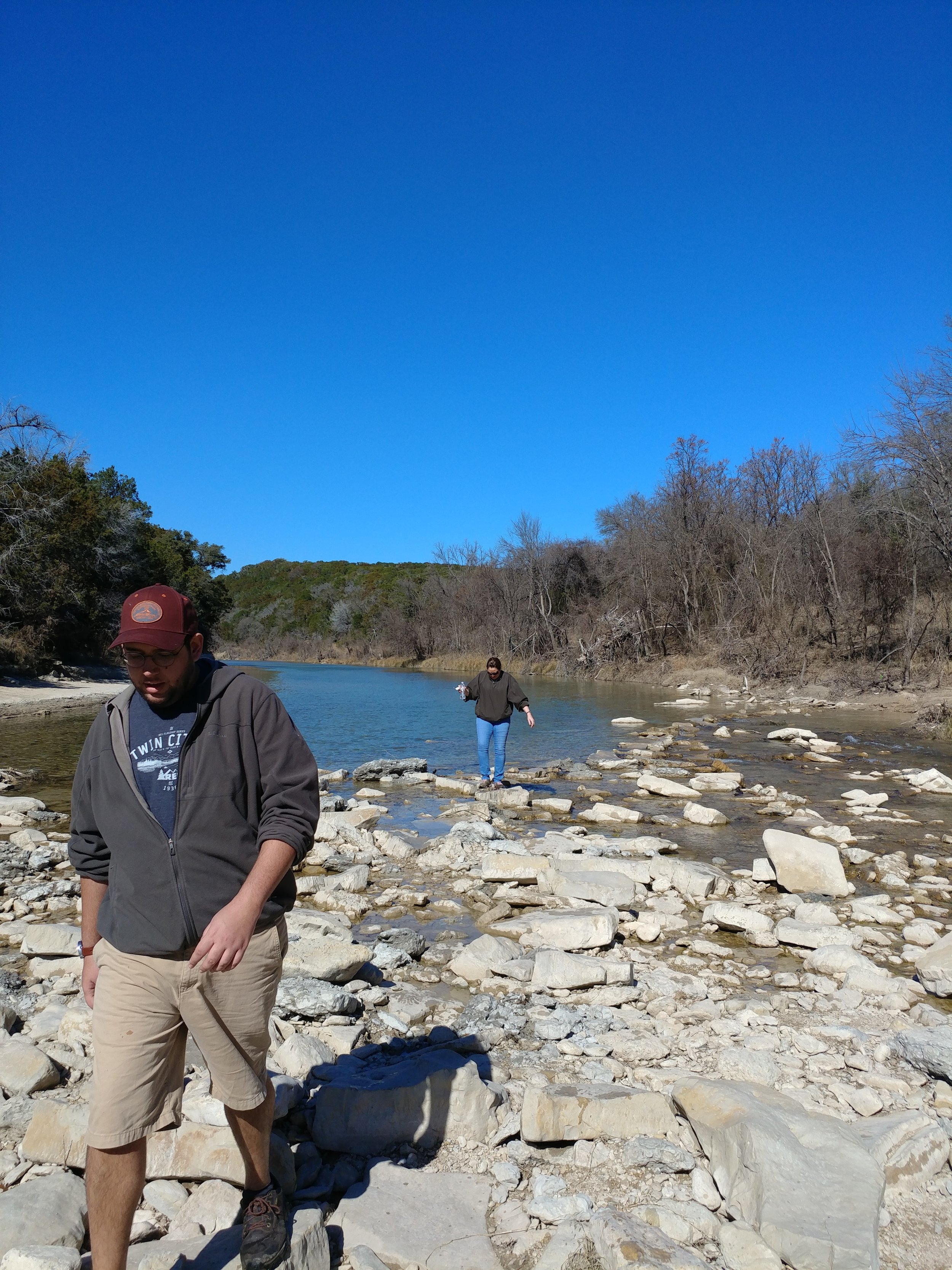
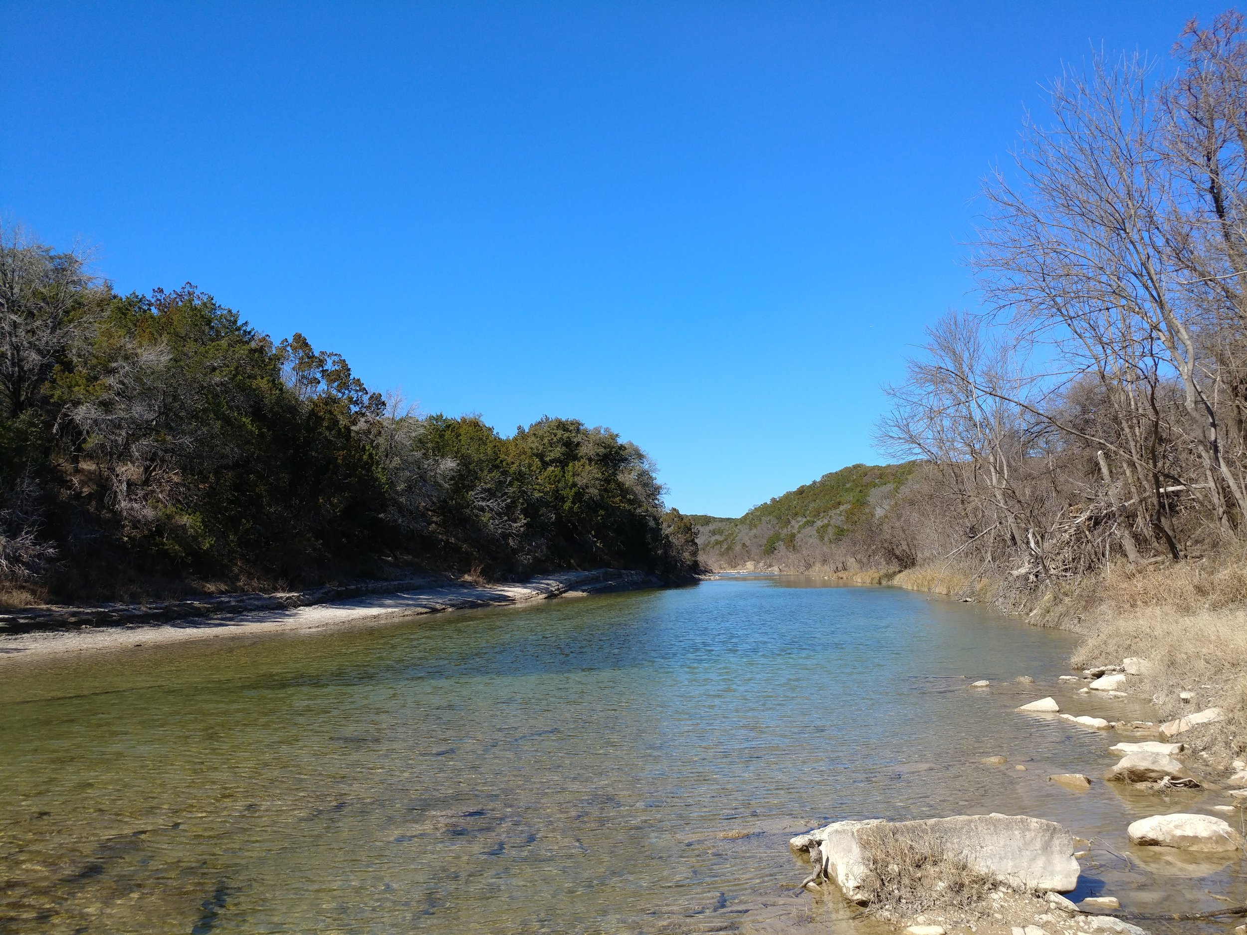
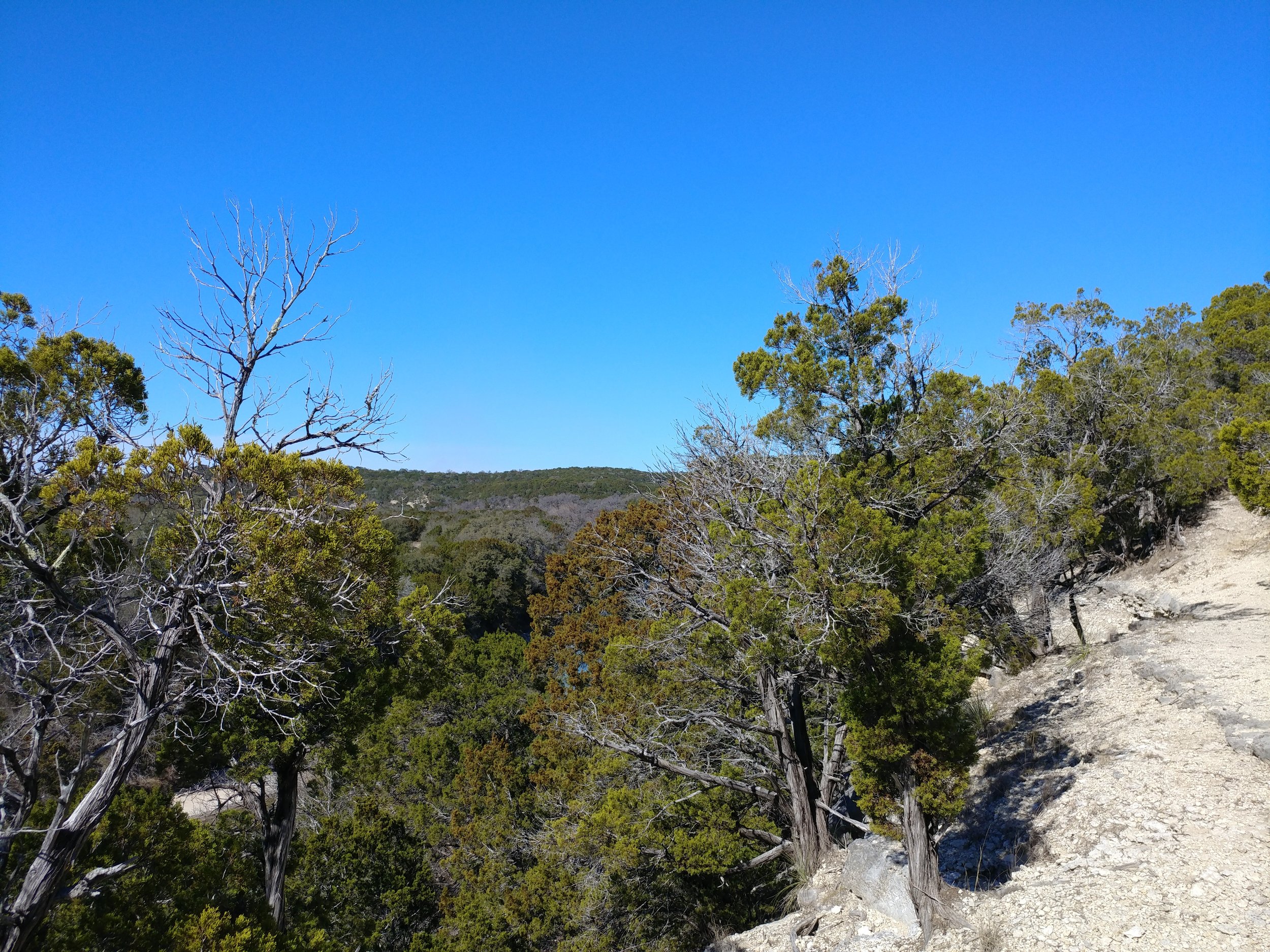
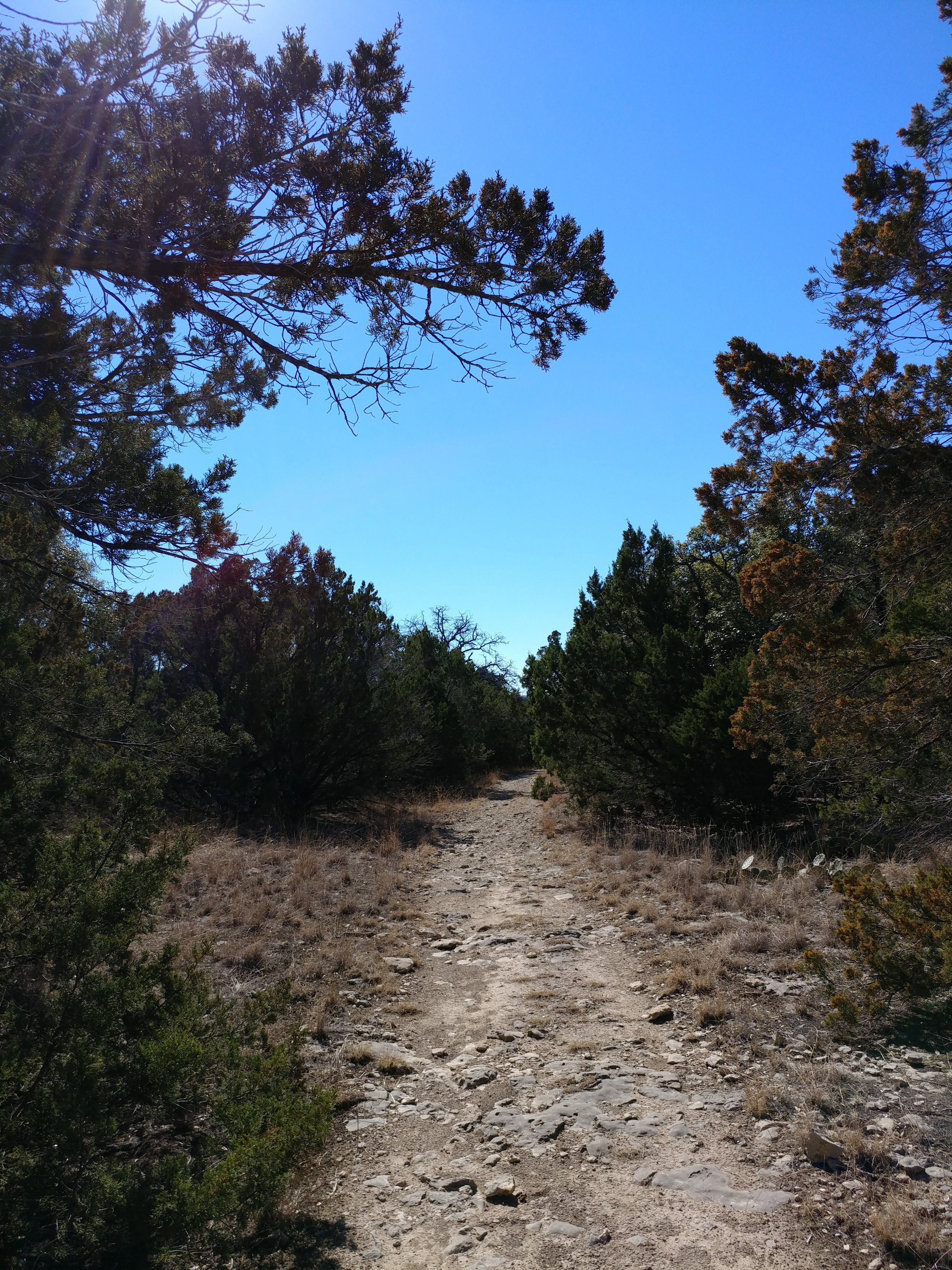
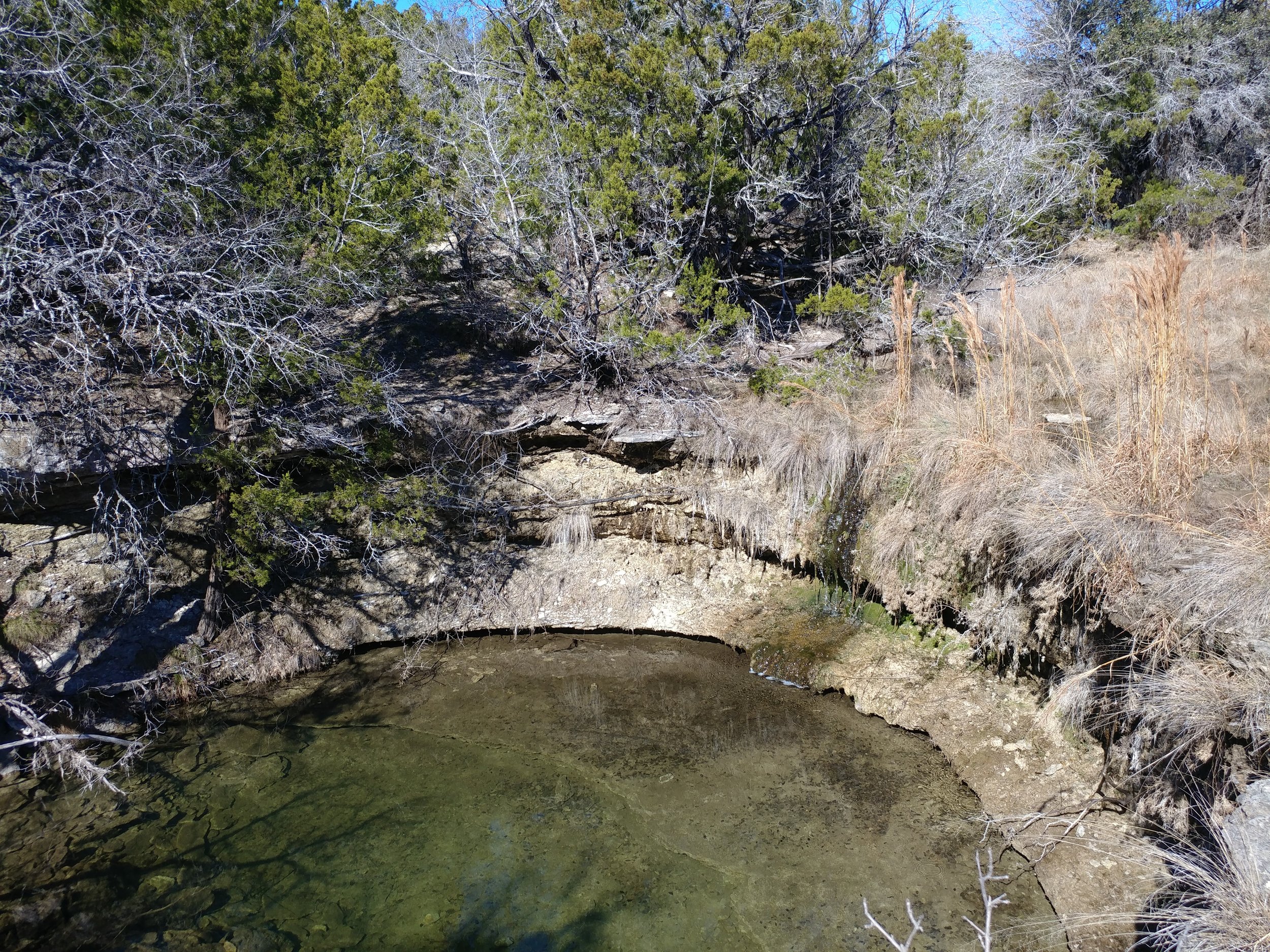
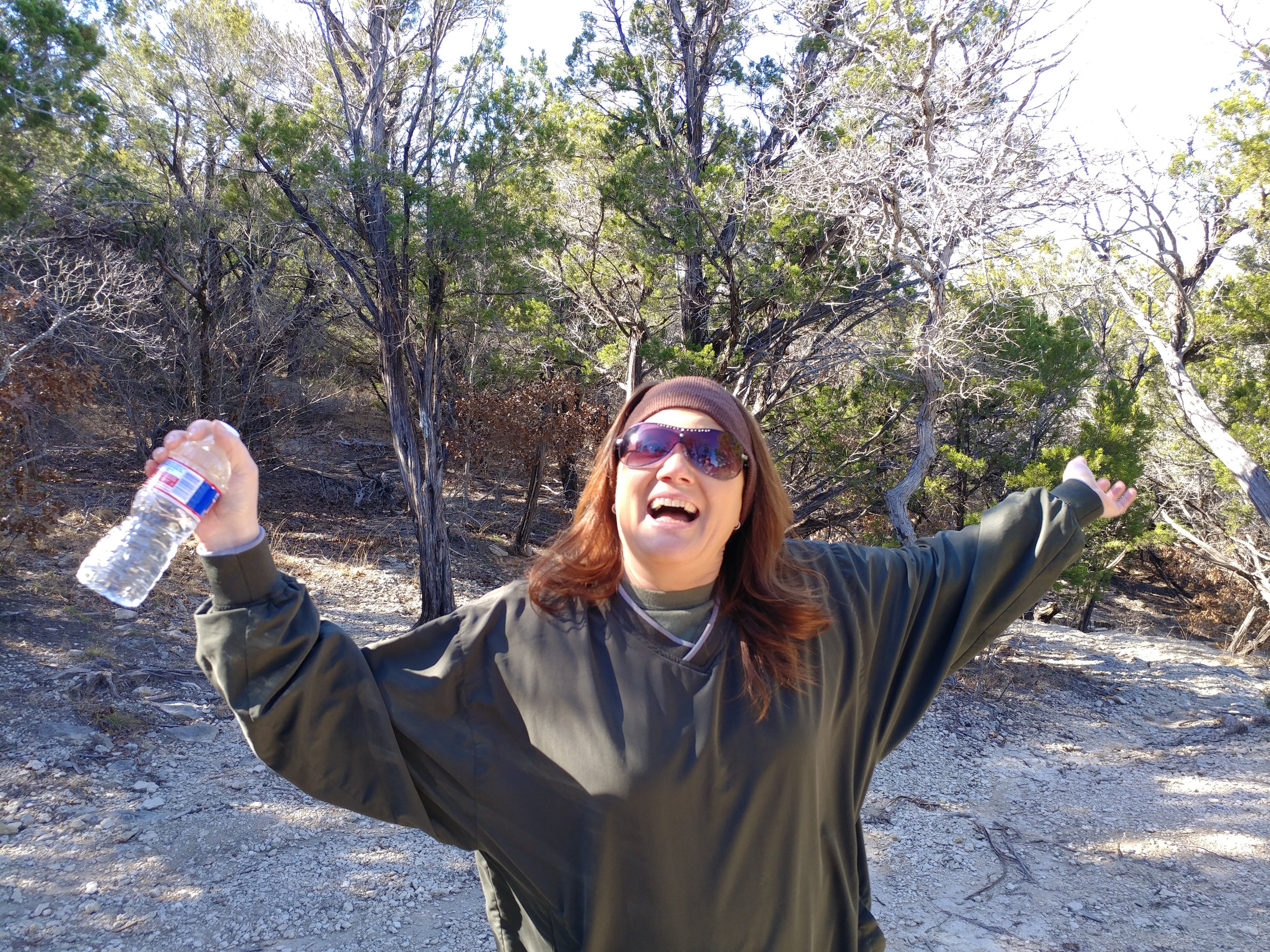
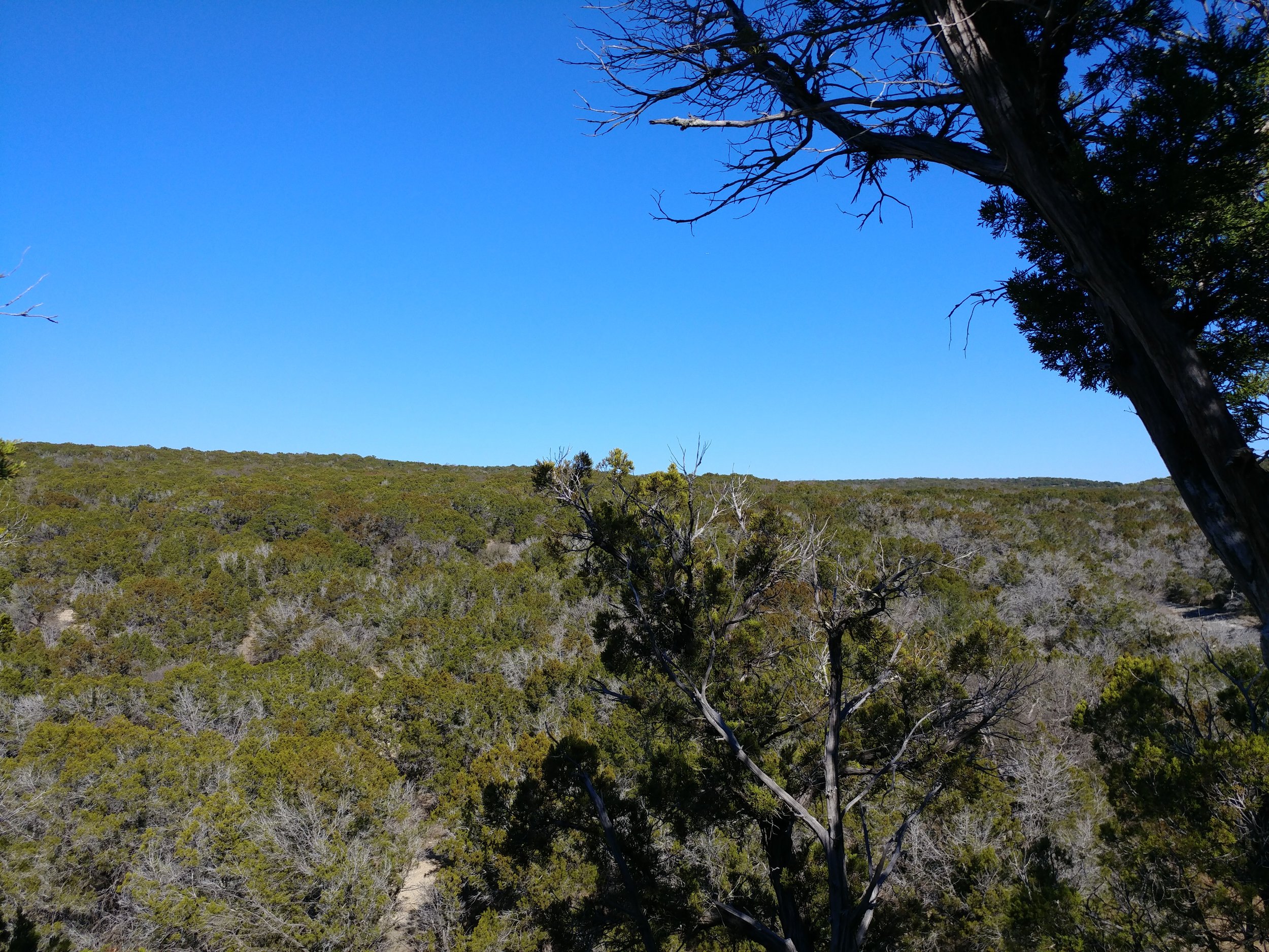
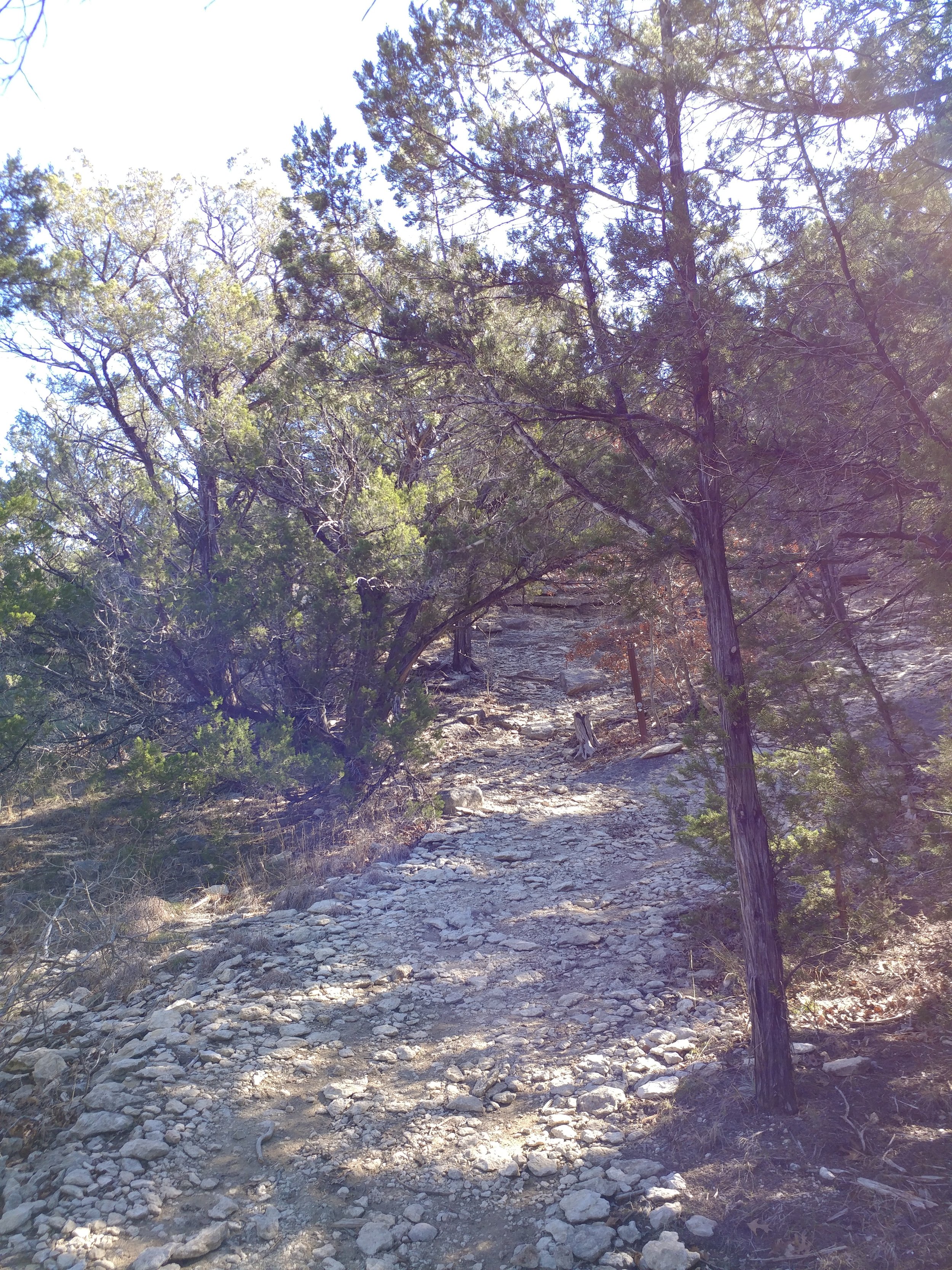
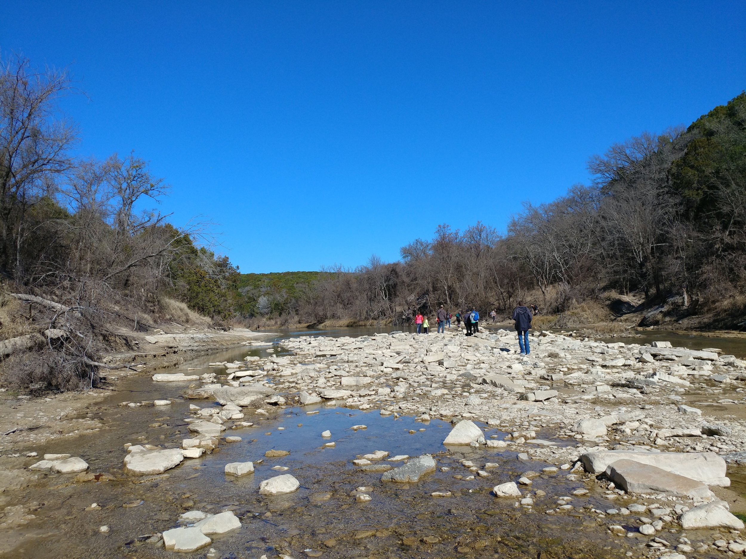
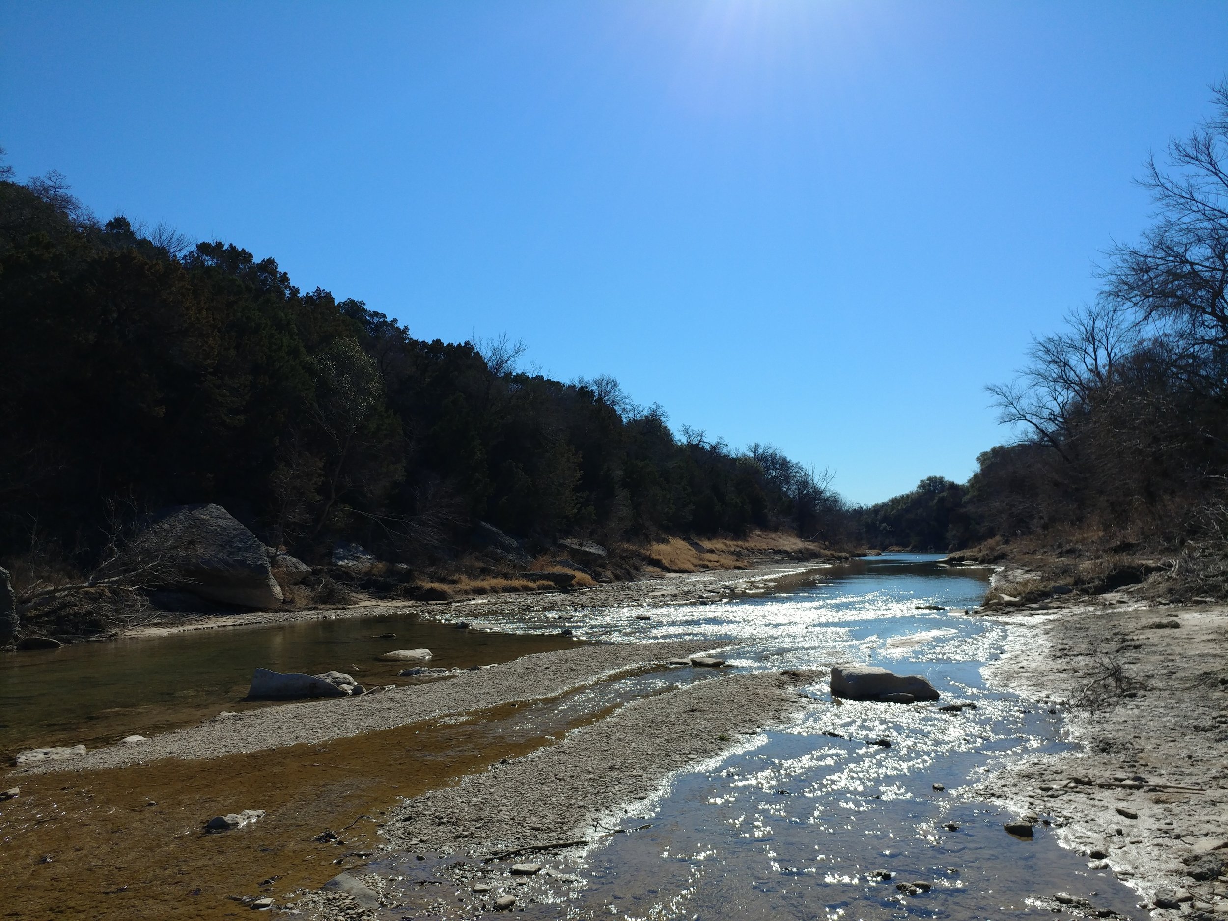
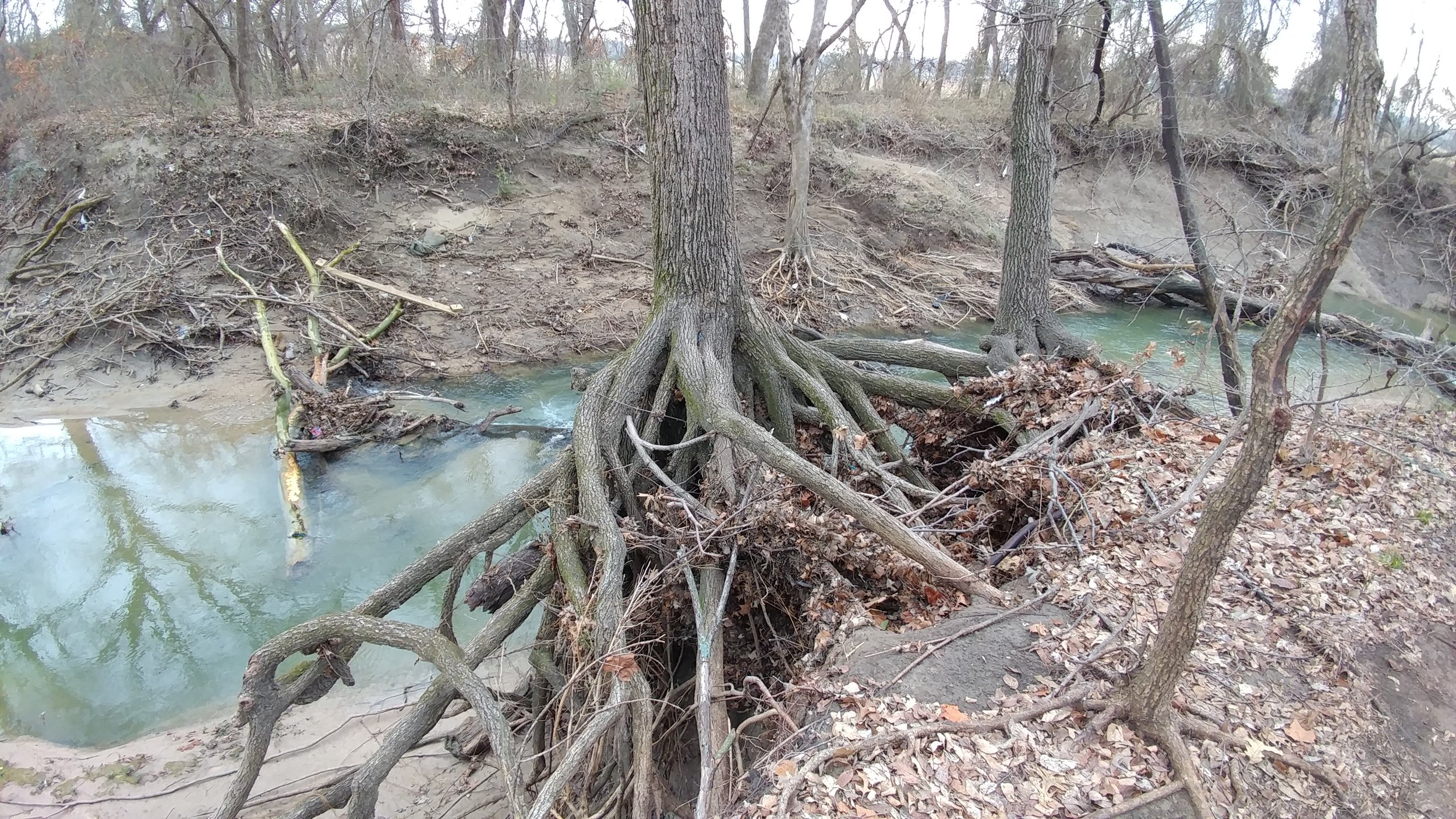
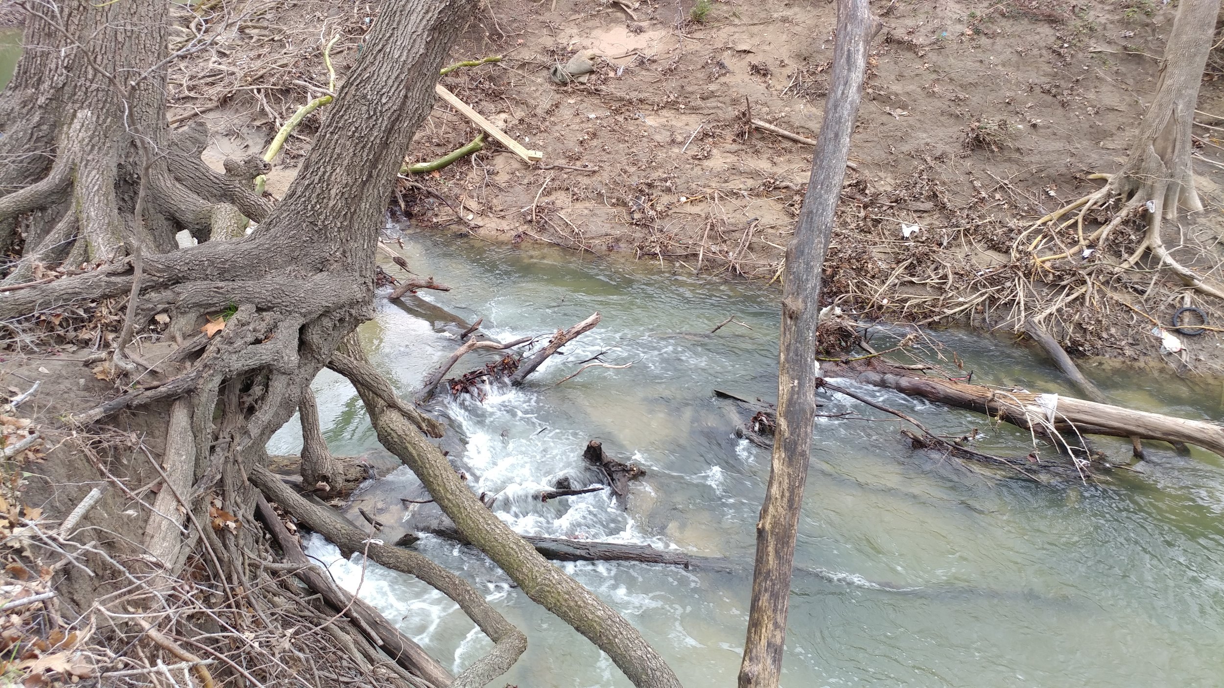
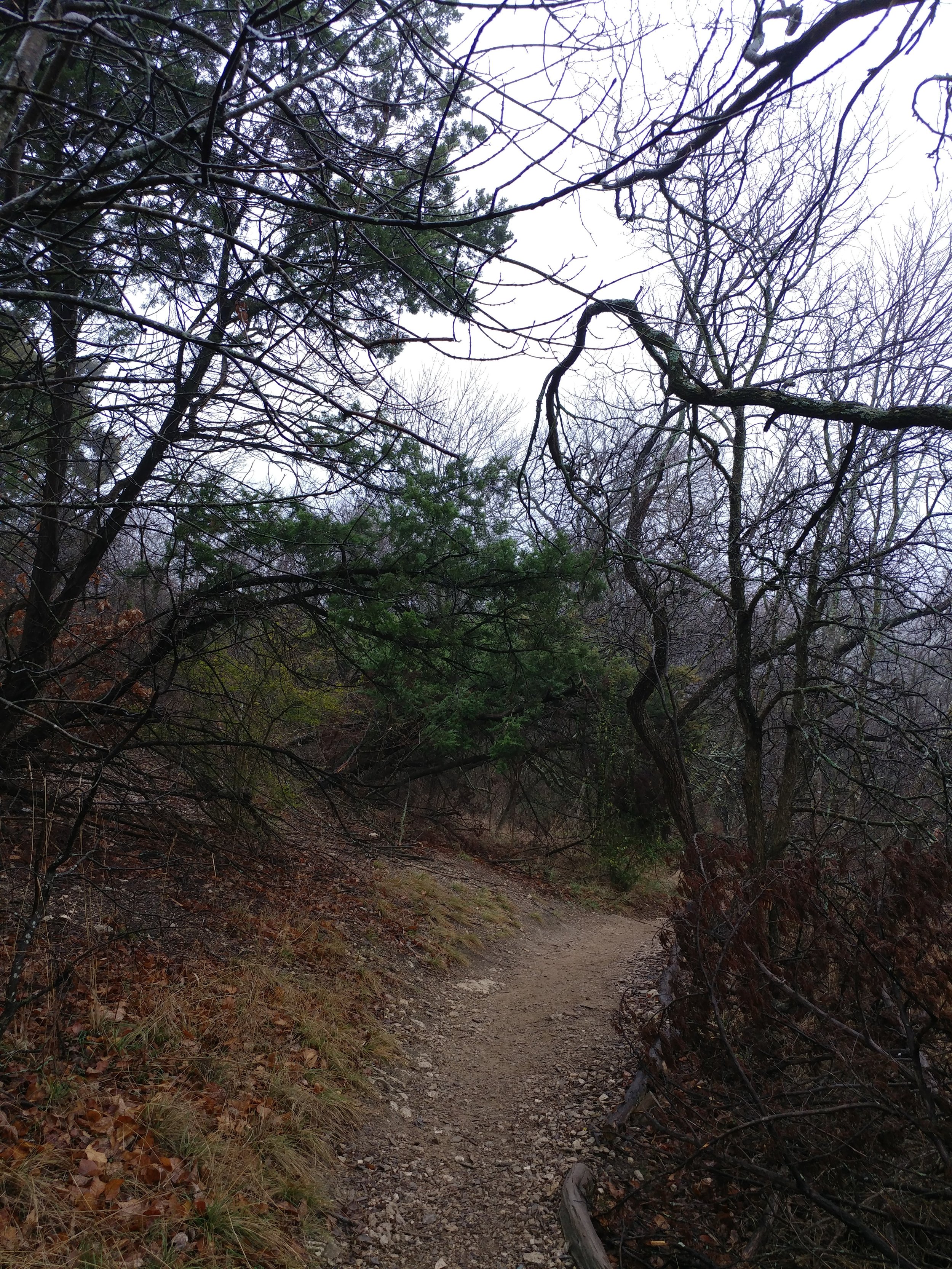
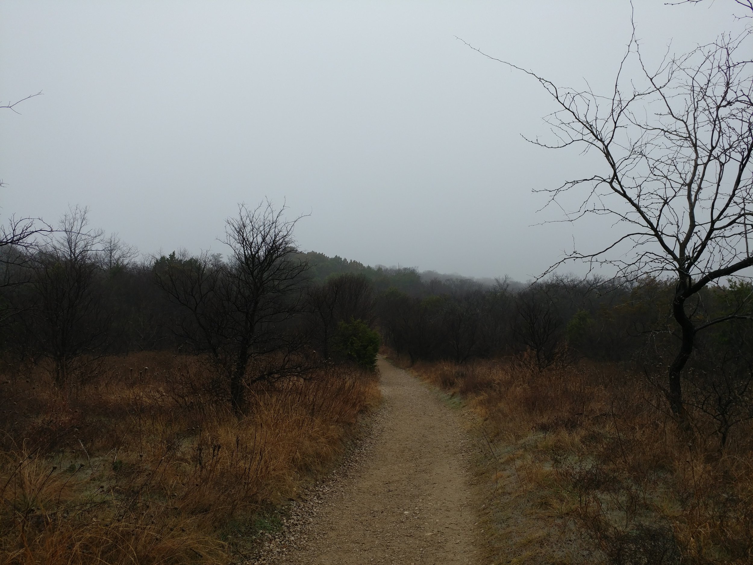
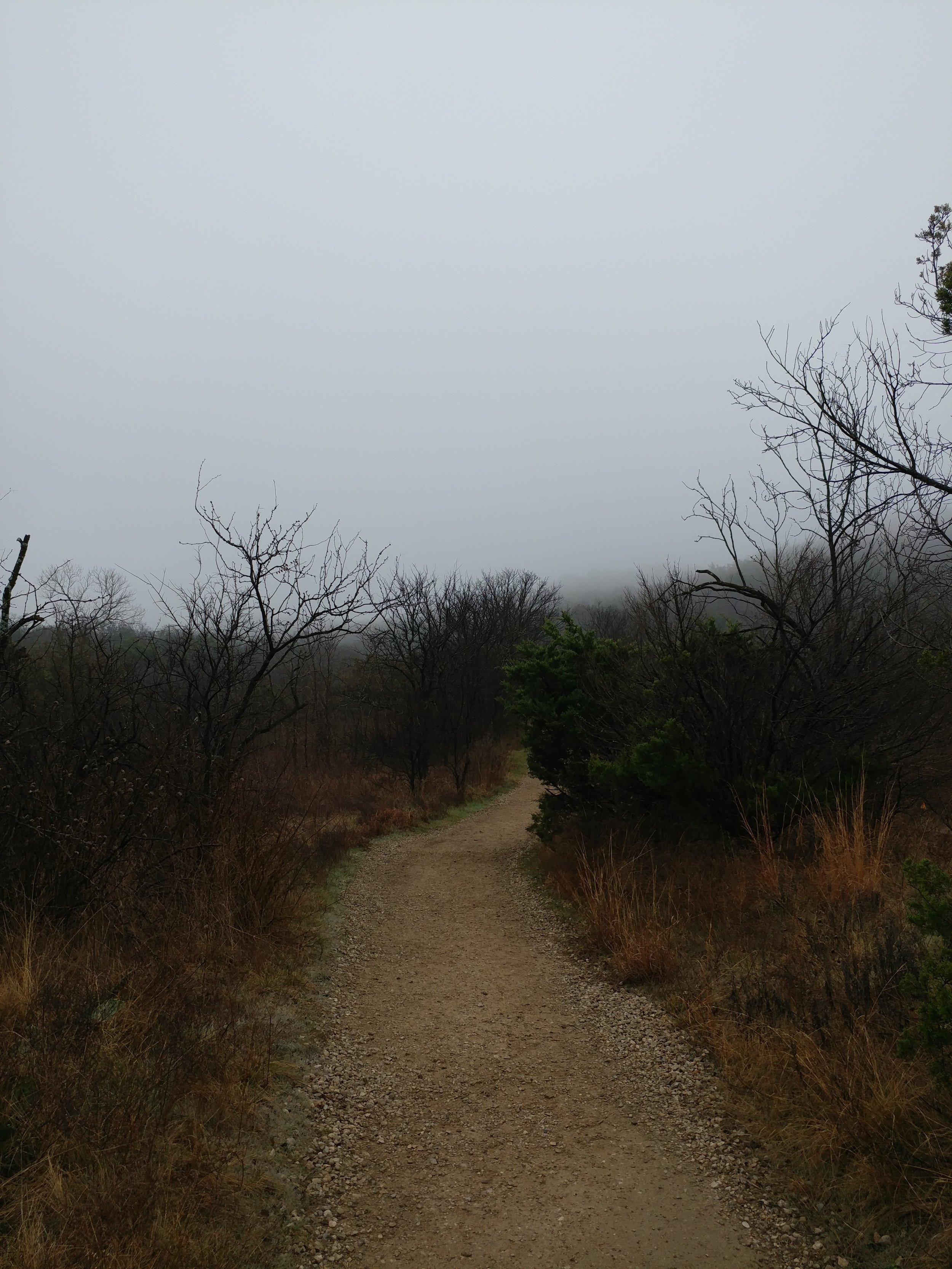
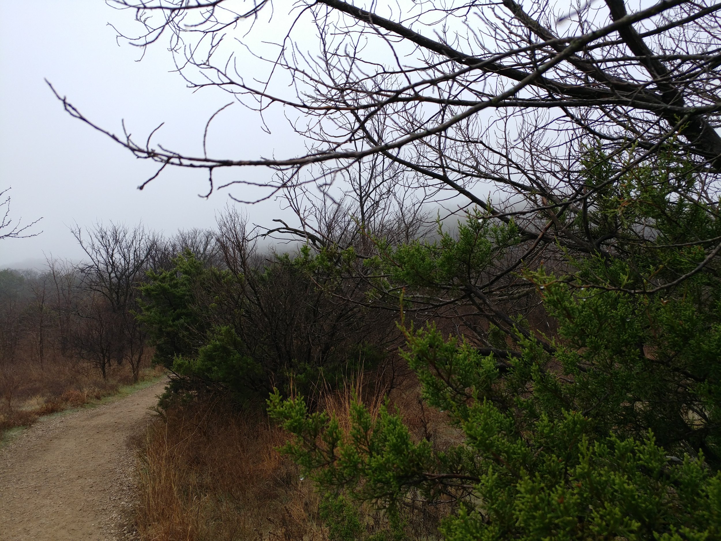
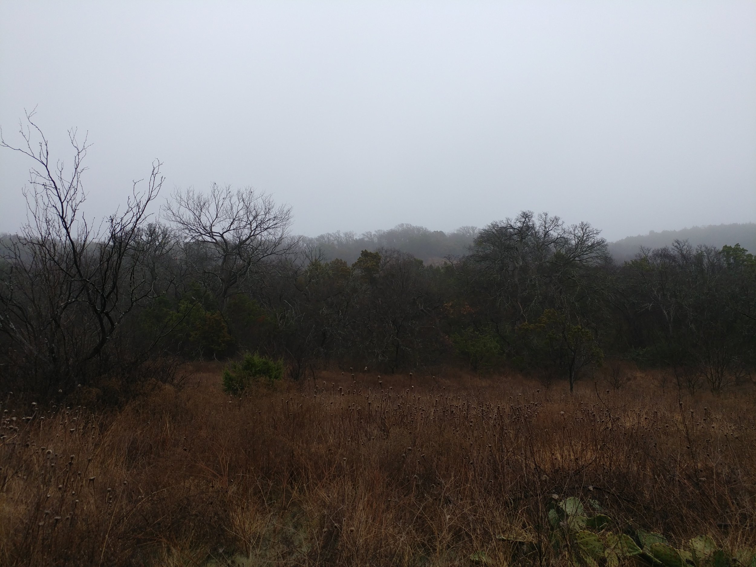
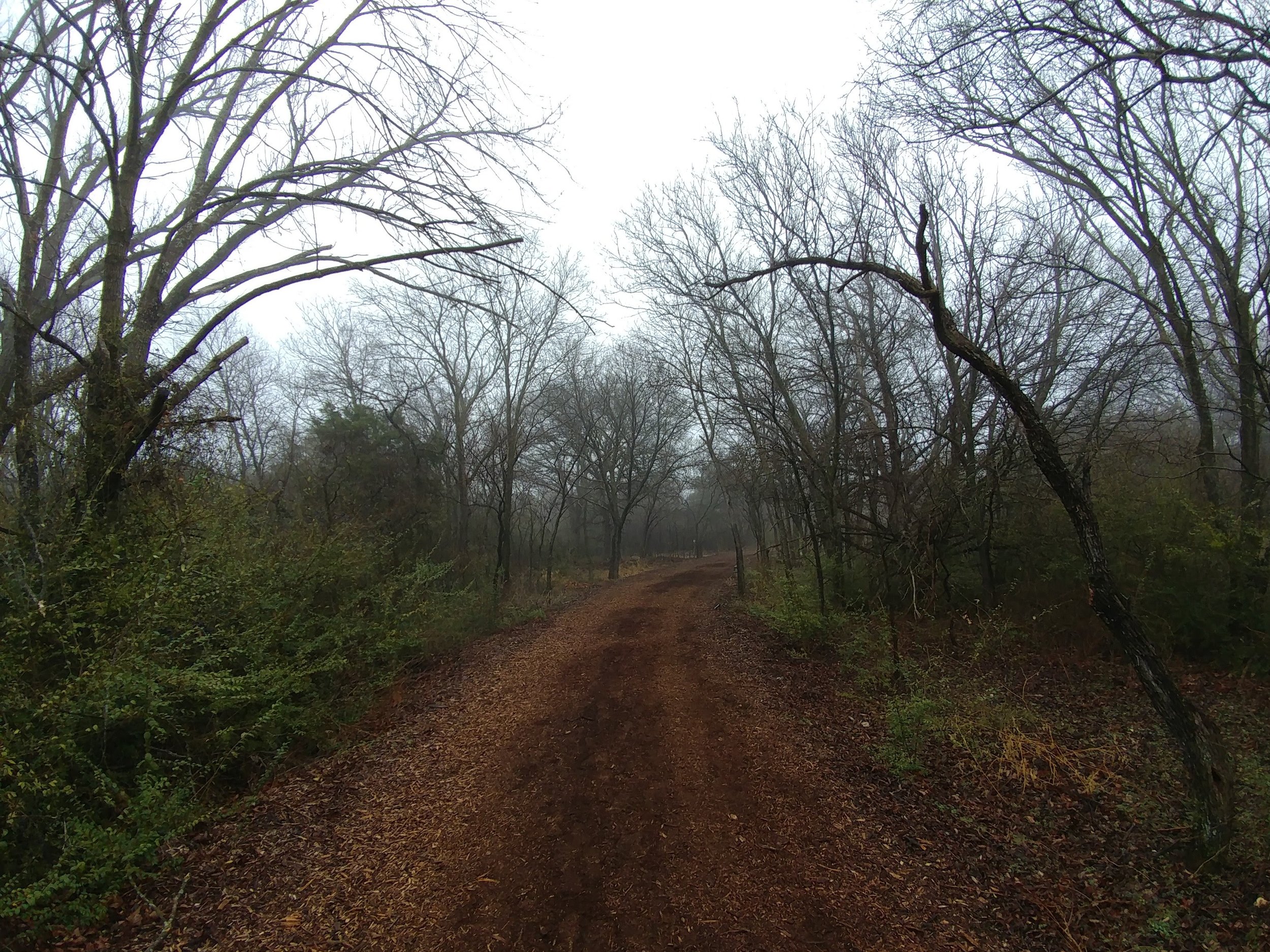
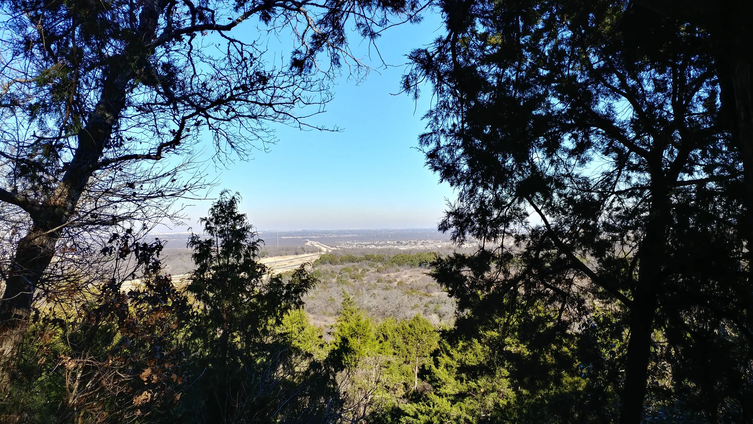
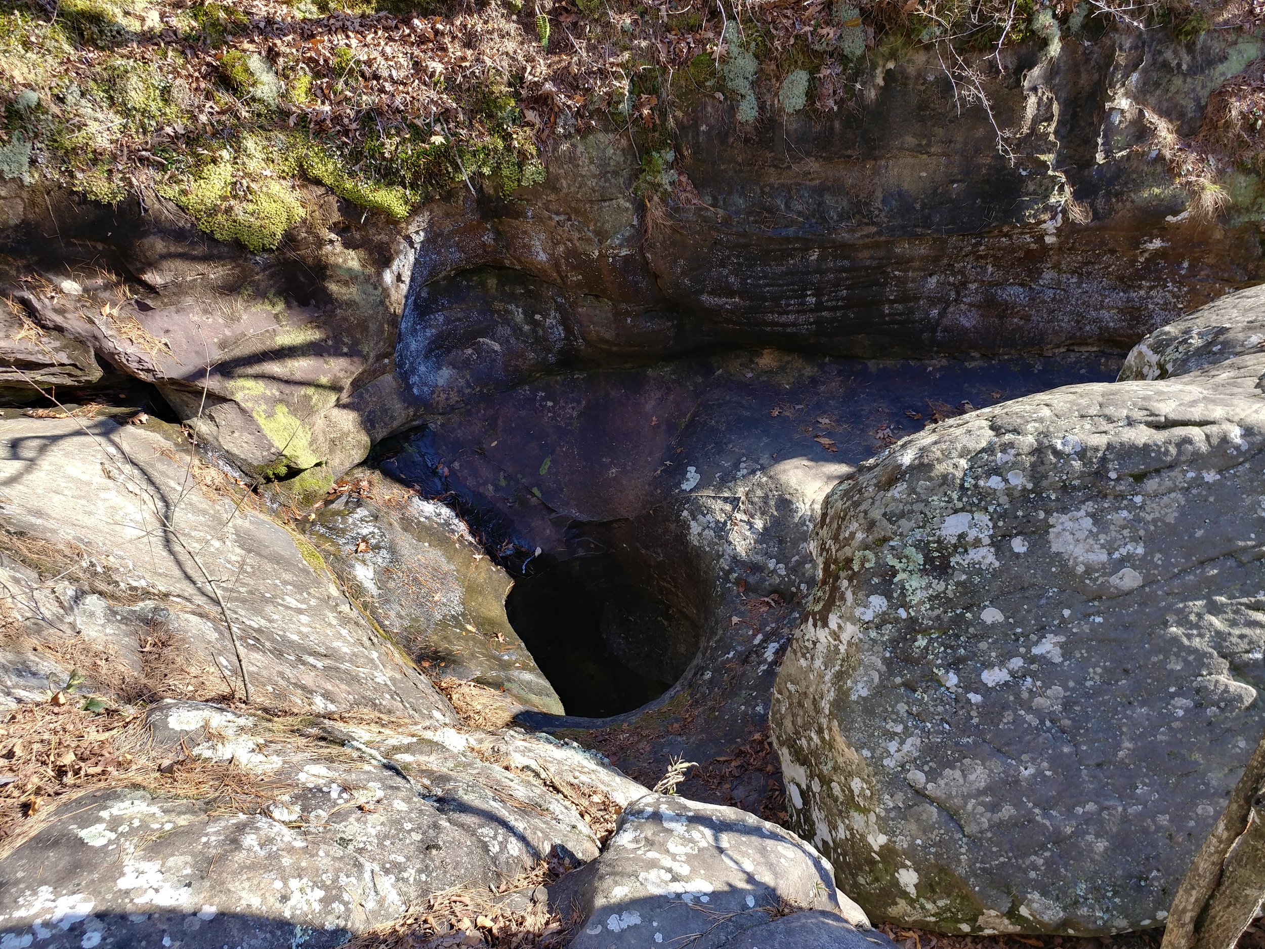
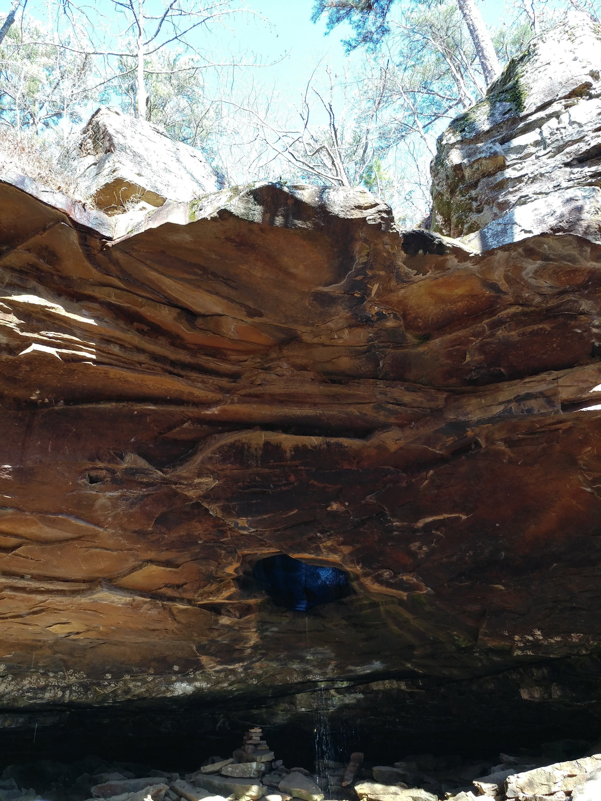
The park sits in the bottom of the canyon.  The trail is roughly halfway into the park, and was mostly empty when we got to it.  We packed the water and set off.  The trail is a multi-use trail for hikers, mountain bikers, and horses.  We saw hoodoos, red canyon walls, dried up streams, various desert flora, and very few other people.  We got about 1.5 miles in, and we had a few runners go past.  We got to the end of the trail and realized to see the lighthouse hoodoo we'd have to climb some rocks or find a way around said rocks.  All routes seemed okay for humans, but not with a pooch.  We decided to head back to the trail head.  The temperature had climbed and the wind increased.  As we made our way back, I saw everything from a different perspective.  A simple directional change and different angle of sunlight really made me stop and stare a few times.  Foot traffic was very heavy on our way back and mountain bikers were riding in large groups taking up most of the trail width.  The trail got crowded and uncomfortable, so reaching the car was a relief.  The once empty parking lot was full to capacity, with cars spilling over along the roadways.

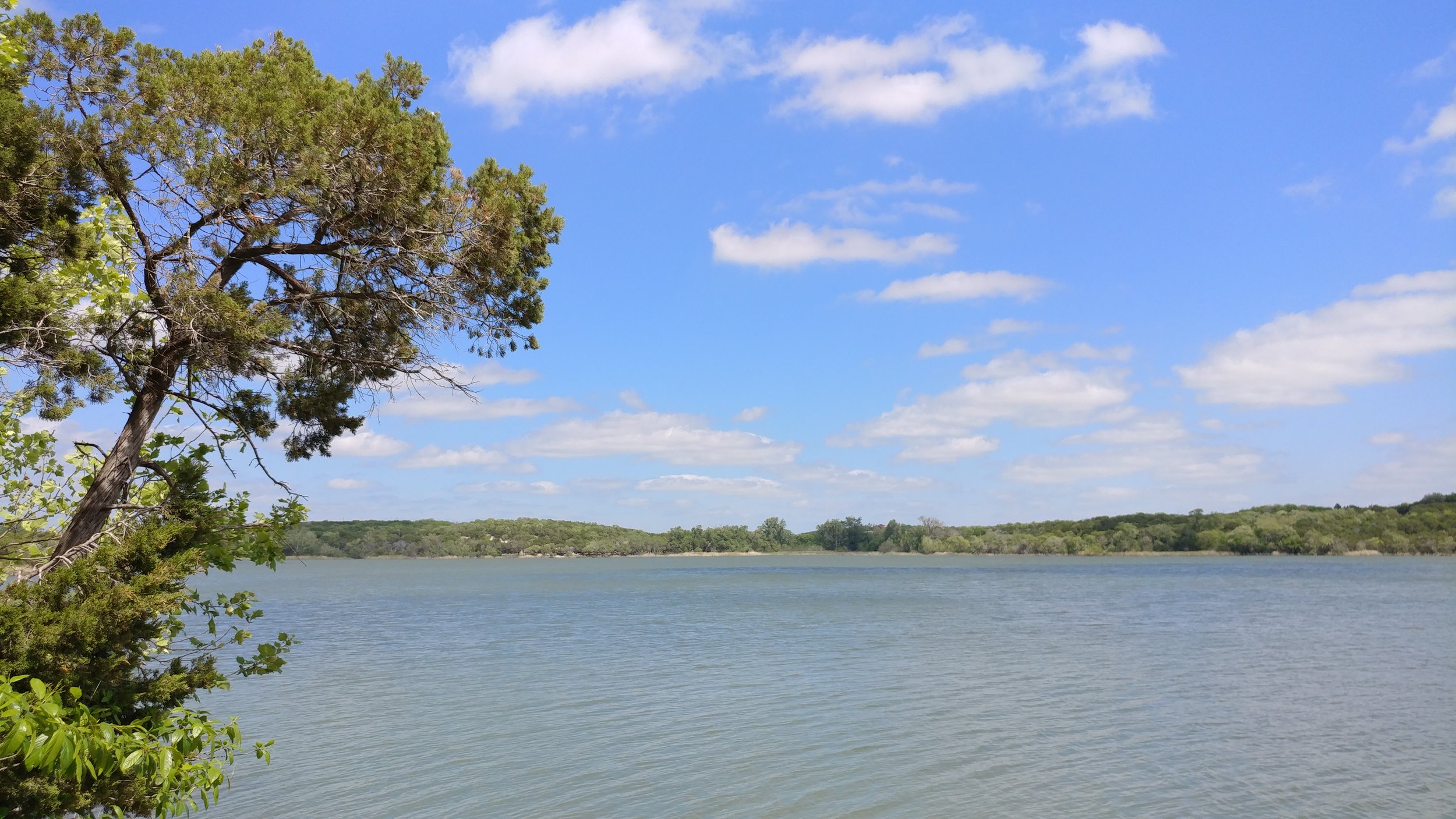
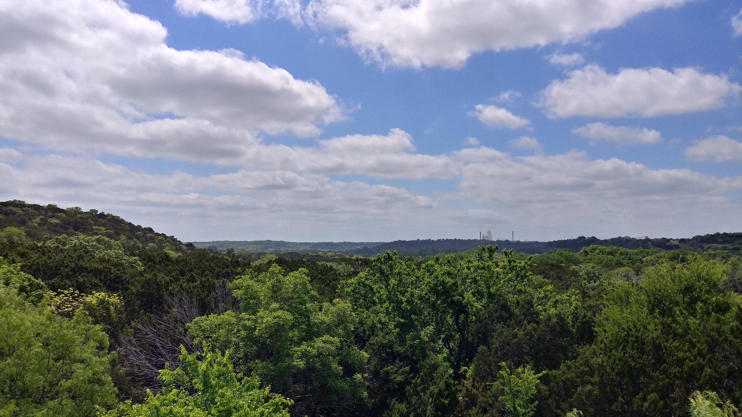
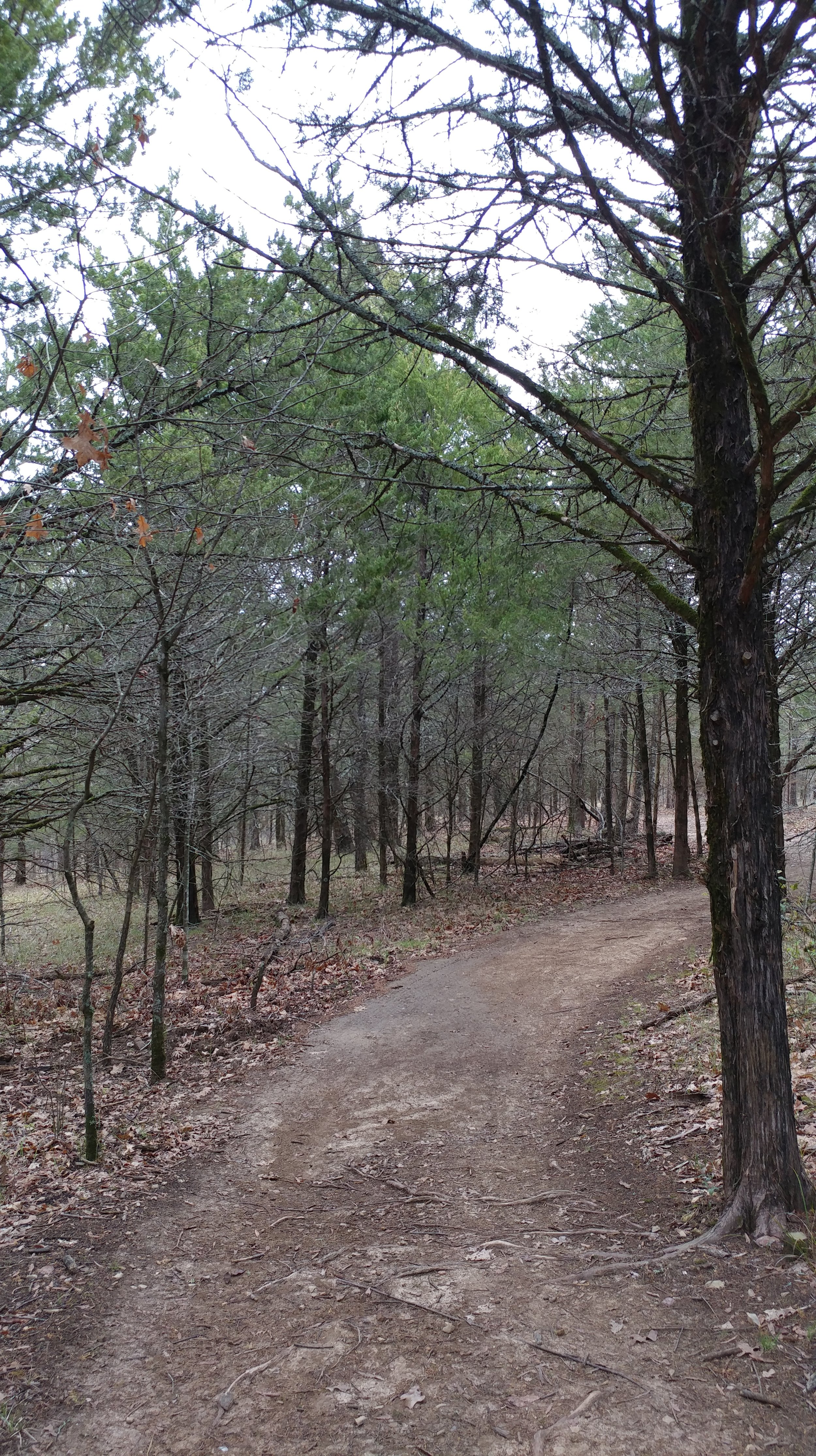
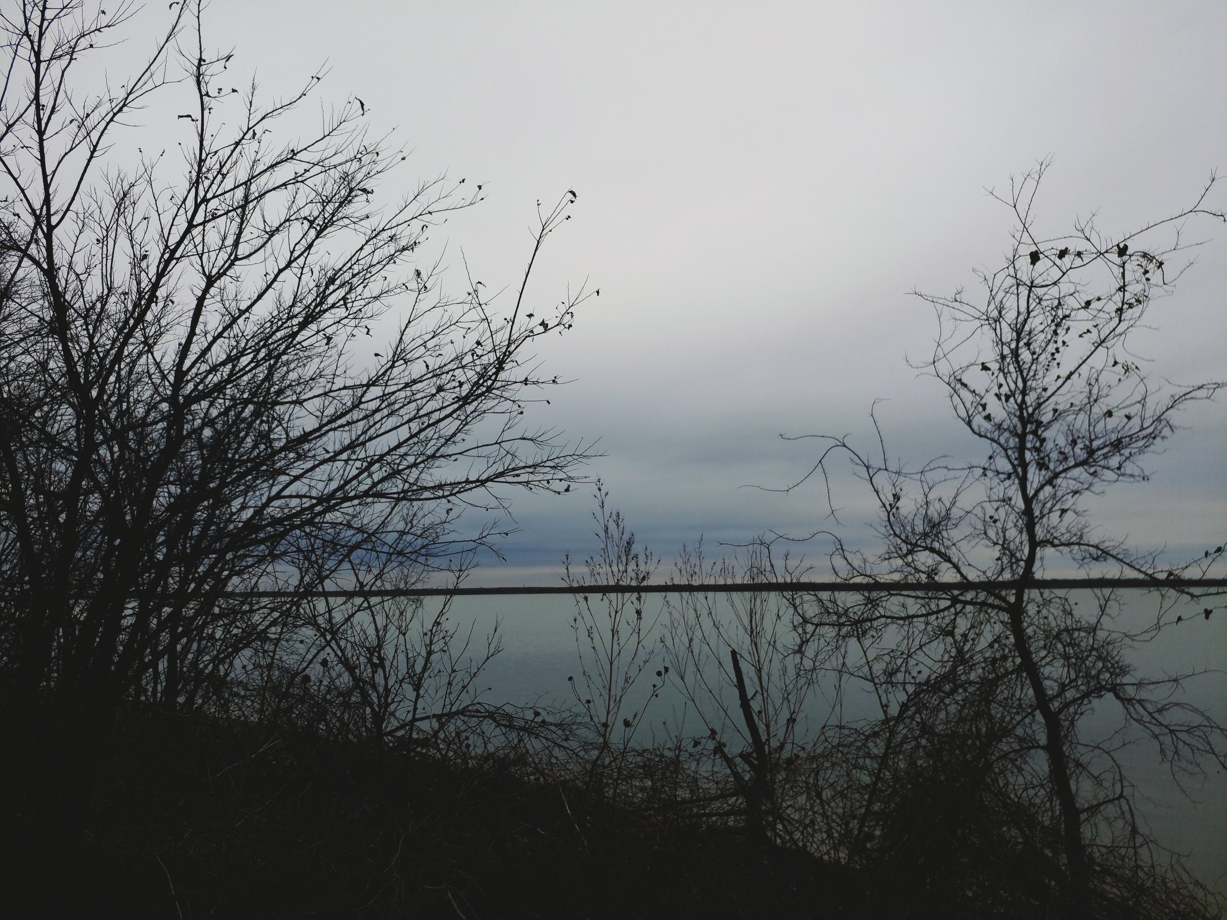
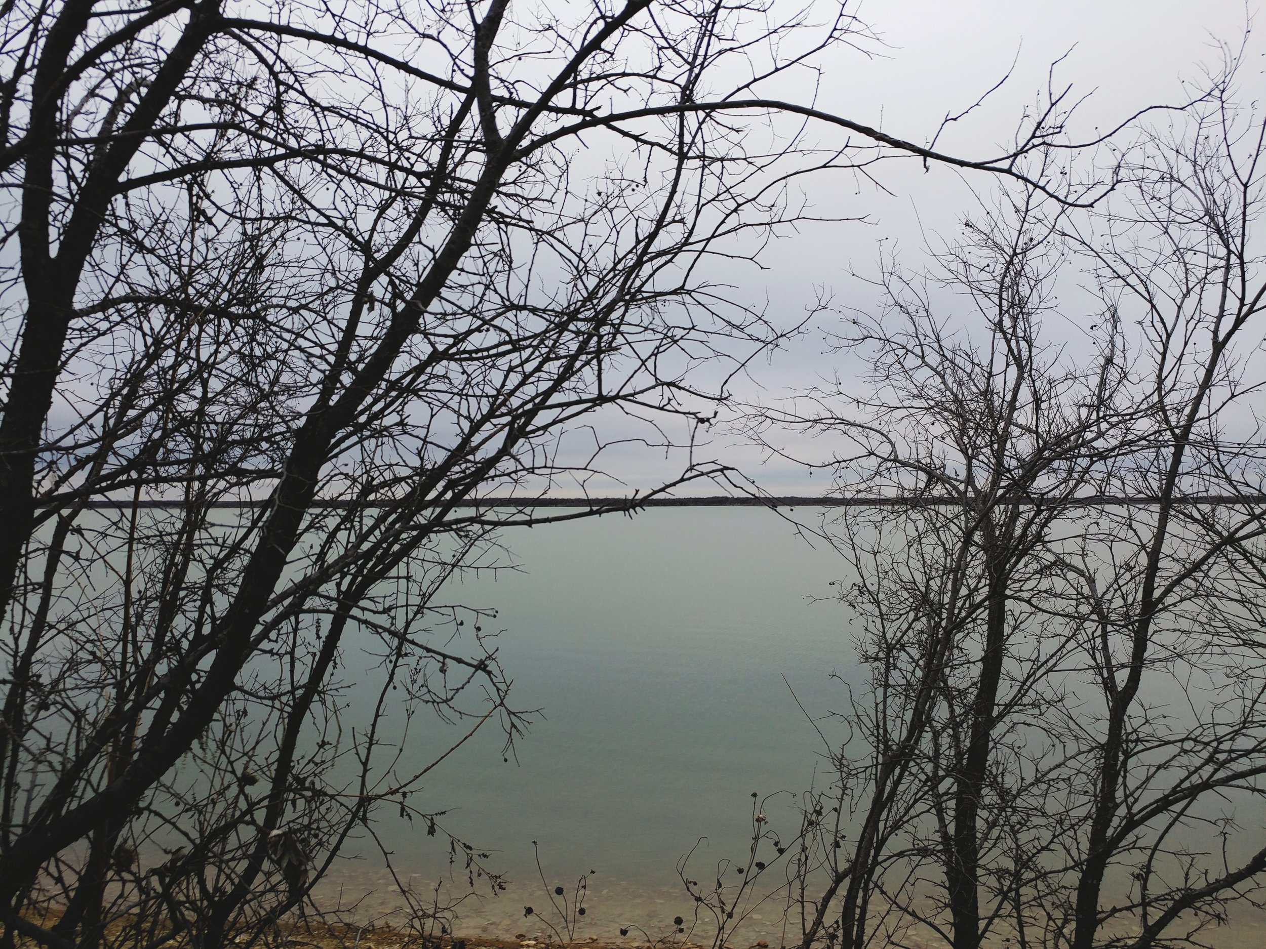
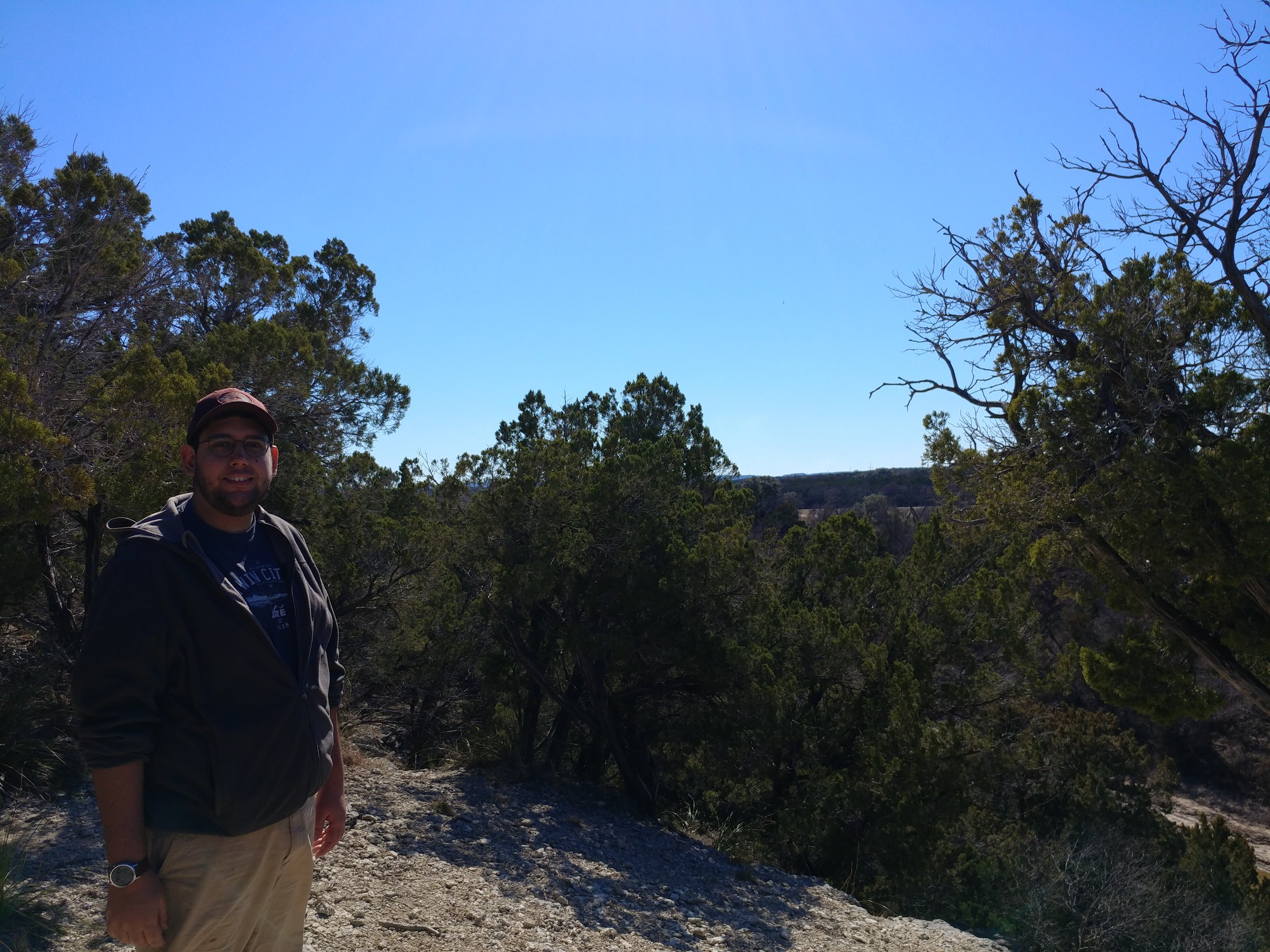
We hiked a few other small trails that day, and wandered the park overlooks.  It reached 90 degrees with intense sun and wind.  I welcomed sunset for relief from the temps and the crowds.

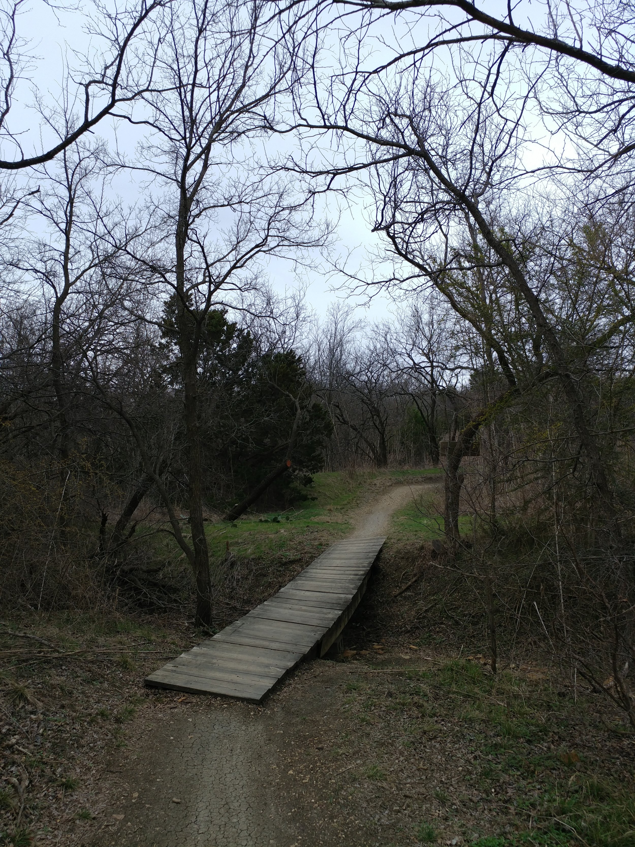
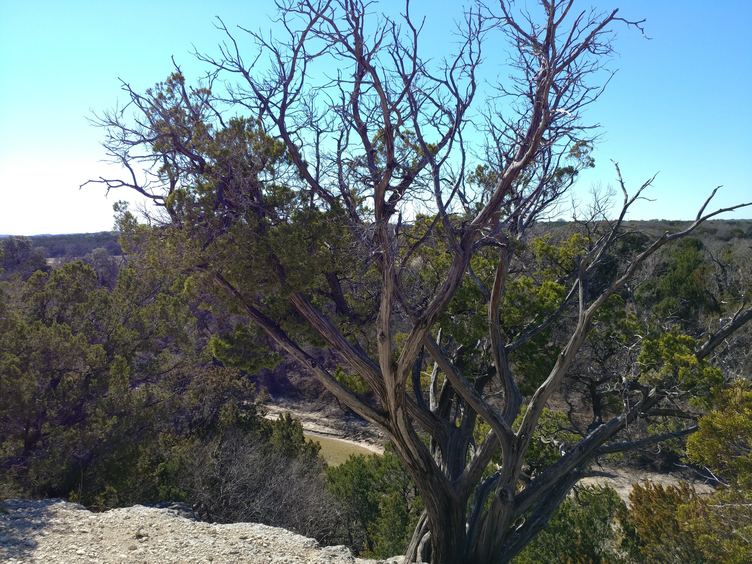
This park has miles and miles of trails.  They have trails following the cliffs of the canyon, trails through the canyon, and trails everywhere else.  There is so much to see that a one night trip only left me wanting to return.  If you enjoy the desert, or just need a change of scenery, take a look at Palo Duro State Park just south of Amarillo, Texas.  I will never call it "The Grand Canyon of Texas" but I can appreciate the sentiment.


Happy Hiking!

#hike5 - Cedar Hill State Park

Date: February 4, 2017 Time: 9:15 am

Place: Cedar Hill State Park - Cedar Hill, TX

Distance: 3.1 miles

Flexibility is key in planning hiking excursions.  I thought I had a plan for this one but it went out the window when we arrived at the gate to the park.  The ranger taking my pass said the trails I wanted to hike were closed for maintenance and suggested one of the mountain bike trails in the back.  Okay, I guess.  I had monitored the Facebook and state website for a week and hadn't noticed anything about the two trails I had in mind, but that's irrelevant when you're there and don't have a back up plan.  So, to the mountain bike trails we went.

The DORBA (Dallas Off Road Bicycle Association) trails are well-maintained for the bikers and do welcome hikers;  Bikes went clockwise along the loop while hiking went counterclockwise.  I didn't want to be in anyone's way.  There was a giant loop, a medium loop, and a small loop.  They all used the same trail, just offered shortcuts to the return path depending on how long you wanted to go.  We had a limited amount of time today, so we only did the small loop.  It was about 3.1 miles, varied terrain, and mostly pleasant overall.  The woods was filled with birds and little critters, we only passed 4 bikers, and only had about 10 seconds of raindrops!  The temp was a cool 45 degrees, the sky was gray, and the wind non existent in the woods.

All in all, it was a surprisingly nice hike.  The park itself wasn't exactly what I expected, but that's neither bad nor good.  I may revisit the trails and opt for one of the longer ones next time.

Happy hiking!

#hike4 - Dinosaur Valley State Park

Date: January 28, 2017 Time: 11 am

Place: Dinosaur Valley State Park - Glen Rose, TX

Distance: 4.5+/- miles

This hike was, by far, the best hike of the year so far.  I know, there have really only been 4, but it was just what I needed at this time.  This hike included my aunt and my better half, which definitely didn't hurt as well as the first appearance of Chewy the Dog on a #52hikechallenge hike.  The setting is rural, just outside of town and the park is large enough that once on the trails we didn't hear a thing from the main gate.

The trails we chose were the Cedar Ridge trail with parts of the Cedar Brake trail and the Buckeye trail.  To begin, you park in a small lot near the campground entrance.  From there you make your way down to the river and you must cross.  The water was gentle and relatively low, so we made it without any major wet feet.  From there, the elevation climbs and you begin hiking the ridge overlooking the river.  The trail meanders through junipers and over the rock formations.  Along the way you'll find hike-in campsites, which look appealing for a potential camping trip this year!

This hike was far away from the DFW metro area and that was the selling point.  The woods was quiet - I could hear the wind through the trees, critters stirring, birds in the bushes, and the ground beneath me feet as I trekked forward.  I didn't hear cars driving, horns honking, too many other people in general, or anything else annoying.  The land was clean, free of trash, and it smelled fresh.  All in all, it was just a wonderful day at peace with nature.  I'm attaching some photos and highly recommending this place for anyone that wants a relaxing, yet adequately challenging hike.

Happy hiking!

#hike3 - Oak Point Park

Date: January 21, 2017 Time: 10:06 am

Place: Oak Point Park & Nature Preserve

Distance: 2.4 miles

We walked the Rowlett Creek trail, circled down the Willow Springs trail, and ended with the Burr Oak trail.  All in all, it was a bit muddy from recent precipitation, and the trash was excessive.  We passed a few people enjoying the park, and it had a some nice views of the creek.  The creek was littered with tires and the trees overhanging were littered in plastic bags.  Sad state, I couldn't do much for either of those things.  Maybe we need an organized cleanup here?  I'll have to look into local efforts.

I had to stop and think of my motivation for this challenge.  I want to see new things and connect with nature.  I was able to walk through the woods today, along a flowing creek in the middle of the city.  That's cool, but it was still the city.  I'm focusing future hikes in less populous areas - for my sake.


Happy Hiking!

#Hike2 - Cedar Ridge Preserve

Date: January 14, 2017 Time: 10:20am

Place: Cedar Ridge Preserve

Distance: 2.3 miles

This morning I woke up and the place I had originally intended to hike was flooded.  I went back to the Preserve, and it was well worth it.  It was 40 degrees, foggy, and misty.  My better half and I set out and hiked a new trail and a familiar one.  The Preserve was busier today, than expected, and it was nice to see so many fellow hikers.

The trails were wet, the roots were slippery and the air was crisp.  We had a nice walk to Cattail Pond and then a brisk walk back to the trail head.

Here’s a link to the trail profiles

Here’s a link to the trail map

#Hike1 - Cedar Ridge Preserve

Date: January 7, 2017 Time: 10am

Place: Cedar Ridge Preserve

Distance: 3.2 miles

This morning I met a couple of friends at Cedar Ridge Preserve and we hiked a few trails.  It was about 20 degrees, and the trails were snow covered.  The sun was shining, the wind was still, and we were ready!

We set out on the Cattail Pond Trail, and when we came to a "T" in the road turned on to the Fossil Valley Trail.  We took the Fossil Valley Trail to the Cattail Pond and then took the Escarpment Trail back to the trail head.

The snow was making the rocks a bit slick, but overall no major issues.  We went up and down several large hills, via switchbacks and one long incline for the final stretch.  Overall, I can't wait to get back here and check out the other trails.

Here's a link to the trail profiles

Here's a link to the trail map

A little list. (updated 4 Jan 2017)

This is a working list of locations I'm considering for the 52 Hike Challenge.  As it stands, I know there will be weekends that I will not be able to leave too far out of town and thus I'm sure some of the local areas will get reused.  I'm hoping to take advantage of holiday weekends and my vacations to Alaska, Minnesota, and Michigan that are already on the calendar for 2017.  If I could teleport, this would be so much easier.  If anyone in DFW is interested in going to any of these locations, get in touch somehow.  

Hiking Ideas for 52 Hikes with Mike – 2017

  1. Balcones Canyonlands National Wildlife Refuge - Texas
  2. Lake Murray State Park – Oklahoma
  3. Tyler State Park – Texas
  4. Davey Crockett National Forest – Texas
  5. Cleburne State Park – Texas
  6. Dinosaur Valley State Park – Texas
  7. Cedar Hill State Park – Texas
  8. Garner State Park – Texas
  9. Lake Mineral Wells State Park & Trailway – Texas
  10. Possum Kingdom Lake State Park – Texas
  11. Caprock Canyons State Park – Texas
  12. Palo Duro Canyon State Park – Texas
  13. Monahans Sandhills State Park – Texas
  14. Guadalupe Mountains National Park – Texas
  15. Carlsbad Caverns National Park – New Mexico
  16. Big Bend National Park – Texas
  17. Big Bend Ranch State Park – Texas
  18. Enchanted Rock State Park – Texas
  19. Garner State Park – Texas
  20. Lost Maples State Natural Area – Texas
  21. Padre Island National Seashore – Texas
  22. Pedernales Falls State Park – Texas
  23. Angelina National Forest – Texas
  24. Herman Vogler Conservation Area – Michigan
  25. Lake Tawakoni State Park – Texas
  26. Daingerfield State Park – Texas
  27. Besser Natural Area – Michigan
  28. Tahquamenon Falls State Park – Michigan
  29. McFarland Lake – Minnesota
  30. Denali State & National Parks – Alaska
  31. Chugach National Forest – Alaska
  32. Ozark National Forest – Arkansas
  33. Eagle Mountain Park - Texas
  34. Bandelier National Monument - New Mexico
  35. Guadalupe River State Park - Texas (dog friendly)
  36. Hill Country Natural Area - Texas (dog friendly)
  37. Cedar Ridge Preserve - Texas (dog friendly)
  38. Grapevine Lake - Texas (dog friendly)
  39. Inks Lake State Park - Texas (dog friendly)
  40. Franklin Mountains State Park - Texas (dog friendly)

Ozark National Forest - Preview Hike

It's almost December and I have the next year of hikes on my brain.  Over the weekend, my better half and I went to the Ozark National Forest to get a hike in and get some fresh air.  A few takeaways from this trip were:

  1. Planning ahead is essential.  Basic concept that is easily overlooked.  I didn't quite investigate the hiking terrain or comments about the particular hike we were going to do and it is just very clear that I should learn a bit more about spots on the schedule for 2017.
  2. Proper attire and footwear is the most important.  Again, a basic concept that I overlooked because I did not investigate the trail enough.  For some reason, I had it in my head that it was a paved path or at least a dirt path and that my street shoes would do the trick...no such luck.
  3. Having an offline map or physical map is highly recommended.  I was fortunate enough to have the trail on my phone, so we could ensure we were on the correct path (as there were splits in the woods) going forward.  In the future, I will probably use AllTrails or some other app or print a map if it is available online.
  4. Hydration is key to feeling good.  I planned ahead with water, but didn't research the trail enough to know I should have taken it with us.  All was well, luckily.
  5. I learned how to hike with my dog.  Chewy the dog has been in the woods and on trails before, but never like this.  He was a champ and let me know what he was okay with and what he was capable of handling.  For a dog afraid of bridges and stairs, sometimes, he was certainly not afraid of cliff-like rock edges.  Go figure.
  6. I've come to terms with the fact that I will be driving anywhere from 1-8 hours to go hiking and I may not spend an equal amount of time in the woods/on the trails.


Friday morning we decided to go somewhere for the weekend and get outside.  We contemplated going to Guadalupe Mountains National Park, Ozark National Forest, or maybe a park near San Antonio.  We decided on the forest because we wanted cool weather and crisp air.  I had read about a waterfall called Glory Hole Falls, I giggled too, and thought it looked quite neat.  Of course, every photo I found was probably taken in the peak of spring water flow or something, so the reality was a bit different but equally beautiful.  The trail is about 1.8 miles each way with a 430 ft elevation change.  The air smelled of fall, the leaves were on the ground, it was sunny, and the temperature was hovering around 50 degrees.  Here are a few photos:


Hopefully a few more "preview" hikes to come, as I schedule the first month.


Happy hiking! -Mike