
TX State Parks Quest: Mid-June Update
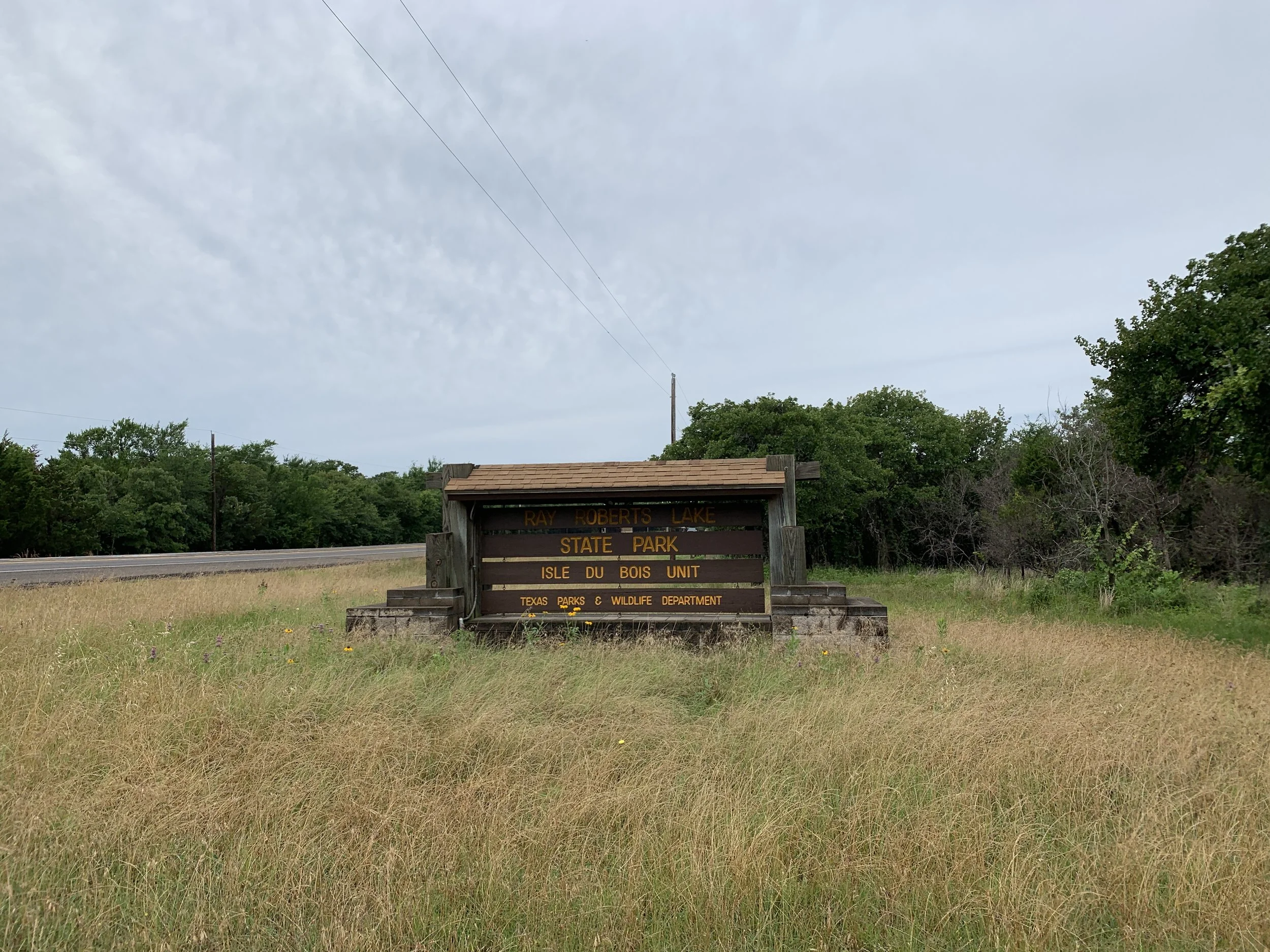
I started June off by visiting two units of the same state park. Ray Roberts Lake State Park has a north and a south unit on Lake Ray Roberts. I don’t get it either, shouldn’t it be Ray Roberts Lake or the park be Lake Ray Roberts State Park? Either way, I visited each half and enjoyed them both enough to want to camp there in the future. Since the park is divided, it does technically count as two on the list of 104 I’m tackling.
Currently, I’m at 15/104 and it’ll likely stay that way until July when I return to the state. I’ll be working remotely the rest of June, and hopefully visiting some Michigan State Parks in my free time.
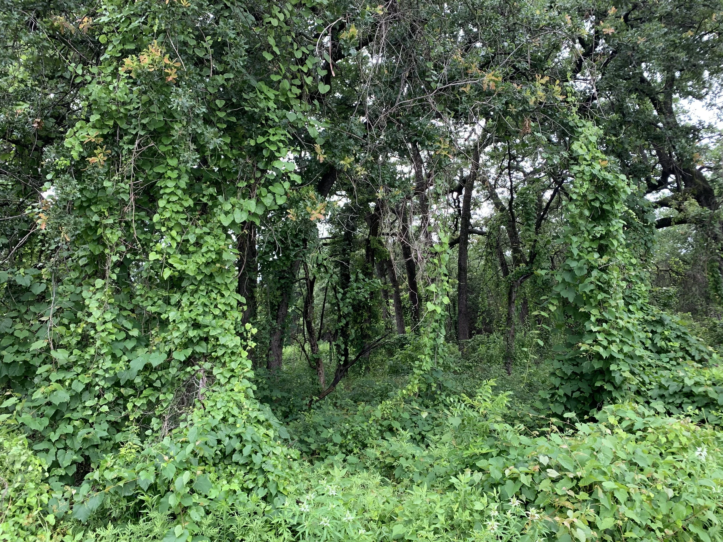
Johnson Branch Unit
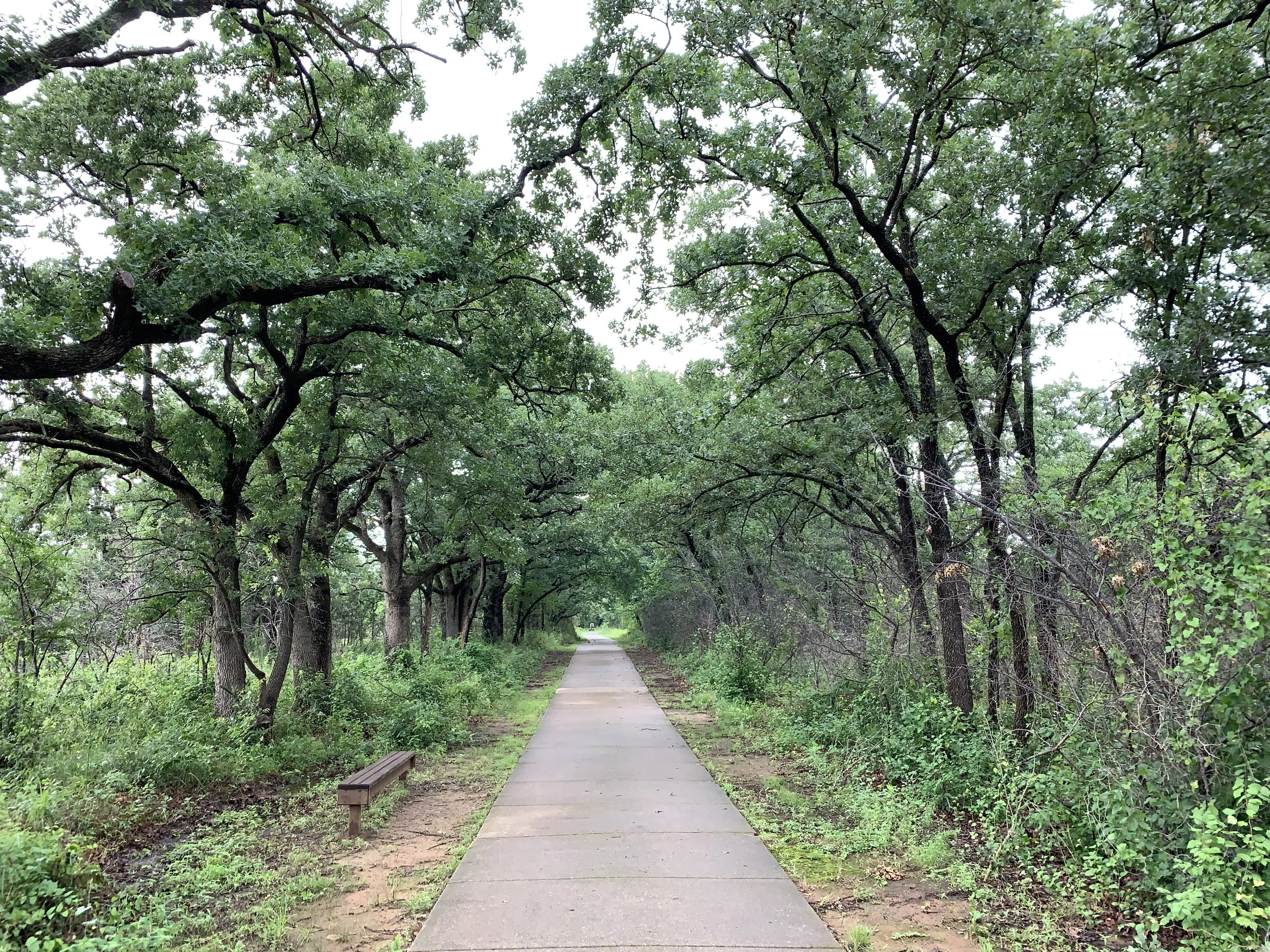
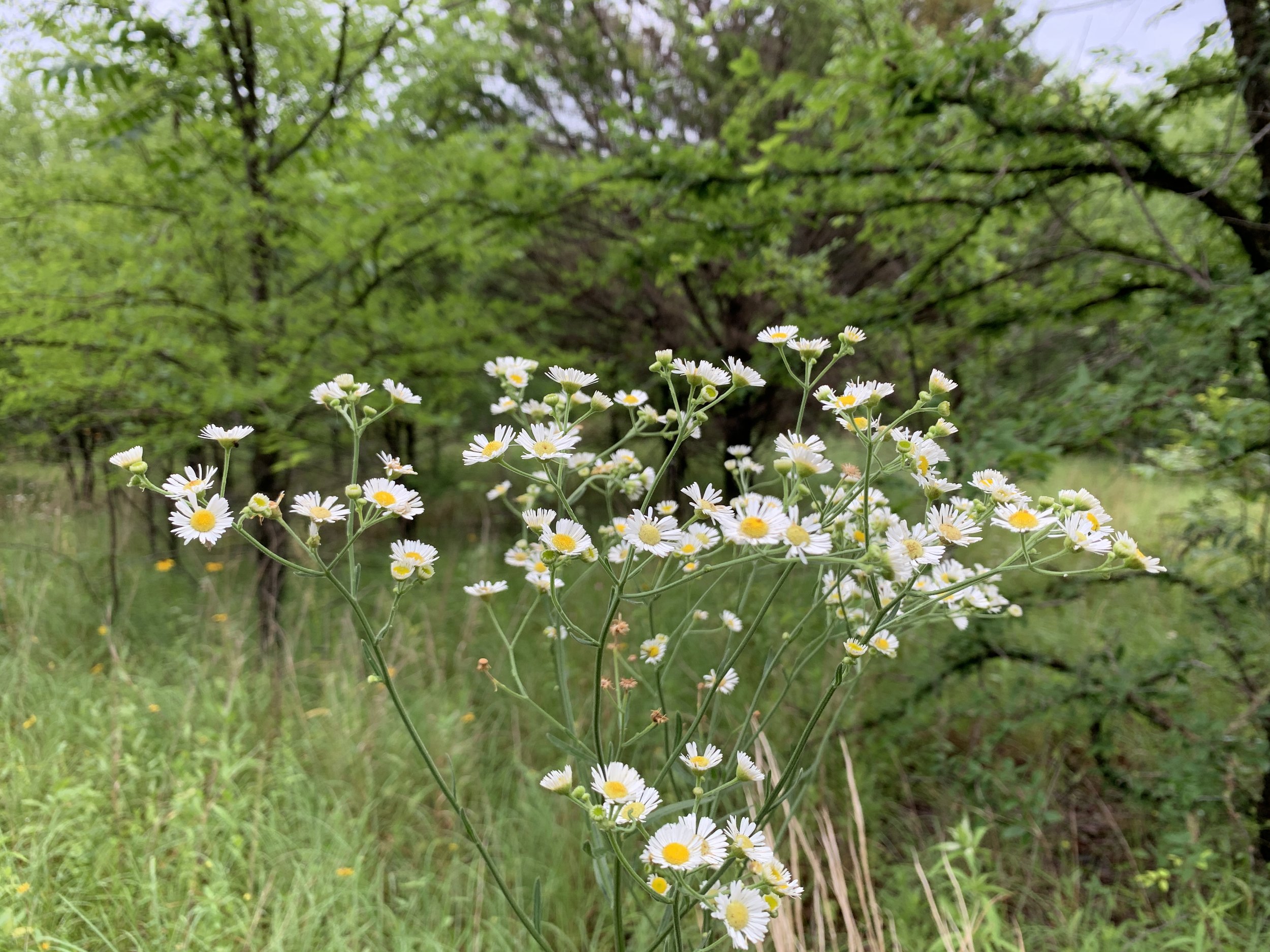
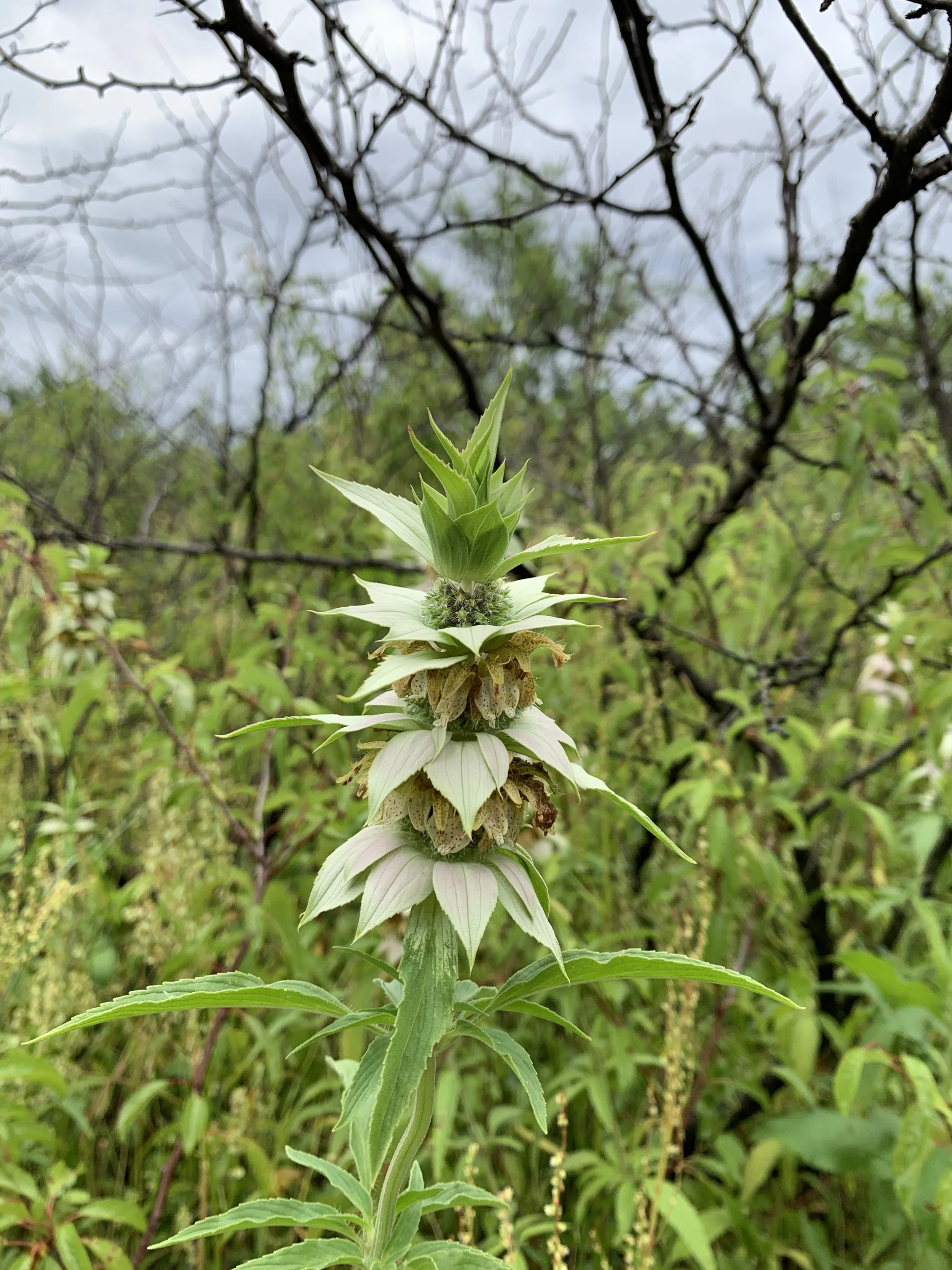
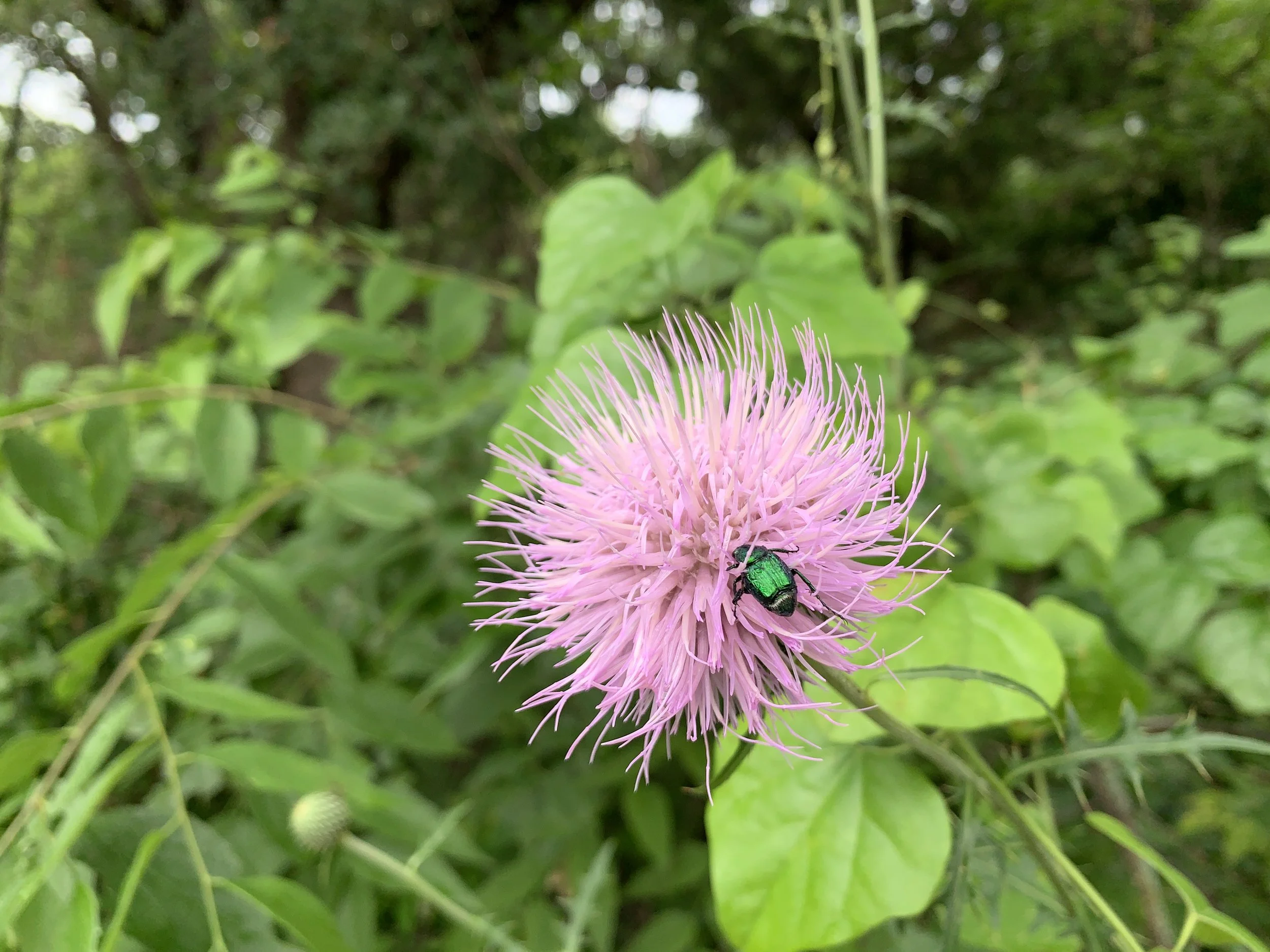
Wooded, lakeside park with plenty of shady spots to hide out on a hot day
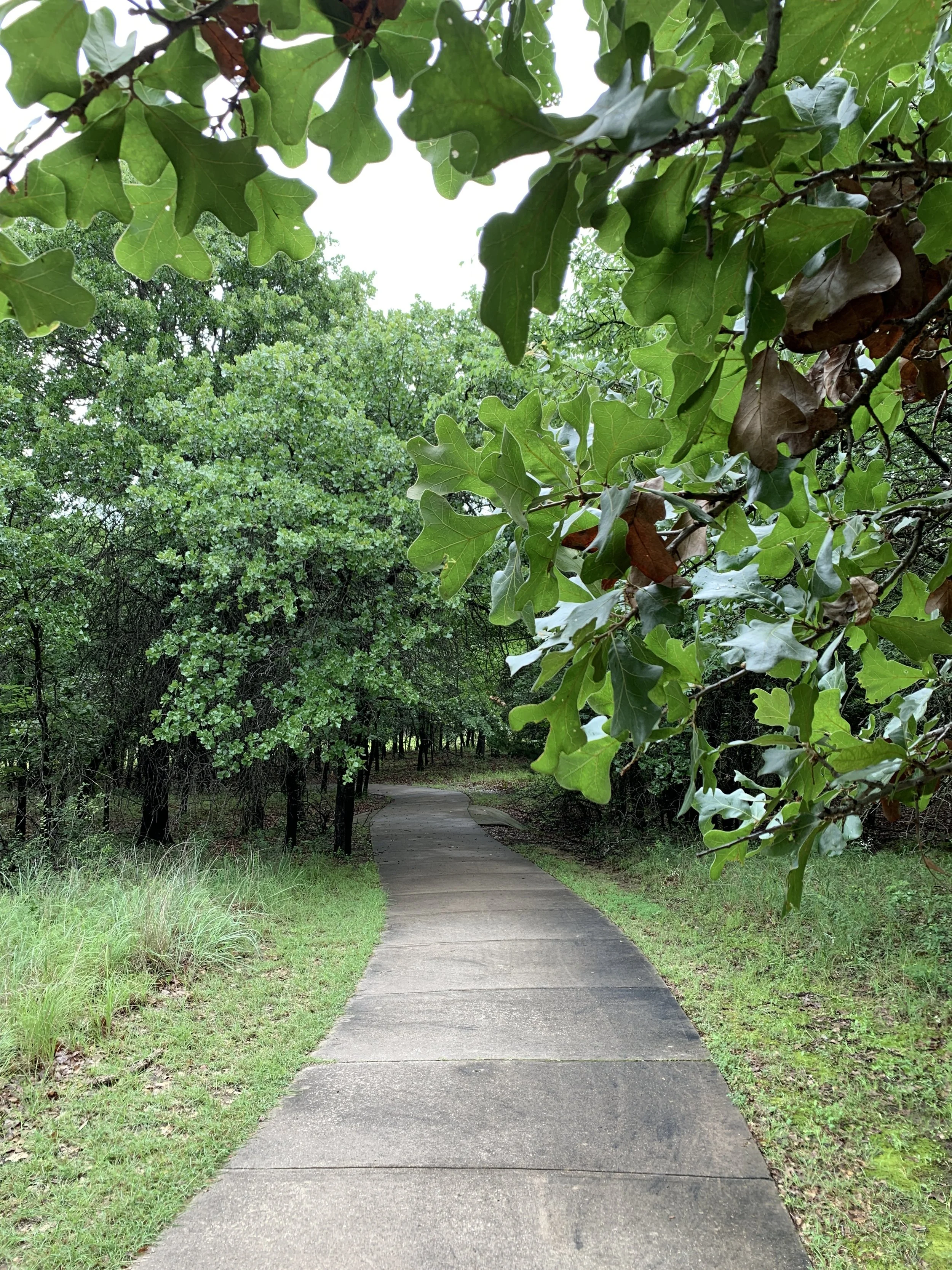
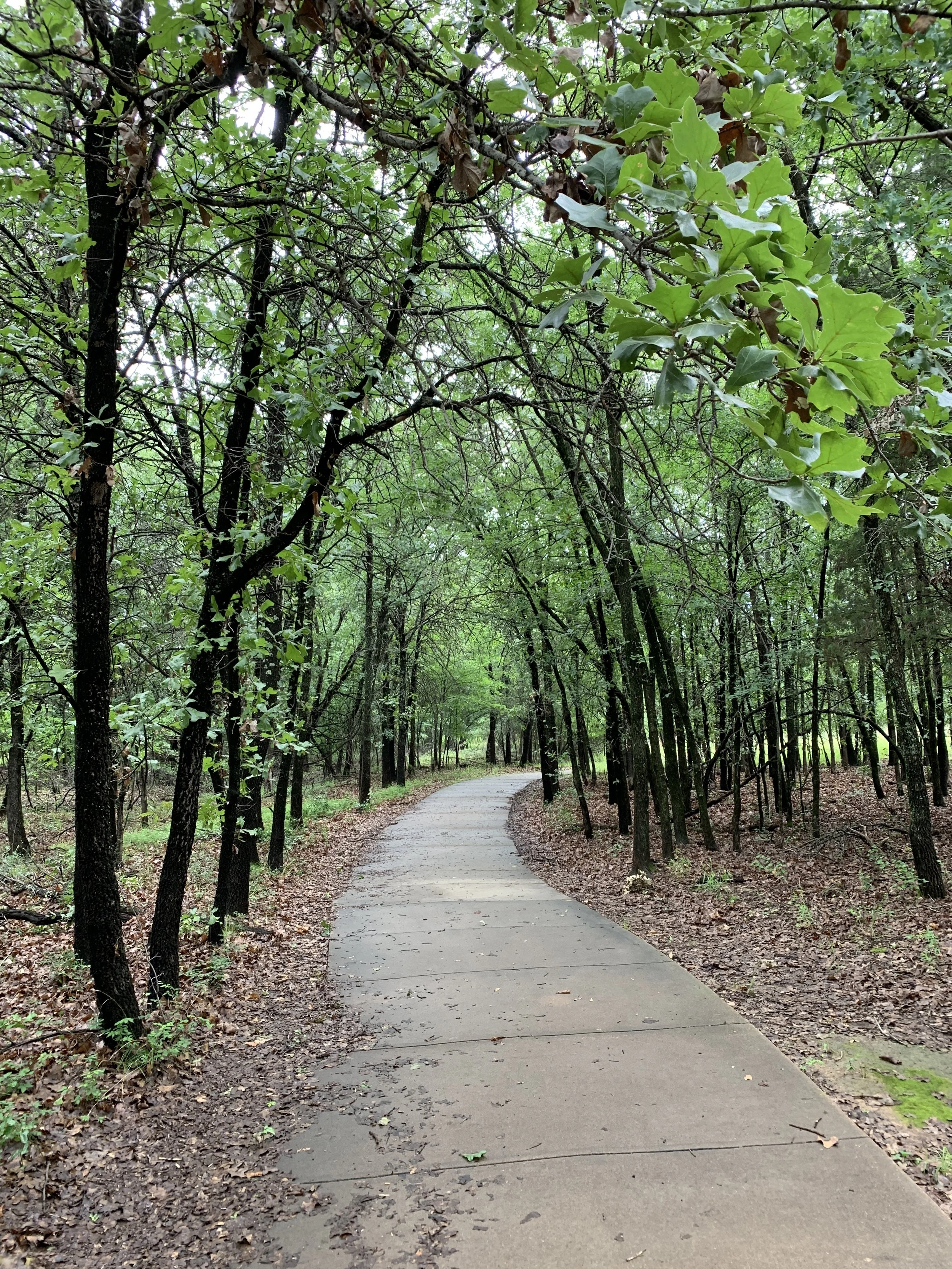
Great paved trail ideal for walking or running (wooded/shaded in many parts)
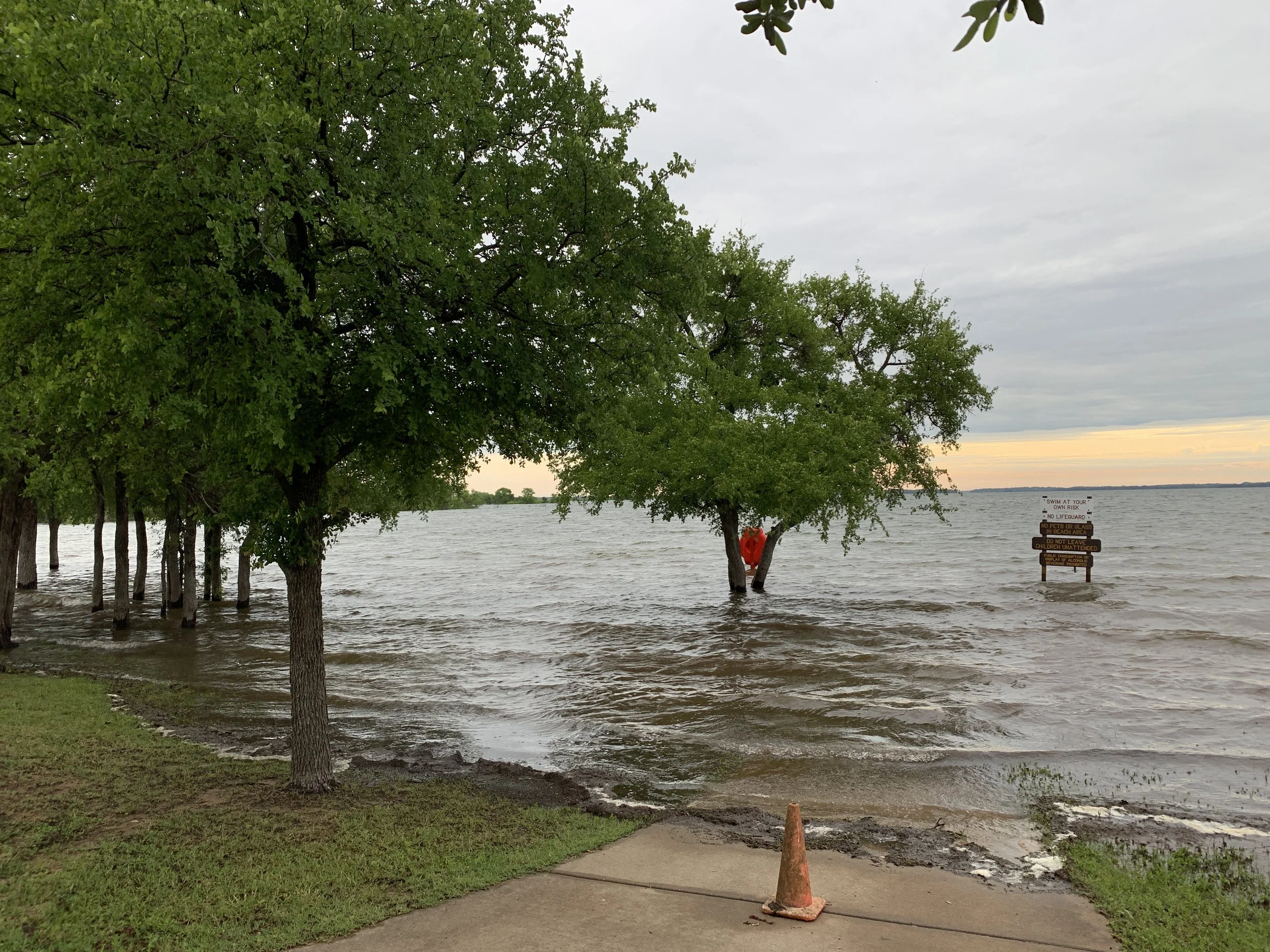
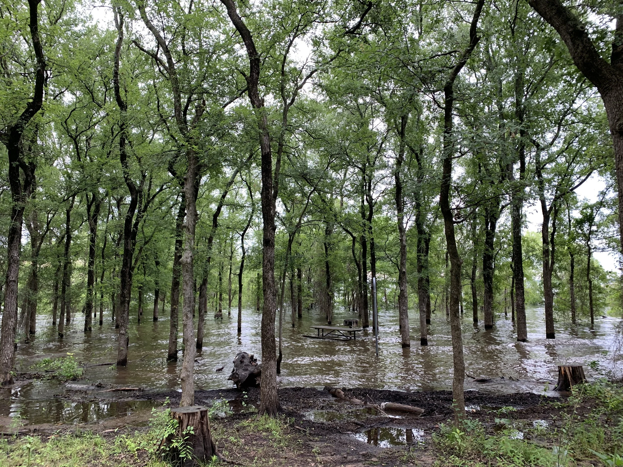
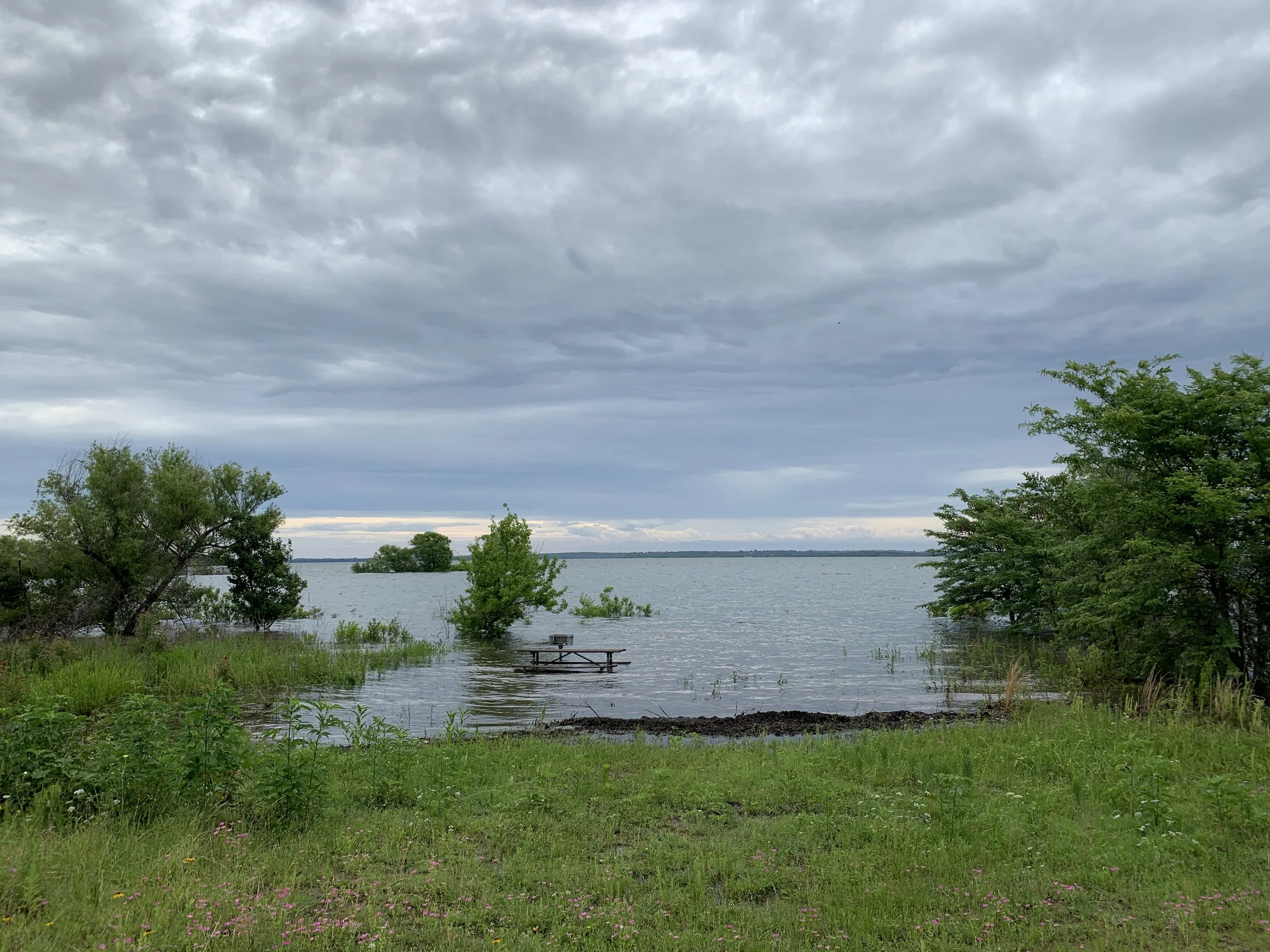
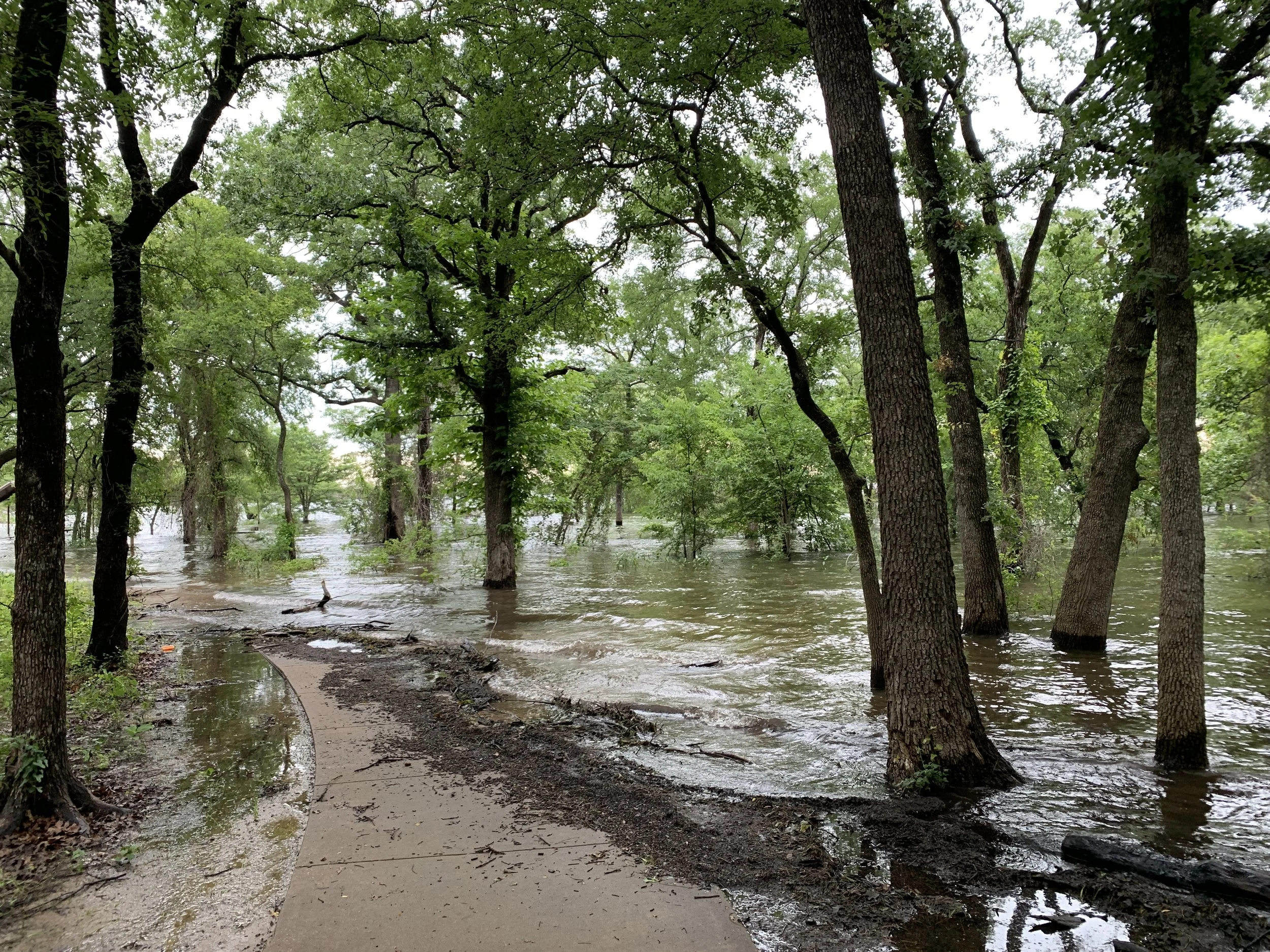
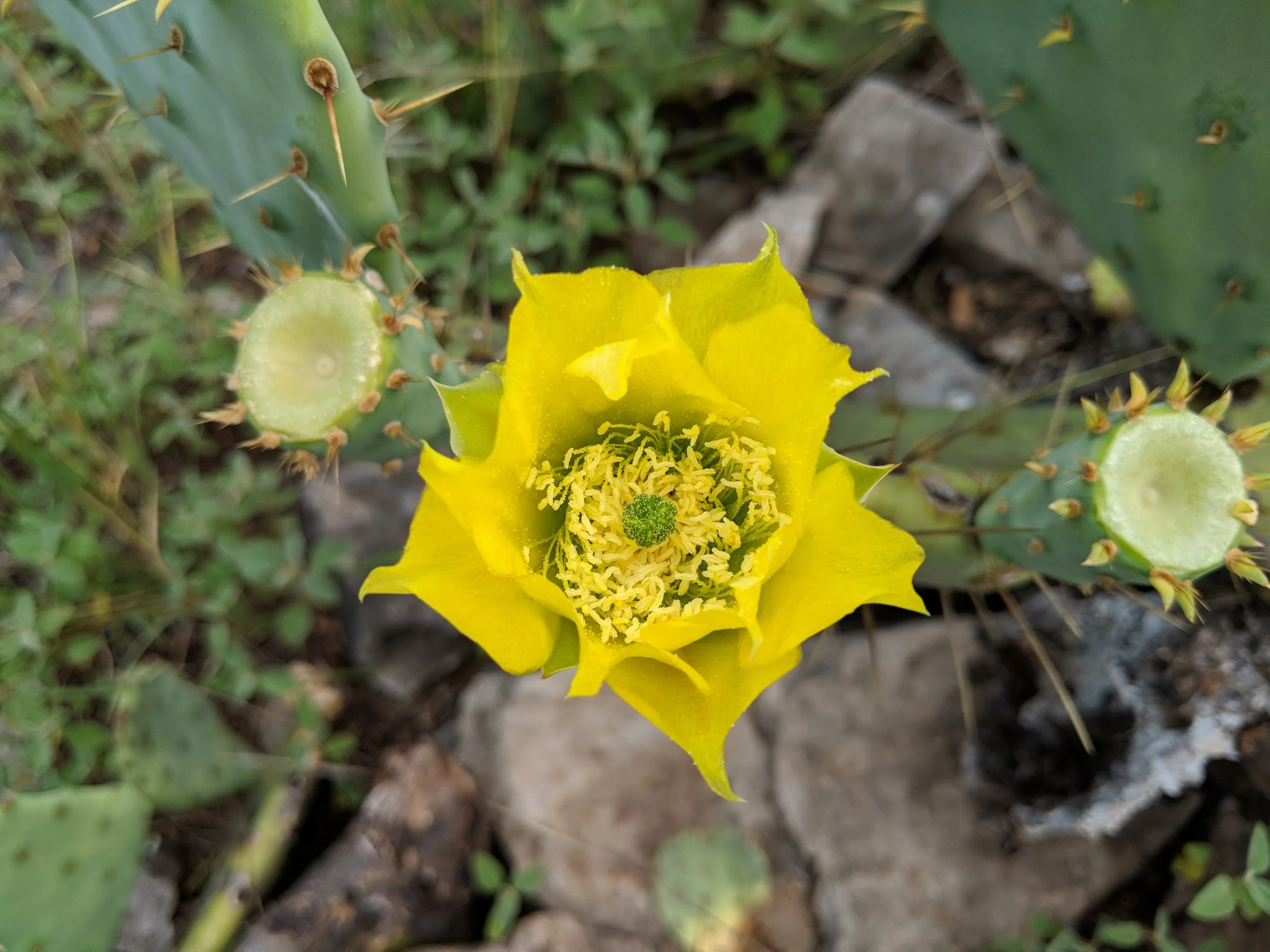
When it’s not flooded, the beach area looks fun
Several cool looking walk-in camp sites along previously mentioned paved path - some along the beach
Probably gets very busy since it’s water in Texas
Because of flooding, the biking trails were closed so I did not get to investigate. There are roughly 18 miles of those, though.
There is one main hiking path, the 2.6 mile Dogwood Canyon Trail. Again, it was a sloppy day and I was only able to enjoy the paved path.
Will revisit someday, maybe, if there’s time
Isle Du Bois Unit
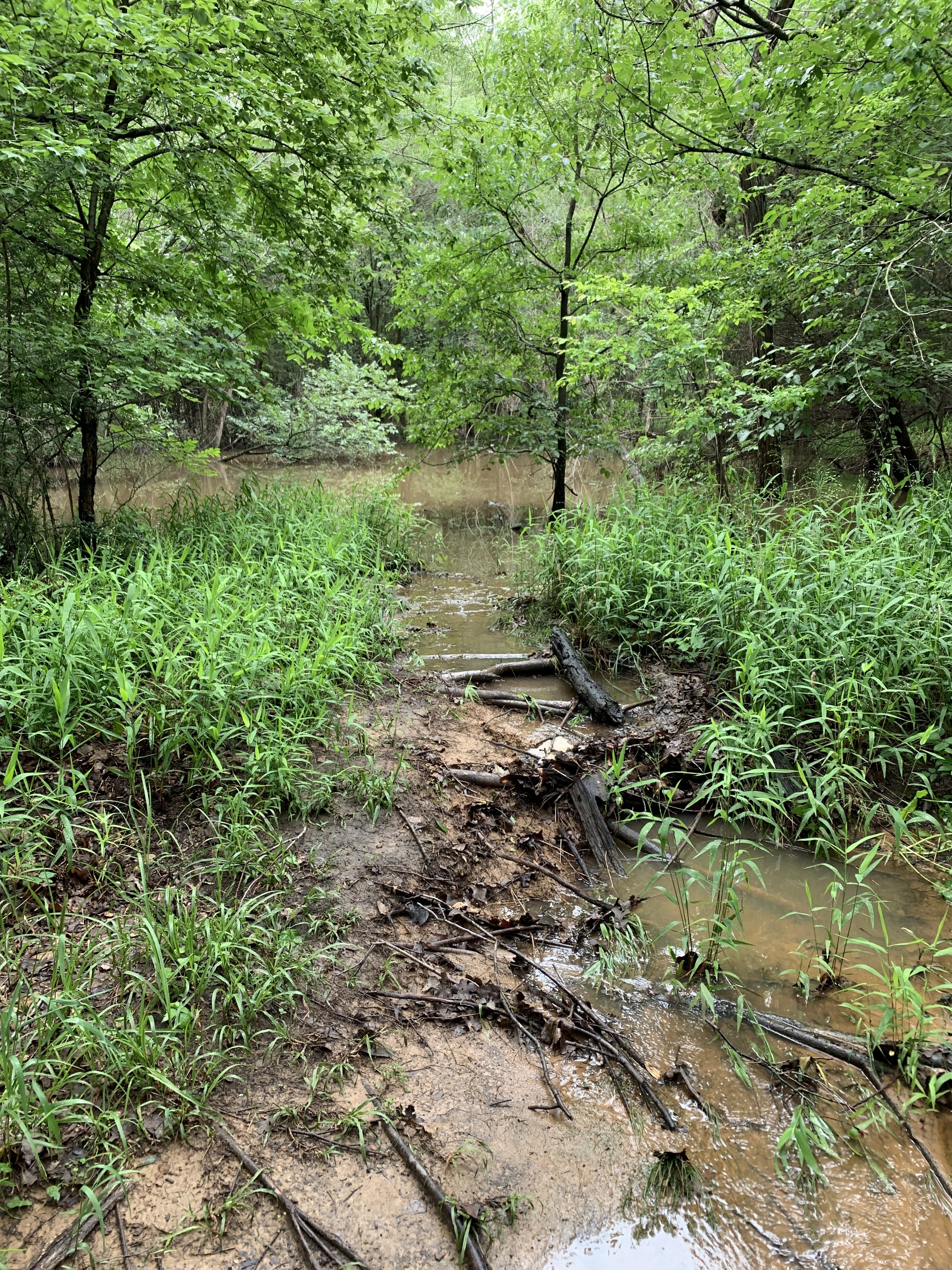
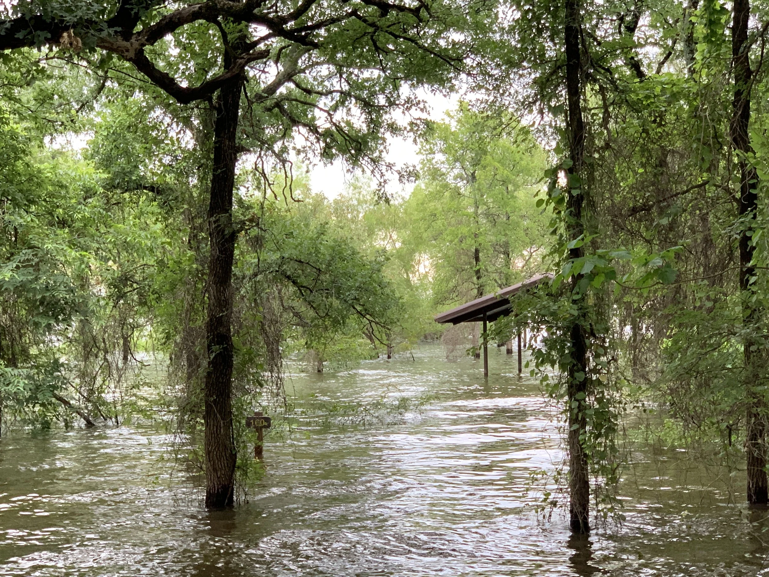
Similar in wooded nature to the Johnson Branch Unit, the paved Randy Bell Scenic trail is enjoyable but was flooded
Most of this park was closed to my nosy eyes due to flooding
Over 15 miles of biking trails, a few hiking trails, and a 10 mile multi-use equestrian trail
From the Isle Du Bois Unit one can take a greenbelt corridor south for about 4-5 miles one-way. There is a hard surface trail and a horse trail, both follow the river. All maps and park information can be found here. It is best to call the park to get up to date closures that may not be listed on the website. I’ve found that most parks have a Facebook page that will be updated with more relevant information if you want to try that before making a call. Stay safe out there and enjoy the state parks wherever you are.


Texas State Parks Quest - I have a map now!
I don’t know why it took so long, but I learned about “My Maps” on Google and I’ve been adding places like crazy. All of the plotting has lead to some planning. Many of the state parks are near one another, which will make weekend adventures even more fun.
Some locations are going to be a challenge for me. Devils River State Natural Area is located down a rugged, 22-mile road that may be too jagged for my current tires. A workaround would be to book a kayak trip with one of the several companies that rent equipment and shuttle people to/from. This visit will be an adventure, no matter what happens, and will require the entirety of no less than three days plus travel.
The Wyler Aerial Tramway is located in El Paso, TX and is permanently closed but offers guided hiking on certain days of the month. The social media for the location is updated well, so hopefully the stars align for the perfect visit. I was bummed to learn the tram is shut down, though, as all the photos from it look so cool. Luckily, there are other hiking and historical locations in El Paso so a trip out there will be well worth it.
As I added each location to my Google Maps, I viewed the respective Texas Parks and Wildlife website and learned briefly about the park. Several places are SO popular it’s recommended to purchase a day pass ahead of time, which is fine, and others look like they get very few visitors which is even better. Either way, I am excited for this journey and all of the unique places I get to see throughout this giant state.
If you’d like to adventure/hike/camp, and/or have a Jeep/4x4/sturdy tires, get in touch and we can make a weekend of it sometime!