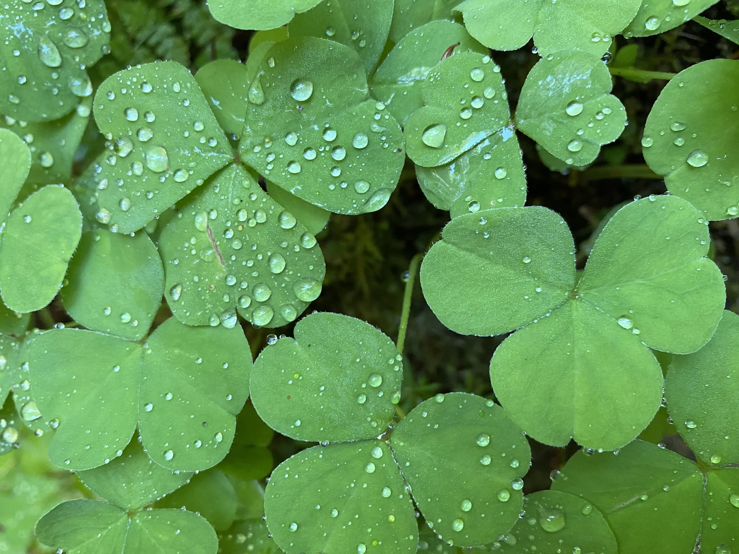

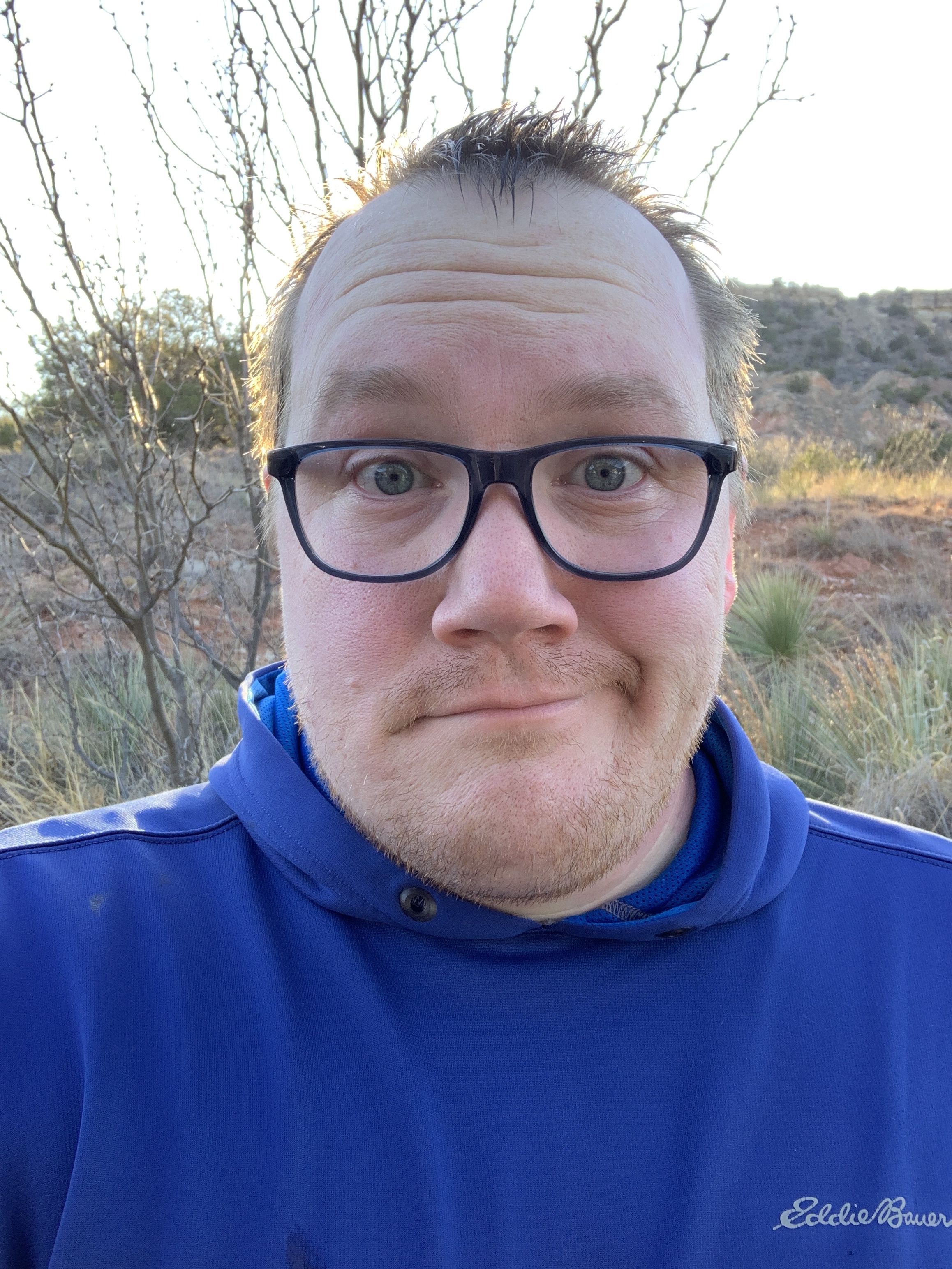
2019 #hike6 - Northern Minnesota (#52hikechallenge)
“I lost my snowshoe!” - Me
Quick Stats
Date: Sunday, February 8-10, 2019
Location: Cook County Minnesota
Distance: 3.5 miles (there and back)
Trails: McFarland Lake
Miles from Home: 1,284
Weather: Sunny, windy, below zero
Equipment: Apple Watch, iPhone, Google Pixel, Olympus TG-5, Redfeather Snowshoes (most of the way)
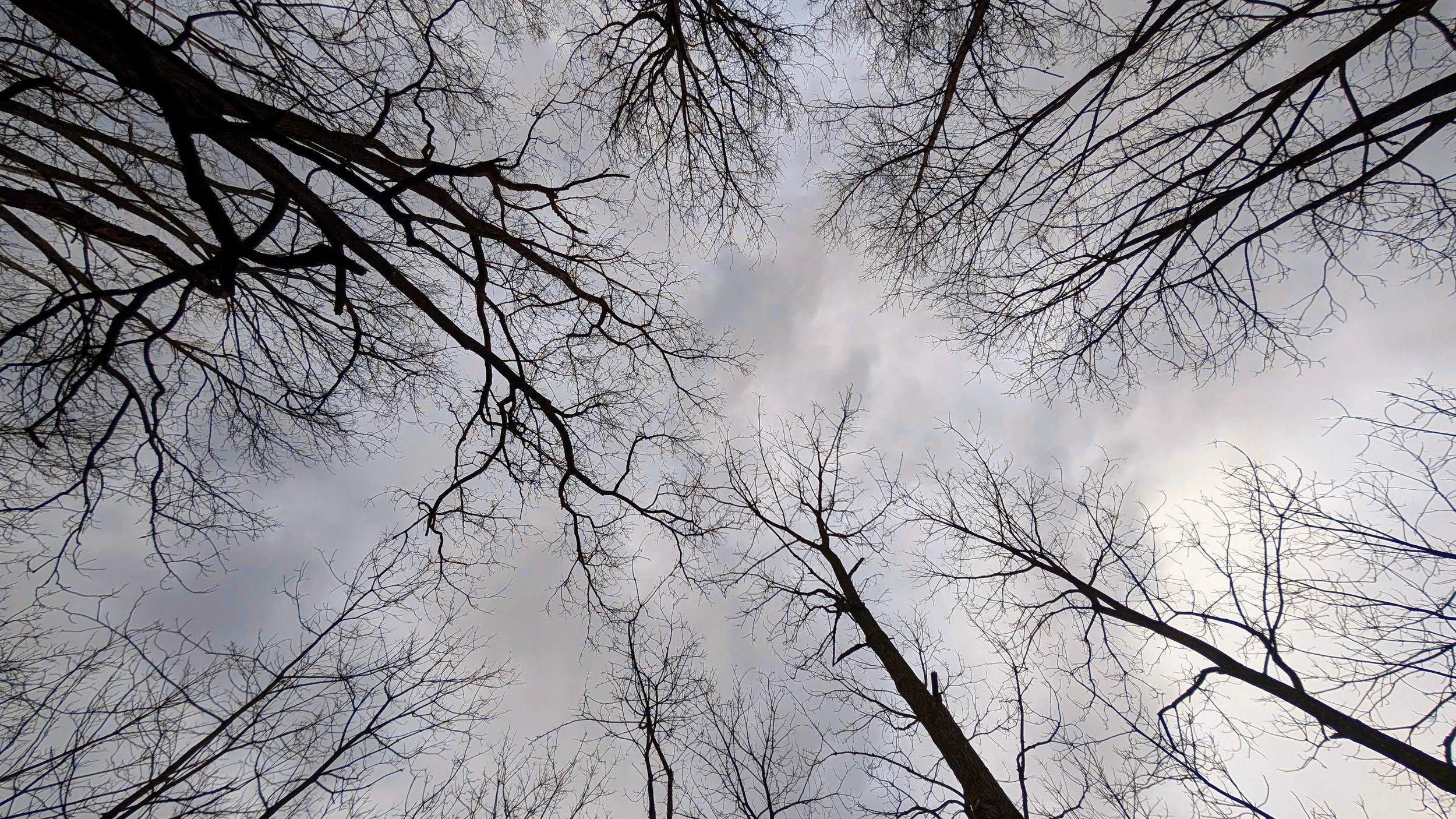
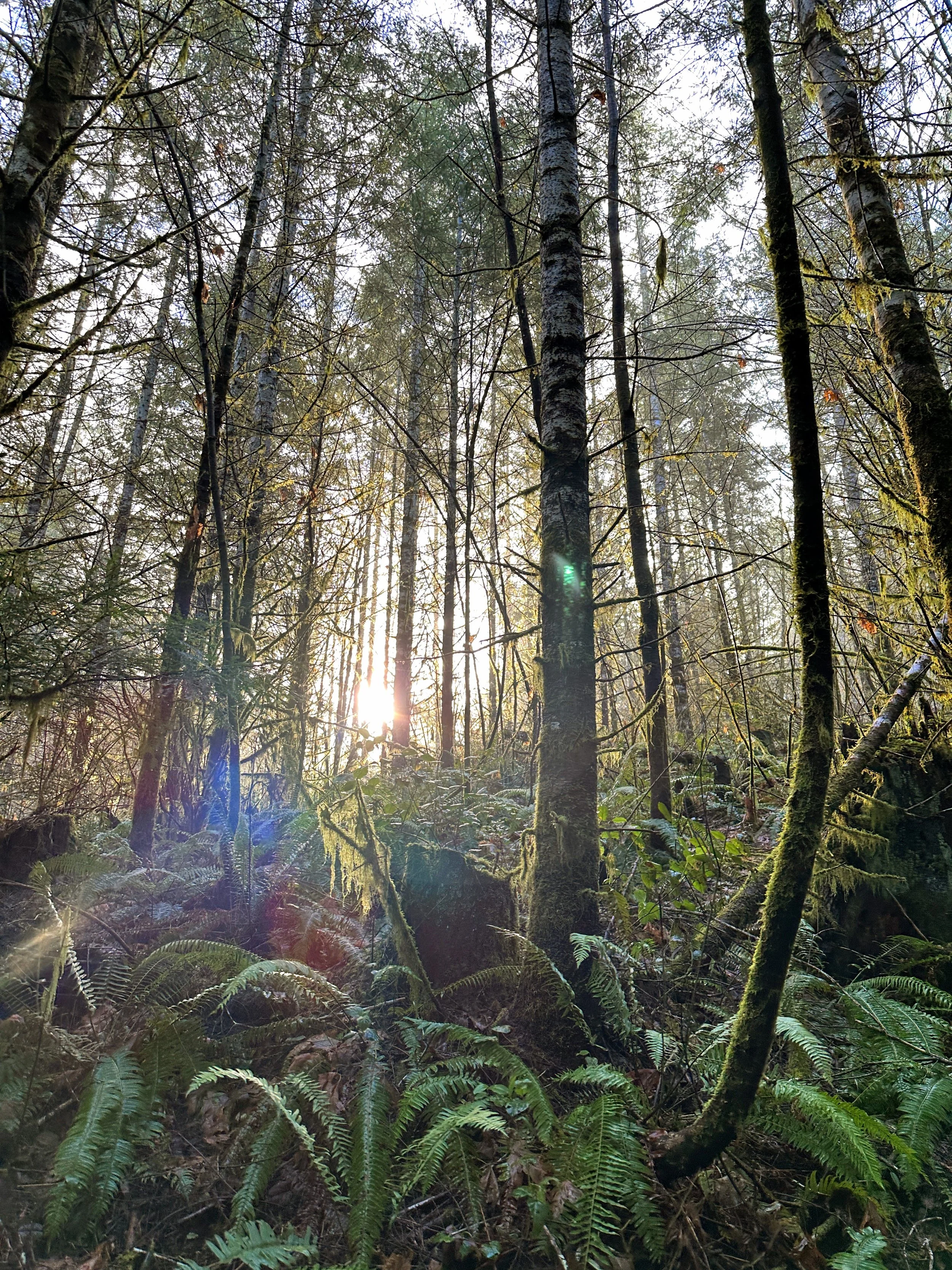
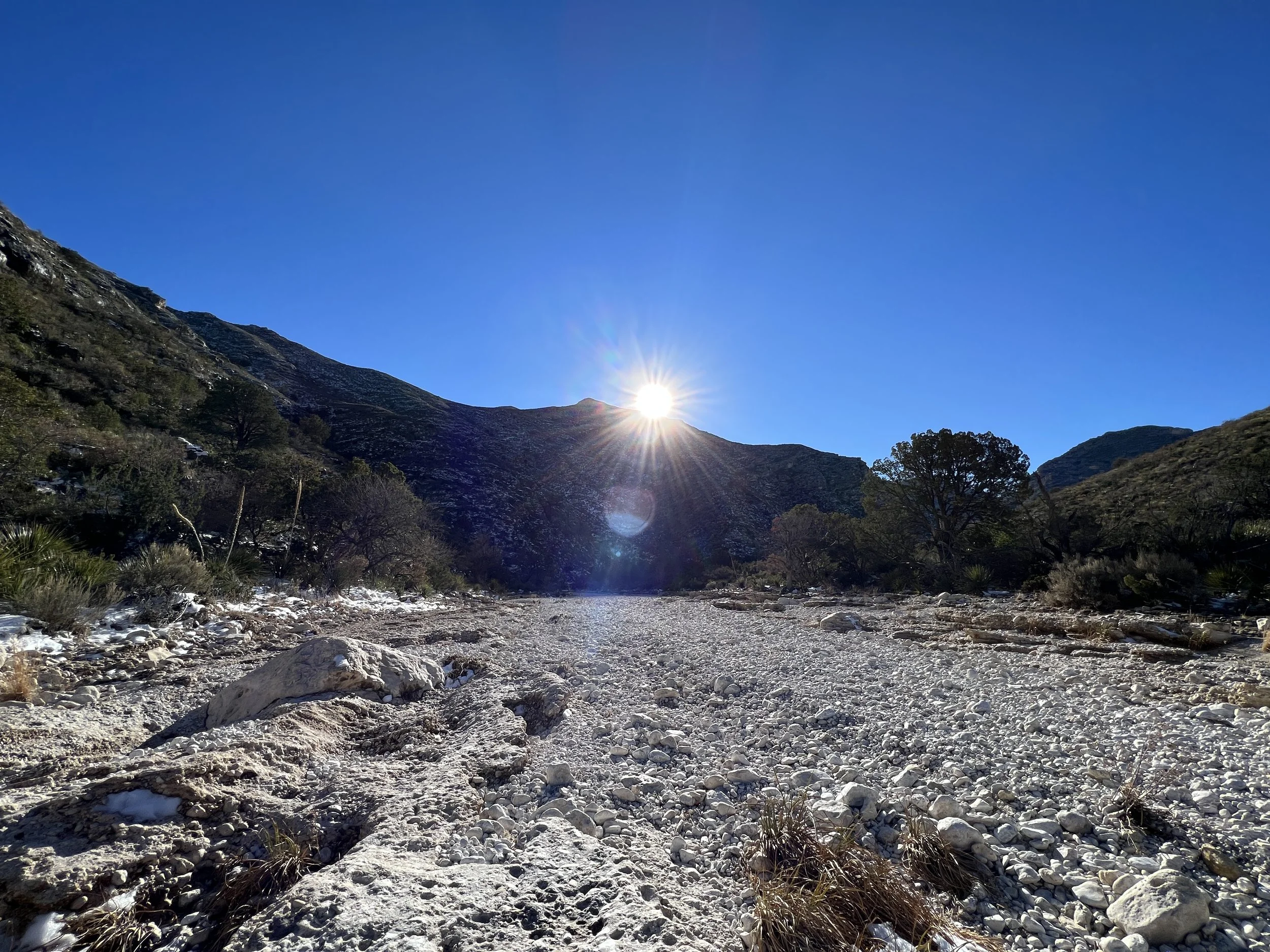
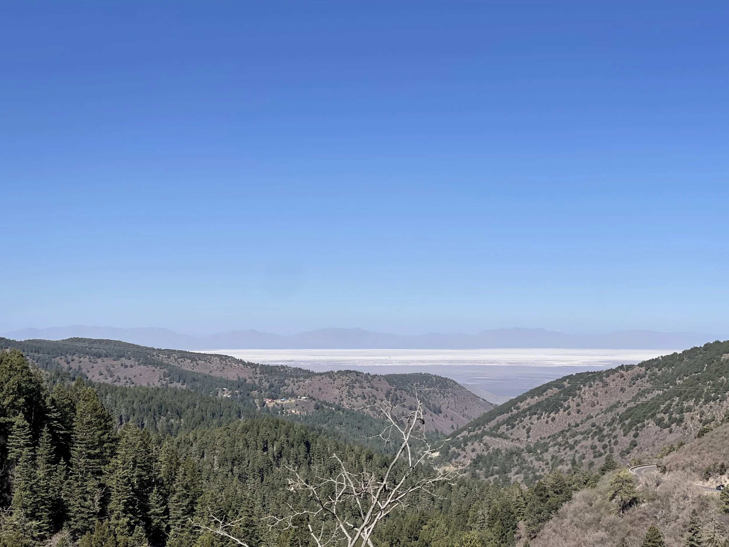
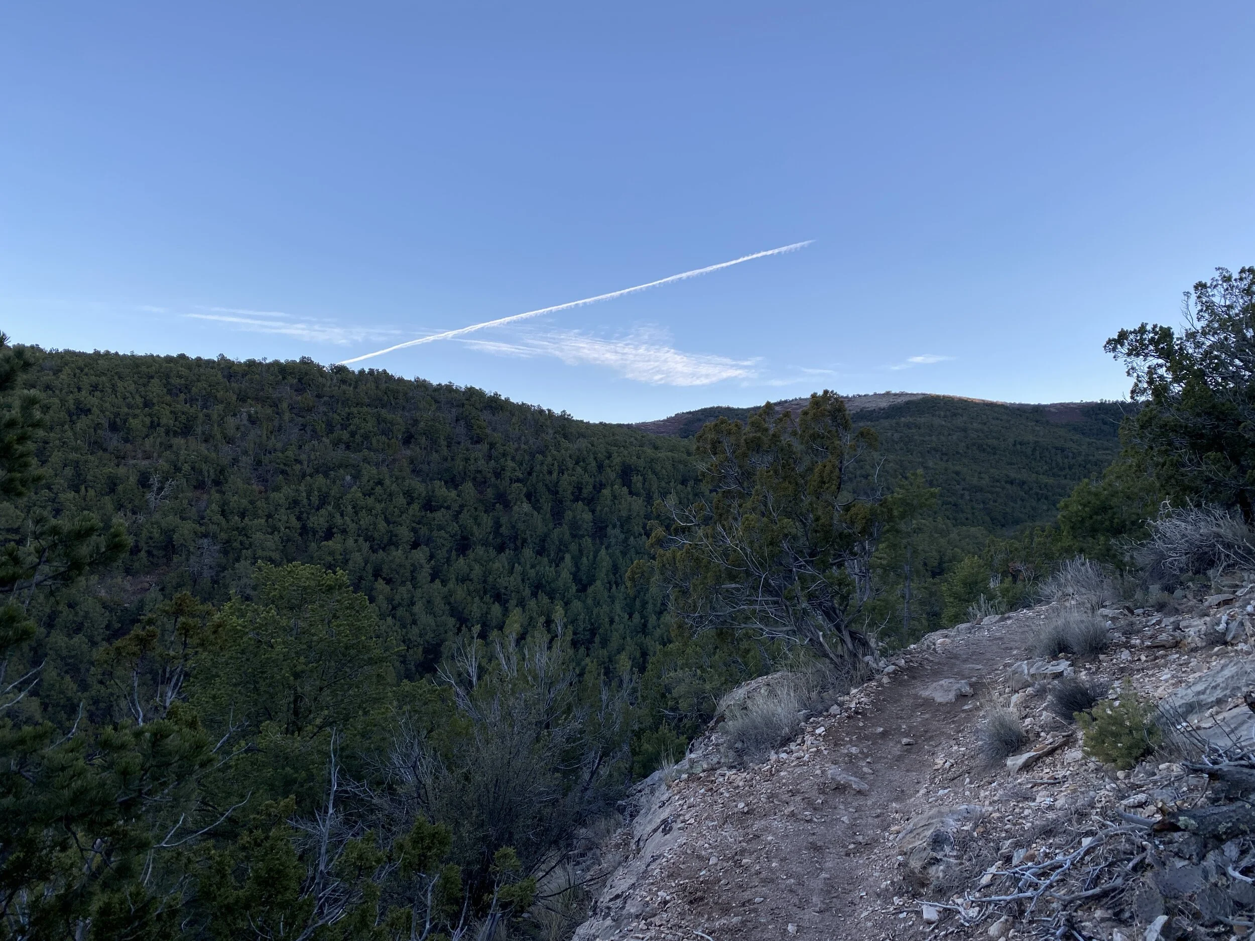
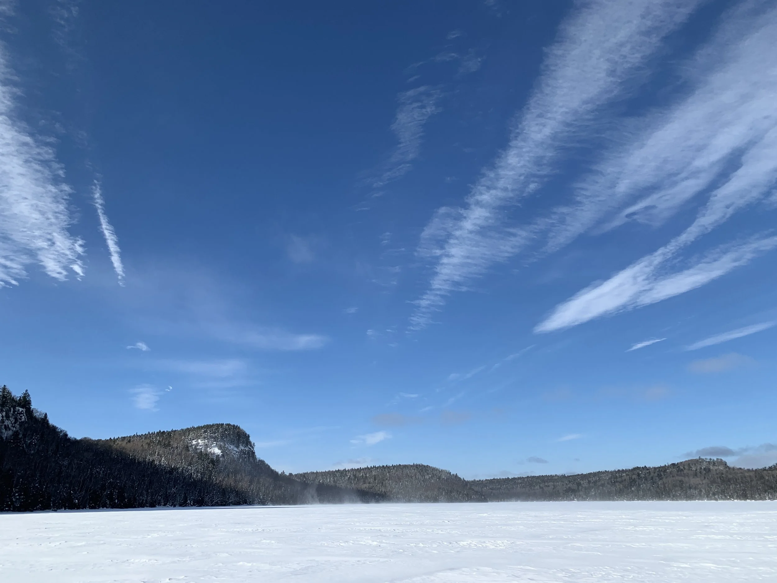
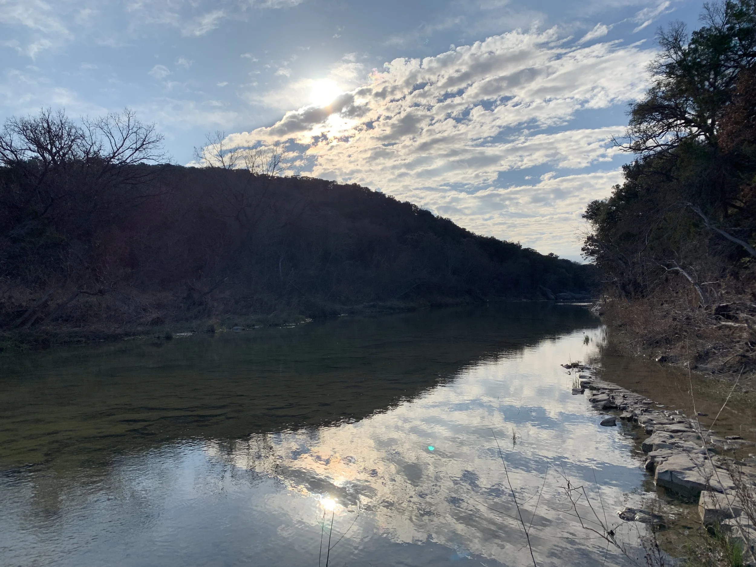
Trail from the truck to the lake
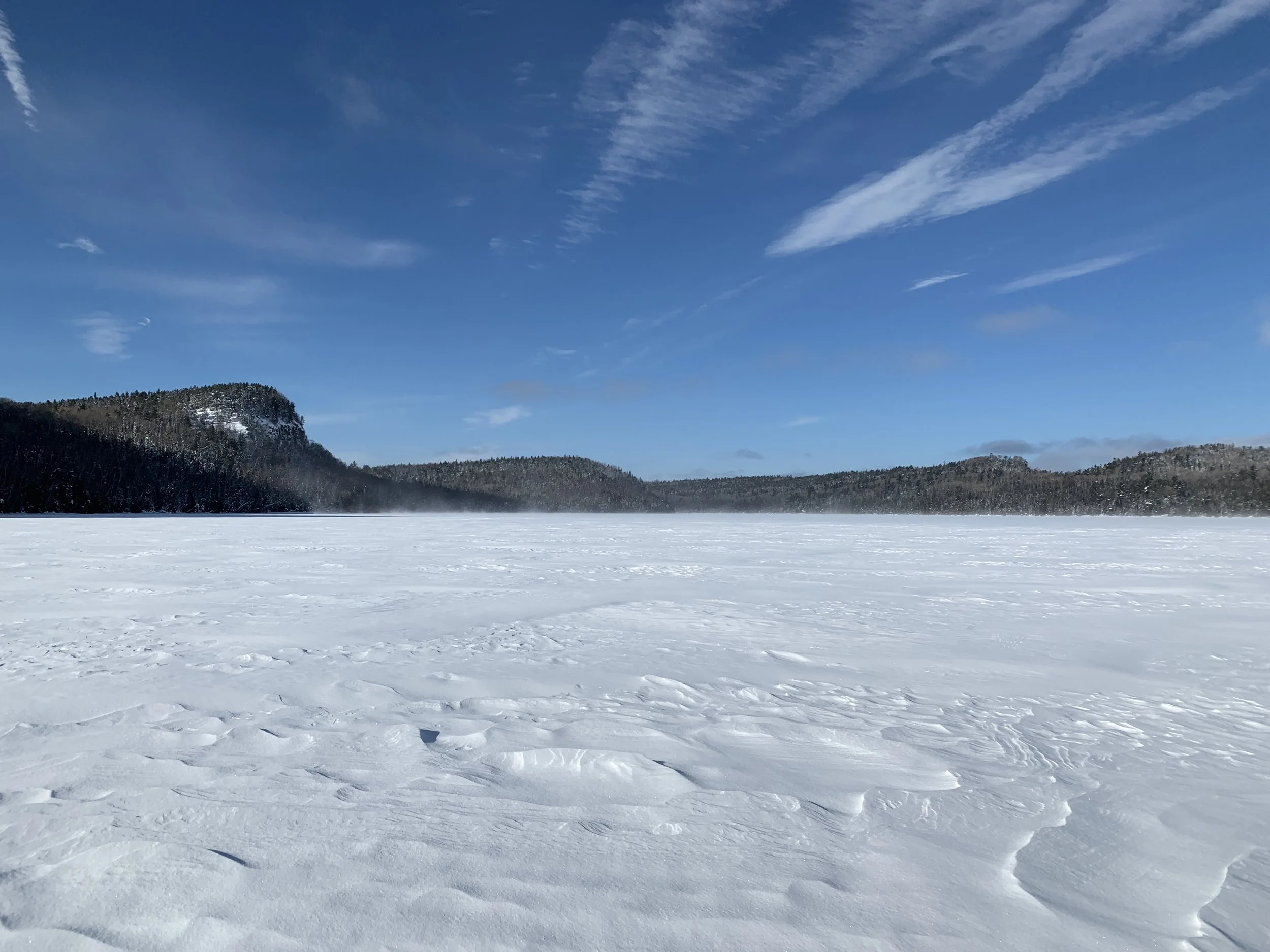
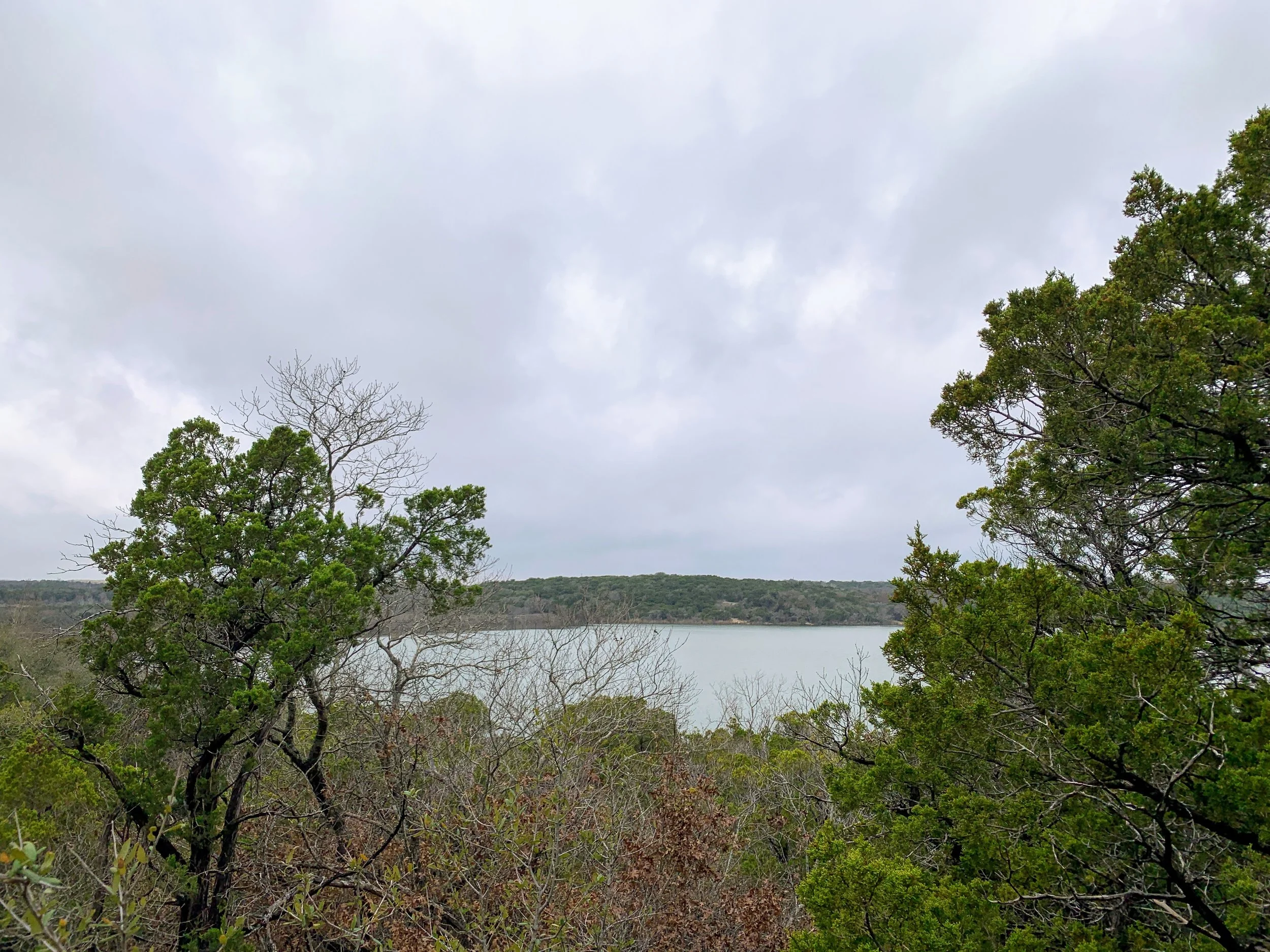
McFarland Lake
Highlights
Not a soul for miles
No cell service
Plenty of fresh air
Miles from civilization
Blue sky and fresh snow
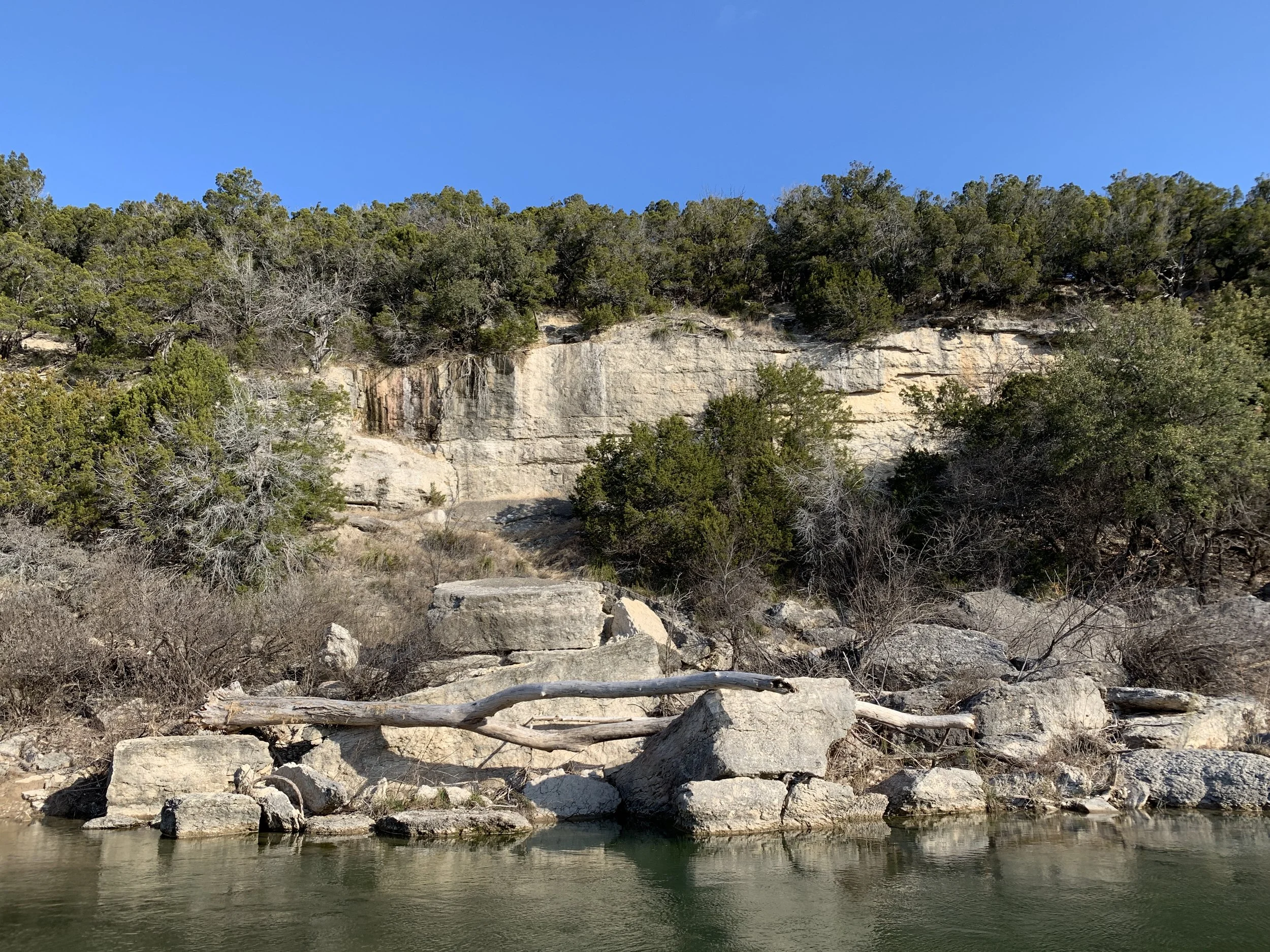
The hill up to the cabin
Low Points
Lost my snowshoe
Had to go the last 1/2 mile frozen
Could have brought more beer
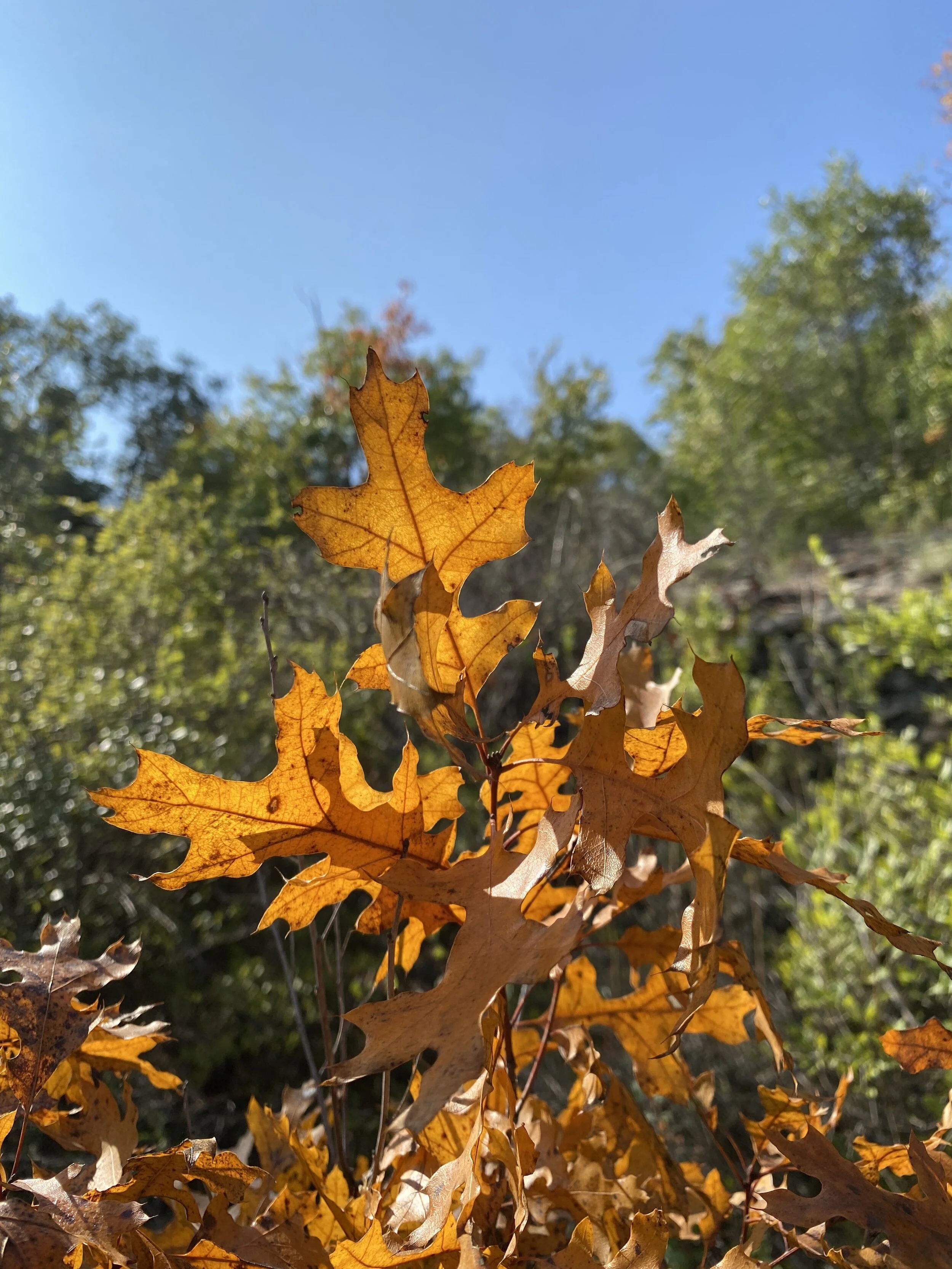
This hike is an annual favorite because it is necessary to get to my favorite place - a remote cabin only accessible by lake or woods. This is the third annual trek across the lake to spend a weekend at the cabin during the winter. In previous years, see THIS and THIS, it was a good time but mostly an uneventful snowshoe or walk.
Third time’s the charm, as they say, for surprises in this case. According to the locals, and us, it was a real Minnesota winter for once and there was a lot of snow and ice to prove it. The week prior to the trip a fresh foot or more was dumped and for weeks before the temp hovered at 0 or below. We knew we’d have solid ice to trek across and probably need our snowshoes because there would be a lot more snow than we’re used to. We were right. there was a lot of snow on the lake. There was a lot of snow everywhere. The day before we made our journey, even more fresh snow fell on the already fresher than fresh snow. The weather in Minnesota was so wintry that our flight was delayed until the storm passed.
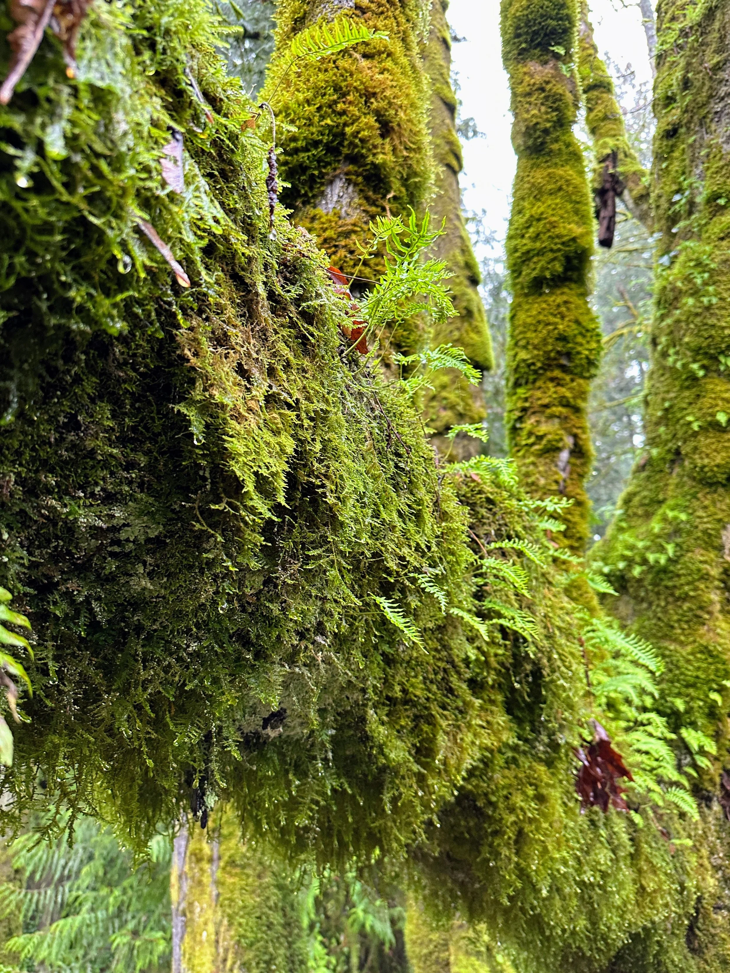
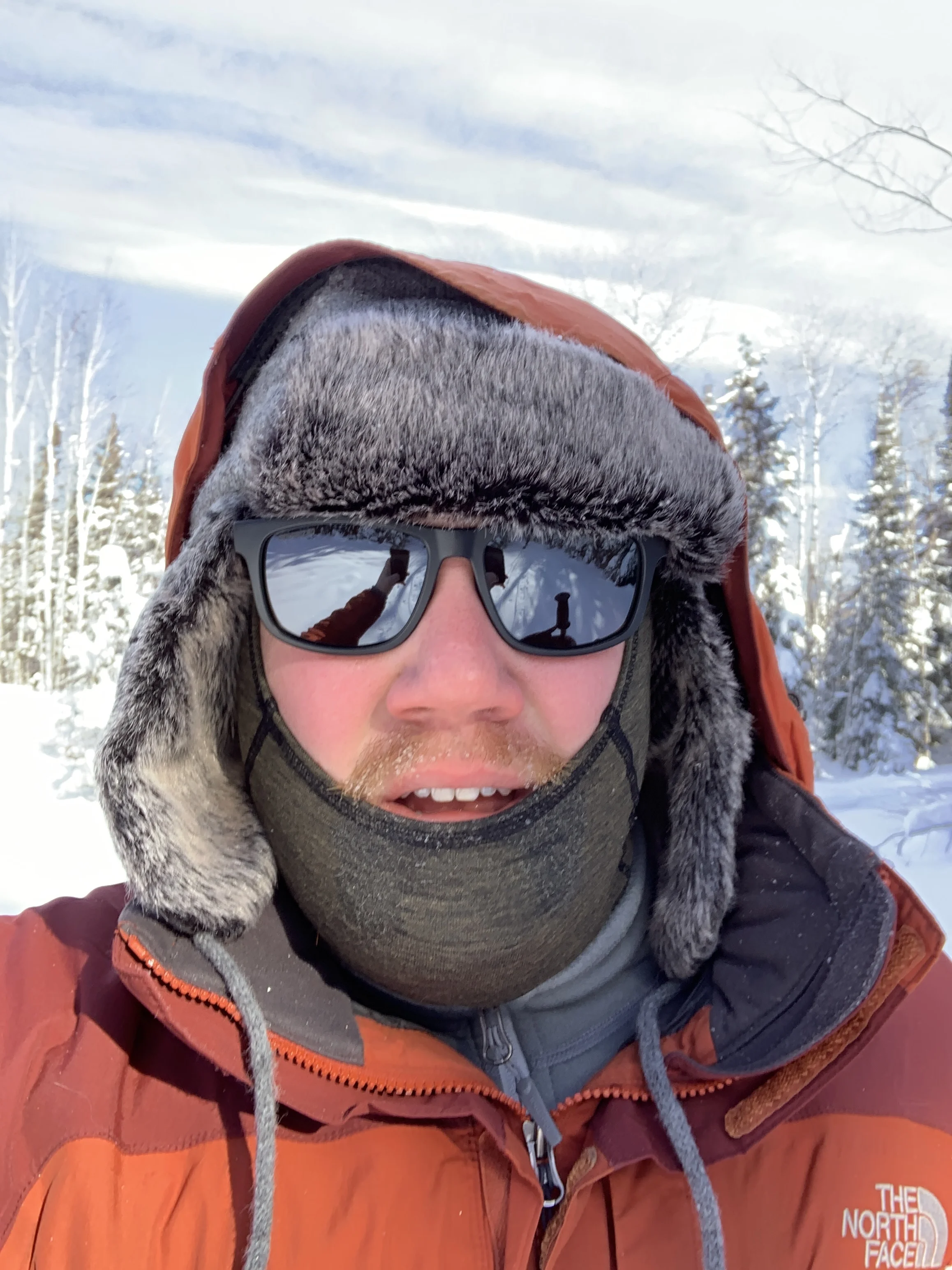
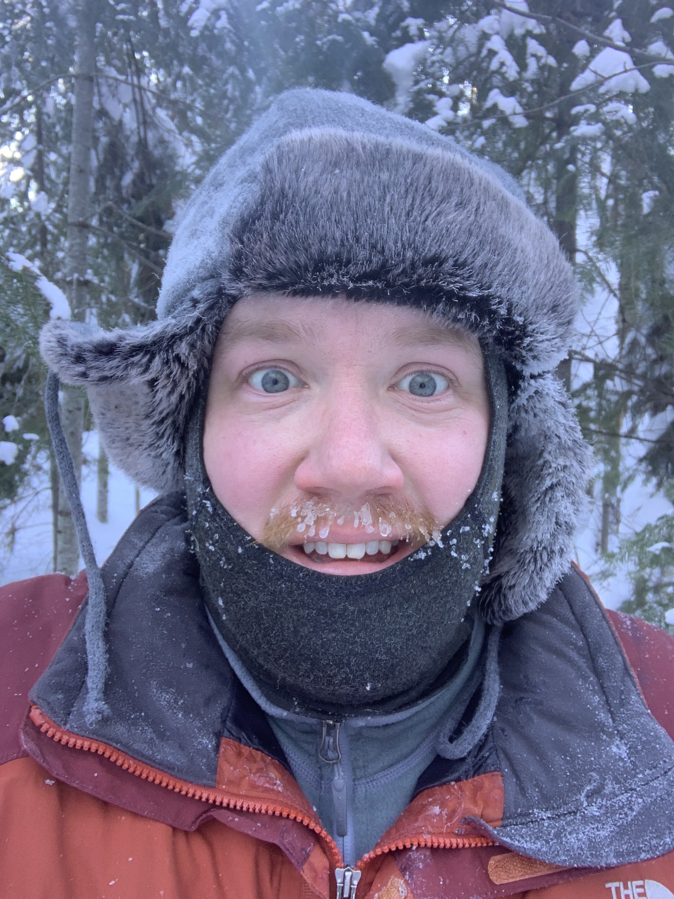
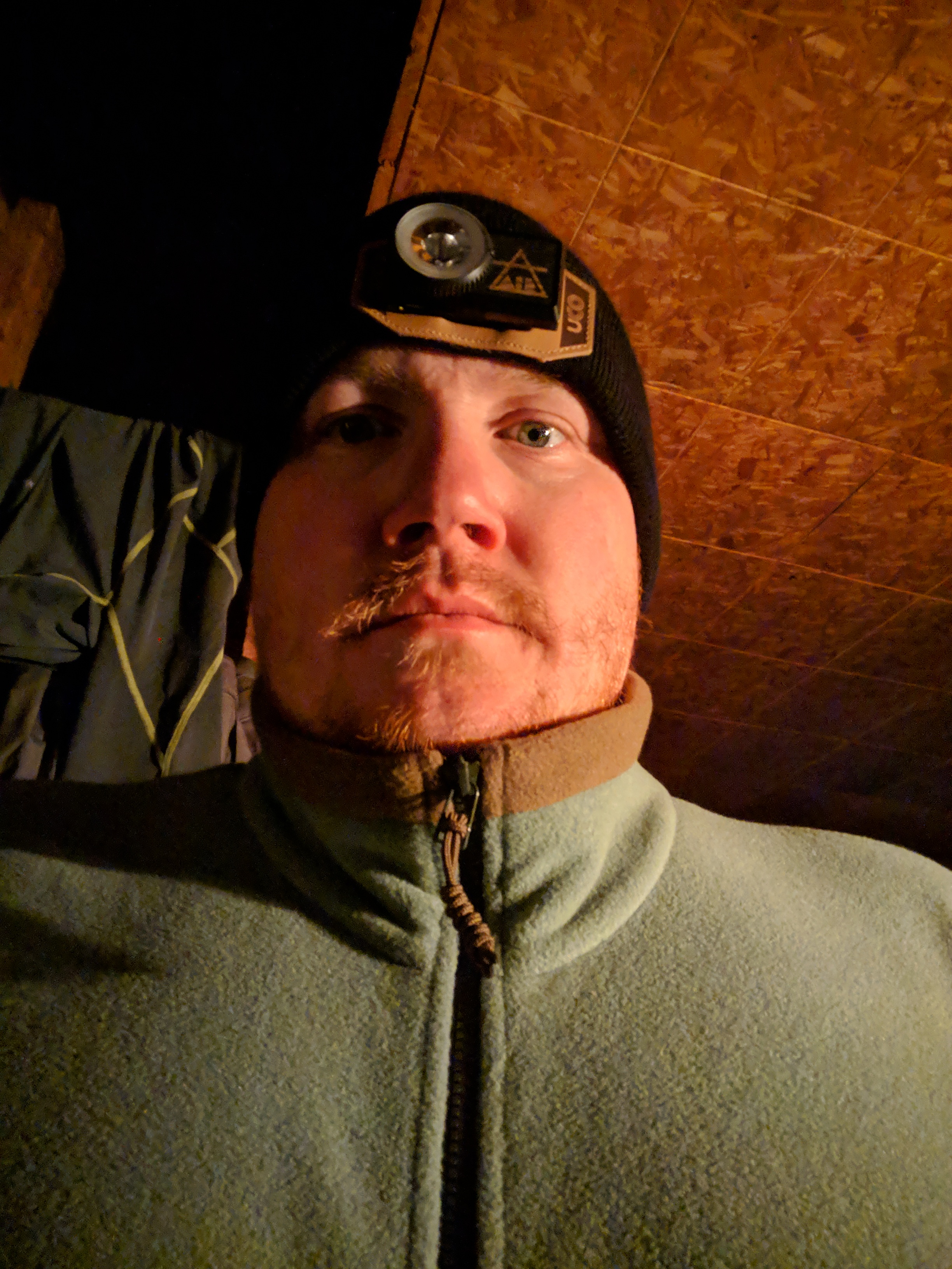
All that snow led to a fluffy snowshoe across the lake, post storm and with plenty of sun. We were not even a third of the way across the lake to the cabin landing and I broke through the crusty upper snow and hit nearly knee deep slush. It was as if I broke through ice, but thankfully it was just a ton of slush on the ice. We were on one of the deepest areas of the lake, where we were warned of slush, but we figured this year would be FINE with all the cold and snow. Well, we were wrong. I was wet. Both legs in knee deep slush, hands trying to get the sled back and also find my snowshoe and then my friend Kevin tried and also got wet. We had to basically army crawl to more solid snow and make our way toward the shoreline instead of directly across. We were now literally frozen and the wind was whipping making it a negative something or other real-feel temperature. We had two options - carry on and get up to the cabin to build a fire or go back to the truck and call the weekend off. I was pissy, sweaty, and very cold. BUT, my wool socks and boot liners were doing their best and my snowpants kept my baselayer from getting wet so we pushed on. It was solid ground and only minor postholing the rest of the way. Once to the where the landing is, we had to hike up a hill to the cabin. This hill, on a non-winter day, can be tough with all your gear and whatever but today it was covered in about three feet of snow. The climb up was a challenge, but honestly seemed much funnier to me than falling into slush on the ice. We took a break, regrouped, and got everything up the hardest part oft he hill and then on to the cabin.
When we entered the cabin, it was 5 degrees Fahrenheit, and we quickly built a fire and brought all the goods in. We changed out of our wet clothes and put on dry socks and normal shoes and planted our feet right by that woodstove for a couple of hours. Beers were had, dinner was stewed on the stove, and board games were played. This went on for the next 24 hours as did the drying of our wet boots and clothes. All in all, we had the cabin up to 70-80 degrees by bed time on the first night and kept it there most of the time. By the second night, well into the darkness, my boots were FINALLY dry after being near the fire for over 24 hours. By the third day, we were not quite ready to leave but did before dark just in case we ran into more slush. We stuck to the edge of the lake and had no real issues other than me NOT having snowshoes anymore. It was okay, for most of it, until the drifts near the trail back to the truck. I was in waist deep snow for about 100 yards, not the worst thing that happened all weekend. We had three sunny days, beautiful scenery, and plenty of beer and board games.
I can’t wait to get back next year - with new snowshoes and sticking close to the known path along the edge.
View of the cabin
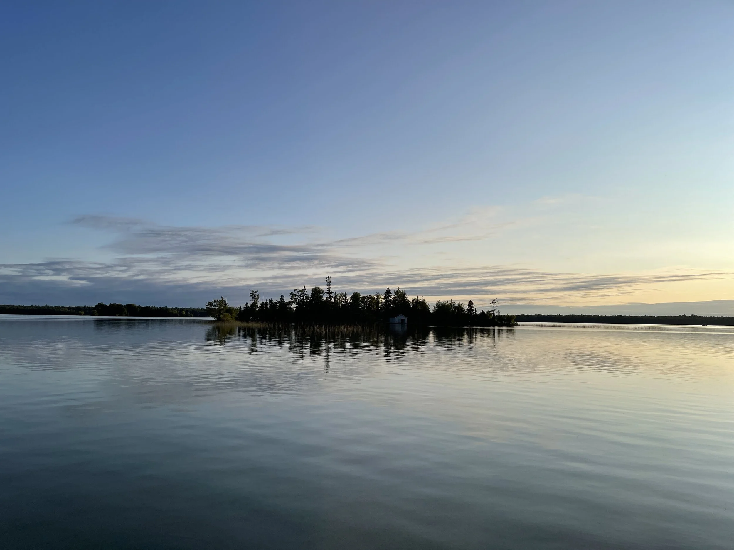
View from the cabin down the path back to the lake, at sunrise
Before & After
2019 #hike5 - Cleburne State Park
“The hills kicked my ass” - Me
Quick Stats
Date: Sunday, February 3, 2019
Location: Cleburne State Park - Cleburne, TX
Distance: 7 miles
Trails: Fossil Ridge Trail, Coyote Run Nature Trail
Miles from Home: 59 miles
Weather: Cloudy, humid, 60s
Equipment: Apple Watch, iPhone
Highlights
No one at the park
Frequent hills to keep it interesting
Lots of shade
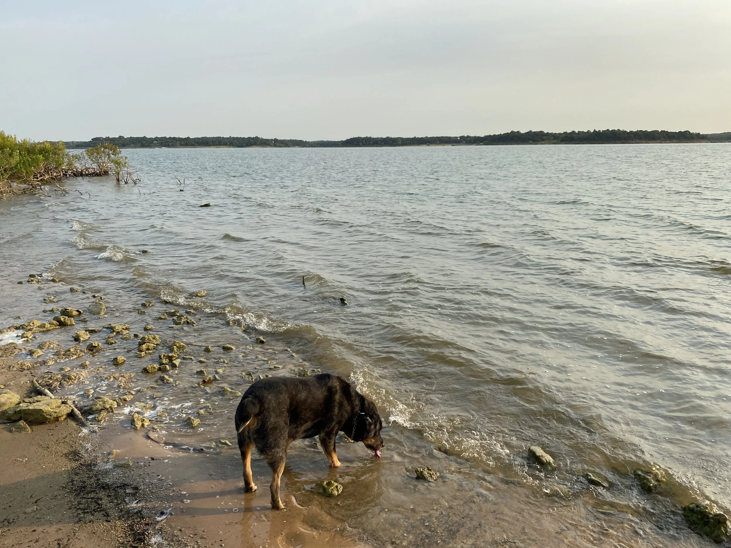
Views of the lake
Low Points
Lots of trash on the trail today
Rocks are basically like ice when wet, which they were today
So many people have made their own trails, it is difficult at time to see the real trail
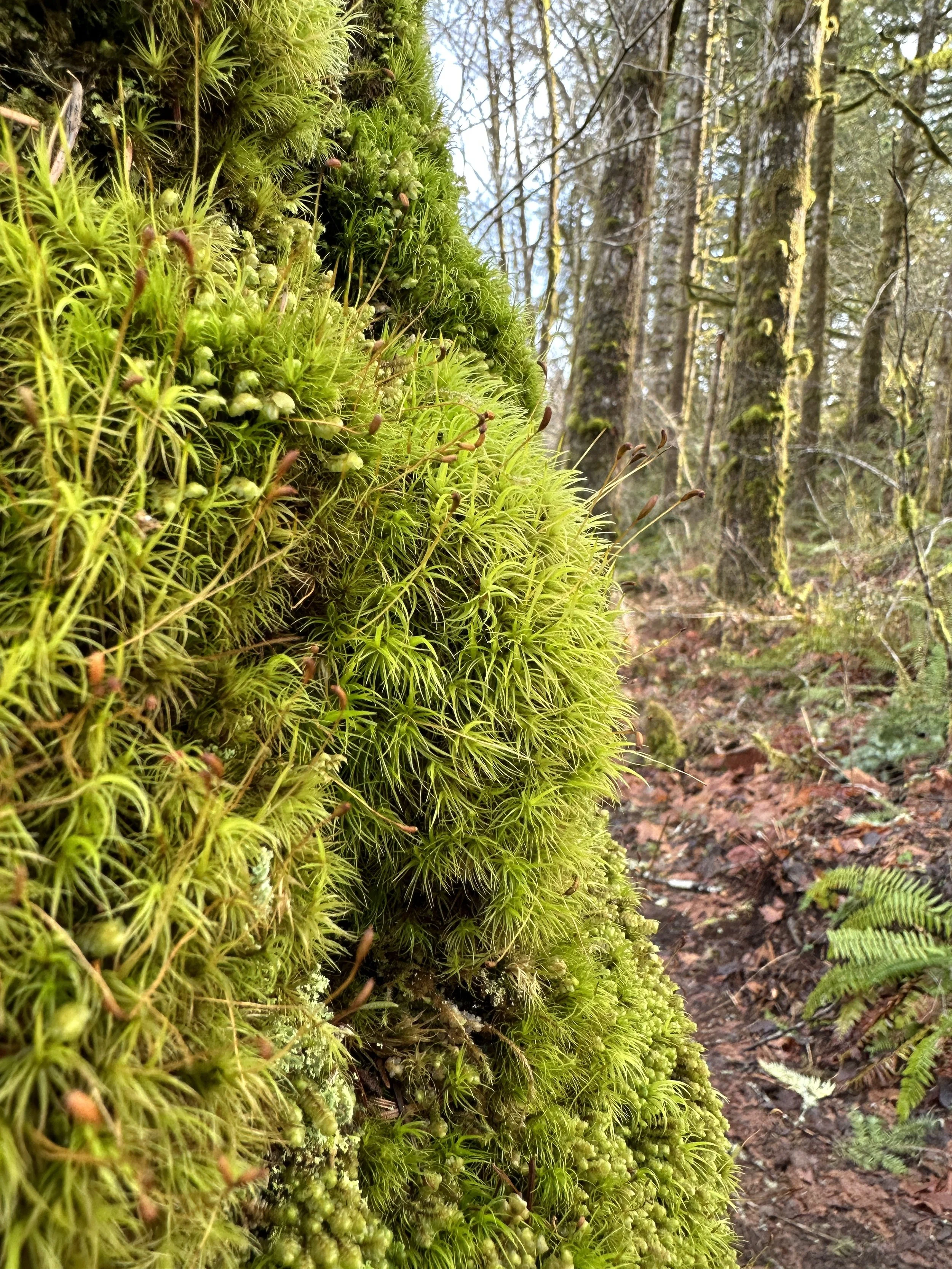
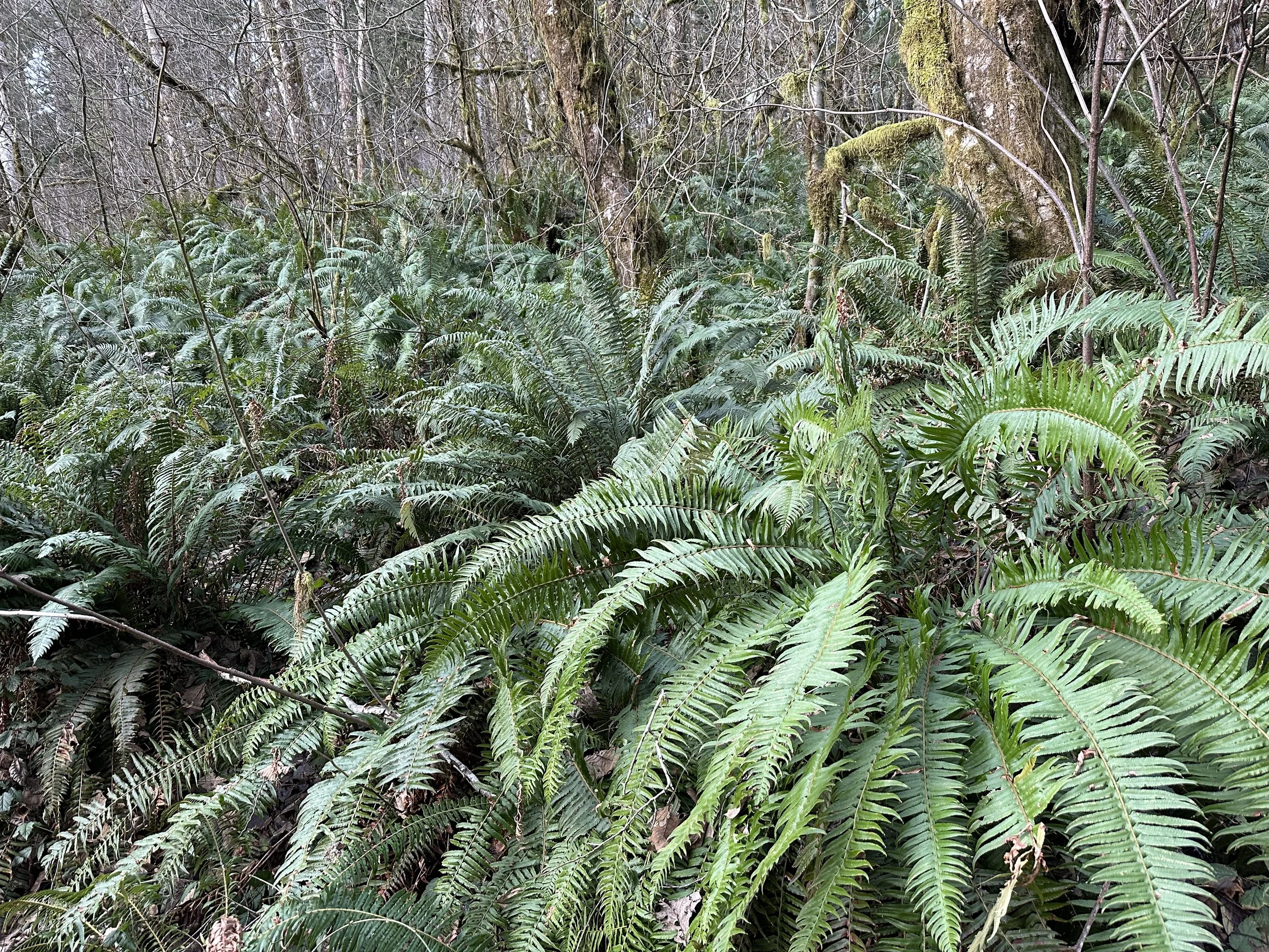
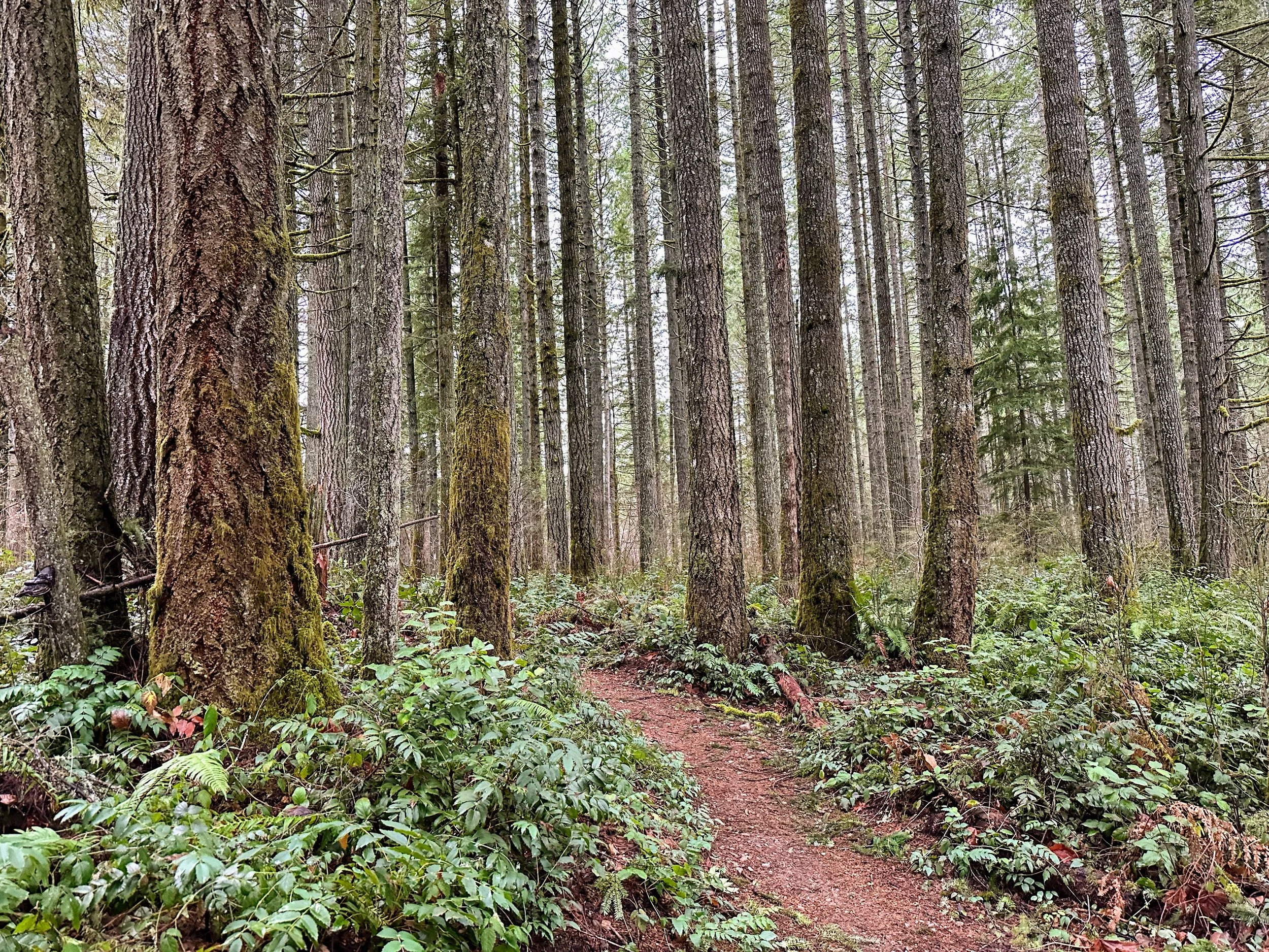
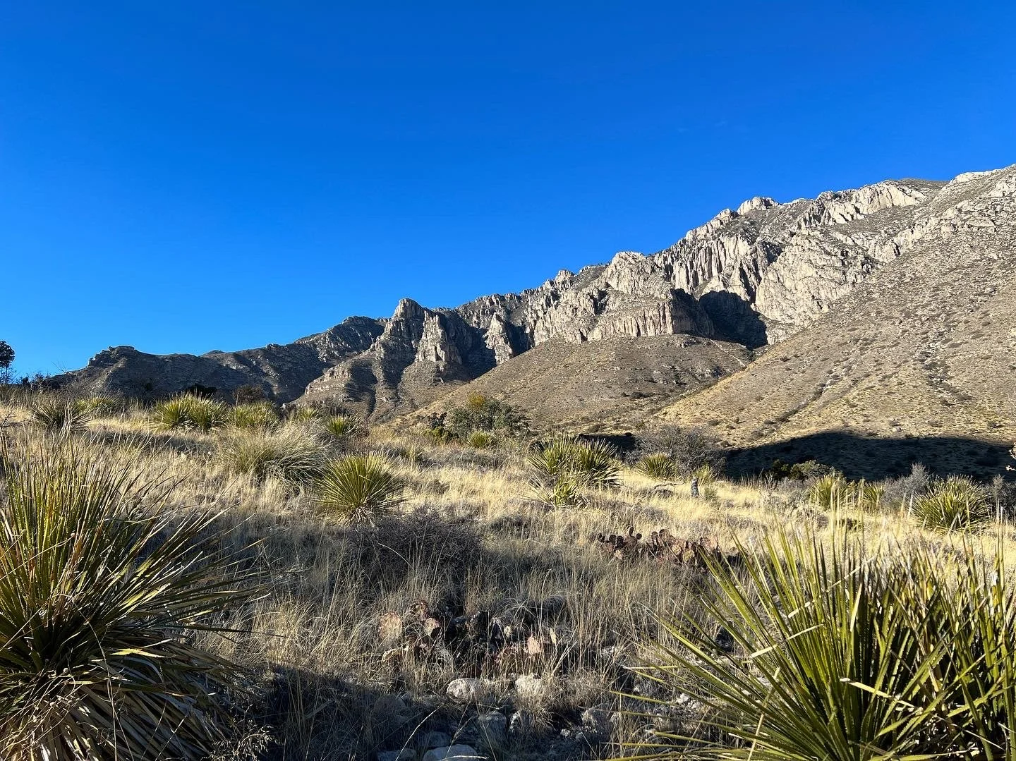
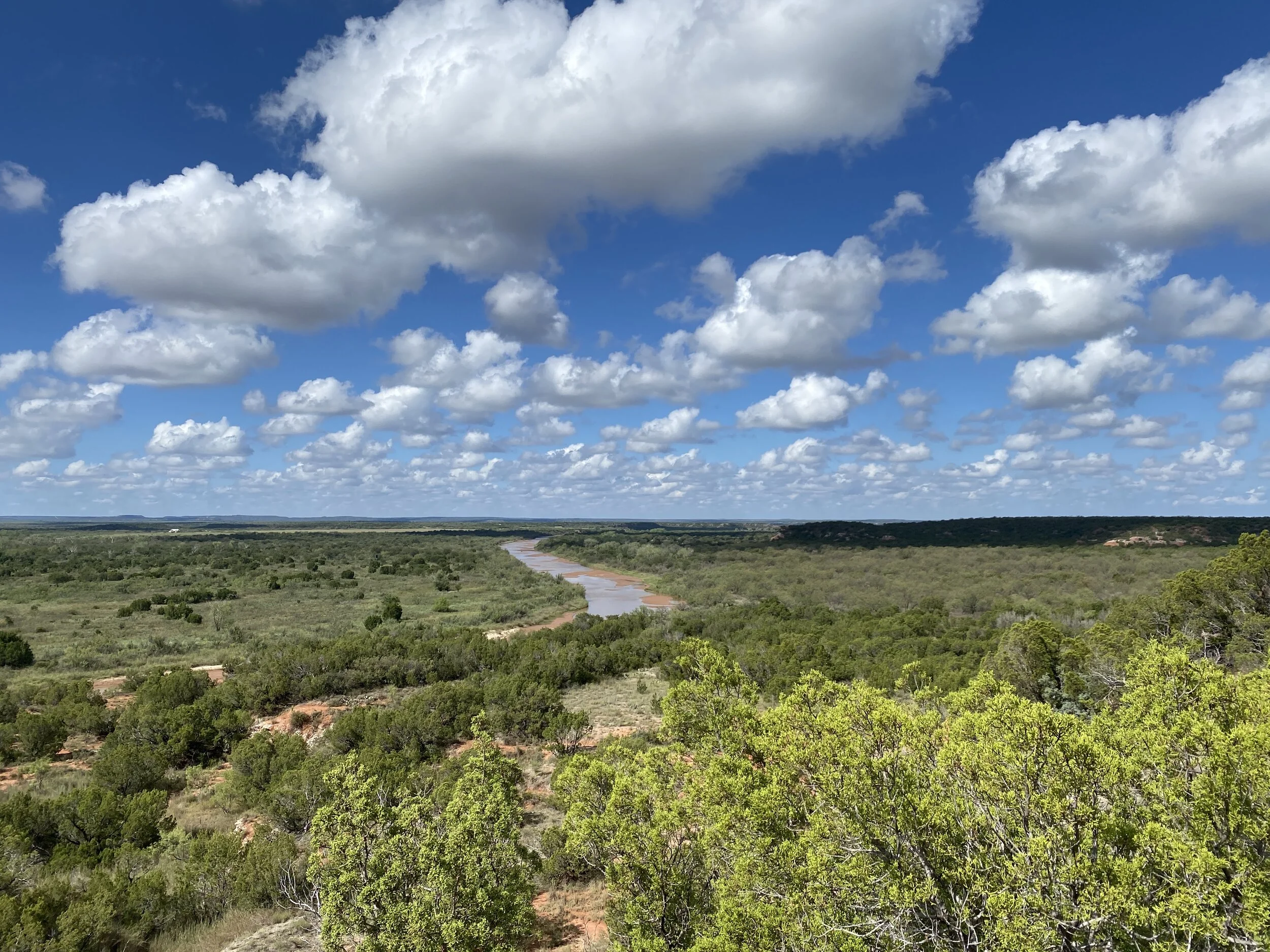
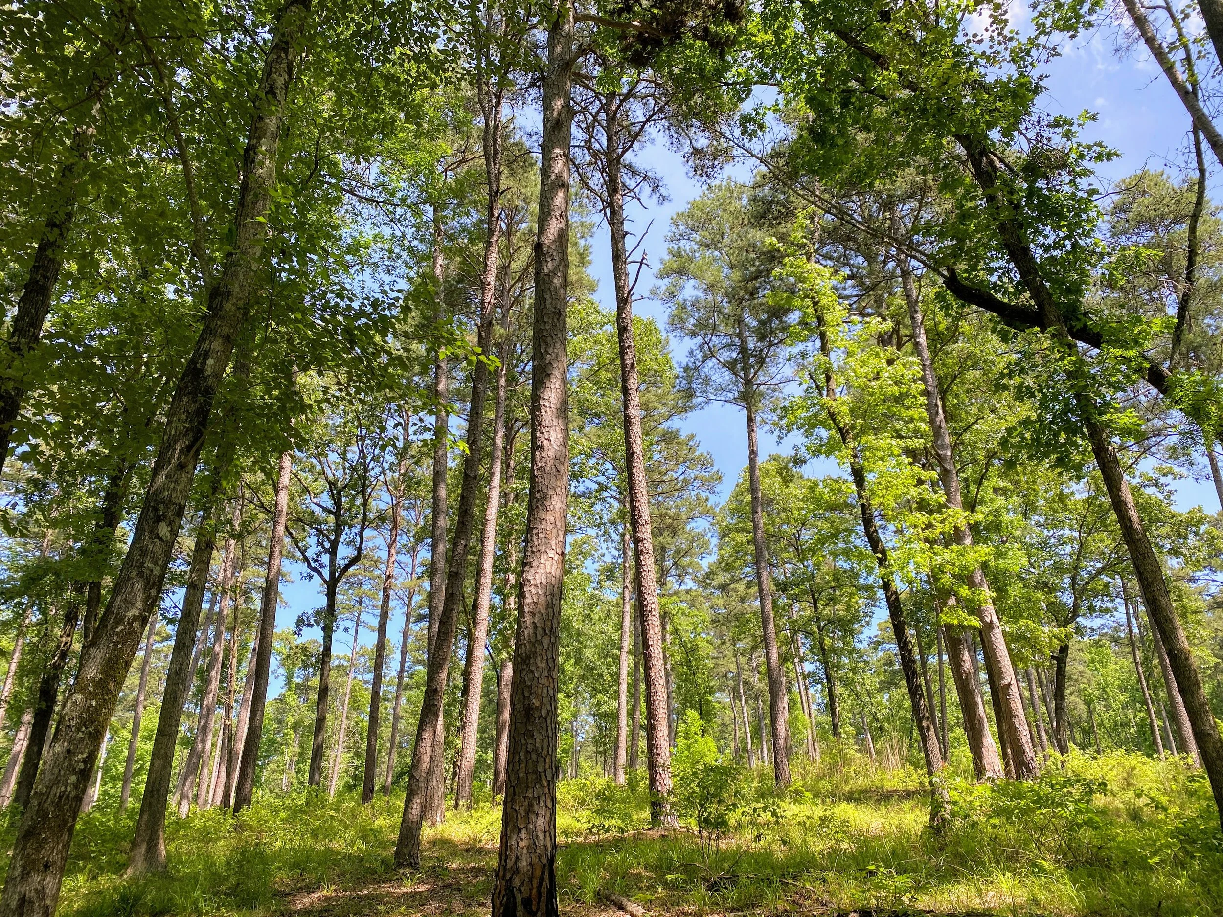
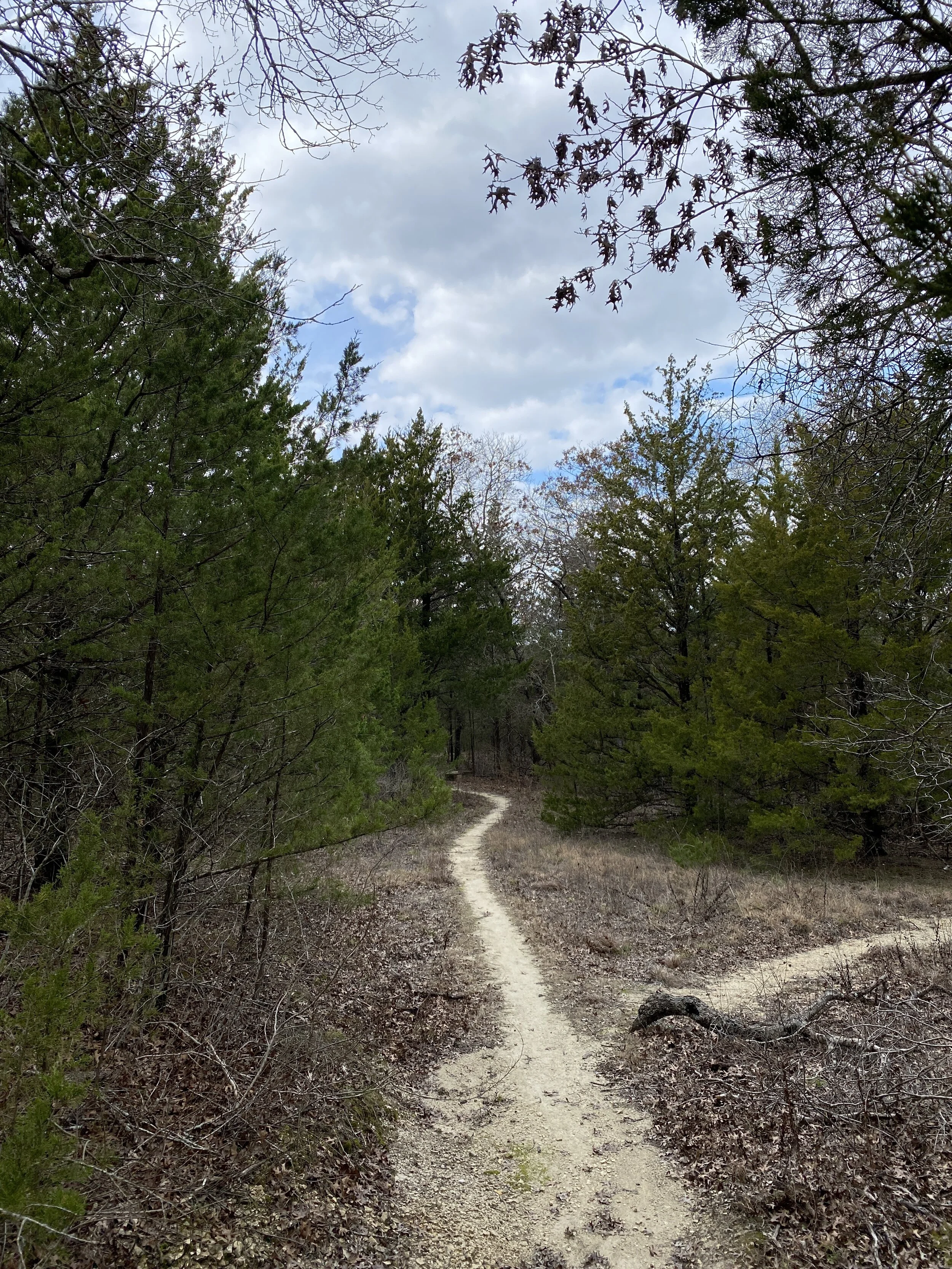
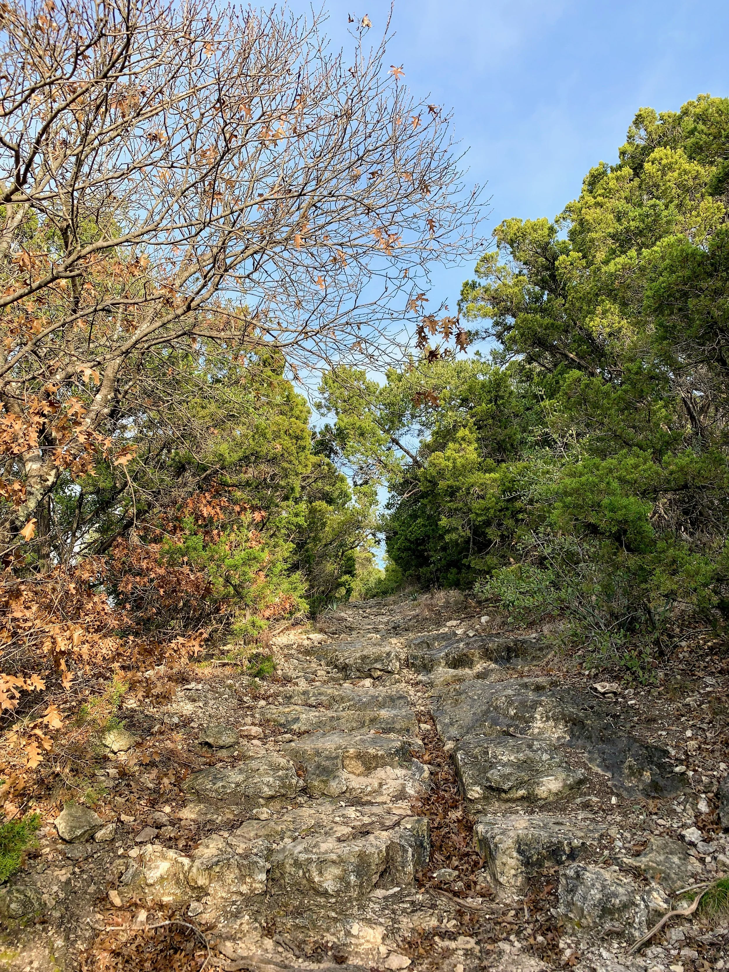
Well, it took five hikes but I finally had to break through spider webs. I went a solid month without having any in my face and today I more than made up for it. The trail I chose today followed the edge of the state park boundary and was pretty well shaded for those summer days. The rocks that make up the trail, mostly the hills, were slick today because it had been damp and misty for a couple of days. The first mile of the trail is noisy due to the mine next door and natural gas compressors nearby. Once you get past the noise, it gets mildly quiet until a dog in a neighboring house barks or you begin to hear the noises of the campers in the campground. If you’re looking to fully escape, this place will get you halfway there. The trails near the lake are a bit nicer, but overall this place isn’t an “escape” from the real world like other parks can be. It’s a great place to camp and hike, don’t get me wrong, this is just my take on it. If you want to escape, head west. #westisbest
Today I did about 7 miles of hills, 3.5 miles around and back, and it really was a nice little up and down. At the end of my 3.5 miles was supposed to be a scenic overlook, but with so many side trails made it hard to tell if I was at the right spot. I found a lakeside clearing and took a break anyway, sipping on my cider and basking in the breeze. I was sweaty. The hills were a workout for me and my hat was soaked through as were my shirt and shorts. The entire 3.5 miles back to the car were basically me wiping dripping sweat from my head. I bagged two small bags of trash, mostly bottles and juice boxes, and deposited them in the dumpster near the entrance. The trash I picked up was blatantly thrown out, nothing looked accidental. Some people really need to check themselves.
I hope you find your trail and pick up some trash along the way. Hike 6 will be a series of hikes this week when I go to Minnesota, so stay tuned for that next week! Until then, happy trails!
Before & After

2019 #hike4 - Dinosaur Valley State Park
“I hear the river and it’s all rivery” - Me
Quick Stats
Date: Saturday, January 26, 2019
Location: Dinosaur Valley State Park - Glen Rose, TX
Distance: 6.3 miles
Trails: Paluxy River, Horseshoe Equestrian Trail
Miles from Home: 75 miles
Weather: Sunny, 50s
Equipment: Apple Watch, iPhone, Olympus TG-5 camera
Highlights
Great weather, plenty of sun but cool enough to stay comfortable
Trails are well maintained
Not many people in the park
Great river views
Plenty of trails throughout the park for all skill levels
Low Points
Social media hadn’t updated in 10 days about the river crossing or trial conditions
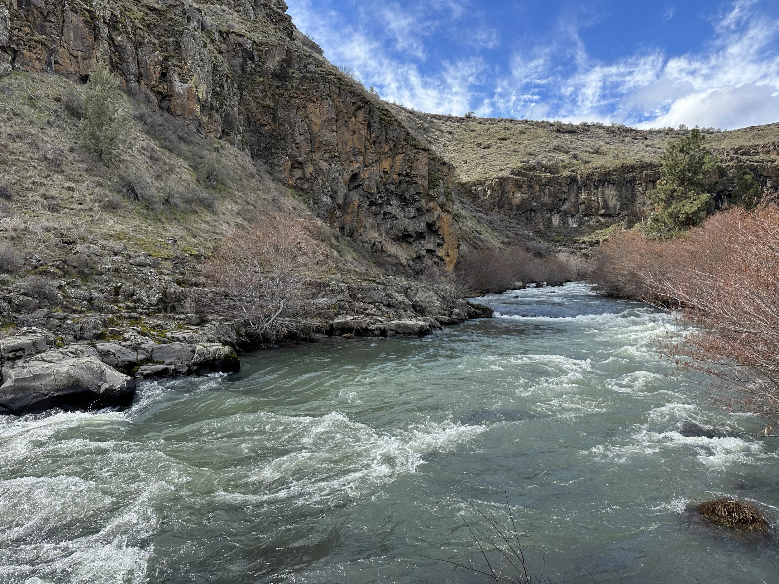
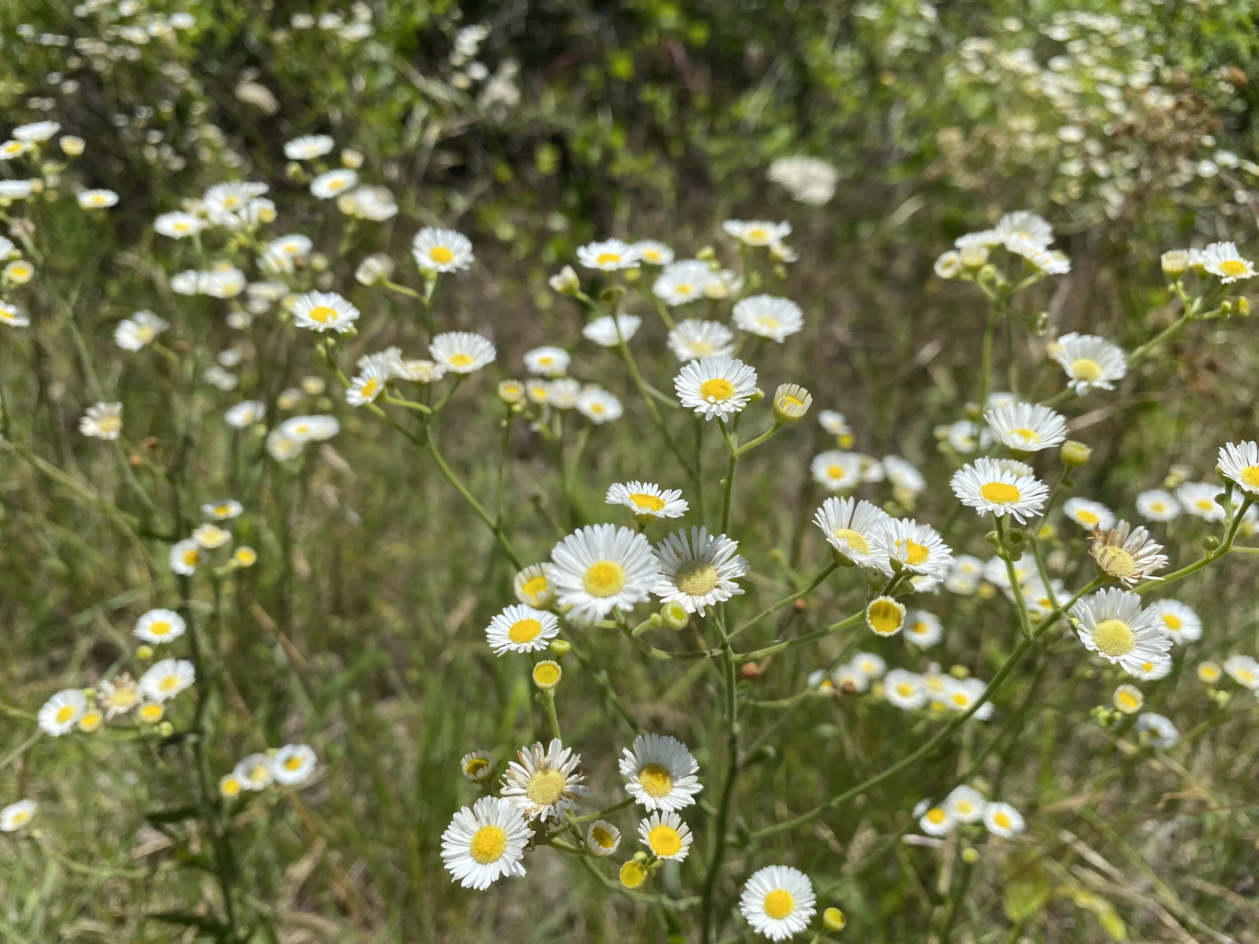
Dinosaur Valley is one of my local to-go parks that I visited many times last year. I fully plan to visit this place more than once this year, but I’m going to try to keep exploring other places and not fall victim to my own laziness. This park has a lot to offer hikers of many different skill levels. The trails on the main side of the river are relatively flat and accommodating, while the trails on the north side of the river offer a little more variety in terrain and wooded areas. Today, we focused on the main area of the park and walked along the river, admiring the views. We did a little loop that is frequented by horses, and then took the river path back. It was simple, lovely, and offered a nice escape from reality. The river was a little higher than normal and there was a lot of algae and moss, more than we’ve noticed before. Another sunny day hike in the books for 2019 and a stop at our favorite diner afterwards. Happy trails!
Before & After


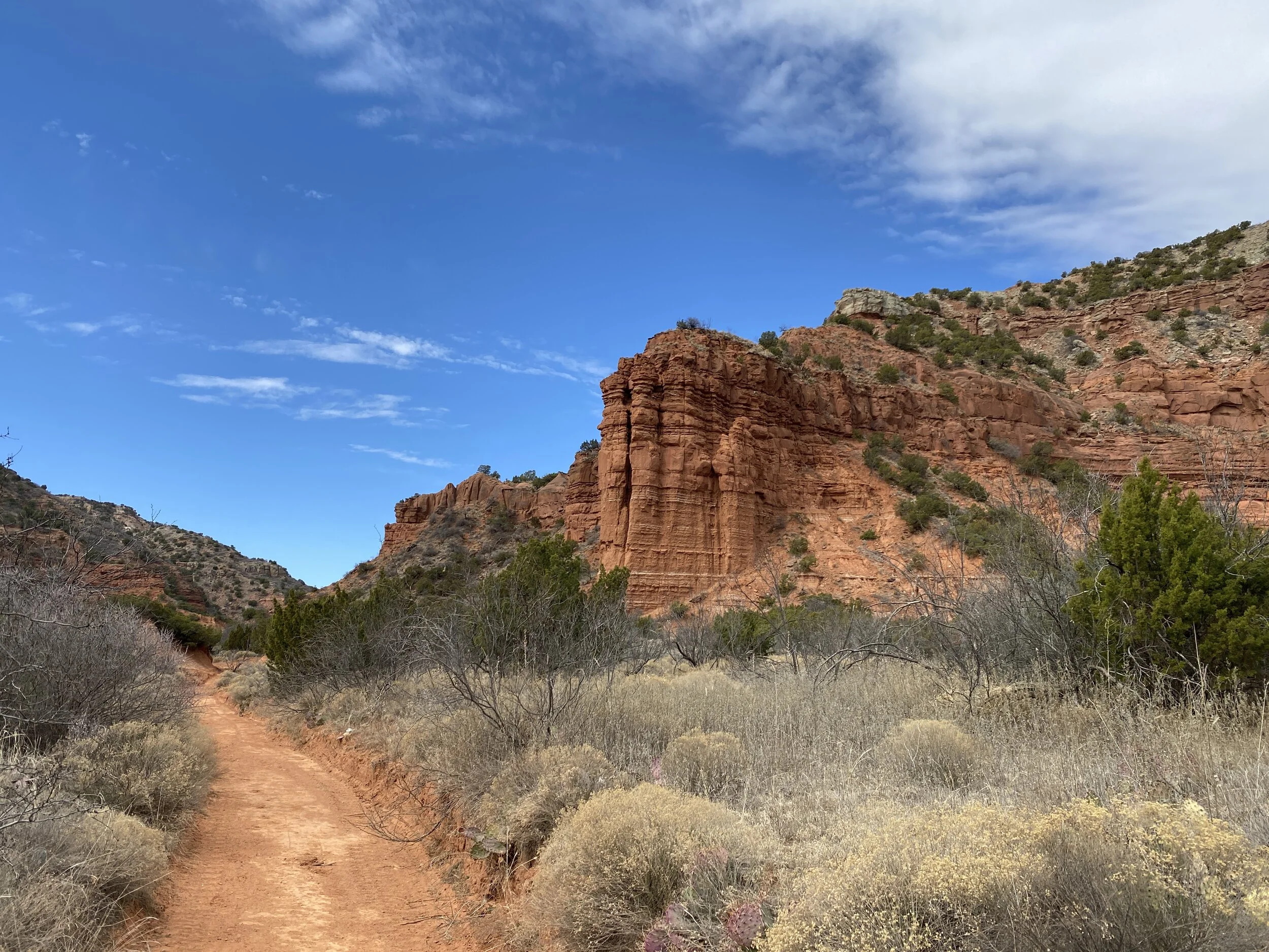
2019 #hike3 - Palo Duro Canyon State Park
“Wandering through the canyons was exactly what I needed.”
Quick Stats
Date: Saturday, January 19, 2019
Location: Palo Duro Canyon State Park - Canyon, TX
Distance: 10.4 miles
Trails: Givens, Spicer, Lowry Trail, part of the Lighthouse Trail, Little Fox Canyon Loop
Miles from Home: 359 miles
Weather: Sunny, 30-40s
Equipment: Apple Watch, iPhone, Olympus TG-5 camera

Highlights
Very few people at the park
Clear, sunny skies
Trails are well maintained
Park location is quiet and secluded
No cell service down in the canyon
Beautiful, varied terrain
Plenty of trails throughout the park for all skill levels
Low Points
The few people who were there were mostly nice, though some were too loud
Was a long drive from home
Half the park was closed for a Texas Parks and Wildlife sanctioned hunt, limiting trails
This park is a great option for anyone in Texas, or the surrounding areas, who want to experience red rocks and big canyons. If you love the Four Corners area, you’ll likely enjoy this park. I’ve visited before, check out that experience here. The plan was to leave around midnight for Big Bend National Park, but I couldn’t bring myself to do it. I had been speaking about avoiding NPS sites during the shutdown and exploring public land alternatives so I followed my own advice. I was going to wake up at 2 AM and begin the 5 hour drive to Palo Duro, but I slept on until 5AM instead. I finally hit the road at 8 AM and arrived to the park about 1 PM. Once I made it down into the canyon, there was hardly anyone at the trailhead parking.
I started my hike on a trail I had never been on and I was so excited for the unknown. When I set out that morning, it was frigid enough for a down puffy jacket, but I had settled on a hoodie and a t-shirt for the hike. Since I had visited two years prior, I had an idea of what to expect as far as terrain and conditions. What I didn’t expect, were the views. I mean, I knew I’d see some red rocks and green vegetation, but you never know how the light will dance around the canyon until you’re there. Red rocks soothe my soul and there is just no way around that fact.
As I made my way down the trail, I had a new view around every turn. There were plenty of great views but my favorite parts were when I was hiking right along the massive canyon edges, up close and personal with the rocks. I made my way to the next trail, one I hiked before, and out towards the iconic Lighthouse rock structure. The Lighthouse trail was much more populated, despite having a closed parking lot, and I moved quickly because it was relatively flat comparatively. By the time I made it to the end and back to the GSL, the people had vanished and I had the place mostly to myself again. I encountered several mountain bikers, but they were mostly courteous and polite passing quickly. I took a little offshoot trail called Little Fox Loop which led to a hill and great views in the canyon. As the afternoon ended and I was making my way back to the car, everything looked different in the setting sunlight. The beauty of the desert, the canyons, the red rocks, and even the forest is every trail can seem like a new trail as the light shifts around during the day.
These red rocks were worth the five and half hour drive each way. My day in the canyon, where it was silent and free from city noises, was exactly what I needed.

Before & After

2019 #hike2 - Eagle Mountain Park
My old standby…
Quick Stats
Date: Sunday, January 6, 2019
Location: Eagle Mountain Park - NW Fort Worth, TX
Distance: 5.1 miles
Trails: Main trail, Shoreline trail, S Shoreline Trail
Miles from Home: 27
Weather: Mostly Sunny, Mid-50s
Equipment: Apple Watch, iPhone, Olympus TG-5 camera

Highlights
Beautiful day and many miles of trails
Variety in elevation - nothing like the mountains, but much better than just flat
Most of the muddy creek crossings had stones for jumping
Horses and pets are not allowed, which keeps the trails clean and less rutted
Low Points
People have created many side trails, use your head and stick to the main ones
There is some oil & gas machinery near one of the trails, it can be annoying/smelly
Very muddy but not impassible
I call this place my old standby because if everything else falls through, I can always come here! The trails have variety, the lake always provides a breeze, and the terrain is more challenge than common flat trails in the area. There are always people at the park, so be warned that if you want peace go before 8 am. Today I strolled in around 10 am, much later than normal for me, and I saw plenty more people because of it. Most people were friendly, though, and all were covered in mud. Some runners had legs caked in the gray dirt all the way up to their knees.
Many runners use this place a circuit of sorts and I passed by one guy so many times it just caused me to laugh out loud the last time. I was strolling along at a moderate pace and he was running by over and over.
This park suffers from major trail offshoots and overfull trash cans at the parking lot. Today, the cans weren’t quite as bad as normal, but the mud had people making tons of new trails. I lost count of all the offshoots, but did my best to stay on path and follow Leave No Trace guidelines. Go through, not around. Getting muddy can be half the fun of a good hike! I will always recommend this place to anyone looking around DFW metro area, and that opinion hasn’t changed today. Go check it out if you want a fun, varied hike/run/casual stroll. Be warned, it’s a little muddy today but you’ll be rewarded with trickling drainage streams bubble along the way.
Before & After


2019 #hike1 - Shoreline Trail at Lake Lewisville
It is outside and it is dirt, so it counts.
Quick Stats
Date: January 5, 2019
Location: Shoreline Trail (starting at Stewart Park in The Colony, TX)
Distance: 3.7 Miles
Trails: Shoreline Trail is only one trail
Miles from Home: 26
Weather: Sunny and mid-40s
Equipment: Apple Watch, iPhone, Olympus TG-5 camera

Highlights
Only a few people out and about meant I had the place mostly to myself
Nice gravel path with very little clay
Nice bridges over the really swampy drains
Dogs are allowed and there were plenty of dogs along the way in yards
Low Points
Very populated areas, would be more suited for daily walks than a “hike”
Noisy - road noise, people doing yard work, etc.
Very muddy and flooded in parts due to neighborhood drainage
This is a great trail for neighborhood locals needing a good run or to walk their dogs. This was not a hiking trial, by my standards. I enjoyed the stroll, regardless of what this trail was, but did miss the seclusion other urban parks in the area offer. I saw several birds including mallards, cardinals, and blue jays. I’d recommend this to any local inhabitant within a few miles, but I will not likely be driving 26 miles for this one again. The point in which I turned around due to flooding was the point where the trail was furthest from neighborhoods, so there is some potential for a more secluded walk that I just didn’t get to experience today.
The actual walking/hiking revealed that I’ve been way too lazy for way too long. I noticed it back in Alaska too, and I’m glad to be getting outside again. This trail technically the “hike with a body of water” in the 52 Hike Challenge Adventure Series, but I intend to aim higher for this one. Until the next one, happy trails!
Before & After