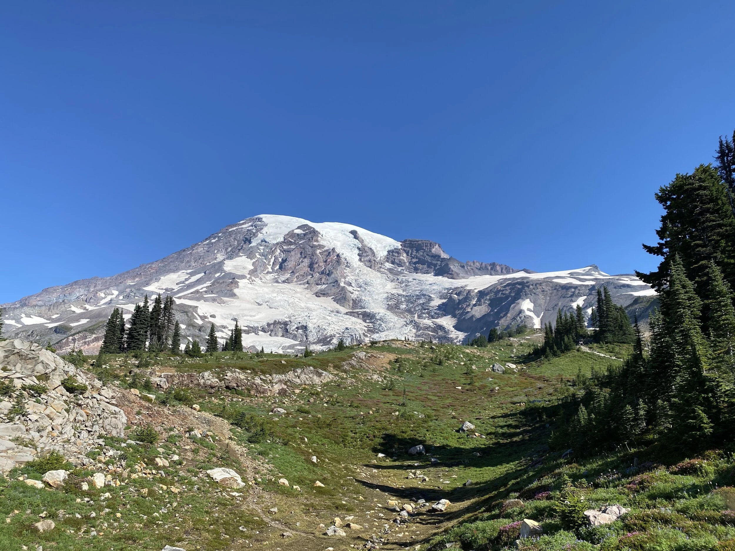

2023 Hike 6 - Hilburn Preserve
52 Hikes With Mike - Hike 6
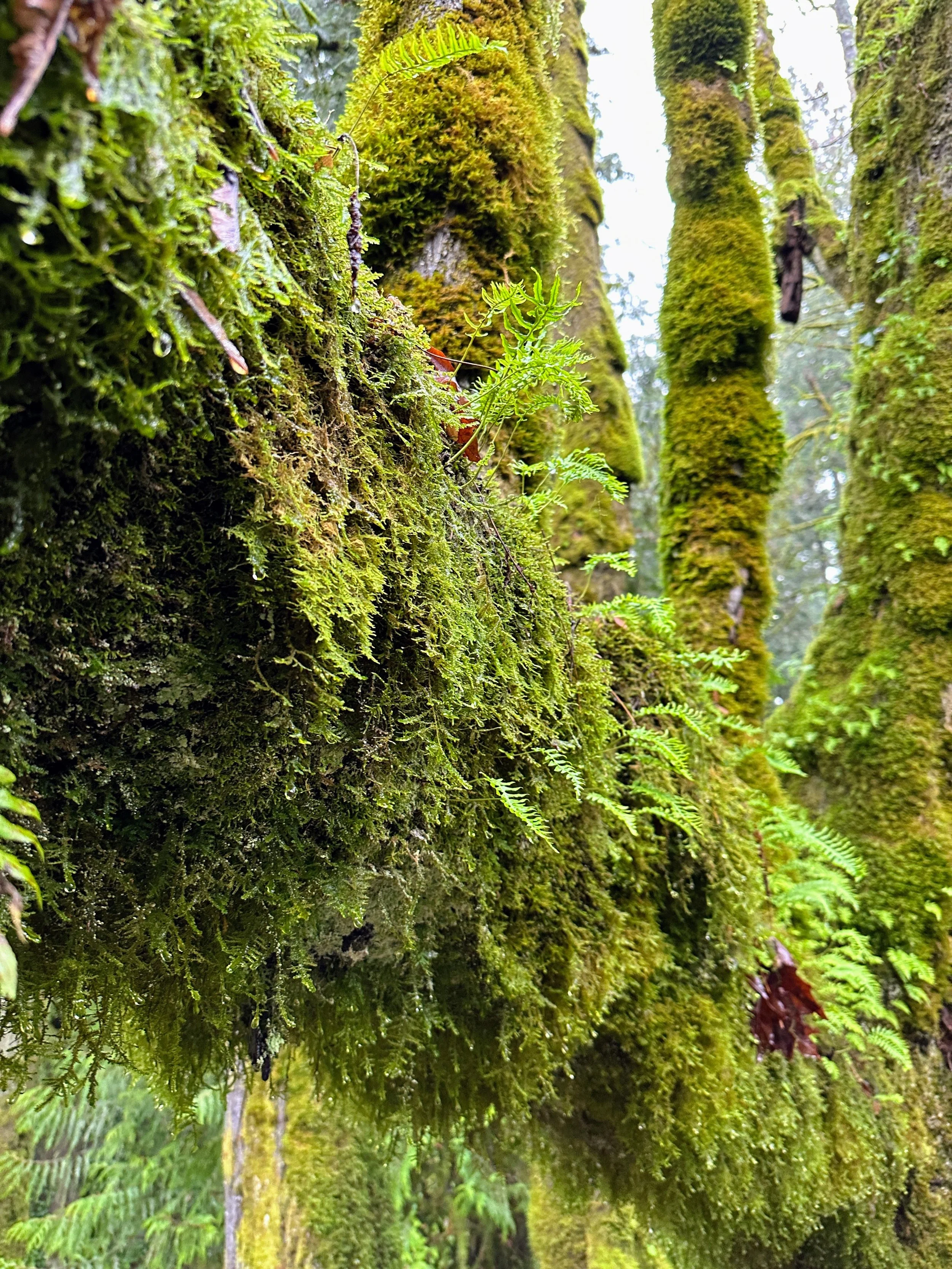
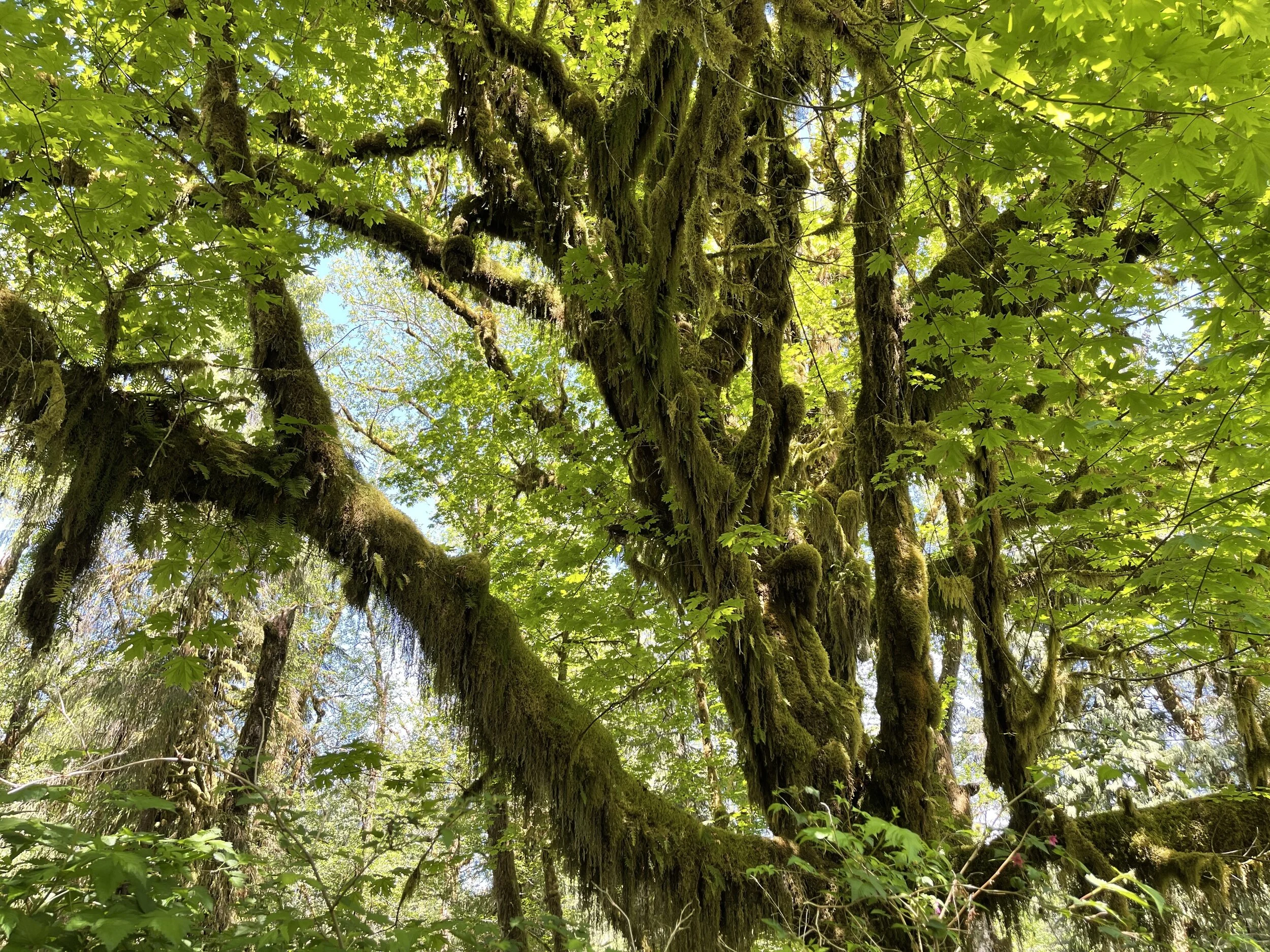
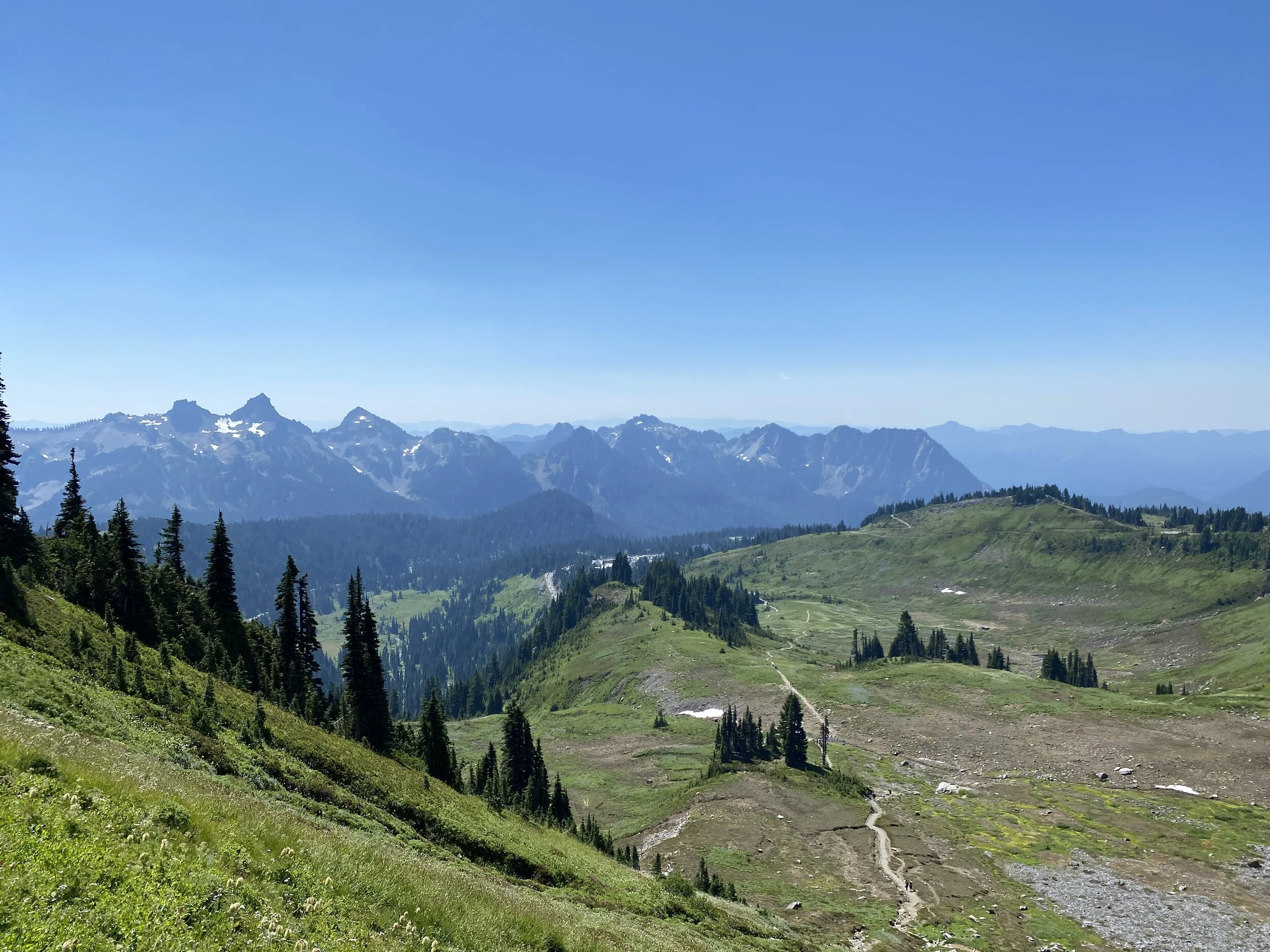
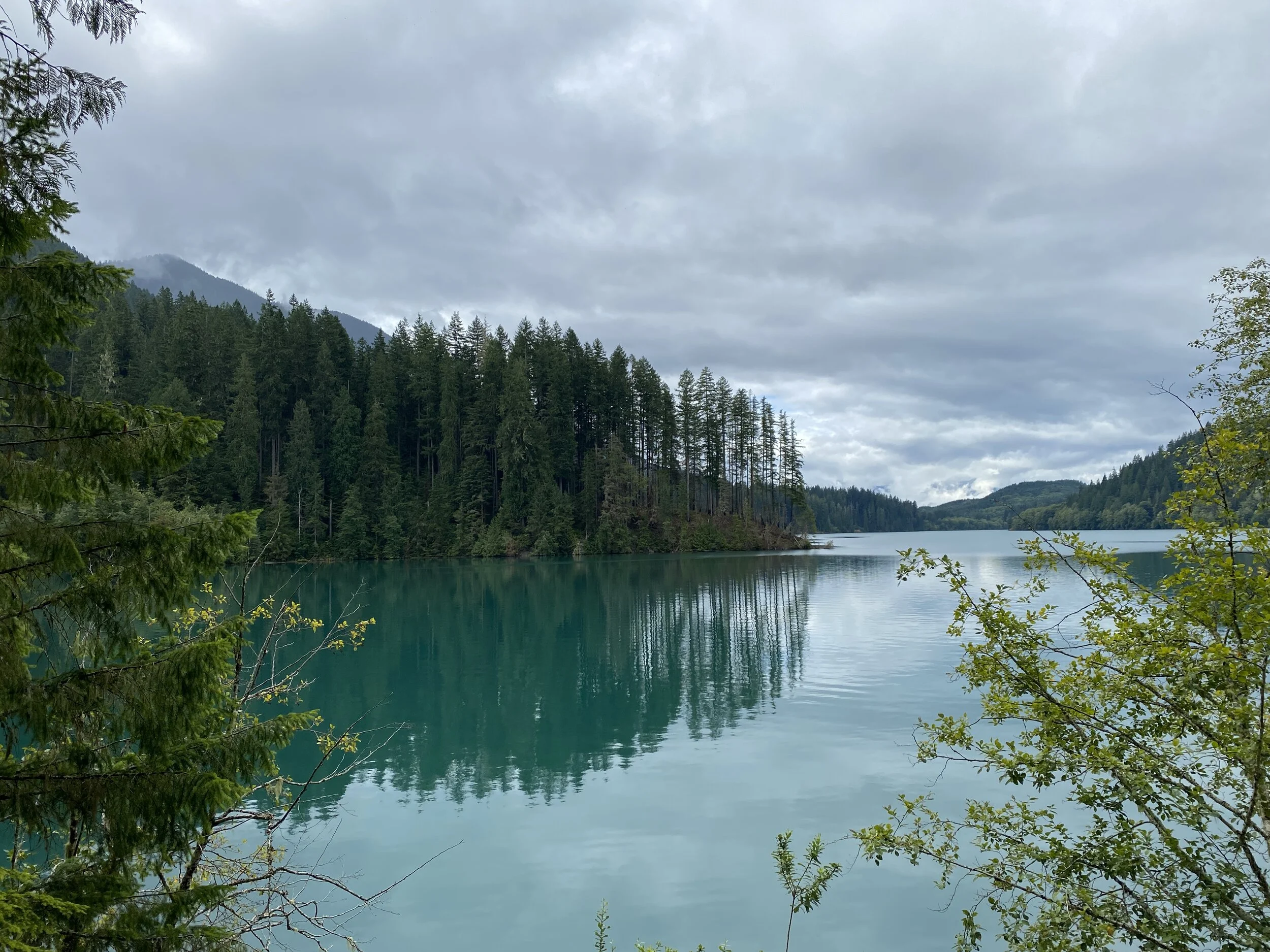
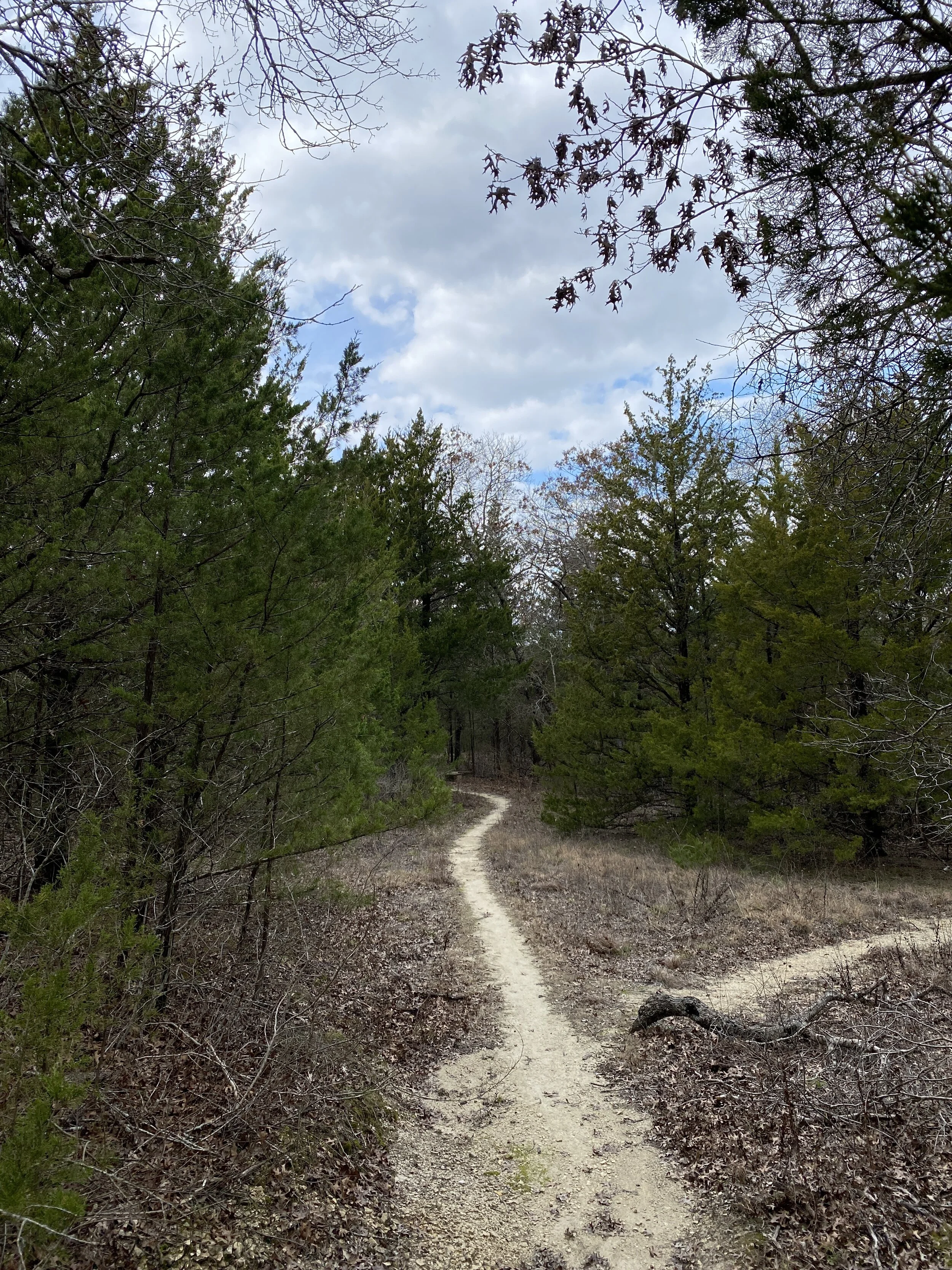
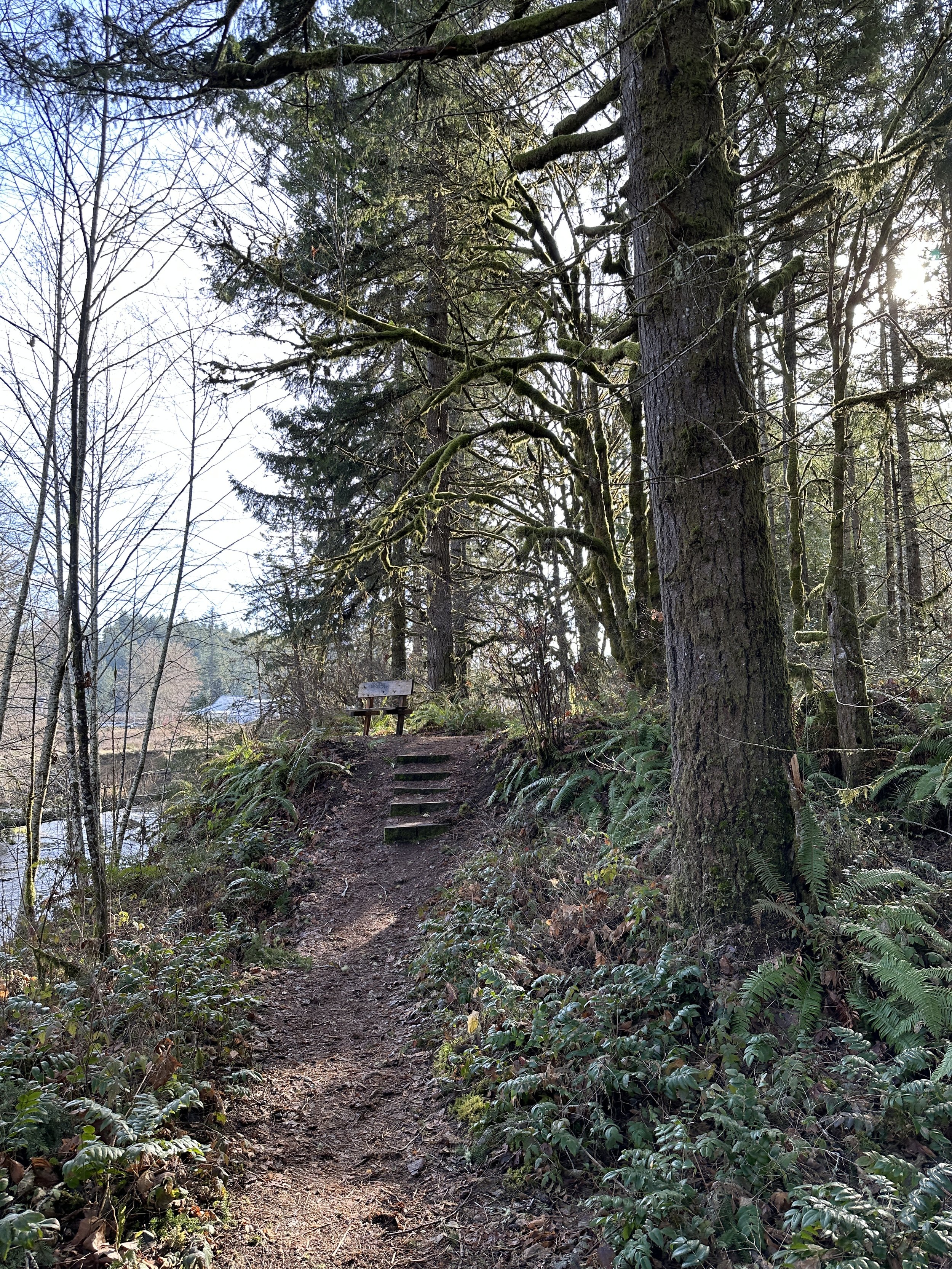
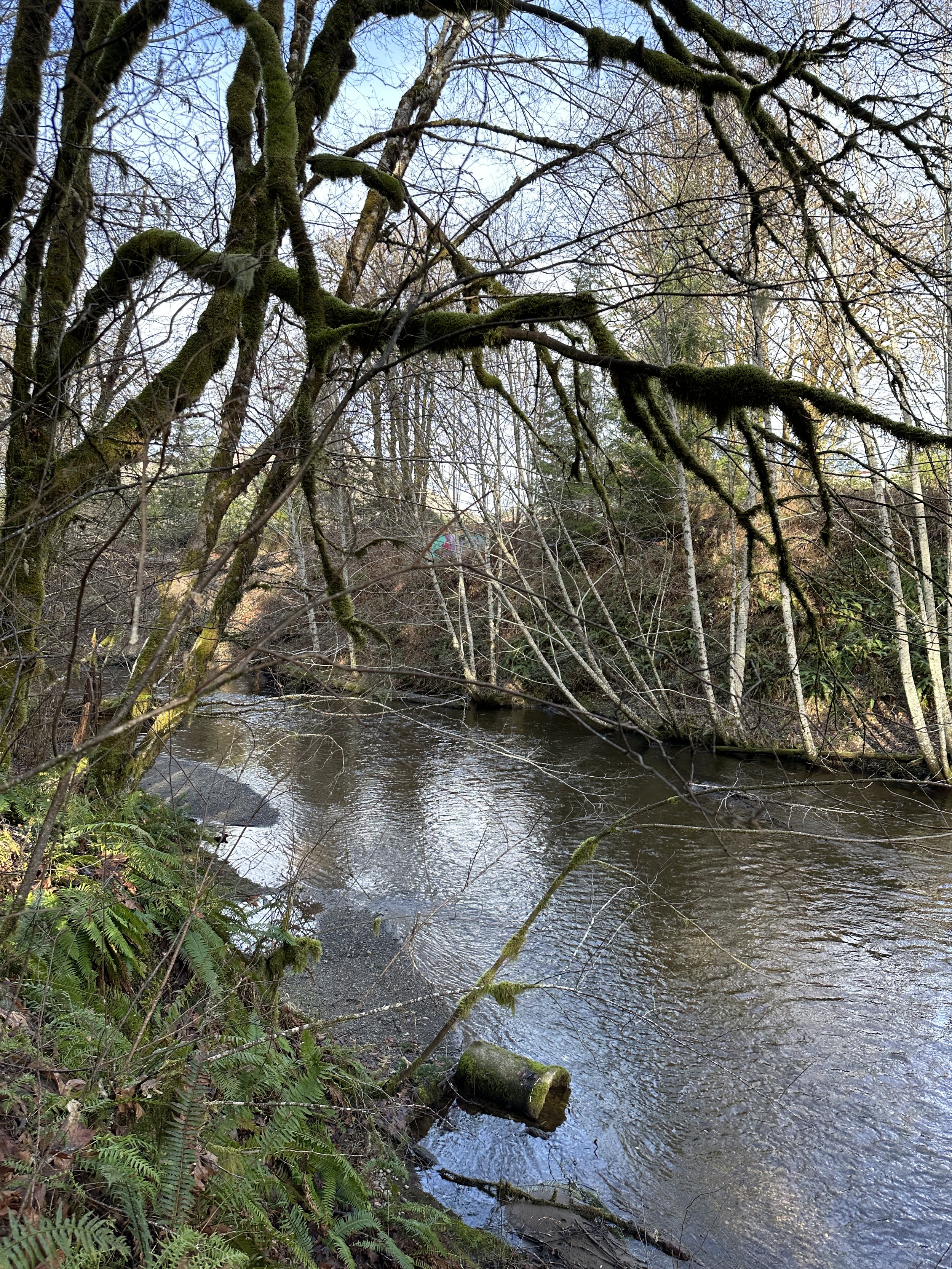
Hilburn Preserve - Shelton, WA
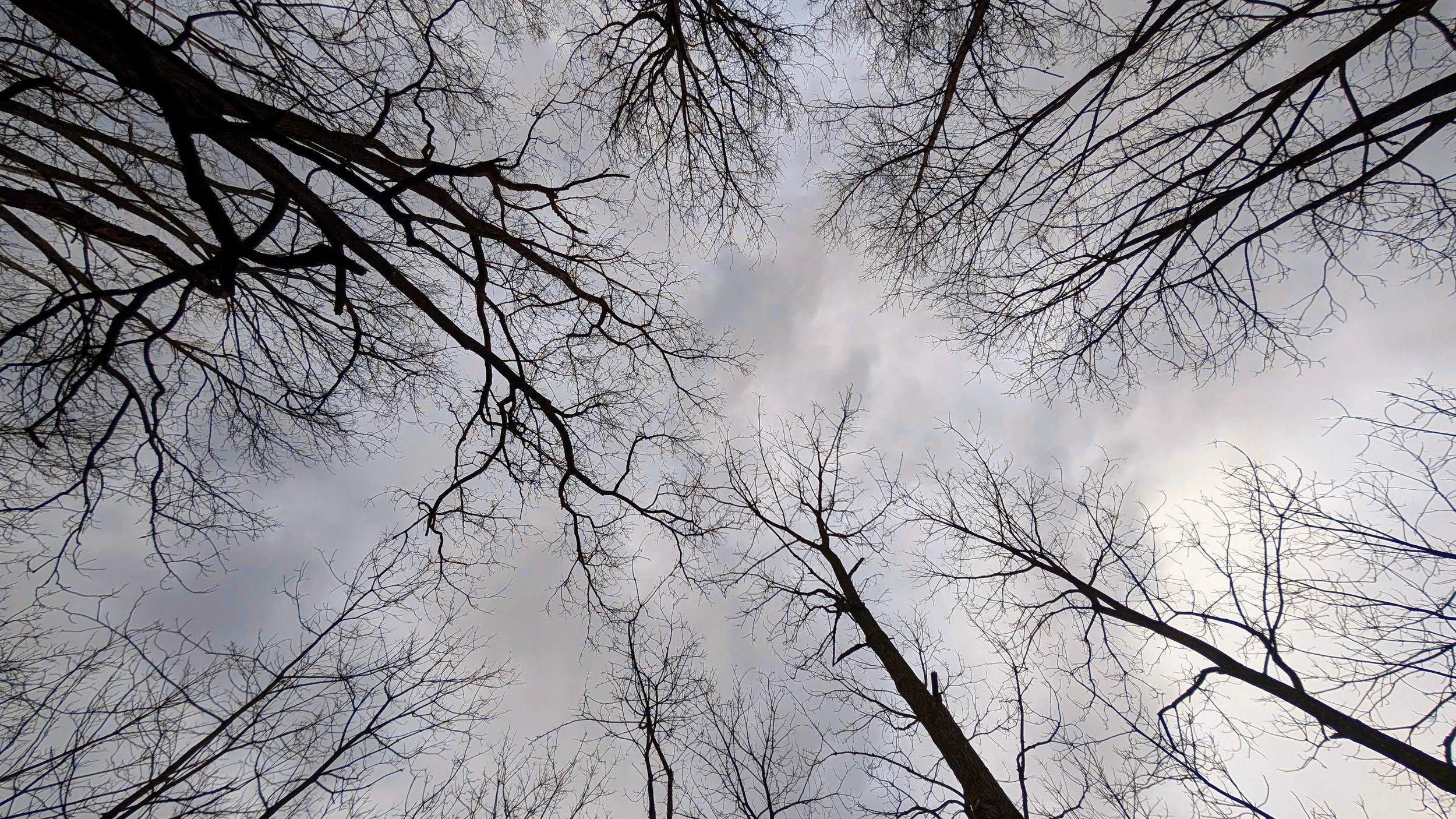
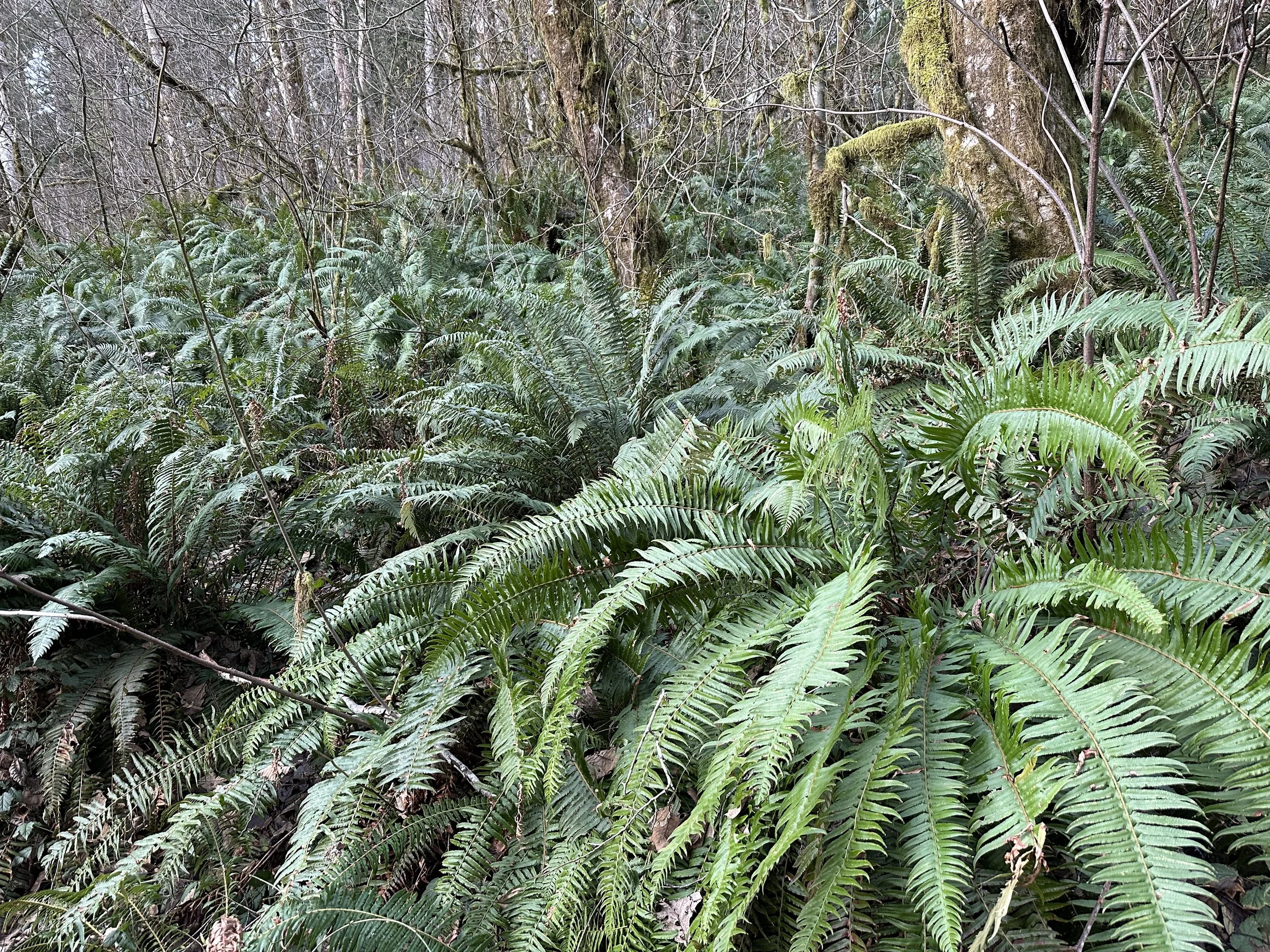
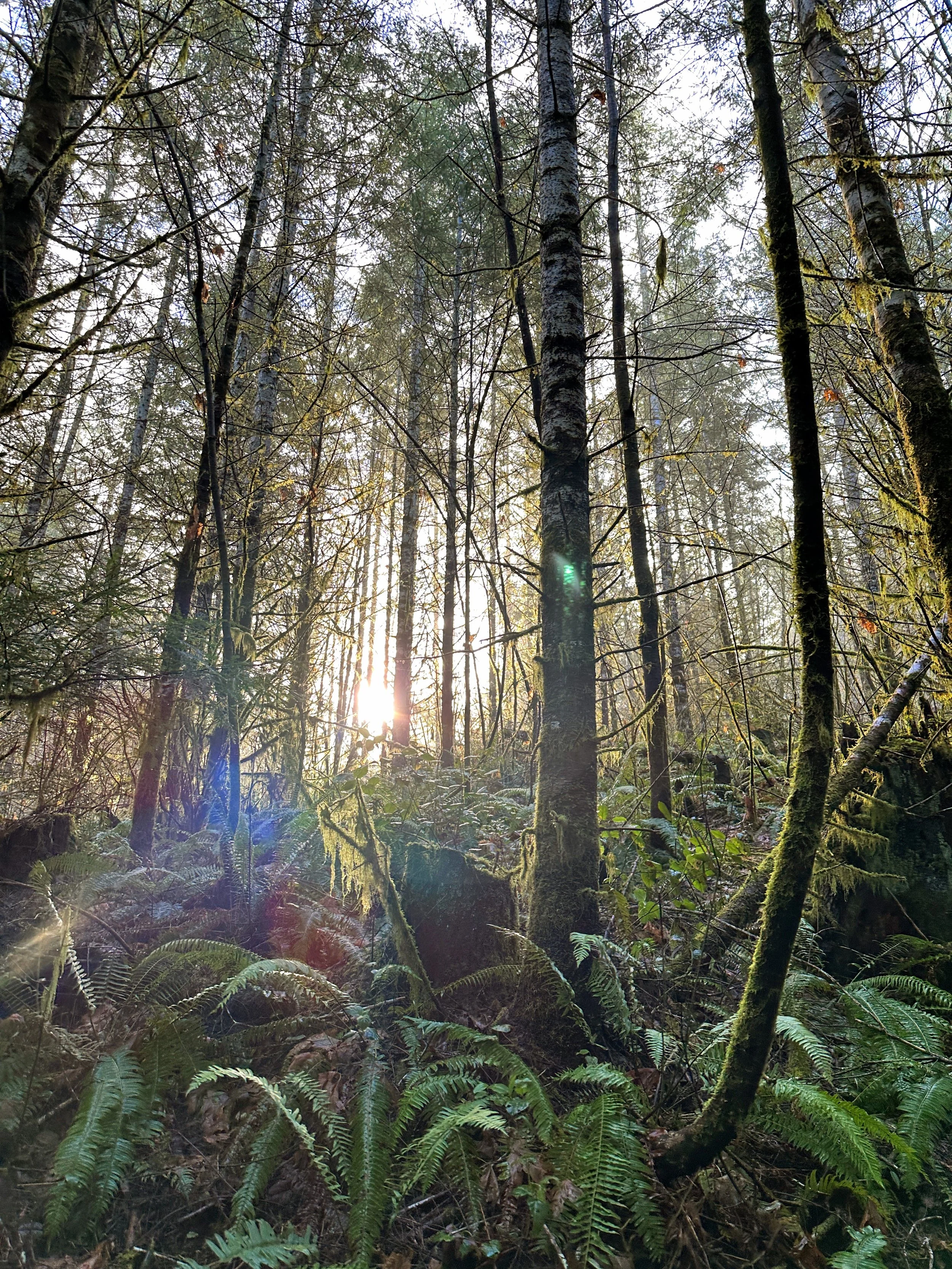
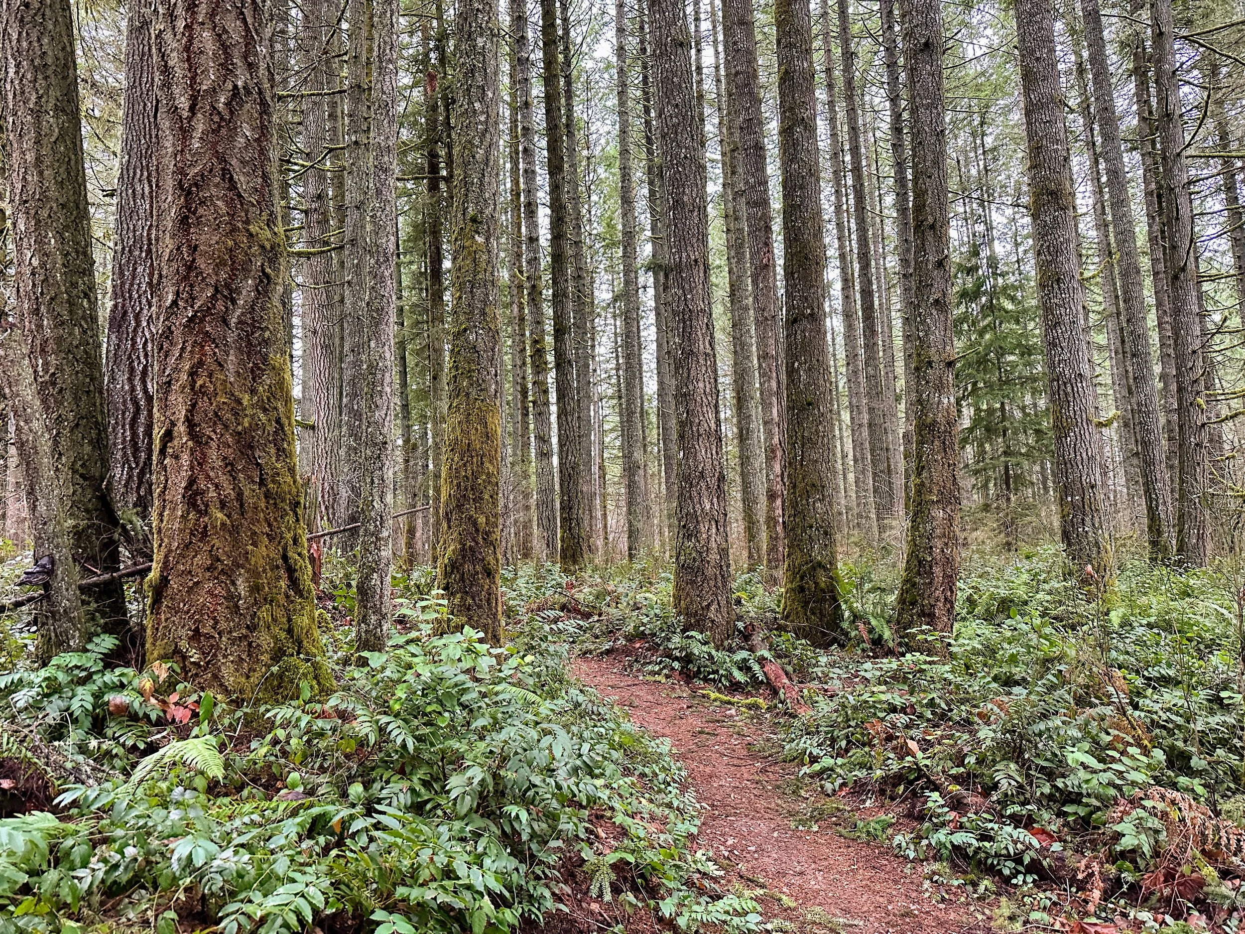
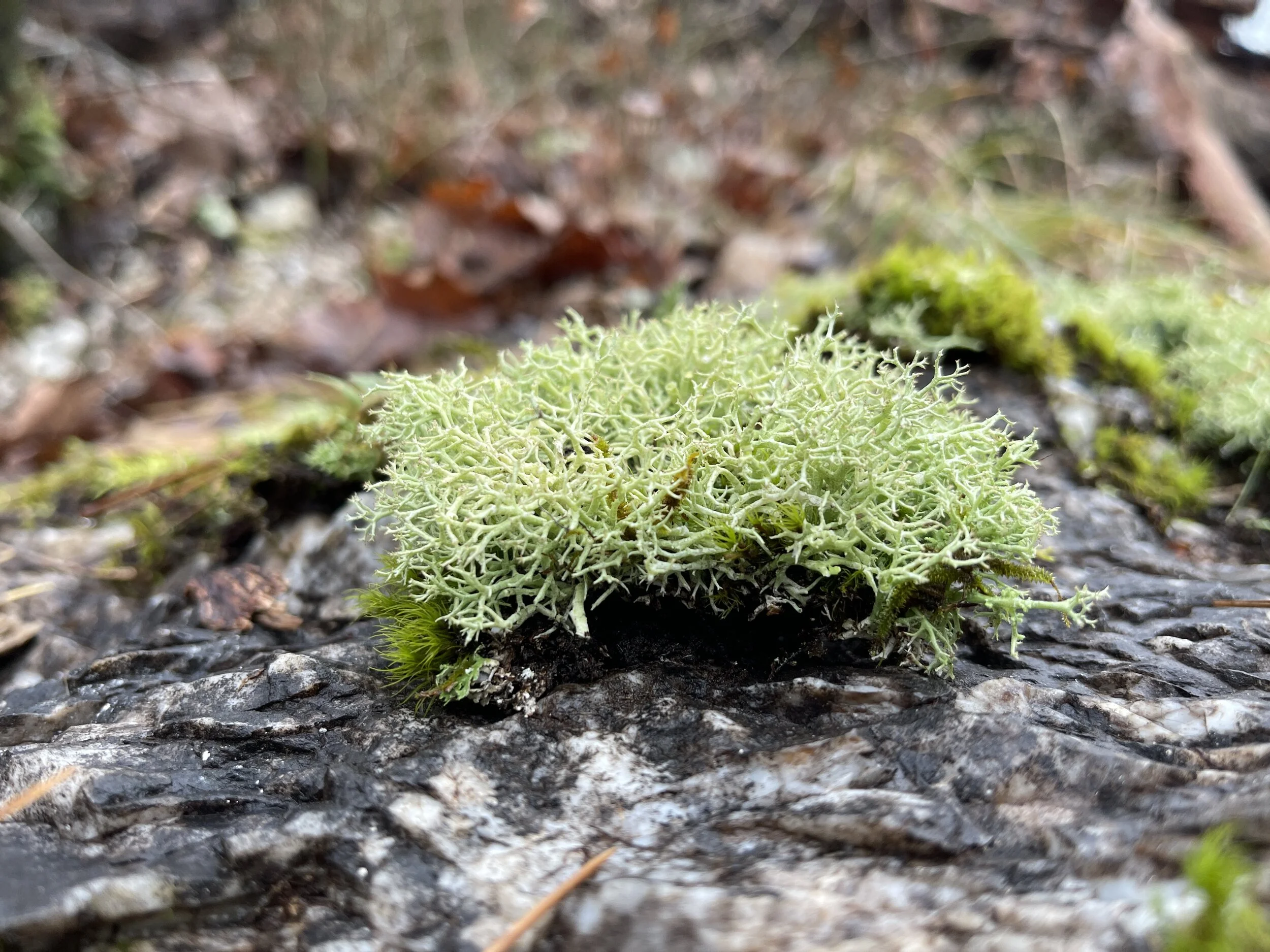
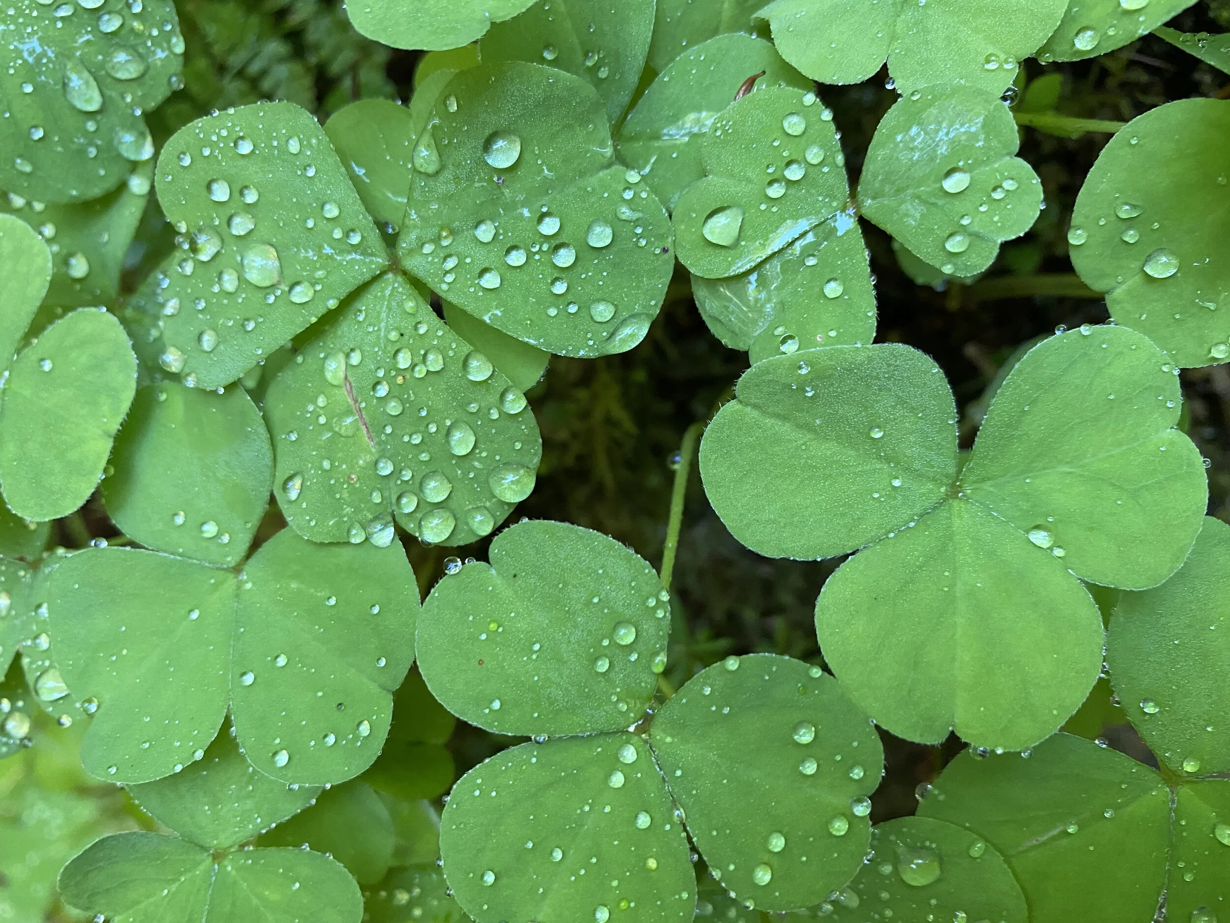
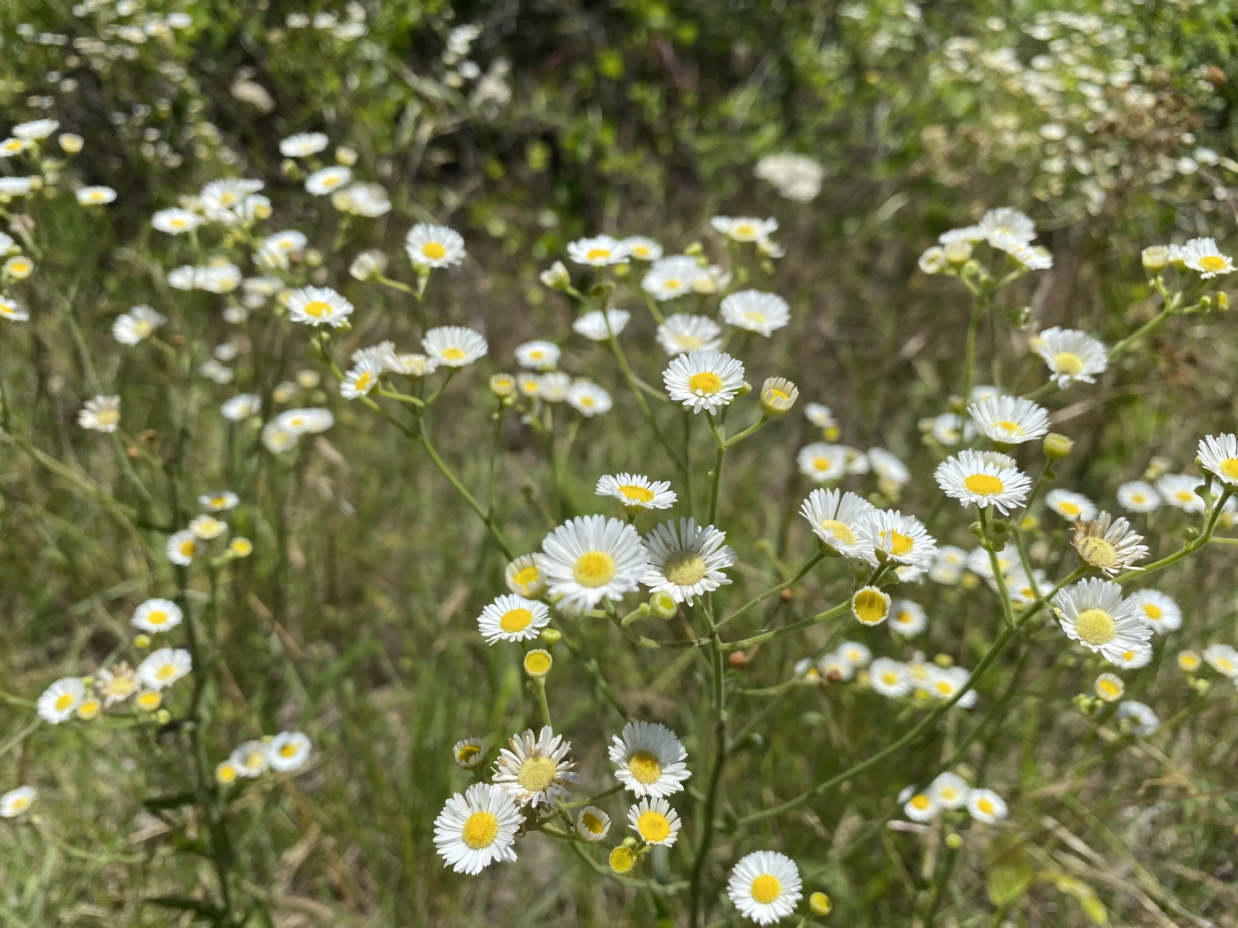
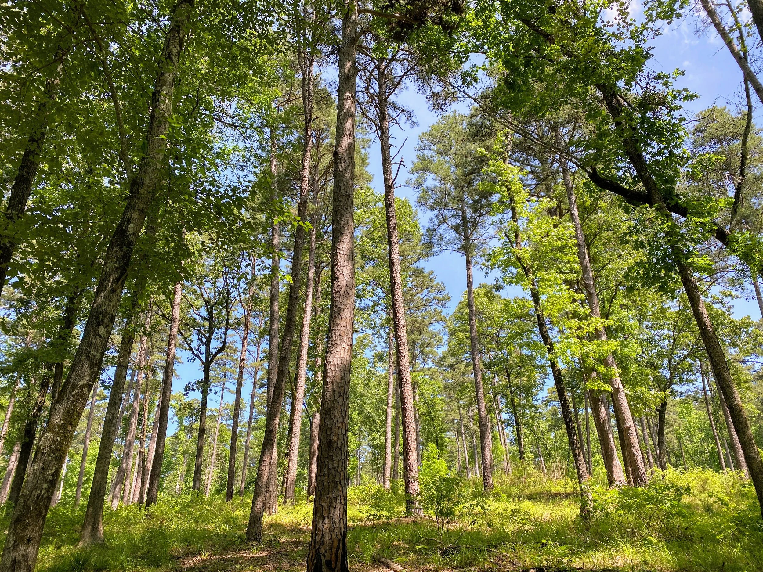
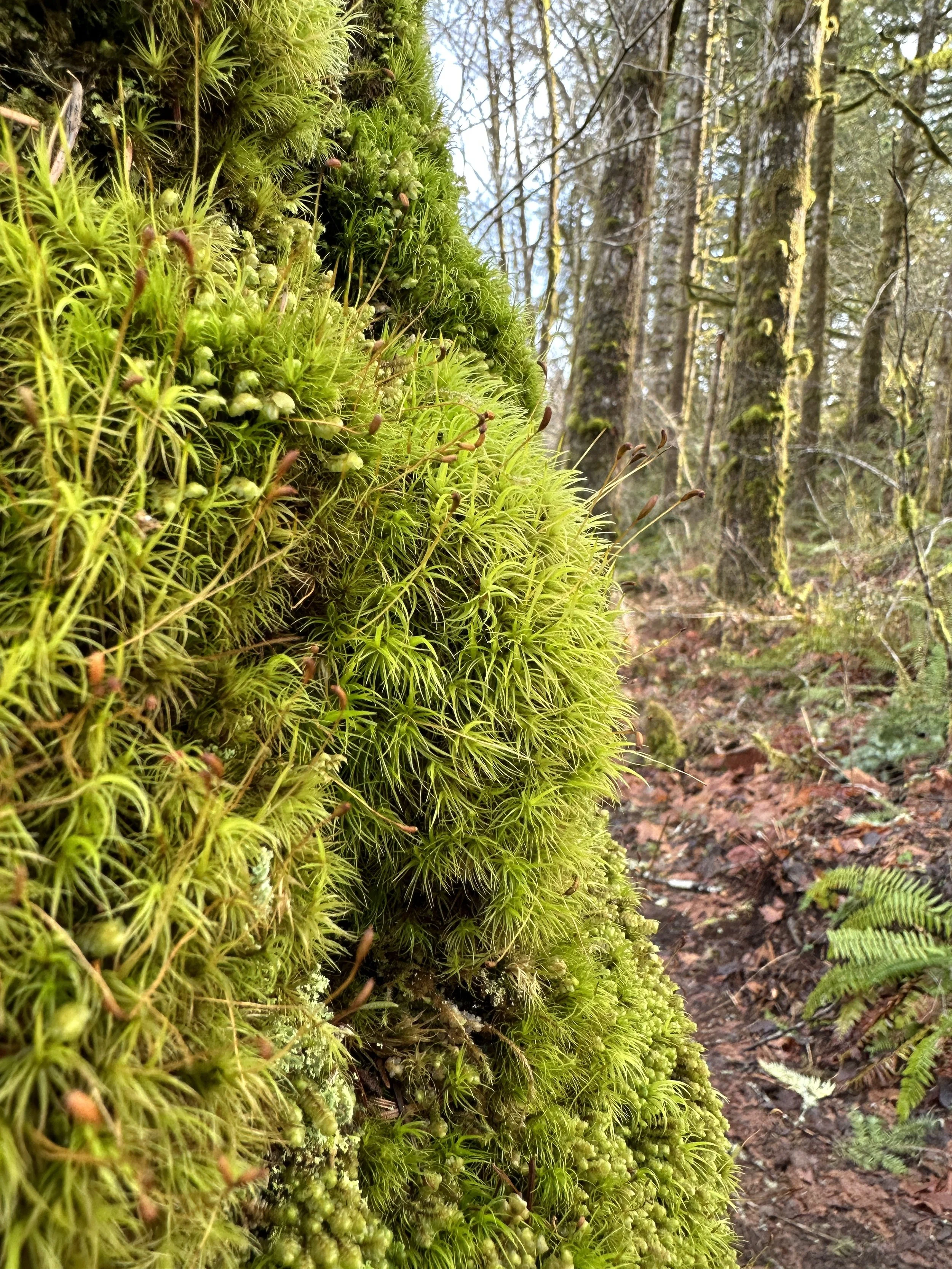
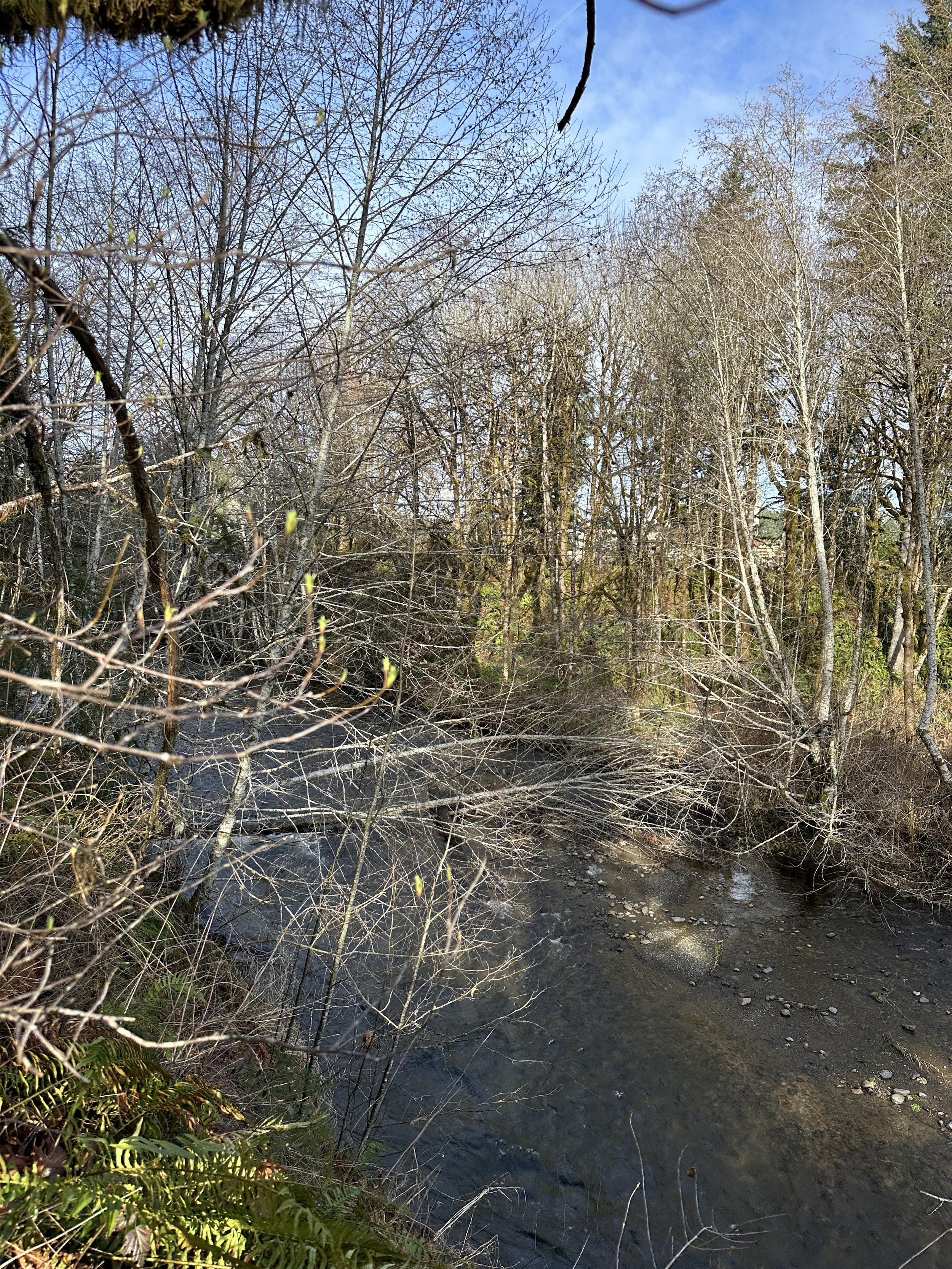
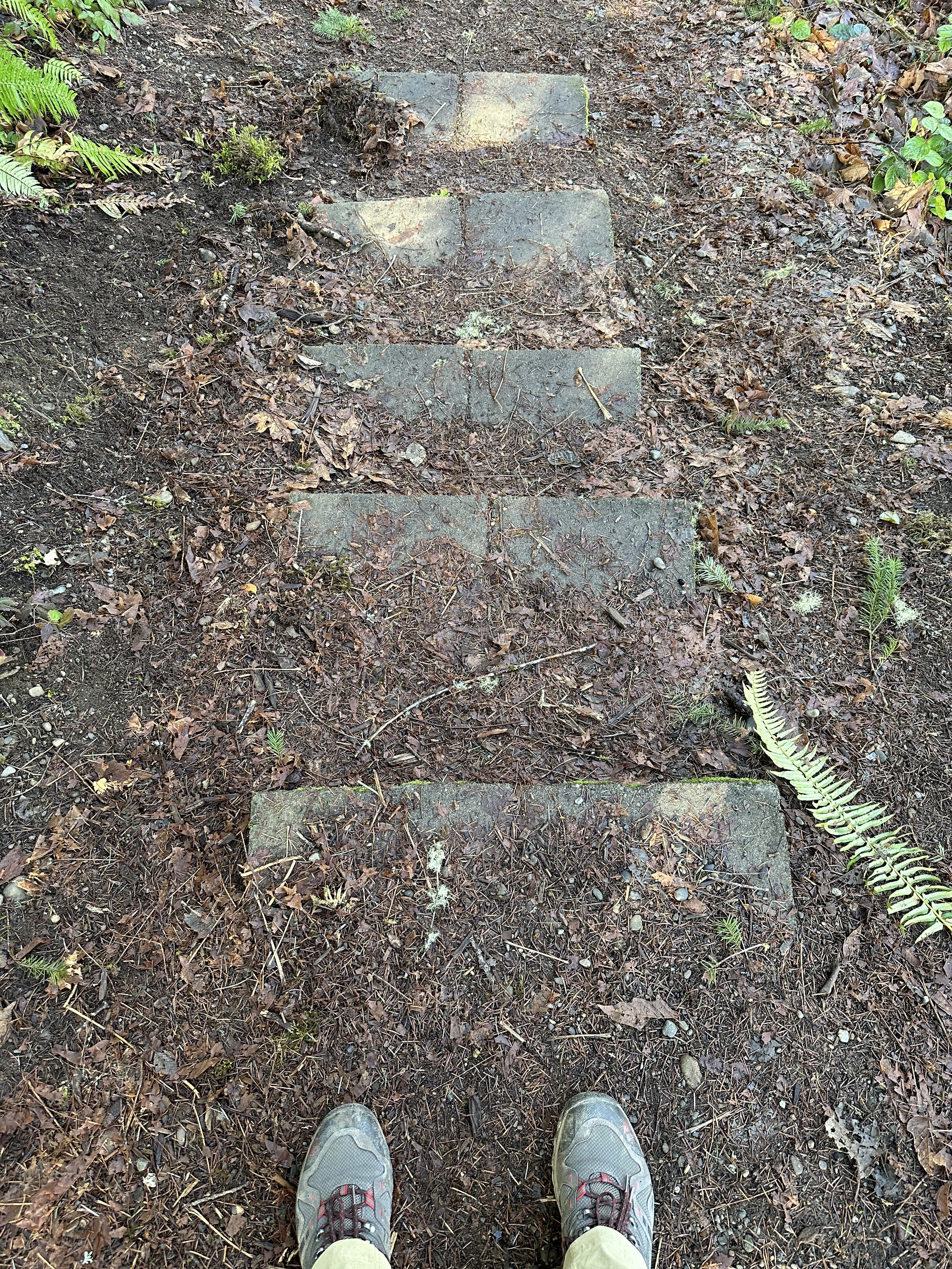
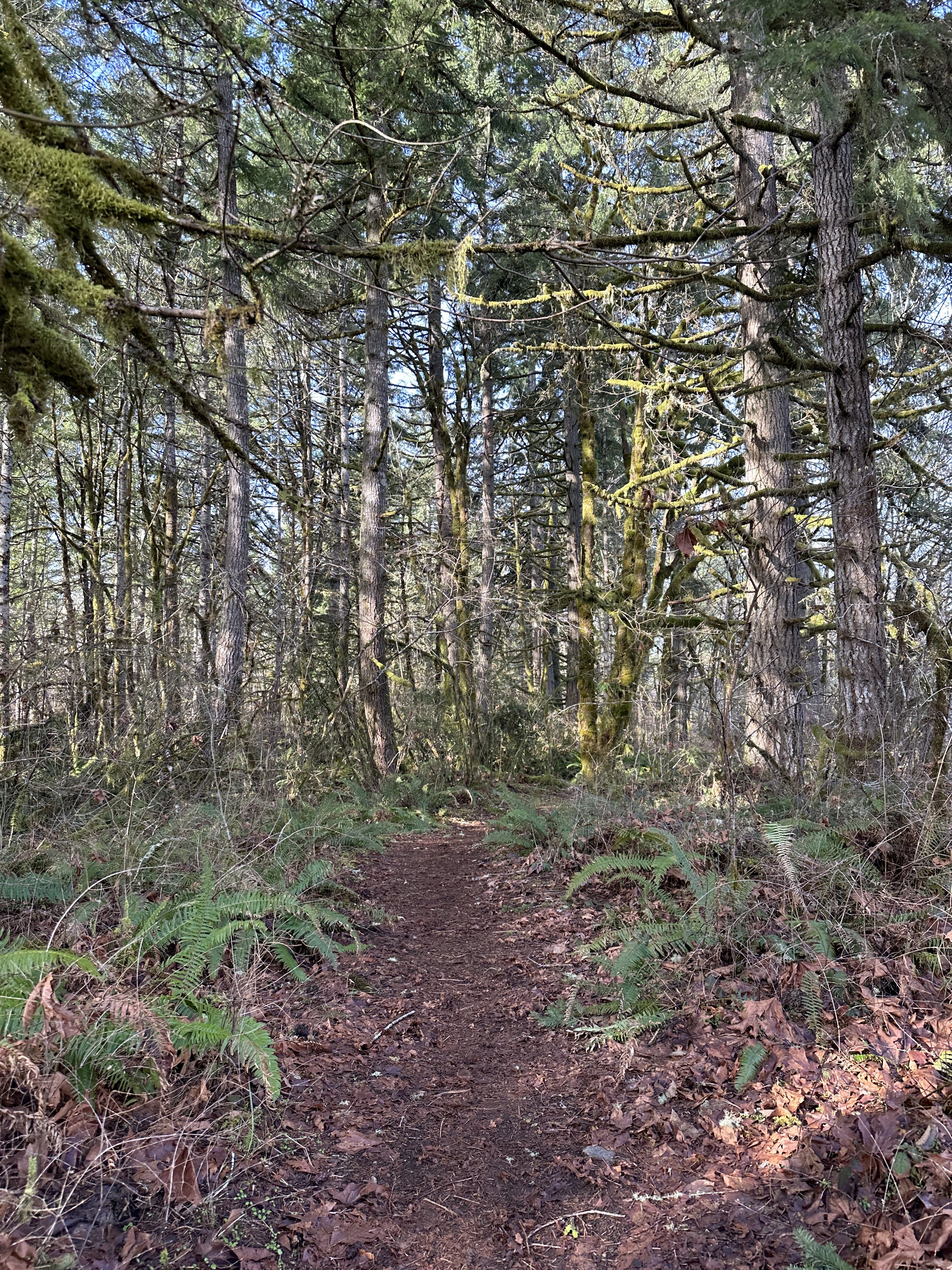
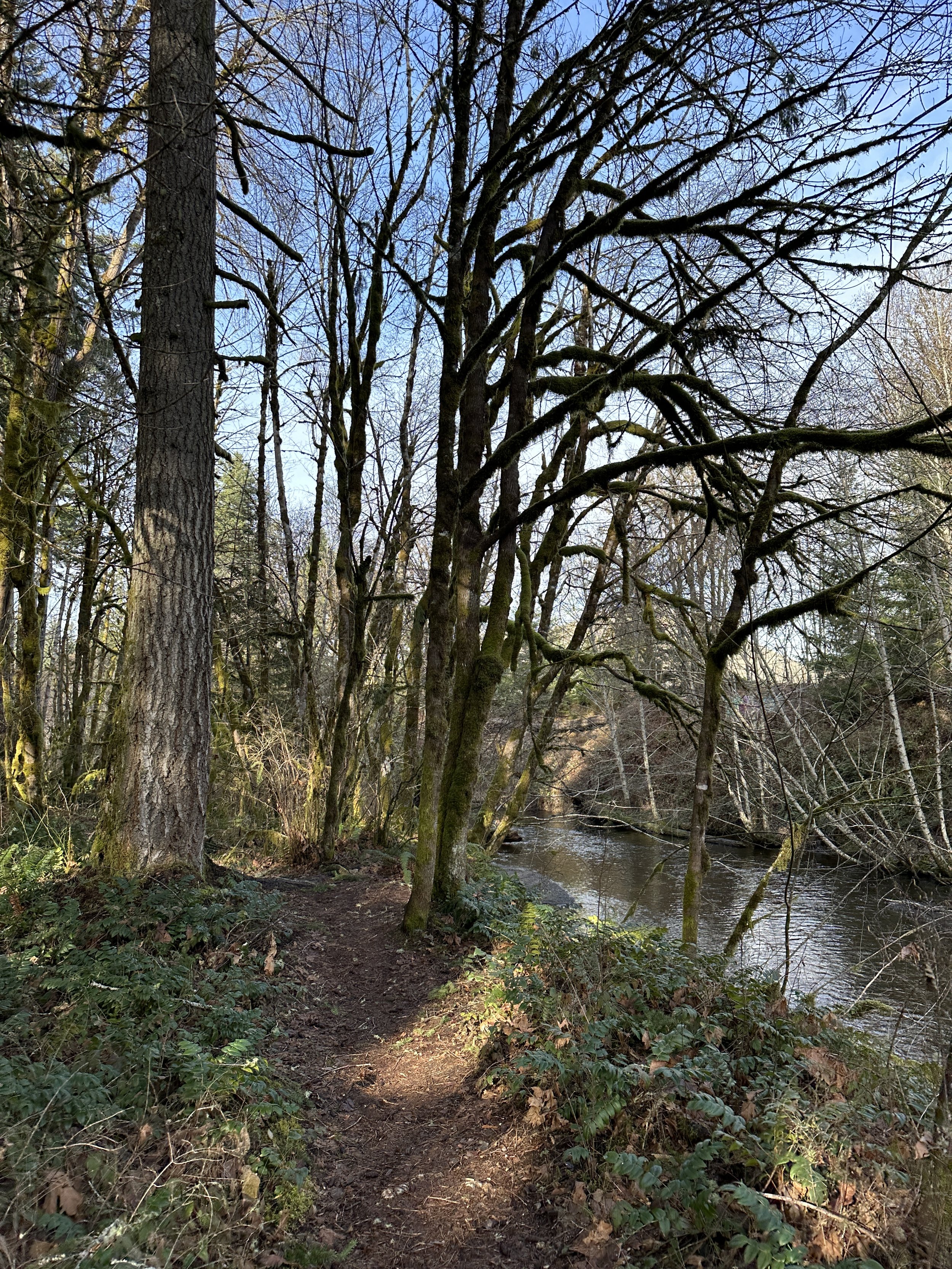
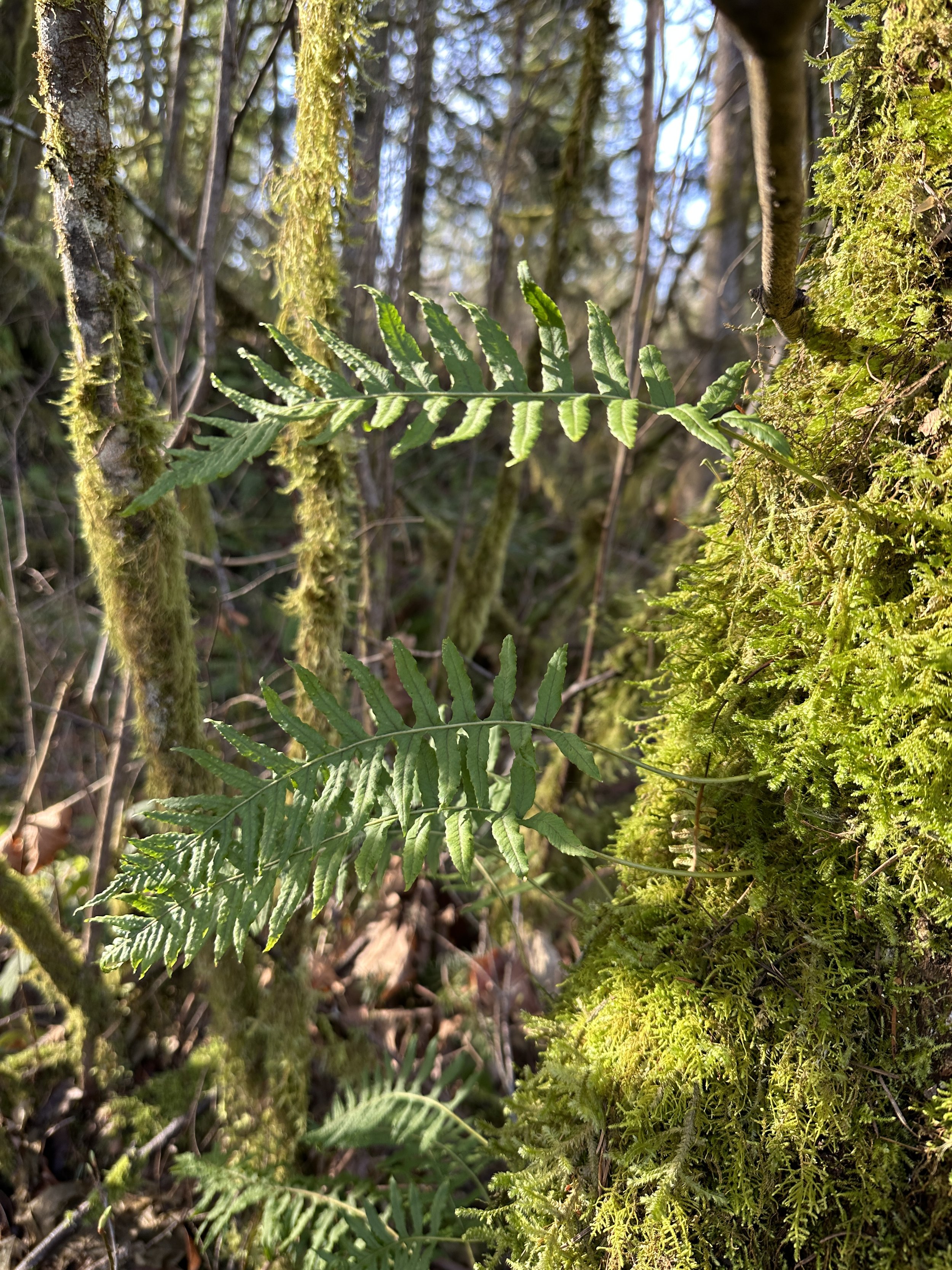
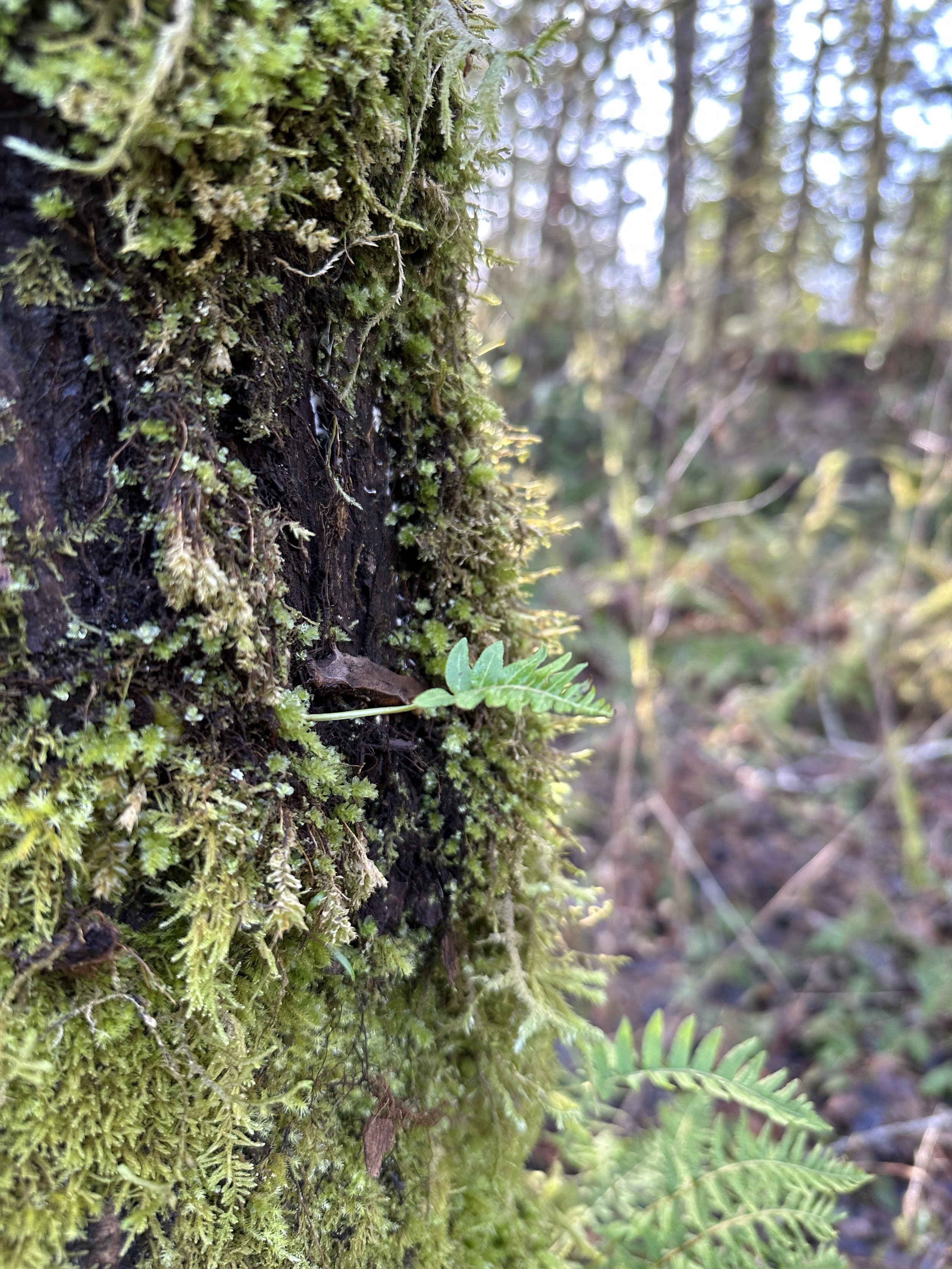
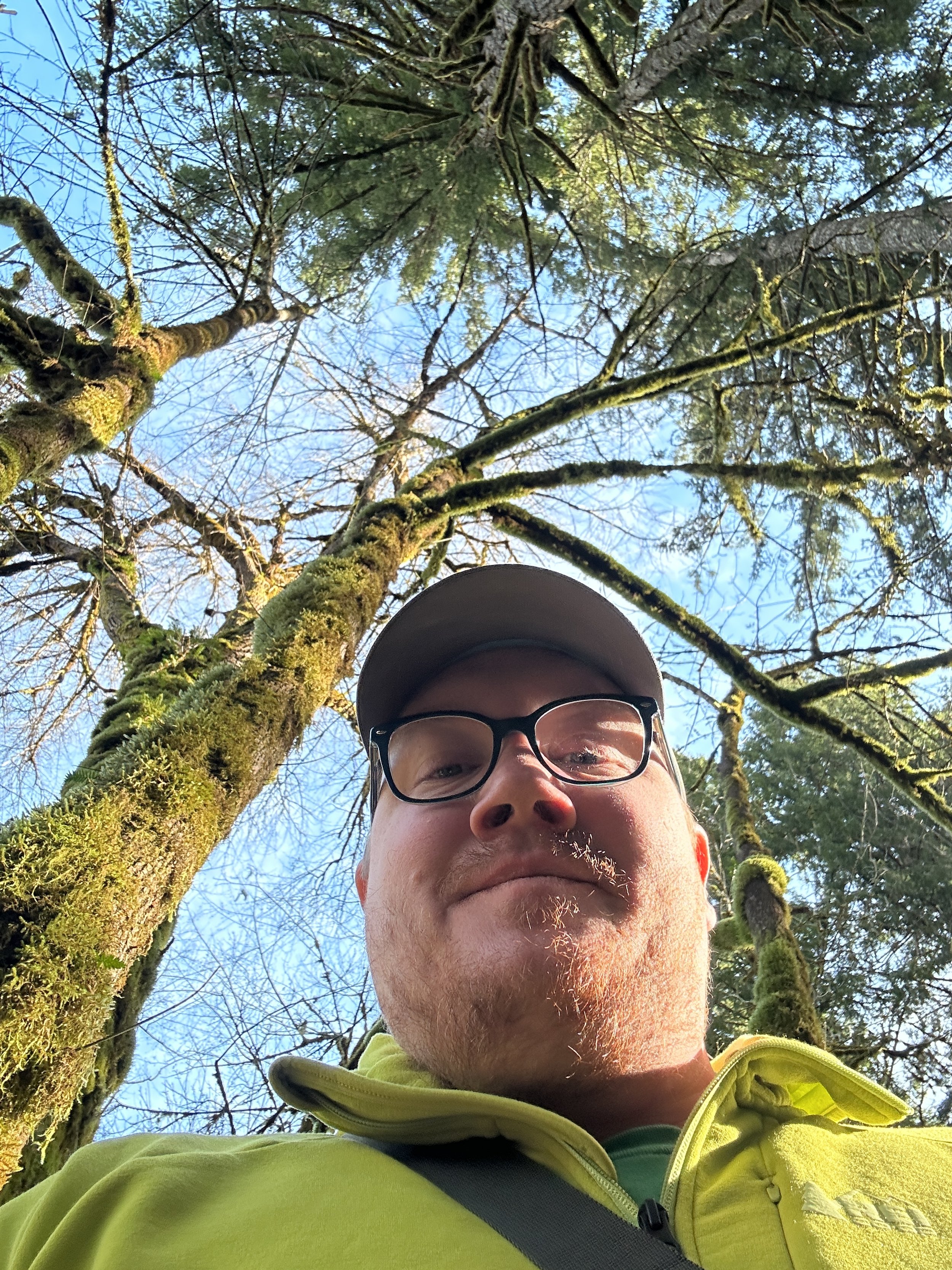
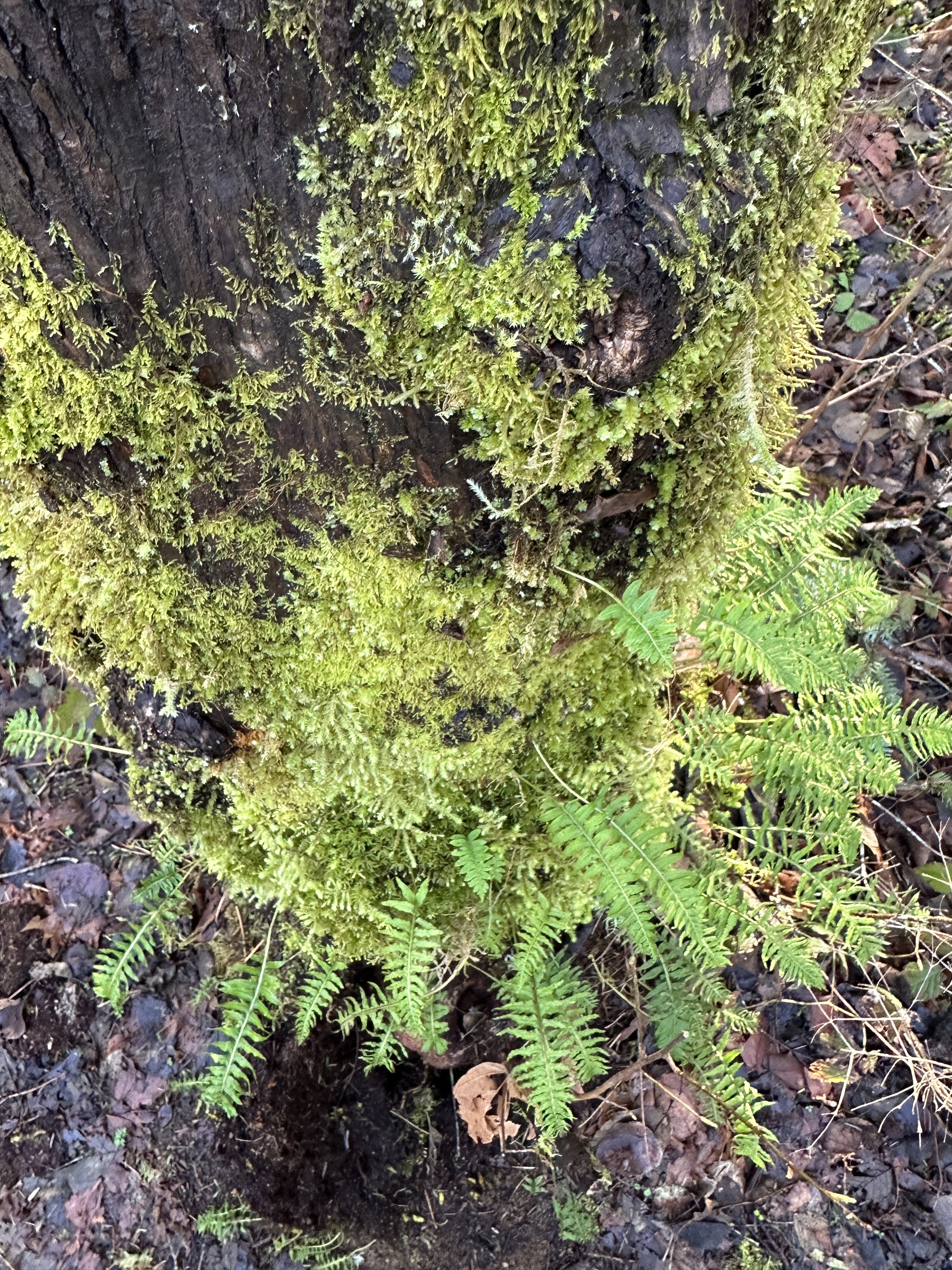
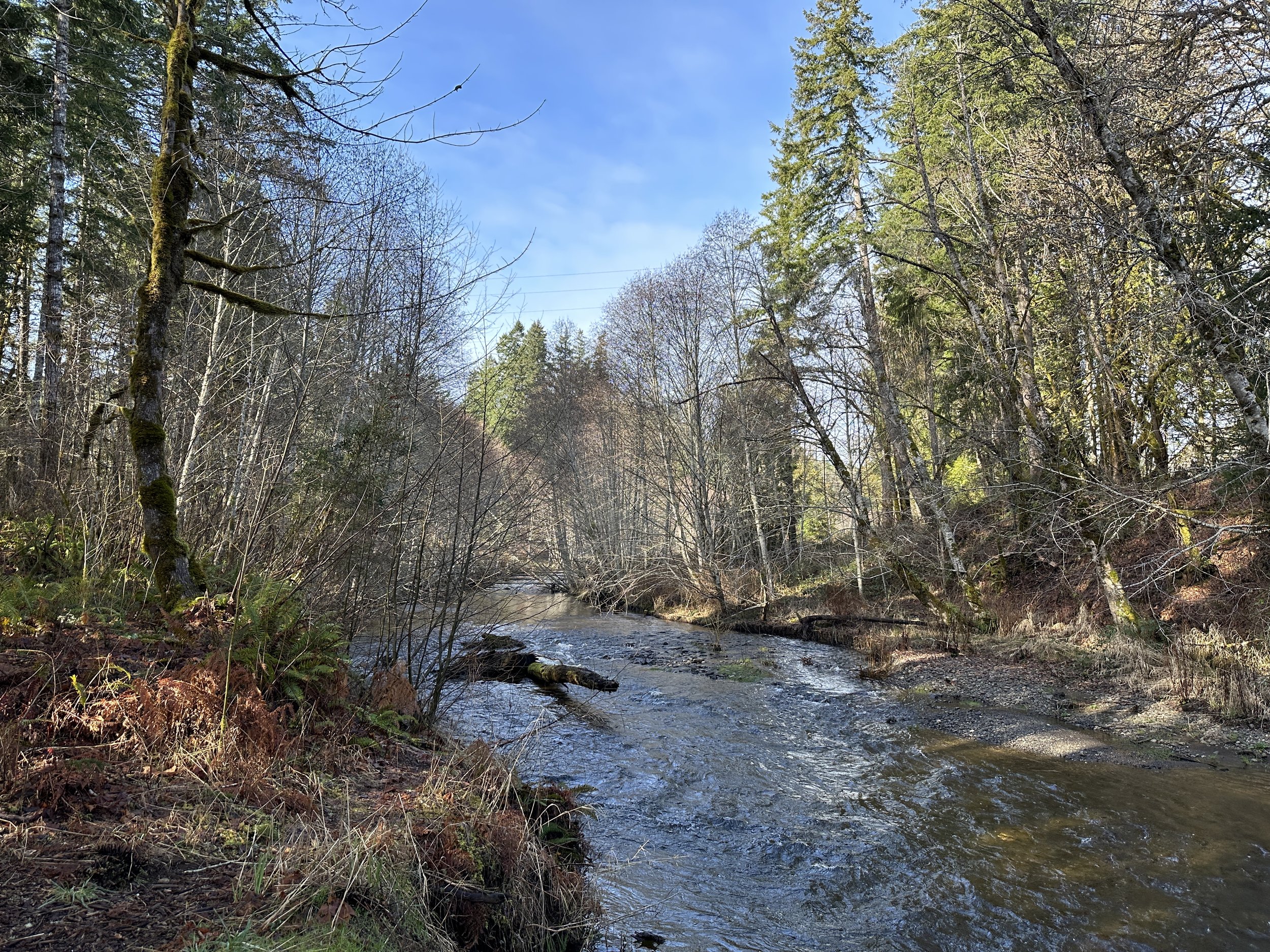
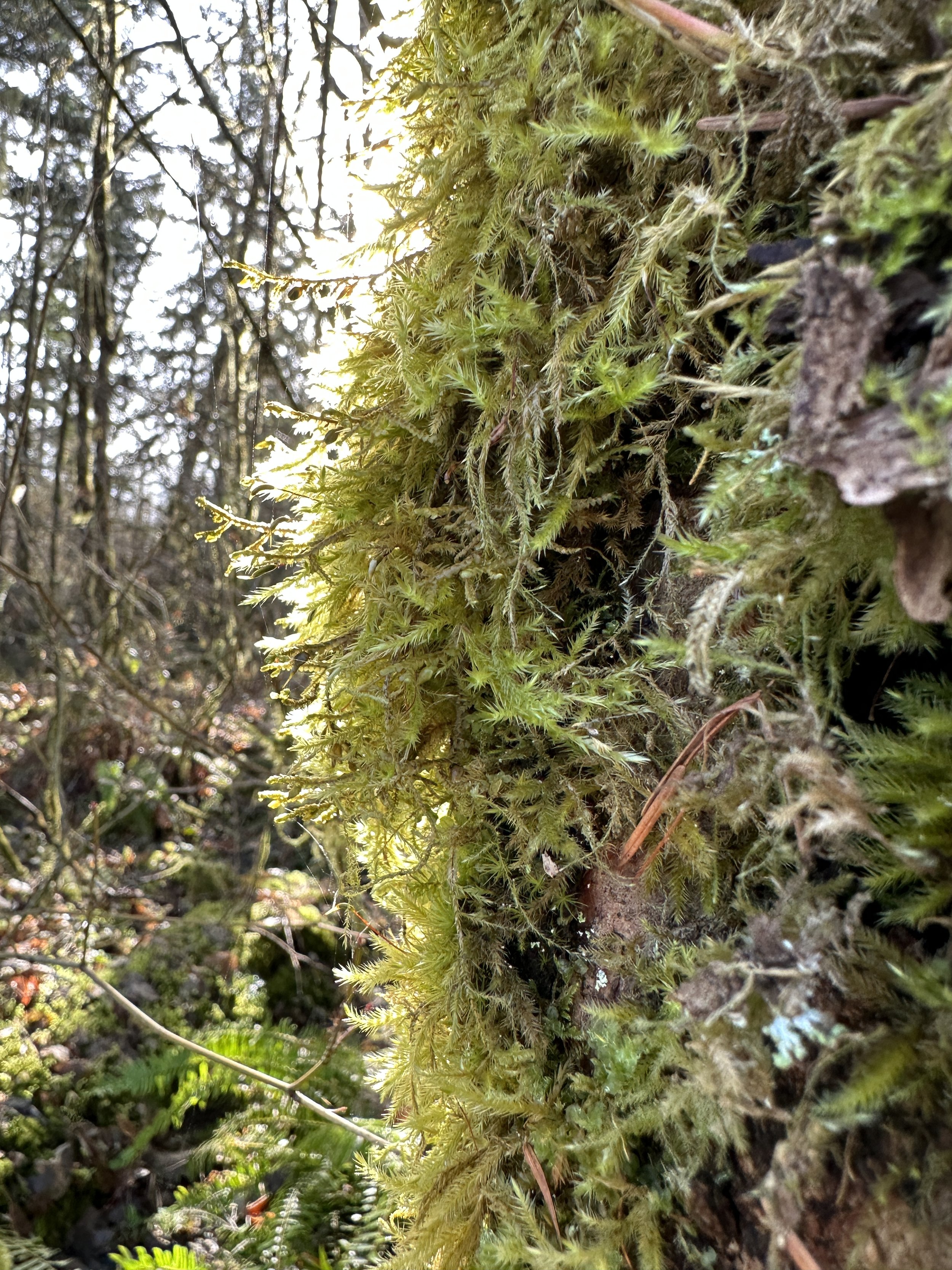
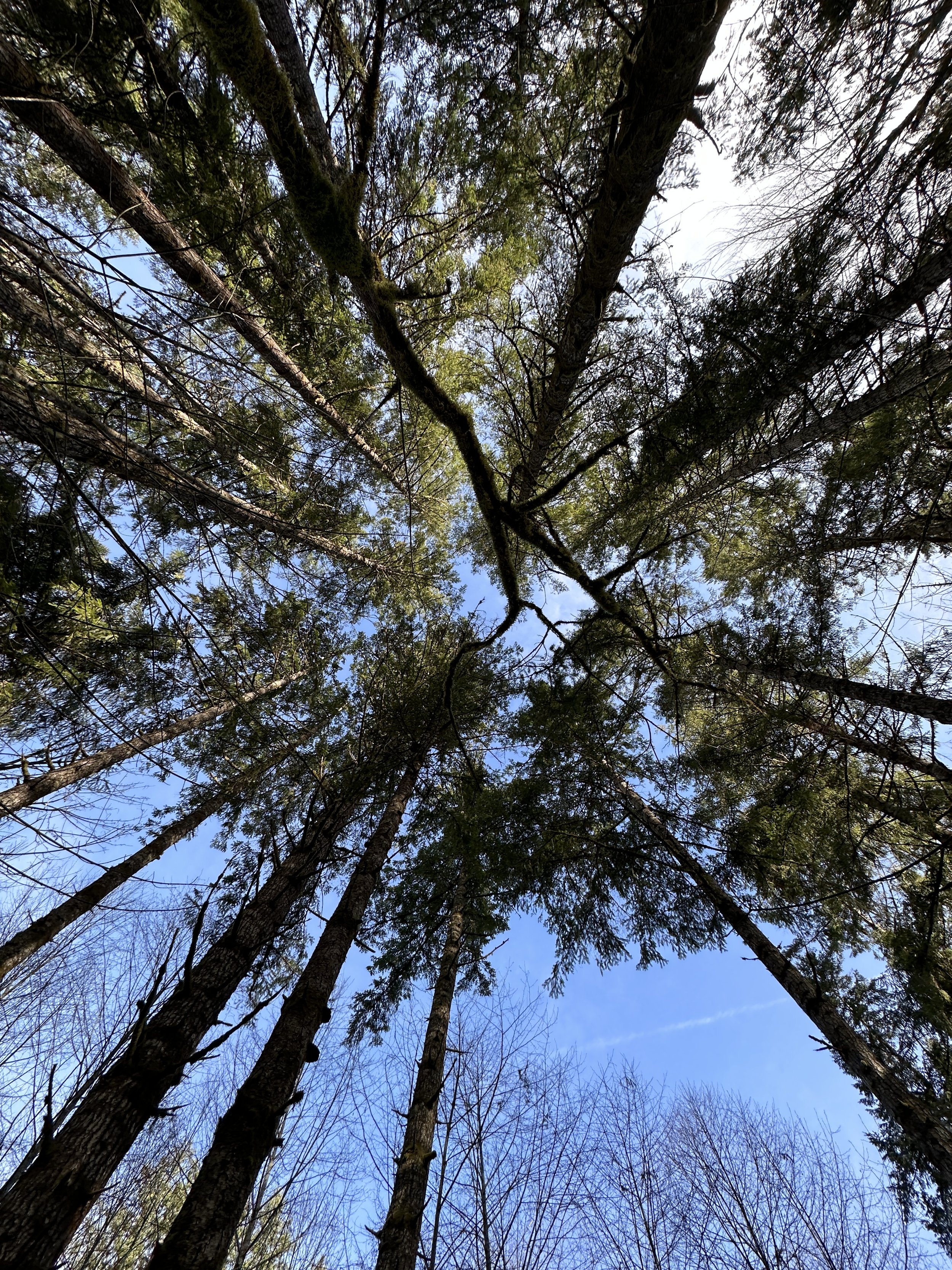
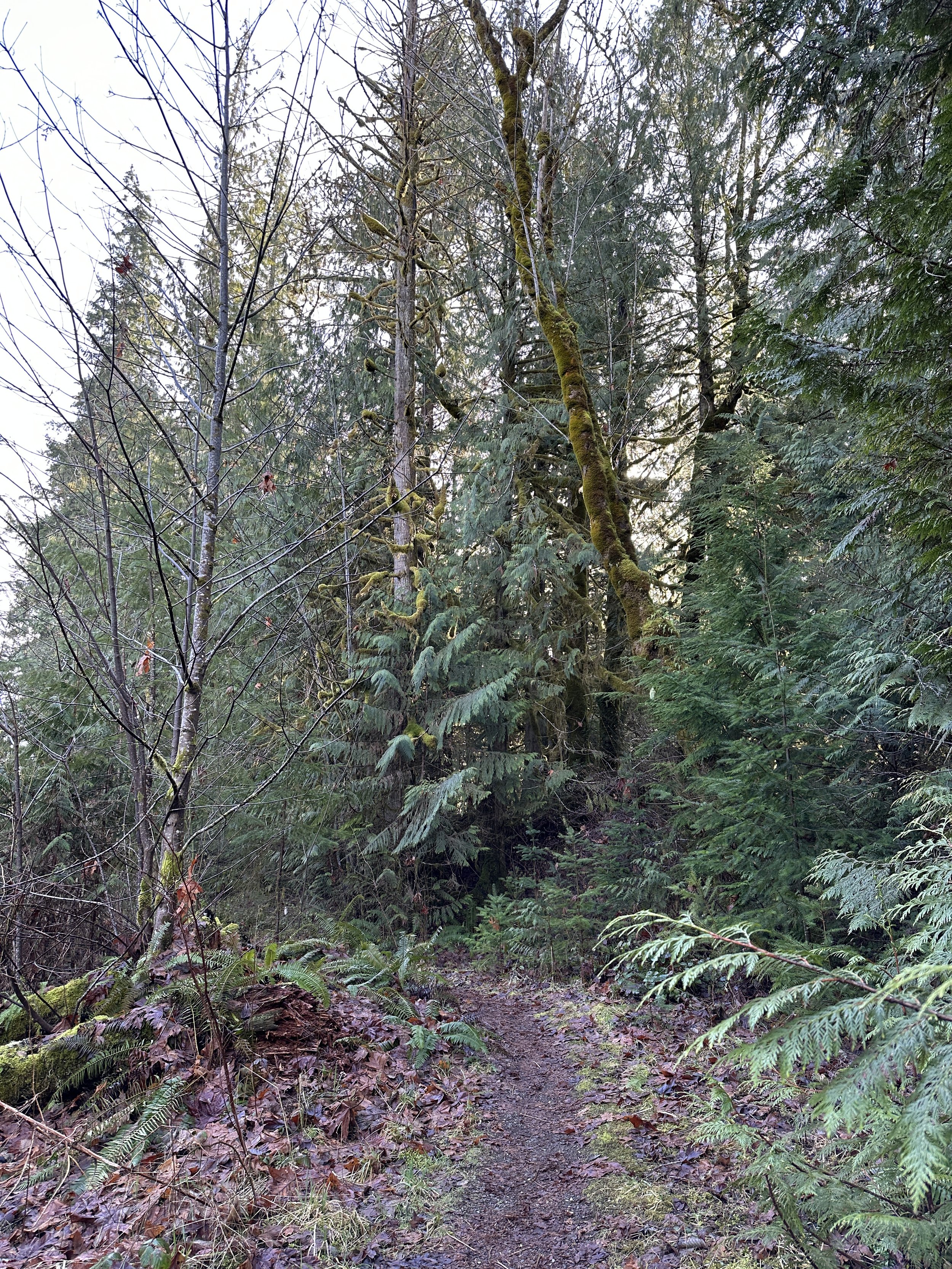
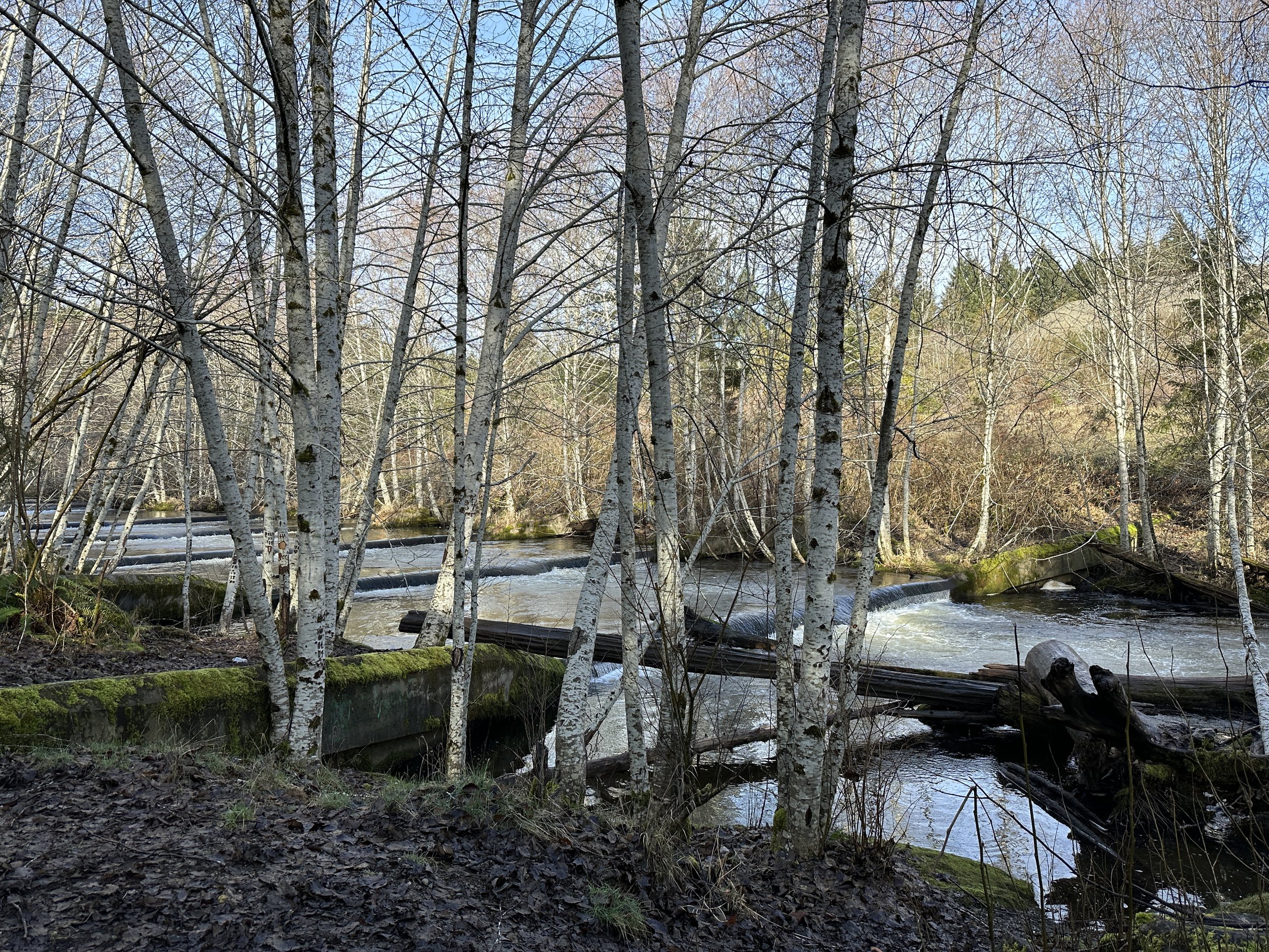
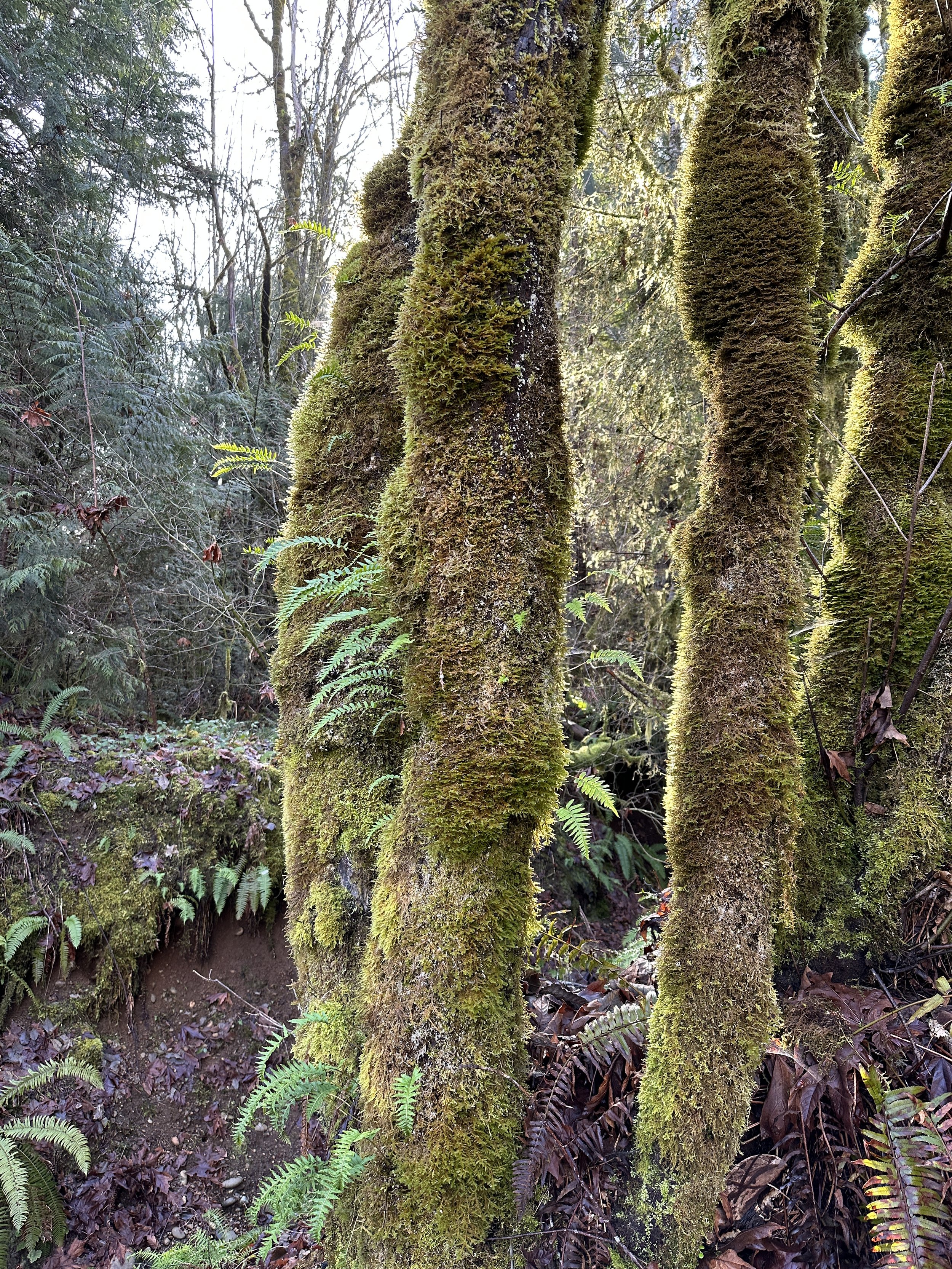
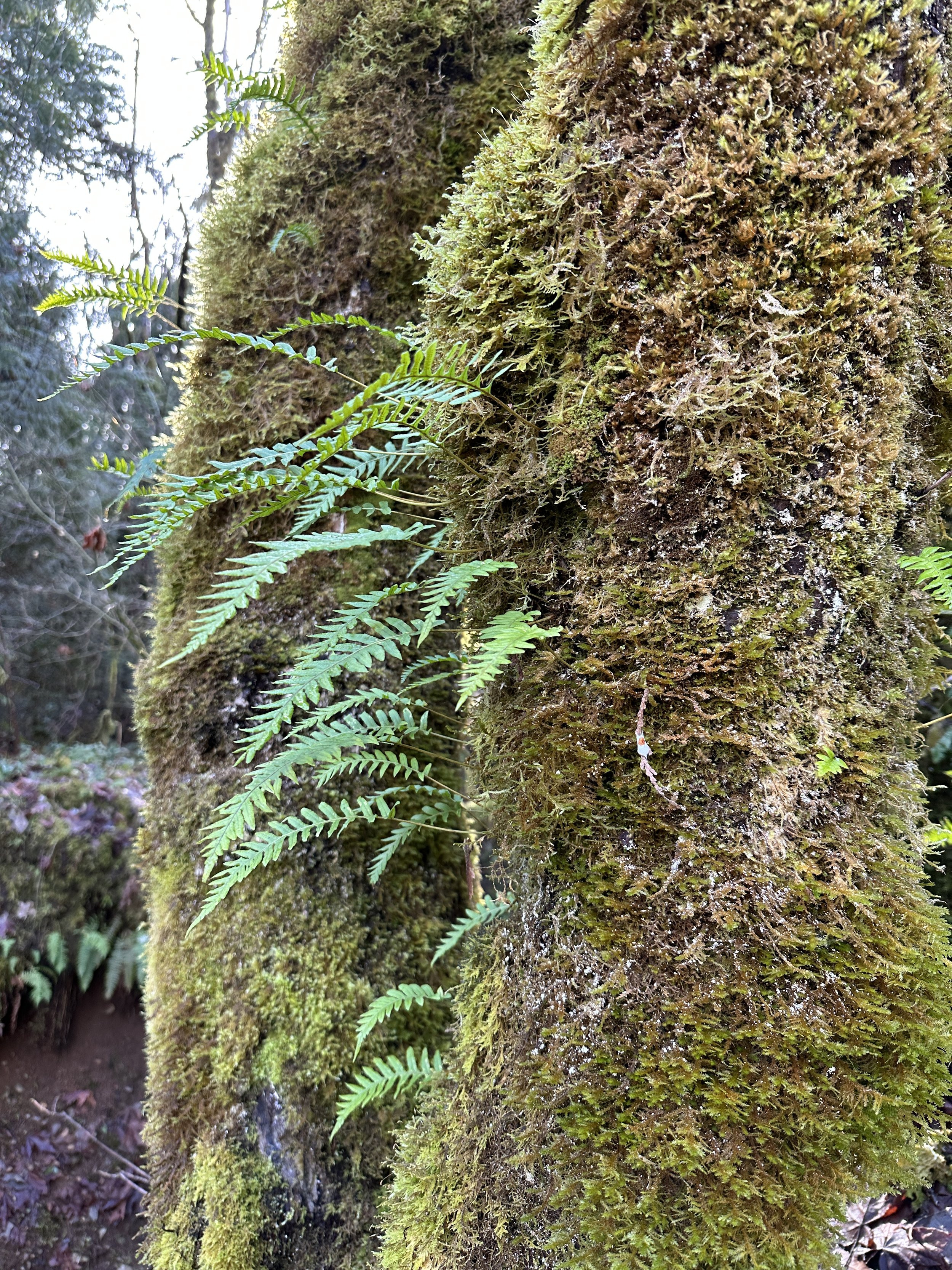
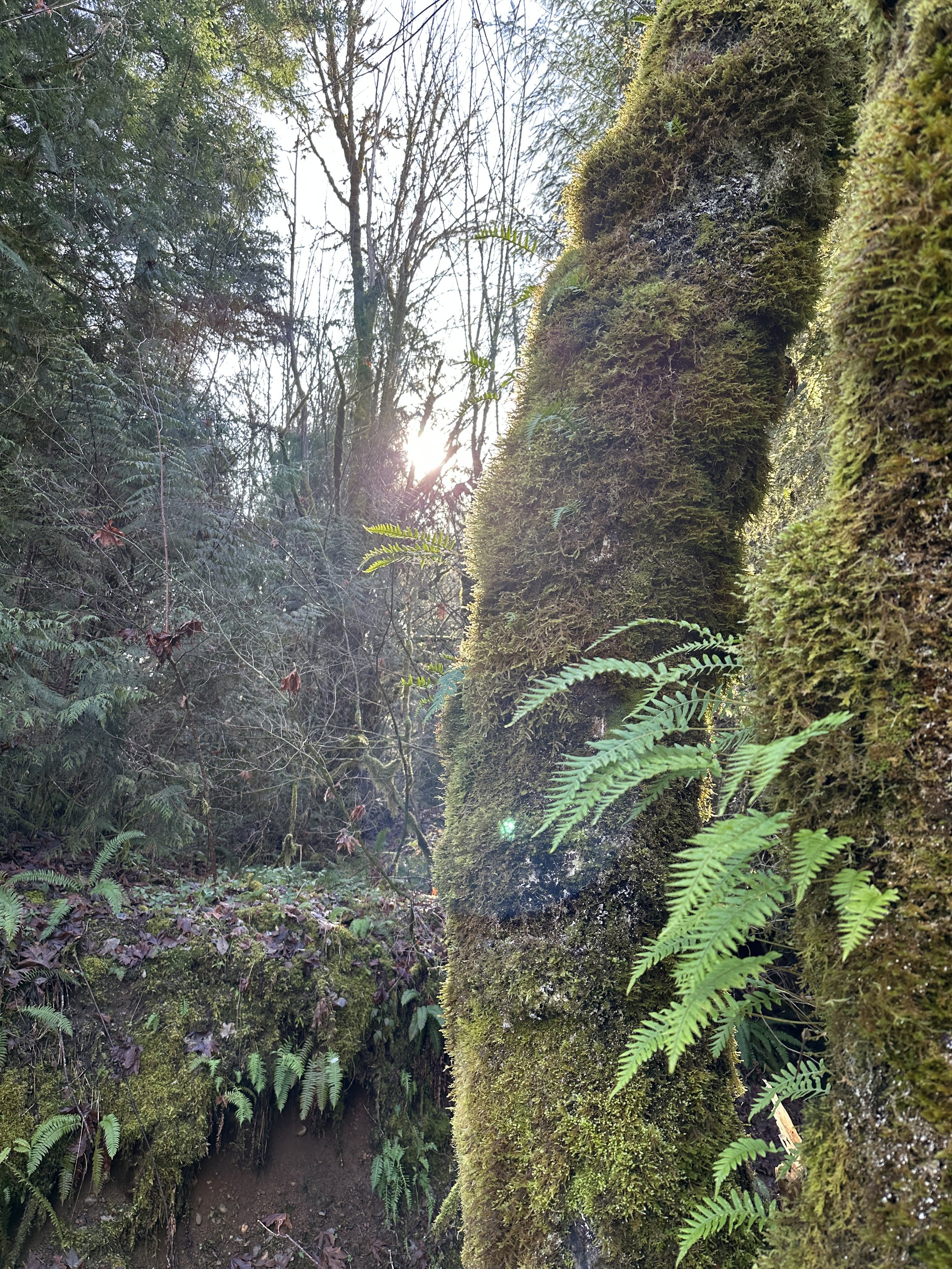
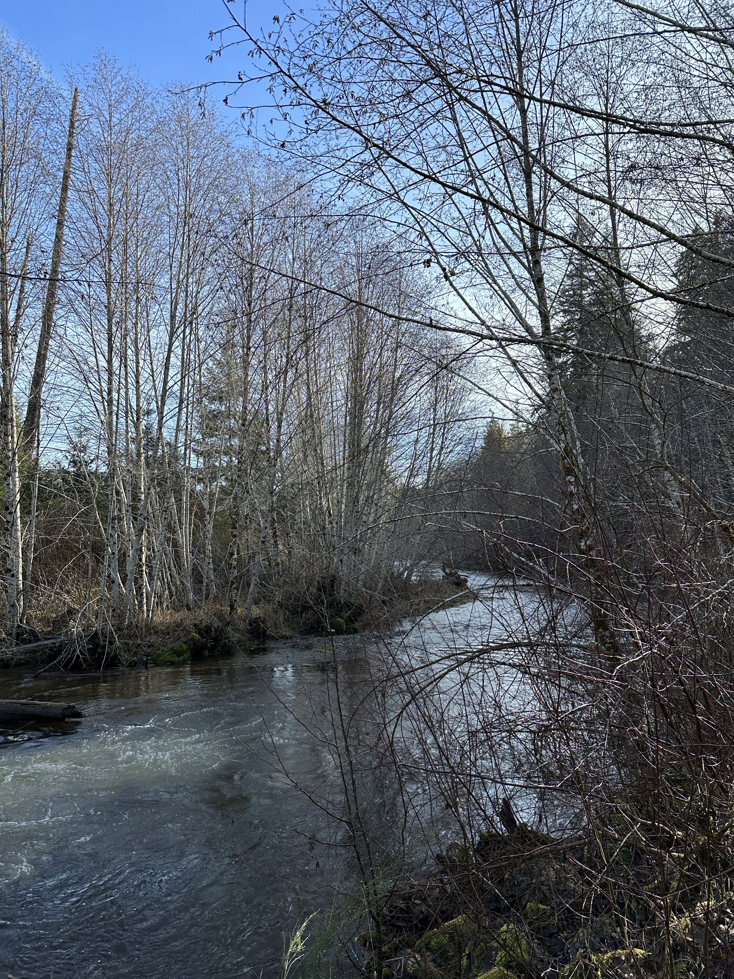
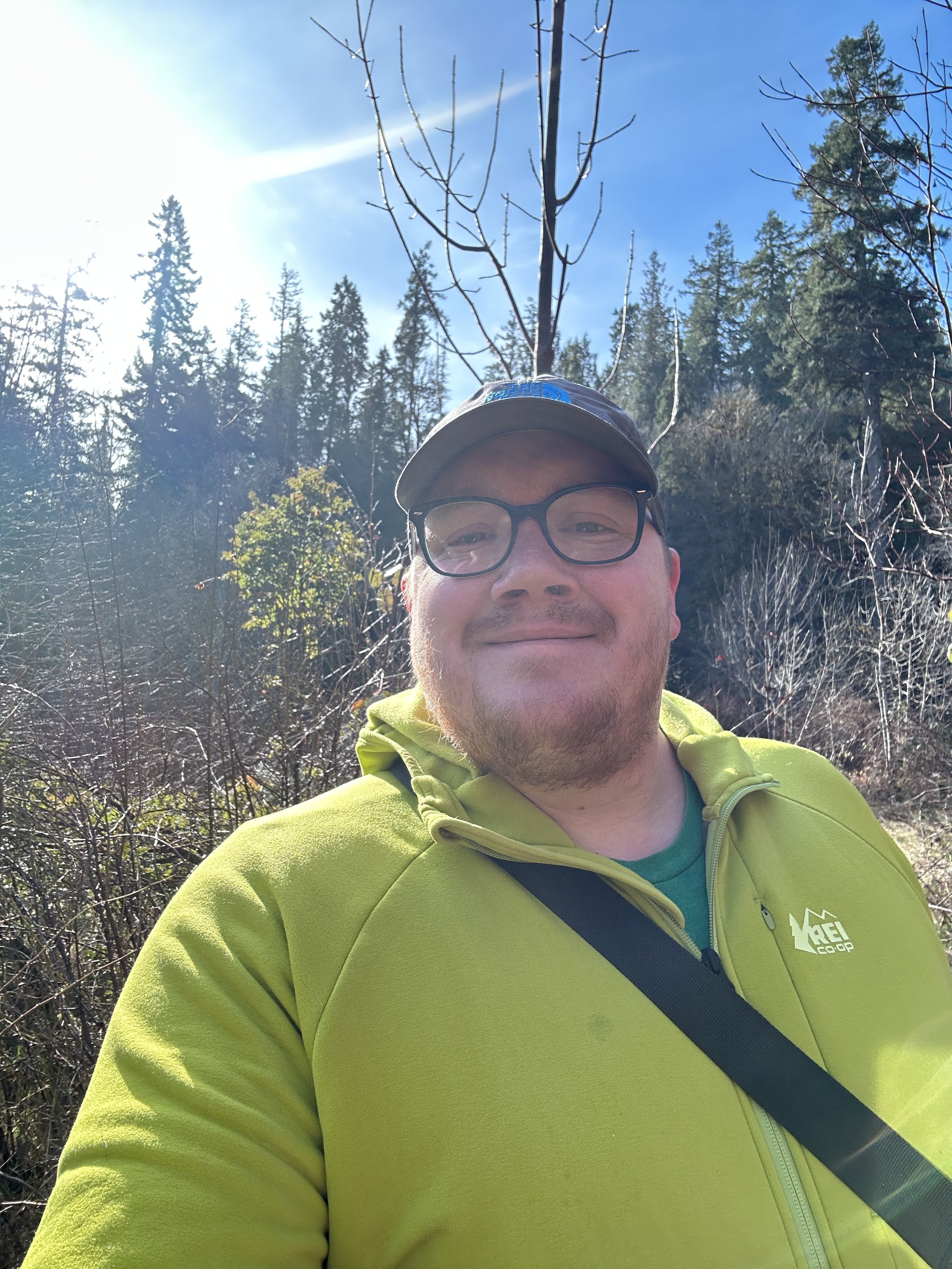
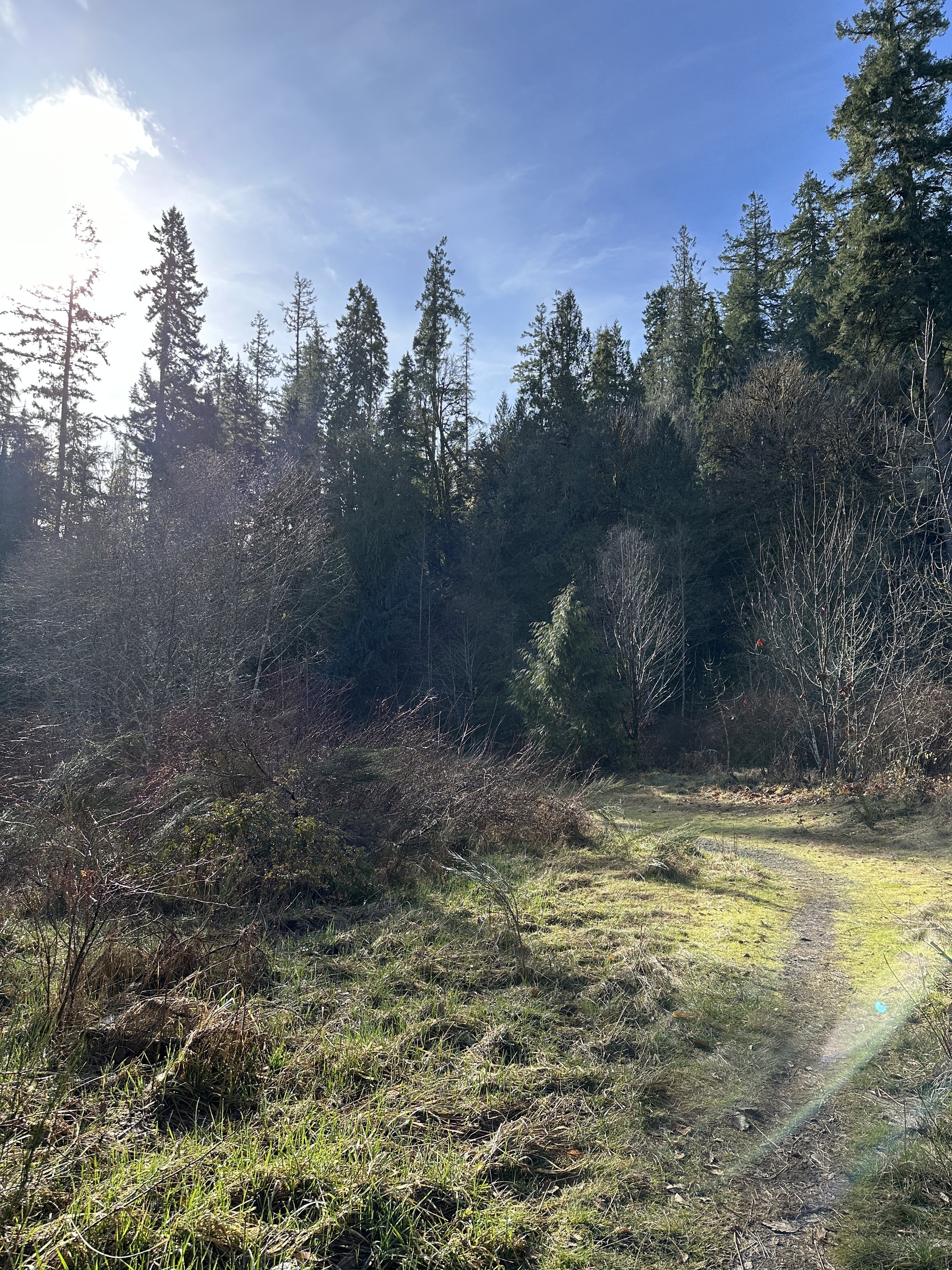
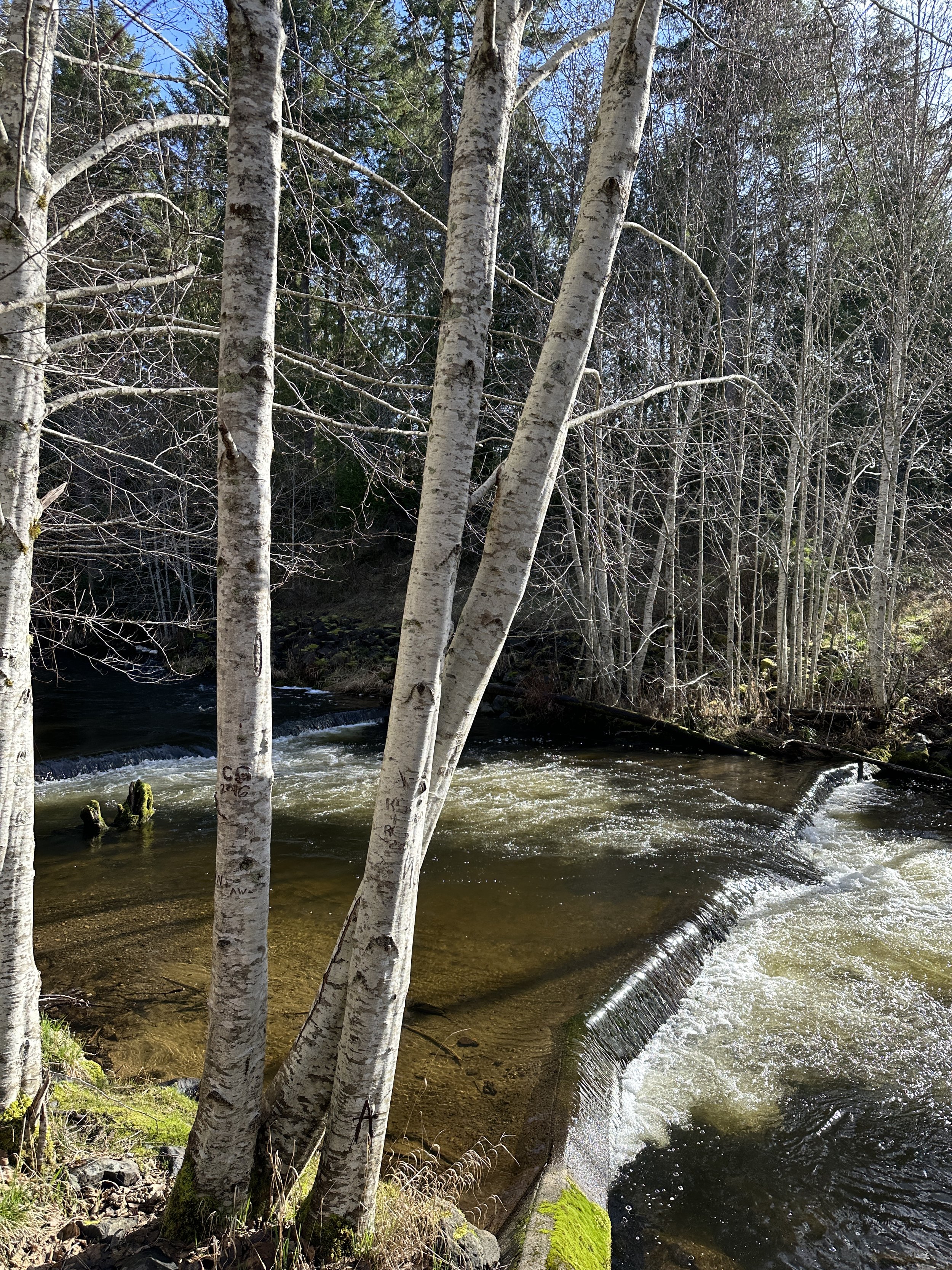
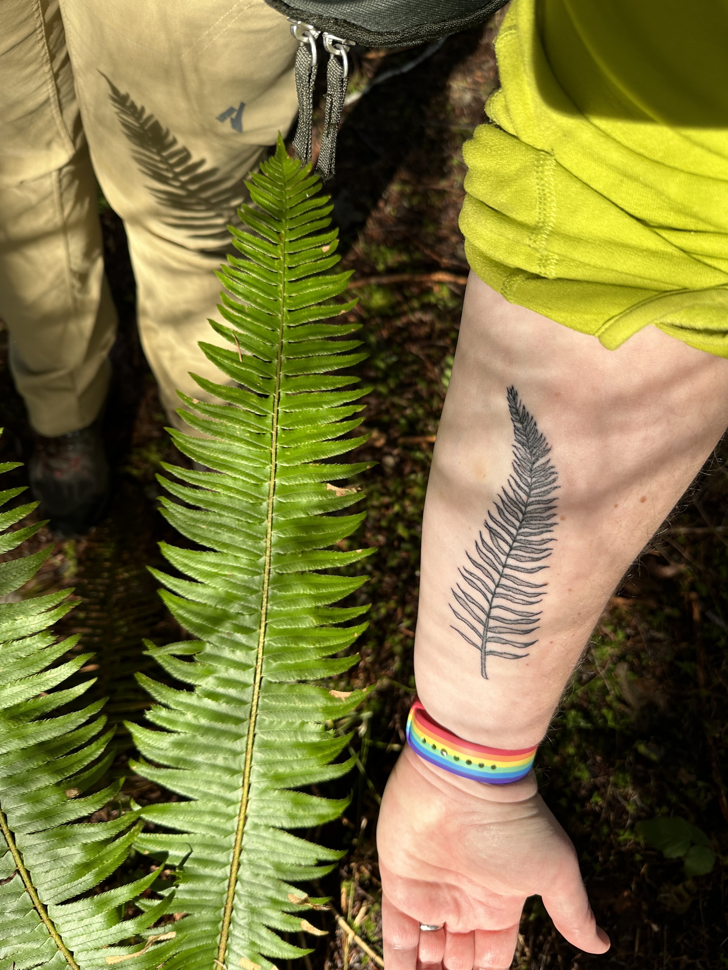
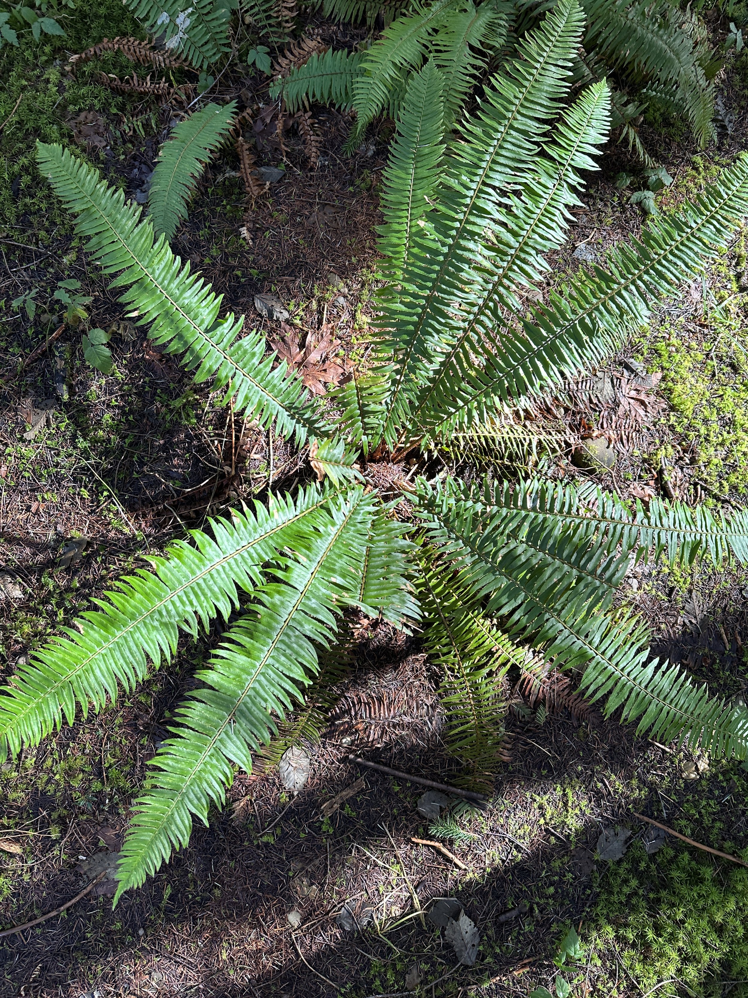
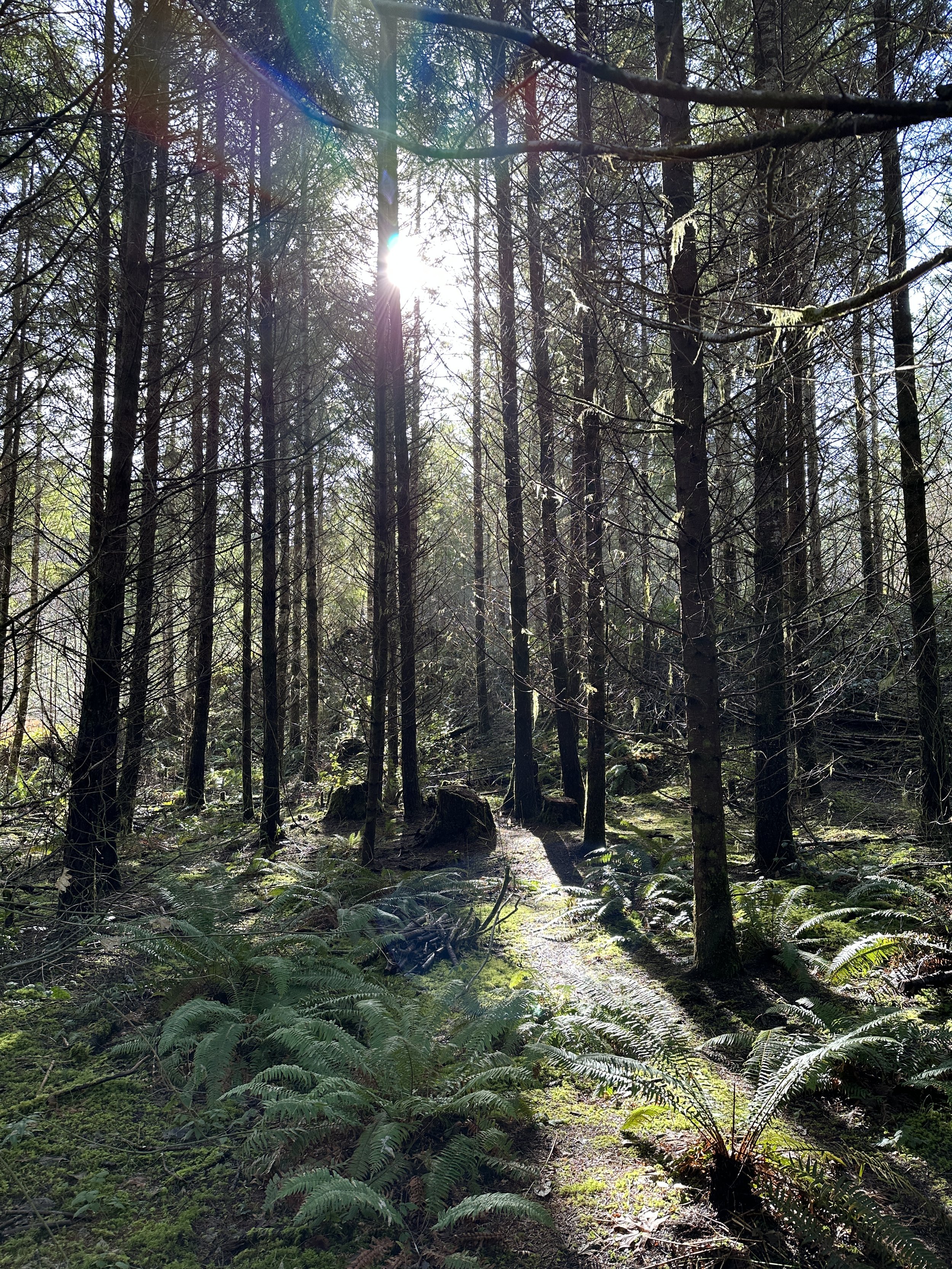
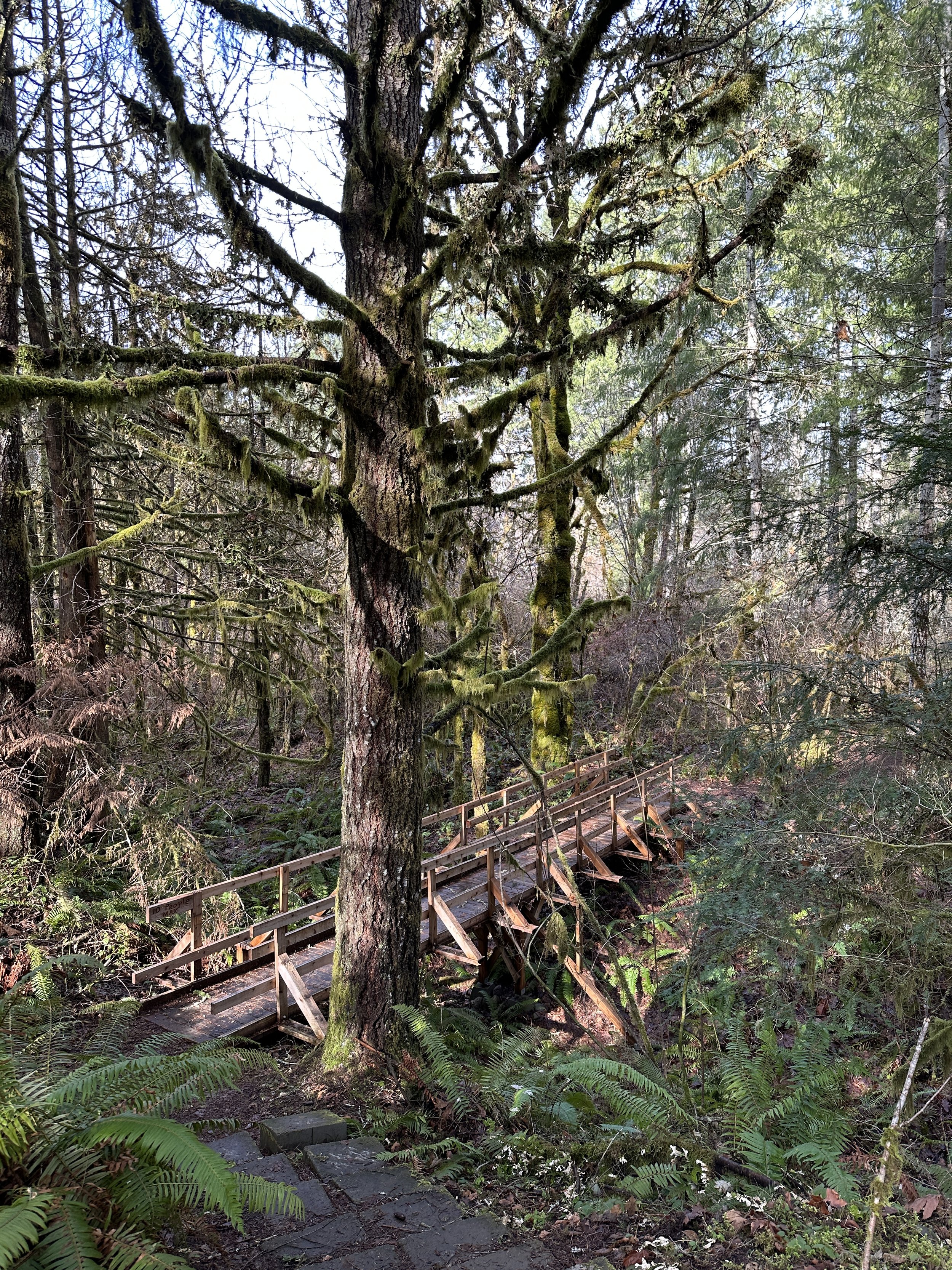
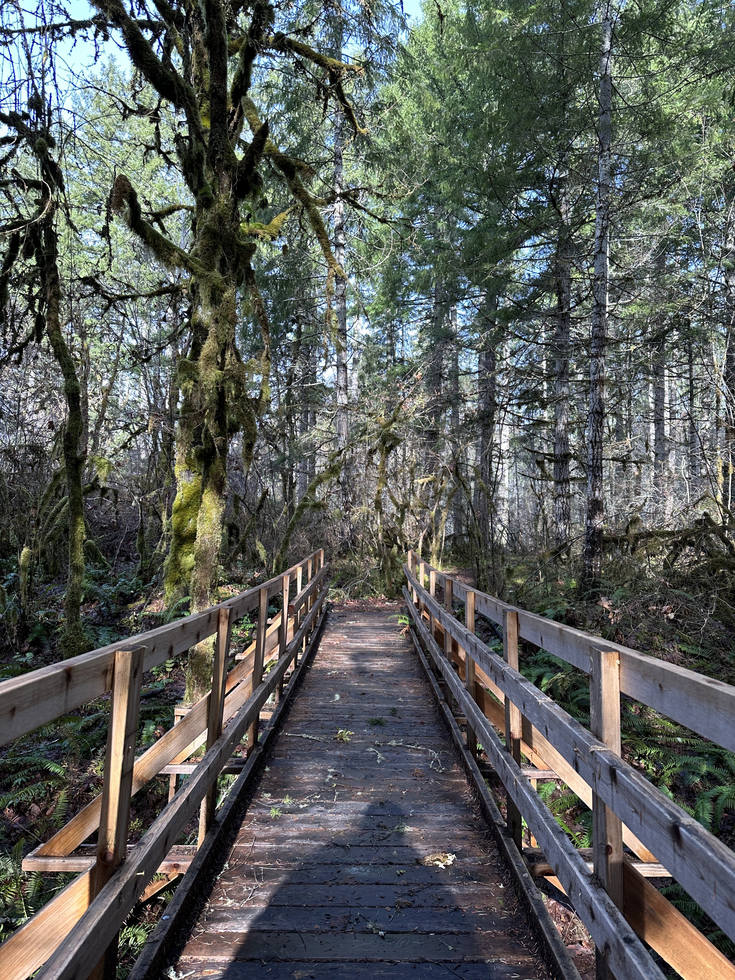
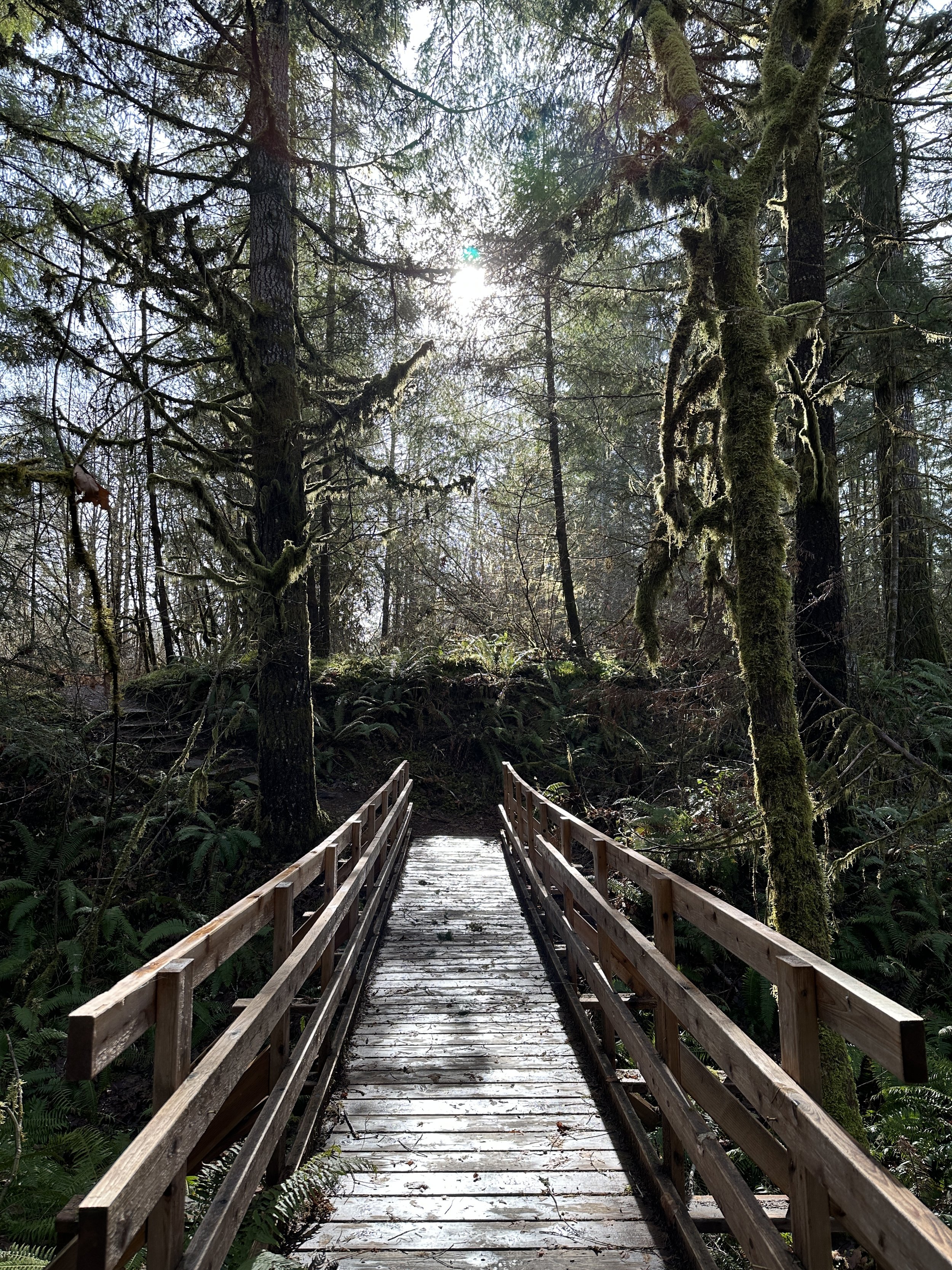
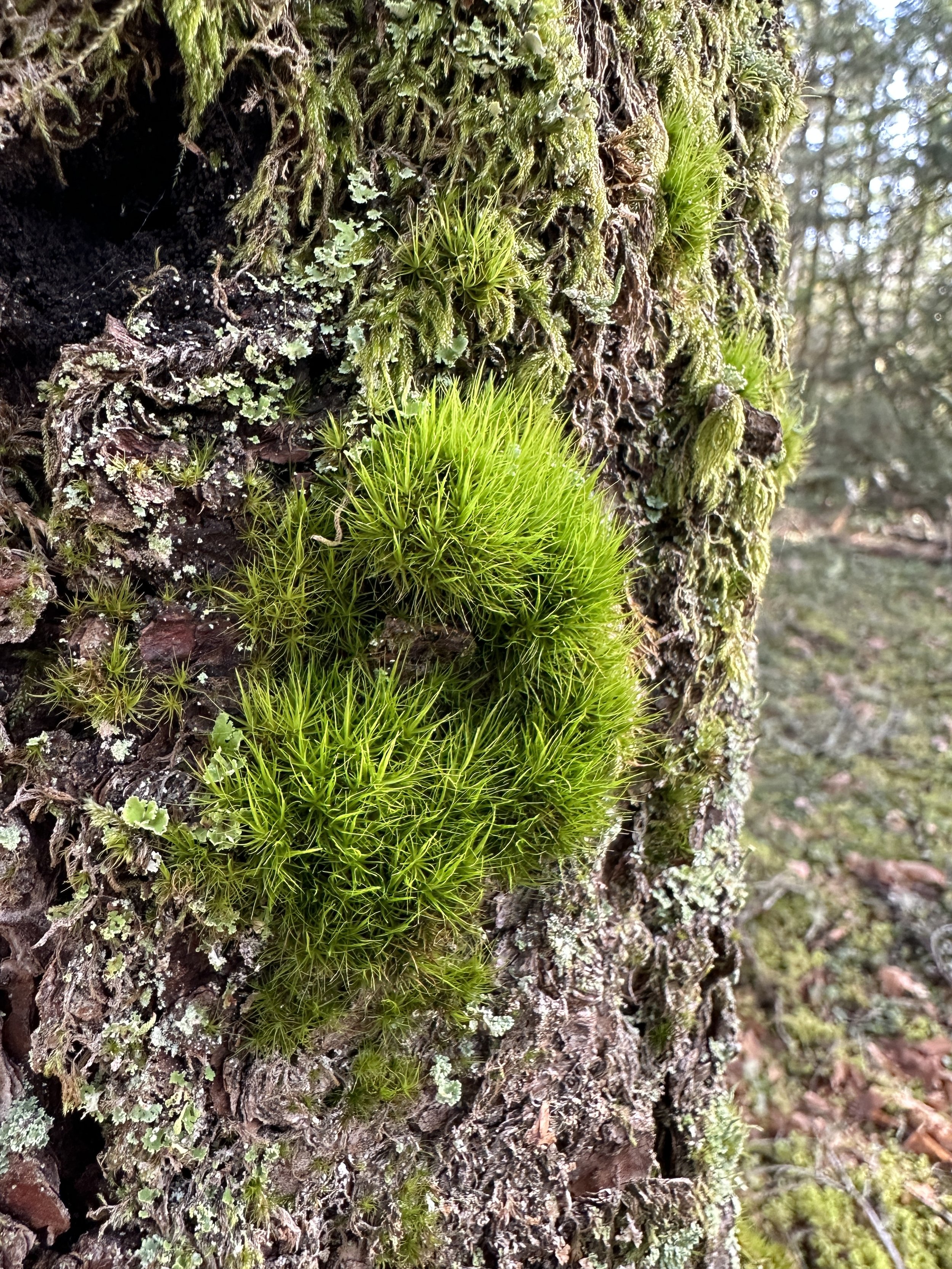
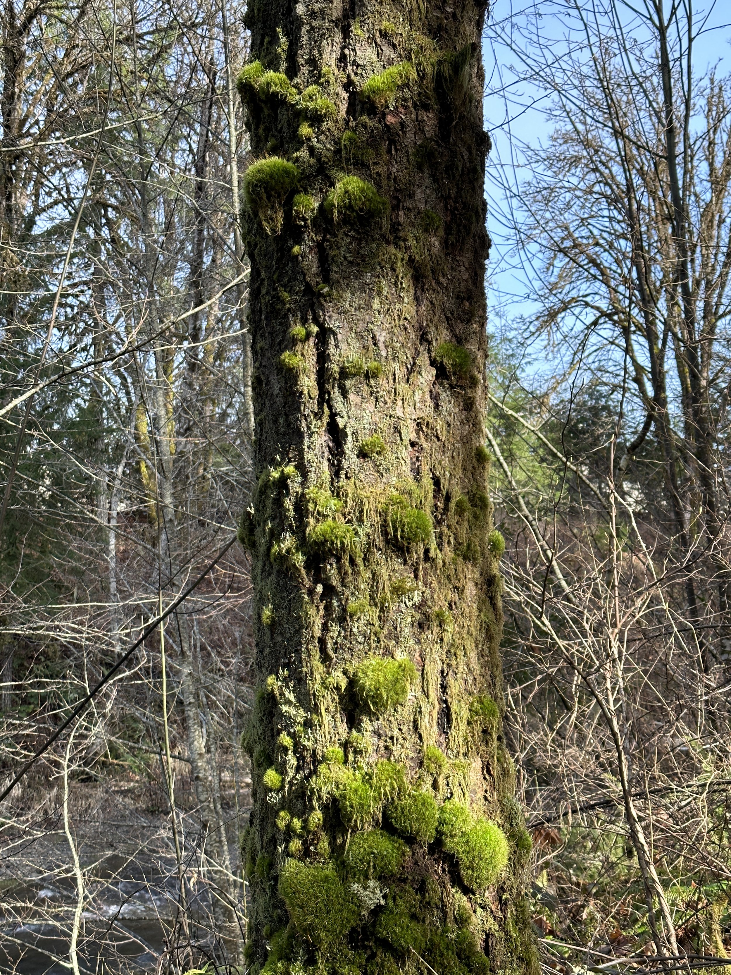
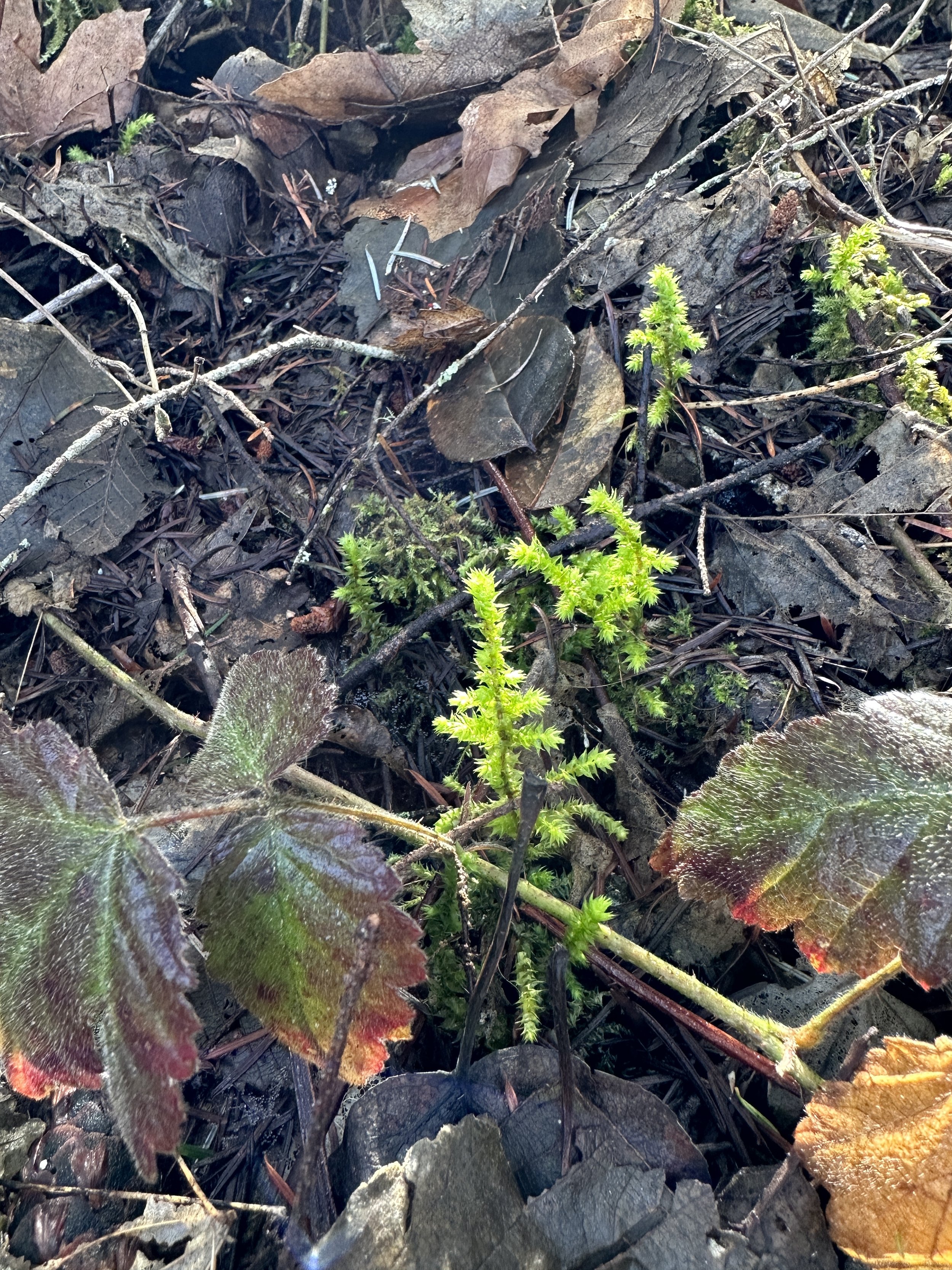
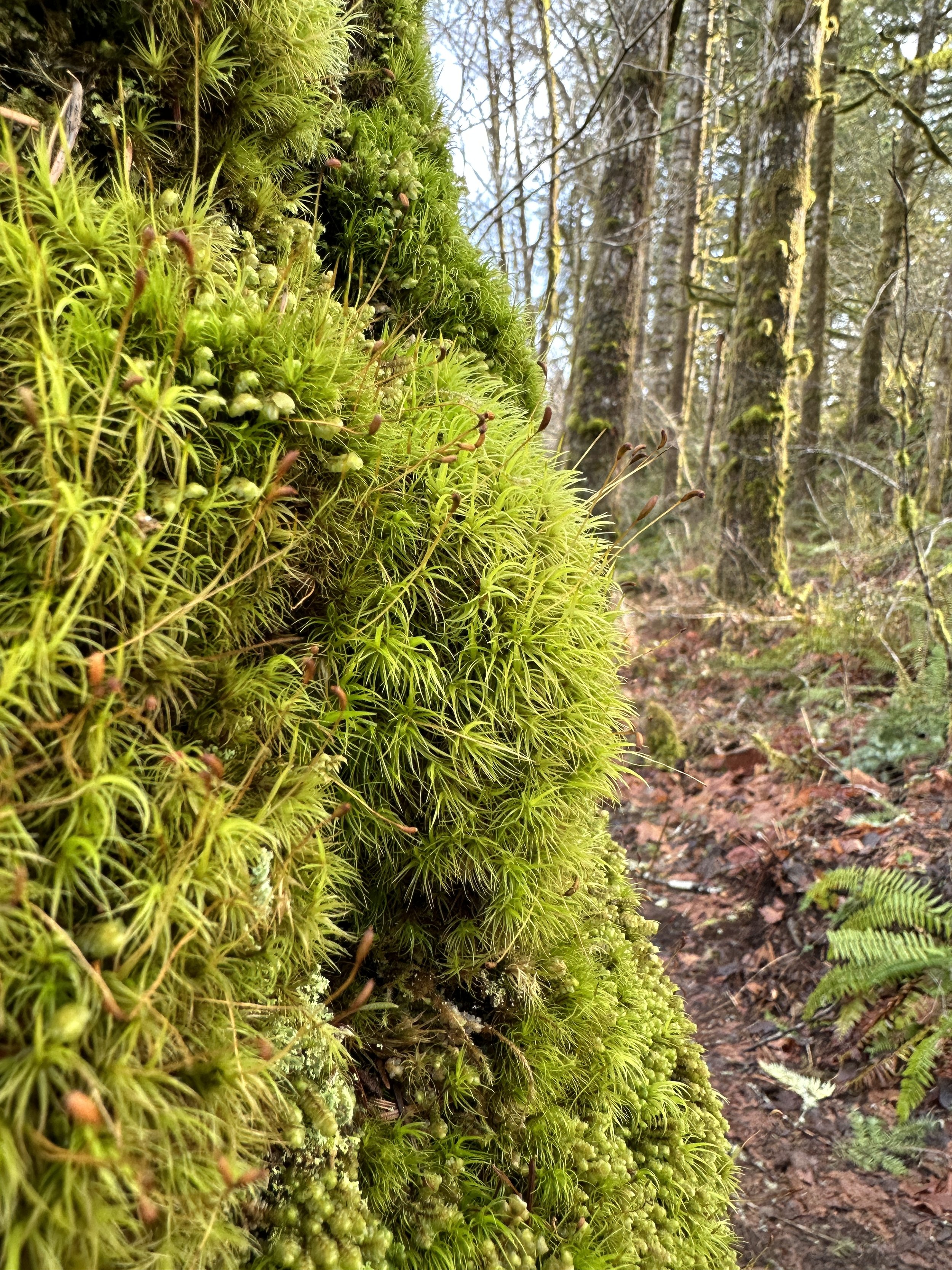
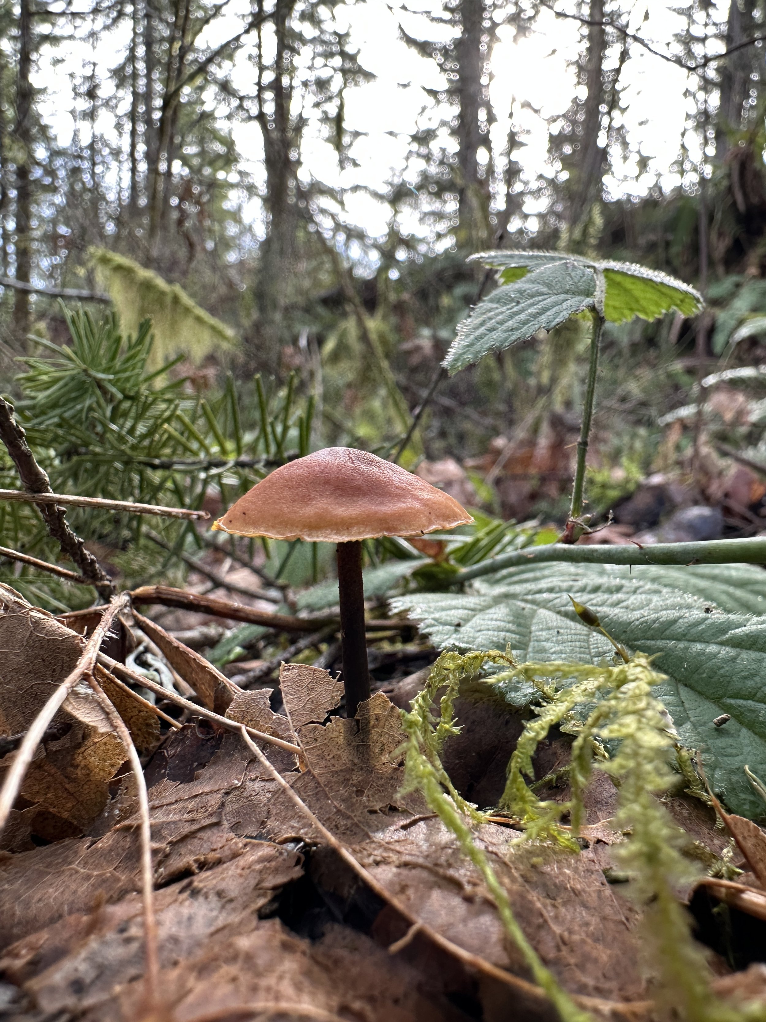
I took a short drive (maybe 25 mins) to a small town called Shelton and parked behind the Ford dealership to go for a hike along the Goldsborough Creek. I didn’t want to adventure too far, and I wasn’t really feeling much as far as physical exertion, so I this little stroll looked perfect. It was a relatively easy trail, through some gorgeous trees covered in moss towering over an abundance of ferns.
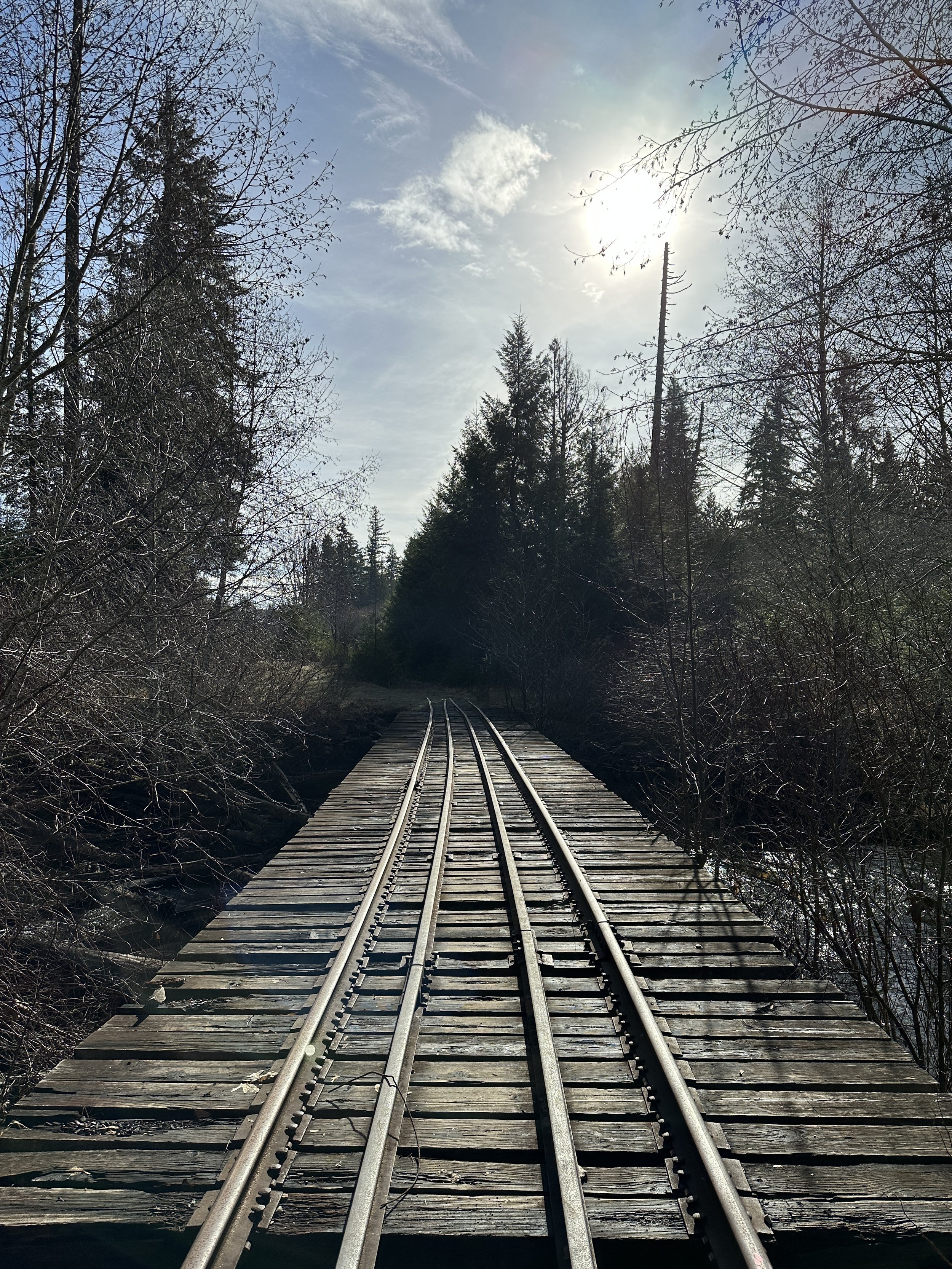
It was a short hike through the first part which was right along the creek, through some big trees. From there, it opened up and I had to cross over some fallen trees. I followed the trail to the railroad tracks, and crossed, but it got a little thick and I didn’t feel like going any further. I turned back and took an alternative route through some bigger trees. The sun was streaming through, it was a gorgeous morning. The moss was illuminated and the ferns were a brilliant green. The area was relatively quiet and I saw no one around.
Happy trails and stay safe out there! Enjoy some photos.
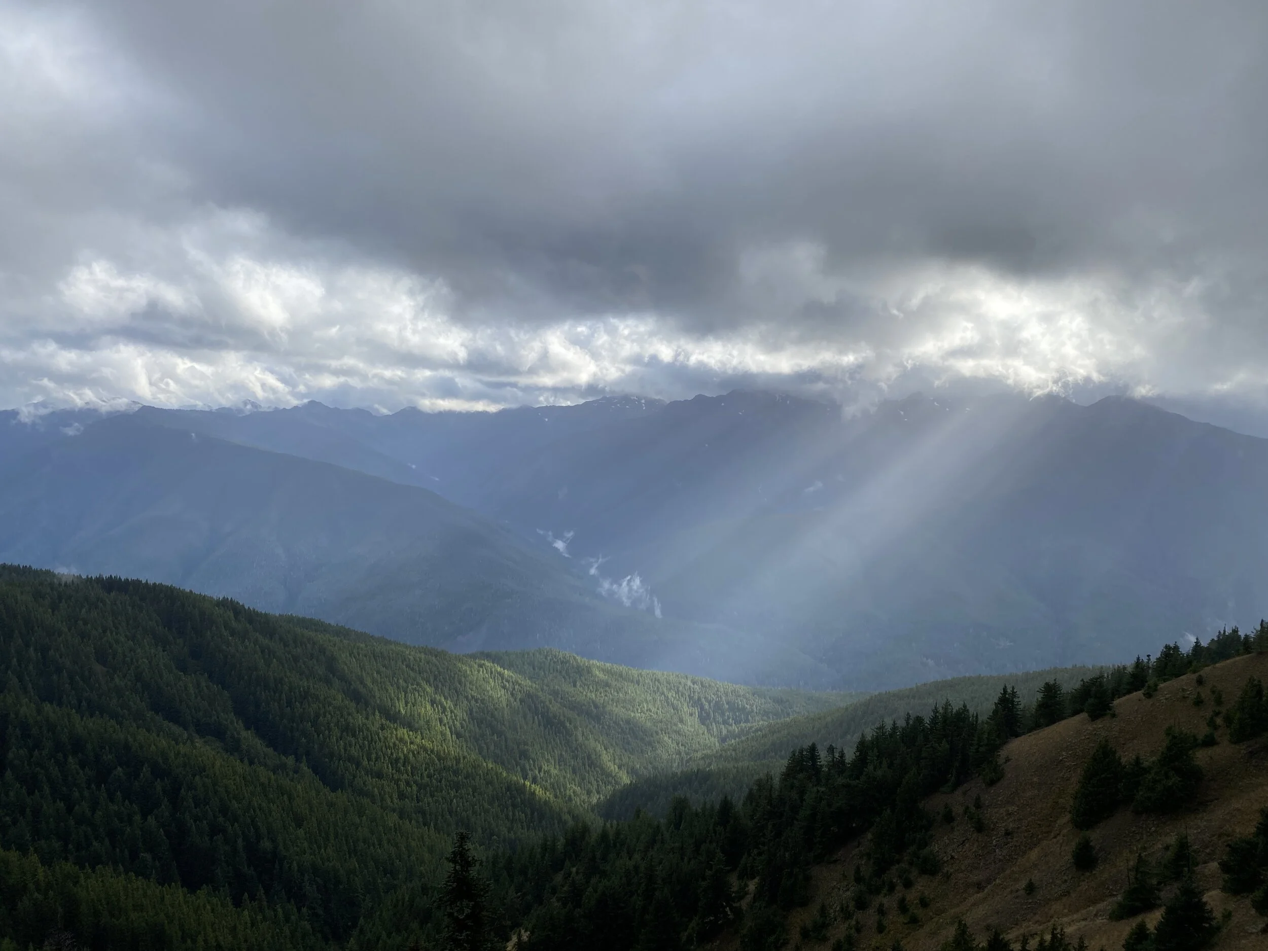
March-April 2021 Hikes
Here’s a glimpse of my hikes through May 1, 2021. Thanks for following along. I’m sharing brief, less wordy summaries and more photos. To me, it’s all about the experience and the photos capture it better than my words can in this format. Happy hiking!
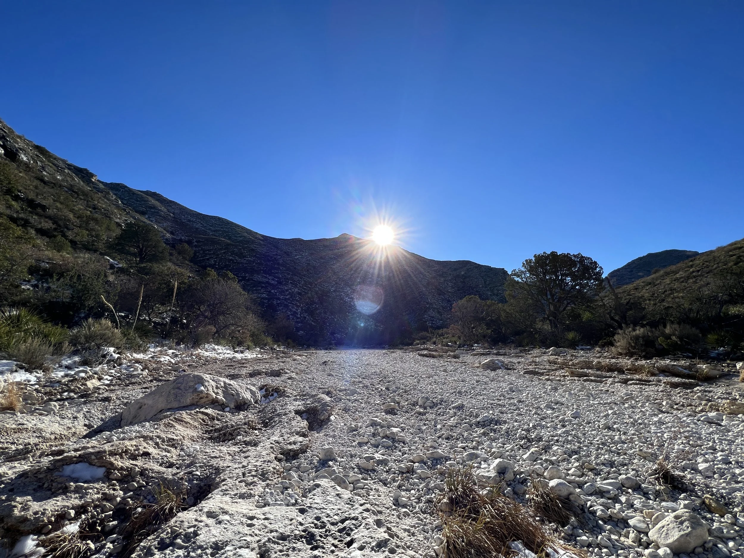
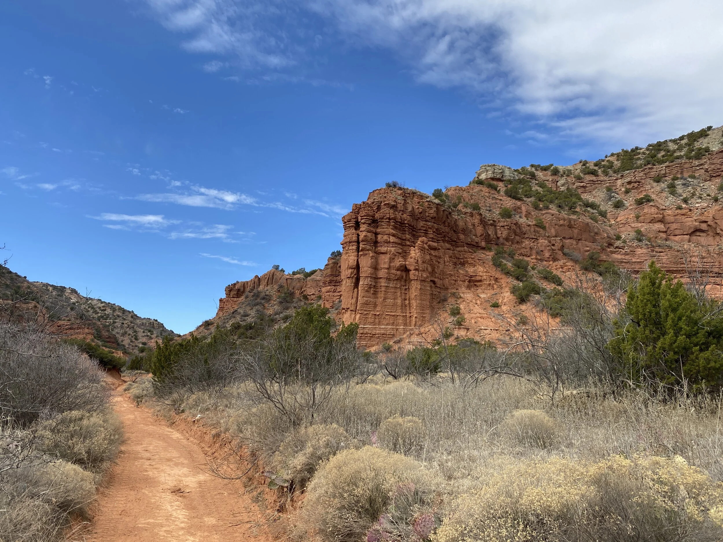
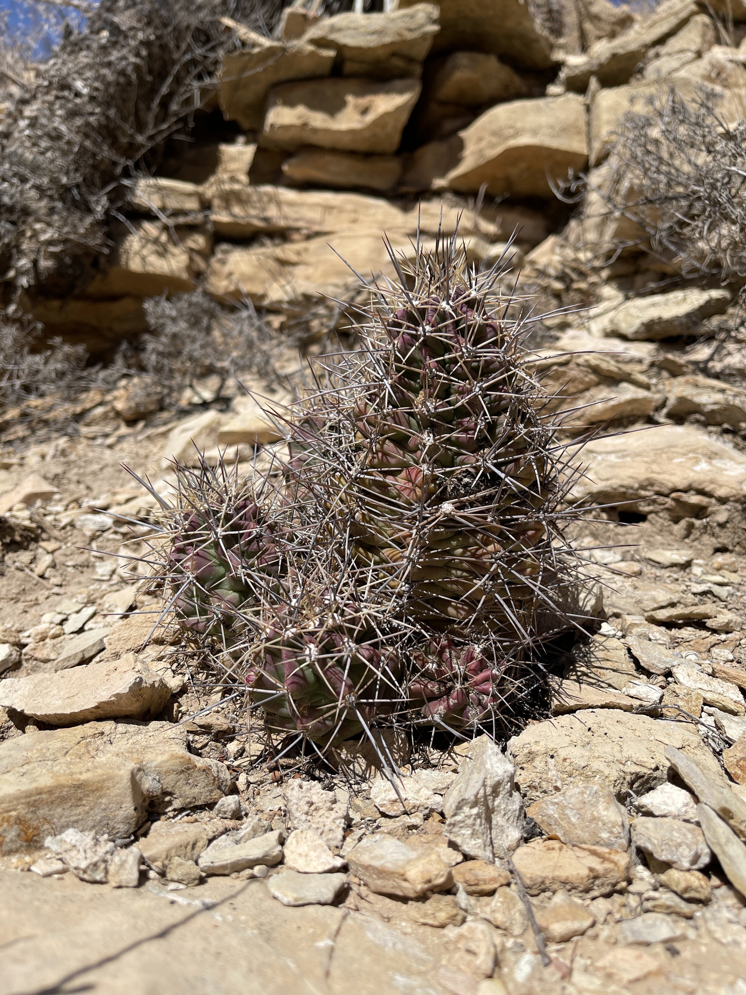
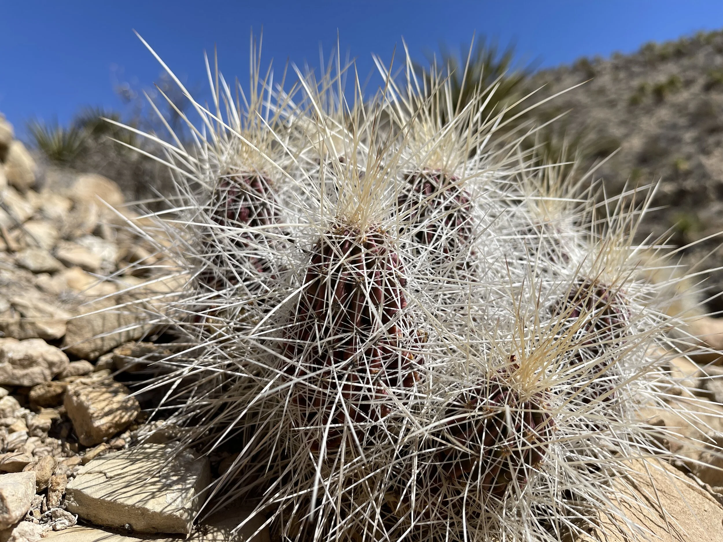
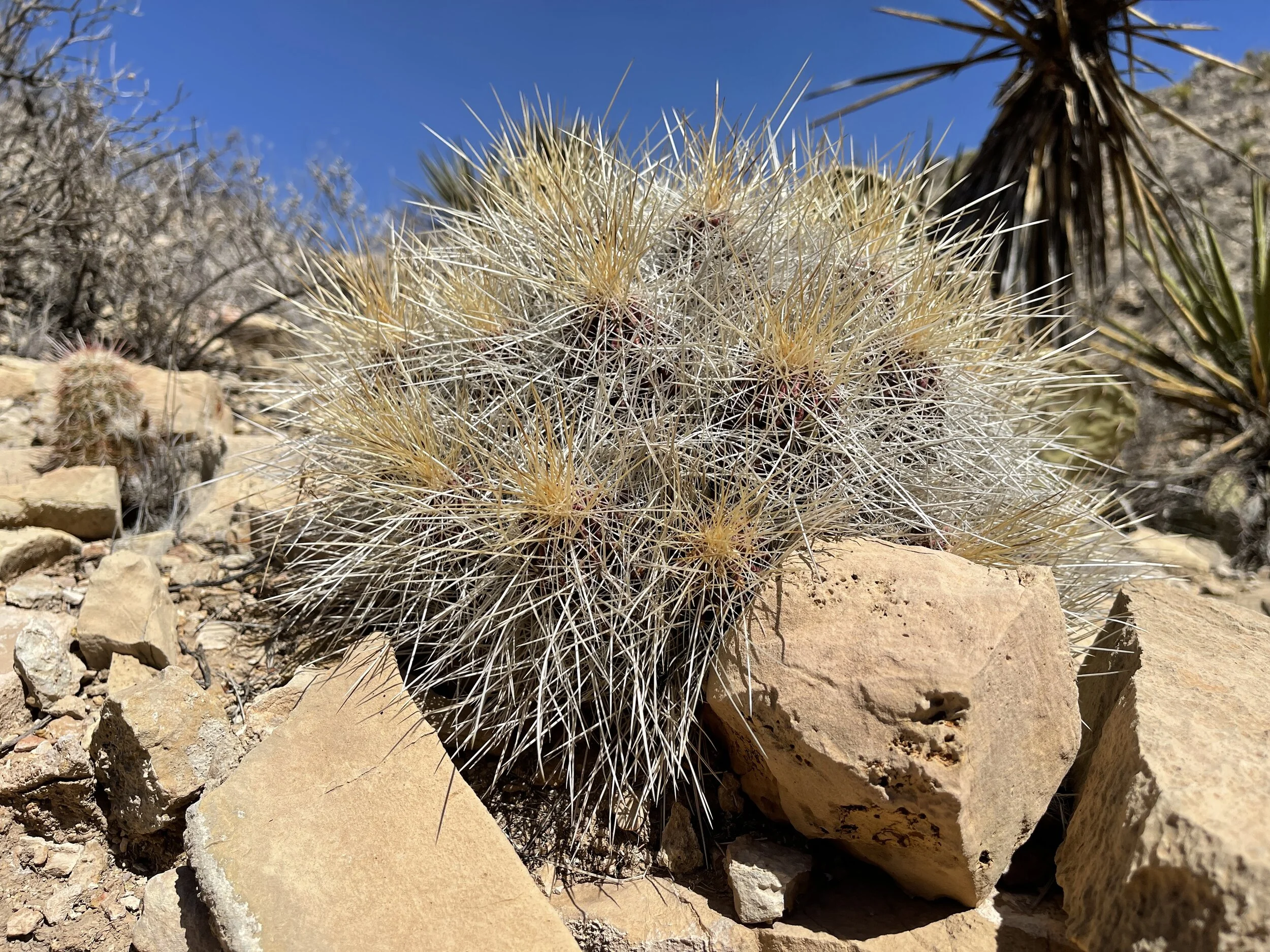
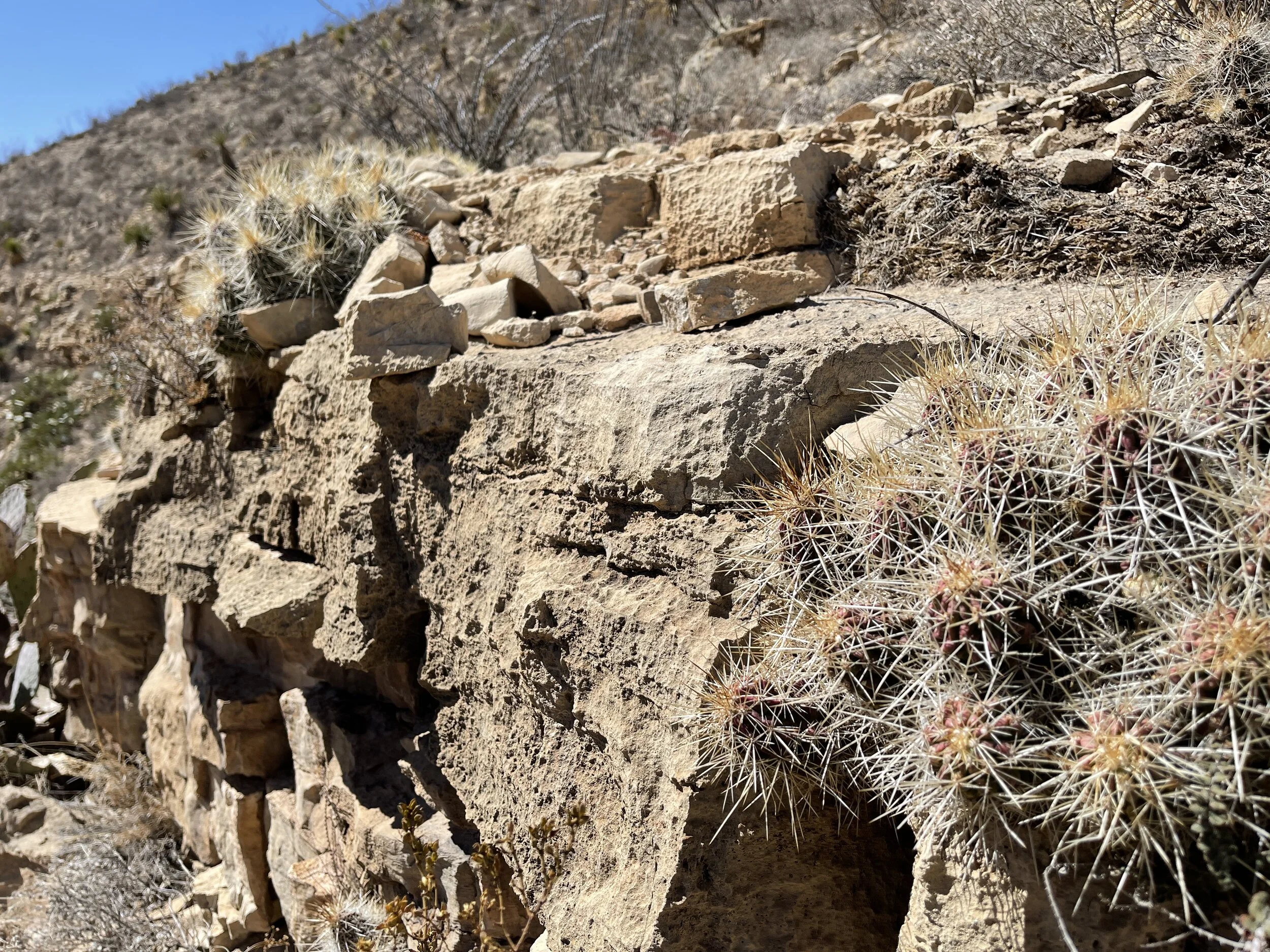
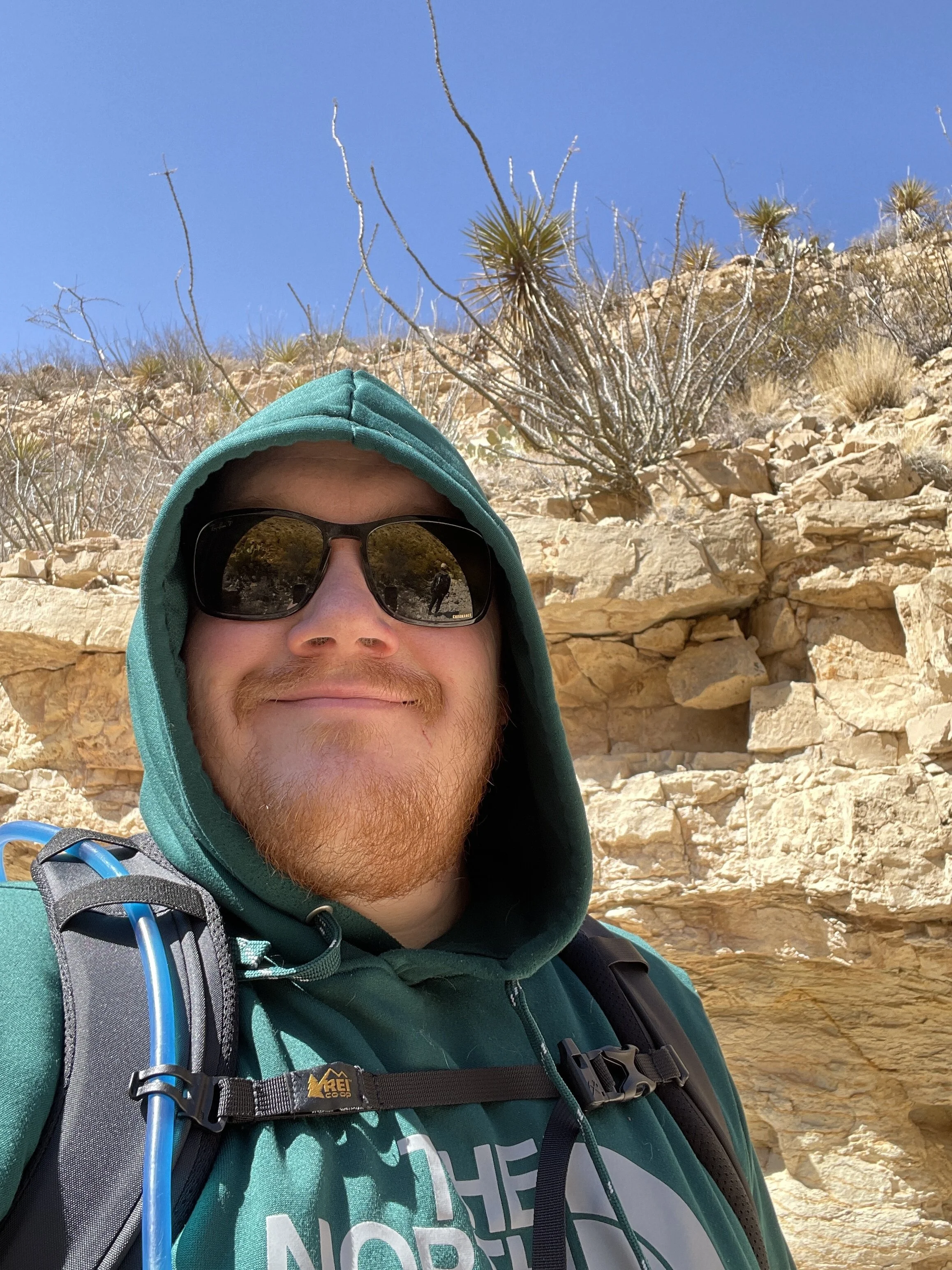
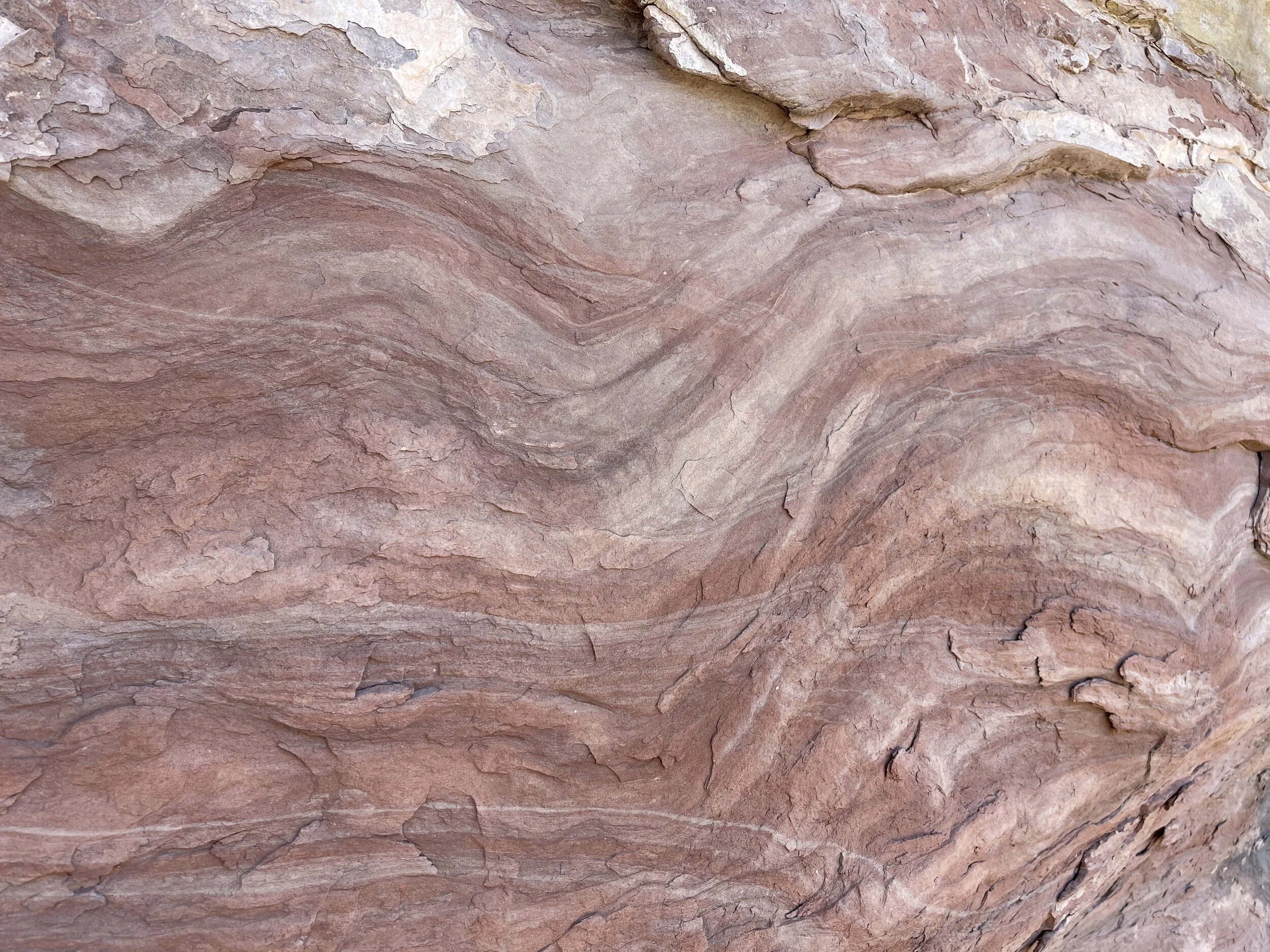
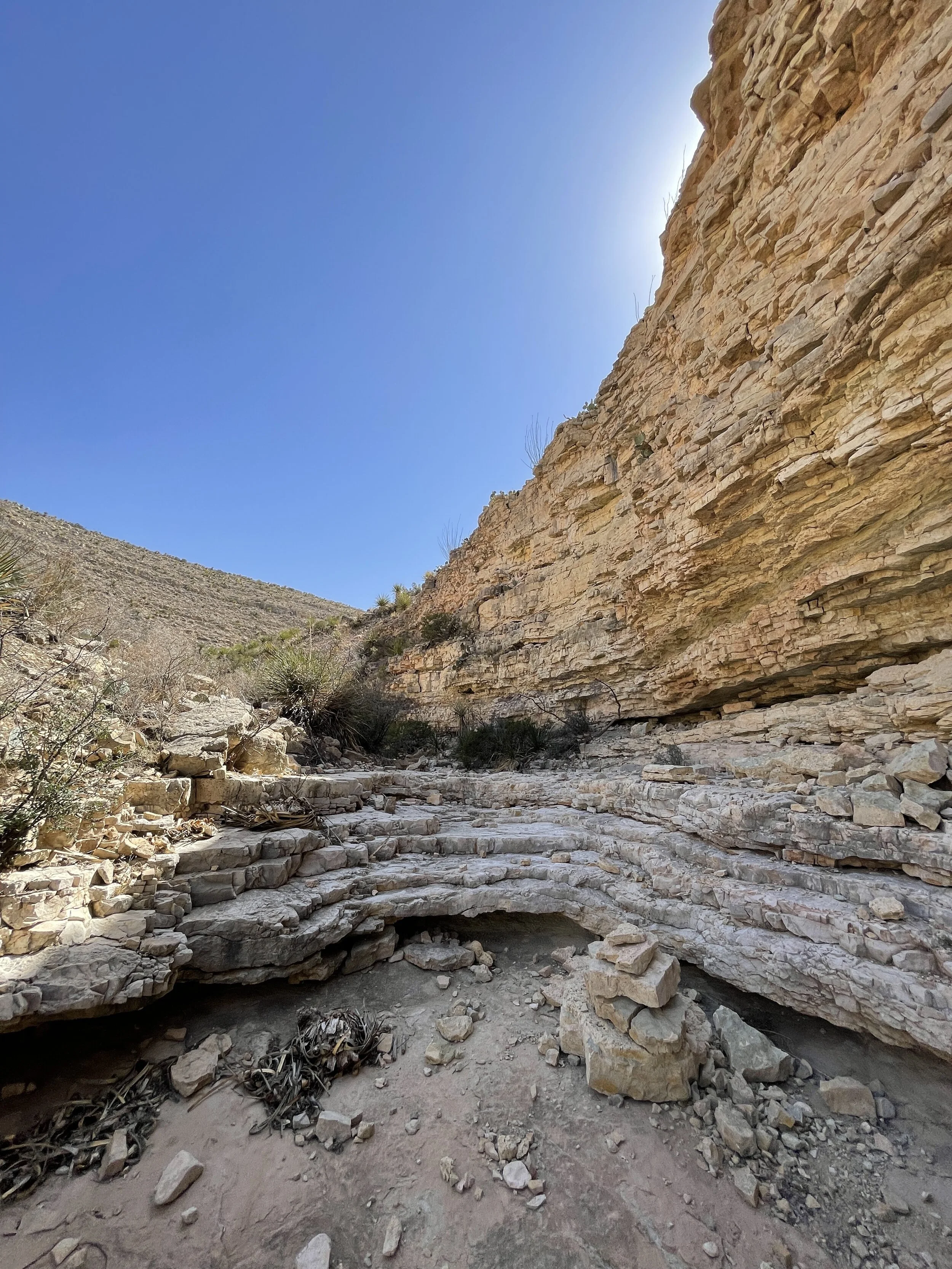
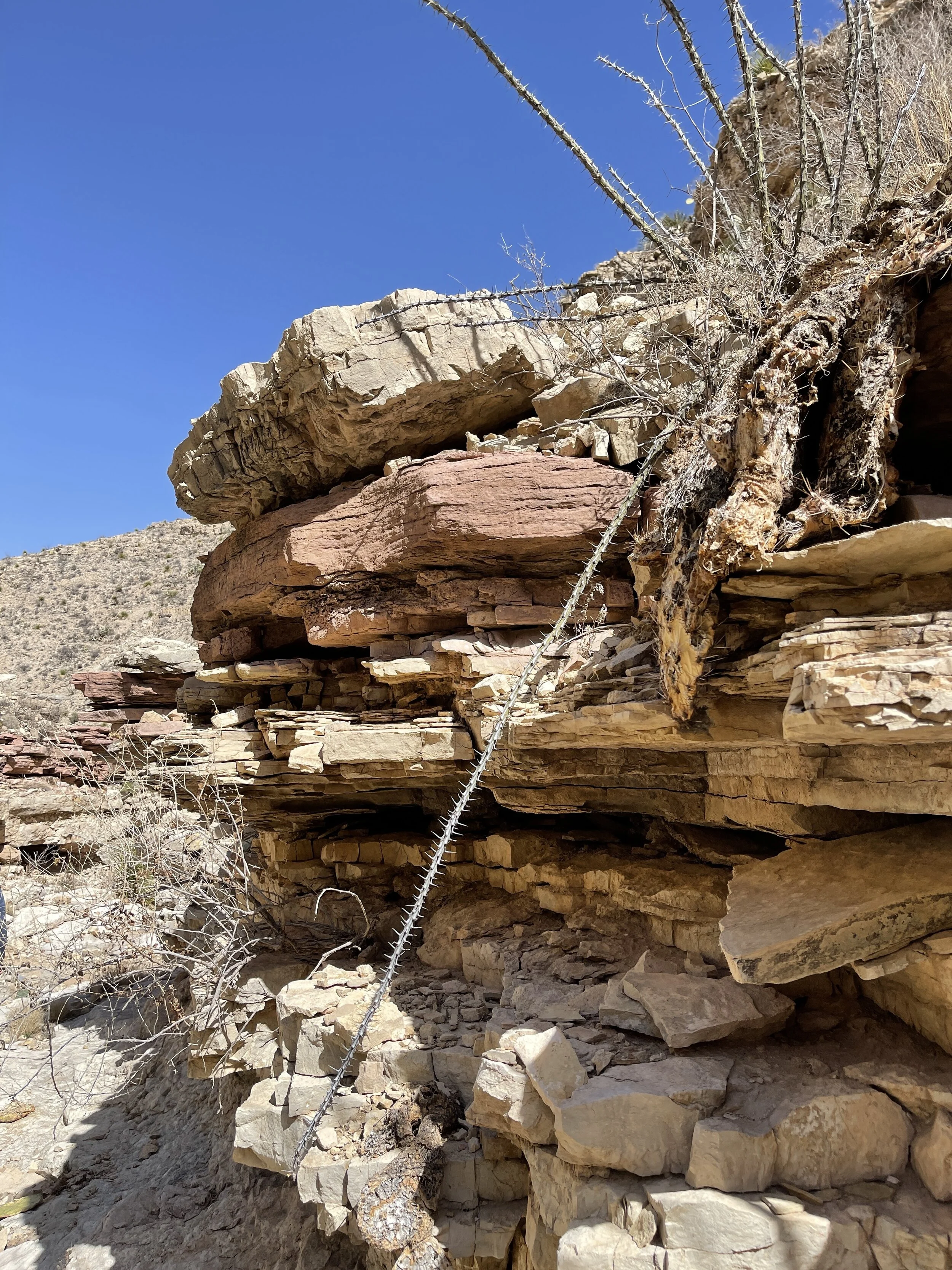
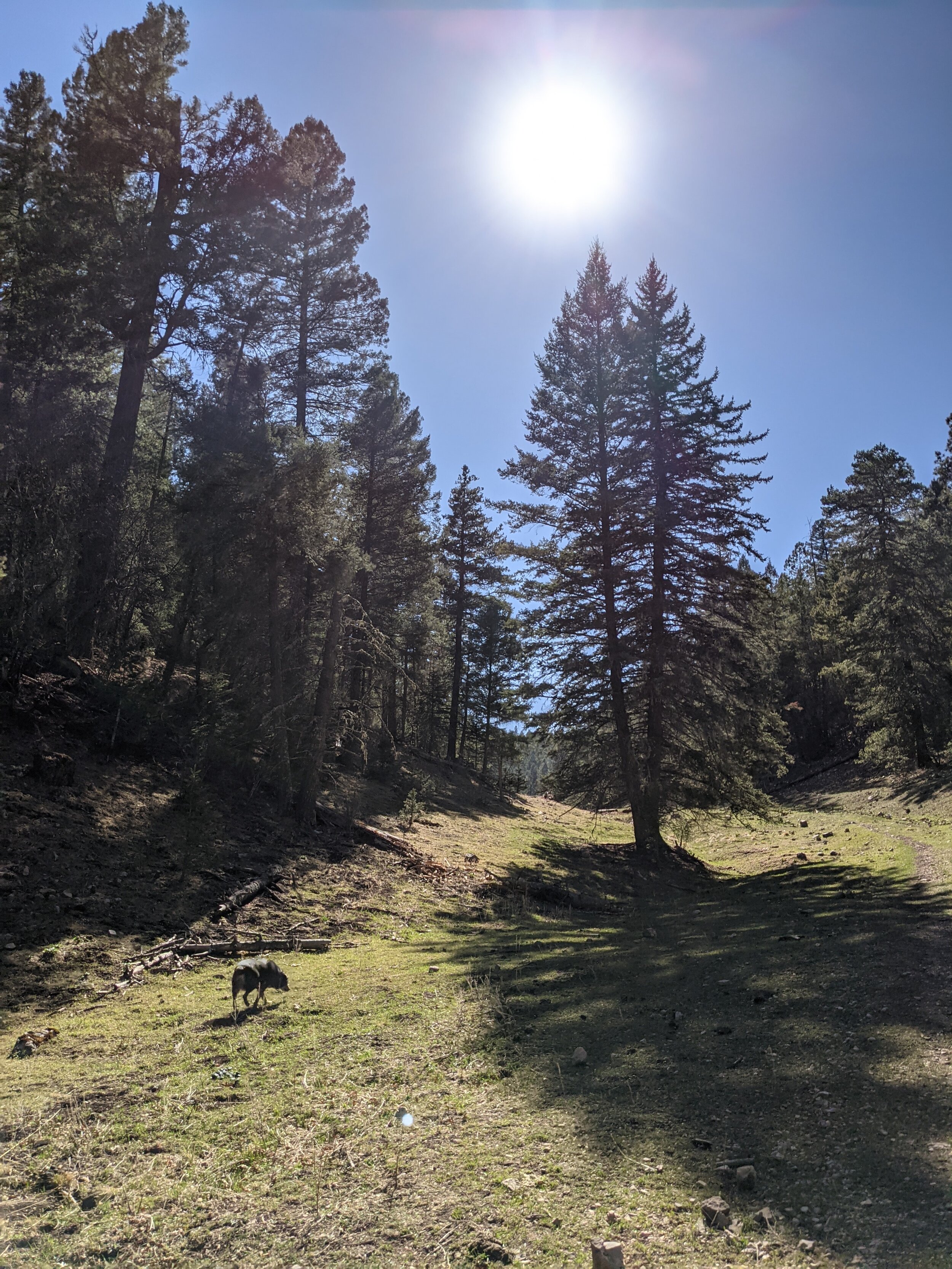
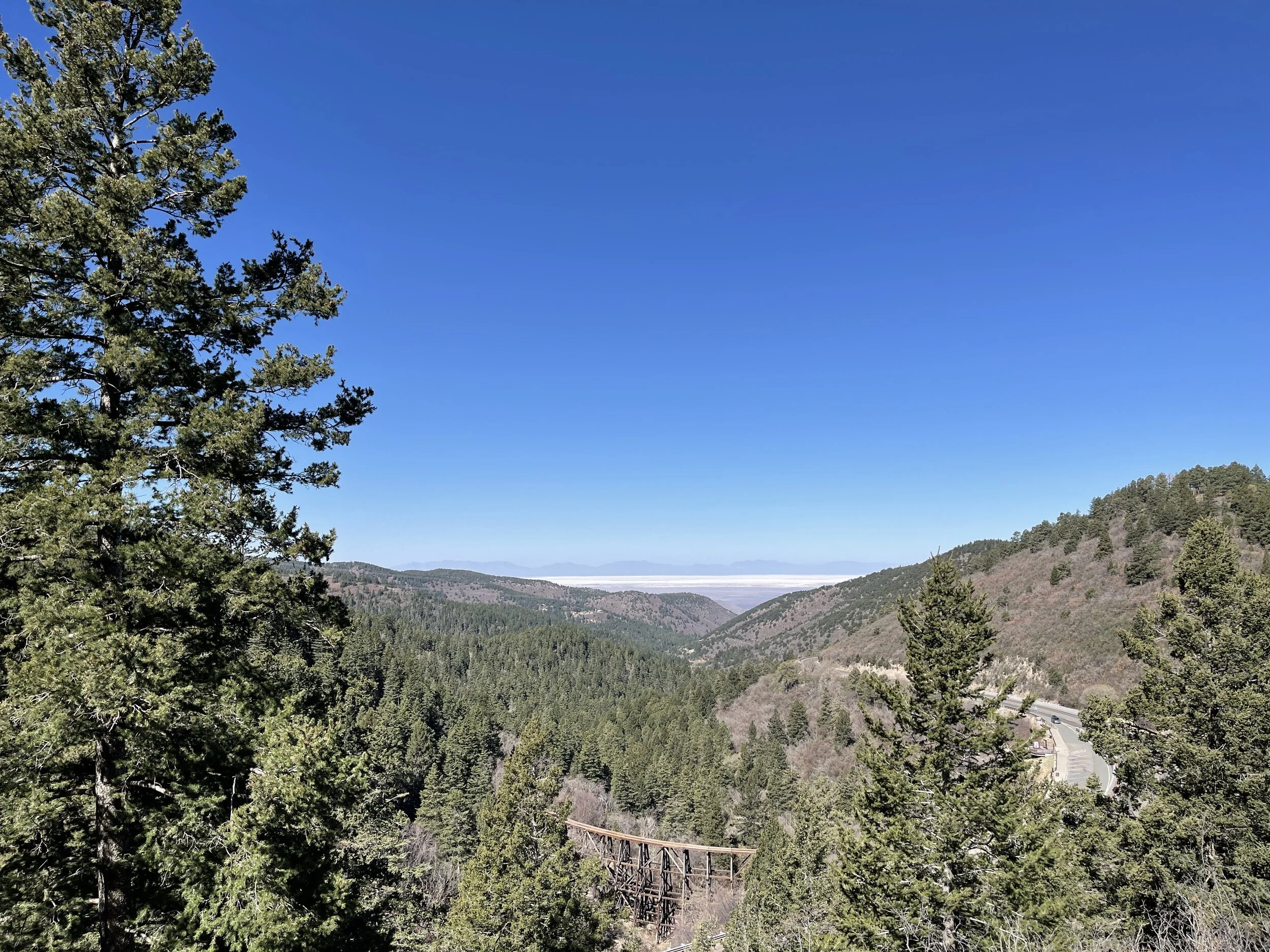
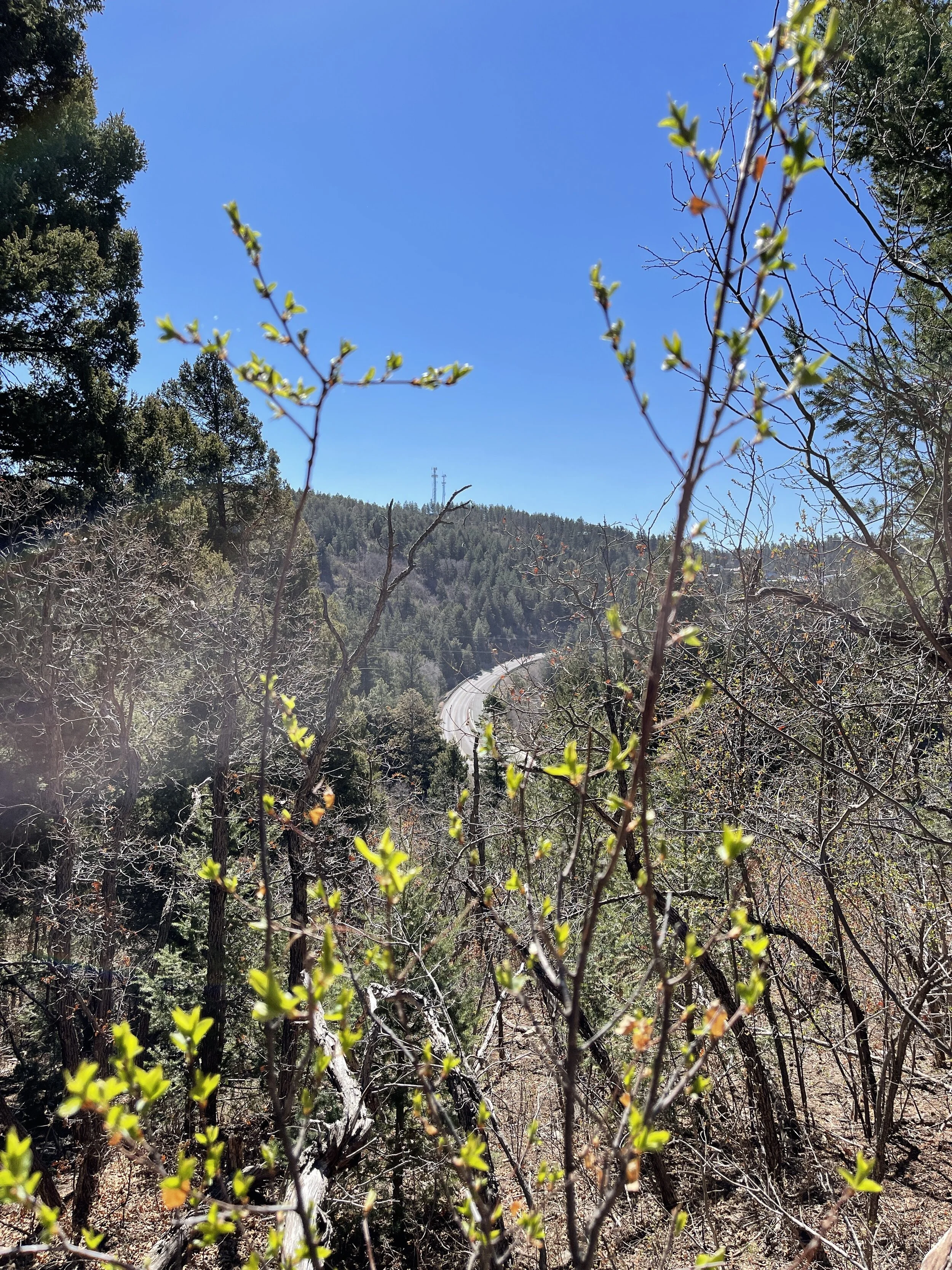
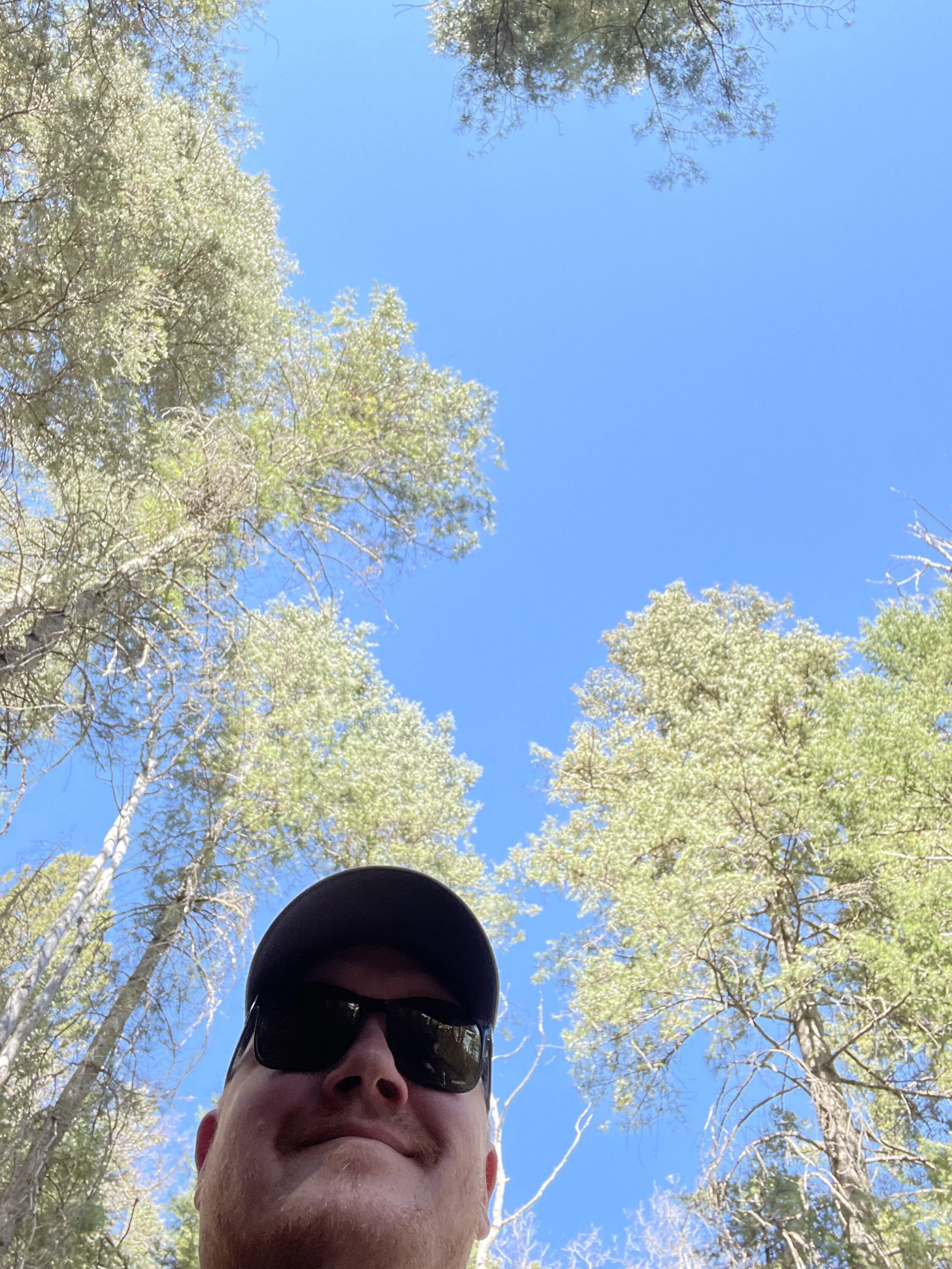
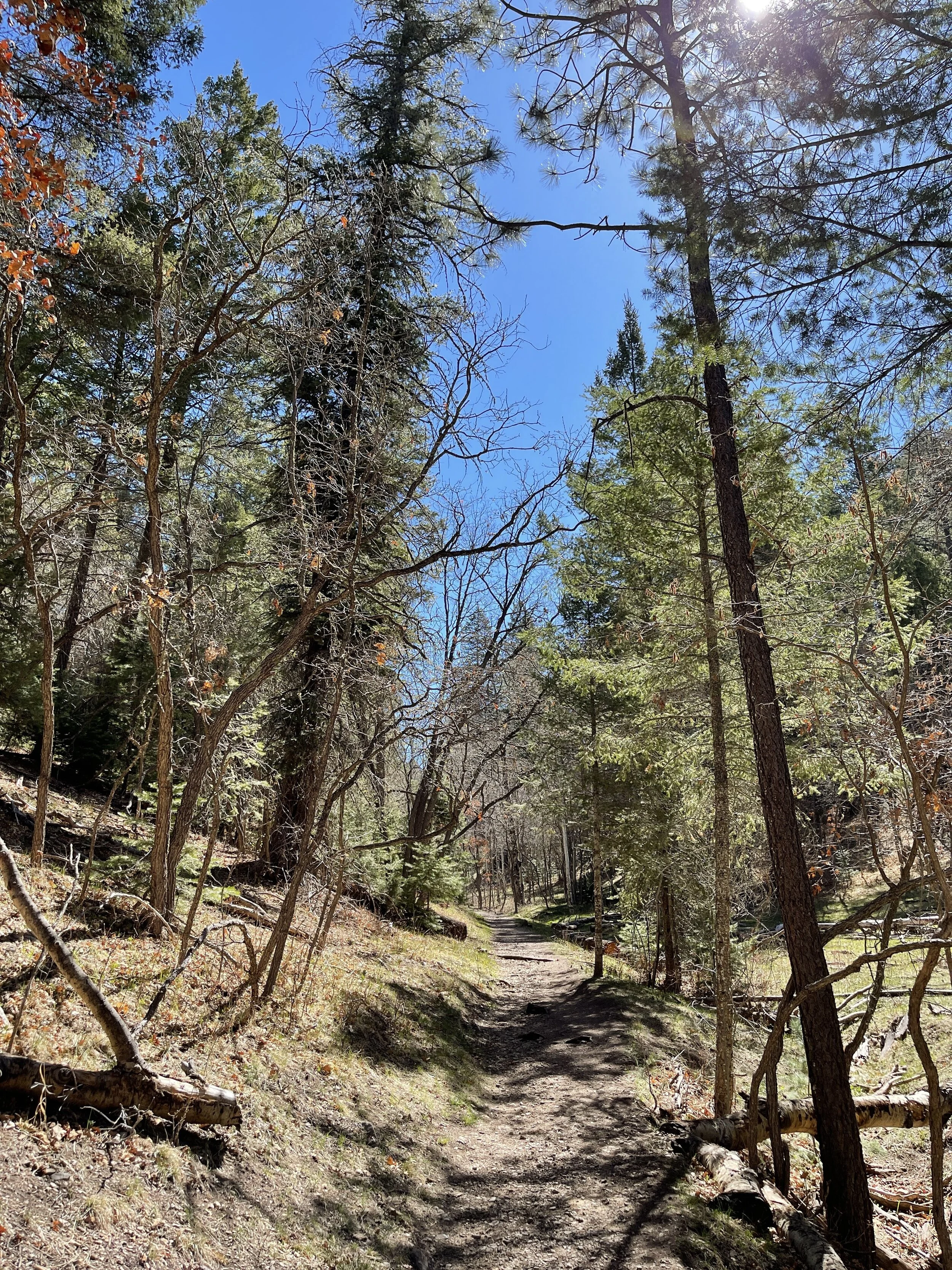
Hike 6 - Lincoln National Forest (no specific location)
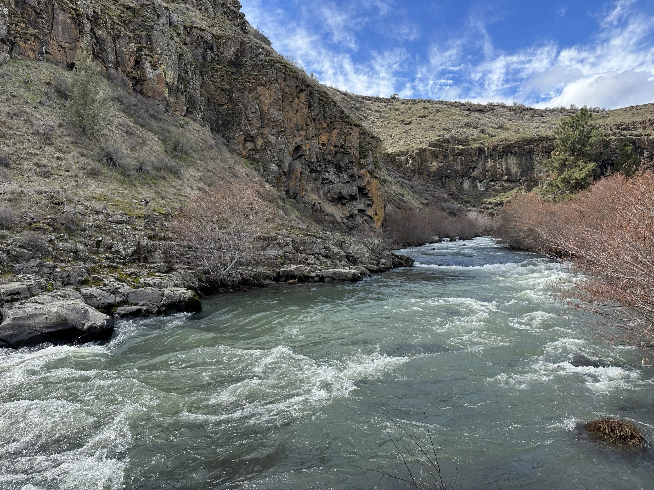
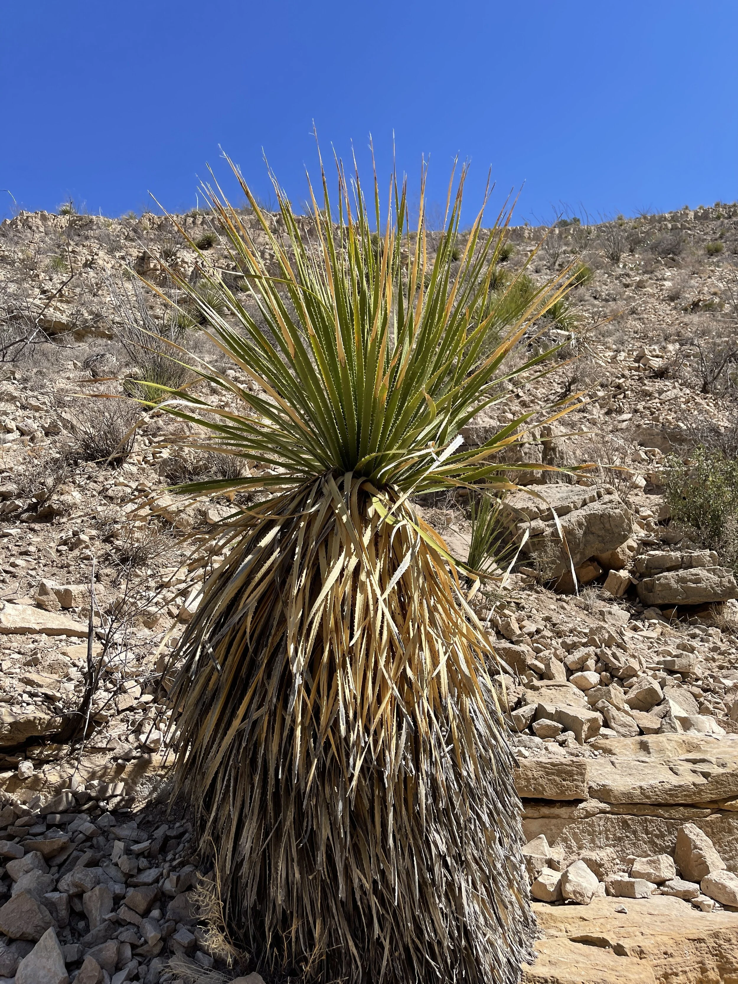
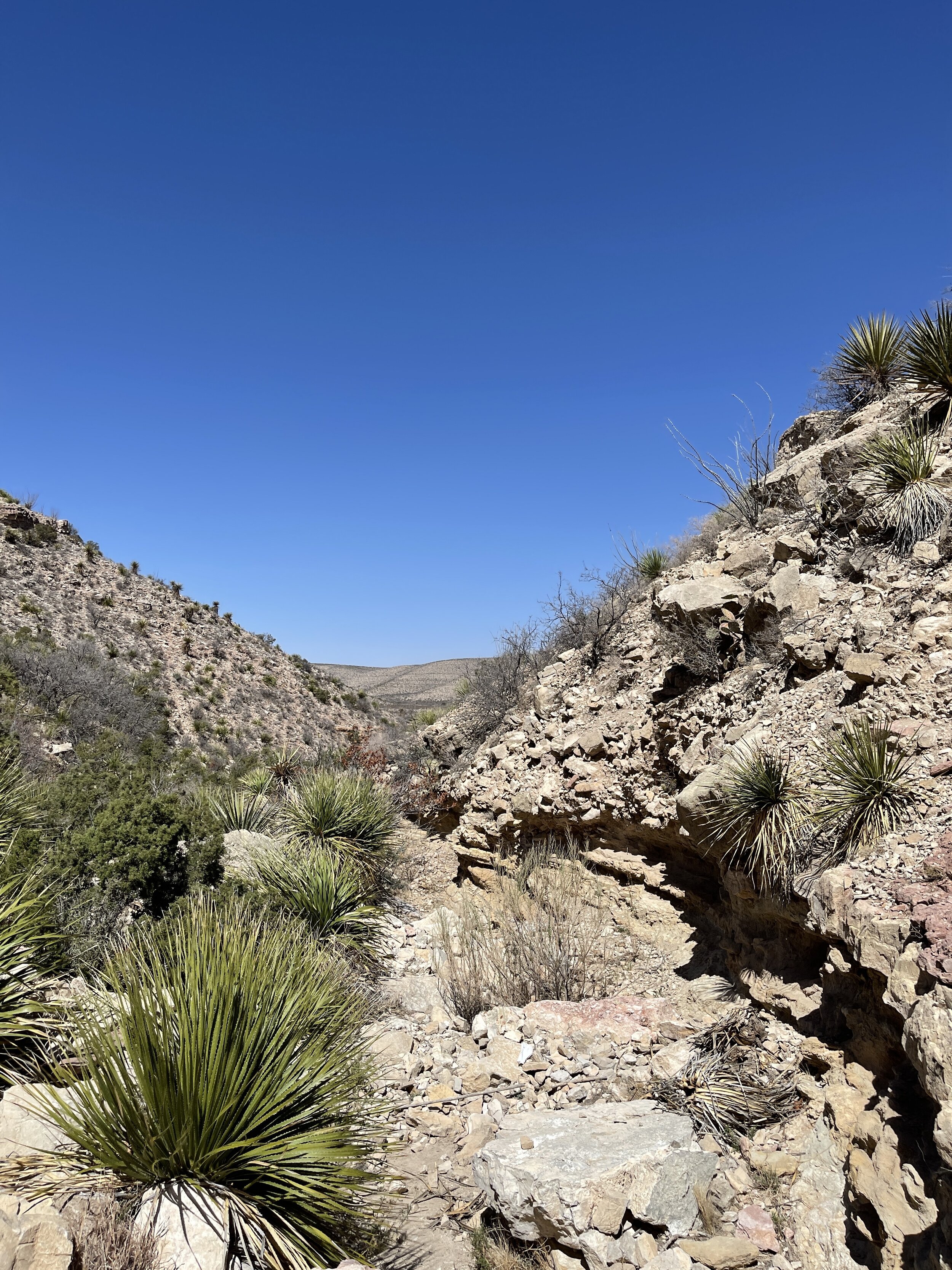
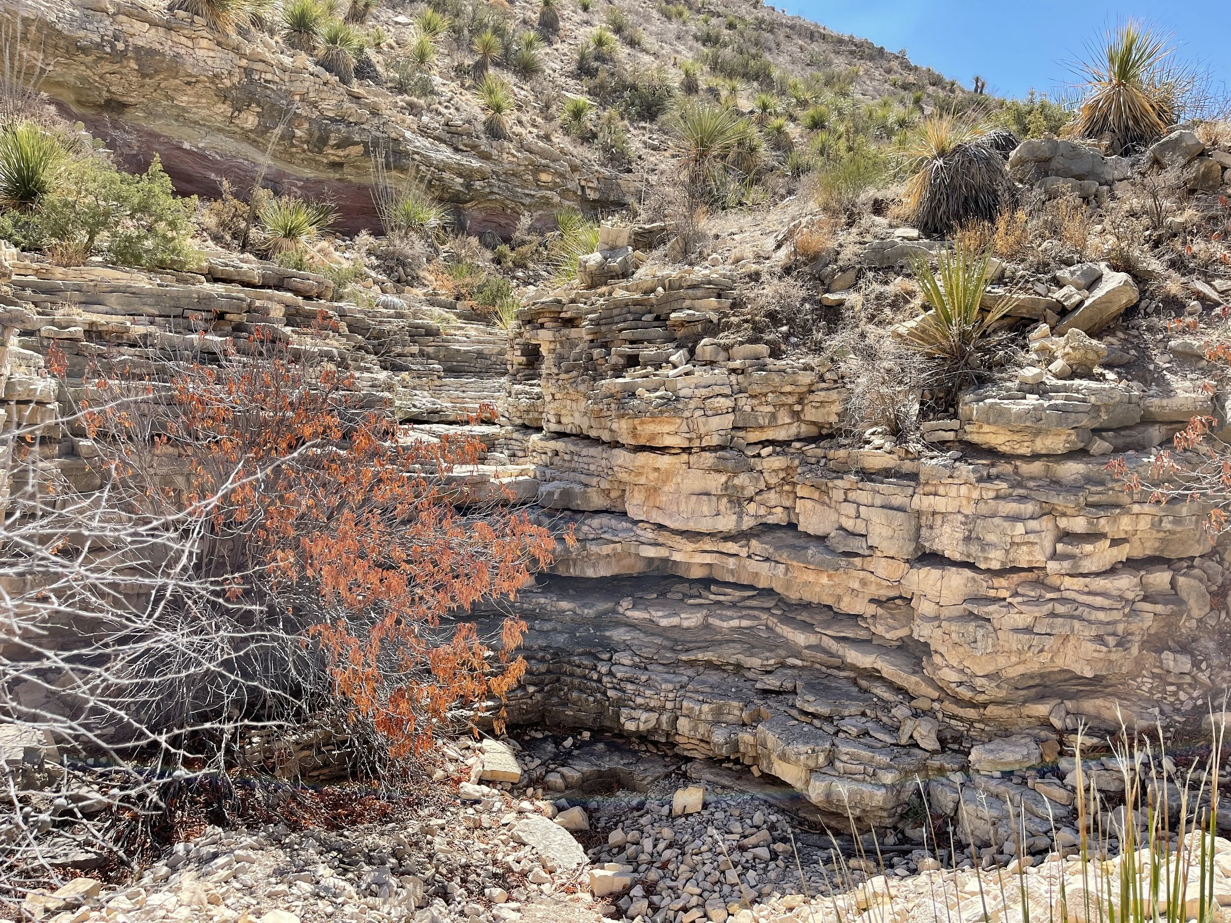
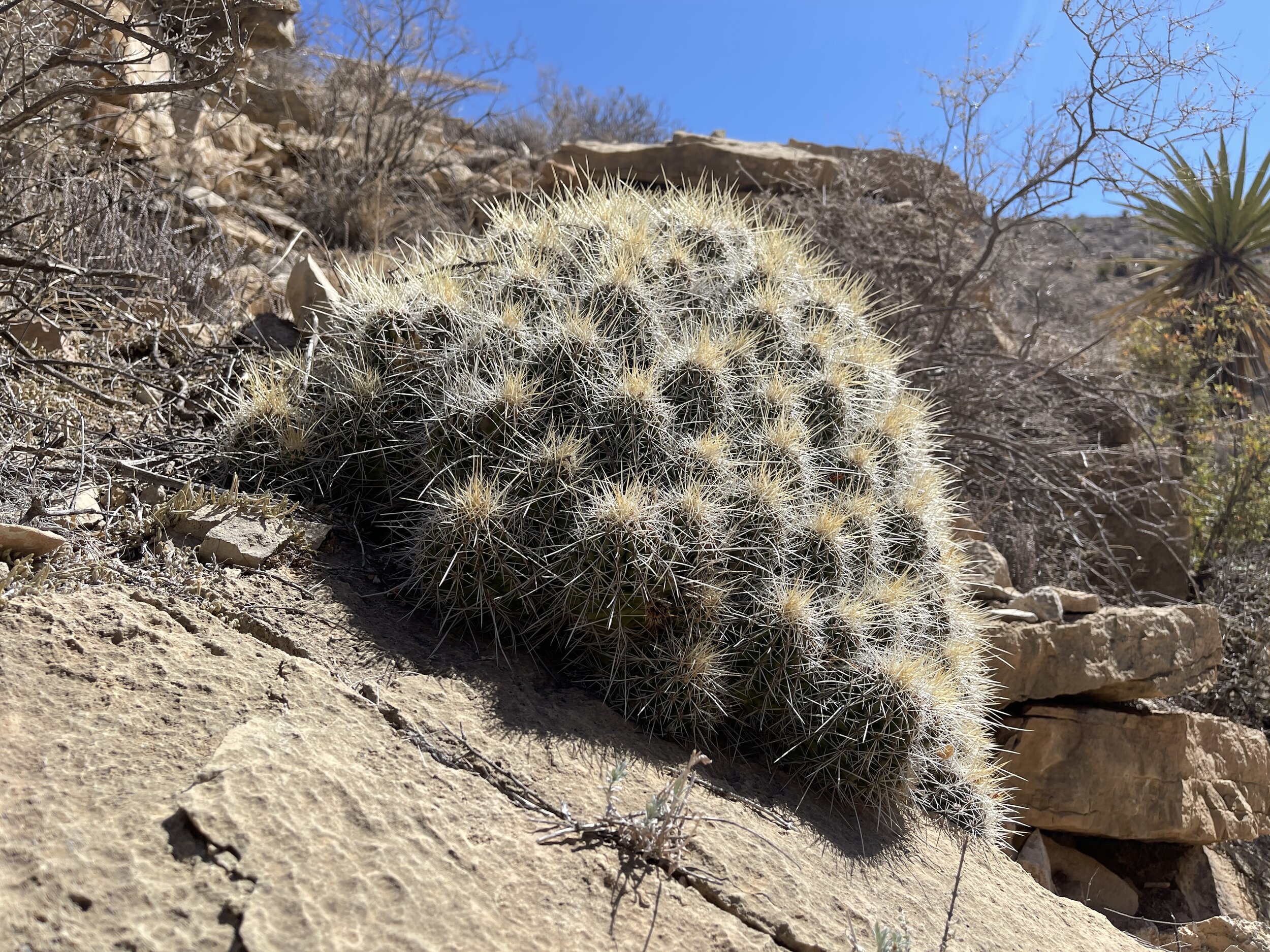
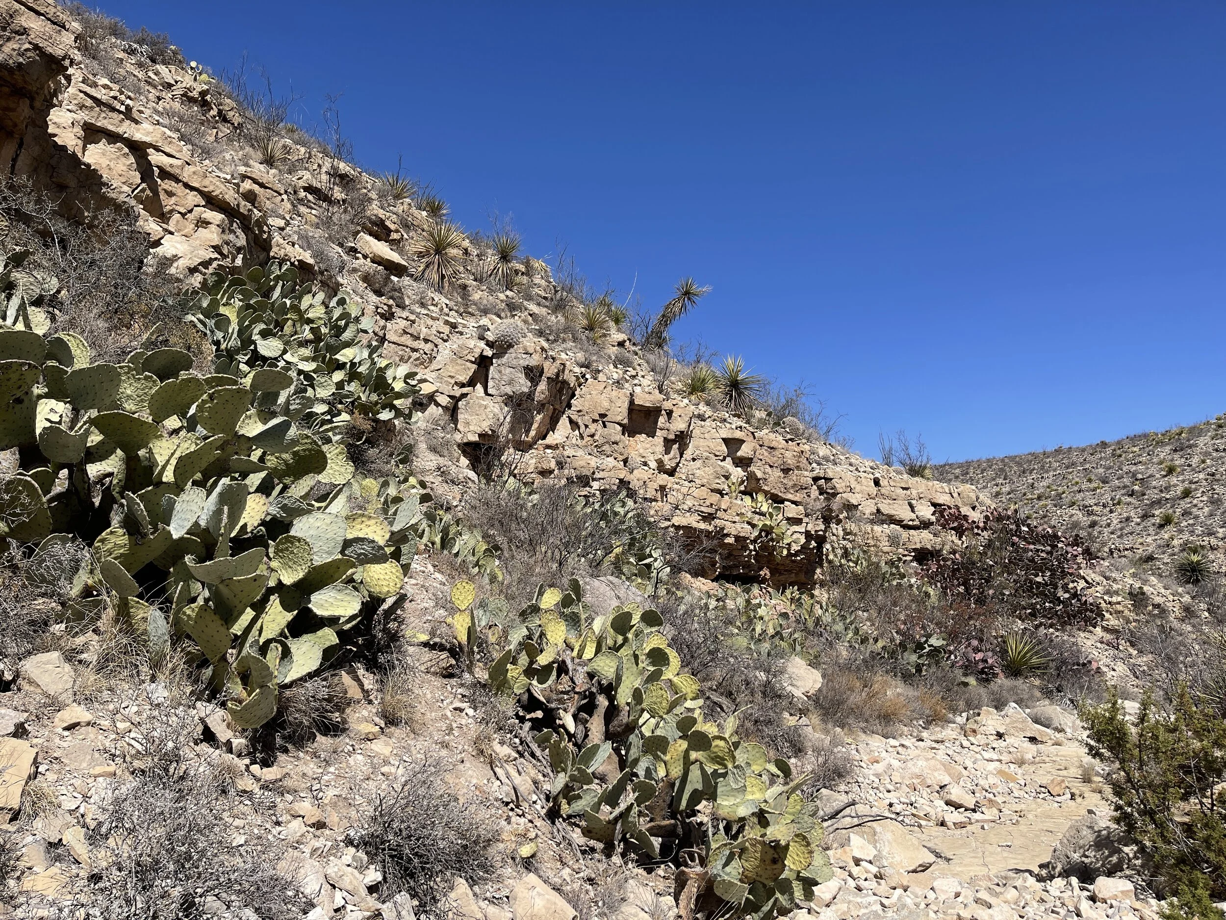
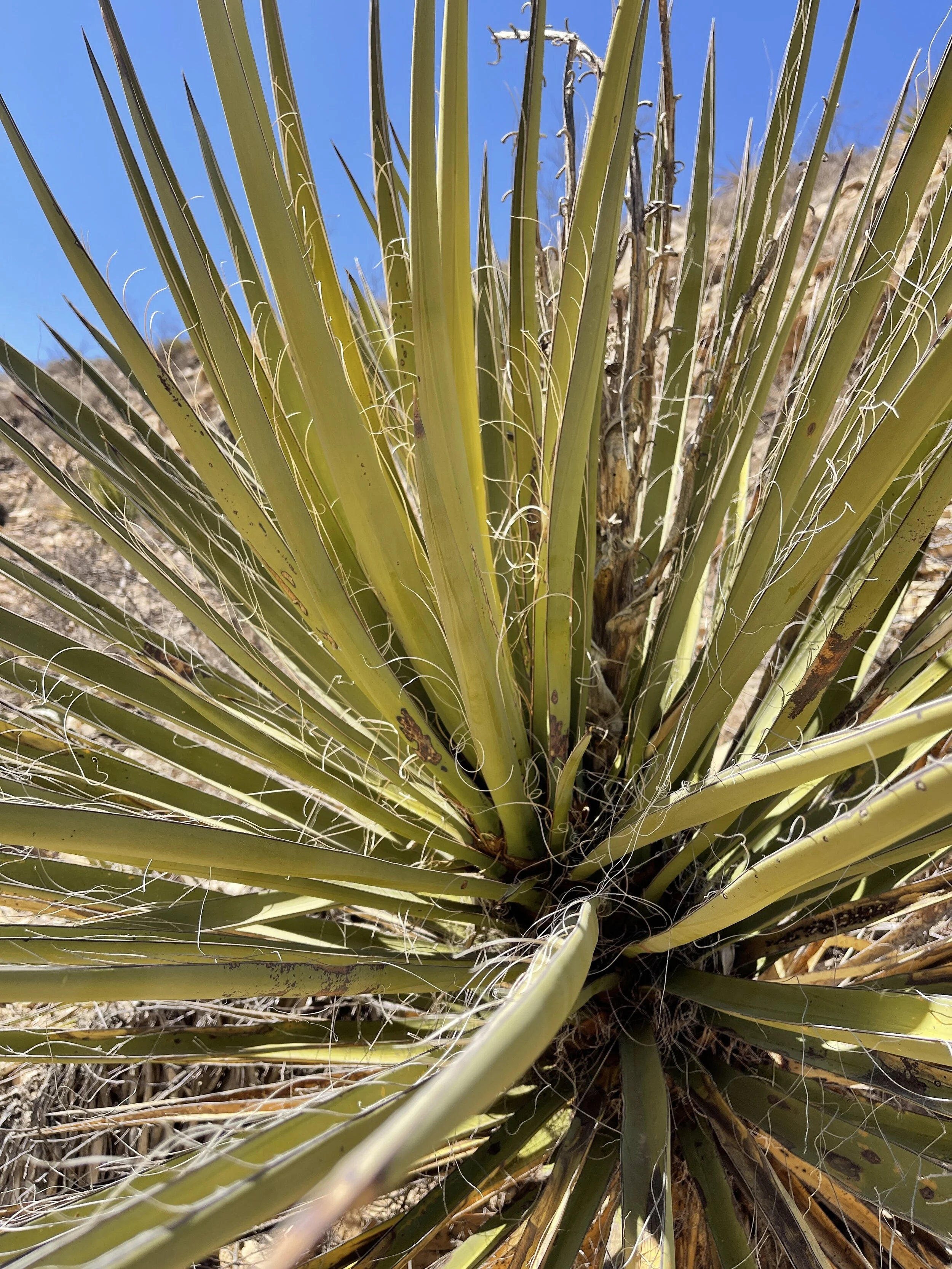
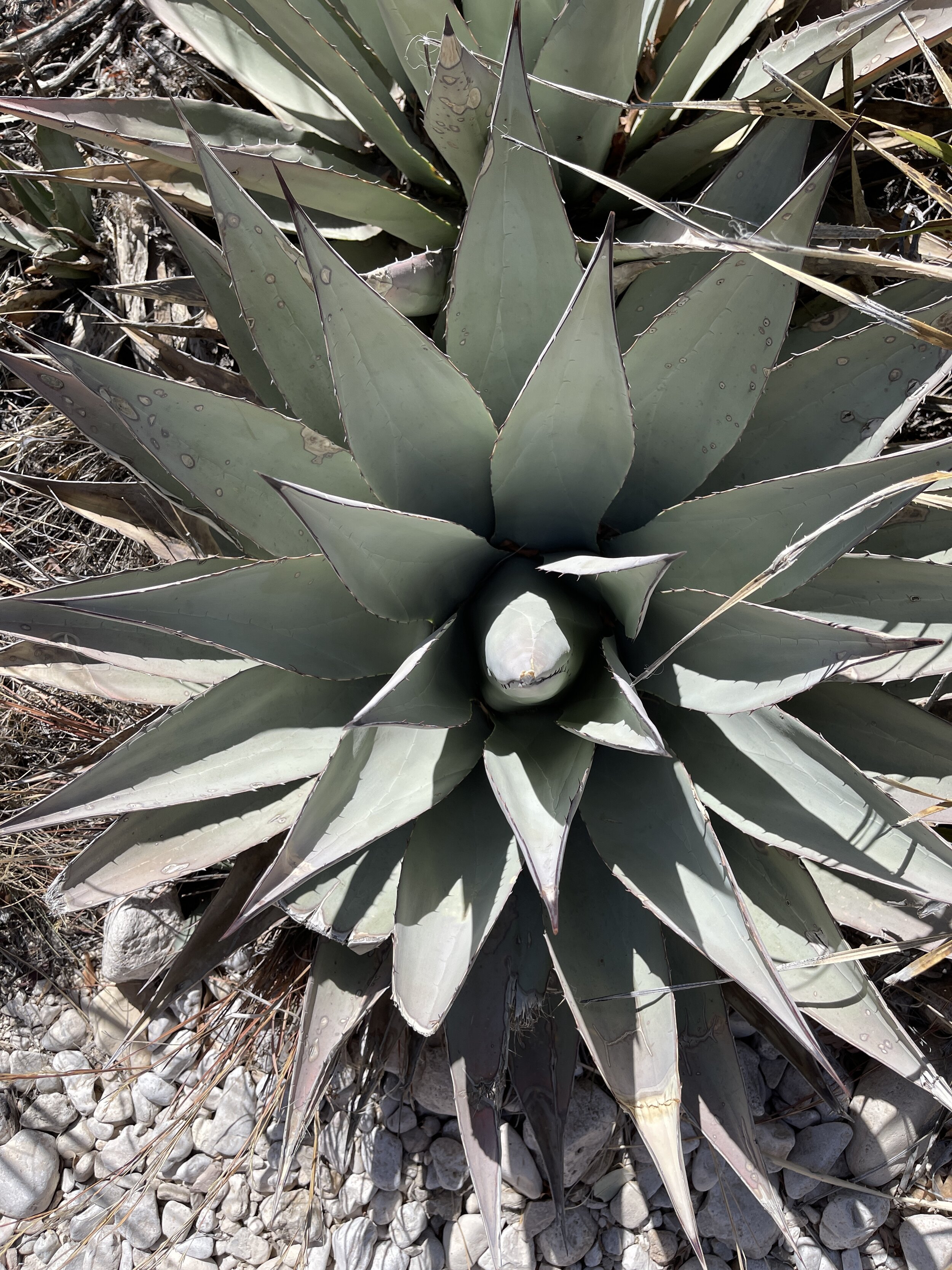
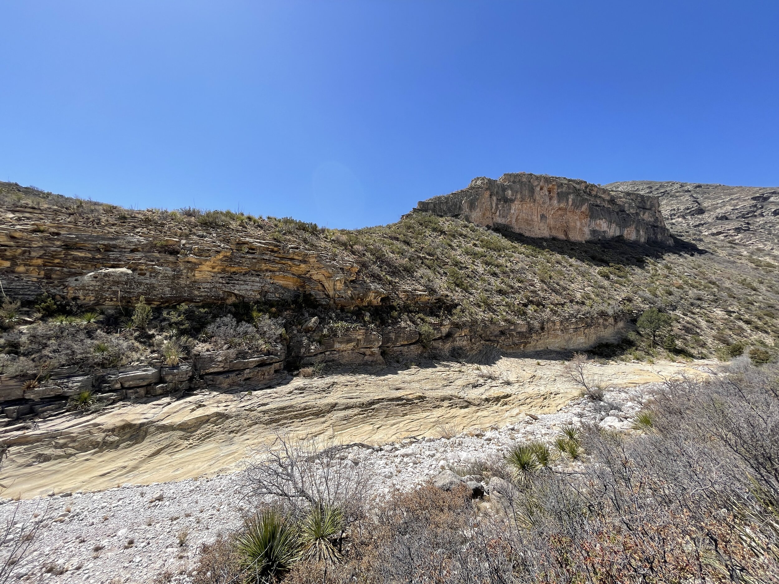
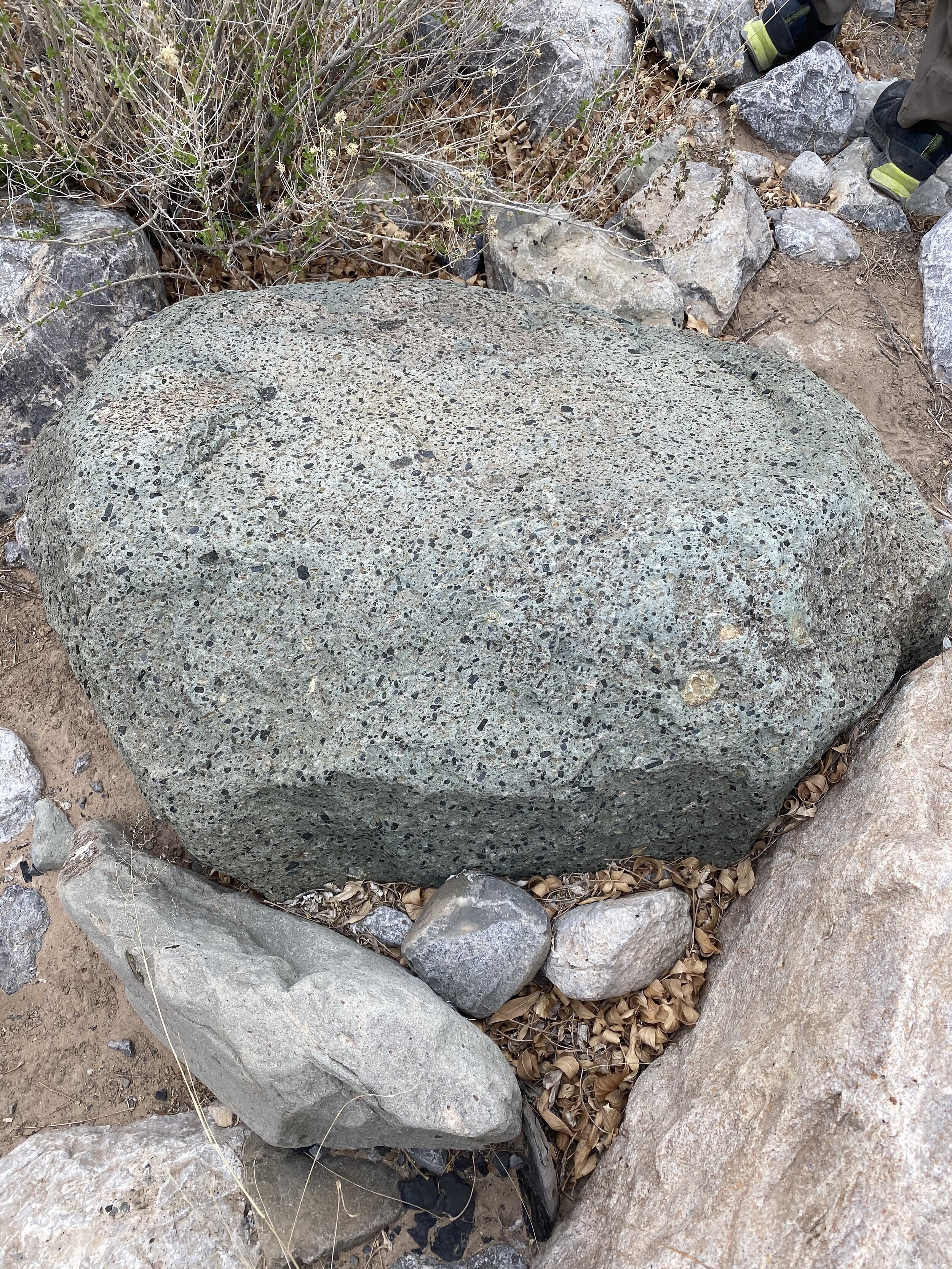
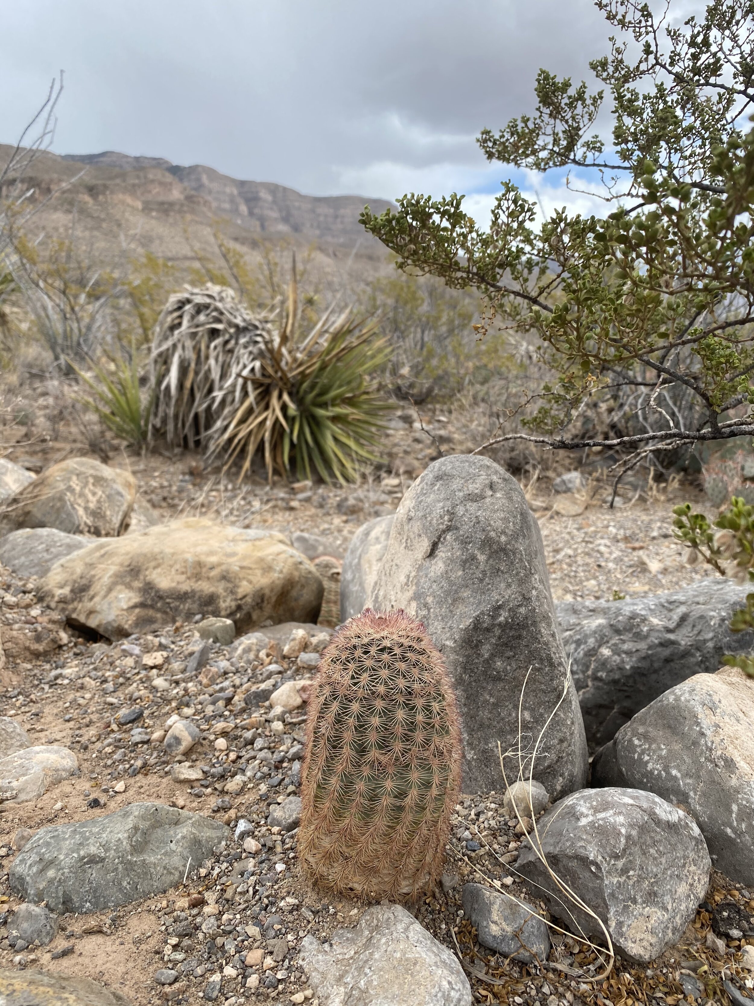
Found a small canyon on the side of the road
Explored about a mile in the canyon, walking through a dry creek bed
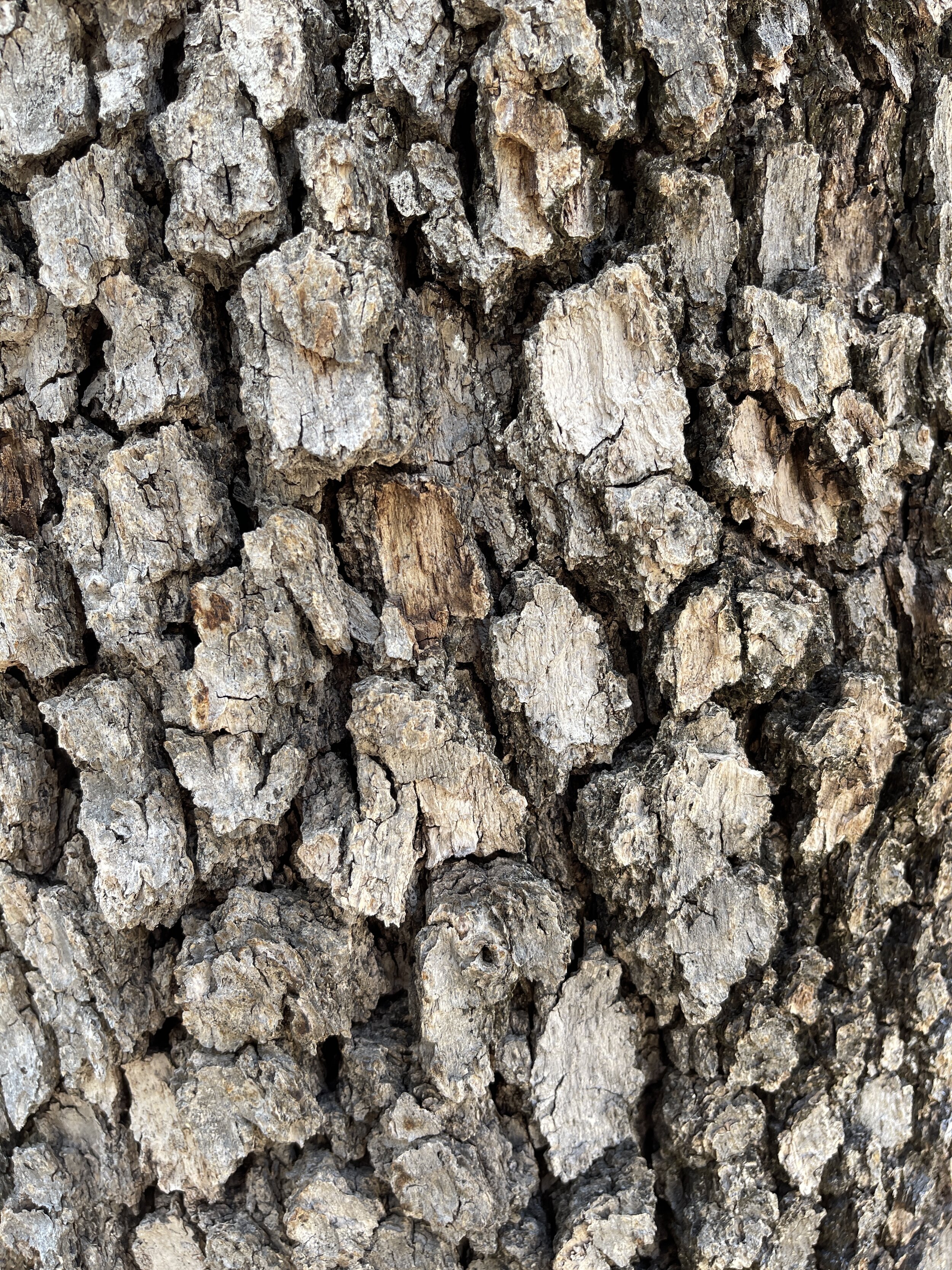
Discovered plenty of desert plants and fun rocks
Enjoyed a break from the extreme wind in the area (thanks canyon)
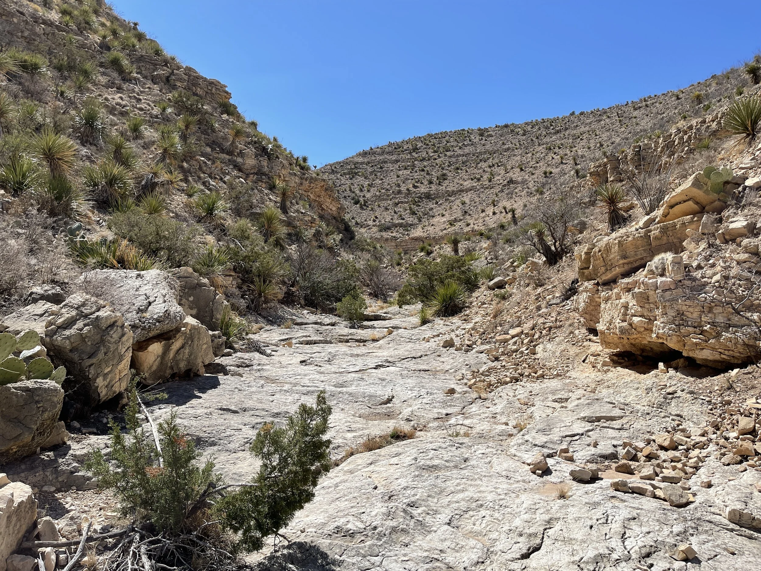
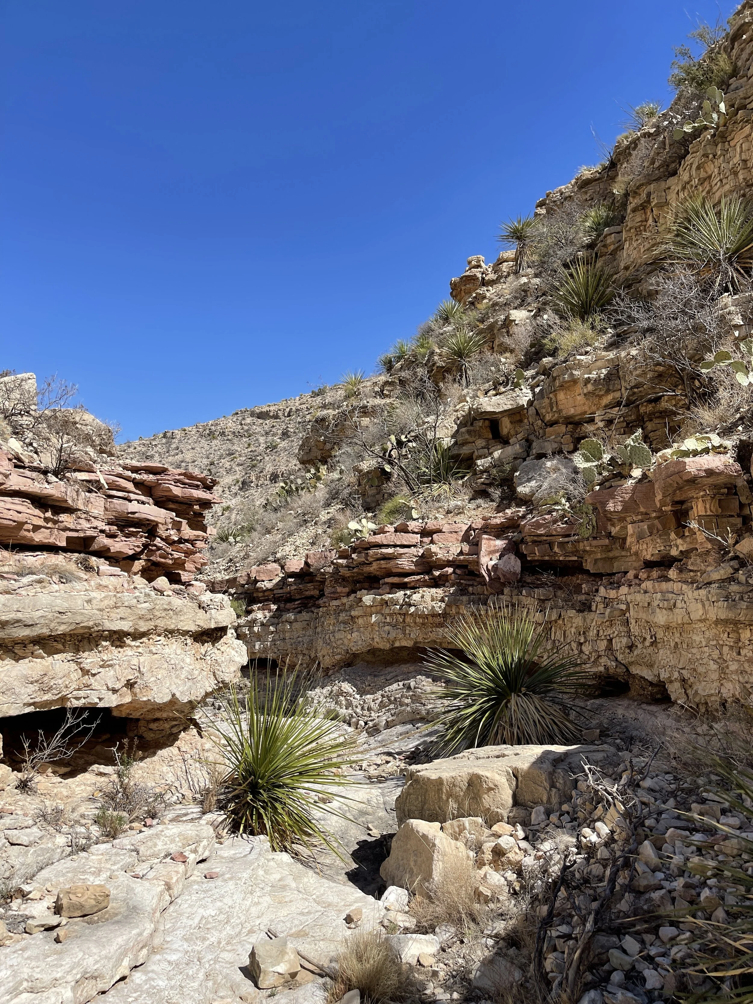
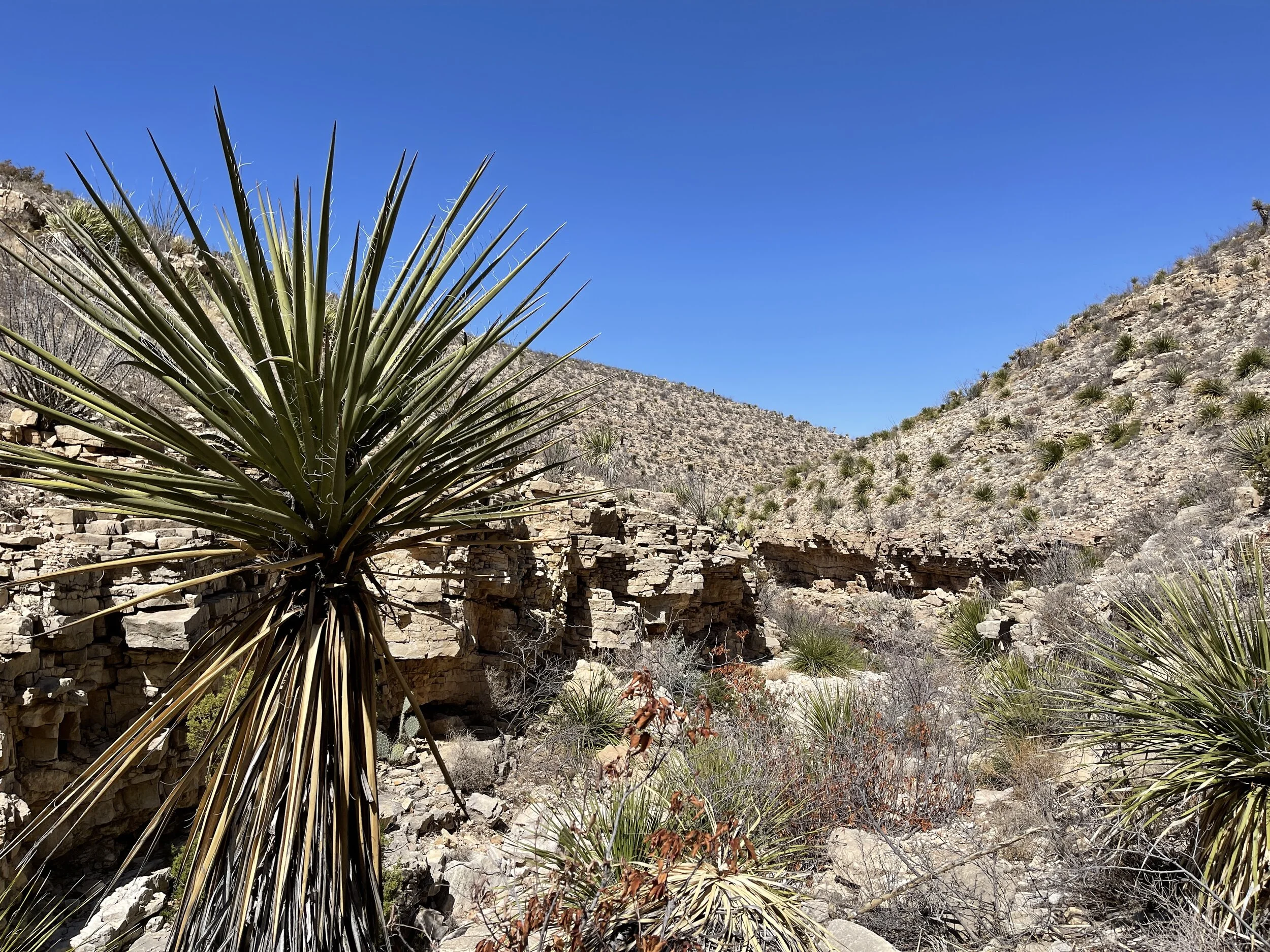
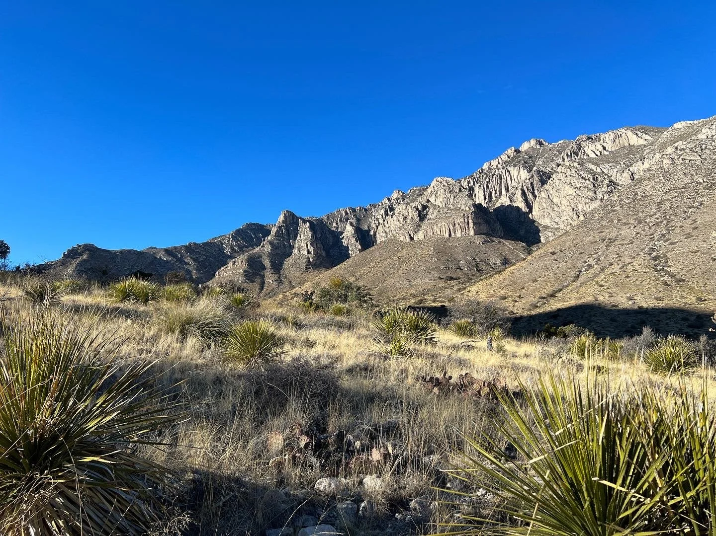
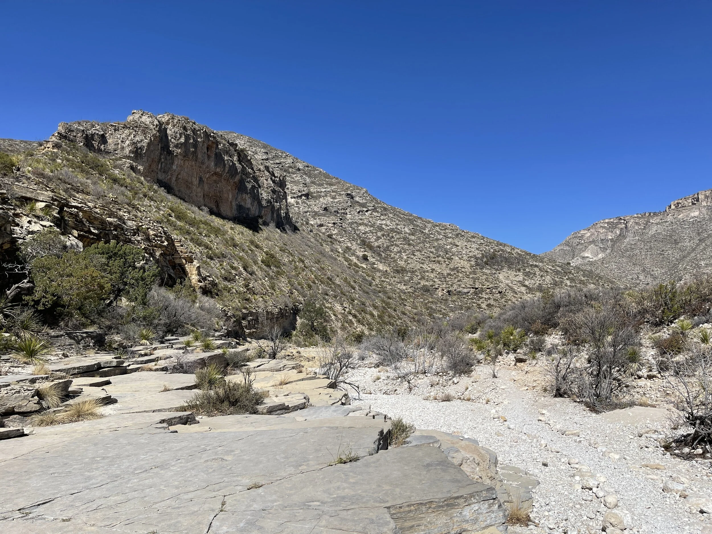
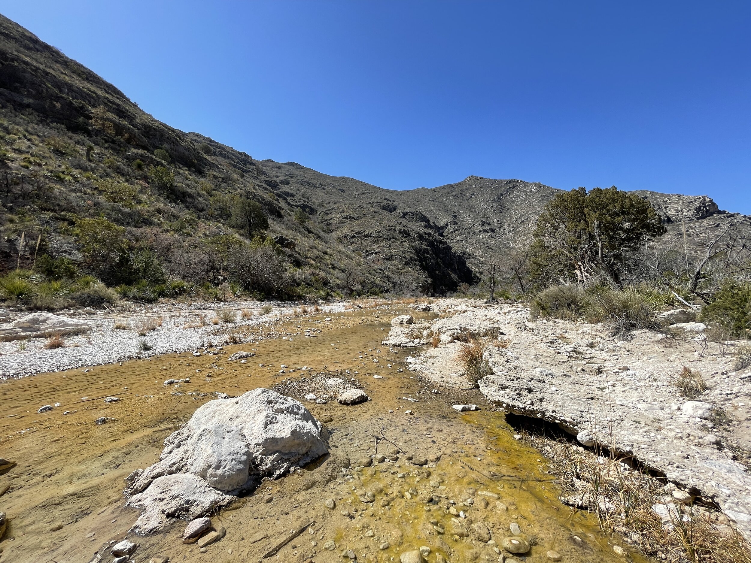
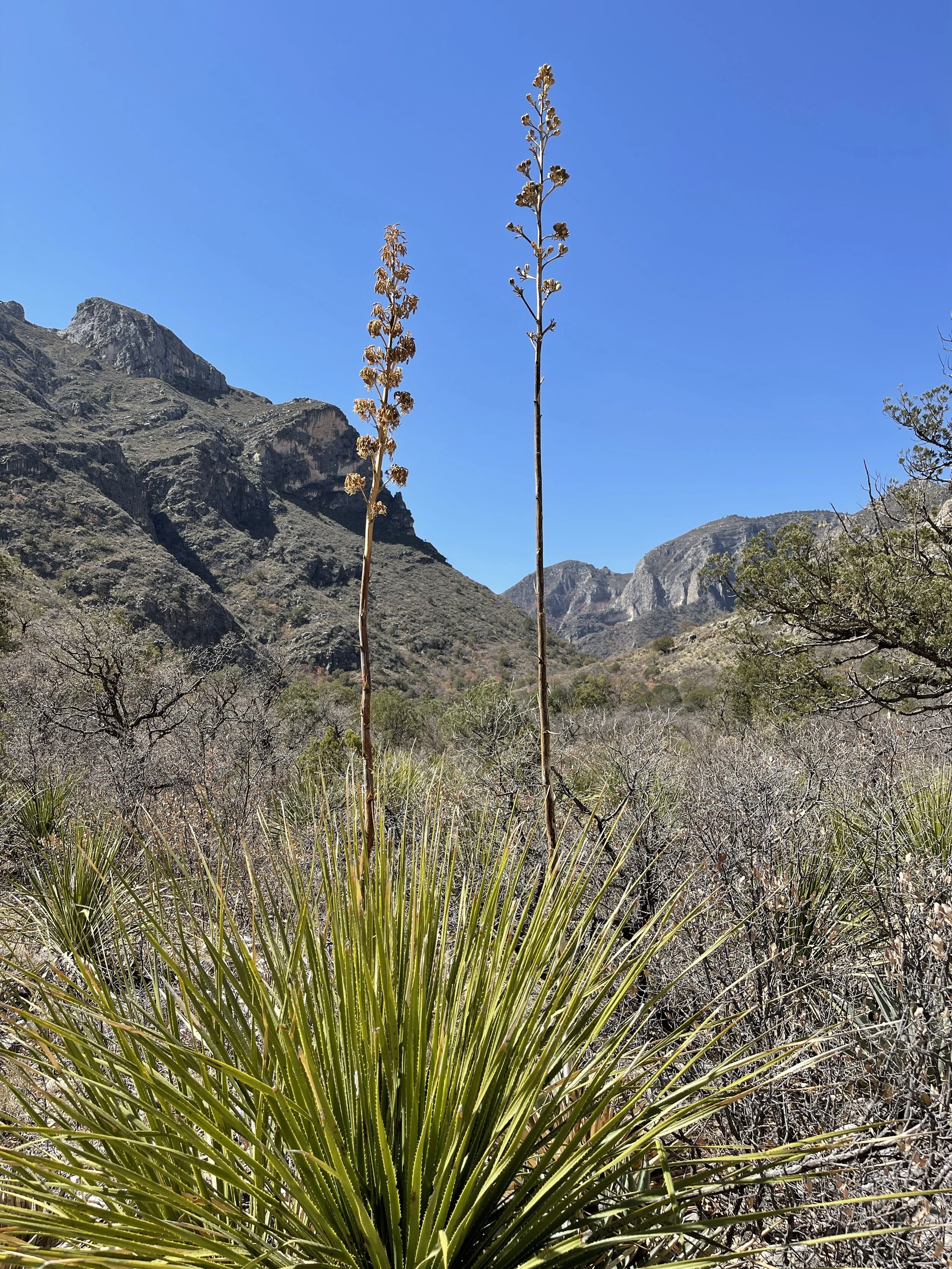
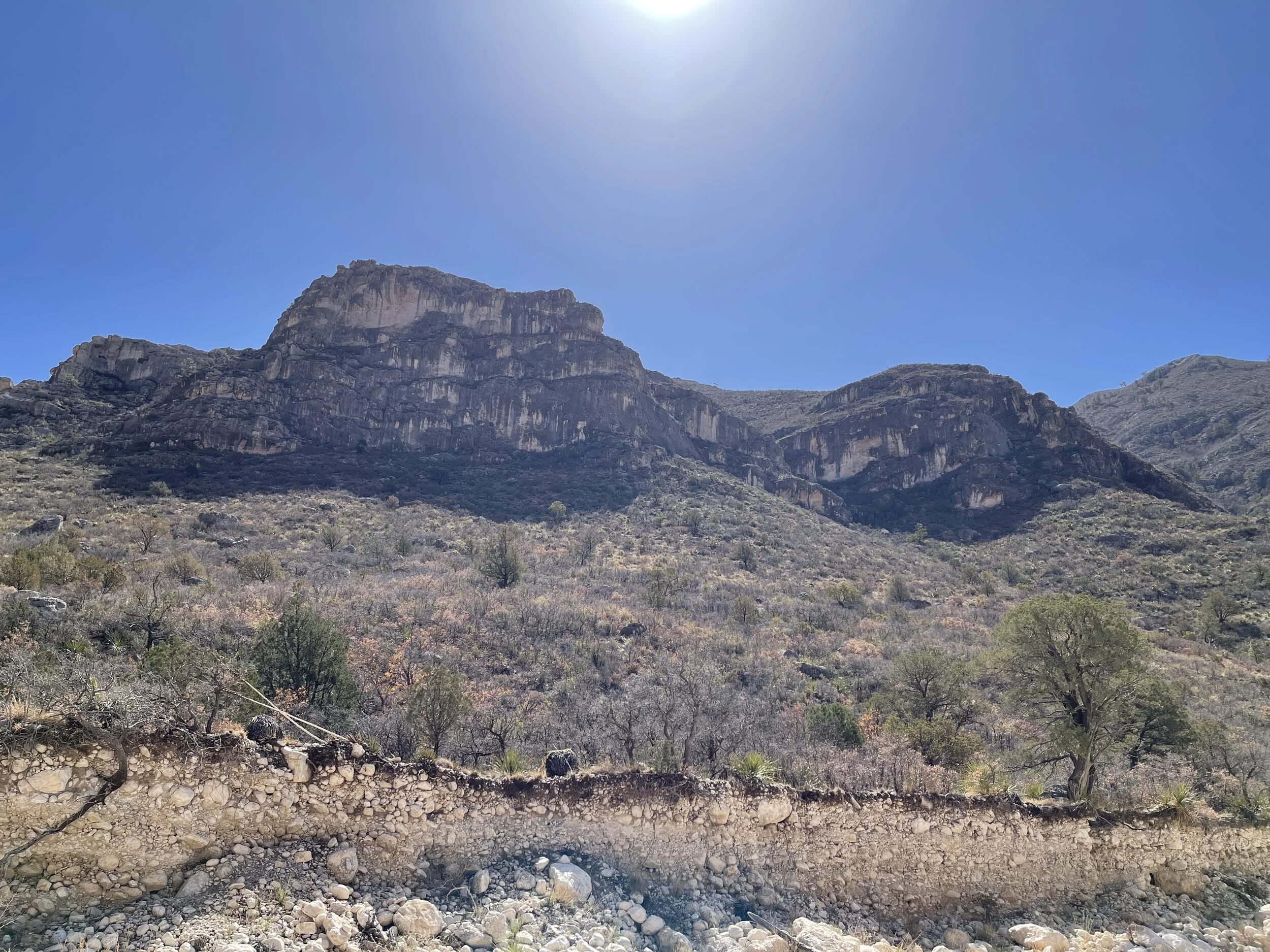
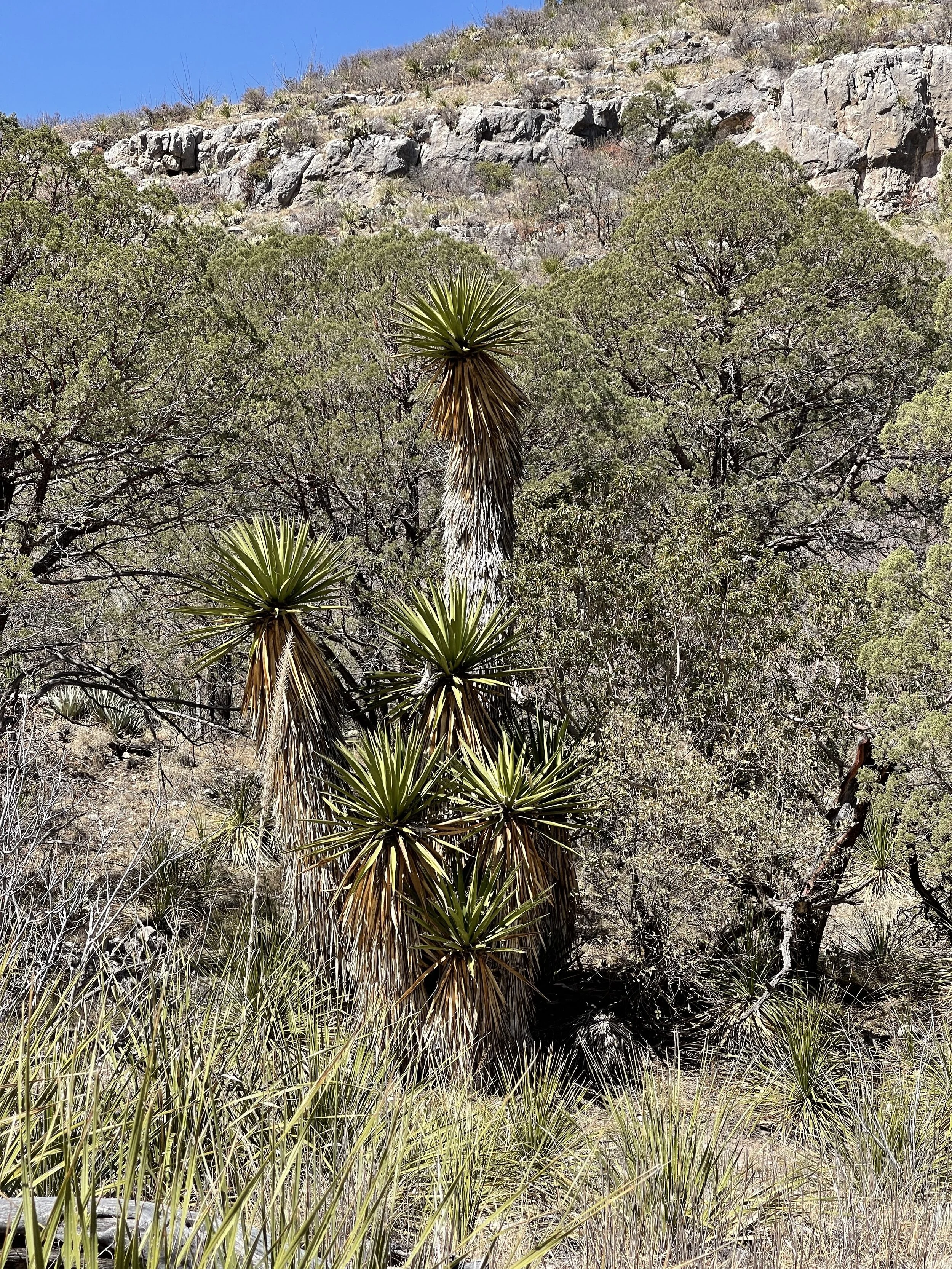
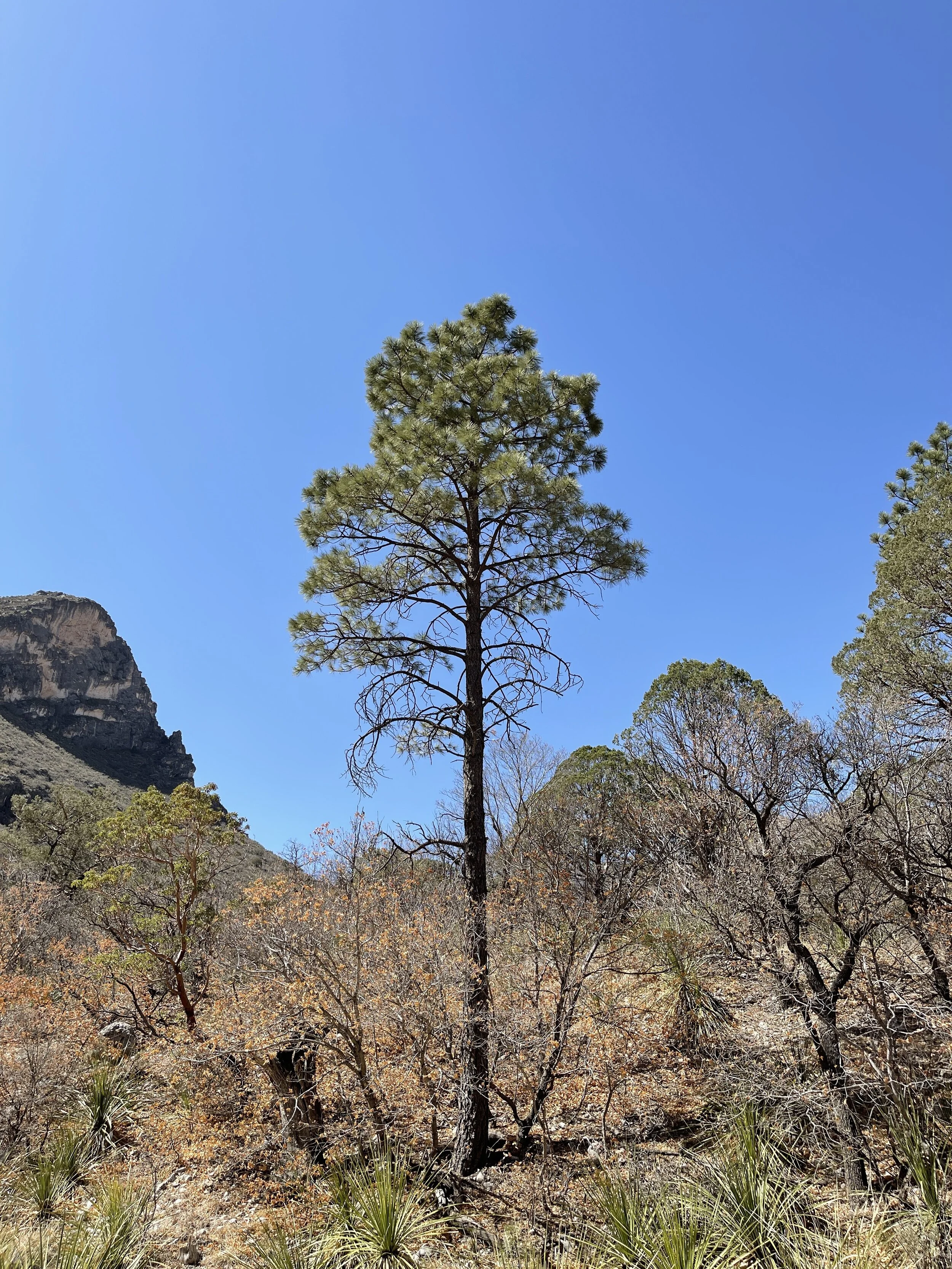
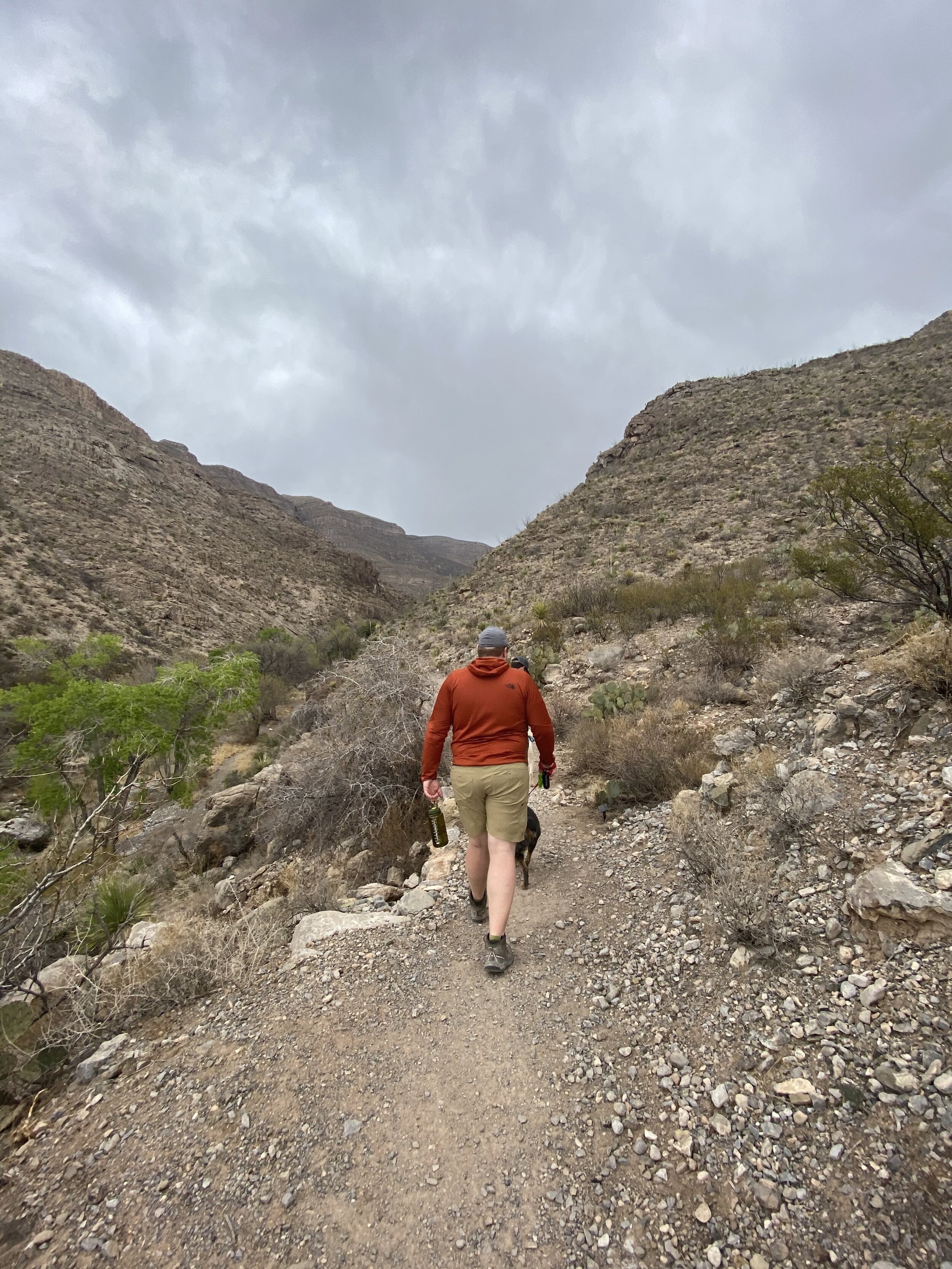
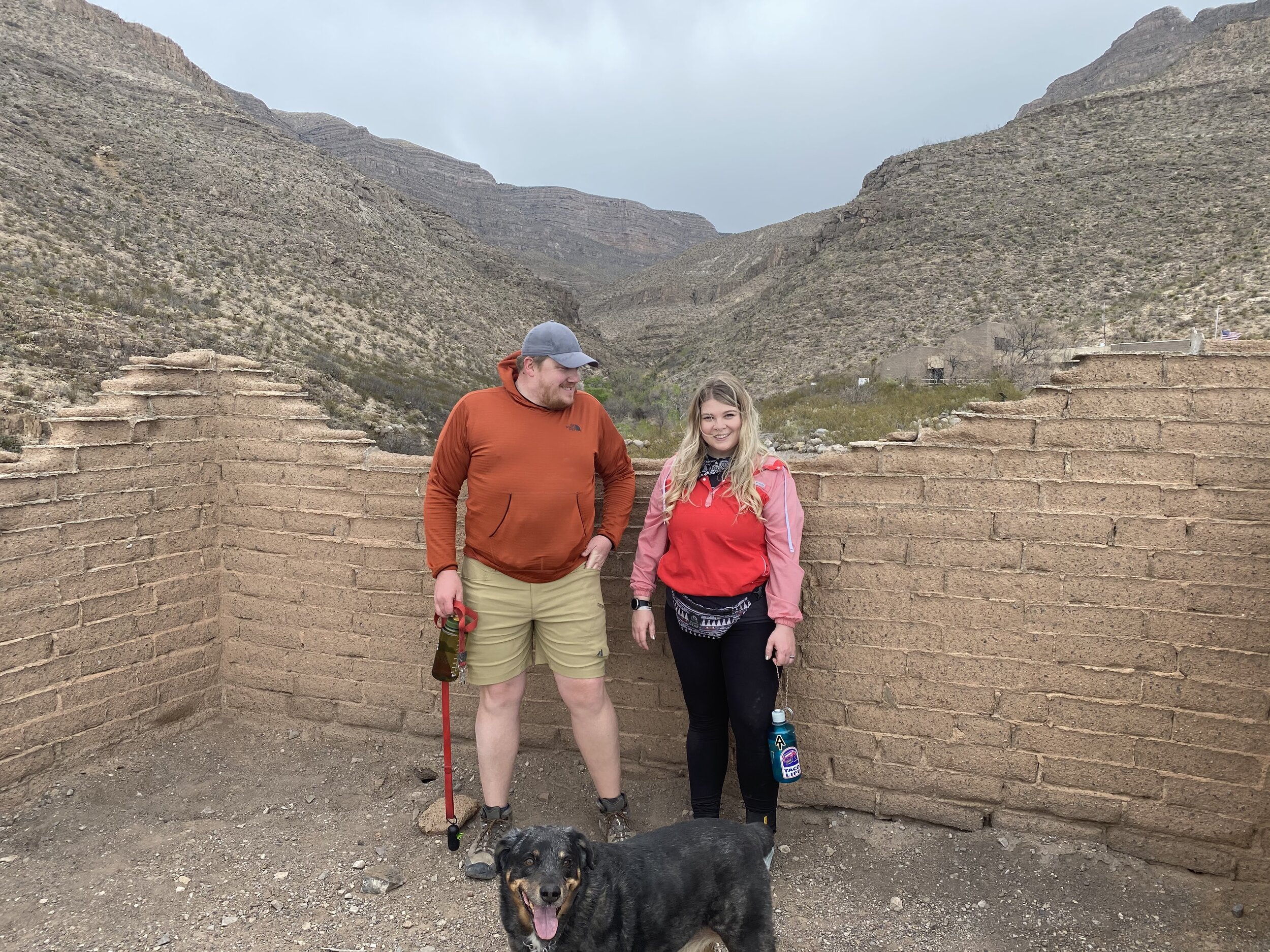
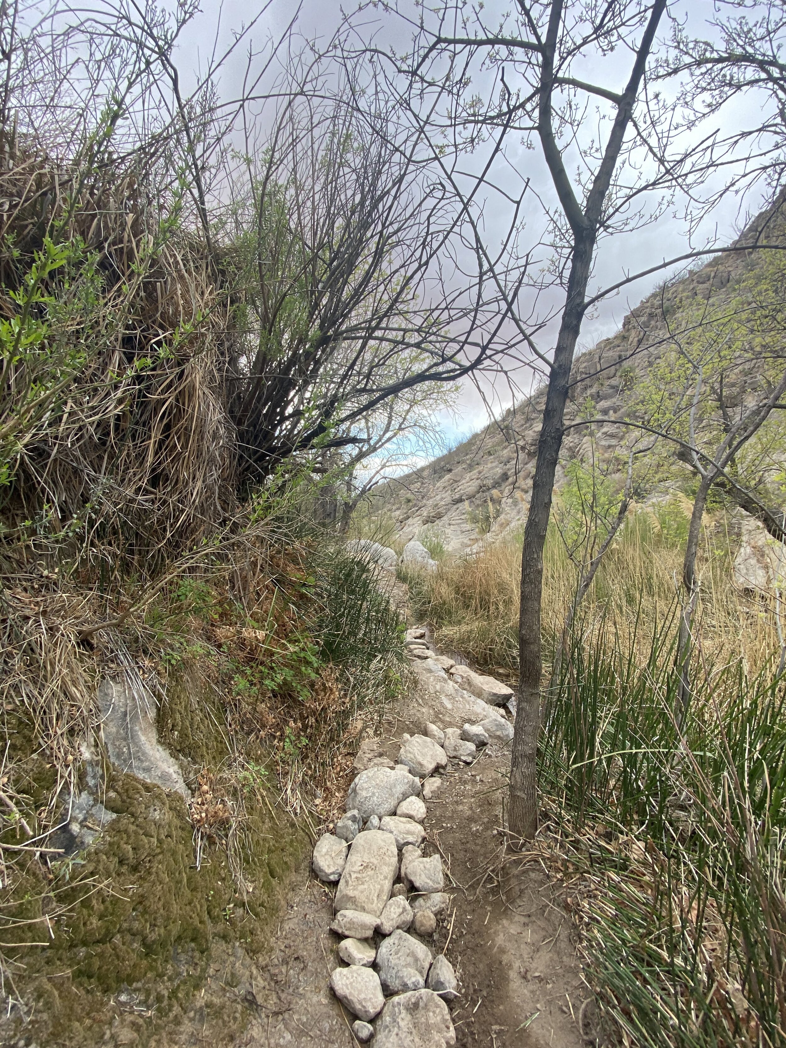
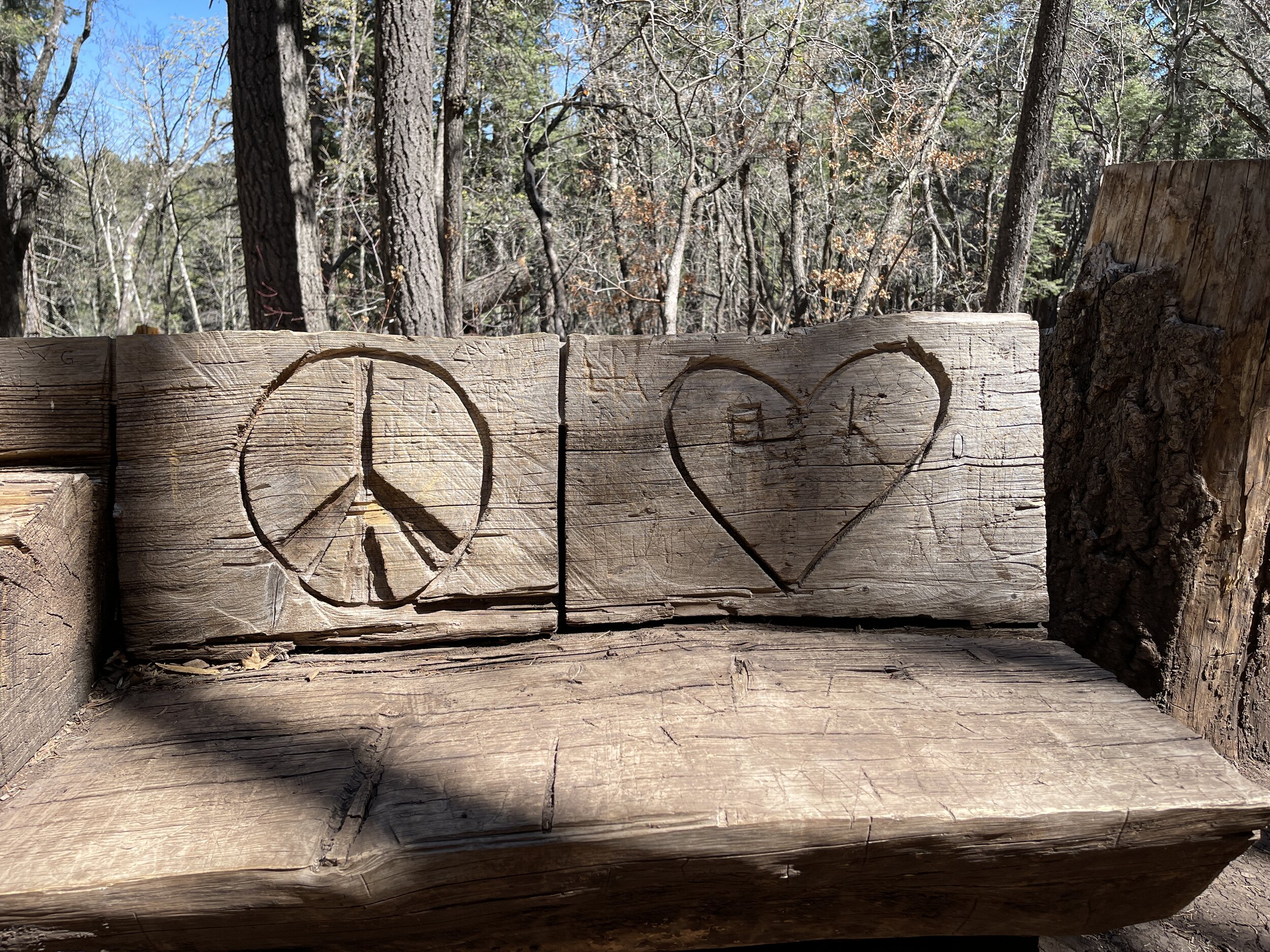
Hike 7 - Guadalupe Mountains National Park
Hiked through McKittrick Canyon to Pratt Cabin
The trail is well marked and visible; it’s mostly gravel
Pratt Cabin has shady pines and good views
Take plenty of water and wear a hat!
There are many trail options, but this particular hike is perfect for someone looking for a pretty, quick, and easy day hike
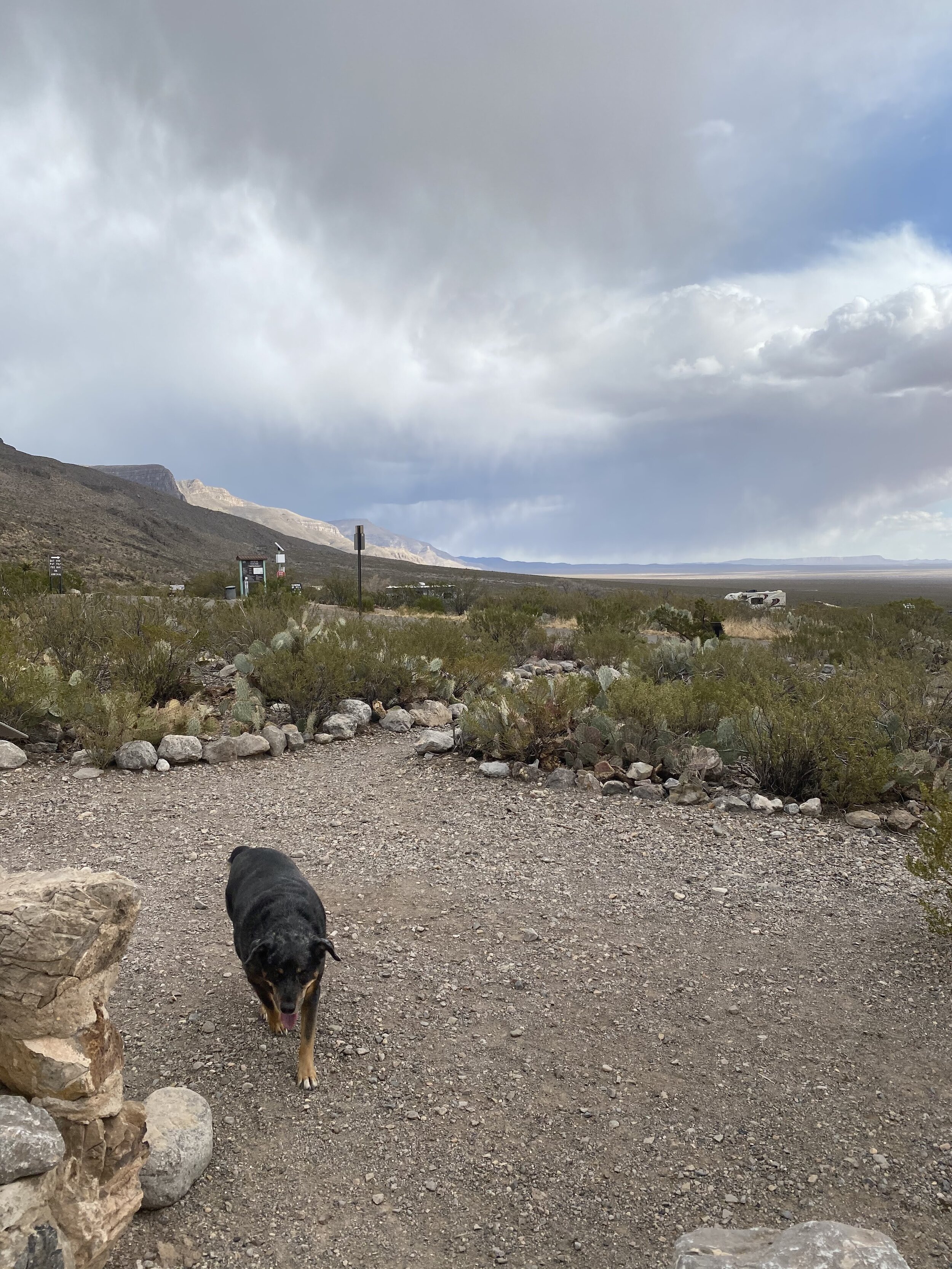
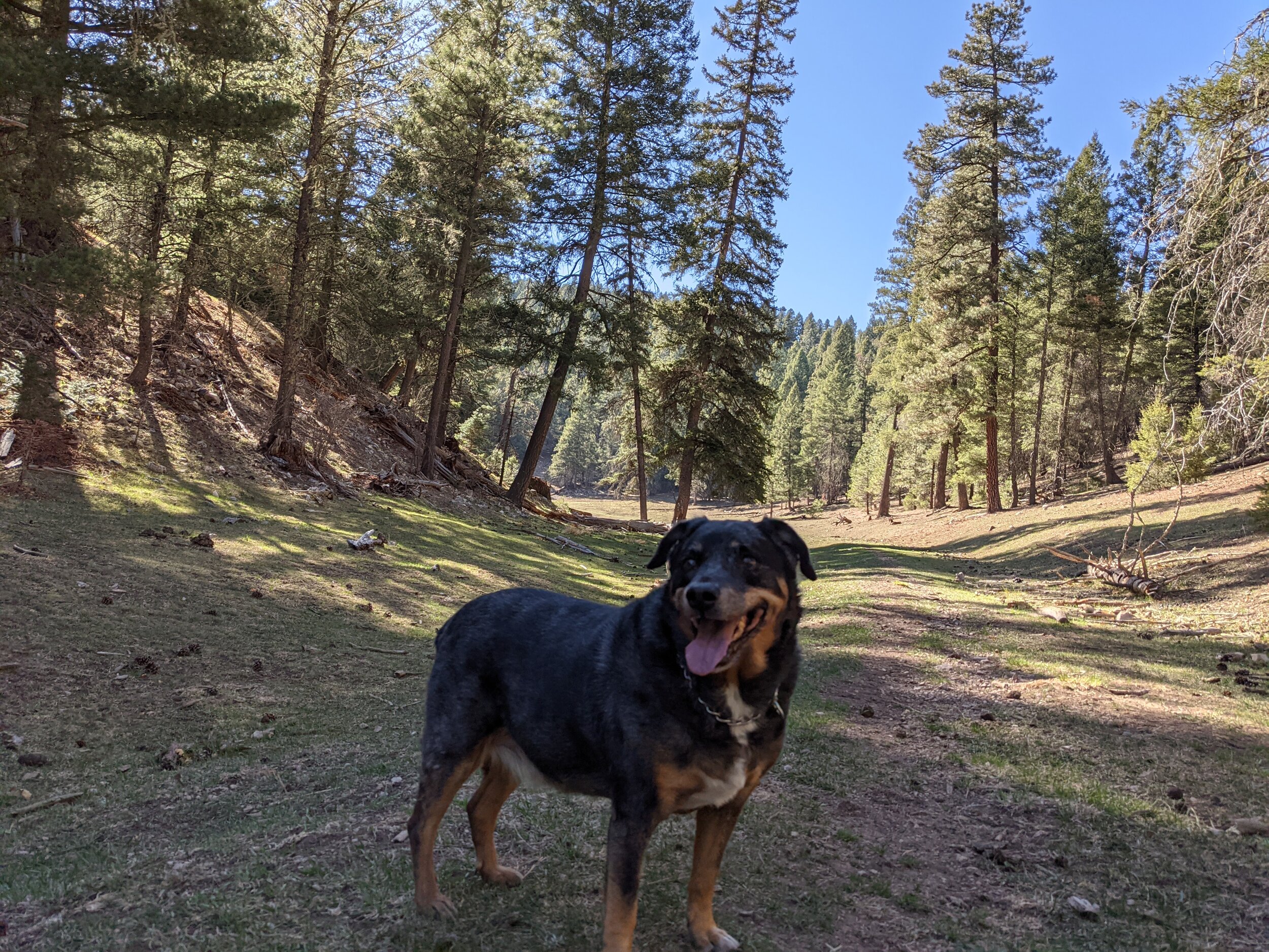
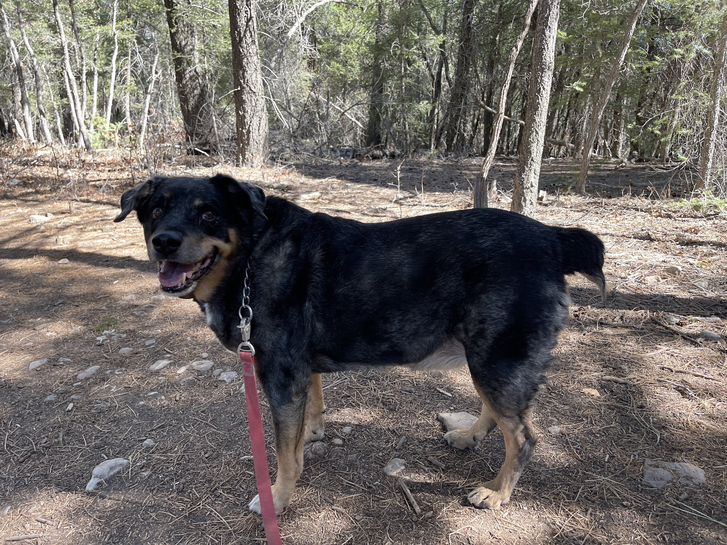
Hike 8 - Oliver Lee State Park
This was less of a formal hike and more of a little romp with the dogs along the creek
The park has a big trial that goes much higher, we just weren’t quite feeling it
Camping and hiking with great views of vastness in New Mexico
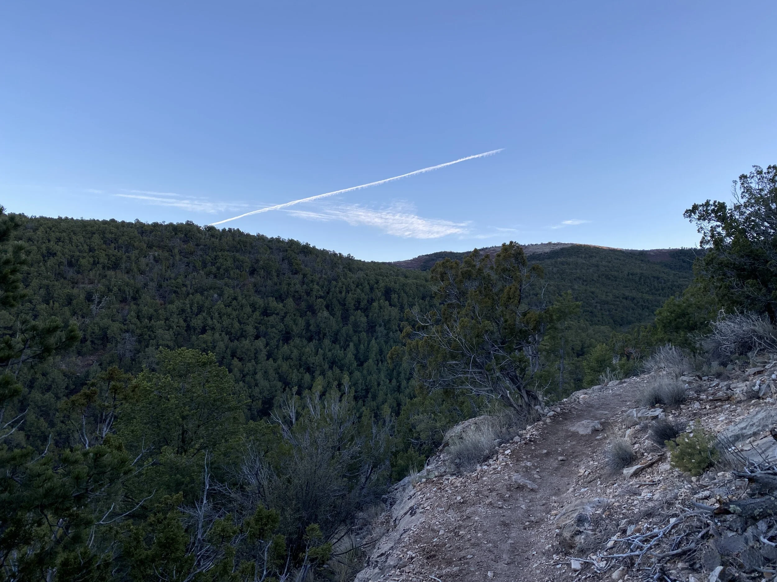
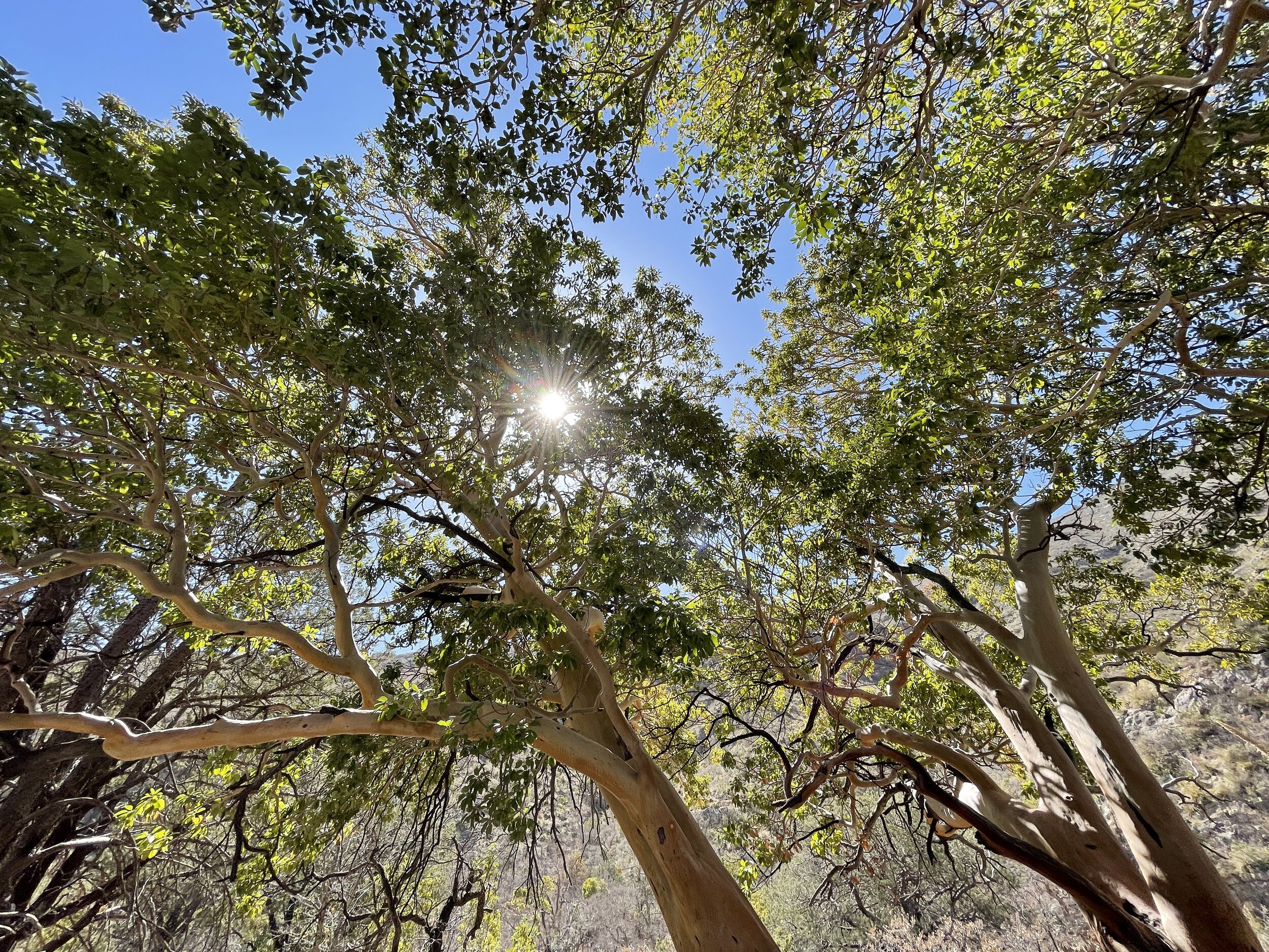
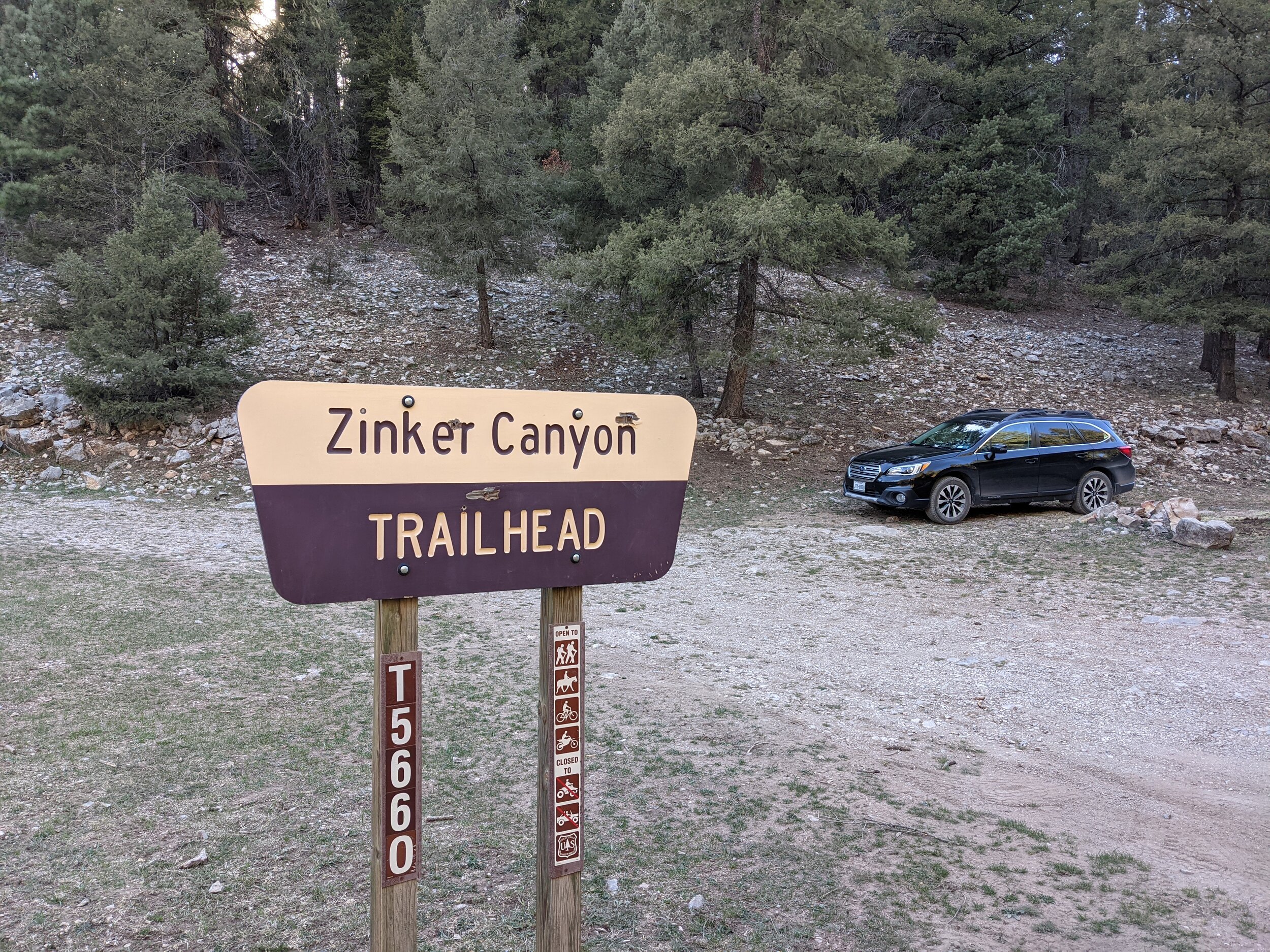
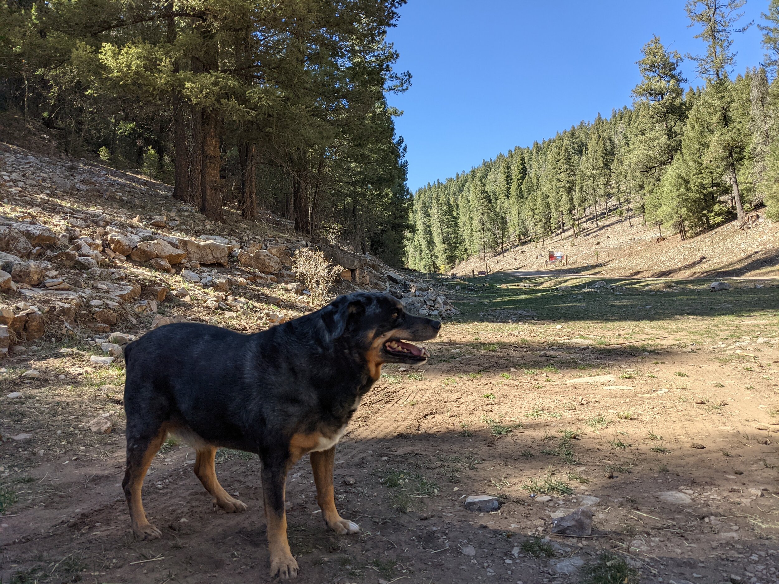
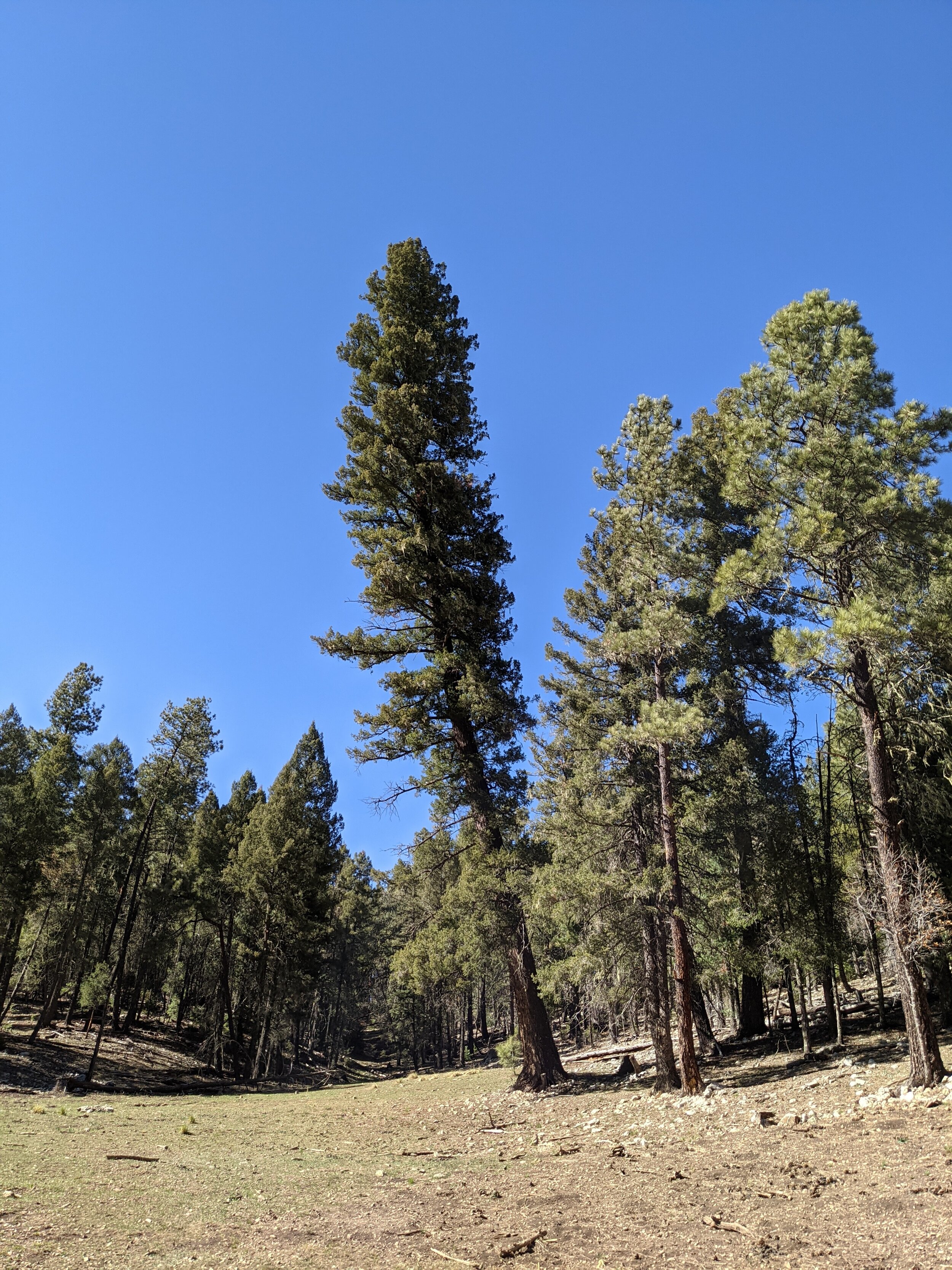
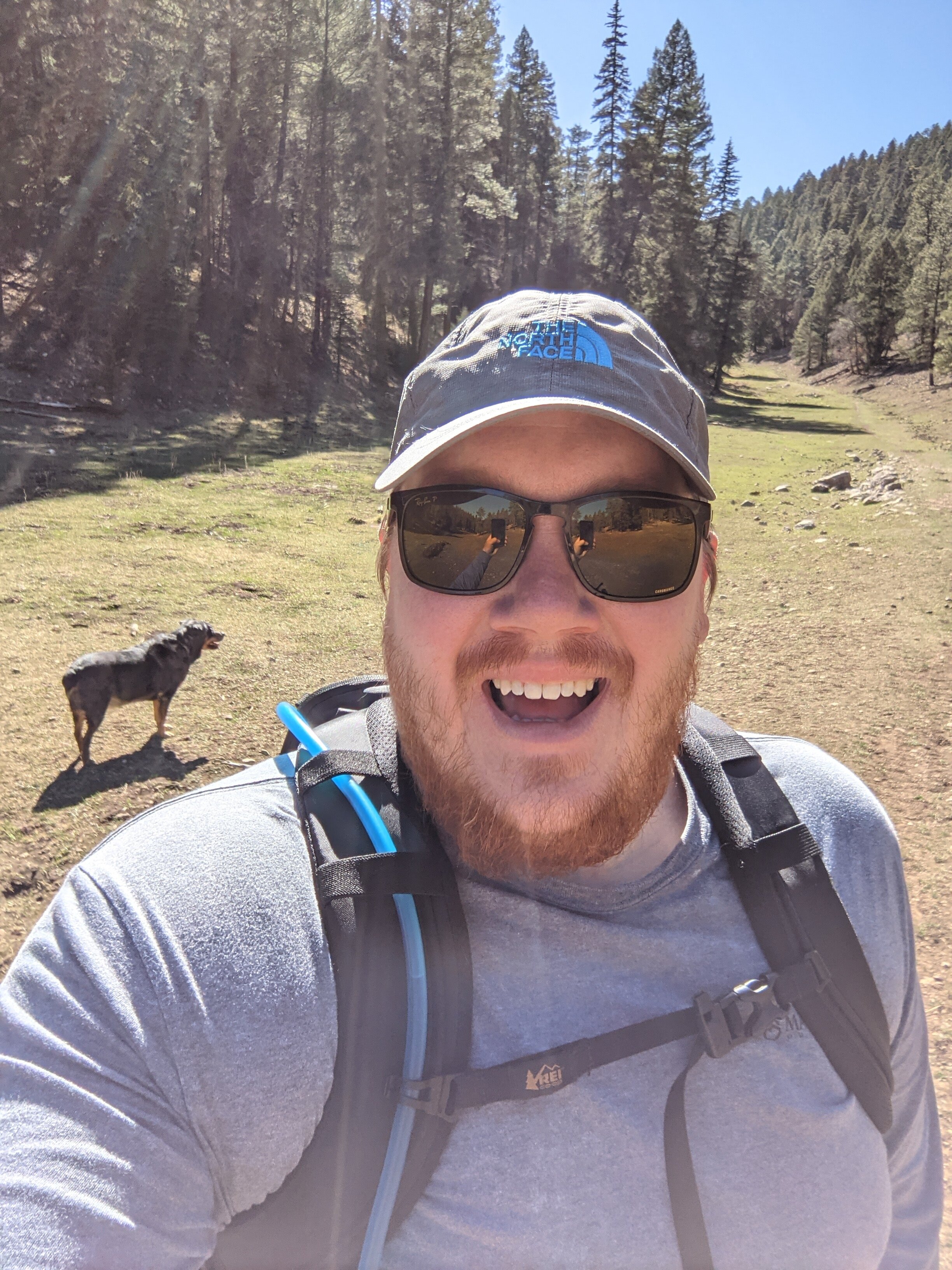
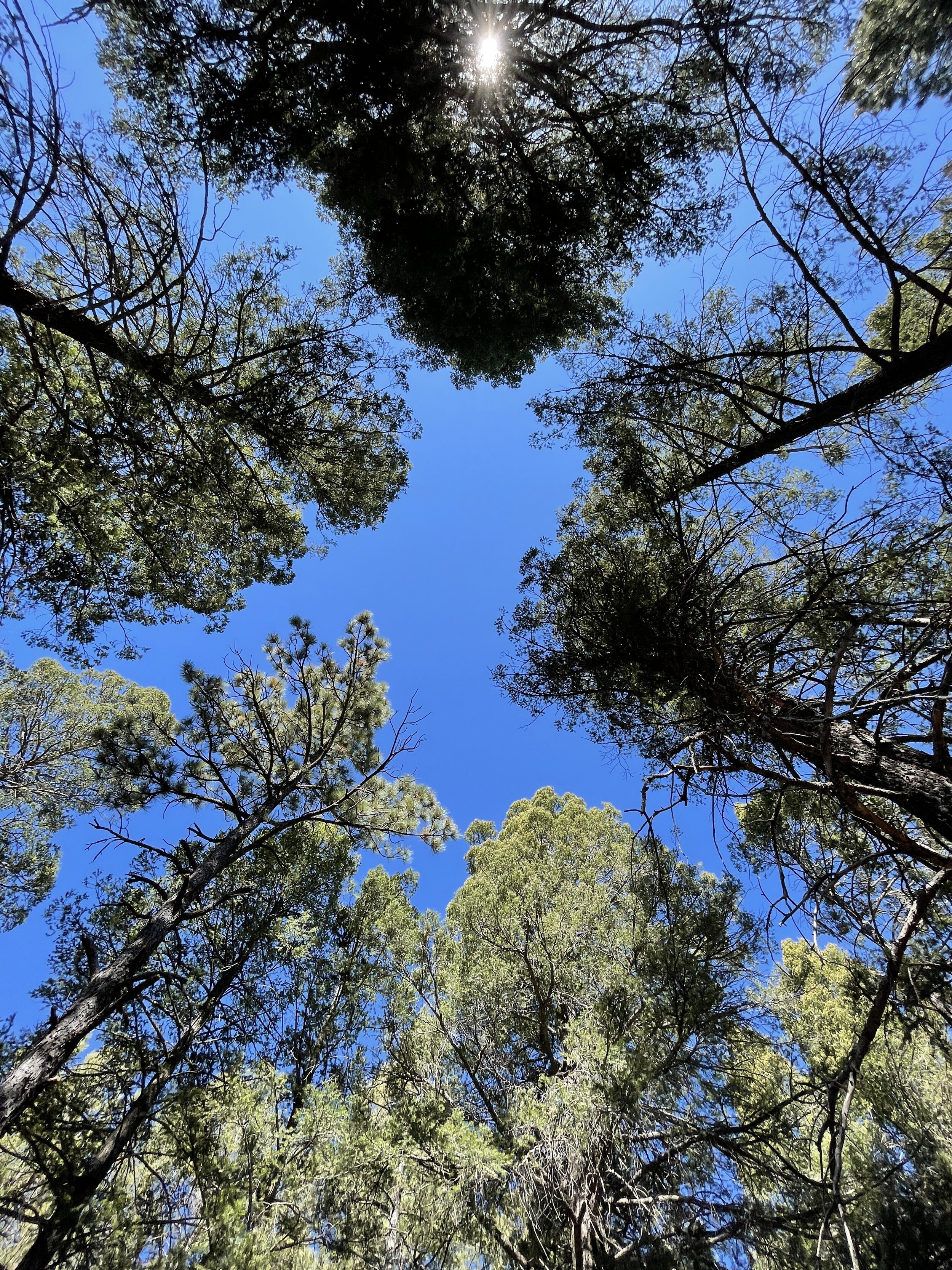
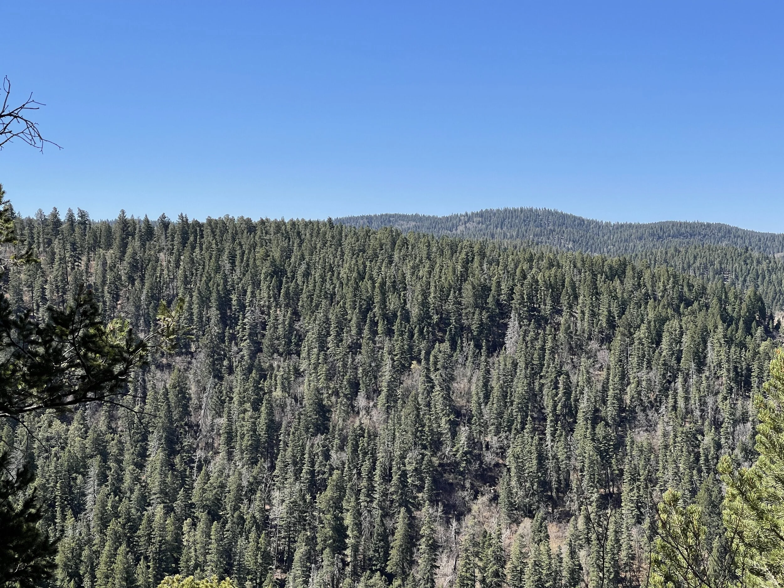
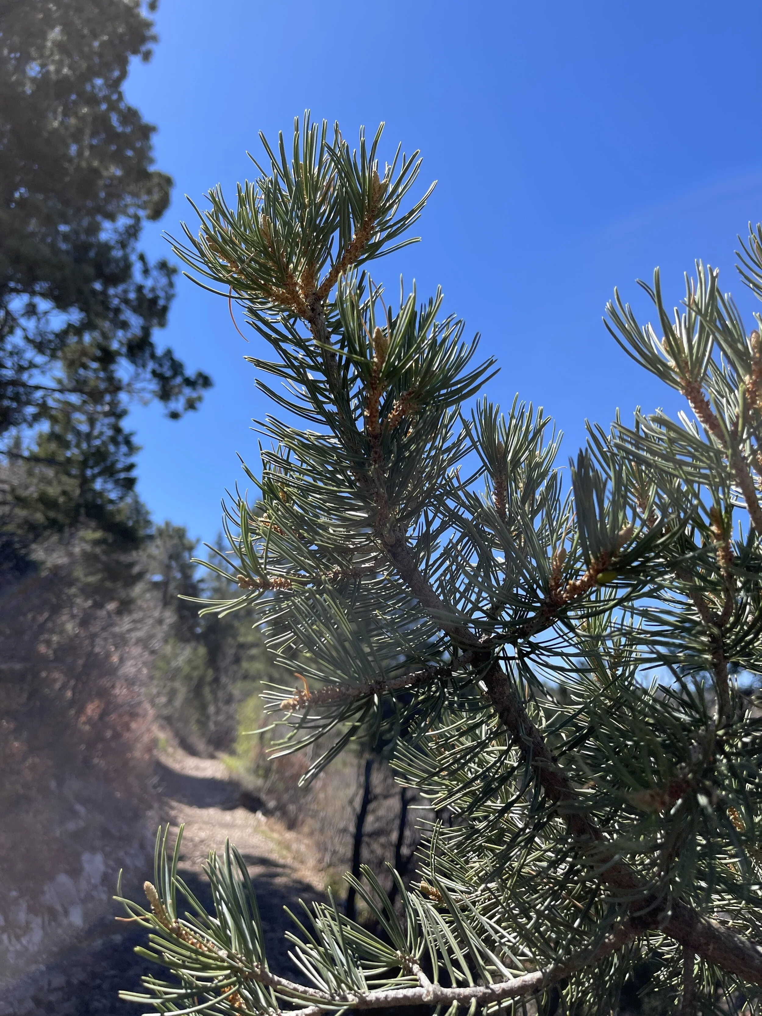
Hike 9 - Lincoln National Forest (Zinker Canyon)
This canyon is a sunny, tree-lined path up in elevation (it’s gradual)
I went in the evening, and the golden sun just made it feel like magic
So many big trees along the way
Definitely elk territory; we ran up on some and turned back
Multi-use trails - so be courteous to one another
Dog friendly and kind of secluded, hardly anyone out in that area


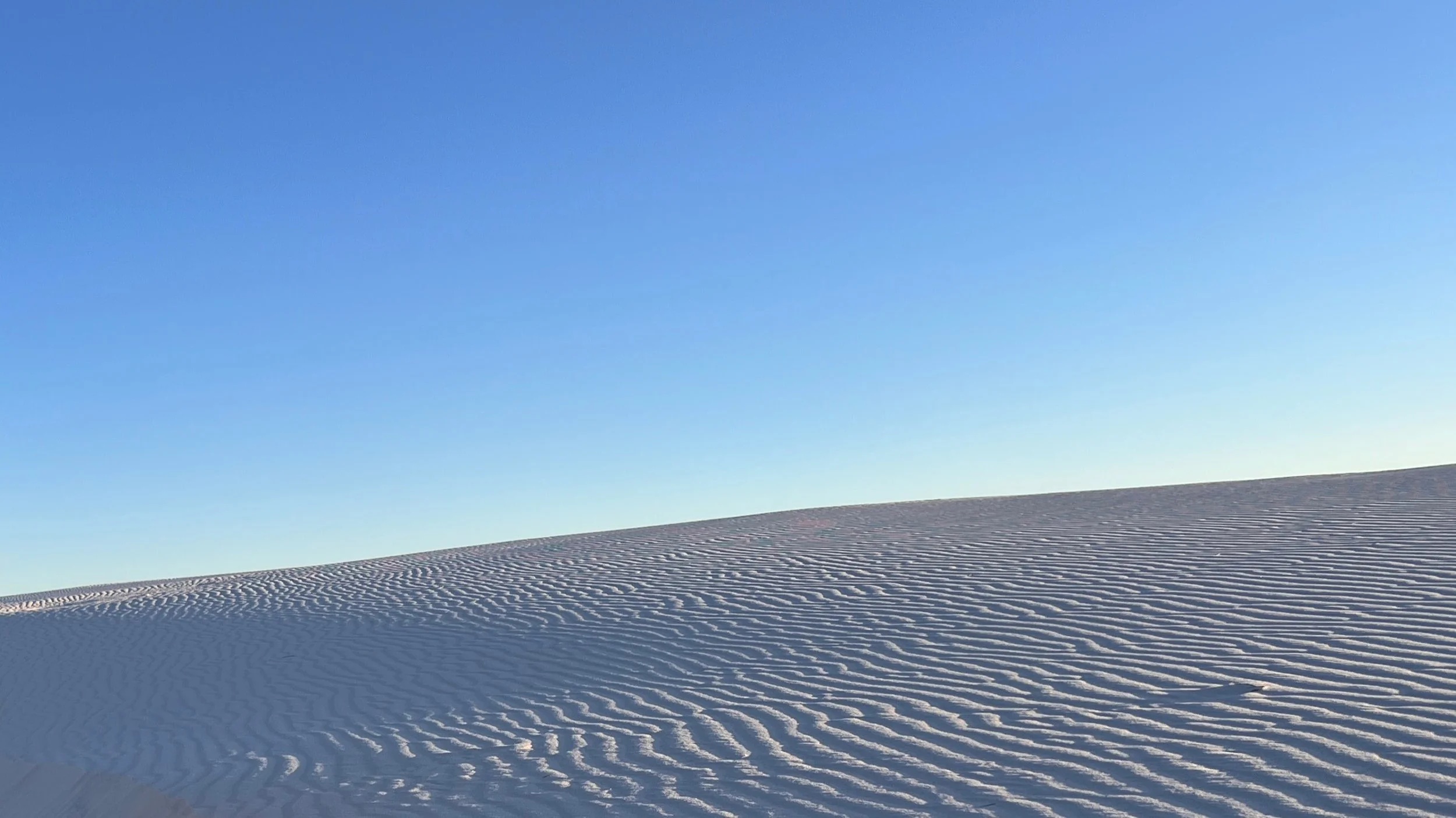
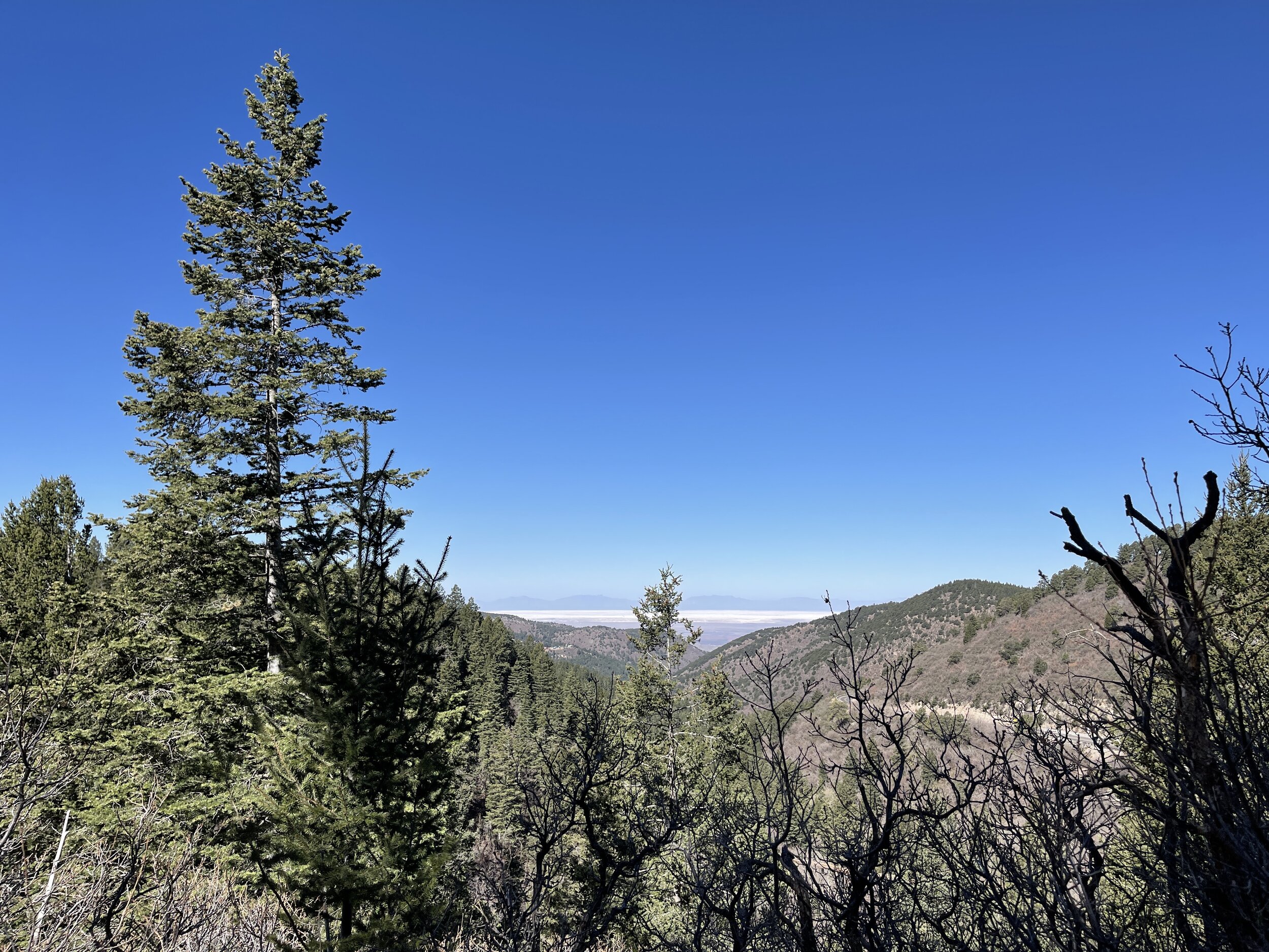
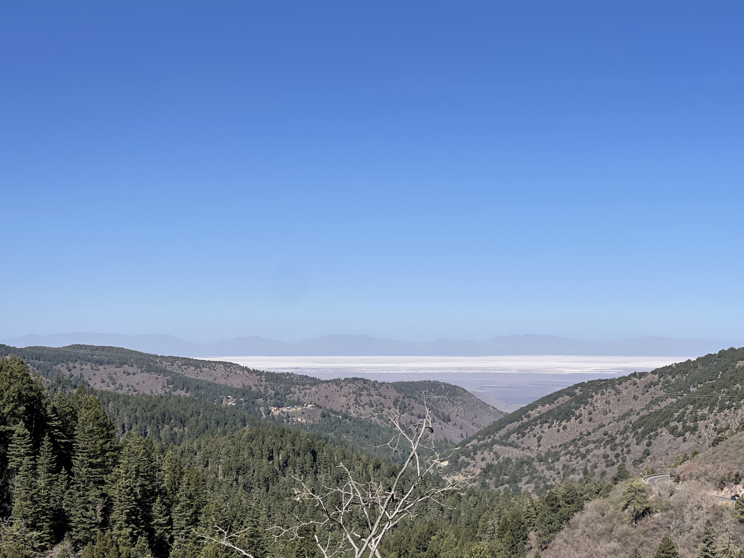
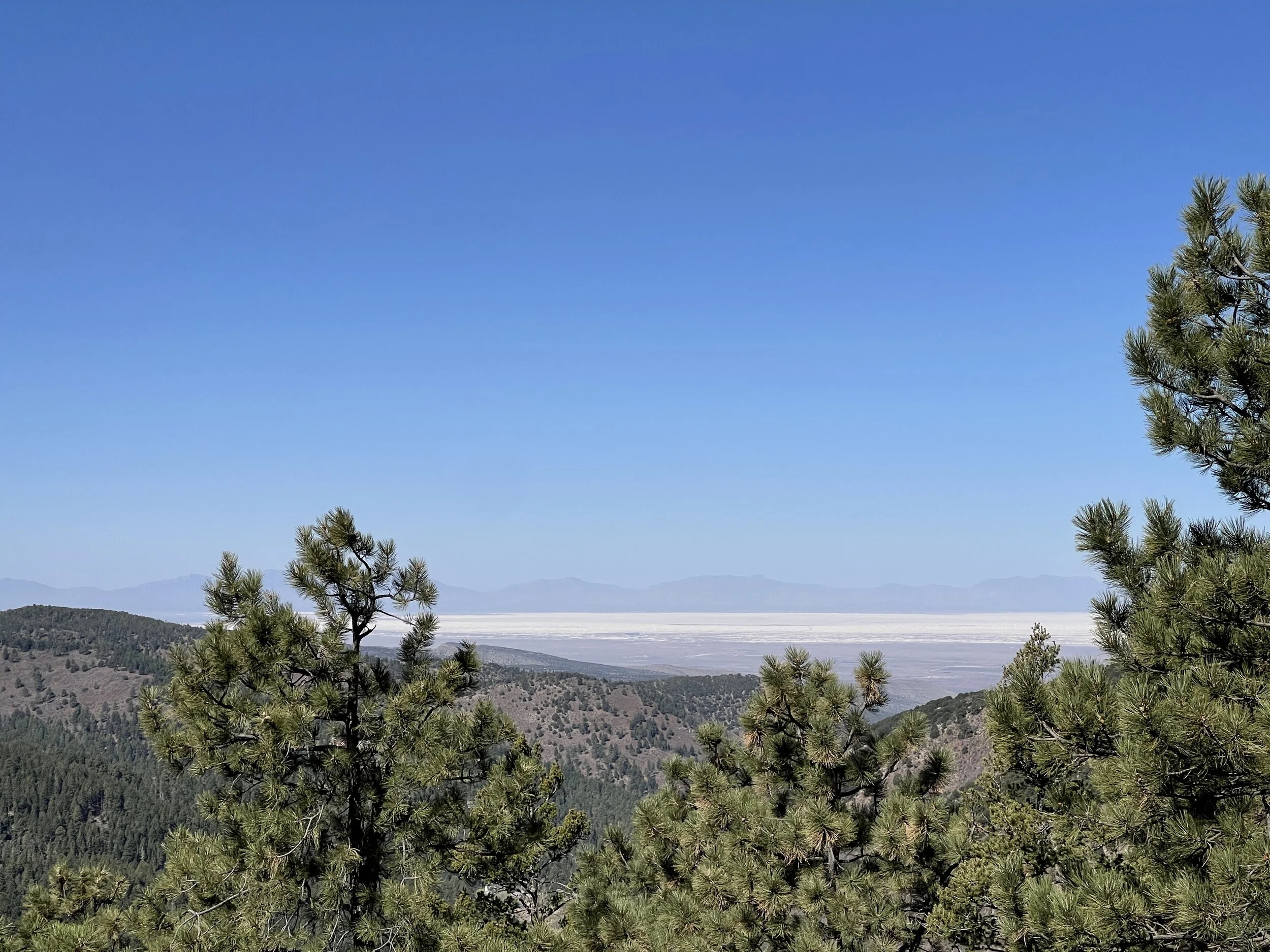
Hike 10 - Lincoln National Forest (Osha Trail)
Easy to get to, just west of Cloudcroft, NM
The trail is rocky, but not too bad and good for dogs
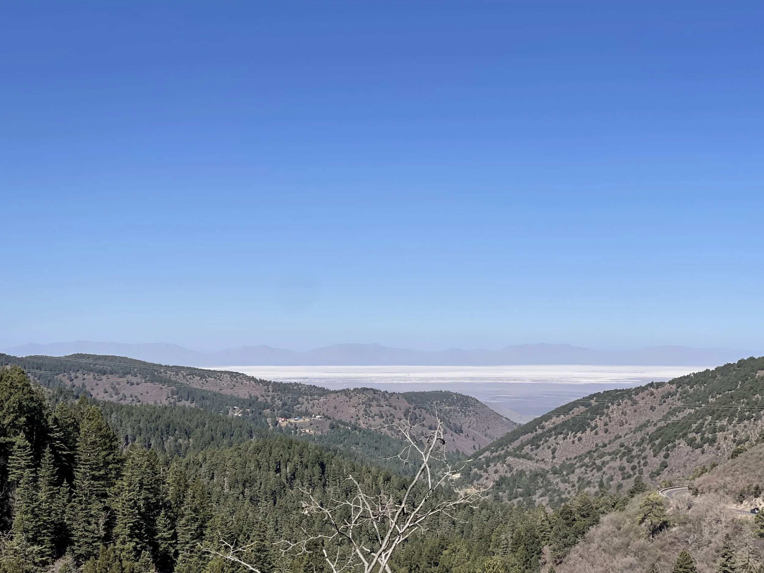
There is shade and some open spots with great views of White Sands
A great day hike if you’re headed to Cloudcroft and want to get a little exercise
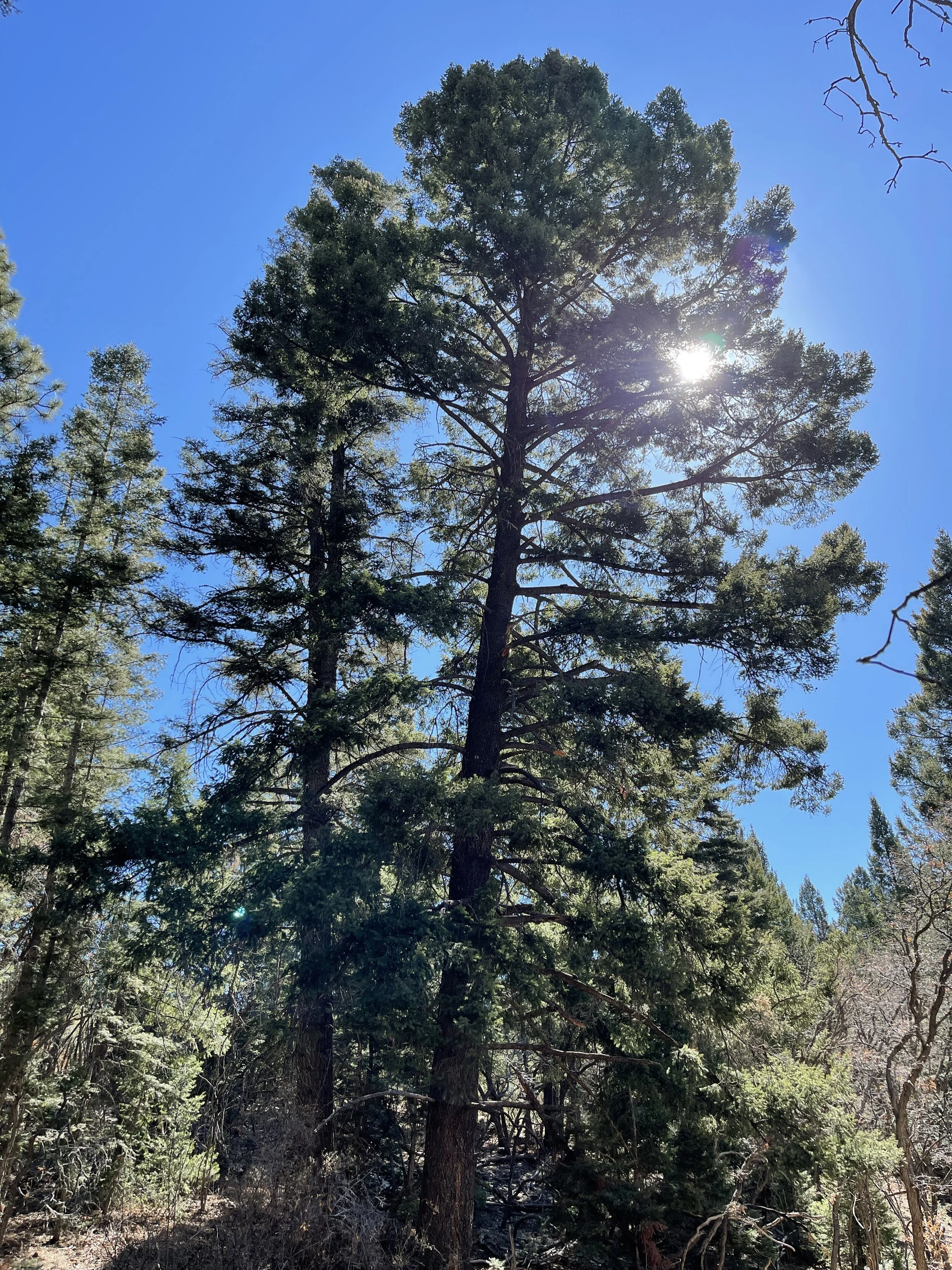
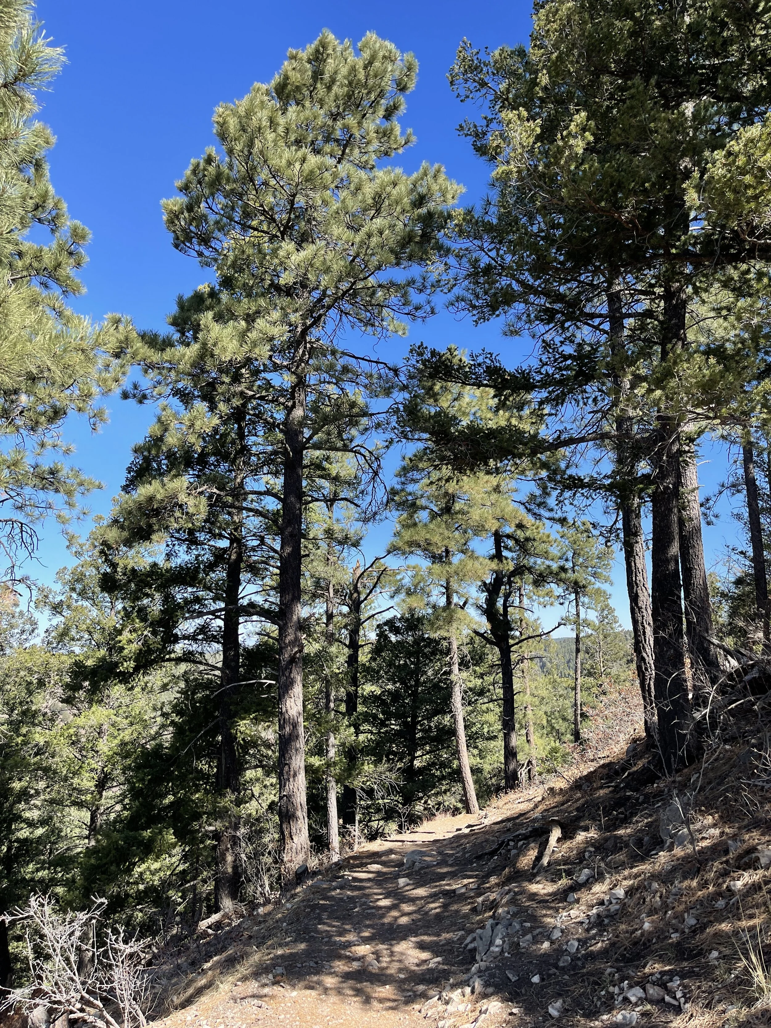
Hike 11 - Lincoln National Forest (Upper Karr Canyon)
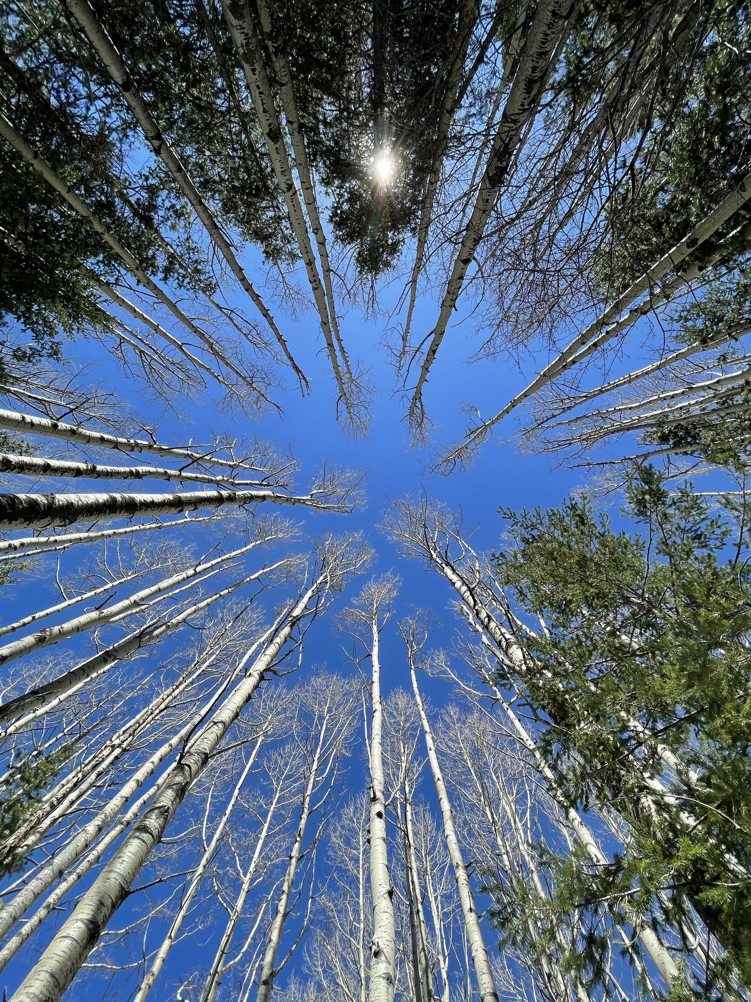
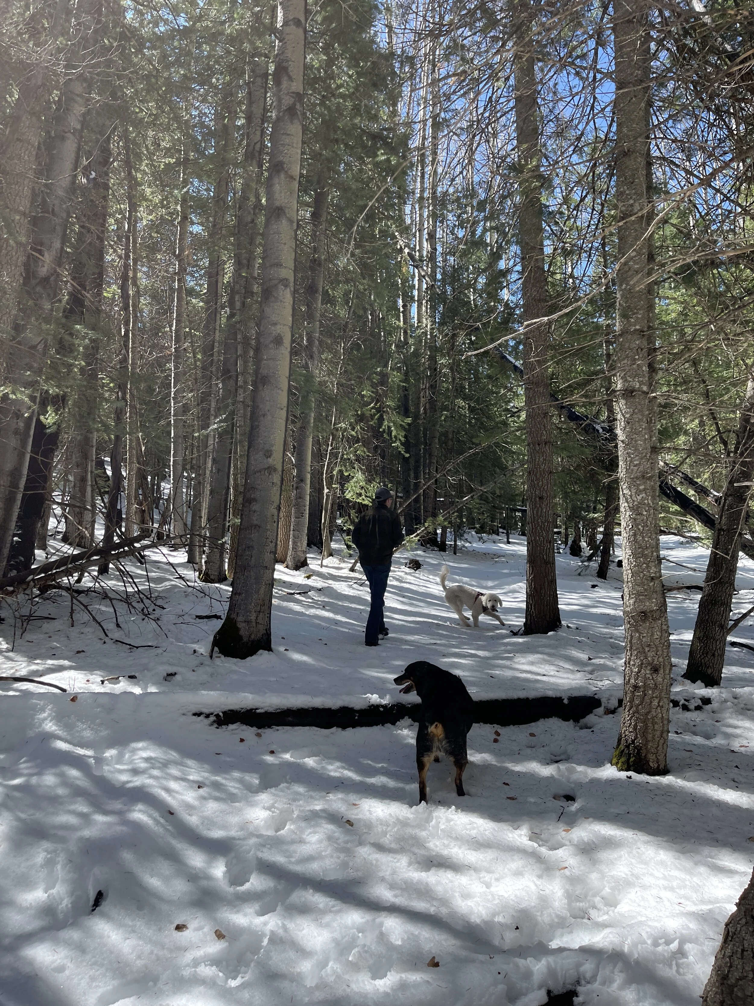
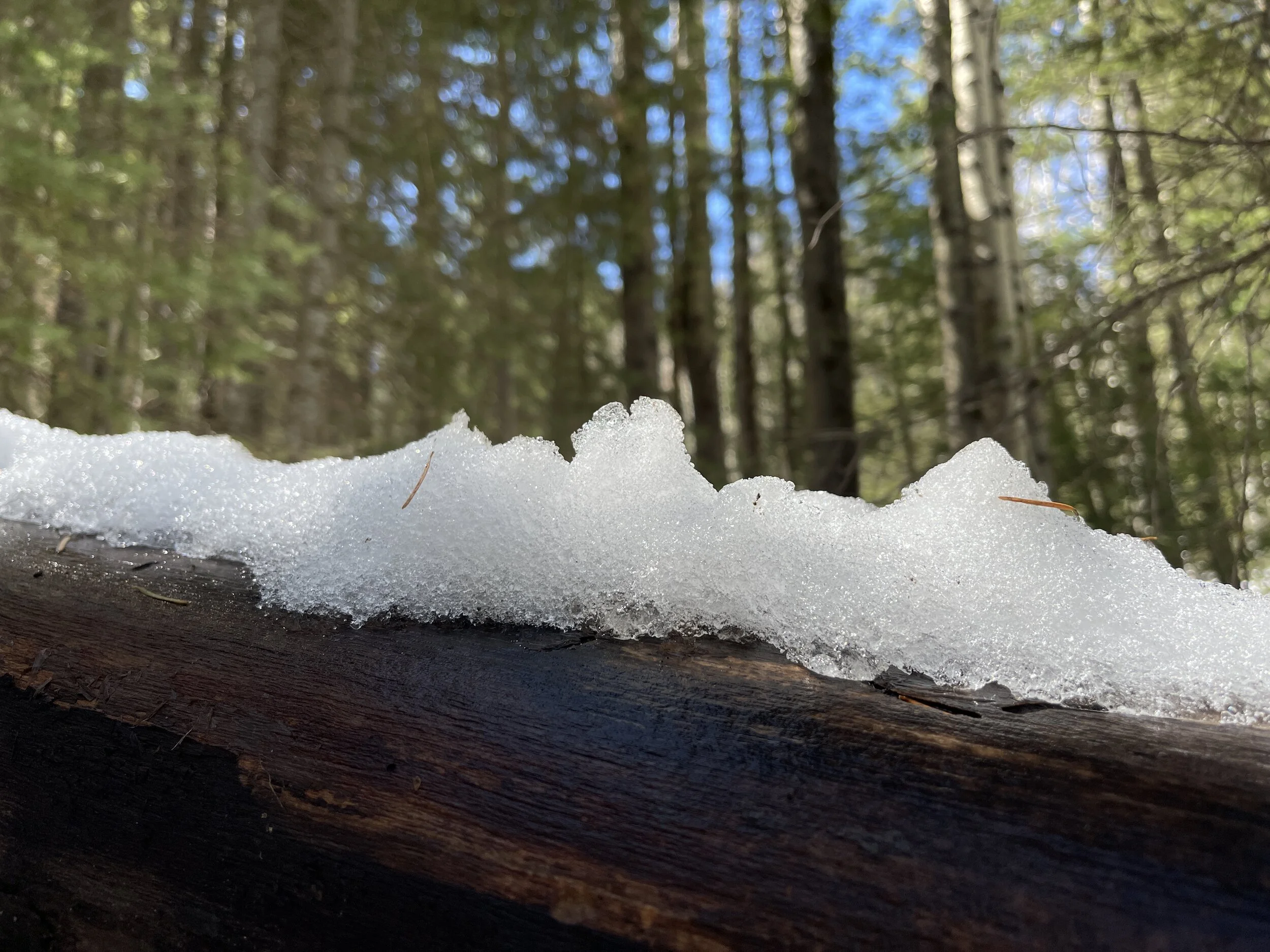
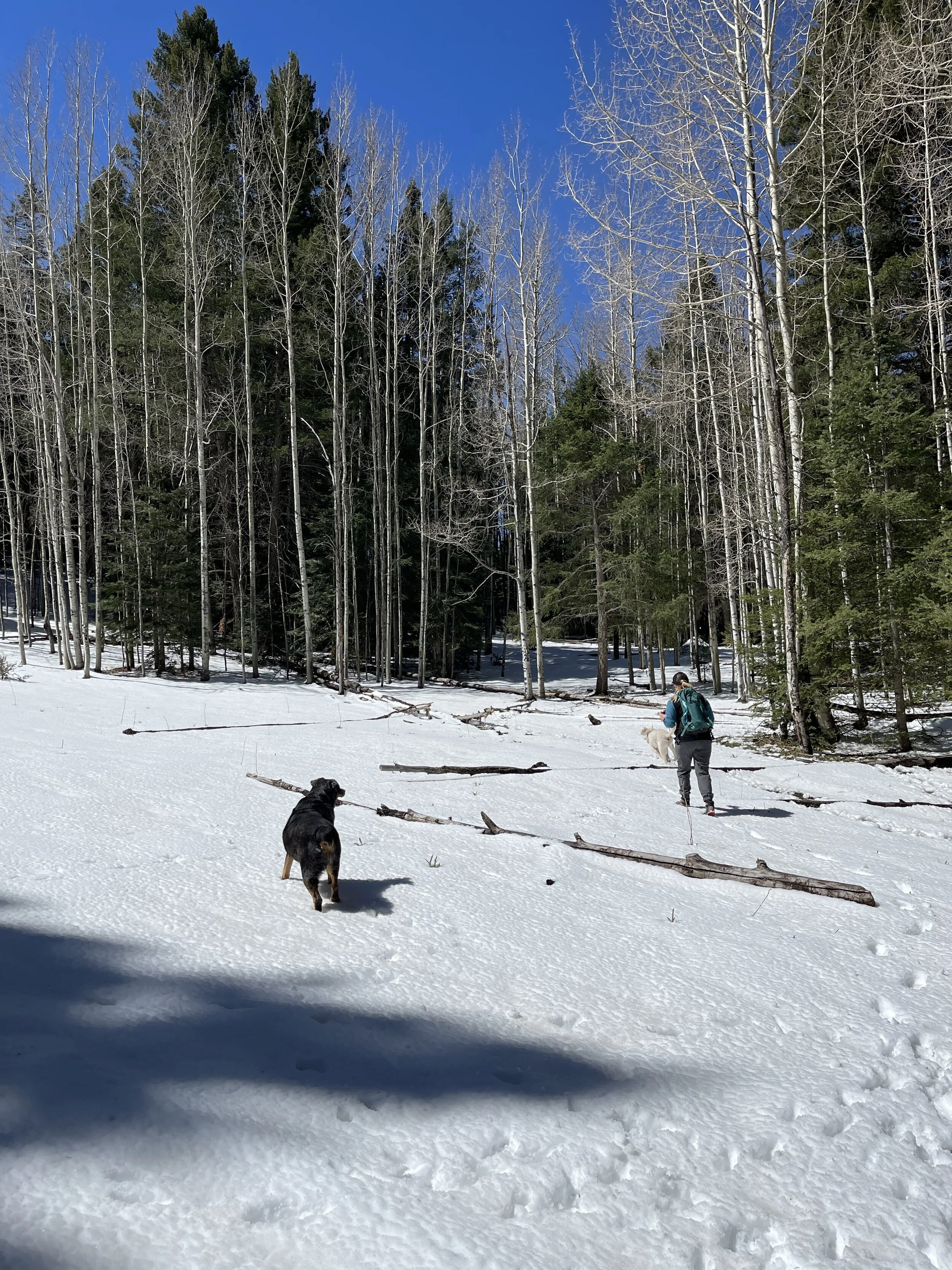
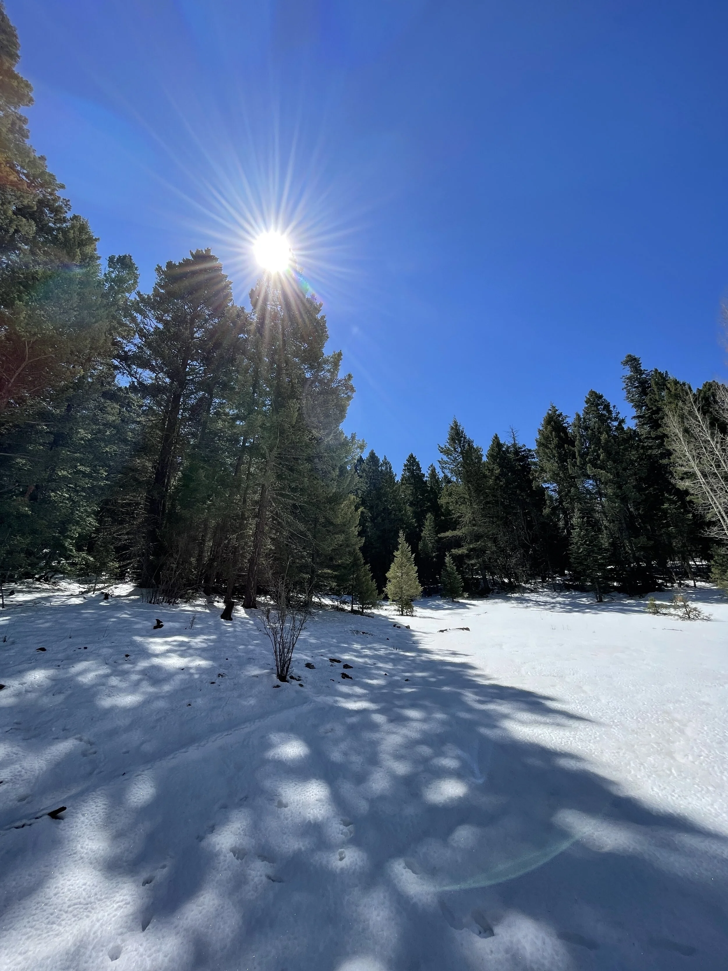
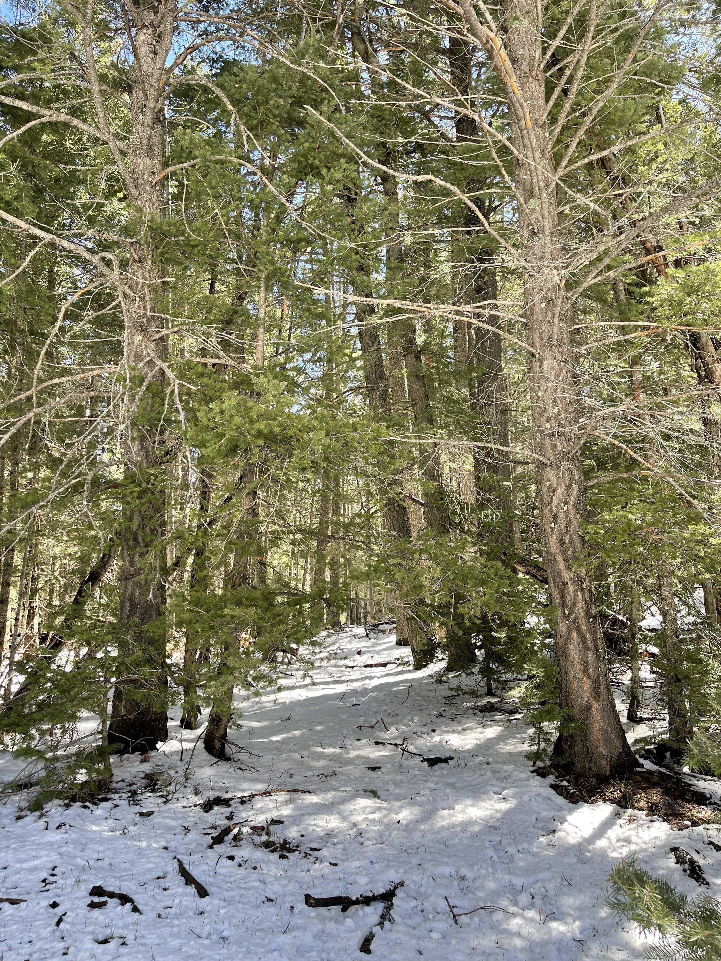
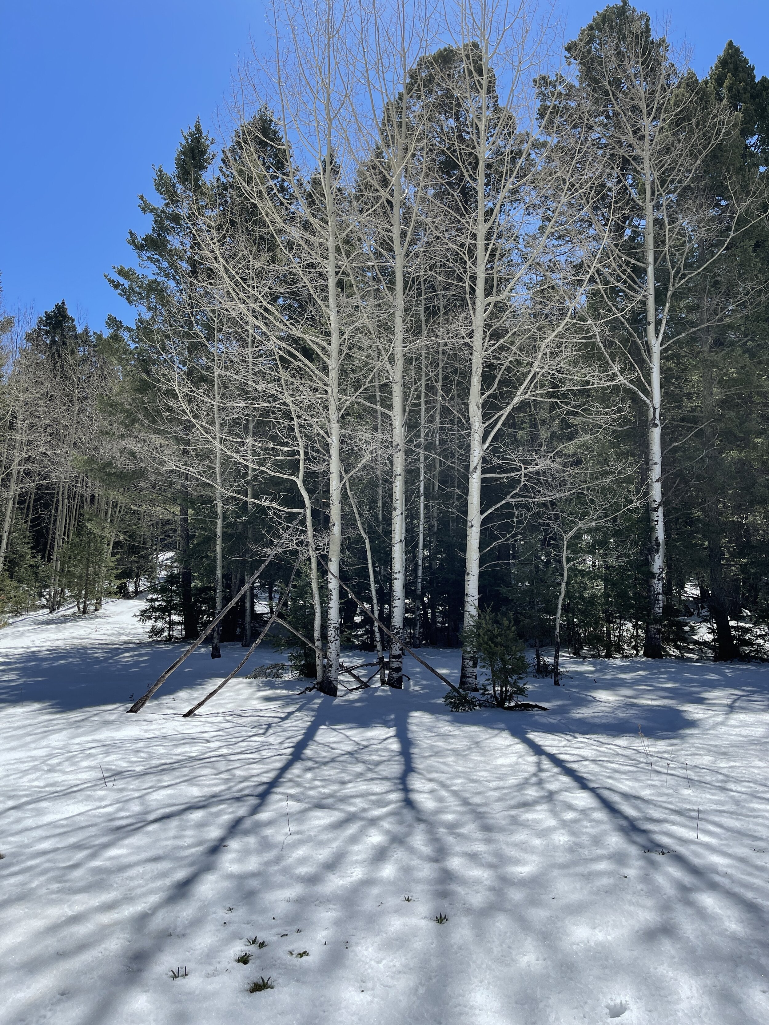
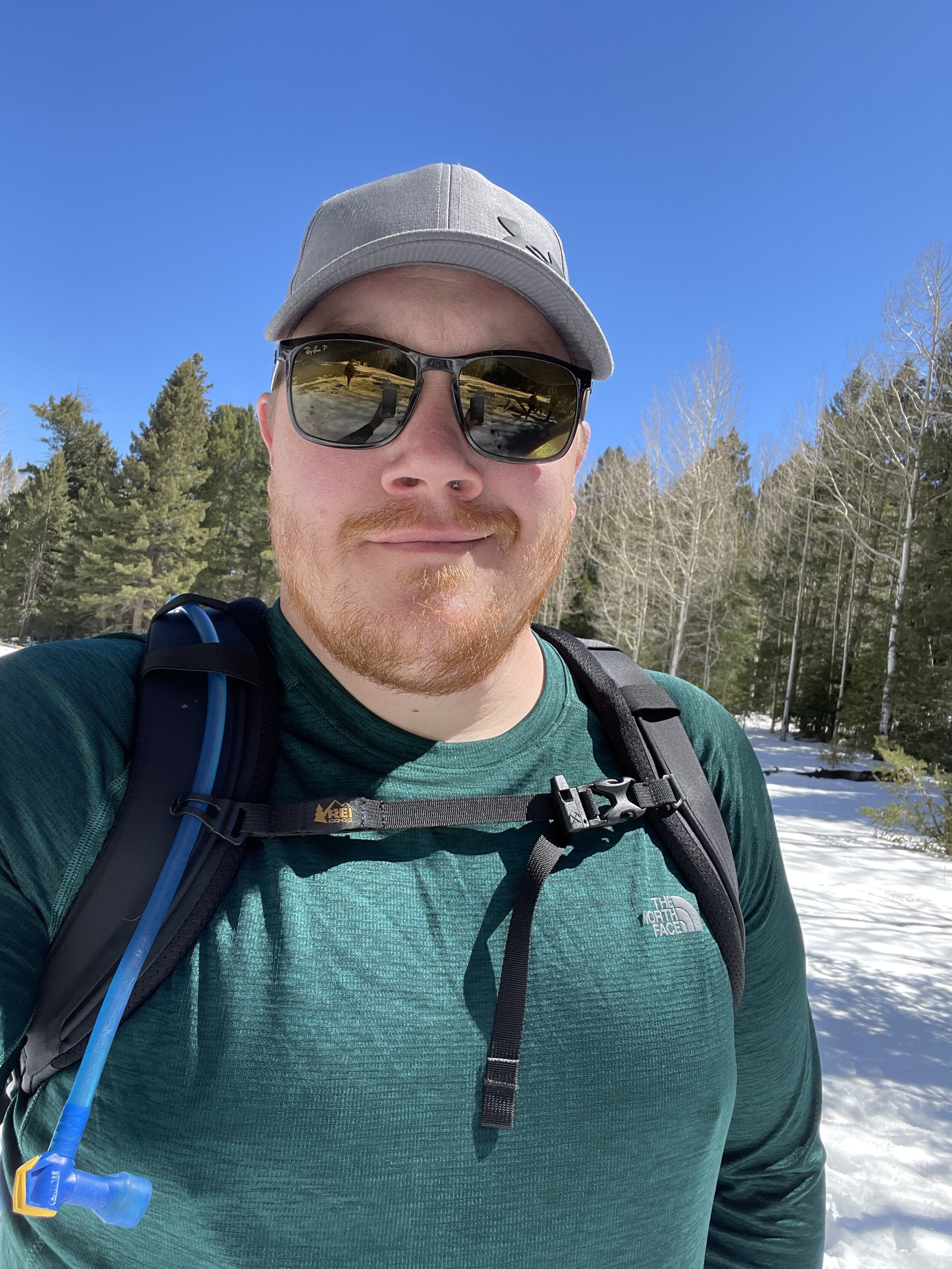
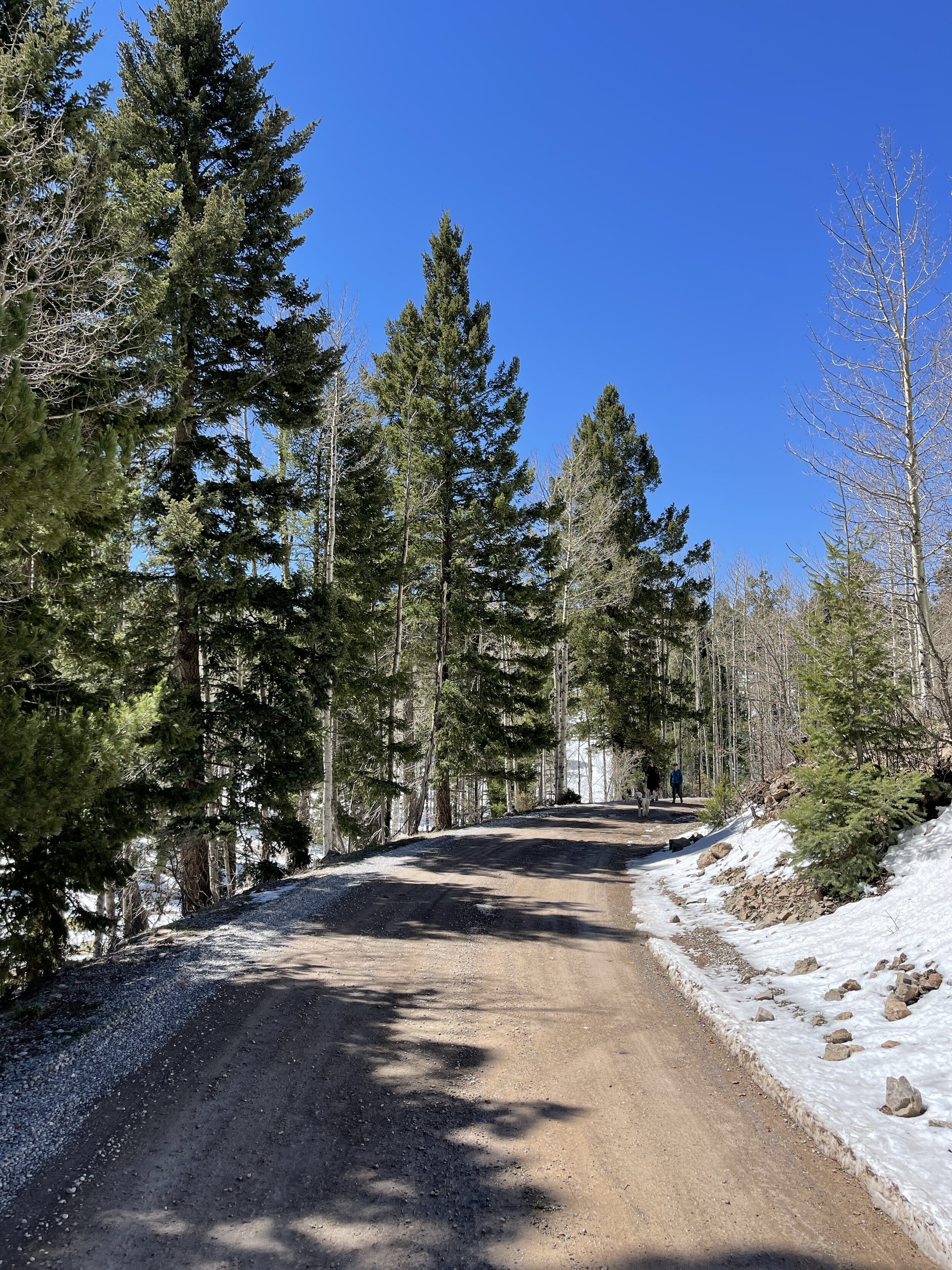
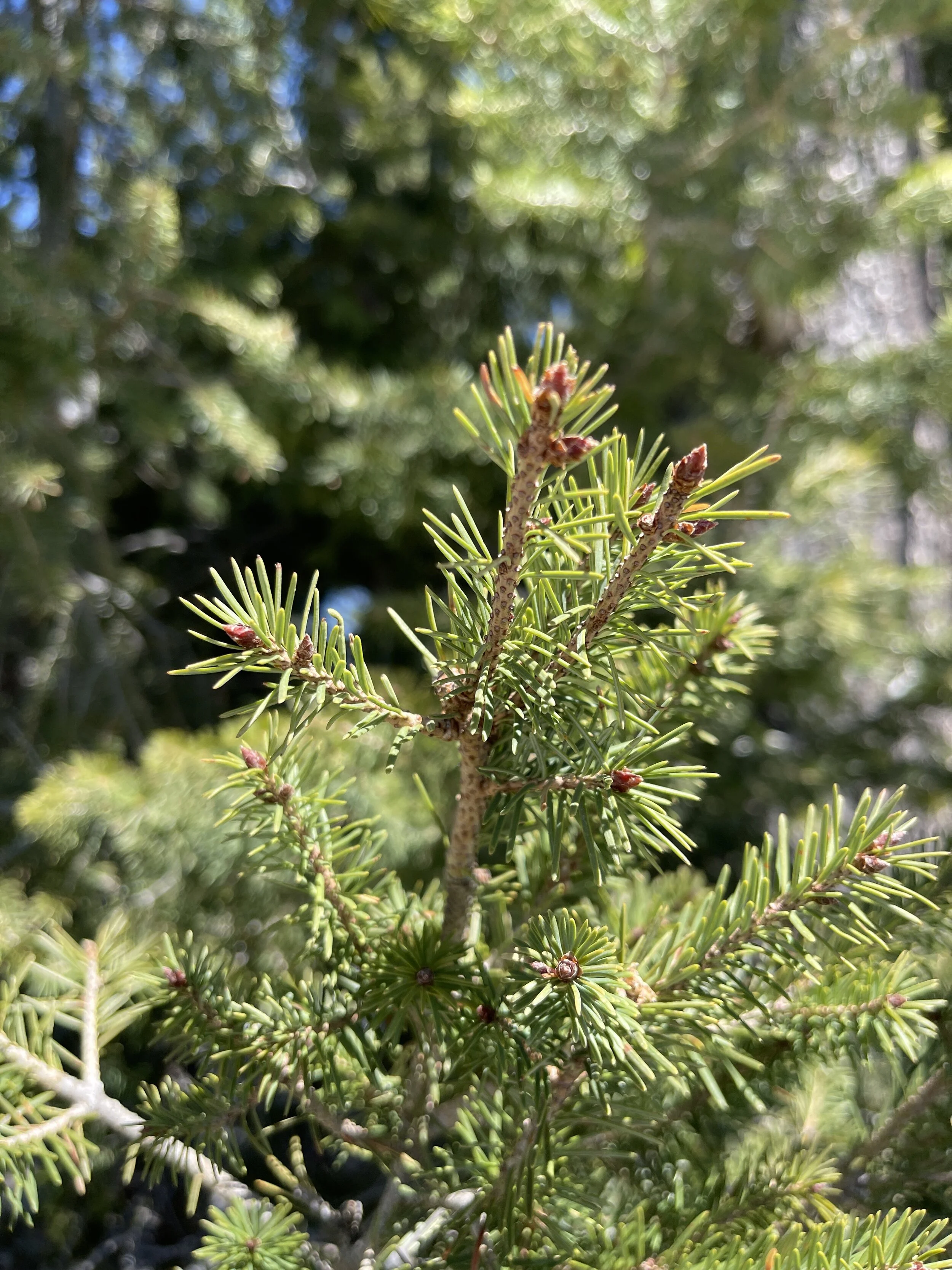
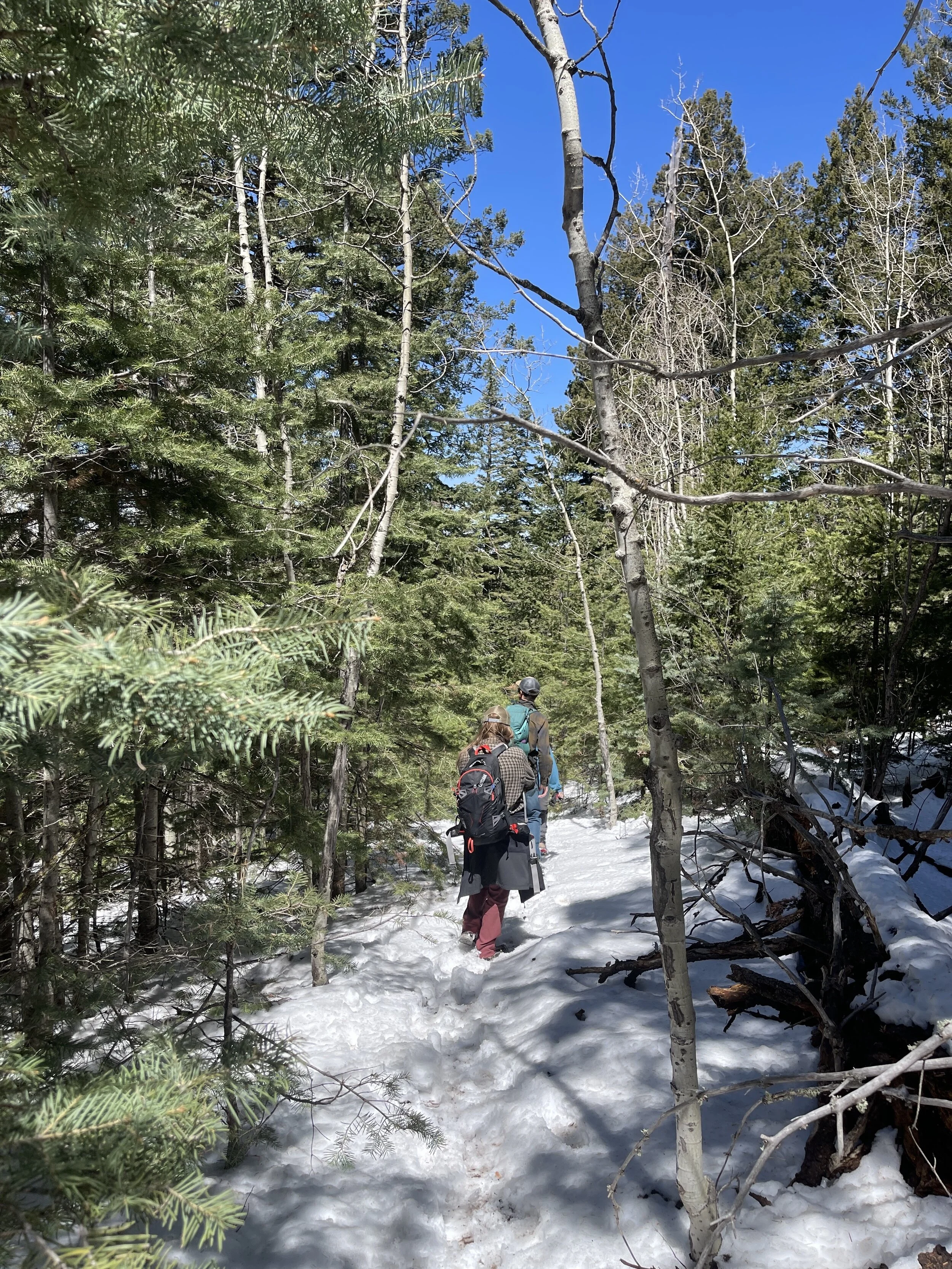
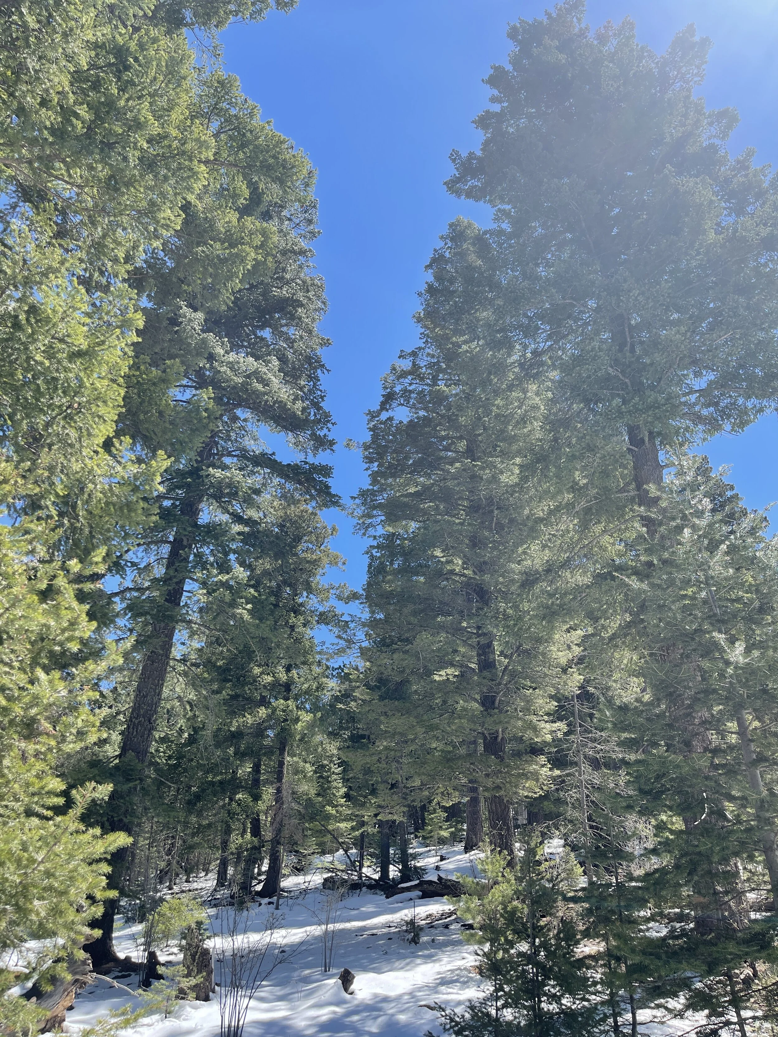
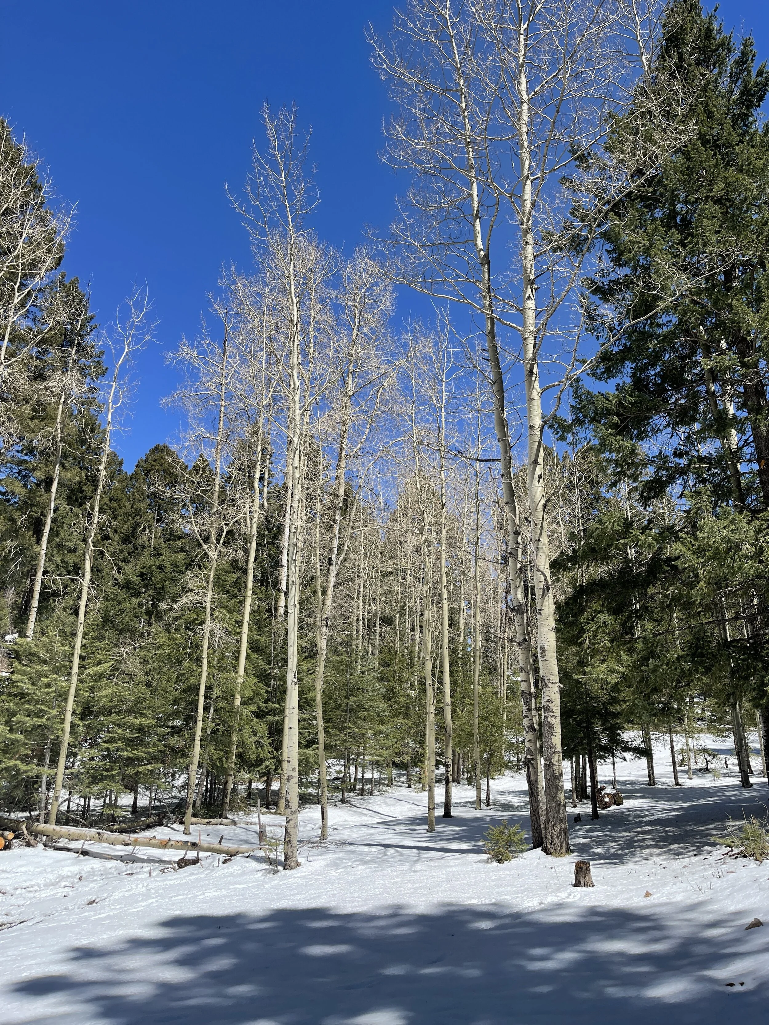
This hike was more of a stroll through a snowy forest than following a trail
We had a few inches of fresh snow, blue skies, and sunshine
The trees were tall and plentiful, as were the moments of enjoyment
There may have been a trail, but I’m not sure, and don’t care (I know there are marked trails in the area)
Can’t beat a cool, crisp day in the forest
This would be a great place to escape the desert heat below in the summer time and is dog friendly

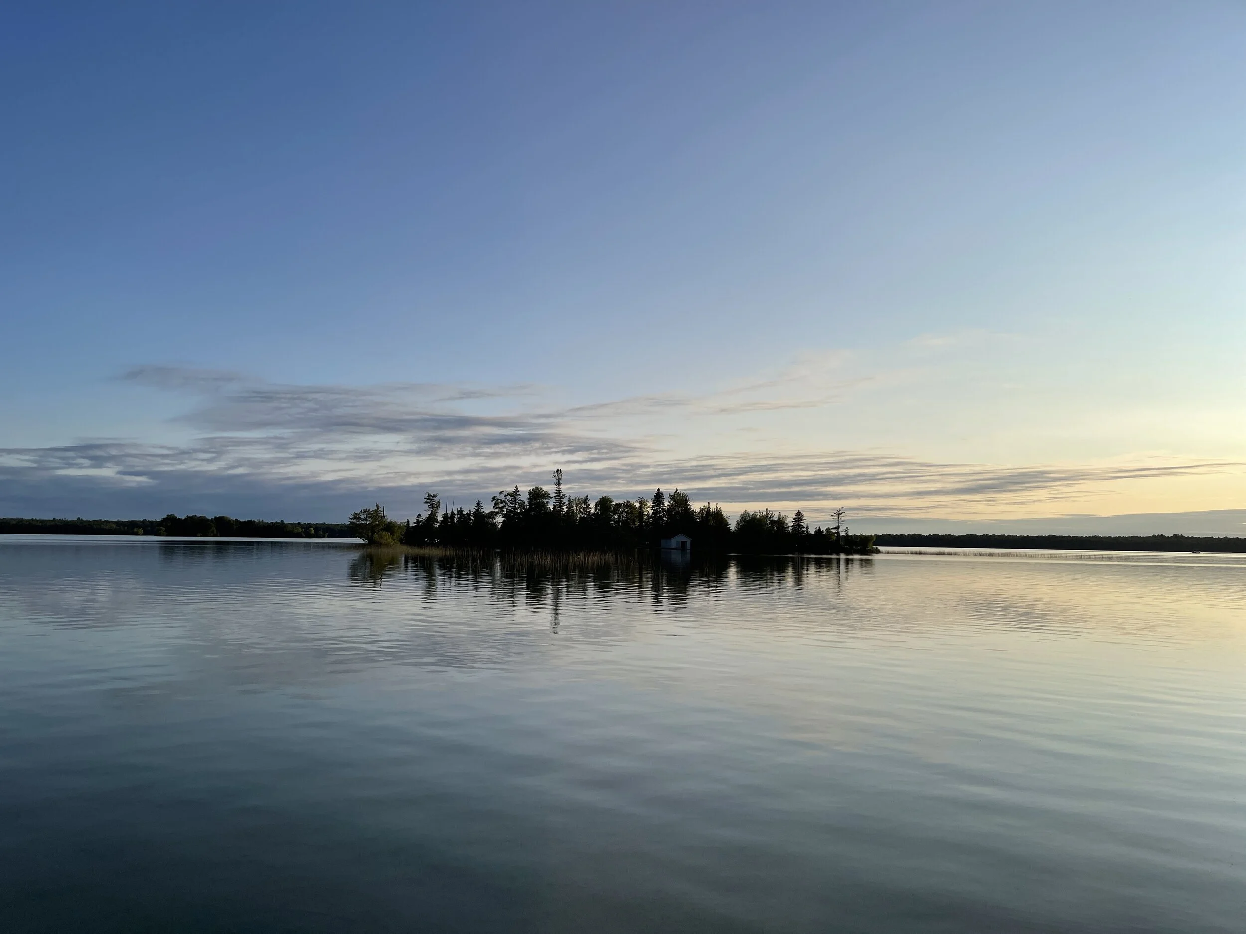
#hike20 - Tahquamenon Falls State Park
View from the paved path to the viewing deck
Date: June 14, 2018
Location: Tahquamenon Falls State Park - Paradise, MI
Distance: 4.3 miles
Trails: River Trail
Tahquamenon (like phenomenon) Falls is located in the Eastern portion of Michigan's Upper Peninsula and one of the most beautiful places in the state. It is known to attract plenty of tourists, but we went early enough to avoid them! My other half, my mom's other half, and I took off around 6 am and made the 2.5 hour drive up to the state park. The mosquitoes were immediately thick and it was not looking good from an enjoyment perspective, but we had bug spray and hoped for the best.
We set out on the paved portion and made our way to the viewing area at the Upper Falls. There are 96 steps down to the viewing platform, all worth it. Between the car and the falls, a bird pooped on me, or I put my hand in bird poop on a railing, or some other situation in which my hand/arm came in contact with bird poop, so that was a good time and made everyone laugh and distracted from the mosquitoes everywhere for a second.
View of the Upper Falls and river from the viewing platform.
Back up the 96 steps we went and headed towards the dirt path that led to the Lower Falls. It started up on a ridge, with the river below and the trees thick. We met one family along the way, and they didn't really seem to be bothered by the mosquitoes. The bugs didn't start out too bad on the upper part of the trail, but the second we descended to the river level, we were eaten alive. In my 33 years on this Earth, I have never experienced mosquitoes THIS bad. We probably made it a third of the way to the Lower Falls and decided to turn around because it just wasn't enjoyable. I was a little disappointed, but ultimately wasn't enjoying the hike enough to continue. My goal of 10 miles was missed and I settled on 4, but distance isn't always everything. In just 4 miles, in and out, I saw plenty of nature's splendor to be satisfied. We had some laughs and I'd definitely return during the fall or winter to do the path.
This hike revitalized my desire to be outside, invigorated my senses, and reminded me that it's not about the distance but overall enjoyment. I've scheduled a bunch of hikes in my calendar for upcoming weekends to keep me motivated. If anyone is interested in tagging along, feel free to contact me! Happy trails.
An Iris and a view of the Tahquamenon River

#hike13 - Olympic National Park (the coast)
Date: March 31, 2018
Location: Olympic National Park - Washington
Distance: 9.3
Trails: Ozette Loop
I woke up as the morning became light, decided it was time, and made my way to the Ozette Ranger Station to park and get acquainted with the trail and area. It was about 7:21 and I wanted to be done before noon, as I had planned to check out of my cabin by then. Four-plus hours was plenty of time to complete 9 miles, even at a slow pace, but I was off in a hurry. After about a half mile, I consciously calmed myself down and went a normal pace so I could enjoy all of the lush greenery and skunk cabbage blooms. The Ozette Triangle, or Ozette Loop, is really two trails and a beach hike. The two trails to/from the beach go through coastal forests, random clearings, swamps, and crosses creeks. The paths are either soil in boxes, boardwalks, or dirt. Elevation gain is minimal, until the end, but here are stairs and a rope for any necessary assistance making it acceptable for all types of hikers.
I remember stopping when I heard the first sign of waves - the ocean was near. The air changed, my pace changed, I was smiling uncontrollably, and I was finally to the beach. As I got closer, the beach smelled less fresh and more fishy, but what can you do? Walking the beach from trail to trail had some obstacles such as large fallen trees, rocks, and tide pools. I ran into a group of hikers who didn't have a map so we looked at mine and made friendly chatter. It's nice to run into people with the same idea as you, wandering down the beach in search of the next trail. I eventually left them in the dust, hike your own hike, but I did enjoy their company for a little while.
This hike was secluded enough and offered the most variety as far as terrain and plants of any over my weekend in the Olympic. I hope you find your path and happy trails!