#NatureWritingChallenge - The trees are bigger in California

0810171446.jpg

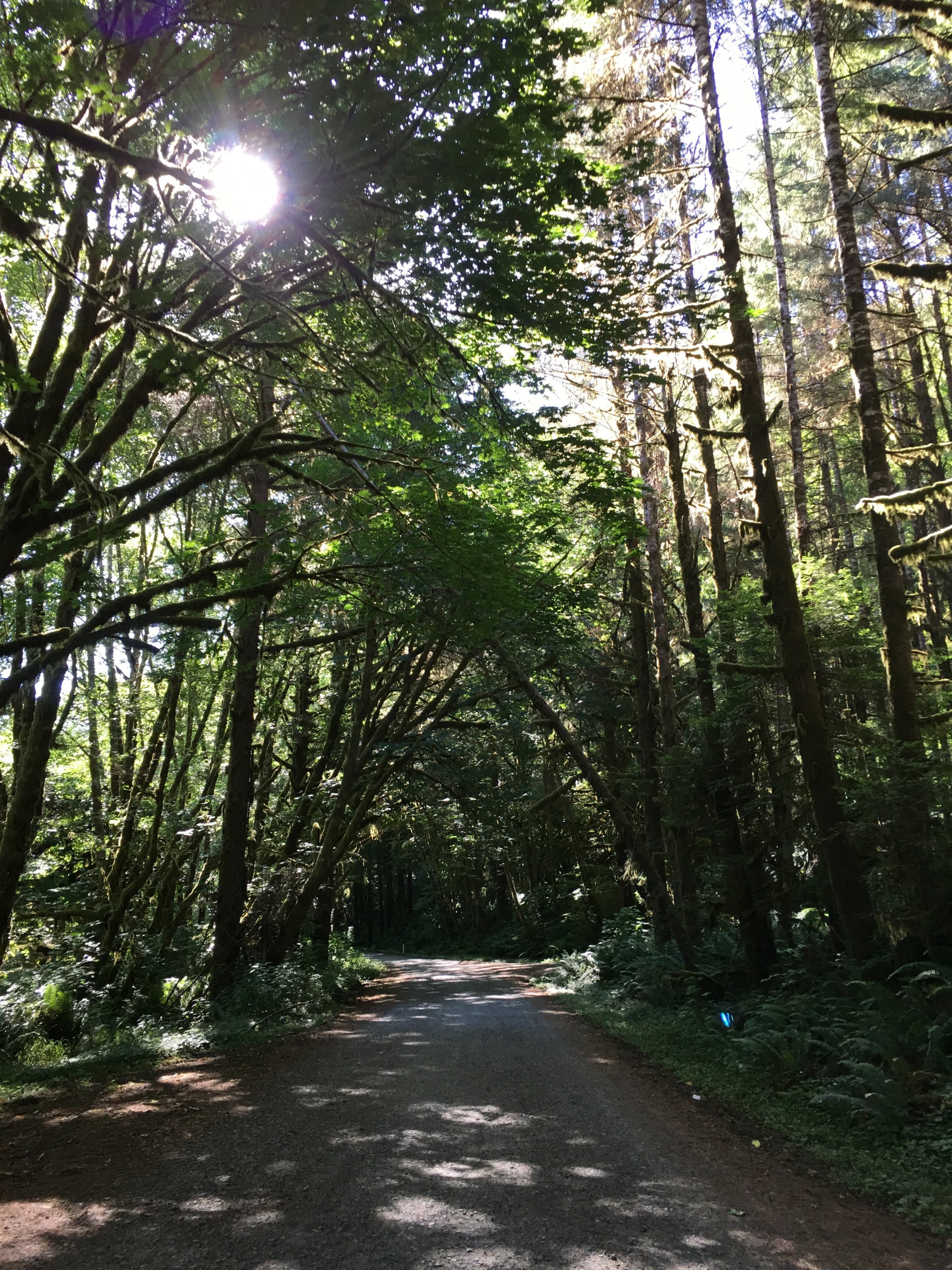
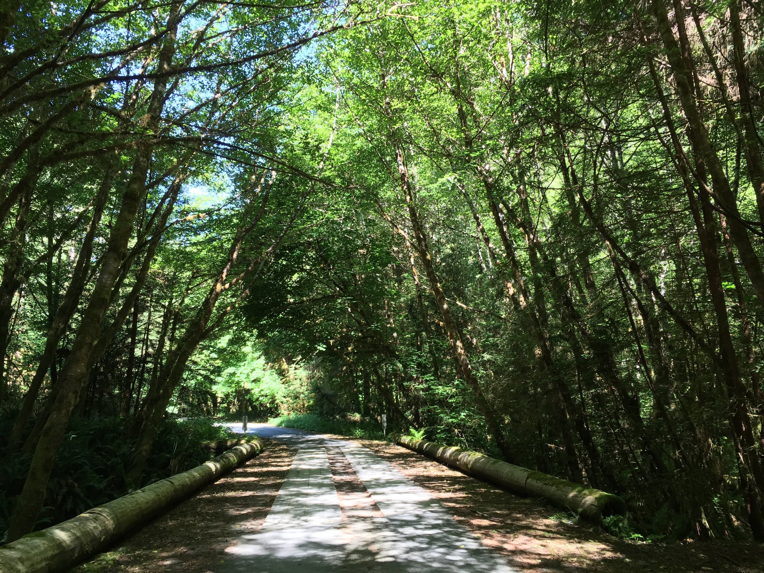
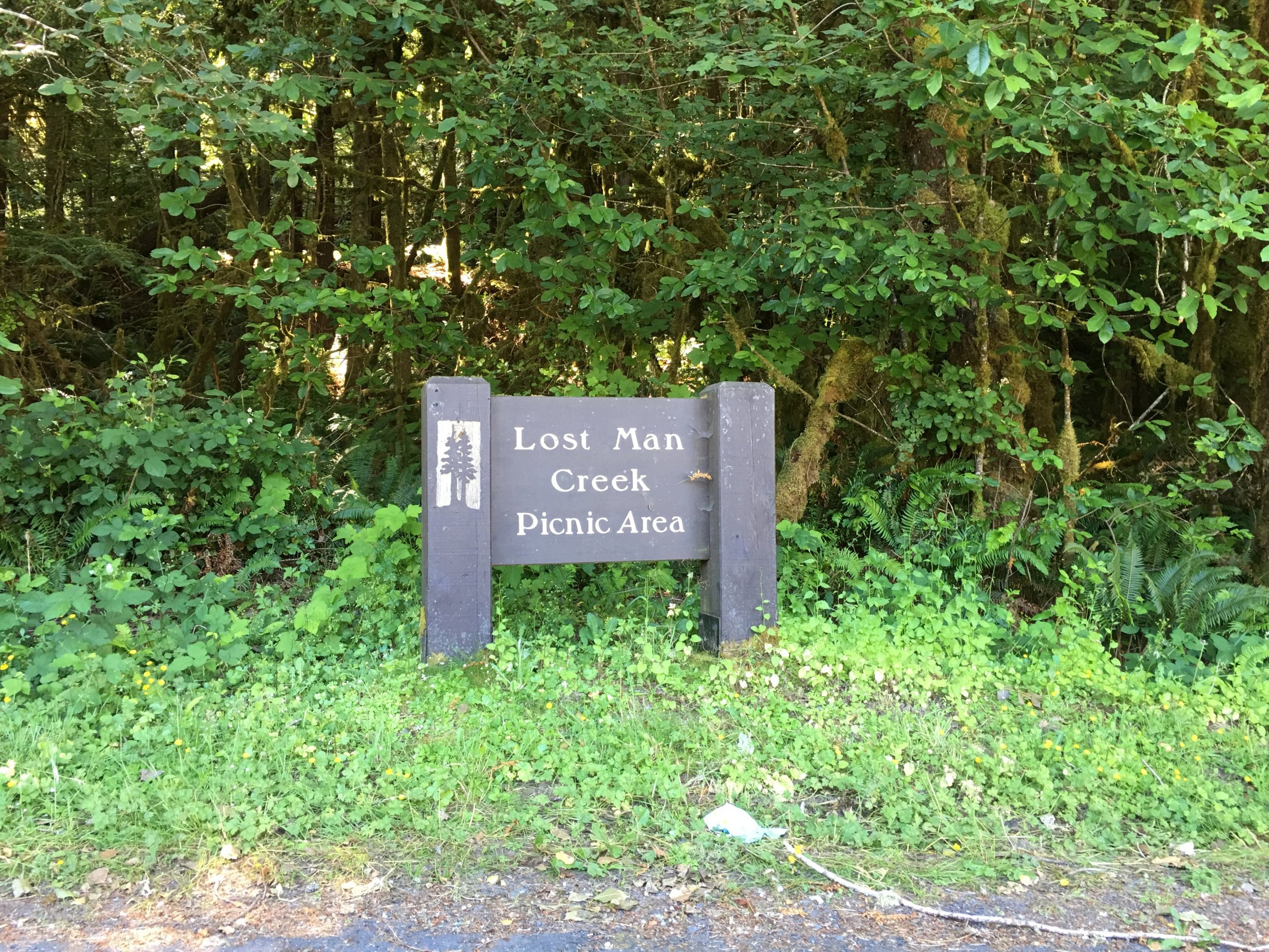
It was just last summer when I first entered Sequoia and Kings Canyon National Parks.  My other half and I were driving from Oregon to Texas and we decided to stop at a few National Parks along the way.  We had visited Redwoods the year before, but went through there again because, how can you not?  From the west coast, we took the long way to I-5 and headed south towards Sequoia and Kings Canyon.  Back in 2008 my buddies and I had skirted around through Sequoia National Forest, but opted to devote our time to Death Valley.

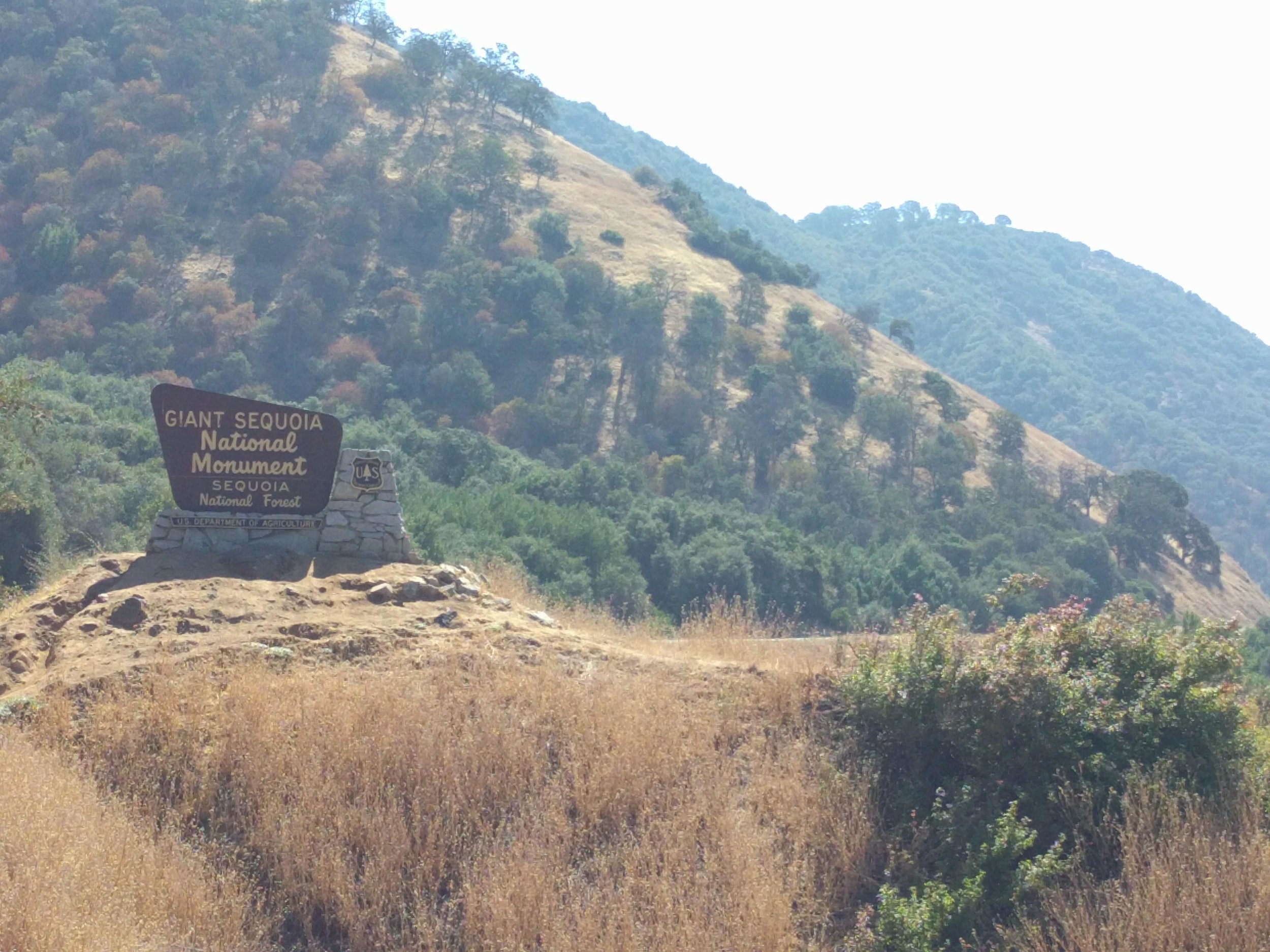
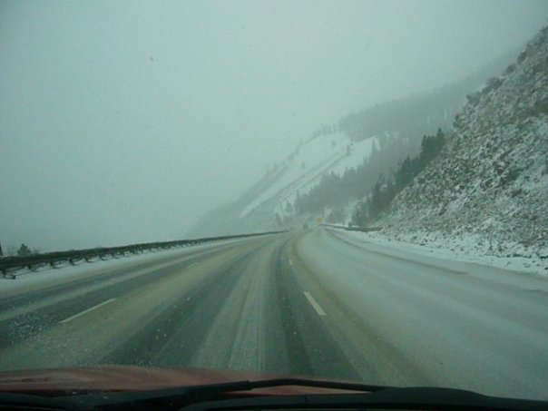
As you leave Sacramento and continue south, it's a pretty boring ride until you get to the Sequoia National Forest.  Once you climb the mountains, the views of the valleys become clear and the trees start to get taller.  This was the first National Park that I entered and needed to buy an annual pass, as we had let ours expire, and also the first I've ever waiting in line to enter.  After speaking with a nice woman about the park, we were on our way to the big trees.  We had a limited amount of time and needed to keep on schedule.

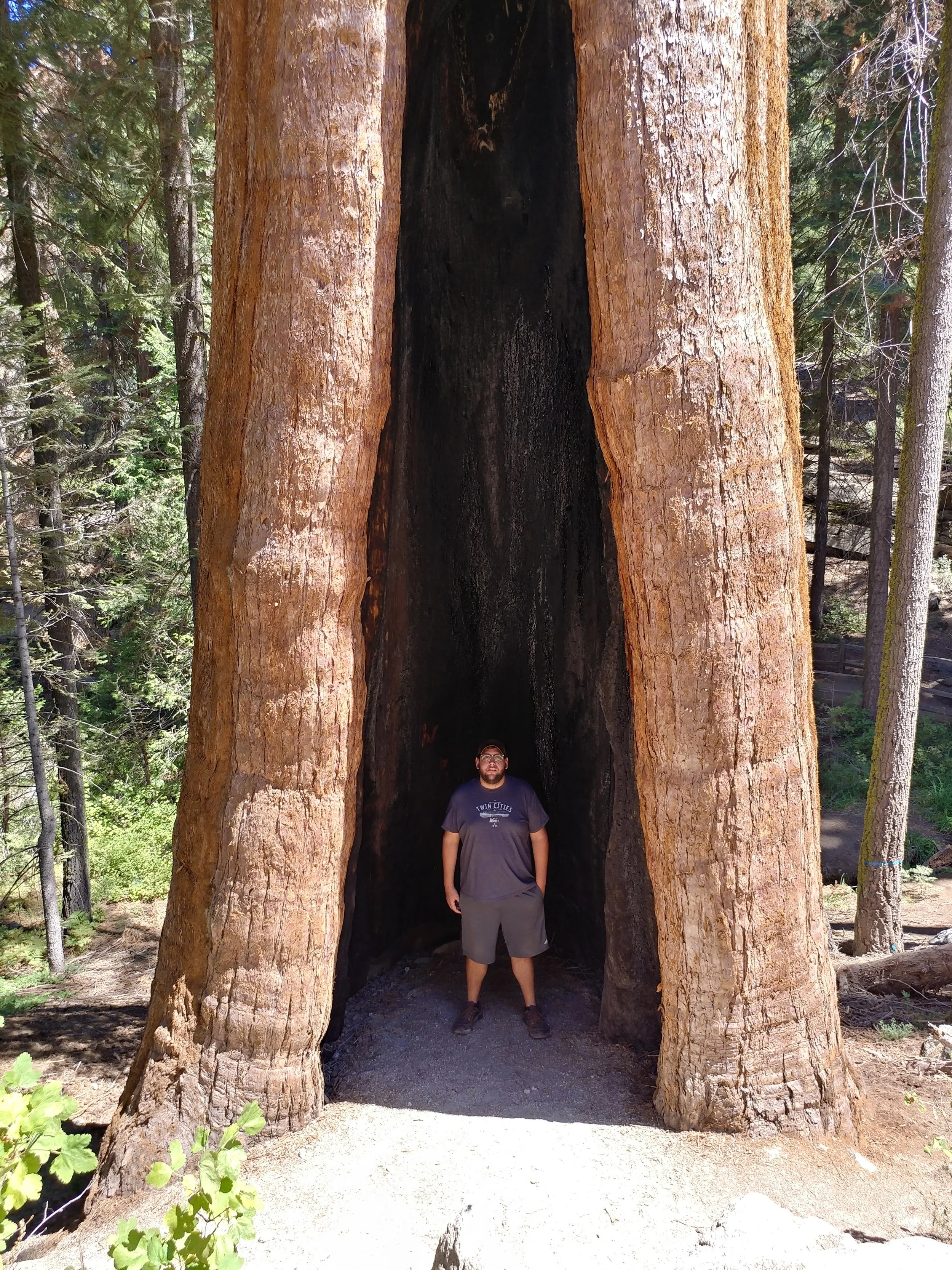
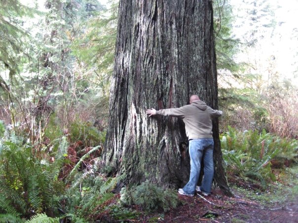
The first big, famous tree was saw was the General Grant.  The Redwoods always amaze me, but these trees are a little different.  They're huge and in sunshine, without the mist of the west coast or lush green undergrowth.  These trees have bulbous trunks and roots that bulge way out.  They survive fire, wind, and other disasters and continue on because that's their purpose - to carry on.

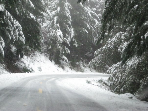
We left General Grant for General Sherman.  The drive between the two areas is quite an adventure along a winding mountain road.  The views over the edge, the big trees, and the curves keep your attention for the entire way.  Once at General Sherman, we descended with the crowds to the featured giant.  Again, walking among the giants made me feel small in the best way.

0811171143_HDR.jpg

Leaving the park was just as spectacular as entering.  The trip down the mountain was exciting as every turn gave way to a new view of the mountains or valley.  The trees got smaller, but that humble feeling from walking with the giants lasted for a while.

0811171144-EFFECTS.jpg
0811171345_HDR.jpg
0811171344_HDR.jpg

This post was created in 1 hour for the #NatureWritingChallenge.  Check it out on Twitter with the hashtag and feel free to join in!


*This post is short and sweet and may or may not make sense due to NyQuil and a debilitating cough/cold.

#NatureWritingChallenge - Badwater Basin: 282 Feet Below Sea Level

"A memorable sign on Public Lands" - This post was created for the #naturewritingchallenge in one hour.

I was thinking back to all the signs on public lands - there have been a lot and I'm kind of obsessed with documenting my travels with them.  I started to look through my archives, trying to find that most memorable sign.  Then, I thought, maybe it's not a photo of a sign but maybe one of those many epiphanies I've had in my life.  I've had many moments on Public Lands that have brought great clarity to my brain, but not really any major signs in life.  So, I'm going to stick to the physical and share one of my most memorable and favorite signs.  The year was 2008, my two good buddies and I had just visited the Redwoods and were moving on through California to Death Valley National Park.  I had researched the Redwoods, as mentioned in the post from last week, but I really knew NOTHING about Death Valley prior to visiting.  We arrived midday, sun shining, wind blasting, and the desert blooming.  We were in shock, coming from moss covered redwoods to giant sequoias to the desert - the hottest, lowest place in the USA.

I can remember the start of our drive through the park - we were truly obsessed with the signs because we were in love with the road trip.  Signs were the way we navigated - old school, before smartphones and navigation systems in the dash.  We were in our rented car, driving through the desert and we see the sign to turn right in a mile for Death Valley.  Eventually, we get to to the Death Valley welcome sign and enter the park, feeling accomplished.  We were using Microsoft Streets and Trips, but signs were our guiding visual element.  If I went out there right now and reenacted this scenario, with my Google Maps built in to my device, I'm not sure I'd have been as observant of the signs and markers.  As I write this I'm having an "ah-ah" moment about how I've become so much less observant in current times and maybe I need to slow it down when I'm out and about.  I still notice signs, but I don't obsess over them the way we did before Google Maps and that fresh road trip spirit of the late 2000s.

IMG_1526.JPG
IMG_1591.JPG

As we meandered through the park, we stopped at various tourist stops to take it in and take pictures.  We stopped to take a photo of the sign proclaiming we were at sea level and moved on to see the how borax was mined and transformed and then on to see the desert in bloom.  We made our way to the Devil’s Golf Course, to the Furnace Creek Visitors Center, and then to Badwater Basin.  When I think of my first trip to Death Valley, I think of Badwater Basin and posing with the sign that says I was 282 feet below sea level.  Of all the places we saw, other than maybe the desert in bloom which only seems significant now that I know people flock to see it, Badwater stands out.  The white salt flats, the salty pools of water, the view through the valley, and the sign that said I was there.  Death Valley and Redwoods were the first two big parks I experienced in my life - and they were a day a part.  Sure the trees are unforgettable, in fact I daydream about them often, but being in the hottest and lowest place in the USA is also quite memorable and I have a photo with a sign to prove it.

Two years after this visit, I was able to get back.  This time, I knew a little about what to expect when visiting Death Valley.  We entered from the east this time, made our way to places I didn't even know existed the first time, I didn't see any bloom in the desert, and I sure did go back to Badwater and stand next to that sign again.  Going back, I was genuinely excited to see this place again and to take a photo in front of the sign.  Sure, I got to see the valley from Dante's View, hike through one of the side canyons, and see the painted desert hills of the Artist's Drive, but that sign at Badwater was a constant and will be any time I visit in the future.  Signs come and go, they change, and they can be metaphorical.  Maybe this one sign is just a physical sign, but it's representative of my first desert adventure, inspired me to check out more desert destinations, and beckons me to return to see it and the ever changing Badwater Basin.

IMG_0178.JPG

#NatureWritingChallenge - West Coast or Bust

"A moment when you felt small compared to the grandeur of our public lands"

The year was 2008.  Two of my best friends and I had set out on a spring break road trip based on the success of our first one in 2007.  We were almost done with college and wanting to see a little bit more of the country before it was too late and we had full-time jobs.  Road trips in 2008 involved using a laptop in the backseat to navigate with a Microsoft Streets & Trips GPS attachment stuck to the window.  Road trips in 2008 were in a rental car because none of our cars would make it more than six hours before blowing something.  We set out, headed from Grand Rapids, MI to the west coast, with a few minor stops along the way.  This trip was designed and planned to maximize our stops along the route; the previous year we unintentionally avoided too many natural wonders and tourist stops because we just didn't have a plan.

The trip had many "first experiences" such as the first time seeing the Pacific Ocean, a city as big as Seattle, the Redwood trees, San Francisco, sequoia trees, Death Valley, Las Vegas, and St. Louis.  Pike Place Market was an enriching experience, the Oregon coast was breathtaking, Las Vegas glittered, but the redwoods were shockingly beautiful.  I had seen photos, read books, and researched them, but I had absolutely no idea the emotional impact they would have on me when I wrapped my arms around one and stared up the trunk.

As cliche as it may sound, the Redwoods made me feel small in the best way.  I can vividly remember leaping out of the car and running over to a redwood along the road and just standing there in shock as I tried to wrap my head around the size of that tree.  The trees of the Oregon Coast were gorgeous, wild, and large in scale to some we had in Michigan but fell out of memory once I saw the vast beauty of a mighty redwood.

We walked to the "Big Tree" and took photos, as tourists do, and stood in awe.  We drove through the Avenue of the Giants, stopped at a few trails and shops, and were on our way in just a few hours.  We did the classic "drive through a tree" Redwoods activity and posed in front of a 1000 year old log.  For those few hours, I forgot about the spats we had in the car for days prior, forgot my responsibilities, forgot where I was from, and I became fully present.  For the first time in my life, I felt small but so alive at the same time.  These trees are some of the largest living organisms on the planet and we get the luxury of walking through their forest home and breathing their fresh air.  I've had the privilege to visit the Redwoods several times since 2008 and every time feels a bit like the first time.  I still feel small and alive, I'm still swept away from reality, and I'm still in shock of how these trees can exist.

This was created in 1hr for the #naturewritingchallenge

#NatureWritingChallenge - A Little Snow Never Stopped Us

10398487_625914325735_8199202_n.jpg

All we wanted to do was explore some public lands, but various storms along the way made the journey a bit more complicated!  This story isn't exactly a stormy day in a National Park or on our Public Lands, but it's an overall experience I'll never forget. Back in 2009, my buddy and I rented a car to travel from Michigan to various public lands in the west.  We had reserved a large sedan, which was cheap and had enough room, but our plans were foiled and we were stuck with a Chevy HHR.  The HHR is a tiny wagon and the first part of the "storm" that was the spring break road trip of 2009.  We started off a little rough, but we were not deterred.  We packed that HHR to the brim with supplies and gear and set off towards Sacramento with a few stops planned along the way.

10398487_625914520345_6463935_n.jpg

We were cruising along with our first stop planned to be Arches National Park in Utah.  We get all the way to Denver without an issue, tour the city quickly in the early morning on a Saturday, and continue west toward the Rockies.  We hit a blizzard around Vail and see cars in the ditches, had zero visibility, and didn't have rental car insurance.  Everything was fine, we kept going because what was the point of turning around halfway through a blizzard?  We had plans to stop at scenic turnouts, but this icy roads had us white knuckled all the way through the mountains, leaving little room for extra adventure.  Eventually, we reached the western slope, found dry ground, and thanked mother nature for having mercy on us.  We set back out towards Arches in hopes for some better weather.

Arches is a beautiful place, any time of year.  We camped, hiked, and enjoyed every bit of daylight we could.  Camp had a great view, but nothing beats the views from the various day hikes.  A big benefit of going in the end of February/first week of March is that no one is there!  That night, after hiking all day and already being quite chilled, we crawled into our sleeping bags and listened to the wind toss our tent around.  The temperature had dropped to 11 degrees Fahrenheit, with strong winds all night.   I slept in my clothes plus winter jacket, gloves, and hat.  After a windy and cold night like that, coffee and sunshine were the most welcome things of the morning.

Leaving Arches, we set off to drive through Monument Valley, through Grand Staircase Escalante, with a final camping destination along the loneliest road - US 50.  We stopped at a BLM spot, Petroglyphs Interpretive site in the and set up our tent next to some snow.  There was no storm at this portion of our journey, but it was still cold.  We left the next day and headed west on US-50 toward California.  Once through Nevada, we hit the Tahoe National Forest on I-80, through the mountains, and another snow storm threatened our rental car.  We finally made it to Sacramento, despite the blizzard, and in plenty of time to pick our other friend up from the airport.

Our journey continued north, hitting another rain storm in Redding, California and mixed precipitation on our way to Eureka through the mountains.  We drove through the Redwoods, up the coast, detoured to Portland and Seattle, and went to Cape Flattery with sunny weather on our side.  We had major rain in the Hoh Rainforest, but nothing else the entire trip back to Michigan, minus some mild snow in the Midwest.

We may have avoided storms while being out on the trails or at the campsite, but we endured some severe weather to get to the places we love.  When you save money, make a plan, and set out to see something beautiful you don't let things like blizzards and rain storms get in the way.  We made this trip the best adventure we could, despite anything Mother Nature could throw at us.

This post was created in one hour for the #NatureWritingChallenge.

#NatureWritingChallenge - Lost Man Creek

Lost Man Creek is one of those spots I didn't plan on visiting but was instantly grateful for finding when exploring Redwood National and State Parks. I was traveling with my other half, a summer road trip to see the Redwoods, and we did not have a lot of plans set in stone other than our hotel in Arcata, California. The plan was to venture south one day, to see the sights around the Avenue of the Giants and then a couple of days north with no destinations in mind. One morning after coffee, the car was pointed north on the 101 and the exploring began. First stop was the Prairie Creek Visitor Center area to make a plan. We checked our Google Maps, searched for places online, and Lost Man Creek came up. We had nothing to lose, so we went.

Following the signs, we turned down the road that led to the parking lot. The road was narrow, dirt, and flanked by moss-covered trees. The parking lot was empty, which was a nice surprise, so we parked and headed toward the moss-covered picnic table. I can’t recall if there was a sign that had a functional map, but we followed what appeared to be an old road along the Lost Man Creek into the woods.

img_20160603_0959011449863277290928225.jpg

First things first, we posed with several large trees because that’s what you do in the Redwoods. After the photos, we admired how quiet it was in regards to the outside world. It was far enough from the 101, or there were enough trees, that it seemed like it was in the middle of nowhere. I can remember just standing in a patch of sunlight coming in through mossy branches and listening to the creek trickle by. We went back, further and further, finding more solitude as we walked. With the solitude came endless ferns, a few white iris flowers, and honeysuckle. The ground was a brilliant green as far as you could see, with the creek barely visible along the trail.

img_44915349706972221305184.jpg

This creek in this park, at this moment in time, holds a significance to me because it was a moment of complete freedom. It was relaxing yet fun, an easy hike yet beautiful, and accessible without the crowds. The time spent along Lost Man Creek was an ideal moment on public lands. To this day, I have wallpapers on my work PC of this specific place to remind me to calm down, take a moment, and find some peace when things get stressful. I can’t wait to get back, hike a bit further, and enjoy it all over again in a new way someday.

This post was created in one hour for the #naturewritingchallenge

**Editing done after the hour due to technical issues.

#NatureWritingChallenge - Winter Tour: National Parks of Utah

*This post was written in one hour for the first #NatureWritingChallenge.


25190_746728553055_5881621_n.jpg

The most memorable travel moments I have tend to revolve around National Parks.  Winter in Utah's National Parks is something I will never forget.  It was March of 2010 and my best bud and I were on our last leg of a ten day trip encompassing Death Valley, Arches, (what's now) Bears Ears, Bryce Canyon, and Zion with Las Vegas as our home base.  We had just left Arches, found our hotel in Monticello, Utah for the night, and the snow started to blanket the ground.  We woke up, another foot of snow had fallen overnight, and our original plans of going to the Grand Canyon were looking dim due to closed roads and more snow for the south rim so we opted for a more clear route to Bryce Canyon.  The route to Bryce was paved with over a foot of snow and we apparently drove through one of the most dangerous roads in Utah which is now encompassed in Bears Ears on Utah 261 called the Moki Dugway.  At the time, we had no idea what we were getting ourselves into as we didn't really have smartphones or much information for the trip.


It took all day to get to Bryce Canyon, but we arrived and checked in to the Bryce Canyon Lodge.  It was night, but we wanted to drive to the parts of the park that were open to do some stargazing.  The crisp snow and clear sky is something I'll never forget.  We drove out to the parking lot at Inspiration Point and let our eyes adjust to the pure darkness of the park.  After some stargazing in one of the darkest skies in the country, we went back to the hotel to enjoy some time in the hot tub.  It was freezing, snow was blowing and drifting, but the hot tub was open and it was one of the most amazing feelings in the world.  We had a few drinks, watched the snow blow across the iced-over pool, and planned our attack for the next day.  After a good sleep, we went back to Inspiration Point and walked through the deep snow along the edge to Upper Inspiration Point.  This was our first time seeing Bryce Canyon in person and seeing the hoodoos covered in snow was magical.  When you look out and over the edge and see a vast valley of hoodoos with snowdrifts in between, you just lose yourself for a minute or two.  We got back to the rental car and drove up to Bryce Point to get another view of bright pinkish orange hoodoos poking through fresh snow.


25190_746723962255_4809357_n.jpg
25190_746723992195_1307939_n.jpg

We didn't spend a lot of time at Bryce Canyon, but it was one of the most memorable trips of my life to a National Park.  We had been to Death Valley and Arches earlier in the week and experienced new views and hikes at each of them, but nothing like snow covered hoodoos.  Our next stop was Zion which also had fresh snow and the hike there on the Emerald Pools Trail was nothing less than beautiful.  We hiked to Emerald Pools and the Upper Emerald Pool.  The waterfalls were unlike anything we'd seen, and the Upper Emerald Pool had fresh snow to add to the scenic beauty.  I had been camping on BLM land in the winter the year prior, and been to various national forest land in the winter but nothing compared to the beauty of Utah's National parks with a blanket of snow.


#NatureWritingChallenge - A quest to see the sunset at Bryce Canyon National Park

20170819_201550.jpg

The trip happened in late August, but the idea started months before.  The year 2017 started with a new challenge - hike every week for the entire year.  The hiking started locally in Dallas, Texas near home base and would branch out occasionally as variety was needed.  Some would call it a travel bug, others just an itch for adventure, either way a bigger, more spectacular trip was needed to satiate the outdoor cravings.  The search for flights began and included many great destinations such as Seattle, Portland, San Francisco, Denver, Salt Lake City, Phoenix, and others cities near scenic public lands with great hiking.  The search for the perfect flight continued over the span of a few weeks and the destinations were whittled away as prices increased, departures didn't work, or arrivals were too late.  Vacation days were thin, sick days needed to be saved just in case, and work was about to ramp up to the busy season anyway so the flight and timing had to be just right.  One day, it clicked and a flight to Salt Lake City was perfectly timed with an arrival on Friday night and a departure late on Sunday for a reasonable price from Dallas.  The flight was not purchased, but was tracked and discussed for another few weeks.  The price increased and it seemed hope for an adventure would be lost.  The disappointment was accepted and the promise of other, future trips was made internally as the tracking of the flight prices was canceled.  Fast forward about two weeks, the urge to adventure still burning, prices were checked again.  With much surprise, and delight, it was discovered that the price was back to what it was on the very first search.  Second guesses weren't allowed, the flight was booked and it was written in permanent marker on the calendar in the office.  News was shared with a dear friend, and it was decided the spontaneity of this trip was to their liking and they also booked a flight from their airport to meet up for the ambitious weekend adventure.

Trip planning commenced, and there were 100 things to fit in to less than 48 full hours in Utah.  Having visited Utah in the past, there were things that were only enjoyed briefly that deserved a revisit.  Arches, an obvious attraction, had been thoroughly investigated so it was off the list.  Zion would be a bit too far south, as would Bears Ears for this trip.  So, a route was planned from Salt Lake City through Capitol Reef National Park to Devil's Backbone and back out to Bryce Canyon National Park for the Saturday portion.  It was a lot of miles to cover in one day and proved to be a real challenge to visit everything.  The main objective of the trip was obviously to hike, with a side aspiration to see the sunset over Bryce Canyon and sunrise at Cedar Breaks.  Hiking in Capitol Reef, Bryce Canyon, and Cedar Breaks was determined to be the most important with any other hikes being a welcomed addition.  A short hike in Capitol Reef in the morning sun led to driving miles with scenic views of storms on the horizon to the arrival at Bryce Canyon in the late afternoon.  The road to Rainbow Point, the end of the park, was longer than anticipated with many necessary stops to admire the views.  Once to the point, a hike on the Bristlecone Loop was taken while the sun was still pretty high in the sky.  Making the drive back to the entrance, the plan was to hike at Inspiration Point for the sunset.  Stops at a few small loops such as Natural Bridge and Piracy Point along the way allowed the sun to sink down a bit more and the views to be taken in a bit longer.  The arrival at Bryce Point prompted a race to the edge to peer out at the darkening hoodoos, as the sun was suddenly almost gone.  A quick drive to Inspiration point led to a view of the cherry red sunset in the distant clouds as it faded away.  The mission was complete, the sunset was viewed in Bryce Canyon National Park and it added more magic to the hoodoo views than could have been expected.


This post was written in one hour for the first #NatureWritingChallenge.


0819171957d_HDR.jpg