Uncategorized

#hike35 - Eagle Mountain Park

*It's not a real mountain, but the trail does offer a few good views of the lake. Location: Eagle Mountain Park on Eagle Mountain Lake (NW Fort Worth, TX)

Date: 9/4/17

Distance: 8.17 miles

Trails: All of them

Eagle Mountain Lake has some grand homes on the west side and this nice park tucked in on the east side.  The park has about 8 miles of trails, give or take a few, and they're quite nice.  There are many hills, expansive views, and the trails are generally well maintained.  The paths are marked with color coded posts and there are plenty of maps throughout to guide you through.  I got there early, thankfully, because as I was wrapping up everyone and their brother was unloading and starting their day.  I found many quiet spots, cleared my head, and got some good exercise too.  The Shoreline trail is very peaceful with the sounds of wind through leaves and waves gently hitting the land.  Starting before 8 AM, I found most areas to be well shaded until about 9-10 AM.

A little more than halfway through...

0820170856a_HDR 
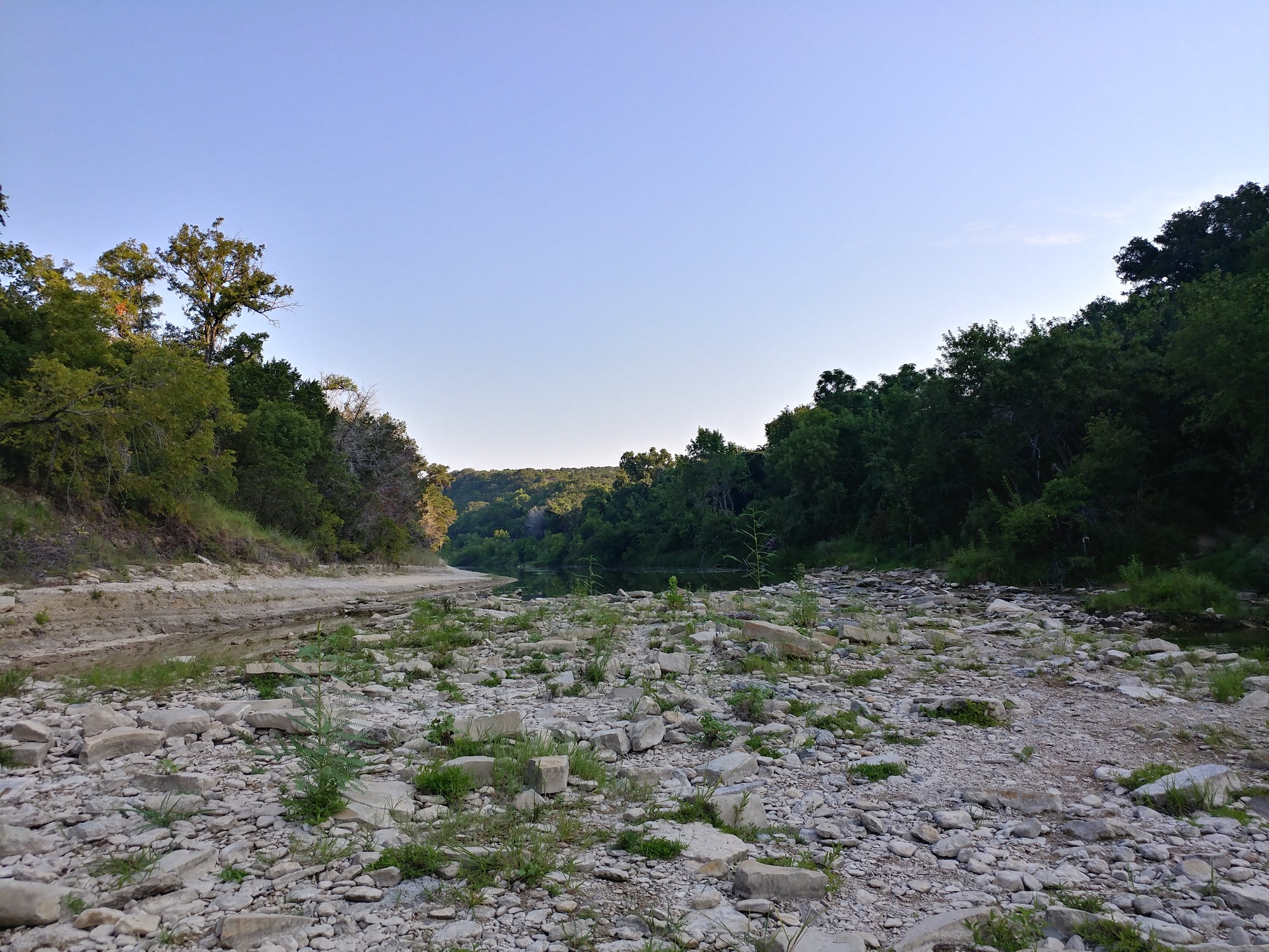
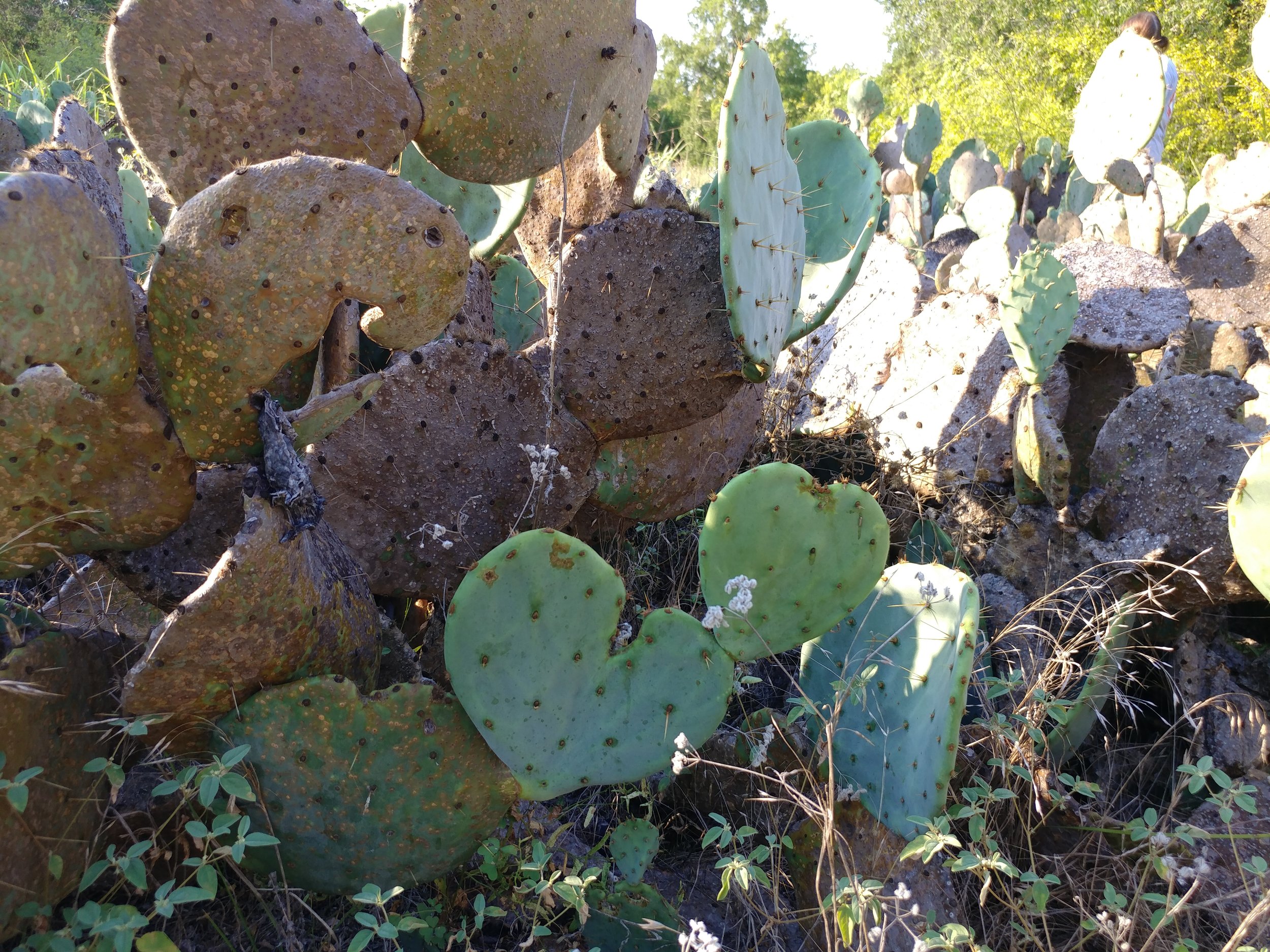
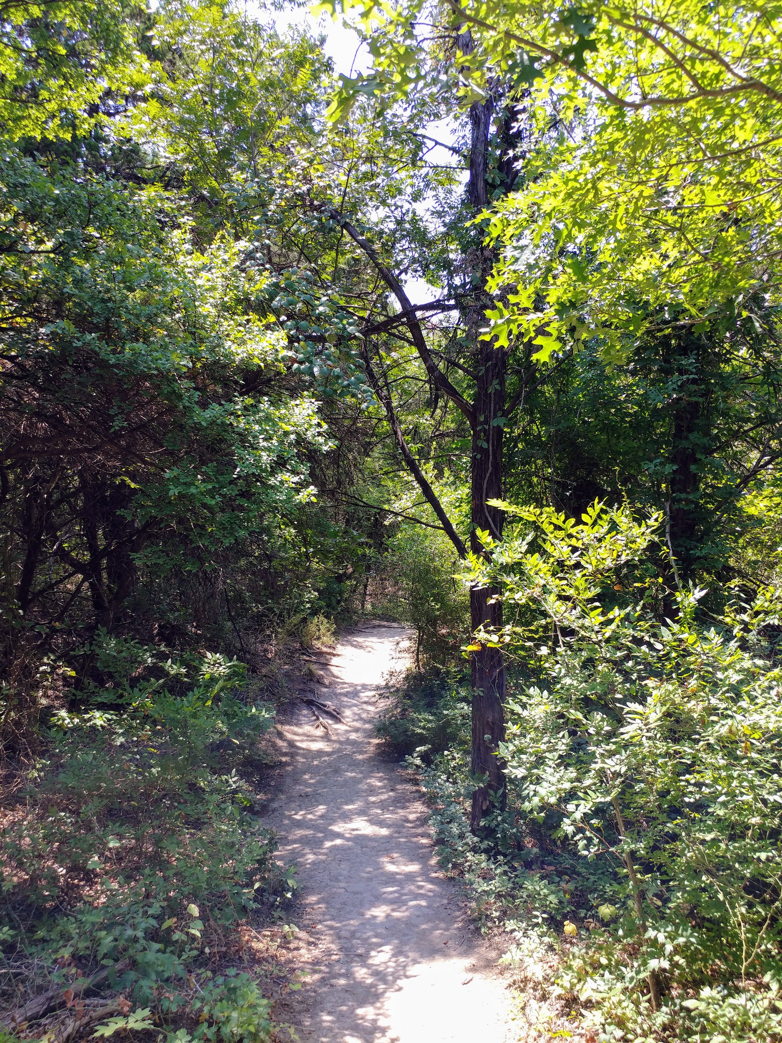
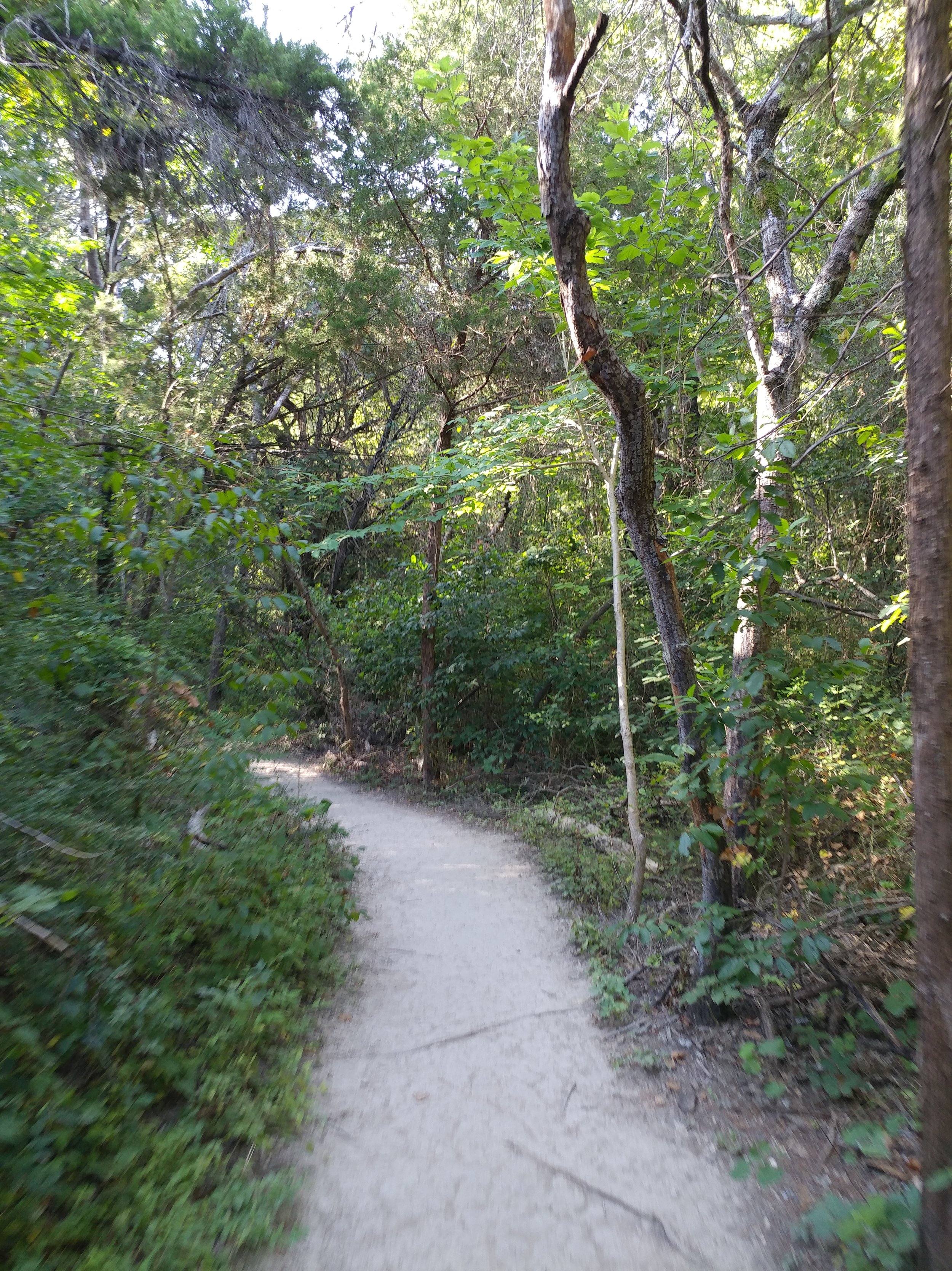
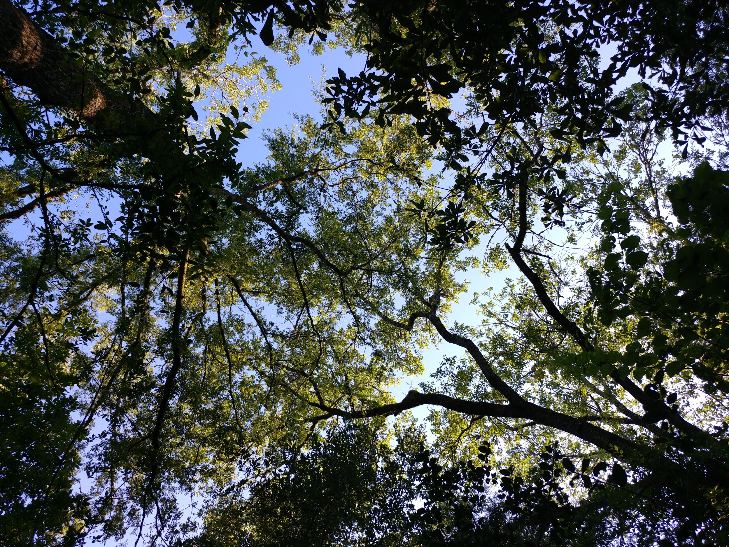
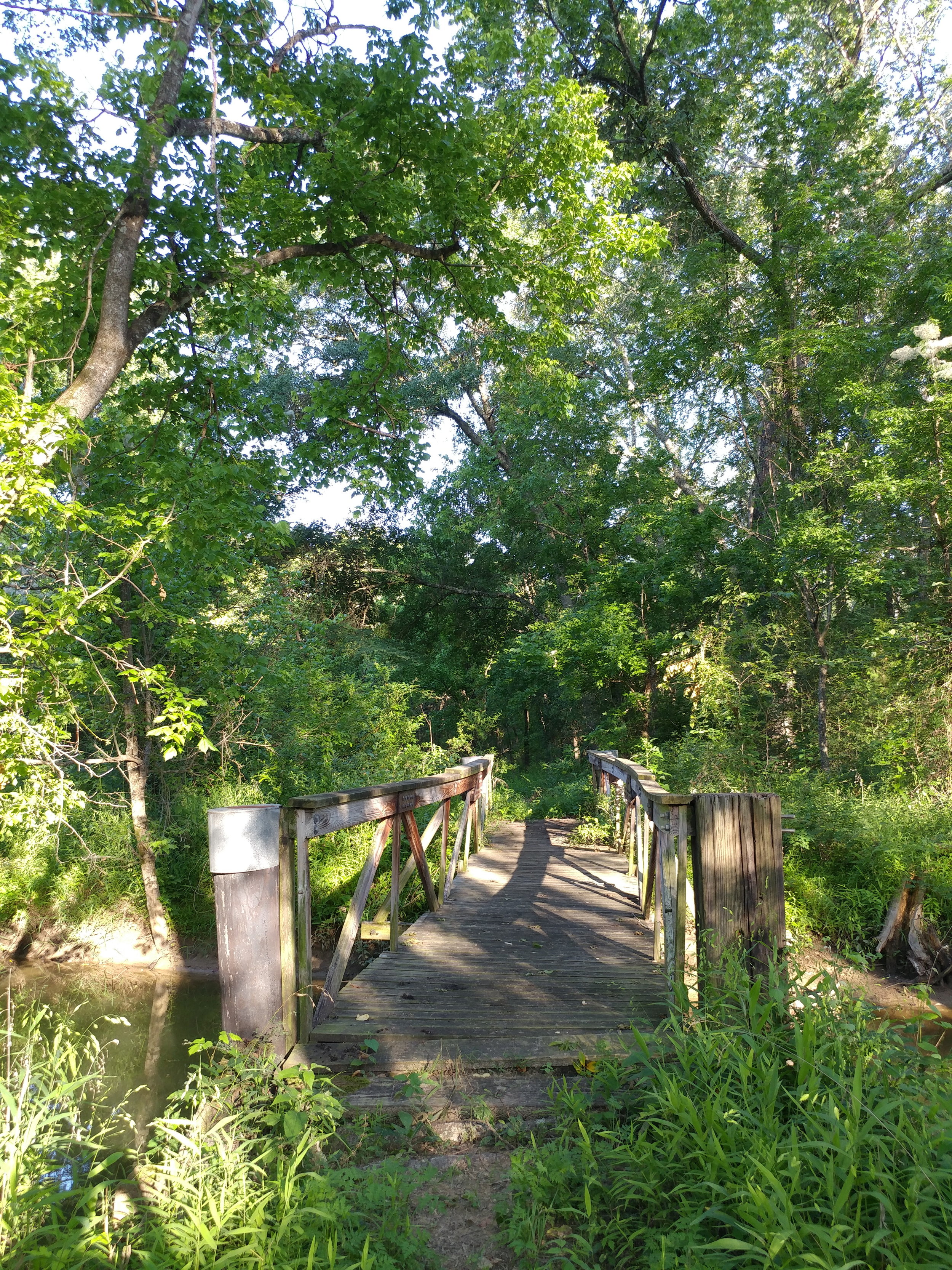
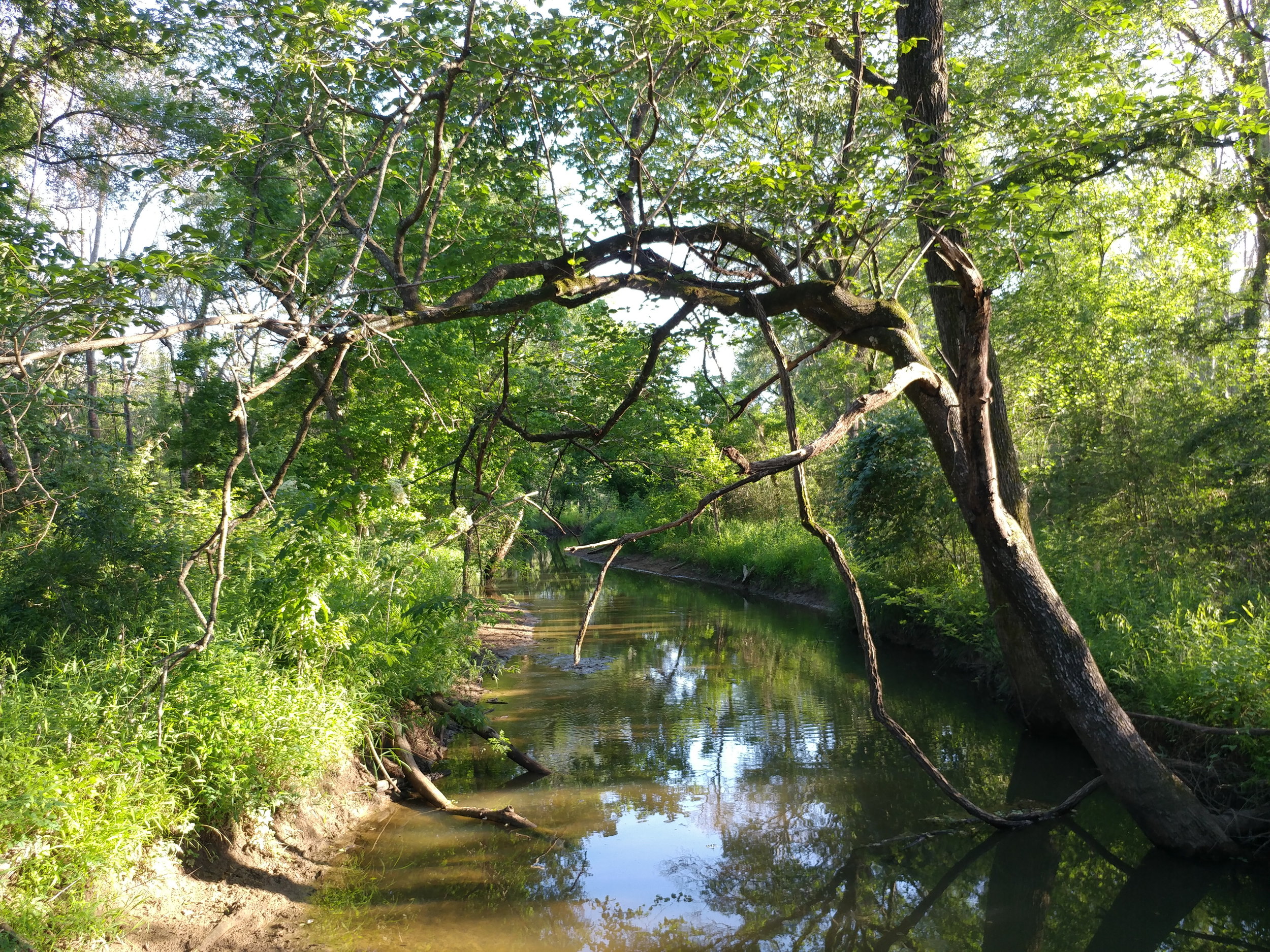
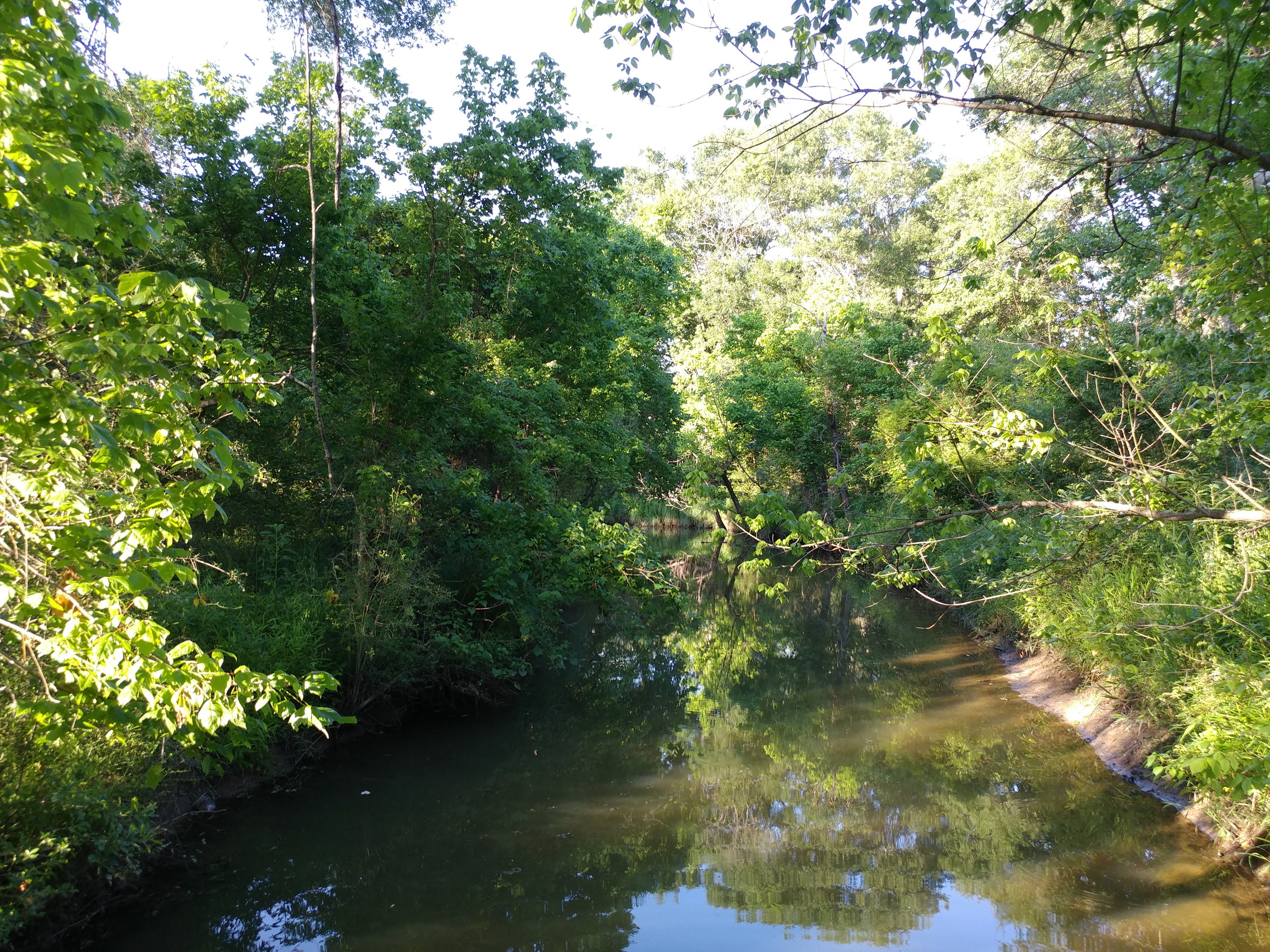
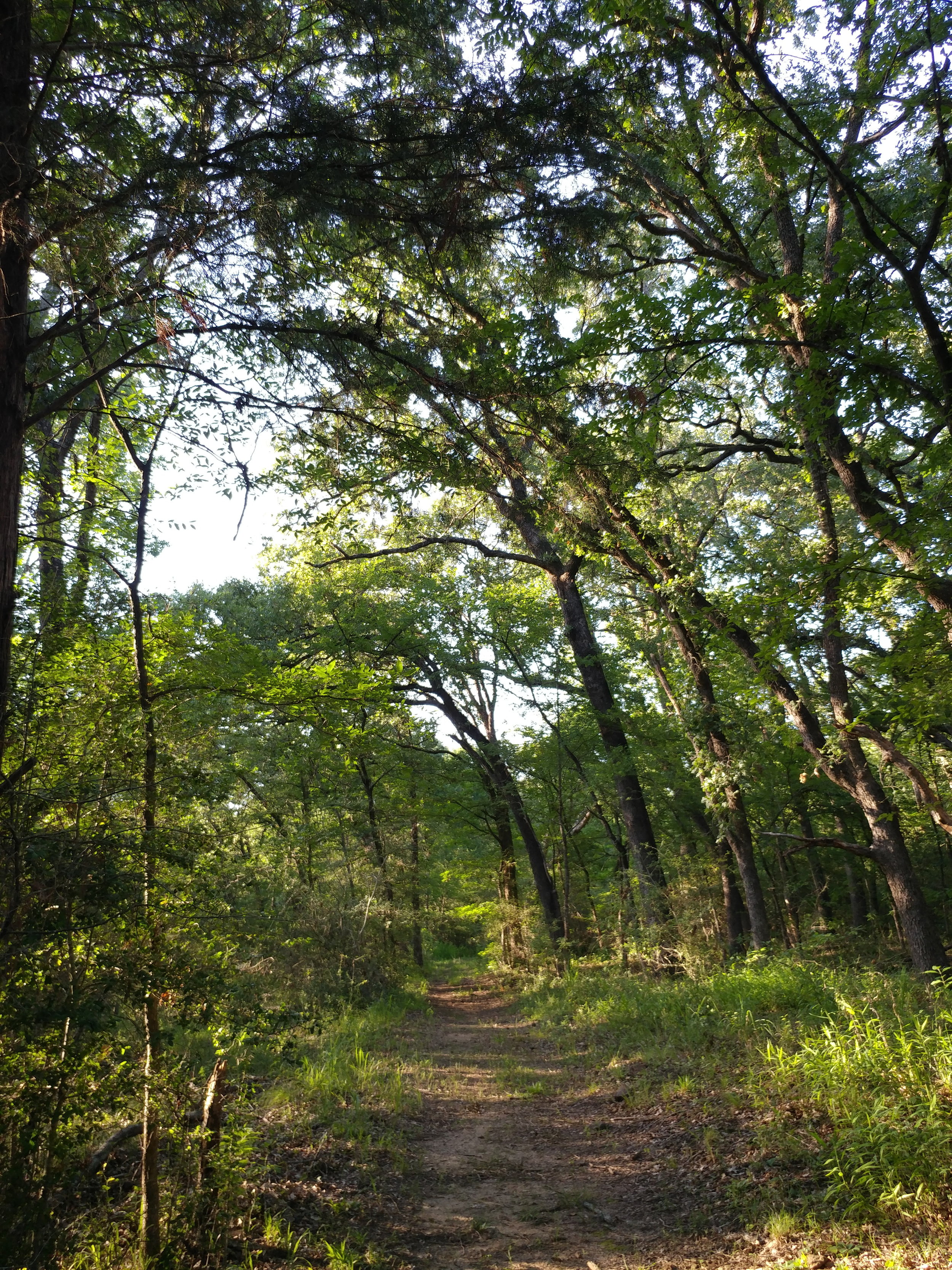
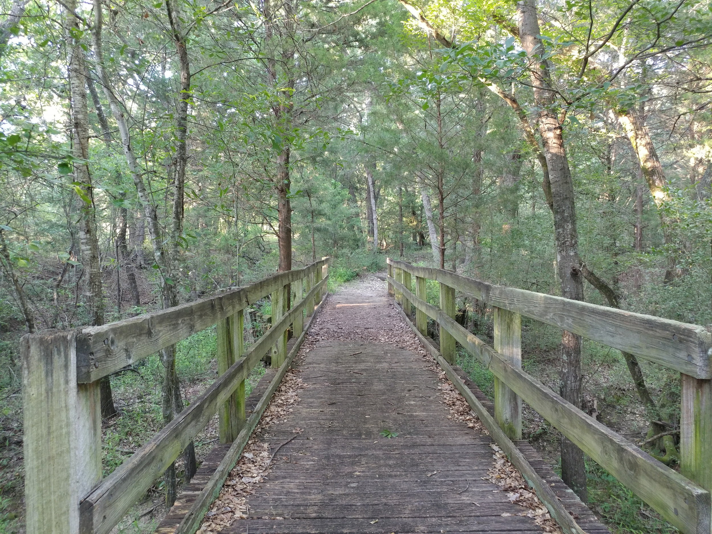
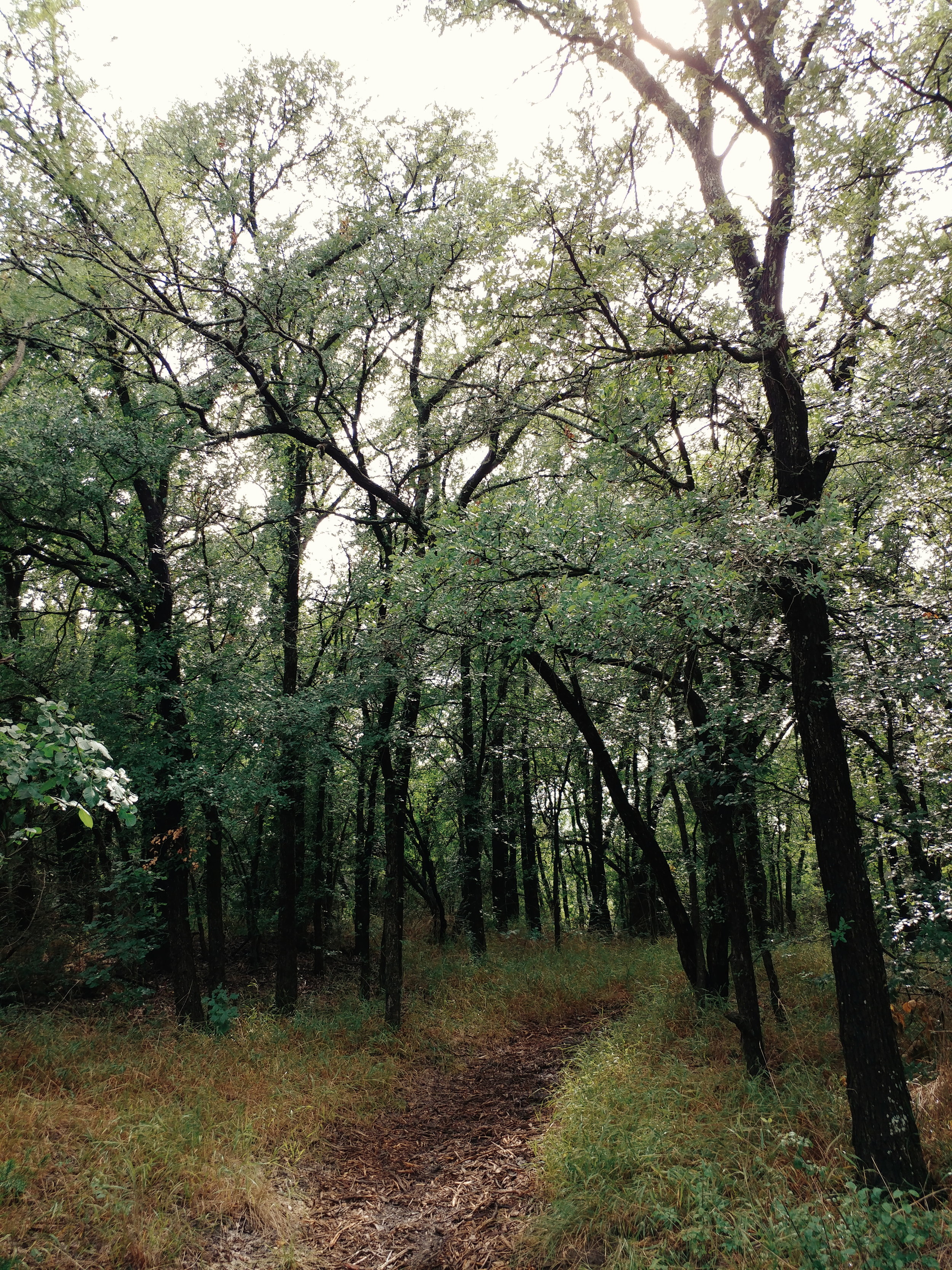
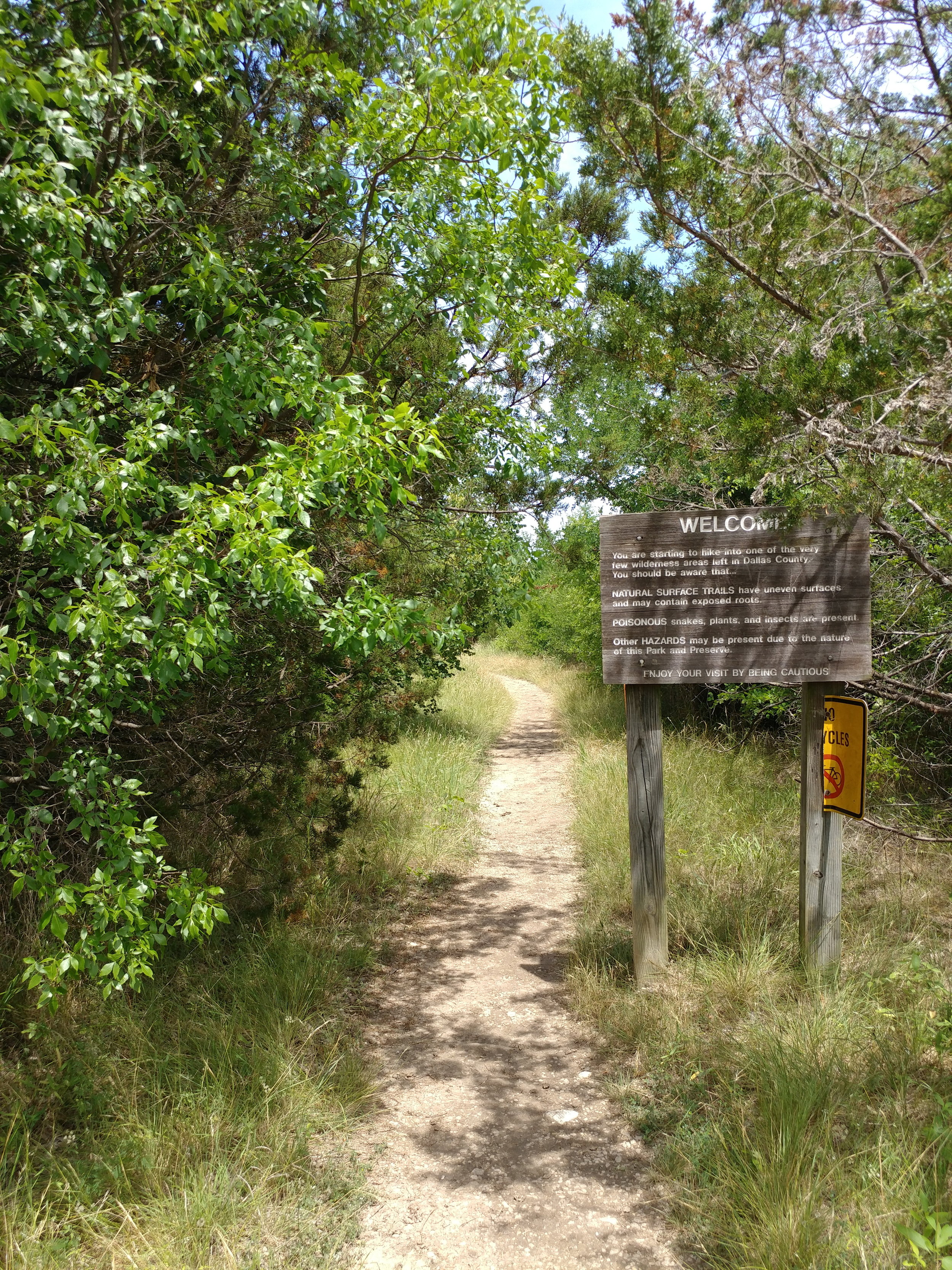
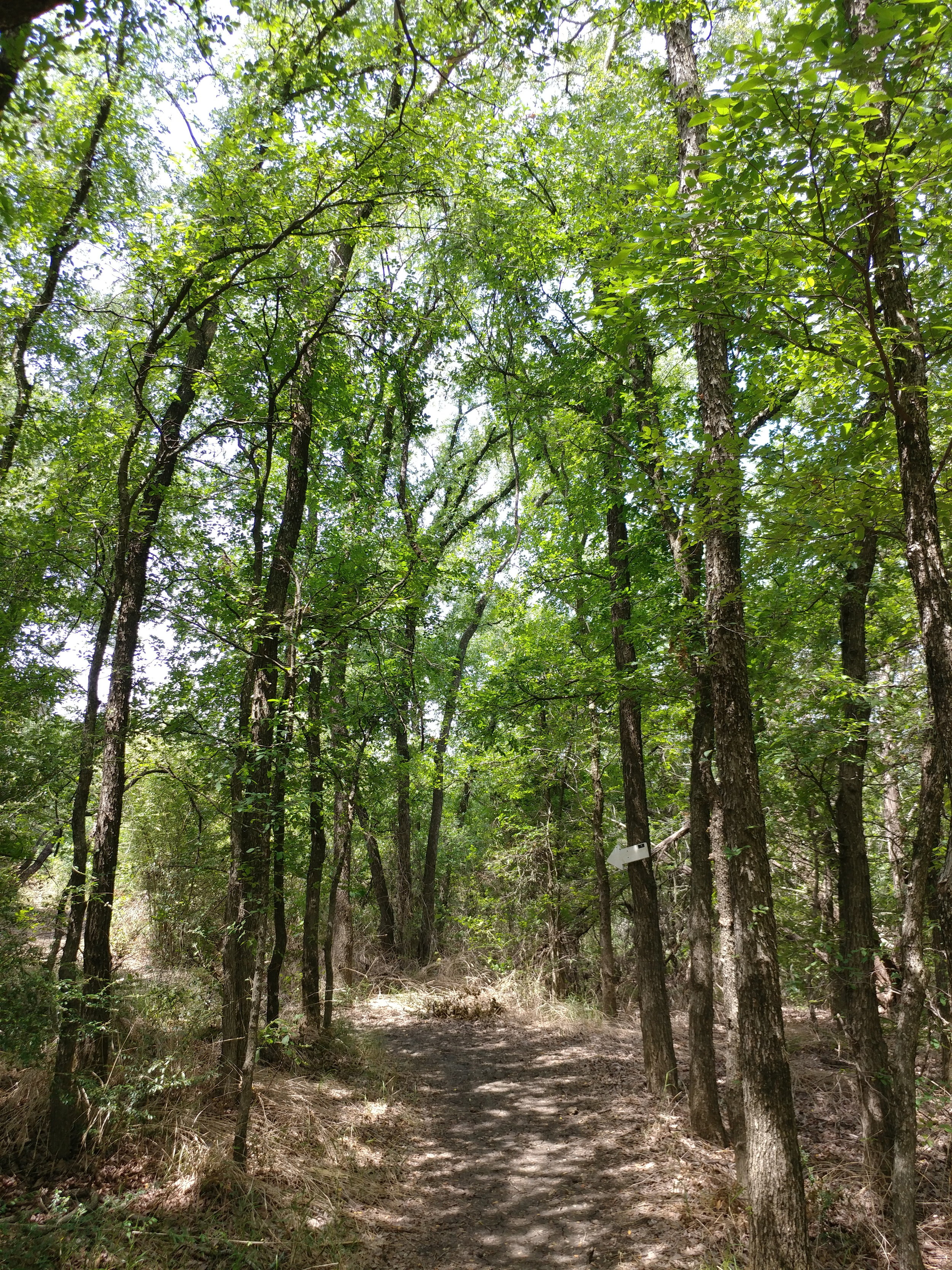
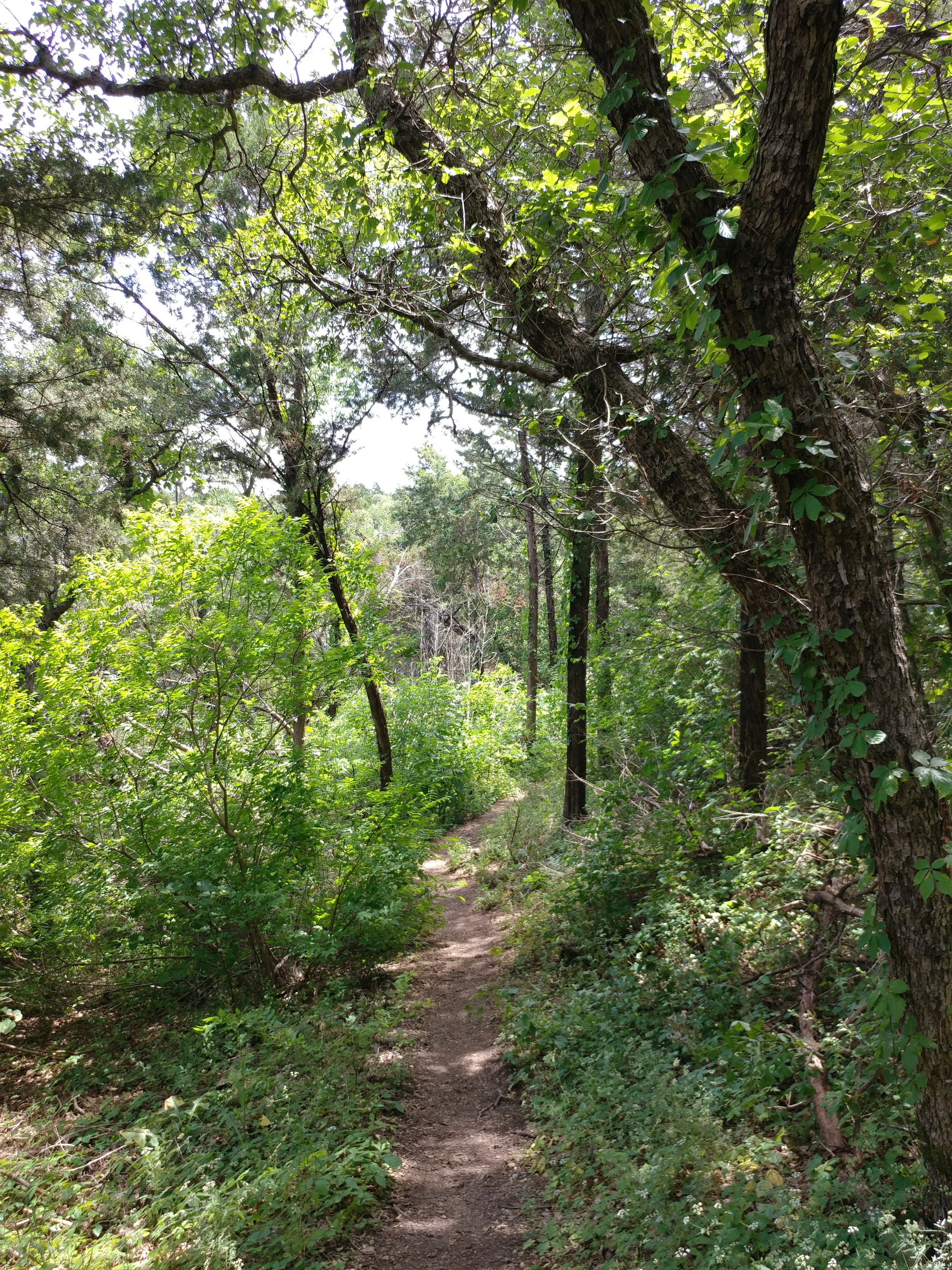
I'm more than halfway through, now, and I'm pretty excited to still feel so alive and motivated.  I am thrilled to continue to discover the trails in Texas as well as a few new ones around the great USA.

As someone that has never ran more than a mile, really didn't hike too actively until almost 30, and didn't really know what a balanced diet was until recently, I feel I'm on the right path and doing well.  I'm not downplaying my experiences, but I know there is always room to grow.  I'm somewhere in the middle of figuring it all out - just as I'm somewhere in the middle of this challenge.

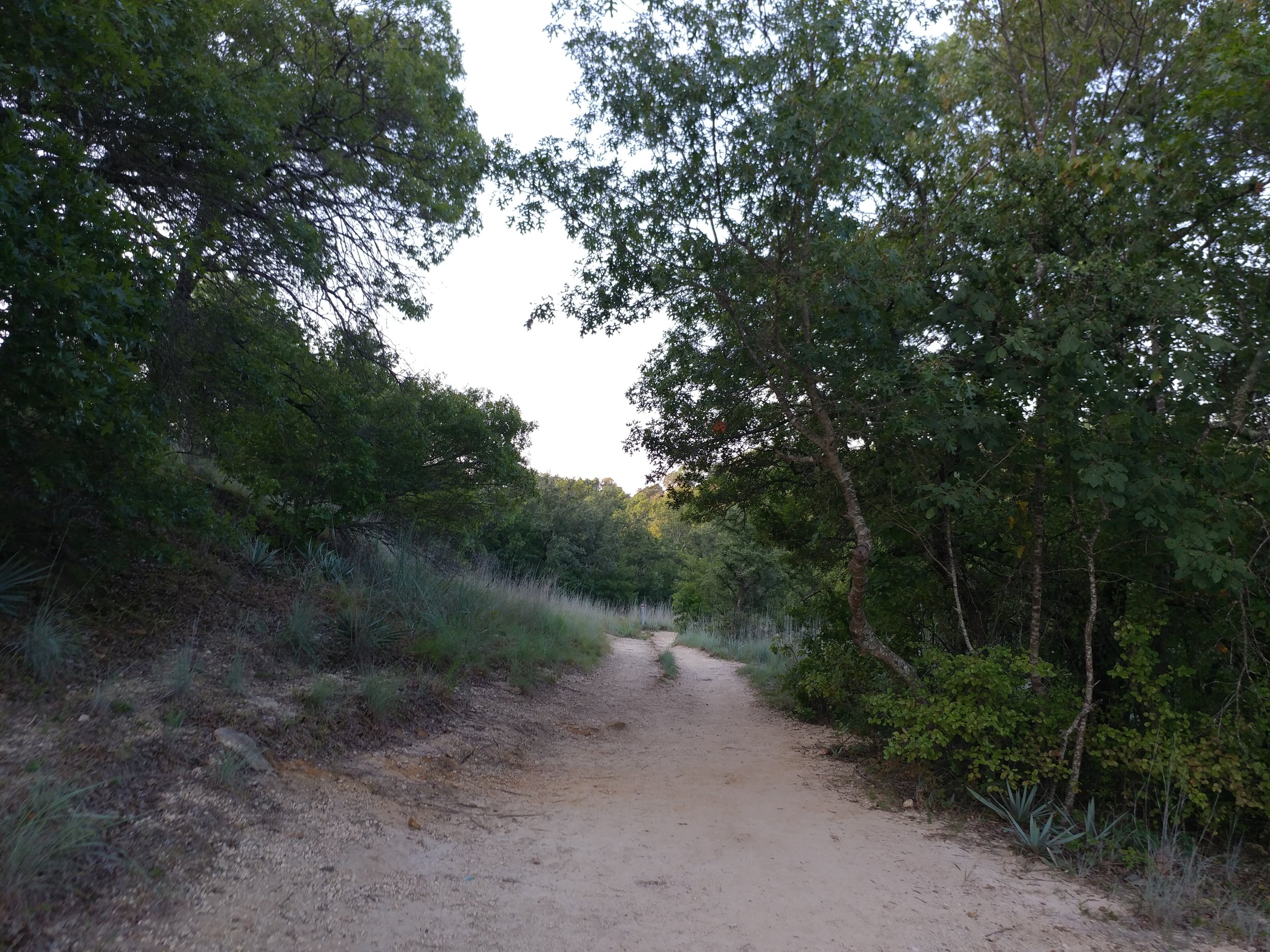
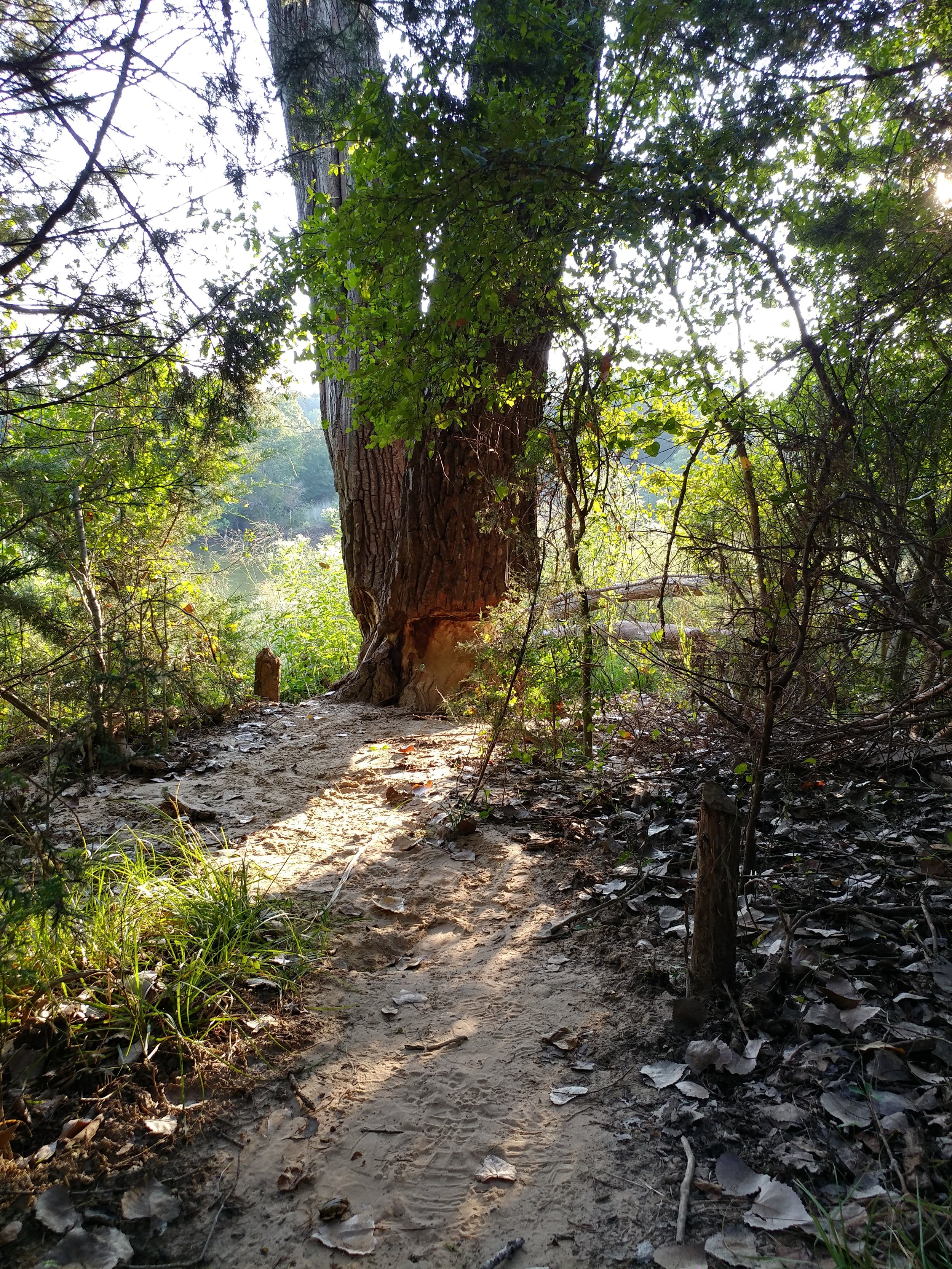
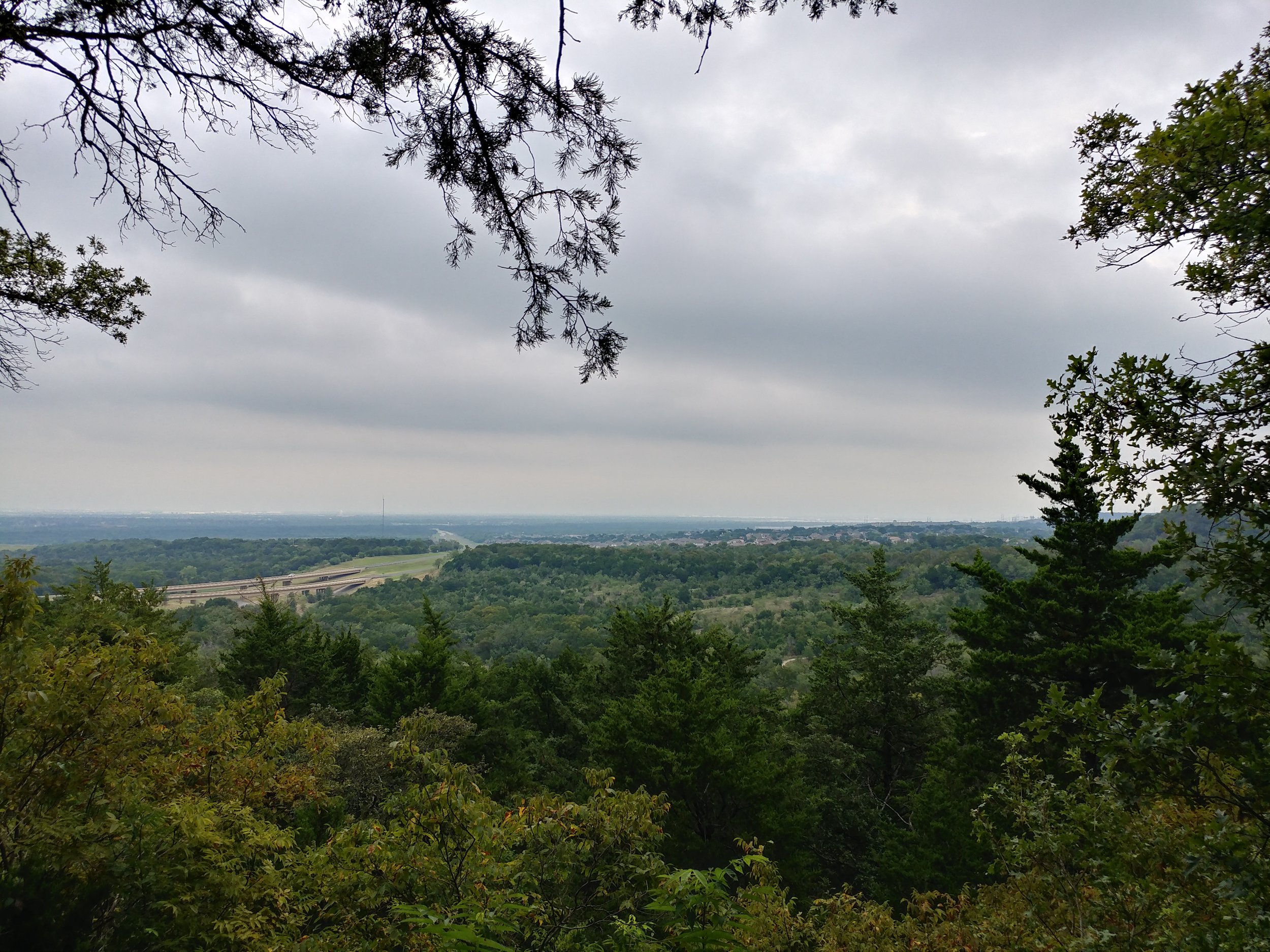
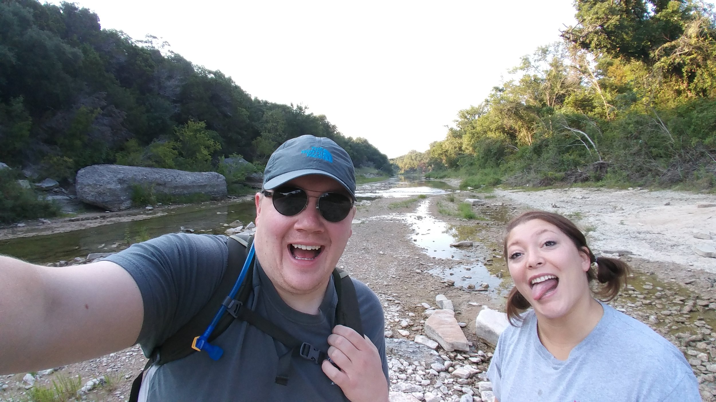
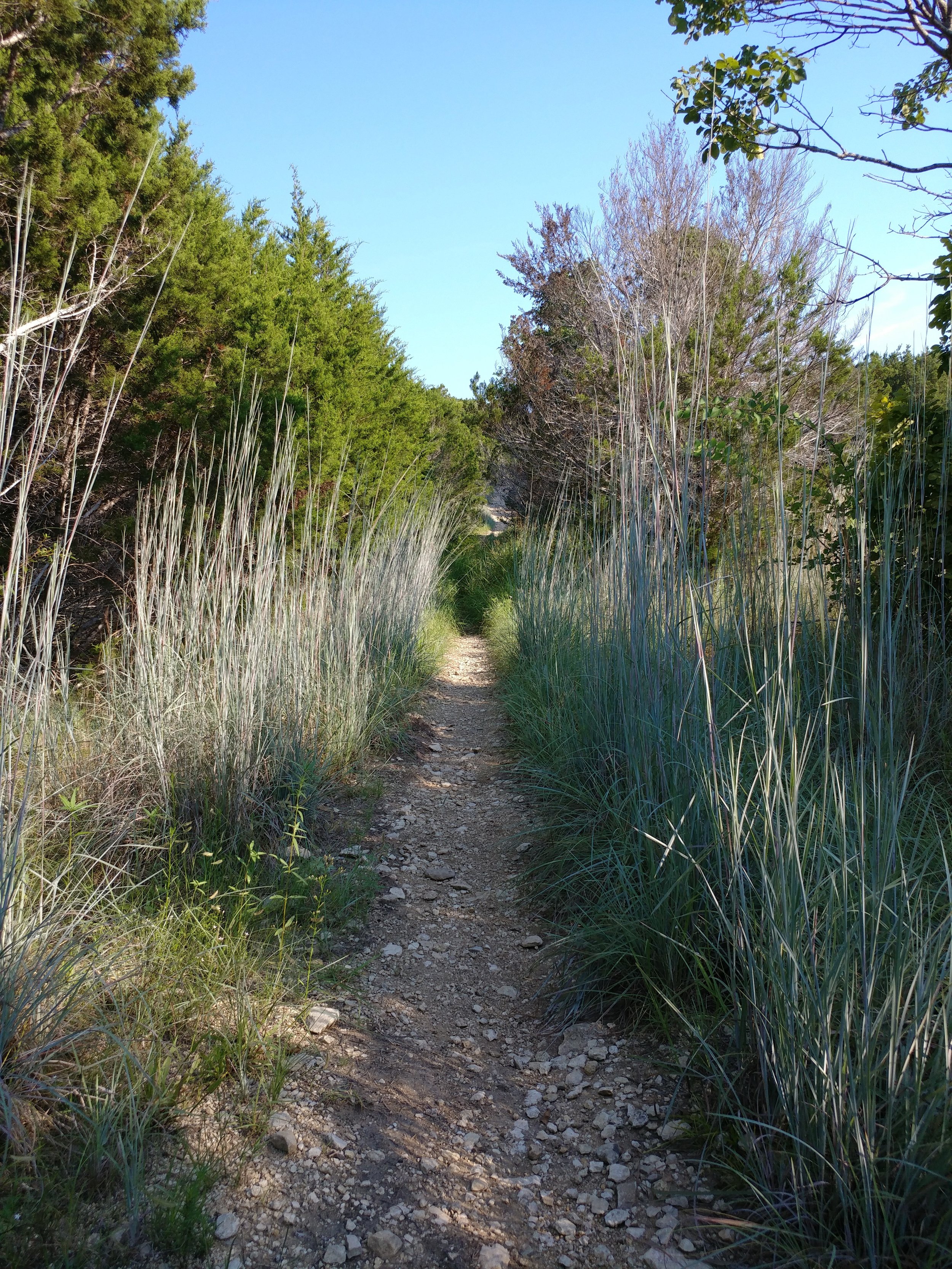
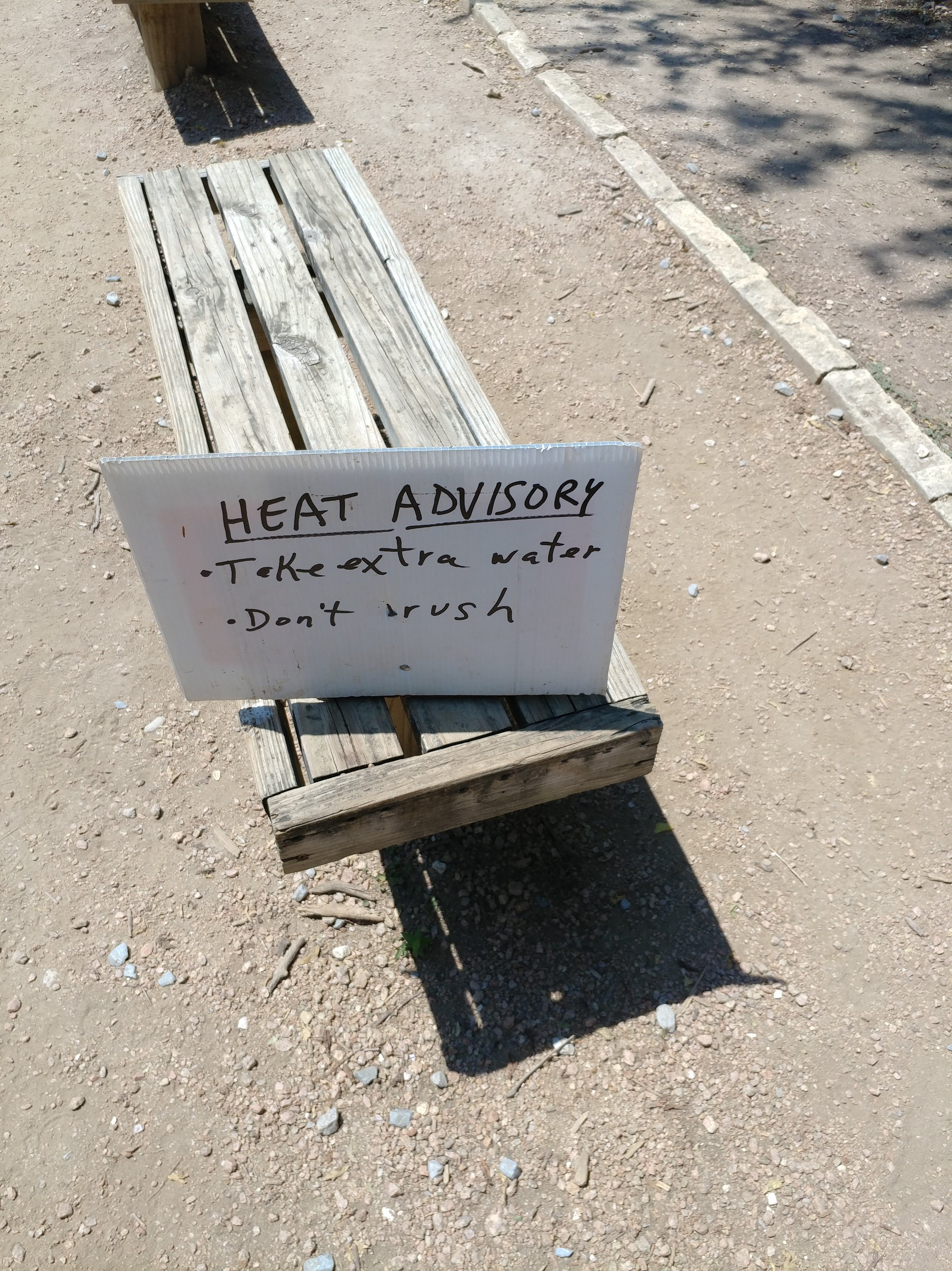
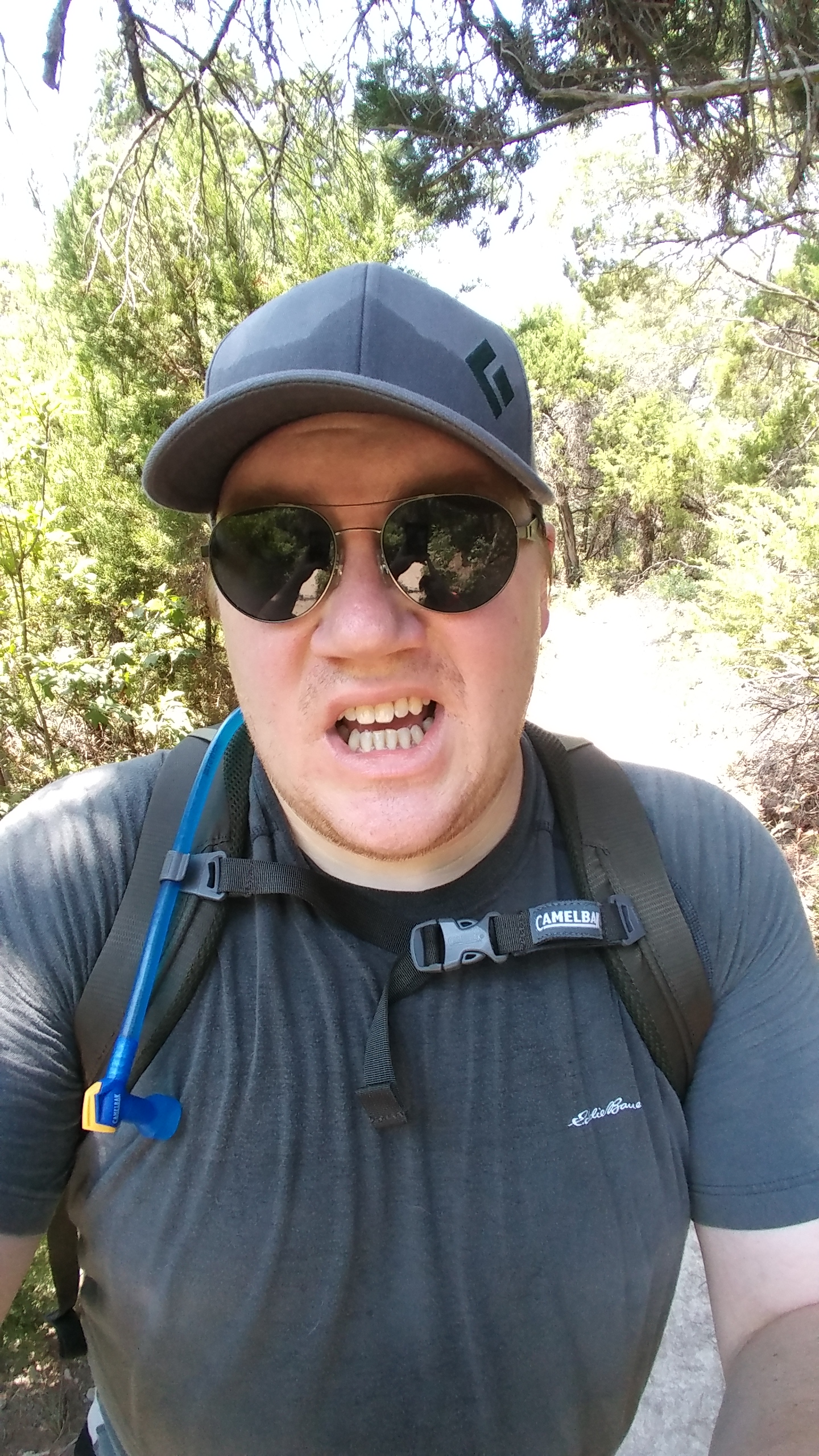
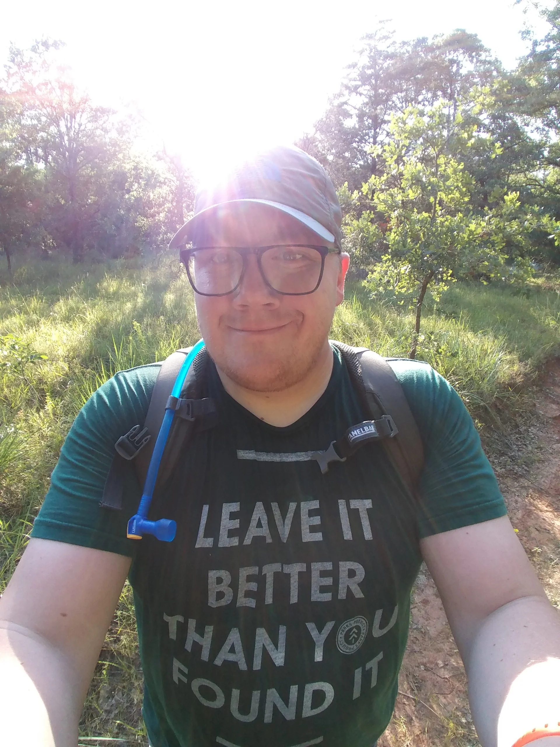
I keep saying I want to increase my hiking lengths, and I will.  BUT, today, I learned I also want attack more hills and build some strength.  Damn, it felt good to tackle the hills today - such a high.  Within the week, I am going to start training for a 5K - to some that isn't much, but to me it'll be a real test.  I want to be able to run the whole thing and feel that high at the end.  I guess we'll see how that goes.  I'm not quite at the point of wanting to join a gym or anything, but I am ready to run.  I've been walking all year, more so before the Texas summer, and I am ready to go a little faster.

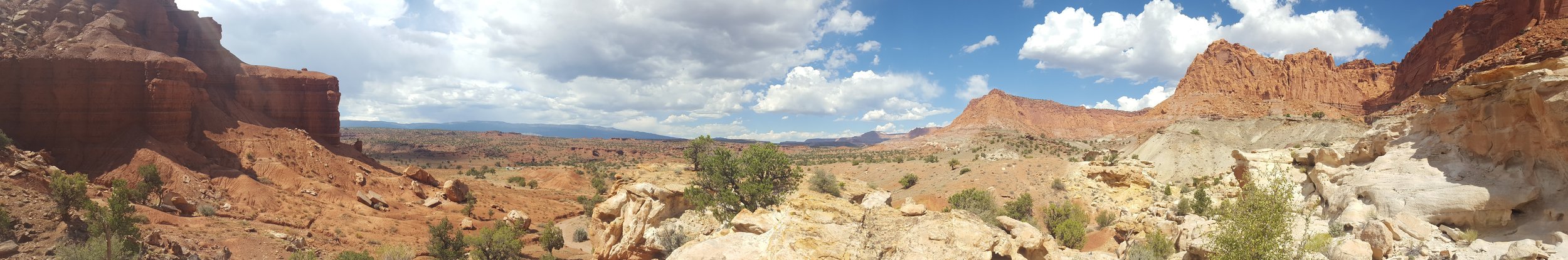
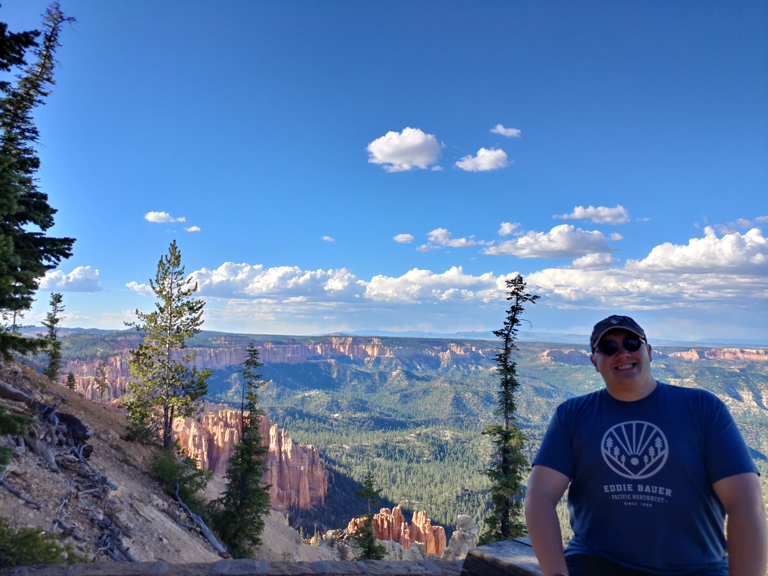
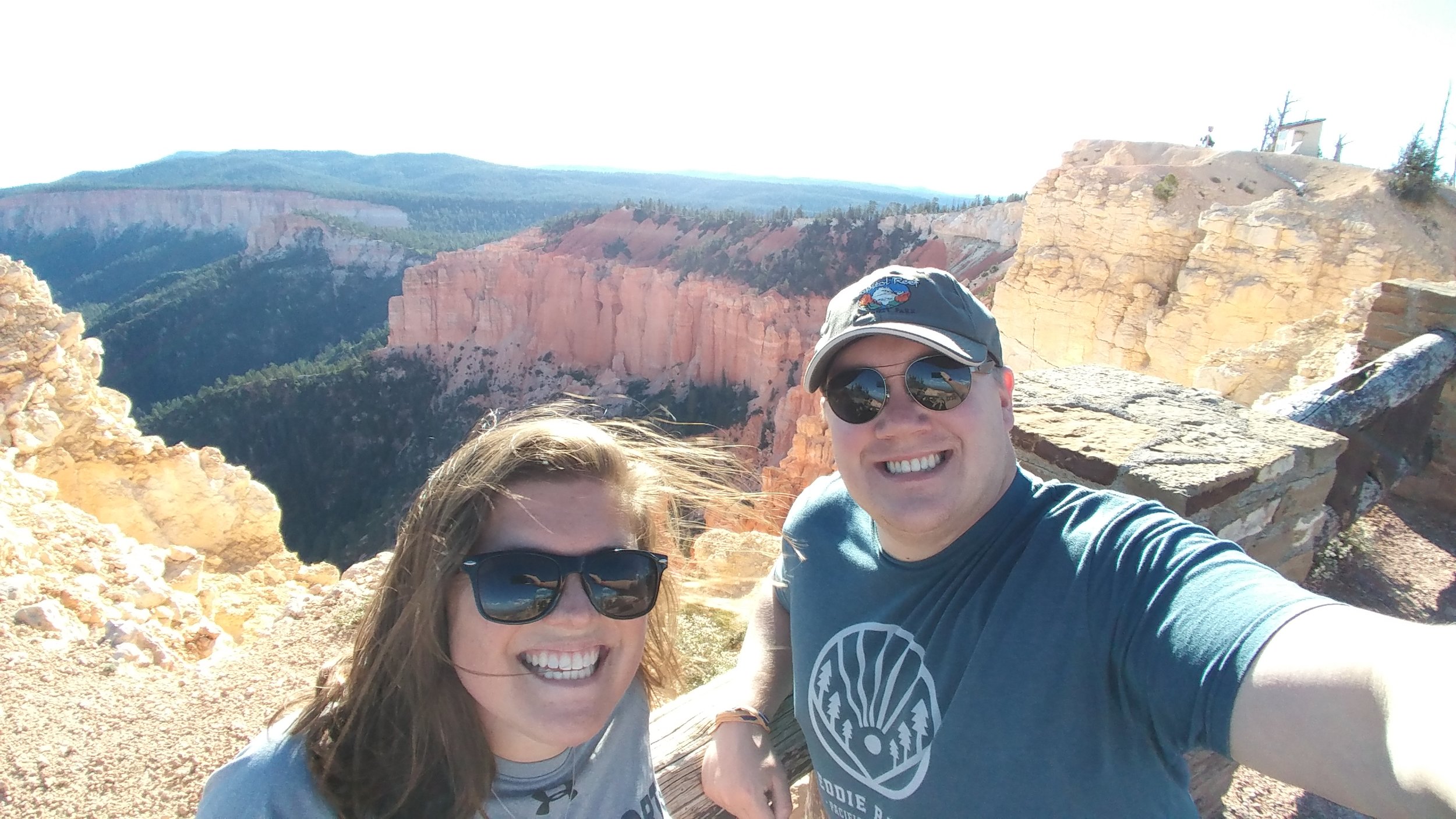
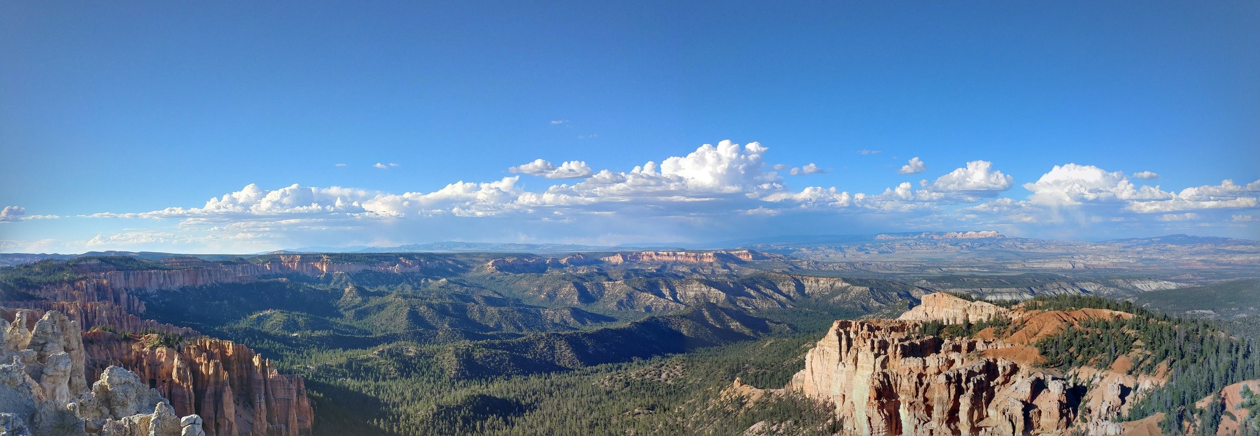
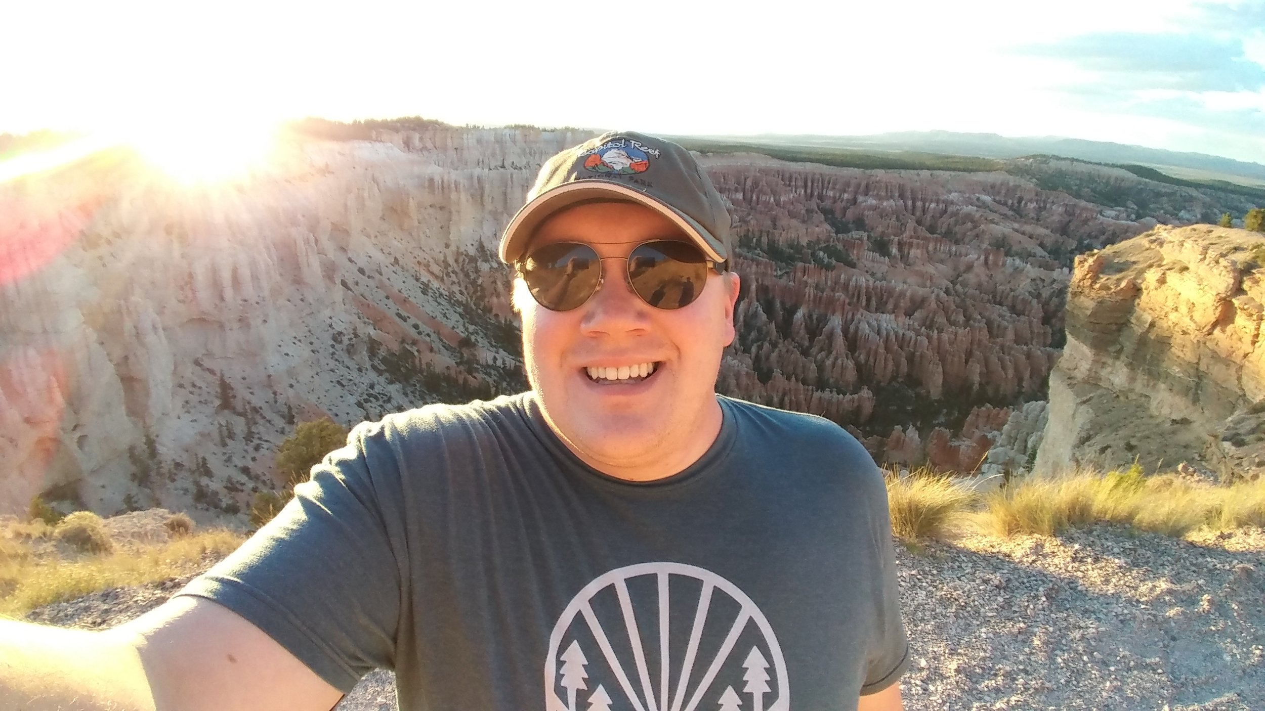
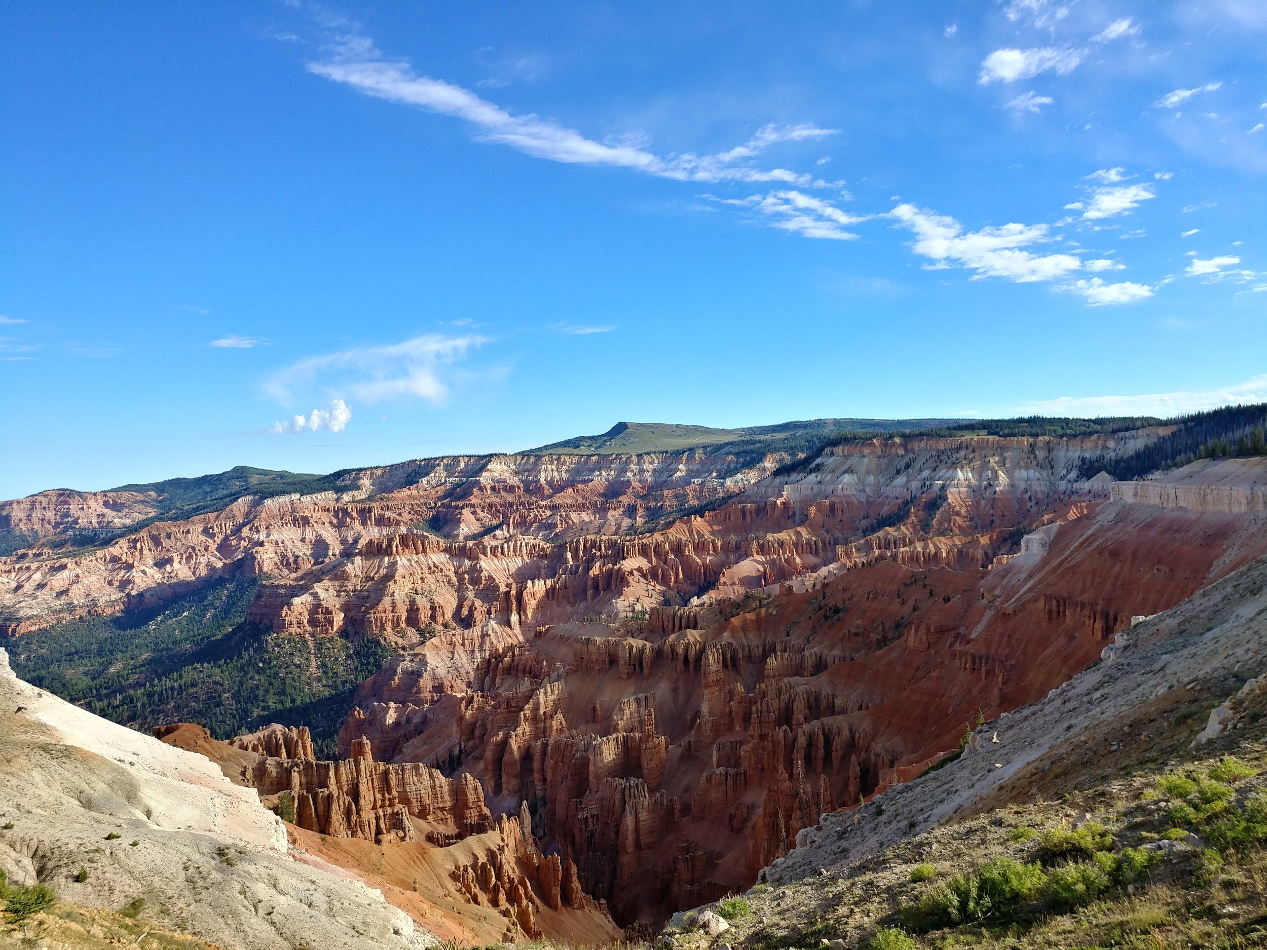
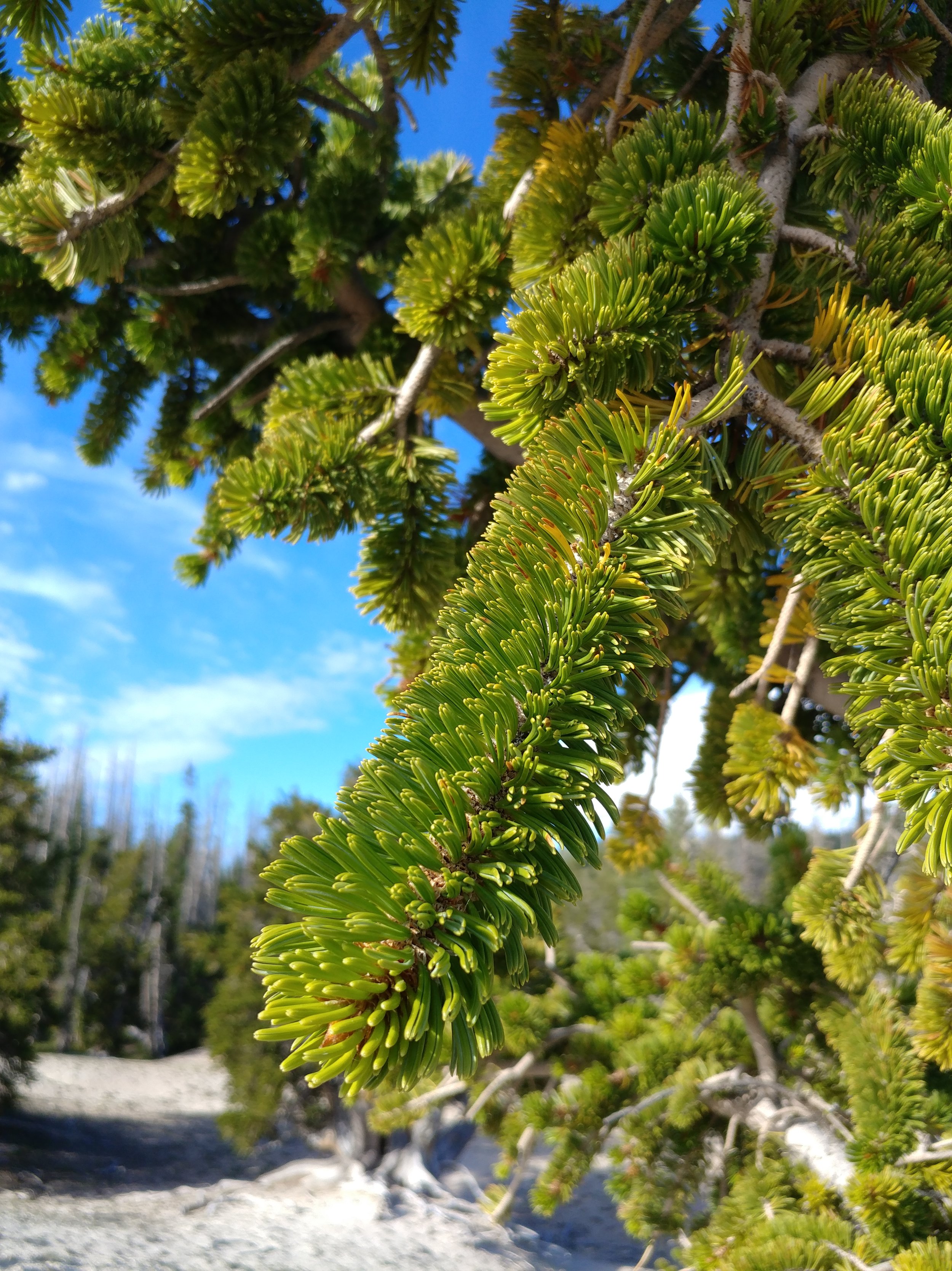
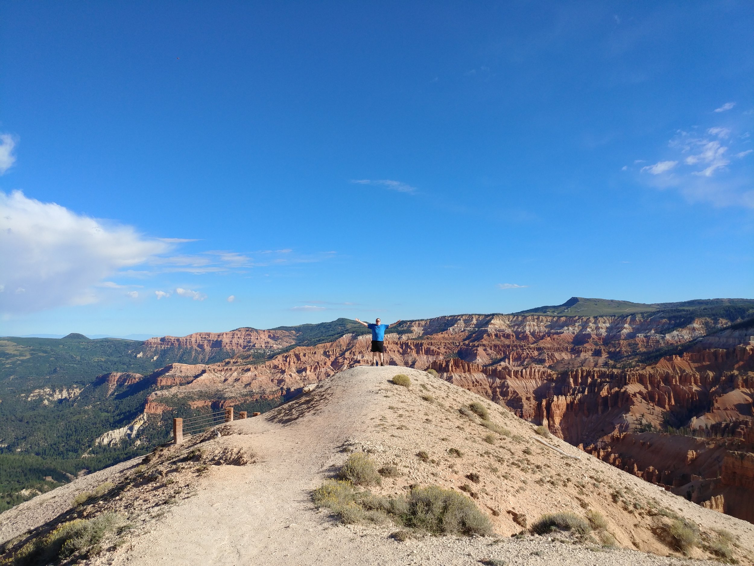
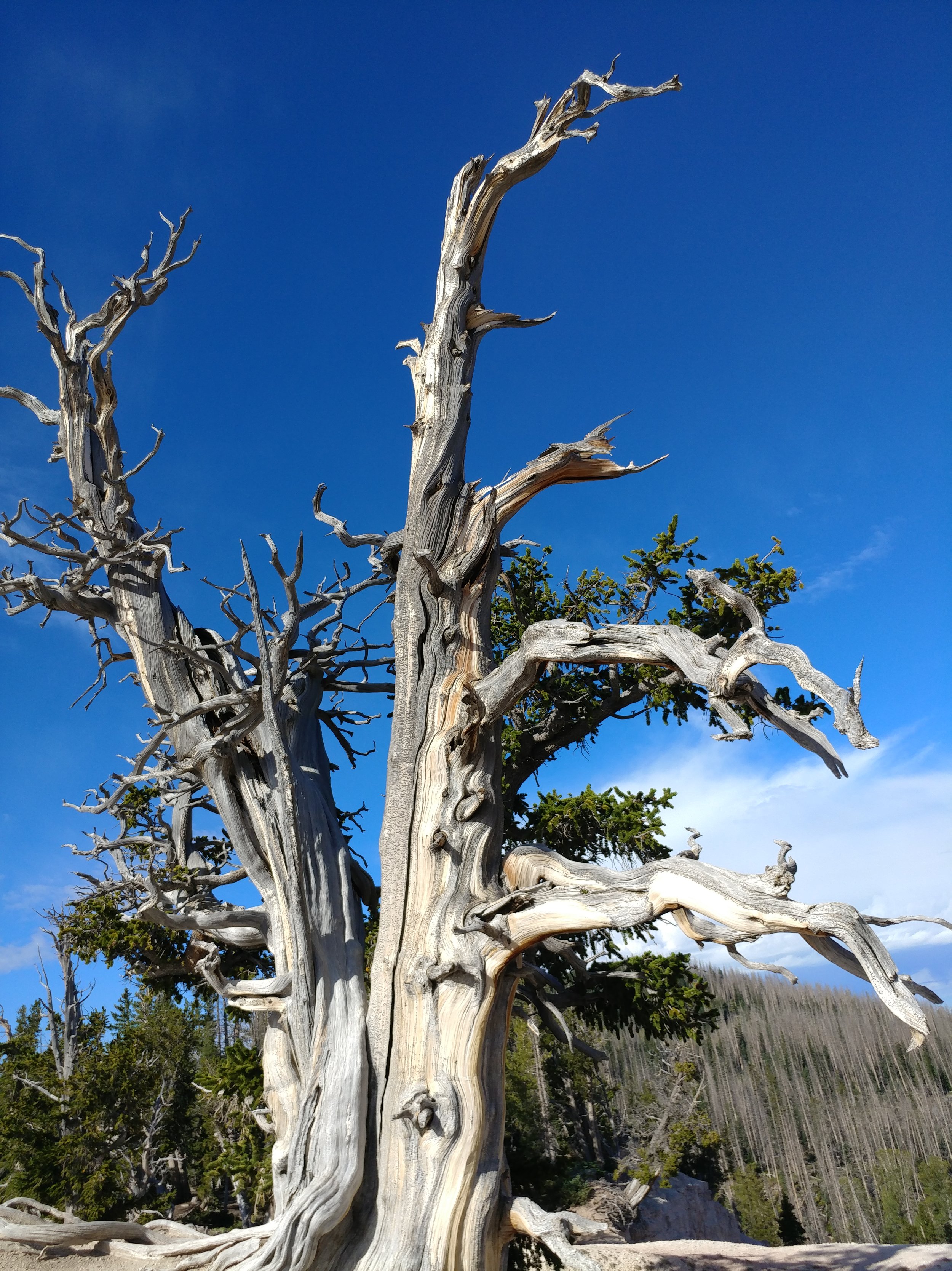
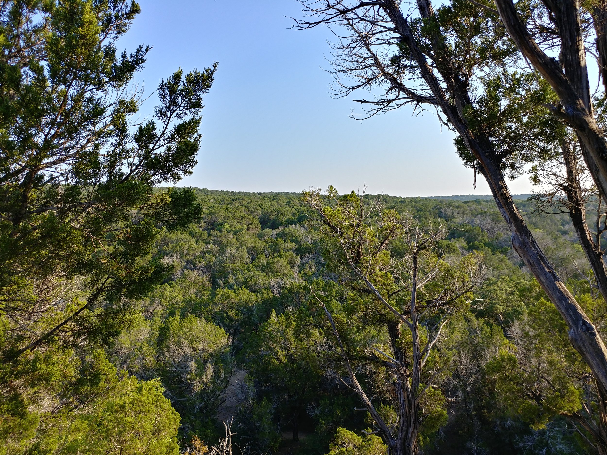
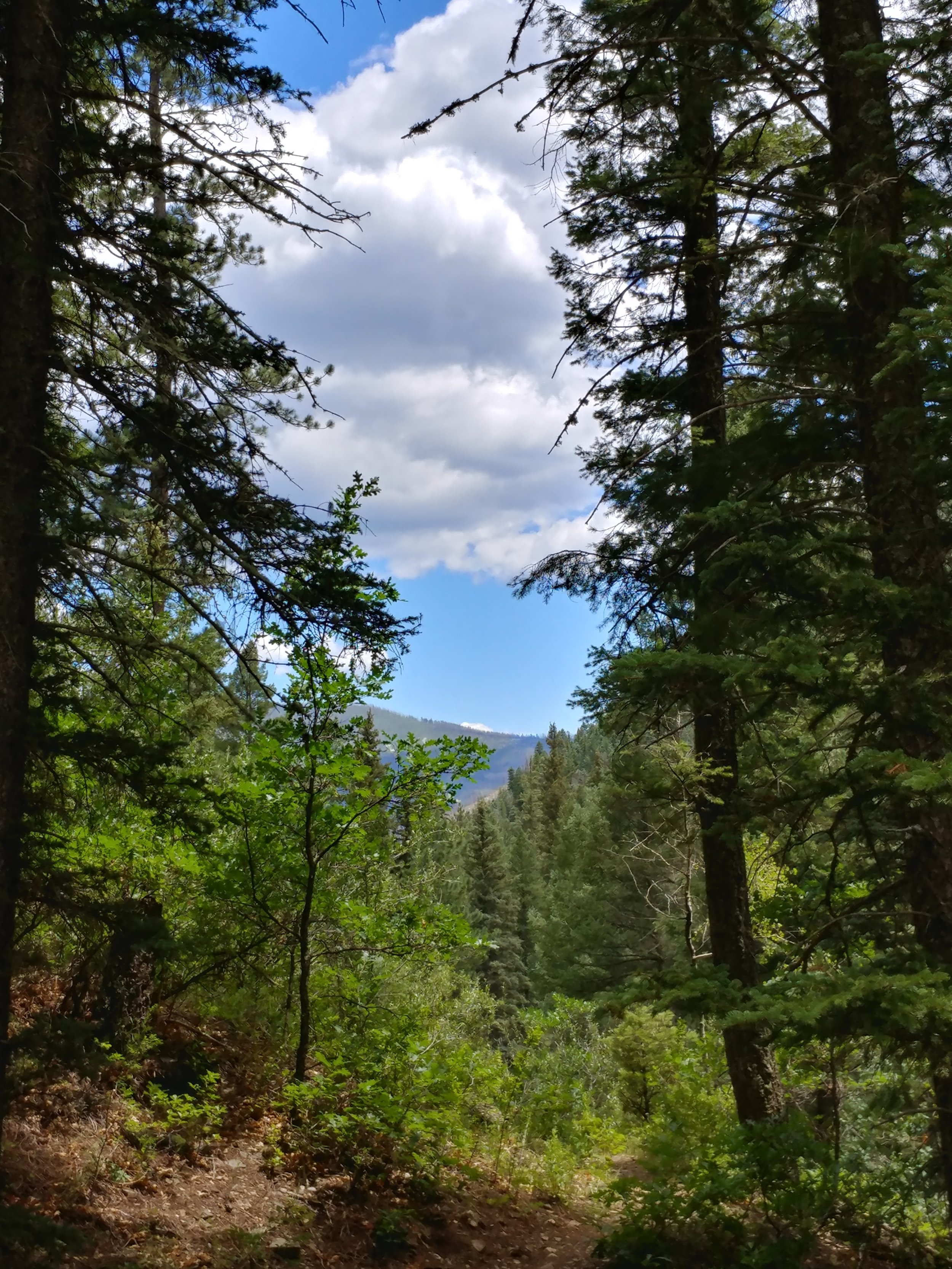
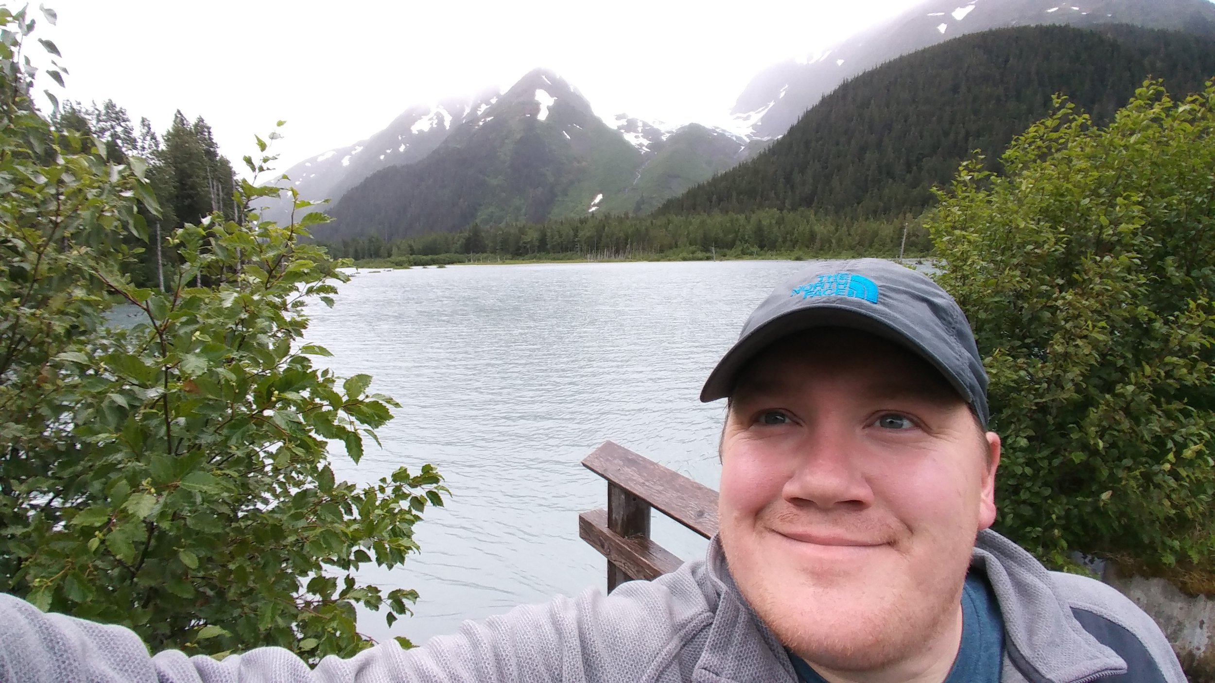
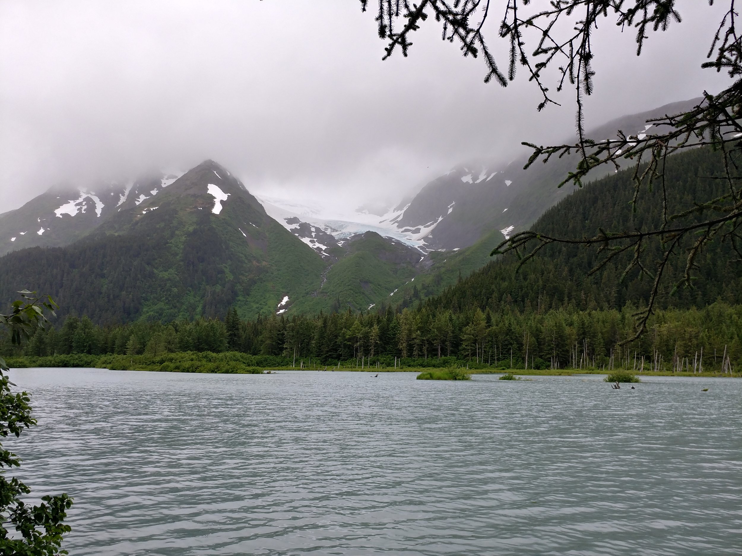
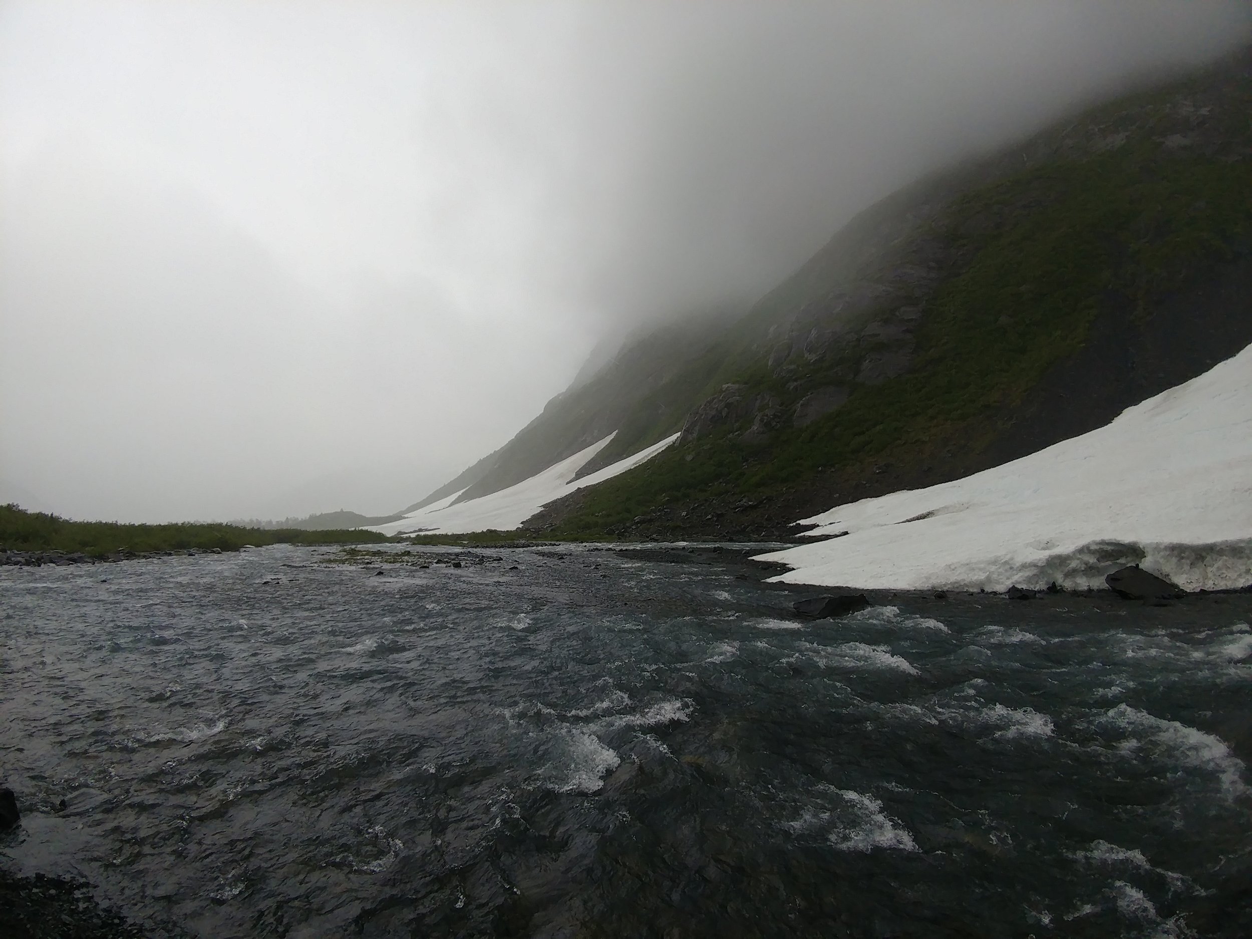
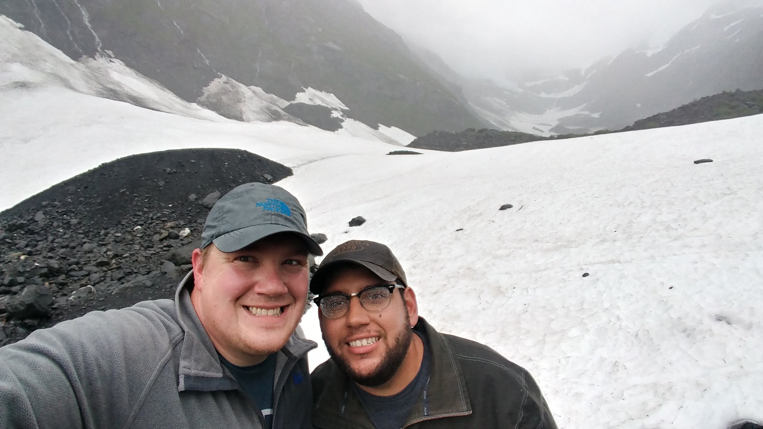
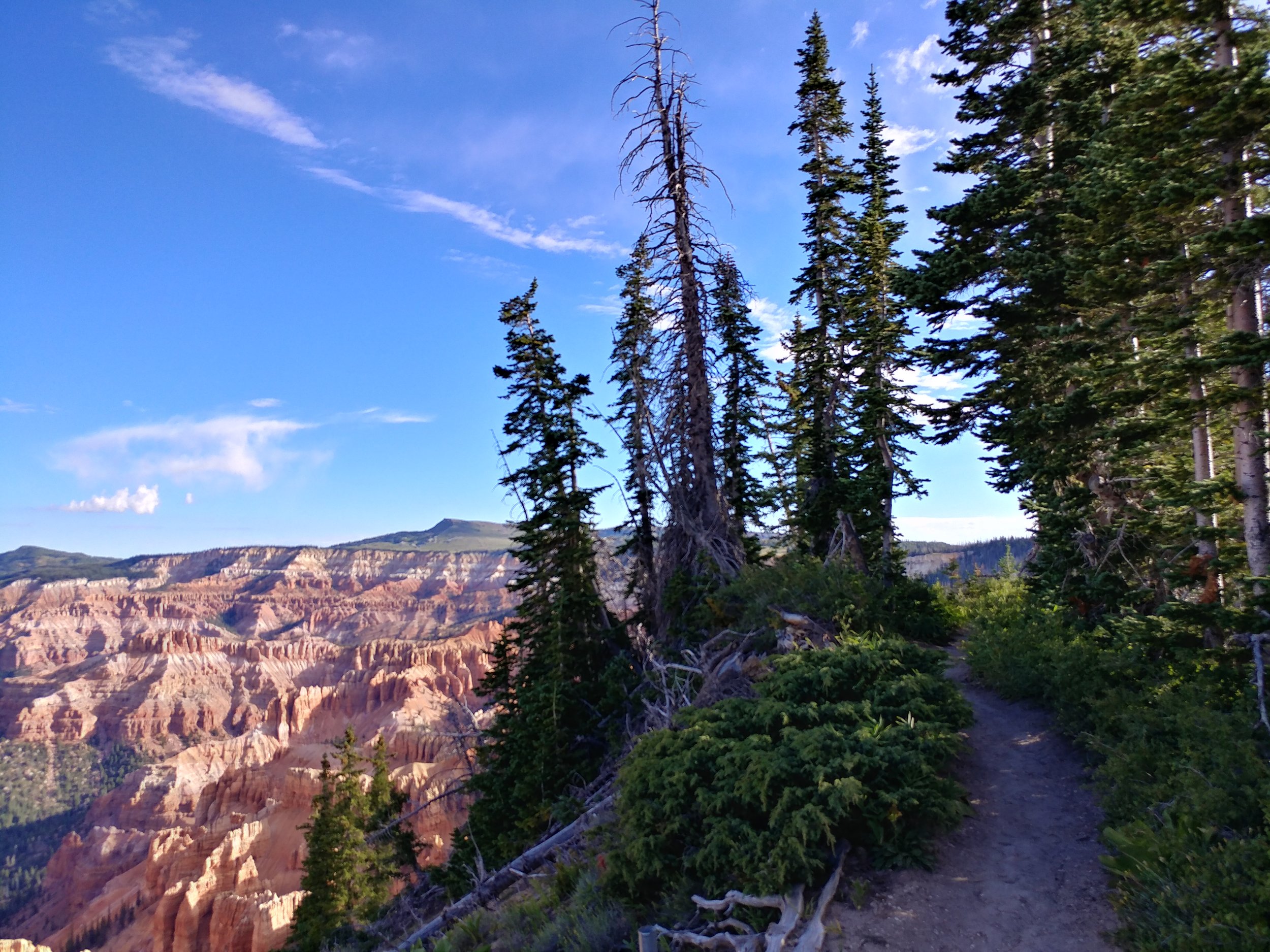
I dream of mountains.  I don't have a lot of experience at high altitudes or with massive elevation gains, but I am not ever going to shy away from the opportunity to try it out.  I know whenever I get the chance, I'll be soaked with sweat and have jelly legs but I'll have accomplished something new.  SO, bring on the mountains.  I'm working on developing a new challenge for next year that may involve mountains - to encourage a little push outside of my comfort zone and a little push outside of Texas.

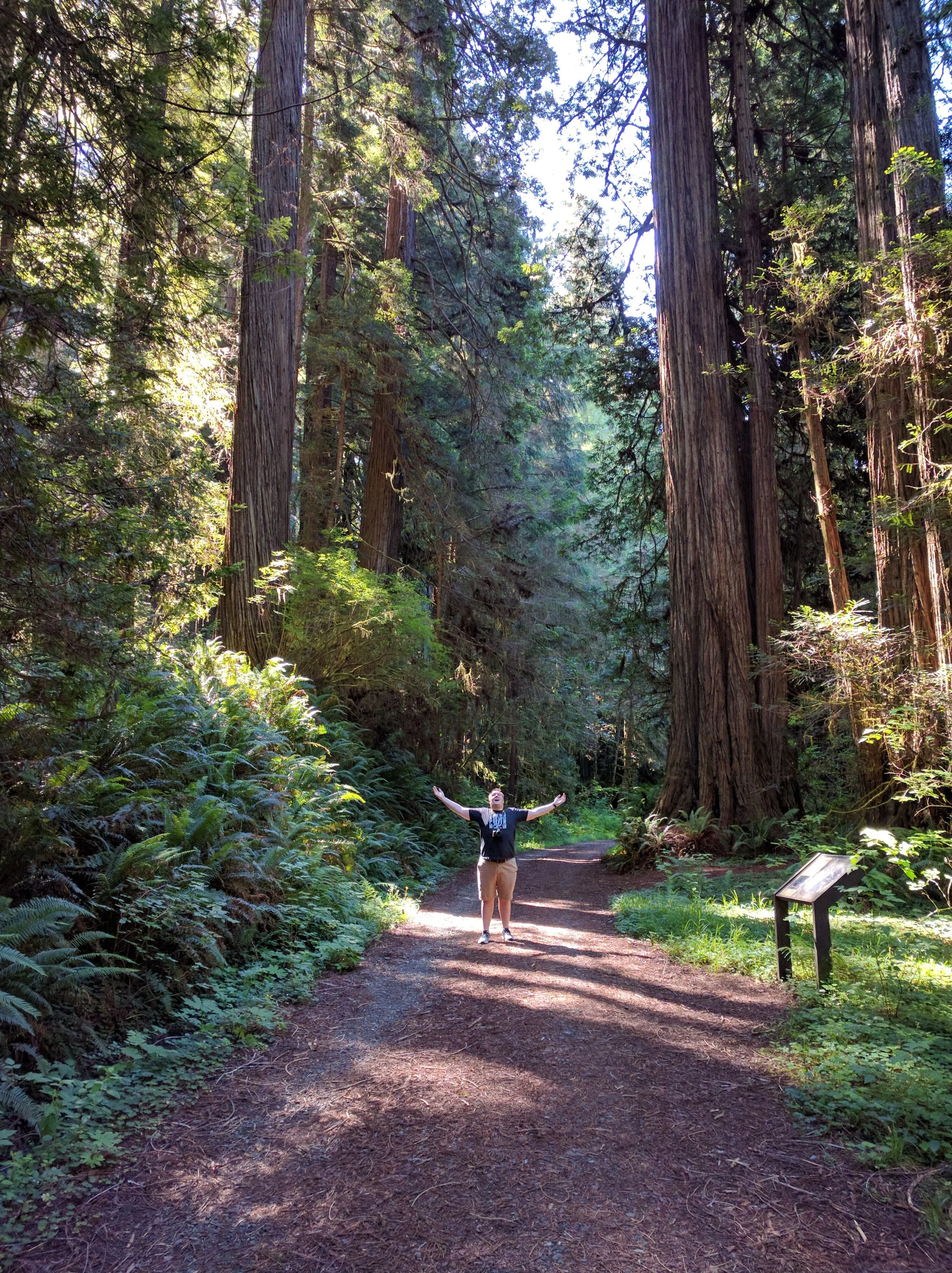
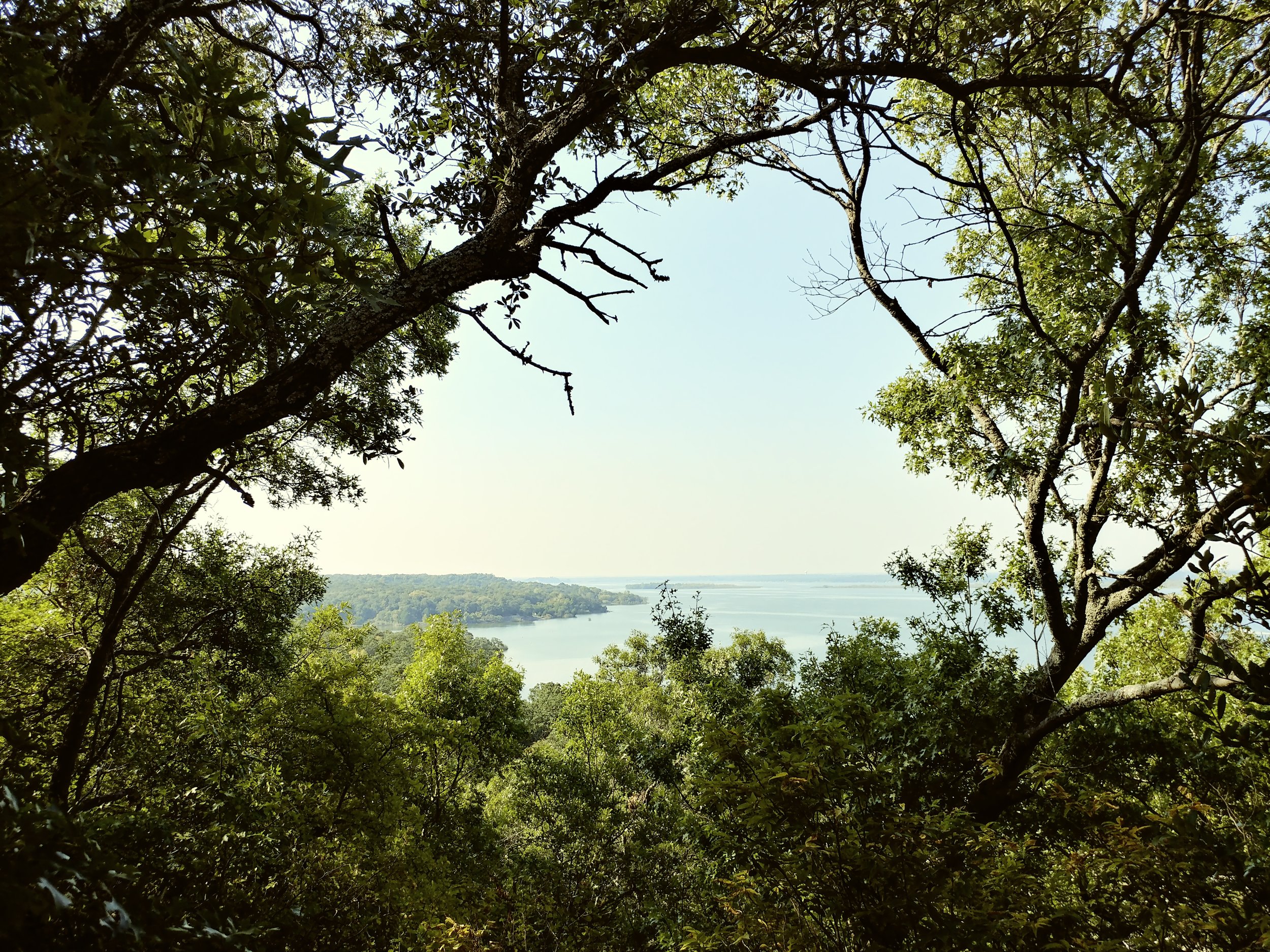
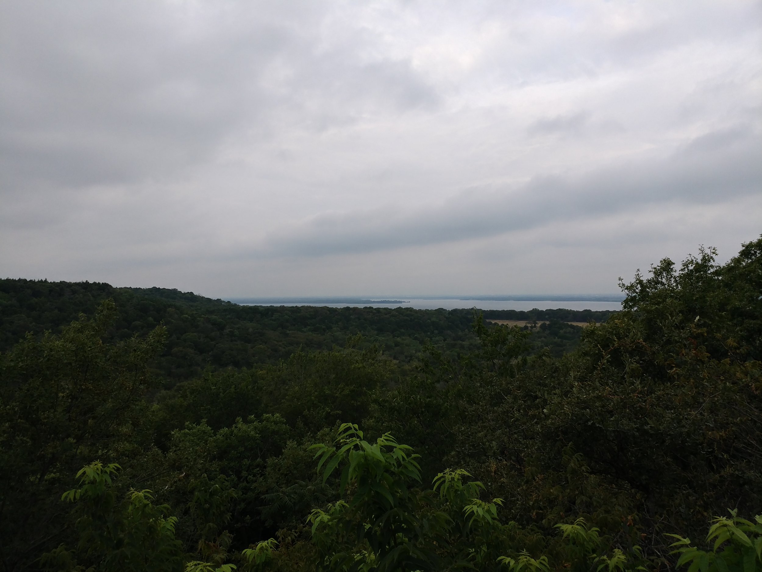
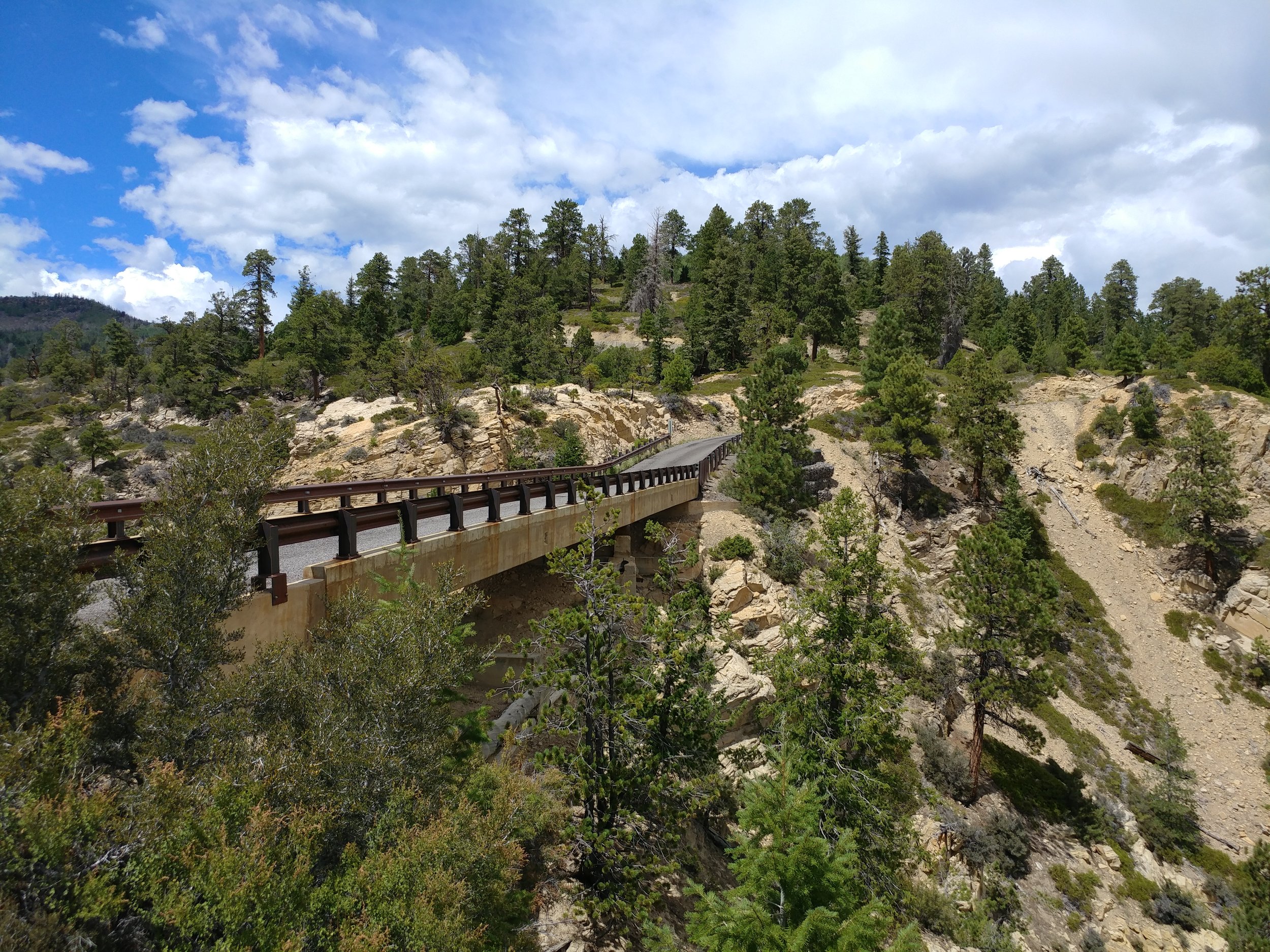
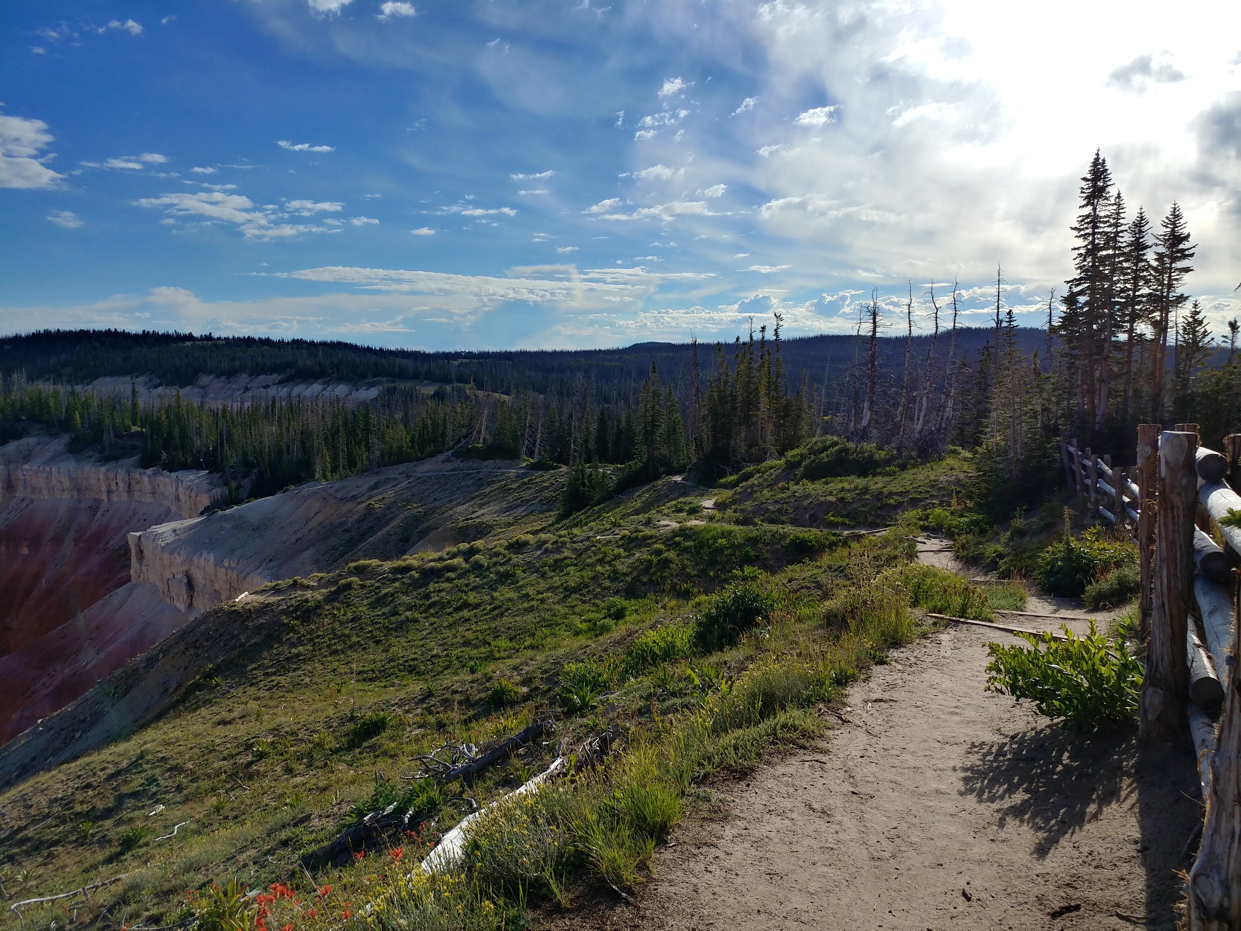
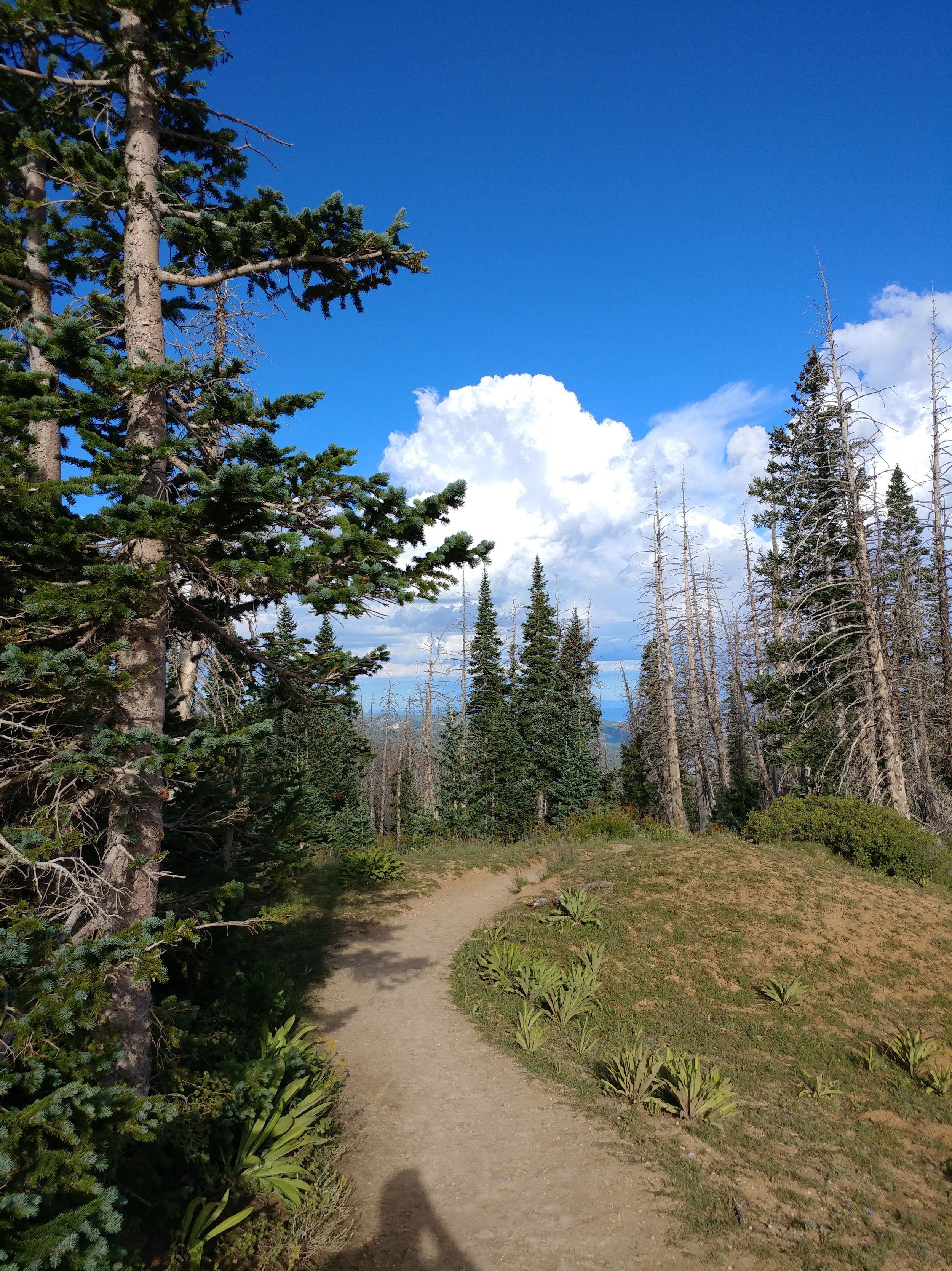
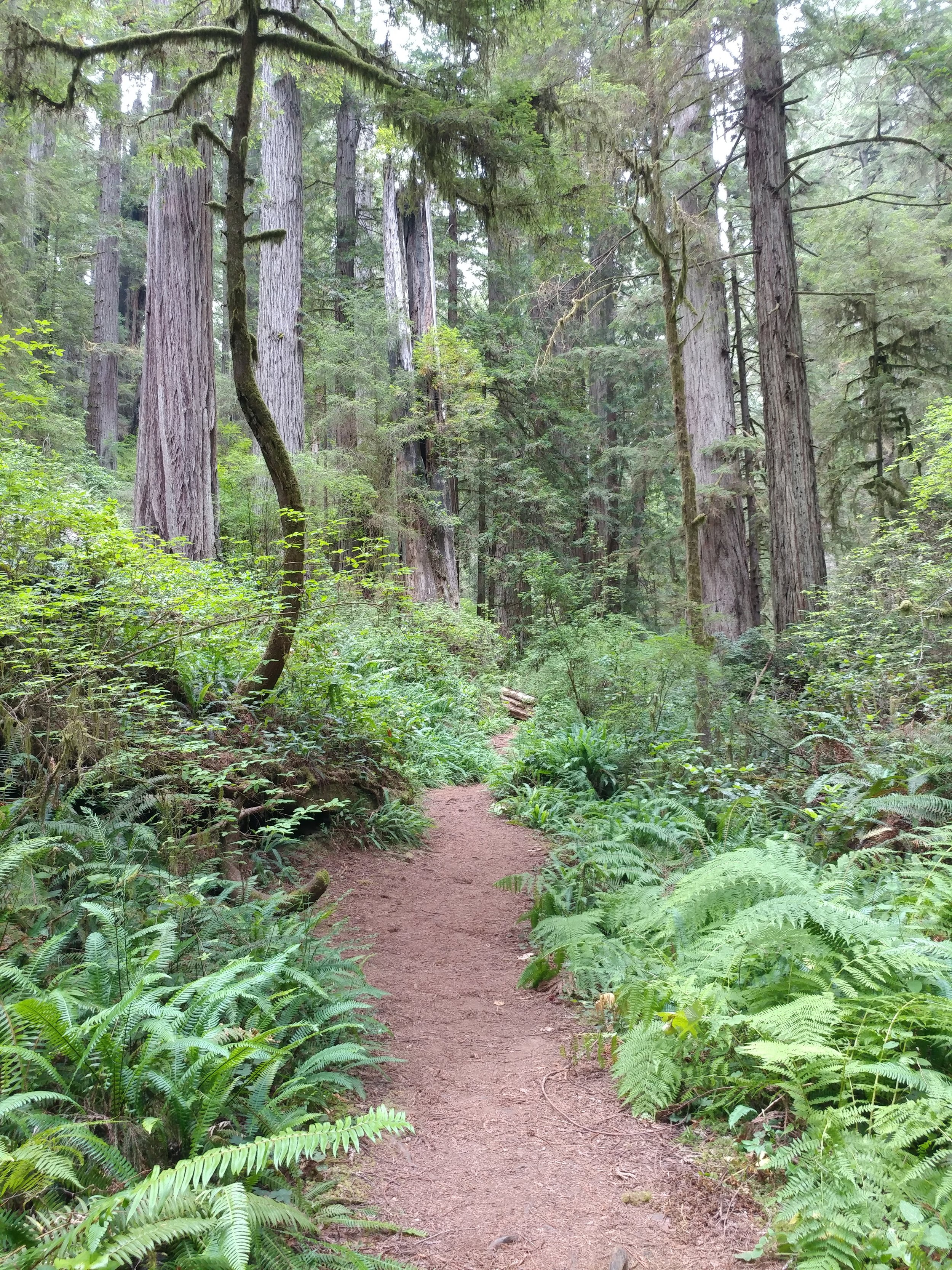
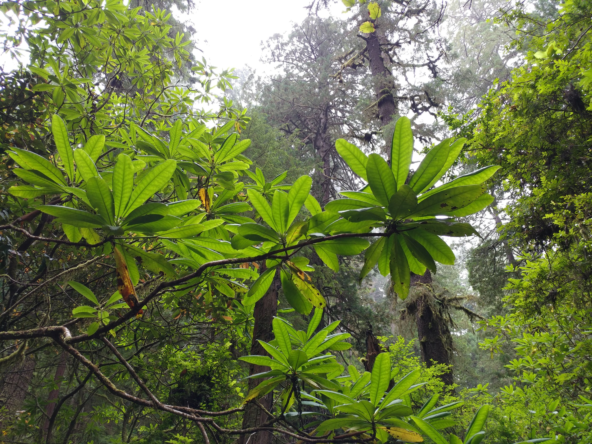
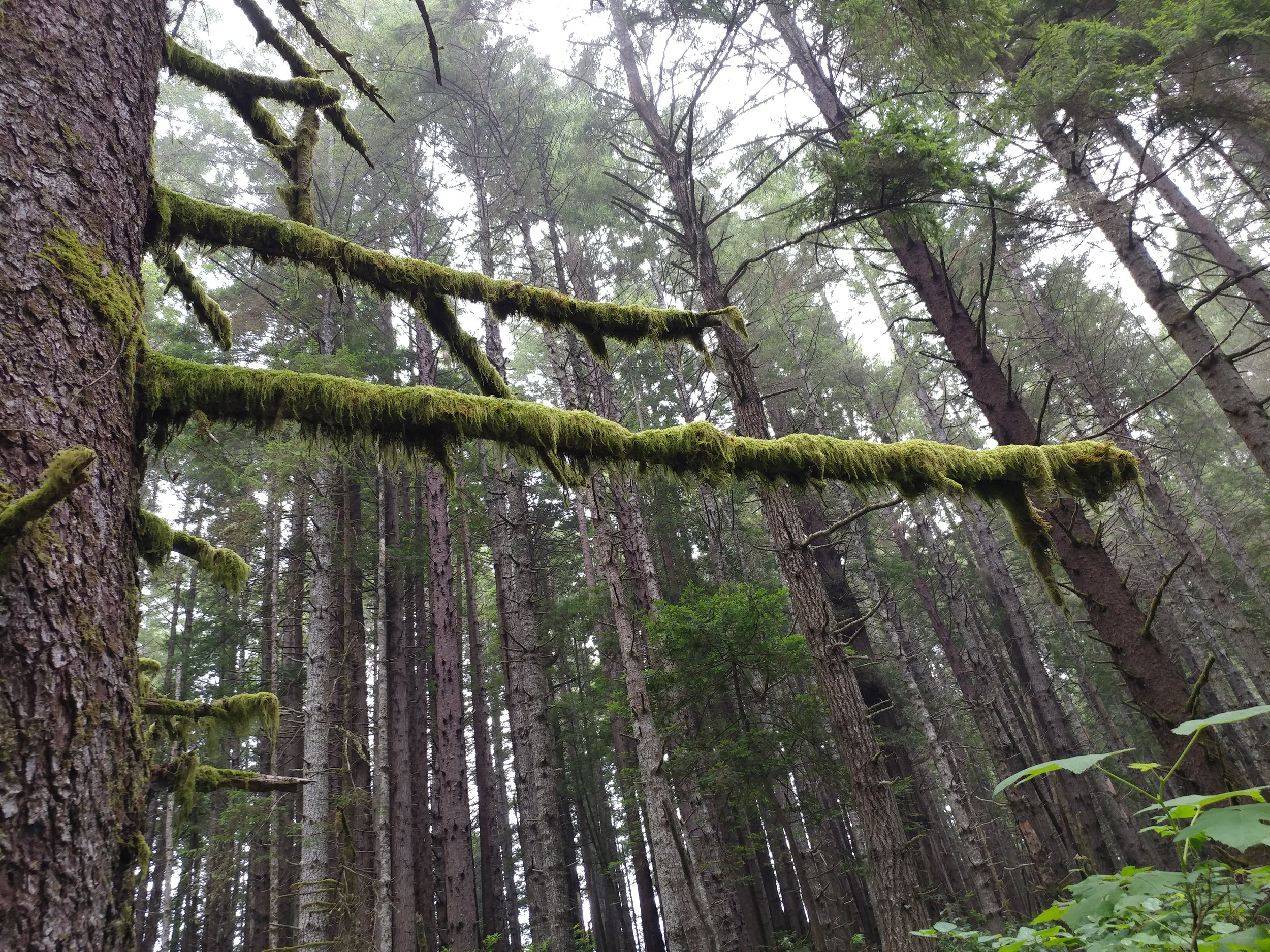
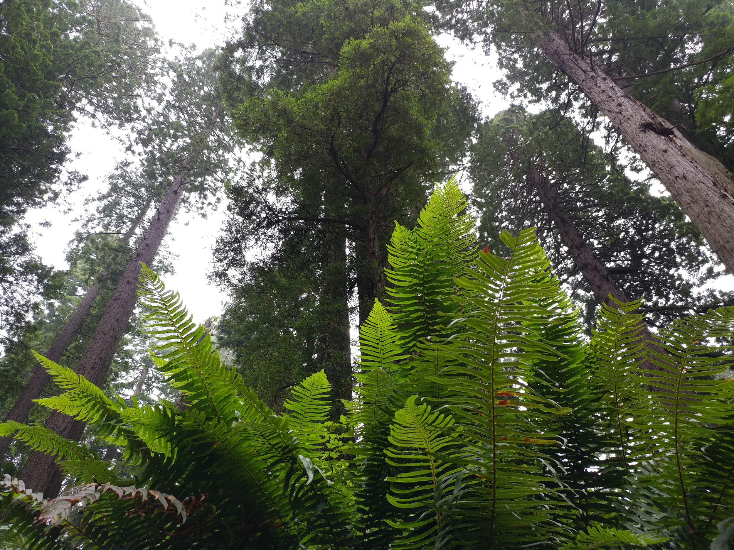
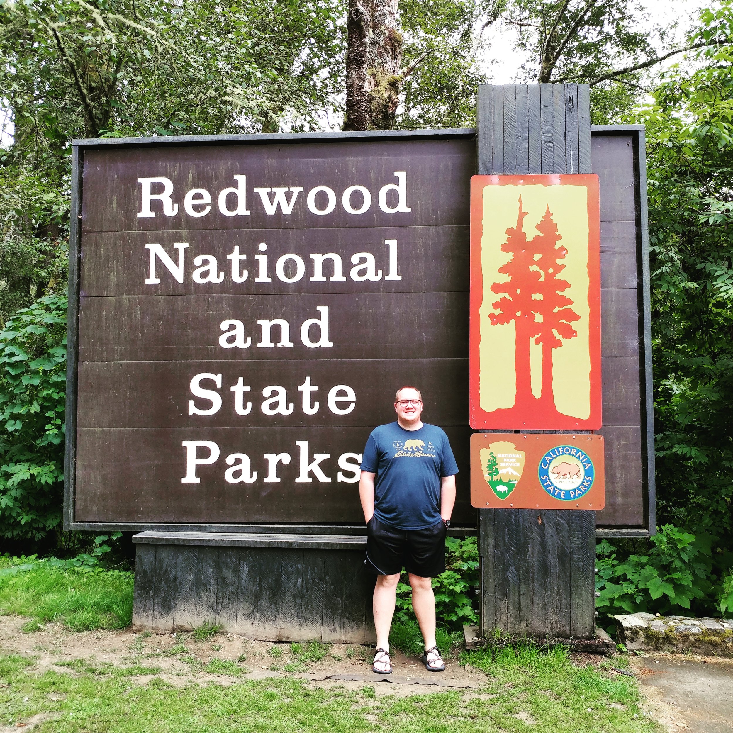
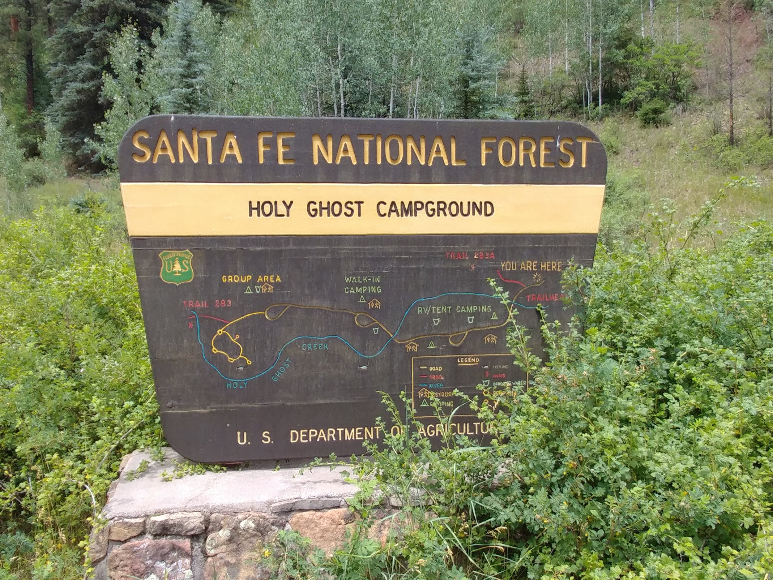
All in all, I'm excited for the upcoming 18 or so hikes left in the challenge.  I am hoping a couple of them will be in Michigan, at least one in Washington, and maybe a few in National Parks.

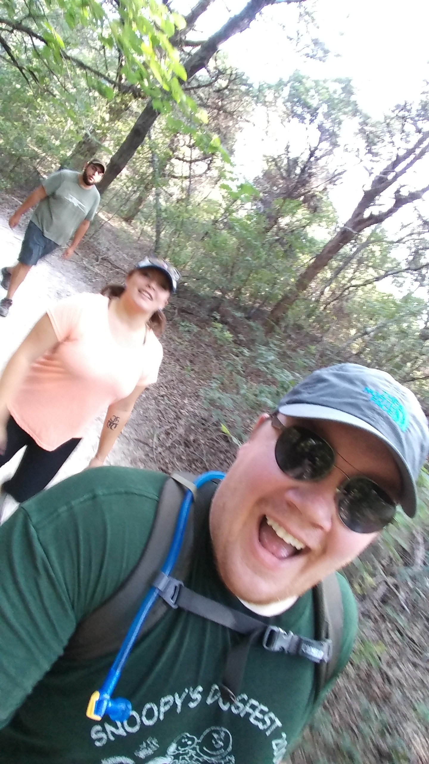
To conclude this little blurb, I write in this blog as kind of way to recall what I've done.  I know it's not highly organized or polished and it doesn't follow a great format - but it's more for me to use as a way to trigger memories.  I am seriously happy if anyone enjoys it and I hope it really does inspire someone out there, but don't be too critical of it as a whole.  Thanks!

Happy hiking!

#hike34 - Cedar Ridge Preserve

Good morning!  My hike this morning started early and ended strong.  I set out to do the 8 mile DORBA loop at Cedar Hill State Park, but their trails were closed and were not marked on the website or social media - eye roll.  Cedar Ridge is always a favorite and I wasn't even mad that I had the pleasure of hitting those trails.  I actually remembered a trash bag too so I could collect the crap left behind by others.  What a great morning.  I beat the rain, by about an hour, and it was worth the early morning on a Sunday. Location: Cedar Ridge Preserve - Dallas, TX

Date: 8/27/2017

Distance: 4.2 miles (though, Google said 4.78 which I think was a stretch)

Trails: Cedar Brake, Fossil Valley, Cattail Pond

I set out to do all the hills I could find, and I did.  I did the Cedar Brake trail which goes up and down, did the Fossil Valley because I knew it had a steep one, and same with Cattail Pond back to the parking lot.  I really needed a day like this - to get my butt back in the groove of things.

Happy hiking!

#hike33 - Bryce Canyon NP & Cedar Breaks NM

I'm actually documenting two hikes for this one, as they were within 18 hours of each other. Hike 33a: Bryce Canyon National Park - Bristlecone Loop - 1 mile (8/20/2017)

Hike 33b: Cedar Breaks National Monument - the hike to Spectra Point - 2 miles (8/21/2017)

I had planned a solo scenic trip to Utah, and then my BFF decided she could join me!  I was pumped, as I knew she'd appreciate it all as much as I did.  We both flew in to Salt Lake Friday, managed to get dinner and a hotel and rested up for morning.  Saturday, we woke up early, as it is our nature, and headed south.  Our first stop was Capital Reef National Park.  We did a partial hike at Chimney Rock, stopped at the visitor center, and absorbed the views from a few viewpoints.  We took the scenic Hwy 12 byway onward to US Forest Service RD 153 to Hells Backbone.  The drive was on a narrow road through the hills and forest to a spot that took our breath away.  Once there, the narrow bridge spanning a deep groove through the rock was intense.  *Pictures are just placeholders - there to trigger the memory* From Hells Backbone, we moved on towards Bryce Canyon.  I had been to BC once, in the winter of 2010, so I was anxious to see it in the summer - and go all the way in to the park.  Upon arrival, we headed directly to mile marker 18 at Rainbow Point. Our hike here would be the Bristlecone Loop.  We walked on the edge, ish, and read about the pines.  We were in awe.  Amazing to stare out, and think about all of this coming to be.  We moved down to other points, via car, and got out at most of them. The sun was setting and we made it back to Bryce & Inspiration points just as the light was running out  The clouds were puffy and there was rain in the distance.  All in all, we didn't hike much, but the bits we did at each point were enough to make your blood rush, your brain stop, and your eyes widen.

The second part of this hike was a morning hike, just after sunrise, at Cedar Breaks National Monument.  THIS PLACE... I've wanted to go here for a while now, and I want to get back already.  Our first stop was the ranger station, and Point Supreme. There was a rainbow in the distance, and it was one of the most magical scenes of my life.  From the height, hoodoos, and sunlight, I was in total awe.  We started off on the Sunset trail, but turned around.  Went back and did the Spectra Point trail.  It was a two mile trek in all, and looked promising.  We stepped out on the first part, just over the initial hump in the trail, and I gasped with excitement...we would be walking around the edge of the canyon.  This trail gave me a rush, I felt alive.  Once at Spectra Point, my heart was racing from the thin air and the excitement.  The views were stunning and the big old Bristlecone was inspiring.


All in all, it was a quick trip to Utah and so much was taken in.  I am still, a week later, processing everything.  I can't wait to get back!  Happy hiking.

#hike32 - Redwood National & State Parks

Date: 8/10/2017 Place: Ossagon & Hope Creek trails

Distance: 1.6 miles

The trip was quick, the trails were plentiful.  The Redwoods always make me happy - even if we were just passing through.  I was on a trip with my other half, driving back to Texas from Portland and we decided to detour through the Redwoods.  We only had a few minutes to stop, so we did a quick mile-mile and a half of two trails near the north end of the Newton B. Drury Scenic Parkway.  The air was cool and wet, the fog was heavy in parts, and the trees were majestic as always.  I think of these trees often, at least weekly, and to have the privilege to see them this year again was simply the best.  Here's to hoping for a visit again next year.

I know this is a short hike, again, but with the time constraints and wanting to see as much as possible in 3 days, we opted for short bursts of hiking.  We hiked some paved paths in Sequoia & Kings Canyon National Park as well, probably bringing the total over two days to over two miles.  I'll save those experiences for another blog, another time.

#hike31 - Dinosaur Valley State Park

Date: 8/5/2017 Placed: Dinosaur Valley State Park - Glen Rose, TX

Distance: 5.5 miles

This week I met up with my friend and we drove down to Glen Rose.  Dinosaur Valley is one of those parks that I love revisiting.  There are plenty of trails, they're rarely crowded, and there's a lot of shade.  We arrived around 8 am and there weren't many cars or people anywhere really.  We parked, geared up, gathered extra water, and set out.  The river was very low, almost just a trickle, and getting across was easier than other times.  My friend Nikki explained what Bull Nettle was and why I needed to avoid it as we passed several of them on the way up in elevation from the riverbed.  We were the trailblazers - clearing the spiderwebs at every turn.  The horse flies were terrible, but I don't think I had that many bites overall.  The temps stayed low, the humidity burned off, and the sun was mostly shielded by trees and bushes.  All in all, it was a great way start Saturday and a great way to work off Friday night.

#hike30 - Cedar Ridge Preserve

Date: 7/30/2017 Placed: Cedar Ridge Preserve

Distance: 2.91 miles

I had grand plans to head to Oklahoma this morning to hike but my exhaustion and the appeal of sleep won.  The plan was to wake up at 3:00a and leave by 3:30 to arrive at the trail head about 7.  I bargained, stretched the alarm to 4:00a and still couldn't seem to get motivated.  The next time I looked at a clock it was 10:00a and I was on to plan B - my standby, Cedar Ridge Preserve here in Dallas.  We finally got to the trail around noon, and today wasn't as hot as it has been.  The humidity was mid range and the temperature hovered around 88.  We did Cedar Brake trail and went home.  Chewy the Dog did not hold up well and I felt bad enough.  I could have gone on to circle back around on Fossil Valley or Escarpment, but that poor dog.  All in all, another couple of miles.  Next week, looking at Dinosaur Valley State Park as I'll be down in that area to visit family.  In two weeks I'll be in Oregon, gasp, I know.  In three weeks, I'll be in Utah, double gasp.  I'm honestly feeling so lucky this month.  I'm trying to set up things for next month to include finally going to Oklahoma, maybe the Olympic Peninsula, and maybe Michigan.  Here's to hoping!

Enjoy a few photos from today.

#hike29 - Cedar Ridge Preserve

Date: 7/22/2017 Placed: Cedar Ridge Preserve

Distance: 2.91 miles

My friend wanted to hike, so I wanted to show her Cedar Ridge as it's one of the nicest places within the city limits.  We went, did Cedar Brake and a little of the Cattail Pond trail and had to head out.  It was nice to get back into the local swing of things and I'm looking forward to Fall when the temps go back below 80.

This hike wasn't too long, and I really am working on getting for longer distances...


#hike28 - Santa Fe National Forest

Location: Holy Ghost Campground & trail area - Santa Fe National Forest Distance: ~2-3 miles

Date: July 15, 2017

Info via USFS website

On a whim, we decided that Santa Fe National Forest was the place to go for the weekend.  We (my other half and I) had been toying with the idea of going somewhere to escape the annoying Texas heat, but had no concrete plans until Friday night.  We went to Target and bought supplies, pulled the gear out of the closet, packed the car, and took a nap.  Waking around midnight, I packed the cooler and we were off towards New Mexico!

We arrived around 10 am to the area, with a campground arrival around 10:30.  We took the last open spot, met our neighbors, and set up camp.  The site was open, sunny, and protected on the west side by a hill and tall trees.  The campground was in a valley of sorts with tall firs and a mountain creek that could be heard from the tent.

There are two trails - Trail 283-A and 283.  We attempted 283-A, but only went about a mile overall in and out.  It was steep and we were exhausted from driving through the night.  We napped.  Later that evening, we walked down the road a bit and eventually made our way up to the group camping site and the trailhead for 283.  We took that, crossed the creek, and it was a very promising trail until the rain got heavier.  We eventually turned around and headed back to the site.  We got back to the tent just in time for heavy rains that lasted the next hour.

This wasn't the longest hike, but it was bits and pieces of greatness.  I will be back to explore this place further.  Hike #28 lived up to the ideas behind this challenge - to get out, to hike, to clear my head, and to enjoy life.  There are a number of trails and campgrounds throughout the Santa Fe National Forest, and surrounding forests, that I feel I could go here once a month and see something new for a long time.

52 Hike Challenge Updates!

Hello there! I recently did a make-up hike in Alaska for Hike 19, since it was a fail here.  I did three other hikes to get myself back on track.  I miss the cooler temps, green scenery, and even the constant light rain so much.

My total mileage so far is around 116, and I'm past the halfway point now.  My main focus with this challenge was getting myself out of the city park paths and into nature.  With that said, I'm going to work on increasing my miles per hike in the second half.  Here's to hoping I can actually start getting away from the city and finding longer, more strenuous hikes to benefit my brain and body even more.

Cheers to the second of half of the year and may the hiking always clear your head!

#hike27 - Trail of Blue Ice, Chugach National Forest

Location: Portage Glacier area, Chugach National Forest Distance: 4.75 miles

I got bored one evening, around 6 or 7 o'clock local time and decided I needed to fit in another hike.  I left our campground and headed east on the US Forest Service trail that follows Portage Glacier Road and eventually turns into various campgrounds.  It winds through the woods and valley providing scenic views and plenty of alone time.

The trail was easy, but it was still raining.  Here are some photos!

#hike26 - Byron Glacier Trail, Chugach National Forest

It was a rainy, rainy day but we decided to go see another glacier because when in Alaska it's what ya do. Location: Portage Glacier area, Chugach National Forest

Distance: ~2 miles

This was another easy hike, with a maintained trail.  As mentioned, it was very rainy and a little windy.  The sky was gray, the trees were green, and the glacier glowed with blue spots.

#hike25 - Kenai Fjords National Park

Location: Exit Glacier - Kenai Fjords National Park - Seward, Alaska Date: 6/28/2017

Distance: ~3 miles

We broke free from the pack and headed up to the national park to see a glacier.  The hike was pretty easy, paved then gravel followed by scaling up the rock faces.  The views were spectacular, the crowds weren't too bad, and the glacier was amazing to see up close.  I was surprised at how blue it was, in the crevases, and how much it had receded since 2000 alone.

#hike19 MAKE-UP Hike - Quartz Creek Campground / Chugach National Forest

Location: Chugach National Forest, Quartz Creek Campground, Cooper Landing AK Date: 6/26/2017

Distance: ~2 miles

We walked along Kenai Lake and up to Quartz Creek.  Beach walking mixed with a couple of trails.  The rain has started, and we'll be off to a new location tomorrow!

0626171022_HDR0626171041a0626171044b_HDR

#hike23 - Fairfield Lake State Park

Date: 6/11/17 Location: Fairfield Lake State Park

Distance: 5.65 miles

Trail Map

Chewy the Dog and I left the house and hit the road south to Fairfield Lake State Park.  It was about a 90-105 minute drive and it was worth it.  The park was mostly empty and the weather was cooling, but by no means cool.  The humidity was high, but the temp was finally below 90F by the time we arrived.  We set out on the Big Brown Creek Trail and quickly found it was wooded, mostly shaded, and a pretty easy hike overall.  It was moderately overgrown, and felt as if no one had been on it in a while - which was both good and eerie all at once.  Chewy the Dog was really tired about 2.75 miles in, and by the time we got back to the car he was trailing me a couple tenths of a mile.  Poor dog.  He's fine now, after the 90 minute drive home, and some air conditioning.  I soaked a shirt in sweat, due to humidity and my lack of regular exercise.  Cheers to getting away from DFW for a few hours!

#hike22 - Cedar Mountain Nature Preserve

Date: 6/3/2017 Location: Cedar Mountain Nature Preserve (Dogwood Canyon Audubon Center)

Distance: 2-3 miles

Did a quick hike here, as the weekend was busy and it was raining.  I caught a window of sunshine and took Chewy the Dog with me.  We hit the trail and learned quickly it was a mud pit.  It was a game of balance and I'm happy to announce I didn't fall in the mud.  I snapped one photo, enjoy!

Processed with VSCO with kk1 preset


#hike21 - Cedar Mountain Nature Preserve

Date: 5/29/2017 Location: Cedar Mountain Nature Preserve (Dogwood Canyon Audubon Center)

Distance: 2-3 miles


I started out with intentions of going to Cedar Hill State Park for a hike on the DORBA trails and maybe the Duck Pond trail... I got to CHSP, was told the trails were closed, and left kind of bummed out.  I didn't have cash in the car for Cedar Ridge Preserve so I drove down the road and saw Dogwood Canyon Audubon Center and remembered reading that there was a trail there.  I had to go turn around then do a U-Turn, but I finally made it to the parking area.  I set off, not knowing much about the trail and was quickly delighted.  After an initial portion of the trail near Belt Line road, it went uphill and into the woods.  For the most part, the entire trail was shaded and cool.  It was probably just over a mile to the loop and I did the loop again to take it all in.  All in all, I think I did about 2.3 miles - Google Fit kind of messed up and had a GPS error so it said WAY more than it was.  It's a nice, light and easy trail for anyone!

#hike19 (made up 6/26/17) - Lake Mineral Wells State Park

**Please see update Hike 19 - Make up hike @ Quartz Creek Campground, Chugach National Forest  

Date: 5/14/2017

Location: Lake Mineral Wells SP

Distance: under 1 mile

Well, we got to the park midday and it was 93.  We weren't deterred​.  The dog wasn't deterred.  We had a shaded trail to start, plenty of water, and sunscreen.  We got up the first hill and my other half stopped, a little dizzy but we continued.  We took a wrong turn that took us out to the main path and the horse flies starting attacking.  It was hot, annoying, and there was a reason no one was there.  We did a mile, and went back to the car.  The dog was not doing well, it's that time of year when I'll have to start leaving him home, and it was just done.  I'll make up this hike, as barely a mile doesn't count for me.  I did get some photos and it did get us out of the house.