52 Hike Challenge 2019

Final Hikes of 2019

I did a little hiking towards the end of the year, but still didn’t make it to my goals of 52 hikes or hitting every adventure series bullet point. I’ve fallen short two years in a row now , but I’m not giving up. I’m starting fresh, again, and with the best intentions for 2020. The point of 52 Hikes With Mike is to encourage getting out and doing the damn thing, not JUST the numbers or the miles. (this is what I’m telling myself)

Hike 25 - Highland Park Trailhead - Trinity Trail (DFW Metro)

  • Group hike with REI DFW

  • 4.07 miles, pretty mild and flat

  • Enjoyable conversations, but no lasting connections

Hike 26 - Purtis Creek State Park

  • Hiked with my other half and Chewy the Dog

  • 4.85 miles, through the woods

  • Fall, crisp, sunny, felt good

  • Nice little park tucked away just outside of DFW

Hike 27, 28, and 29 - State Park Quest

  • Big Spring State Park - hiked the nature trail, about .67 miles. Cute little park with a nice paved loop and a little nature path and GREAT views of the nothingness around it

  • Lake Colorado City State Park - hiked the Cactus trail along the lake. About a mile of it, tiny hills and nice lake views.

  • Abilene State Park - did a mile on the Spring Nature trail. This park was an instant favorite with plenty of paths through the woods.

Overall 2019 Stats

  • 136.02 miles of hiking

  • Unique trails for EVERY hike

  • Longest hike was about 10 miles, shortest was .67

  • About 45 miles less than 2018

  • Hikes averaged just over 4.5 miles each

  • 16 solo hikes, 13 with a friend, and 3 with the dog

  • Hiked in 7 states: Texas, New Mexico, Arizona, Oregon, Washington, Minnesota, Illinois

  • Visited 11 state parks and 3 NPS sites

The goal this year is to avoid getting bogged down again by work stress. When work got tough in 2019, I didn’t want to do anything but stay home and veg out. This year, I plan to channel all of my work related rage and stress into hiking, road trips, and camping. Adventure is out there and I have a few quests to finish which could really help me get some unique hikes.

#hike24 - North Cascades National Park

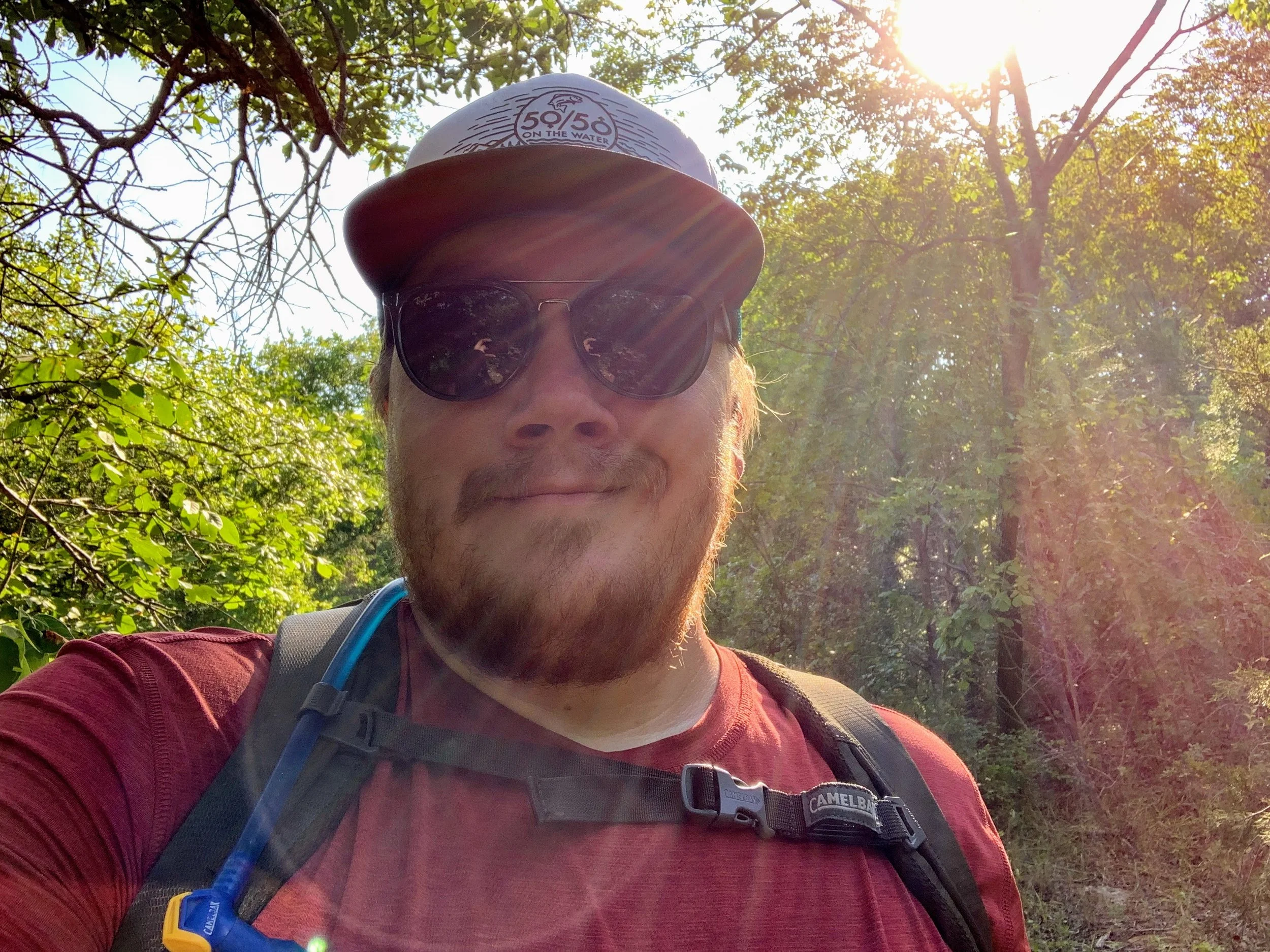
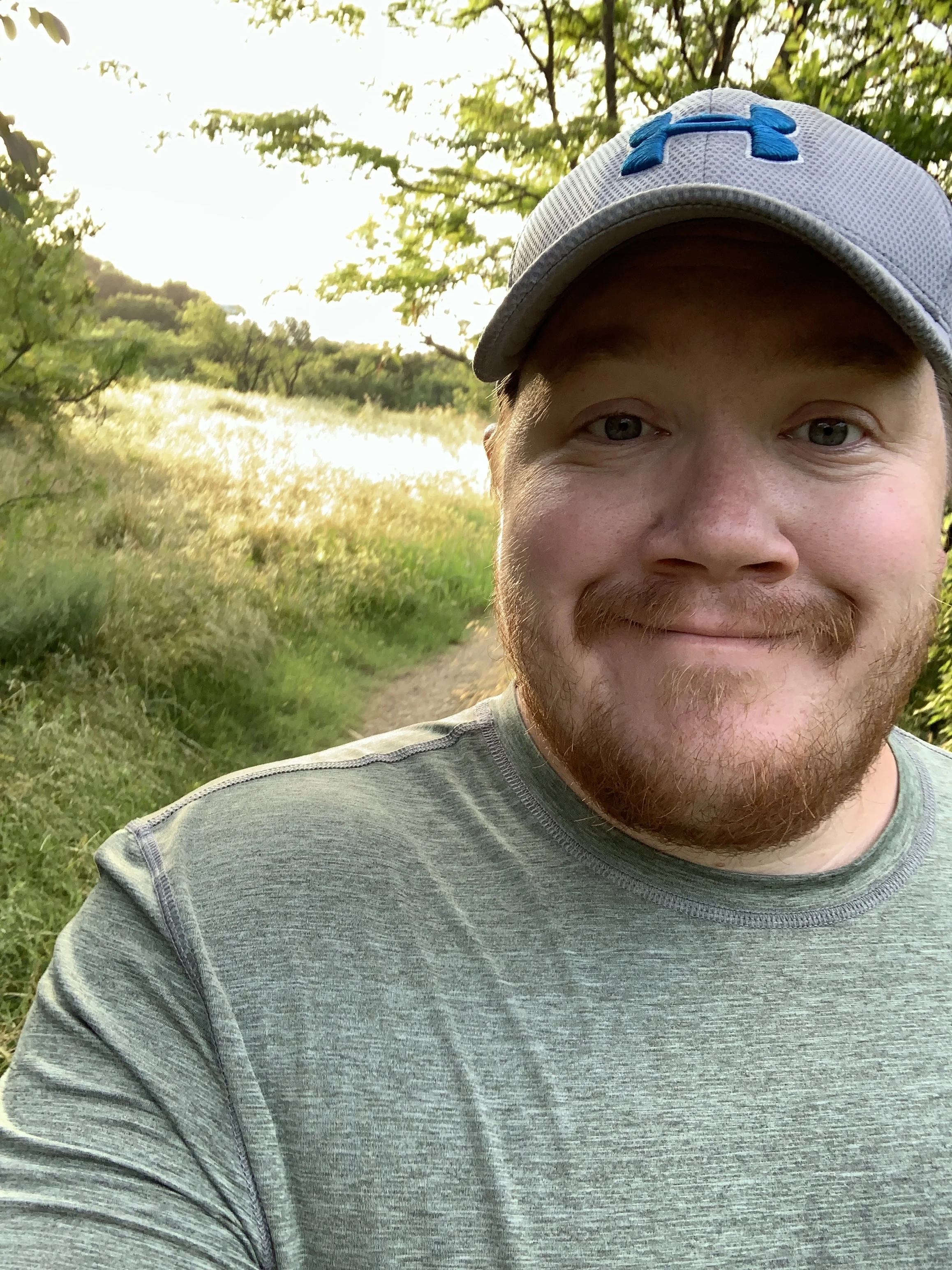
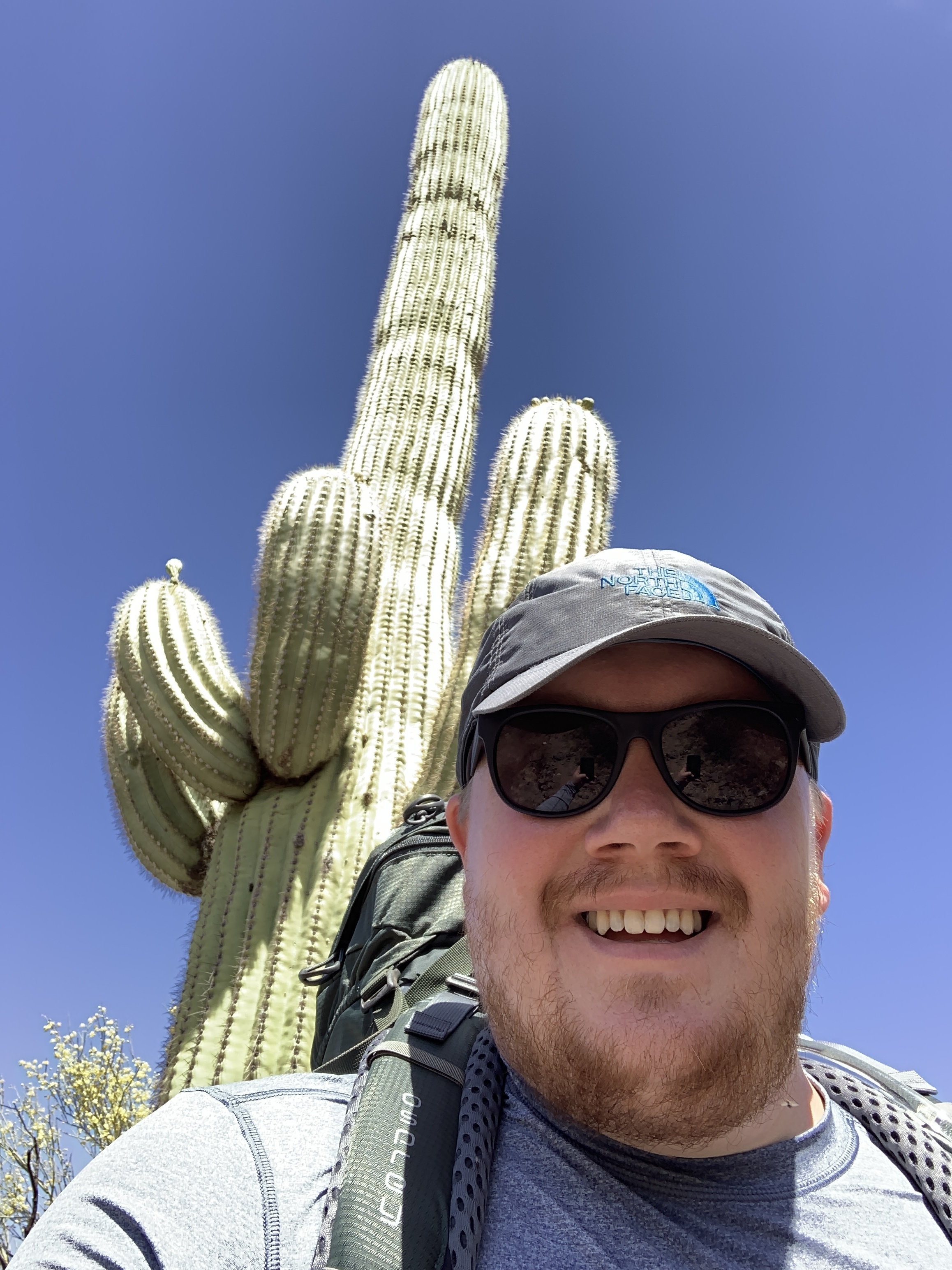
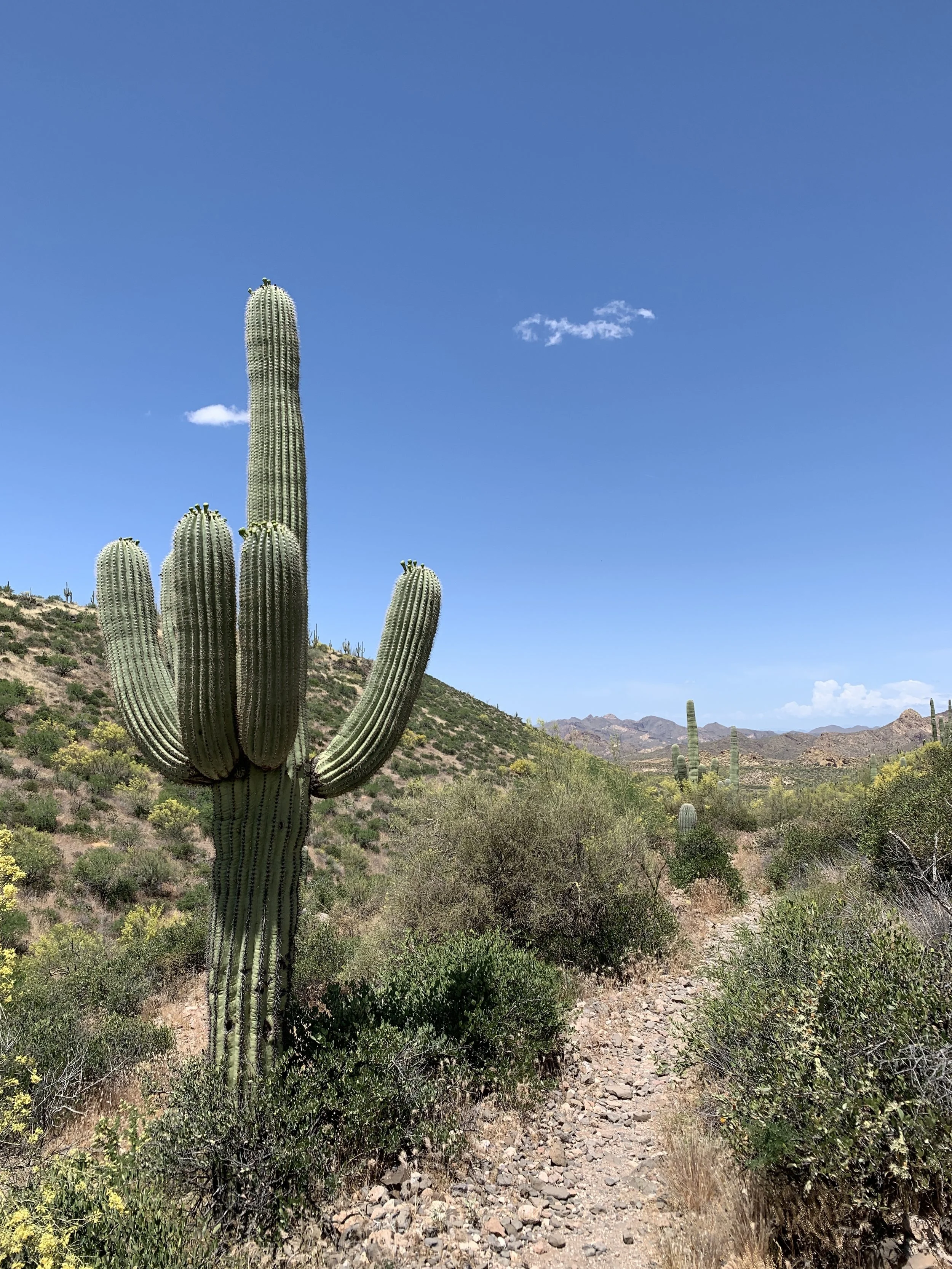
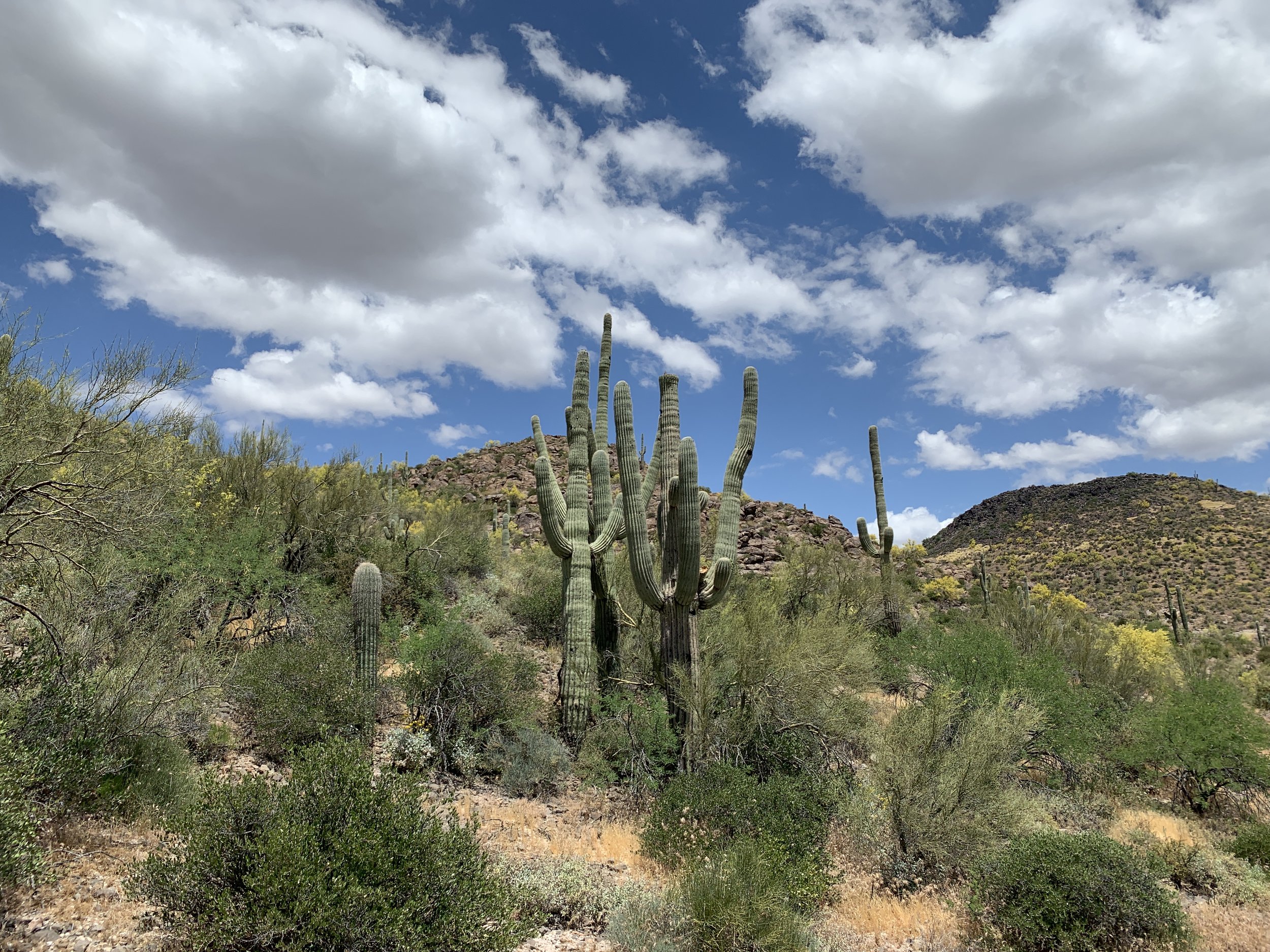
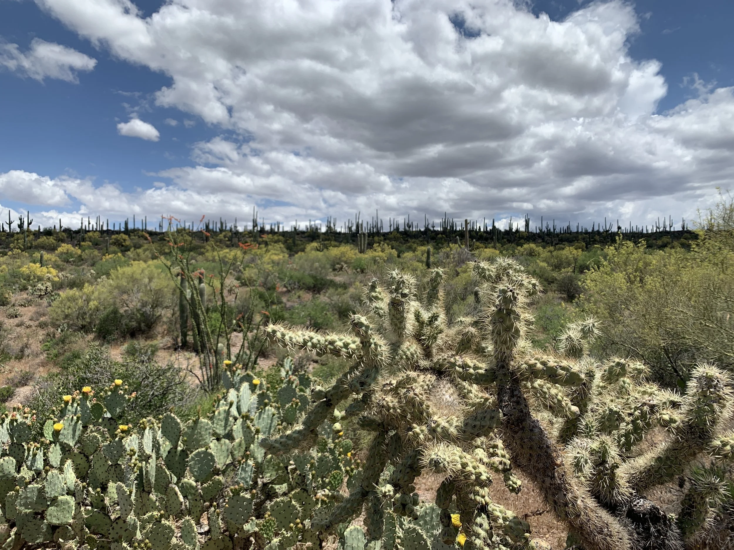
HIKE 24 - My Favorite Hike of 2019

Date: Saturday, September 21, 2019

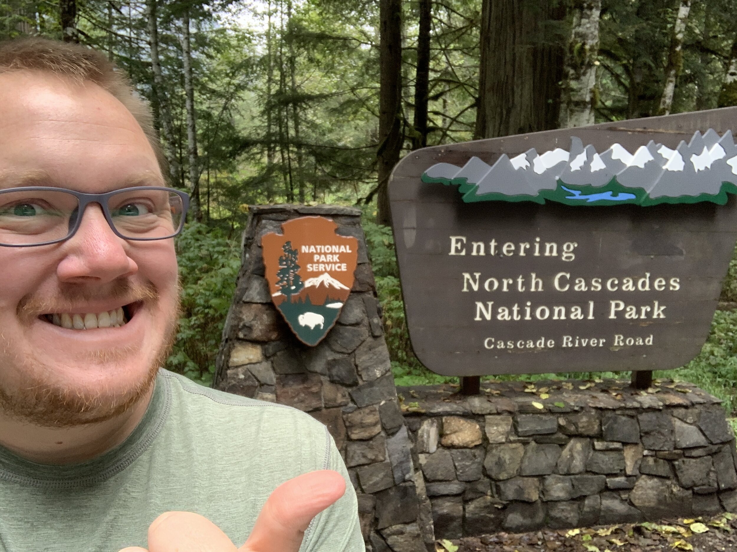
Location: North Cascades National Park

Distance: 7.45 miles

Trails: Cascade Pass

Miles from Home: 2,158

Weather: Cloudy, foggy, cool

The Motivation

My favorite band was playing in Seattle, a mere six weeks after I was in the area for my first trail race, so I looked for cheap flights and made another trip to the Northwest happen. Because I was going to be in town all weekend, I needed to figure out some stuff to do. My concert was in the Ballard Neighborhood, on the north side of Seattle, so I figured why not drive another two to three hours to visit a piece of public lands I’ve had on my list forever.

I researched trails and viewpoints and all of the normal trip stuff, but my friend suggested I go hike to Cascade Pass. The trail was seemingly popular and didn't require an all-day climb, so I was definitely on board. Through further research, I read that people loved it for the views. Actually, most trails in the area promised great views when the weather cooperated.

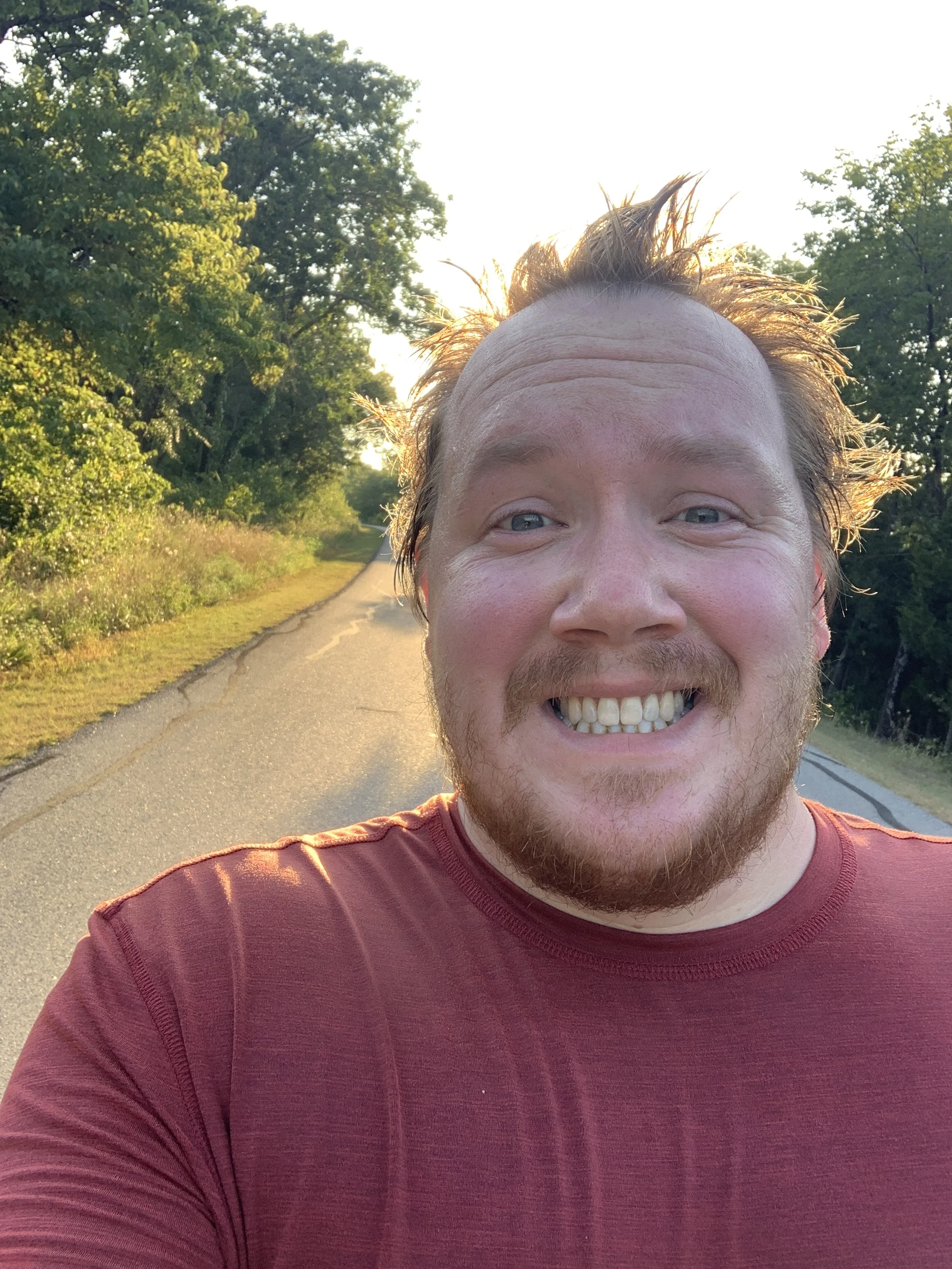
I got in on a late, and delayed, flight to SeaTac and made my way up to where I was staying in Ballard. It was nearly 1 am when I finally settled in and laid in bed. I set my alarm for 4:45 am and quickly passed out. I woke up, slowly dragged my but out the door, walked the couple blocks to my rental, and promptly hit the road. With my snacks in hand and a quick stop for coffee, I made my way up I-5 ready for adventure. The light started to creep in as I was heading east on State Route 530. Google Maps routed me this way, and I’m glad for it because I found a brewery to stop by on my way home.

Getting to the Trailhead

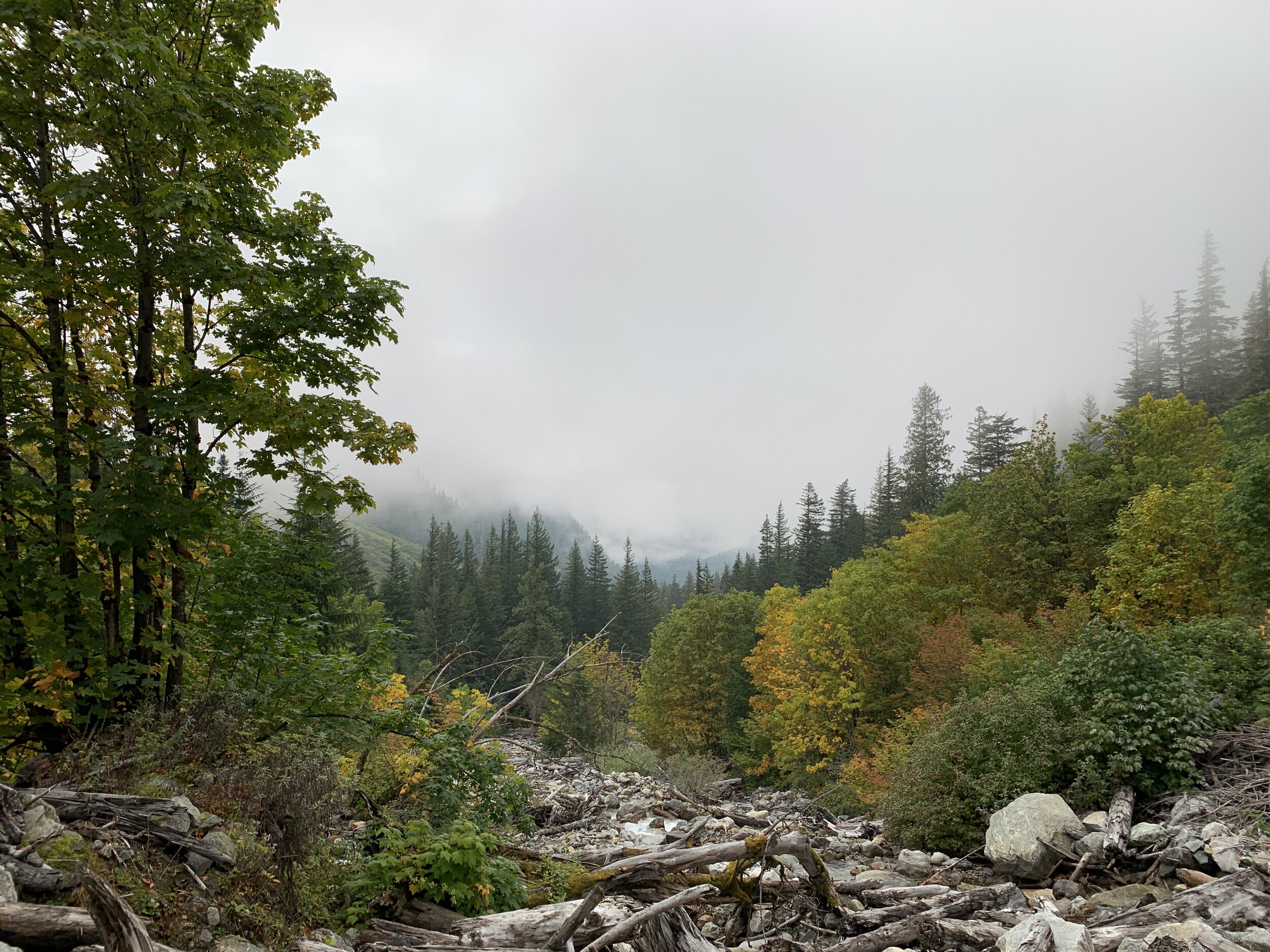
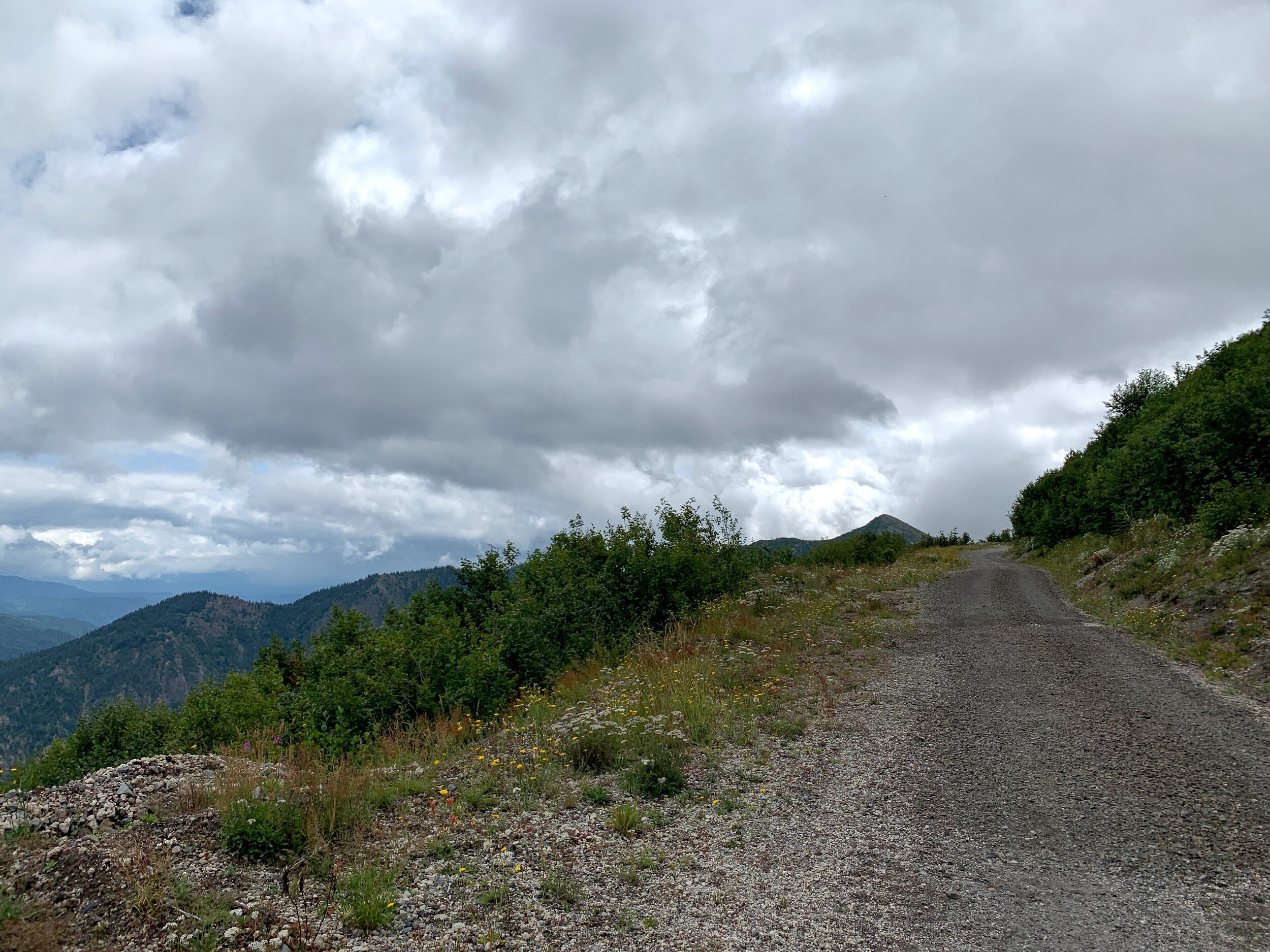
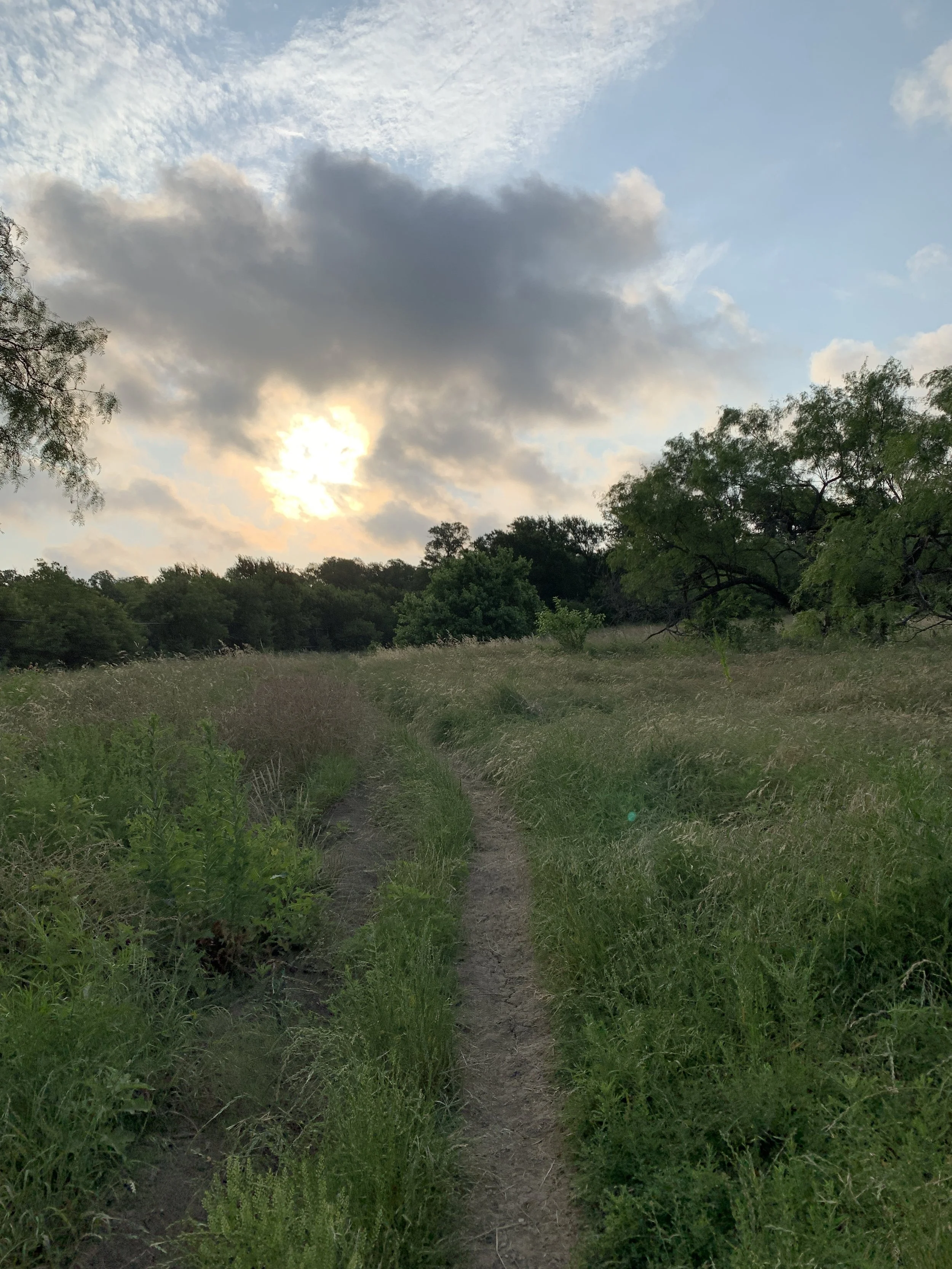
The sun was coming up of the distant mountains, the fog was thick, but there was a bit of morning glory every now and then. I made it to the North Cascades Highway, and followed it to Marblemount before veering off to Cascade River Road. My friend didn’t mention much about the drive to the trailhead, so I didn’t know what to expect. It was a long and winding road through the forest and around the mountains. It was about an hour trek down this road that just got bumpier and more curvy, but it was gorgeous. Nothing, for me anyway, beats driving through a forest and along a river with foggy mountains in the background.

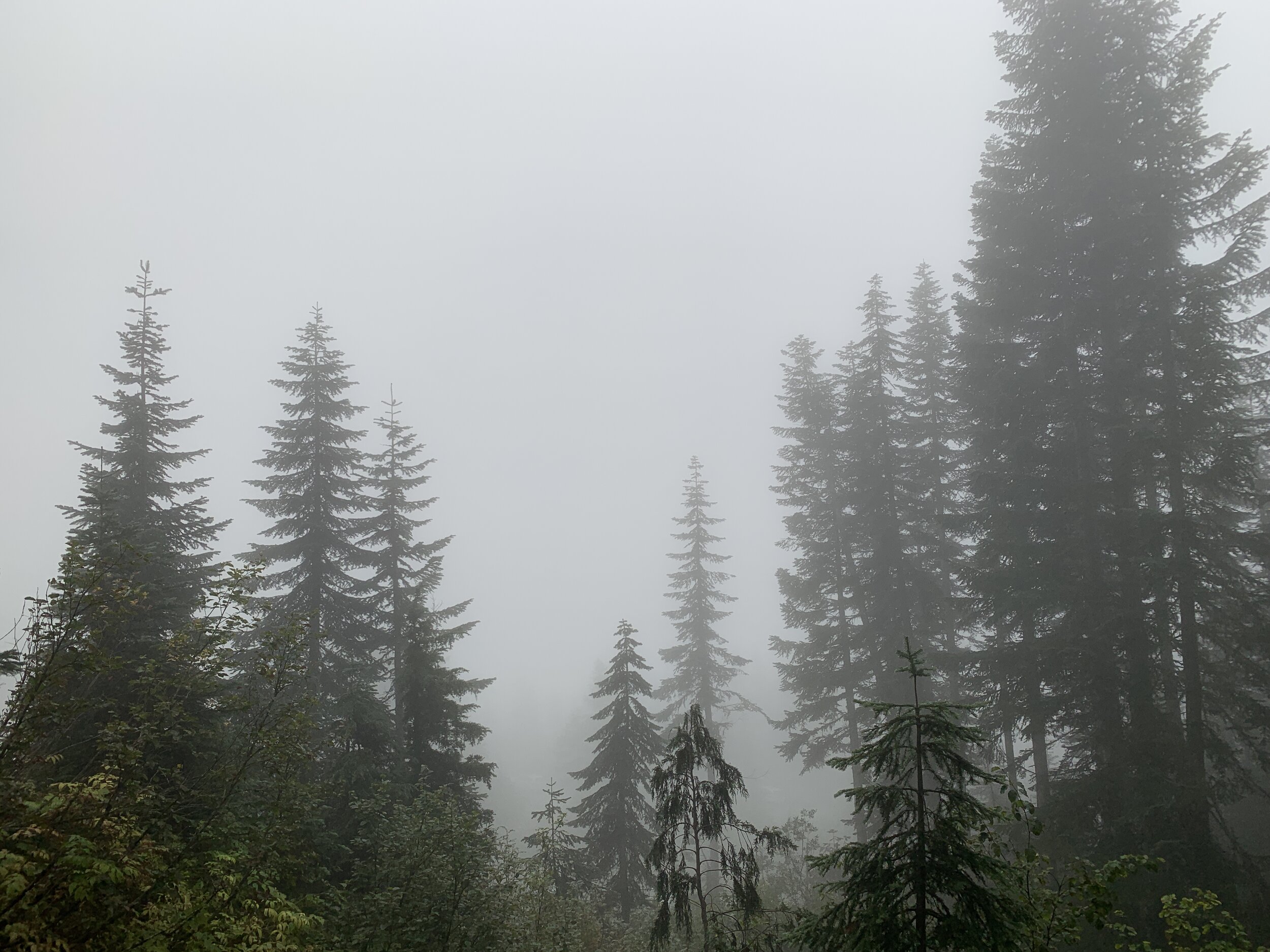
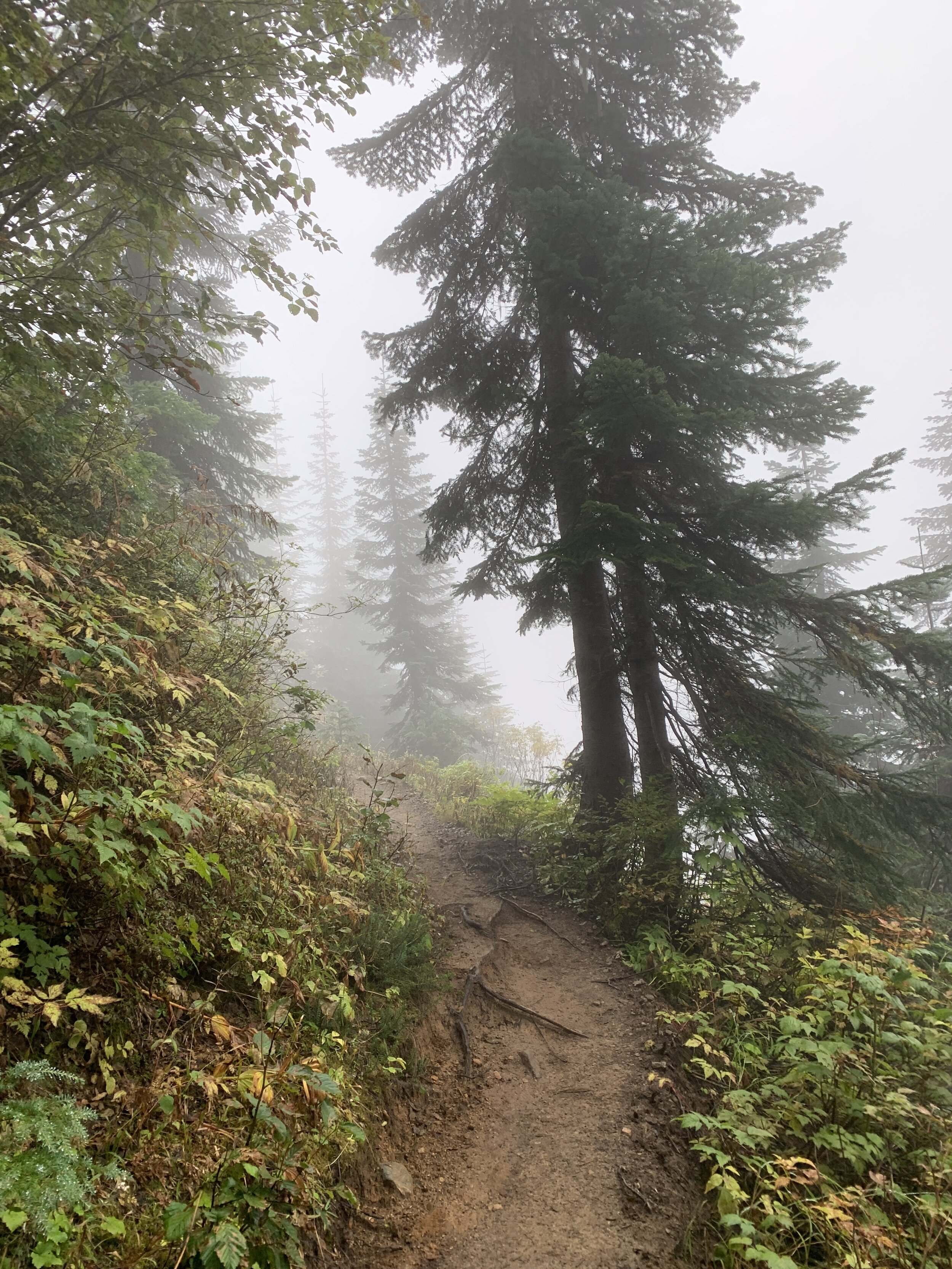
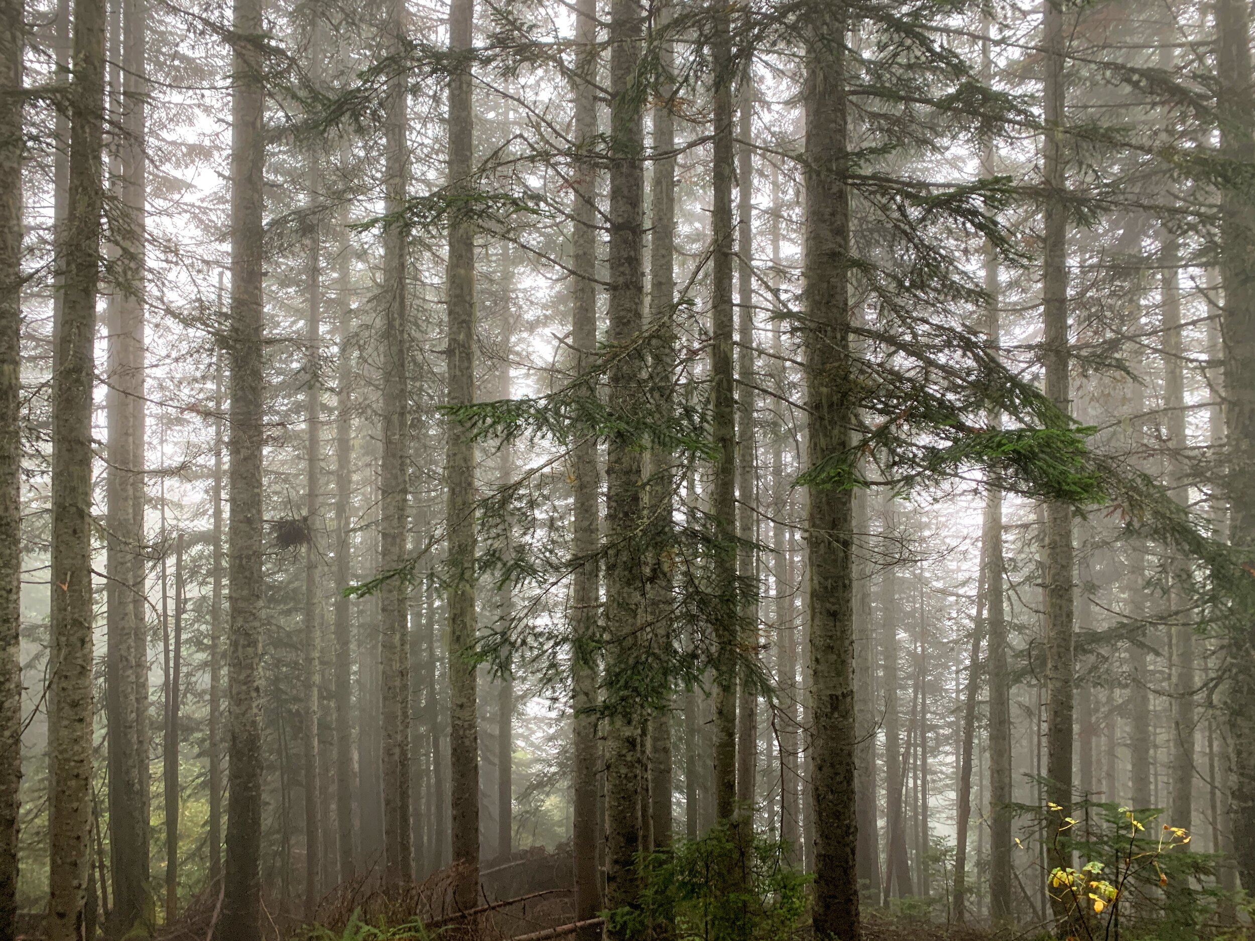
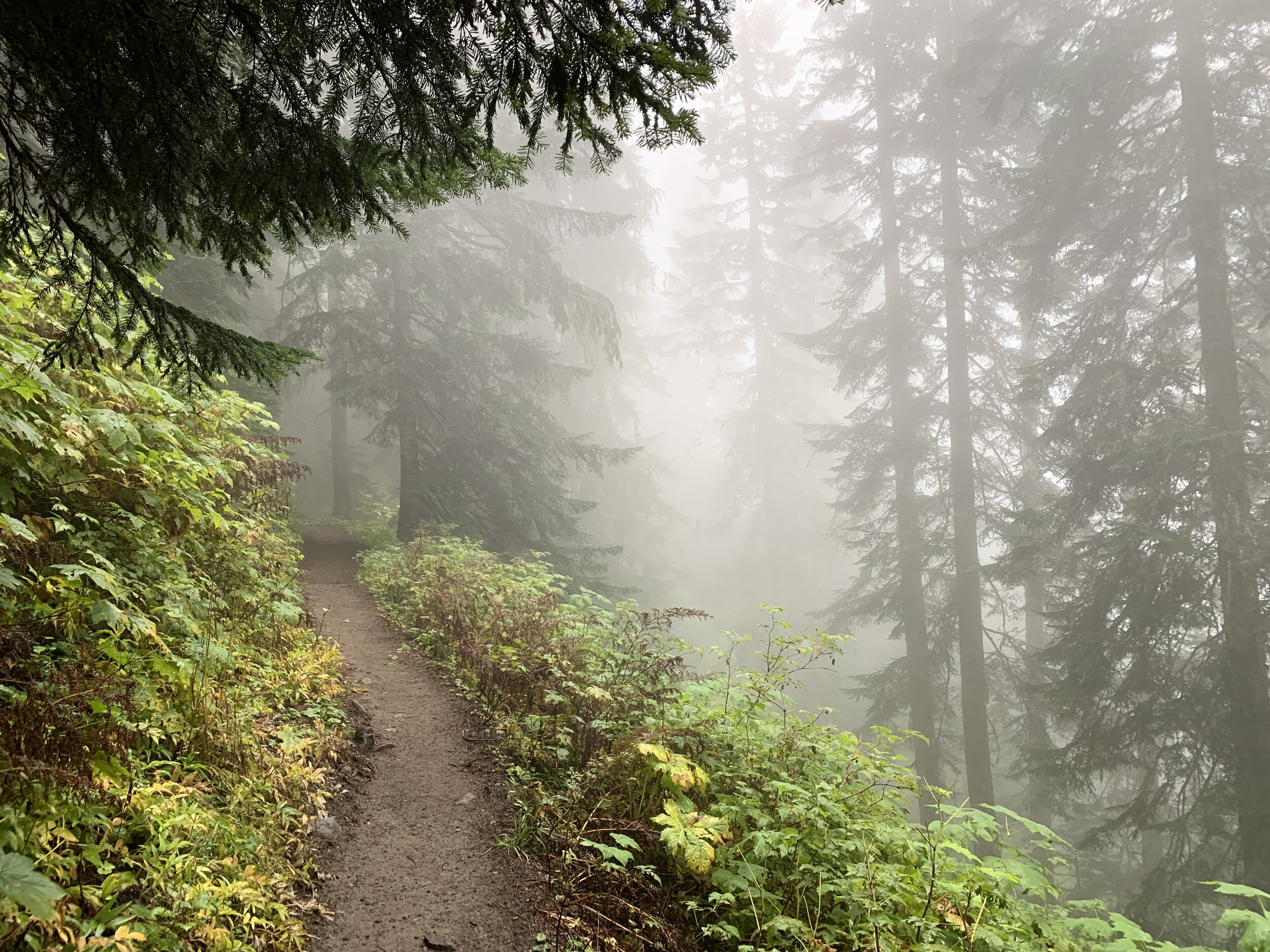
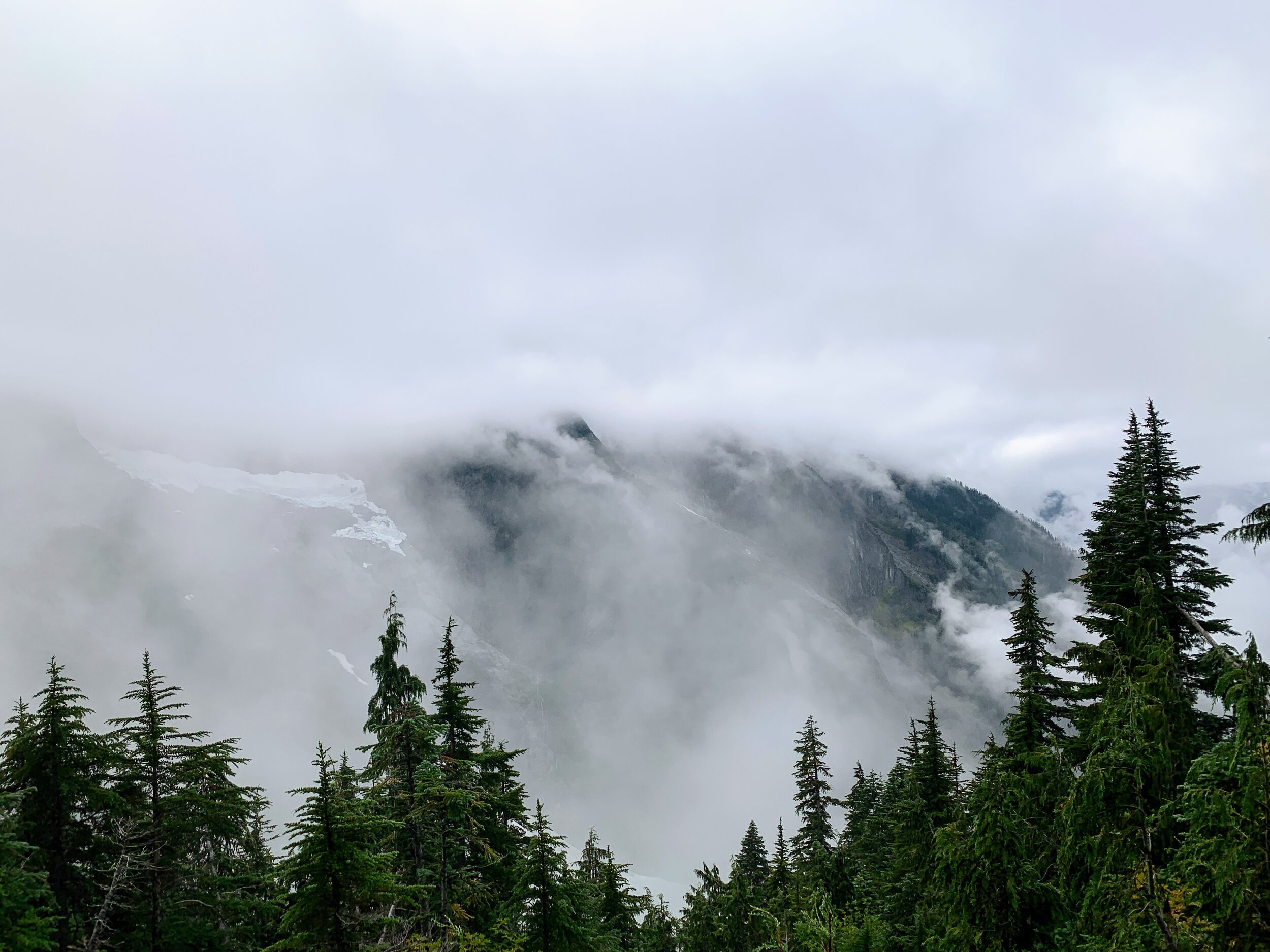
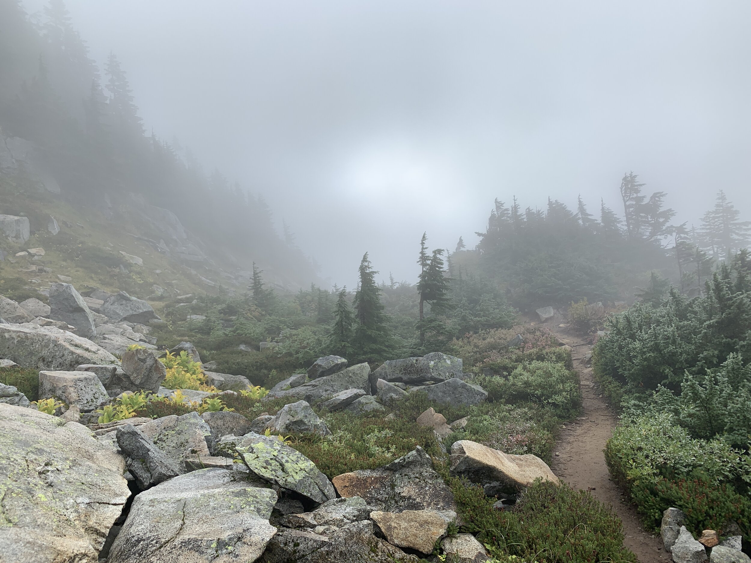
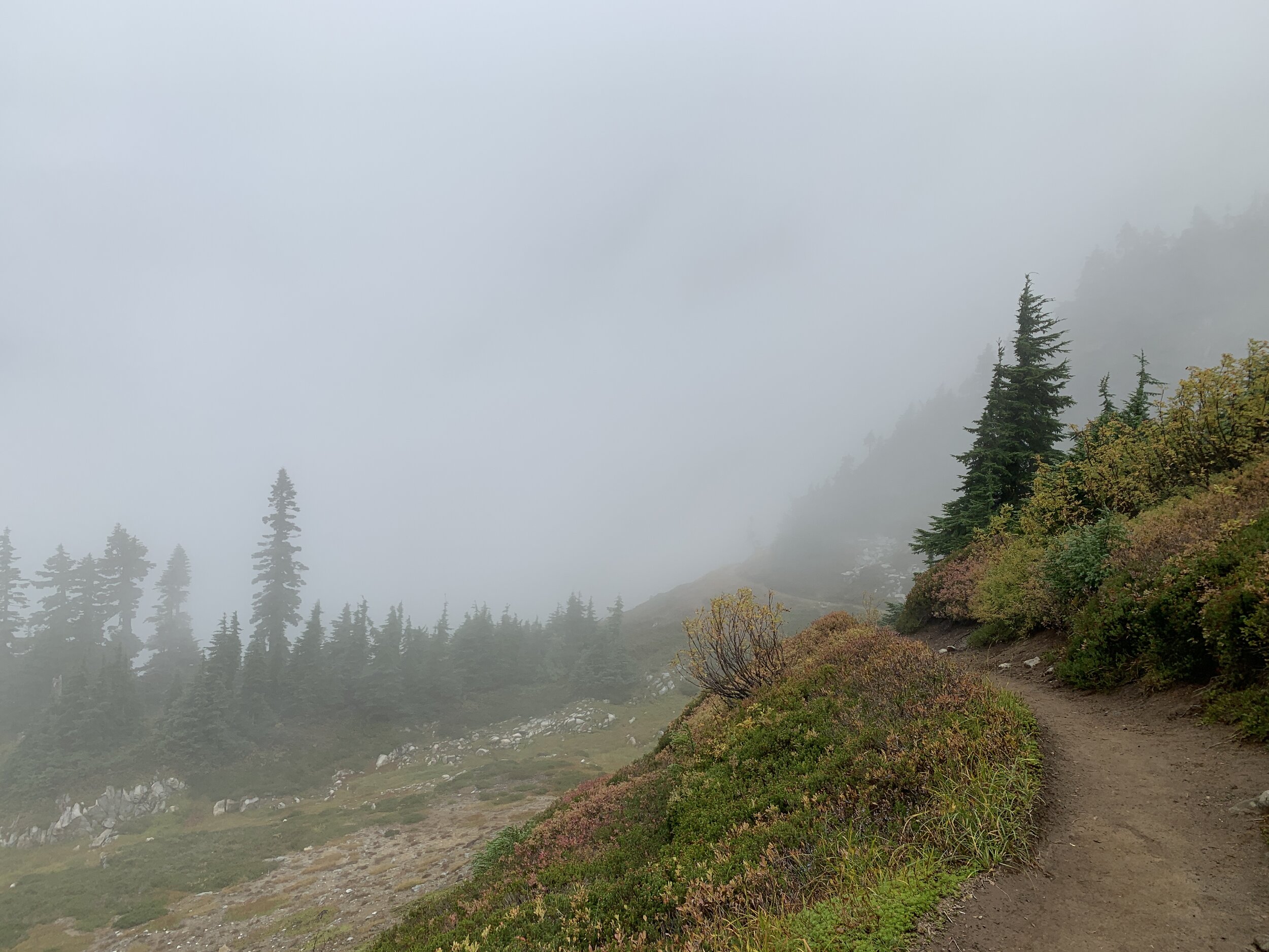
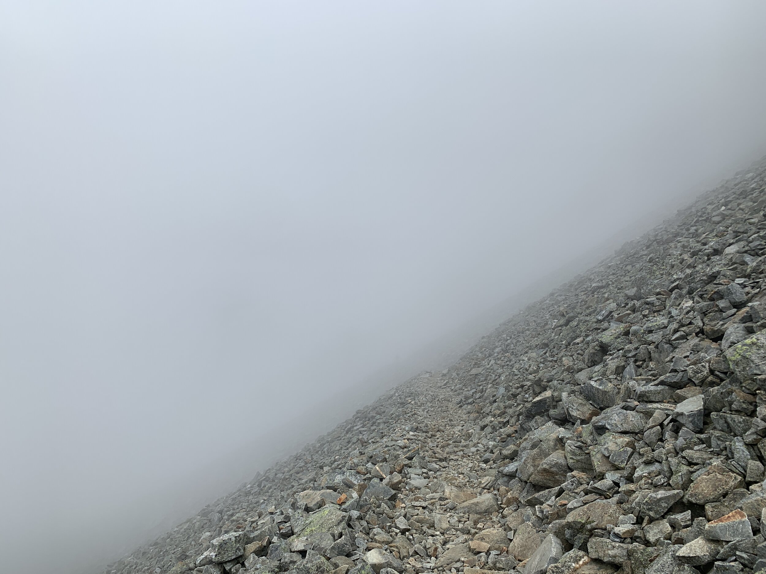
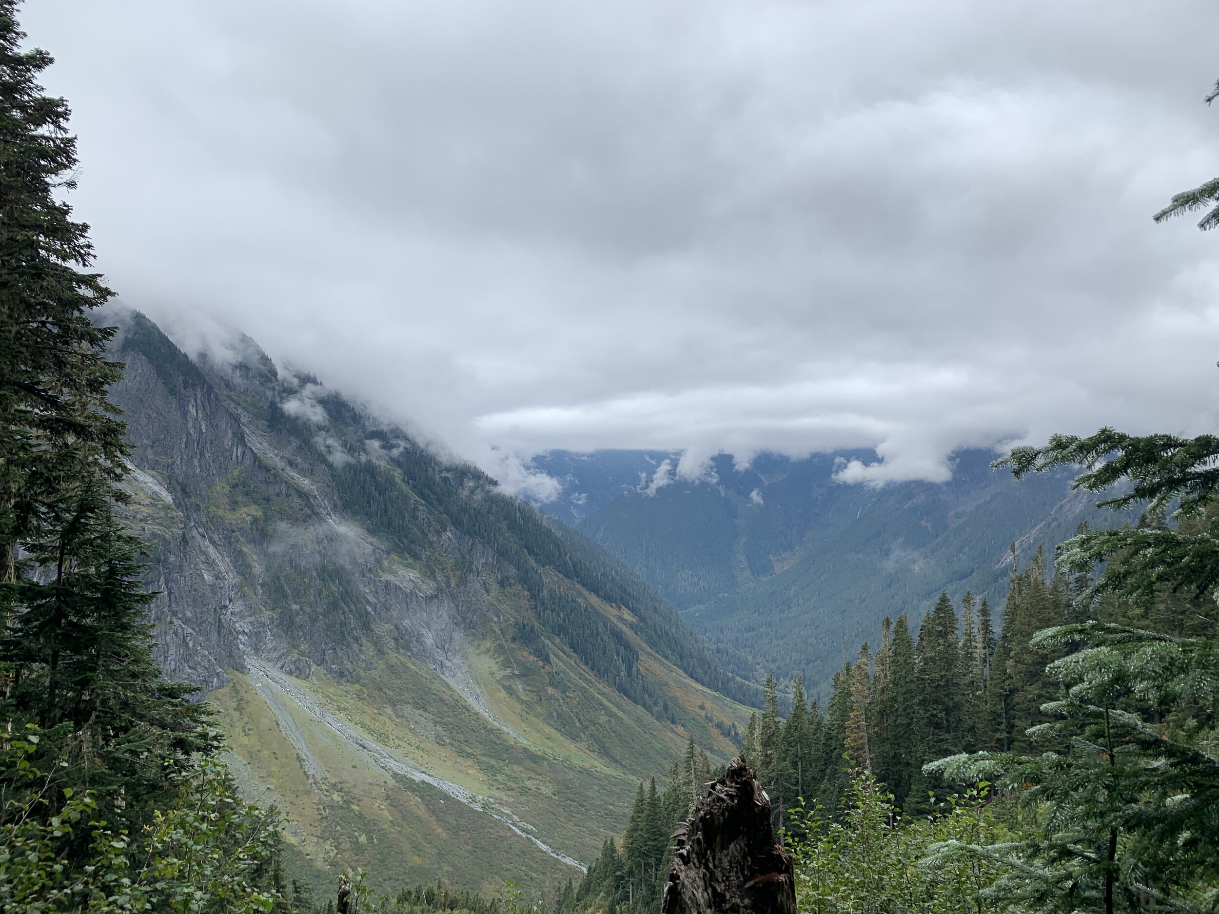
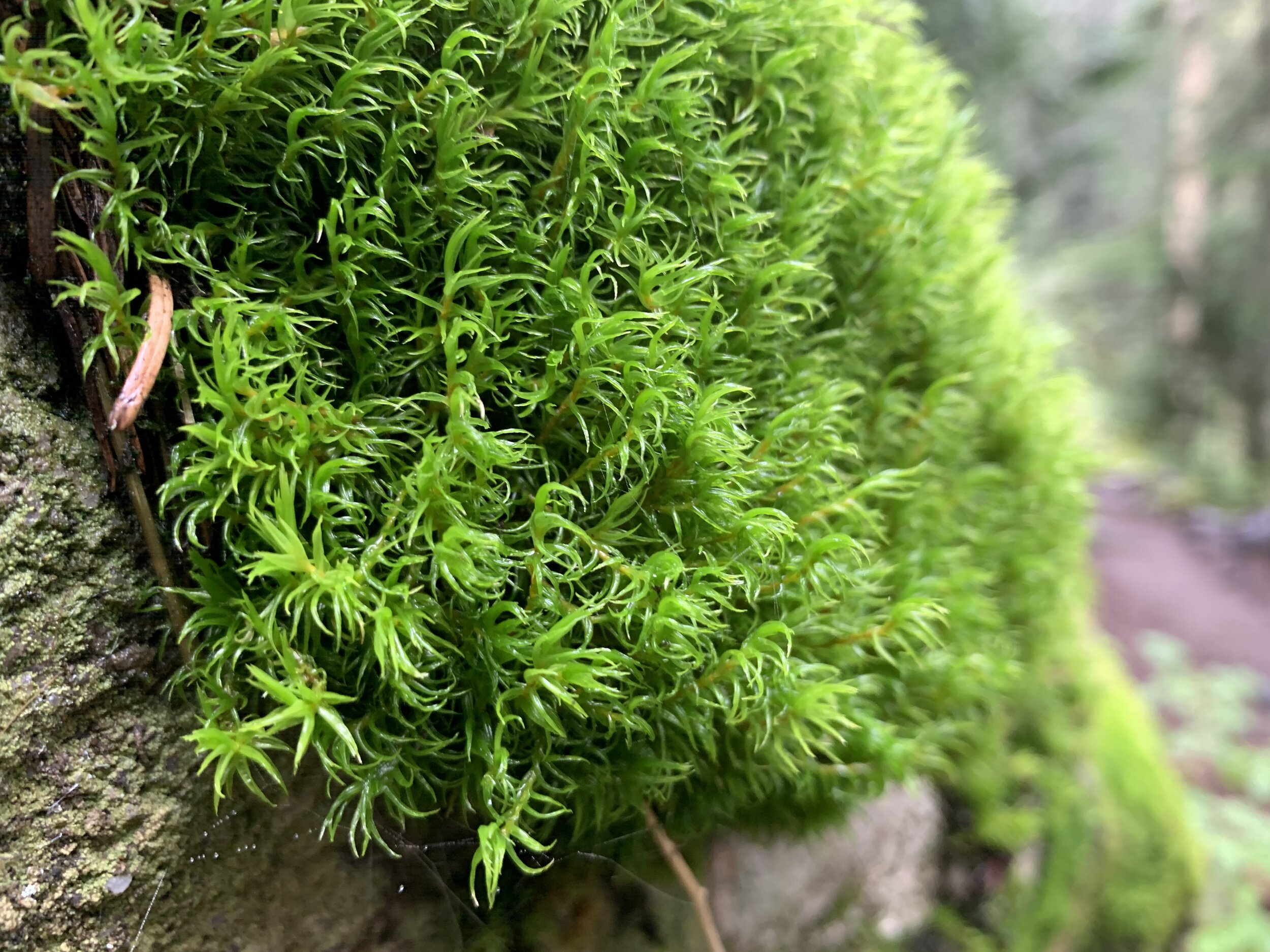
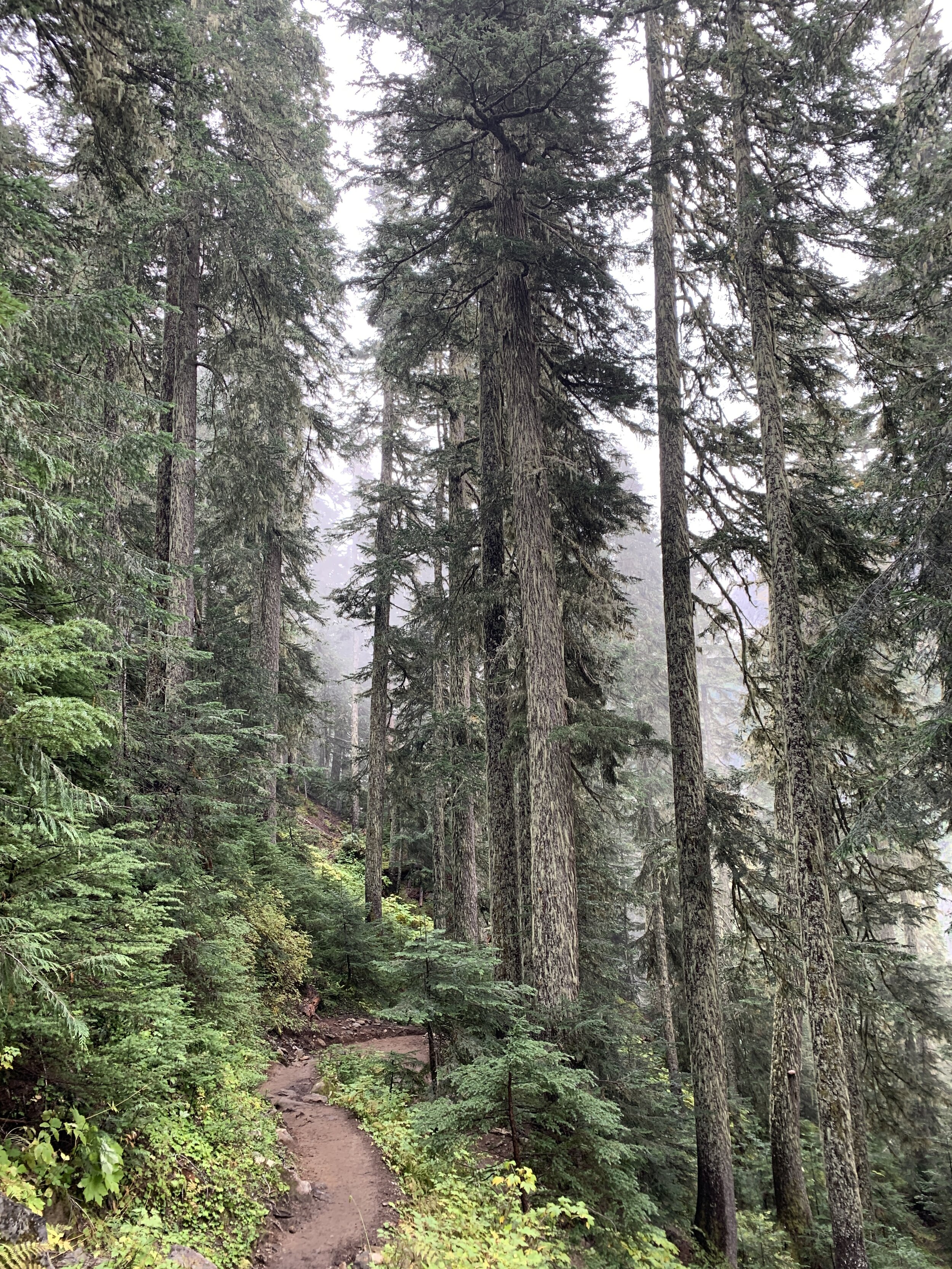
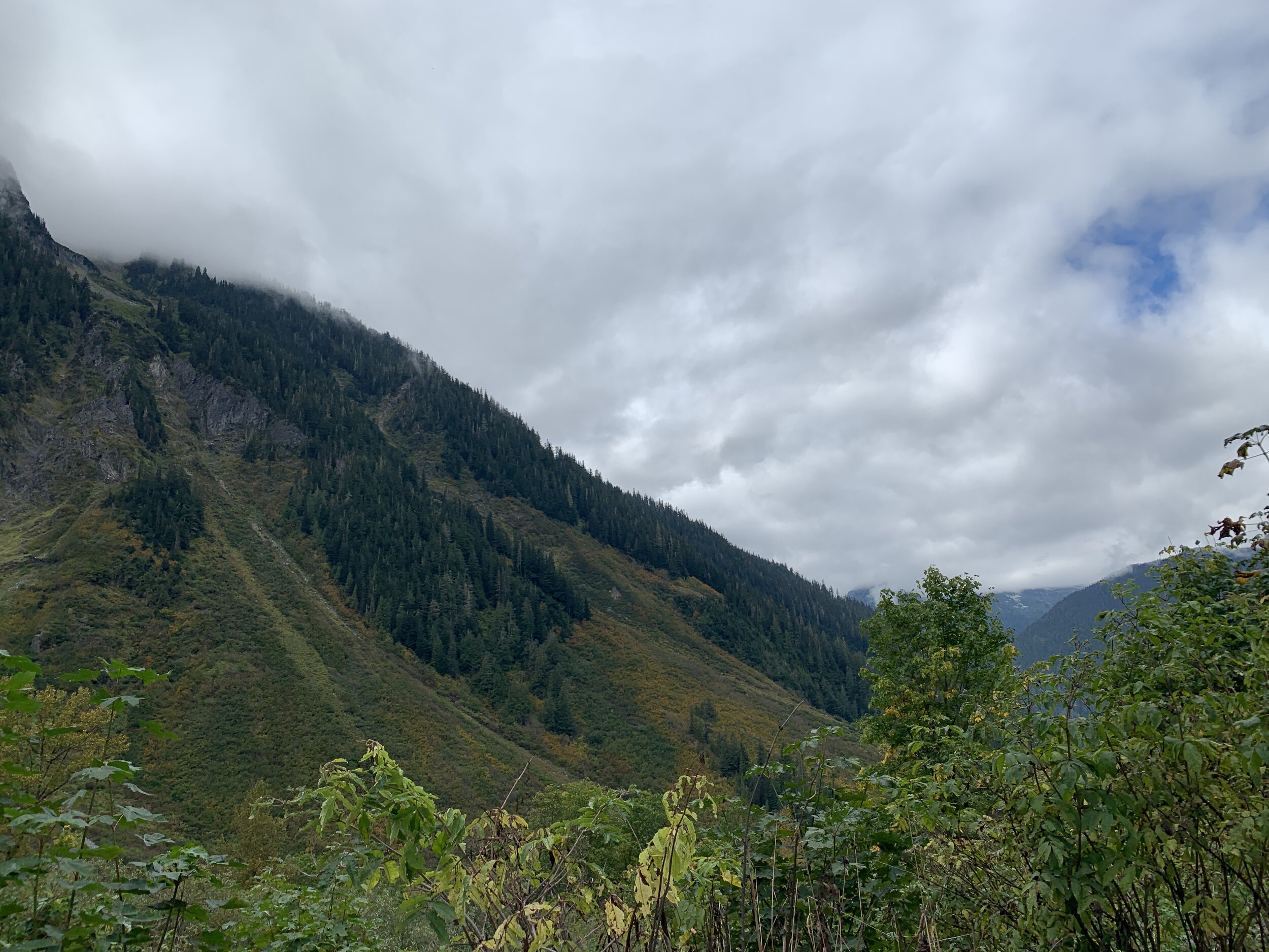
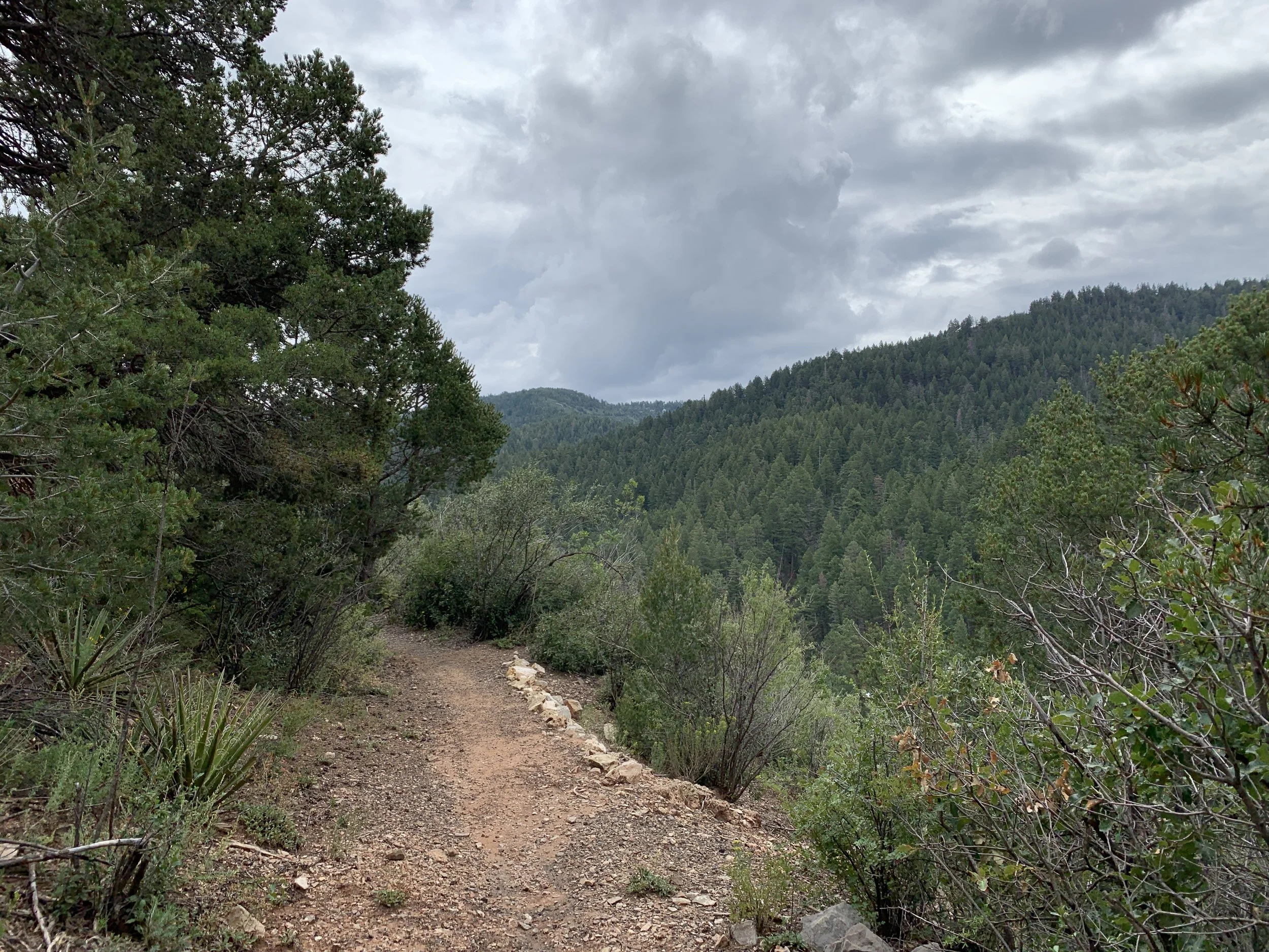
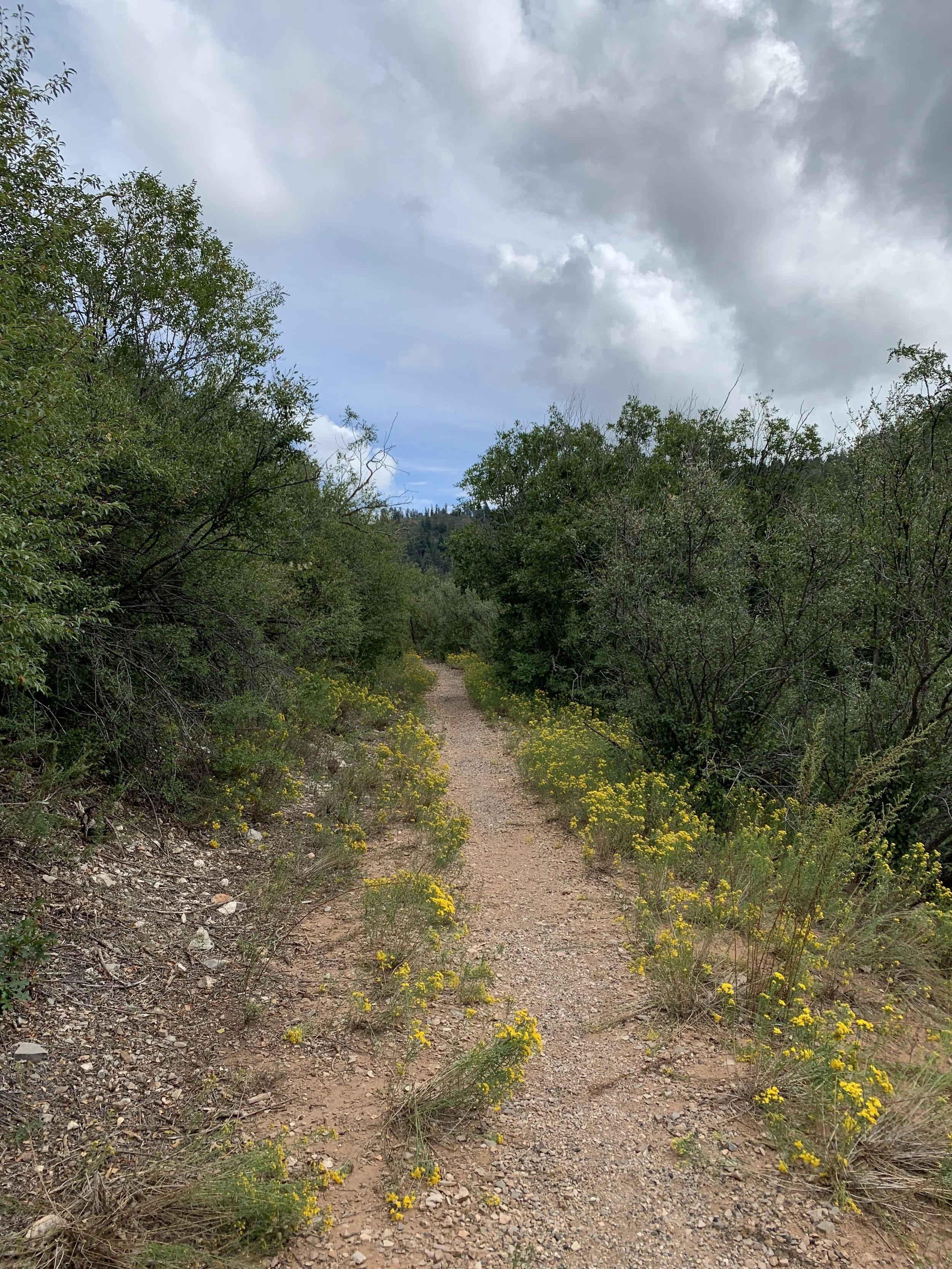
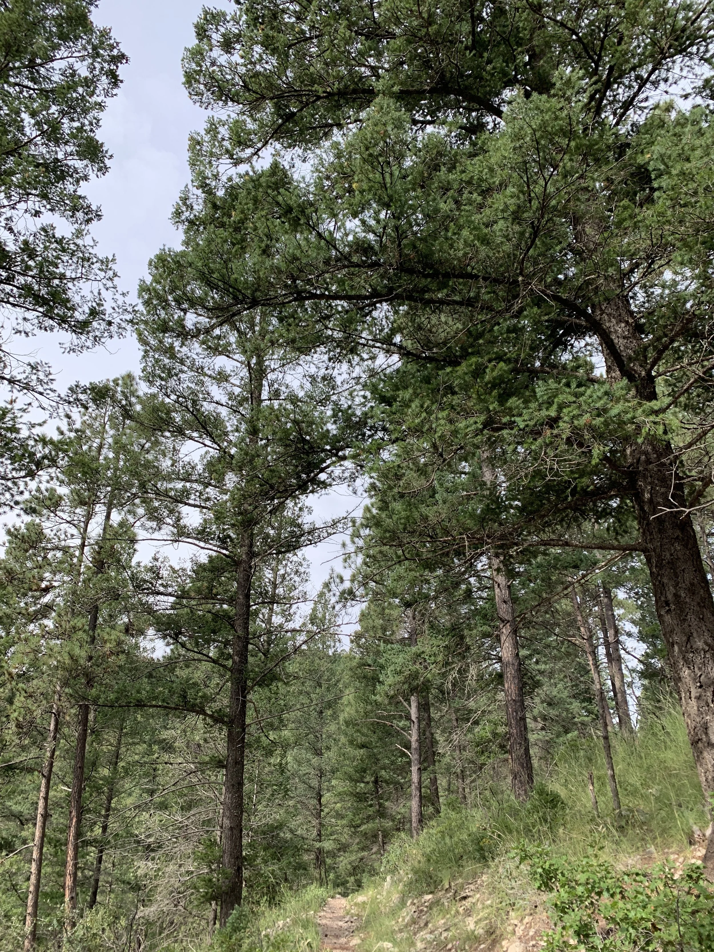
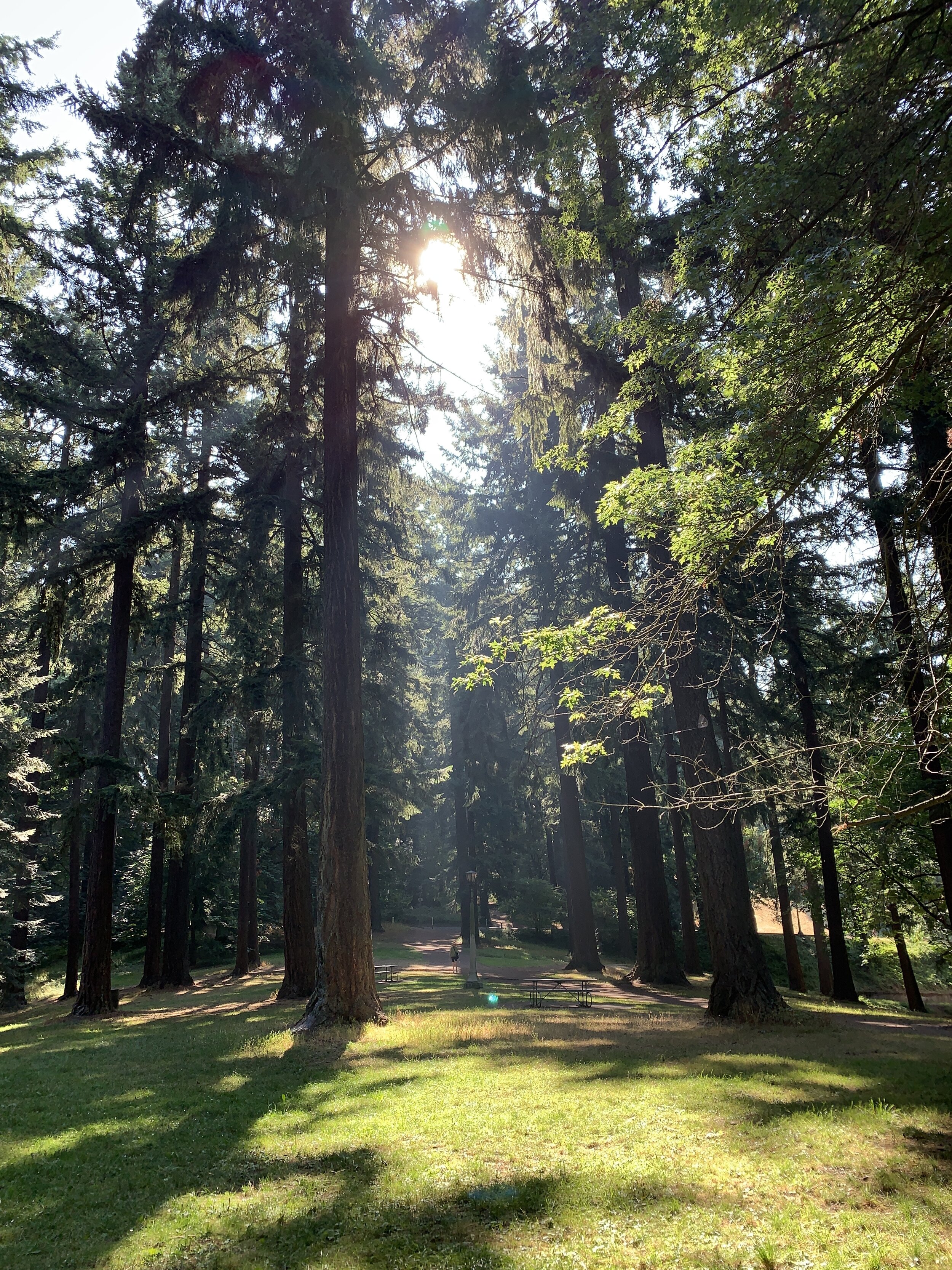
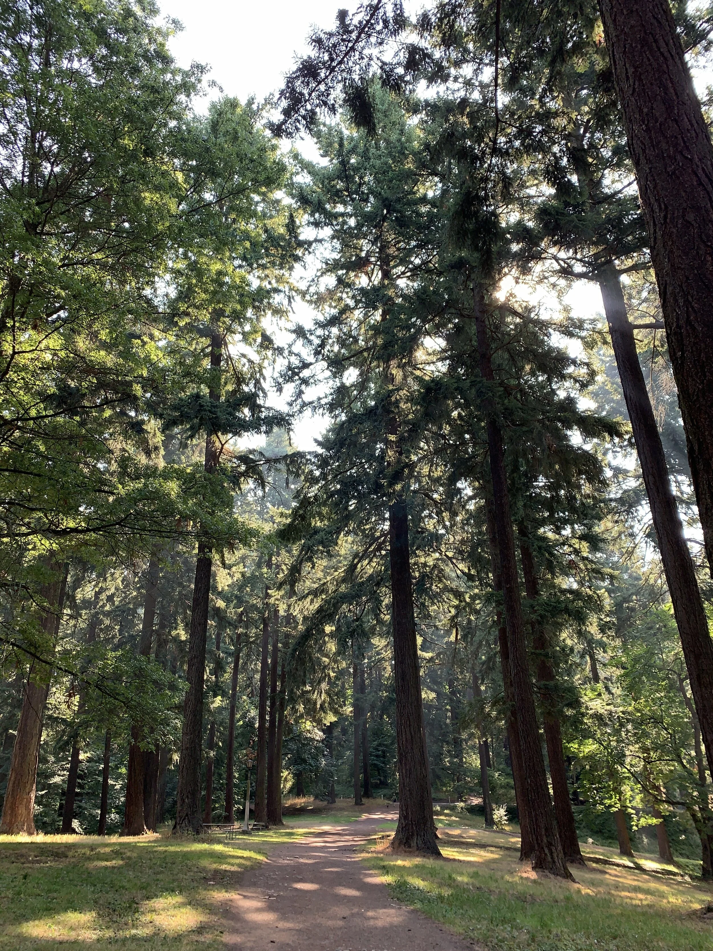
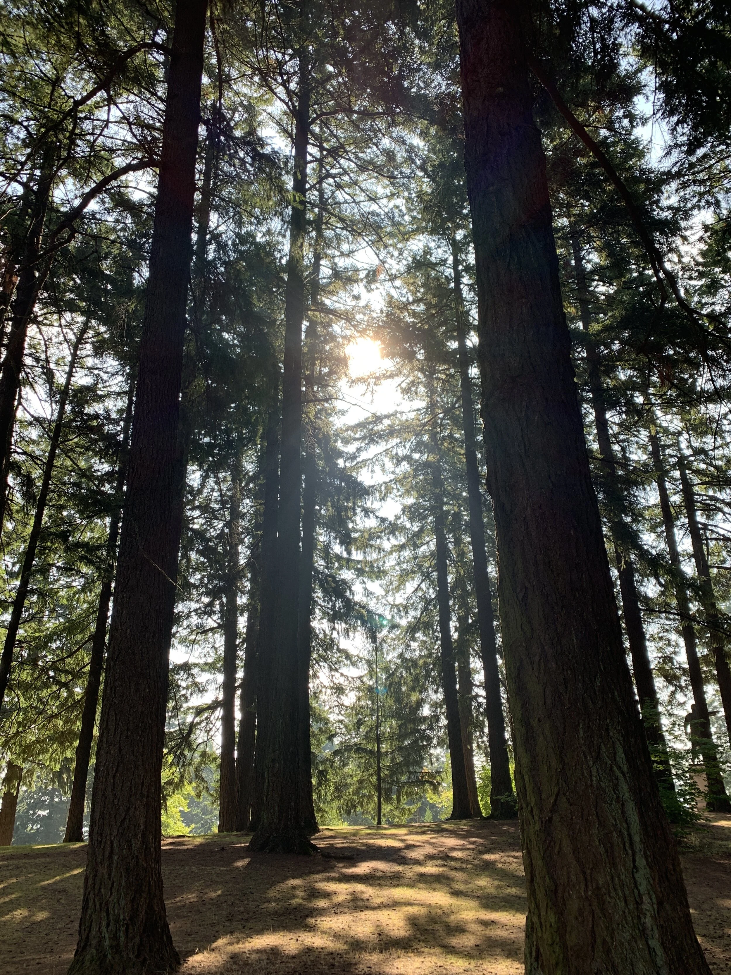
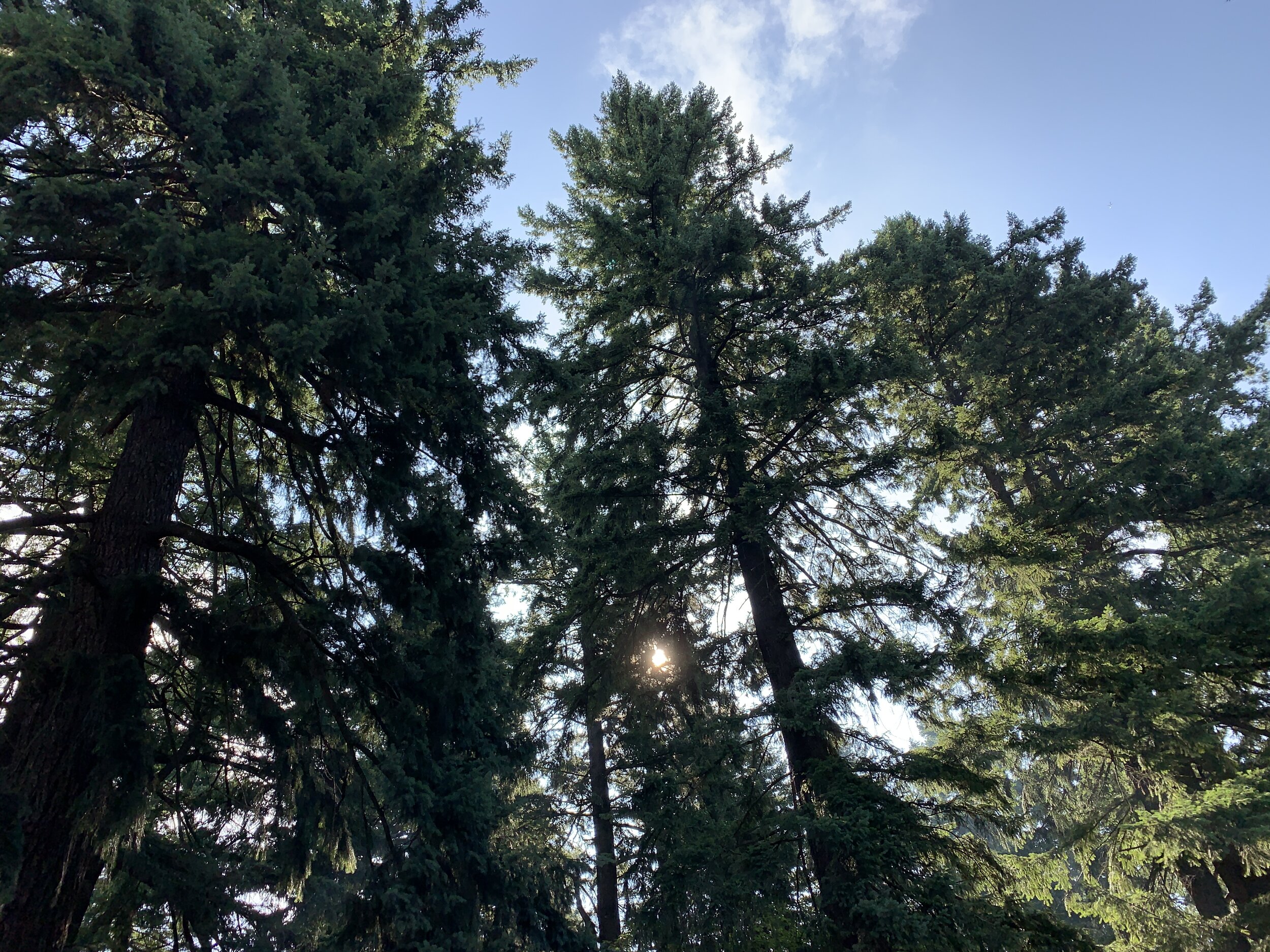
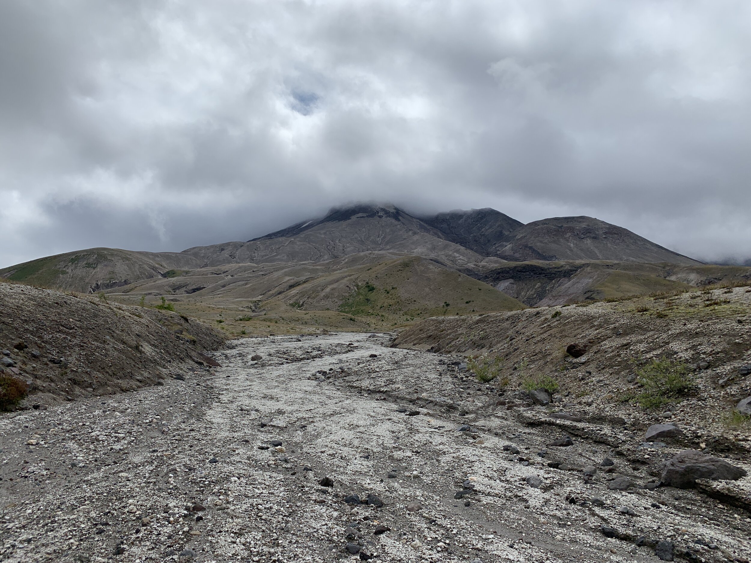
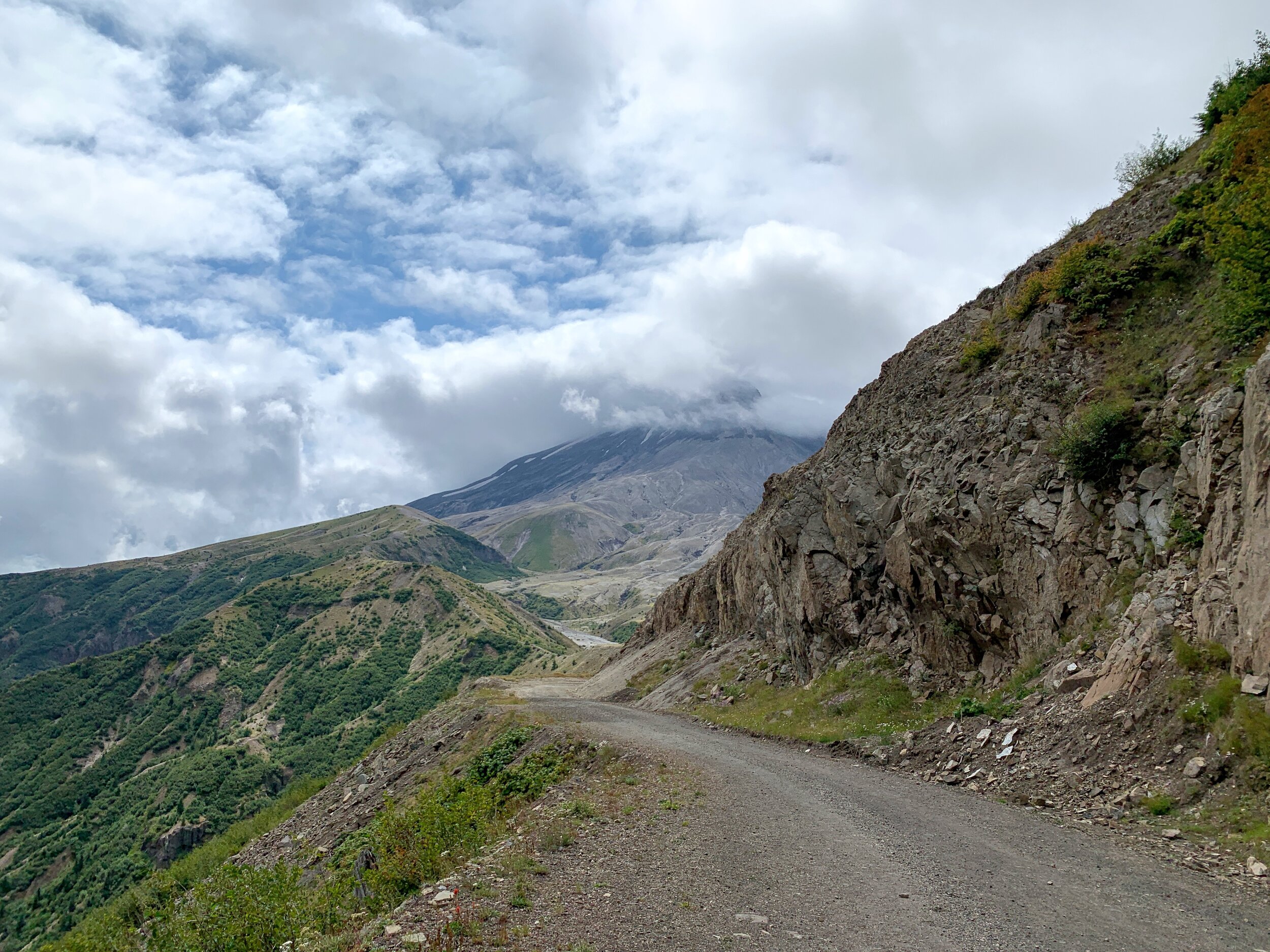
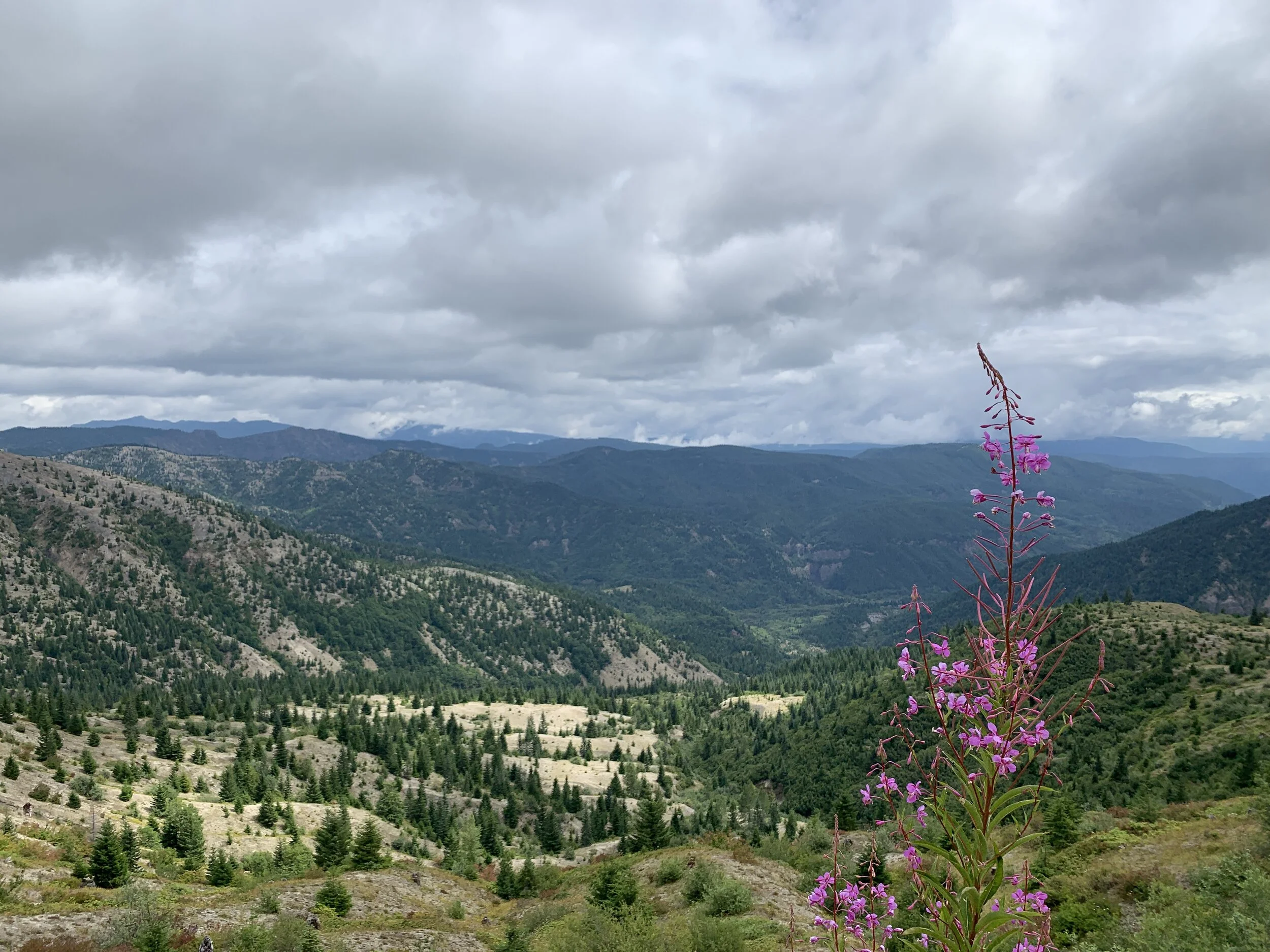
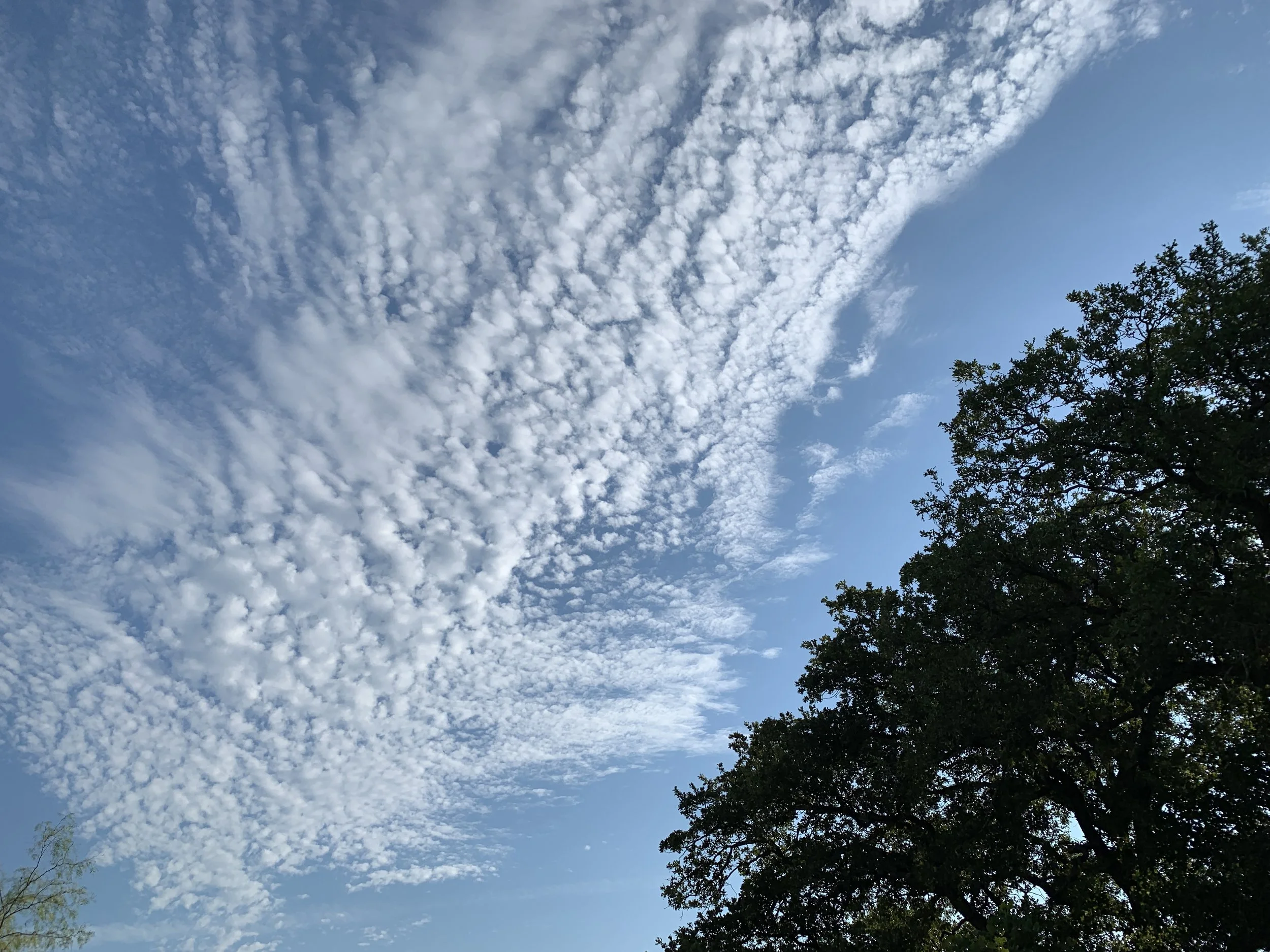
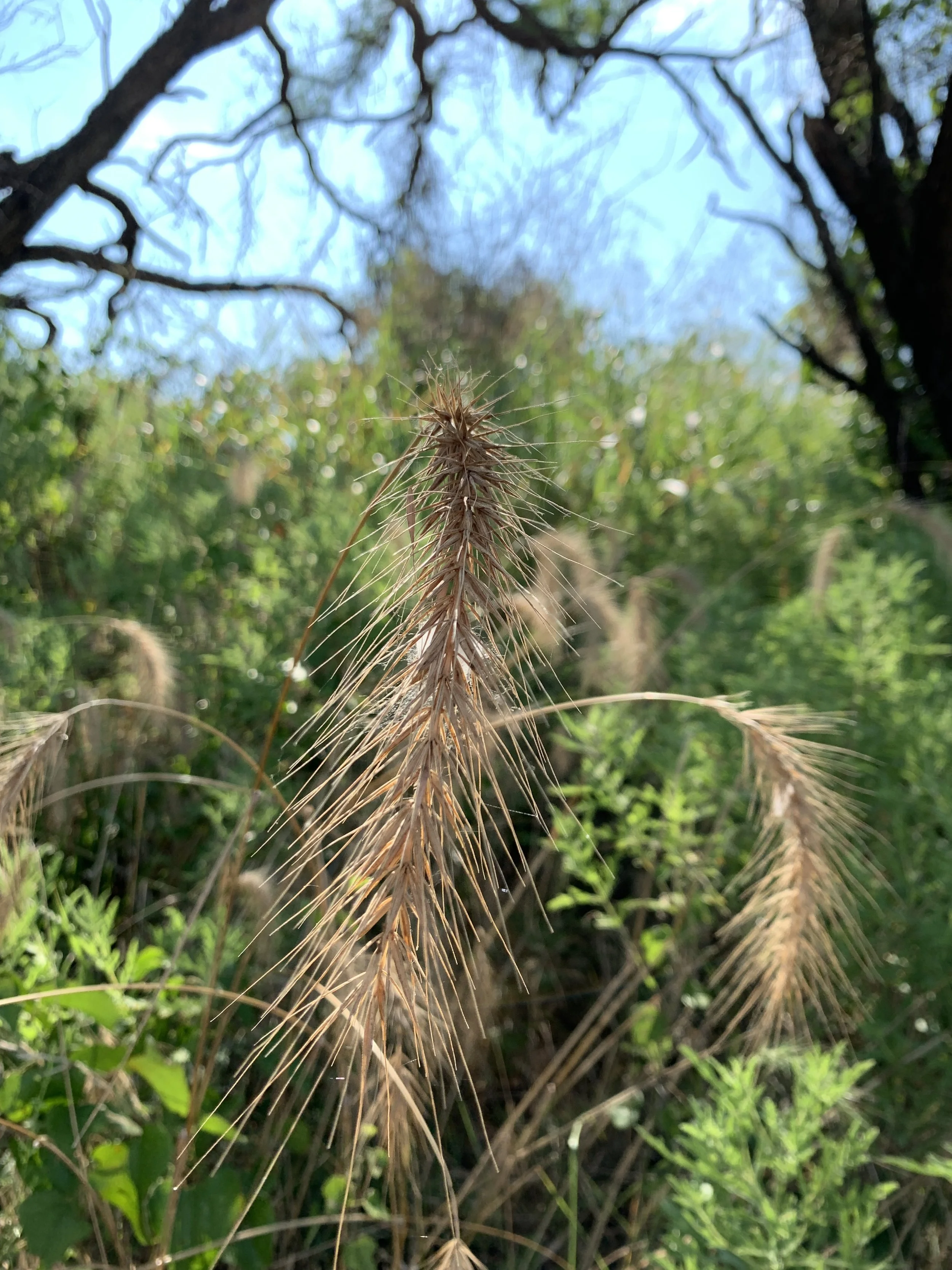
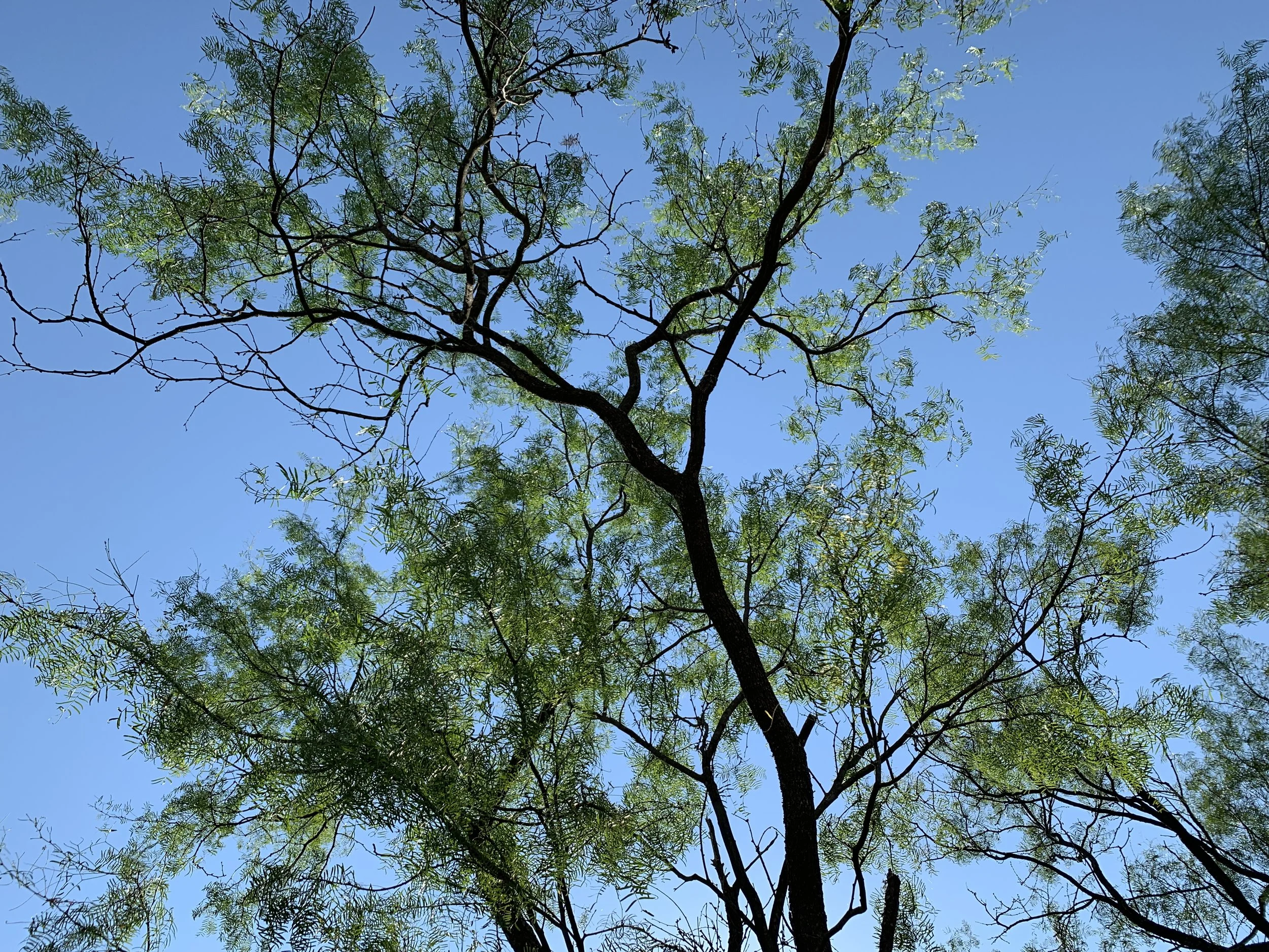
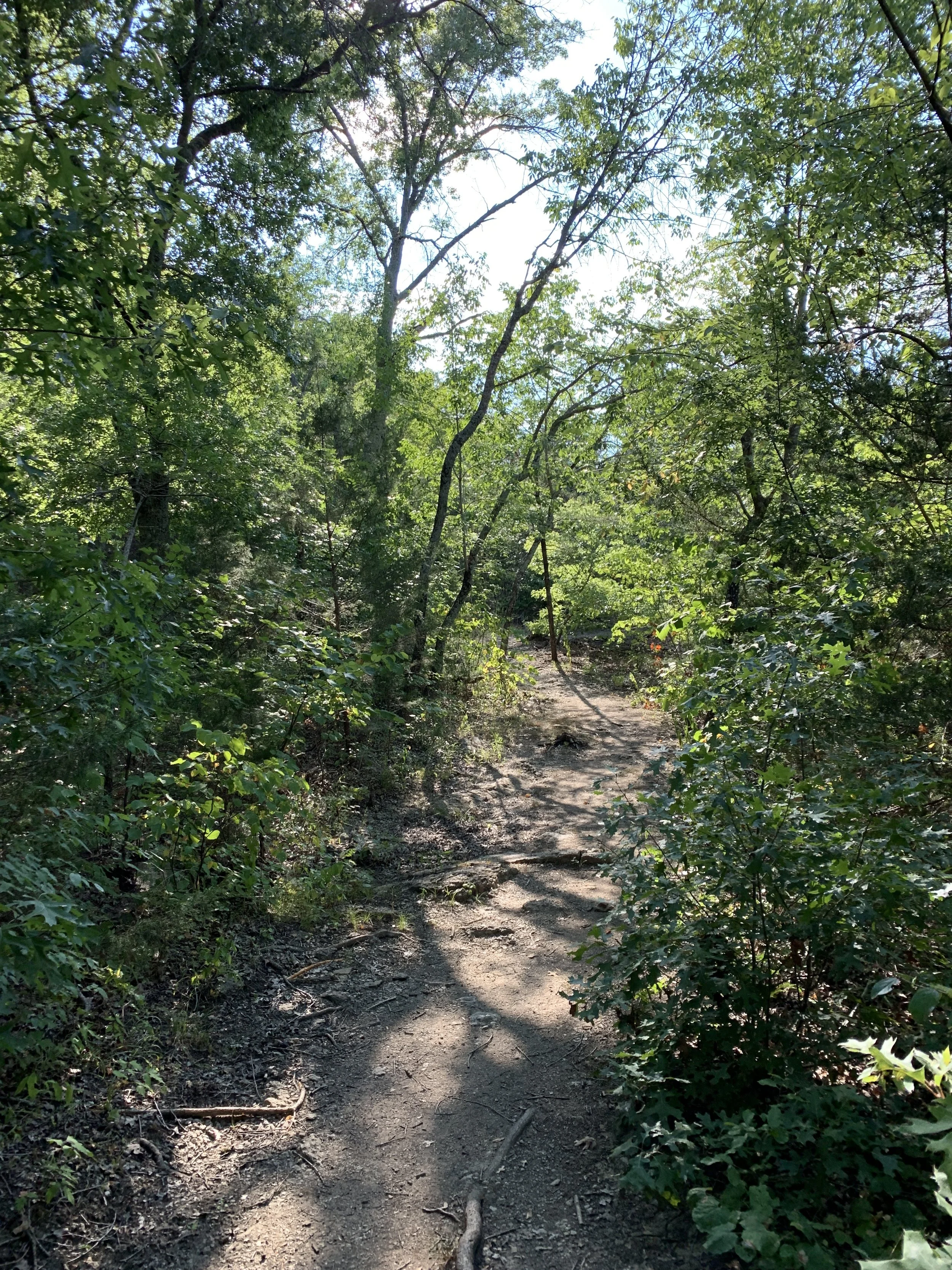
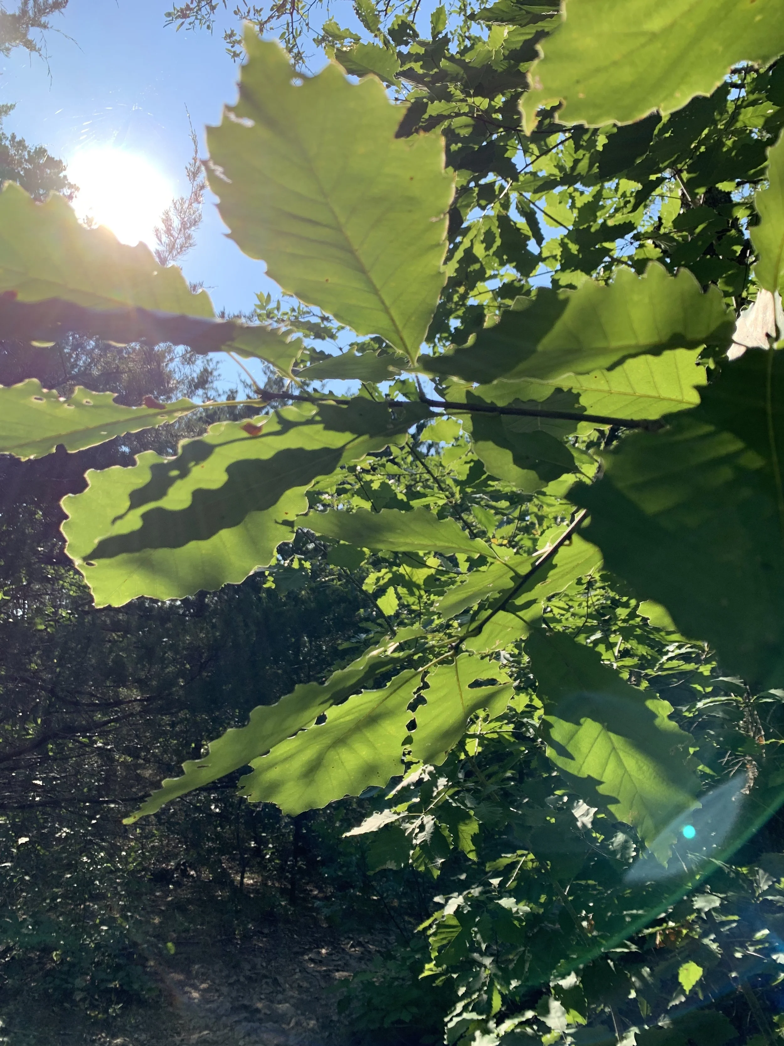
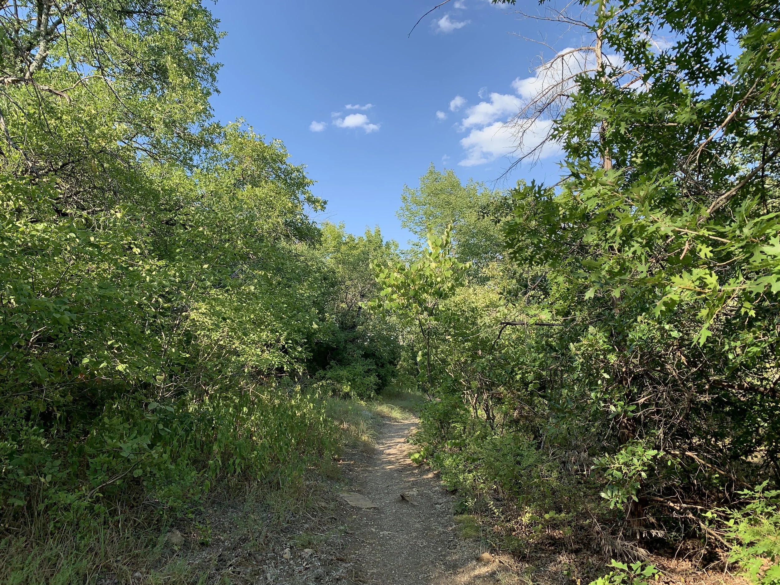
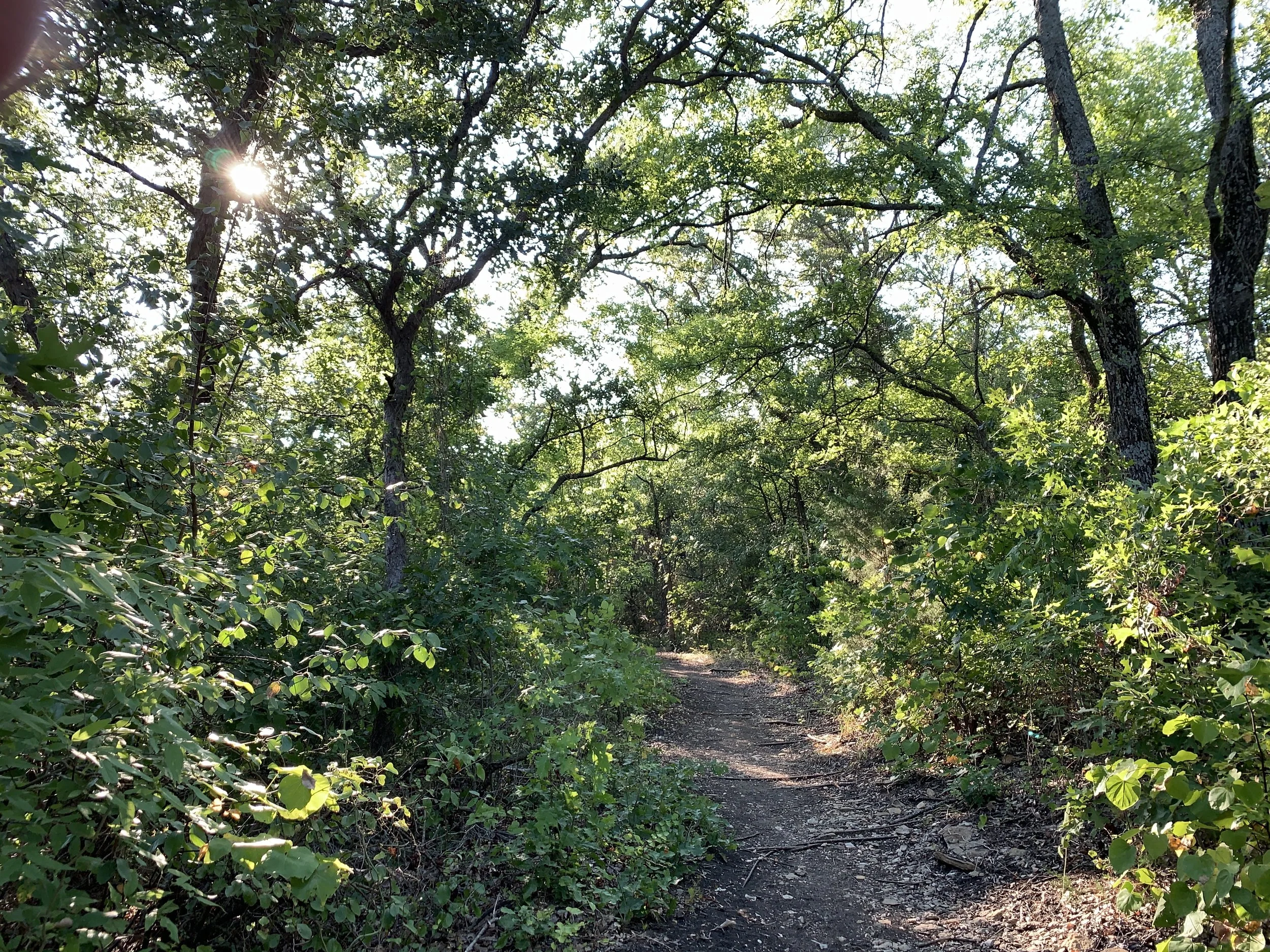
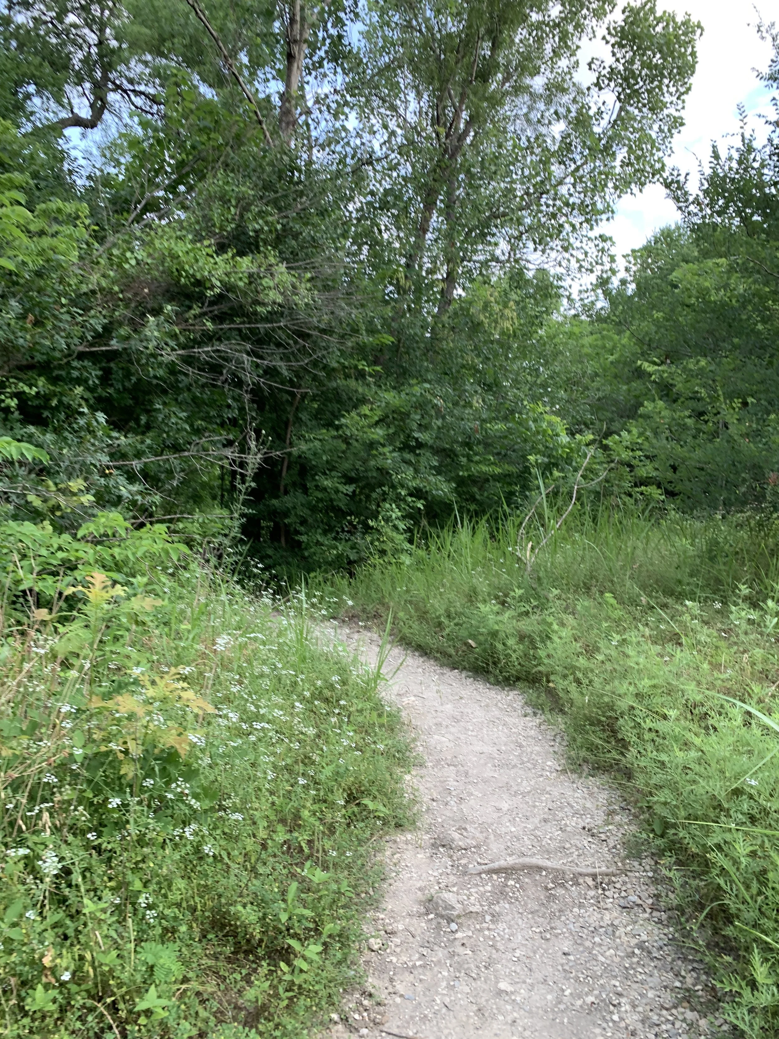
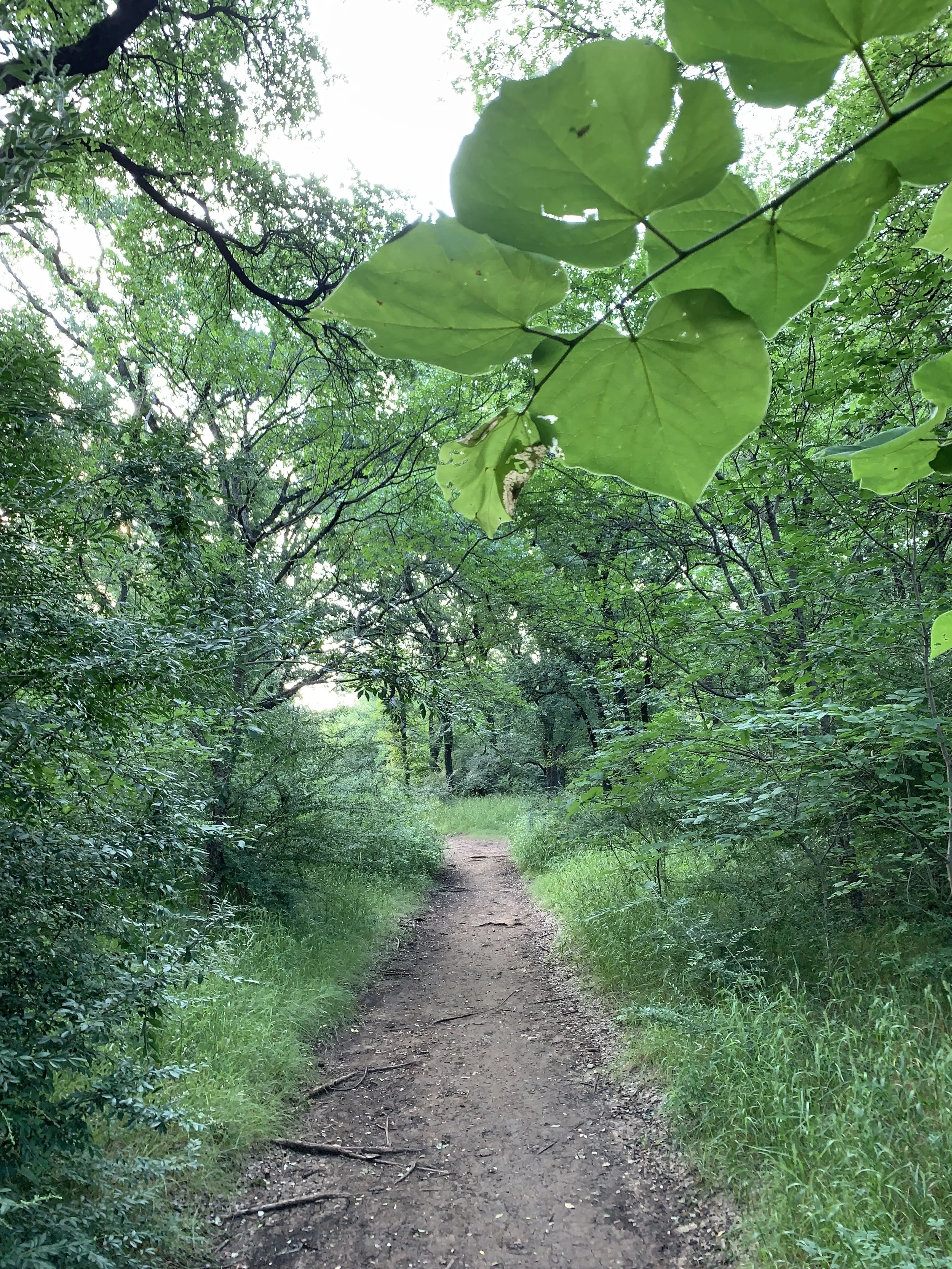
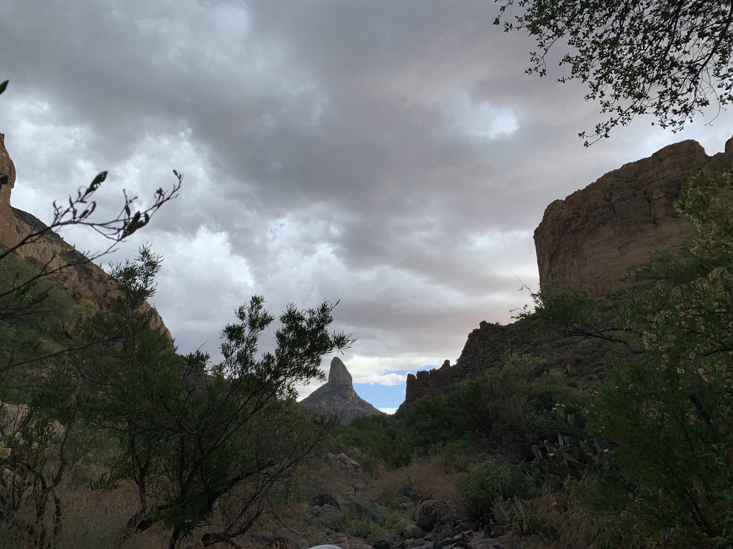
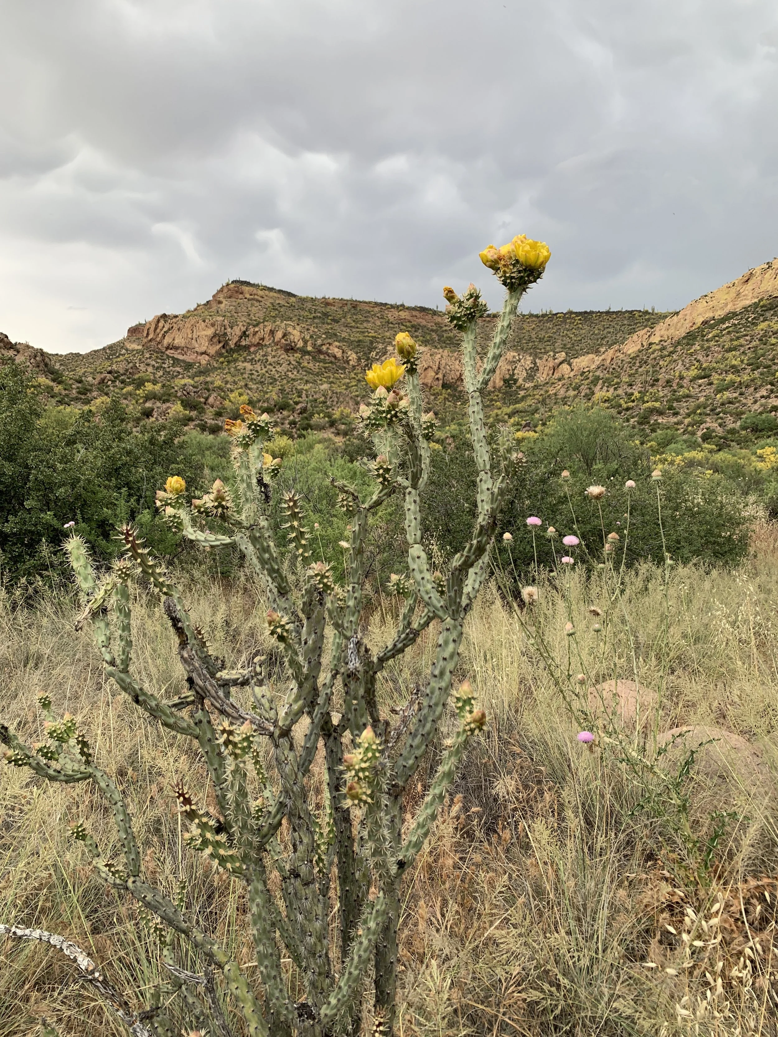
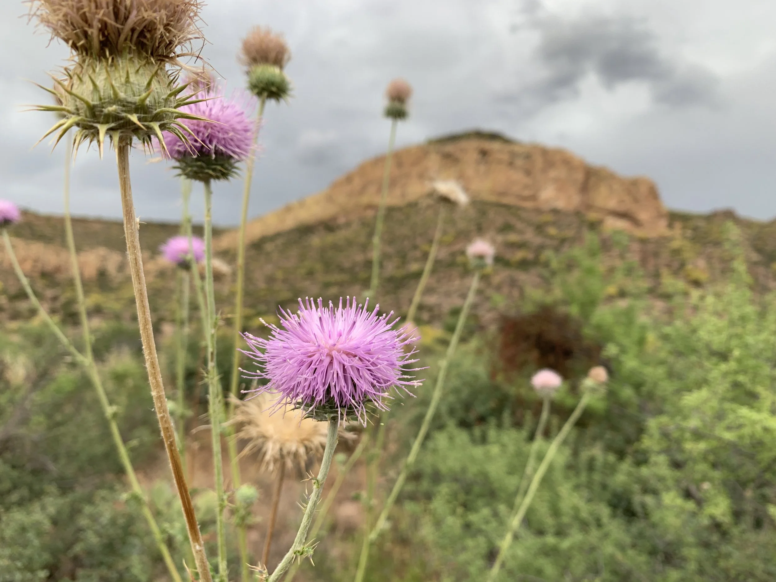
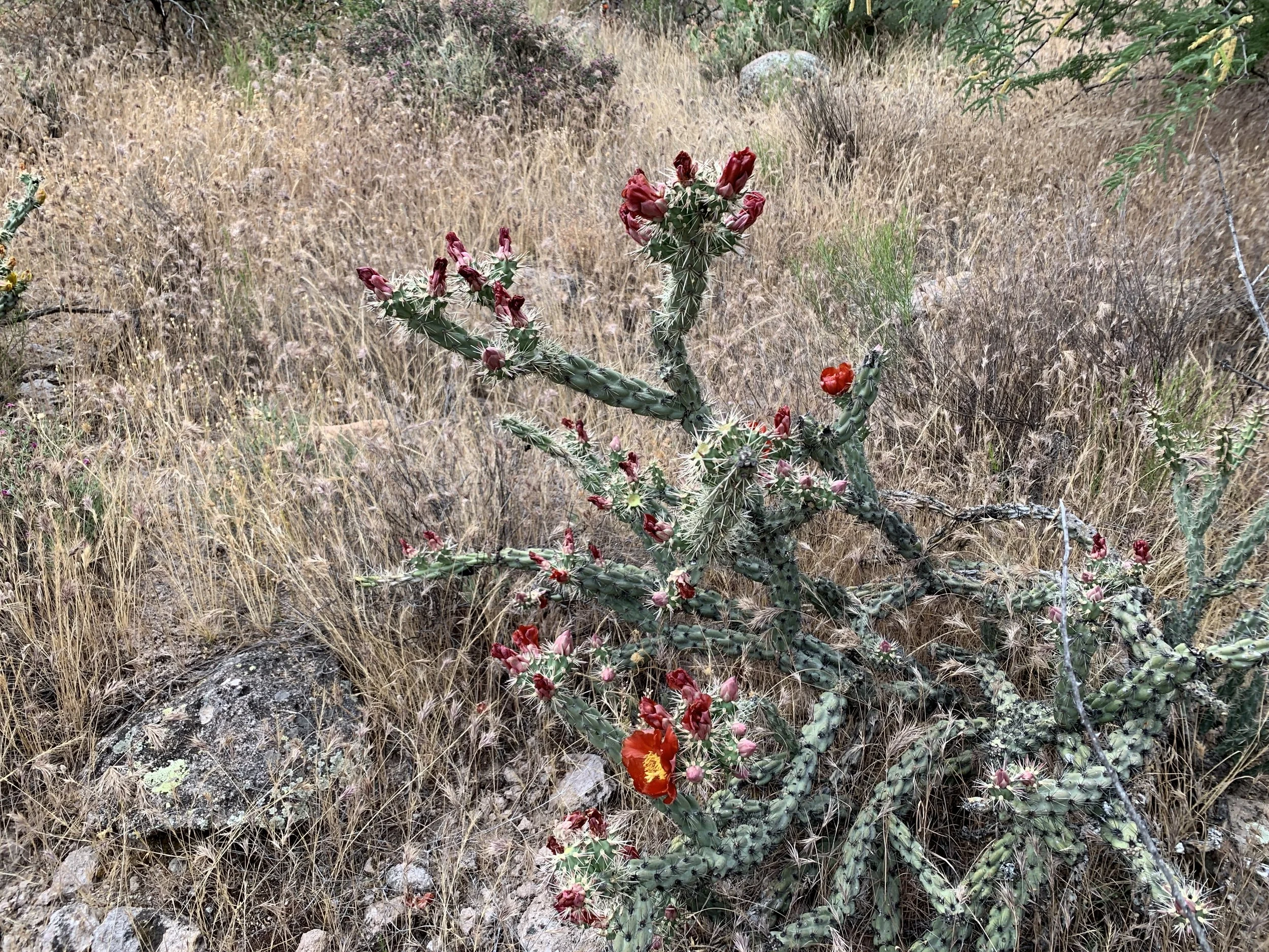
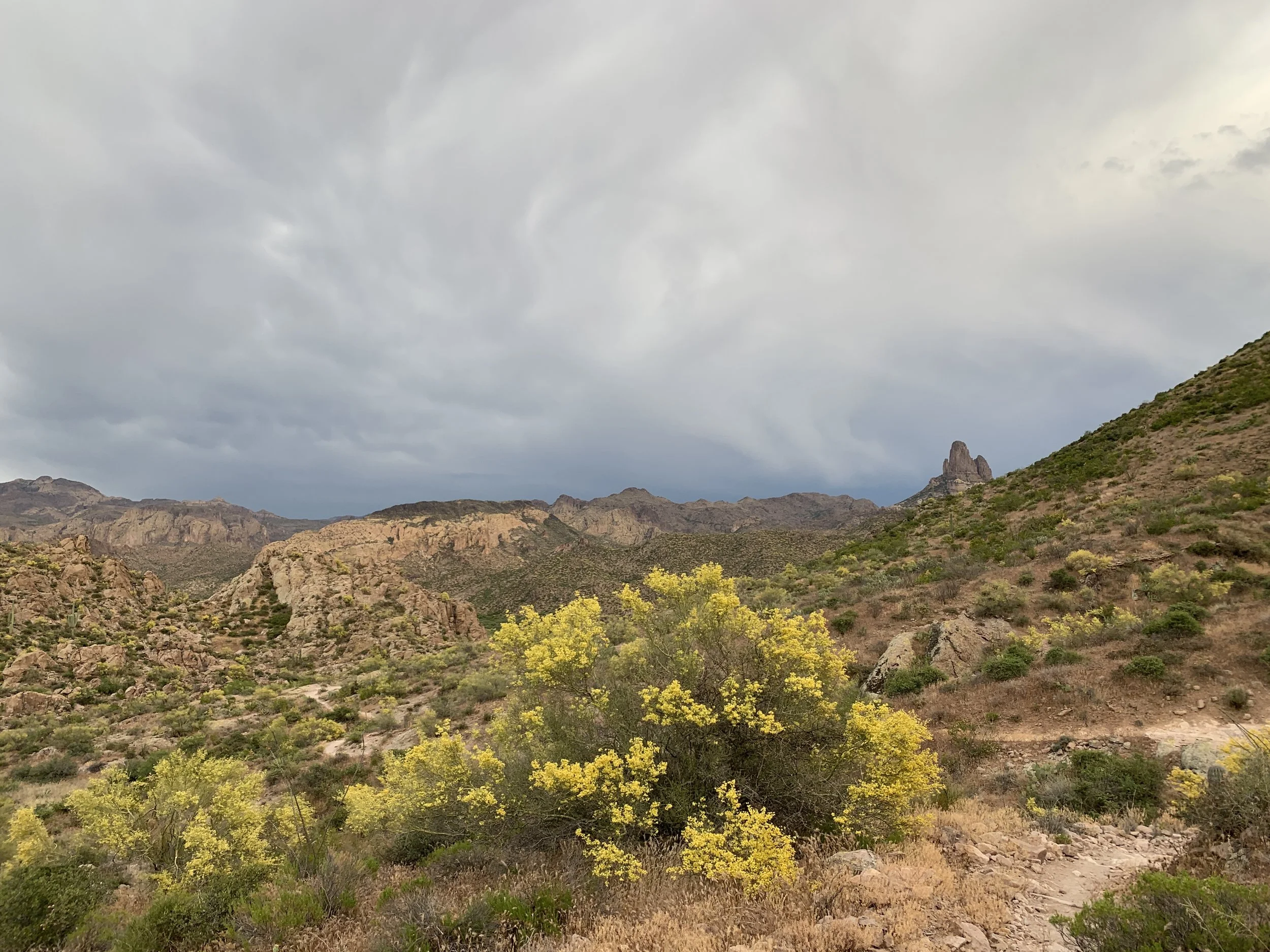
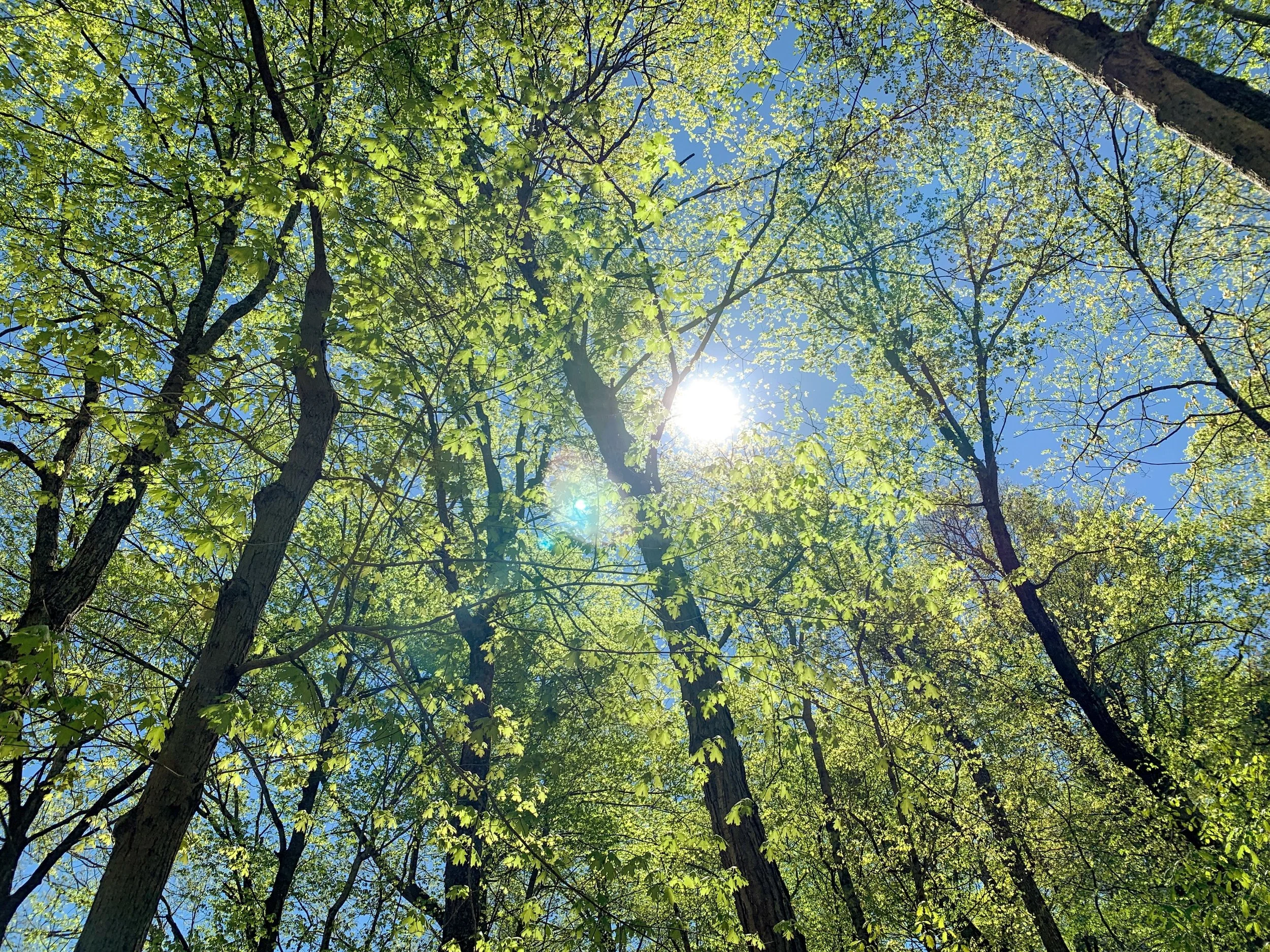
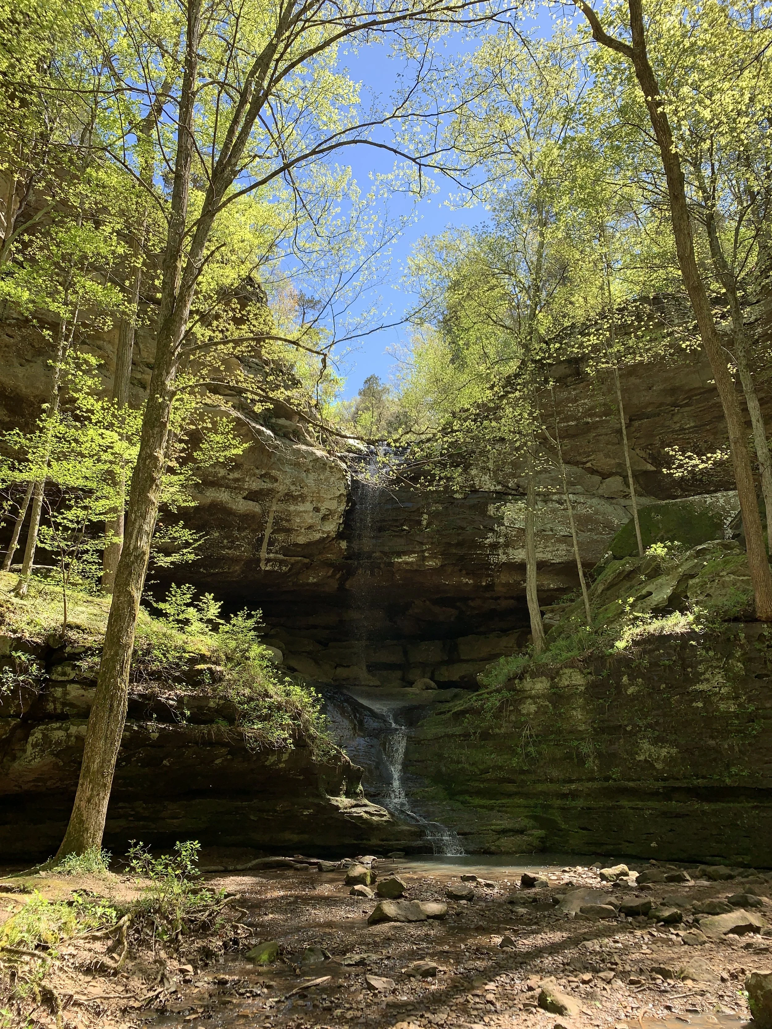
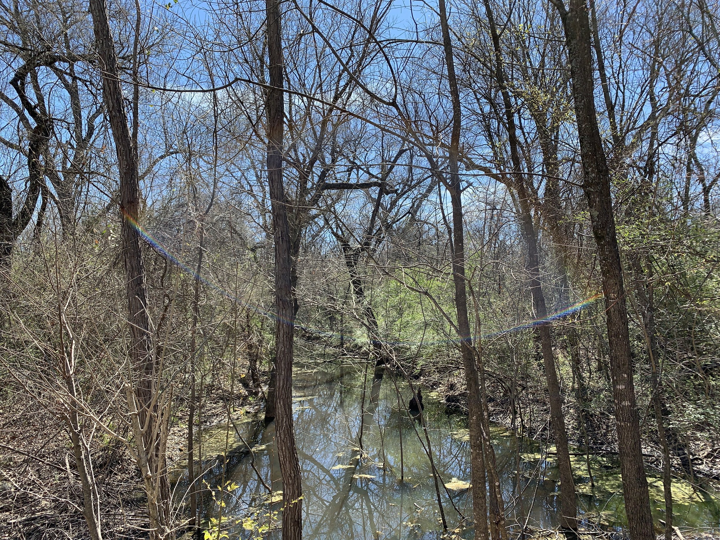
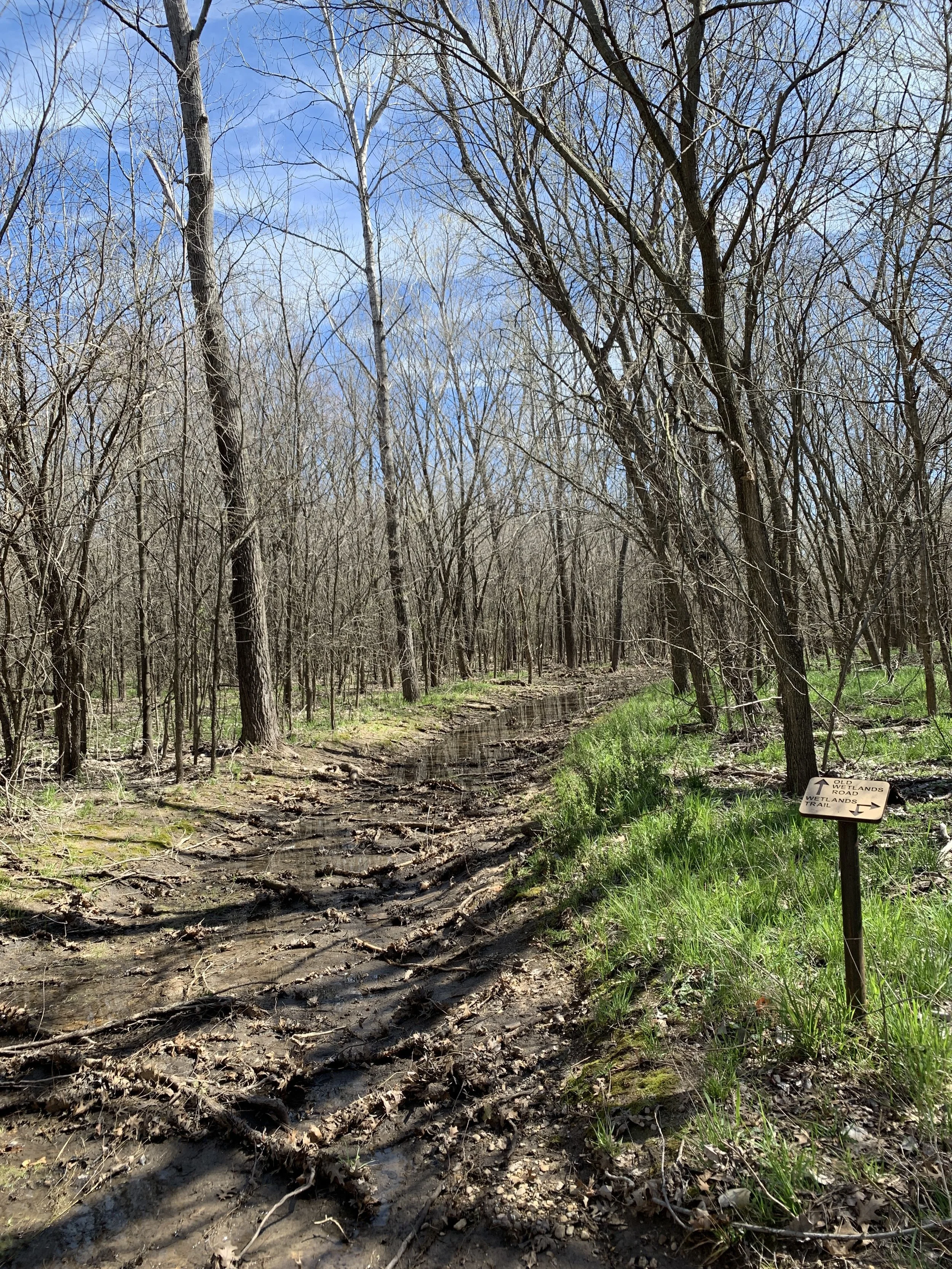
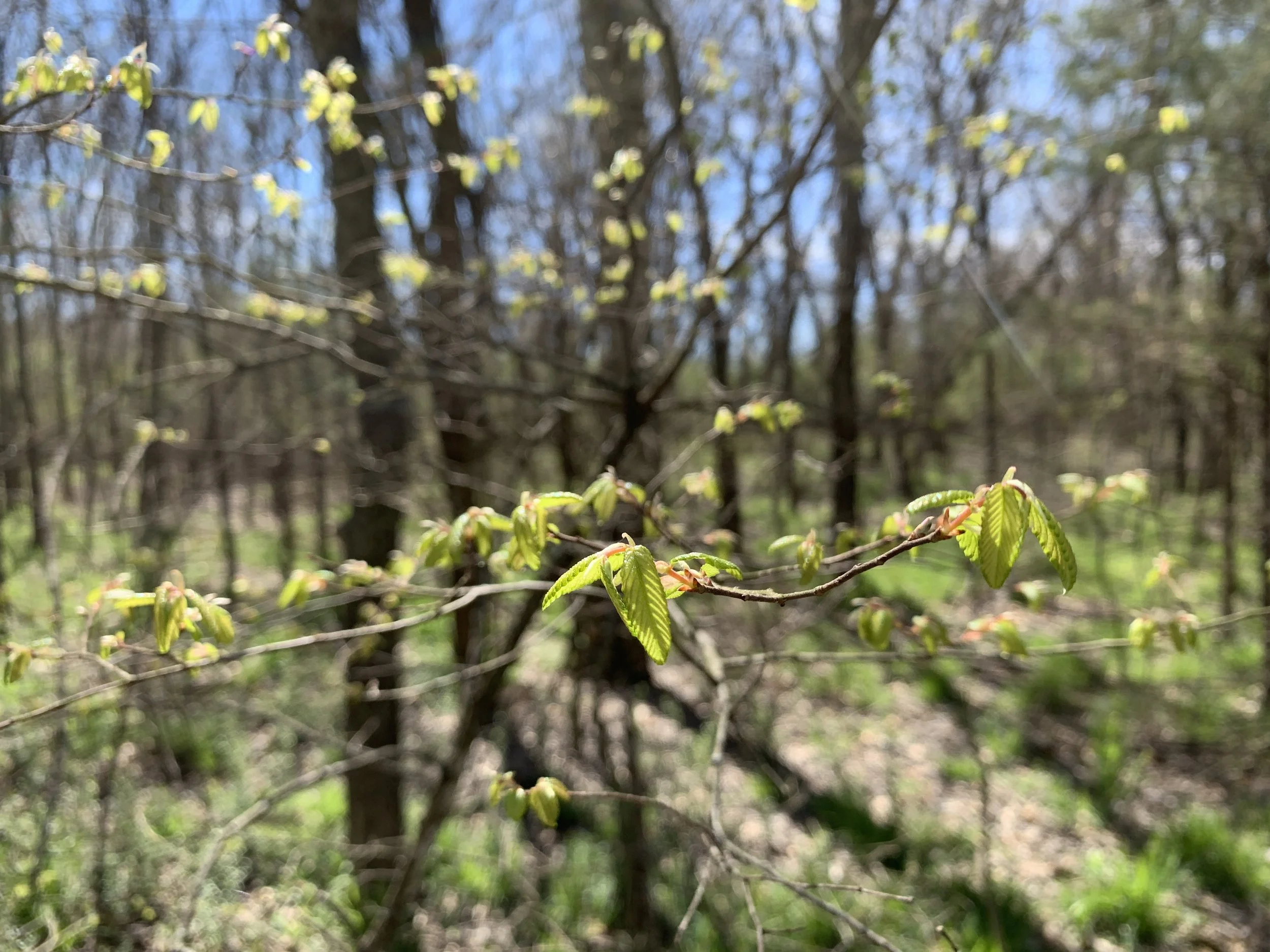
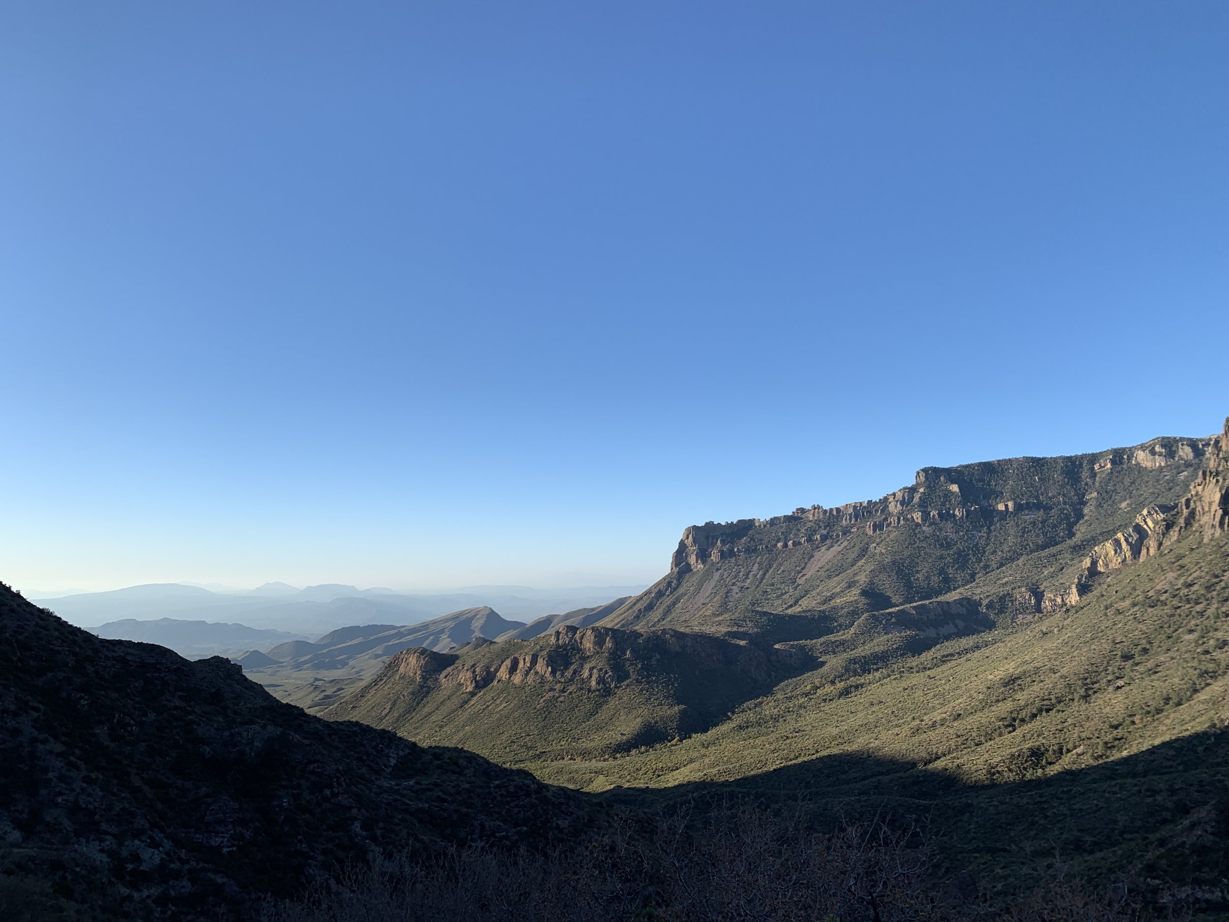
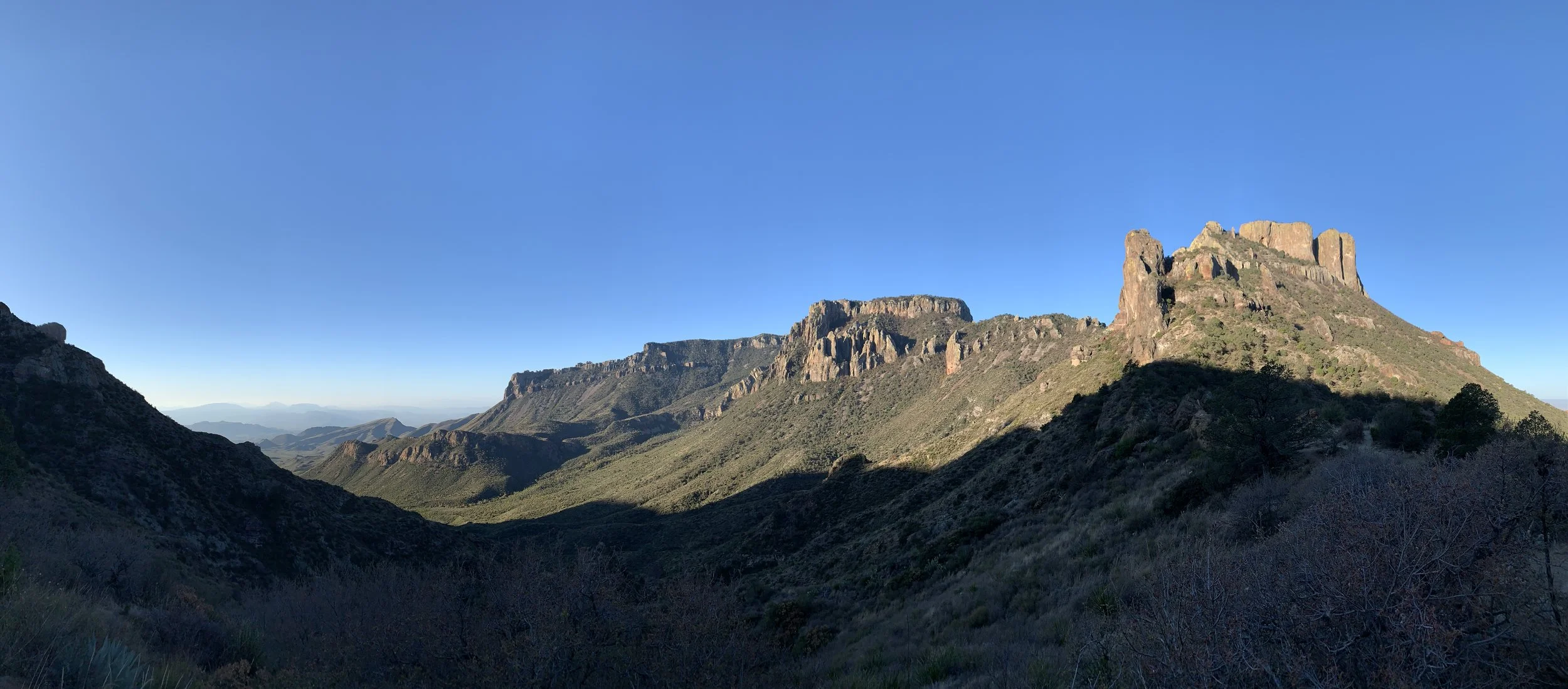
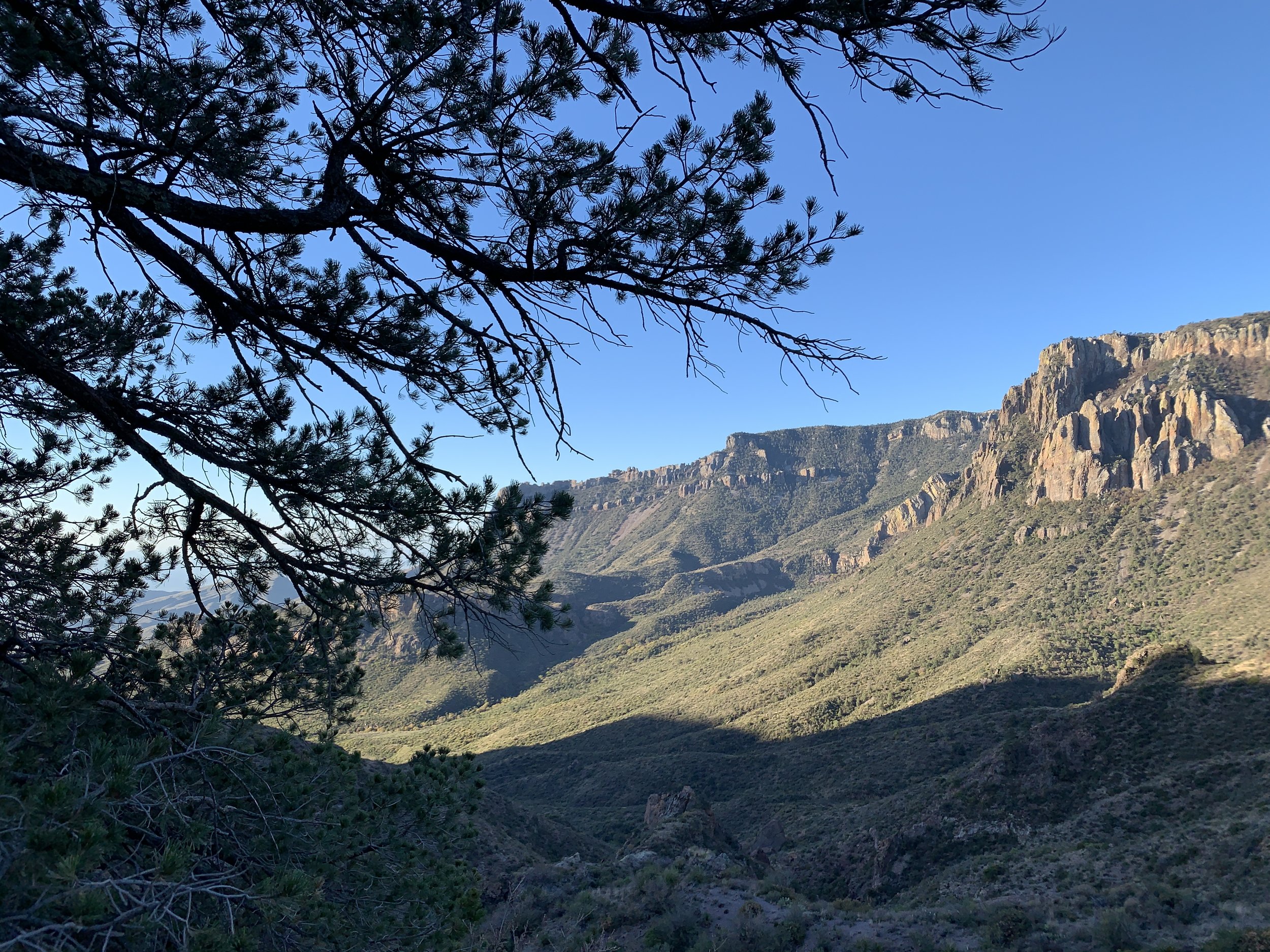
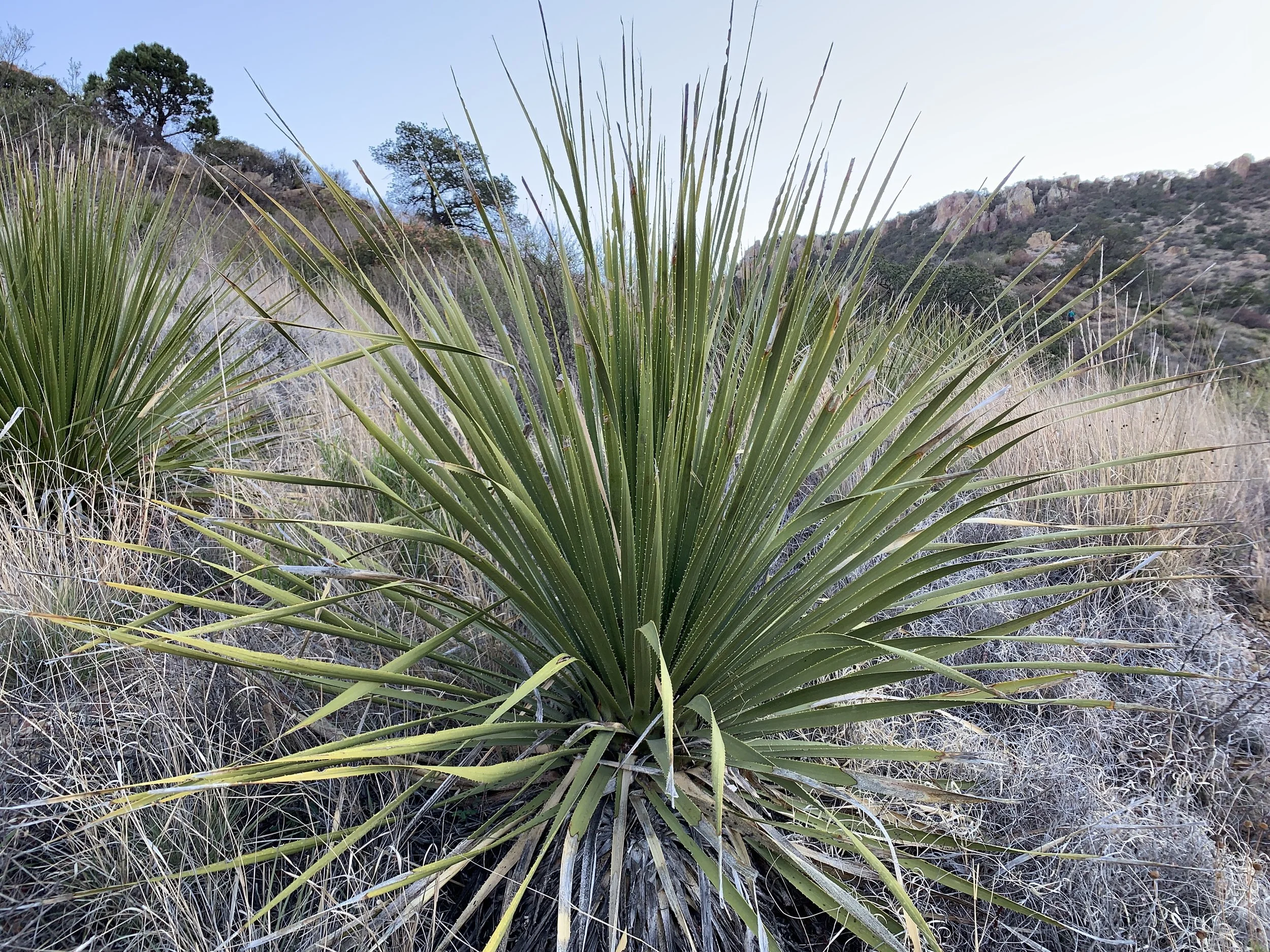
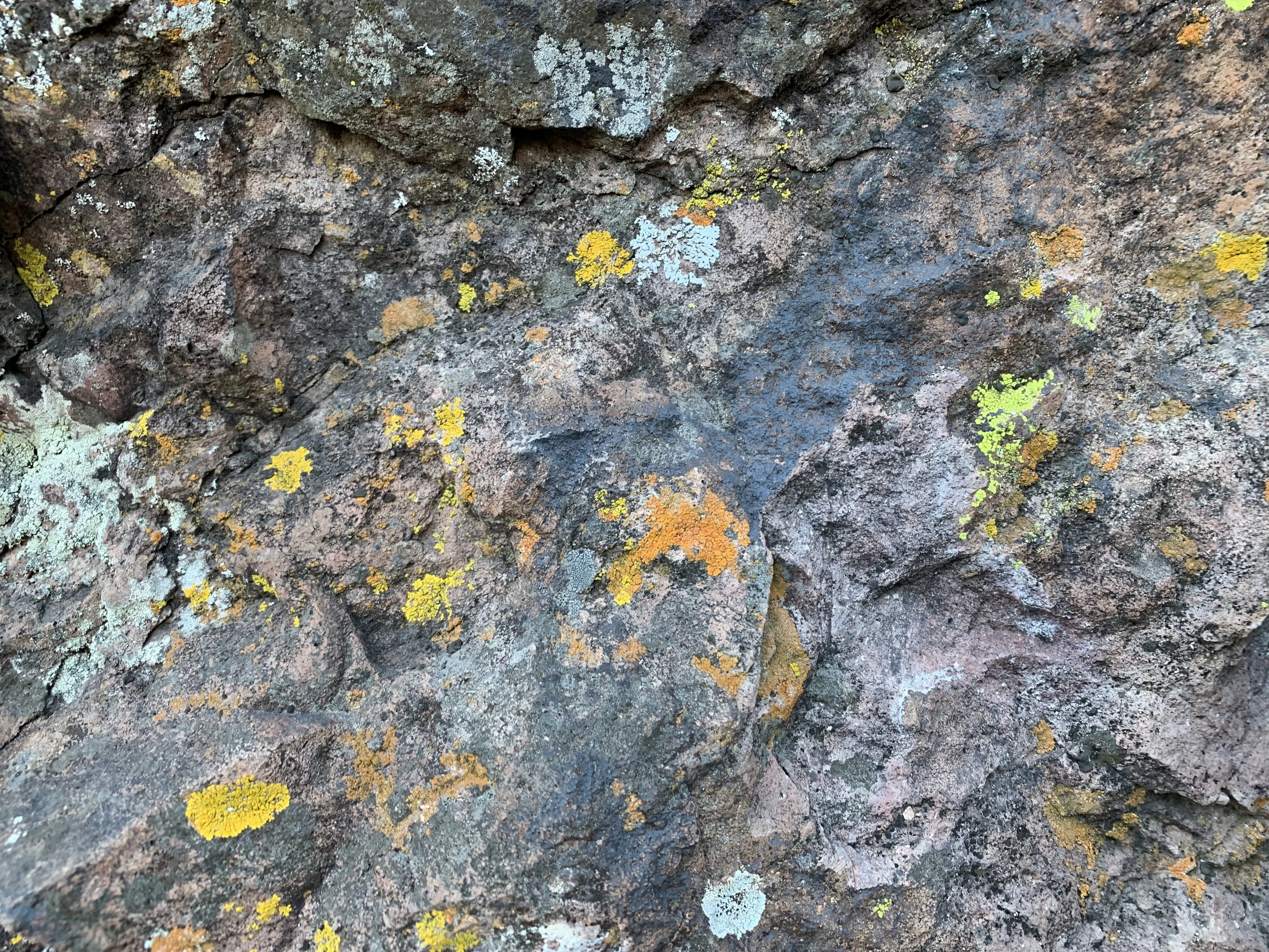
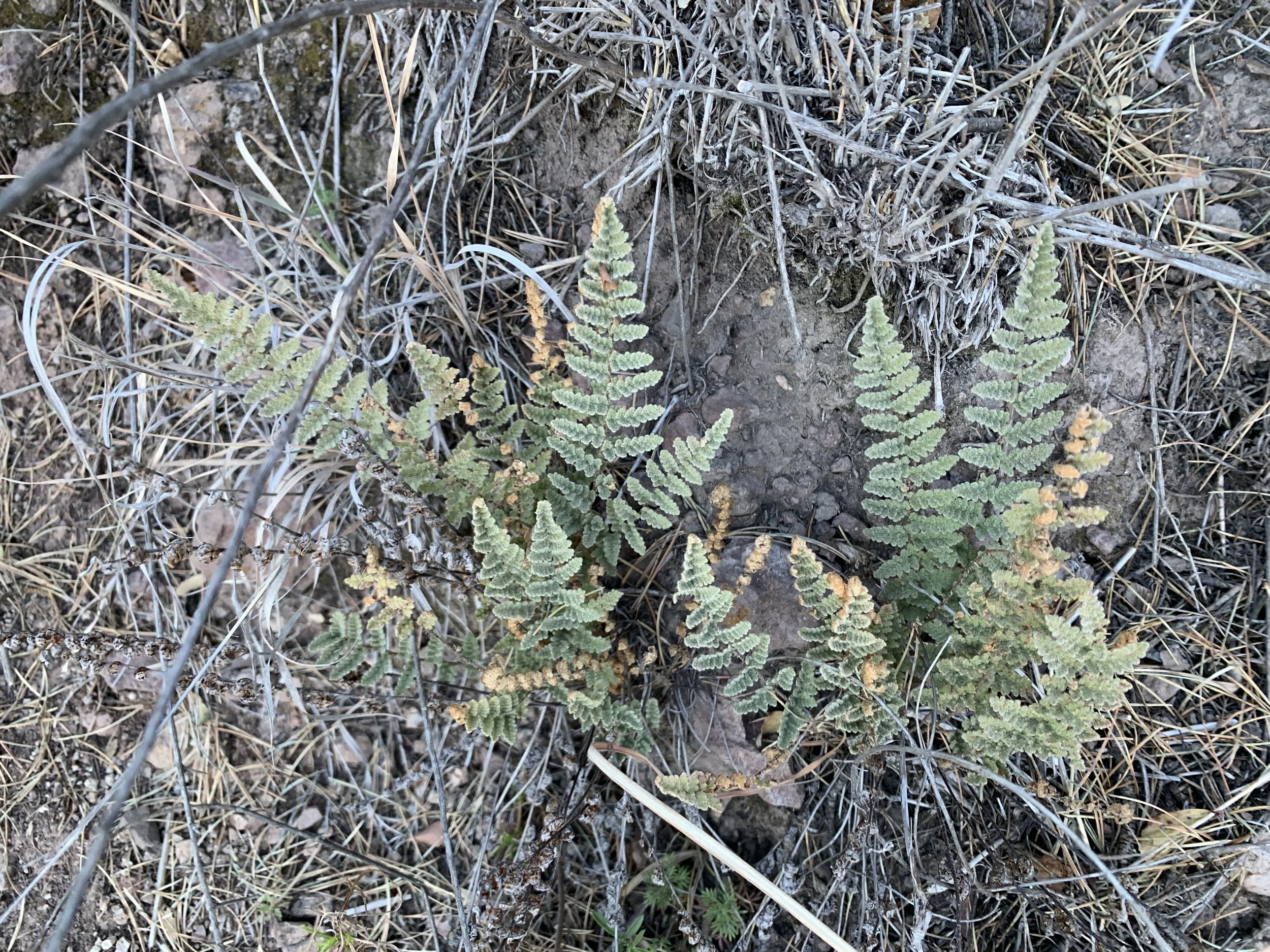
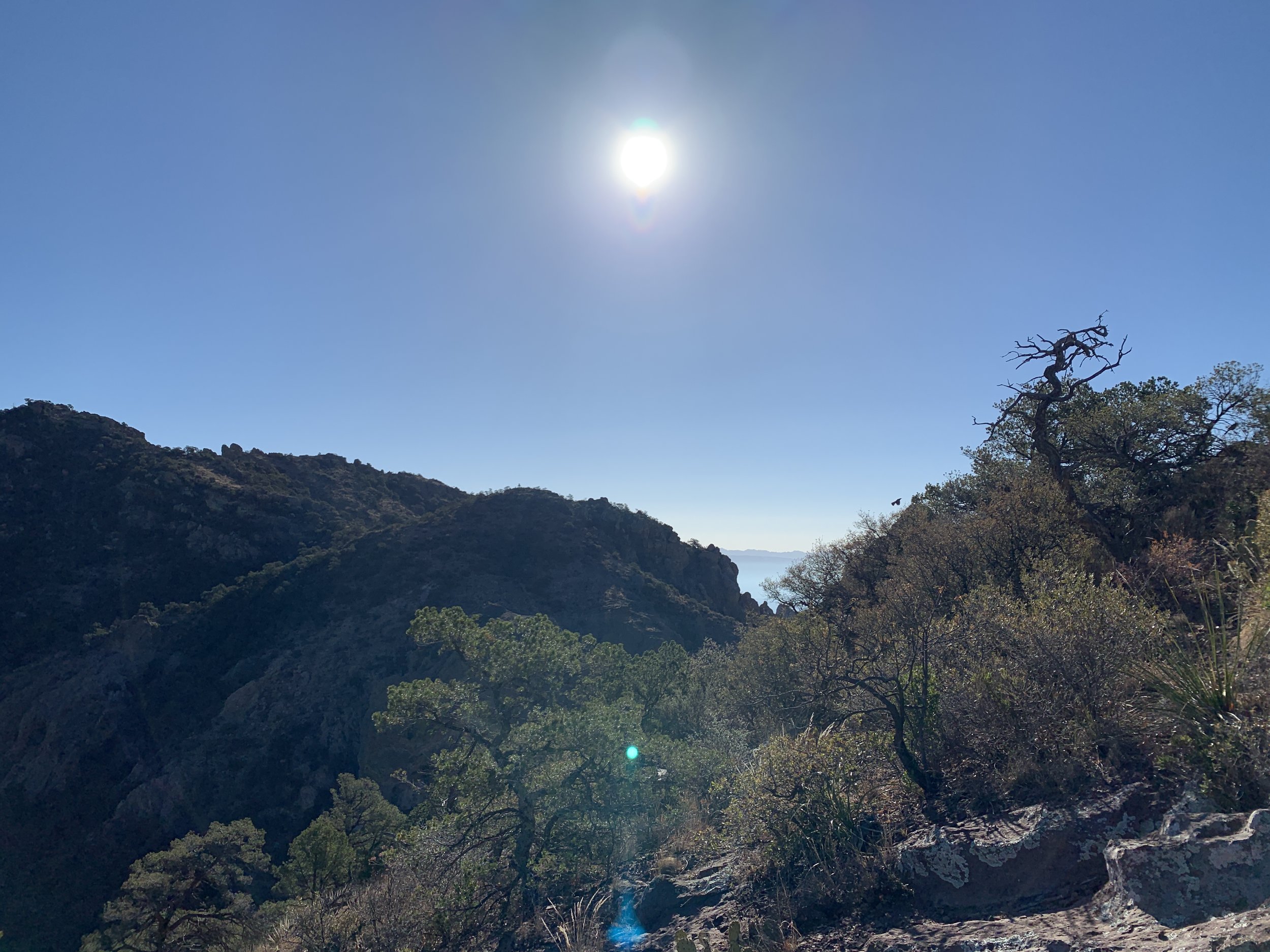
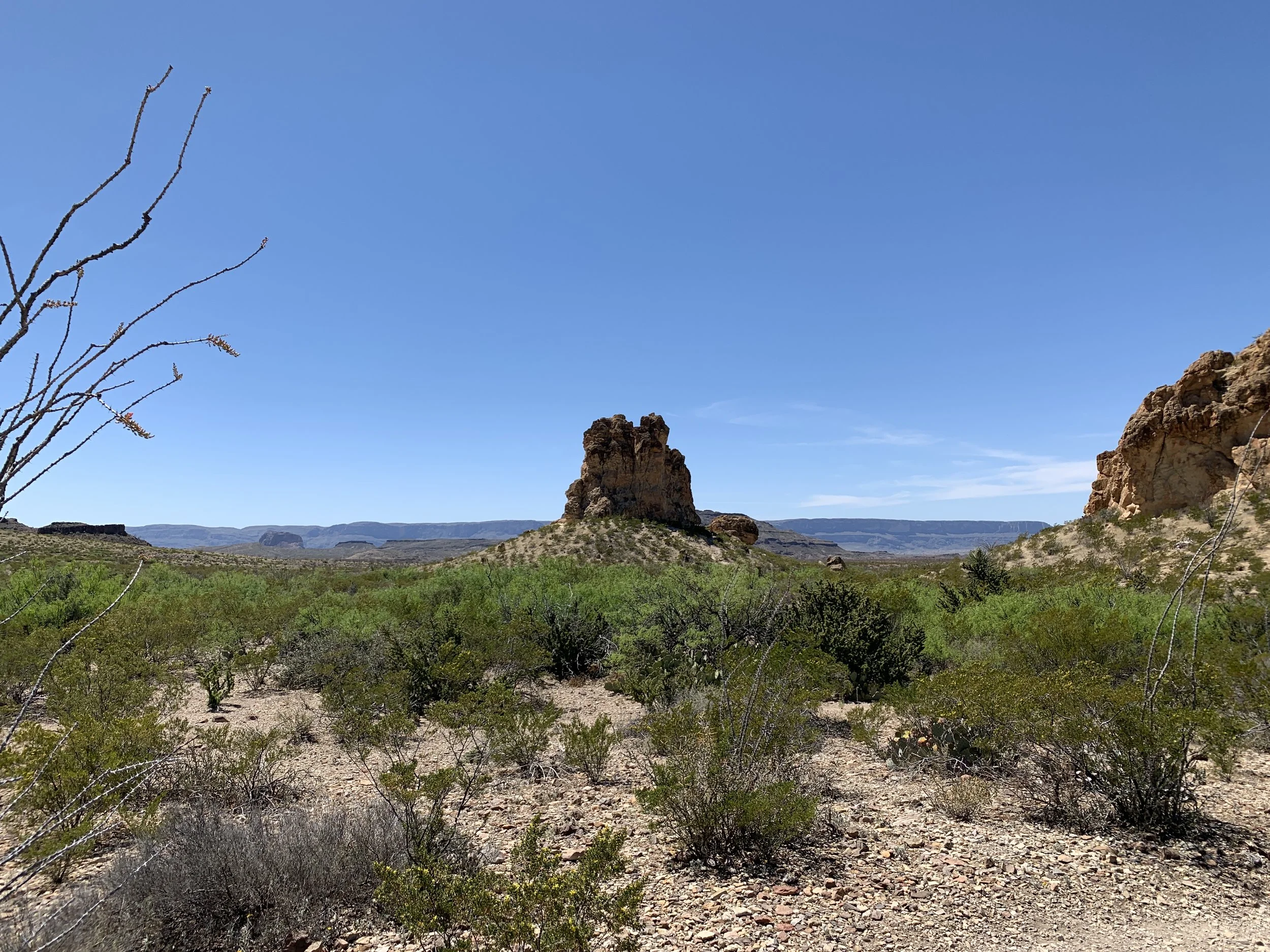
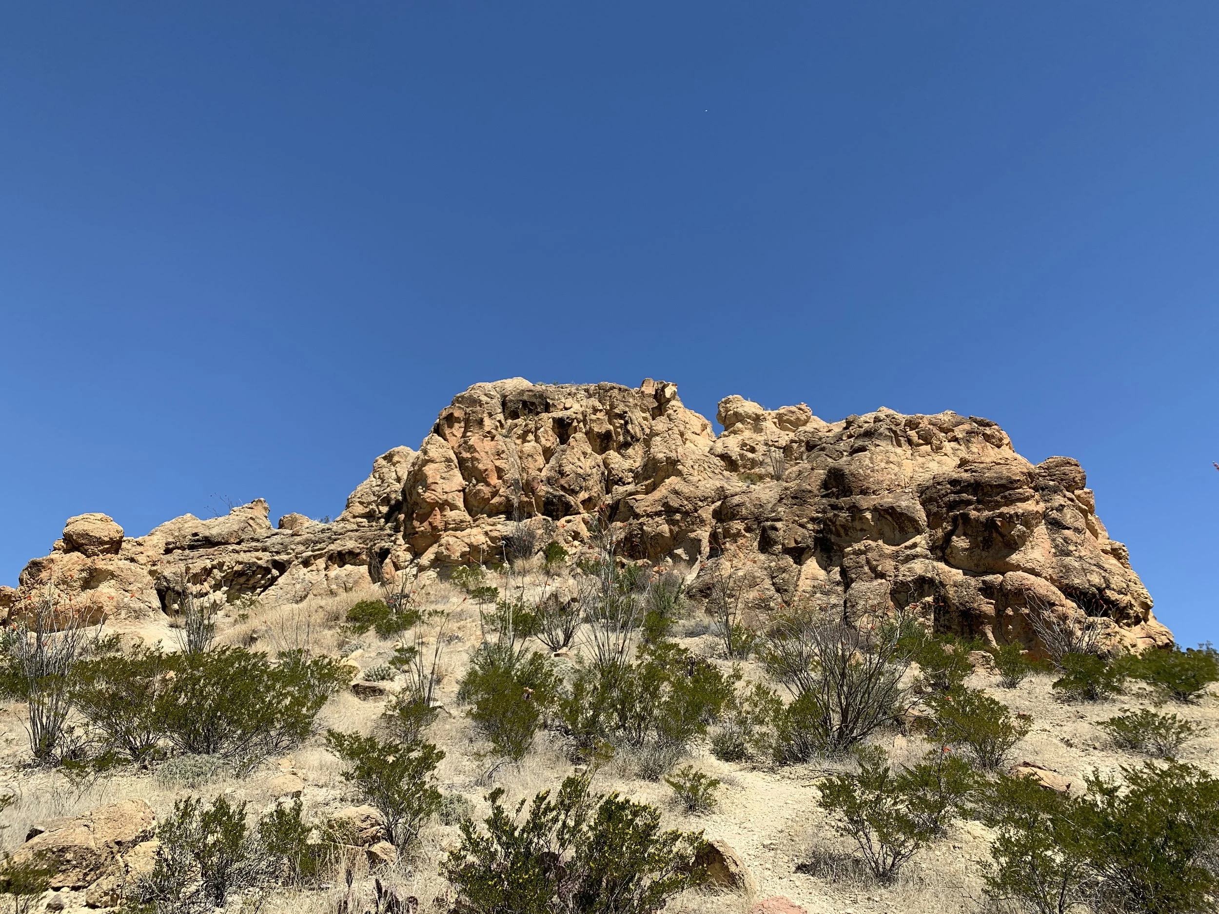
Eventually, I made it to the trailhead parking area. It was a big area, and was nearly full with visitors. The fog was so thick, I could only see through the parking lot and nothing much beyond any car. I could make out some trees, but it was a wall of white. I checked out the map and posted information, and debated going back and finding a different trail. A little bummed, I hiked anyway. I started the trail, and without any grand views, fell in love with the trail. The fog consumed me, and it was beautiful. The whole 1,700 feet up was foggy. Giant, lush trees in the fog. It was magical, mysterious, eerie, and had me positively high on life. I quickly got over the fact that I wasn’t going to have any “traditional” views of the mountains, and soaked in the foggy trees and what slivers I did see when clouds parted. As I climbed, and it was quite a climb for this flat-lander, some of the fog thinned out. I started to see rock faces and snow.

What Goes Up, Must Come Down

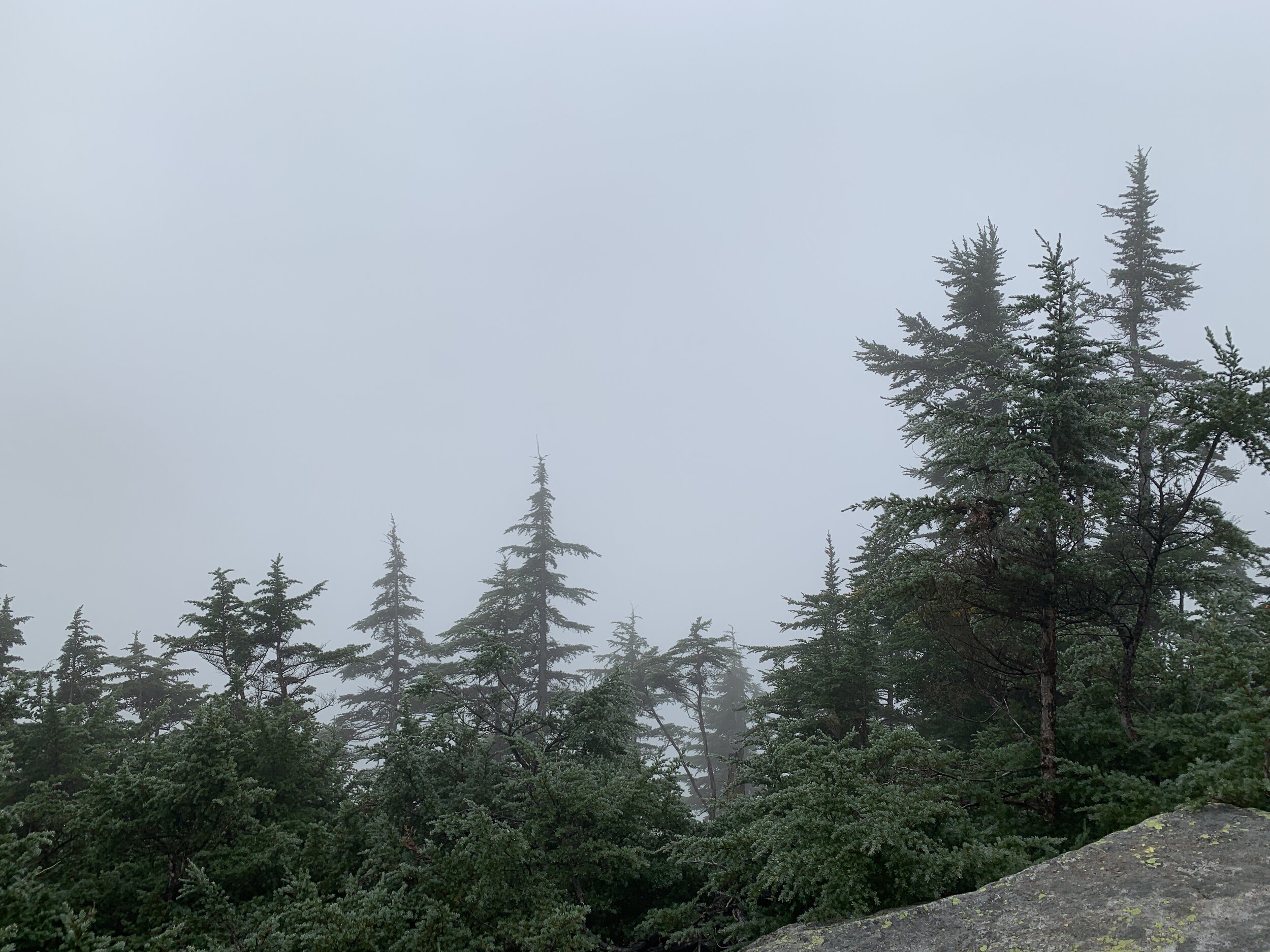
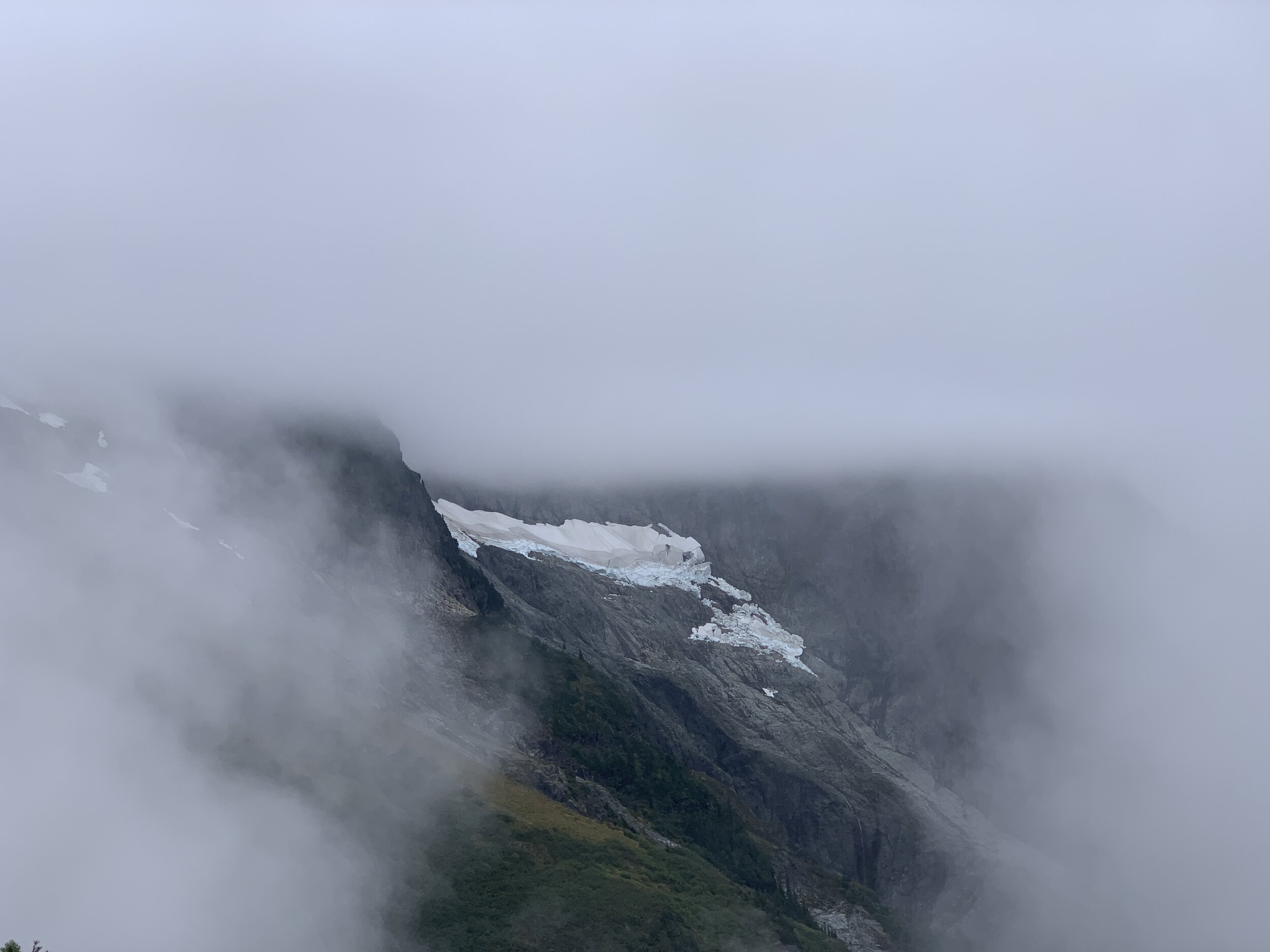
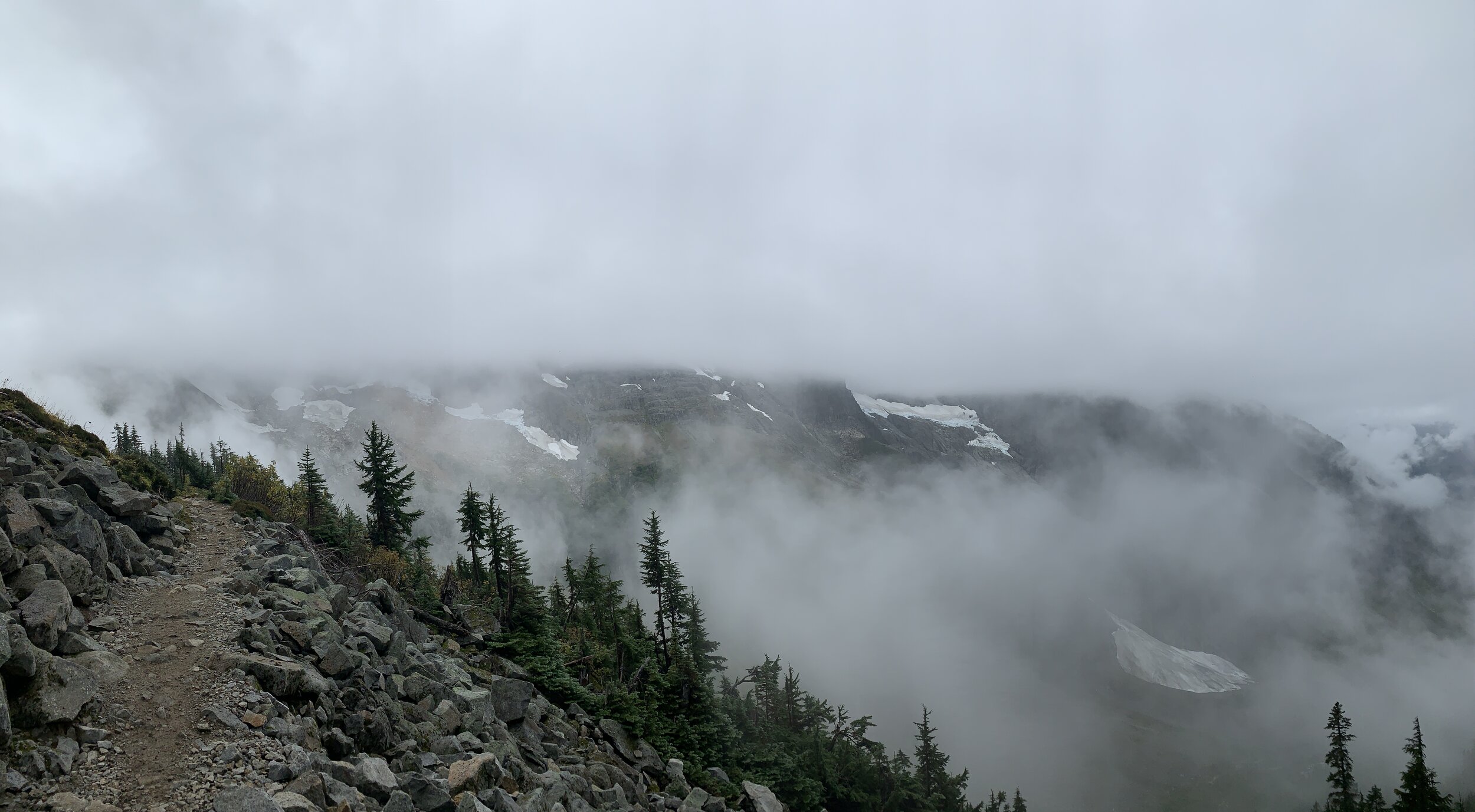
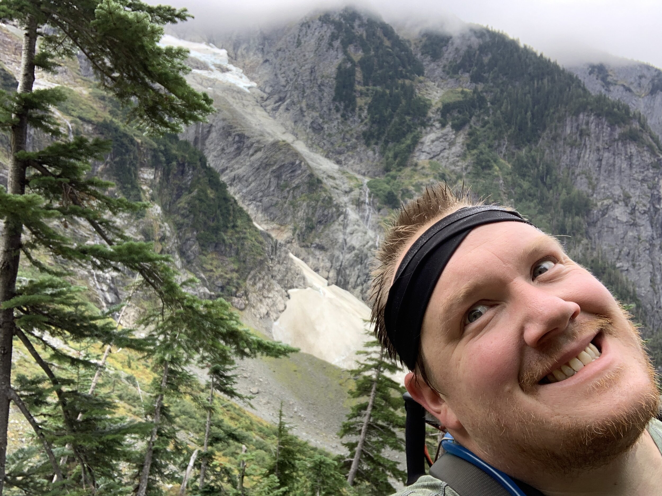
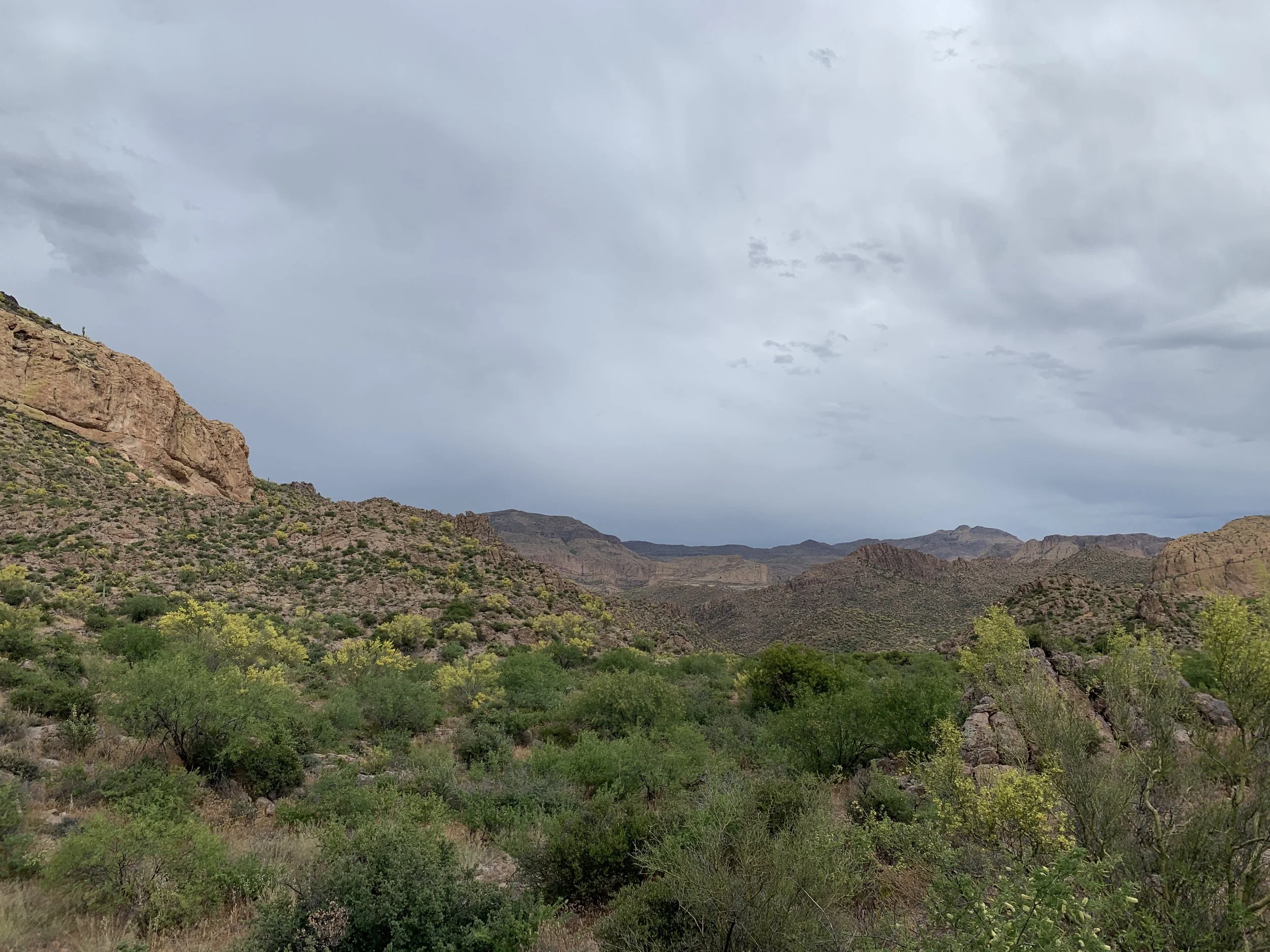
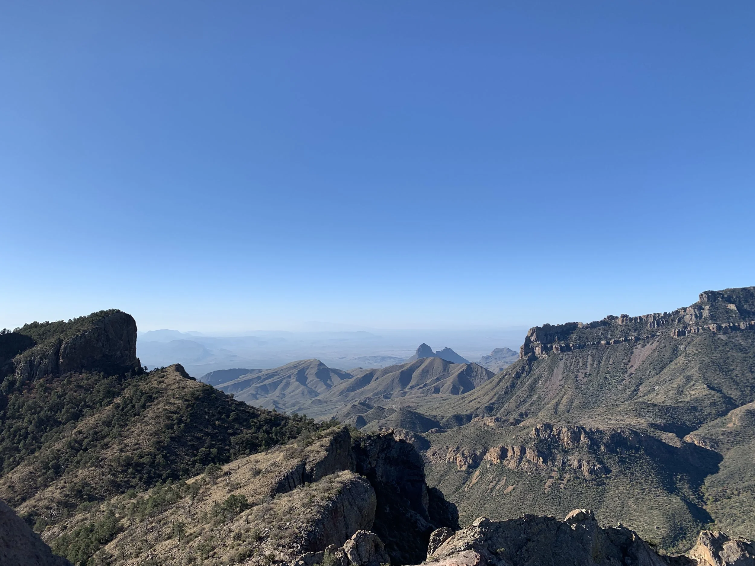
At the pass, it was windy and foggy. I didn’t see much of anything beyond the white clouds. I turned around, after a quick snack, and headed back. As I made my way down, the clouds started to thin out and the mountains became more prominent. I was getting completely different views at every turn, from glaciers to mountains to finally seeing just how far up and on the edge I was.  There were significantly more people going up now, and I enjoyed smiling and chatting with them on my way down. At one point I was between two sets of people going up when we all heard a loud crack. We stopped, looked out through the thinning clouds but didn’t see anything. The one couple said it was a glacier cracking, but it must have been on the opposite side of the hill, because we saw nothing. It was such a neat sound and experience, regardless if it lacked a visual representation.

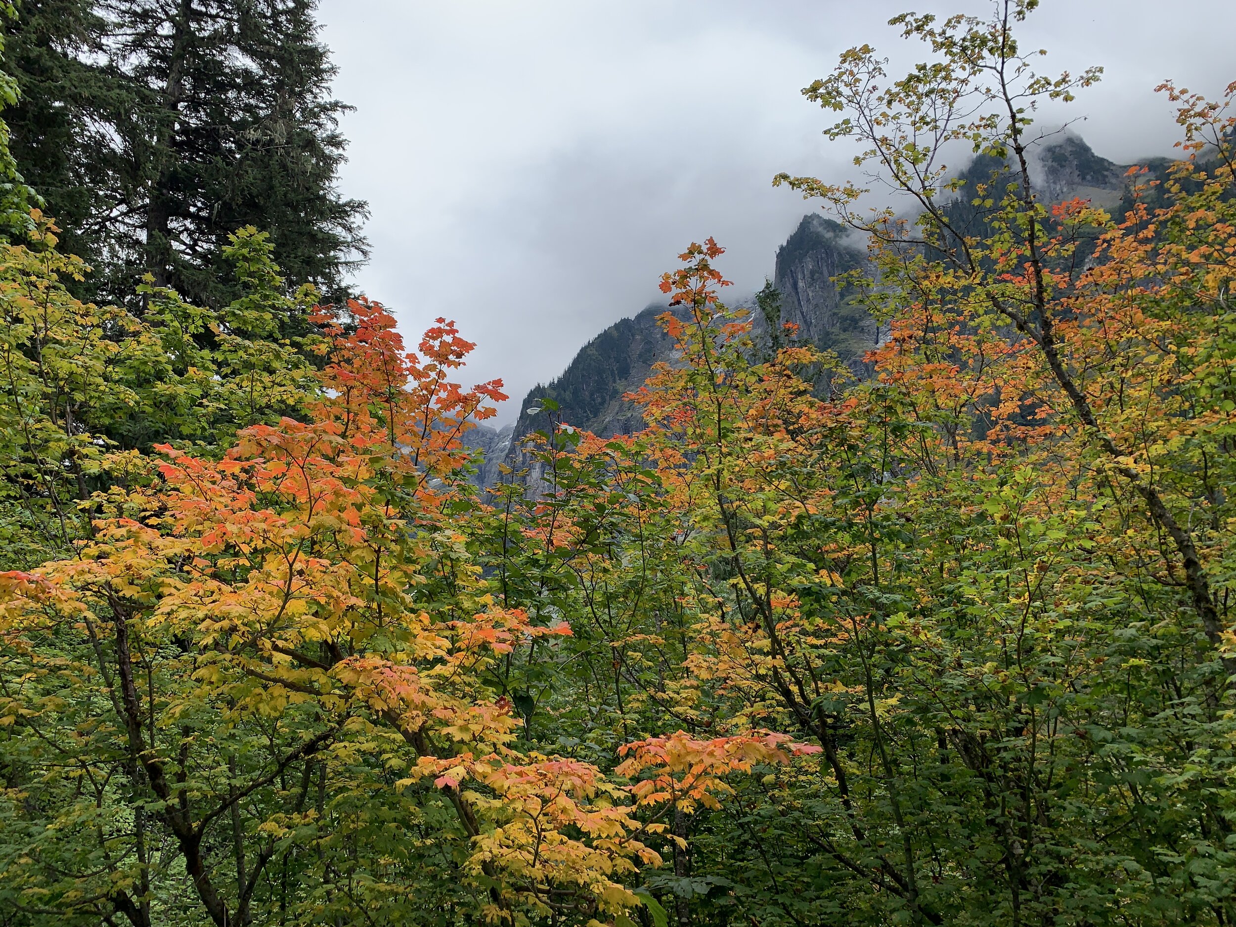
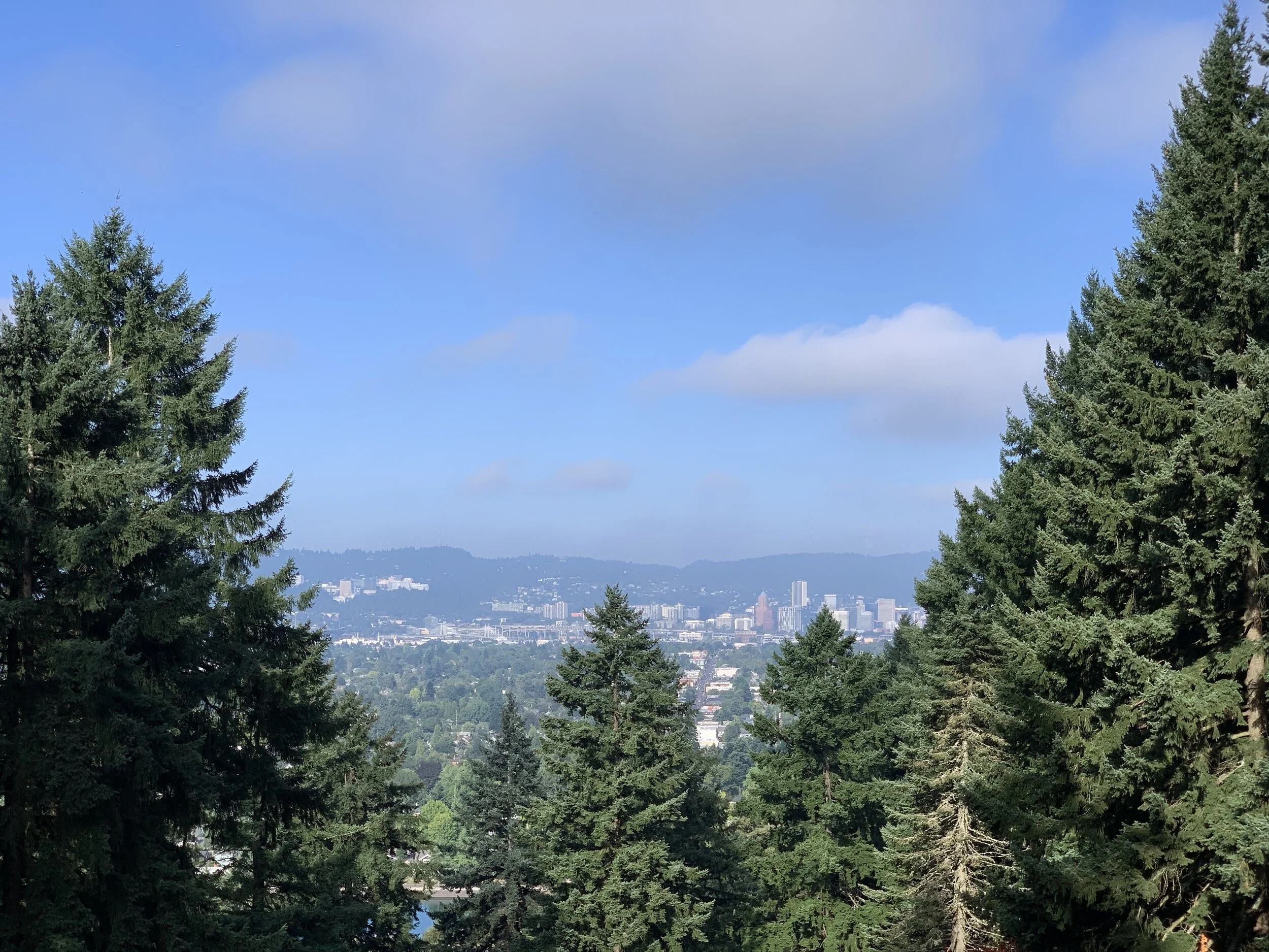
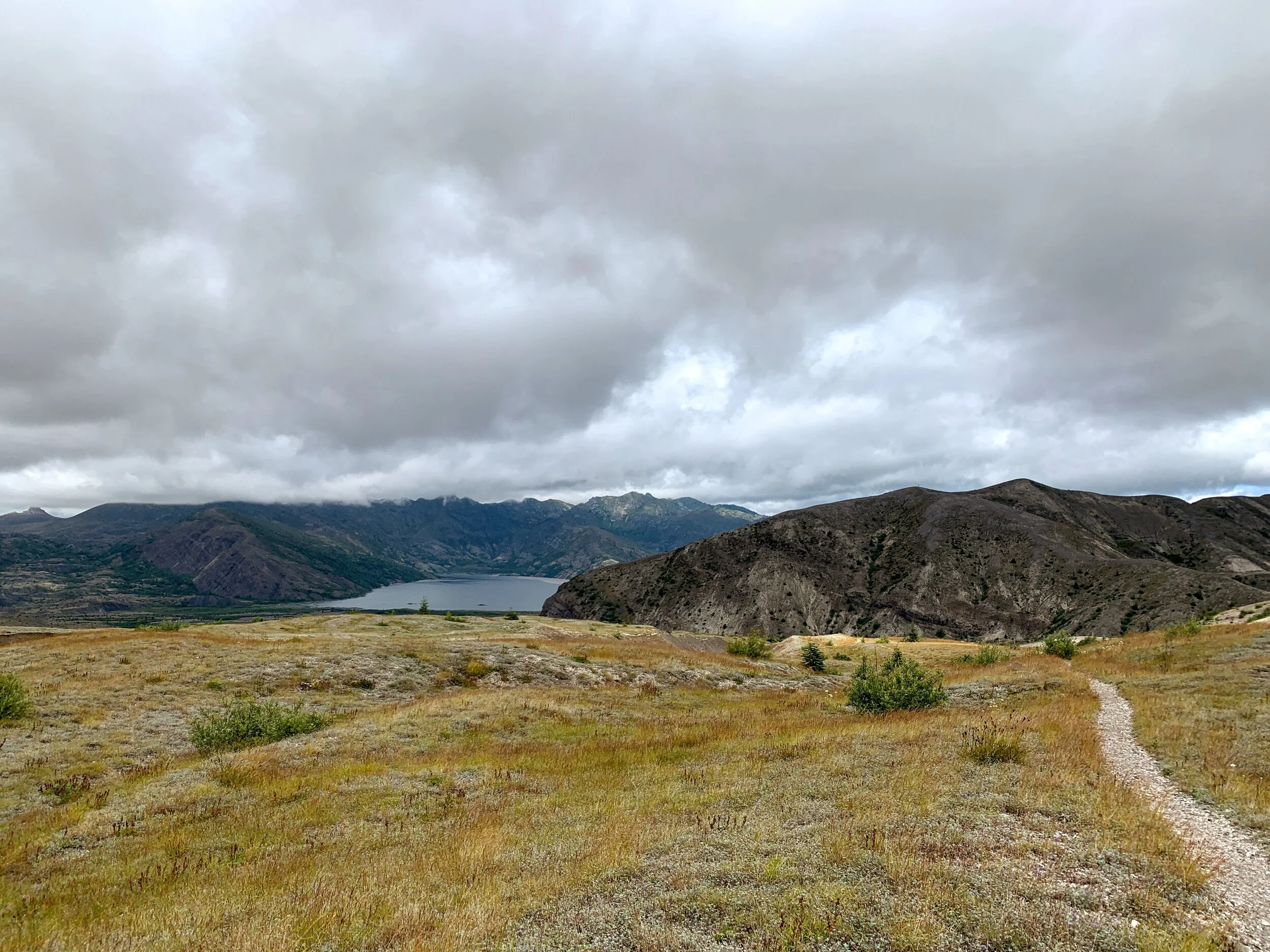
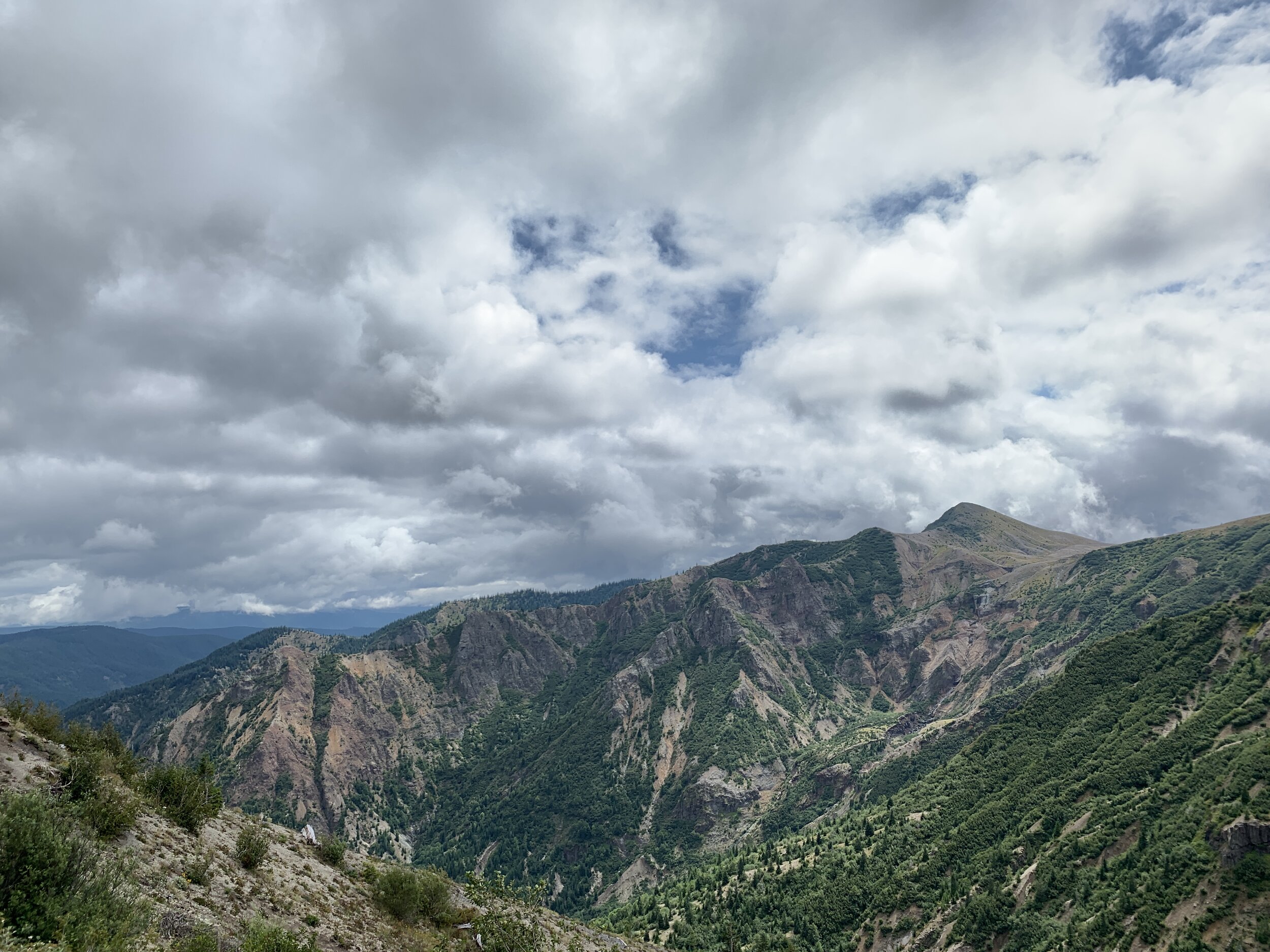
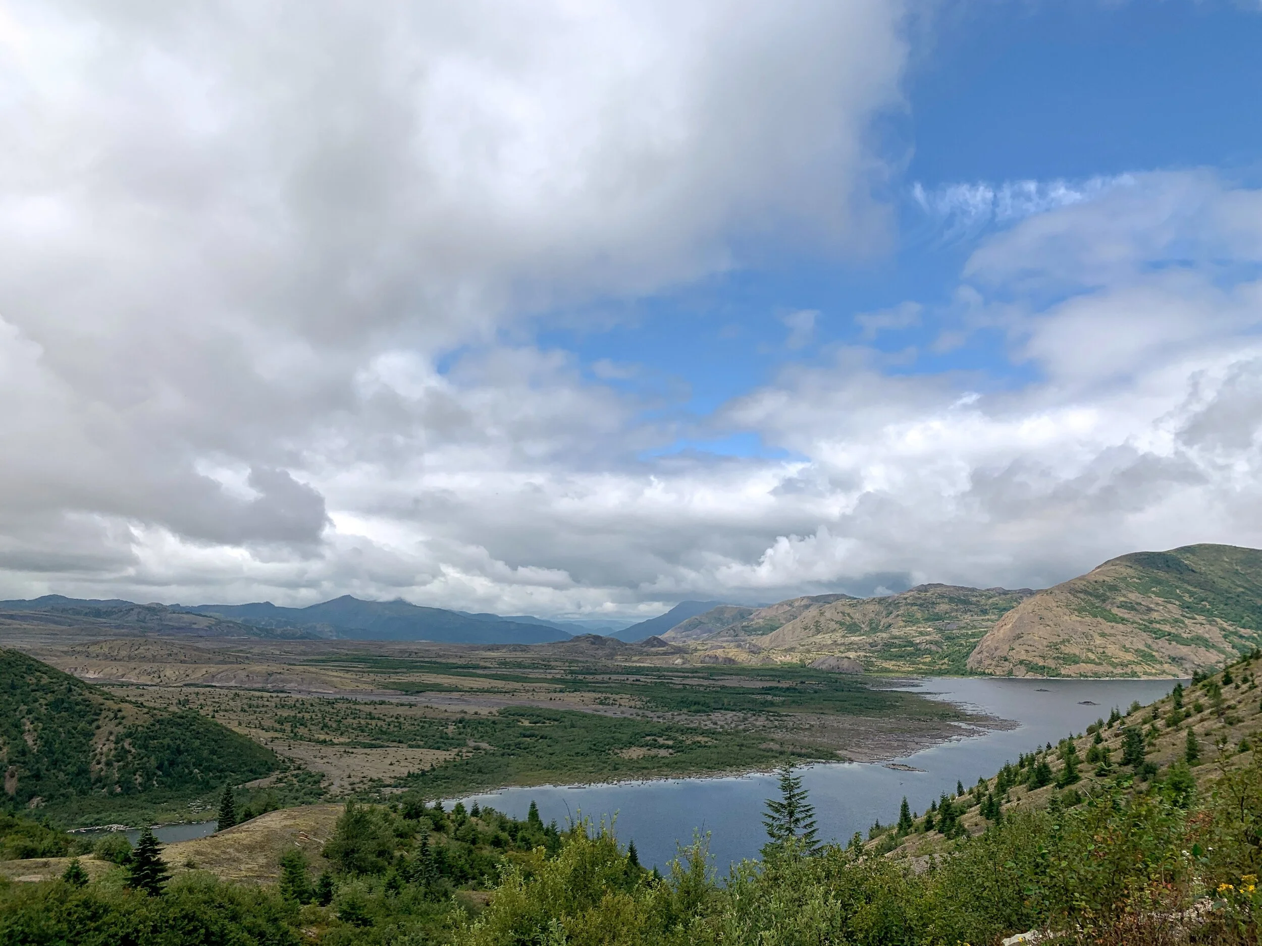
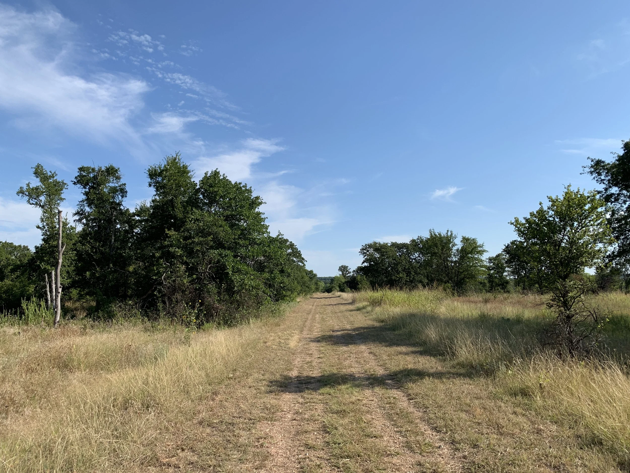
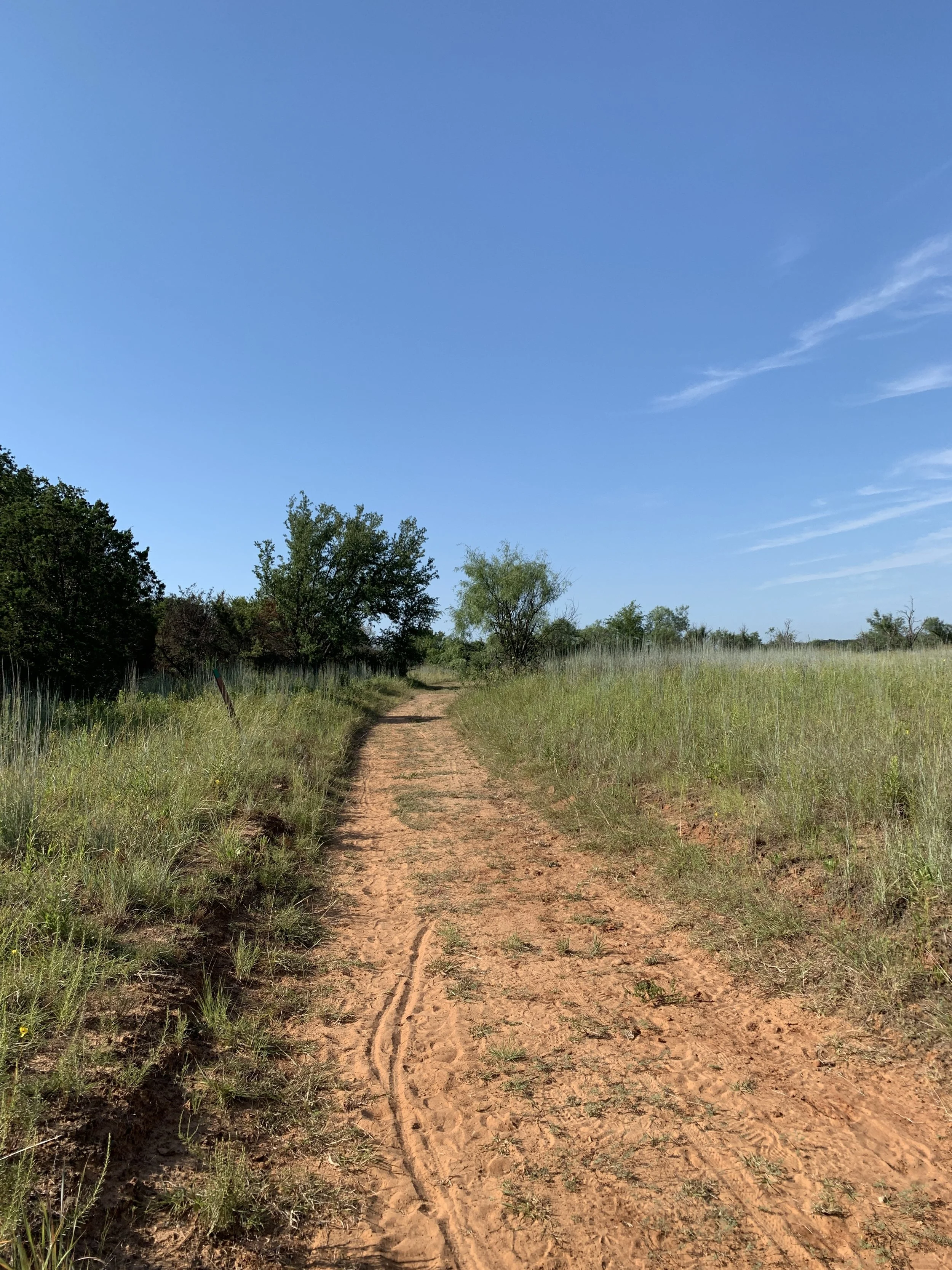
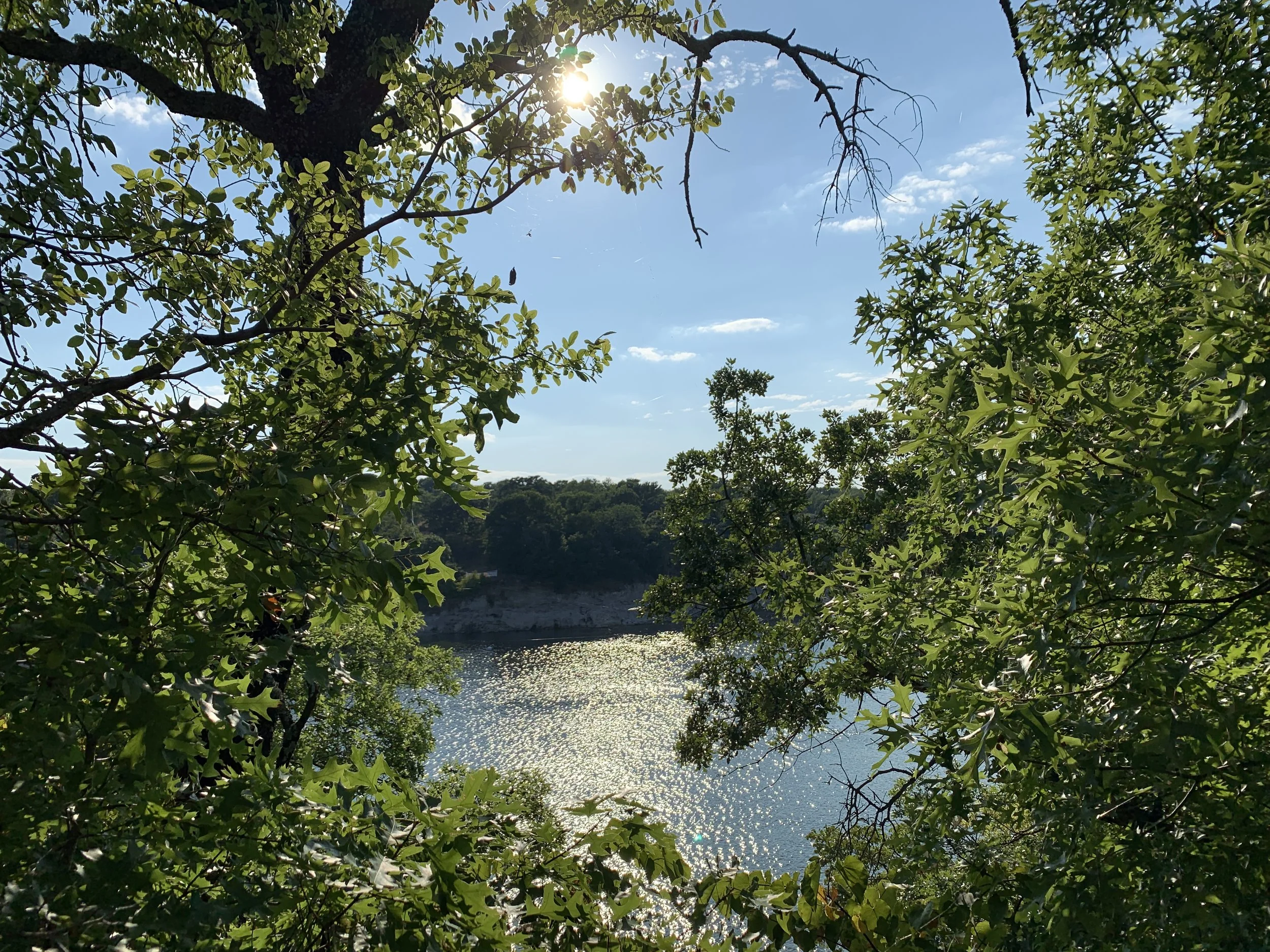
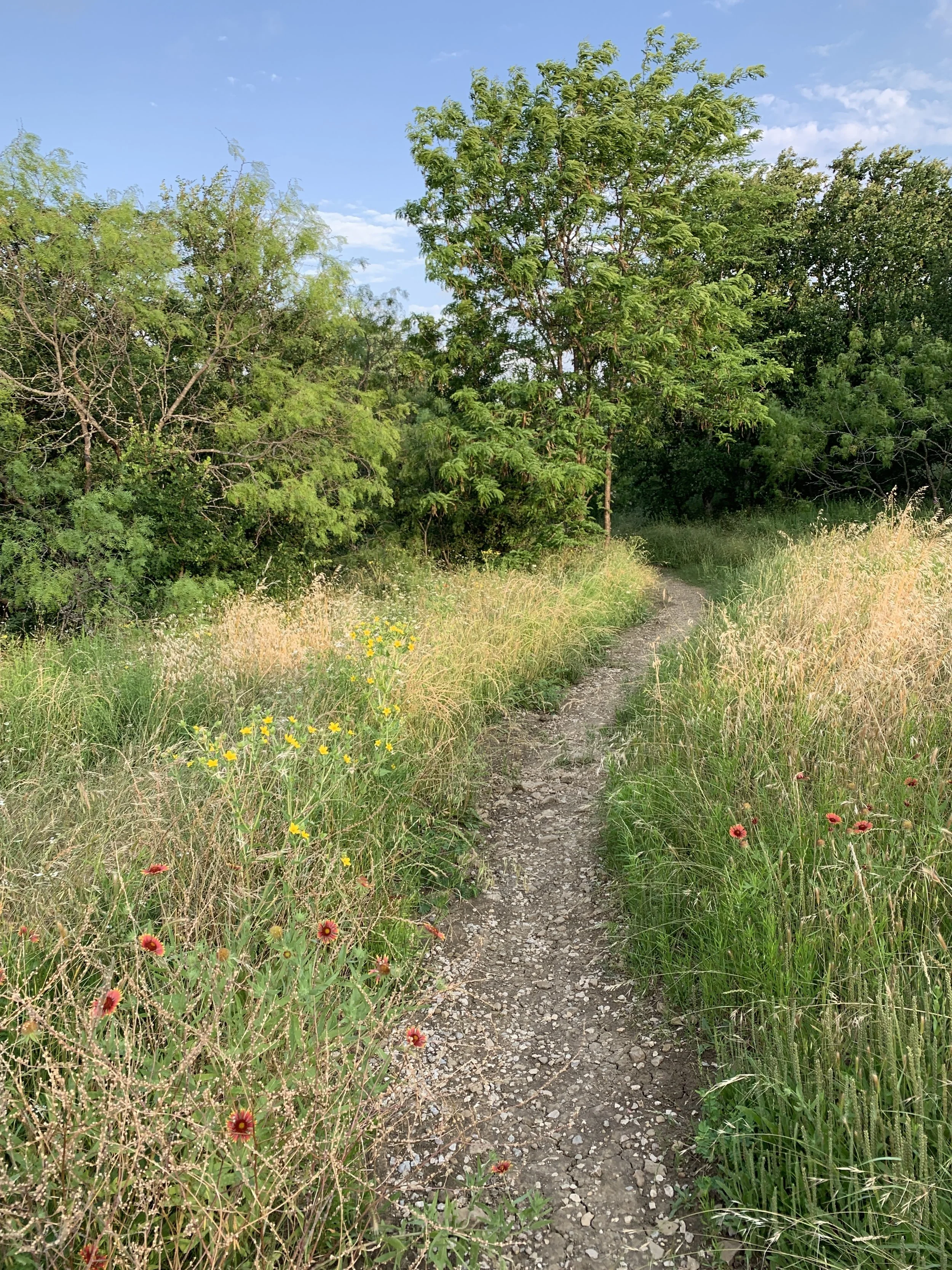
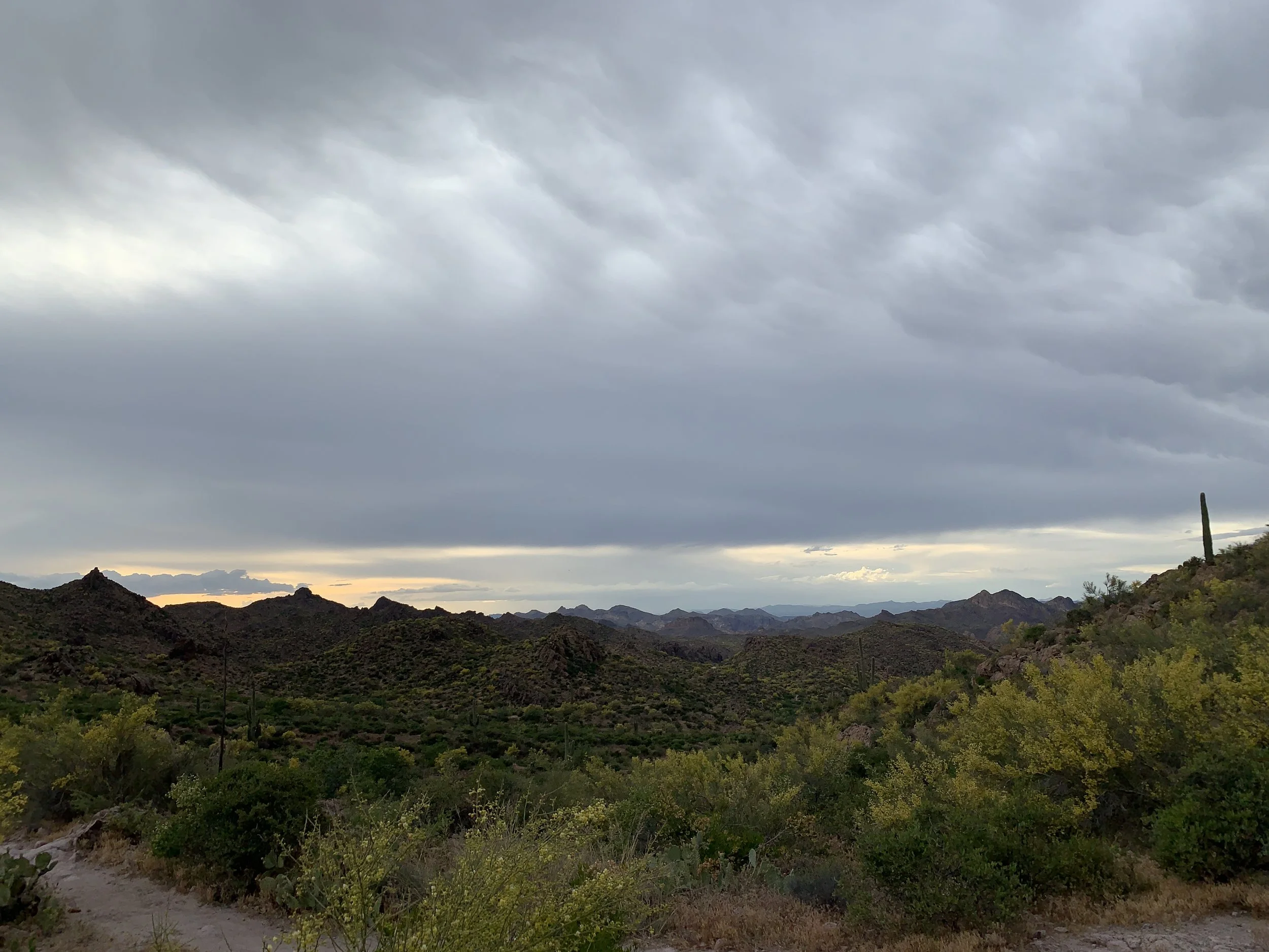
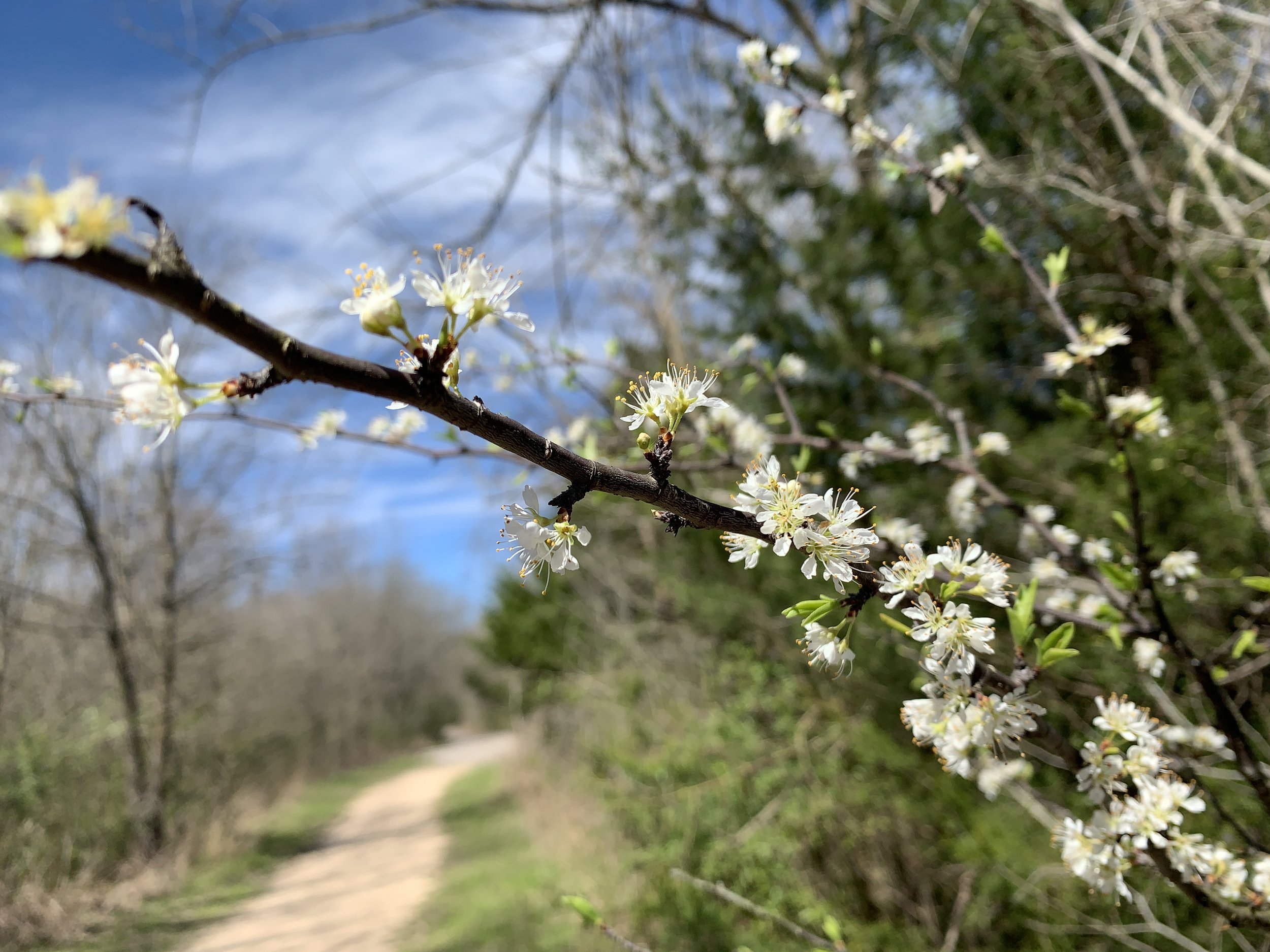
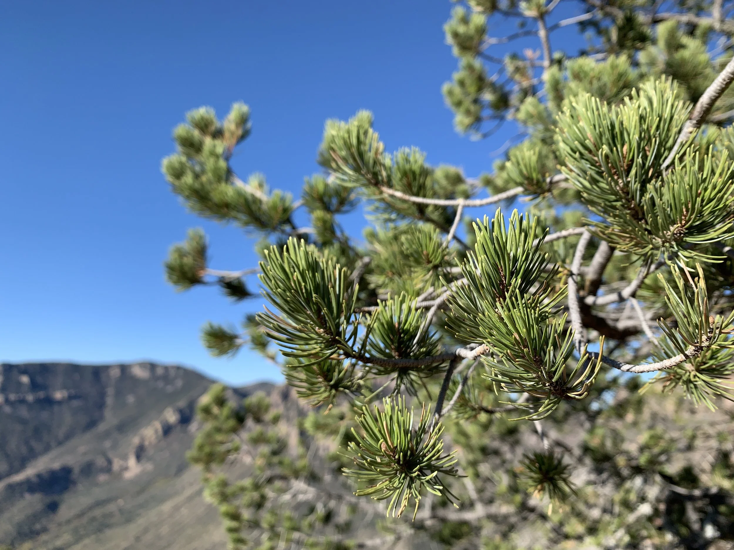
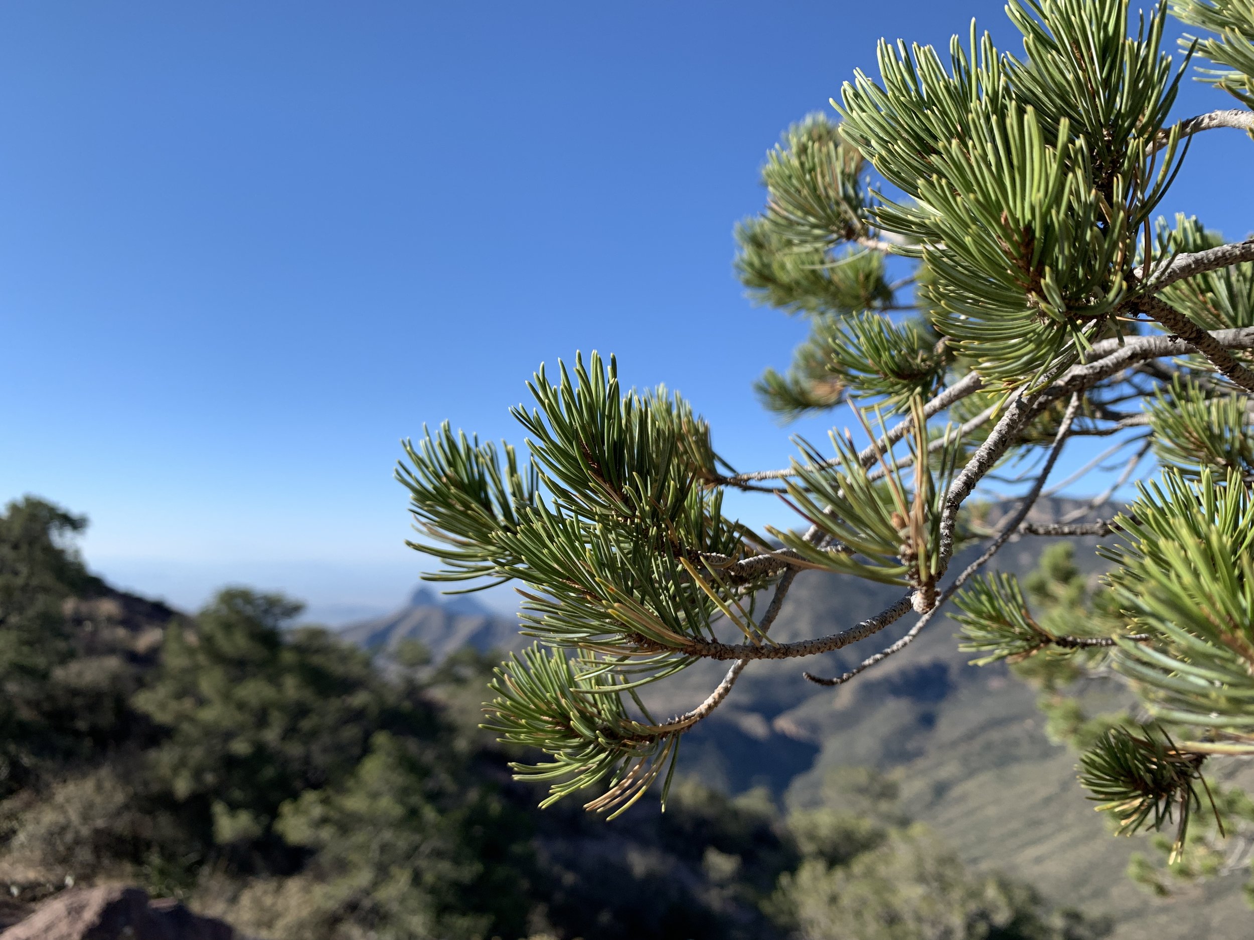
Going down was obviously faster than going up, and I even ran on some of the straight paths to keep it flowing. I’d say 95% of the people I encountered were super friendly and wanted to talk about the conditions ahead for them. I love being able to share what I saw and experienced and connect with people on the trail. By the time I made it to the car, the parking lot was a completely different place. It was surrounded by mountains instead of clouds and it felt so much smaller. My drive back to the main road was different too. I caught views through the valley and saw some fall color popping against the rock faces.

This trail is probably my favorite of any trail I’ve hiked. It had everything I wanted and it left me wanting more.  These are the combination of emotions I'm looking for in a hike and the reason I keep going out for more.  Leave me a comment with somewhere like this for you!

#hike23 - Lincoln National Forest

HIKE 23

Date: Saturday, September 14, 2019

Location: Lincoln National Forest, Cloudcroft, New Mexico

Distance: 4.43 miles

Trails: Switchback Trail

Miles from Home: 549

Weather: Cloudy, cool, breezy

My aunt and I decided we needed to go on a trip together and it needed to include big pines, mountains, and seclusion from the masses. We found ourselves in Cloudcroft, which is apparently a ski town in the winter, but offers affordable accommodations in September. Our goal with this trip was to have drinks, catch up, hike, adventure, and escape the heat/humidity of Texas. We did all of the things, but I’m going to focus on the hike. The Lincoln National Forest is massive, with PLENTY of amazing places to hike. Since we had driven over seven hours to Cloudcroft, we wanted to hike as near to our cabin as possible. We chose the Switchback Trail because it promised a view and it had a cool bridge over US-82.

Road noise is one prominent feature on this particular trail, but that was expected when hiking along a US highway through the mountains. It was not overly bothersome, but remained noticeable for a while. The trail itself was quite easy, with mild inclines and hills. It was shaded, smelled of fresh pine, and did eventually offer fun views. Once off the ridge, the trail splits and there are options for ATVs and mountain bikes. We encountered both, with the ATV riders being much more considerate of the two. Always stay alert and remember even if hikers have the right of way, you can still be run over.

We lucked out with the weather - only cloudy, no real rain while on the trail. Mid-September seemed to be a quiet time in the area, and just before any big fall colors. Aspens were beginning to change, but only subtly. If you’re looking for that pop, wait a couple of weeks. (Probably now, if you’re reading this at date of publish) I can’t wait to get back to the area and explore some more of the trails and take in more great pine aroma!

COOL THINGS on the SWTICHBACK TRAIL

  • there’s a tunnel to get back to the Bailey Trail parking lot

  • lots of pine variety

  • cool, forested mountain views

  • a bridge crossing US-82

#hike22 - Border Route Trail

HIKE 22

Date: Monday, August 21, 2019

Location: Border Route Trail, Cook County, Minnesota

Distance: 5.76

Trails: Border Route Trail

Miles from Home: 1282

Weather: Sunny to partly cloudy, cool, windy

I try to get up to Minnesota at least once a year, but this year I got to visit twice! The first time was in February, which is one of my favorite times of year up there, and a recap of that adventure can be found HERE. This time, I took a week off in late August, hopped in my buddy’s truck, and hauled ass north. My friend Kevin has family and a cabin up there and since I’ve known him forever I claim the family and am welcomed to visit the cabin as often as possible. We had tasks to accomplish, as we always do when visiting the cabin, but I also suggested a little hike on the Border Route Trail.

We had cool weather with sporadic rain, but did not worry too much about this little hike. Our plan was to keep it simple, hike for a few miles and turn back. We took lunch, a couple of trail beers, and our hammocks to enjoy at the halfway point.

The trail started with a little climb, through some trees and then continued to climb for a couple of miles. We eventually found ourselves on a ridge and peeking through the trees to Canada. The trail was overgrown in spots, flanked by huge pines in others, and a little muddy in the low spots. I’d like to get on the BRT again and hike the other direction a little bit or even further along beyond our turnaround point.

#hike21 - Mt. Tabor Park

HIKE 21

Date: Monday, August 12, 2019

Location: Mt. Tabor Park, Portland, OR

Distance: 6.21

Trails: All trails and fire roads, roadways to park

Miles from Home: 1,994

Weather: Sunny, mild, breezy

I hadn’t seen my oldest, most best friend in years, so I meandered down to Portland on my recent trip to the Northwest. I got a cute little basement room nearby, and her and I hiked and explored for the better part of 2 days-ish. One of the most urban, yet not, hikes I’ve done was at Mt. Tabor Park on the SE side of Portland and I got to do it with someone who knows the park very well. This park is/was my friend’s go-to for daily fitness and I can see why - the hills were alive.

With the hills (within city limits) are huge trees, great views of downtown, and miles of trails both paved and natural surface. We crisscrossed the entire hill, an old volcano (that’s two for this trip) and put on just over 6 miles with the short walk to the park from her house.

If I lived in the Southeast neighborhood, I’d visit this place every chance I could. Enjoy some photos from the trip and if you’re in Portland and looking for an urban yet wooded hike, visit Mt. Tabor Park.

#hike20 - Mount Saint Helens Volcanic National Monument

HIKE 20

Date: Sunday, August 11, 2019

Location: Mount Saint Helens Volcanic National Monument - Amboy, WA

Distance: 5.74 miles

Trails: Windy

Miles from Home: 2,098

Weather: Sunny, cool, cloudy, rainy, windy

I’ve wanted to visit Mt. Saint Helens since grade school, since learning about the eruption I imagine, and the dream finally (kind of) came true. I took the advice of a friend and went to Windy Ridge and hiked from there up along the side of the destruction zone. It was a gray and cloudy day, mostly, so I was limited to what I got to see but it was all quite intense overall.

The hike followed the old road and went gently over some hills, on the ridge, so it was not a ton of elevation gain or strenuous areas. The ridge was beautiful, with green trees in the valley and rain filled clouds above. The views of Mt. Saint Helens came and went, but the views of the destruction zone were always clear. I saw where the lava flowed and the lake below. What a place. I can’t wait to go back and see it from another angle.

#hike19 - Little Backyard Adventure - Olympia, WA

HIKE 19

Date: Saturday, August 10, 2019

Location: LBA Park, Olympia, WA

Distance: 3.6 miles

Trails: The LBA loop

Miles from Home: 2,105

Weather: Cloudy, cool, moist


IMG_7581.jpg

I signed up for this trail race on a whim, thinking “why not?” back in May. August came pretty quickly and I did not train enough for this race, but I still met my goal of hitting about a 15 minute mile - which is not a big deal for many, but is for me. As the temperatures wind down here in Texas, I’ll run more outdoors. For now, I’m still on a treadmill.

The LBA Park is operated by the City of Olympia, which is a wonderful town south of Seattle filled with amazing city parks, great food, and excellent beer. I arrived in the area on the Friday evening before the race and went to the the REI to meet the organizers and pick up my number. I was issued 101, for which I was pleased, and enjoyed meeting Mathias in person after interacting online for quite some time. If you ever get a chance to interact with the guys from The Outdoor Society, do it! They are both great and put on one hell of a trail race extravaganza.

After the REI visit and packet pickup, I went to the LBA park and walked some of the trails out there. I am not usually one to prepare too much for anything, but I wanted to get a walk in anyway and figured why not explore the trails I’d be running on tomorrow.

The trails are soft, with roots, and lined with plenty of lush foliage. The morning of the race was foggy, misty, and very moist. It had rained overnight but the trails weren’t muddy, but the whole place felt wet and very Pacific Northwest. It was perfect. The smells were fresh and everything just felt right.

I started the race strong, doing a quick (for me) first mile but I started to lose steam. I found a running buddy, who was running her first race, and we kind of stayed together for the second mile or so and it was great. We talked as we alternated between hiking fast and running. I soon felt that I was going too slow and wouldn’t hit my 15 minute mile goal, so I had to run more. I really surprised myself in how long I could run, and how much easier it was in a forest on a natural trail versus the treadmill I was using back home.

I made it up a big hill, interacted with some of the friendliest people, and finished the race well before some people in my group. I was pleased.

48513628132_6b710dc267_o.jpg

Takeaways

  • Trail runners are a good group of people, despite my preconceived notions of runners in general

  • Trail running is SO much easier than running on a treadmill - at least to me it was (maybe just more enjoyable?)

  • I can do it, I just need to stick to it

Highlights

  • Running in trees

  • Camaraderie among runners

  • Doing something out of my comfort zone completely

  • Running as an enjoyable activity

  • Meeting new people and a person I’ve admired from afar

  • Visiting the PNW

#hike18 - Lake Mineral Wells State Park & Trailway

HIKE 18

Date: Sunday, July 28, 2019

Location: Lake Mineral Wells State Park & Trailway - Mineral Wells, TX

Distance: 4.21 miles

Trails: Cross Timbers Green and Black

Miles from Home: 62.9

Weather: Hot, Sunny, Humid, Breezy

Lake Mineral Wells is an old standby for me, but I hadn’t visited yet this year. My friend Nikki, her daughter, and her father joined me on this hike and it was just a wonderful little Sunday morning. We set out at 8AM in hopes to avoid some of the heat coming by noon and successfully finished without perishing.

These two particular Cross Timbers trails are open to hiking, horses, and biking. We saw a few horses on our way out, but only encountered a few hikers overall. Most of these trails are in the open, so we didn’t have much for shade but did find solace from the sun occasionally. Nikki was commenting on how grown up the trees and bushes/grasses were compared to the last time she was there, which is true. It’s crazy what a good couple of rainy seasons will do!

If you’re looking for some trails suitable for the entire family, with options for a little more adventure, this is the place to go. Grab the kids, grab some friends/family, and get on out. Go early, avoid the heat, or go late. Either way, get out and enjoy.

#hike17 - Eisenhower State Park

HIKE 17

Date: Saturday, July 27, 2019

Location: Eisenhower State Park - Denison, TX

Distance: 5..12 miles

Trails: Ike’s Hike & Bike Trail

Miles from Home: 86

Weather: Hot, Sunny, Humid, Breezy

In my Quest to visit all of the state parks in Texas, I made it a point to drive up to this park on the Texas-Oklahoma border. This park is only about an hour and fifteen away from my place and it proved to be well worth the drive. The park was typical of many North Texas state parks - similar rocky terrain, similar lake views, and similar vegetation. The stand out for me, though, were the cliffs along the shoreline.

I hiked the Ike’s Hike & Bike trail which weaves through the park and takes hikers along the lake and into the woods. The trail was well-maintained, but seemingly unused for the day as there were plenty of spider webs. The trail was mostly shaded, which was helpful, and offered plenty of moments with a nice breeze from the lake. The hills were rolling and the terrain was mostly gentle.

All in all, it was a nice little evening hike along the lake - a nice break from the city. The park is located on the south side of Lake Texoma, which is quite busy in the summer months. Getting to the park is EASY, and a quick drive for everyone located in the north suburbs of DFW metro. Go check it out sometime!

#hike16 - Arbor Hills Nature Preserve

HIKE 16

Date: Sunday, May 26, 2019

Location: Arbor Hills Nature Preserve - Plano, TX

Distance: 2.51 miles

Trails: Outer Loop and others

Miles from Home: 23.1

Weather: Warm, Humid, Partly Cloudy

This hike was a lot less than I expected, as far as distance, but was overall very relaxing and peaceful for being within the metroplex. I though I had read there were at least three miles of unpaved trails, and there may be, but it was complicated. There area series of tiny little tenth of a mile+ trails on the interior, that are hard to follow and didn’t offer much for me, so I opted out of them.

The preserve has wonderful paved paths, a lookout observation deck, and plenty of nature in the city. I believe Arbor Hills is an asset to the neighborhood. The park is less than a mile from my office, and I plan to walk there during lunch in the cooler months as well as maybe a few after work walk/jogs on my way home.

2019 #hike14 and #hike15 - "We're About Halfway There"

It was a fun-filled weekend in Arizona’s gorgeous Superstition Wilderness Area just northeast of Phoenix metro. Original plans didn’t work out due to weather, so this was a solid backup. We backpacked in with the intention of staying the night, but left due to weather and difficulty finding water where we wanted to camp. I learned a lot on these two hikes, the hike in and out, about how to balance my backpack weight, how much water to really bring, and what to expect as far as difficulty. I honestly can’t wait to get out and backpack again with friends or flying solo. If you’re in Texas, or anywhere else really, and want to backpack with a newbie, hit me up!


Hike 14

Date: Saturday, May 11, 2019

Location: Superstition Mountains Wilderness Area - Tonto National Forest

Distance: ~6 miles? (we all had differing numbers - probably 5-6?)

Trails: #236 (Second Water Trail) to #241 (Black Mesa Trail) to #104 (Dutchman)

Miles from Home: 996

Weather: Warm, Sunny, Breezy

The day before this trip, I had day tripped around with Scott Jones and walked about 3/4 of a mile on this trail so the beginning was familiar to me. It was a little different this day due to the 34 pounds of weigh on my back, but it was so exciting I didn’t even care. I was carrying enough crap on my back to survive more than one night (if need be, though only one was planned), and it felt empowering. We started out, and then ascended a few hundred feet over the next couple of miles. The views became better and better, and the desert vegetation had me giddy. I was backpacking in the desert and I felt alive. I was with a great group of new-to-me people and they were as welcoming as ever. We stopped as often as we needed to, took in views as they came, and shared conversations over a variety of topics

There were NOT that many people out on the trails, though everyone we did pass was pleasant enough. We were warned of snakes in some places, which was helpful, though I think we only saw one small non-rattler. We were headed to an area just off the Black Mesa Trail to the Dutchman which was supposed to provide us with “pools of water so big you could sit and relax” and plenty of spots to set up camp. Well, the volunteer at the trail head, who became known as Ranger Rick, was either mistaken on the location or behind on information because there was a few scummy puddles and a good size pile under a boulder. No luxurious cooling of the feet, no endless supply of water to filter, and no flowing water of any kind. Not the worst situation, but certainly not what we wanted. We set up chairs in the shade and pondered our options for several hours - re-hydrating from the hike in, filtering what water we could get from the under rock pool, and eating our snacks.


Hike 15

Date: Saturday, May 11, 2019

Location: Superstition Mountains Wilderness Area - Tonto National Forest

Distance: ~5 miles? (we all had differing numbers - probably 4-5?)

Trails: #104 (Dutchman)

Miles from Home: 996

Weather: Warm, Cloudy, Breezy (some light raindrops)

As we’re wrapping up our snacks, and lightening our loads, it’s apparent the clouds rolling through were going to drop some rain on us. We had set up “camp” in the shade of the trees lining the dry creek, so we casually packed up and added rain covers to our packs and began our hike out. The sun had vanished, the temperature seemed cooler, and our pace was a little more intense. There was lightning in the distance and rain too, but we stayed mostly dry. We had to climb only a few hundred feet in elevation, but the views were beautiful with the cloudy sky and sunset. There were less saguaro on the hike out, but still plenty of gorgeous desert vegetation. We made it to the cars at about dark and made our way back to the city.

2019 #hike12 & hike#13 - Illinois State Parks

Hike 12 - Illinois Park Project

Date: Friday, April 19, 2019

Location: Fox Ridge State Park - Charleston, IL

Distance: 8.5+ miles

Trails: Most trails and roadways throughout main areas

Miles from Home: 774

Weather: Cold, windy, cloudy, moist

Equipment: iPhone, Apple Watch, Olympus TG-5, gloves, trash bags, etc.

This hike was a dream. The weather was shit, the drive was long, but the people and cleanup were the shining stars. We cleaned up over 20 pounds of trash, with 18.5 of it on the first half of the day. We had a group just shy of 10 and it was so fun to stomp around together in pursuit of a better place. This event was put on by my good friend Jen at Illinois Park Project. Go check them out! It was in held in partnership with the 11th Essential, a group dedicated to publicizing and normalzing stewardship in every day life. I wrote all about them HERE, so go check it out to learn more about the good stuff going down with all of them.

The second half, call it hike 12b, was about half the group and was more throughout the inner trails of the park. It was nice to connect even further, after the main event!


Hike 13

Date: Saturday, April 20, 2019

Location: Ferne Clyffe State Park - Goreville, IL

Distance: 2.2 miles

Trails: Rebman, Hawk’s Cave, Big Rocky Hollow

Miles from Home: 668

Weather: Cool, sunny, windy, warm

Equipment: iPhone, Apple Watch

I was 34 years old when I learned that Illinois has beautiful, natural places. I was on my way back to Texas from the group cleanup and wanted to stretch my feet and get another hike before the weekend was over. I saw this place on the map, felt intrigued, and decided to stop. I’m so glad I did. WHAT A GEM. The waterfalls were gorgeous, the rocky bluffs were intense, and the general terrain was just so lovely. I had read about this place before, and forgot about it, so it was all dumb luck.

2019 #hike8 #hike9 #hike10 & #hike11 - March Recap

Because I was drowning in work and also lazy AF, I decided to piece the March 2019 hikes together. I hope to hike some more out in West Texas - maybe Big Bend, hopefully Guadalupe Mountains, and a definitely a few state parks. If you want to hike together, hit me up!


Hike 8 - Clear Creek Heritage Nature Center - Denton, TX

  • 3.35 miles, solo hike, enjoyed

  • Flooded trails and very few people

  • Clear, beautiful weather - cool and sunny

  • Met some great people and had great chats about local hikes


Hike 9 - Fort Worth Nature Center & Refuge - Fort Worth, TX

  • 4.35 miles, group hike, enjoyed

  • Nice hike with my other half and aunt

  • Beautiful sunny day, not too crowded

  • Spring was starting


Hike 10 - Big Bend National Park: Lost Mine Trail - Big Bend National Park, TX

  • 4.96 miles, solo hike, thoroughly enjoyed

  • Excellent views, great terrain variety, wonderful elevation gain

  • Beautiful trail plants

  • Crowded as the morning changed to afternoon

  • Get there early to avoid the sun, also!


Hike 11 - Big Bend National Park: Chimney Trail - Big Bend National Park, TX

  • 4.82 miles, solo hike, great canyon views

  • Gorgeous desert wildflowers and plant life

  • Wonderful, expansive views

  • Very sunny, wear sunscreen! It’s very exposed, avoid if too hot.

  • Not buys at all.

2019 #hike7 - Cedar Ridge Preserve


Quick Stats

Date: Sunday, February 17, 2019

Location: Cedar Ridge Preserve - Dallas, TX

Distance: 4.3 miles

Trails: Cattail Pond, Cedar Brake, Fossil Valley, Escarpment, Red Oak

Miles from Home: 23

Weather: Cool, cloudy, sun peeking out eventually

Equipment: Apple Watch, iPhone


Highlights

  • Wasn’t completely overrun with people

  • Perfect weather for a hike in Texas

  • Improved signs and lots of trail work since my last visit

  • The hills are great exercise

Low Points

IMG_3322.JPG
  • Nearby road noise is prominent throughout

  • People are trashing the trails here

  • People are noisy, which is a personal opinion and just me whining really

I did not want to go for a hike this morning. I mean, I went to bed thinking I did, but I woke up wanting to drink coffee and stay home. I eventually had my oatmeal, got hydrated, and set out around 9 AM which was only two hours later than I’d wanted to leave. I don’t know what happens to my motivation, but I have a feeling it’s partly due to locations available locally. Cedar Ridge Preserve was a staple in 2017 and 2018, but it really wore me down over time and I only use it as a location when I don’t have a better plan.

IMG_3325.JPG

As I mentioned above, the trails are well maintained and great for exercise. The place is nice, it’s mostly clean, despite some trash from trashy people, and the trails are clear of any major debris. I always enjoy the trails and have a good workout because of their design; there are hills on almost every trail and they can get the heart going when you’ve leveled off from the flat areas. Most people, so it seems from basic observation, are here for exercise. People walking in pairs, families out together, and runners of all kinds fill the trails. Today, people seemed to have a problem with trail etiquette and who has the right of way up and down the hills as well as runners just doing whatever they wanted.

I did not LOVE my hike, but I still enjoyed it. I’m glad I went and got out of the house. I’m certain I’ll be a little more forward thinking for future hikes. It’s time to venture out and get adventurous again. Hello all-nighters and longs drives! Happy trails!

Before & After

2019 #hike6 - Northern Minnesota (#52hikechallenge)

“I lost my snowshoe!” - Me


Quick Stats

Date: Sunday, February 8-10, 2019

Location: Cook County Minnesota

Distance: 3.5 miles (there and back)

Trails: McFarland Lake

Miles from Home: 1,284

Weather: Sunny, windy, below zero

Equipment: Apple Watch, iPhone, Google Pixel, Olympus TG-5, Redfeather Snowshoes (most of the way)


Trail from the truck to the lake

McFarland Lake

McFarland Lake

Highlights

  • Not a soul for miles

  • No cell service

  • Plenty of fresh air

  • Miles from civilization

  • Blue sky and fresh snow

The hill up to the cabin

Low Points

  • Lost my snowshoe

  • Had to go the last 1/2 mile frozen

  • Could have brought more beer

This hike is an annual favorite because it is necessary to get to my favorite place - a remote cabin only accessible by lake or woods. This is the third annual trek across the lake to spend a weekend at the cabin during the winter. In previous years, see THIS and THIS, it was a good time but mostly an uneventful snowshoe or walk.

Third time’s the charm, as they say, for surprises in this case. According to the locals, and us, it was a real Minnesota winter for once and there was a lot of snow and ice to prove it. The week prior to the trip a fresh foot or more was dumped and for weeks before the temp hovered at 0 or below. We knew we’d have solid ice to trek across and probably need our snowshoes because there would be a lot more snow than we’re used to. We were right. there was a lot of snow on the lake. There was a lot of snow everywhere. The day before we made our journey, even more fresh snow fell on the already fresher than fresh snow. The weather in Minnesota was so wintry that our flight was delayed until the storm passed.

All that snow led to a fluffy snowshoe across the lake, post storm and with plenty of sun. We were not even a third of the way across the lake to the cabin landing and I broke through the crusty upper snow and hit nearly knee deep slush. It was as if I broke through ice, but thankfully it was just a ton of slush on the ice. We were on one of the deepest areas of the lake, where we were warned of slush, but we figured this year would be FINE with all the cold and snow. Well, we were wrong. I was wet. Both legs in knee deep slush, hands trying to get the sled back and also find my snowshoe and then my friend Kevin tried and also got wet. We had to basically army crawl to more solid snow and make our way toward the shoreline instead of directly across. We were now literally frozen and the wind was whipping making it a negative something or other real-feel temperature. We had two options - carry on and get up to the cabin to build a fire or go back to the truck and call the weekend off. I was pissy, sweaty, and very cold. BUT, my wool socks and boot liners were doing their best and my snowpants kept my baselayer from getting wet so we pushed on. It was solid ground and only minor postholing the rest of the way. Once to the where the landing is, we had to hike up a hill to the cabin. This hill, on a non-winter day, can be tough with all your gear and whatever but today it was covered in about three feet of snow. The climb up was a challenge, but honestly seemed much funnier to me than falling into slush on the ice. We took a break, regrouped, and got everything up the hardest part oft he hill and then on to the cabin.

When we entered the cabin, it was 5 degrees Fahrenheit, and we quickly built a fire and brought all the goods in. We changed out of our wet clothes and put on dry socks and normal shoes and planted our feet right by that woodstove for a couple of hours. Beers were had, dinner was stewed on the stove, and board games were played. This went on for the next 24 hours as did the drying of our wet boots and clothes. All in all, we had the cabin up to 70-80 degrees by bed time on the first night and kept it there most of the time. By the second night, well into the darkness, my boots were FINALLY dry after being near the fire for over 24 hours. By the third day, we were not quite ready to leave but did before dark just in case we ran into more slush. We stuck to the edge of the lake and had no real issues other than me NOT having snowshoes anymore. It was okay, for most of it, until the drifts near the trail back to the truck. I was in waist deep snow for about 100 yards, not the worst thing that happened all weekend. We had three sunny days, beautiful scenery, and plenty of beer and board games.

I can’t wait to get back next year - with new snowshoes and sticking close to the known path along the edge.

View of the cabin

View from the cabin down the path back to the lake, at sunrise


Before & After

2019 #hike5 - Cleburne State Park

“The hills kicked my ass” - Me


Quick Stats

Date: Sunday, February 3, 2019

Location: Cleburne State Park - Cleburne, TX

Distance: 7 miles

Trails: Fossil Ridge Trail, Coyote Run Nature Trail

Miles from Home: 59 miles

Weather: Cloudy, humid, 60s

Equipment: Apple Watch, iPhone


IMG_3042.JPG

Highlights

  • No one at the park

  • Frequent hills to keep it interesting

  • Lots of shade

  • Views of the lake

Low Points

  • Lots of trash on the trail today

  • Rocks are basically like ice when wet, which they were today

  • So many people have made their own trails, it is difficult at time to see the real trail

Well, it took five hikes but I finally had to break through spider webs. I went a solid month without having any in my face and today I more than made up for it. The trail I chose today followed the edge of the state park boundary and was pretty well shaded for those summer days. The rocks that make up the trail, mostly the hills, were slick today because it had been damp and misty for a couple of days. The first mile of the trail is noisy due to the mine next door and natural gas compressors nearby. Once you get past the noise, it gets mildly quiet until a dog in a neighboring house barks or you begin to hear the noises of the campers in the campground. If you’re looking to fully escape, this place will get you halfway there. The trails near the lake are a bit nicer, but overall this place isn’t an “escape” from the real world like other parks can be. It’s a great place to camp and hike, don’t get me wrong, this is just my take on it. If you want to escape, head west. #westisbest

Today I did about 7 miles of hills, 3.5 miles around and back, and it really was a nice little up and down. At the end of my 3.5 miles was supposed to be a scenic overlook, but with so many side trails made it hard to tell if I was at the right spot. I found a lakeside clearing and took a break anyway, sipping on my cider and basking in the breeze. I was sweaty. The hills were a workout for me and my hat was soaked through as were my shirt and shorts. The entire 3.5 miles back to the car were basically me wiping dripping sweat from my head. I bagged two small bags of trash, mostly bottles and juice boxes, and deposited them in the dumpster near the entrance. The trash I picked up was blatantly thrown out, nothing looked accidental. Some people really need to check themselves.

I hope you find your trail and pick up some trash along the way. Hike 6 will be a series of hikes this week when I go to Minnesota, so stay tuned for that next week! Until then, happy trails!


Before & After

2019 #hike4 - Dinosaur Valley State Park

“I hear the river and it’s all rivery” - Me


Quick Stats

Date: Saturday, January 26, 2019

Location: Dinosaur Valley State Park - Glen Rose, TX

Distance: 6.3 miles

Trails: Paluxy River, Horseshoe Equestrian Trail

Miles from Home: 75 miles

Weather: Sunny, 50s

Equipment: Apple Watch, iPhone, Olympus TG-5 camera


IMG_2925.JPG

Highlights

  • Great weather, plenty of sun but cool enough to stay comfortable

  • Trails are well maintained

  • Not many people in the park

  • Great river views

  • Plenty of trails throughout the park for all skill levels

Low Points

  • Social media hadn’t updated in 10 days about the river crossing or trial conditions

Dinosaur Valley is one of my local to-go parks that I visited many times last year. I fully plan to visit this place more than once this year, but I’m going to try to keep exploring other places and not fall victim to my own laziness. This park has a lot to offer hikers of many different skill levels. The trails on the main side of the river are relatively flat and accommodating, while the trails on the north side of the river offer a little more variety in terrain and wooded areas. Today, we focused on the main area of the park and walked along the river, admiring the views. We did a little loop that is frequented by horses, and then took the river path back. It was simple, lovely, and offered a nice escape from reality. The river was a little higher than normal and there was a lot of algae and moss, more than we’ve noticed before. Another sunny day hike in the books for 2019 and a stop at our favorite diner afterwards. Happy trails!


Before & After

2019 #hike3 - Palo Duro Canyon State Park

“Wandering through the canyons was exactly what I needed.”


Quick Stats

Date: Saturday, January 19, 2019

Location: Palo Duro Canyon State Park - Canyon, TX

Distance: 10.4 miles

Trails: Givens, Spicer, Lowry Trail, part of the Lighthouse Trail, Little Fox Canyon Loop

Miles from Home: 359 miles

Weather: Sunny, 30-40s

Equipment: Apple Watch, iPhone, Olympus TG-5 camera


IMG_2719.jpg

Highlights

  • Very few people at the park

  • Clear, sunny skies

  • Trails are well maintained

  • Park location is quiet and secluded

  • No cell service down in the canyon

  • Beautiful, varied terrain

  • Plenty of trails throughout the park for all skill levels

Low Points

  • The few people who were there were mostly nice, though some were too loud

  • Was a long drive from home

  • Half the park was closed for a Texas Parks and Wildlife sanctioned hunt, limiting trails

This park is a great option for anyone in Texas, or the surrounding areas, who want to experience red rocks and big canyons. If you love the Four Corners area, you’ll likely enjoy this park. I’ve visited before, check out that experience here. The plan was to leave around midnight for Big Bend National Park, but I couldn’t bring myself to do it. I had been speaking about avoiding NPS sites during the shutdown and exploring public land alternatives so I followed my own advice. I was going to wake up at 2 AM and begin the 5 hour drive to Palo Duro, but I slept on until 5AM instead. I finally hit the road at 8 AM and arrived to the park about 1 PM. Once I made it down into the canyon, there was hardly anyone at the trailhead parking.

I started my hike on a trail I had never been on and I was so excited for the unknown. When I set out that morning, it was frigid enough for a down puffy jacket, but I had settled on a hoodie and a t-shirt for the hike. Since I had visited two years prior, I had an idea of what to expect as far as terrain and conditions. What I didn’t expect, were the views. I mean, I knew I’d see some red rocks and green vegetation, but you never know how the light will dance around the canyon until you’re there. Red rocks soothe my soul and there is just no way around that fact.

As I made my way down the trail, I had a new view around every turn. There were plenty of great views but my favorite parts were when I was hiking right along the massive canyon edges, up close and personal with the rocks. I made my way to the next trail, one I hiked before, and out towards the iconic Lighthouse rock structure. The Lighthouse trail was much more populated, despite having a closed parking lot, and I moved quickly because it was relatively flat comparatively. By the time I made it to the end and back to the GSL, the people had vanished and I had the place mostly to myself again. I encountered several mountain bikers, but they were mostly courteous and polite passing quickly. I took a little offshoot trail called Little Fox Loop which led to a hill and great views in the canyon. As the afternoon ended and I was making my way back to the car, everything looked different in the setting sunlight. The beauty of the desert, the canyons, the red rocks, and even the forest is every trail can seem like a new trail as the light shifts around during the day.

These red rocks were worth the five and half hour drive each way. My day in the canyon, where it was silent and free from city noises, was exactly what I needed.

IMG_2797.jpg

Before & After

2019 #hike2 - Eagle Mountain Park

My old standby…


Quick Stats

Date: Sunday, January 6, 2019

Location: Eagle Mountain Park - NW Fort Worth, TX

Distance: 5.1 miles

Trails: Main trail, Shoreline trail, S Shoreline Trail

Miles from Home: 27

Weather: Mostly Sunny, Mid-50s

Equipment: Apple Watch, iPhone, Olympus TG-5 camera


IMG_2461.jpg

Highlights

  • Beautiful day and many miles of trails

  • Variety in elevation - nothing like the mountains, but much better than just flat

  • Most of the muddy creek crossings had stones for jumping

  • Horses and pets are not allowed, which keeps the trails clean and less rutted

Low Points

  • People have created many side trails, use your head and stick to the main ones

  • There is some oil & gas machinery near one of the trails, it can be annoying/smelly

  • Very muddy but not impassible

I call this place my old standby because if everything else falls through, I can always come here! The trails have variety, the lake always provides a breeze, and the terrain is more challenge than common flat trails in the area. There are always people at the park, so be warned that if you want peace go before 8 am. Today I strolled in around 10 am, much later than normal for me, and I saw plenty more people because of it. Most people were friendly, though, and all were covered in mud. Some runners had legs caked in the gray dirt all the way up to their knees.

Many runners use this place a circuit of sorts and I passed by one guy so many times it just caused me to laugh out loud the last time. I was strolling along at a moderate pace and he was running by over and over.

This park suffers from major trail offshoots and overfull trash cans at the parking lot. Today, the cans weren’t quite as bad as normal, but the mud had people making tons of new trails. I lost count of all the offshoots, but did my best to stay on path and follow Leave No Trace guidelines. Go through, not around. Getting muddy can be half the fun of a good hike! I will always recommend this place to anyone looking around DFW metro area, and that opinion hasn’t changed today. Go check it out if you want a fun, varied hike/run/casual stroll. Be warned, it’s a little muddy today but you’ll be rewarded with trickling drainage streams bubble along the way.


Before & After

2019 #hike1 - Shoreline Trail at Lake Lewisville

It is outside and it is dirt, so it counts.


Quick Stats

Date: January 5, 2019

Location: Shoreline Trail (starting at Stewart Park in The Colony, TX)

Distance: 3.7 Miles

Trails: Shoreline Trail is only one trail

Miles from Home: 26

Weather: Sunny and mid-40s

Equipment: Apple Watch, iPhone, Olympus TG-5 camera


IMG_2413-2.jpg

Highlights

  • Only a few people out and about meant I had the place mostly to myself

  • Nice gravel path with very little clay

  • Nice bridges over the really swampy drains

  • Dogs are allowed and there were plenty of dogs along the way in yards

Low Points

  • Very populated areas, would be more suited for daily walks than a “hike”

  • Noisy - road noise, people doing yard work, etc.

  • Very muddy and flooded in parts due to neighborhood drainage

This is a great trail for neighborhood locals needing a good run or to walk their dogs. This was not a hiking trial, by my standards. I enjoyed the stroll, regardless of what this trail was, but did miss the seclusion other urban parks in the area offer. I saw several birds including mallards, cardinals, and blue jays. I’d recommend this to any local inhabitant within a few miles, but I will not likely be driving 26 miles for this one again. The point in which I turned around due to flooding was the point where the trail was furthest from neighborhoods, so there is some potential for a more secluded walk that I just didn’t get to experience today.

The actual walking/hiking revealed that I’ve been way too lazy for way too long. I noticed it back in Alaska too, and I’m glad to be getting outside again. This trail technically the “hike with a body of water” in the 52 Hike Challenge Adventure Series, but I intend to aim higher for this one. Until the next one, happy trails!


Before & After